Trails in France
15,926 hiking trails, each with its route, climb, walking time and grade.
All trails, page 290 of 332
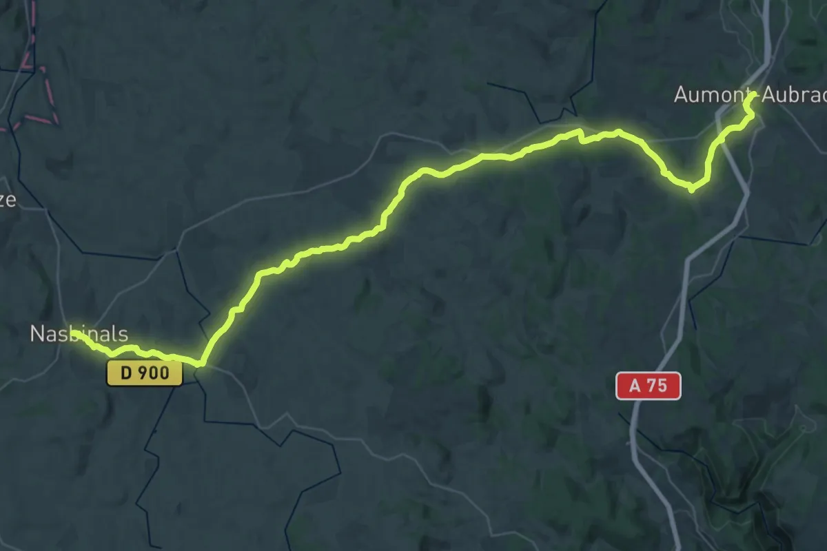
Demanding · Trail
Aumont-Aubrac – Nasbinals
26.0 km · ↑ 466 m · 7 h 26 min
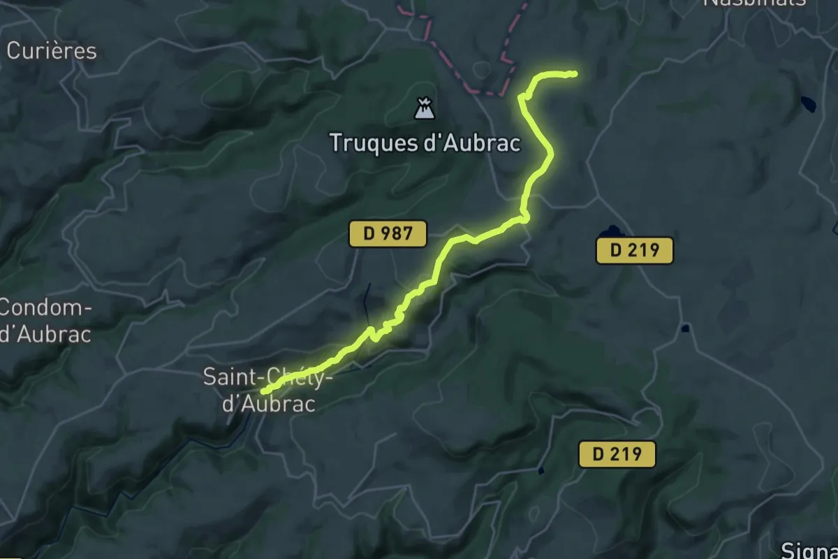
Demanding · Trail
Nasbinals – Saint-Chély-d'Aubrac
24.0 km · ↑ 711 m · 7 h 13 min
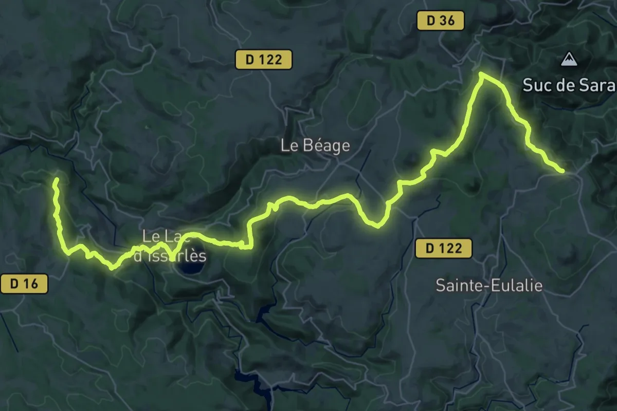
Demanding · Trail
Le Puy – Mont-Gerbier-de-Jonc
27.9 km · ↑ 978 m · 8 h 53 min
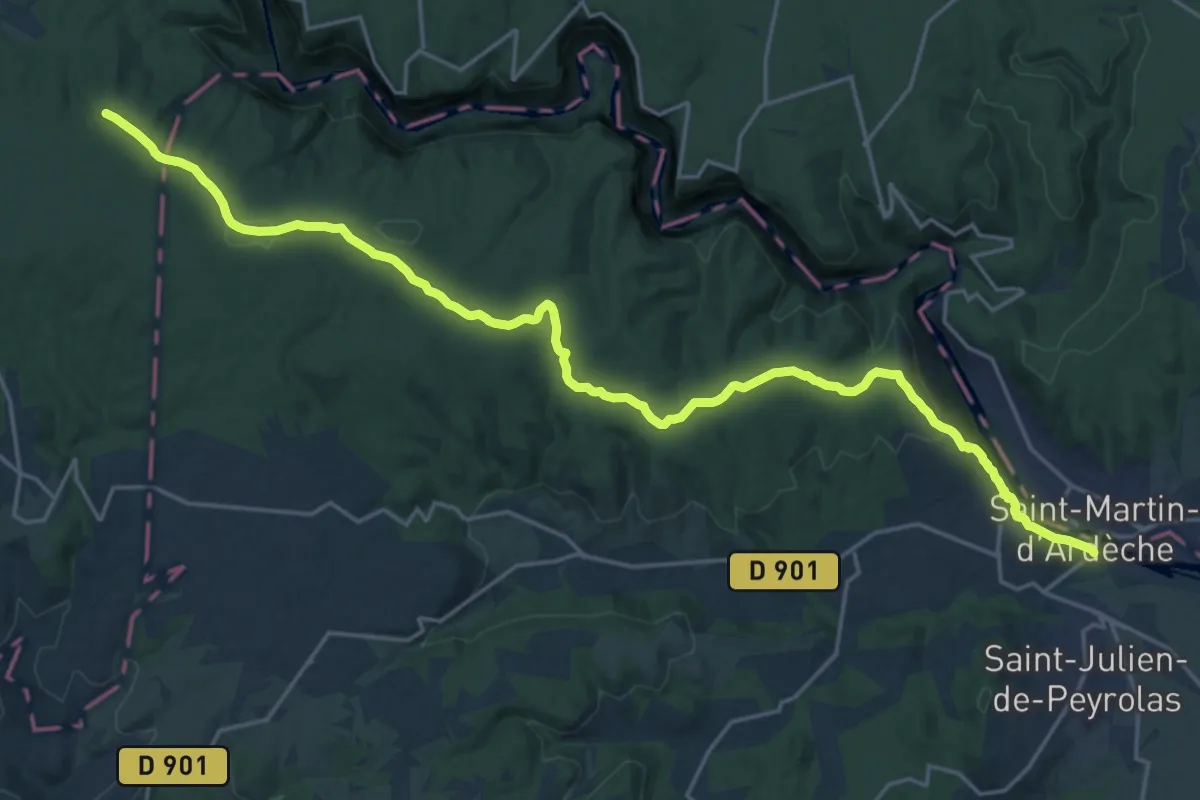
Expert · Trail
Les Vans – Saint-Martin-d'Ardèche
25.6 km · ↑ 489 m · 7 h 7 min
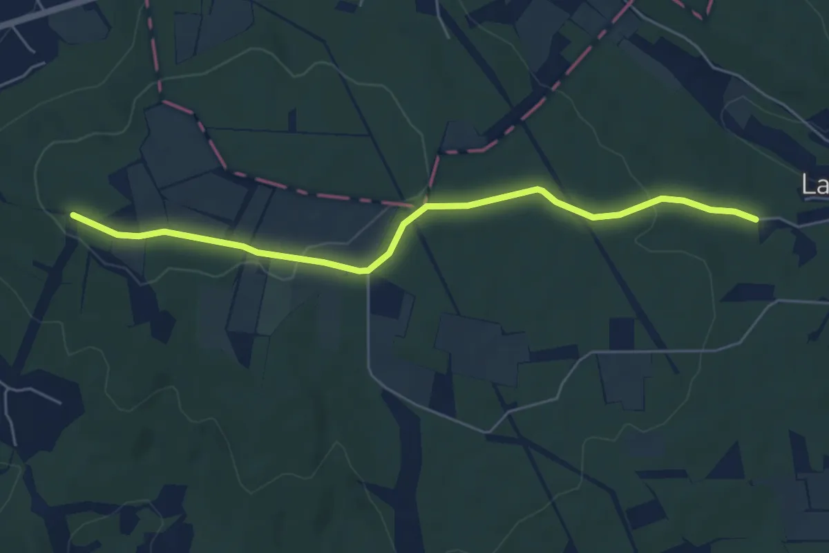
Easy · Trail
Saint-Martin-d'Ardèche – Abri du Contrat
5.7 km · ↑ 89 m · 1 h 32 min
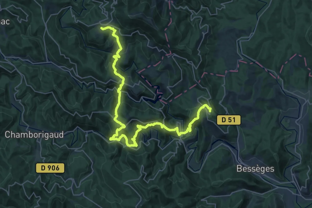
Demanding · Trail
Aujac – Bordezac
16.6 km · ↑ 915 m · 6 h 11 min
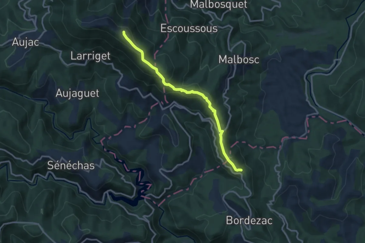
Medium · Trail
Bordezac – Malons-et-Elze
9.3 km · ↑ 458 m · 3 h 11 min
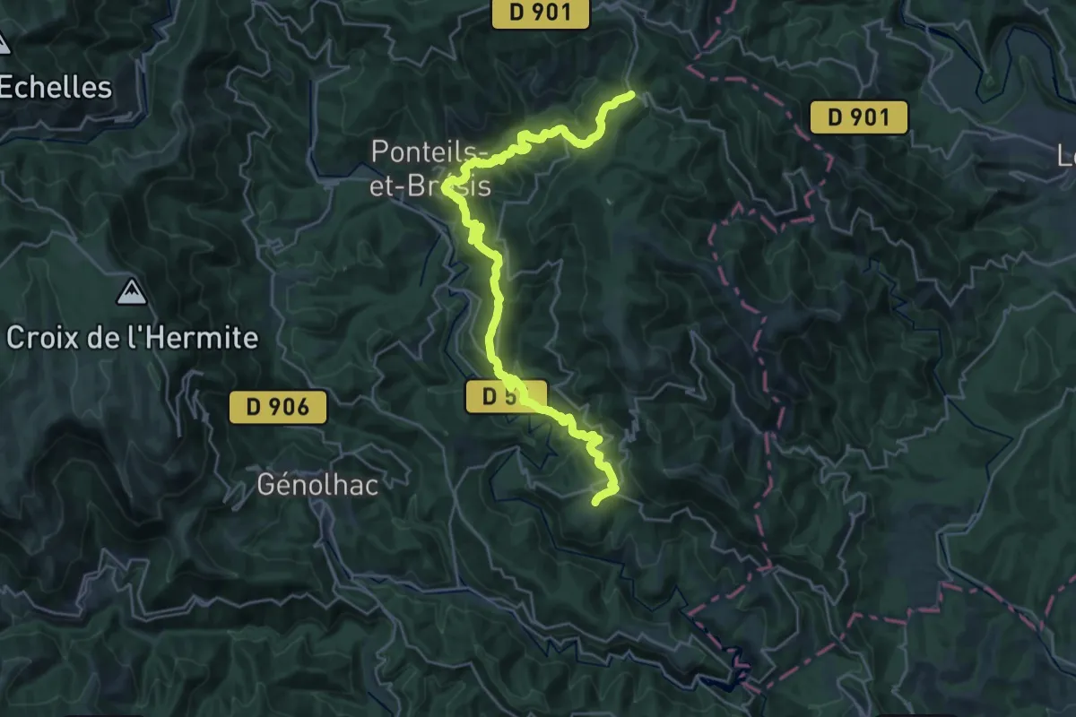
Medium · Trail
Malons-et-Elze – Aujac
15.2 km · ↑ 579 m · 5 h 12 min
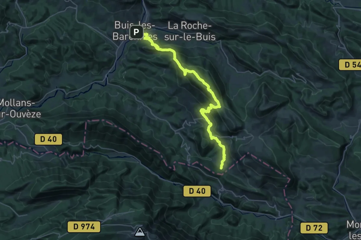
Demanding · Trail
Buis-les-Baronnies – Ruisseau de Sénaris
14.6 km · ↑ 906 m · 5 h 28 min
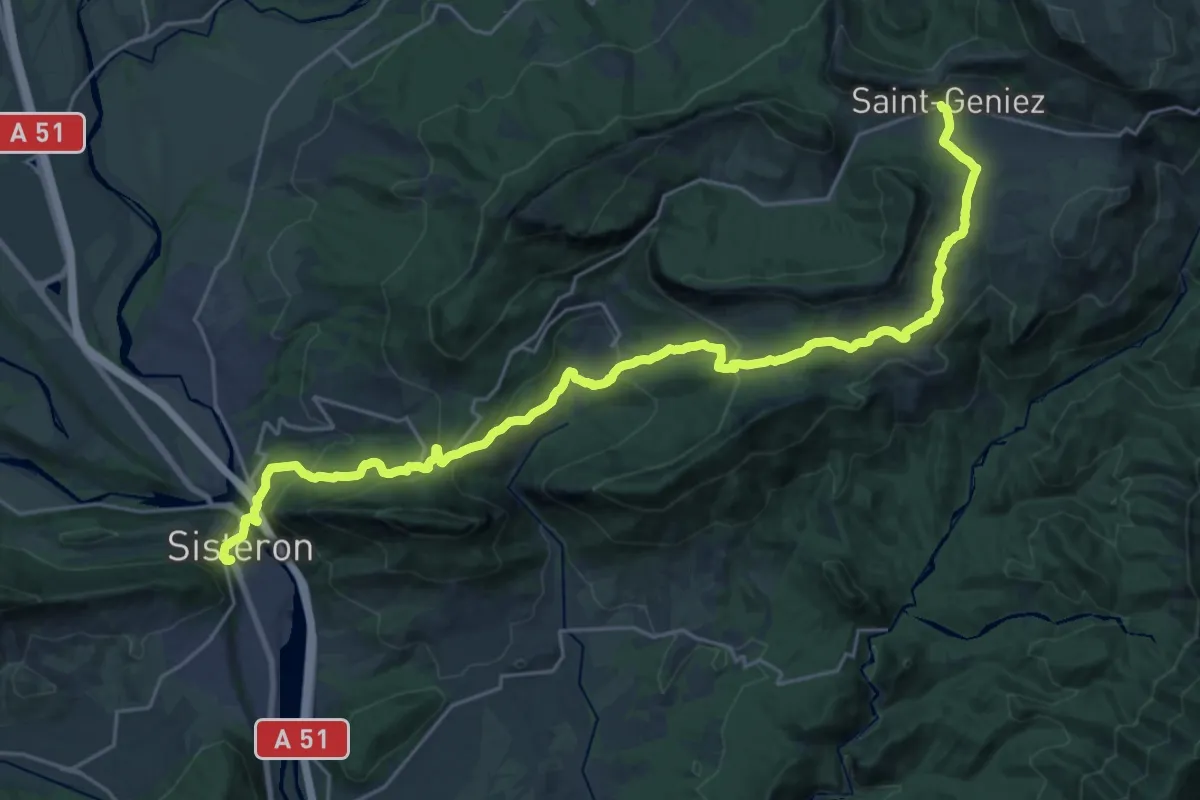
Demanding · Trail
Sisteron – Saint-Geniez
14.9 km · ↑ 896 m · 5 h 22 min
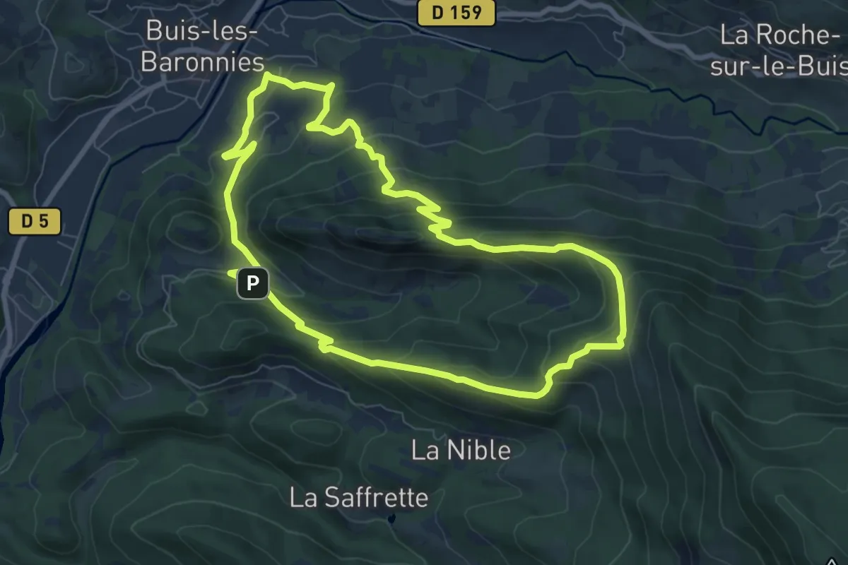
Medium · Trail
Buis-les-Baronnies – Buis-les-Baronnies
7.9 km · ↑ 494 m · 3 h 2 min
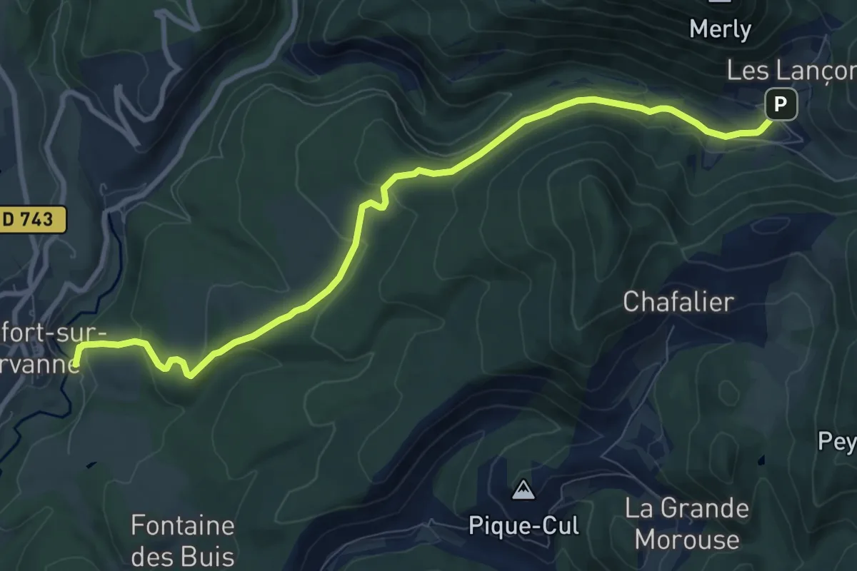
Medium · Trail
Beaufort-sur-Gervanne – Escoulin
10.1 km · ↑ 345 m · 3 h 8 min
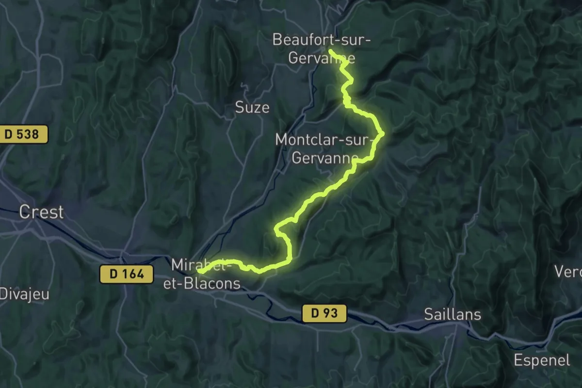
Medium · Trail
Blacons – Beaufort-sur-Gervanne
15.3 km · ↑ 543 m · 4 h 56 min
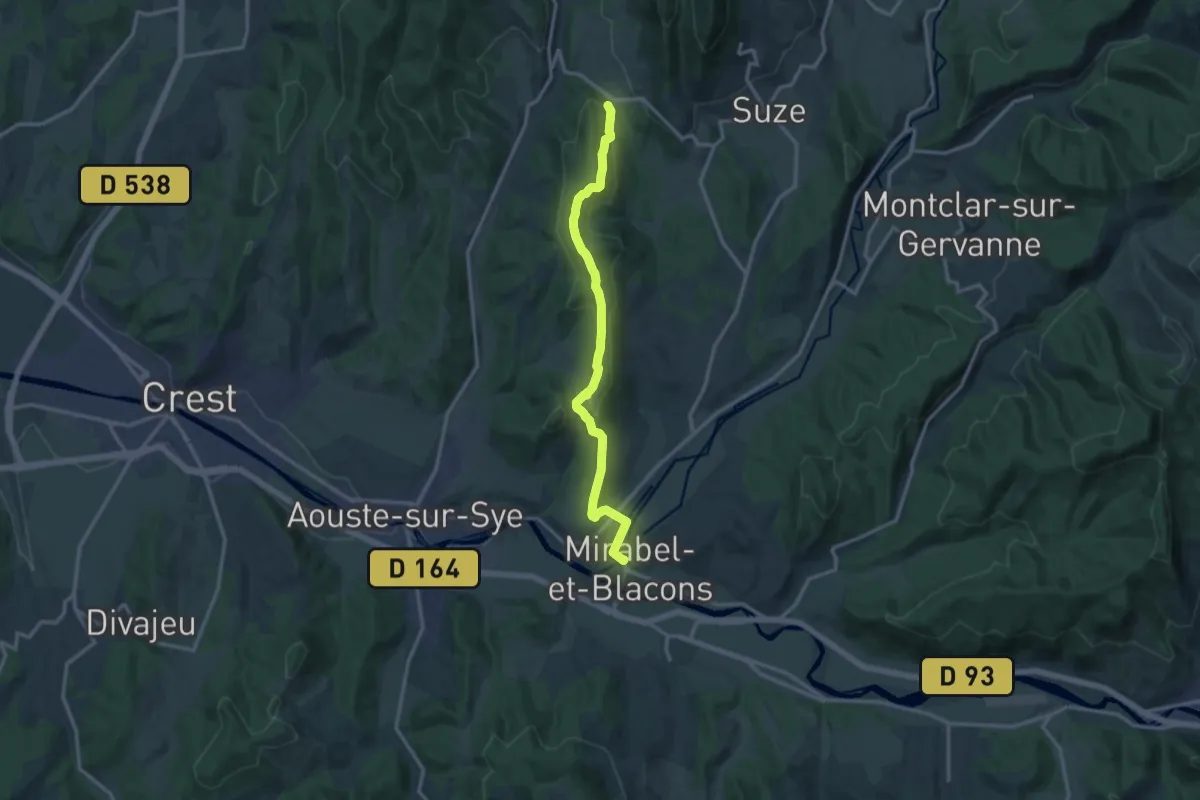
Medium · Trail
Suze – Blacons
13.4 km · ↑ 449 m · 4 h 8 min
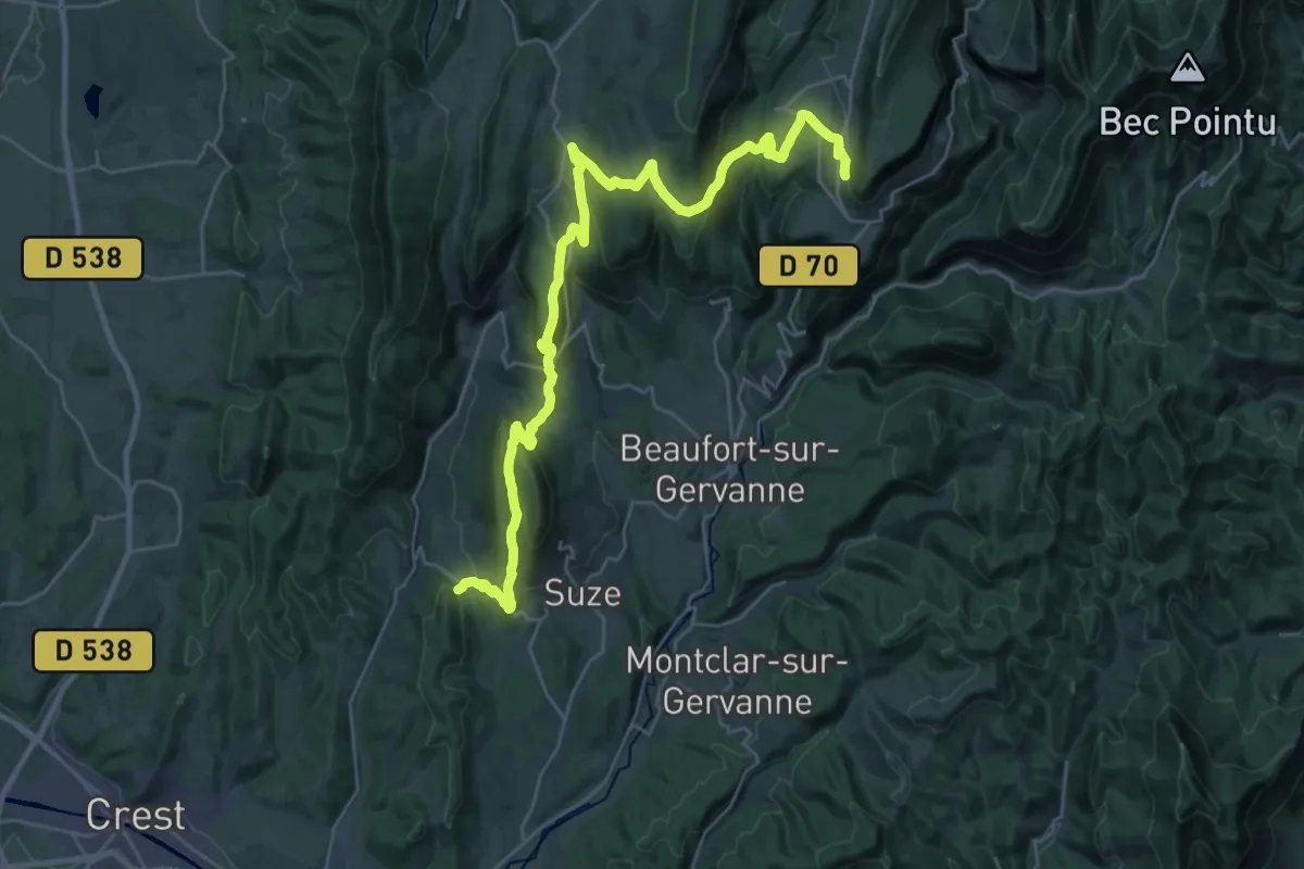
Demanding · Trail
Plan de Baix – Suze
18.3 km · ↑ 550 m · 5 h 58 min
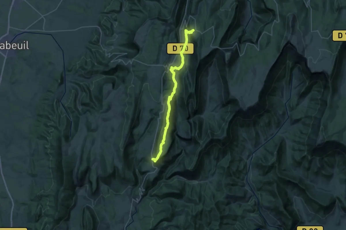
Medium · Trail
Grand Échaillon – Plan de Baix
14.1 km · ↑ 281 m · 4 h 20 min
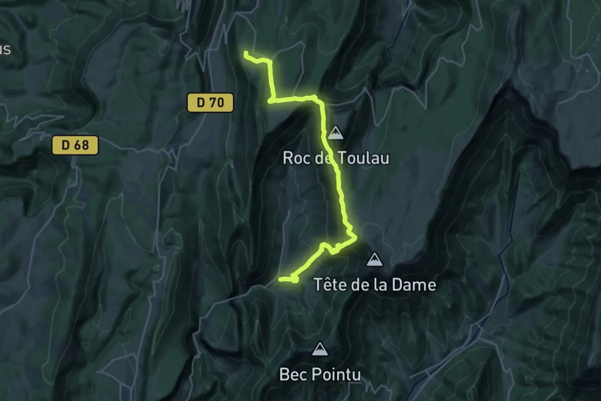
Demanding · Trail
Omblèze – Grand Échaillon
11.6 km · ↑ 874 m · 4 h 30 min
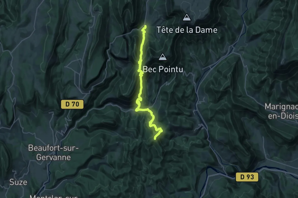
Demanding · Summit
Escoulin – Omblèze
24.1 km · ↑ 1559 m · 9 h 4 min
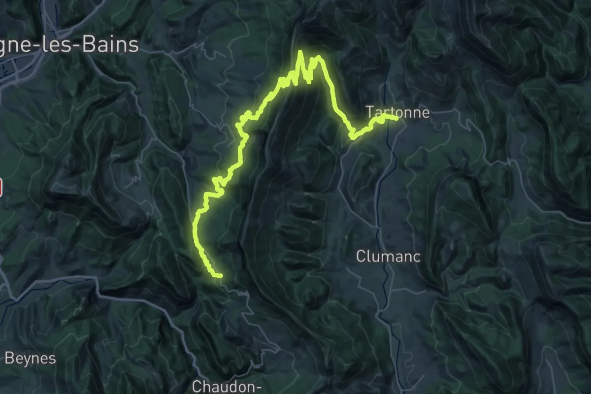
Demanding · Trail
La Clappe – Tartonne
24.5 km · ↑ 985 m · 8 h 18 min
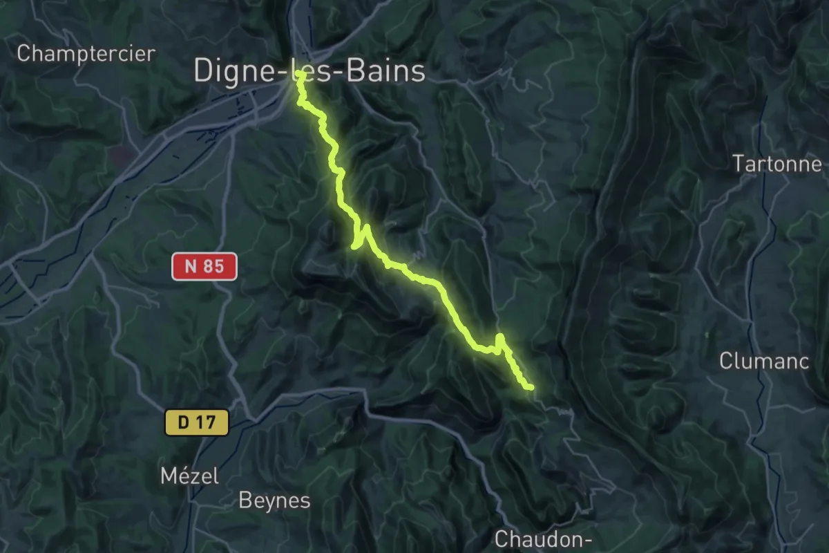
Demanding · Trail
Digne-les-Bains – La Clappe
14.5 km · ↑ 869 m · 5 h 18 min
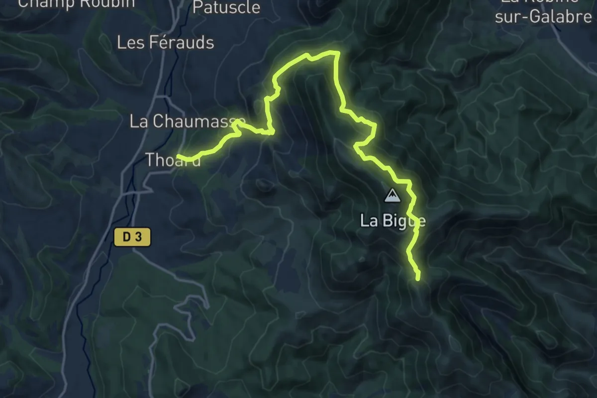
Demanding · Summit
Thoard – Digne-les-Bains
17.6 km · ↑ 1092 m · 6 h 31 min
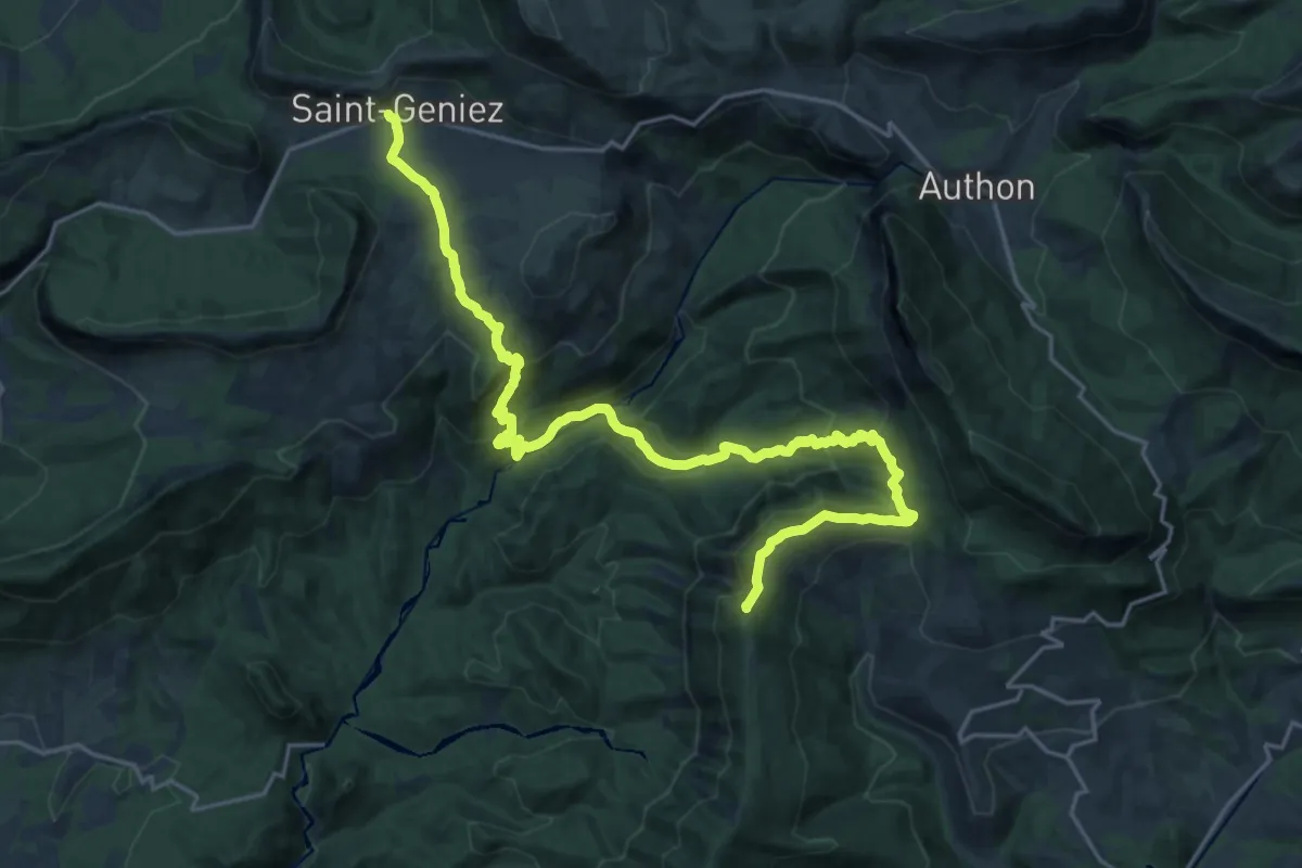
Demanding · Summit
Saint-Geniez – Thoard
26.4 km · ↑ 1302 m · 9 h 3 min
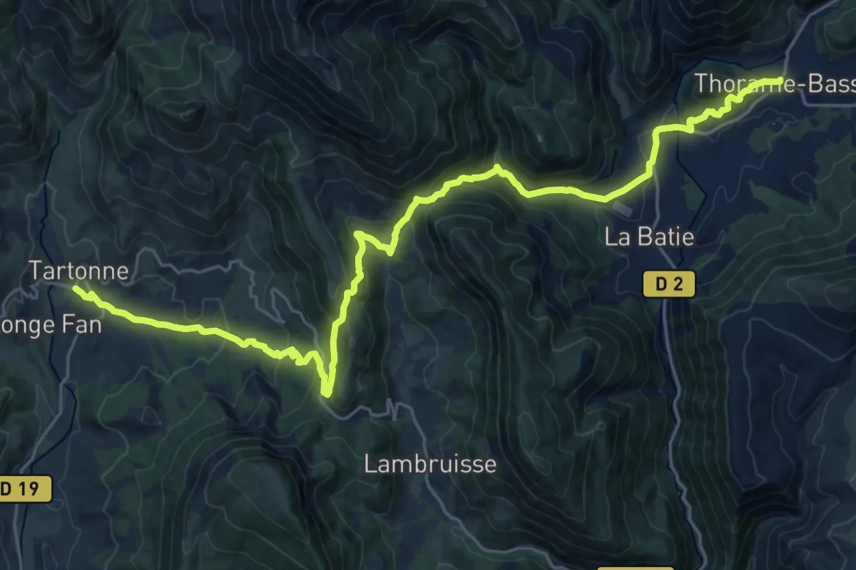
Medium · Trail
Tartonne – Thorame-Basse
14.1 km · ↑ 738 m · 5 h 2 min
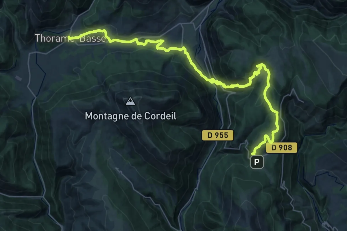
Demanding · Trail
Thorame-Basse – La-Colle-Saint-Michel
17.7 km · ↑ 830 m · 6 h 4 min
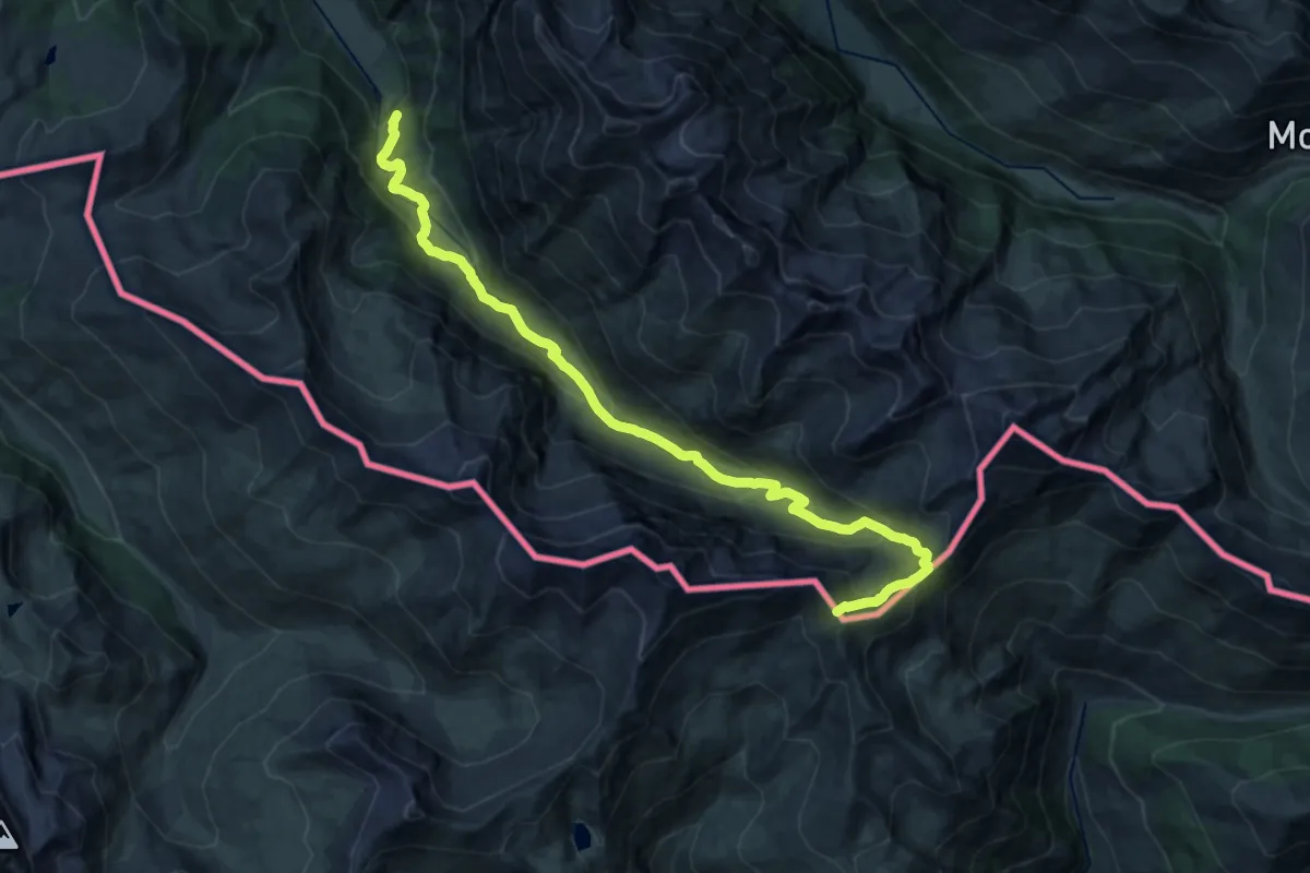
Demanding · Summit
Rhuilles – Col Rasis ovest
21.9 km · ↑ 1148 m · 7 h 40 min
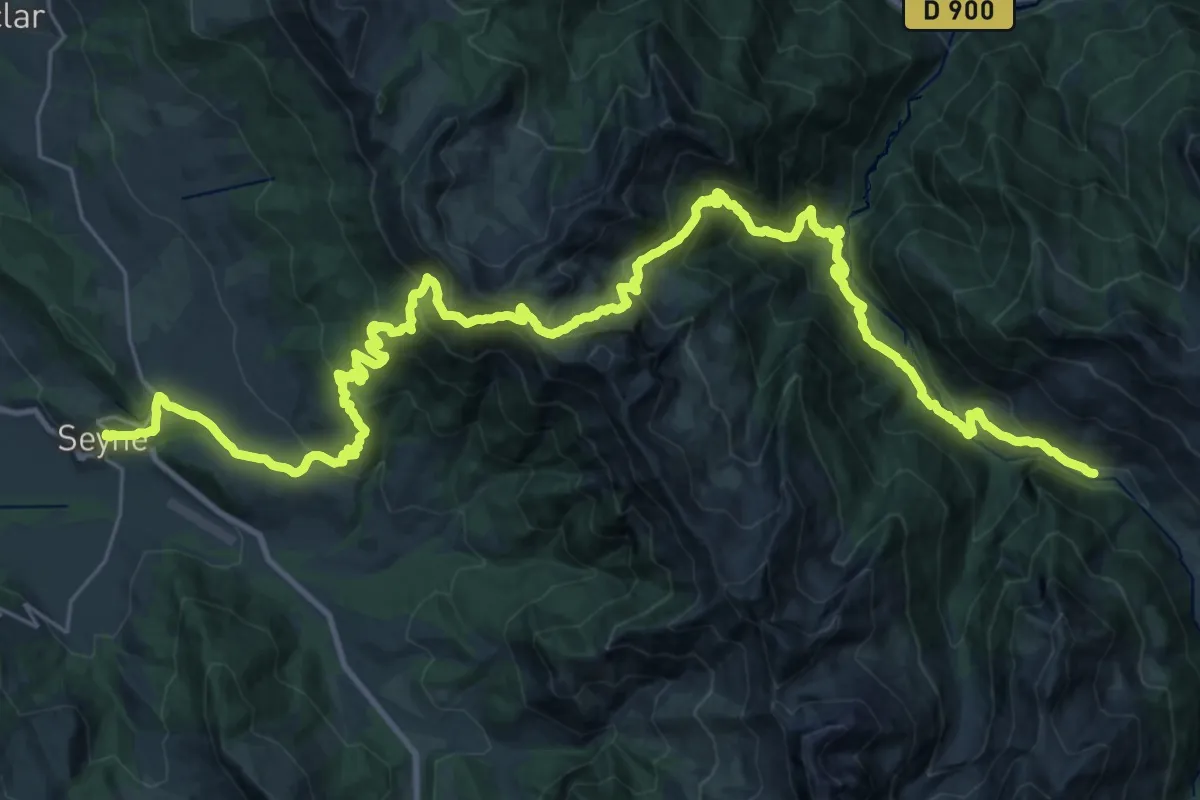
Demanding · Cabin
Seyne-les-Alpes – Vallon du Laverq
21.7 km · ↑ 1590 m · 8 h 42 min
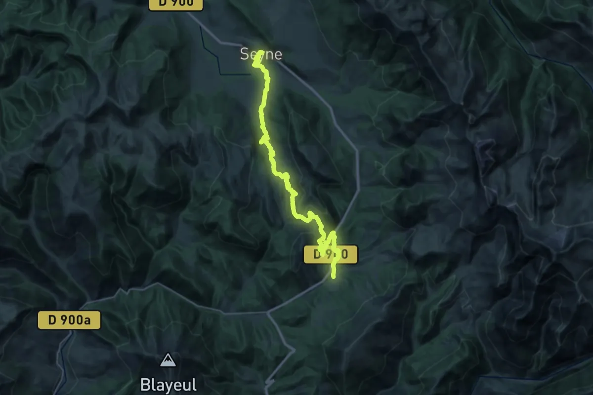
Medium · Trail
Le Vernet – Seyne-les-Alpes
15.1 km · ↑ 535 m · 4 h 56 min
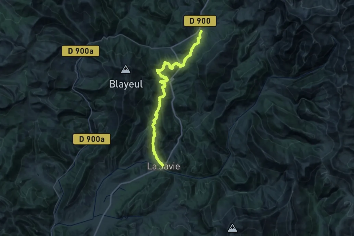
Demanding · Trail
La Javie – Le Vernet
19.0 km · ↑ 943 m · 6 h 35 min
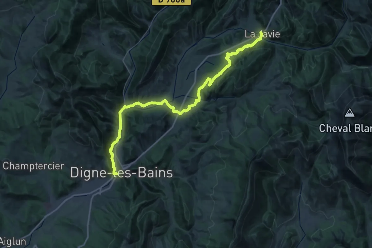
Demanding · Trail
Digne-les-Bains – La Javie
20.9 km · ↑ 759 m · 6 h 46 min
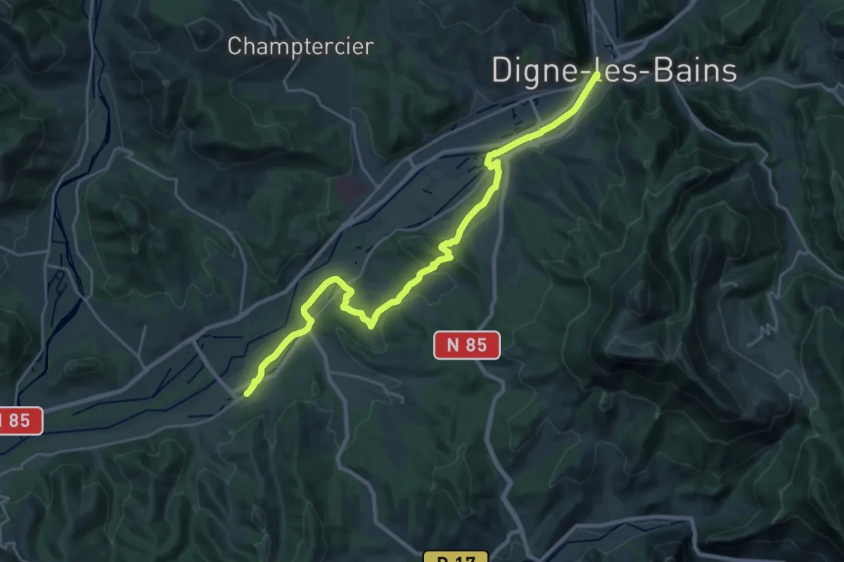
Demanding · Trail
Le Chaffaut – Digne-les-Bains
23.9 km · ↑ 342 m · 6 h 23 min
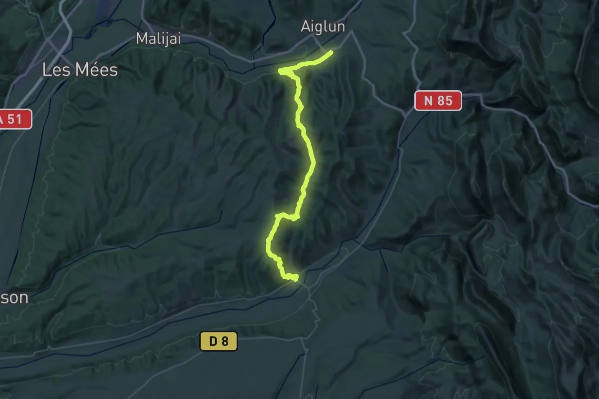
Demanding · Trail
Bras d’Asse – Le Chaffaut
20.4 km · ↑ 615 m · 6 h 26 min
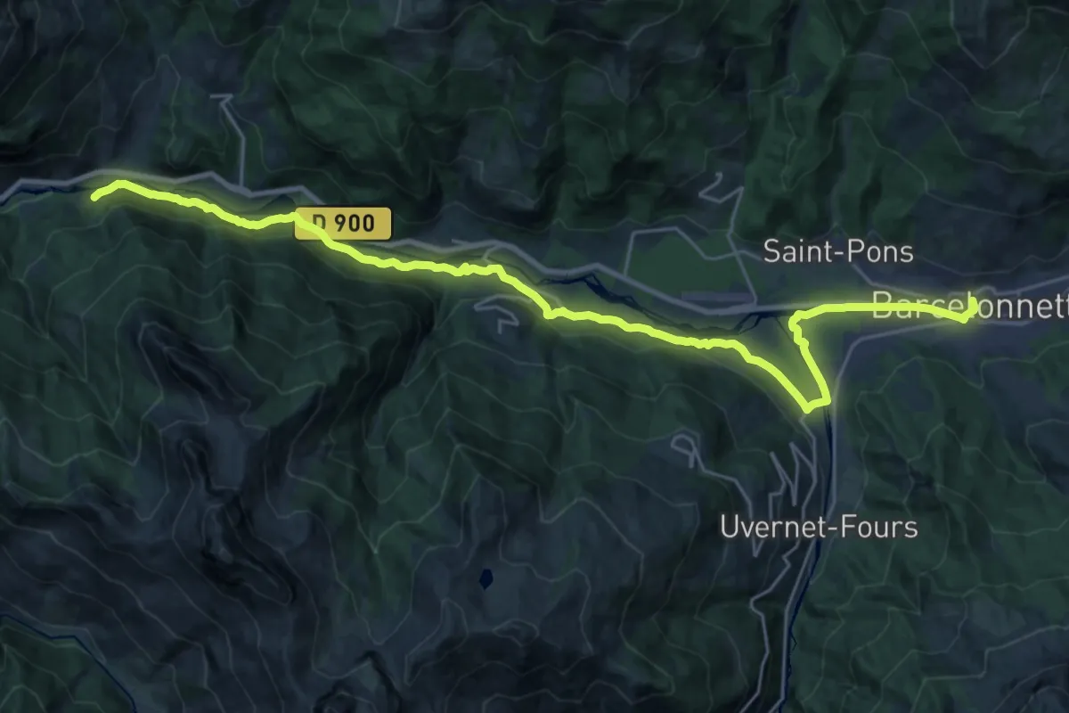
Medium · Trail
Méolans-Revel – Barcelonnette
14.6 km · ↑ 373 m · 4 h 25 min
Demanding · Cabin
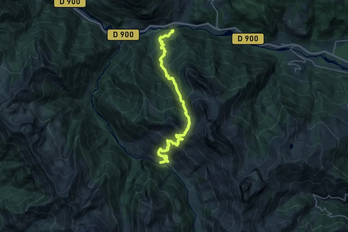
Vallon du Laverq – Méolans-Revel
10.5 km · ↑ 1276 m · 5 h 7 min
Demanding · Trail
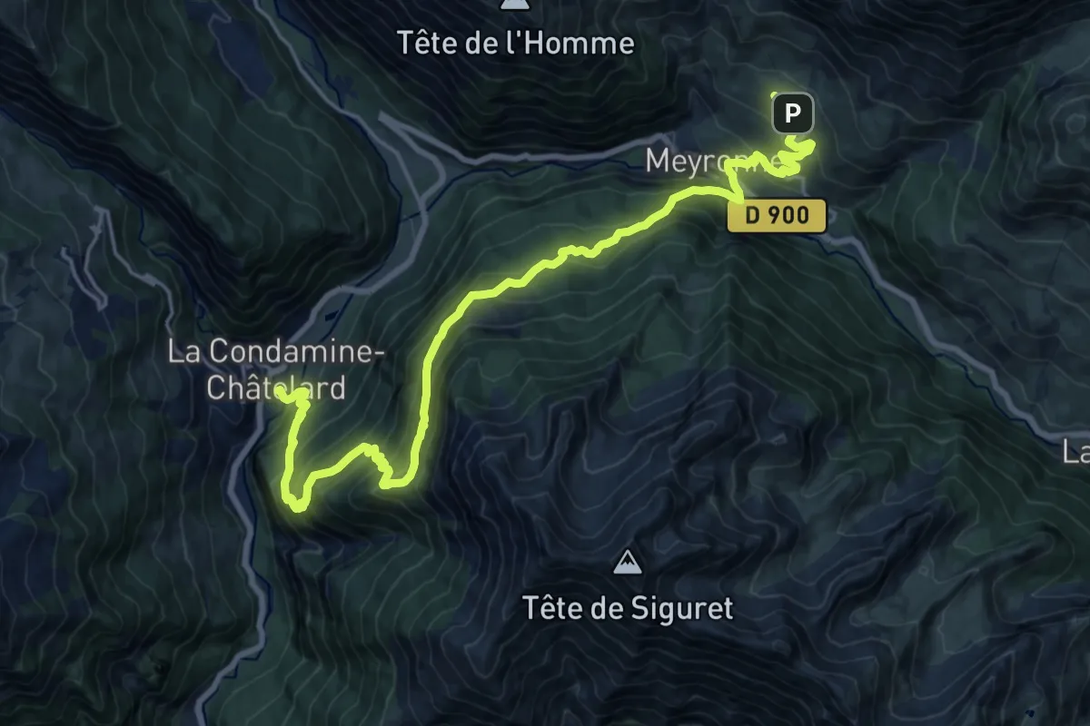
La Condamine – Saint-Ours
11.8 km · ↑ 1163 m · 5 h 13 min
Medium · Trail
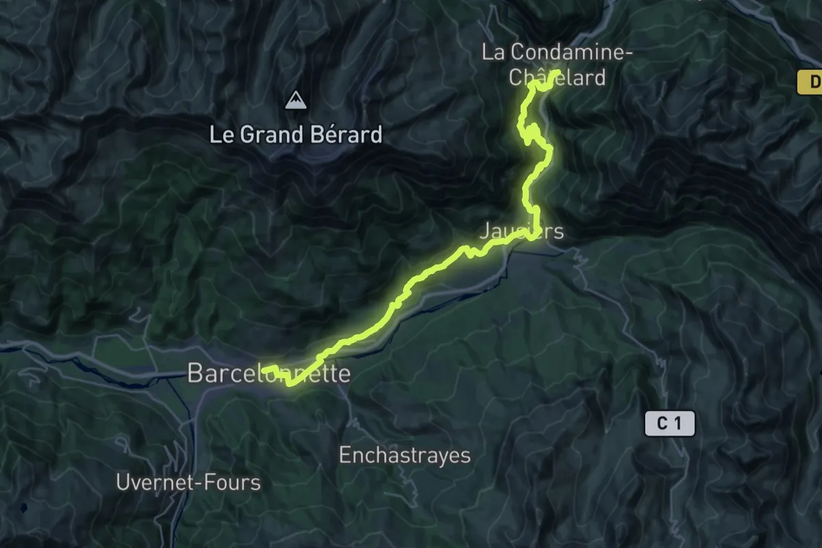
Barcelonnette – La Condamine
18.0 km · ↑ 678 m · 5 h 53 min
Demanding · Trail
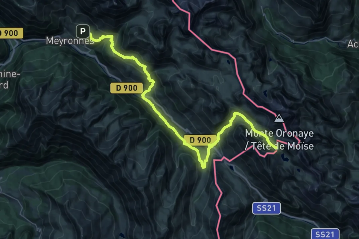
Saint-Ours – Col de Larche
19.1 km · ↑ 1286 m · 7 h 12 min
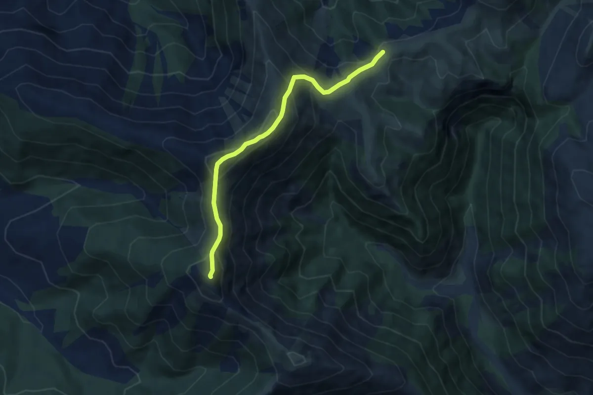
Medium · Summit
Col de Clapouse – Crête de Val-Haut
7.5 km · ↑ 566 m · 2 h 59 min
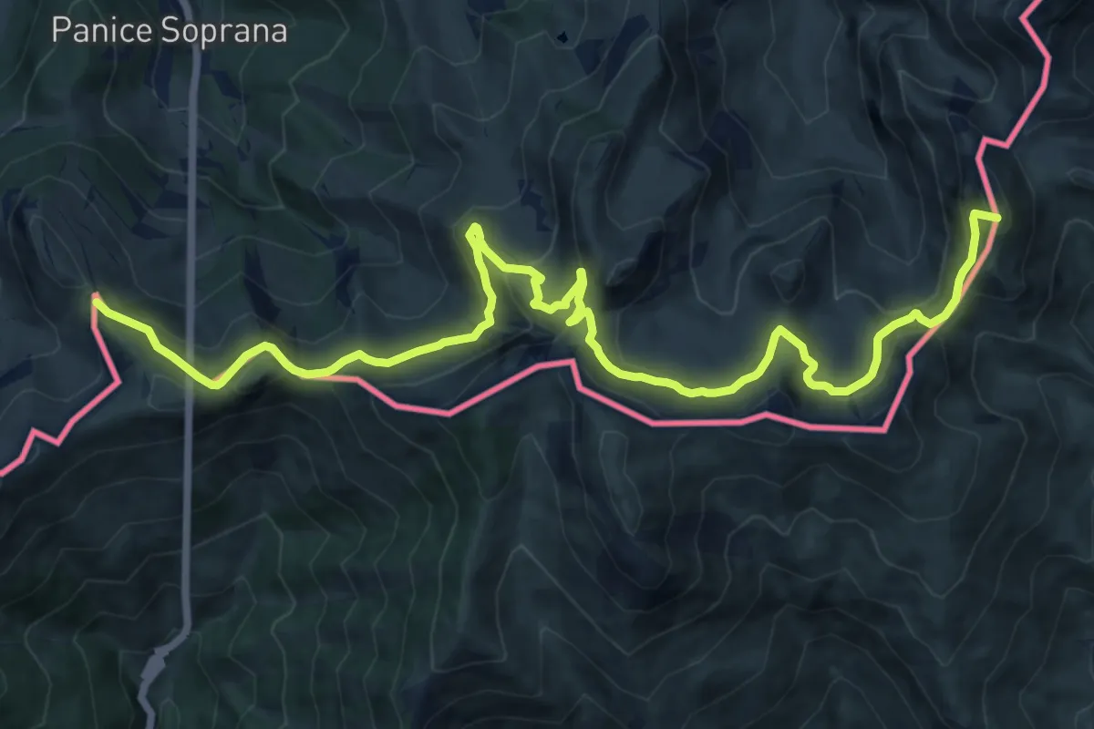
Demanding · Summit
Confine di stato, bivio su strada militare – Bivio L25-L50, Col della Boaria
17.2 km · ↑ 988 m · 6 h 12 min
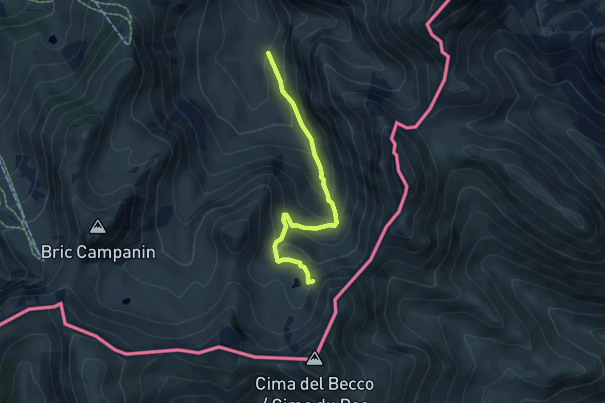
Medium · Trail
Bivio L25-L25B – Bivio L25B-L50, Col della Perla
4.9 km · ↑ 347 m · 1 h 54 min
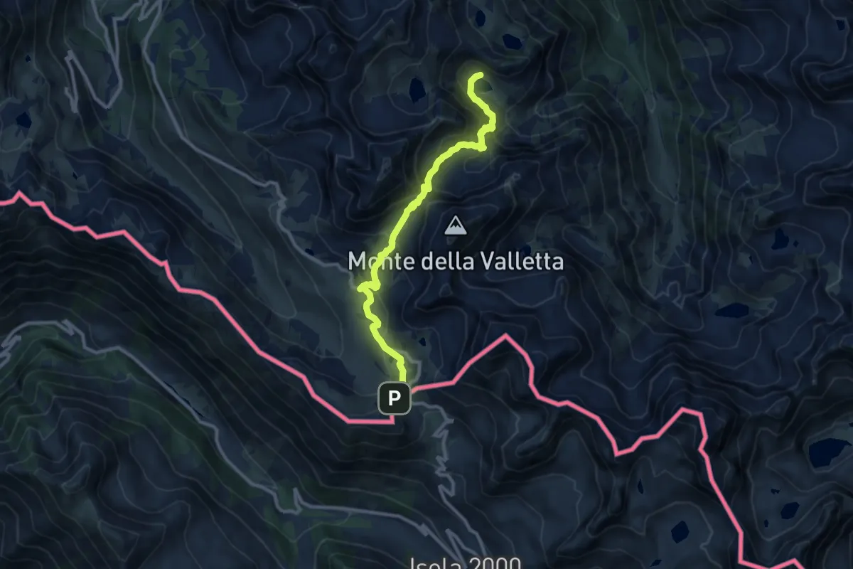
Medium · Trail
Vinadio, vallone d'Aver, bivio P50-P15 – Vinadio, pressi del Colle della Lombarda, bivio P57-P15
10.3 km · ↑ 689 m · 3 h 56 min
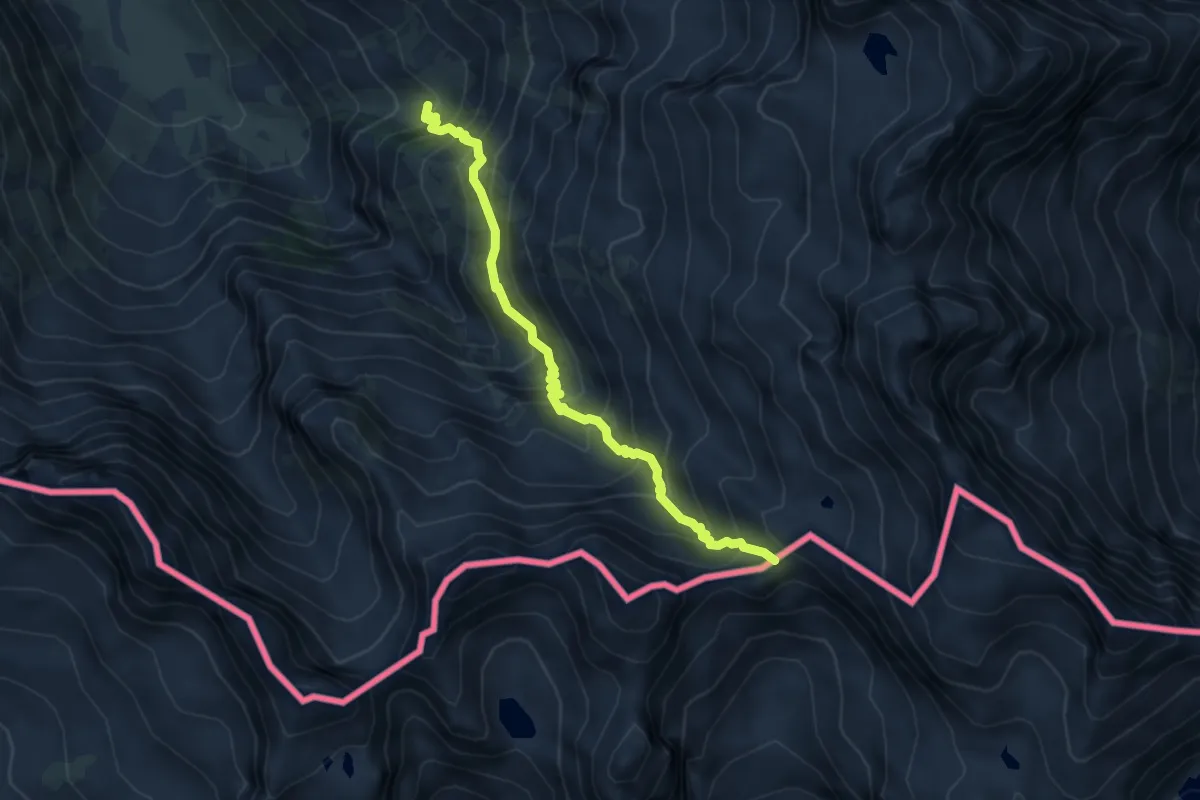
Medium · Trail
Valdieri, vallone Assedras, bivio CNAN11, CNAN12 – Valdieri, presso Cima di Mercantour, bivio CNAN11A, CNAN12
5.4 km · ↑ 626 m · 2 h 38 min
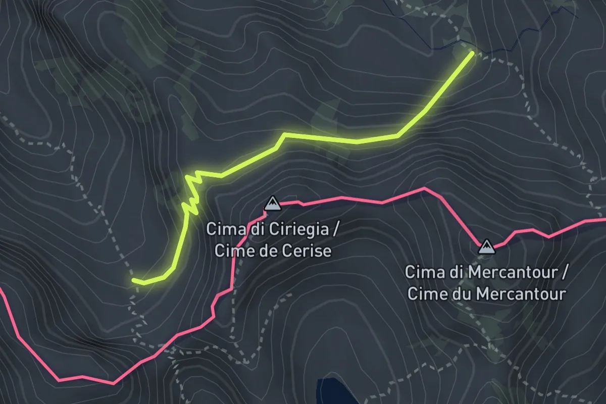
Easy · Trail
Valdieri, presso colle di Fremamorta, bivio CNAN15, CNAN15B – Valdieri, vallone di Balma-Ghillé, bivio CNAN12, CNAN15B
2.9 km · ↑ 299 m · 1 h 20 min
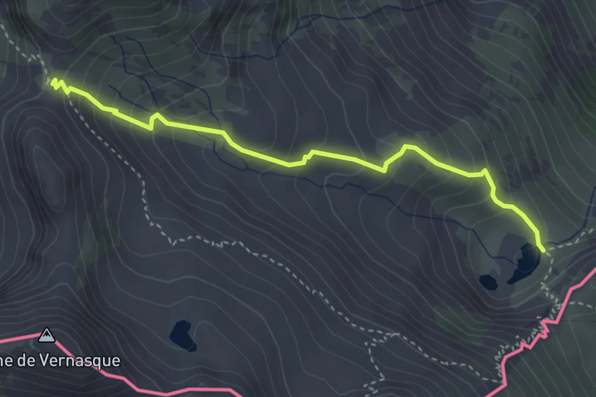
Medium · Trail
Entracque, Lago della Vacca, bivio CNAM05-CNAM23 – Entracque, Colle del Vei del Bouc, bivio CNAM14-CNAM23-CNAM23B
3.6 km · ↑ 343 m · 1 h 35 min
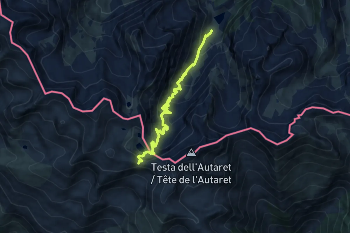
Medium · Trail
Lago di S.Bermolfo, bivio sentiero P02 – Pas de Colle Longue
9.7 km · ↑ 643 m · 3 h 41 min
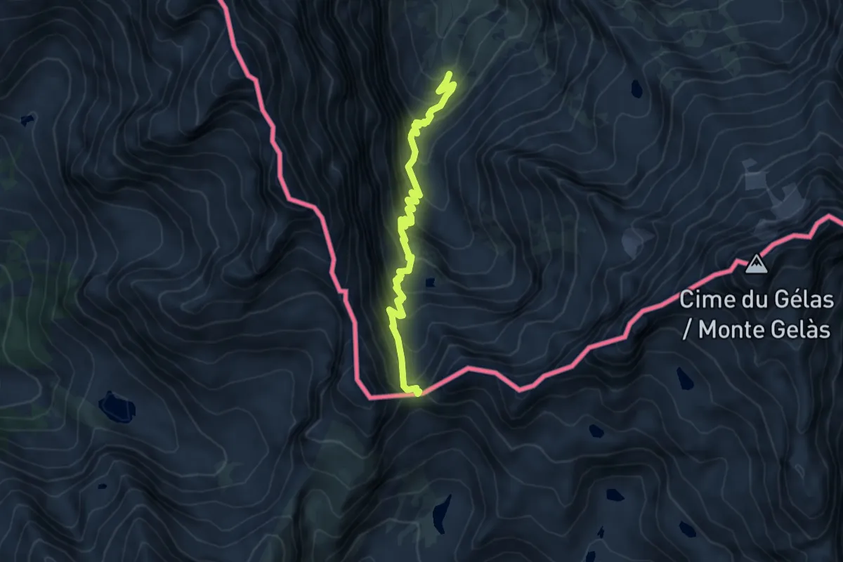
Medium · Trail
Entracque, frazione San Giacomo, bivio CNAM11-CNAM14 – Entracque, Colle di Finestra
5.8 km · ↑ 590 m · 2 h 38 min
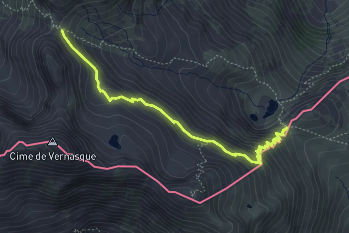
Medium · Trail
Entracque, Colle SO del Sabbione, bivio CNAM05-CNAM23B – Entracque, Colle del Vei del Bouc, bivio CNAM14-CNAM23-CNAM23B
4.7 km · ↑ 358 m · 1 h 54 min
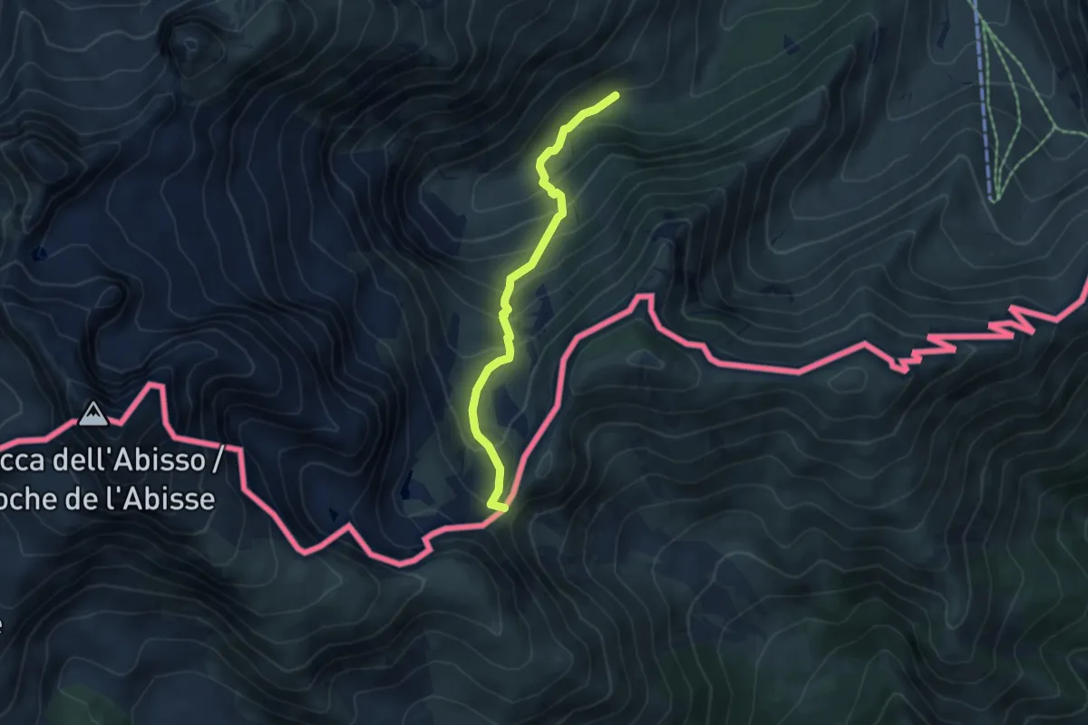
Medium · Trail
Limone Piemonte, Gias Prati della Chiesa (Limonetto) – Bassa Sovrana di Margheria
4.7 km · ↑ 411 m · 2 h
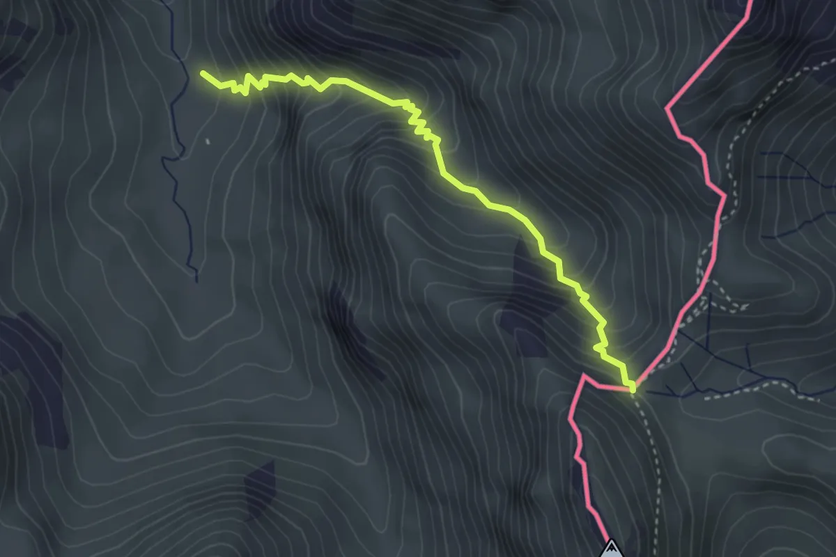
Medium · Trail
Limone Piemonte, Valle San Giovanni, bivio CNAL15-CNAL25 – Limone Piemonte, Col della Boaria, bivio CNAL16-CNAL25
3.7 km · ↑ 449 m · 1 h 51 min