Trails in France
15,926 hiking trails, each with its route, climb, walking time and grade.
All trails, page 291 of 332
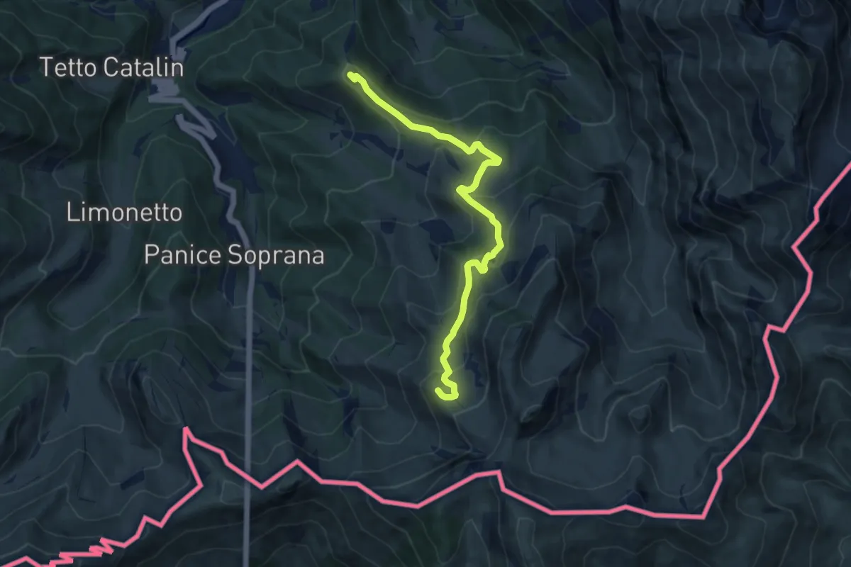
Medium · Summit
Limone Piemonte, case Fantino, bivio CNAL14, CNAL16 – Limone Piemonte, bivio CNAL16, CNAL50
9.5 km · ↑ 483 m · 3 h 17 min
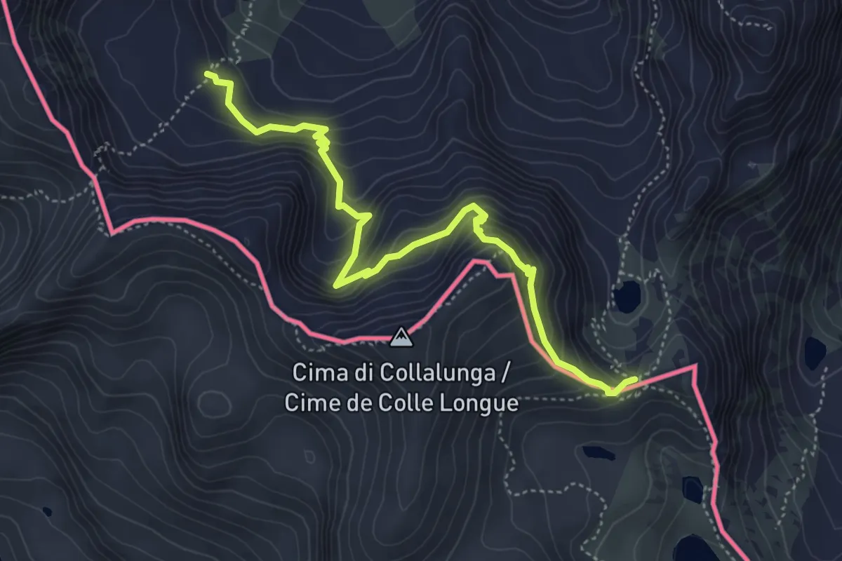
Medium · Trail
Vinadio, presso passo di Barbacana, bivio CNAP23-CNAP23A – Vinadio, colle di Seccia, bivio CNAP22-CNAP23A
5.3 km · ↑ 493 m · 2 h 19 min
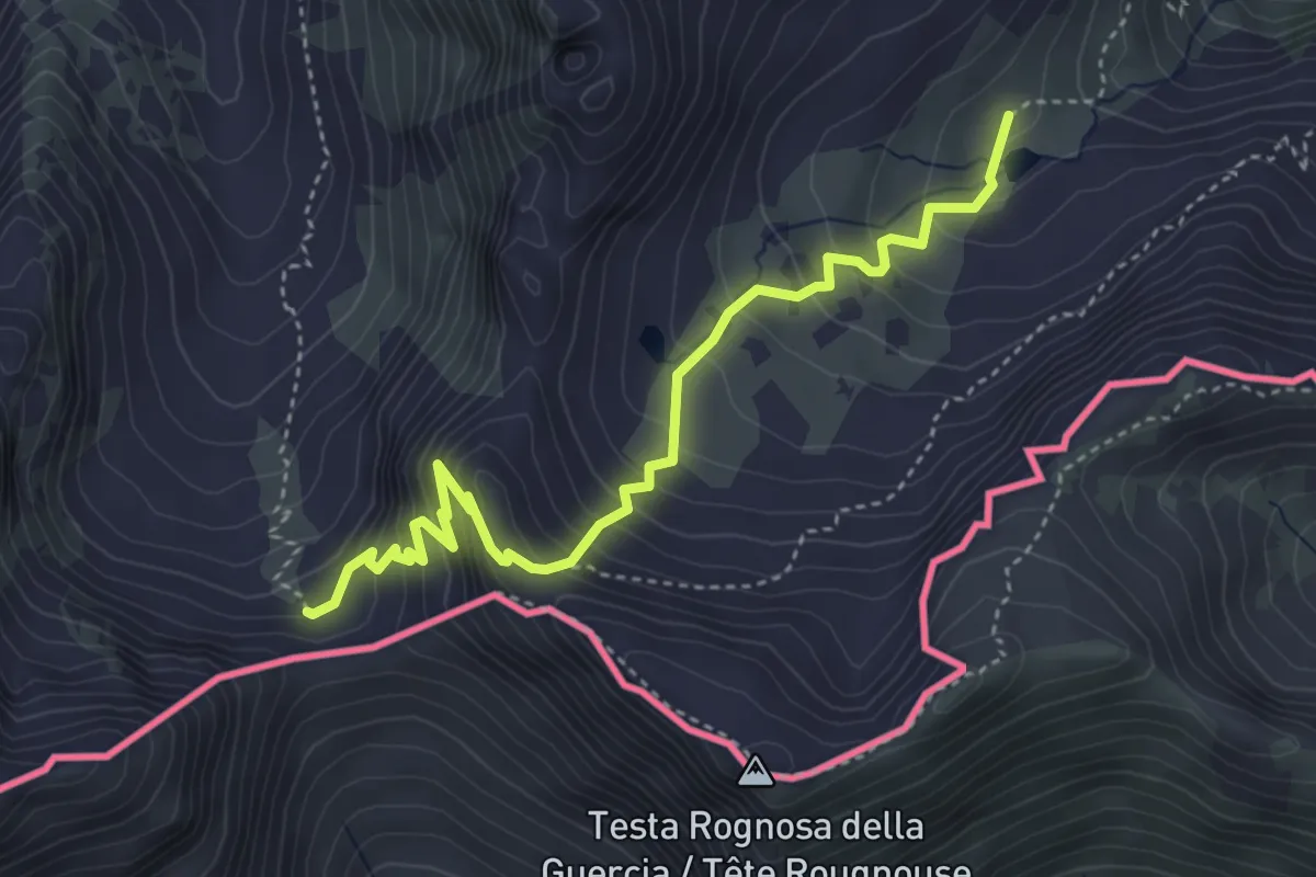
Expert · Trail
Vinadio, Vallone di Tesina, bivio CNAP19, CNAP20 – Vinadio, presso colle della Guercia, bivio CNAP20, CNAP21
4.6 km · ↑ 424 m · 2 h
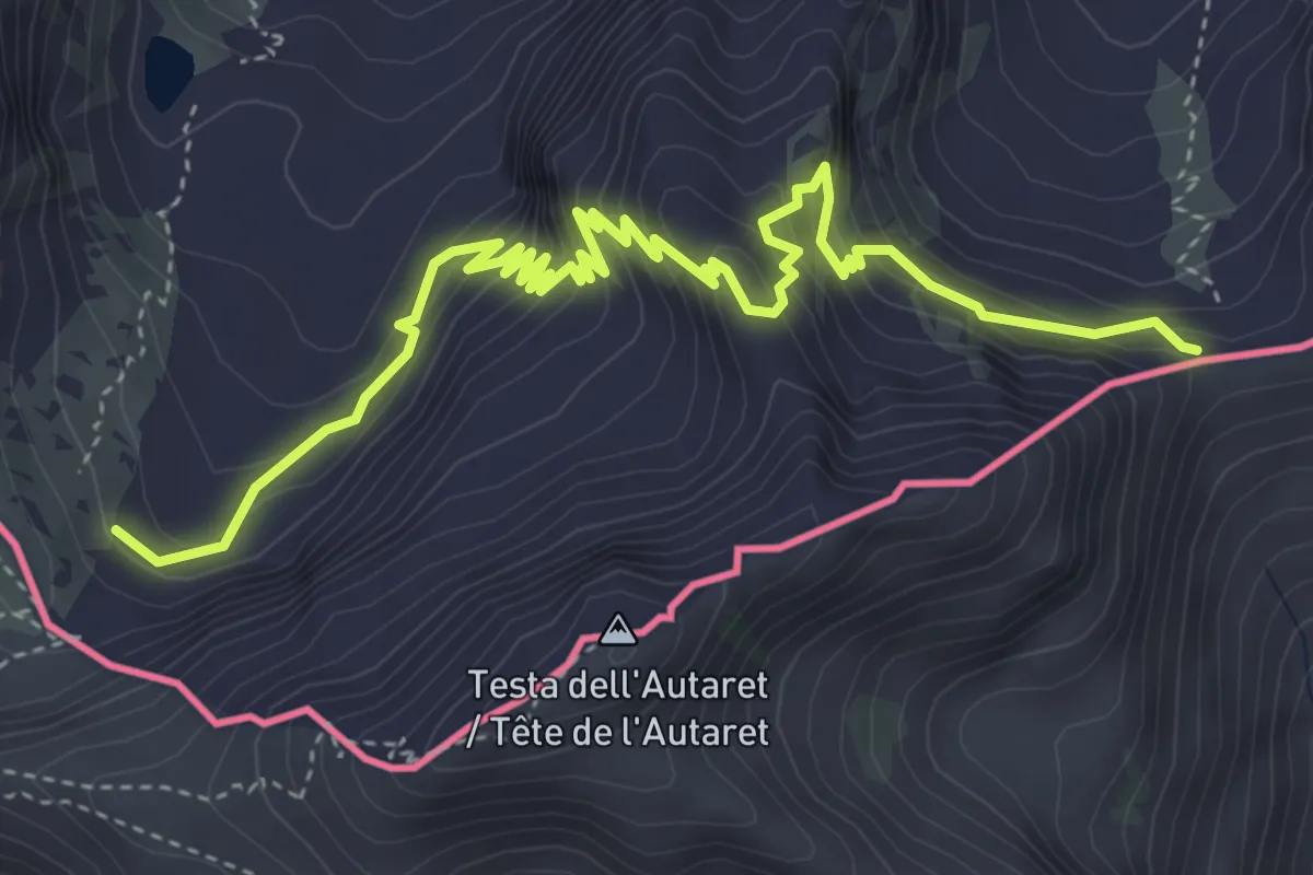
Demanding · Trail
Vinadio, presso laghi di Collalunga, bivio CNAP22, CNAP22A – Vinadio, colle della Guercia, bivio CNAP21, CNAP22A
6.0 km · ↑ 616 m · 2 h 44 min
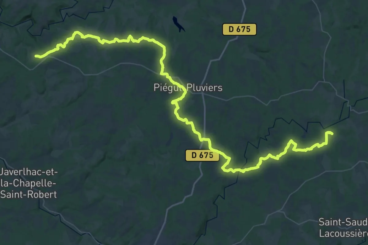
Demanding · Trail
Saint-Agnant – Crocq
33.4 km · ↑ 527 m · 9 h 32 min
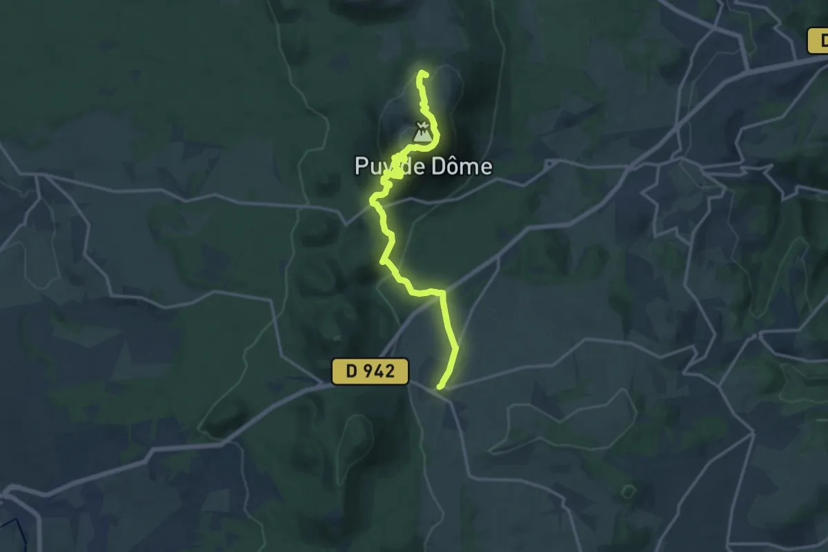
Medium · Summit
Fontêtes – Laschamp
13.8 km · ↑ 723 m · 4 h 49 min
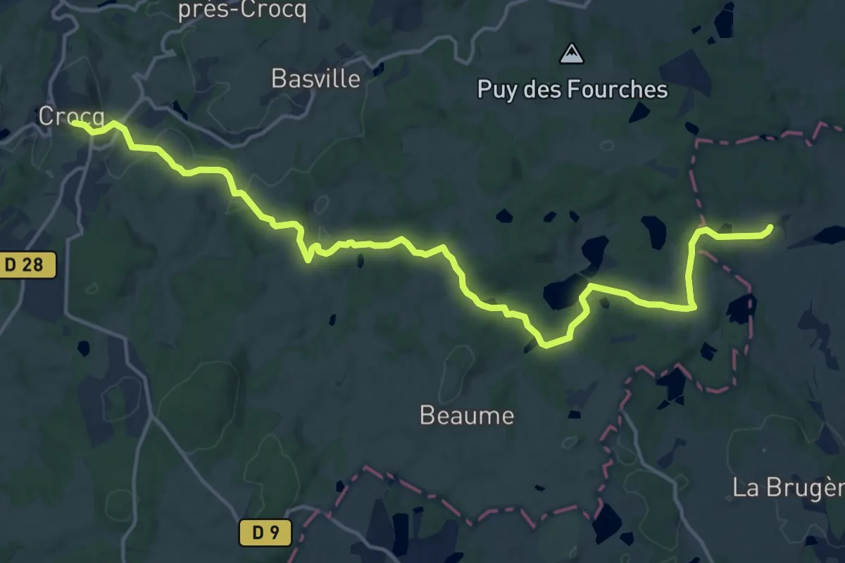
Demanding · Trail
Crocq – Pontaumur
18.6 km · ↑ 373 m · 5 h 12 min
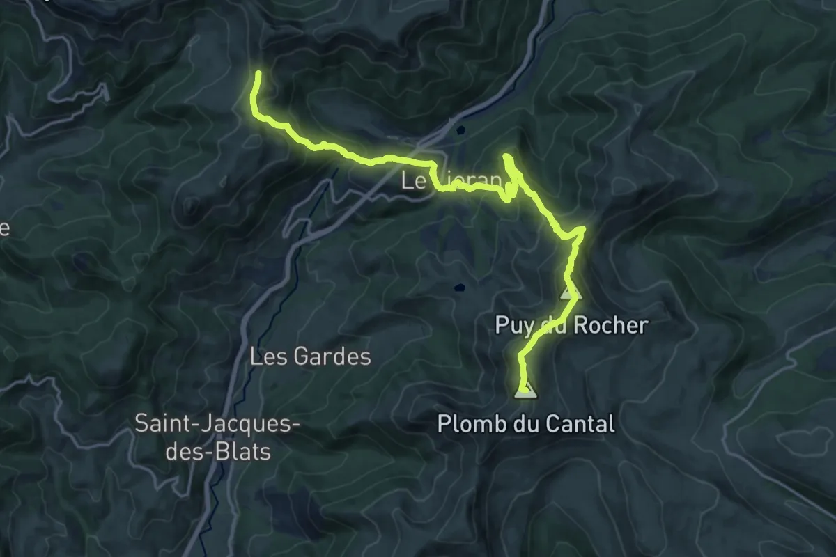
Demanding · Summit
Col de Rombière – Plomb du Cantal
19.3 km · ↑ 1090 m · 6 h 55 min
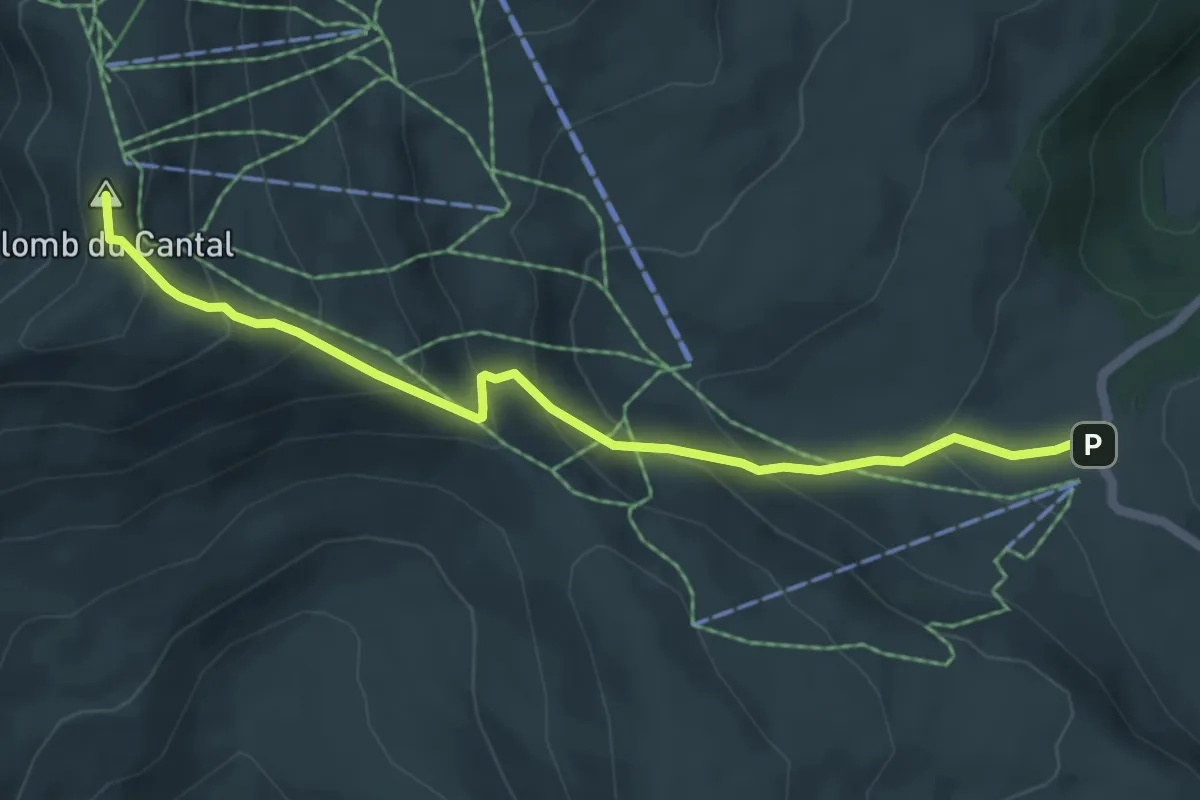
Medium · Summit
Plomb du Cantal – Col de Prat-de-Bouc
6.0 km · ↑ 434 m · 2 h 21 min
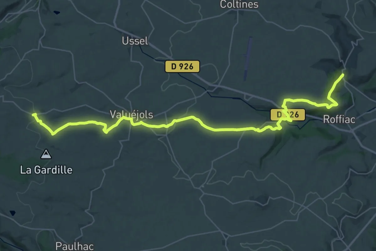
Medium · Trail
Lescure – Le Sailhant
17.5 km · ↑ 128 m · 4 h 50 min
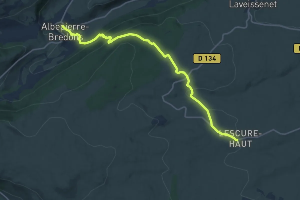
Medium · Trail
Albepierre – Lescure
12.3 km · ↑ 445 m · 3 h 53 min
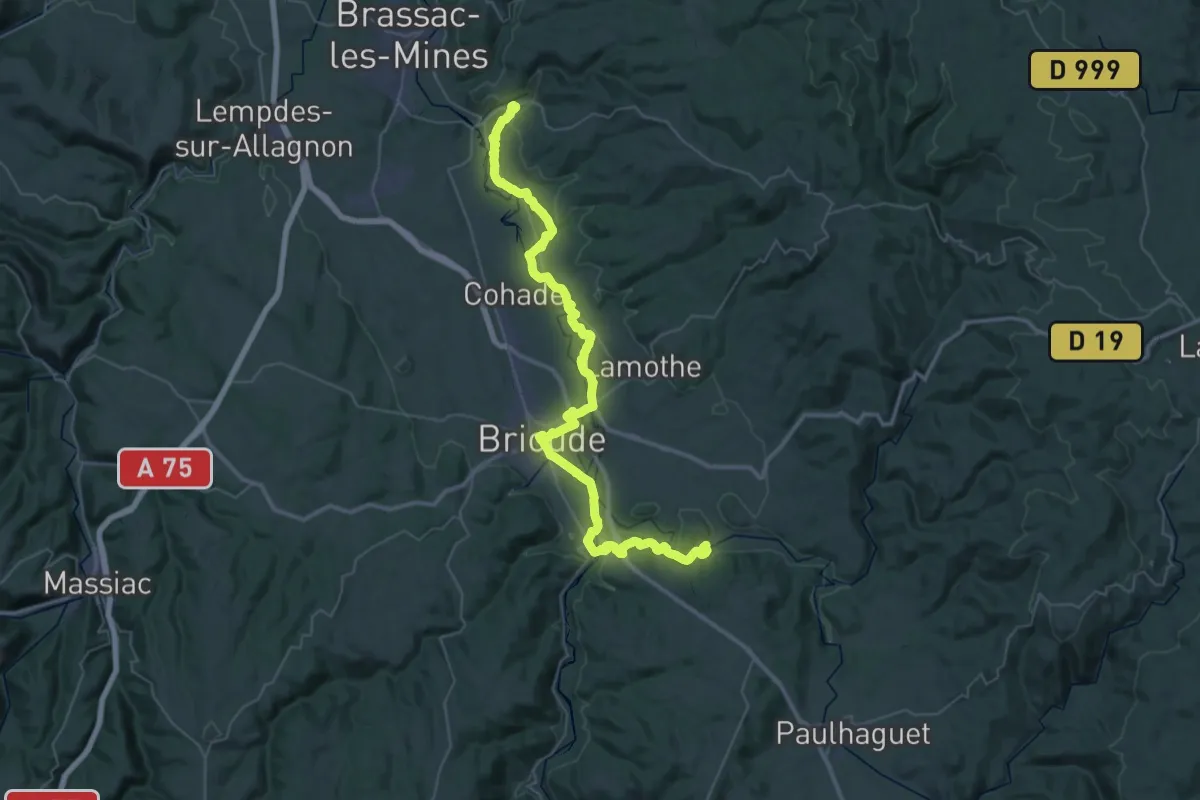
Demanding · Trail
Auzon – Lavaudieu
27.0 km · ↑ 381 m · 7 h 34 min
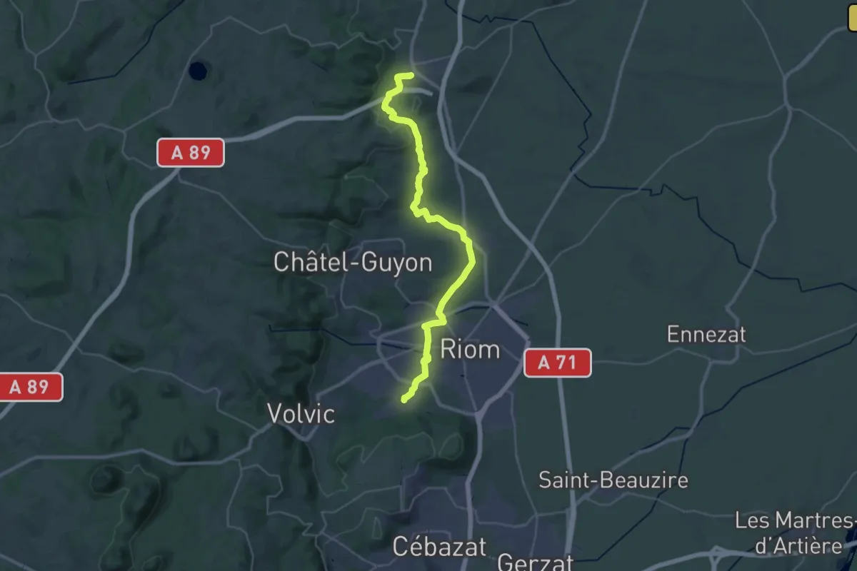
Medium · Trail
Combronde – Marsat
16.3 km · ↑ 186 m · 4 h 29 min
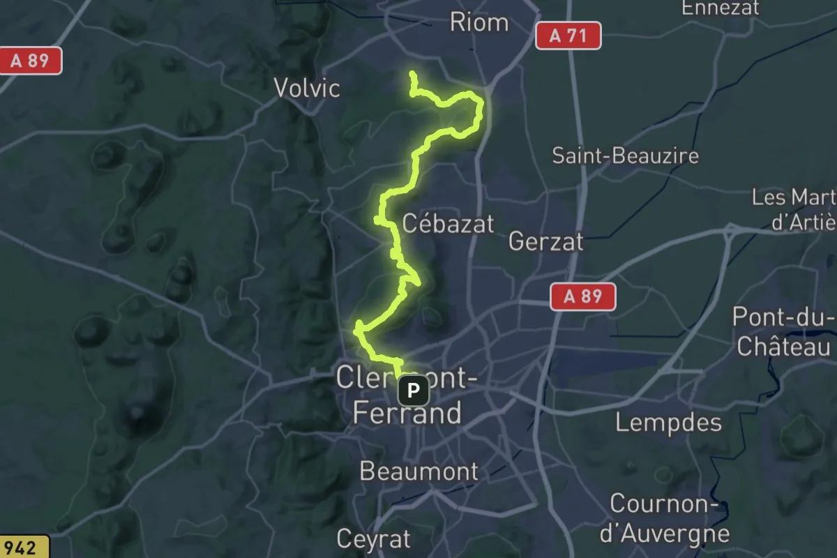
Demanding · Trail
Marsat – Clermont-Ferrand
21.8 km · ↑ 577 m · 6 h 41 min
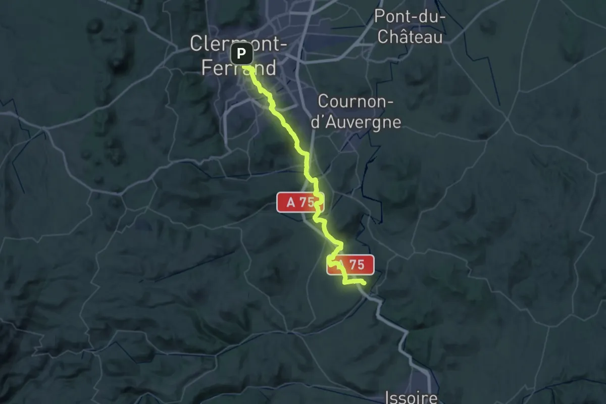
Demanding · Trail
Clermont-Ferrand – Montpeyroux
27.0 km · ↑ 518 m · 7 h 50 min
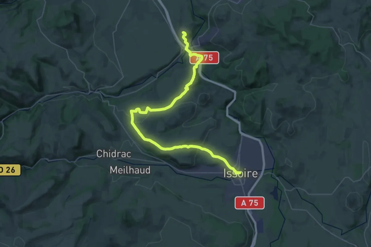
Demanding · Trail
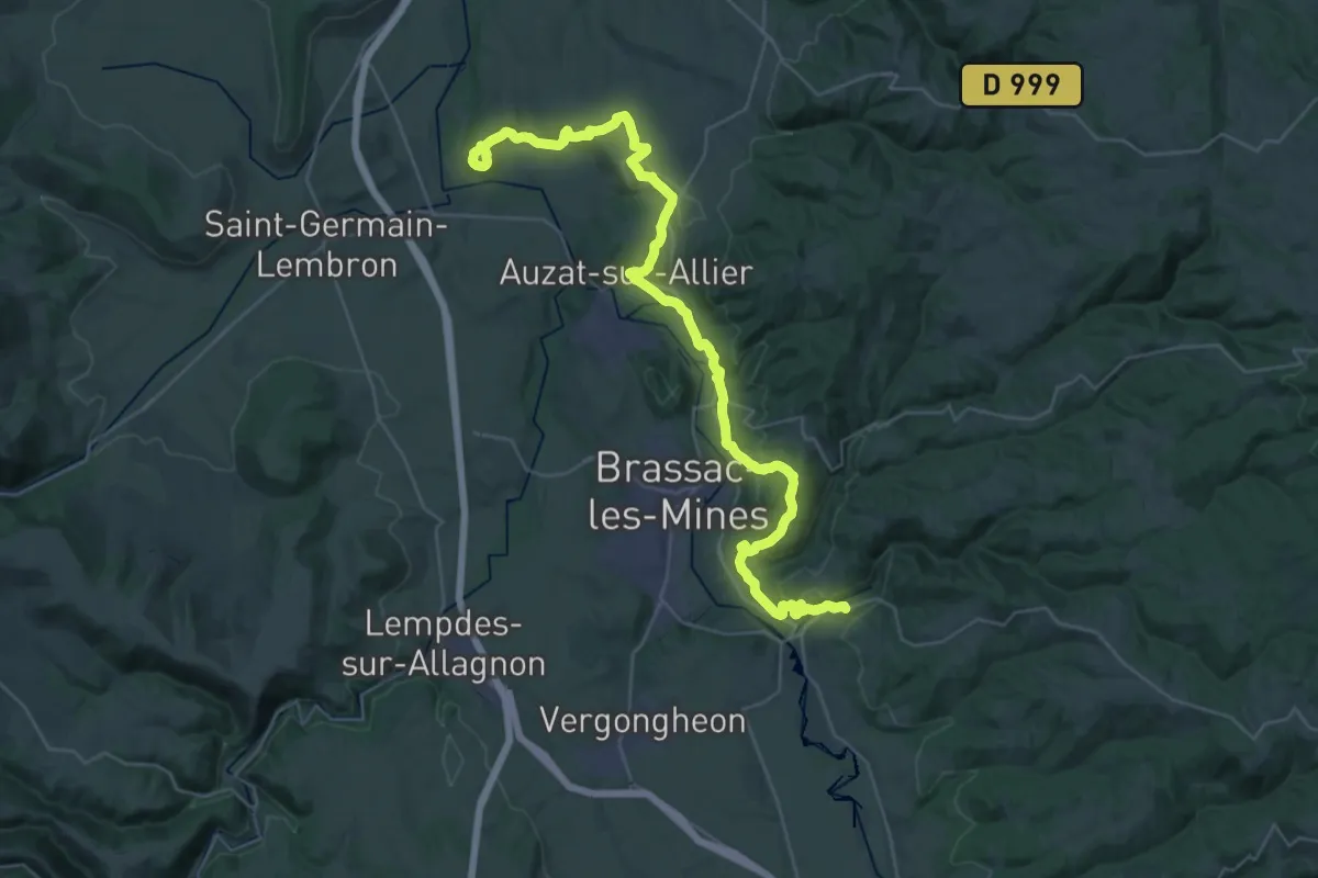
Montpeyroux – Issoire
18.7 km · ↑ 362 m · 5 h 30 min
Demanding · Trail
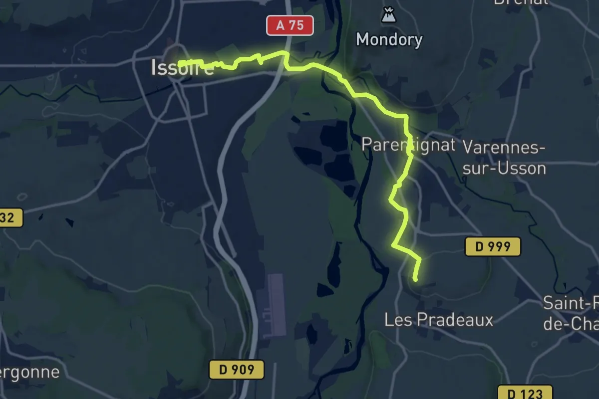
Nonette – Auzon
21.4 km · ↑ 536 m · 6 h 33 min
Medium · Summit
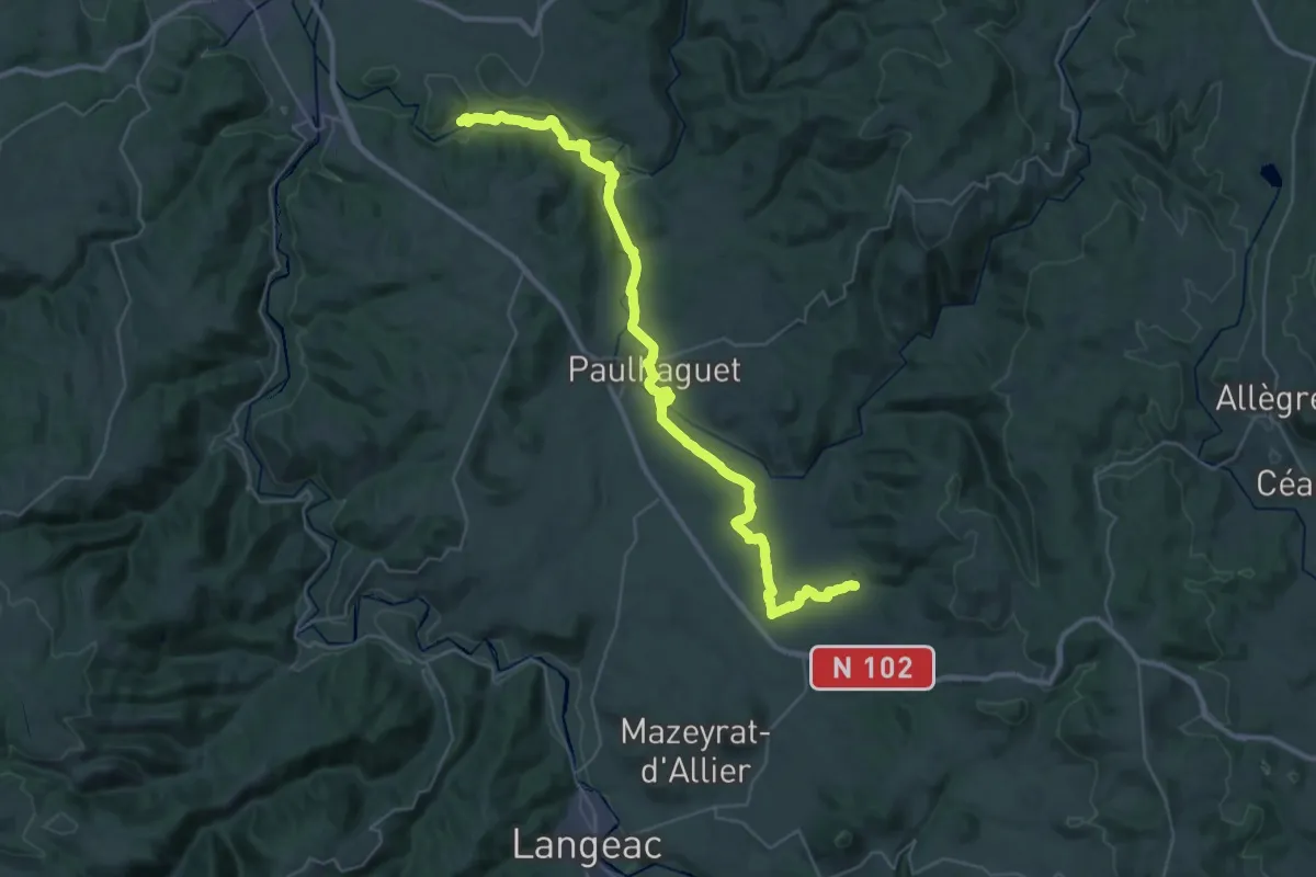
Issoire – Nonette
14.0 km · ↑ 91 m · 3 h 30 min
Demanding · Trail
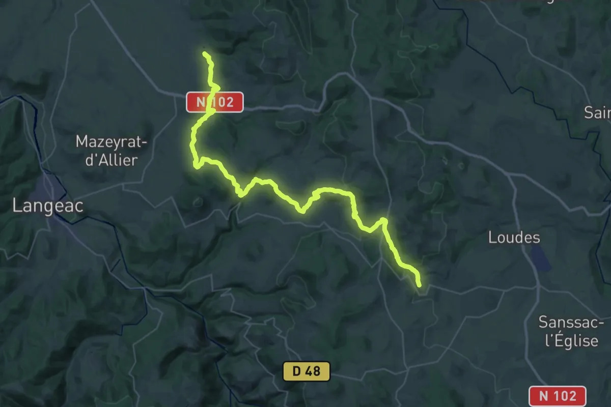
Lavaudieu – Chavaniac-Lafayette
22.7 km · ↑ 371 m · 6 h 22 min
Demanding · Trail
Chavaniac-Lafayette – Saint-Jean-de-Nay
22.5 km · ↑ 710 m · 7 h 3 min
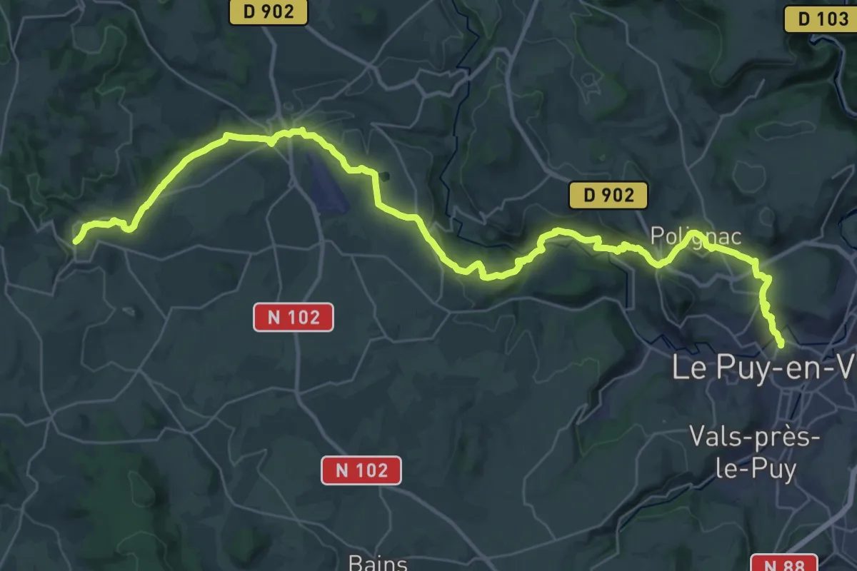
Demanding · Summit
Saint-Jean-de-Nay – Aiguilhe (Le Puy-en-Velay)
43.6 km · ↑ 927 m · 12 h 19 min
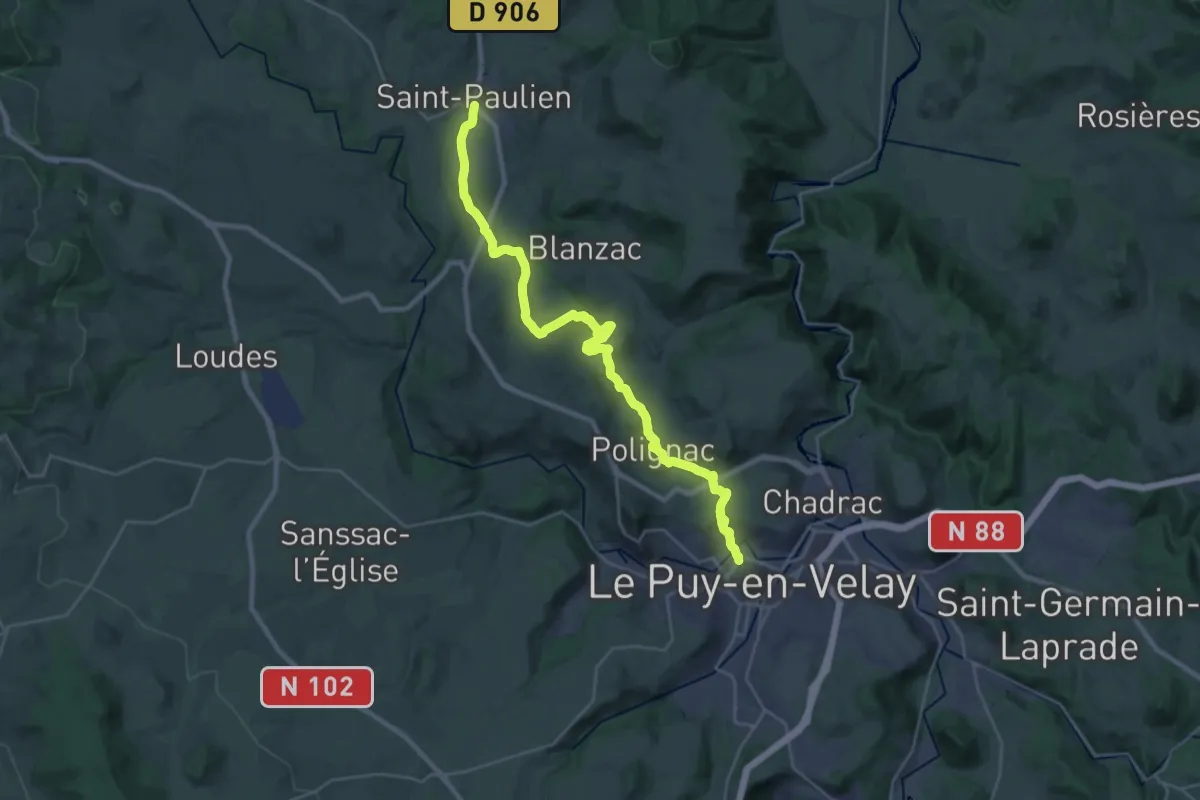
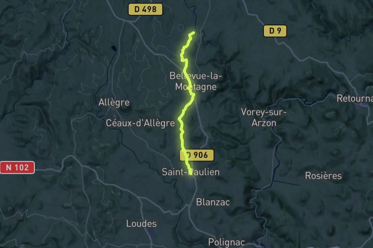
Demanding · Summit
Saint-Paulien – Le Puy-en-Velay
30.7 km · ↑ 688 m · 8 h 45 min
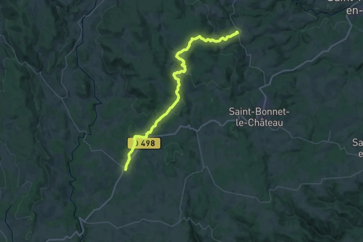
Medium · Trail
Chomelix – Saint-Paulien
17.9 km · ↑ 239 m · 5 h 2 min
Medium · Trail
Marols – Usson en Forez
18.0 km · ↑ 556 m · 5 h 39 min
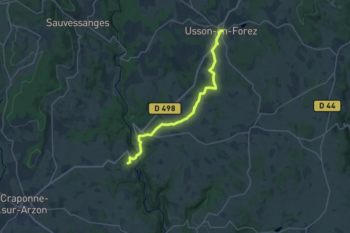
Medium · Trail
Usson en Forez – Chomelix
15.8 km · ↑ 355 m · 4 h 30 min
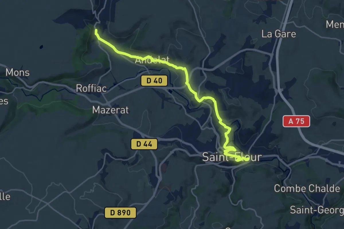
Medium · Trail
Le Sailhant – Saint-Flour
17.1 km · ↑ 395 m · 4 h 54 min
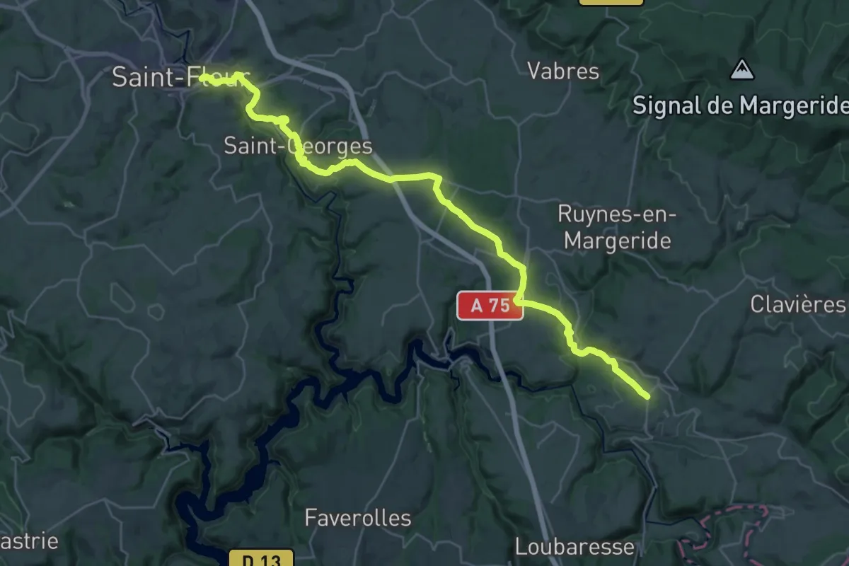
Medium · Trail
Saint-Flour – La Croix Blanche
16.8 km · ↑ 340 m · 4 h 55 min
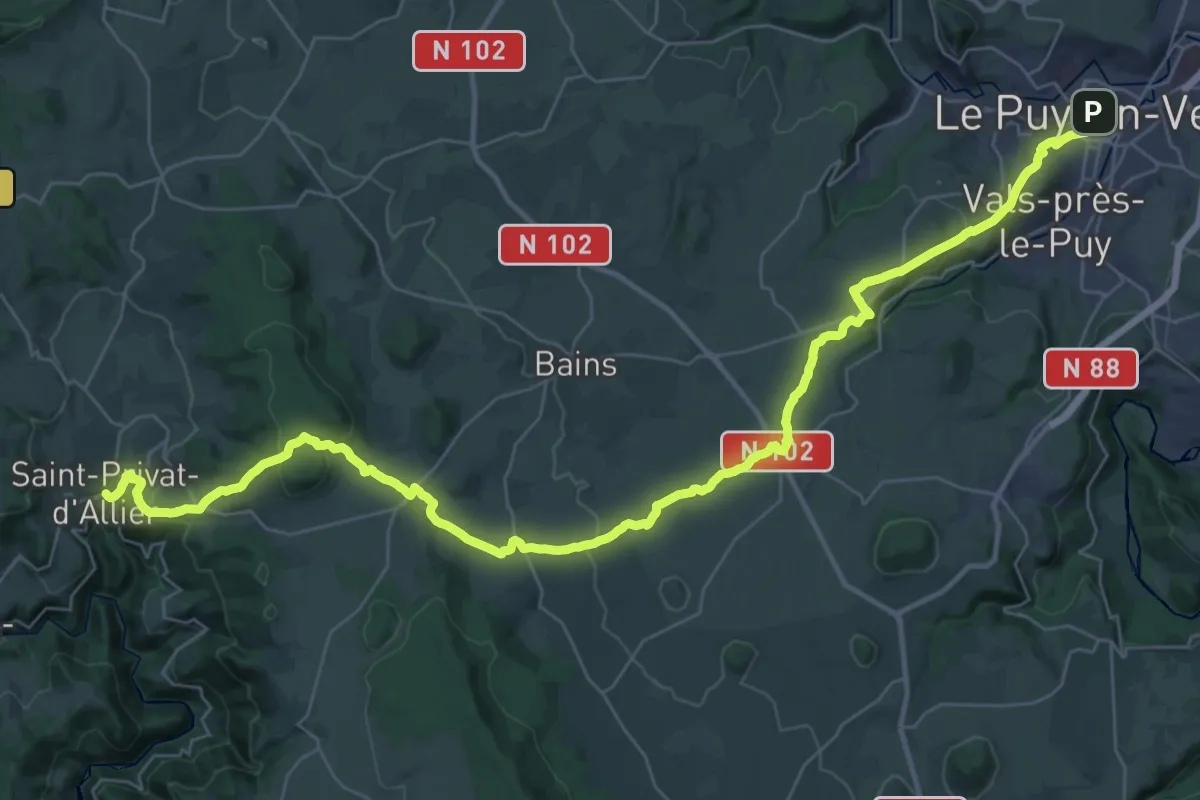
Demanding · Trail
Le Puy-en-Velay – Saint-Privat-d'Allier
23.4 km · ↑ 623 m · 7 h 6 min
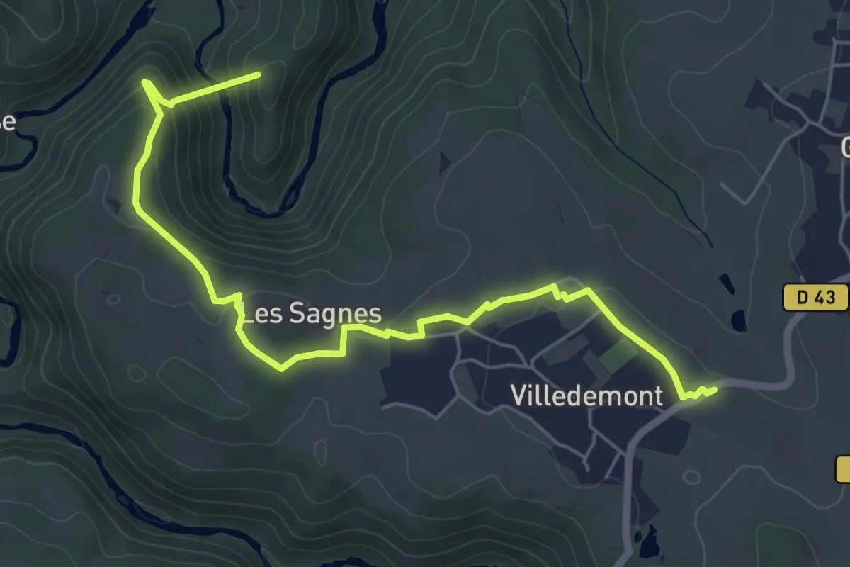
Easy · Trail
Parking de la Passerelle des Gorges du Lignon – Passerelle des Gorges du Lignon
6.4 km · ↑ 245 m · 2 h 2 min
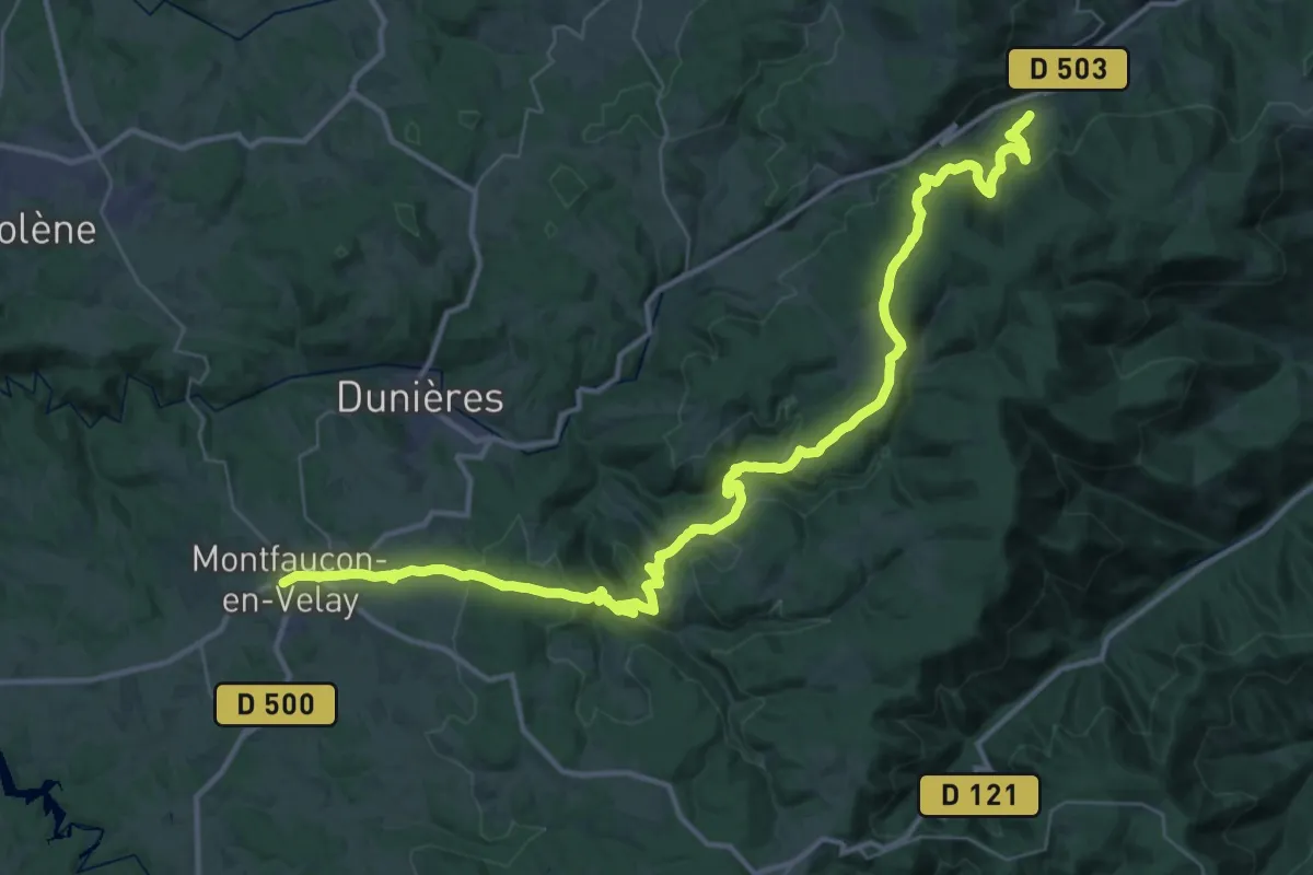
Demanding · Trail
Bellegarde-Poussieu – Montfaucon-en-Velay
24.6 km · ↑ 886 m · 8 h 2 min
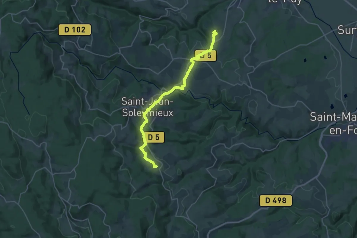
Demanding · Summit
Montbrison – Marols
20.2 km · ↑ 456 m · 5 h 45 min
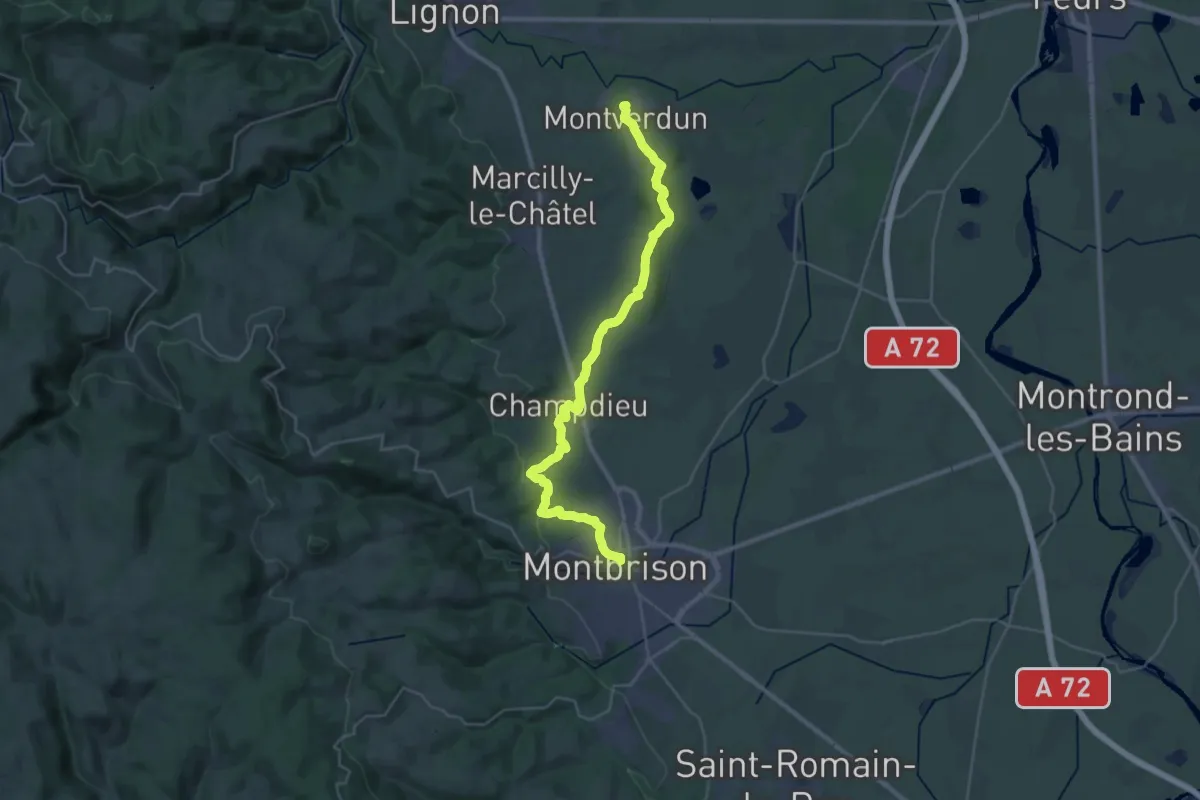
Demanding · Summit
Montverdun – Montbrison
35.1 km · ↑ 495 m · 9 h 22 min
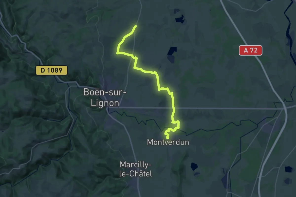
Demanding · Summit
Bussy Albieux – Montverdun
29.8 km · ↑ 250 m · 7 h 35 min
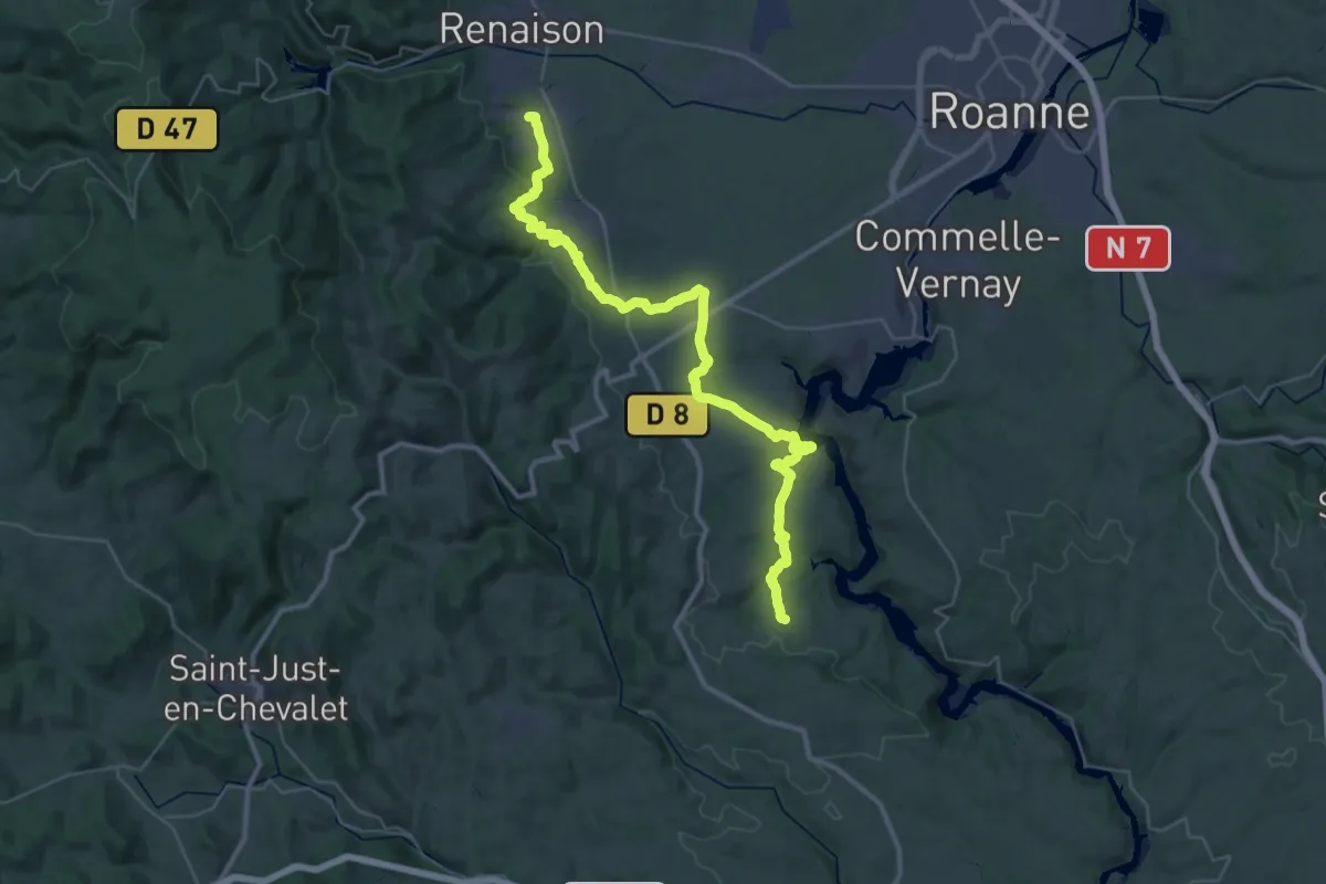
Demanding · Trail
St André d’Apchon – Bully
21.3 km · ↑ 467 m · 6 h 19 min
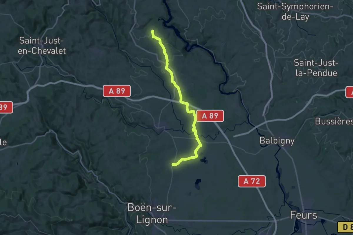
Demanding · Trail
Bully – Bussy Albieux
20.9 km · ↑ 181 m · 5 h 39 min
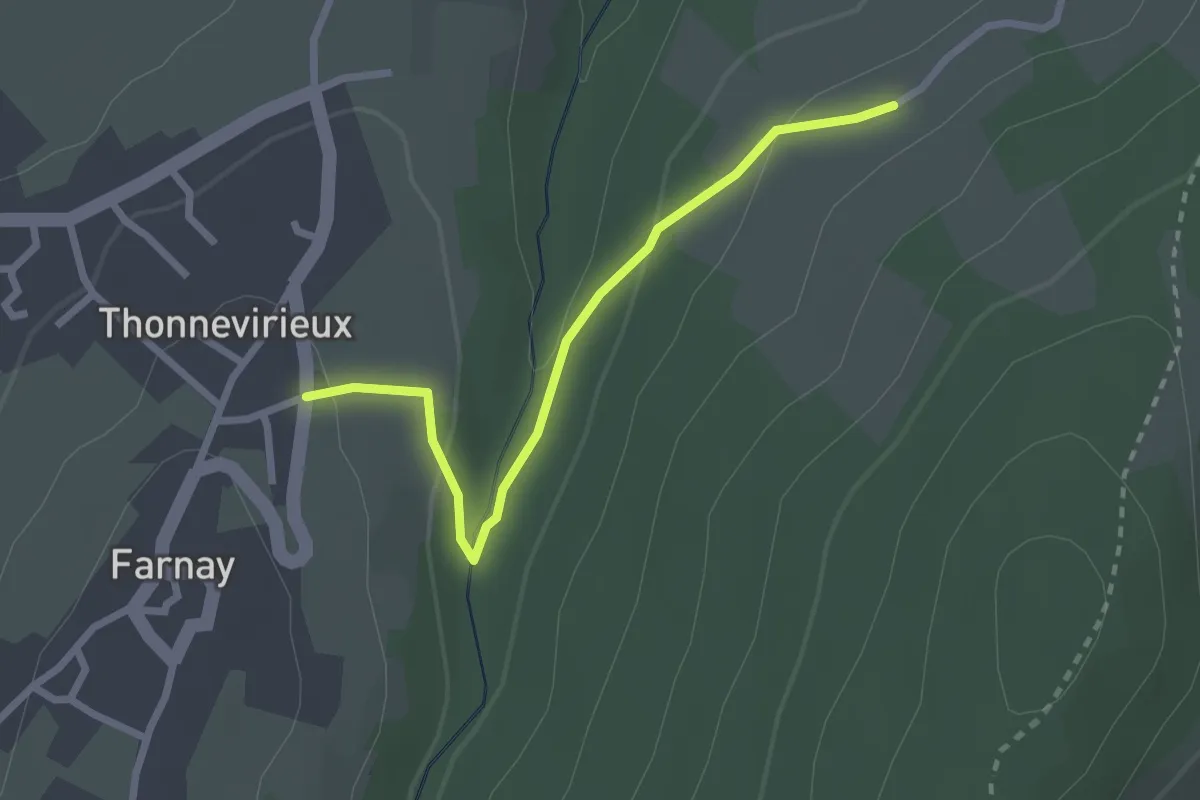
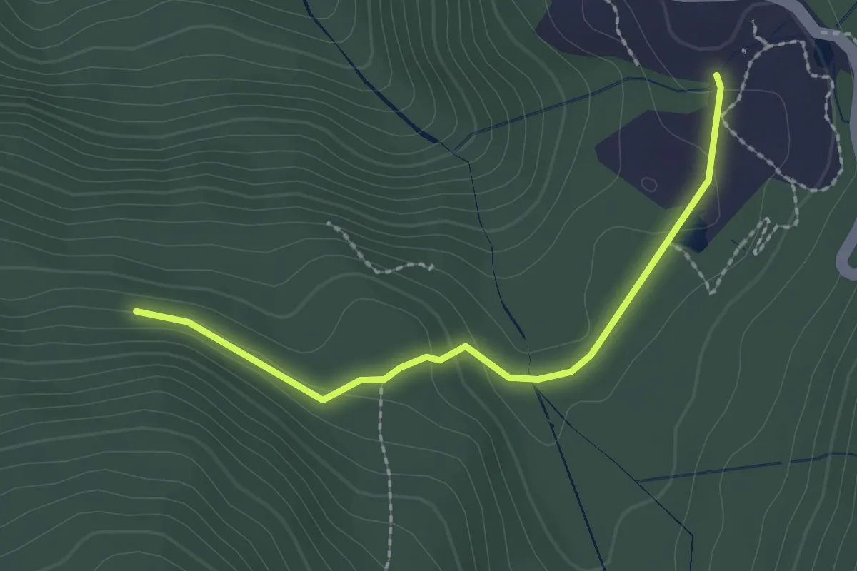
Easy · Trail
Farnay – Granay
2.5 km · ↑ 81 m · 46 min
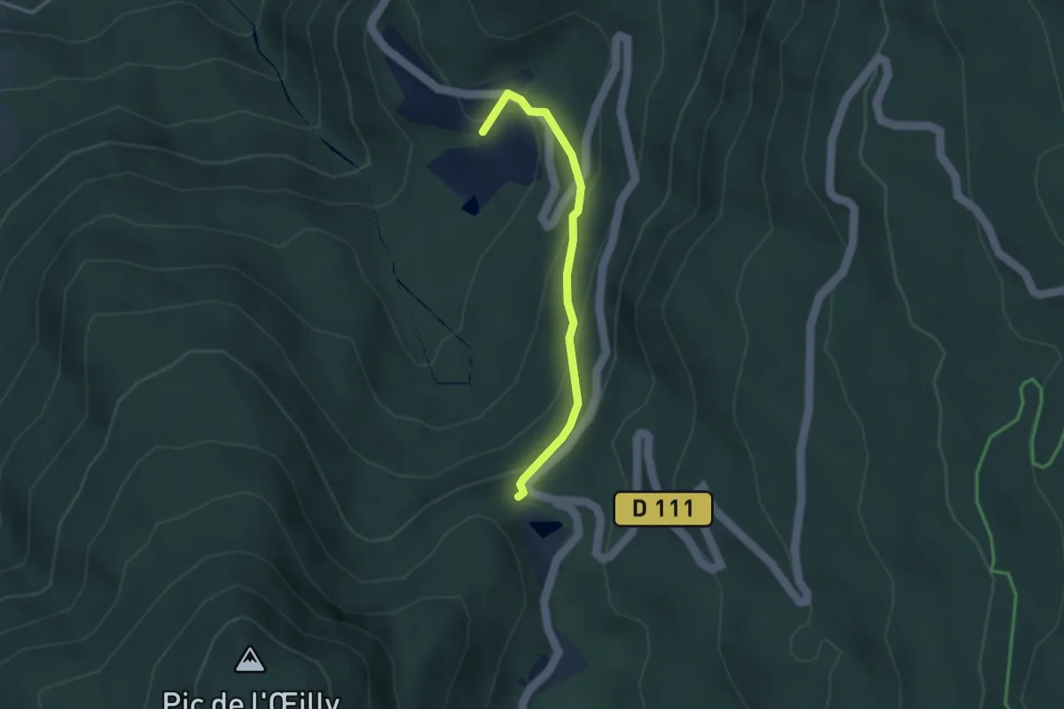
Easy · Trail
Chartreuse de Prémol – Fontaine du Mulet
2.2 km · ↑ 74 m · 41 min
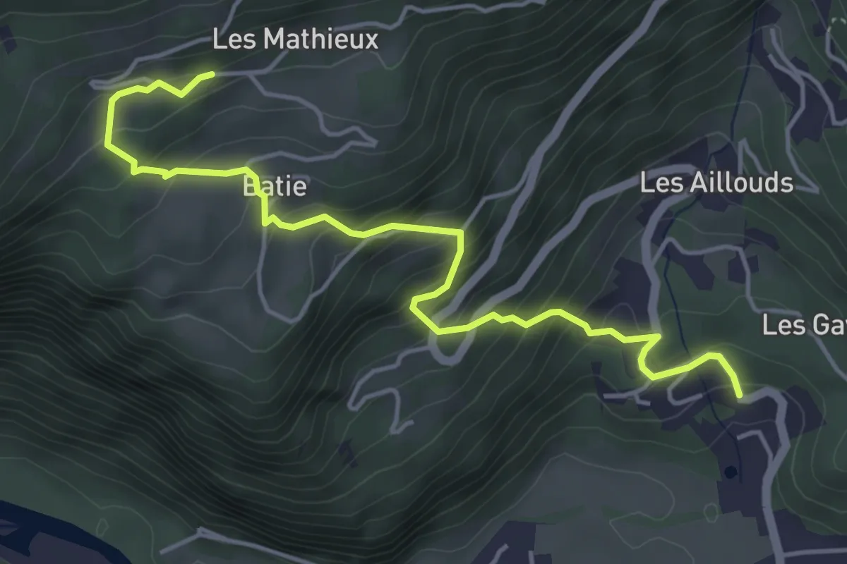
Medium · Trail
L'Exutoire – Chartreuse de Prémol
2.9 km · ↑ 173 m · 1 h 4 min
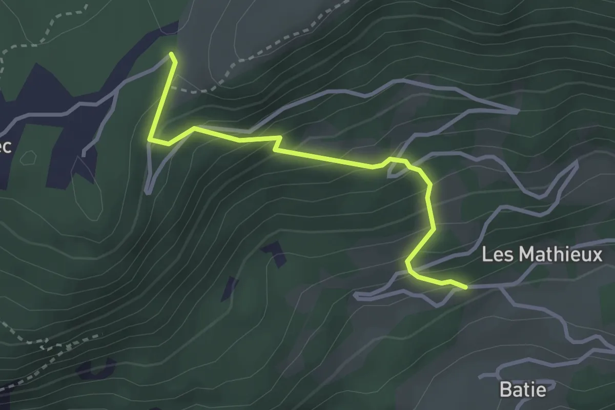
Medium · Trail
Les Thiébauds – Château Alleman
5.2 km · ↑ 441 m · 2 h 11 min
Easy · Trail
La Madeleine – Les Thiébauds
2.8 km · ↑ 301 m · 1 h 19 min
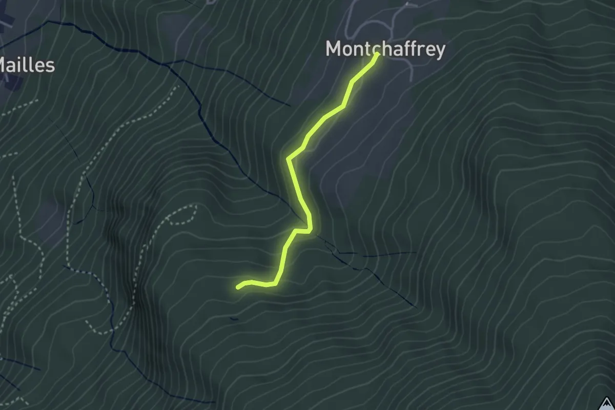
Easy · Trail
Montchaffey – Chenevier
2.8 km · ↑ 102 m · 52 min
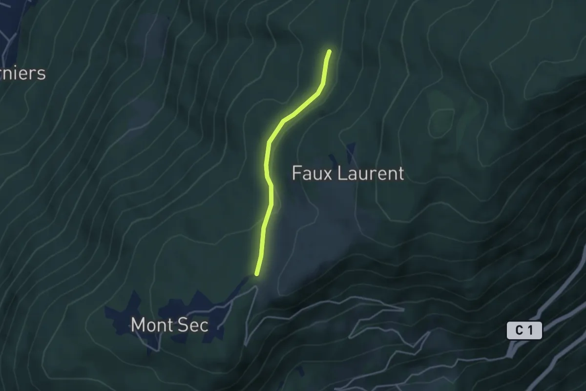
Easy · Trail
Pléney – La Croisée
2.9 km · ↑ 51 m · 48 min
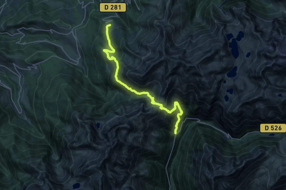
Demanding · Trail
Rivier d’Allemont – Prapoutel
12.1 km · ↑ 875 m · 4 h 55 min
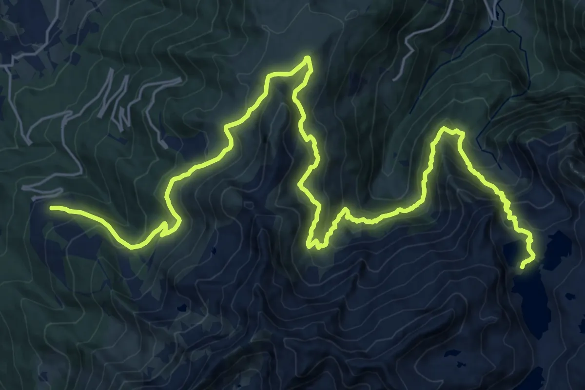
Demanding · Cabin
Prapoutel – Refuge des Sept-Laux
15.7 km · ↑ 1426 m · 6 h 37 min
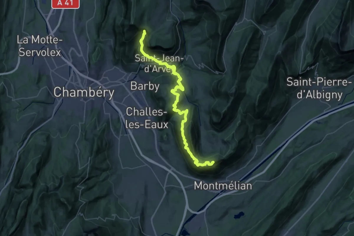
Demanding · Summit
La Labiaz – Les Chavonnes
40.5 km · ↑ 2663 m · 15 h 20 min
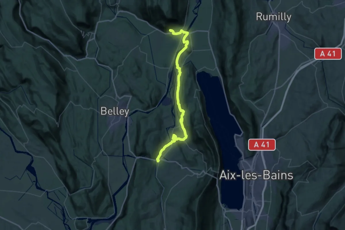
Demanding · Trail
Culoz – Yenne
25.8 km · ↑ 492 m · 7 h 33 min
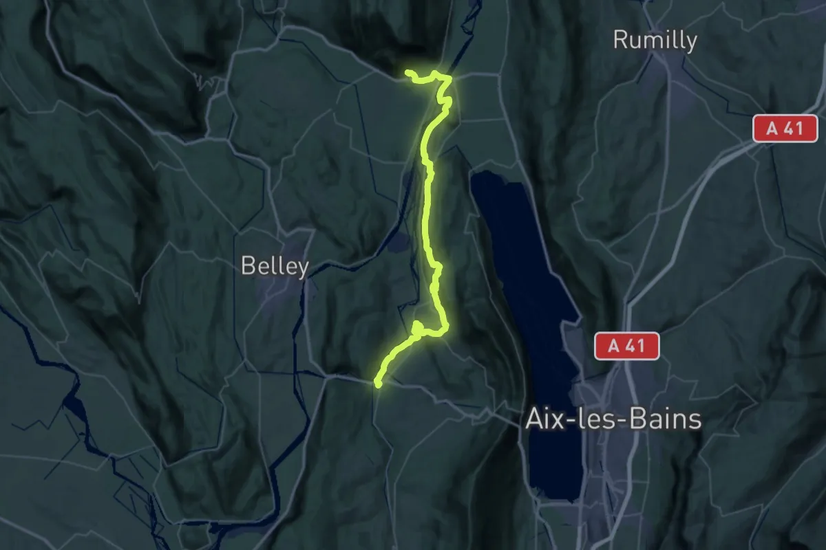
Demanding · Trail
Culoz – Yenne
25.8 km · ↑ 492 m · 7 h 33 min
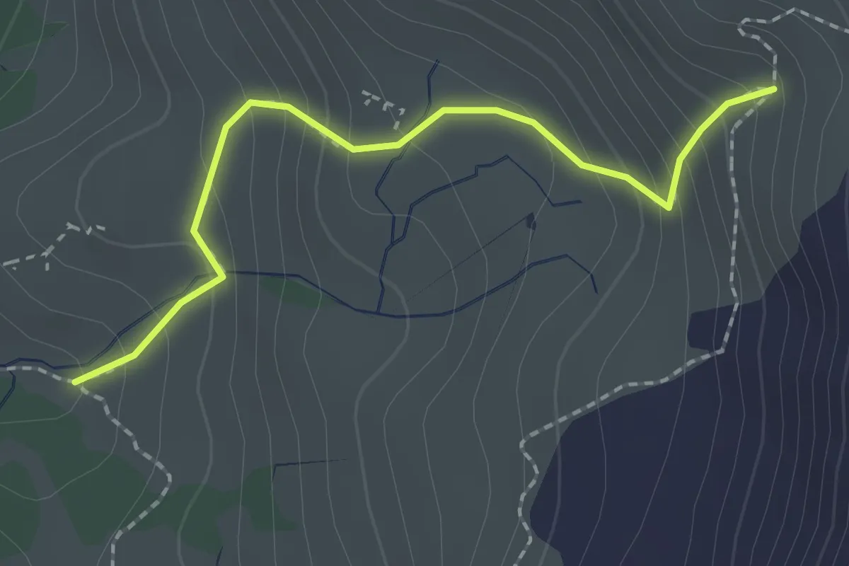
Medium · Trail
Bivio TOS710-TOS710A, quota: 2170 – Bivio TOS710-TOS710A , quota:2365
2.0 km · ↑ 199 m · 55 min