Trails in France
15,926 hiking trails, each with its route, climb, walking time and grade.
All trails, page 292 of 332
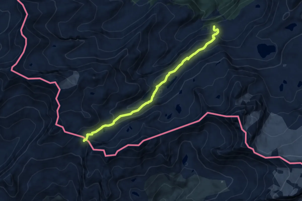
Demanding · Trail
Percorso 3 – Col Louie Blanche
9.3 km · ↑ 496 m · 3 h 16 min
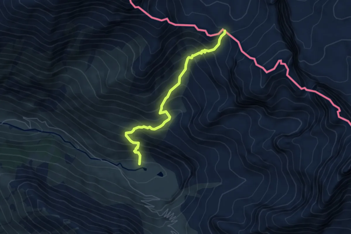
Medium · Trail
Rifugio Scarfiotti, bivio 728-726 – Col d'Etache
5.7 km · ↑ 669 m · 2 h 48 min
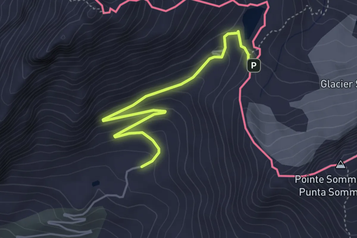
Medium · Trail
Bardonecchia, Rifugio Scarfiotti, bivio TOS727-TOS726 – Bardonecchia, Col de Sommeiller
4.5 km · ↑ 200 m · 1 h 30 min
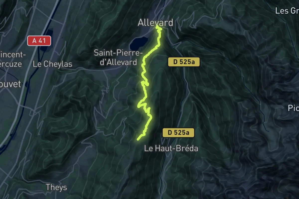
Demanding · Cabin
Refuge du Crêt du Poulet – Allevard
11.3 km · ↑ 1425 m · 5 h 19 min
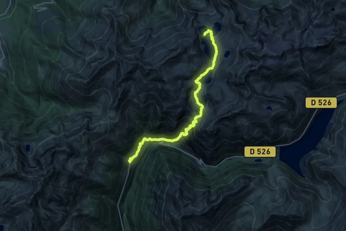
Demanding · Cabin
Refuge des Sept-Laux – Rivier d’Allemont
10.5 km · ↑ 1166 m · 4 h 44 min
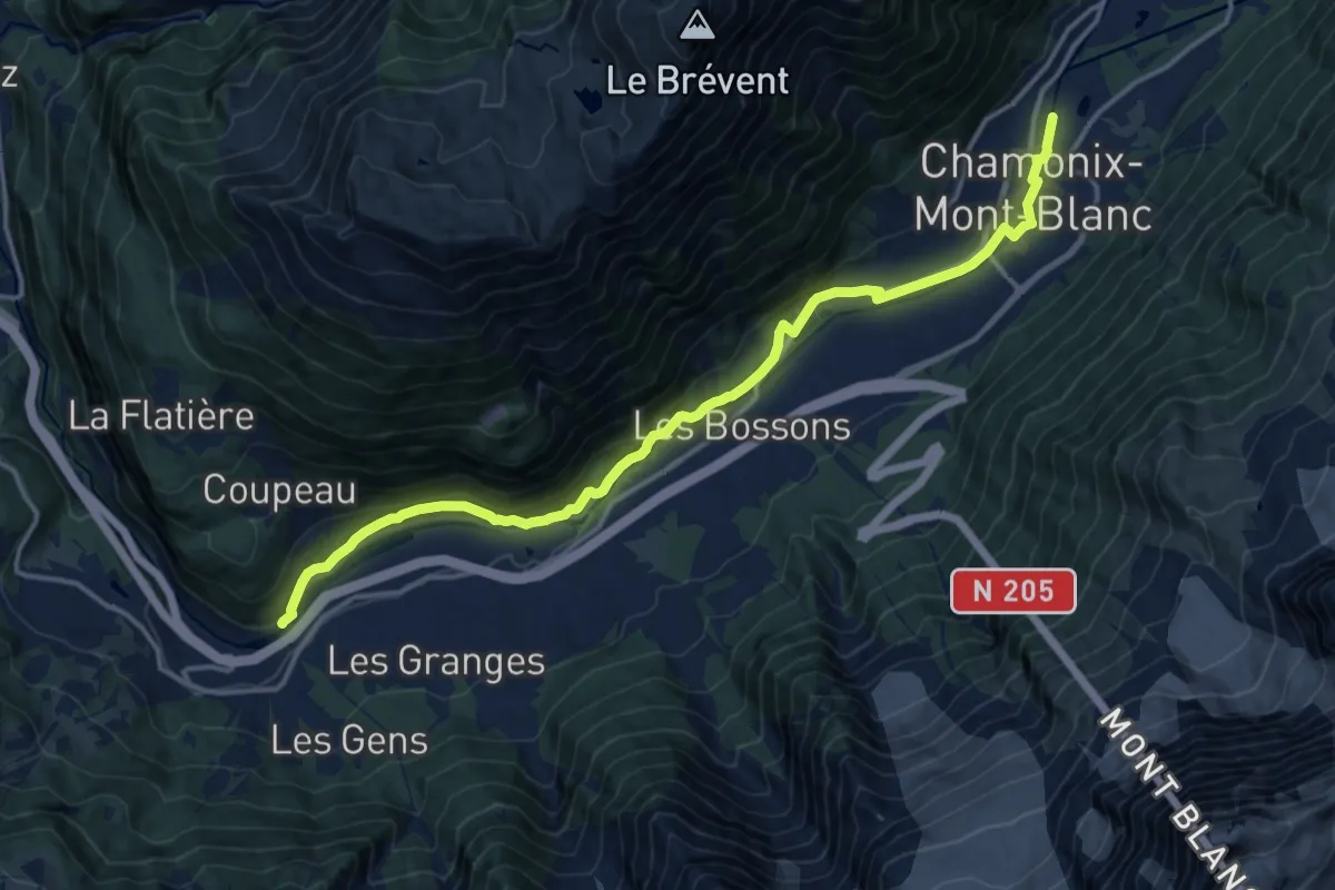
Medium · Trail
Les Houches – Chamonix
16.3 km · ↑ 320 m · 4 h 33 min
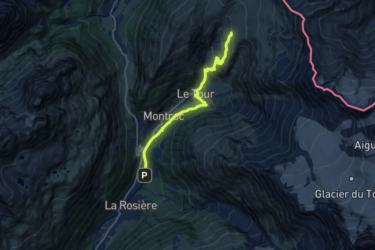
Medium · Trail
Argentière – Col de Balme
11.5 km · ↑ 666 m · 4 h 10 min
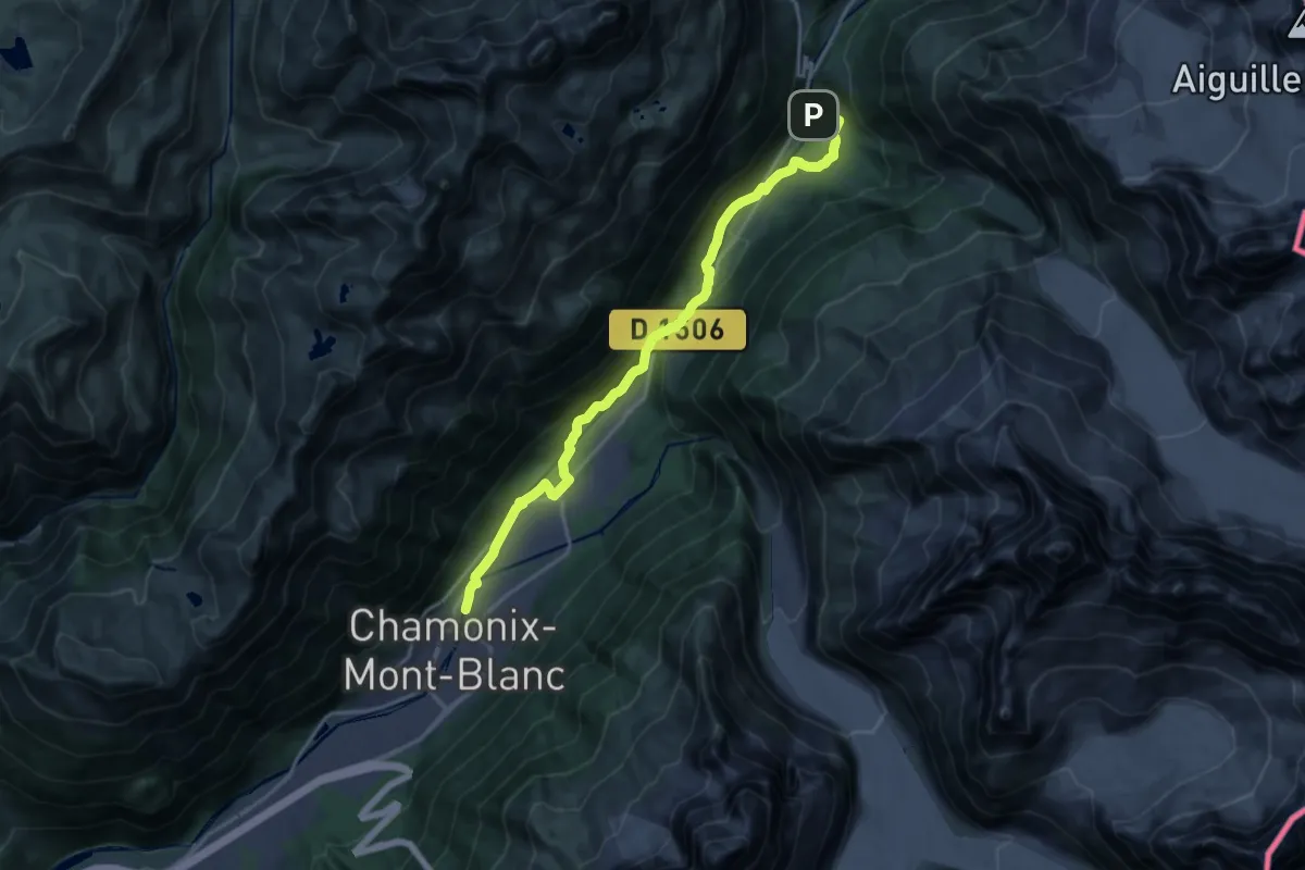
Demanding · Trail
Chamonix – Argentière
19.0 km · ↑ 309 m · 5 h 9 min
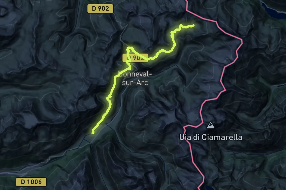
Demanding · Cabin
Refuge du Carro – Gîte d’étape le Petit Bonheur
24.5 km · ↑ 1841 m · 9 h 35 min
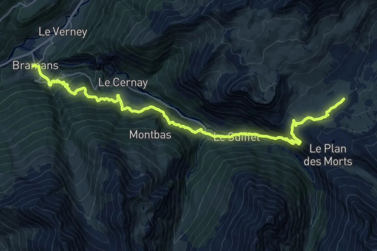
Demanding · Cabin
Bramans – Refuge du Petit Mont Cenis
12.9 km · ↑ 1299 m · 5 h 36 min
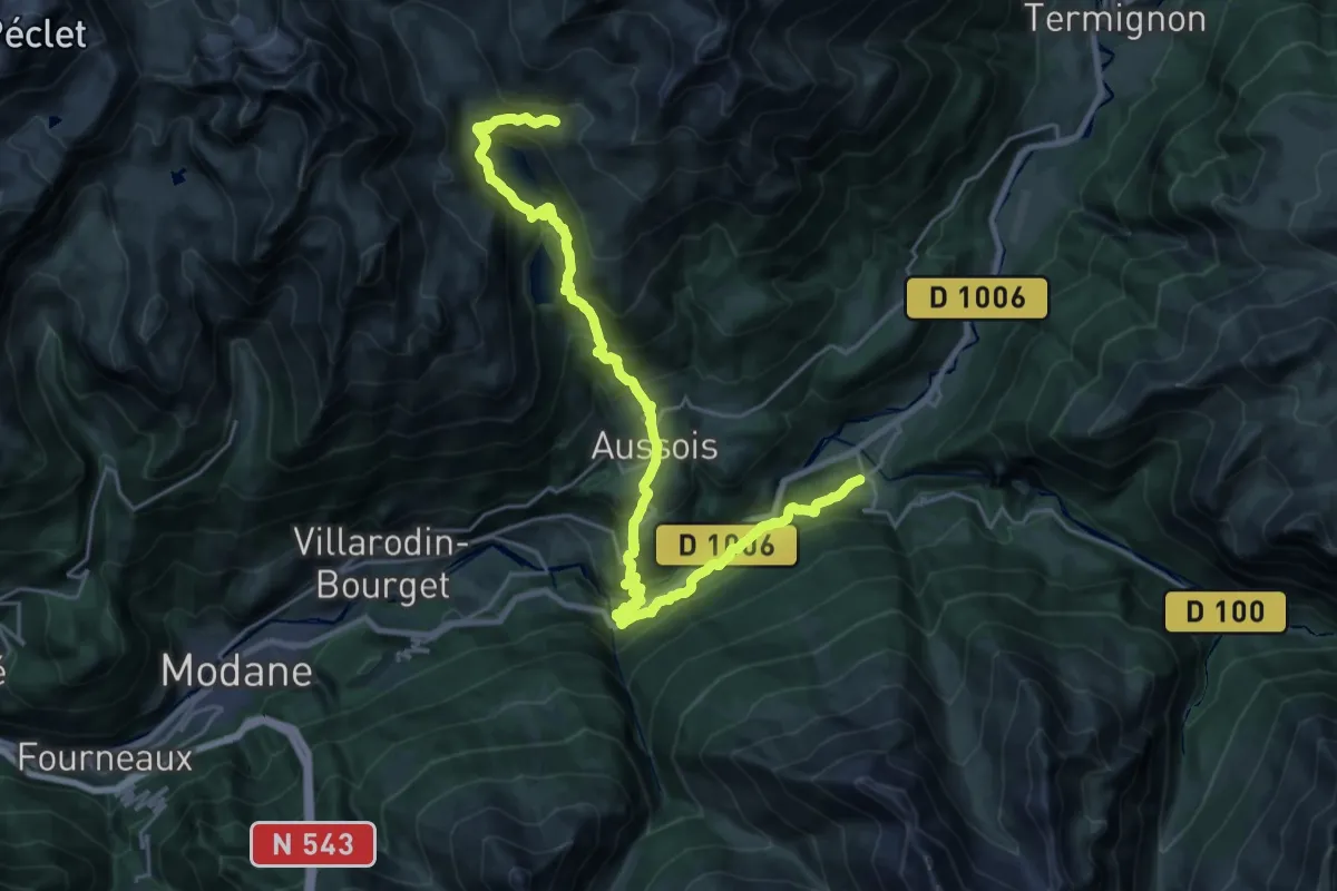
Demanding · Cabin
Refuges de Plan d’Amont – Bramans
14.6 km · ↑ 1583 m · 6 h 32 min
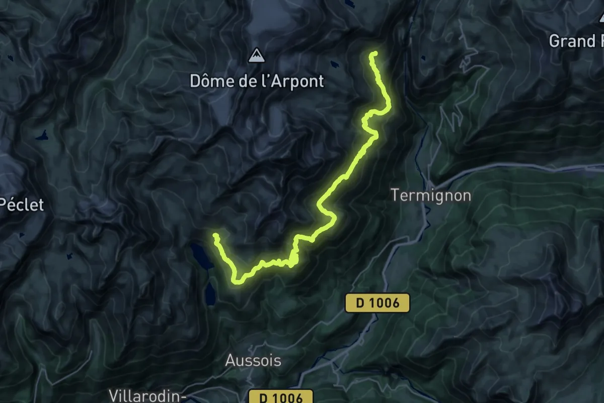
Demanding · Cabin
Refuge de l’Arpont – Refuges de Plan d’Amont
16.8 km · ↑ 1182 m · 6 h 45 min
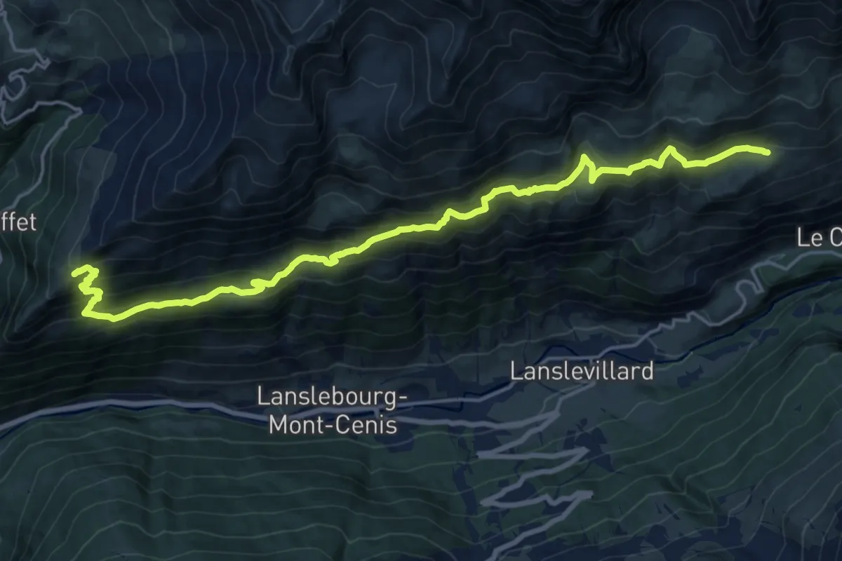
Demanding · Summit
Refuge de Vallonbrun – Refuge porte de Plan du Lac
20.8 km · ↑ 1456 m · 8 h 4 min
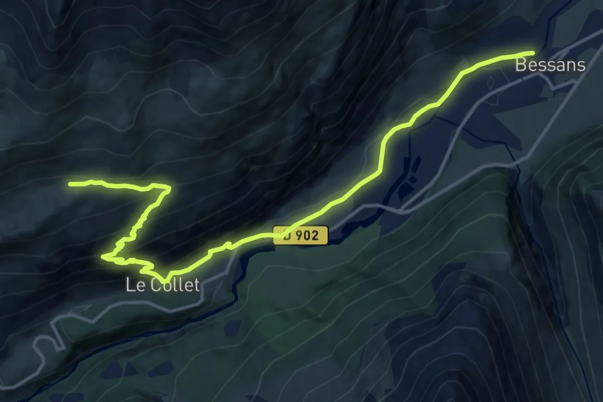
Medium · Cabin
Gîte d’étape le Petit Bonheur – Refuge de Vallonbrun
14.9 km · ↑ 749 m · 5 h 8 min
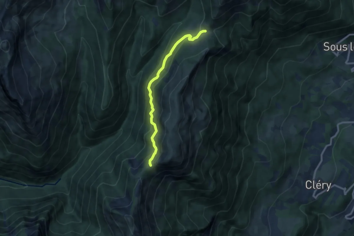
Medium · Trail
Col de la Fougère – Col du Haut du Four
6.2 km · ↑ 414 m · 2 h 22 min
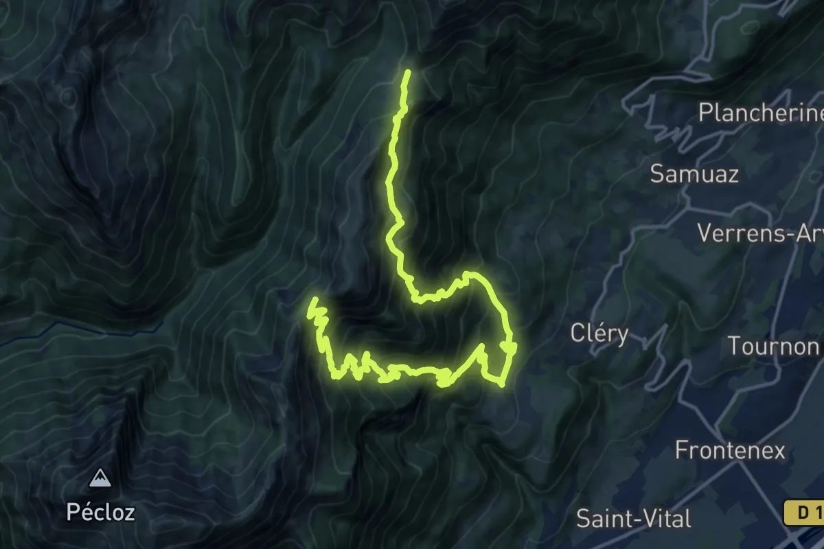
Demanding · Trail
Col de la Fougère – Col du Haut du Four
10.6 km · ↑ 1058 m · 5 h 1 min
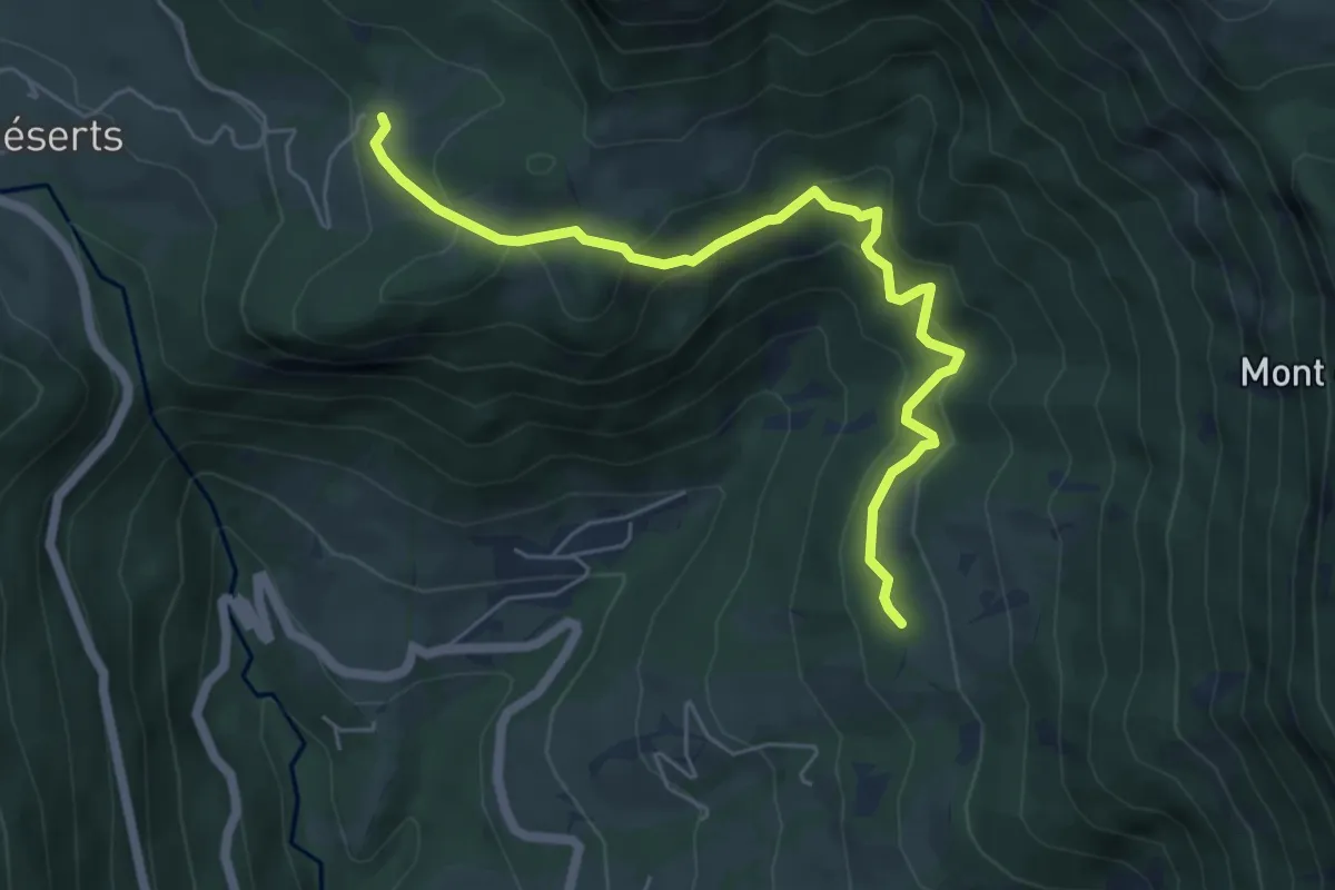
Medium · Trail
La Labiaz – Les Chavonnes
6.1 km · ↑ 380 m · 2 h 15 min
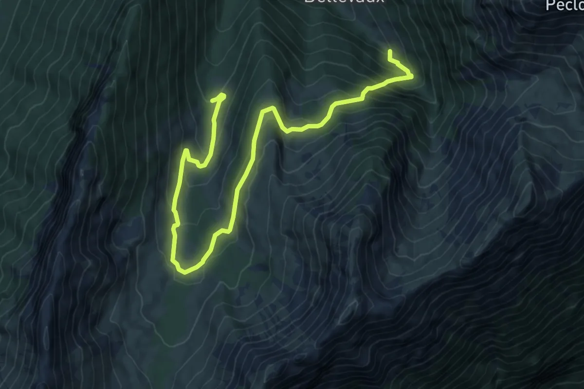
Medium · Trail
Fond des Prés – Sortie du Vieux Chemin
10.9 km · ↑ 668 m · 4 h 1 min
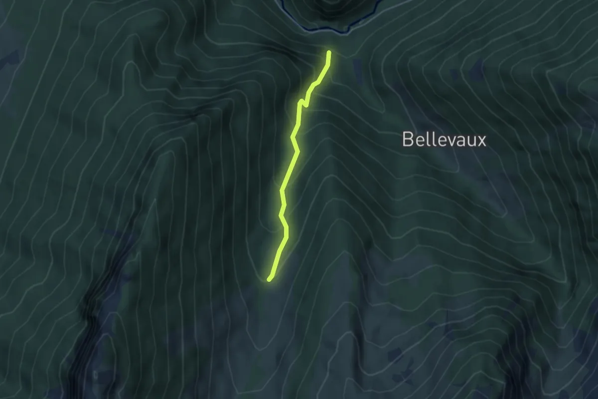
Medium · Trail
Sortie du Vieux Chemin – Saint-Benoit
3.1 km · ↑ 323 m · 1 h 27 min
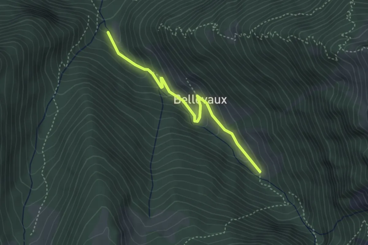
Easy · Trail
Le Couvent – Fond des Prés
3.5 km · ↑ 207 m · 1 h 17 min
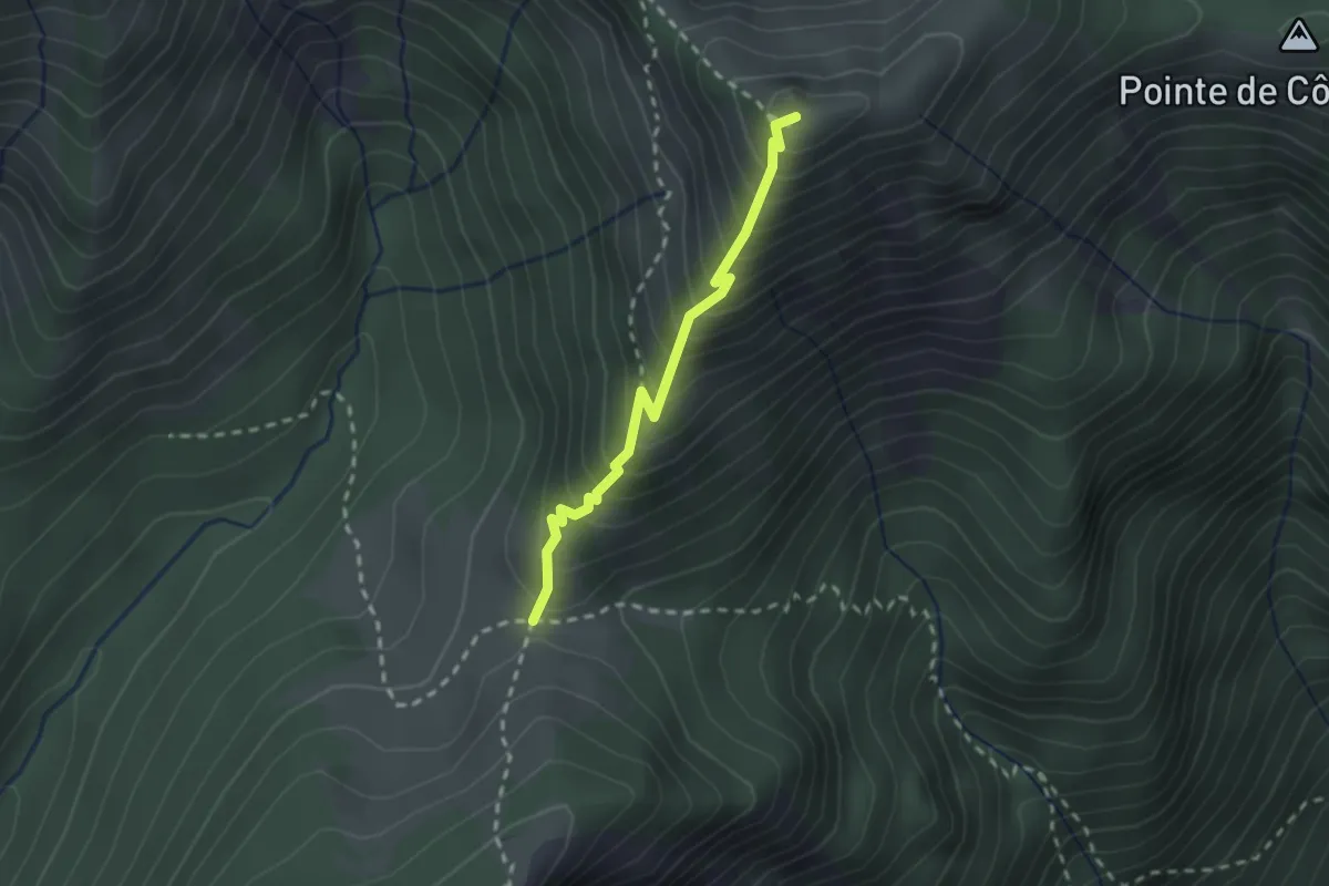
Medium · Summit
Col du Haut du Four – Col du Drison
2.1 km · ↑ 304 m · 1 h 9 min
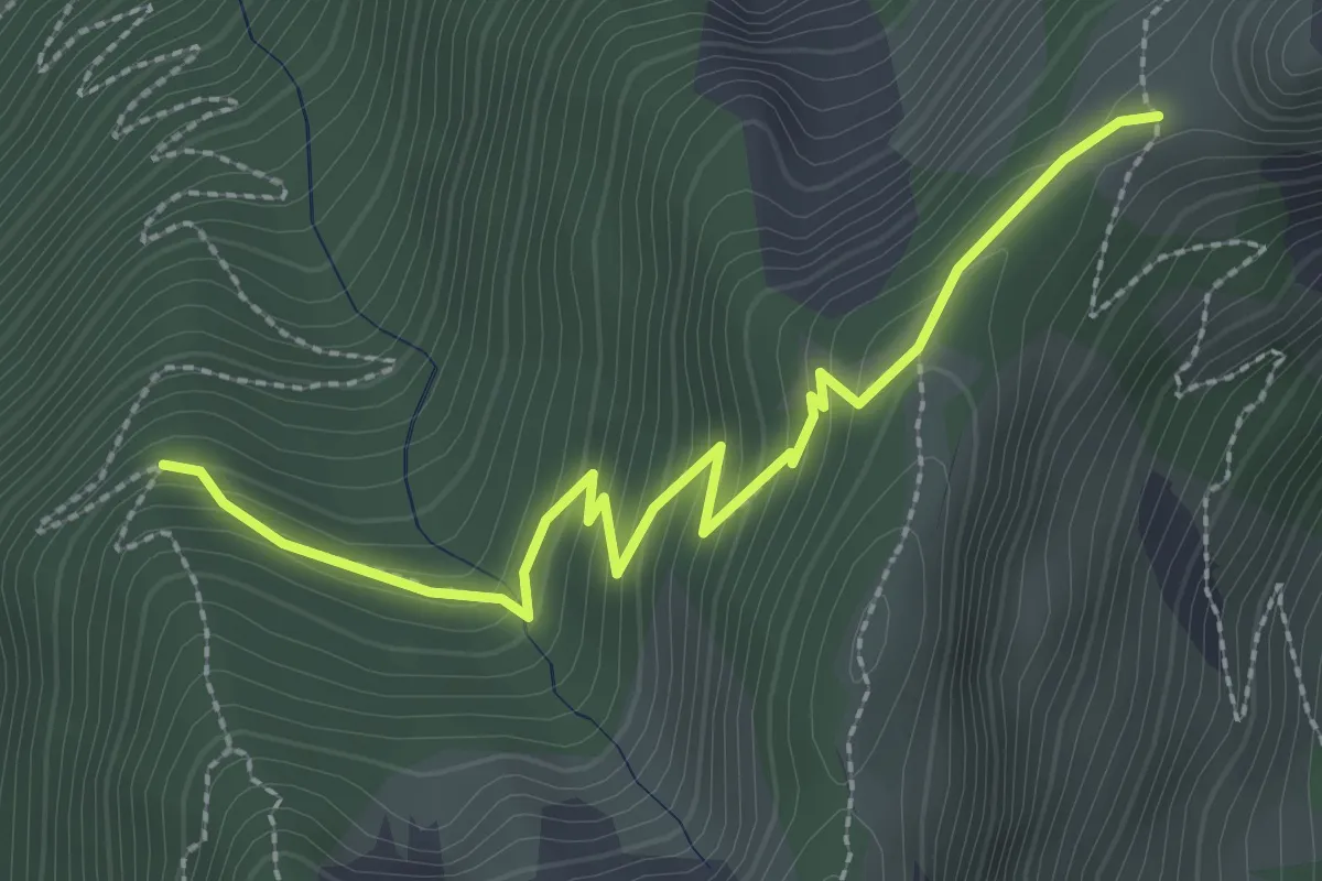
Medium · Trail
La Fougère – Col de la Fougère
2.9 km · ↑ 237 m · 1 h 12 min
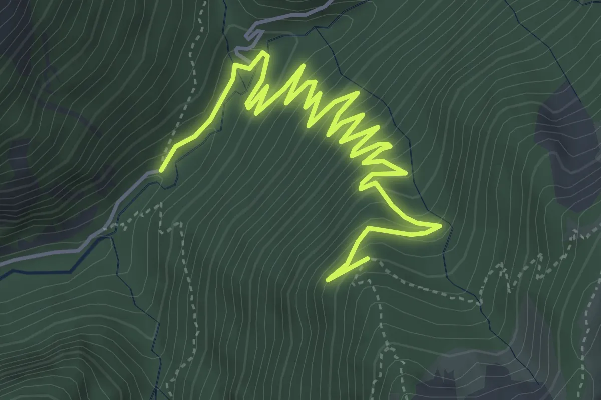
Medium · Trail
Chemin du Gros Fayard – La Fougère
6.7 km · ↑ 469 m · 2 h 36 min
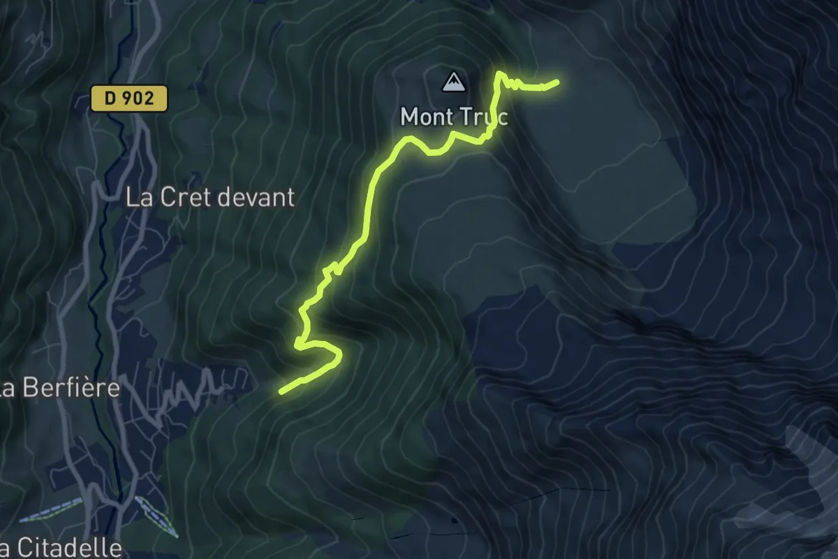
Medium · Cabin
Les Contamines-Montjoies – Refuge de Miage
7.5 km · ↑ 633 m · 3 h 8 min
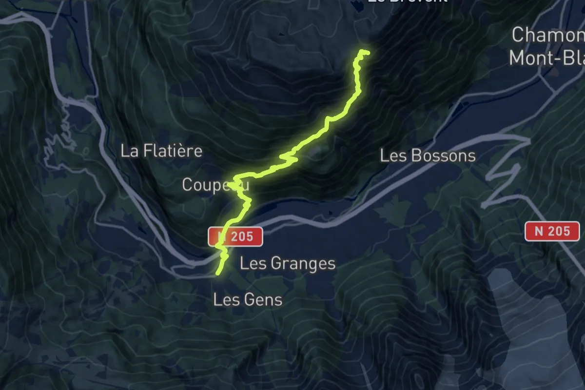
Demanding · Cabin
Les Houches – Refuge de Bellachat
14.0 km · ↑ 1262 m · 6 h 2 min
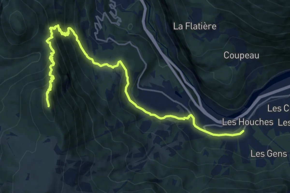
Demanding · Summit
Bionnassay – Les Houches
16.1 km · ↑ 1092 m · 6 h 10 min
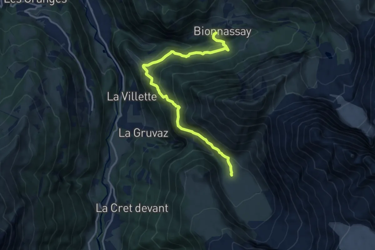
Demanding · Cabin
Refuge de Miage – Bionnassay
11.5 km · ↑ 932 m · 4 h 44 min
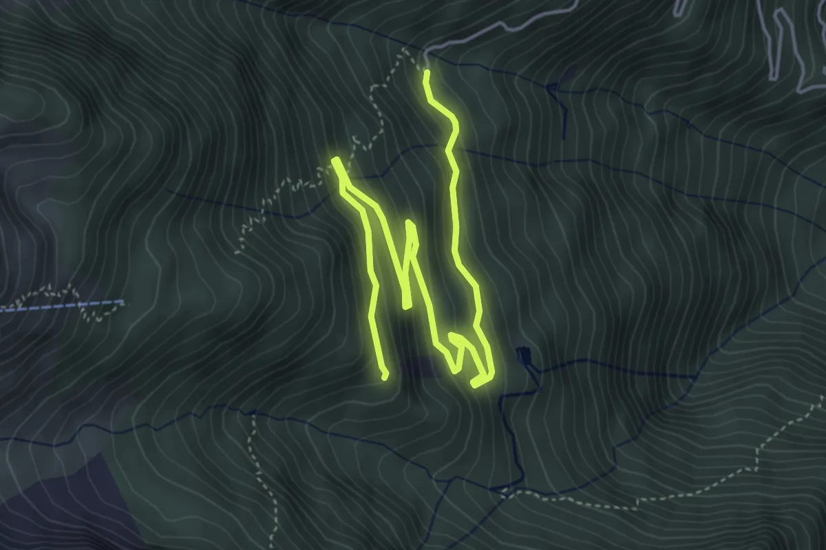
Medium · Trail
Place de Varrat – Place de Croix Blanche
6.2 km · ↑ 371 m · 2 h 16 min
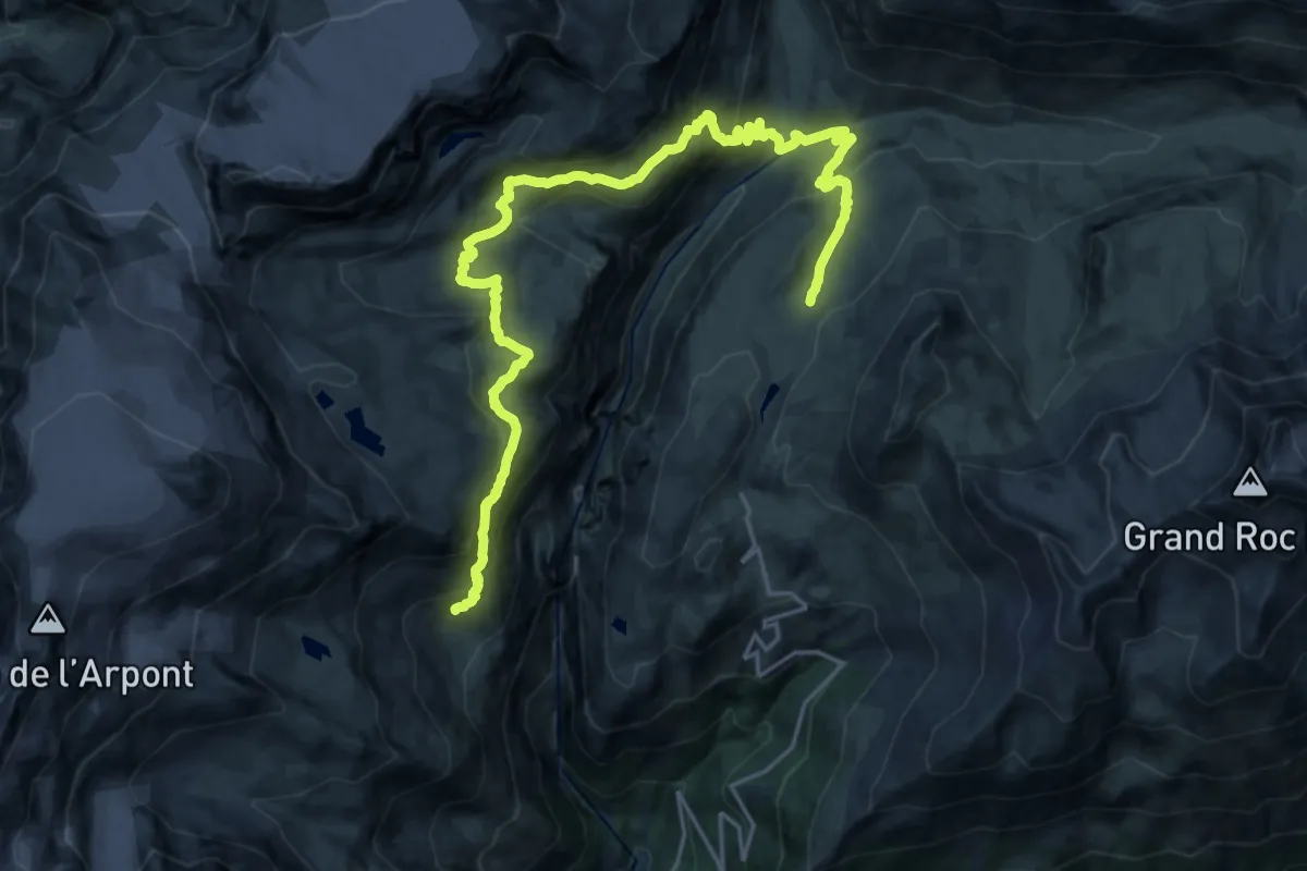
Medium · Cabin
Refuge porte de Plan du Lac – Refuge de l’Arpont
13.1 km · ↑ 712 m · 4 h 51 min
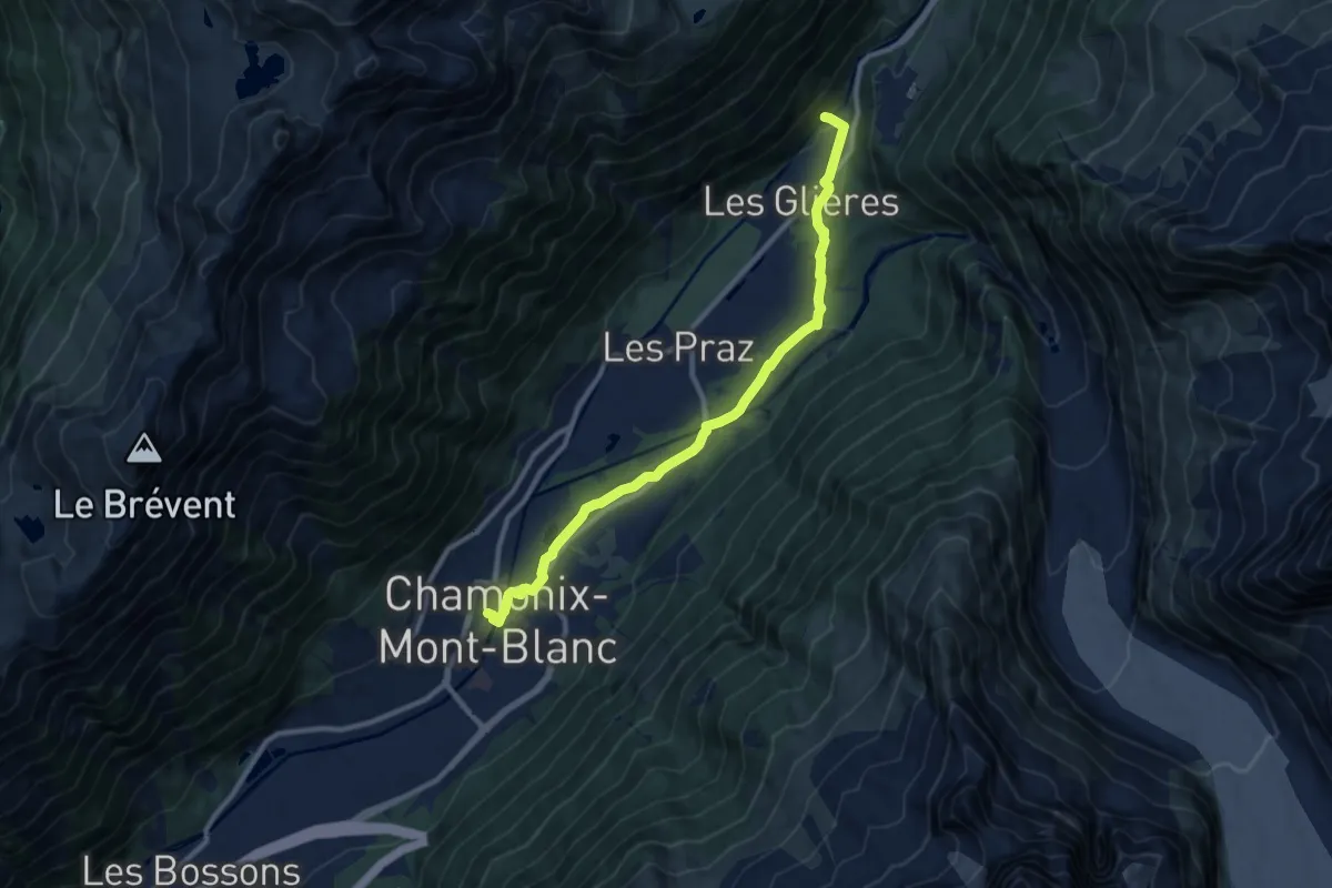
Medium · Trail
Chamonix – Les Tines
10.3 km · ↑ 151 m · 2 h 45 min
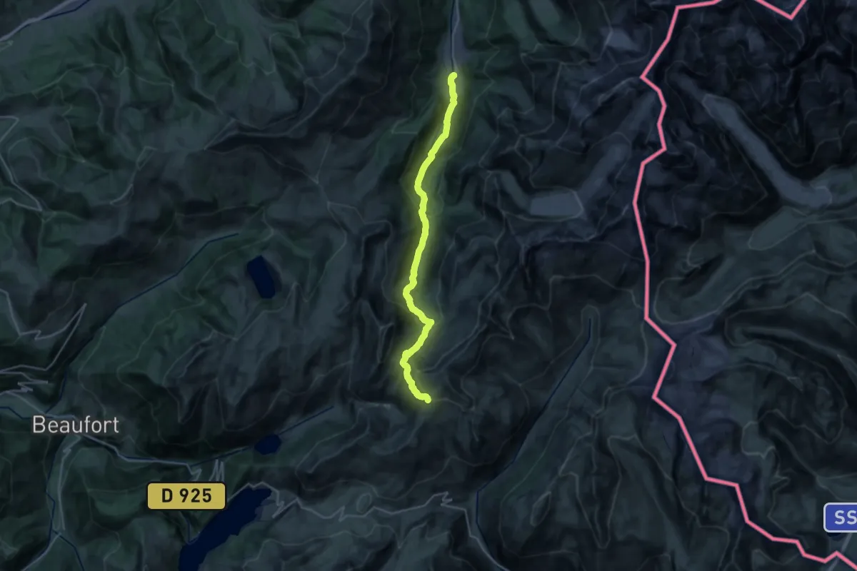
Medium · Trail
Les Contamines – Col de la Croix du Bonhomme
12.5 km · ↑ 48 m · 3 h 54 min
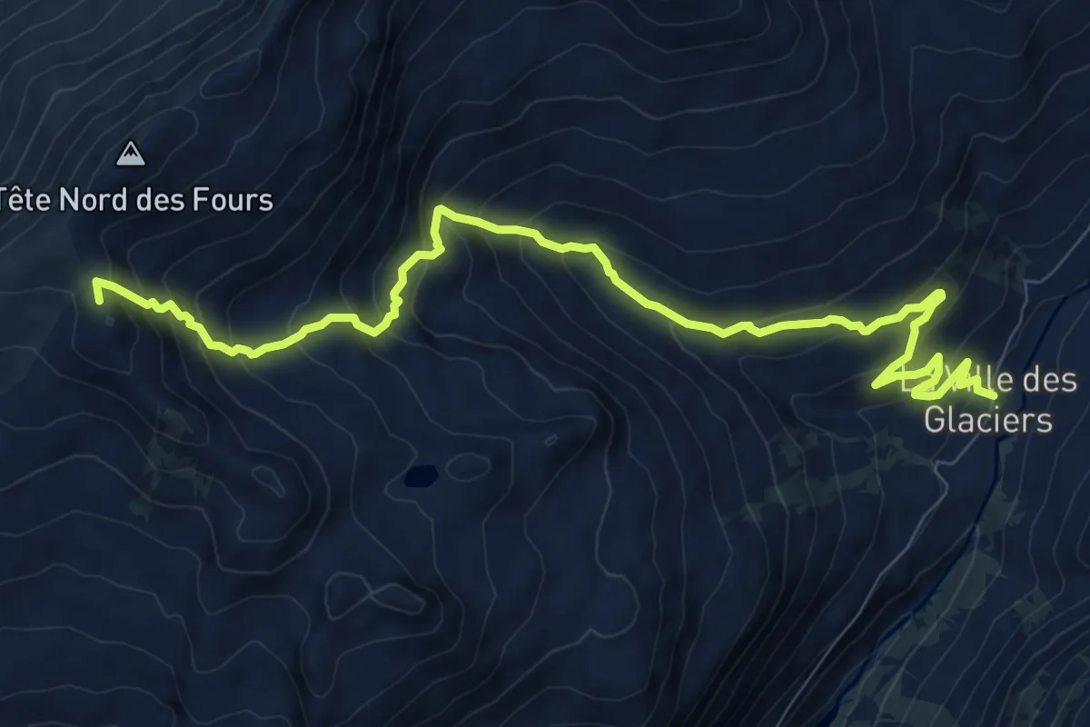
Demanding · Summit
Col de la Croix du Bonhomme – La Ville des Glaciers
11.0 km · ↑ 885 m · 4 h 31 min
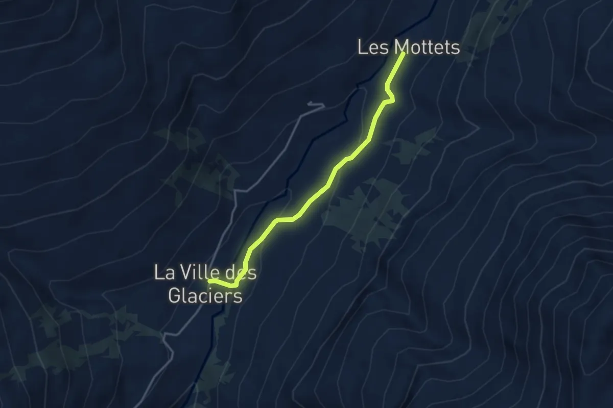
Medium · Cabin
La Ville des Glaciers – Refuge des Mottets
3.2 km · ↑ 97 m · 57 min
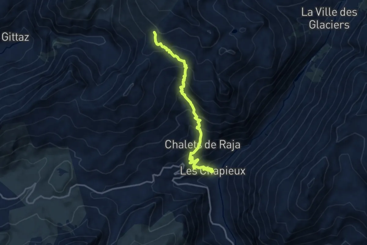
Demanding · Trail
Col de la Croix du Bonhomme – Les Chapieux
11.0 km · ↑ 933 m · 4 h 37 min
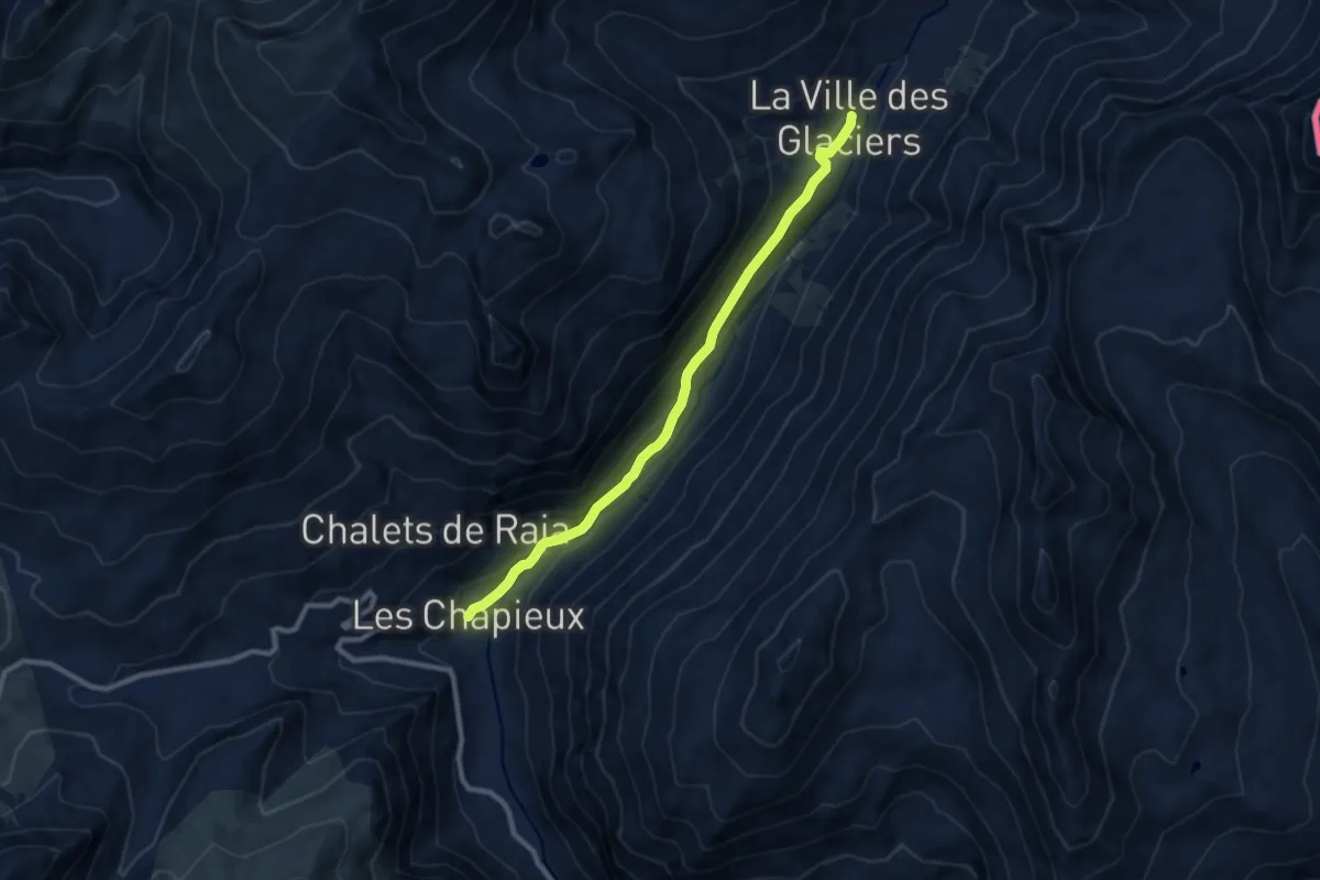
Medium · Trail
Les Chapieux – La Ville des Glaciers
9.1 km · ↑ 303 m · 2 h 48 min
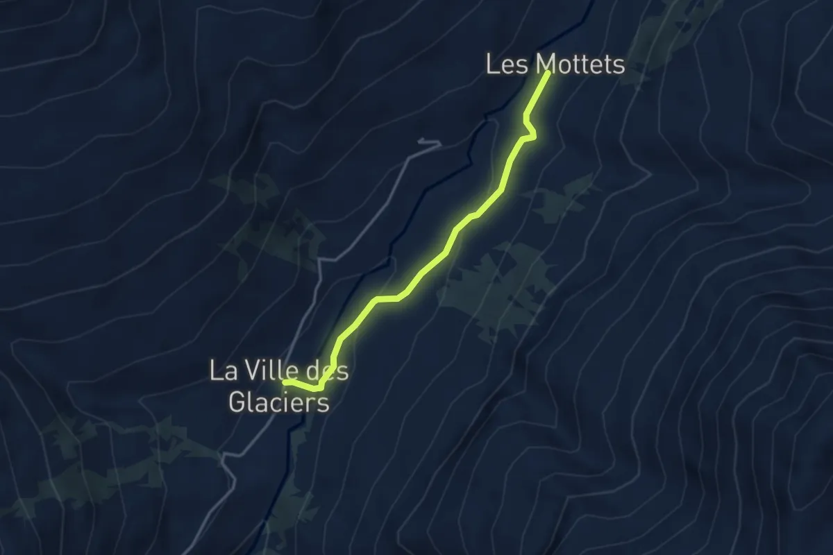
Medium · Cabin
La Ville des Glaciers – Refuge des Mottets
3.2 km · ↑ 97 m · 57 min
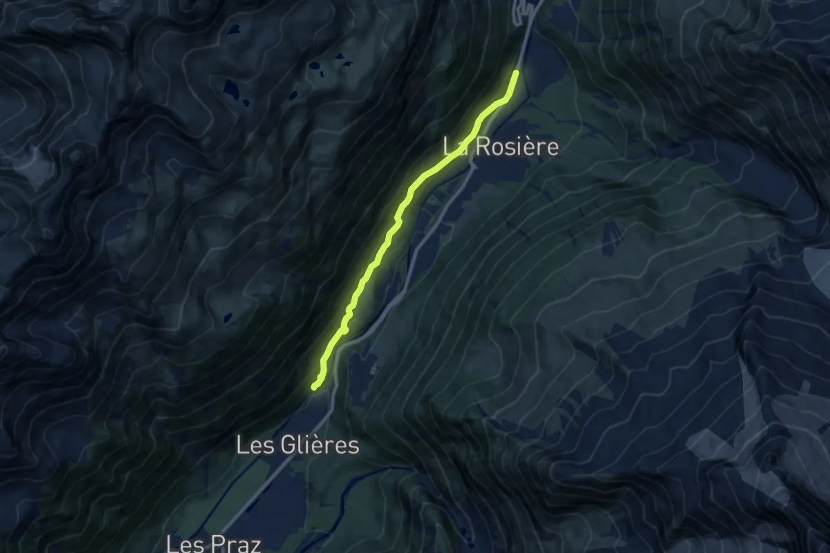
Medium · Trail
Les Tines – Argentière
8.2 km · ↑ 412 m · 2 h 50 min
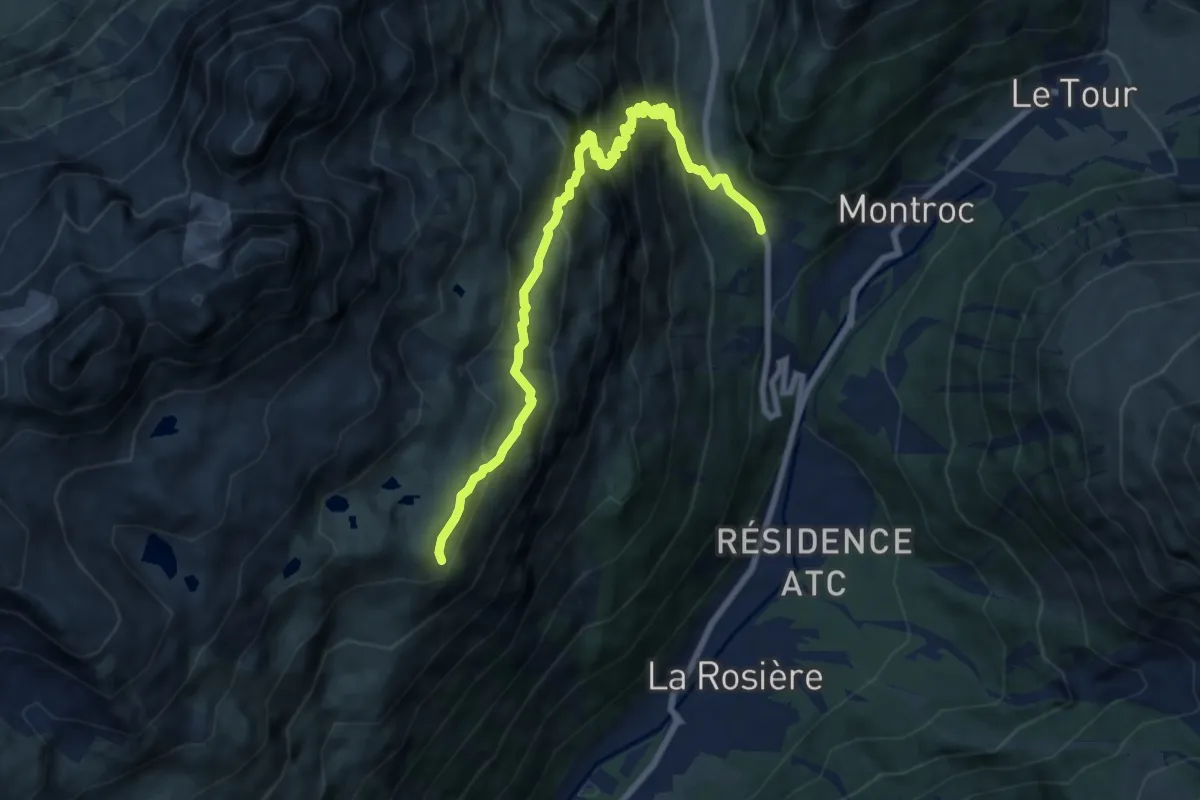
Medium · Trail
Tré-le-Champ – Tête aux Vents
9.0 km · ↑ 787 m · 3 h 49 min
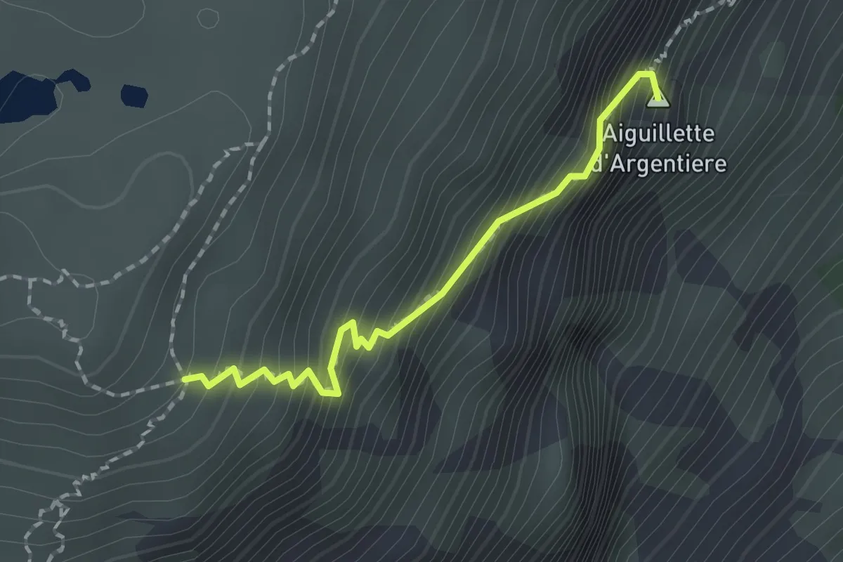
Expert · Summit
Tré-le-Champ – La Tête aux Vents
1.6 km · ↑ 325 m · 1 h 5 min
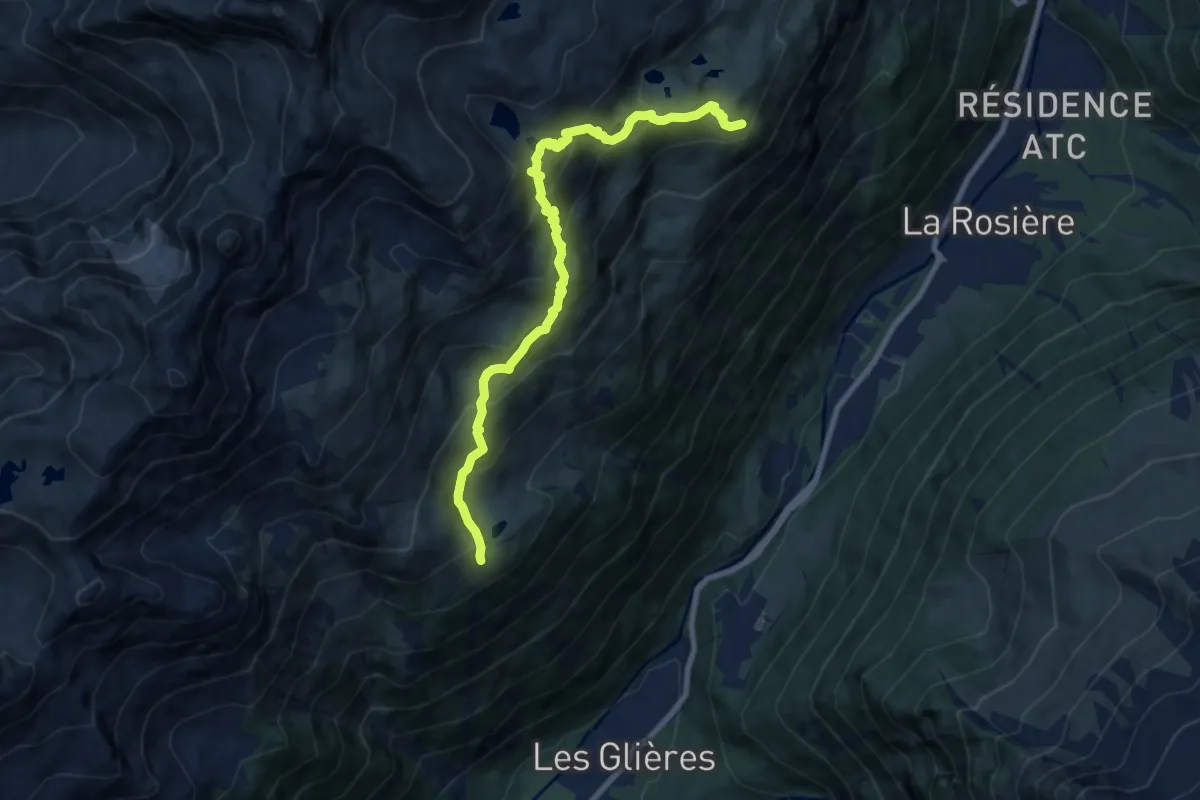
Demanding · Cabin
La Tête aux Vents – Refuge La Flégère
9.0 km · ↑ 755 m · 3 h 46 min
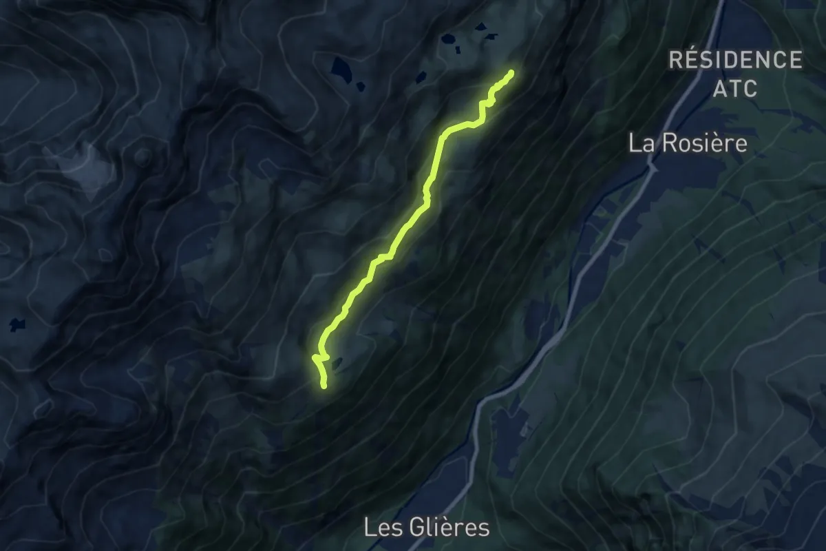
Medium · Cabin
La Tête aux Vents – Refuge La Flégère
6.9 km · ↑ 442 m · 2 h 36 min
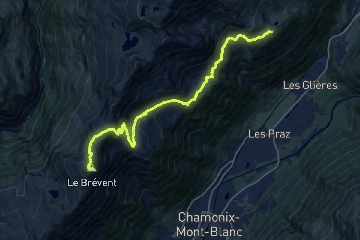
Demanding · Summit
Refuge La Flégère – Les Houches
15.1 km · ↑ 1189 m · 6 h 8 min
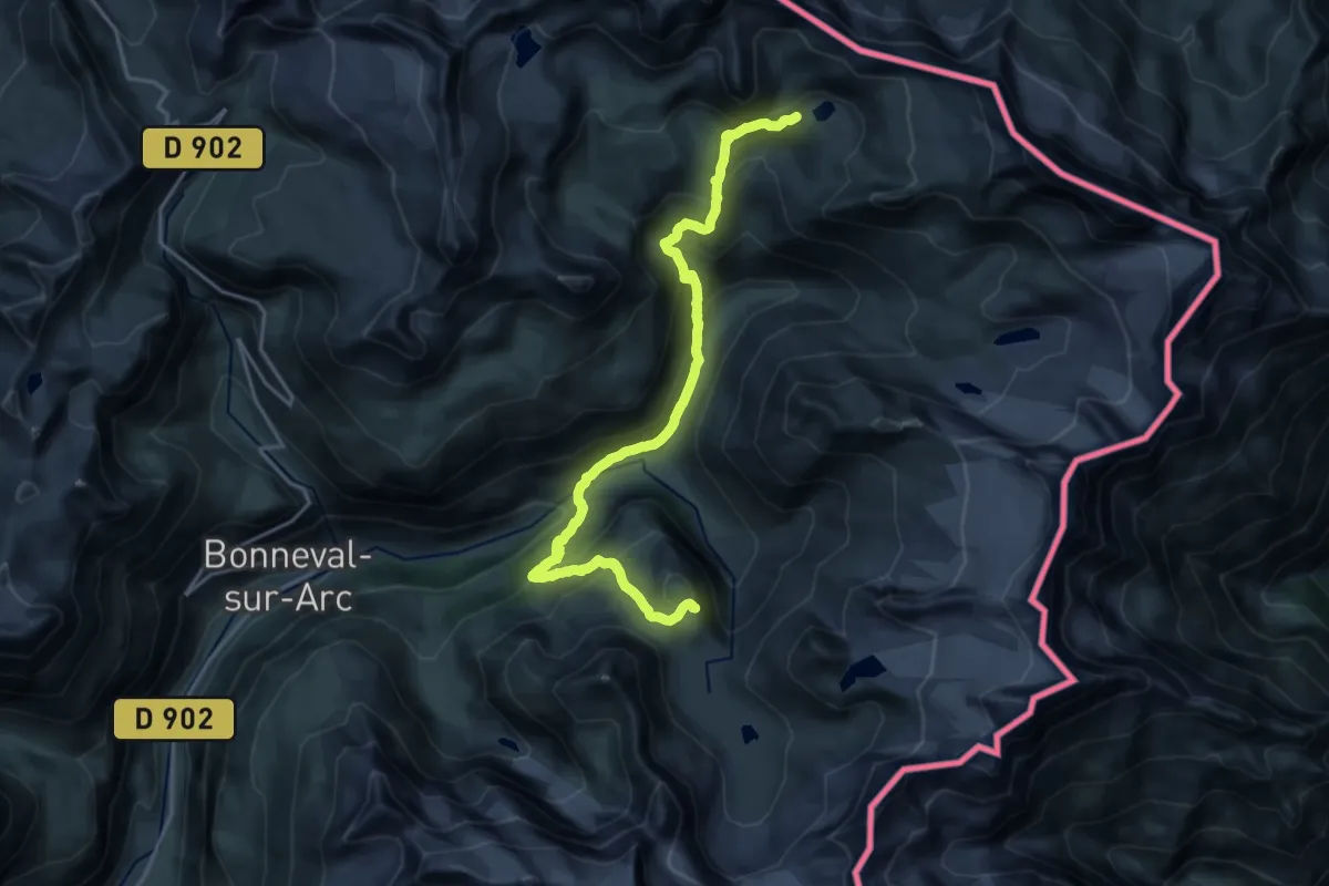
Demanding · Cabin
Refuge des Evettes – Refuge du Carro
21.2 km · ↑ 1373 m · 7 h 59 min
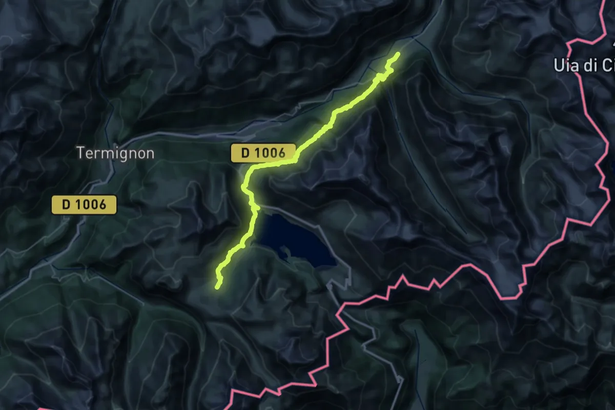
Demanding · Cabin
Refuge du Petit Mont Cenis – Gîte d’étape Le Petit Bonheur
20.6 km · ↑ 1184 m · 7 h 32 min
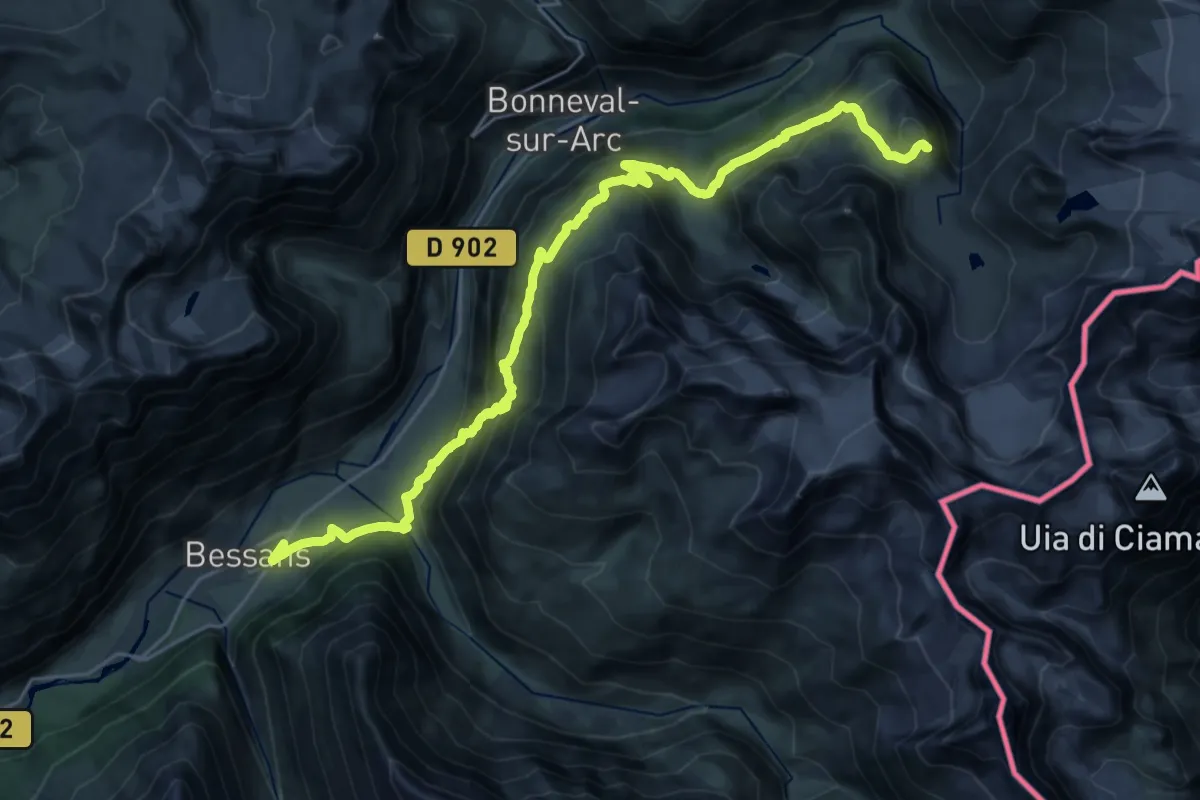
Demanding · Cabin
Gîte d’étape Le Petit Bonheur – Refuge des Evettes
15.1 km · ↑ 1385 m · 6 h 20 min
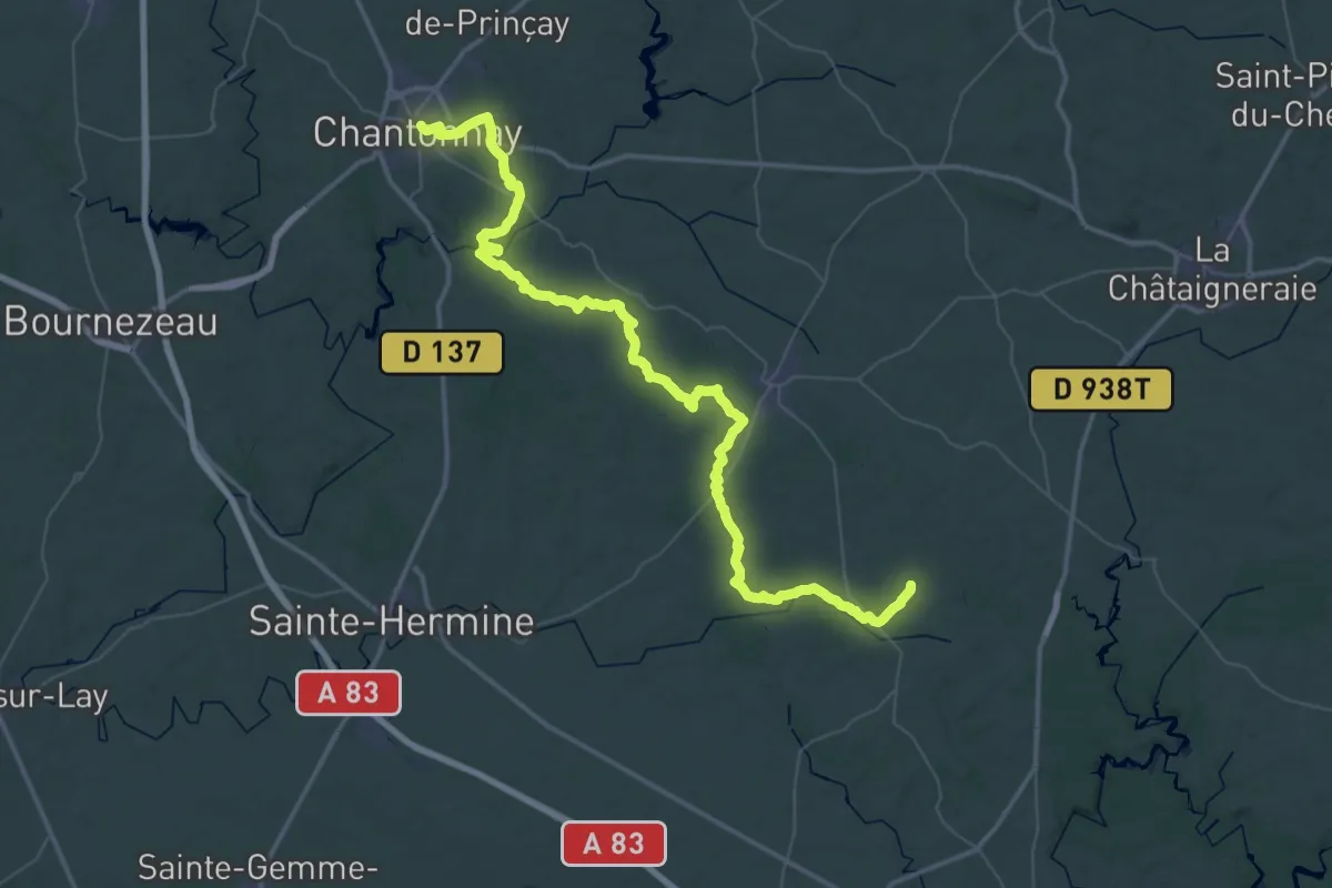
Demanding · Trail
Chantonnay – St-Cyr-des Gâts
33.3 km · ↑ 312 m · 8 h 59 min
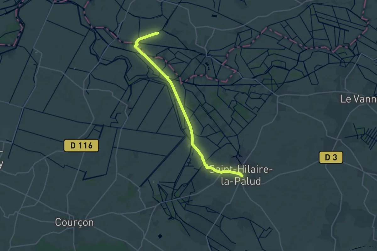
Demanding · Trail
St-Cyr-des-Gâts – St-Hilaire-la-Palud
20.0 km · ↑ 4 m · 4 h 44 min
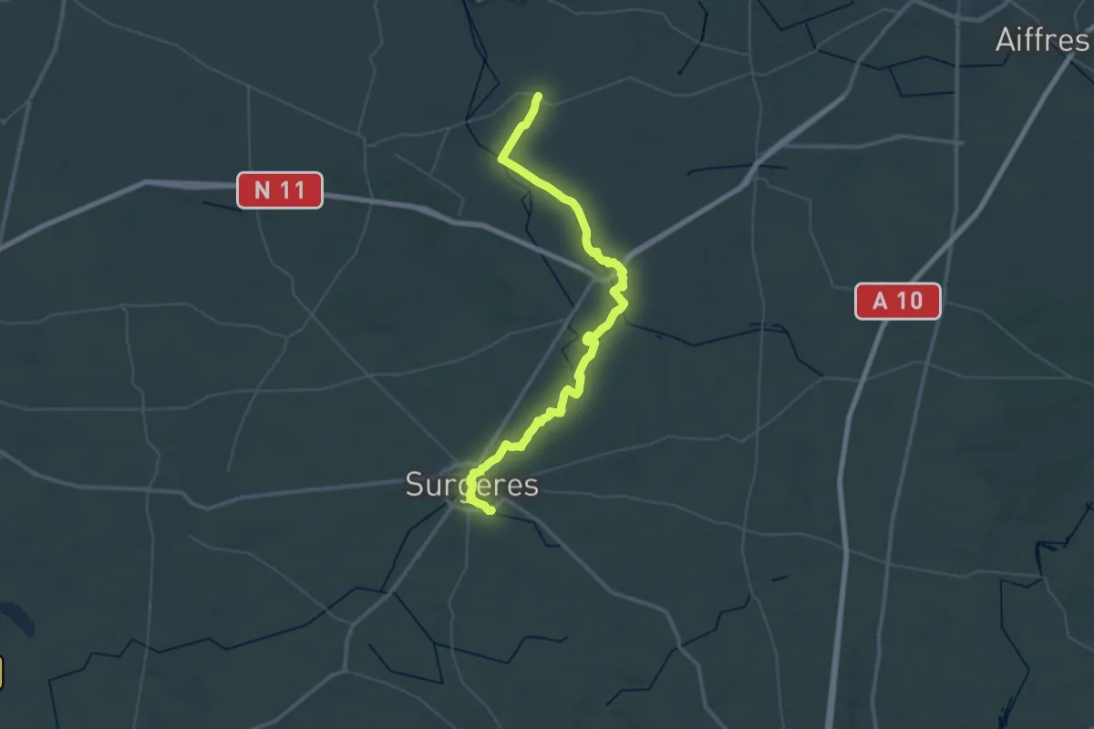
Demanding · Trail
St-Hilaire-la-Palud – Surgères
29.3 km · ↑ 94 m · 7 h 31 min