Trails in France
15,926 hiking trails, each with its route, climb, walking time and grade.
All trails, page 293 of 332
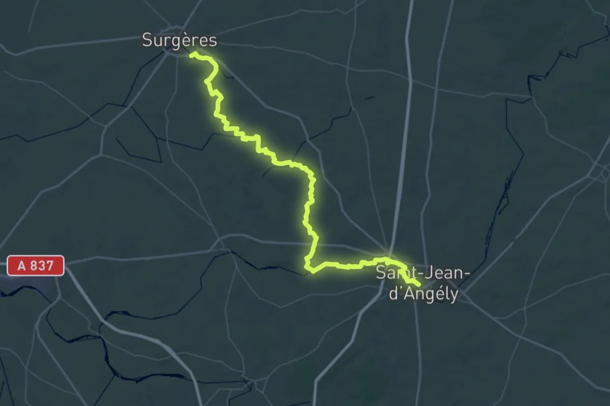
Demanding · Trail
Surgères – Saint-Jean-d'Angély
38.2 km · ↑ 165 m · 9 h 55 min
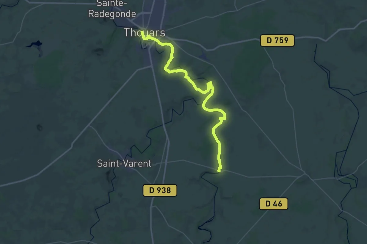
Demanding · Trail
Thouars – Saint-Généroux
19.7 km · ↑ 232 m · 5 h 27 min
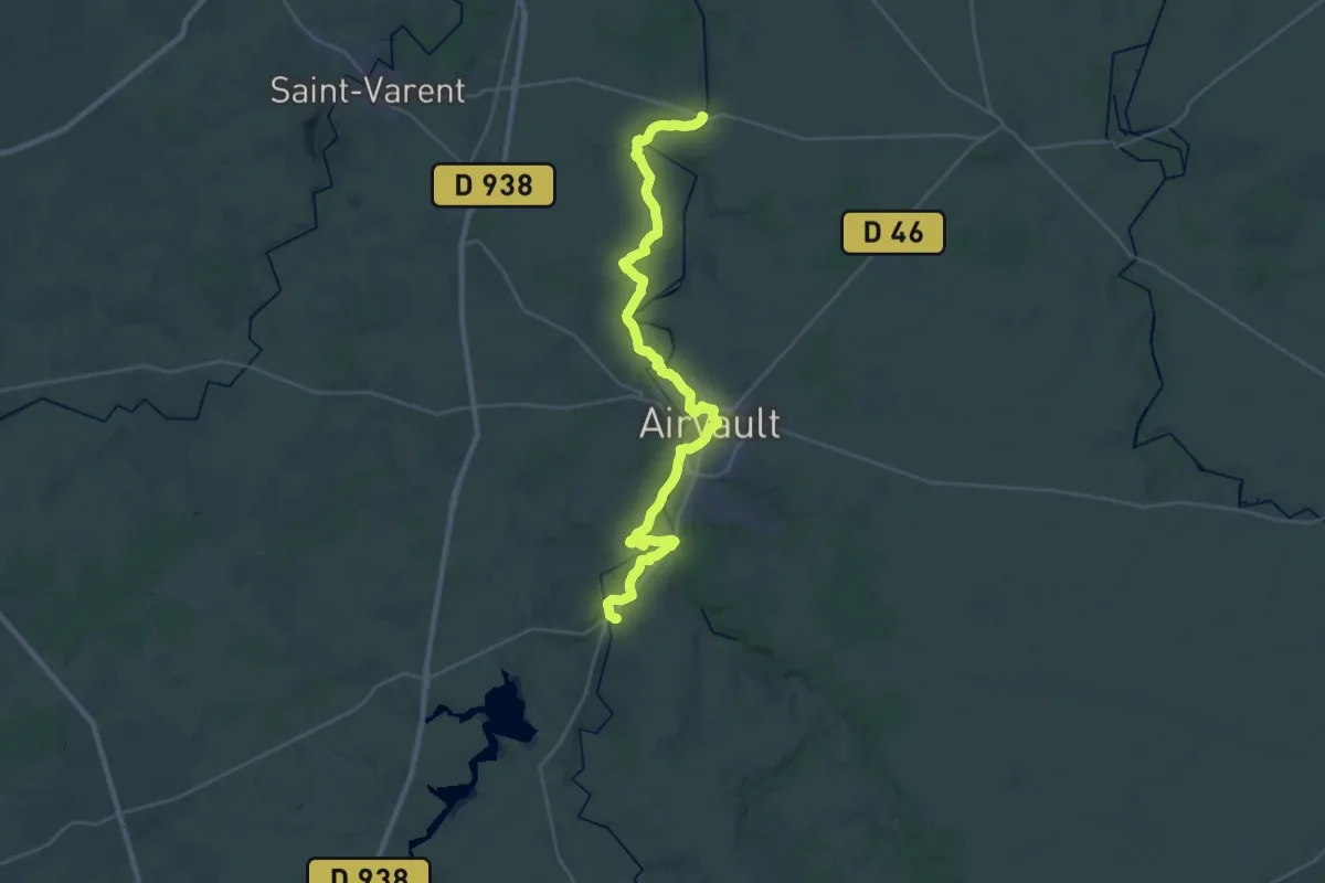
Medium · Trail
Saint-Généroux – Saint-Loup-Lamairé
17.7 km · ↑ 244 m · 4 h 56 min
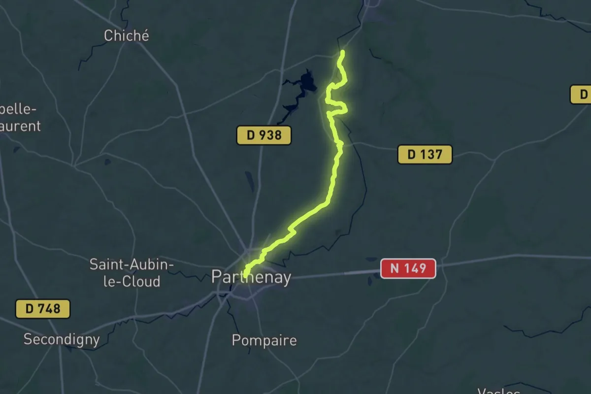
Demanding · Trail
Saint-Loup-Lamairé – Parthenay
23.6 km · ↑ 323 m · 6 h 33 min
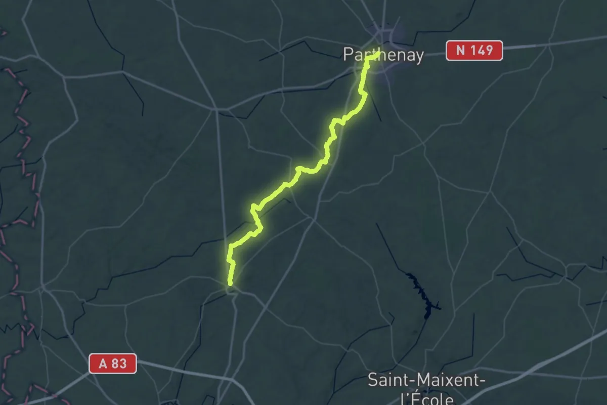
Demanding · Trail
Parthenay – Champdeniers
29.0 km · ↑ 231 m · 7 h 47 min
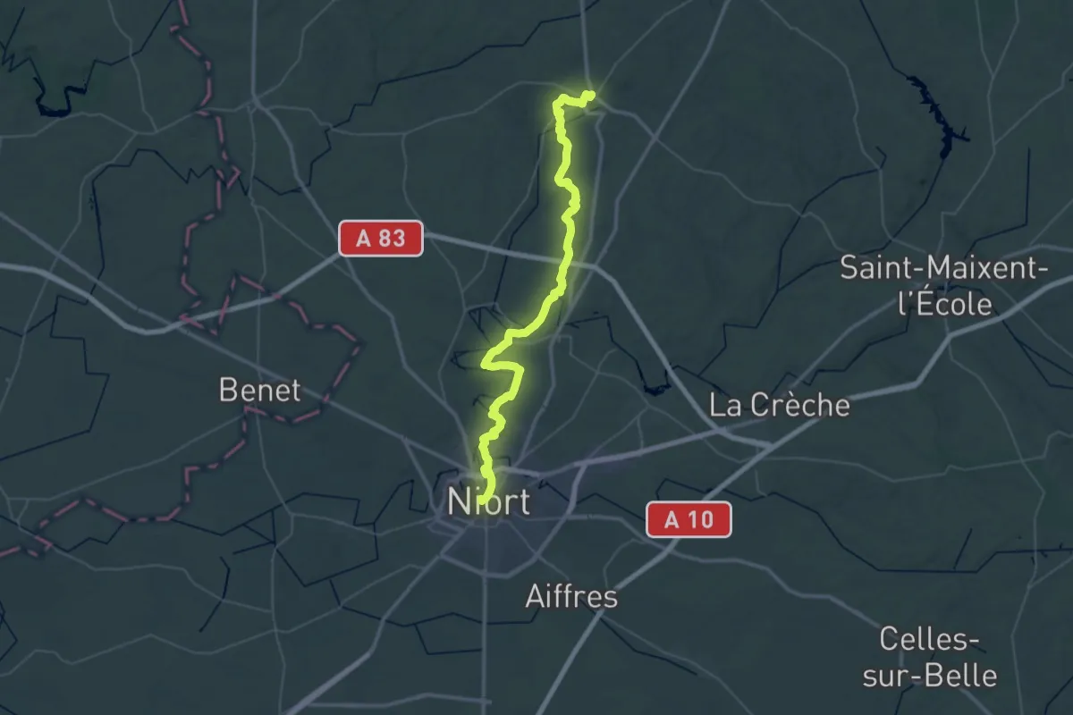
Demanding · Trail
Champdeniers – Niort
27.4 km · ↑ 241 m · 7 h 25 min
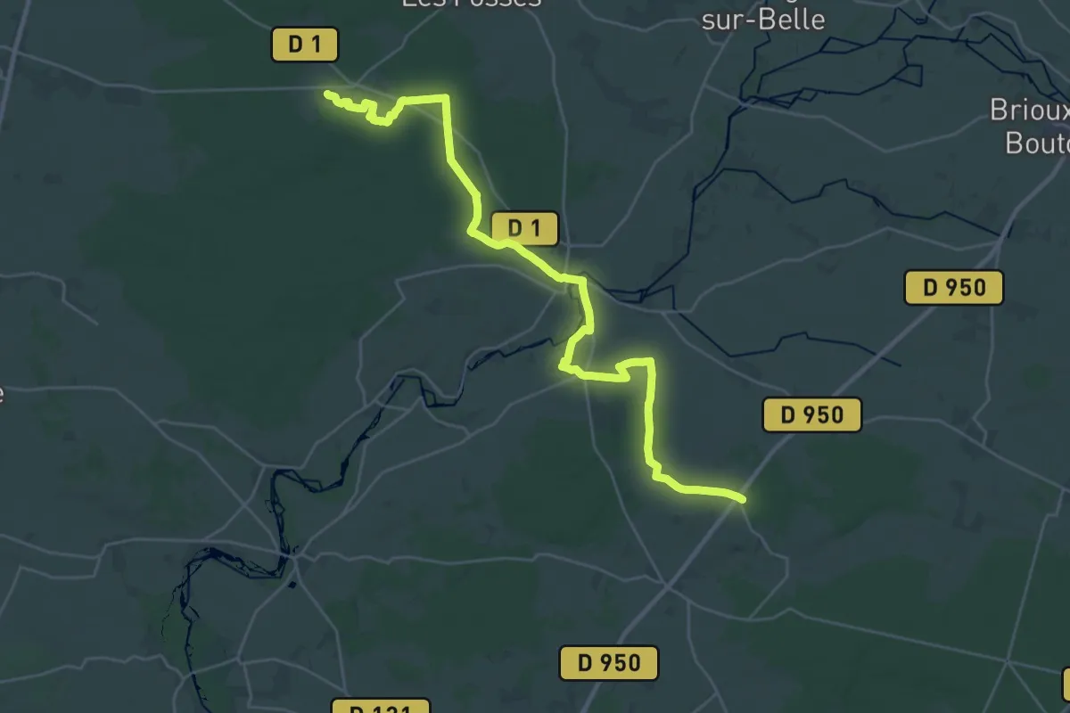
Medium · Trail
Villiers-en-Bois – Aulnay
16.7 km · ↑ 110 m · 4 h 24 min
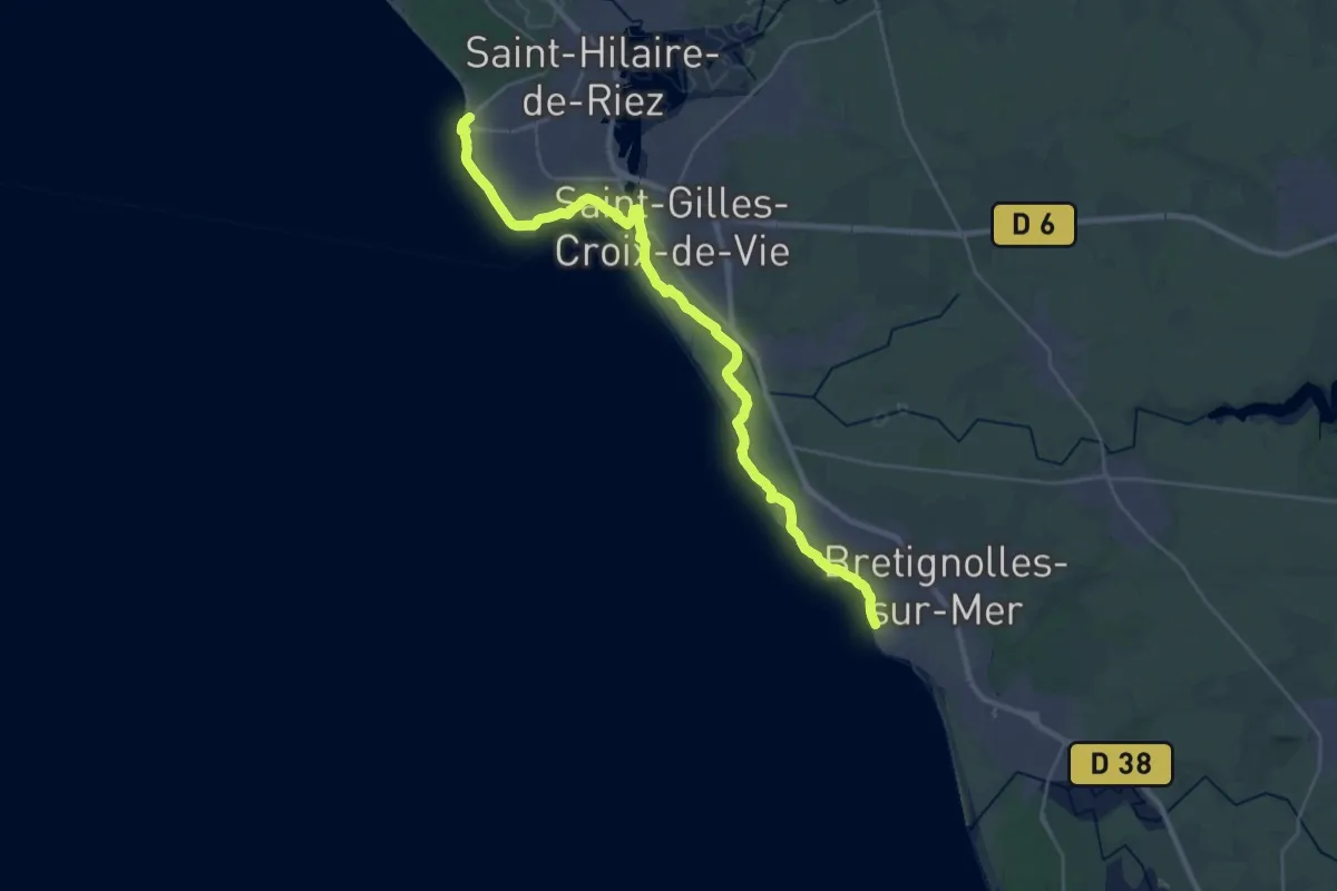
Medium · Trail
Saint-Hilaire-de-Riez – Brétignolles-sur-mer
16.8 km · ↑ 33 m · 4 h 16 min
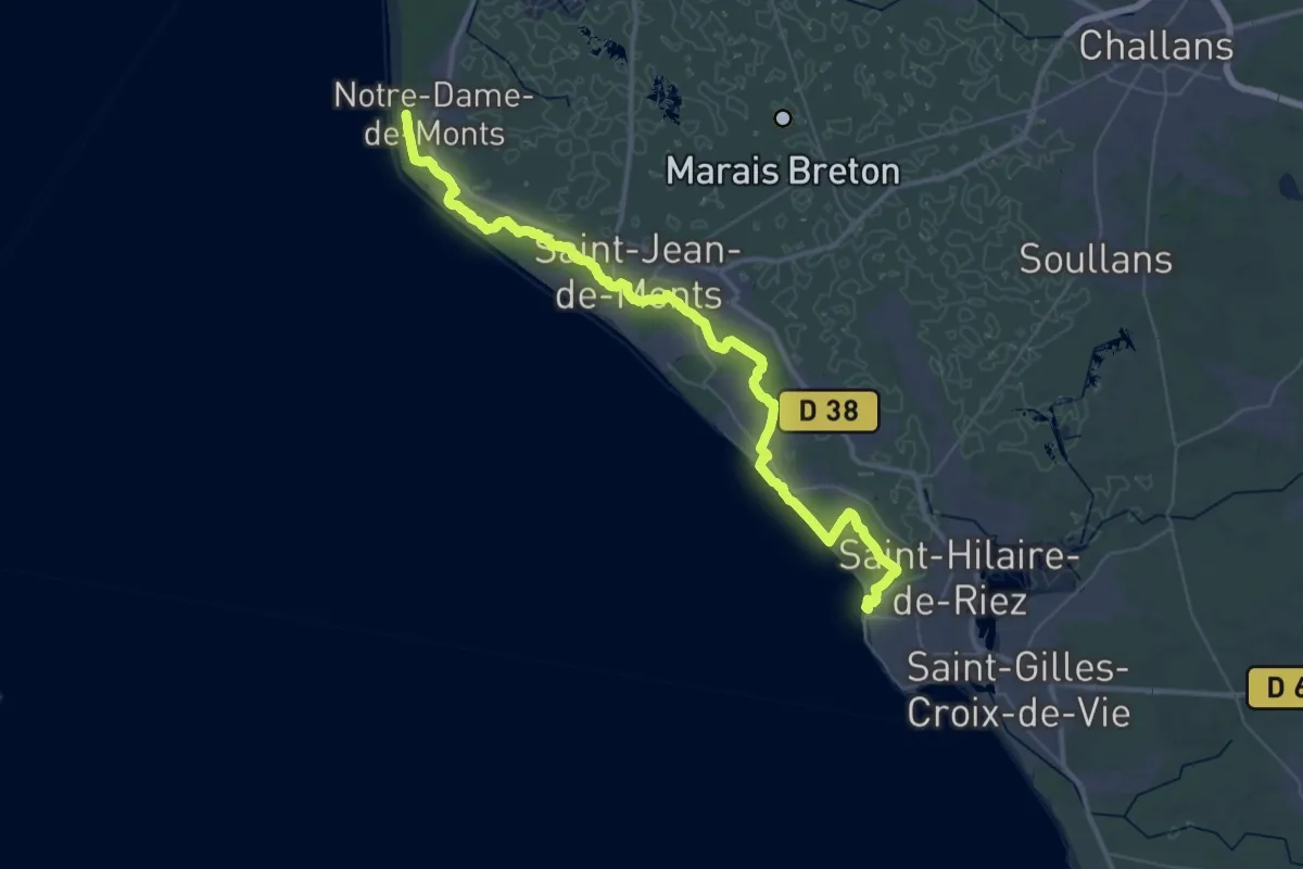
Demanding · Trail
Notre-Dame-de-Monts – Saint-Hilaire-de-Riez
25.2 km · ↑ 65 m · 6 h 27 min
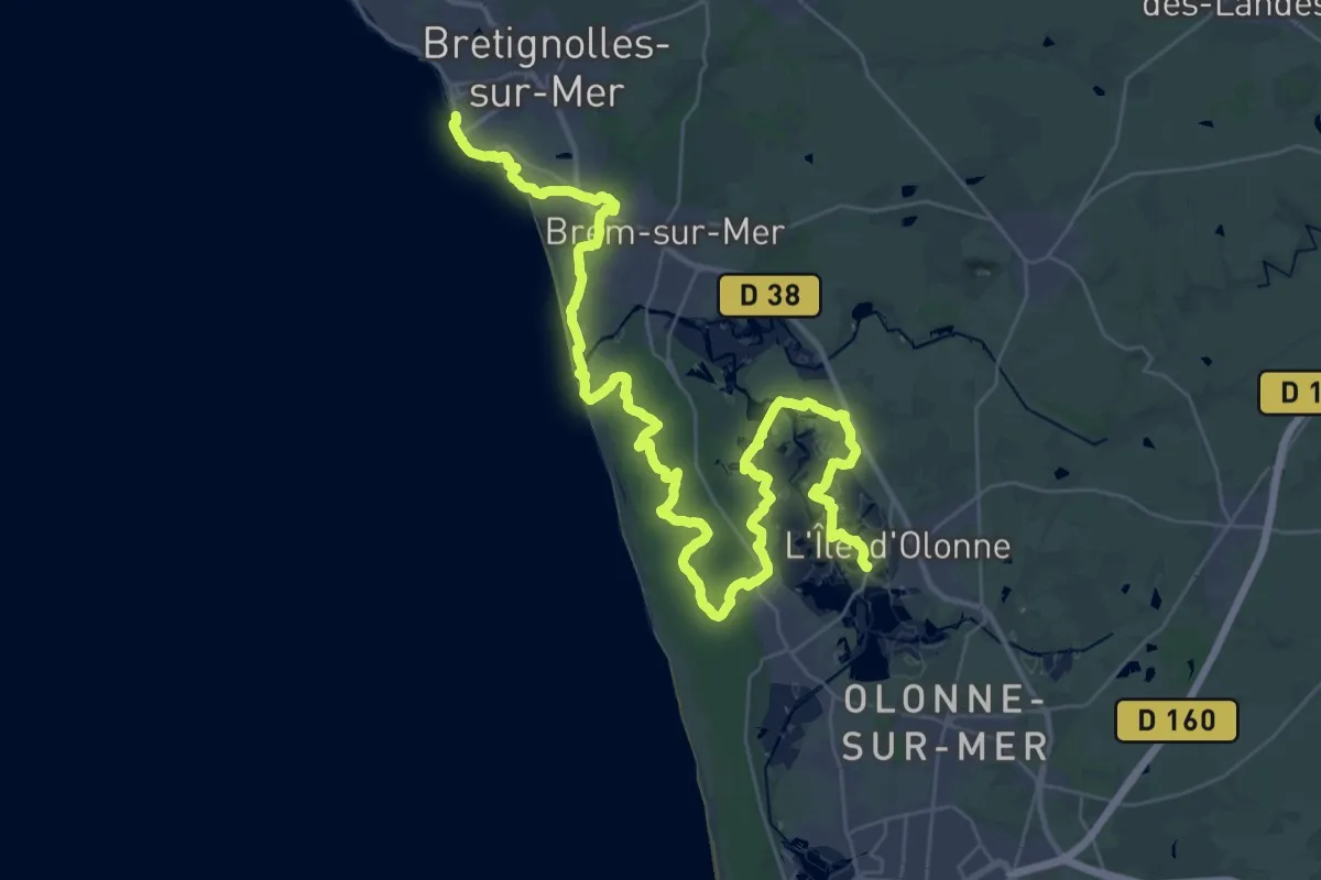
Demanding · Trail
Brétignolles-sur-mer – L’Île-d’Olonne
23.4 km · ↑ 57 m · 5 h 58 min
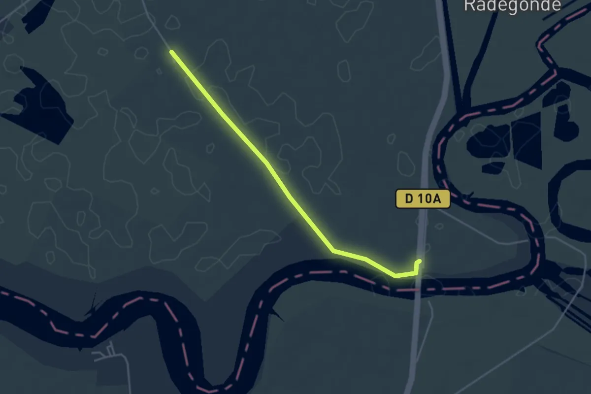
Easy · Trail
La Faute-sur-Mer – Charron
3.7 km · ↑ 0 m · 53 min
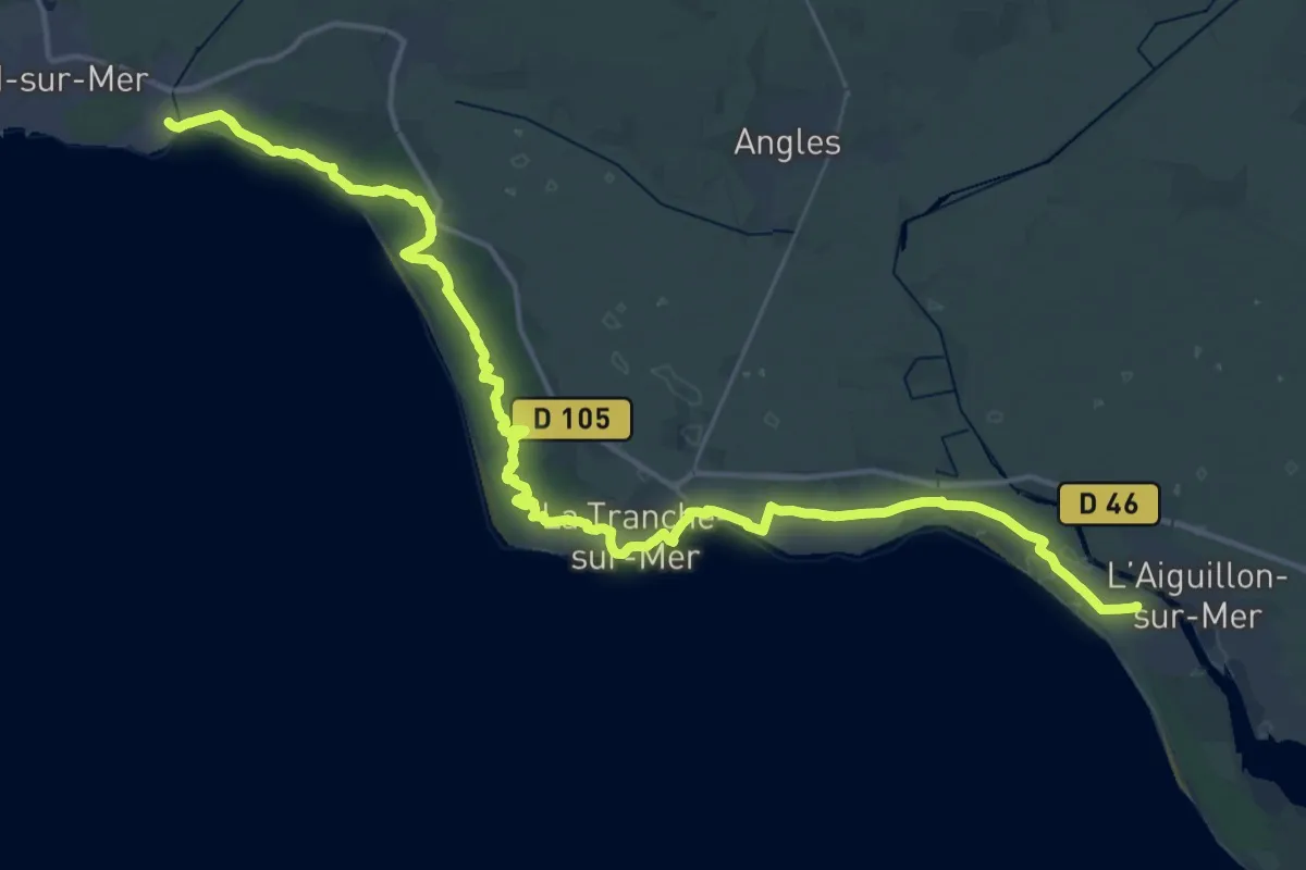
Demanding · Trail
Saint-Vincent-sur-Jard – La Faute-sur-Mer
27.1 km · ↑ 69 m · 6 h 56 min
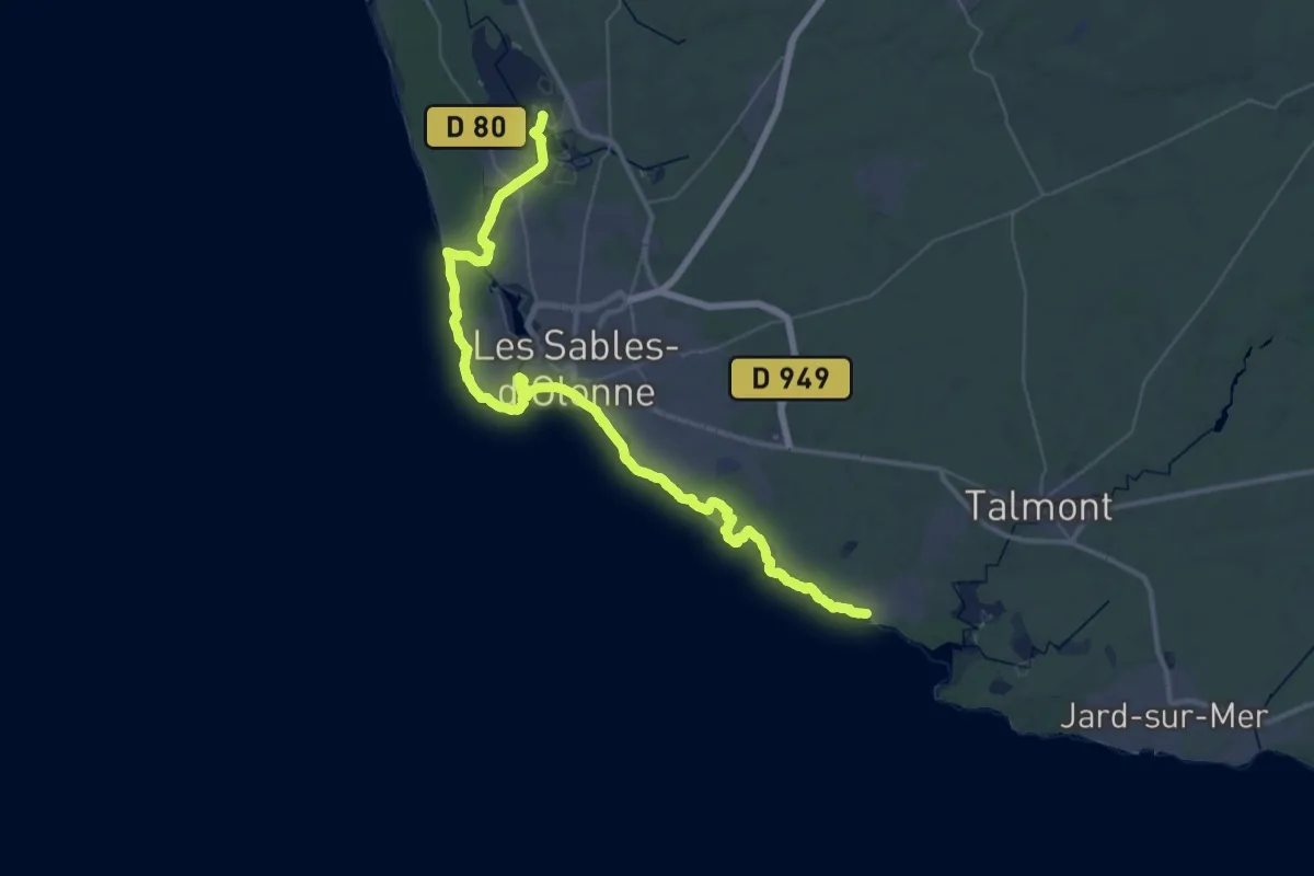
Demanding · Trail
L’Île-d’Olonne – Port Bourgenay
26.0 km · ↑ 106 m · 6 h 44 min
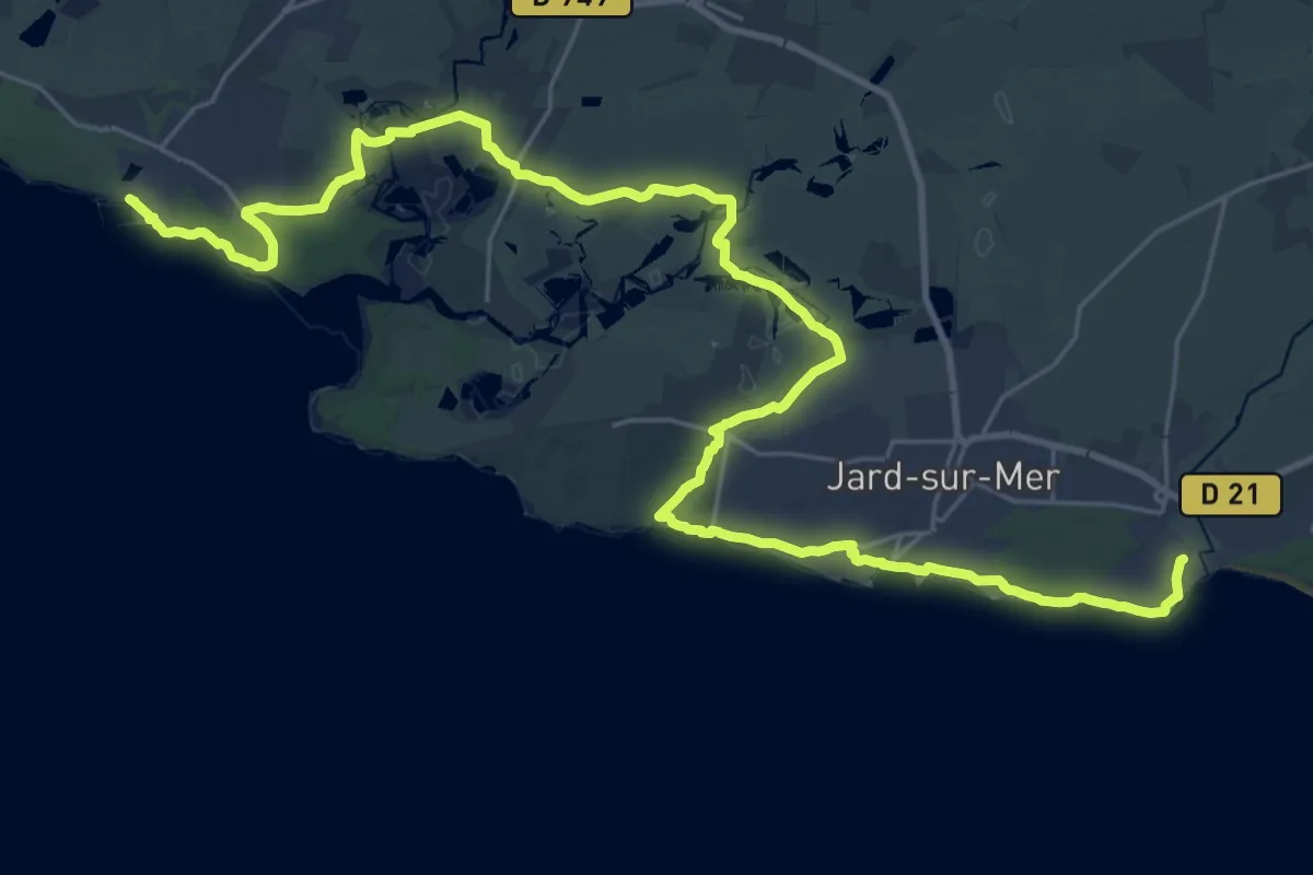
Demanding · Trail
Port Bourgenay – Saint-Vincent-sur-Jard
18.8 km · ↑ 64 m · 4 h 50 min
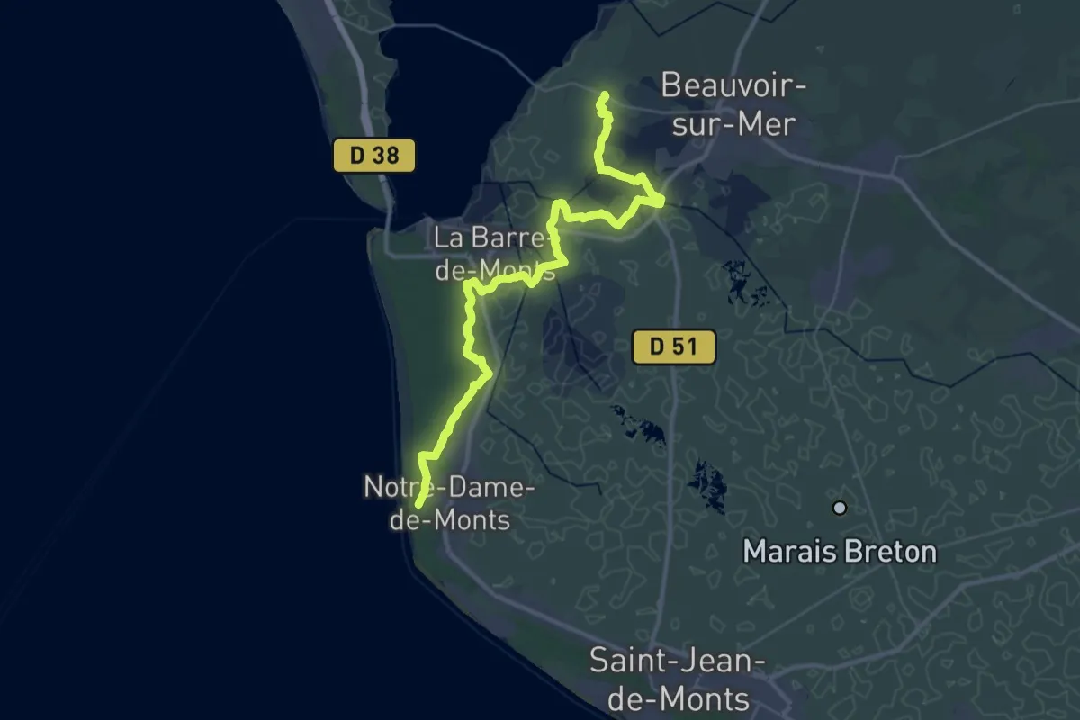
Demanding · Trail
Croix Rouge – Notre-Dame-de-Monts
18.5 km · ↑ 18 m · 4 h 40 min
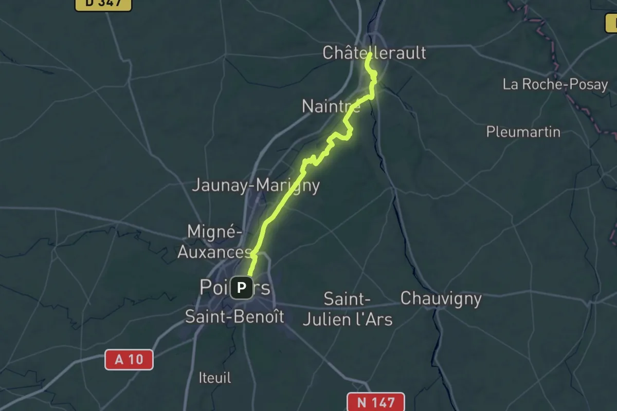
Demanding · Trail
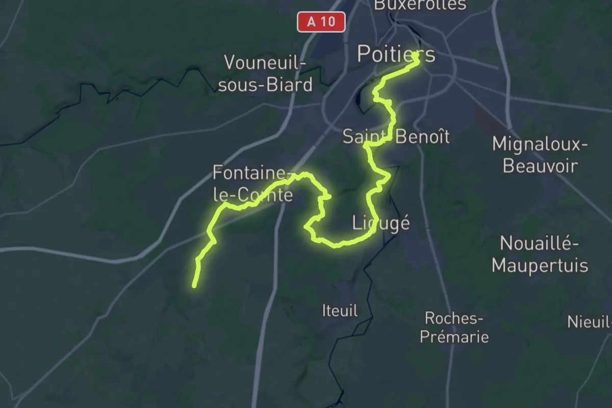
Chatellerault – Poitiers
39.2 km · ↑ 361 m · 10 h 33 min
Demanding · Trail
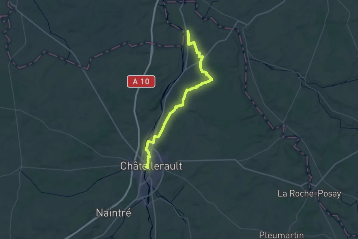
Les Ormes – Chatellerault
26.3 km · ↑ 152 m · 6 h 55 min
Demanding · Trail
Poitiers – Coulombiers
25.7 km · ↑ 350 m · 7 h 9 min
Medium · Trail
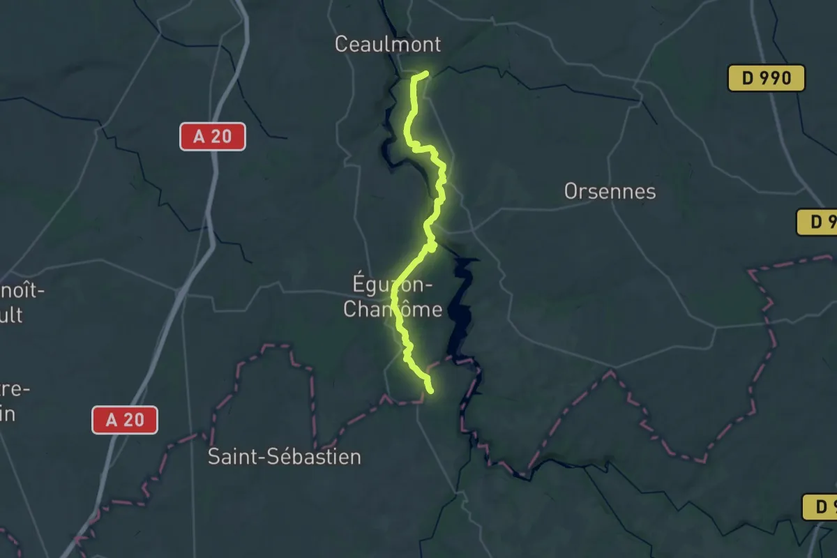
Gargilesse-Dampierre – Limoges
15.5 km · ↑ 370 m · 4 h 37 min
Medium · Trail
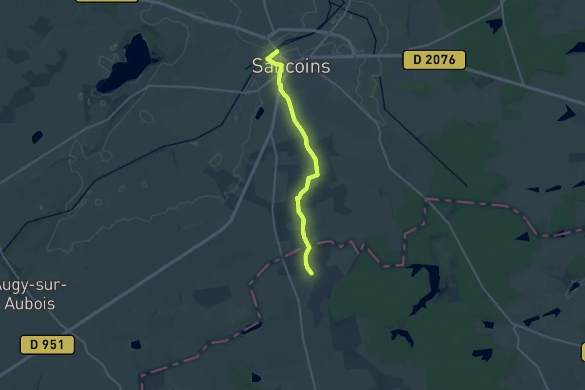
Sancoins – Le Veurdre
11.8 km · ↑ 46 m · 2 h 53 min
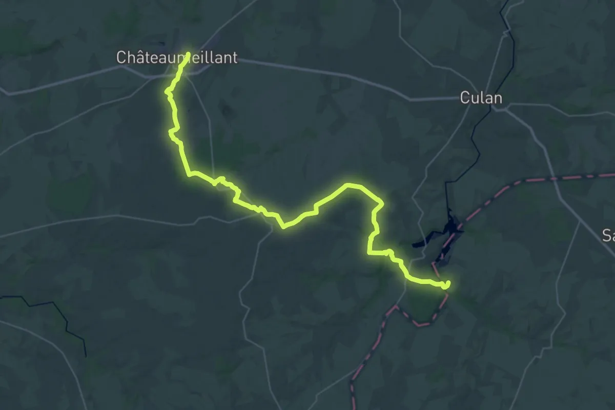
Demanding · Trail
Châteaumeillant – Huriel
21.6 km · ↑ 334 m · 6 h 5 min
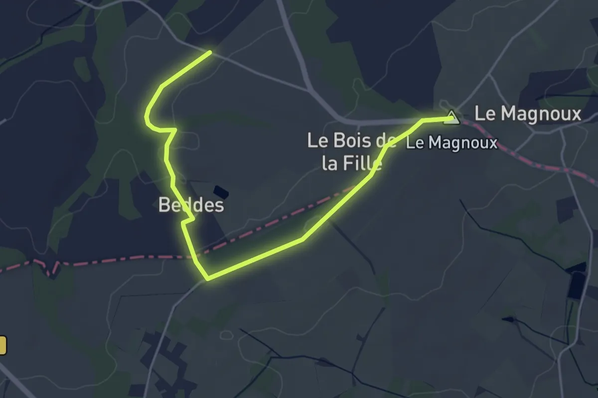
Easy · Summit
Huriel – Pérassay
5.0 km · ↑ 46 m · 1 h 17 min
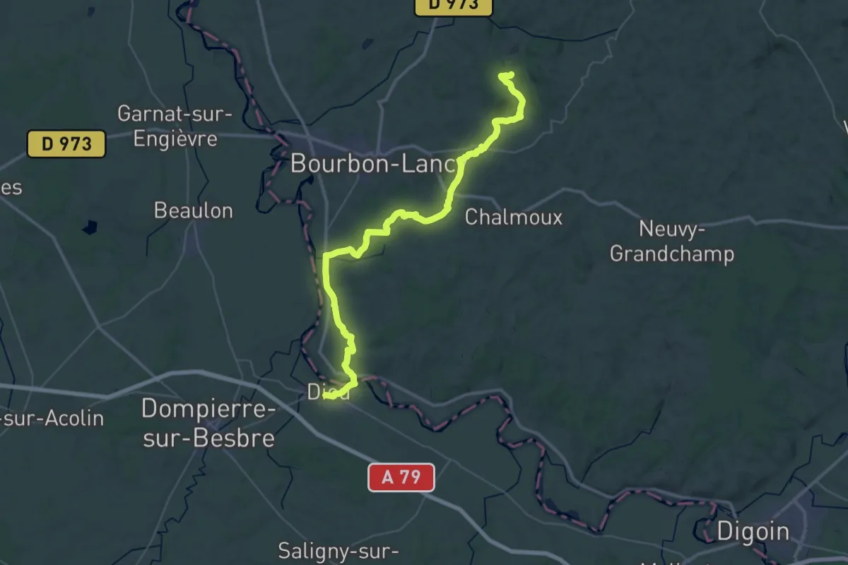
Demanding · Trail
Signal-de-Mont – Le Puy
23.2 km · ↑ 400 m · 6 h 36 min
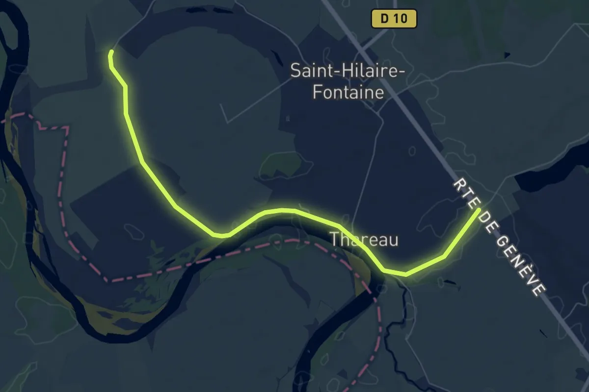
Medium · Trail
Nevers – Signal-de-Mont
8.4 km · ↑ 4 m · 1 h 59 min
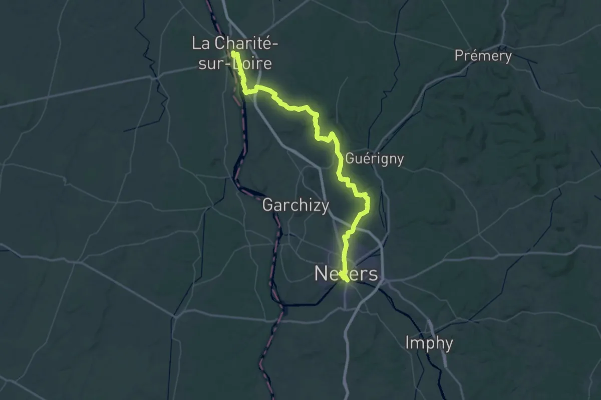
Demanding · Trail
La Charité-sur-Loire – Nevers
36.8 km · ↑ 466 m · 10 h 13 min
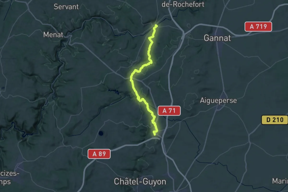
Demanding · Trail
Ebreuil – Combronde
22.1 km · ↑ 410 m · 6 h 22 min
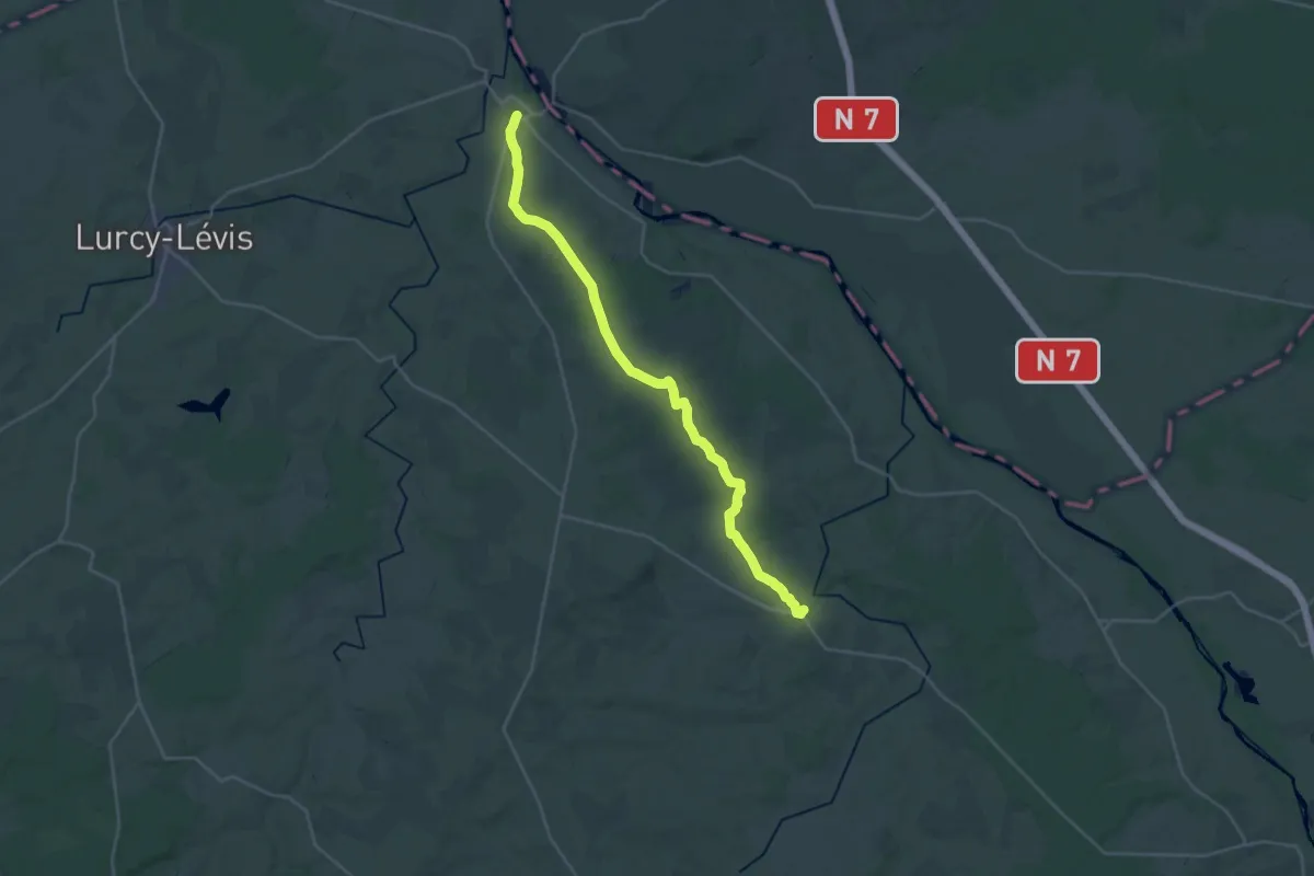
Demanding · Trail
Le Veurdre – Couzon
29.1 km · ↑ 266 m · 7 h 26 min
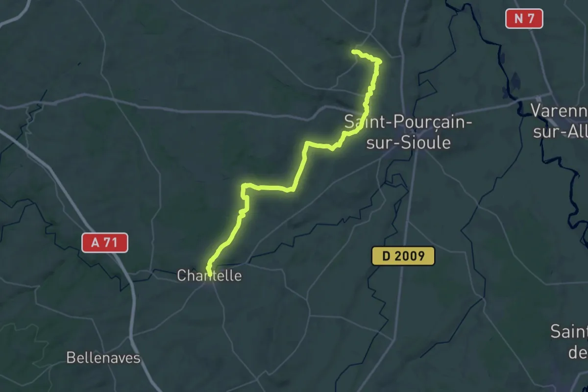
Demanding · Trail
Verneuil-en-Bourbonnais – Chantelle
21.0 km · ↑ 312 m · 5 h 54 min
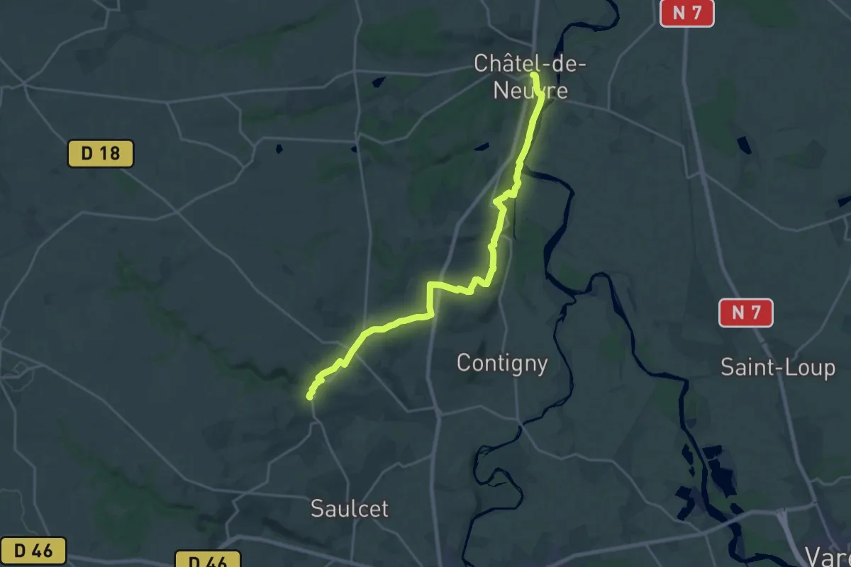
Demanding · Trail
Châtel-de-Neuvre – Verneuil-en-Bourbonnais
21.4 km · ↑ 318 m · 5 h 44 min
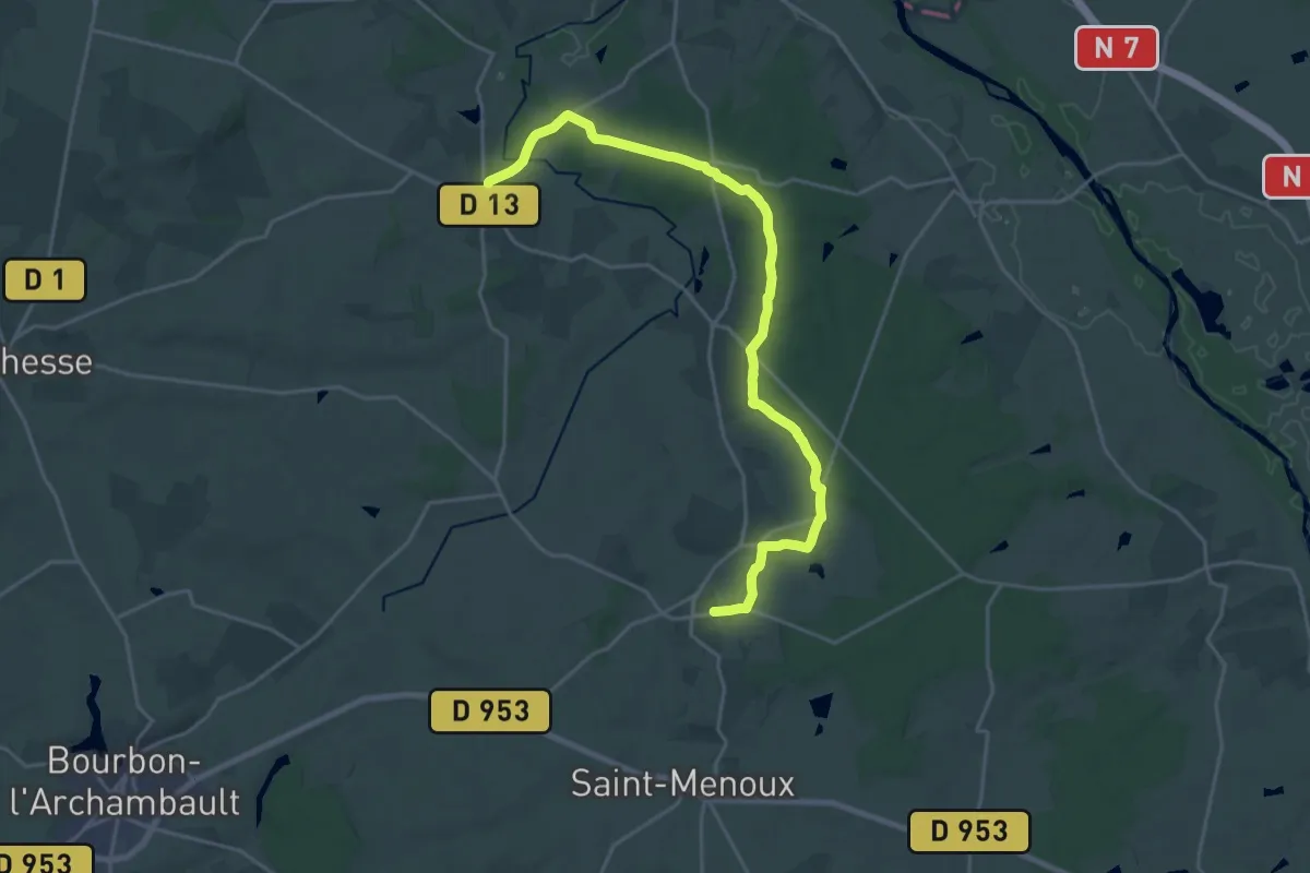
Demanding · Trail
Couzon – Agonges
23.6 km · ↑ 184 m · 5 h 58 min
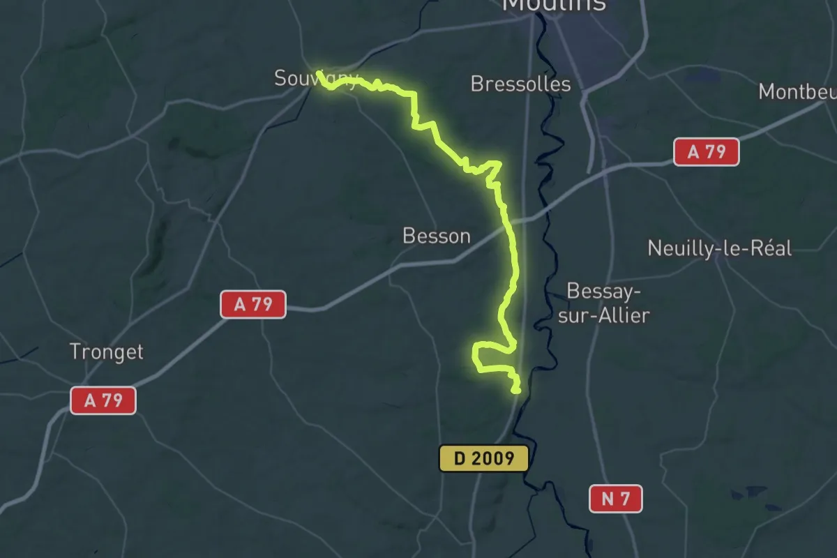
Demanding · Trail
Souvigny – Châtel-de-Neuvre
28.0 km · ↑ 271 m · 7 h 36 min
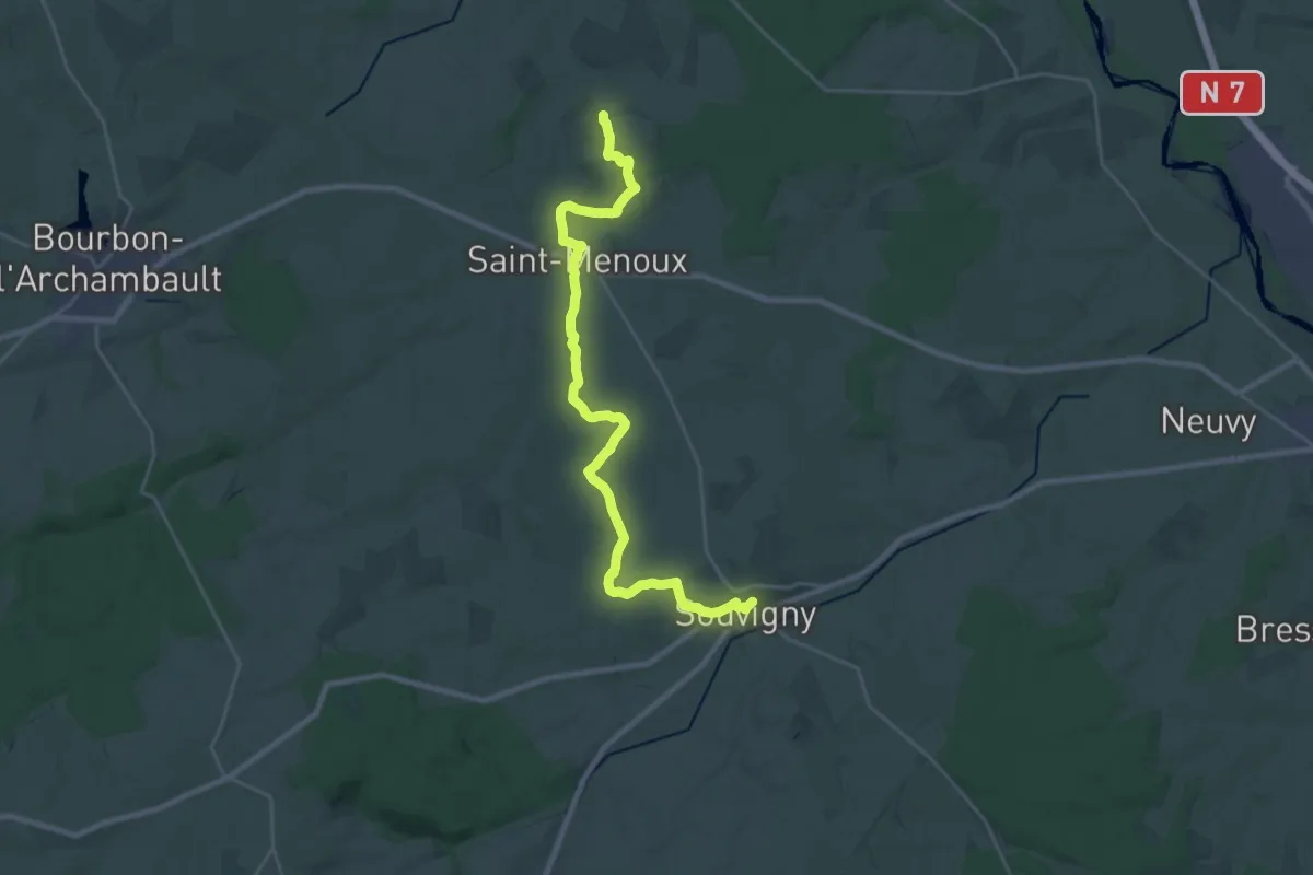
Demanding · Trail
Agonges – Souvigny
27.1 km · ↑ 168 m · 6 h 46 min
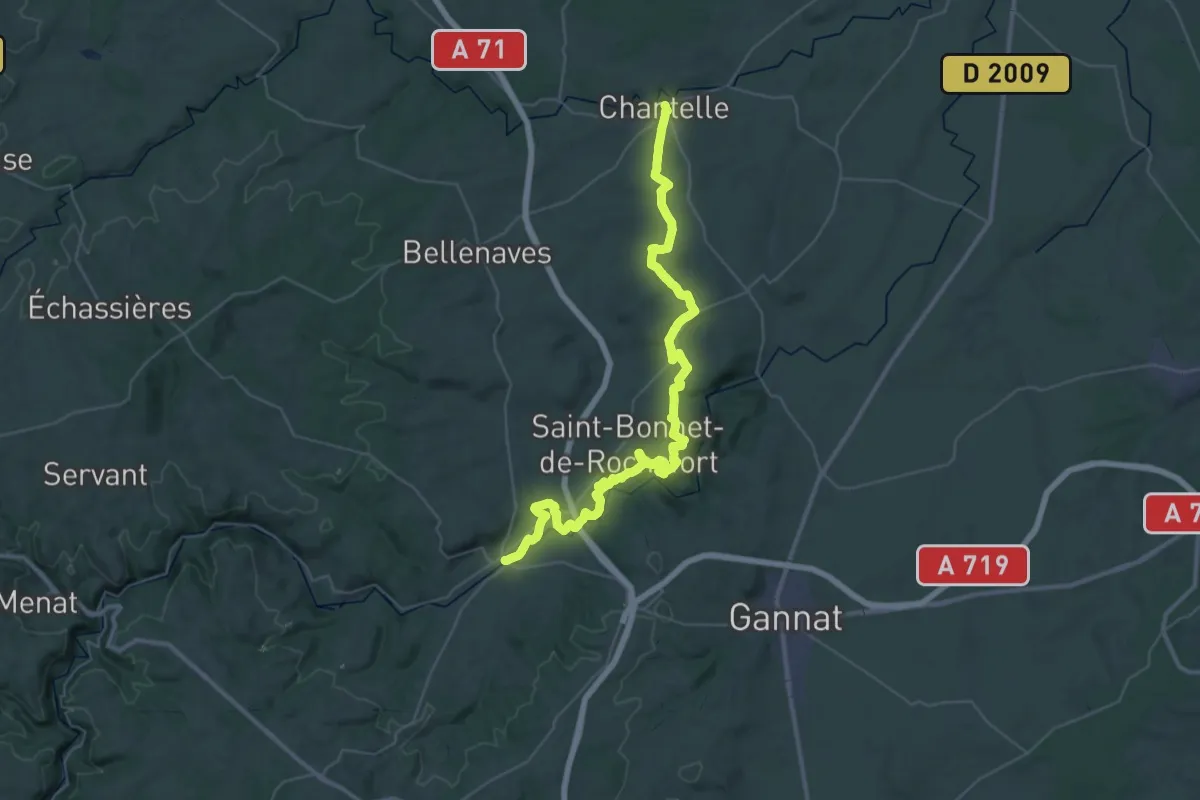
Demanding · Trail
Chantelle – Ebreuil
25.3 km · ↑ 430 m · 7 h 16 min
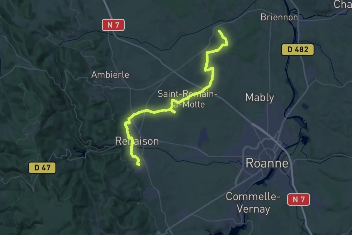
Demanding · Trail
Noailly – St André d’Apchon
22.2 km · ↑ 305 m · 6 h 9 min
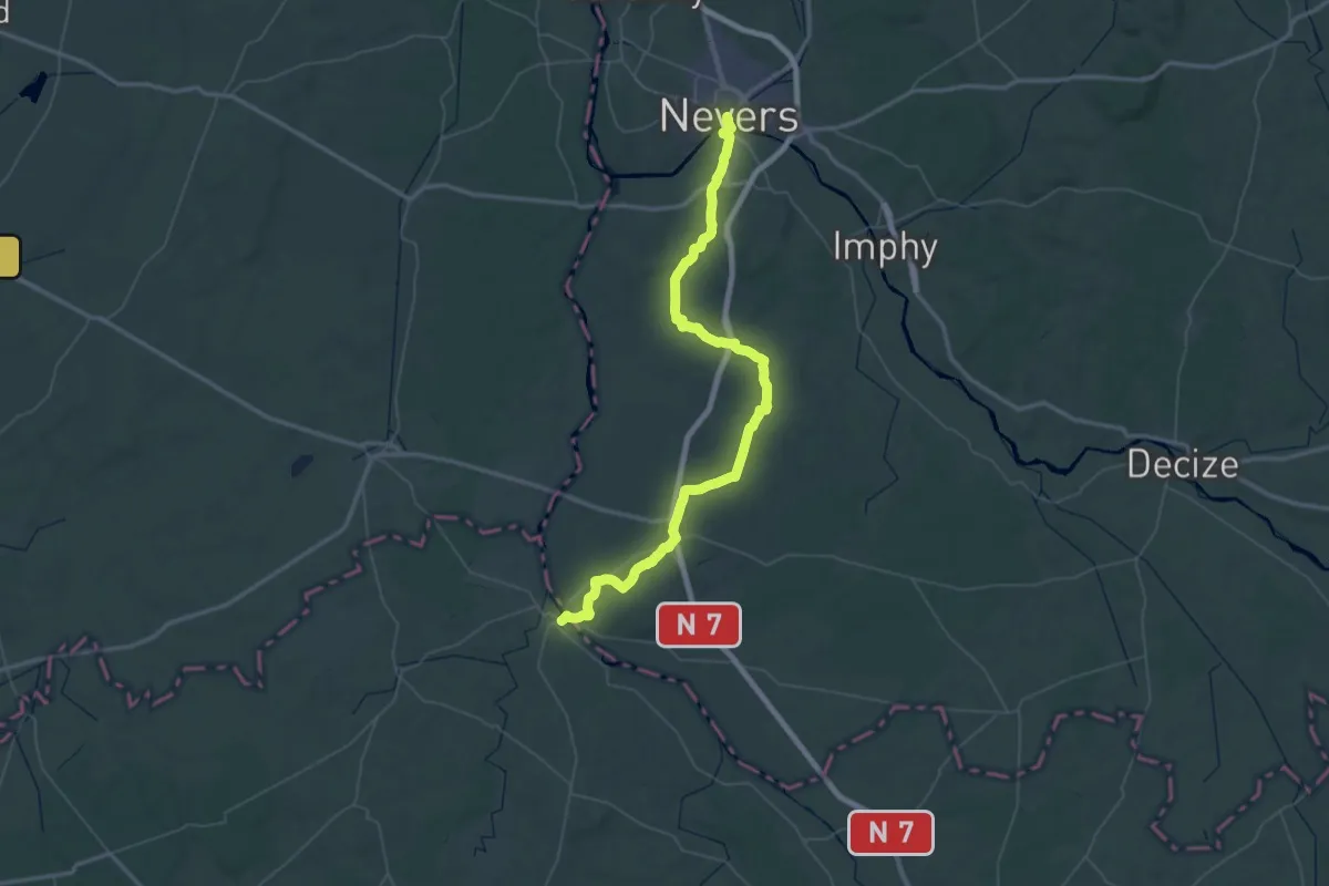
Demanding · Trail
Nevers – Gargilesse-Dampierre
38.8 km · ↑ 311 m · 10 h 22 min
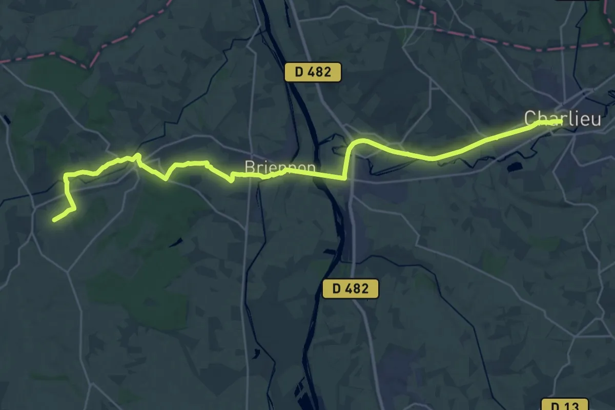
Demanding · Trail
Charlieu – Noailly
29.6 km · ↑ 277 m · 7 h 35 min
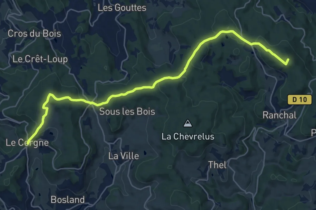
Demanding · Summit
Propières – Le Cergne
19.6 km · ↑ 564 m · 5 h 51 min
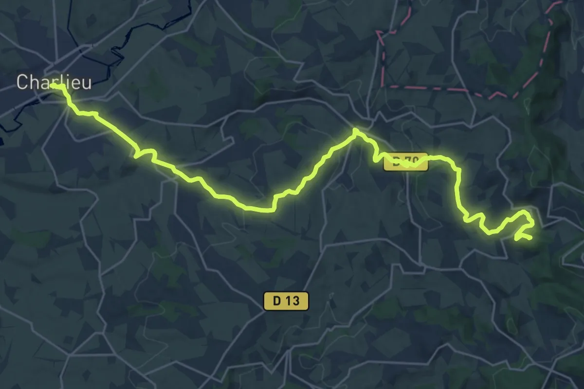
Demanding · Summit
Le Cergne – Charlieu
28.8 km · ↑ 804 m · 8 h 33 min
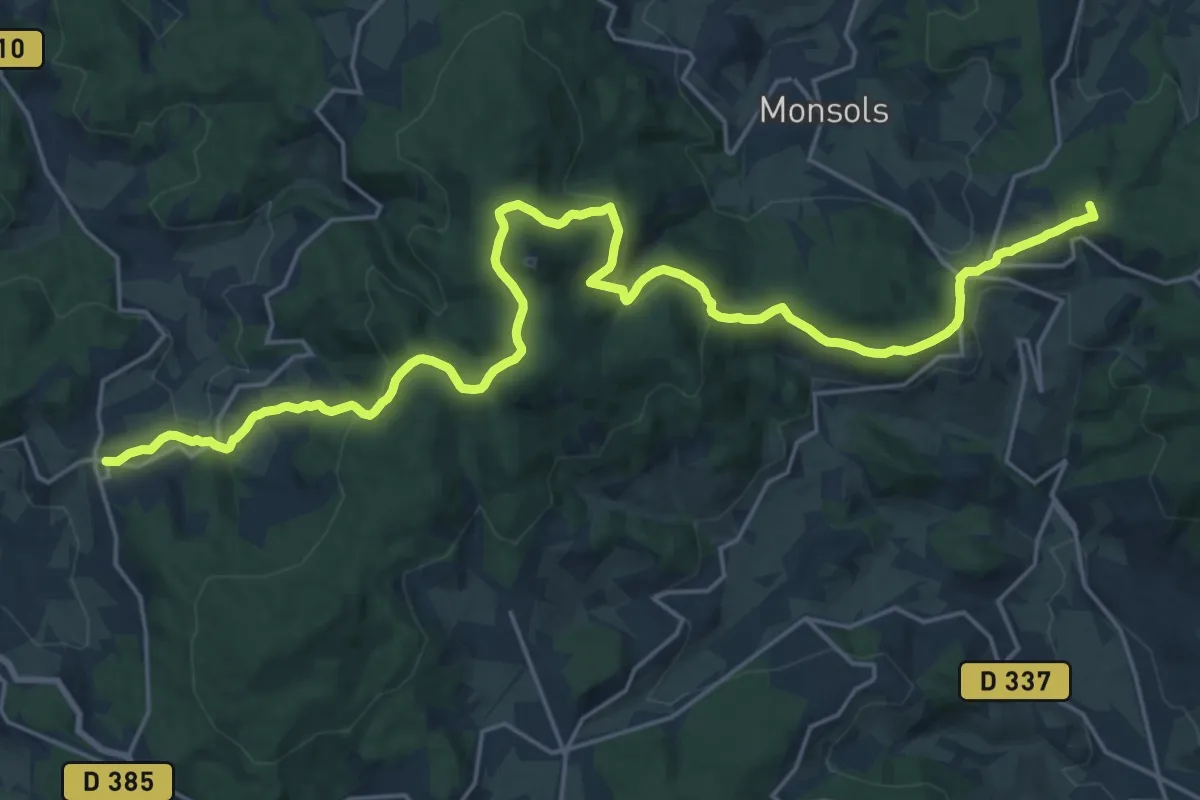
Demanding · Summit
Ouroux – Propières
27.1 km · ↑ 1011 m · 8 h 35 min
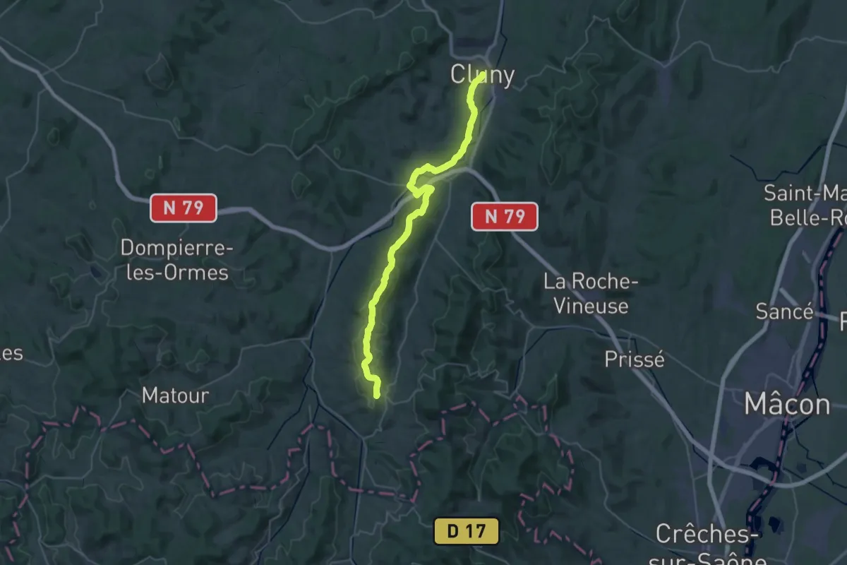
Demanding · Trail
Cluny – Tramayes
19.2 km · ↑ 493 m · 5 h 45 min
Medium · Trail
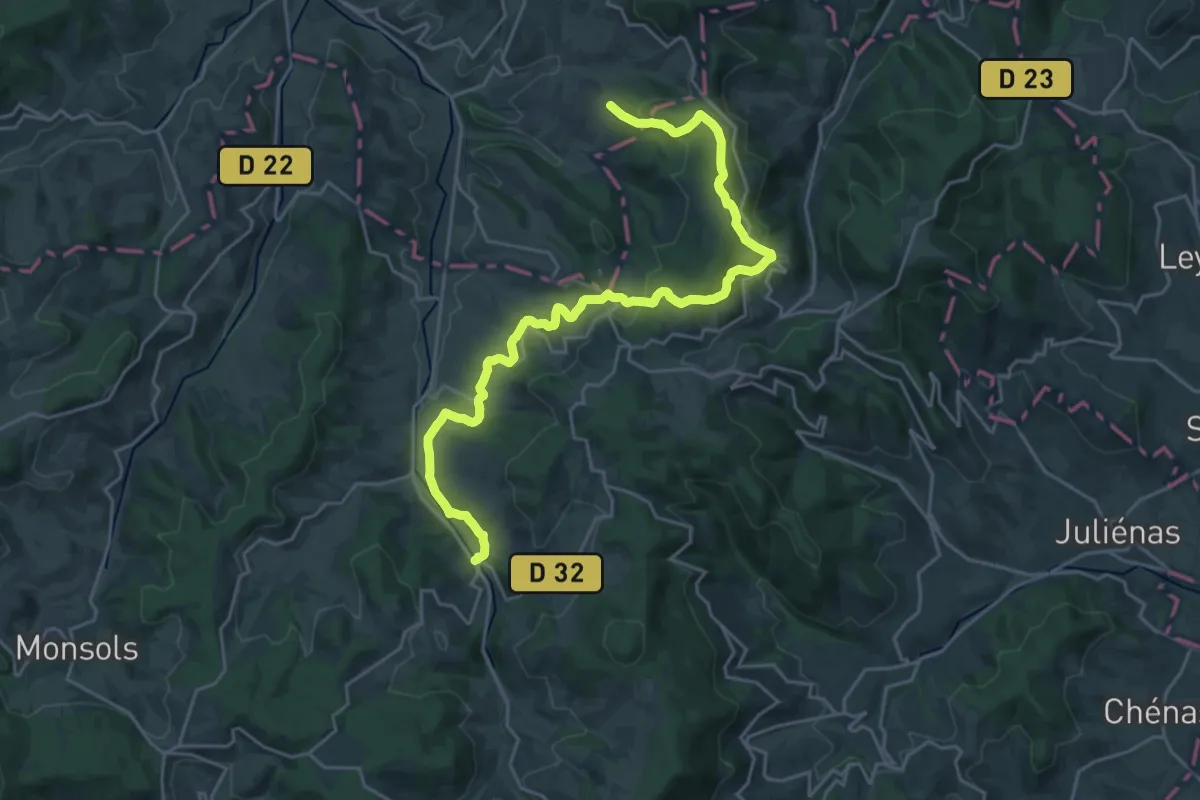
Tramayes – Ouroux
13.5 km · ↑ 383 m · 4 h 14 min
Easy · Trail
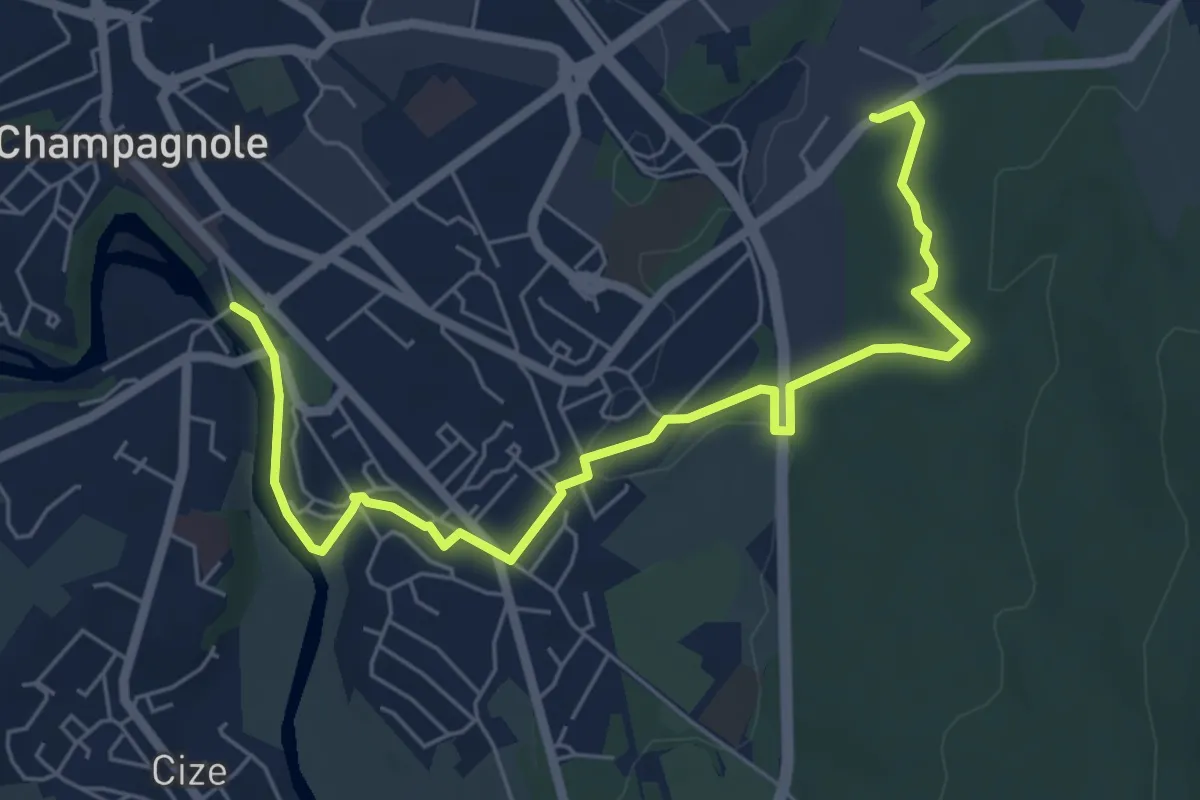
Champagnole – Censeau
7.1 km · ↑ 105 m · 1 h 54 min
Medium · Trail
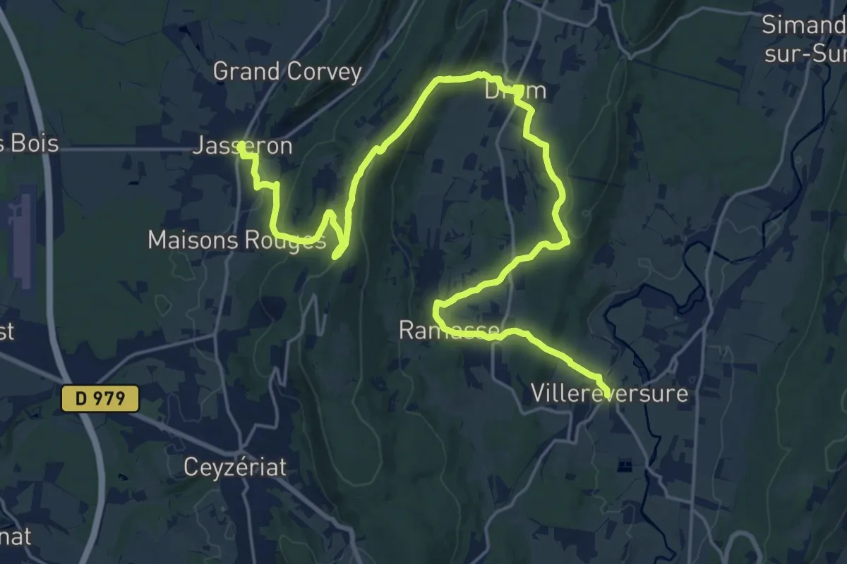
Jasseron – Villereversure
13.8 km · ↑ 366 m · 4 h 15 min
Demanding · Summit
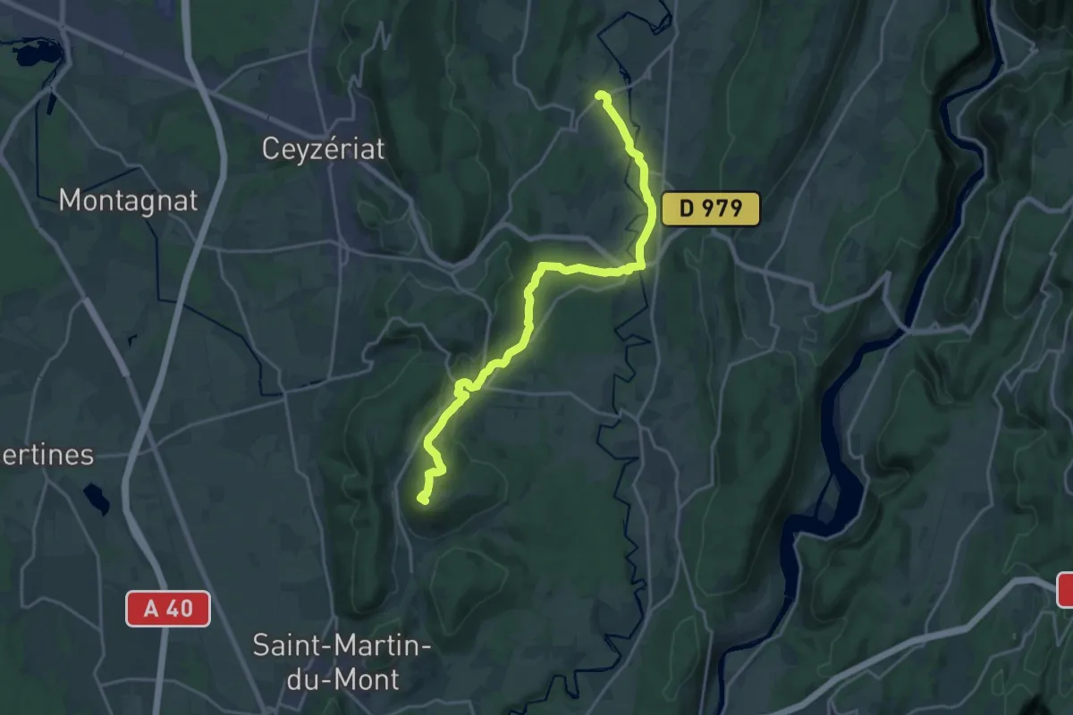
Villereversure – Hautecourt
20.6 km · ↑ 420 m · 5 h 47 min
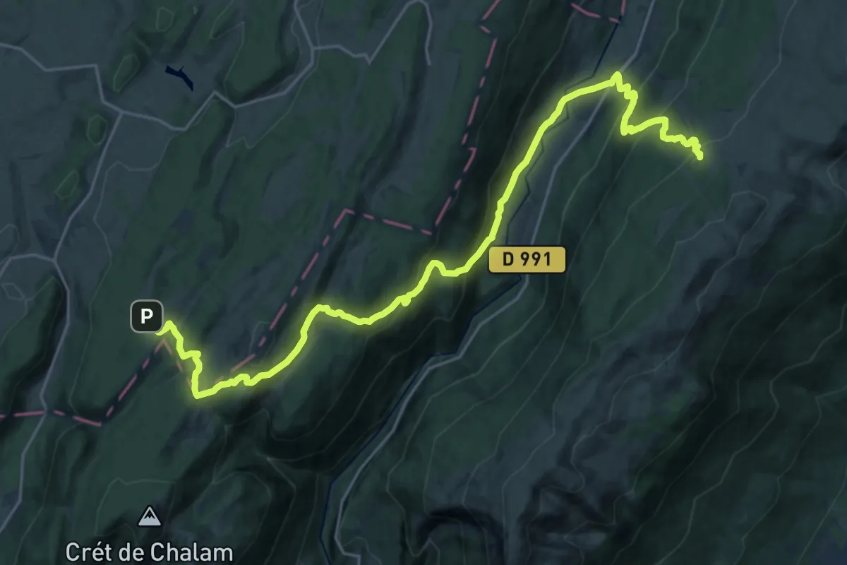
Medium · Cabin
Les Rousses – Refuge de la Loge
12.8 km · ↑ 747 m · 4 h 44 min
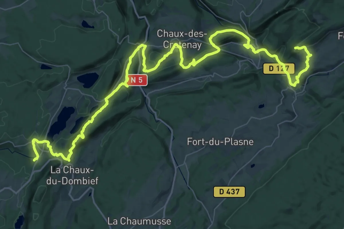
Demanding · Summit
Saut Girard – Le Bayard
53.2 km · ↑ 1772 m · 16 h 24 min
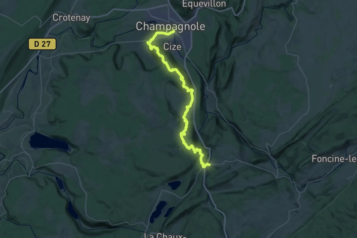
Medium · Trail
Le Pont de la Chaux – Champagnole
17.8 km · ↑ 426 m · 5 h 28 min
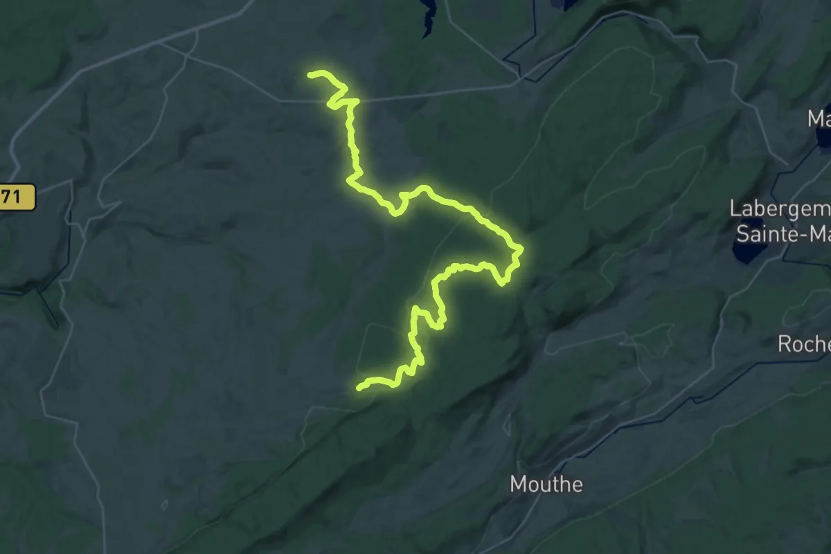
Demanding · Trail
Bief-du-Fourg – Cerniébaud
21.1 km · ↑ 411 m · 6 h 7 min