Trails in France
15,926 hiking trails, each with its route, climb, walking time and grade.
All trails, page 294 of 332
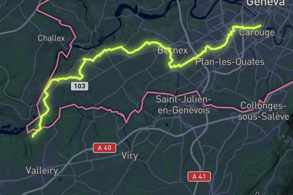
Demanding · Trail
Chambéry – Genève
23.6 km · ↑ 245 m · 6 h 27 min
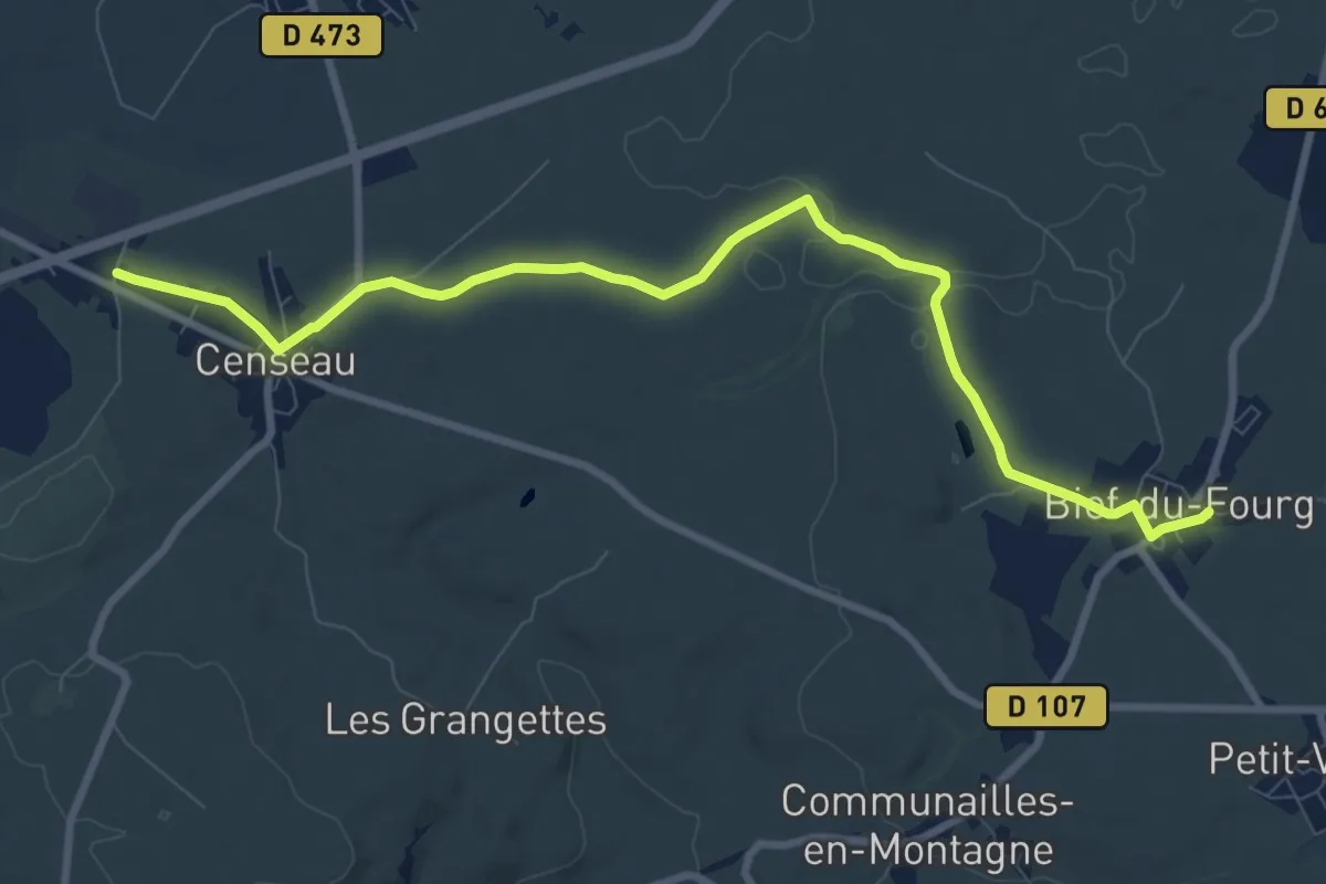
Medium · Trail
Censeau – Bief-du-Fourg
9.8 km · ↑ 81 m · 2 h 30 min
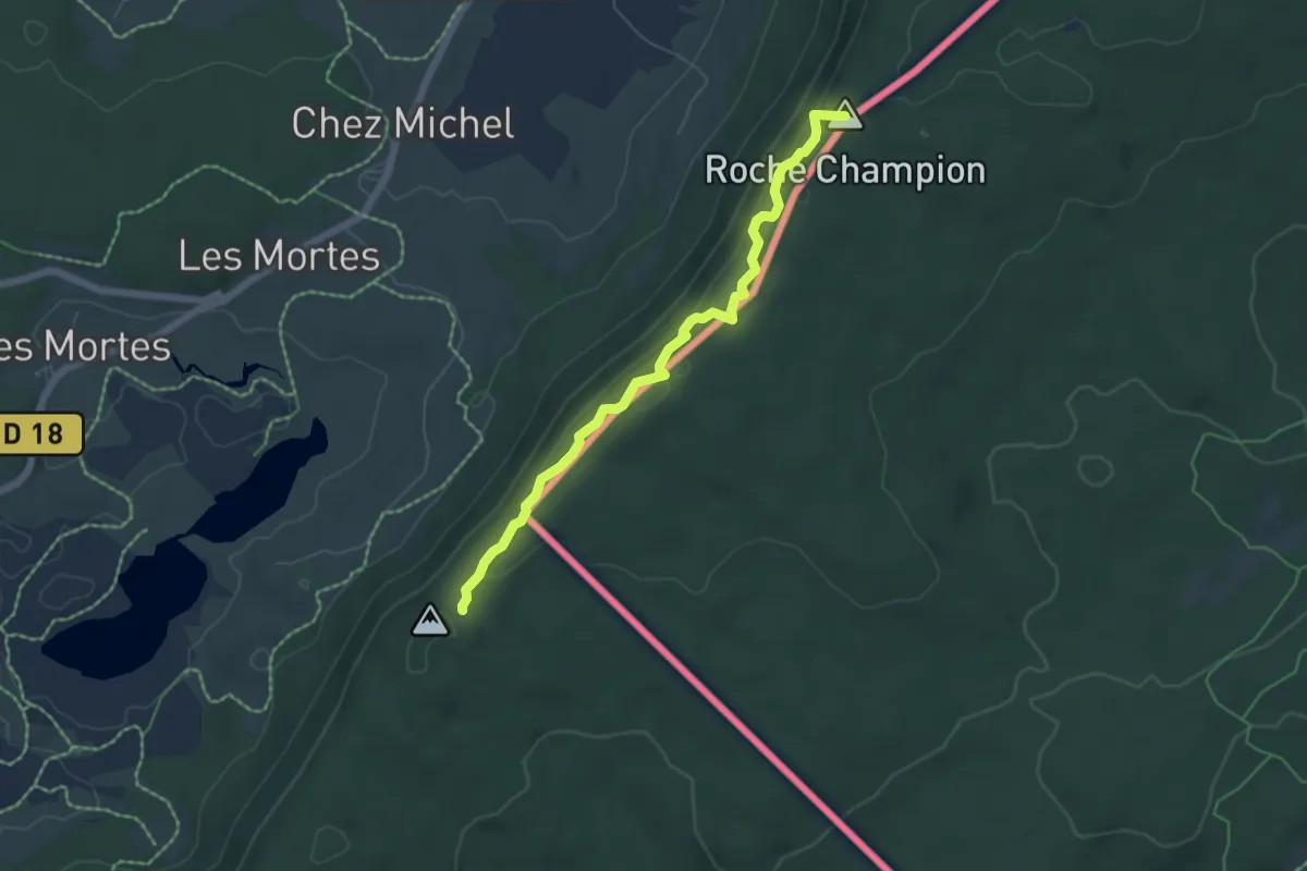
Medium · Summit
Le Bayard – Les Rousses
5.4 km · ↑ 194 m · 1 h 42 min
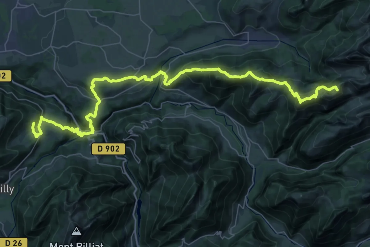
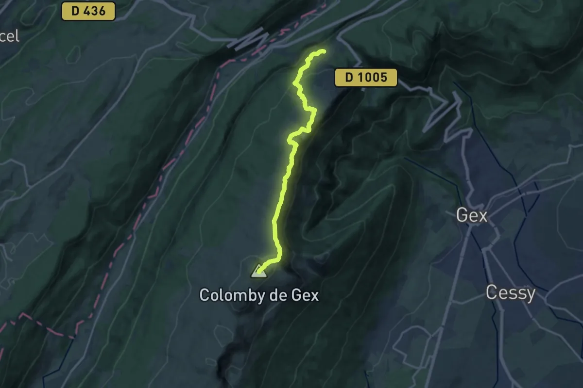
Demanding · Summit
Reyvroz – La Montagne de Neuteu Sud
41.8 km · ↑ 2367 m · 14 h 59 min
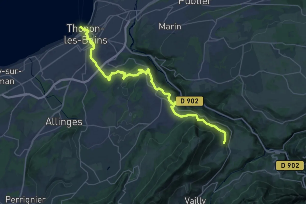
Demanding · Summit
La Vieille Faucille – Refuge de la Loge
13.4 km · ↑ 779 m · 4 h 51 min
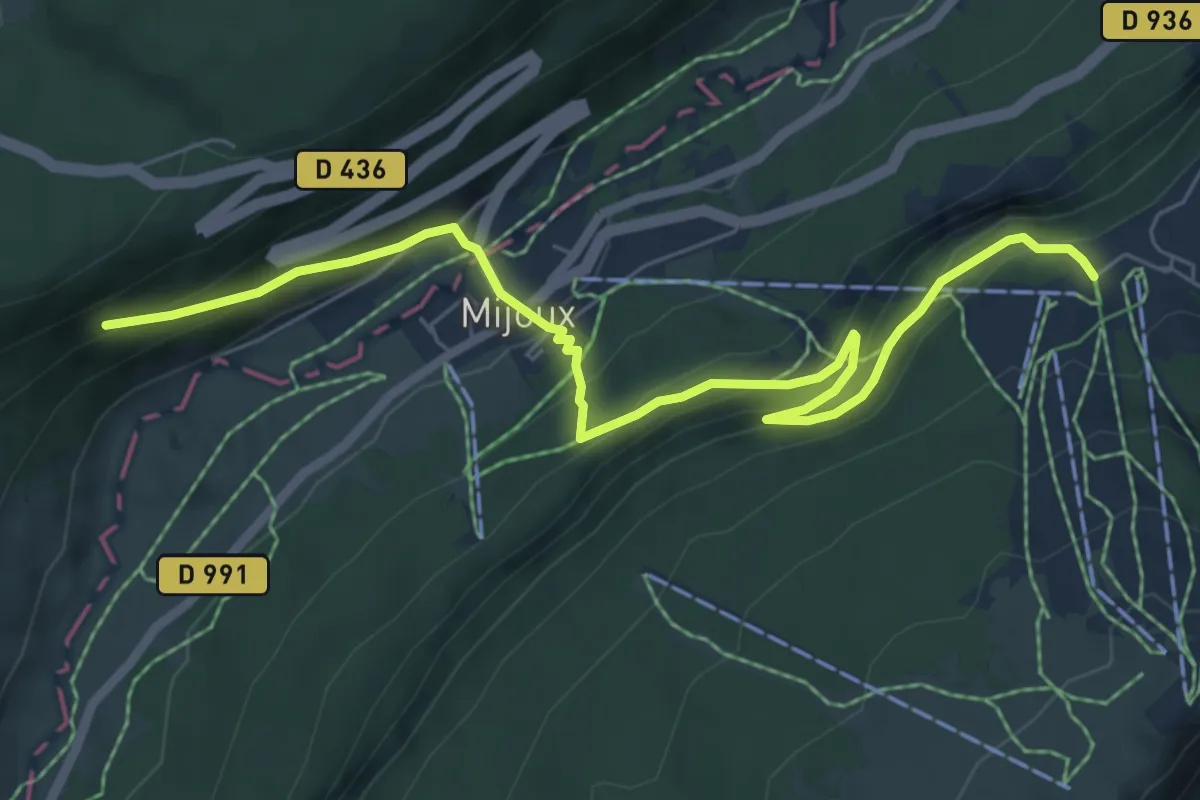
Demanding · Trail
Thonon – Reyvroz
26.3 km · ↑ 817 m · 7 h 59 min
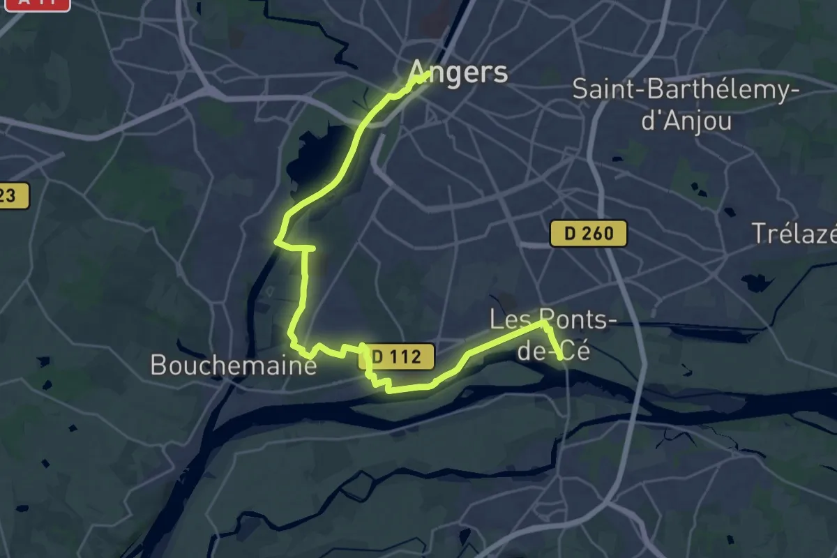
Medium · Trail
Les Cressonnières – La Vieille Faucille
7.5 km · ↑ 552 m · 2 h 58 min
Demanding · Trail
Angers – Ponts-de-Cé
29.5 km · ↑ 100 m · 7 h 11 min
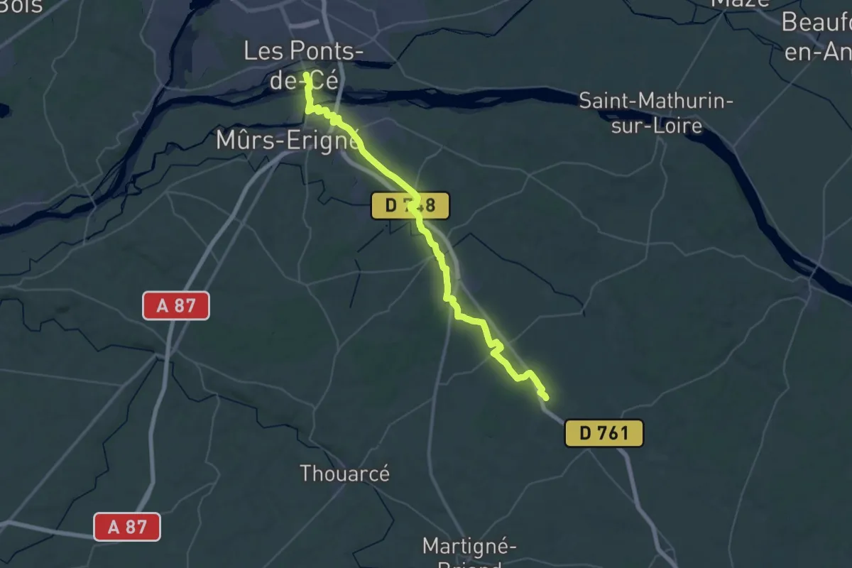
Demanding · Trail
Ponts-de-Cé – Saulgé-l'Hôpital
22.6 km · ↑ 125 m · 5 h 55 min
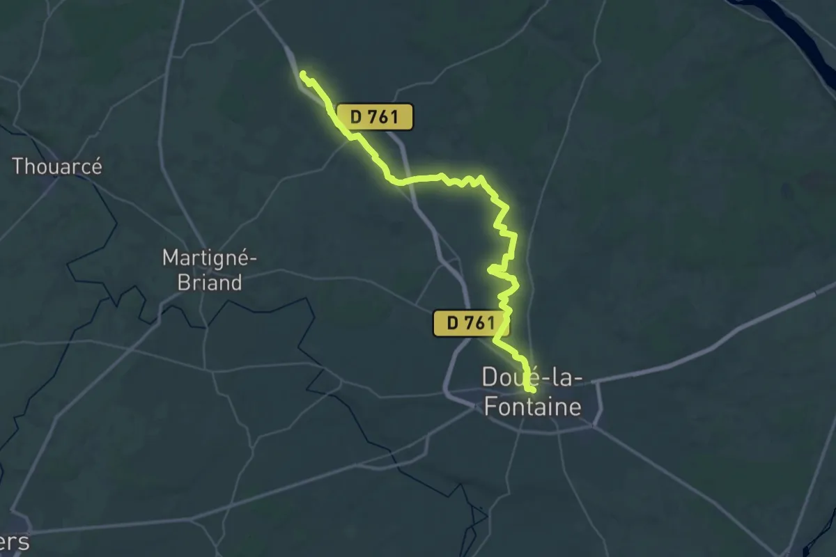
Demanding · Trail
Saulgé-L'Hopital – Doué-la-Fontaine
21.4 km · ↑ 98 m · 5 h 34 min
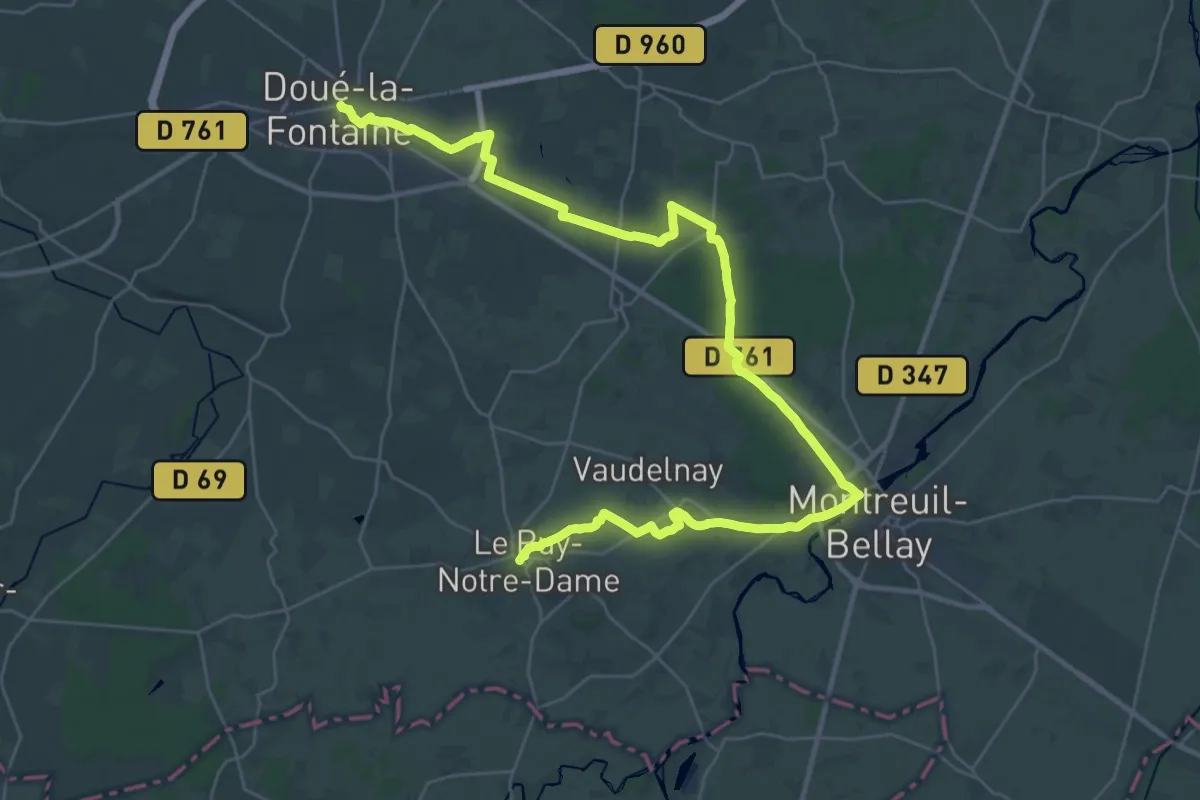
Demanding · Trail
Doué-La-Fontaine – Le Puy-Notre-Dame
21.4 km · ↑ 105 m · 5 h 34 min
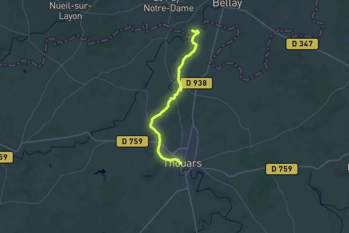
Demanding · Trail
Le Puy-Notre-Dame – Thouars
19.4 km · ↑ 105 m · 5 h 2 min
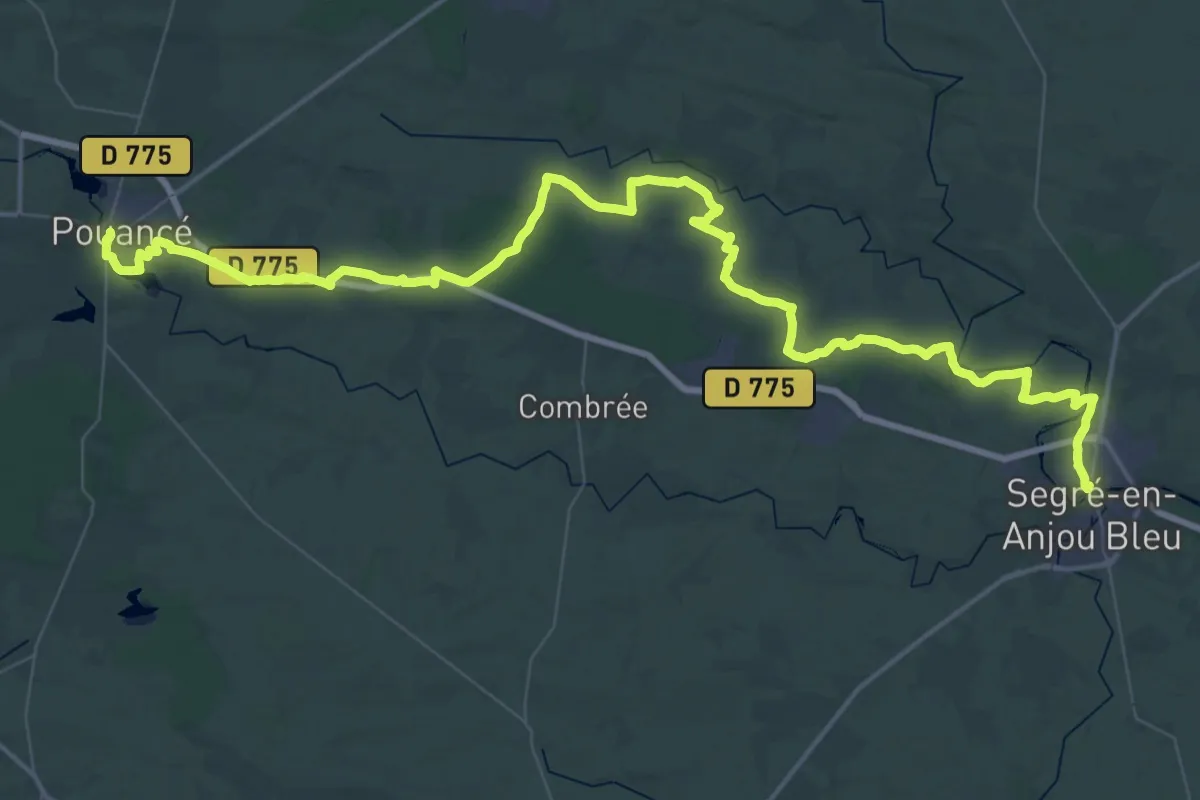
Demanding · Trail
Pouancé – Segré
37.5 km · ↑ 267 m · 9 h 58 min
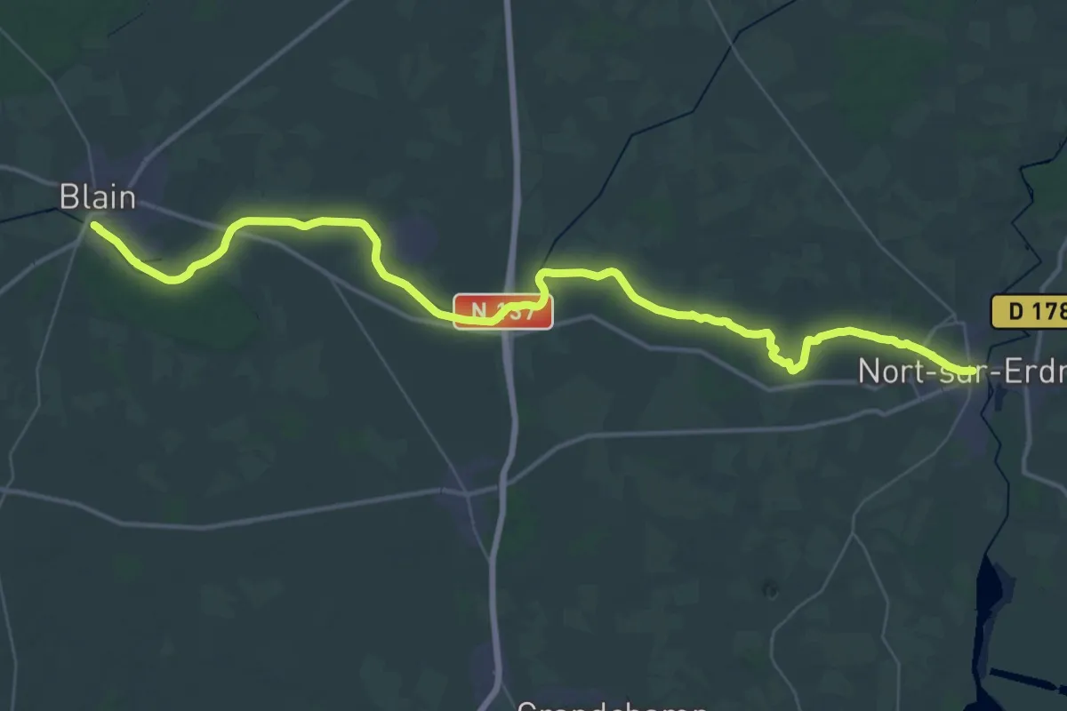
Demanding · Trail
Blain – Nort-sur-Erdre
25.4 km · ↑ 17 m · 6 h 23 min
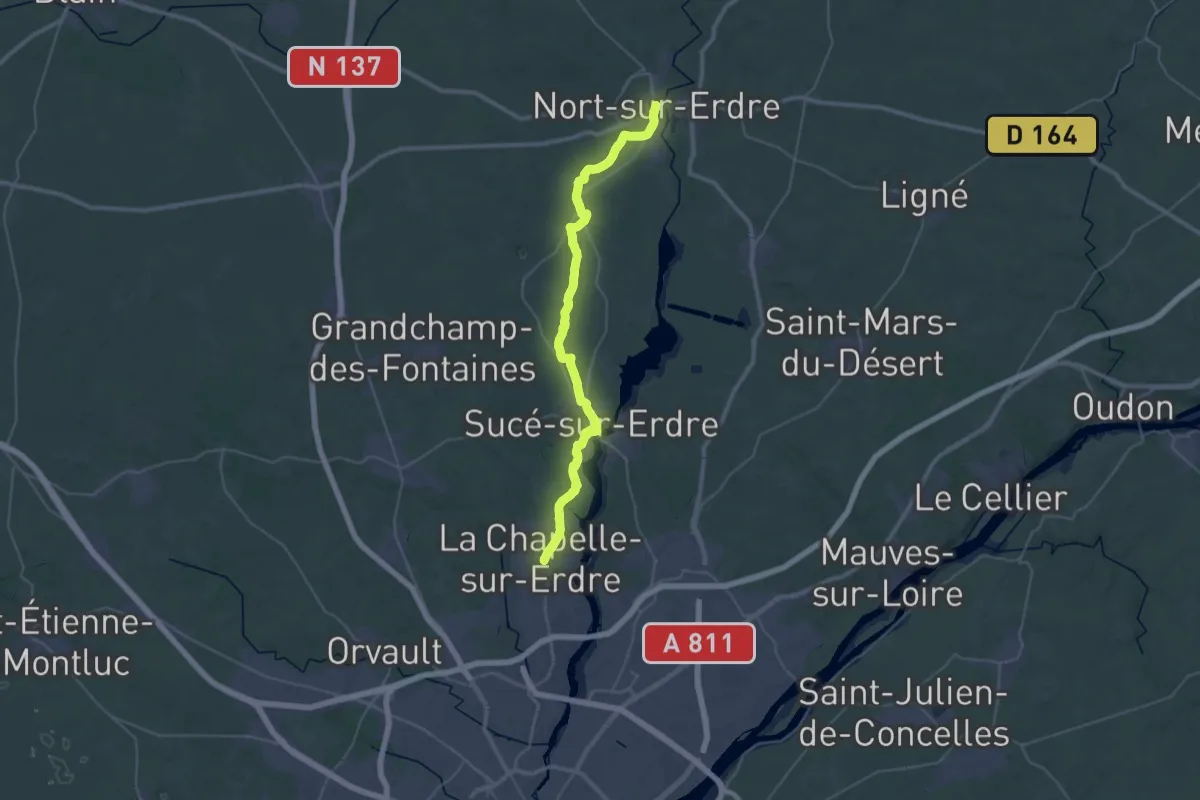
Demanding · Trail
Nort-sur-Erdre – La Chapelle-sur-Erdre
20.3 km · ↑ 95 m · 5 h 17 min
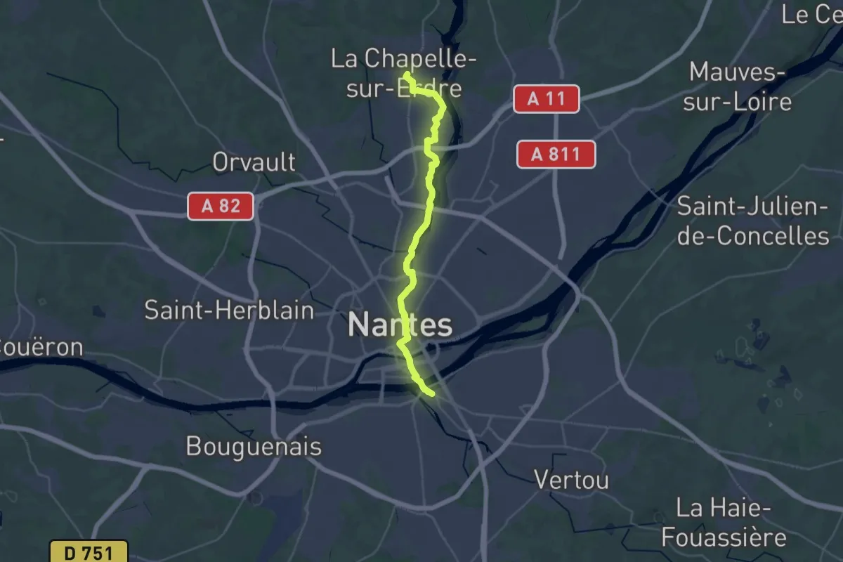
Demanding · Trail
La Chapelle-sur-Erdre – Nantes
30.0 km · ↑ 233 m · 7 h 35 min
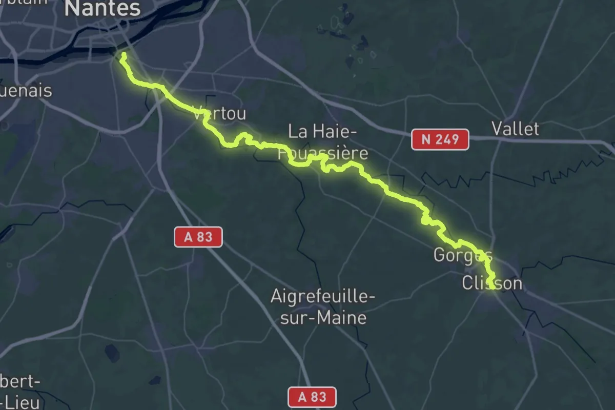
Demanding · Trail
Nantes – Clisson
33.4 km · ↑ 264 m · 8 h 54 min
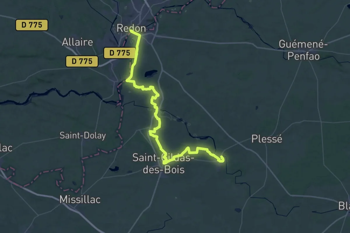
Demanding · Trail
Redon – Guenrouet
32.1 km · ↑ 296 m · 8 h 40 min
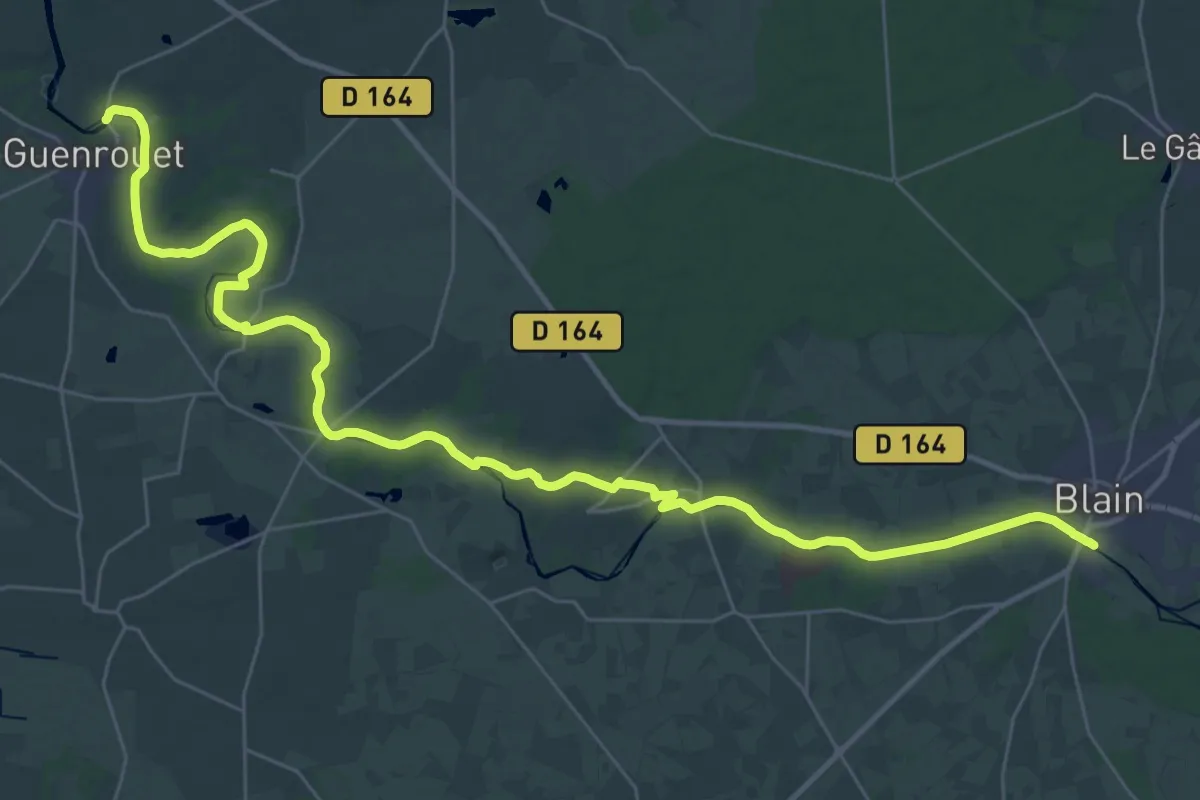
Demanding · Trail
Guenrouet – Blain
21.6 km · ↑ 65 m · 5 h 32 min
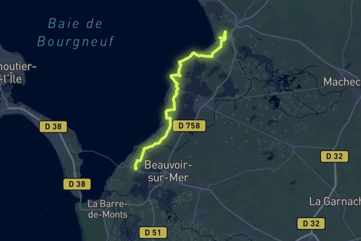
Demanding · Trail
Port du Collet – Croix Rouge
22.4 km · ↑ 4 m · 5 h 36 min
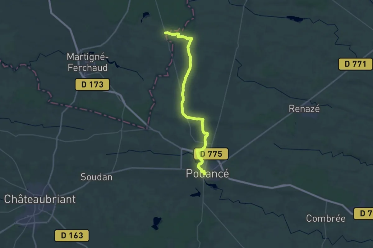
Demanding · Trail
Vitré – Pouancé
18.9 km · ↑ 98 m · 4 h 57 min
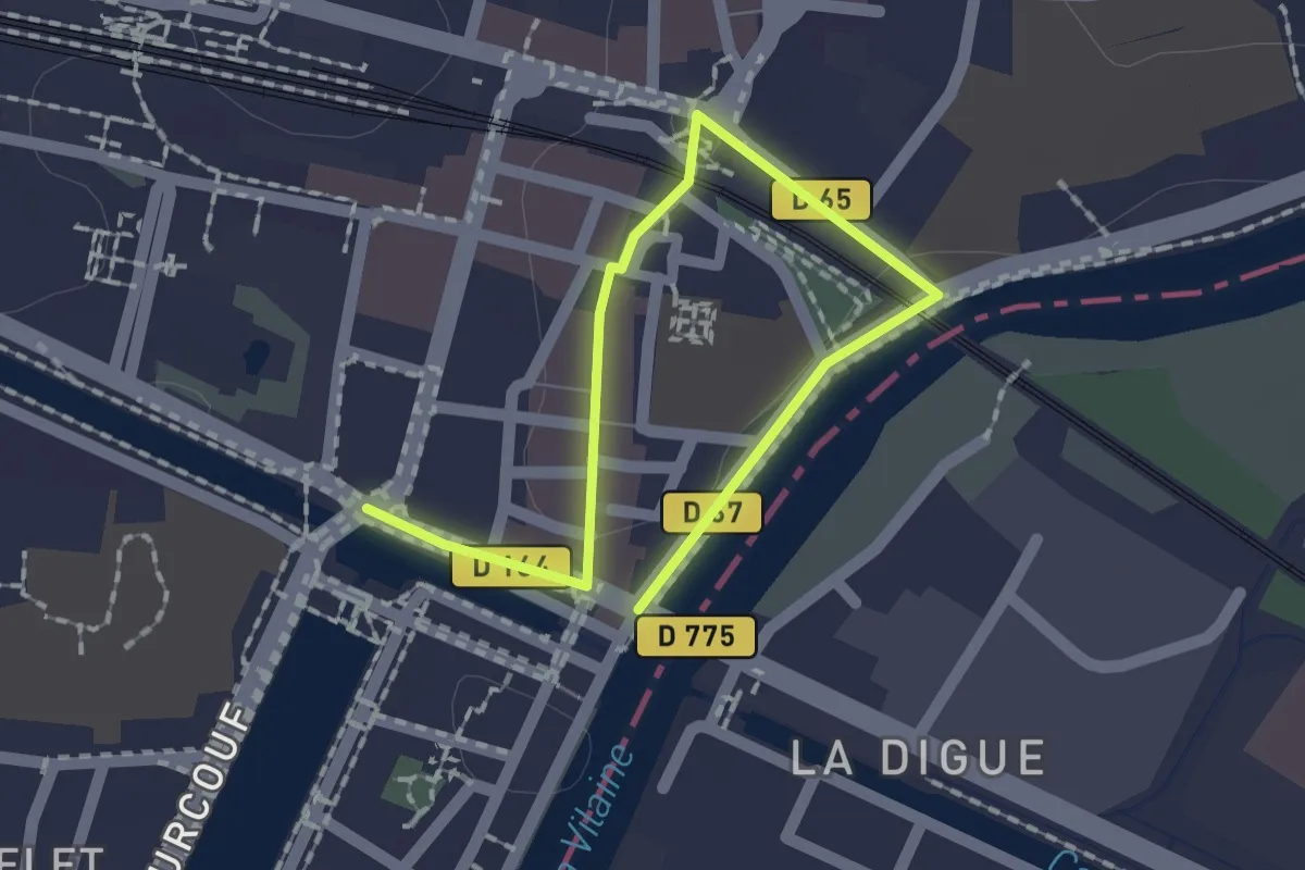
Easy · Trail
Saint-Jacut – Redon
2.1 km · ↑ 20 m · 33 min
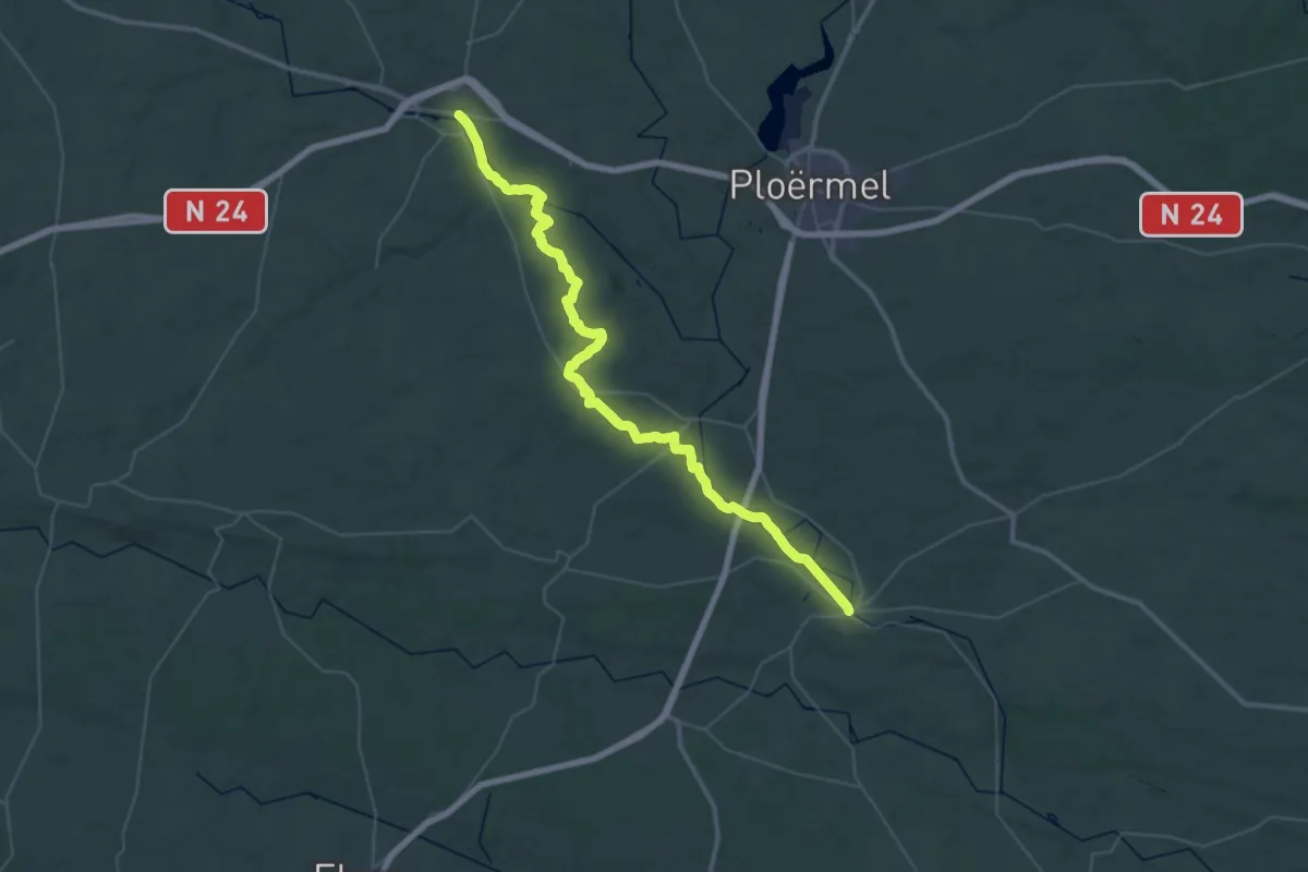
Demanding · Trail
Josselin – Malestroit
26.0 km · ↑ 172 m · 6 h 54 min
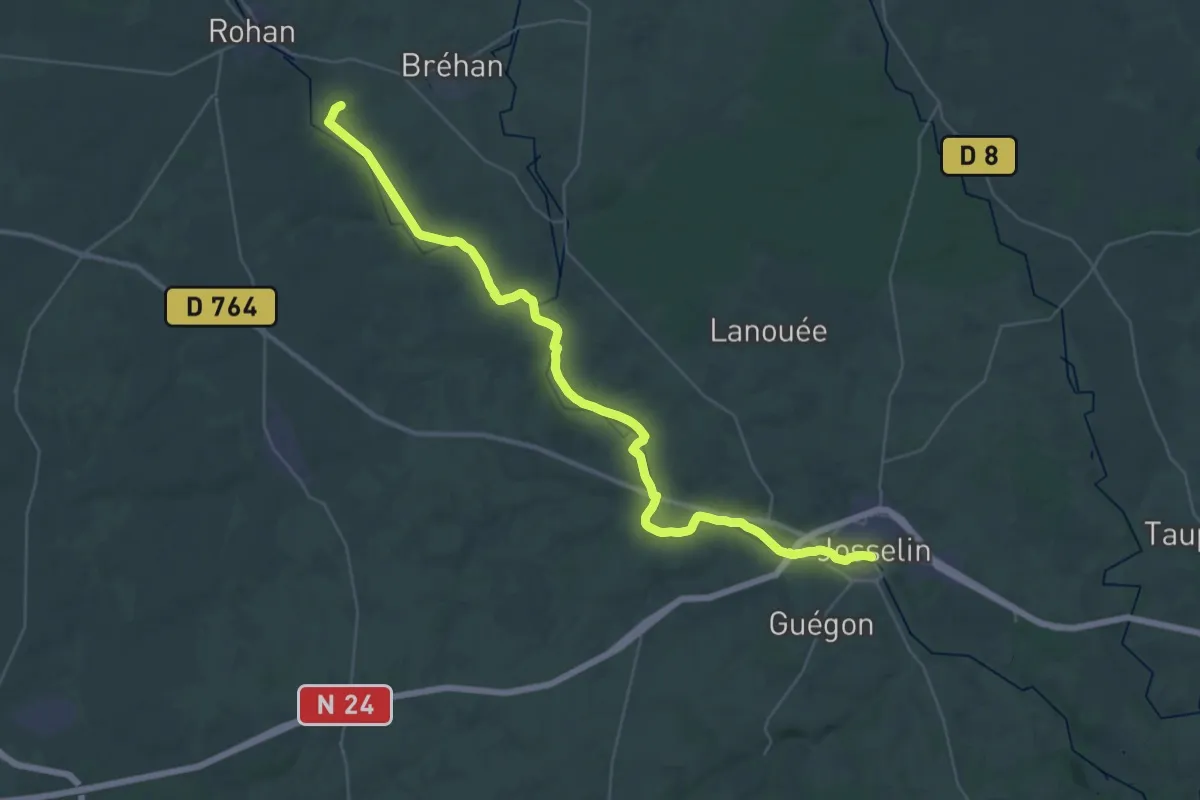
Demanding · Trail
Timadeuc – Josselin
21.7 km · ↑ 29 m · 5 h 31 min
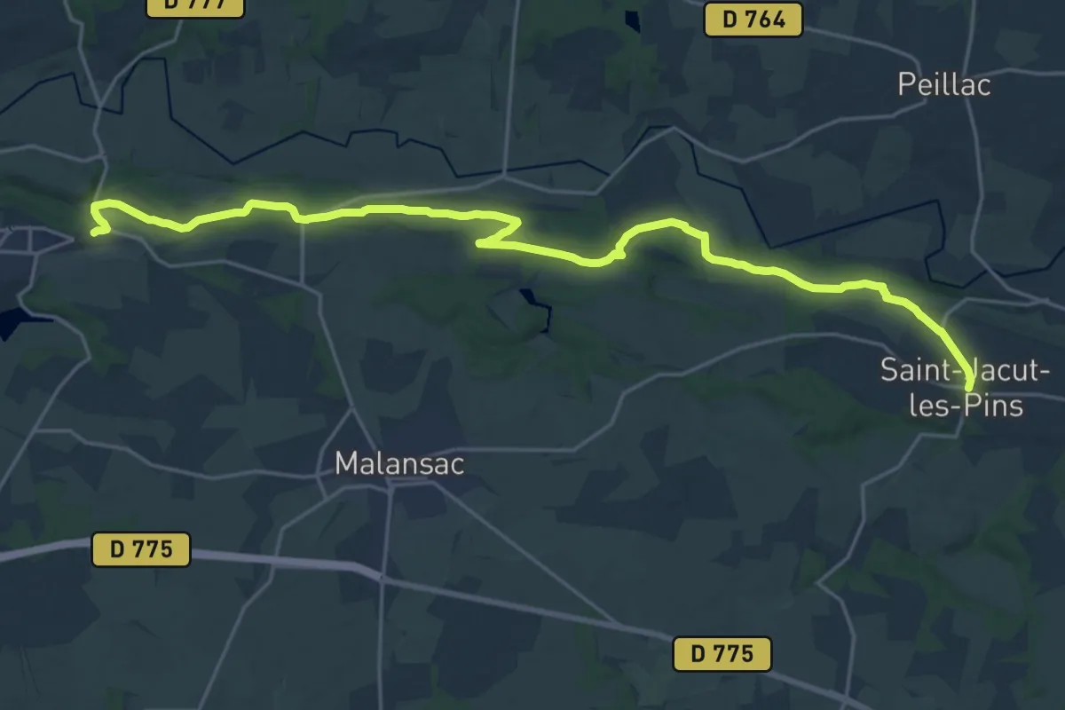
Demanding · Trail
Rochefort – Saint-Jacut-les-Pins
23.9 km · ↑ 175 m · 6 h 2 min
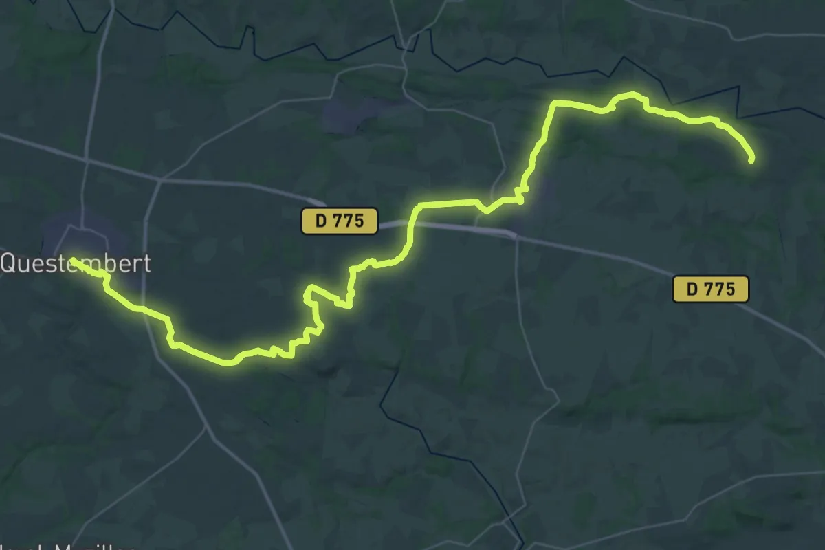
Demanding · Trail
Questembert – Saint-Jacut
28.4 km · ↑ 232 m · 7 h 38 min
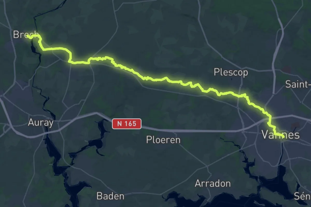
Demanding · Trail
Brech – Vannes
26.2 km · ↑ 122 m · 6 h 49 min
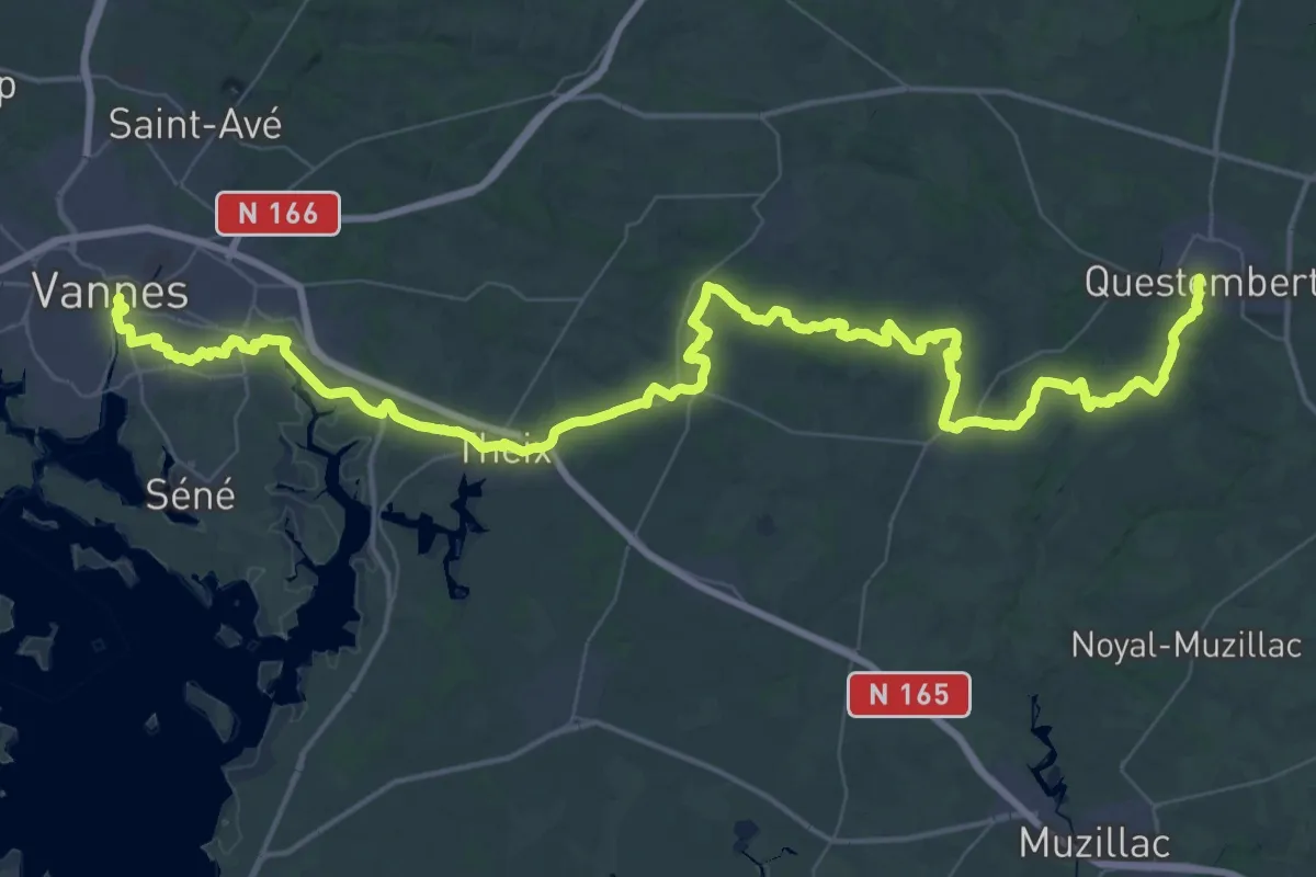
Demanding · Trail
Vannes – Questembert
38.1 km · ↑ 358 m · 10 h 16 min
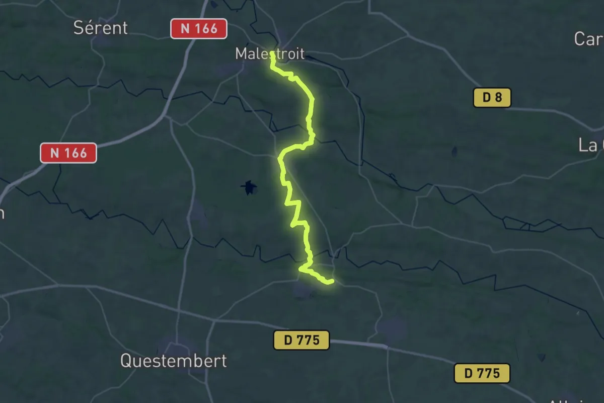
Demanding · Trail
Malestroit – Rochefort-en-Terre
19.5 km · ↑ 275 m · 5 h 27 min
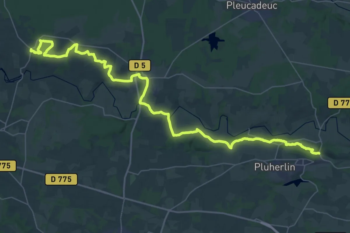
Demanding · Trail
Le Cours – Rochefort-en-Terre
19.9 km · ↑ 188 m · 5 h 24 min
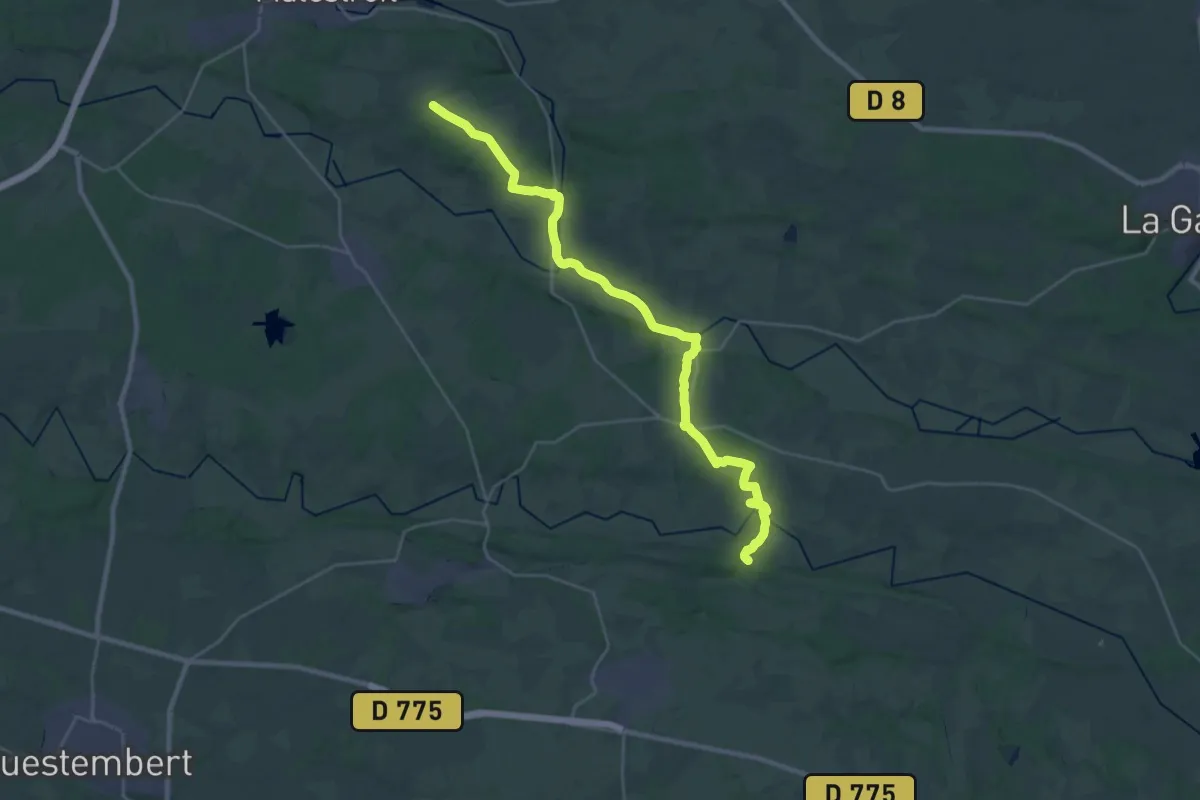
Medium · Trail
Malestroit – Saint-Jacut-les-Pins
15.8 km · ↑ 173 m · 4 h 19 min
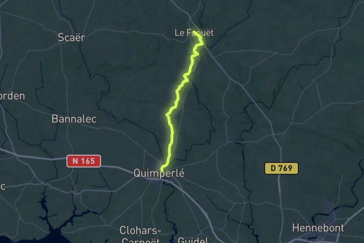
Demanding · Trail
Le Faouet – Quimperlé
23.7 km · ↑ 307 m · 6 h 40 min
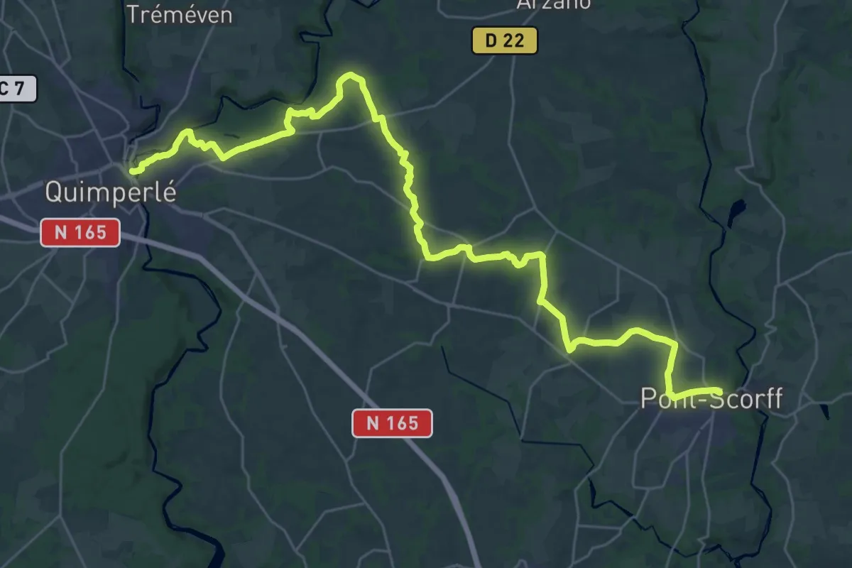
Demanding · Trail
Quimperlé – Pont-Scorff
19.0 km · ↑ 197 m · 5 h 10 min
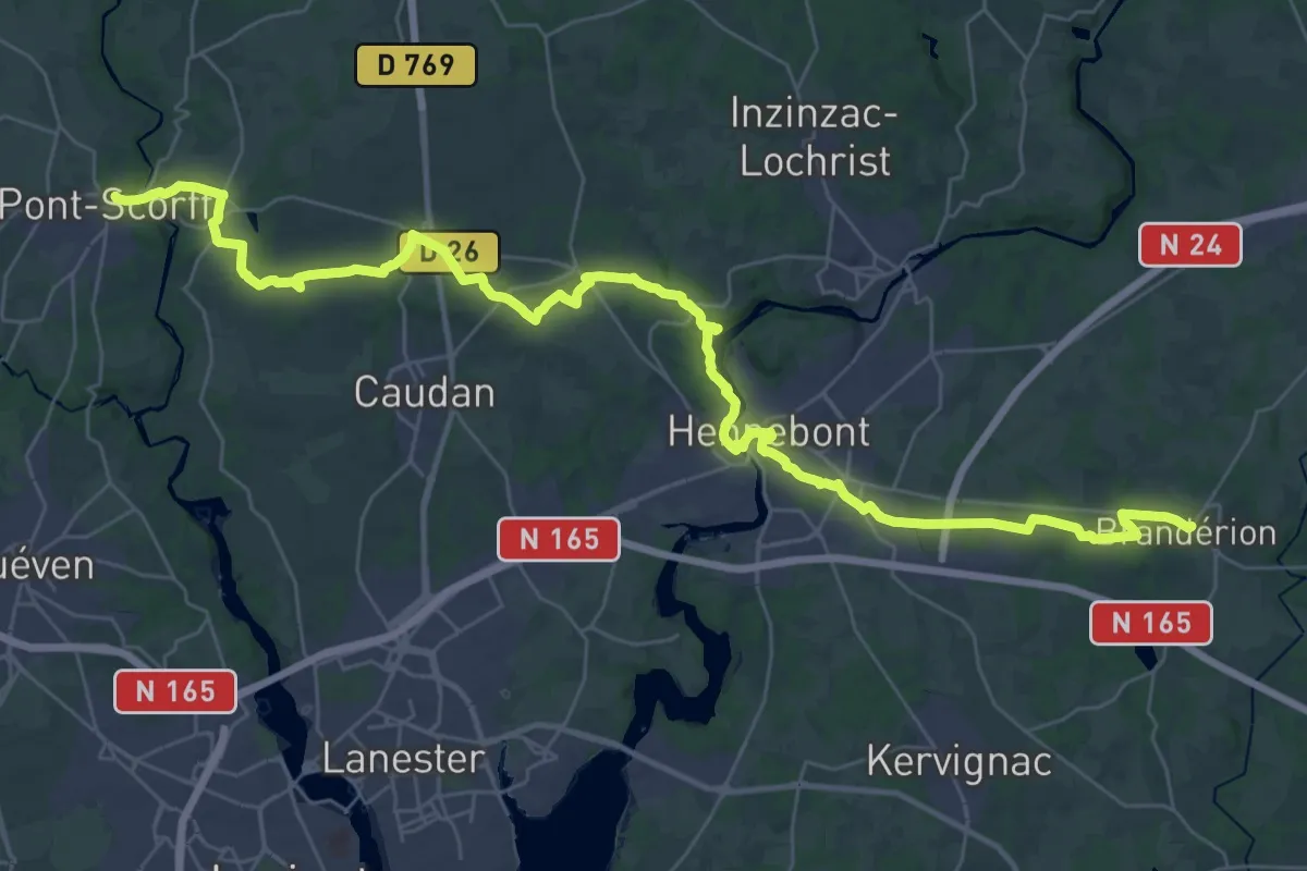
Demanding · Trail
Pont-Scorff – Brandérion
22.9 km · ↑ 301 m · 6 h 22 min
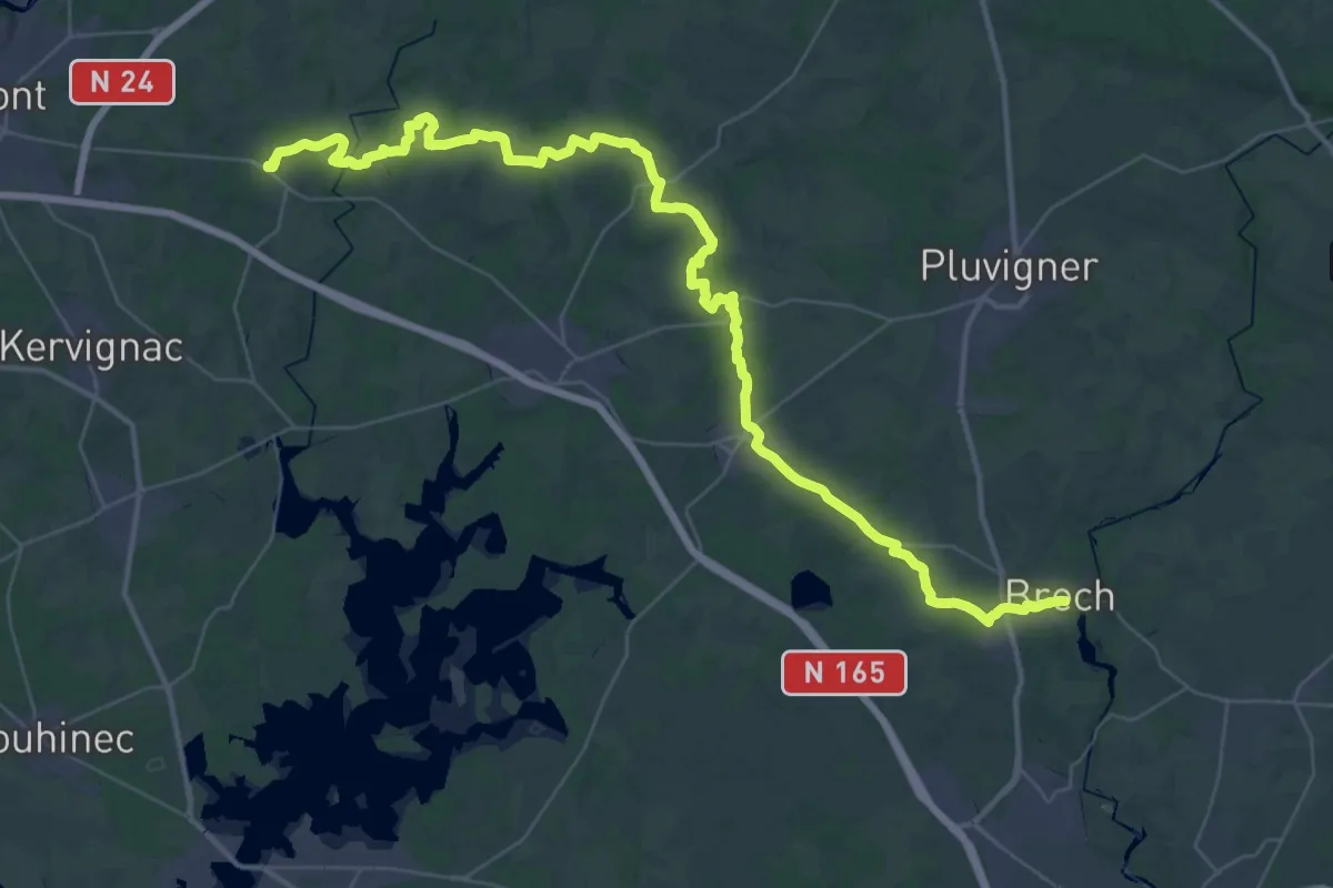
Demanding · Trail
Brandérion – Brech
26.3 km · ↑ 304 m · 7 h 13 min
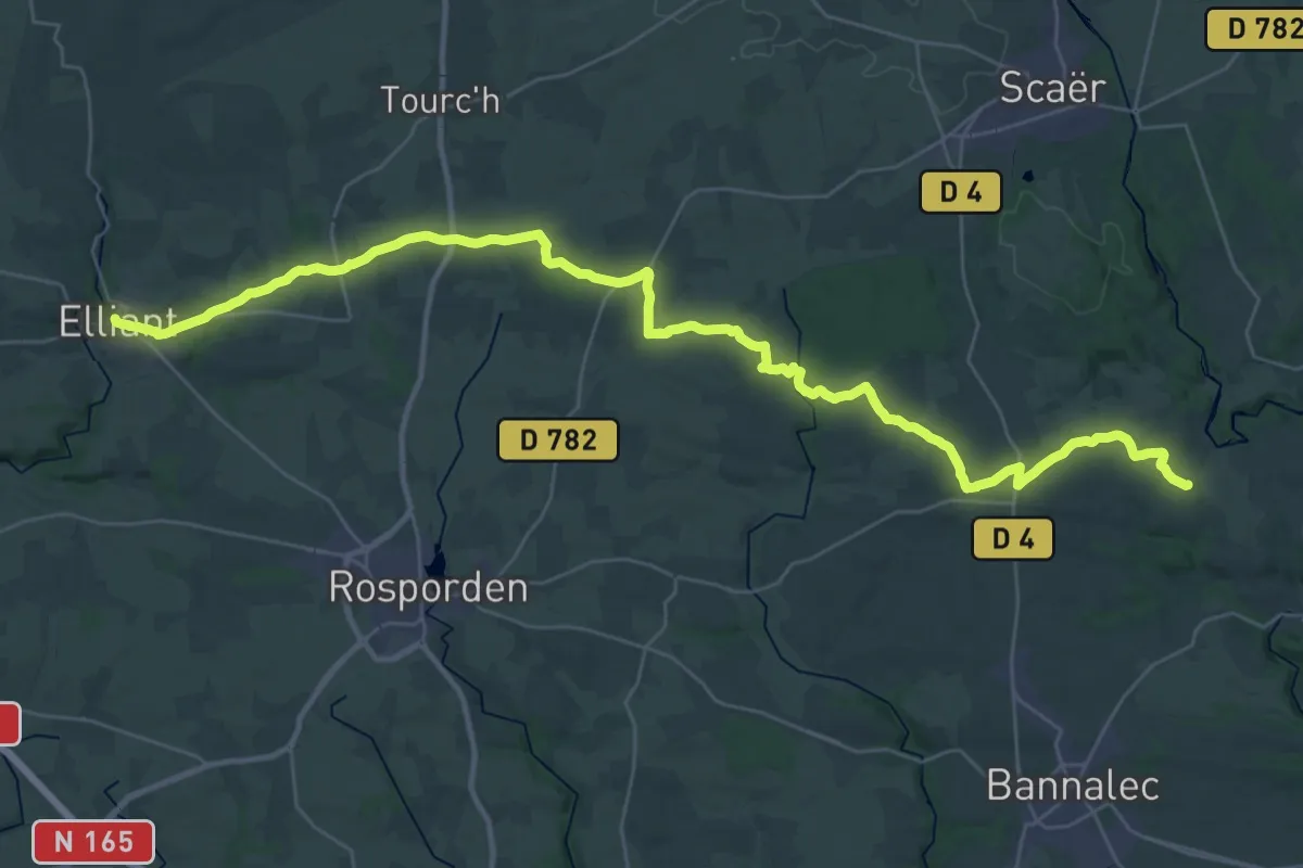
Demanding · Trail
Elliant – Saint-Jacques en Bannalec
21.1 km · ↑ 237 m · 5 h 47 min
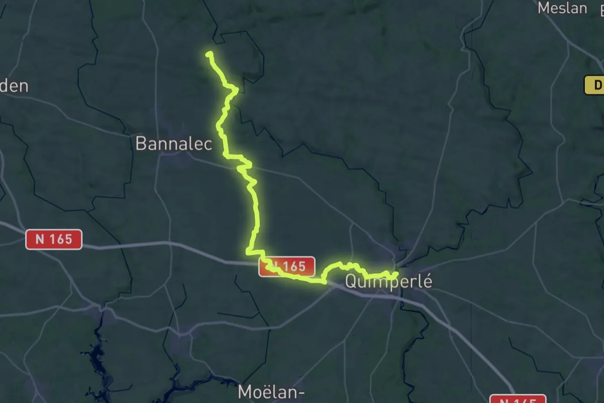
Demanding · Trail
Saint-Jacques en Bannalec – Quimperlé
25.5 km · ↑ 172 m · 6 h 48 min
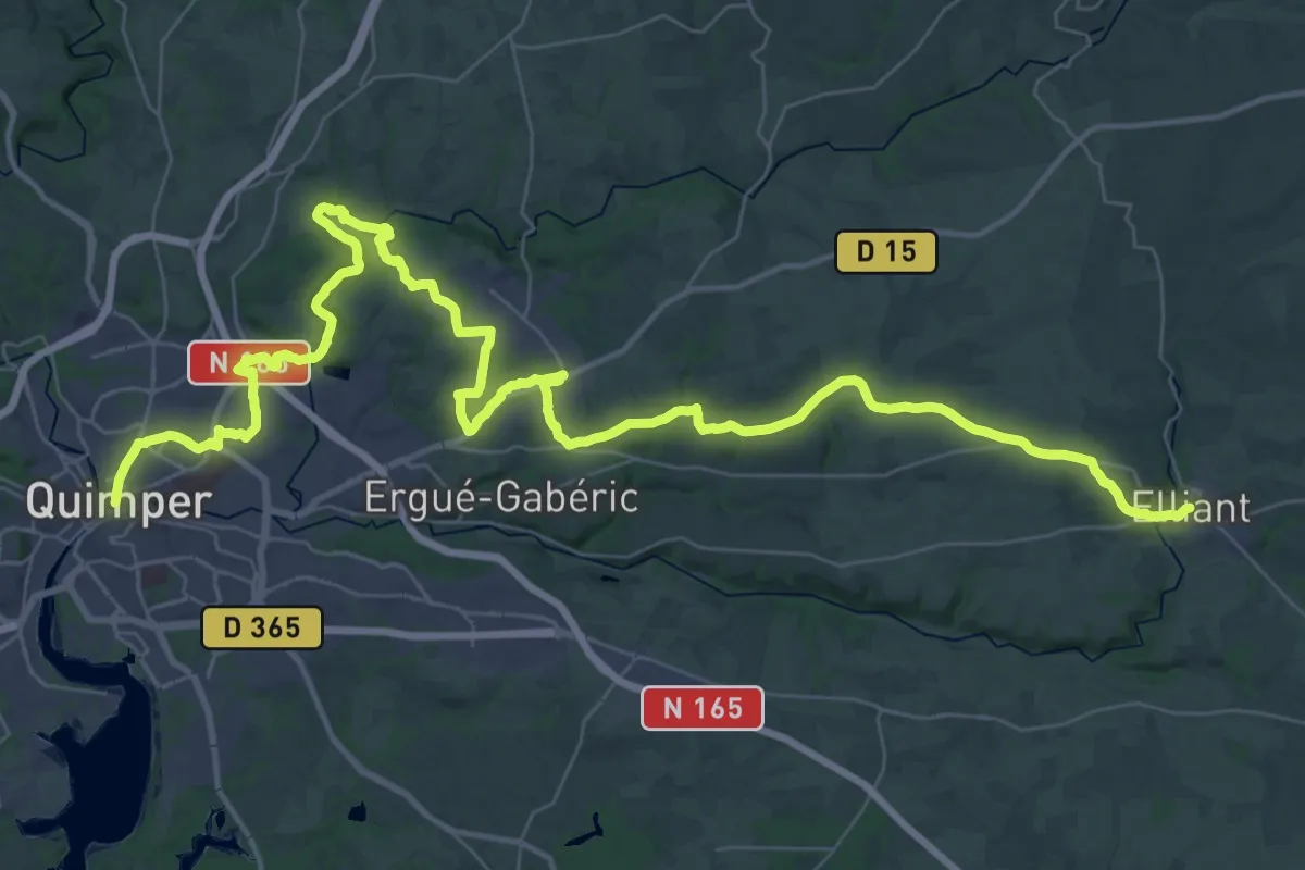
Demanding · Trail
Quimper – Elliant
28.6 km · ↑ 452 m · 8 h 5 min
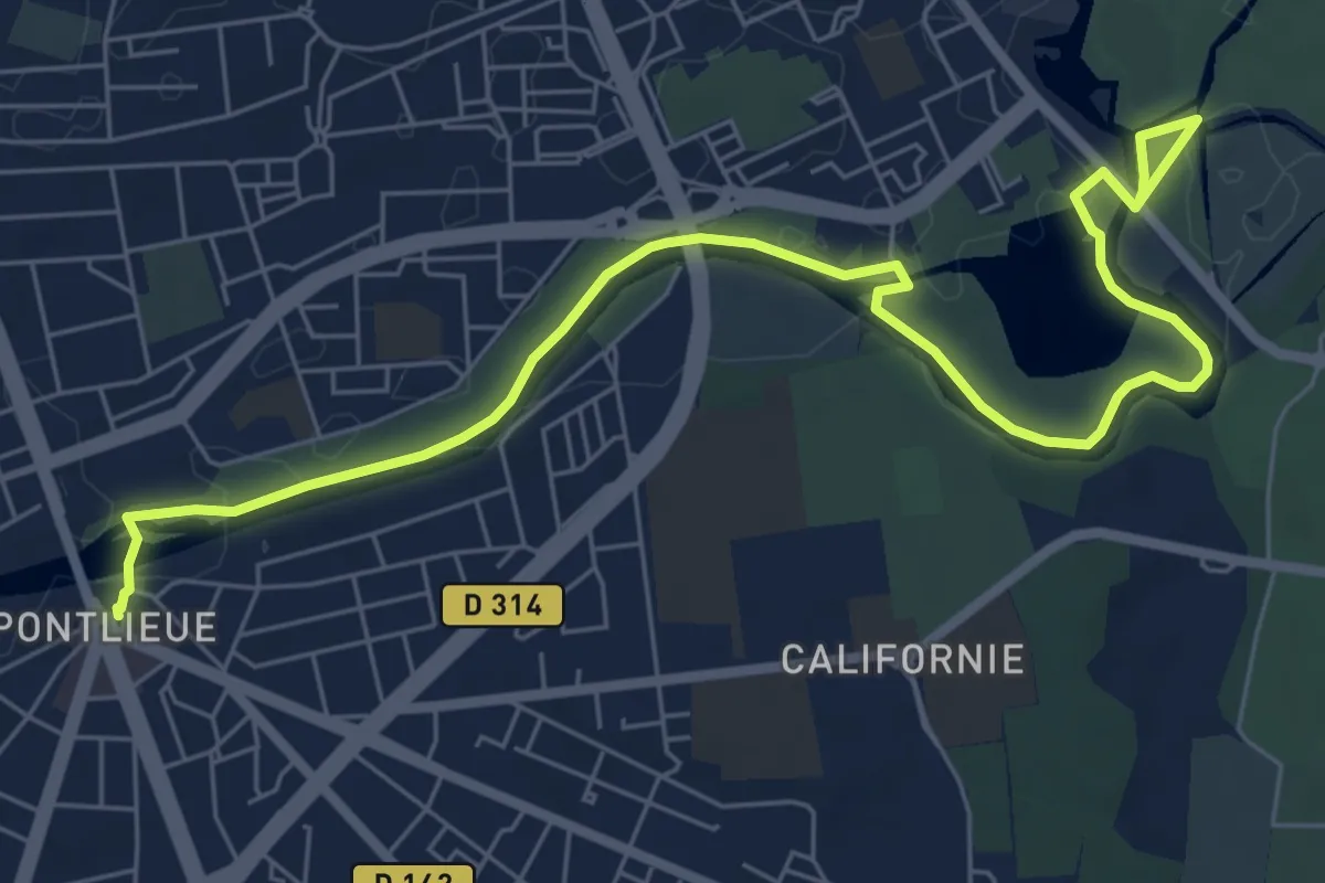
Medium · Trail
Pontlieue – Arche de la Nature
8.4 km · ↑ 34 m · 2 h 3 min
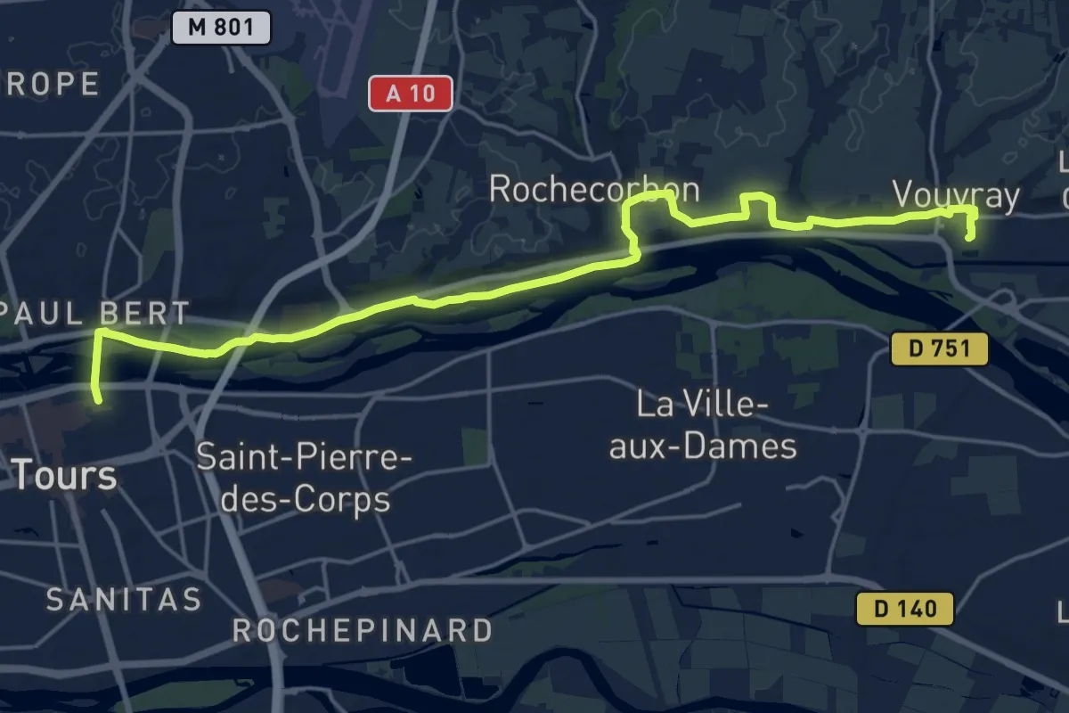
Demanding · Trail
Vouvray – Tours
21.5 km · ↑ 159 m · 5 h 26 min
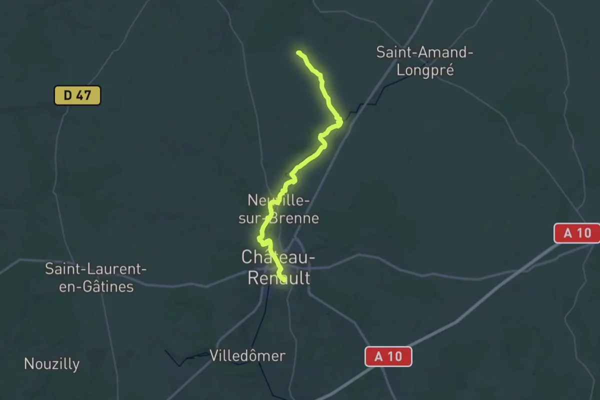
Medium · Trail
Lavardin – Château-Renault
17.9 km · ↑ 156 m · 4 h 49 min
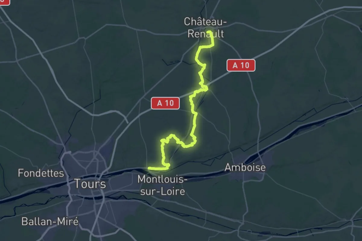
Demanding · Trail
Château-Renault – Vouvray
39.3 km · ↑ 406 m · 10 h 44 min
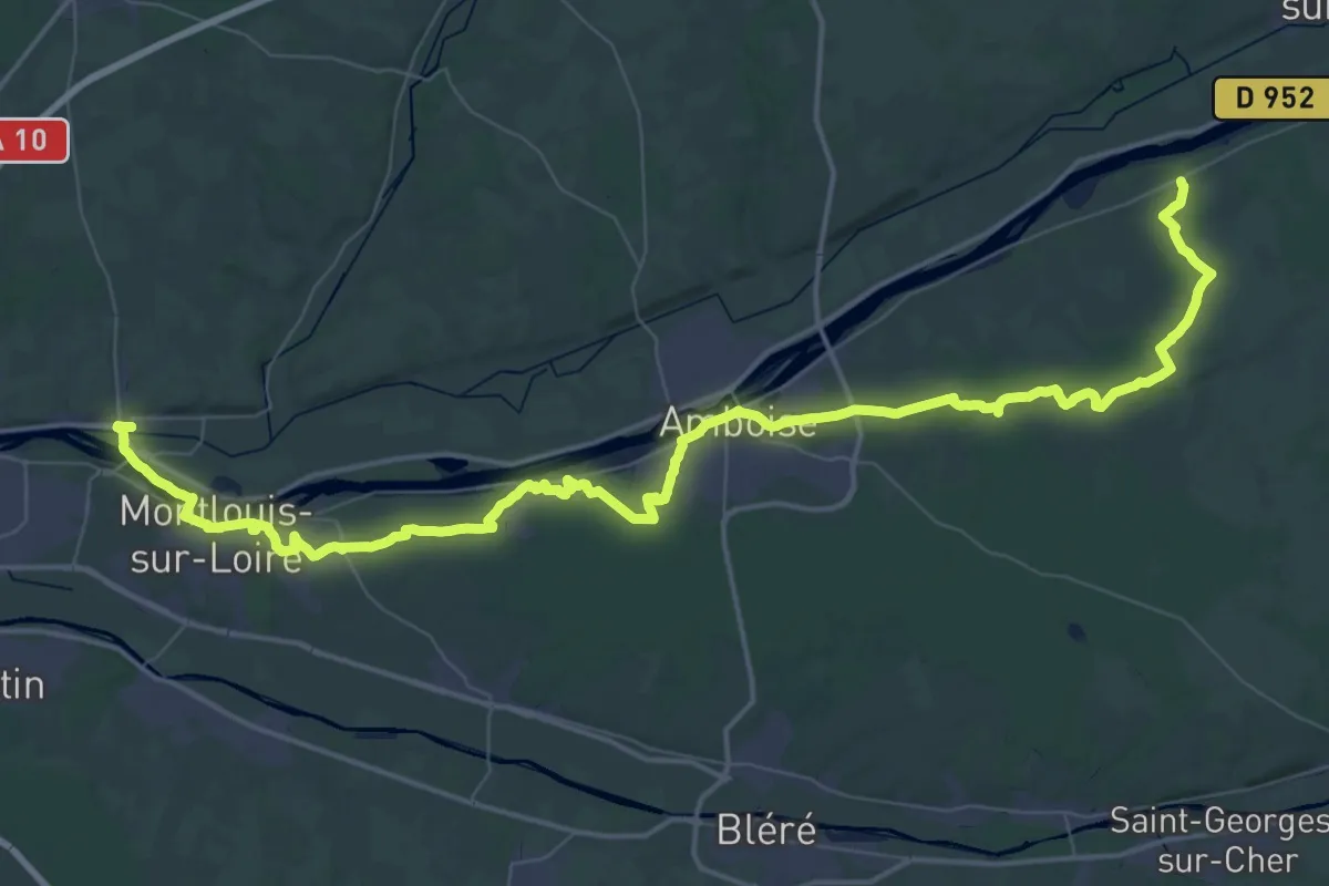
Demanding · Trail
Mosnes – Vouvray
38.0 km · ↑ 325 m · 10 h 13 min
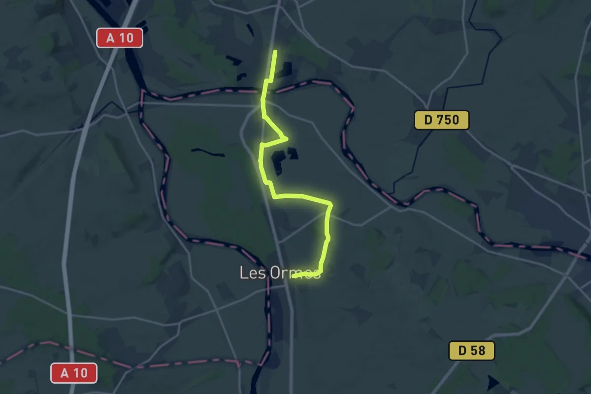
Medium · Trail
Tours – Les Ormes
13.9 km · ↑ 126 m · 3 h 33 min
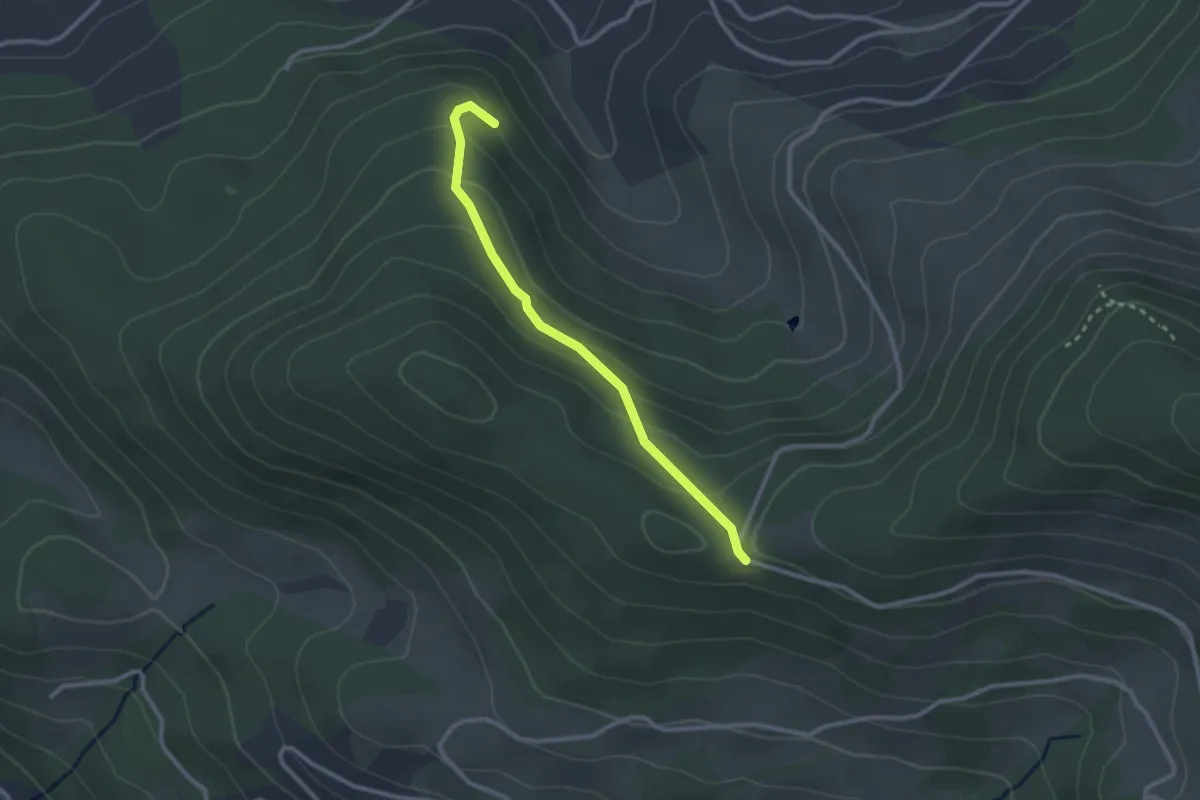
Easy · Trail
À Goutte – Col de la Burotte
2.5 km · ↑ 143 m · 53 min
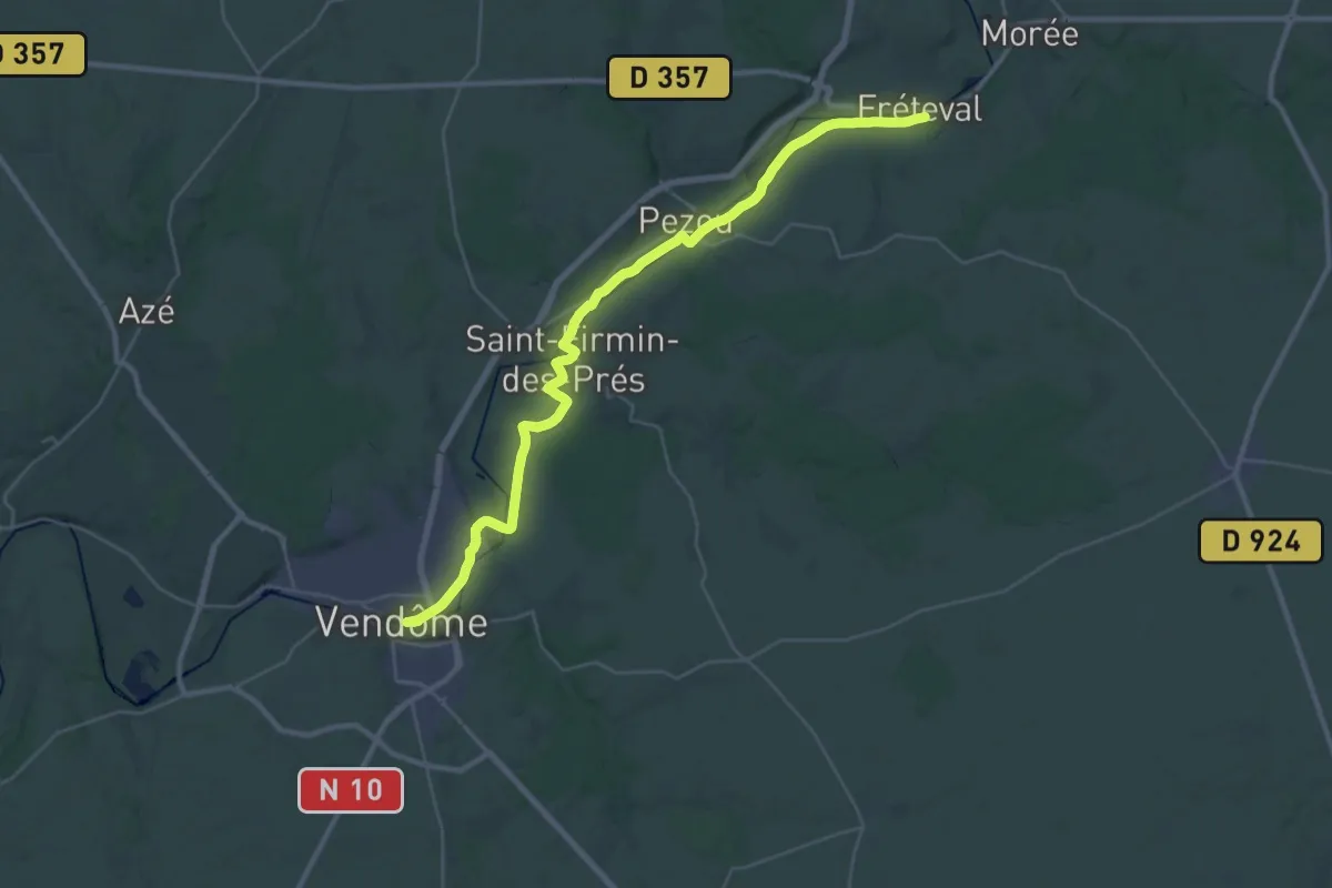
Demanding · Trail
Frétéval – Vendôme
18.1 km · ↑ 18 m · 4 h 35 min
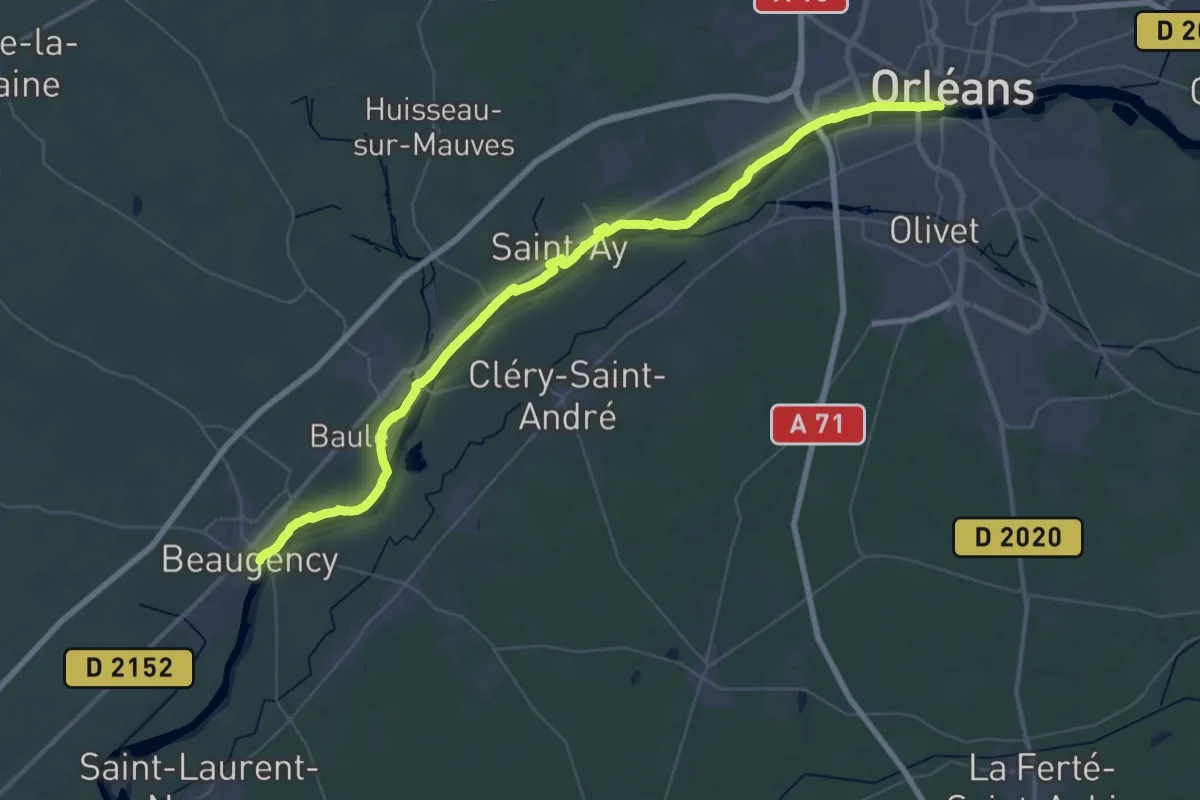
Demanding · Trail
Beaugency – Orléans
27.7 km · ↑ 85 m · 7 h 6 min
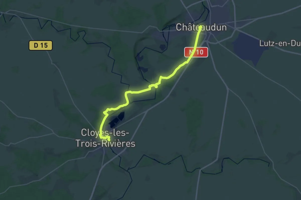
Demanding · Trail
Châteaudun – Cloyes-sur-le-Loir
29.6 km · ↑ 220 m · 7 h 27 min