Trails in France
15,926 hiking trails, each with its route, climb, walking time and grade.
All trails, page 295 of 332
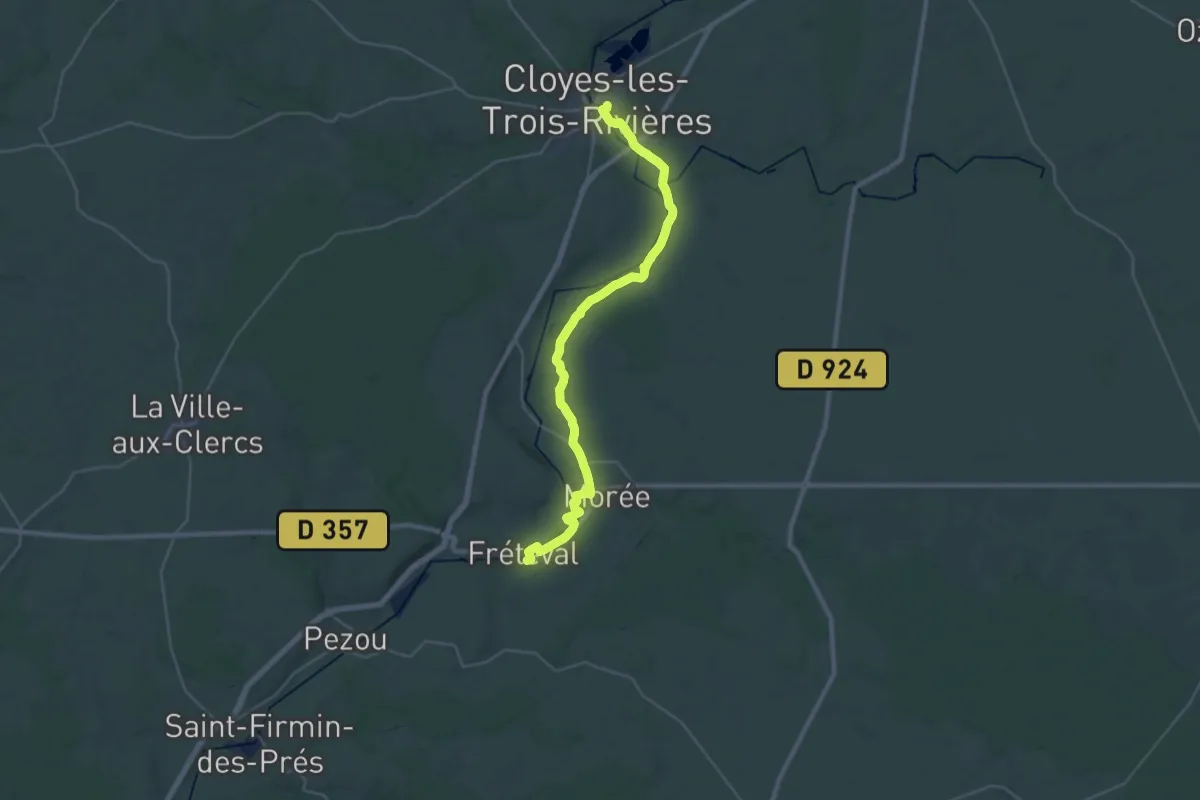
Medium · Trail
Cloyes – Frétéval
16.9 km · ↑ 113 m · 4 h 28 min
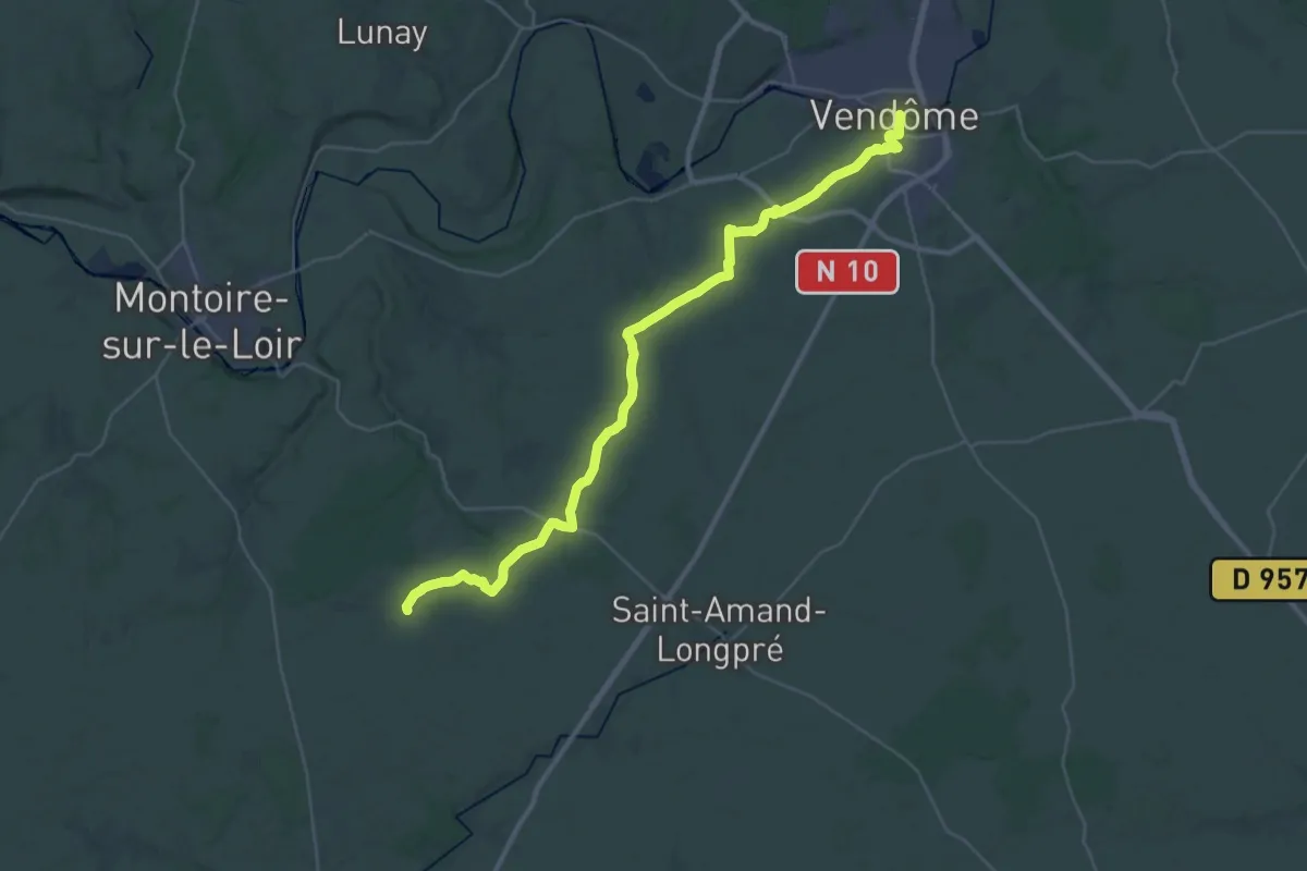
Demanding · Trail
Vendôme – Lavardin
19.1 km · ↑ 160 m · 5 h 6 min
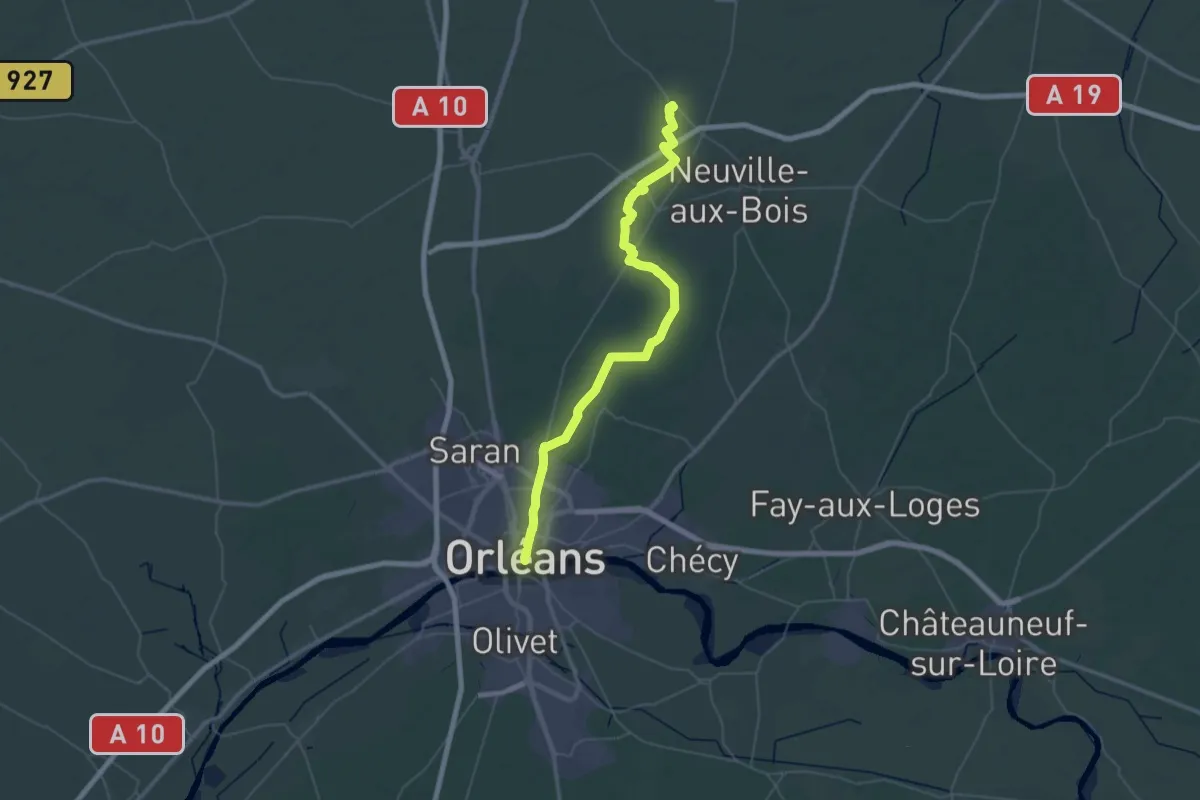
Demanding · Trail
Aschères-le-Marché – Orléans
31.8 km · ↑ 61 m · 8 h 5 min
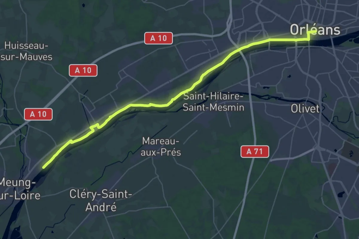
Medium · Trail
Orléans – Meung-sur-Loire
17.9 km · ↑ 71 m · 4 h 39 min
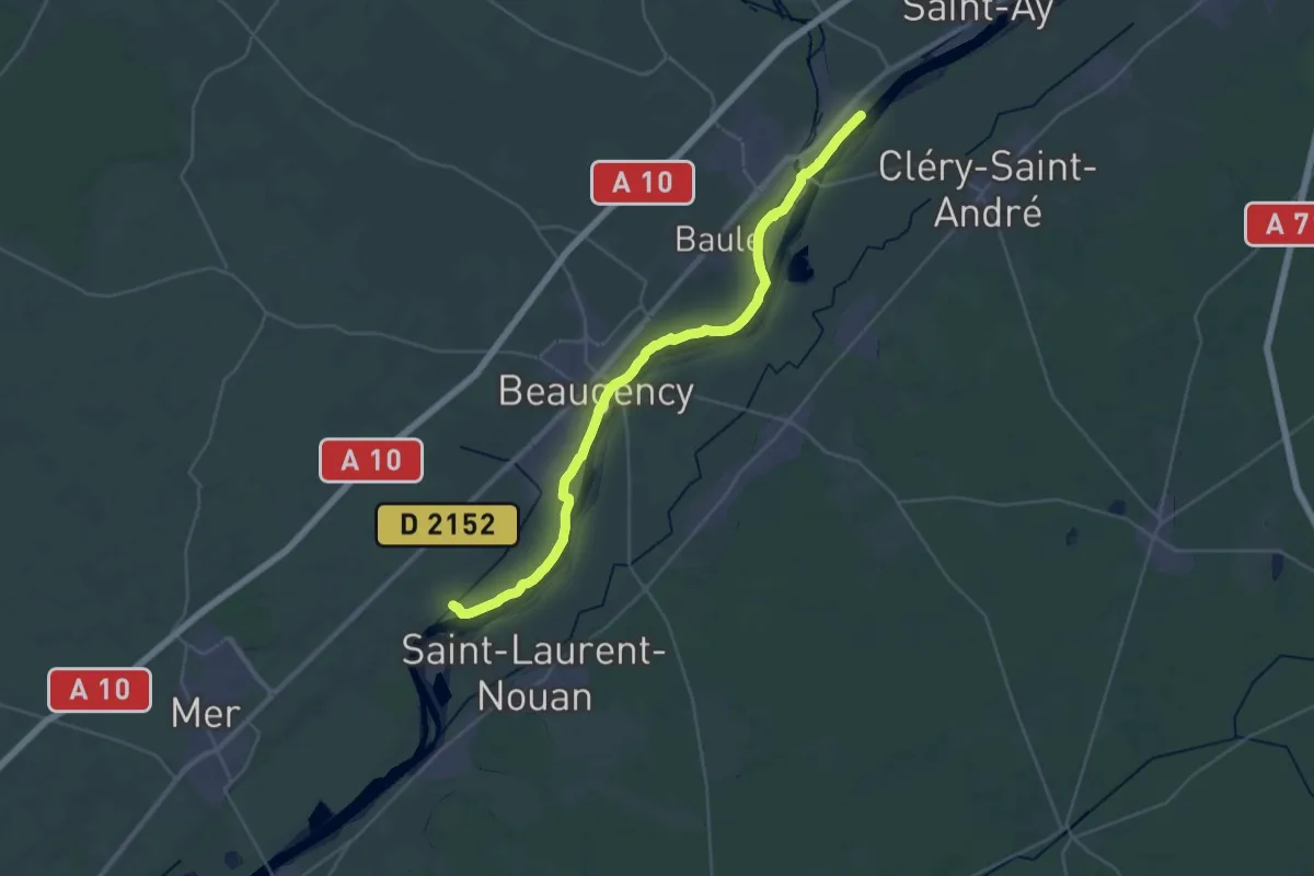
Medium · Trail
Meung-sur-Loire – Lestiou
17.5 km · ↑ 19 m · 4 h 26 min
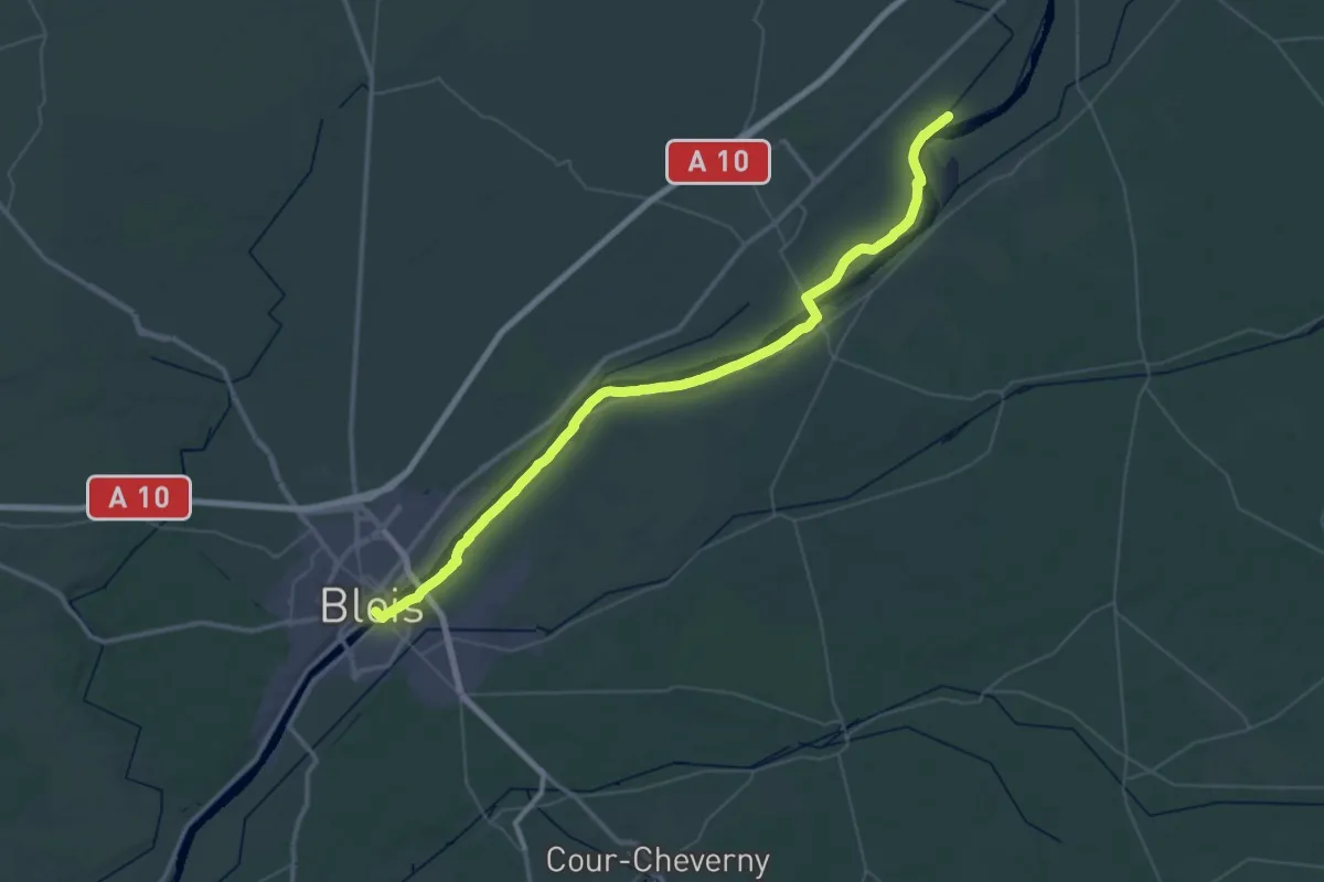
Demanding · Trail
Lestiou – Blois
28.0 km · ↑ 16 m · 7 h 2 min
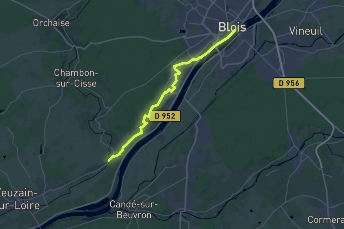
Demanding · Trail
Blois – Chouzy-sur-Cisse
24.9 km · ↑ 244 m · 6 h 25 min
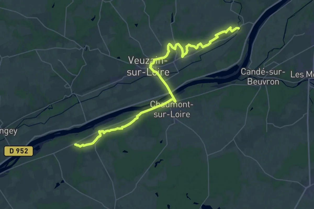
Demanding · Trail
Chouzy-sur-Cisse – Mosnes
18.5 km · ↑ 121 m · 4 h 53 min
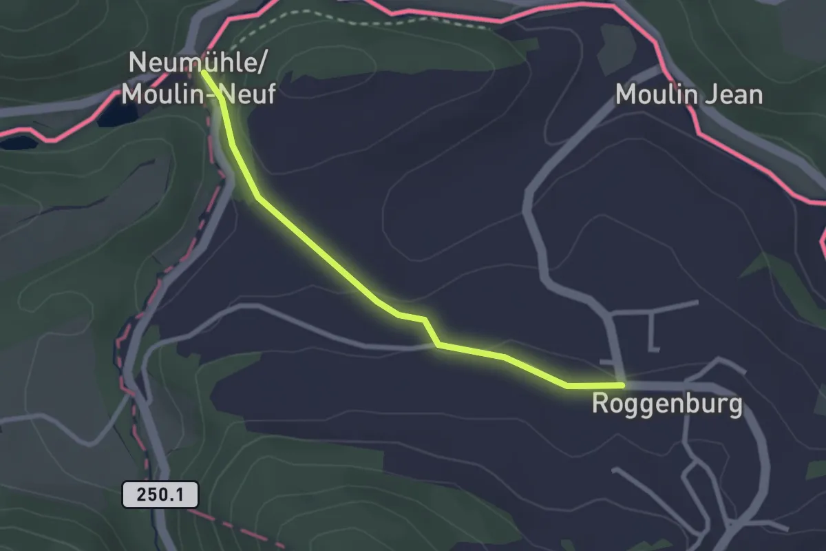
Easy · Trail
Roggenburg – Neumühle
2.3 km · ↑ 57 m · 40 min
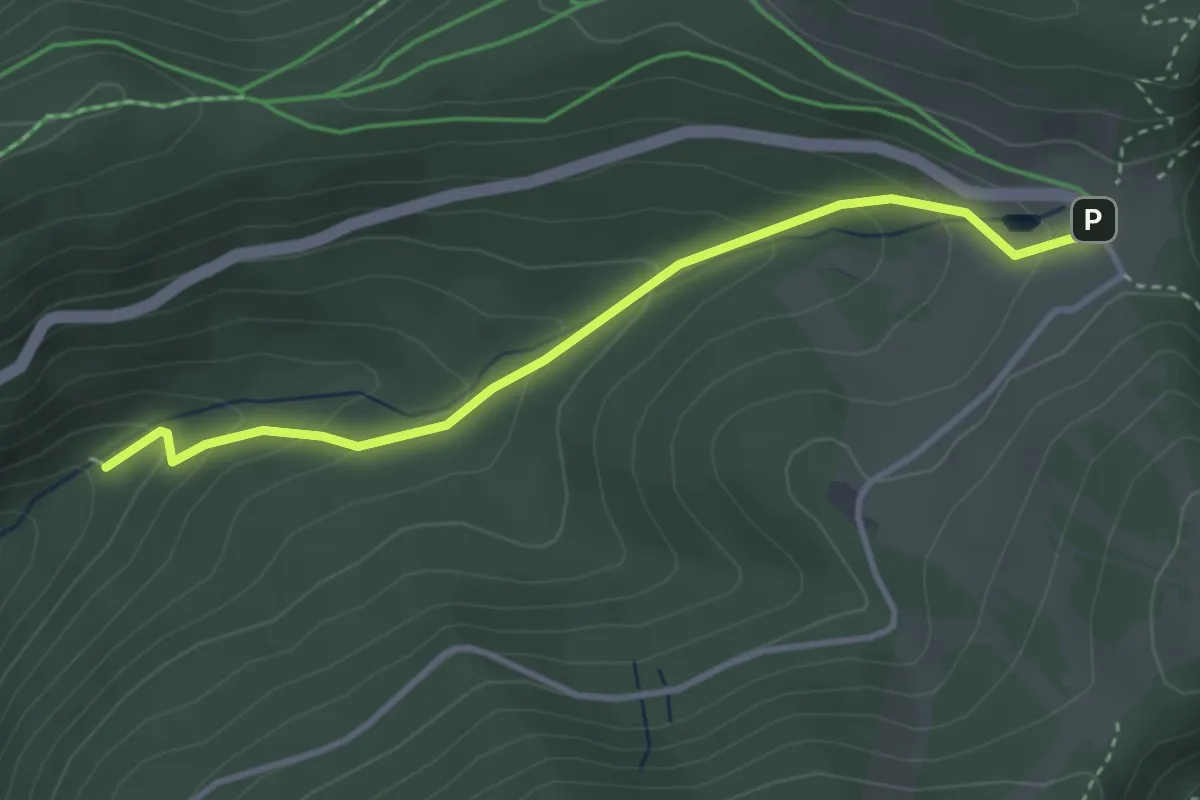
Easy · Trail
Chapelle Botiotte – GR 531
3.4 km · ↑ 196 m · 1 h 14 min
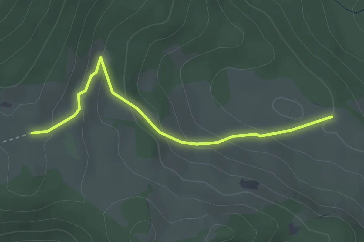
Easy · Trail
Gresson Bas – Gresson Moyen
2.8 km · ↑ 166 m · 1 h 2 min
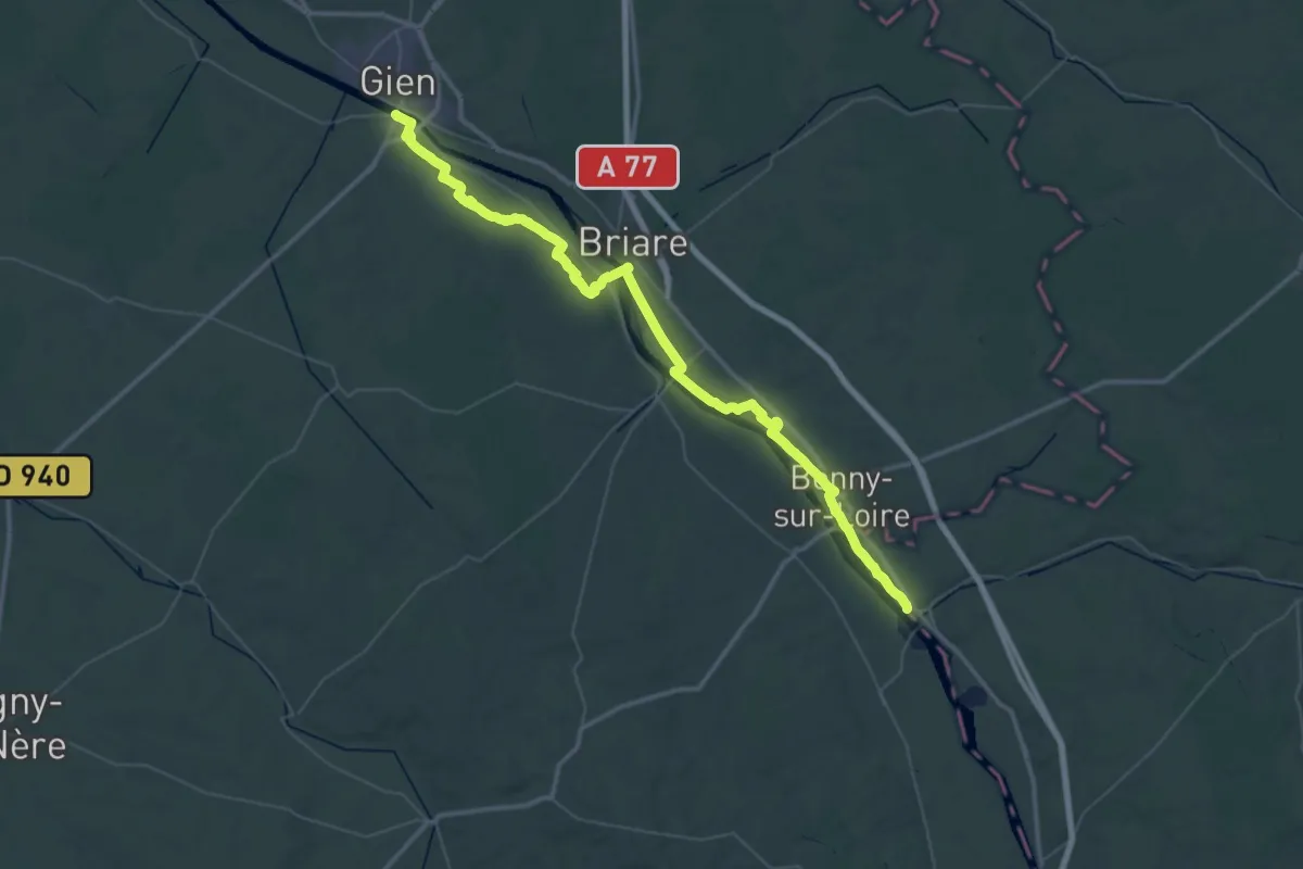
Demanding · Trail
Gien – La Charité-sur-Loire
31.2 km · ↑ 156 m · 8 h 8 min
Easy · Trail
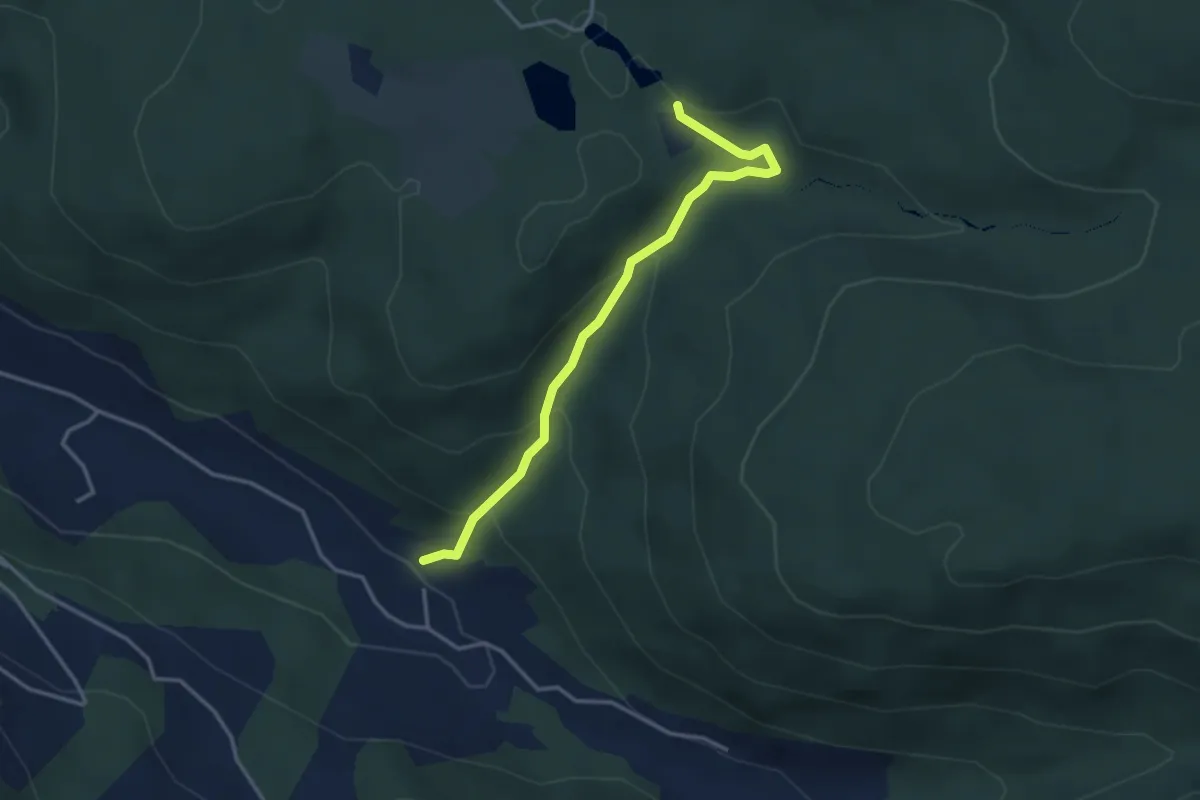
Reherrey – Etang de la Besace
3.3 km · ↑ 198 m · 1 h 13 min
Demanding · Trail
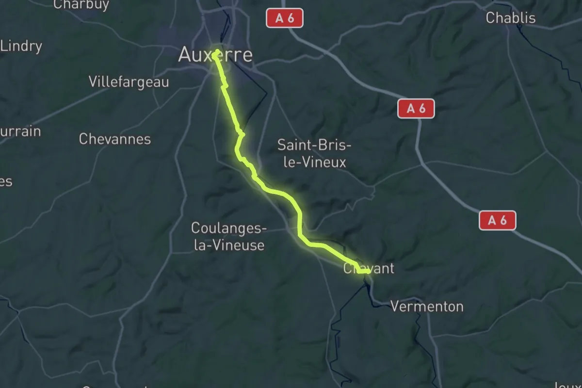
Auxerre – Cravant
18.8 km · ↑ 109 m · 4 h 56 min
Demanding · Trail
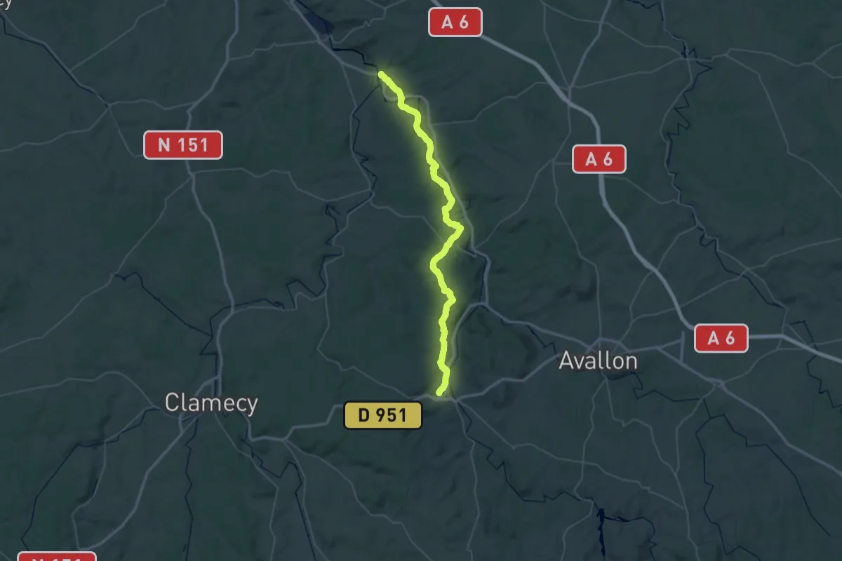
Cravant – Vézelay
30.9 km · ↑ 734 m · 9 h 14 min
Medium · Trail
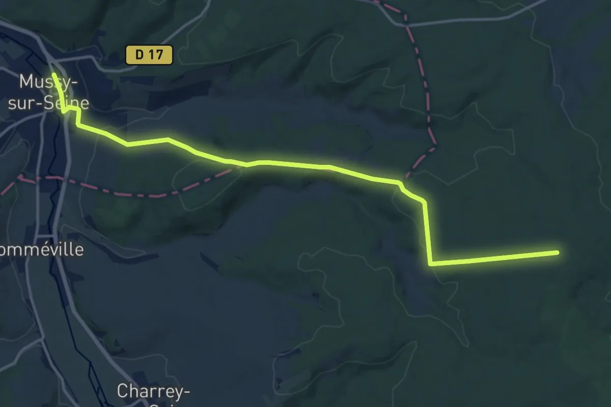
Chanceaux – Mussy-sur-Seine
15.0 km · ↑ 264 m · 4 h 6 min
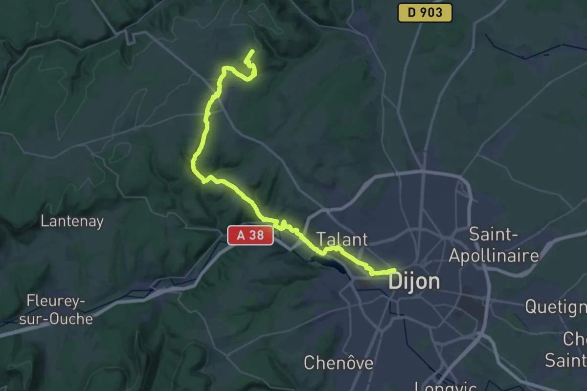
Demanding · Trail
Dijon – La Vaseraie
18.1 km · ↑ 611 m · 5 h 43 min
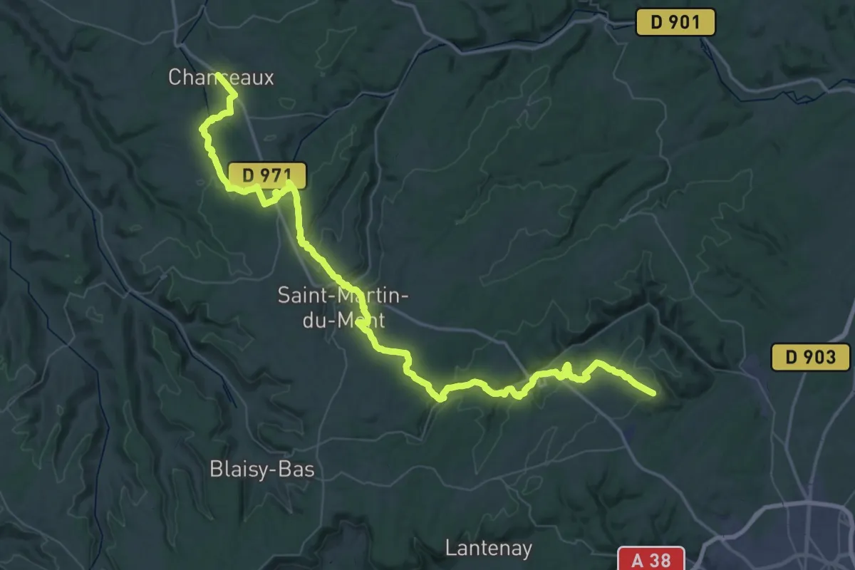
Demanding · Trail
La Vaseraie – Chanceaux
36.6 km · ↑ 784 m · 10 h 53 min
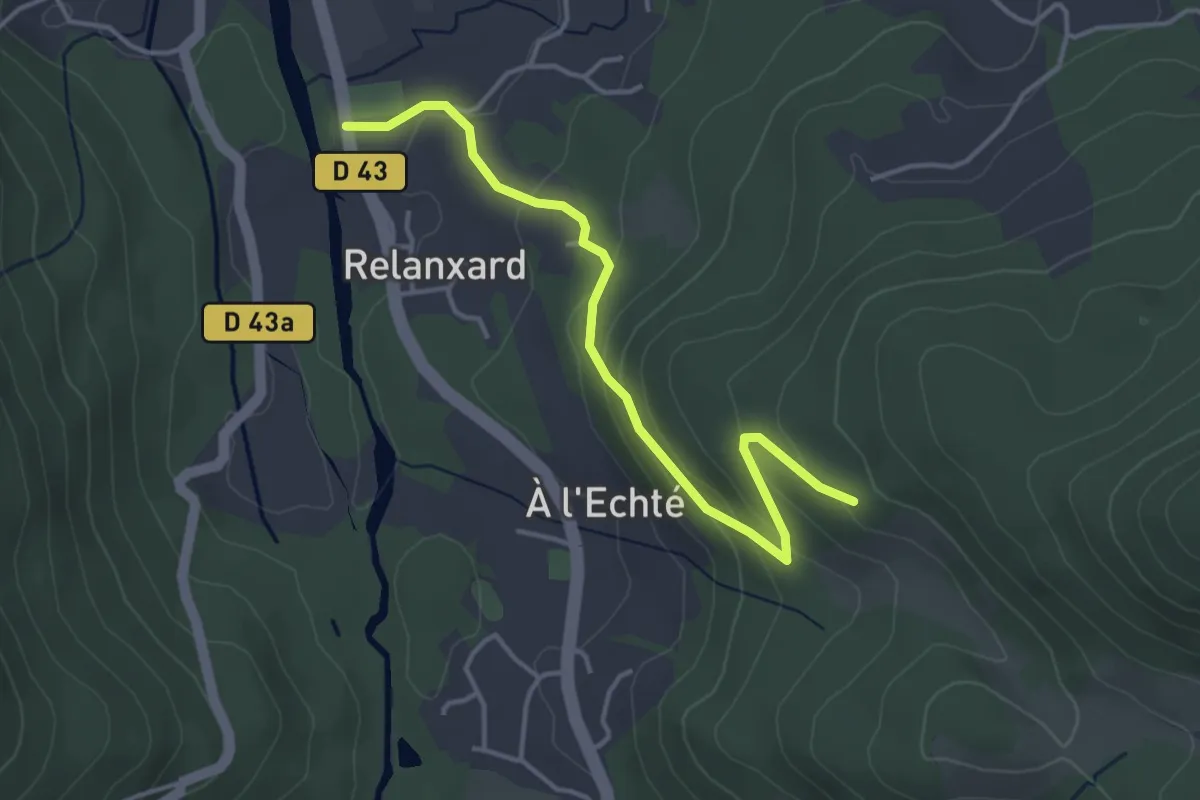
Easy · Trail
Le Septieux – Les Basses Rappailles
3.9 km · ↑ 179 m · 1 h 18 min
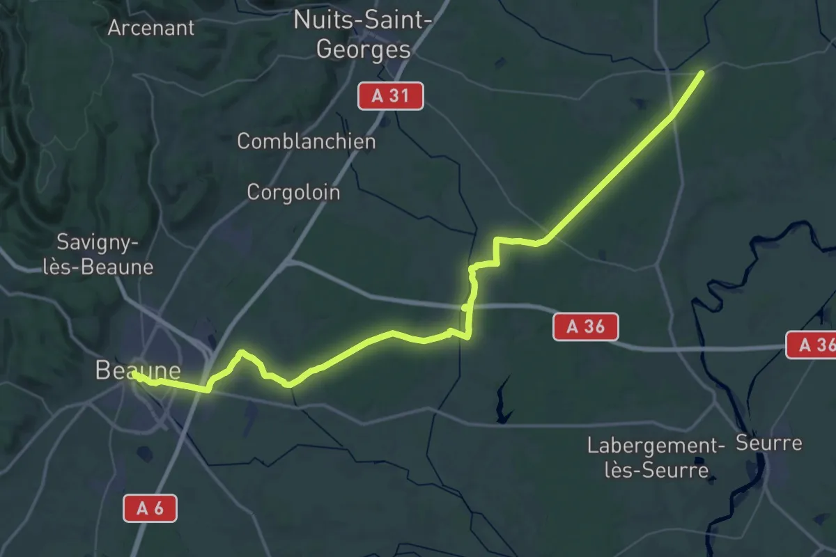
Demanding · Trail
Cîteaux – Beaune
30.1 km · ↑ 180 m · 7 h 55 min
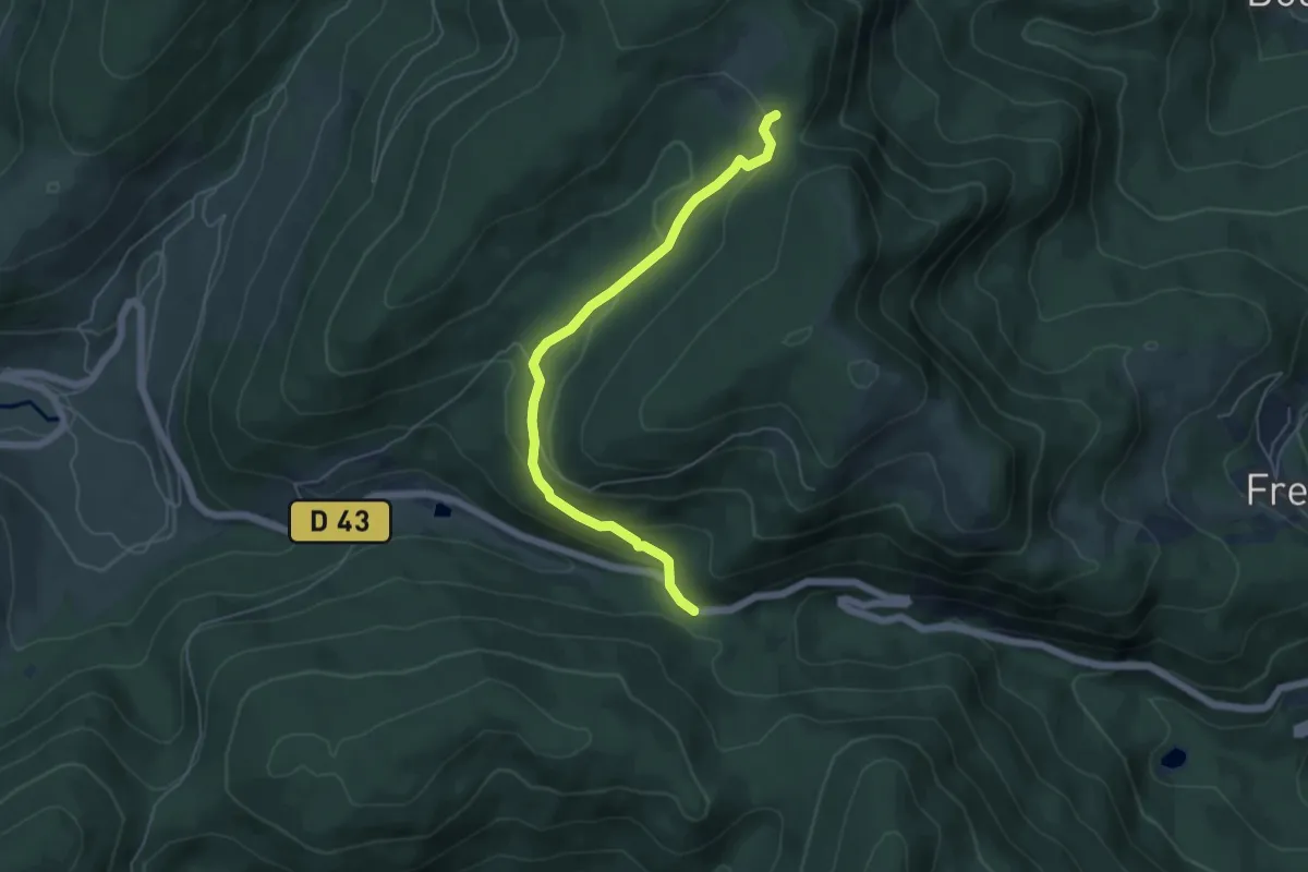
Easy · Trail
Col d’Oderen – GR 531
5.2 km · ↑ 196 m · 1 h 40 min
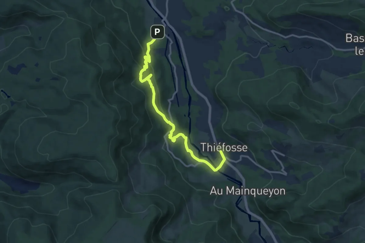
Demanding · Trail
Zainvillers – Thiéfosse
9.7 km · ↑ 433 m · 3 h 14 min
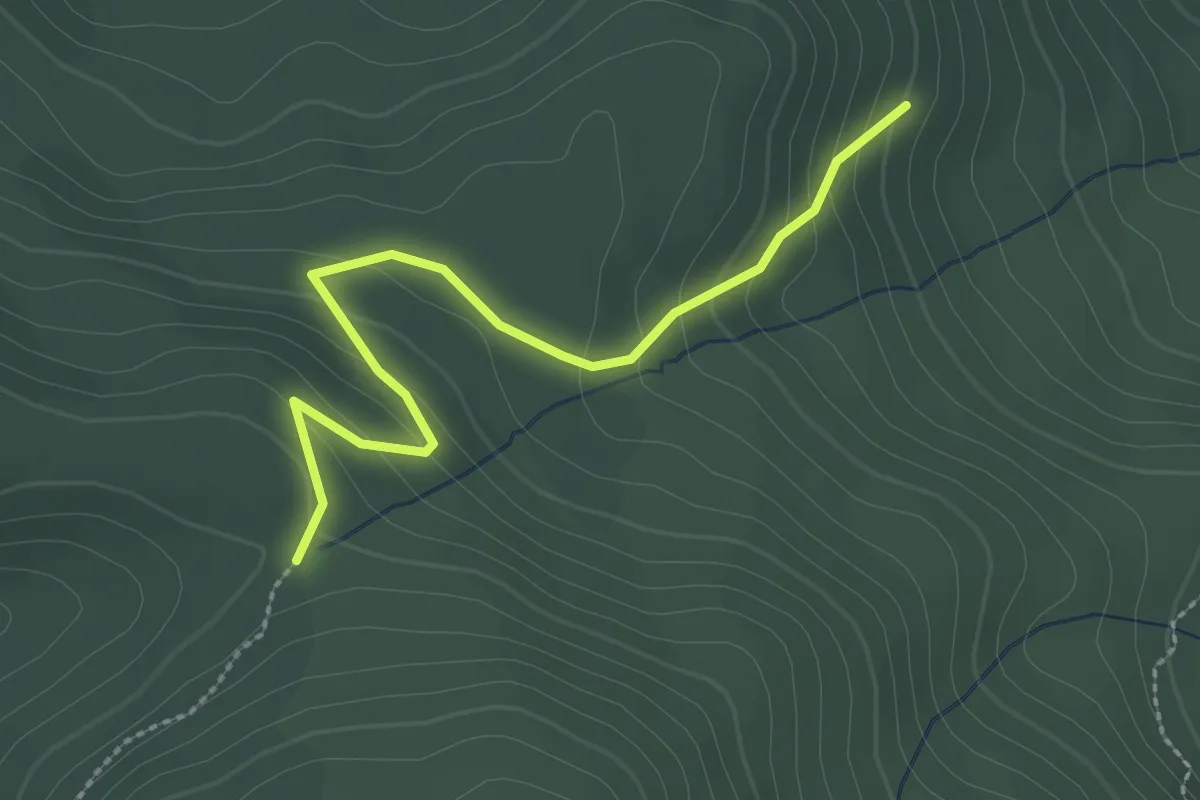
Easy · Trail
Col de Longeroye – Les Pennecières
2.7 km · ↑ 169 m · 1 h
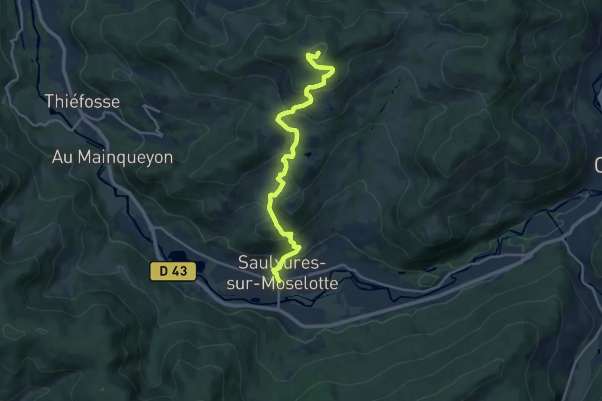
Medium · Trail
Saulxures sur Moselotte – Haut du Roc
10.7 km · ↑ 608 m · 3 h 51 min
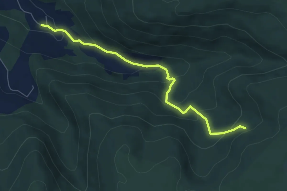
Easy · Trail
Réherrey – Chalet de la Vrille
5.4 km · ↑ 292 m · 1 h 54 min
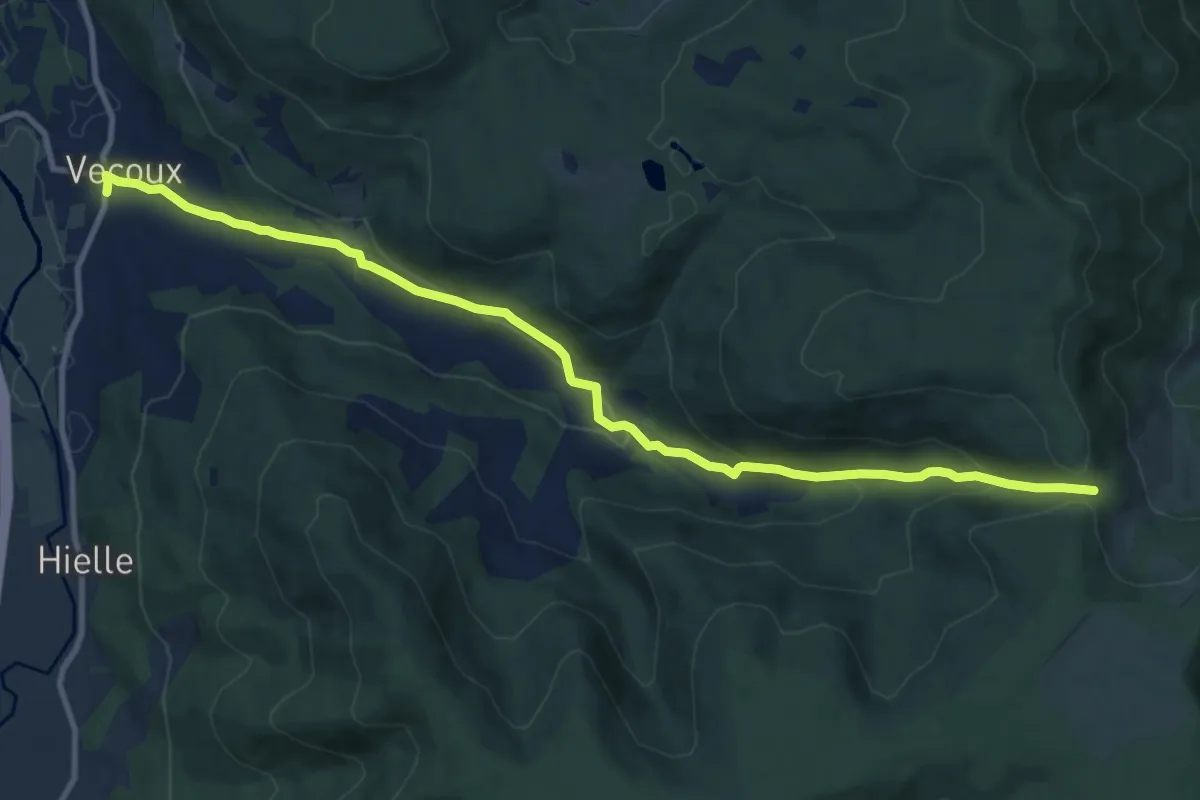
Medium · Trail
Vecoux – Col de Xiard
11.6 km · ↑ 462 m · 3 h 45 min
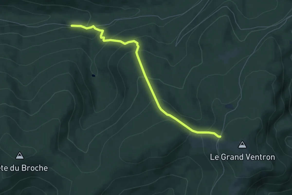
Medium · Cabin
Les Écharges – Auberge du Grand Ventron
5.8 km · ↑ 414 m · 2 h 16 min
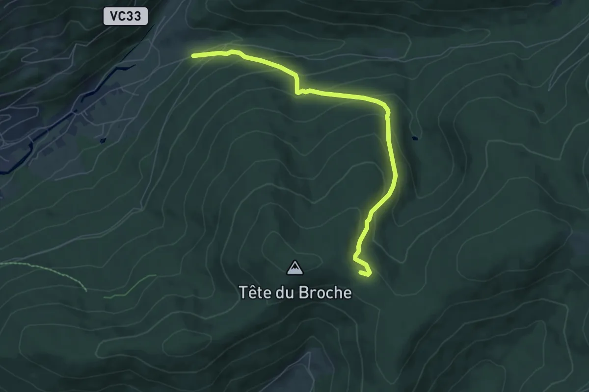
Medium · Trail
Route de l'Envers – Col de la place de bois
3.4 km · ↑ 438 m · 1 h 34 min
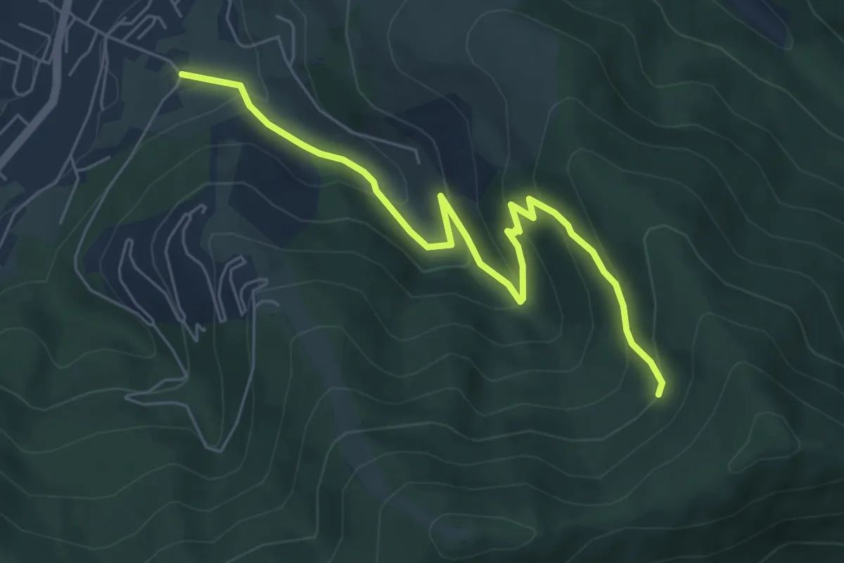
Medium · Trail
Le Breuil – Chalet des Crêtes
6.3 km · ↑ 382 m · 2 h 18 min
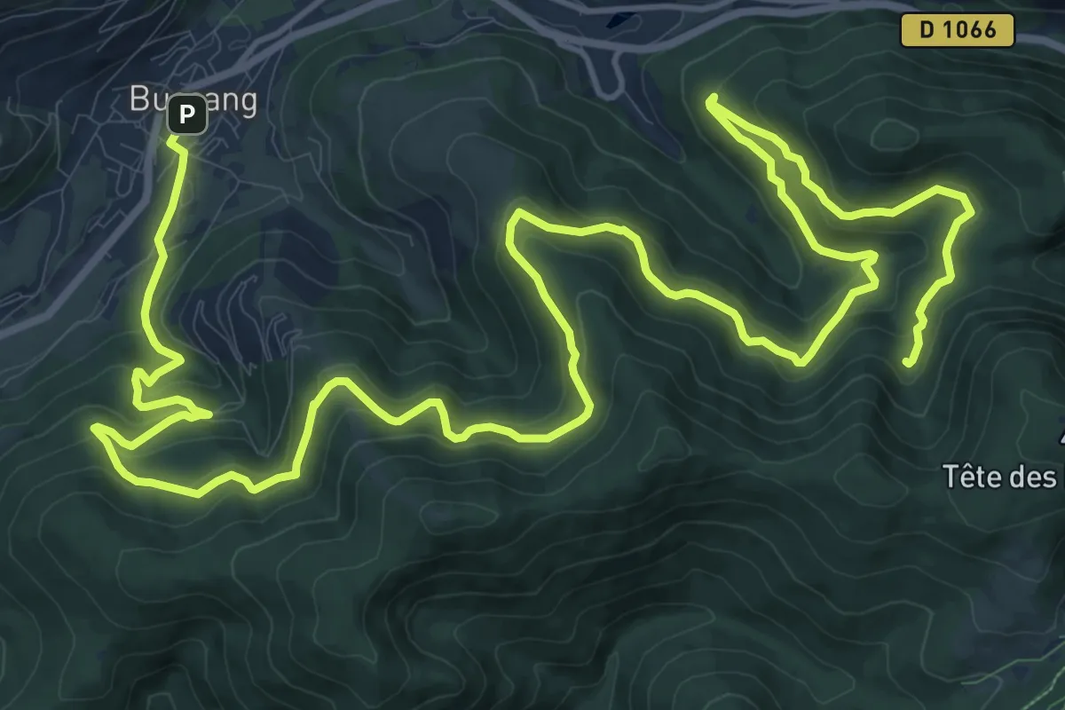
Medium · Trail
Bussang – GR 531
12.6 km · ↑ 747 m · 4 h 36 min
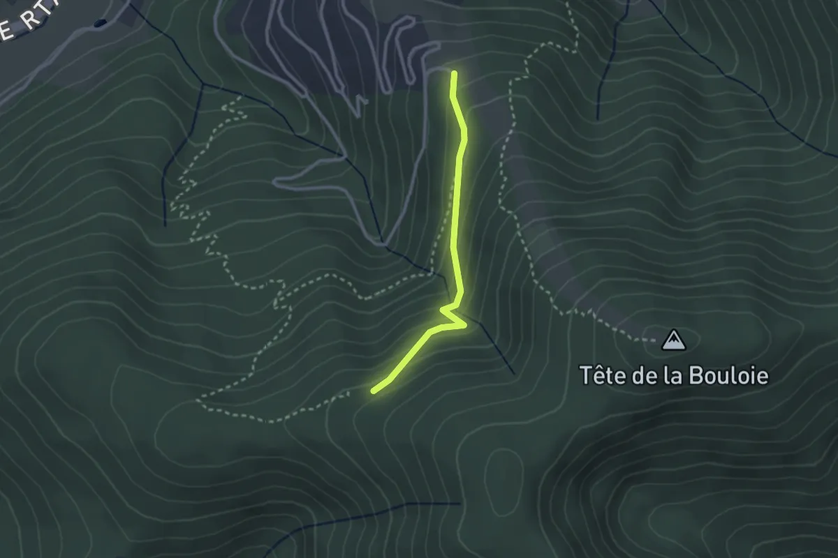
Easy · Trail
Plain de la Bouloie – Disque jaune
2.2 km · ↑ 157 m · 52 min
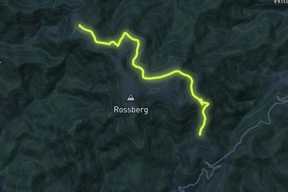
Medium · Trail
Martisplatz – Belacker
13.5 km · ↑ 670 m · 4 h 38 min
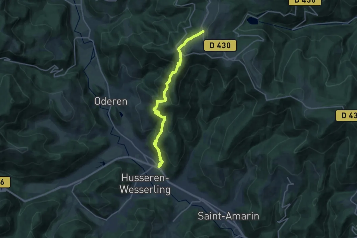
Demanding · Trail
Wesserling – GR5
14.1 km · ↑ 892 m · 5 h 15 min
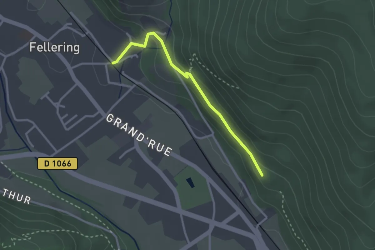
Easy · Trail
Fellering – GR5
2.4 km · ↑ 80 m · 44 min
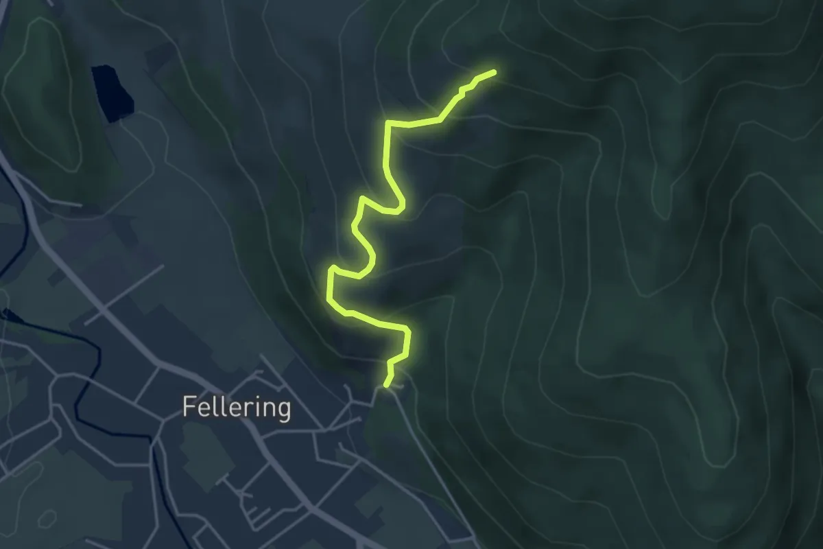
Easy · Trail
Fellering – Rouge blanc rouge
3.6 km · ↑ 319 m · 1 h 32 min
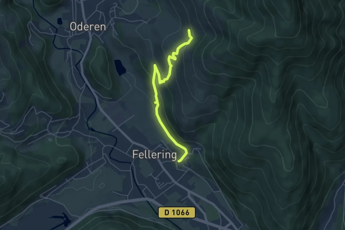
Easy · Trail
Fellering – Hensvachlech
5.0 km · ↑ 243 m · 1 h 42 min
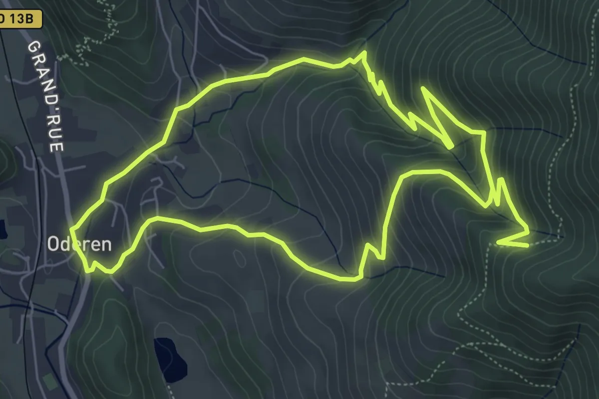
Medium · Trail
Oderen – Oderen
6.3 km · ↑ 441 m · 2 h 30 min
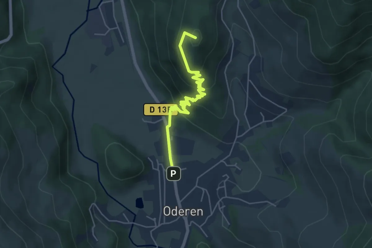
Easy · Summit
Oderen – Triangle rouge
4.4 km · ↑ 229 m · 1 h 32 min
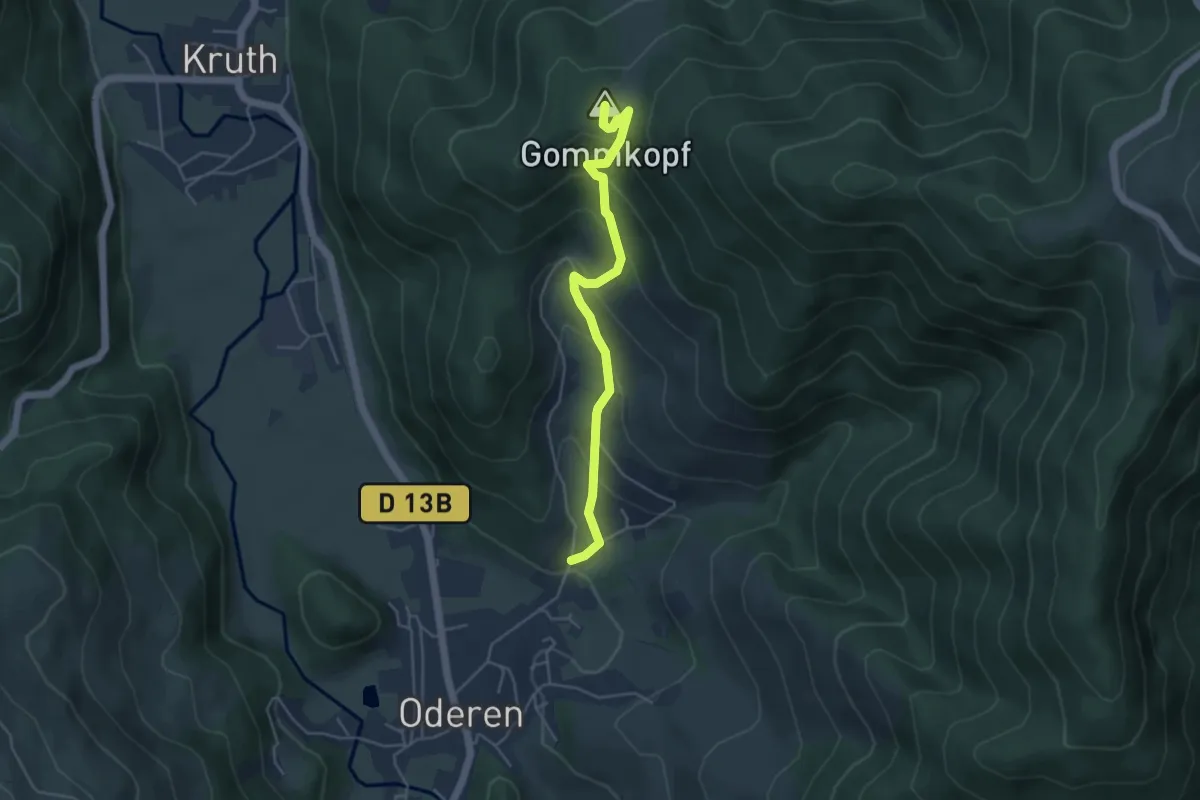
Medium · Summit
Oderen – Uhufels
4.4 km · ↑ 344 m · 1 h 47 min
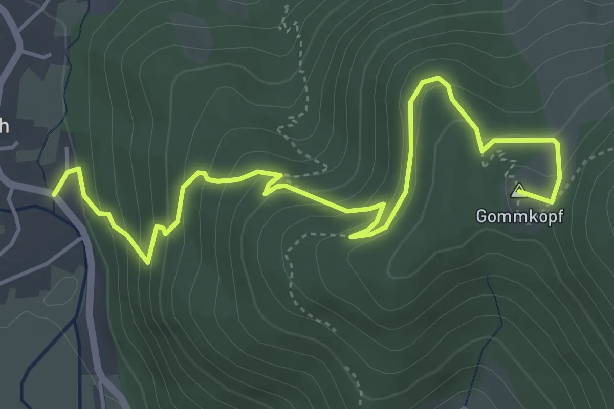
Medium · Summit
Kruth – Le Treh
5.2 km · ↑ 349 m · 1 h 59 min
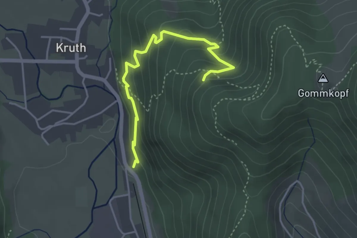
Easy · Trail
Kruth – Triangle rouge
3.6 km · ↑ 236 m · 1 h 22 min
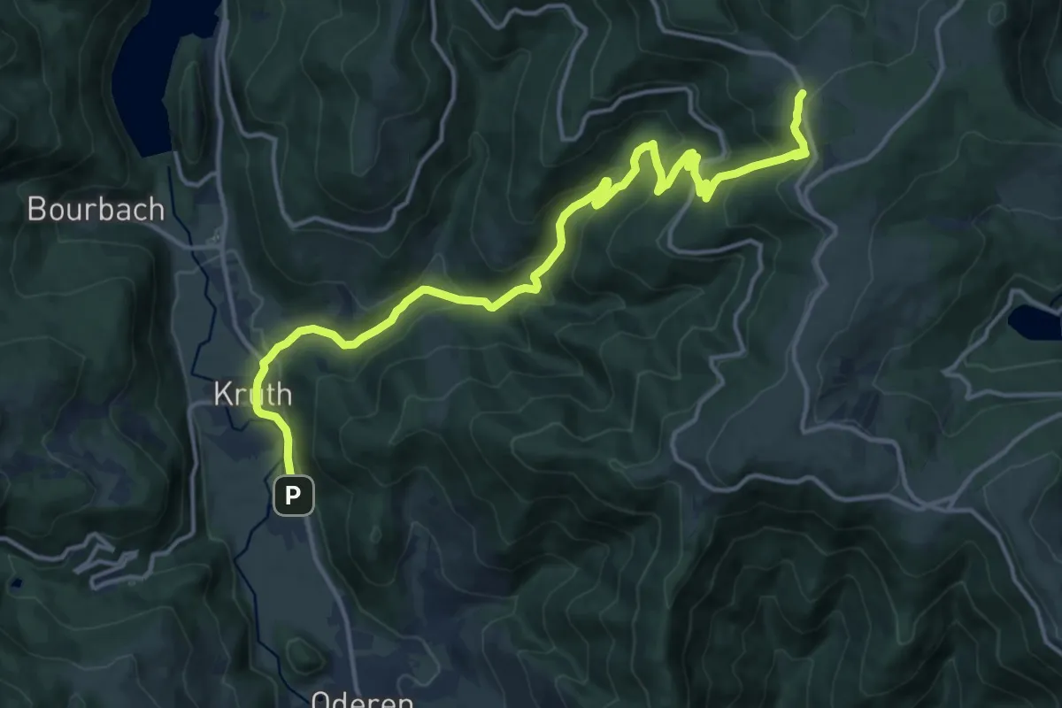
Medium · Trail
Kruth – GR5
16.7 km · ↑ 786 m · 5 h 39 min
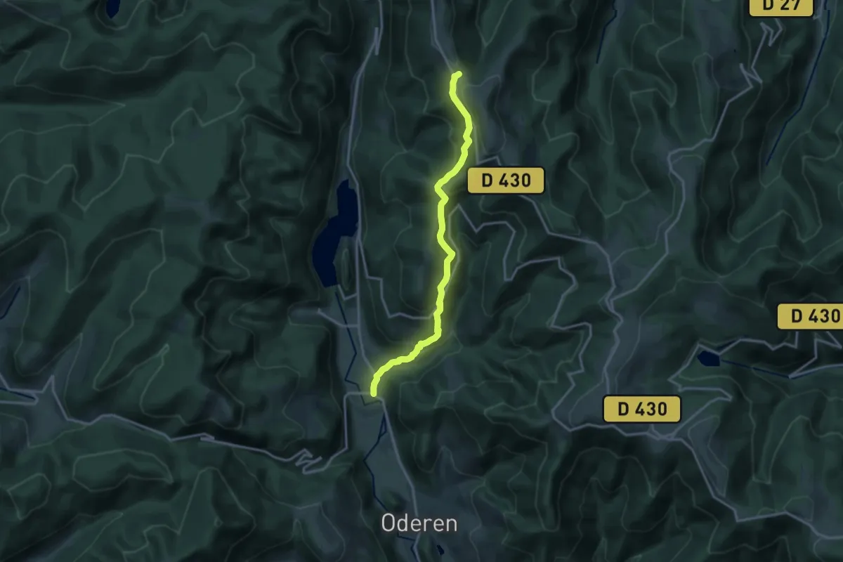
Medium · Trail
Kruth – Col du Herrenberg
13.9 km · ↑ 746 m · 4 h 54 min
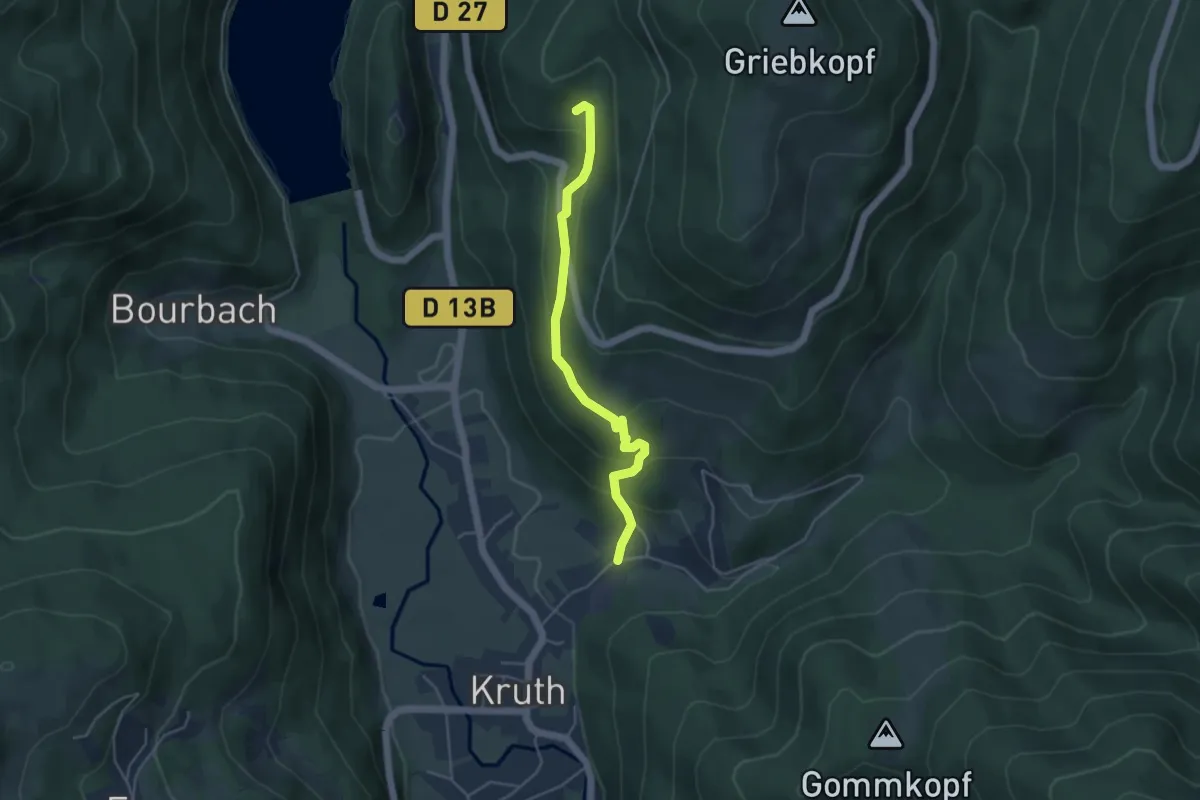
Easy · Trail
Kruth – Hexenleh
4.2 km · ↑ 242 m · 1 h 31 min
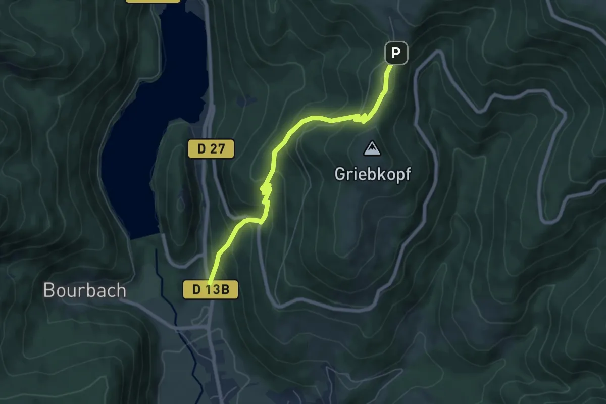
Medium · Trail
D 13b – Schafert
6.0 km · ↑ 451 m · 2 h 23 min
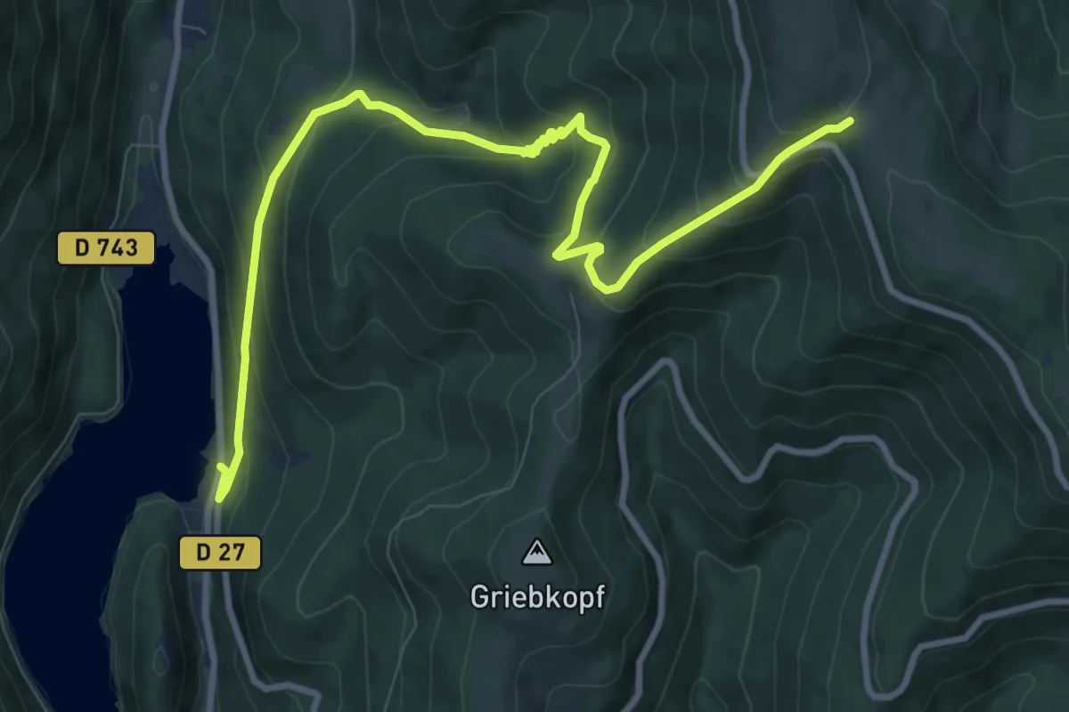
Medium · Trail
Lac de Kruth-Wildenstein – GR5
10.6 km · ↑ 677 m · 3 h 58 min
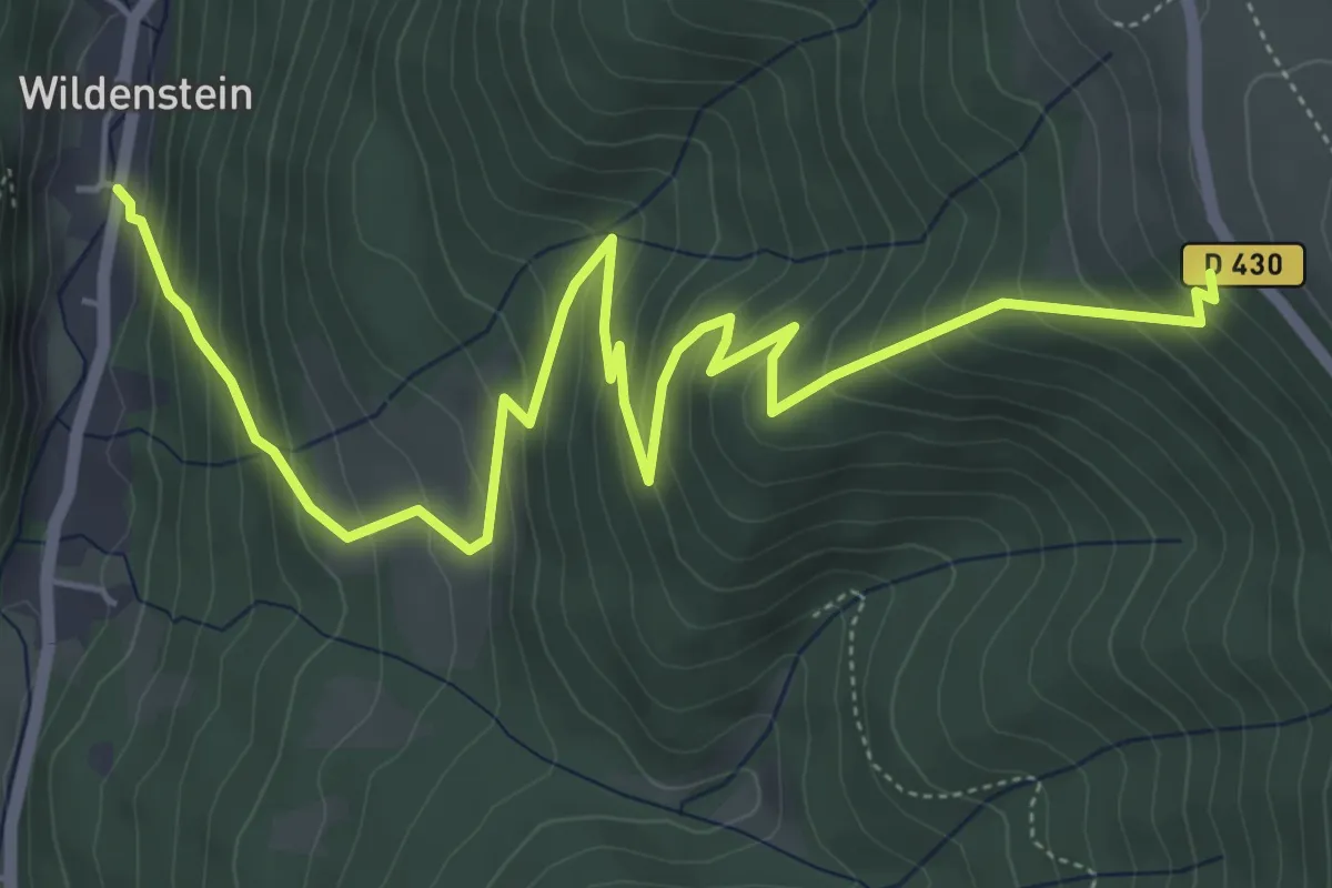
Medium · Cabin
Wildenstein – Le Huss
7.2 km · ↑ 590 m · 2 h 59 min
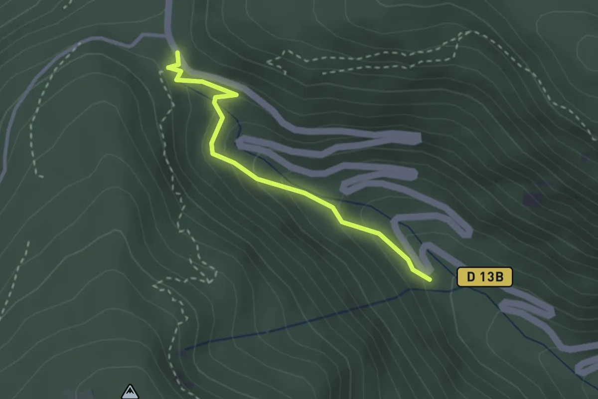
Demanding · Trail
Wildenstein – Col du Bramont
2.4 km · ↑ 155 m · 54 min