Trails in France
15,926 hiking trails, each with its route, climb, walking time and grade.
All trails, page 296 of 332
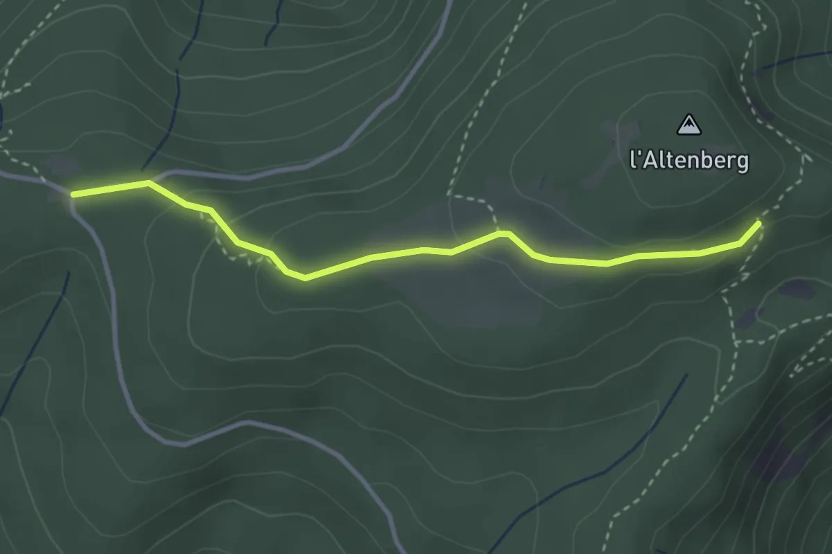
Easy · Cabin
Col de la Vierge – GR531
3.0 km · ↑ 99 m · 56 min
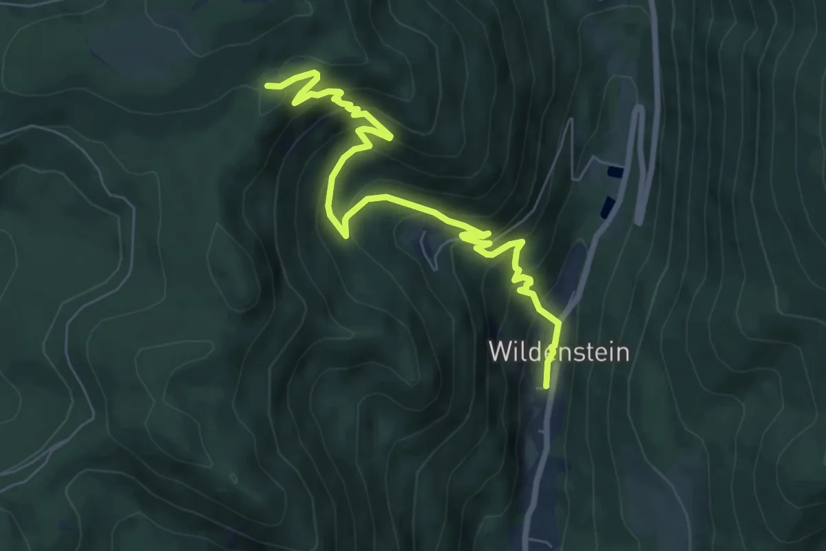
Medium · Trail
Wildenstein – GR531
7.4 km · ↑ 551 m · 2 h 57 min
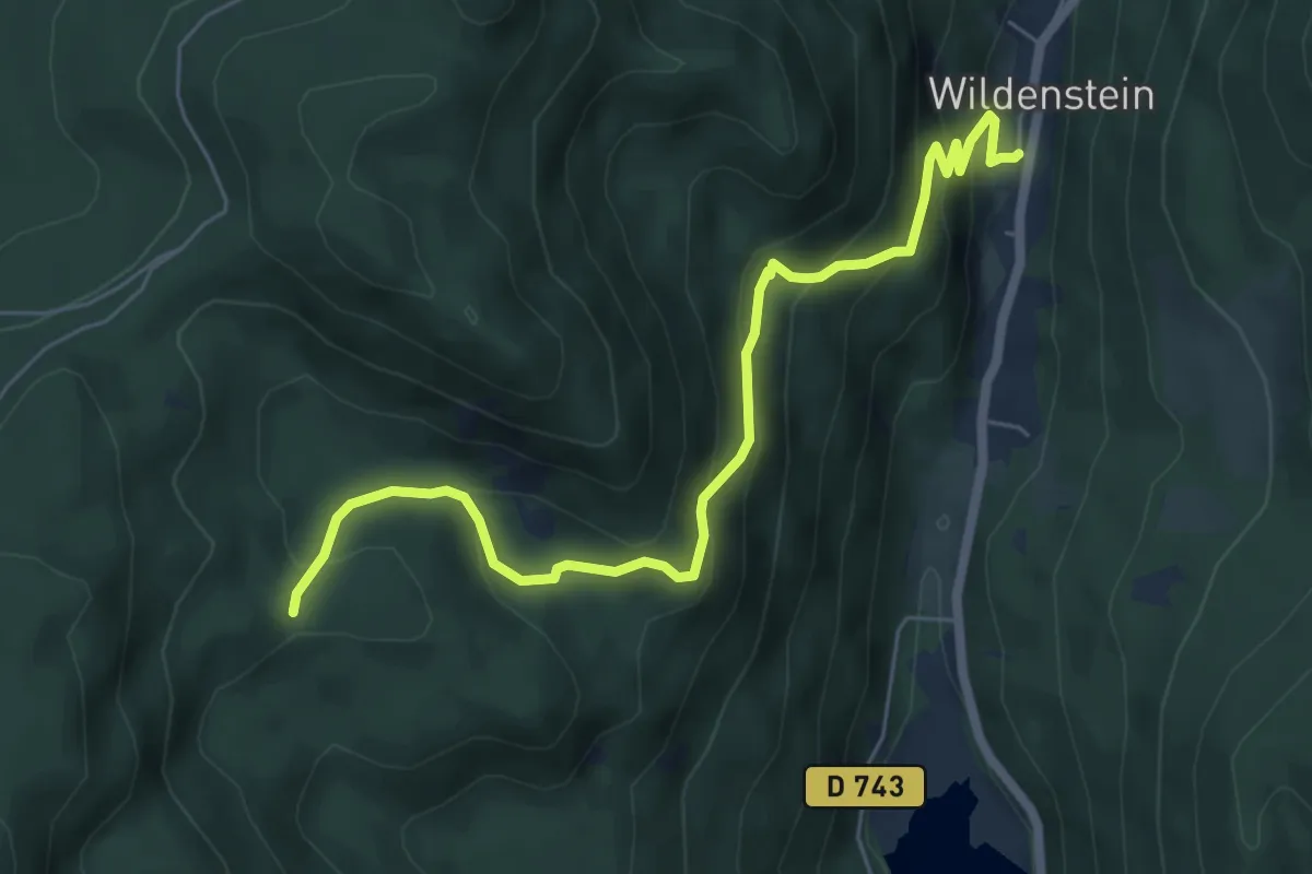
Medium · Trail
Wildenstein – triangle rouge
6.5 km · ↑ 408 m · 2 h 25 min
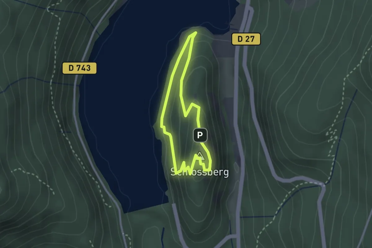
Easy · Summit
Lac de Kruth Wildenstein – Lac de Kruth Wildenstein
2.0 km · ↑ 132 m · 47 min
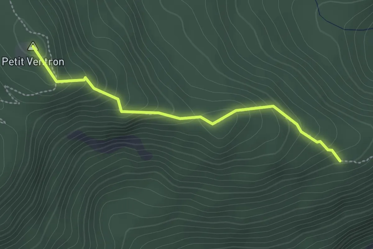
Easy · Summit
Barrage de Kruth Wildenstein – GR531
2.5 km · ↑ 187 m · 59 min
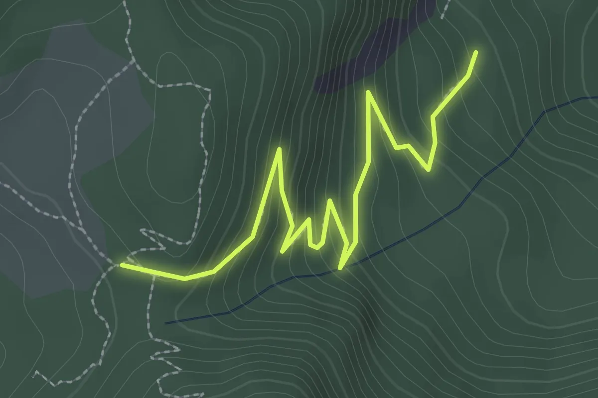
Easy · Trail
Camping Le Schossberg – Les Vintergés
3.0 km · ↑ 222 m · 1 h 11 min
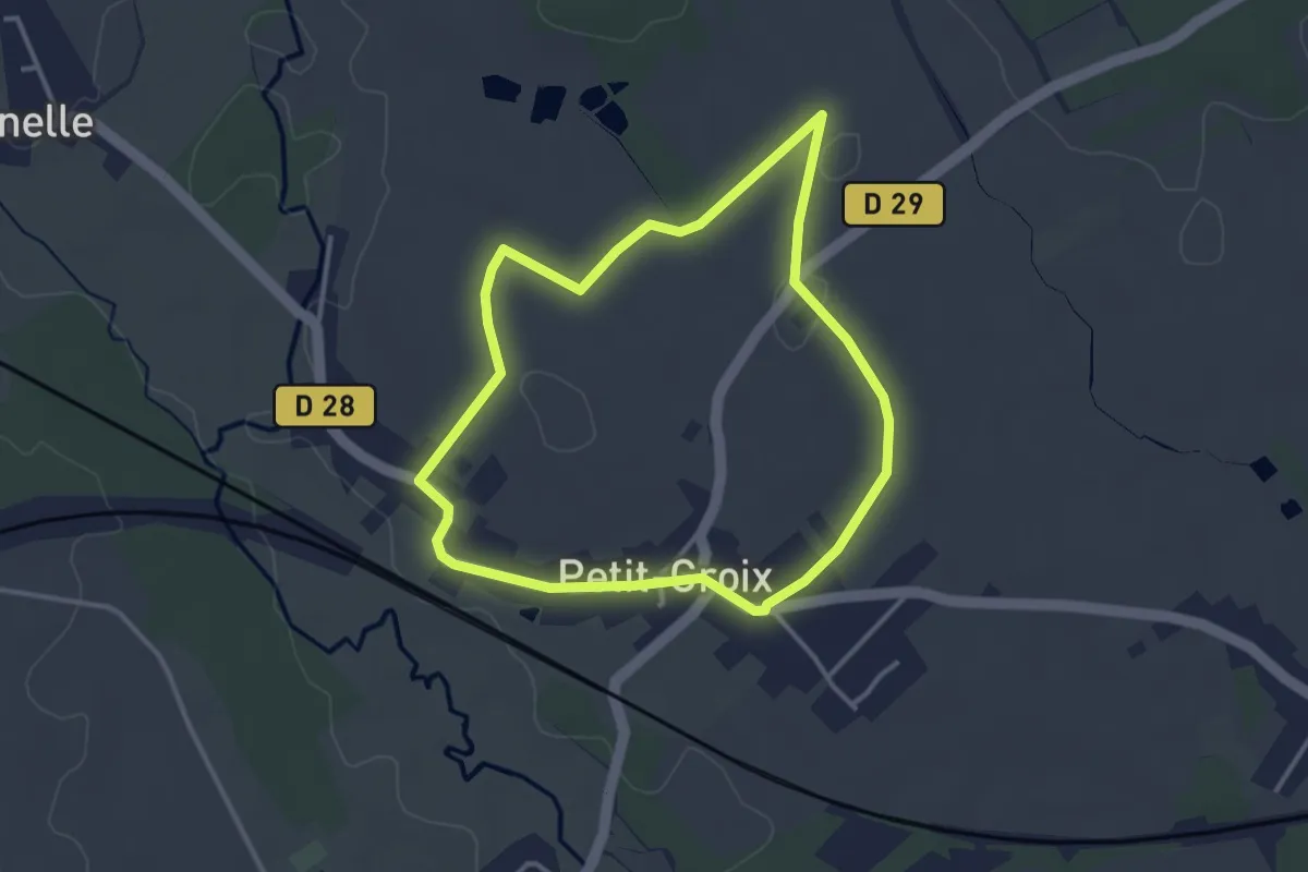
Easy · Trail
Petit-Croix – Petit-Croix
3.2 km · ↑ 17 m · 50 min
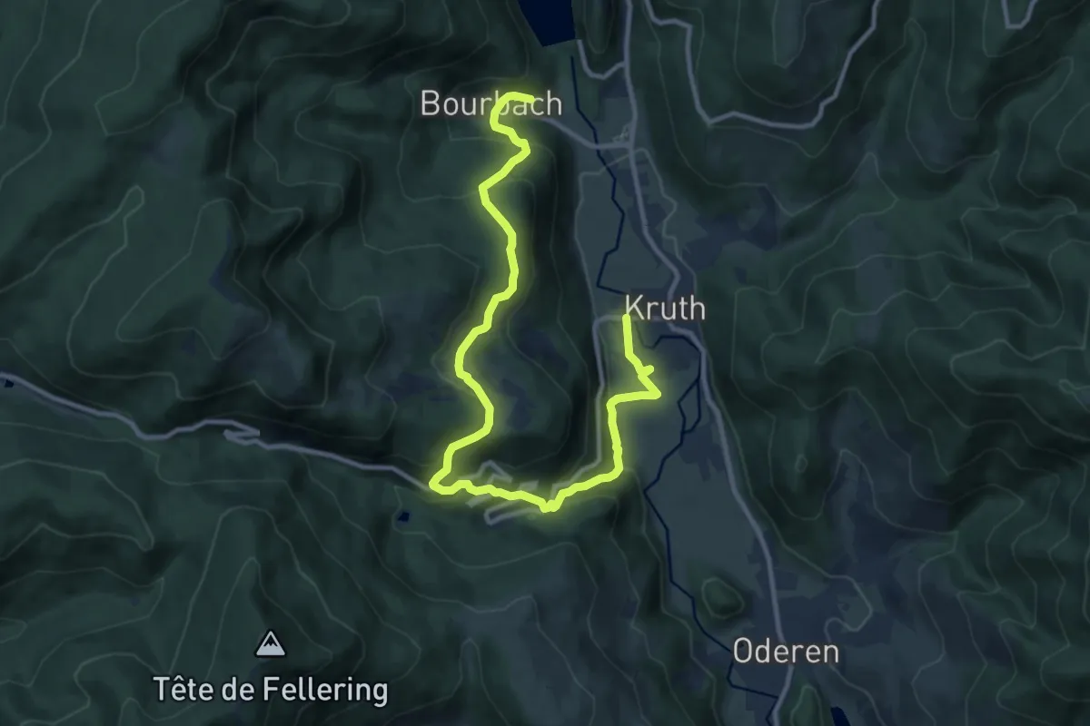
Medium · Trail
Kruth – Bourbach
13.1 km · ↑ 666 m · 4 h 33 min
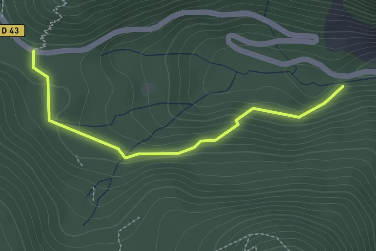
Easy · Trail
Chapelle Saint-Nicolas – Col d’Oderen
2.3 km · ↑ 106 m · 46 min
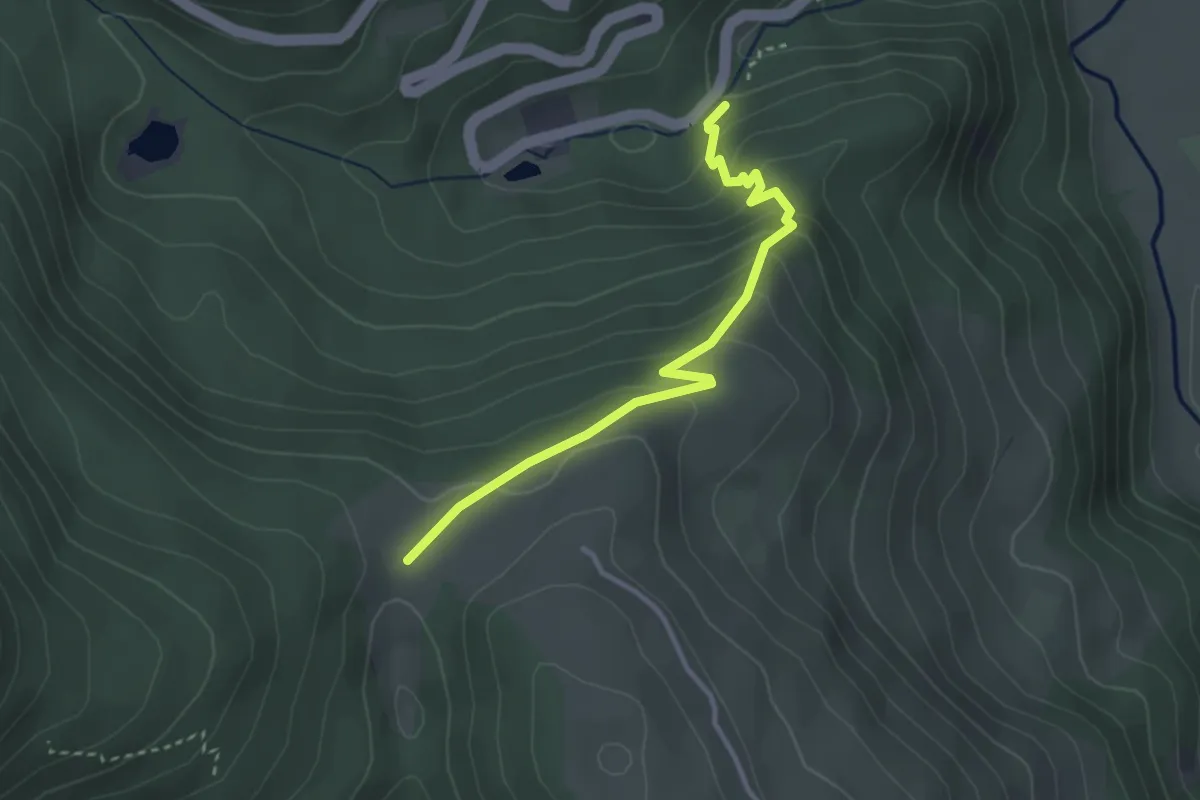
Easy · Trail
Chapelle Saint Nicolas – Triangle rouge
3.1 km · ↑ 204 m · 1 h 10 min
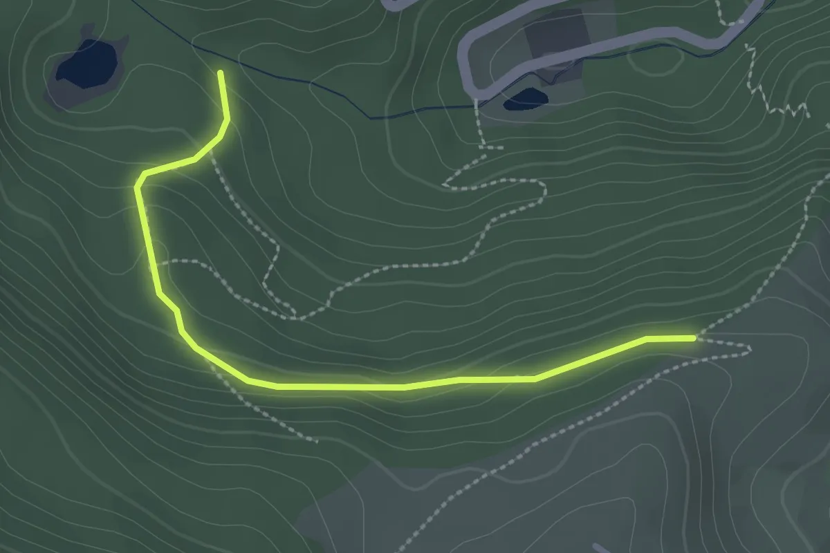
Easy · Trail
Chemin de la Werschmatt – Unterbergenbach
2.6 km · ↑ 115 m · 51 min
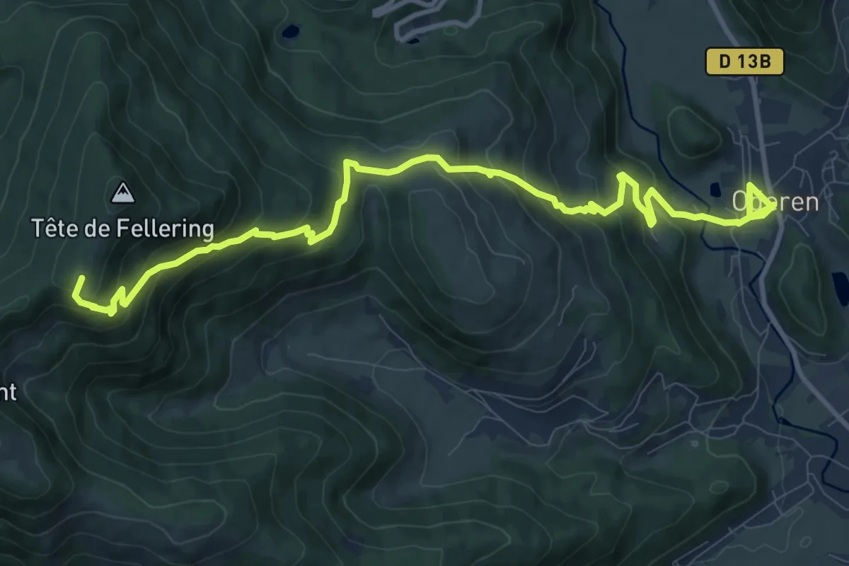
Medium · Summit
Oderen – GR531
12.0 km · ↑ 765 m · 4 h 30 min
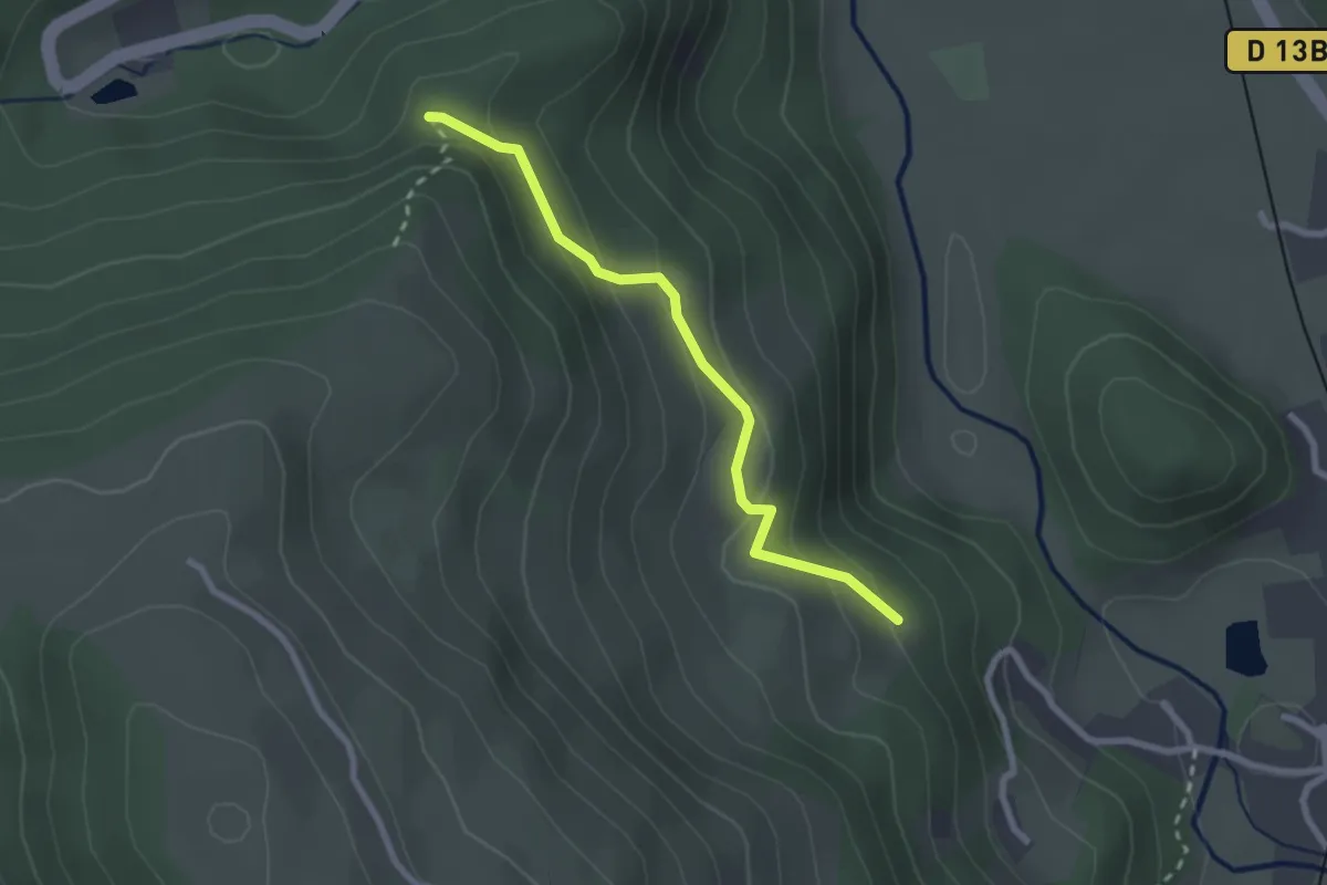
Easy · Trail
Triangle rouge – Disque jaune
2.3 km · ↑ 119 m · 48 min
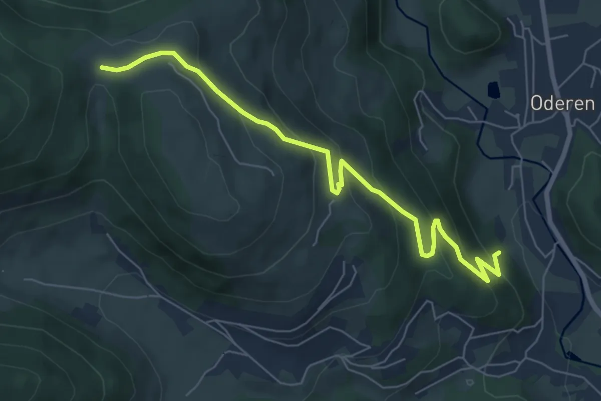
Medium · Trail
Oderen – Langenbach
6.3 km · ↑ 349 m · 2 h 15 min
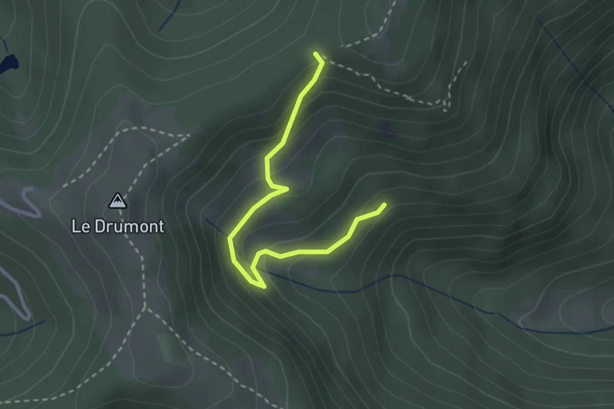
Easy · Trail
Fellering – GR531
2.6 km · ↑ 194 m · 1 h 2 min
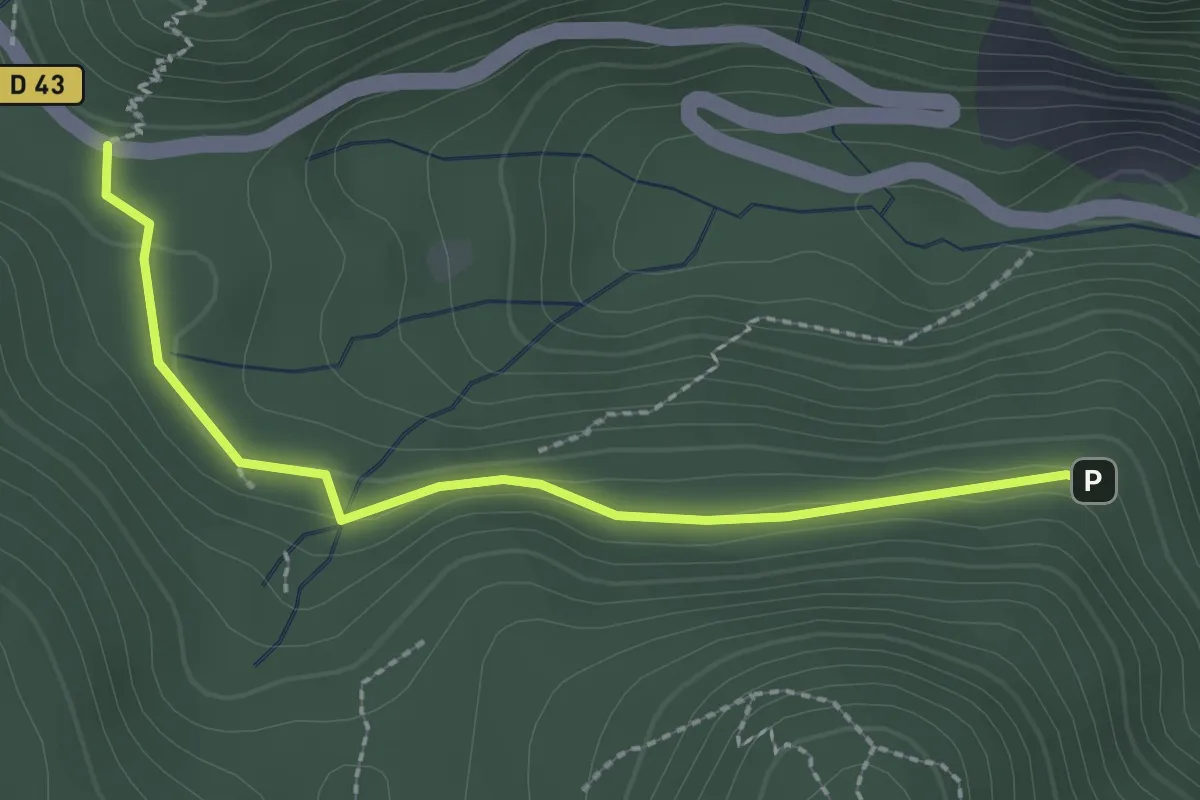
Easy · Trail
Langmatt – Col d’Oderen
2.4 km · ↑ 76 m · 43 min
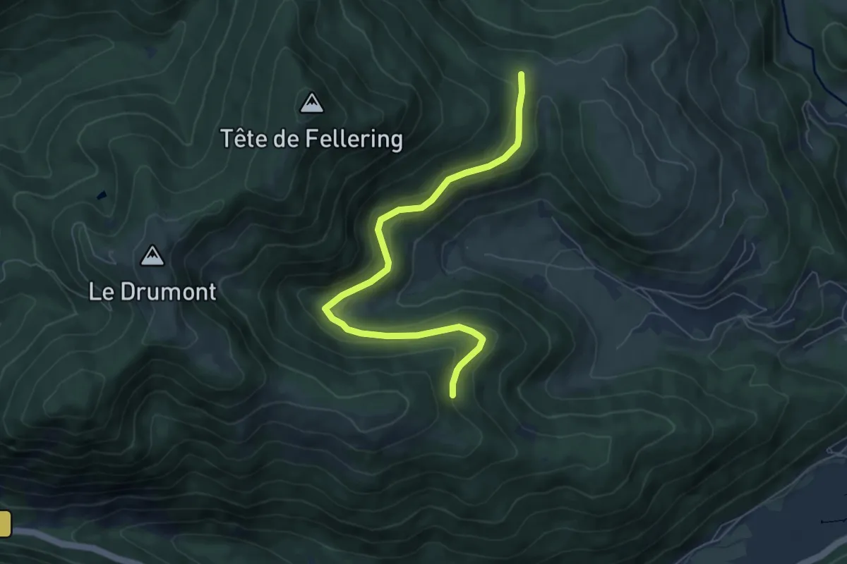
Easy · Trail
Langenbach – Batschinawald
6.8 km · ↑ 187 m · 2 h 1 min
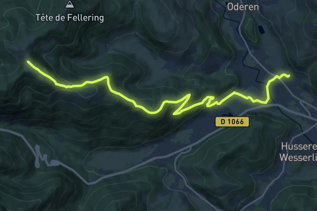
Medium · Trail
Fellering – Le Drumont
15.8 km · ↑ 752 m · 5 h 22 min
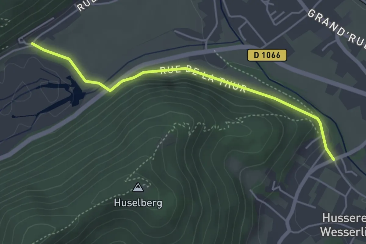
Easy · Trail
Wesserling – Drumont
3.9 km · ↑ 60 m · 1 h 2 min
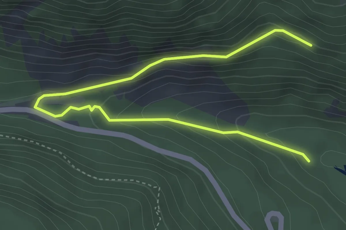
Easy · Trail
Urbès – Urbès
2.3 km · ↑ 0 m · 42 min
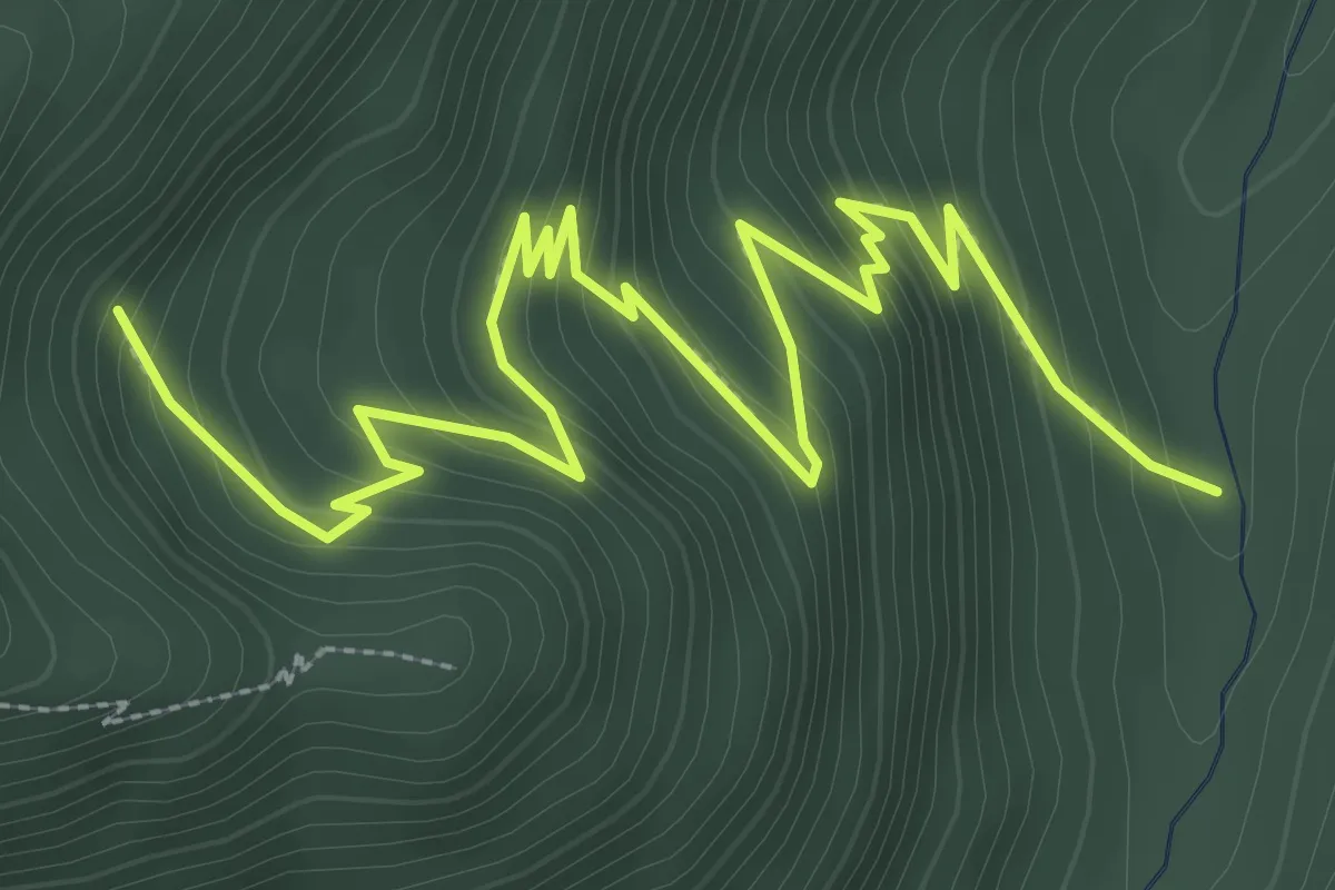
Medium · Trail
Bruckenbach – GR531
4.6 km · ↑ 347 m · 1 h 50 min
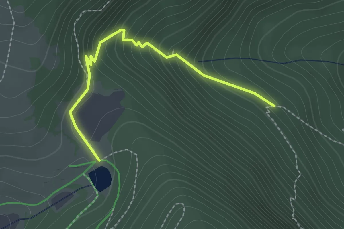
Medium · Trail
Disque rouge – GR531
2.1 km · ↑ 195 m · 55 min
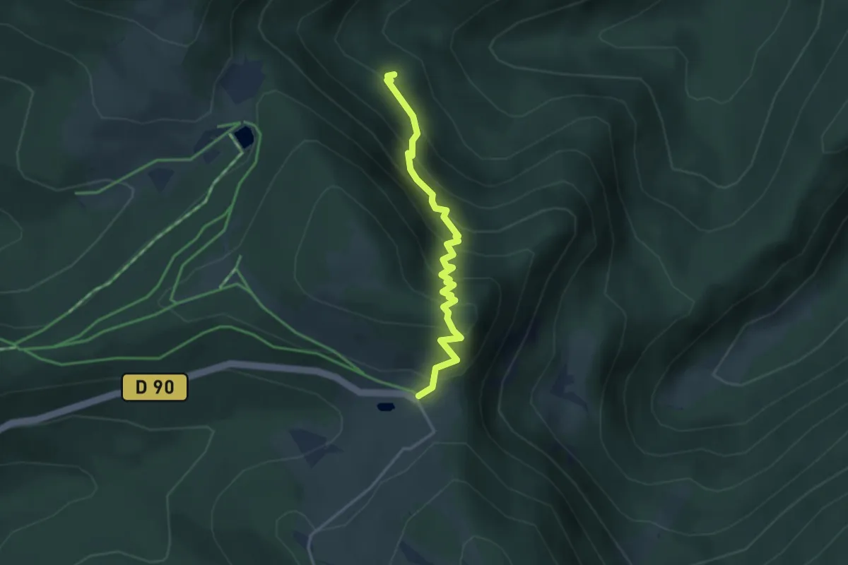
Medium · Trail
Triangle rouge – Rouge Gazon
3.1 km · ↑ 366 m · 1 h 32 min
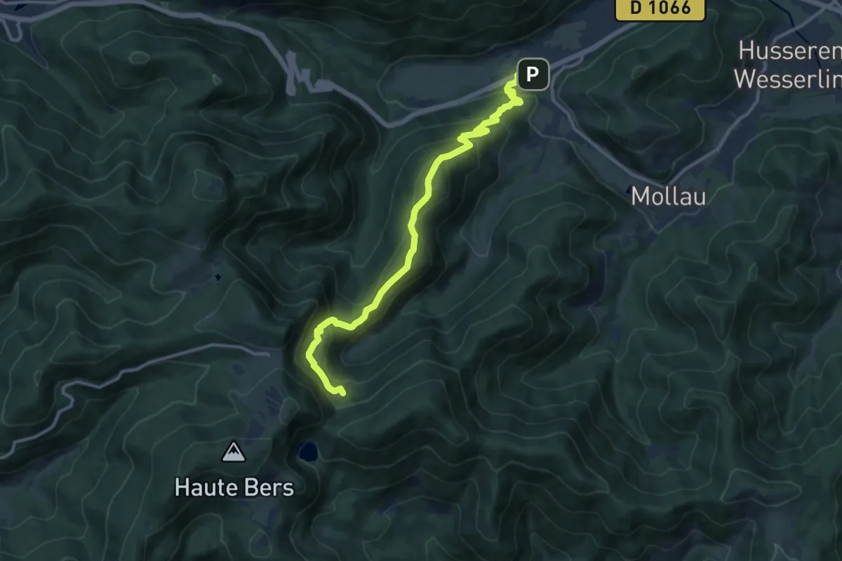
Medium · Trail
Urbès – Gazon vert
11.6 km · ↑ 734 m · 4 h 19 min
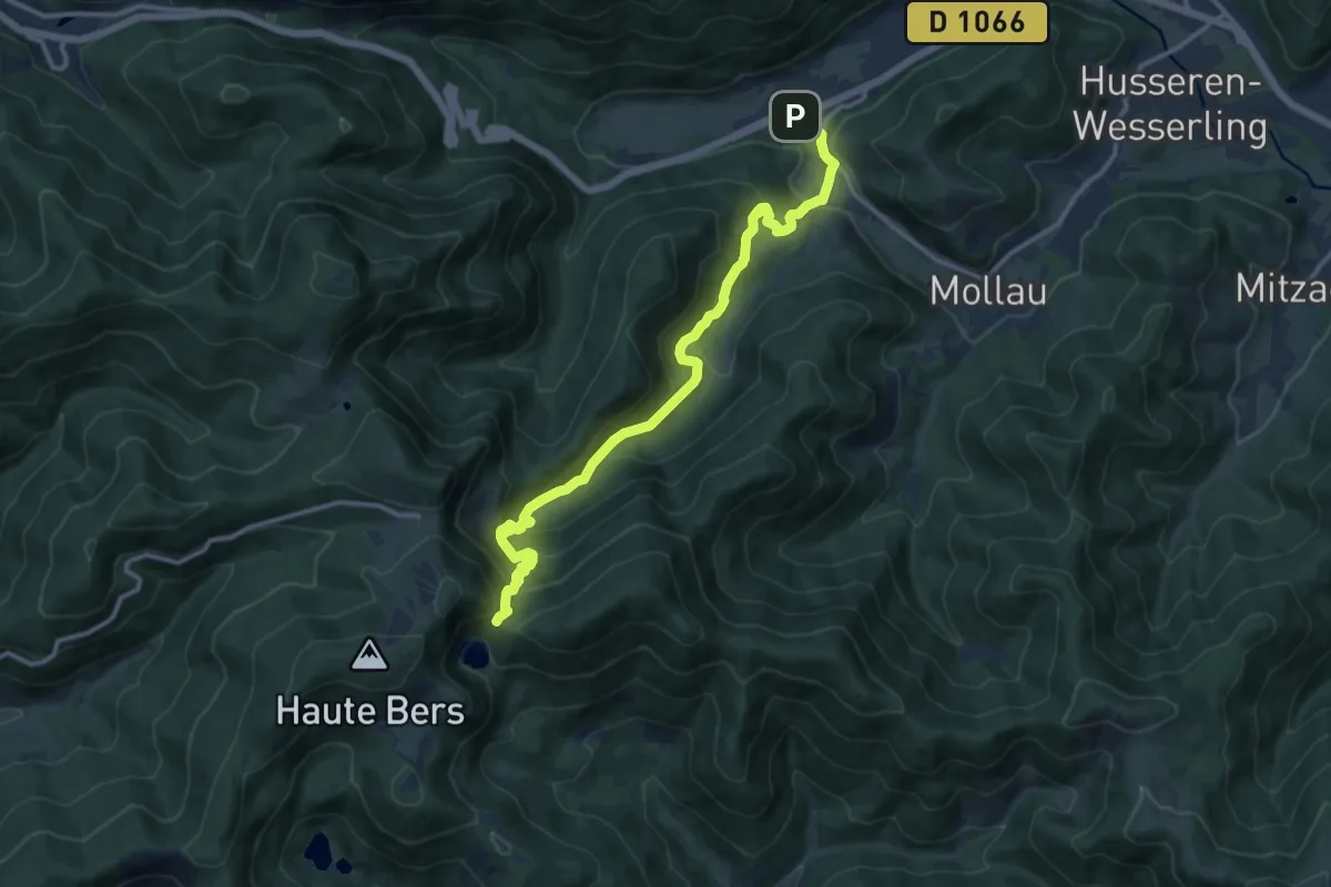
Medium · Trail
Urbès – GR5
13.4 km · ↑ 796 m · 4 h 53 min
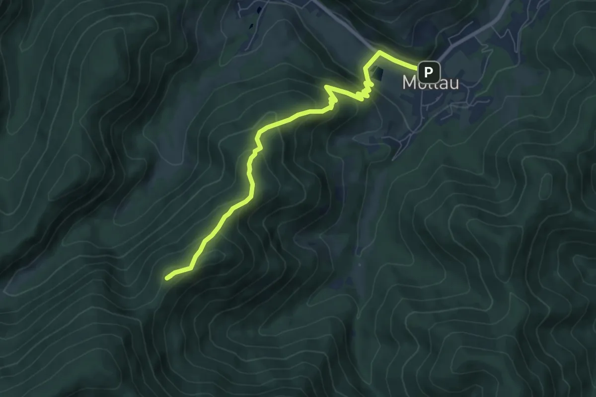
Medium · Summit
Mollau – Col des Perches
7.5 km · ↑ 503 m · 2 h 52 min
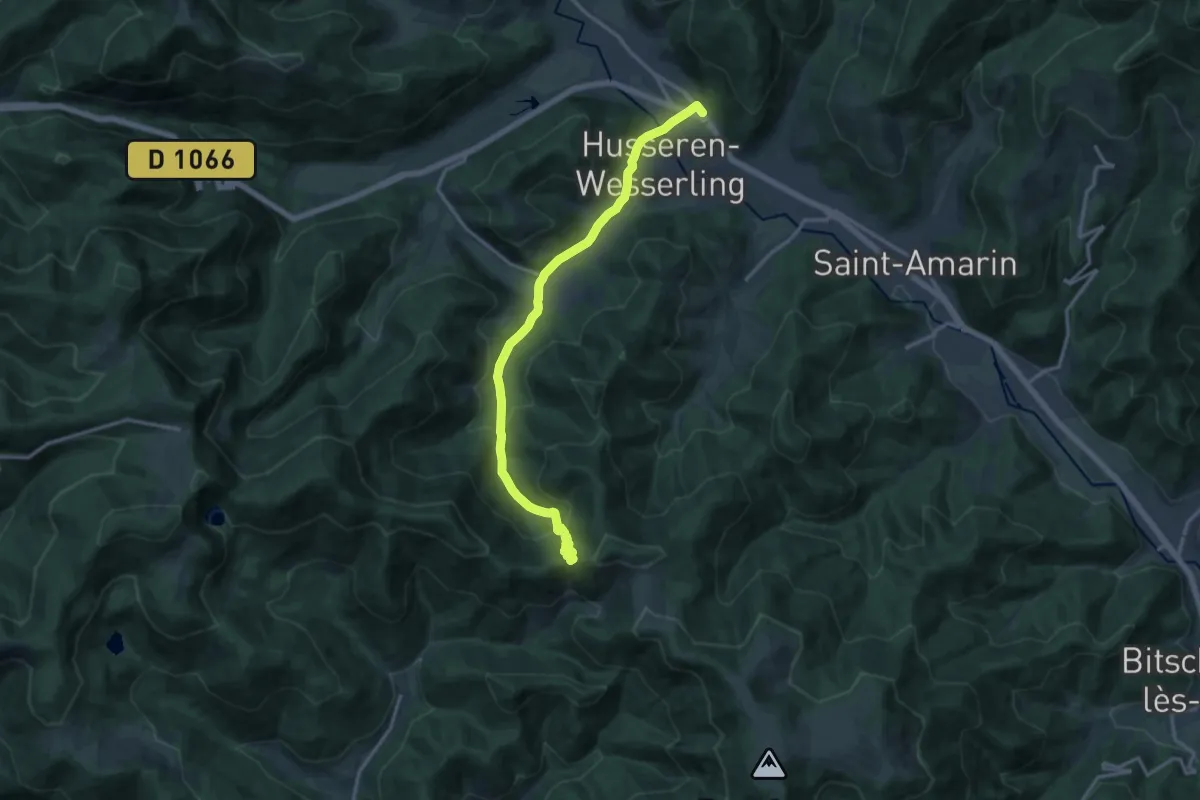
Medium · Trail
Wesserling – Col de Rimbach
14.7 km · ↑ 551 m · 4 h 41 min
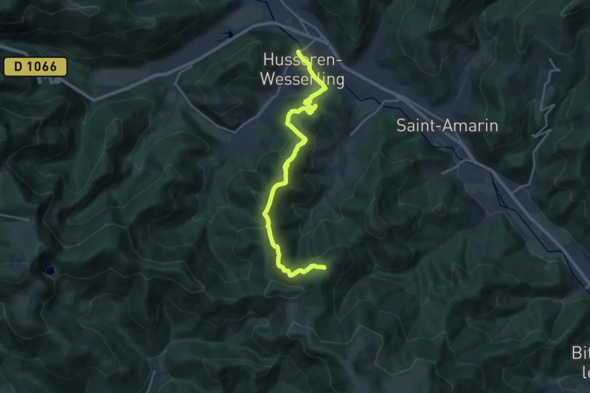
Demanding · Trail
Wesserling – GR532
15.5 km · ↑ 819 m · 5 h 26 min
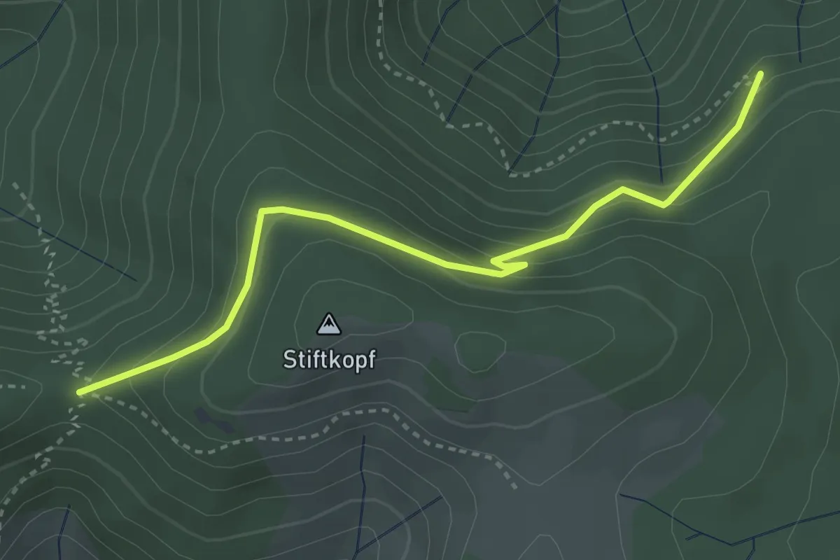
Easy · Trail
Rouge blanc rouge – Col de Rimbach
3.5 km · ↑ 242 m · 1 h 21 min
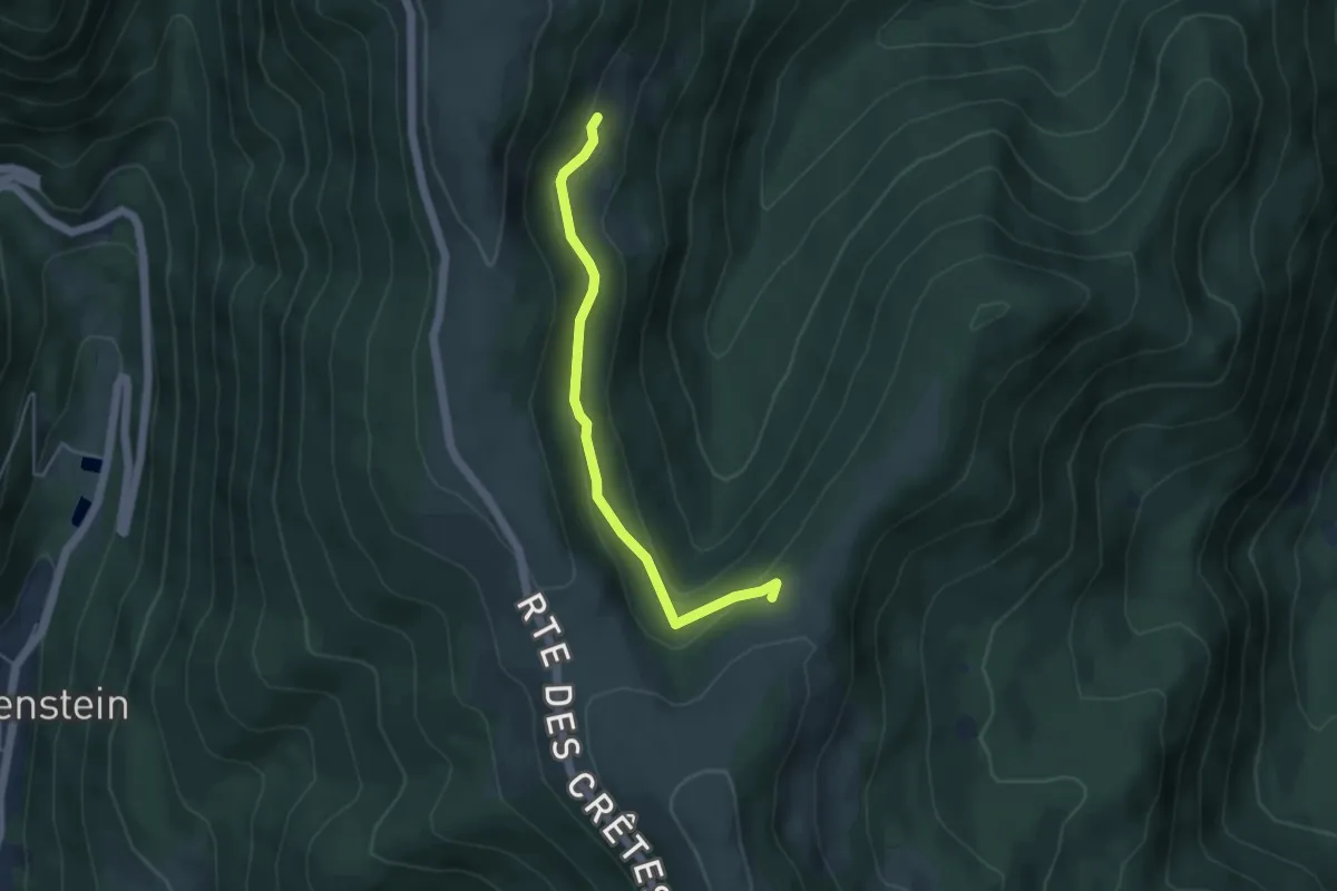
Easy · Trail
Steinwasen – GR 5
4.3 km · ↑ 194 m · 1 h 26 min
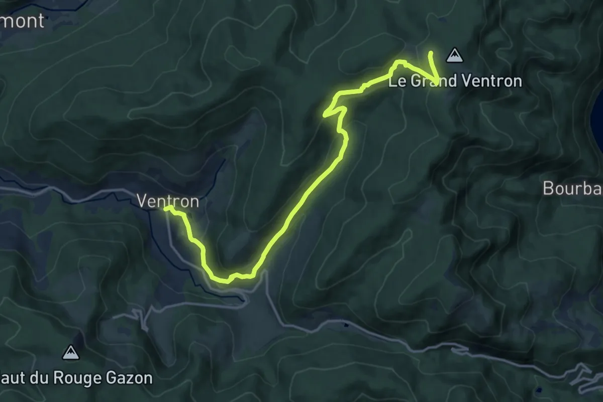
Medium · Cabin
Ventron – Auberge du Grand Ventron
15.1 km · ↑ 661 m · 5 h
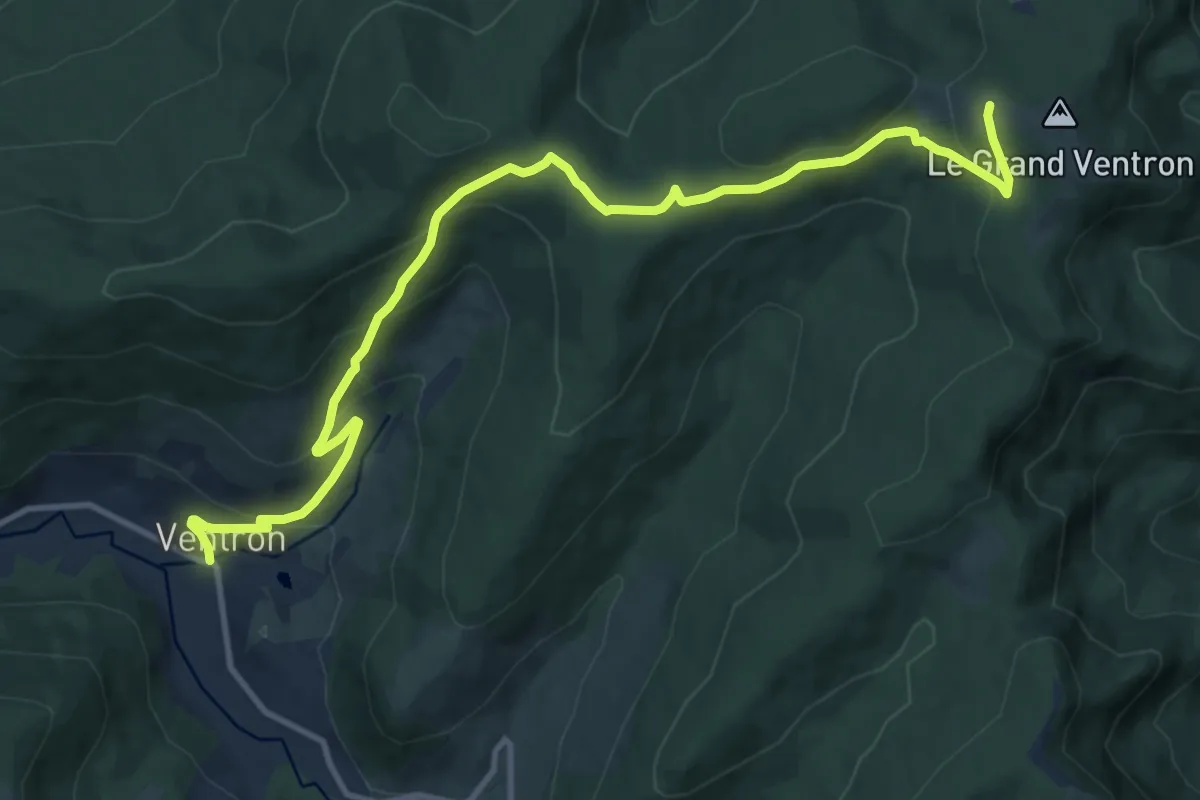
Medium · Cabin
Ventron – Auberge du Grand Ventron
13.1 km · ↑ 582 m · 4 h 21 min
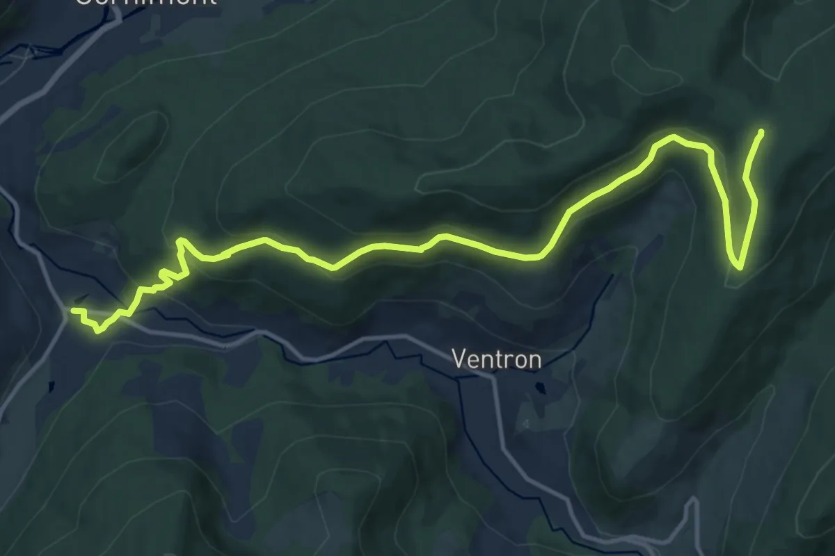
Medium · Trail
Travexin – Col des Echarges
15.1 km · ↑ 583 m · 4 h 50 min
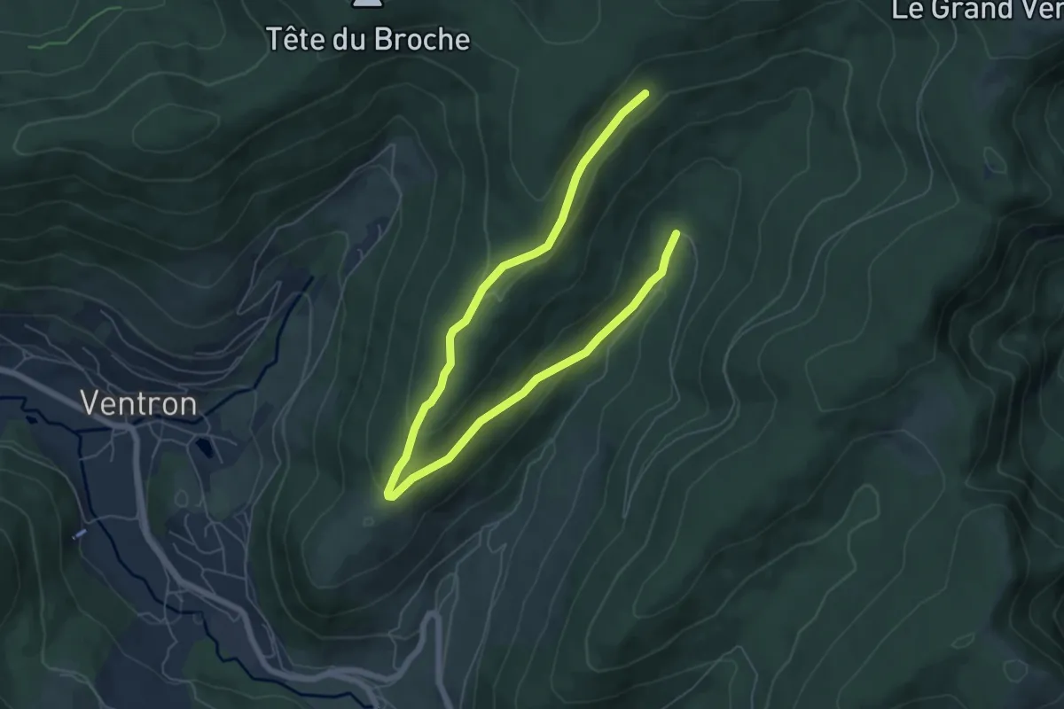
Medium · Trail
Refuge des Places – Chevalet vert
8.2 km · ↑ 289 m · 2 h 34 min
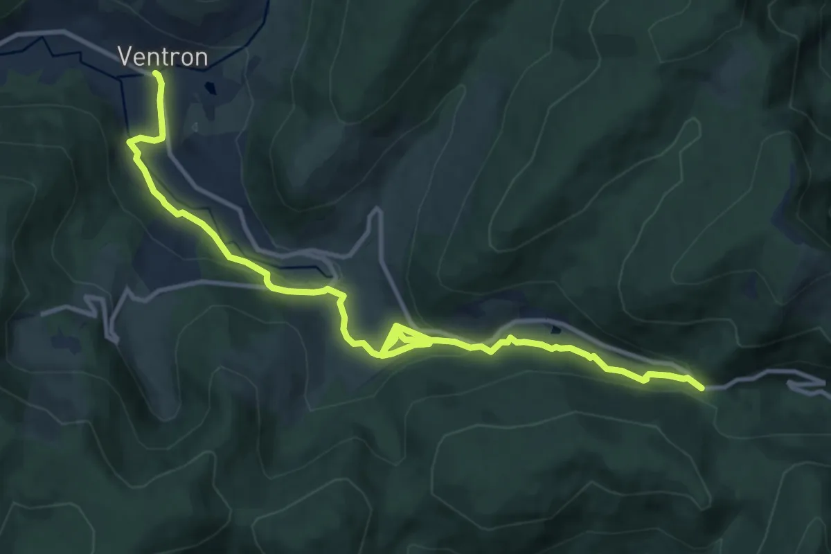
Medium · Trail
Ventron – GR 531
12.5 km · ↑ 412 m · 3 h 50 min
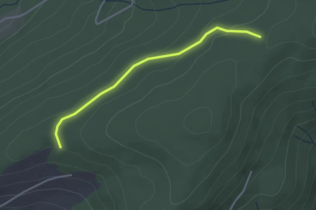
Easy · Cabin
Chalet Salmon – La Flaconnière
2.7 km · ↑ 83 m · 49 min
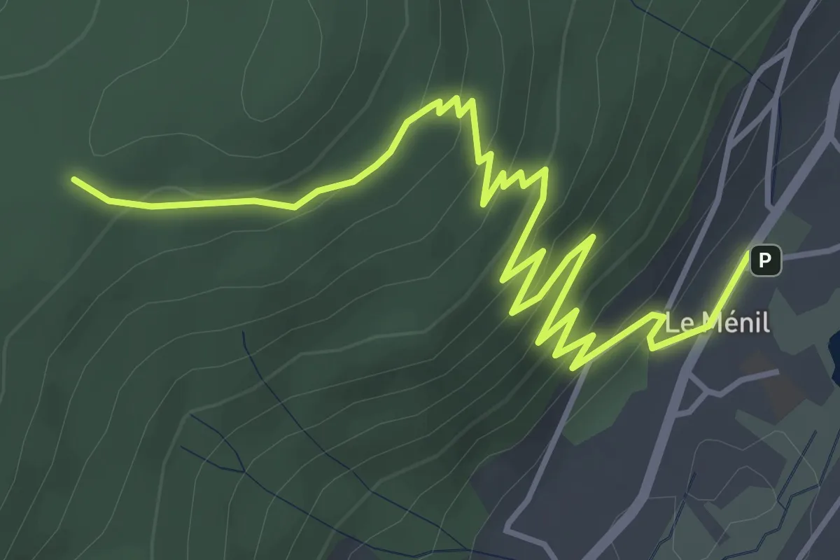
Easy · Cabin
Le Ménil – La Flaconnière
5.3 km · ↑ 279 m · 1 h 51 min
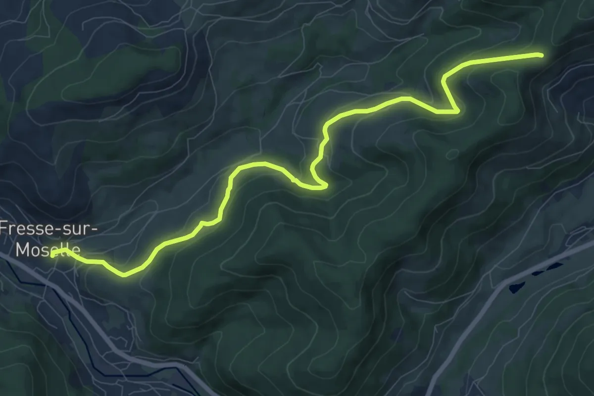
Medium · Trail
Fresse sur Moselle – Croix de Fresse
11.0 km · ↑ 451 m · 3 h 35 min
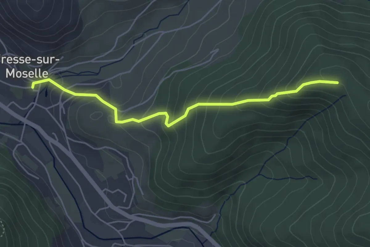
Medium · Trail
Fresse sur Moselle – Abris du Vallon
4.5 km · ↑ 328 m · 1 h 46 min
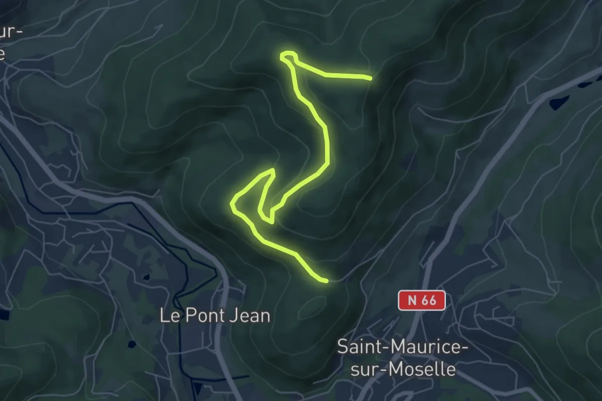
Easy · Trail
Col du Lait – Borne des trois communes
6.9 km · ↑ 199 m · 2 h 4 min
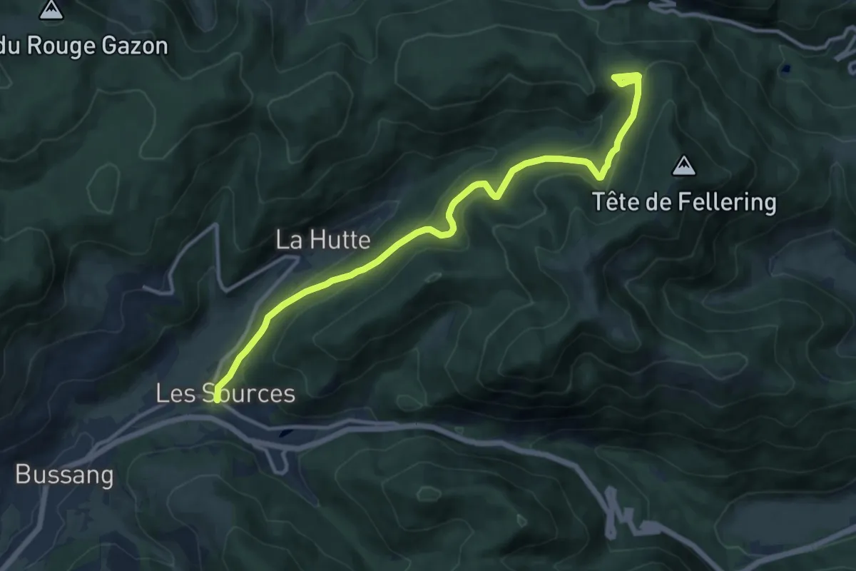
Medium · Trail
Bussang – GR 531
12.2 km · ↑ 472 m · 3 h 54 min
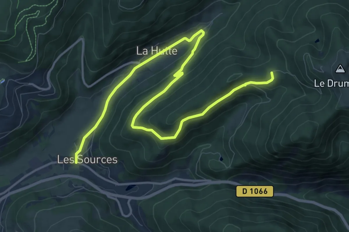
Medium · Cabin
Bussang – Chalet du Plain du Repos
12.6 km · ↑ 371 m · 3 h 47 min
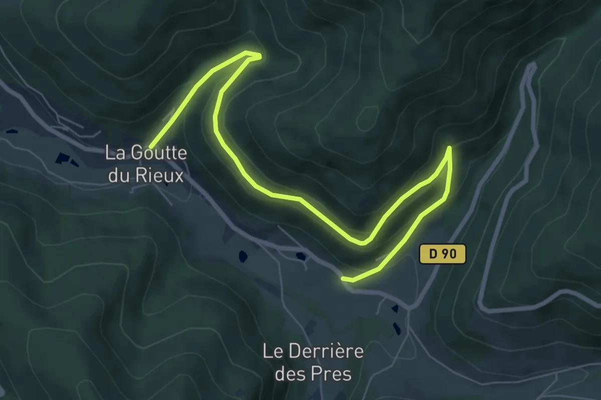
Medium · Trail
La Goutte du Rieux – Chapelle des Charbonniers
8.0 km · ↑ 370 m · 2 h 41 min
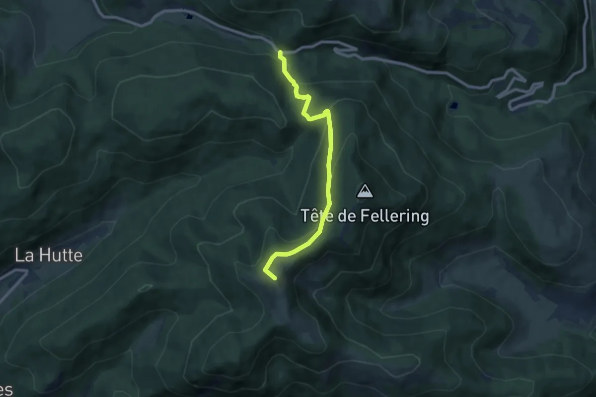
Easy · Summit
Col d’Oderen – Le Drumont
6.4 km · ↑ 293 m · 2 h 9 min
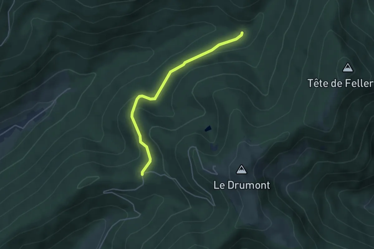
Easy · Cabin
Chalet du Pont Martin – Chalet du Plain du Repos
3.7 km · ↑ 121 m · 1 h 9 min
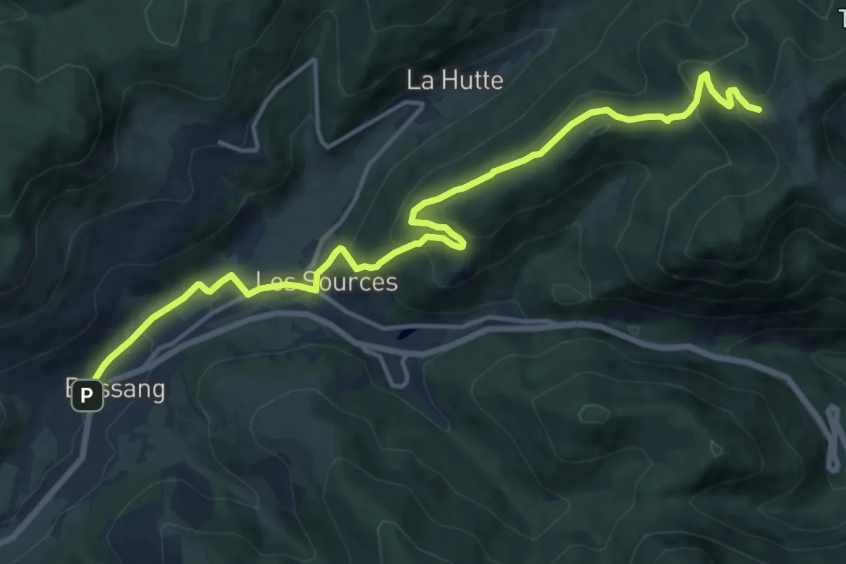
Medium · Trail
Bussang – Le Drumont
13.7 km · ↑ 606 m · 4 h 32 min
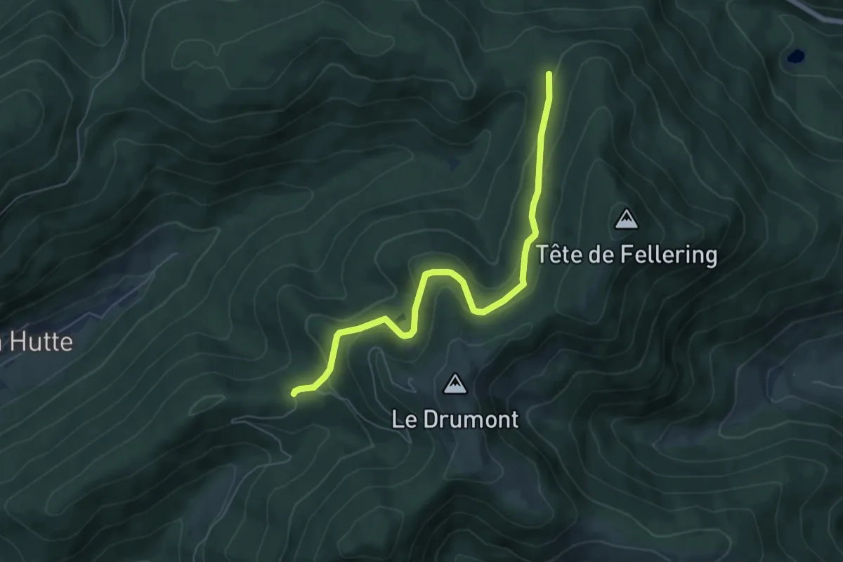
Easy · Cabin
Faigne des Minons – Plein du repos
6.1 km · ↑ 251 m · 1 h 59 min
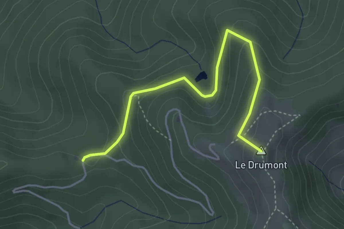
Easy · Summit
Chalet du Plain du Repos – Le Drumont
3.8 km · ↑ 220 m · 1 h 23 min