Trails in France
15,926 hiking trails, each with its route, climb, walking time and grade.
All trails, page 297 of 332
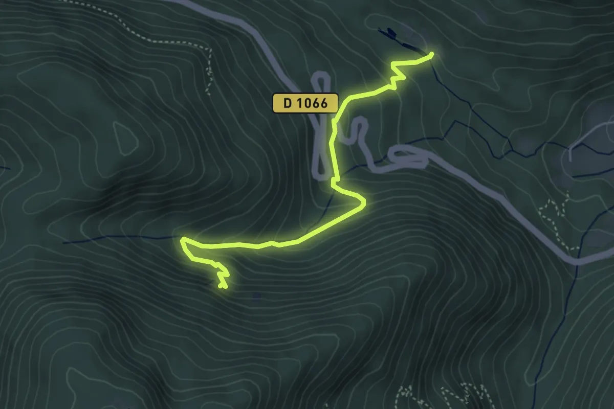
Medium · Trail
Etang de Mahrel – GR 531
4.5 km · ↑ 320 m · 1 h 46 min
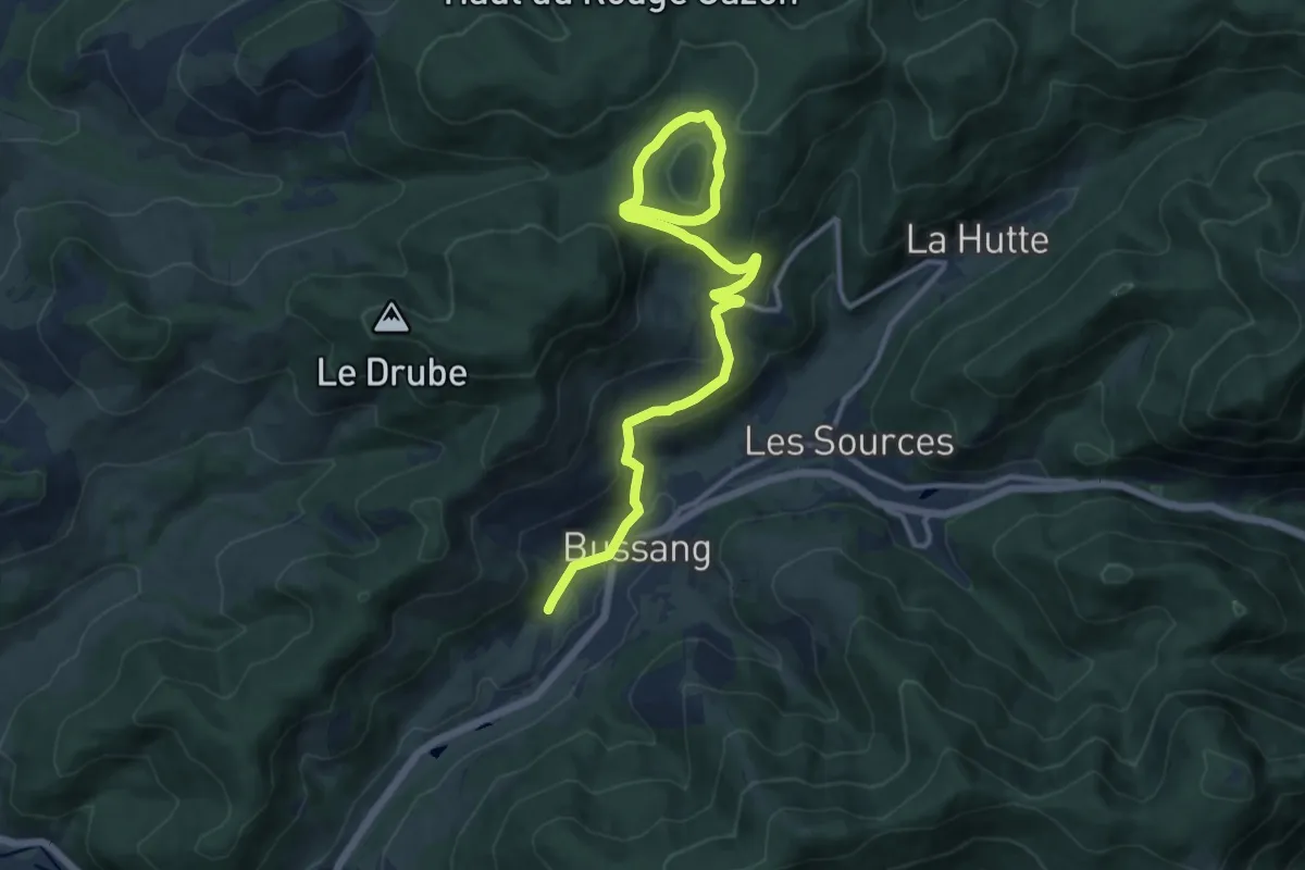
Medium · Cabin
Théâtre du Peuple – GR 533
13.8 km · ↑ 463 m · 4 h 16 min
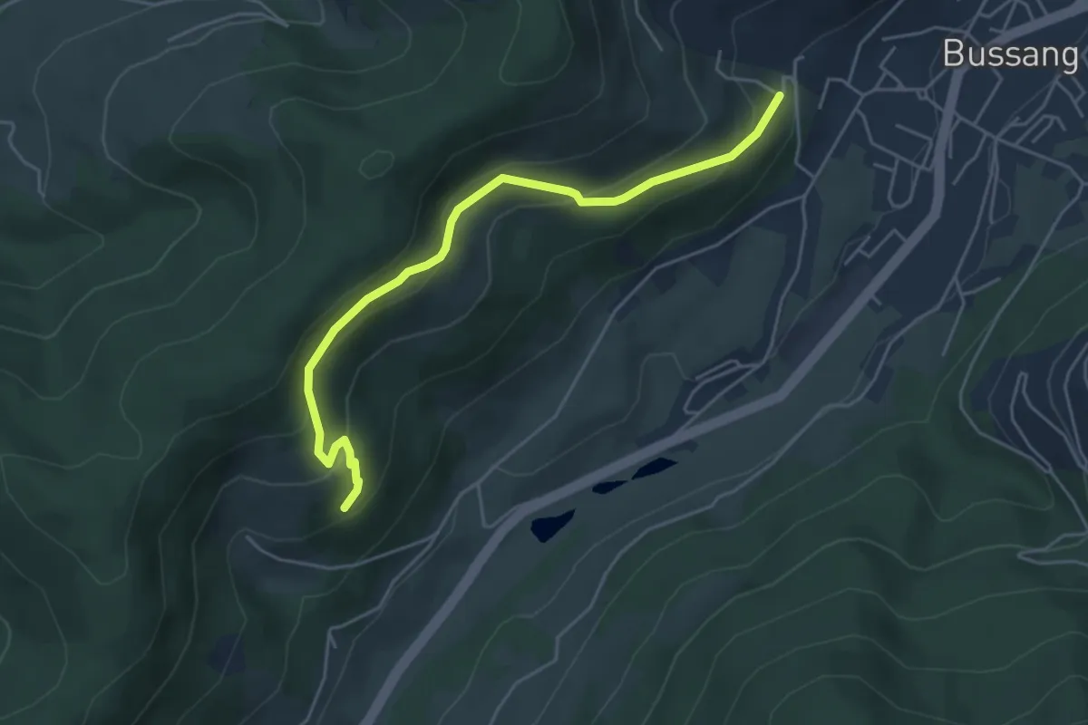
Medium · Trail
Bussang – Roche du Frey
4.8 km · ↑ 291 m · 1 h 45 min
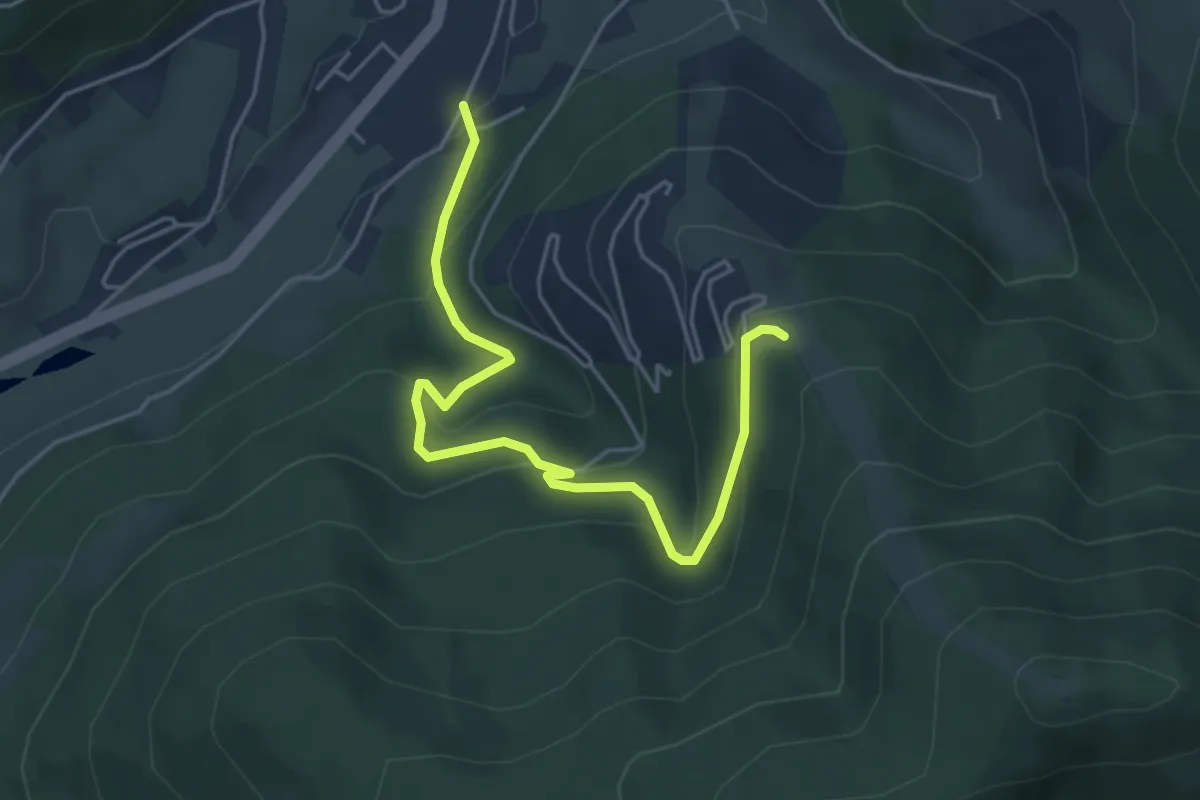
Easy · Trail
Bussang – Plain de la Bouloie
5.0 km · ↑ 261 m · 1 h 44 min
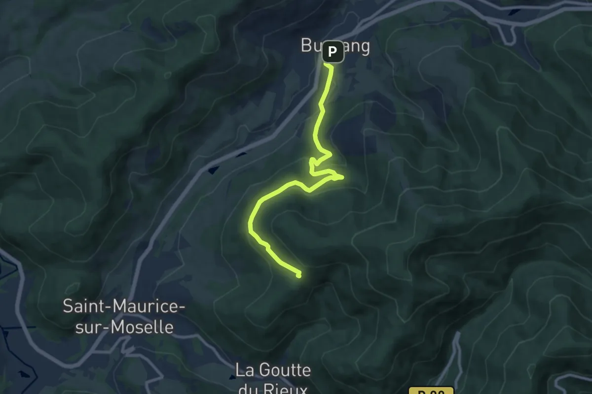
Medium · Cabin
Bussang – Chaise Madame
8.4 km · ↑ 351 m · 2 h 45 min
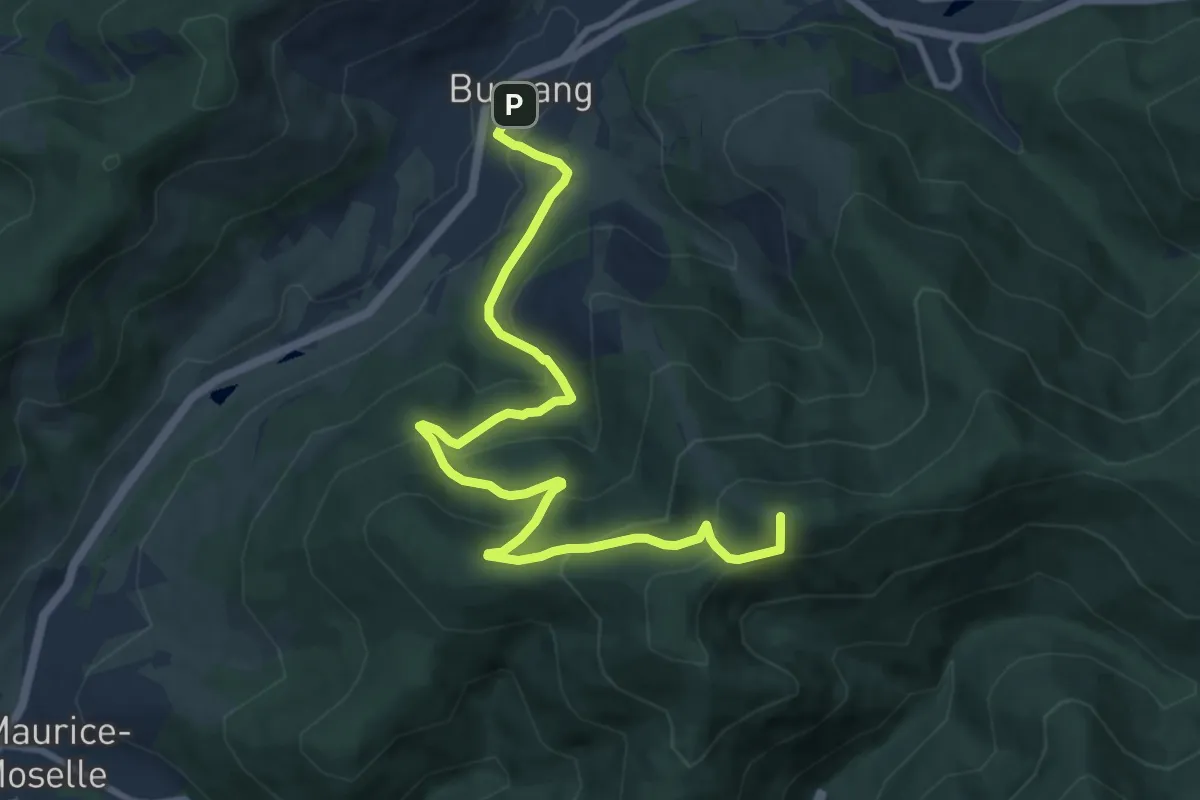
Medium · Summit
Bussang – Tête de la Bouloie
10.9 km · ↑ 609 m · 3 h 54 min
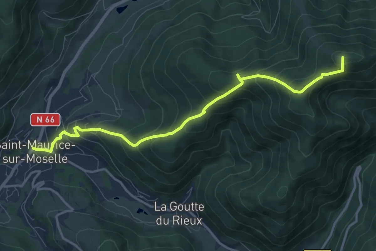
Medium · Summit
Saint-Maurice-sur-Moselle – Tête de la Bouloie
9.2 km · ↑ 672 m · 3 h 37 min
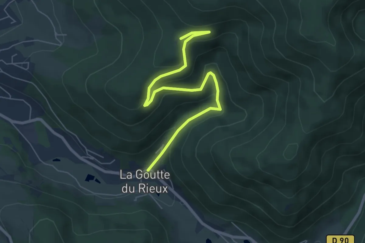
Easy · Cabin
La Goutte du Rieux – Chaise Madame
5.9 km · ↑ 307 m · 2 h 3 min
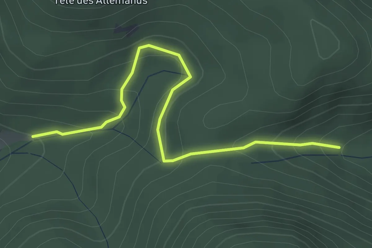
Easy · Trail
Chalet du Séchenat – GR 531
3.5 km · ↑ 249 m · 1 h 22 min
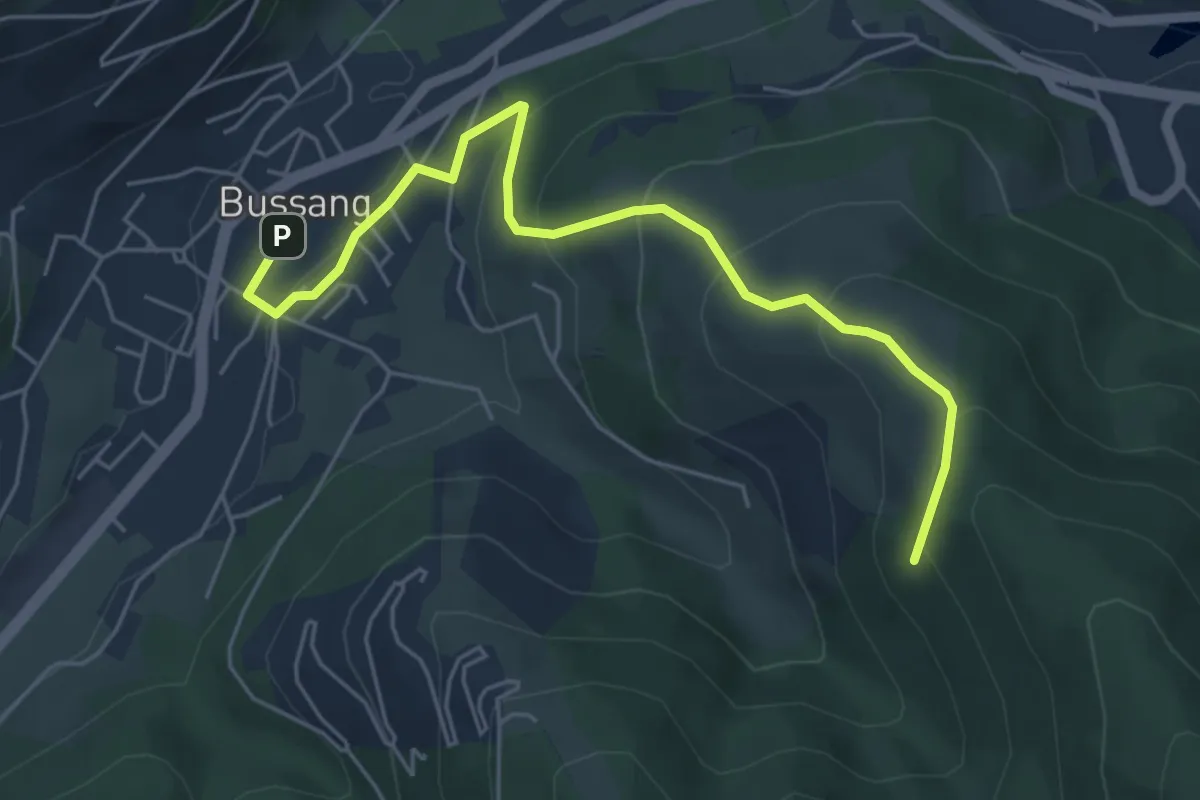
Medium · Trail
Bussang – Chevalet jaune
5.7 km · ↑ 354 m · 2 h 6 min
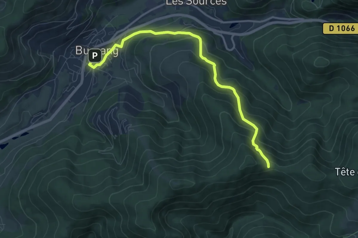
Medium · Trail
Bussang – Haut du Taye
8.8 km · ↑ 522 m · 3 h 13 min
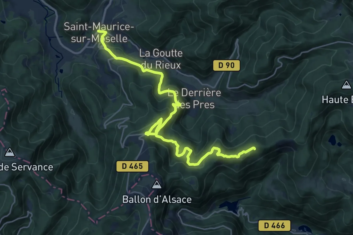
Demanding · Trail
Saint-Maurice-sur-Moselle – GR 5
21.0 km · ↑ 1051 m · 7 h 13 min
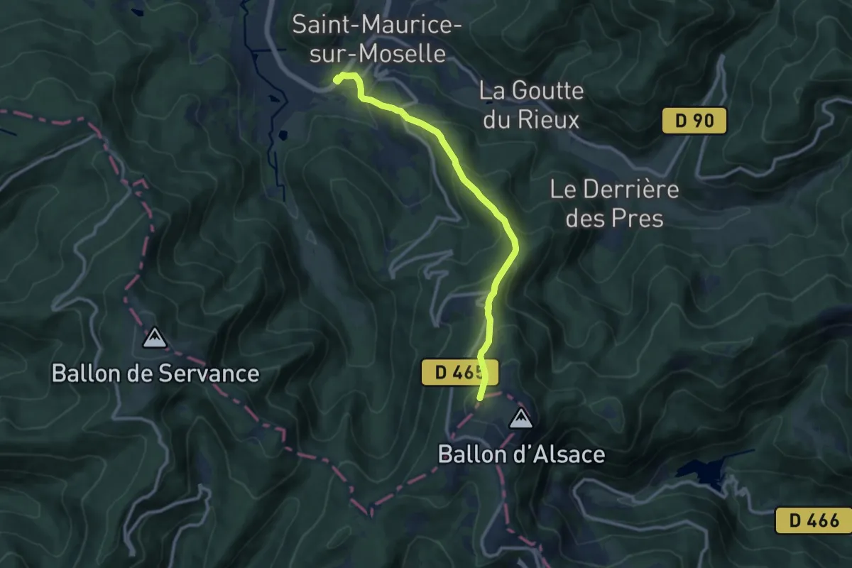
Medium · Trail
Saint-Maurice-sur-Moselle – Col du Ballon d’Alsace
9.3 km · ↑ 682 m · 3 h 41 min
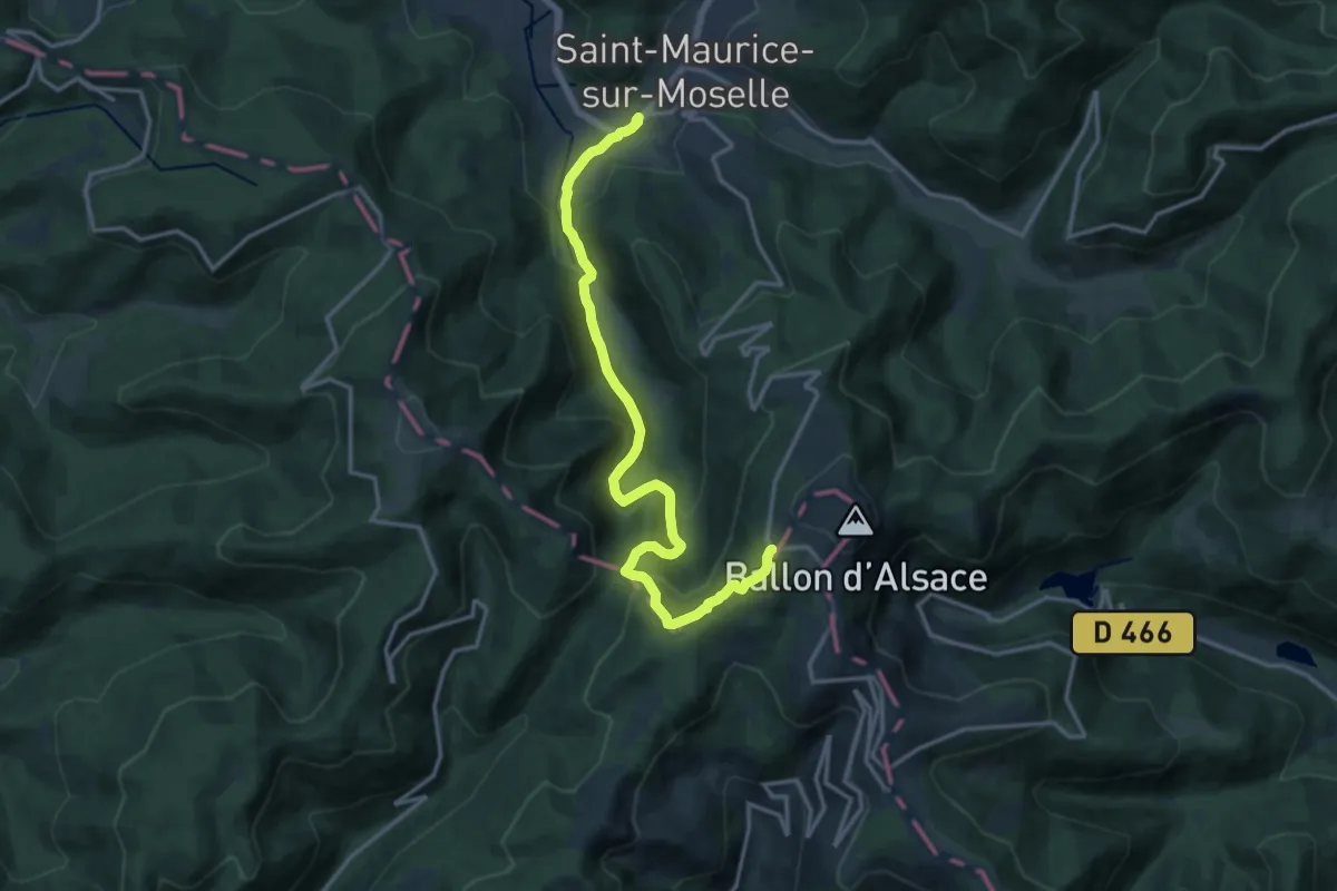
Medium · Trail
Saint-Maurice-sur-Moselle – Col de Ballon
15.4 km · ↑ 654 m · 5 h 3 min
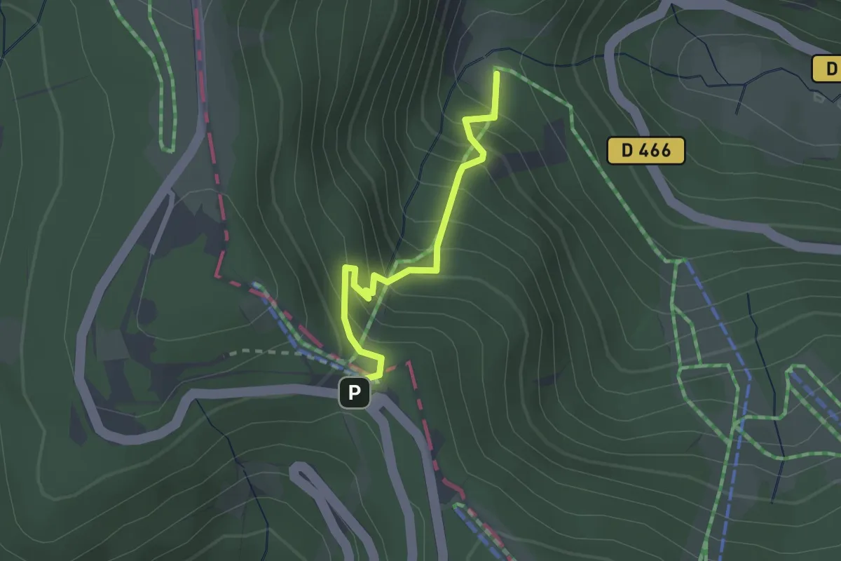
Easy · Trail
Lac d’Alfeld – La Chaumière
2.0 km · ↑ 256 m · 1 h 2 min
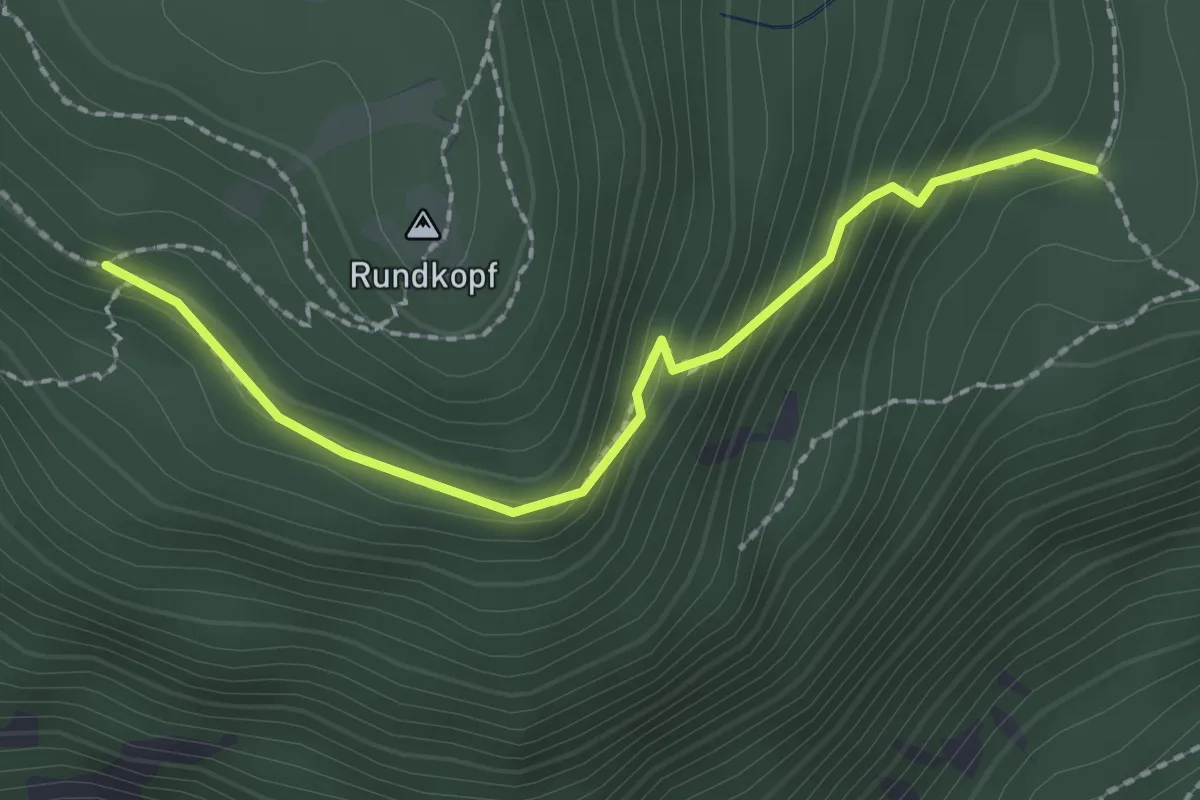
Easy · Trail
Lac d’Alfeld – Rundkopf
2.1 km · ↑ 181 m · 53 min
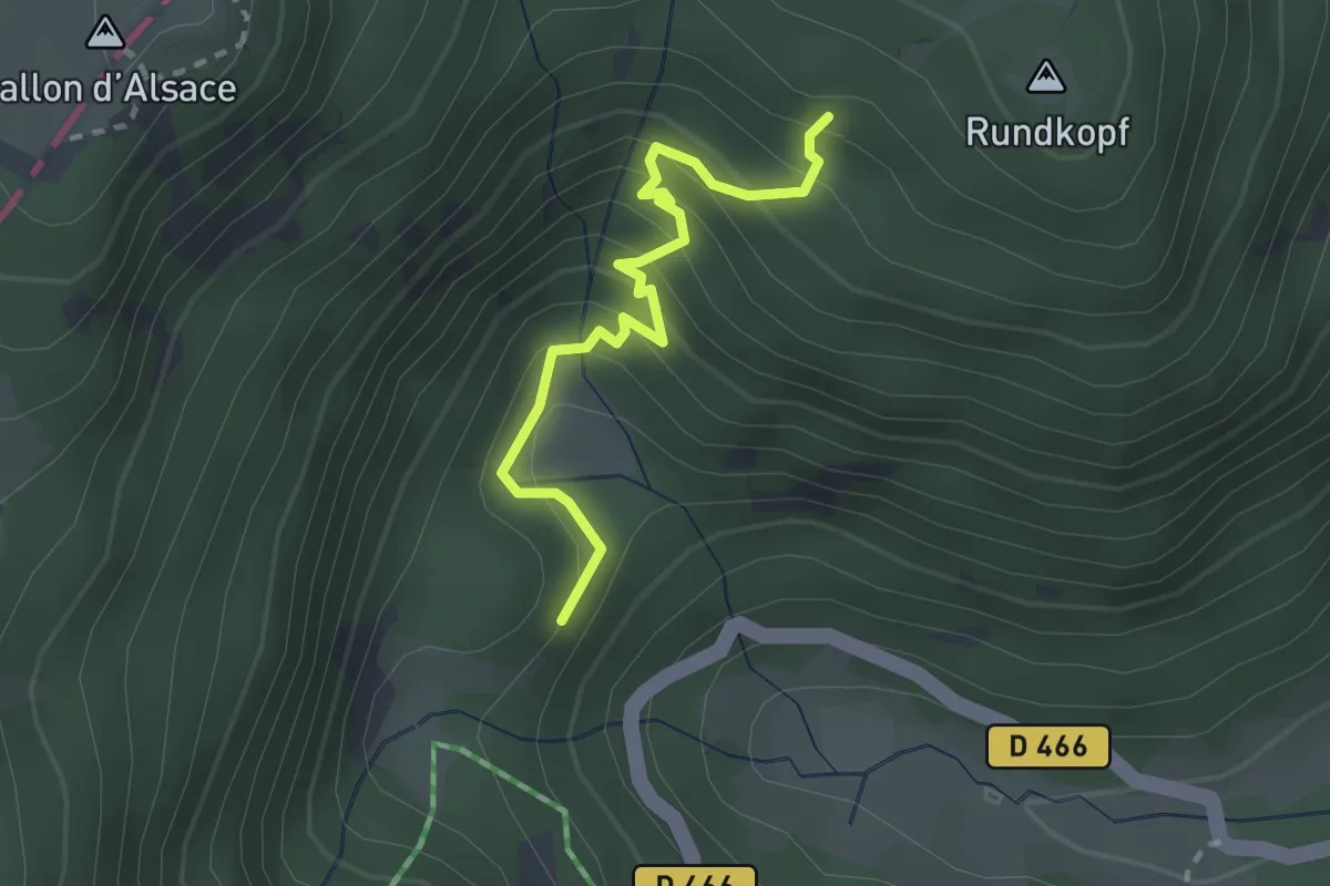
Easy · Trail
D 466 – Rundkopf
2.3 km · ↑ 251 m · 1 h 6 min
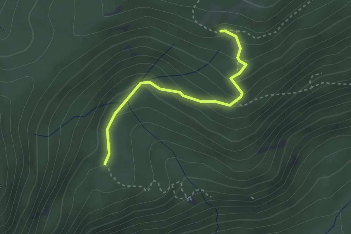
Easy · Trail
Unterer Wasserfall – GR 5
2.5 km · ↑ 176 m · 59 min
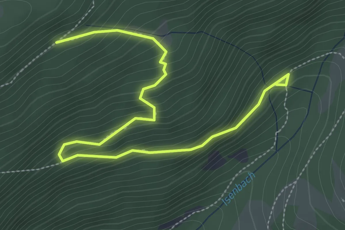
Medium · Trail
GR 531 – GR 5
3.7 km · ↑ 325 m · 1 h 34 min
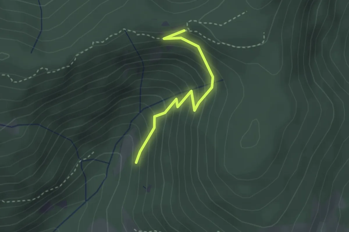
Easy · Trail
GR 531 – GR 5
2.4 km · ↑ 255 m · 1 h 8 min
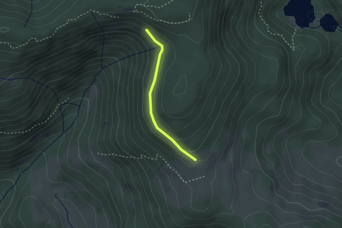
Easy · Trail
Oberbruck – Roche de l’Enfer
2.1 km · ↑ 57 m · 37 min
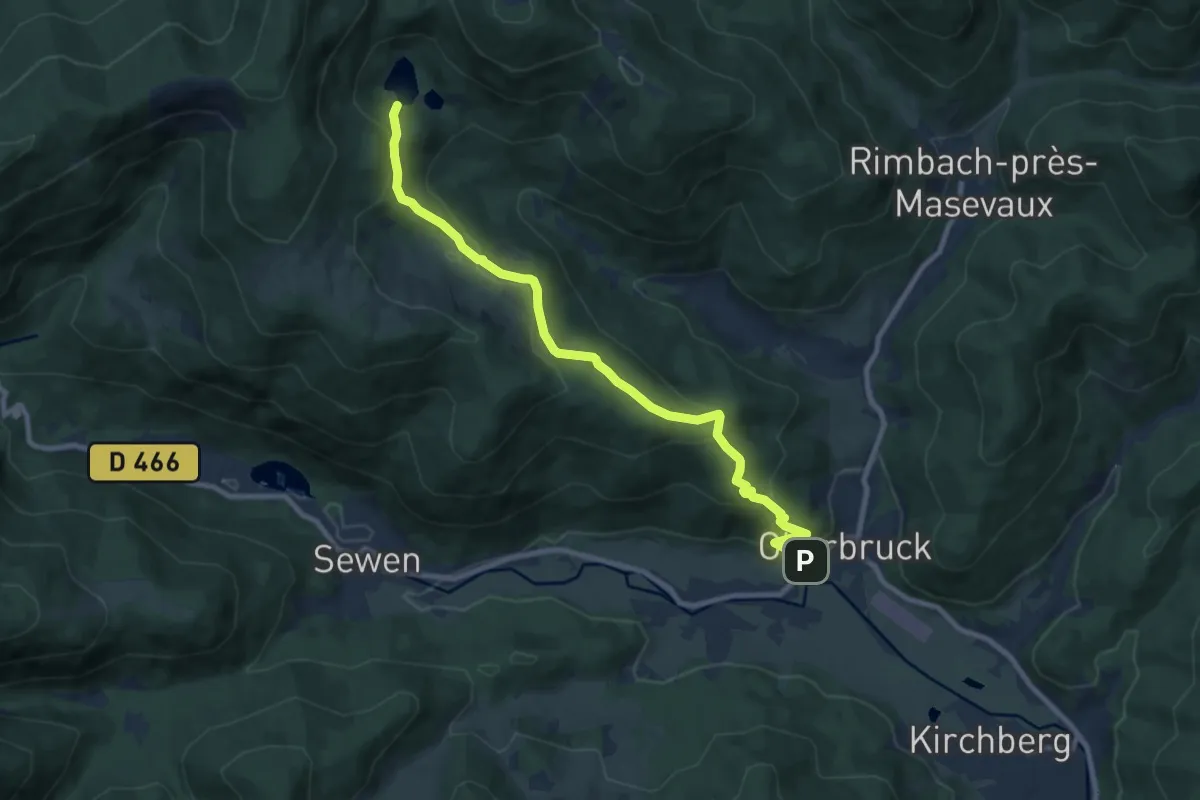
Medium · Cabin
Oberbruck – Grand Neuweiher
9.2 km · ↑ 504 m · 3 h 16 min
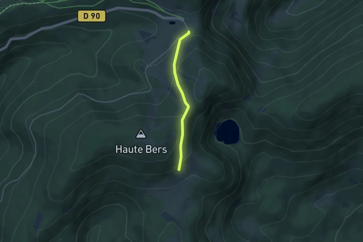
Medium · Trail
Grand Neuweiher – GR 531
2.7 km · ↑ 182 m · 1 h 2 min
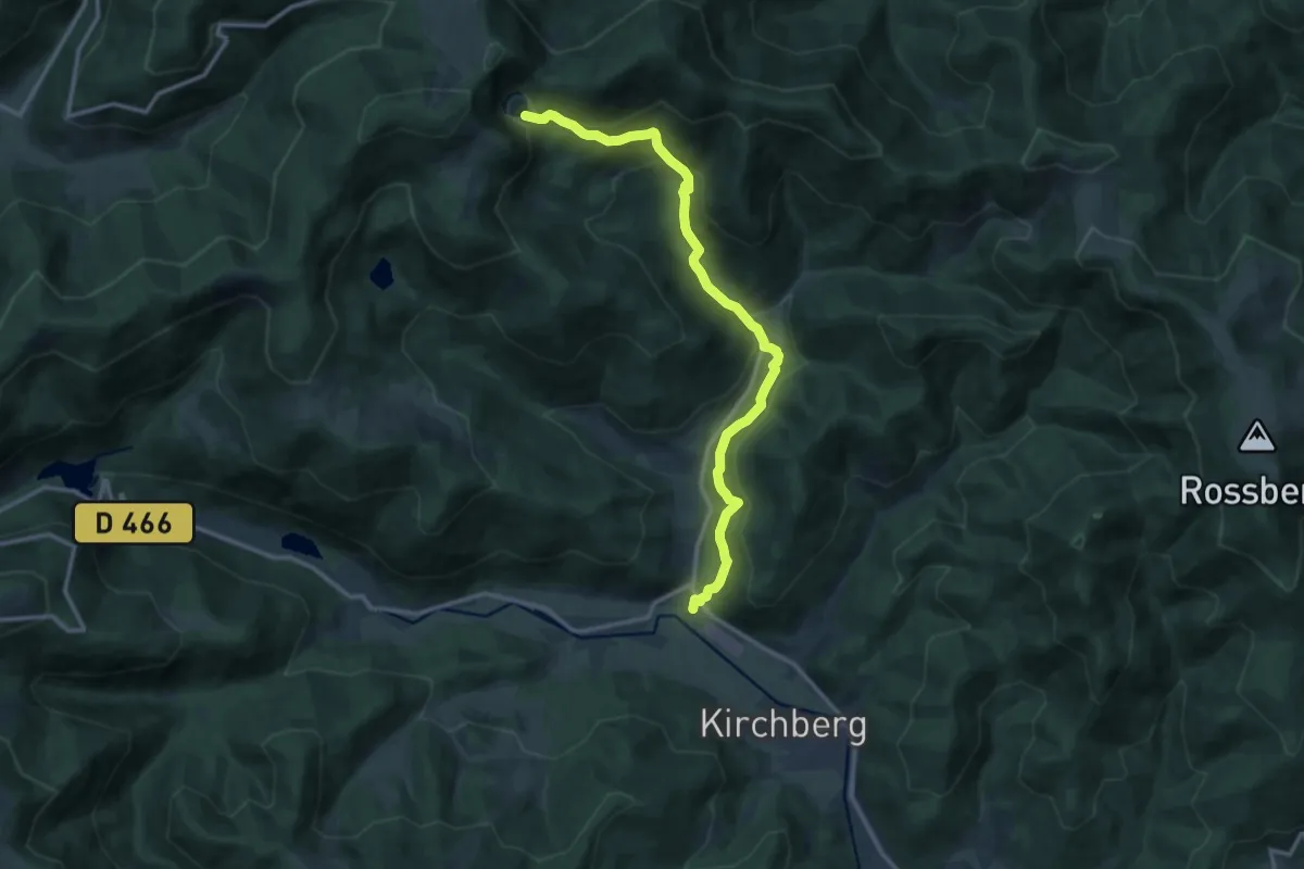
Medium · Trail
Oberbruck – Lac des Perches
13.0 km · ↑ 654 m · 4 h 29 min
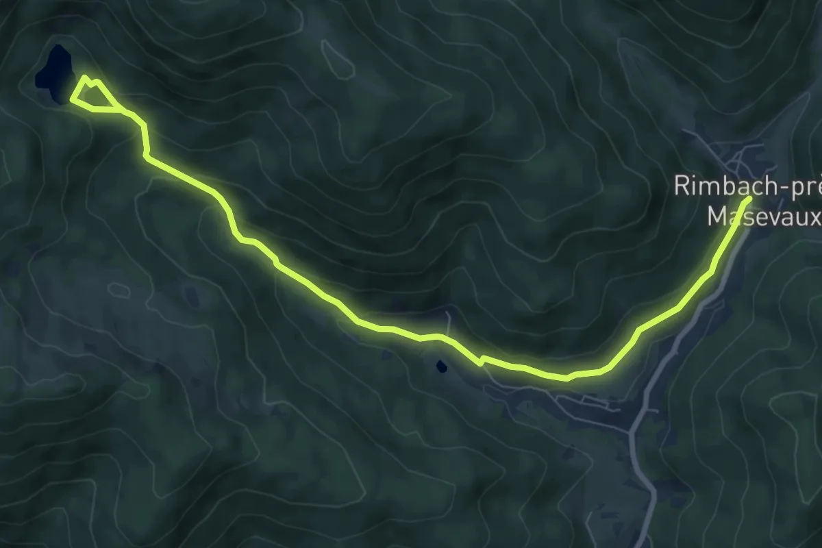
Medium · Trail
Rimbach-près-Masevaux – Petit Neuweiher
9.2 km · ↑ 349 m · 2 h 56 min
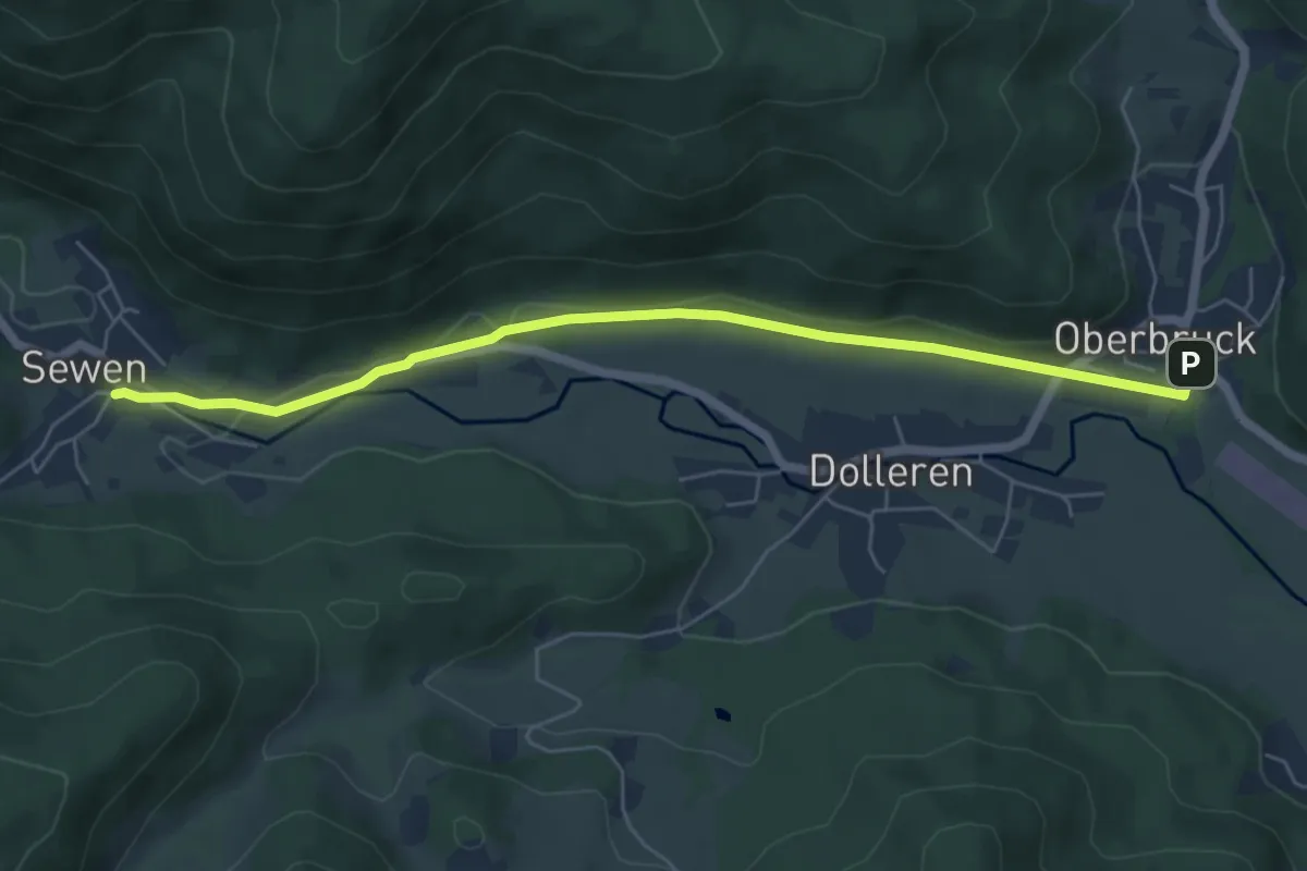
Easy · Trail
Oberbruck – Sewen
6.0 km · ↑ 54 m · 1 h 32 min
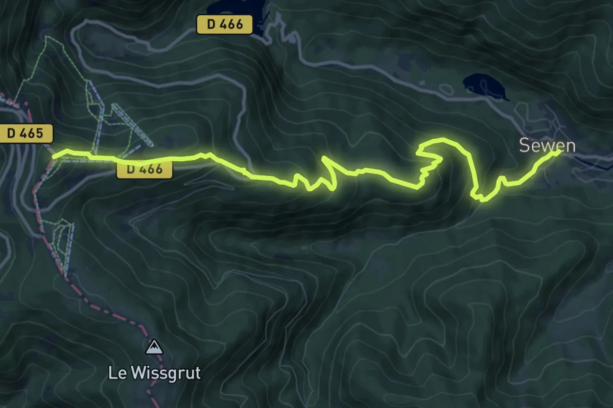
Medium · Summit
Sewen – Triangle rouge
12.2 km · ↑ 615 m · 4 h 13 min
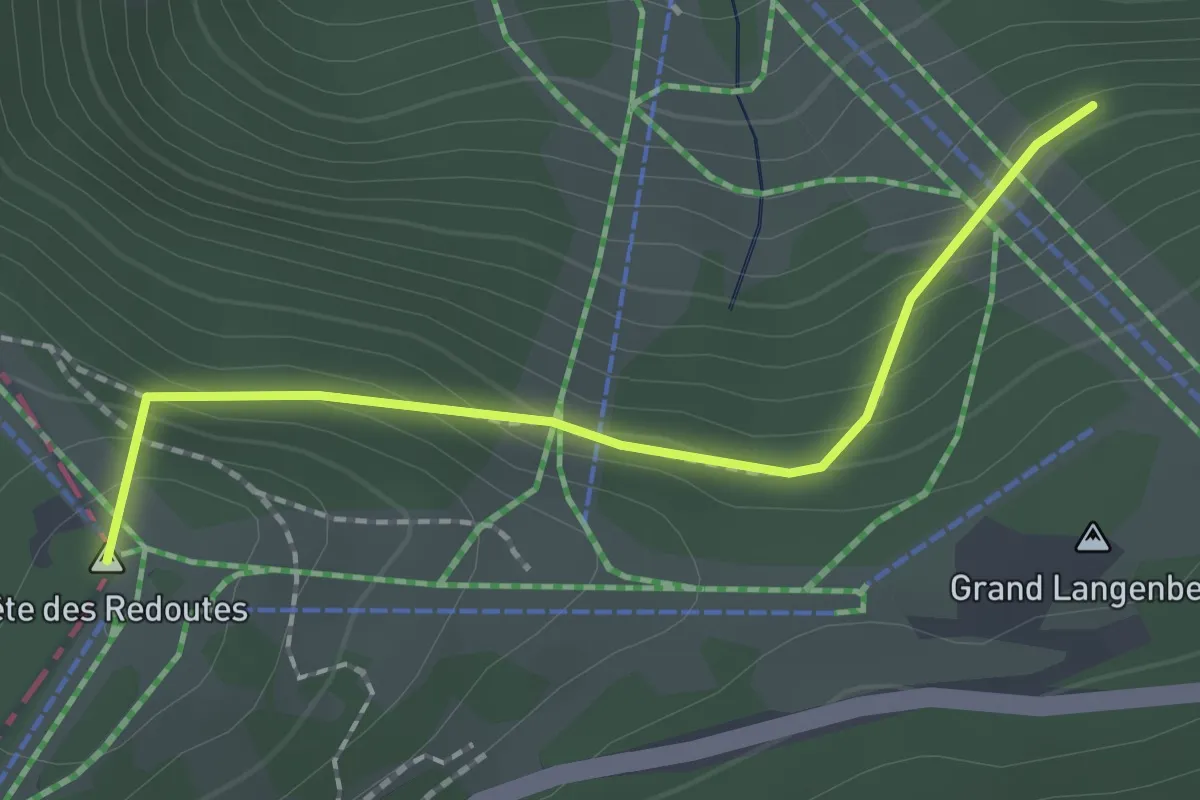
Easy · Summit
Sewen – GR5
1.9 km · ↑ 143 m · 45 min
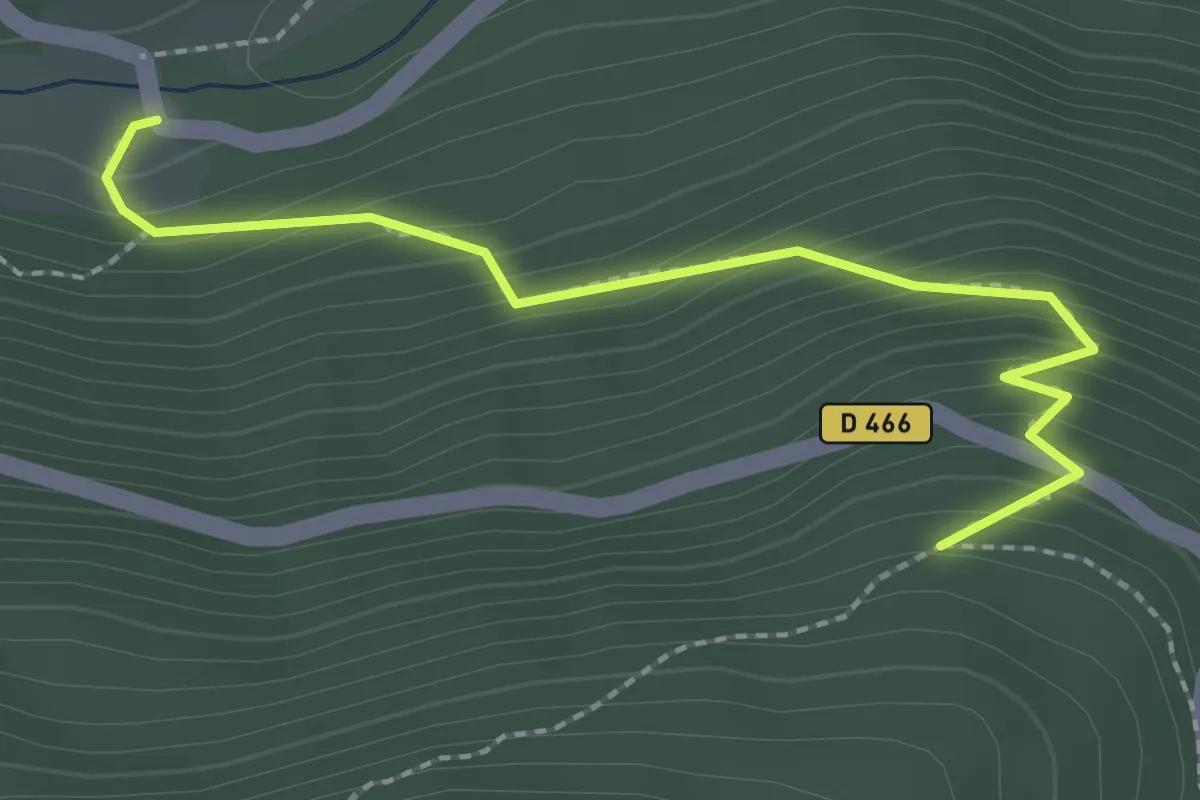
Easy · Trail
D466 – Rouge blanc rouge
2.3 km · ↑ 219 m · 1 h 2 min
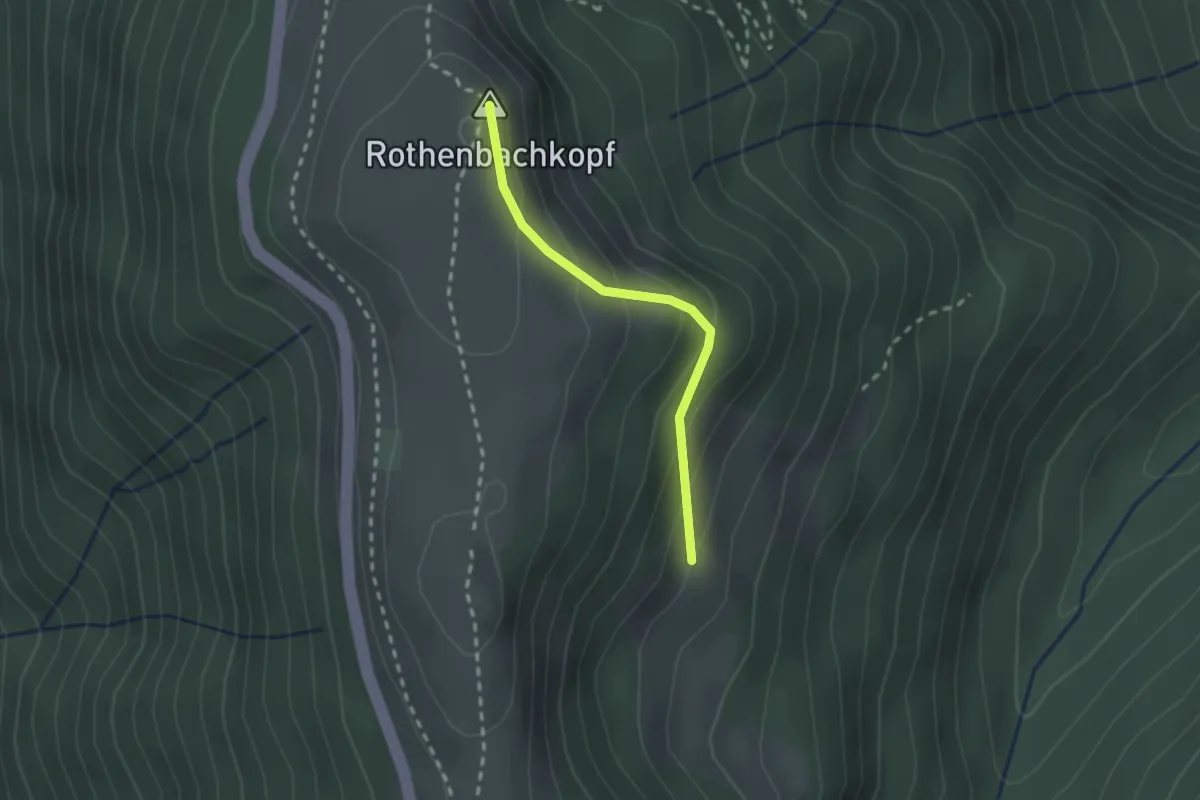
Medium · Summit
Steinwasen – Rothenbachkopf
1.9 km · ↑ 135 m · 44 min
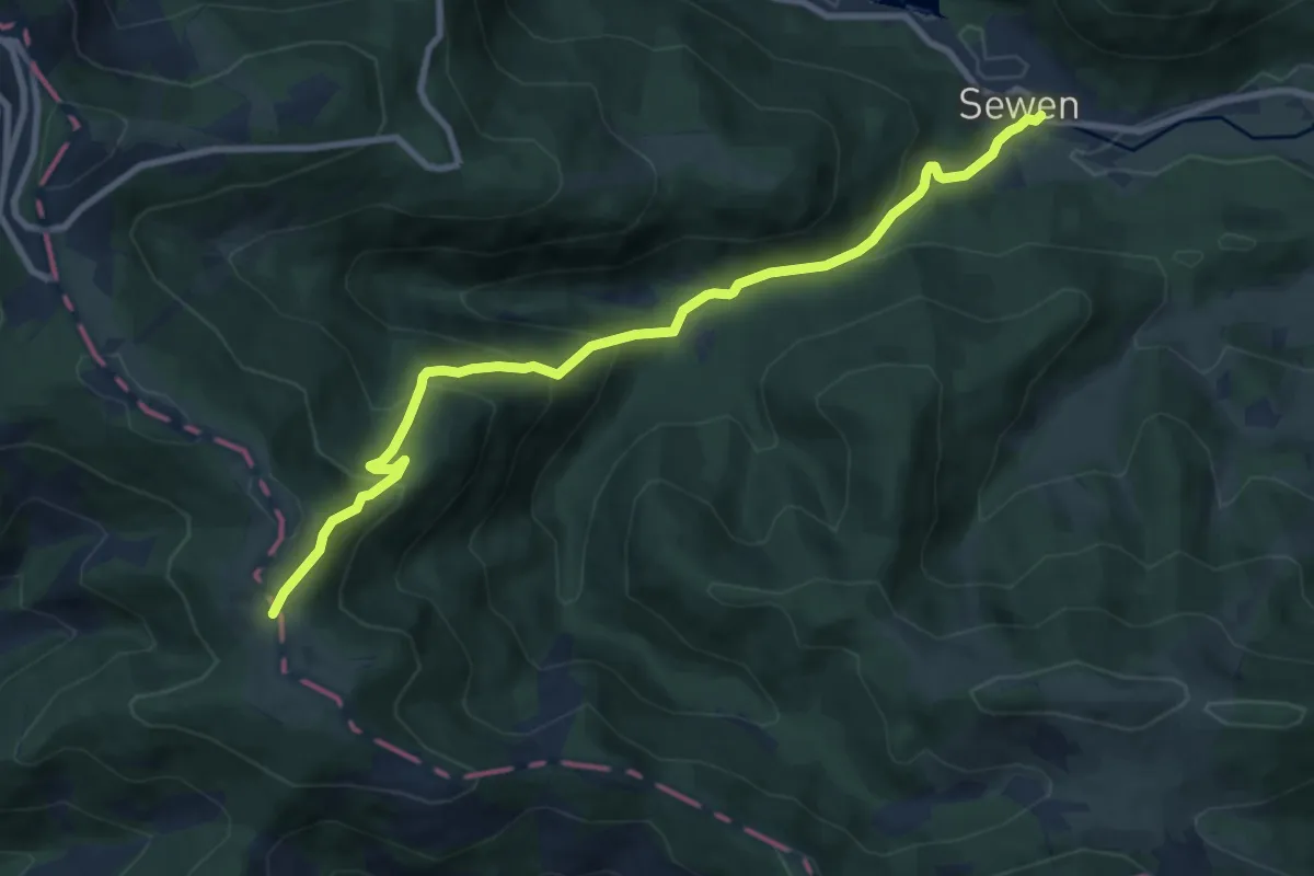
Medium · Trail
Sewen – Wissgrut
9.7 km · ↑ 599 m · 3 h 36 min
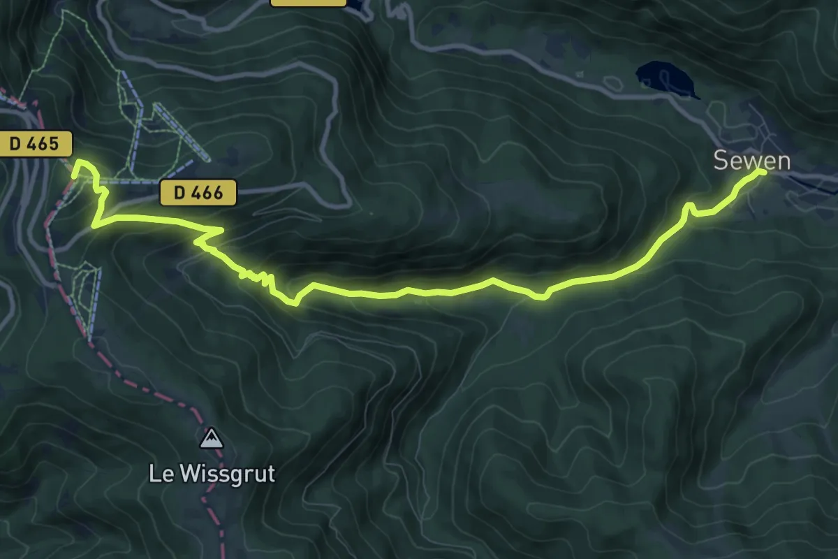
Medium · Summit
Sewen – Tête des Redoutes
11.3 km · ↑ 624 m · 4 h 1 min
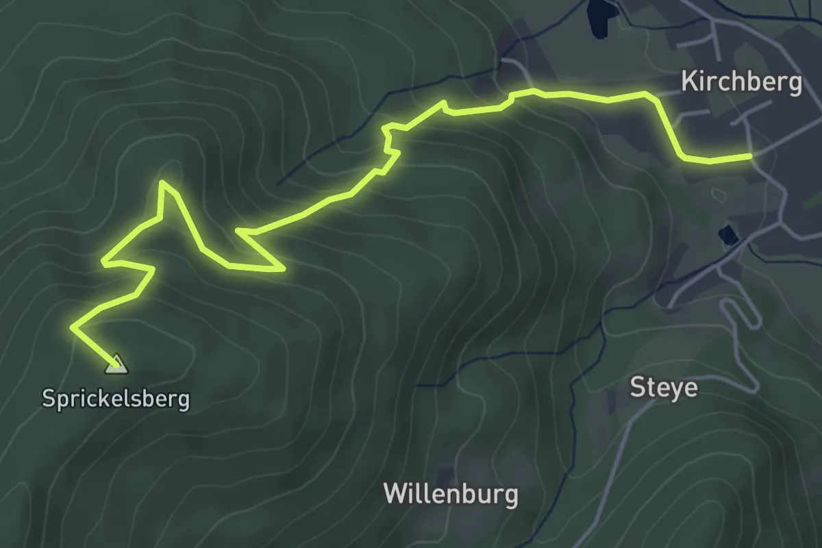
Medium · Summit
Kirchberg – La Fennematt
5.7 km · ↑ 355 m · 2 h 6 min
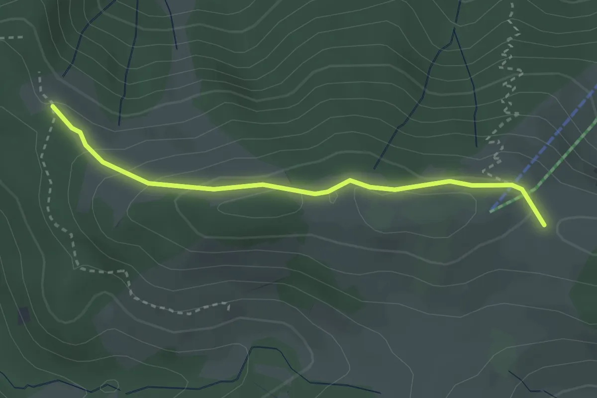
Easy · Cabin
Abri du Sommerseite – GR 531
2.9 km · ↑ 124 m · 57 min
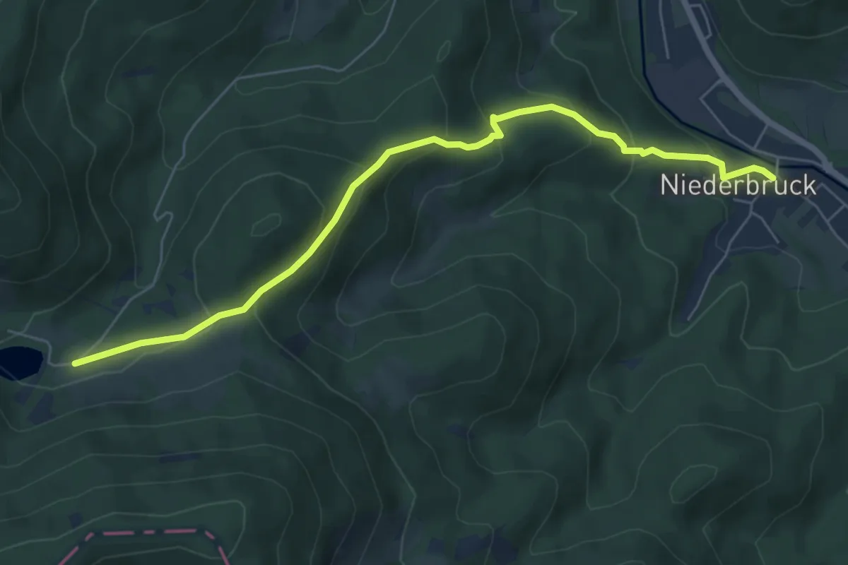
Medium · Trail
Niederbruck – Lachtelweiher
6.4 km · ↑ 355 m · 2 h 17 min
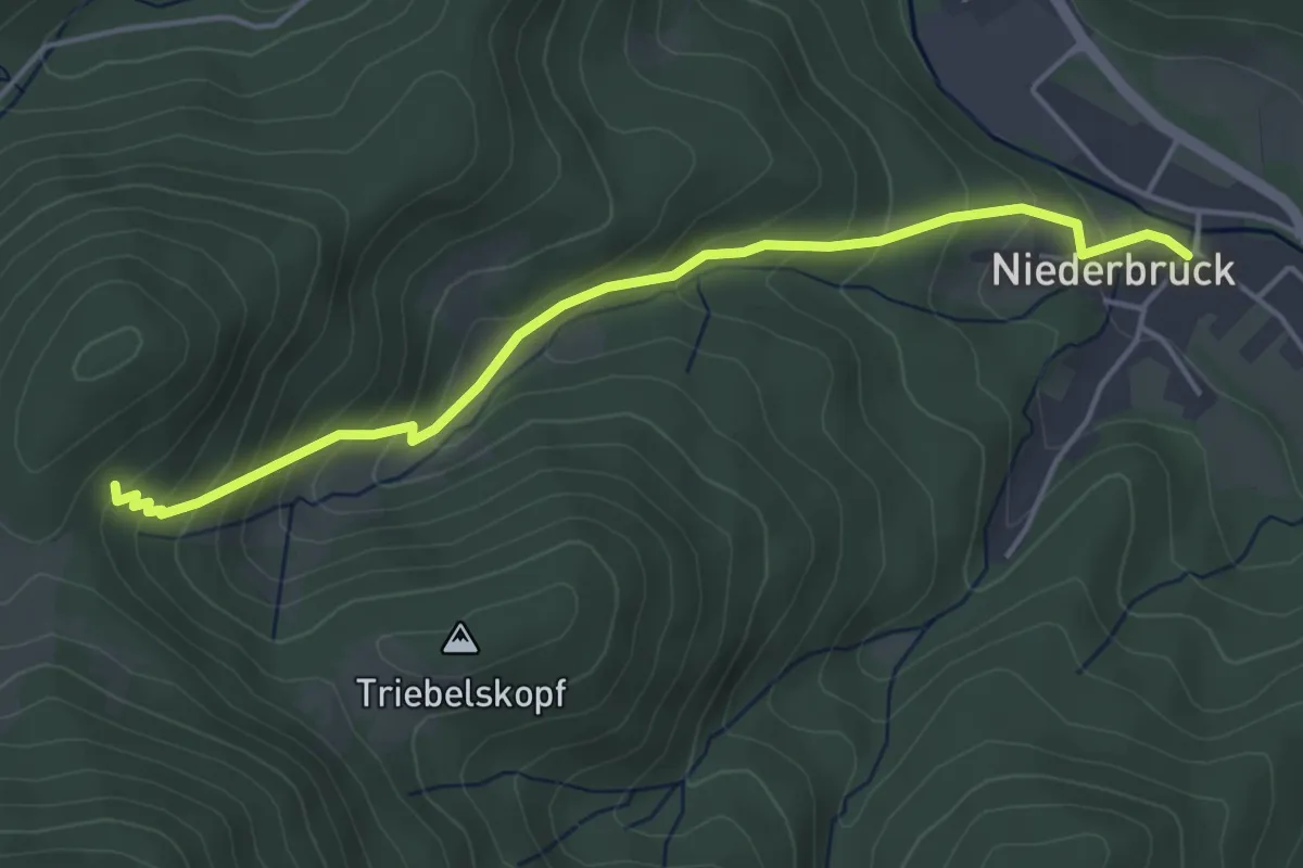
Medium · Trail
Niederbruck – Entzenbach
4.4 km · ↑ 332 m · 1 h 46 min
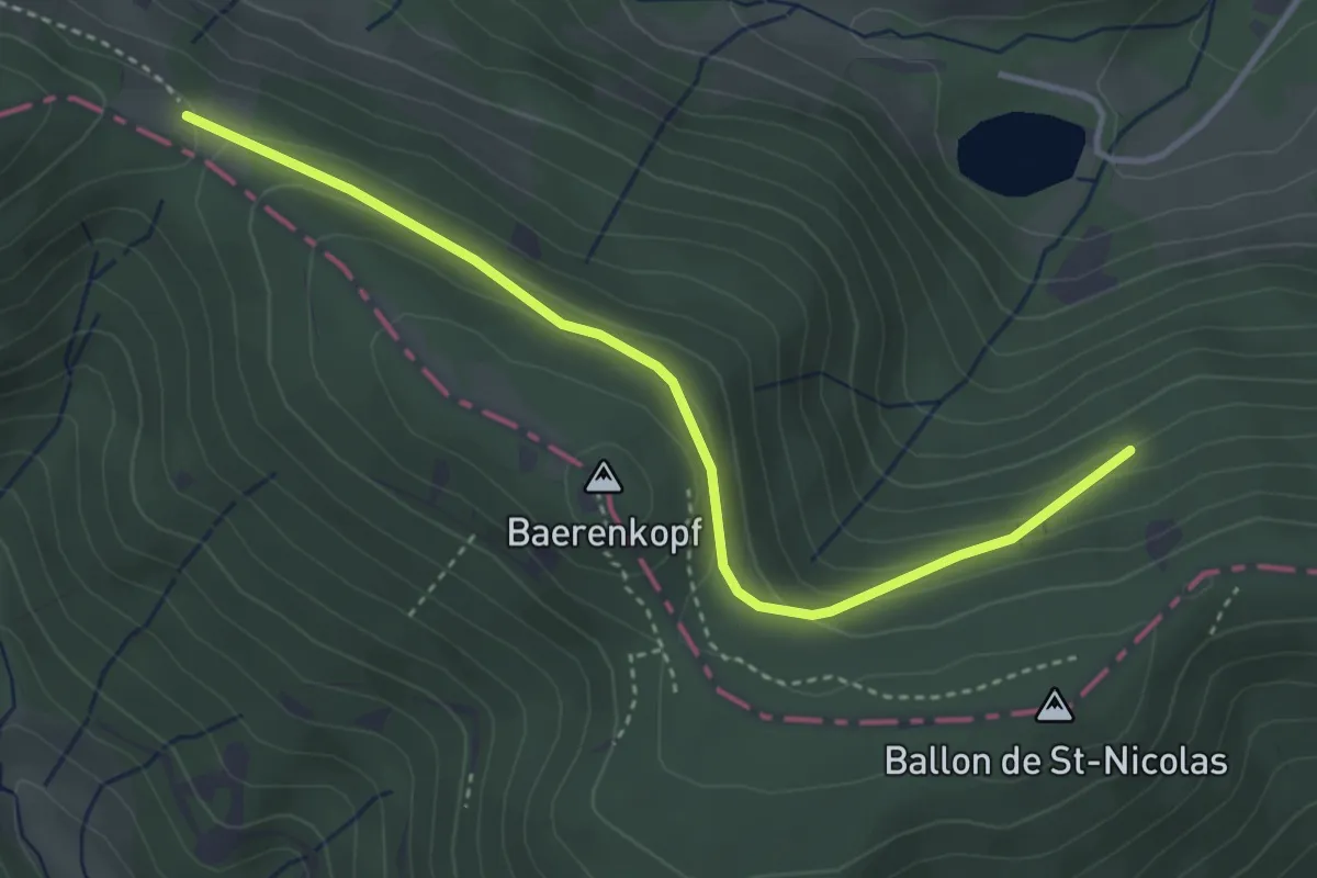
Easy · Trail
Villa Puce – Col du Lochberg
3.7 km · ↑ 167 m · 1 h 14 min
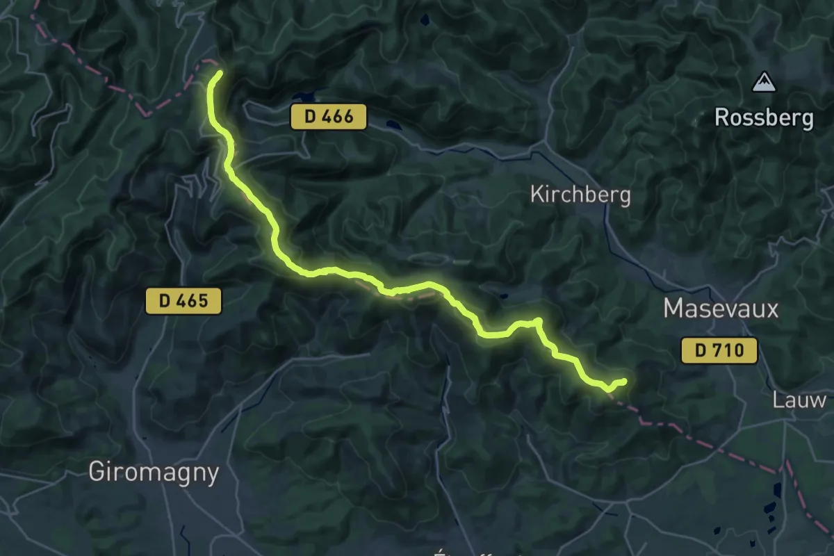
Demanding · Summit
Masevaux – Ballon d’Alsace
29.6 km · ↑ 1036 m · 9 h 14 min
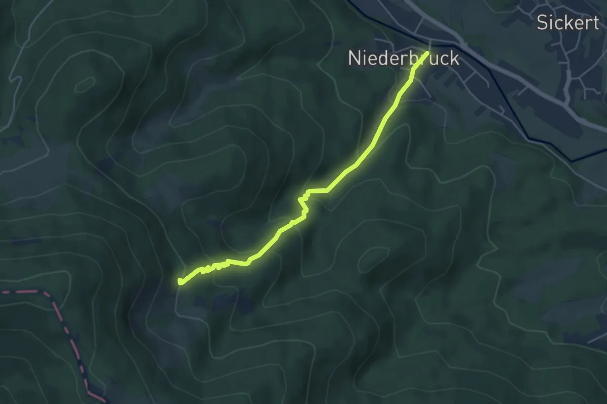
Medium · Trail
Niederbruck – Bruckenwald
4.5 km · ↑ 328 m · 1 h 46 min
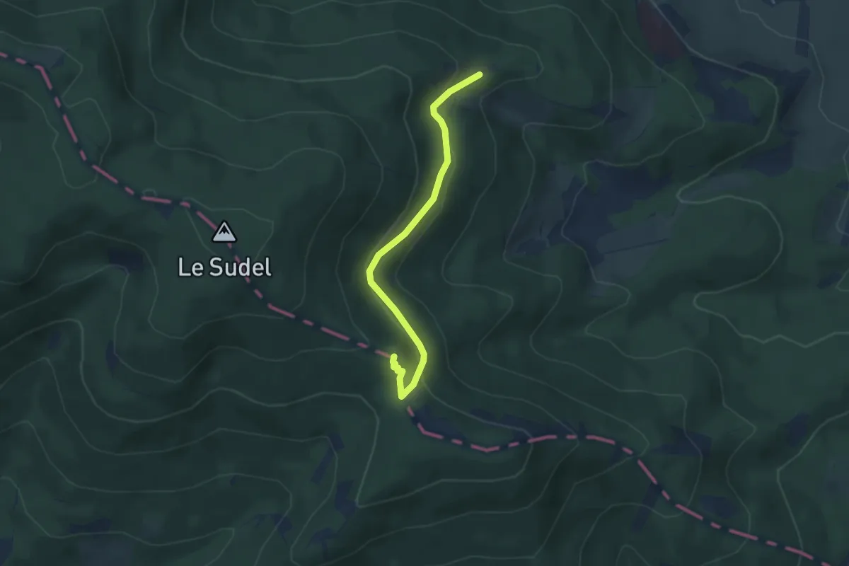
Medium · Summit
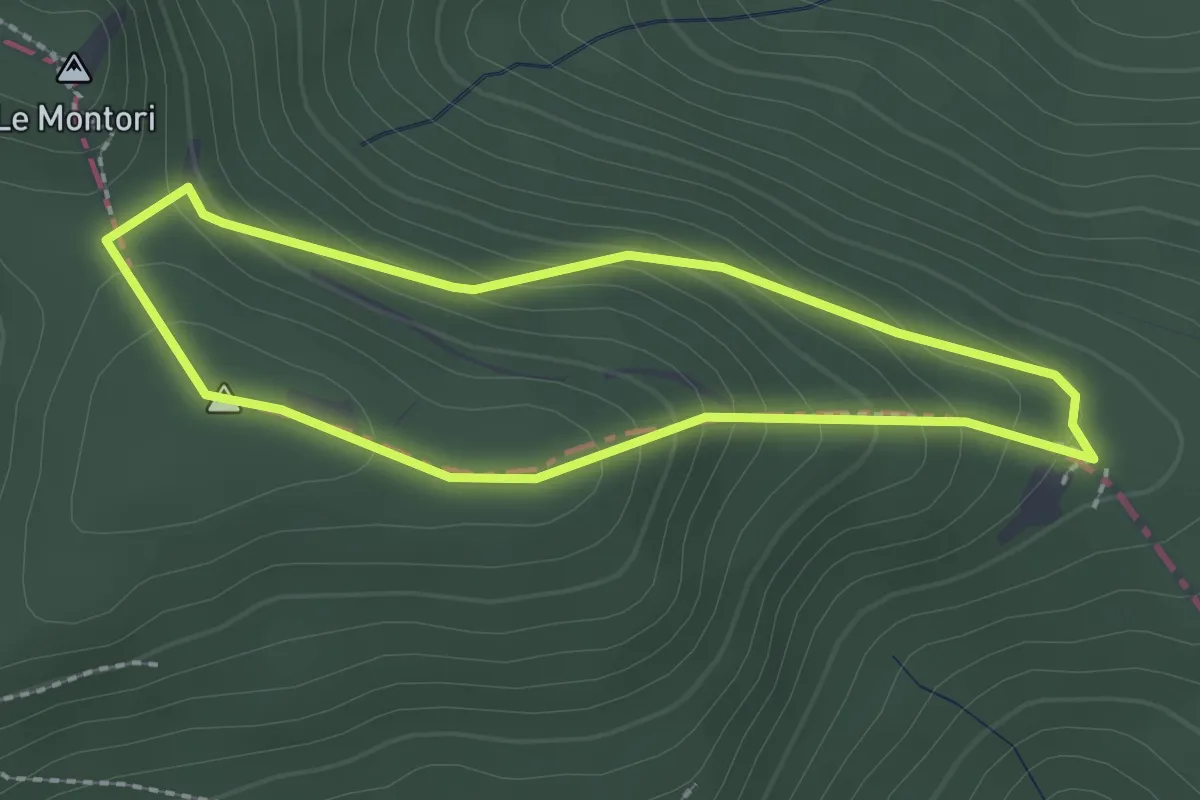
GR 532 – GR 532
3.6 km · ↑ 142 m · 1 h 9 min
Medium · Summit
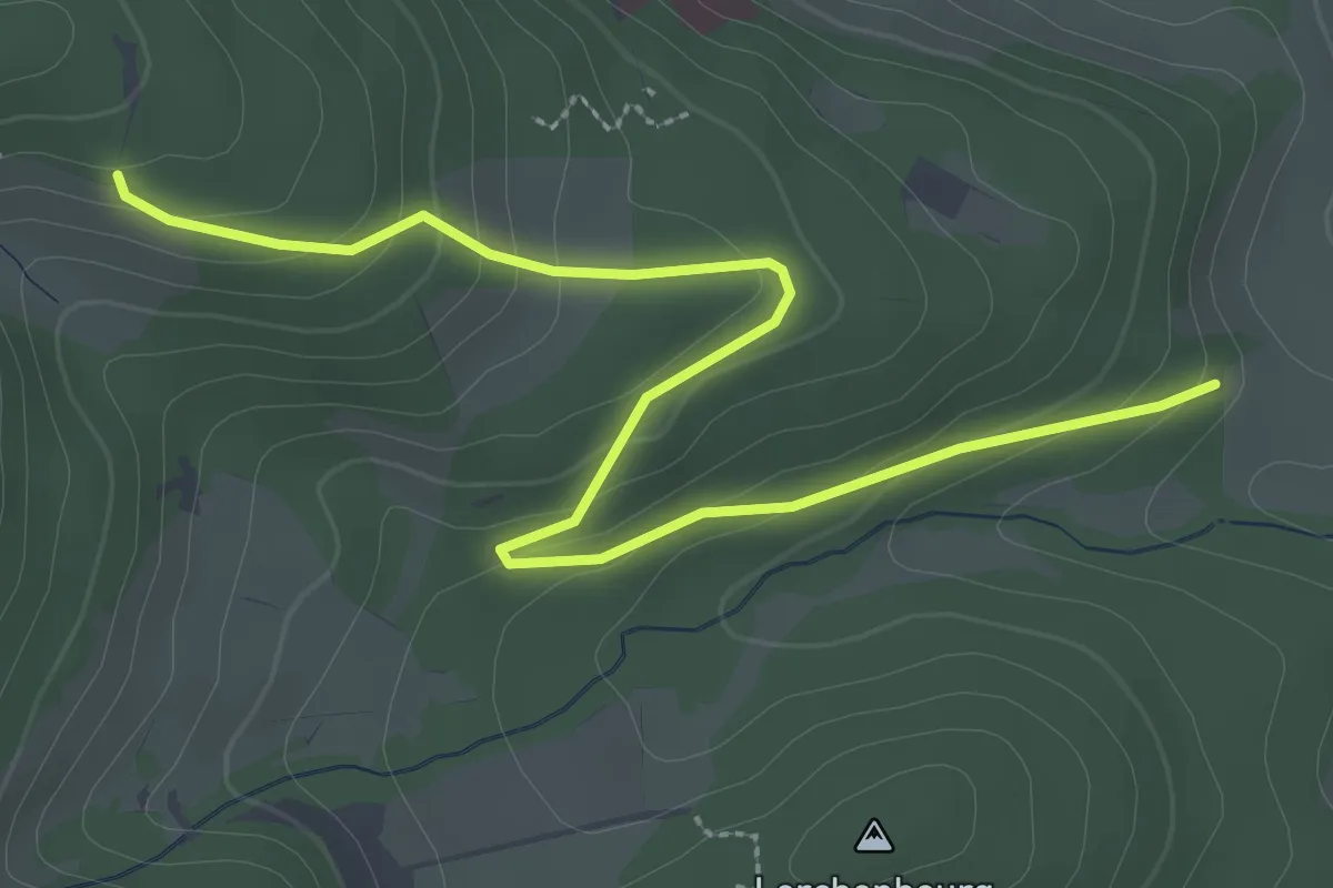
Lauw – Les Trois Bornes
2.0 km · ↑ 129 m · 47 min
Easy · Cabin
Tanzplatz – Abri Oberen Grambaechle
3.5 km · ↑ 197 m · 1 h 15 min
Medium · Trail
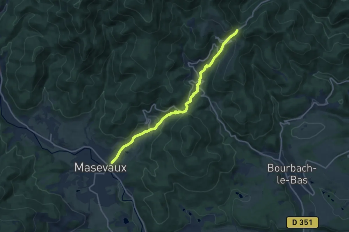
Masevaux – GR 5
10.6 km · ↑ 501 m · 3 h 35 min
Demanding · Cabin
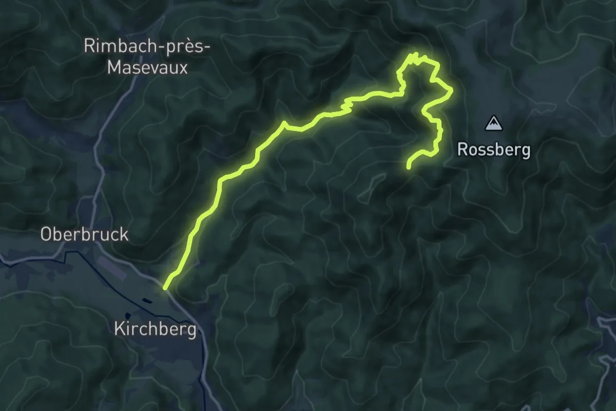
Wegscheid – Sattelboden
15.7 km · ↑ 889 m · 5 h 38 min
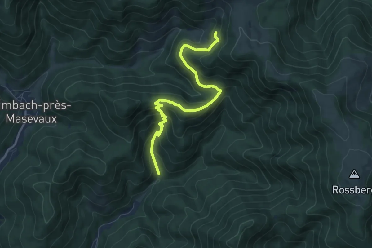
Medium · Trail
Arboretum Wegscheid – Belaker
7.9 km · ↑ 531 m · 3 h 1 min
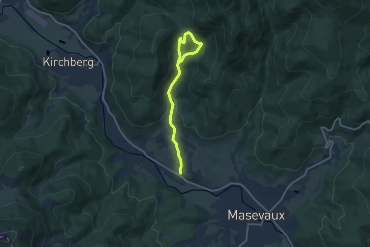
Medium · Trail
Sickert – Abri de Sickertbach
7.1 km · ↑ 360 m · 2 h 28 min
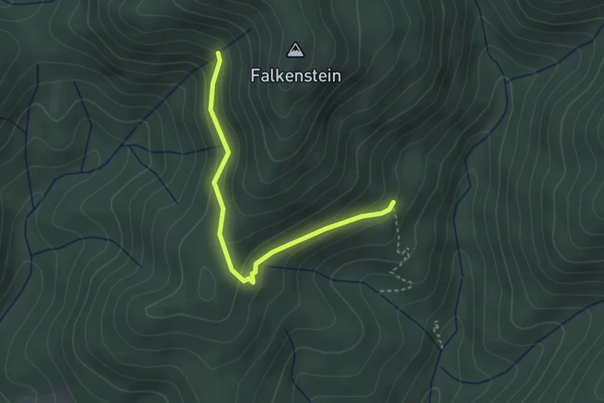
Easy · Trail
GR 532 – Kohlesberg
2.9 km · ↑ 135 m · 59 min
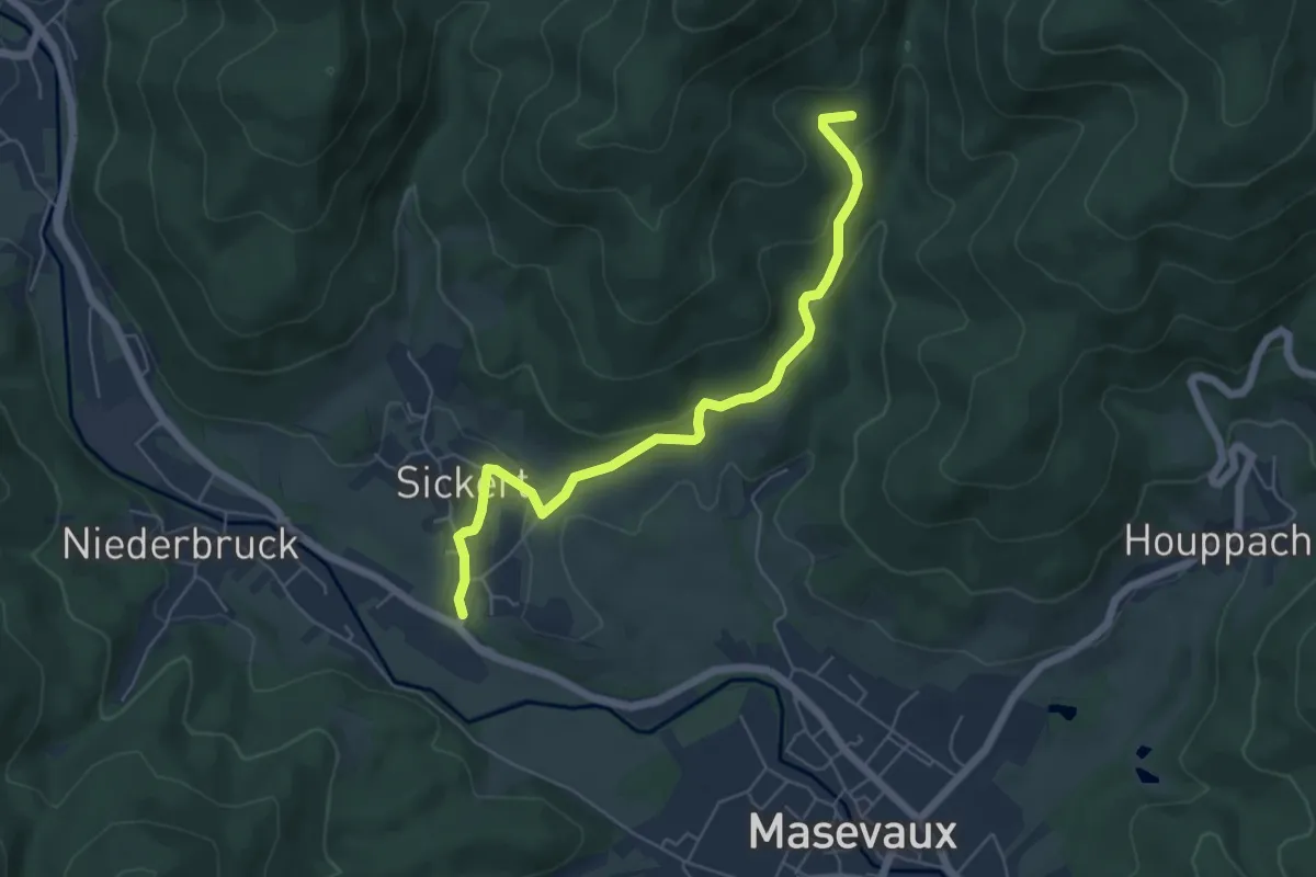
Easy · Trail
Sickert – GR 532
5.6 km · ↑ 229 m · 1 h 49 min