Trails in France
15,926 hiking trails, each with its route, climb, walking time and grade.
All trails, page 298 of 332
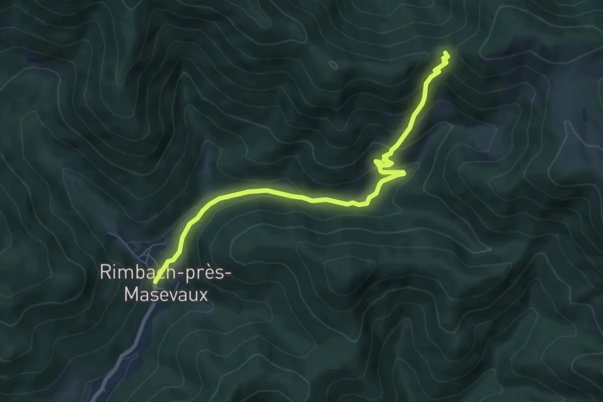
Medium · Trail
Rimbach-près-Masevaux – GR 5
7.1 km · ↑ 400 m · 2 h 32 min
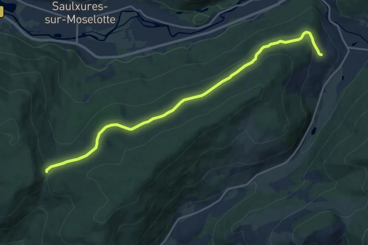
Medium · Trail
Cornimont – Col de Morbieux
12.0 km · ↑ 246 m · 3 h 21 min
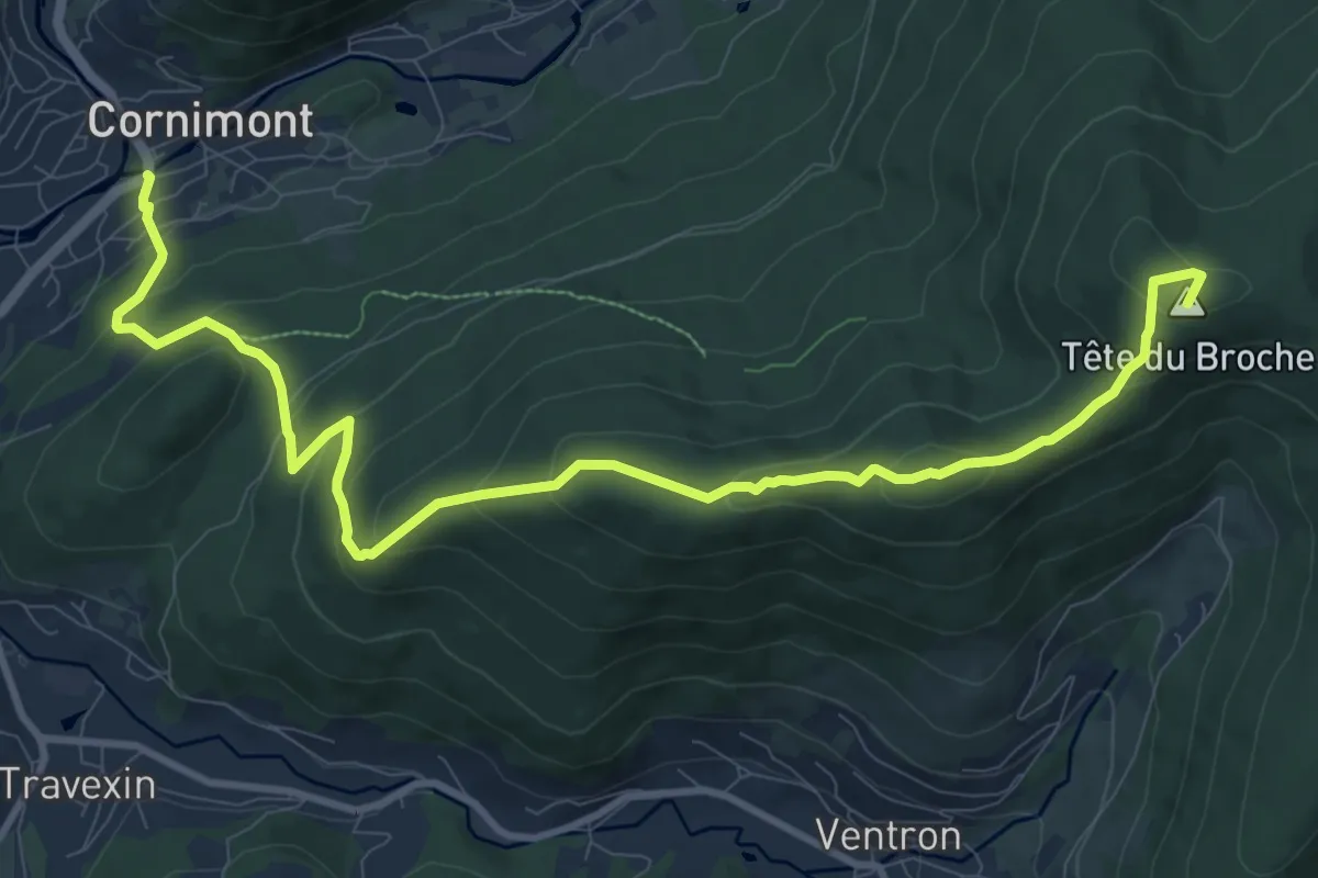
Medium · Summit
Cornimont – Le Grand Ventron
12.0 km · ↑ 650 m · 4 h 15 min
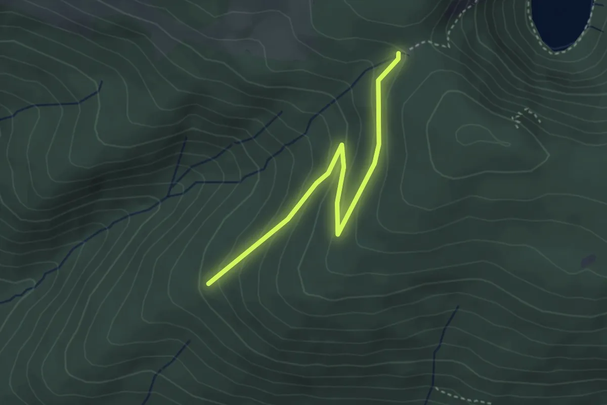
Easy · Trail
Chemin du Boulaire – Collet Mansuy
3.4 km · ↑ 164 m · 1 h 9 min
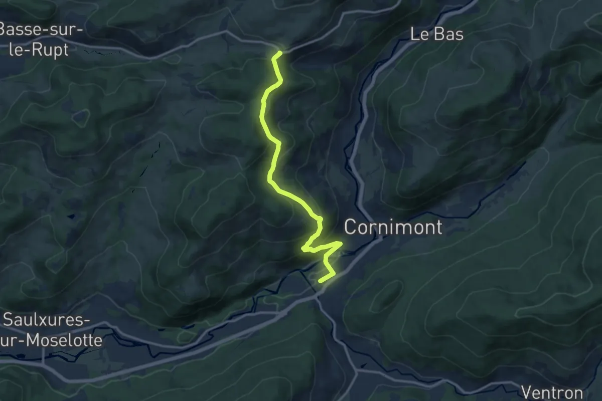
Medium · Trail
Cornimont – Col de la Croix des Moinats
10.4 km · ↑ 522 m · 3 h 35 min
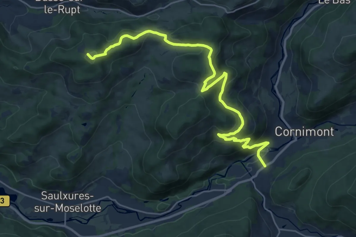
Demanding · Trail
Cornimont – Haut du Roc
18.7 km · ↑ 763 m · 6 h 4 min
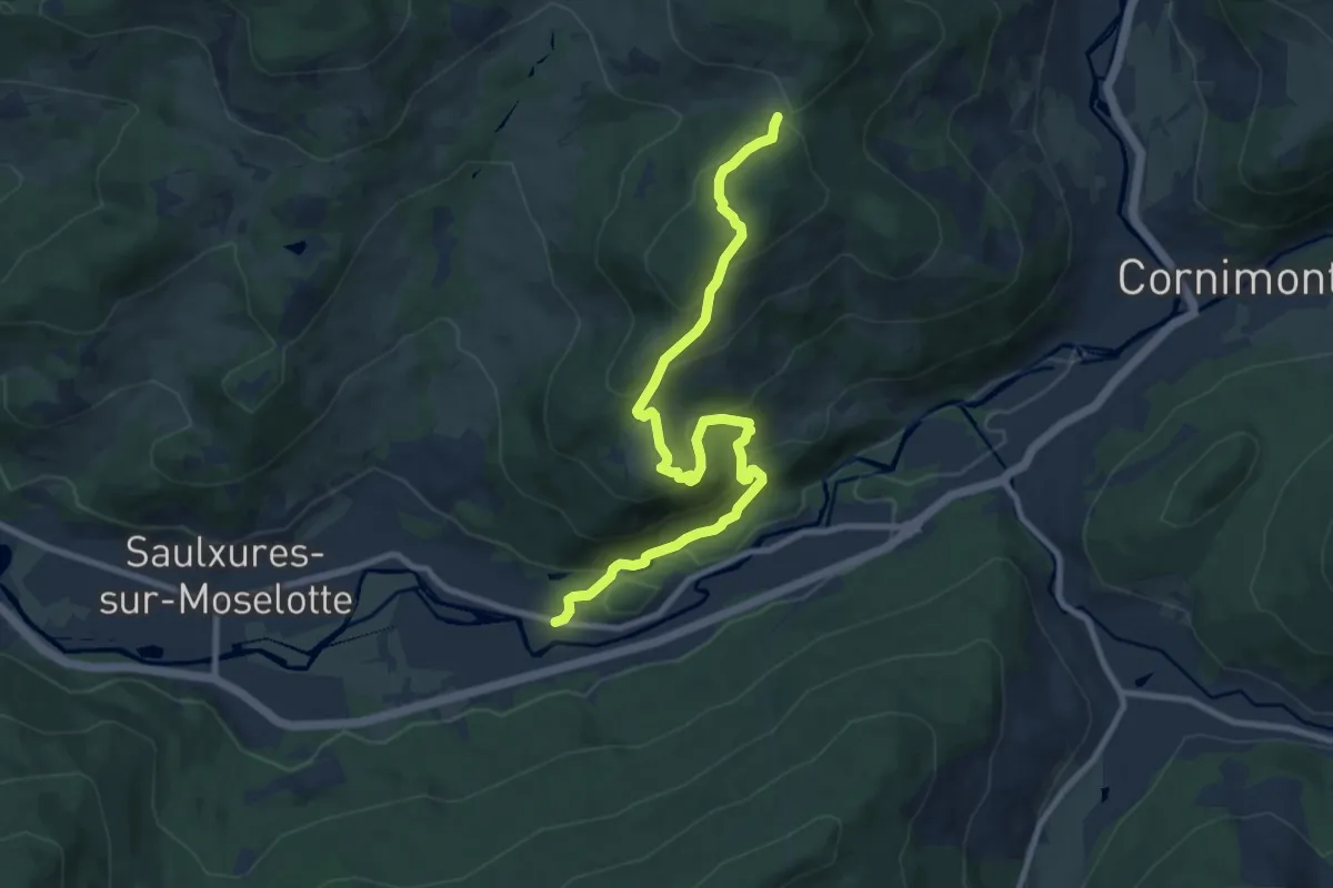
Medium · Trail
Les Bruches – Col de Lauvy
10.2 km · ↑ 566 m · 3 h 37 min
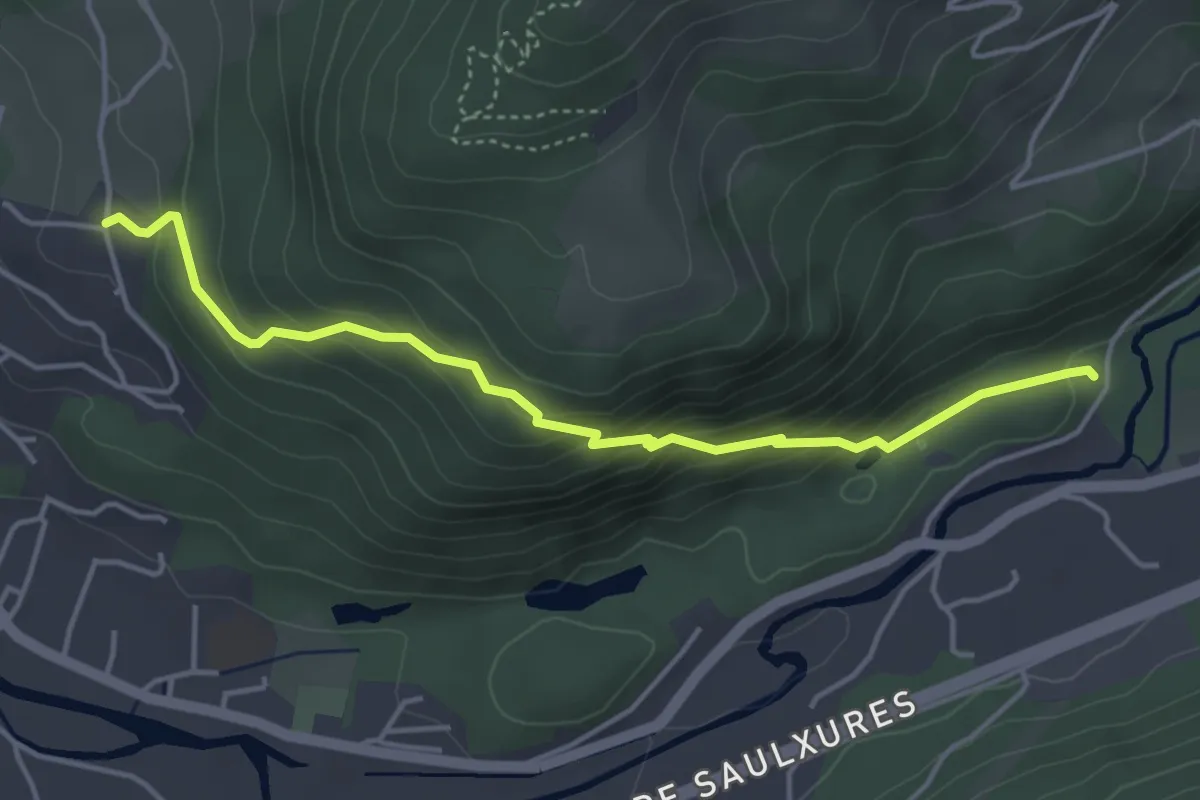
Easy · Trail
Route de Salingueux – Le Champs du Rupt
4.3 km · ↑ 304 m · 1 h 40 min
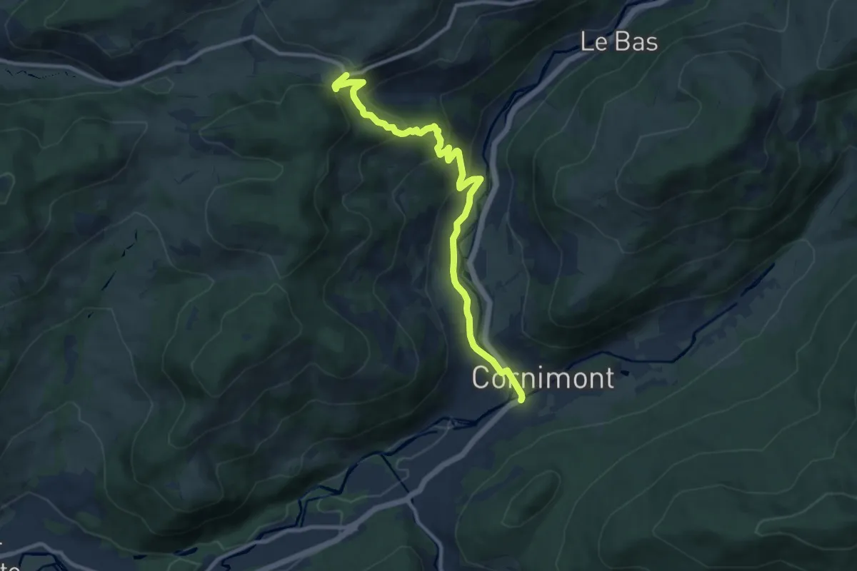
Medium · Trail
Cornimont – Col de la Croix des Moinats
9.8 km · ↑ 410 m · 3 h 11 min
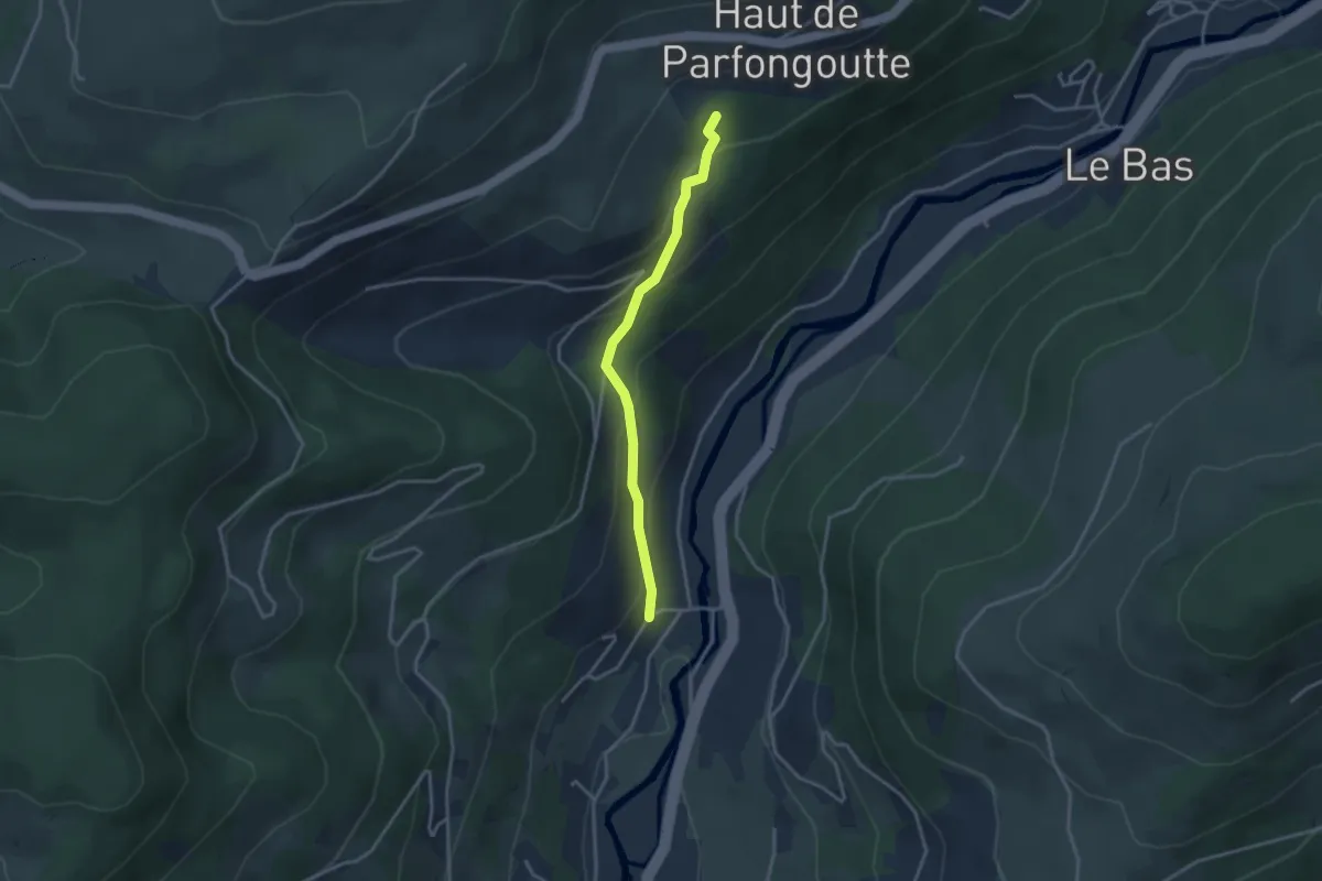
Easy · Trail
Cherménil – Le Fraiteux
3.0 km · ↑ 203 m · 1 h 8 min
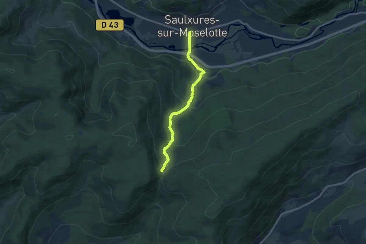
Medium · Trail
Saulxures sur Moselotte – Col de Morbieux
6.6 km · ↑ 337 m · 2 h 18 min
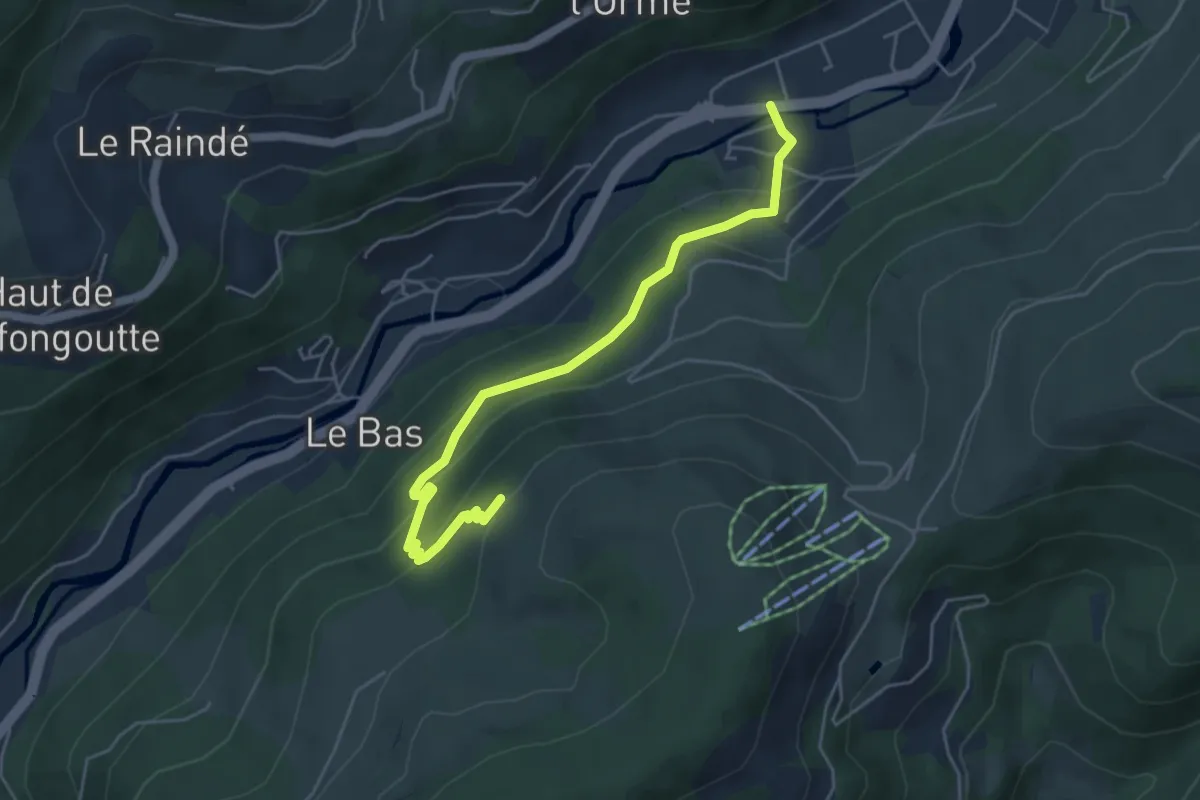
Easy · Trail
Le Daval – Triangle vert
5.0 km · ↑ 271 m · 1 h 46 min
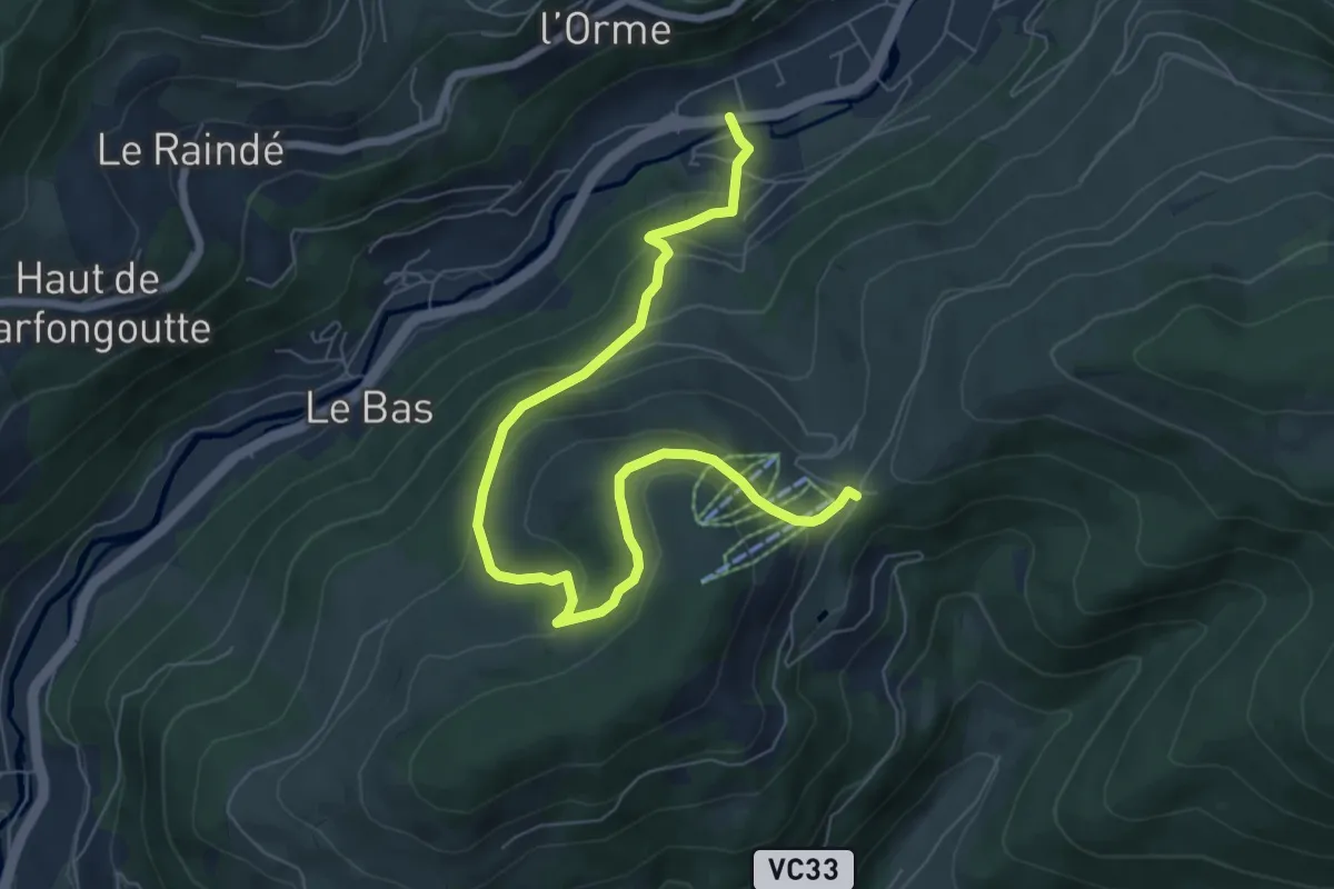
Medium · Trail
Le Daval – Col du Brabant
8.0 km · ↑ 413 m · 2 h 47 min
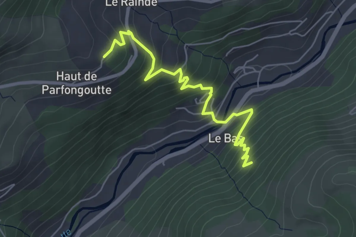
Medium · Trail
Le Raindé – Disque vert
5.2 km · ↑ 372 m · 2 h 2 min
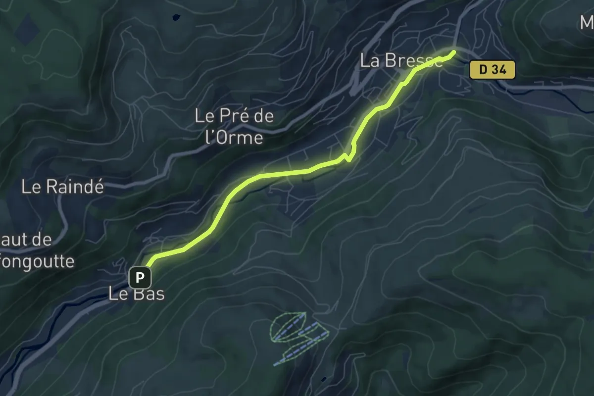
Easy · Trail
Pont du Bas – La Bresse
6.6 km · ↑ 59 m · 1 h 42 min
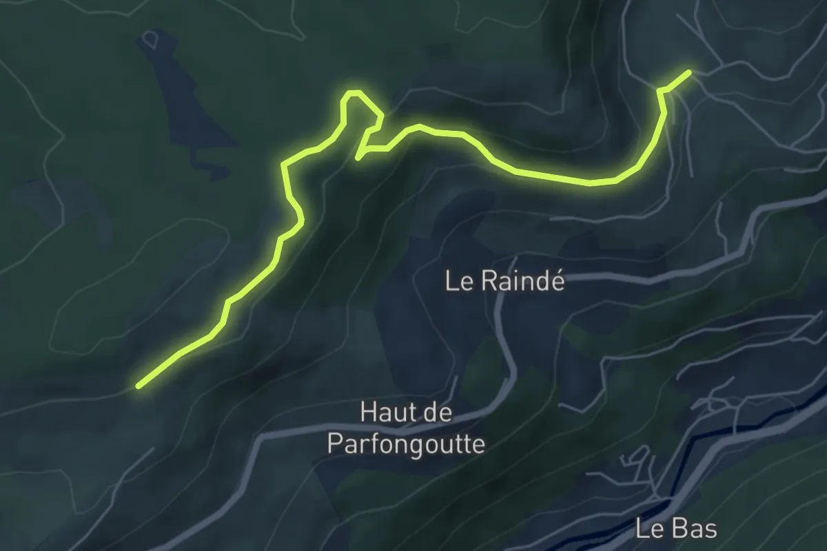
Easy · Trail
La Basse des Feignes – Le Rondfaing
6.3 km · ↑ 185 m · 1 h 54 min
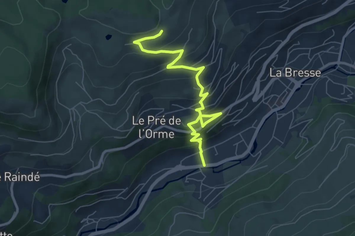
Medium · Trail
La Bresse – La Truche
6.8 km · ↑ 432 m · 2 h 32 min
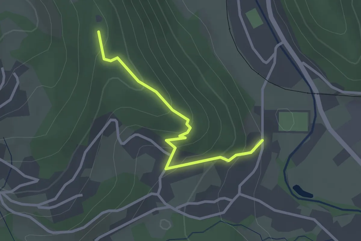
Easy · Trail
Schliffels – Disque rouge
2.3 km · ↑ 163 m · 54 min
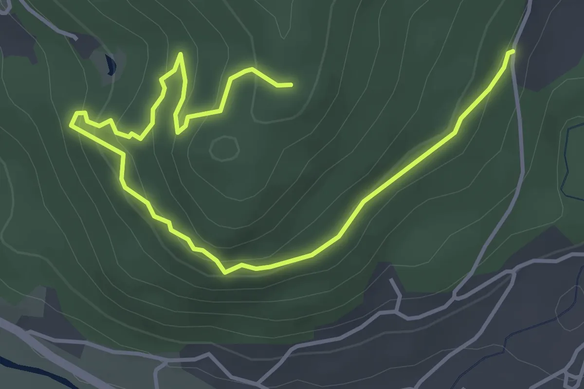
Easy · Trail
Route de la Sure – Chalet du Grebiay
4.9 km · ↑ 266 m · 1 h 44 min
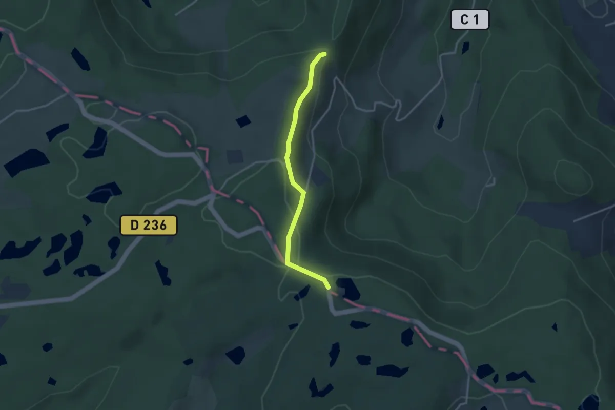
Easy · Trail
Chalet des Alouette – Étang Noir
2.8 km · ↑ 71 m · 48 min
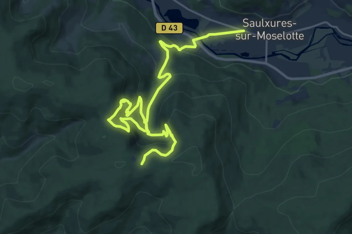
Demanding · Trail
Saulxures-sur-Moselotte – Col du Rahmné
16.4 km · ↑ 885 m · 5 h 48 min
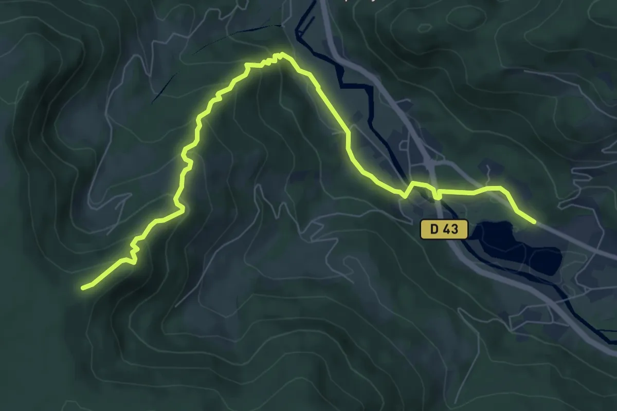
Medium · Trail
Lac de la Moselotte – Le Planois du Haut
8.9 km · ↑ 447 m · 3 h 4 min
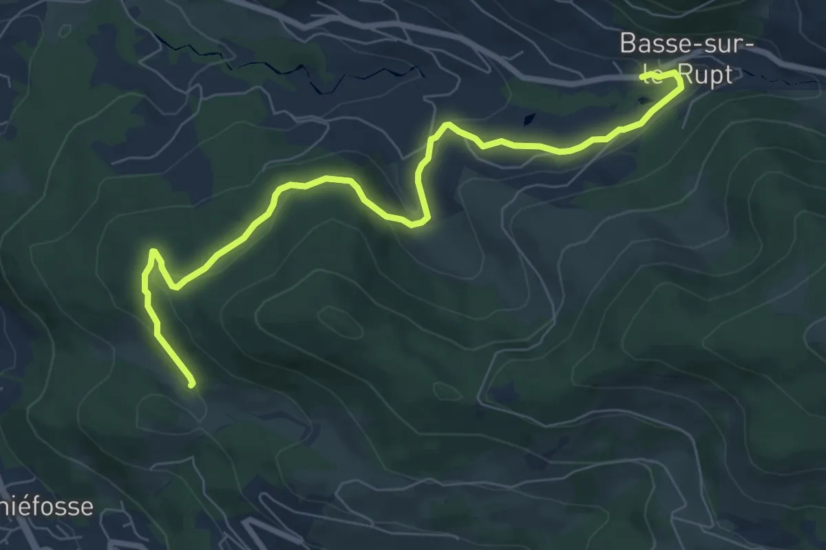
Easy · Trail
Aux Côtes – Col de Haut de Fouchure
8.0 km · ↑ 225 m · 2 h 22 min
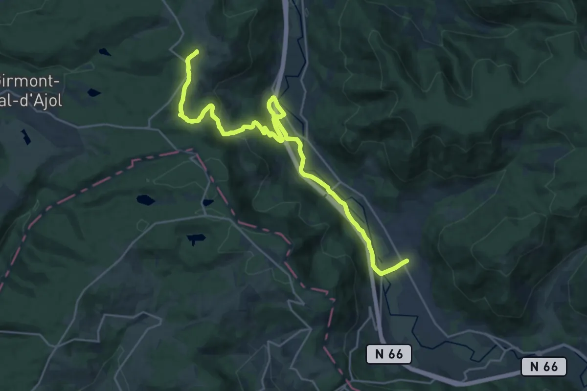
Demanding · Trail
Rupt sur Moselle – La Beuille
20.8 km · ↑ 451 m · 5 h 54 min
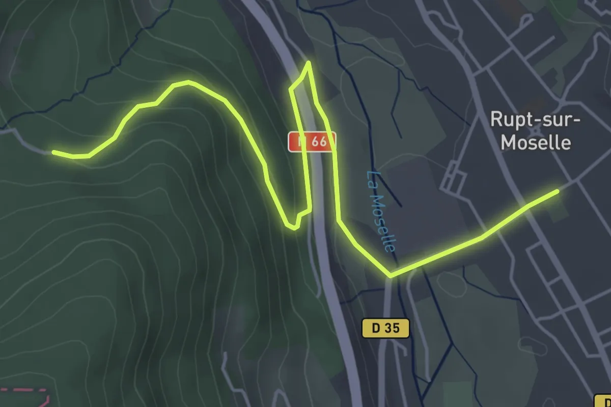
Easy · Trail
Rupt-sur-Moselle – E5
5.7 km · ↑ 207 m · 1 h 48 min
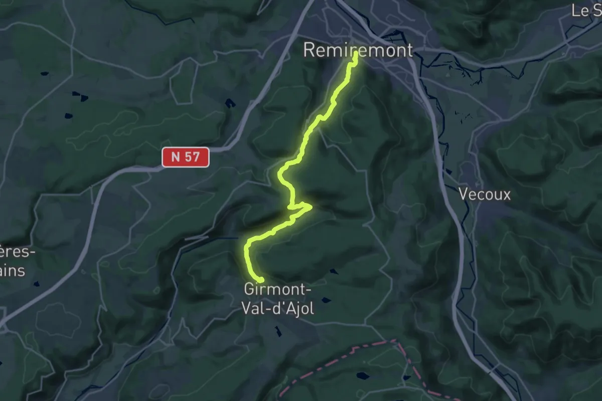
Demanding · Trail
Remiremont – Cascade du Géhard
19.4 km · ↑ 734 m · 6 h 10 min
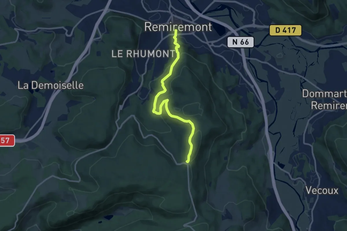
Medium · Trail
Remiremont – Chalet des Gardes
9.8 km · ↑ 378 m · 3 h 8 min
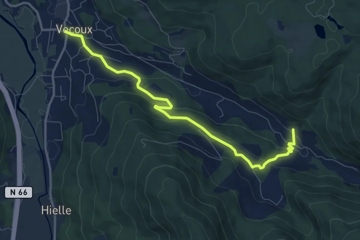
Medium · Trail
Vecoux – Reherrey
8.1 km · ↑ 286 m · 2 h 32 min
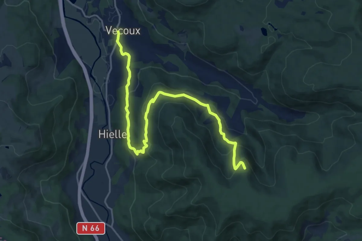
Medium · Cabin
Vecoux – Chalet de l’Avuxon
14.3 km · ↑ 598 m · 4 h 40 min
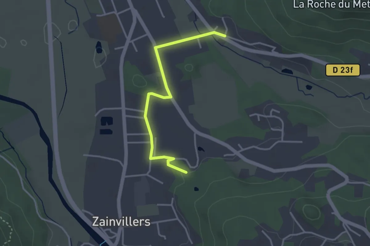
Easy · Trail
Circuit de Zainvillers – Circuit de la Roche du Mettey
3.0 km · ↑ 26 m · 46 min
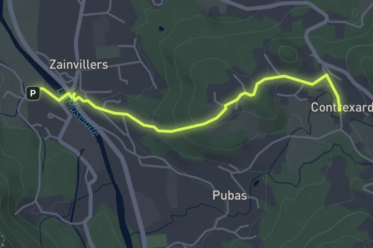
Easy · Trail
Zainvillers – Contrexard
4.0 km · ↑ 85 m · 1 h 8 min
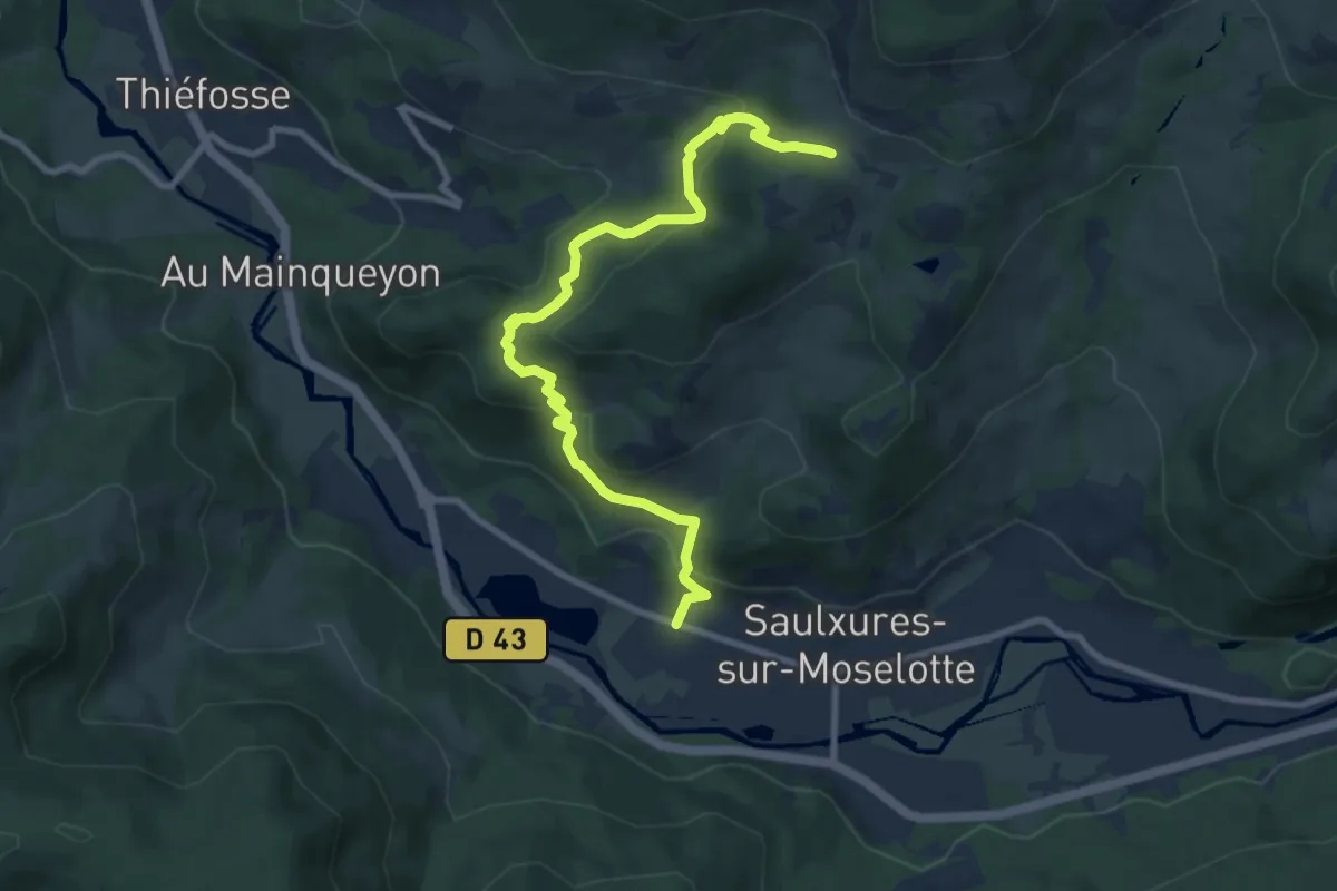
Medium · Trail
Saulxures-sur-Moselotte – Route des Tayeux
9.3 km · ↑ 450 m · 3 h 10 min
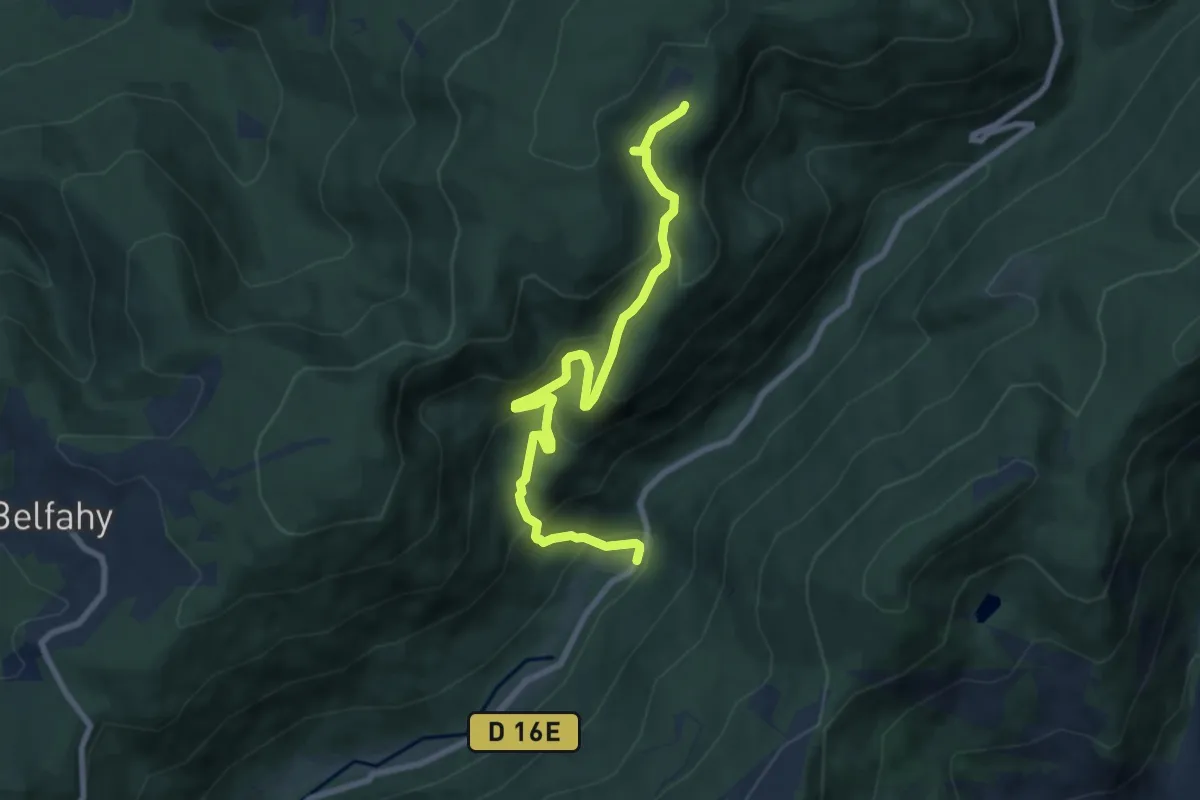
Medium · Trail
Aire de Mérique – GR 59
8.5 km · ↑ 525 m · 3 h 8 min
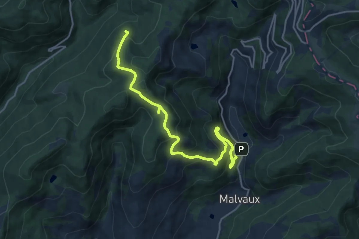
Demanding · Trail
La Cuvotte – GR 533
12.1 km · ↑ 801 m · 4 h 35 min
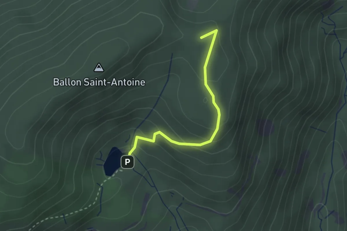
Easy · Summit
Étanges des Belles Filles – GR 533
2.4 km · ↑ 143 m · 52 min
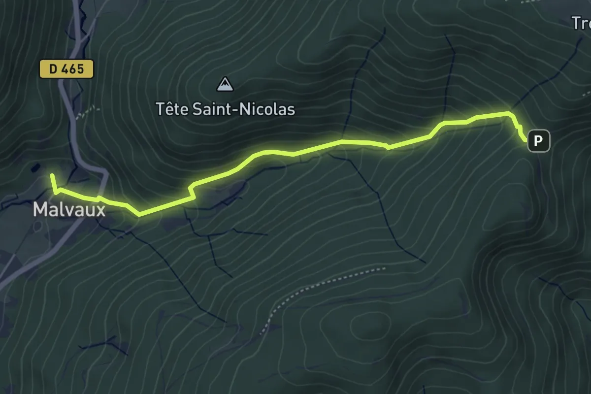
Medium · Trail
Malvaux – Col du Chantoiseau
4.8 km · ↑ 381 m · 1 h 58 min
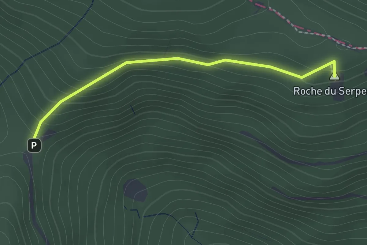
Medium · Summit
Col du Chantoiseau – Roche du Serpent
1.9 km · ↑ 103 m · 40 min
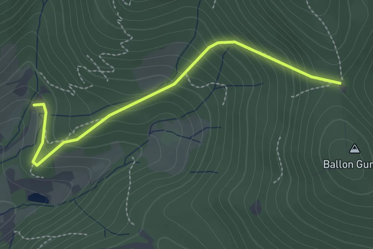
Demanding · Trail
Pré de la Beche – Col du Chat
2.4 km · ↑ 203 m · 1 h
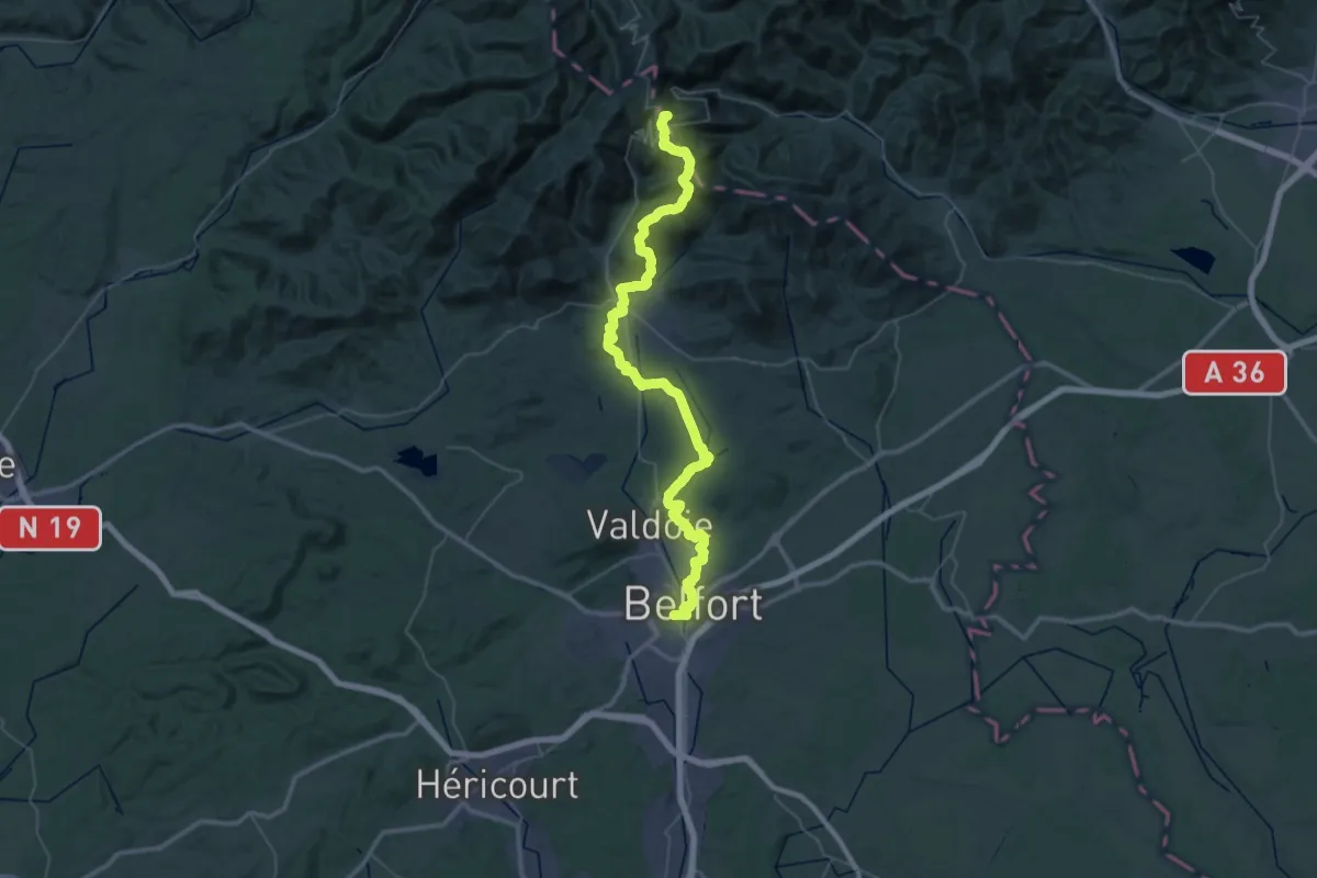
Demanding · Summit
Belfort – Ballon d’Alsace
60.1 km · ↑ 1396 m · 17 h 13 min
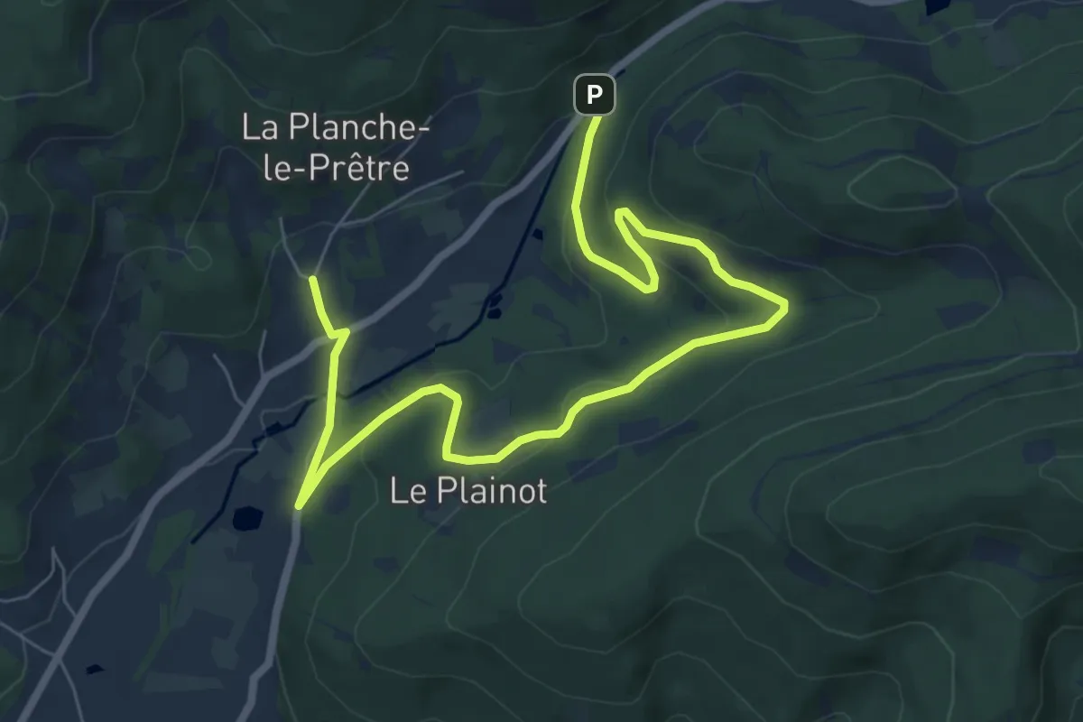
Medium · Trail
La Planche-le-Prêtre – Château du Rosemont
8.8 km · ↑ 273 m · 2 h 40 min
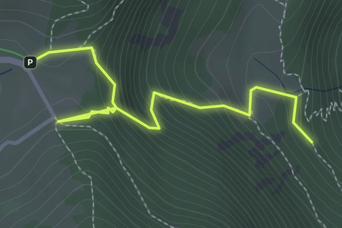
Easy · Trail
Rectangle rouge barré de blanc – GR531
2.4 km · ↑ 256 m · 1 h 8 min
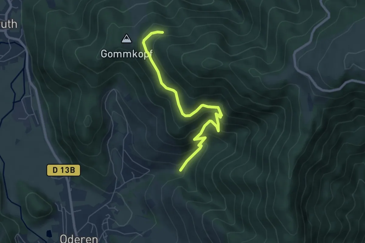
Medium · Trail
Rue Bel Air – Gommkopf
6.0 km · ↑ 382 m · 2 h 15 min
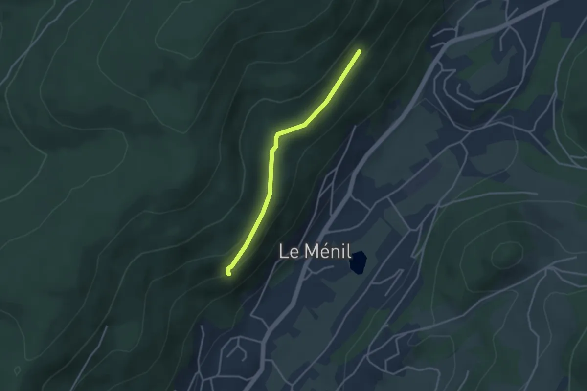
Easy · Trail
Les Reucys – La roche des Chênes
2.8 km · ↑ 95 m · 52 min
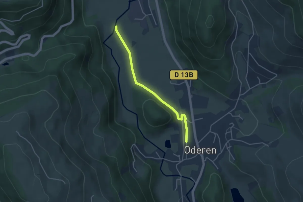
Easy · Trail
Rue de la Gare – Roesselwirtsmatten
3.1 km · ↑ 16 m · 45 min
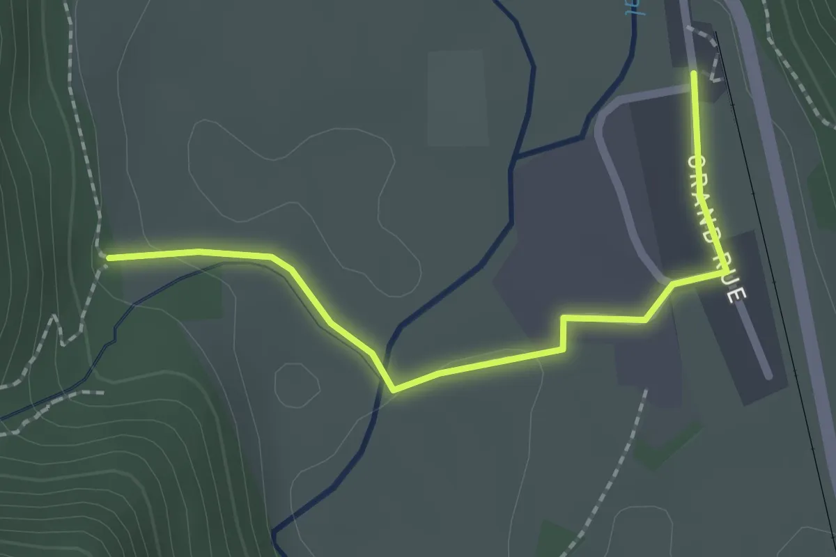
Easy · Trail
Gare de Kruth – Cascade Saint Nicolas
2.0 km · ↑ 28 m · 32 min
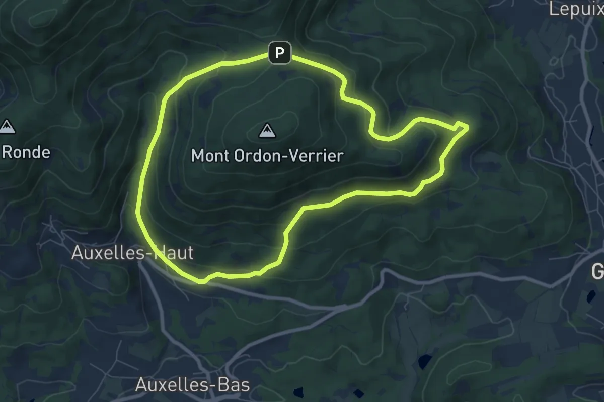
Medium · Trail
Auxelles-Haut – Auxelles-Haut
7.1 km · ↑ 341 m · 2 h 31 min
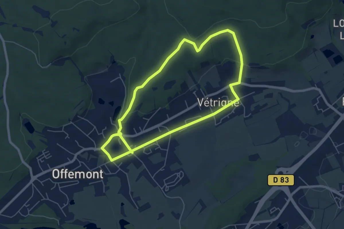
Easy · Trail
Offemont – Offemont
5.2 km · ↑ 103 m · 1 h 30 min
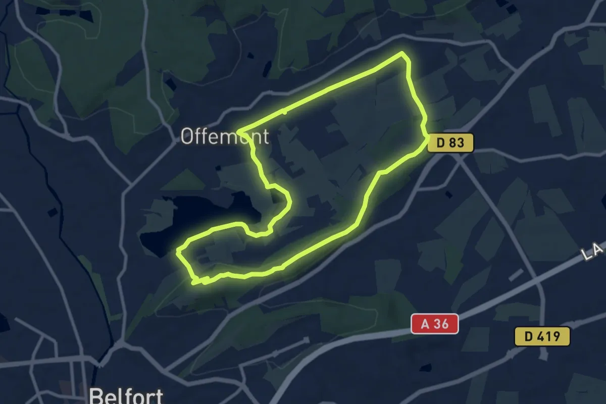
Medium · Trail
Les Forges – Les Forges
8.5 km · ↑ 104 m · 2 h 21 min