Trails in France
15,926 hiking trails, each with its route, climb, walking time and grade.
All trails, page 299 of 332
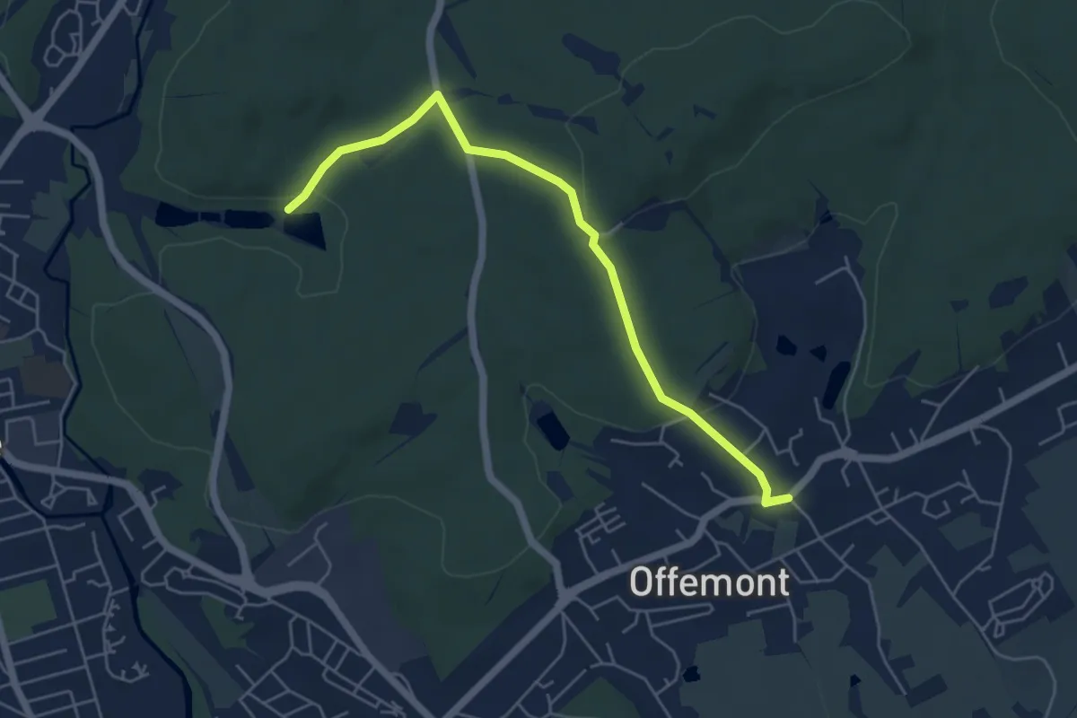
Easy · Trail
Offemont – GR532
5.4 km · ↑ 125 m · 1 h 32 min
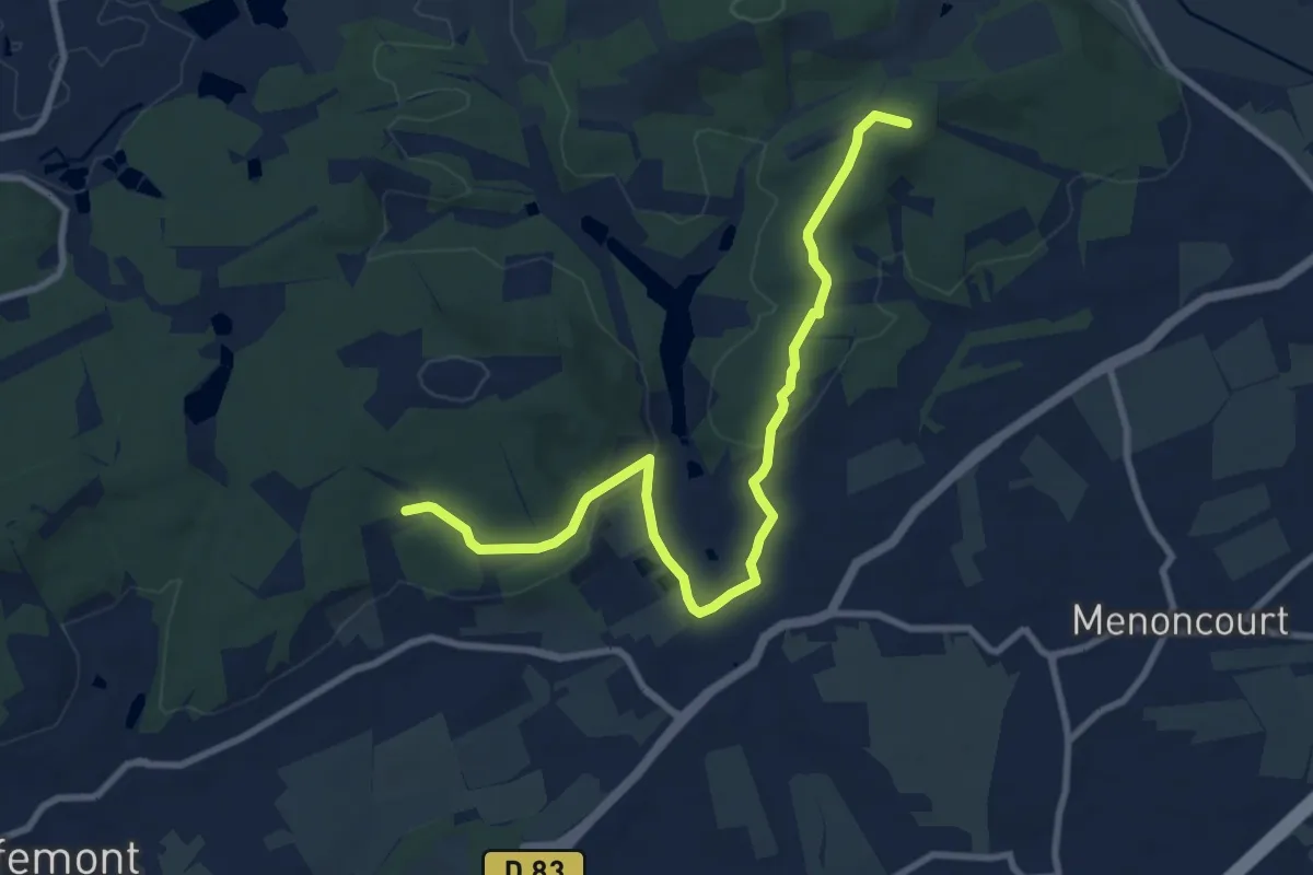
Medium · Summit
Vétrigne – Le Faré
9.9 km · ↑ 211 m · 2 h 47 min
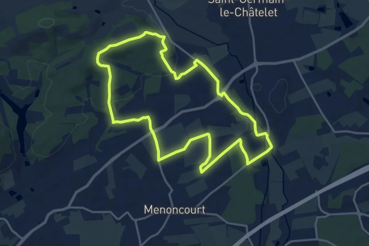
Medium · Summit
Bethonvilliers – Bethonvilliers
9.7 km · ↑ 143 m · 2 h 44 min
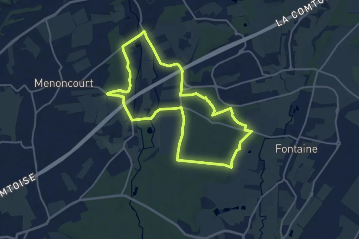
Medium · Trail
Bethonvilliers – Bethonvilliers
9.6 km · ↑ 61 m · 2 h 31 min
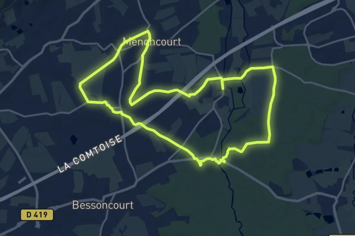
Medium · Trail
Lacollonge – Lacollonge
11.8 km · ↑ 93 m · 3 h 10 min
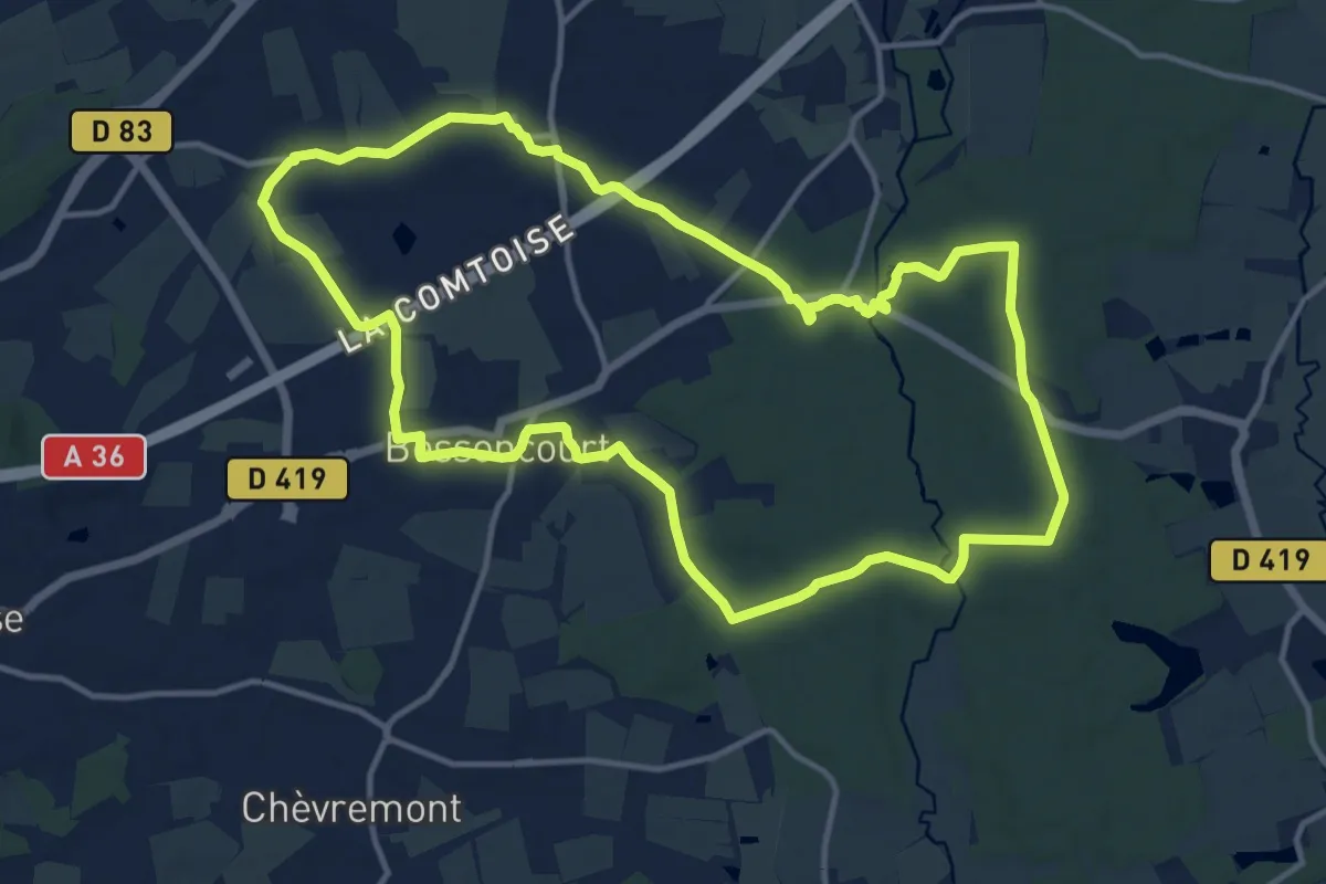
Medium · Trail
Denney – Denney
13.4 km · ↑ 115 m · 3 h 36 min
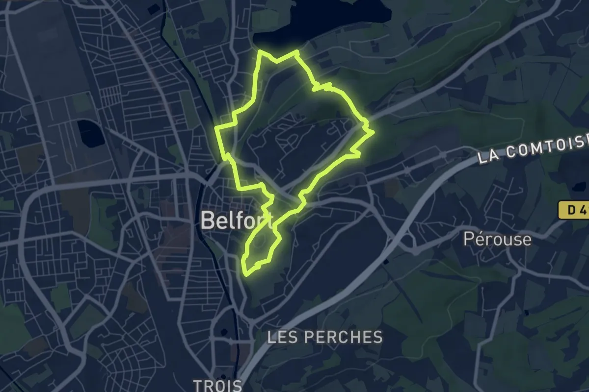
Easy · Trail
Etang des Forges – Etang des Forges
6.3 km · ↑ 115 m · 1 h 49 min
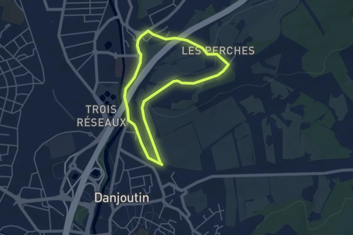
Easy · Trail
Belfort – Belfort
3.3 km · ↑ 59 m · 56 min
Easy · Trail
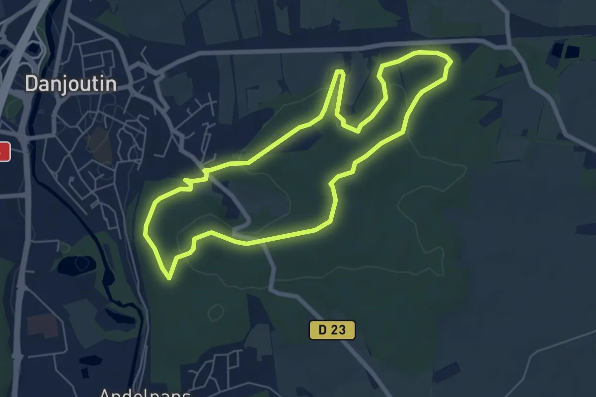
Fort de Bosmont – Fort de Bosmont
5.5 km · ↑ 97 m · 1 h 34 min
Demanding · Trail
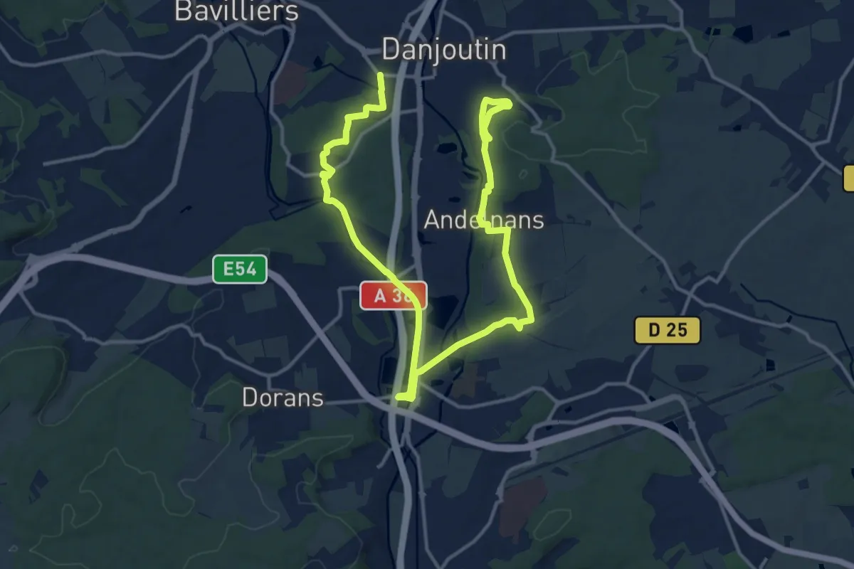
Danjoutin – Froideval
19.5 km · ↑ 203 m · 5 h 2 min
Easy · Trail
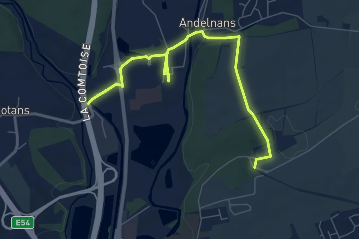
Botans – GRP Randonnée des Forts
6.2 km · ↑ 57 m · 1 h 35 min
Easy · Trail
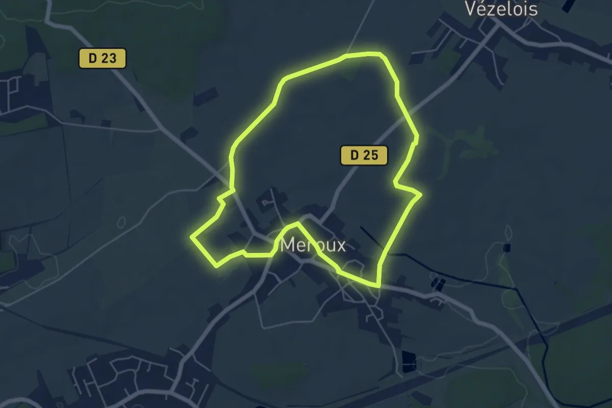
Meroux – Meroux
5.0 km · ↑ 34 m · 1 h 20 min
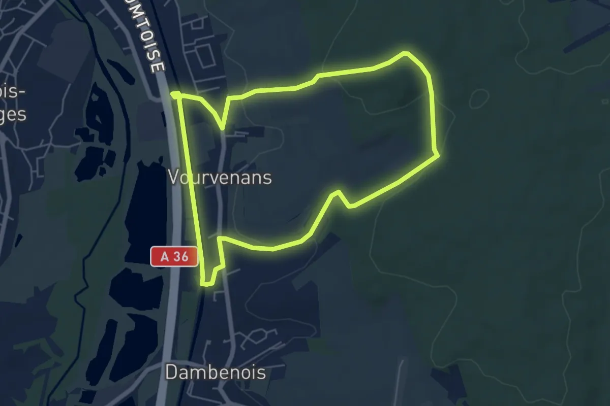
Easy · Trail
Vourvenans – Vourvenans
5.1 km · ↑ 111 m · 1 h 31 min
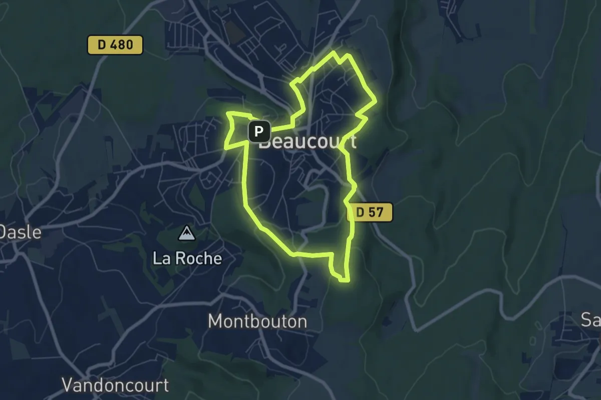
Easy · Summit
Beaucourt – Beaucourt
6.3 km · ↑ 157 m · 1 h 54 min
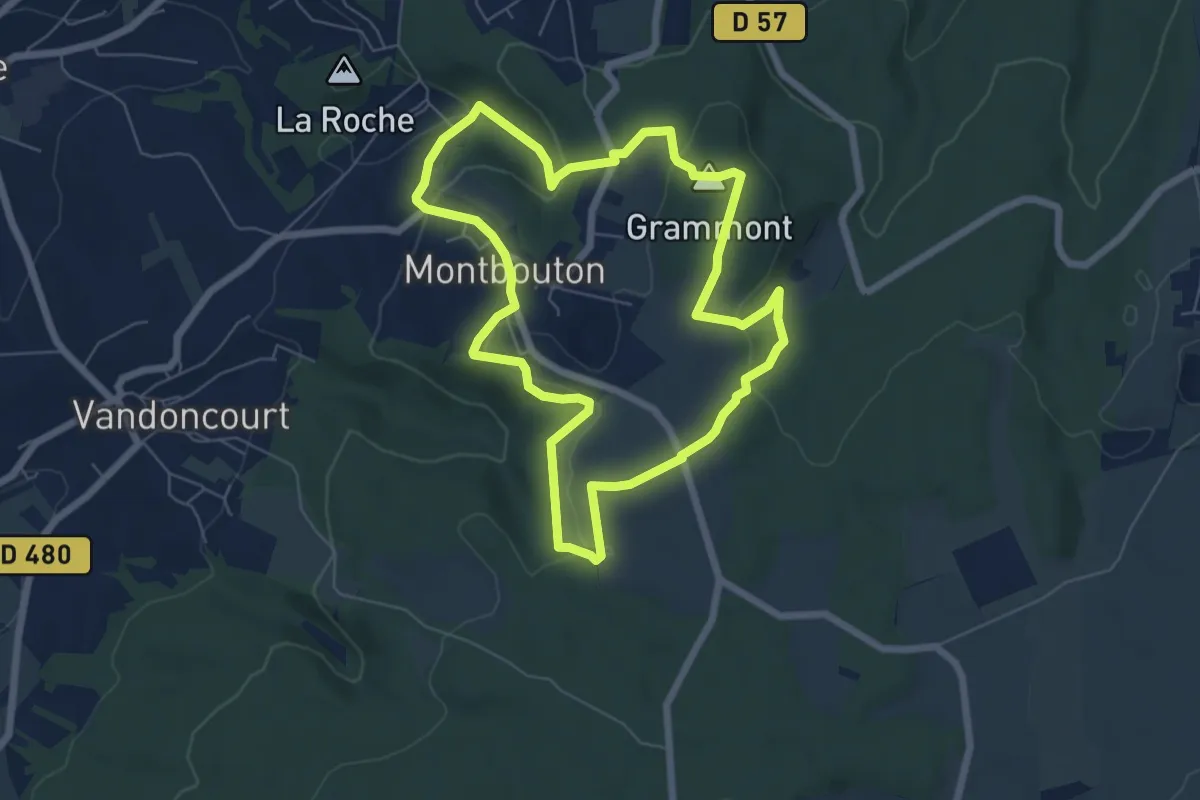
Easy · Summit
Montbouton – Montbouton
6.2 km · ↑ 176 m · 1 h 56 min
Easy · Trail
Croix – Croix
2.3 km · ↑ 55 m · 41 min
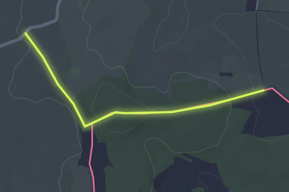
Easy · Trail
Frontière Suisse – Frontière Suisse
3.6 km · ↑ 91 m · 1 h 3 min
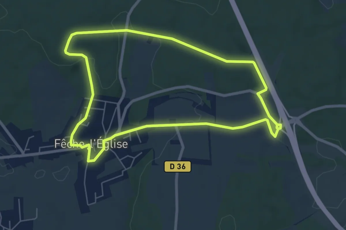
Easy · Trail
Fêche-l'Église – Fêche-l'Église
5.4 km · ↑ 99 m · 1 h 34 min
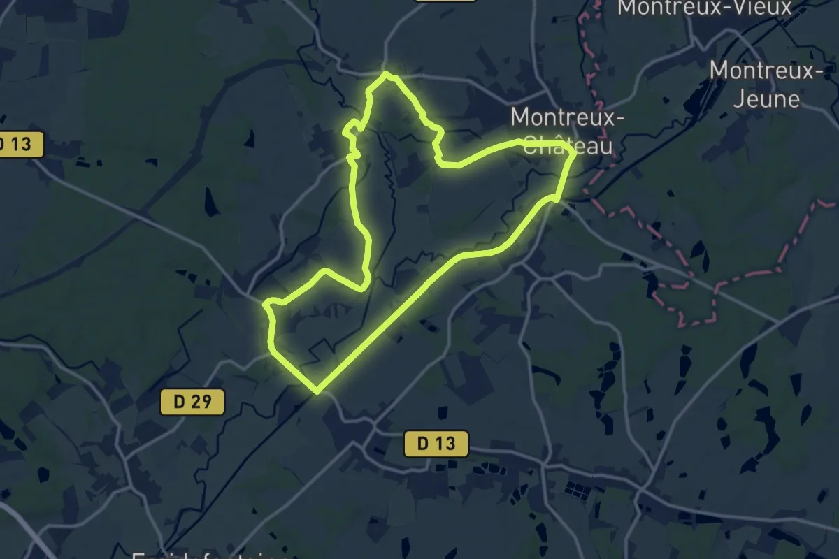
Medium · Trail
Montreux-Château – Montreux-Château
12.4 km · ↑ 41 m · 3 h 12 min
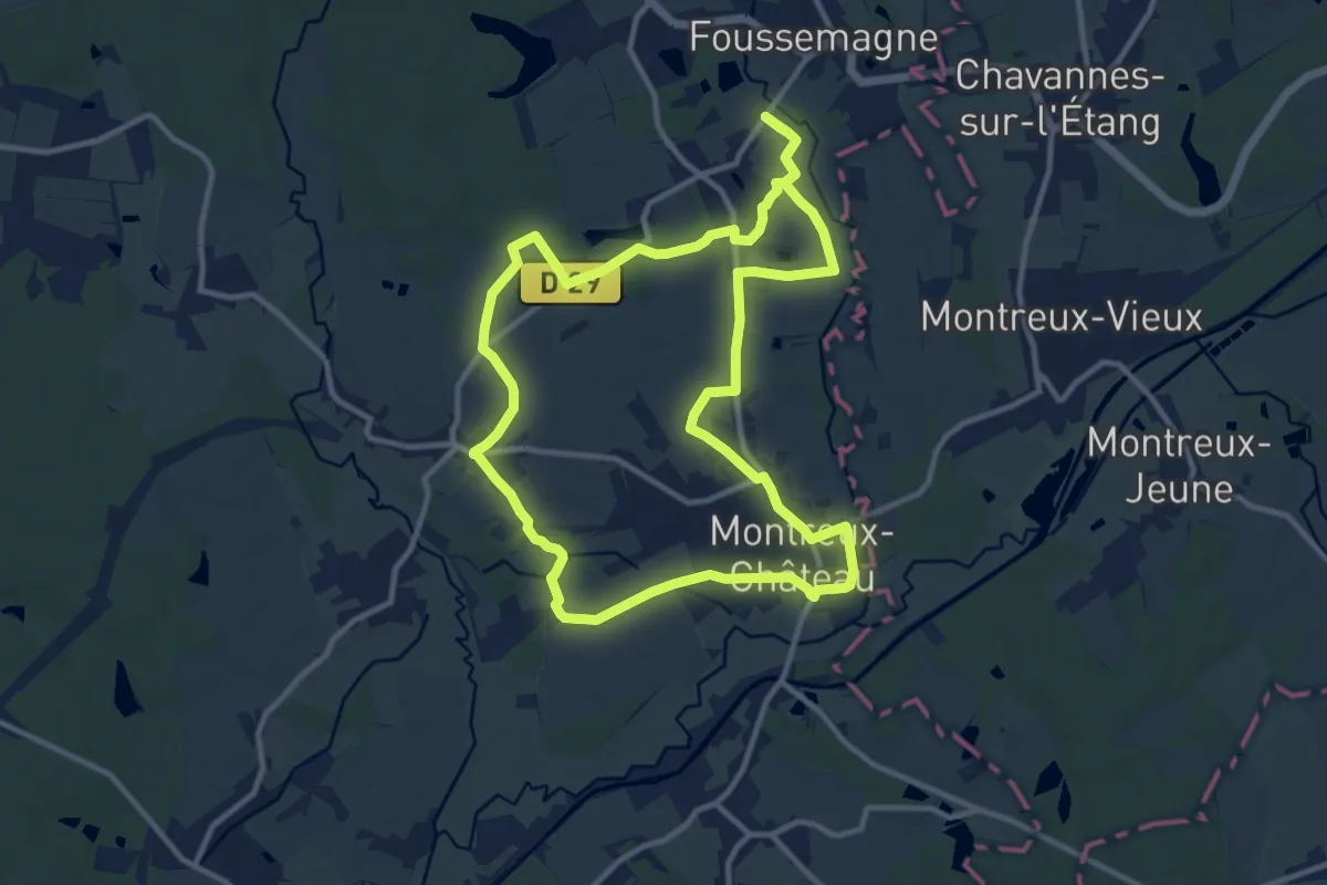
Medium · Trail
Montreux-Château – Montreux-Château
11.5 km · ↑ 47 m · 2 h 59 min
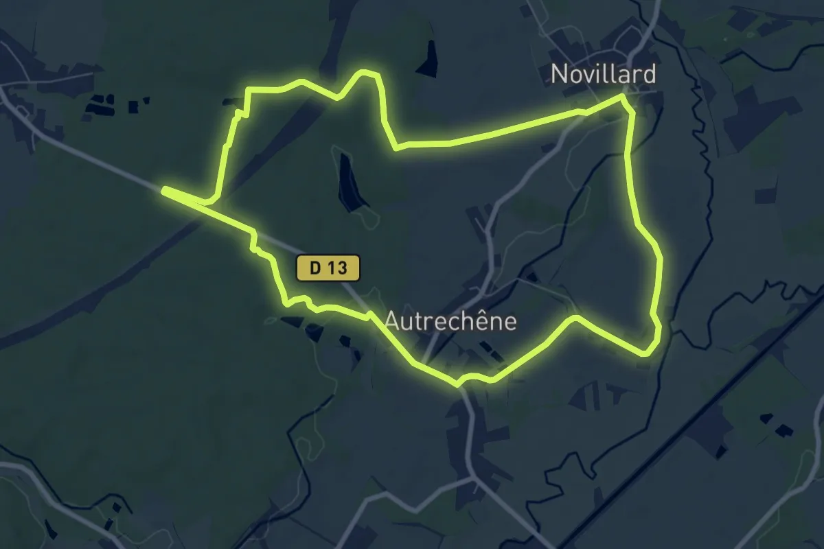
Medium · Trail
Novillars – Novillars
8.7 km · ↑ 43 m · 2 h 15 min
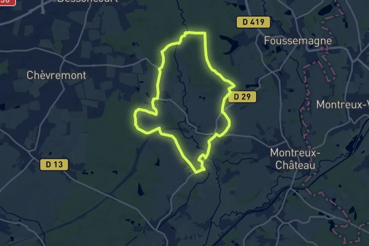
Medium · Trail
Fontenelle – Fontenelle
11.2 km · ↑ 91 m · 3 h
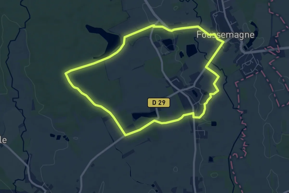
Easy · Trail
Cunelières – Cunelières
6.5 km · ↑ 38 m · 1 h 43 min
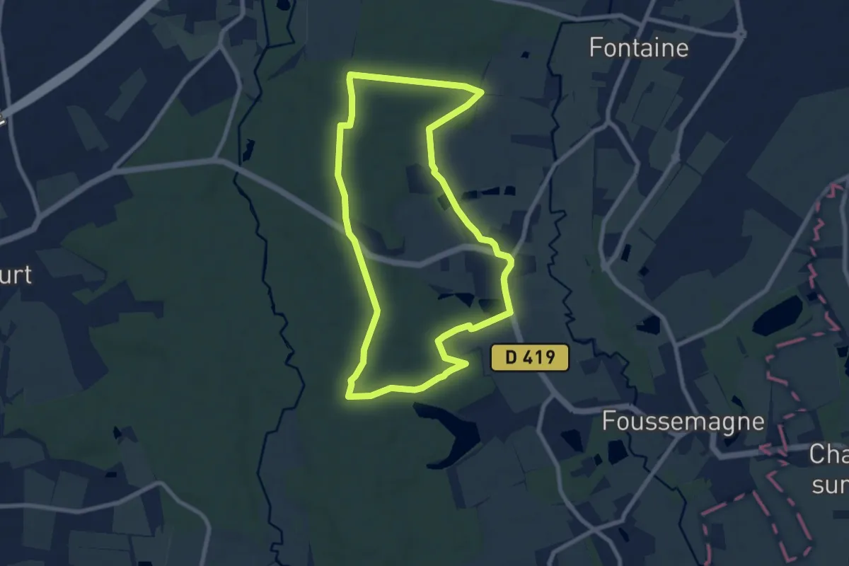
Easy · Trail
Frais – Frais
7.5 km · ↑ 52 m · 1 h 59 min
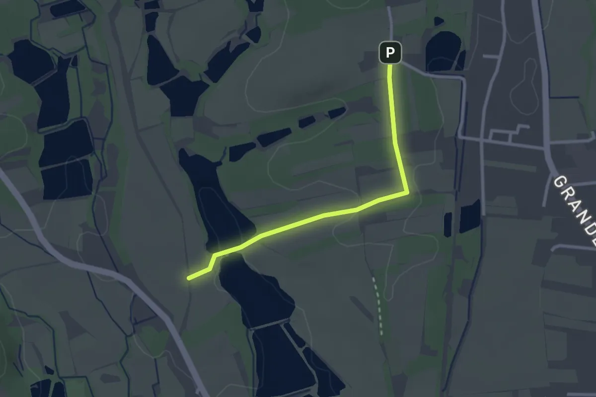
Easy · Trail
Etangs de la Rouge Vie – Etang d'Avau
2.4 km · ↑ 34 m · 38 min
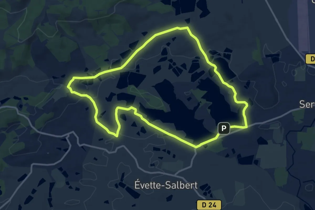
Medium · Trail
Lac de Malcaucy – Lac de Malcaucy
9.5 km · ↑ 71 m · 2 h 31 min
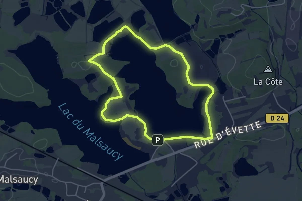
Easy · Trail
Lac de Malsaucy – Lac de Malsaucy
3.7 km · ↑ 12 m · 57 min
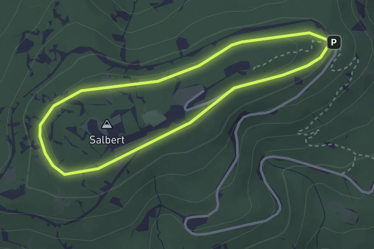
Easy · Trail
Le Salbert – Le Salbert
2.5 km · ↑ 40 m · 43 min
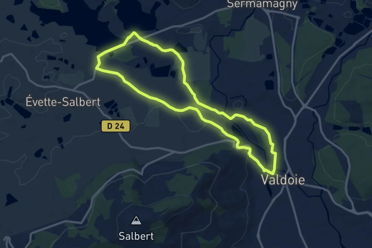
Easy · Trail
Valdoie – Valdoie
7.5 km · ↑ 68 m · 2 h 2 min
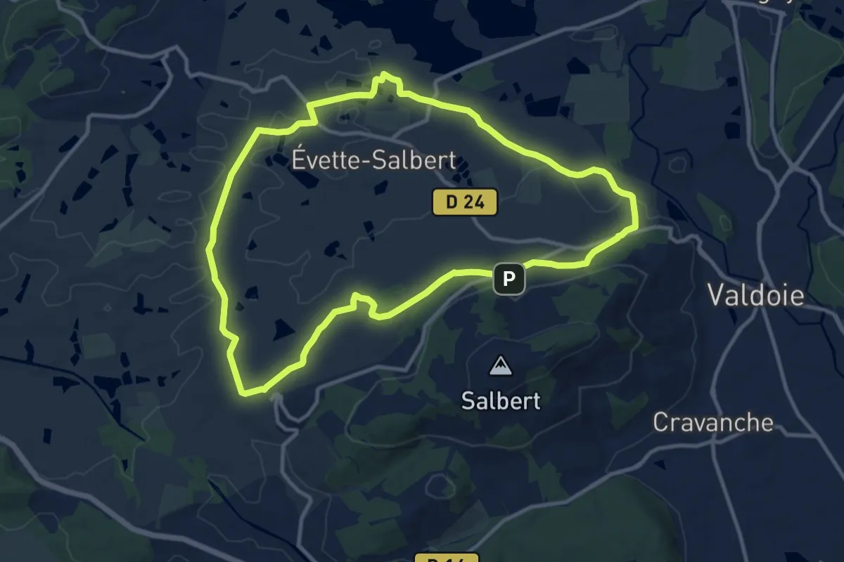
Medium · Trail
Bas-Évette – Bas-Évette
10.8 km · ↑ 147 m · 3 h 1 min
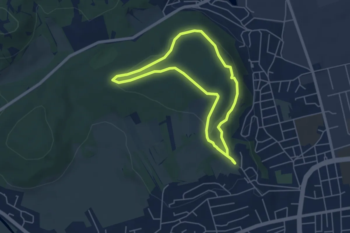
Easy · Summit
Le Mont – Le Mont
3.8 km · ↑ 111 m · 1 h 12 min
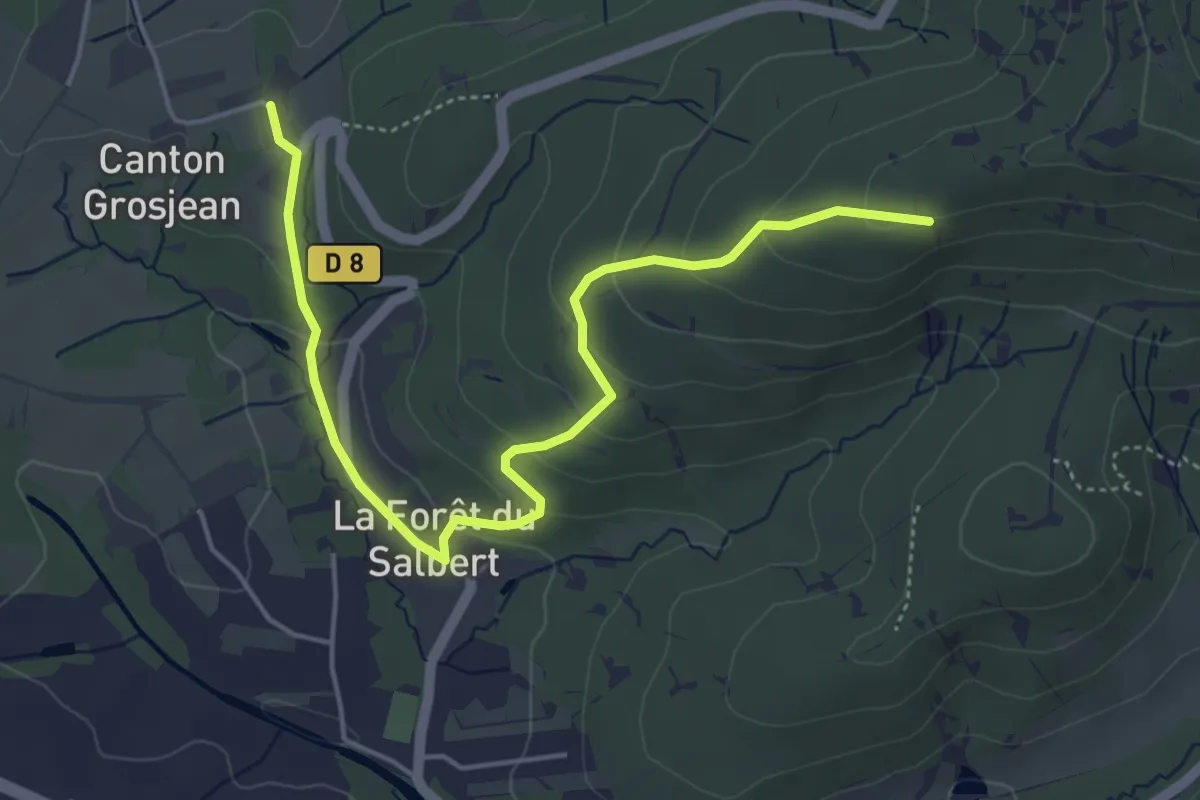
Easy · Trail
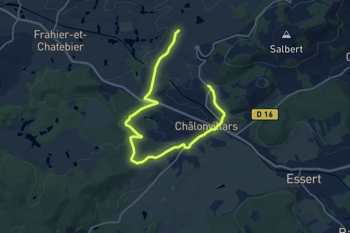
Fort du Salbert – Canton Grosjean
5.2 km · ↑ 207 m · 1 h 41 min
Medium · Trail
La Forêt du Salbert – Canton Grosjean
14.3 km · ↑ 301 m · 4 h 2 min
Easy · Trail
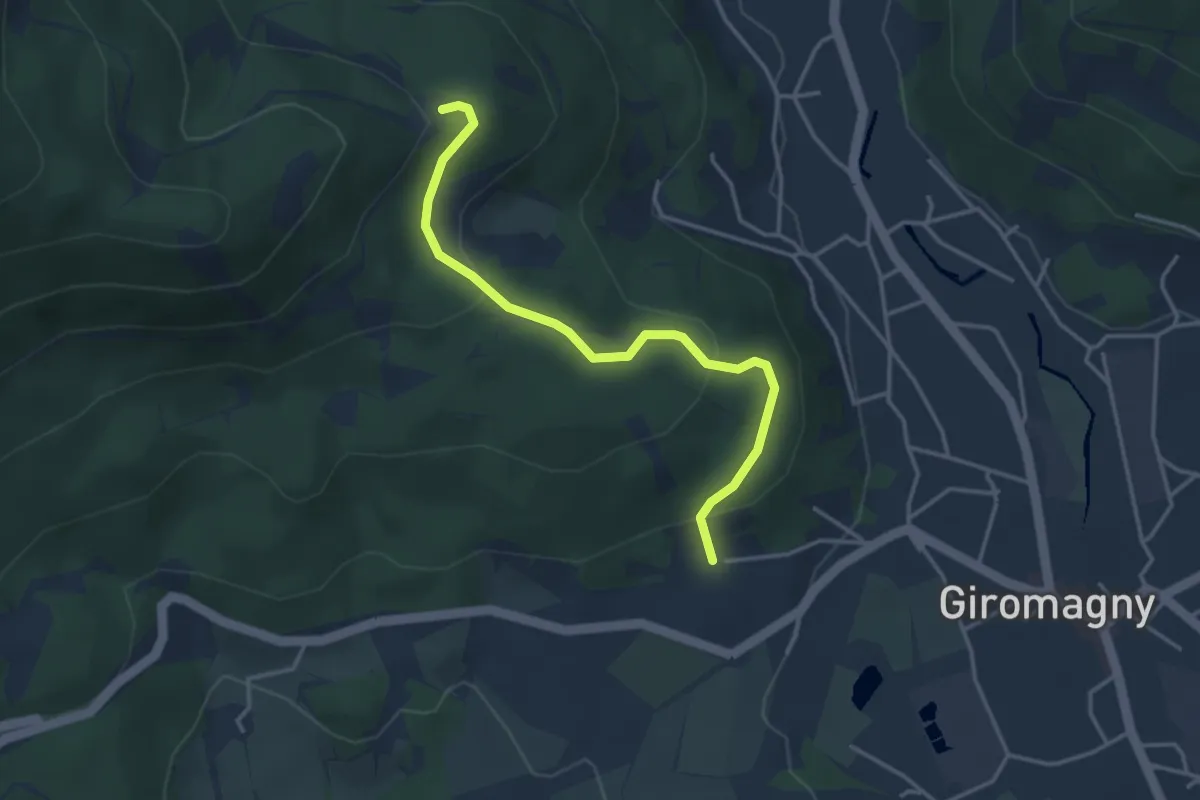
Giromagny – anneau jaune
3.6 km · ↑ 162 m · 1 h 12 min
Medium · Trail
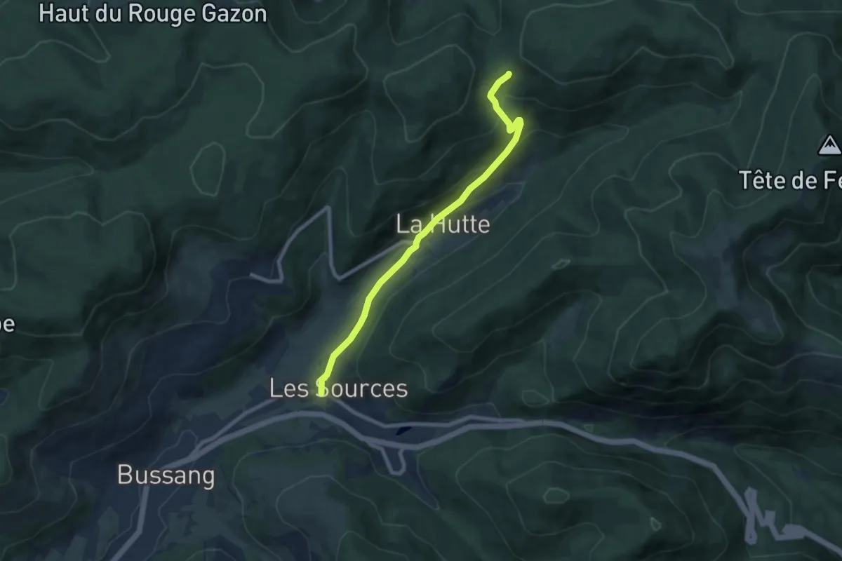
Les Sources – Col du Page
7.2 km · ↑ 334 m · 2 h 25 min
Easy · Trail
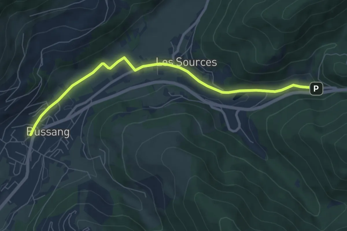
Bussang – Source de la Moselle
6.9 km · ↑ 118 m · 1 h 54 min
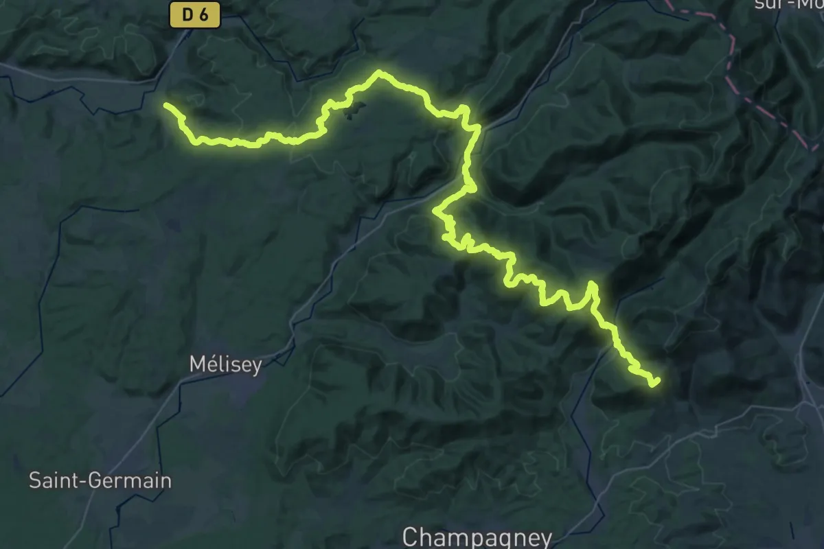
Demanding · Trail
Annegray – GR 533
33.9 km · ↑ 1510 m · 11 h 29 min
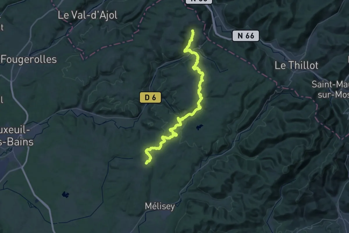
Demanding · Trail
Écromagny – La Rosière
24.1 km · ↑ 666 m · 7 h 24 min
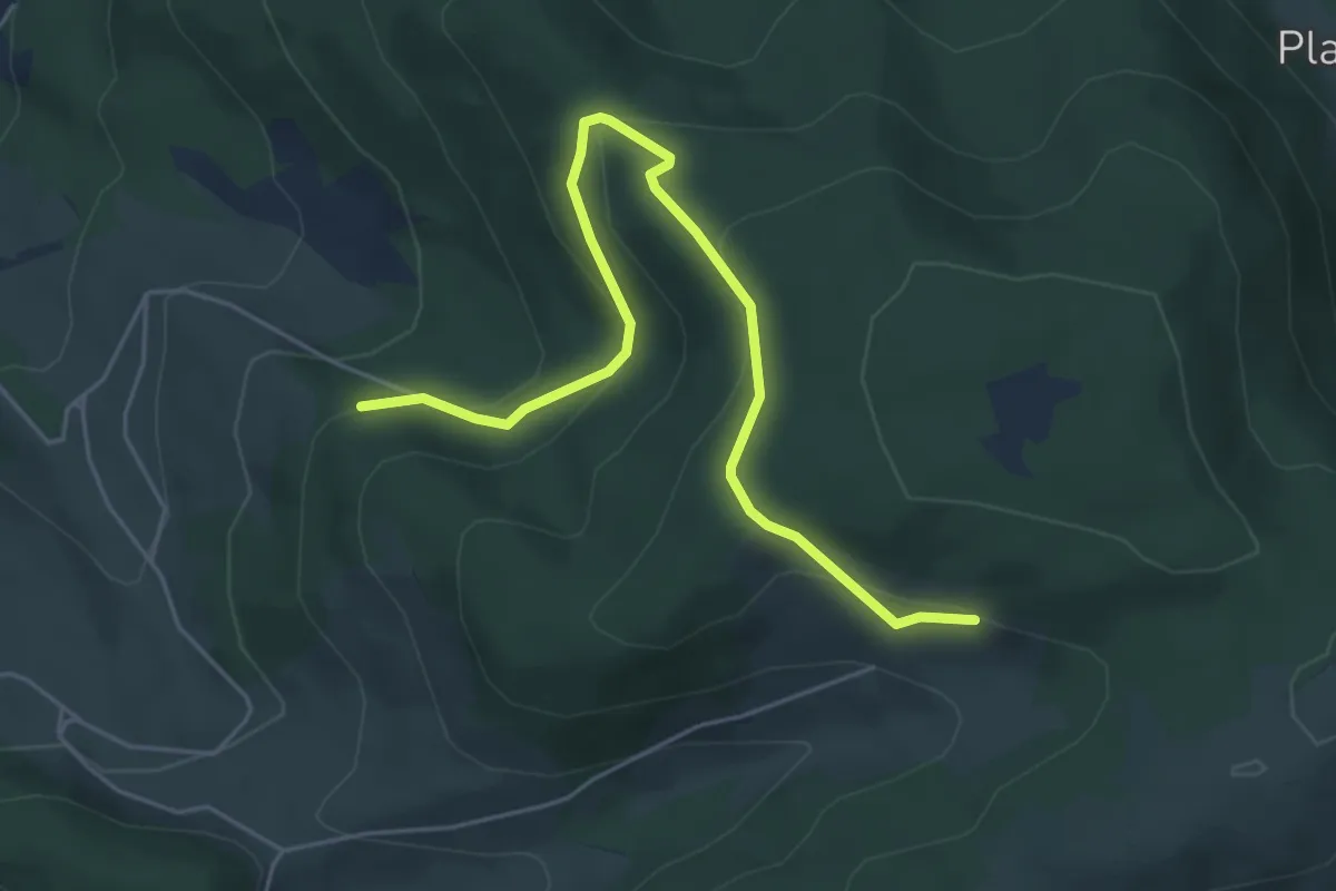
Easy · Trail
Chemin des Kerrieux – Frainbraux
5.6 km · ↑ 235 m · 1 h 50 min
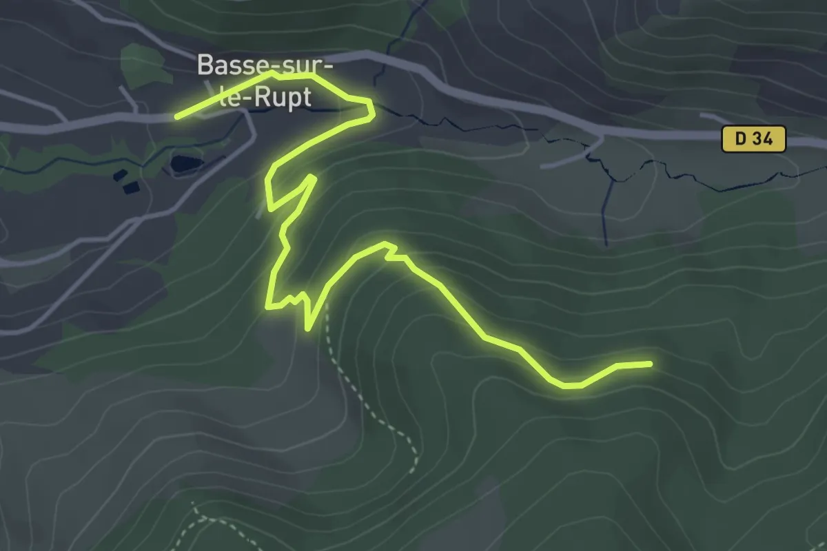
Easy · Trail
Planois – Tongoutte Dessous
4.8 km · ↑ 281 m · 1 h 45 min
Easy · Trail
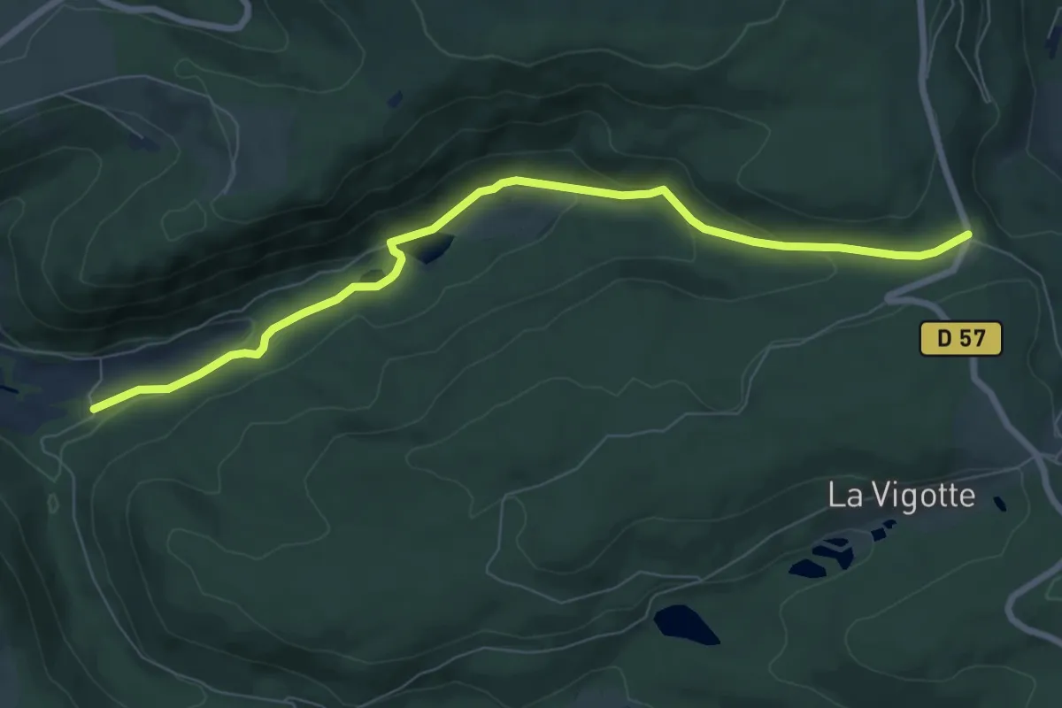
La Croisette d'Hérival – Chalet de l'Empereur
7.8 km · ↑ 233 m · 2 h 21 min
Easy · Trail
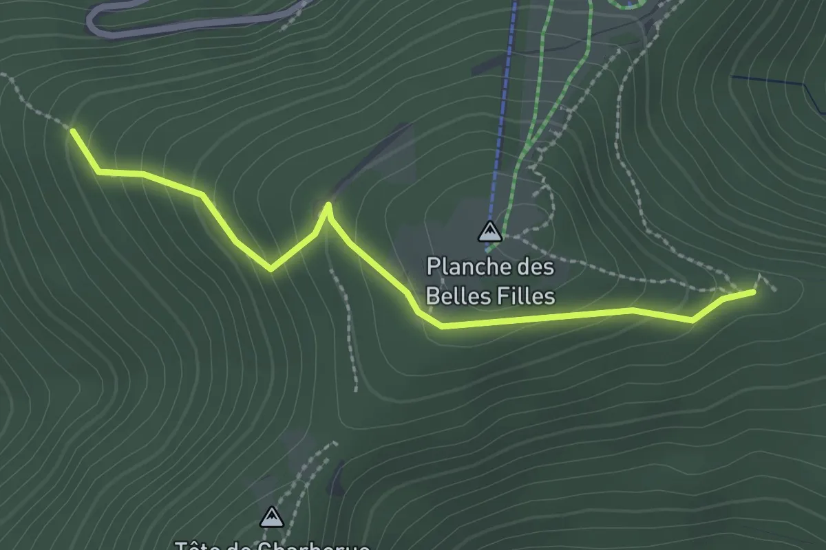
Sentier des Mines – Roche Fendue
2.4 km · ↑ 189 m · 59 min
Medium · Trail
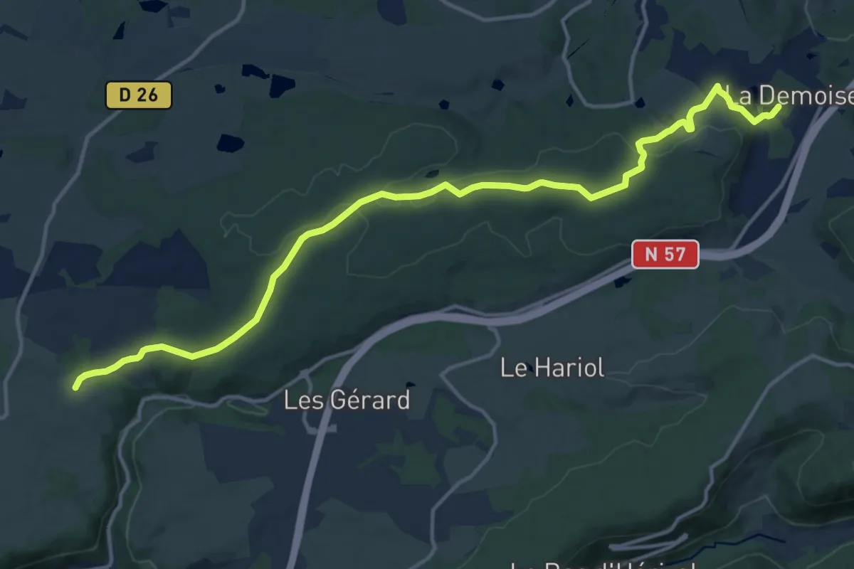
Les Arpents – Étang de la Demoiselle
15.2 km · ↑ 238 m · 4 h 7 min
Easy · Trail
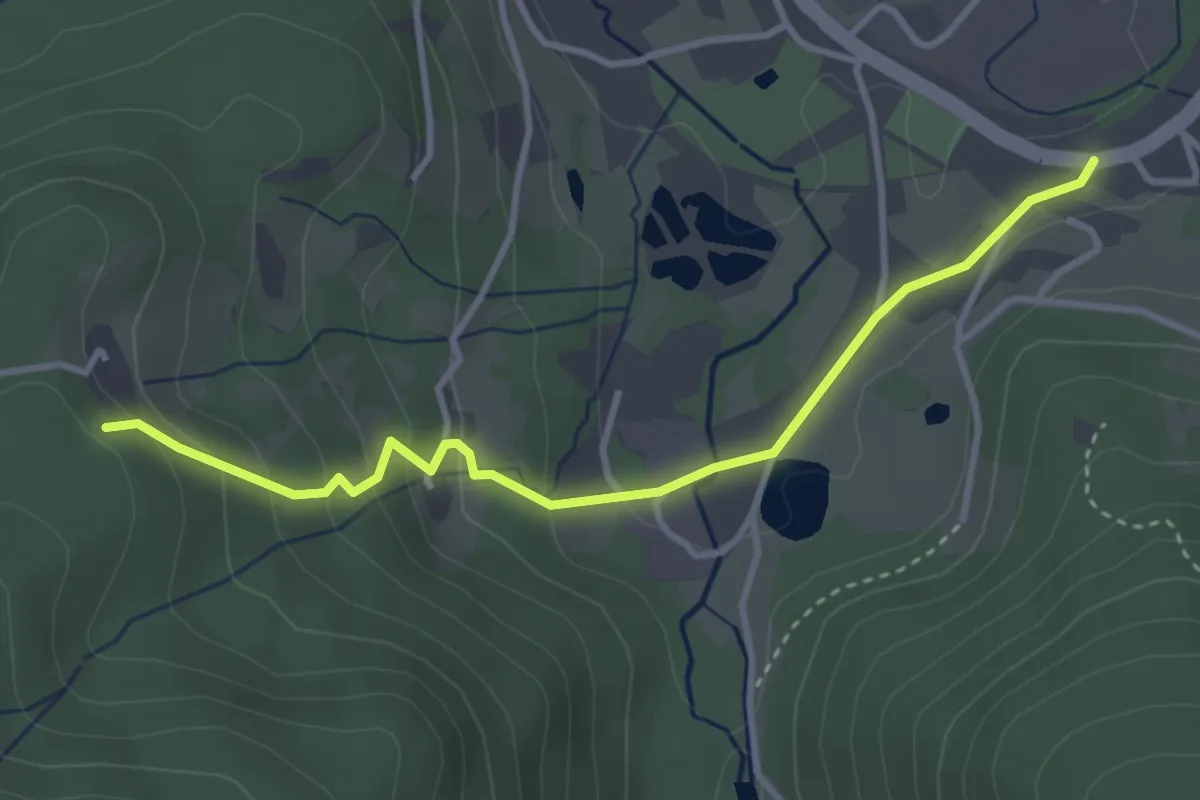
Saint-Maurice-sur-Moselle – Chalet de Longeligoutte
3.5 km · ↑ 176 m · 1 h 12 min
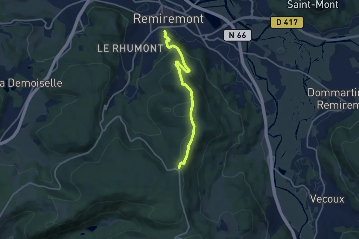
Medium · Trail
Remiremont – Baraque des Gardes
8.5 km · ↑ 361 m · 2 h 47 min
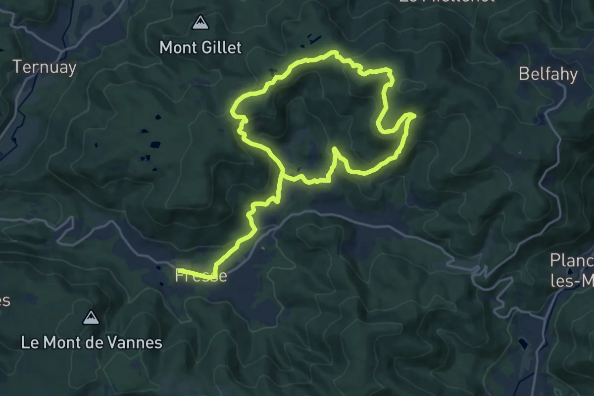
Medium · Trail
Fresse – Fresse
12.3 km · ↑ 469 m · 4 h 3 min
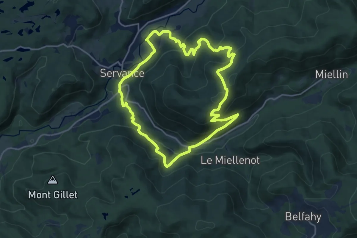
Medium · Trail
Servance – Servance
11.5 km · ↑ 505 m · 3 h 58 min
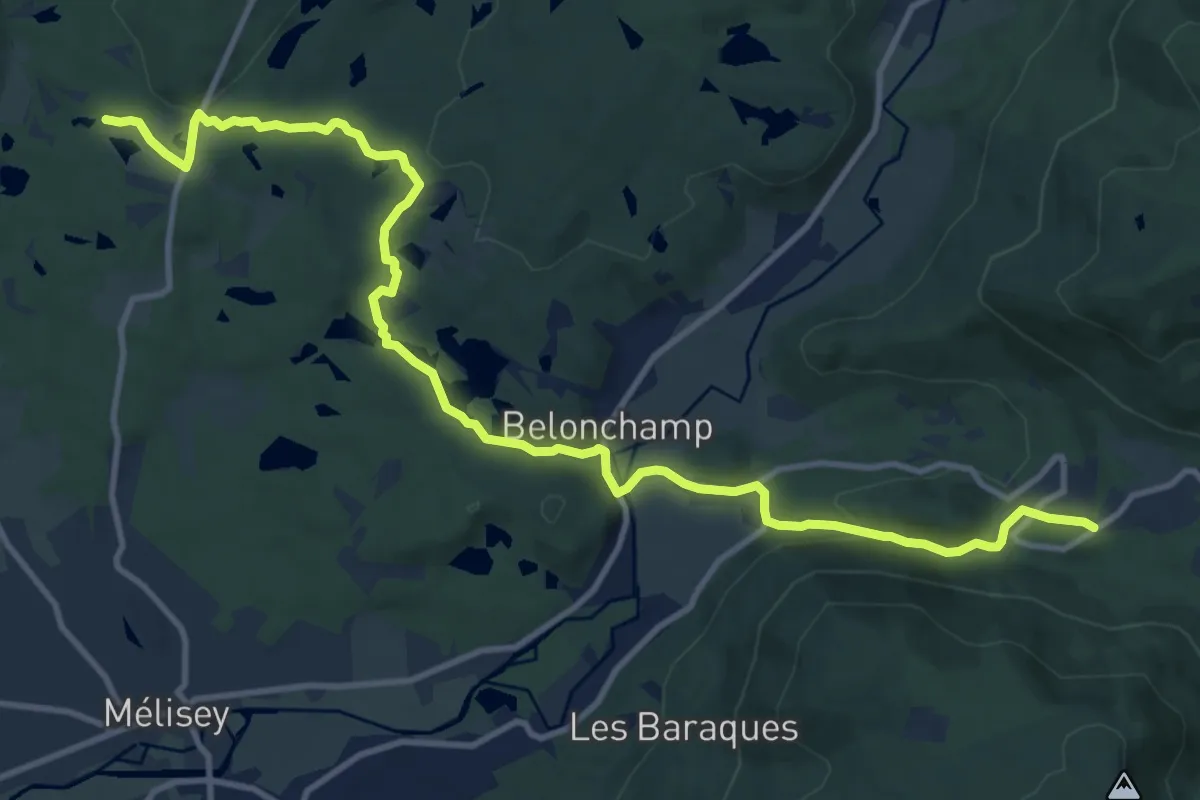
Medium · Trail
Le Magny – Moulin Bégeot
13.8 km · ↑ 286 m · 3 h 52 min