Trails in France
15,926 hiking trails, each with its route, climb, walking time and grade.
All trails, page 300 of 332
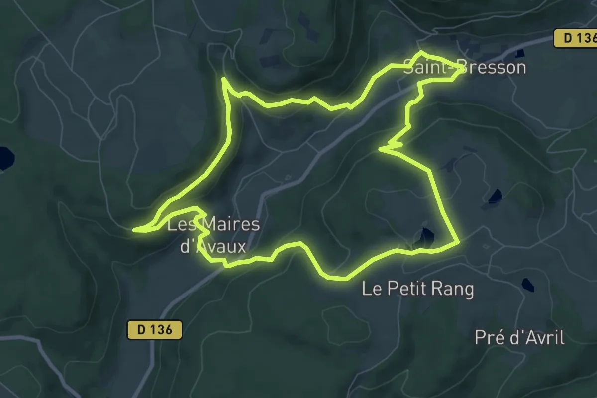
Easy · Trail
Saint-Bresson – Saint-Bresson
7.9 km · ↑ 268 m · 2 h 33 min
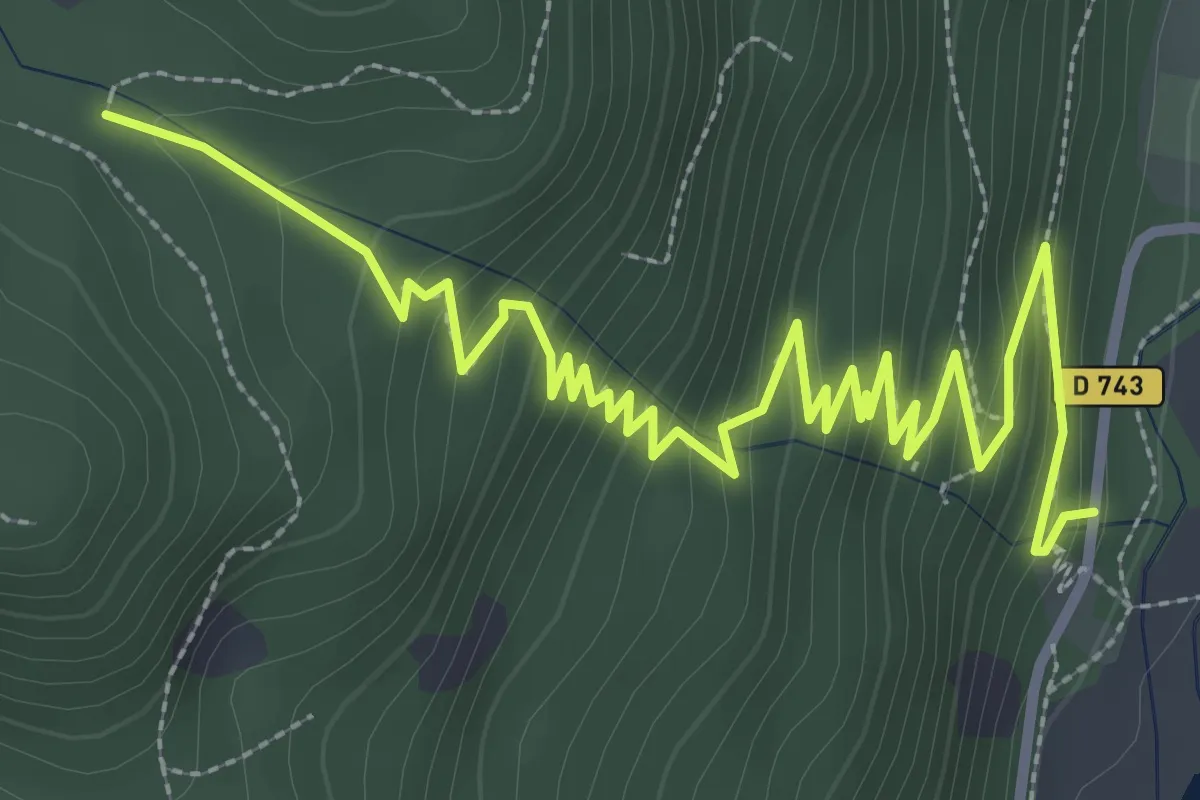
Medium · Trail
Lac de Kruth-Wildenstein – Refuge du Hinterbockloch
4.5 km · ↑ 320 m · 1 h 45 min
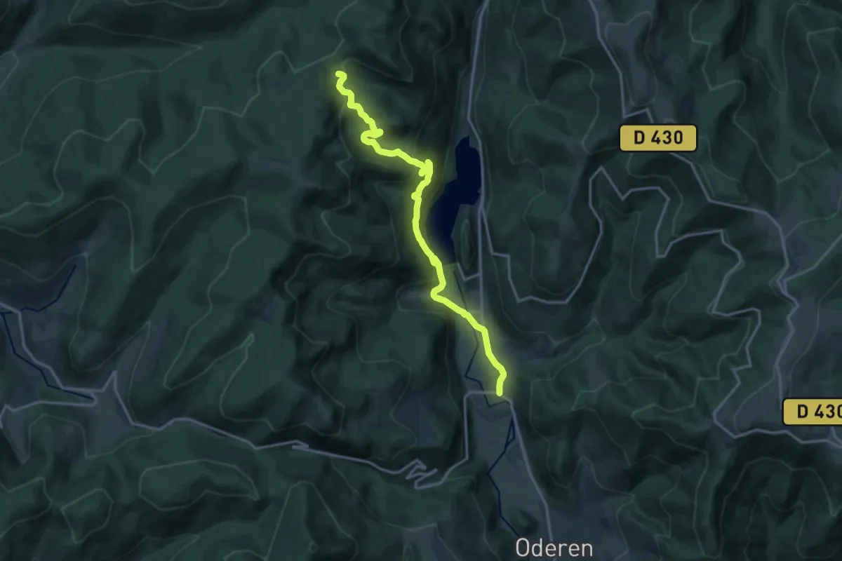
Medium · Trail
Kruth – GR531
14.7 km · ↑ 627 m · 4 h 50 min
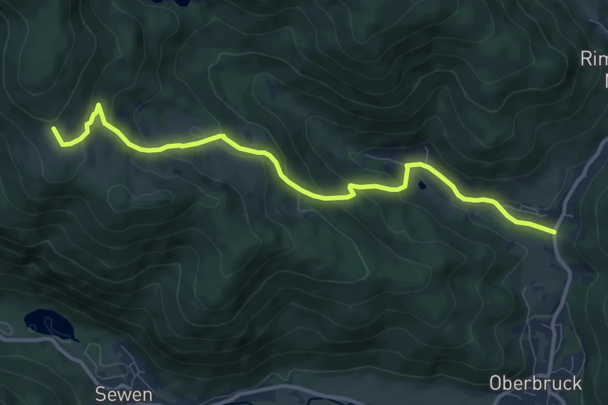
Medium · Trail
Ermensbach – Gresson Moyen
8.8 km · ↑ 463 m · 3 h 5 min
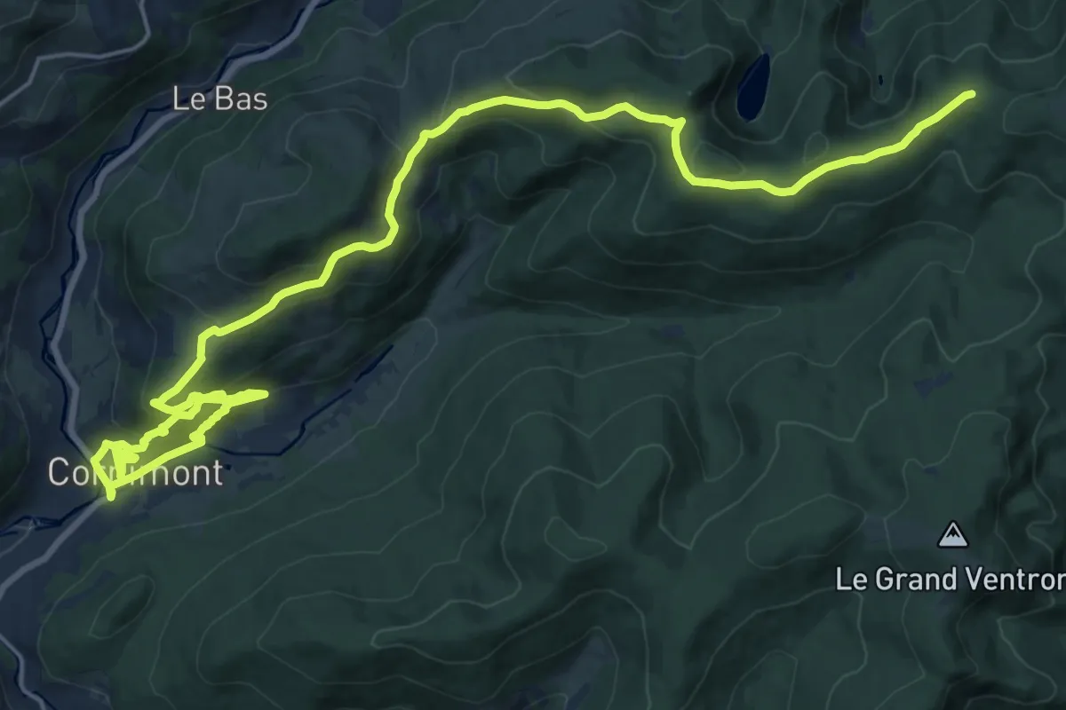
Demanding · Cabin
Cornimont – Col de la Vierge
13.8 km · ↑ 825 m · 5 h
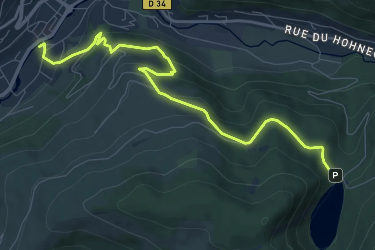
Medium · Trail
La Bresse – Triangle jaune
8.2 km · ↑ 425 m · 2 h 51 min
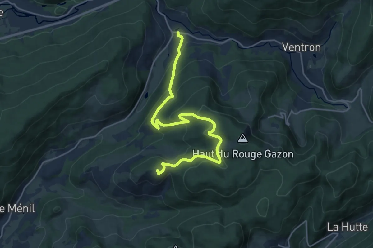
Medium · Summit
Le Ménil – Travexin
15.3 km · ↑ 629 m · 4 h 58 min
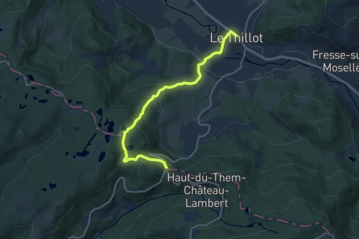
Medium · Trail
Le Thillot – Col des Croix
8.9 km · ↑ 343 m · 2 h 50 min
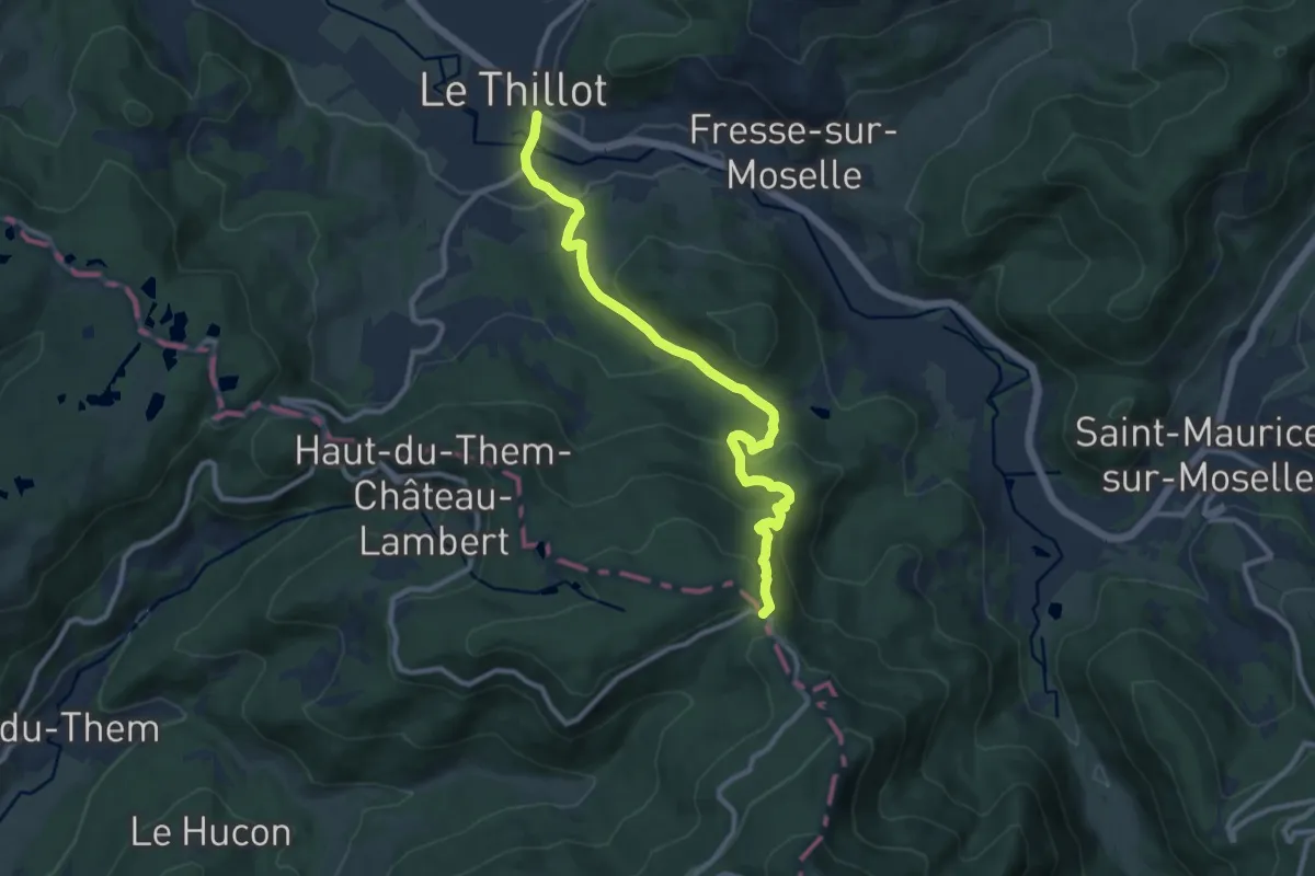
Medium · Trail
Le Thillot – La Pransière
10.3 km · ↑ 435 m · 3 h 23 min
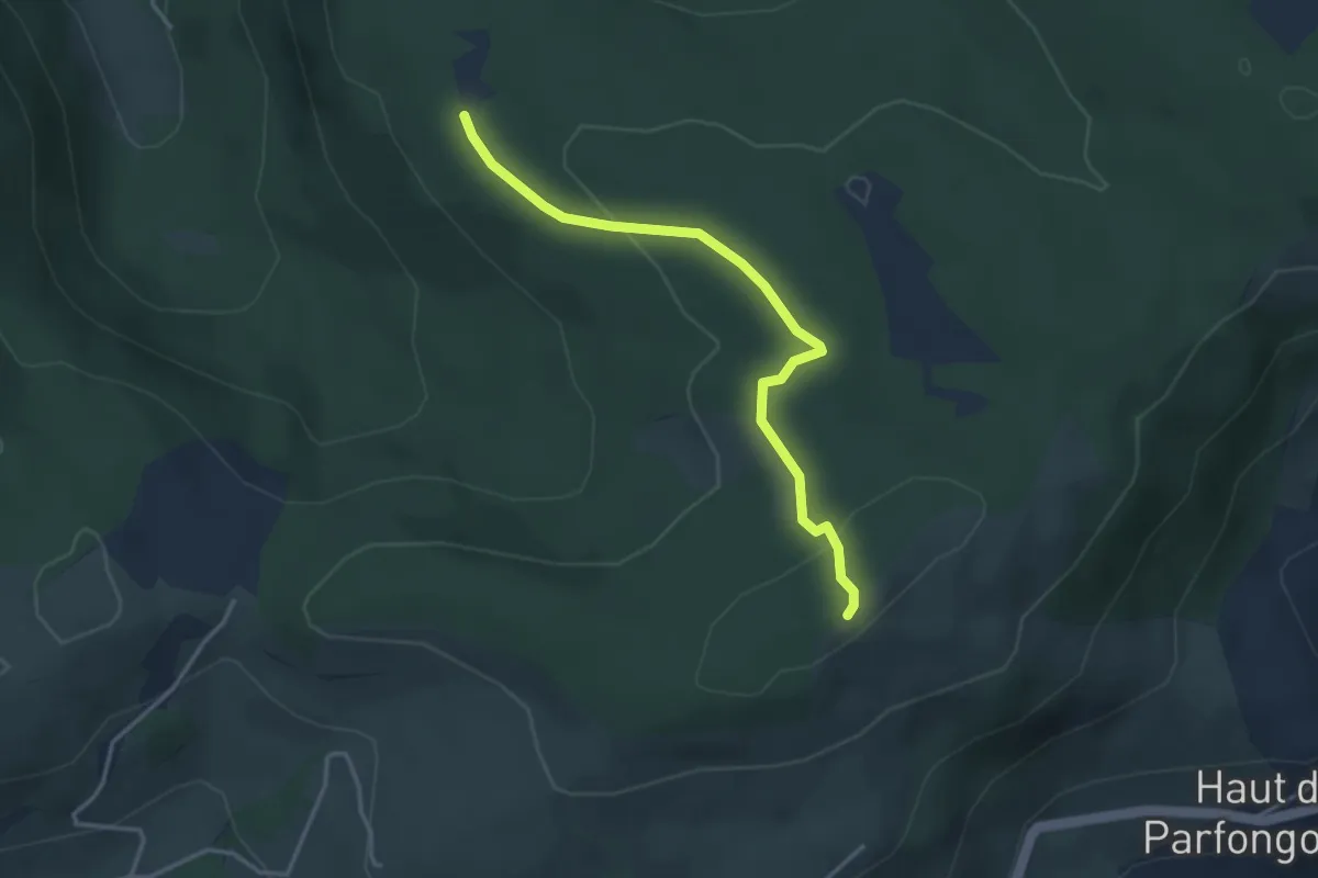
Easy · Trail
Chalet des Charmes – Pierre des Quatres Communes
3.4 km · ↑ 98 m · 1 h 1 min
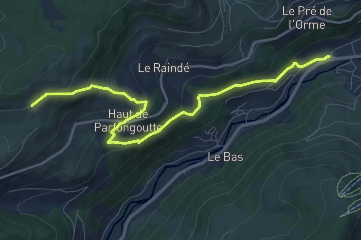
Medium · Trail
La Bresse – Le Rongfaing
8.6 km · ↑ 441 m · 2 h 59 min
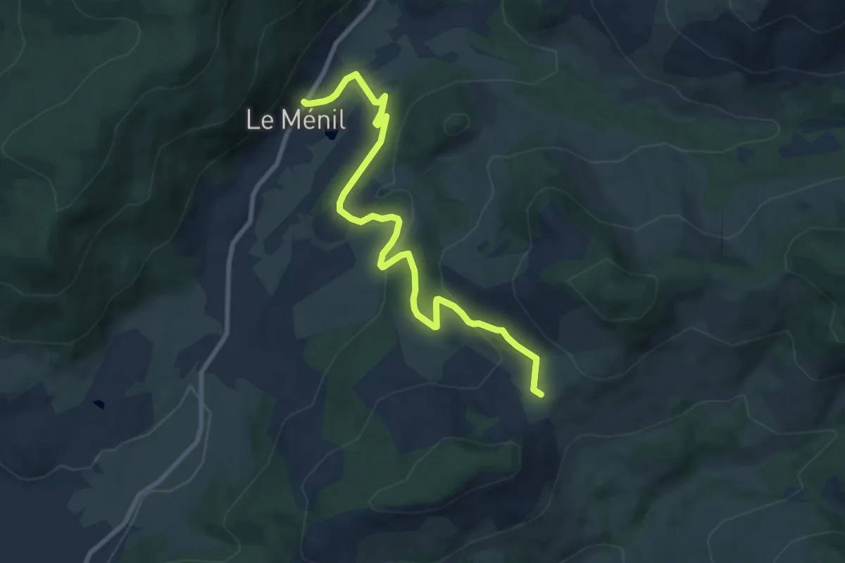
Medium · Trail
Le Ménil – Chapelle des Vés
8.4 km · ↑ 244 m · 2 h 31 min
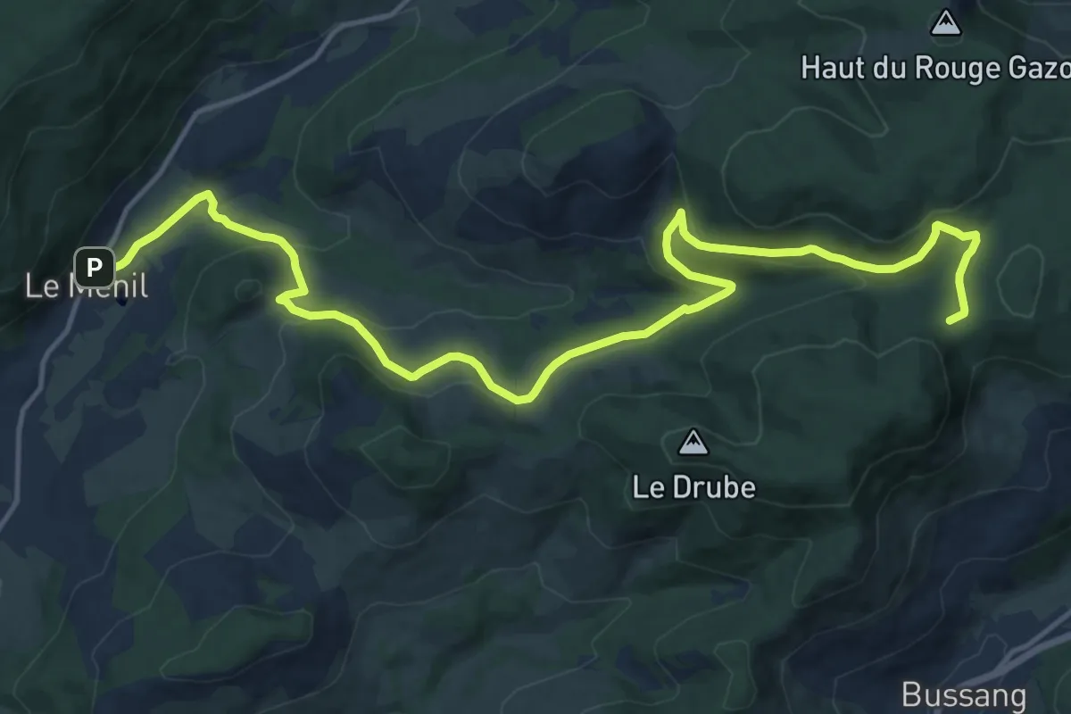
Medium · Cabin
Le Ménil – Col de Rochelotte
17.5 km · ↑ 613 m · 5 h 28 min
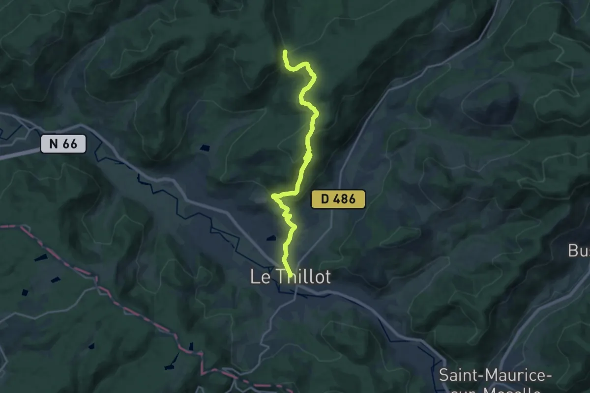
Medium · Trail
Le Thillot – Col de Morbieux
14.4 km · ↑ 523 m · 4 h 33 min
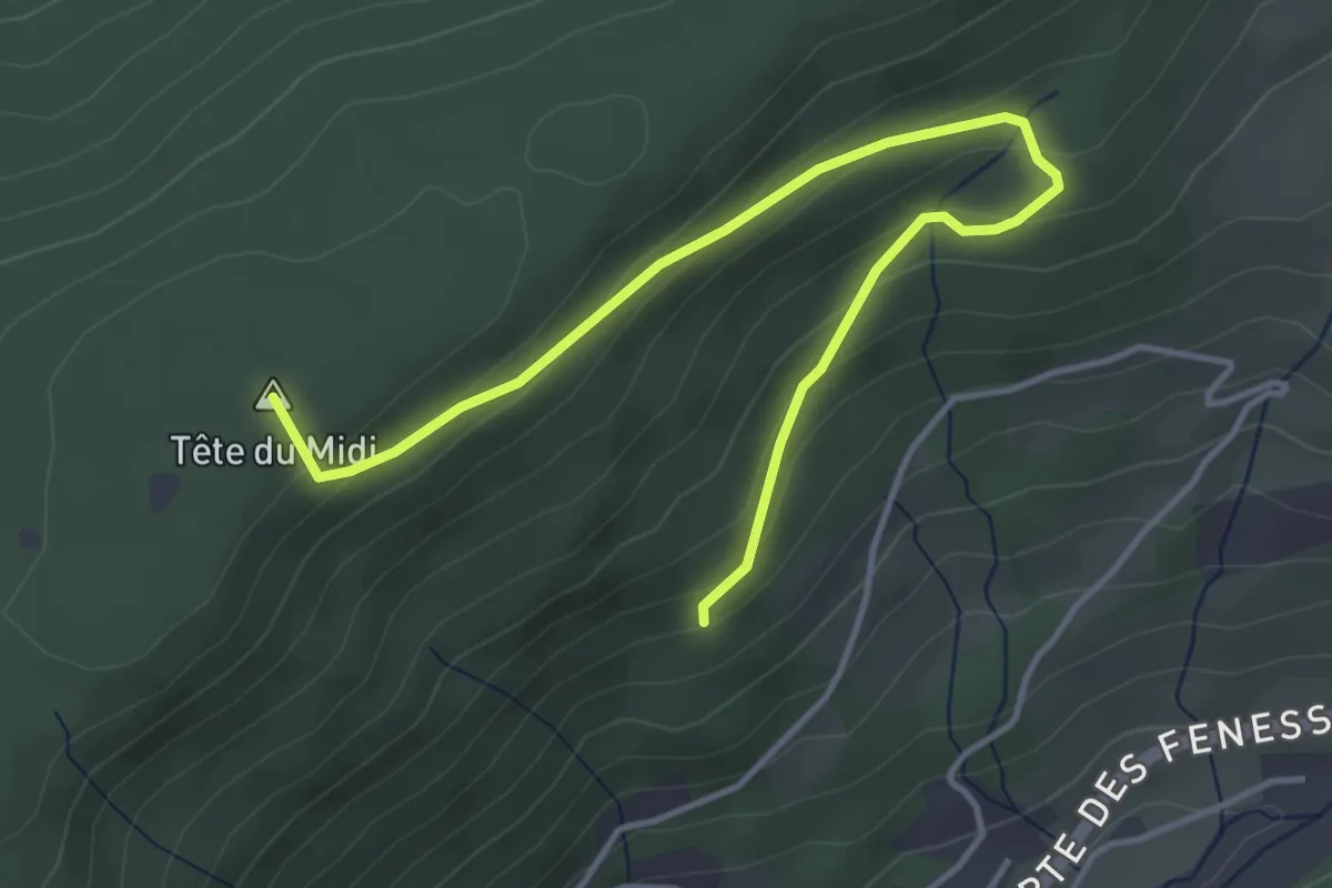
Easy · Summit
La Flaconnière – Le Rouleux
4.6 km · ↑ 209 m · 1 h 33 min
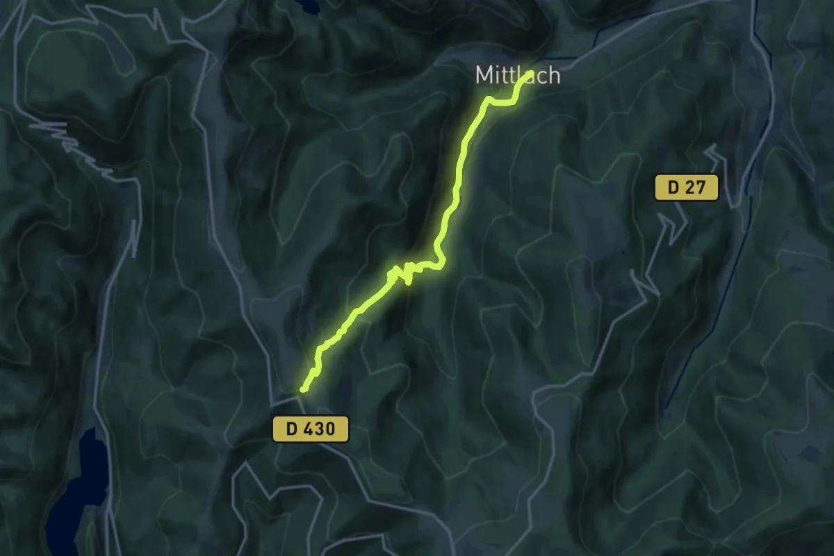
Medium · Trail
Mittlach – GR5
13.3 km · ↑ 756 m · 4 h 47 min
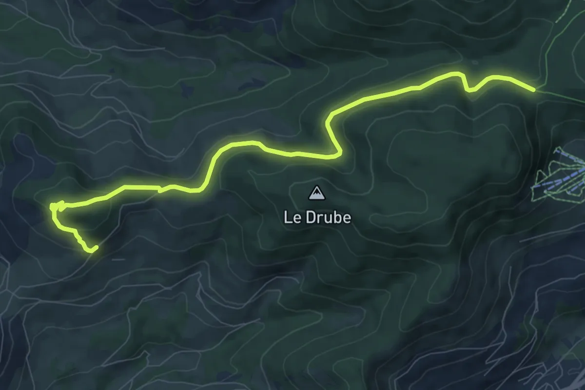
Medium · Cabin
Le Thillot – Col de Rochelotte
9.9 km · ↑ 368 m · 3 h 9 min
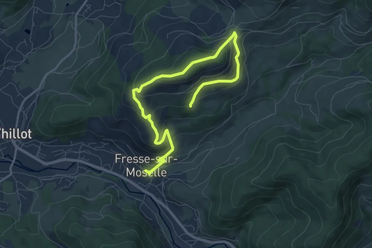
Medium · Summit
Fresse sur Moselle – Fresse sur Moselle
5.1 km · ↑ 340 m · 1 h 55 min
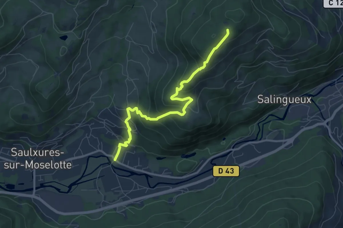
Medium · Trail
Bâmont – Col de Lauvy
7.9 km · ↑ 476 m · 2 h 53 min
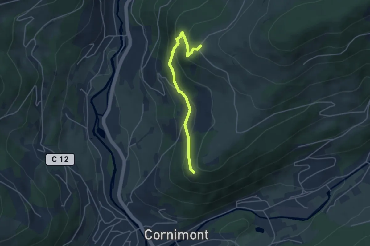
Easy · Trail
GR 533 – GR 533
3.5 km · ↑ 252 m · 1 h 22 min
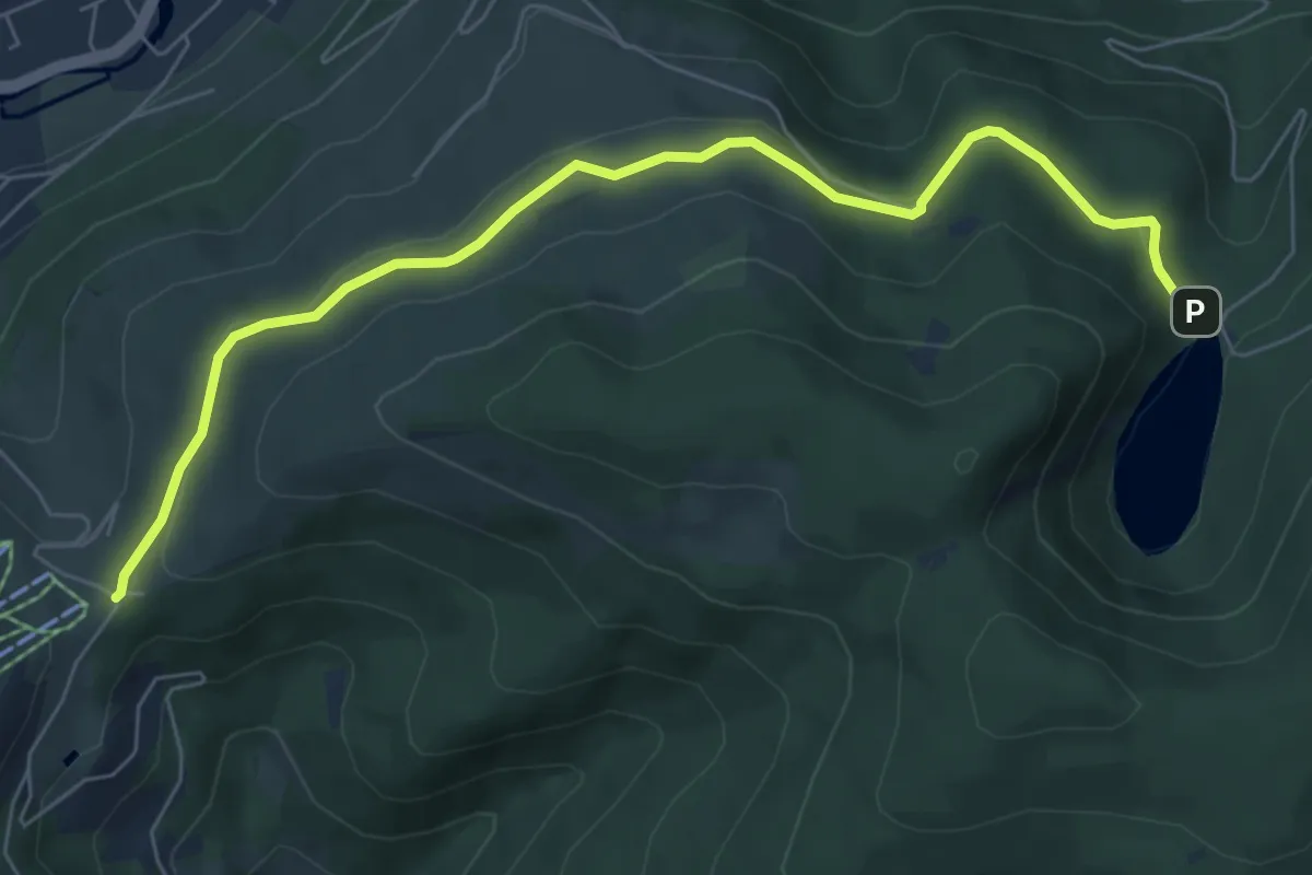
Easy · Trail
Col du Brabant – Lac des Corbeaux
7.2 km · ↑ 162 m · 2 h 3 min
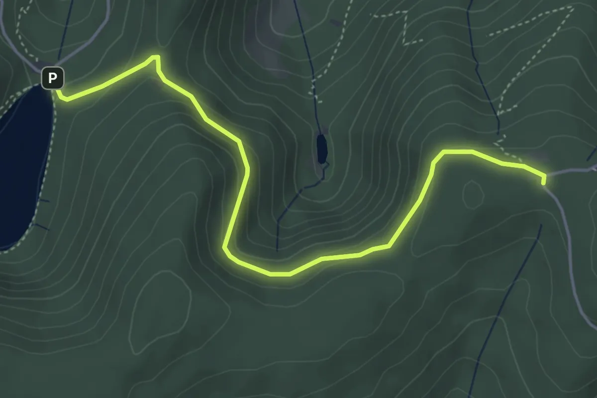
Easy · Cabin
Lac des Corbeaux – Col de la Vierge
4.9 km · ↑ 186 m · 1 h 33 min
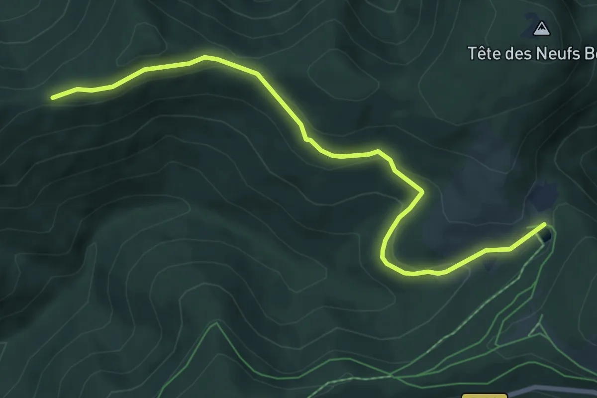
Easy · Cabin
Chaume des Neufs Bois – Tête de la Boulois
6.6 km · ↑ 237 m · 2 h 4 min
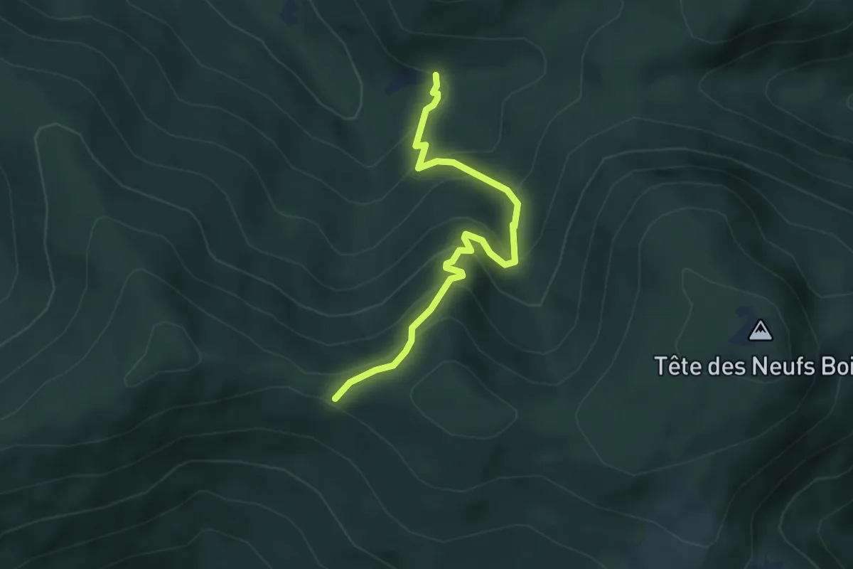
Medium · Trail
Chalet du Séchenat – GR 5F
3.9 km · ↑ 334 m · 1 h 38 min
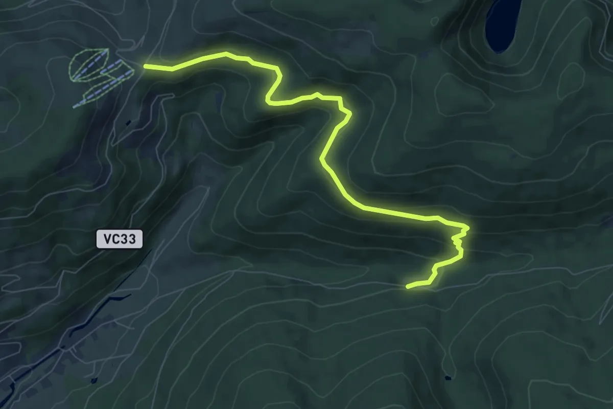
Medium · Trail
Les Écharges – Col du Brabant
8.7 km · ↑ 368 m · 2 h 51 min
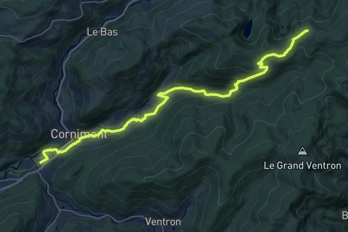
Demanding · Cabin
Cornimont – Col de la Vierge
22.6 km · ↑ 746 m · 6 h 57 min
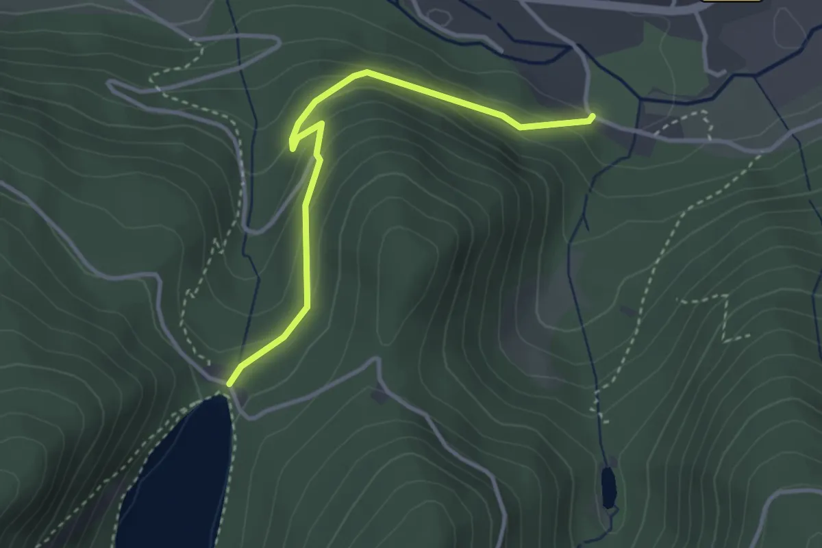
Easy · Trail
Haut des Bluches – Lac des Corbeaux
3.2 km · ↑ 170 m · 1 h 7 min
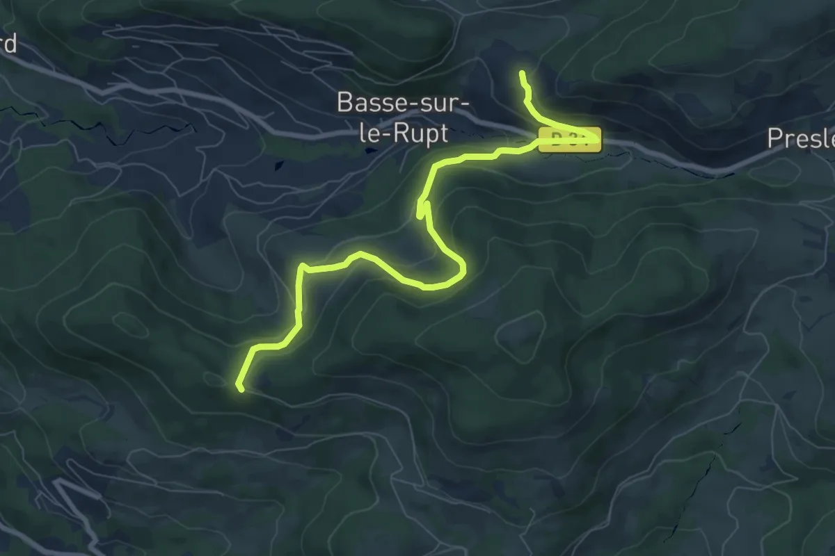
Medium · Trail
Col de la Burotte – Au Lieu Pierron
8.4 km · ↑ 427 m · 2 h 54 min
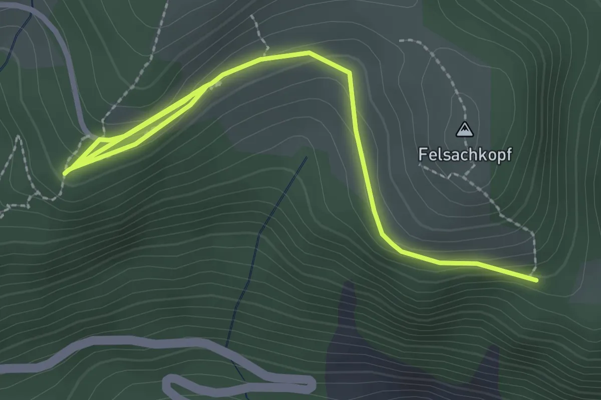
Easy · Trail
Kruth – GR531
3.2 km · ↑ 135 m · 1 h 3 min
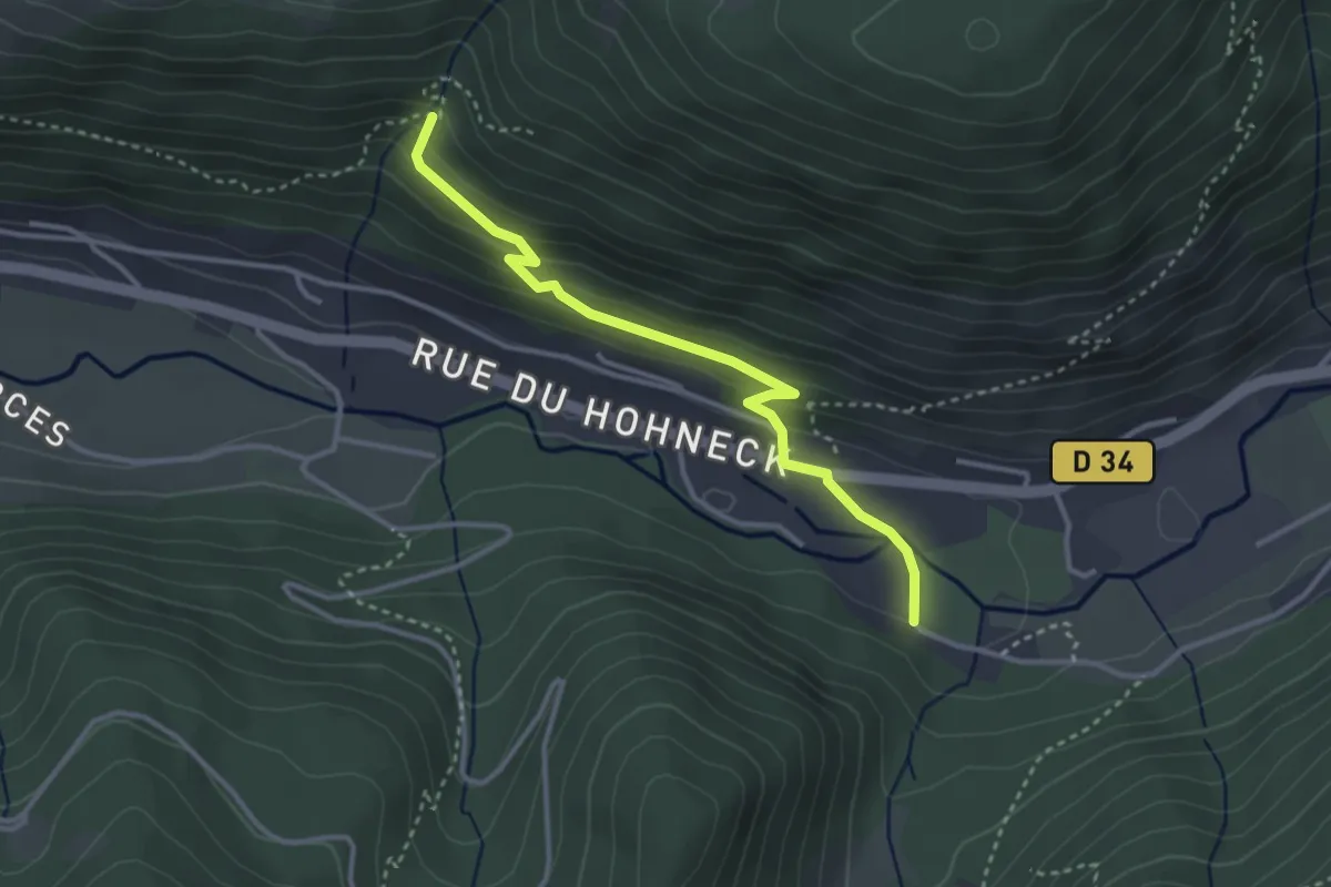
Easy · Trail
Haut des Bluches – Le Cepna
3.2 km · ↑ 152 m · 1 h 5 min
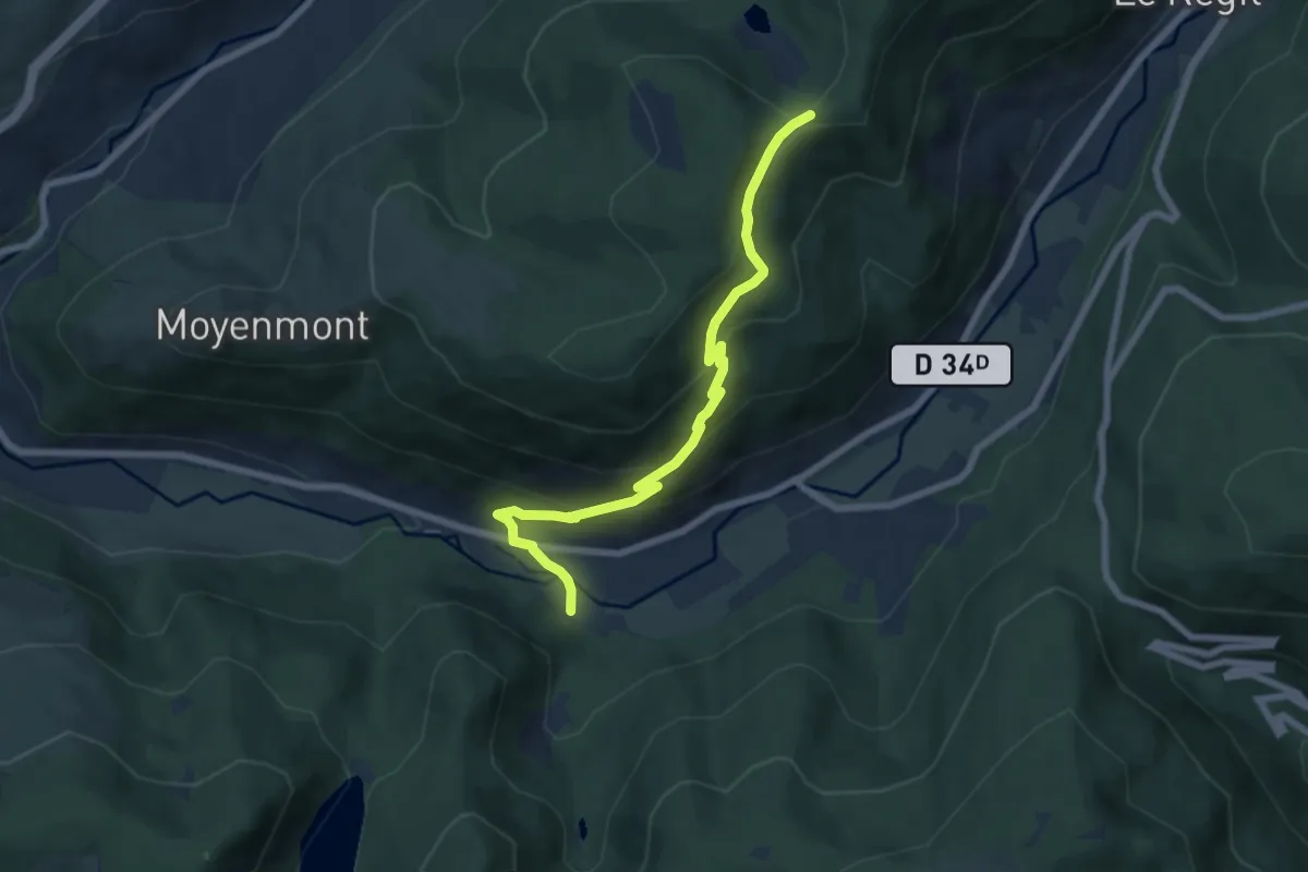
Medium · Cabin
Haut des Bluches – Collet de l’Étang
6.7 km · ↑ 424 m · 2 h 31 min
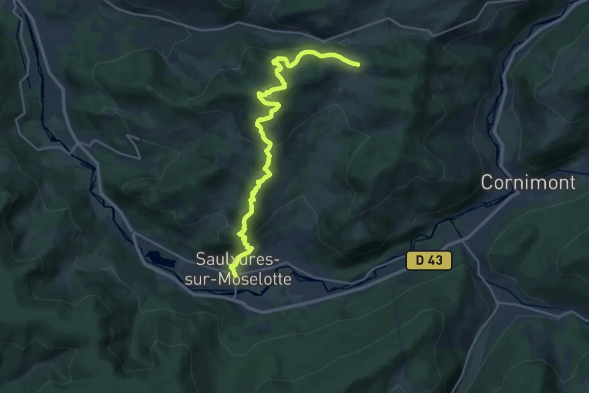
Demanding · Trail
Saulxures sur Moselotte – Col de Hayes
15.7 km · ↑ 854 m · 5 h 33 min
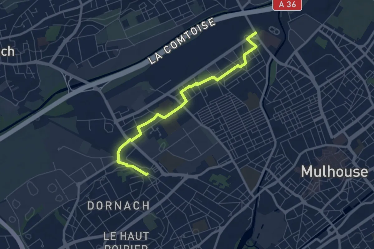
Easy · Trail
Gare de Dornach – Pont de Bourtzwiller
6.7 km · ↑ 4 m · 1 h 36 min
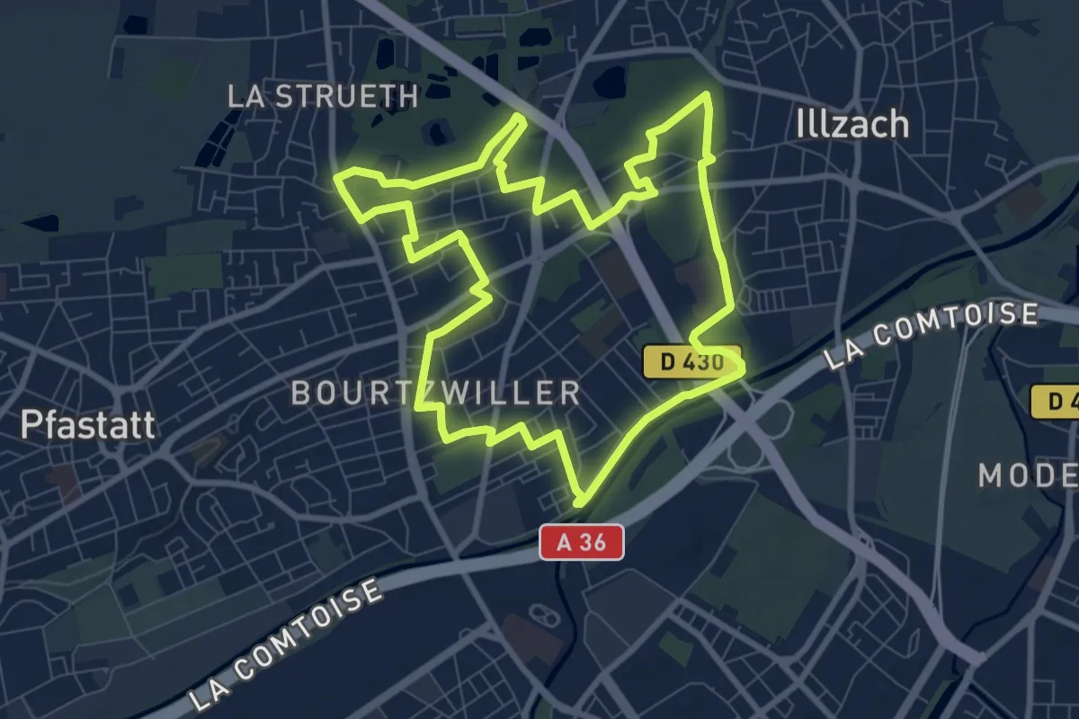
Medium · Trail
Bourtzwiller – Mulhouse
8.7 km · ↑ 13 m · 2 h 12 min
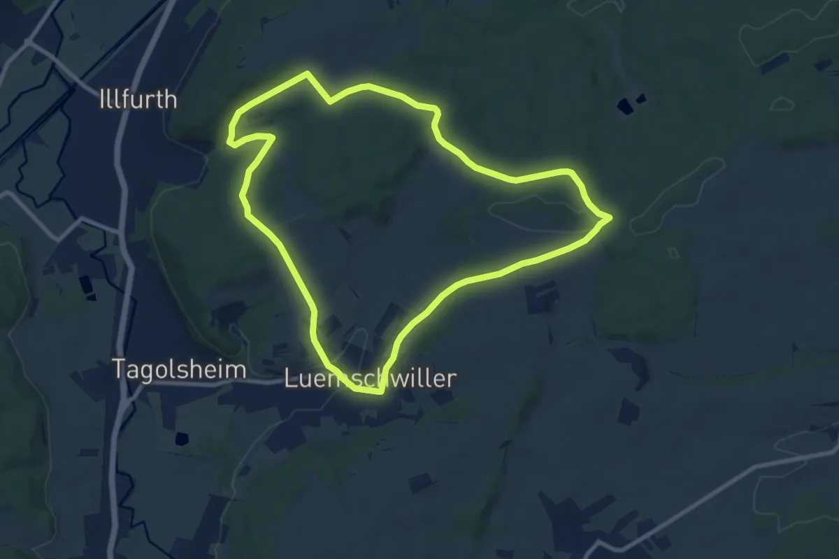
Medium · Trail
La Vierge du Paulrath – Illfurth
8.4 km · ↑ 174 m · 2 h 29 min
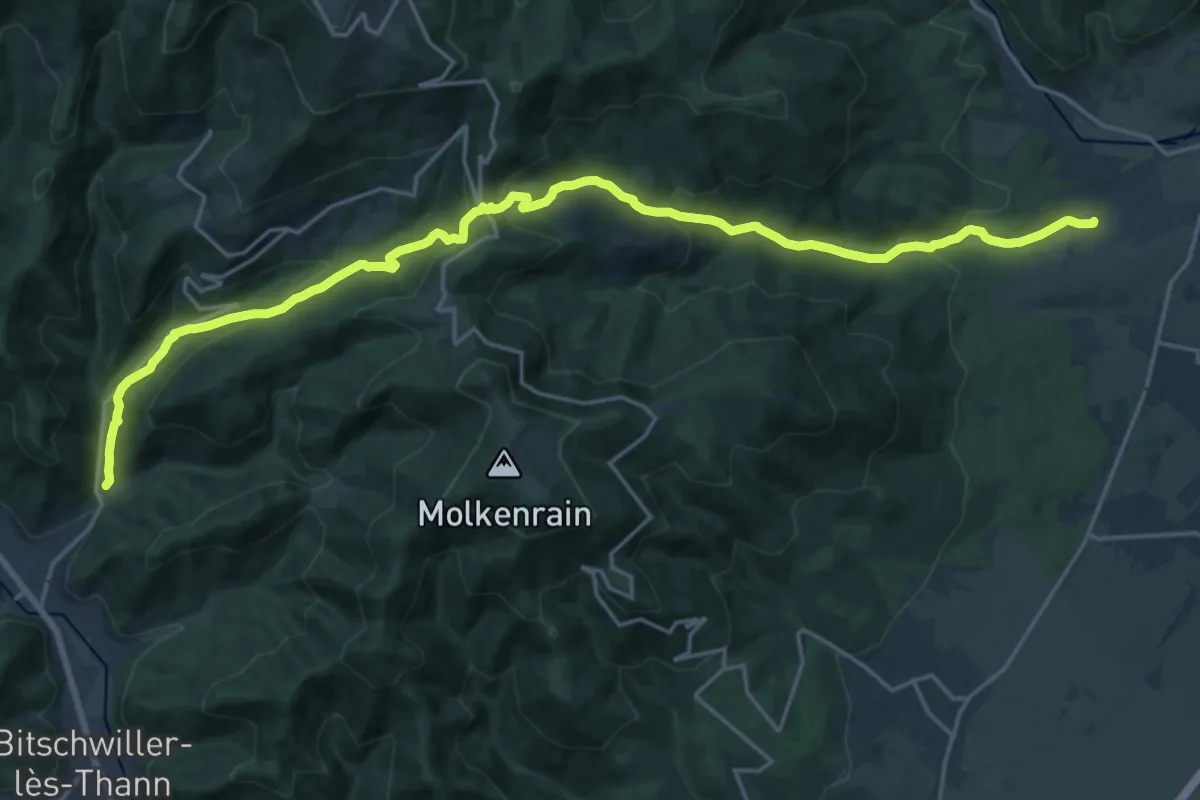
Demanding · Trail
Willer sur Thur – Wuenheim
23.0 km · ↑ 1015 m · 7 h 37 min
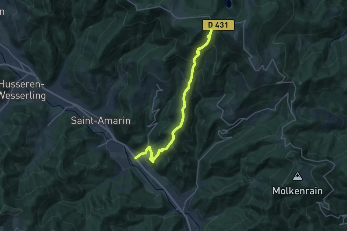
Demanding · Trail
Mooch – Haag
16.1 km · ↑ 961 m · 5 h 53 min
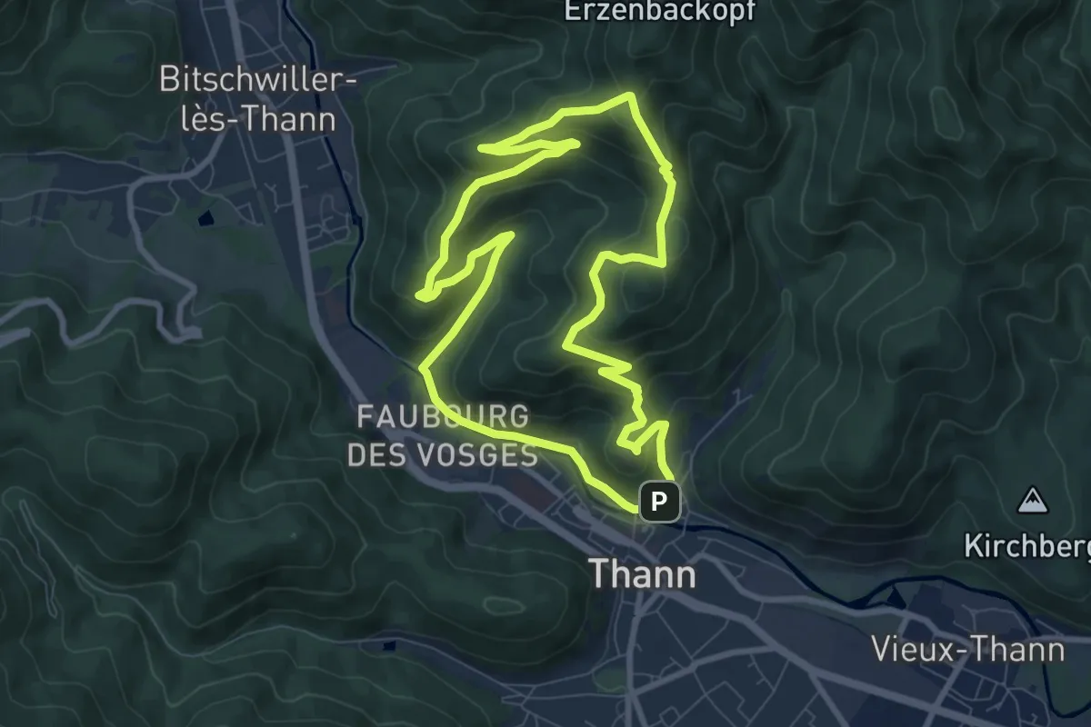
Medium · Summit
Thann – Thann
8.0 km · ↑ 371 m · 2 h 48 min
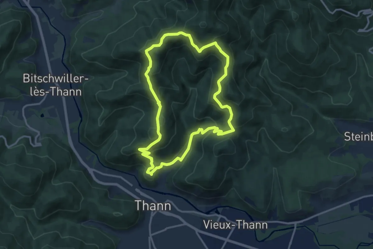
Medium · Summit
Thann – Thann
8.9 km · ↑ 524 m · 3 h 22 min
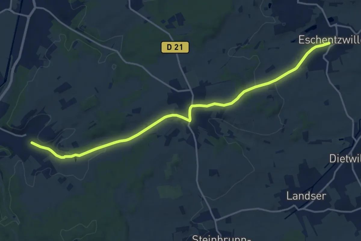
Medium · Trail
Flaxlanden – Eschentzwiller
14.0 km · ↑ 208 m · 3 h 46 min
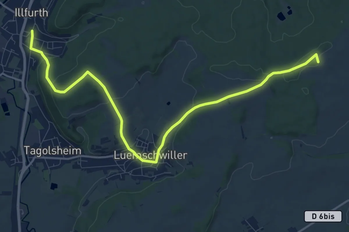
Medium · Summit
Illfurth – Zimmersheim
12.5 km · ↑ 305 m · 3 h 37 min
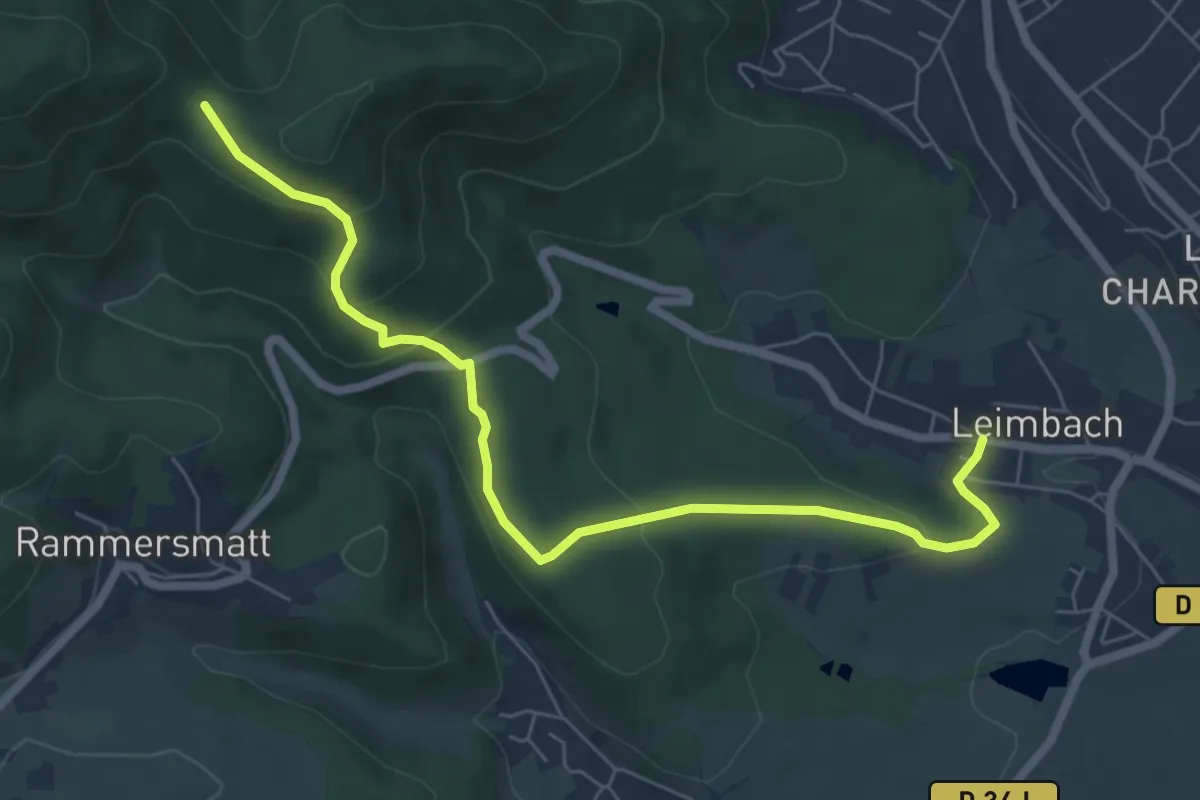
Medium · Trail
Leimbach – Col du Teufelsgrund
7.0 km · ↑ 276 m · 2 h 14 min
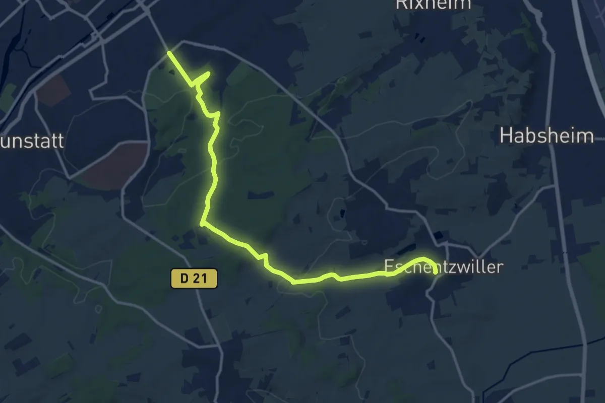
Demanding · Trail
Zoo Mulhouse – Eschentzwiller
13.3 km · ↑ 255 m · 3 h 41 min
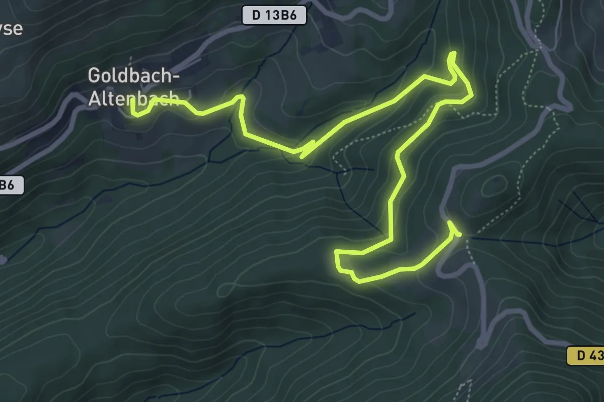
Medium · Trail
Goldbach-Altenbach – GR5
8.1 km · ↑ 331 m · 2 h 37 min
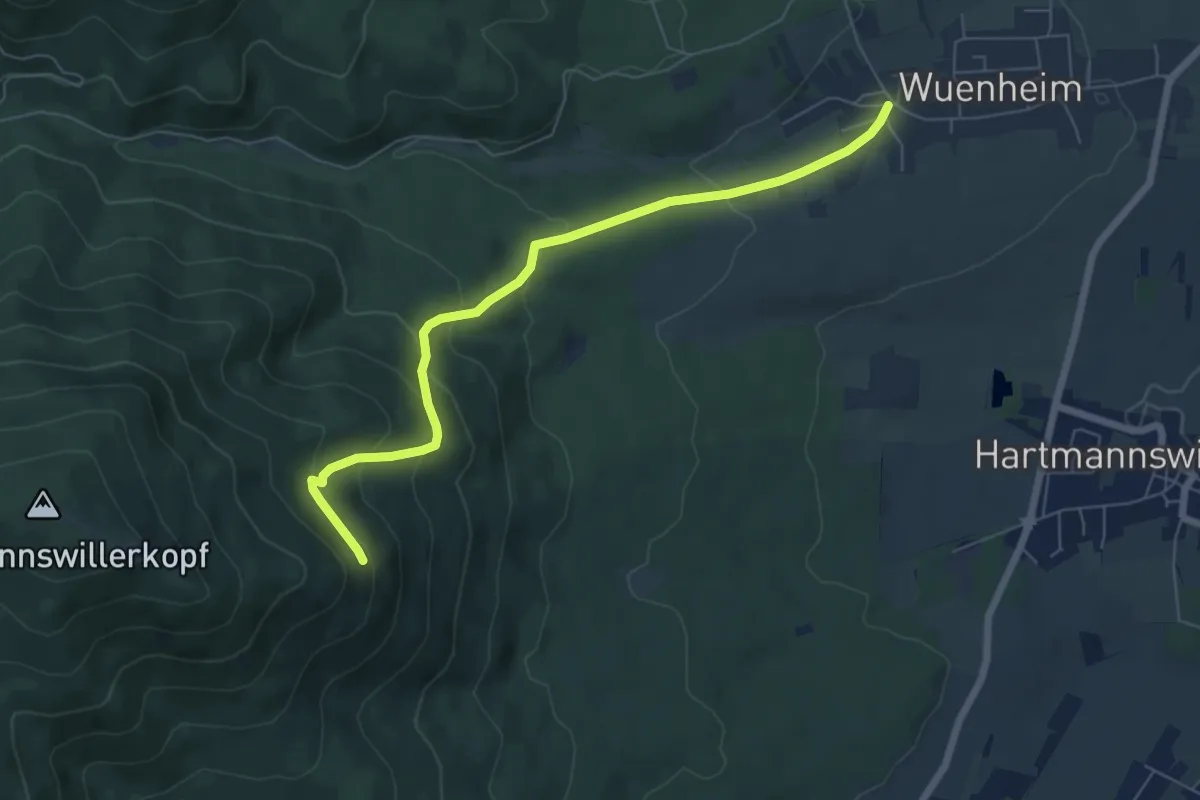
Medium · Trail
Wuenheim – Cantine Zeller
6.5 km · ↑ 344 m · 2 h 17 min
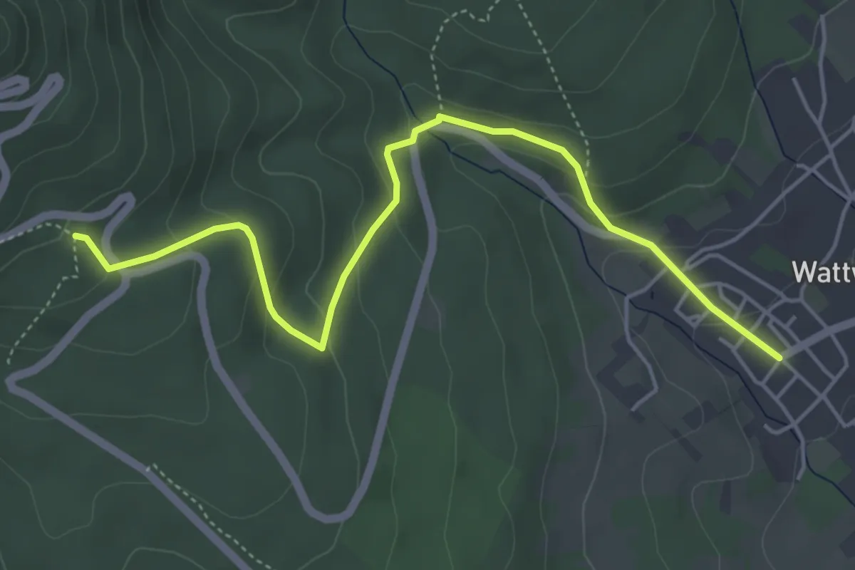
Easy · Trail
Wattwiller – GR5
5.1 km · ↑ 250 m · 1 h 45 min
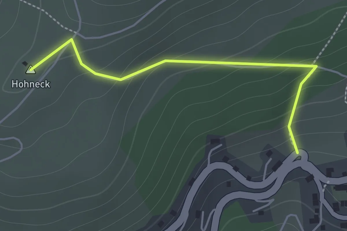
Easy · Summit
Goldbach – Altenbach
1.5 km · ↑ 123 m · 37 min
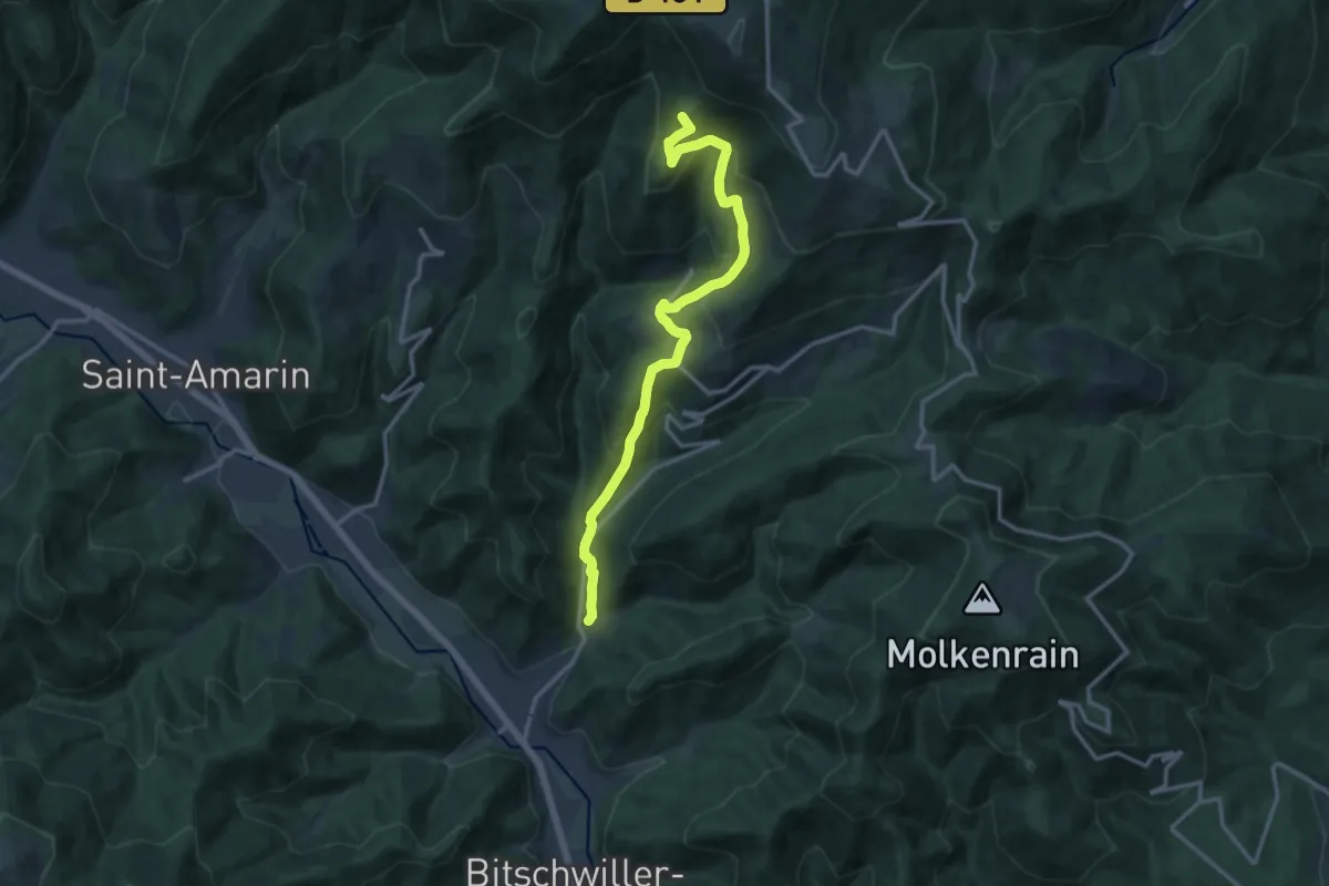
Demanding · Summit
Willer sur Thur – Le Haag
13.7 km · ↑ 801 m · 4 h 59 min