Trails in France
15,926 hiking trails, each with its route, climb, walking time and grade.
All trails, page 301 of 332
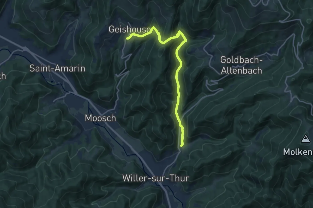
Medium · Trail
Willer sur Thur – Geishouse
12.1 km · ↑ 548 m · 4 h 3 min
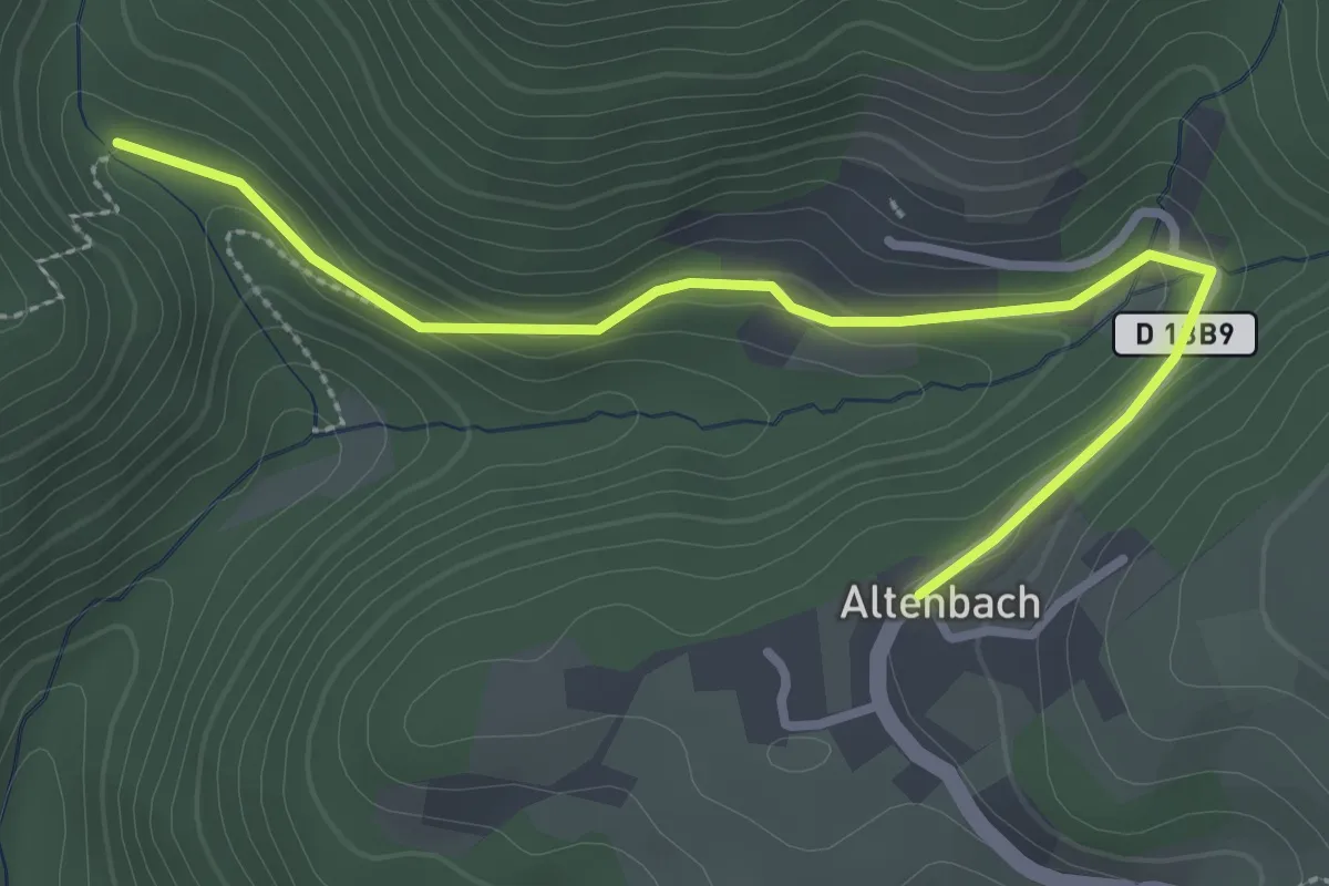
Easy · Trail
Altenbach – Geishouse
3.1 km · ↑ 93 m · 56 min
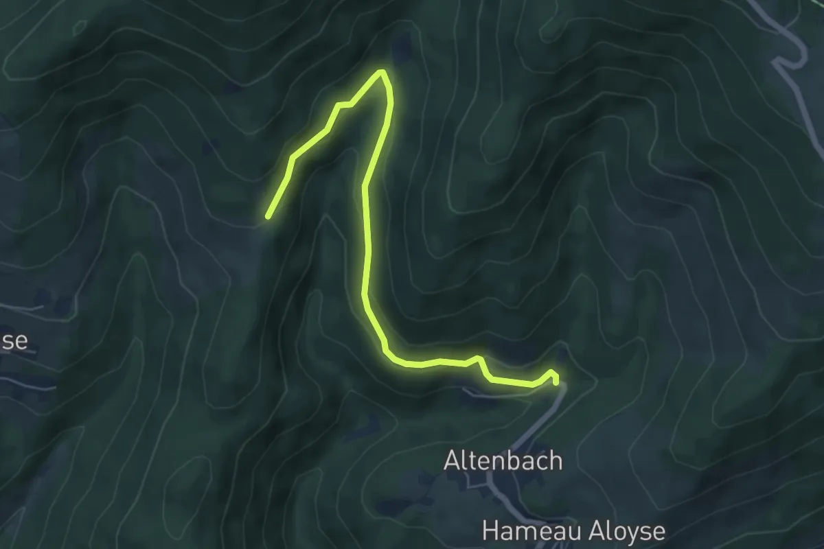
Easy · Trail
Altenbach – Grand Ballon
5.7 km · ↑ 200 m · 1 h 47 min
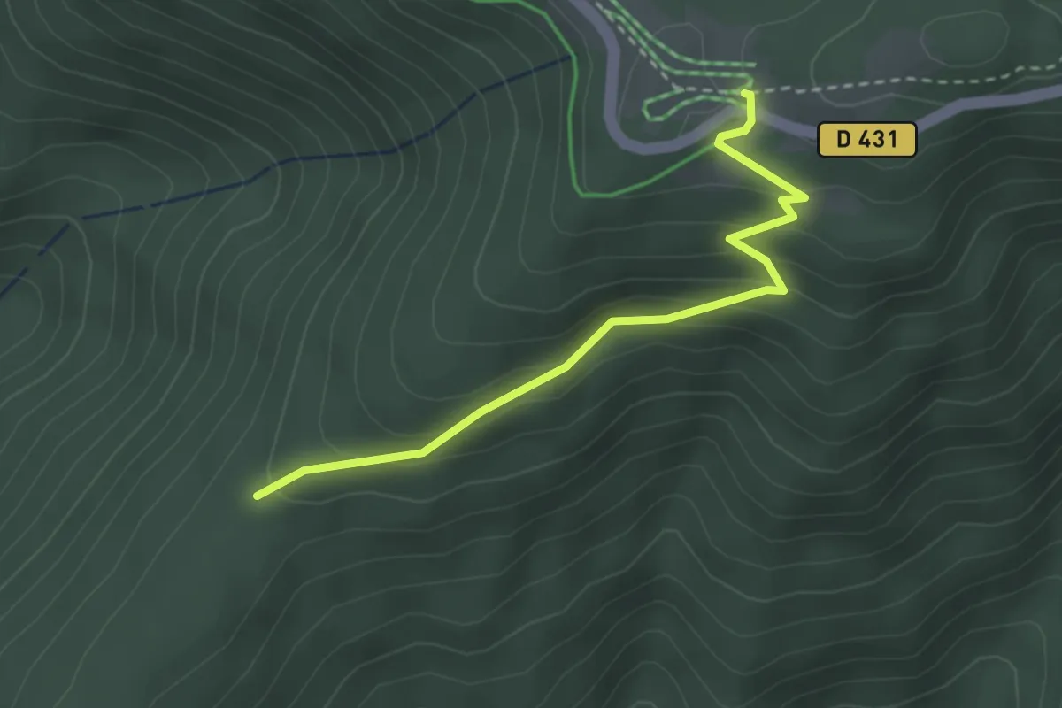
Easy · Trail
Abris de Saint Hubert – GR5
2.9 km · ↑ 185 m · 1 h 5 min
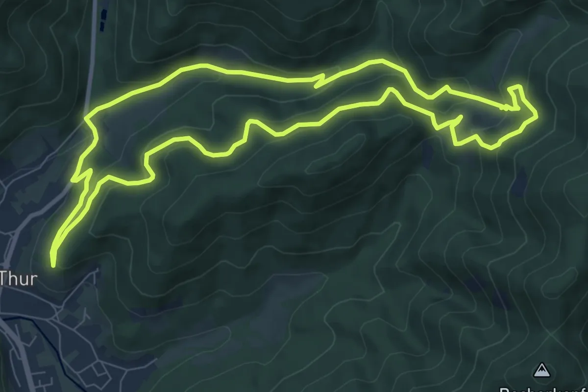
Medium · Trail
Willer sur Thur – Willer sur Thur
8.2 km · ↑ 389 m · 2 h 54 min
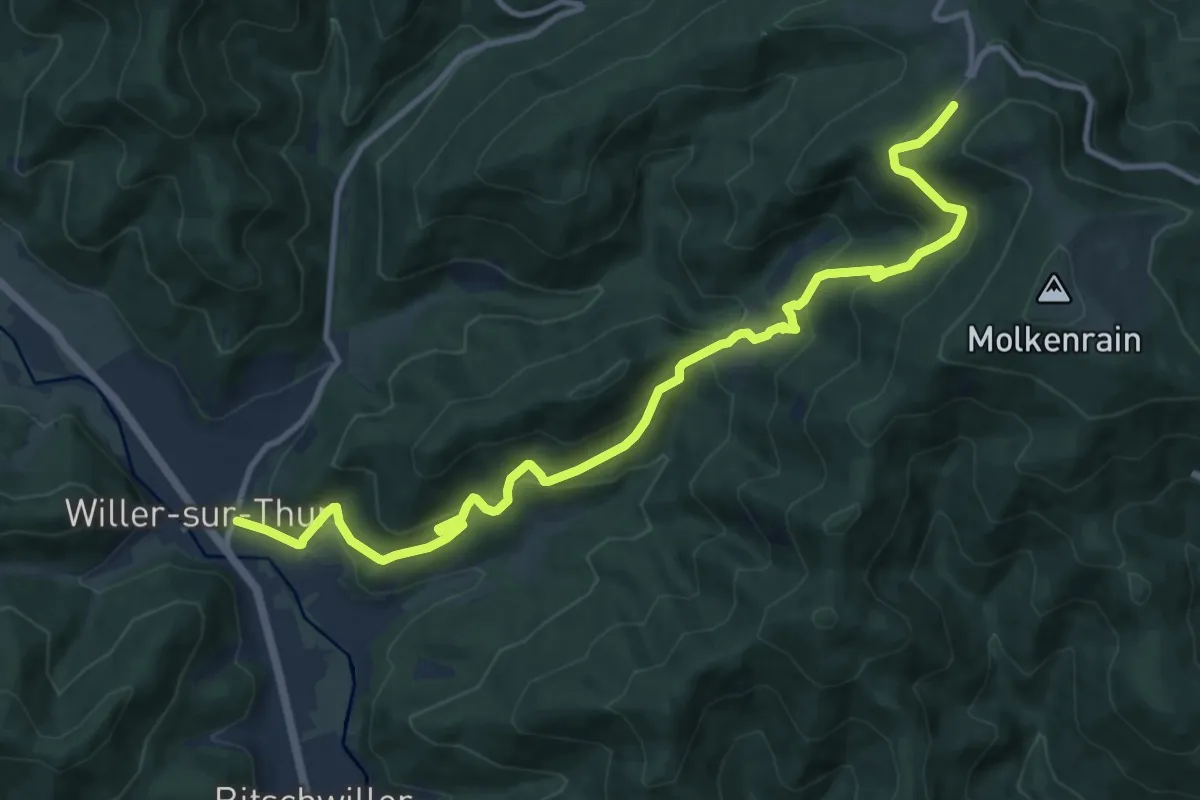
Medium · Trail
Willer sur Thur – Ferme auberge du Freundstein
12.8 km · ↑ 747 m · 4 h 39 min
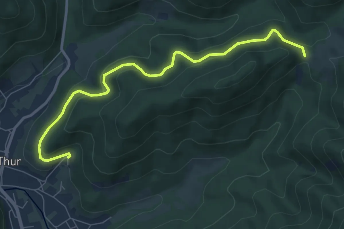
Easy · Trail
Willer sur Thur – Ostein
6.7 km · ↑ 294 m · 2 h 13 min
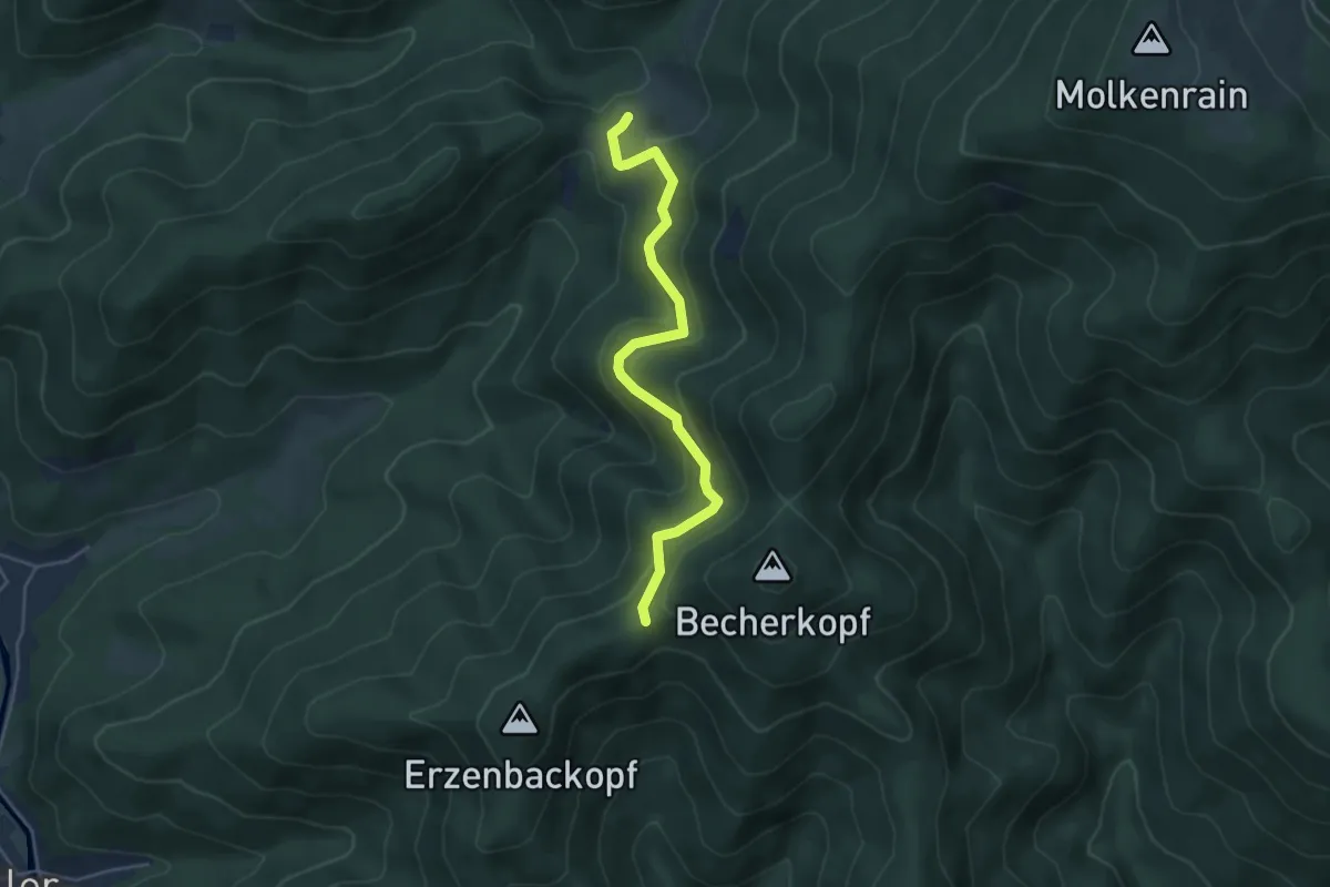
Medium · Trail
Ostein – Camp des Pyramides
4.6 km · ↑ 312 m · 1 h 45 min
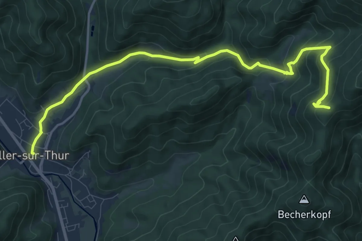
Medium · Trail
Willer sur Thur – GR5
11.5 km · ↑ 578 m · 3 h 58 min
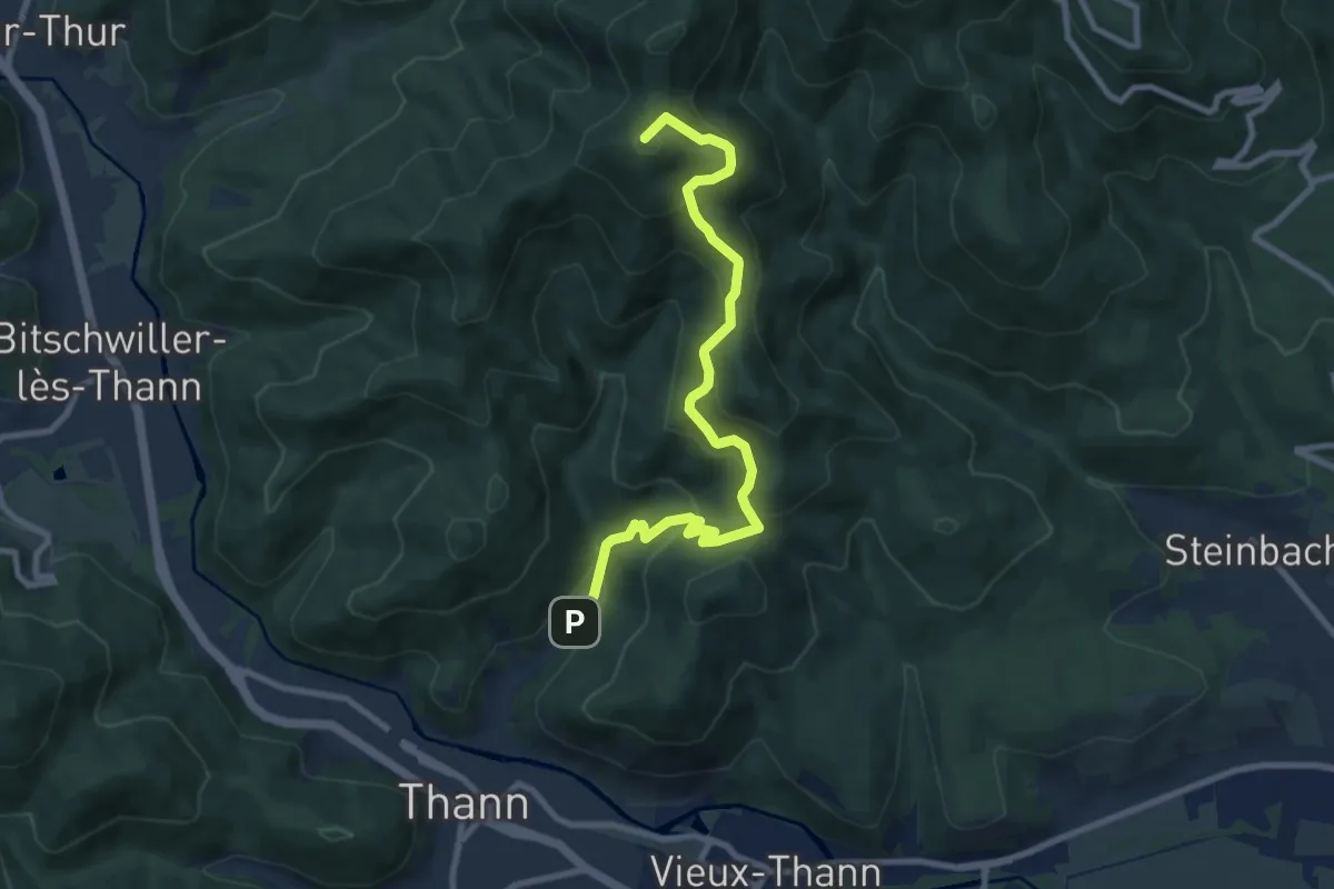
Medium · Summit
Thann – Camp Turenne
9.0 km · ↑ 590 m · 3 h 24 min
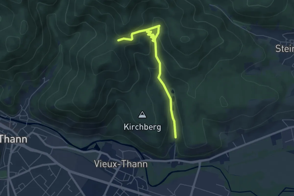
Medium · Trail
Vieux Thann – Waldkapelle
5.8 km · ↑ 356 m · 2 h 8 min
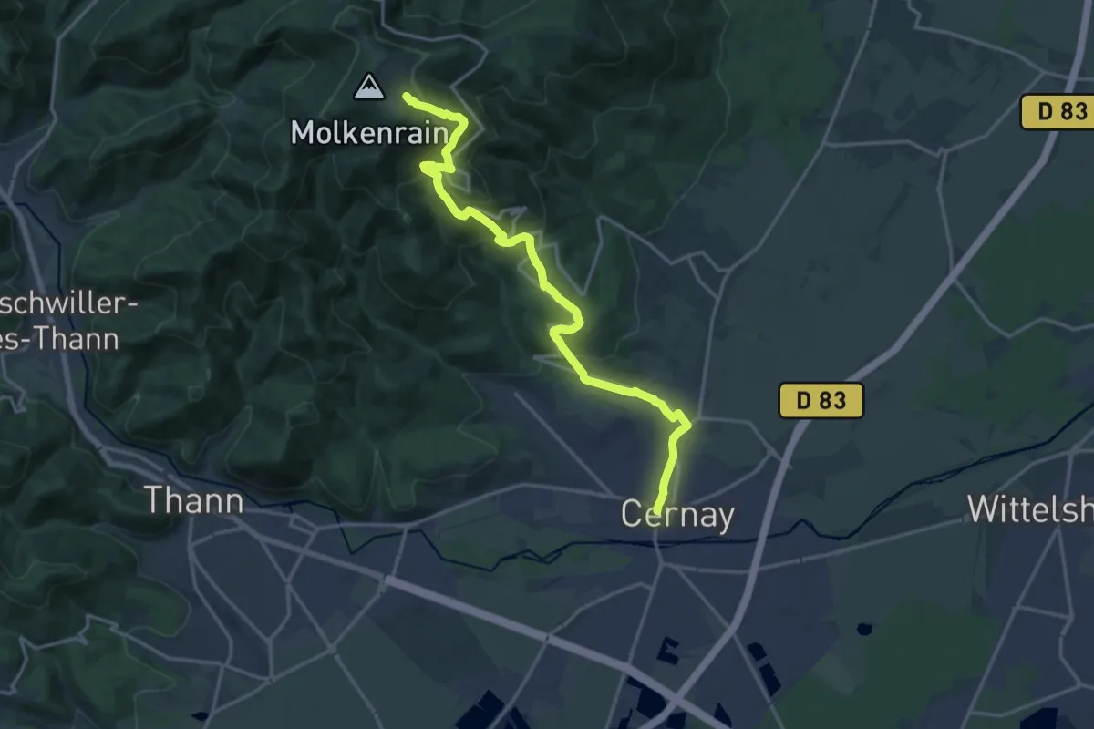
Medium · Trail
Cernay – Molkenrain
17.2 km · ↑ 760 m · 5 h 43 min
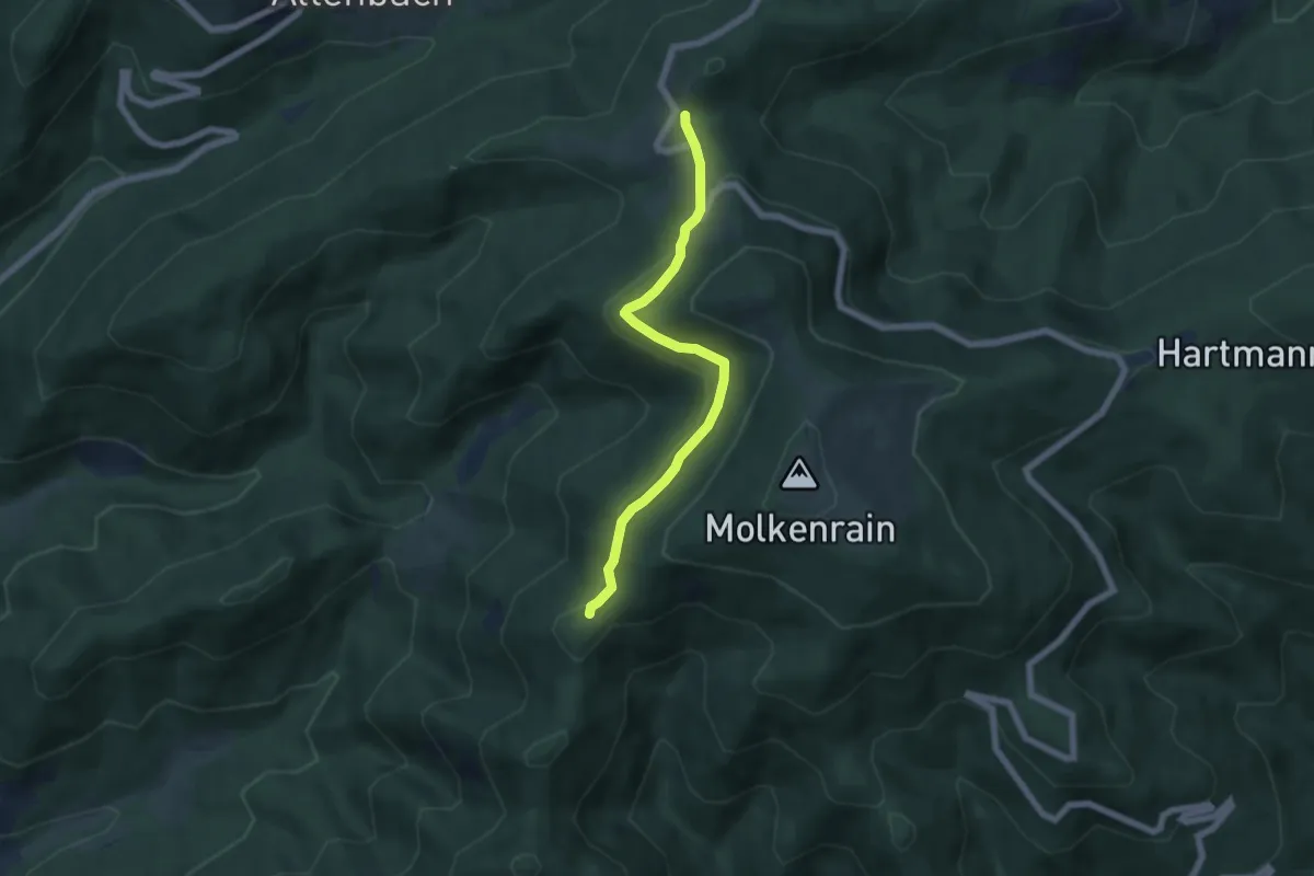
Easy · Trail
Freundstein – GR5
5.6 km · ↑ 179 m · 1 h 42 min
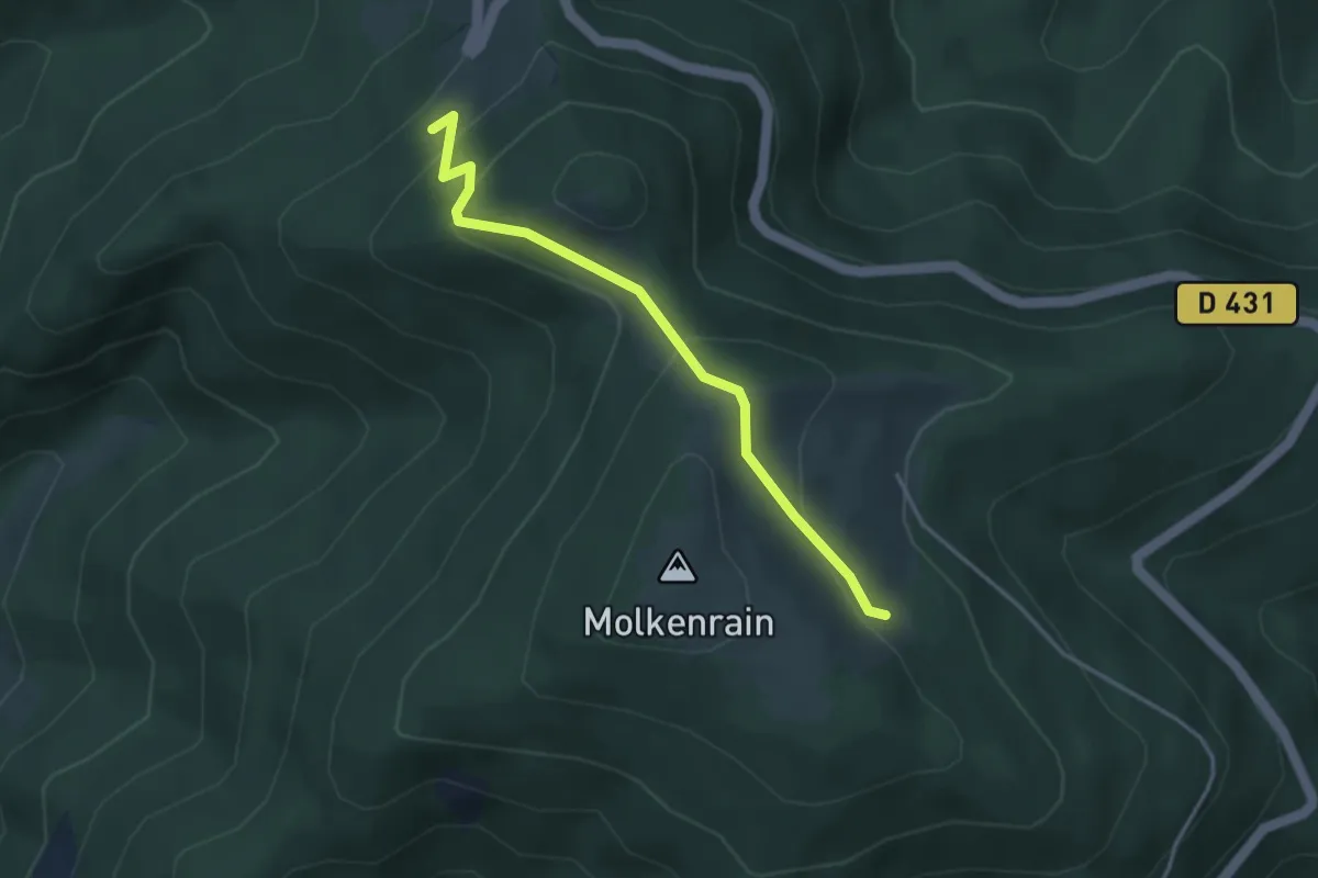
Easy · Trail
Freundstein – Molkenrain
3.4 km · ↑ 246 m · 1 h 20 min
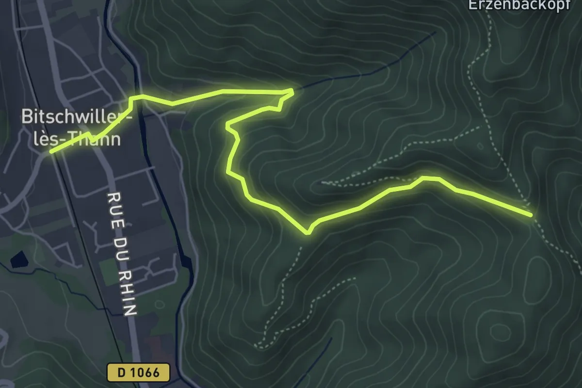
Easy · Trail
Bitschwiller Lès Thann – Col de Grumbach
6.2 km · ↑ 263 m · 2 h 1 min
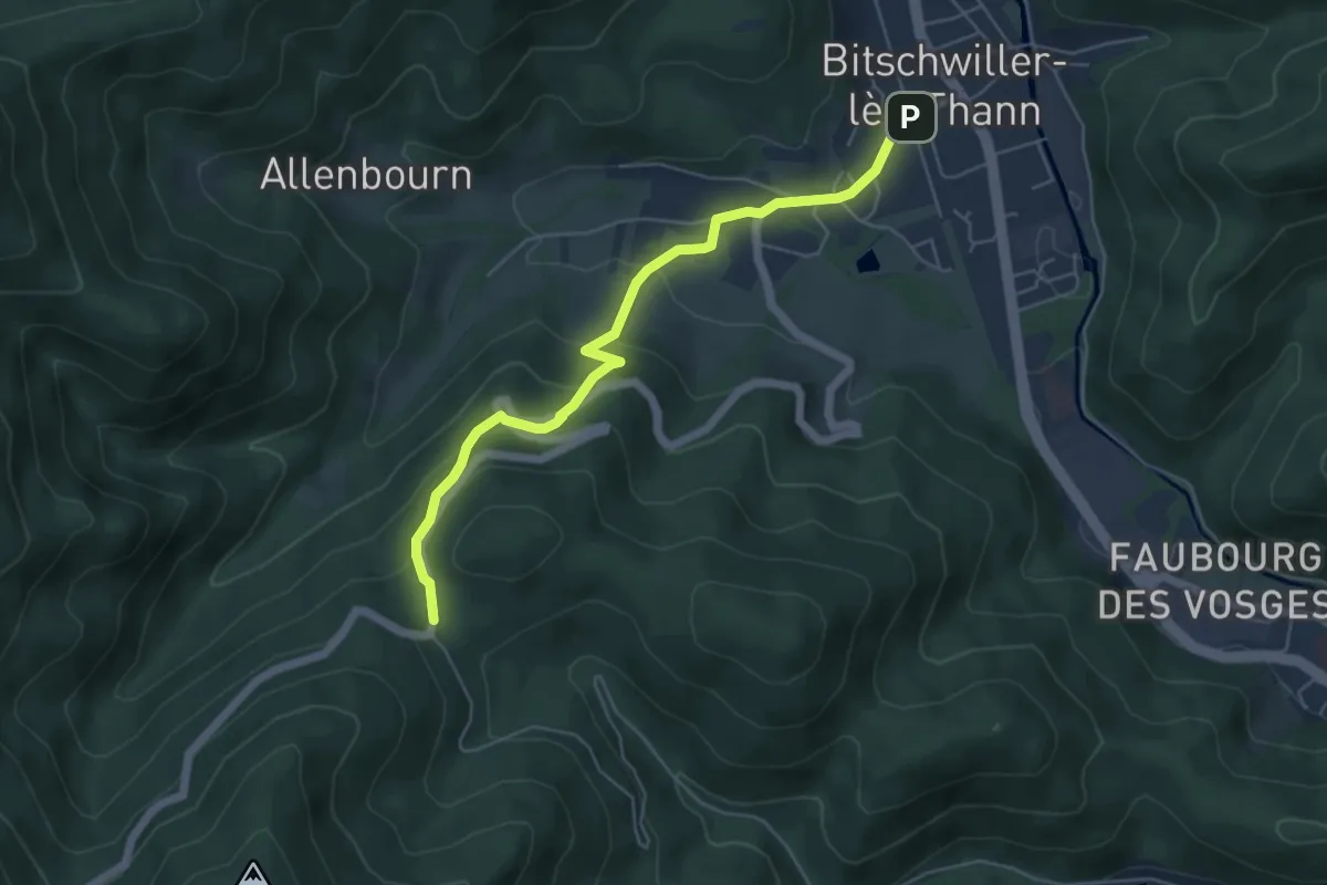
Easy · Trail
Bitschwiller lès Thann – Plan Diebold Scherrer
5.3 km · ↑ 292 m · 1 h 53 min
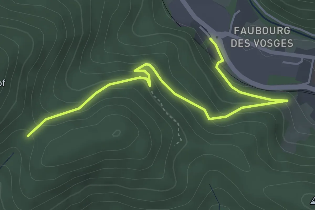
Easy · Trail
Thann – Place du Roi de Rome
4.3 km · ↑ 262 m · 1 h 35 min
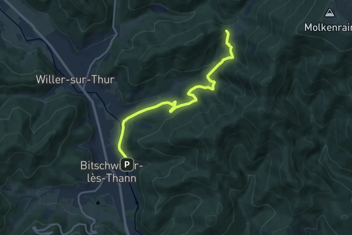
Medium · Trail
Bitschwiller Lès Thann – Ostein
9.2 km · ↑ 406 m · 3 h 3 min
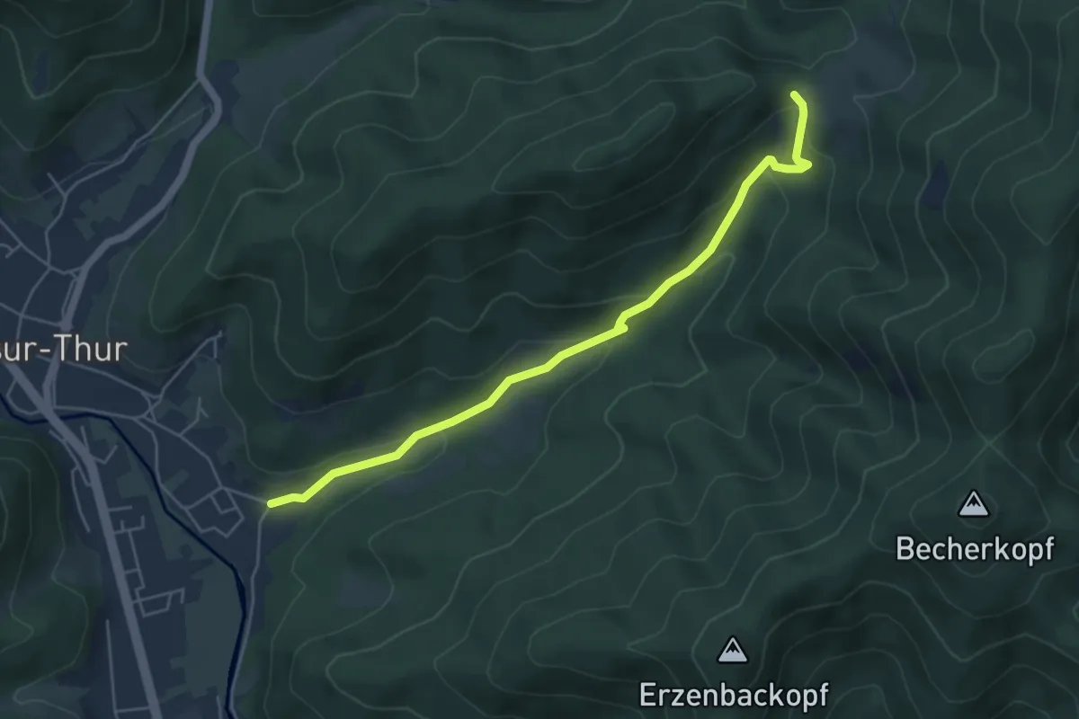
Easy · Trail
Willer sur Thur – Ostein
5.1 km · ↑ 245 m · 1 h 44 min
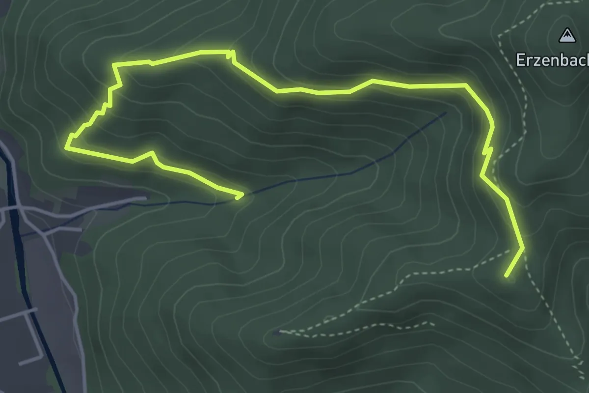
Medium · Summit
Bitschwiller Lès Thann – Place des Canaris
5.2 km · ↑ 332 m · 1 h 57 min
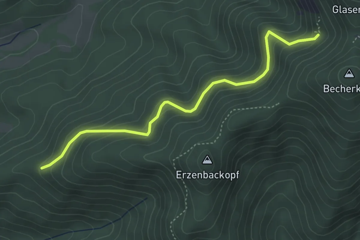
Easy · Trail
Triangle rouge – Baerenthal
4.3 km · ↑ 278 m · 1 h 37 min
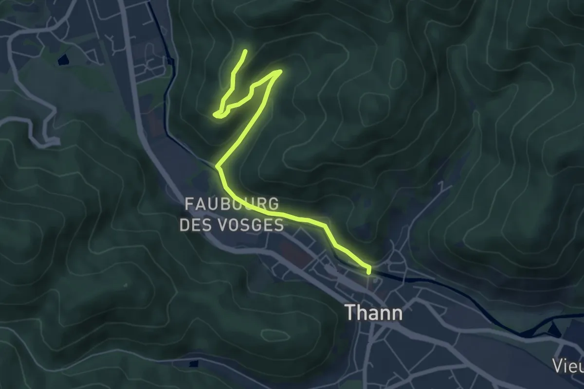
Easy · Trail
Thann – Place du Grumbach
6.0 km · ↑ 192 m · 1 h 50 min
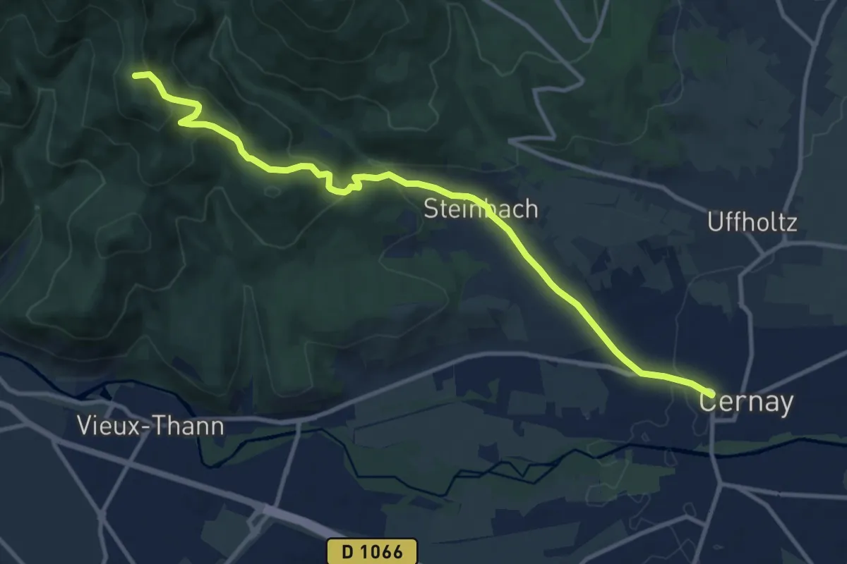
Medium · Summit
Cernay – Thann
11.1 km · ↑ 480 m · 3 h 40 min
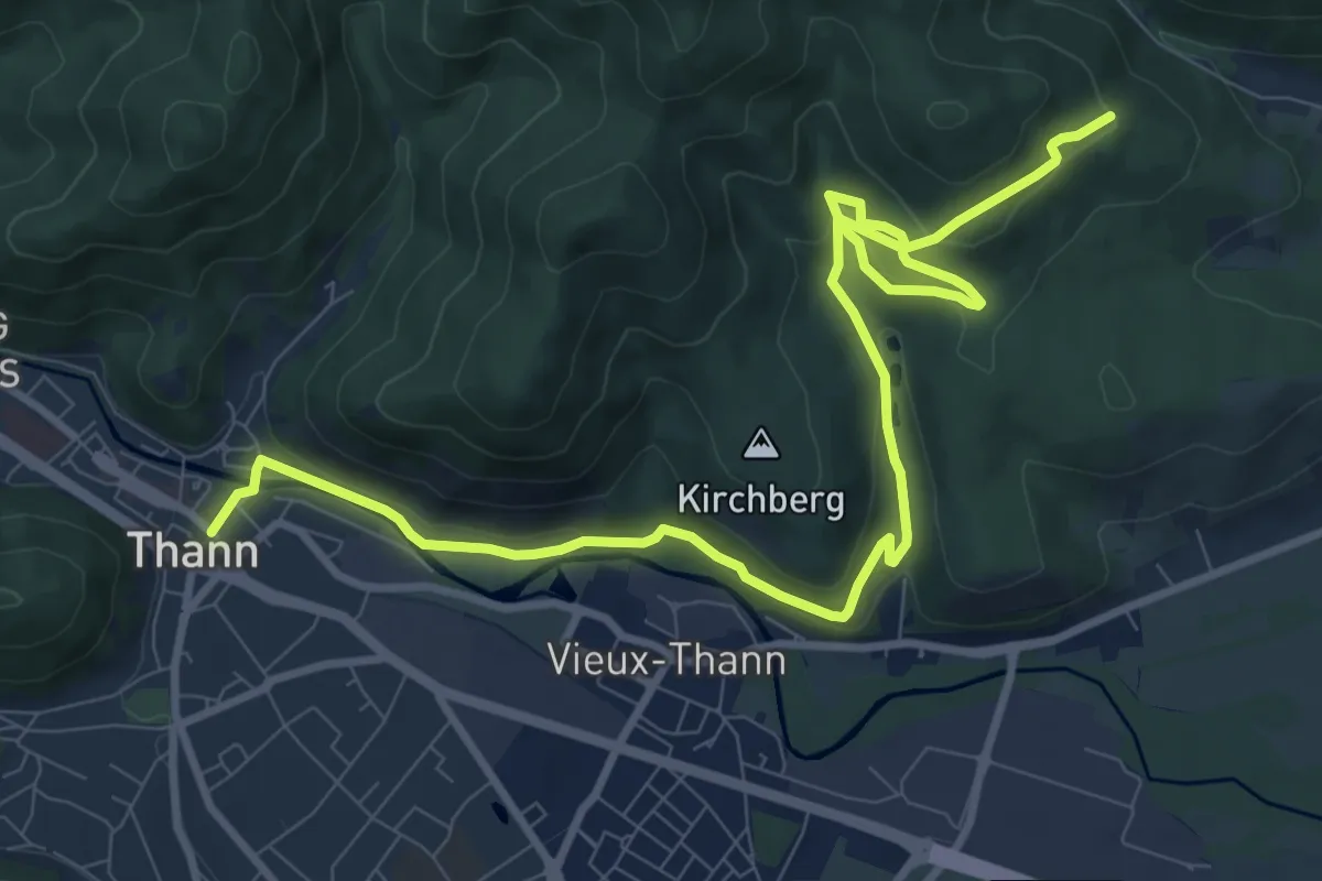
Medium · Trail
Thann – Hirnlestein
12.2 km · ↑ 364 m · 3 h 40 min
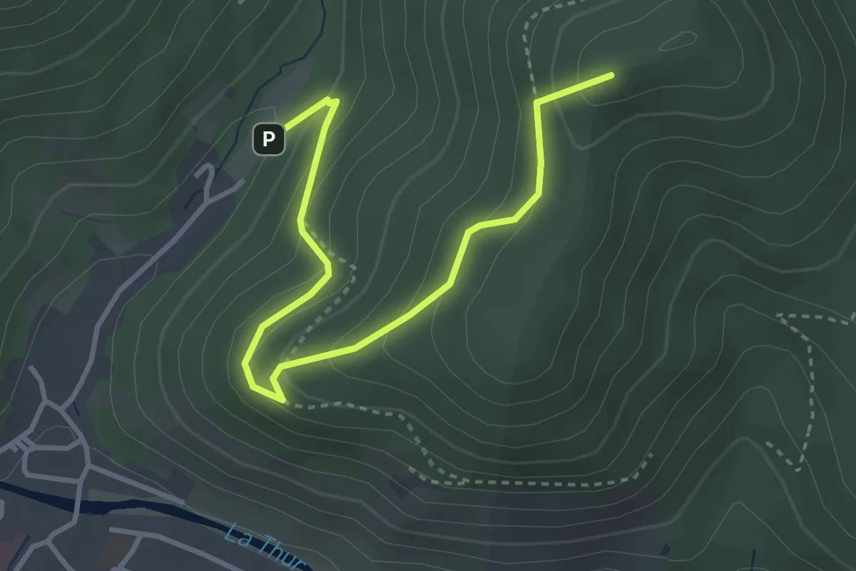
Easy · Summit
Kattenbach – Waldkapelle
3.6 km · ↑ 259 m · 1 h 25 min
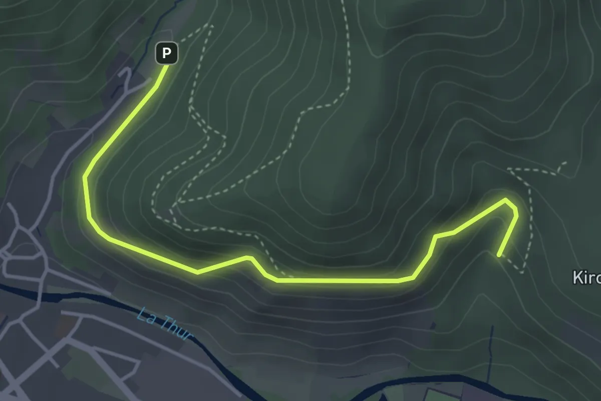
Easy · Trail
Kattenbach – Vieux Thann
4.0 km · ↑ 202 m · 1 h 23 min
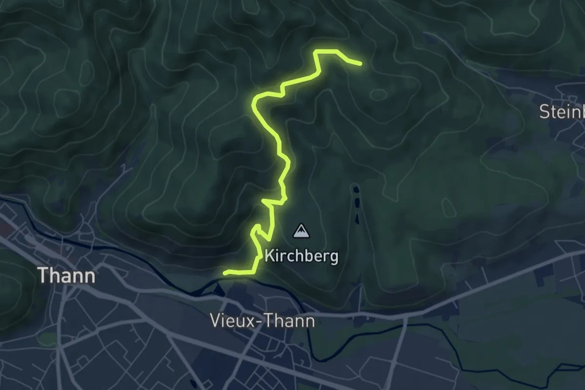
Medium · Trail
Vieux Thann – Col de l’Amselkopf
6.4 km · ↑ 370 m · 2 h 19 min
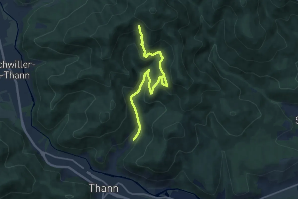
Medium · Trail
Kattenbach – Chêne Wotan
8.4 km · ↑ 569 m · 3 h 13 min
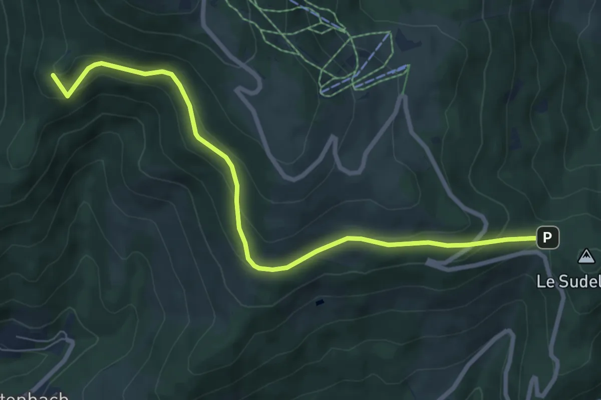
Medium · Summit
Firstacker – Sattel
7.2 km · ↑ 367 m · 2 h 29 min
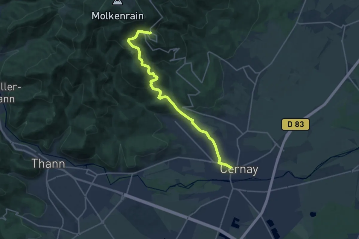
Medium · Trail
Cernay – Col de Herrenfluh
13.4 km · ↑ 603 m · 4 h 29 min
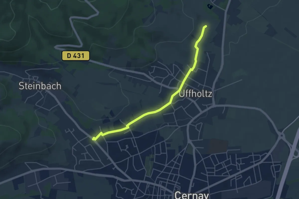
Easy · Trail
Cernay – Wattwiller
4.6 km · ↑ 62 m · 1 h 13 min
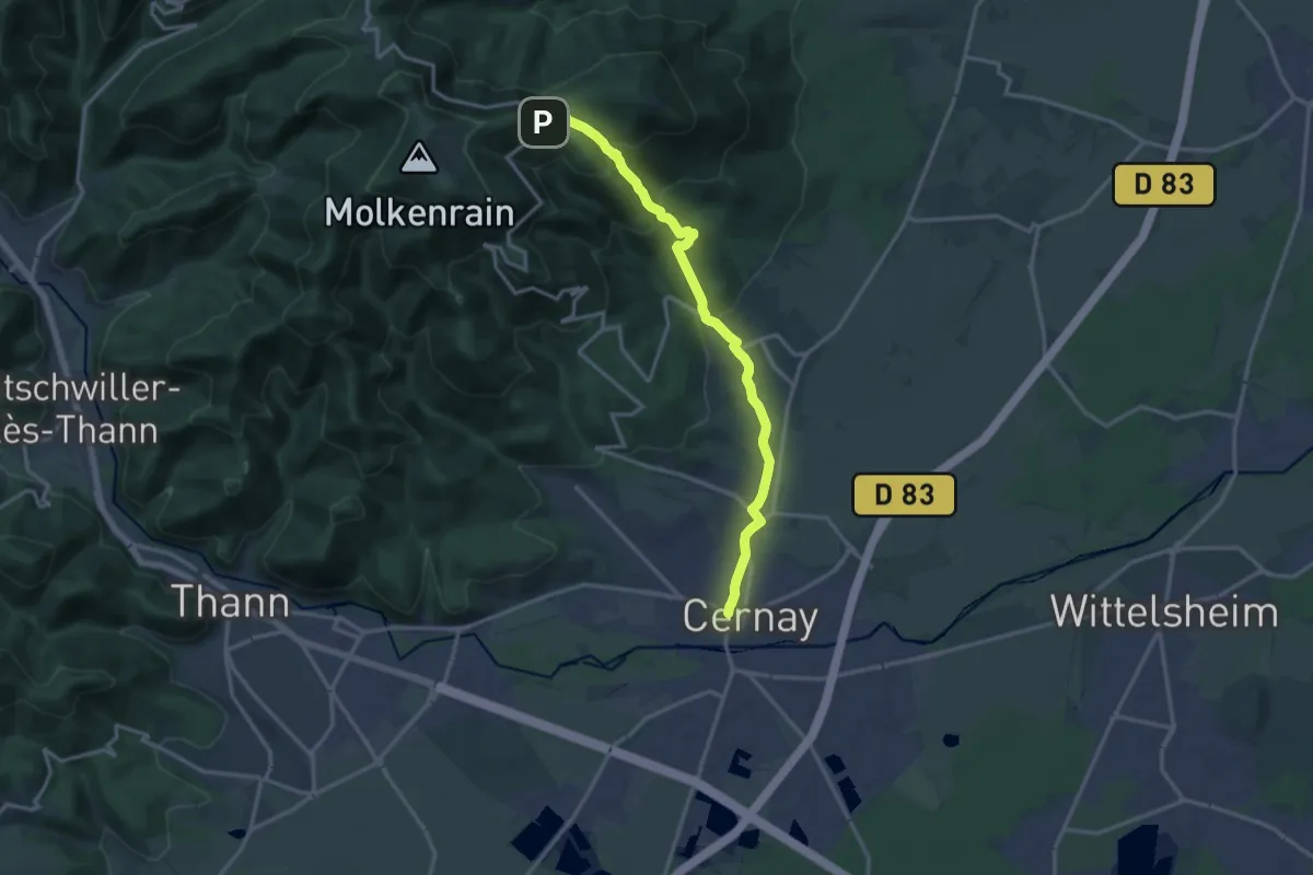
Medium · Trail
Cernay – Hartmannswillerkopf
14.6 km · ↑ 636 m · 4 h 49 min
Easy · Trail
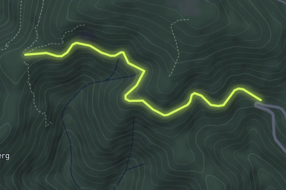
Col de Herrenfluh – Le camp Turenne
4.7 km · ↑ 302 m · 1 h 46 min
Medium · Trail
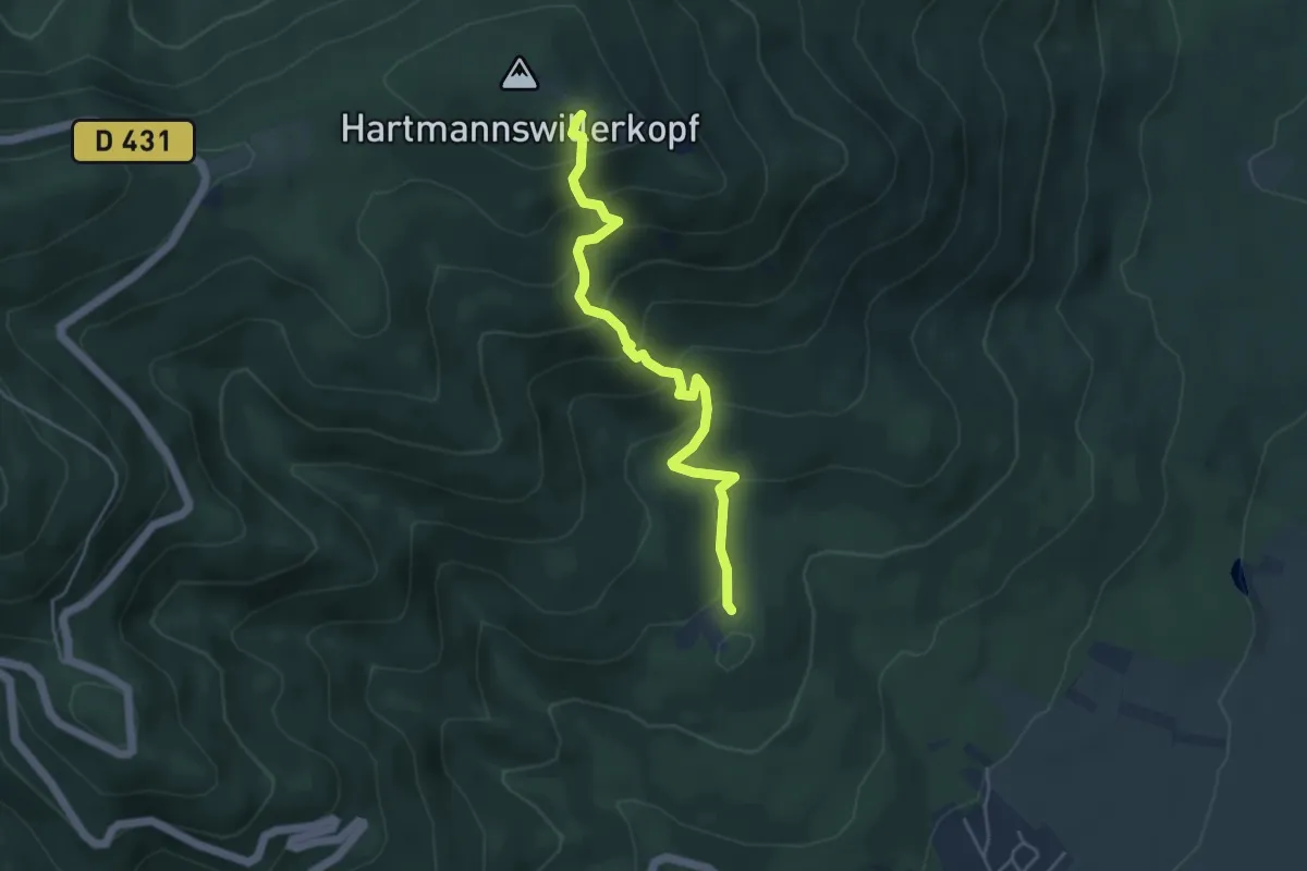
Hirtzenstein – Le Vieil Armand
4.4 km · ↑ 416 m · 1 h 56 min
Medium · Summit
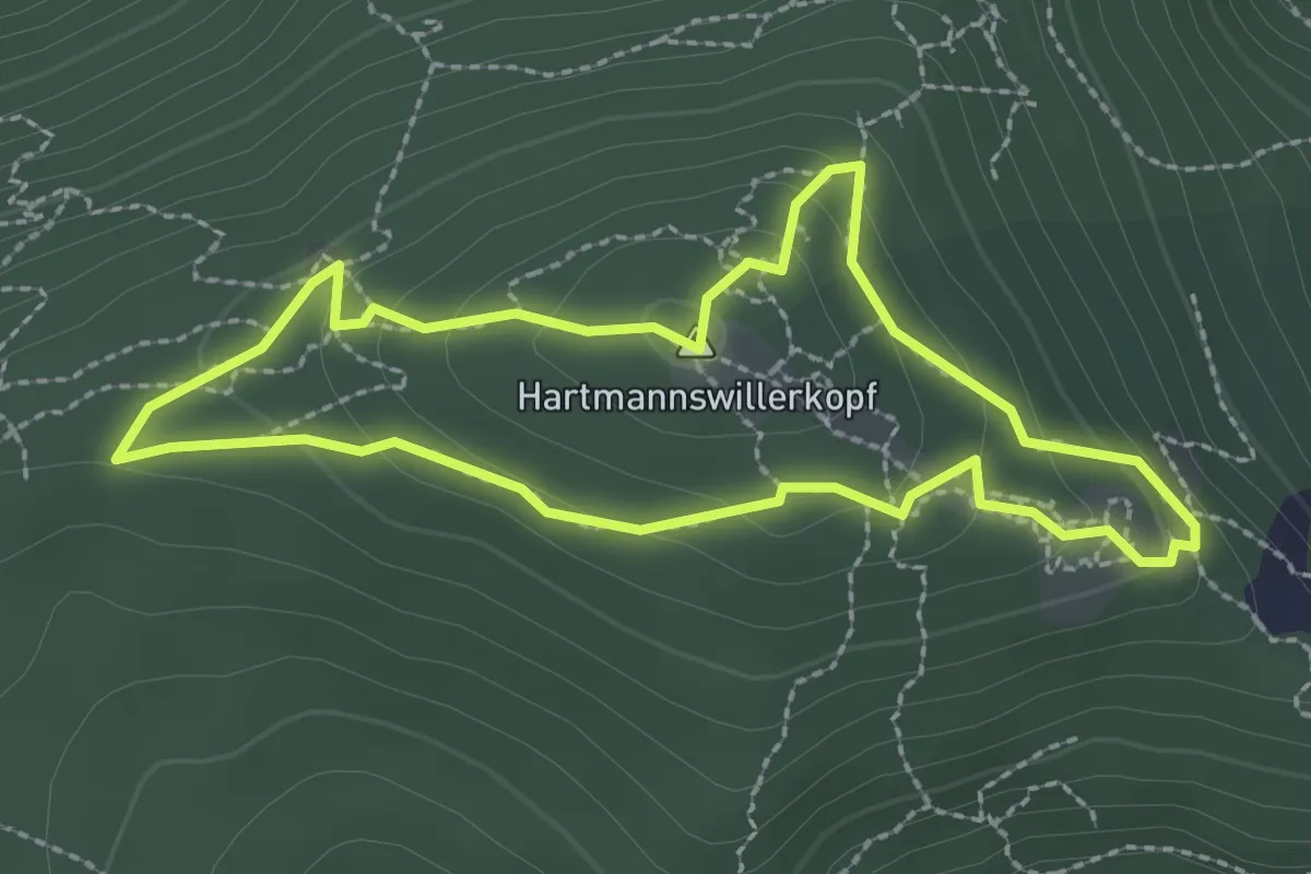
Mémorial Hartmannswillerkopf – Mémorial Hartmannswillerkopf
2.3 km · ↑ 115 m · 49 min
Medium · Summit
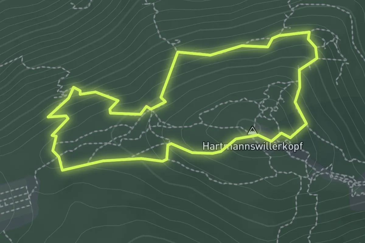
Mémorial Hartmannswillerkopf – Mémorial Hartmannswillerkopf
2.4 km · ↑ 135 m · 53 min
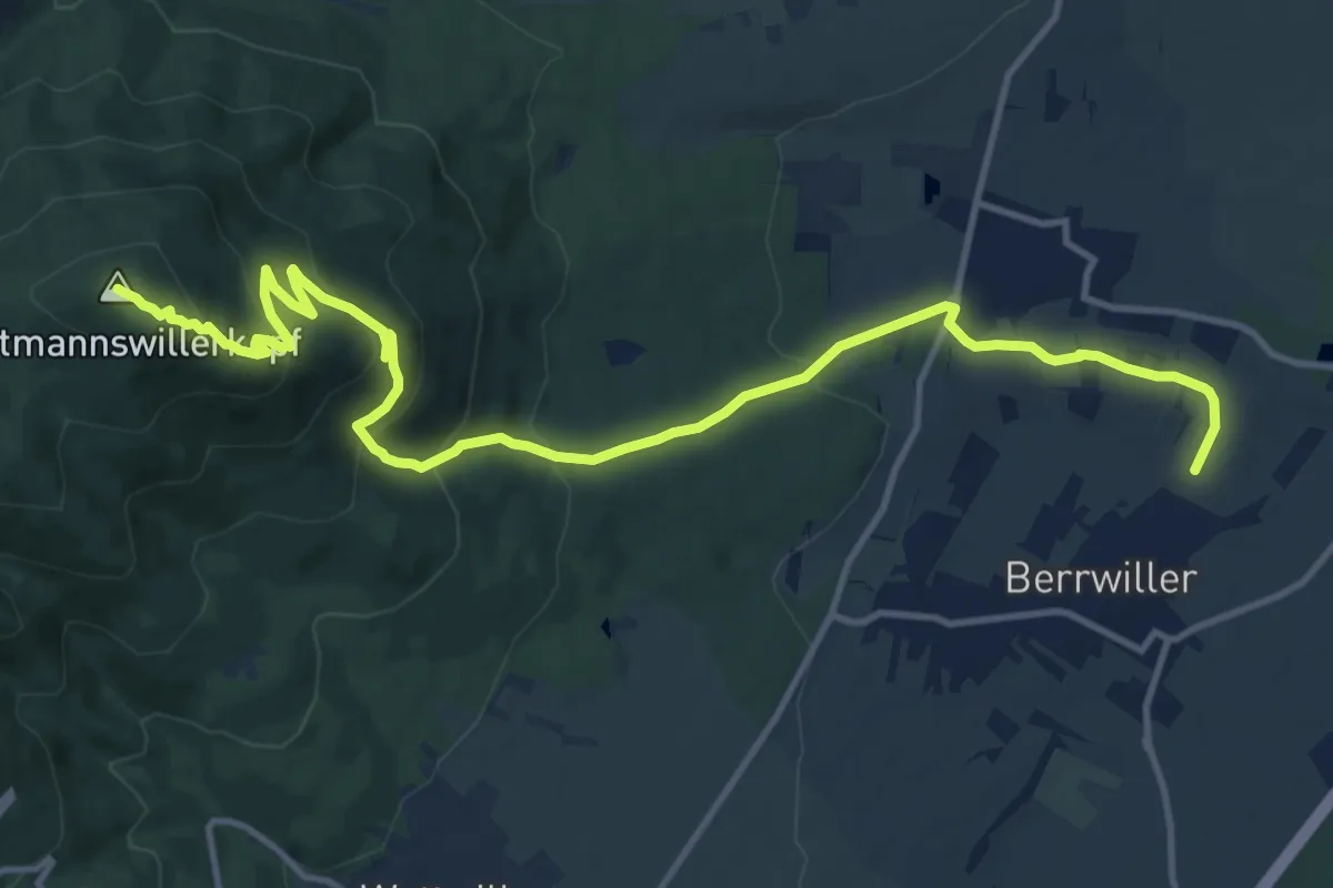
Medium · Summit
Berwiller – Mémorial Hartmannswillerkopf
15.2 km · ↑ 702 m · 5 h 7 min
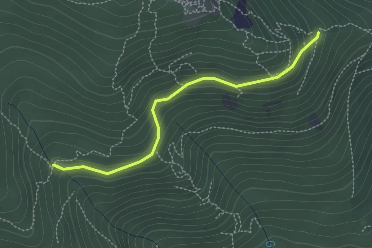
Easy · Trail
Monument Serret – Le Vieil armand
2.4 km · ↑ 130 m · 51 min
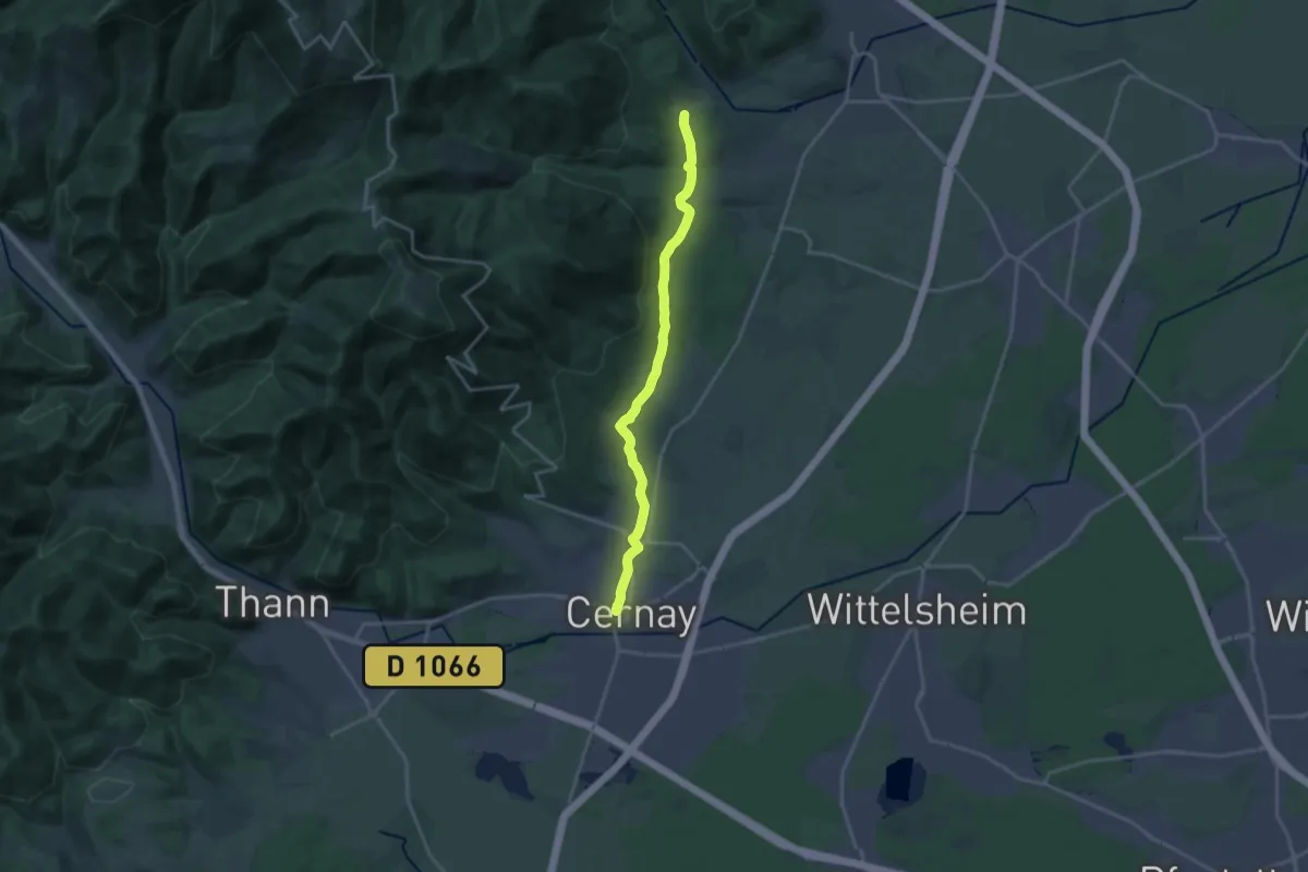
Medium · Trail
Cernay – Thierenbach
17.6 km · ↑ 321 m · 4 h 51 min
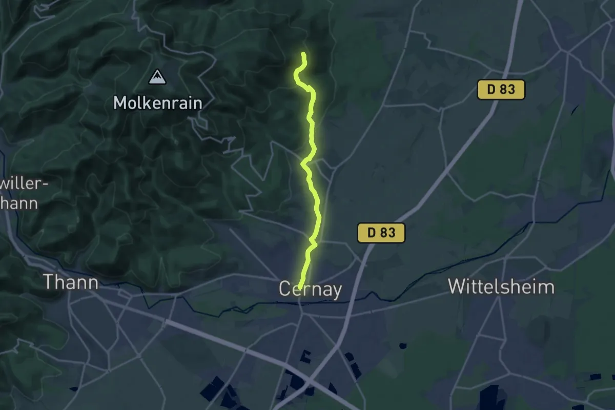
Medium · Trail
Cernay – Cantine Zeller
13.0 km · ↑ 377 m · 3 h 53 min
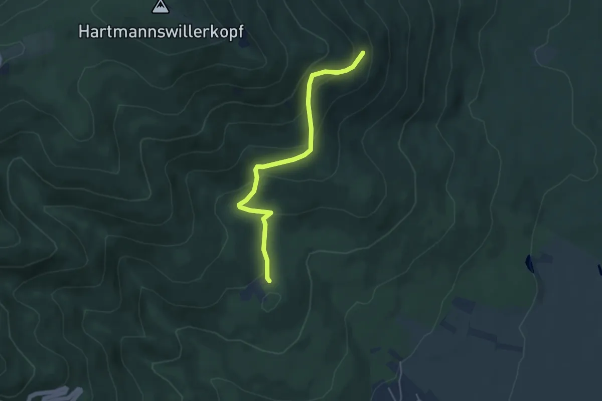
Easy · Trail
Hirtzenstein – Cantine Zeller
3.9 km · ↑ 250 m · 1 h 28 min
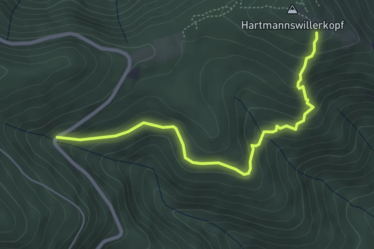
Easy · Trail
D 431 – Vieil Armand
4.9 km · ↑ 272 m · 1 h 45 min
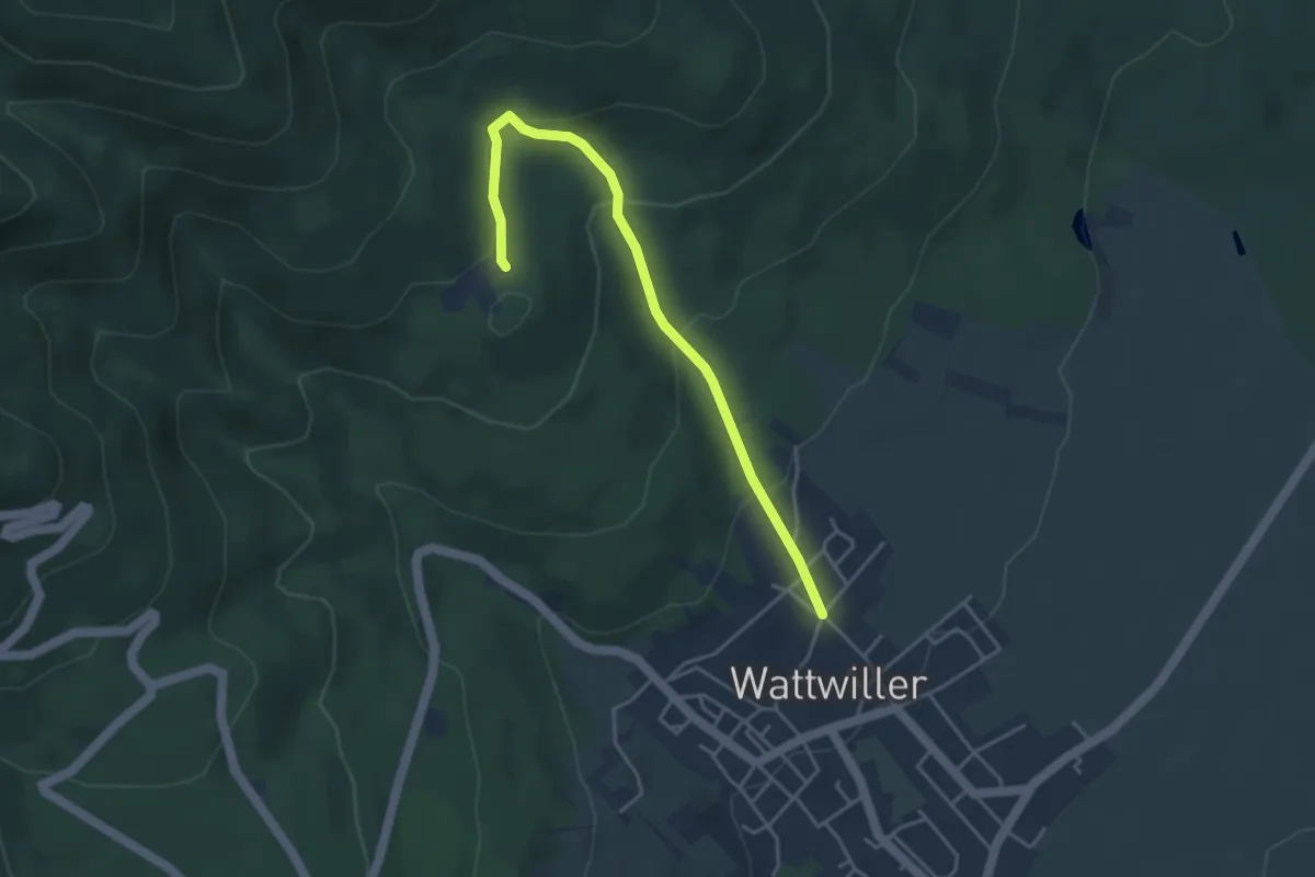
Easy · Trail
Wattwiller – Hirtzenstein
4.0 km · ↑ 203 m · 1 h 23 min
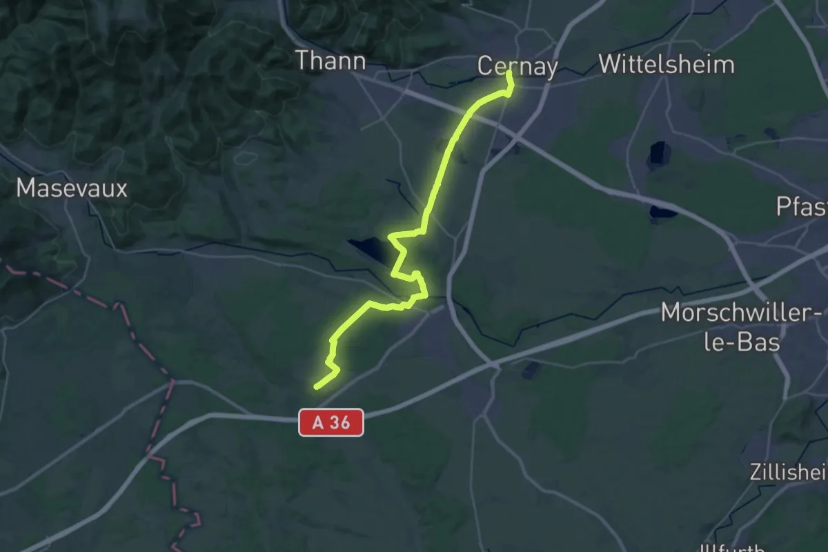
Demanding · Trail
Cernay – GR531
31.4 km · ↑ 224 m · 7 h 53 min
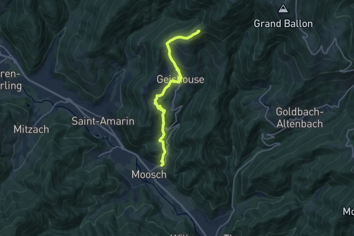
Medium · Summit
Moosch – Route des Crêtes
11.7 km · ↑ 687 m · 4 h 16 min
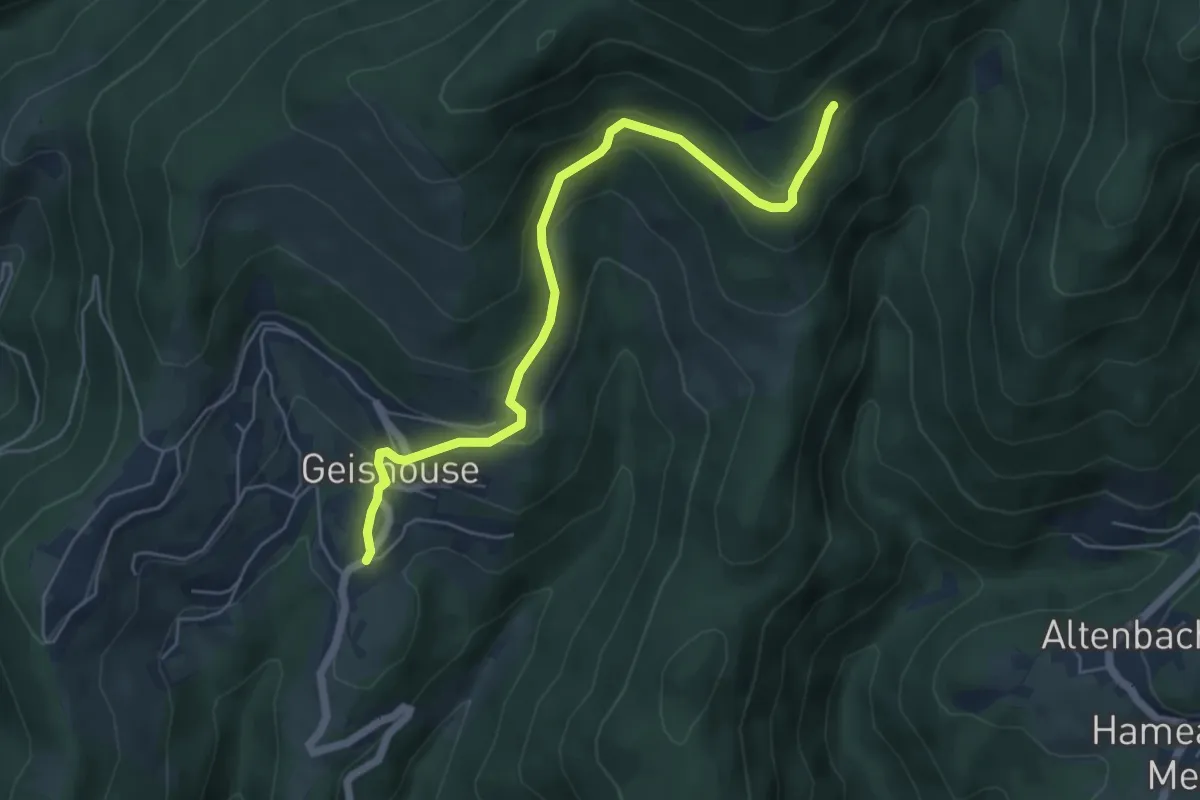
Medium · Trail
Geishouse – Abrutschfels
5.6 km · ↑ 329 m · 2 h 3 min
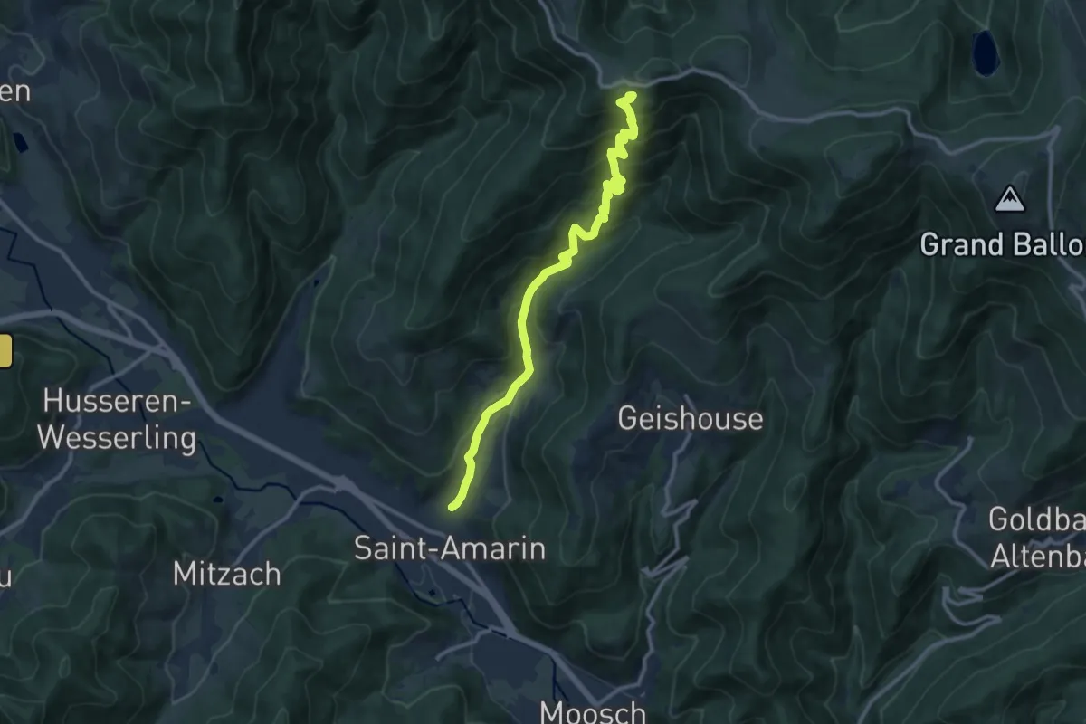
Demanding · Cabin
Saint-Amarin – Refuge Edelweiss
11.2 km · ↑ 876 m · 4 h 33 min
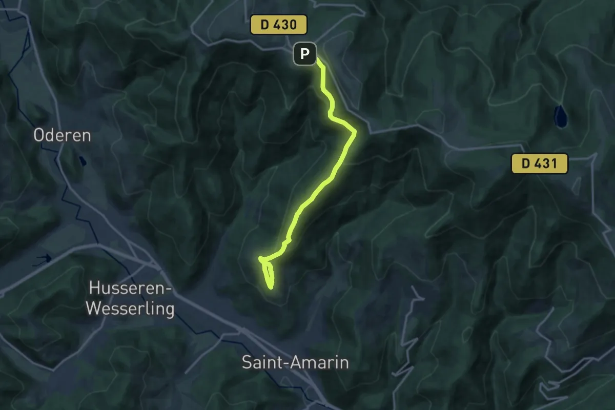
Medium · Trail
Saint-Amarin – GR5
12.5 km · ↑ 624 m · 4 h 19 min