Trails in France
15,926 hiking trails, each with its route, climb, walking time and grade.
All trails, page 302 of 332
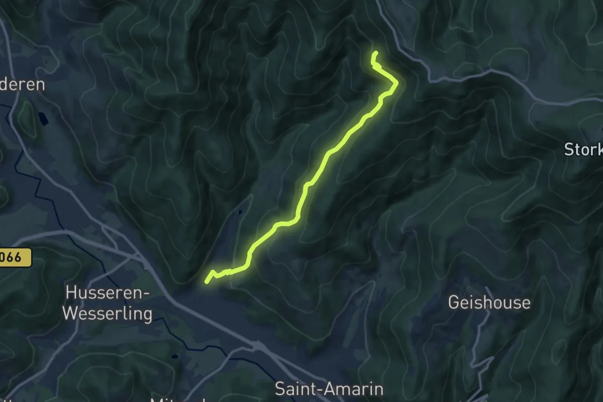
Medium · Trail
Ranspach – Hochfelrucken
9.5 km · ↑ 602 m · 3 h 33 min
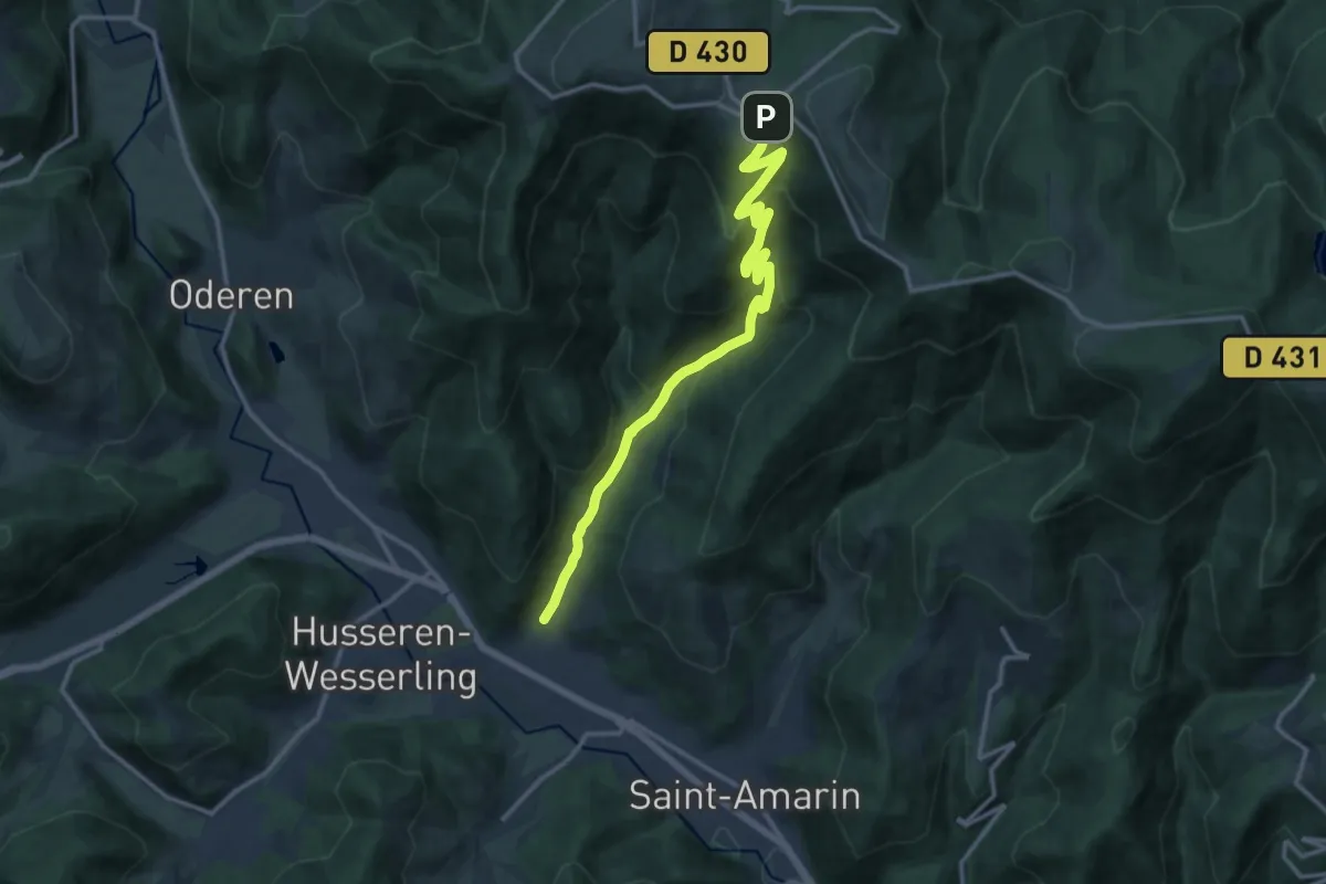
Medium · Trail
Ranspach – Le Markstein
13.9 km · ↑ 778 m · 4 h 58 min
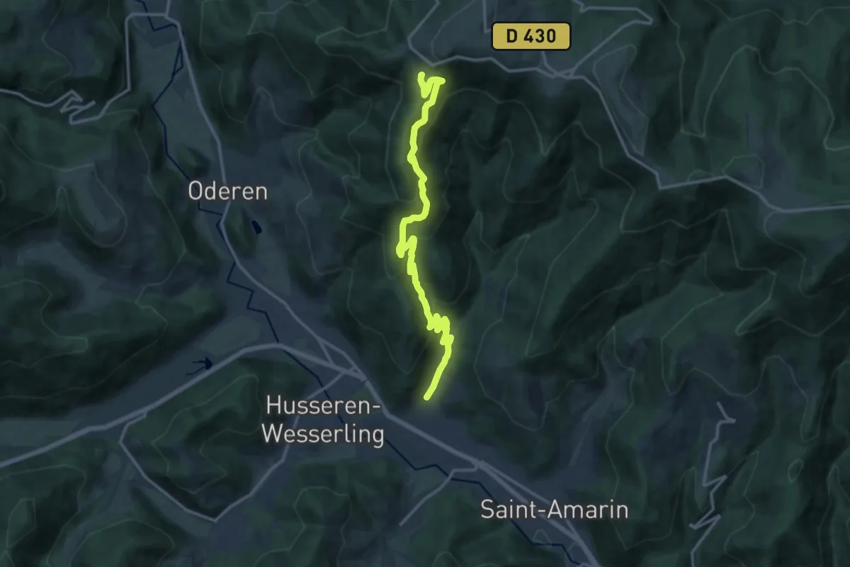
Demanding · Trail
Ranspach – Le Treh
13.9 km · ↑ 892 m · 5 h 13 min
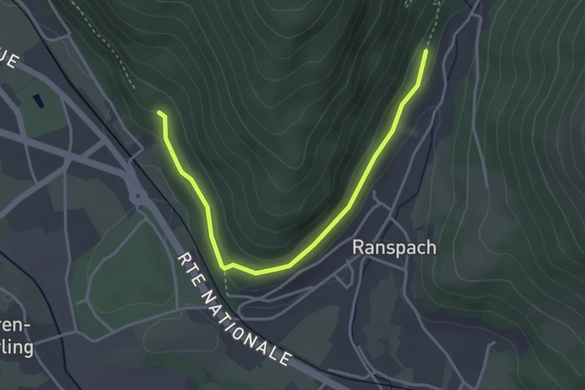
Easy · Trail
Wesserling – Ranspach
3.5 km · ↑ 110 m · 1 h 4 min
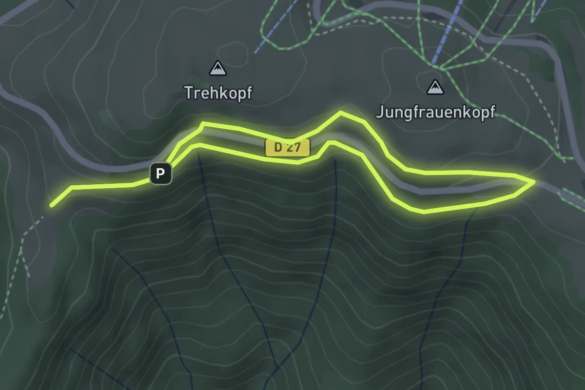
Easy · Trail
Le Treh – GR5
5.8 km · ↑ 202 m · 1 h 49 min
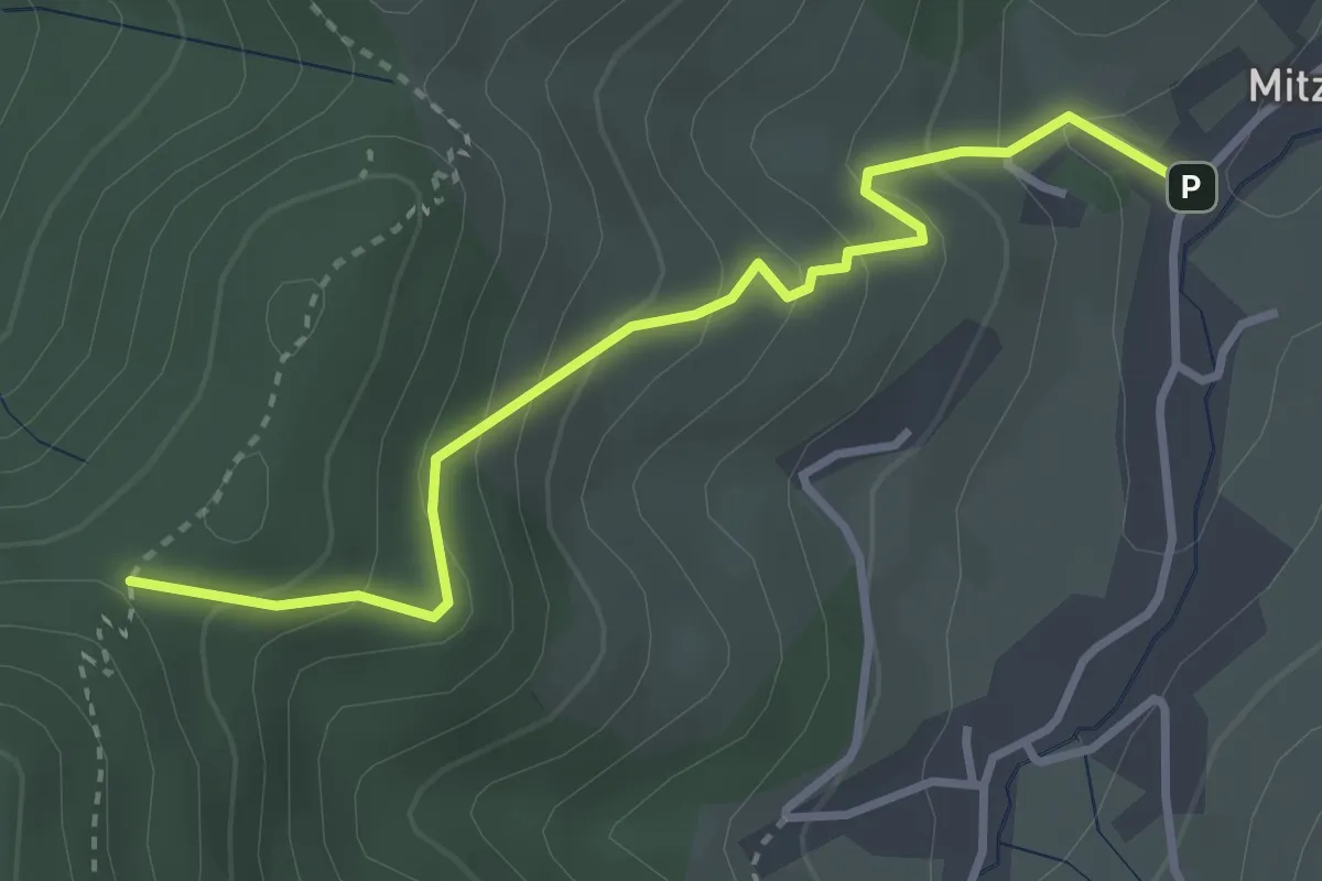
Easy · Trail
Mitzach – Frost
3.3 km · ↑ 297 m · 1 h 25 min
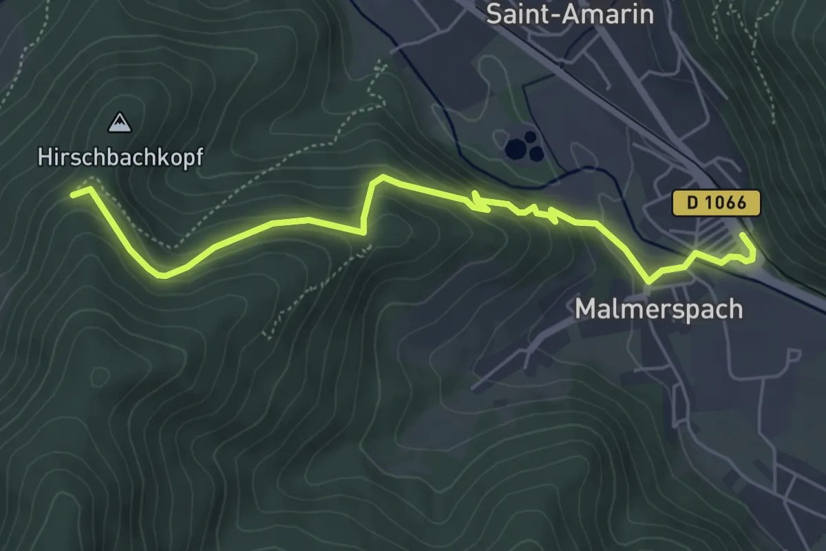
Easy · Trail
Malmerspach – GR532
5.5 km · ↑ 271 m · 1 h 53 min
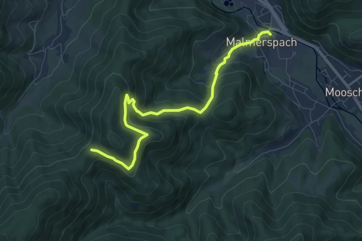
Medium · Trail
Malmerspach – GR532
8.5 km · ↑ 498 m · 3 h 5 min
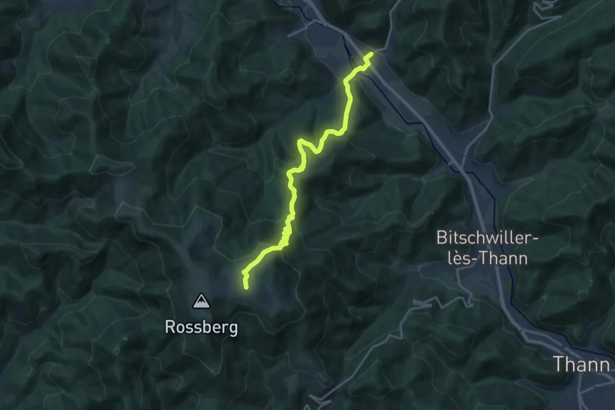
Demanding · Trail
Moosch – GR5
14.2 km · ↑ 812 m · 5 h 7 min
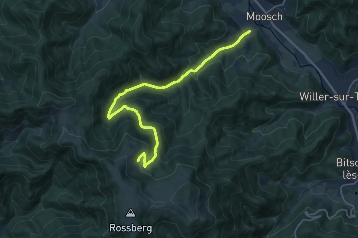
Medium · Trail
Moosch – Gsang
13.8 km · ↑ 661 m · 4 h 41 min
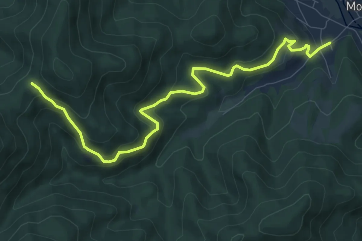
Medium · Trail
Moosch – Col des Dreimarkstein
9.1 km · ↑ 534 m · 3 h 18 min
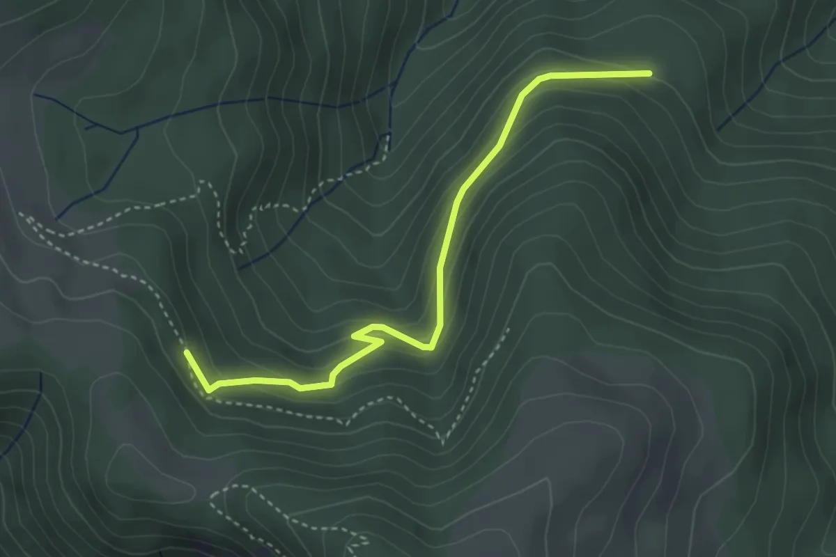
Easy · Trail
Kolabi – Triangle rouge
3.6 km · ↑ 238 m · 1 h 22 min
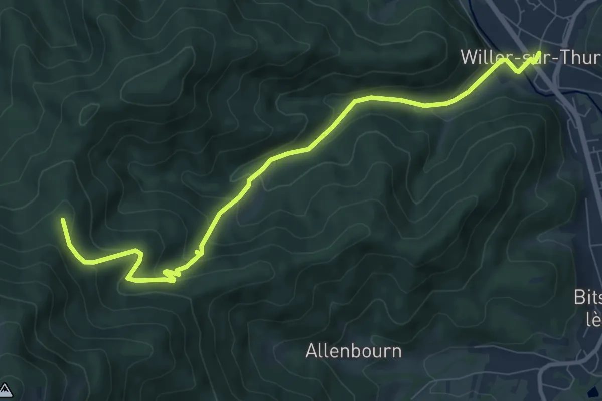
Medium · Cabin
Willer sur Thur – GR5
8.9 km · ↑ 459 m · 3 h 6 min
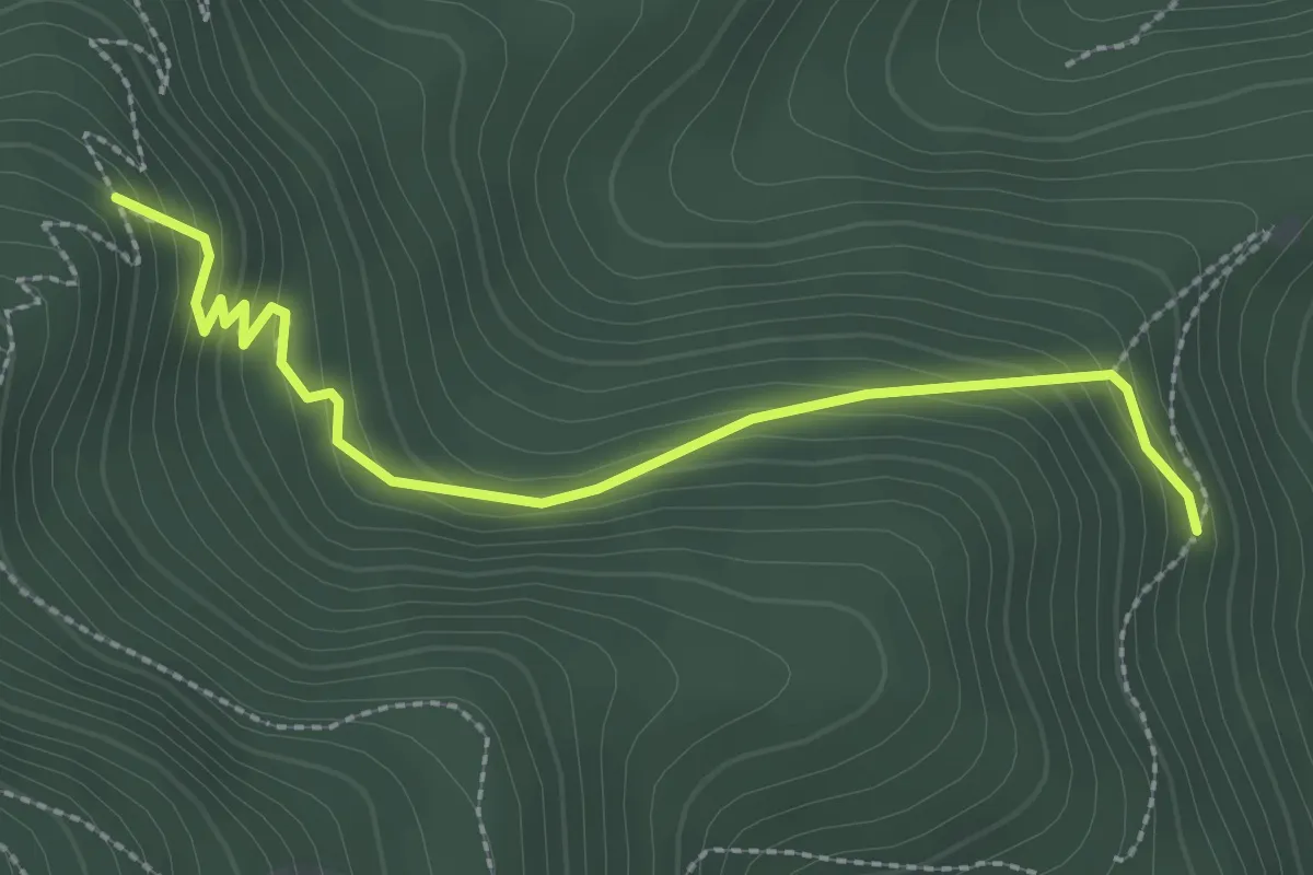
Easy · Trail
Place Zundel – Rectangle rouge barré de blanc
2.6 km · ↑ 184 m · 1 h 1 min
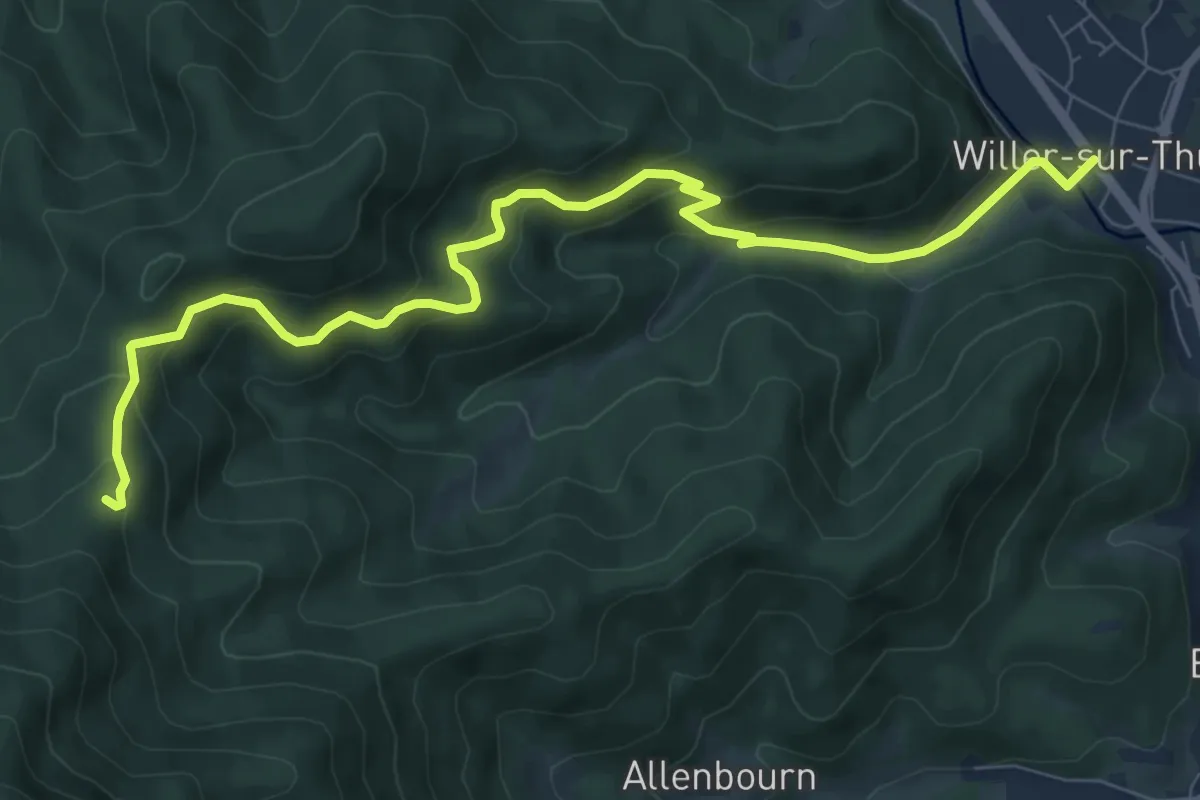
Medium · Cabin
Willer sur Thur – Abri du Blaufels
9.3 km · ↑ 538 m · 3 h 21 min
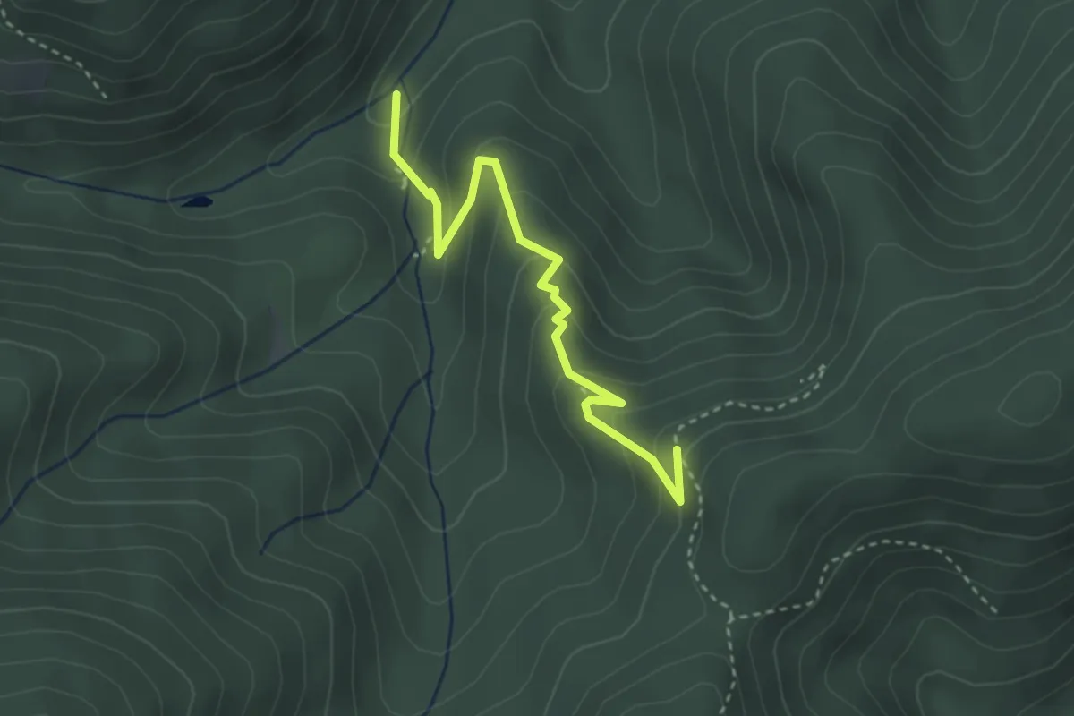
Easy · Trail
Schmelzamatten – Blaufelsen
3.1 km · ↑ 209 m · 1 h 12 min
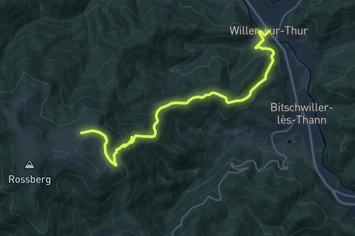
Demanding · Trail
Willer sur Thur – Rossberg
14.3 km · ↑ 826 m · 5 h 10 min
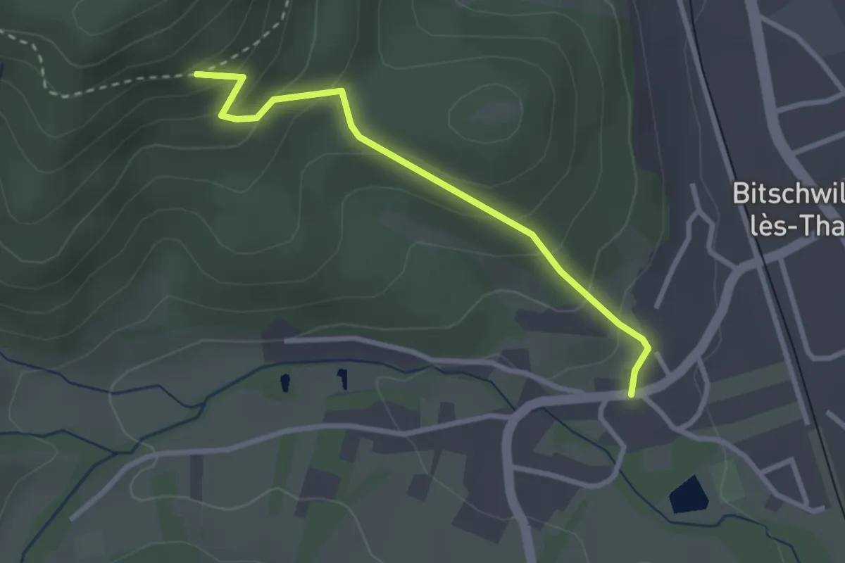
Easy · Trail
Bitschwiller lès Thann – Croix jaune
2.6 km · ↑ 186 m · 1 h 1 min
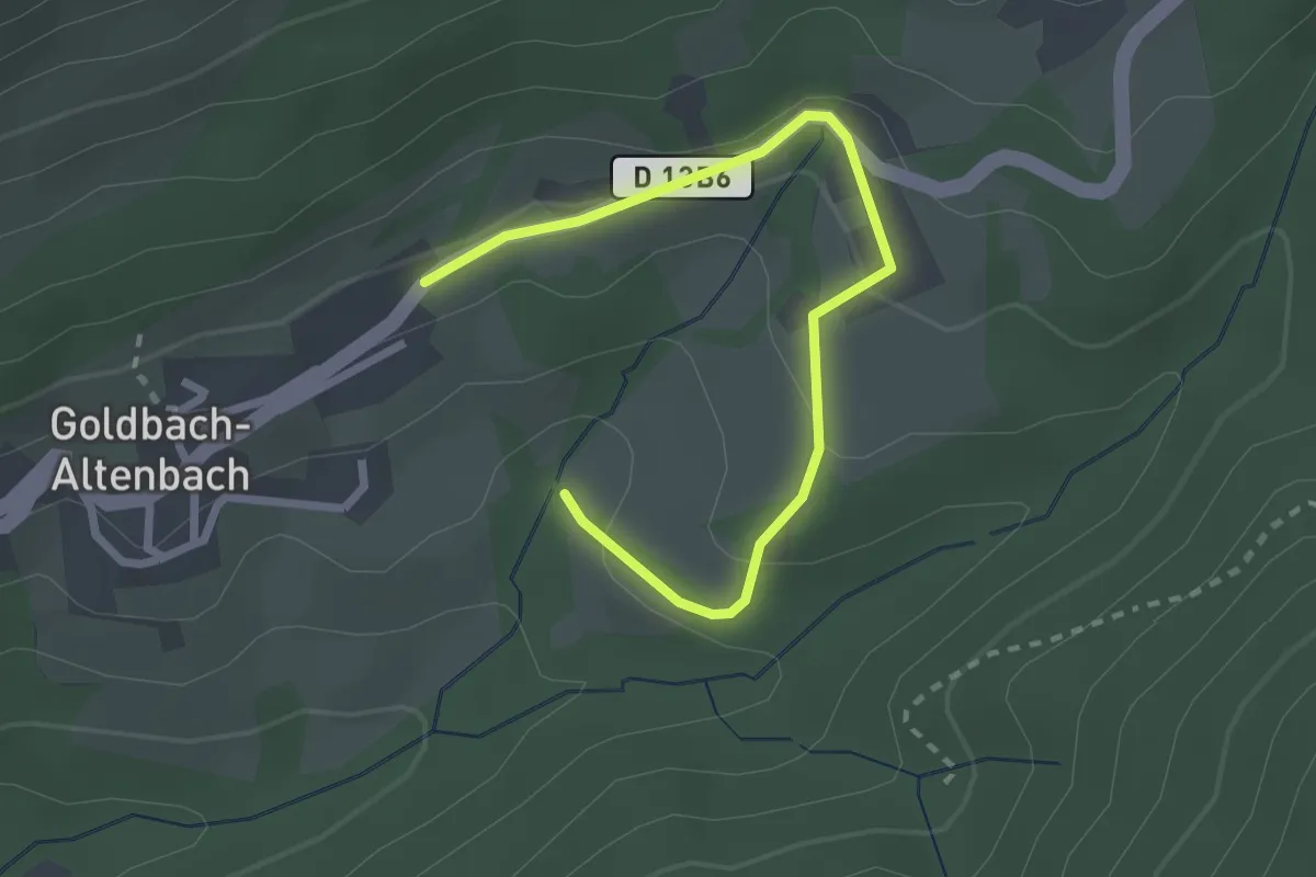
Easy · Trail
Goldbach – Blanschen
2.7 km · ↑ 109 m · 53 min
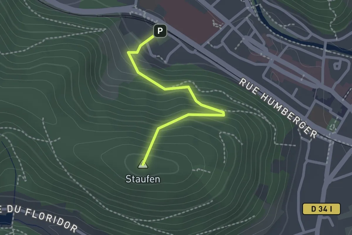
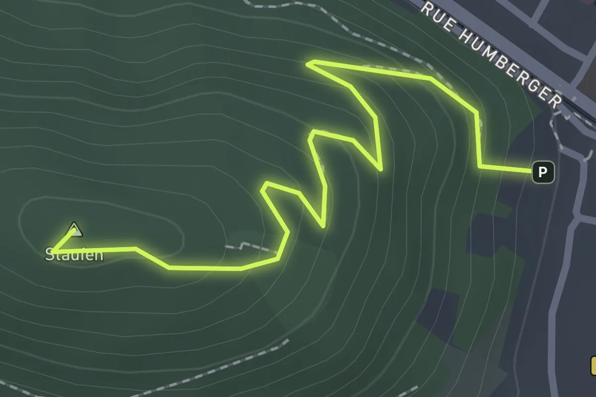
Easy · Summit
Thann – Staufen
1.9 km · ↑ 163 m · 48 min
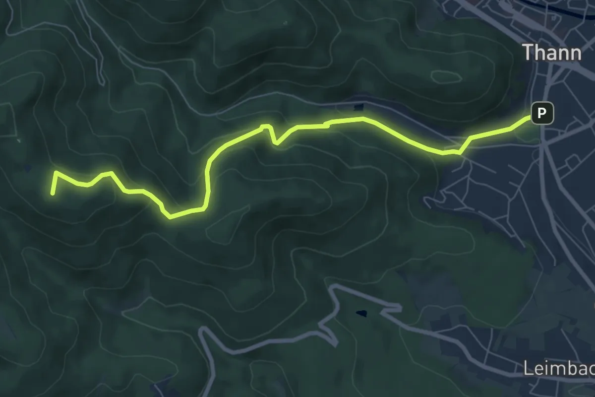
Easy · Summit
Thann – Staufen
2.3 km · ↑ 144 m · 52 min
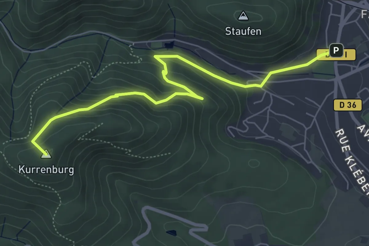
Medium · Summit
Thann – Abri Baumann
7.4 km · ↑ 438 m · 2 h 42 min
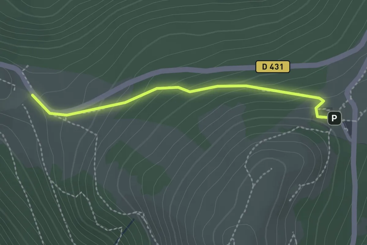
Easy · Summit
Thann – Col du Teufelsgrund
6.3 km · ↑ 314 m · 2 h 10 min
Medium · Trail
Le Hagg – Chalet du Grand Ballon
2.1 km · ↑ 117 m · 44 min
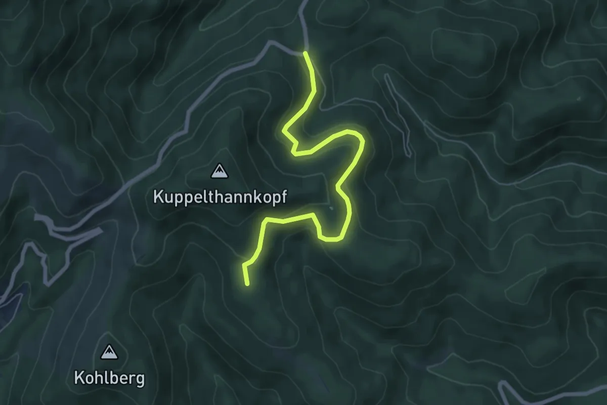
Medium · Summit
Plan Diebold Scherrer – triangle jaune
5.9 km · ↑ 288 m · 2 h 1 min
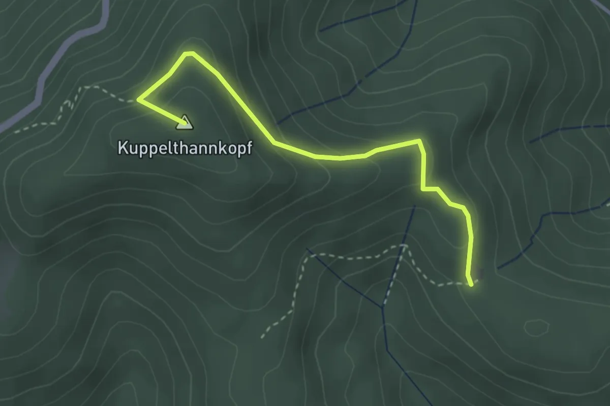
Easy · Summit
Abri Baumann – Col du Hundsruck
3.0 km · ↑ 169 m · 1 h 4 min
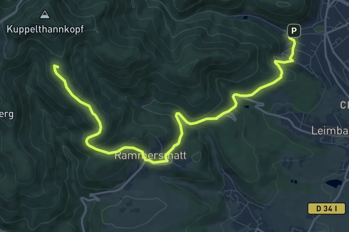
Medium · Summit
Thann – Col du Hundsruck
12.4 km · ↑ 429 m · 3 h 51 min
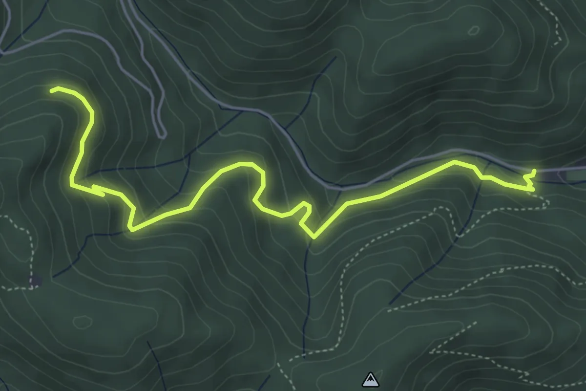
Medium · Trail
Floridor – Stadtmattwald
5.6 km · ↑ 346 m · 2 h 4 min
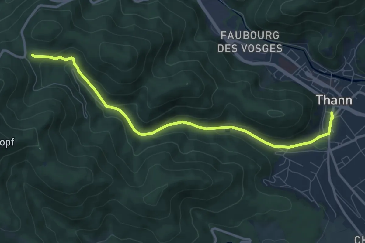
Medium · Cabin
Thann – GR5
8.0 km · ↑ 283 m · 2 h 30 min
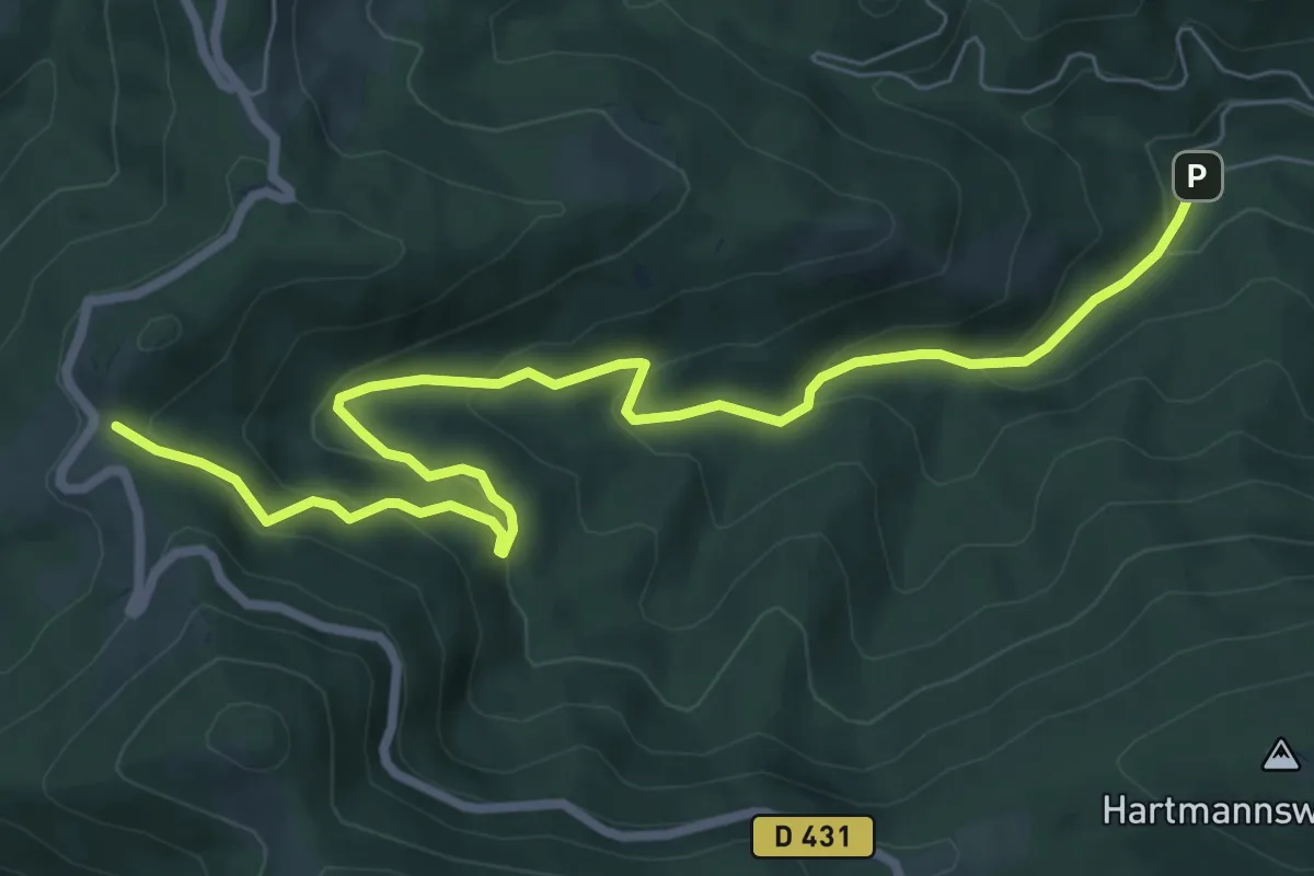
Medium · Trail
Croix Zimmermann – Freundstein
8.7 km · ↑ 450 m · 3 h 1 min
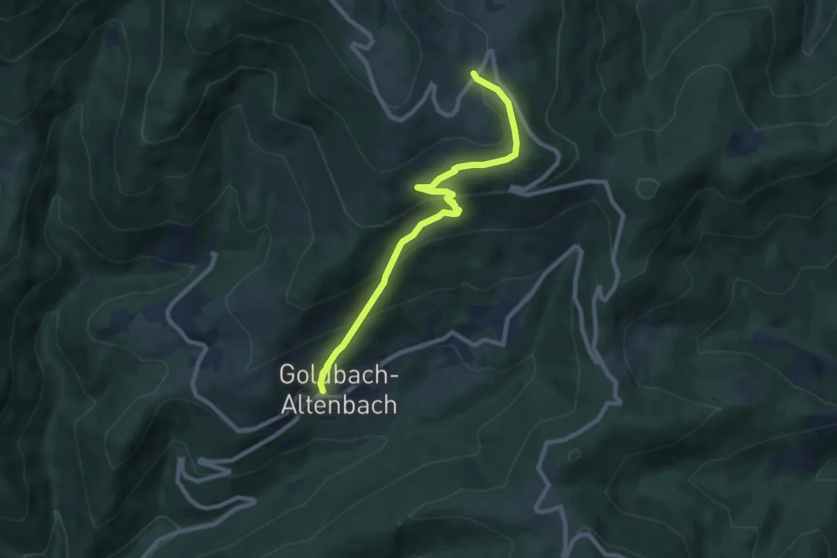
Medium · Trail
Goldbach – Ferme du Grand Ballon
6.7 km · ↑ 473 m · 2 h 36 min
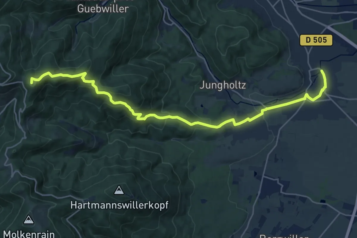
Demanding · Summit
Soultz – Col du Firstacker
20.2 km · ↑ 776 m · 6 h 27 min
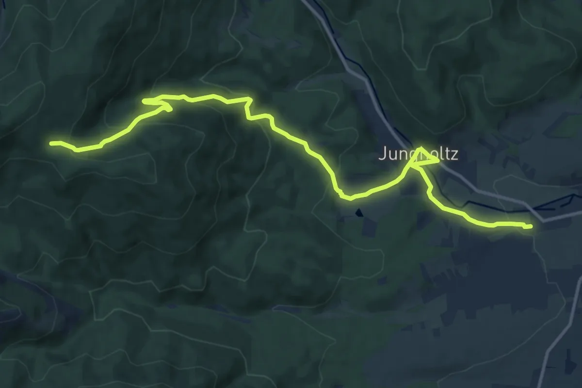
Medium · Trail
Wuenheim – Holzwasen
13.2 km · ↑ 563 m · 4 h 20 min
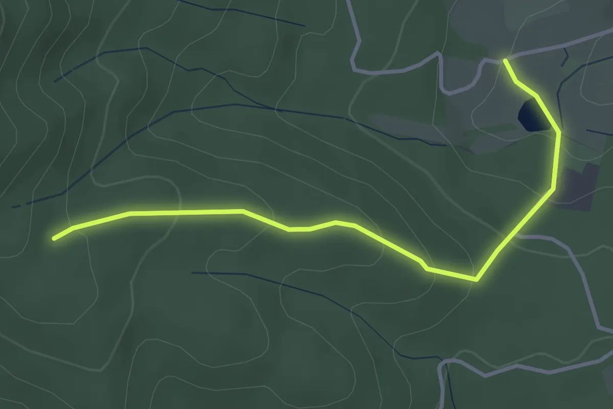
Easy · Trail
Thierenbach – Carrefour de l'Heure
3.4 km · ↑ 172 m · 1 h 10 min
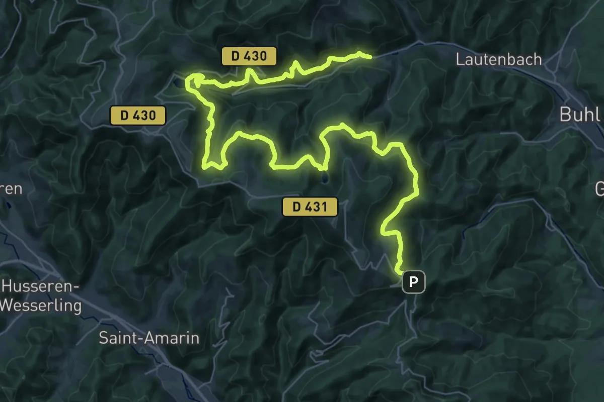
Demanding · Trail
Linthal – Col du Firstacker
23.9 km · ↑ 1182 m · 8 h 19 min
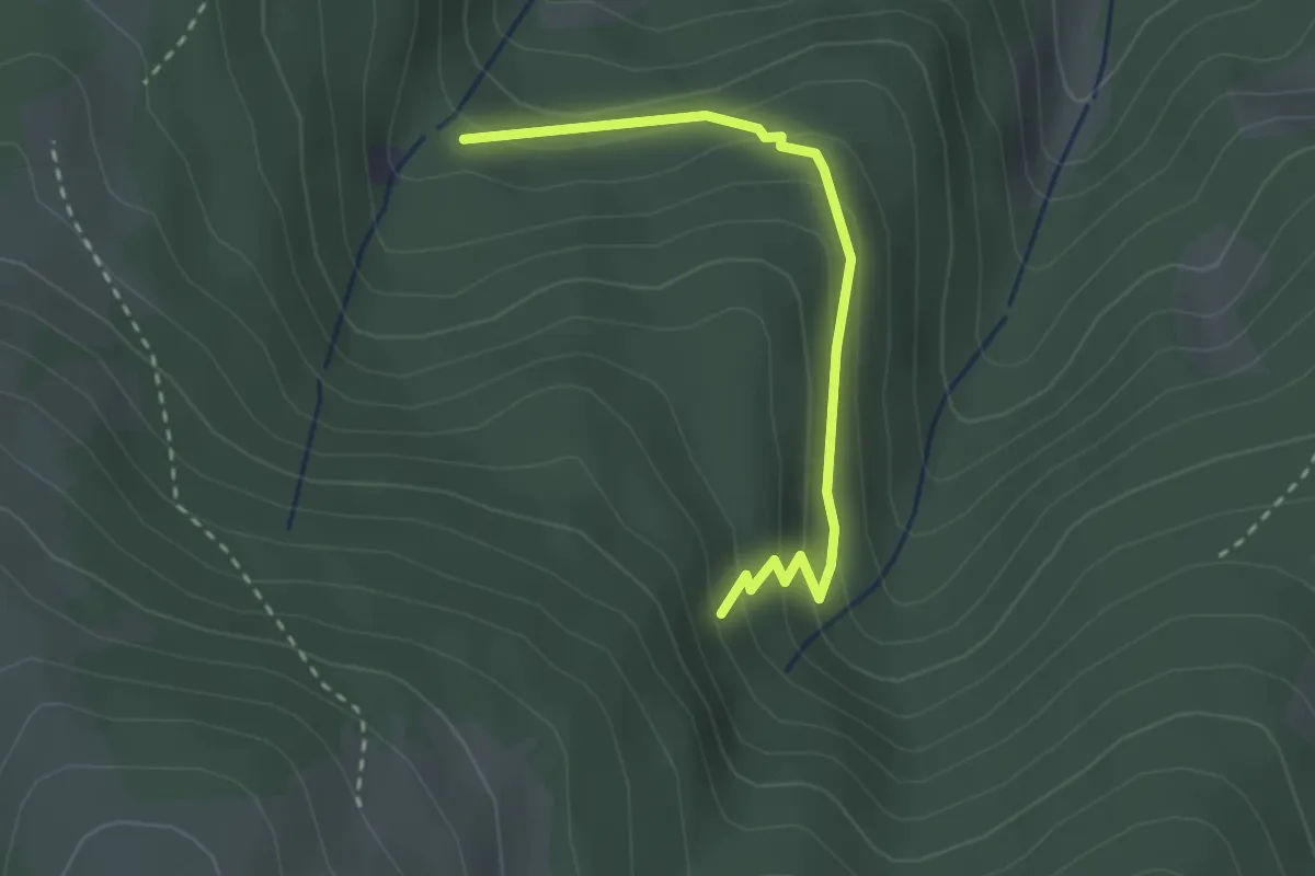
Easy · Trail
Obermatt – Croix Bleu
2.6 km · ↑ 176 m · 1 h
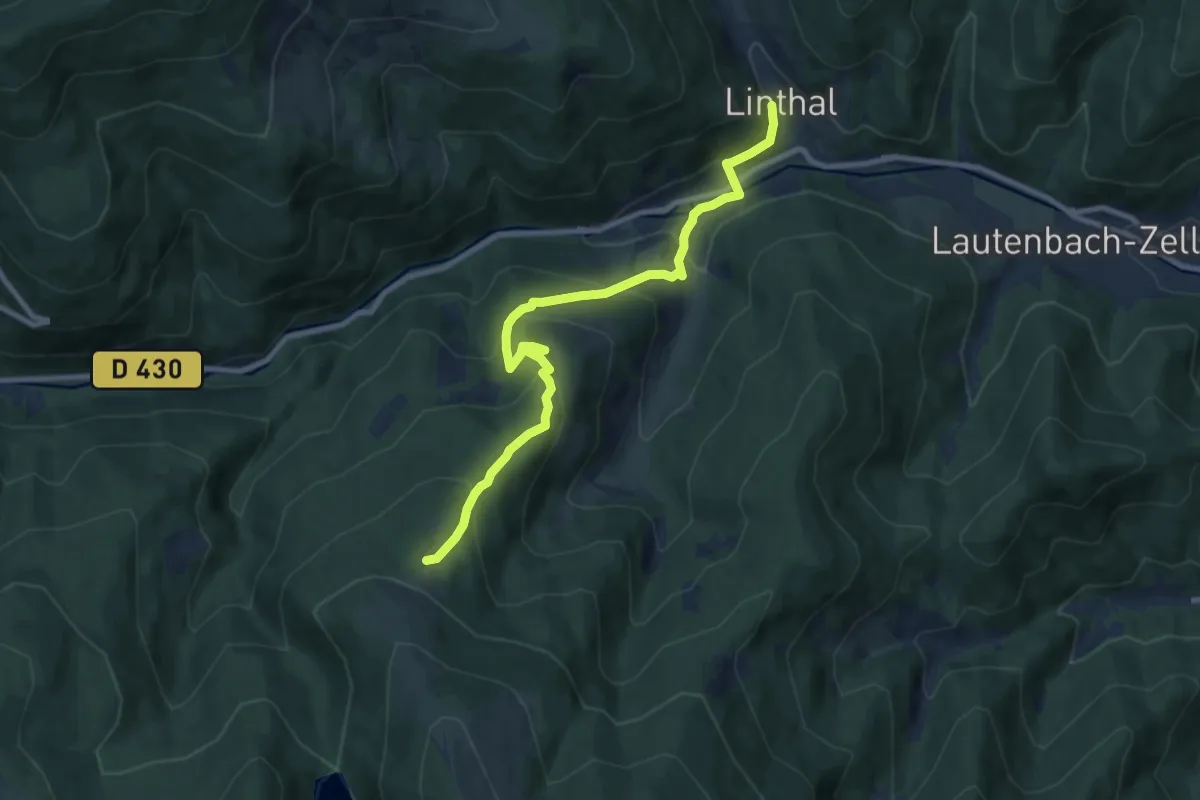
Medium · Trail
Linthal – Auberge du Gustiberg
9.1 km · ↑ 562 m · 3 h 23 min
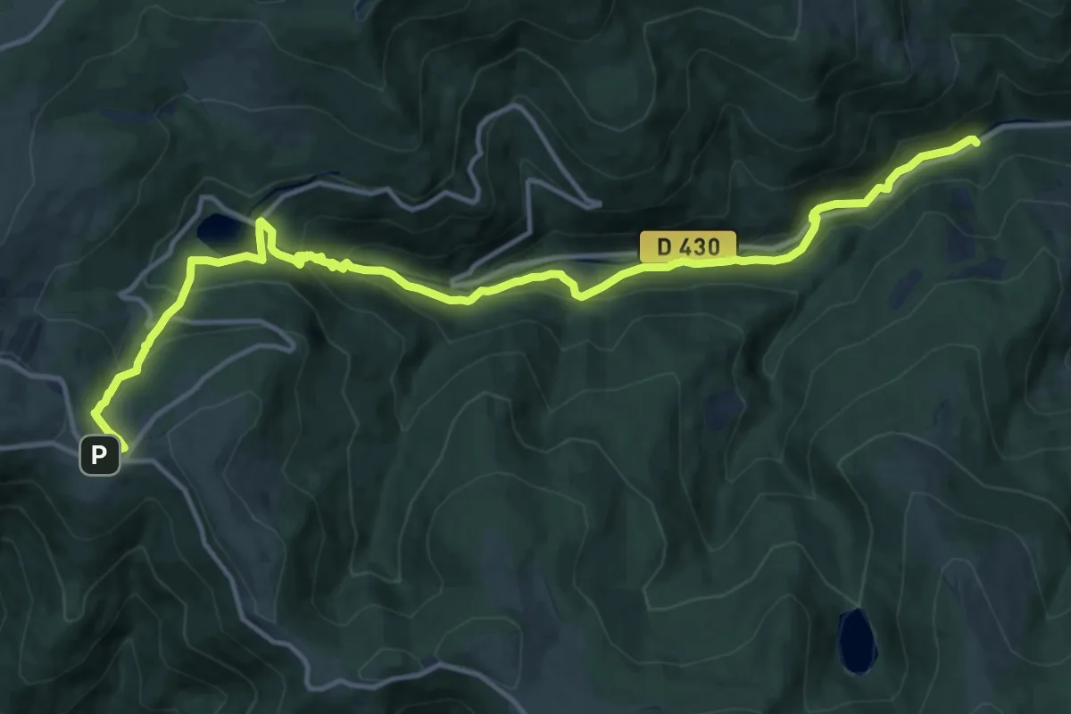
Medium · Trail
Monument Brun – Markstein
15.7 km · ↑ 710 m · 5 h 15 min
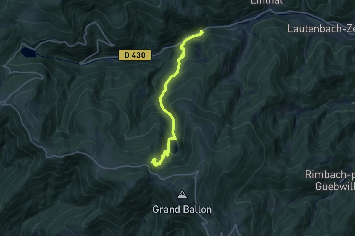
Medium · Trail
Monument Brun – GR 532
11.7 km · ↑ 692 m · 4 h 15 min
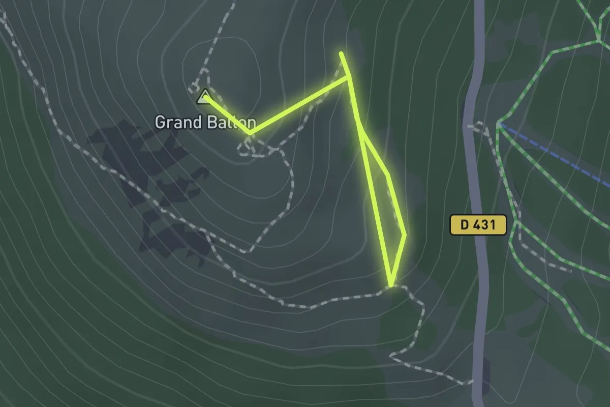
Medium · Summit
Chalet du Grand Ballon – GR5
1.7 km · ↑ 126 m · 40 min
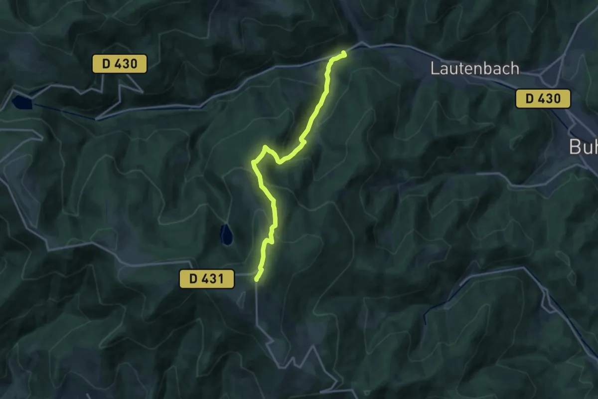
Demanding · Trail
Linthal – GR5
12.2 km · ↑ 880 m · 4 h 48 min
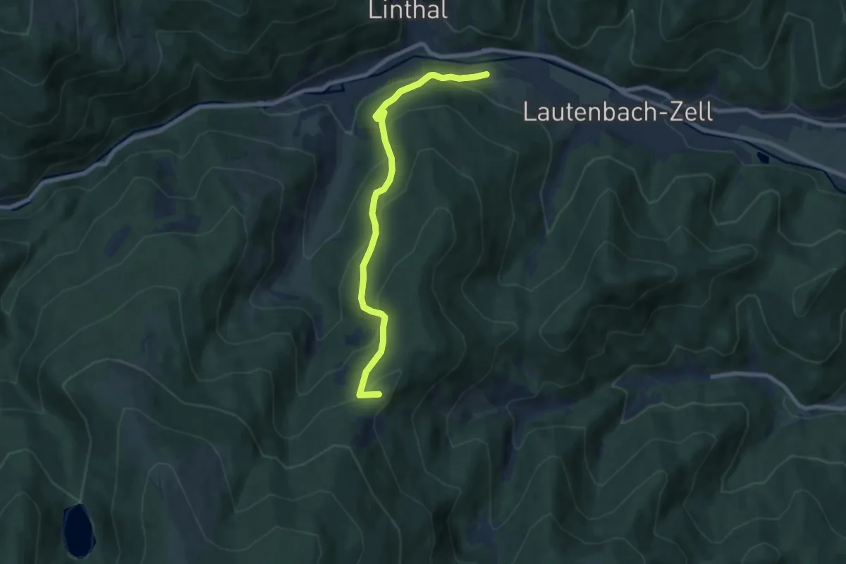
Medium · Summit
Linthal – GR5
7.2 km · ↑ 455 m · 2 h 40 min
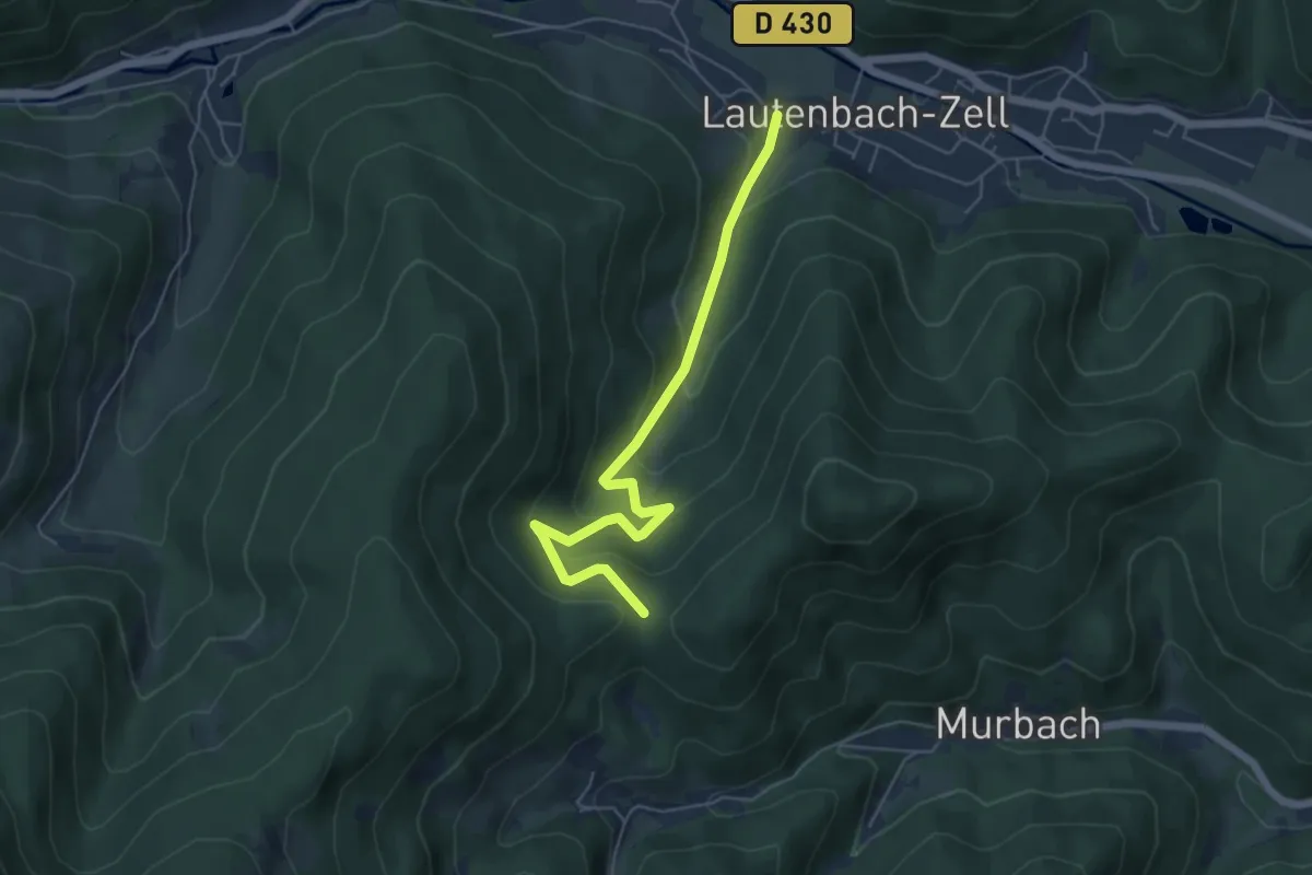
Medium · Trail
Lautenbachzell – GR5
5.4 km · ↑ 343 m · 2 h 1 min
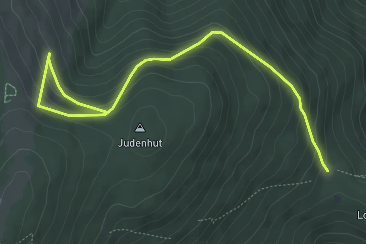
Medium · Trail
Judenhut – Roedelen
6.1 km · ↑ 356 m · 2 h 12 min
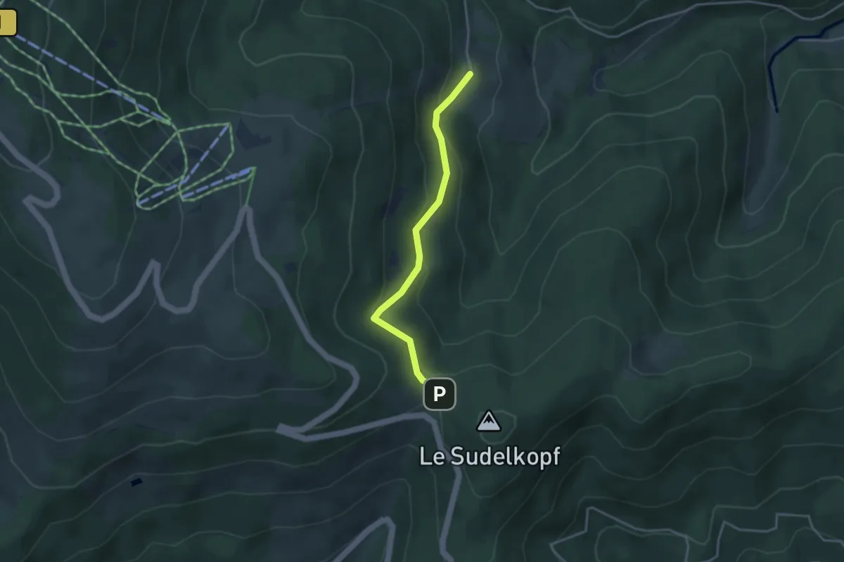
Easy · Trail
La Glashütte – Col du Firstacker
3.2 km · ↑ 171 m · 1 h 7 min
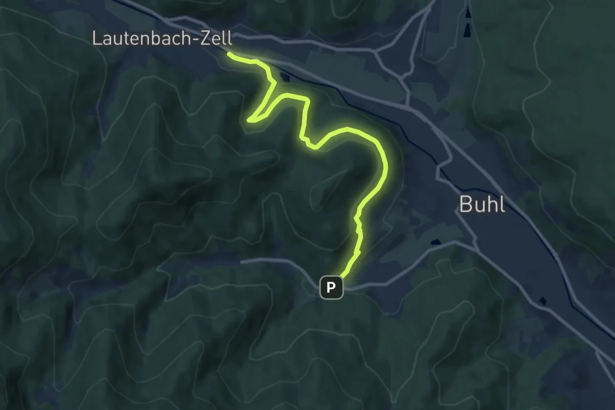
Medium · Trail
Buhl – Pont Saint-Barnabé
8.5 km · ↑ 352 m · 2 h 46 min
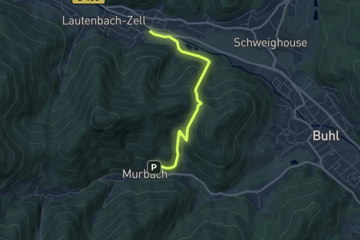
Easy · Trail
Lautenbach – Murbach
5.9 km · ↑ 299 m · 2 h 3 min
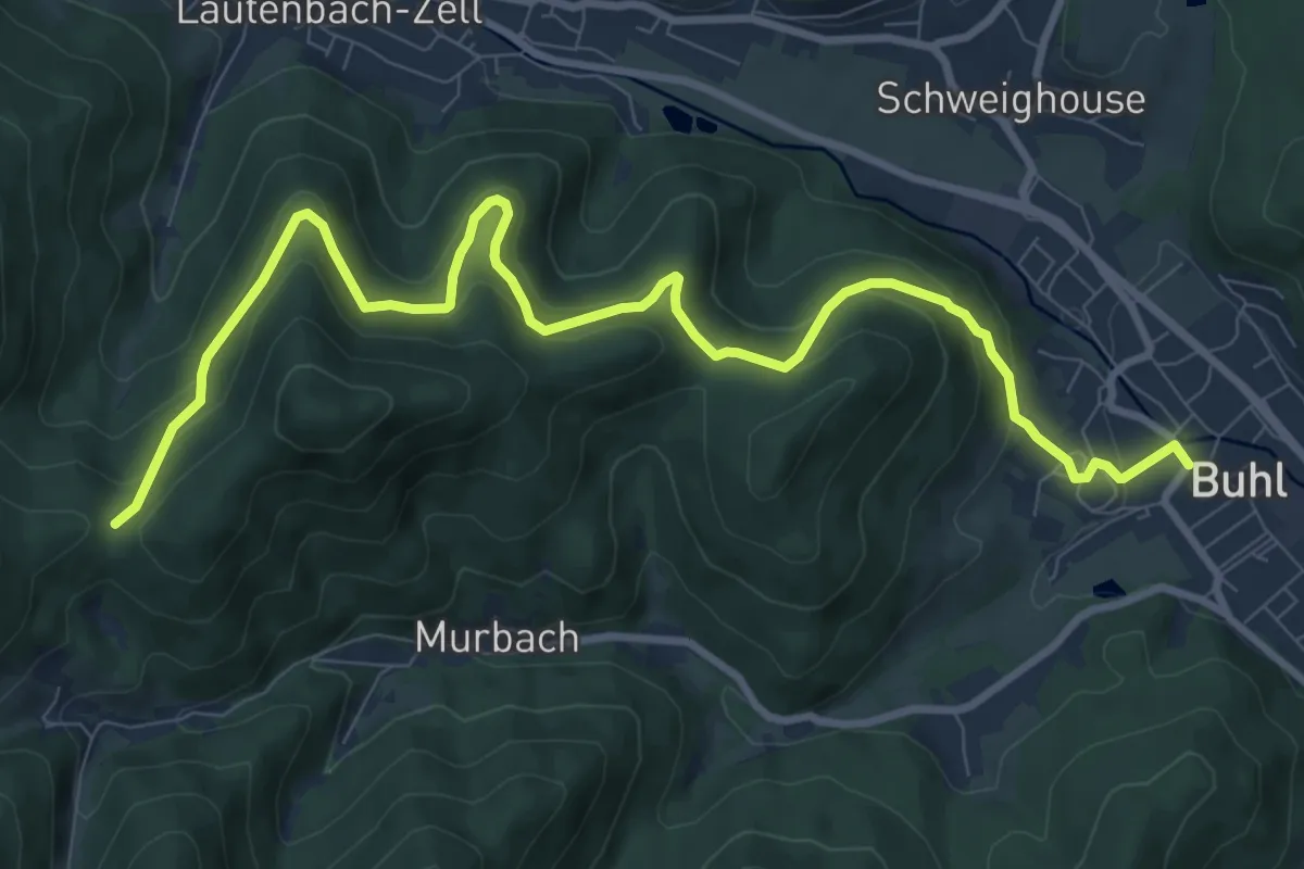
Medium · Trail
Buhl – Col de Wolfsgrube
11.0 km · ↑ 522 m · 3 h 44 min