Trails in France
15,926 hiking trails, each with its route, climb, walking time and grade.
All trails, page 303 of 332
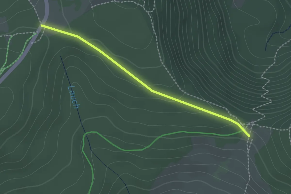
Easy · Trail
GR 532 – Carrefour de la chaume du Lauchenkopf
2.1 km · ↑ 51 m · 36 min
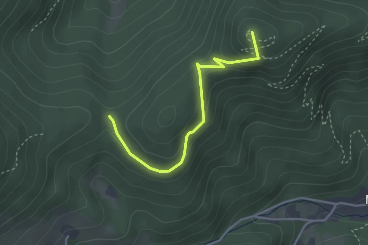
Medium · Summit
Col de Schrangen – Col de Wolfsgrube
2.8 km · ↑ 112 m · 54 min
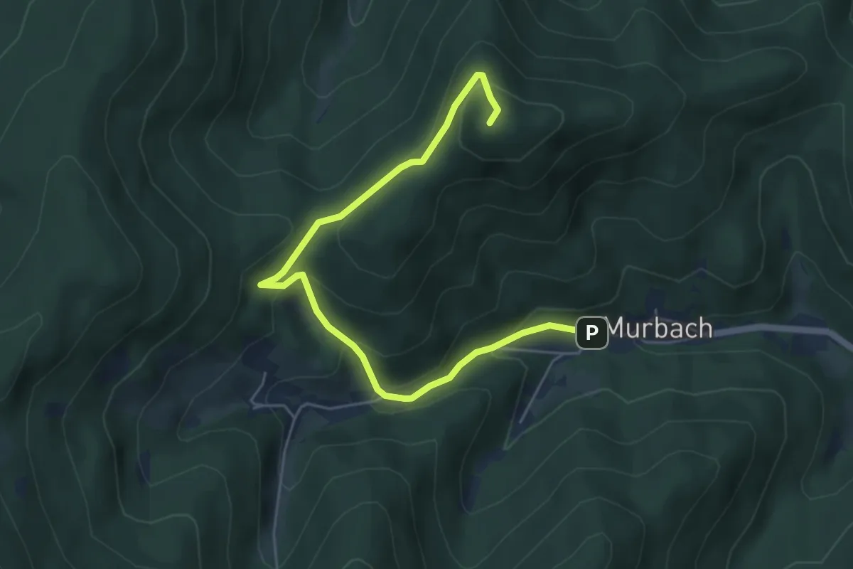
Medium · Summit
Murbach – Hohrupf
5.7 km · ↑ 333 m · 2 h 4 min
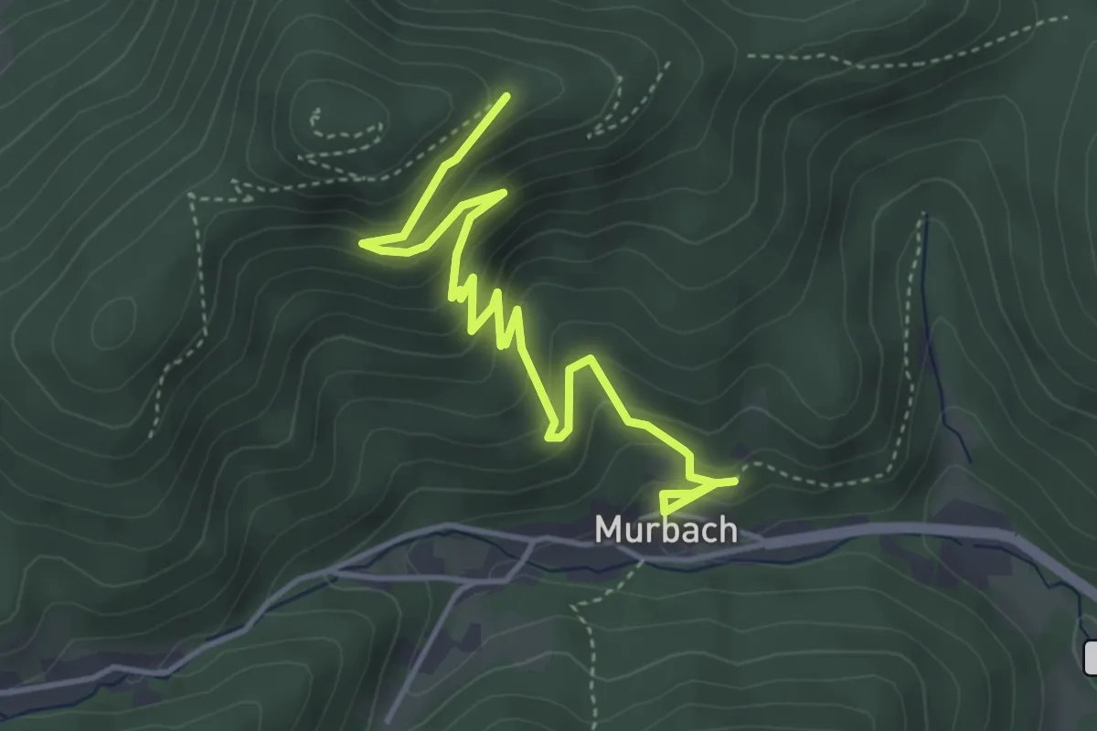
Medium · Trail
Murbach – Hohrupf
4.6 km · ↑ 348 m · 1 h 51 min
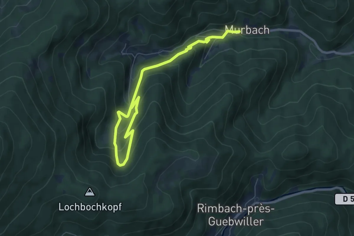
Medium · Trail
Murbach – Langmatt
7.9 km · ↑ 507 m · 2 h 58 min
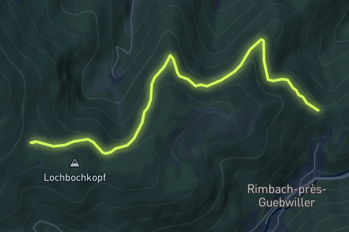
Medium · Trail
Col de Judenhut – Munsteraerckerle
7.0 km · ↑ 423 m · 2 h 34 min
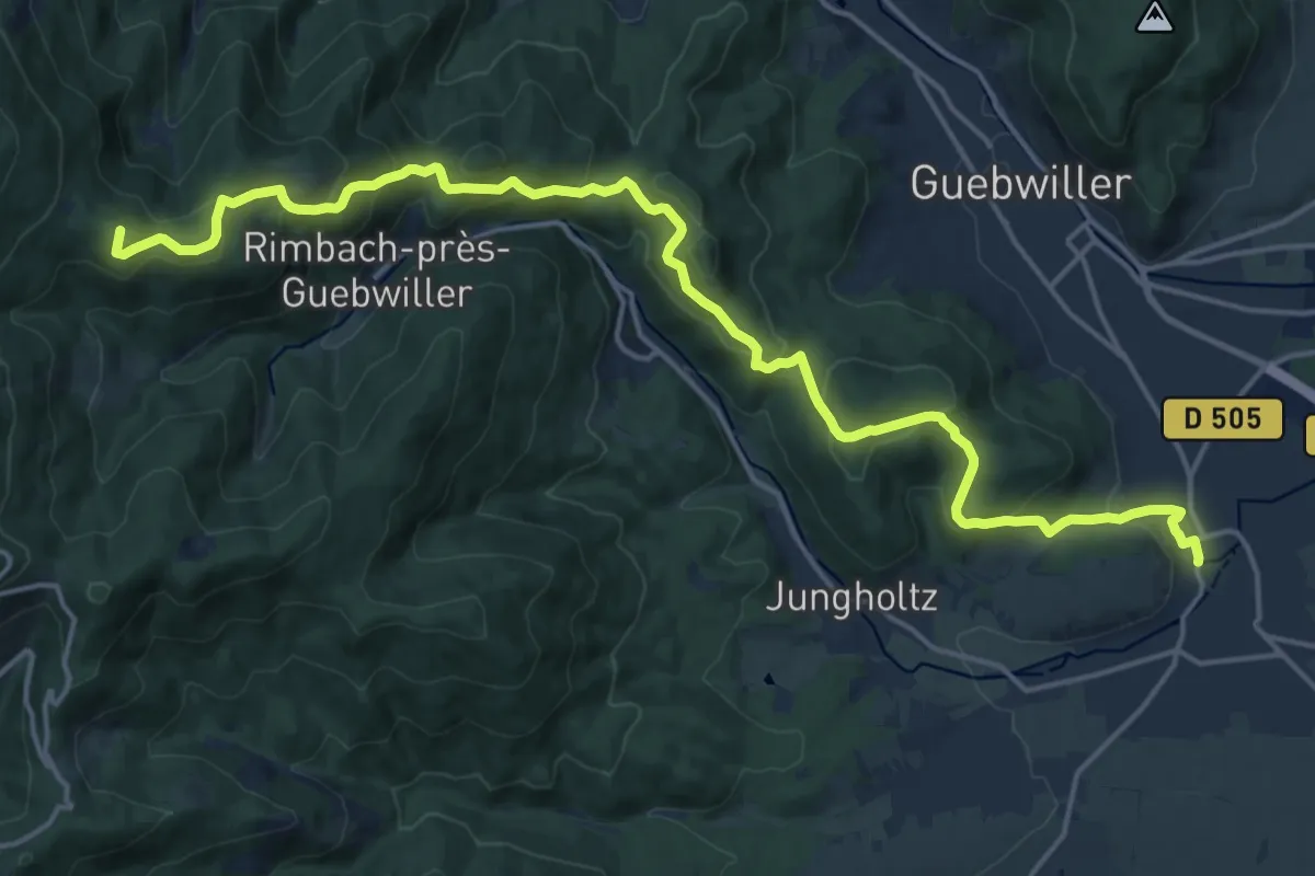
Demanding · Summit
Soultz – GR 5
20.3 km · ↑ 937 m · 6 h 49 min
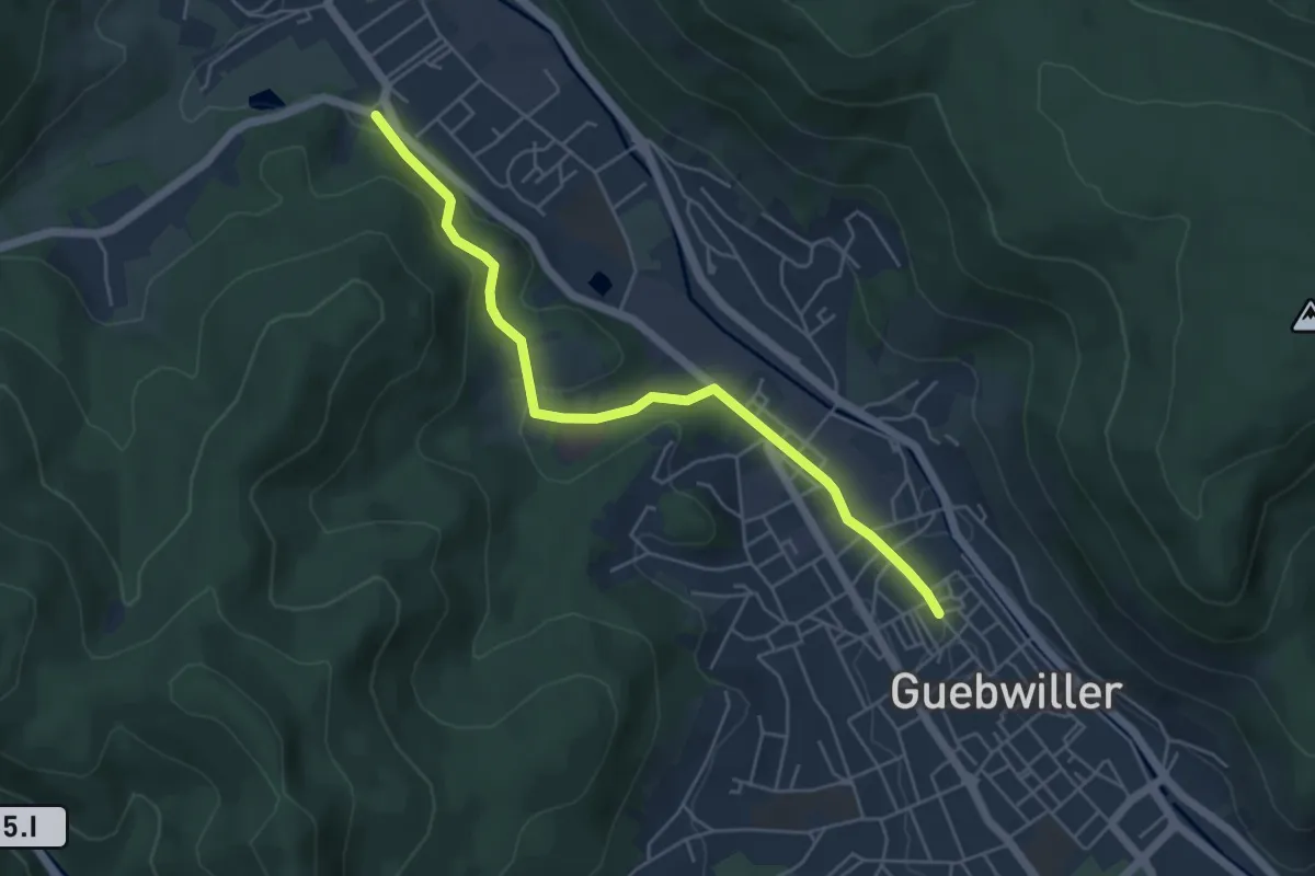
Easy · Trail
Guebwiller – Buhl
5.0 km · ↑ 137 m · 1 h 28 min
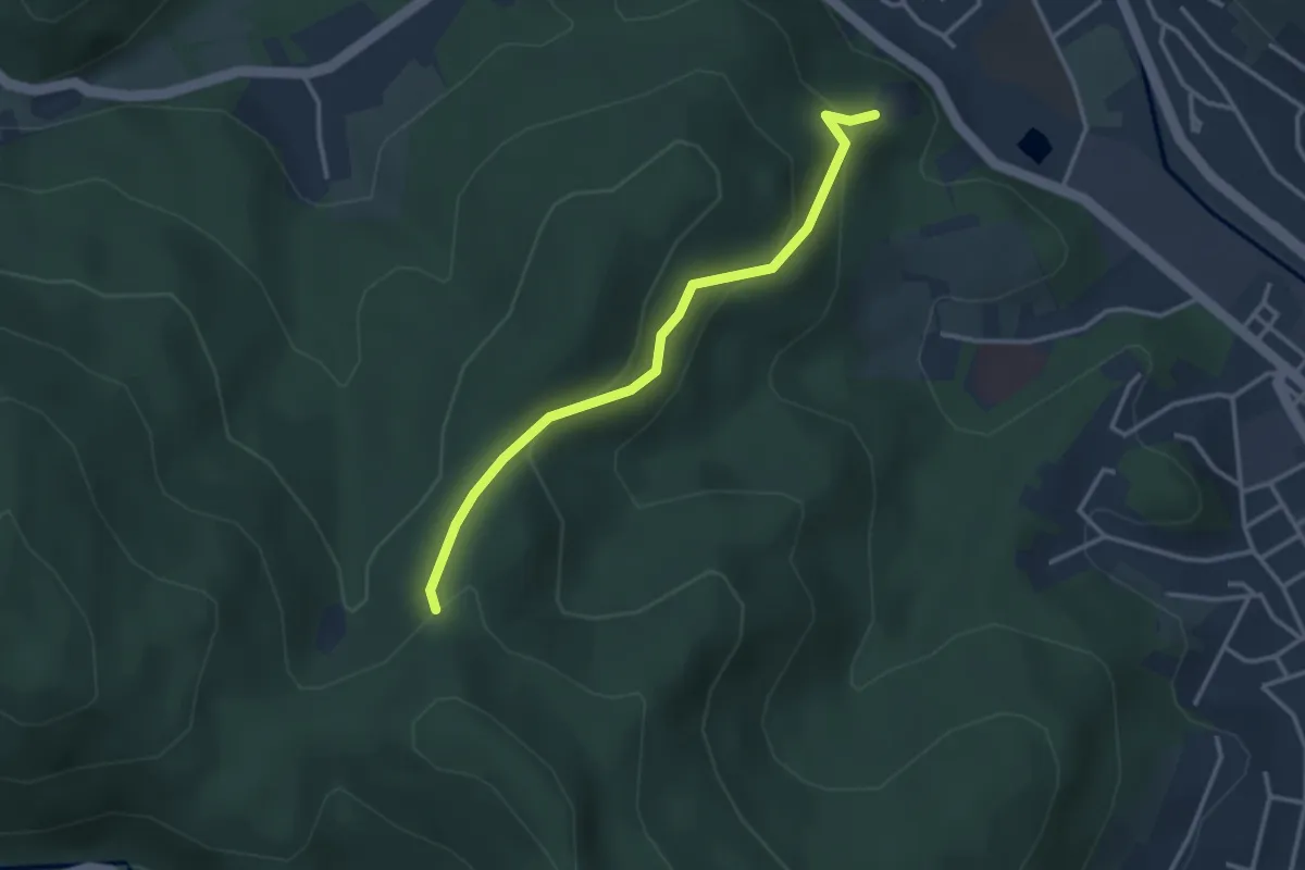
Easy · Trail
Château de Hugstein – Kohlgraben
3.0 km · ↑ 172 m · 1 h 5 min
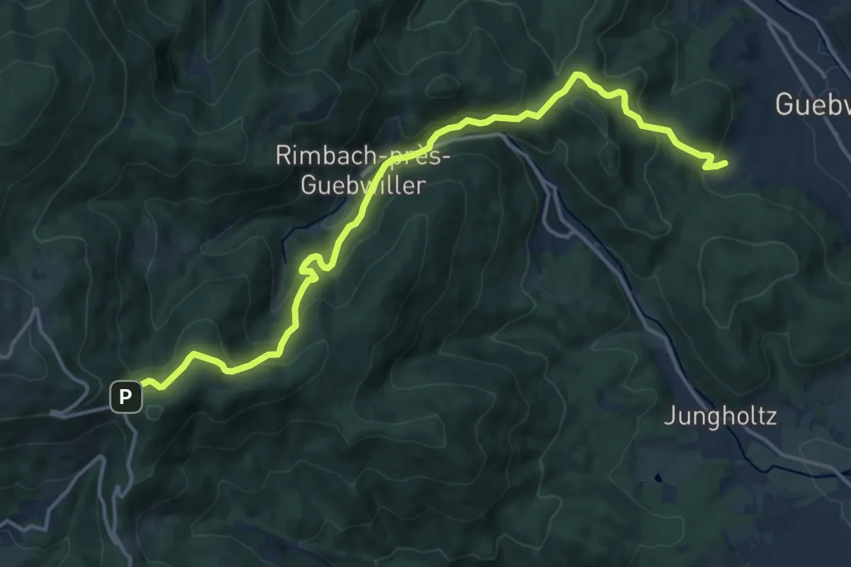
Medium · Trail
Guebwiller – Firstacker
15.3 km · ↑ 739 m · 5 h 13 min
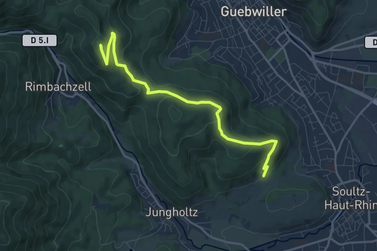
Medium · Summit
Soultz – Col de Peternit
9.1 km · ↑ 412 m · 3 h 2 min
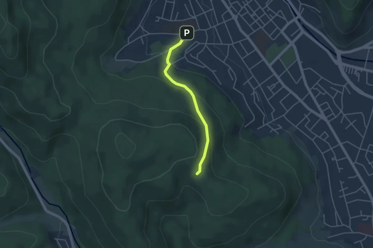
Easy · Trail
Guebwiller – Fuchsfelsen
2.9 km · ↑ 171 m · 1 h 4 min
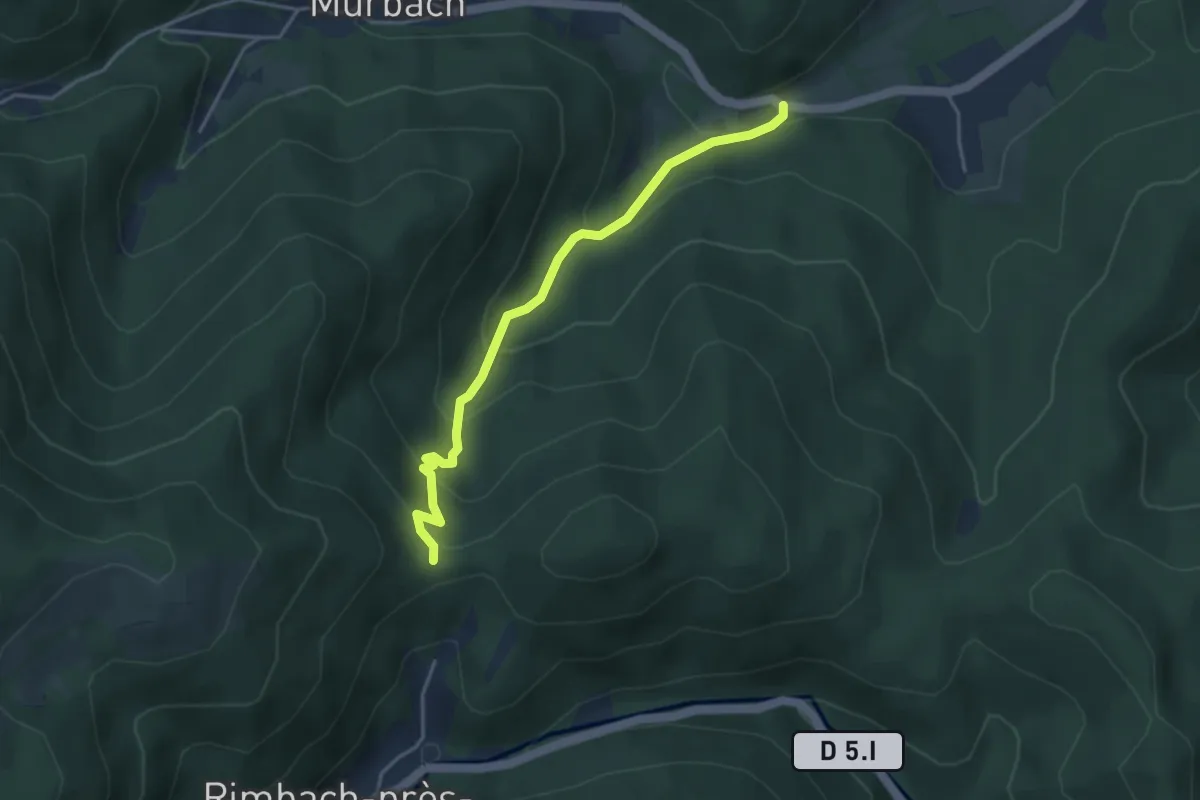
Easy · Trail
Pont Saint-Barnabé – Munsteraeckerle
3.7 km · ↑ 275 m · 1 h 28 min
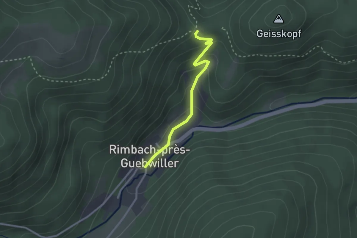
Easy · Trail
Rimbach-près-Guebwiller – Munsteraeckerle
2.2 km · ↑ 120 m · 46 min
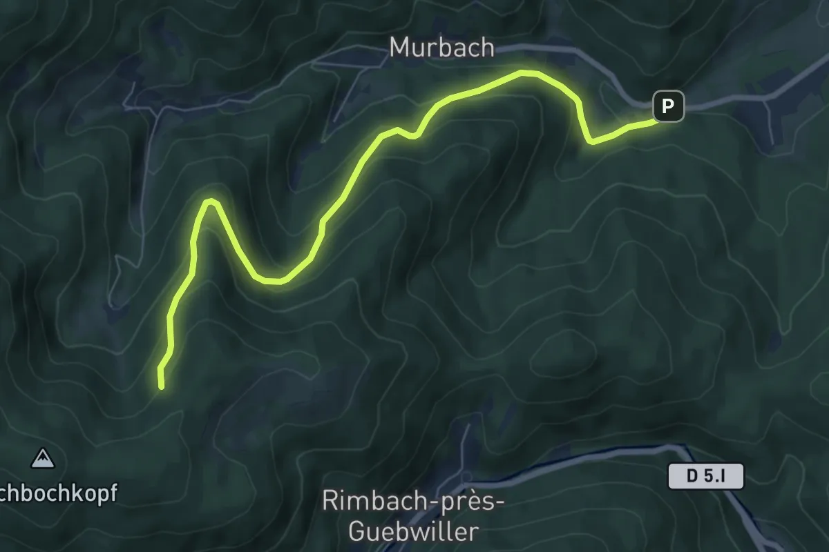
Medium · Trail
Pont Saint-Barnabé – Langmatt
7.7 km · ↑ 454 m · 2 h 48 min
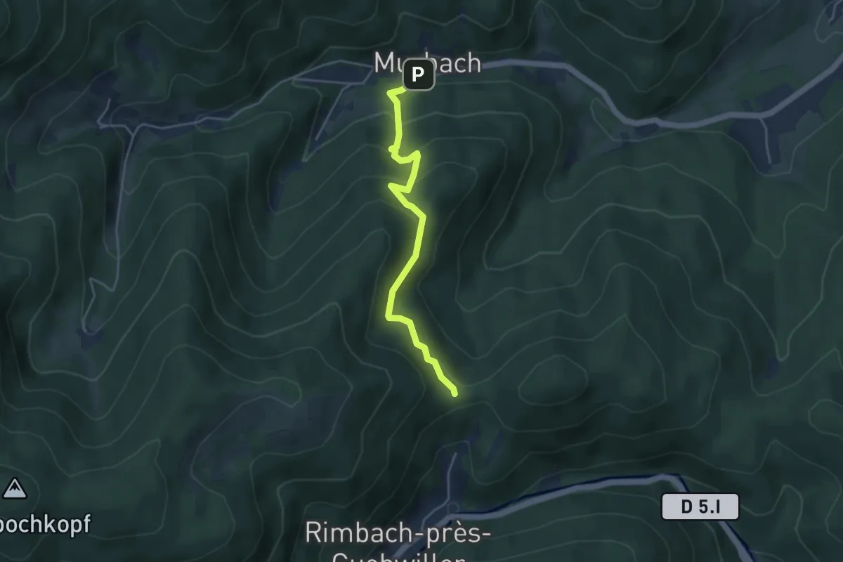
Easy · Trail
Murbach – Munsteraerckerle
4.0 km · ↑ 274 m · 1 h 32 min
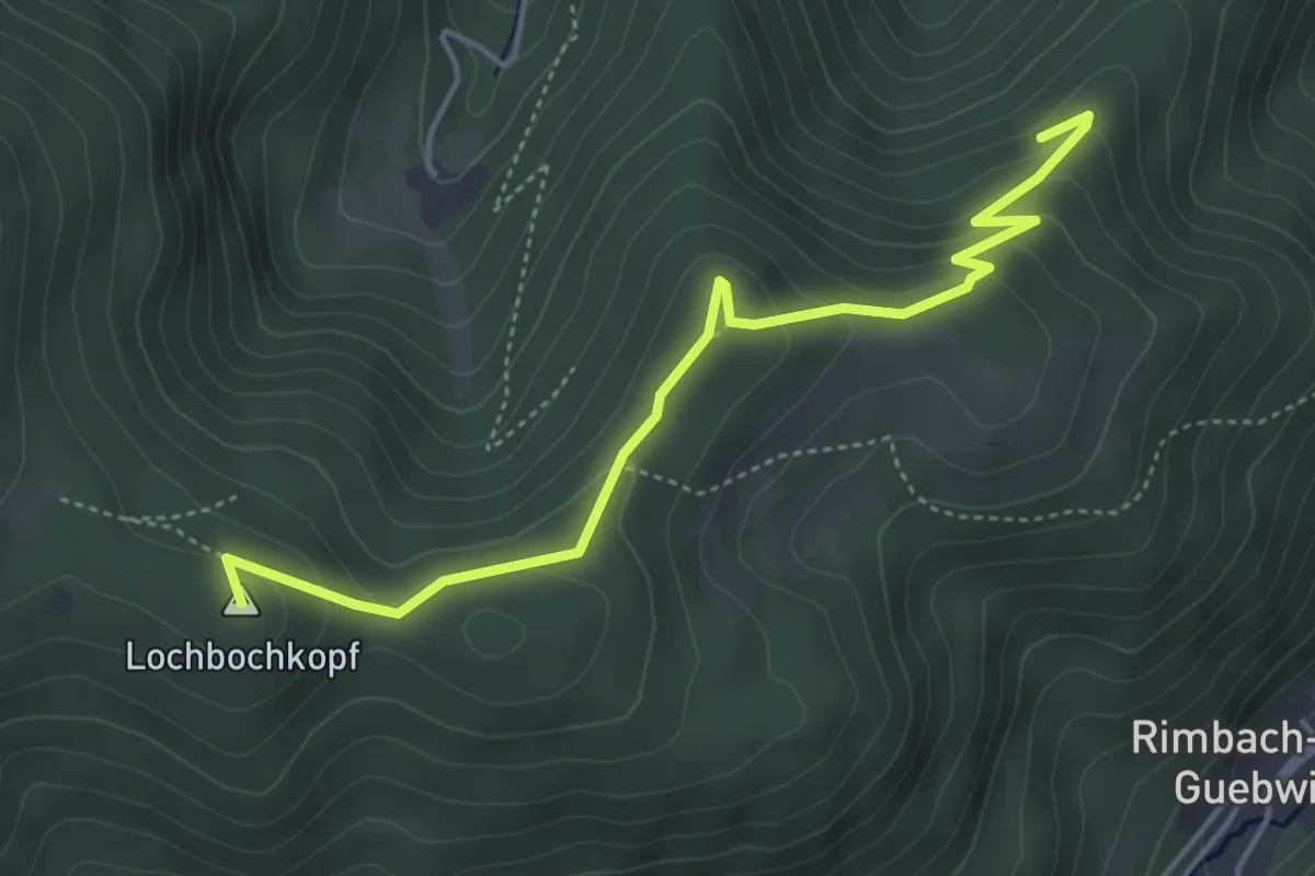
Easy · Summit
Triangle jaune – Col de Judenhut
4.6 km · ↑ 229 m · 1 h 35 min
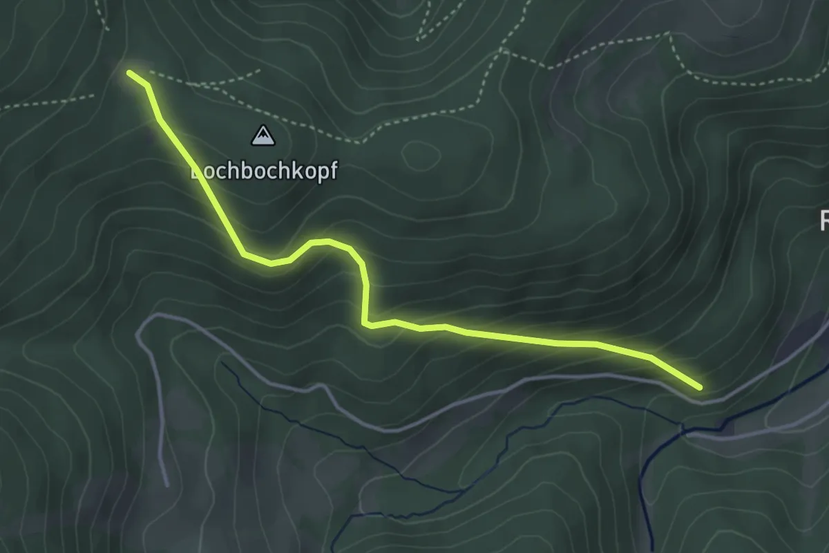
Medium · Trail
Rimbach-près-Guebwiller – Col de Judenhut
3.9 km · ↑ 324 m · 1 h 37 min
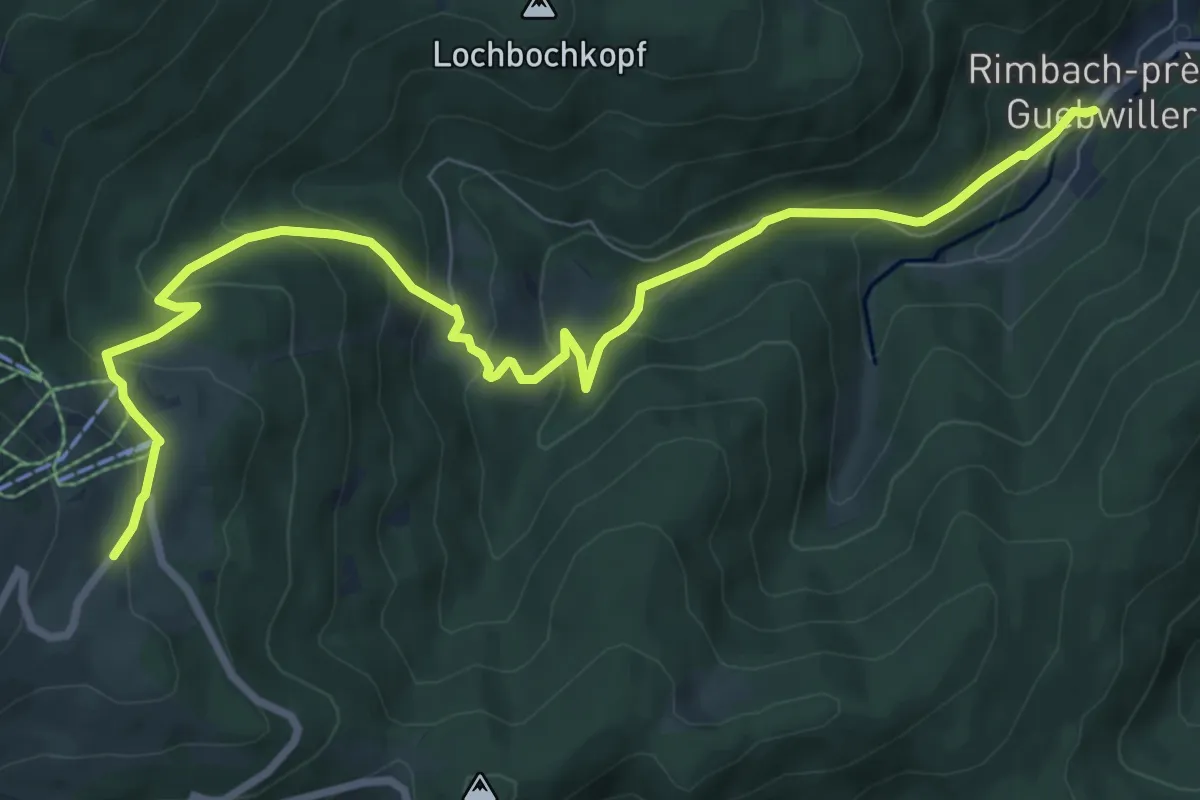
Medium · Trail
Rimbach près Guebwiller – GR5
9.7 km · ↑ 551 m · 3 h 29 min
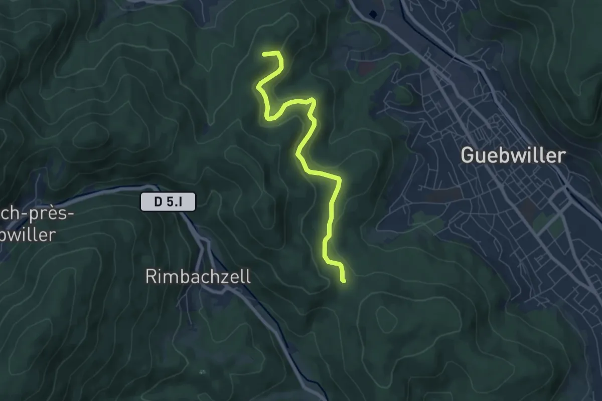
Easy · Summit
Pont Saint Barnabé – Bildstoeckle
6.3 km · ↑ 260 m · 2 h 3 min
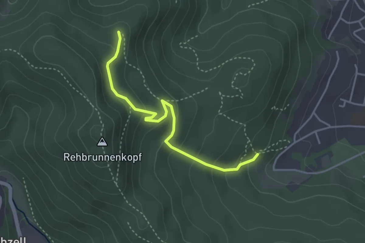
Easy · Trail
Guebwiller – Rouge blanc rouge
3.4 km · ↑ 193 m · 1 h 13 min
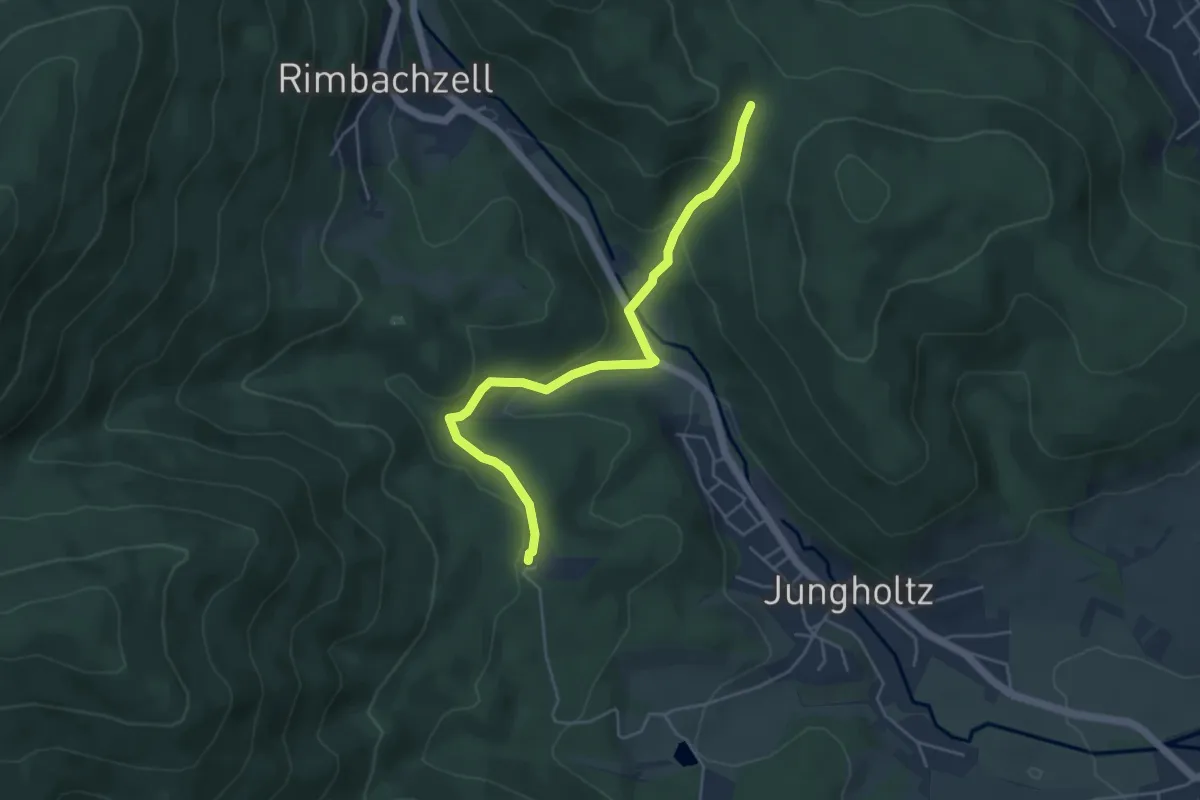
Easy · Trail
Saint-Anne – Bildstoeckle
4.7 km · ↑ 195 m · 1 h 32 min
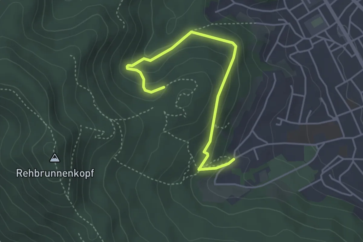
Easy · Trail
Gebwiller – Luspelkopf
3.9 km · ↑ 216 m · 1 h 24 min
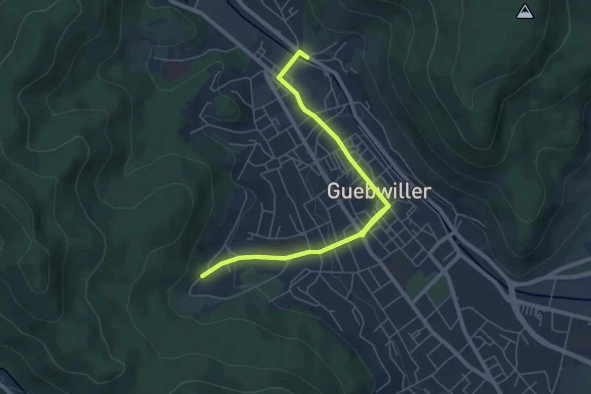
Easy · Trail
Guebwiller – Parking Sandgrübe
6.0 km · ↑ 97 m · 1 h 38 min
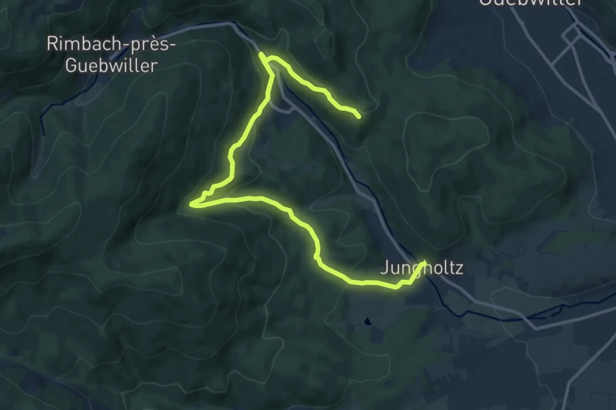
Medium · Trail
Jungholtz – Bisdstoeckle
12.1 km · ↑ 503 m · 3 h 57 min
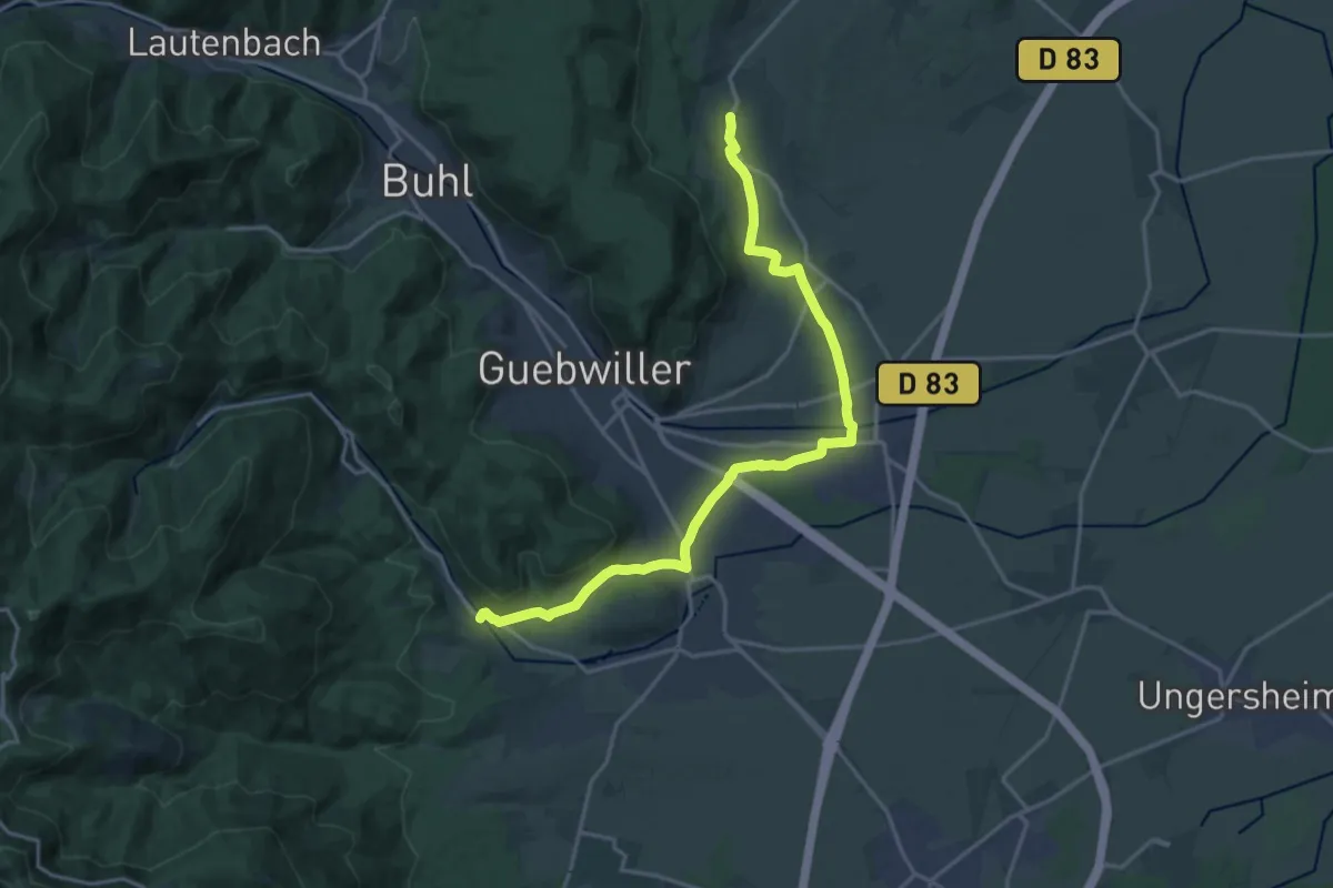
Demanding · Trail
Orschwihr – Jungholtz
19.0 km · ↑ 208 m · 4 h 56 min
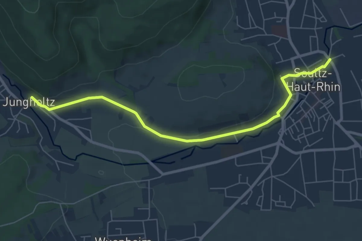
Easy · Trail
Soultz – Jungholtz
6.2 km · ↑ 71 m · 1 h 38 min
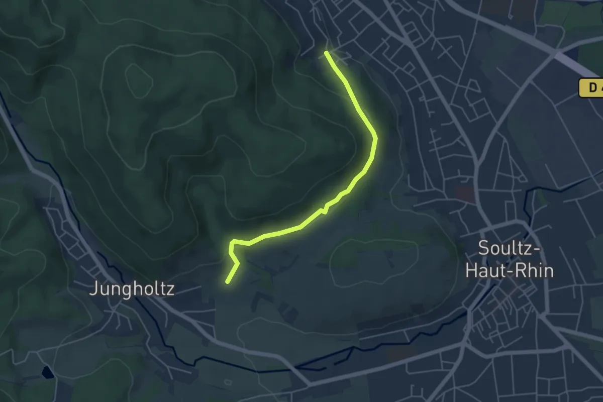
Easy · Trail
Guebwiller – Jungholtz
4.3 km · ↑ 118 m · 1 h 16 min
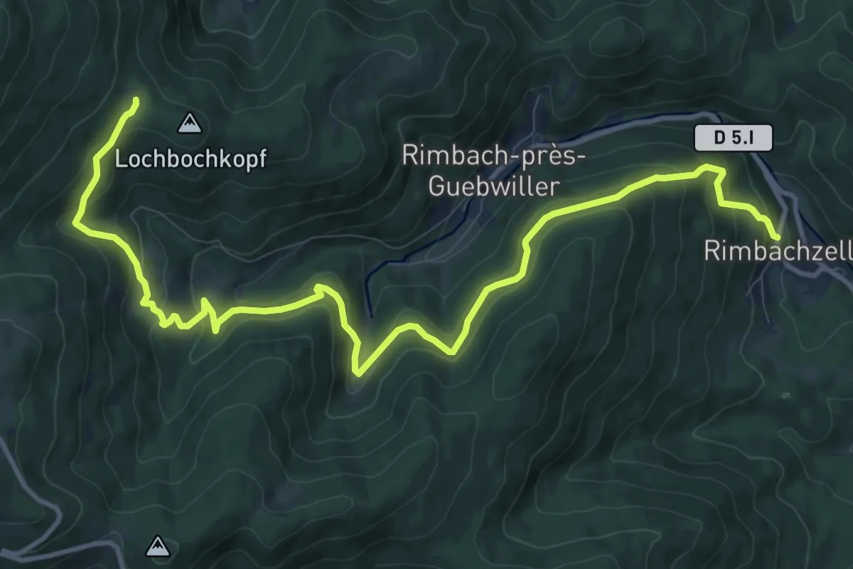
Medium · Trail
Rimbachzell – Col de Judenhut
13.4 km · ↑ 717 m · 4 h 43 min
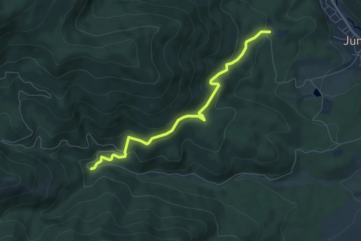
Medium · Trail
Sainte-Anne – Croix Zimmermann
6.0 km · ↑ 326 m · 2 h 8 min
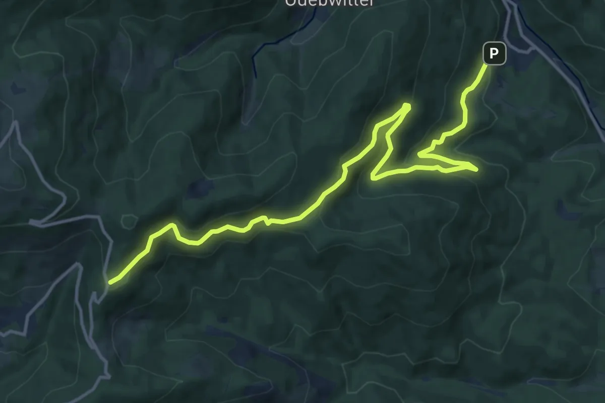
Medium · Trail
Rimbachzell – Route des Crêtes
14.3 km · ↑ 677 m · 4 h 51 min
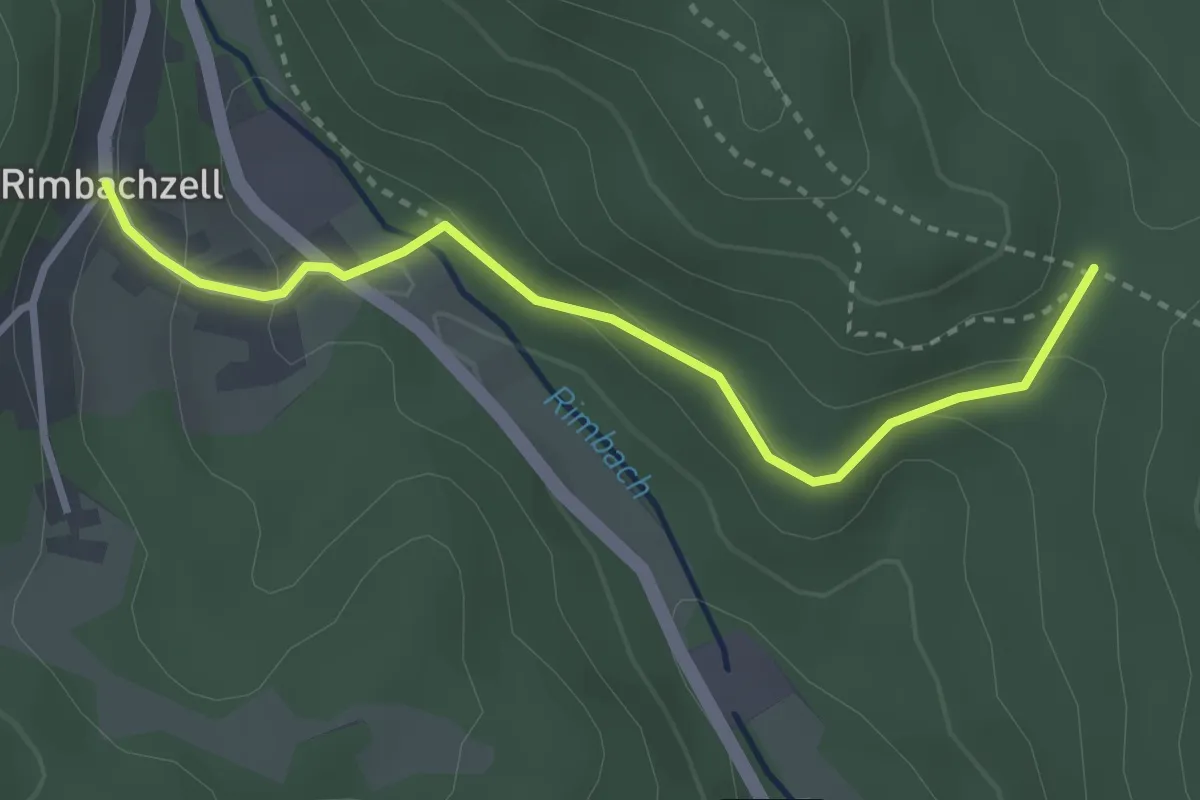
Easy · Trail
Rimbachzell – Bildstoeckle
3.0 km · ↑ 137 m · 1 h 1 min
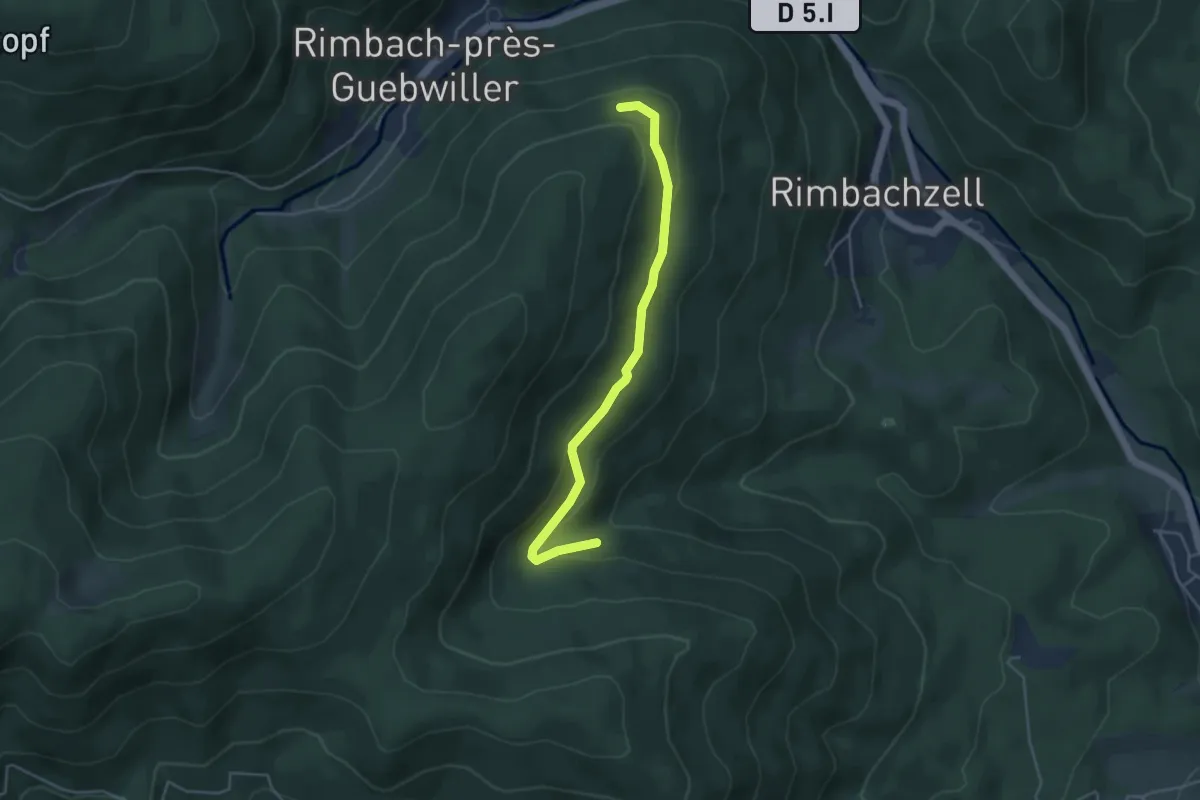
Easy · Trail
Triangle bleu – Croix Bleu
4.1 km · ↑ 144 m · 1 h 17 min
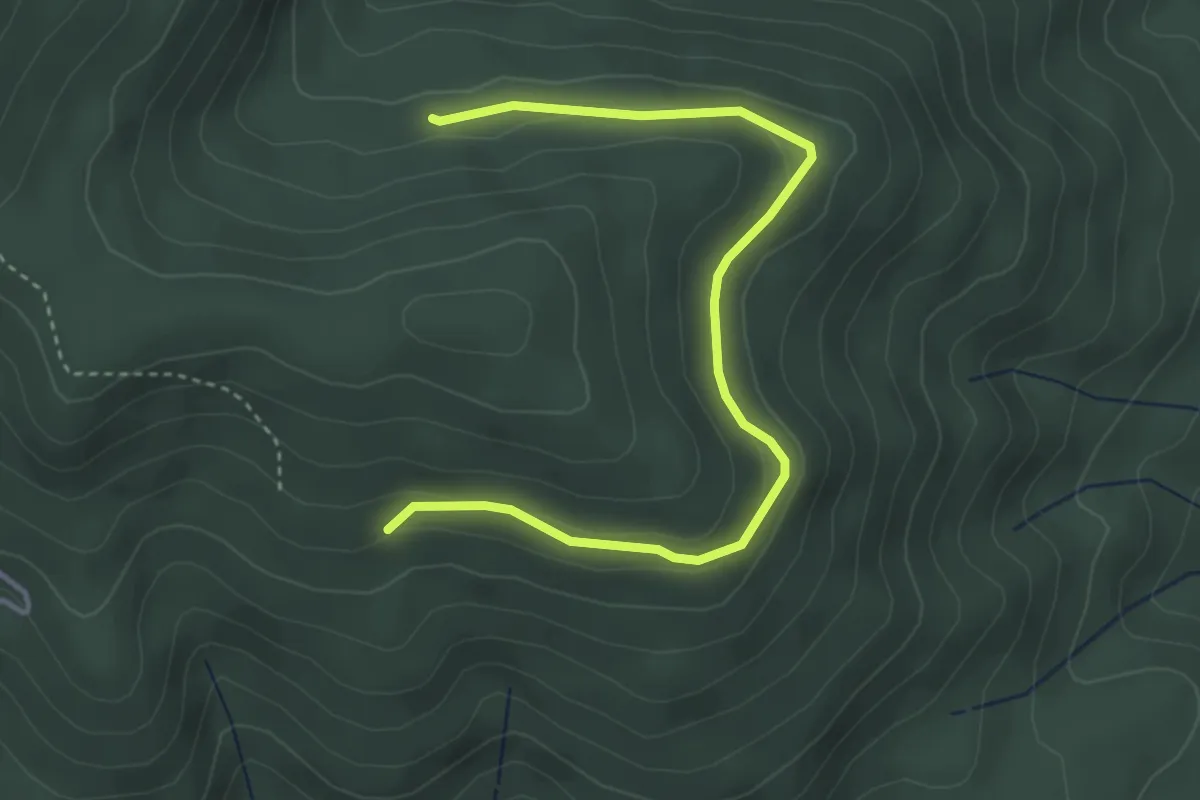
Easy · Trail
Croix bleue – Croix bleue
4.0 km · ↑ 117 m · 1 h 12 min
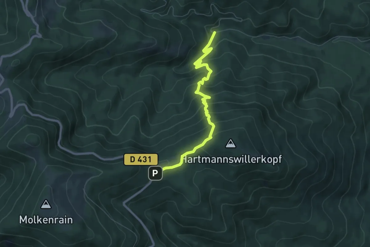
Medium · Trail
Croix Zimmermann – Vieil Armand
6.9 km · ↑ 479 m · 2 h 40 min
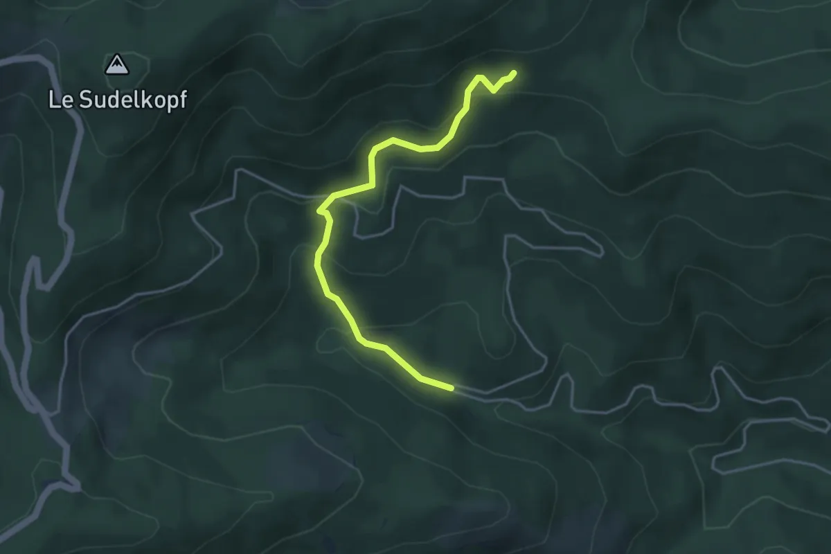
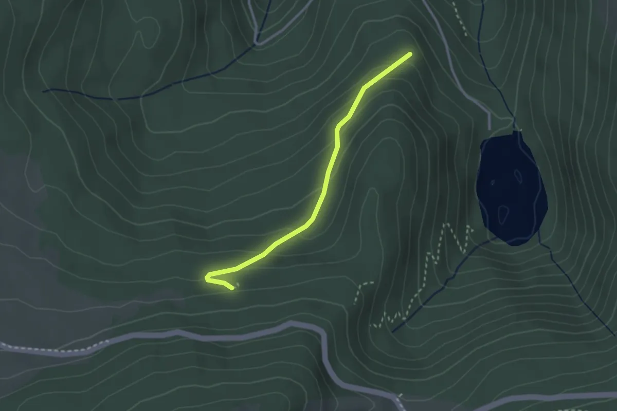
Easy · Trail
Courbe 600 – Holtwasen
3.8 km · ↑ 273 m · 1 h 29 min
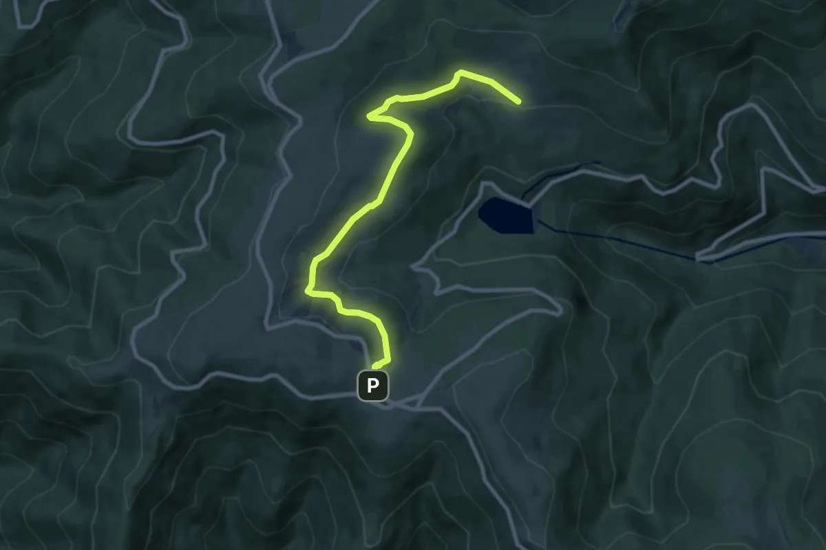
Easy · Trail
Croix bleue – GR532
2.6 km · ↑ 146 m · 55 min
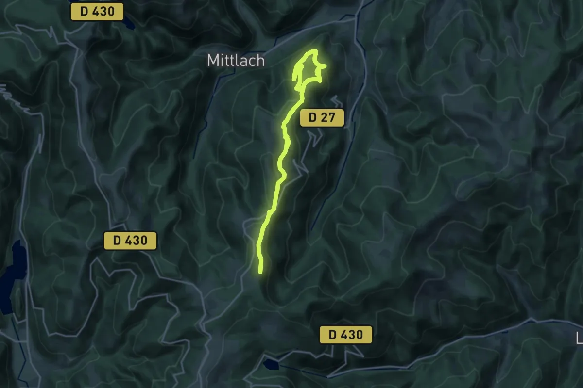
Medium · Trail
GR 532 – GR 5
8.3 km · ↑ 265 m · 2 h 32 min
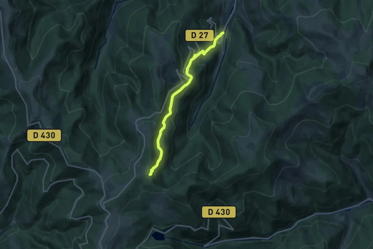
Demanding · Summit
Metzeral – GR 5
19.1 km · ↑ 875 m · 6 h 25 min
Medium · Trail
Sondernach – Chaumes du Lauchenkopf
11.9 km · ↑ 704 m · 4 h 20 min
Medium · Trail
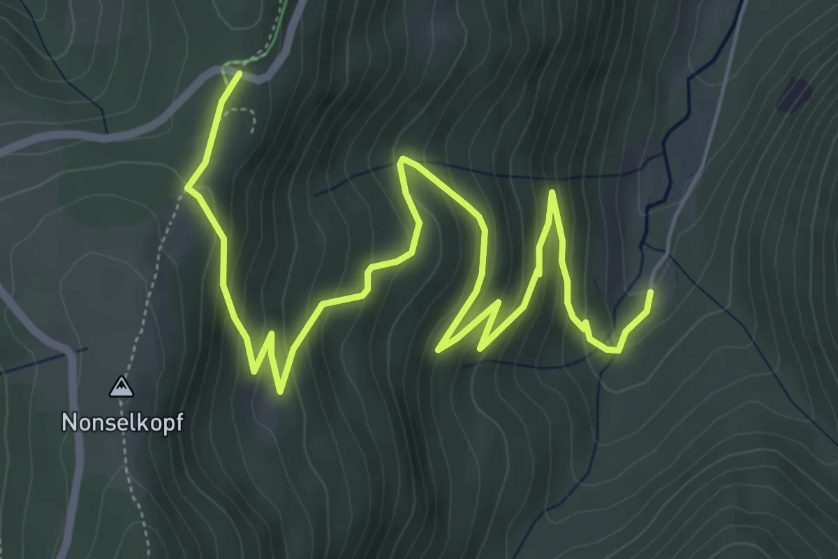
Readlé – Readlé - Col du Platzerwaesel
8.0 km · ↑ 457 m · 2 h 52 min
Easy · Trail
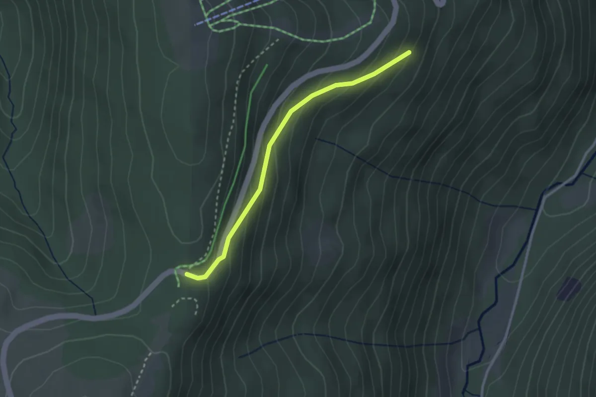
Col du Platzerwaesel – Schwengebraun
2.5 km · ↑ 158 m · 56 min
Easy · Trail
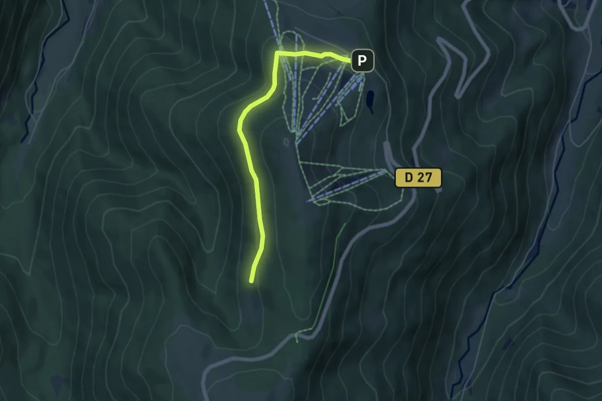
Schnepfenried – Wiedenbach
4.6 km · ↑ 113 m · 1 h 20 min
Medium · Trail
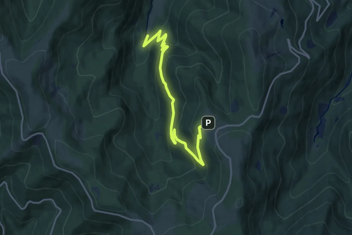
Langenwasen – Uff Rain
10.5 km · ↑ 625 m · 3 h 50 min
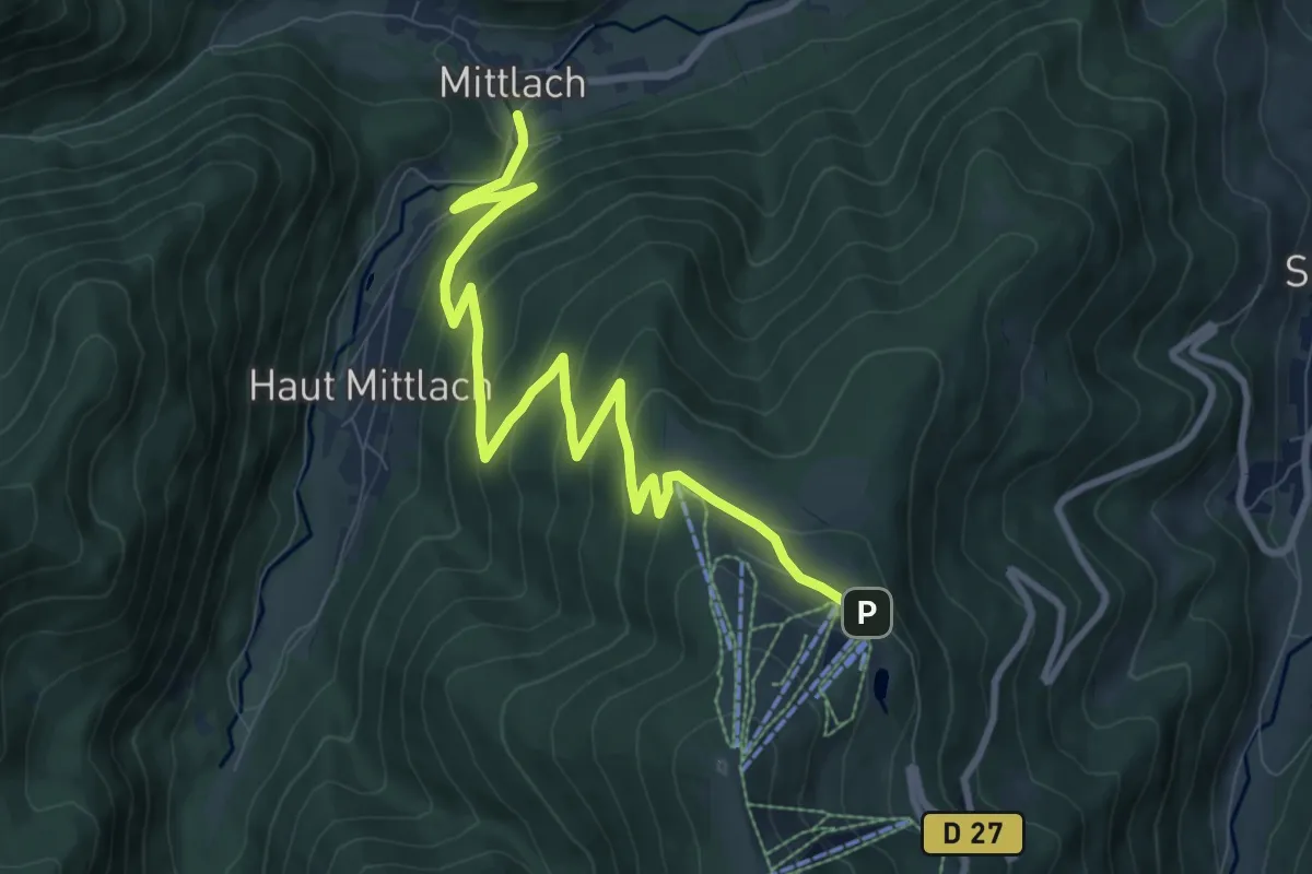
Medium · Trail
Mittlach – Schnepfenriedwasen
10.1 km · ↑ 548 m · 3 h 35 min
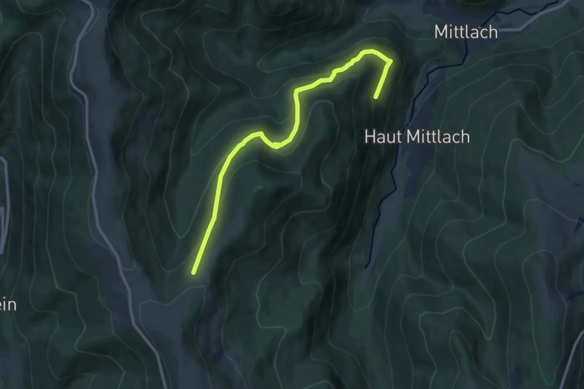
Medium · Trail
Mittlach – GR 5
8.5 km · ↑ 535 m · 3 h 10 min
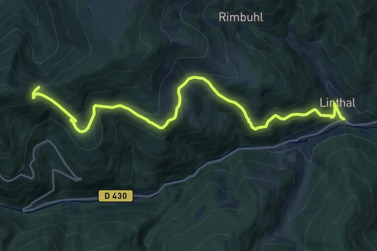
Demanding · Cabin
Linthal – Col de Lauchen
15.0 km · ↑ 832 m · 5 h 20 min
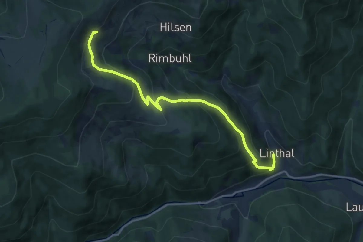
Medium · Trail
Linthal – Refuge du Hilsen AWS
9.2 km · ↑ 613 m · 3 h 29 min