Trails in France
15,926 hiking trails, each with its route, climb, walking time and grade.
All trails, page 304 of 332
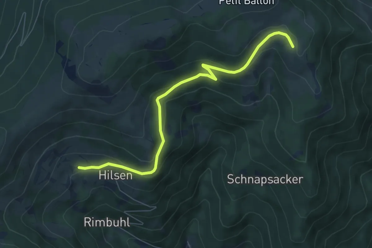
Easy · Trail
Hilsen – Mullermatt
6.7 km · ↑ 260 m · 2 h 9 min
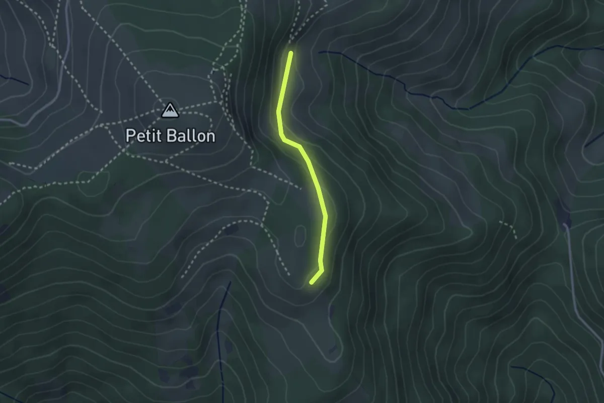
Easy · Trail
Strohberg – GR 532
2.1 km · ↑ 73 m · 39 min
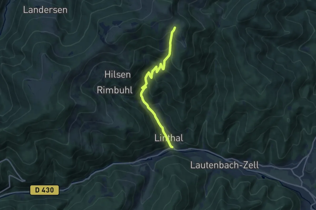
Medium · Trail
Linthal – Mullermatt
10.1 km · ↑ 714 m · 3 h 56 min
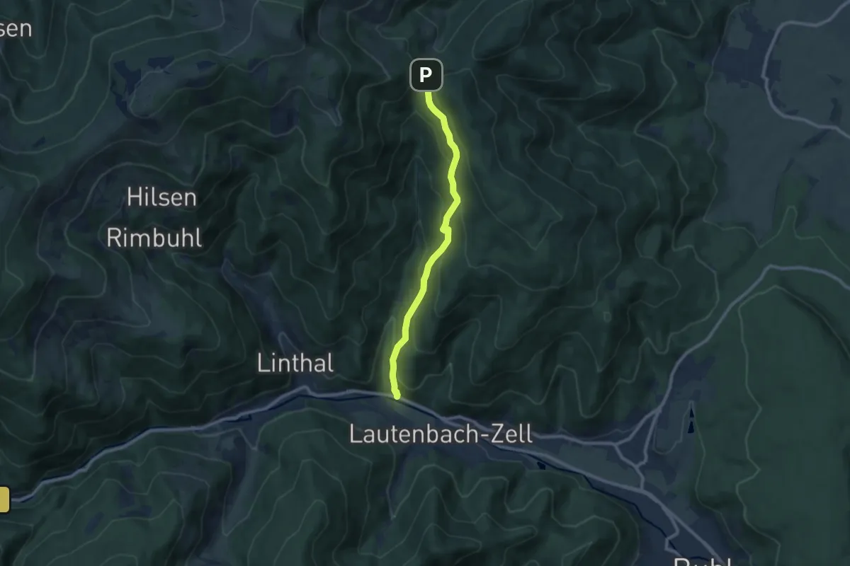
Medium · Trail
Linthal – Col du Boenlesgrab
7.9 km · ↑ 507 m · 2 h 57 min
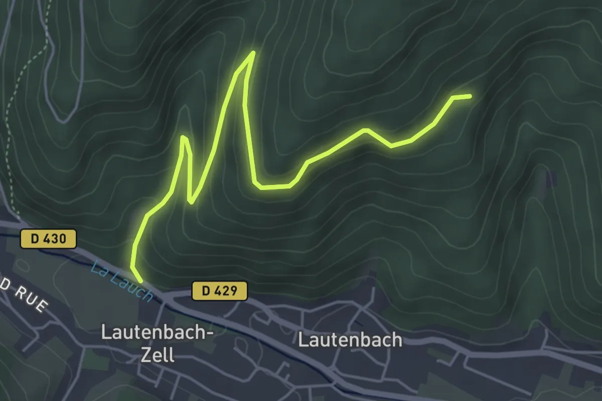
Easy · Trail
Lautenbachzell – Kreuzbach
5.4 km · ↑ 262 m · 1 h 51 min
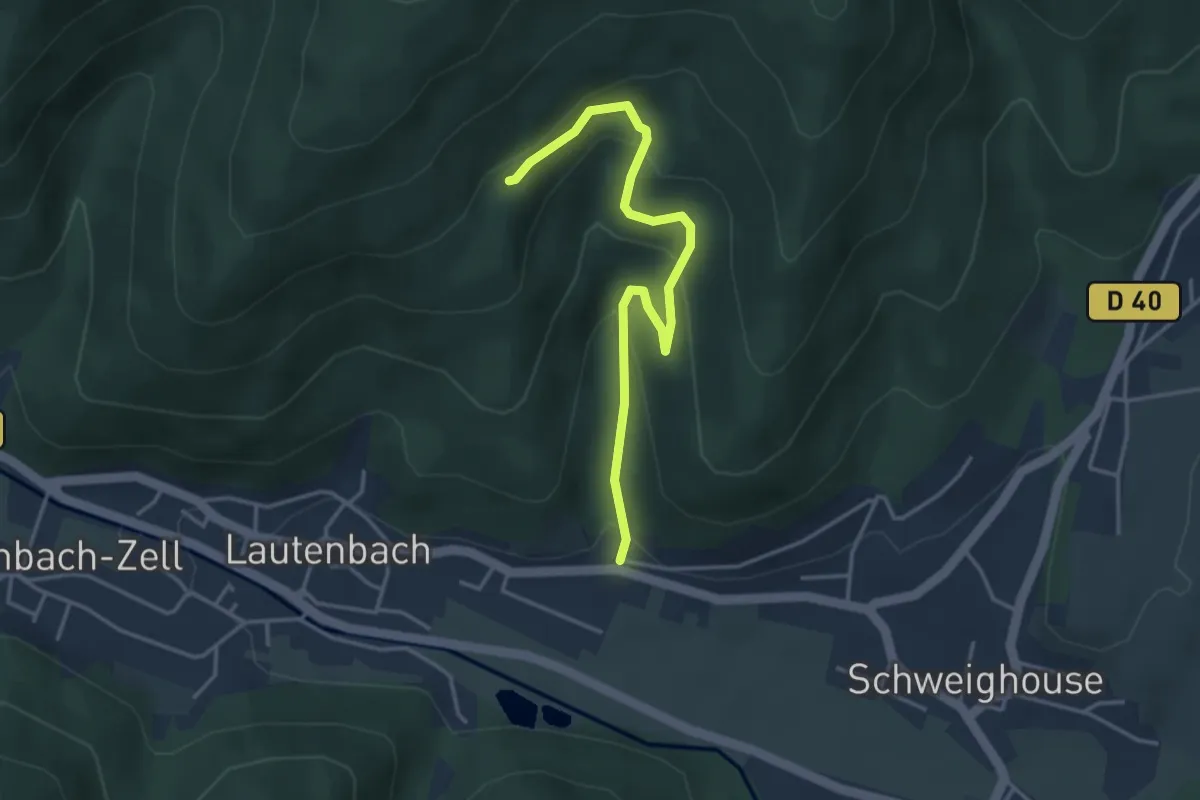
Easy · Trail
Lautenbach – Kreuzbach
3.7 km · ↑ 225 m · 1 h 22 min
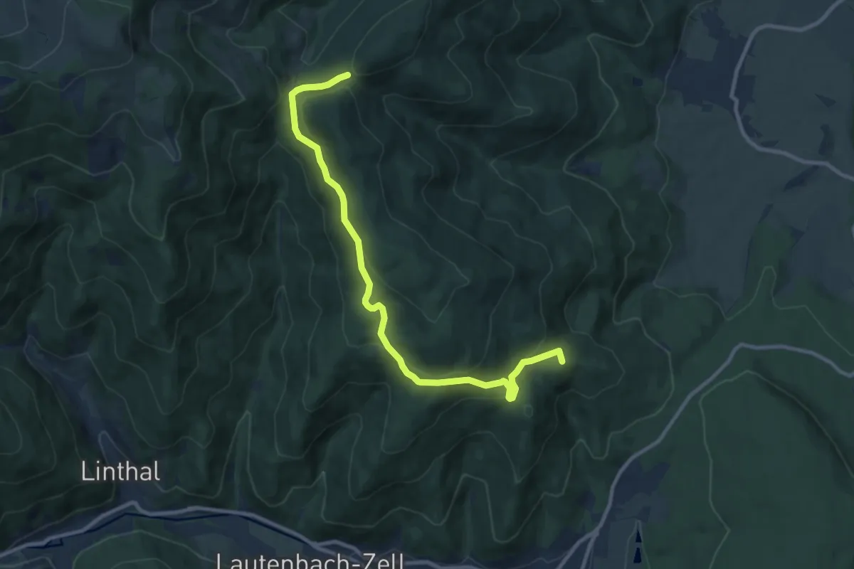
Medium · Summit
Col du Bannstein – Col du Boenlesgrab
10.1 km · ↑ 375 m · 3 h 12 min
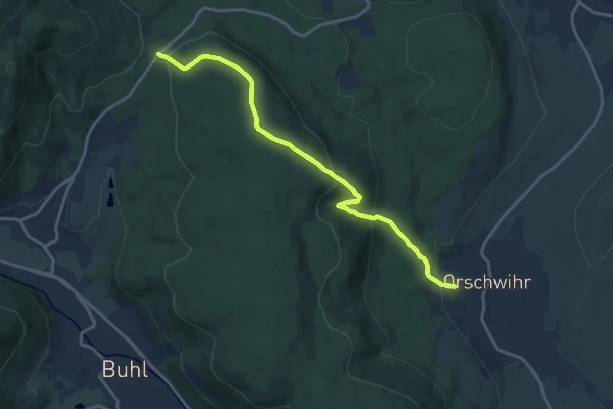
Medium · Trail
Orschwihr – Col de Bannstein
8.5 km · ↑ 380 m · 2 h 49 min
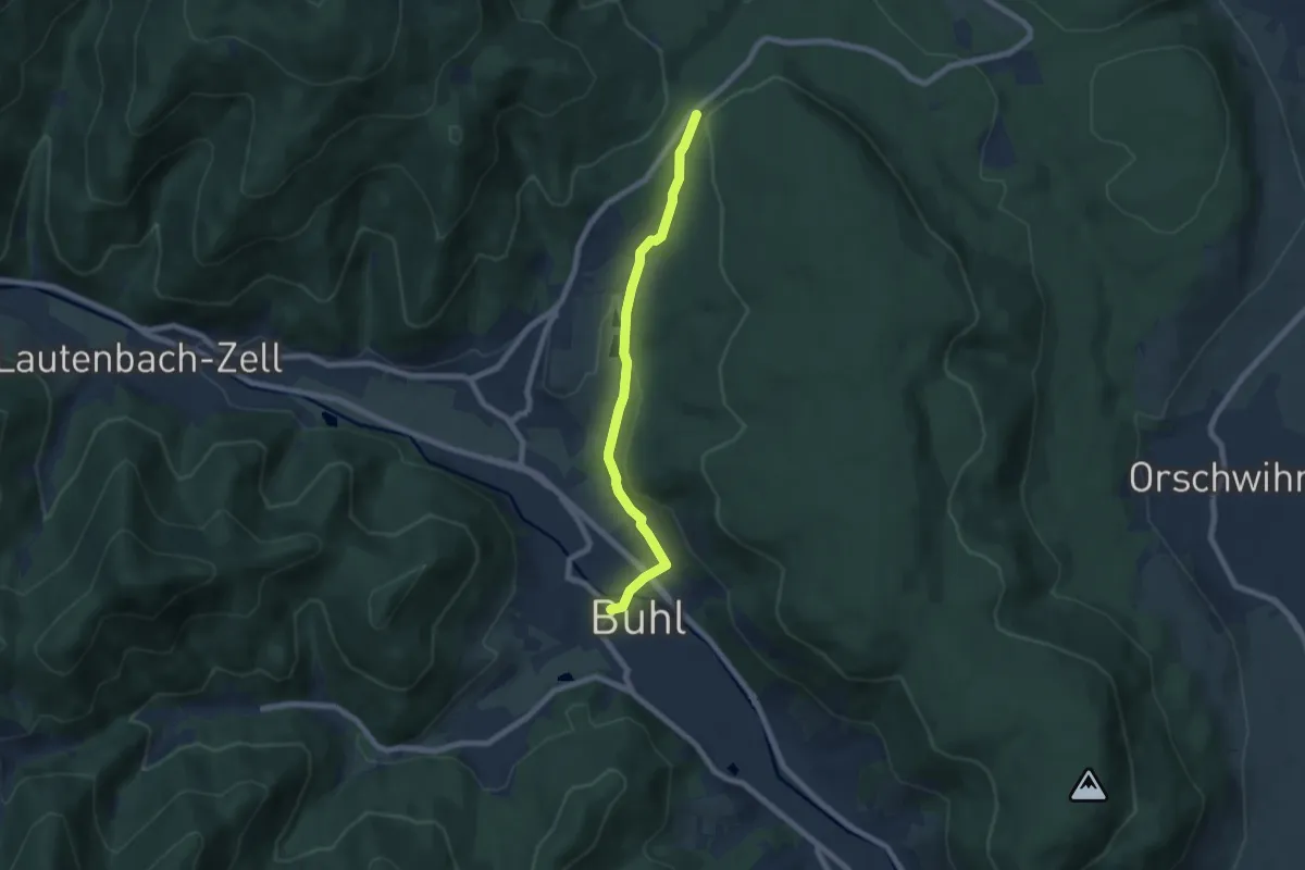
Easy · Trail
Buhl – Col du Bannstein
6.5 km · ↑ 149 m · 1 h 51 min
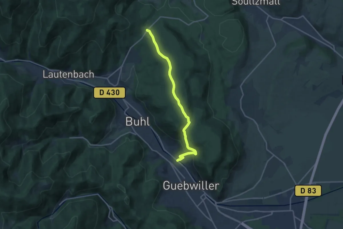
Medium · Trail
Guebwiller – Col de Bannstein
11.0 km · ↑ 378 m · 3 h 24 min
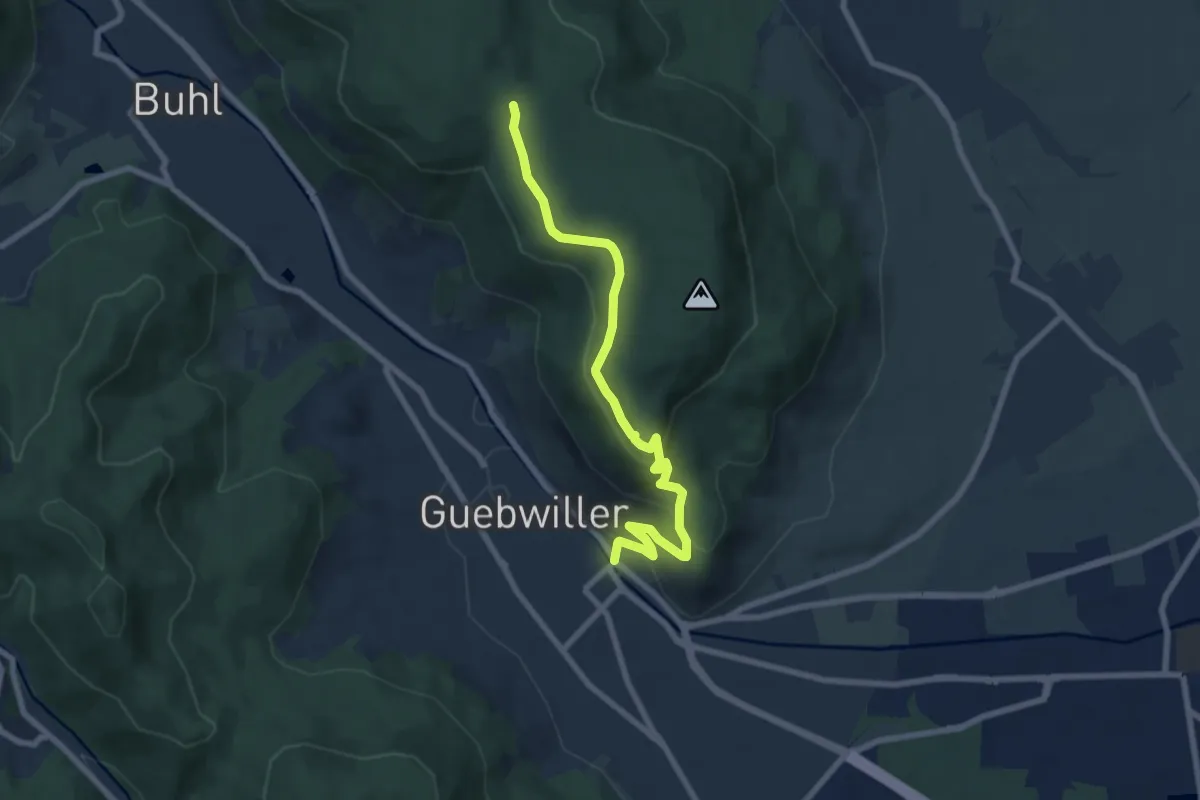
Easy · Trail
Guebwiller – Col du Dreibannstein
7.6 km · ↑ 303 m · 2 h 27 min
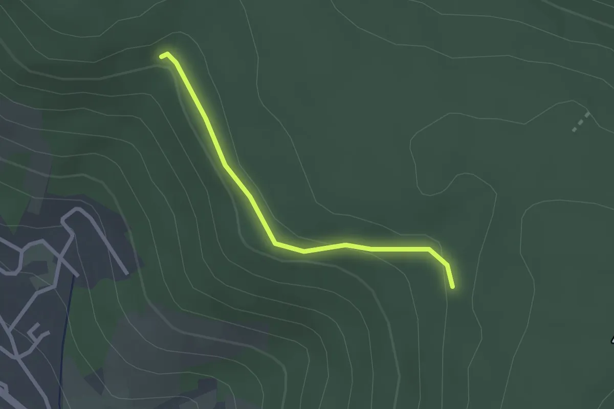
Easy · Trail
Chemin de Compostelle – Chemin des Châteaux forts d'Alsace
2.0 km · ↑ 61 m · 37 min
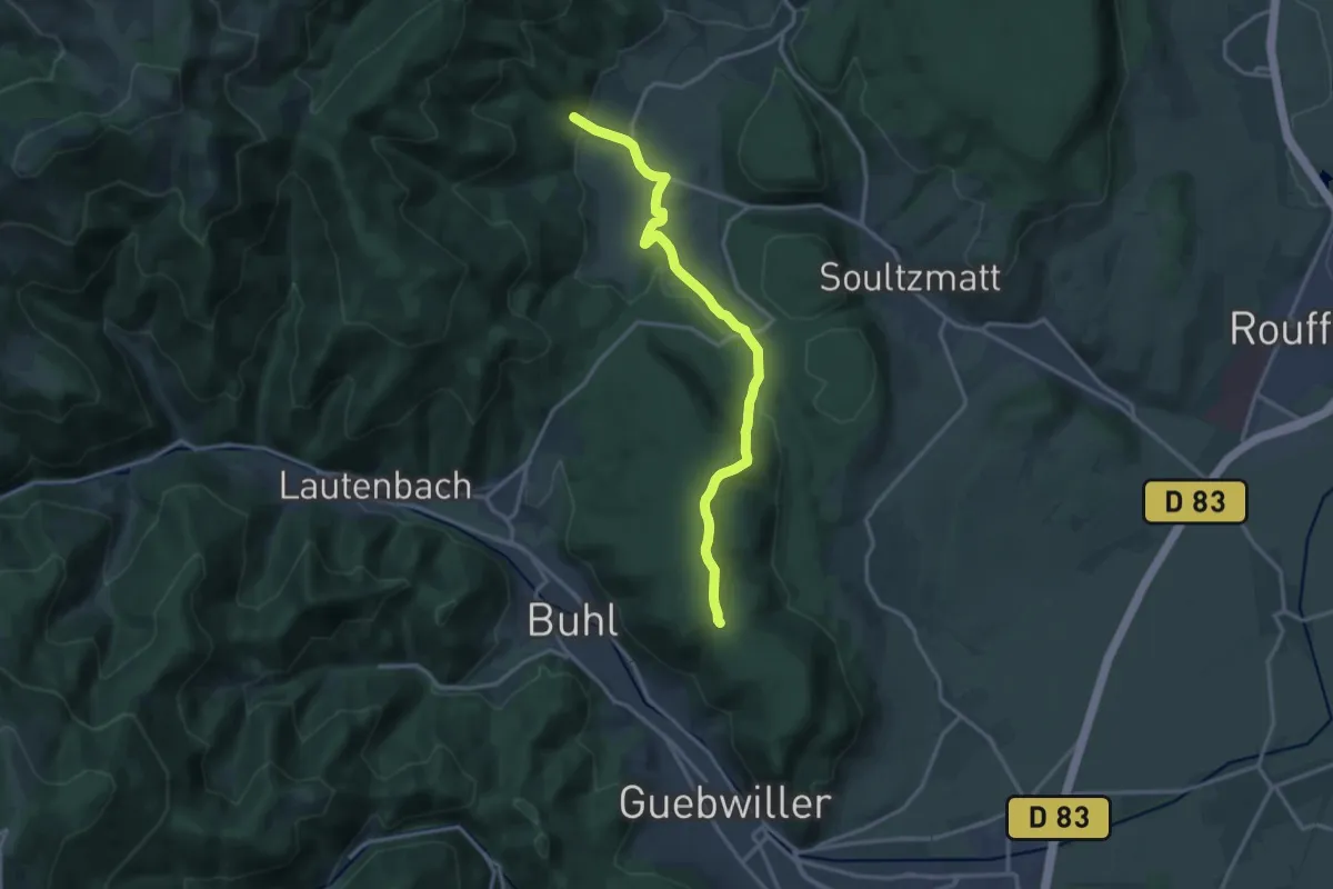
Medium · Trail
Wintzfelden – Col du Dreibannstein
15.0 km · ↑ 412 m · 4 h 26 min
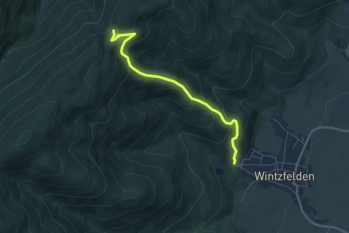
Medium · Trail
Wintzfelden – Col du Hirzenstein
5.3 km · ↑ 394 m · 2 h 7 min
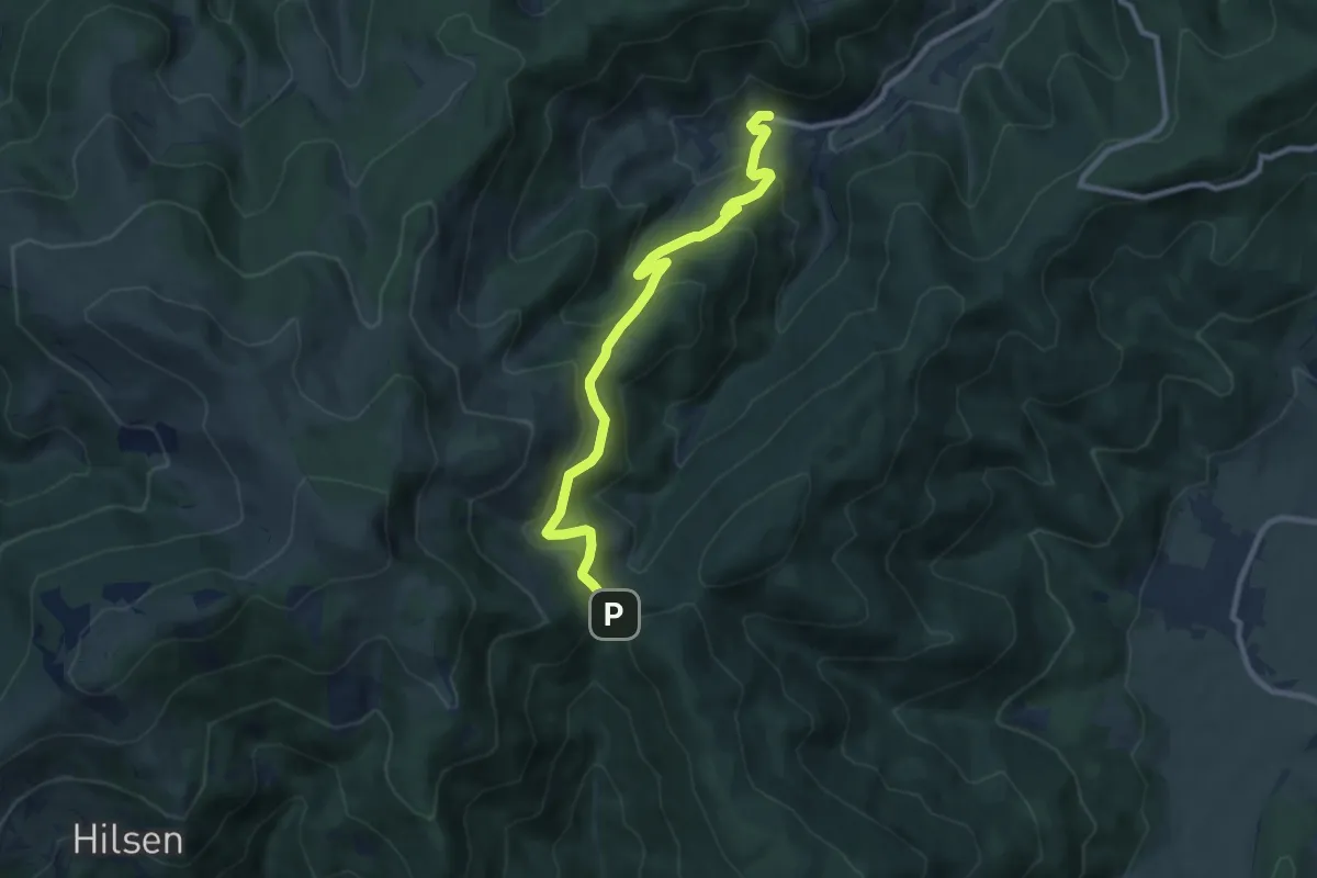
Medium · Trail
Wasserbourg – Boenlesgrab
9.4 km · ↑ 514 m · 3 h 21 min
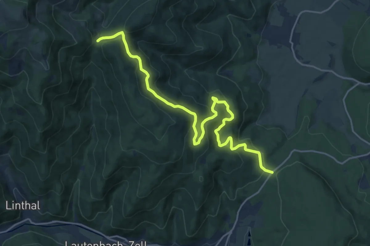
Medium · Trail
Col de Bannstein – Col de Boenlesgrab
15.3 km · ↑ 649 m · 5 h 1 min
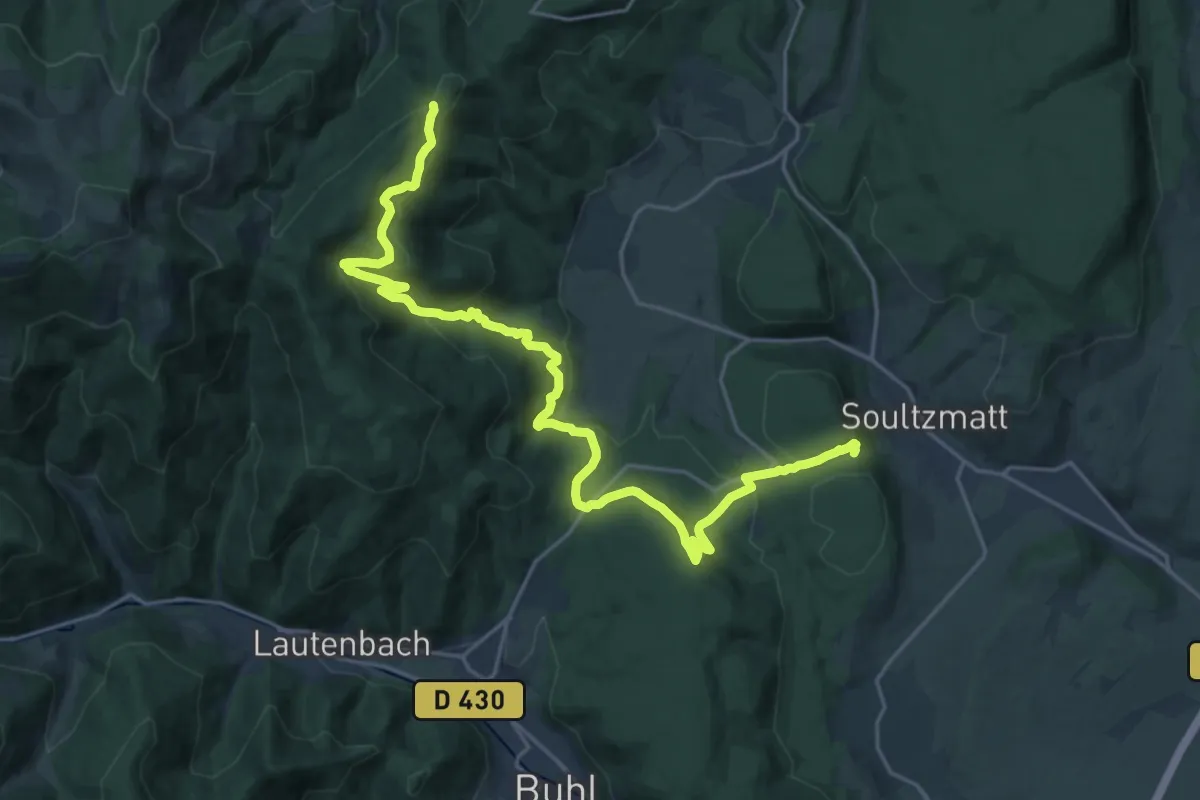
Medium · Trail
Soultzmatt – GR 532
12.3 km · ↑ 739 m · 4 h 28 min
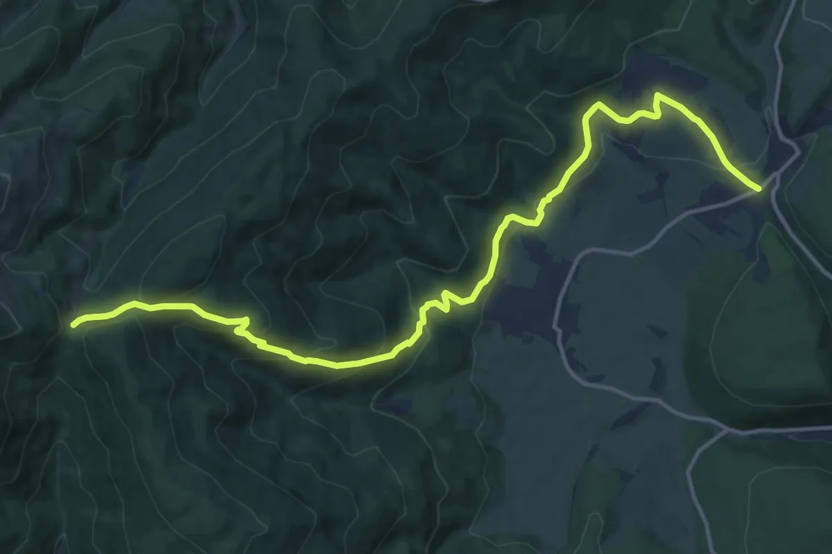
Medium · Trail
Osenbach – Col de Boenlesgrab
15.3 km · ↑ 696 m · 5 h 7 min
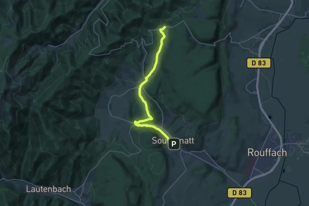
Medium · Trail
Soultzmatt – Osenbuhr
17.1 km · ↑ 532 m · 5 h 11 min
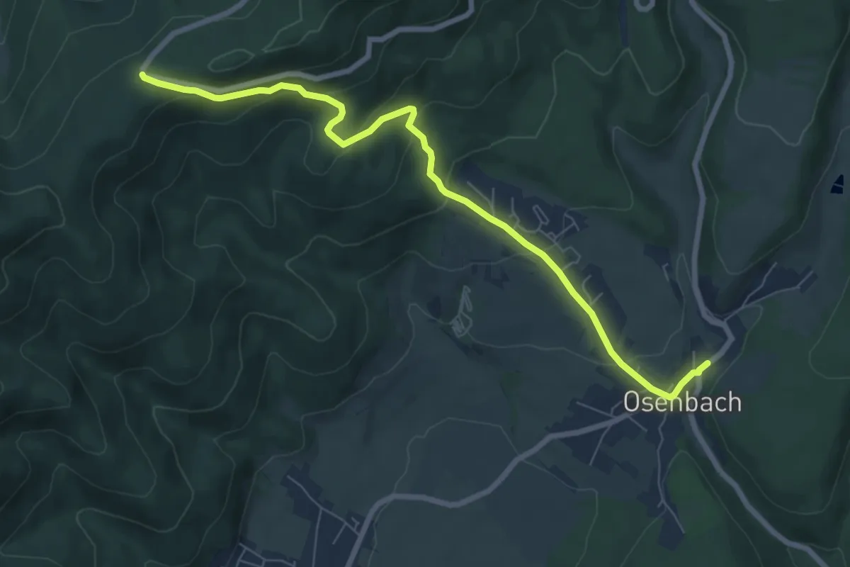
Medium · Trail
Osenbach – Col de Firstplan
7.6 km · ↑ 334 m · 2 h 31 min
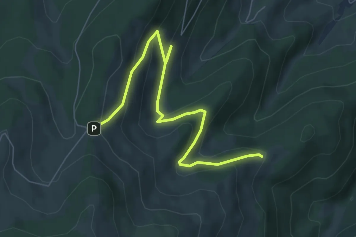
Easy · Trail
Drei Schoepf – Buchwald
6.4 km · ↑ 292 m · 2 h 9 min
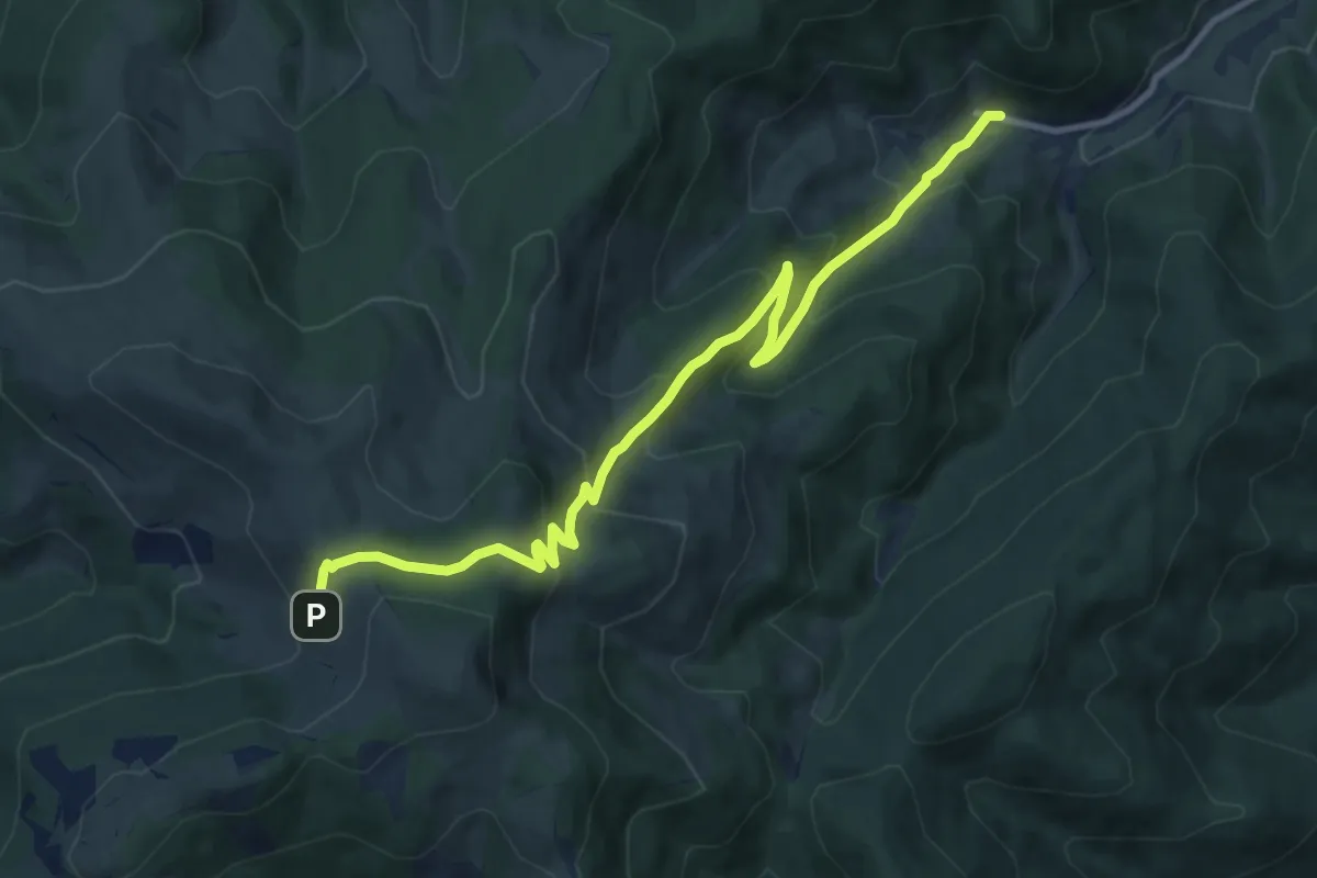
Medium · Trail
Wasserbourg – Rothenbrunnen
11.1 km · ↑ 753 m · 4 h 16 min
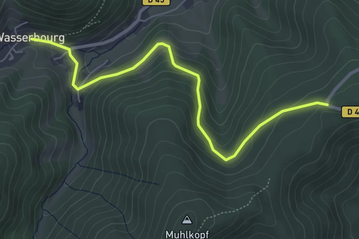
Easy · Trail
Wasserbourg – Col de Firstplan
5.6 km · ↑ 230 m · 1 h 49 min
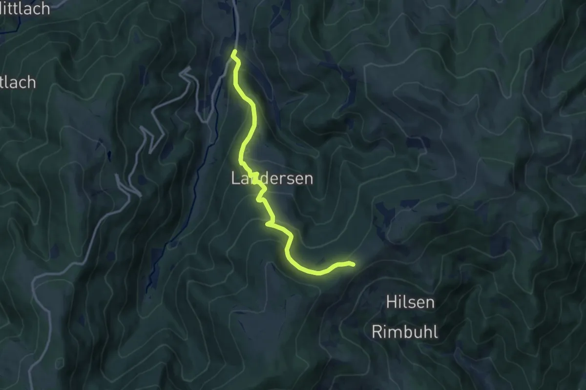
Medium · Trail
Sondernach – Col du Hilsenfirst
10.2 km · ↑ 595 m · 3 h 42 min
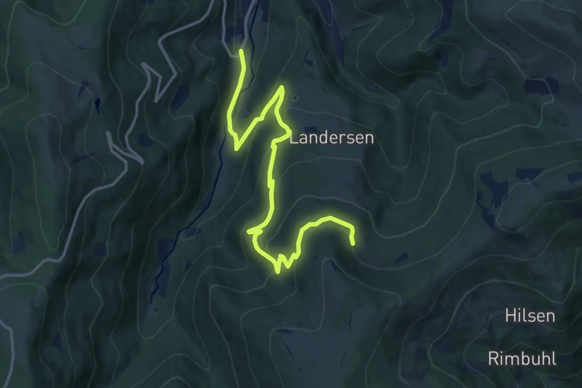
Medium · Trail
Seilersmatt – Ferme Lechterwann
12.0 km · ↑ 696 m · 4 h 20 min
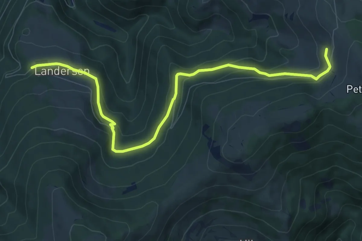
Medium · Trail
Landersen – Rothenbrunnen
9.5 km · ↑ 350 m · 3 h
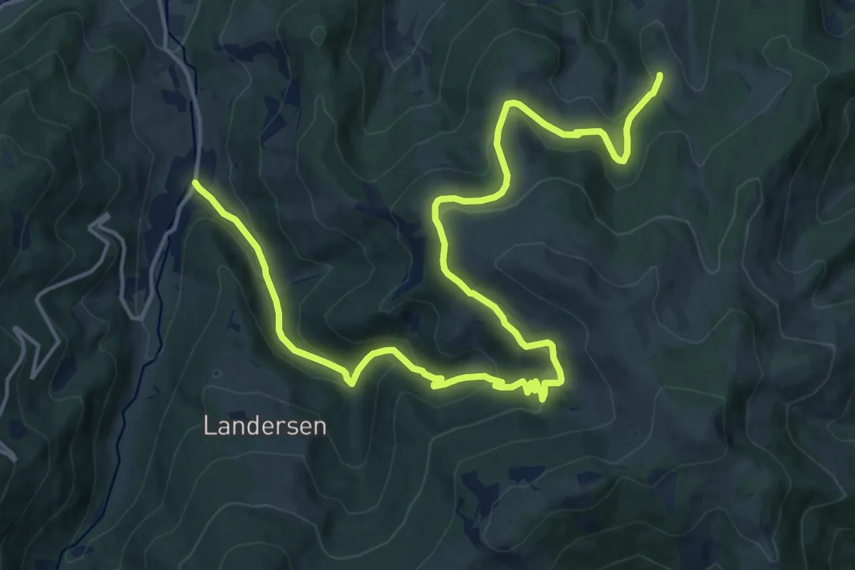
Demanding · Trail
Sondernach – Christlesgut
19.7 km · ↑ 792 m · 6 h 21 min
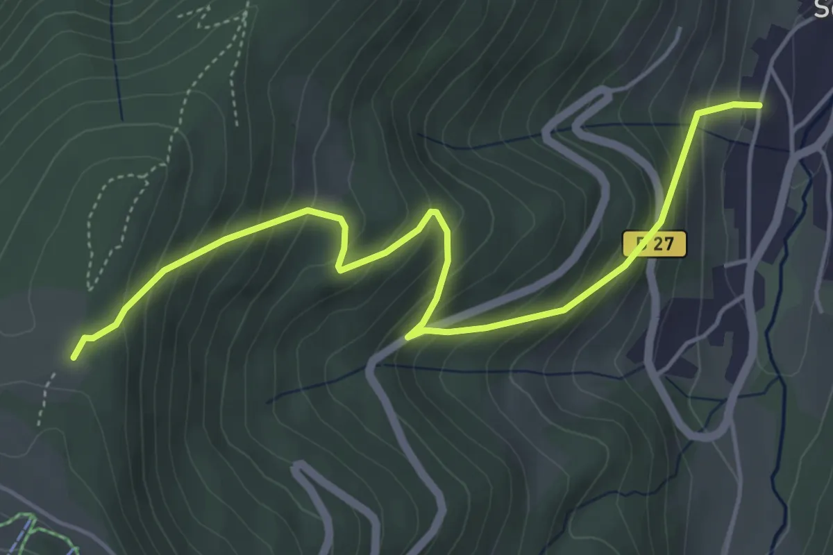
Medium · Trail
Sondernach – Refuge du Schnepfenried
5.2 km · ↑ 459 m · 2 h 13 min
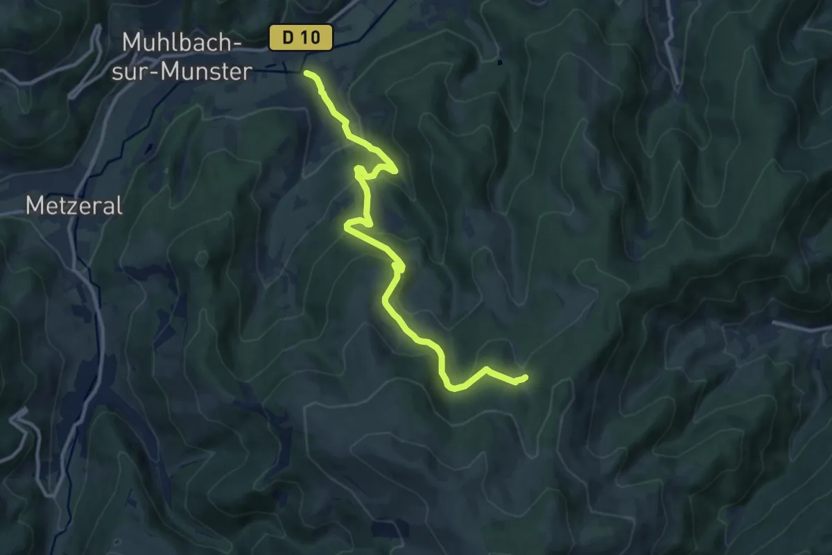
Medium · Trail
Brietenbach – Schweng
11.2 km · ↑ 565 m · 3 h 52 min
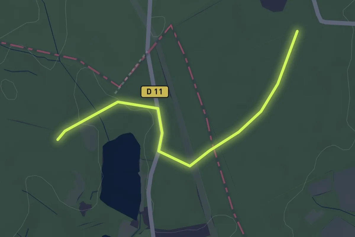
Easy · Trail
Lauw – Lac de la Seigneurie
3.1 km · ↑ 12 m · 46 min
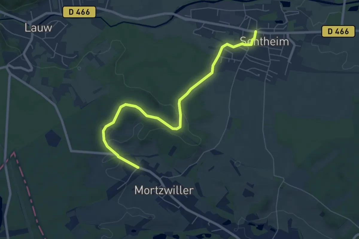
Easy · Trail
Sentheim – Mortzwiller
6.6 km · ↑ 113 m · 1 h 48 min
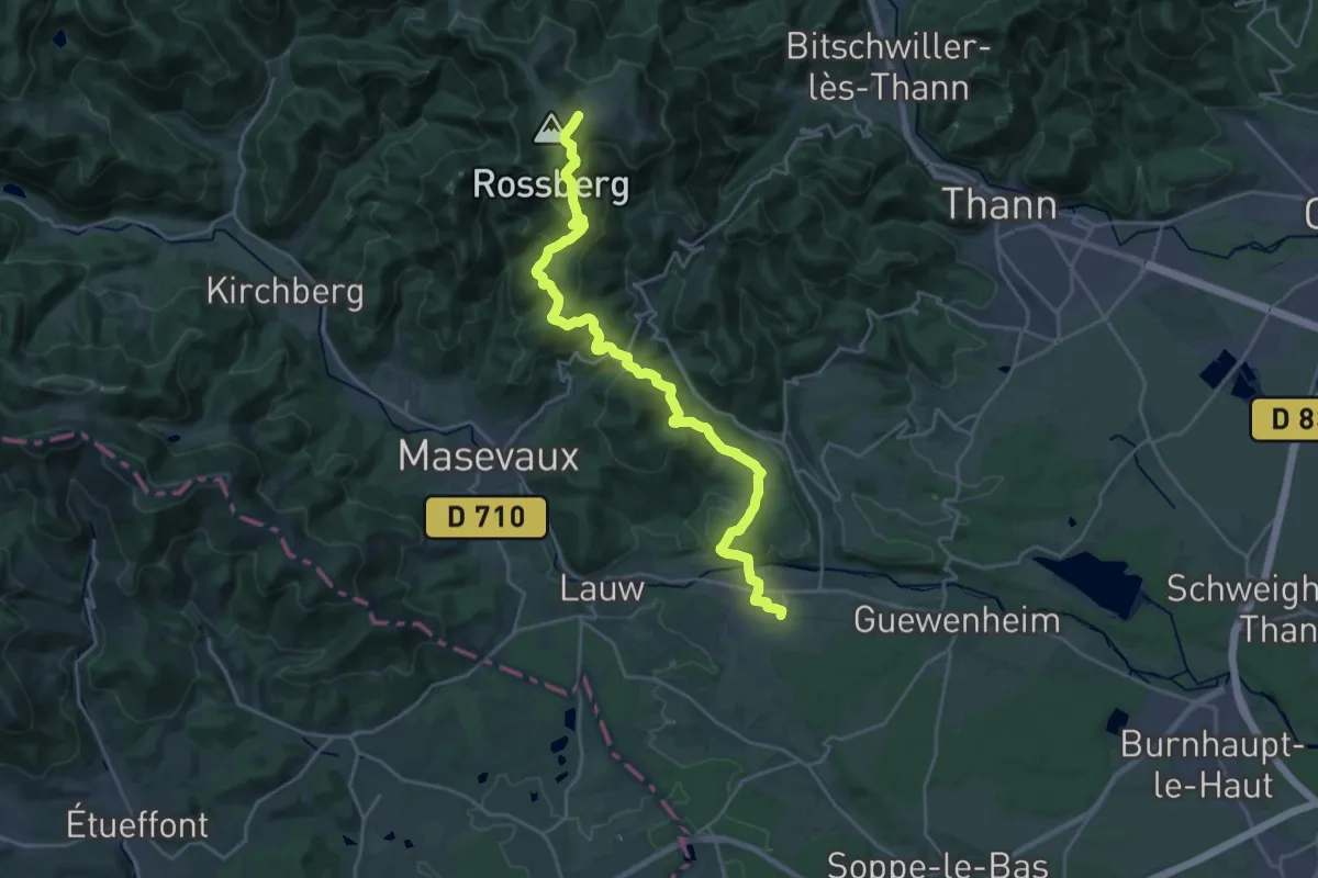
Demanding · Cabin
Gare Sentheim – GR 5
12.6 km · ↑ 861 m · 4 h 38 min
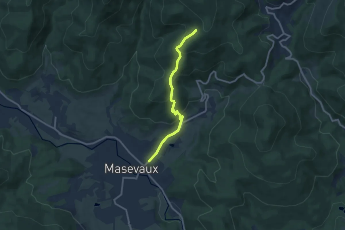
Medium · Trail
Masevaux – GR 5
5.9 km · ↑ 355 m · 2 h 10 min
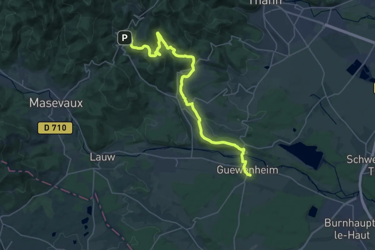
Demanding · Trail
Guewenheim – GR 5
23.9 km · ↑ 803 m · 7 h 22 min
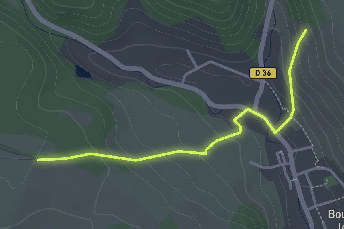
Easy · Trail
Schnekenrain – Kreuzaecker
2.6 km · ↑ 121 m · 53 min
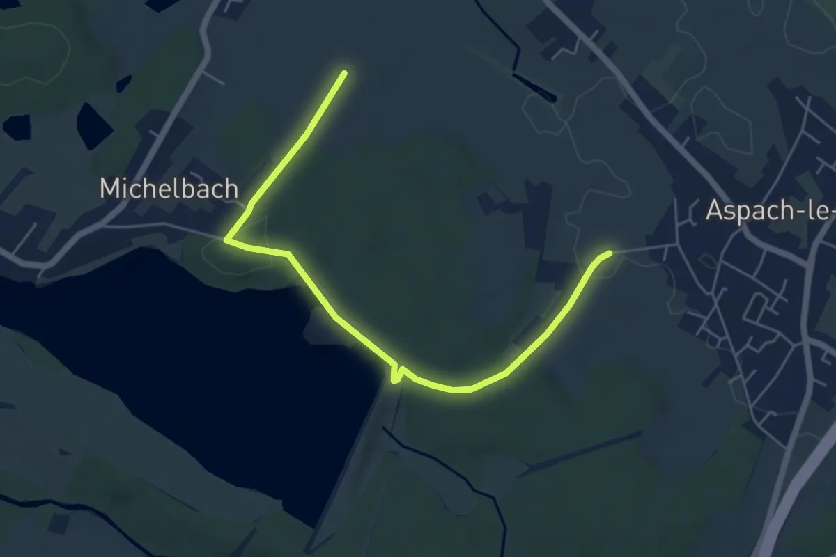
Easy · Trail
Aspach-le-Bas – Michelbach
5.5 km · ↑ 97 m · 1 h 31 min
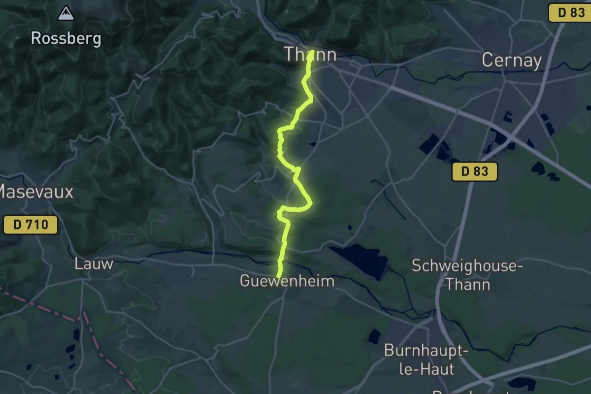
Medium · Cabin
Thann – Guewenheim
17.9 km · ↑ 462 m · 5 h 14 min
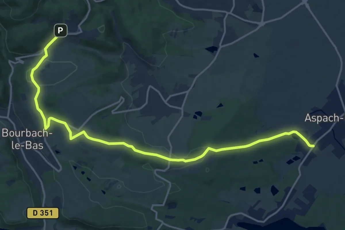
Medium · Trail
Aspach le haut – Rammersmatt
14.3 km · ↑ 306 m · 4 h 3 min
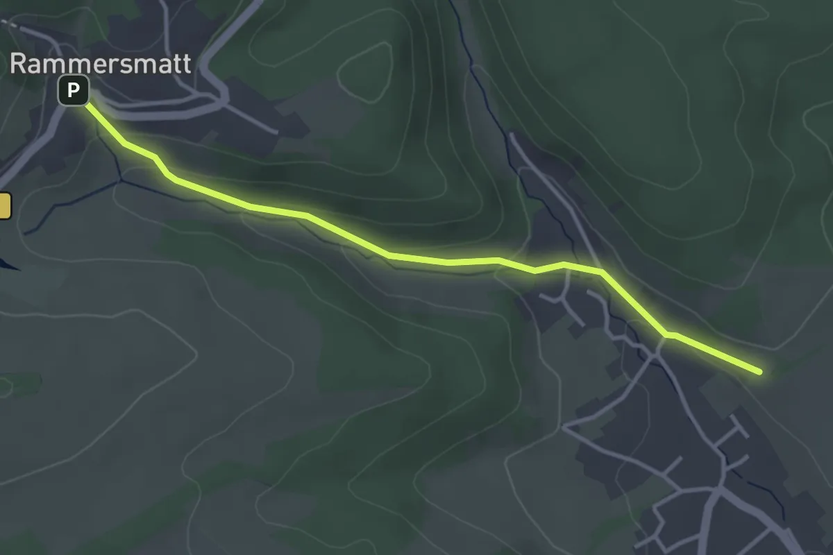
Easy · Trail
Roderen – Rammersmatt
3.6 km · ↑ 111 m · 1 h 5 min
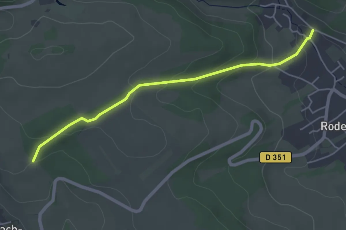
Easy · Trail
Roderen – Bourbach-le-Haut
4.0 km · ↑ 141 m · 1 h 15 min
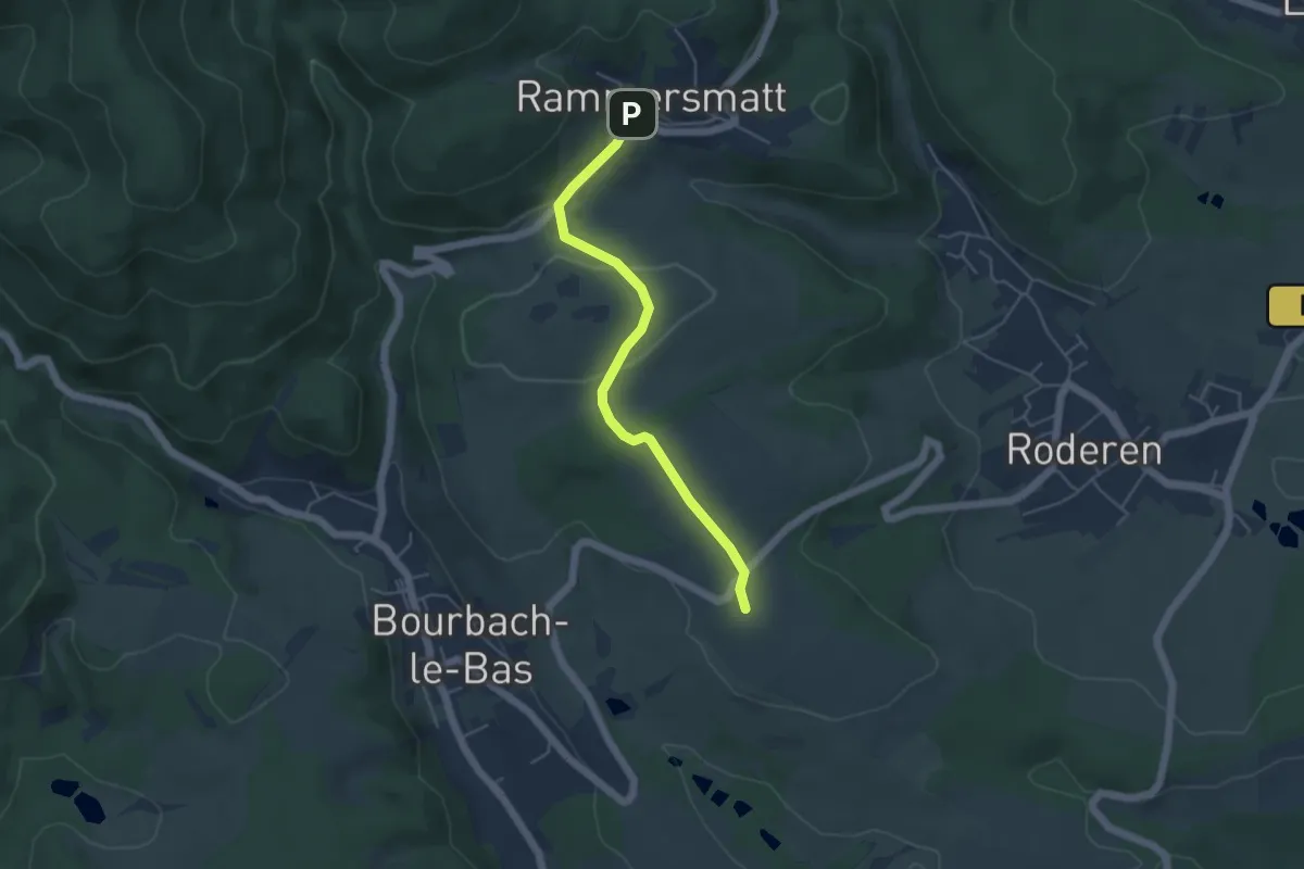
Easy · Trail
Bourbach le Bas – Rammersmatt
4.4 km · ↑ 69 m · 1 h 12 min
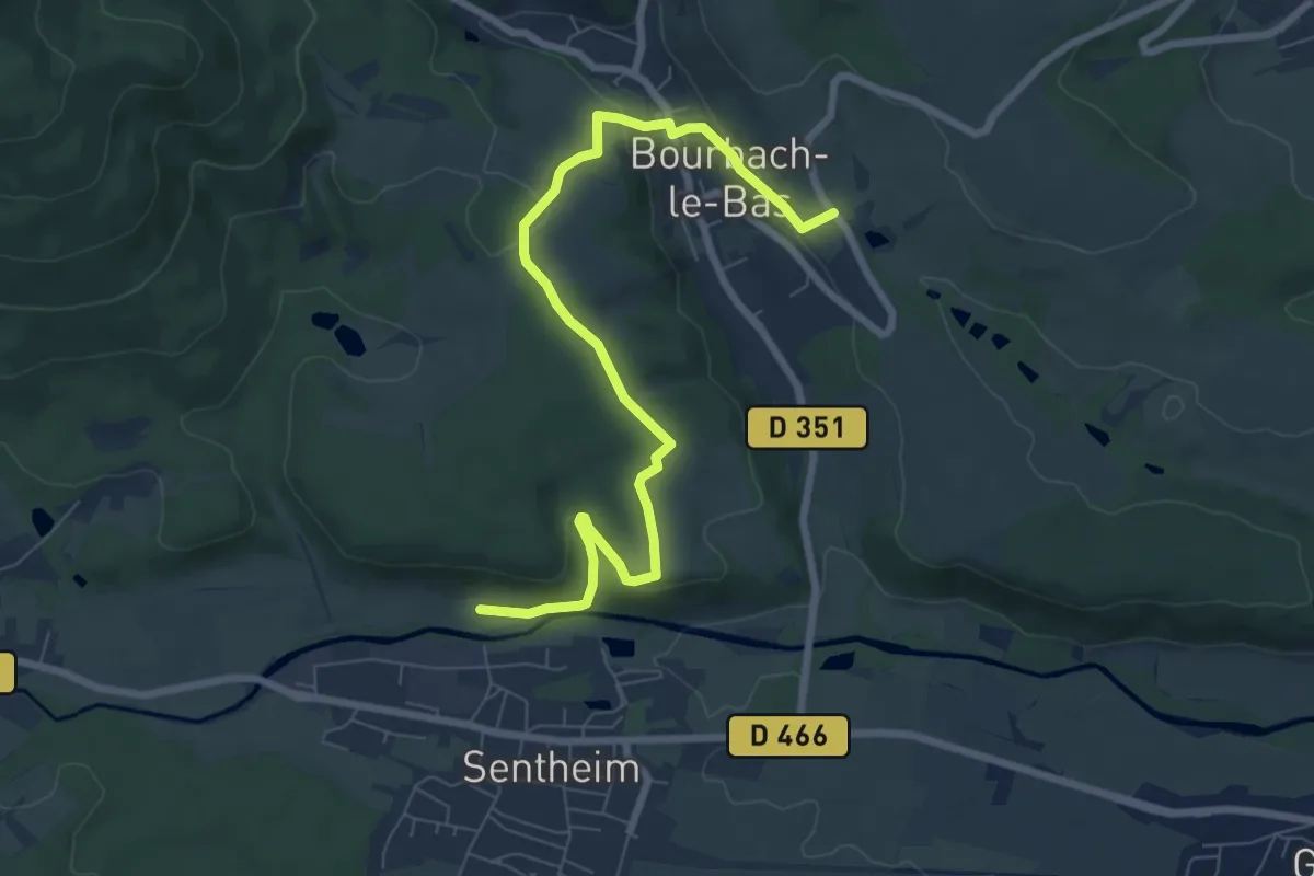
Easy · Trail
Sentheim – Bourbach-le-Bas
4.1 km · ↑ 87 m · 1 h 14 min
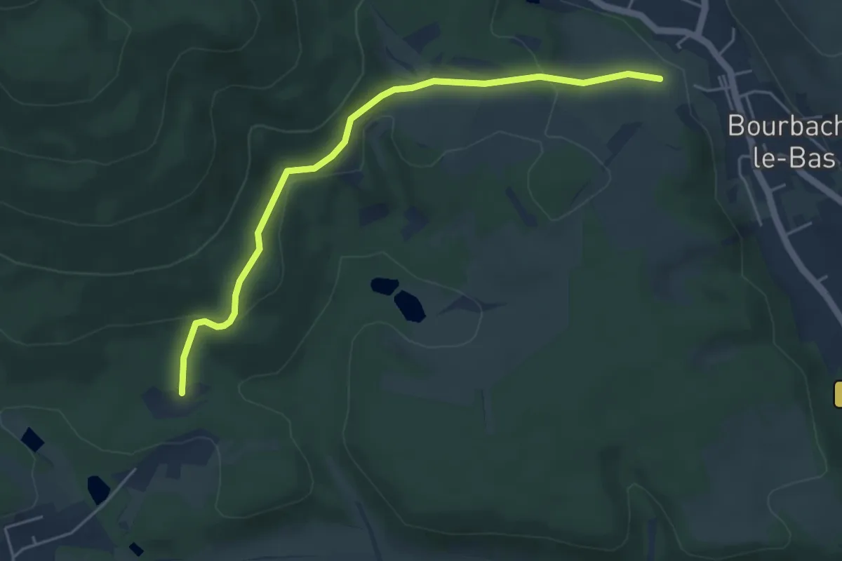
Easy · Trail
Im Garten – Hasenwald
4.7 km · ↑ 192 m · 1 h 32 min
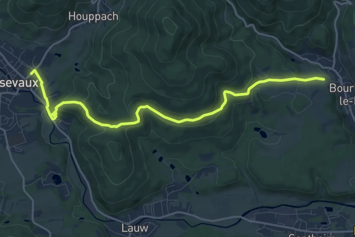
Medium · Trail
Masevaux – Bourbach le Bas
11.6 km · ↑ 357 m · 3 h 30 min
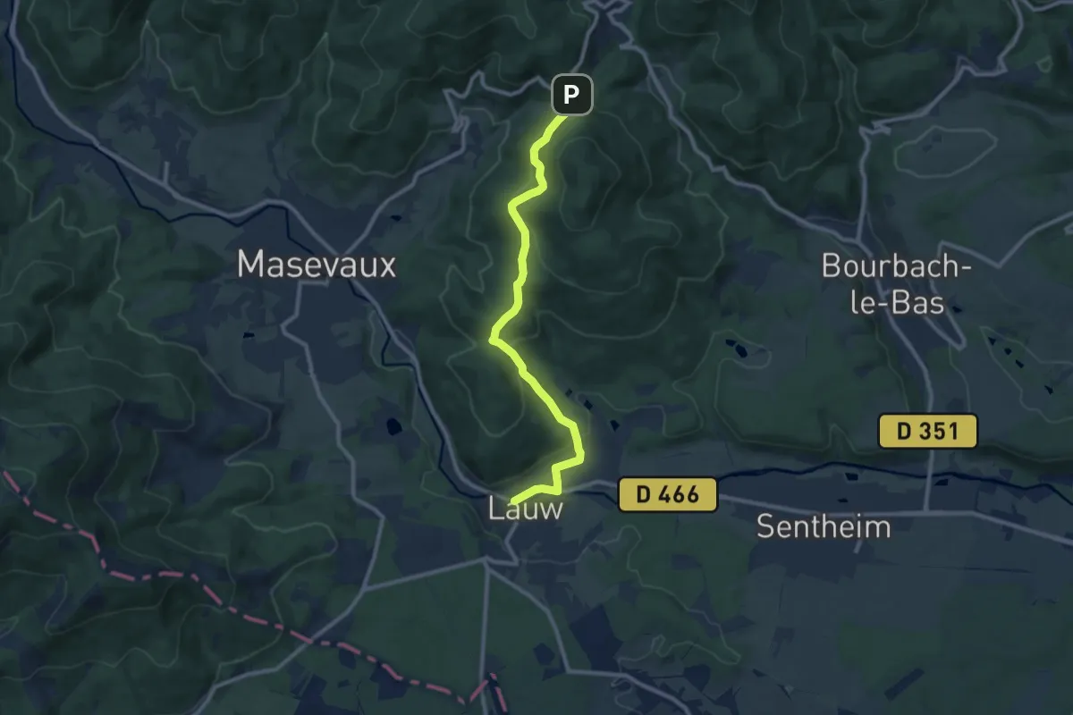
Medium · Trail
Lauw – Col du Schirm
9.4 km · ↑ 338 m · 2 h 57 min
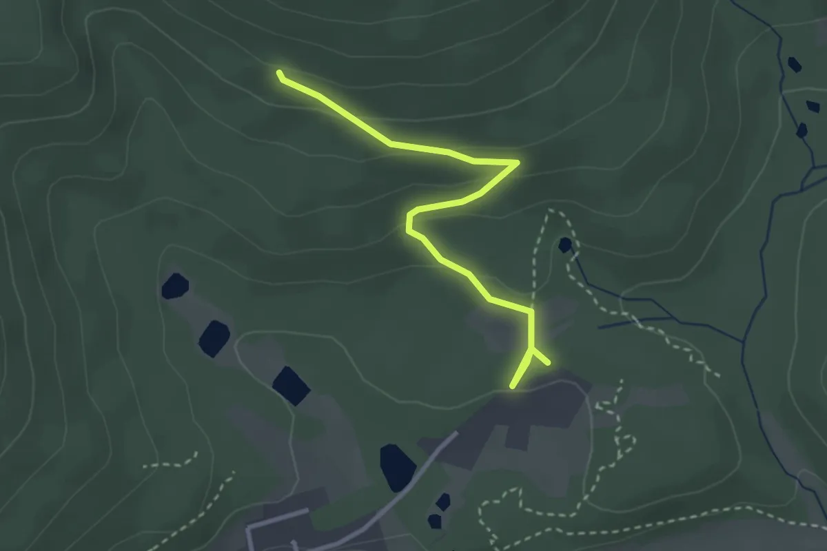
Easy · Trail
Steingrube – Buchberg
3.0 km · ↑ 121 m · 58 min
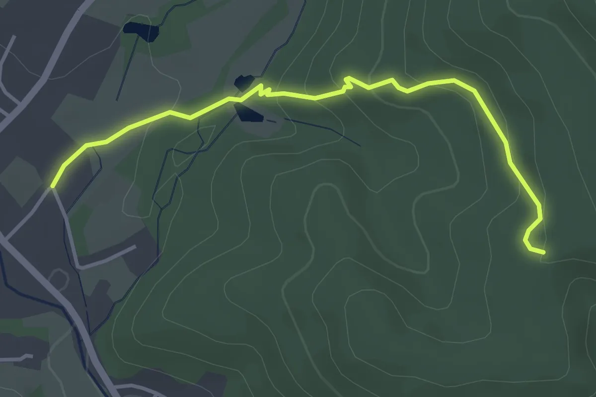
Medium · Trail
Masevaux – Le Gros Chêne
3.6 km · ↑ 169 m · 1 h 13 min
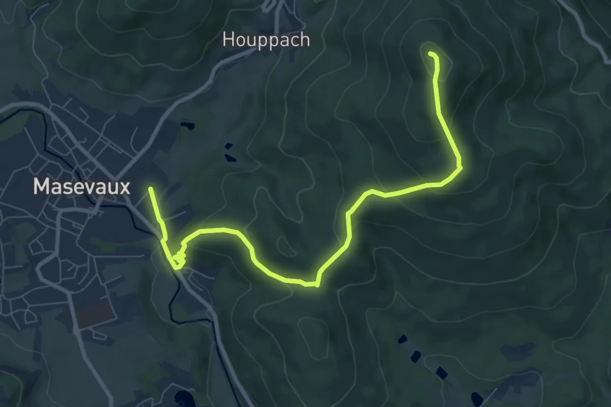
Medium · Summit
Masevaux – Abris du Hochburg
8.2 km · ↑ 352 m · 2 h 41 min