Trails in France
15,926 hiking trails, each with its route, climb, walking time and grade.
All trails, page 305 of 332
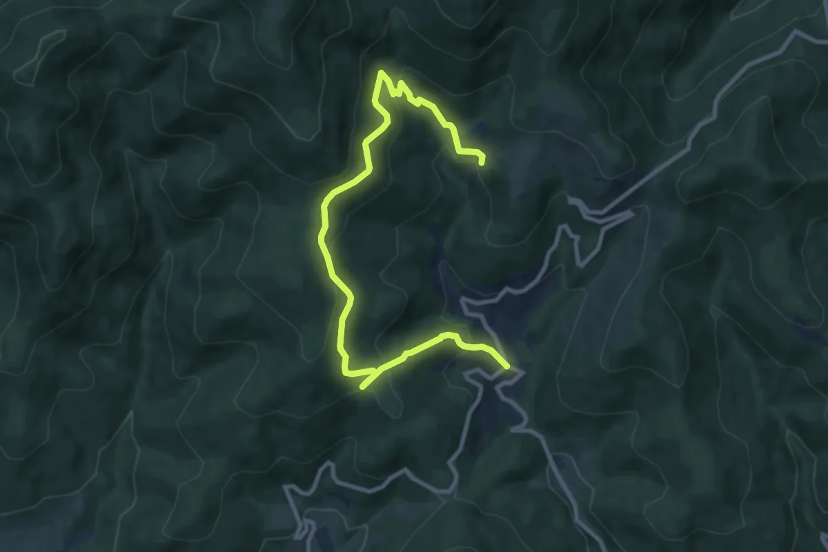
Medium · Trail
Boubach le Haut – Les Buissonnets
9.9 km · ↑ 525 m · 3 h 28 min
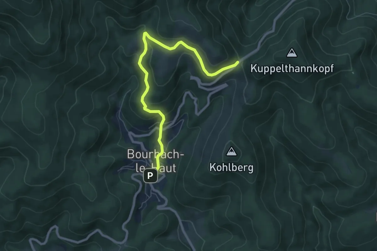
Medium · Trail
Bourbach le Haut – Col du Hundsruck
6.8 km · ↑ 321 m · 2 h 17 min
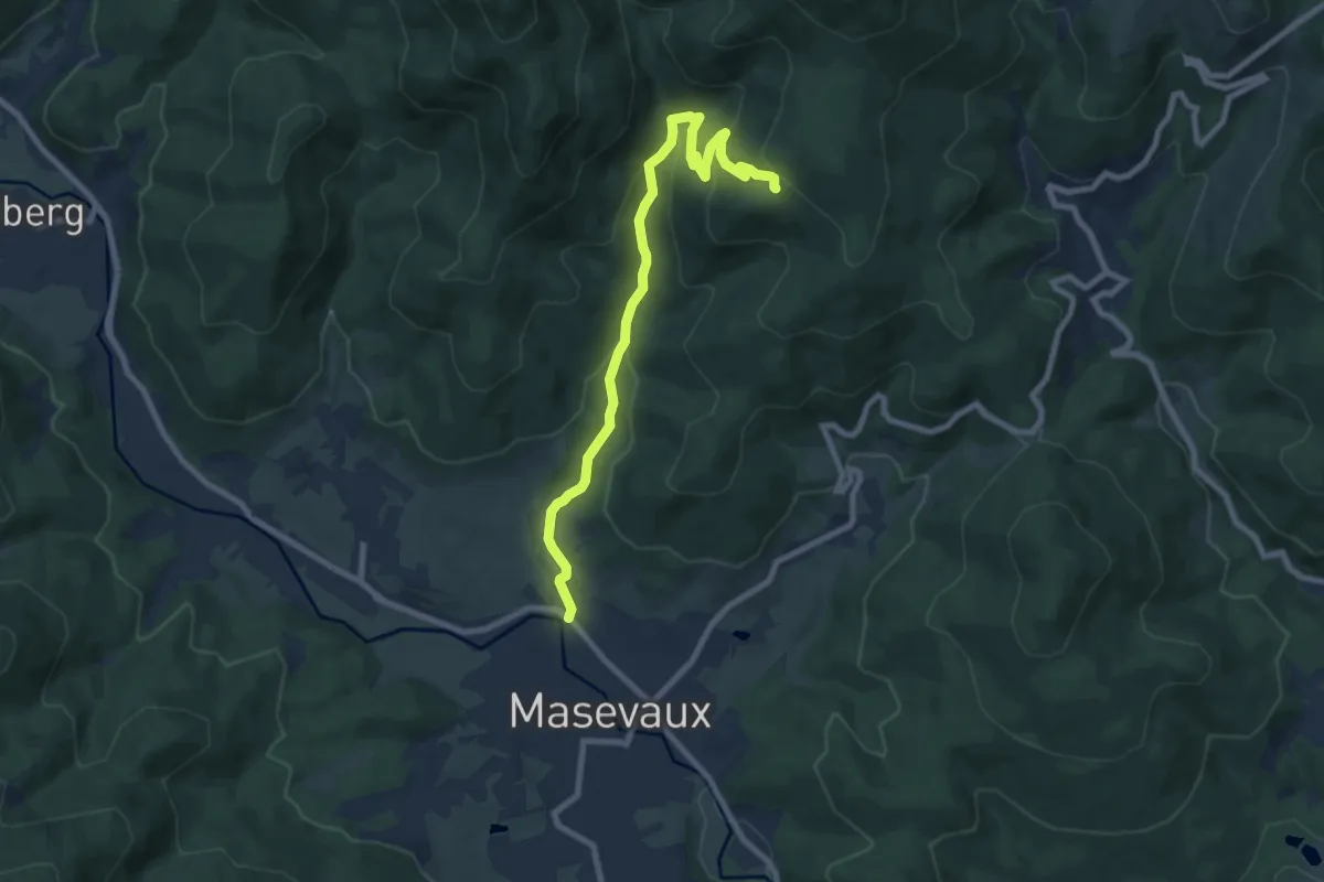
Medium · Trail
Masevaux – Langhag
8.6 km · ↑ 431 m · 2 h 58 min
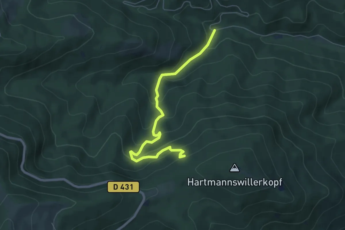
Medium · Trail
Croix Zimmermann – Vieil Armand
5.5 km · ↑ 406 m · 2 h 11 min
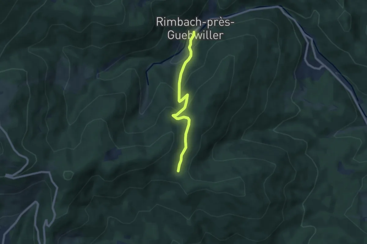
Medium · Trail
Rimbach-près-Guebwiller – Holzwasen
5.2 km · ↑ 323 m · 1 h 56 min
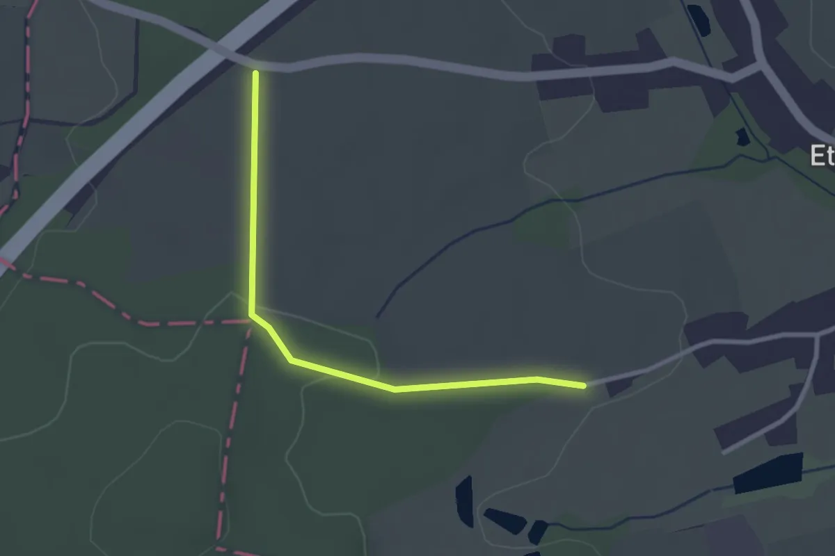
Easy · Trail
Lauw – GR 532
2.5 km · ↑ 22 m · 39 min
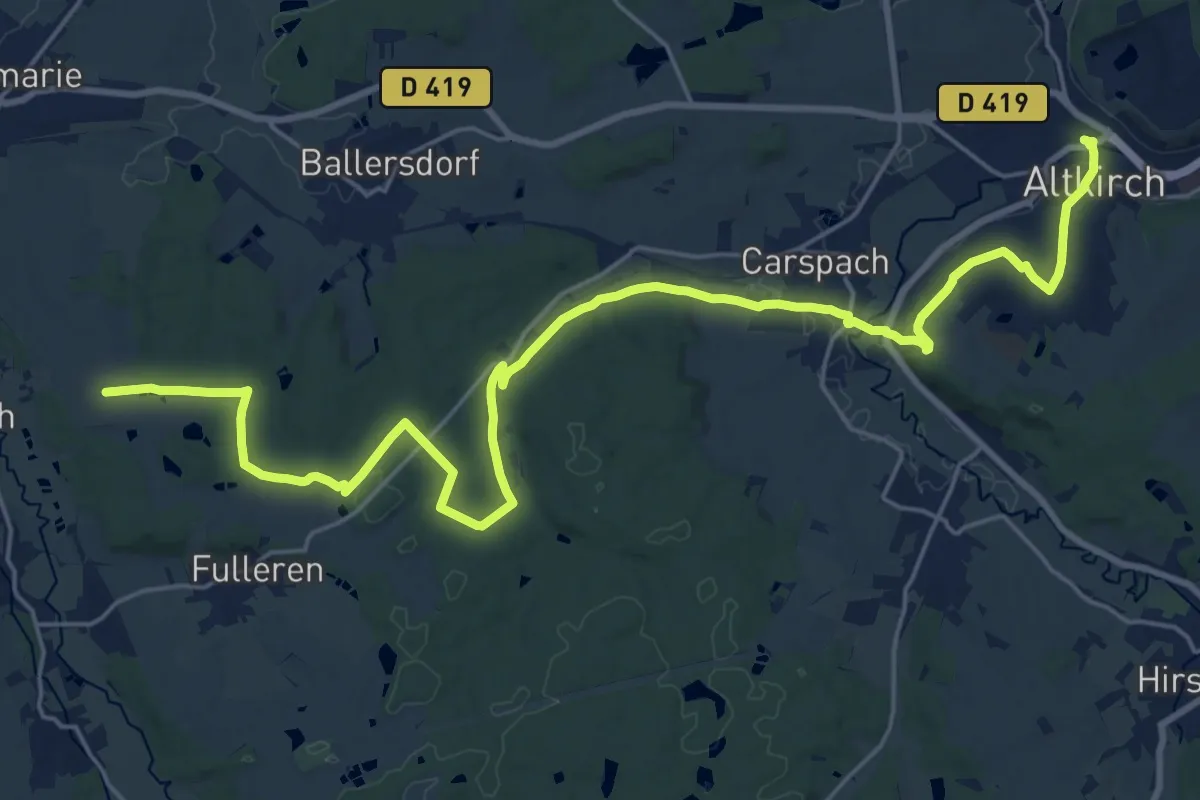
Demanding · Trail
Altkirch – GR 532
27.9 km · ↑ 445 m · 7 h 34 min
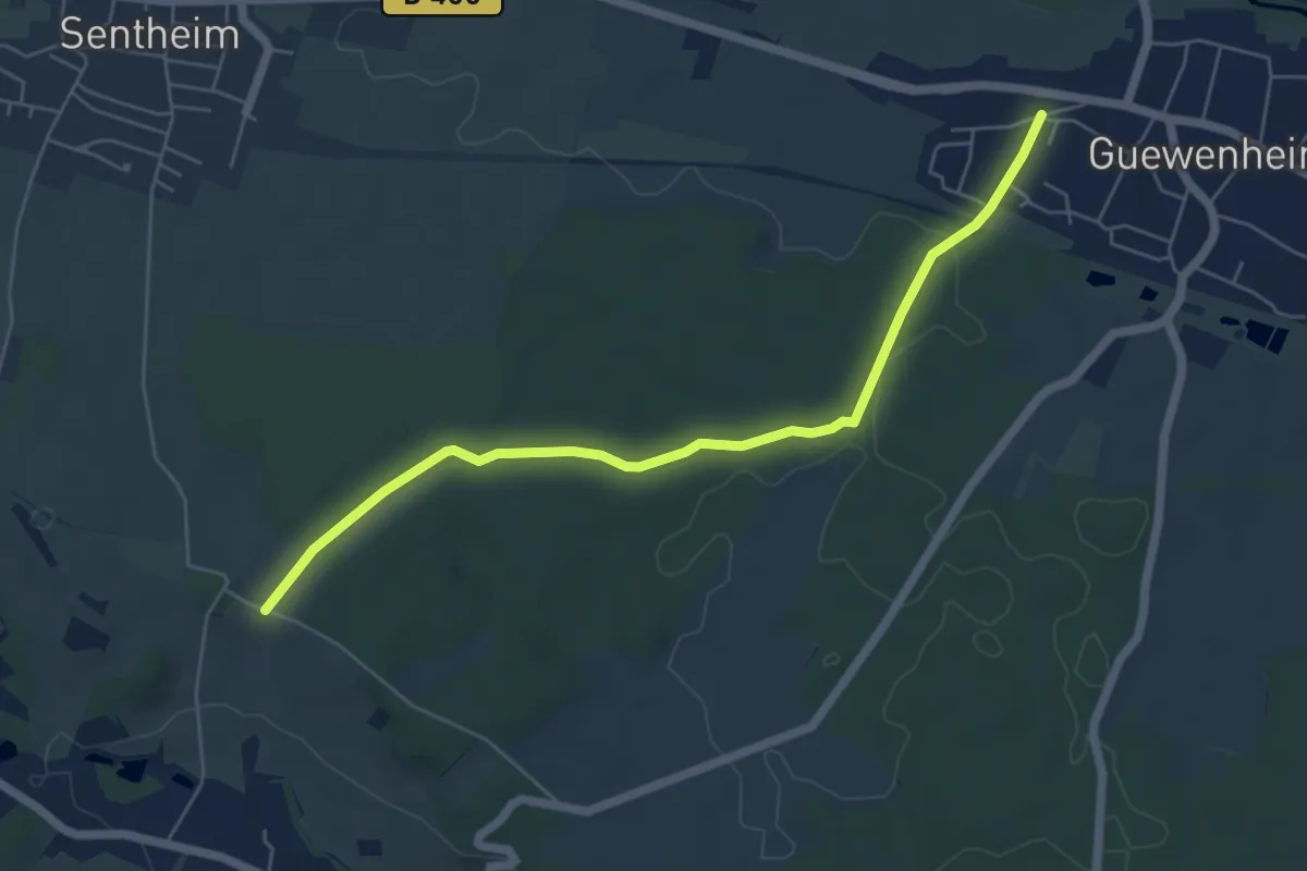
Easy · Trail
Guewenheim – GR 531
5.8 km · ↑ 58 m · 1 h 30 min
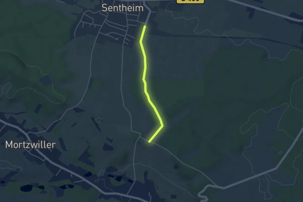
Easy · Trail
Sentheim – GR 531
3.1 km · ↑ 12 m · 45 min
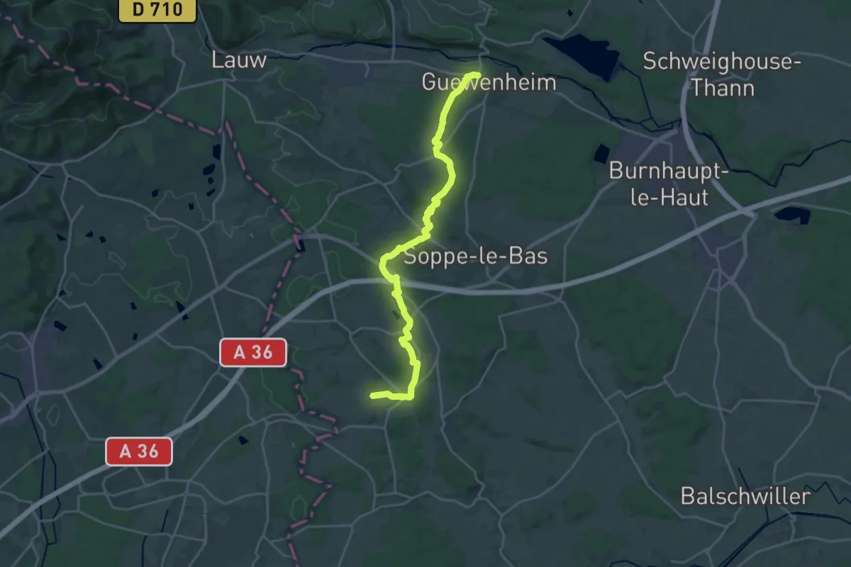
Demanding · Trail
Guewenheim – Bellemagny
21.4 km · ↑ 311 m · 5 h 43 min
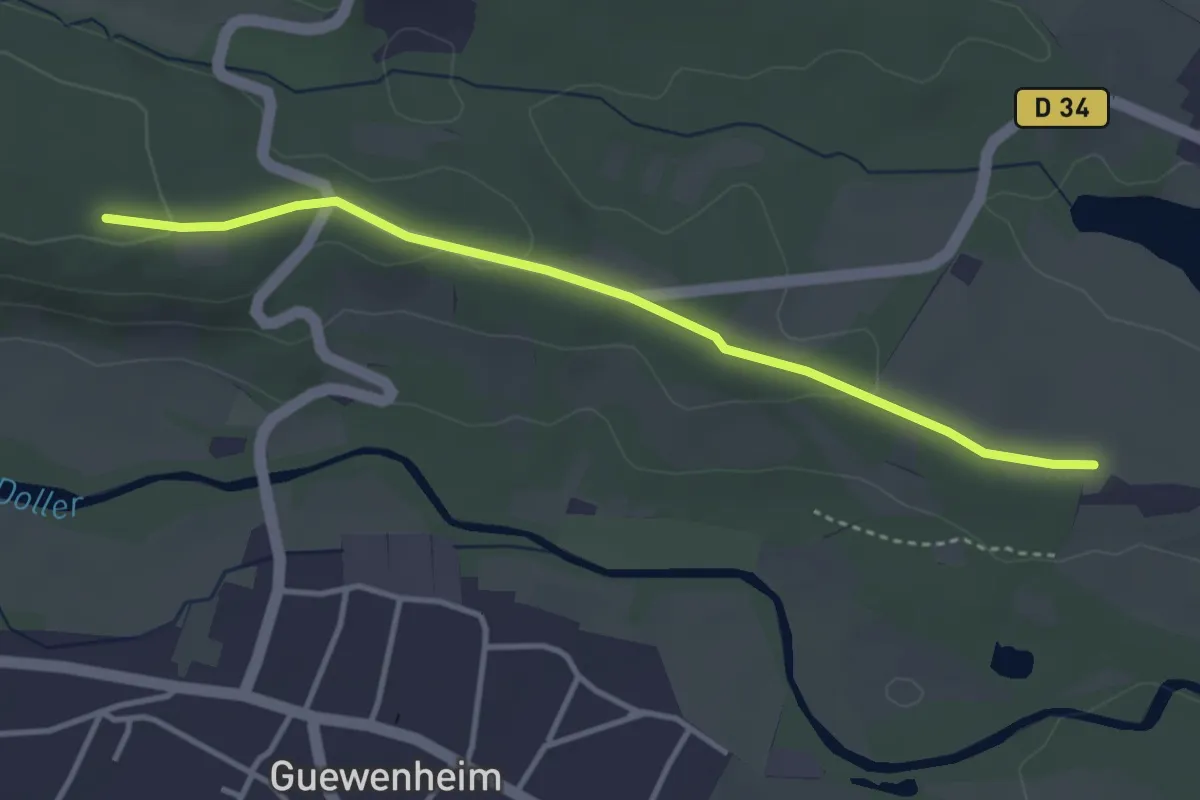
Easy · Trail
Grossacker – Eichwald
3.5 km · ↑ 49 m · 56 min
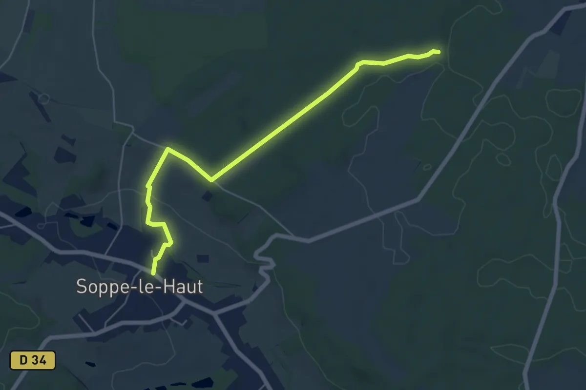
Easy · Trail
Soppe-le-Haut – Chapelle Notre-Dame-des-Bouleaux
5.6 km · ↑ 83 m · 1 h 30 min
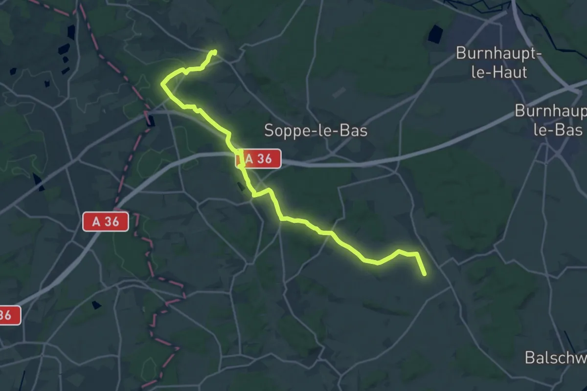
Demanding · Trail
Soppe-le- Haut – Hecken
21.7 km · ↑ 284 m · 5 h 44 min
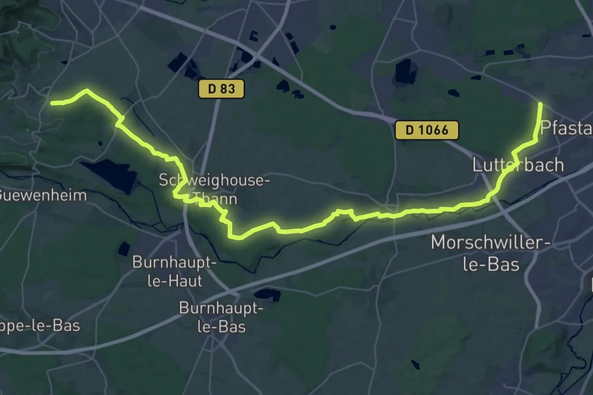
Demanding · Trail
Pfastatt – Roderen
21.4 km · ↑ 213 m · 5 h 46 min
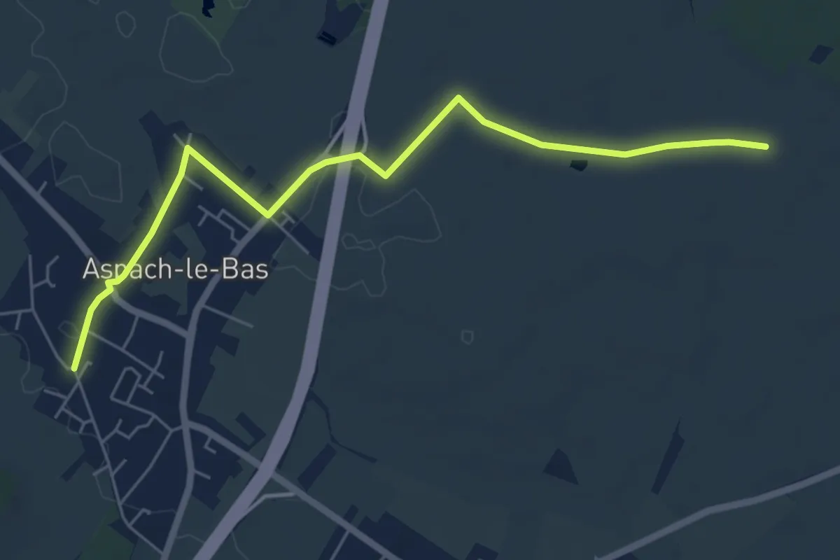
Easy · Trail
Aspach-le-Bas – Anneau bleu
6.0 km · ↑ 17 m · 1 h 27 min
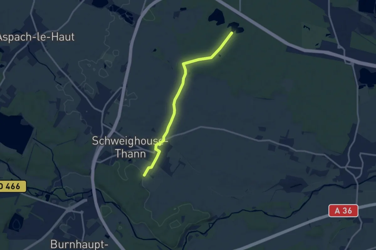
Medium · Trail
Frisenmaettle – Plan d'eau de Cernay
8.9 km · ↑ 14 m · 2 h 7 min
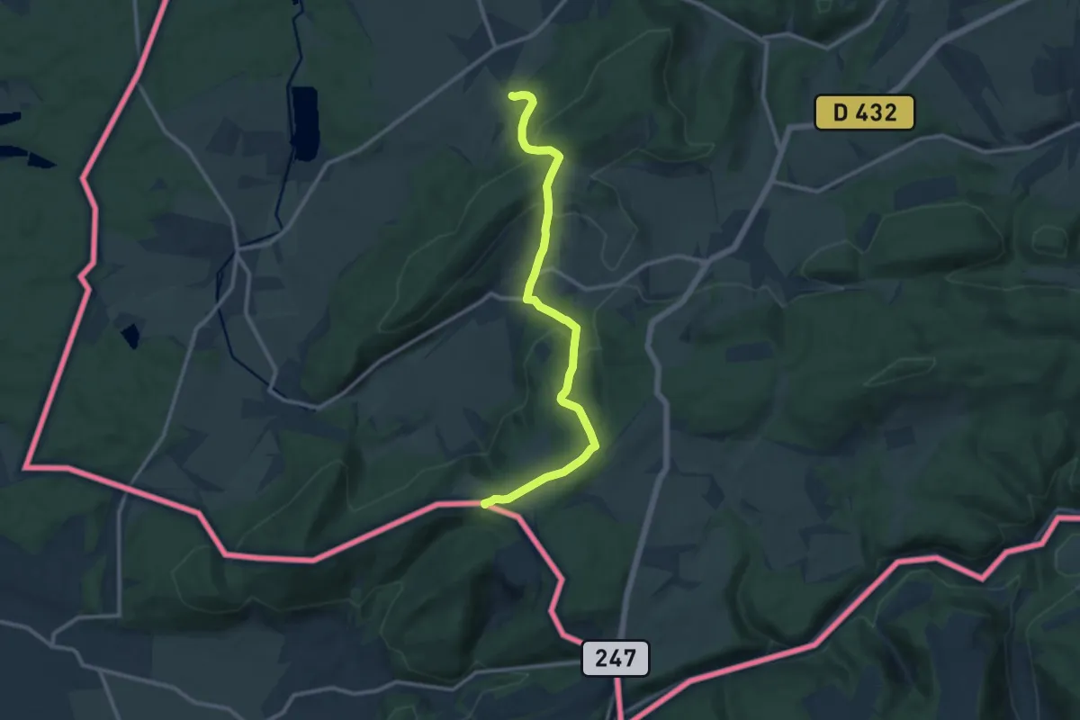
Medium · Trail
Liebsdorf – Ferme Ébourbette
11.2 km · ↑ 431 m · 3 h 35 min
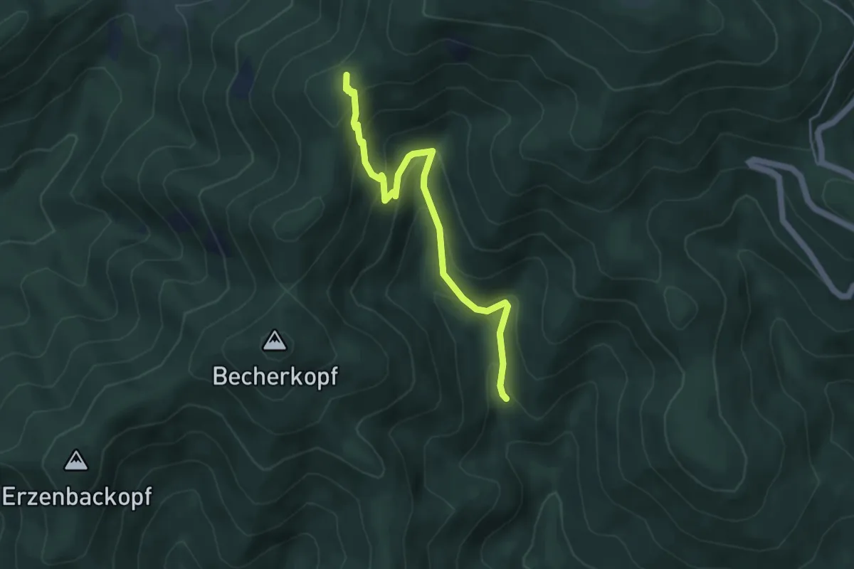
Easy · Trail
Cascade de l'Erzenbach – Camp Turenne
4.4 km · ↑ 314 m · 1 h 44 min
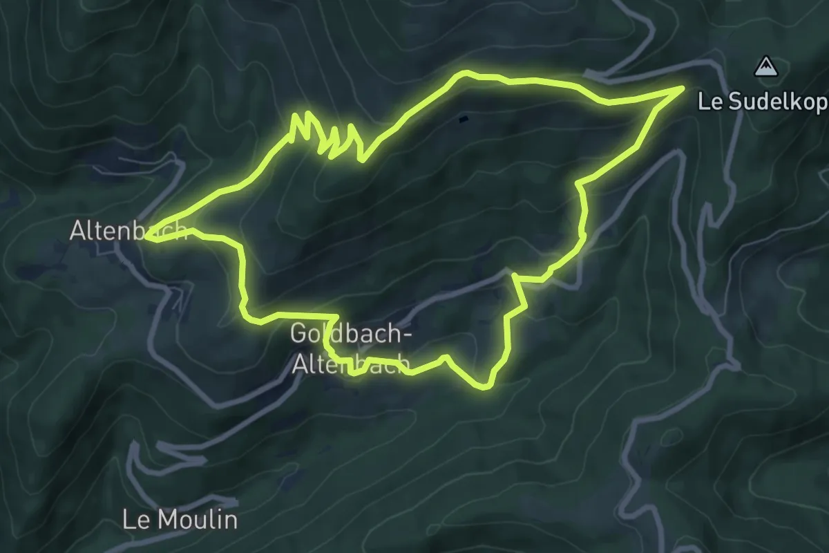
Medium · Summit
Goldbach-Altenbach – Goldbach-Altenbach
8.1 km · ↑ 488 m · 3 h 5 min
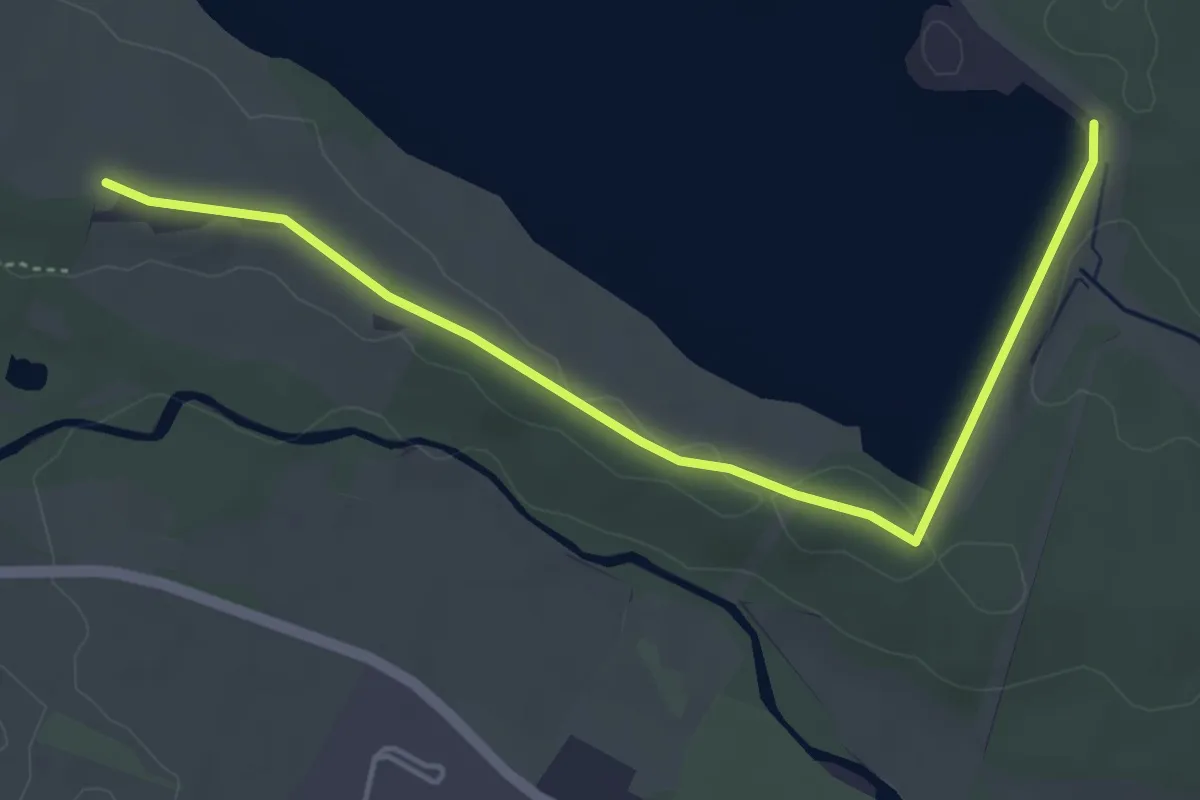
Easy · Trail
Barrage de Michelbach – Triangle vert
4.7 km · ↑ 32 m · 1 h 11 min
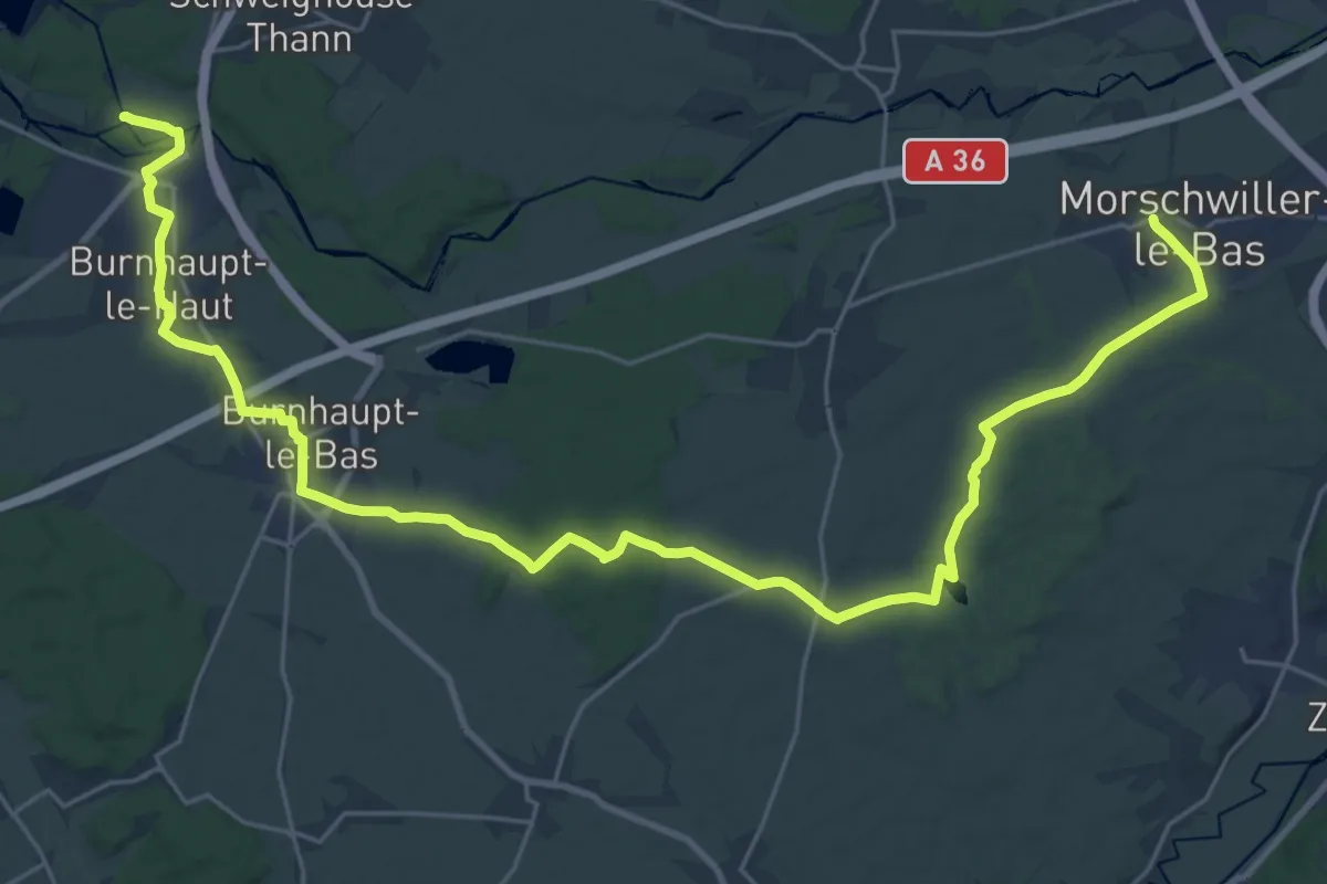
Medium · Trail
Mulhouse Dornach – Pont d'Aspach
16.7 km · ↑ 83 m · 4 h 22 min
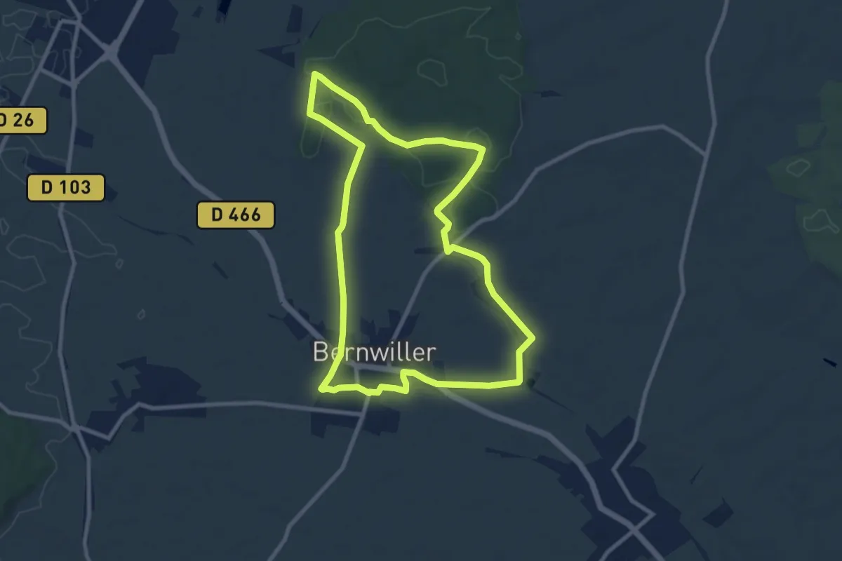
Medium · Trail
Bernwiller – Bernwiller
8.2 km · ↑ 45 m · 2 h 9 min
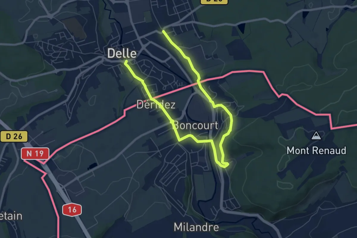
Easy · Trail
Delle – Delle
4.6 km · ↑ 67 m · 1 h 18 min
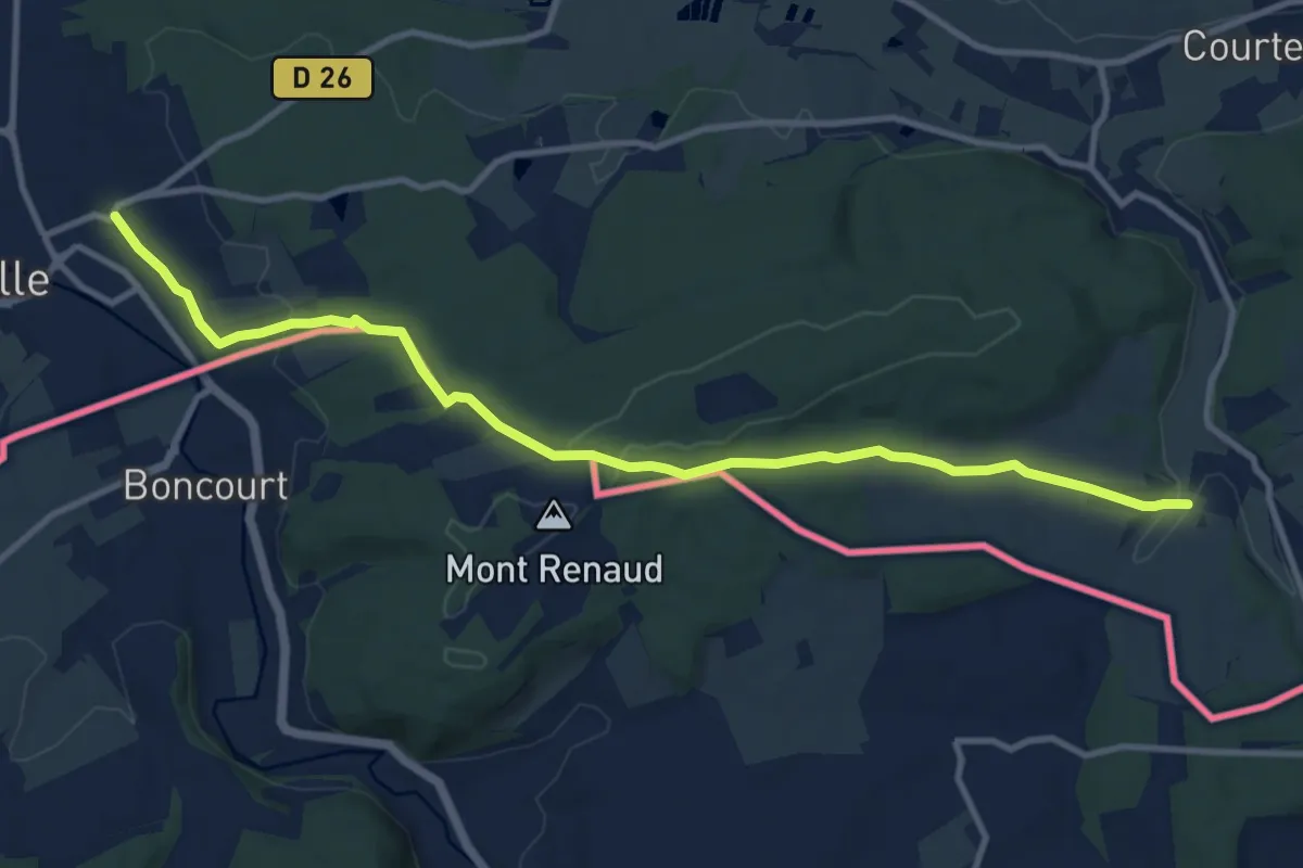
Medium · Trail
Delle – Réchésy
11.3 km · ↑ 226 m · 3 h 10 min
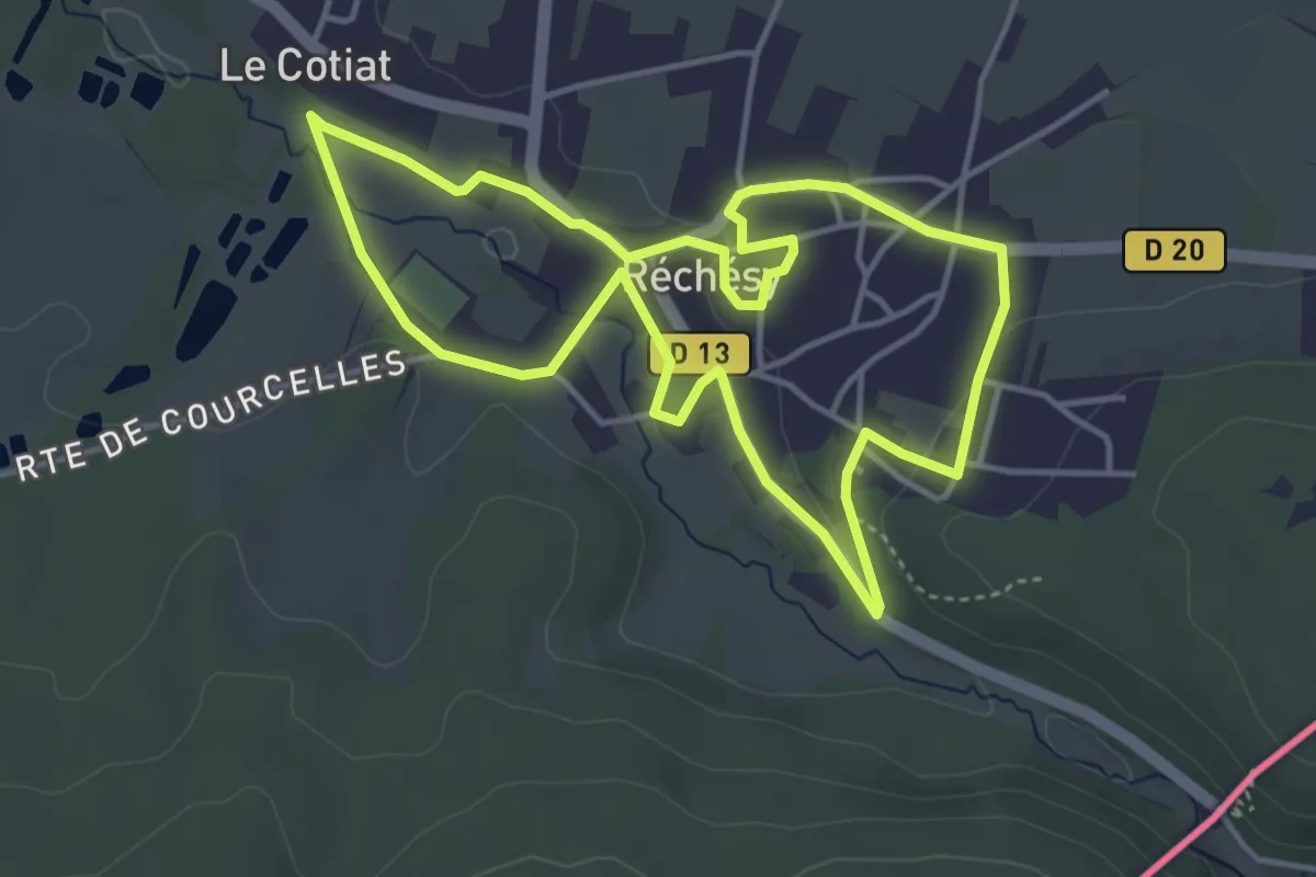
Easy · Trail
Réchésy – Réchésy
4.1 km · ↑ 45 m · 1 h 7 min
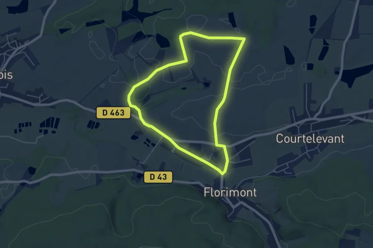
Easy · Trail
Florimont – Florimont
4.7 km · ↑ 31 m · 1 h 14 min
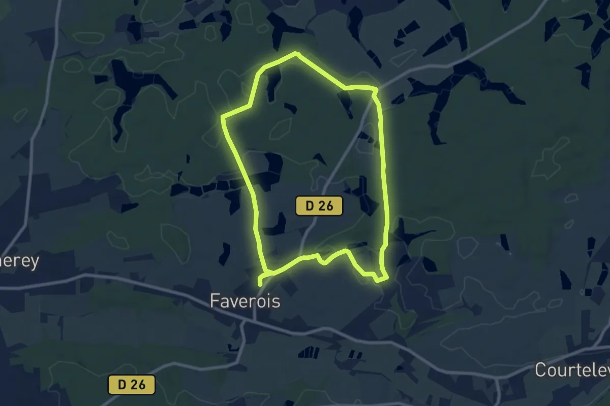
Easy · Trail
Faverois – Faverois
7.3 km · ↑ 66 m · 1 h 58 min
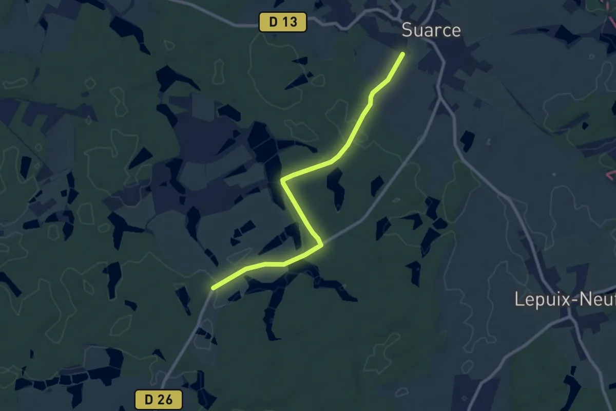
Easy · Trail
Ferme de l'Étang Fourchu – Suarce
7.7 km · ↑ 71 m · 1 h 59 min
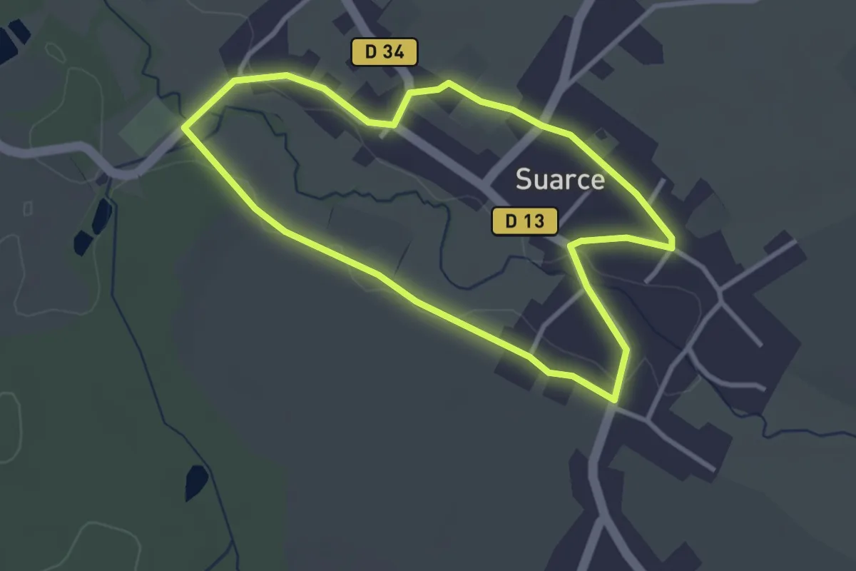
Easy · Trail
Suarce – Suarce
2.8 km · ↑ 13 m · 44 min
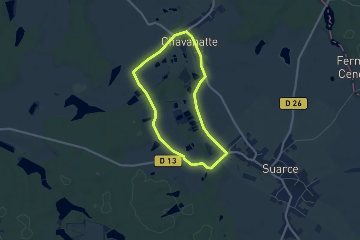
Easy · Trail
Suarce – Suarce
4.6 km · ↑ 22 m · 1 h 12 min
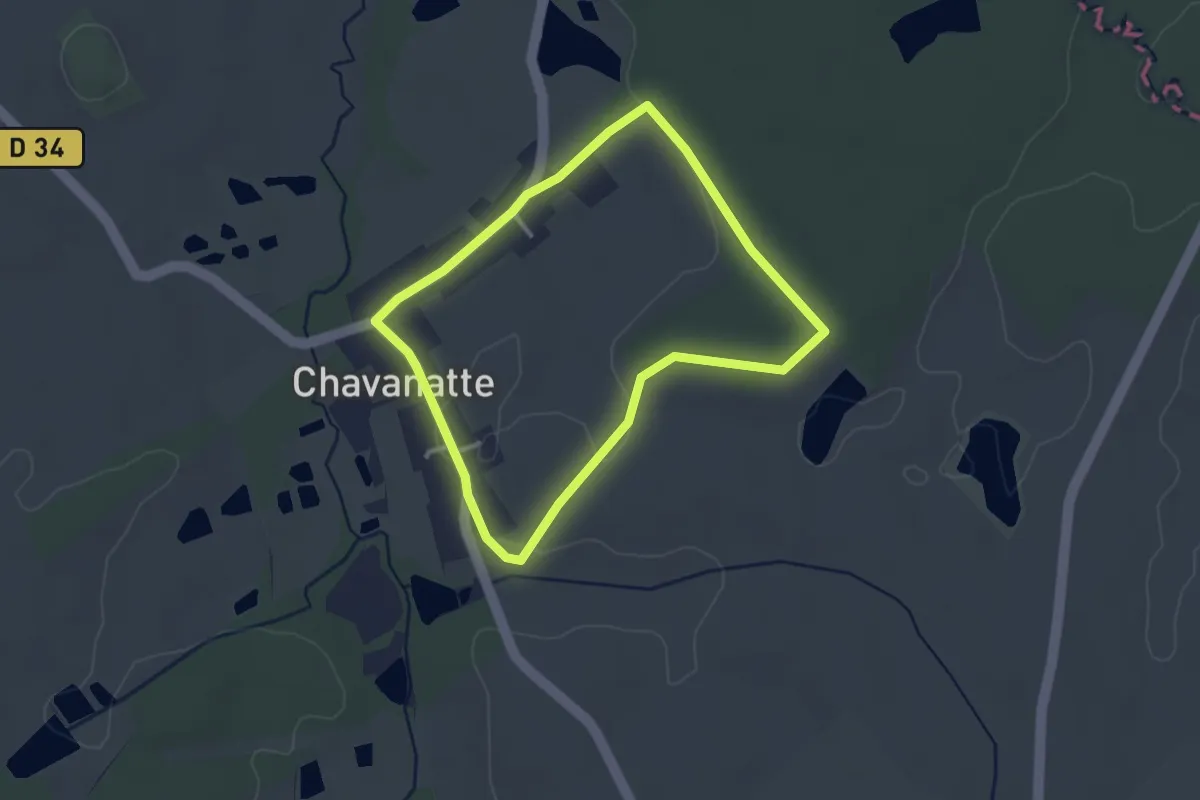
Easy · Trail
Chavanatte – Chavanatte
2.7 km · ↑ 18 m · 43 min
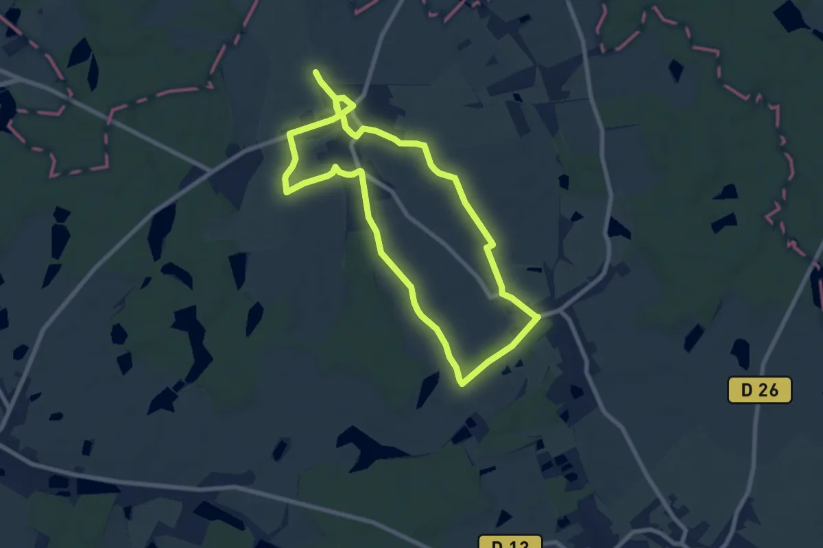
Easy · Trail
Chavannes-les-Grands – Chavannes-les-Grands
6.8 km · ↑ 26 m · 1 h 46 min
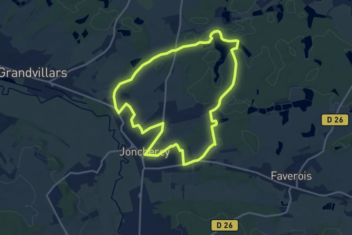
Medium · Trail
Joncherey – Joncherey
8.6 km · ↑ 108 m · 2 h 23 min
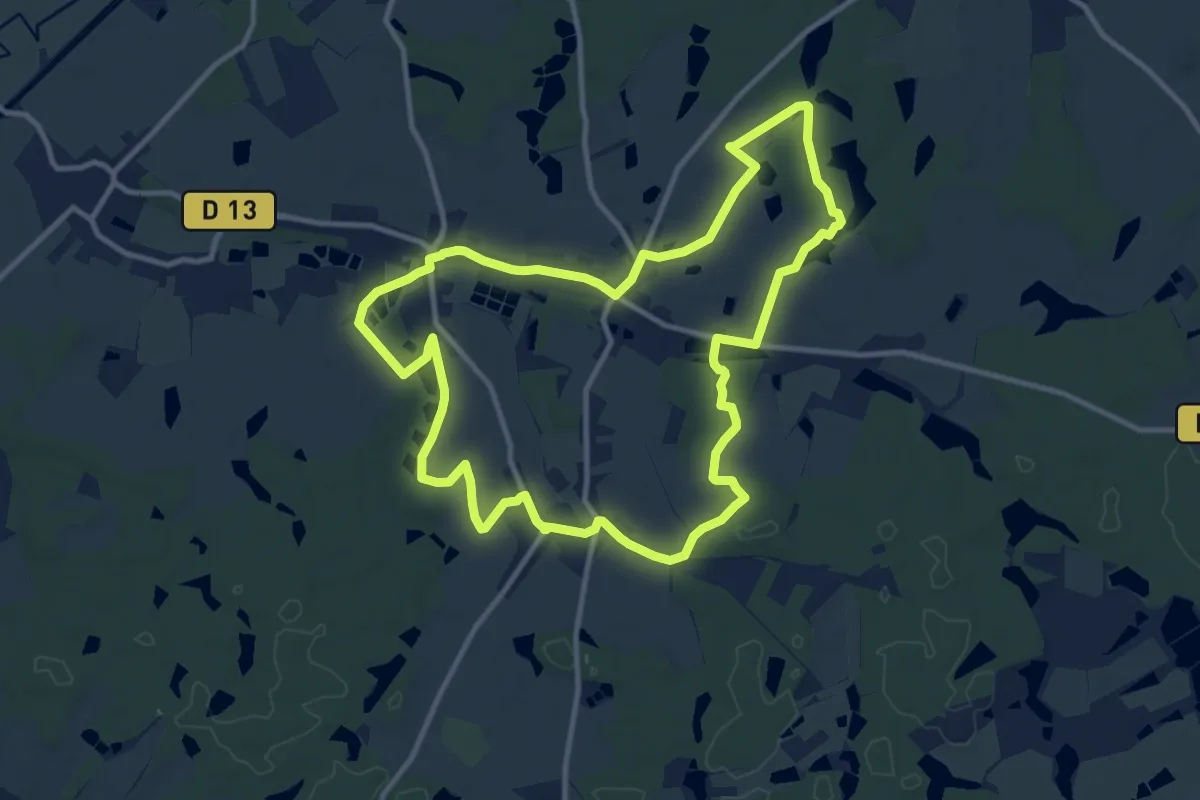
Medium · Trail
Boron – Boron
11.2 km · ↑ 91 m · 3 h
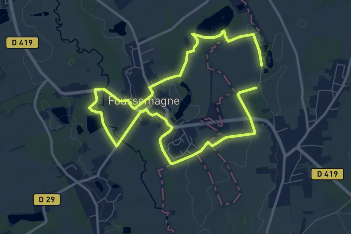
Easy · Trail
Foussemagne – Foussemagne
6.1 km · ↑ 21 m · 1 h 35 min
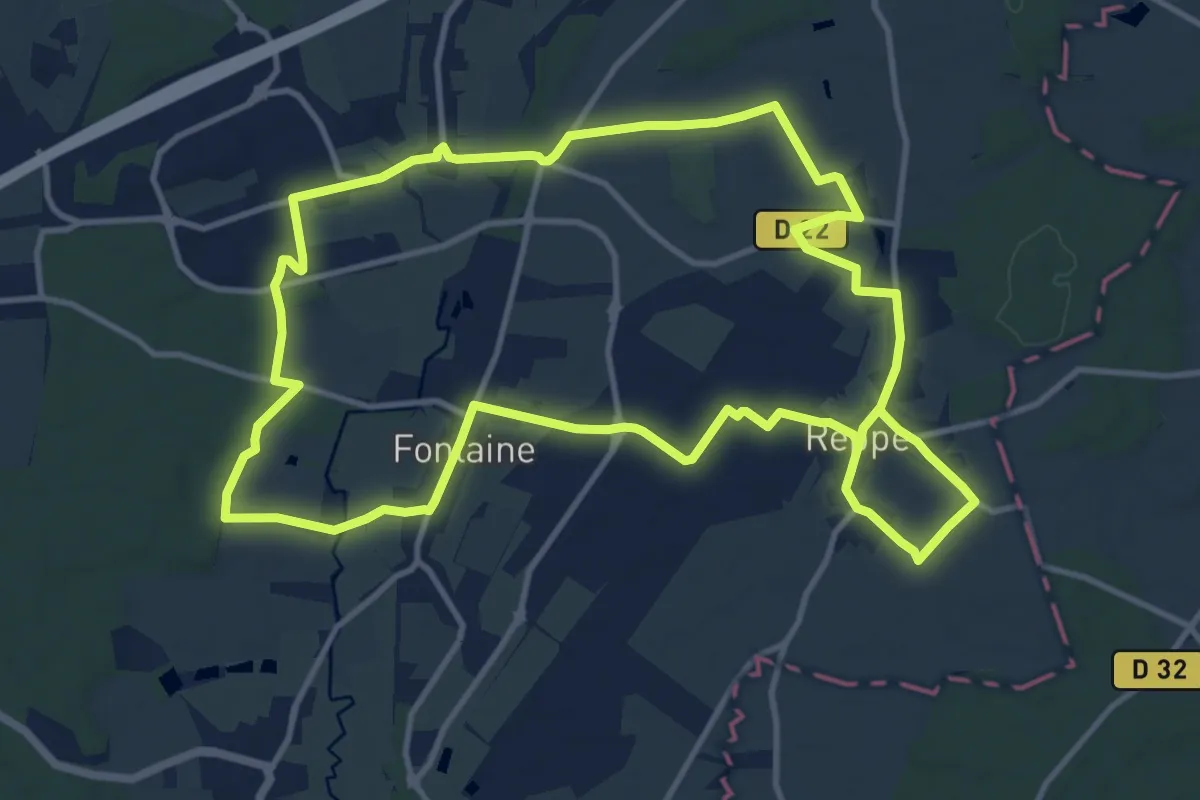
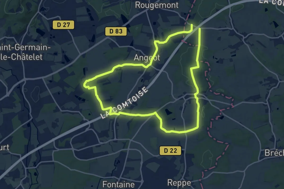
Medium · Trail
Fontaine – Fontaine
12.6 km · ↑ 56 m · 3 h 17 min
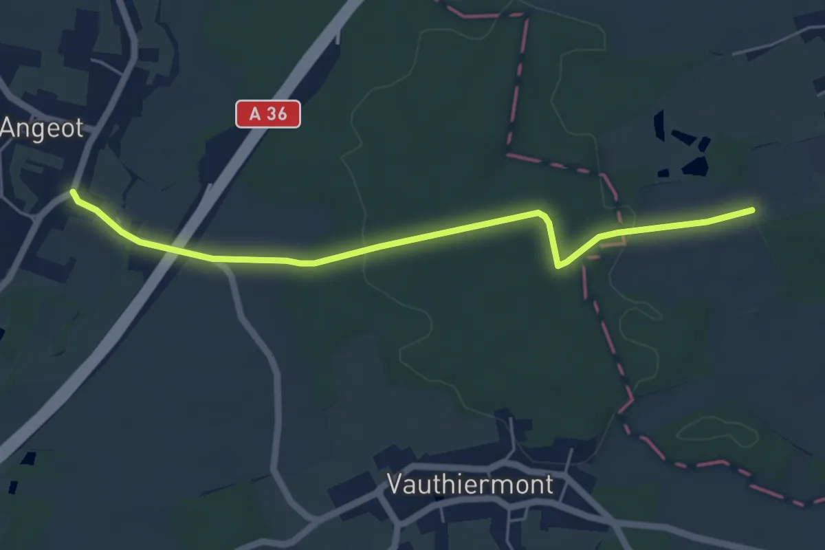
Medium · Trail
Vauthiermont – Vauthiermont
13.0 km · ↑ 118 m · 3 h 31 min
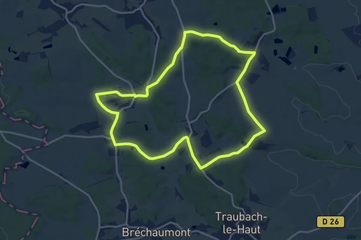
Easy · Trail
Angeot – Gildwiller
5.2 km · ↑ 88 m · 1 h 25 min
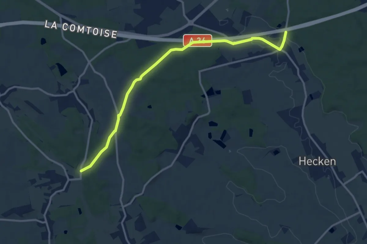
Medium · Trail
Bellemagny – Bellemagny
9.2 km · ↑ 169 m · 2 h 41 min
Medium · Trail
Bellemagny – GR 531
9.6 km · ↑ 132 m · 2 h 33 min
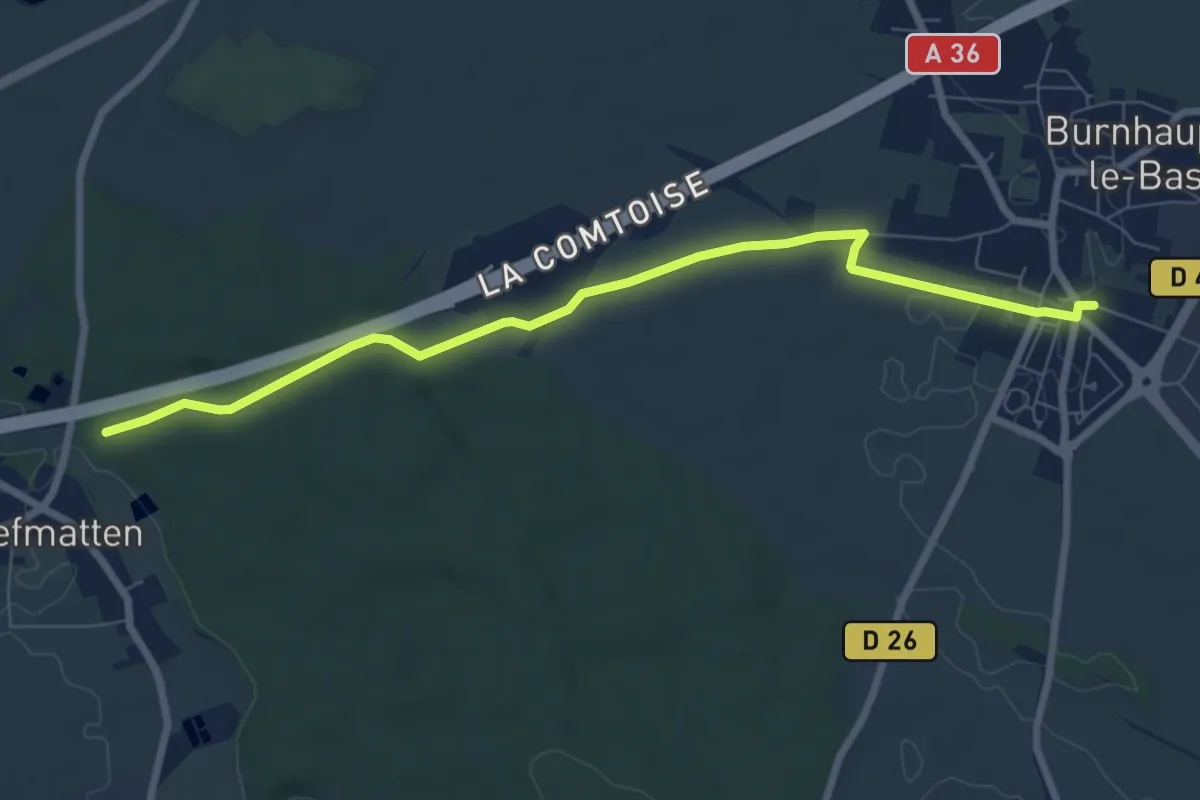
Easy · Trail
Brunhaupt-le-Bas – GR 531
7.6 km · ↑ 58 m · 1 h 56 min
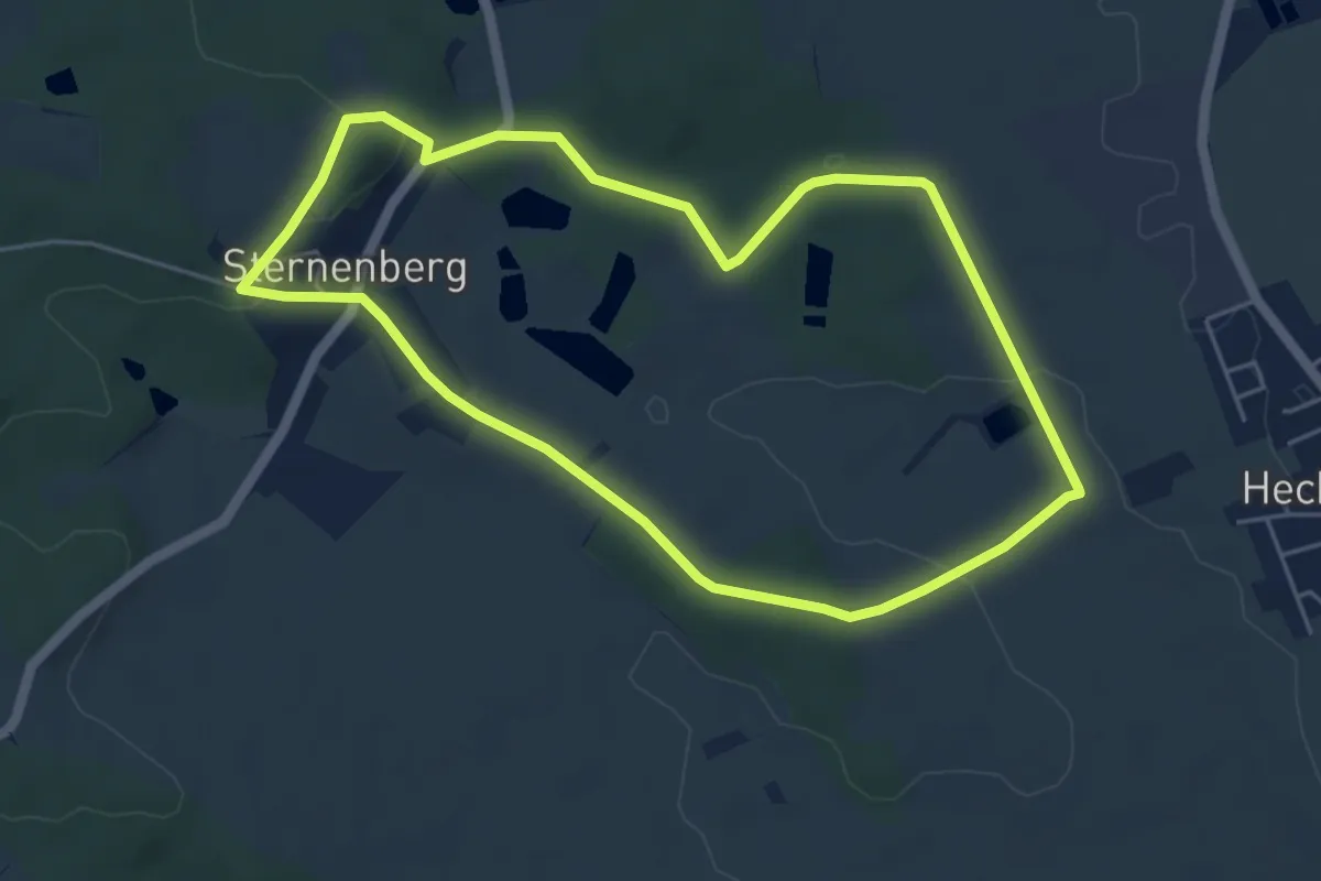
Easy · Trail
Sternenberg – Sternenberg
4.9 km · ↑ 79 m · 1 h 24 min
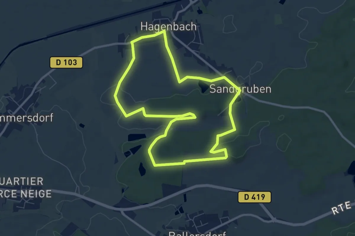
Easy · Trail
Hagenbach – Hagenbach
7.5 km · ↑ 109 m · 2 h 7 min
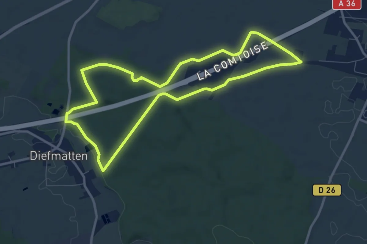
Easy · Trail
Brunhaupt-le-Bas – Brunhaupt-le-Bas
7.1 km · ↑ 83 m · 1 h 58 min
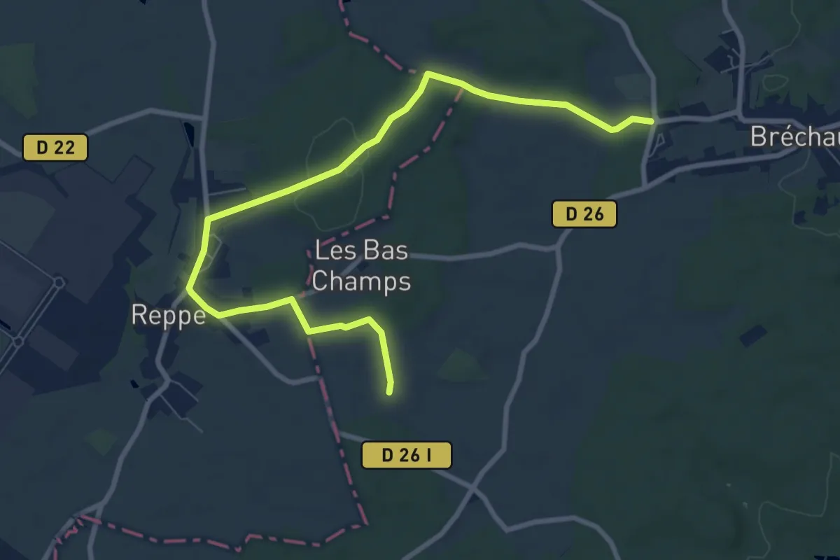
Easy · Trail
Reppe – Reppe
4.7 km · ↑ 68 m · 1 h 18 min
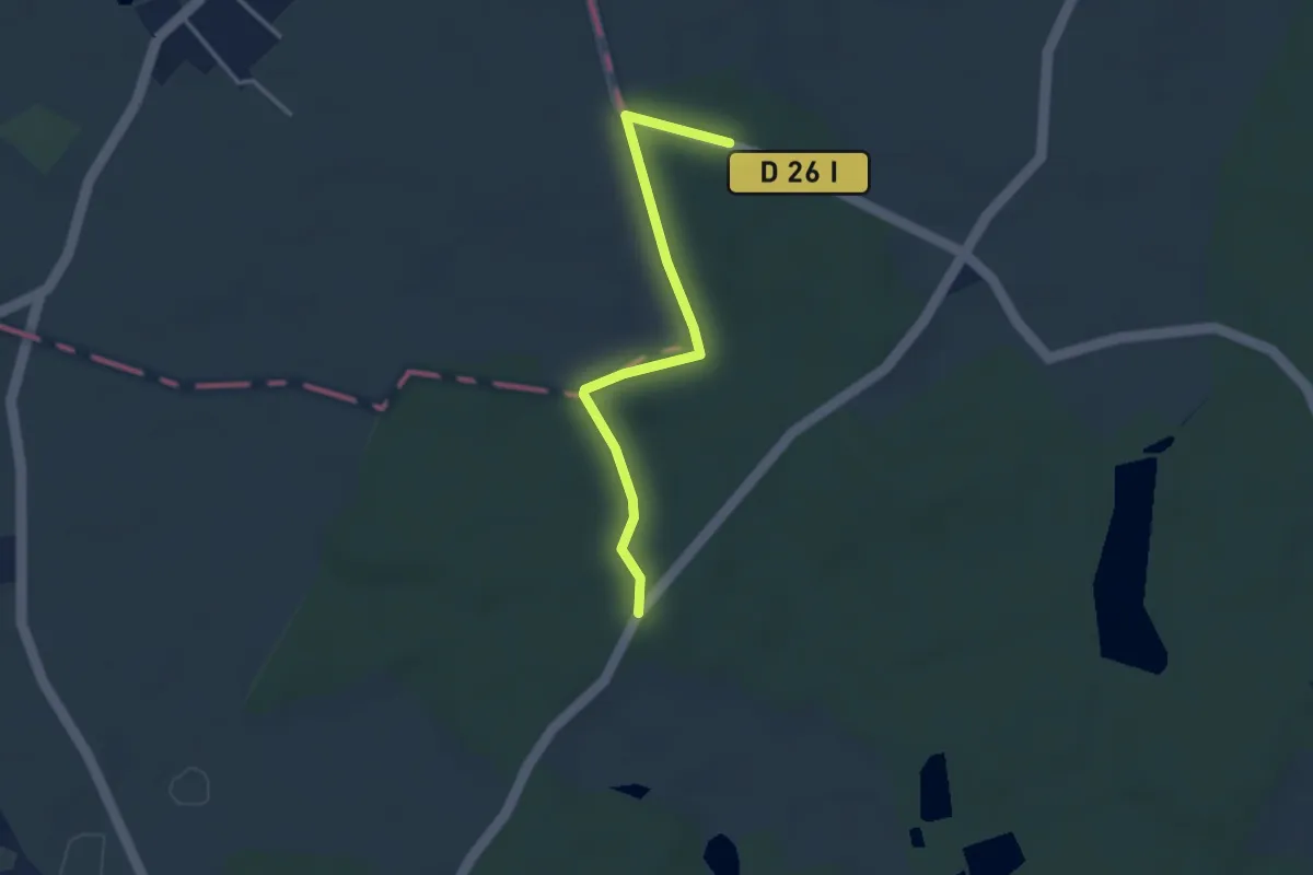
Easy · Trail
Chavannes-sur-l'Étang – Chavannes-sur-l'Étang
1.5 km · ↑ 4 m · 24 min
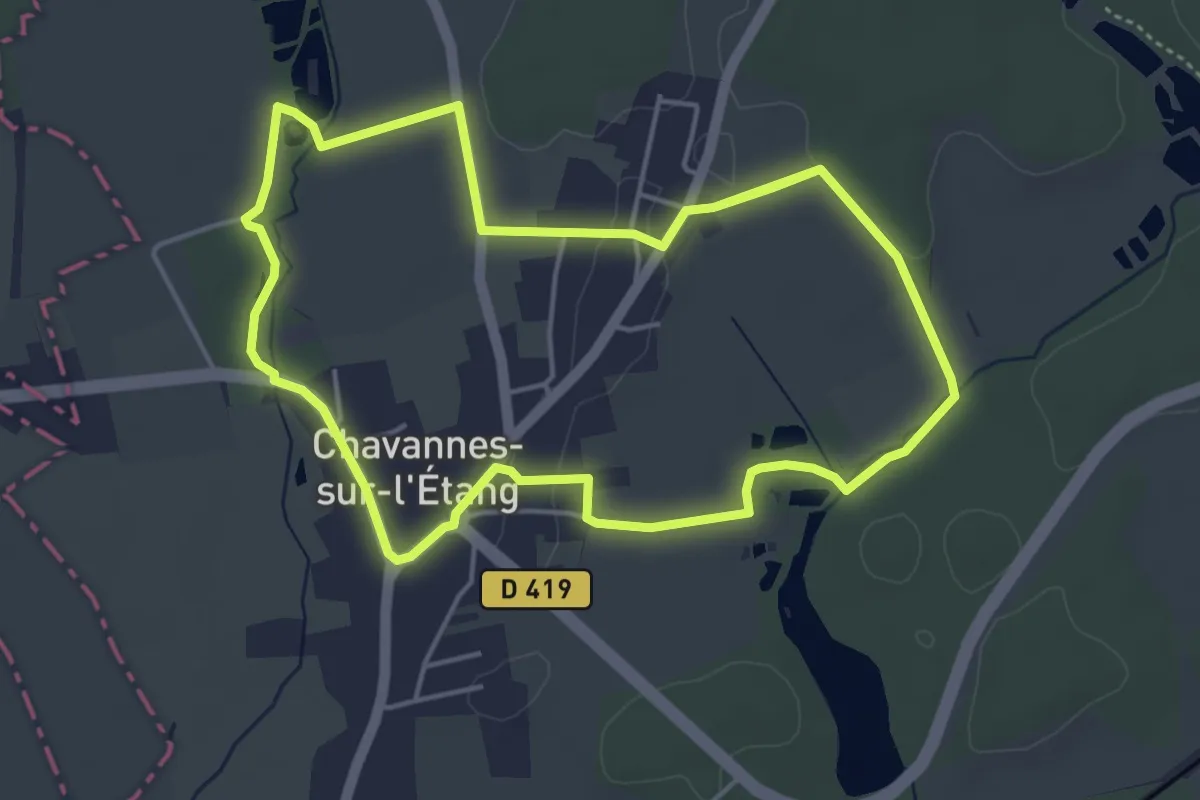
Easy · Trail
Chavannes-sur-l'Étang – Chavannes-sur-l'Étang
4.6 km · ↑ 25 m · 1 h 12 min
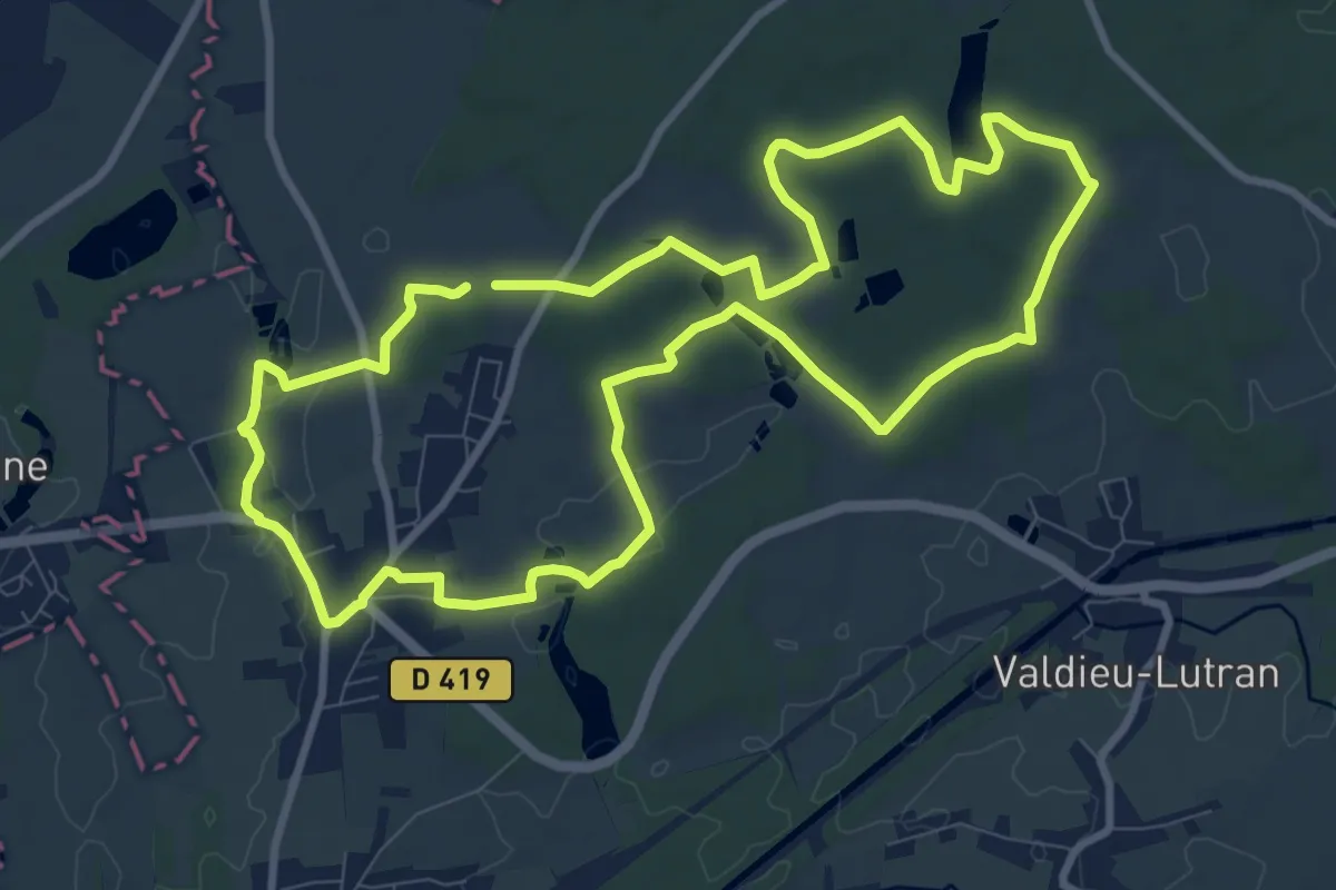
Medium · Trail
Chavannes-sur-l'Étang – Chavannes-sur-l'Étang
9.8 km · ↑ 62 m · 2 h 35 min