Trails in France
15,926 hiking trails, each with its route, climb, walking time and grade.
All trails, page 306 of 332
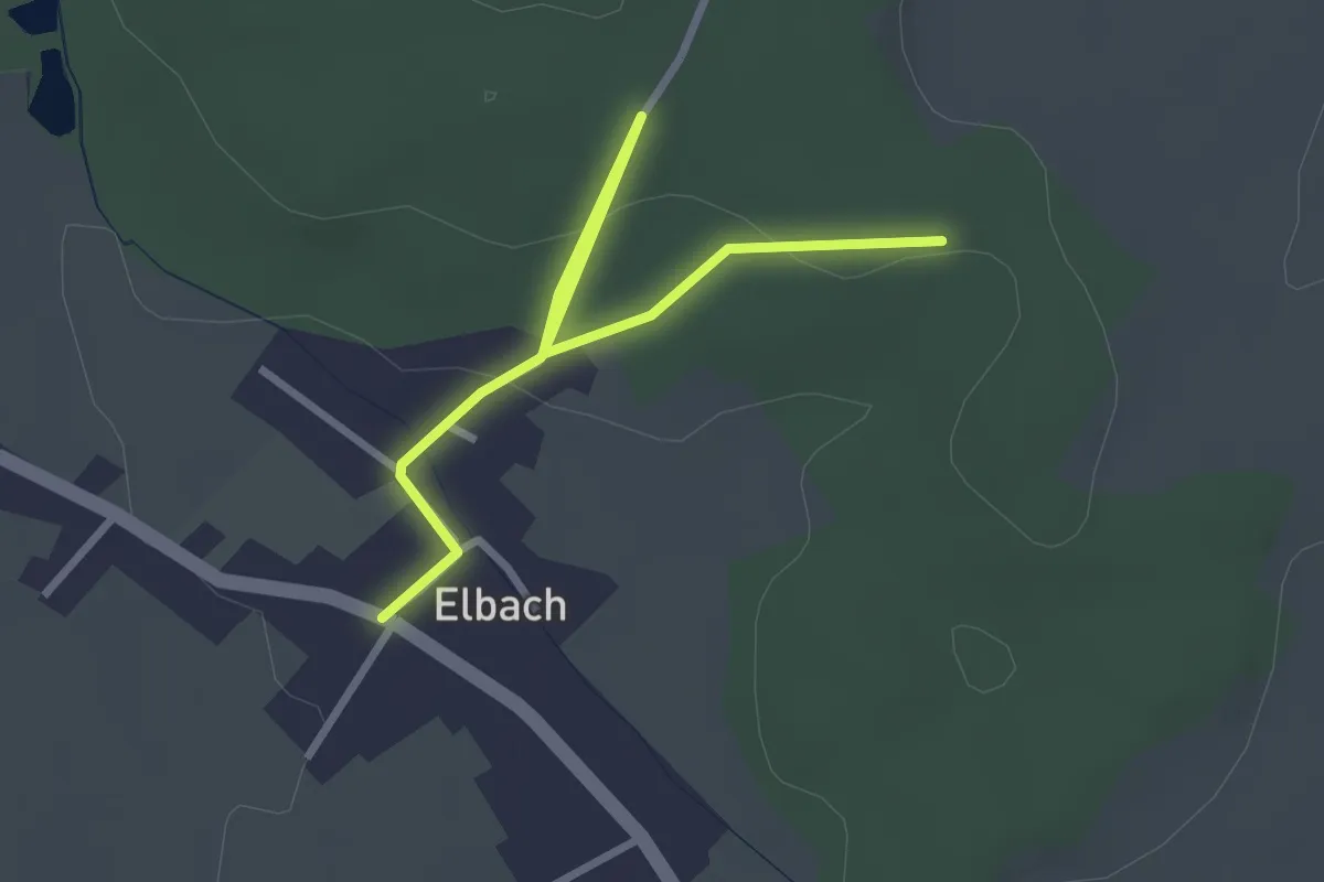
Easy · Trail
Elbach – Jaune blanc jaune
3.1 km · ↑ 70 m · 53 min
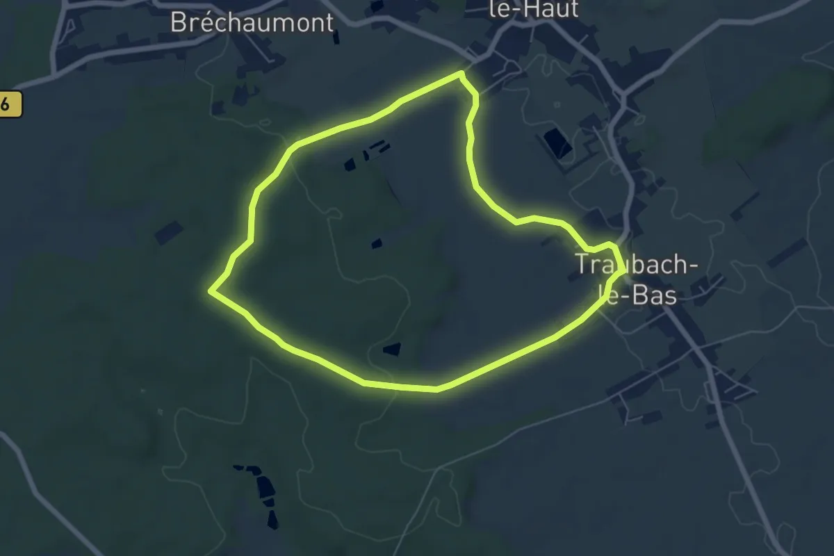
Easy · Trail
Traubach-le-Bas – Traubach-le-Bas
5.8 km · ↑ 89 m · 1 h 38 min
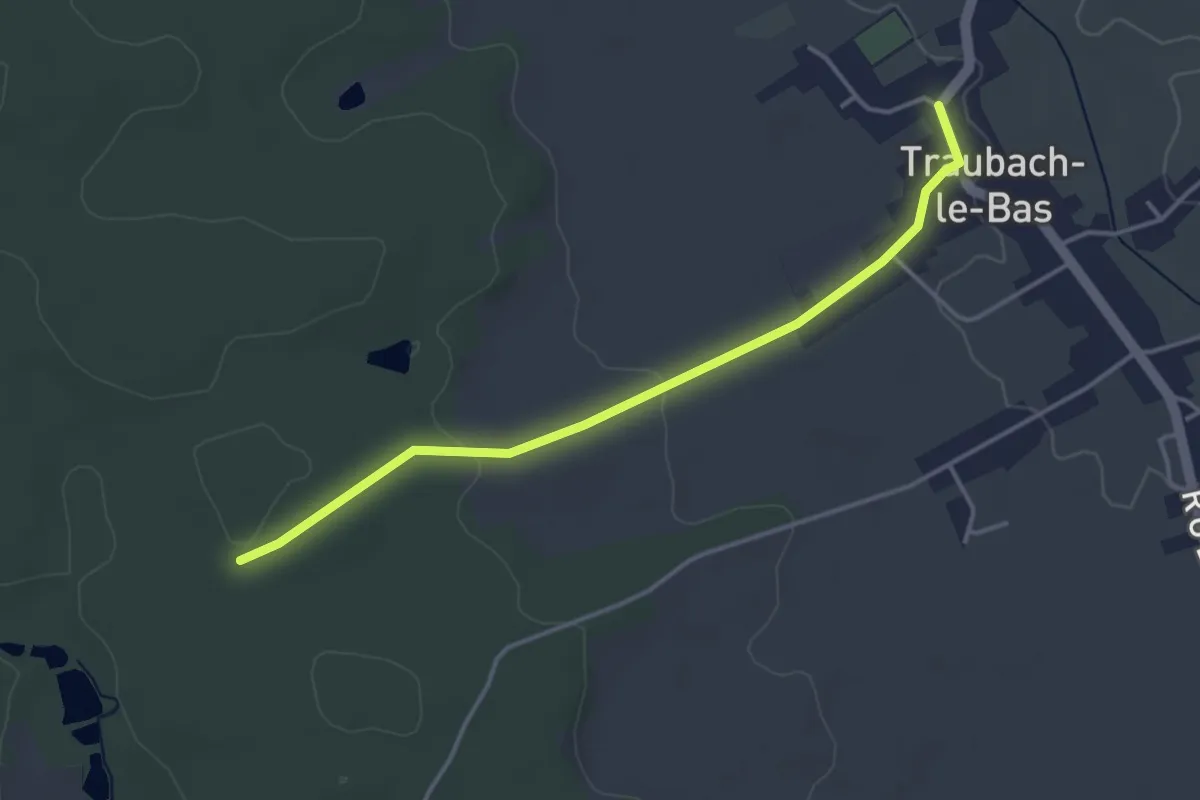
Easy · Trail
Traubach-le-Bas – Jaune blanc jaune
3.7 km · ↑ 56 m · 1 h
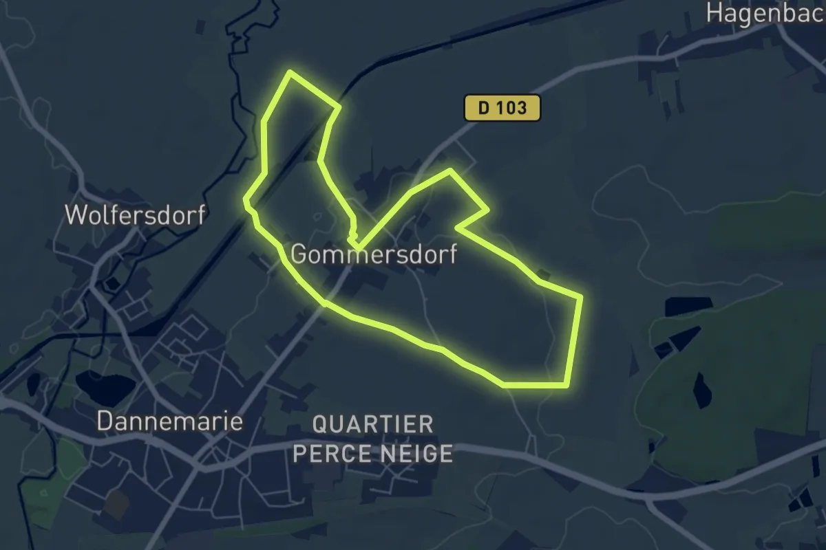
Easy · Trail
Gommersdorf – Gommersdorf
6.0 km · ↑ 44 m · 1 h 35 min
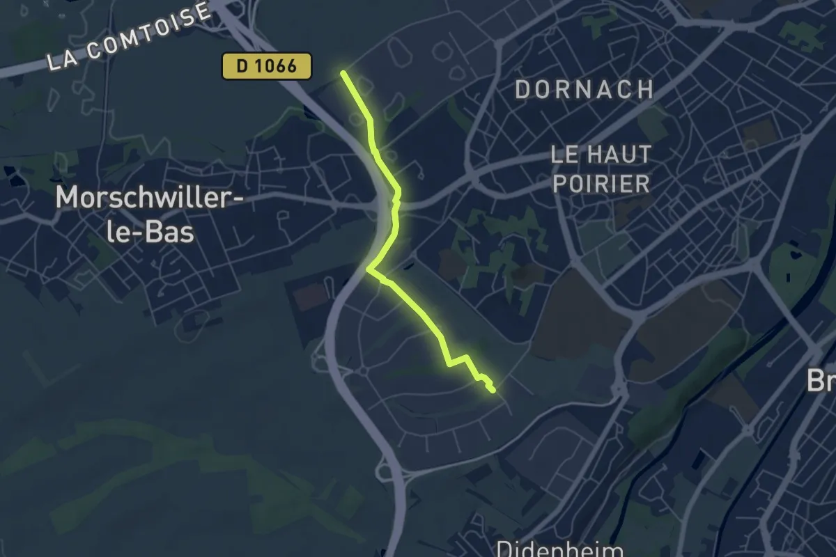
Easy · Trail
Institut universitaire de technologie – U Logistique
4.7 km · ↑ 30 m · 1 h 11 min
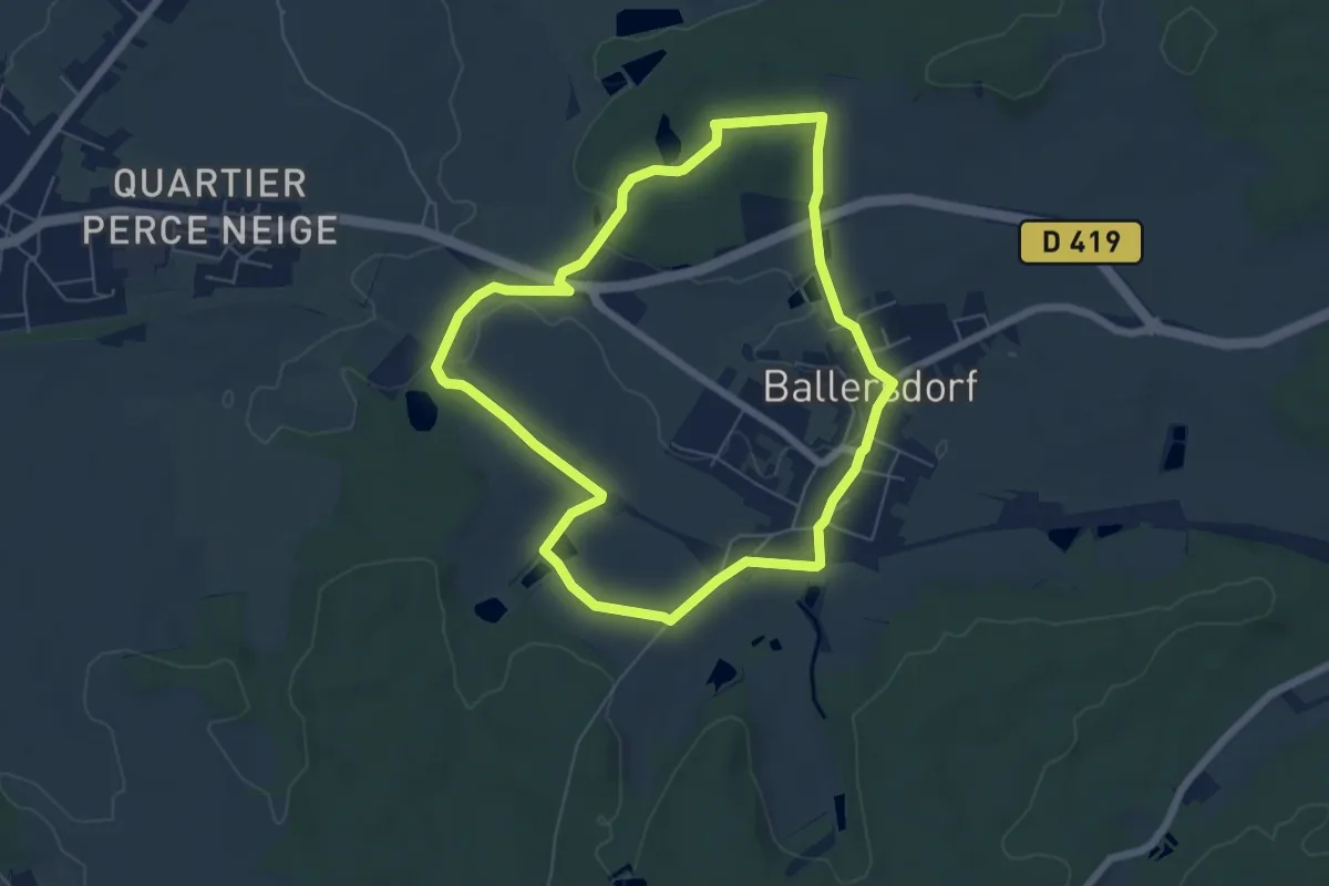
Easy · Trail
Ballersdorf – Ballersdorf
6.0 km · ↑ 71 m · 1 h 39 min
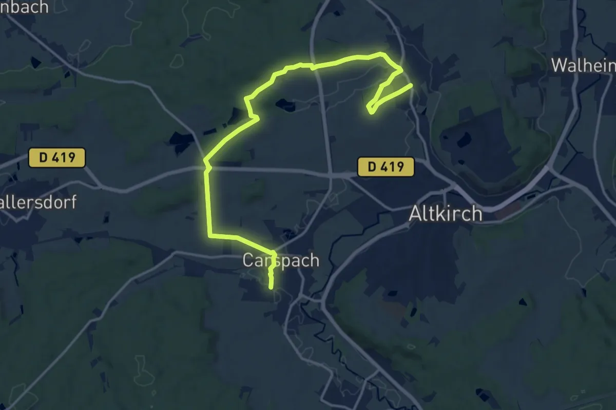
Medium · Trail
Aspach – Carspach
15.9 km · ↑ 289 m · 4 h 22 min
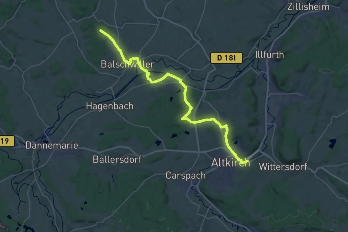
Demanding · Trail
Altkirch Hôpital Saint-Morand – GR 531
28.4 km · ↑ 344 m · 7 h 28 min
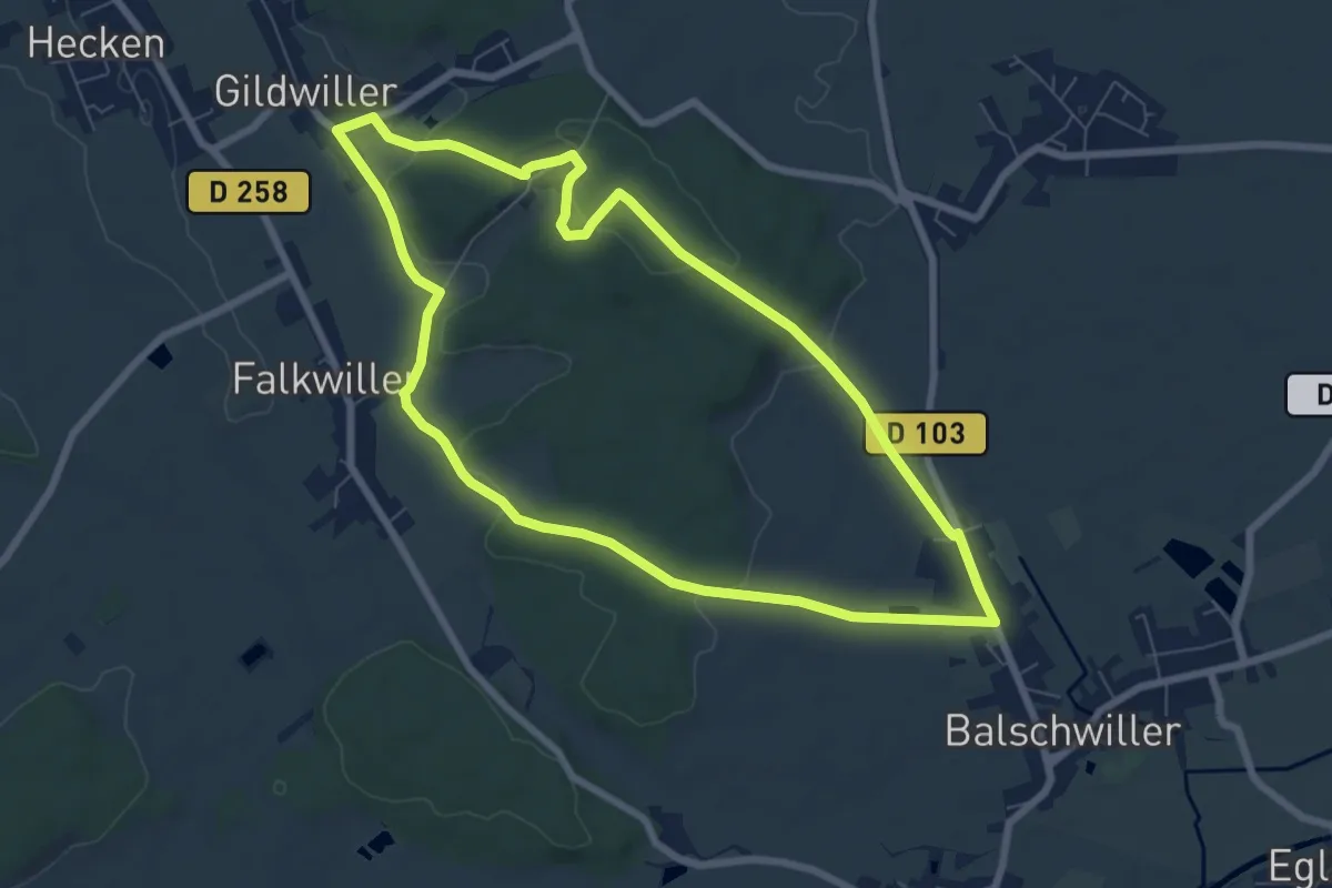
Easy · Trail
Gildwiller – Gildwiller
7.2 km · ↑ 129 m · 2 h 5 min
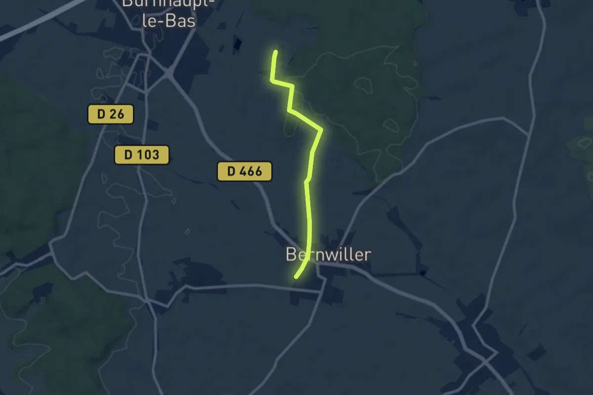
Easy · Trail
Bernwiller – Benzhurst
6.6 km · ↑ 48 m · 1 h 40 min
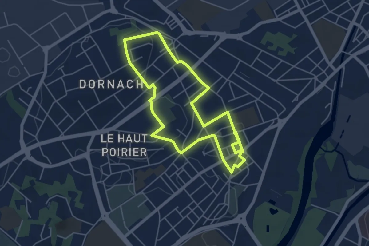
Easy · Trail
Gare de Dornach – Gare de Dornach
4.0 km · ↑ 35 m · 1 h 5 min
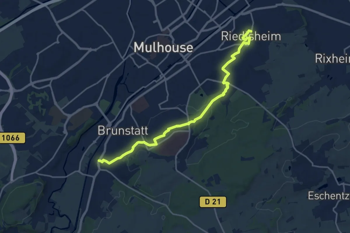
Medium · Trail
Riedisheim – Brunstatt
13.6 km · ↑ 193 m · 3 h 38 min
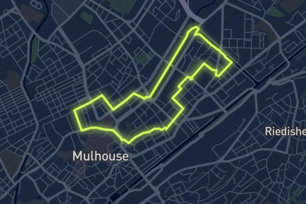
Easy · Trail
Nouveau Bassin – Nouveau Bassin
5.7 km · ↑ 9 m · 1 h 26 min
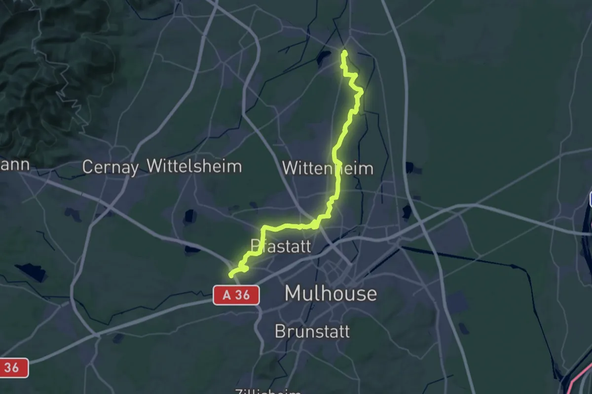
Demanding · Trail
Lutterbach – Ensisheim
20.9 km · ↑ 13 m · 5 h 16 min
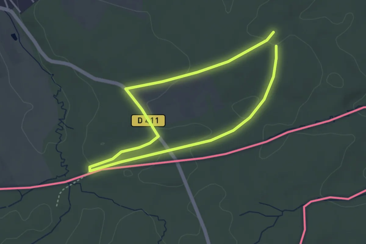
Easy · Trail
Pfetterhouse – Pfetterhouse
3.1 km · ↑ 36 m · 50 min
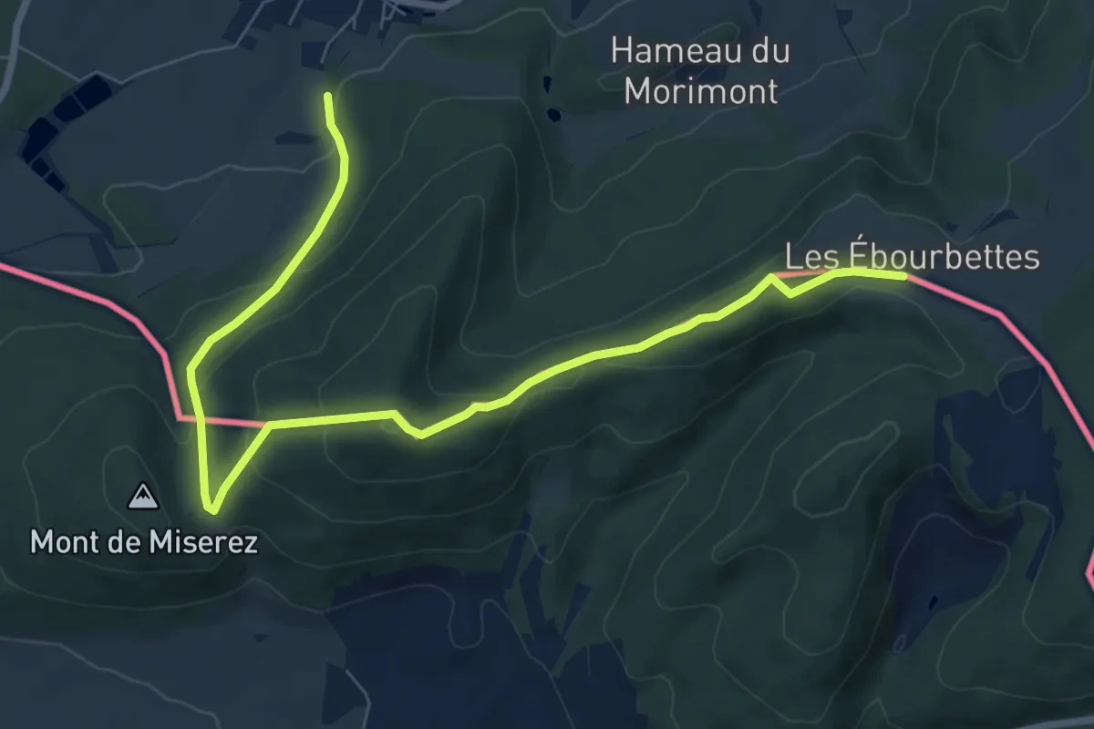
Medium · Trail
Liebsdorf – Ferme Ébourbette
8.8 km · ↑ 374 m · 2 h 53 min
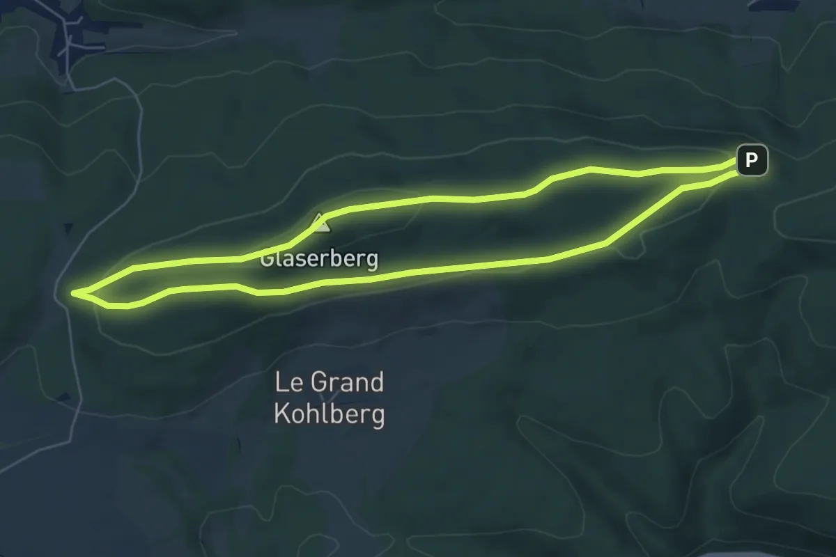
Easy · Summit
Bildstoeckle – Bildstoeckle
5.9 km · ↑ 150 m · 1 h 48 min
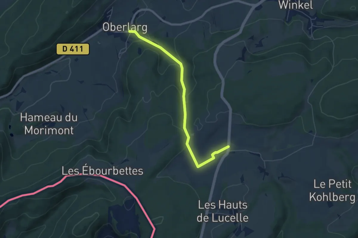
Easy · Trail
Oberlarg – Les Verreries
5.7 km · ↑ 215 m · 1 h 49 min
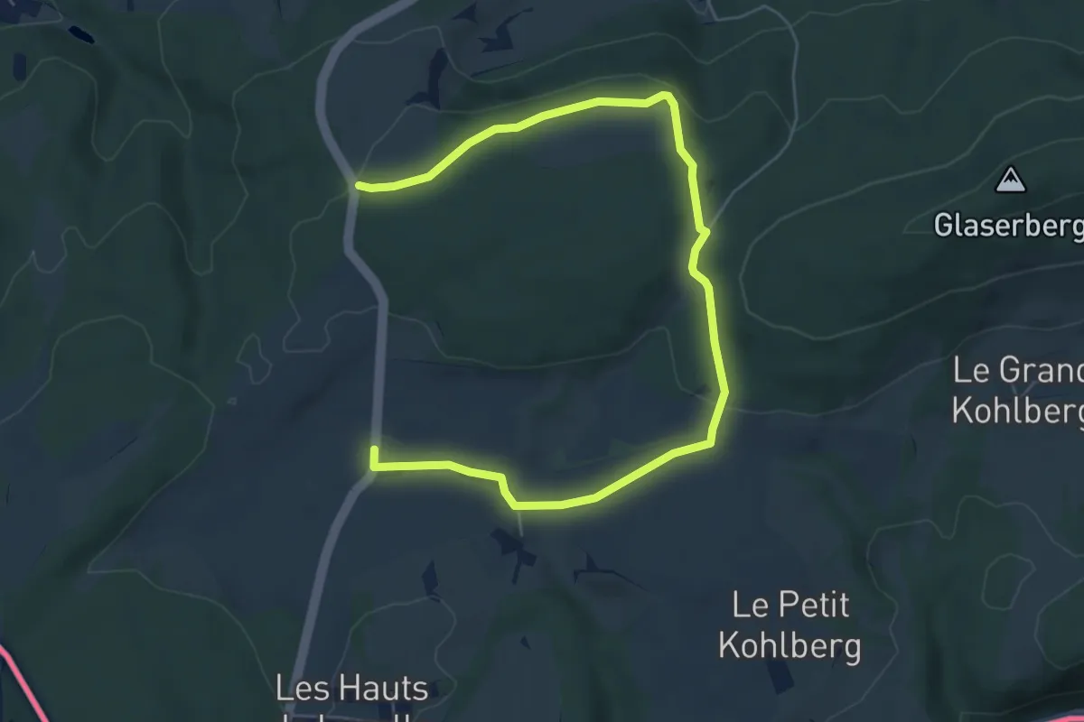
Easy · Trail
Les Verreries – Louis Ritt
7.5 km · ↑ 143 m · 2 h 4 min
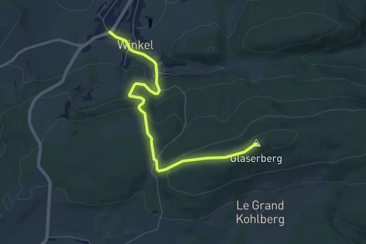
Easy · Summit
Winkel – Col de Neuneich
6.7 km · ↑ 272 m · 2 h 11 min
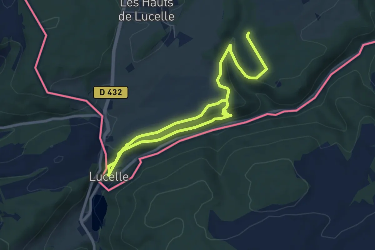
Medium · Trail
Petit Kohlberg – Lucelle
9.2 km · ↑ 288 m · 2 h 48 min
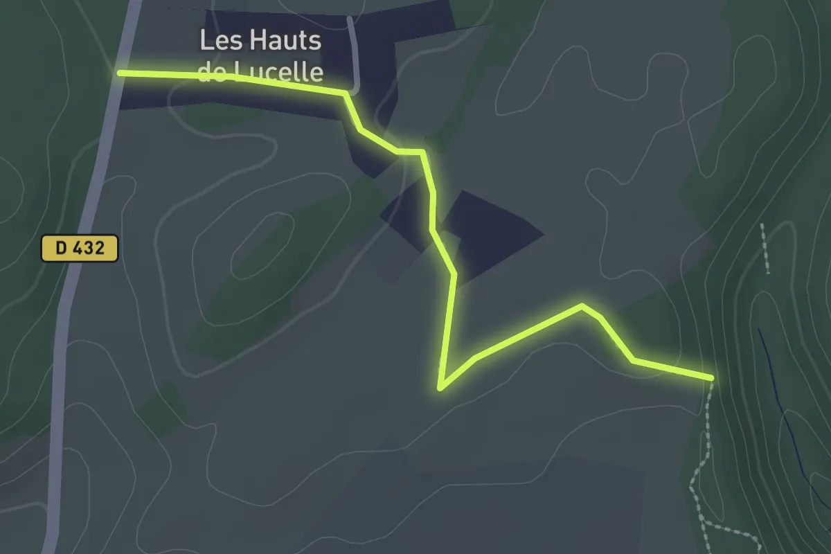
Easy · Trail
Saegergraben – D432
2.8 km · ↑ 38 m · 44 min
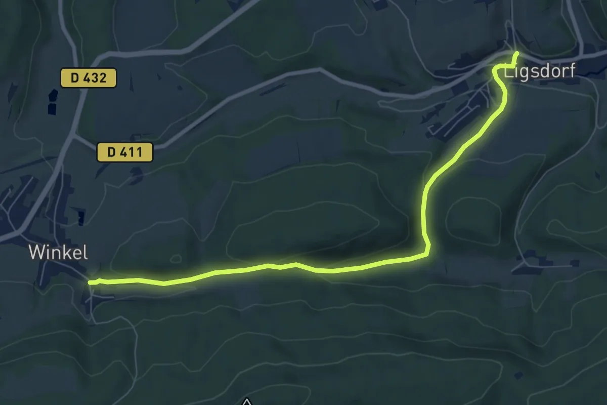
Easy · Trail
Winkel – Liegsdorf
7.9 km · ↑ 246 m · 2 h 24 min
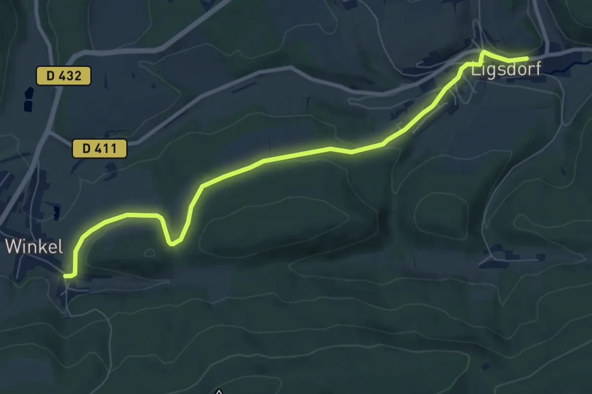
Medium · Trail
Liegsdorf – Winkel
8.2 km · ↑ 172 m · 2 h 19 min
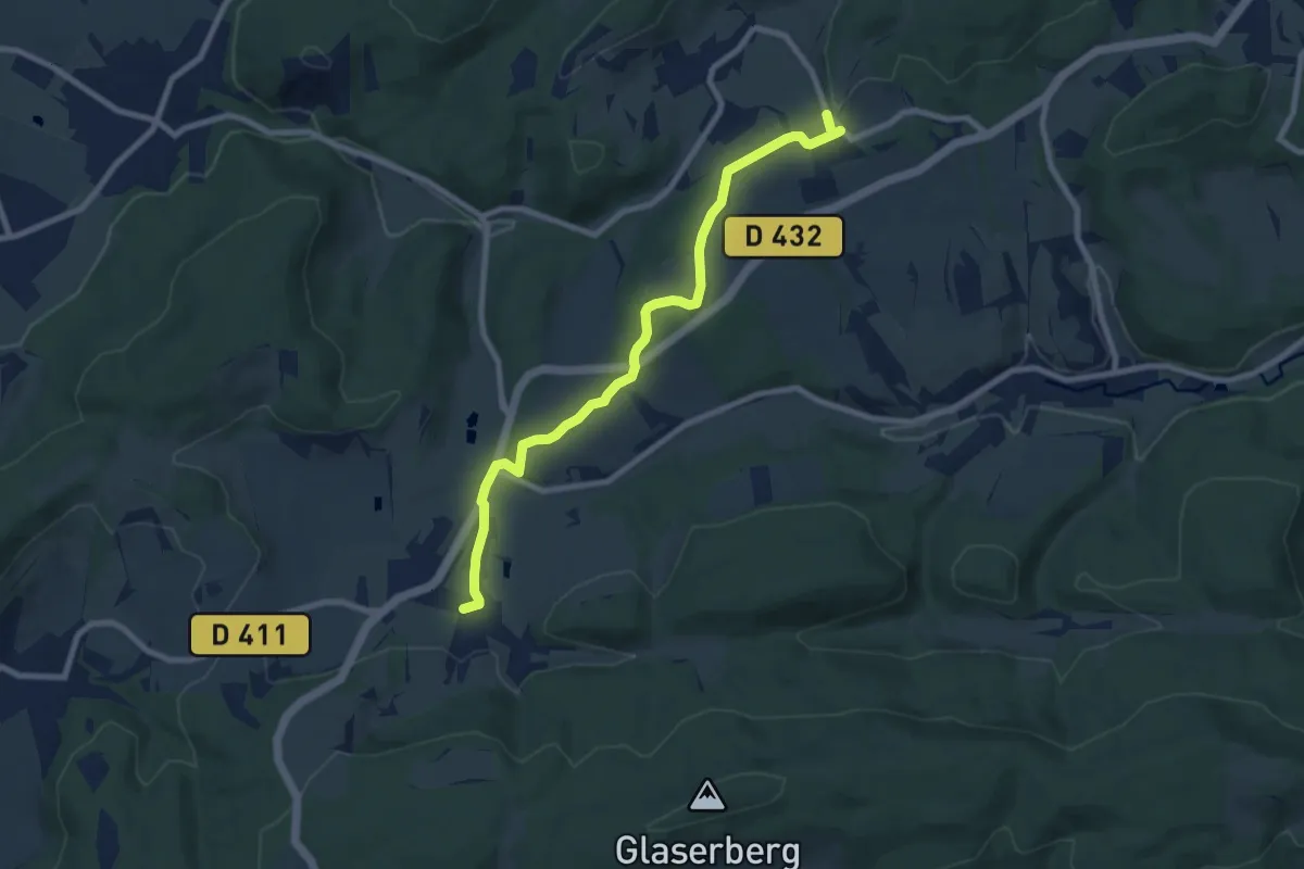
Medium · Trail
Winkel – Alte Ruet
8.4 km · ↑ 126 m · 2 h 16 min
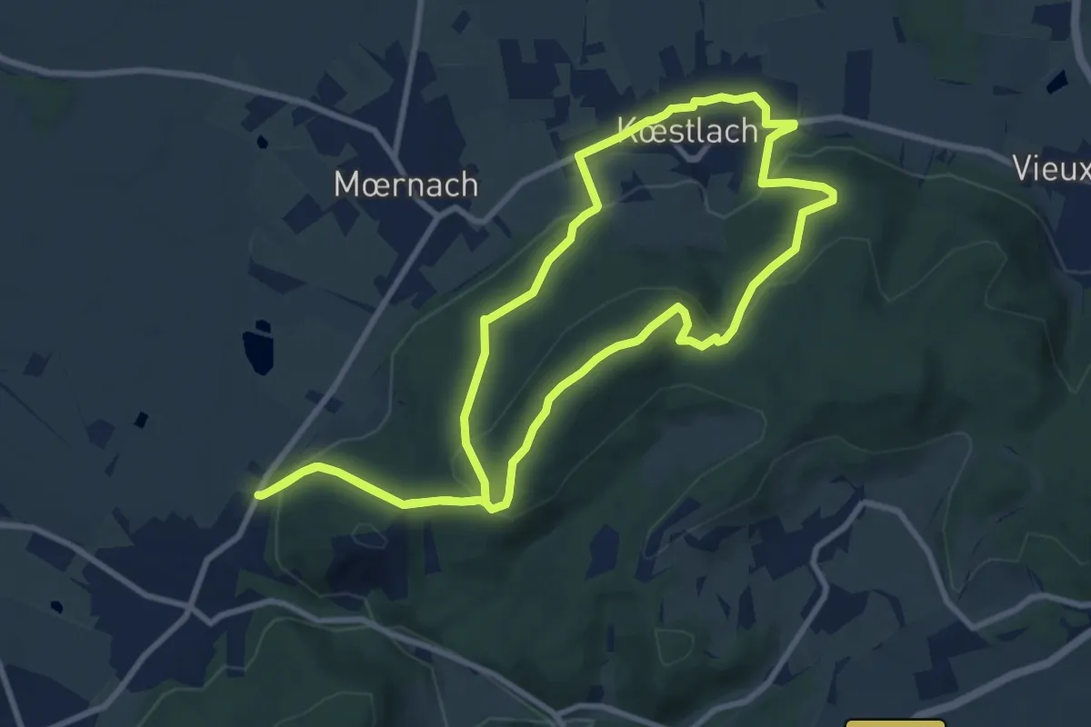
Demanding · Trail
Durlinsdorf – Durlinsdorf
9.2 km · ↑ 364 m · 3 h 5 min
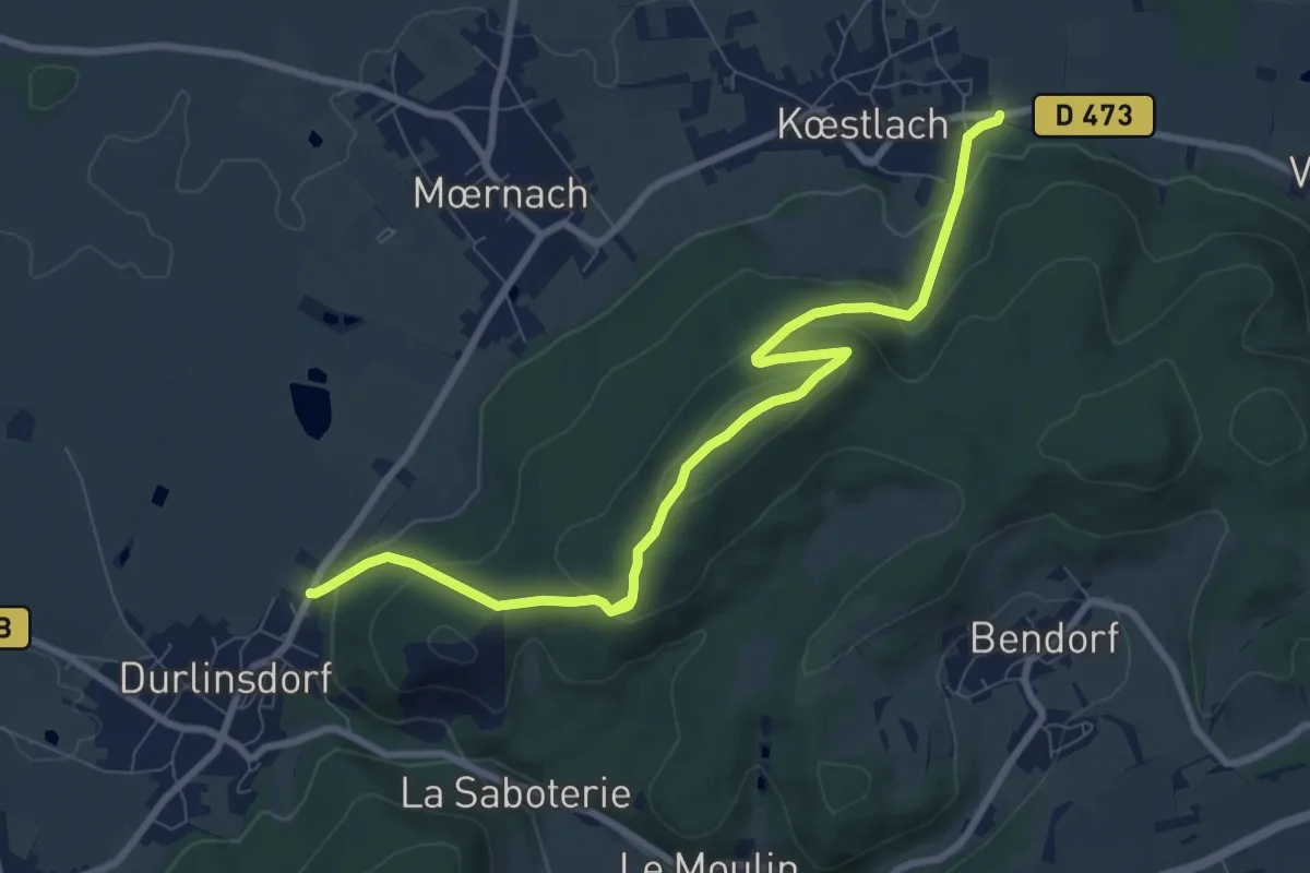
Demanding · Trail
Durlinsdorf – Koestrach
9.4 km · ↑ 376 m · 3 h 2 min
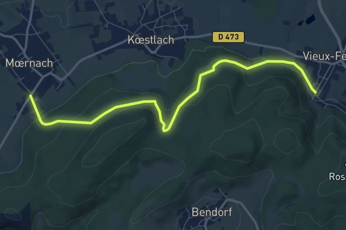
Medium · Trail
Moernach – Vieux-Ferrette
8.7 km · ↑ 332 m · 2 h 47 min
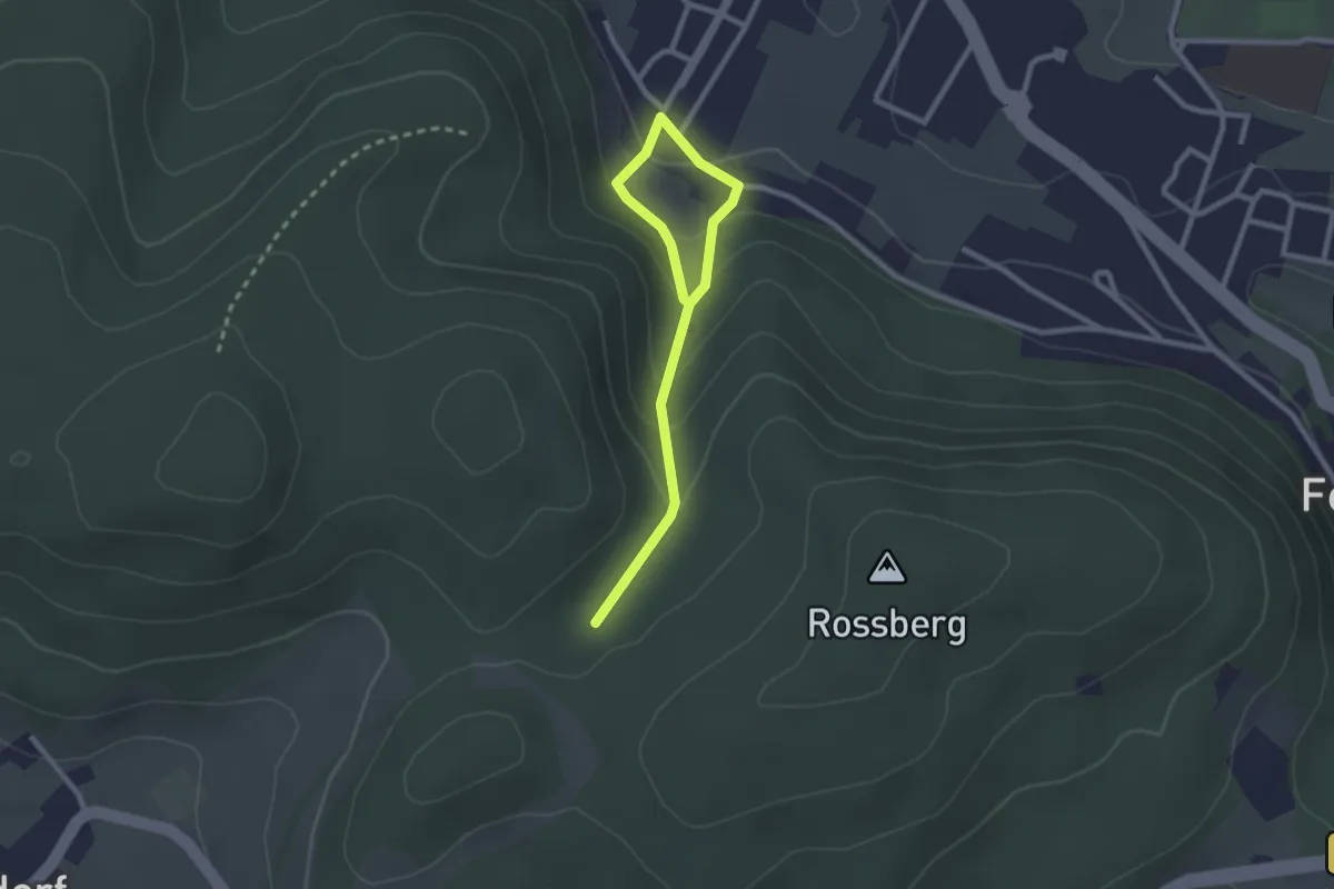
Easy · Trail
Vieux-Ferrette – GR 532
2.8 km · ↑ 165 m · 1 h 1 min
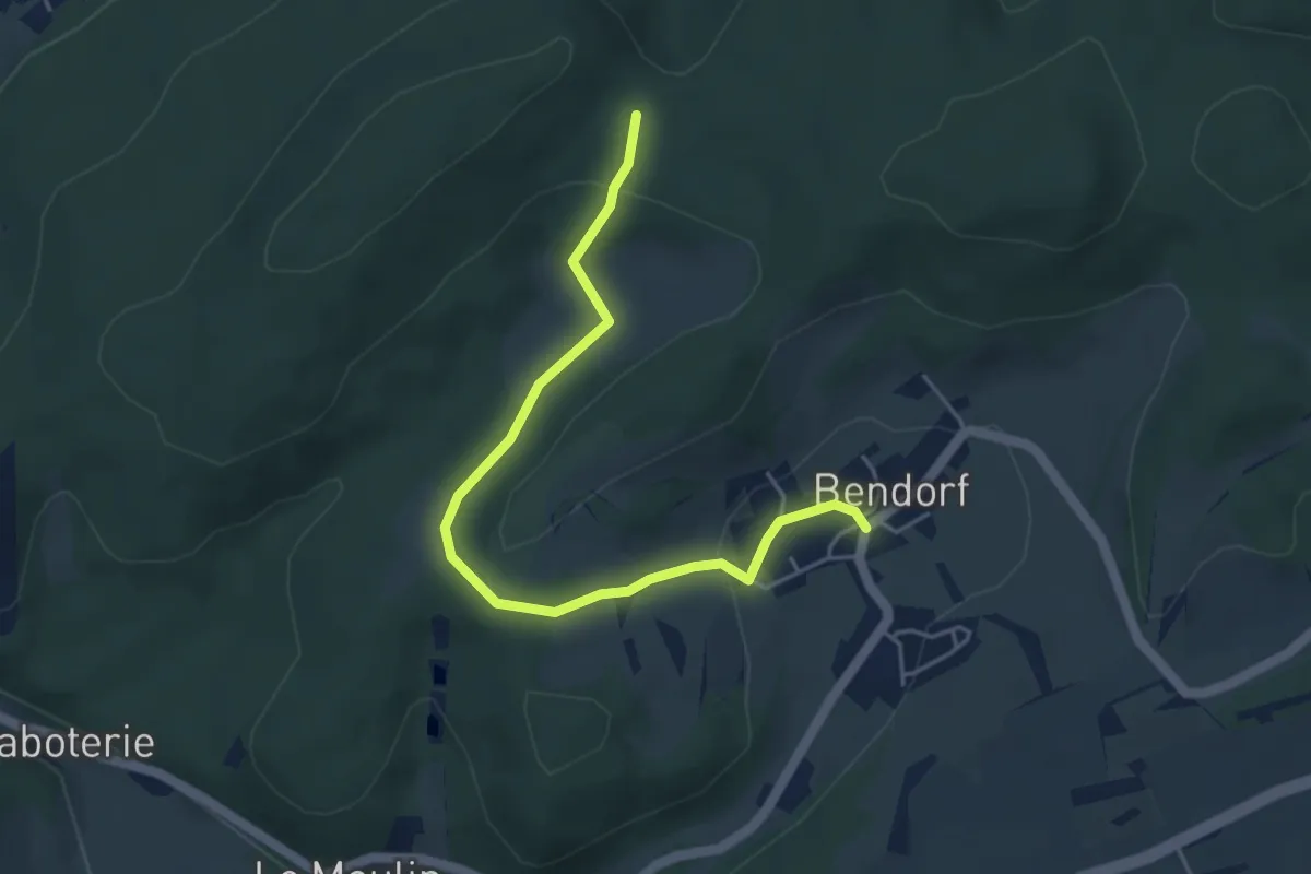
Easy · Trail
Bendorf – GR 532
4.8 km · ↑ 143 m · 1 h 26 min
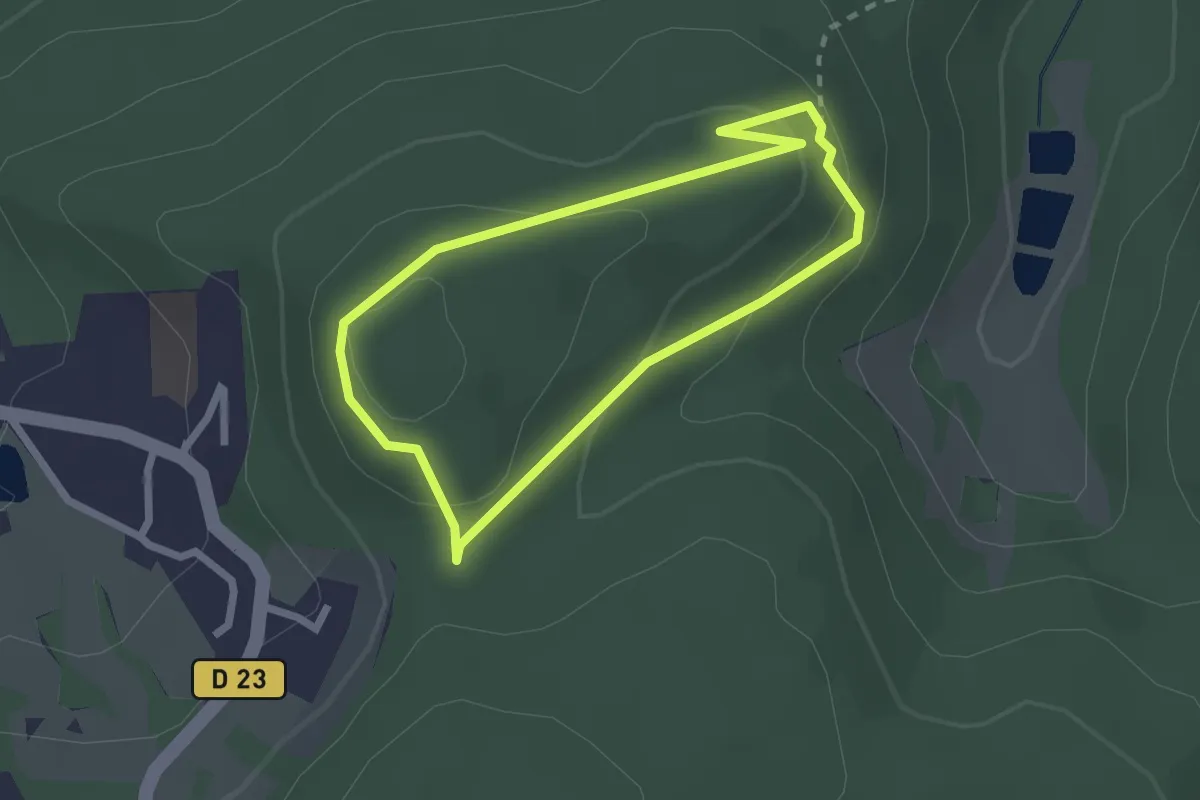
Easy · Trail
Ferrette Heidenflueh – Ferrette Heidenflueh
2.0 km · ↑ 76 m · 39 min
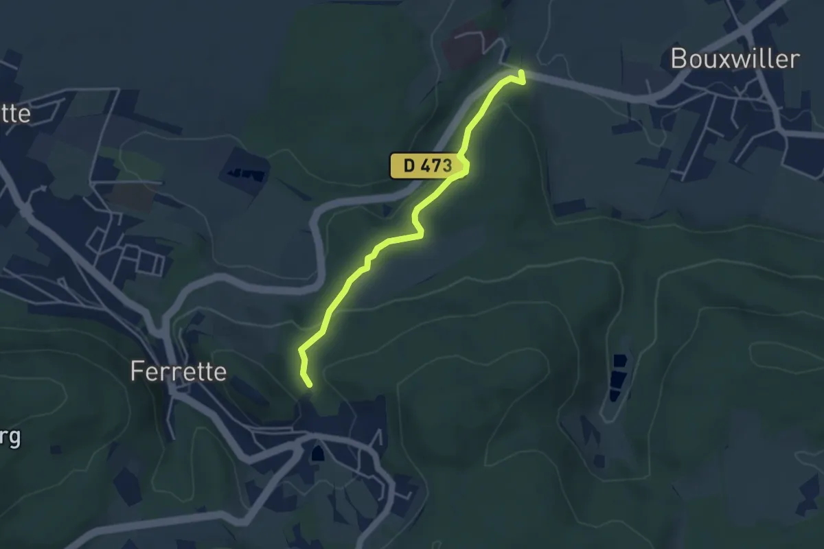
Easy · Trail
Luppach – Loechlefelsen
3.7 km · ↑ 174 m · 1 h 15 min
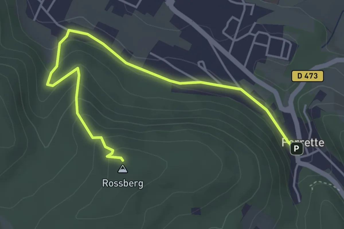
Easy · Summit
Ferrette – Rossberg
4.7 km · ↑ 198 m · 1 h 32 min
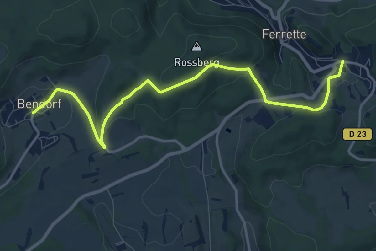
Medium · Trail
Bendorf – Ferrette
9.1 km · ↑ 287 m · 2 h 47 min
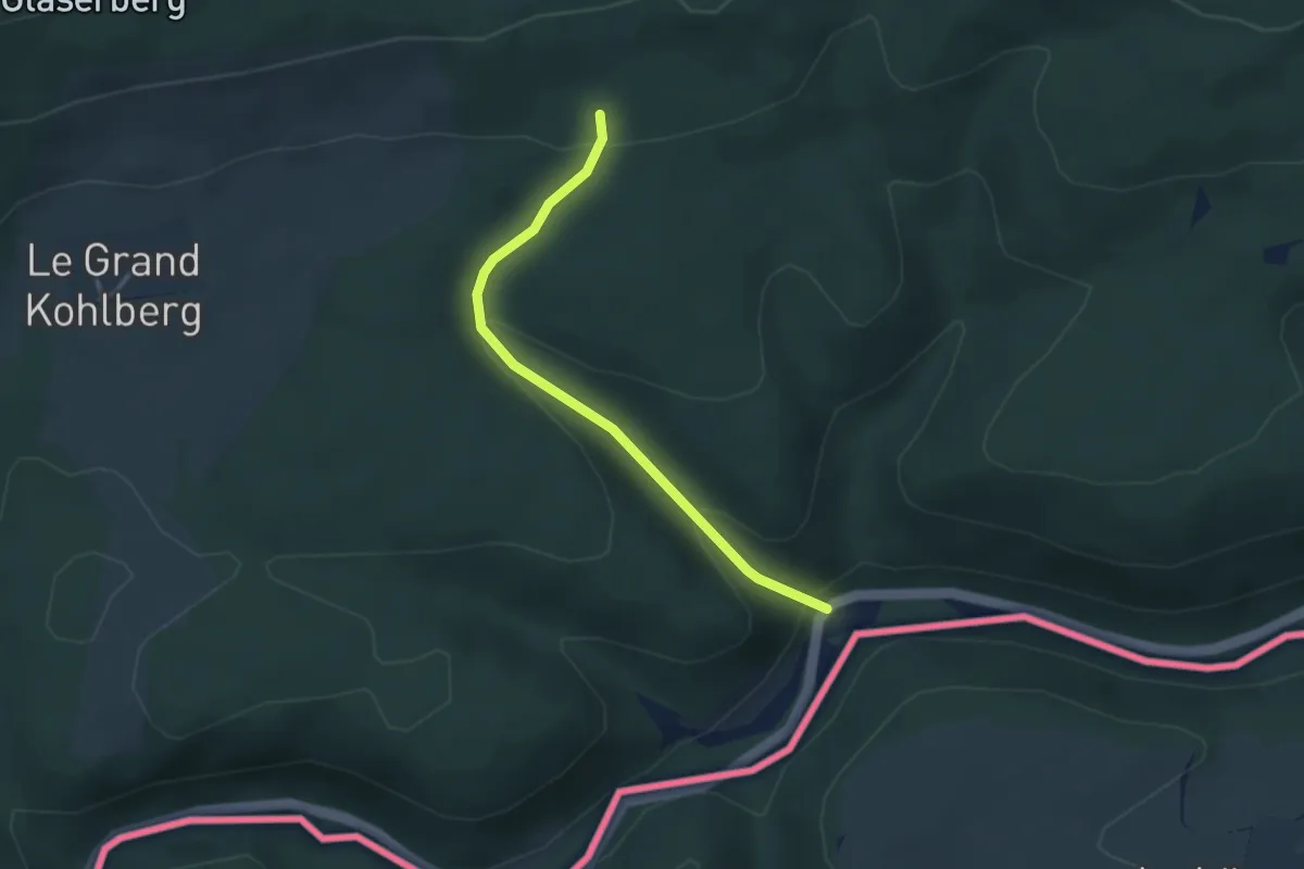
Easy · Trail
Ferrette – Saint-Pierre
3.0 km · ↑ 162 m · 1 h 4 min
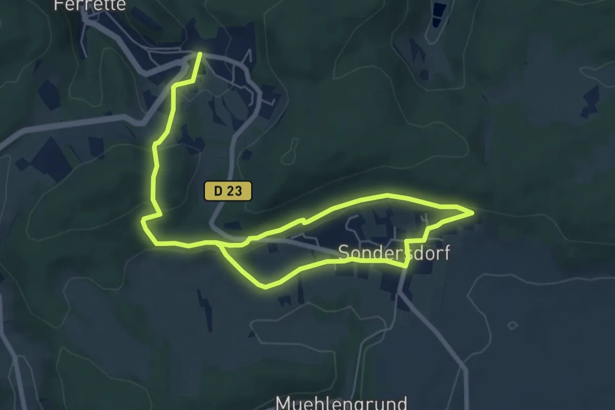
Medium · Trail
Ferrettte – Sondersdorf
9.2 km · ↑ 279 m · 2 h 46 min
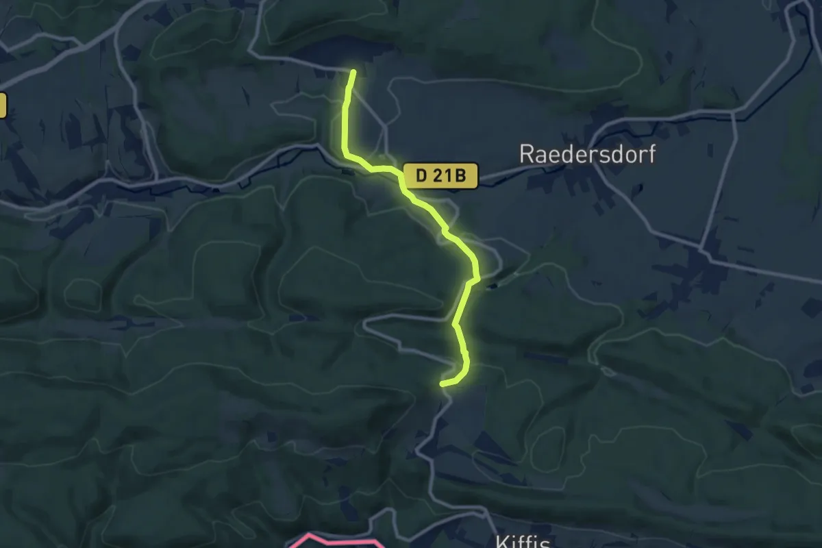
Medium · Trail
Sondersdorf – Lindenberg
8.0 km · ↑ 296 m · 2 h 32 min
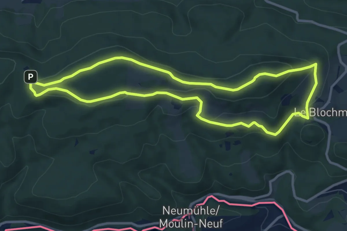
Medium · Summit
Lindenberg – Lindenberg
7.2 km · ↑ 220 m · 2 h 17 min
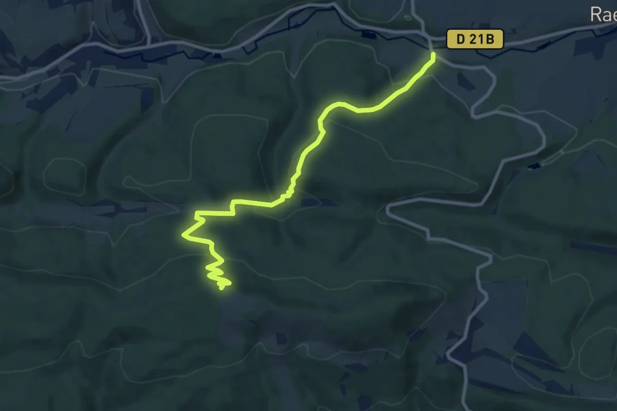
Demanding · Summit
Hippoltskirch – Signal du Glaserberg
8.7 km · ↑ 437 m · 3 h
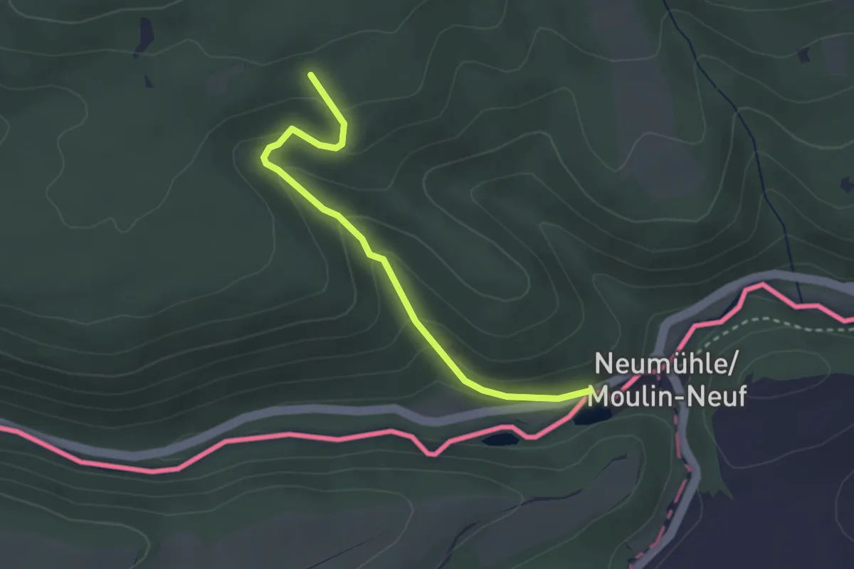
Medium · Trail
Col du Neuneich – Moulin Neuf
2.8 km · ↑ 162 m · 1 h
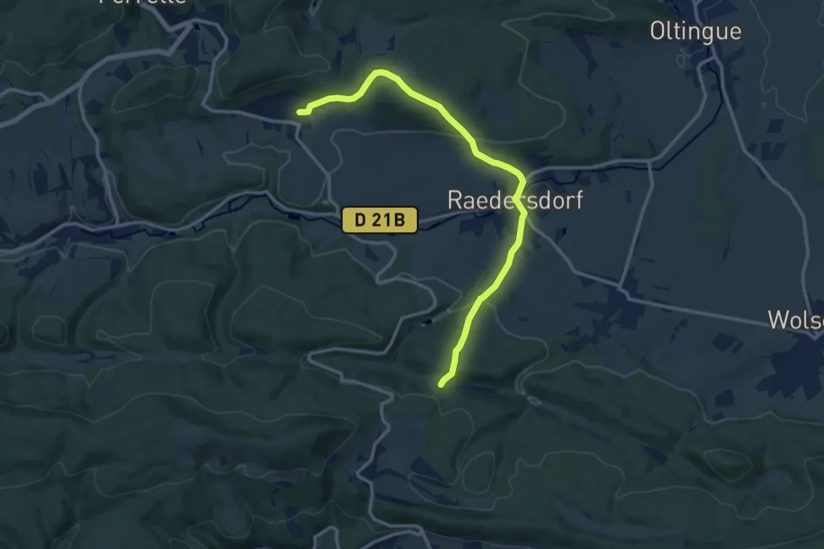
Medium · Trail
Sondersdorf – Faellen
10.9 km · ↑ 380 m · 3 h 23 min
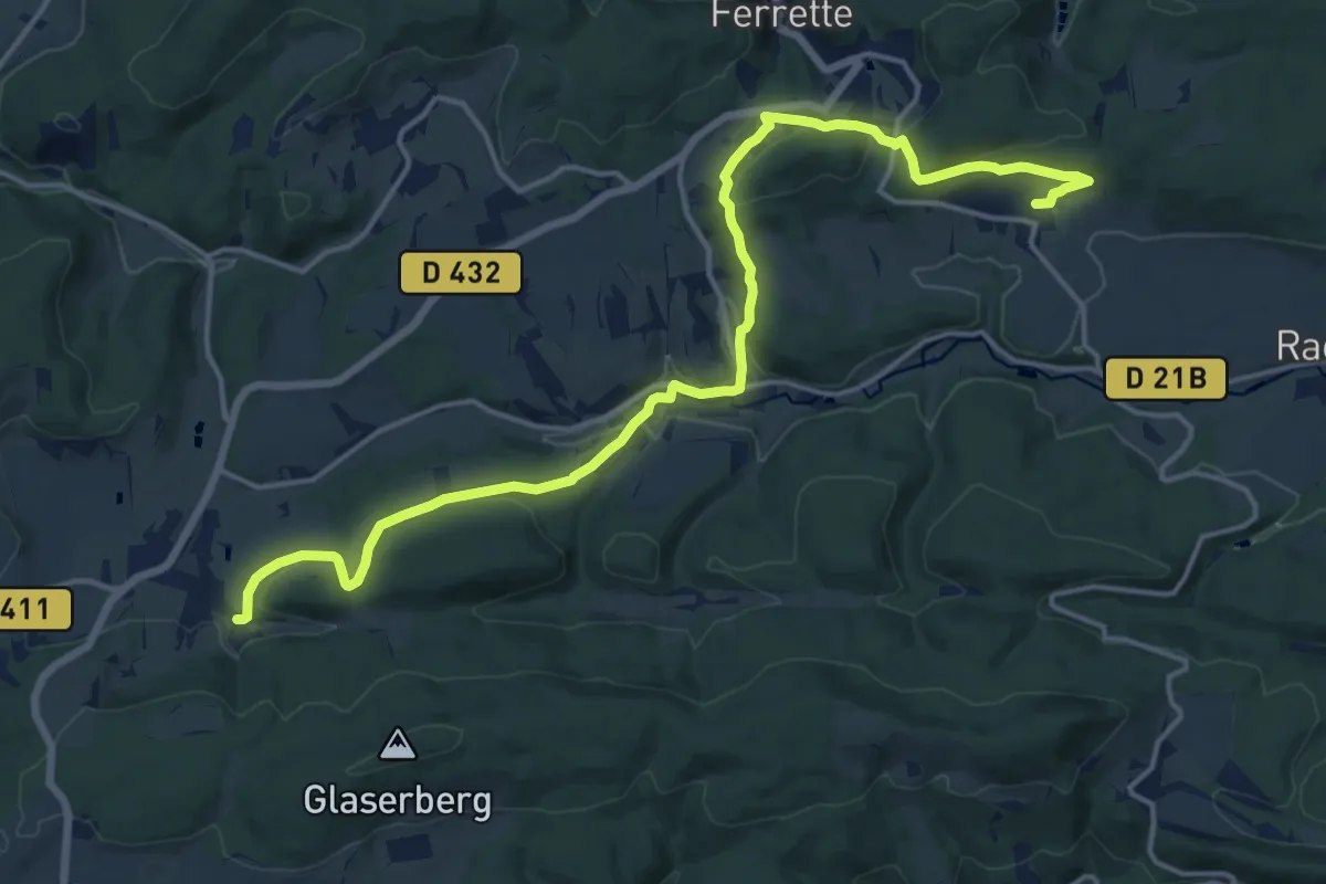
Demanding · Trail
Sondersdorf – Winkel
18.0 km · ↑ 492 m · 5 h 19 min
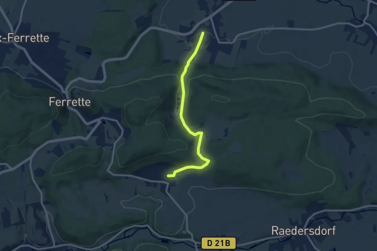
Easy · Trail
Sondersdorf – Bouxwiller
6.7 km · ↑ 238 m · 2 h 6 min
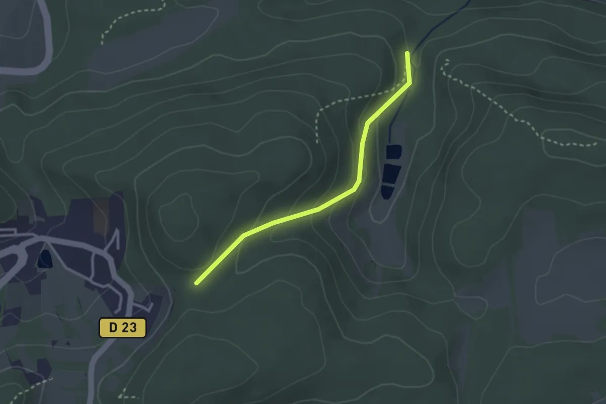
Easy · Trail
Ferrette Heidenflueh – Erdwiebelefels
2.5 km · ↑ 118 m · 50 min
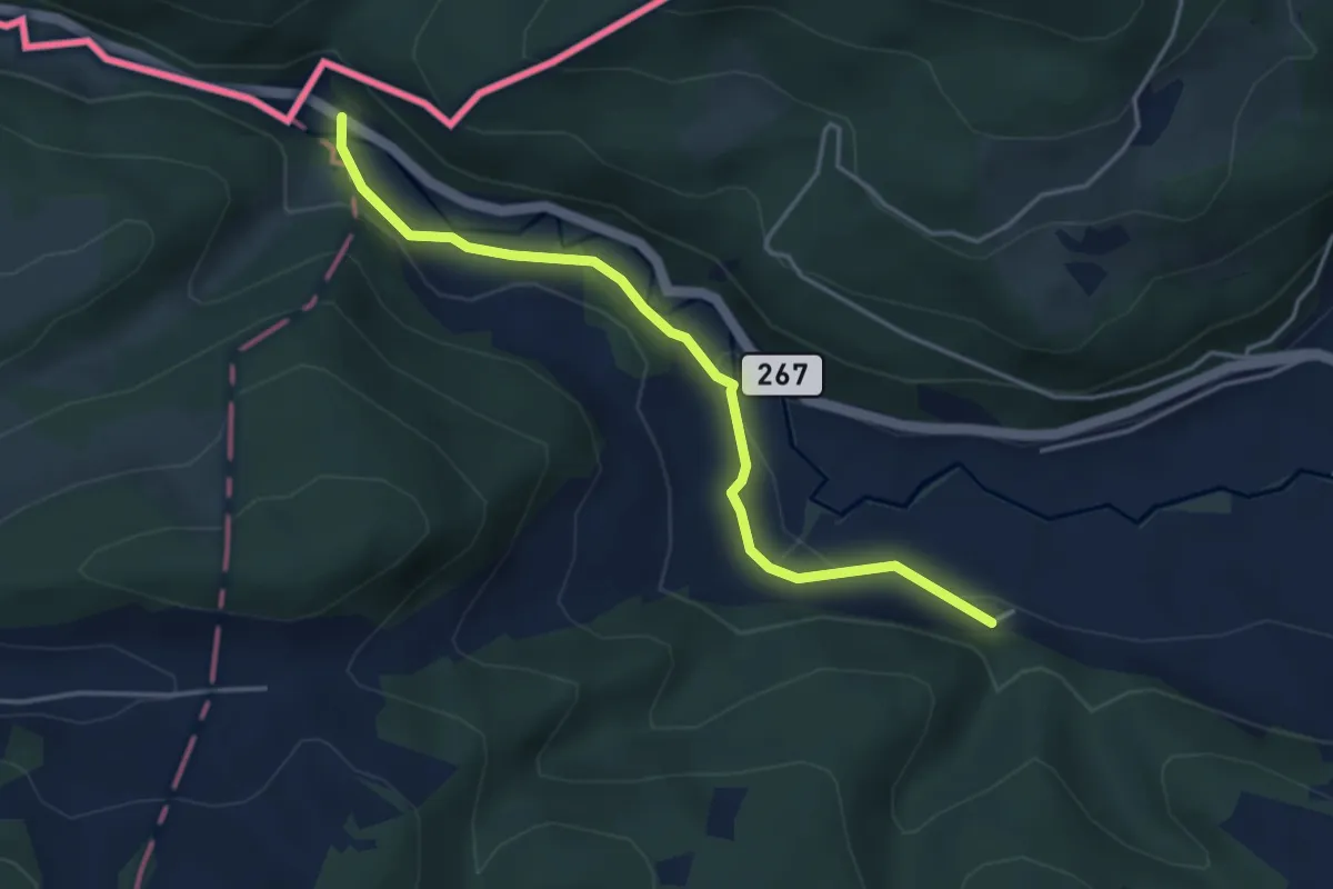
Easy · Trail
Chlösterli – Vordere Rütte
4.0 km · ↑ 103 m · 1 h 10 min
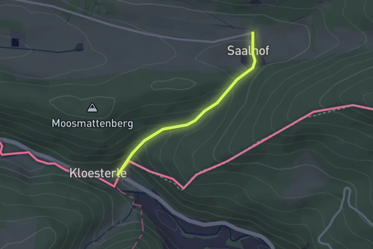
Easy · Trail
Chlösterli – Lange Matten
2.0 km · ↑ 106 m · 43 min
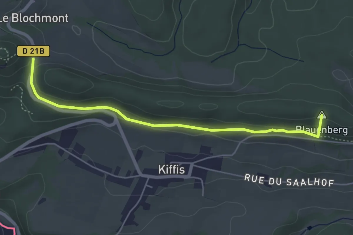
Easy · Summit
Lutter – Blochmont
4.4 km · ↑ 88 m · 1 h 14 min
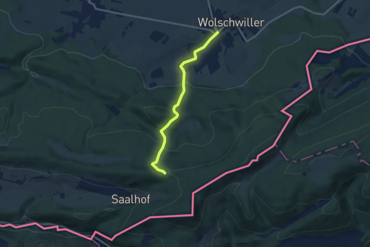
Easy · Trail
Wolschwiller – Chevalet jaune
6.0 km · ↑ 285 m · 2 h 3 min