Trails in France
15,926 hiking trails, each with its route, climb, walking time and grade.
All trails, page 307 of 332
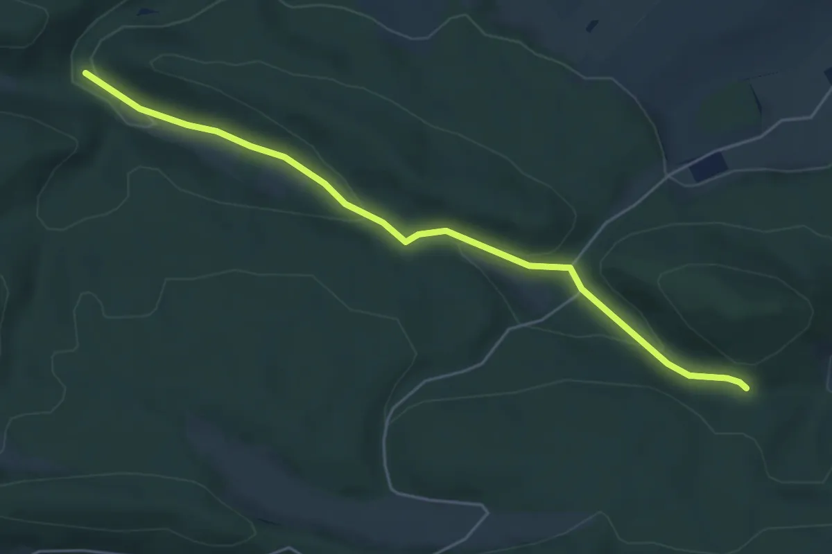
Easy · Trail
triangle bleu – Rouge blanc rouge
5.1 km · ↑ 161 m · 1 h 34 min
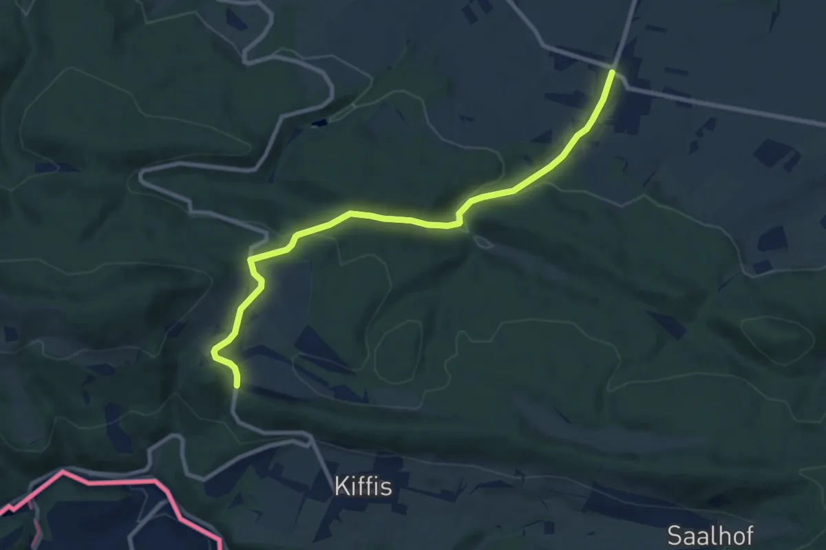
Medium · Trail
Blochmont – Lutter
8.5 km · ↑ 233 m · 2 h 30 min
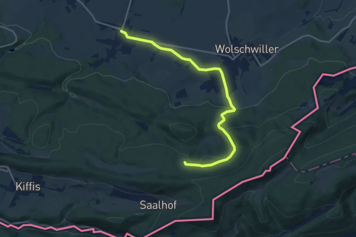
Medium · Trail
Lutter – Naegeleberg
9.9 km · ↑ 252 m · 2 h 53 min
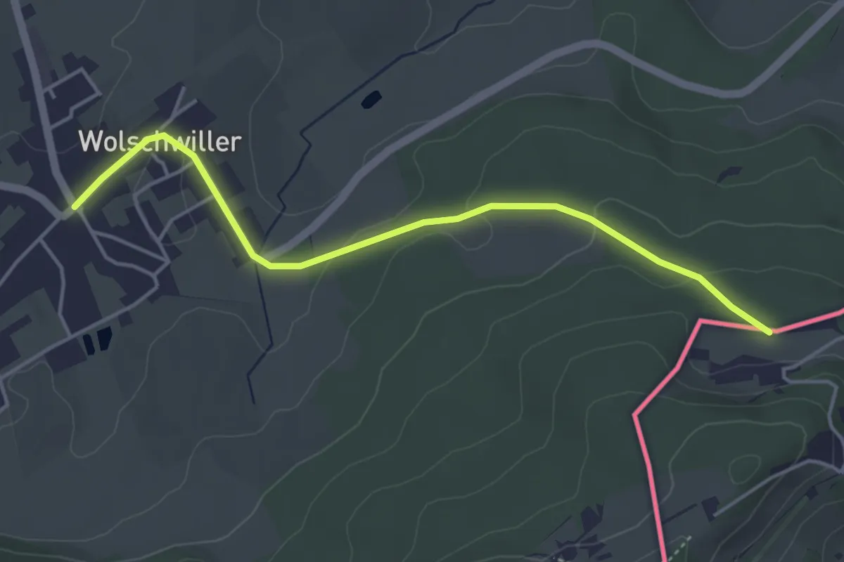
Easy · Trail
Wolschwiller – Im Steinacker
4.3 km · ↑ 104 m · 1 h 15 min
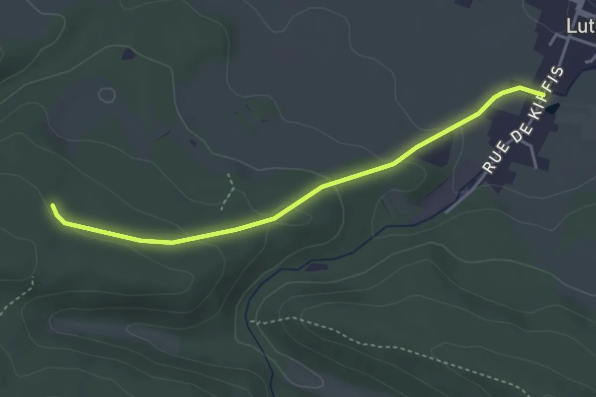
Easy · Trail
Lutter – Bannholtz
3.5 km · ↑ 113 m · 1 h 4 min
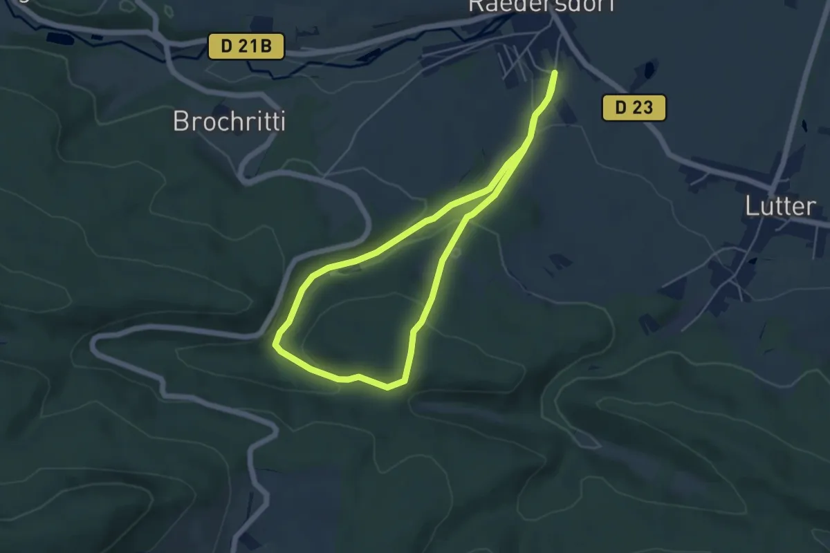
Medium · Trail
Raedersdorf – Raedersdorf
4.4 km · ↑ 140 m · 1 h 24 min
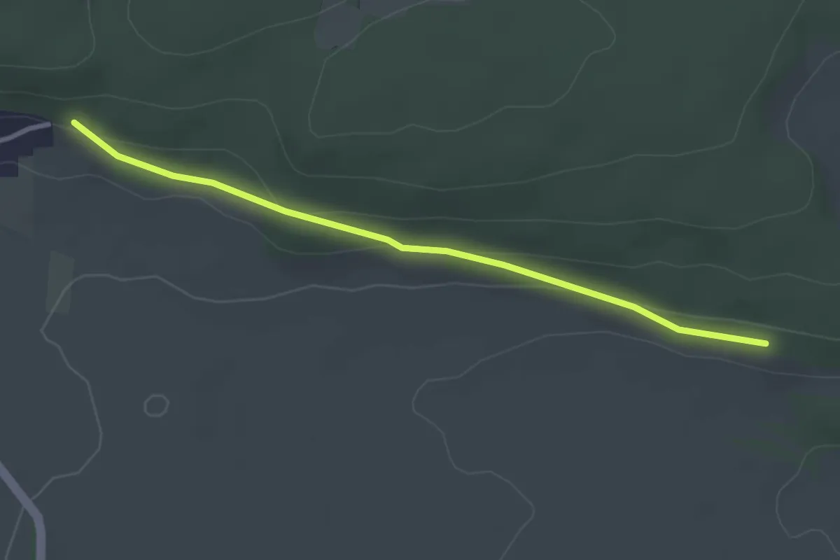
Easy · Trail
Sondersdorf – Raedersdorf
3.0 km · ↑ 64 m · 51 min
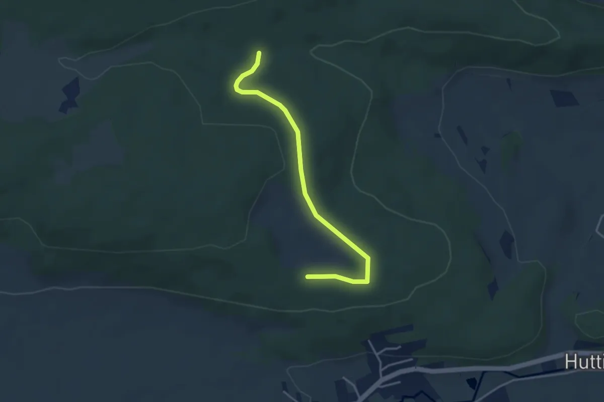
Easy · Trail
Readersdorf – Sentier interregio
3.5 km · ↑ 50 m · 56 min
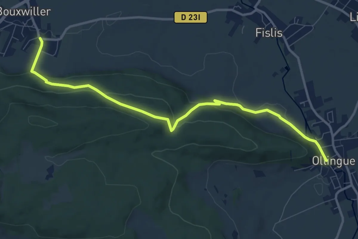
Medium · Trail
Bouxwiller – Oltingue
8.9 km · ↑ 303 m · 2 h 46 min
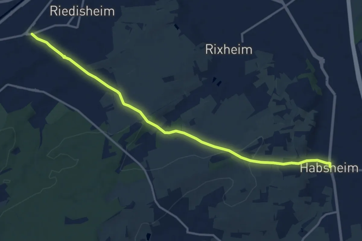
Medium · Trail
Habsheim – Mulhouse
10.2 km · ↑ 205 m · 2 h 51 min
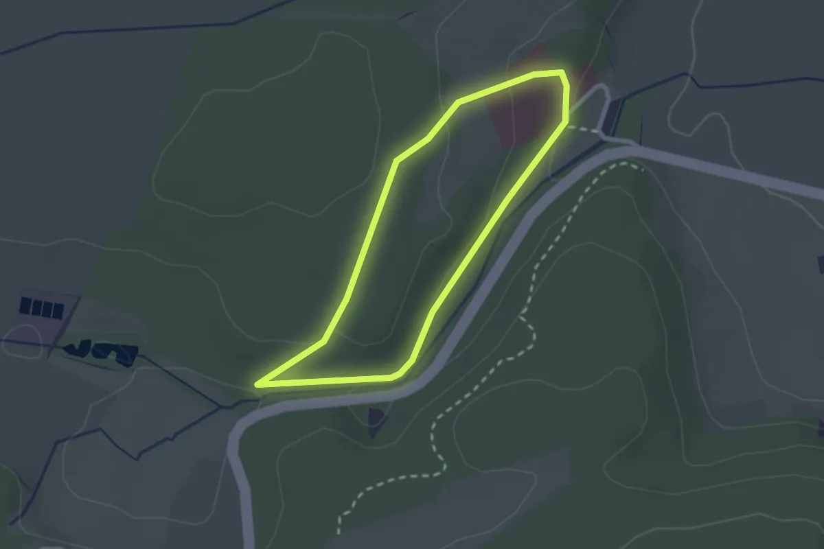
Easy · Trail
Luppach – Luppach
2.0 km · ↑ 58 m · 38 min
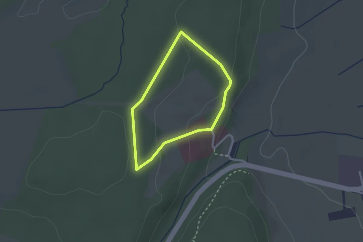
Easy · Trail
Luppach – Luppach
1.7 km · ↑ 47 m · 31 min
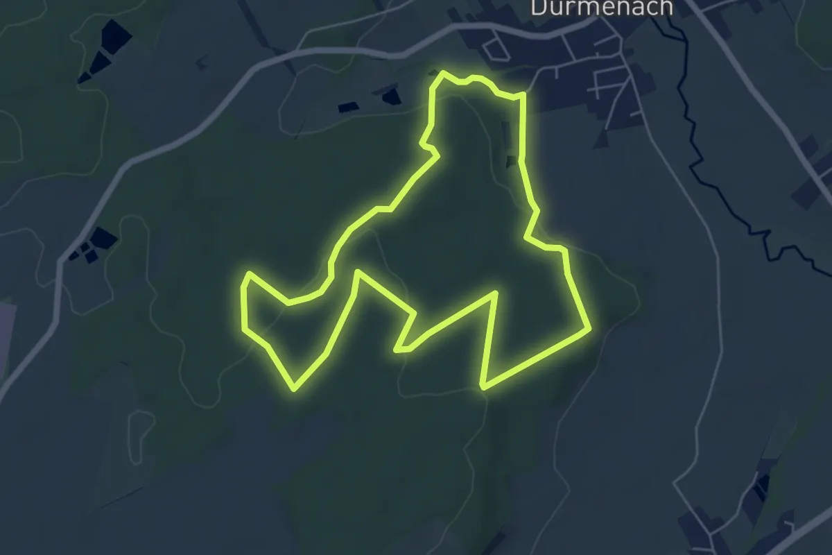
Medium · Trail
Durmenach – Durmenach
5.7 km · ↑ 119 m · 1 h 41 min
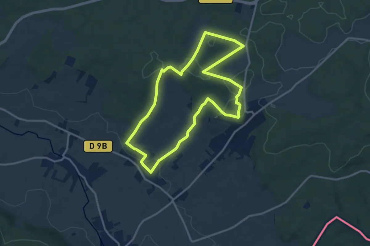
Easy · Trail
Linsdorf – Linsdorf
7.6 km · ↑ 150 m · 2 h 14 min
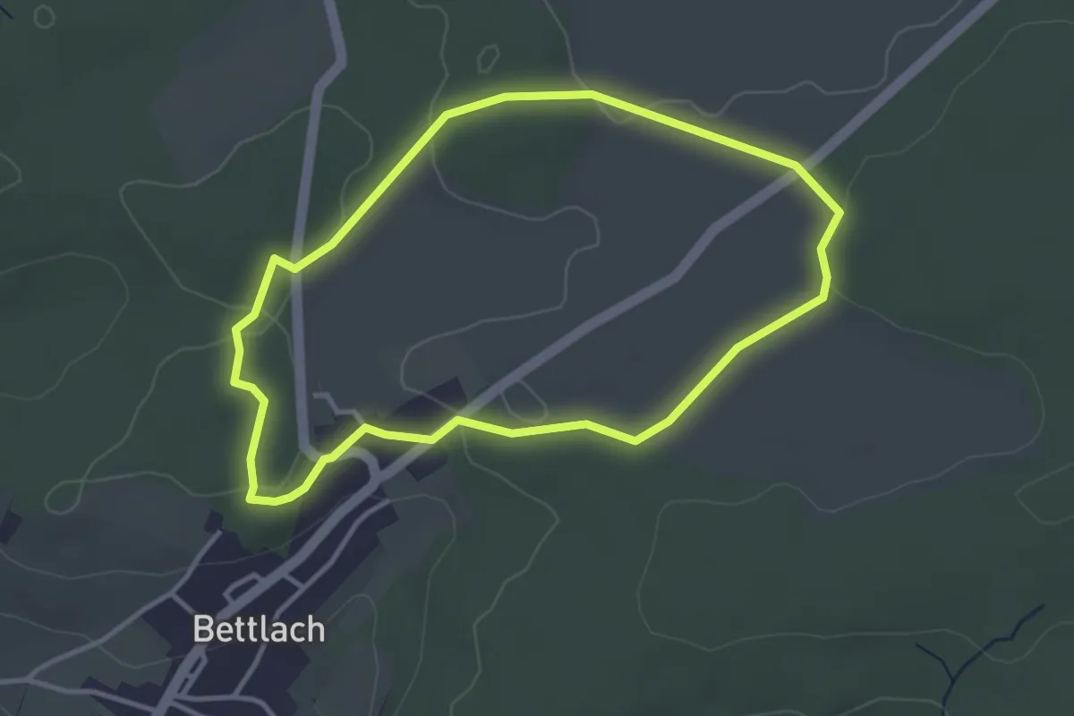
Easy · Trail
Bettlach – Bettlach
3.2 km · ↑ 30 m · 52 min
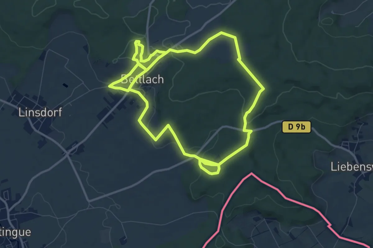
Medium · Trail
Bettlach – Bettlach
9.1 km · ↑ 199 m · 2 h 43 min
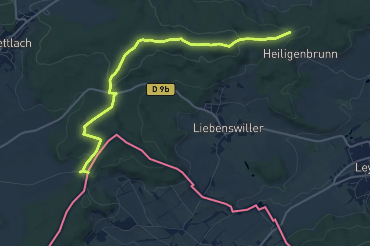
Medium · Trail
GR 531 – Frontière Suisse
9.7 km · ↑ 220 m · 2 h 46 min
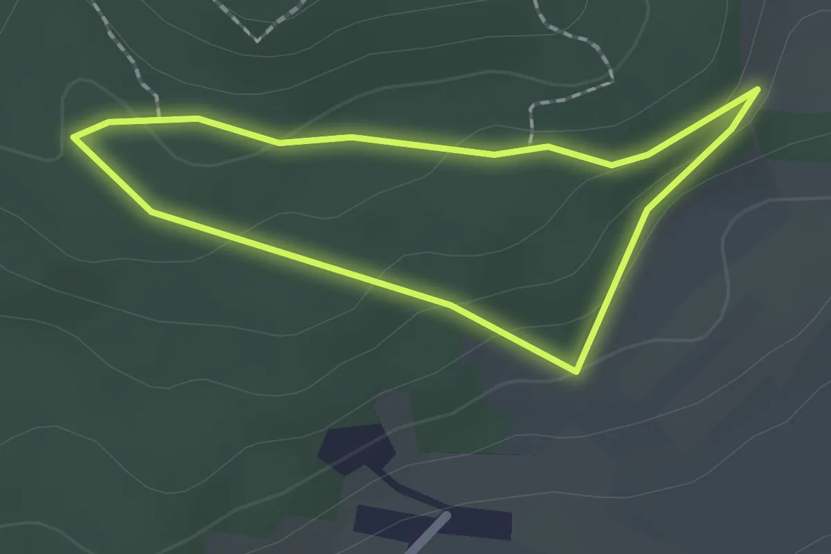
Easy · Trail
Liebenswiller – Liebenswiller
1.5 km · ↑ 50 m · 30 min
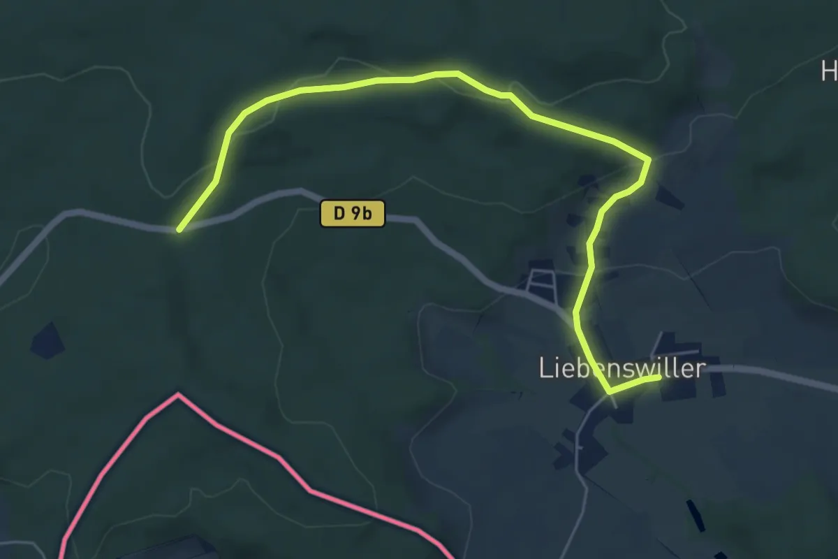
Easy · Trail
Liebenswiller – Britzkiwald
6.2 km · ↑ 185 m · 1 h 51 min
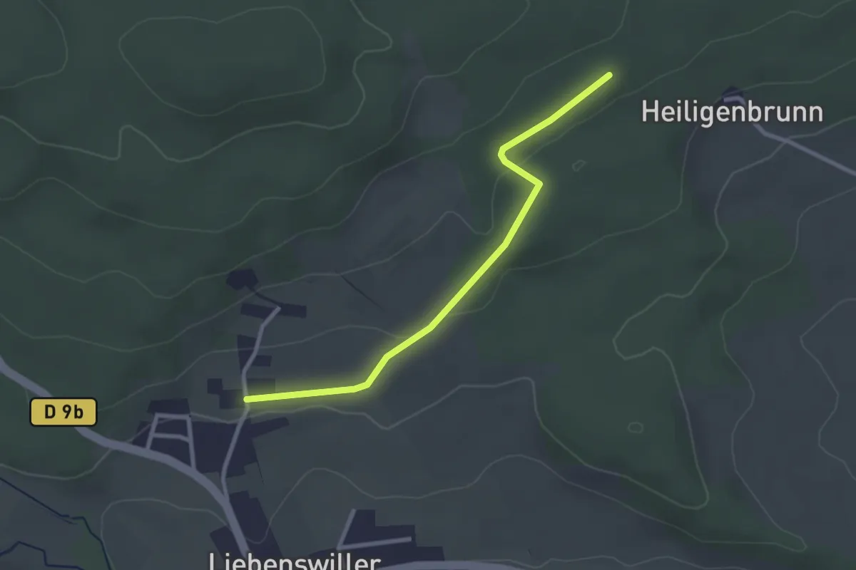
Easy · Trail
Liebenswiller – GR 531
2.6 km · ↑ 44 m · 43 min
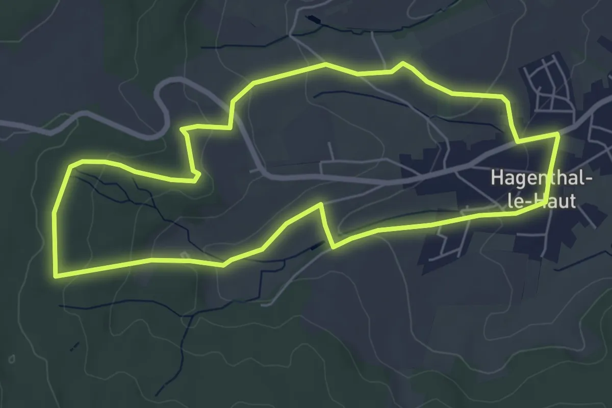
Easy · Trail
Hagenthal-le-Haut – Hagenthal-le-Haut
5.5 km · ↑ 126 m · 1 h 39 min
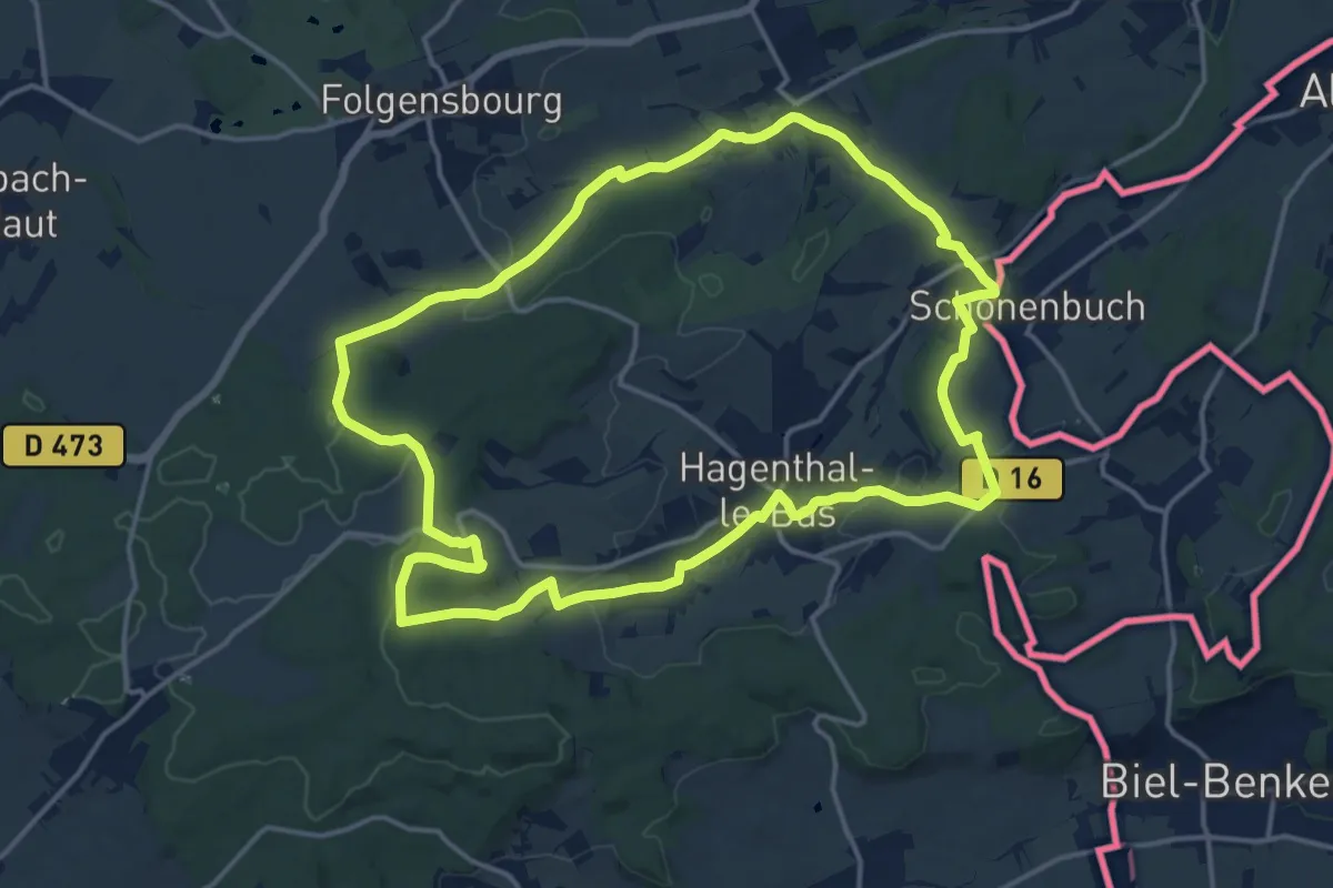
Medium · Trail
Hagenthal-le-Haut – Hagenthal-le-Haut
16.2 km · ↑ 284 m · 4 h 39 min
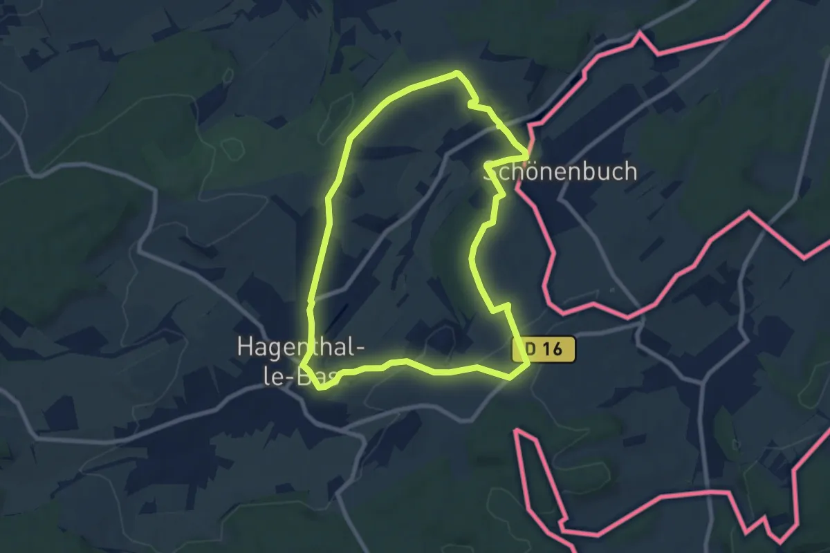
Easy · Trail
Hagenthal-le-Bas – Hagenthal-le-Bas
7.1 km · ↑ 109 m · 2 h 1 min
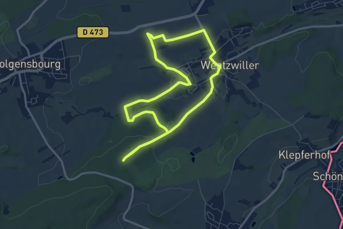
Easy · Trail
Wentzwiller – Wentzwiller
6.7 km · ↑ 136 m · 1 h 59 min
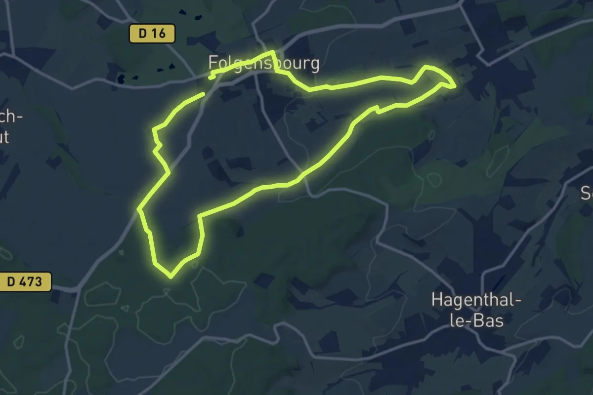
Medium · Trail
Wentzwiller – Wentzwiller
10.2 km · ↑ 156 m · 2 h 54 min
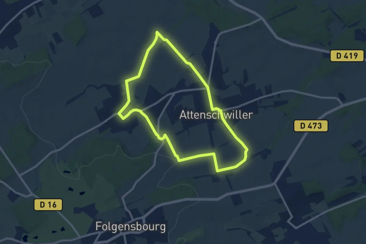
Easy · Trail
Attenschwiller – Attenschwiller
6.8 km · ↑ 84 m · 1 h 53 min
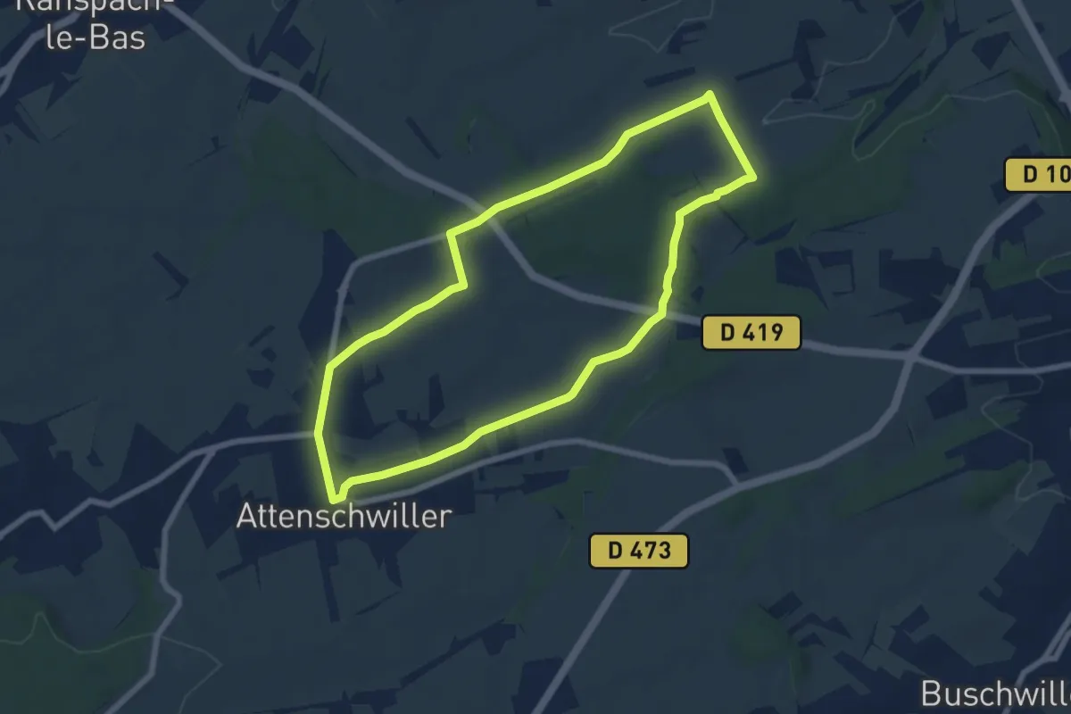
Easy · Trail
Attenschwiller – Attenschwiller
6.5 km · ↑ 102 m · 1 h 50 min
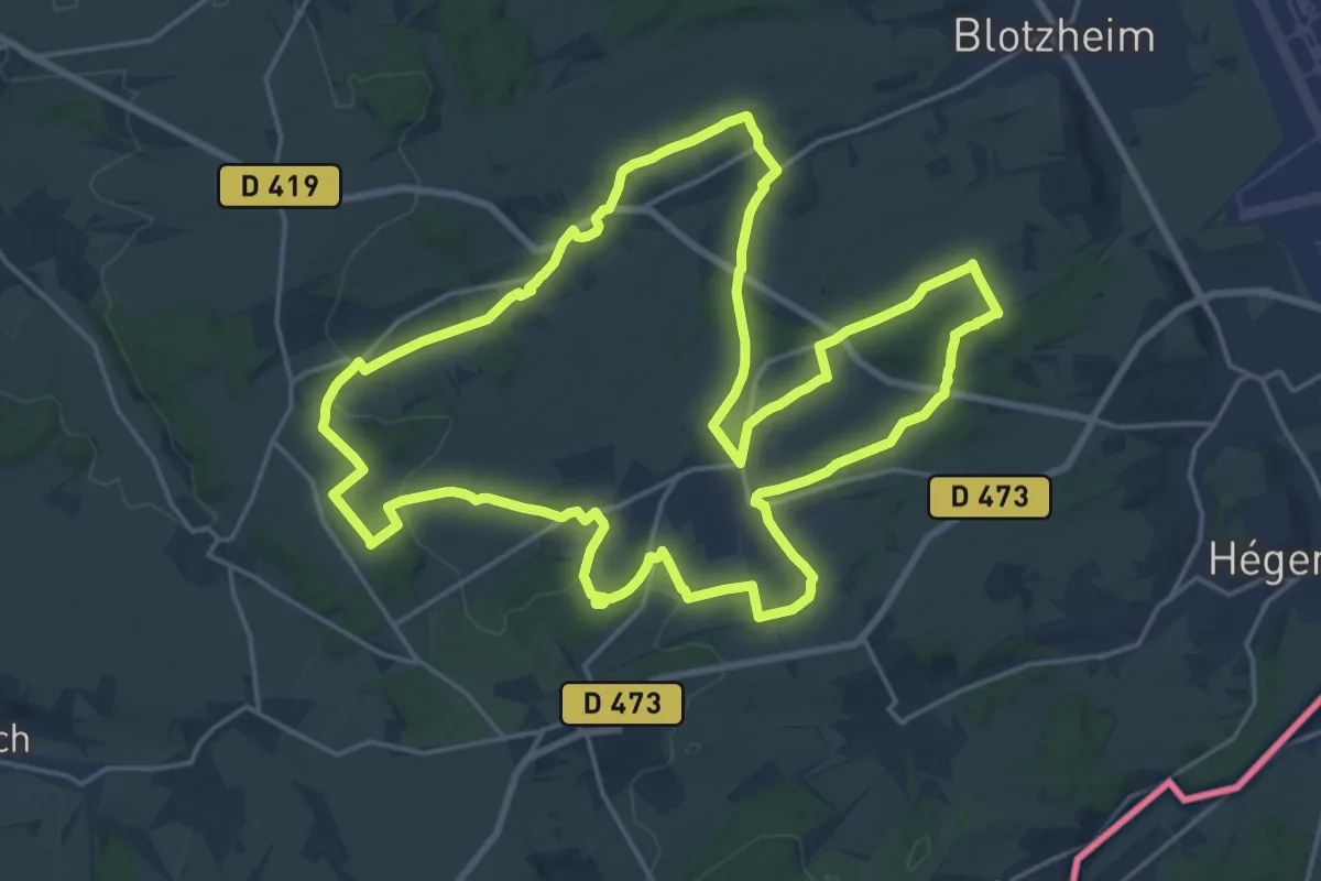
Demanding · Trail
Attenschwiller – Attenschwiller
22.3 km · ↑ 333 m · 6 h 17 min
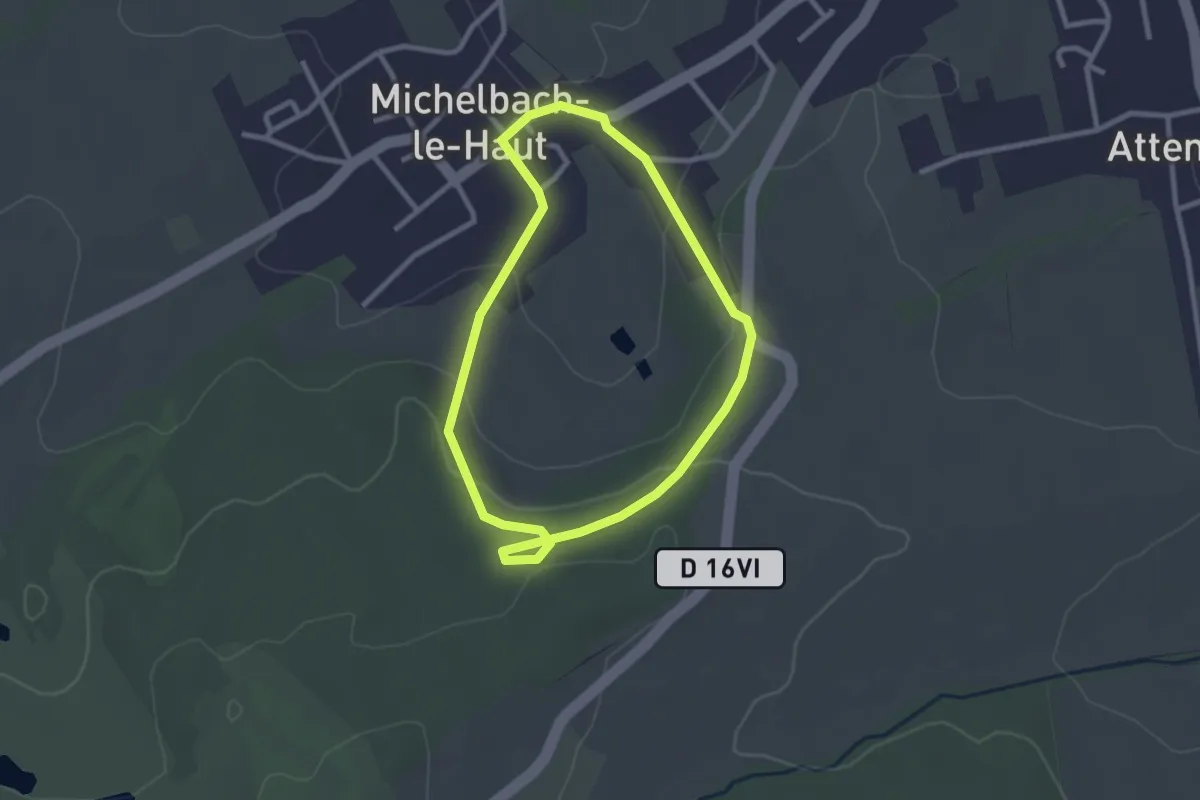
Easy · Trail
Michelbach-le-Haut – Michelbach-le-Haut
2.3 km · ↑ 66 m · 44 min
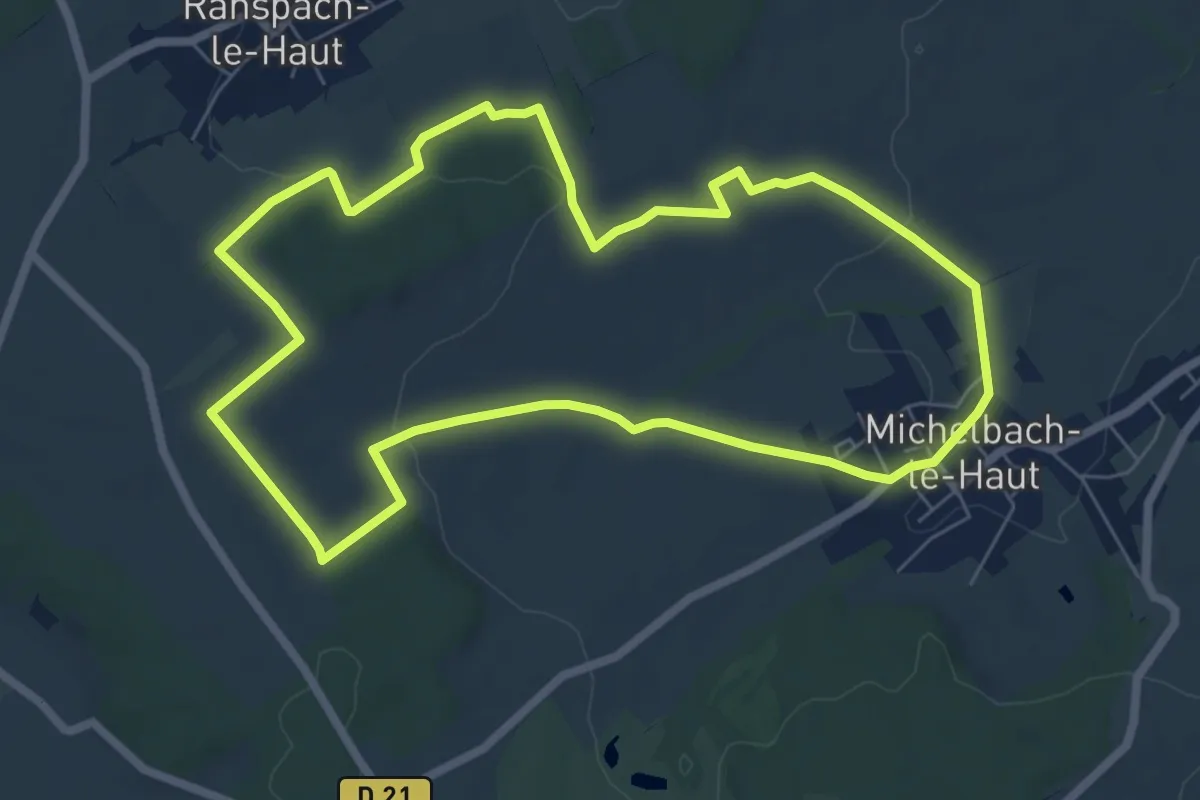
Easy · Trail
Michelbach-le-Haut – Michelbach-le-Haut
6.8 km · ↑ 121 m · 1 h 58 min
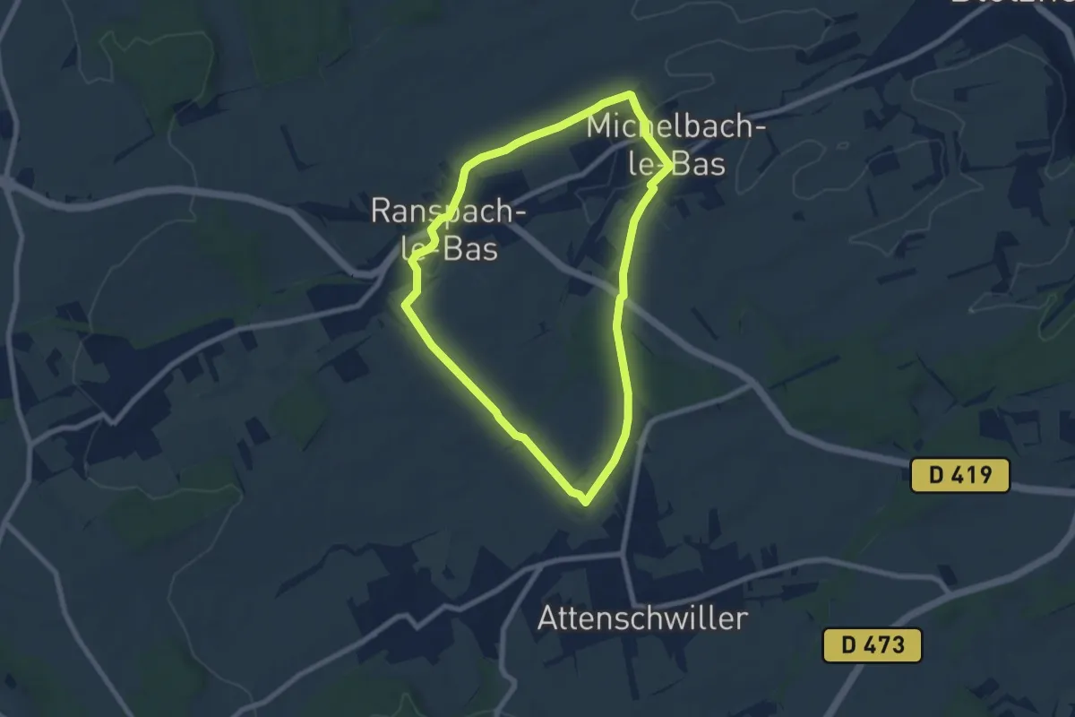
Easy · Trail
Michelbach-le-Bas – Michelbach-le-Bas
6.7 km · ↑ 85 m · 1 h 52 min
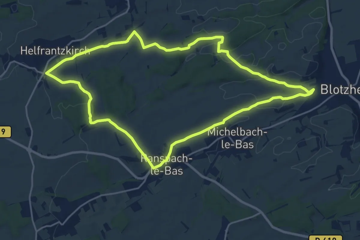
Medium · Trail
Ranspach-le-Bas – Ranspach-le-Bas
13.9 km · ↑ 199 m · 3 h 54 min
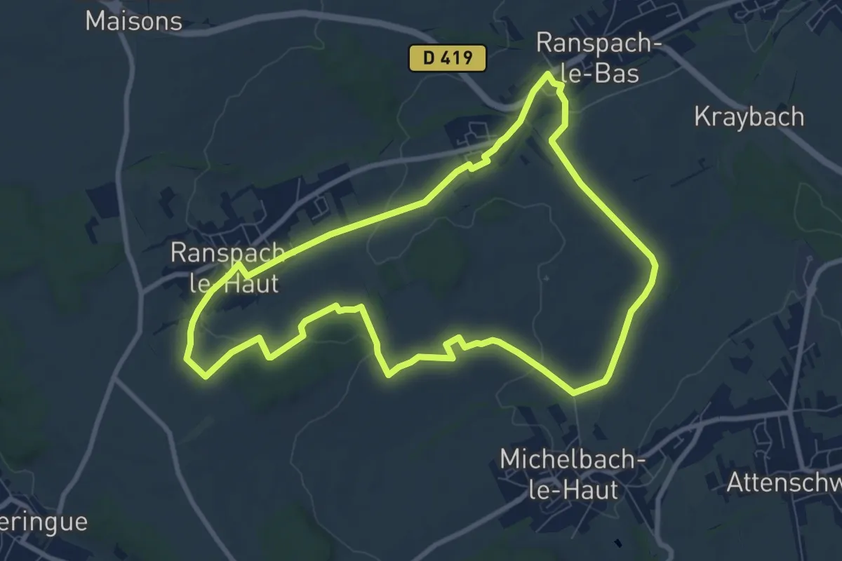
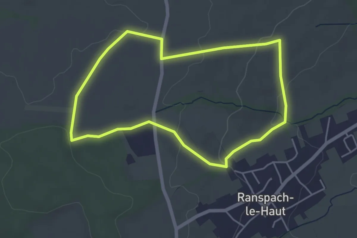
Medium · Trail
Ranspach-le-Bas – Ranspach-le-Bas
8.4 km · ↑ 127 m · 2 h 23 min
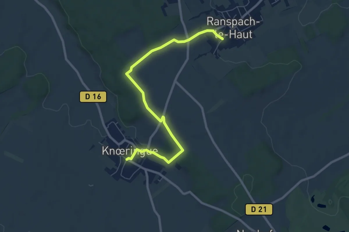
Easy · Trail
Ranspach-le Haut – Ranspach-le Haut
3.8 km · ↑ 60 m · 1 h 4 min
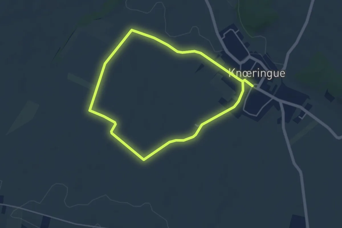
Easy · Trail
Ranspach-le-Haut – Ranspach-le-Haut
6.8 km · ↑ 99 m · 1 h 50 min
Easy · Trail
Knœringue – Knœringue
3.5 km · ↑ 37 m · 57 min
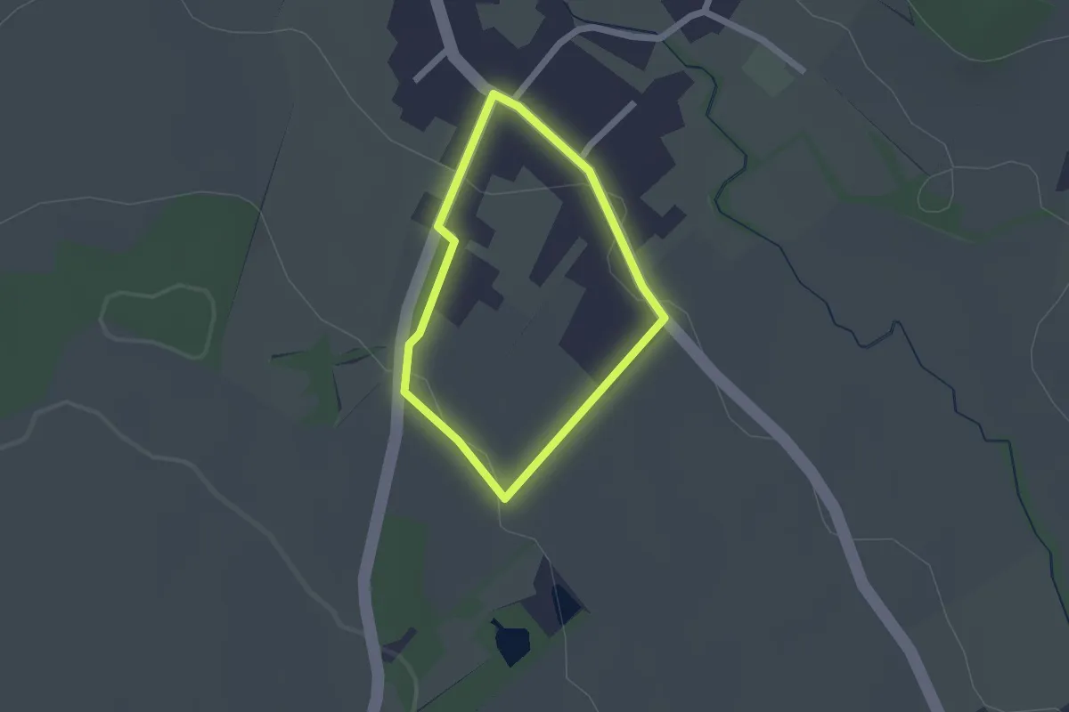
Easy · Trail
Jettingen – Jettingen
1.4 km · ↑ 29 m · 25 min
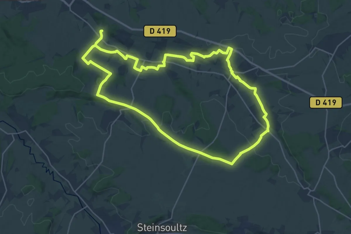
Demanding · Trail
Berentzwiller – Berentzwiller
20.0 km · ↑ 235 m · 5 h 31 min
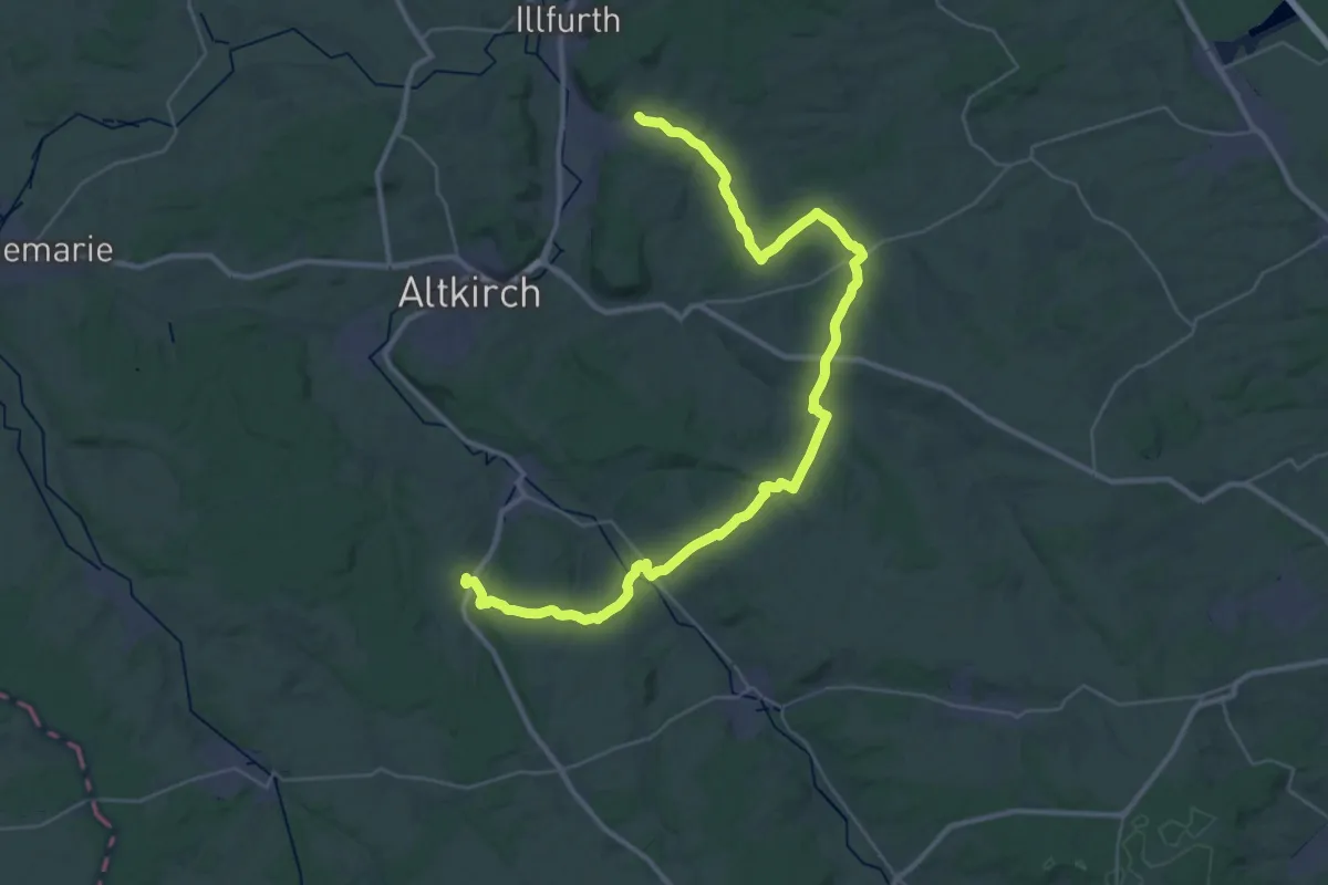
Demanding · Trail
Luemschwiller – Heimersdorf
21.7 km · ↑ 435 m · 6 h 21 min
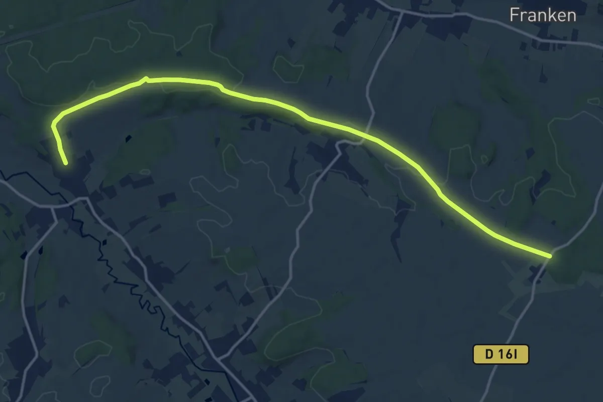
Medium · Trail
Bettendorf – Windenhof
15.0 km · ↑ 140 m · 3 h 51 min
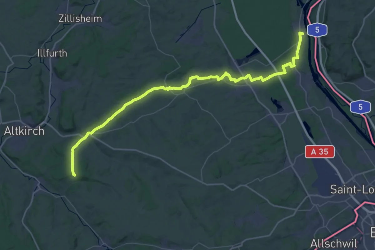
Demanding · Trail
Bettendorf – Kembs
25.6 km · ↑ 138 m · 6 h 47 min
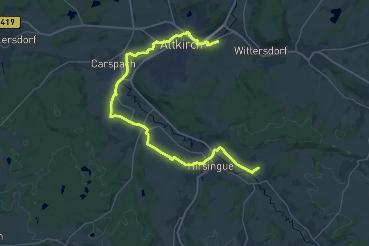
Demanding · Trail
Bettendorf – Altkirch Centre hospitalier
26.4 km · ↑ 244 m · 6 h 46 min
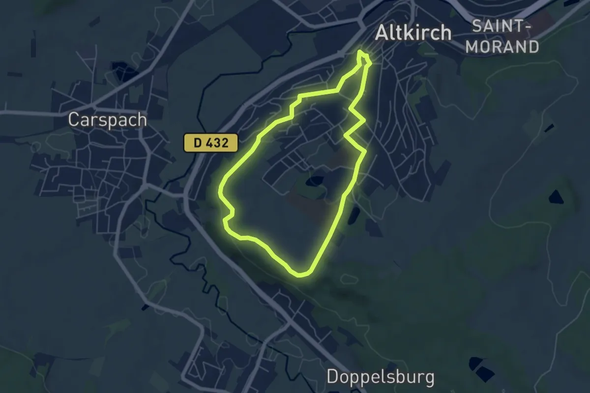
Easy · Trail
Altkirch – Altkirch
4.8 km · ↑ 115 m · 1 h 27 min
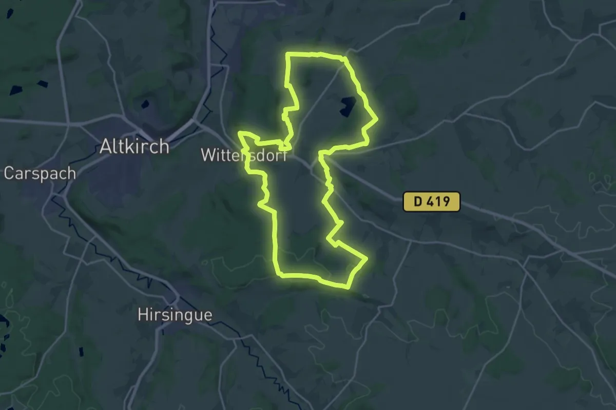
Demanding · Trail
Wittersdorf – Wittersdorf
20.5 km · ↑ 347 m · 5 h 53 min
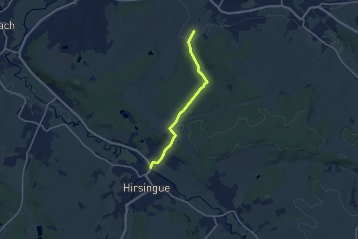
Easy · Trail
Hirsingue – Wittersdorf
7.4 km · ↑ 183 m · 2 h 8 min
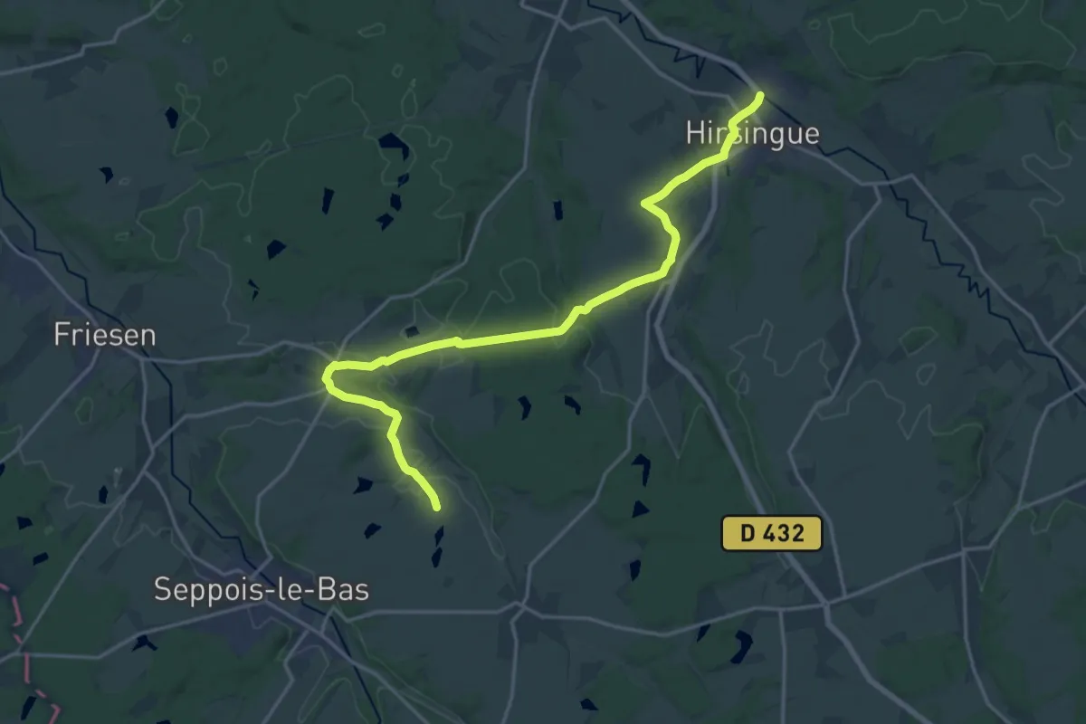
Demanding · Trail
Hirsingue – GR 532
19.7 km · ↑ 304 m · 5 h 18 min
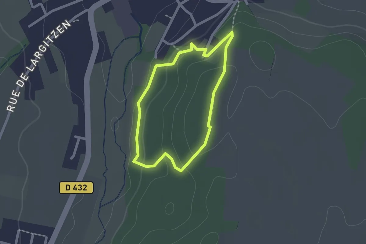
Easy · Trail
Hirsingue – Hirsingue
1.5 km · ↑ 43 m · 28 min
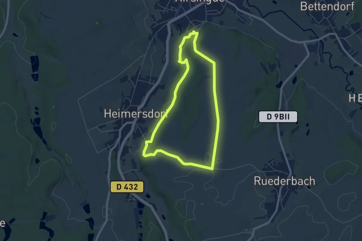
Easy · Trail
Hirsingue – Hirsingue
5.3 km · ↑ 68 m · 1 h 29 min