Trails in France
15,926 hiking trails, each with its route, climb, walking time and grade.
All trails, page 308 of 332
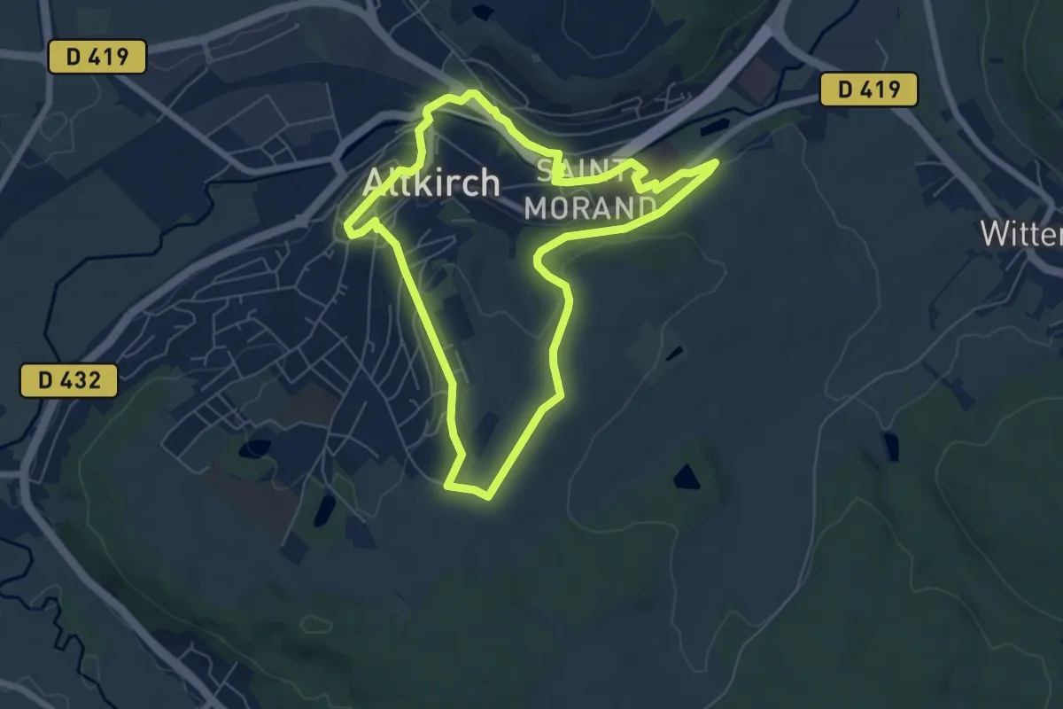
Easy · Trail
Altkirch – Altkirch
6.2 km · ↑ 116 m · 1 h 47 min
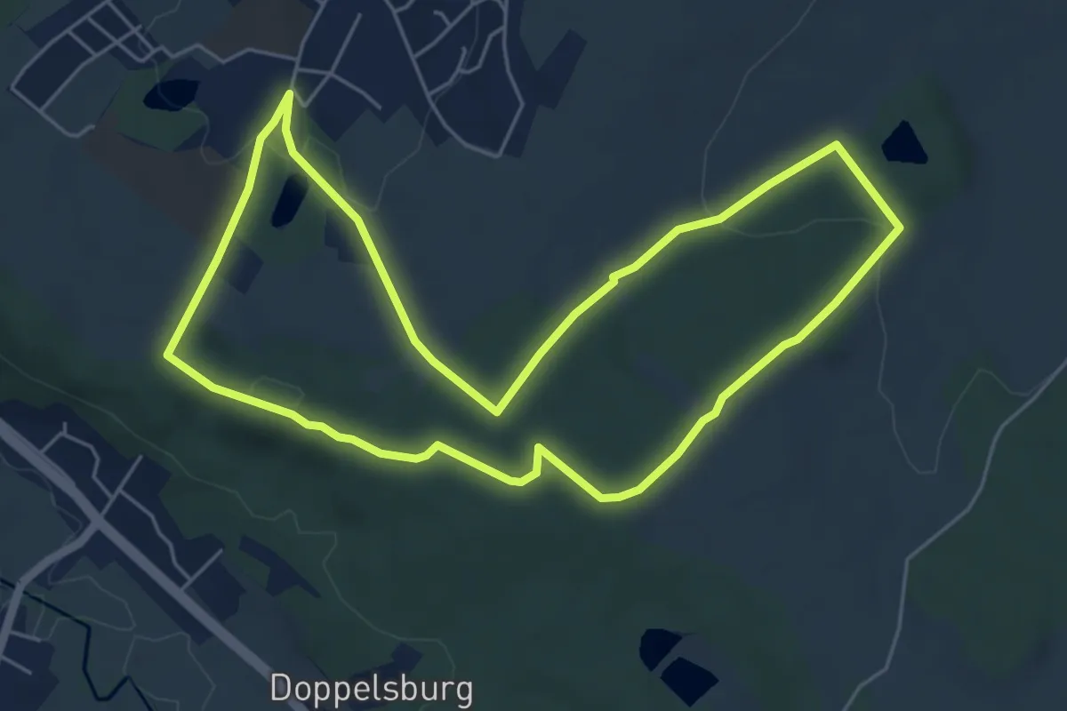
Easy · Trail
Altkirch Camping – Altkirch Camping
5.4 km · ↑ 112 m · 1 h 36 min
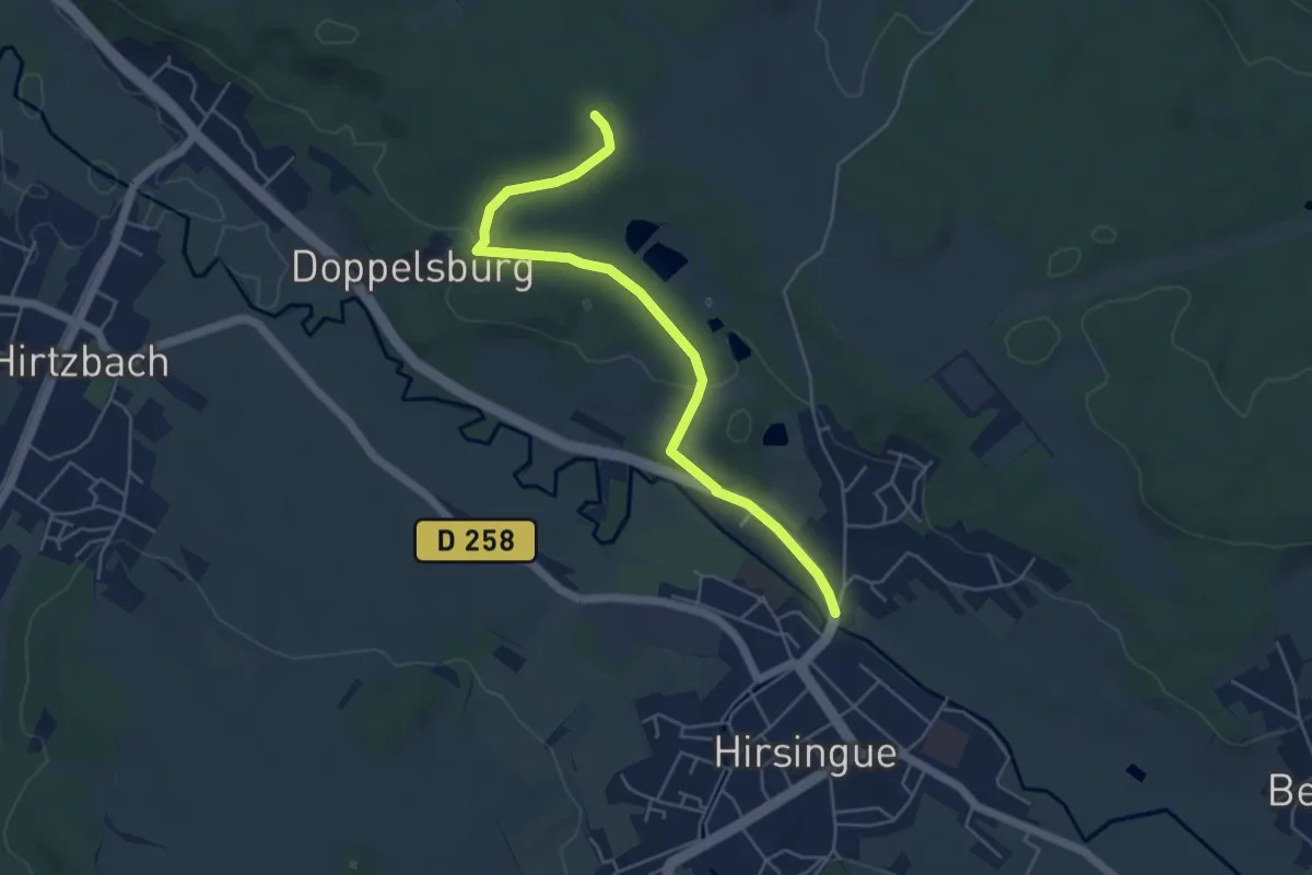
Easy · Trail
Hirsingue – Hafneracker
5.2 km · ↑ 98 m · 1 h 26 min
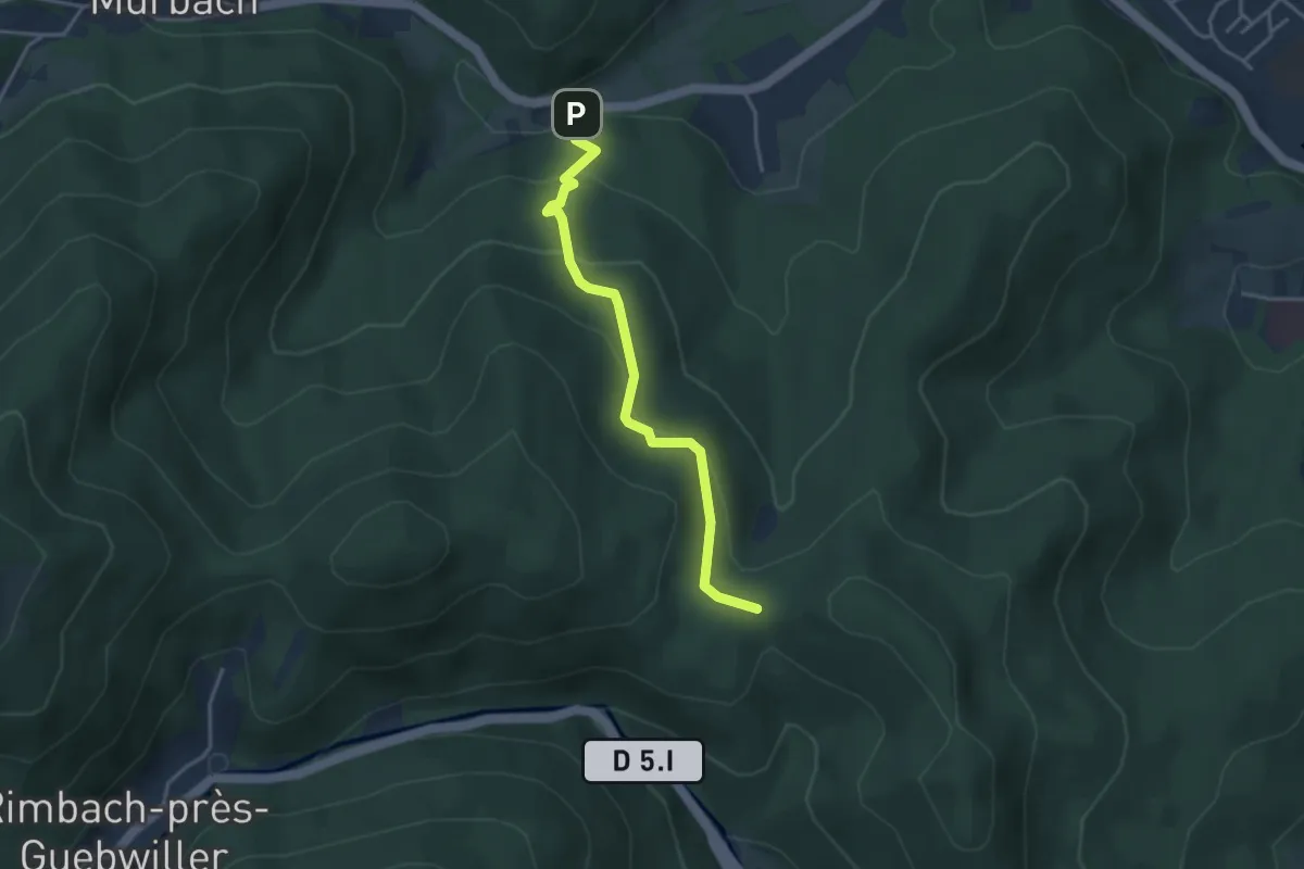
Easy · Trail
Saint-Barnabé – Col de Peternit
3.5 km · ↑ 206 m · 1 h 17 min
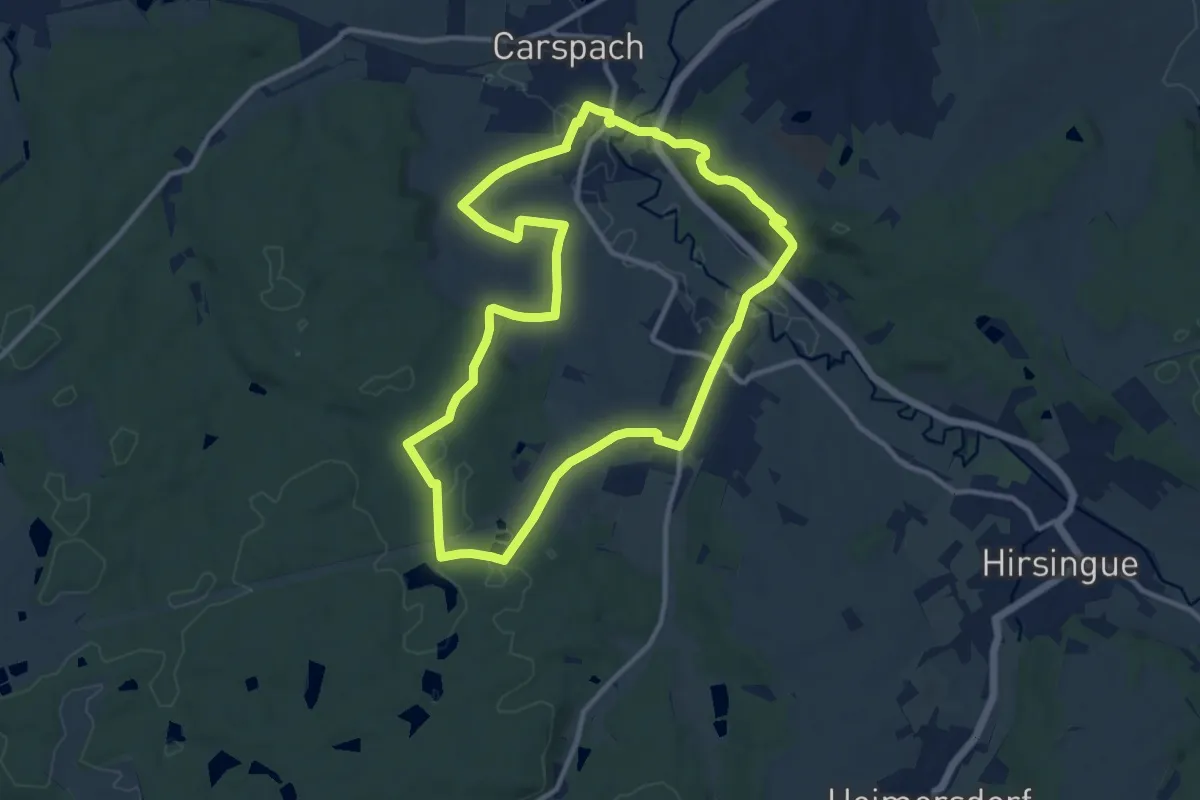
Medium · Trail
Hirtzbach – Hirtzbach
10.9 km · ↑ 199 m · 3 h 9 min
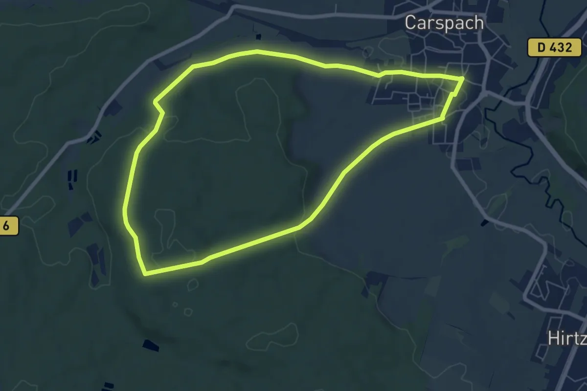
Easy · Trail
Carspach – Carspach
6.5 km · ↑ 115 m · 1 h 53 min
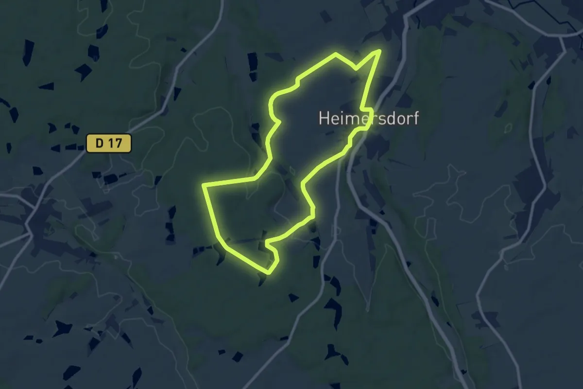
Medium · Trail
Heimersdorf – Heimersdorf
8.6 km · ↑ 95 m · 2 h 21 min
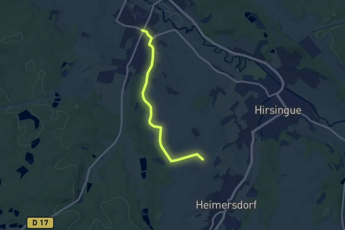
Easy · Trail
Hirtzbach – Am Largitzer Web
6.4 km · ↑ 107 m · 1 h 45 min
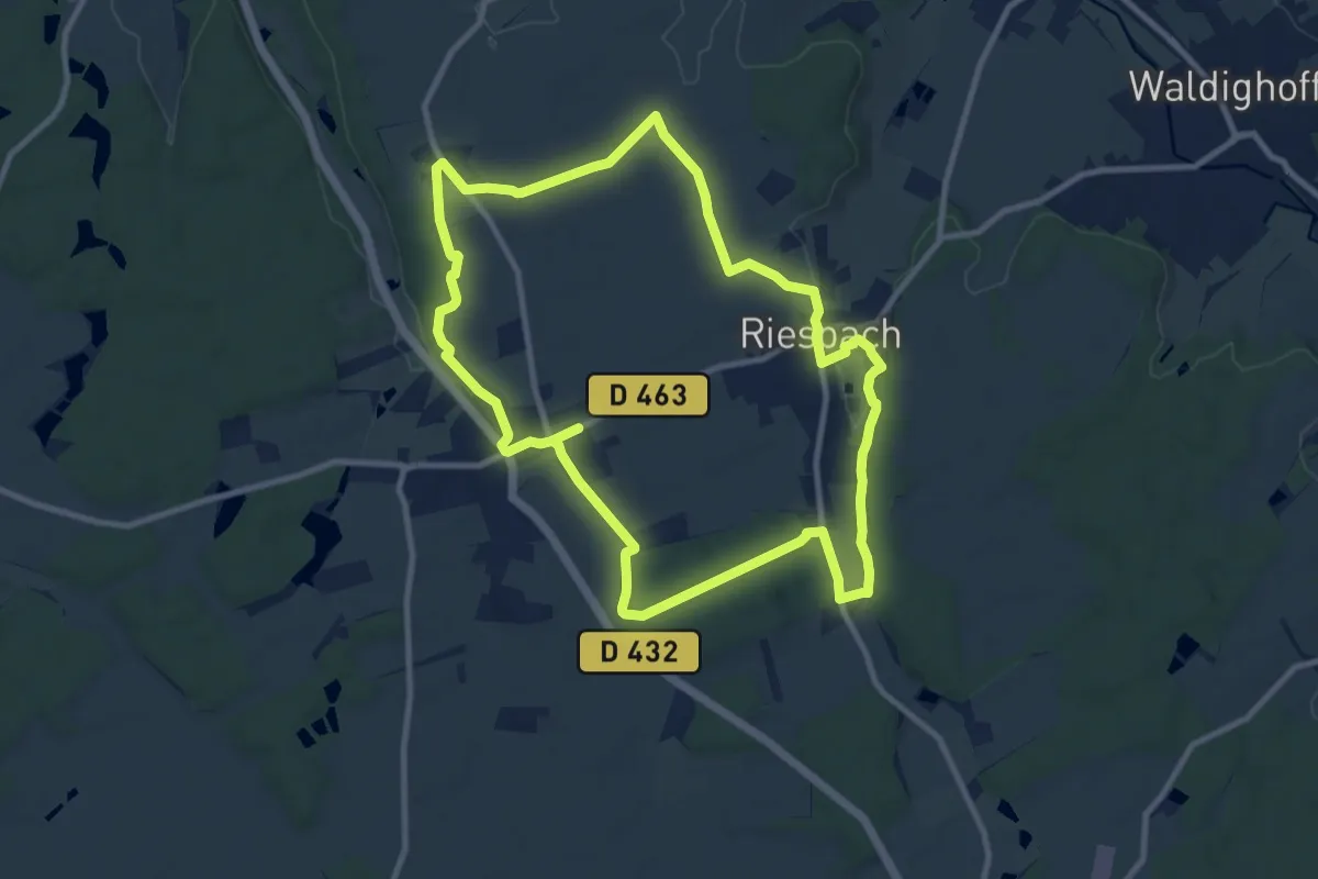
Medium · Trail
Riespach – Riespach
9.9 km · ↑ 110 m · 2 h 42 min
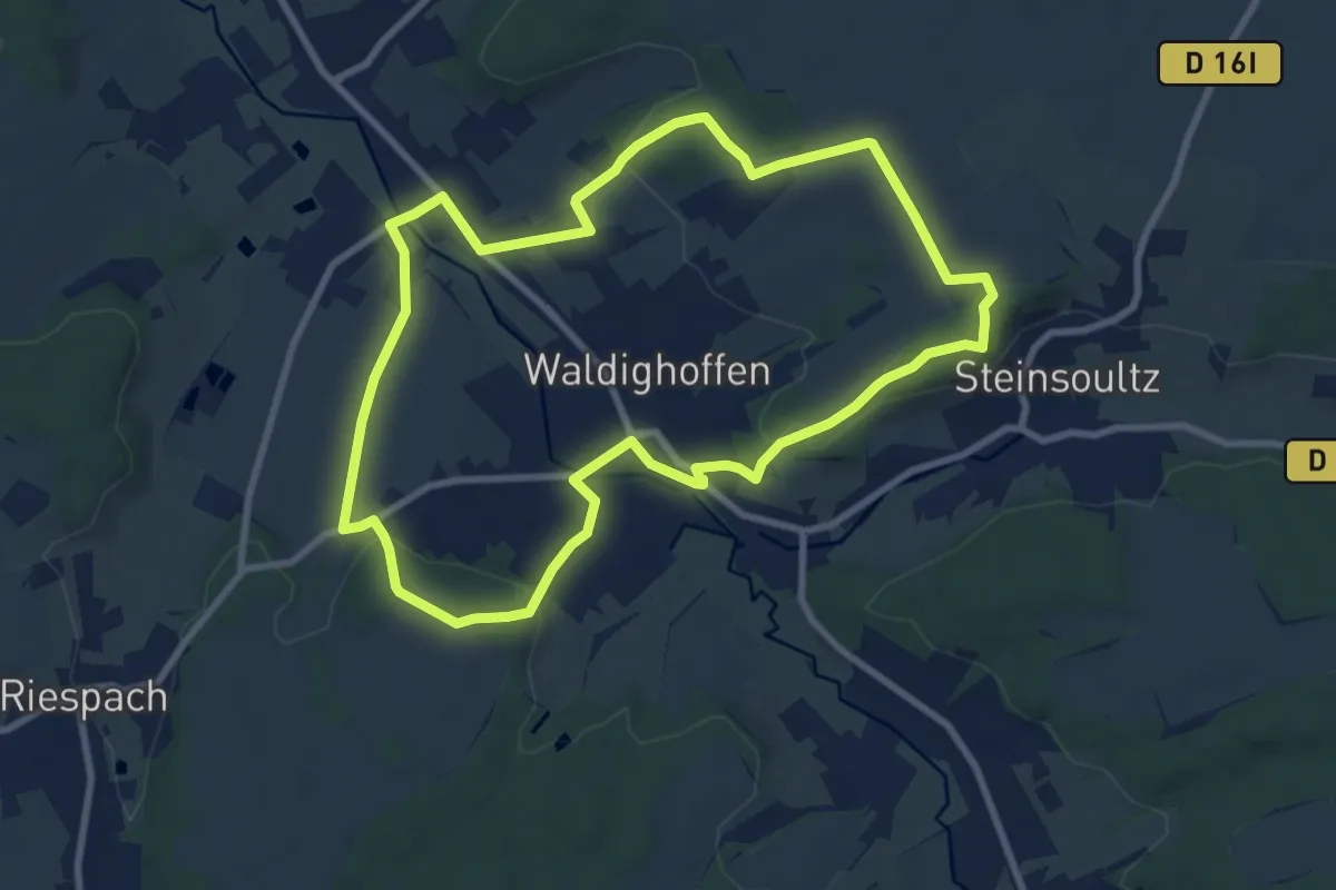
Medium · Trail
Waldighoffen – Waldighoffen
8.6 km · ↑ 185 m · 2 h 33 min
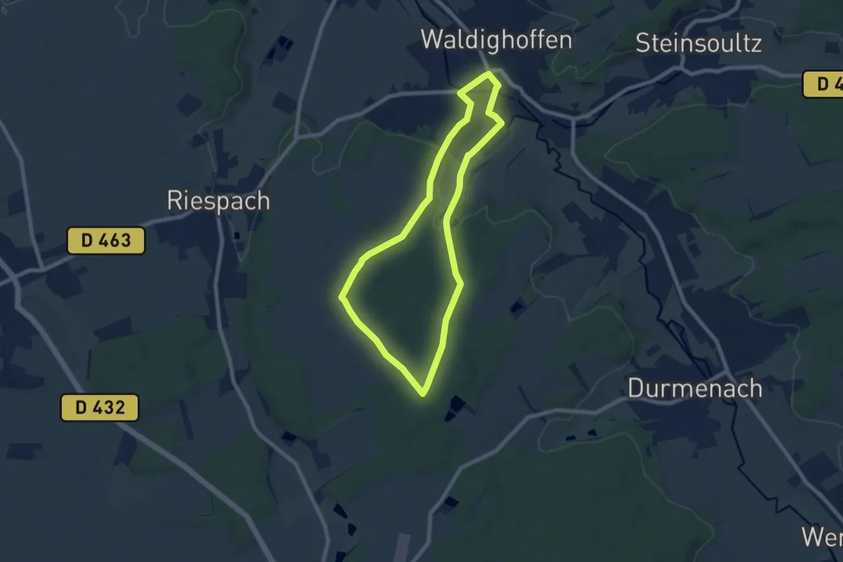
Easy · Trail
Waldighoffen – Waldighoffen
6.3 km · ↑ 110 m · 1 h 49 min
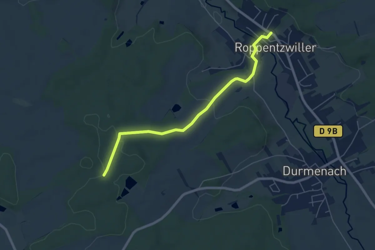
Easy · Trail
Roppentzwiller – Zuberwald
5.4 km · ↑ 105 m · 1 h 31 min
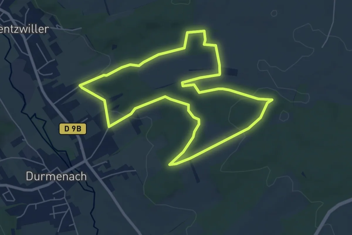
Easy · Trail
Durmenach – Durmenach
6.0 km · ↑ 114 m · 1 h 45 min
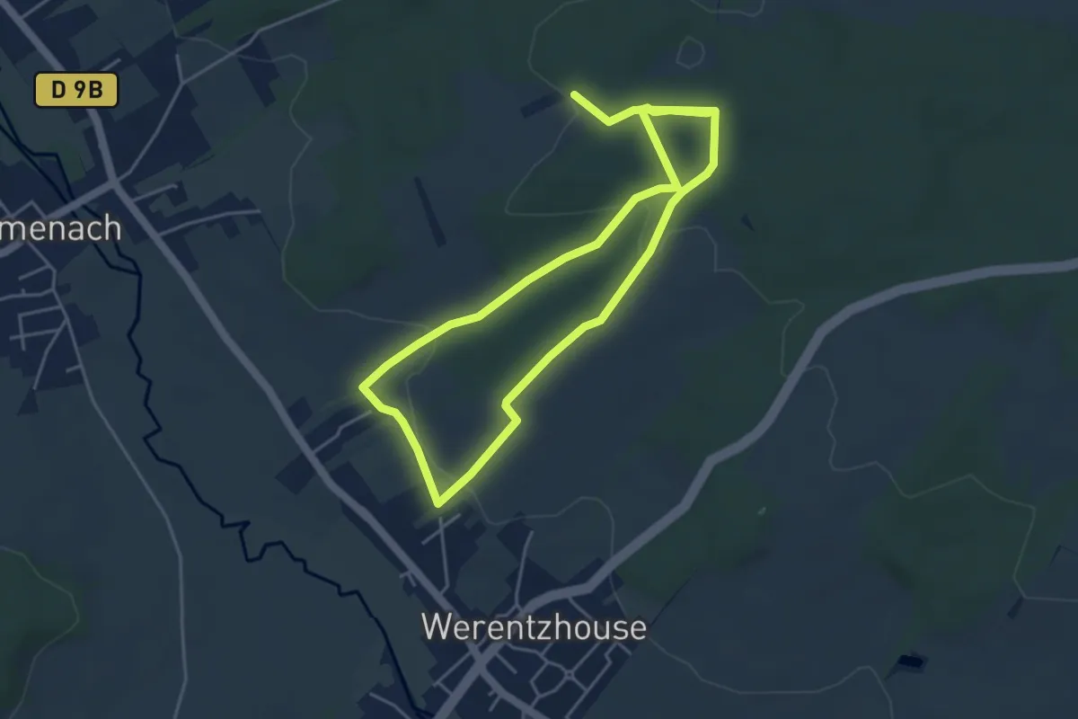
Medium · Trail
Werentzhouse – Werentzhouse
4.1 km · ↑ 101 m · 1 h 14 min
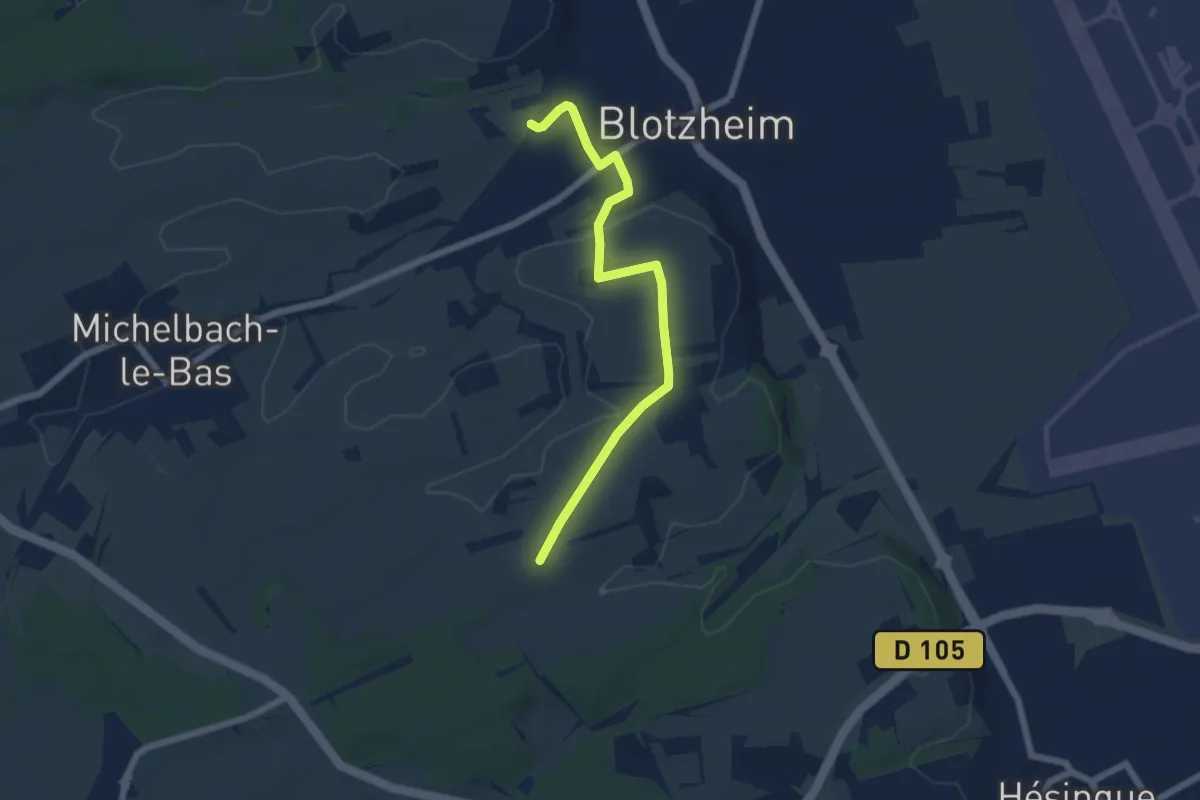
Easy · Trail
Blotzheim – Attenschweler Weg
5.8 km · ↑ 70 m · 1 h 32 min
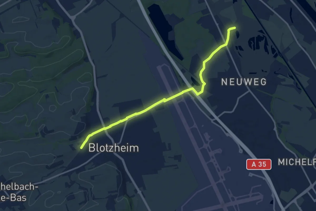
Medium · Trail
Blotzhein – Welschen Schlag
10.2 km · ↑ 39 m · 2 h 30 min
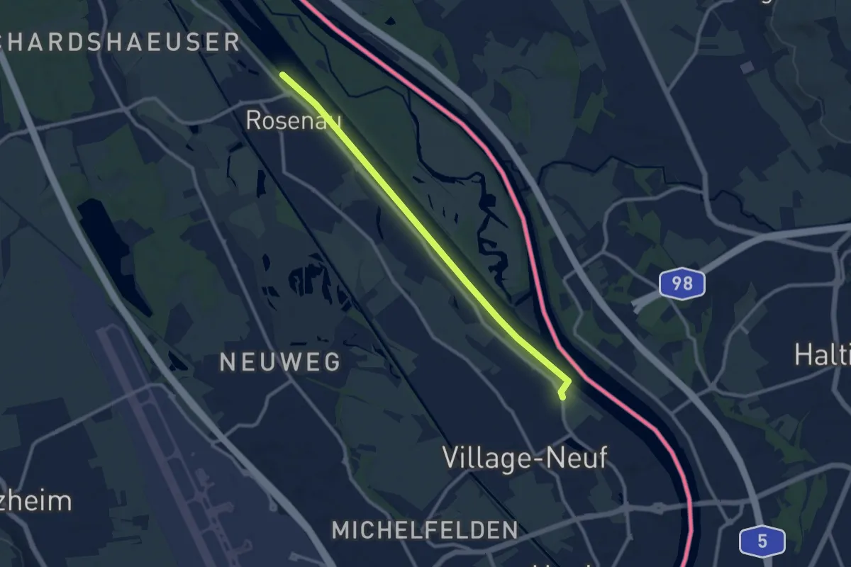
Easy · Trail
Huningue – Huningue
4.6 km · ↑ 0 m · 1 h 9 min
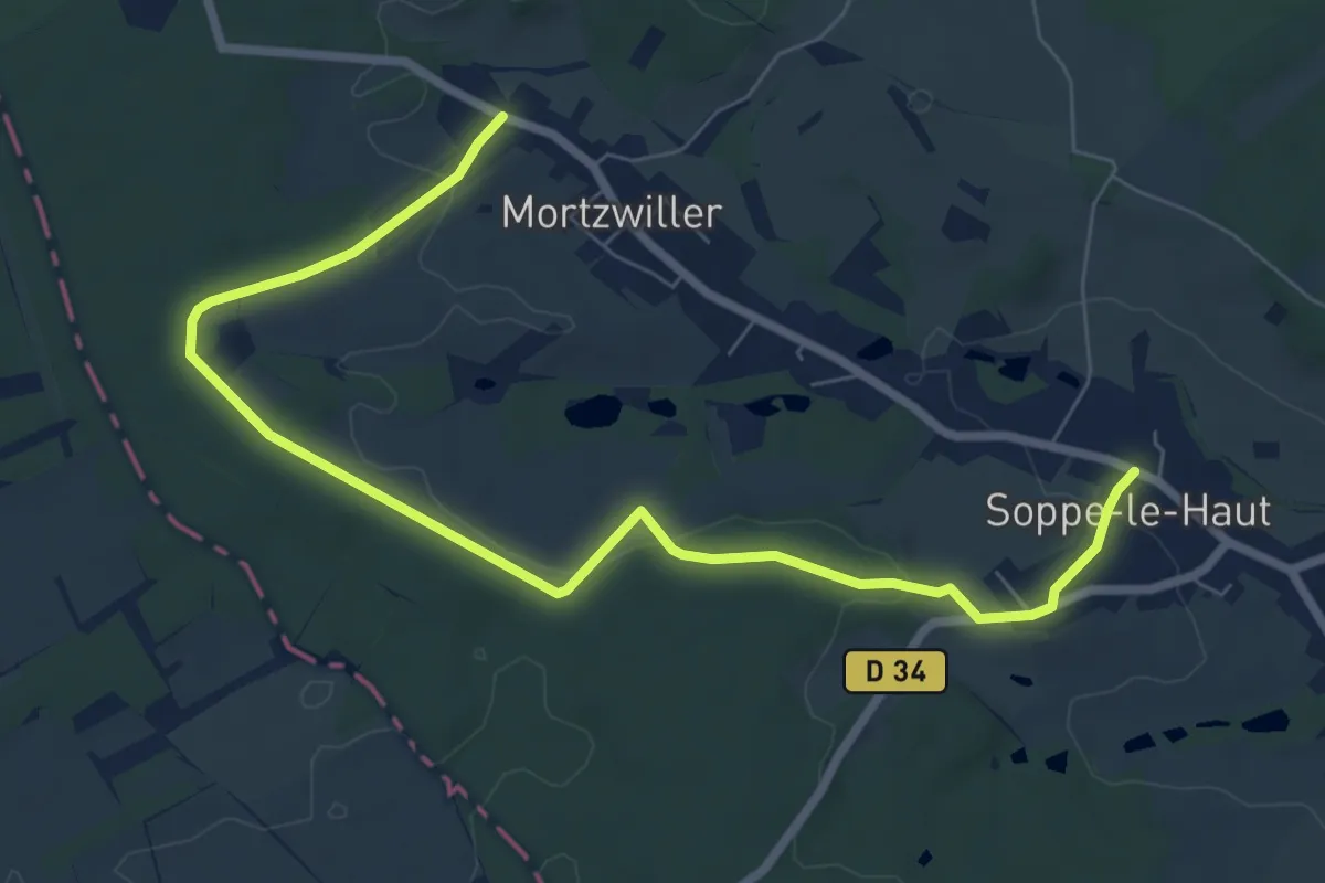
Medium · Trail
Soppe-le-haut – Lac de la Seignerie
8.5 km · ↑ 162 m · 2 h 21 min
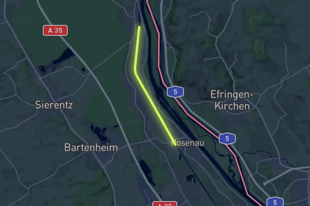
Medium · Trail
Kembs – Rosenau
12.1 km · ↑ 4 m · 2 h 51 min
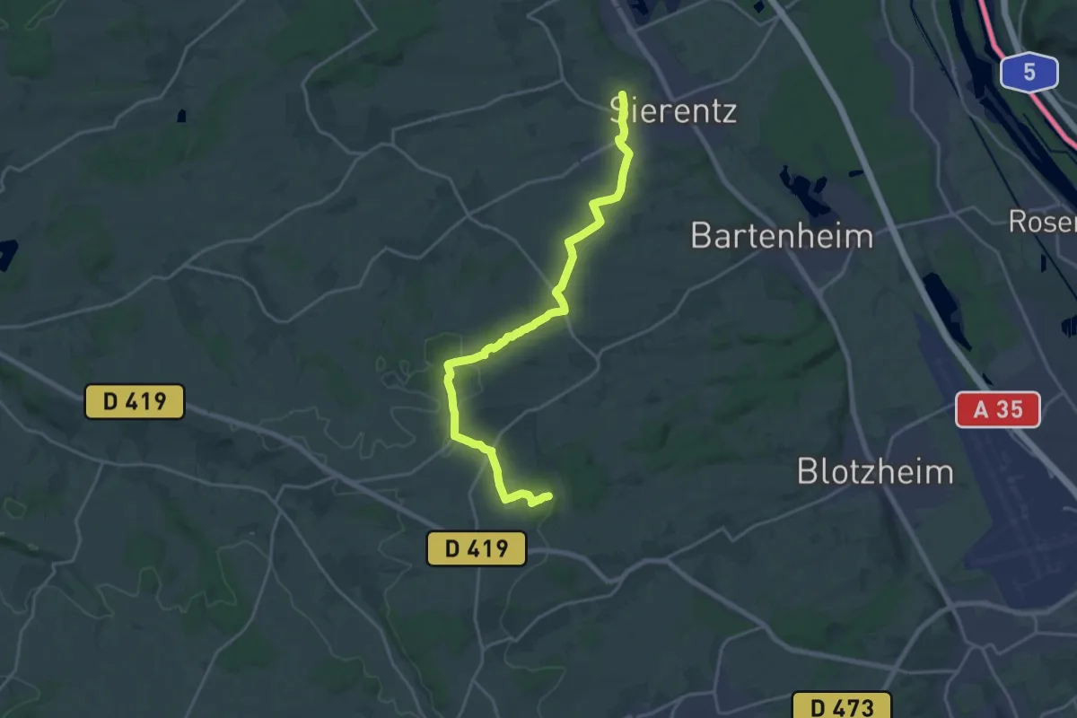
Demanding · Trail
Uffheim – GR 531
20.2 km · ↑ 216 m · 5 h 14 min
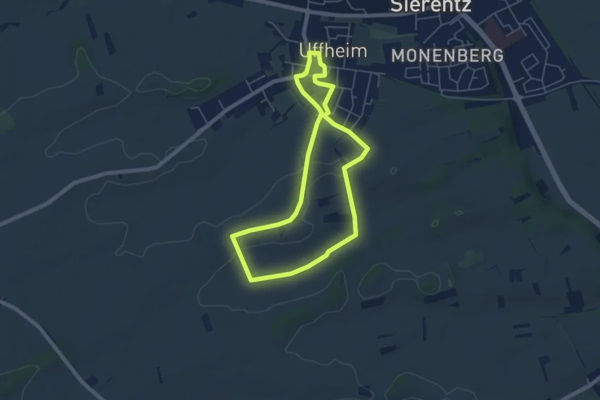
Easy · Trail
Uffheim – Uffheim
4.4 km · ↑ 43 m · 1 h 11 min
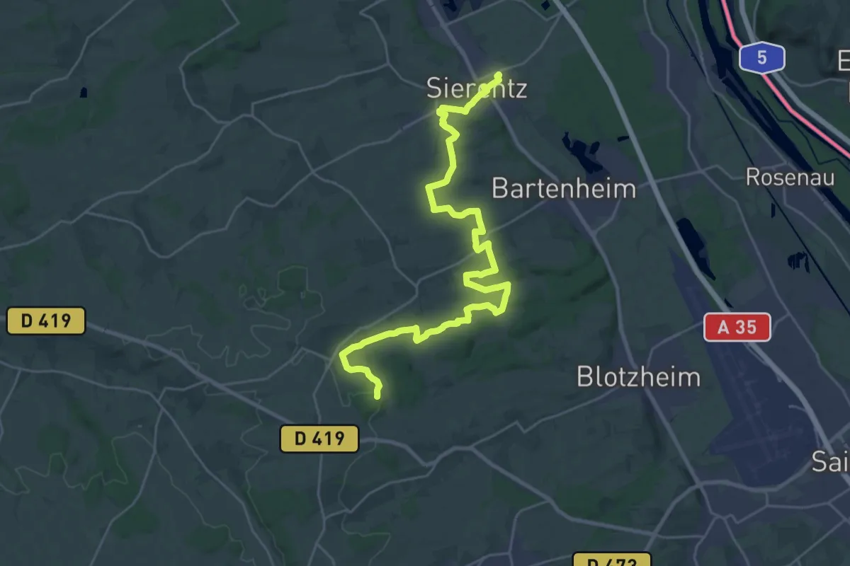
Demanding · Trail
Sierentz – GR 531
29.7 km · ↑ 408 m · 7 h 54 min
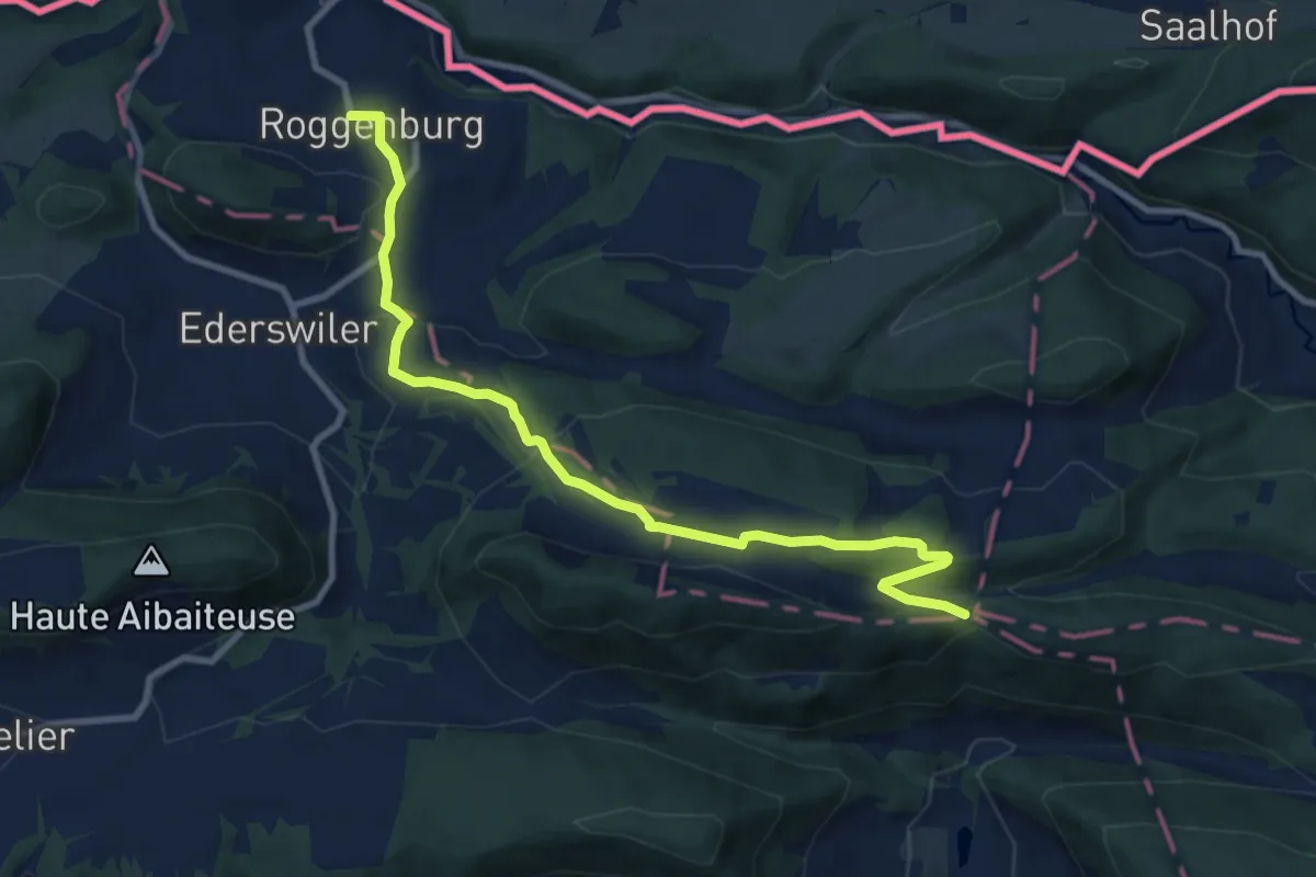
Medium · Trail
Roggenburg – Hasenschell
9.9 km · ↑ 354 m · 3 h 7 min
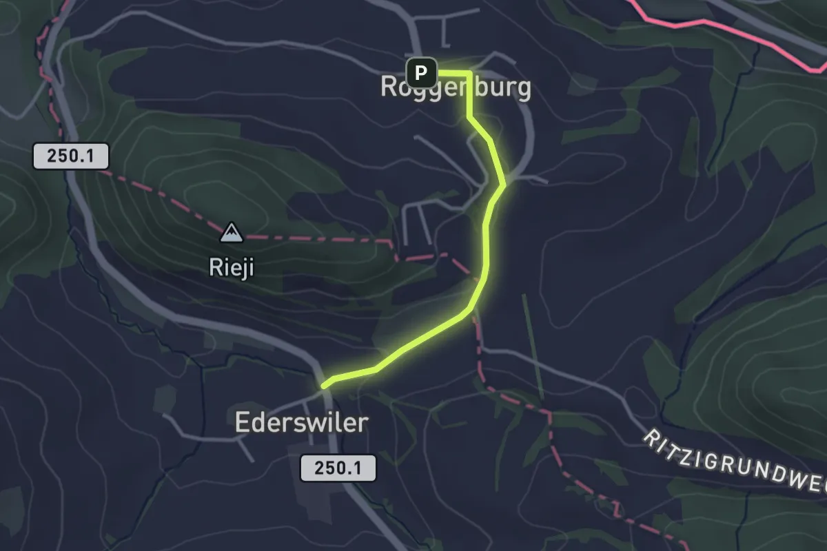
Easy · Trail
Roggenburg – Ederswiler
2.5 km · ↑ 72 m · 45 min
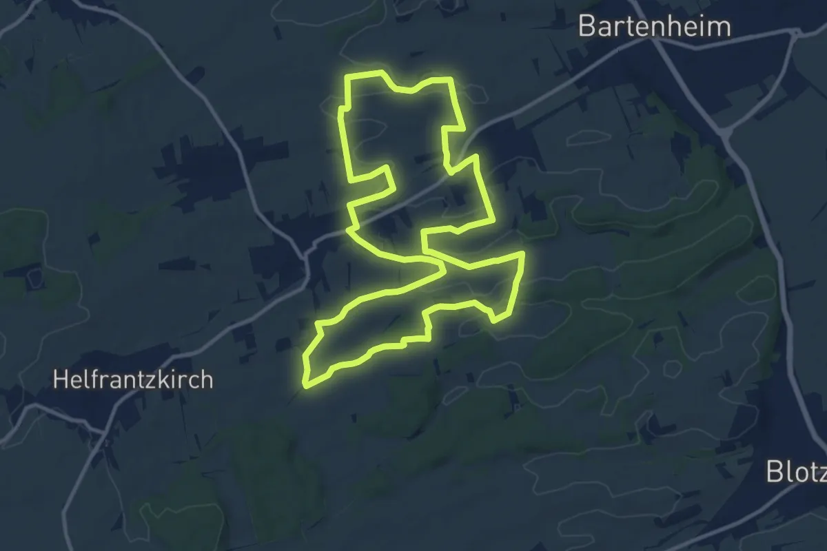
Medium · Trail
Kappelen – Kappelen
12.0 km · ↑ 119 m · 3 h 15 min
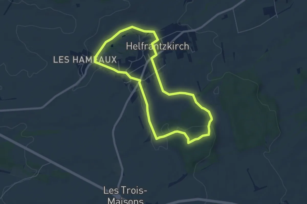
Easy · Trail
Helfrantzkirch – Helfrantzkirch
5.3 km · ↑ 83 m · 1 h 30 min
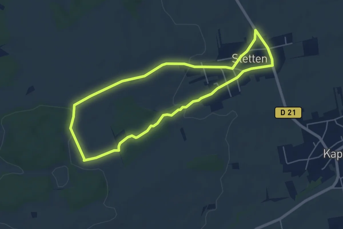
Easy · Trail
Stetten – Stetten
4.5 km · ↑ 78 m · 1 h 18 min
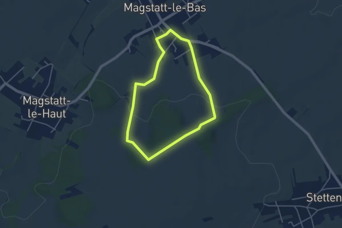
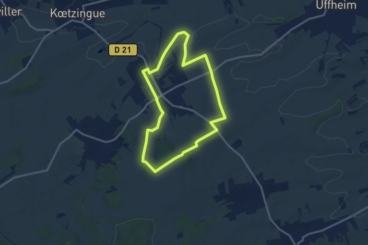
Easy · Trail
Magstatt-le-Bas – Magstatt-le-Bas
2.9 km · ↑ 69 m · 53 min
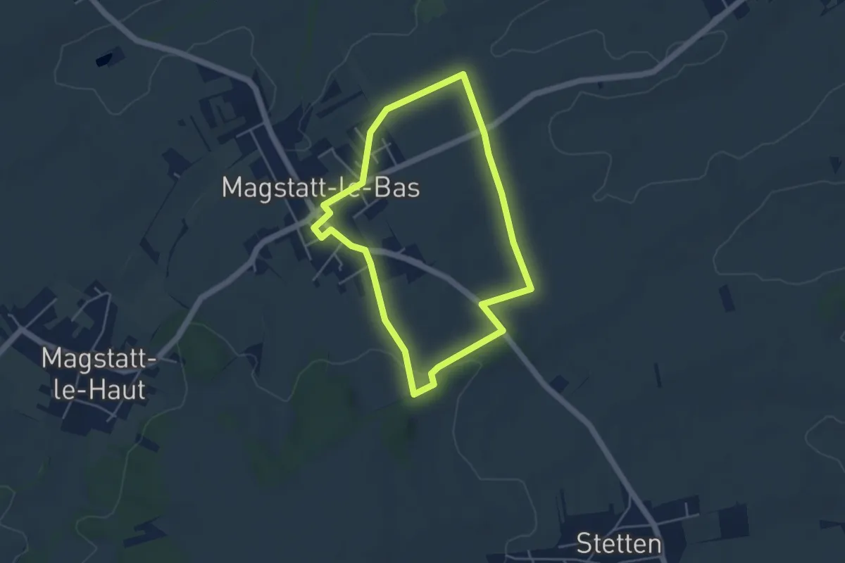
Easy · Trail
Magstatt-le-Bas – Magstatt-le-Bas
6.4 km · ↑ 100 m · 1 h 48 min
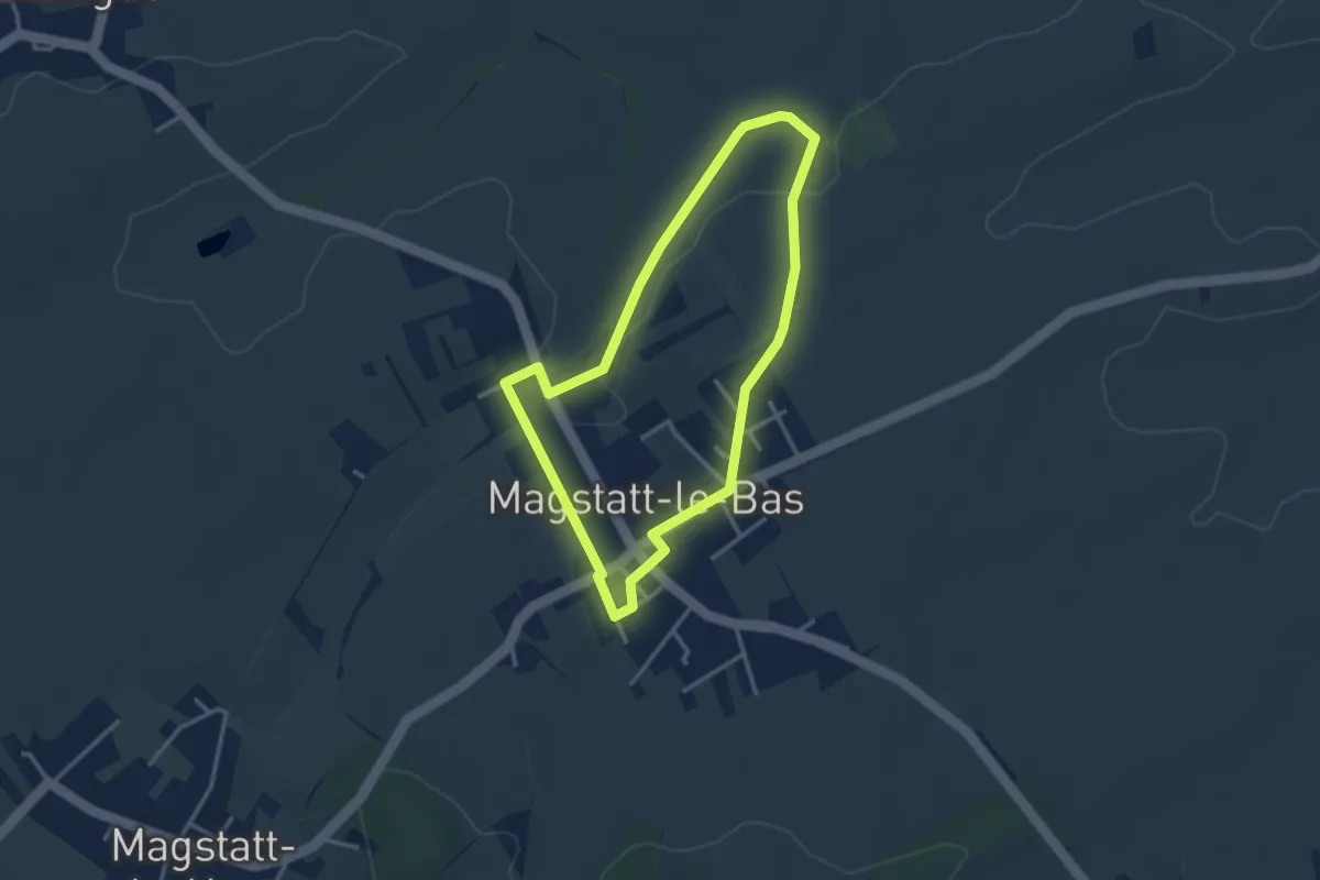
Easy · Trail
Magstatt-le-bas – Magstatt-le-bas
4.0 km · ↑ 51 m · 1 h 6 min
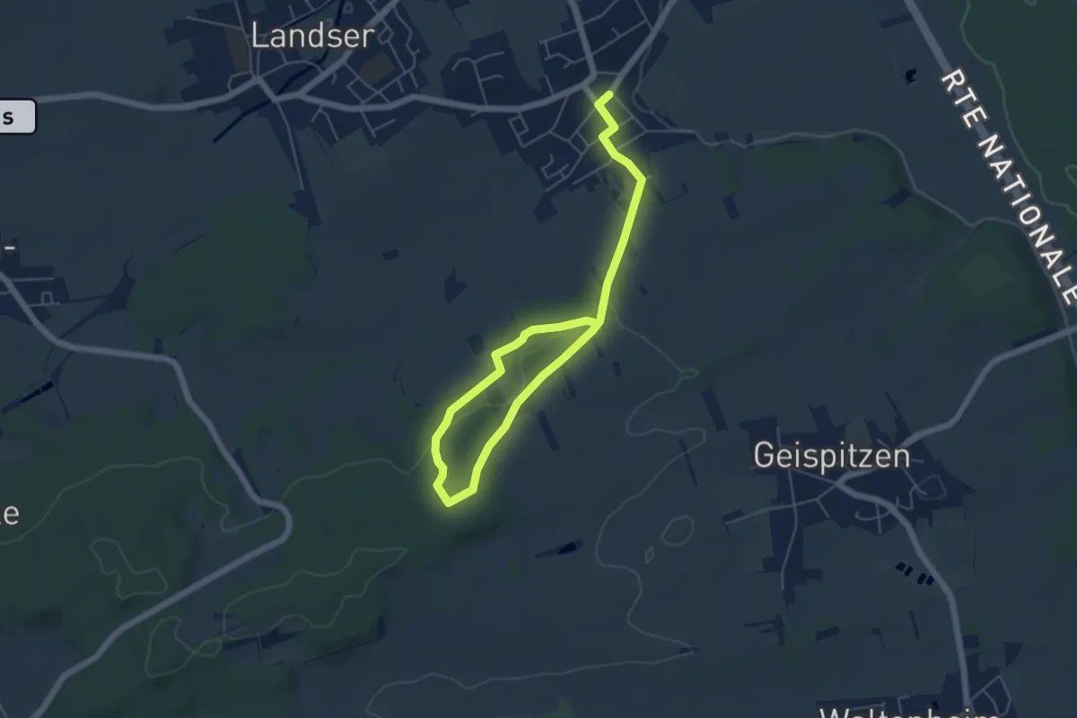
Easy · Trail
Magstatt-le-Bas – Magstatt-le-Bas
3.0 km · ↑ 36 m · 49 min
Easy · Trail
Schlierbach – Schlierbach
3.6 km · ↑ 102 m · 1 h 5 min
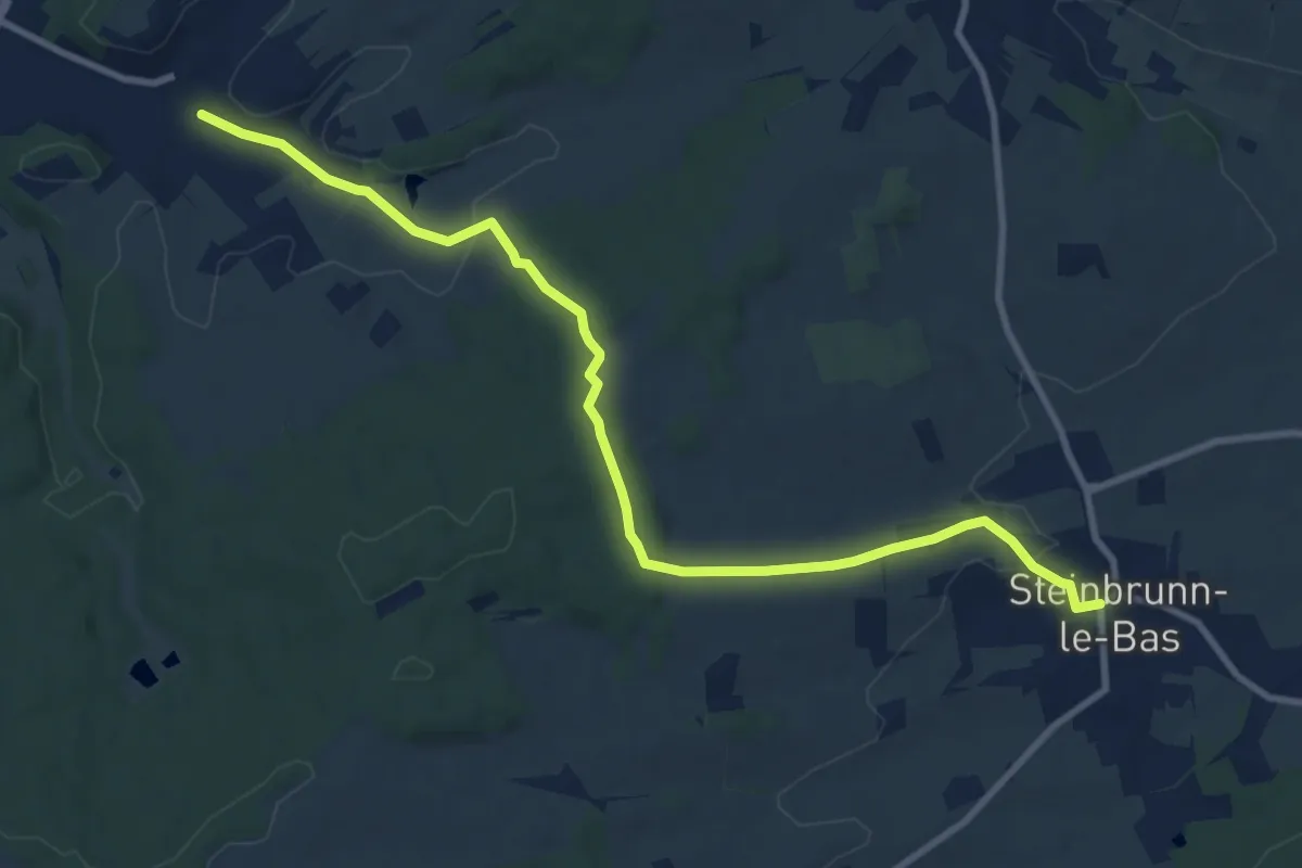
Medium · Trail
Steinbrunn-le-Bas – Flaxlanden
10.4 km · ↑ 244 m · 2 h 59 min
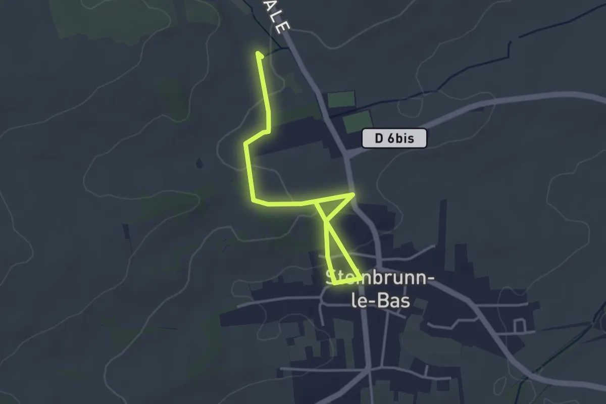
Easy · Trail
Steinbrunn-le-Bas – Chapelle Sainte-Apolline
3.8 km · ↑ 62 m · 1 h 1 min
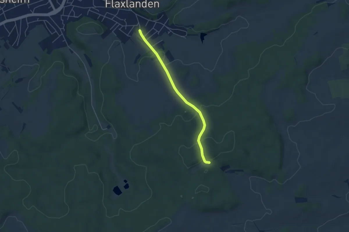
Easy · Trail
Flaxlanden – GR 532
4.2 km · ↑ 146 m · 1 h 19 min
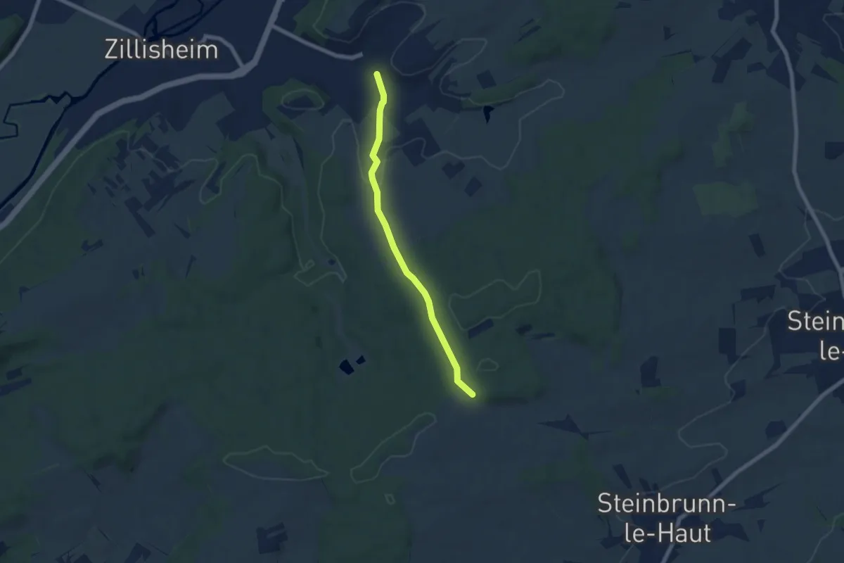
Easy · Trail
Flaxlanden – Kinzelen
5.7 km · ↑ 144 m · 1 h 39 min
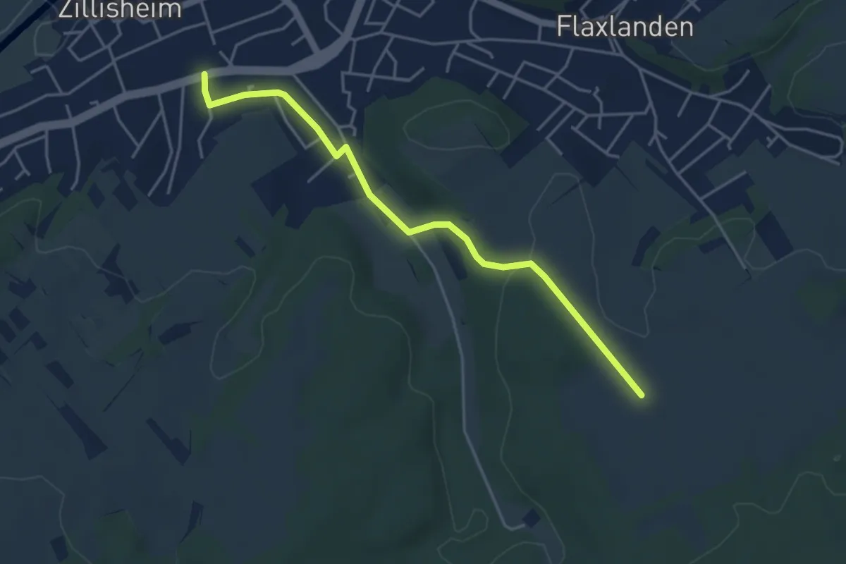
Easy · Trail
Zillisheim – Schwalbberg
4.1 km · ↑ 73 m · 1 h 8 min
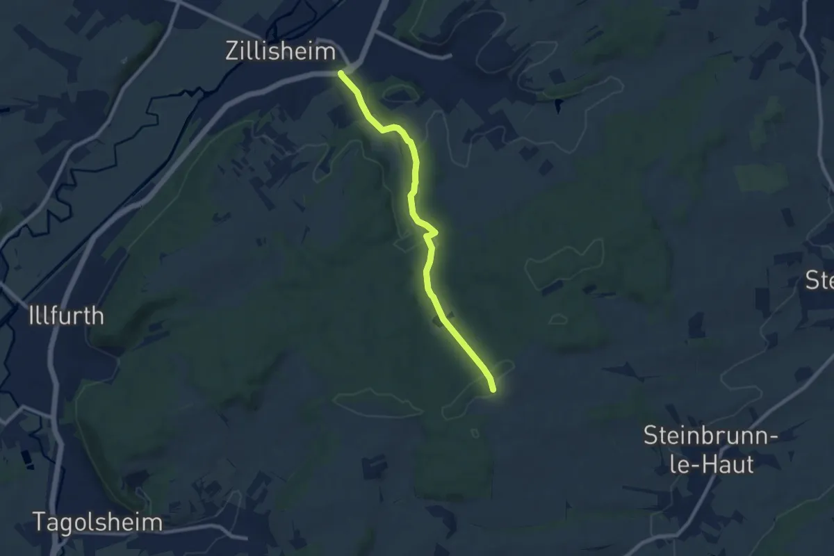
Easy · Summit
Zillisheim – Altenberg
7.4 km · ↑ 182 m · 2 h 9 min
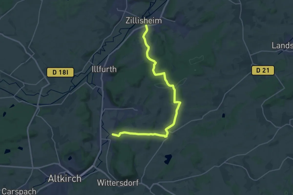
Demanding · Trail
Zillisheim – Walheim
20.7 km · ↑ 448 m · 5 h 51 min
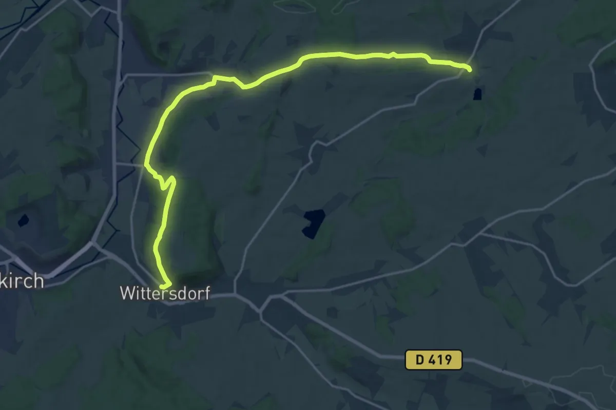
Demanding · Trail
Steinbrunn-le-Haut – Wittersdorf
19.3 km · ↑ 442 m · 5 h 31 min
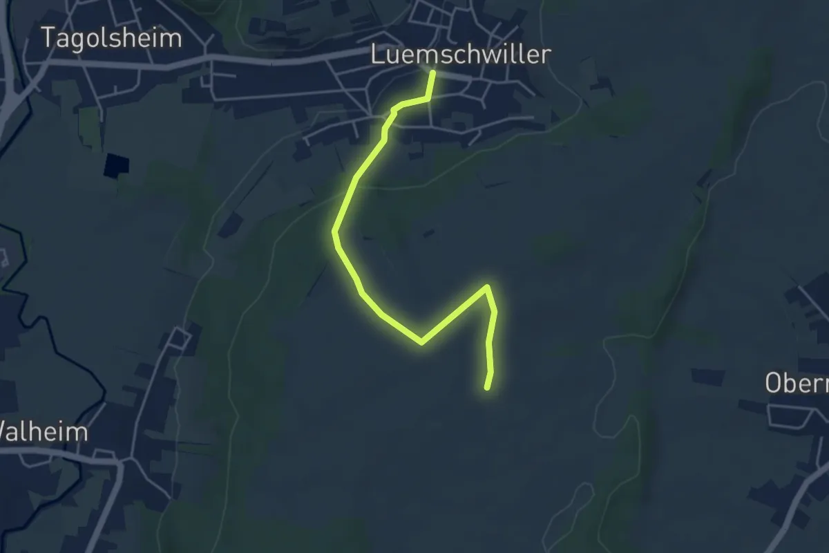
Easy · Trail
Luemschwiller – Hohe Fichten
4.2 km · ↑ 98 m · 1 h 12 min
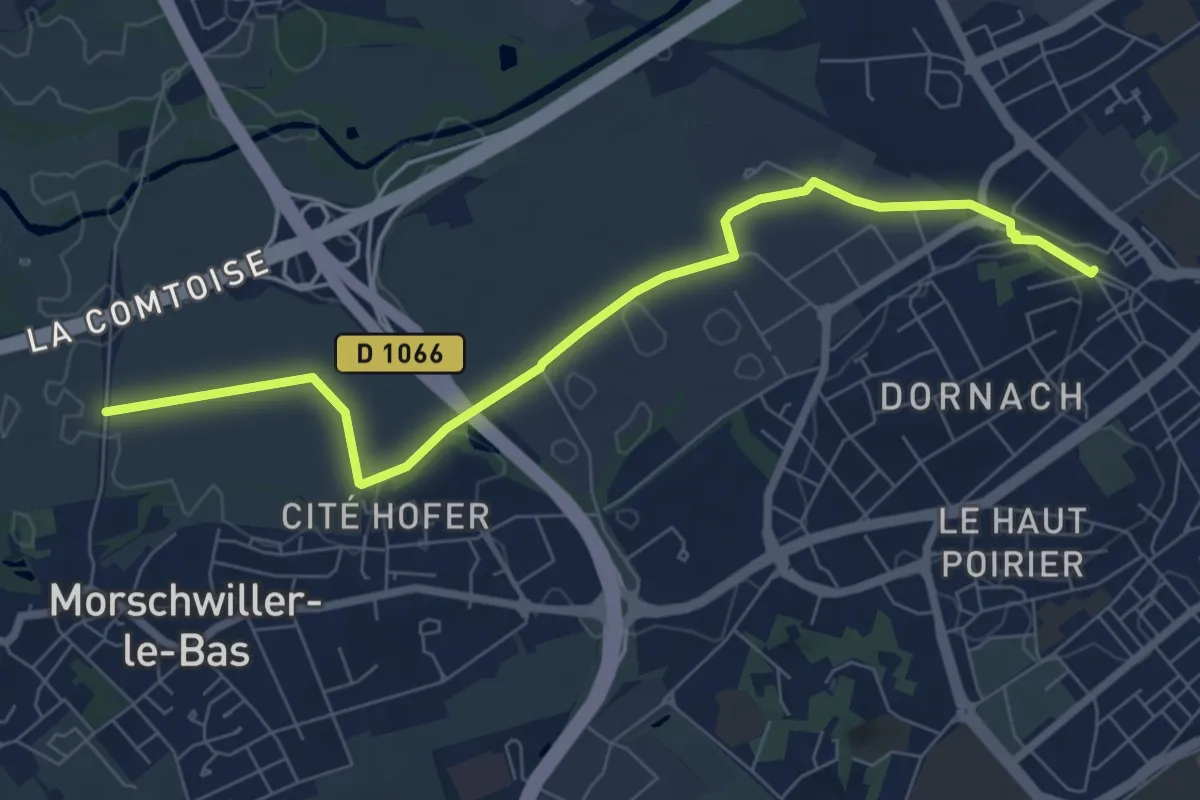
Easy · Trail
Mulhouse Dornach – Aumaten
7.6 km · ↑ 0 m · 1 h 48 min
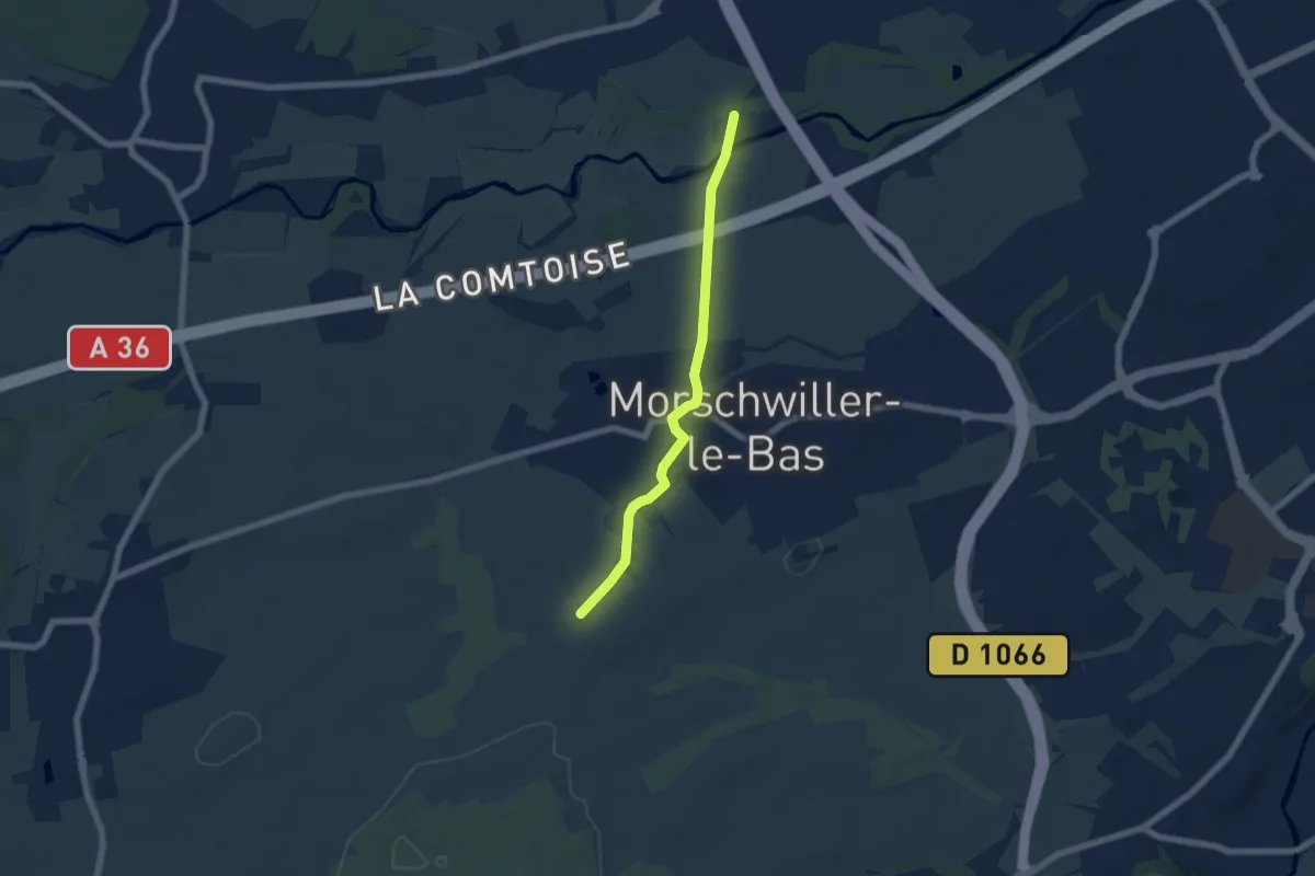
Easy · Trail
Kellerhag – Galgaecker
5.6 km · ↑ 35 m · 1 h 24 min
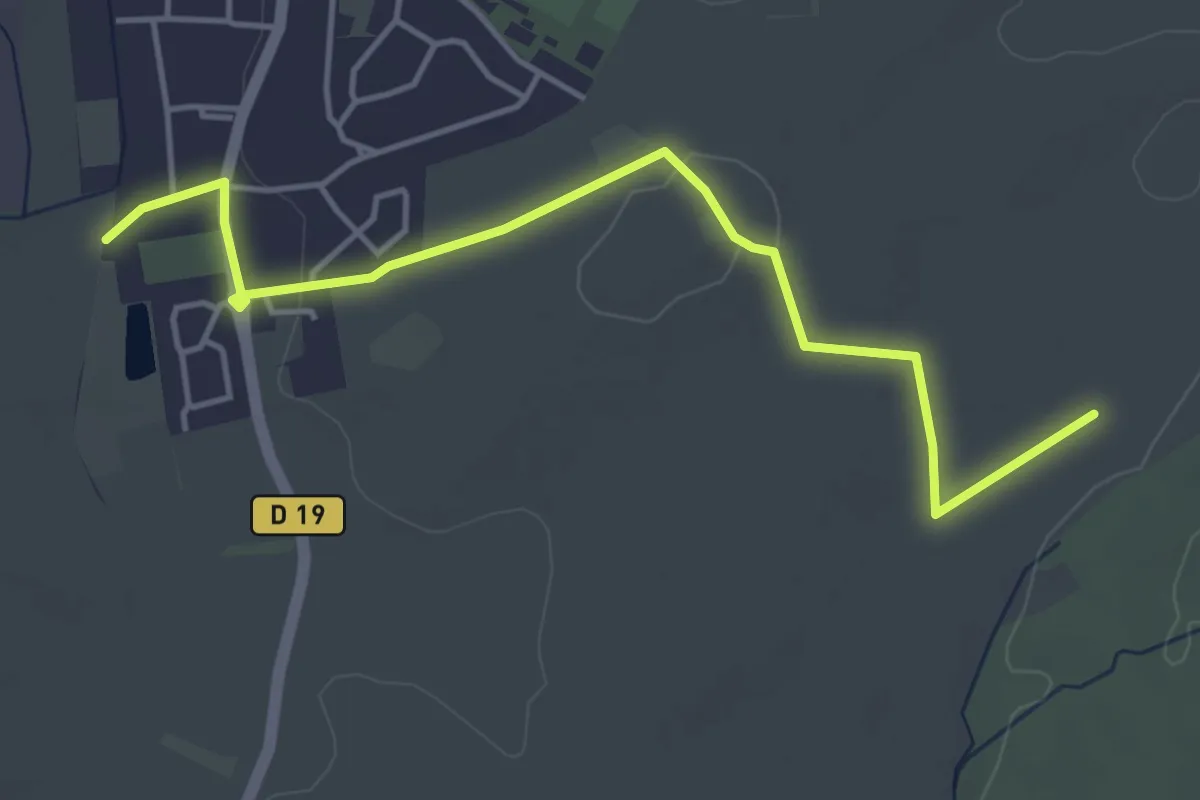
Easy · Trail
Heimsbrunn – Muelhauserweg
4.8 km · ↑ 51 m · 1 h 14 min
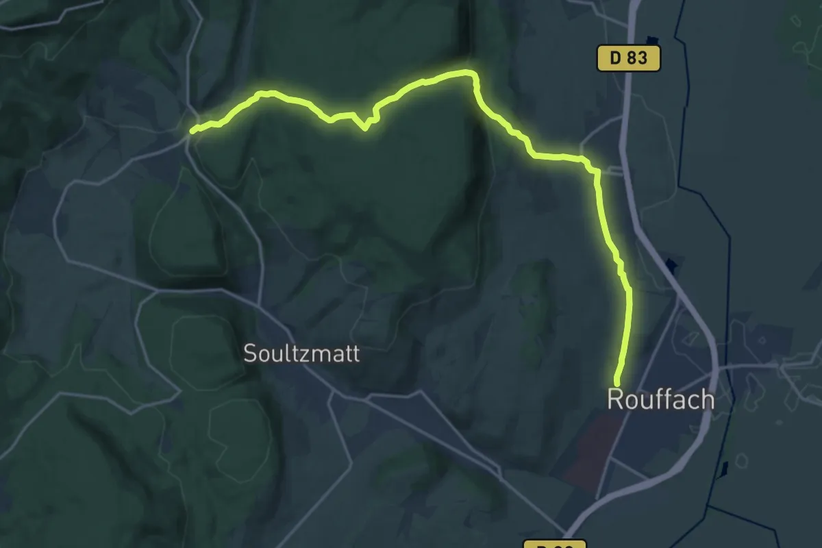
Demanding · Trail
Rouffach – Osenbach
18.5 km · ↑ 596 m · 5 h 40 min
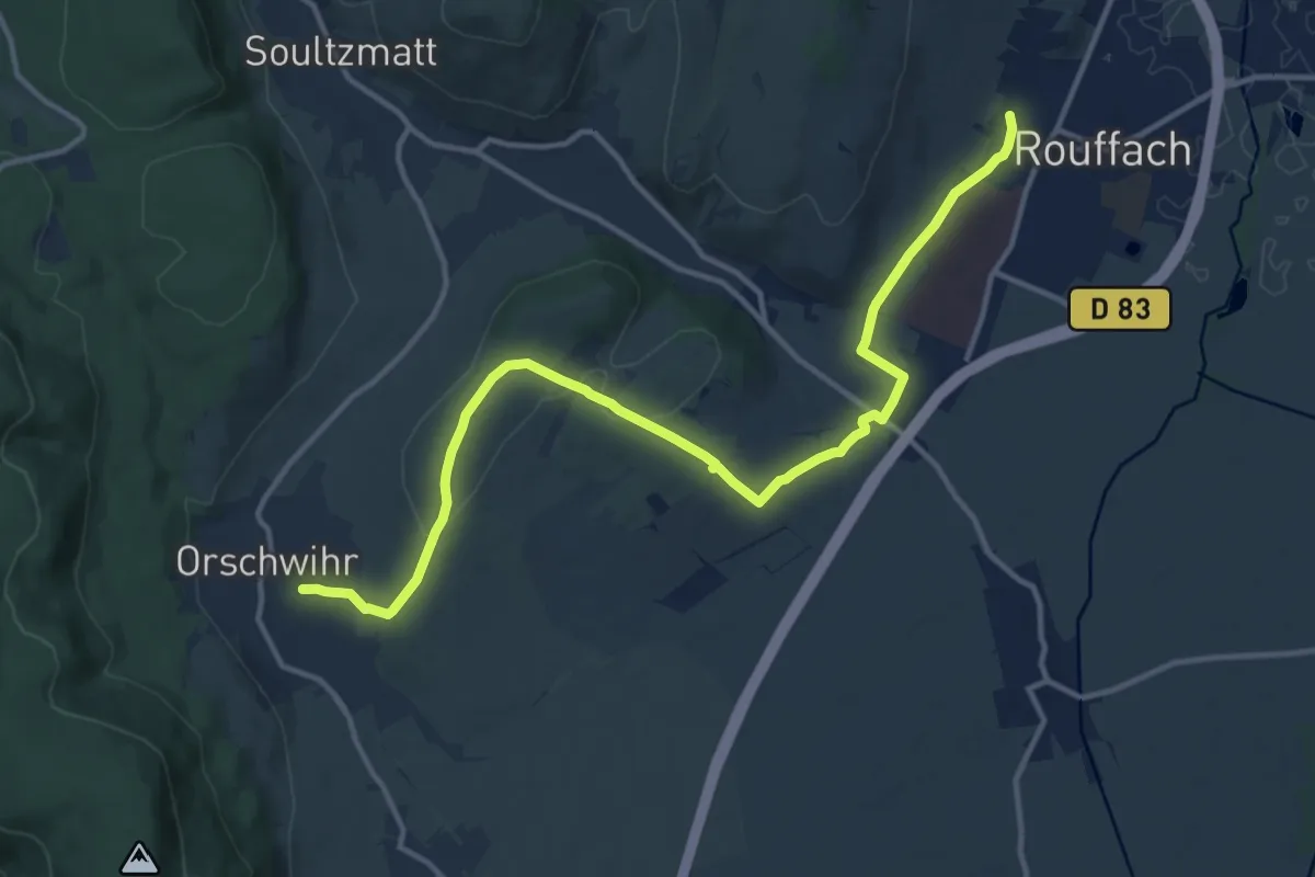
Medium · Trail
Rouffach – Orschwihr
14.5 km · ↑ 241 m · 3 h 57 min
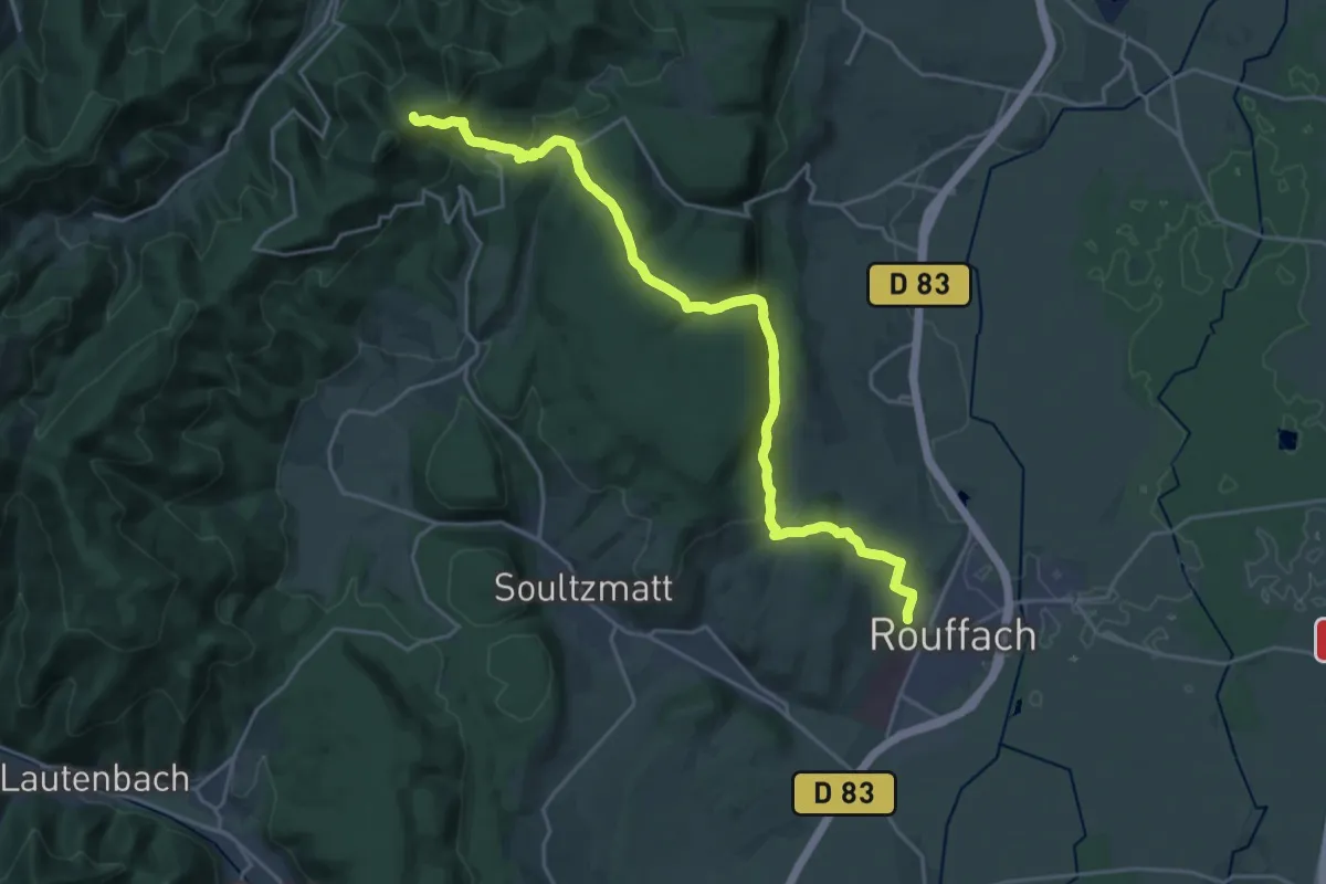
Demanding · Trail
Rouffach – Col de Wolfsgrube
22.8 km · ↑ 765 m · 7 h 3 min
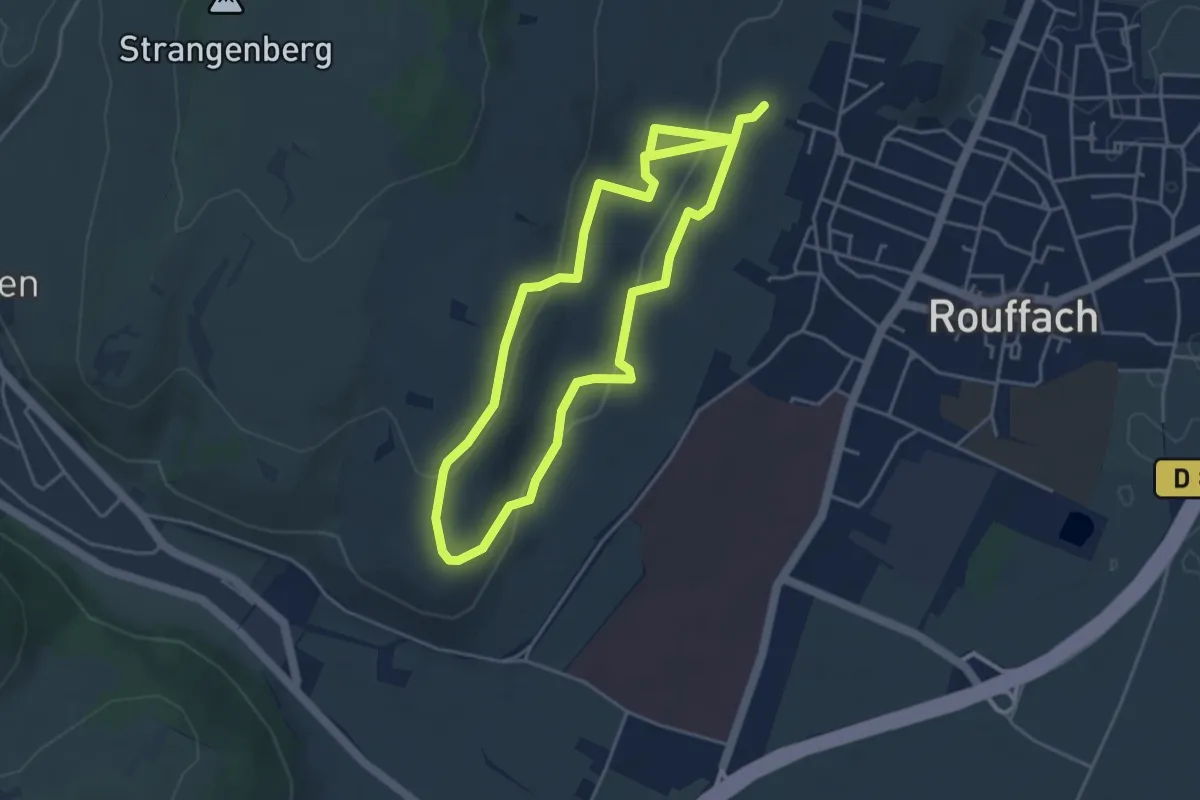
Easy · Trail
Rouffach – Rouffach
3.9 km · ↑ 102 m · 1 h 13 min