Trails in France
15,926 hiking trails, each with its route, climb, walking time and grade.
All trails, page 309 of 332
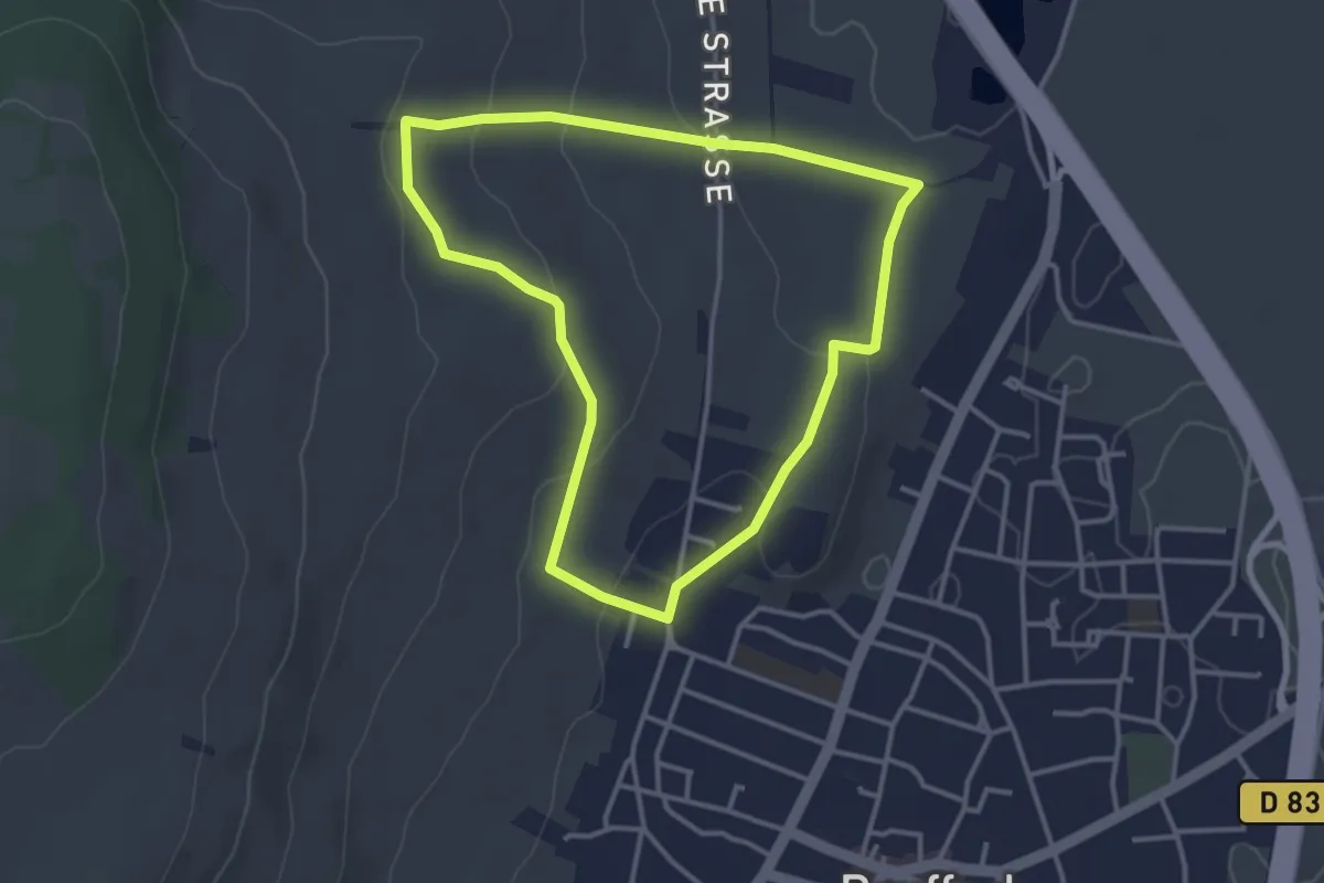
Easy · Trail
Rouffach – Rouffach
3.2 km · ↑ 84 m · 59 min
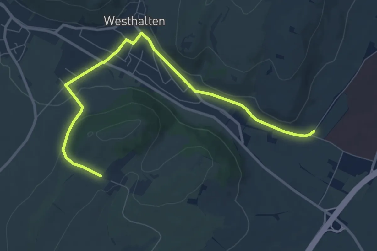
Easy · Trail
Centre Hospitalier de Rouffach – Domaine du Bollenberg
7.9 km · ↑ 132 m · 2 h 9 min
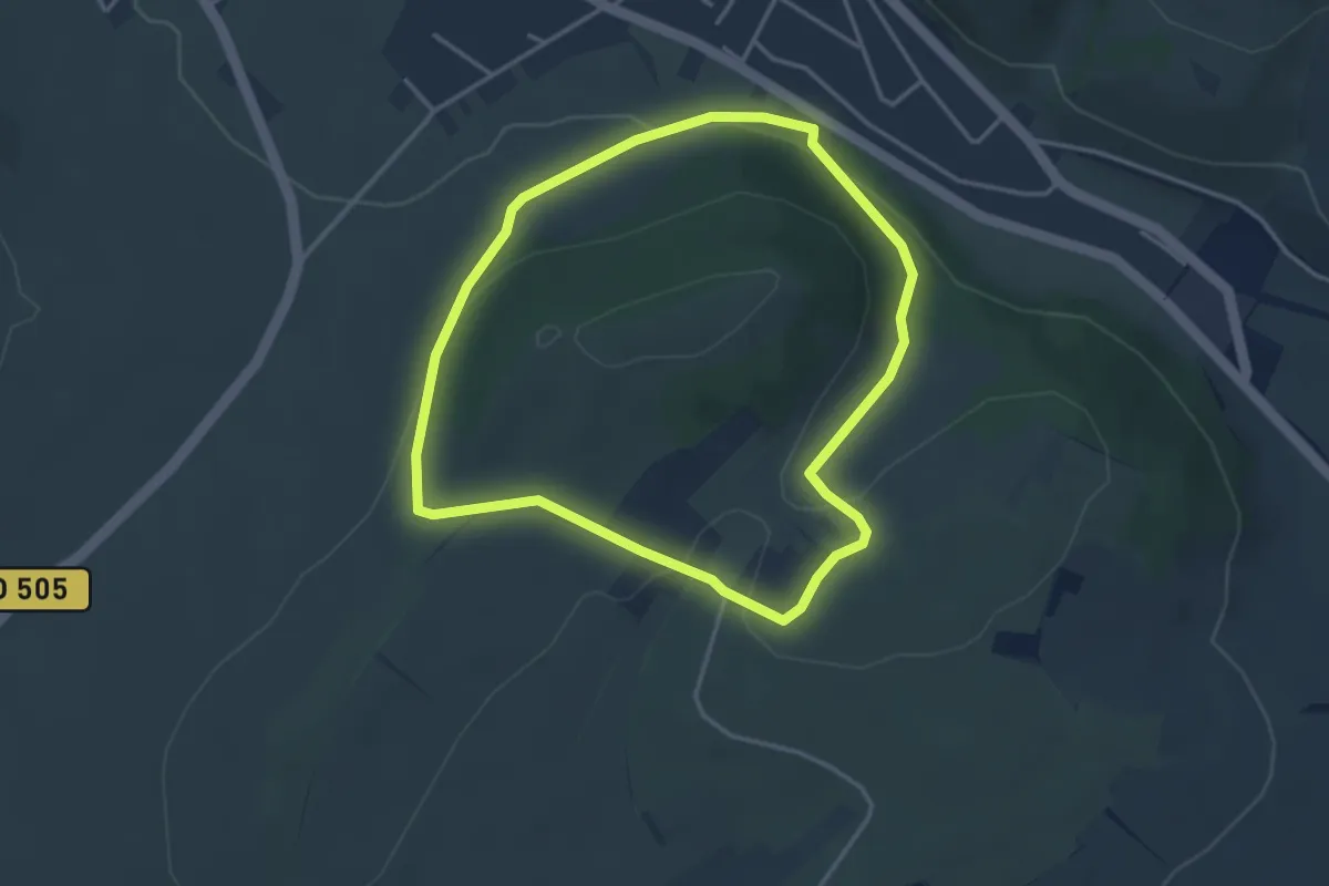
Easy · Trail
Domaine du Bollenberg – Domaine du Bollenberg
3.3 km · ↑ 88 m · 1 h 1 min
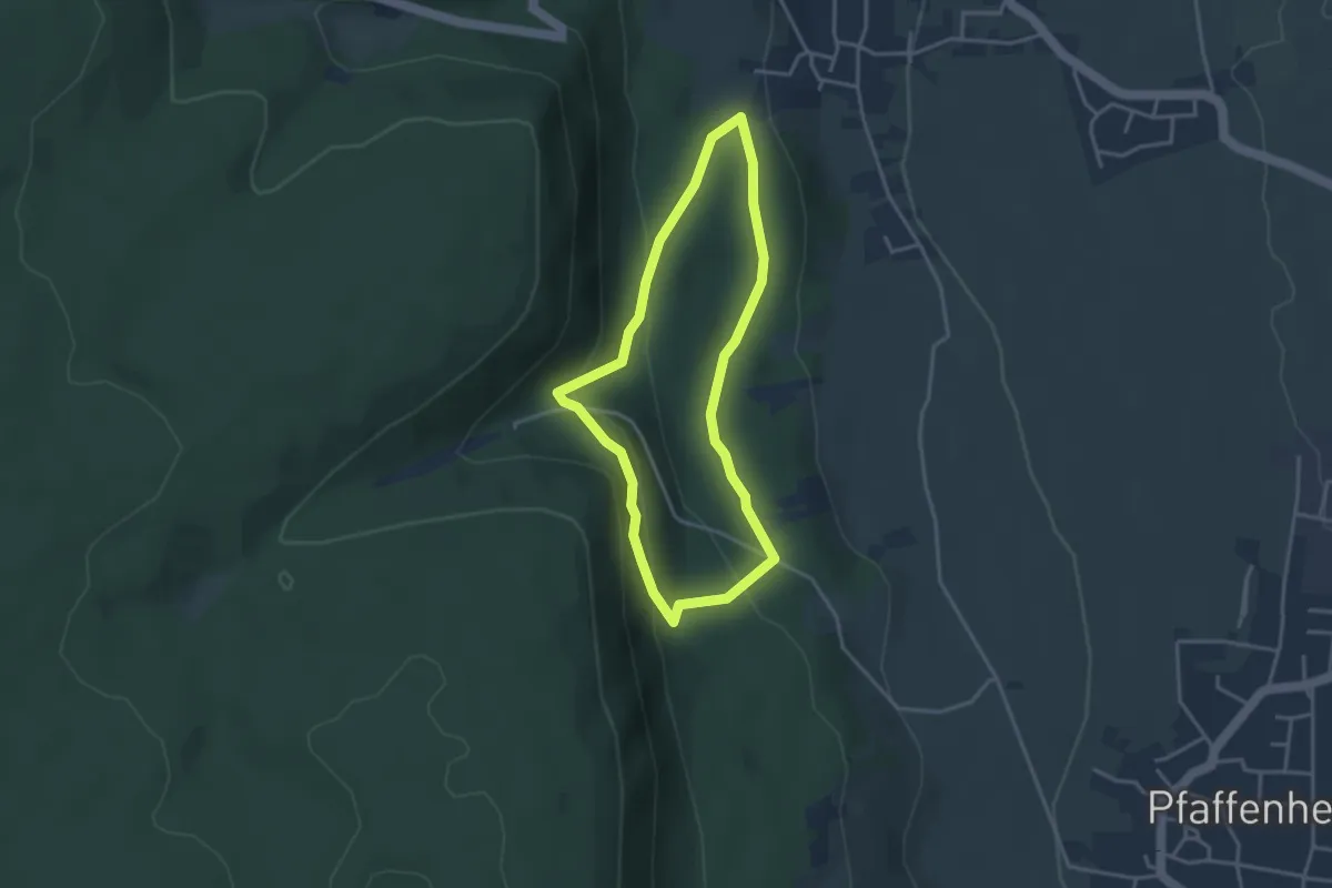
Easy · Trail
Gueberschwihr – Gueberschwihr
3.1 km · ↑ 119 m · 1 h 1 min
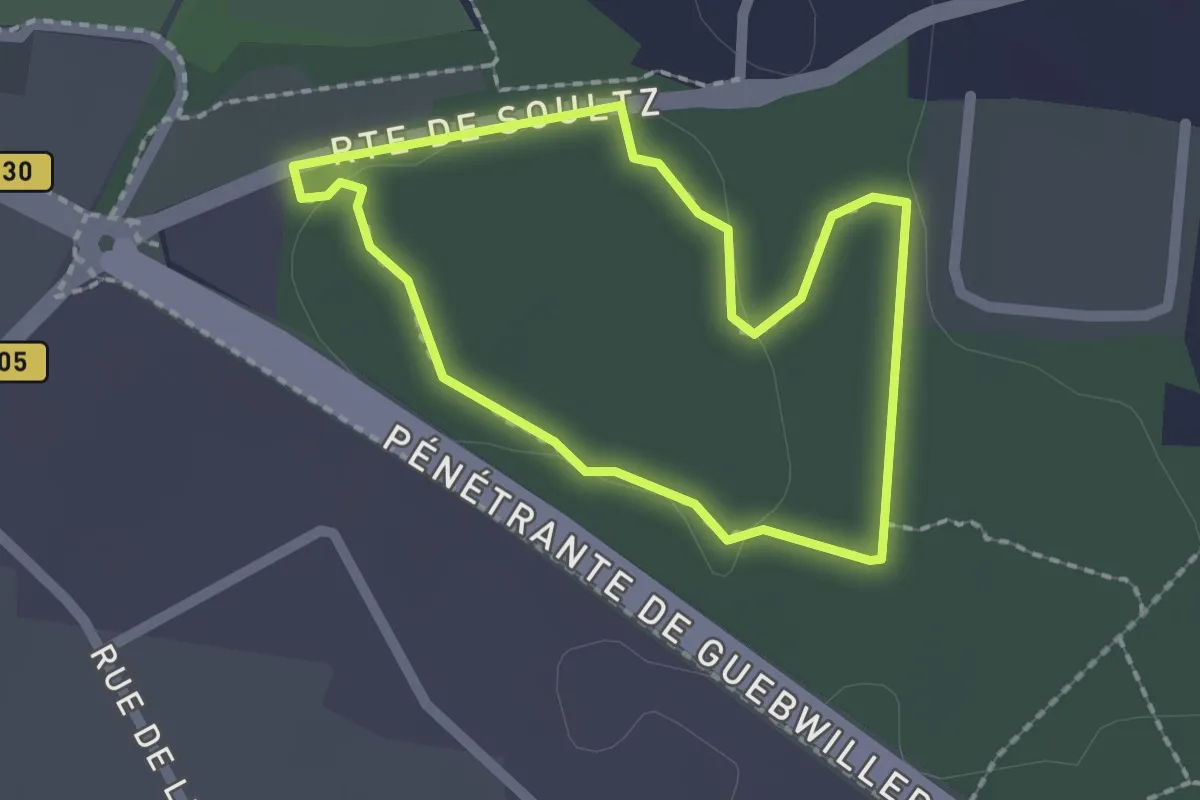
Easy · Trail
Route de Soultz – Route de Soultz
1.7 km · ↑ 19 m · 27 min
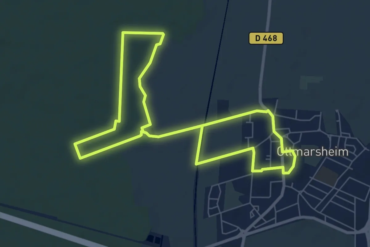
Easy · Trail
Ottmarsheim – Ottmarsheim
5.9 km · ↑ 13 m · 1 h 31 min
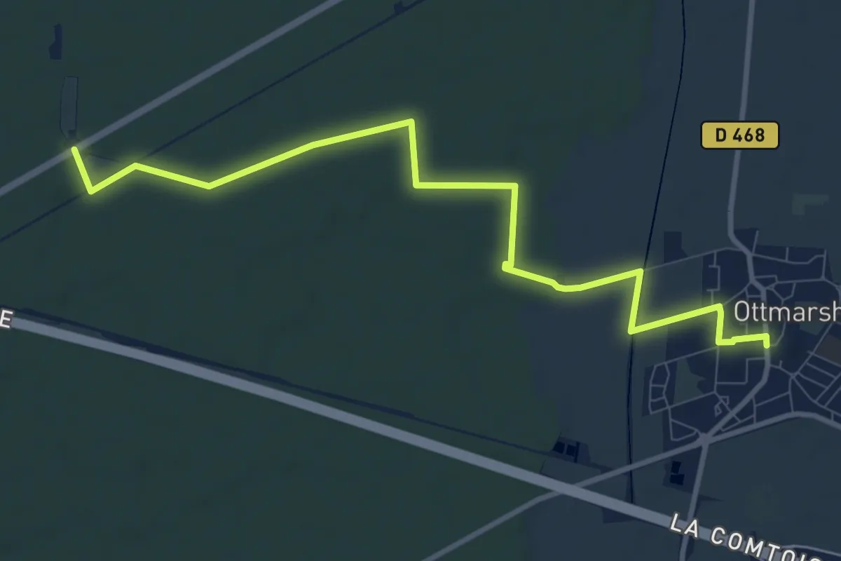
Medium · Trail
Ottmarsheim – Maison forestière Grünhütte
10.3 km · ↑ 26 m · 2 h 29 min
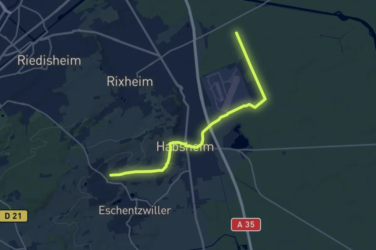
Medium · Trail
Zimmersheim – Pont du Bouc
14.6 km · ↑ 89 m · 3 h 39 min
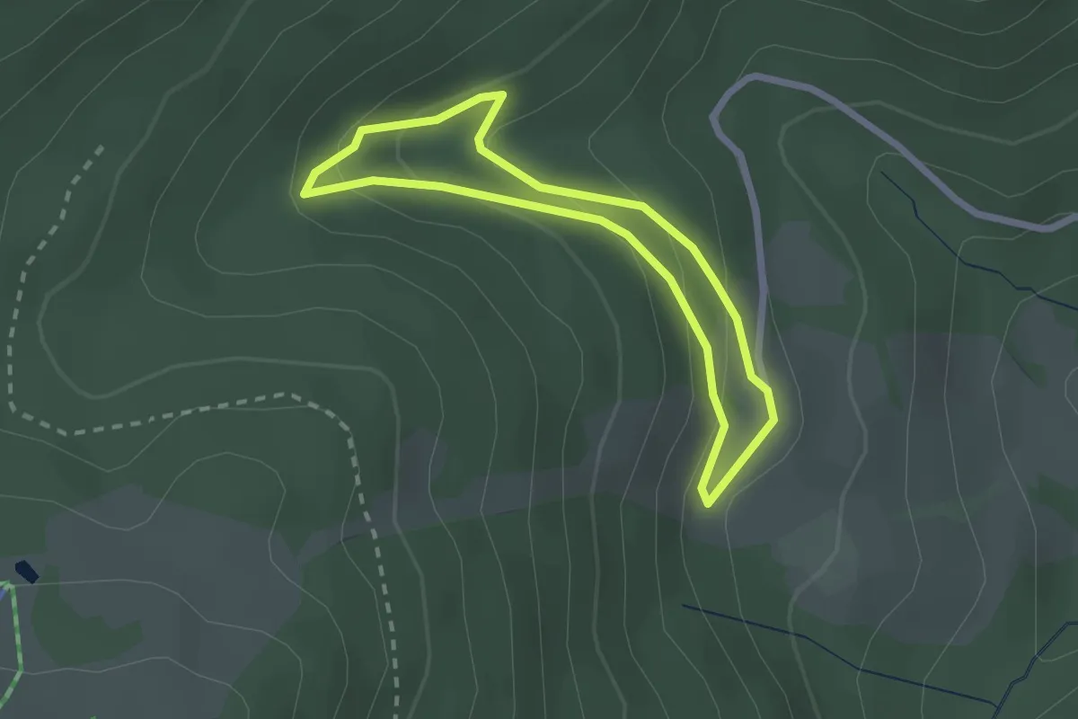
Easy · Trail
Chalet de la Glashutte – Chalet de la Glashutte
1.9 km · ↑ 105 m · 42 min
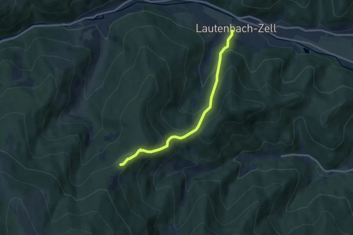
Medium · Summit
Lautenbach-Zell – Roedelen
6.3 km · ↑ 492 m · 2 h 33 min
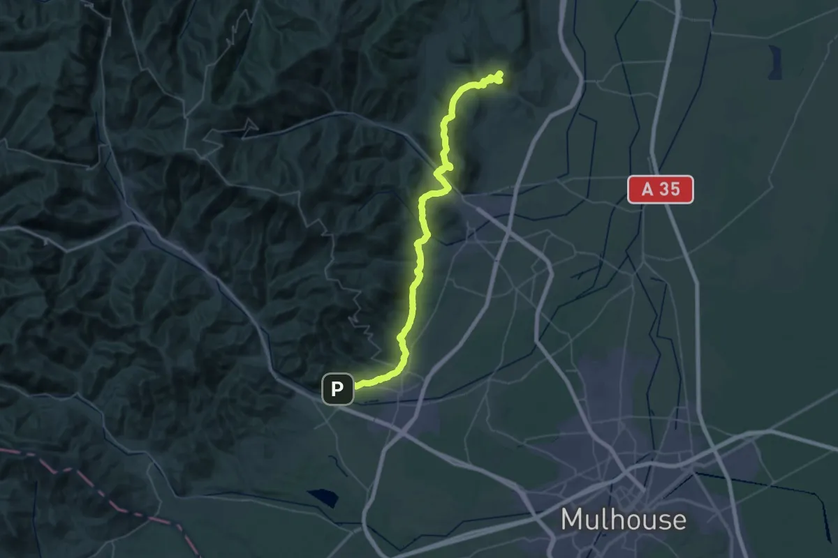
Demanding · Summit
Notre-Dame du Schauenberg – Thann
53.4 km · ↑ 1653 m · 16 h 11 min
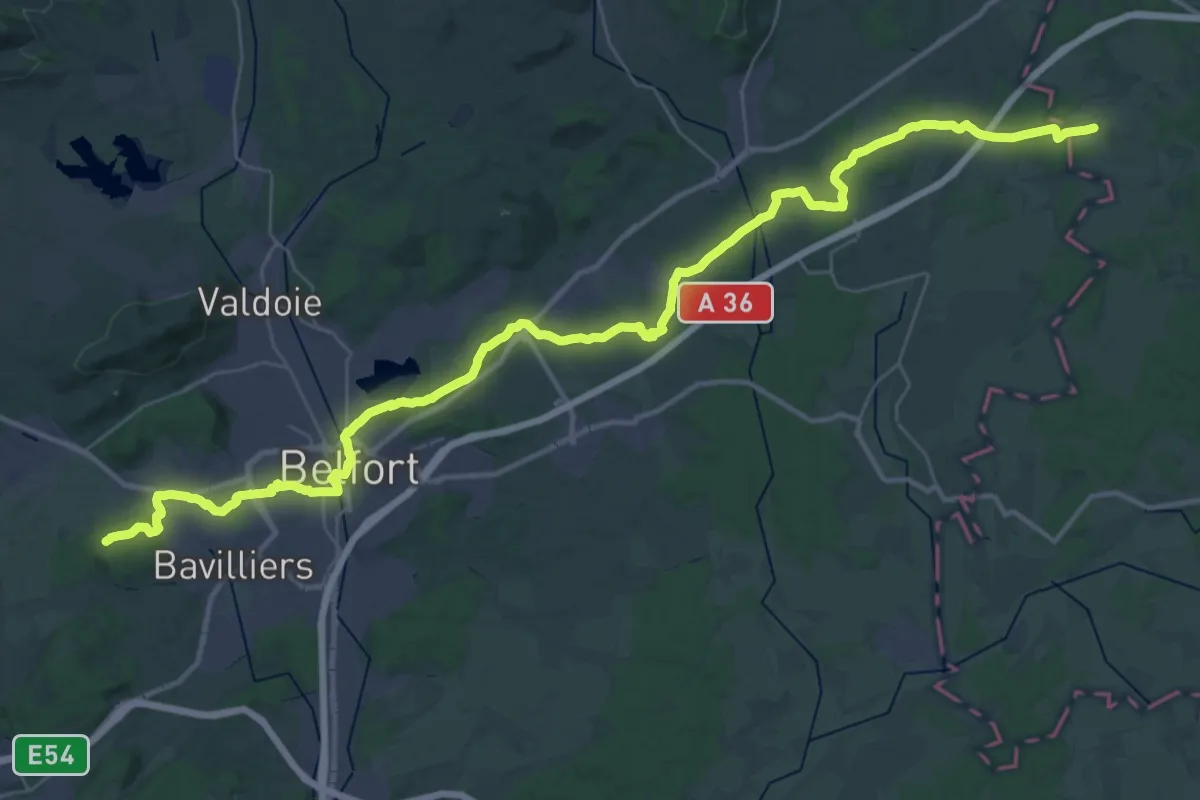
Demanding · Summit
Thann – Héricourt
50.3 km · ↑ 572 m · 13 h 7 min
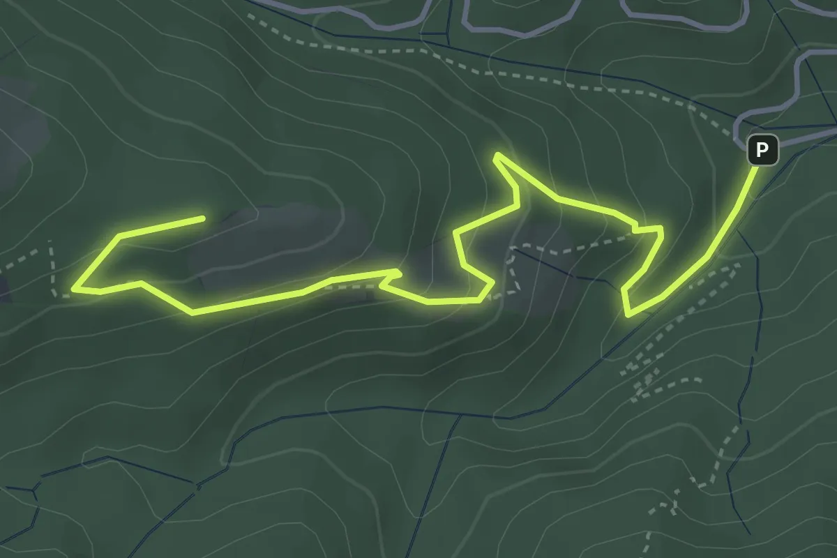
Medium · Summit
Col Amic – Croix Zimmermann
4.7 km · ↑ 304 m · 1 h 46 min
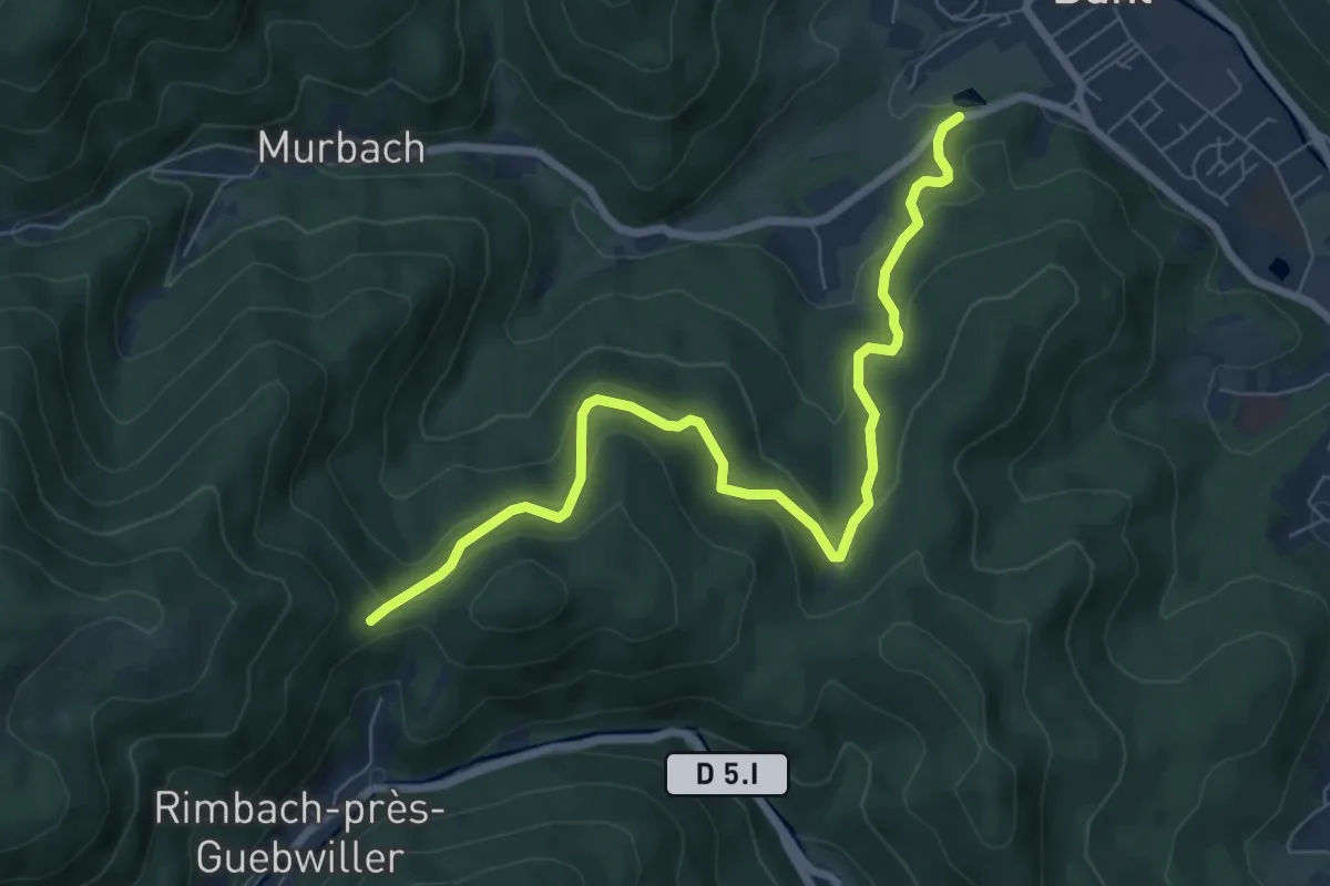
Medium · Trail
Buhl – Munsteraeckerle
7.6 km · ↑ 379 m · 2 h 37 min
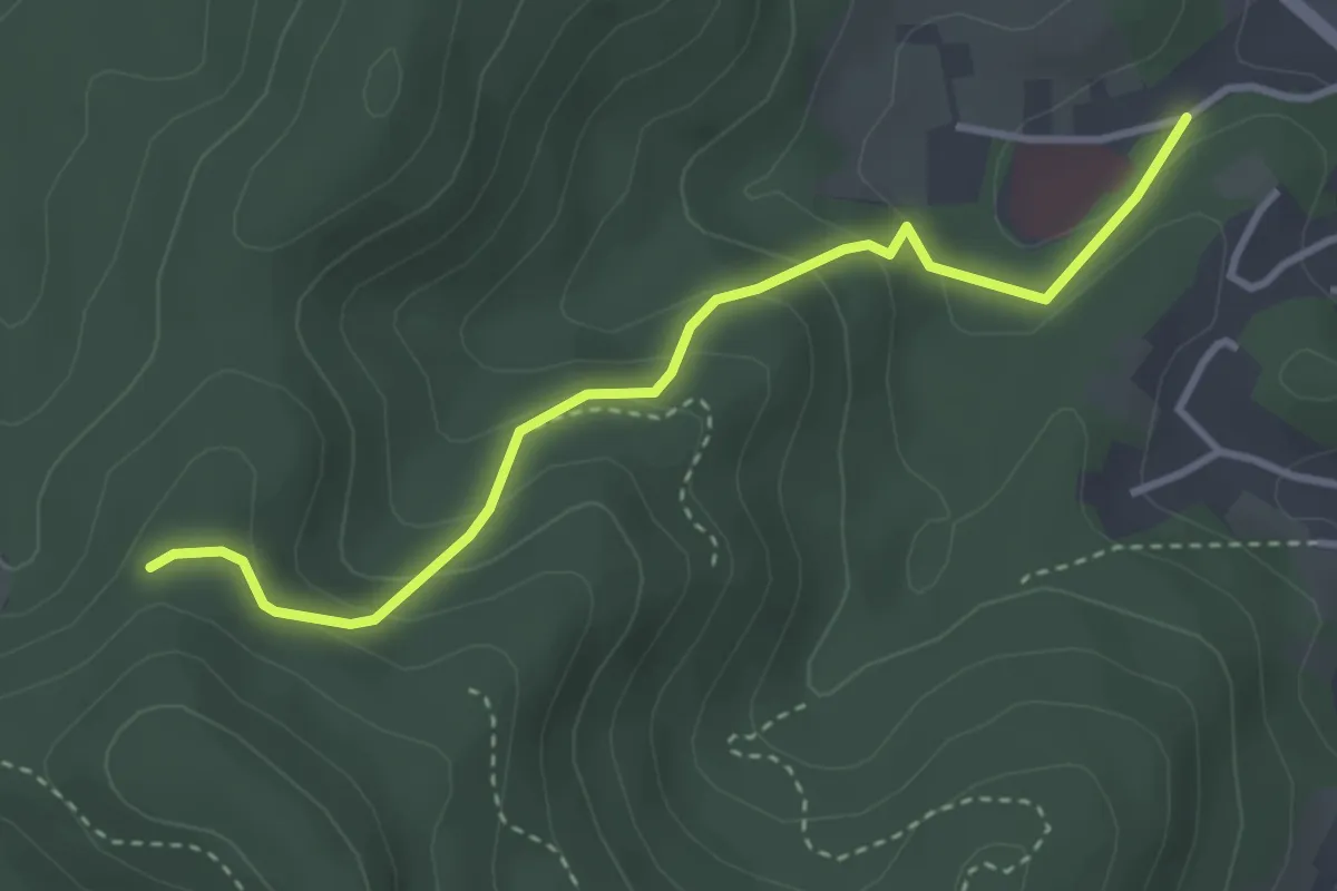
Easy · Trail
Clinique Solisana – Bourgweg
3.4 km · ↑ 210 m · 1 h 15 min
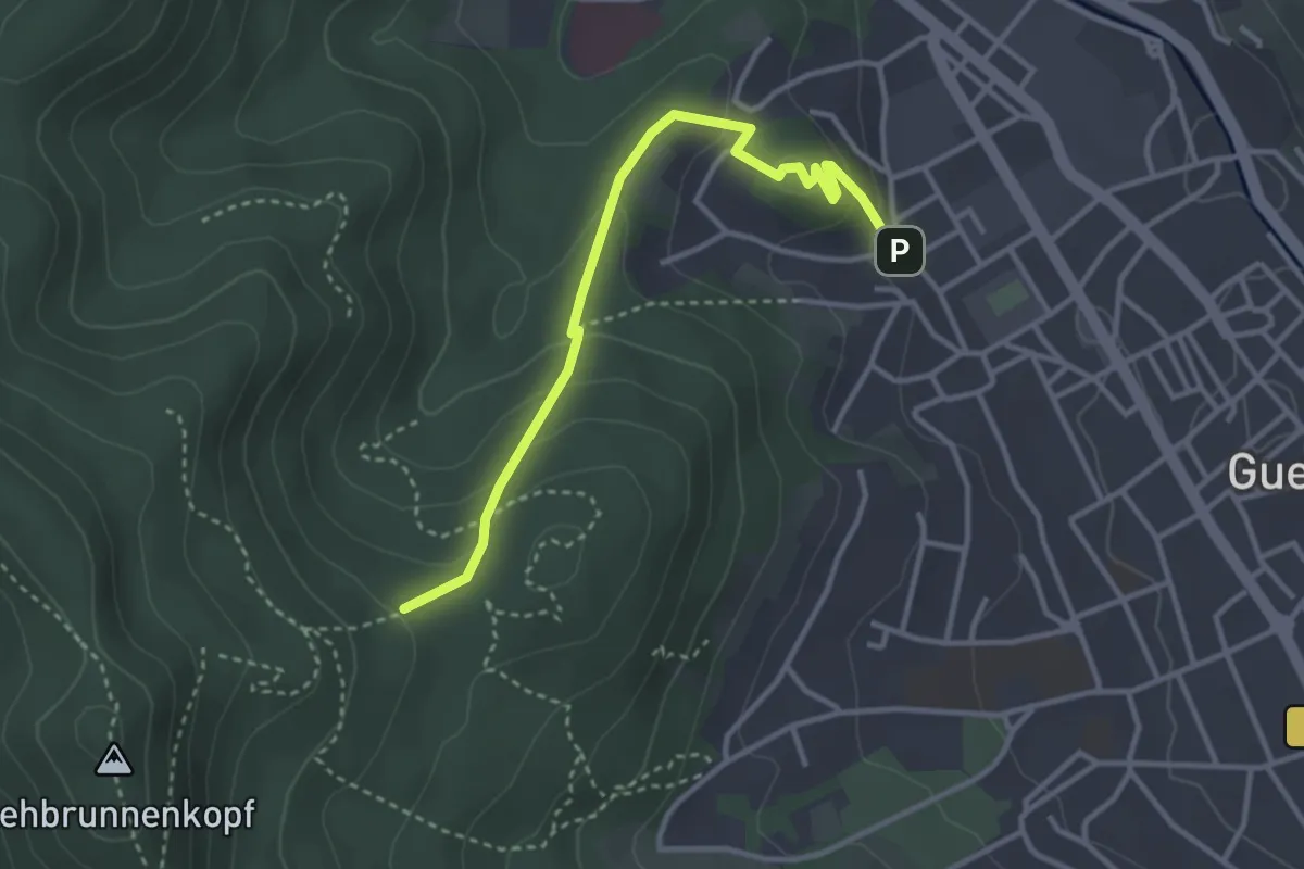
Easy · Trail
Rue du Réservoir – Rouge blanc rouge
3.3 km · ↑ 155 m · 1 h 7 min
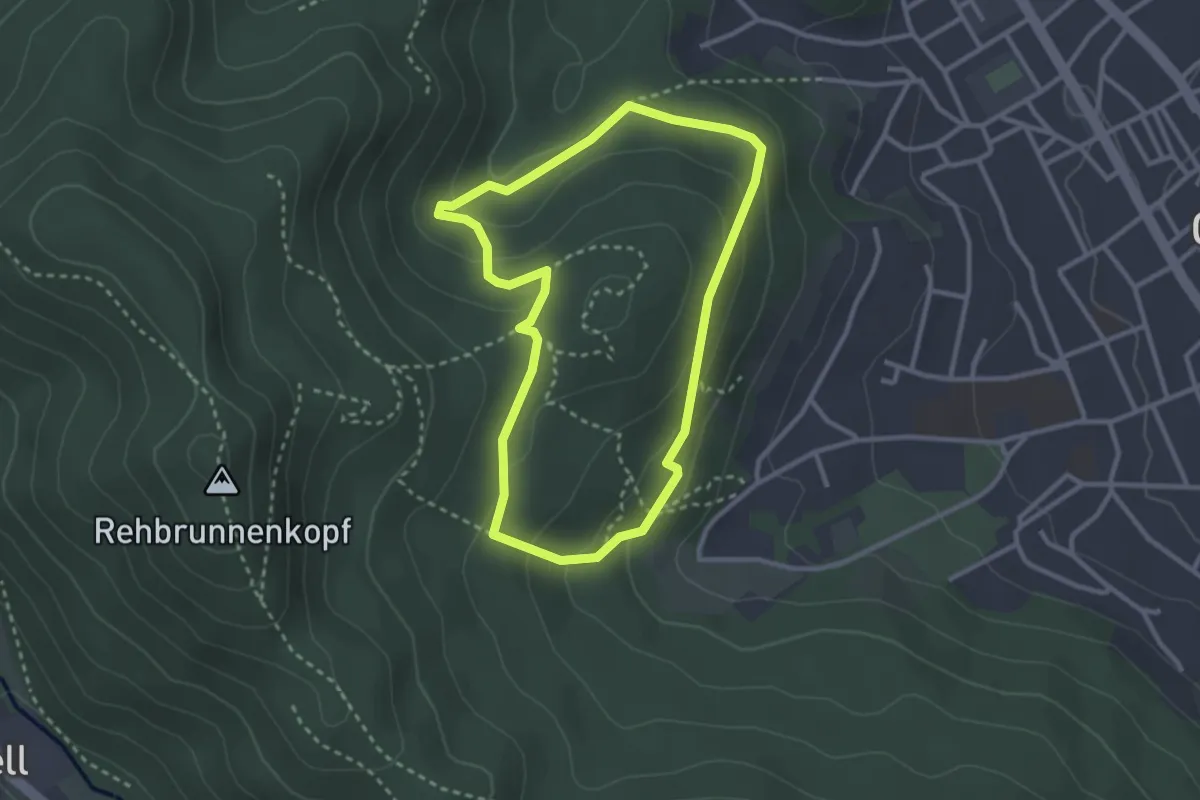
Easy · Trail
Parking Sandgrube – Parking Sandgrube
2.6 km · ↑ 134 m · 57 min
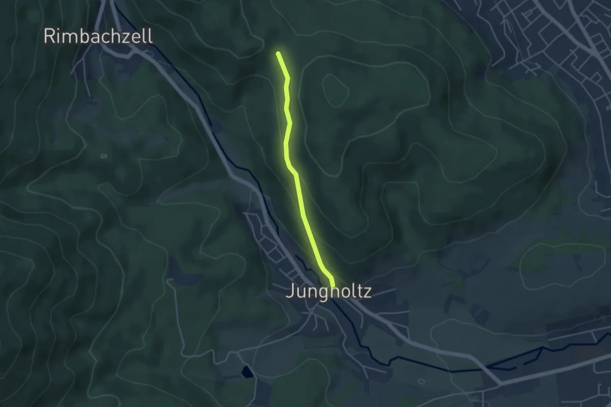
Easy · Trail
Jungholtz – Bisdstoeckle
3.2 km · ↑ 140 m · 1 h 4 min
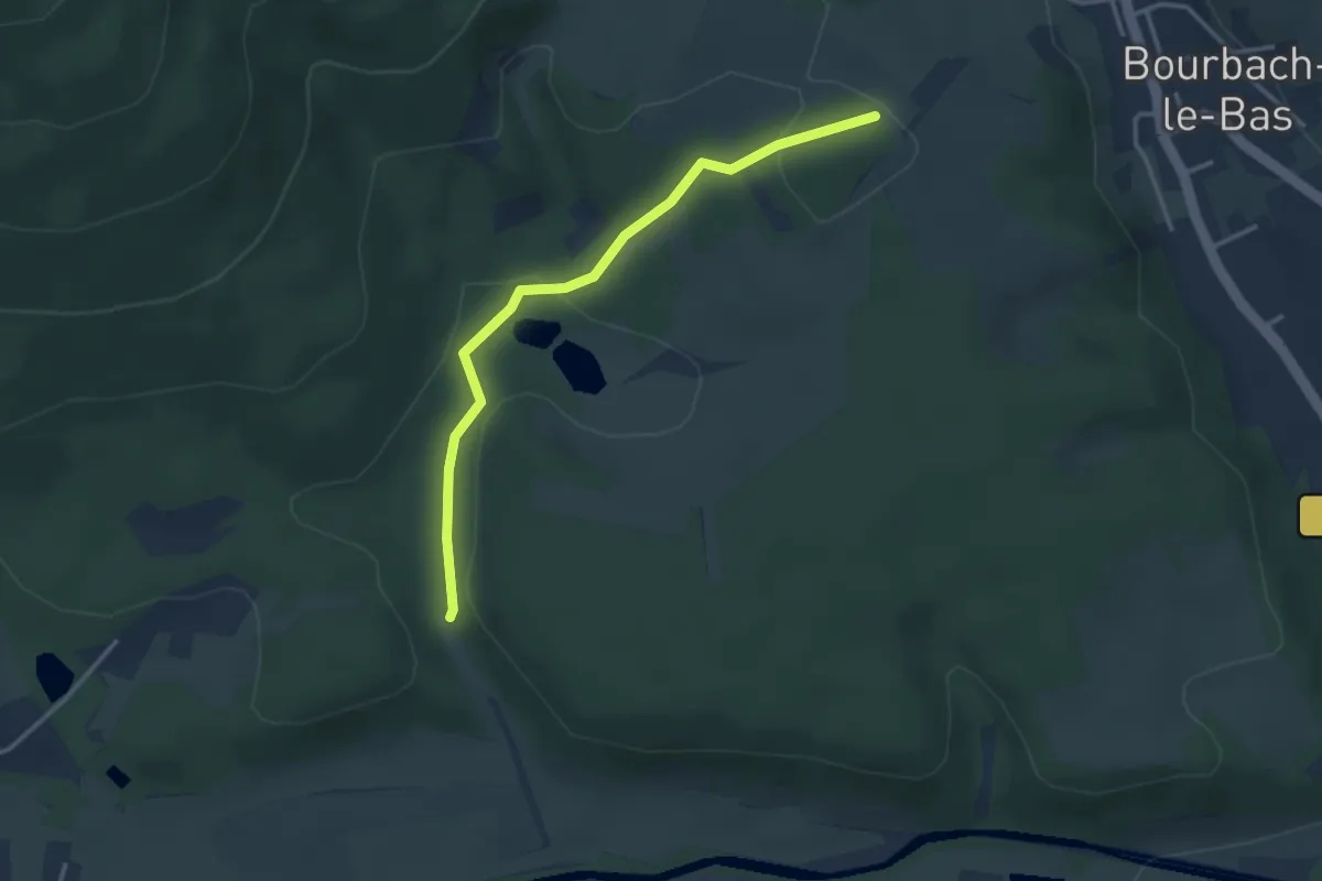
Easy · Trail
Parcours Sportif – Silbach
3.2 km · ↑ 69 m · 54 min
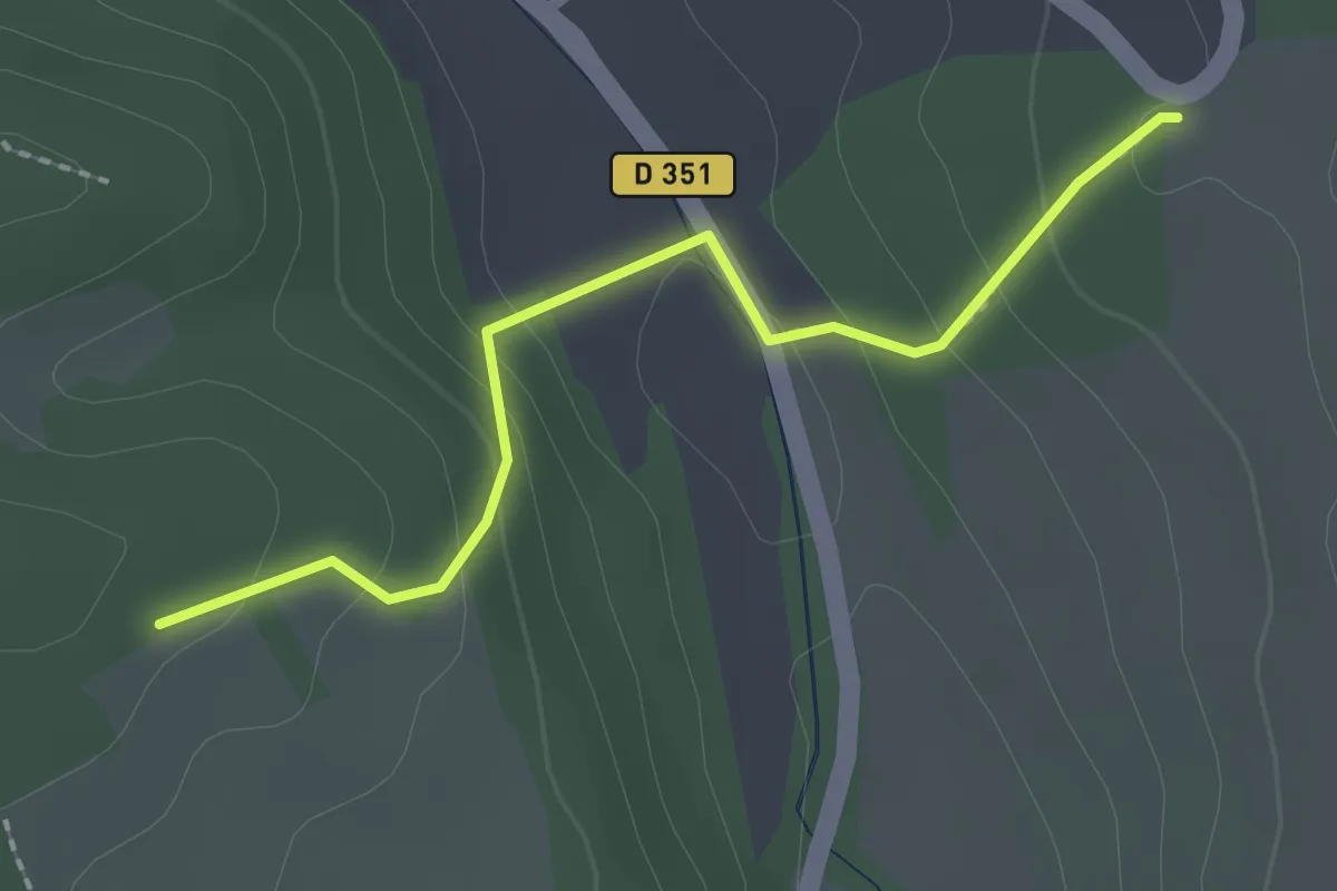
Easy · Trail
D 351 – Lehberg
2.1 km · ↑ 117 m · 45 min
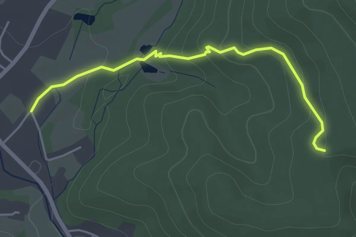
Medium · Trail
Masevaux – Gros Chêne
3.6 km · ↑ 169 m · 1 h 13 min
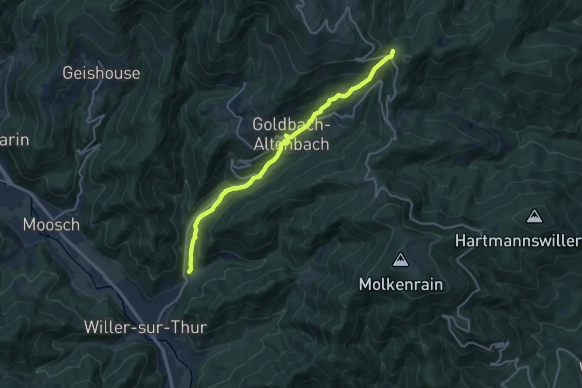
Medium · Trail
Willer sur Thur – Firstacker
11.8 km · ↑ 586 m · 4 h 3 min
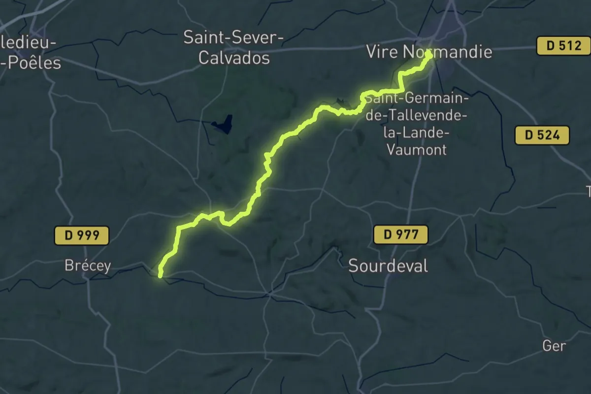
Demanding · Pilgrim path
Vire – Cuves
28.7 km · ↑ 354 m · 8 h 1 min
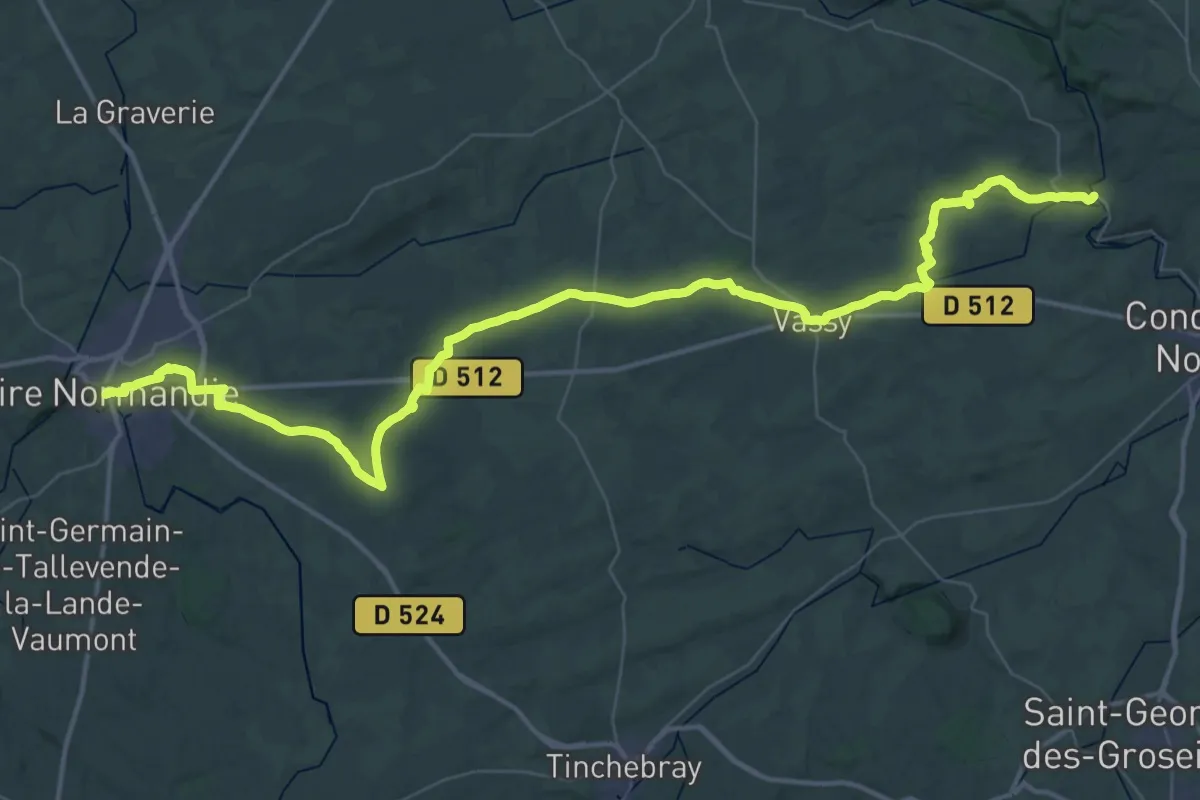
Demanding · Pilgrim path
Pontécoulant – Vire
30.5 km · ↑ 409 m · 8 h 29 min
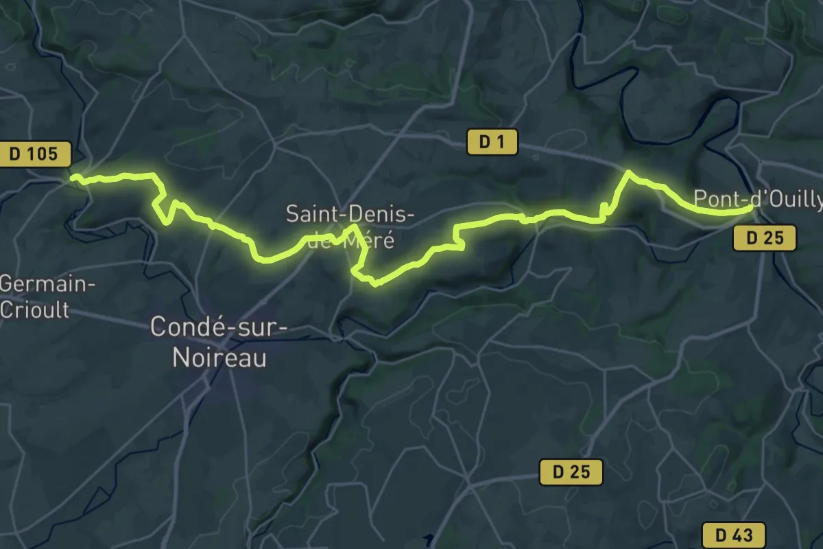
Demanding · Trail
Pont-d'Ouilly – Pontécoulant
18.3 km · ↑ 395 m · 5 h 25 min
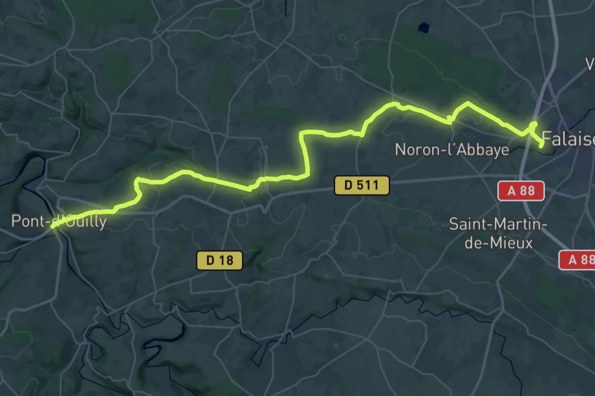
Demanding · Summit
Falaise – Pont-d'Ouilly
19.7 km · ↑ 339 m · 5 h 36 min
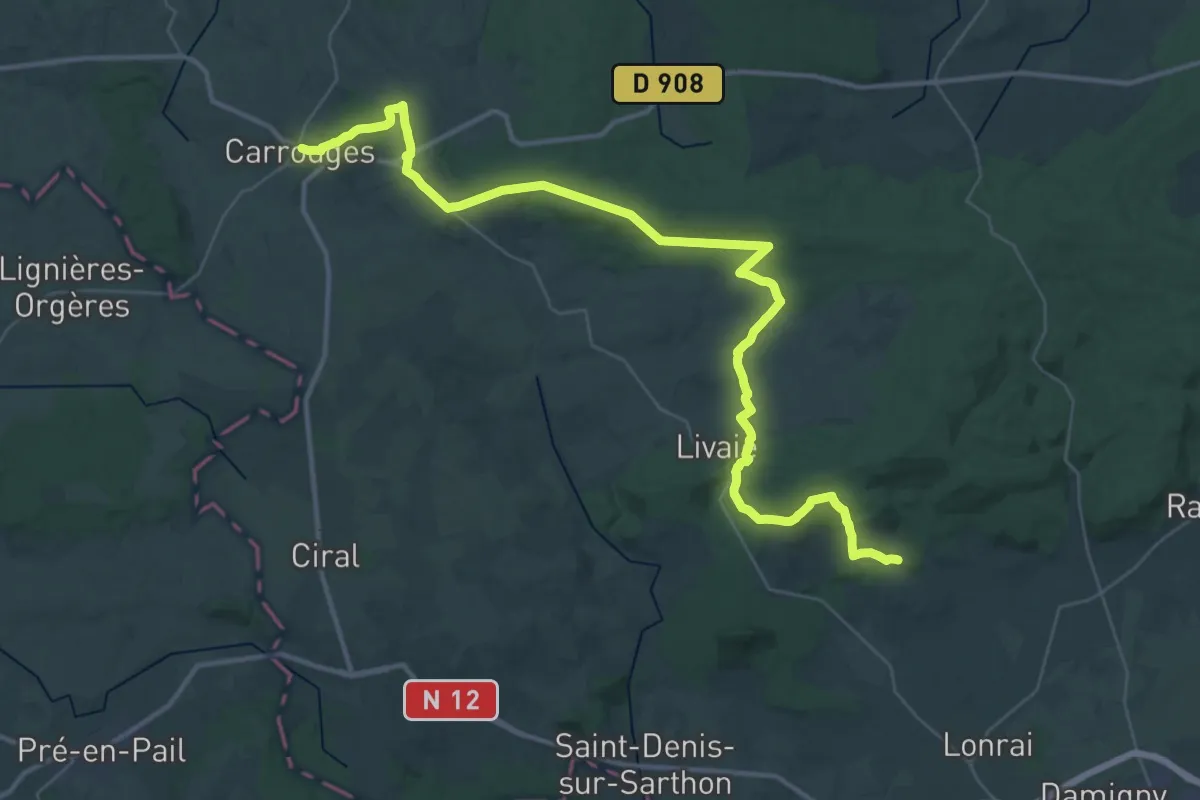
Demanding · Trail
Saint-Nicolas-des-Bois – Carrouges
23.0 km · ↑ 484 m · 6 h 45 min
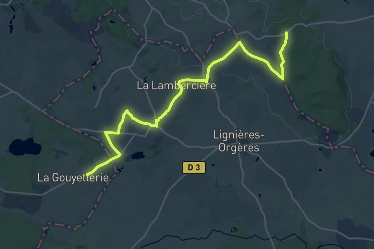
Medium · Trail
Carrouges – Bagnoles-de-l'Orne
16.4 km · ↑ 190 m · 4 h 16 min
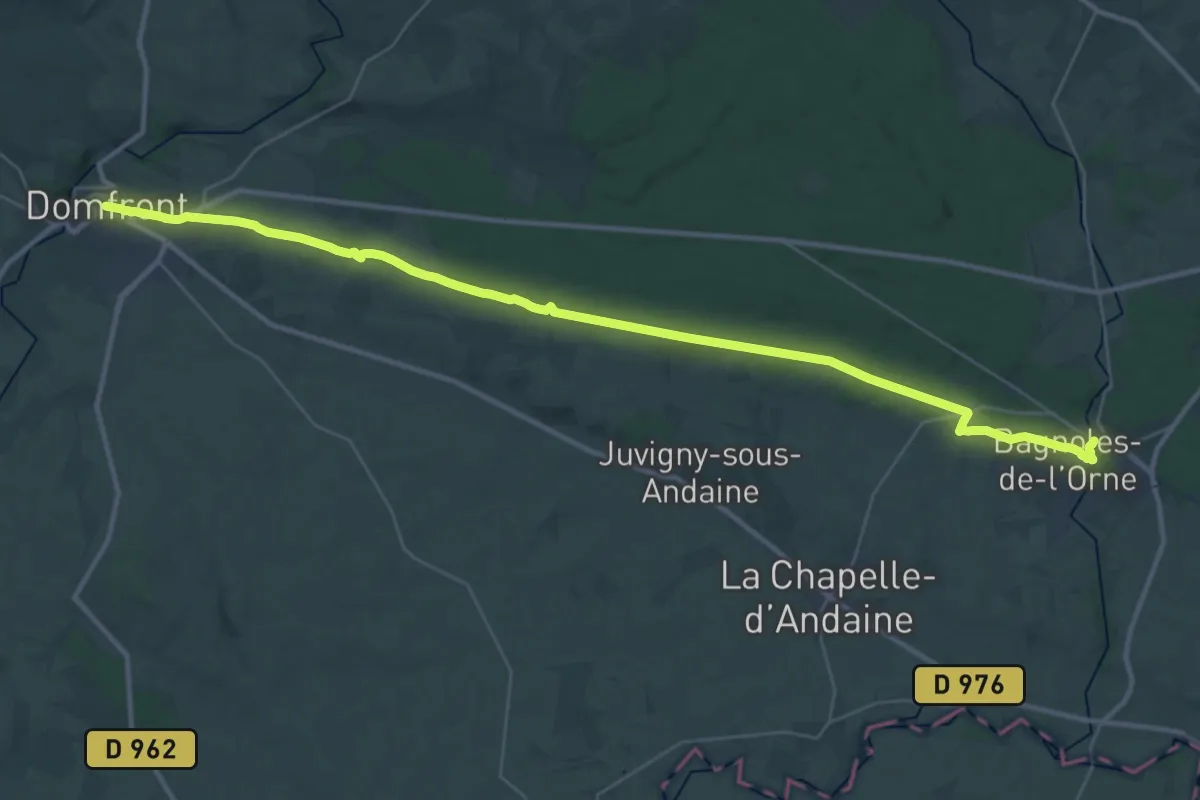
Demanding · Trail
Bagnoles-de-l'Orne – Domfront
18.8 km · ↑ 182 m · 5 h 5 min
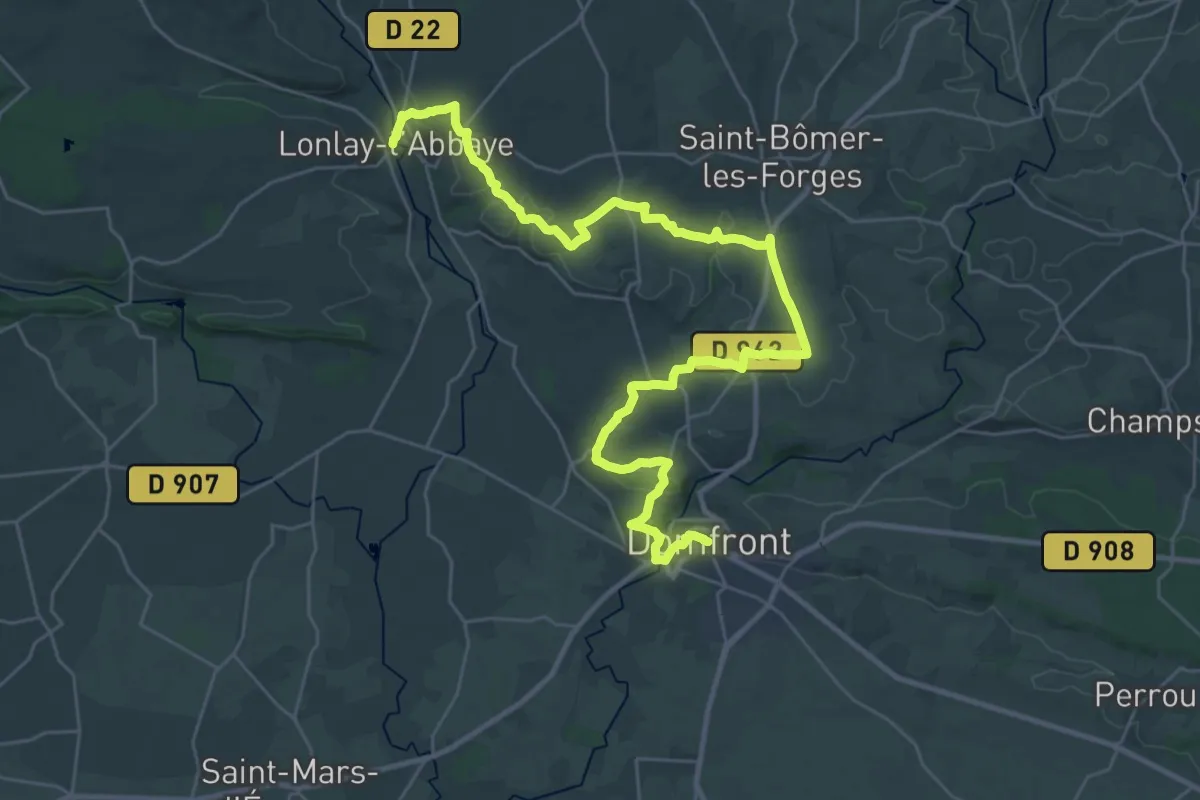
Demanding · Trail
Domfront – Lonlay-l'Abbaye
18.8 km · ↑ 308 m · 5 h 25 min
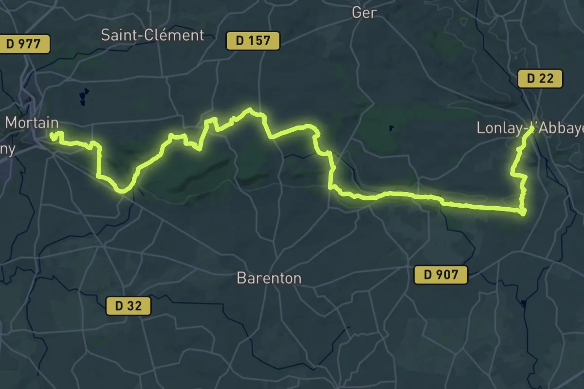
Demanding · Summit
Lonlay-l'Abbaye – Mortain
56.5 km · ↑ 1014 m · 15 h 32 min
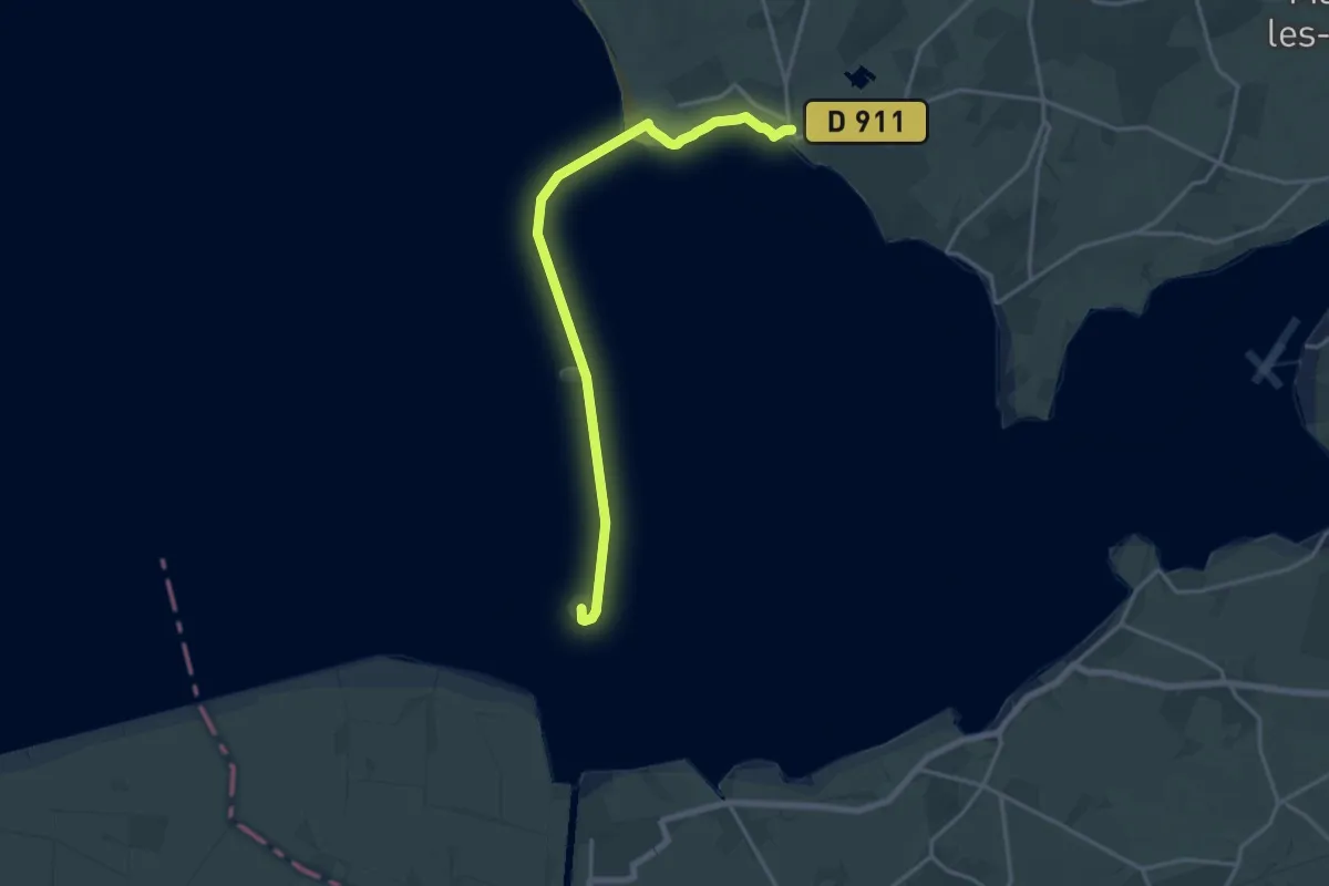
Medium · Summit
Genêts – Mont-Saint-Michel
17.2 km · ↑ 54 m · 4 h 10 min
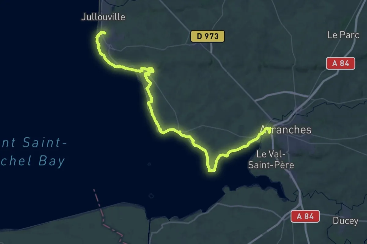
Demanding · Trail
Carrolles – Avranches
29.3 km · ↑ 314 m · 8 h 2 min
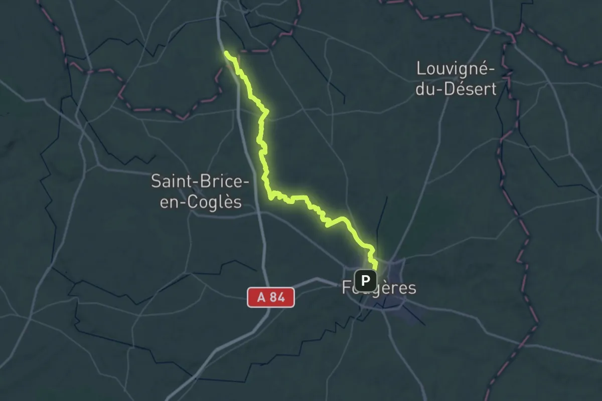
Demanding · Trail
Saint-James – Fougères
28.1 km · ↑ 235 m · 7 h 33 min
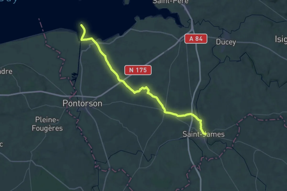
Demanding · Trail
Mont-Saint-Michel – Saint-James
23.0 km · ↑ 185 m · 6 h 6 min
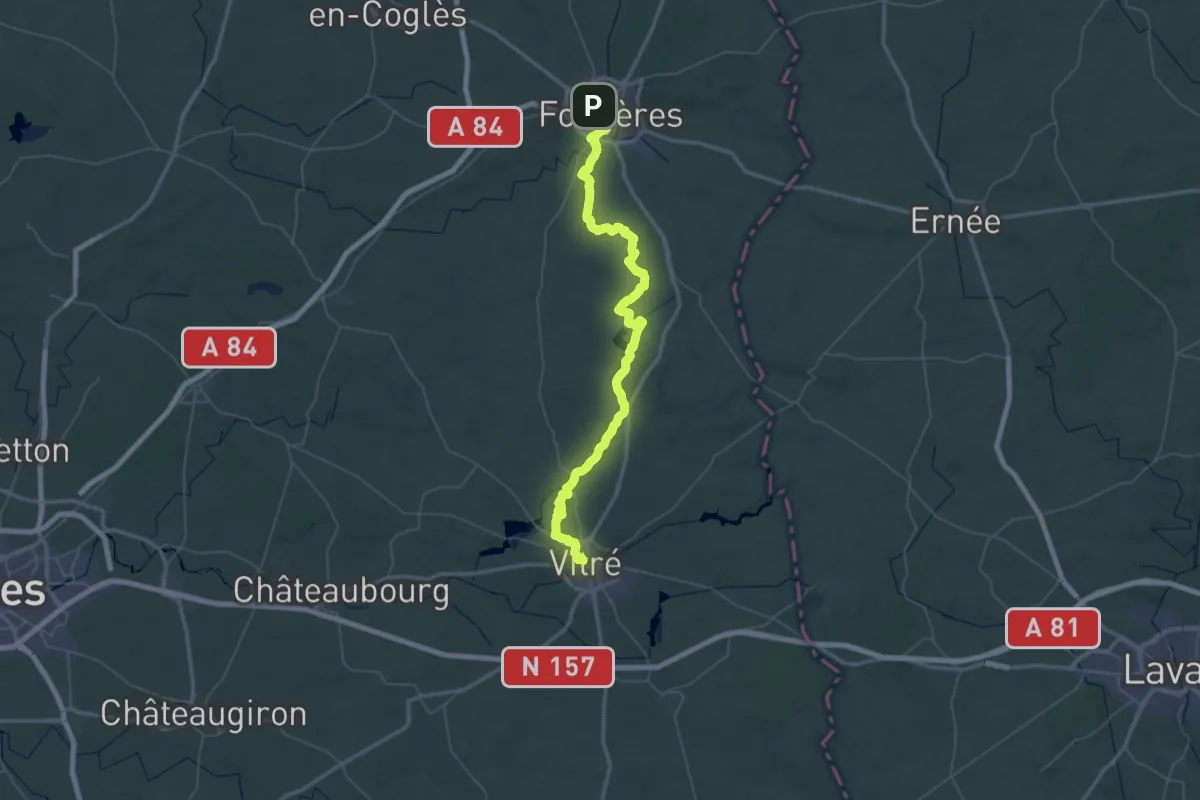
Demanding · Trail
Fougères – Vitré
37.7 km · ↑ 381 m · 10 h 16 min
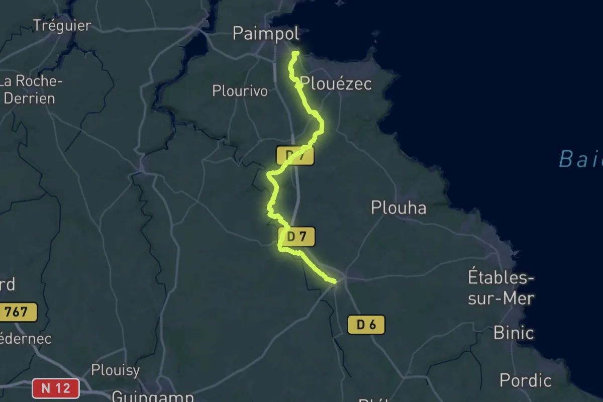
Demanding · Trail
Abbaye Beauport – Lanvollon
23.7 km · ↑ 298 m · 6 h 31 min
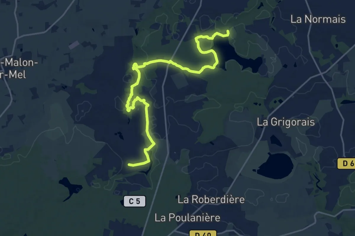
Medium · Trail
Étang de Trémelin – Le Perray
16.9 km · ↑ 160 m · 4 h 21 min
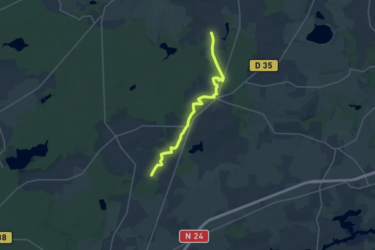
Medium · Trail
Le Perray – Bonamenay
13.6 km · ↑ 151 m · 3 h 32 min
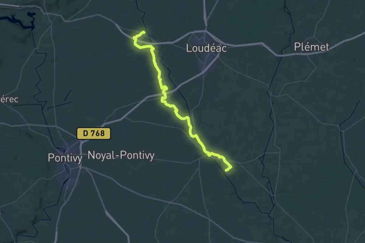
Demanding · Trail
Saint-Caradec – Timadeuc
26.4 km · ↑ 275 m · 7 h 12 min
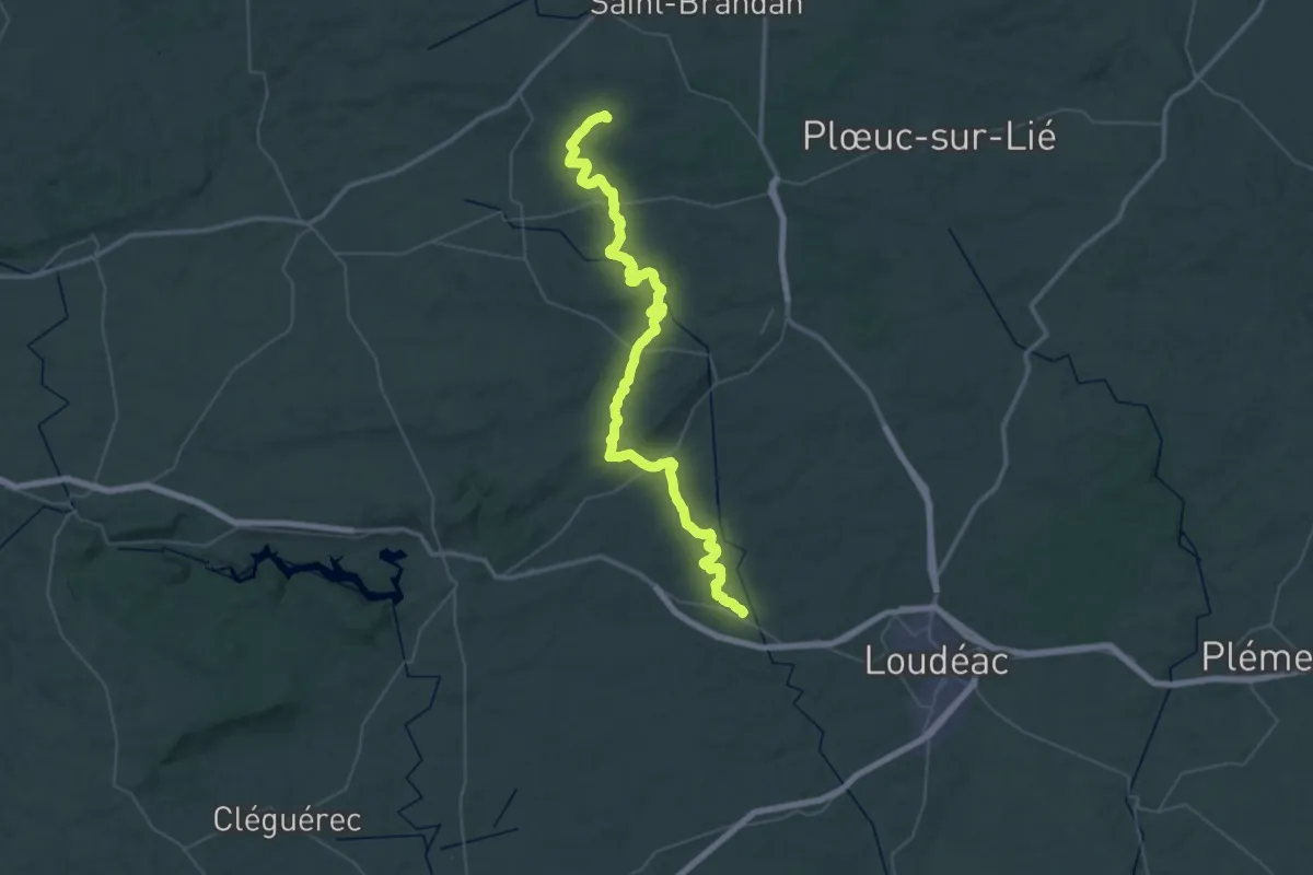
Demanding · Trail
Lanfains – Saint-Caradec
29.7 km · ↑ 387 m · 8 h 21 min
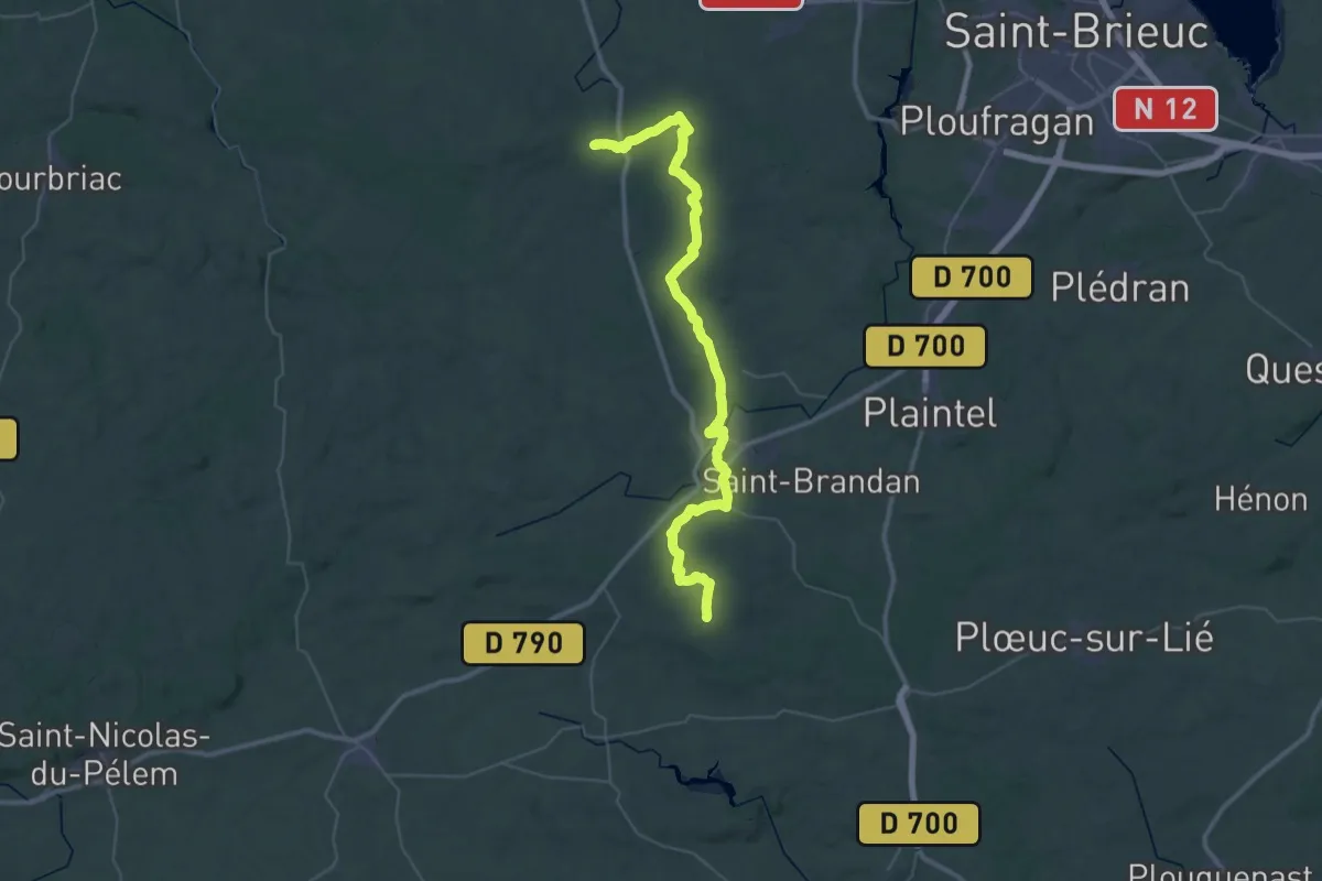
Demanding · Trail
Boqueho – Lanfains
23.8 km · ↑ 376 m · 6 h 42 min
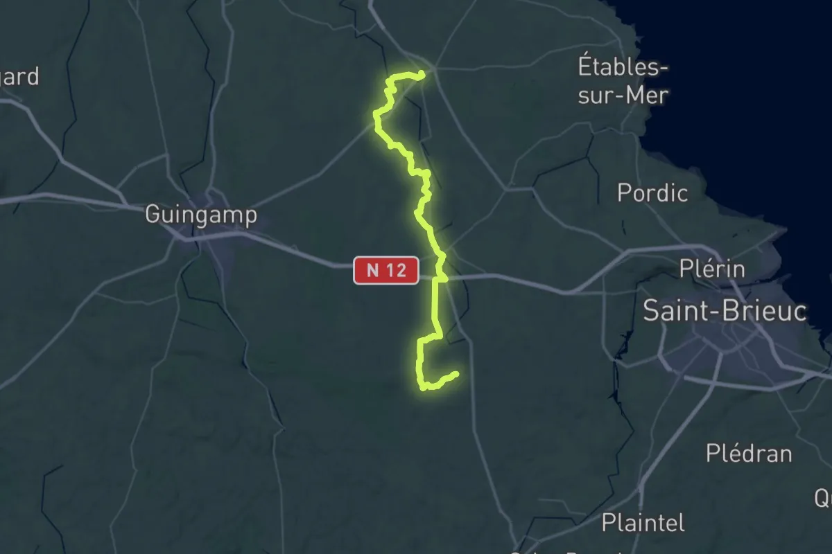
Demanding · Trail
Lanvollon – Boqueho
27.7 km · ↑ 302 m · 7 h 33 min
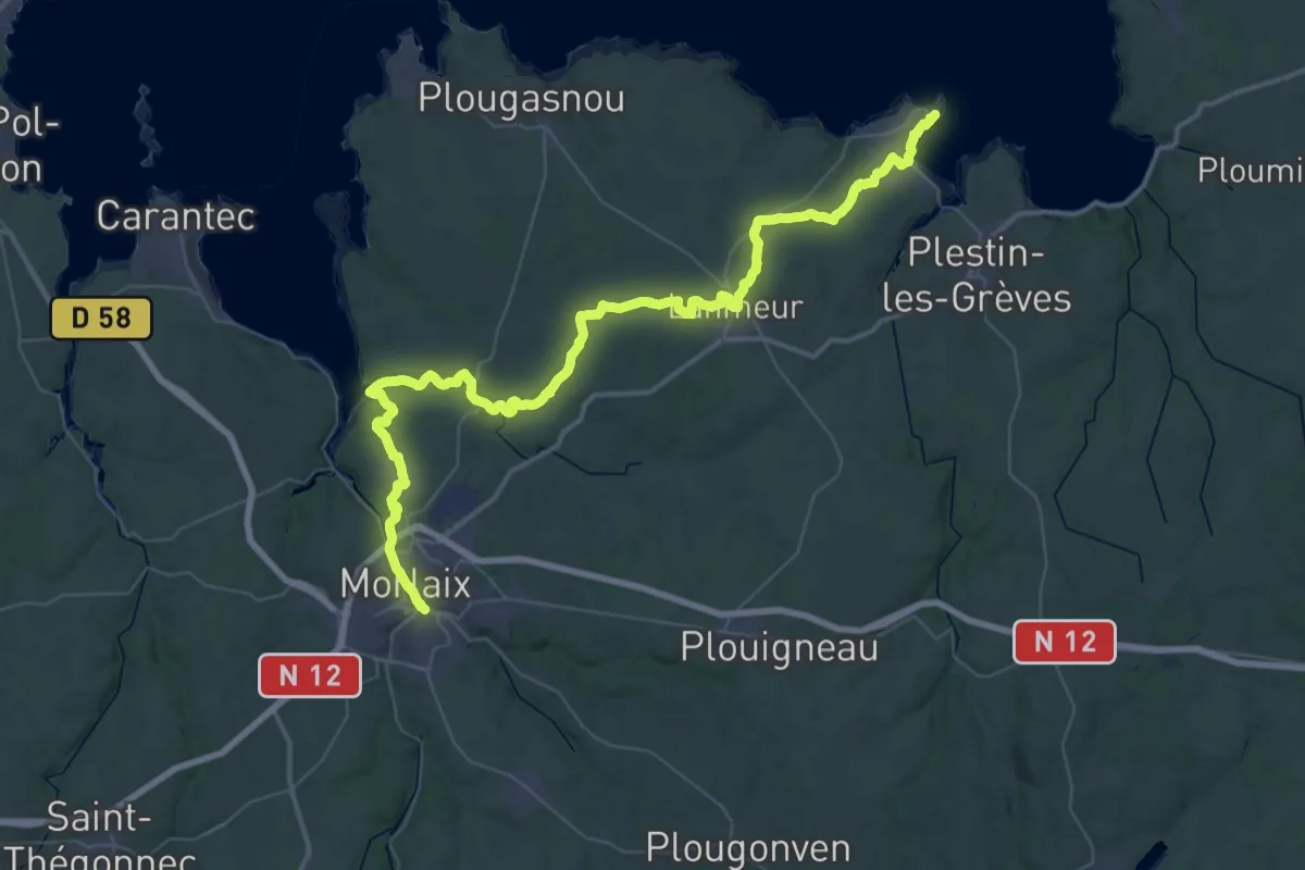
Demanding · Trail
Locquirec – Morlaix
30.7 km · ↑ 414 m · 8 h 34 min
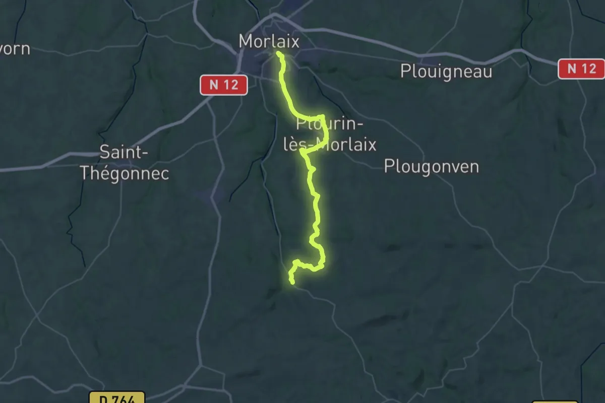
Demanding · Trail
Morlaix – Creach-Menoury
19.3 km · ↑ 363 m · 5 h 32 min
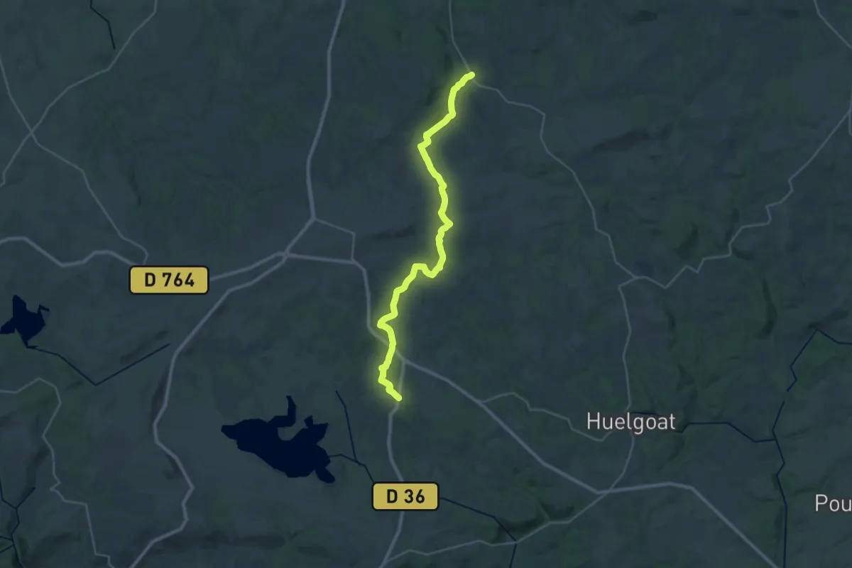
Demanding · Trail
Creach-Menoury – Youdig
28.3 km · ↑ 385 m · 7 h 30 min
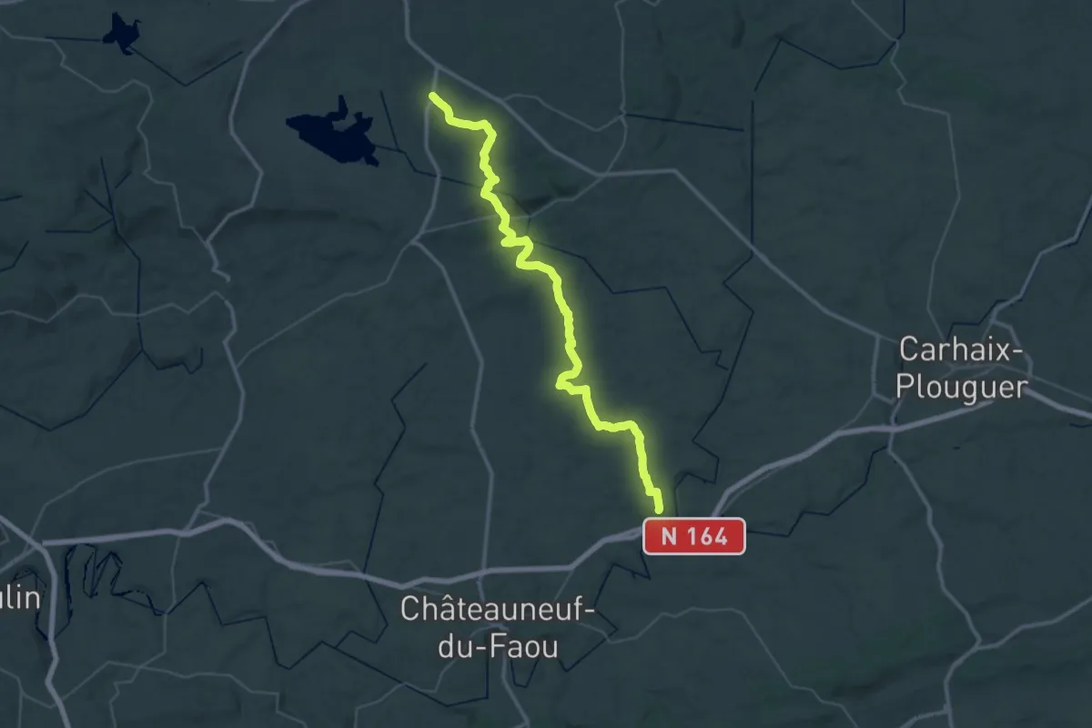
Demanding · Trail
Youdig – Landeleau
25.0 km · ↑ 295 m · 6 h 57 min
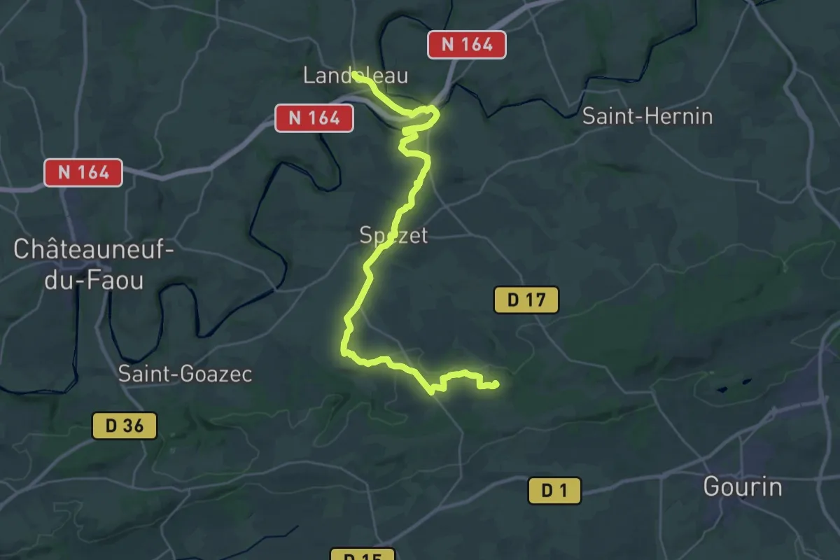
Demanding · Summit
Landeleau – Gourin
30.9 km · ↑ 498 m · 8 h 22 min