Trails in France
15,926 hiking trails, each with its route, climb, walking time and grade.
All trails, page 310 of 332
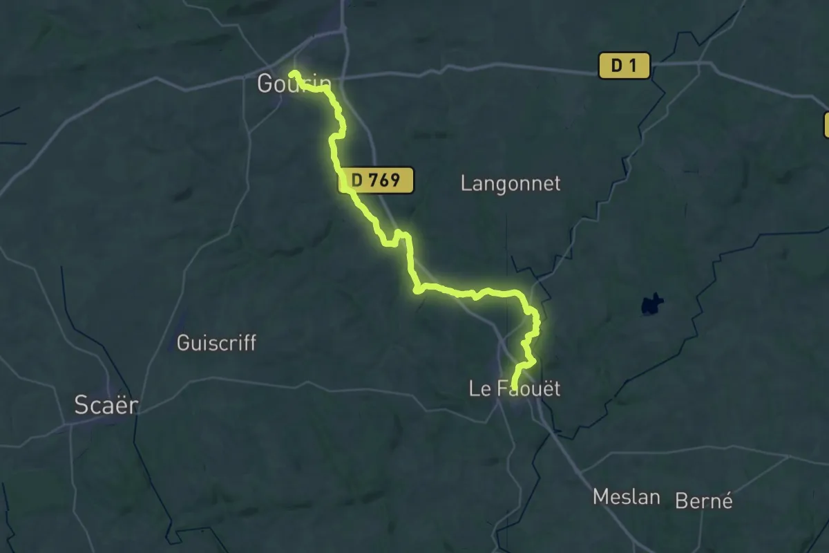
Demanding · Trail
Gourin – Le Faouet
22.6 km · ↑ 307 m · 6 h 19 min
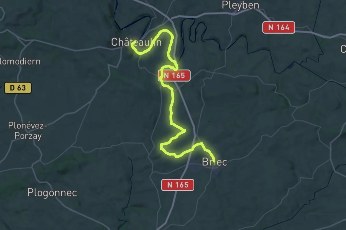
Demanding · Trail
Châteaulin – Briec
26.7 km · ↑ 406 m · 7 h 29 min
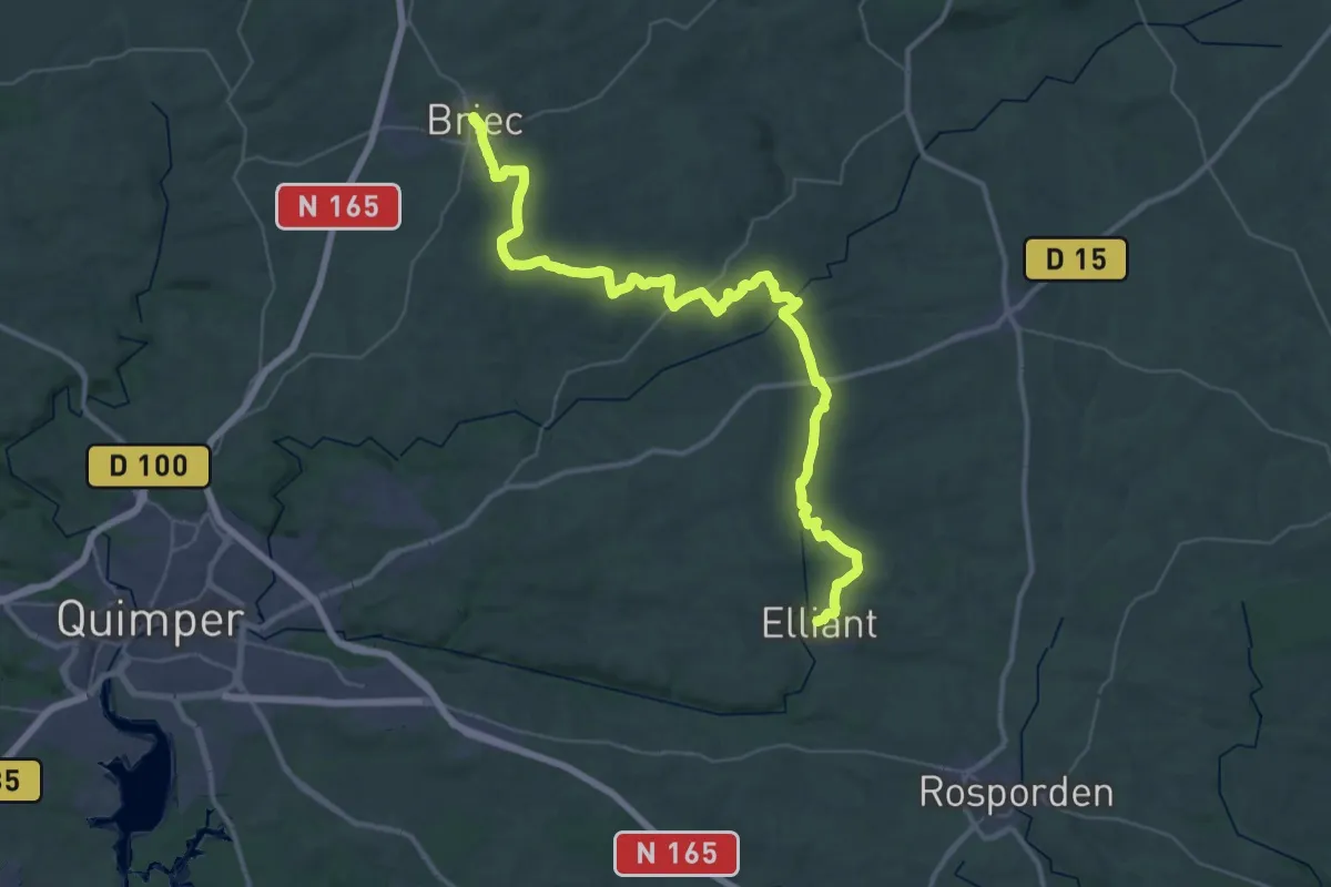
Demanding · Trail
Briec – Elliant
24.8 km · ↑ 322 m · 6 h 55 min
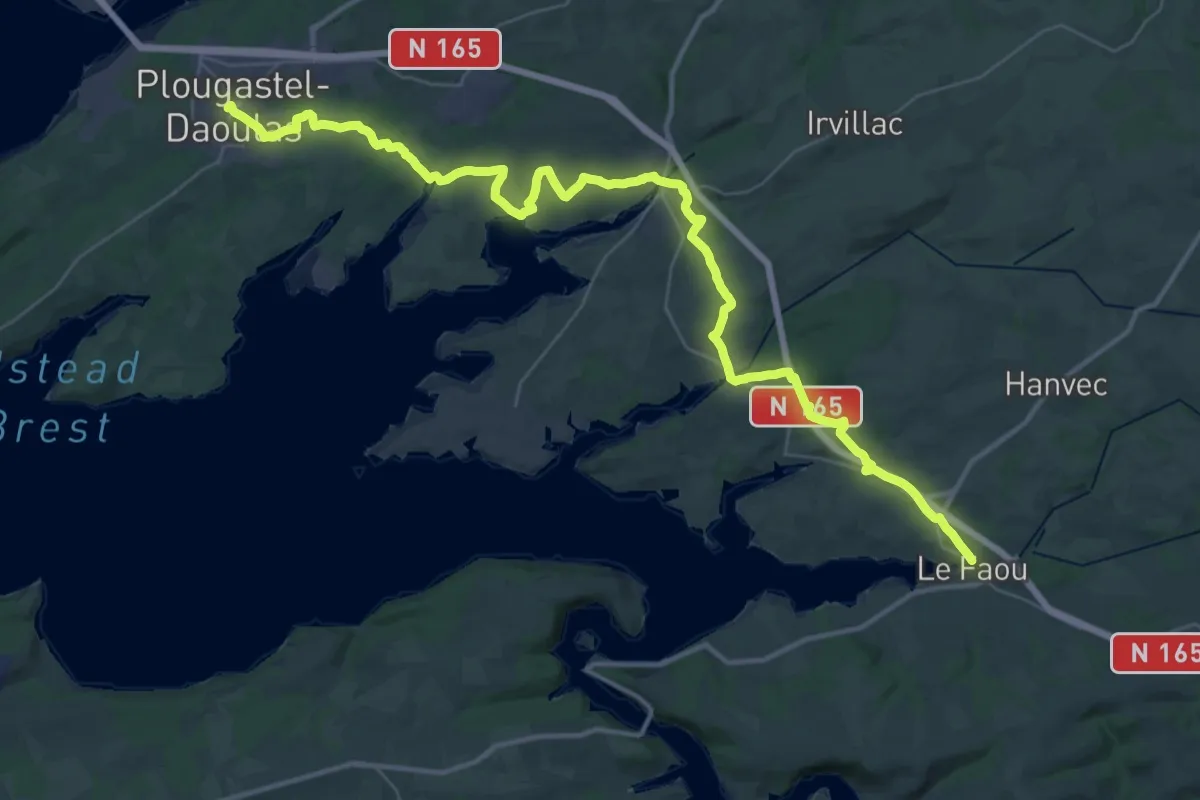
Demanding · Trail
Plougastel-Daoulas – Le Faou
23.5 km · ↑ 357 m · 6 h 42 min
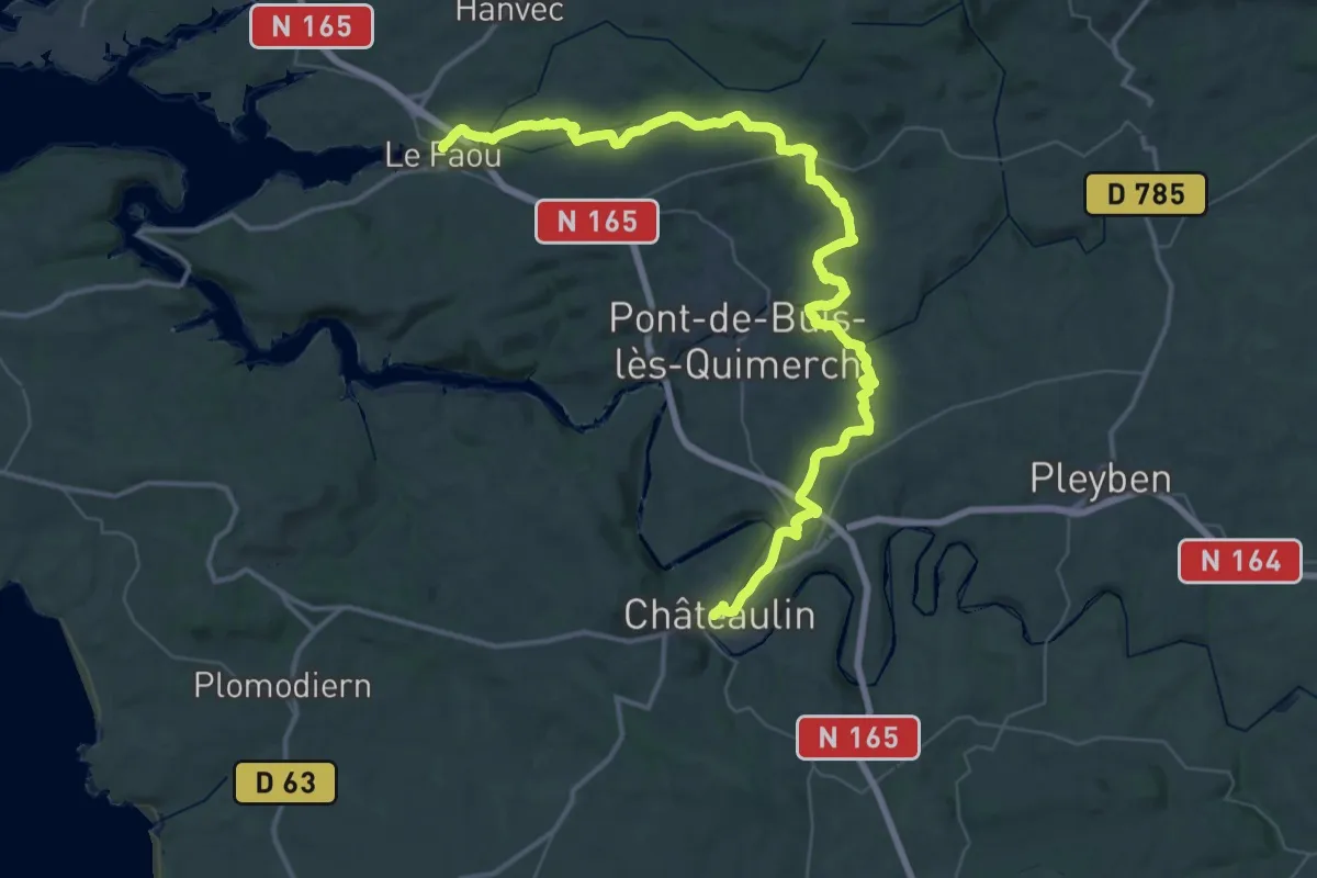
Demanding · Trail
Le Faou – Châteaulin
28.8 km · ↑ 547 m · 8 h 23 min
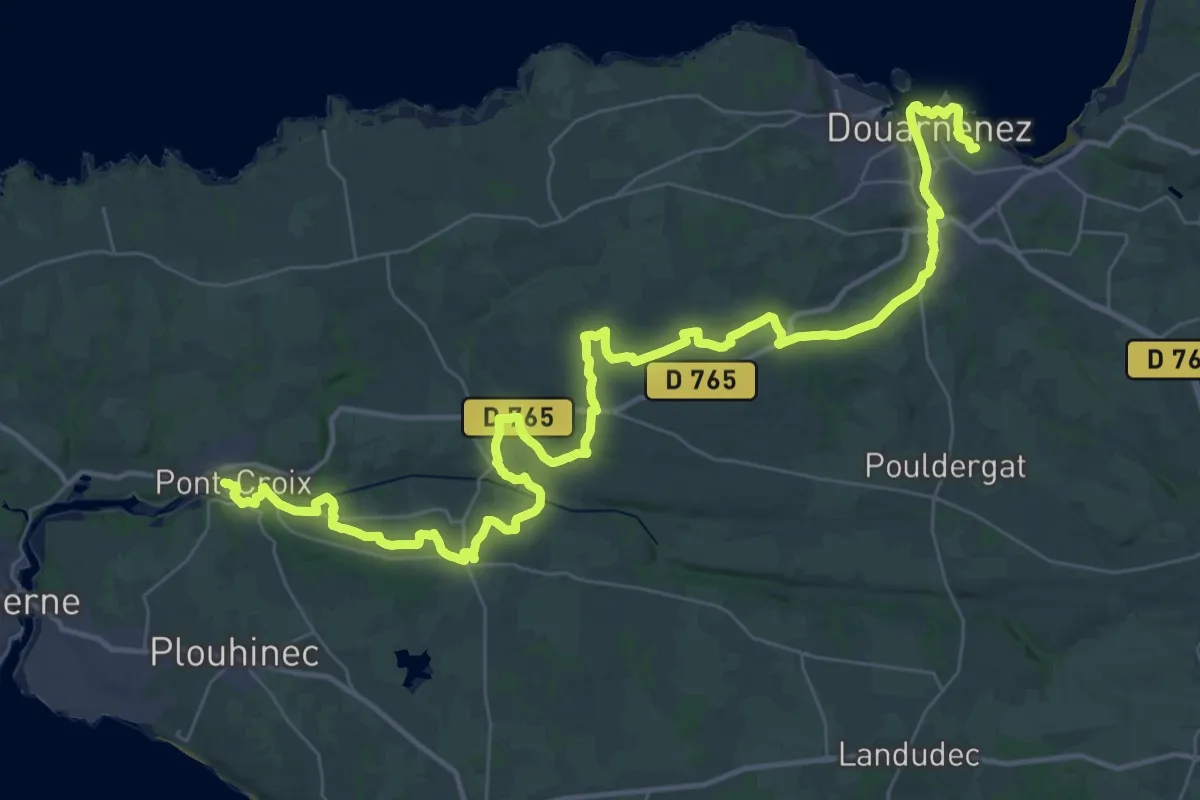
Demanding · Trail
Pont-Croix – Douarnenez
27.0 km · ↑ 401 m · 7 h 38 min
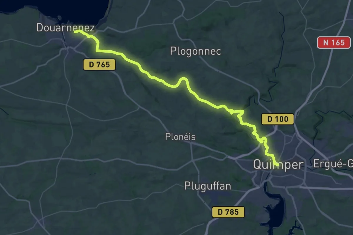
Demanding · Trail
Douarnenez – Quimper
25.5 km · ↑ 292 m · 7 h 1 min
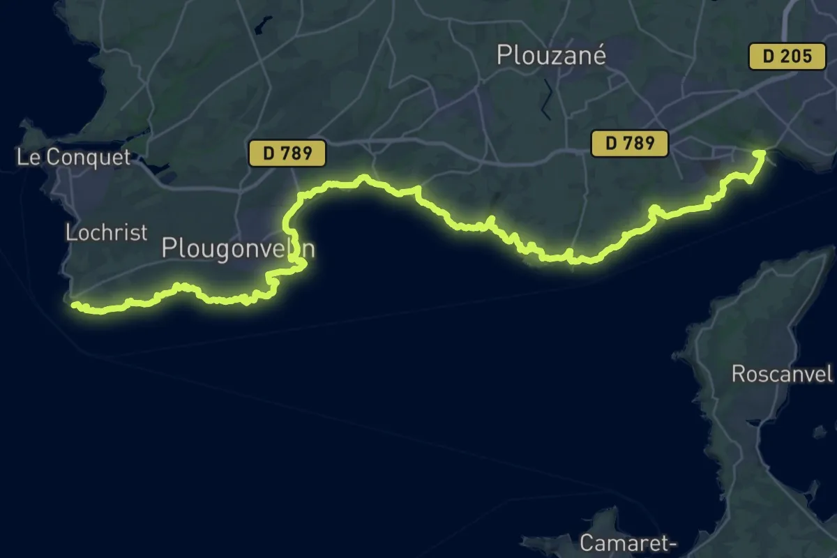
Demanding · Trail
Pointe Saint-Mathieu – Sainte-Anne du Portzic
25.9 km · ↑ 729 m · 8 h 3 min
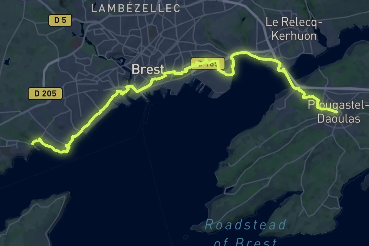
Demanding · Trail
Sainte-Anne du Portzic – Plougastel-Daoulas
21.3 km · ↑ 495 m · 6 h 21 min
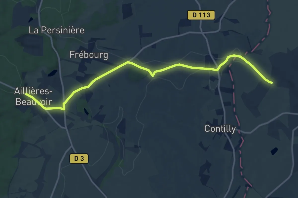
Medium · Trail
Bellème – Aillières
10.7 km · ↑ 146 m · 2 h 50 min
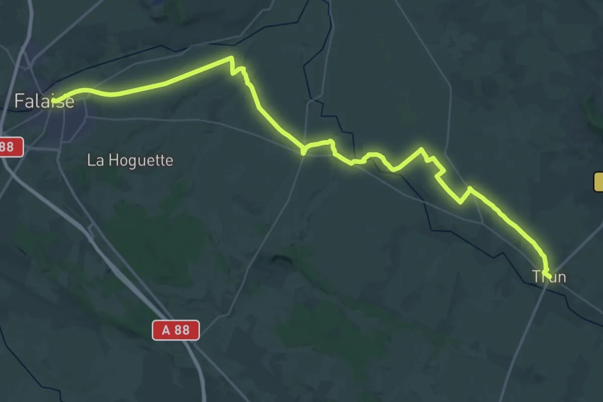
Demanding · Pilgrim path
Trun – Falaise
23.8 km · ↑ 135 m · 6 h 13 min
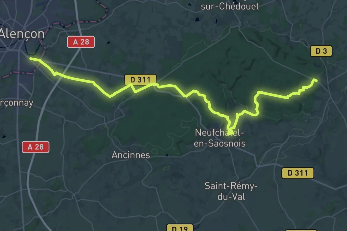
Demanding · Trail
Aillières-Beauvoir – Alençon
23.4 km · ↑ 386 m · 6 h 46 min
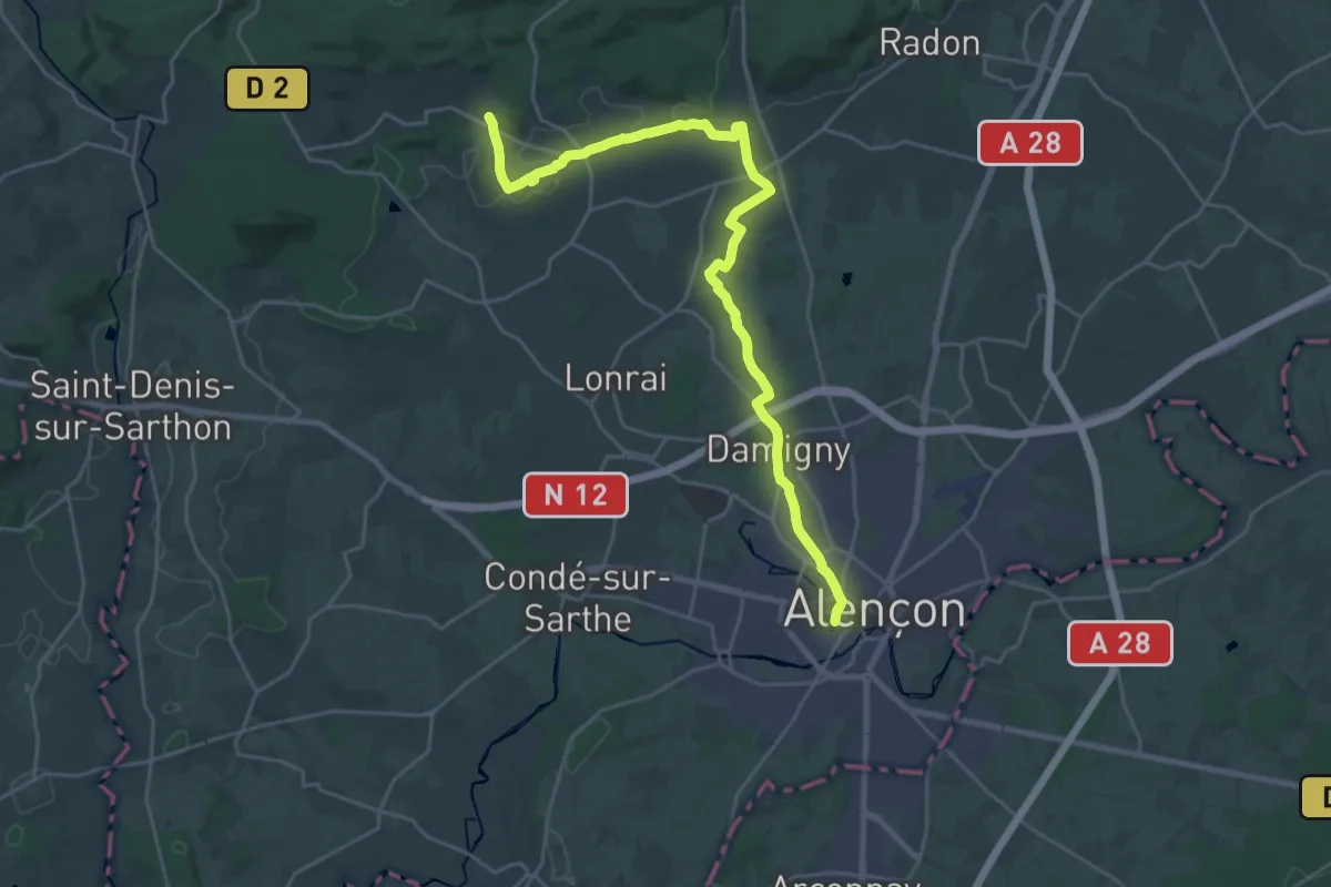
Demanding · Trail
Alençon – Saint-Nicolas-des-Bois
27.0 km · ↑ 145 m · 6 h 41 min
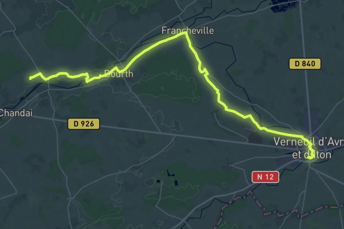
Demanding · Trail
Verneuil – Domfront
19.4 km · ↑ 60 m · 4 h 58 min
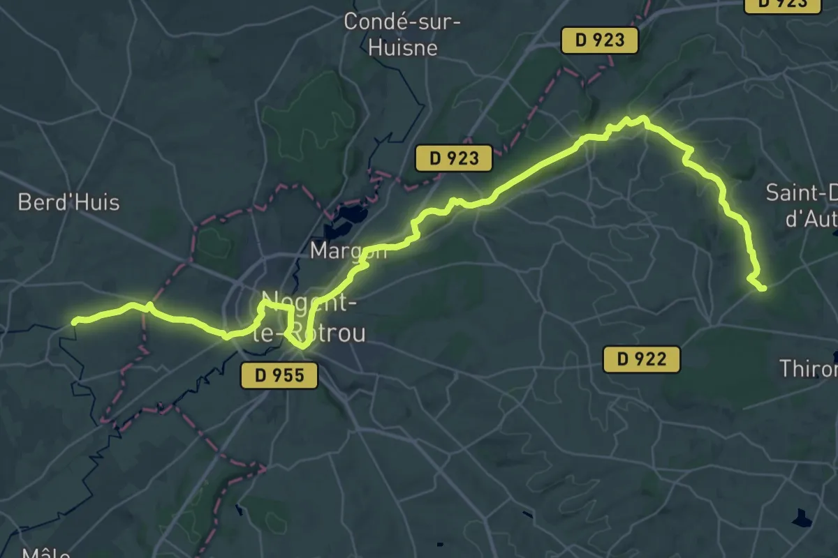
Demanding · Trail
Blainville – Bellème
24.2 km · ↑ 335 m · 6 h 52 min
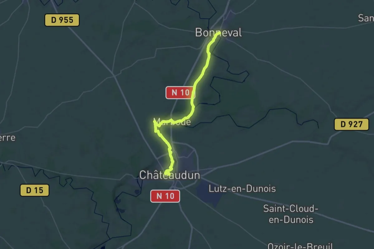
Demanding · Trail
Bonneval – Châteaudun
18.5 km · ↑ 115 m · 4 h 52 min
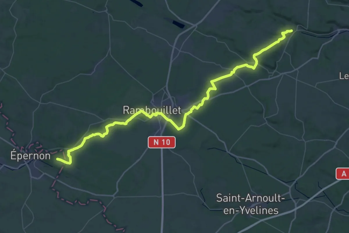
Demanding · Trail
Dampierre – Épernon
31.2 km · ↑ 280 m · 8 h 24 min
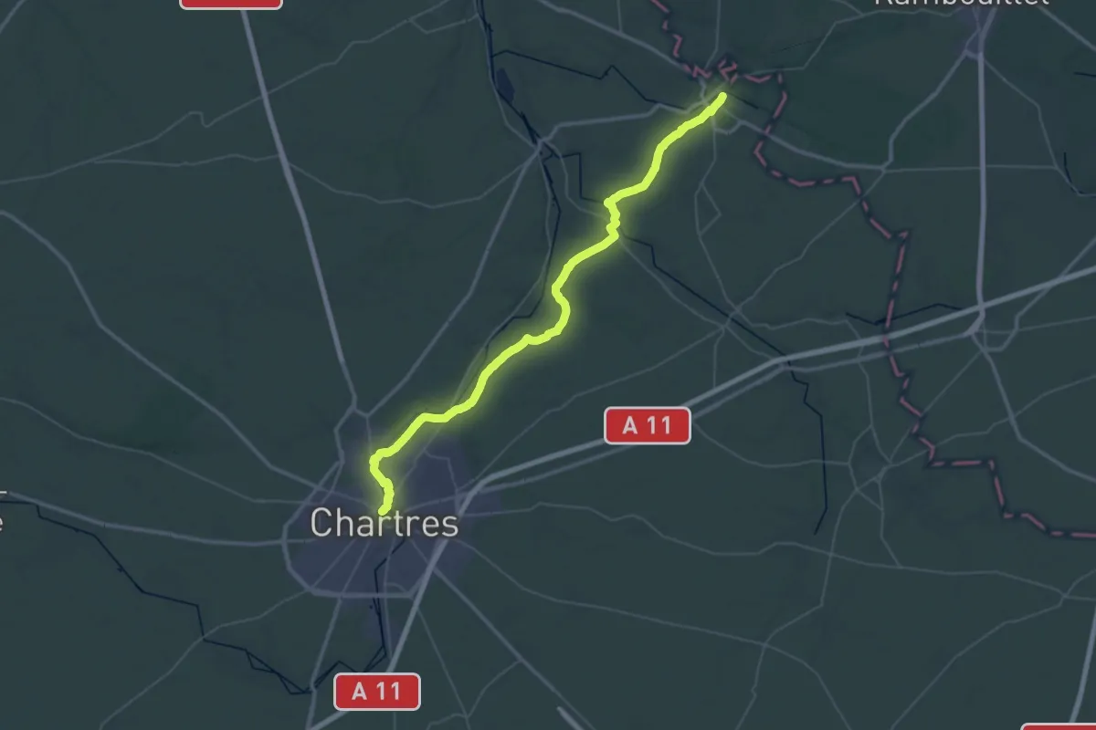
Demanding · Trail
Épernon – Chartres
27.7 km · ↑ 249 m · 7 h 27 min
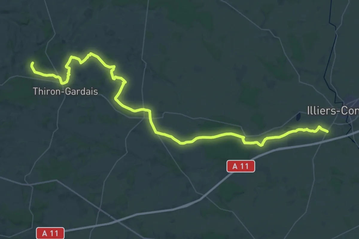
Demanding · Trail
Illiers-Combray – Blainville
28.9 km · ↑ 232 m · 7 h 39 min
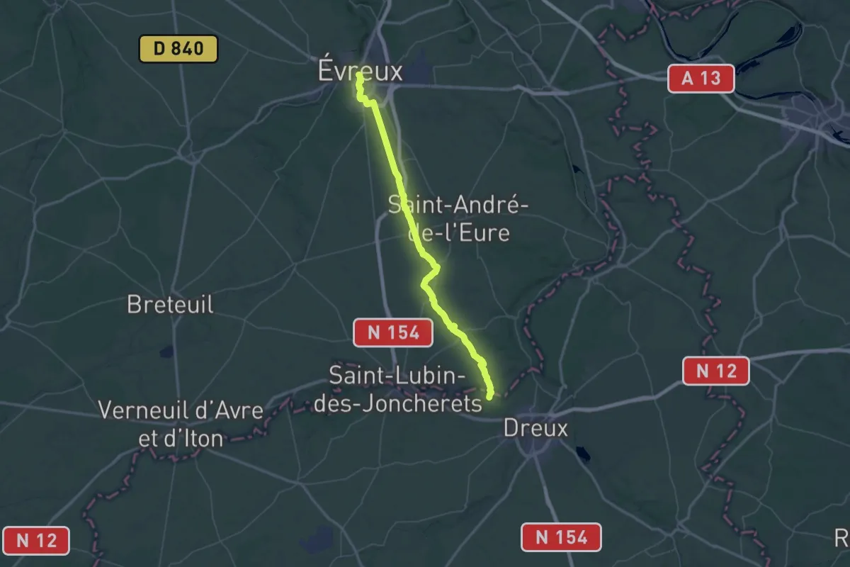
Demanding · Trail
Evreux – Dreux
36.4 km · ↑ 111 m · 9 h 20 min
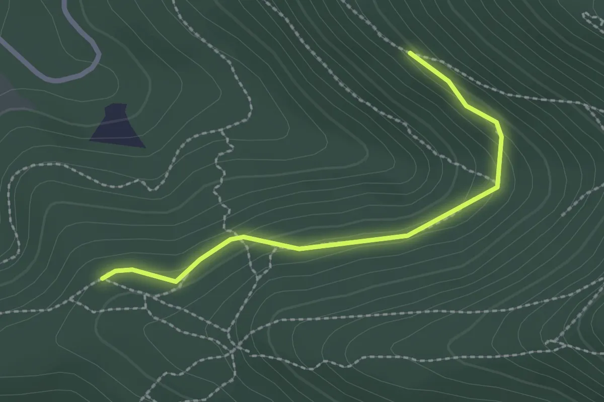
Easy · Trail
Le Chapeau – GR 533
2.1 km · ↑ 110 m · 45 min
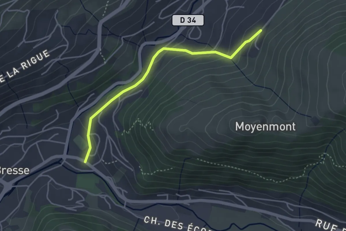
Easy · Trail
La Bresse – Moyenmont
3.5 km · ↑ 148 m · 1 h 9 min
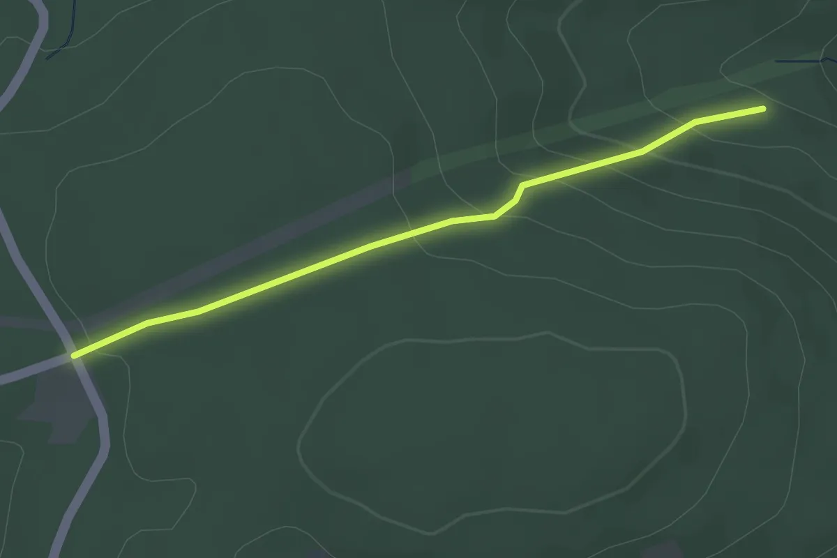
Easy · Trail
Saint-Blaise-la-Roche – Château Saint-Louis
2.7 km · ↑ 152 m · 58 min
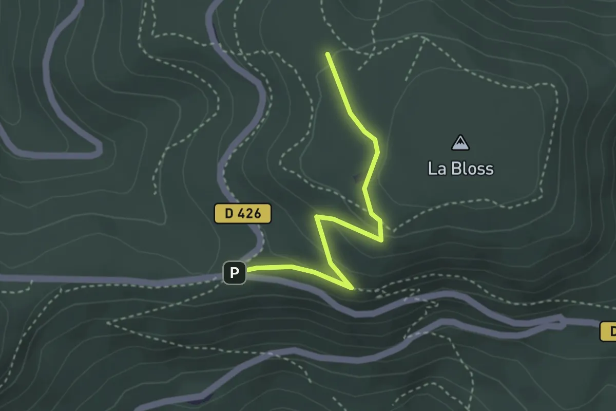
Easy · Trail
Carrefour de la Bloss – GR5
2.8 km · ↑ 109 m · 53 min
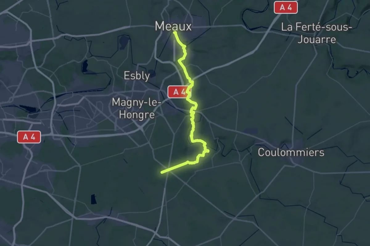
Demanding · Trail
Mortcerf – Meaux
30.1 km · ↑ 384 m · 8 h 23 min
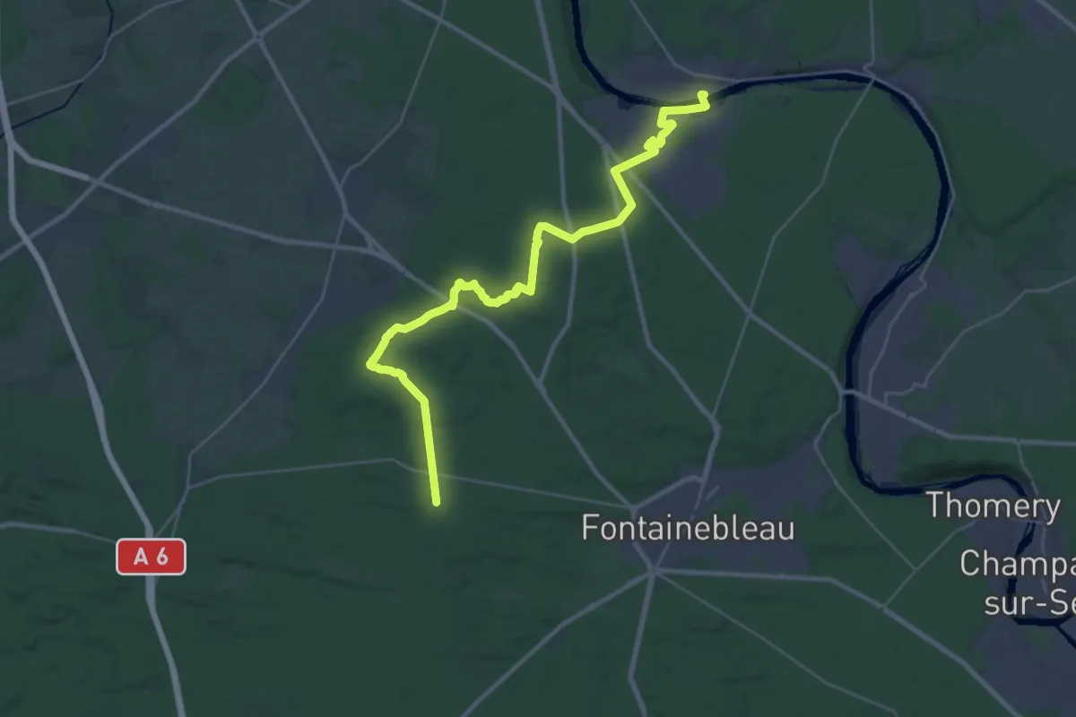
Medium · Trail
Franchard – Chartrettes
16.2 km · ↑ 153 m · 4 h 26 min
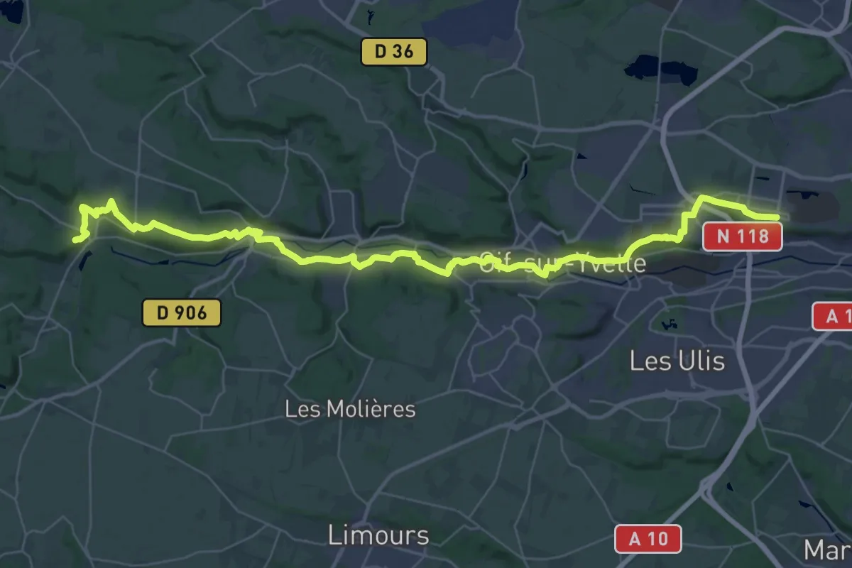
Demanding · Trail
Orsay – Dampierre
21.1 km · ↑ 251 m · 5 h 49 min
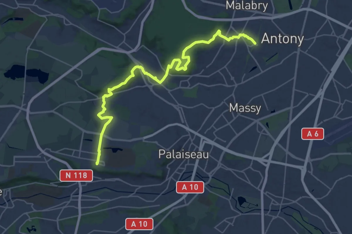
Demanding · Trail
Massy – Orsay
26.6 km · ↑ 418 m · 7 h 11 min
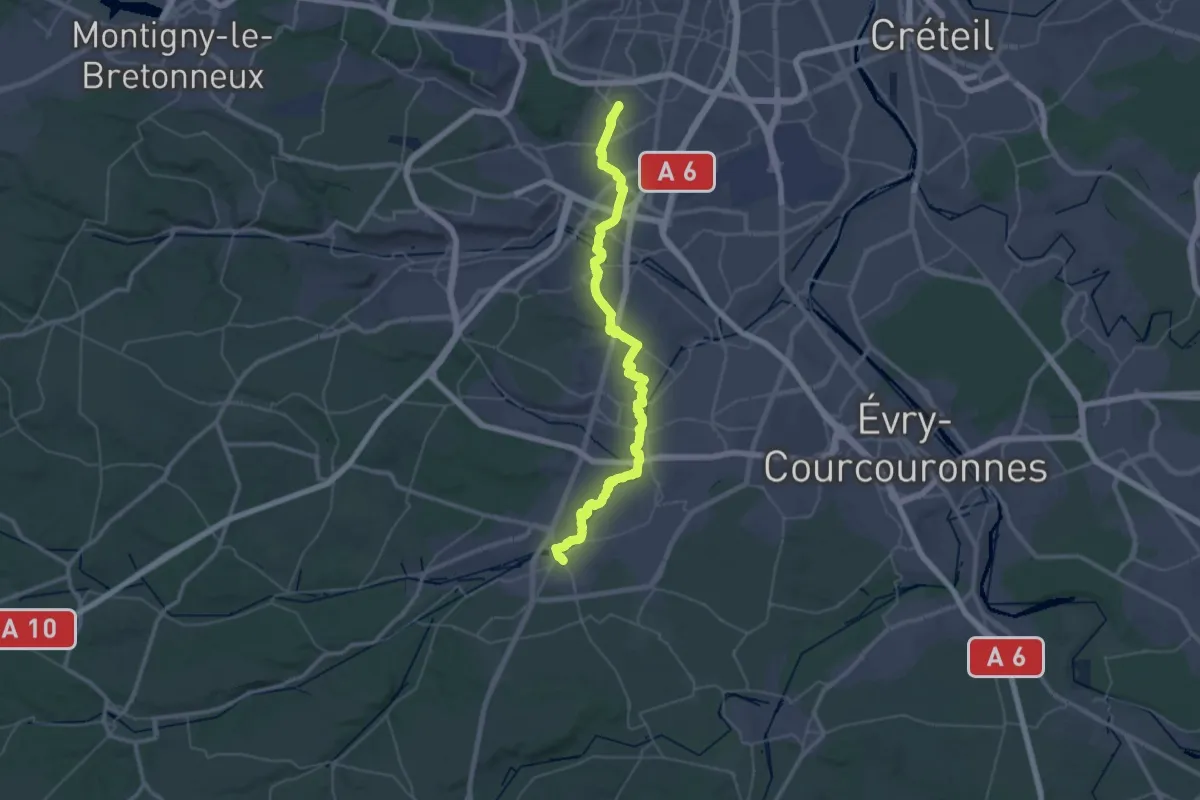
Demanding · Trail
Massy – Arpajon
26.1 km · ↑ 146 m · 6 h 52 min
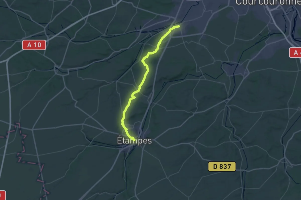
Demanding · Trail
Arpajon – Étampes
23.9 km · ↑ 248 m · 6 h 30 min
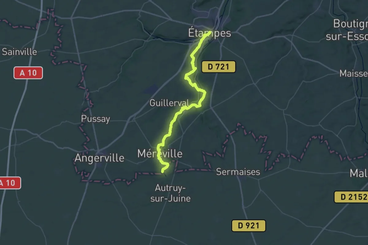
Demanding · Trail
Étampes – Méréville
24.4 km · ↑ 283 m · 6 h 42 min
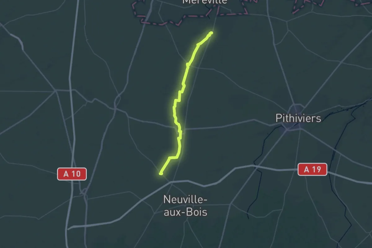
Demanding · Trail
Méréville – Aschères-le-Marché
24.0 km · ↑ 51 m · 6 h 6 min
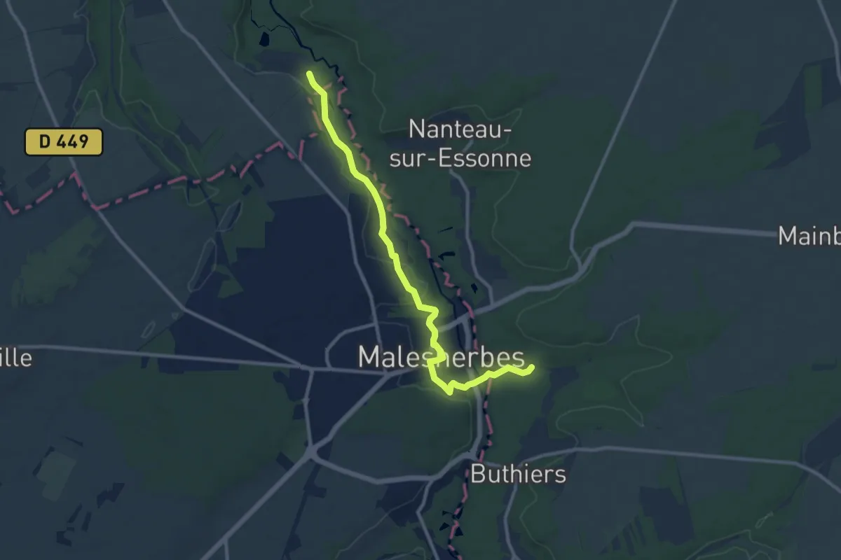
Medium · Trail
Feucherolles – Franchard
9.9 km · ↑ 124 m · 2 h 37 min
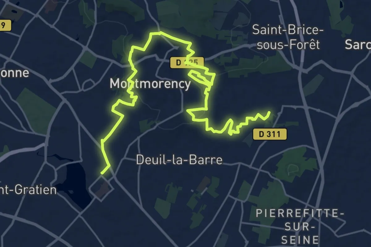
Demanding · Trail
Groslay – Enghien-les-Bains
22.9 km · ↑ 348 m · 6 h 10 min
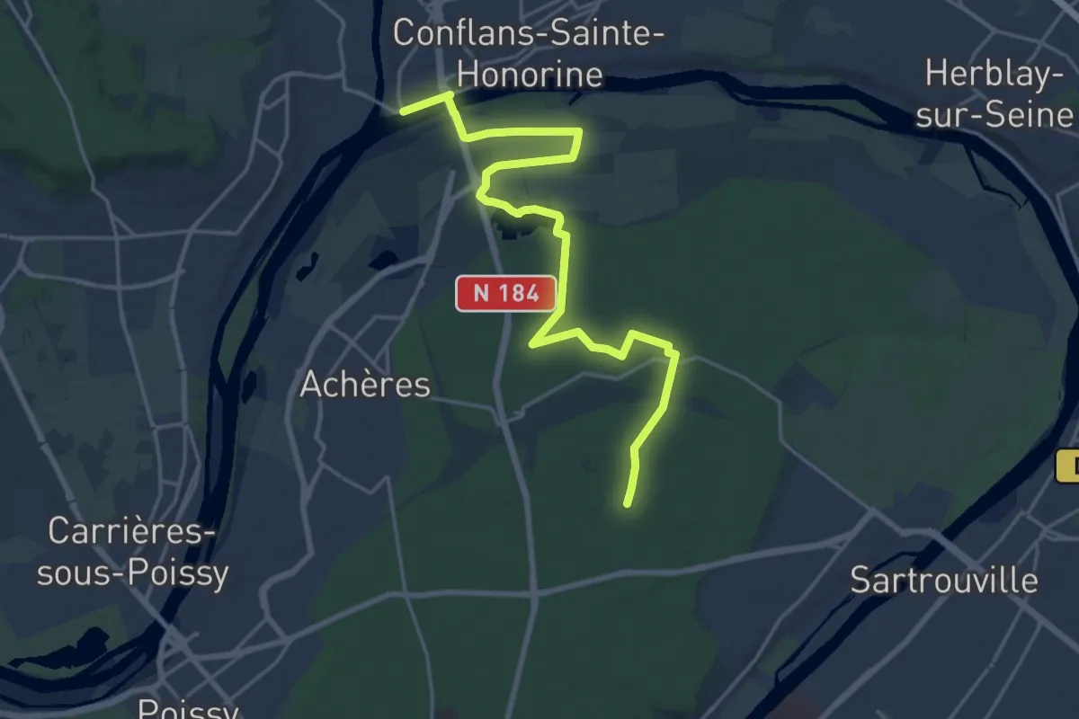
Demanding · Trail
Conflans-Fin-d'Oise – Maisons-Laffitte
20.7 km · ↑ 59 m · 5 h 1 min
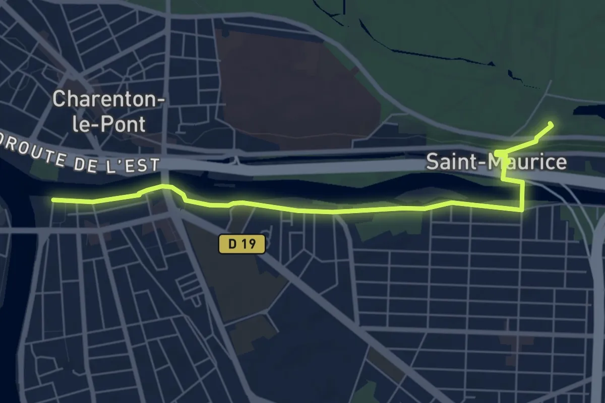
Easy · Trail
Maisons-Alfort – Kiosque de Gravelle
6.3 km · ↑ 31 m · 1 h 34 min
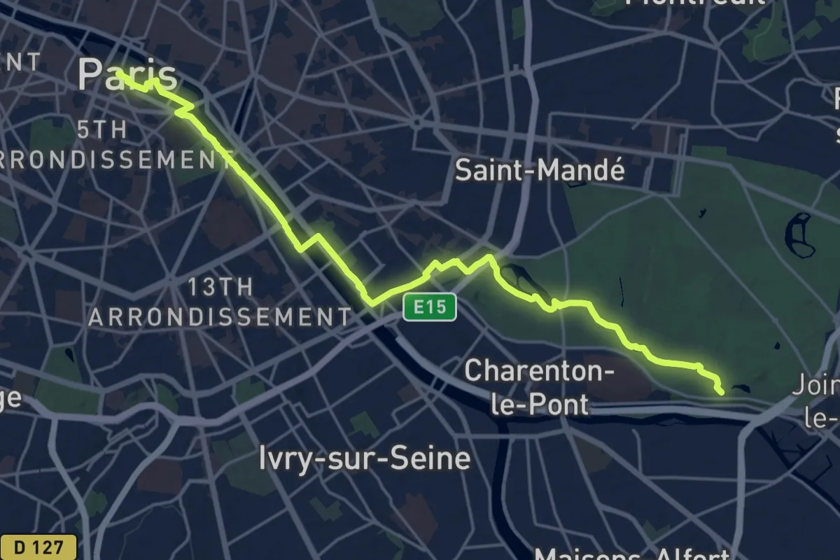
Demanding · Trail
Saint-Maurice – Paris
21.1 km · ↑ 126 m · 5 h 15 min
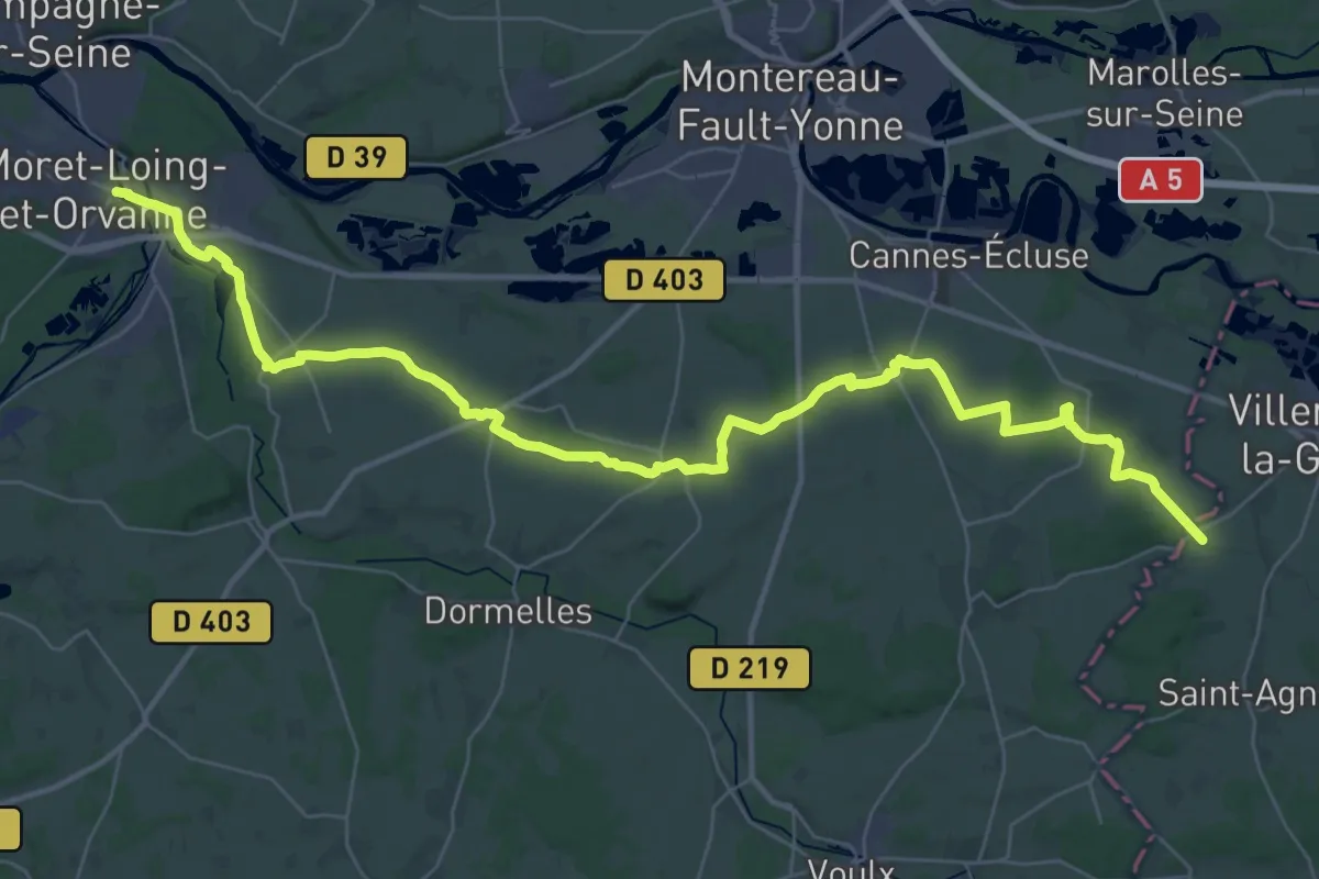
Demanding · Trail
Fontainebleau – Sens
23.4 km · ↑ 205 m · 6 h 16 min
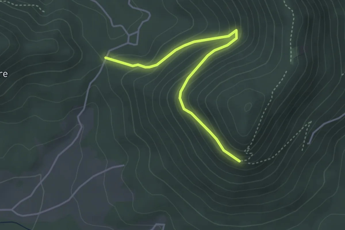
Medium · Trail
Censes de Grandrupt – Roche d'Anozel
3.7 km · ↑ 205 m · 1 h 20 min
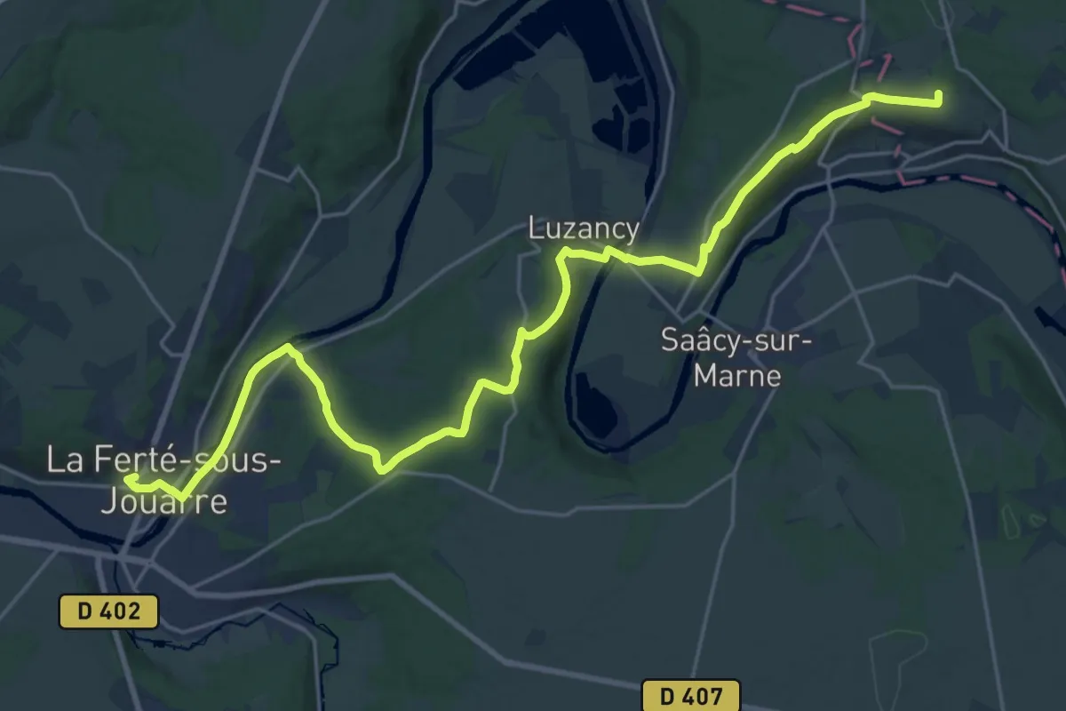
Demanding · Trail
Villers-Cotterêts – Château-Thierry
25.5 km · ↑ 478 m · 7 h 4 min
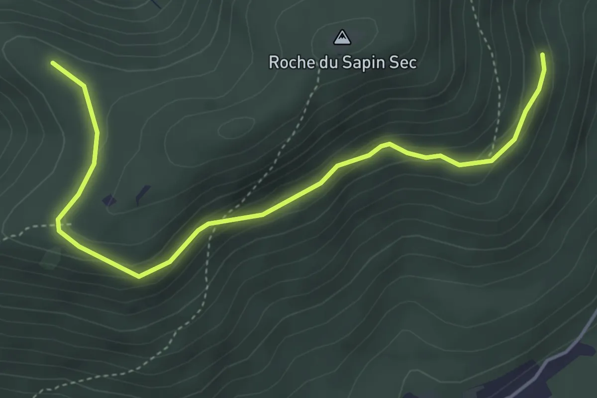
Easy · Trail
Grand Tournant – Fontaine Cotelette
4.6 km · ↑ 202 m · 1 h 32 min
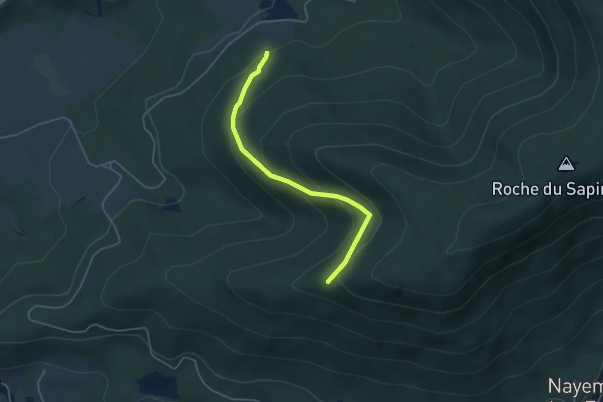
Medium · Trail
Les Molières – Roche des Fées
3.3 km · ↑ 222 m · 1 h 16 min
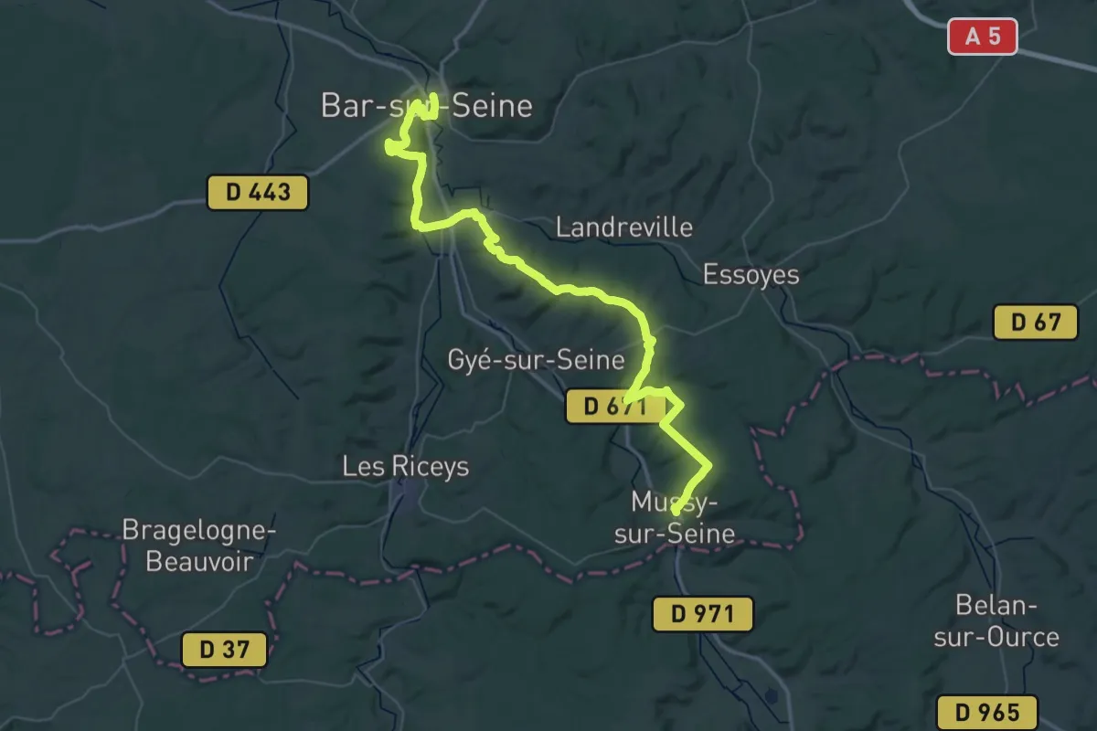
Demanding · Trail
Mussy-sur-Seine – Bar-sur-Seine
30.4 km · ↑ 595 m · 8 h 55 min
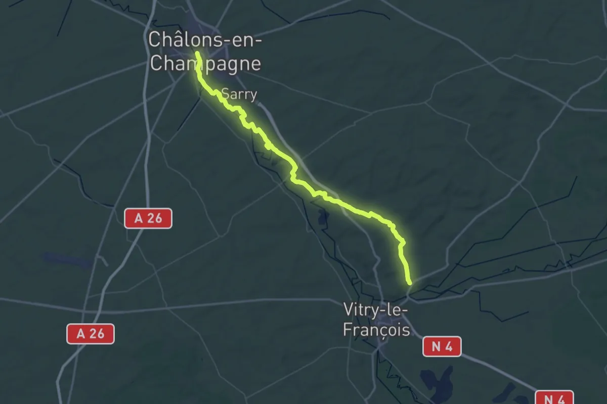
Demanding · Trail
Châlons-en-Champagne – Vitry-en-Perthois
37.5 km · ↑ 116 m · 9 h 35 min
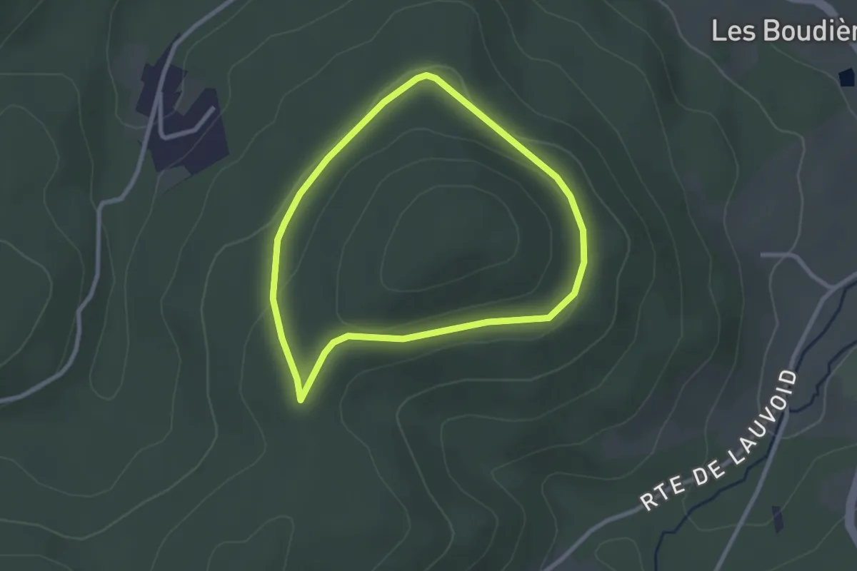
Easy · Trail
Jussarupt – Jussarupt
2.2 km · ↑ 57 m · 41 min
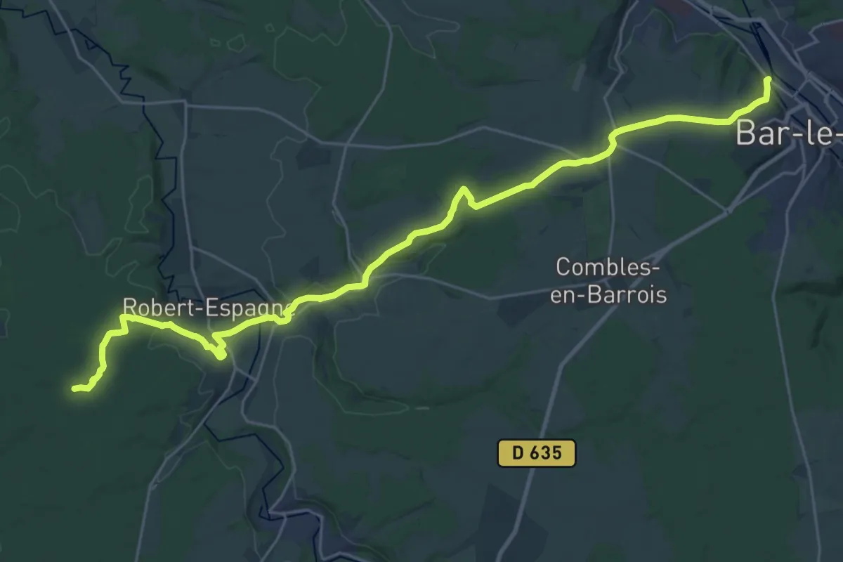
Demanding · Trail
Lac du Der – Bar-le-Duc
29.6 km · ↑ 389 m · 7 h 50 min
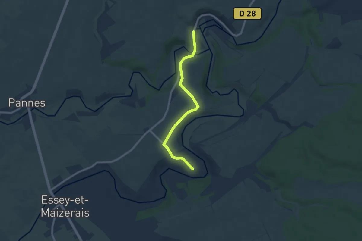
Easy · Trail
Bouillonville – Euvezin
5.6 km · ↑ 72 m · 1 h 28 min
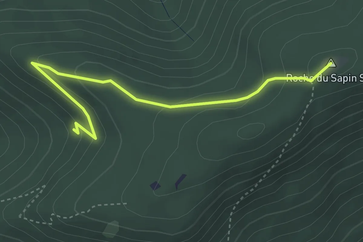
Easy · Summit
Le Chapeau – Col du Sapin Sec
3.5 km · ↑ 185 m · 1 h 14 min