Trails in France
15,926 hiking trails, each with its route, climb, walking time and grade.
All trails, page 311 of 332
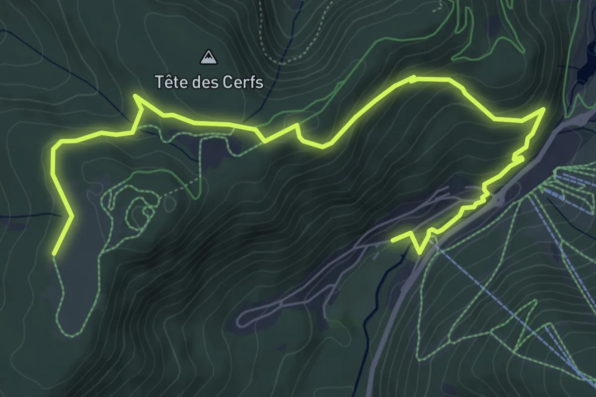
Medium · Trail
Belle Hutte – Les Champis
8.3 km · ↑ 382 m · 2 h 47 min
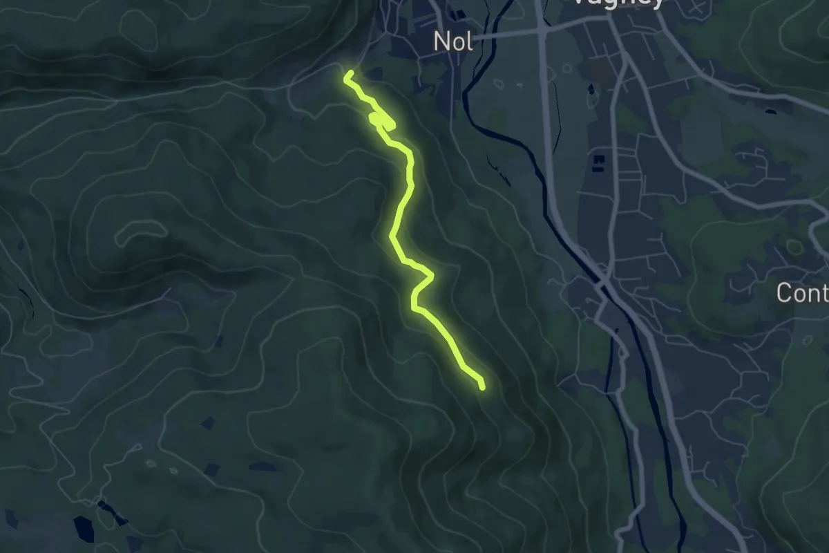
Medium · Cabin
Nol – Chalet du Solem
5.4 km · ↑ 202 m · 1 h 43 min
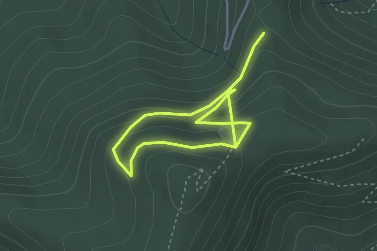
Medium · Trail
Col du Kiosque – Roche Saint-Martin
4.0 km · ↑ 299 m · 1 h 36 min
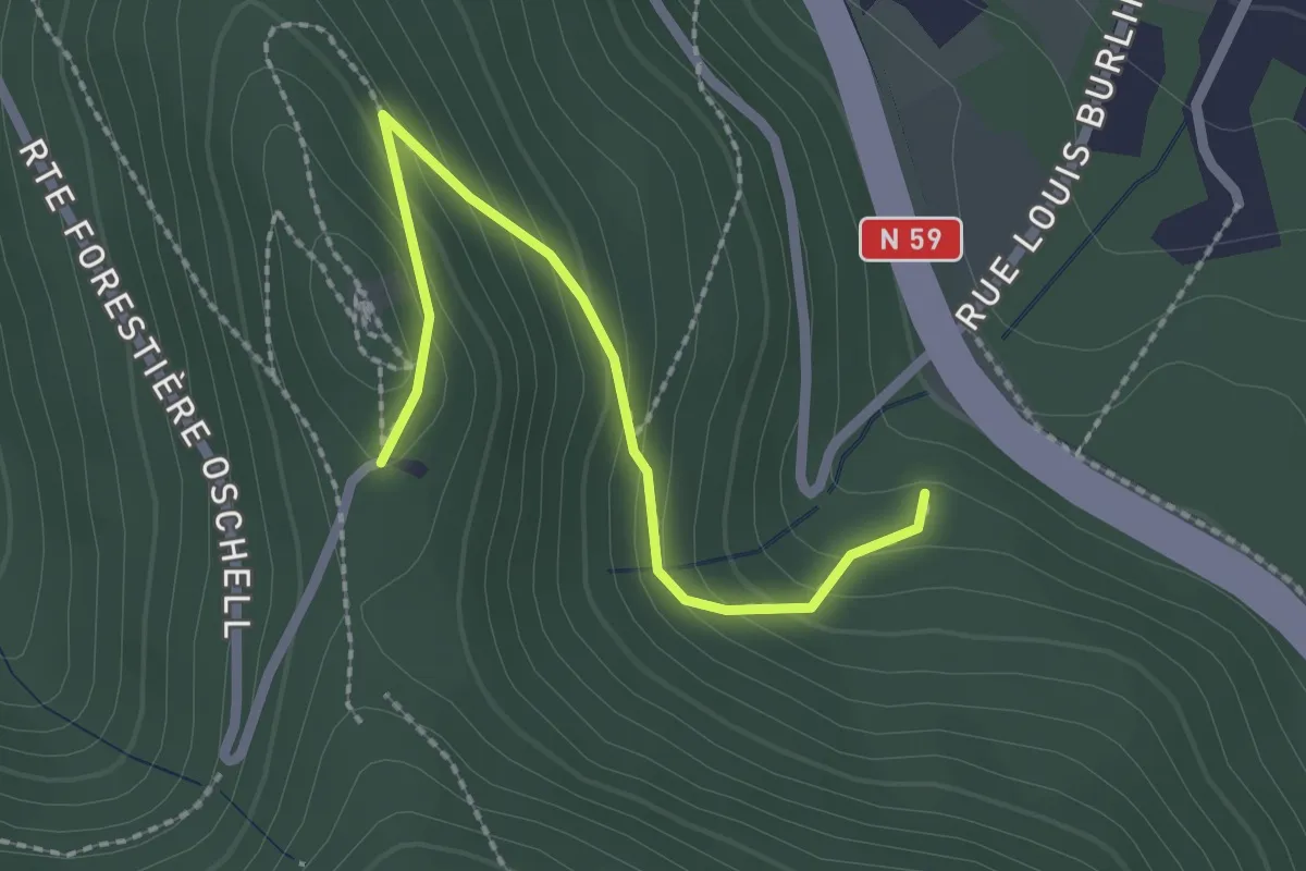
Easy · Trail
Col Saint Martin – Carrefour de la Chartreuse
2.2 km · ↑ 154 m · 51 min
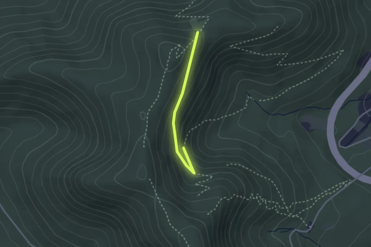
Easy · Trail
Col du Kiosque – Le Sapin qui Pisse
2.1 km · ↑ 88 m · 41 min
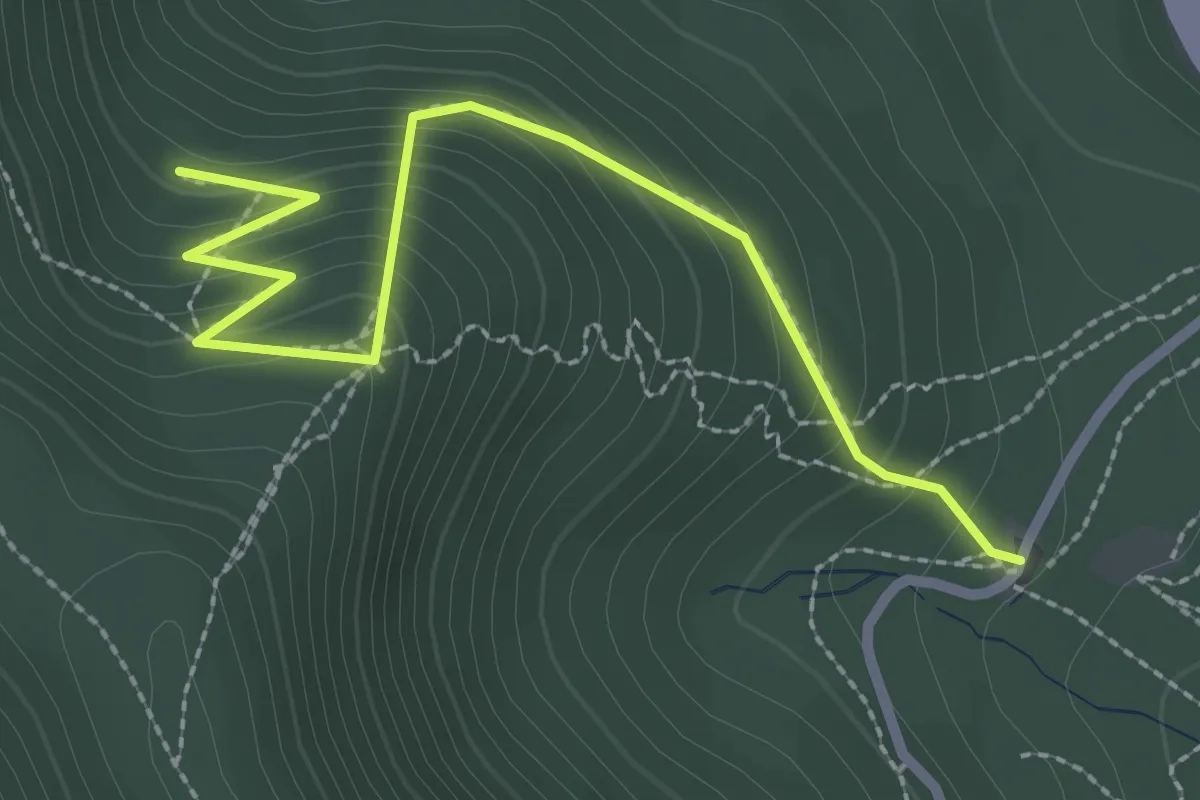
Medium · Trail
Les Trois Fauteuils – Roche de l’Enclume
2.8 km · ↑ 233 m · 1 h 10 min
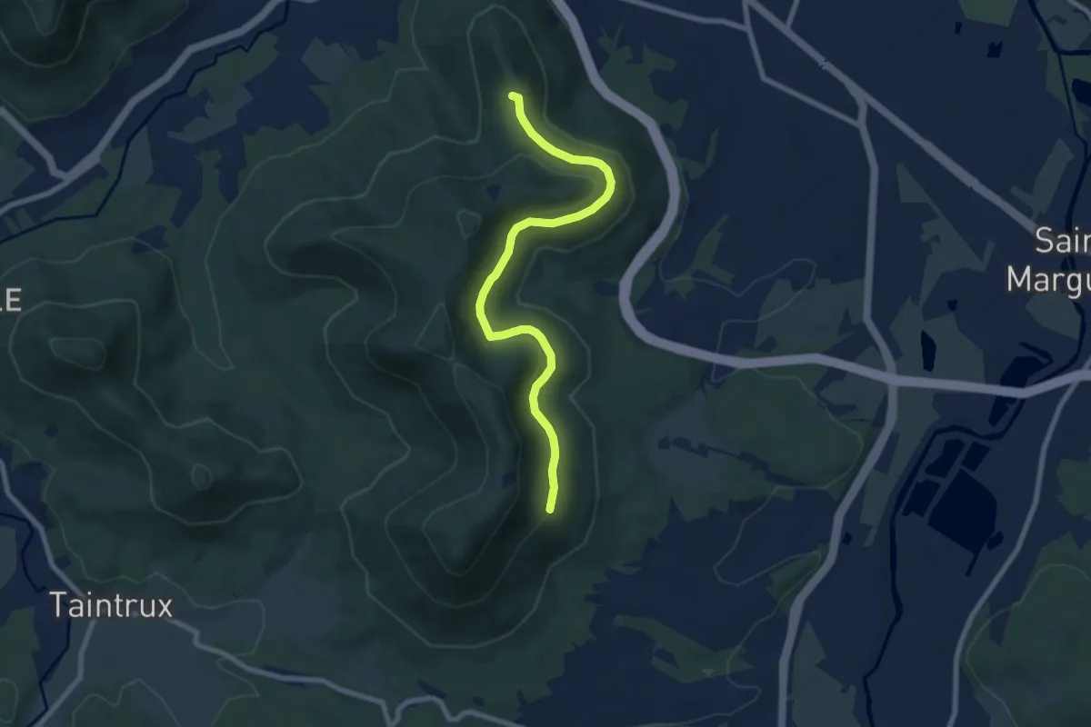
Easy · Trail
Col Saint Martin – Le Fer à Cheval
7.4 km · ↑ 253 m · 2 h 18 min
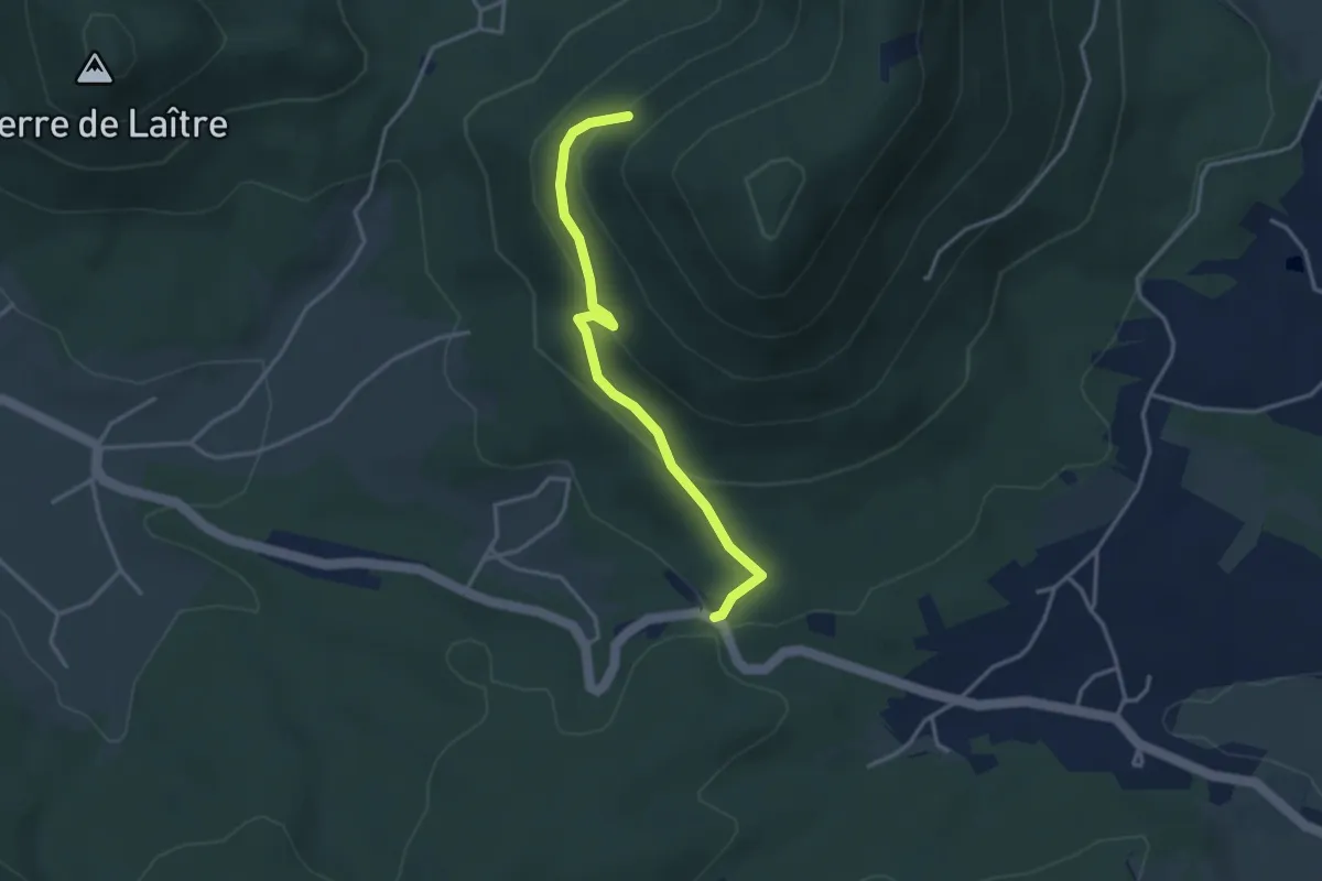
Easy · Trail
Sentier des Angles – Croix Saint-Georges
3.2 km · ↑ 179 m · 1 h 9 min
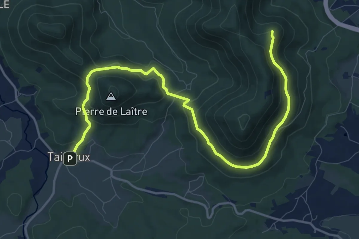
Medium · Trail
Taintrux – Roche de l’Enclume
11.4 km · ↑ 526 m · 3 h 50 min
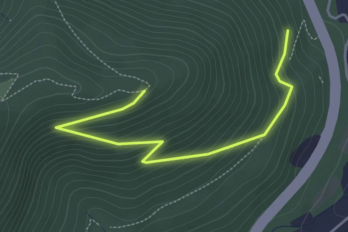
Medium · Trail
Carrefour de Fossoir – L’ancienne Carrière
3.1 km · ↑ 215 m · 1 h 12 min
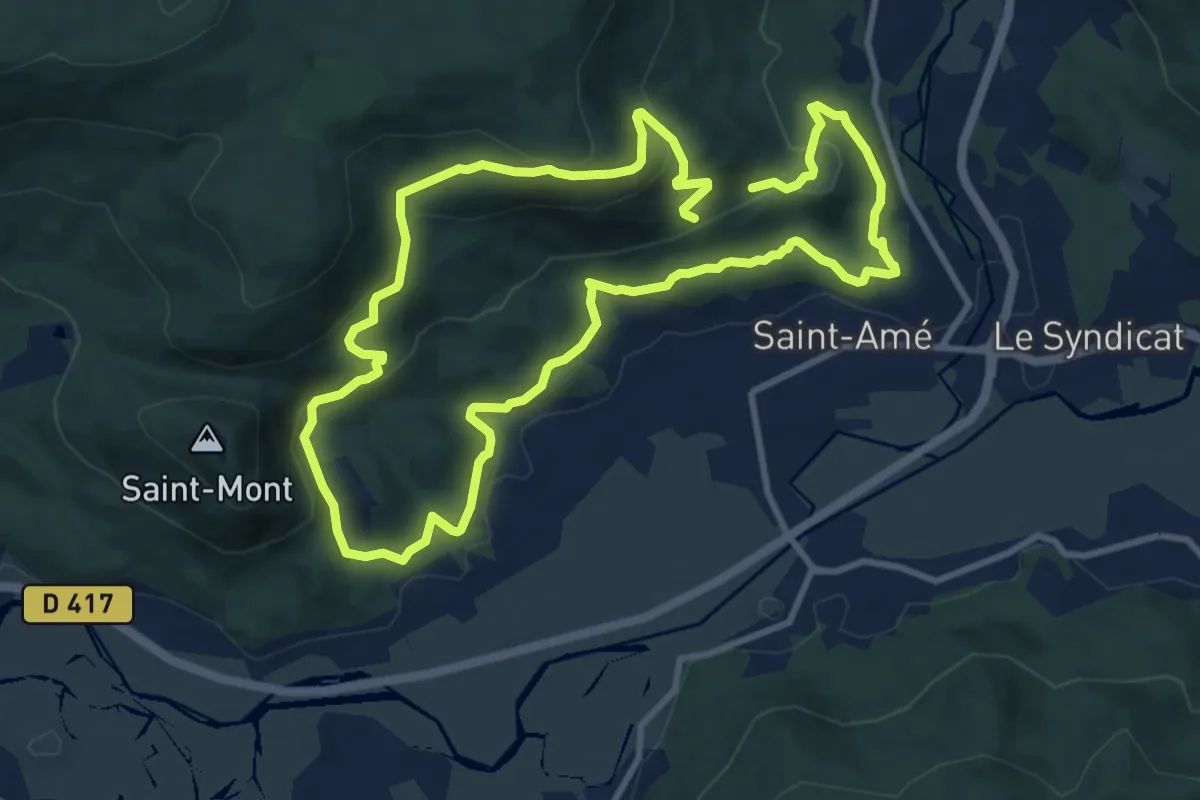
Medium · Trail
Parking du Stade Saint-Amé – Parking du Stade Saint-Amé
9.4 km · ↑ 404 m · 3 h 13 min
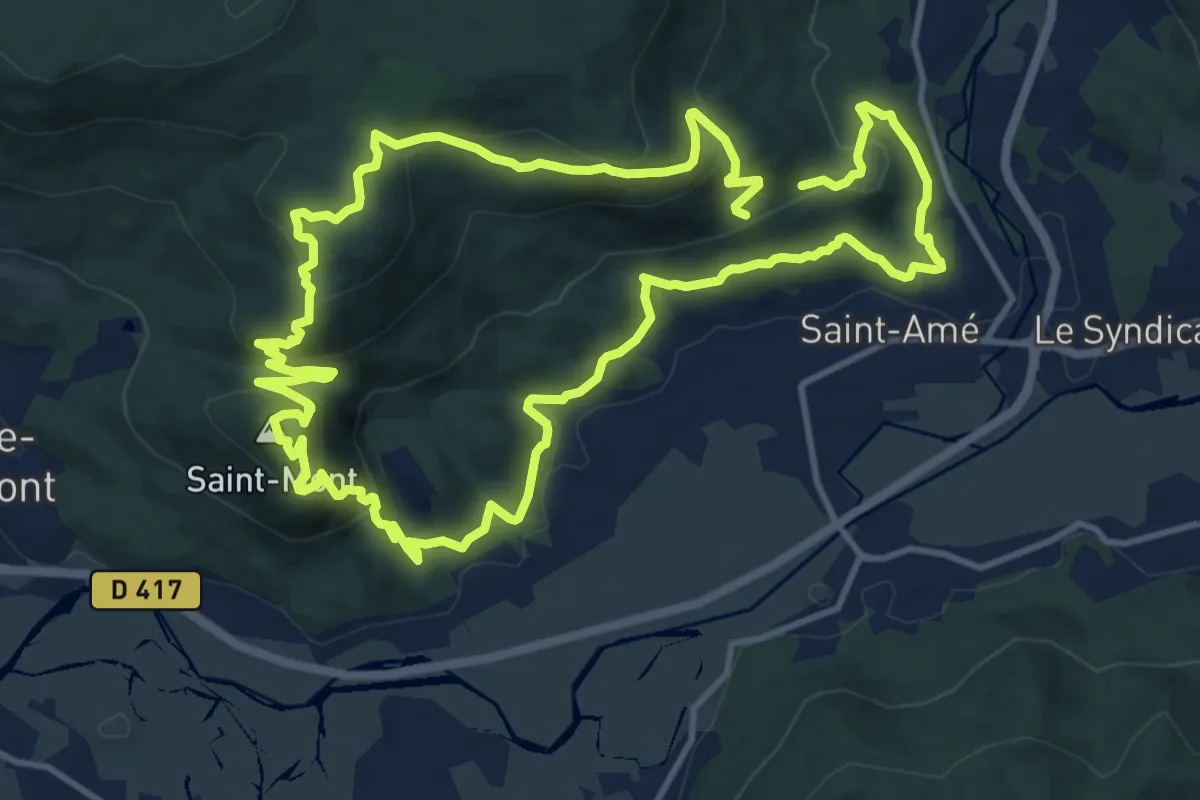
Medium · Summit
Parking du Stade Saint-Amé – Parking du Stade Saint-Amé
12.4 km · ↑ 538 m · 4 h 15 min
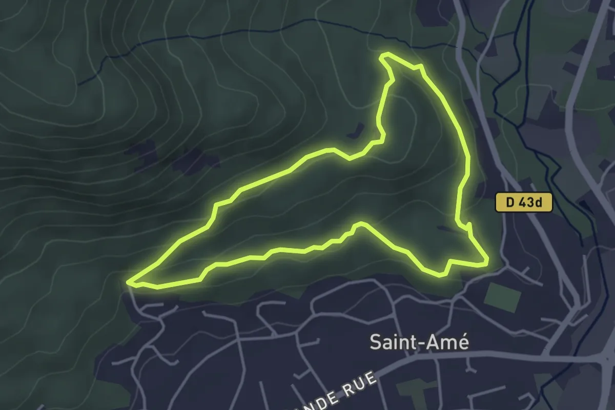
Easy · Trail
Parking du Stade Saint-Amé – Parking du Stade Saint-Amé
3.8 km · ↑ 129 m · 1 h 13 min
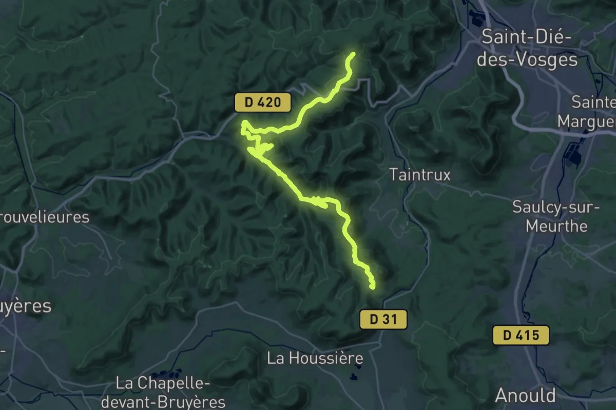
Medium · Trail
Carrefour de la Goutte – Croix du Rendez-vous
16.4 km · ↑ 393 m · 5 h
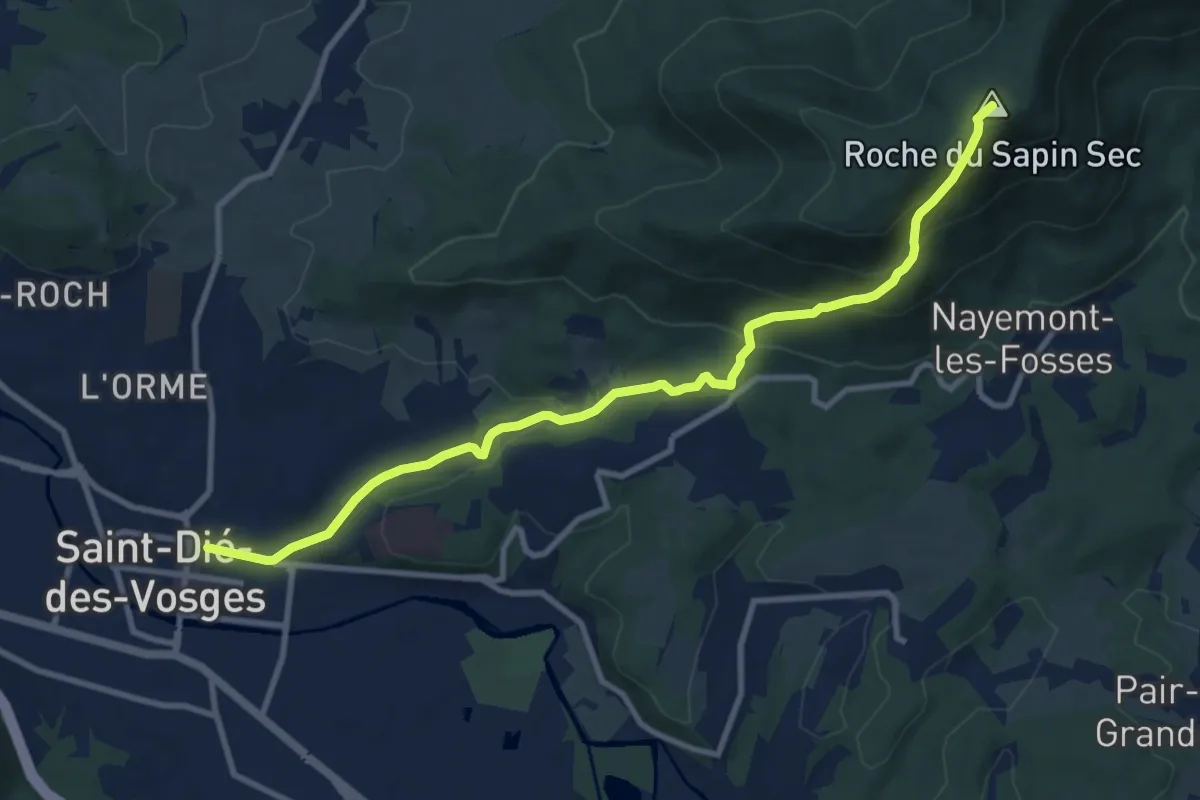
Demanding · Summit
Saint-Dié-des-Vosges – Col du Sapin sec
10.3 km · ↑ 538 m · 3 h 35 min
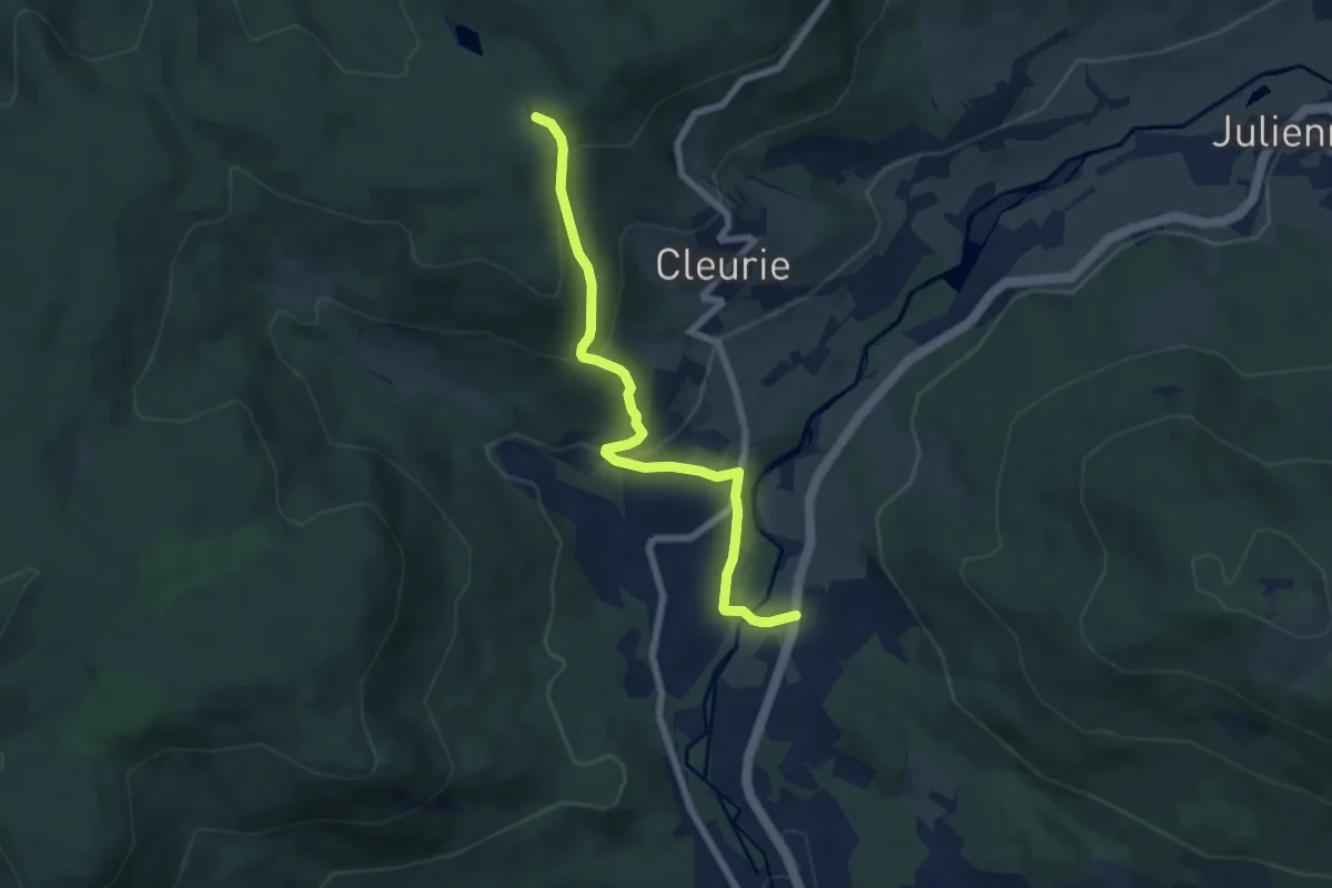
Medium · Trail
Belmont – Le Hêtre de la Vierge
6.7 km · ↑ 328 m · 2 h 17 min
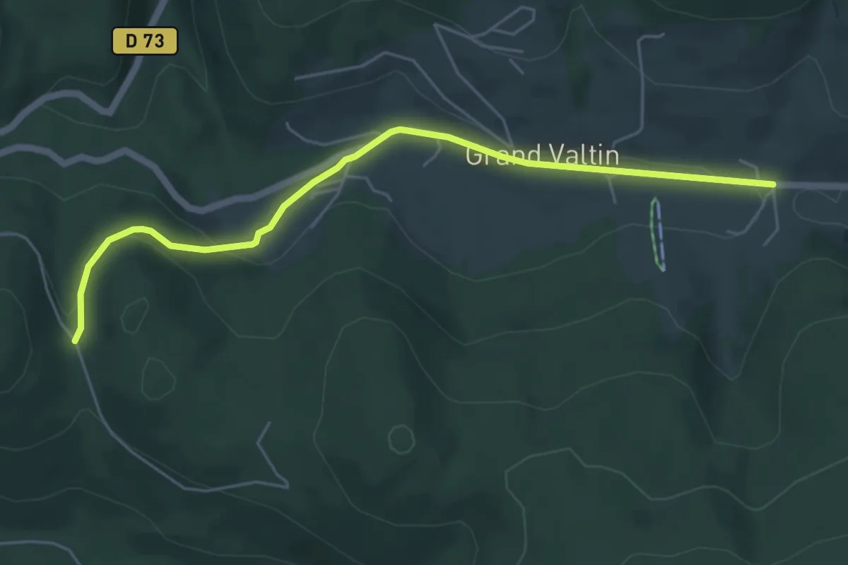
Easy · Trail
Le Grand Valtin – Col du Surceneux
5.3 km · ↑ 133 m · 1 h 32 min
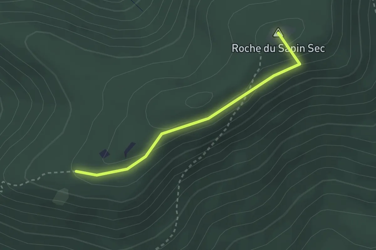
Easy · Summit
Carrefour du Relais – Col du Chariot
2.3 km · ↑ 83 m · 43 min
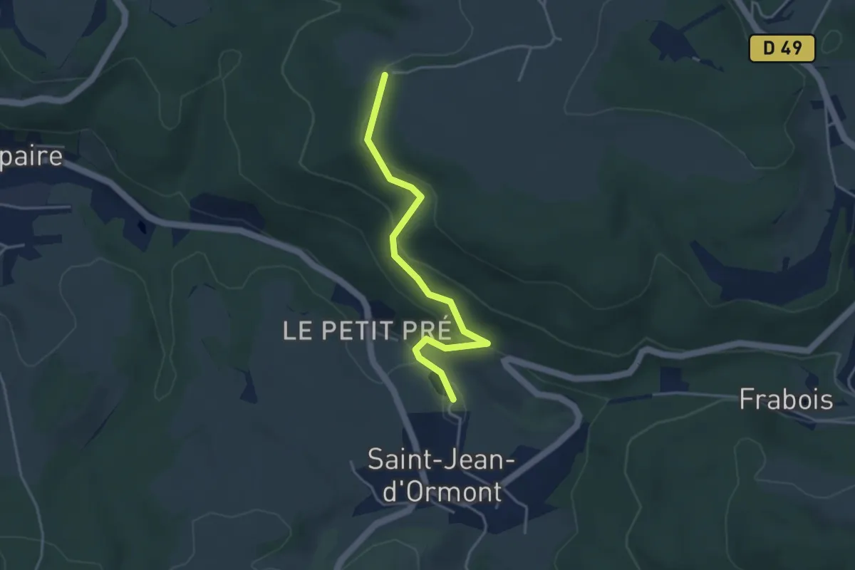
Easy · Trail
Saint-Jean-d’Ormont – La Fontenelle
3.6 km · ↑ 168 m · 1 h 13 min
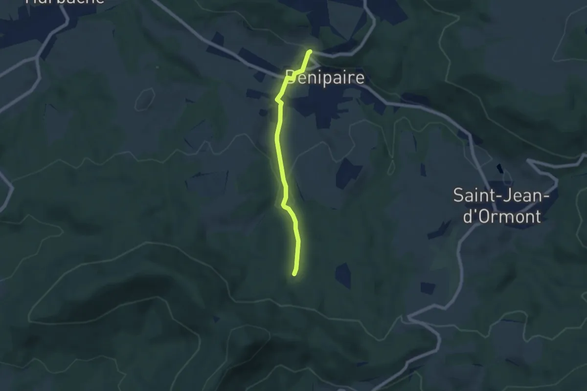
Easy · Trail
À Chéty – Les Chenaux
4.5 km · ↑ 140 m · 1 h 22 min
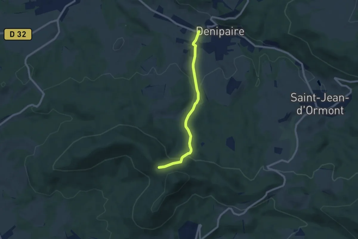
Easy · Trail
Denipaire – Col de Crénée
5.3 km · ↑ 213 m · 1 h 43 min
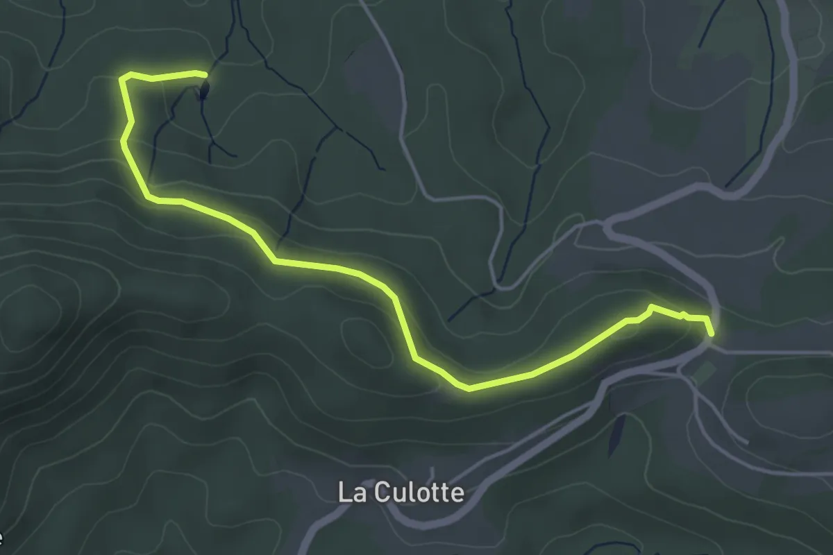
Easy · Trail
Les Chénaux – Col des Raids
4.6 km · ↑ 187 m · 1 h 30 min
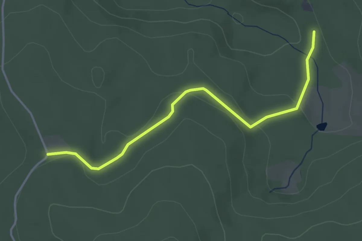
Easy · Trail
Le Molfaing – La Chenehelle
3.6 km · ↑ 100 m · 1 h 4 min
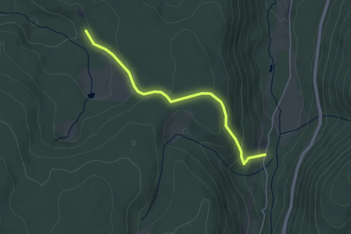
Easy · Trail
La Basse de Martimpré – La Chenehelle
3.6 km · ↑ 156 m · 1 h 12 min
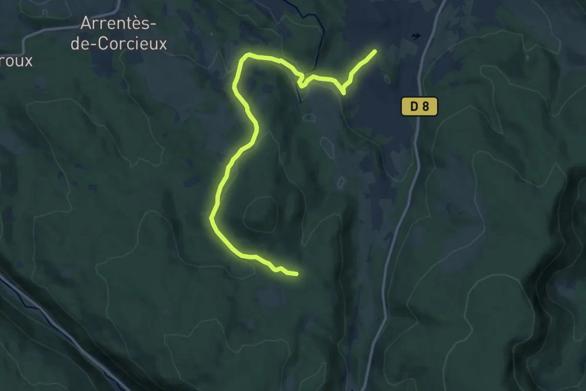
Medium · Trail
Ronchamps – Les Bonnes Frais
12.2 km · ↑ 242 m · 3 h 24 min
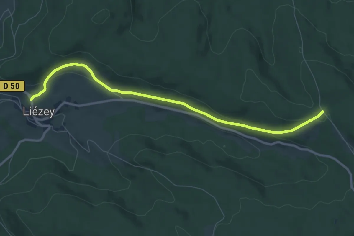
Easy · Trail
Blanchefontaine – La Fourrière Morel
7.4 km · ↑ 184 m · 2 h 9 min
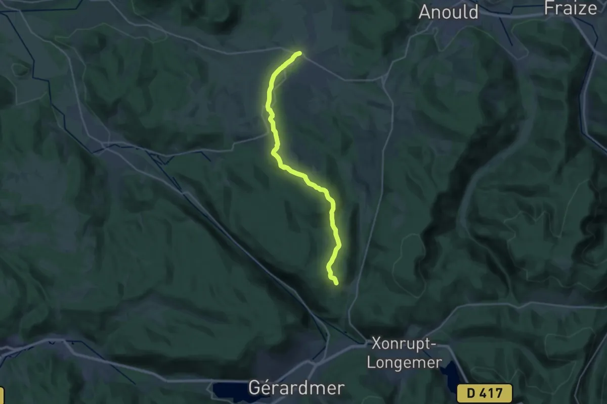
Demanding · Trail
Corcieux – Nayemont
19.9 km · ↑ 480 m · 5 h 44 min
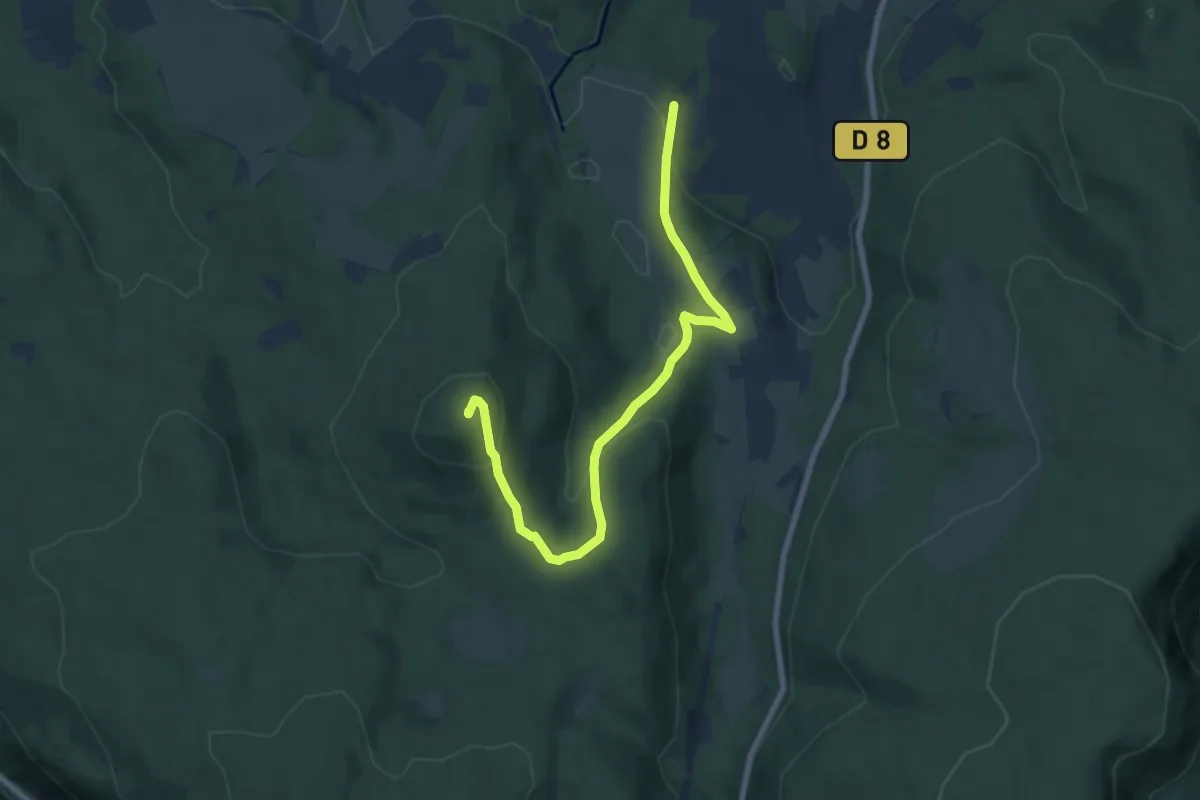
Medium · Summit
Stousmey – Tête de Nayemont
8.0 km · ↑ 330 m · 2 h 36 min
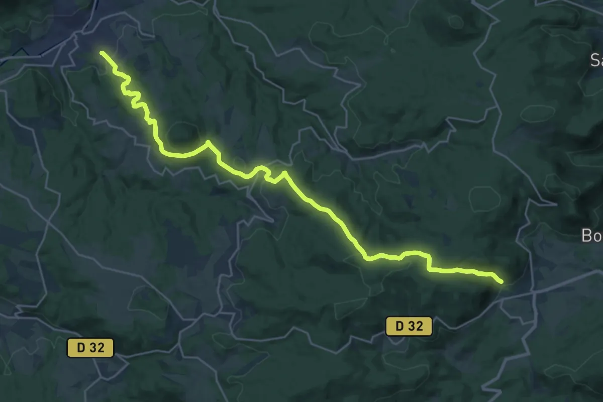
Demanding · Trail
Saales – Senones
24.2 km · ↑ 709 m · 7 h 14 min
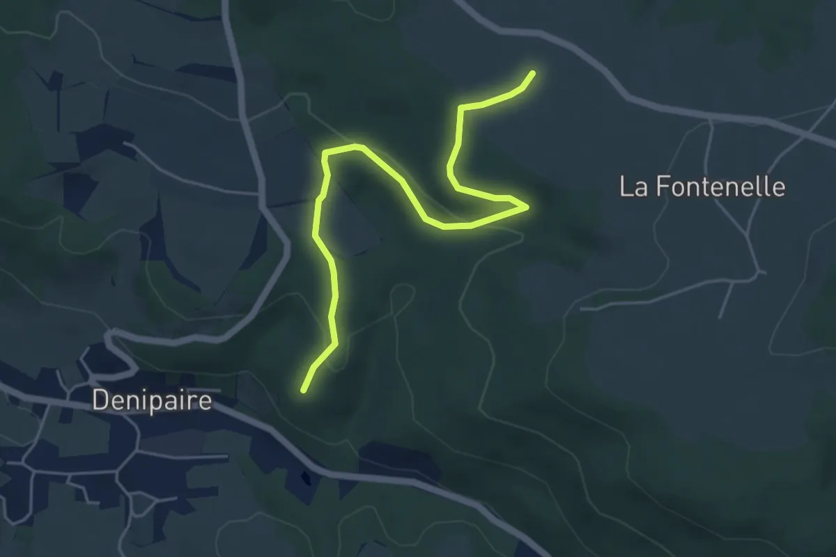
Easy · Trail
Voie Romaine – Le Rondé
4.9 km · ↑ 147 m · 1 h 28 min
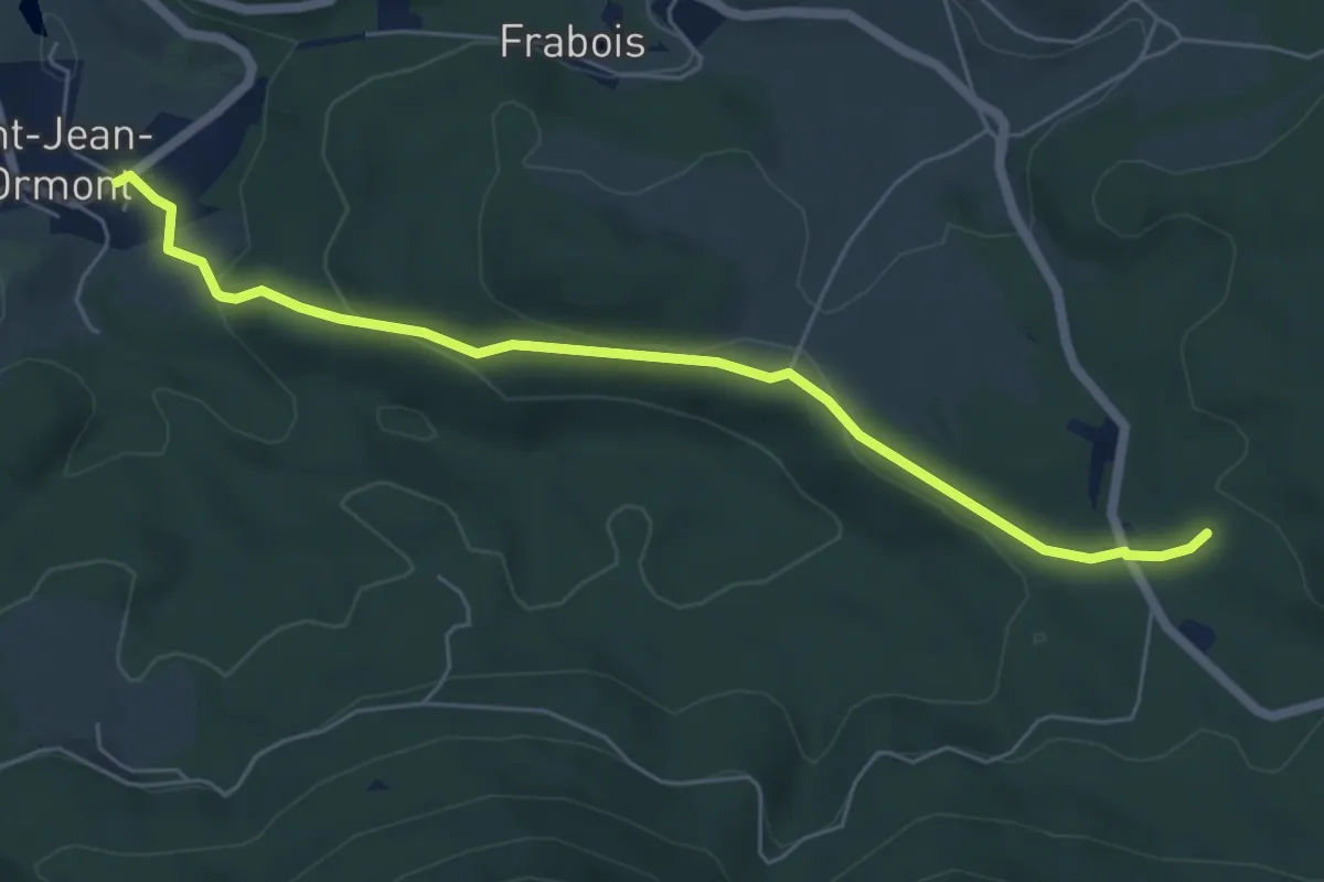
Easy · Trail
Saint-Jean-d’Ormont – La Côme
5.9 km · ↑ 186 m · 1 h 48 min
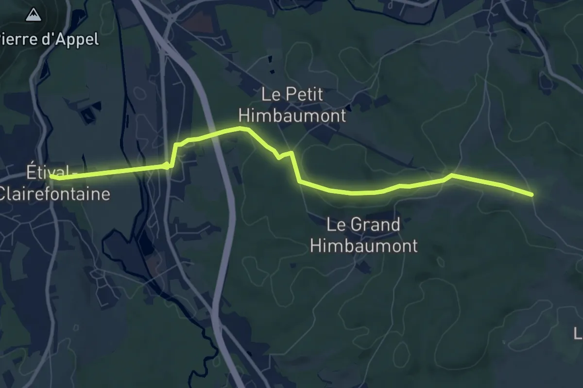
Medium · Trail
Étival-Clairefontaine – GR 533
9.1 km · ↑ 181 m · 2 h 32 min
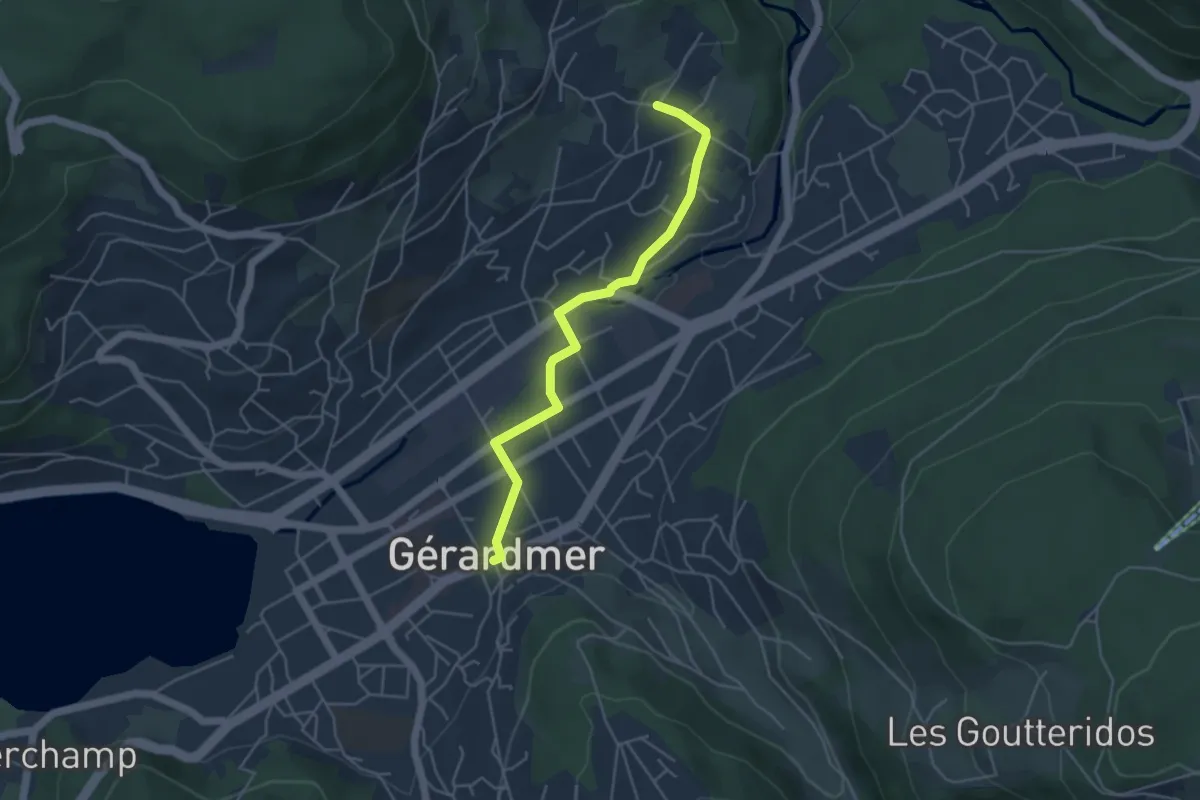
Easy · Trail
Gérardmer – Kichompré
4.3 km · ↑ 61 m · 1 h 9 min
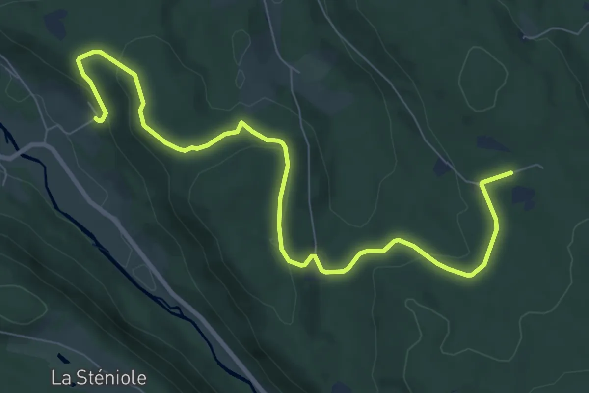
Medium · Trail
Blanche Faine – Beninfaing
8.4 km · ↑ 291 m · 2 h 37 min
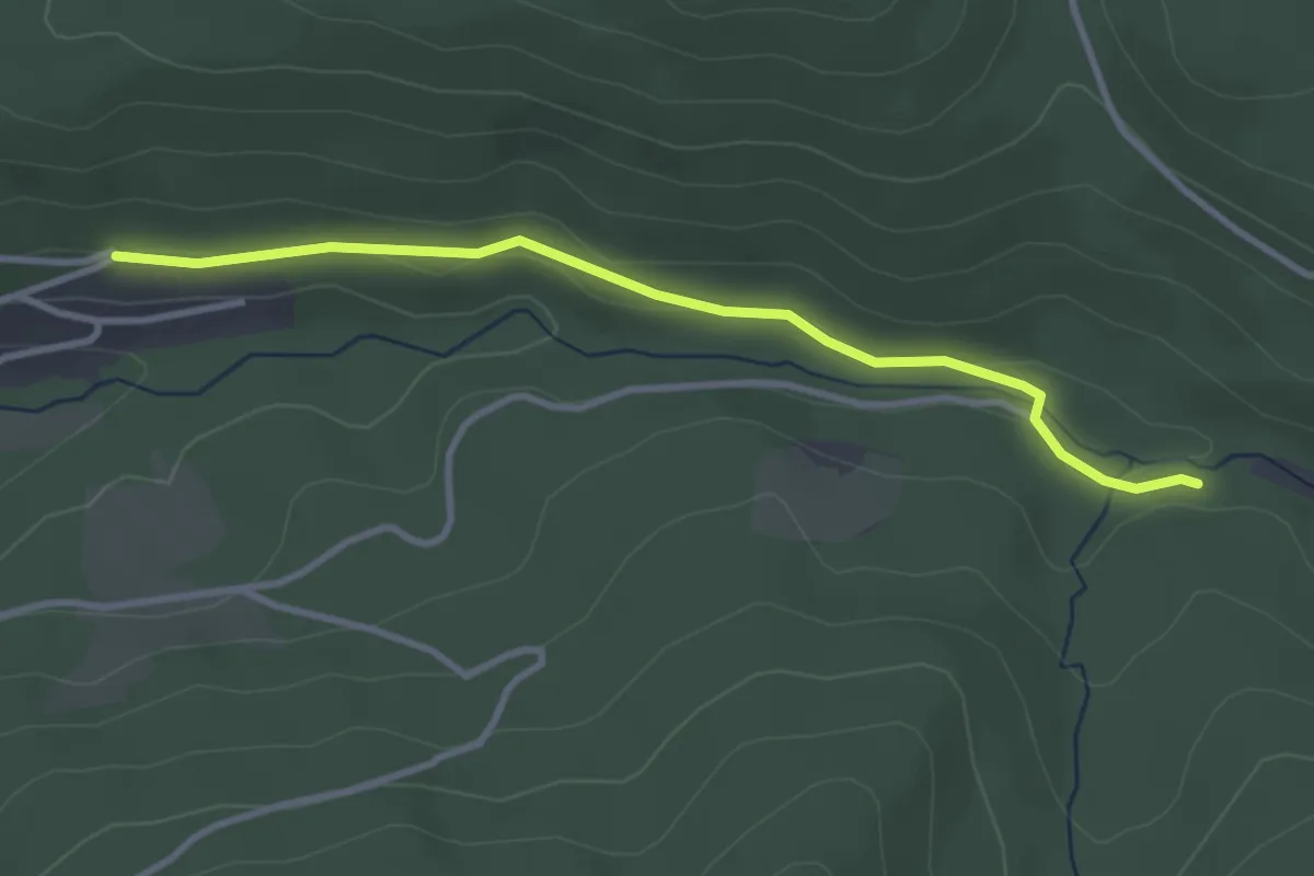
Easy · Trail
Les Broches – Col du Port des Planches
3.2 km · ↑ 28 m · 48 min
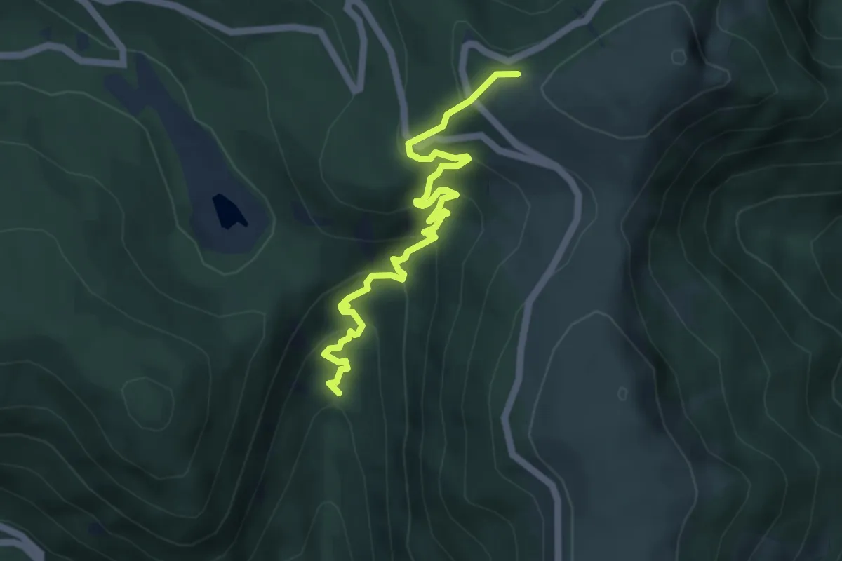
Medium · Trail
Wildenstein – Rotenbach
4.9 km · ↑ 348 m · 1 h 54 min
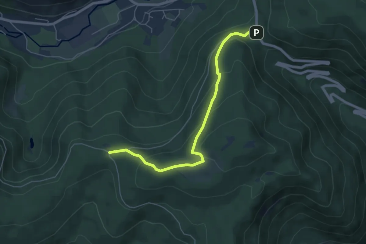
Medium · Cabin
Col de Bramont – Col de la Vierge
5.1 km · ↑ 270 m · 1 h 47 min
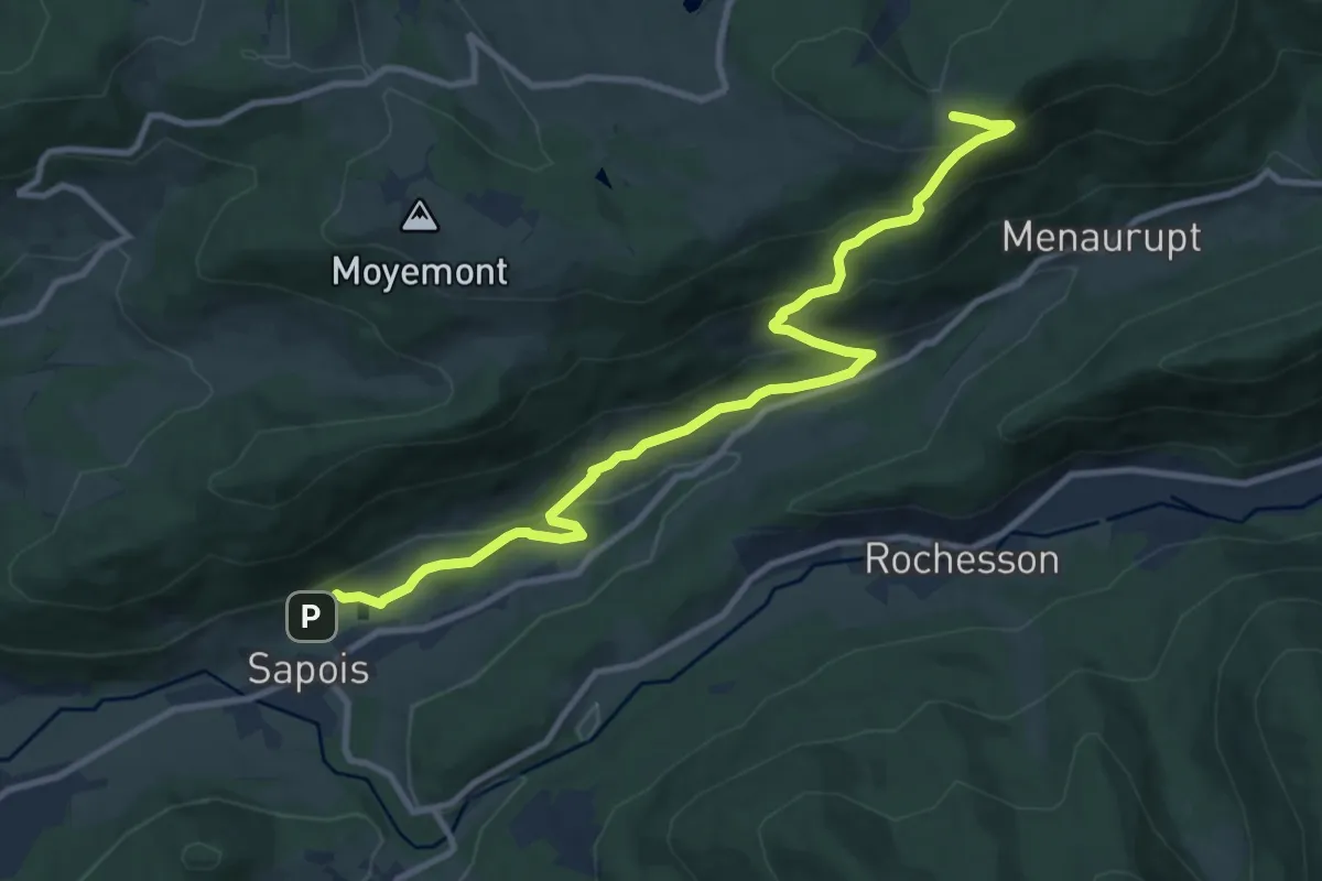
Medium · Trail
Sapois – La Sotière
11.2 km · ↑ 552 m · 3 h 50 min
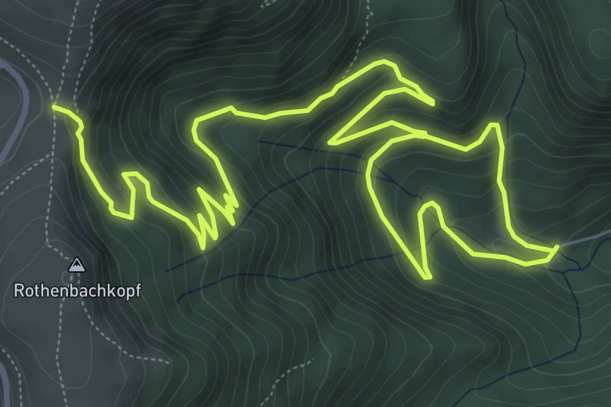
Demanding · Trail
Chapelle Saint-Antoine – Col du Rotenbach
12.0 km · ↑ 689 m · 4 h 20 min
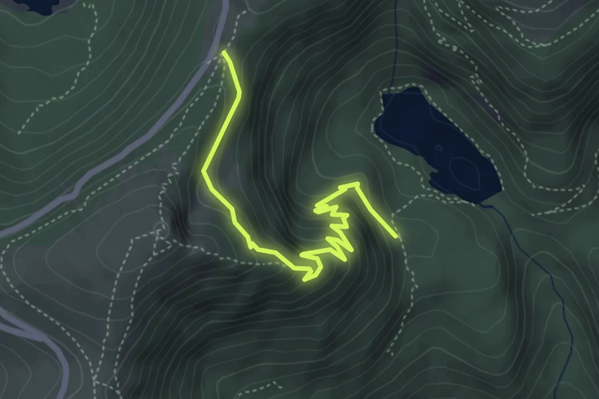
Medium · Trail
Lac d’Altenweiher – GR531
4.5 km · ↑ 315 m · 1 h 45 min
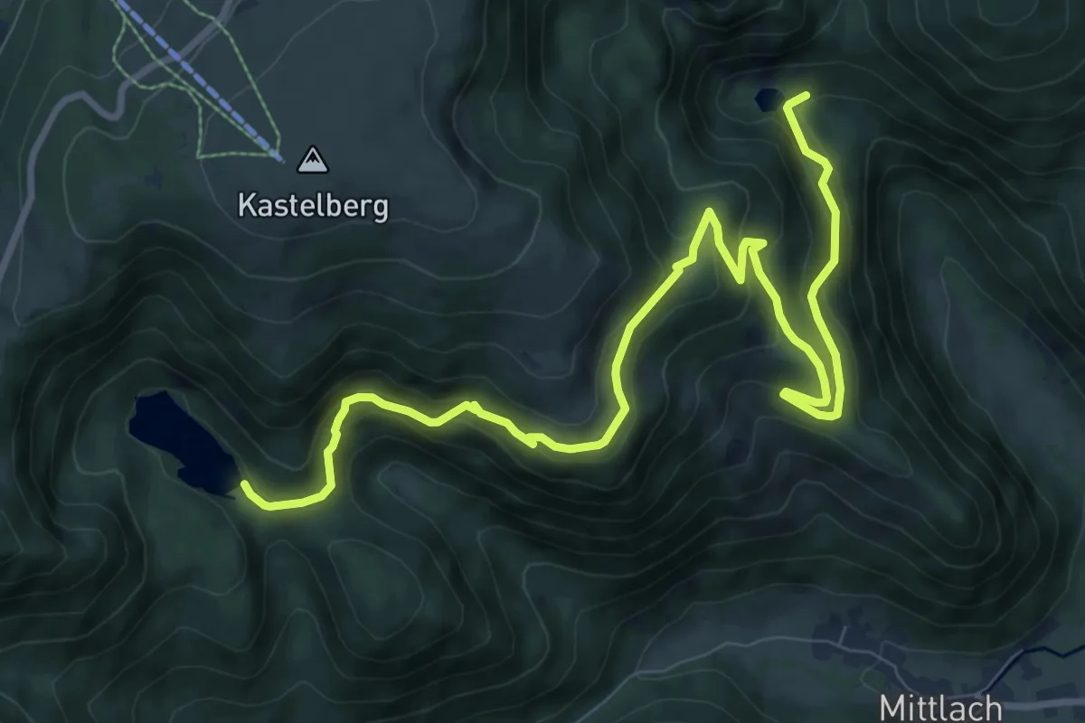
Demanding · Trail
Lac d’Altenweiher – GR 5
11.2 km · ↑ 709 m · 4 h 10 min
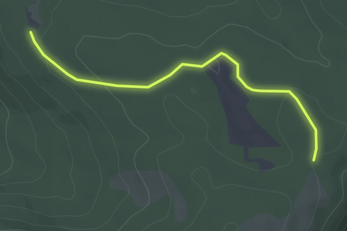
Easy · Trail
Chalet des Charmes – Haut du Raindé
3.6 km · ↑ 69 m · 59 min
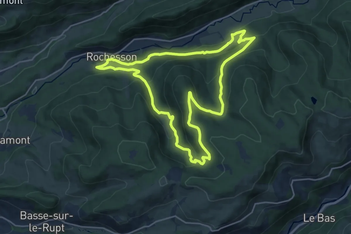
Medium · Trail
Rochesson – Rochesson
13.5 km · ↑ 515 m · 4 h 29 min
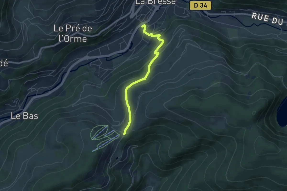
Easy · Trail
La Bresse – Col du Brabant
4.9 km · ↑ 279 m · 1 h 46 min
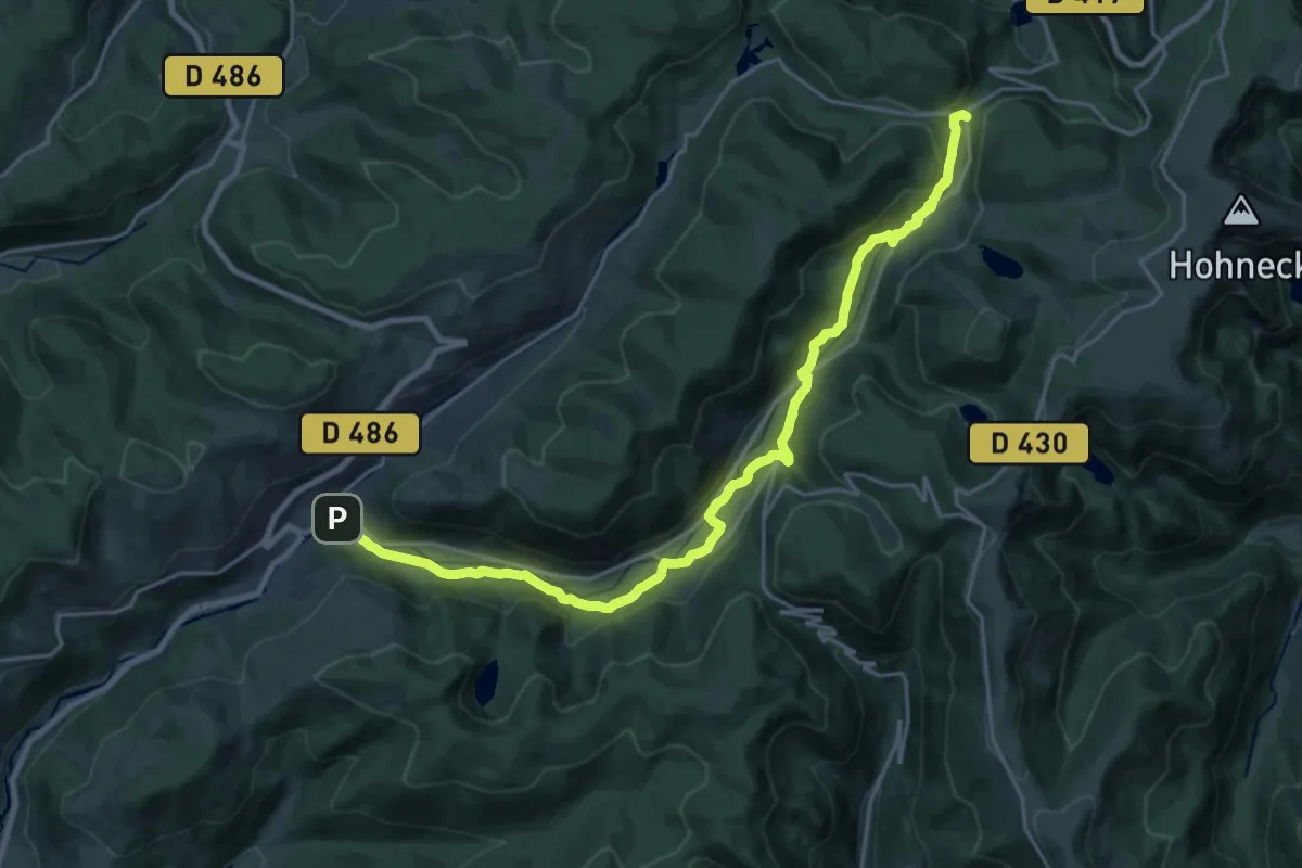
Demanding · Trail
La Bresse – Col des Feignes sous Vologne
23.4 km · ↑ 635 m · 6 h 54 min
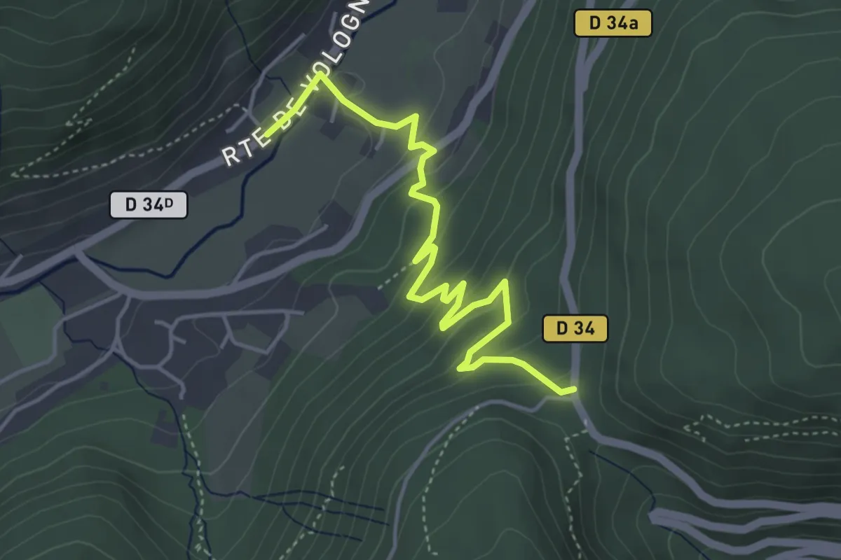
Easy · Trail
Col de Bramont – GR 531
4.5 km · ↑ 220 m · 1 h 33 min
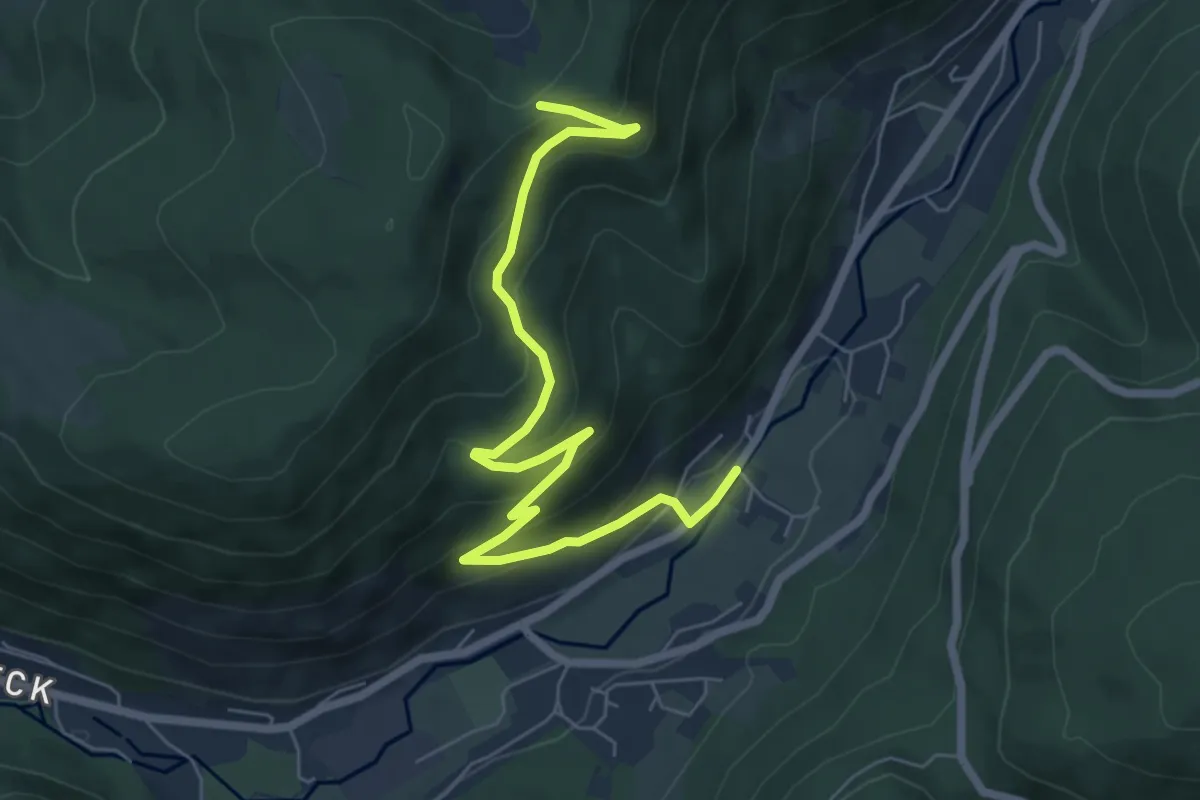
Medium · Cabin
Pont des Mortes – GR 533
7.0 km · ↑ 395 m · 2 h 30 min
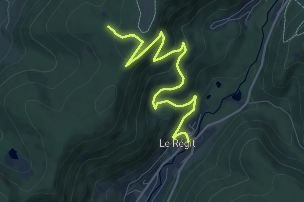
Medium · Trail
Pont Jean d’Zoure – GR 533
8.2 km · ↑ 485 m · 3 h