Trails in France
15,926 hiking trails, each with its route, climb, walking time and grade.
All trails, page 312 of 332
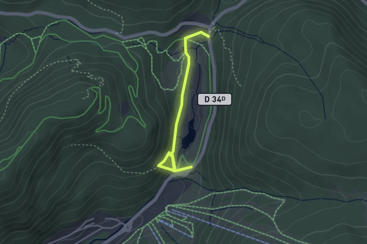
Easy · Trail
Col des Feignes sous Vologne – Pont du Chitelet
2.9 km · ↑ 96 m · 53 min
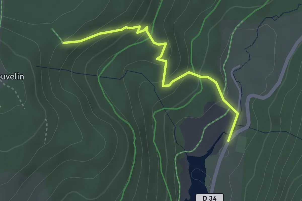
Easy · Trail
Pont des Saules – GR 533
3.1 km · ↑ 192 m · 1 h 8 min
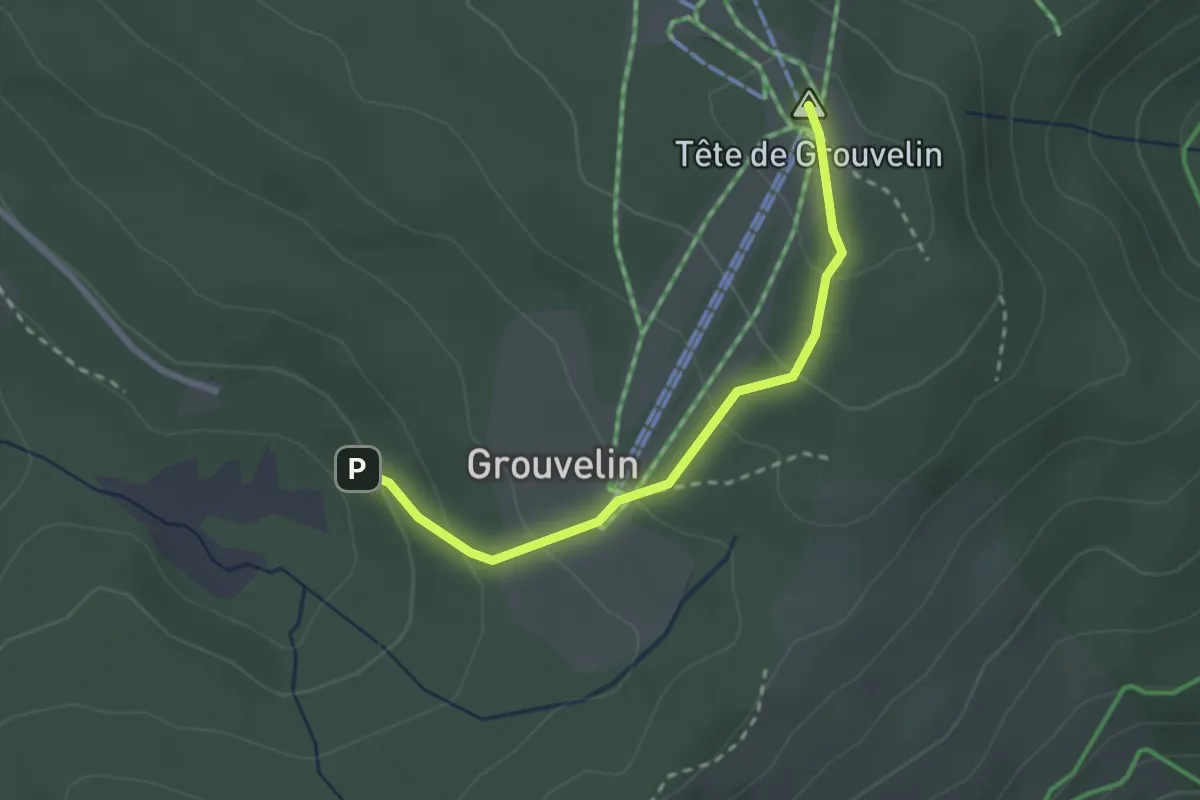
Medium · Summit
GR 533 – Tête de Grouvelin
2.4 km · ↑ 145 m · 52 min
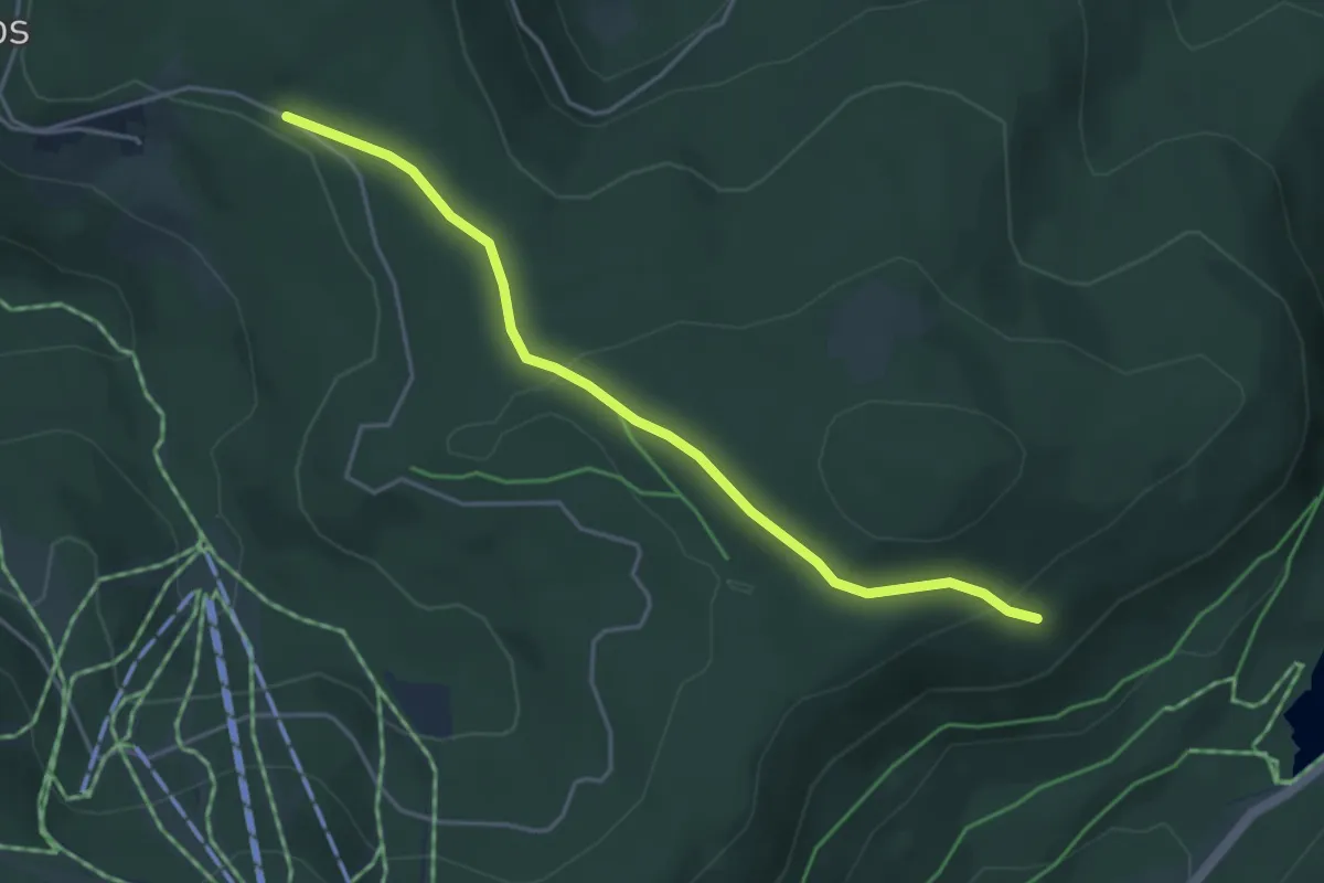
Easy · Trail
GR 533 – GR 533
4.0 km · ↑ 112 m · 1 h 12 min
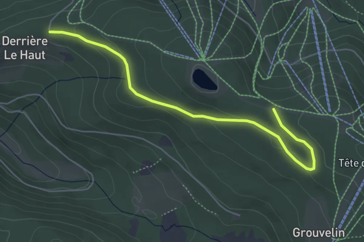
Easy · Trail
La Rayée – Grouvelin
4.8 km · ↑ 99 m · 1 h 21 min
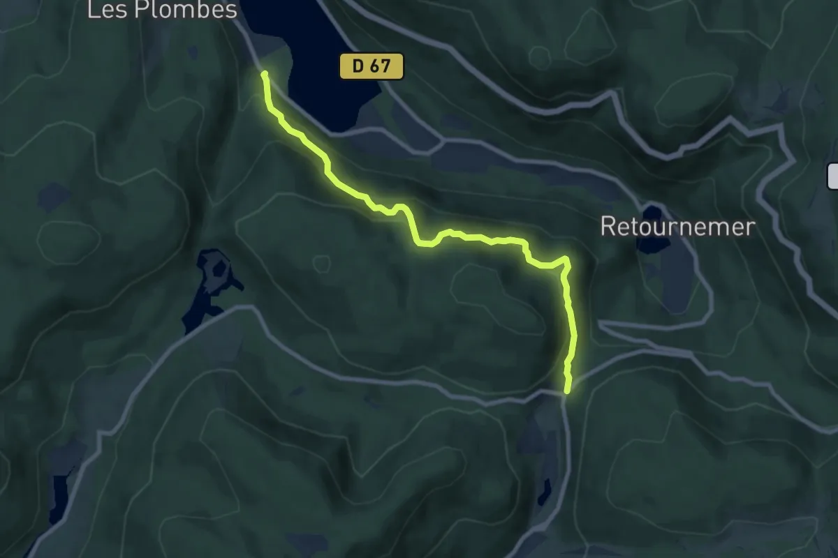
Demanding · Trail
Lac de Longemer – Col des Feignes sous Vologne
7.6 km · ↑ 517 m · 2 h 55 min
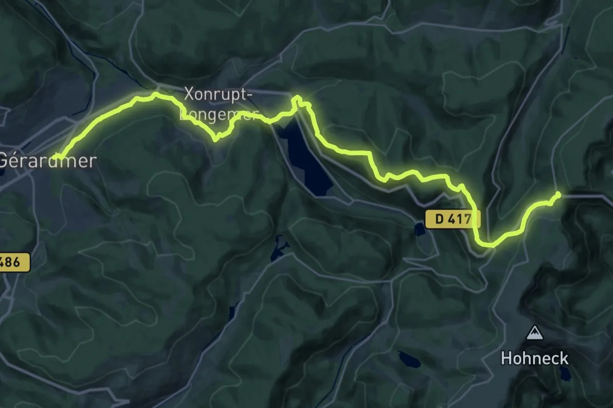
Medium · Trail
Gérardmer – La Schlucht
15.6 km · ↑ 728 m · 5 h 15 min
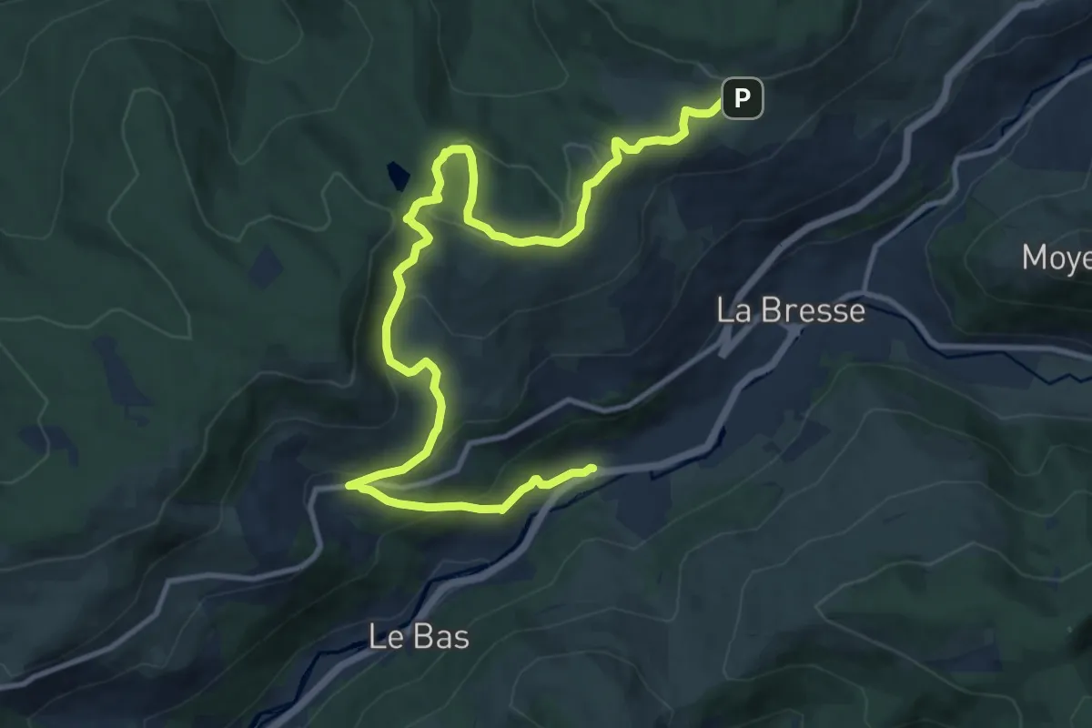
Medium · Trail
Le Daval de La Bresse – Col de la Brayotte
14.1 km · ↑ 517 m · 4 h 26 min
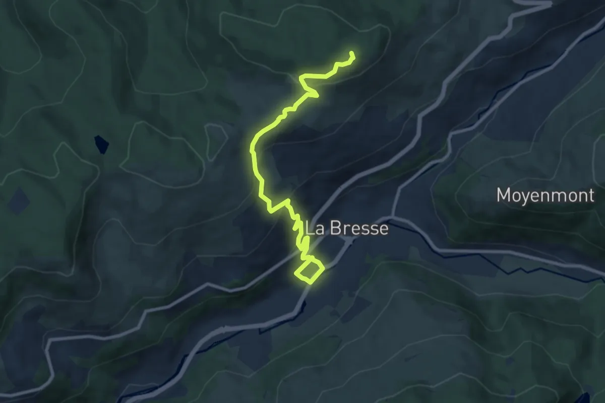
Medium · Summit
La Bresse – Col de Grosse Pierre
8.5 km · ↑ 431 m · 2 h 56 min
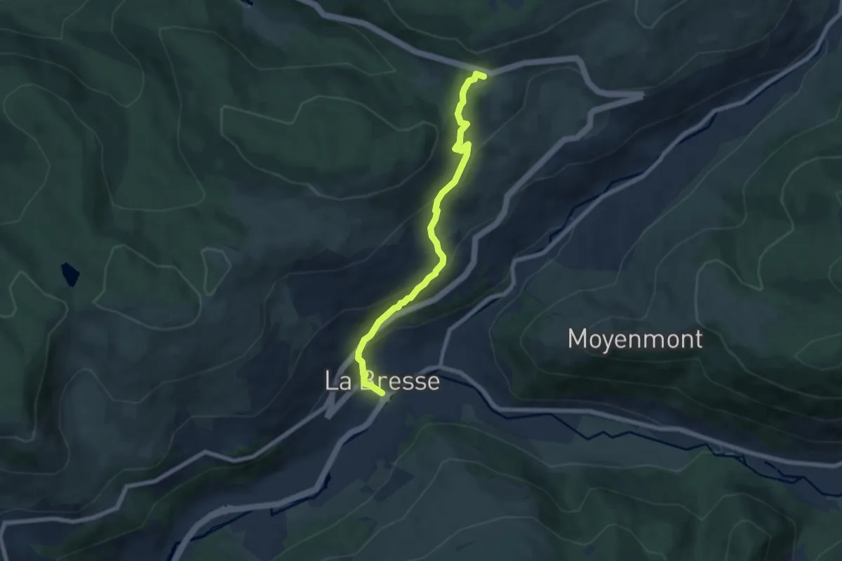
Medium · Trail
La Bresse – Col de Grosse Pierre
6.2 km · ↑ 339 m · 2 h 12 min
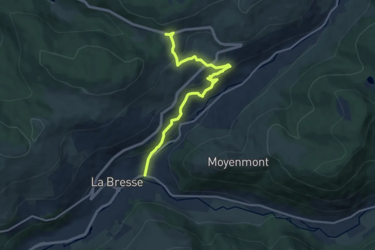
Medium · Trail
La Bresse – Grosse Pierre
8.2 km · ↑ 411 m · 2 h 50 min
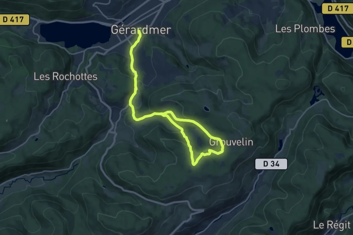
Medium · Trail
Gérardmer – Croix Claudé
17.6 km · ↑ 631 m · 5 h 32 min
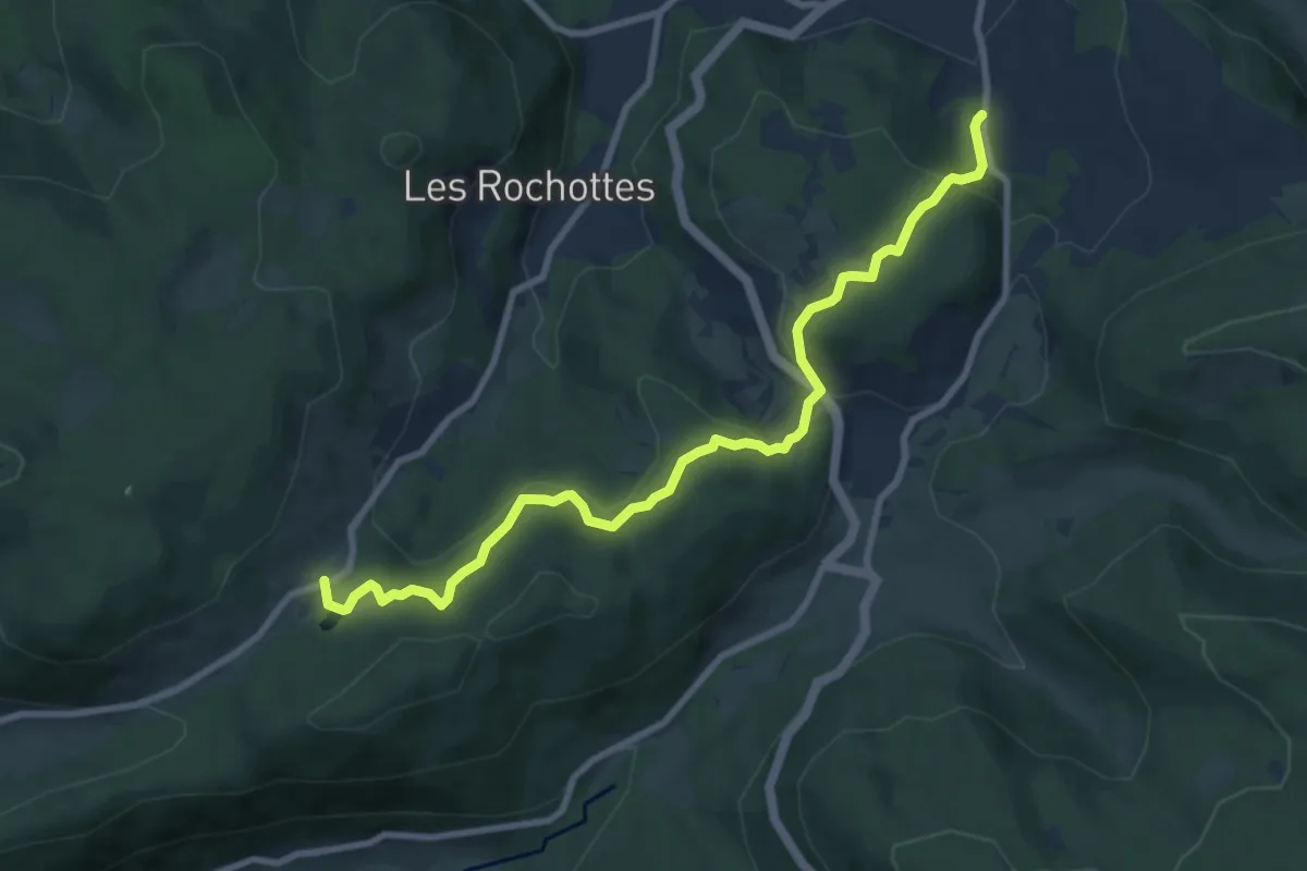
Medium · Trail
Gérardmer – Col de Sapois
9.0 km · ↑ 340 m · 2 h 52 min
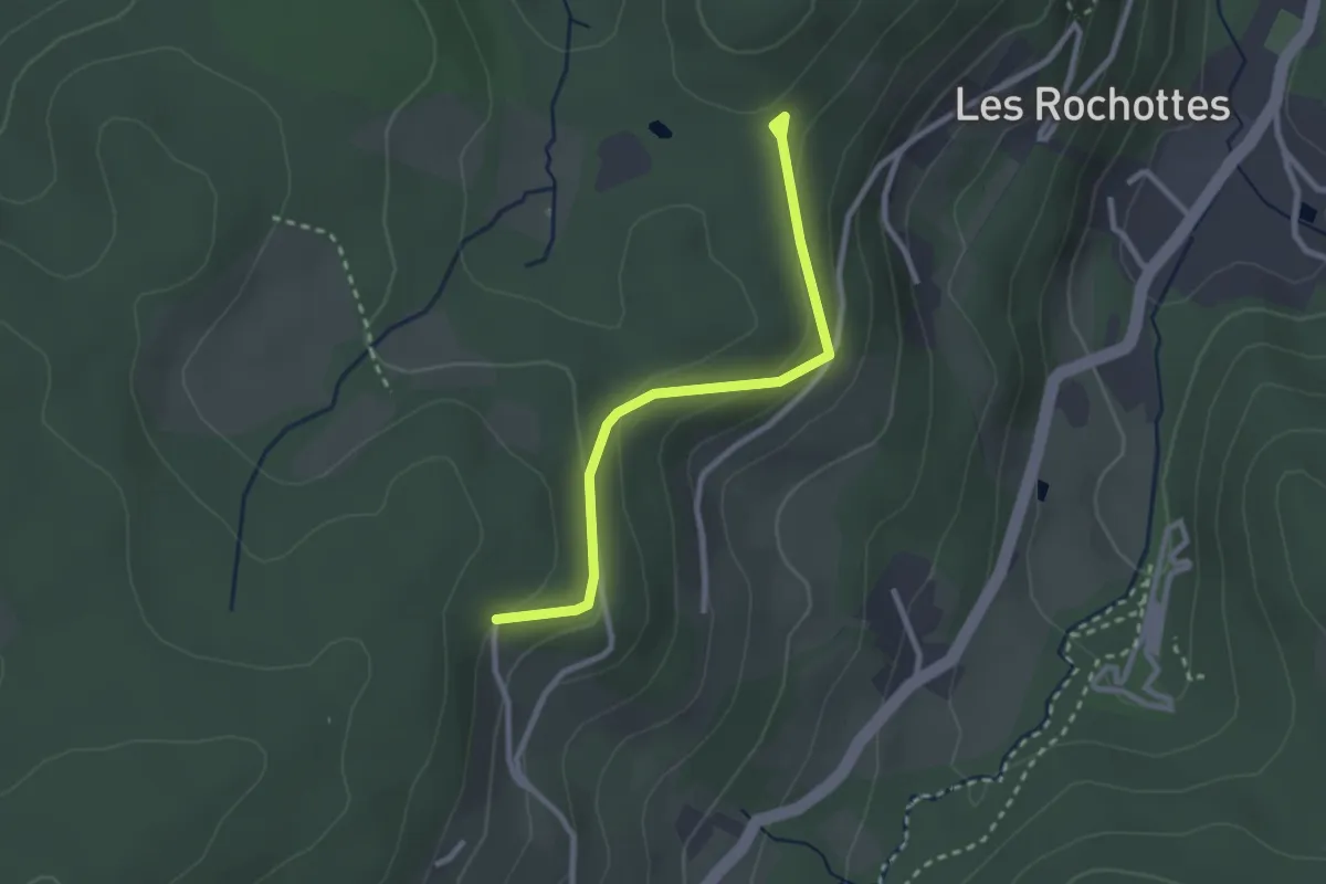
Easy · Trail
Haut de Mérelle – Le Chennelet
2.5 km · ↑ 127 m · 52 min
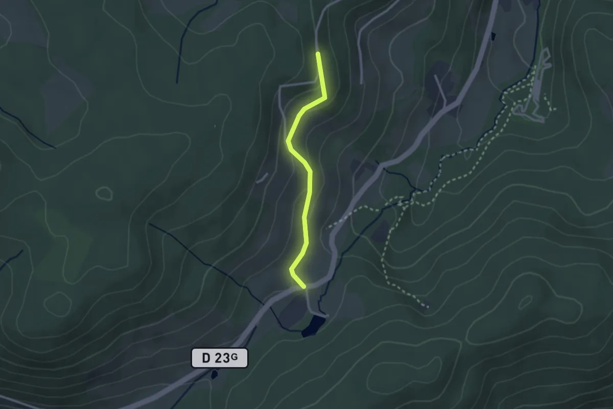
Easy · Trail
Col de Sapois – Le Chennelet
2.2 km · ↑ 100 m · 44 min
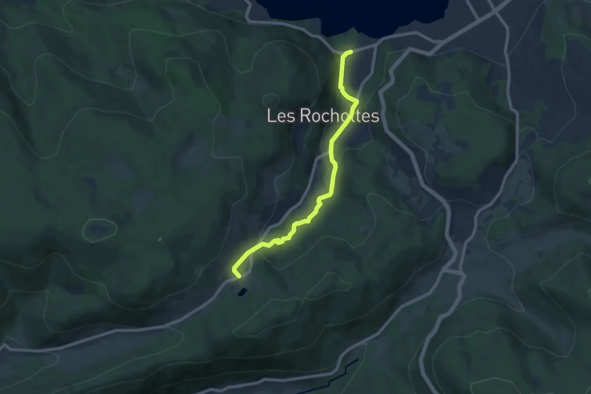
Demanding · Trail
Camping Ramberchamp – Col de Sapois
6.4 km · ↑ 217 m · 1 h 59 min
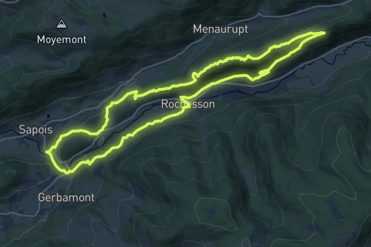
Demanding · Summit
Rochesson – Rochesson
14.7 km · ↑ 525 m · 4 h 49 min
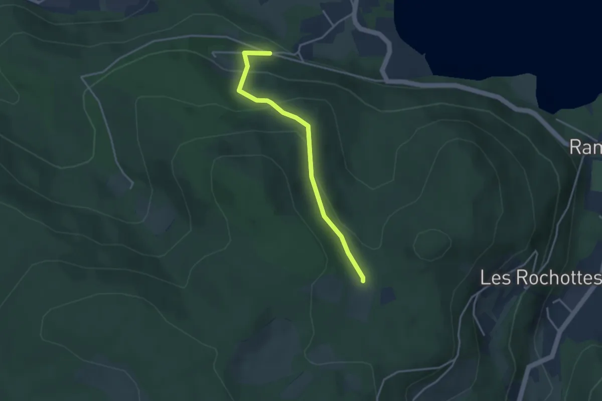
Easy · Trail
La Broche du Lard – Frémont
3.0 km · ↑ 170 m · 1 h 5 min
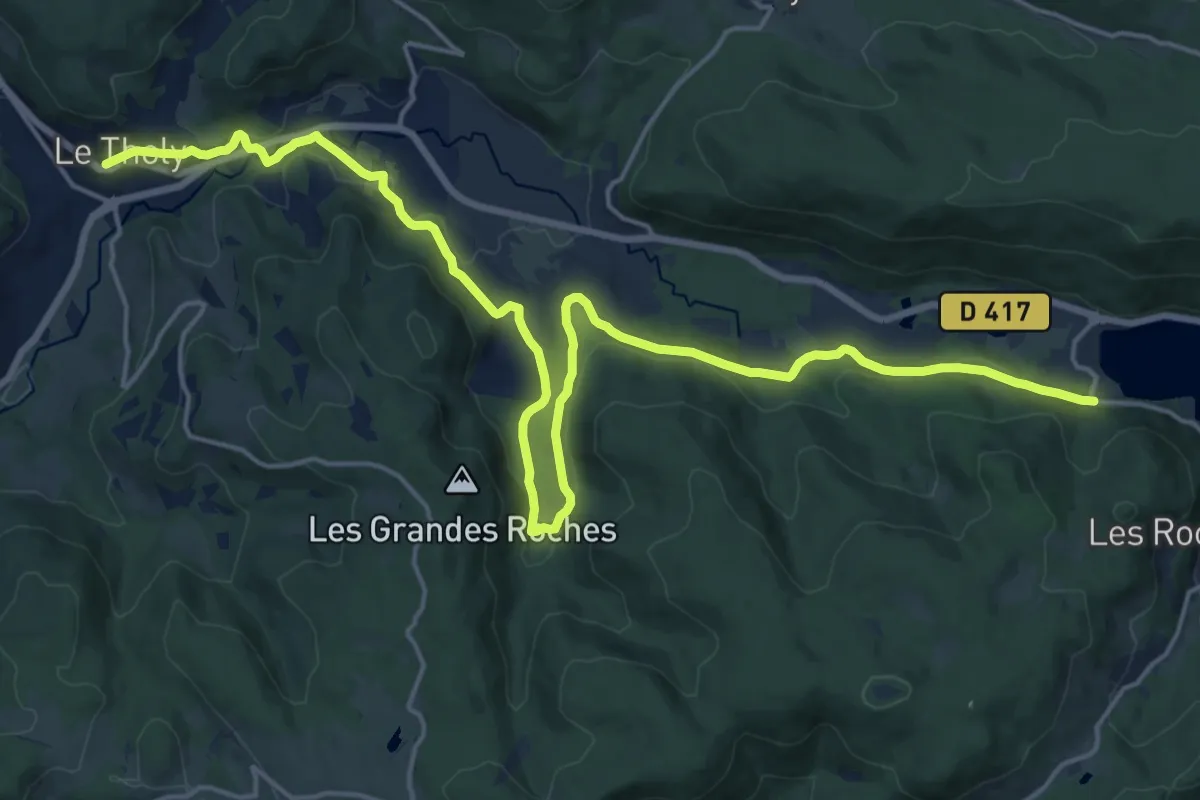
Demanding · Trail
Les Roches Noires – Le Tholy
23.6 km · ↑ 522 m · 6 h 42 min
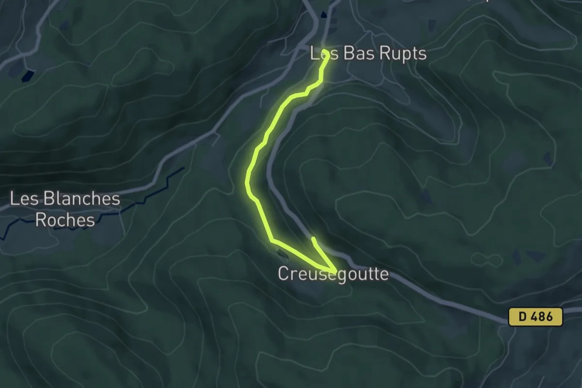
Easy · Trail
Les Bas Rupts – Creusegoutte
5.1 km · ↑ 169 m · 1 h 34 min
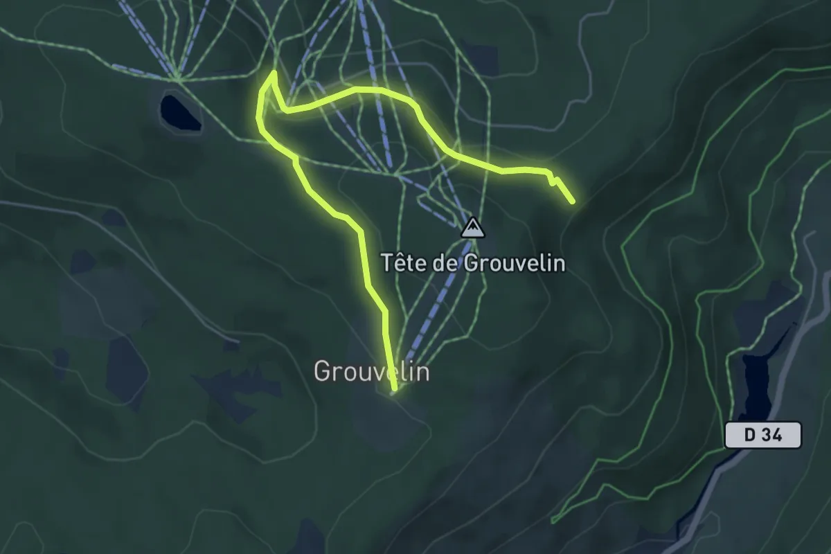
Easy · Trail
Grouvelin – GR 533
5.5 km · ↑ 181 m · 1 h 41 min
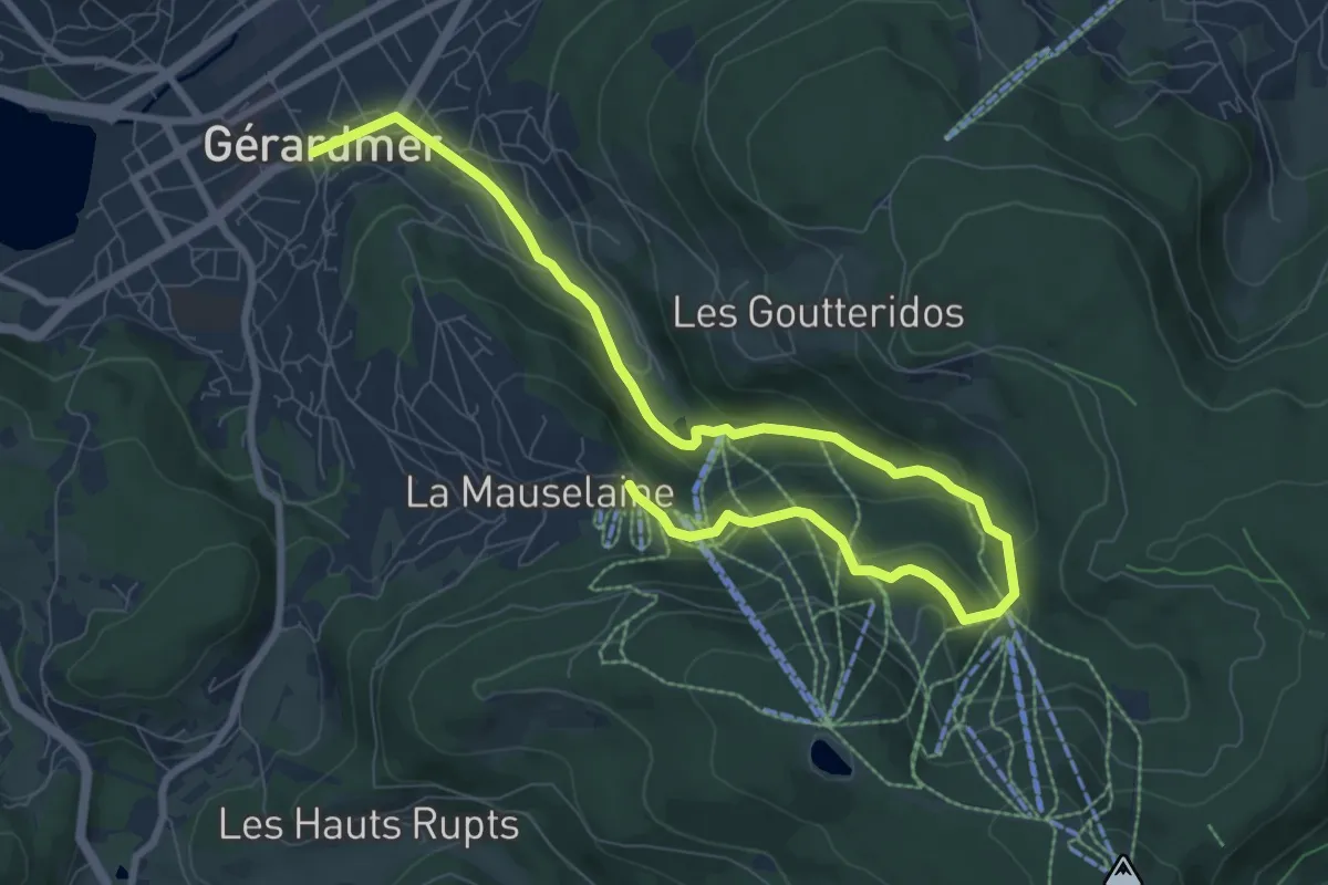
Medium · Trail
Gérardmer – La Mauselaine
10.6 km · ↑ 435 m · 3 h 26 min
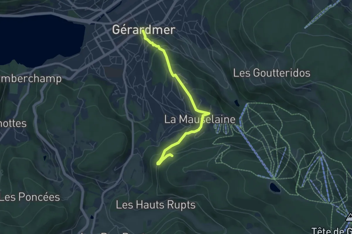
Medium · Trail
Gérardmer – Bélvédère Emile André
6.0 km · ↑ 292 m · 2 h 2 min
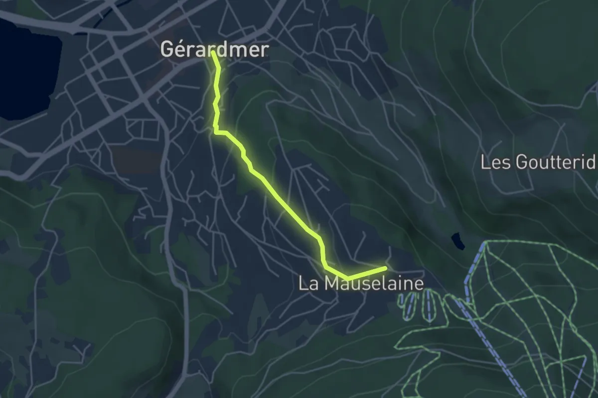
Easy · Trail
Gérardmer – La Mauselaine
3.6 km · ↑ 204 m · 1 h 17 min
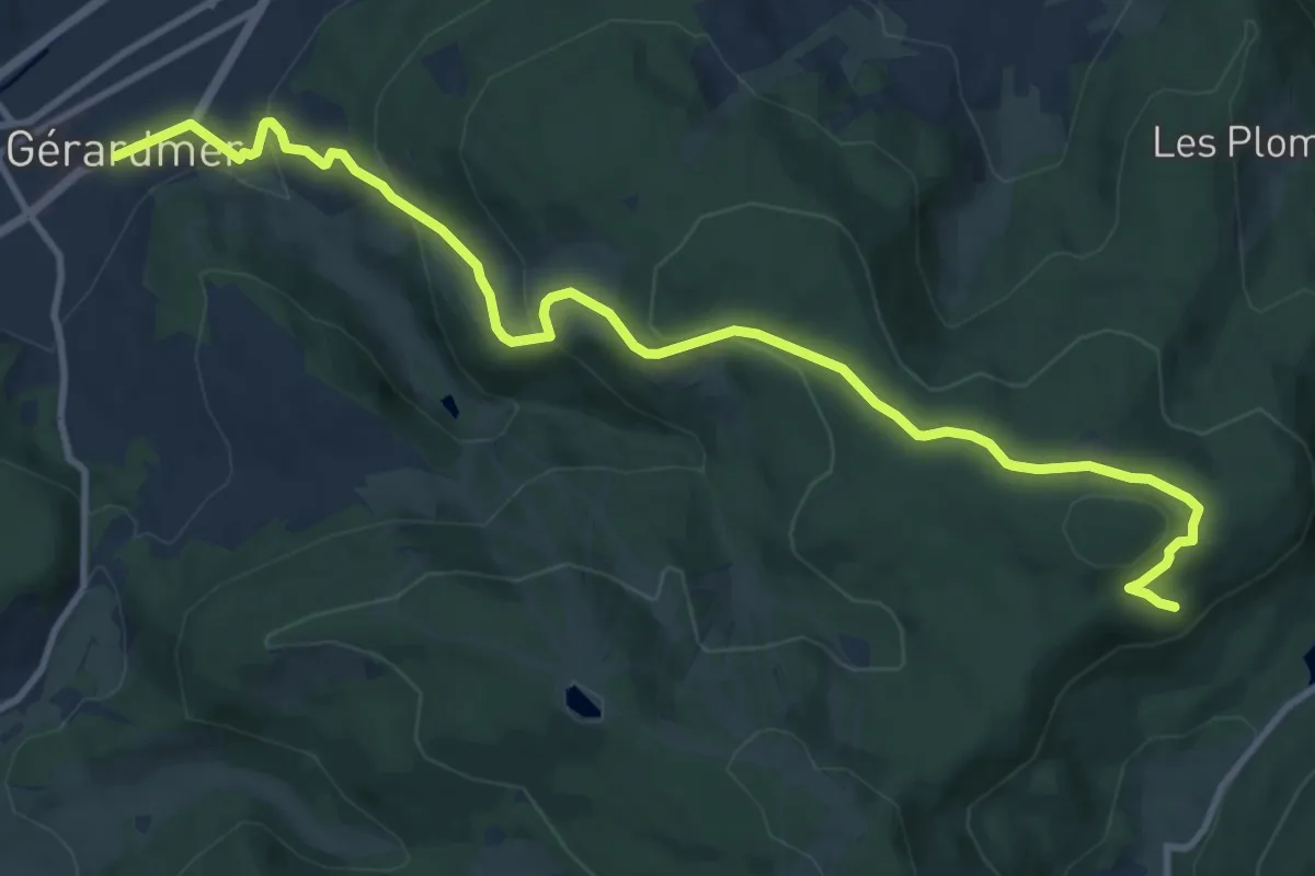
Medium · Trail
Gérardmer – Lac de Lispach
12.4 km · ↑ 493 m · 4 h
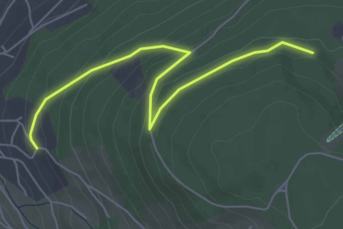
Medium · Trail
Gérardmer – Les Quatre Feignes
4.9 km · ↑ 171 m · 1 h 32 min
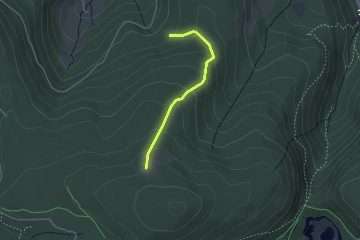
Easy · Trail
Réservoir des Relles Gouttes – Abris Saint-Jacques
2.5 km · ↑ 152 m · 55 min
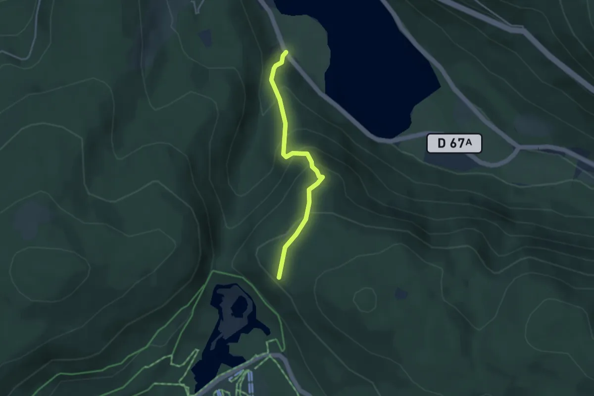
Medium · Trail
Camping Longemer – Lac de Lispach
3.0 km · ↑ 258 m · 1 h 16 min
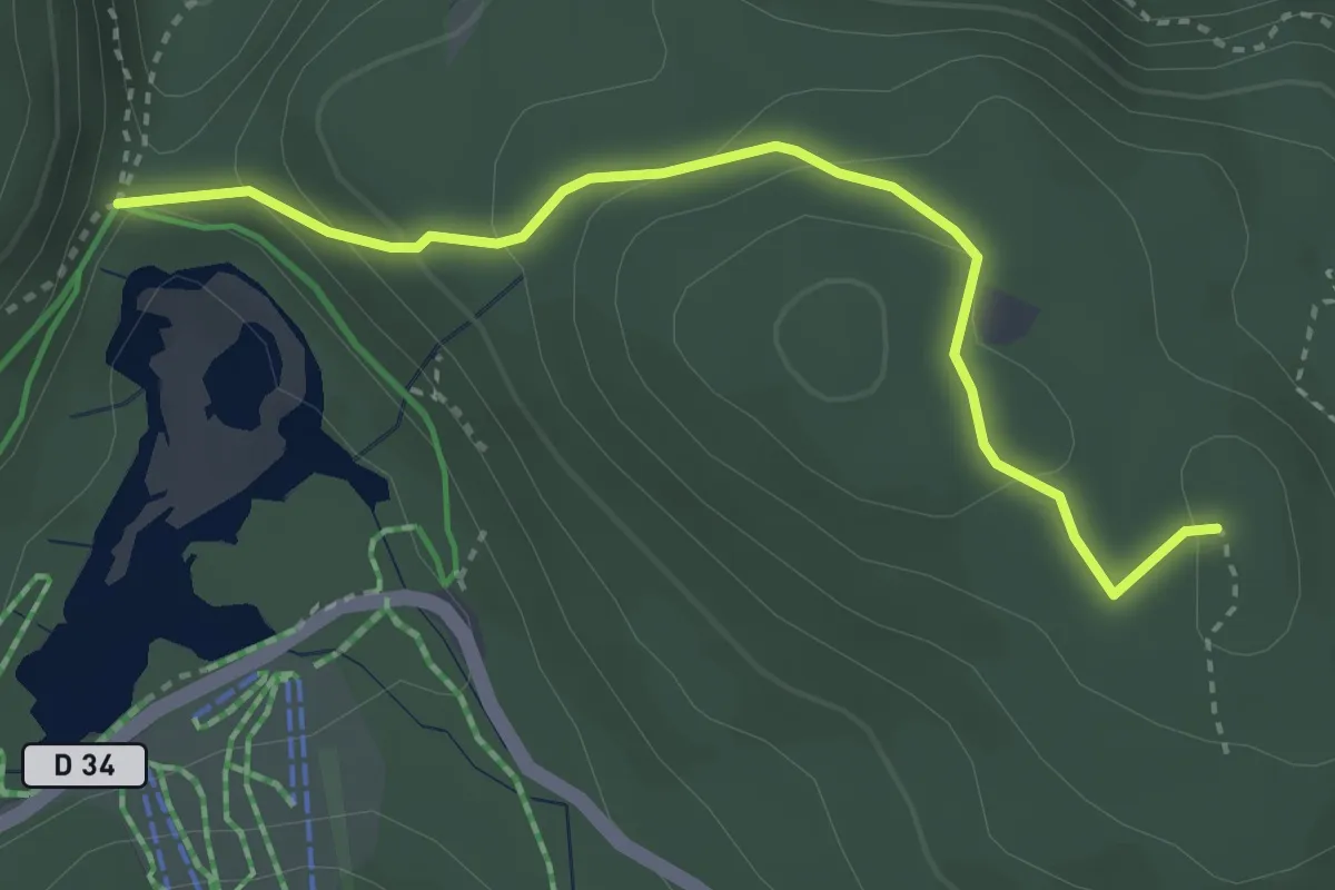
Demanding · Trail
Collet de la Mine – Boule du Diable
3.3 km · ↑ 168 m · 1 h 9 min
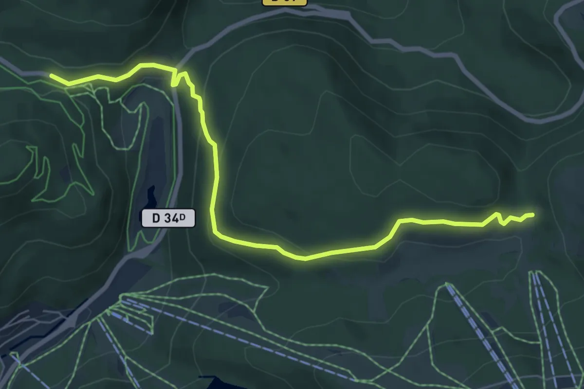
Medium · Trail
Col de Grande Basse – Col de Thiaville
6.7 km · ↑ 245 m · 2 h 6 min
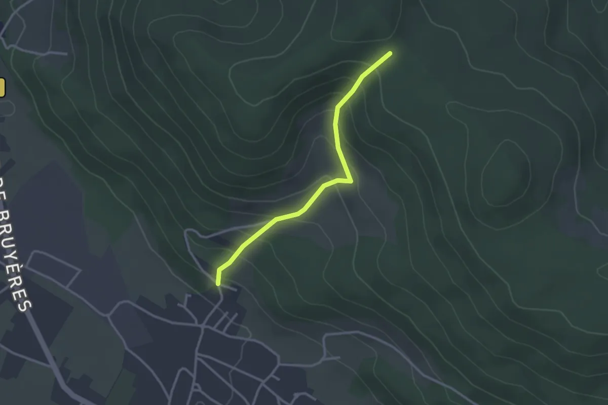
Easy · Trail
Le Champ le Marc – Les Champs Montants
2.6 km · ↑ 199 m · 1 h 3 min
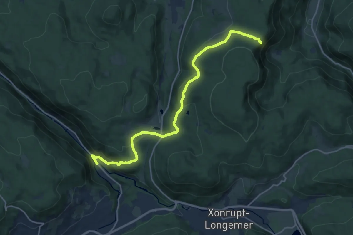
Medium · Trail
Col de Martimpré – Roche des Chiens
14.3 km · ↑ 584 m · 4 h 38 min
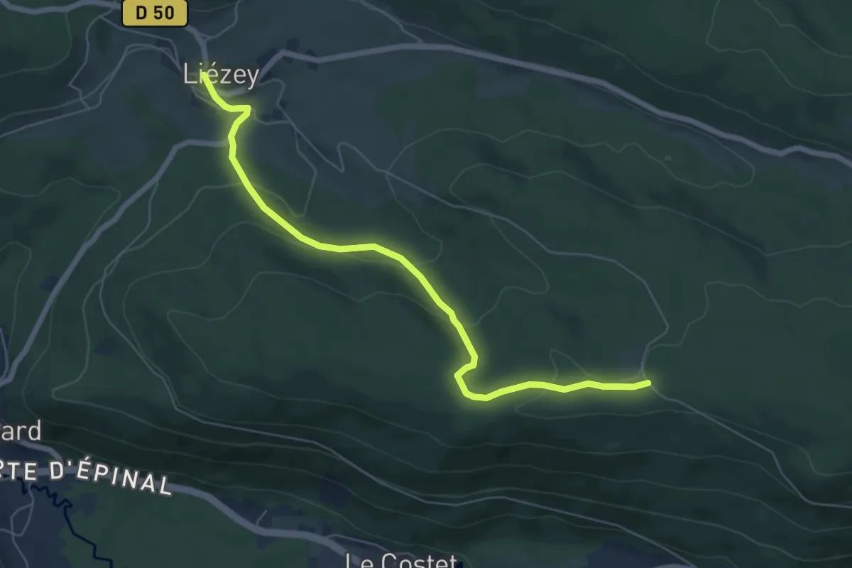
Easy · Trail
Liézey – Maison forestière de Rougimont
6.4 km · ↑ 229 m · 2 h
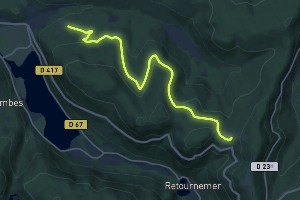
Medium · Trail
Maison forestière de Belbriette – Balveurche
10.8 km · ↑ 344 m · 3 h 18 min
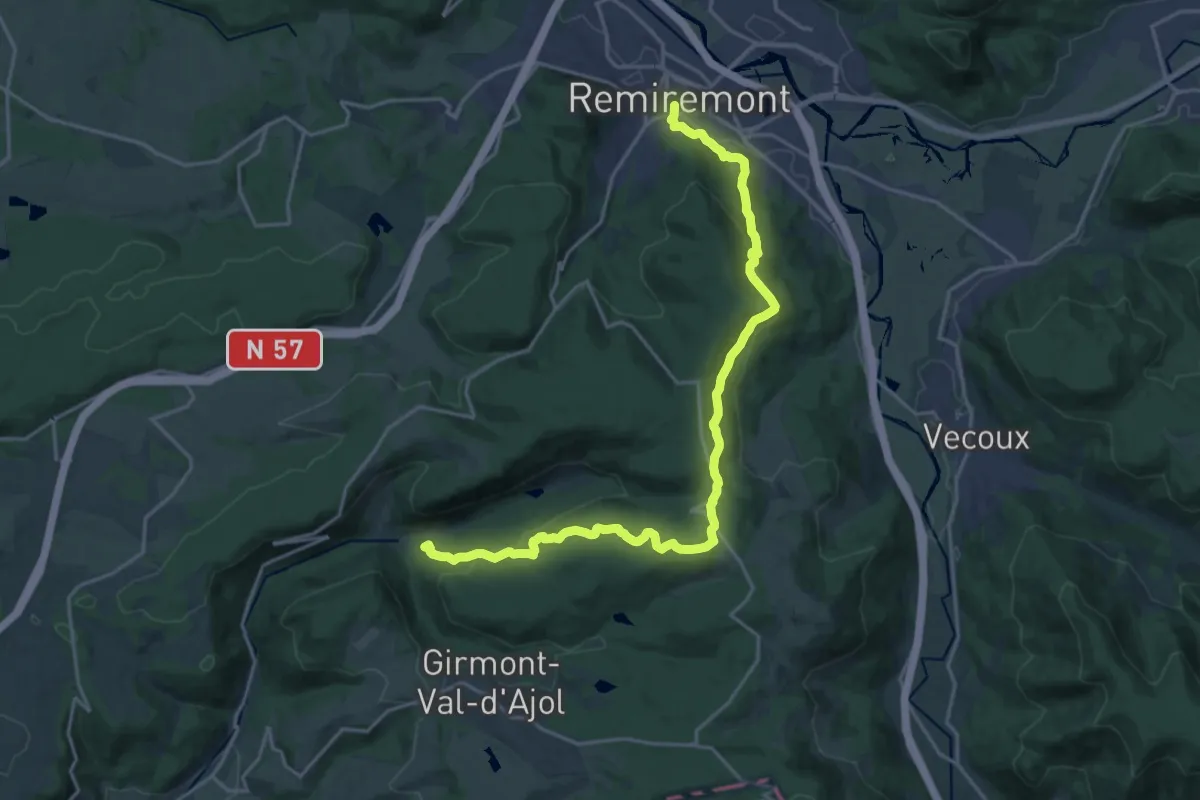
Demanding · Trail
Remiremont – Chalet de l’Empereur
20.9 km · ↑ 797 m · 6 h 40 min
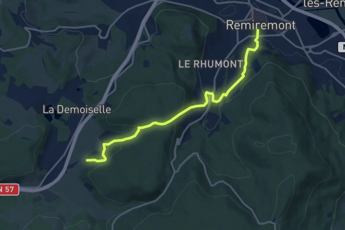
Medium · Trail
Remiremont – Olichamp
9.2 km · ↑ 392 m · 3 h 2 min
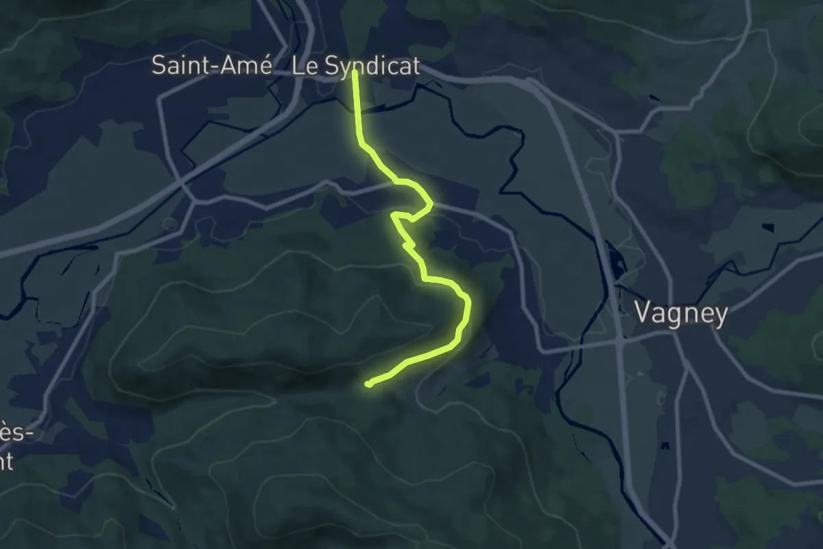
Easy · Trail
Le Syndicat – Col de Cheneau
7.3 km · ↑ 216 m · 2 h 11 min
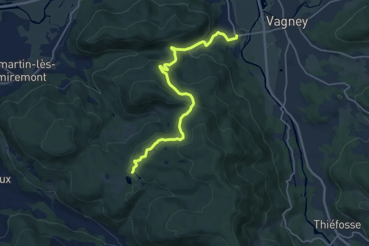
Medium · Trail
Nol – Étang de la Besace
11.8 km · ↑ 481 m · 3 h 50 min
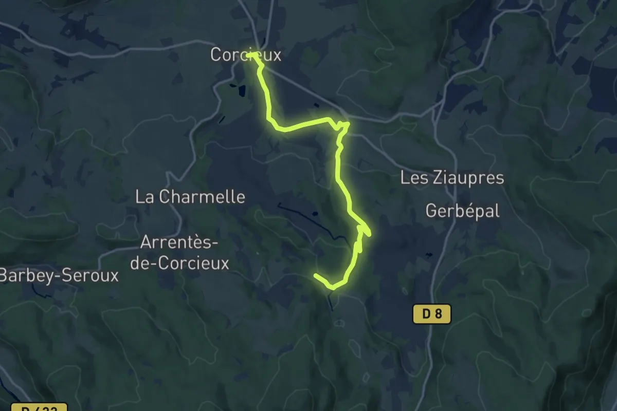
Medium · Trail
Corcieux – Les Collieures
12.9 km · ↑ 221 m · 3 h 32 min
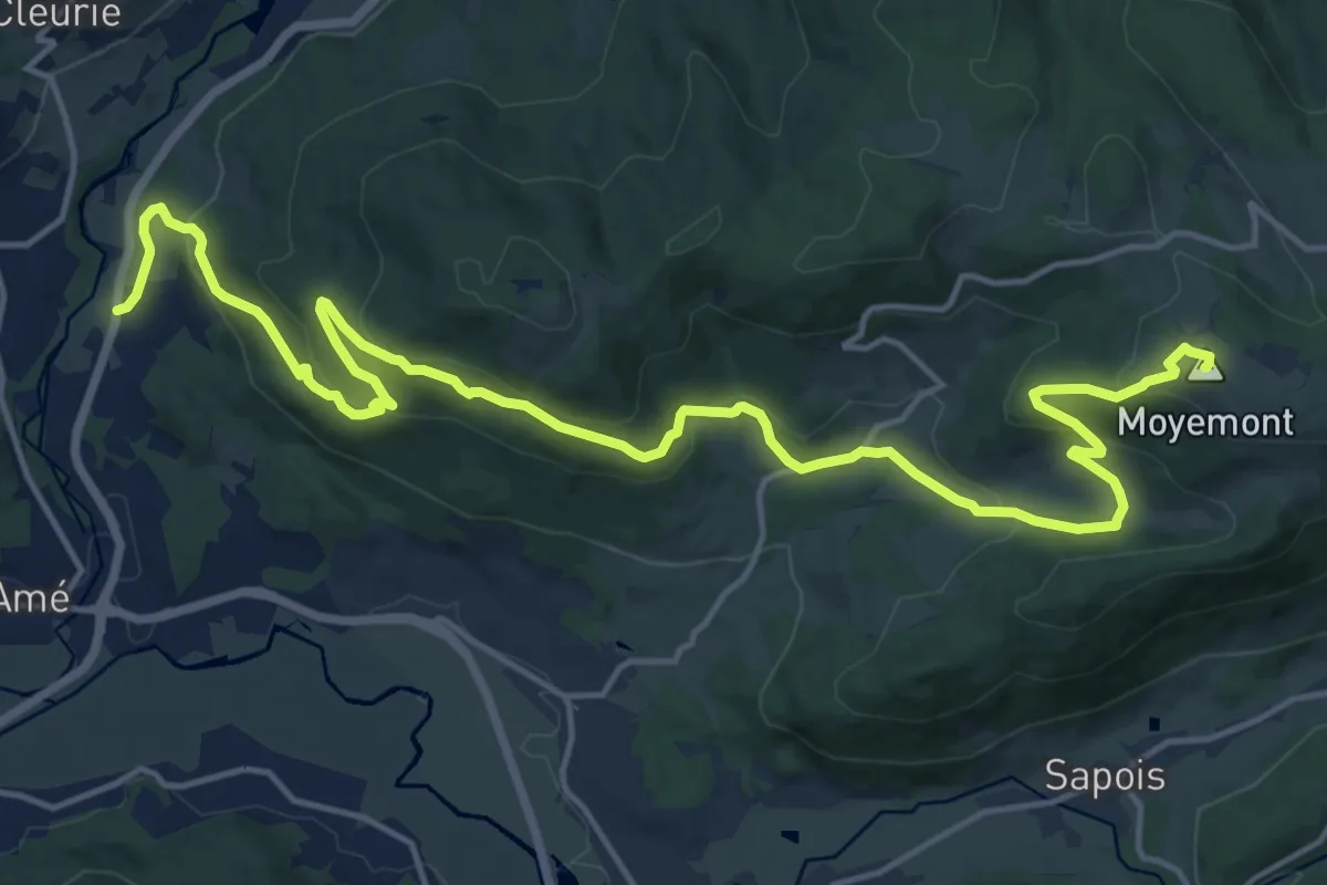
Demanding · Summit
Bémont – Moyenmont
20.3 km · ↑ 916 m · 6 h 46 min
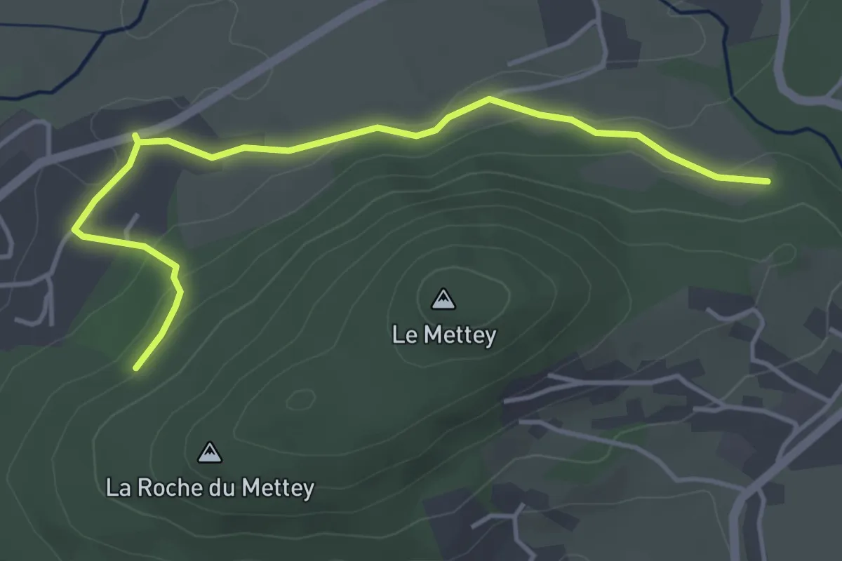
Easy · Trail
Camping Le Mettey – Esplanade des pommes
4.3 km · ↑ 102 m · 1 h 14 min
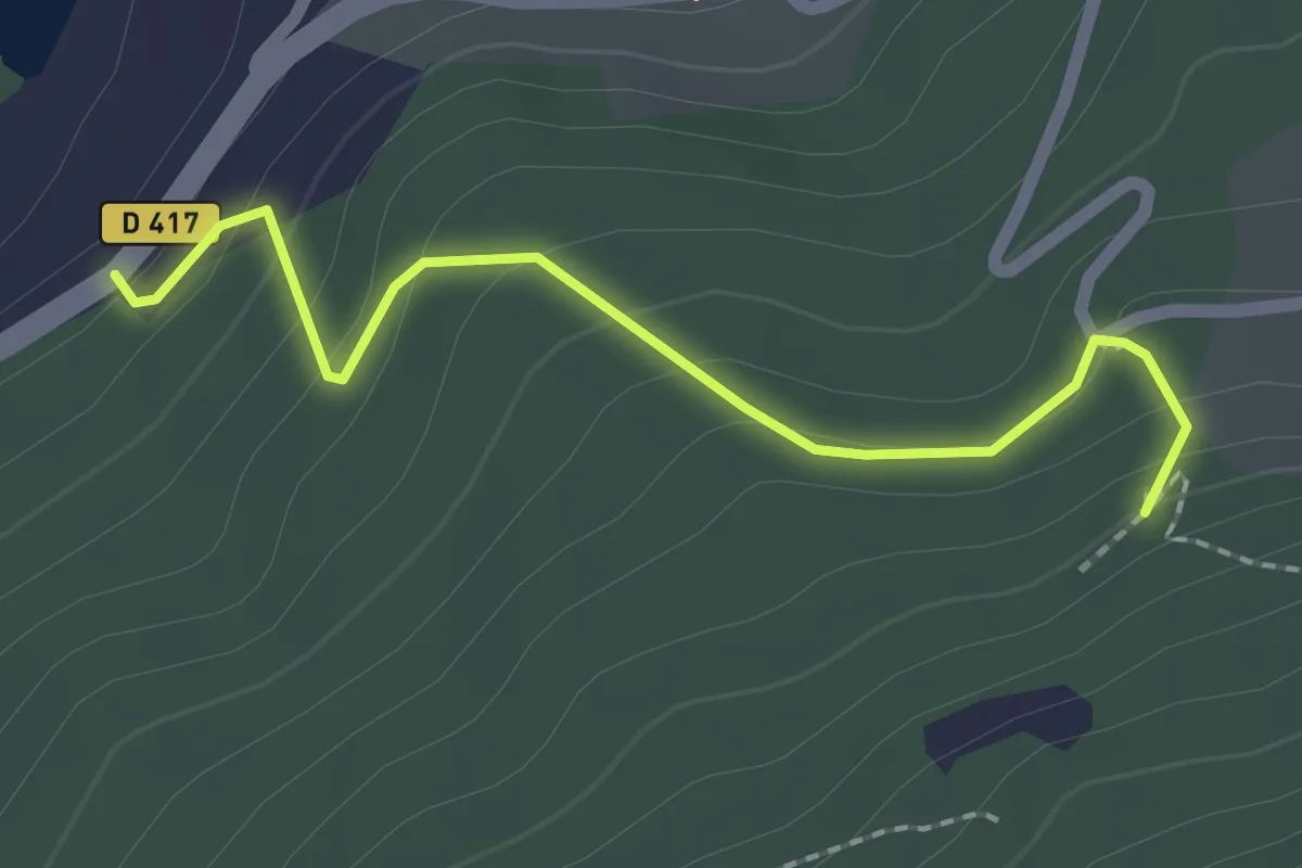
Medium · Trail
Plaine Cleurie – Les Mézés
2.0 km · ↑ 111 m · 42 min
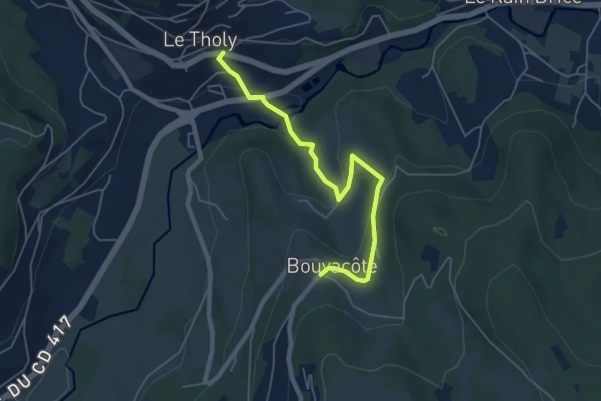
Easy · Trail
Le Tholy – Bouvacôte
4.5 km · ↑ 180 m · 1 h 27 min
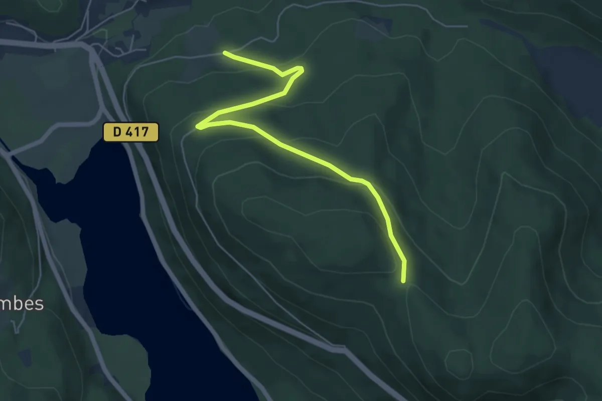
Easy · Trail
Maison forestière de Belbriette – Col de la Brande
5.3 km · ↑ 228 m · 1 h 45 min
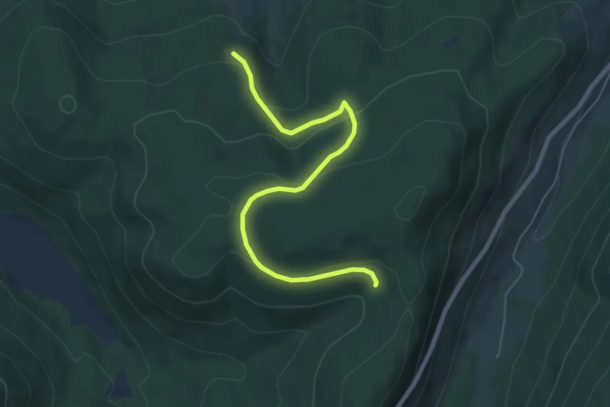
Easy · Trail
Le Vimbar – Col des Trois Places
5.3 km · ↑ 184 m · 1 h 39 min
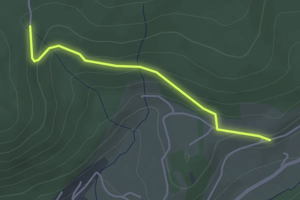
Easy · Trail
Auberge de Jeunesse de la Roche du page – GR 533
3.0 km · ↑ 117 m · 57 min
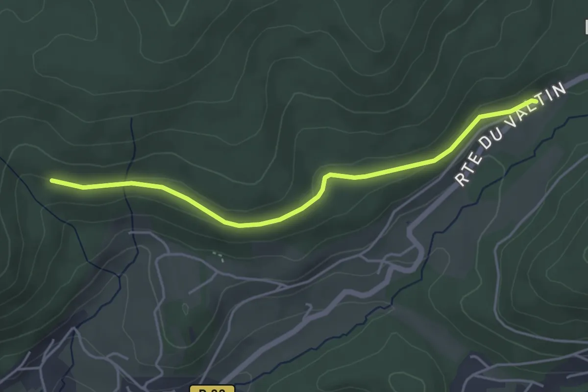
Easy · Trail
Col de Surceneux – Fontaine Gillet
4.1 km · ↑ 57 m · 1 h 6 min
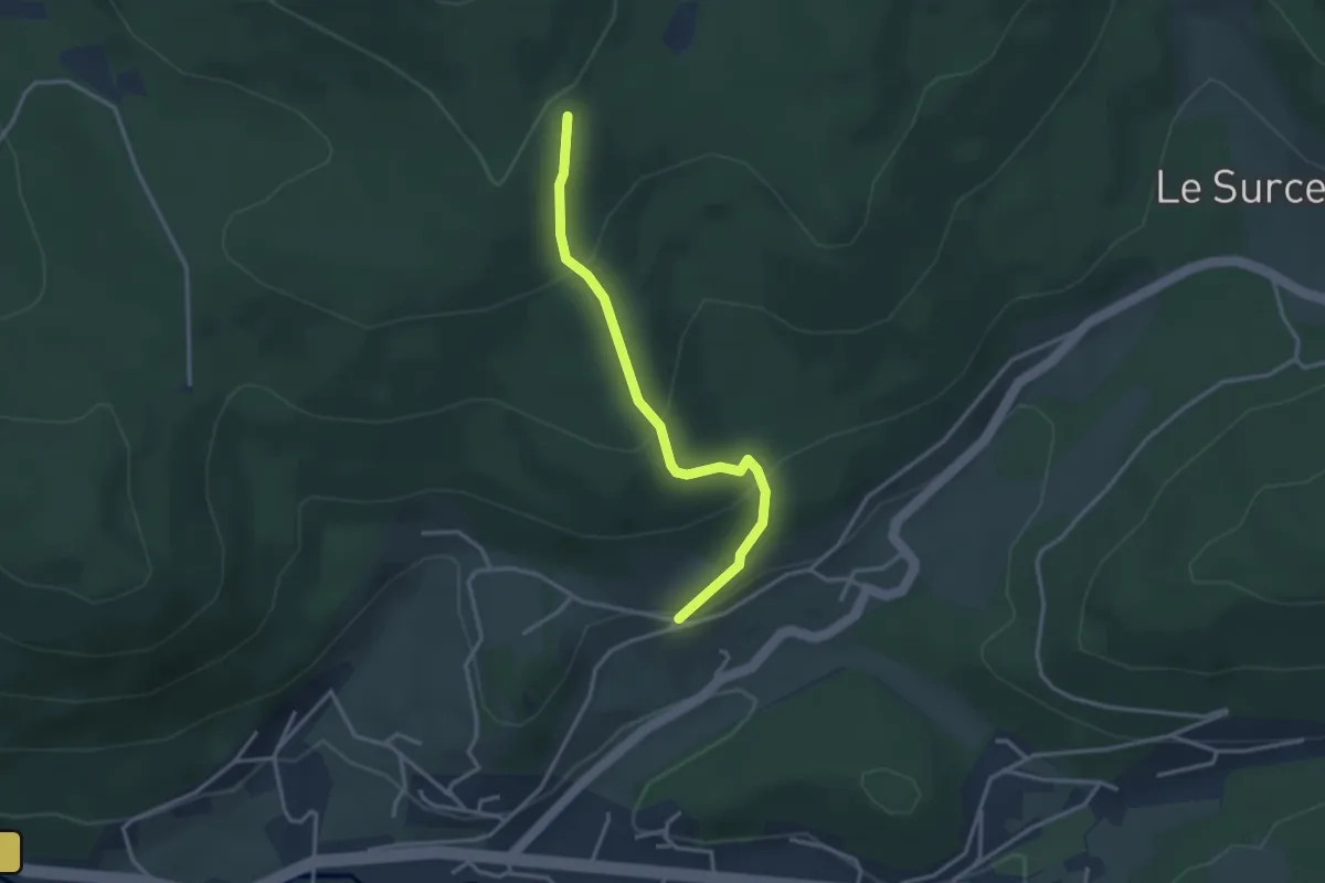
Easy · Trail
Auberge de Jeunesse de la Roche du page – GR 533
3.0 km · ↑ 206 m · 1 h 10 min