Trails in France
15,926 hiking trails, each with its route, climb, walking time and grade.
All trails, page 313 of 332
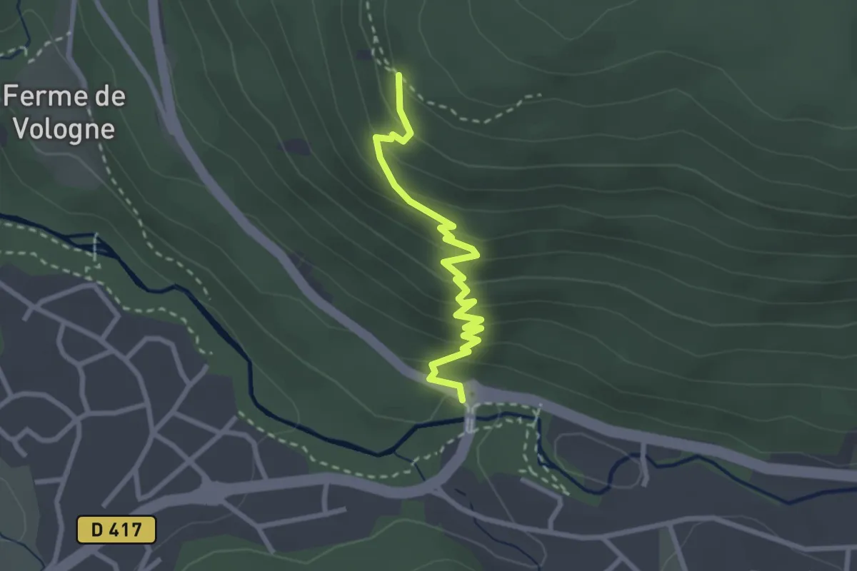
Medium · Trail
Saut des Cuves – GR 533
2.5 km · ↑ 210 m · 1 h 3 min
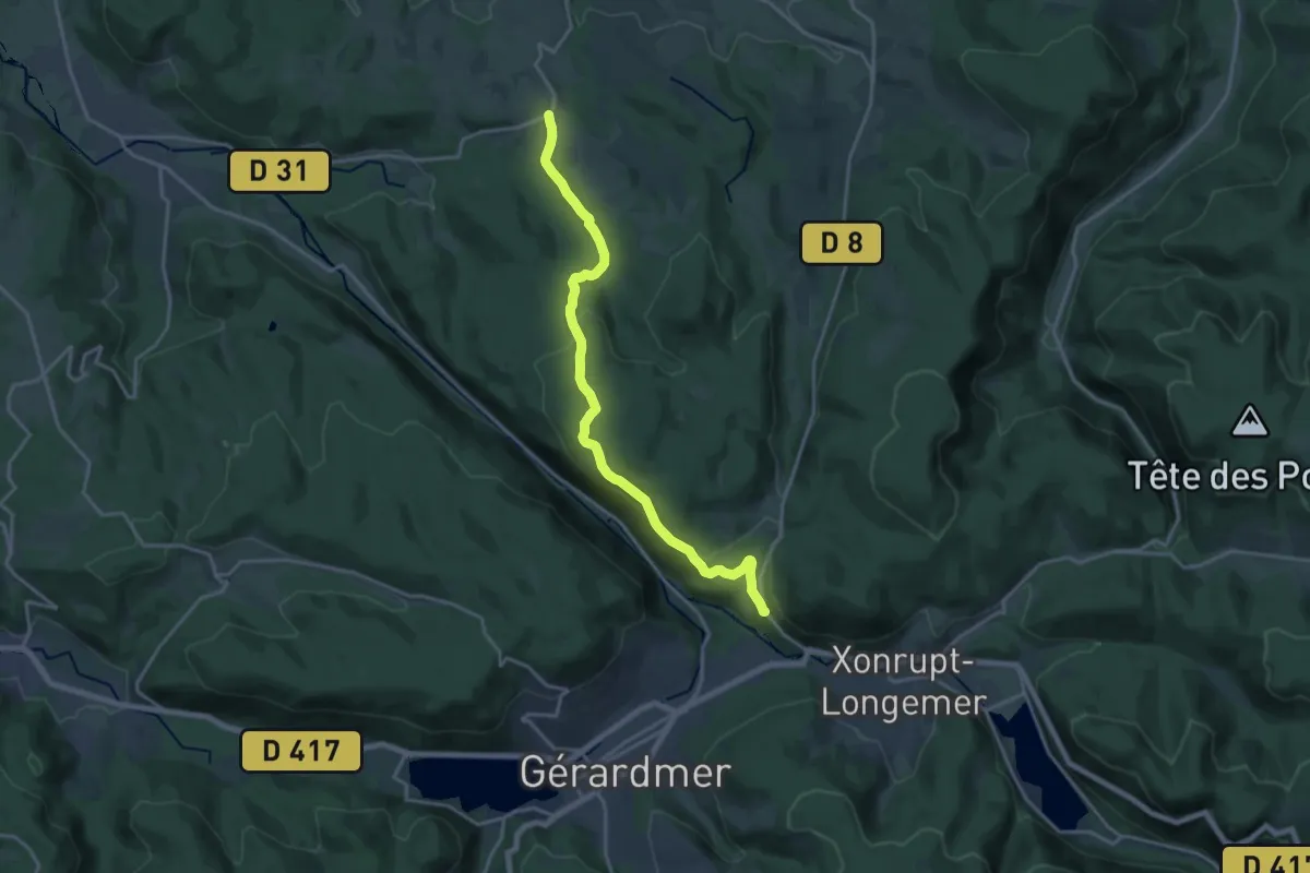
Medium · Trail
Ferme de Vologne – Arrentès-de-Corcieux
17.7 km · ↑ 427 m · 5 h 7 min
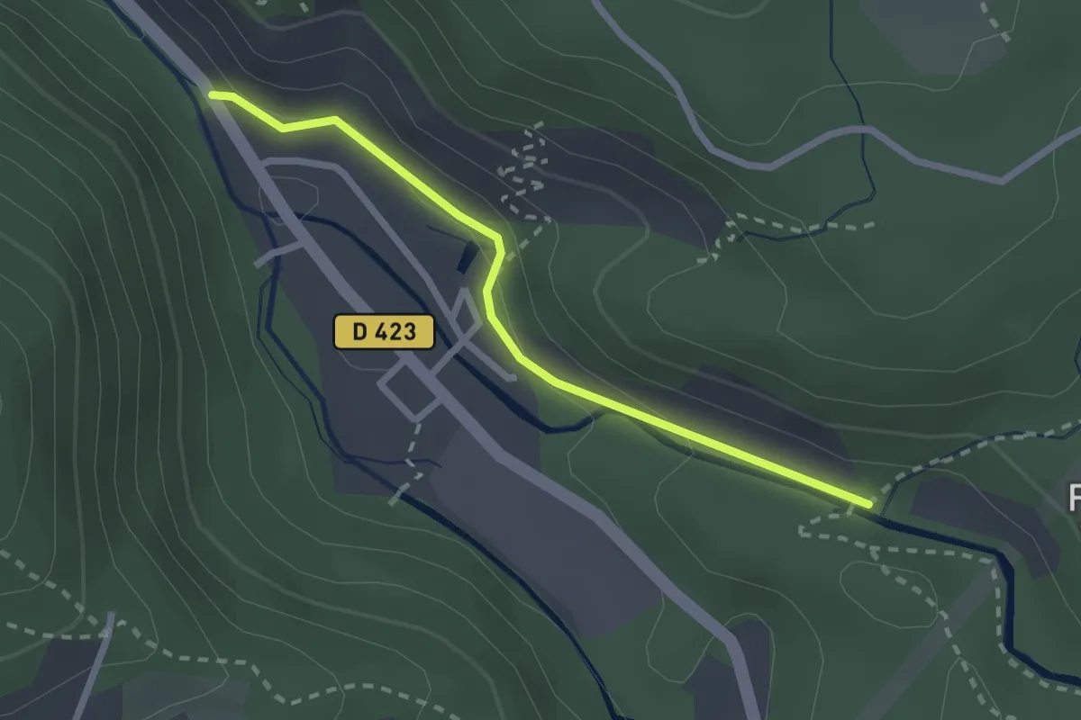
Easy · Trail
Kichompré – GR 533
2.2 km · ↑ 89 m · 42 min
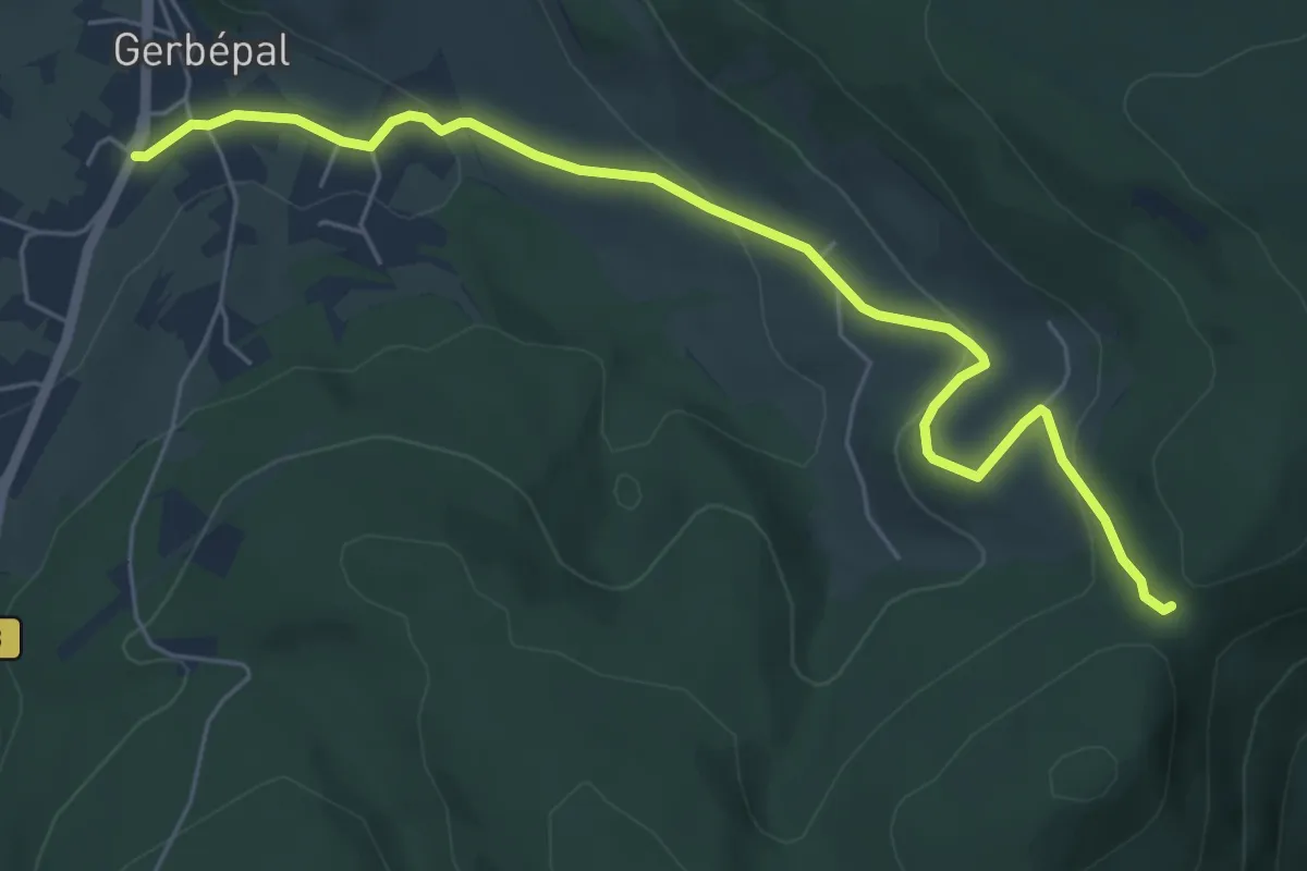
Easy · Trail
Gerbépal – Col d’Osseux
6.3 km · ↑ 203 m · 1 h 55 min
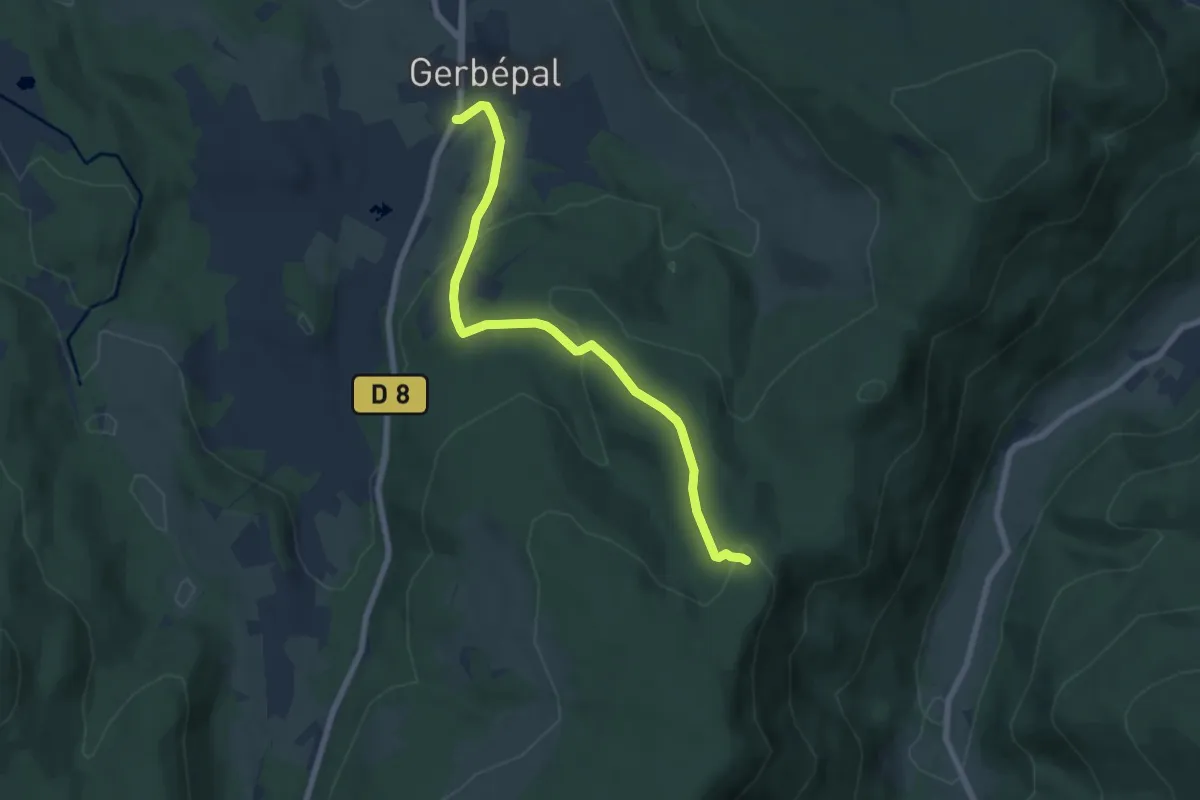
Easy · Trail
Gerbépal – GR533
6.9 km · ↑ 274 m · 2 h 13 min
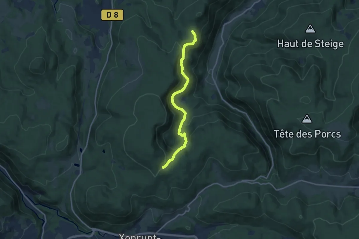
Medium · Trail
Chalet de Harfontaine – Fonie
9.8 km · ↑ 507 m · 3 h 25 min
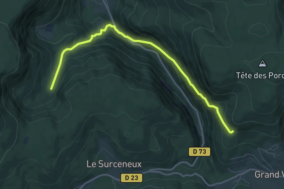
Medium · Trail
Les Basses de l’Eau – Le Grand Boroge
8.5 km · ↑ 530 m · 3 h 10 min
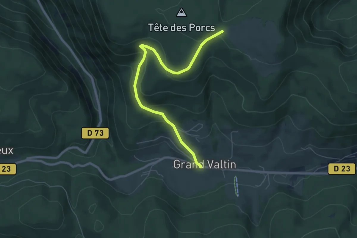
Easy · Trail
Le Grand Valtin – Chaume de Sérichamp
6.1 km · ↑ 258 m · 2 h 1 min
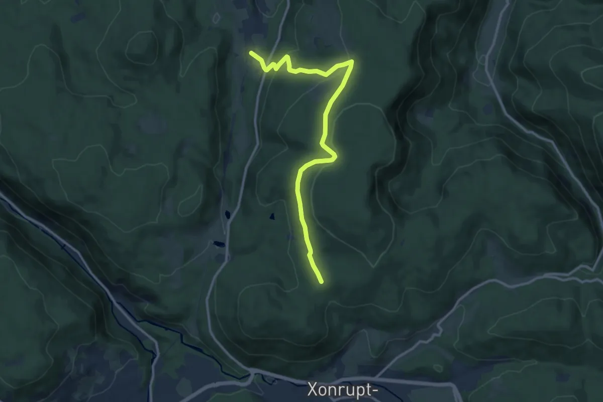
Medium · Trail
La Basse de Martinpré – GR533
10.9 km · ↑ 437 m · 3 h 32 min
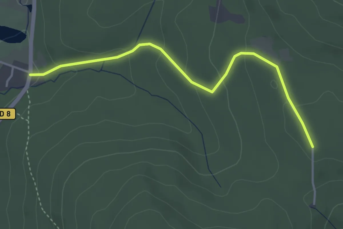
Easy · Trail
Col de Martimpré – GR533
3.5 km · ↑ 144 m · 1 h 8 min
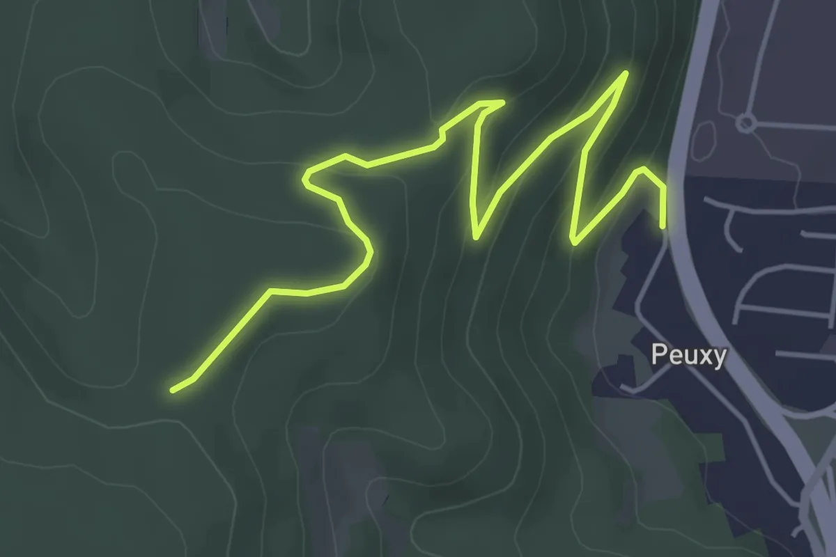
Easy · Trail
Bois du Coté – Chêne du Jambon
5.2 km · ↑ 216 m · 1 h 42 min
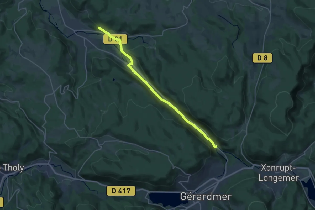
Demanding · Trail
Kichompré – Granges-sur-Vologne
18.0 km · ↑ 287 m · 4 h 53 min
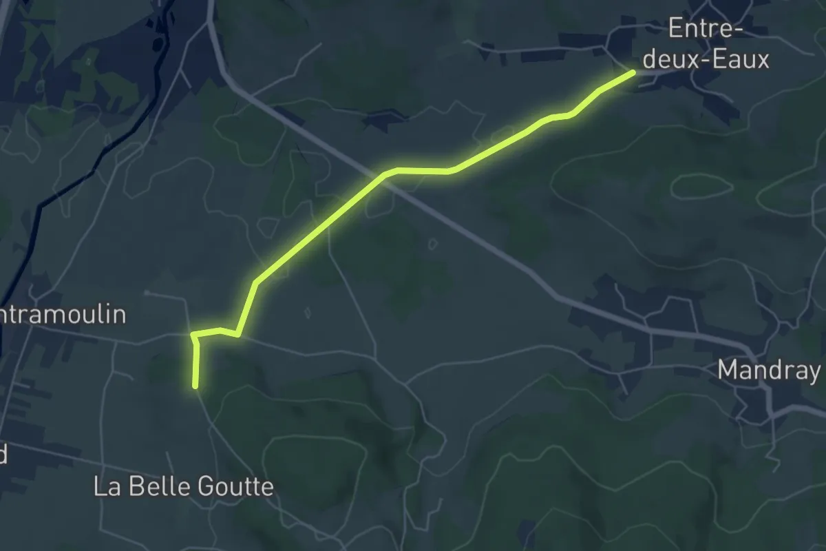
Easy · Trail
Entre-Deux-Eaux – Saint-Léonard
5.3 km · ↑ 44 m · 1 h 21 min
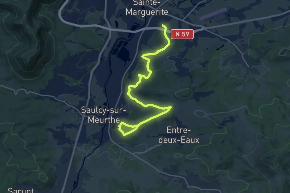
Medium · Trail
Sainte-Marguerite – Saulcy-sur-Meurthe
16.3 km · ↑ 385 m · 4 h 41 min
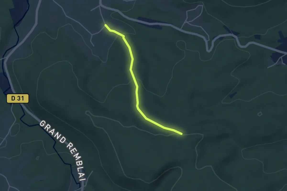
Easy · Trail
Taintrux – GR 533
3.2 km · ↑ 111 m · 1 h
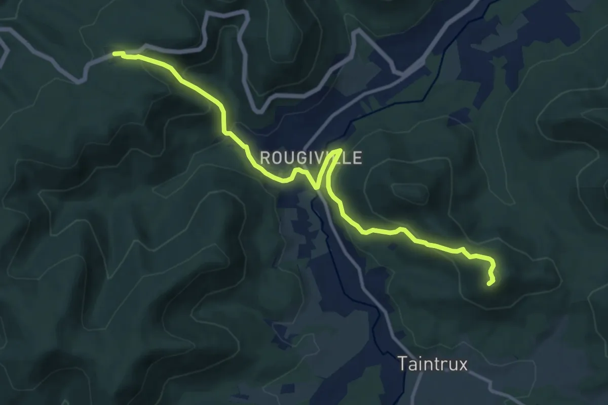
Medium · Summit
Col du Haut Jacques – Cense de Grandrupt
10.5 km · ↑ 502 m · 3 h 34 min
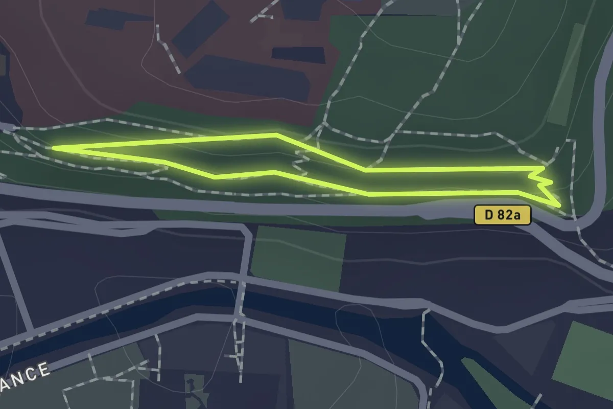
Easy · Trail
Centre Hospitalier Saint-Charles – Gratin
1.2 km · ↑ 19 m · 21 min
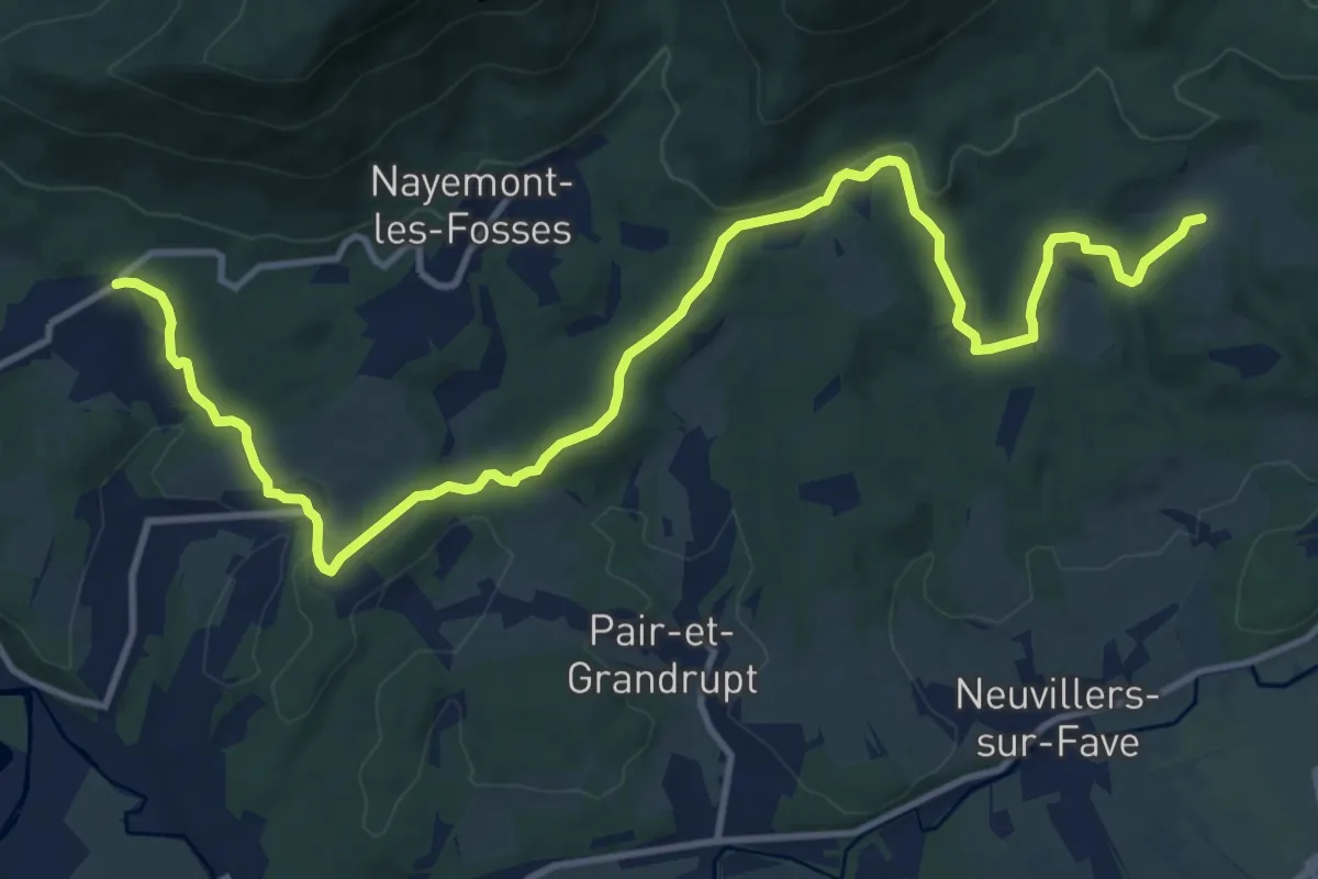
Medium · Trail
Dijon – Chapelle Sainte-Claire
14.6 km · ↑ 430 m · 4 h 23 min
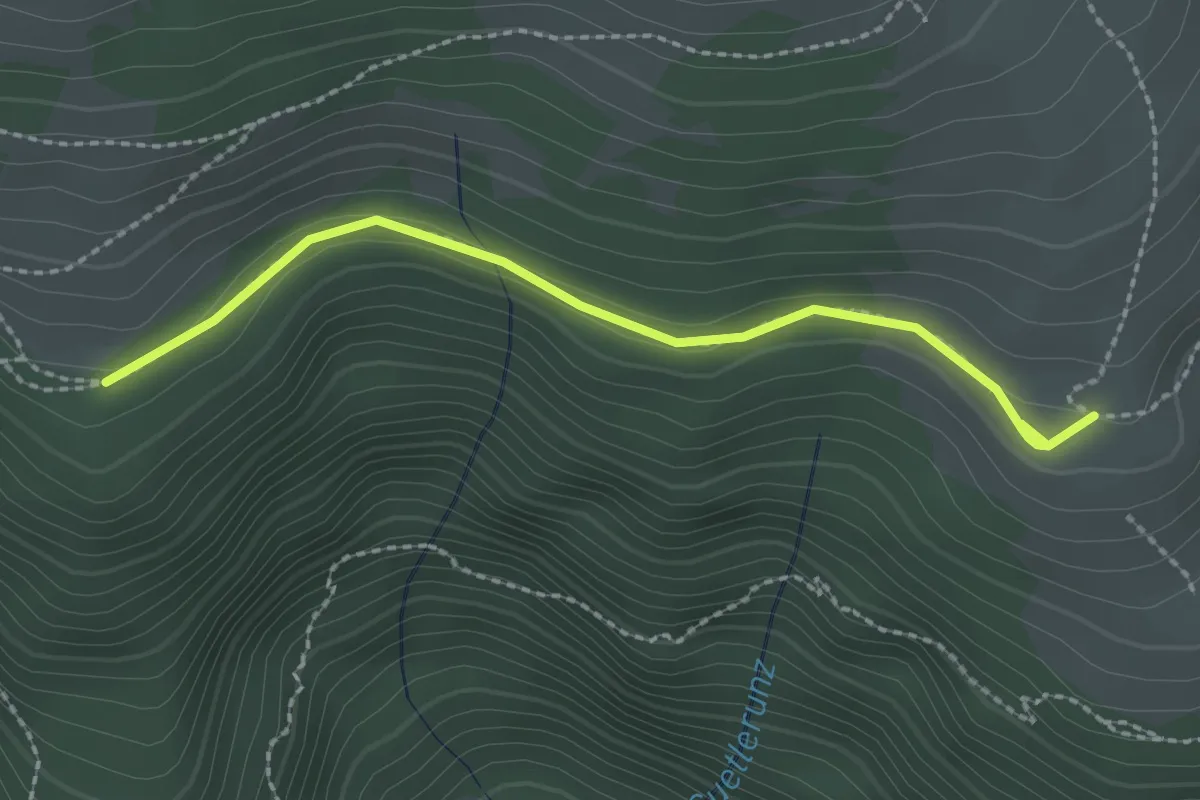
Medium · Trail
Ferme Auberge Kastelberg – Tagweidle
2.3 km · ↑ 72 m · 42 min
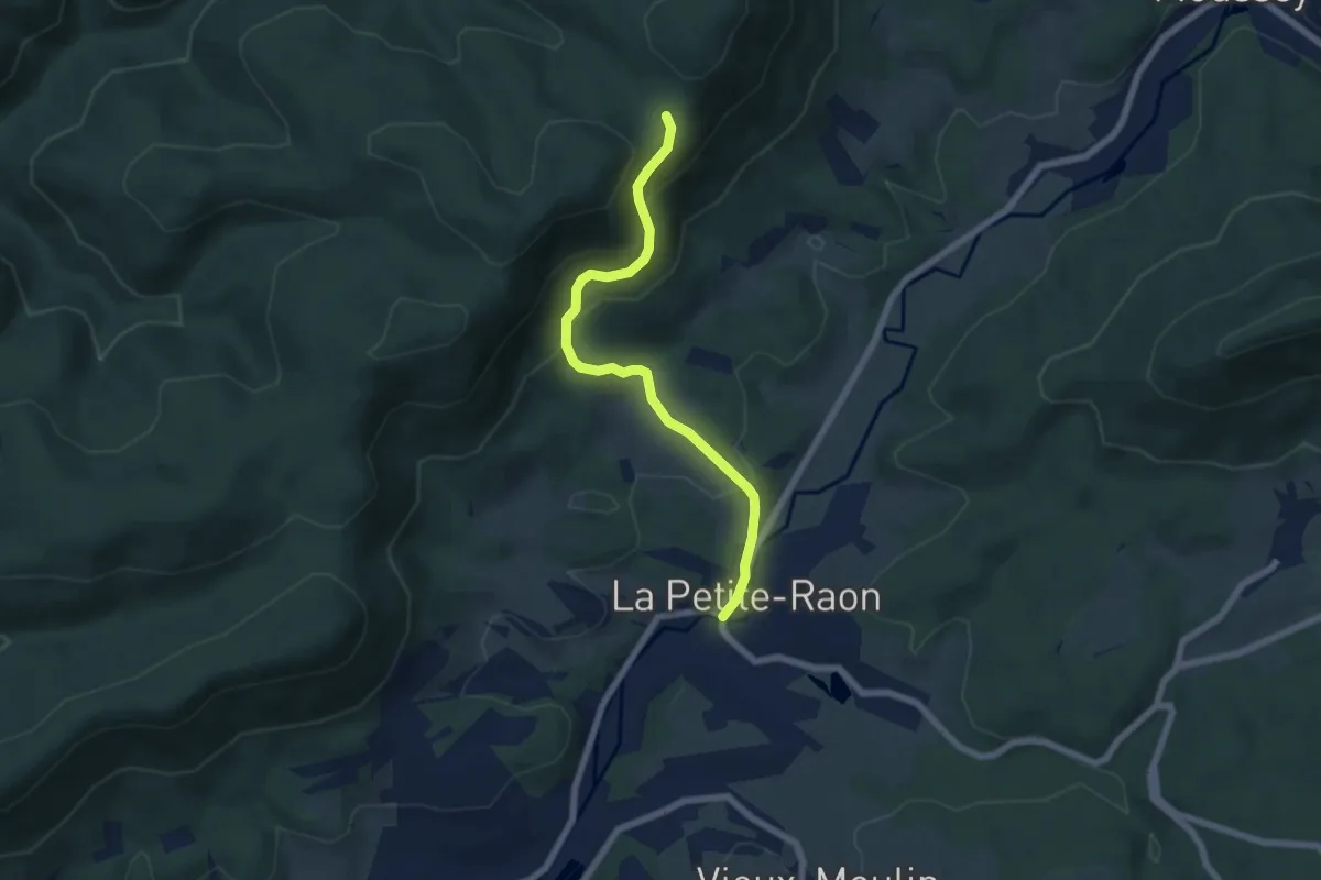
Medium · Trail
La Petite Raon – Col de Dialtrepoix
5.9 km · ↑ 326 m · 2 h 6 min
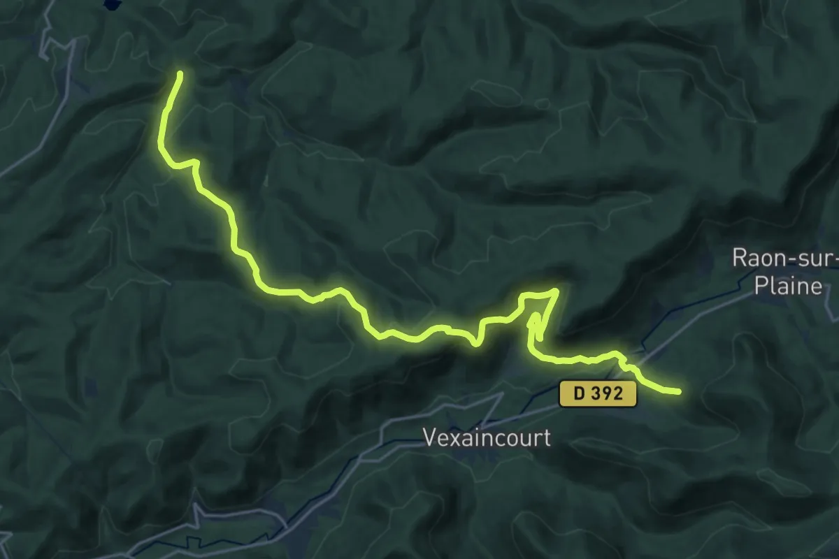
Demanding · Trail
La Fourchue Eau – Luvigny
23.8 km · ↑ 806 m · 7 h 21 min
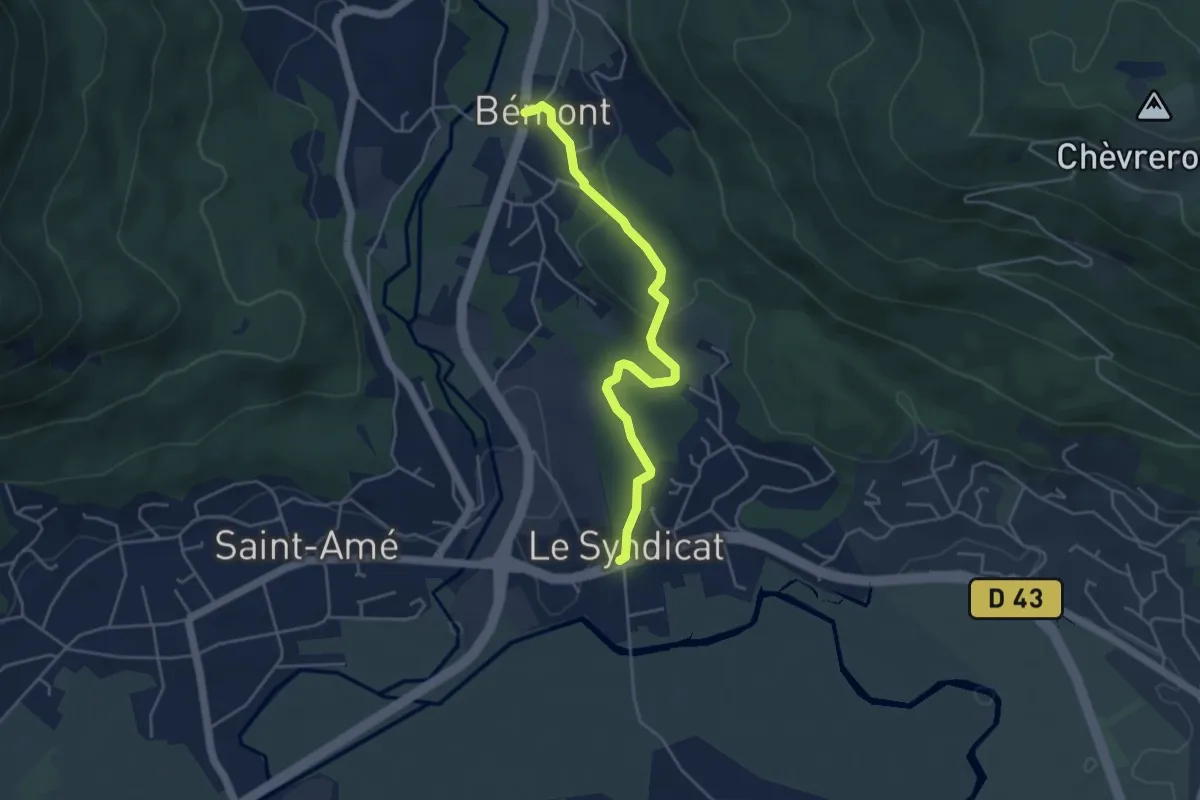
Easy · Trail
Le Syndicat – Bémont
4.3 km · ↑ 87 m · 1 h 13 min
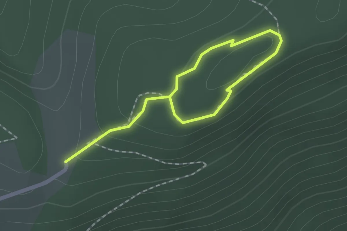
Easy · Trail
La Sotière – La Sotière
1.0 km · ↑ 48 m · 20 min
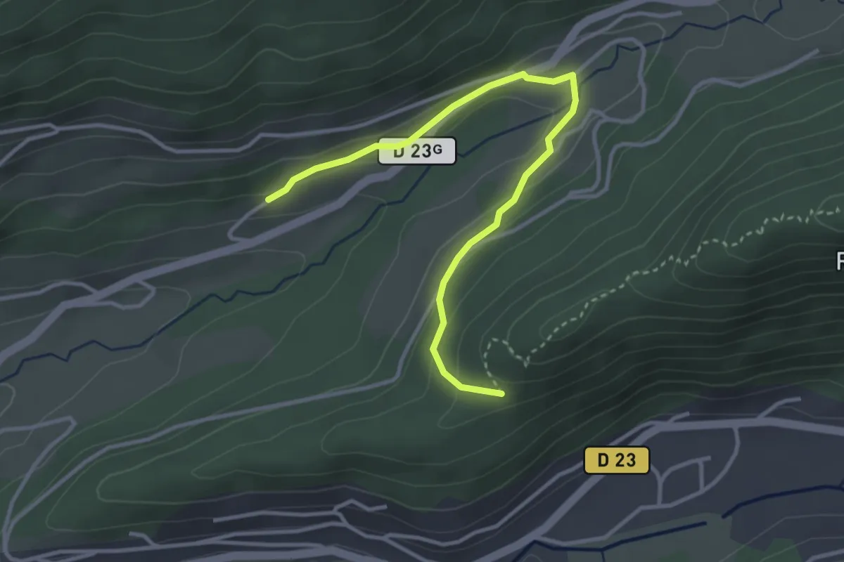
Easy · Trail
Pré Noël – Abri des Cinq Sentes
3.6 km · ↑ 128 m · 1 h 8 min
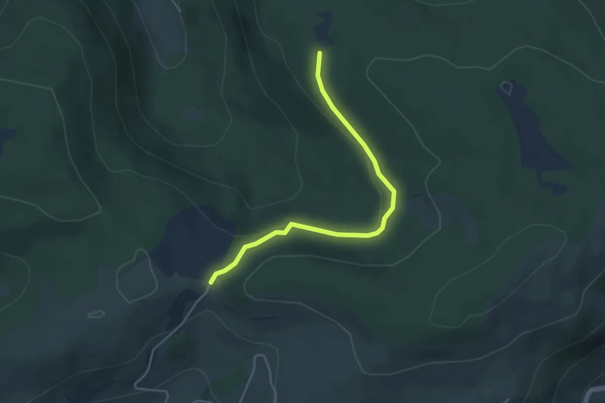
Easy · Trail
Chalet des Charmes – Col de Menufosse
3.6 km · ↑ 60 m · 59 min
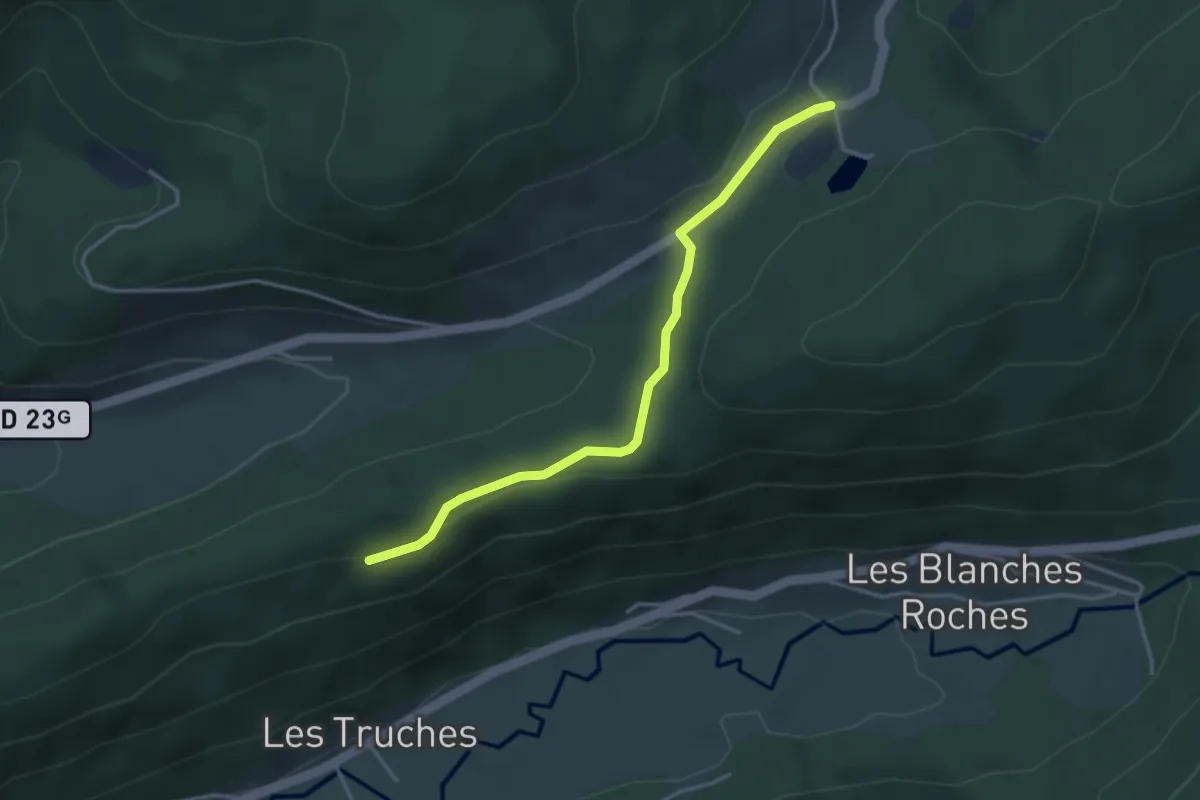
Easy · Trail
Col de Sapois – Au Droit de Cote
3.5 km · ↑ 73 m · 59 min
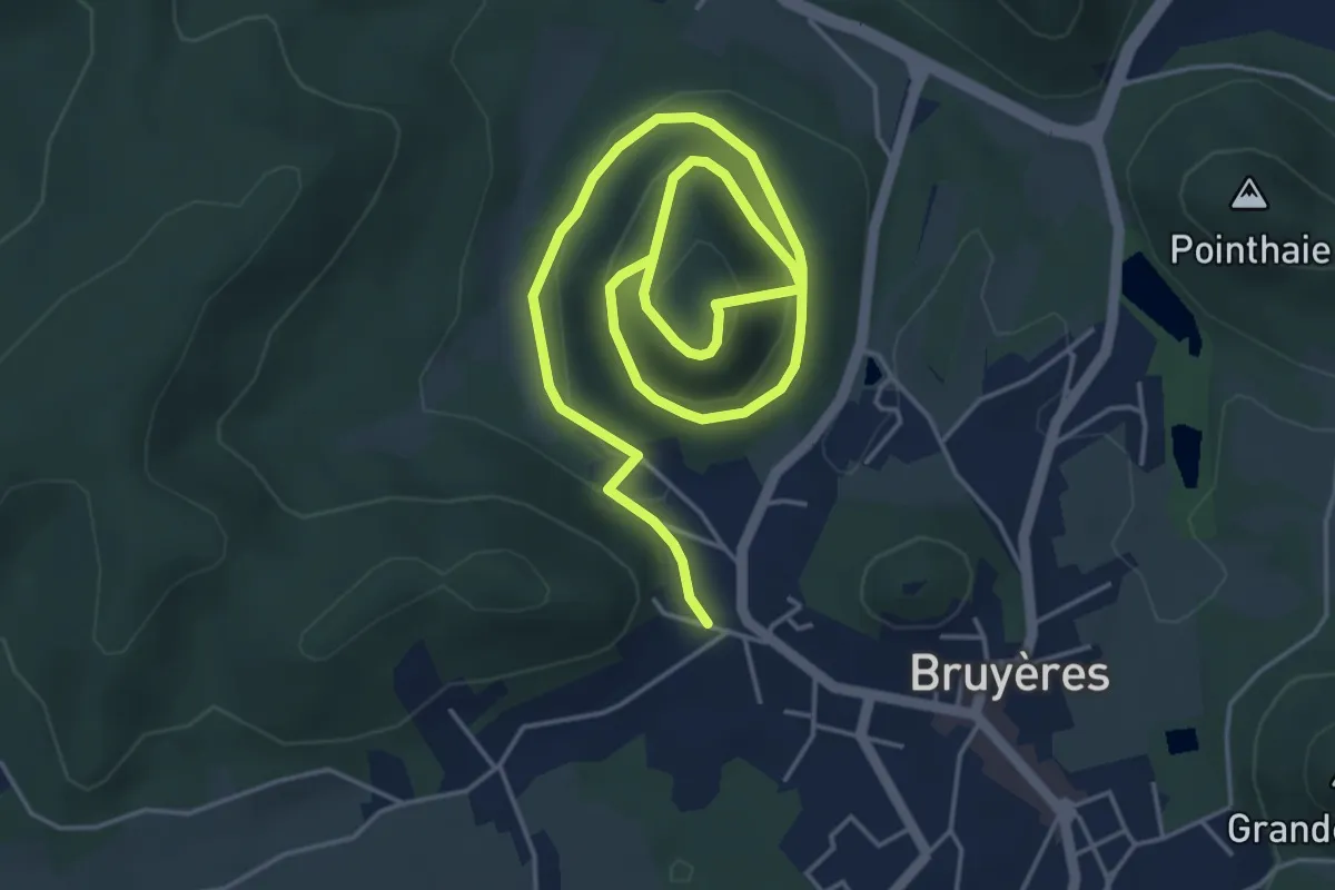
Medium · Trail
Bruyères – Buemont
7.5 km · ↑ 416 m · 2 h 40 min
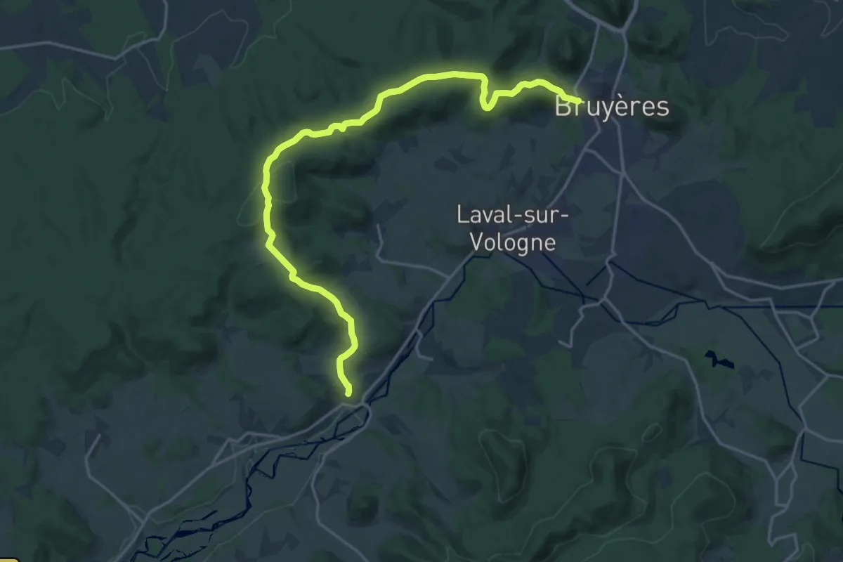
Demanding · Trail
Bruyères – Lépanges-sur-Vologne
20.0 km · ↑ 544 m · 5 h 55 min
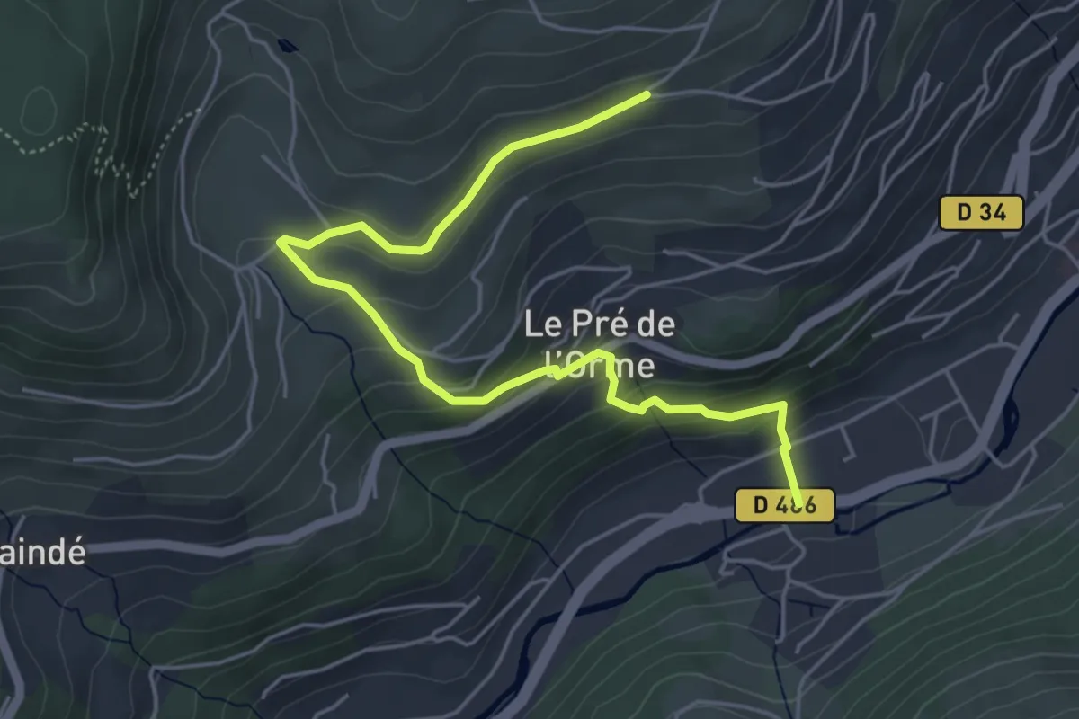
Easy · Trail
La Bresse – Le Pré Mougel
5.5 km · ↑ 293 m · 1 h 55 min
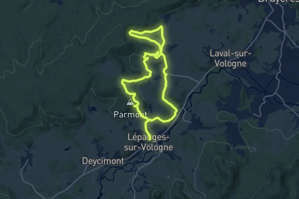
Medium · Summit
Lépanges-sur-Vologne – Lépanges-sur-Vologne
11.6 km · ↑ 406 m · 3 h 45 min
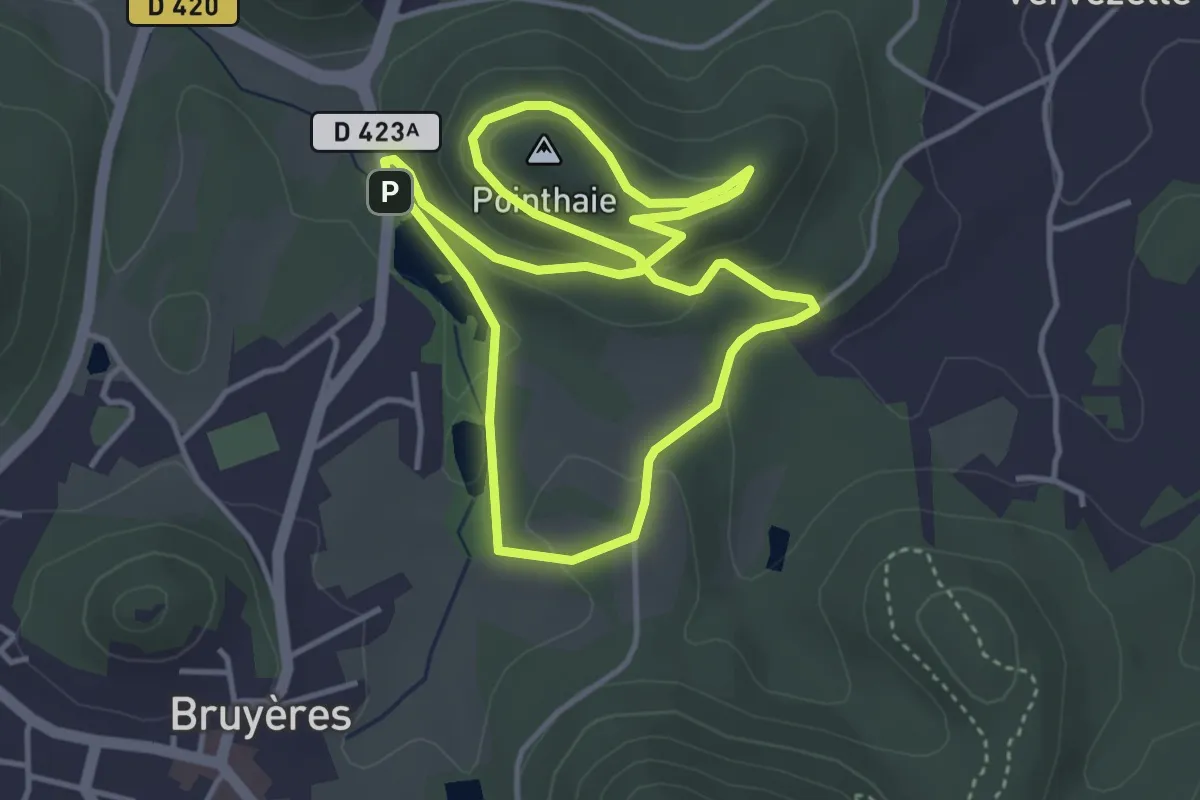
Easy · Summit
Bruyères – Bruyères
3.7 km · ↑ 128 m · 1 h 13 min
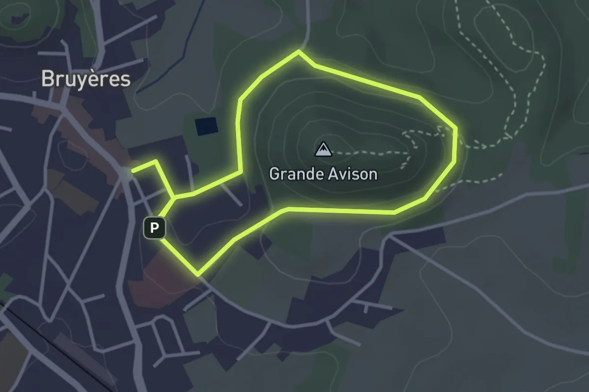
Easy · Trail
Bruyères – Bruyères
2.7 km · ↑ 60 m · 48 min
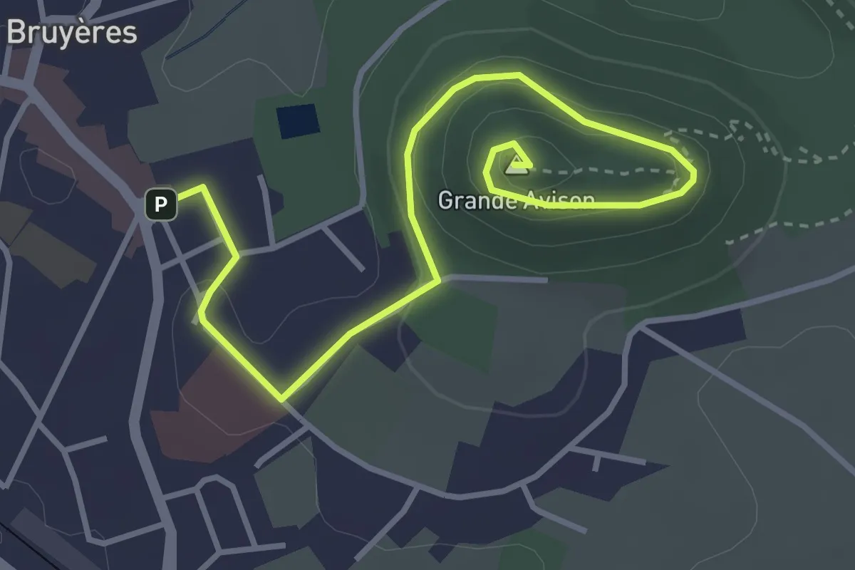
Easy · Summit
Bruyères – Grande Avison
4.0 km · ↑ 132 m · 1 h 14 min
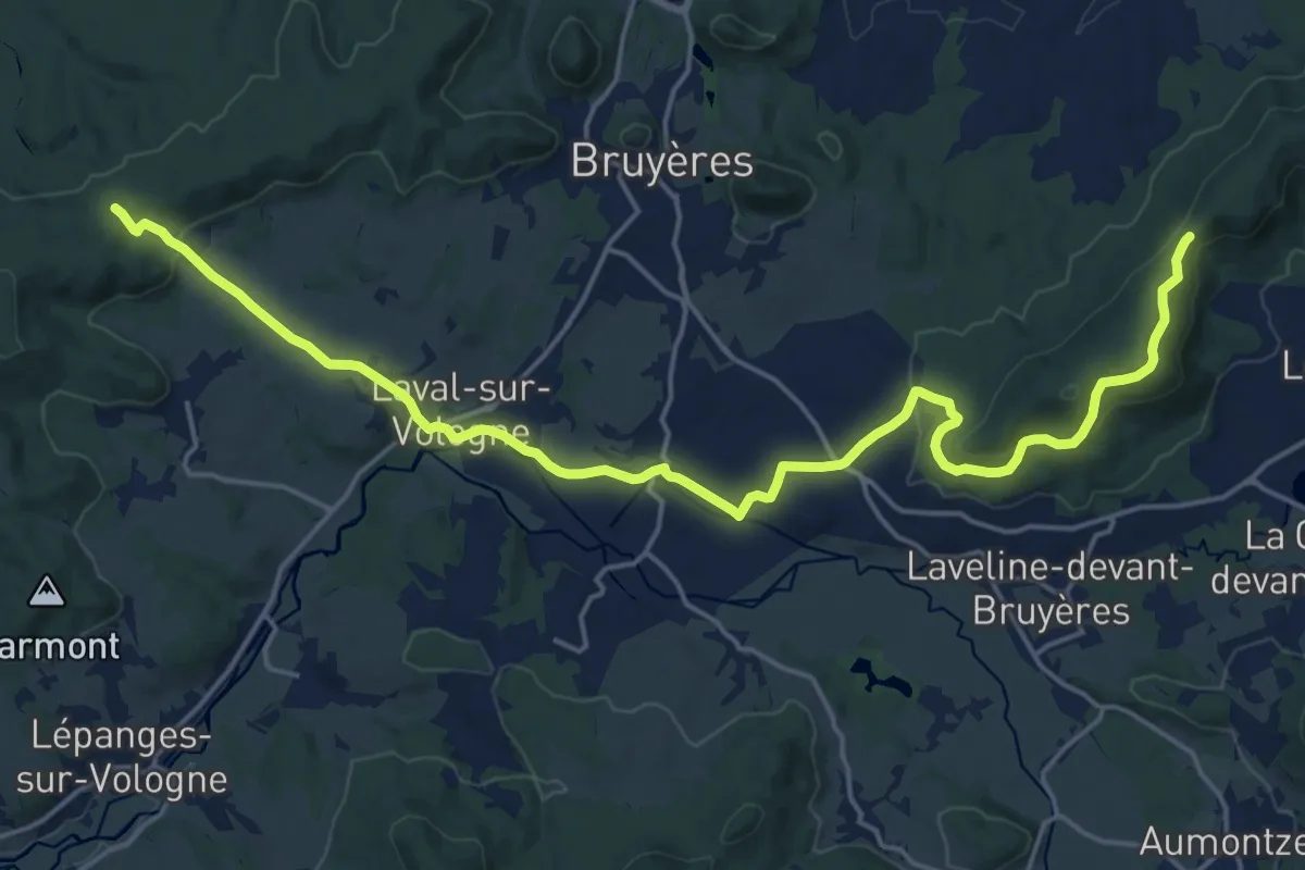
Demanding · Trail
Col de la Croix de Faite, Sentier des Ducs – Col de L'Arnelle, Sentier des Ducs
21.8 km · ↑ 534 m · 6 h 19 min
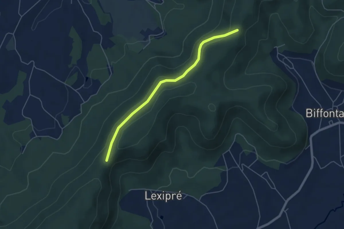
Easy · Trail
Col de L'Arnelle, Sentier des Ducs – Croix Thomas, Sentier des Ducs
4.4 km · ↑ 144 m · 1 h 21 min
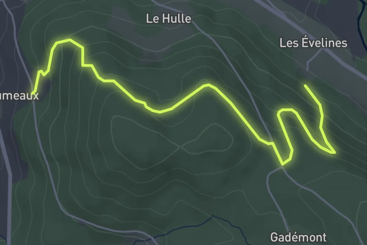
Easy · Trail
La Séreure – Les Champs Claude
5.9 km · ↑ 278 m · 2 h
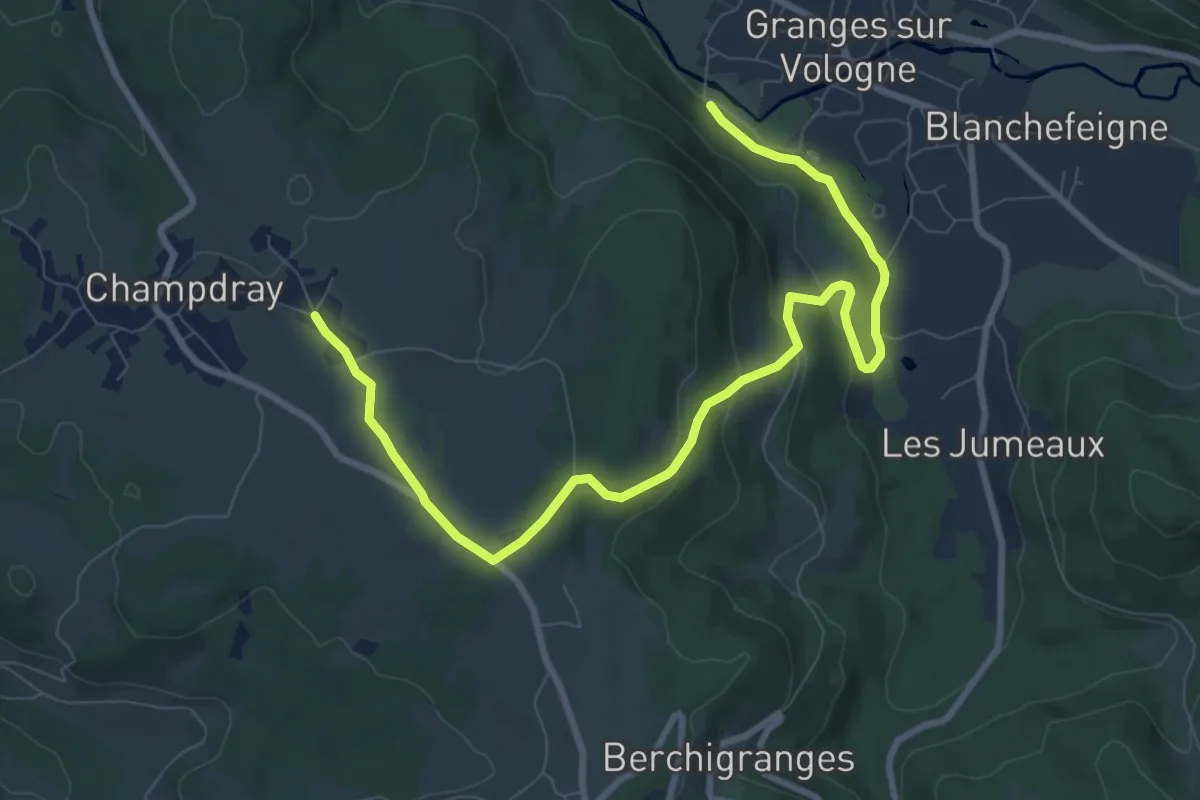
Medium · Trail
Granges-sur-Volognes – Champdray
10.3 km · ↑ 277 m · 3 h 2 min
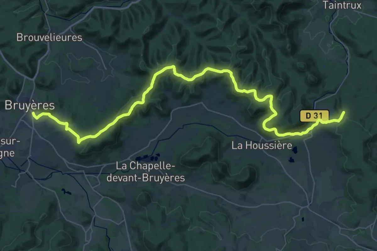
Demanding · Trail
Bruyères – GR 533
20.0 km · ↑ 500 m · 6 h 3 min
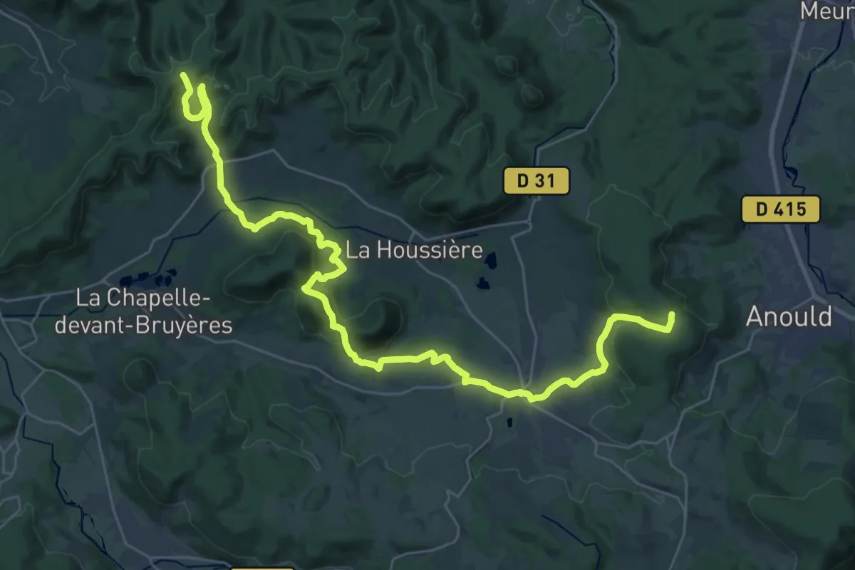
Medium · Trail
Biffontaine – GR 533
18.0 km · ↑ 496 m · 5 h 33 min
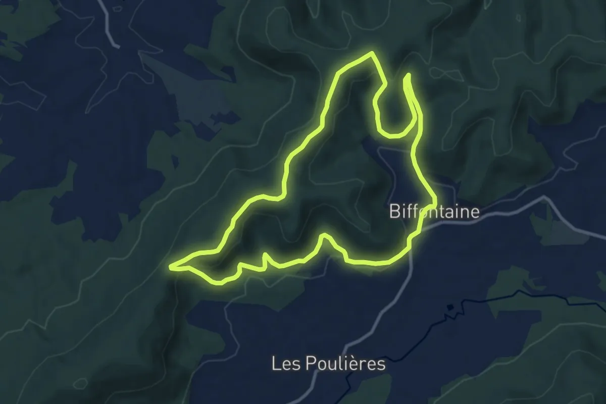
Medium · Trail
Biffontaine – Biffontaine
9.5 km · ↑ 310 m · 3 h 3 min
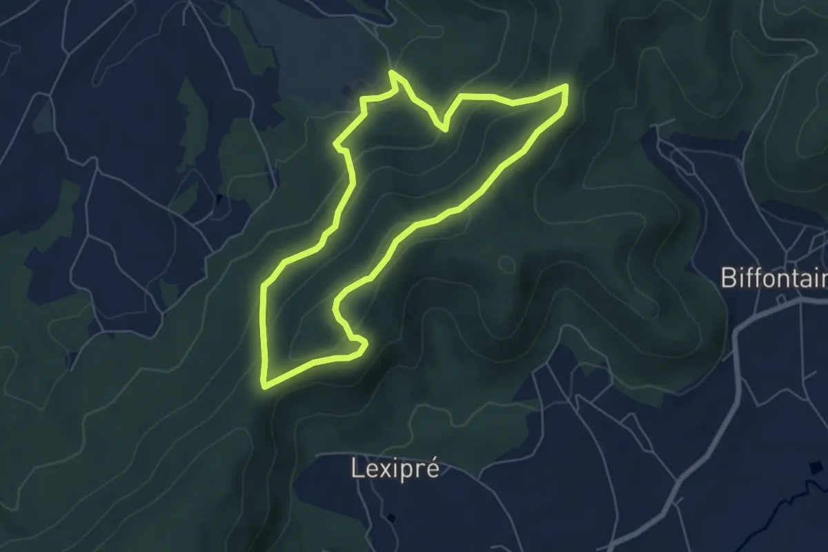
Easy · Trail
Col de l'Arnelle – Col de l'Arnelle
5.4 km · ↑ 244 m · 1 h 53 min
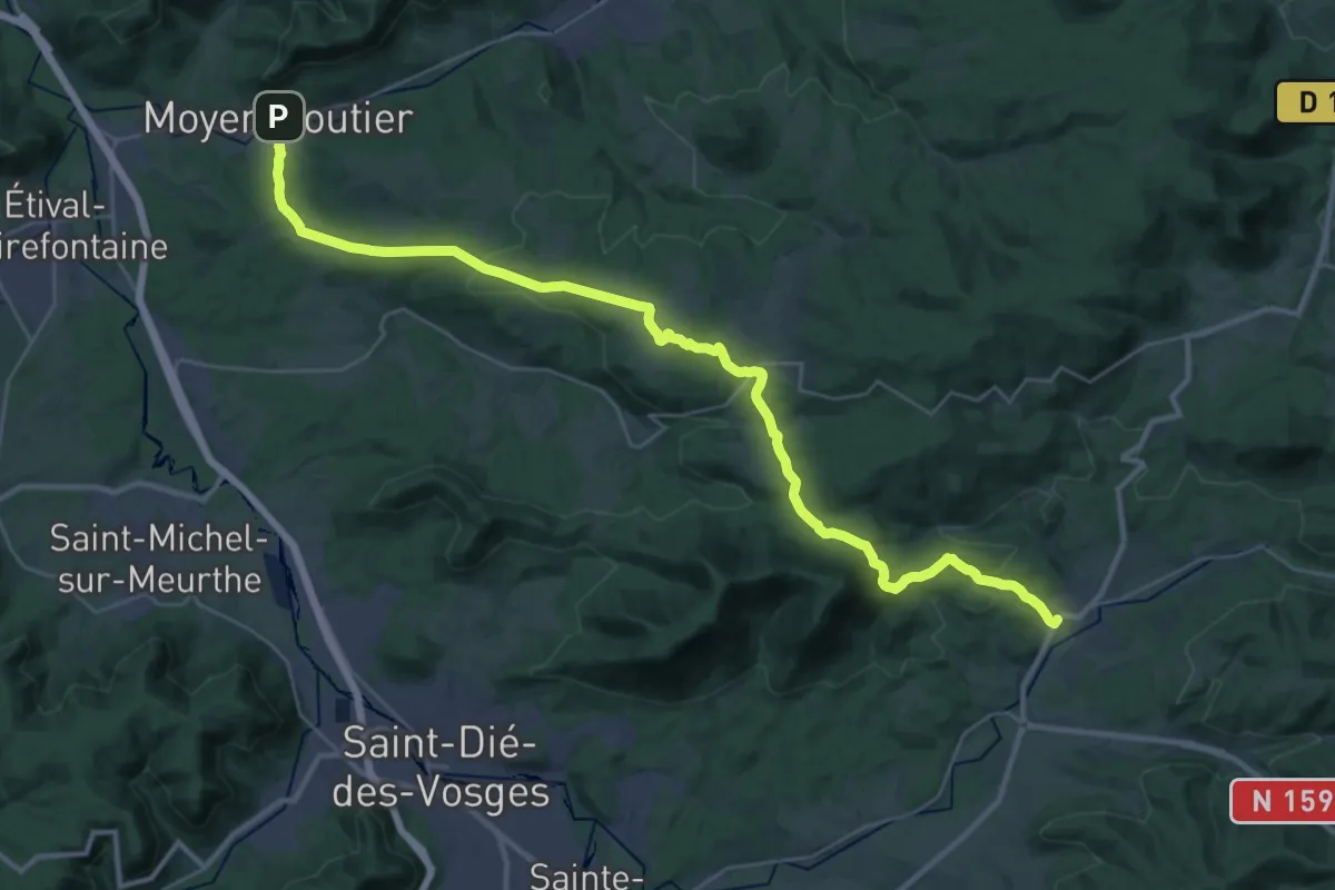
Demanding · Trail
Moyenmoutier – Provenchère-sur-Fave
18.0 km · ↑ 469 m · 5 h 29 min
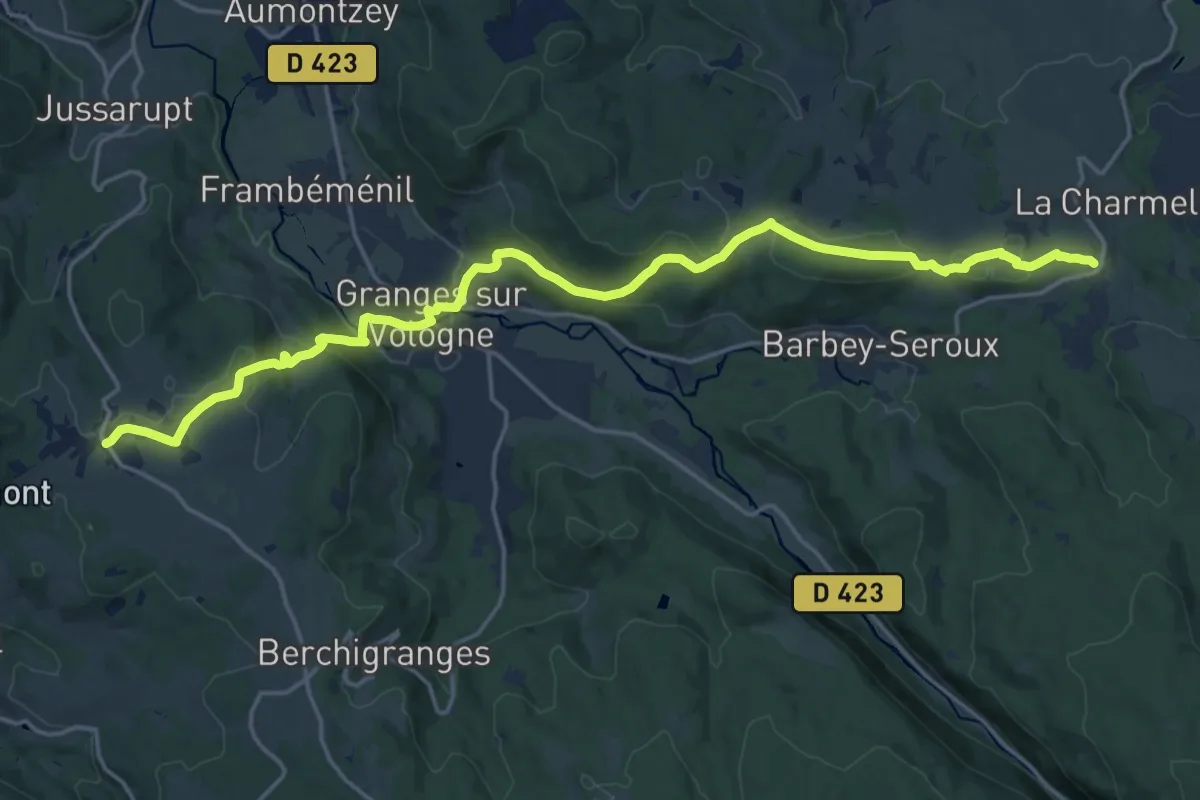
Demanding · Trail
Champdray – Arrentès-de-Corcieux
20.6 km · ↑ 597 m · 6 h 9 min
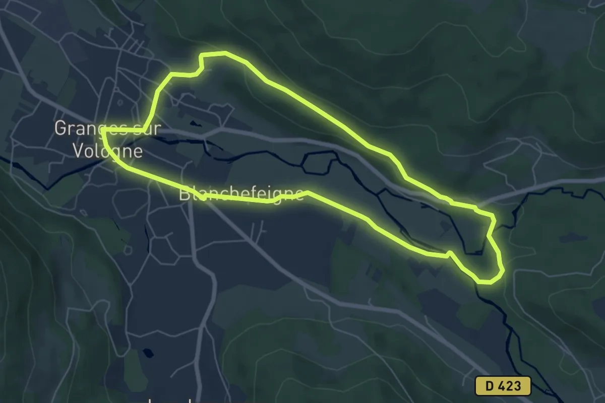
Easy · Trail
Granges-sur-Vologne – Granges-sur-Vologne
6.1 km · ↑ 96 m · 1 h 43 min
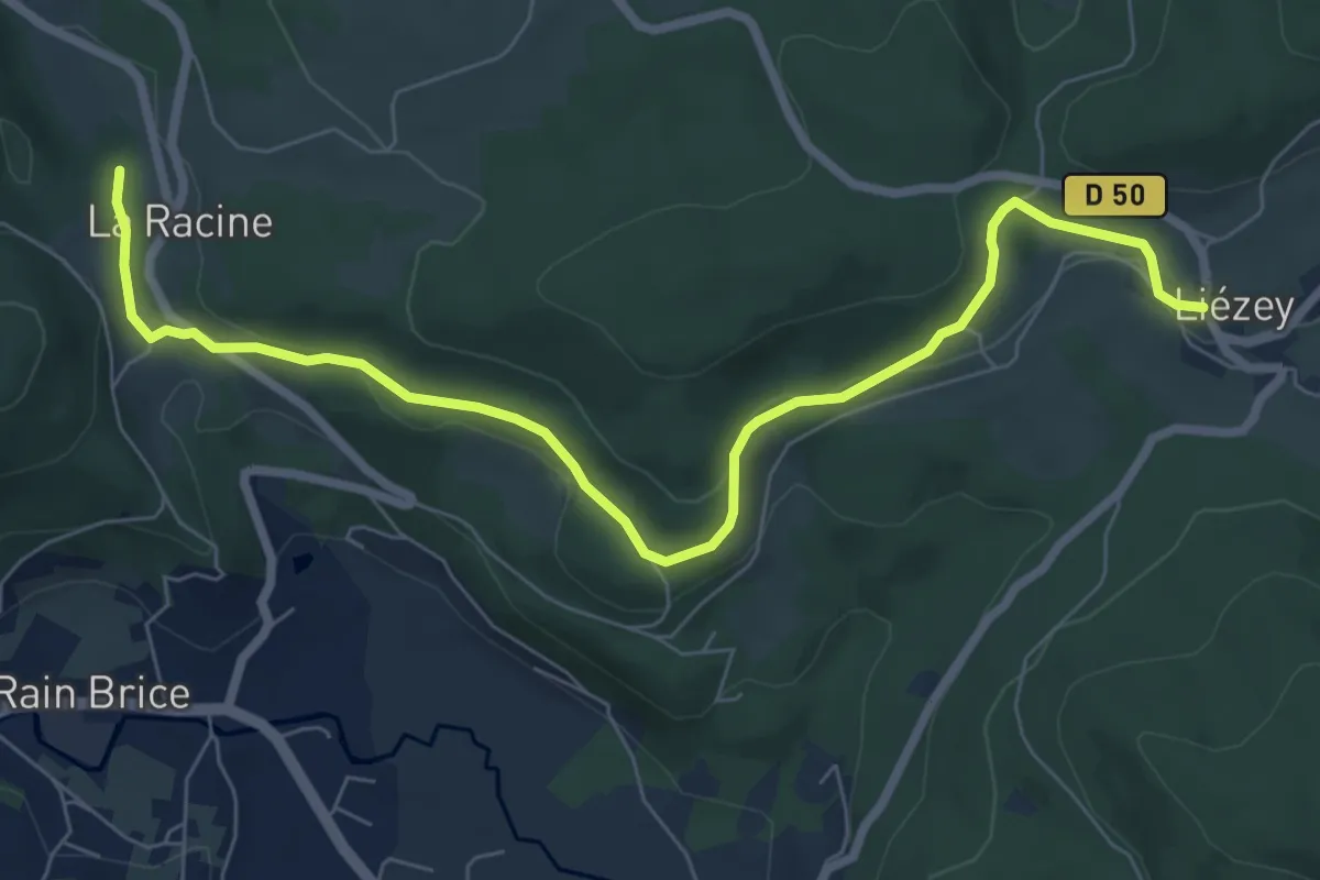
Medium · Trail
Liézey – Trou de l'enfer
8.1 km · ↑ 188 m · 2 h 19 min
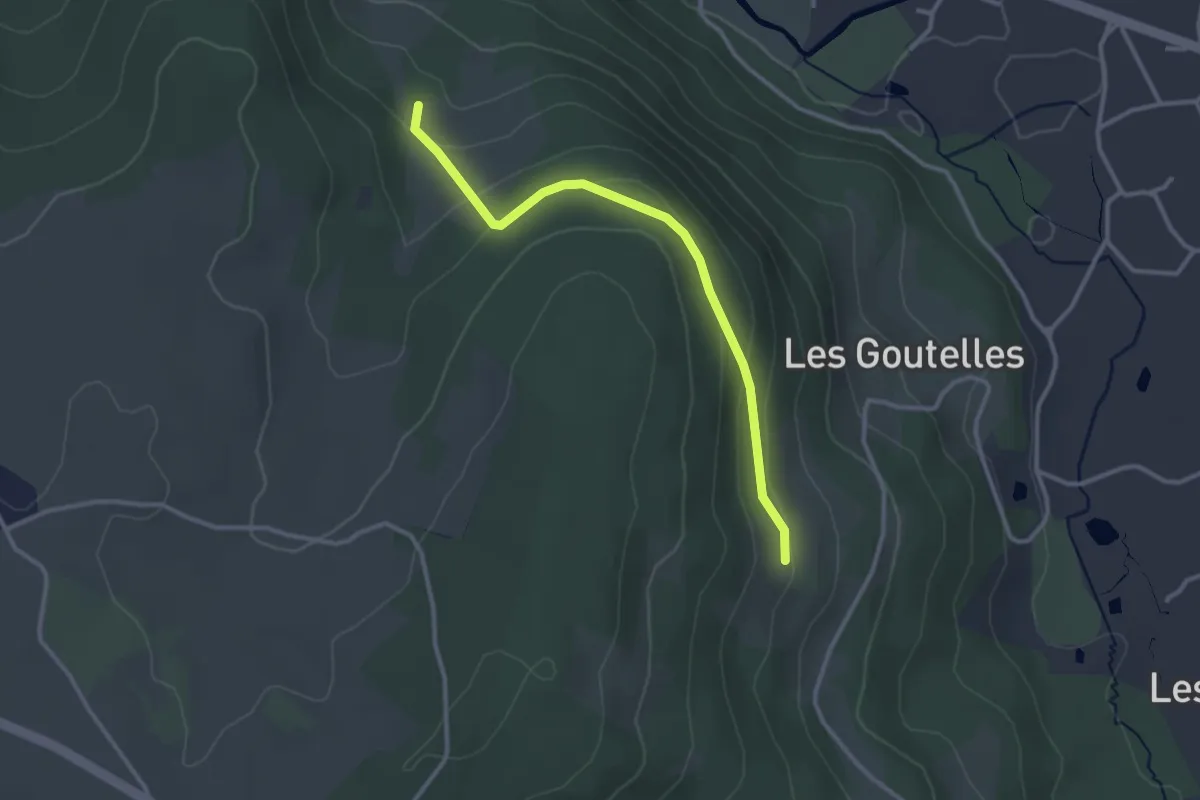
Easy · Trail
Au Reing des Chiens – Les Baumes
2.9 km · ↑ 97 m · 54 min
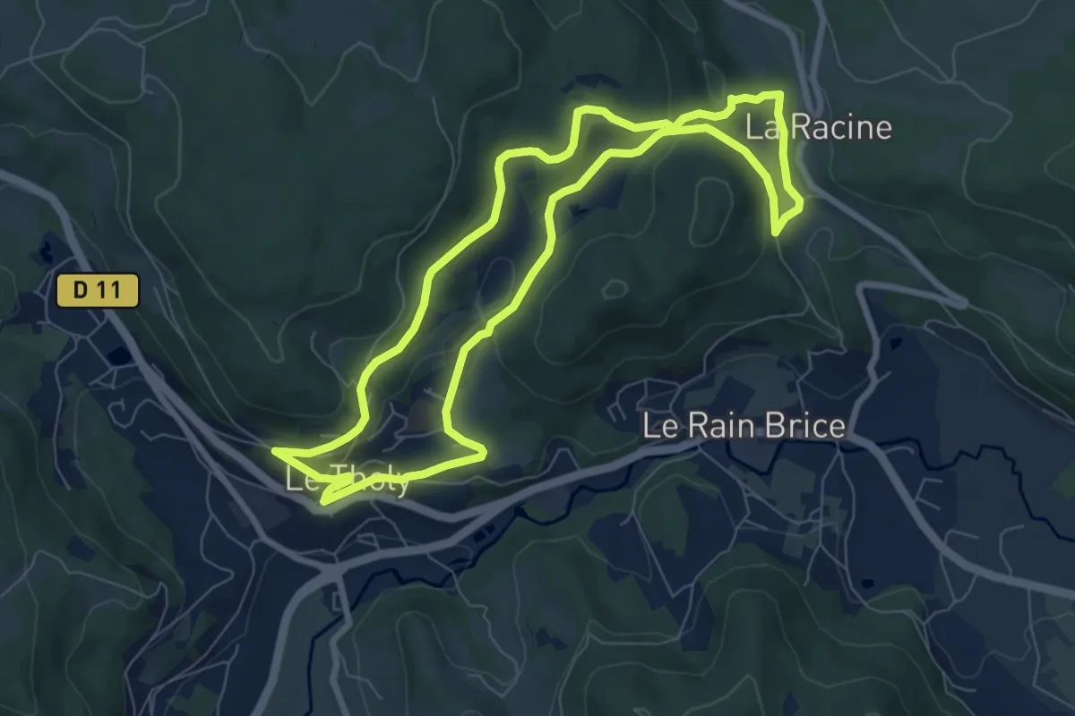
Demanding · Trail
Le Tholy – Le Tholy
7.5 km · ↑ 203 m · 2 h 18 min
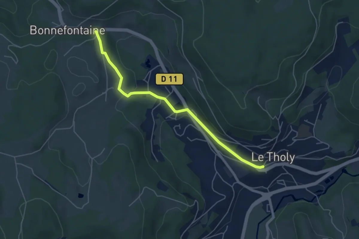
Easy · Trail
Le Tholy – Bonnefontaine
4.7 km · ↑ 105 m · 1 h 21 min