Trails in France
15,926 hiking trails, each with its route, climb, walking time and grade.
All trails, page 314 of 332
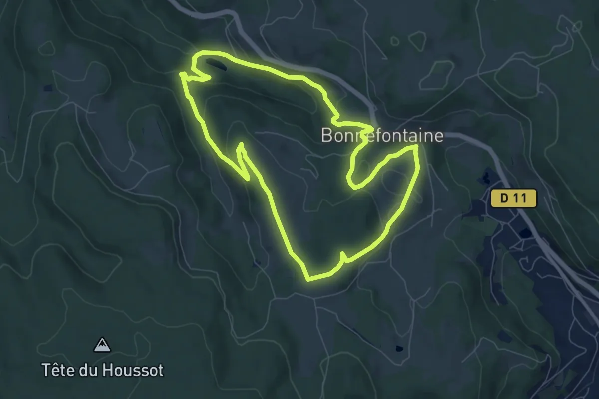
Easy · Trail
Bonnefontaine – Bonnefontaine
7.2 km · ↑ 233 m · 2 h 18 min
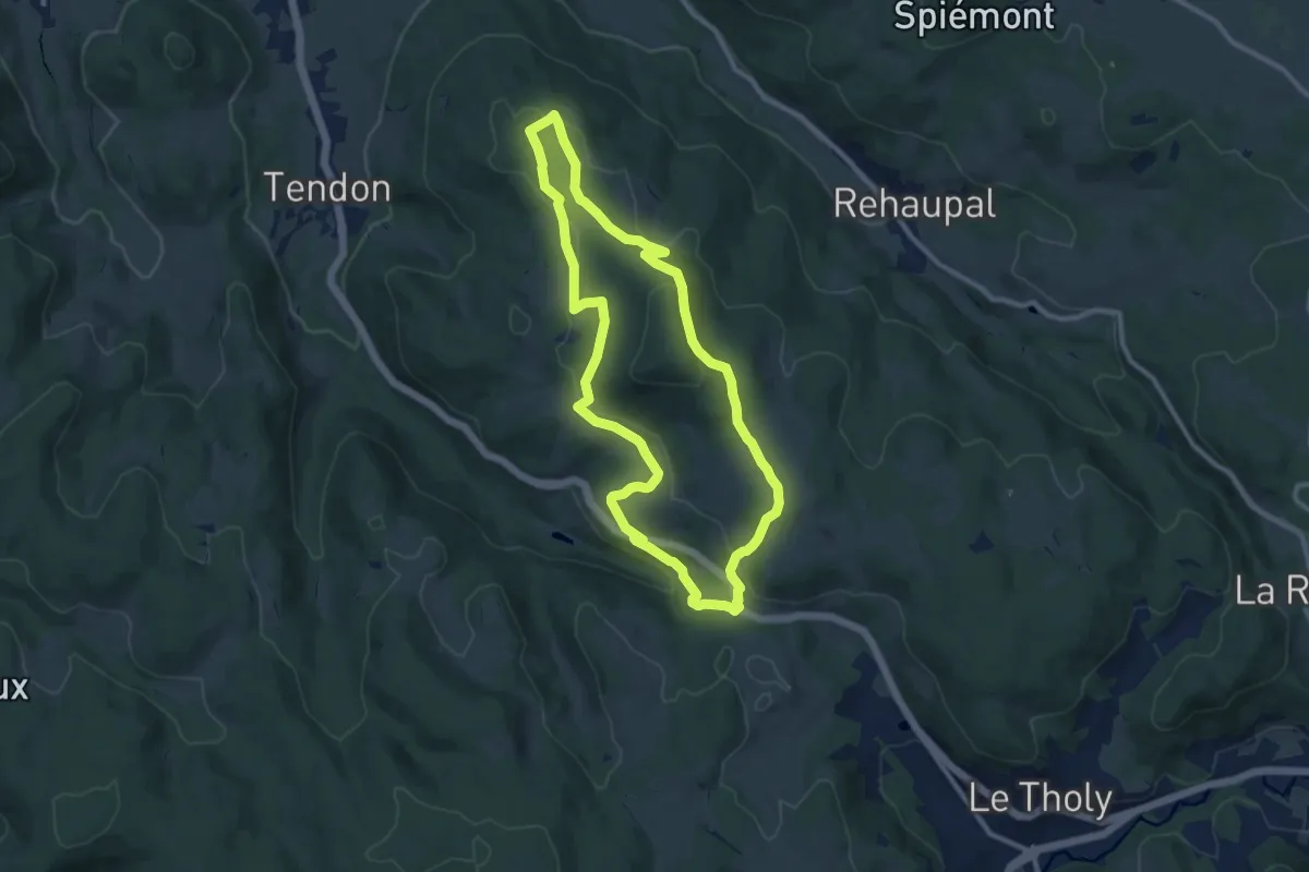
Medium · Trail
Bonnefontaine – Bonnefontaine
9.5 km · ↑ 276 m · 2 h 58 min
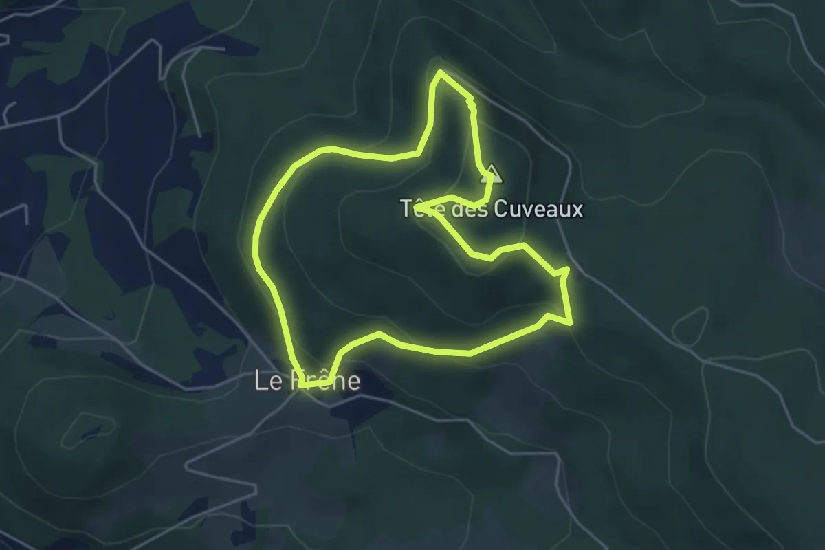
Easy · Summit
Croix de Groshaut – Croix de Groshaut
4.1 km · ↑ 239 m · 1 h 32 min
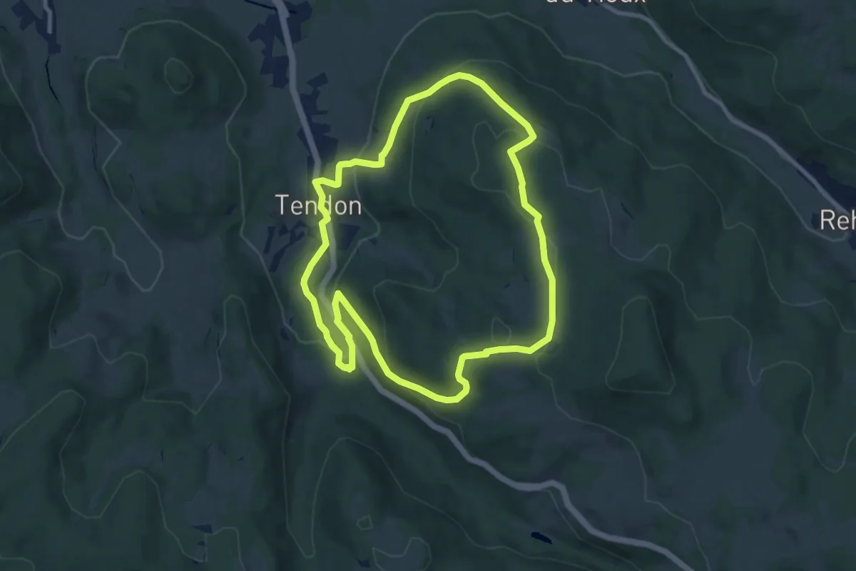
Medium · Trail
Tendon – Tendon
8.3 km · ↑ 308 m · 2 h 45 min
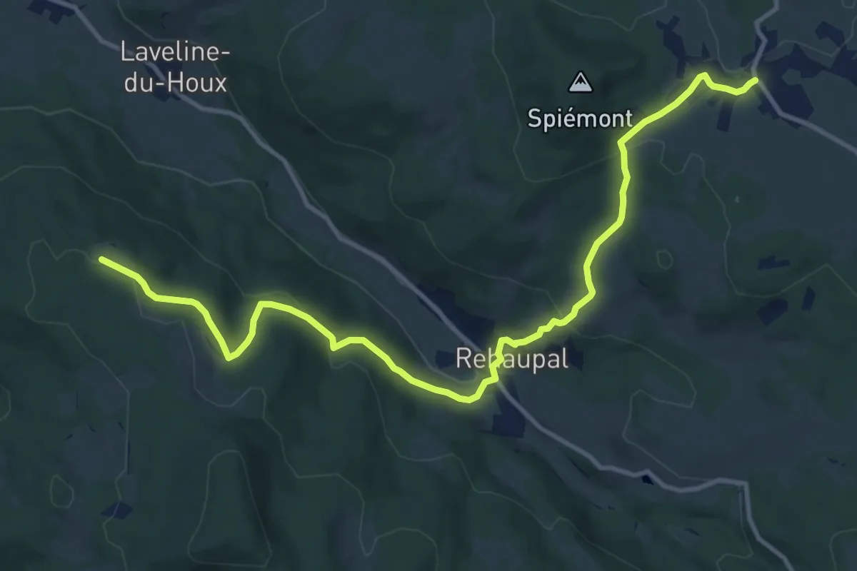
Medium · Trail
Champdray – Roches de la Moulure
12.2 km · ↑ 470 m · 3 h 54 min
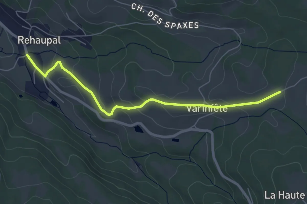
Easy · Trail
Rehaupal – La Vive Haie
5.0 km · ↑ 153 m · 1 h 30 min
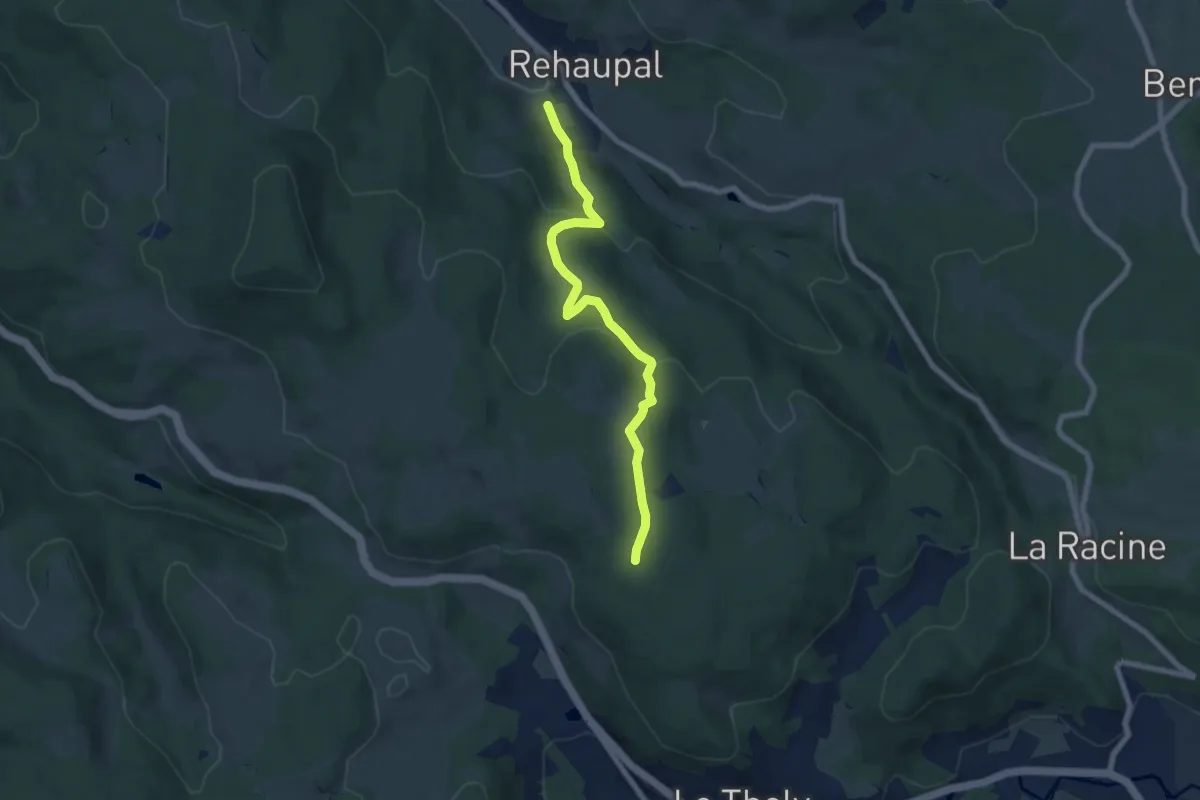
Easy · Trail
Rehaupal – Le Pillet
6.7 km · ↑ 288 m · 2 h 13 min
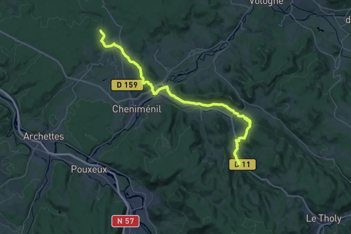
Medium · Trail
Petite cascade de Tendon – Roche Goutteuse
15.5 km · ↑ 426 m · 4 h 44 min
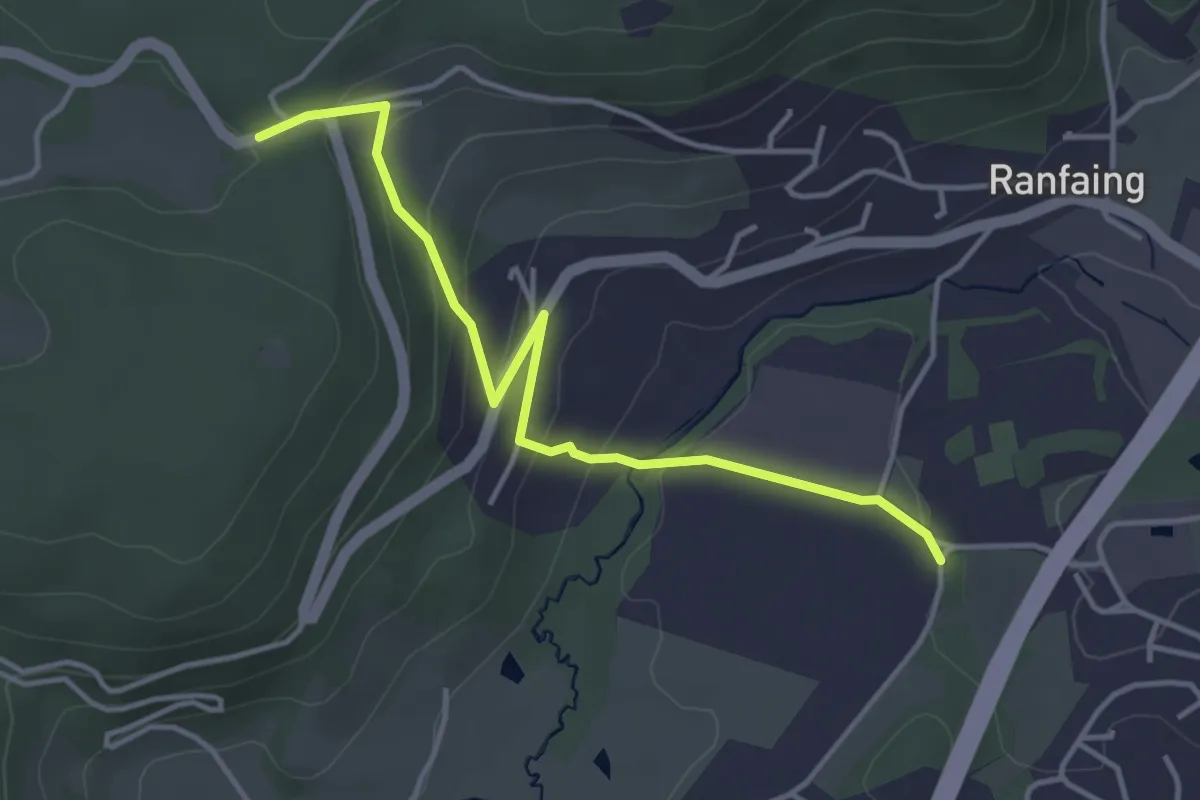
Easy · Trail
Col de Raon – GR 7
4.0 km · ↑ 159 m · 1 h 17 min
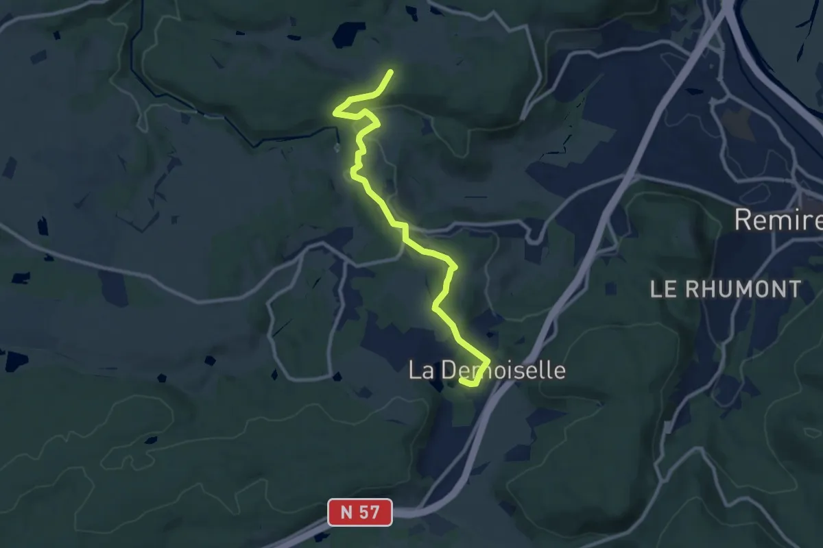
Medium · Trail
Chalet de Pusieux – Etang des Demoiselles
9.4 km · ↑ 175 m · 2 h 36 min
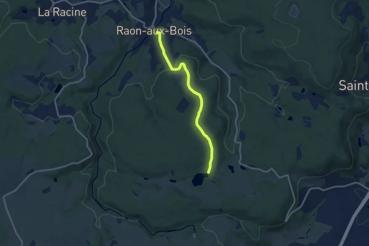
Easy · Trail
Raon-aux-Bois – L'Étang de la Plaine
6.7 km · ↑ 196 m · 2 h
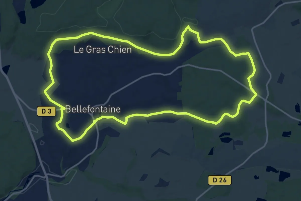
Medium · Trail
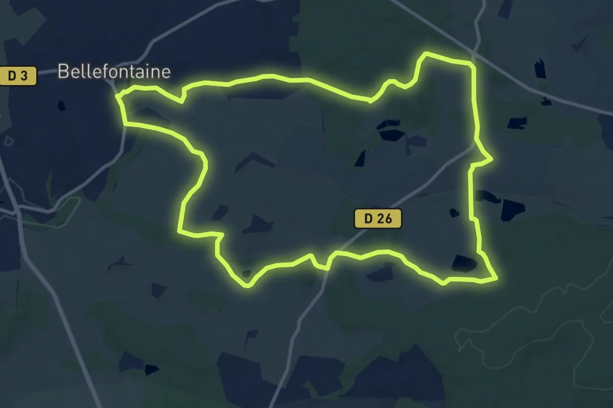
Bellefontaine – Bellefontaine
11.8 km · ↑ 166 m · 3 h 18 min
Medium · Trail
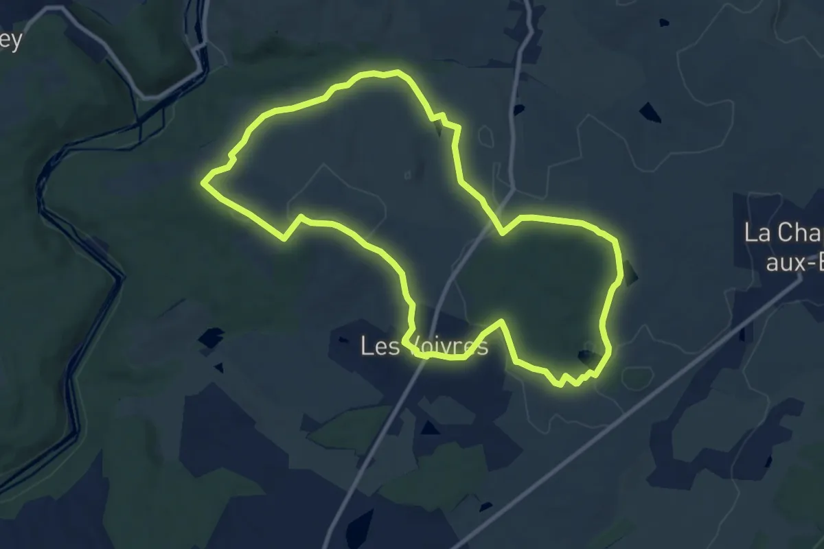
Bellefontaine – Bellefontaine
11.1 km · ↑ 149 m · 3 h 7 min
Medium · Trail
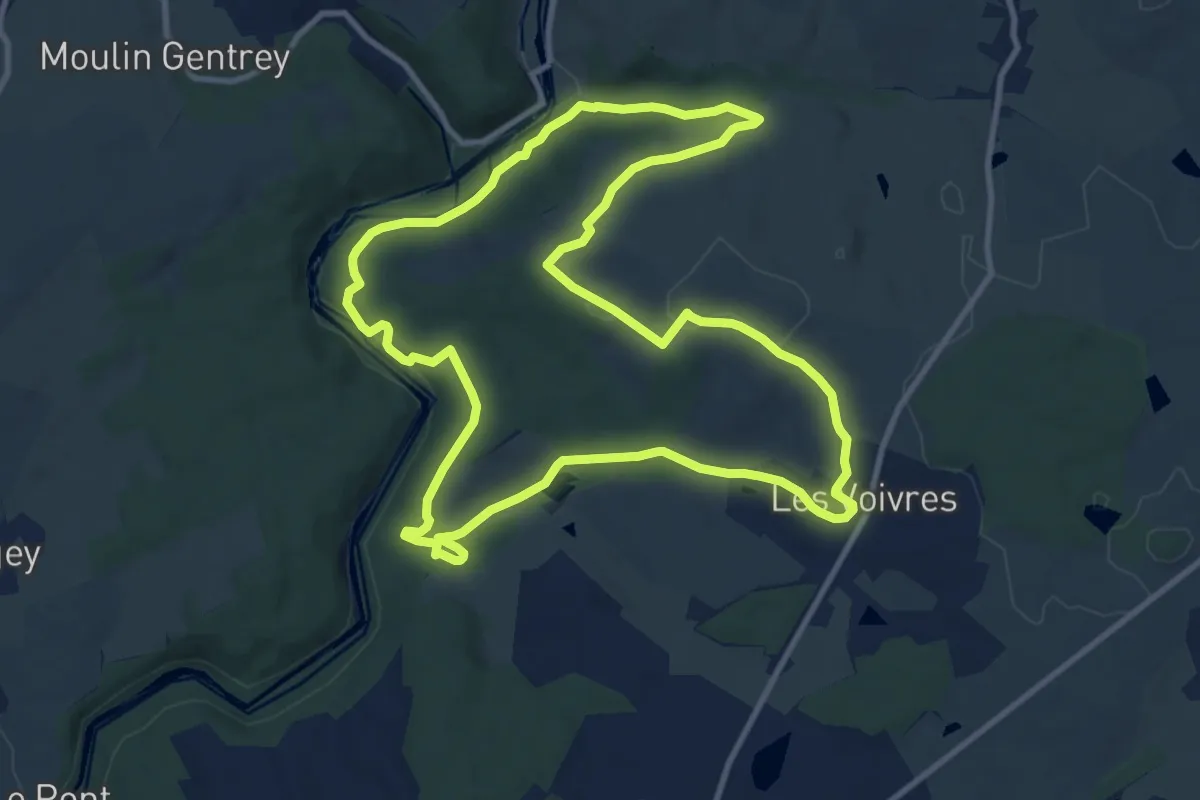
Les Voivres – Les Voivres
9.3 km · ↑ 124 m · 2 h 36 min
Medium · Trail
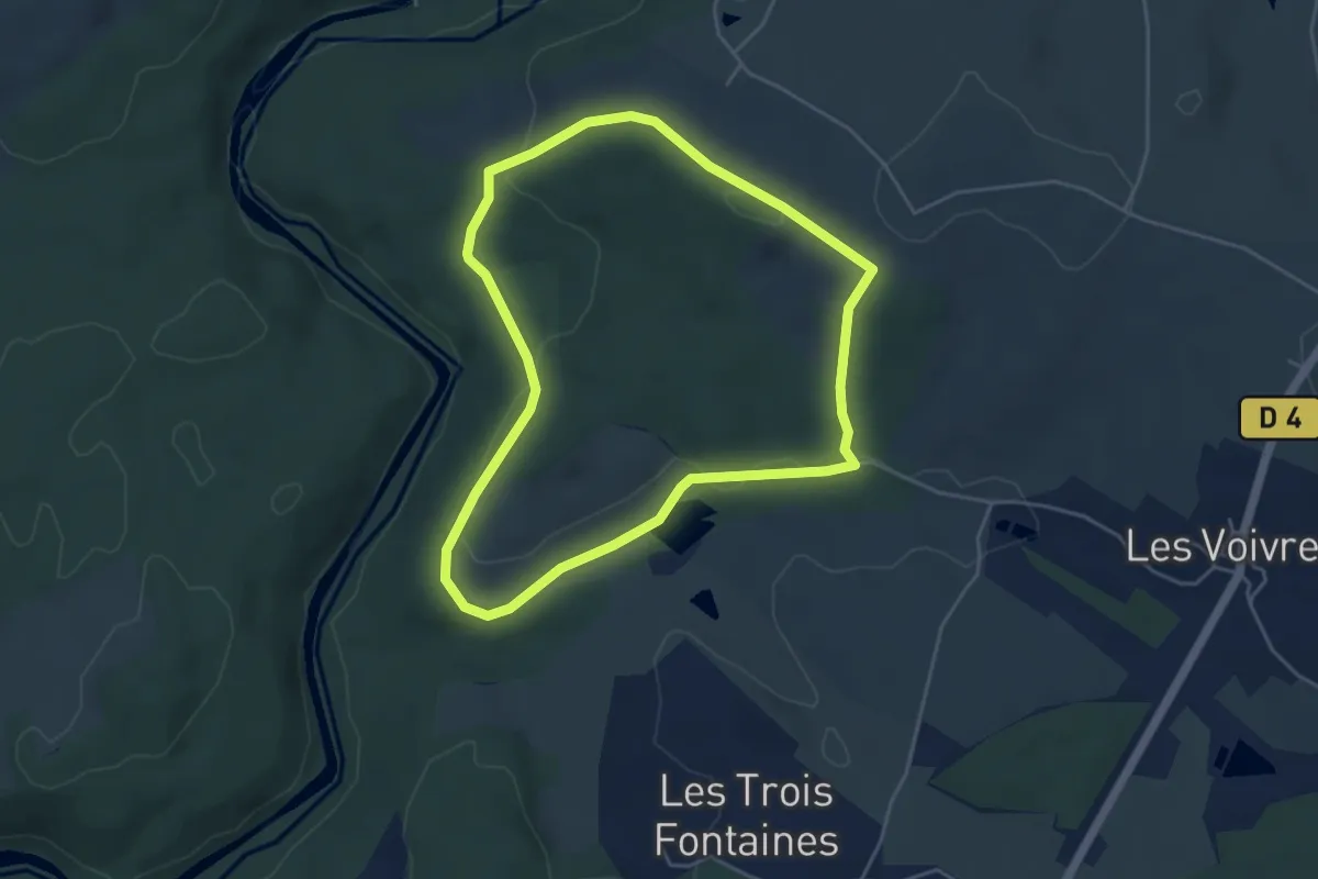
Les Voivres – Les Voivres
11.2 km · ↑ 228 m · 3 h 17 min
Easy · Trail
Étang Lallemand – Étang Lallemand
4.4 km · ↑ 89 m · 1 h 17 min
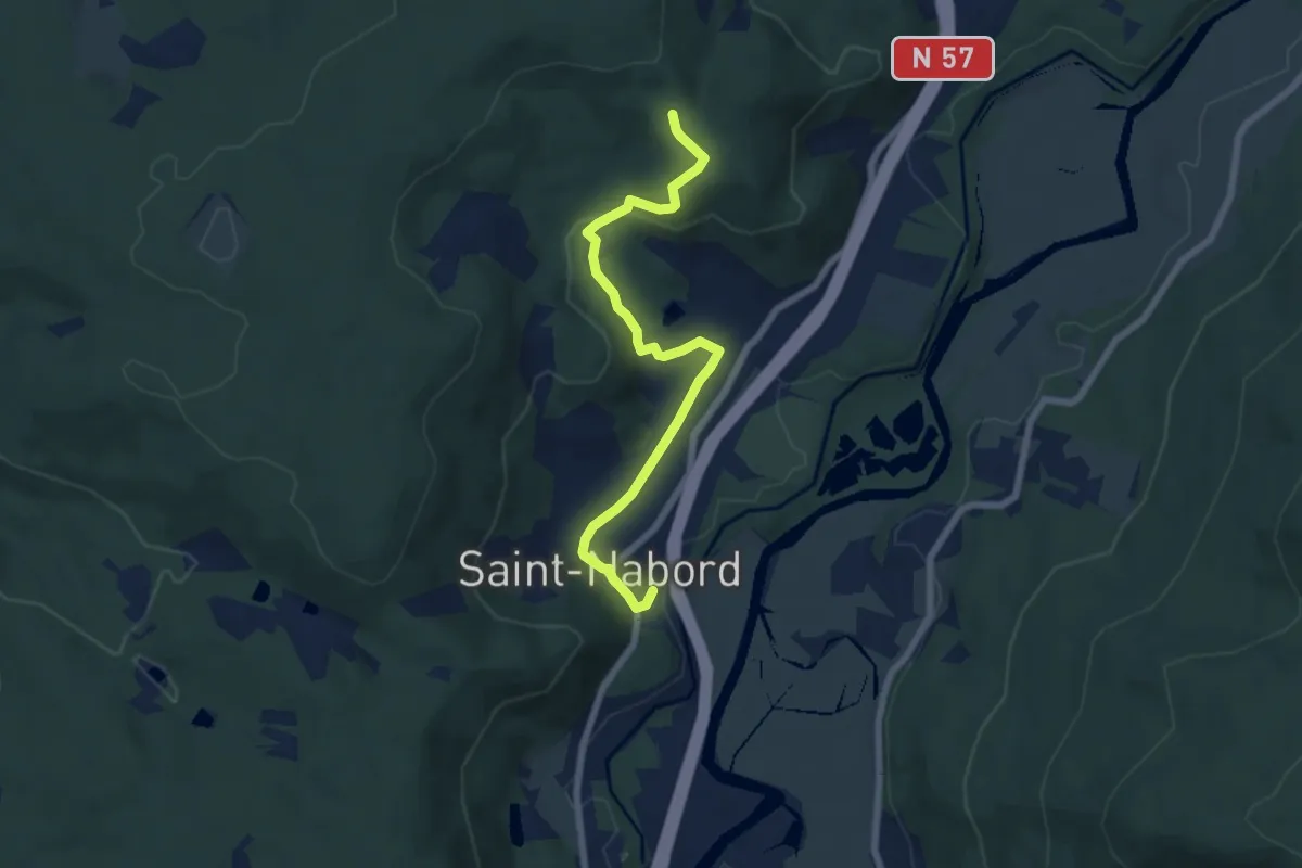
Easy · Trail
Saint-Nabord – Tête d'Armont
6.7 km · ↑ 191 m · 2 h
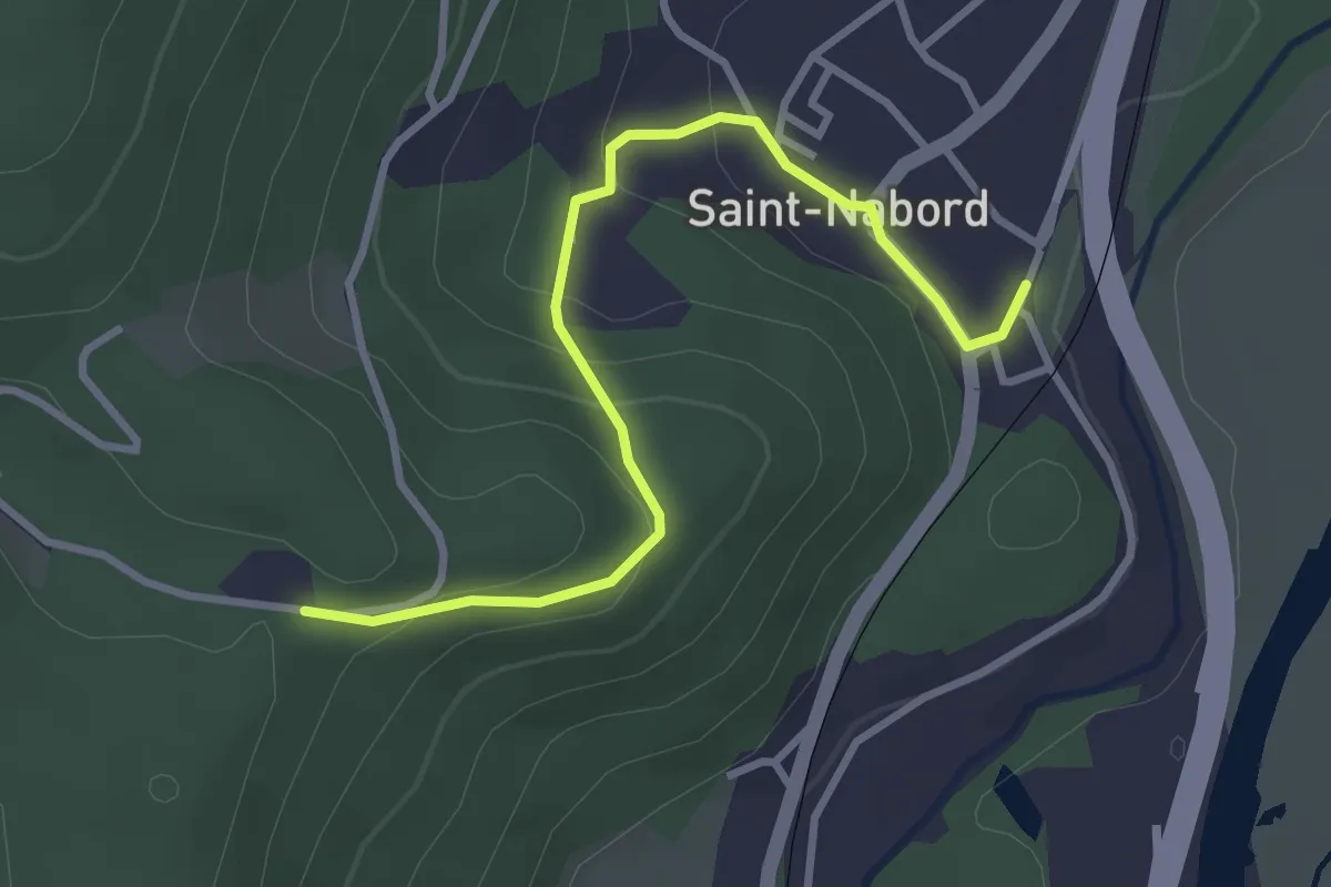
Easy · Trail
Saint-Nabord – Le Rond Caillou
3.3 km · ↑ 155 m · 1 h 6 min
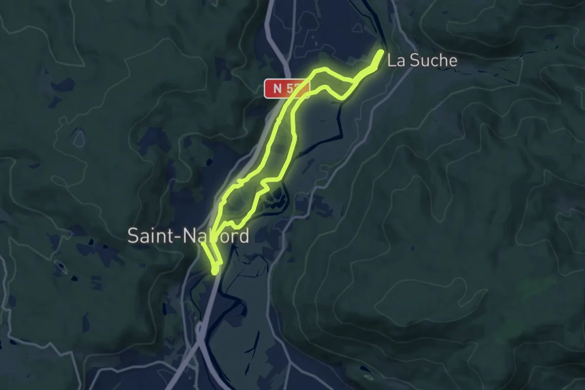
Medium · Trail
Saint-Nabord – Saint-Nabord
9.9 km · ↑ 160 m · 2 h 50 min
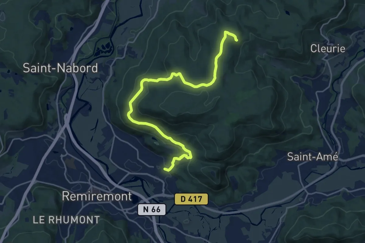
Medium · Trail
Saint-Étienne-lès-Remiremont – La Mousse
17.0 km · ↑ 502 m · 5 h 6 min
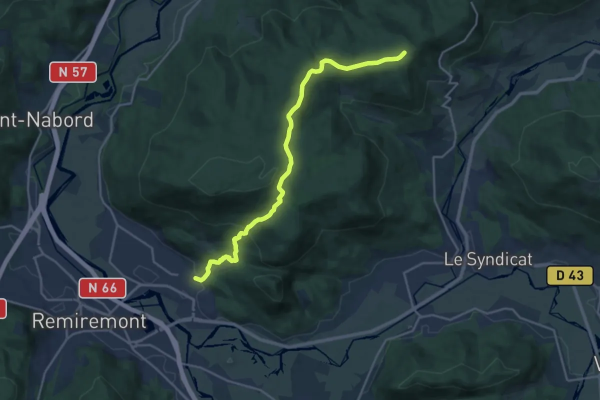
Medium · Trail
Saint-Étienne-lès-Remiremont – Le Hêtre de la Vierge
14.1 km · ↑ 584 m · 4 h 35 min
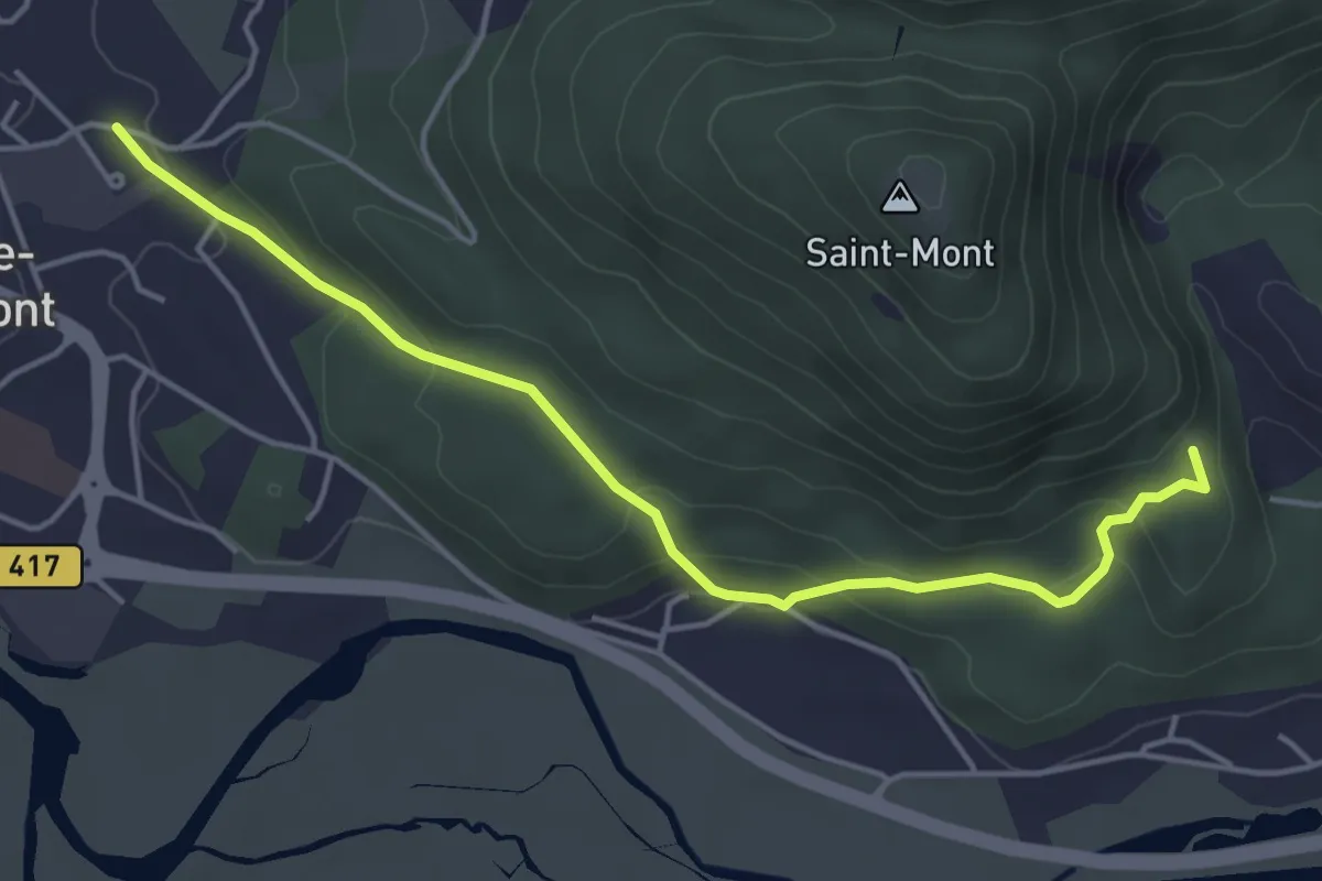
Easy · Trail
Saint-Étienne-lès-Remiremont – Chapelle du Vieux Saint Amé
4.6 km · ↑ 201 m · 1 h 31 min
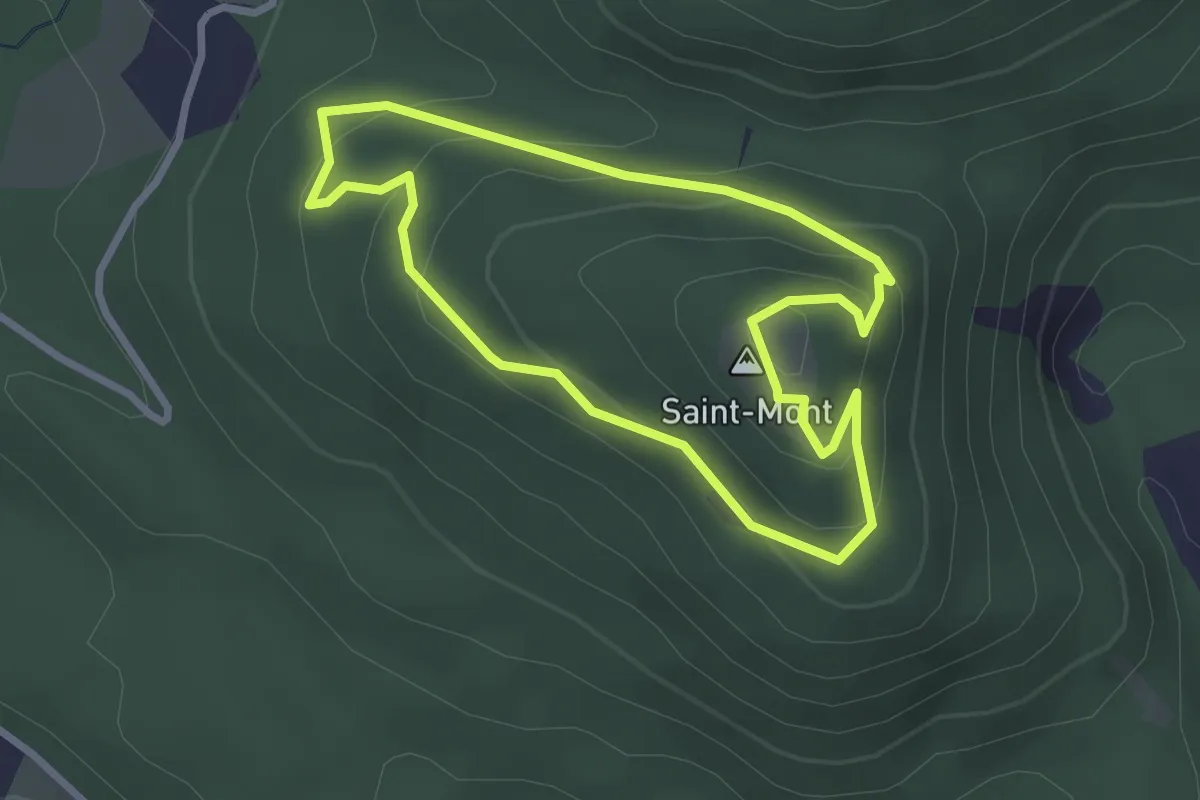
Easy · Summit
Saint-Romary – Le Saint-Mont
2.5 km · ↑ 136 m · 55 min
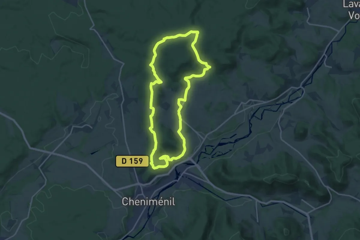
Medium · Trail
Docelles – Docelles
13.7 km · ↑ 354 m · 4 h 11 min
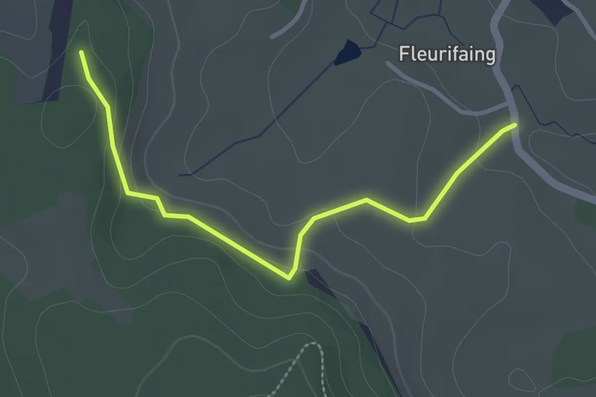
Easy · Trail
Haut du Mont – Aux Boueux
2.7 km · ↑ 93 m · 50 min
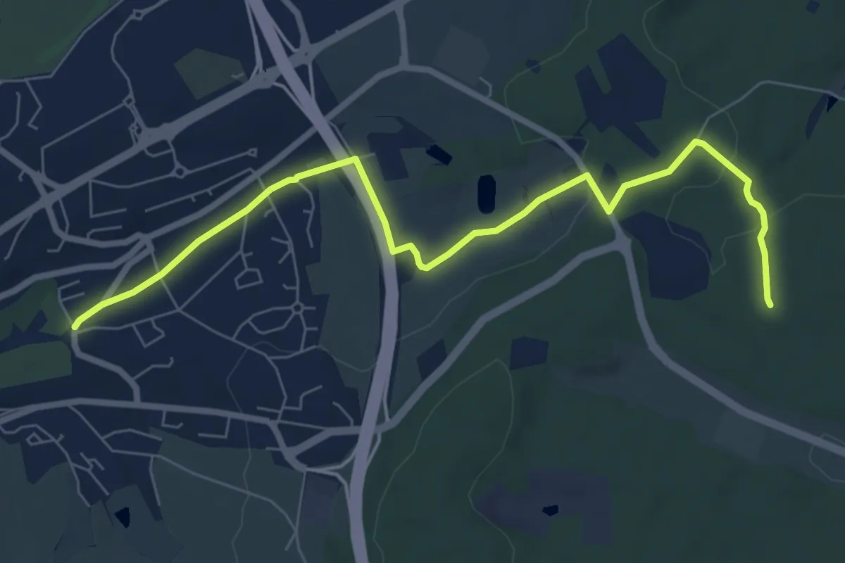
Easy · Trail
Épinal – Malgré Moi
7.7 km · ↑ 147 m · 2 h 8 min
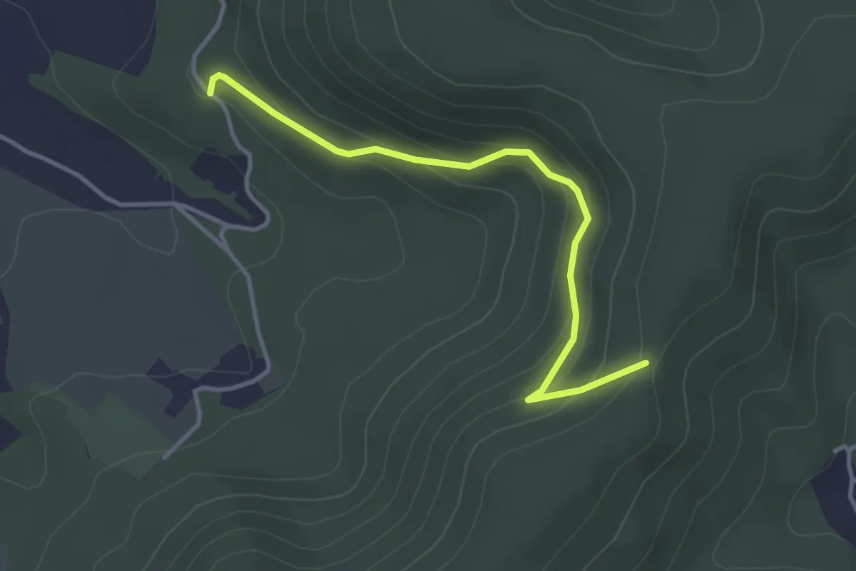
Easy · Trail
Belmont – Croix Thomas
3.4 km · ↑ 156 m · 1 h 8 min
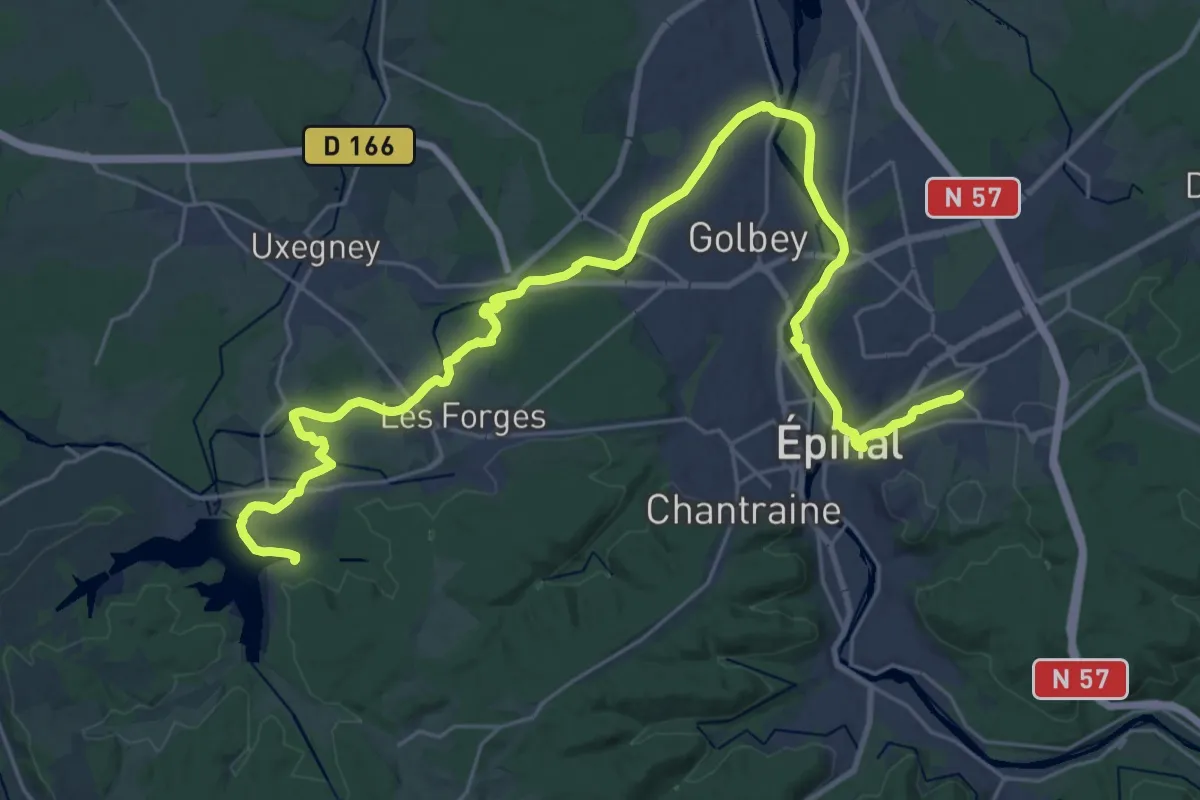
Medium · Trail
Camping Épinal – Le Lac de Bouzey
17.2 km · ↑ 127 m · 4 h 34 min
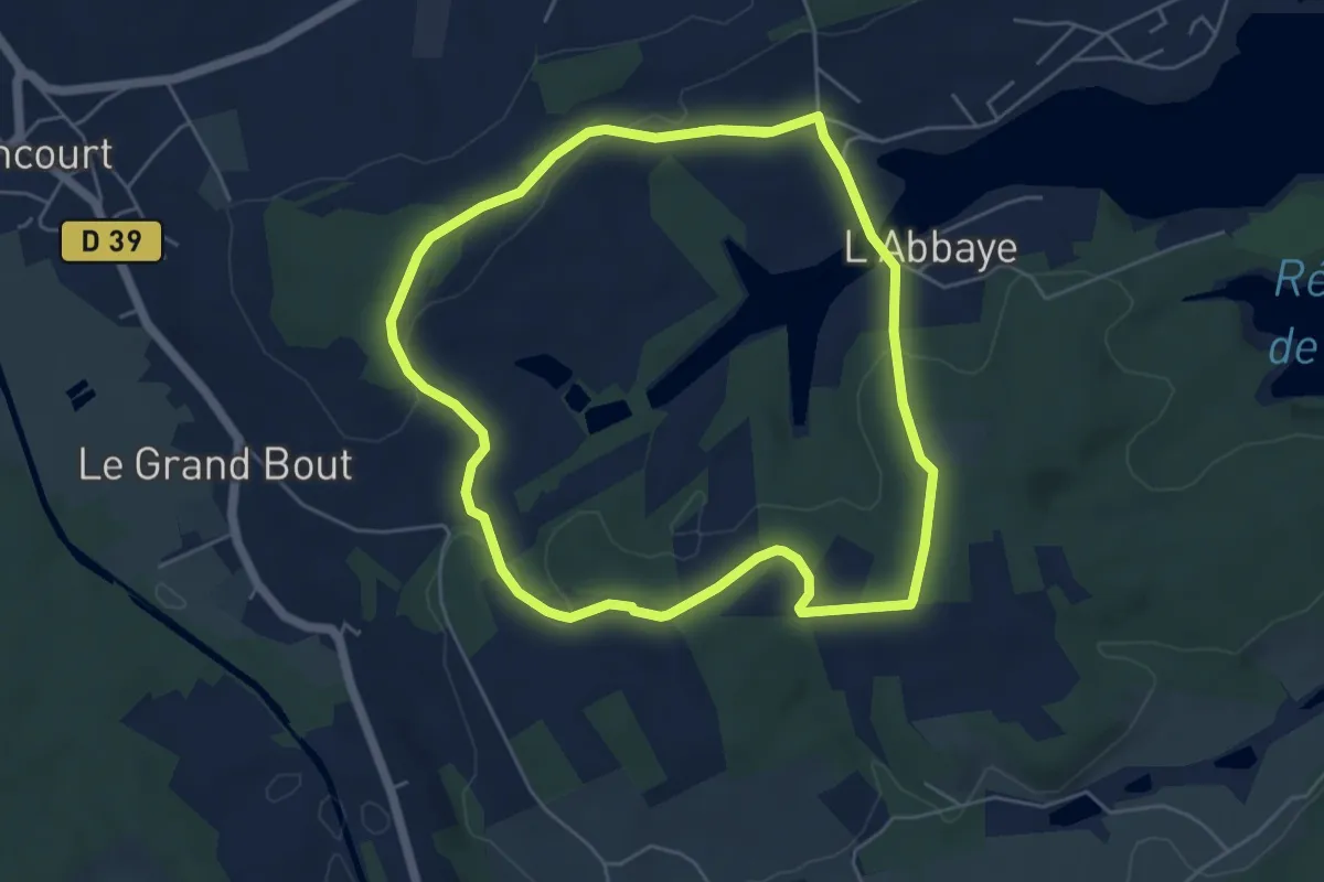
Easy · Trail
L'Abbaye – L'Abbaye
5.2 km · ↑ 87 m · 1 h 30 min
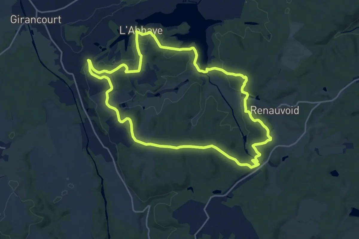
Medium · Trail
L'Abbaye – L'Abbaye
15.1 km · ↑ 337 m · 4 h 30 min
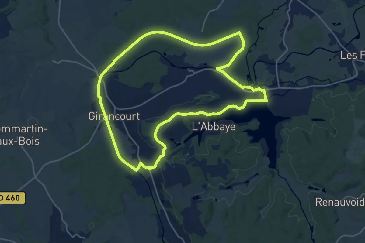
Medium · Trail
Lac de Bouzey – Lac de Bouzey
14.7 km · ↑ 105 m · 3 h 54 min
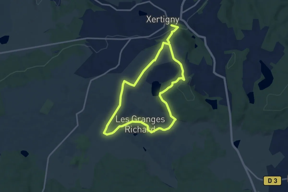
Easy · Trail
Xertigny – Les Granges Richard
7.3 km · ↑ 211 m · 2 h 15 min
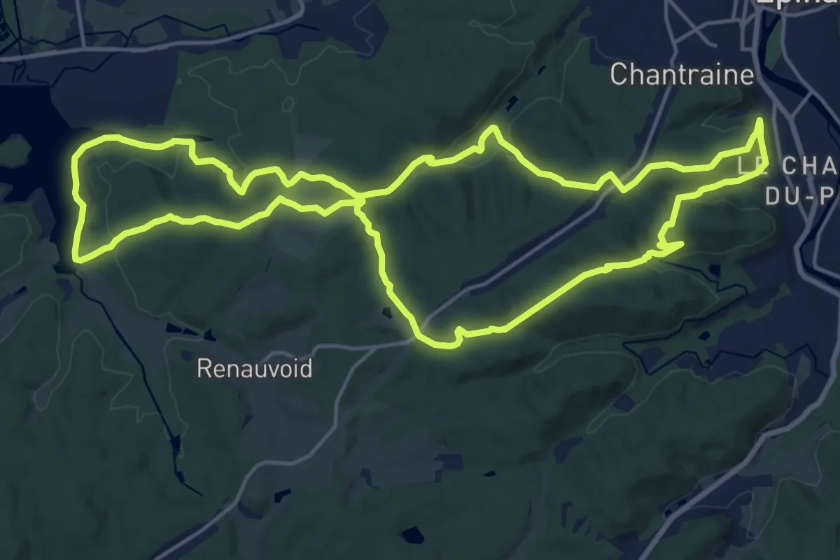
Medium · Trail
Le Champ-du-Pin – Lac de Bouzey
17.9 km · ↑ 448 m · 5 h 26 min
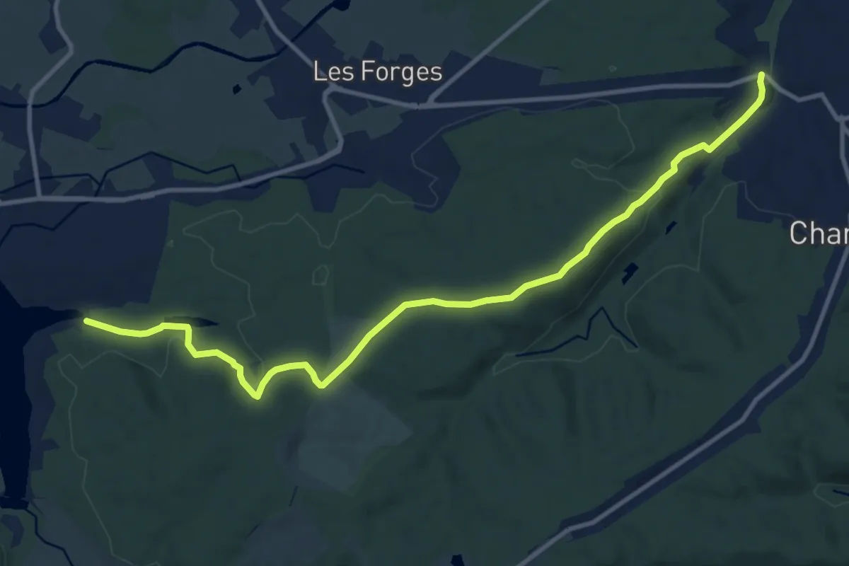
Medium · Trail
Étang de Chantraine – Lac de Bouzey
11.6 km · ↑ 252 m · 3 h 17 min
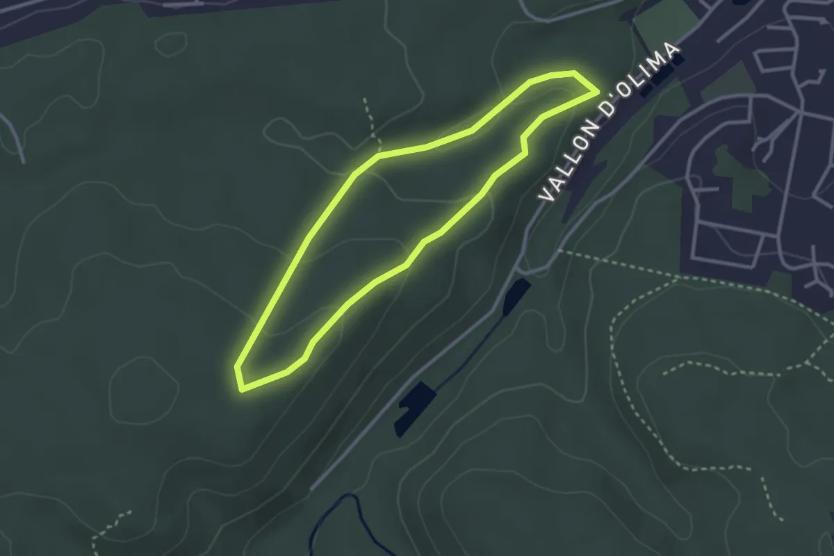
Easy · Trail
Parking parcours de santé – Parking parcours de santé
2.6 km · ↑ 79 m · 50 min
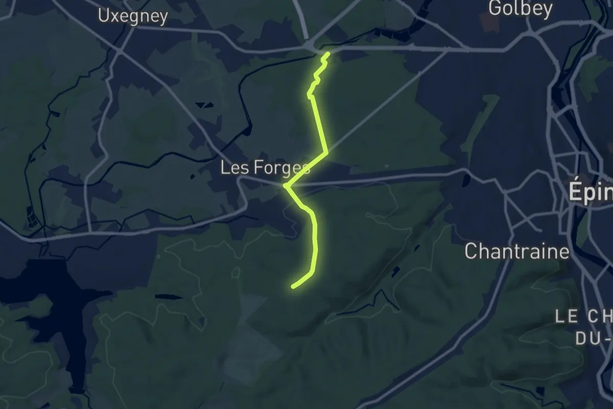
Easy · Trail
Bois le Duc – CDG 88
7.3 km · ↑ 85 m · 1 h 55 min
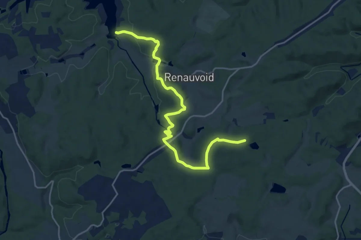
Medium · Trail
Étang de Riéfaing – Lac de Bouzey
14.1 km · ↑ 352 m · 4 h 6 min
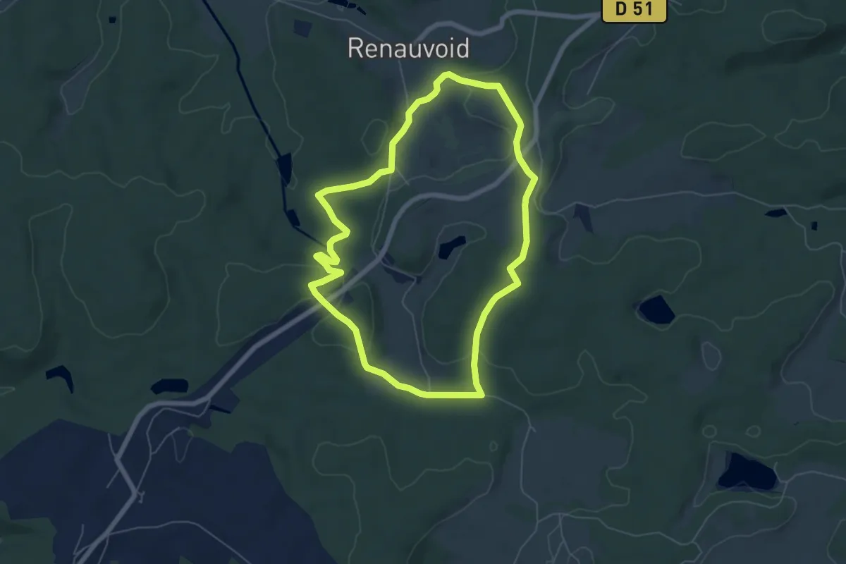
Easy · Trail
Maison Forestière d'Avière – Maison Forestière d'Avière
5.7 km · ↑ 138 m · 1 h 44 min
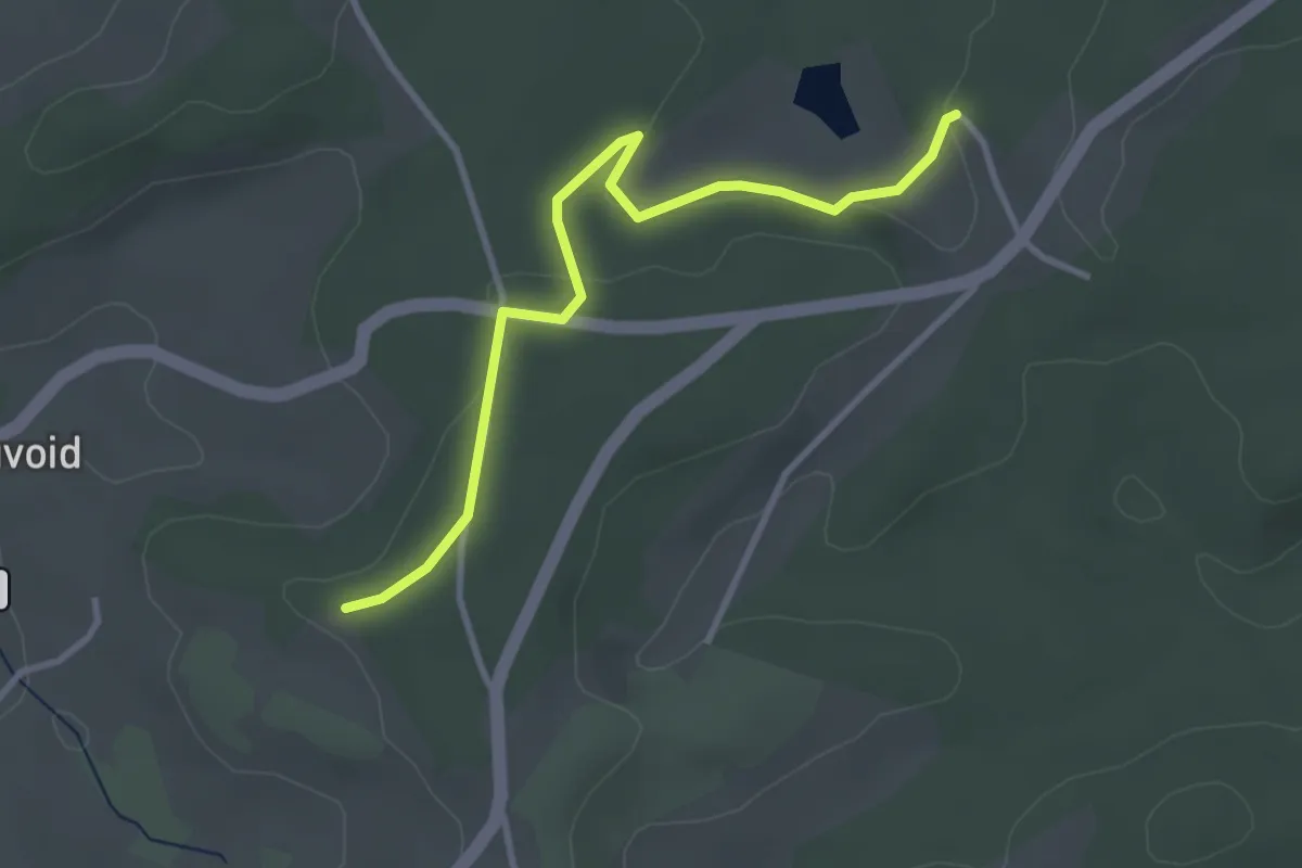
Easy · Trail
Les Boullaies – La Basse Henry
3.2 km · ↑ 66 m · 54 min
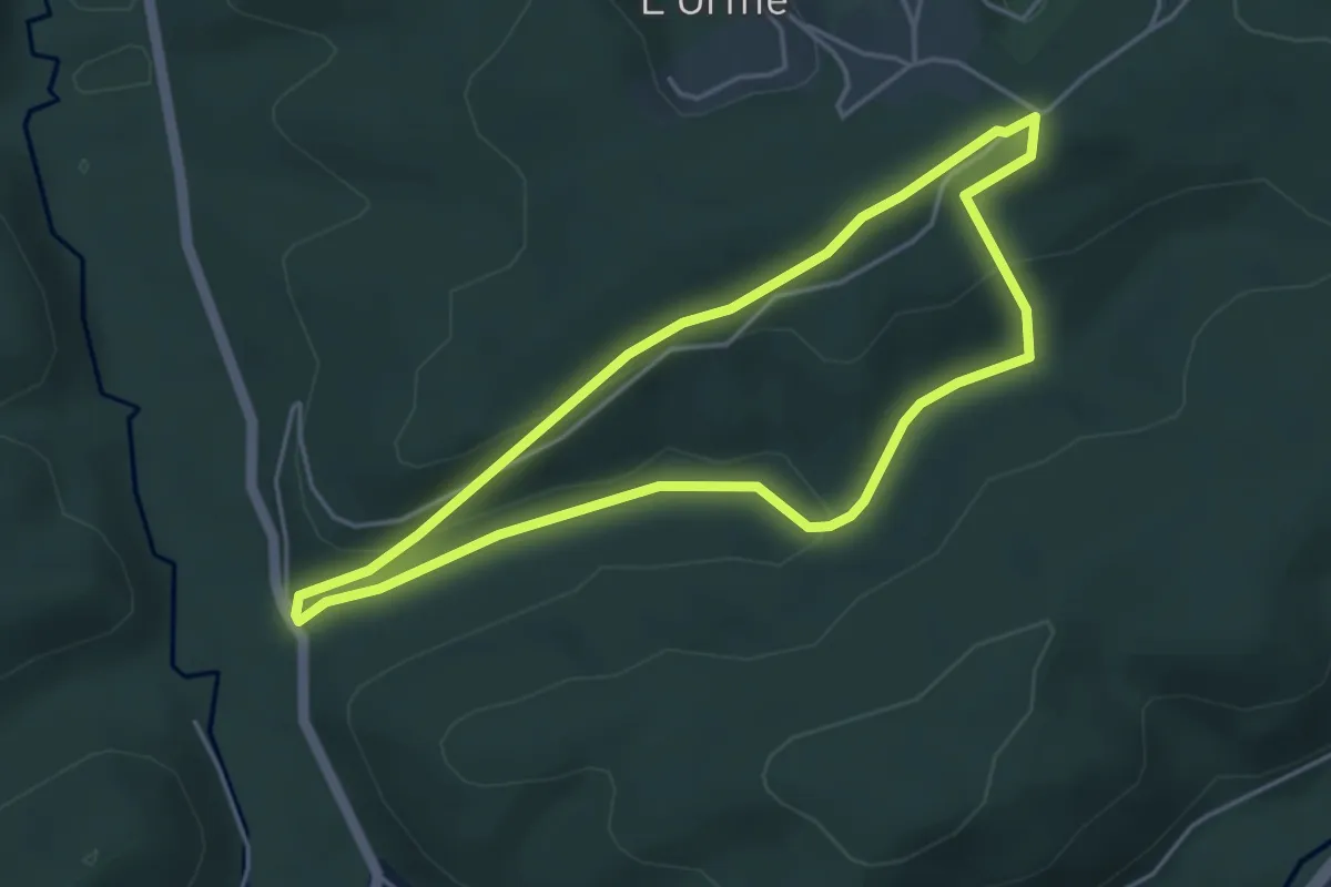
Easy · Trail
Cote 487 L'Orme – Cote 487 L'Orme
4.0 km · ↑ 137 m · 1 h 18 min
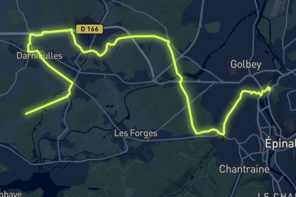
Demanding · Trail
Chaumousey – GR 501
30.4 km · ↑ 275 m · 7 h 46 min
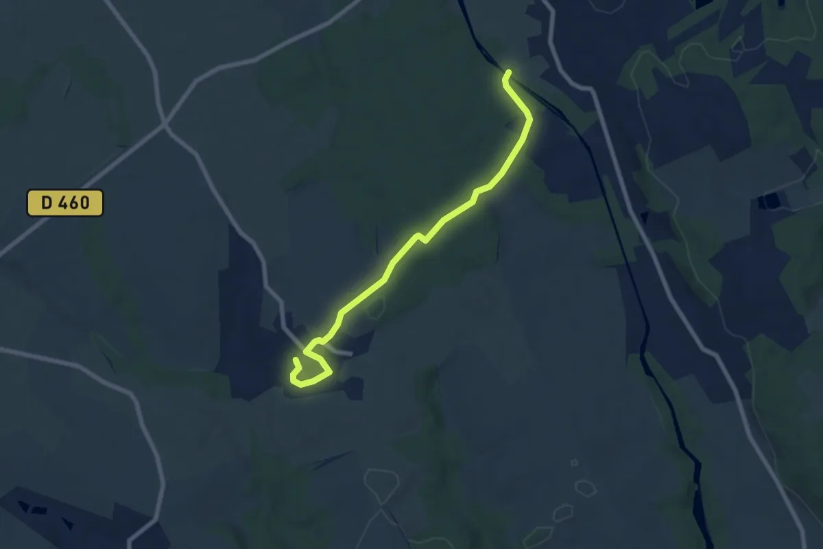
Easy · Trail
Le Grand Bout – Agémont
6.6 km · ↑ 123 m · 1 h 49 min
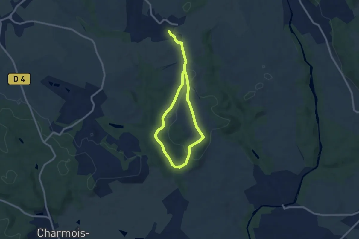
Easy · Trail
Agémont – Agémont
4.8 km · ↑ 67 m · 1 h 21 min
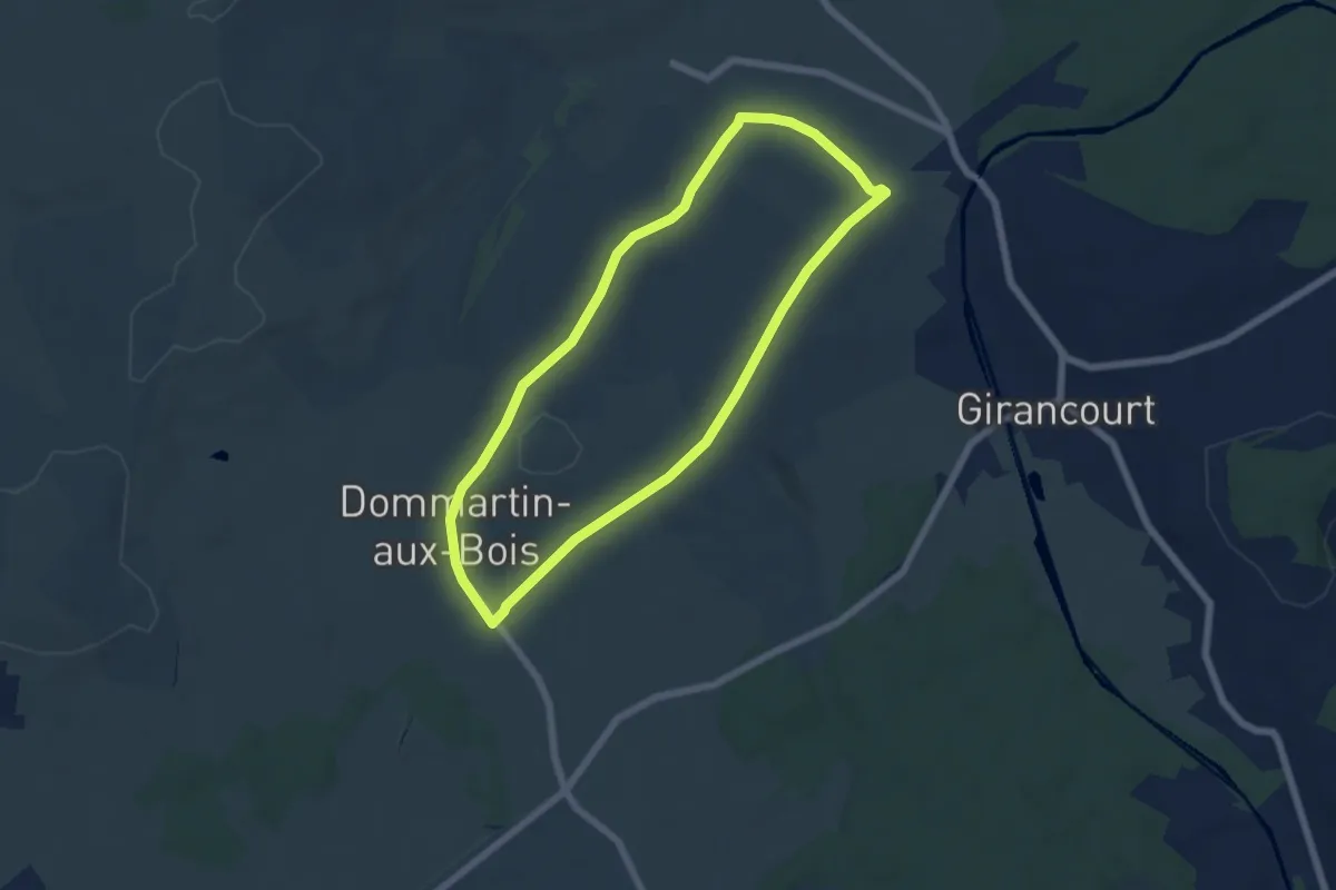
Easy · Trail
La Gare – La Gare
5.6 km · ↑ 71 m · 1 h 33 min
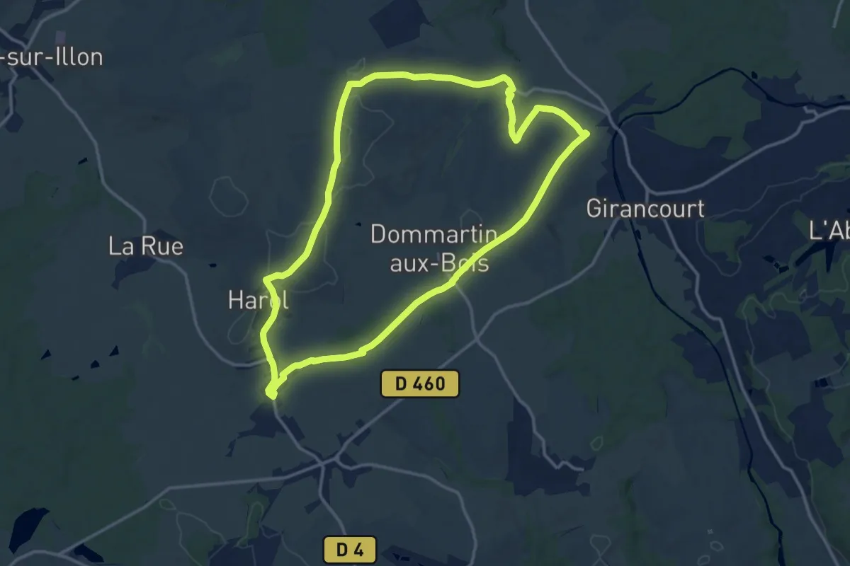
Medium · Trail
La Gare – La Gare
13.1 km · ↑ 174 m · 3 h 40 min
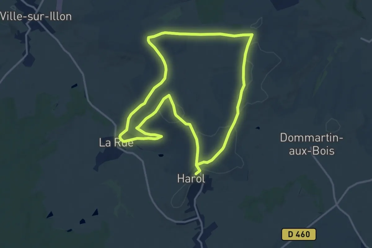
Medium · Trail
Harol – Harol
10.4 km · ↑ 195 m · 3 h 1 min
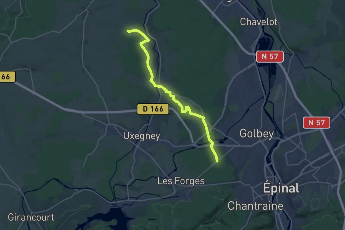
Medium · Trail
Les Mairies – D 460
17.3 km · ↑ 239 m · 4 h 36 min
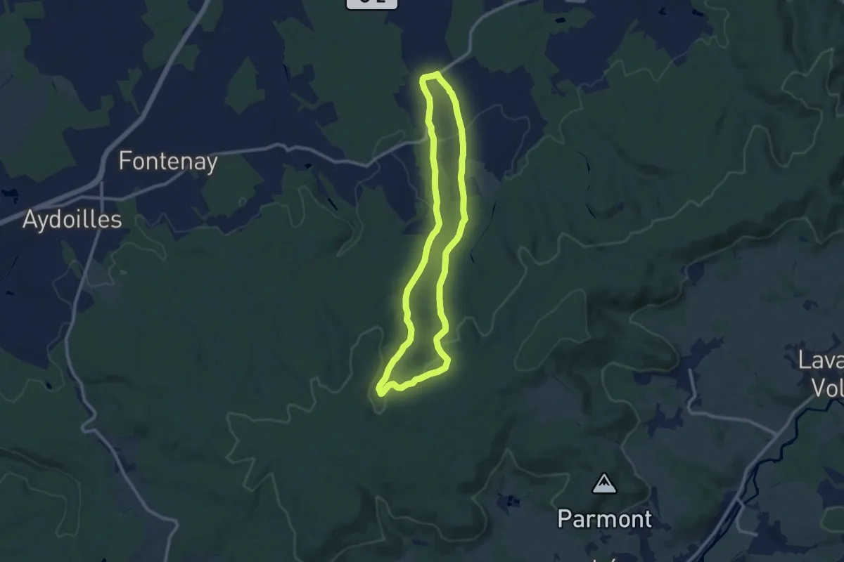
Medium · Trail
Viménil – Viménil
8.8 km · ↑ 206 m · 2 h 39 min