Trails in France
15,926 hiking trails, each with its route, climb, walking time and grade.
All trails, page 315 of 332
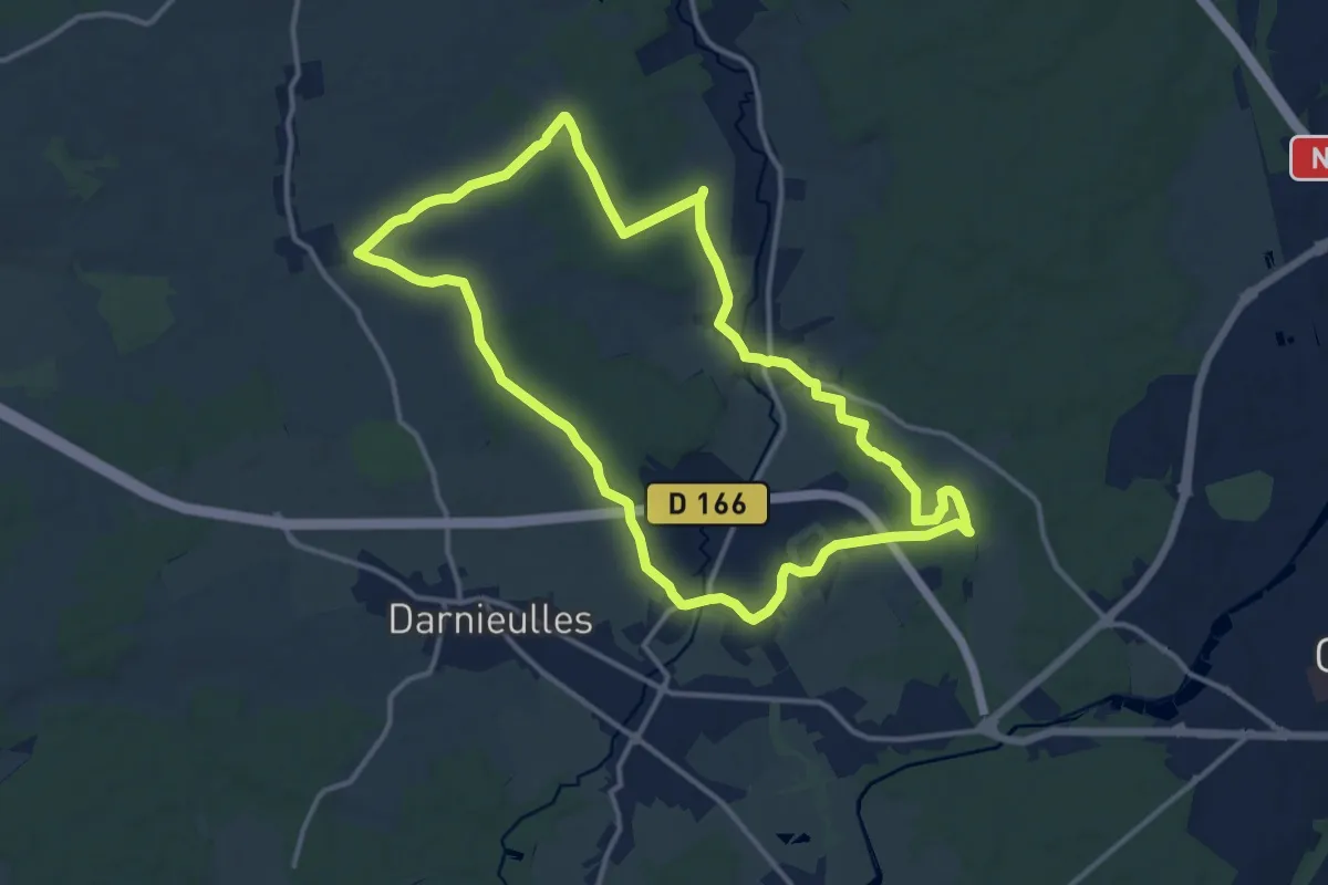
Medium · Trail
Uxegney – Uxegney
12.9 km · ↑ 146 m · 3 h 32 min
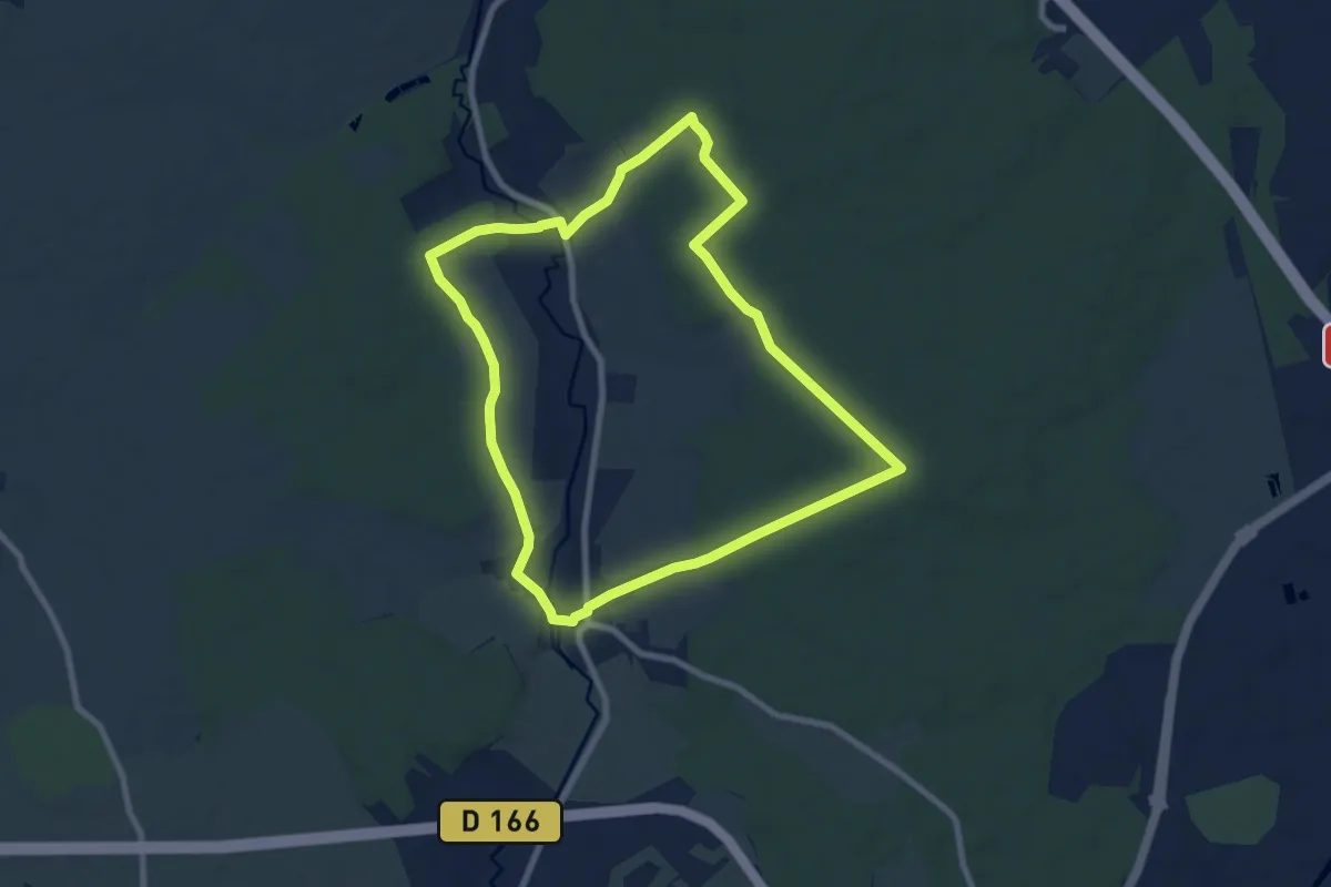
Easy · Trail
Domèvre-sur-Avière – Domèvre-sur-Avière
7.8 km · ↑ 124 m · 2 h 13 min
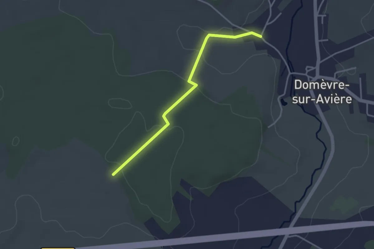
Easy · Trail
Rue de L'Avière – Les Breleux
3.0 km · ↑ 62 m · 50 min
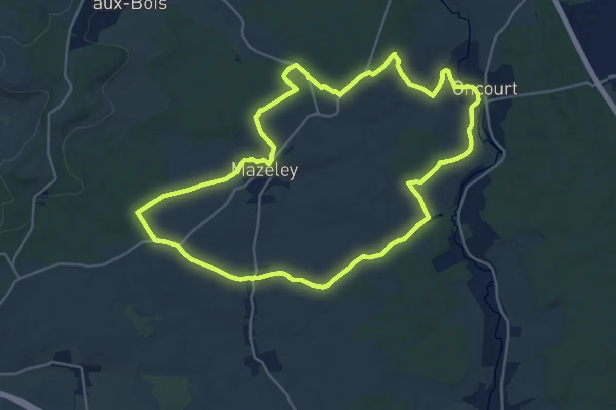
Medium · Trail
Mazeley – Mazeley
13.9 km · ↑ 169 m · 3 h 51 min
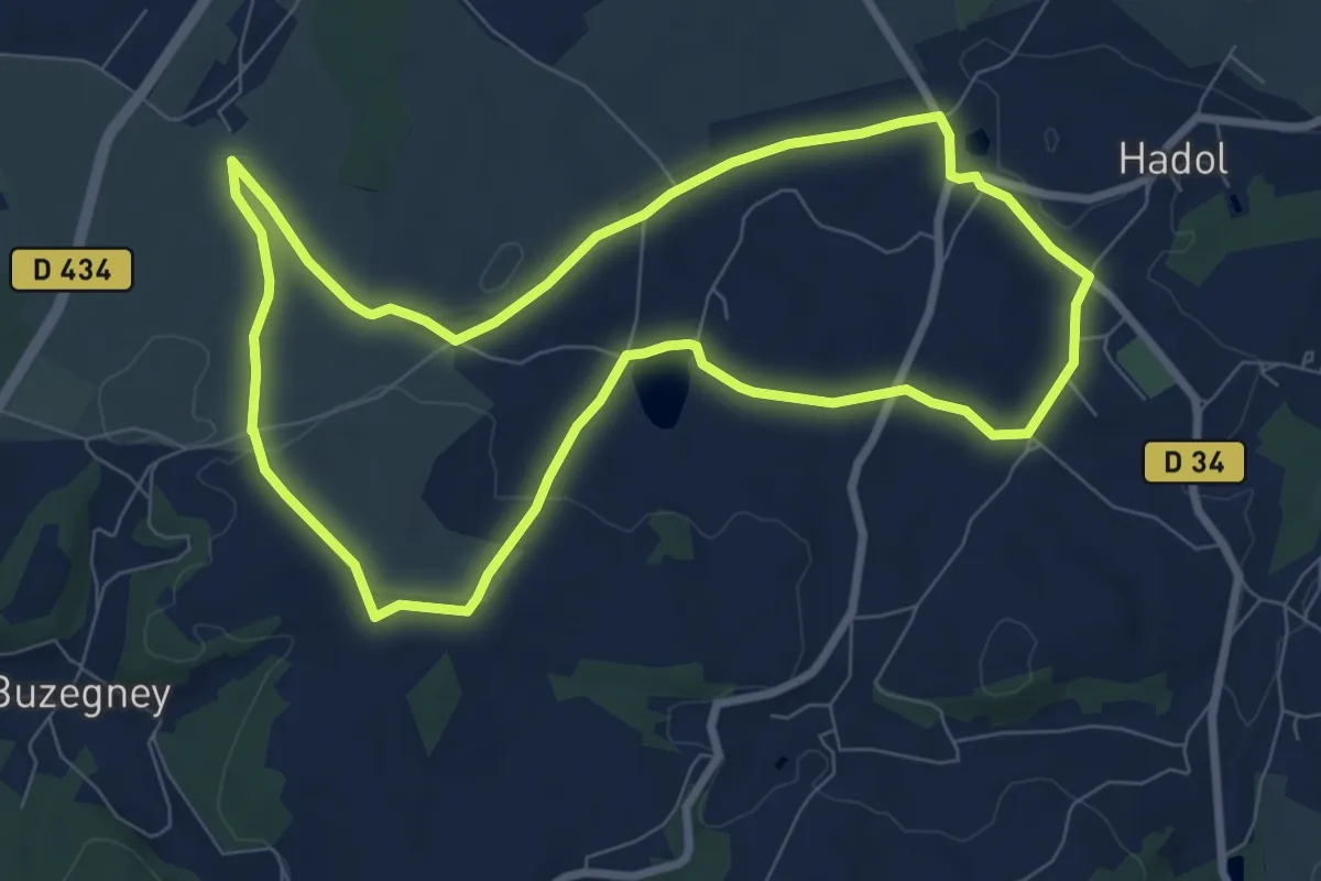
Easy · Trail
Hadol – Hadol
7.9 km · ↑ 107 m · 2 h 12 min
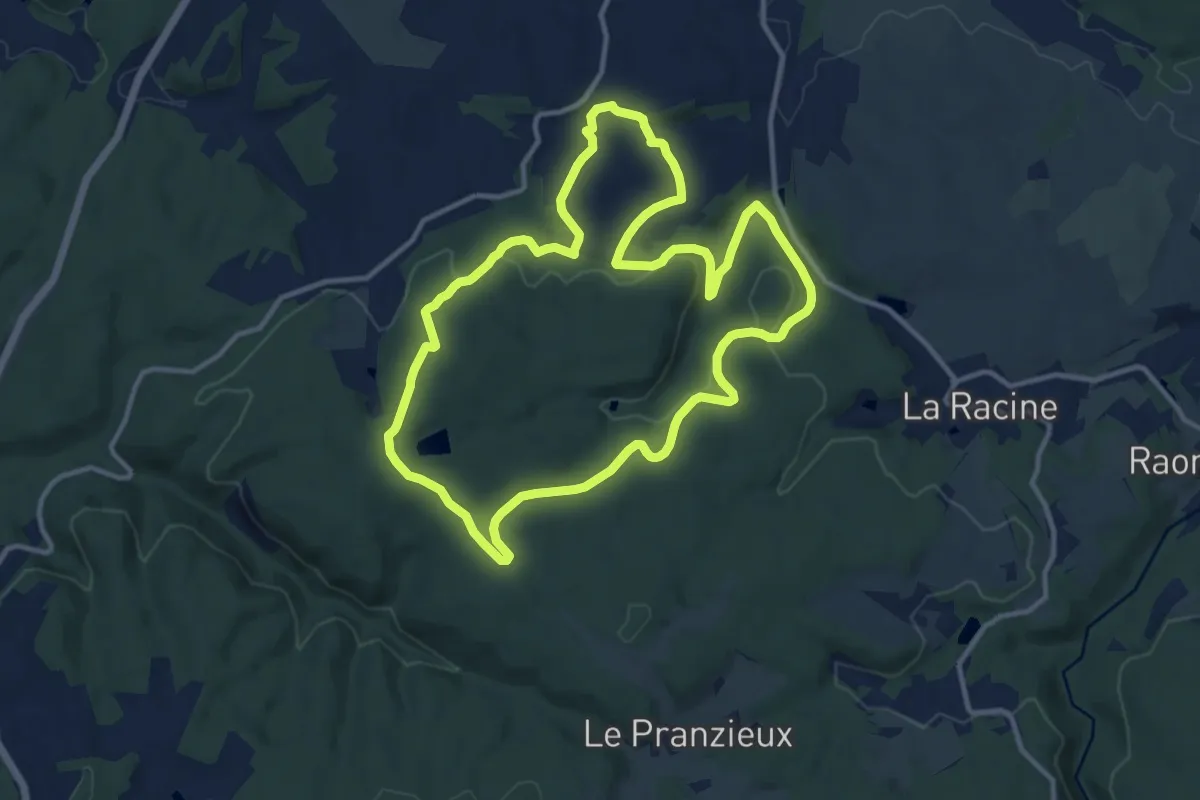
Medium · Trail
Hadol – Hadol
11.7 km · ↑ 255 m · 3 h 28 min
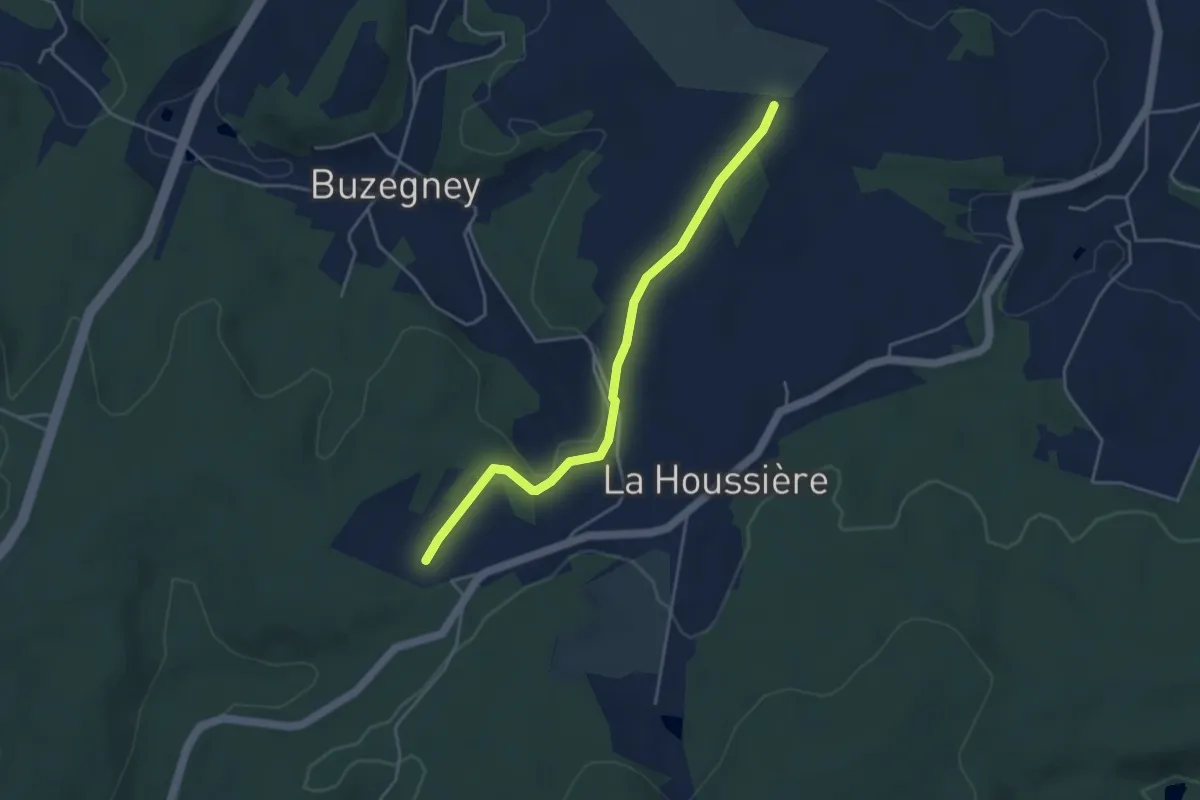
Easy · Trail
Belfosse – GR 7
4.0 km · ↑ 61 m · 1 h 5 min
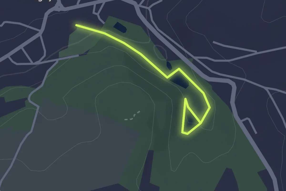
Easy · Trail
Xertigny – Etangs Beaudoin
2.5 km · ↑ 55 m · 42 min
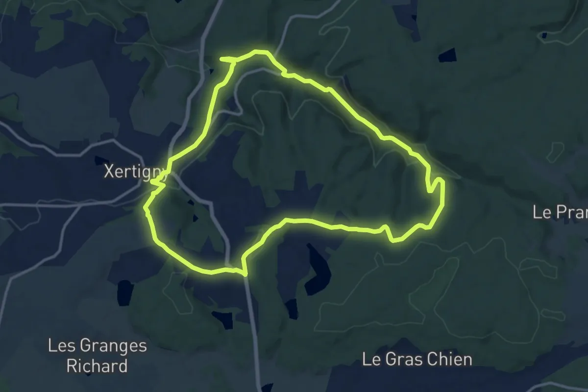
Medium · Trail
Xertigny – Xertigny
11.2 km · ↑ 235 m · 3 h 18 min
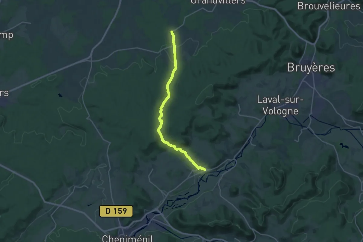
Medium · Trail
Deycimont – Viménil
16.6 km · ↑ 448 m · 4 h 53 min
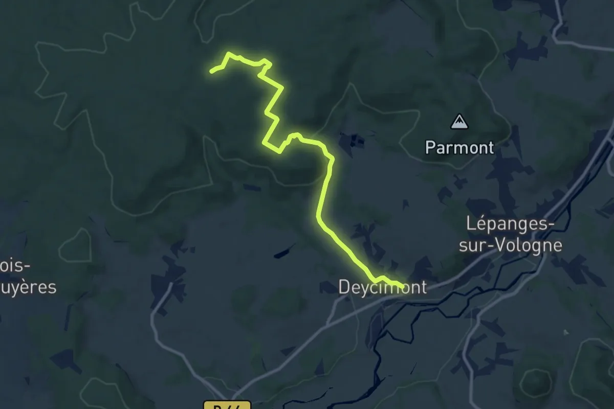
Medium · Trail
Deycimont – Croix Christophe
9.5 km · ↑ 254 m · 2 h 48 min
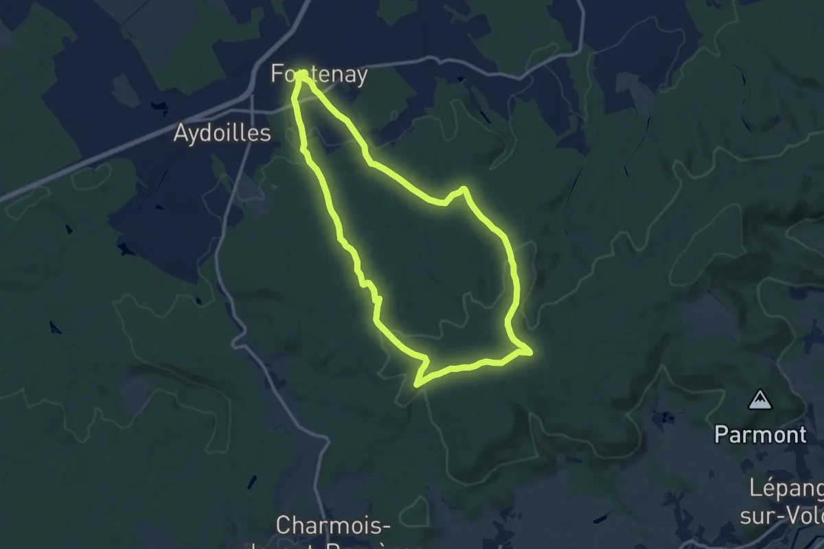
Medium · Trail
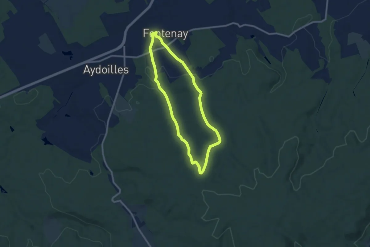
Fontenay – Fontenay
10.8 km · ↑ 209 m · 3 h 9 min
Easy · Trail
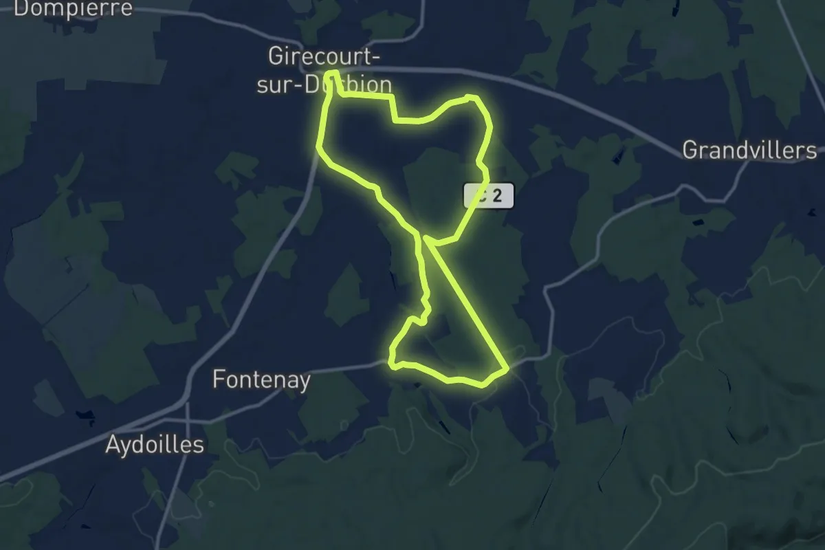
Fontenay – Fontenay
6.4 km · ↑ 134 m · 1 h 53 min
Medium · Trail
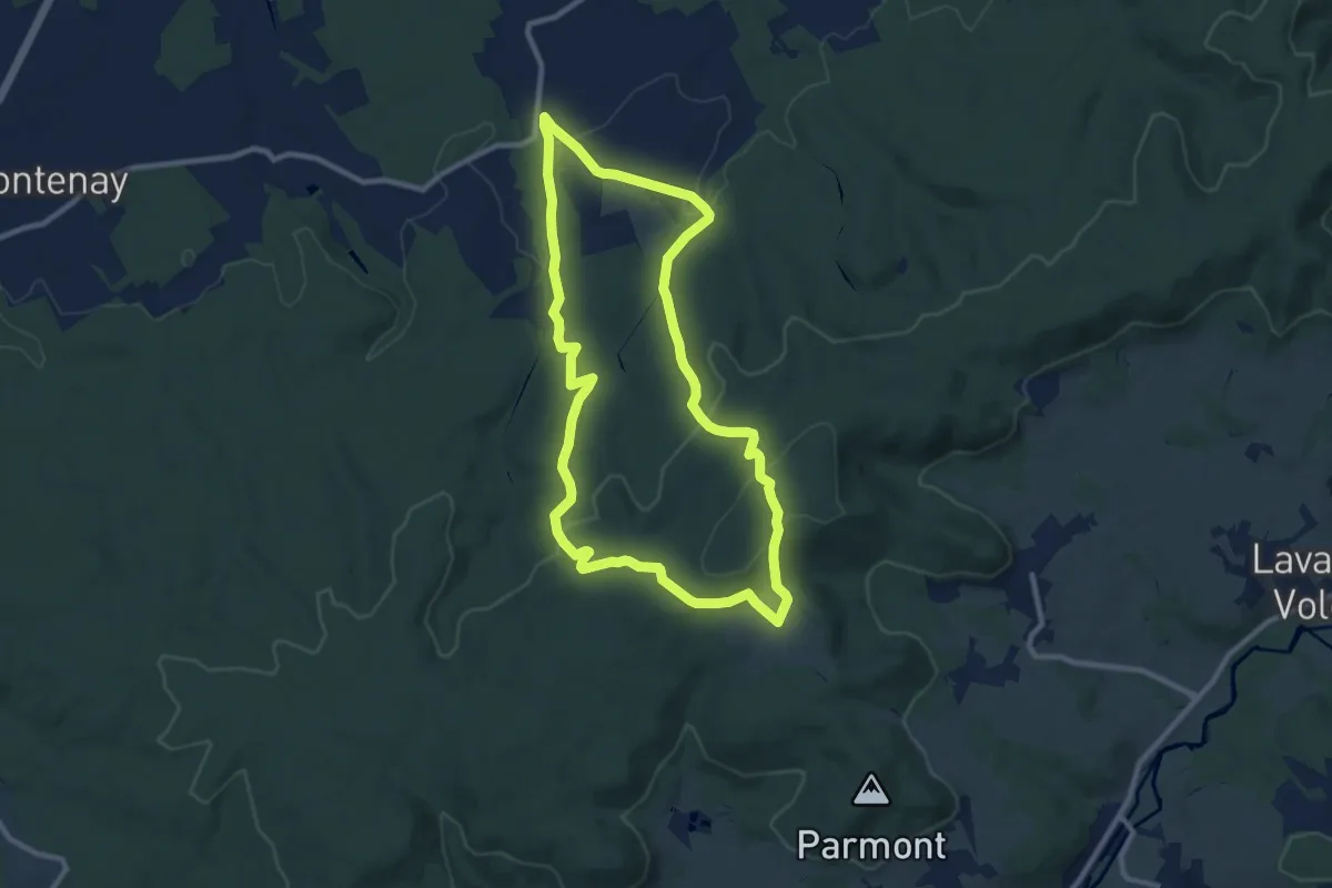
Girecourt-sur-Durbion – Girecourt-sur-Durbion
10.9 km · ↑ 90 m · 2 h 56 min
Medium · Trail
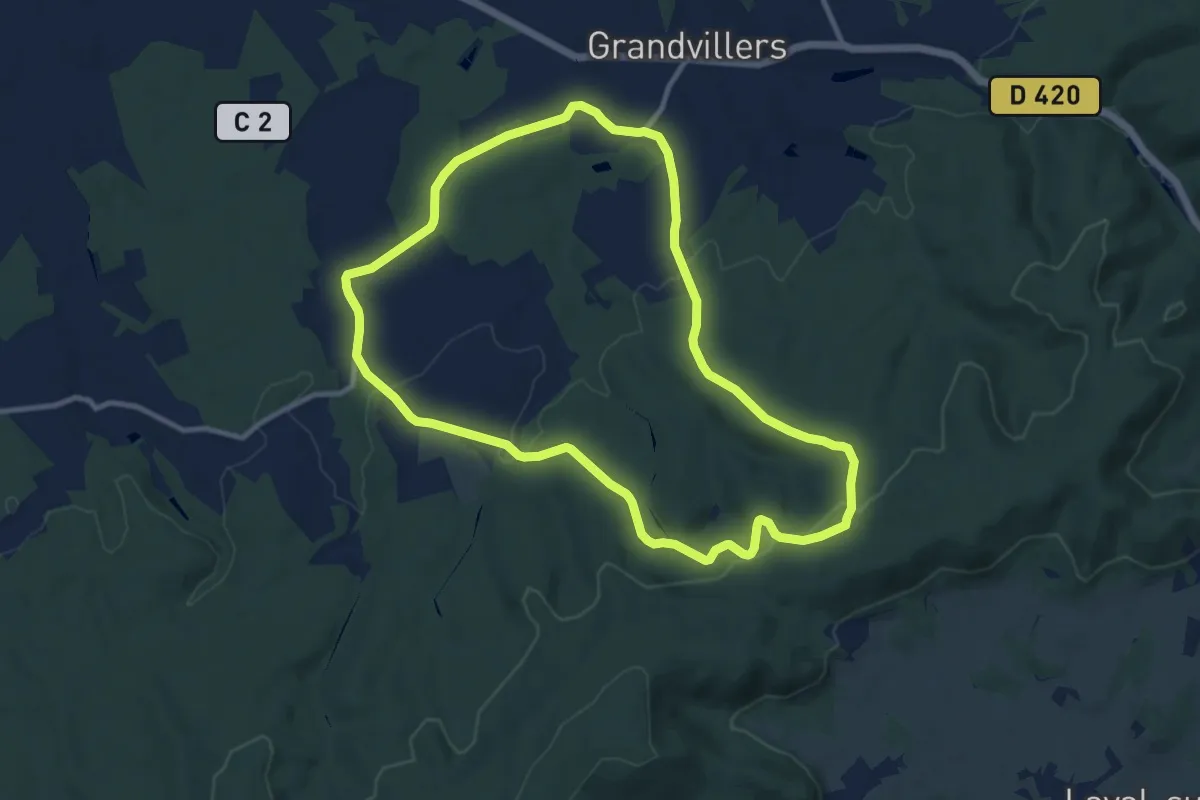
Viménil – Viménil
9.3 km · ↑ 308 m · 2 h 59 min
Medium · Trail
Viménil – Viménil
10.2 km · ↑ 224 m · 3 h 2 min
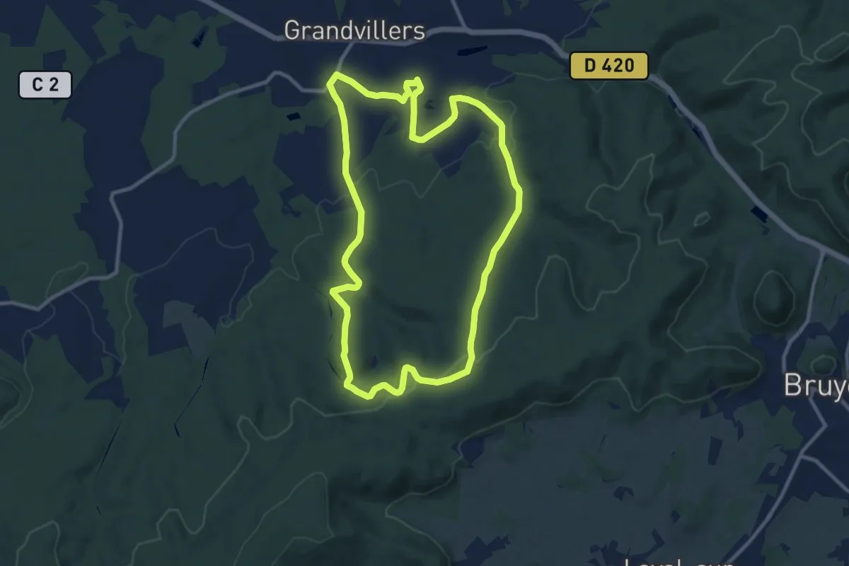
Medium · Trail
Grandvillers – Grandvillers
9.6 km · ↑ 191 m · 2 h 49 min
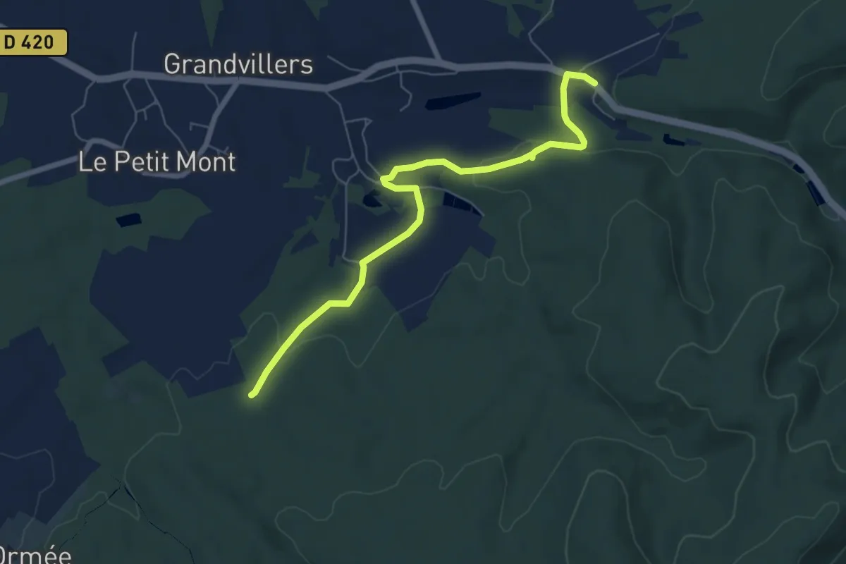
Easy · Trail
Parking route de Bruyères – Faing du Bois
6.5 km · ↑ 96 m · 1 h 44 min
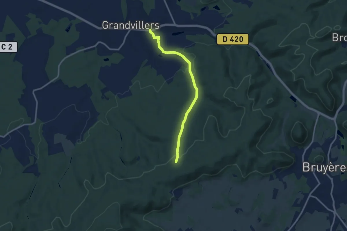
Easy · Trail
Grandvillers – Sentier des Ducs
7.4 km · ↑ 176 m · 2 h 7 min
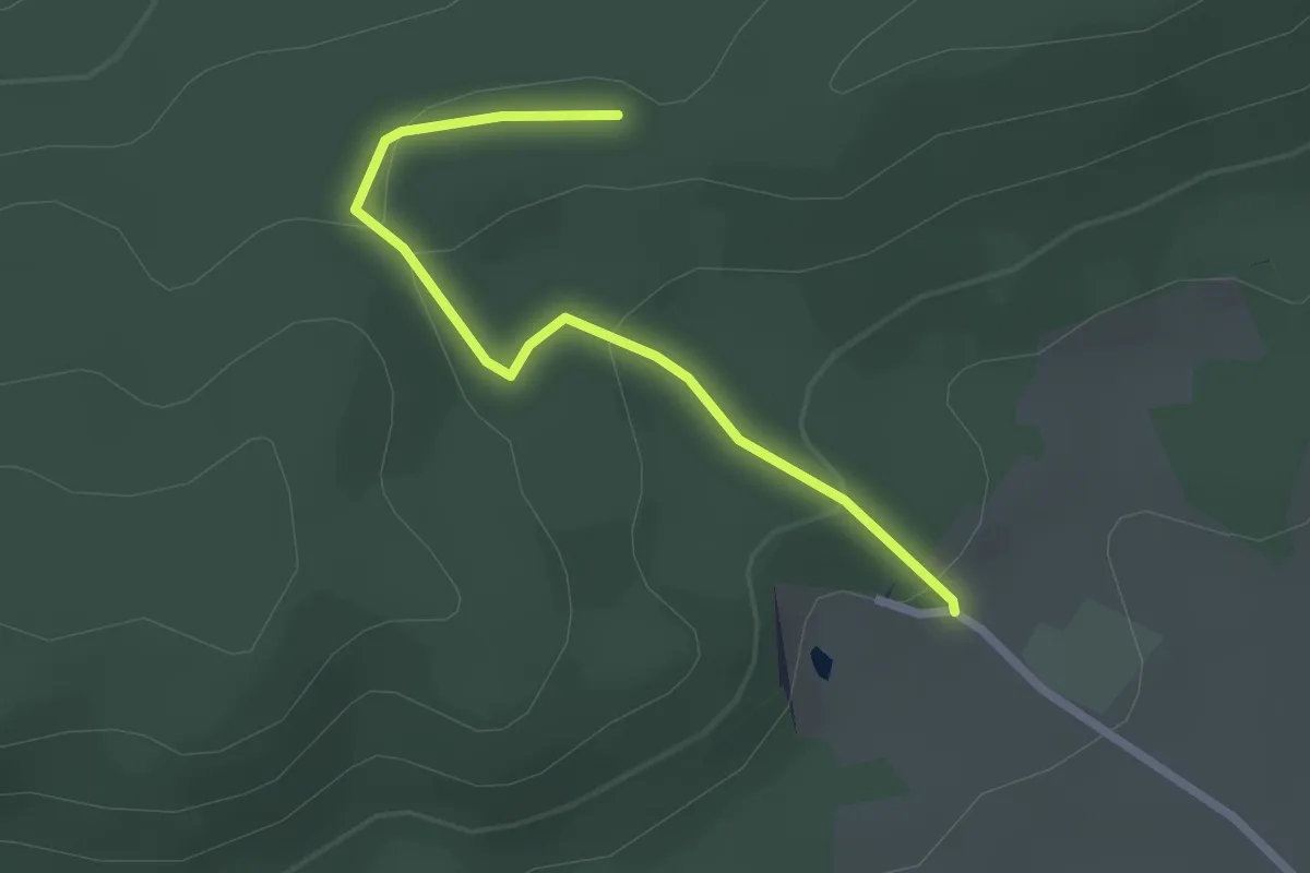
Easy · Trail
Les Grandes Feignes – Sentier des Ducs
2.3 km · ↑ 85 m · 43 min
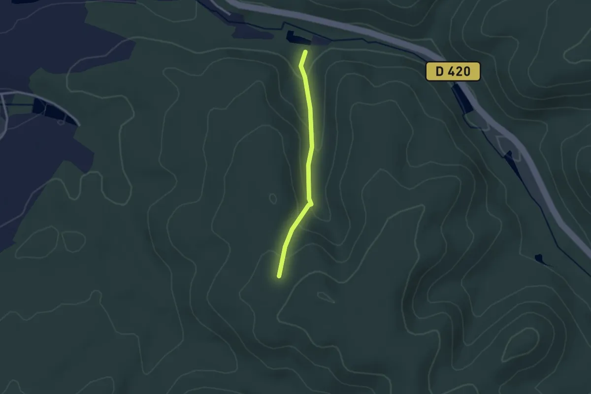
Easy · Trail
Prairie de Bouillante – Chêne de la Vierge
2.0 km · ↑ 99 m · 41 min
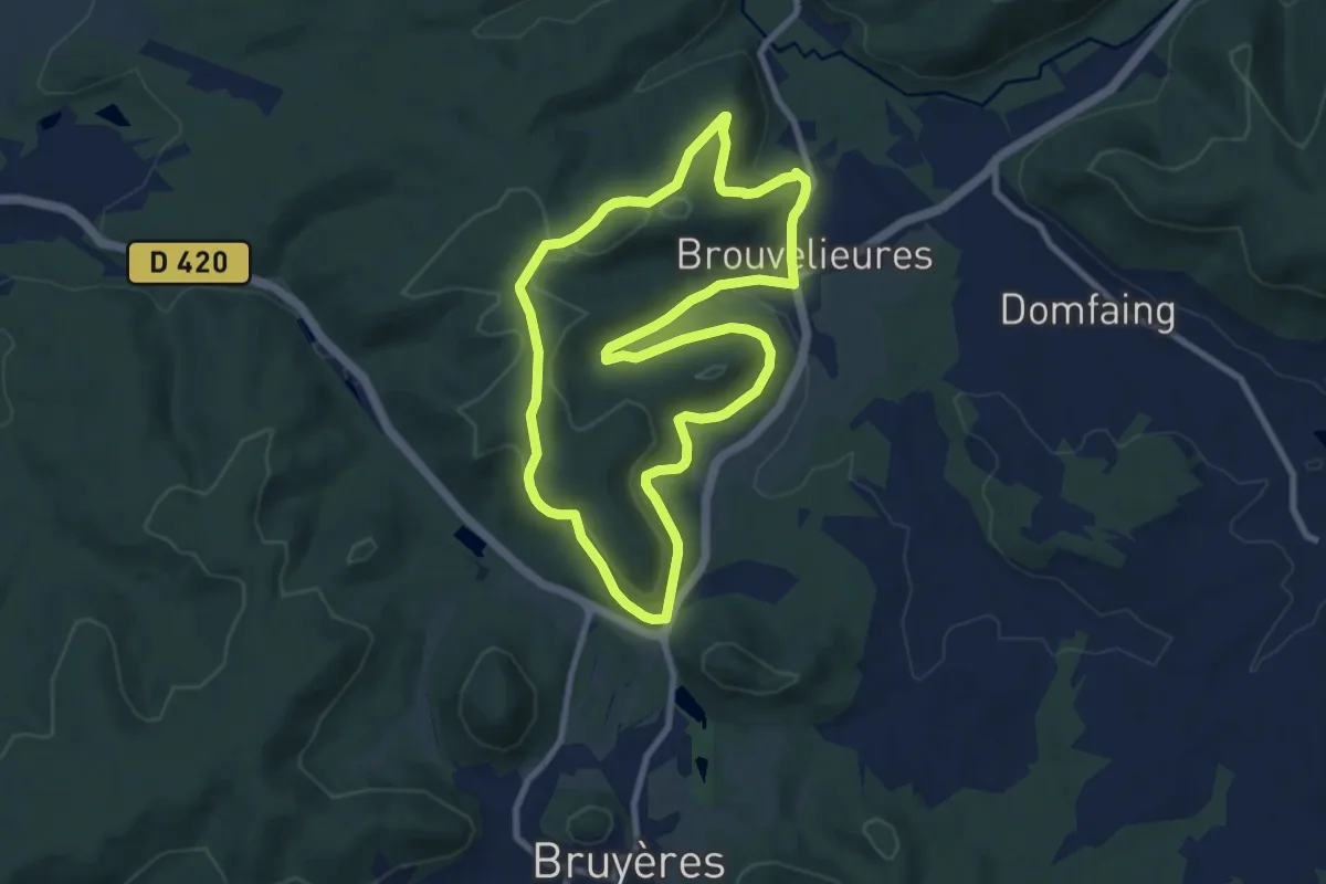
Medium · Trail
Brouvelieures – Brouvelieures
8.3 km · ↑ 253 m · 2 h 38 min
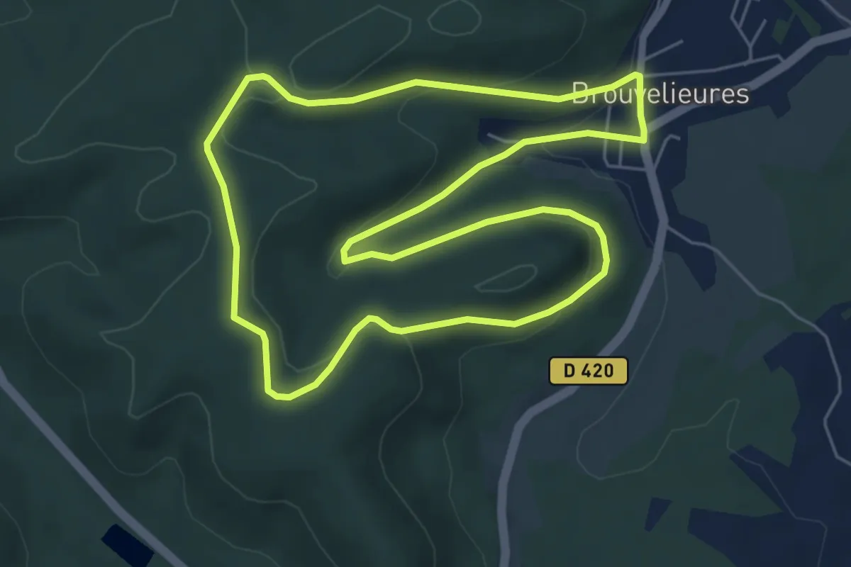
Easy · Trail
Brouvelieures – Brouvelieures
5.6 km · ↑ 178 m · 1 h 47 min
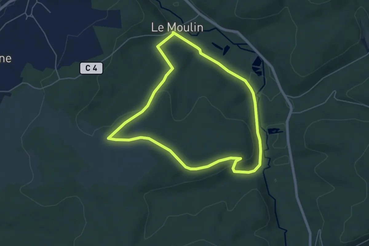
Easy · Trail
Xeuty – Xeuty
4.8 km · ↑ 102 m · 1 h 25 min
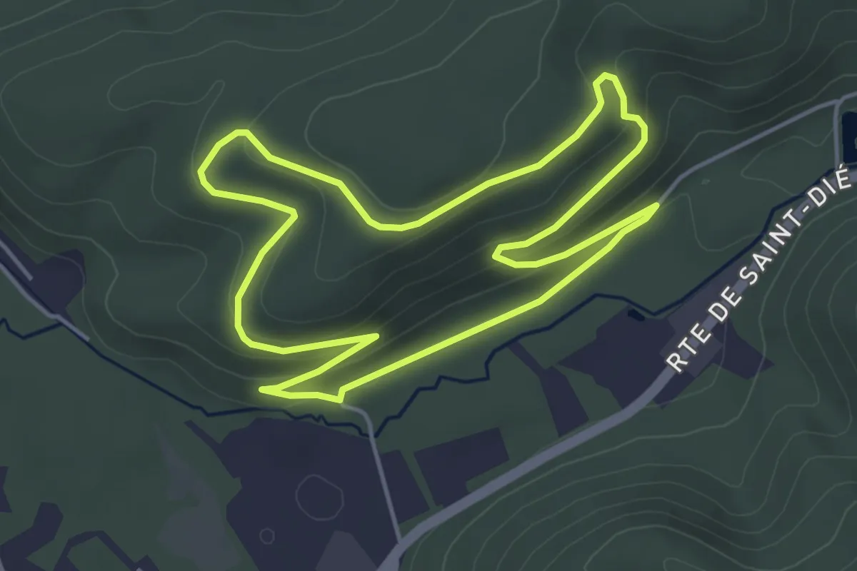
Easy · Trail
Neuf Moulin – Neuf Moulin
4.4 km · ↑ 158 m · 1 h 26 min
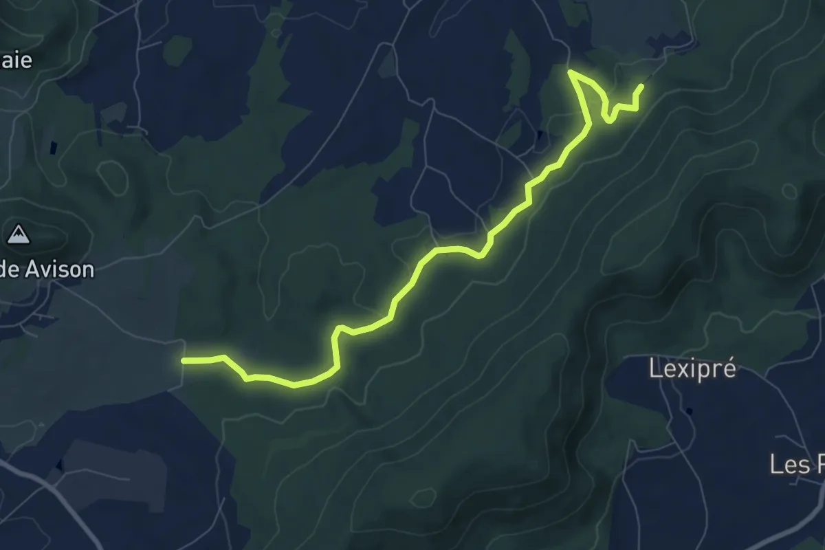
Medium · Trail
Ferme du Champ de Tir – Colonie de Laxou
8.4 km · ↑ 195 m · 2 h 24 min
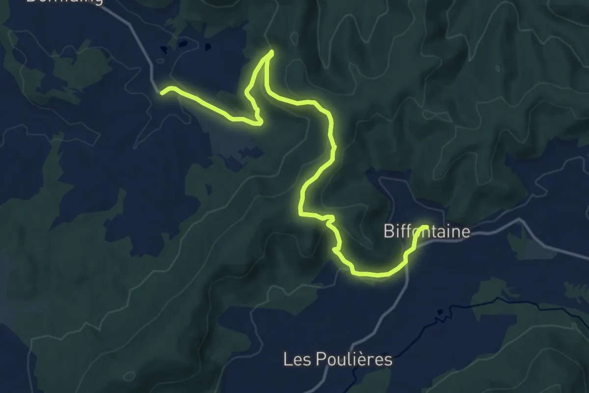
Medium · Trail
Belmont-sur-Buttant – Biffontaine
14.1 km · ↑ 516 m · 4 h 26 min
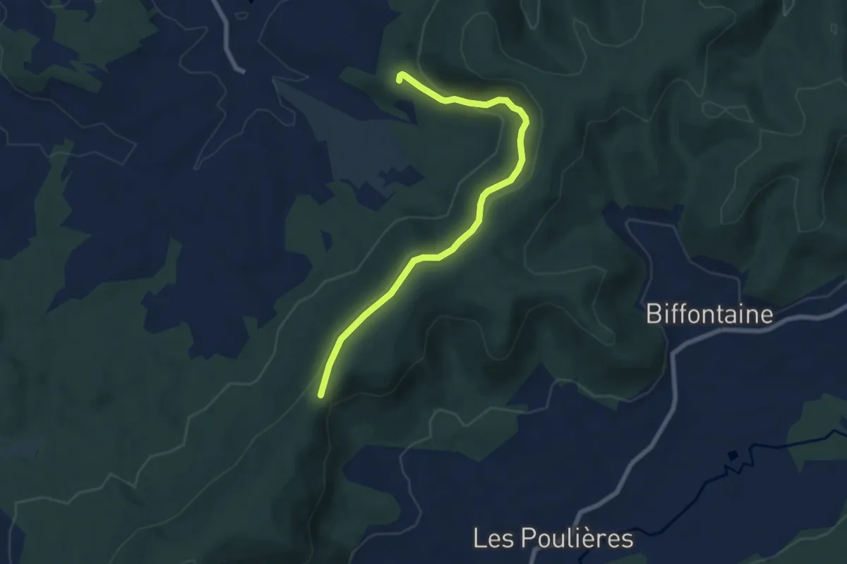
Easy · Trail
Belmont-sur-Buttant – Col de l'Arnelle
6.7 km · ↑ 245 m · 2 h 6 min
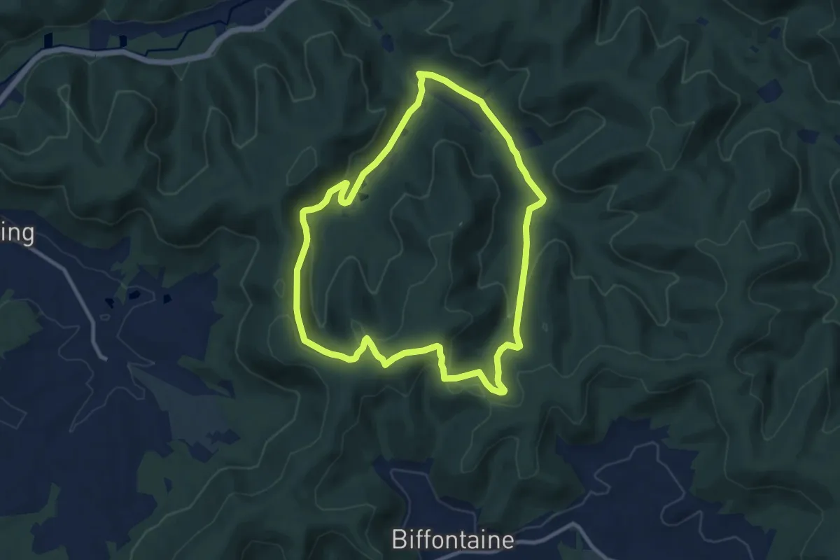
Medium · Trail
Maillefaing – Maillefaing
9.1 km · ↑ 280 m · 2 h 52 min
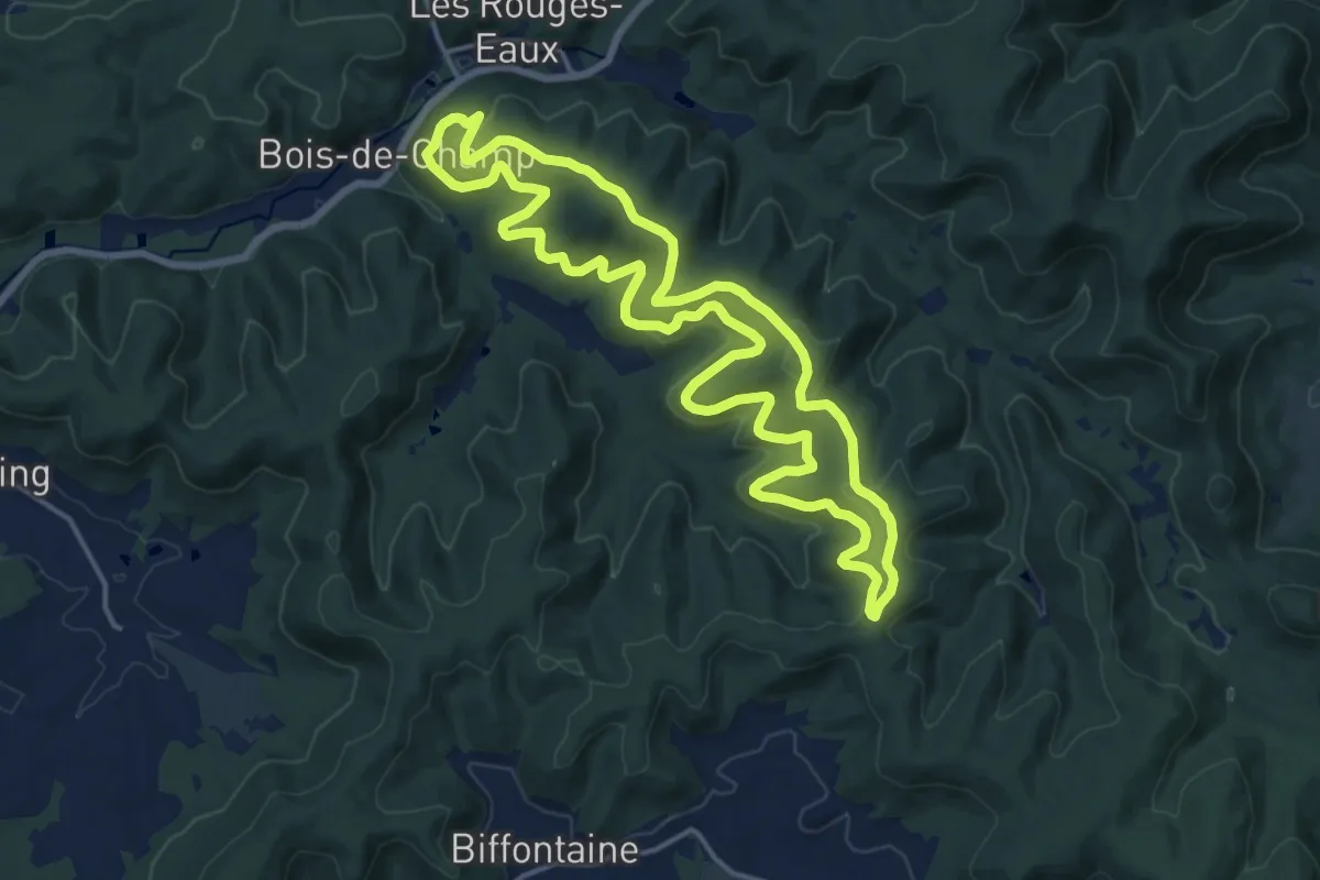
Medium · Trail
Maillefaing – Maillefaing
15.5 km · ↑ 418 m · 4 h 47 min
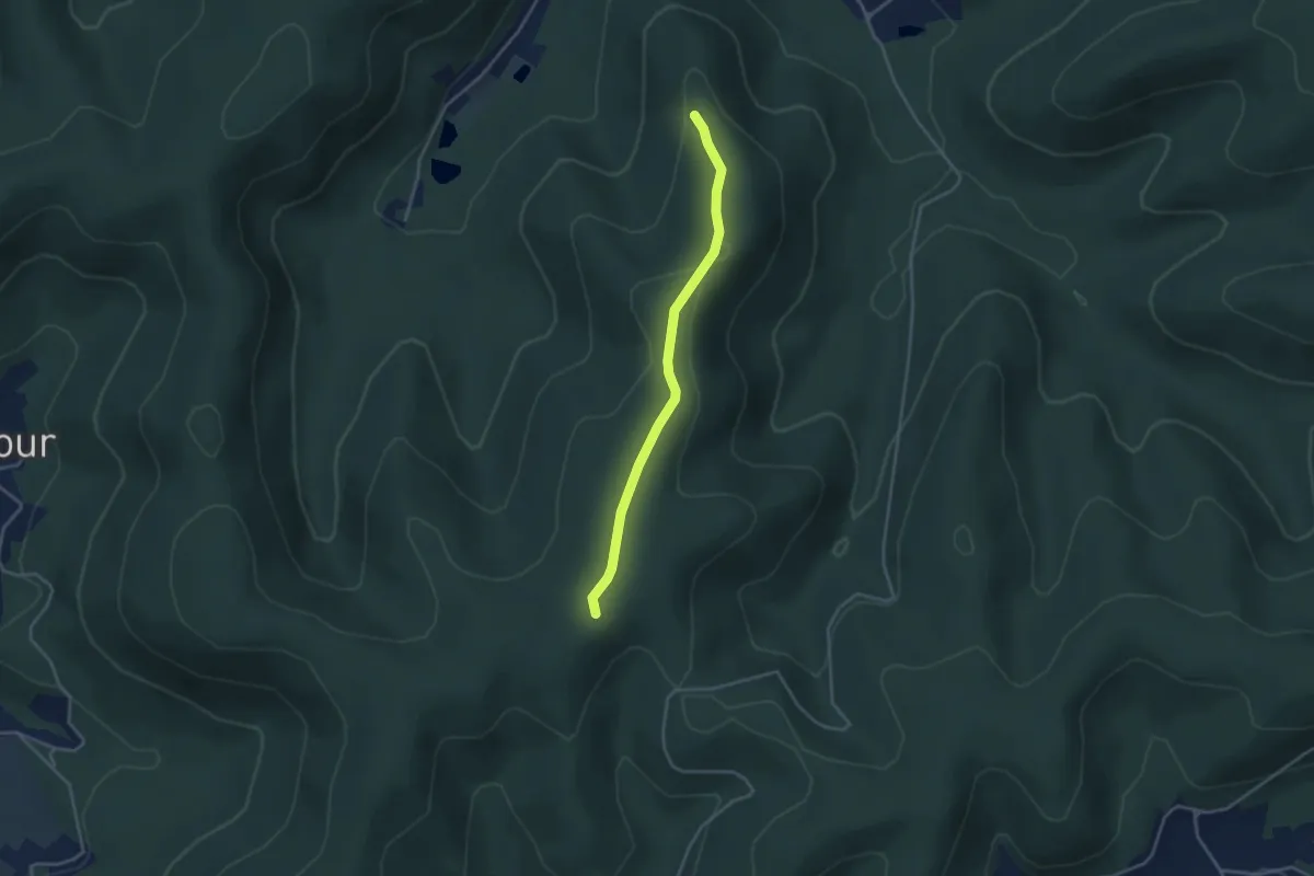
Easy · Trail
Croix François – Roche Salmon
3.3 km · ↑ 105 m · 1 h
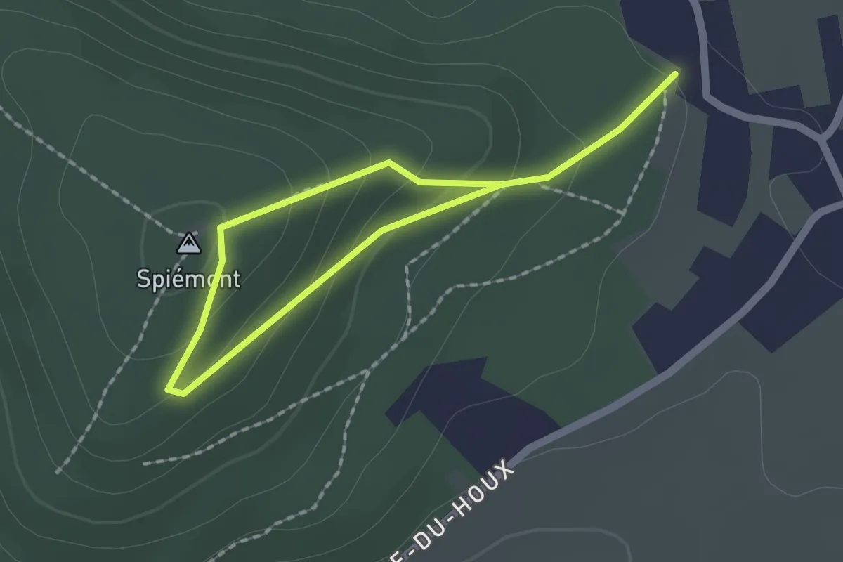
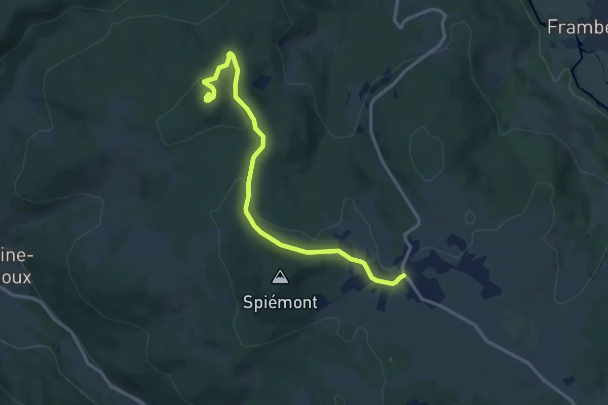
Easy · Summit
Champdray – Spiémont
1.2 km · ↑ 88 m · 29 min
Easy · Summit
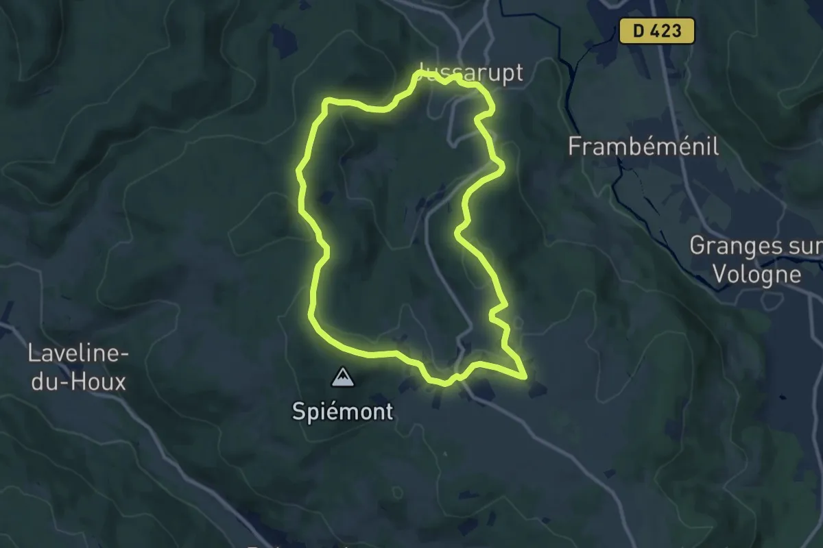
Champdray – Laleu Colline
7.6 km · ↑ 190 m · 2 h 12 min
Medium · Trail
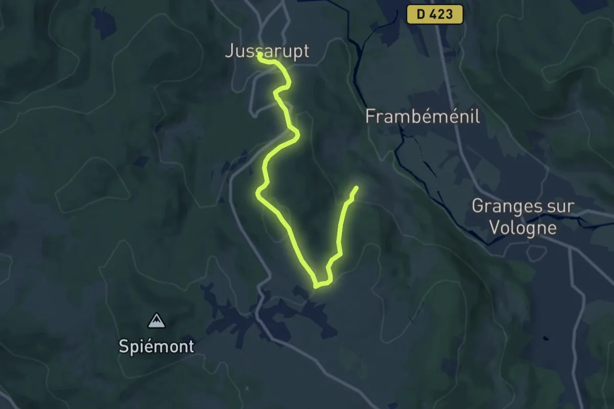
Champdray – Champdray
9.6 km · ↑ 274 m · 3 h
Medium · Trail
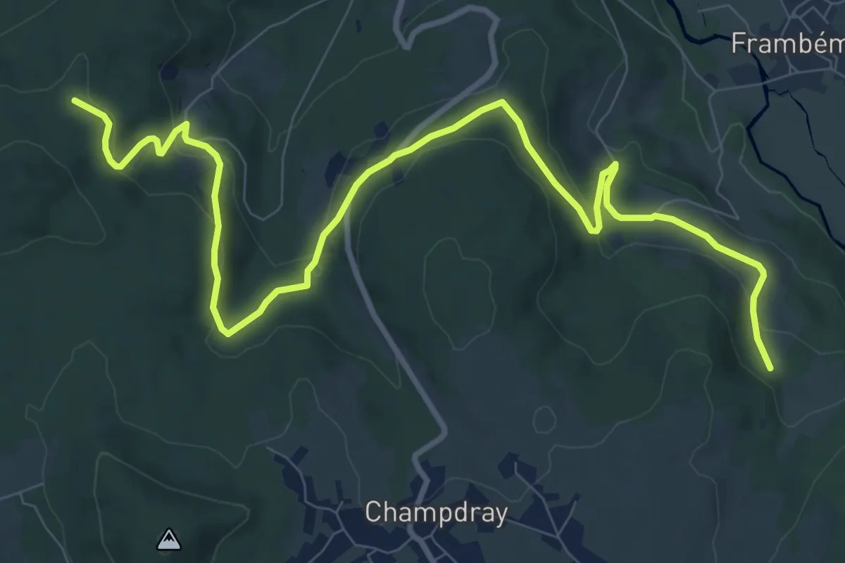
Jussarupt – Le Boulay
8.8 km · ↑ 366 m · 2 h 53 min
Medium · Trail
La Passée Mantière – La Cabane des Gardes
11.7 km · ↑ 432 m · 3 h 42 min
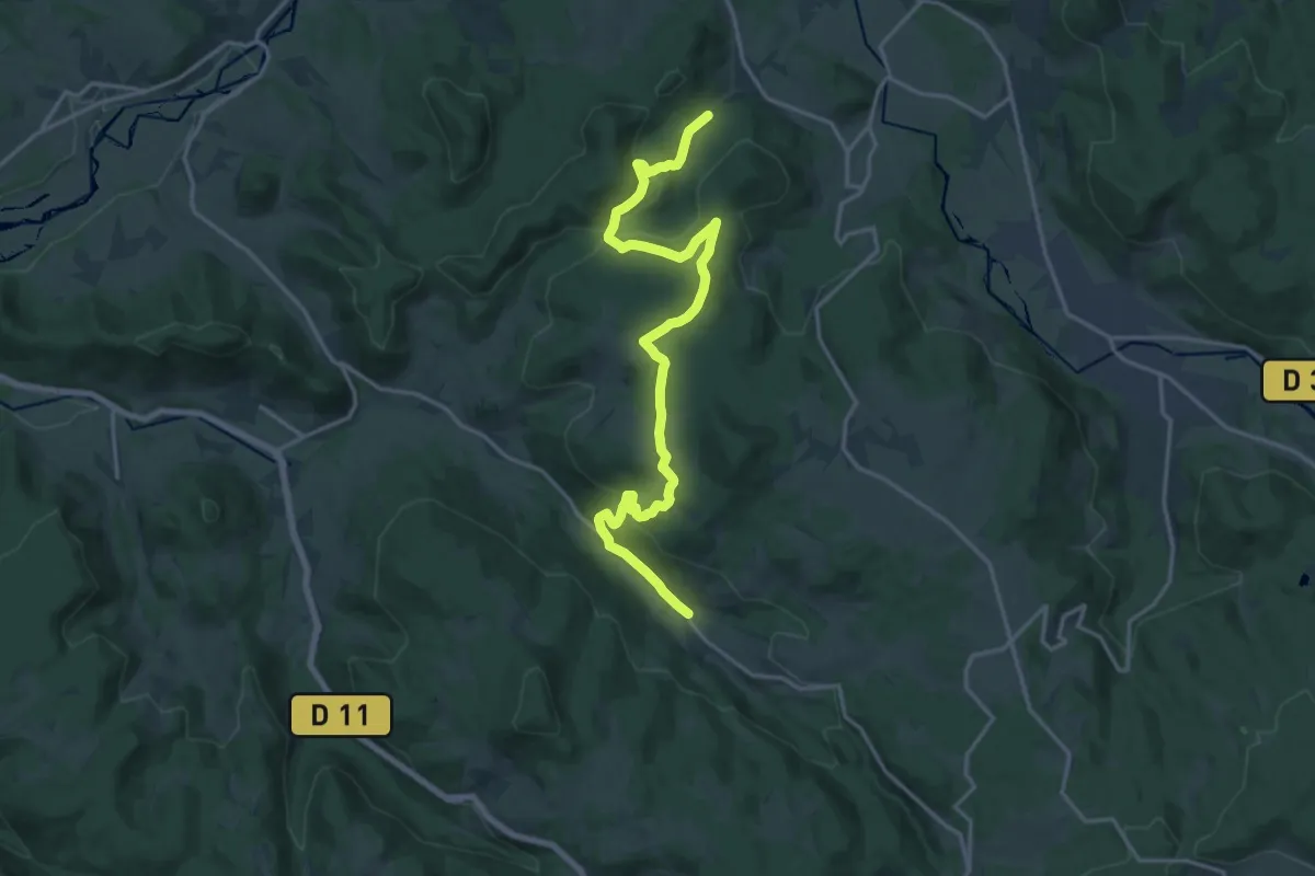
Demanding · Trail
Rehaupal – Les Breuheux
18.8 km · ↑ 559 m · 5 h 40 min
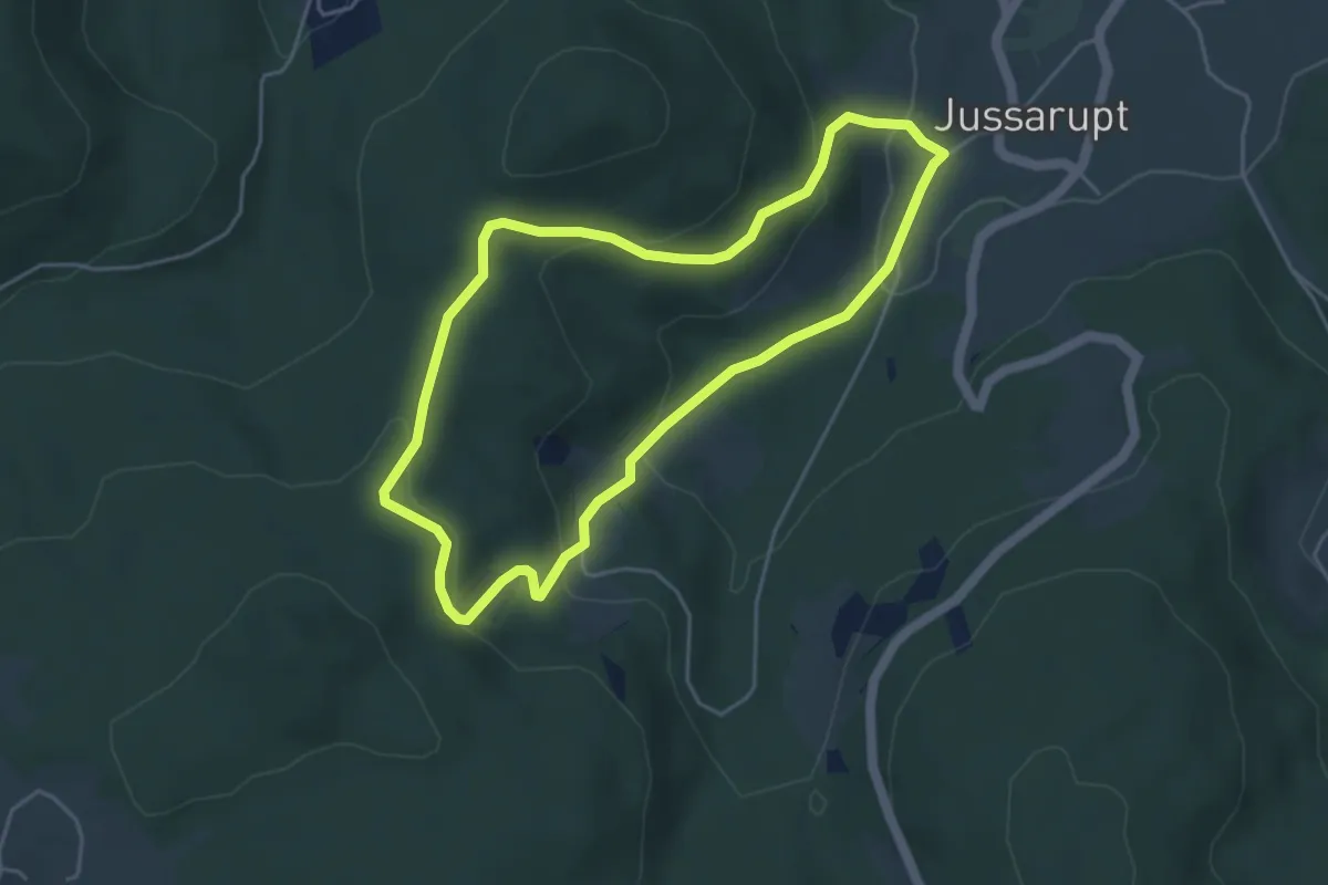
Easy · Trail
Jussarupt – Jussarupt
4.2 km · ↑ 181 m · 1 h 27 min
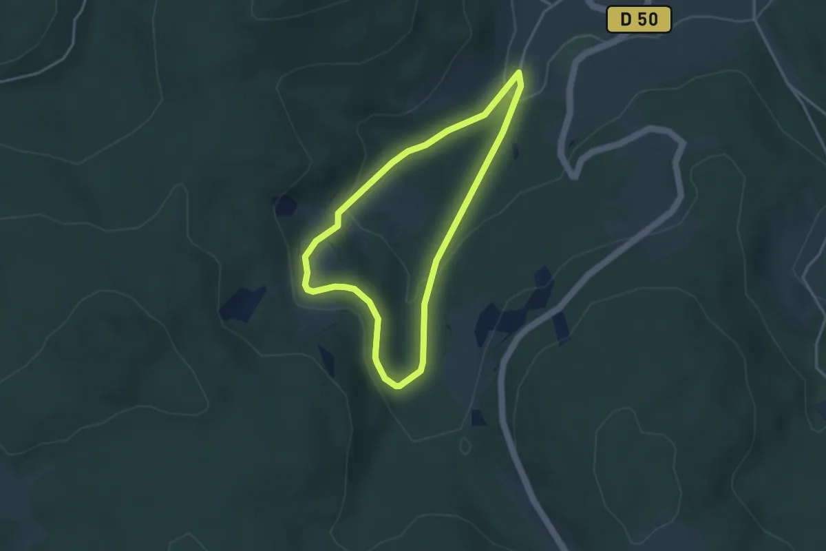
Easy · Trail
Jussarupt – Jussarupt
2.9 km · ↑ 132 m · 1 h 1 min
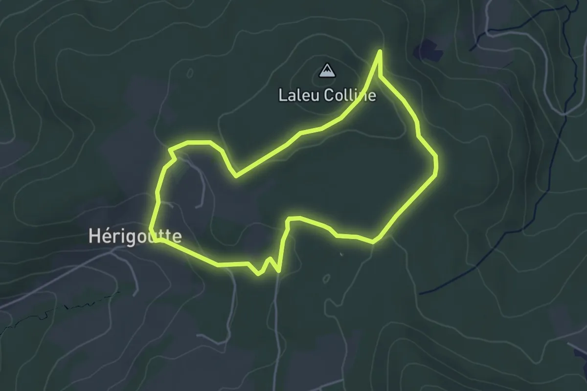
Easy · Trail
Jussarupt – Jussarupt
3.9 km · ↑ 120 m · 1 h 13 min
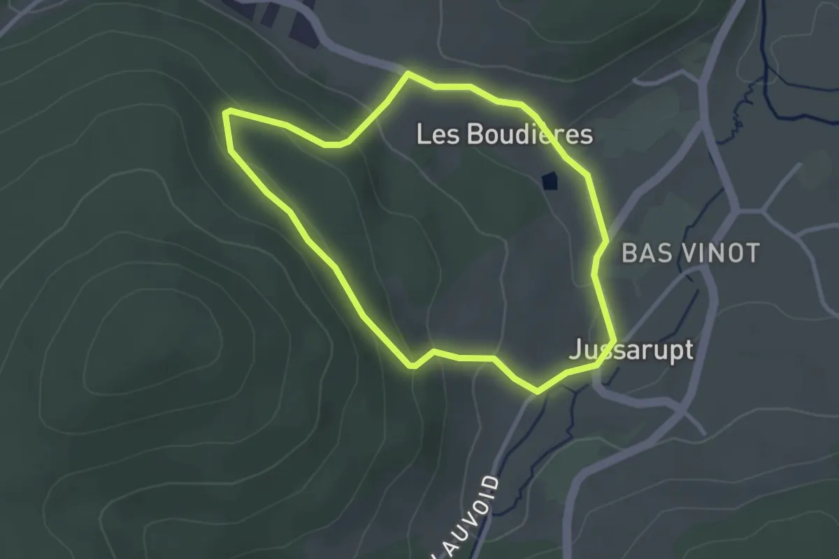
Easy · Trail
Jussarupt – Jussarupt
2.6 km · ↑ 98 m · 52 min
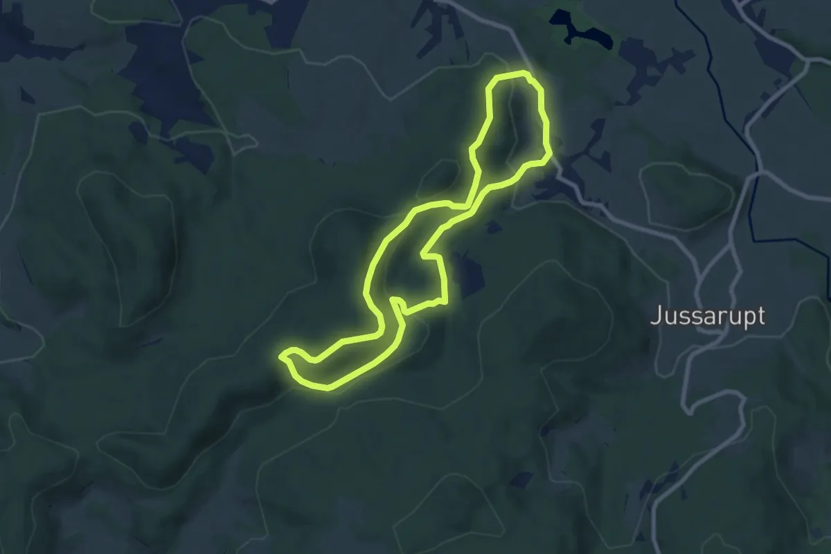
Easy · Trail
Herpelmont – Herpelmont
7.3 km · ↑ 295 m · 2 h 29 min
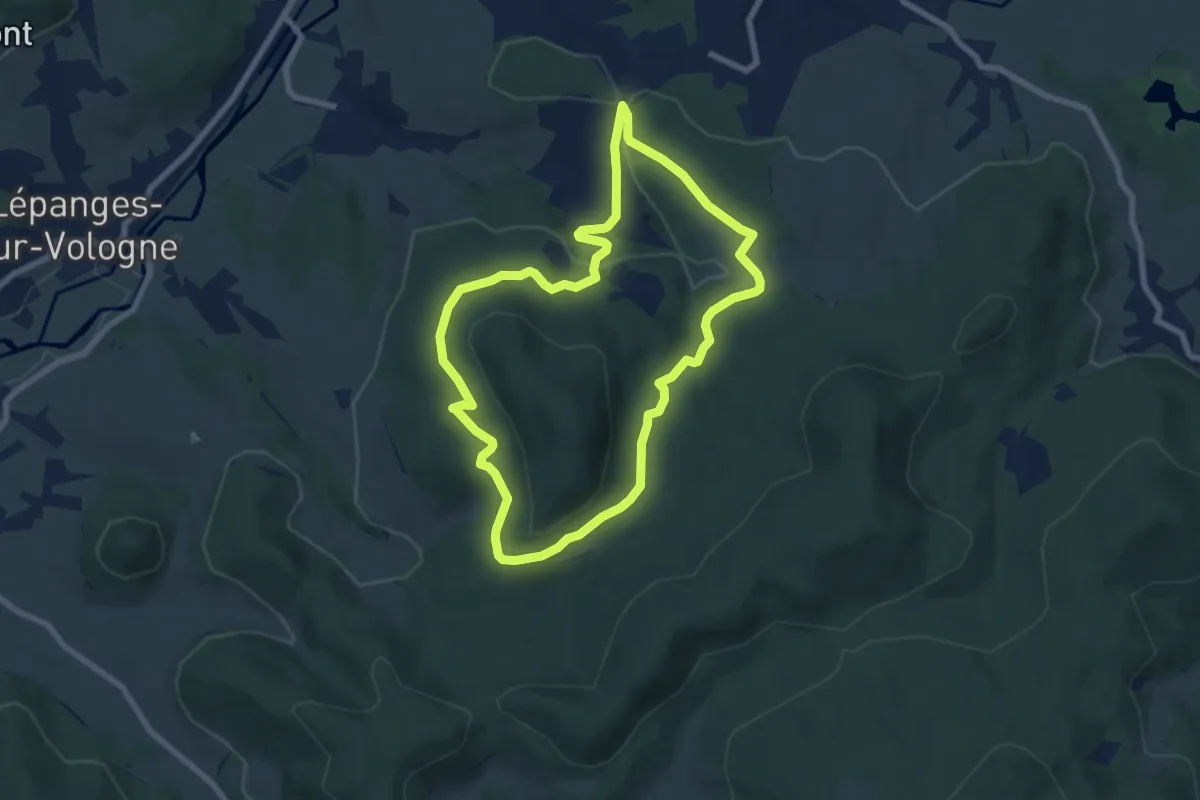
Easy · Trail
Fiménil – Fiménil
6.9 km · ↑ 164 m · 2 h 5 min
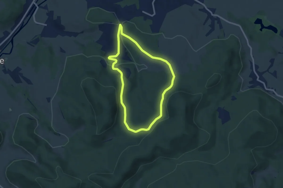
Easy · Trail
Fiménil – Fiménil
5.5 km · ↑ 158 m · 1 h 43 min
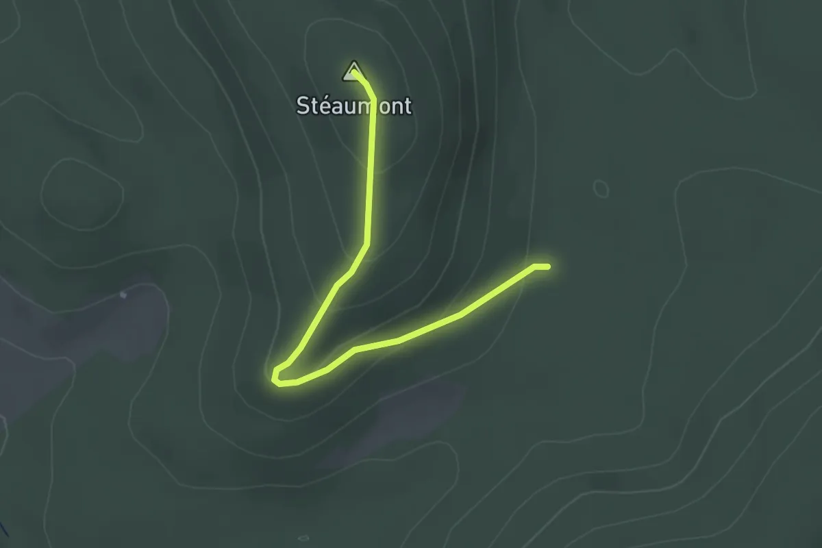
Easy · Summit
Triangle bleu – Triangle bleu
2.6 km · ↑ 113 m · 51 min
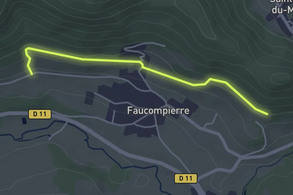
Easy · Trail
Rue André Ferry – Derrière le Finseuil
3.5 km · ↑ 109 m · 1 h 4 min
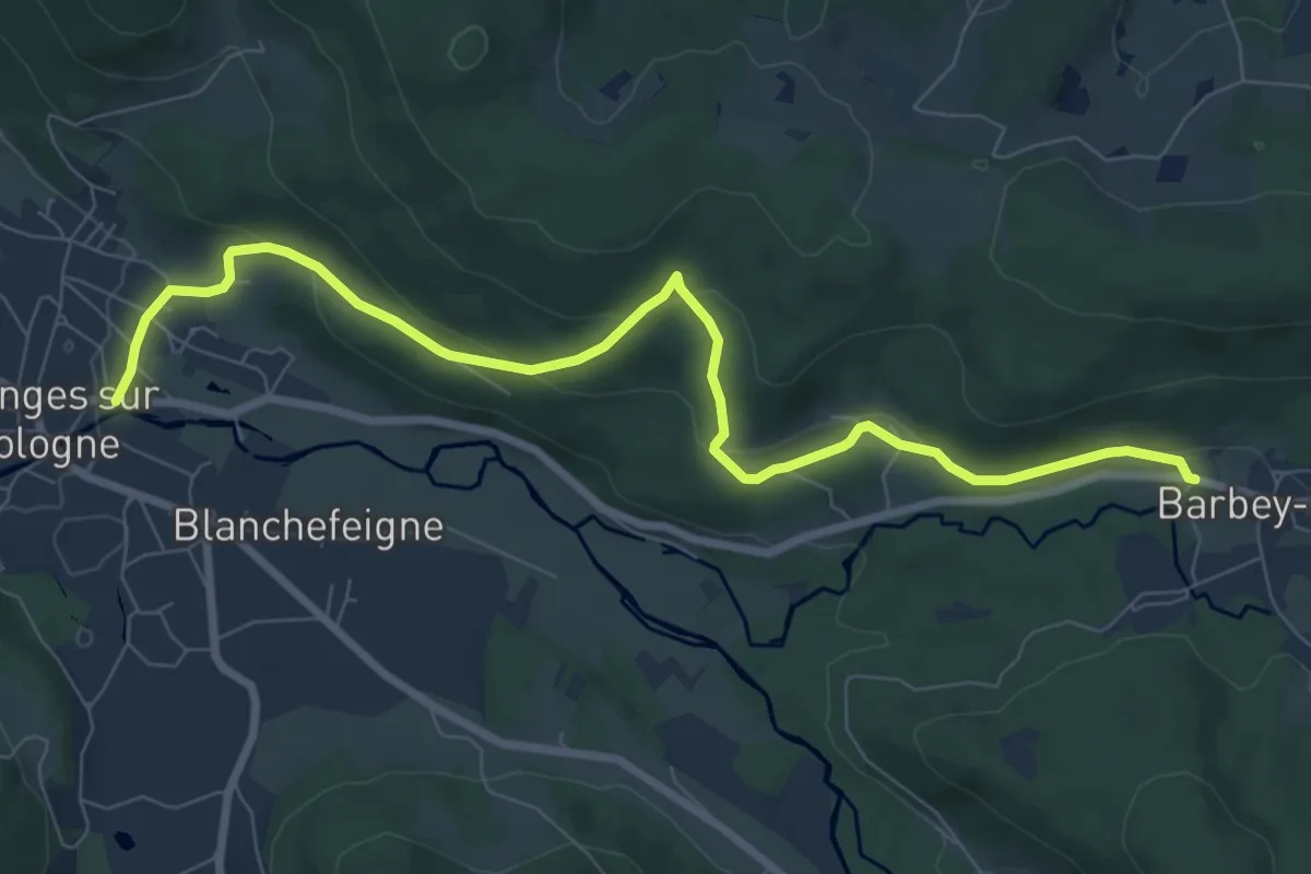
Medium · Trail
Granges-sur-Vologne – Barbey-Seroux
8.8 km · ↑ 261 m · 2 h 38 min
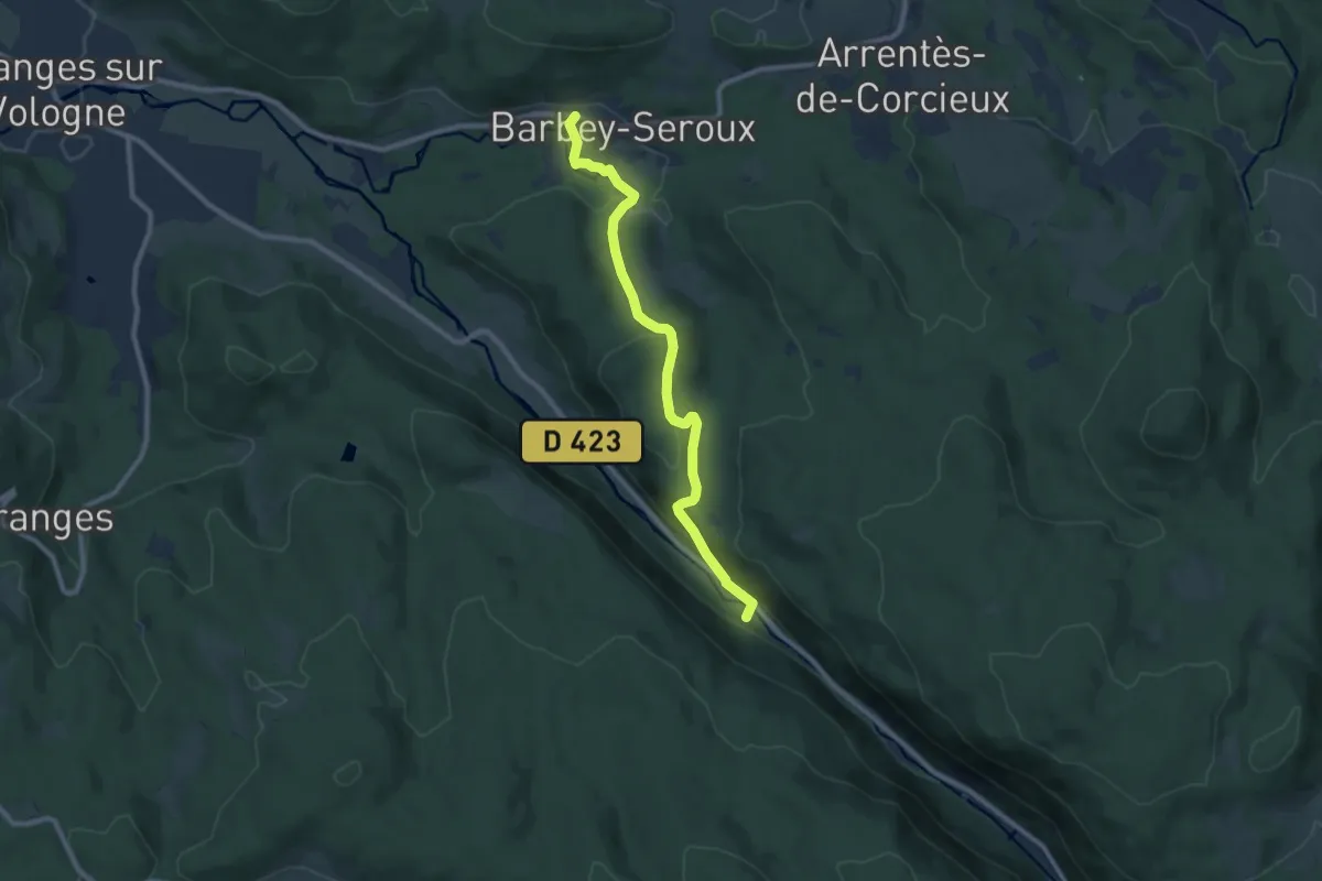
Medium · Trail
Barbey-Seroux – D 423
8.7 km · ↑ 325 m · 2 h 45 min