Trails in France
15,926 hiking trails, each with its route, climb, walking time and grade.
All trails, page 316 of 332
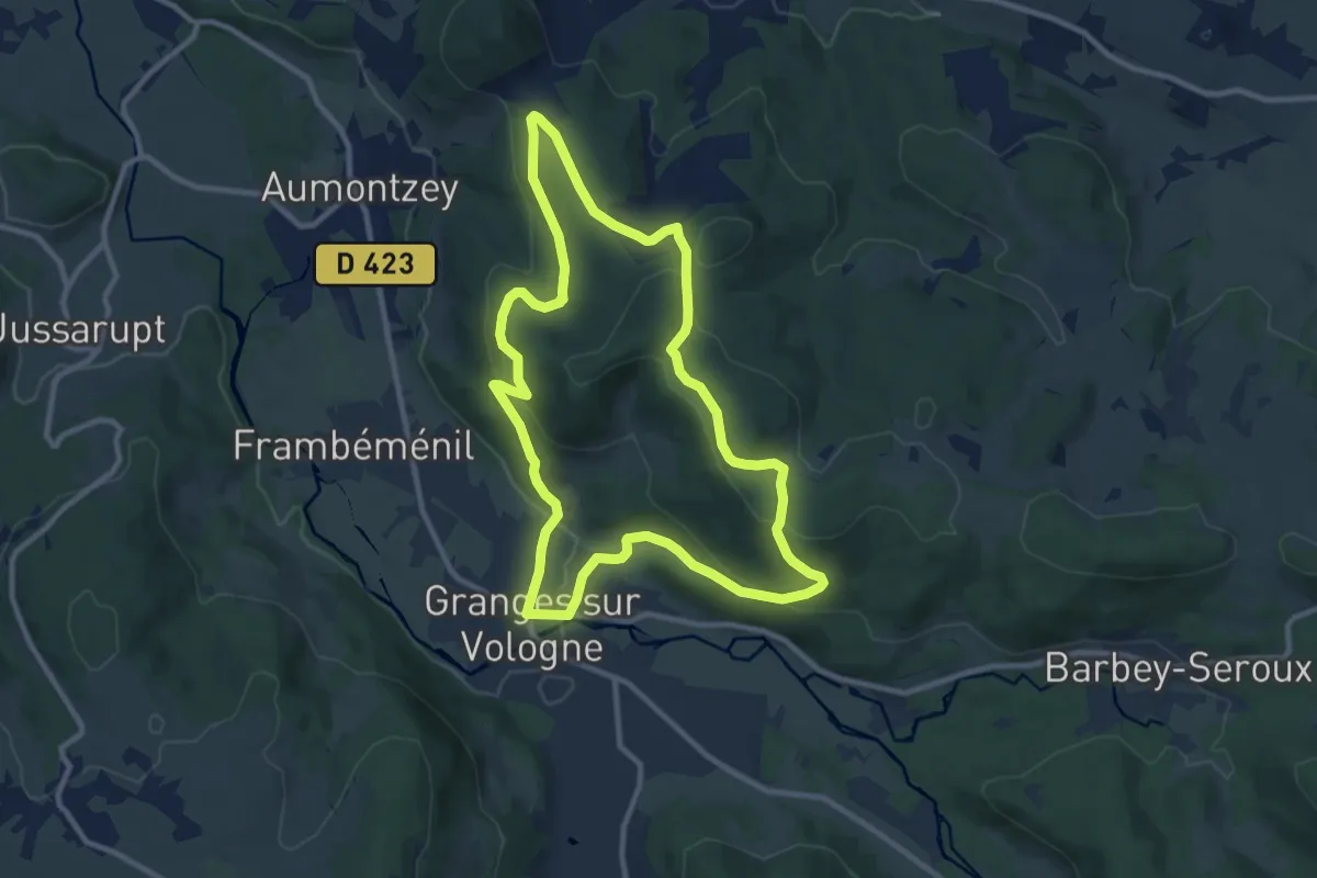
Medium · Trail
Granges-sur-Vologne – Granges-sur-Vologne
9.8 km · ↑ 321 m · 3 h 9 min
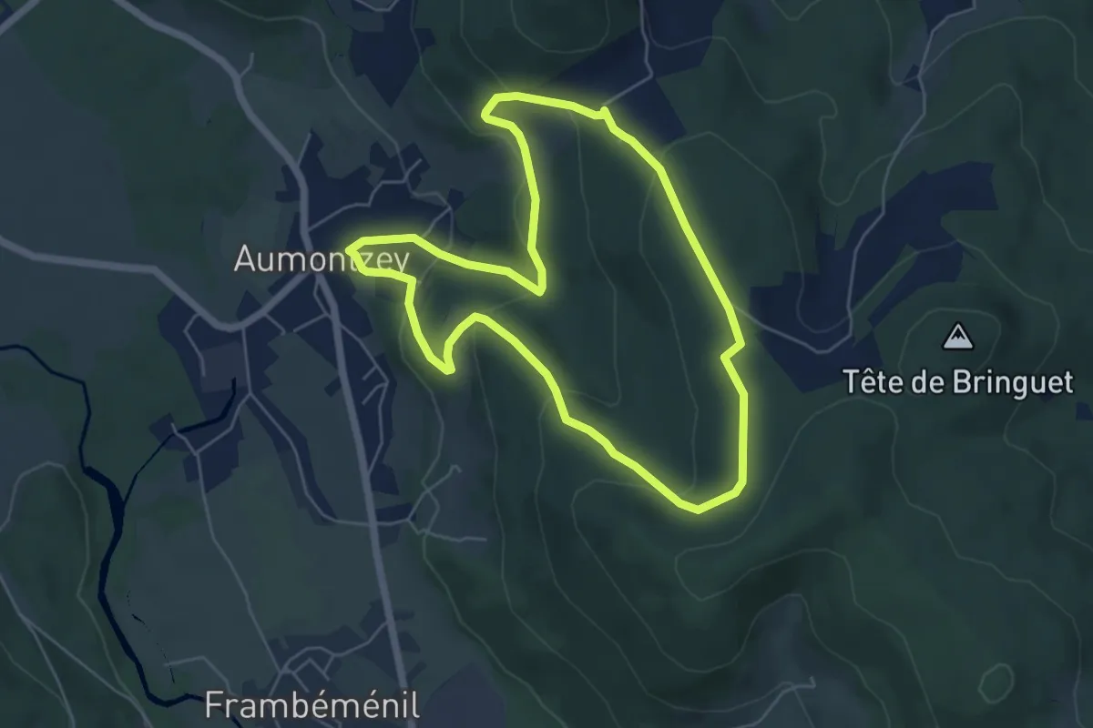
Easy · Trail
Aumontzey – Aumontzey
5.3 km · ↑ 217 m · 1 h 48 min
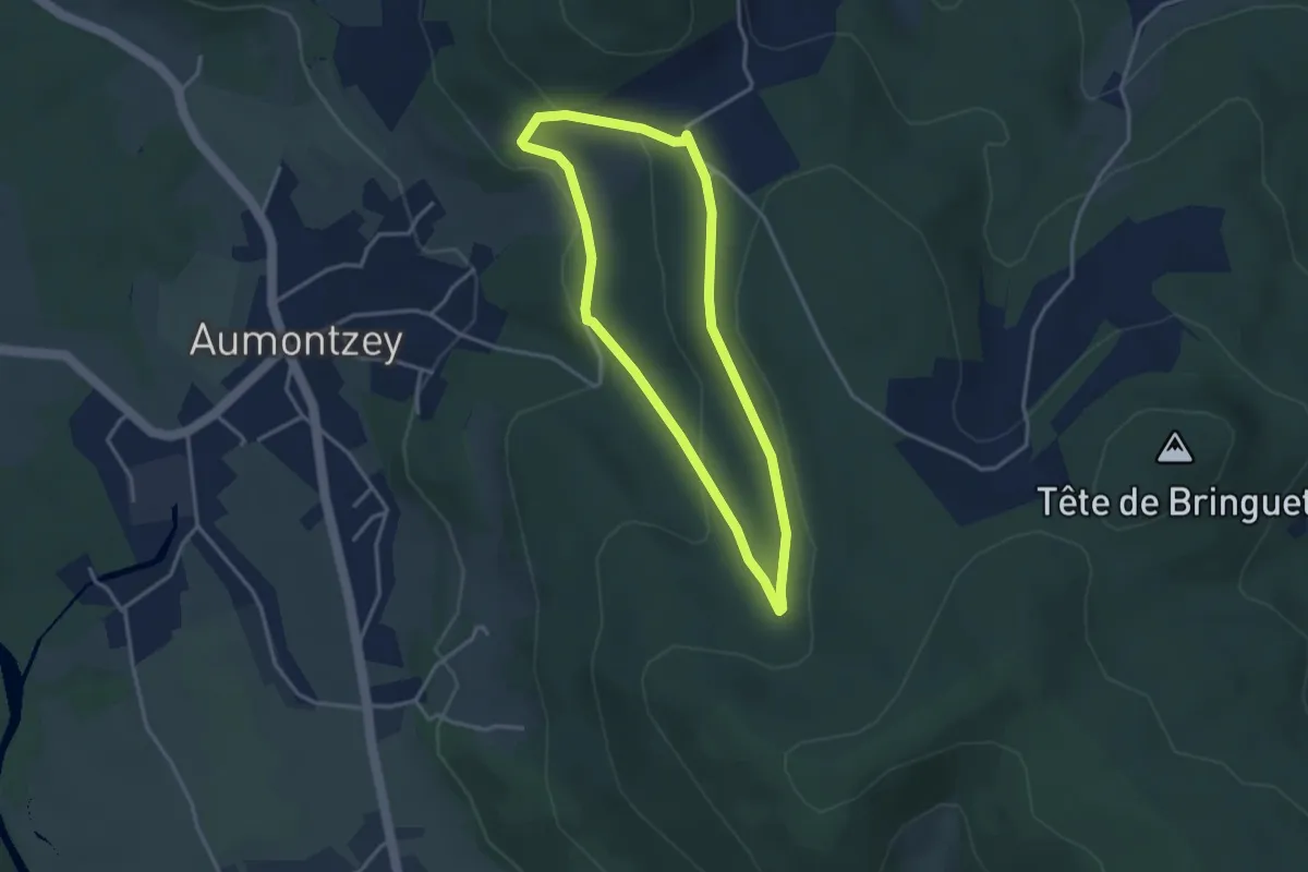
Easy · Trail
Au Tremeseau – Au Tremeseau
3.0 km · ↑ 123 m · 1 h 2 min
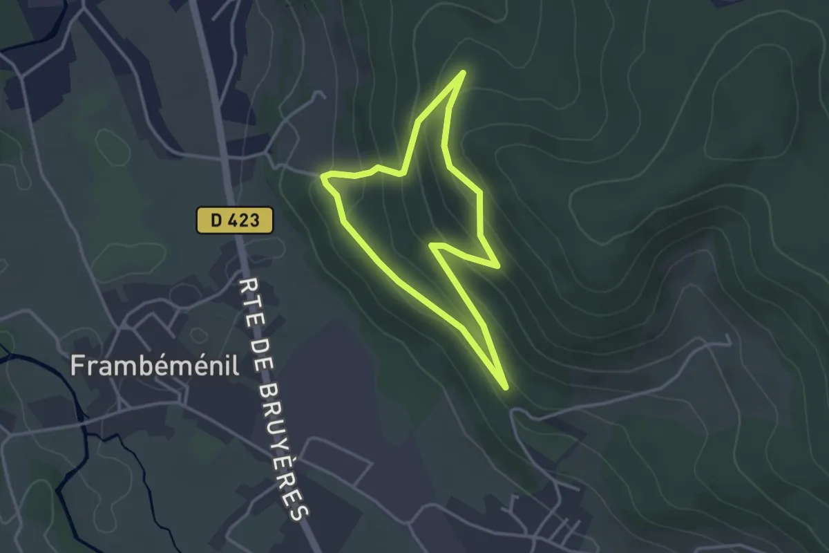
Easy · Trail
Labemont – Labemont
2.7 km · ↑ 137 m · 59 min
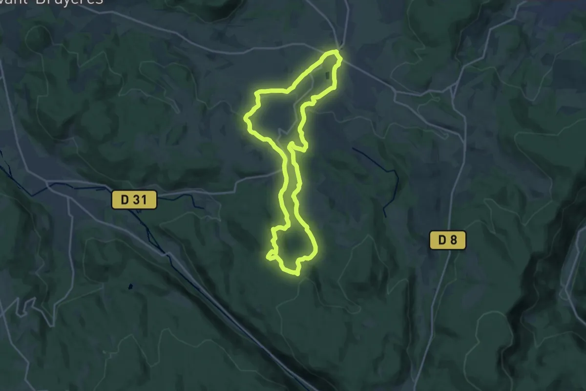
Medium · Trail
Corcieux – Corcieux
15.4 km · ↑ 331 m · 4 h 34 min
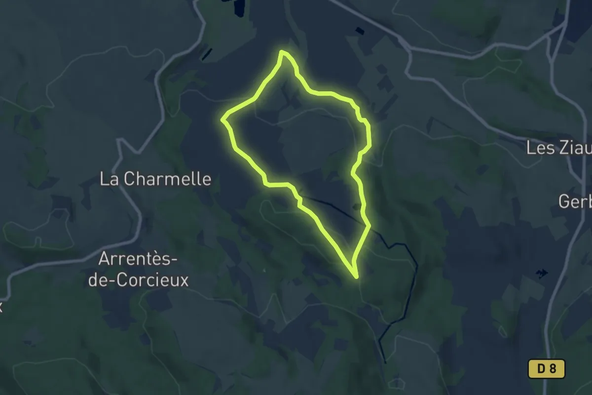
Easy · Trail
Corcieux – Corcieux
5.7 km · ↑ 150 m · 1 h 45 min
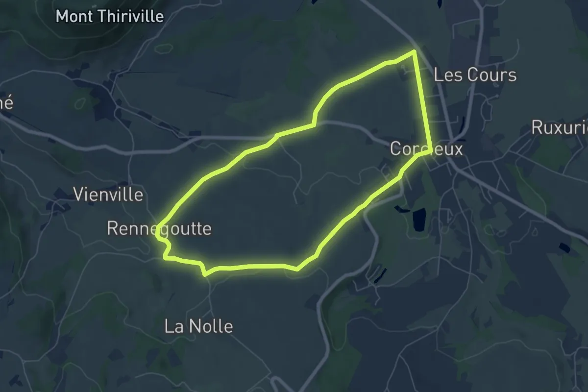
Easy · Trail
Corcieux – Corcieux
6.1 km · ↑ 92 m · 1 h 44 min
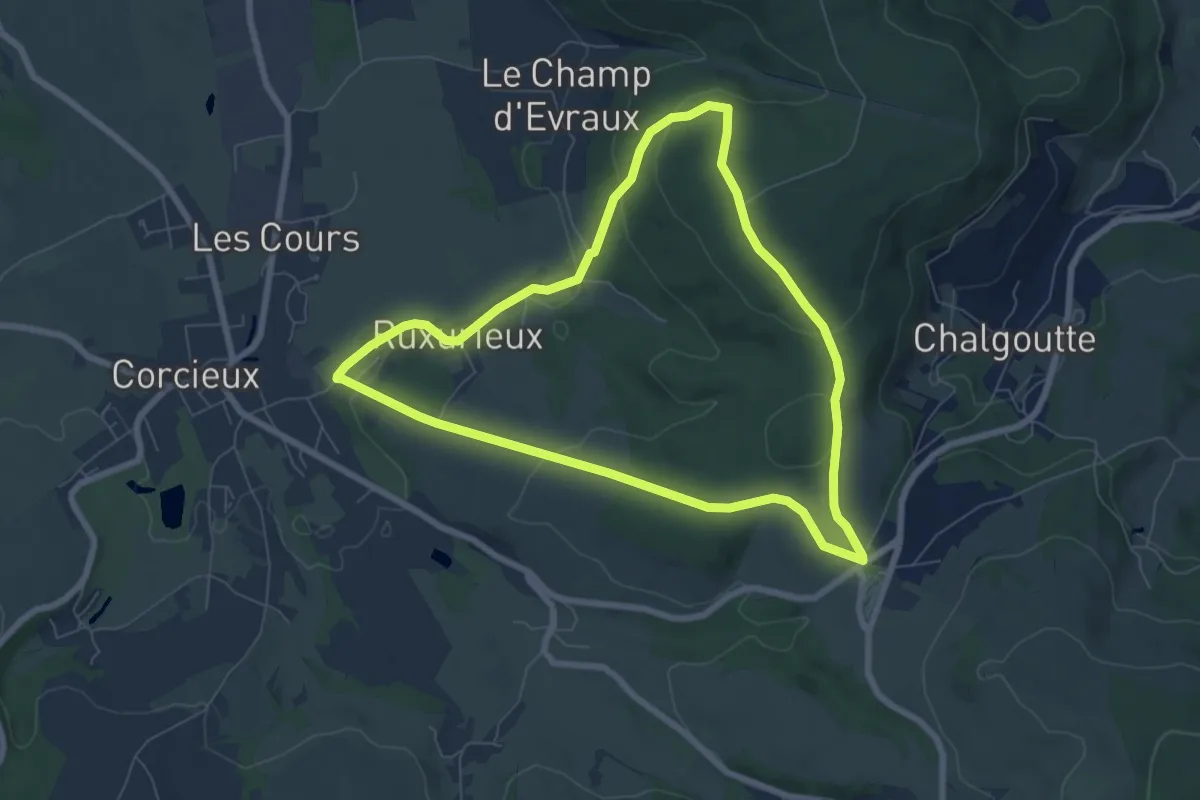
Easy · Trail
Corcieux – Corcieux
6.8 km · ↑ 185 m · 2 h 6 min
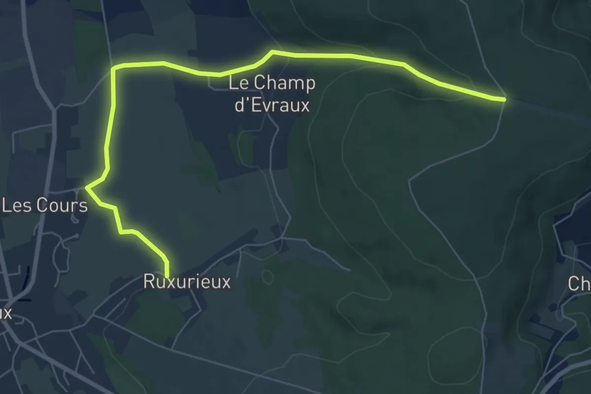
Easy · Trail
Ruxurieux – Carrefour de la Vierge
7.2 km · ↑ 173 m · 2 h 5 min
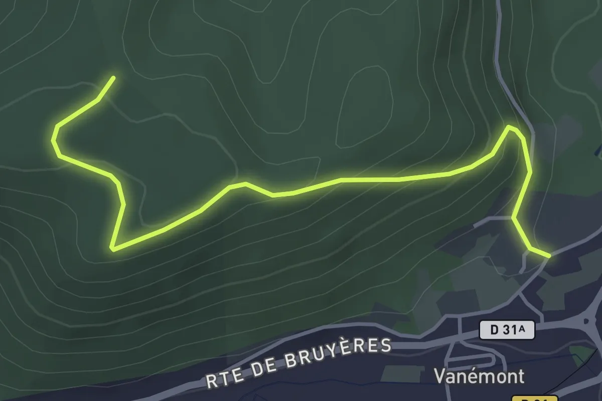
Easy · Trail
Vanémont – Roche du Corbeau
4.2 km · ↑ 232 m · 1 h 30 min
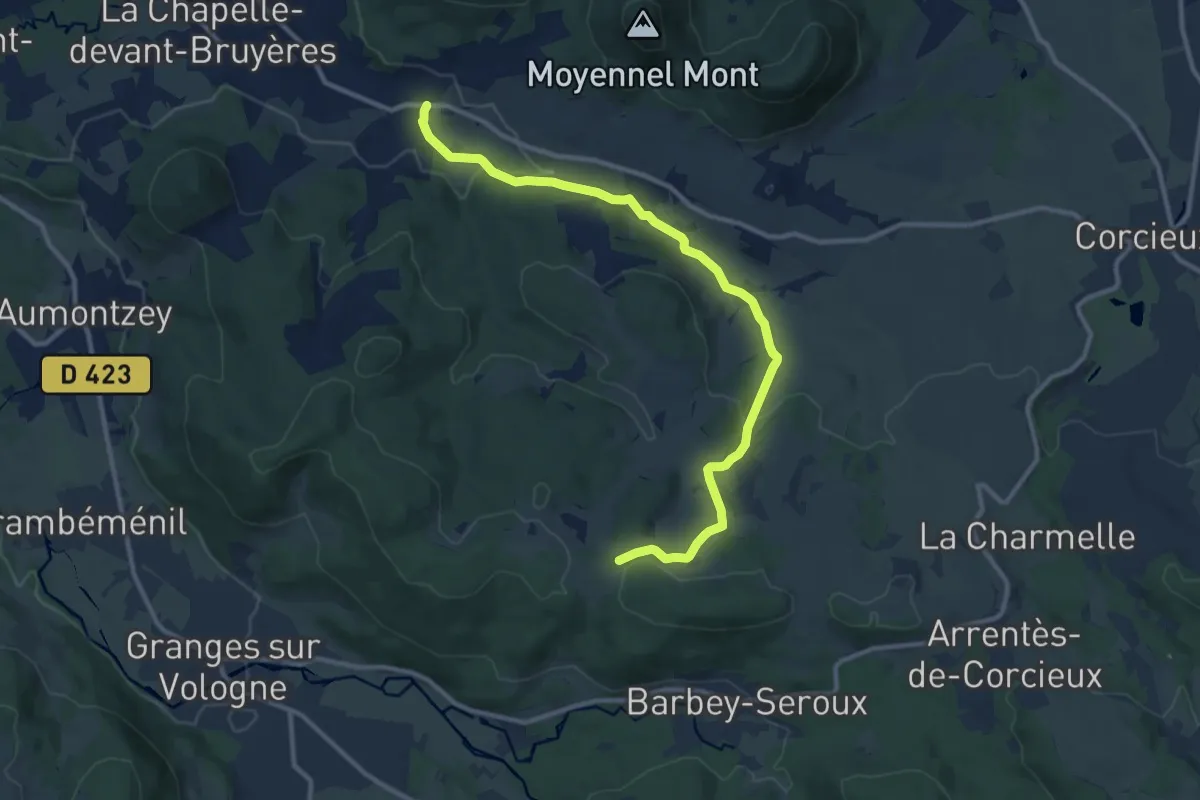
Medium · Trail
Yvoux – Haut de Hermefosse
11.6 km · ↑ 233 m · 3 h 15 min
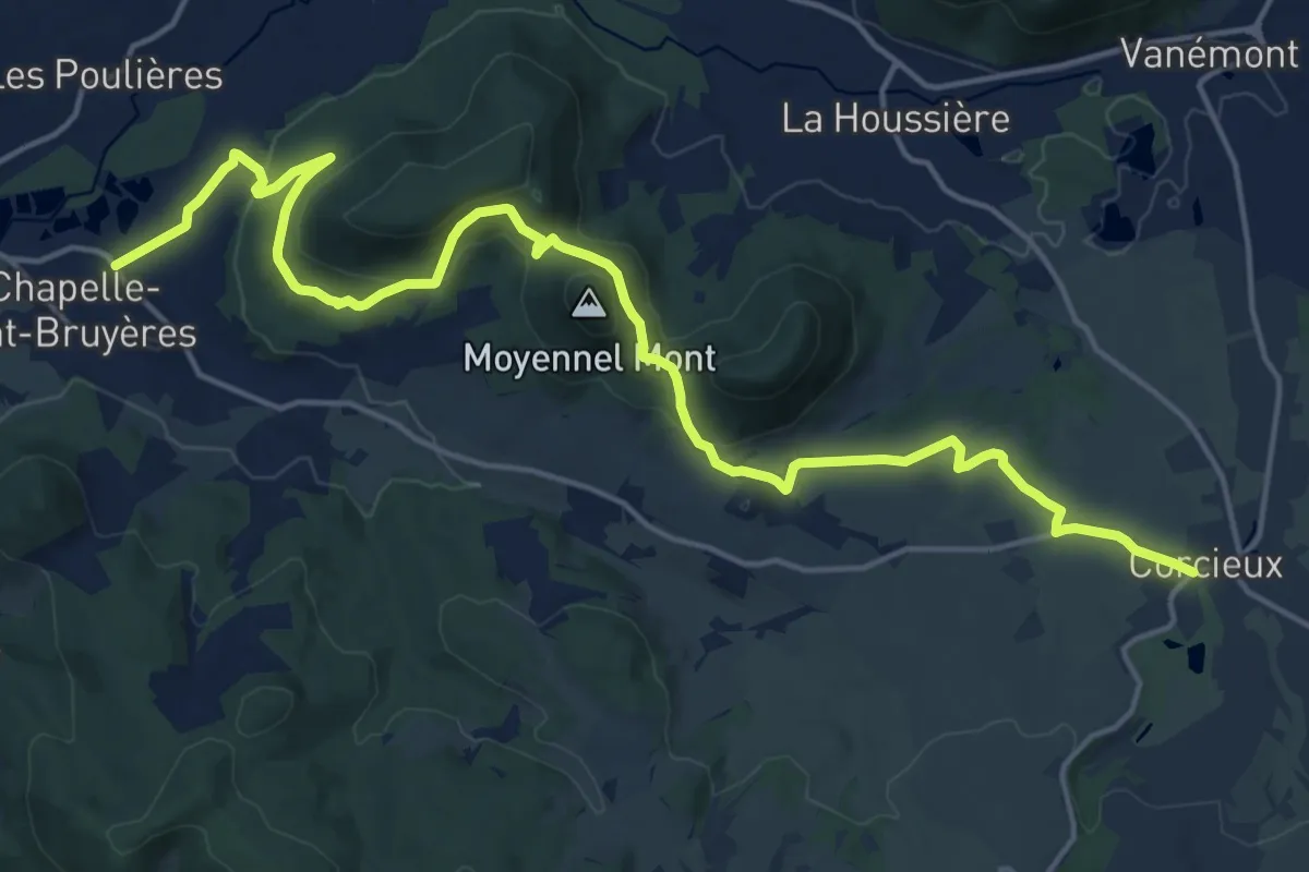
Demanding · Trail
Corcieux – La Chapelle-devant-Bruyères
20.2 km · ↑ 496 m · 5 h 50 min
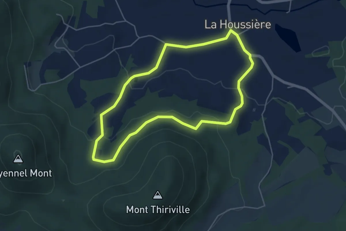
Easy · Trail
La Houssière – La Houssière
4.0 km · ↑ 109 m · 1 h 14 min
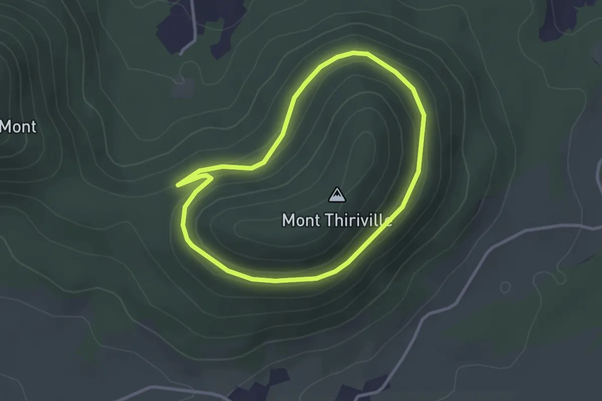
Easy · Trail
Col de la Gueule du Loup – Col de la Gueule du Loup
2.5 km · ↑ 85 m · 49 min
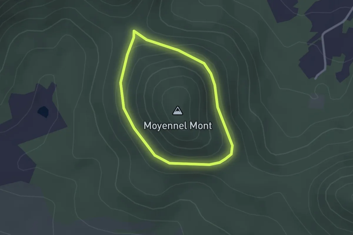
Easy · Trail
Croix des Jumeaux – Croix des Jumeaux
1.8 km · ↑ 50 m · 34 min
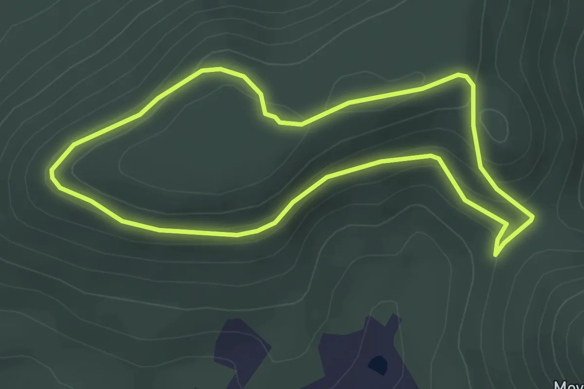
Easy · Summit
Croix des Jumeaux – Croix des Jumeaux
3.4 km · ↑ 131 m · 1 h 8 min
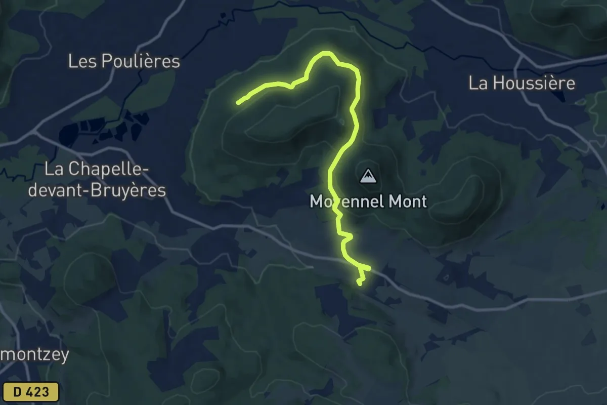
Medium · Trail
Neuné – Champ Jacquot
9.8 km · ↑ 293 m · 2 h 57 min
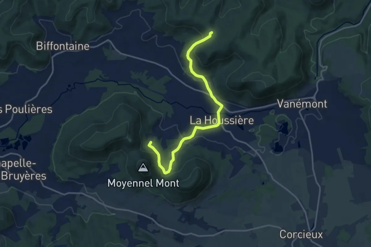
Medium · Trail
A la Violette – Col des Huttes
11.0 km · ↑ 299 m · 3 h 15 min
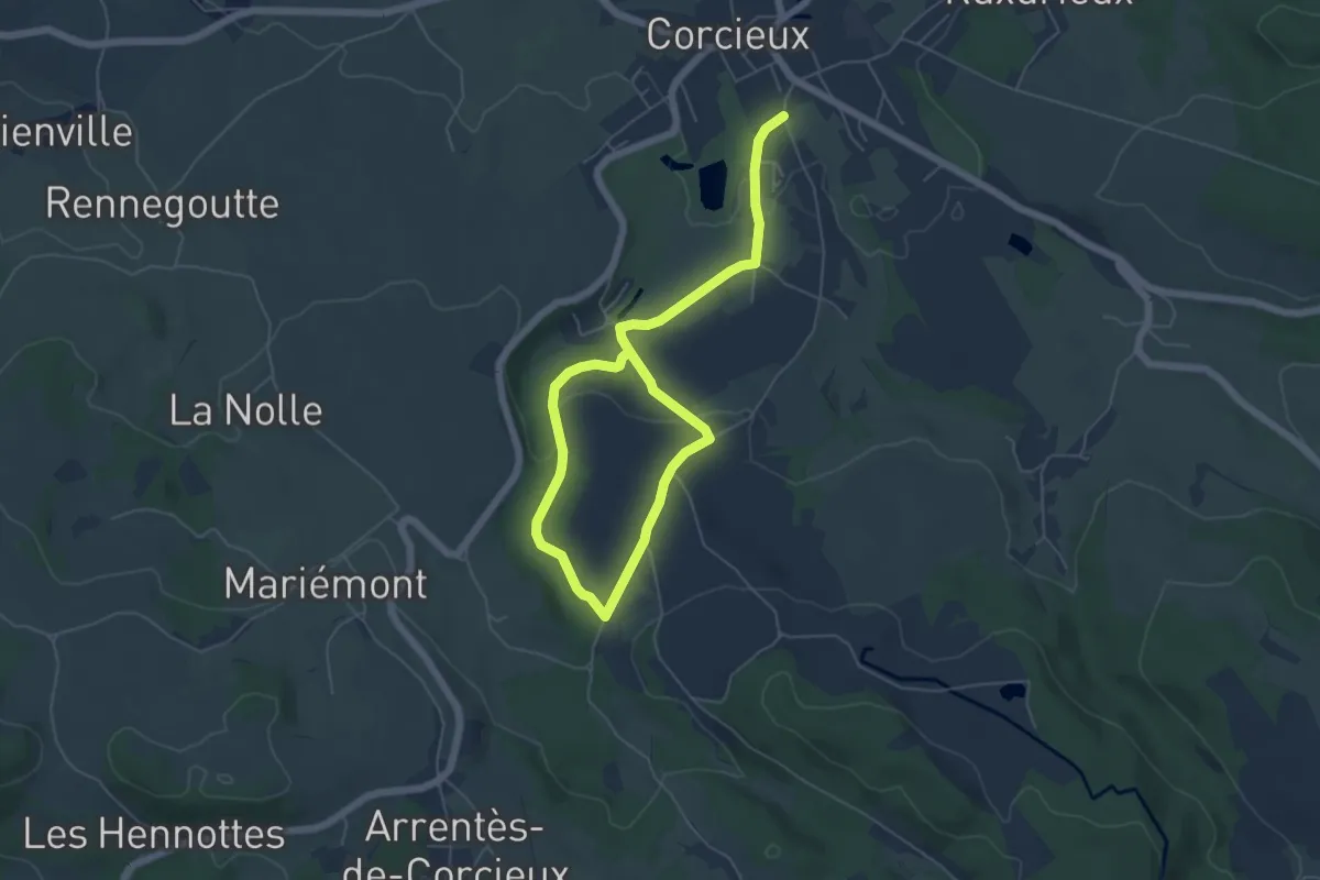
Easy · Trail
Corcieux – Corcieux
3.8 km · ↑ 101 m · 1 h 9 min
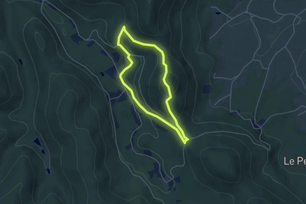
Easy · Trail
Haut-Fer de Brouaumont – Haut-Fer de Brouaumont
3.2 km · ↑ 170 m · 1 h 10 min
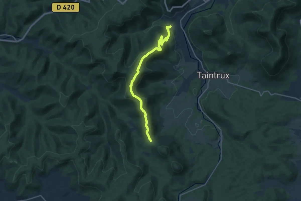
Medium · Trail
Col de Noirmont – Rougiville
12.0 km · ↑ 625 m · 4 h 11 min
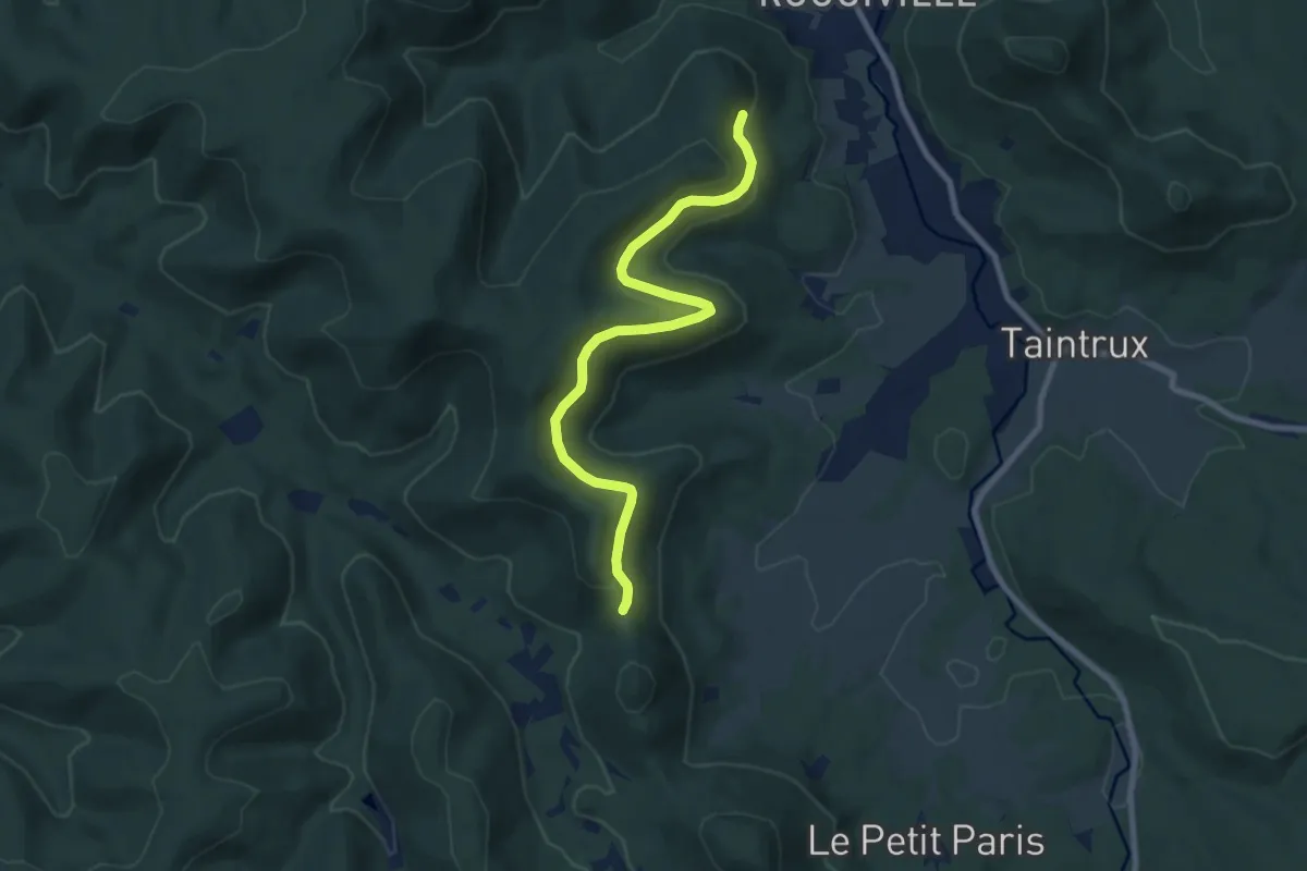
Medium · Trail
Rougiville – Croix La Bolle
8.3 km · ↑ 296 m · 2 h 35 min
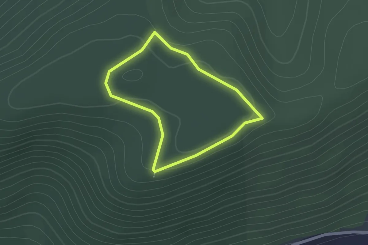
Easy · Trail
Anneau rouge – Anneau rouge
1.4 km · ↑ 36 m · 26 min
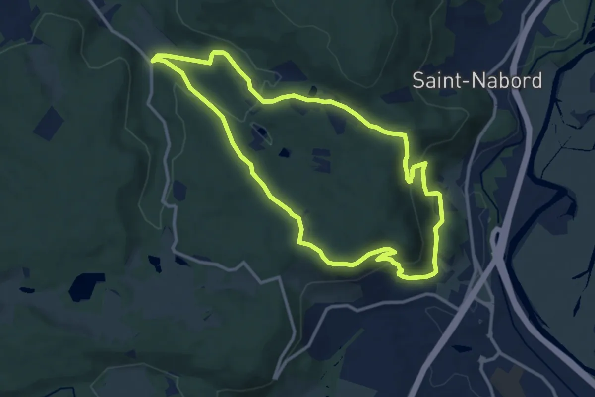
Medium · Trail
Arboretum Saint-Nabord – Arboretum Saint-Nabord
8.2 km · ↑ 313 m · 2 h 43 min
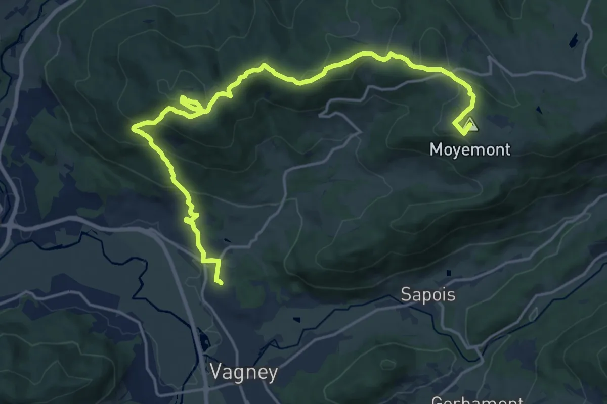
Demanding · Summit
Vagney – Sapois
18.2 km · ↑ 738 m · 5 h 54 min
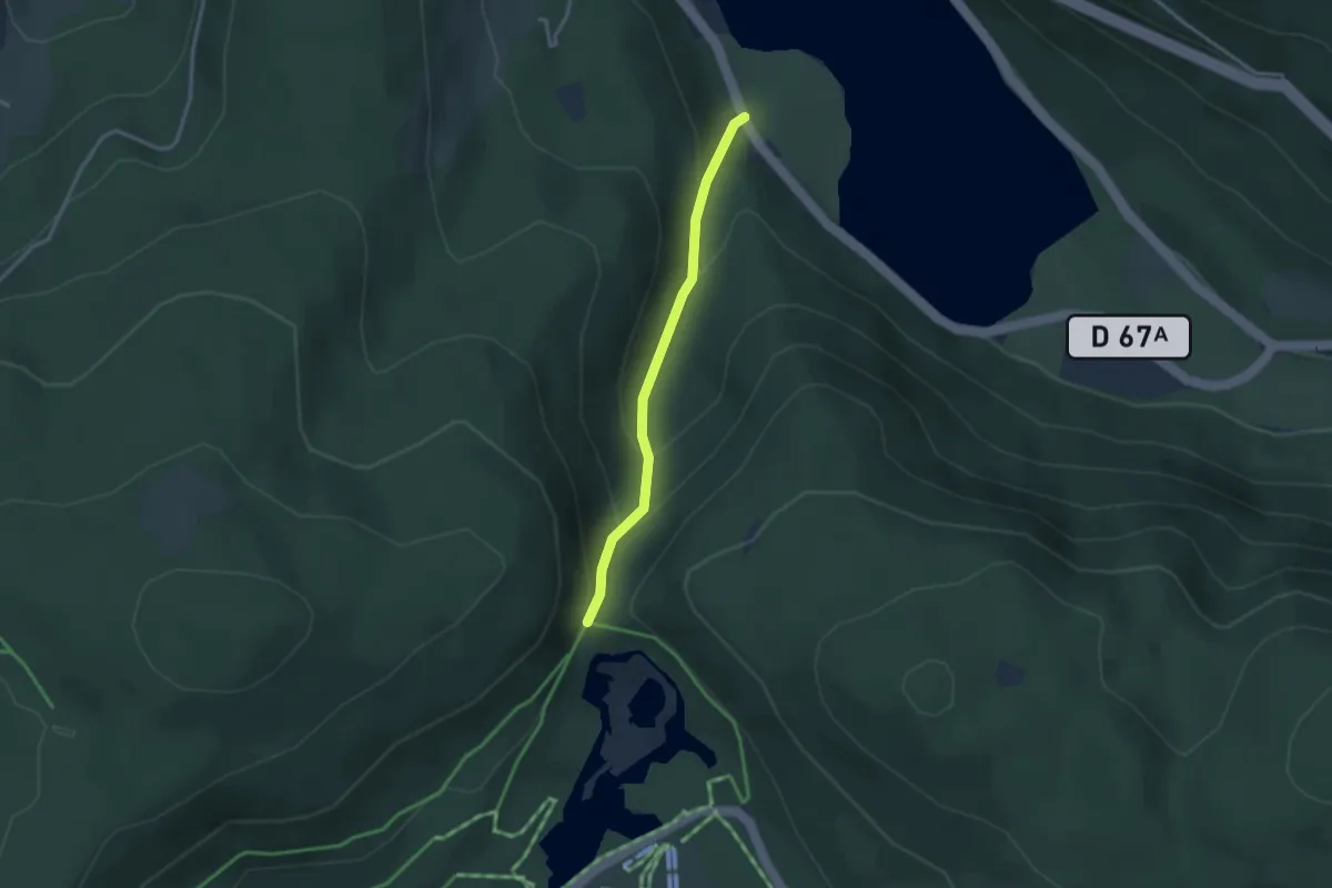
Medium · Trail
Lac de Longemer – Collet de la Mine
2.6 km · ↑ 206 m · 1 h 4 min
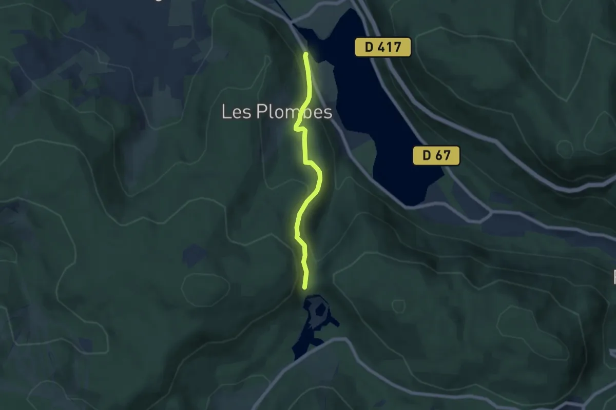
Medium · Trail
Lac de Longemer – Collet de la Mine
4.6 km · ↑ 274 m · 1 h 41 min
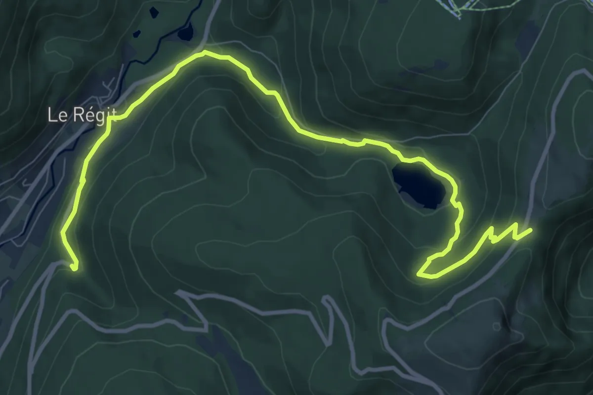
Medium · Trail
Chemin de la Xlatte – Collet du Rainkopf
10.6 km · ↑ 489 m · 3 h 34 min
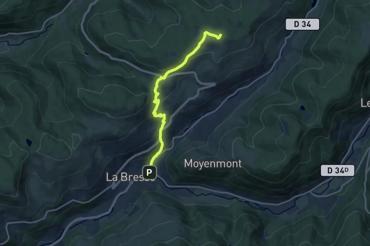
Medium · Summit
La Bresse – Grouvelin
9.5 km · ↑ 441 m · 3 h 11 min
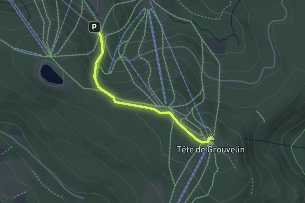
Easy · Summit
GR533 – Tête de Grouvelin
2.7 km · ↑ 108 m · 52 min
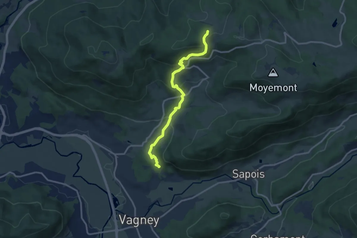
Medium · Trail
Vagney – Croix Lambia
8.2 km · ↑ 431 m · 2 h 52 min
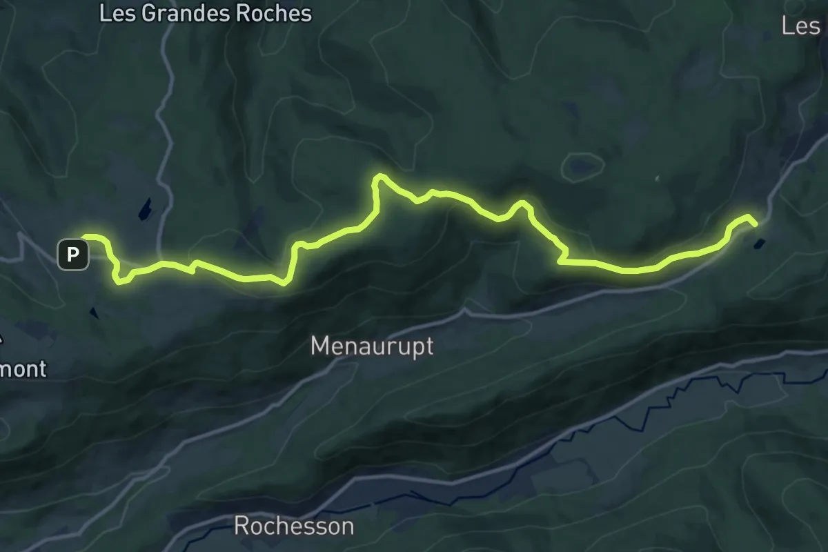
Medium · Trail
Col de Sapois – Le Haut du Tôt
14.8 km · ↑ 400 m · 4 h 22 min
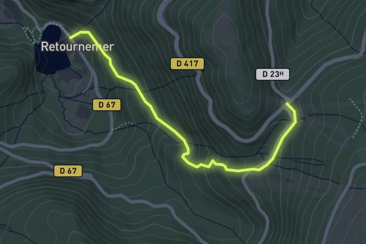
Medium · Trail
Retournemer – Col de Thiaville
4.7 km · ↑ 320 m · 1 h 49 min
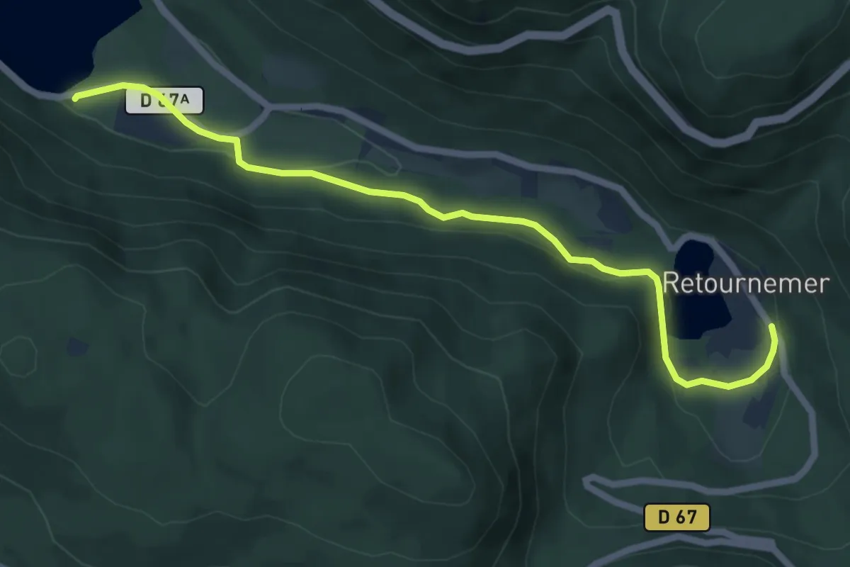
Easy · Trail
Lac de Longemer – Lac de Retournemer
5.9 km · ↑ 101 m · 1 h 36 min
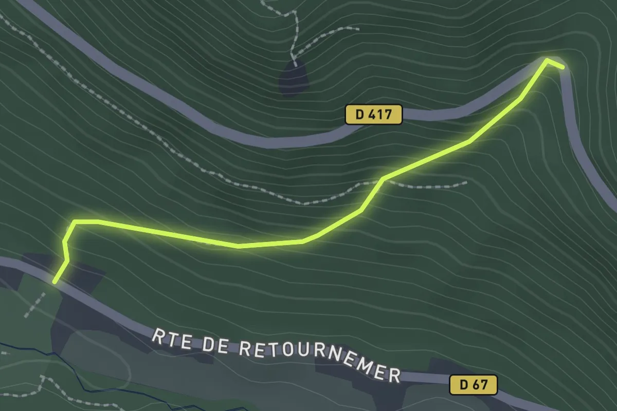
Medium · Trail
Camping Verte Vallée – Belle Roche
2.0 km · ↑ 220 m · 58 min
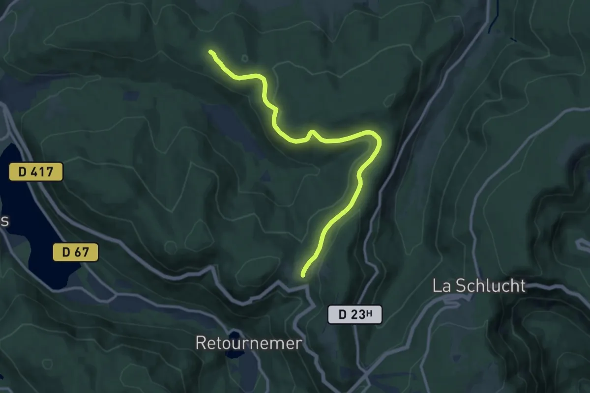
Medium · Trail
Col du Port des Planches – Balveurche
9.5 km · ↑ 197 m · 2 h 40 min
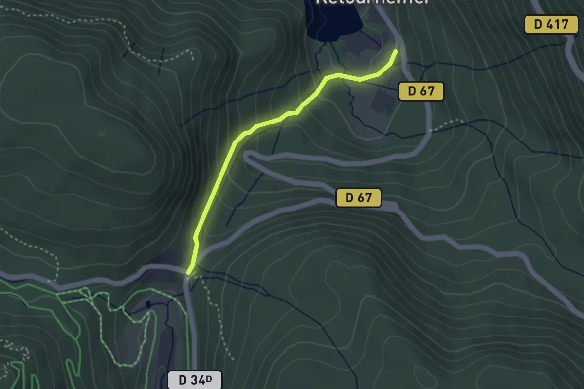
Easy · Trail
Lac de Retournemer – Col des Feignes sous Vologne
2.8 km · ↑ 174 m · 1 h 2 min
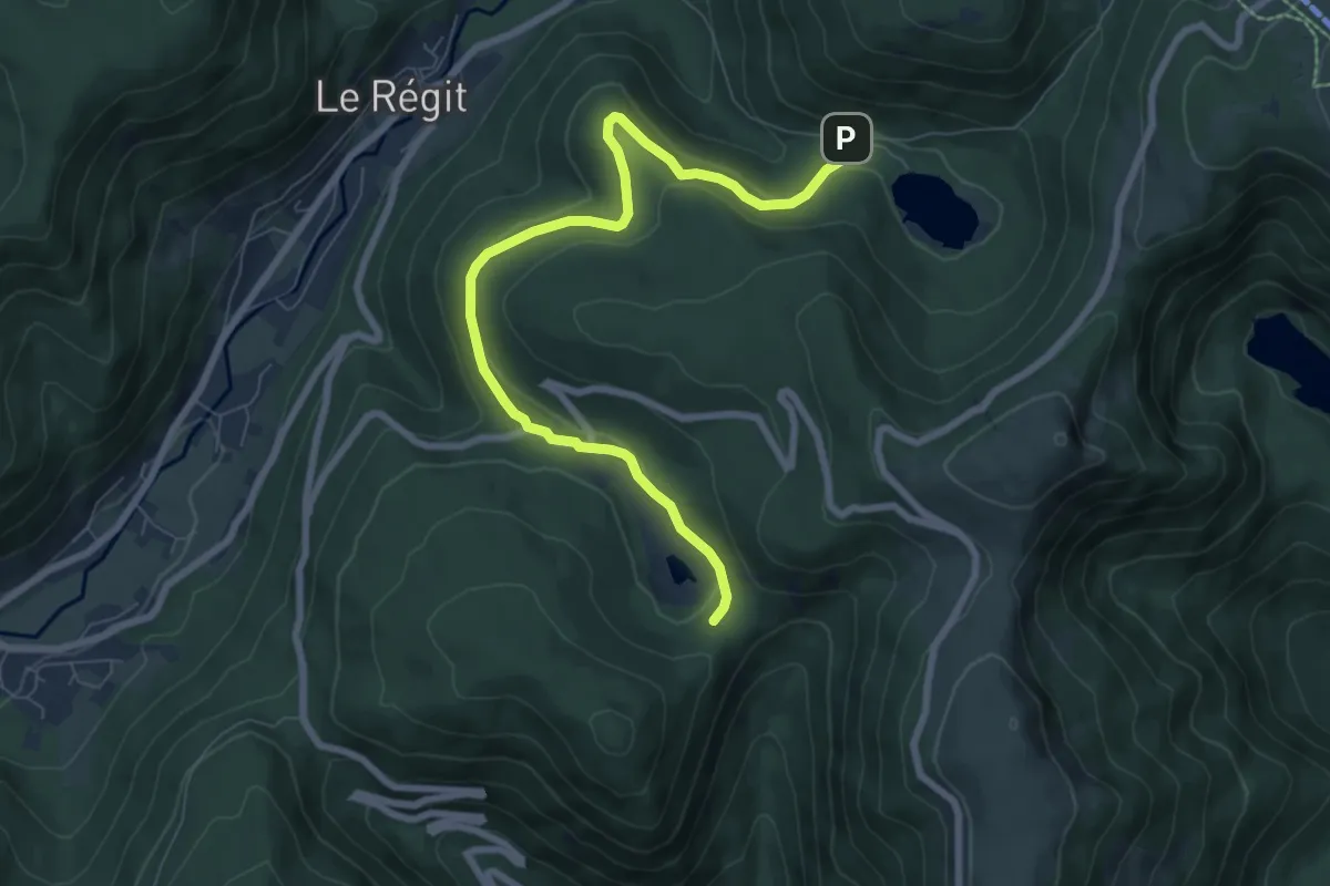
Medium · Trail
Lac de Blanchemer – Tourbière de Machais
8.0 km · ↑ 189 m · 2 h 18 min
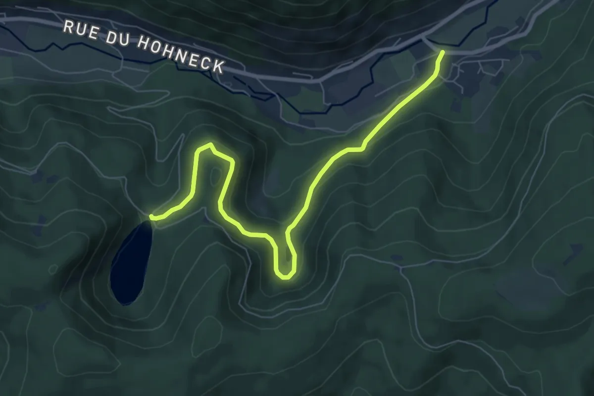
Easy · Trail
Pont de Bramont – Lac des Corbeaux
7.5 km · ↑ 282 m · 2 h 23 min
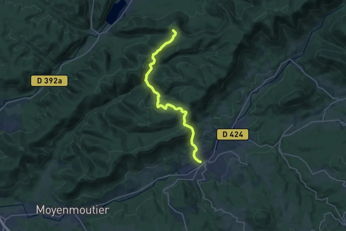
Demanding · Trail
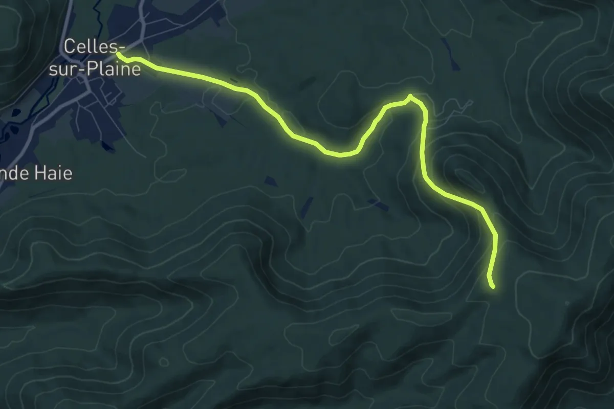
Senones – Celles-sur-Plaine
15.0 km · ↑ 842 m · 5 h 22 min
Medium · Trail
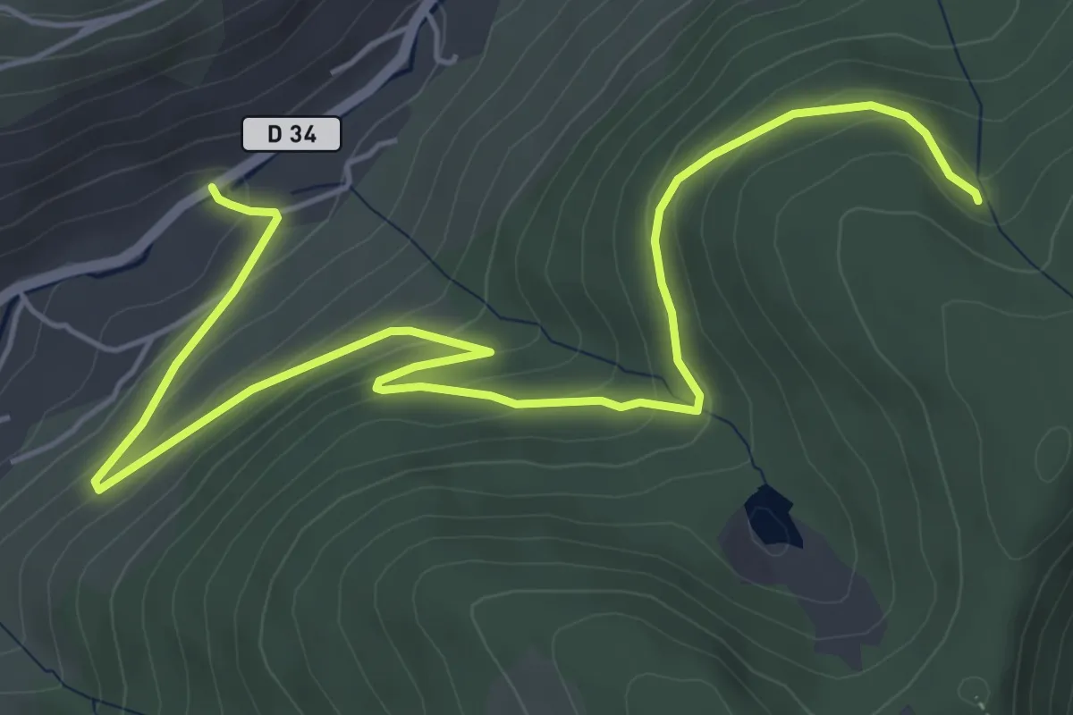
Celles-sur-Plaine – Col de Dialtrepoix
9.2 km · ↑ 400 m · 3 h 3 min
Easy · Trail
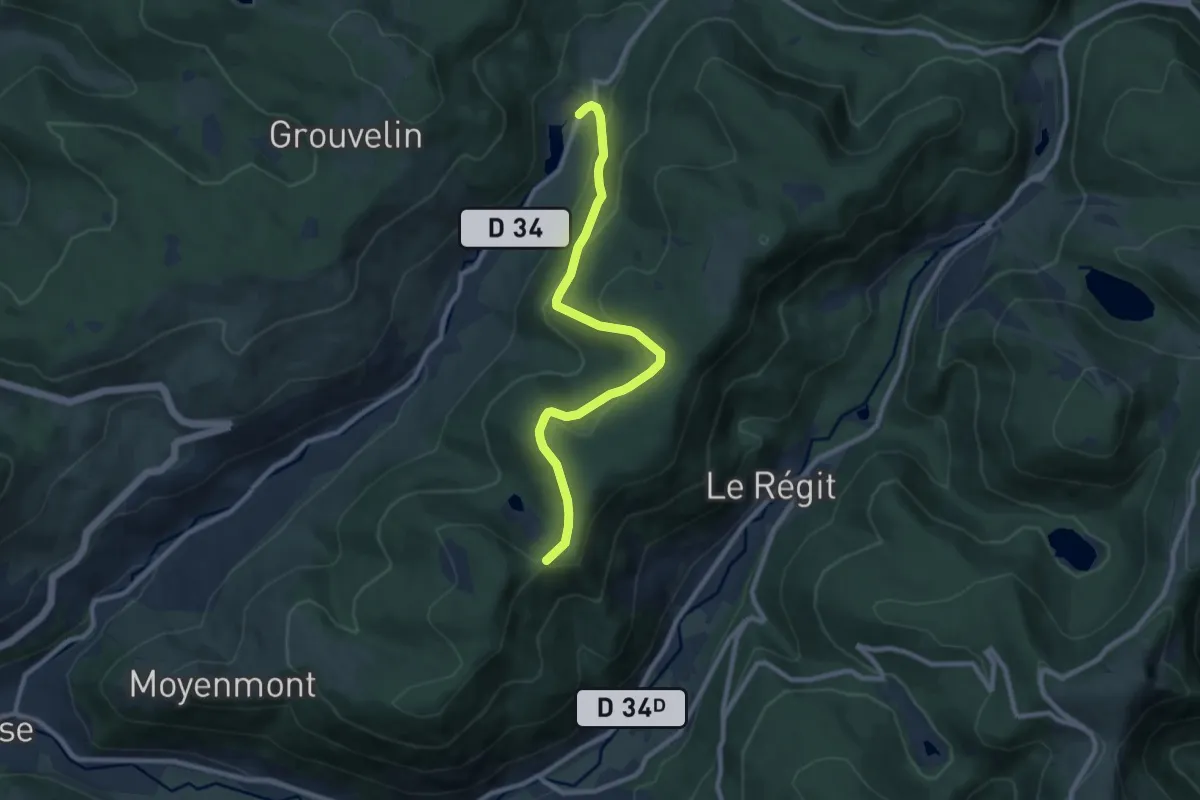
La Cure – Chalet des Champis
6.9 km · ↑ 295 m · 2 h 16 min
Medium · Cabin
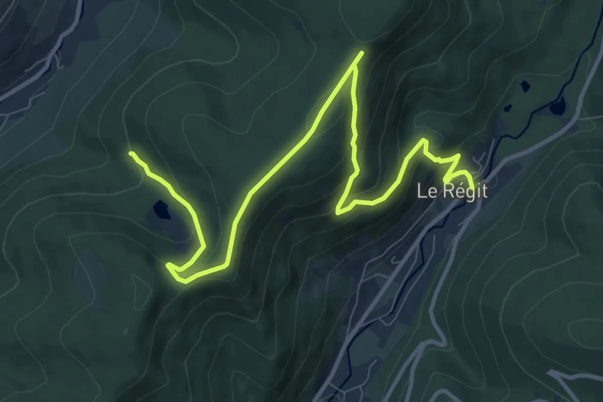
Pont des Saules – Collet de l’Étang
8.7 km · ↑ 350 m · 2 h 48 min
Medium · Trail
Pont Jean d’Zoure – Étang de la Cuve
10.6 km · ↑ 516 m · 3 h 37 min
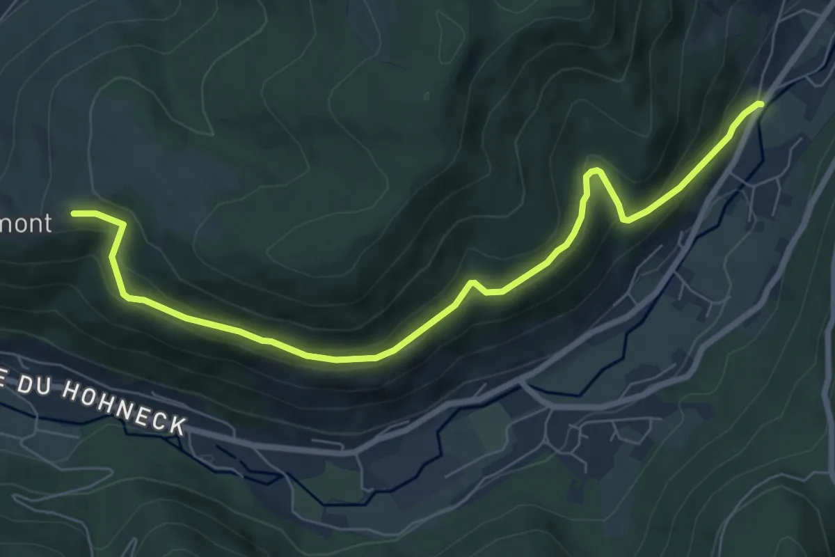
Medium · Trail
Le Not – Le Pré Jacquot
7.5 km · ↑ 375 m · 2 h 34 min
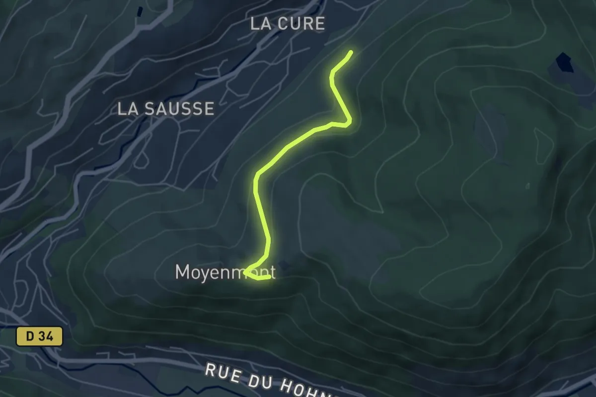
Easy · Trail
losange jaune – Le Pré Jacquot
3.8 km · ↑ 154 m · 1 h 13 min
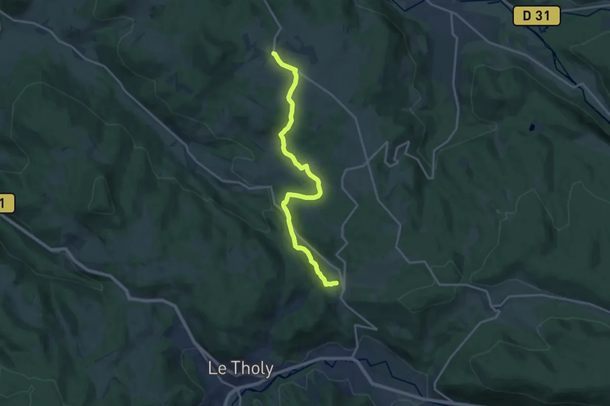
Medium · Trail
Champdray – Trou de l'enfer
12.2 km · ↑ 354 m · 3 h 39 min
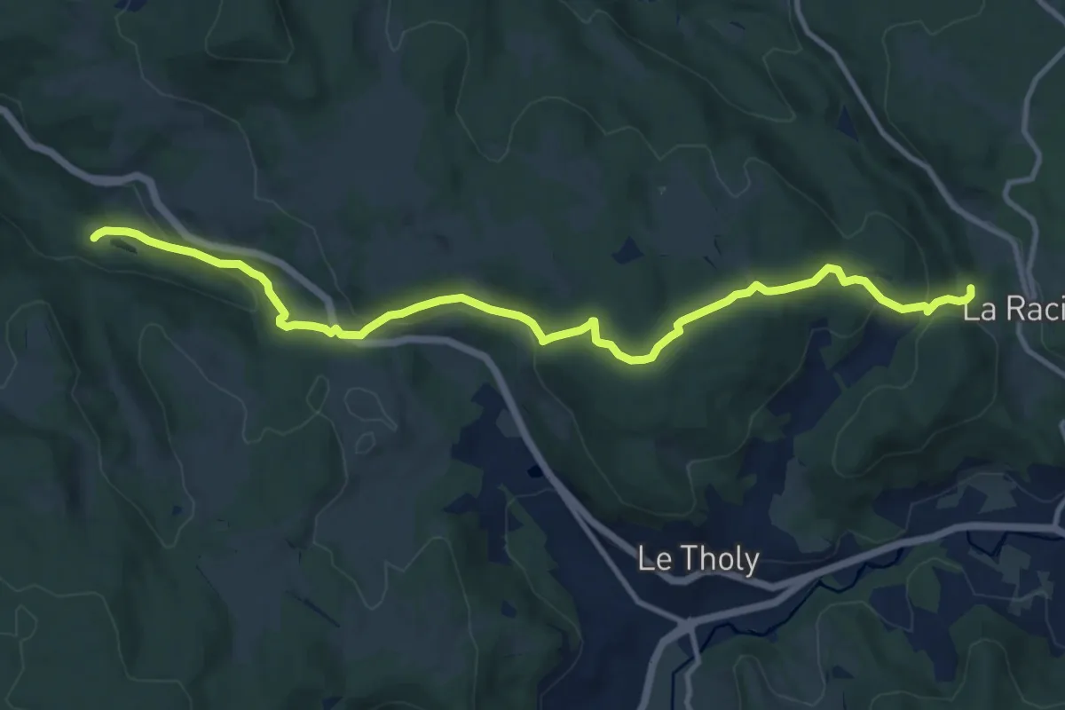
Demanding · Trail
Cascade de Tendon – Trou de l'enfer
12.1 km · ↑ 404 m · 3 h 44 min