Trails in France
15,926 hiking trails, each with its route, climb, walking time and grade.
All trails, page 317 of 332
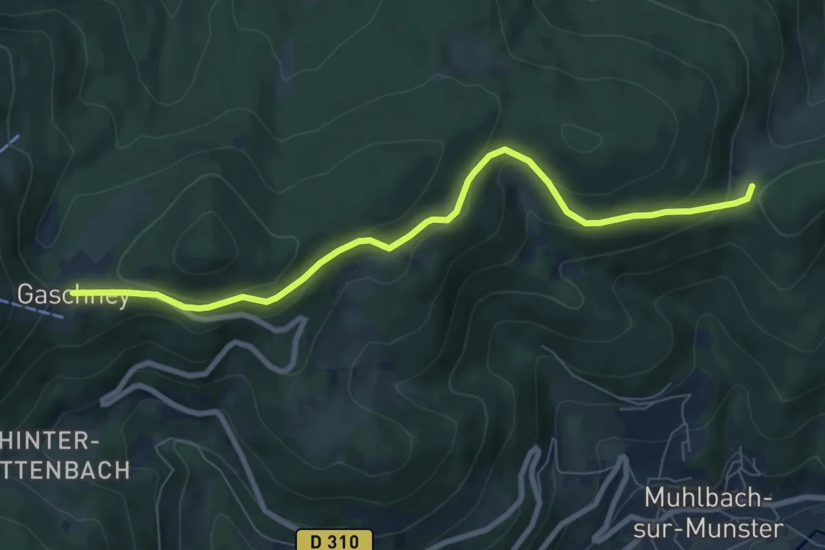
Easy · Trail
Col du Sattel – Gaschney
7.1 km · ↑ 264 m · 2 h 15 min
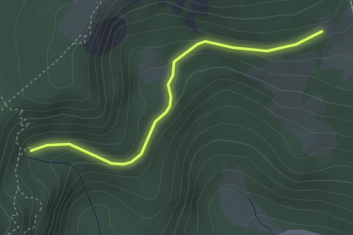
Easy · Trail
Lac Vert – GR 531
3.2 km · ↑ 112 m · 1 h
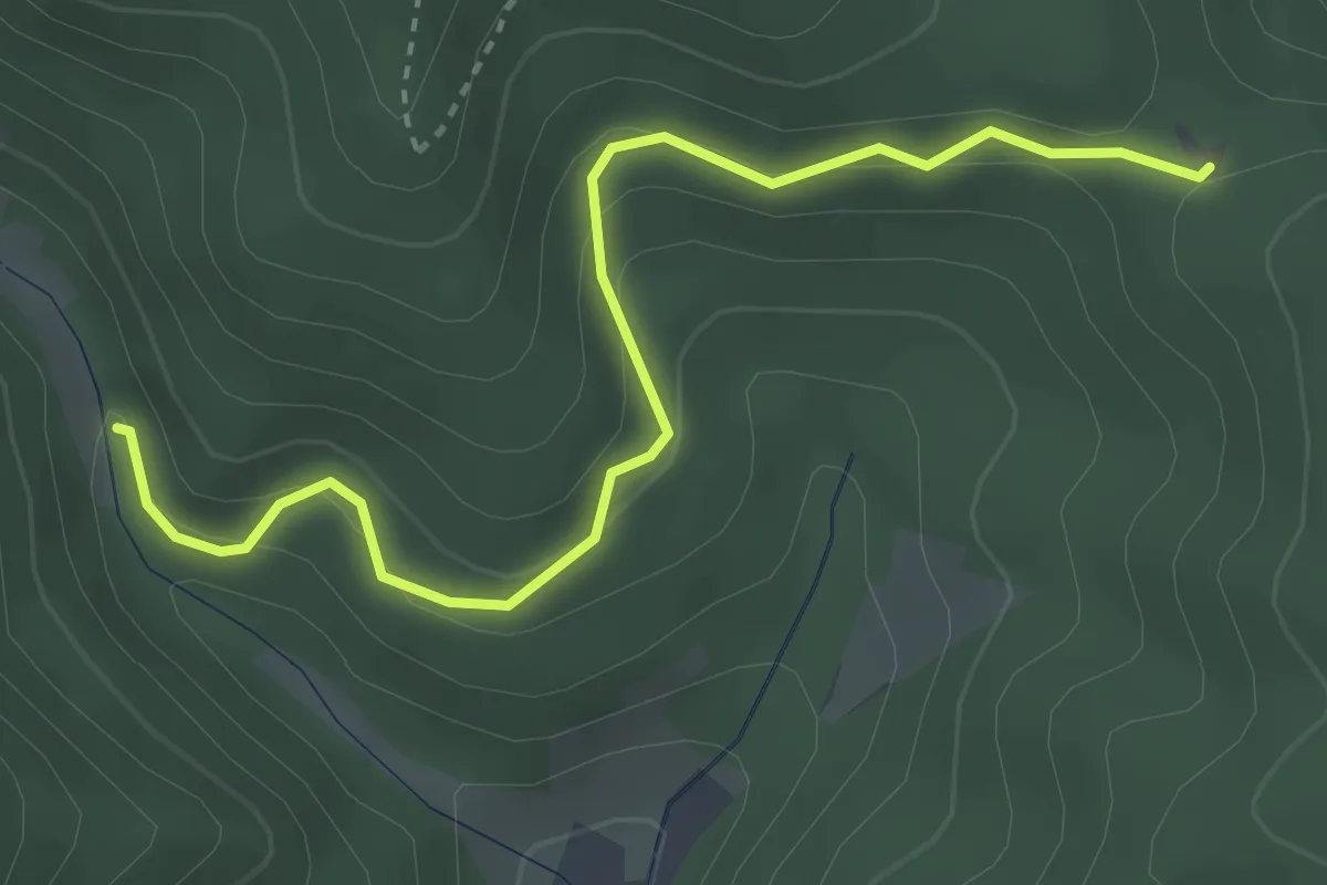
Easy · Trail
Grand Rombach – Creux Chêne
3.5 km · ↑ 212 m · 1 h 17 min
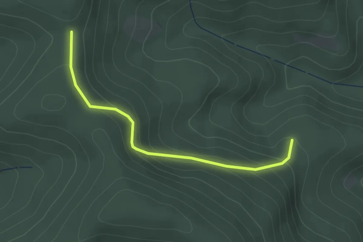
Easy · Trail
Sainte-Croix-aux-Mines – Col de Ralaine
2.9 km · ↑ 161 m · 1 h 2 min
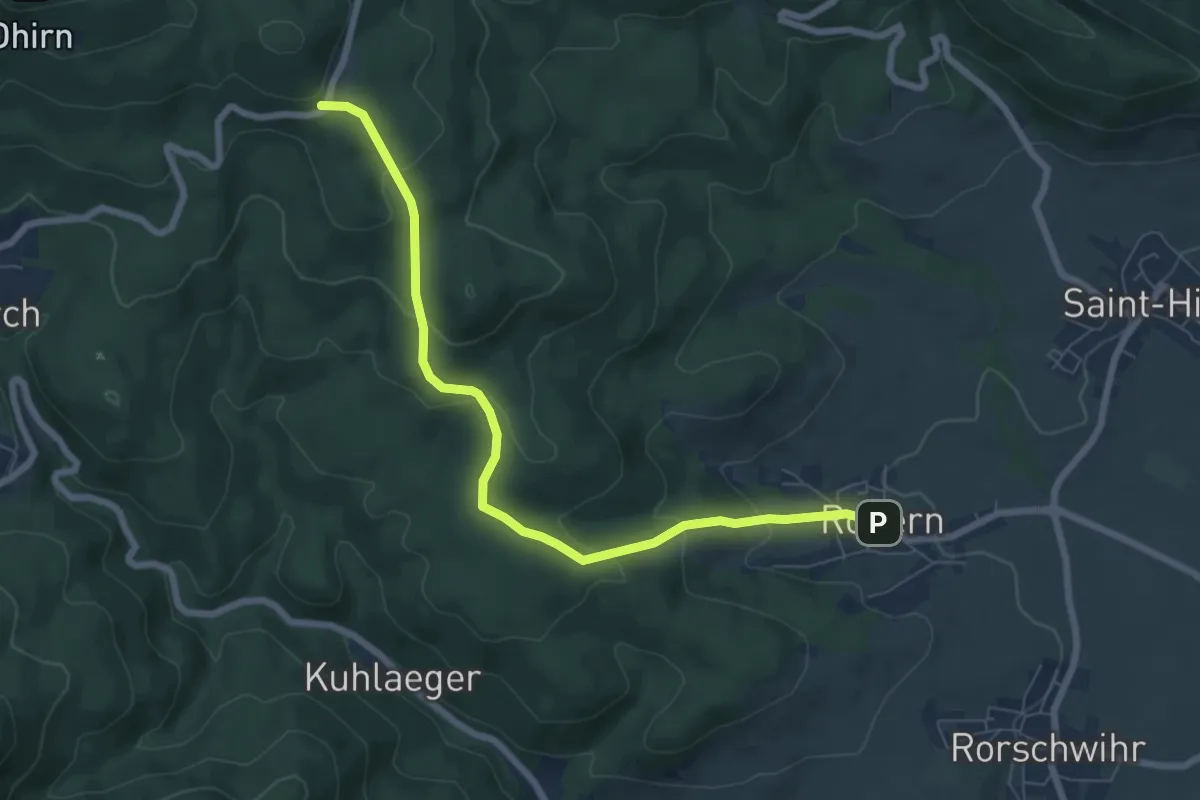
Medium · Trail
Rodern – GR5
7.1 km · ↑ 328 m · 2 h 23 min
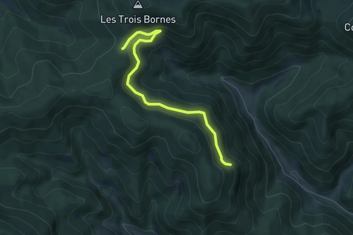
Easy · Trail
Sainte-Croix-aux-Mines – Col de la Hingrie
5.7 km · ↑ 294 m · 1 h 59 min
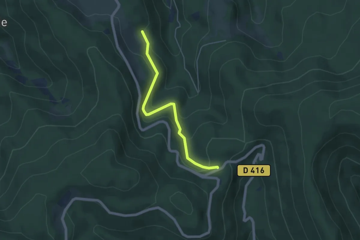
Easy · Trail
La Goutte Saint-Blaise – GR532
4.1 km · ↑ 227 m · 1 h 28 min
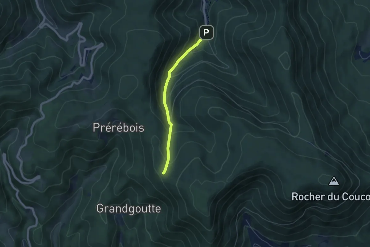
Easy · Trail
La Chapelle – Col du Petit Haut
4.2 km · ↑ 285 m · 1 h 37 min
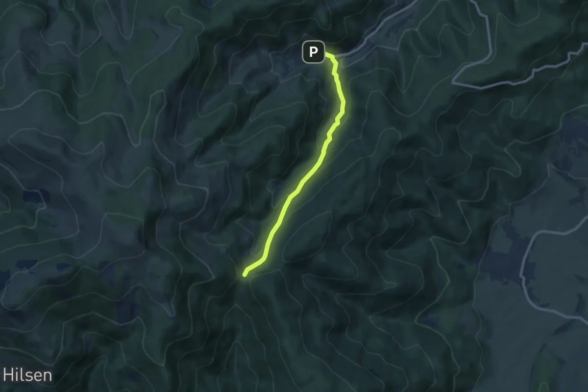
Medium · Trail
Wasserbourg – Col du Boenlensgrab
7.3 km · ↑ 378 m · 2 h 33 min
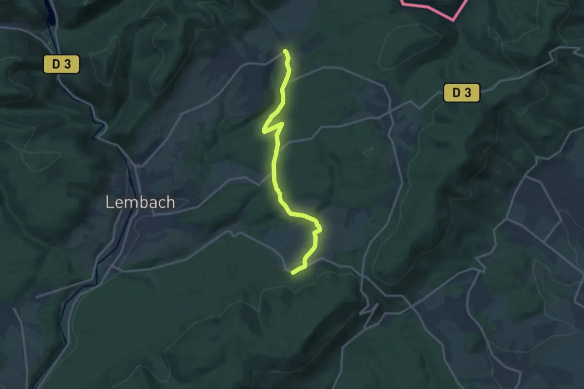
Medium · Trail
Petit-Wingen – Pfaffenbronn
10.7 km · ↑ 289 m · 3 h 10 min
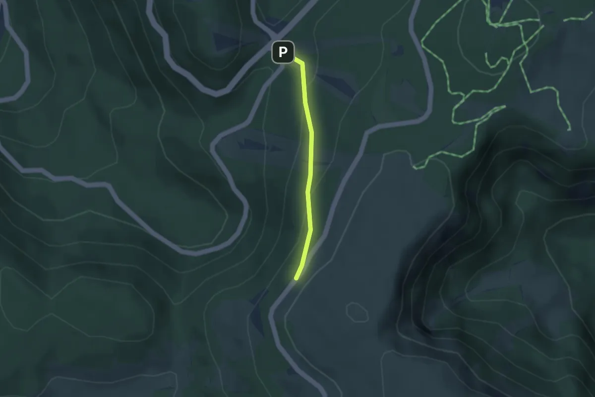
Easy · Trail
Le Collet – Col de Falimont
2.3 km · ↑ 142 m · 50 min
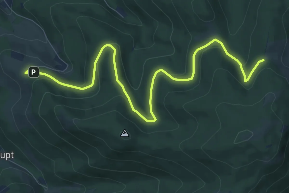
Medium · Trail
Parking Sorémont – GR531
9.5 km · ↑ 310 m · 2 h 55 min
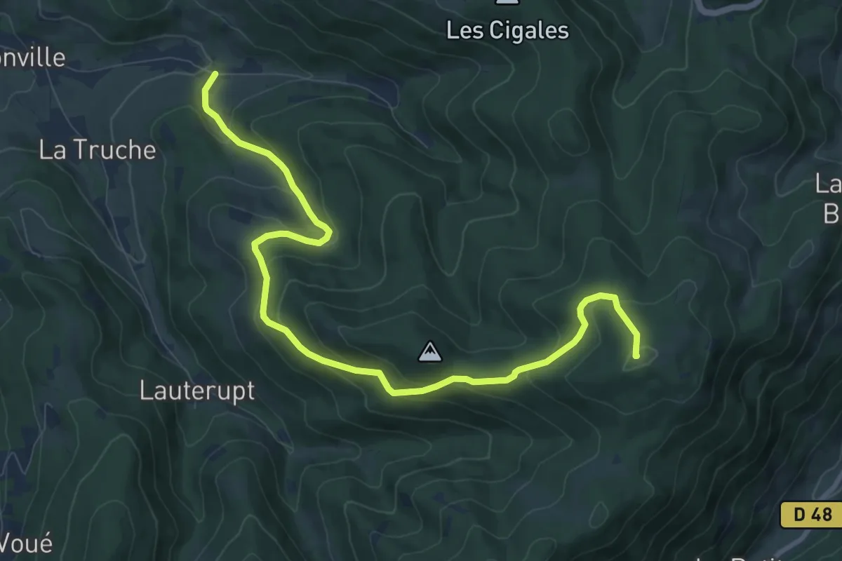
Medium · Summit
Québrux – GR531
10.4 km · ↑ 495 m · 3 h 32 min
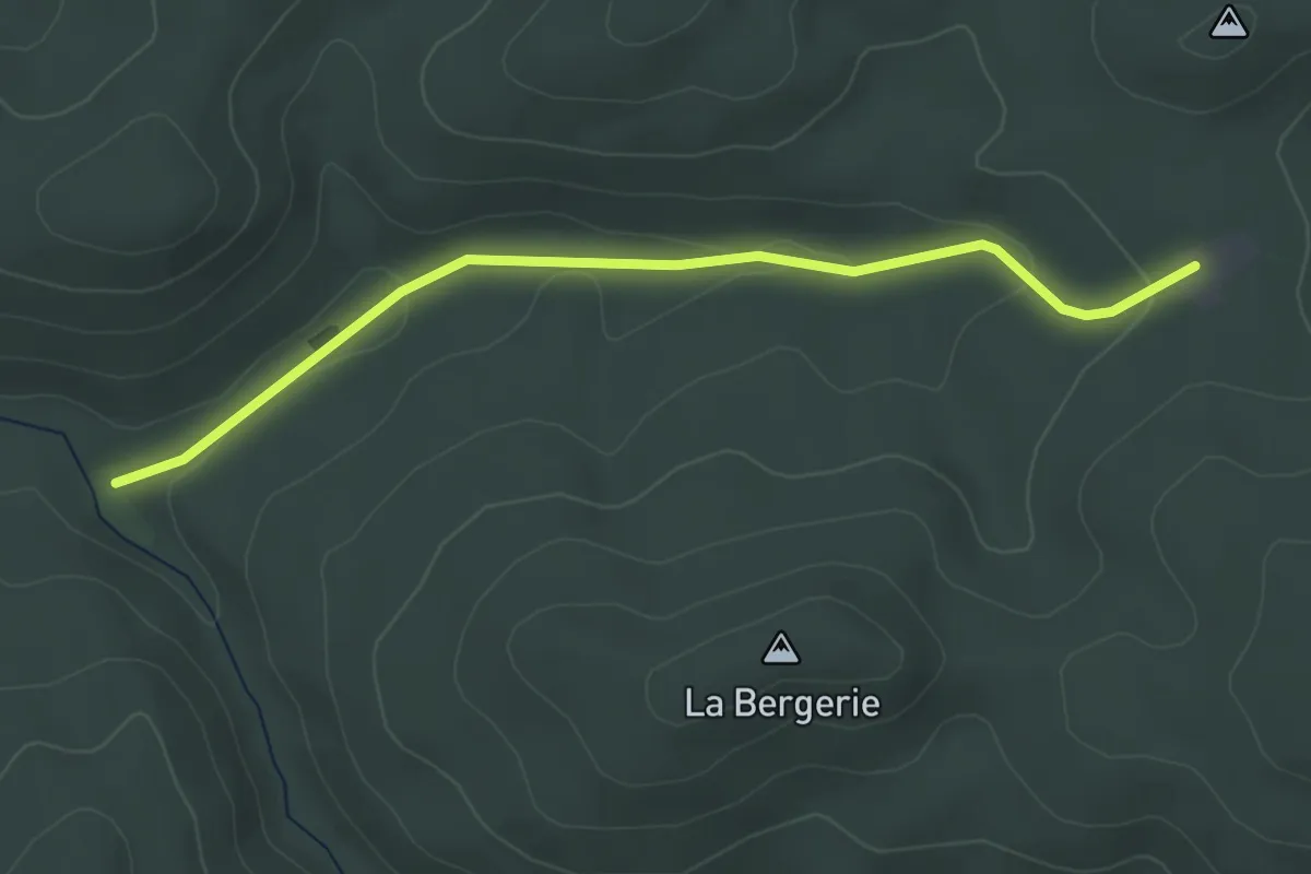
Easy · Trail
Saussenrupt – Maison Forestière du Gros Chêne
3.7 km · ↑ 74 m · 1 h 2 min
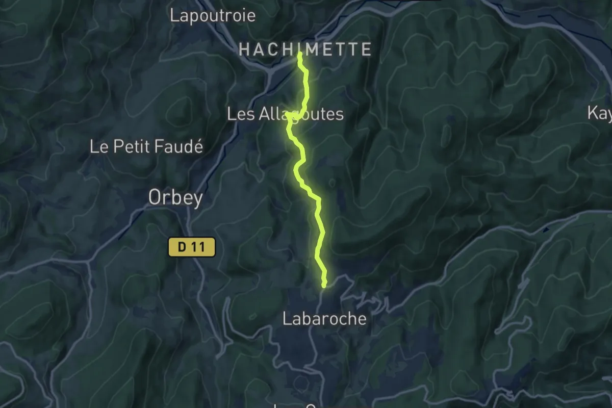
Medium · Trail
Labaroche – Hachimette
9.0 km · ↑ 478 m · 3 h 9 min
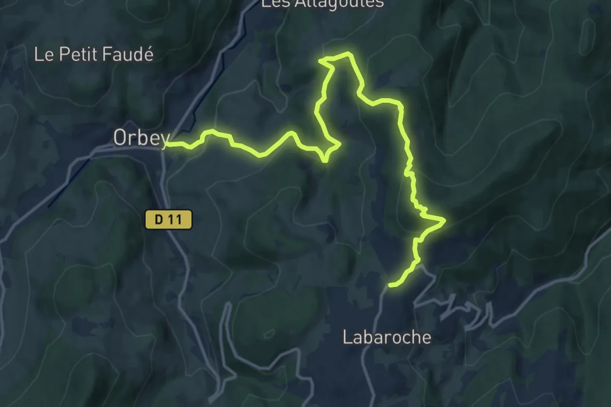
Medium · Trail
Orbey – La Chapelle
13.6 km · ↑ 691 m · 4 h 42 min
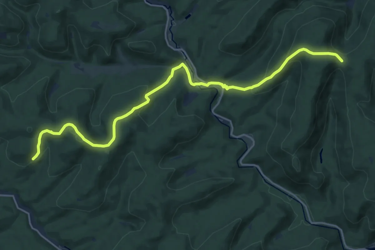
Medium · Trail
Obersteinbach – Saverne
15.0 km · ↑ 615 m · 4 h 52 min
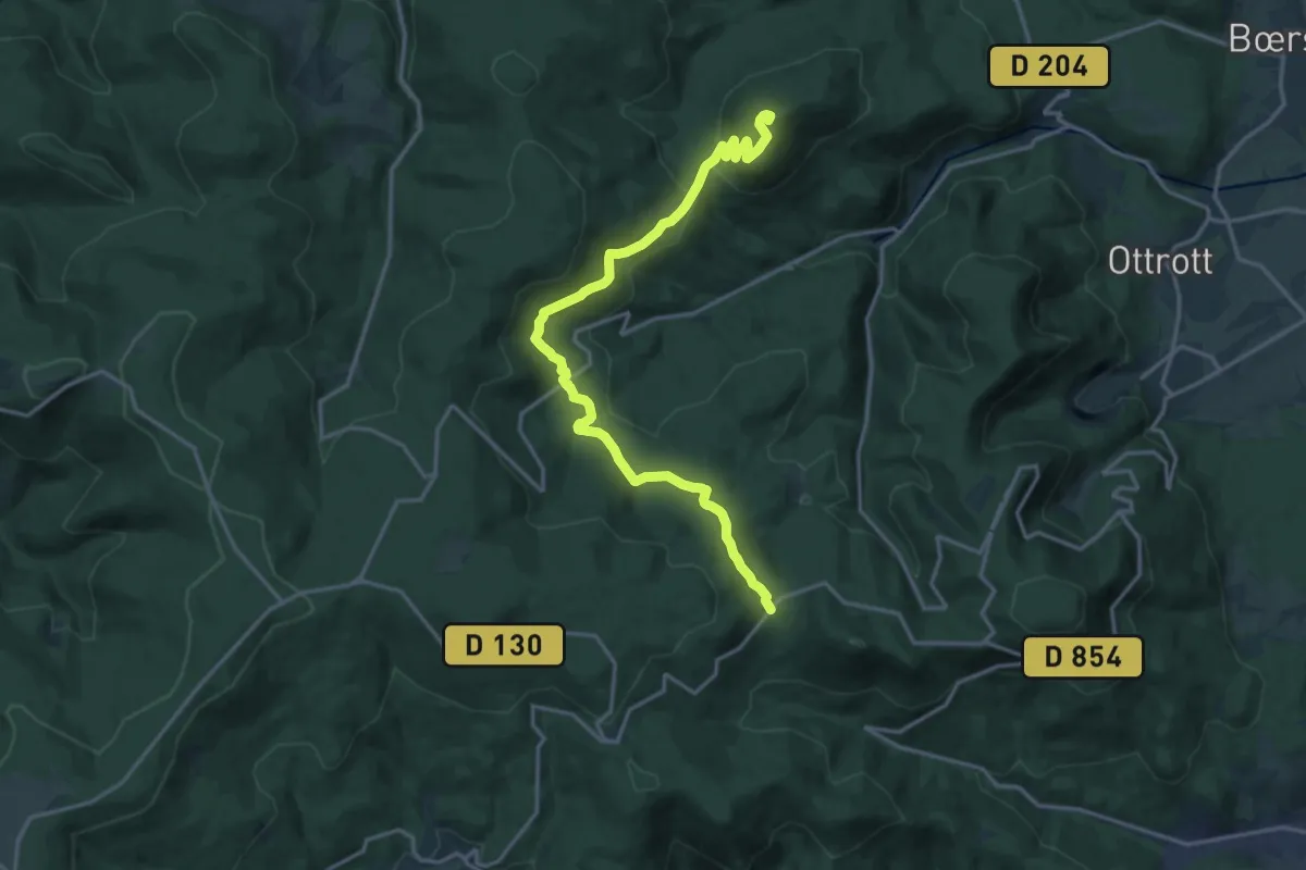
Medium · Summit
Rosheim – GR 5
17.4 km · ↑ 529 m · 5 h 16 min
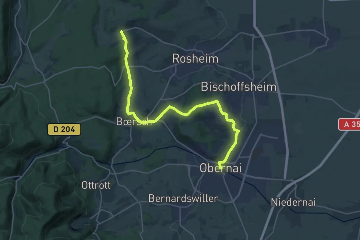
Demanding · Trail
Rosenwiller – Obernai
19.8 km · ↑ 495 m · 5 h 45 min
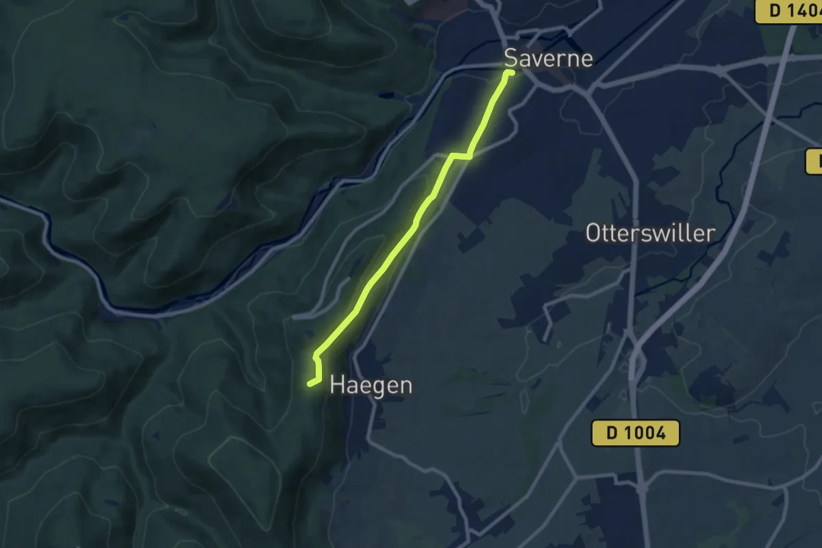
Easy · Summit
Saverne – Table des Sorcières
7.4 km · ↑ 270 m · 2 h 20 min
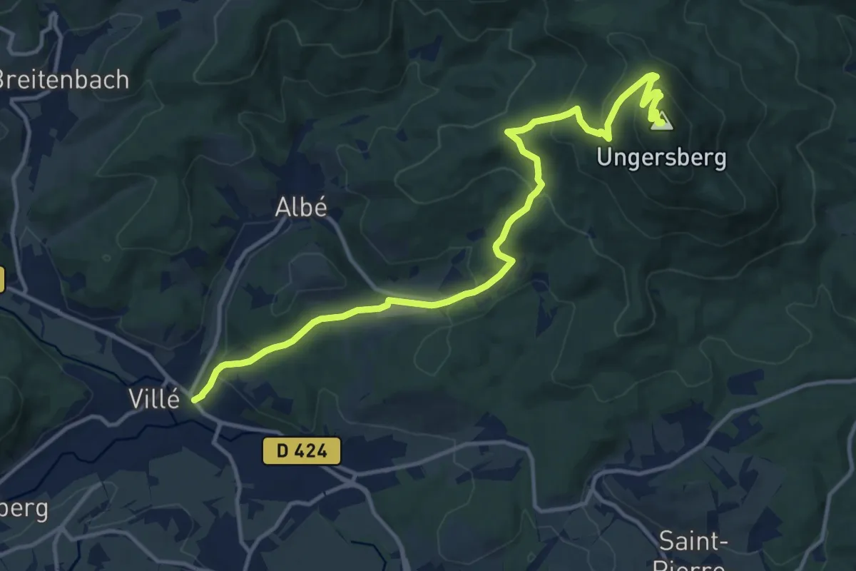
Medium · Summit
Villé – Ungersberg
13.8 km · ↑ 658 m · 4 h 42 min
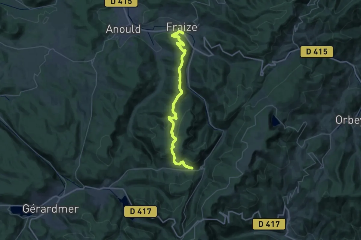
Demanding · Trail
Fraize – Le Grand Valtin
14.7 km · ↑ 821 m · 5 h 16 min
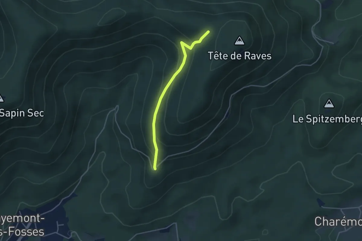
Medium · Trail
Carrefour des Hautes Voies – Col des Peutes Ouesses
3.1 km · ↑ 216 m · 1 h 12 min
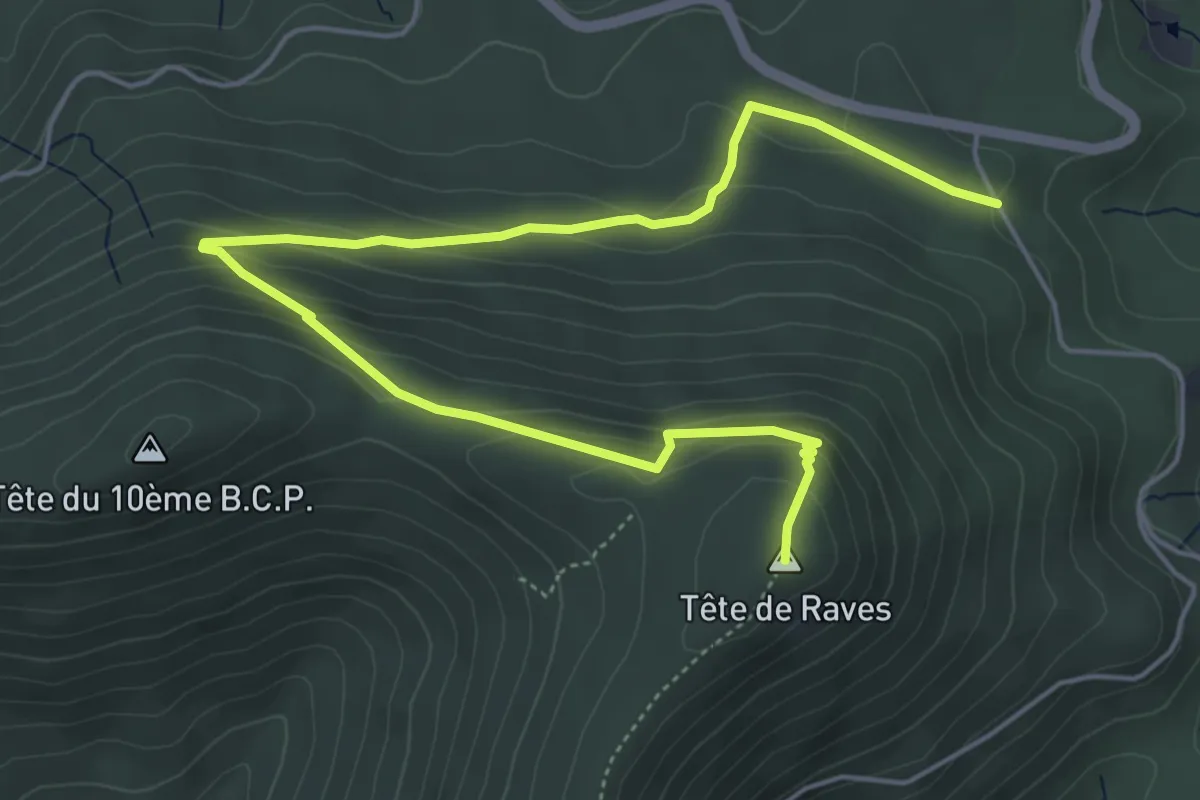
Easy · Summit
Col d'Hermanpaire – Tête des Raves
6.5 km · ↑ 291 m · 2 h 11 min
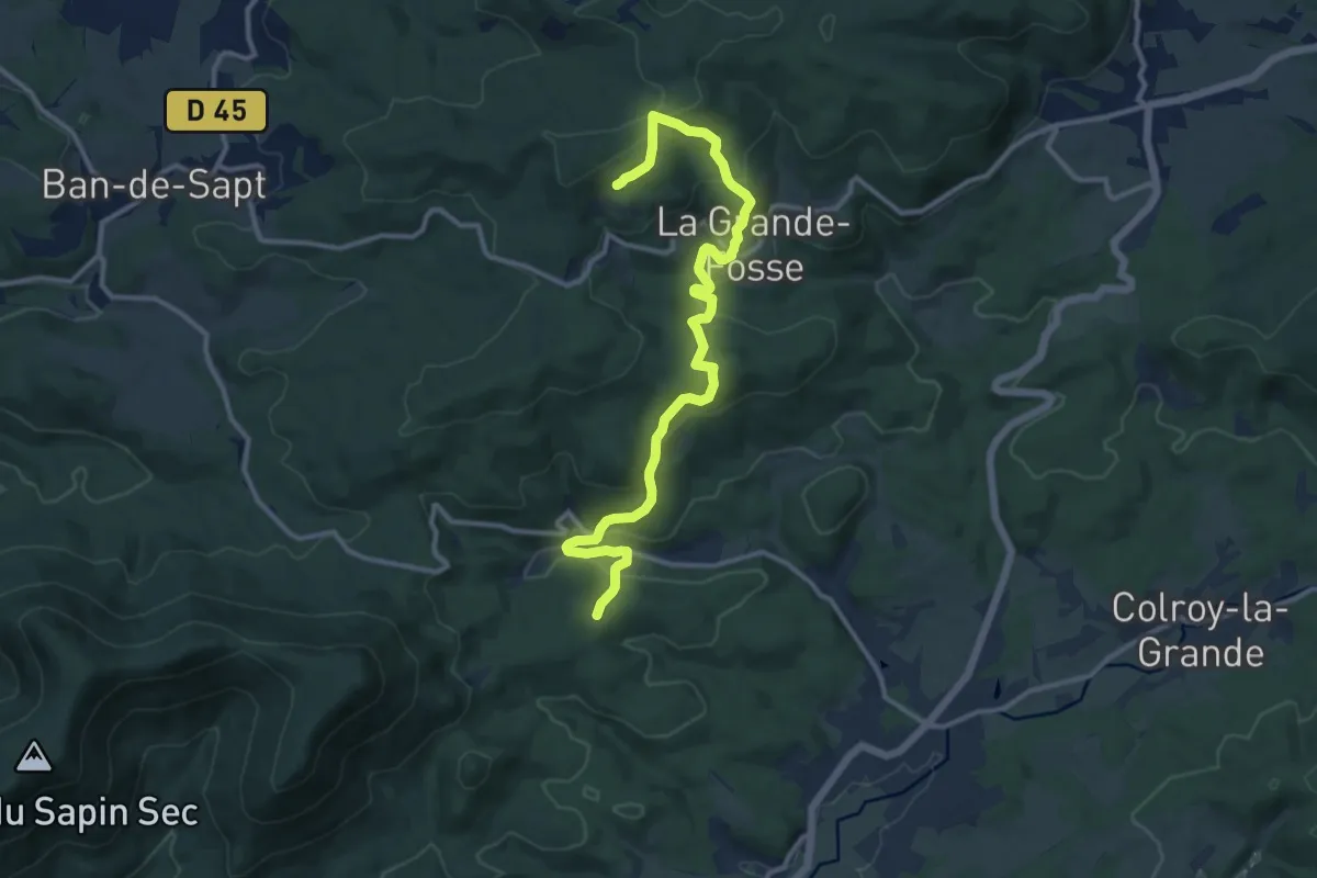
Medium · Trail
Launois – Chapelle Saint-Gondelbert
12.7 km · ↑ 617 m · 4 h 20 min
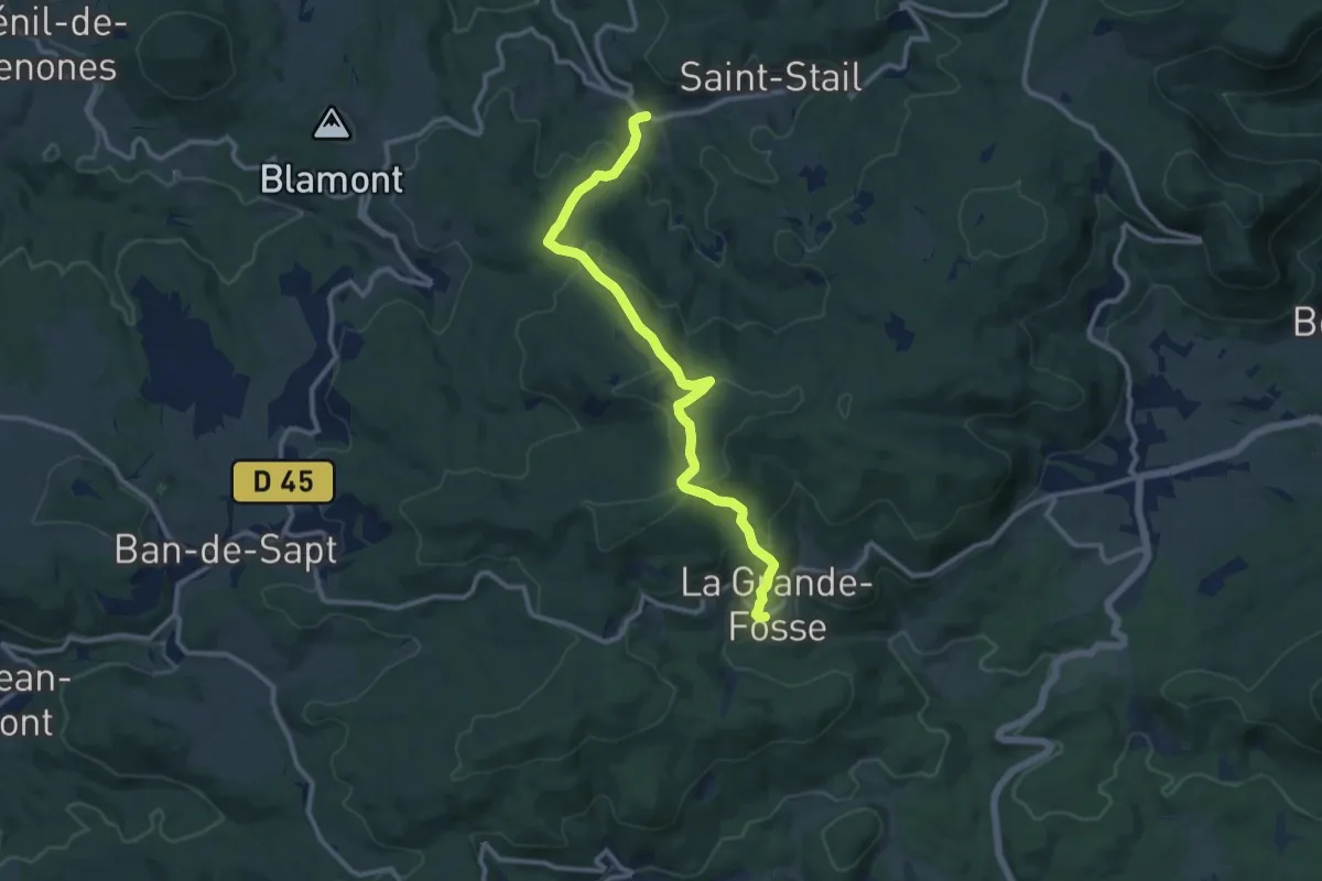
Medium · Trail
La Grande-Fosse – Grandrupt
11.0 km · ↑ 471 m · 3 h 37 min
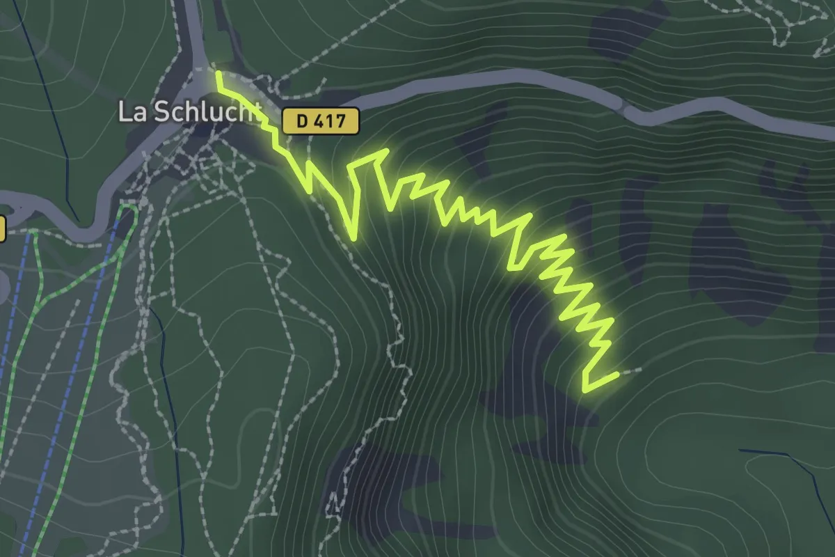
Demanding · Trail
Seagmatt – Col de la Schlucht
3.5 km · ↑ 236 m · 1 h 20 min
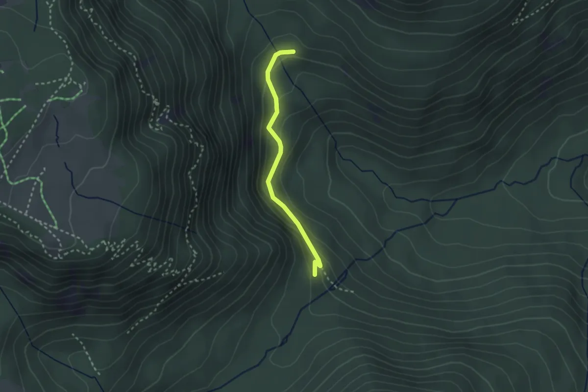
Easy · Trail
Parking Stolz Ablass – Schluchtmatt
2.2 km · ↑ 144 m · 50 min
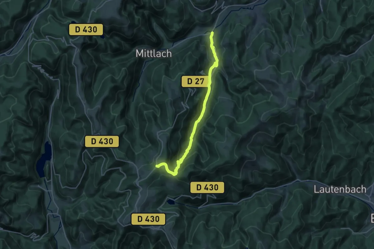
Demanding · Trail
Metzeral – Carrefour de la chaume du Lauchenkopf
20.3 km · ↑ 860 m · 6 h 39 min
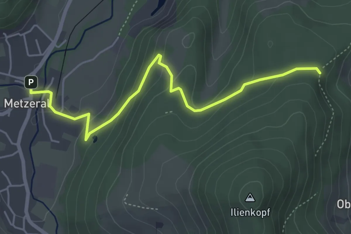
Easy · Trail
Metzeral – Engelberg
4.7 km · ↑ 182 m · 1 h 31 min
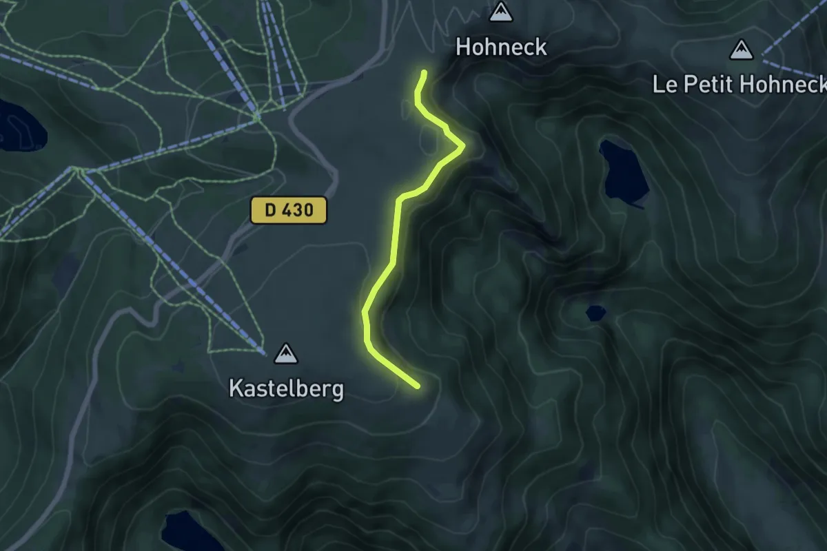
Easy · Trail
Mittlach – Le Hohneck
4.2 km · ↑ 110 m · 1 h 14 min
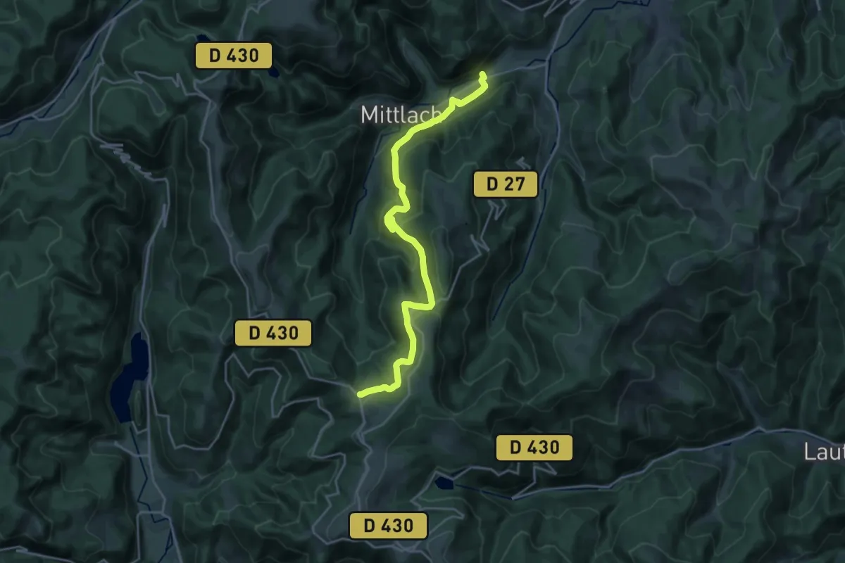
Demanding · Cabin
Metzeral – GR 5
21.0 km · ↑ 872 m · 6 h 51 min
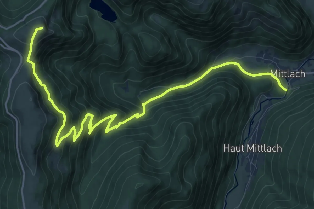
Demanding · Summit
Mittlach – GR531
15.3 km · ↑ 839 m · 5 h 26 min
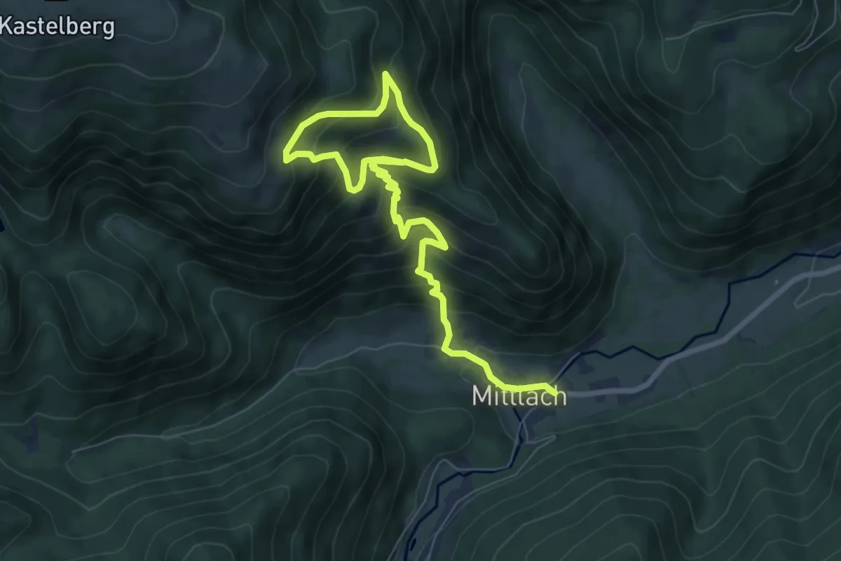
Medium · Trail
Mittlach – Koepfle
9.6 km · ↑ 746 m · 3 h 53 min
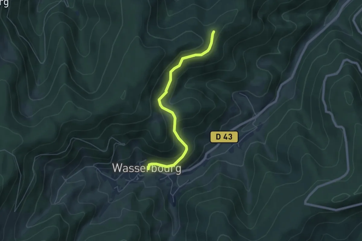
Medium · Trail
Wasserbourg – Haut Wasserbourg
4.9 km · ↑ 269 m · 1 h 44 min
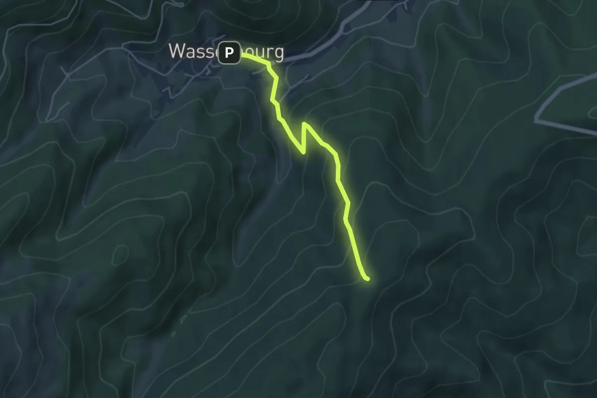
Easy · Trail
Wasserbourg – Hirstenstein
4.1 km · ↑ 308 m · 1 h 39 min
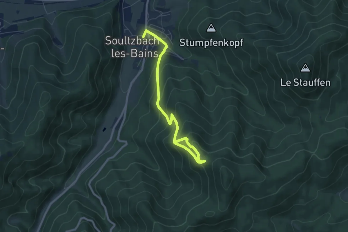
Medium · Trail
Soultzbach les Bains – GR 532
6.7 km · ↑ 544 m · 2 h 46 min
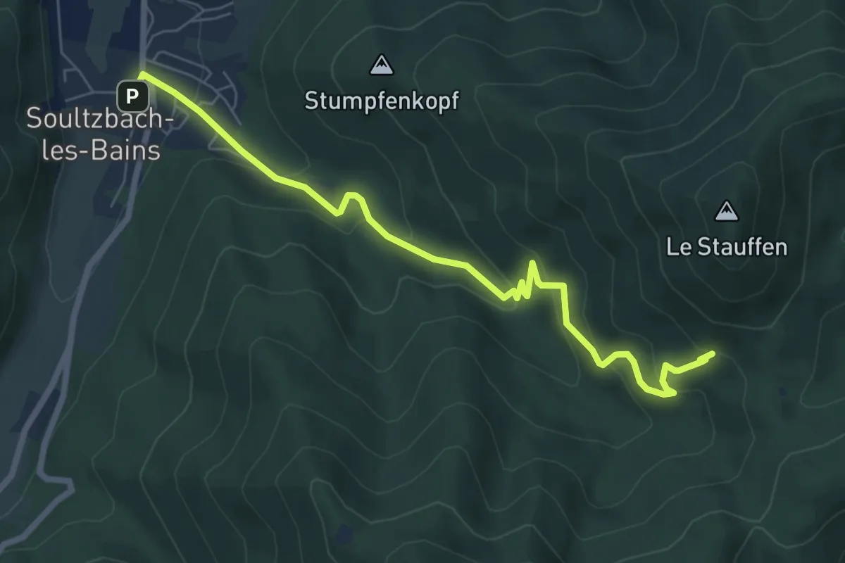
Medium · Trail
Soultzbach les Bains – Col de Marbach
6.8 km · ↑ 438 m · 2 h 33 min
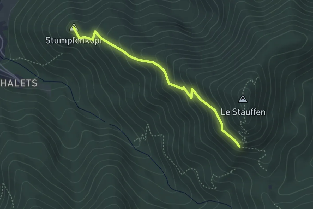
Easy · Summit
Soultzbach les Bains – GR 532
3.8 km · ↑ 263 m · 1 h 28 min
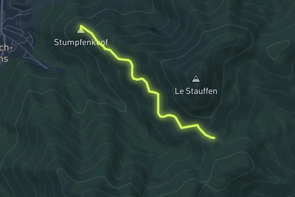
Easy · Summit
Boedler – Col de Marbach
4.7 km · ↑ 244 m · 1 h 38 min
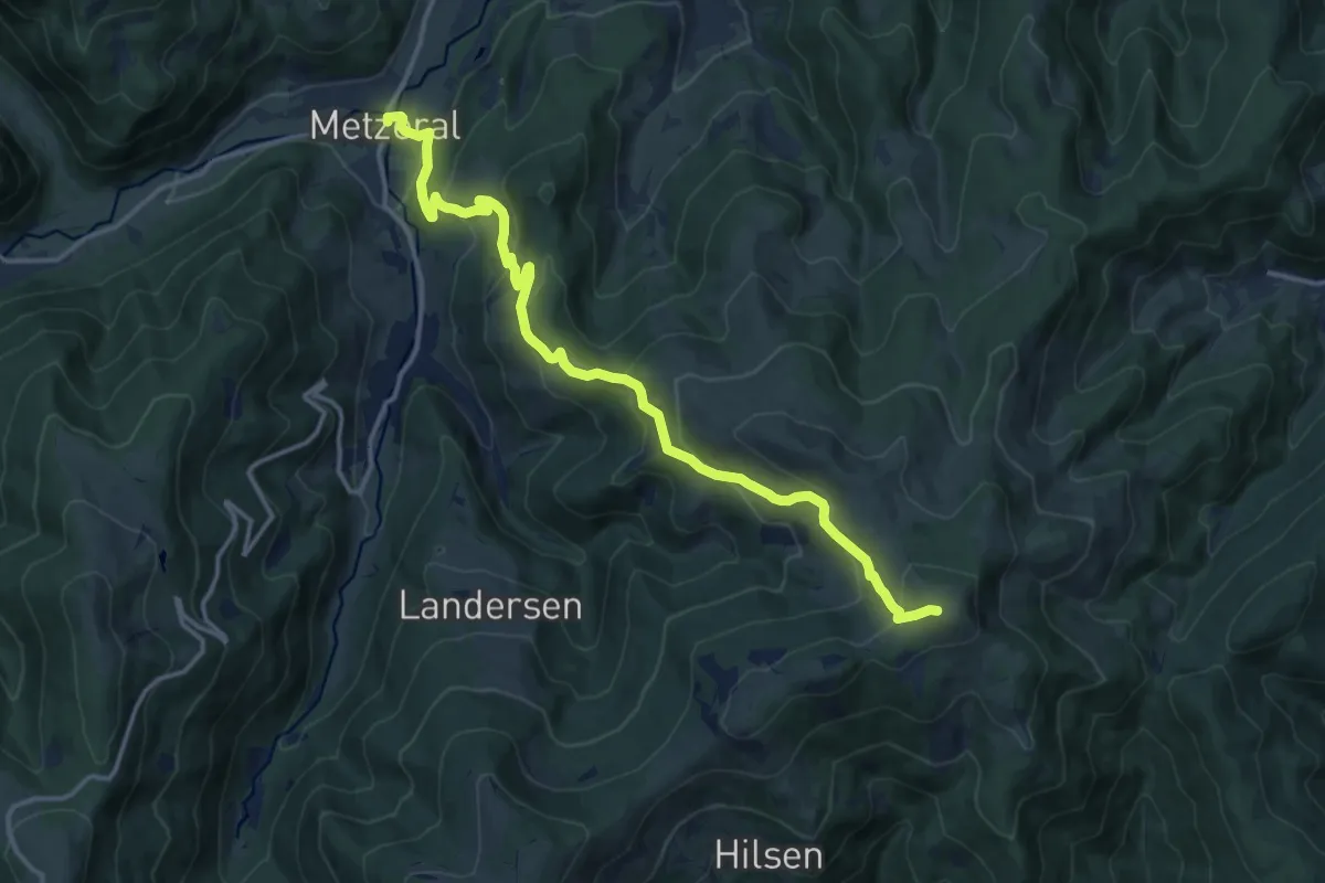
Medium · Summit
Metzeral – Petit Ballon
15.2 km · ↑ 793 m · 5 h 18 min
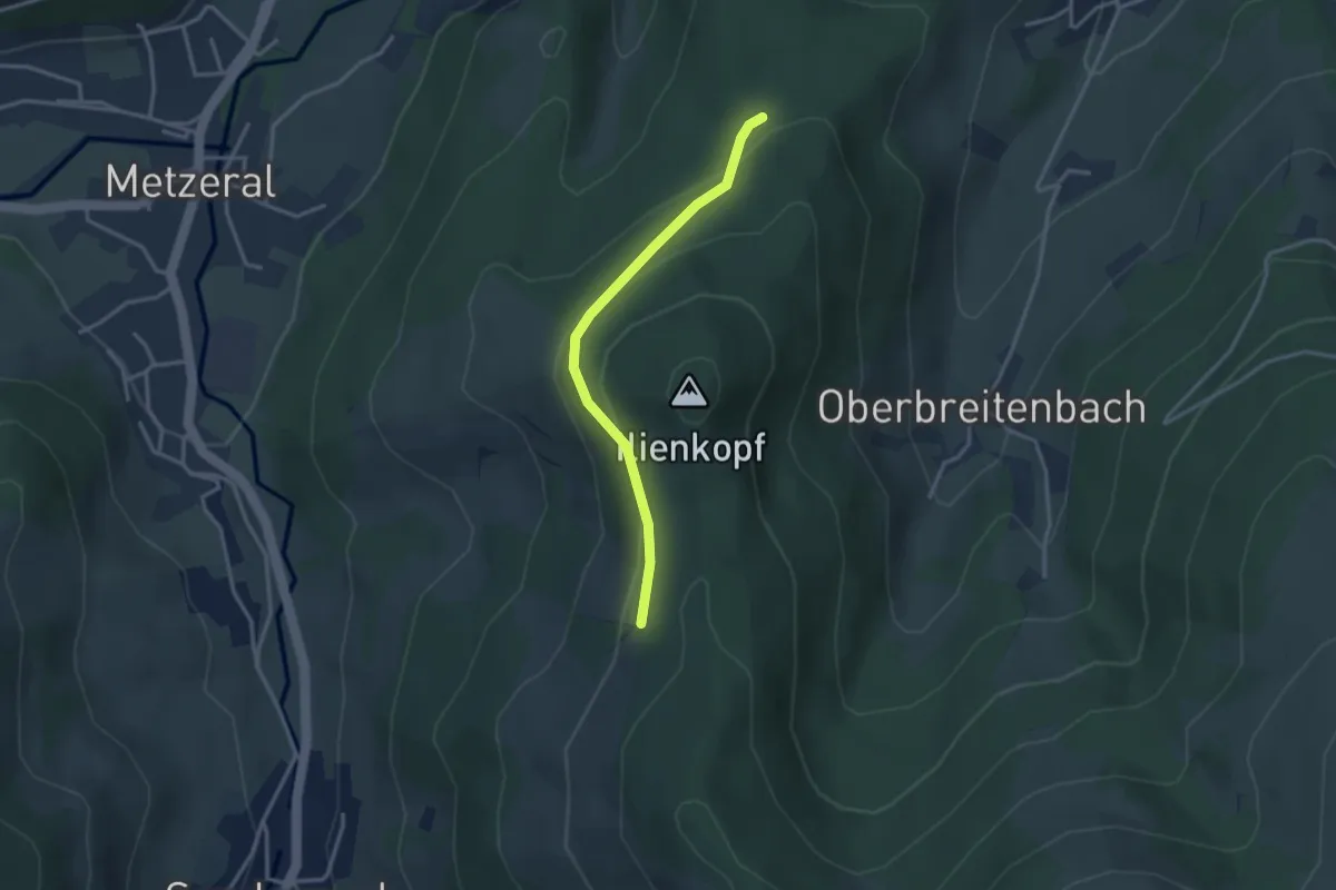
Easy · Trail
Ilienkopf – Engelberg
2.9 km · ↑ 132 m · 58 min
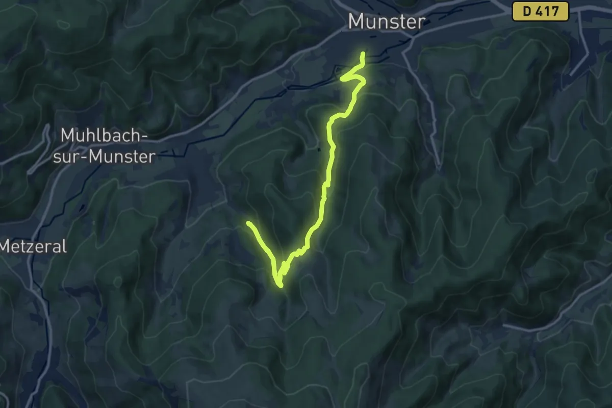
Medium · Trail
Leymel – Breitenbach
11.3 km · ↑ 608 m · 3 h 59 min
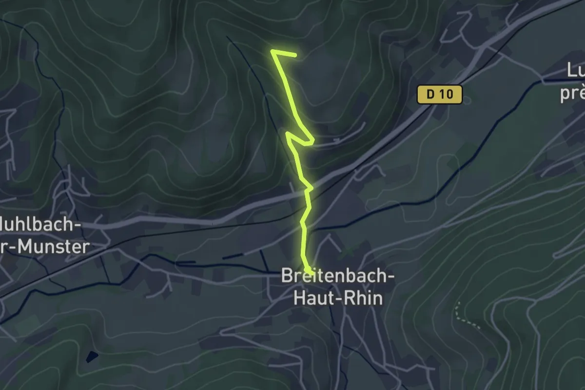
Easy · Trail
Breitenbach – Katzenkoepfle
2.6 km · ↑ 139 m · 55 min
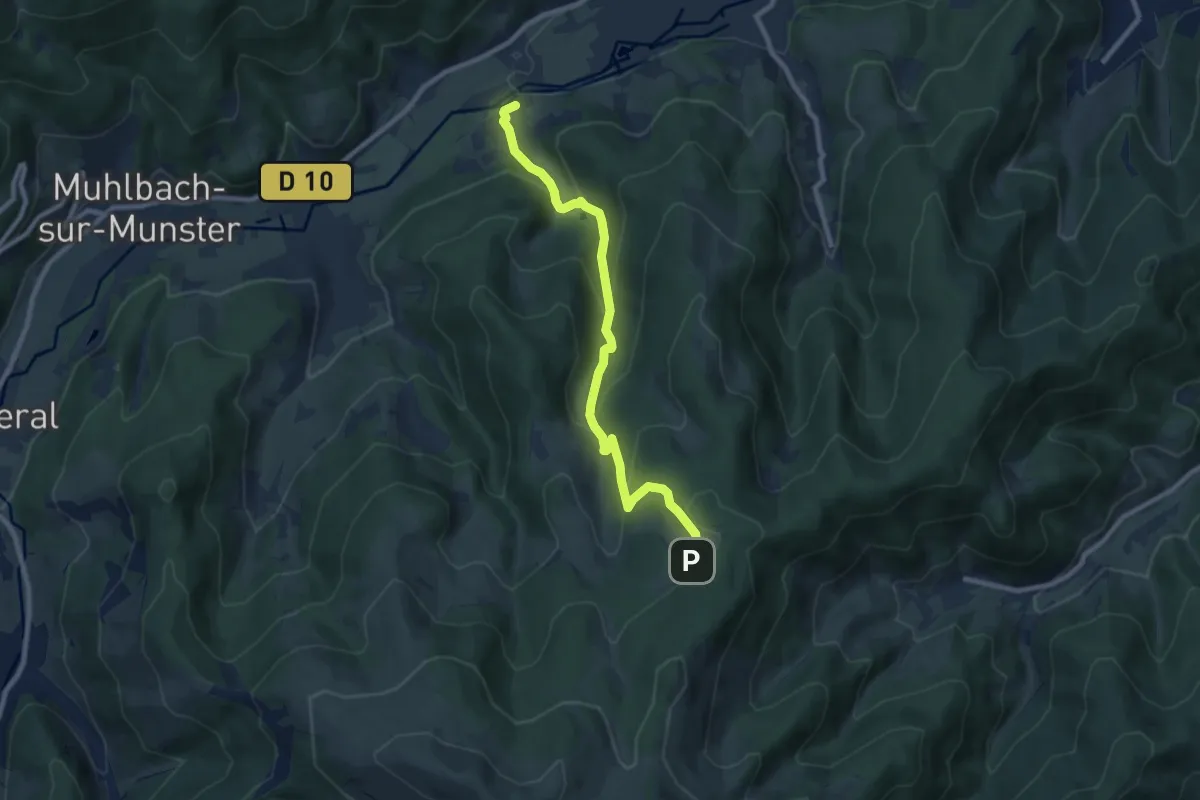
Medium · Trail
Luttenbach-près-Munster – Ried
8.6 km · ↑ 486 m · 3 h 6 min
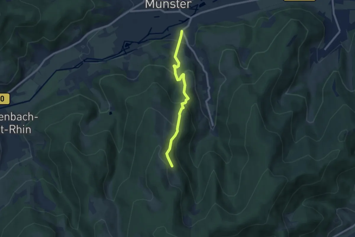
Medium · Trail
Eschbach au Val – Erschlitt
5.5 km · ↑ 415 m · 2 h 11 min
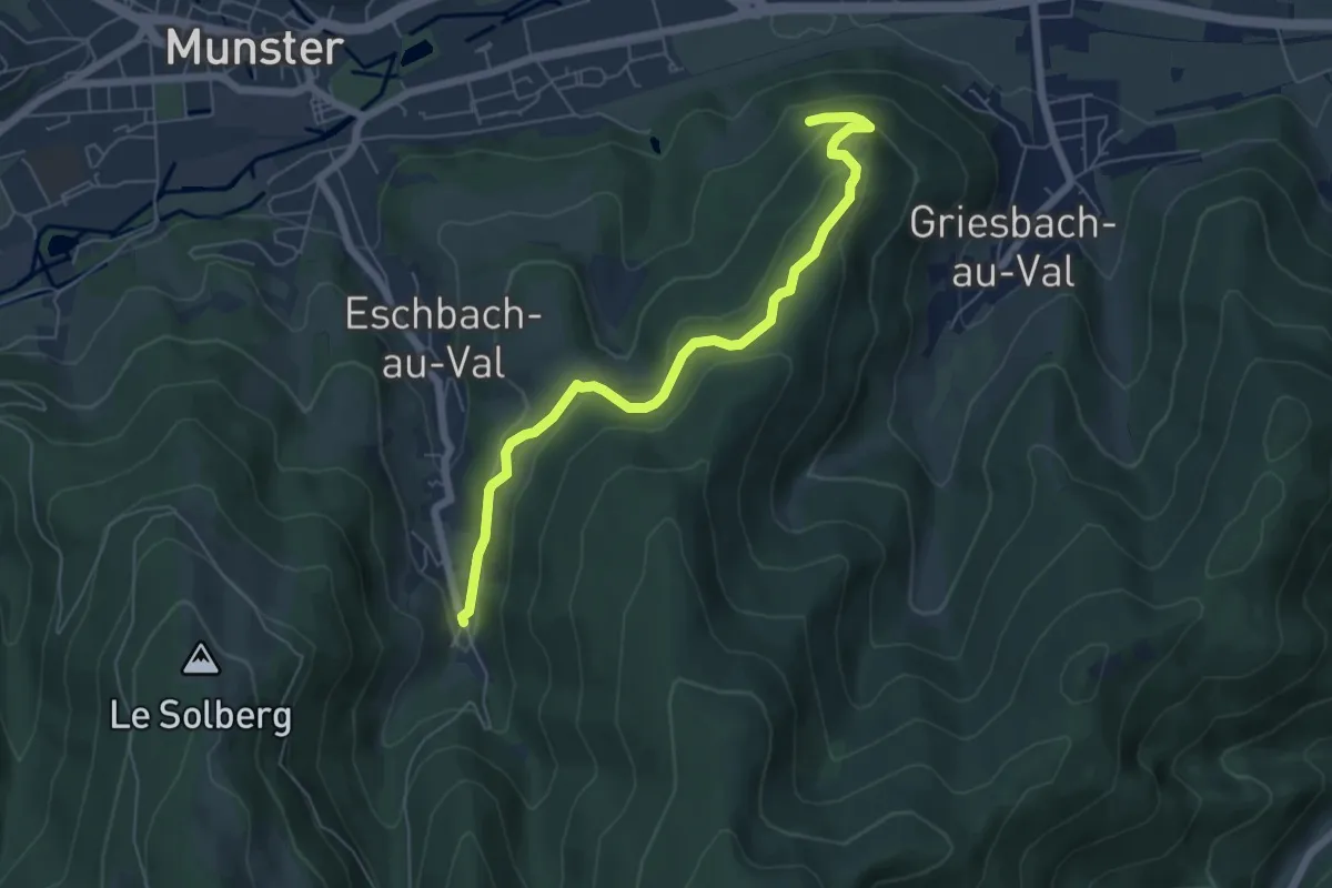
Easy · Trail
Griesbach au Val – Eichwald
5.9 km · ↑ 222 m · 1 h 52 min
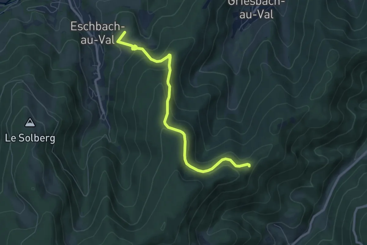
Medium · Summit
Eschbach au Val – Haut de Wesserbourg
6.8 km · ↑ 326 m · 2 h 19 min