Trails in France
15,926 hiking trails, each with its route, climb, walking time and grade.
All trails, page 318 of 332
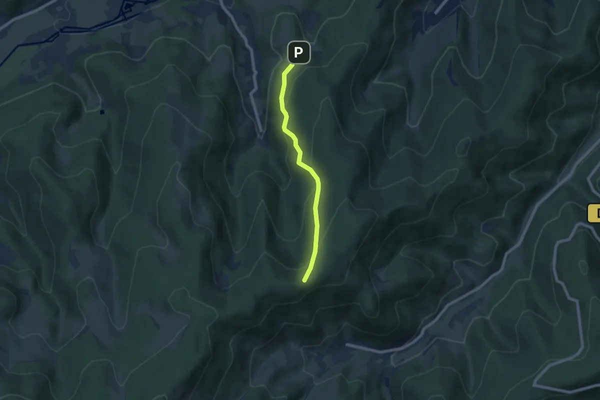
Easy · Trail
Baechle – Schreiplan
5.2 km · ↑ 309 m · 1 h 54 min
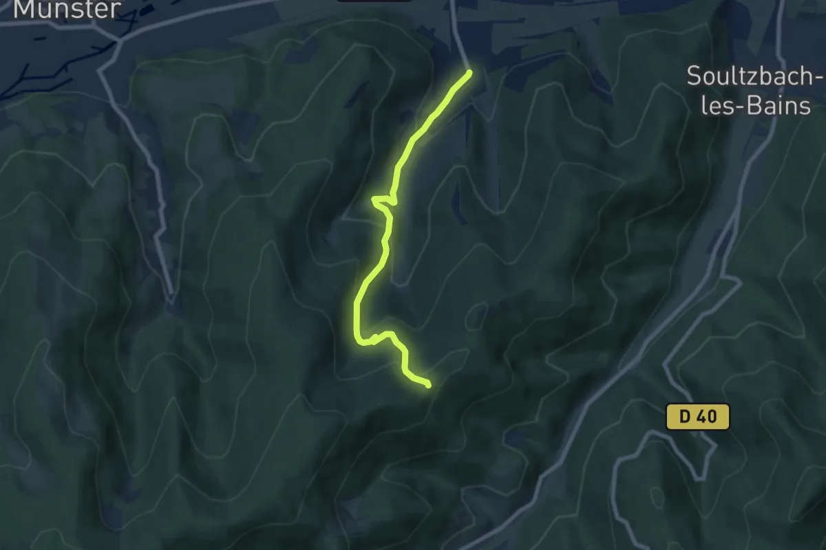
Medium · Trail
Griesbach au Val – Haut de Wasserbourg
6.2 km · ↑ 358 m · 2 h 15 min
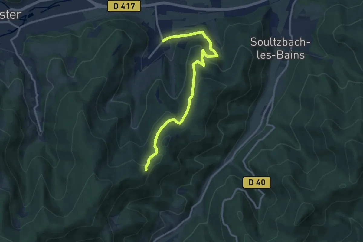
Medium · Trail
Griesbach au Val – Haut de Wasserboug
8.4 km · ↑ 382 m · 2 h 48 min
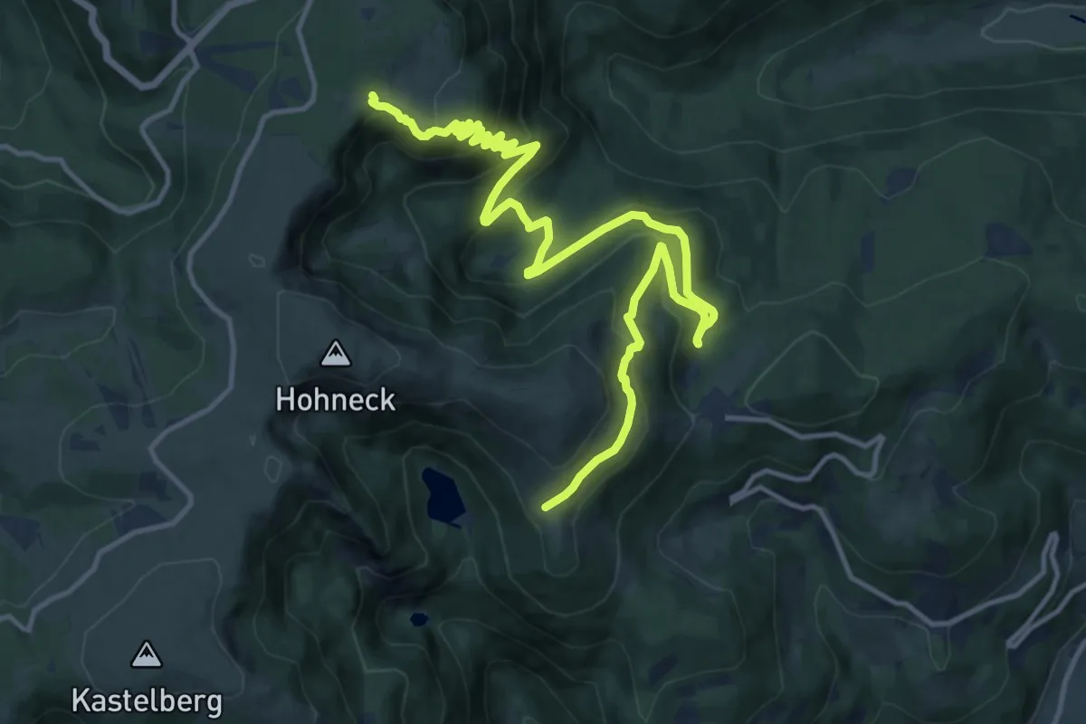
Medium · Trail
Schiessroth – GR 5
16.5 km · ↑ 790 m · 5 h 36 min
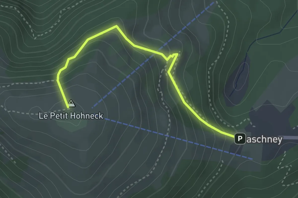
Demanding · Summit
Le Gaschney – Frankenthal
4.4 km · ↑ 361 m · 1 h 49 min
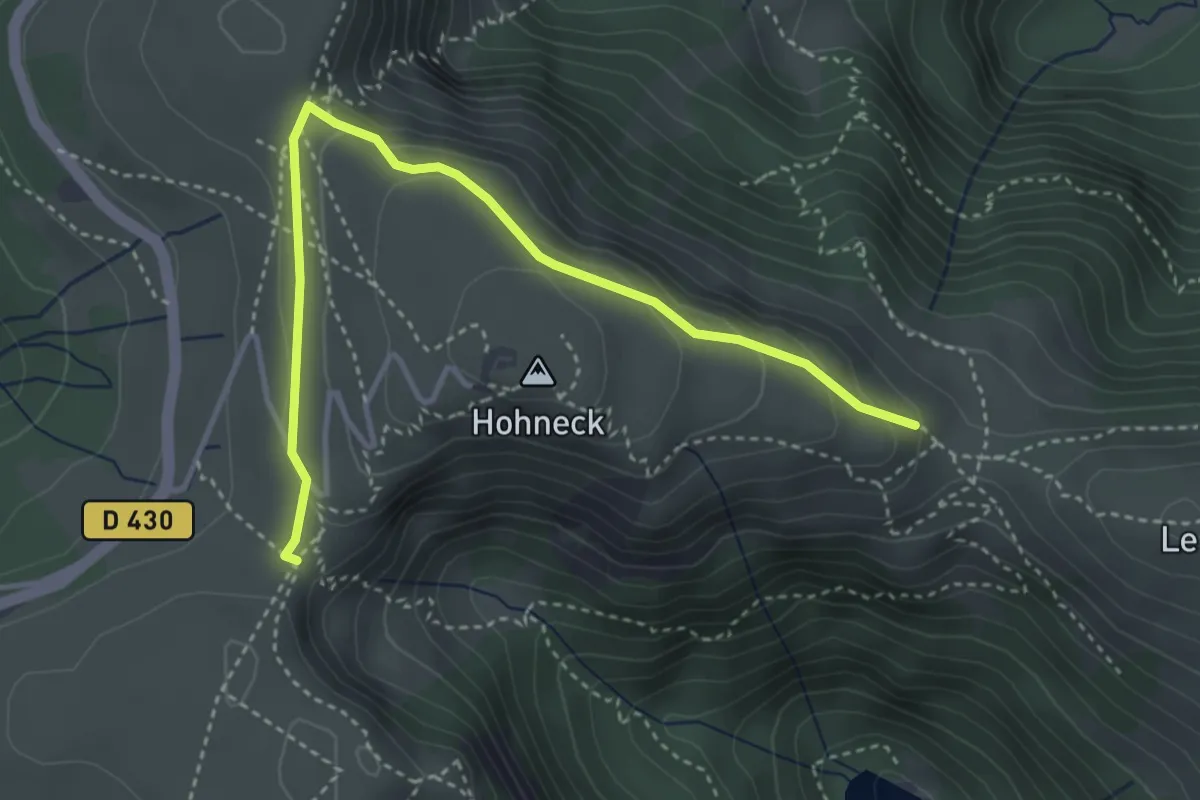
Medium · Trail
Col de Schaferthal – Col de Wormspel
4.0 km · ↑ 125 m · 1 h 13 min
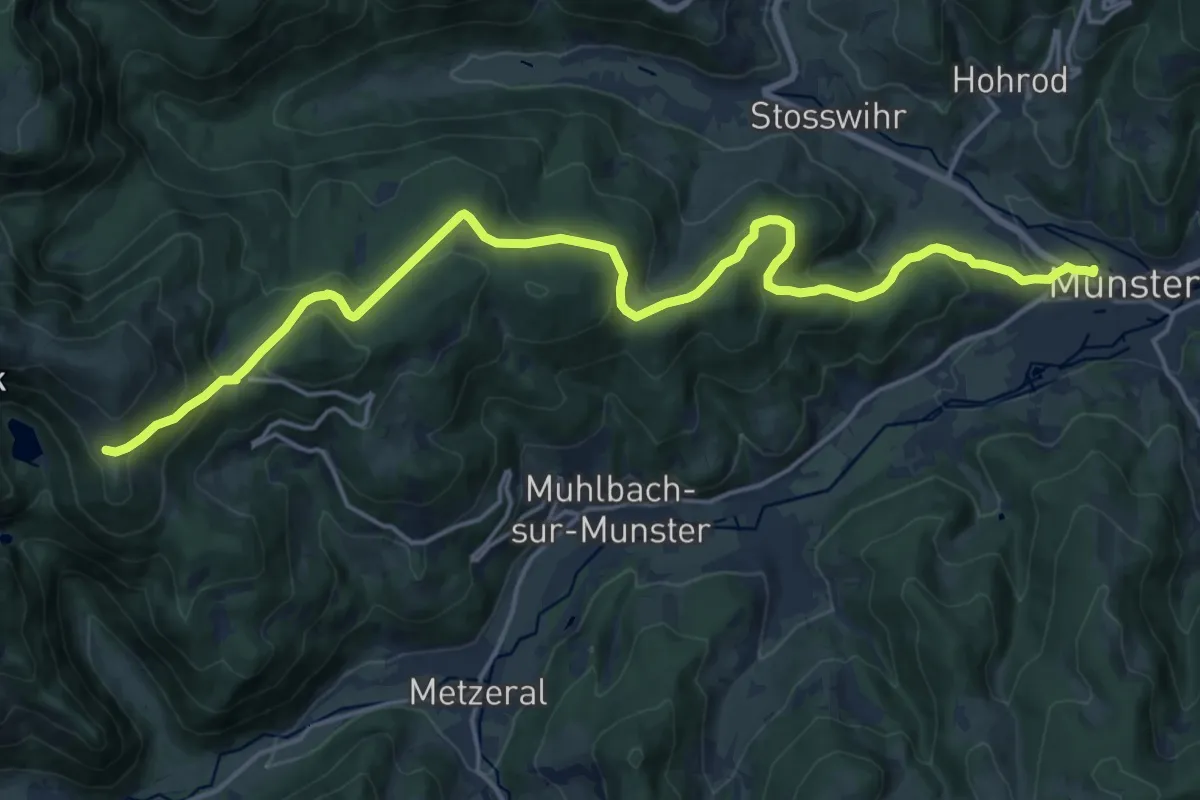
Demanding · Trail
Munster – GR 5
20.3 km · ↑ 789 m · 6 h 30 min
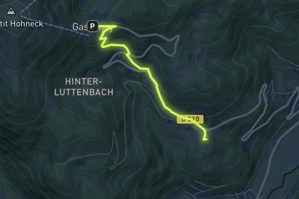
Easy · Summit
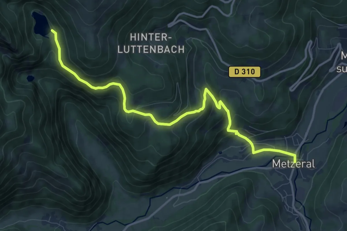
Metzeral – Gaschney
5.4 km · ↑ 308 m · 1 h 56 min
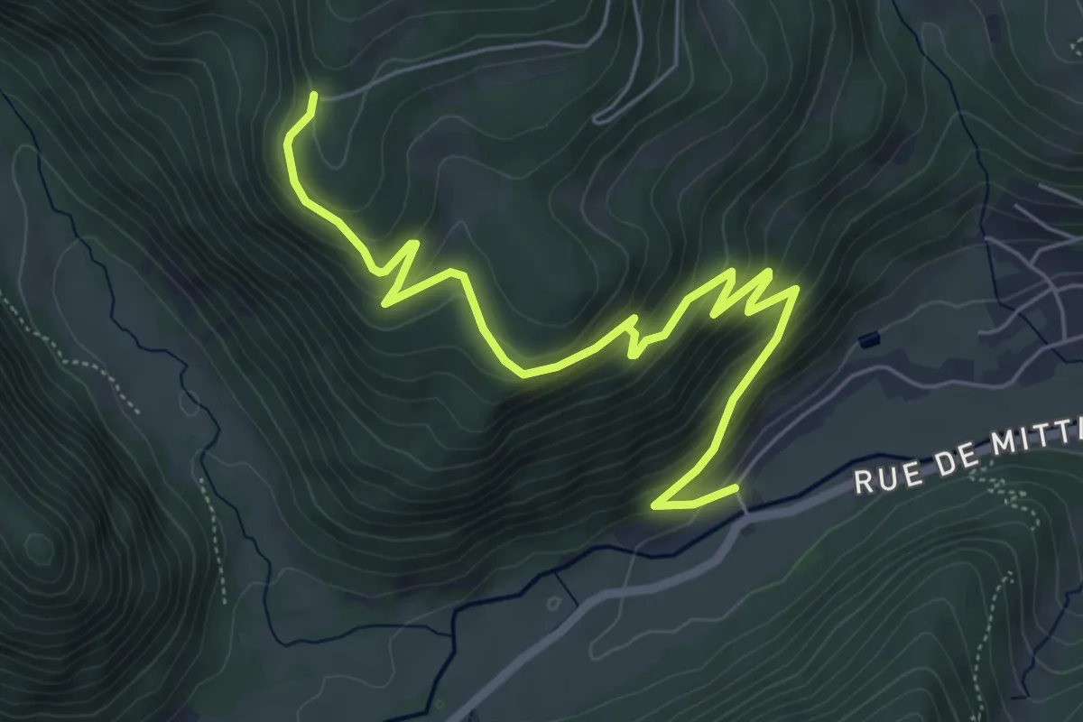
Medium · Trail
Metzeral – GR 5
10.7 km · ↑ 599 m · 3 h 49 min
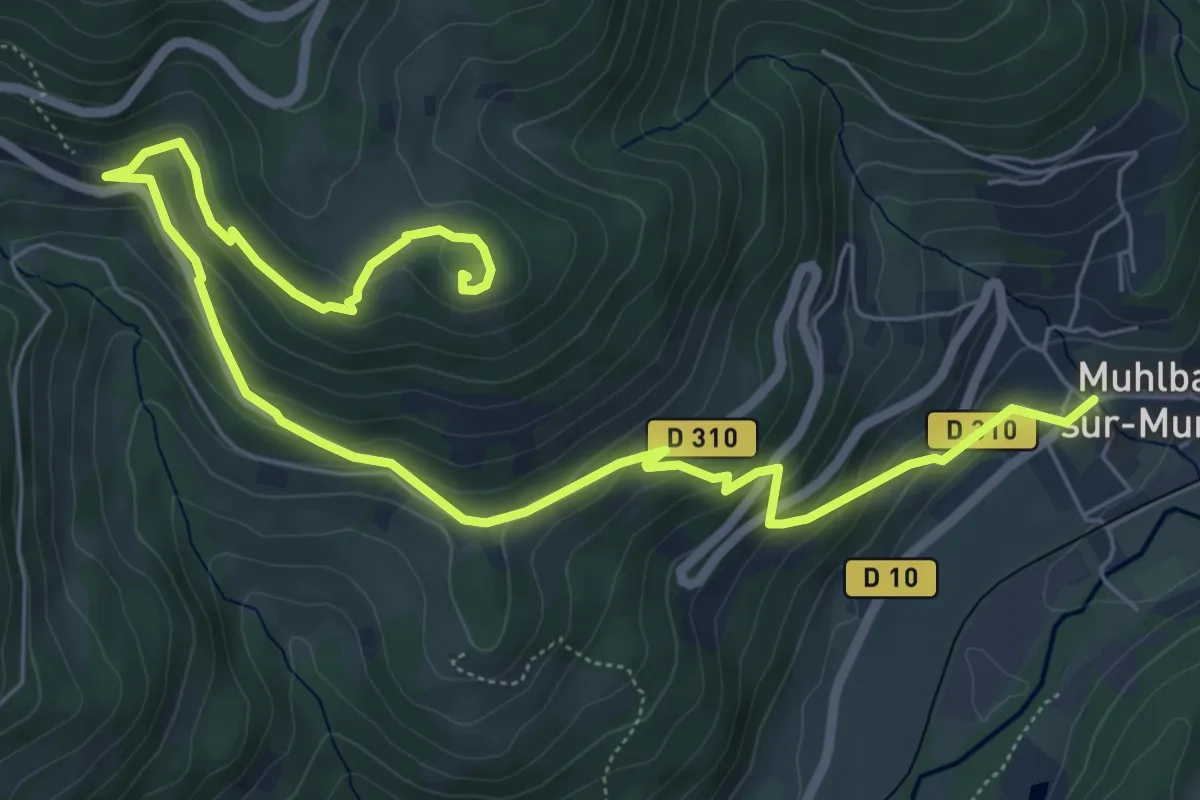
Medium · Trail
Auberge de la Wormsa – Sillackerwasen
6.5 km · ↑ 399 m · 2 h 24 min
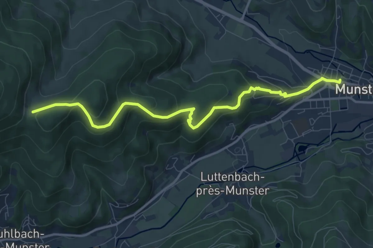
Medium · Summit
Muhlbach sur Munster – Gaschney
8.5 km · ↑ 416 m · 2 h 55 min
Medium · Trail
Munster – Col du Sattel
9.1 km · ↑ 431 m · 3 h 6 min
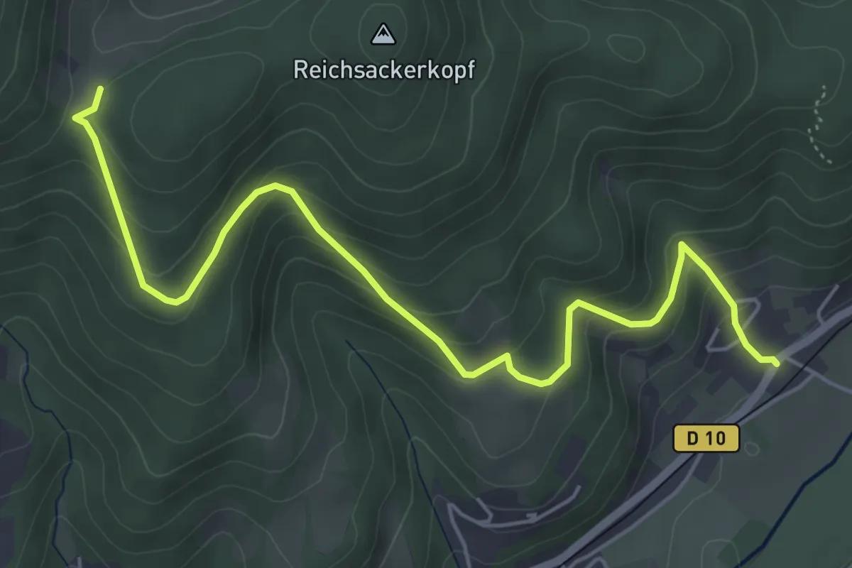
Medium · Trail
Fronzell – Col du Sattel
6.0 km · ↑ 395 m · 2 h 17 min
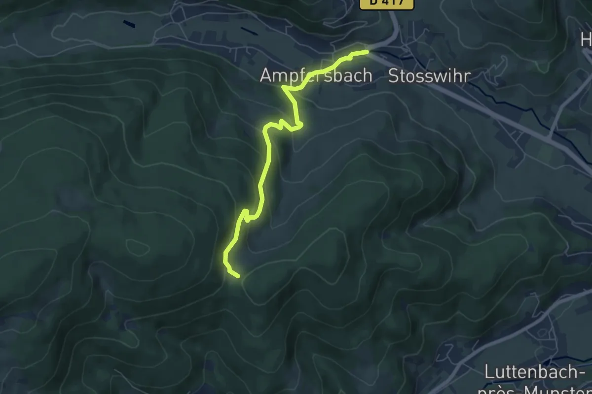
Medium · Trail
Stosswihr – Col du Sattel
5.8 km · ↑ 327 m · 2 h 5 min
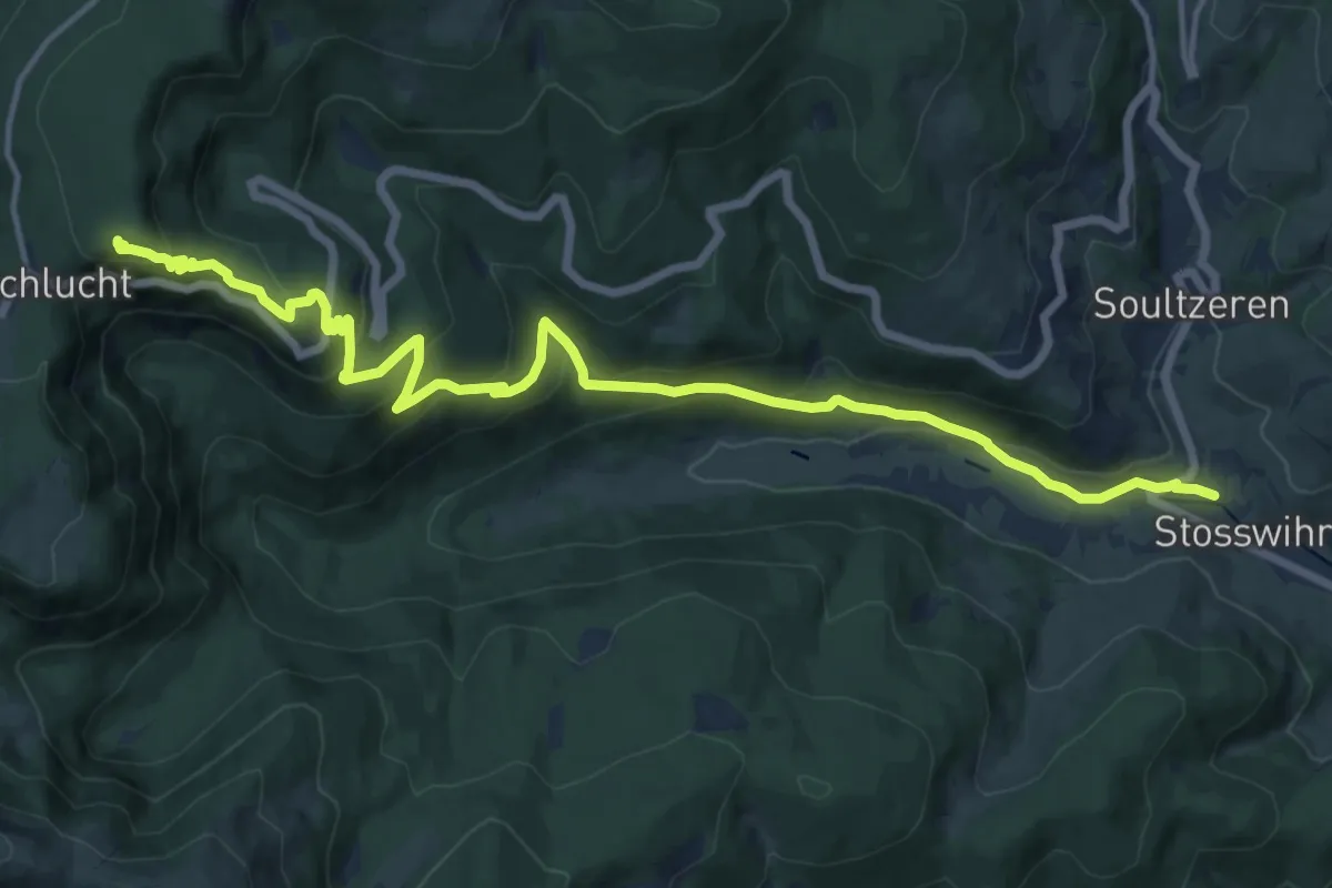
Demanding · Trail
Stosswihr – Col de la Schlucht
16.3 km · ↑ 827 m · 5 h 39 min
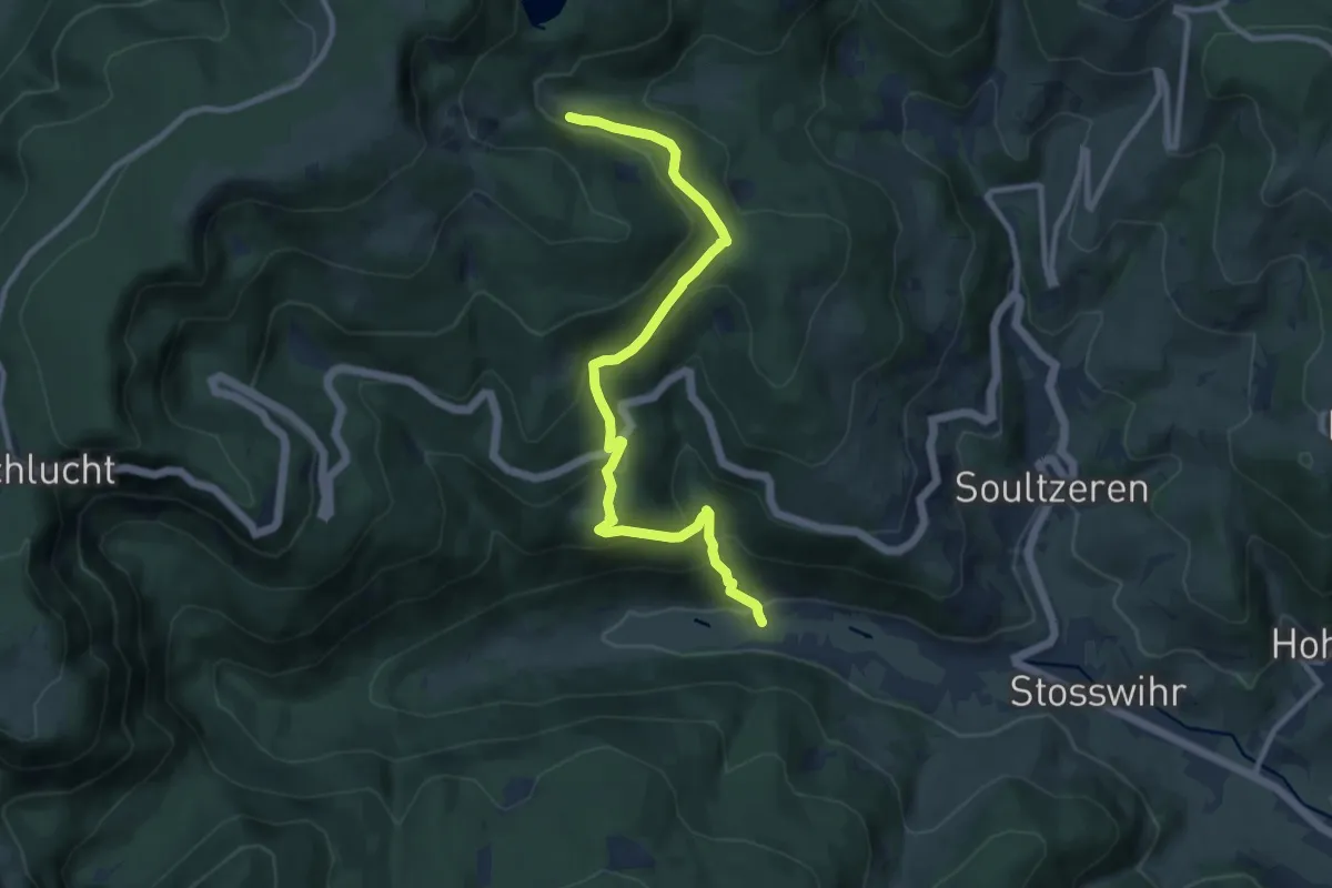
Medium · Trail
Schmelzwasen – Lac vert
10.2 km · ↑ 554 m · 3 h 36 min
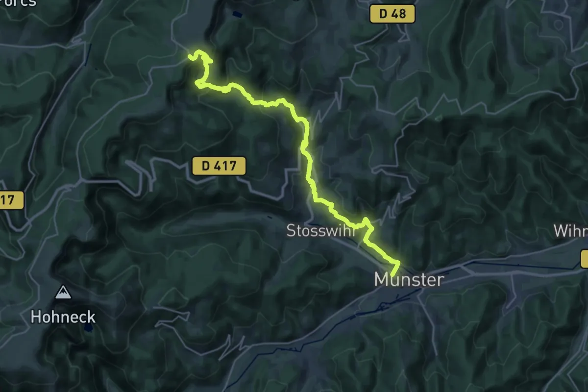
Demanding · Trail
Munster – GR5
24.5 km · ↑ 1022 m · 7 h 59 min
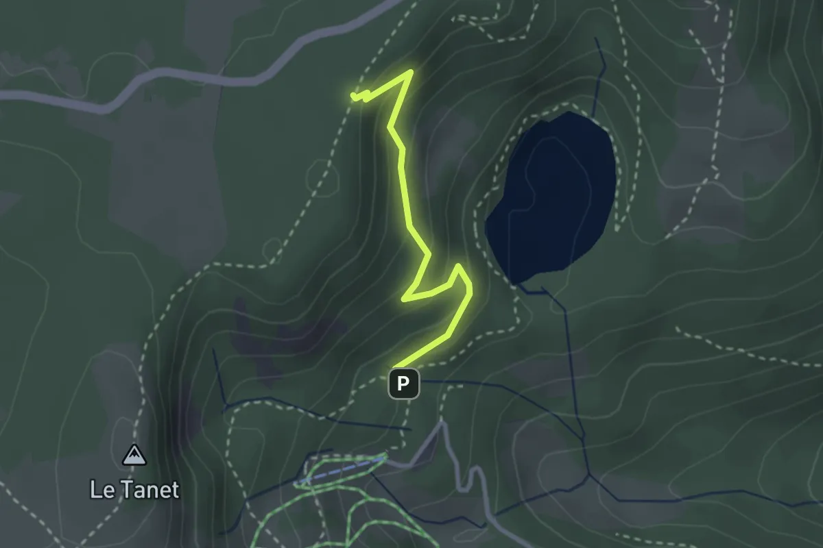
Medium · Trail
Lac Vert – GR5
2.3 km · ↑ 128 m · 50 min
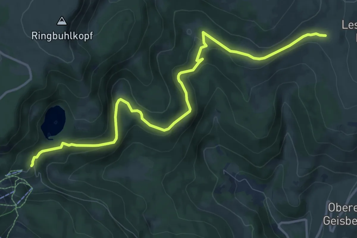
Medium · Trail
Lac Vert – GR 532
10.8 km · ↑ 339 m · 3 h 16 min
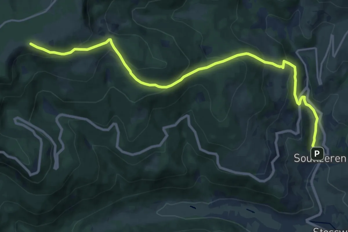
Medium · Trail
Soultzeren – GR5
13.5 km · ↑ 750 m · 4 h 48 min
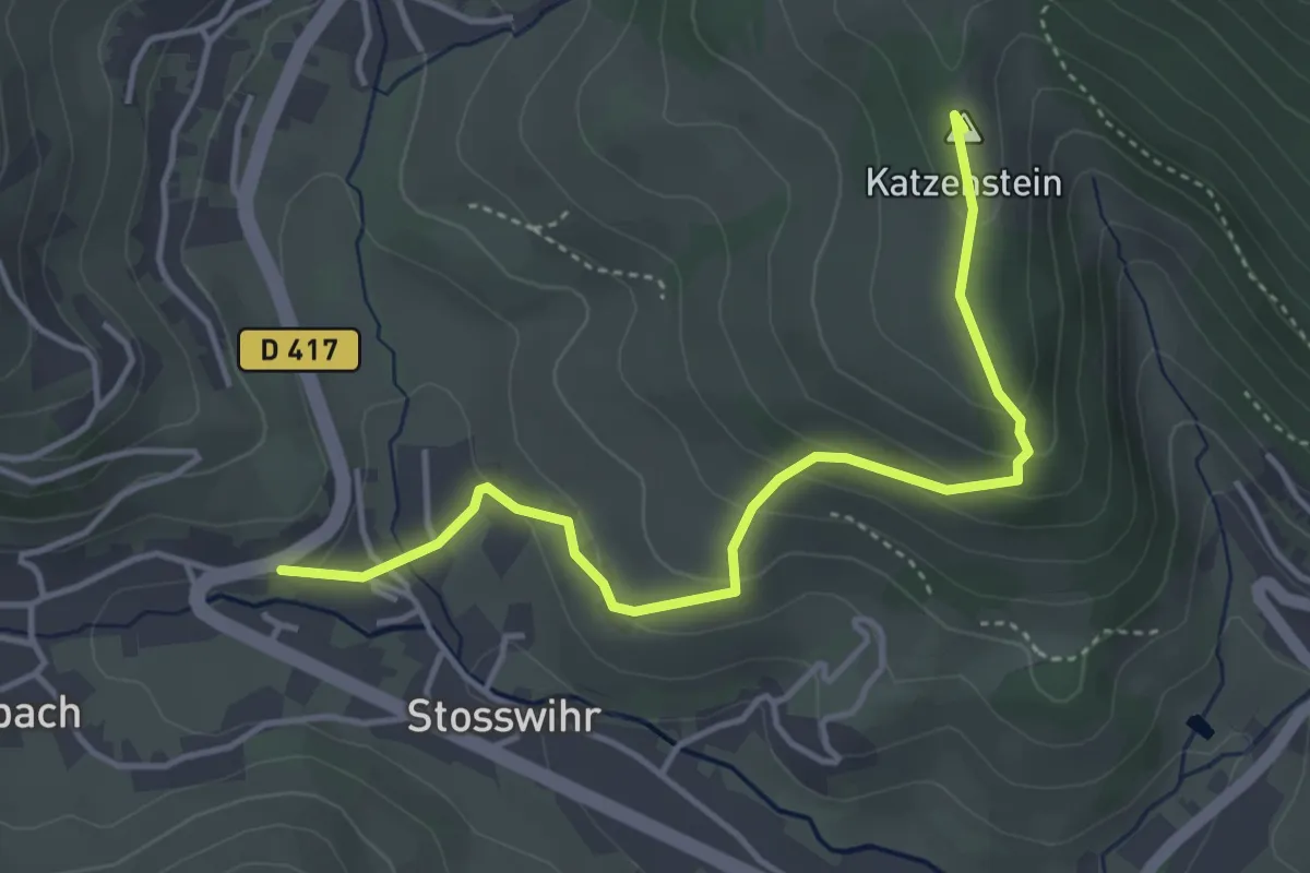
Easy · Summit
Stosswihr – Katzenstein
4.2 km · ↑ 224 m · 1 h 28 min
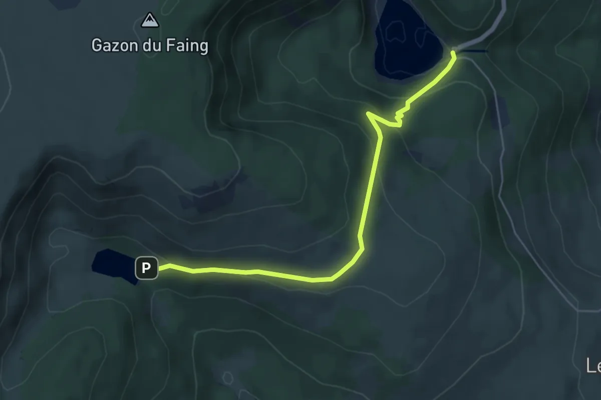
Medium · Trail
Lac Noir – Lac du Forlet
5.1 km · ↑ 224 m · 1 h 42 min
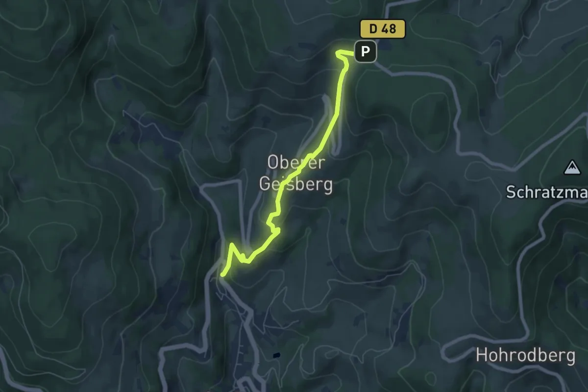
Easy · Trail
Soultzeren – Col du Wettstein
5.8 km · ↑ 300 m · 2 h 2 min
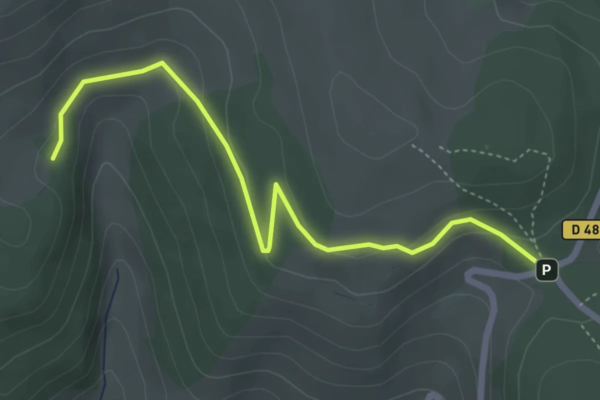
Easy · Trail
Ebene – Col du Wettstein
4.5 km · ↑ 120 m · 1 h 19 min
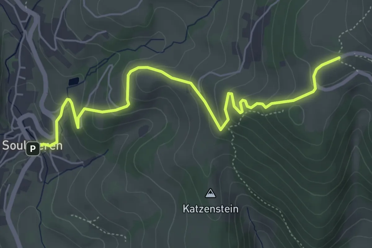
Medium · Trail
Soulzeren – Hohrodberg
5.9 km · ↑ 334 m · 2 h 7 min
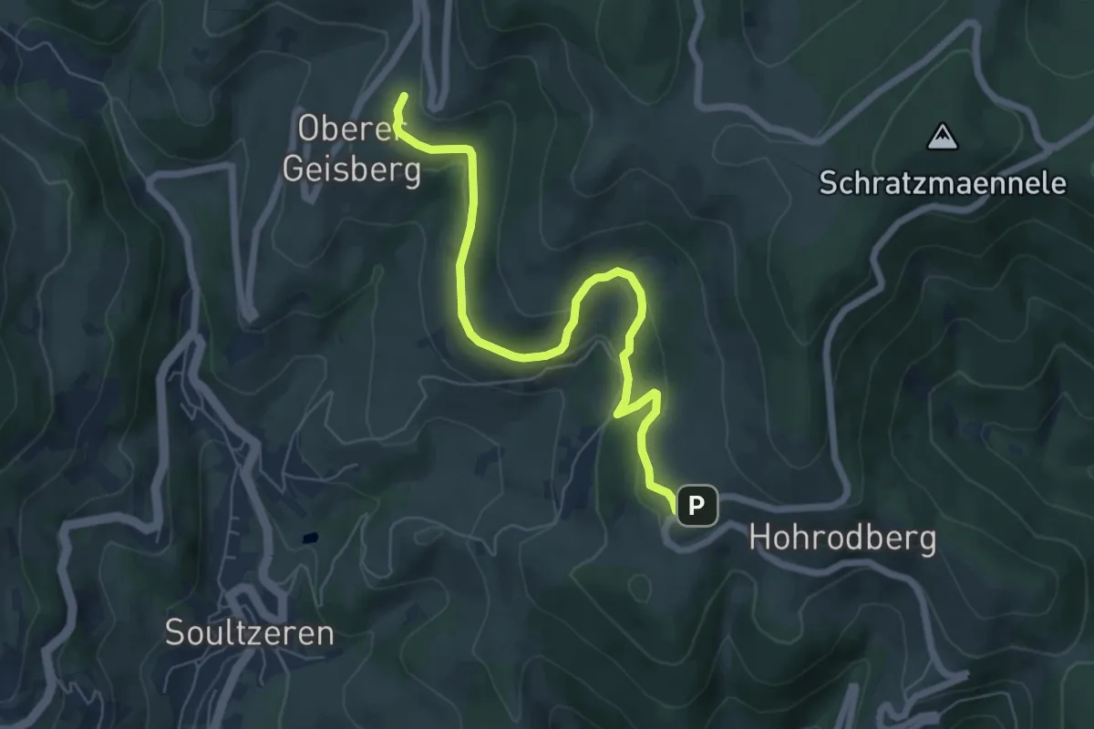
Easy · Trail
Hohrodberg – Geisberg
6.5 km · ↑ 236 m · 2 h 3 min
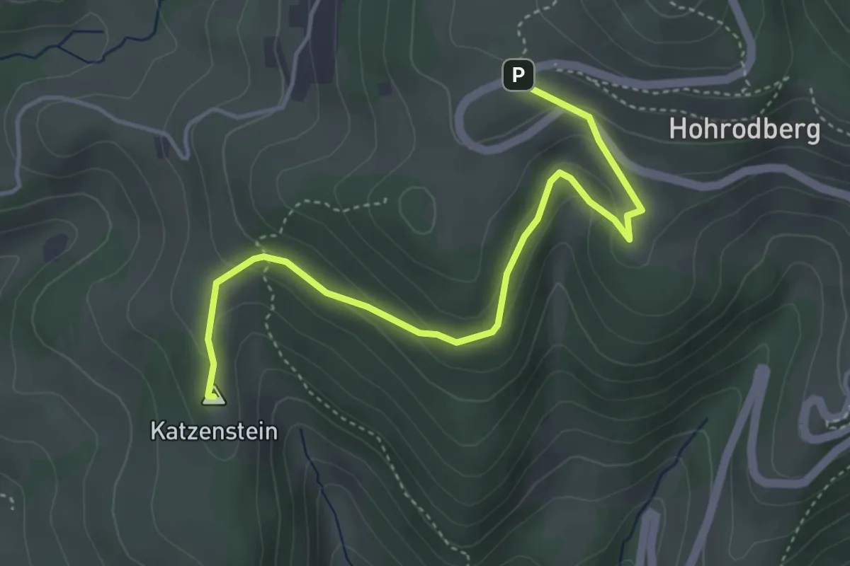
Easy · Summit
Hohrod – Hohrodberg
4.3 km · ↑ 206 m · 1 h 28 min
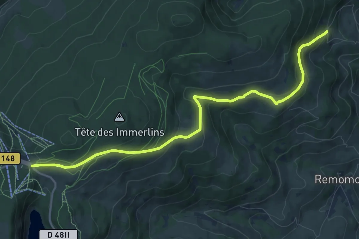
Medium · Trail
Les Mérelles – Col du Calvaire
11.0 km · ↑ 393 m · 3 h 26 min
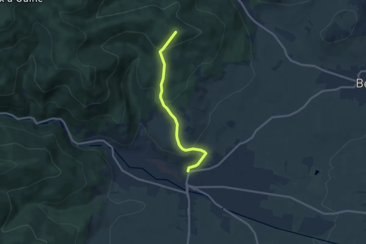
Easy · Trail
Ribeauvillé – Schlusselstein
5.2 km · ↑ 304 m · 1 h 53 min
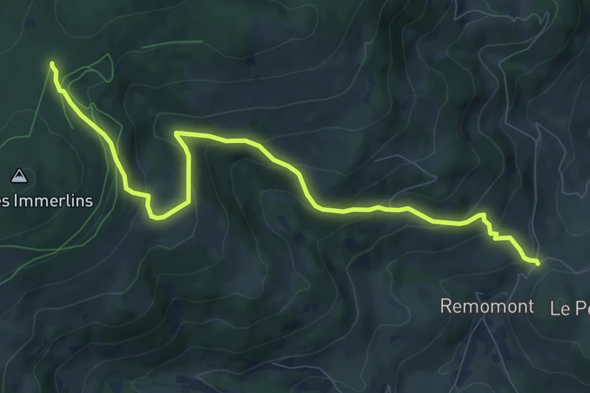
Medium · Trail
Bermont – Nécropole Nationale
9.6 km · ↑ 482 m · 3 h 19 min
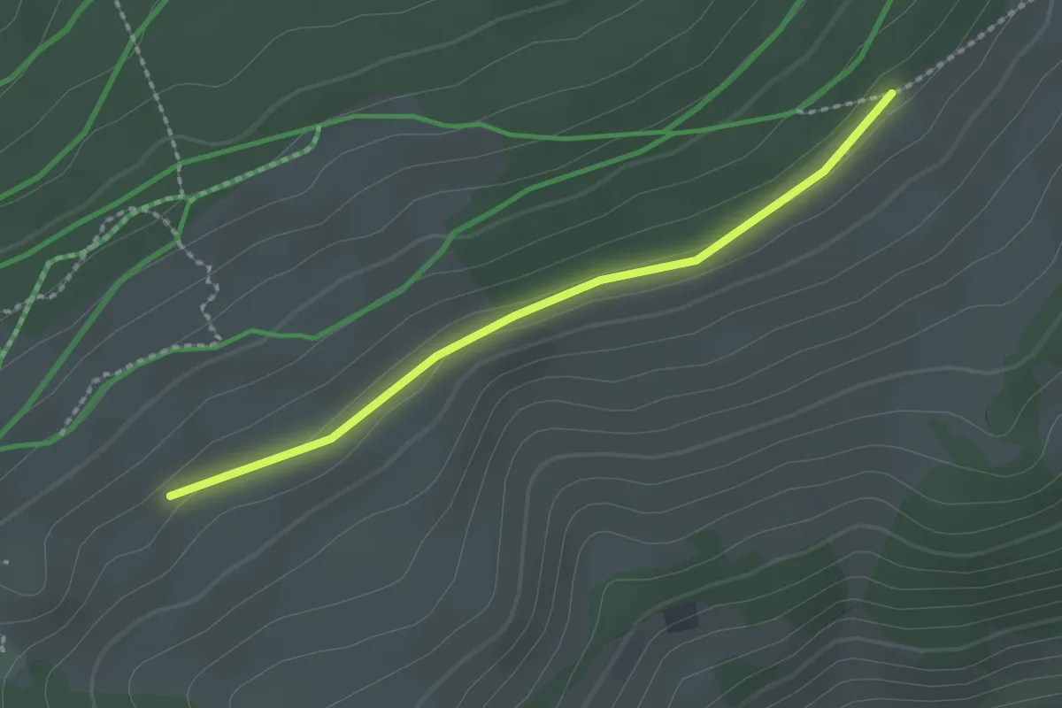
Easy · Trail
GR 531 – La Broque
2.0 km · ↑ 29 m · 32 min
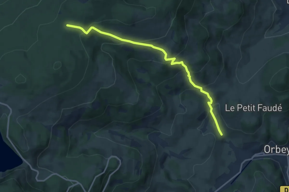
Medium · Trail
Orbey – Nécropole nationale
9.1 km · ↑ 572 m · 3 h 23 min
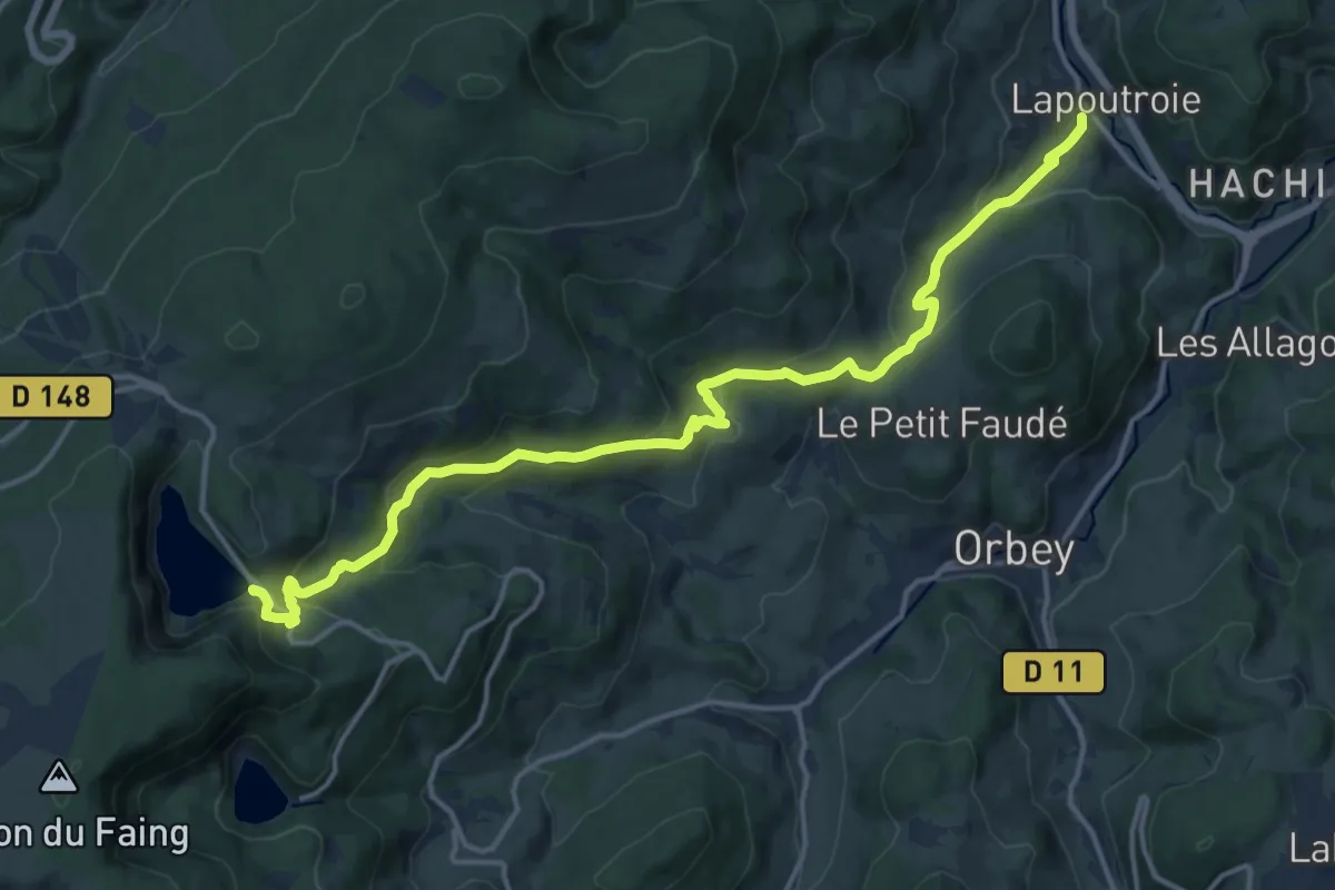
Medium · Trail
Lapoutroie – Lac Blanc
16.6 km · ↑ 722 m · 5 h 29 min
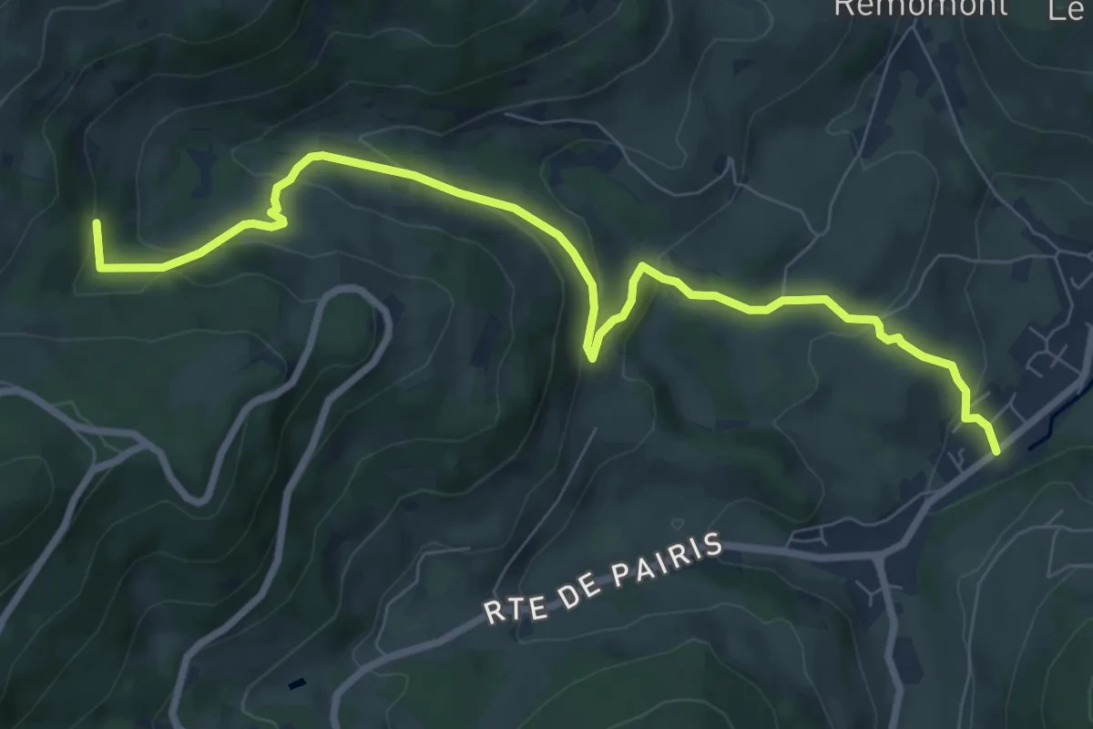
Medium · Trail
Orbey – Blancrupt
8.7 km · ↑ 366 m · 2 h 51 min
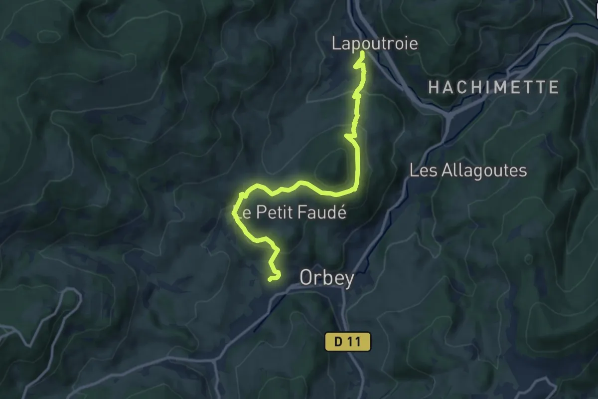
Medium · Trail
Orbey – Lapoutroie
10.6 km · ↑ 472 m · 3 h 32 min
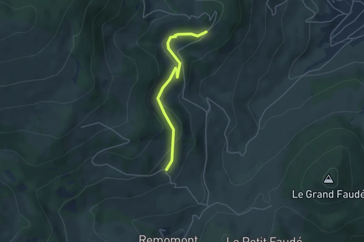
Easy · Trail
Bermont – Les Mérelles
3.4 km · ↑ 112 m · 1 h 3 min
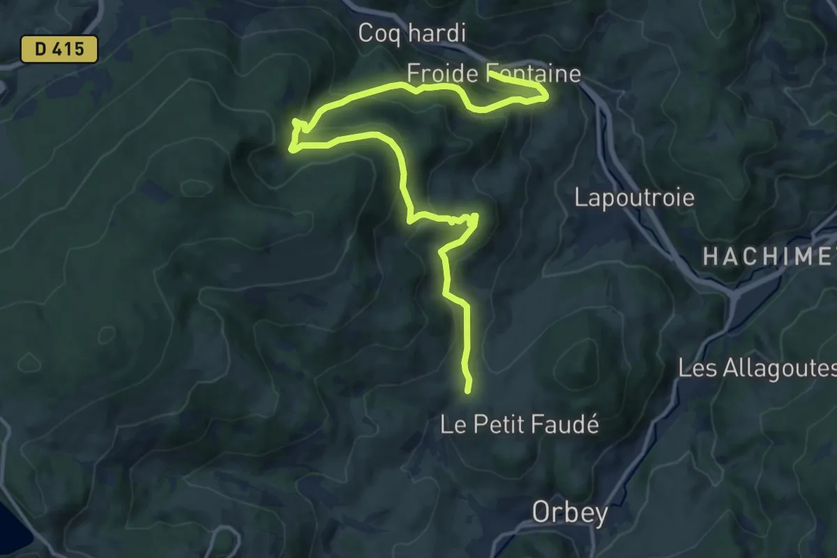
Medium · Trail
Bermont – Froide Fontaine
15.9 km · ↑ 728 m · 5 h 19 min
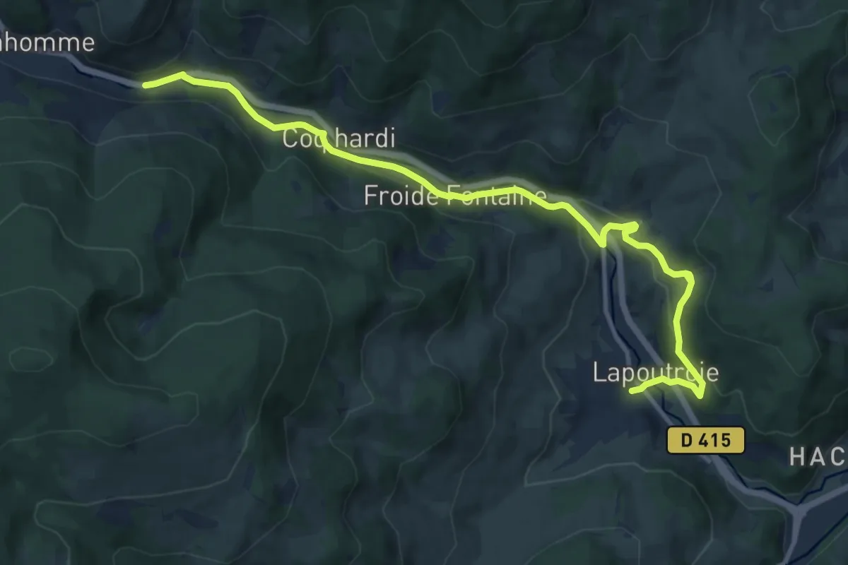
Medium · Trail
Lapoutroie – Le Bonhomme
11.8 km · ↑ 455 m · 3 h 46 min
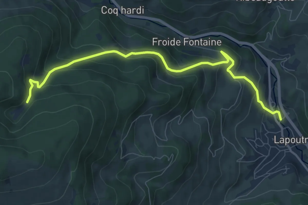
Medium · Trail
La Poutroie – Étang du Devin
8.7 km · ↑ 535 m · 3 h 12 min
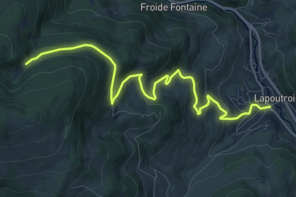
Medium · Trail
Lapoutroie – GR5
11.3 km · ↑ 559 m · 3 h 52 min
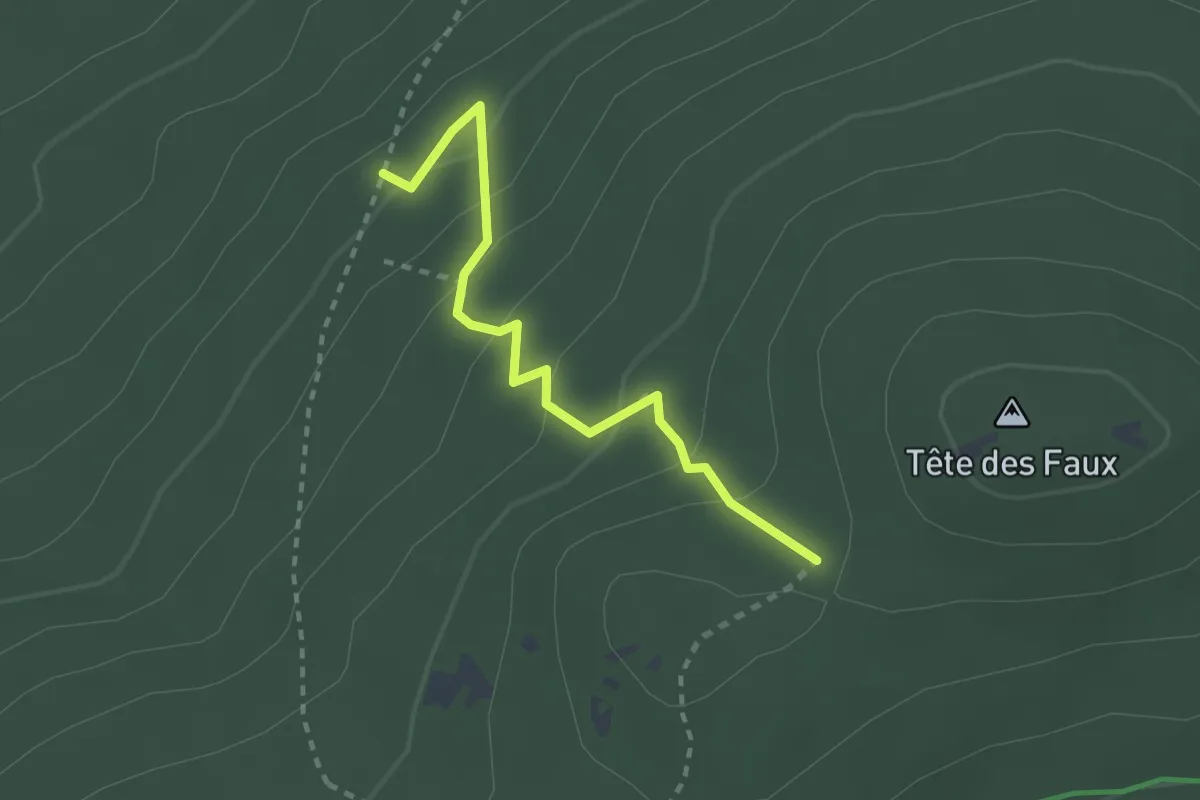
Easy · Trail
GR 532 – GR5
2.4 km · ↑ 176 m · 57 min
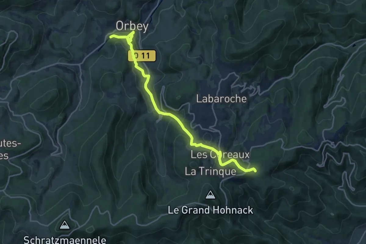
Medium · Trail
Orbey – Obschel
14.4 km · ↑ 643 m · 4 h 48 min
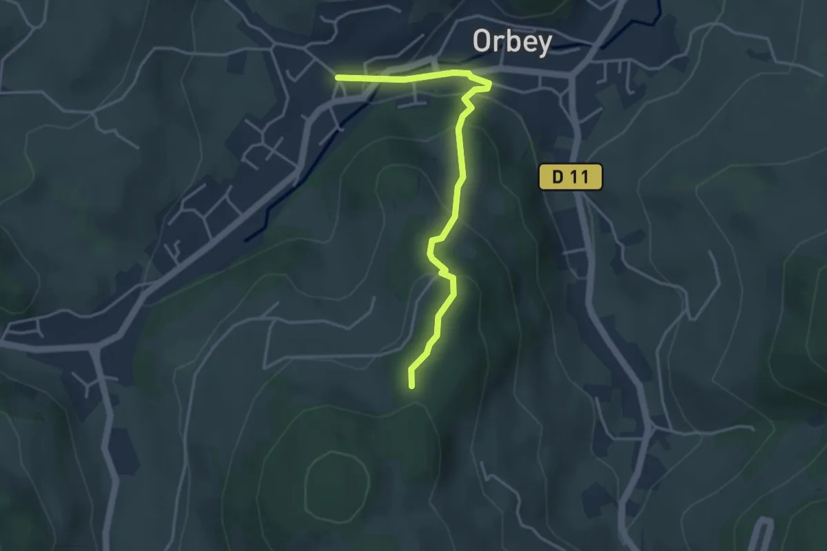
Easy · Trail
Orbey – GR 531
3.5 km · ↑ 205 m · 1 h 17 min
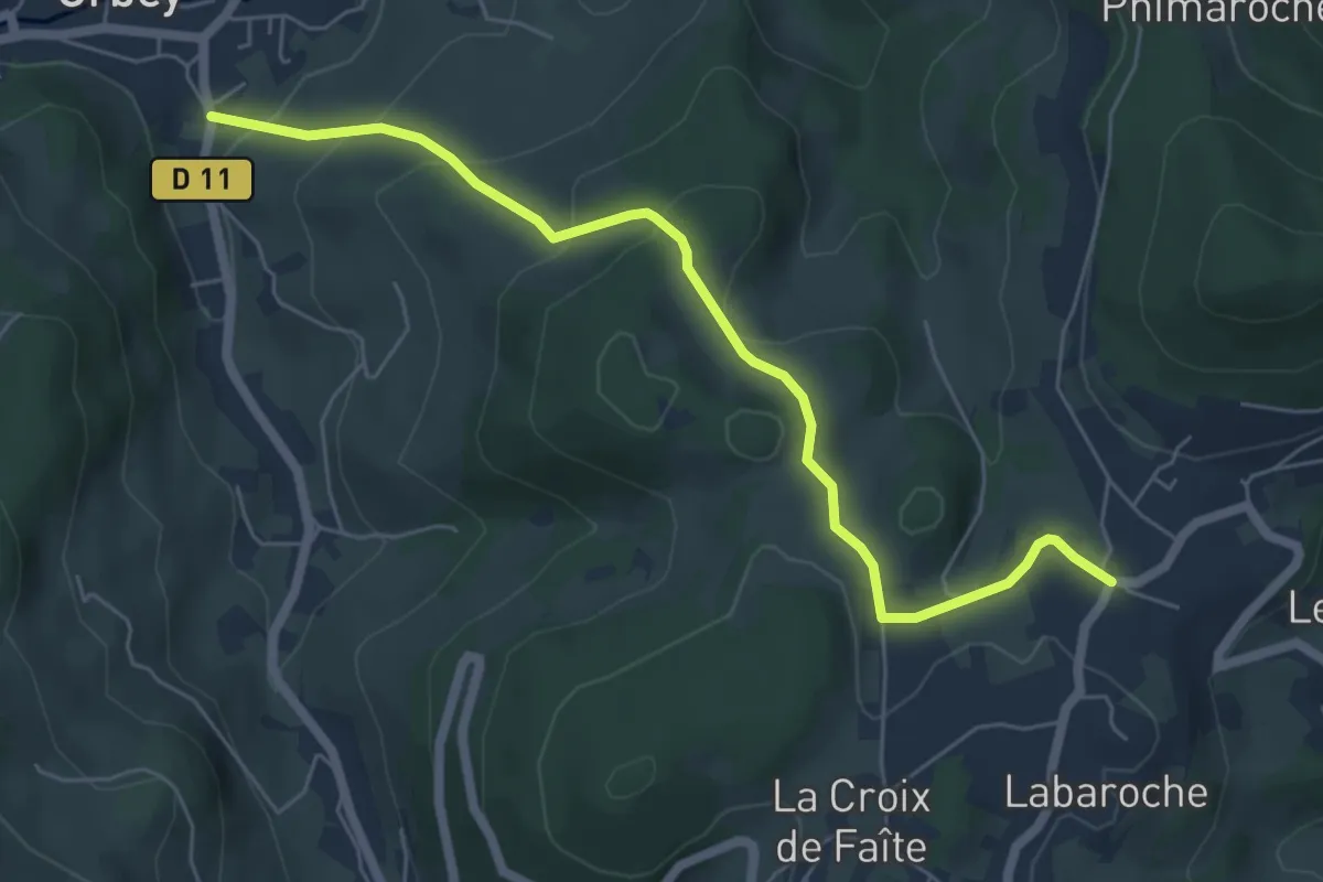
Easy · Trail
Orbey – La Chapelle
6.0 km · ↑ 286 m · 2 h 2 min
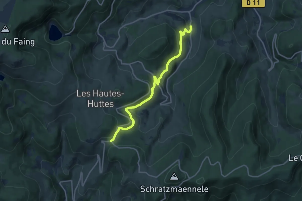
Medium · Trail
Noirmont – Col de Wettstein
10.0 km · ↑ 378 m · 3 h 11 min
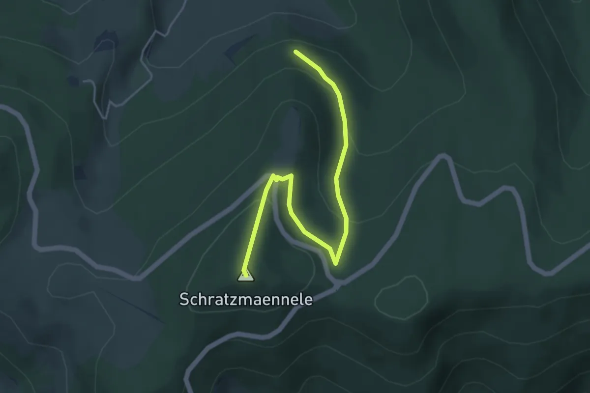
Easy · Summit
Circuit Les Basses Huttes – GR 532
4.1 km · ↑ 190 m · 1 h 22 min
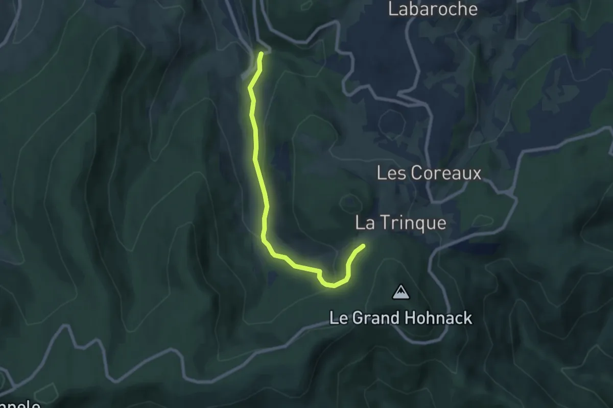
Easy · Trail
Le Bouleau – La Trinque
6.1 km · ↑ 227 m · 1 h 56 min
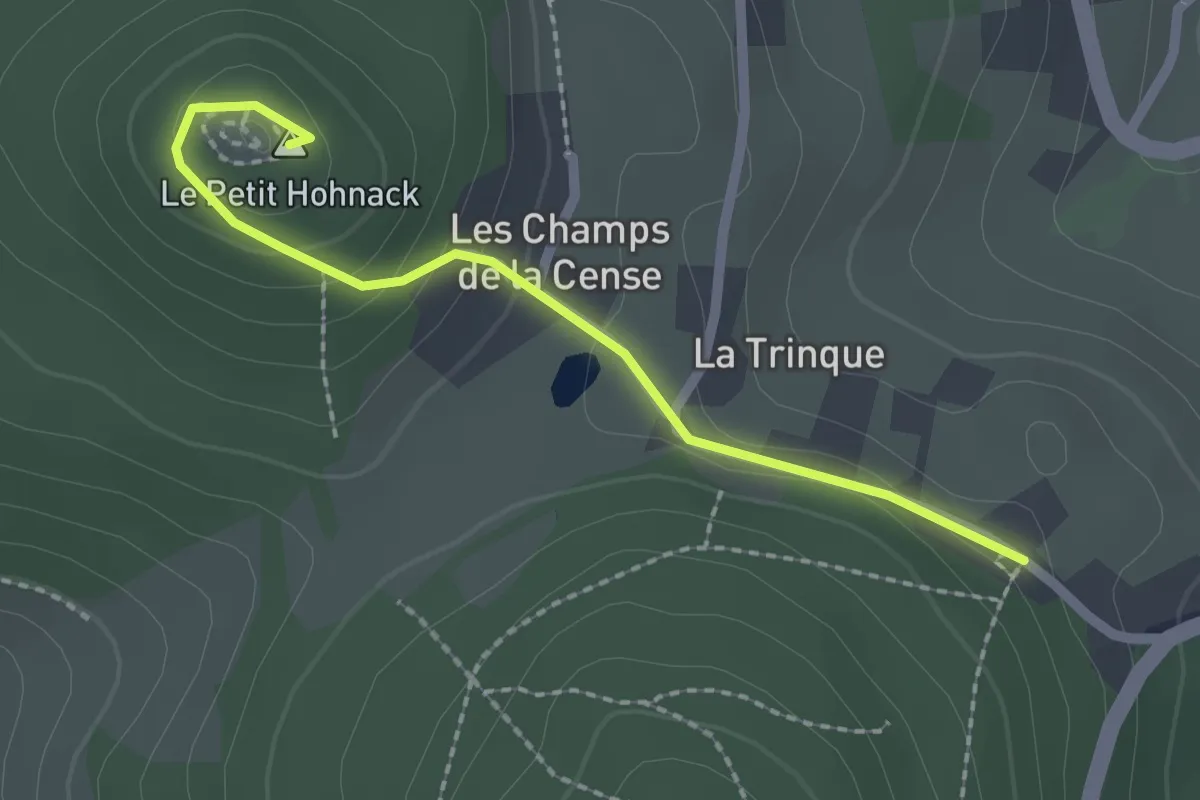
Easy · Summit
La Trinque – Le Petit Hohnach
2.0 km · ↑ 100 m · 42 min