Trails in France
15,926 hiking trails, each with its route, climb, walking time and grade.
All trails, page 319 of 332
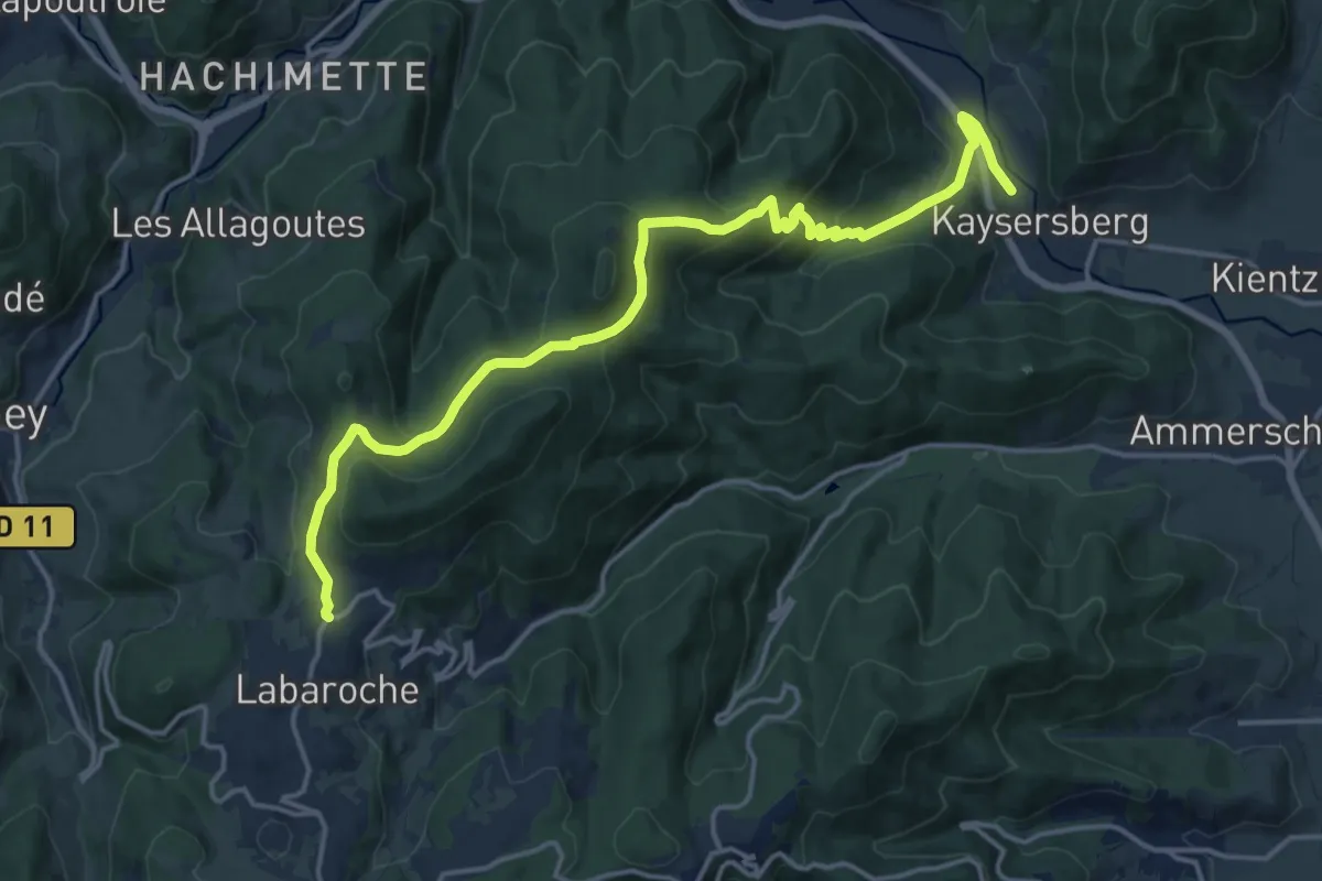
Medium · Trail
Kaysersberg – Labaroche
17.3 km · ↑ 627 m · 5 h 27 min
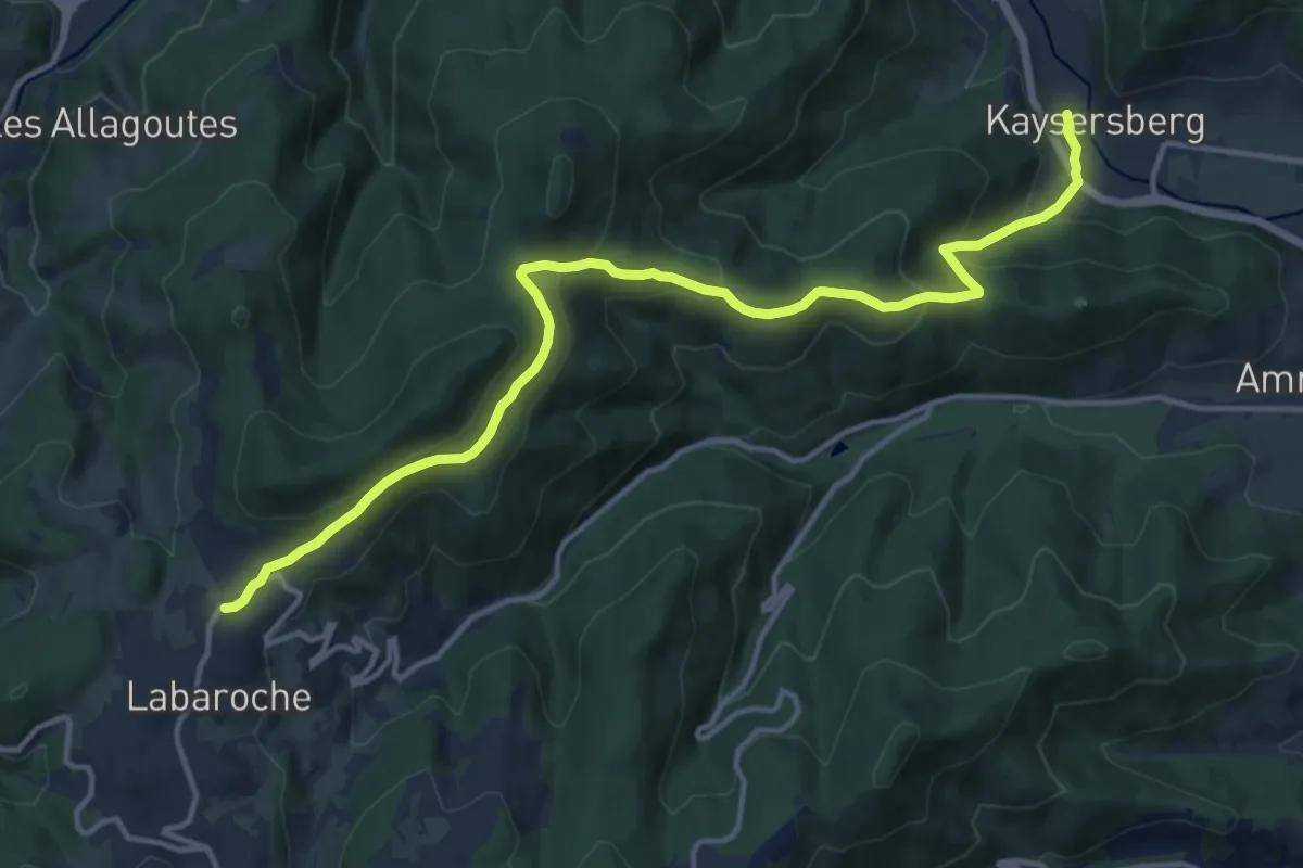
Medium · Trail
Kaysersberg – Labaroche
14.7 km · ↑ 606 m · 4 h 47 min
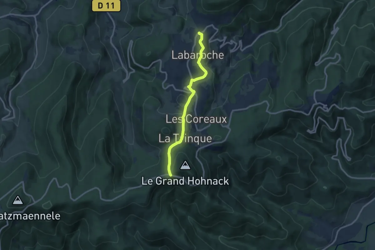
Medium · Trail
Labaroche – Le Grand Hohnach
8.0 km · ↑ 209 m · 2 h 21 min
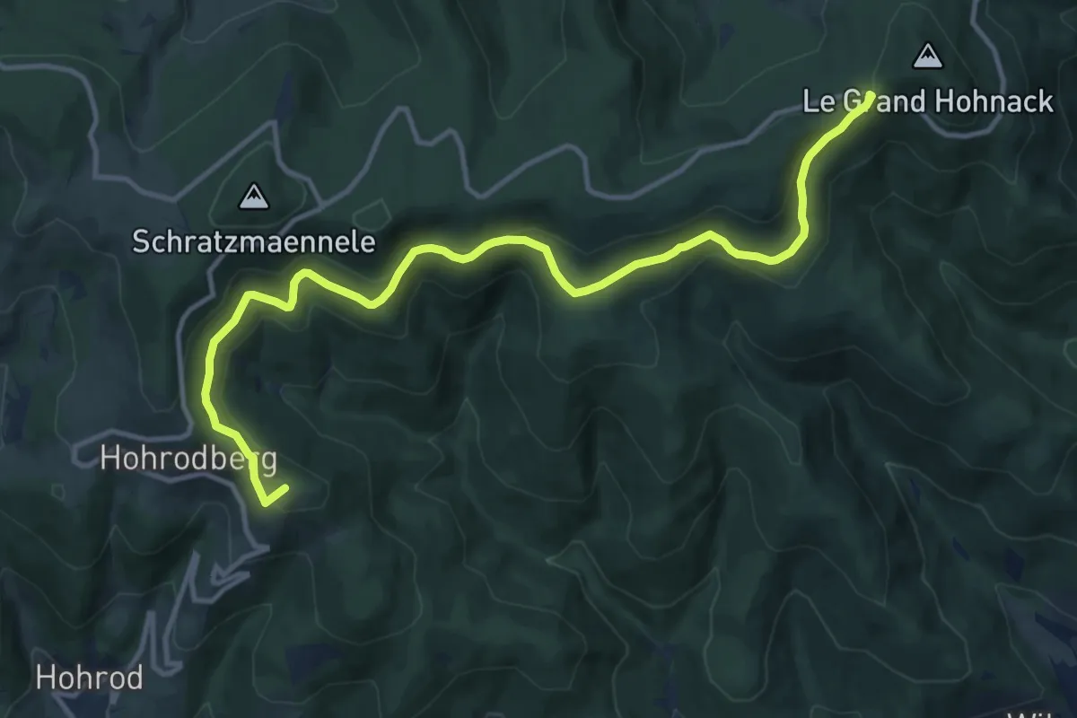
Medium · Summit
Munster – Le Grand Hohnach
12.9 km · ↑ 378 m · 3 h 52 min
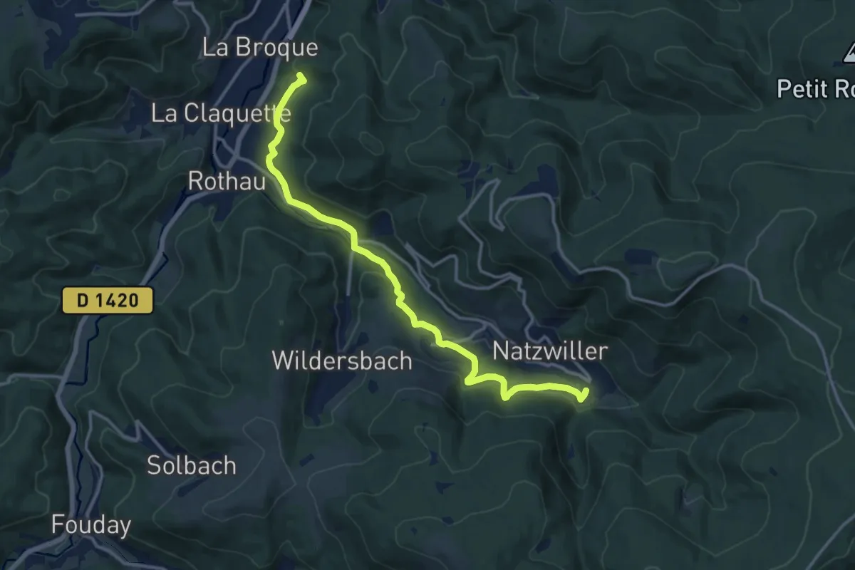
Medium · Trail
Natzwiller – GR532
13.0 km · ↑ 515 m · 4 h 11 min
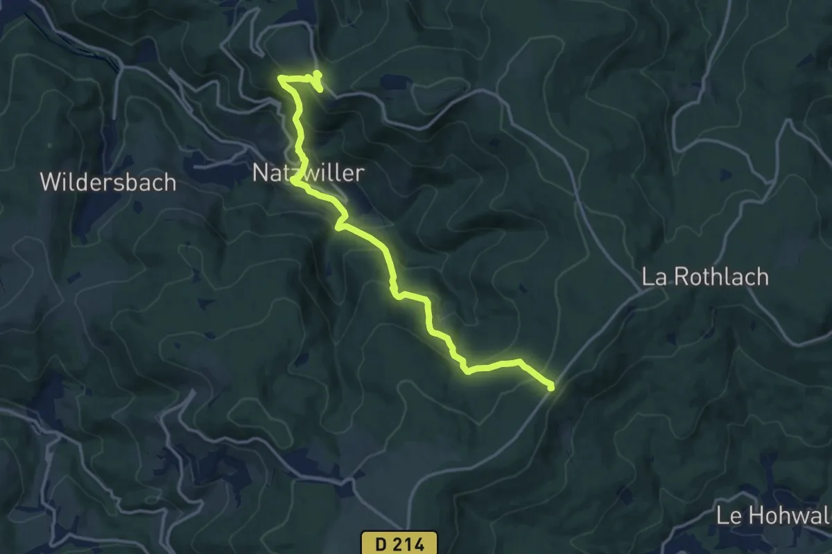
Demanding · Trail
D 214 – Struthof
13.6 km · ↑ 825 m · 4 h 59 min
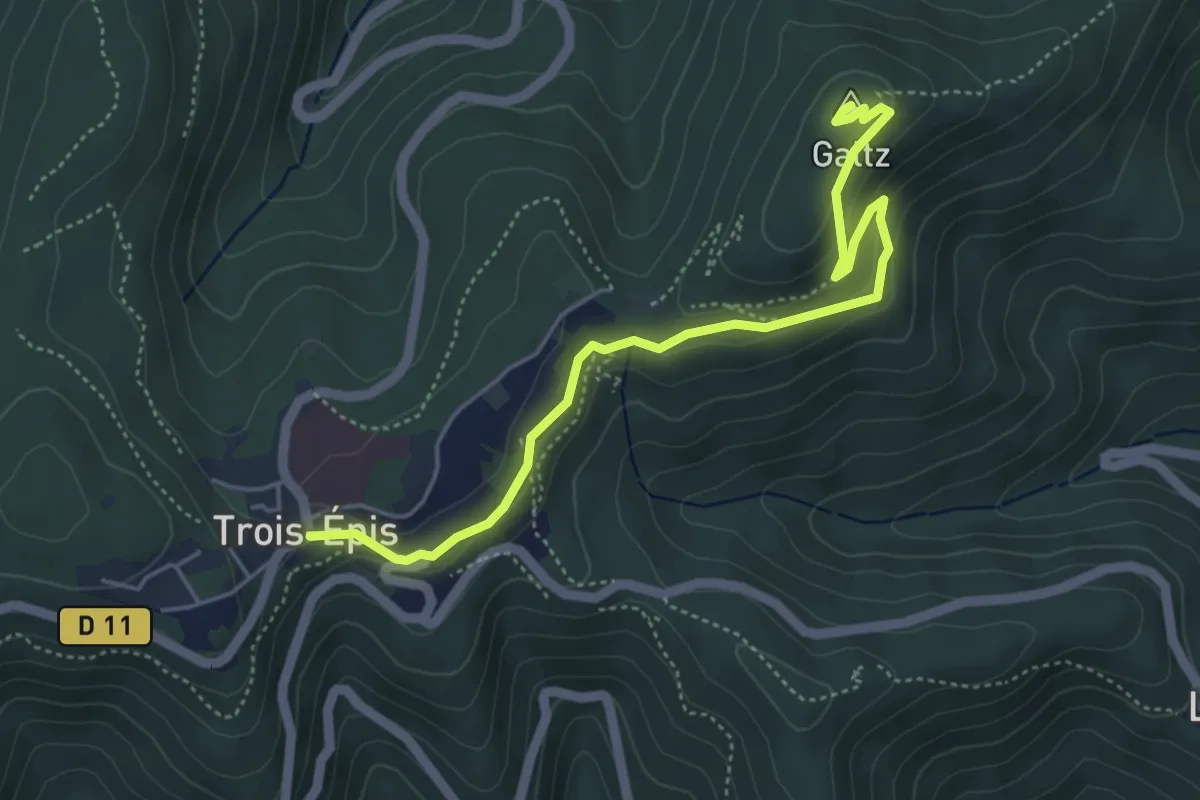
Easy · Summit
Trois Épis – Trois Épis
5.0 km · ↑ 150 m · 1 h 31 min
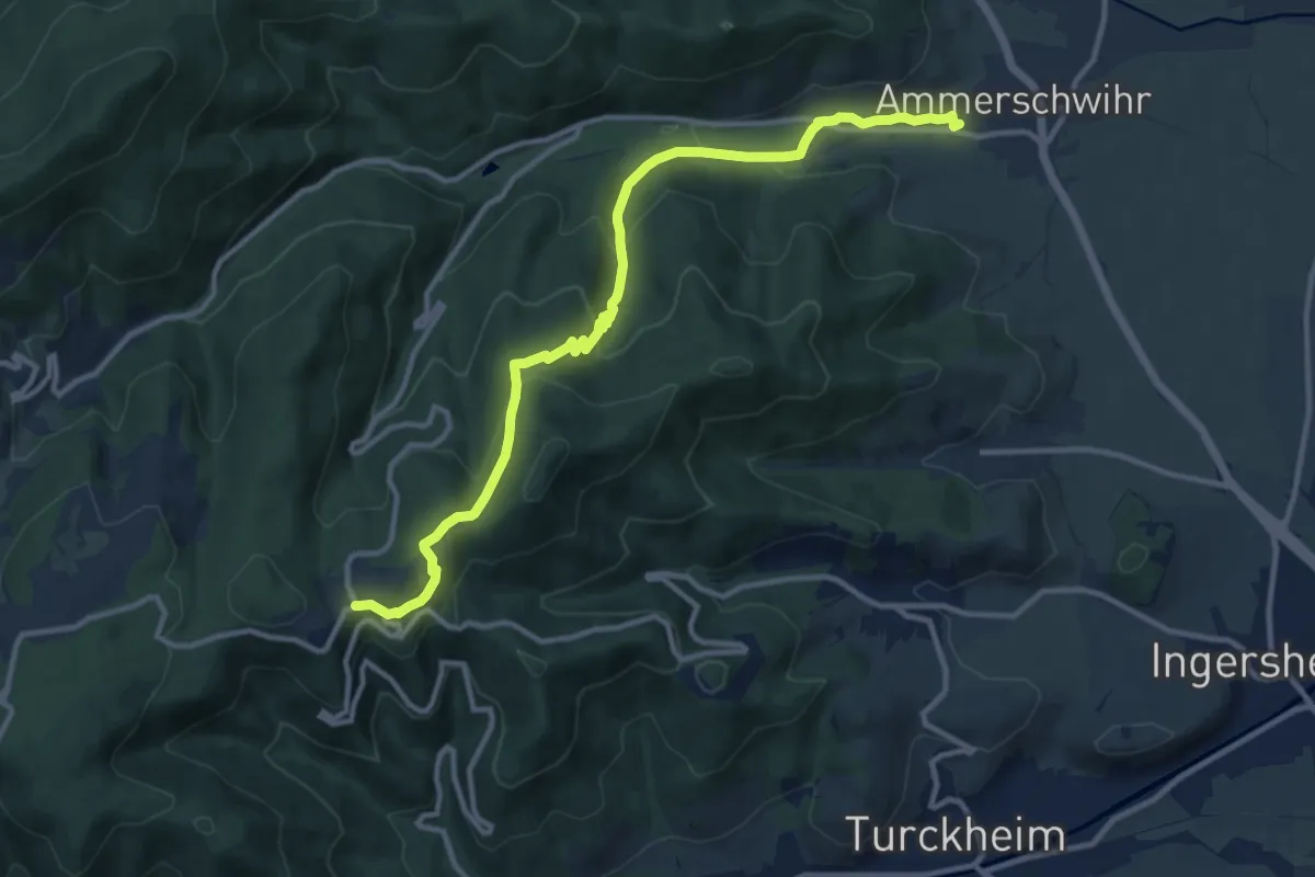
Medium · Trail
Ammerschwihr – Trois Epis
12.2 km · ↑ 485 m · 3 h 55 min
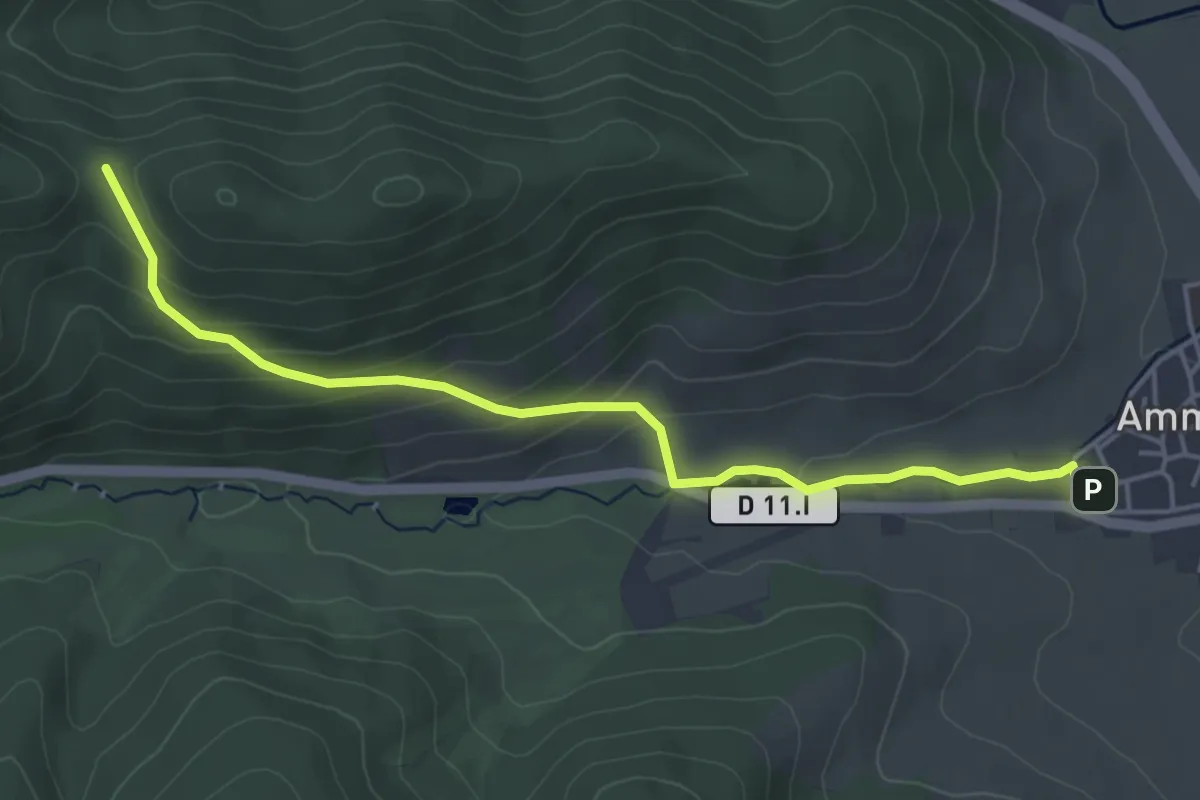
Easy · Trail
Ammerschwihr – Chapelle Flieger
4.7 km · ↑ 204 m · 1 h 33 min
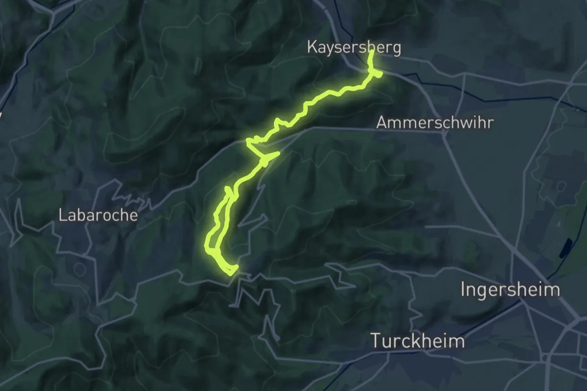
Demanding · Trail
Kaysersberg – Les Trois Épis
22.7 km · ↑ 1046 m · 7 h 38 min
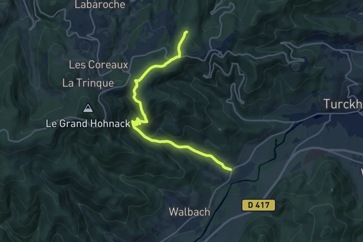
Medium · Trail
Zimmerbach – Les Trois Épis
13.4 km · ↑ 600 m · 4 h 28 min
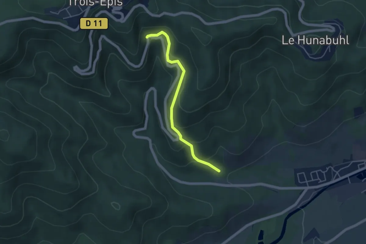
Easy · Trail
Turckheim – Les Trois Épis
3.7 km · ↑ 297 m · 1 h 32 min
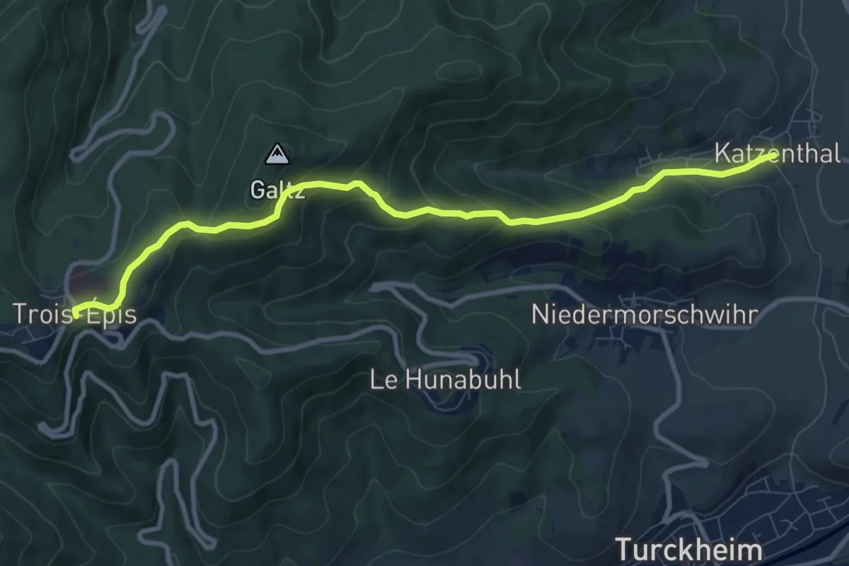
Medium · Trail
Katzenthal – Les Trois Épis
9.2 km · ↑ 480 m · 3 h 12 min
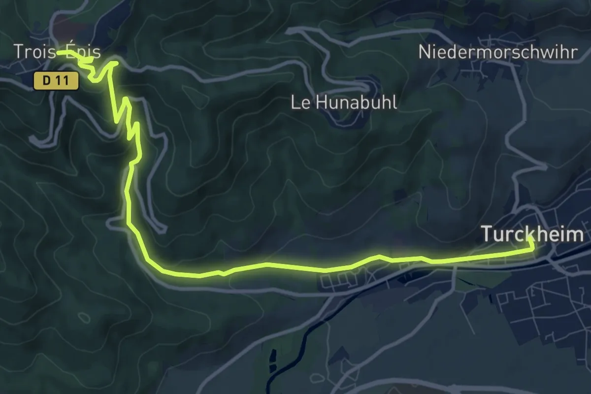
Medium · Trail
Turckheim – Les Trois Épis
11.9 km · ↑ 457 m · 3 h 48 min
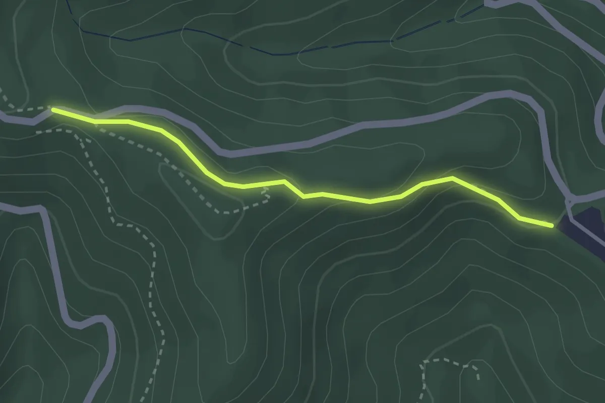
Easy · Trail
Hunabuhl haut – Croix Roggenmoser
2.6 km · ↑ 133 m · 54 min
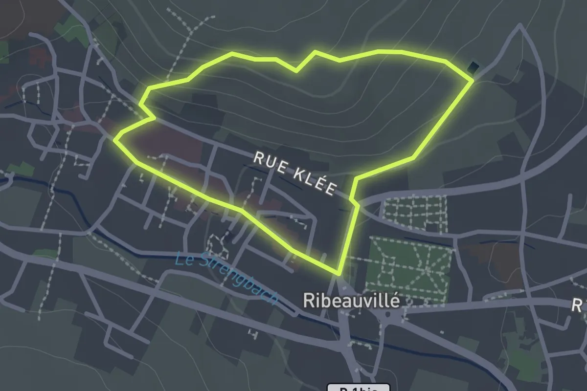
Easy · Trail
Ribeauvillé – Ribeauvillé
2.0 km · ↑ 61 m · 38 min
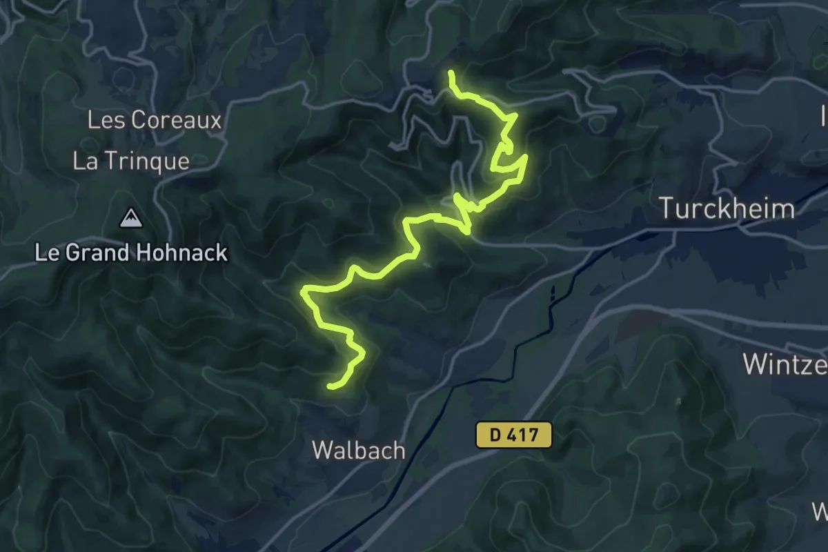
Medium · Trail
Walbach – Les Trois Épis
16.6 km · ↑ 798 m · 5 h 38 min
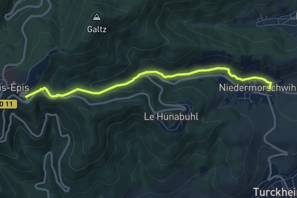
Medium · Trail
Niedermorschwihr – Les Trois Épis
7.1 km · ↑ 352 m · 2 h 26 min
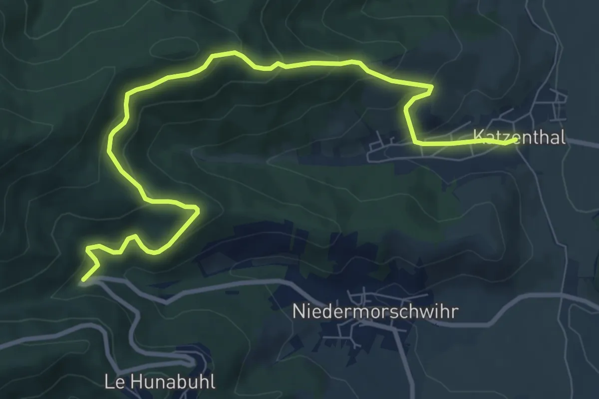
Medium · Trail
Katzenthal – Waldmatten
9.1 km · ↑ 554 m · 3 h 21 min
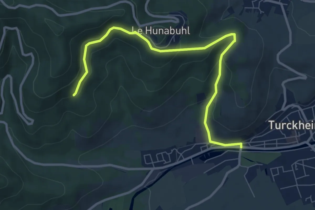
Medium · Trail
Turckheim – Carrefour des Pèlerins
7.6 km · ↑ 334 m · 2 h 31 min
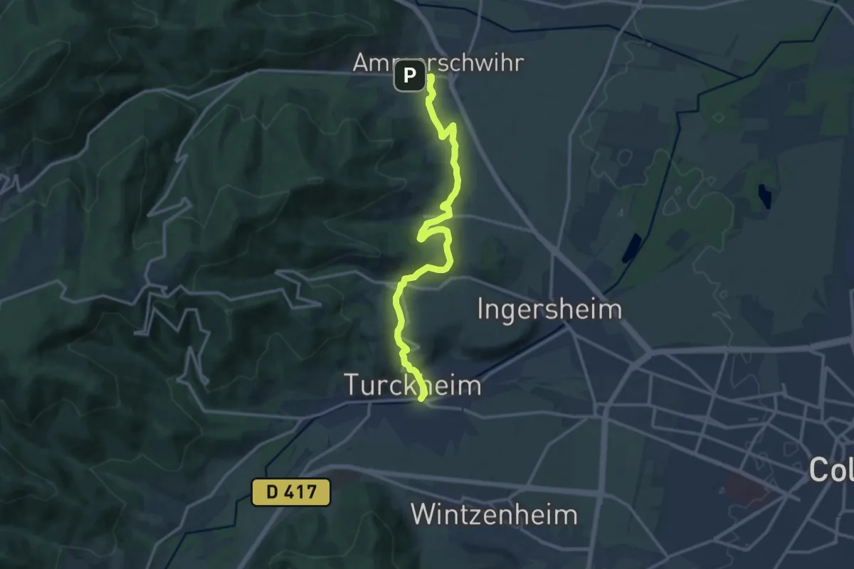
Medium · Trail
Ammerschwihr – Turckheim
13.3 km · ↑ 355 m · 3 h 54 min
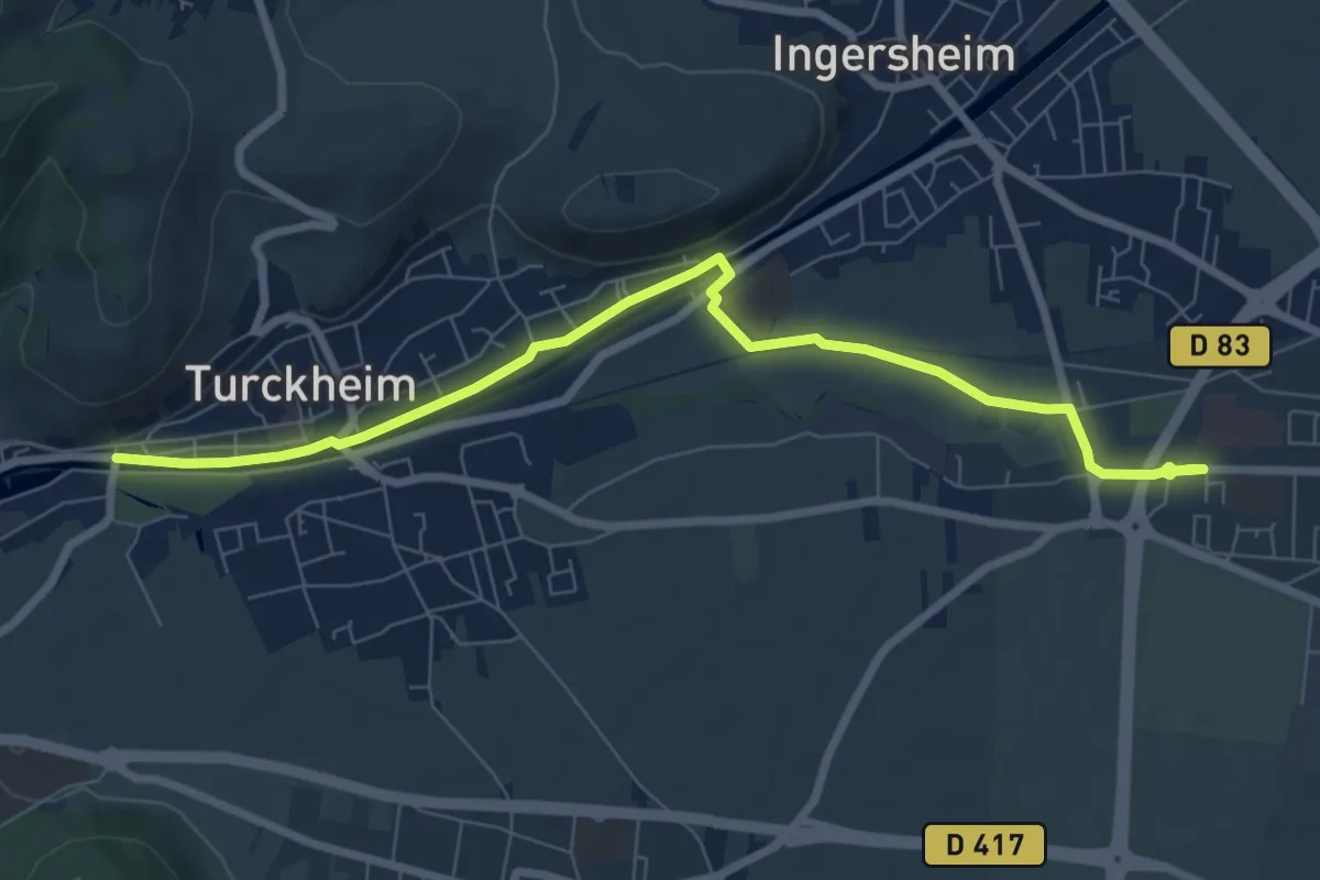
Medium · Trail
Logelbach – Turckheim
8.1 km · ↑ 23 m · 1 h 58 min
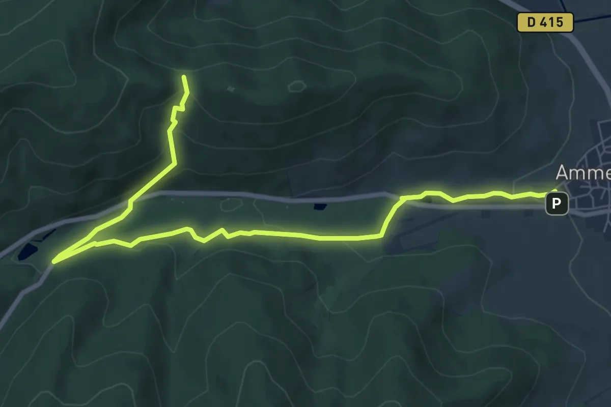
Medium · Trail
Ammerschwihr – Chapelle Flieger
8.4 km · ↑ 280 m · 2 h 35 min
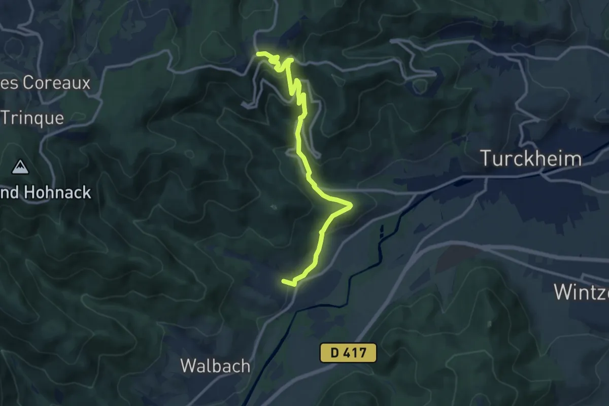
Medium · Trail
Zimmerbach – Trois Épis
10.4 km · ↑ 435 m · 3 h 24 min
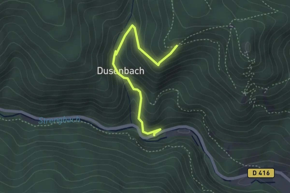
Easy · Trail
D416 – Kahlfels
3.3 km · ↑ 259 m · 1 h 21 min
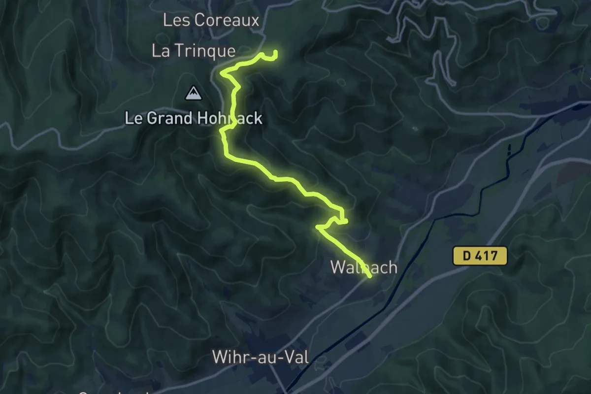
Medium · Trail
Walbach – La Croix de Wihr - Obschel
12.5 km · ↑ 728 m · 4 h 32 min
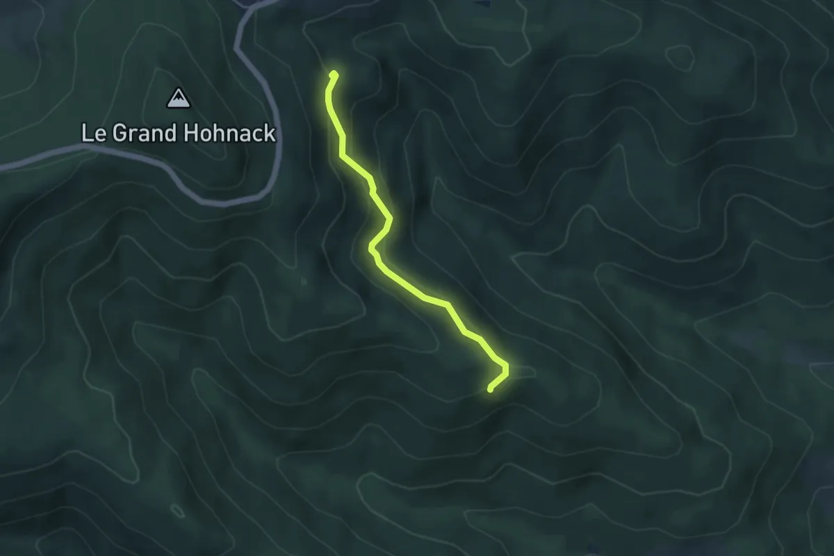
Easy · Trail
Croix bleu – Roche du Corbeau
3.6 km · ↑ 171 m · 1 h 14 min
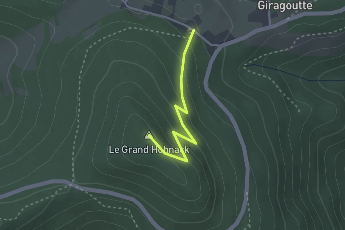
Easy · Summit
La Trinque – Croix de Wihr
2.2 km · ↑ 141 m · 49 min
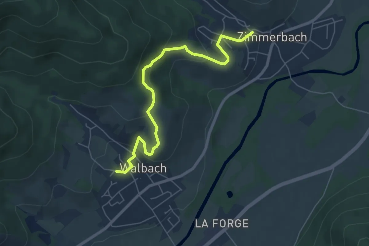
Easy · Trail
Zimmerbach – Walbach
5.4 km · ↑ 250 m · 1 h 49 min
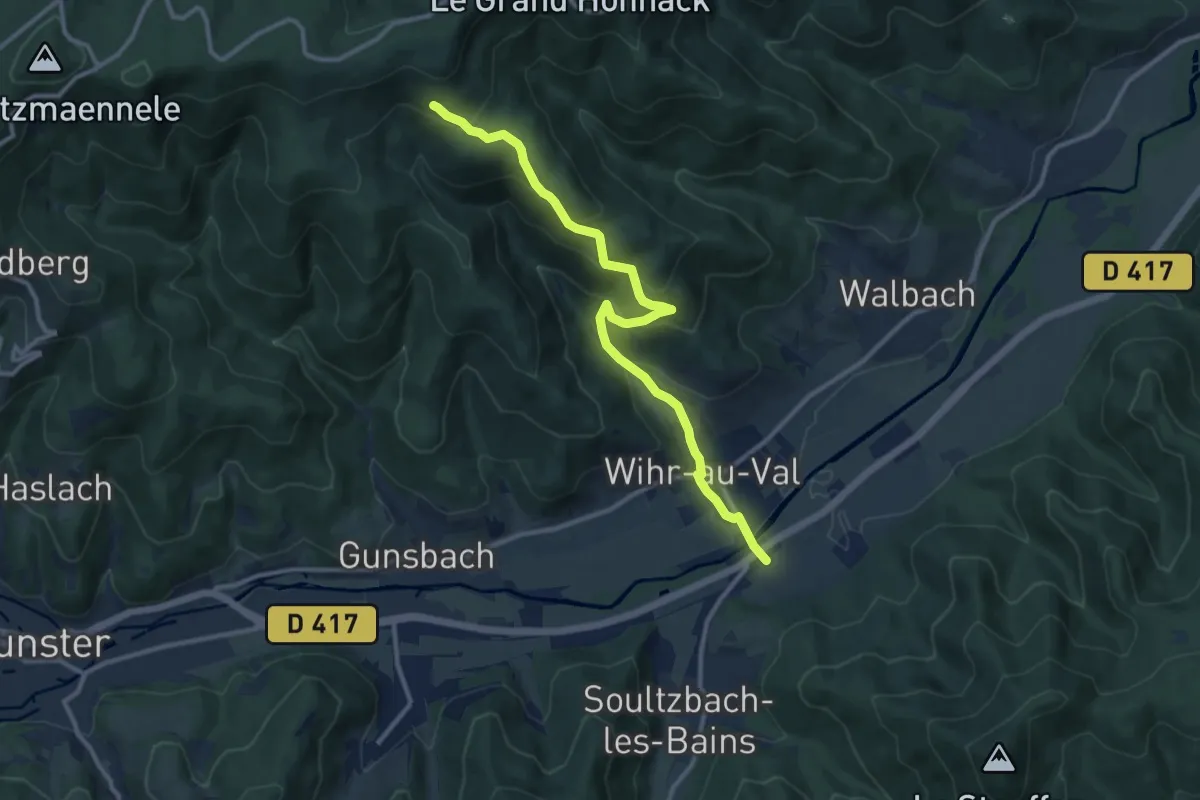
Medium · Trail
Wihr-au-Val – Wasen
11.2 km · ↑ 538 m · 3 h 48 min
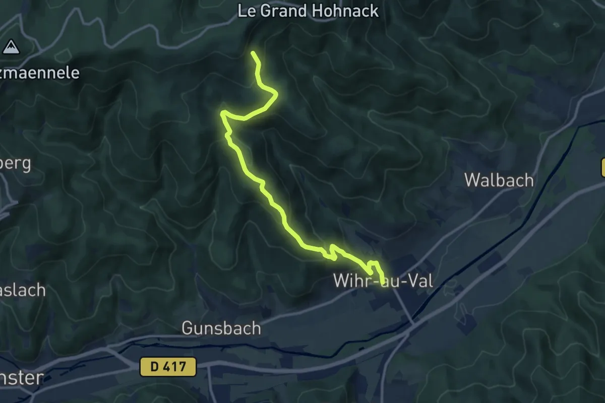
Medium · Trail
Wihr-au-Val – Wasen
10.9 km · ↑ 584 m · 3 h 51 min
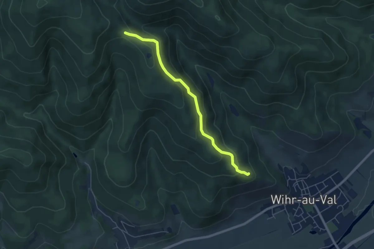
Easy · Trail
Chapelle Sainte-Croix – Krizle
4.8 km · ↑ 294 m · 1 h 47 min
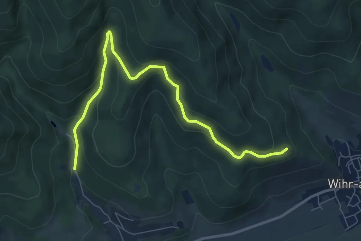
Medium · Trail
Chapelle Sainte-Croix – Stand de tir Gunsbach
7.1 km · ↑ 358 m · 2 h 27 min
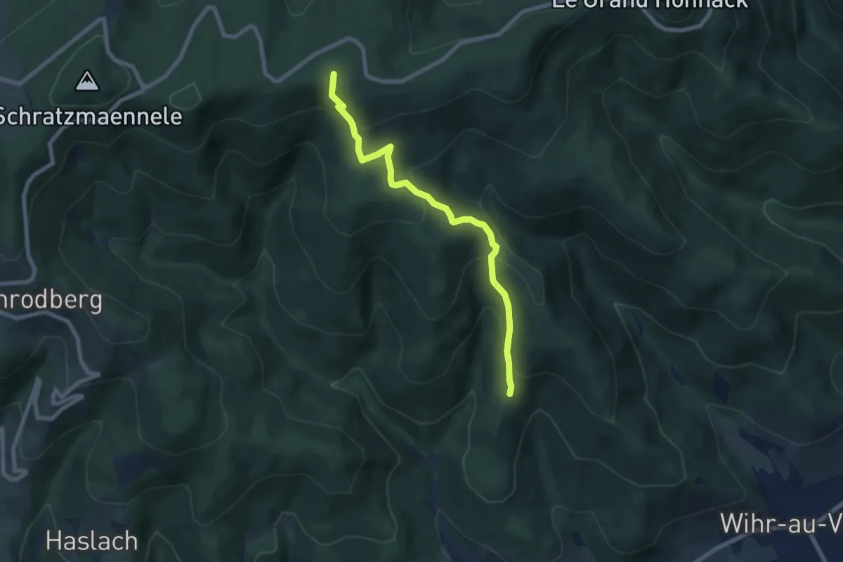
Medium · Summit
Abri du Krizle – GR532
6.4 km · ↑ 403 m · 2 h 23 min
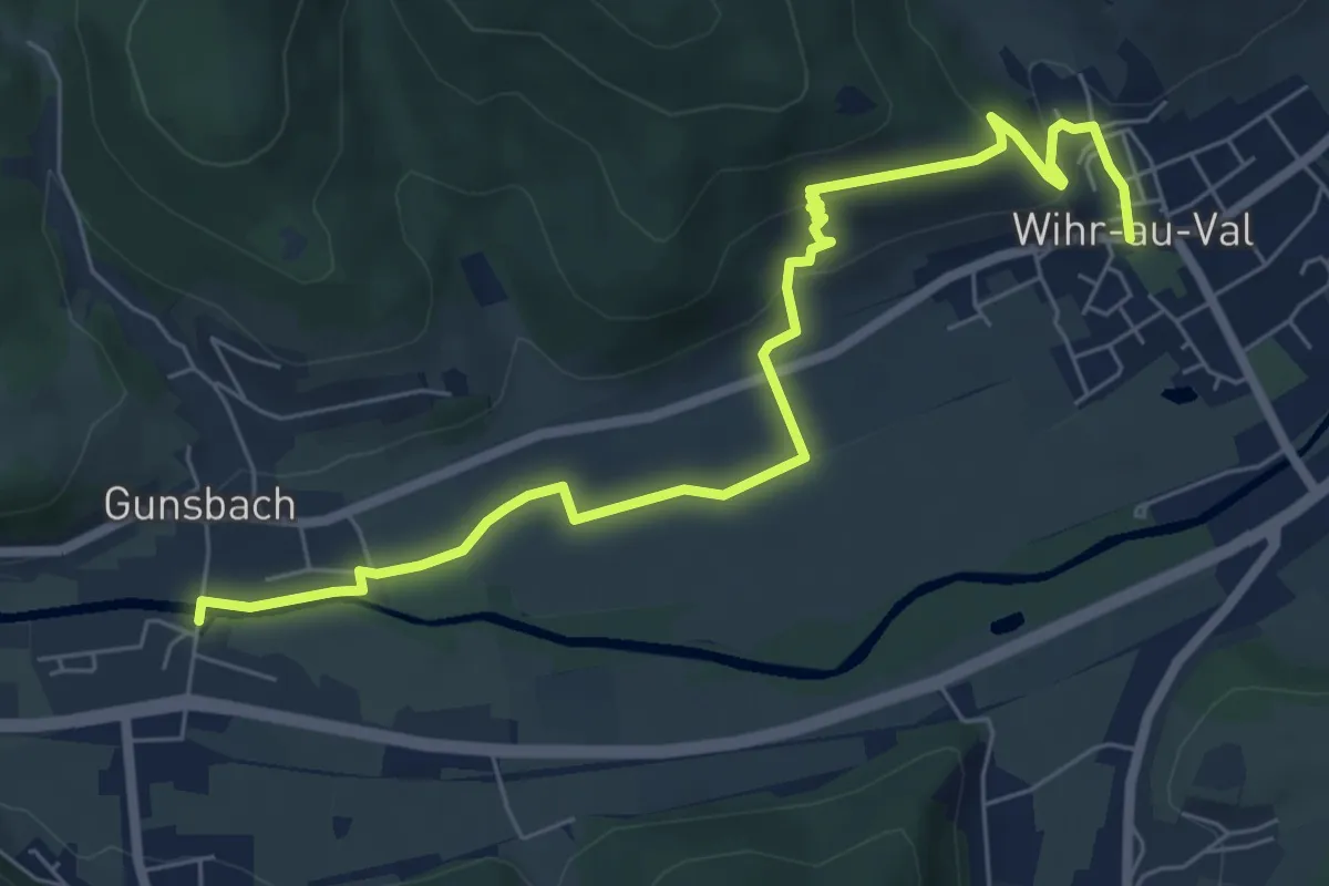
Easy · Trail
Wihr-au-Val – Gunsbach
7.5 km · ↑ 210 m · 2 h 13 min
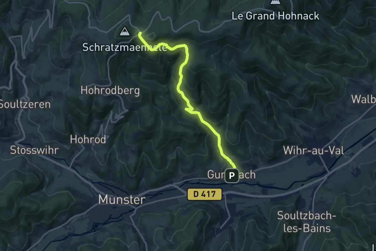
Medium · Trail
Gunsbach – Cimetière militaire Allemand
12.0 km · ↑ 641 m · 4 h 13 min
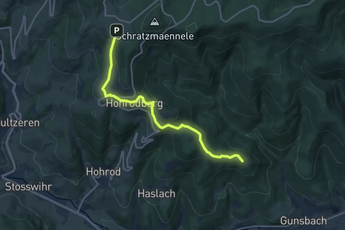
Medium · Summit
Gunsbach – GR532
9.5 km · ↑ 390 m · 3 h 6 min
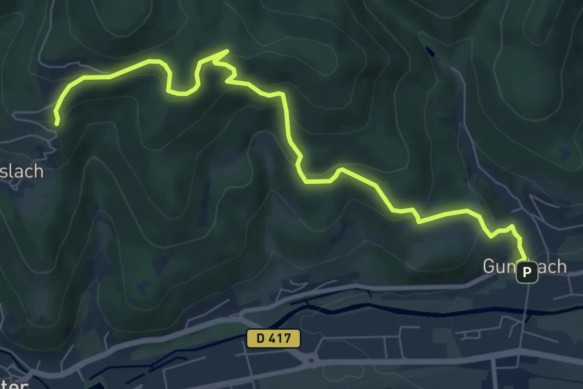
Medium · Trail
Gunsbach – Haslach
8.2 km · ↑ 454 m · 2 h 55 min
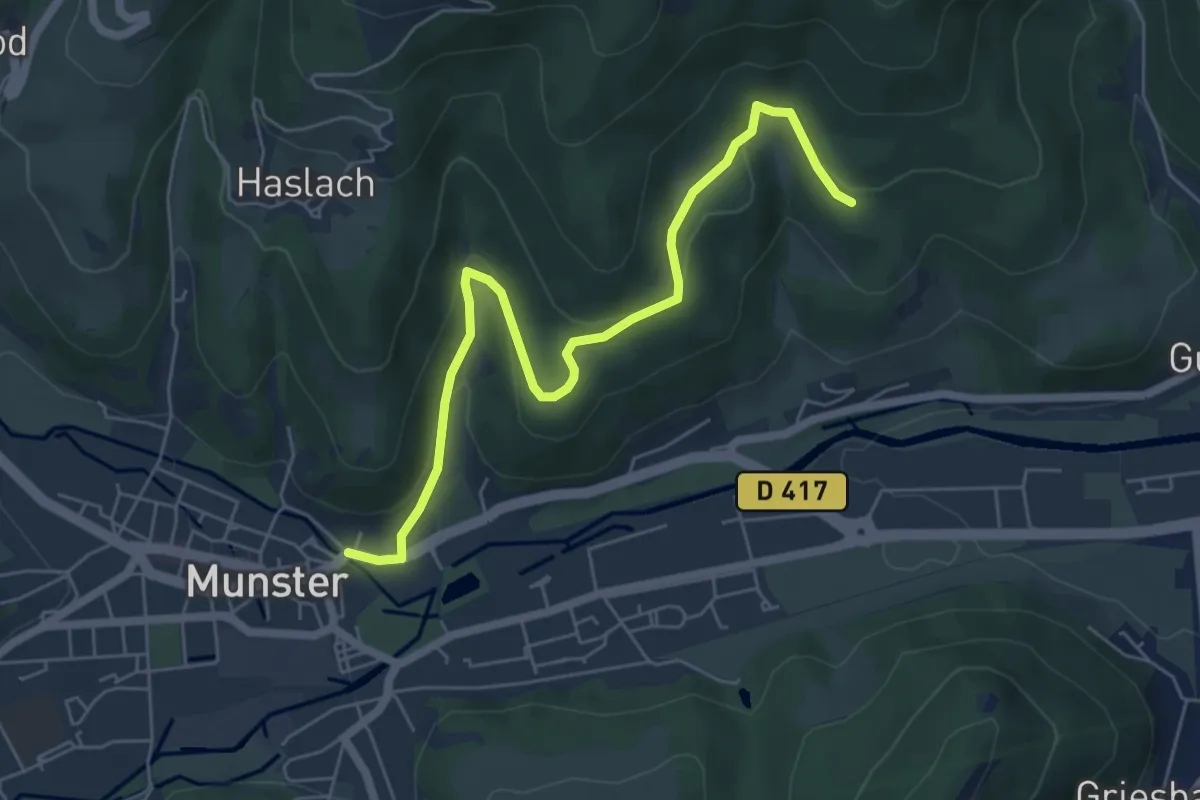
Easy · Trail
Munster – Kalbach-le-Haut
6.2 km · ↑ 190 m · 1 h 52 min
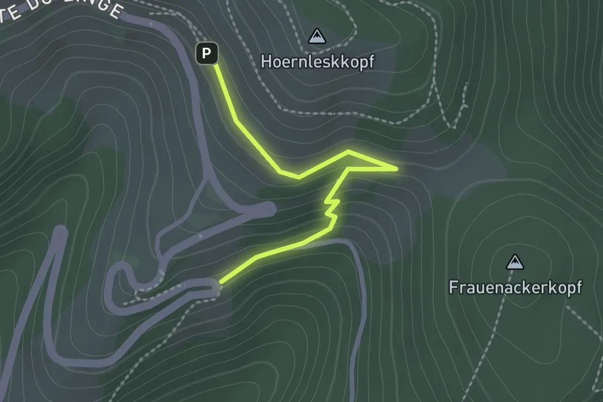
Easy · Trail
GR 531 – GR 531
2.1 km · ↑ 99 m · 43 min
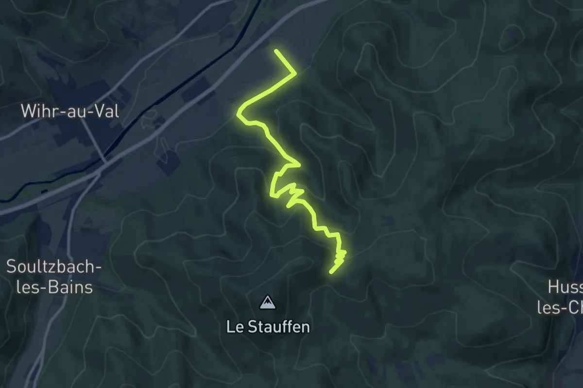
Medium · Cabin
Walbach-la-Forge – Abri du Stauffen
9.7 km · ↑ 523 m · 3 h 25 min
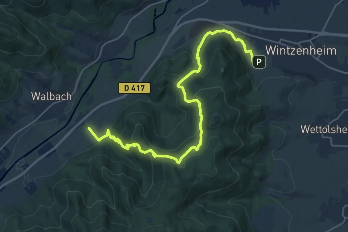
Medium · Trail
Wintzenheim – Walbach-la-Forge
16.9 km · ↑ 764 m · 5 h 38 min
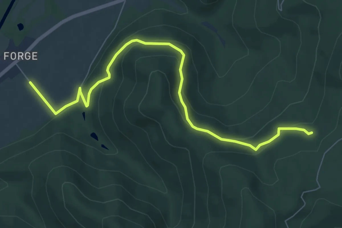
Medium · Trail
Walbach-la-Forge – Fontaine de la Dame
7.2 km · ↑ 337 m · 2 h 26 min
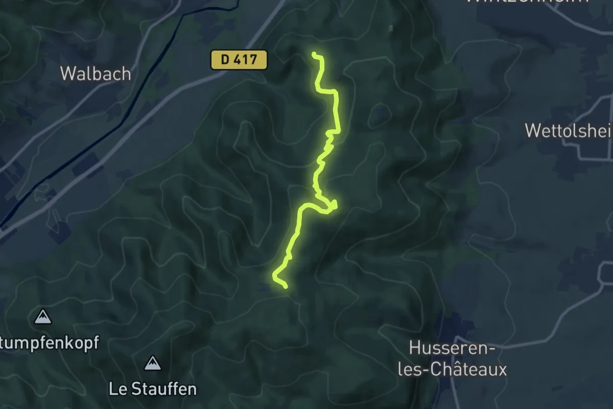
Medium · Trail
GR532 – GR532
8.6 km · ↑ 329 m · 2 h 45 min
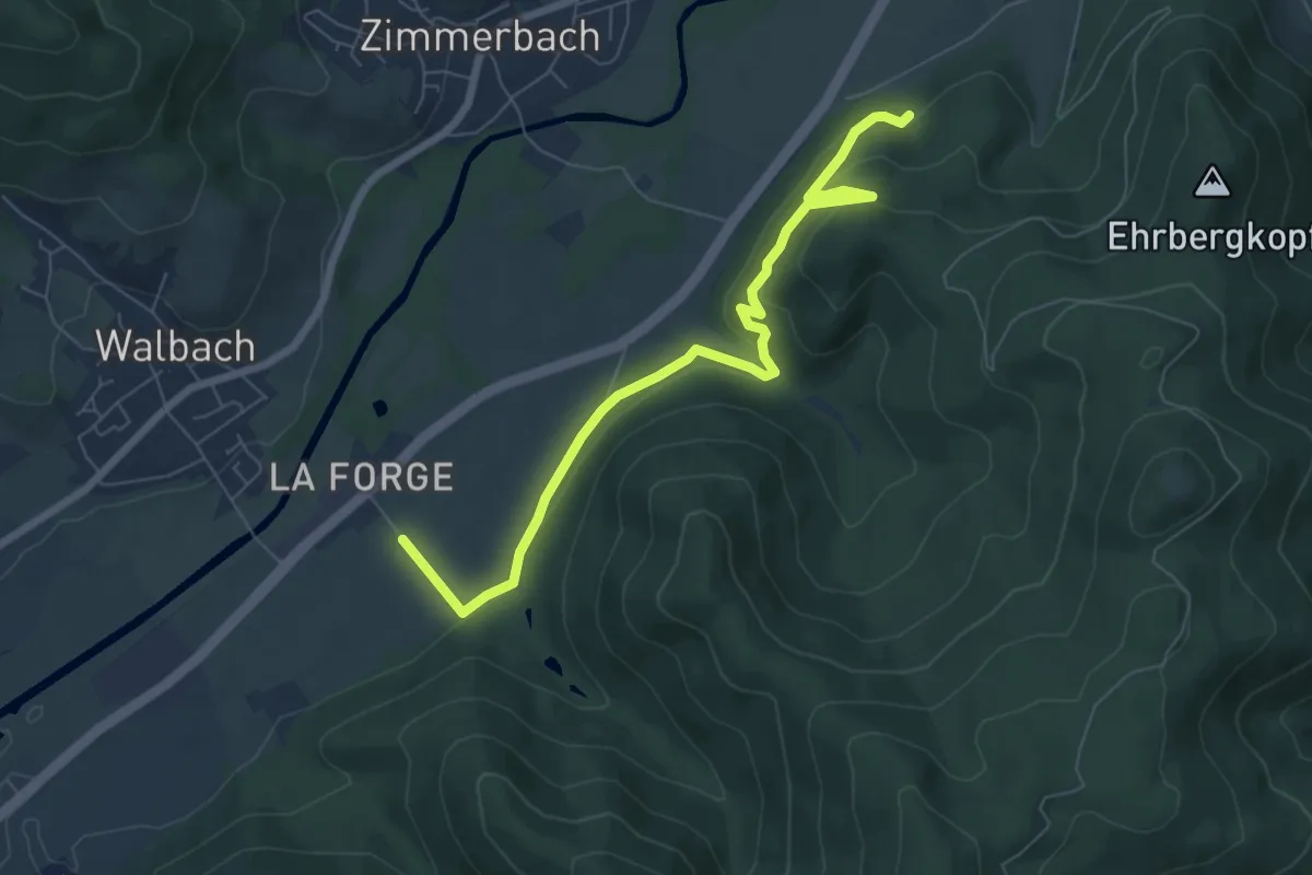
Easy · Trail
Walbach-la-Forge – GR532
7.2 km · ↑ 312 m · 2 h 23 min
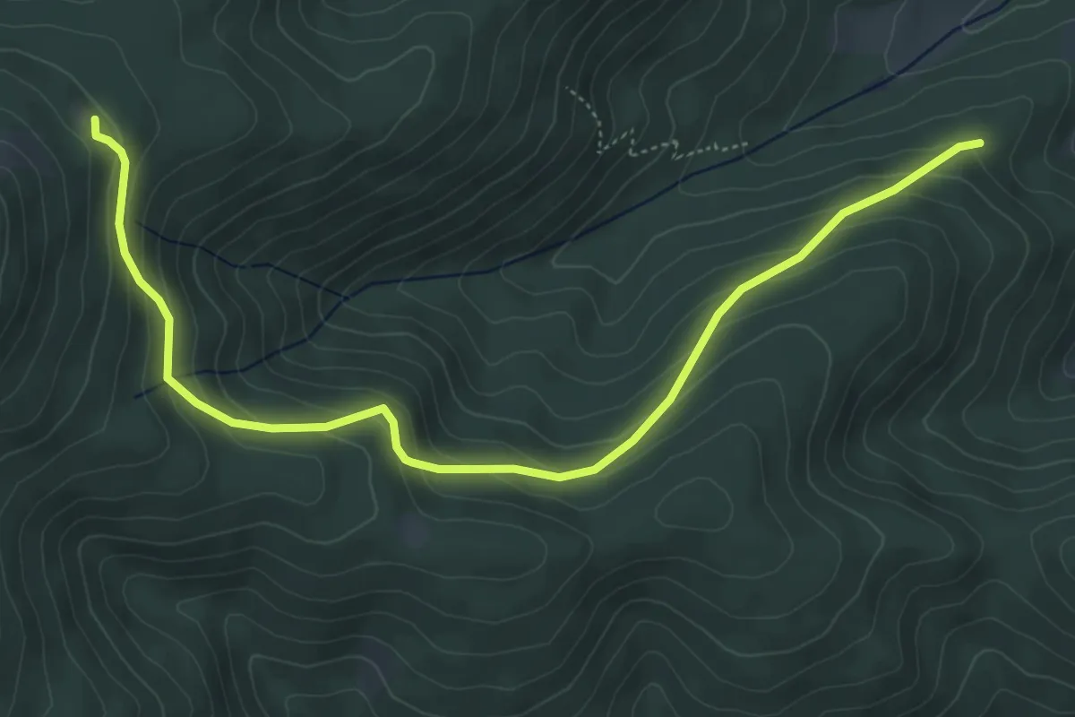
Medium · Cabin
Kaysersberg – Chalet Jean Weibel
6.0 km · ↑ 348 m · 2 h 10 min
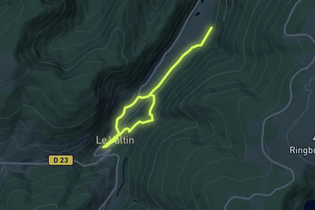
Medium · Trail
Le Valtin – L’Ermitage
8.2 km · ↑ 340 m · 2 h 41 min
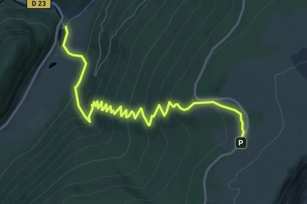
Medium · Trail
Étang des Dames – Le Gazon du Faing
8.4 km · ↑ 552 m · 3 h 11 min