Trails in France
15,926 hiking trails, each with its route, climb, walking time and grade.
All trails, page 320 of 332
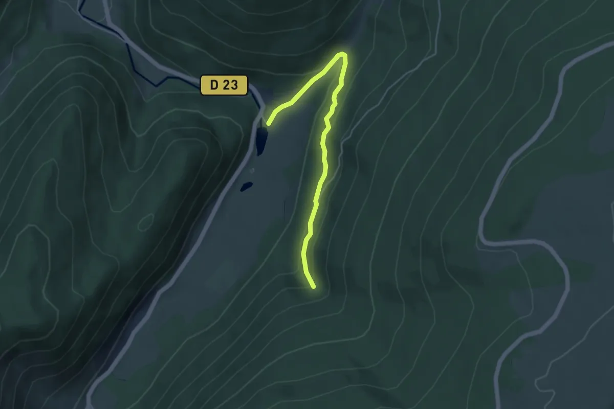
Medium · Trail
Étang des Dames – Cascade du Rudlin
4.0 km · ↑ 186 m · 1 h 21 min
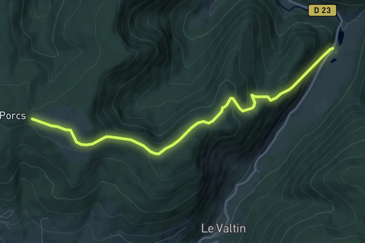
Medium · Trail
Étang des Dames – Chaume de Sérichamp
8.9 km · ↑ 492 m · 3 h 9 min
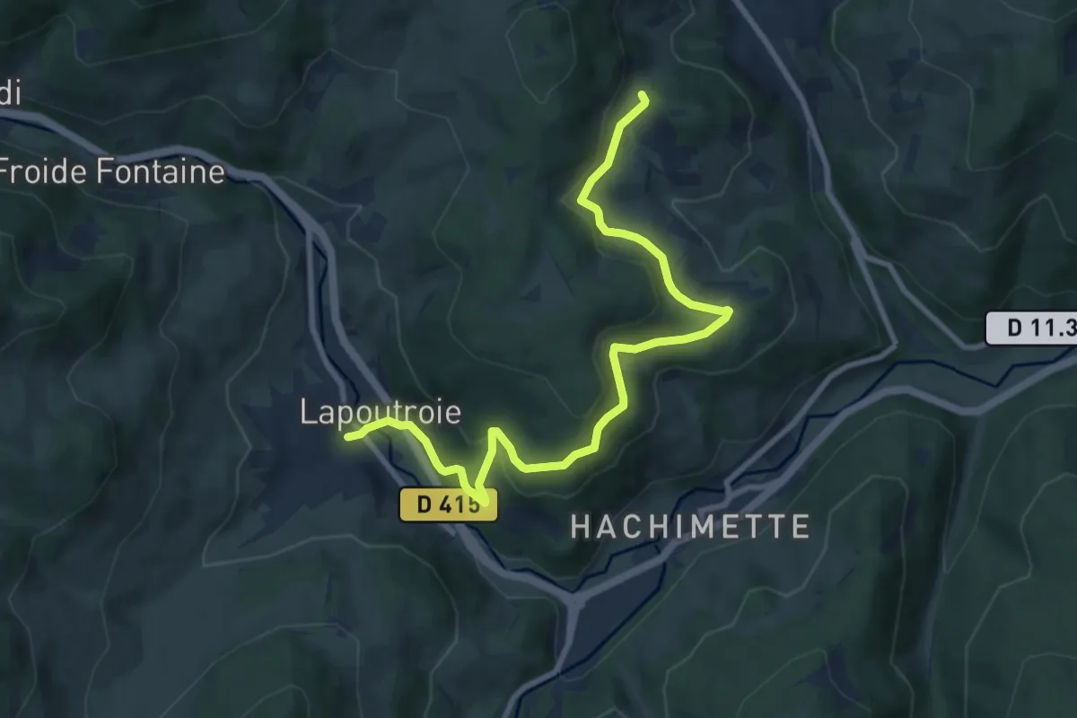
Medium · Trail
Lapoutroie – La Rochette
9.1 km · ↑ 314 m · 2 h 50 min
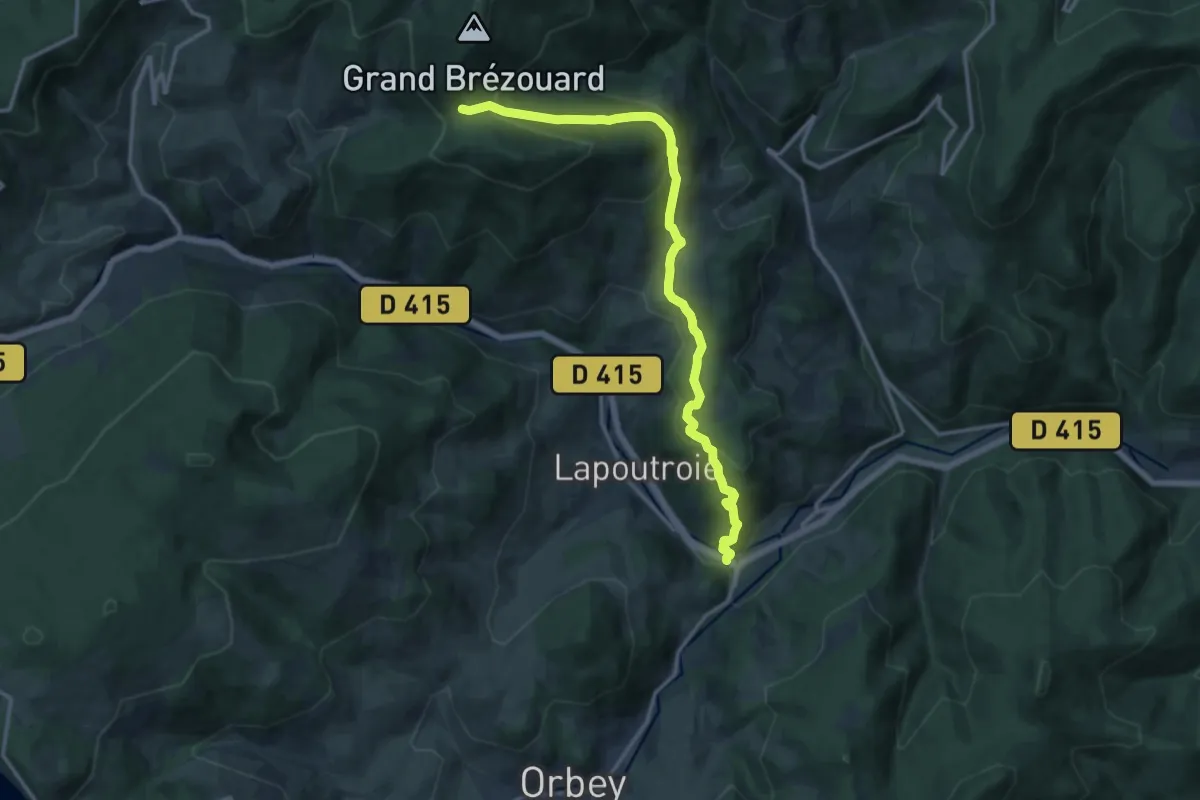
Medium · Trail
Hachimette – Le Plat
13.8 km · ↑ 716 m · 4 h 49 min
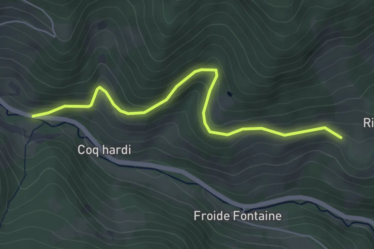
Easy · Trail
Champs de la Croix – Le Grand Trait
4.8 km · ↑ 217 m · 1 h 36 min
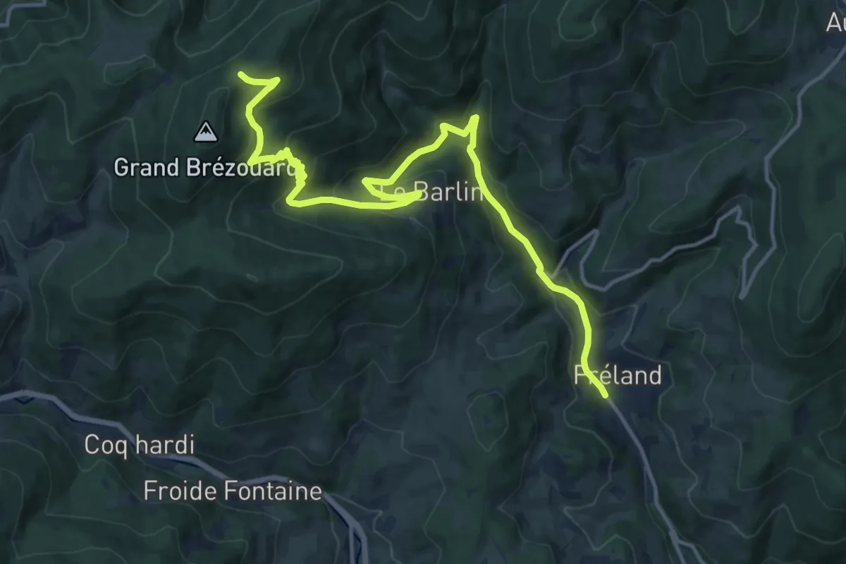
Demanding · Cabin
Fréland – GR5
15.6 km · ↑ 816 m · 5 h 27 min
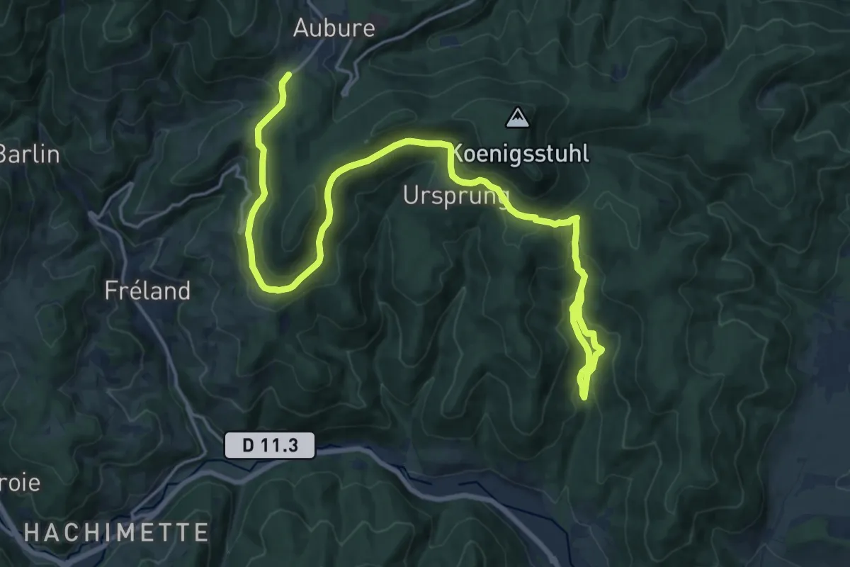
Demanding · Trail
Kaysersberg – Aubure
21.9 km · ↑ 920 m · 7 h 9 min
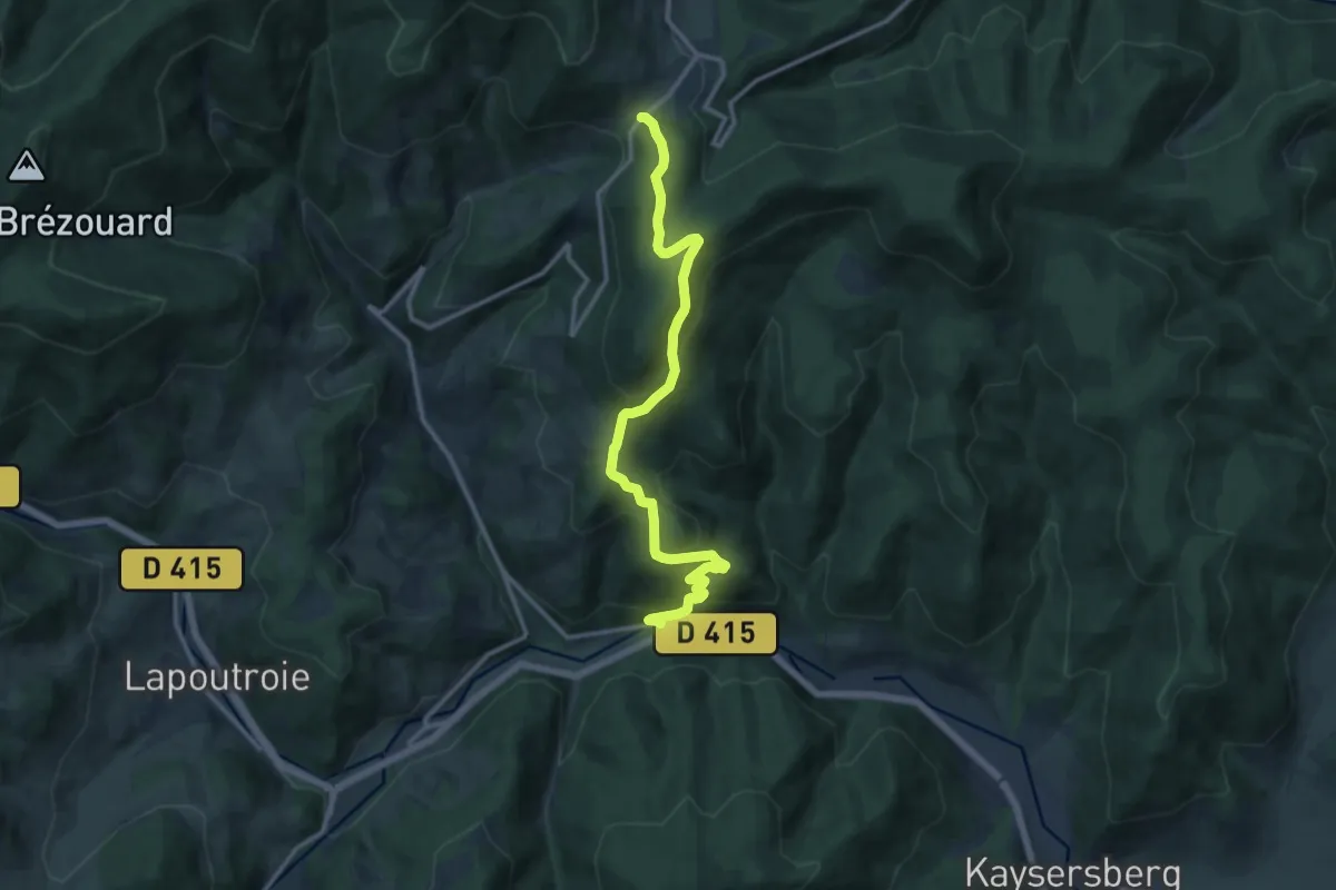
Medium · Trail
Kaysersberg – GR5
12.7 km · ↑ 632 m · 4 h 22 min
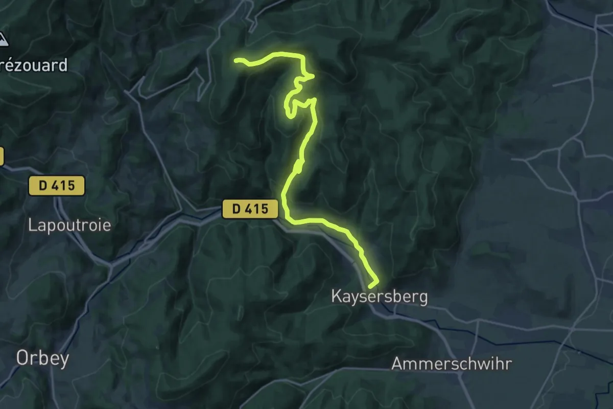
Demanding · Trail
Kaysersgerg – GR5
21.0 km · ↑ 690 m · 6 h 27 min
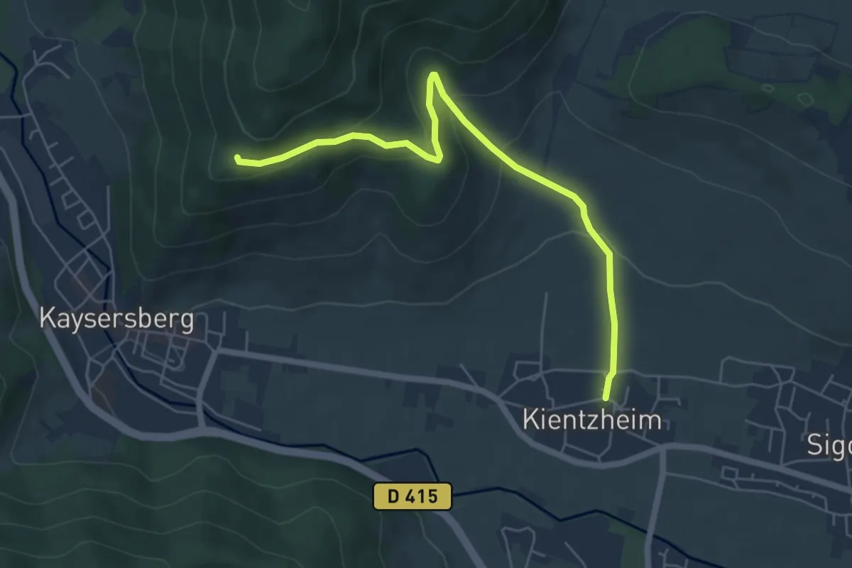
Easy · Trail
Kientzheim – Weyertal
5.6 km · ↑ 257 m · 1 h 53 min
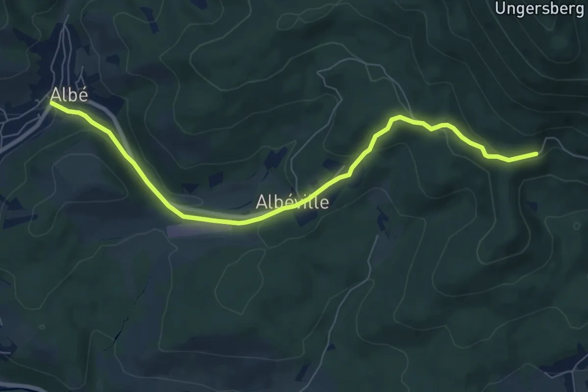
Easy · Trail
Albé – Baerenberg
7.3 km · ↑ 276 m · 2 h 19 min
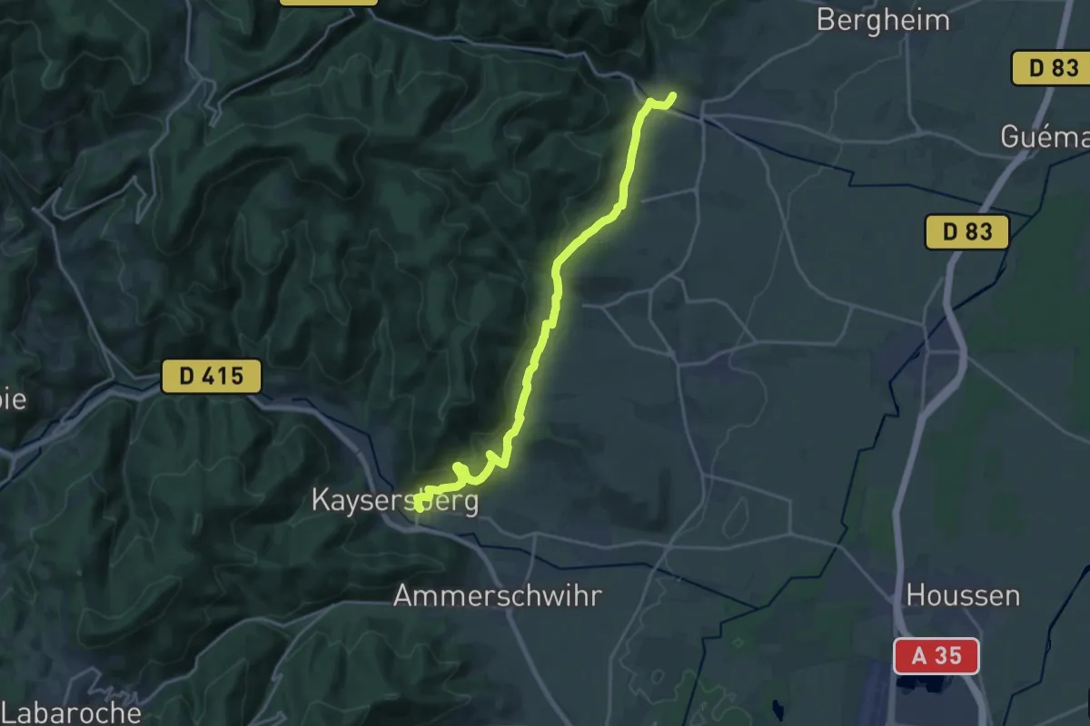
Demanding · Trail
Kaysersberg – Ribeauvillé
18.9 km · ↑ 613 m · 5 h 47 min
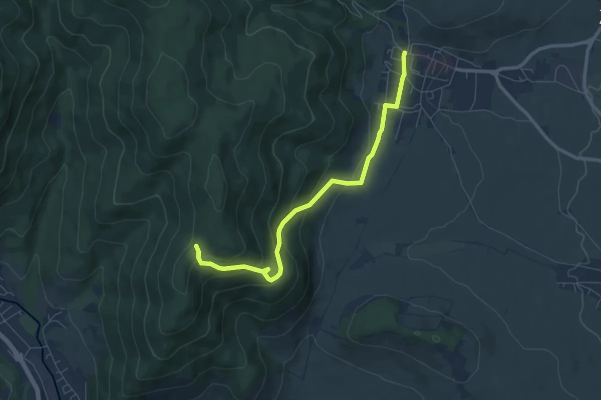
Easy · Trail
Riquewihr – Chêne de la Chapelle
6.5 km · ↑ 299 m · 2 h 10 min
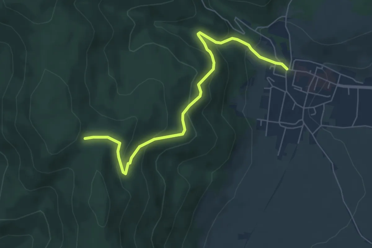
Medium · Trail
Riquewihr – Hohe Schwaerz
5.8 km · ↑ 327 m · 2 h 5 min
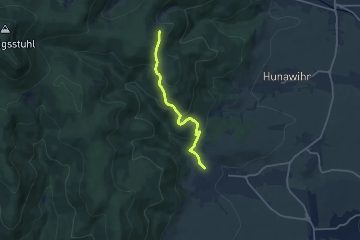
Medium · Trail
Riquewihr – Klaussmatt
6.5 km · ↑ 351 m · 2 h 17 min
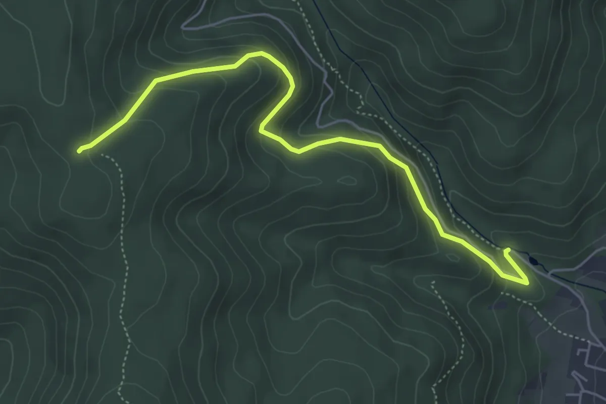
Easy · Trail
Riquewihr – Finsterhurst
5.4 km · ↑ 319 m · 1 h 58 min
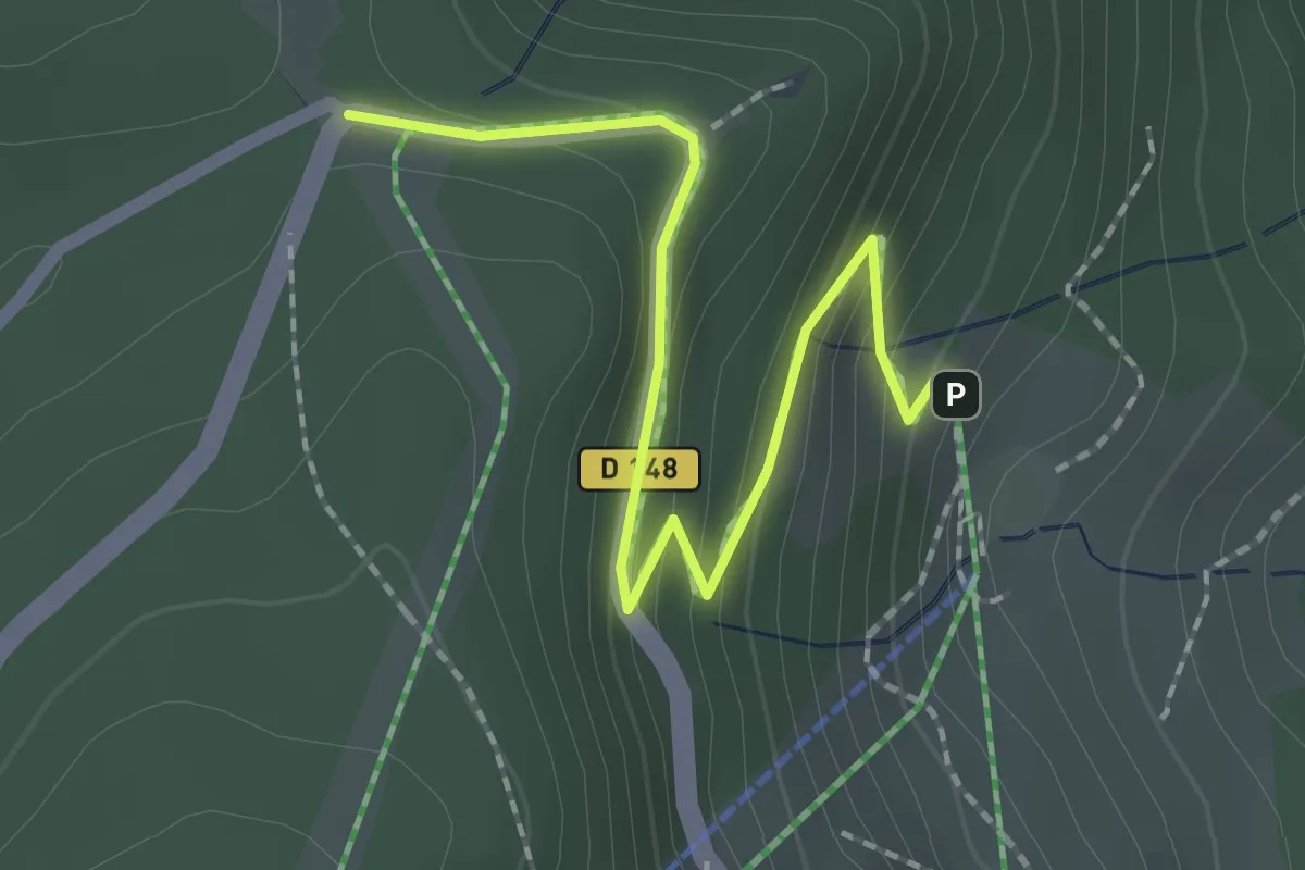
Easy · Trail
Col des Bagenelles – Col du Pré de Raves
2.1 km · ↑ 124 m · 45 min
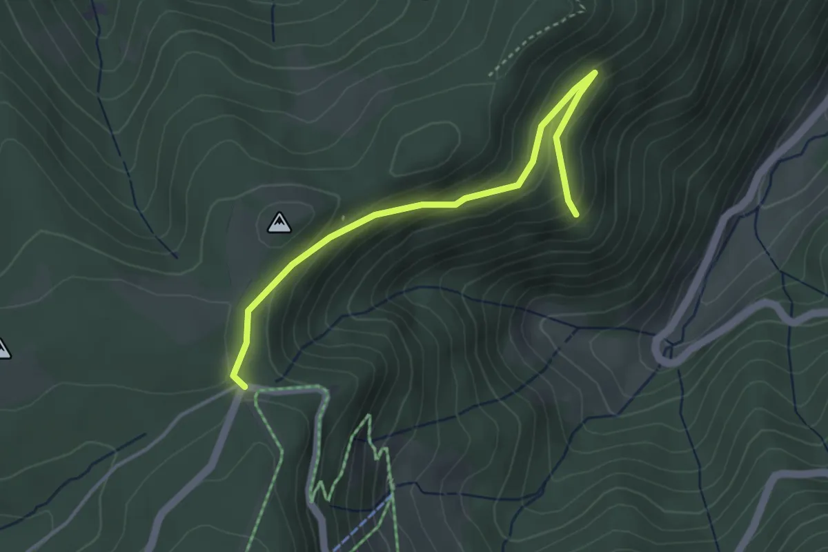
Easy · Trail
Musée Tellure – Col du Pré de Raves
3.6 km · ↑ 172 m · 1 h 13 min
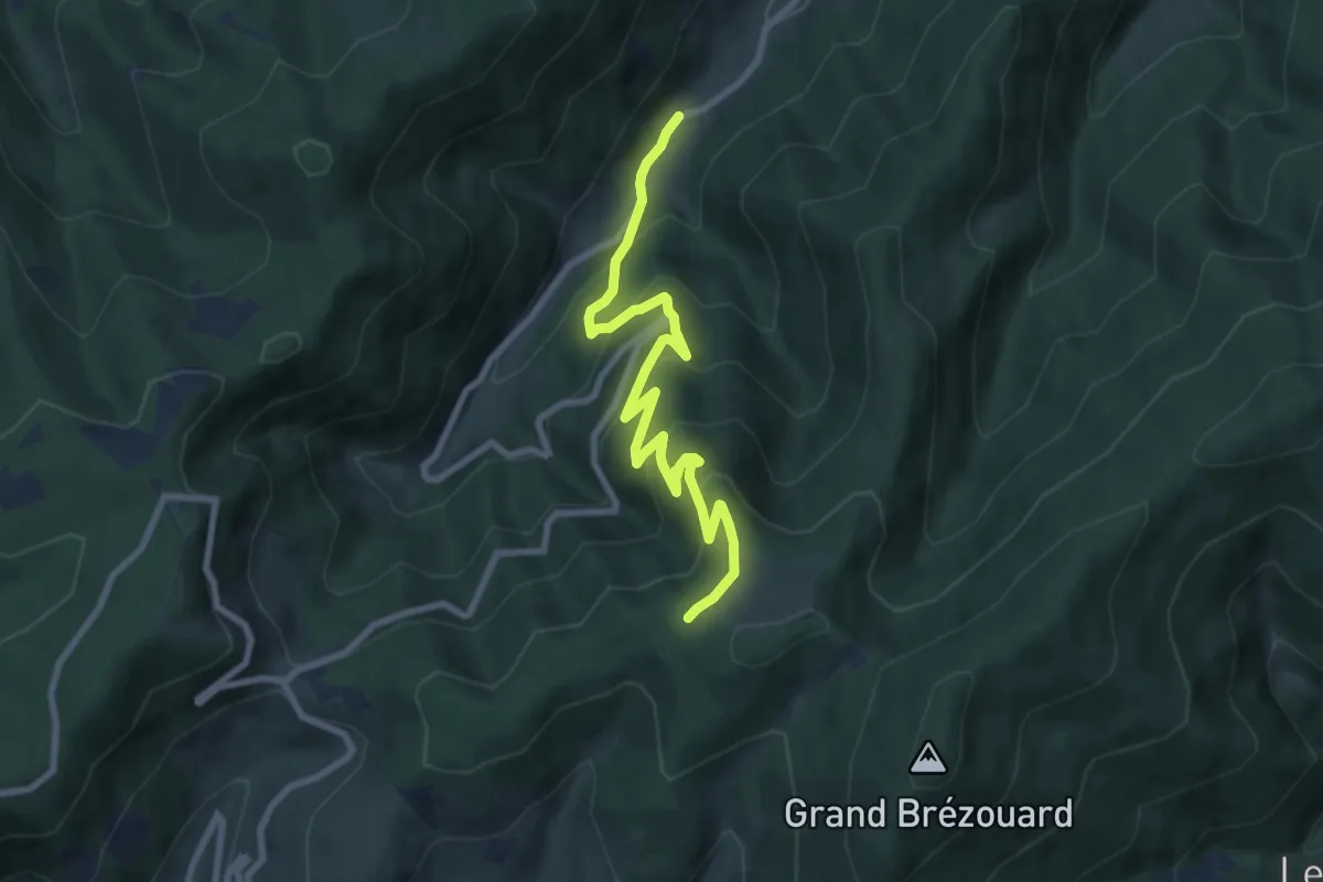
Medium · Trail
Musée Tellure – GR5
8.7 km · ↑ 591 m · 3 h 20 min
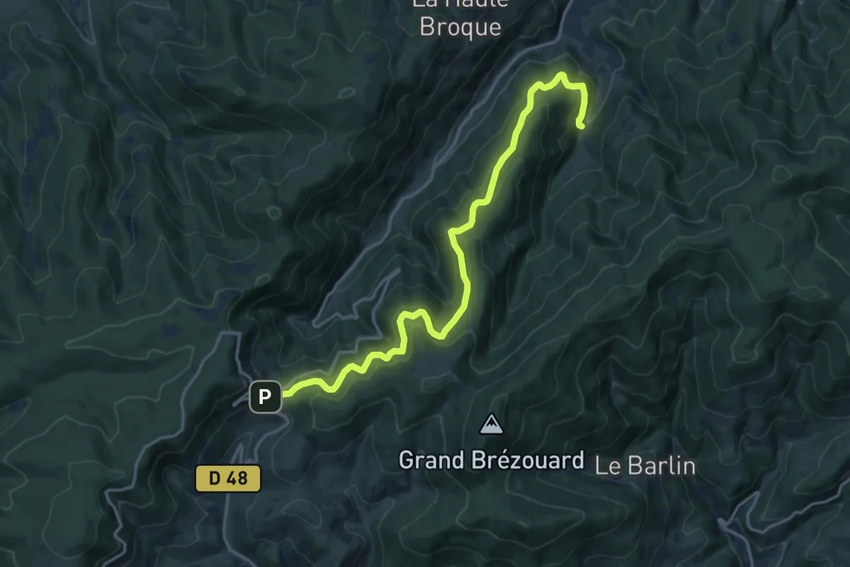
Demanding · Trail
Rauenthal – Col des Bagenelles
15.7 km · ↑ 907 m · 5 h 40 min
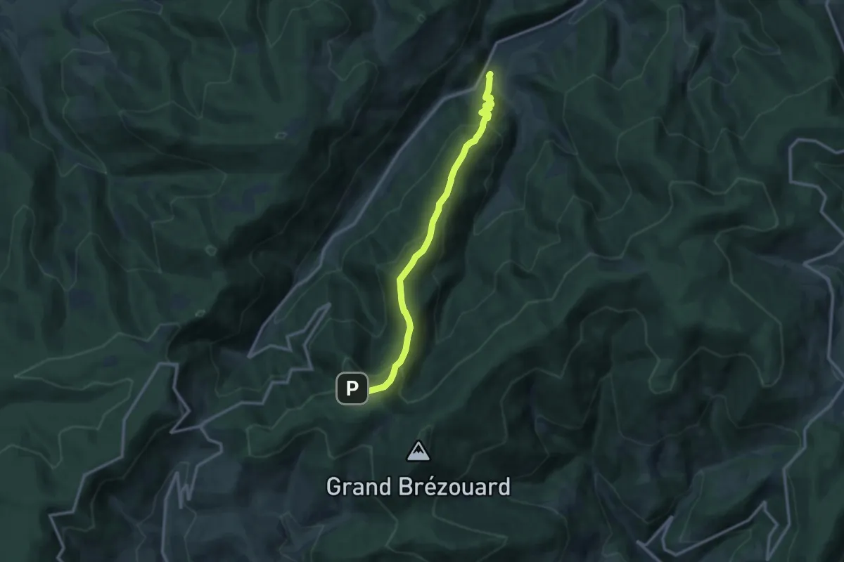
Medium · Trail
Echery – Haïcot
10.2 km · ↑ 653 m · 3 h 49 min
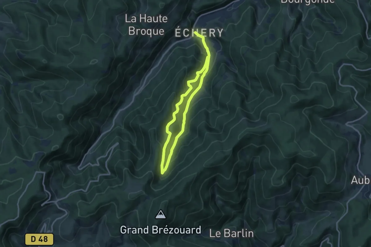
Demanding · Trail
Echery – GR5
15.5 km · ↑ 1018 m · 5 h 52 min
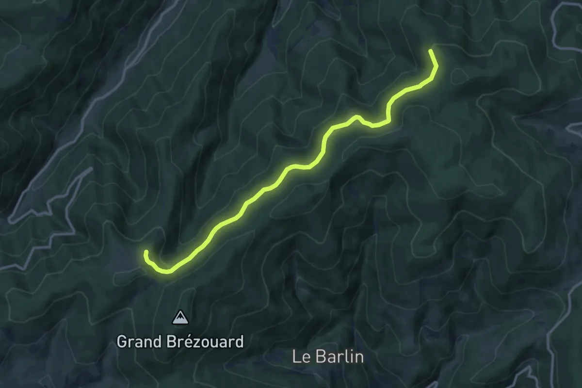
Medium · Trail
GR532 – Le Haïcot
10.4 km · ↑ 380 m · 3 h 17 min
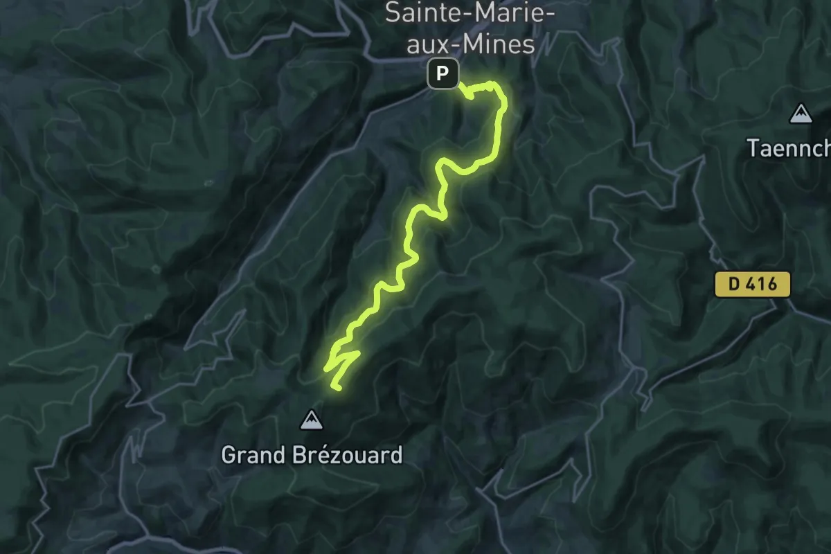
Demanding · Summit
Sainte-Marie-aux-Mines – Refuge du Brézouard
21.0 km · ↑ 1121 m · 7 h 24 min
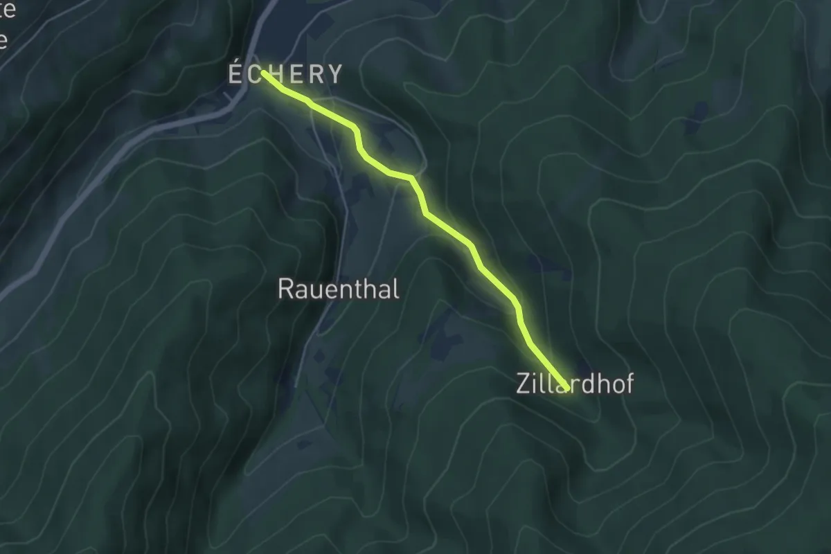
Easy · Trail
Echery – Zillardhof
3.8 km · ↑ 241 m · 1 h 26 min
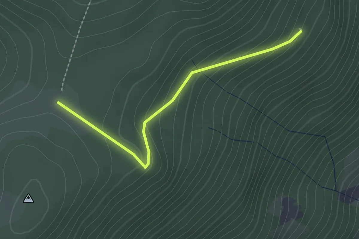
Easy · Cabin
Sainte-Marie-aux-Mines – GR531
2.0 km · ↑ 86 m · 40 min
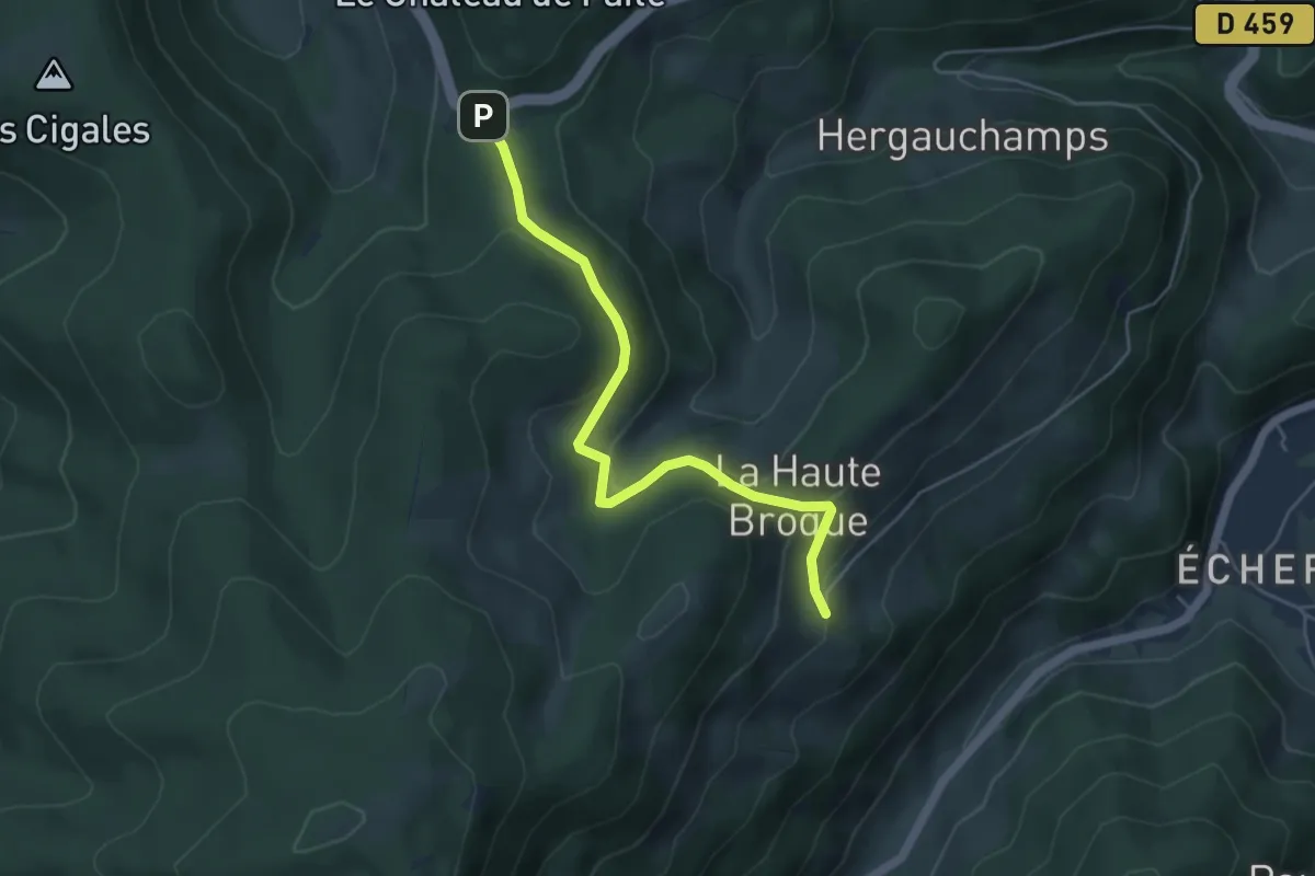
Easy · Trail
La Haute Broque – Col de Sainte-Marie
4.8 km · ↑ 147 m · 1 h 27 min
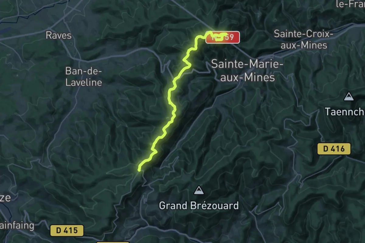
Demanding · Trail
La Pierre de Lusse – Col du Pré de Raves
22.7 km · ↑ 666 m · 6 h 48 min
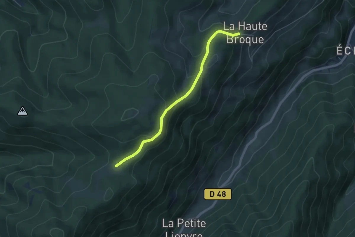
Easy · Cabin
La Haute Broque – GR531
4.7 km · ↑ 243 m · 1 h 38 min
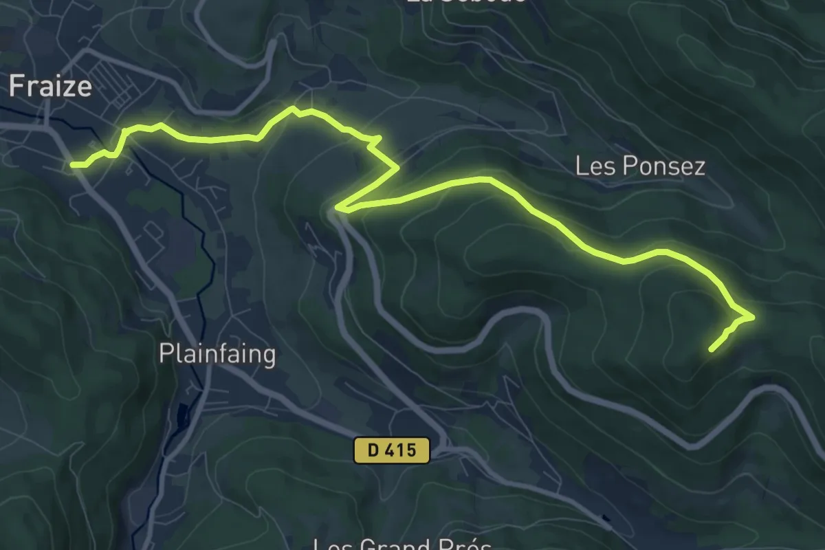
Medium · Trail
Fraize – Rocher du Hangochet
11.2 km · ↑ 473 m · 3 h 41 min
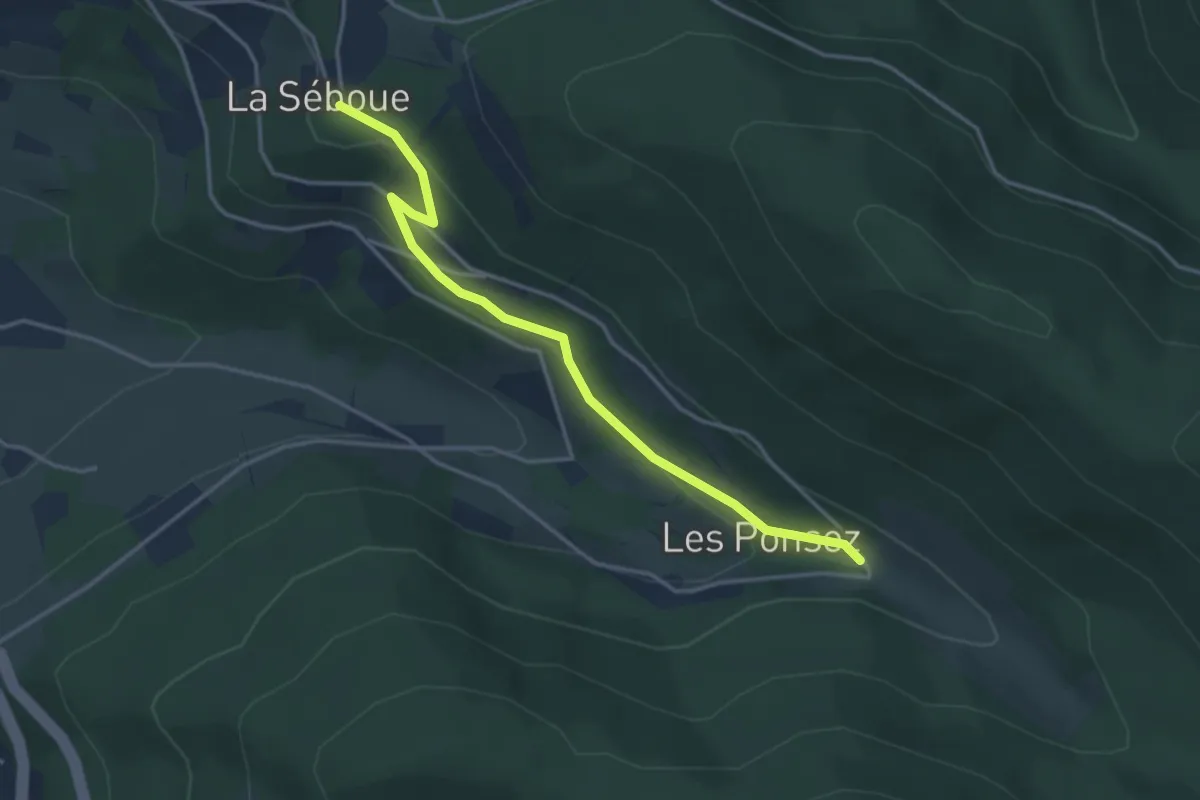
Easy · Trail
La Séboue – Les Ponsez
3.7 km · ↑ 130 m · 1 h 9 min
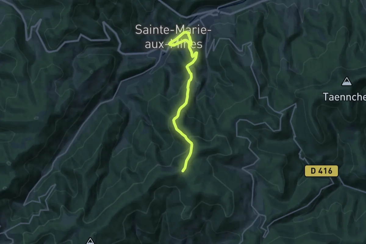
Demanding · Cabin
Sainte-Marie-aux-Mines – GR5
13.7 km · ↑ 847 m · 5 h 4 min
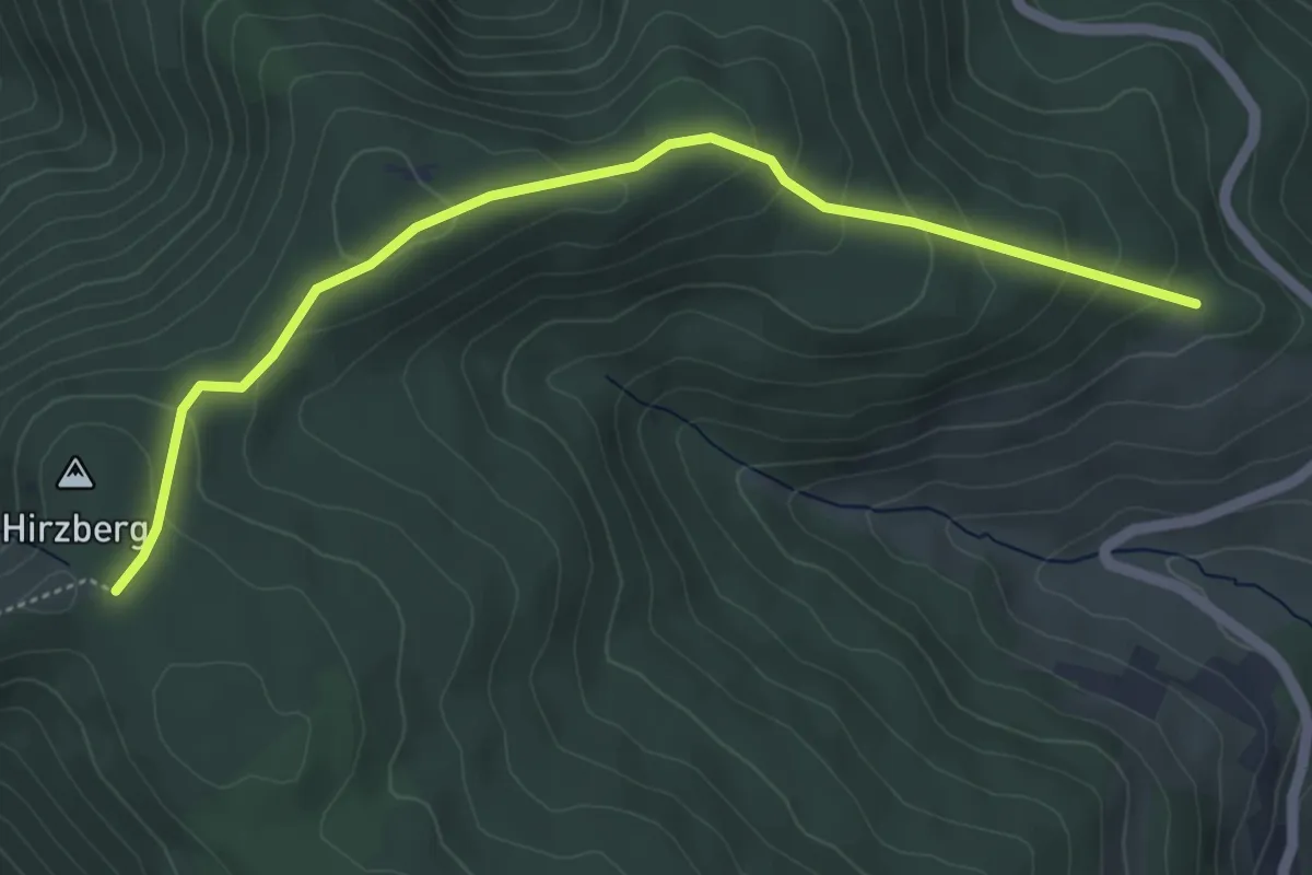
Easy · Cabin
La Renardière – Pierre des Trois Bans
5.0 km · ↑ 265 m · 1 h 45 min
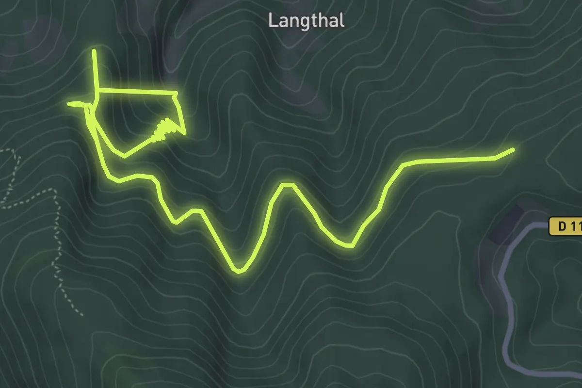
Medium · Trail
Cabane Herment – Adelspach
8.9 km · ↑ 668 m · 3 h 33 min
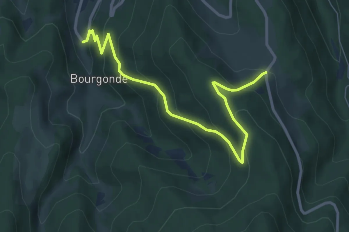
Medium · Trail
Bourgonde – Adelspach
6.4 km · ↑ 428 m · 2 h 27 min
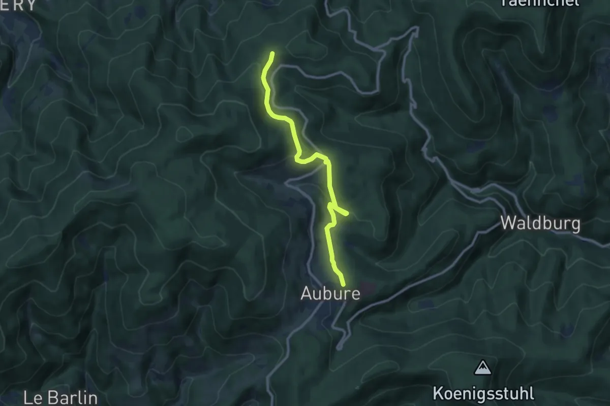
Medium · Trail
Aubure – Adelspach
8.7 km · ↑ 315 m · 2 h 44 min
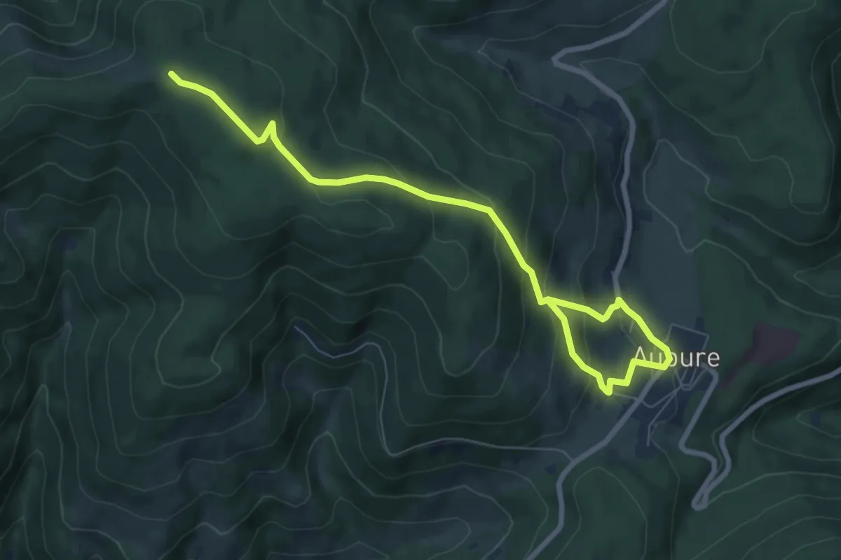
Medium · Cabin
Aubure – GR5
8.5 km · ↑ 474 m · 3 h 2 min
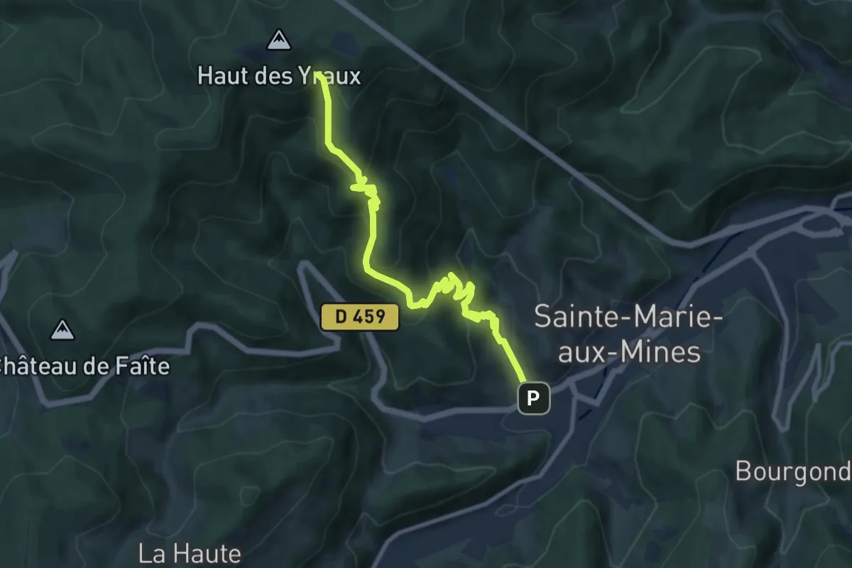
Medium · Cabin
Sainte-Marie-aux-Mines – Refuge Robinot
9.0 km · ↑ 618 m · 3 h 28 min
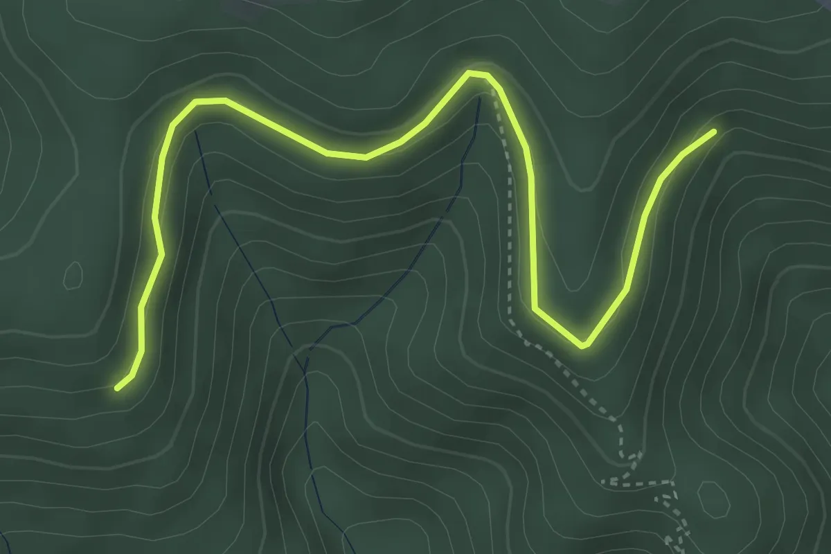
Easy · Trail
Sainte-Marie-aux-Mines – GR531
4.5 km · ↑ 127 m · 1 h 20 min
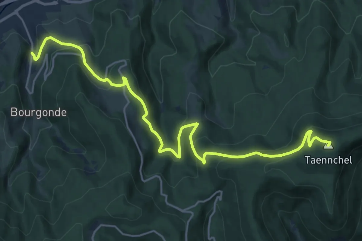
Medium · Summit
Fertrupt – Abri Kutzigbuech
15.4 km · ↑ 774 m · 5 h 19 min
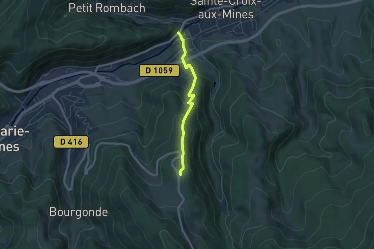
Easy · Trail
Saint-Blaise – Le Petit Haut
4.3 km · ↑ 311 m · 1 h 41 min
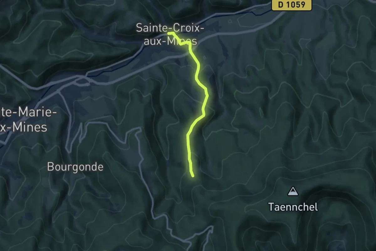
Medium · Trail
Sainte-Croix-aux-Mines – Le Hury
6.9 km · ↑ 339 m · 2 h 22 min
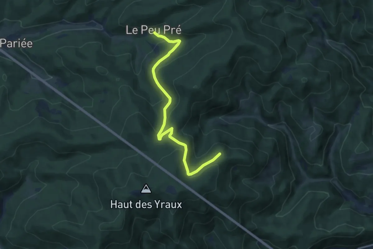
Medium · Trail
Sainte-Croix-aux-Mines – Le Peu Pré
9.2 km · ↑ 350 m · 2 h 55 min
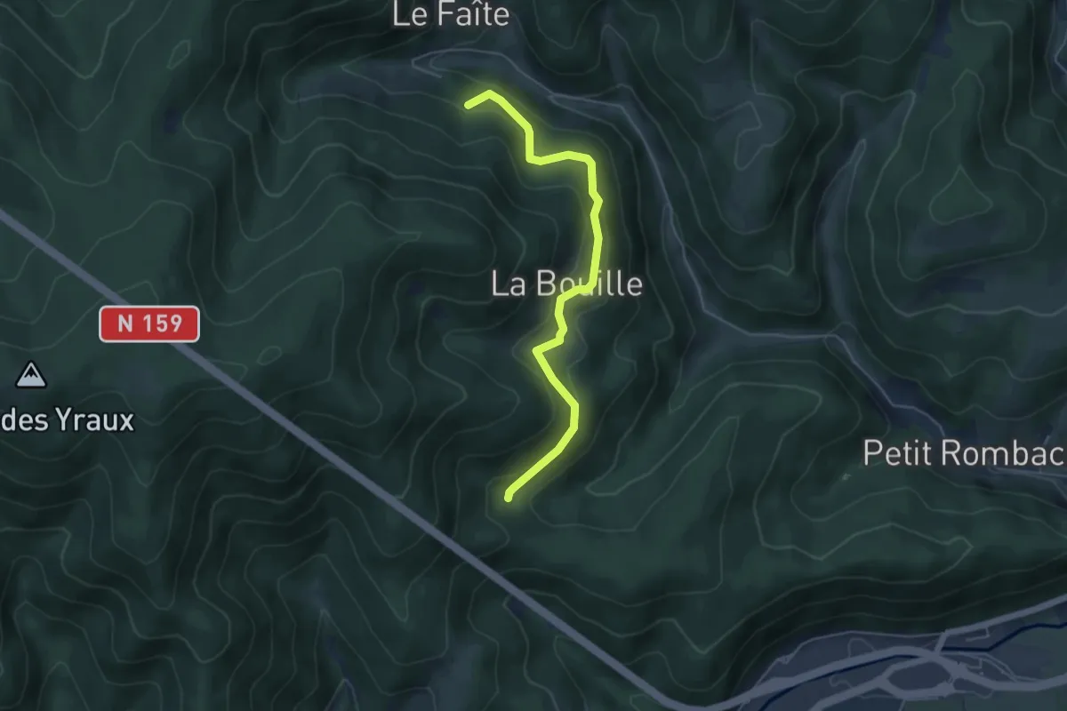
Easy · Trail
La Bouille – Le Faîte
4.9 km · ↑ 301 m · 1 h 48 min
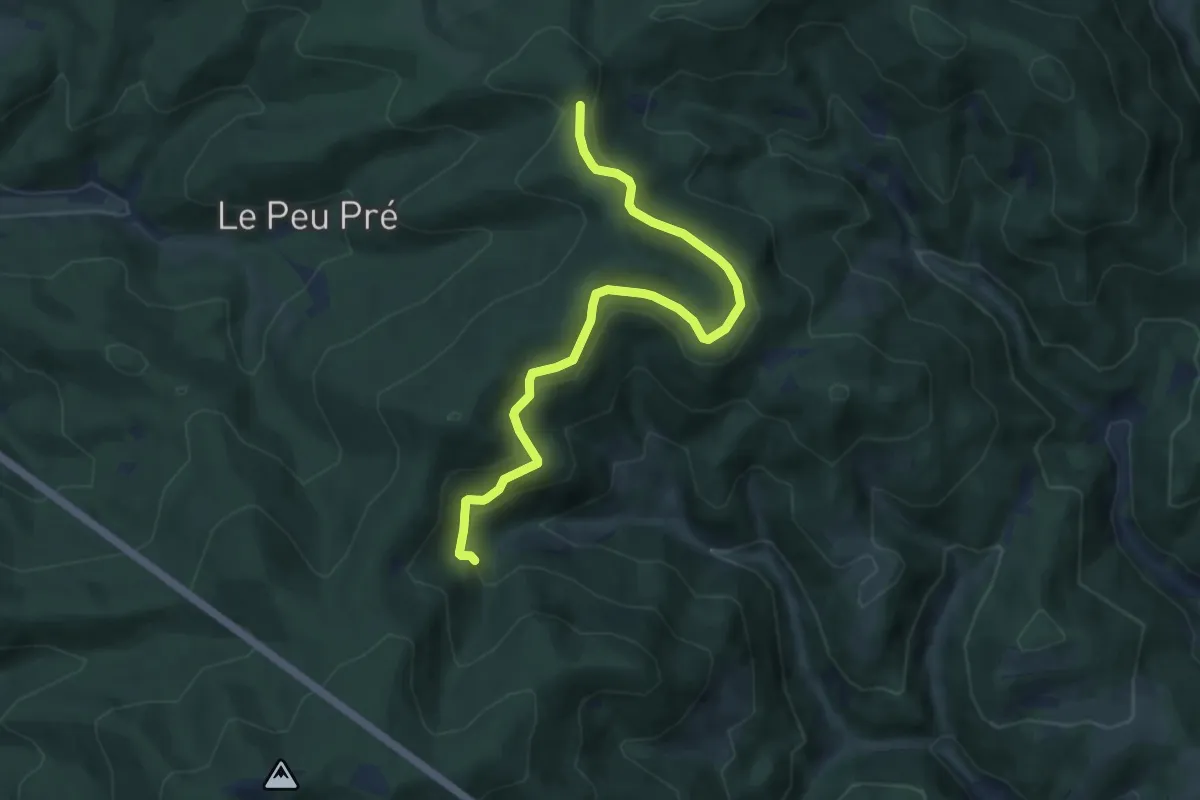
Medium · Trail
Petit Rombach – Col de Ralaine
8.5 km · ↑ 320 m · 2 h 42 min
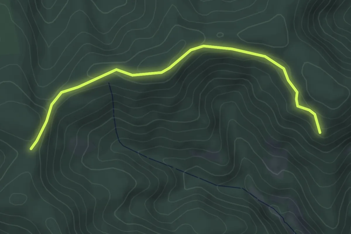
Easy · Trail
Sainte-Croix-aux-Mines – Col de Ralaine
4.7 km · ↑ 169 m · 1 h 29 min
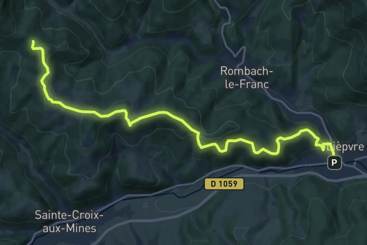
Medium · Trail
Lièpvre – Creux Chêne
14.5 km · ↑ 787 m · 5 h 8 min
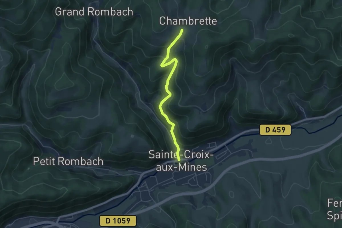
Easy · Trail
Sainte-Croix-aux-Mines – Grandmont
4.6 km · ↑ 286 m · 1 h 43 min