Trails in France
15,926 hiking trails, each with its route, climb, walking time and grade.
All trails, page 321 of 332
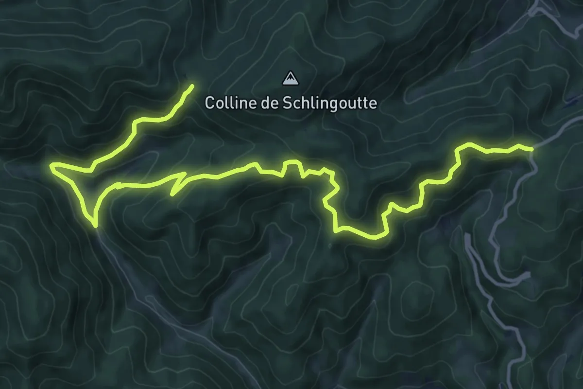
Demanding · Trail
Col de Schlingoutte – Col de Fouchy
14.8 km · ↑ 956 m · 5 h 34 min
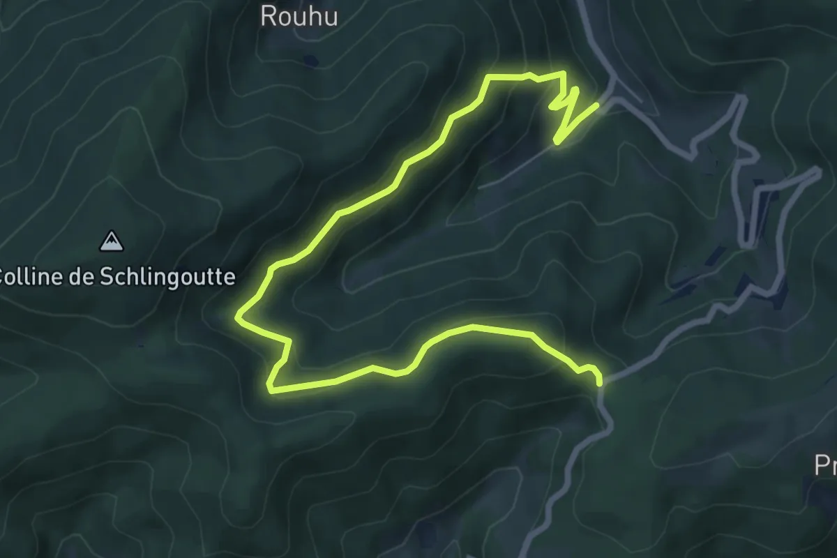
Medium · Trail
Noirceux – Col de Fouchy
8.4 km · ↑ 490 m · 3 h 2 min
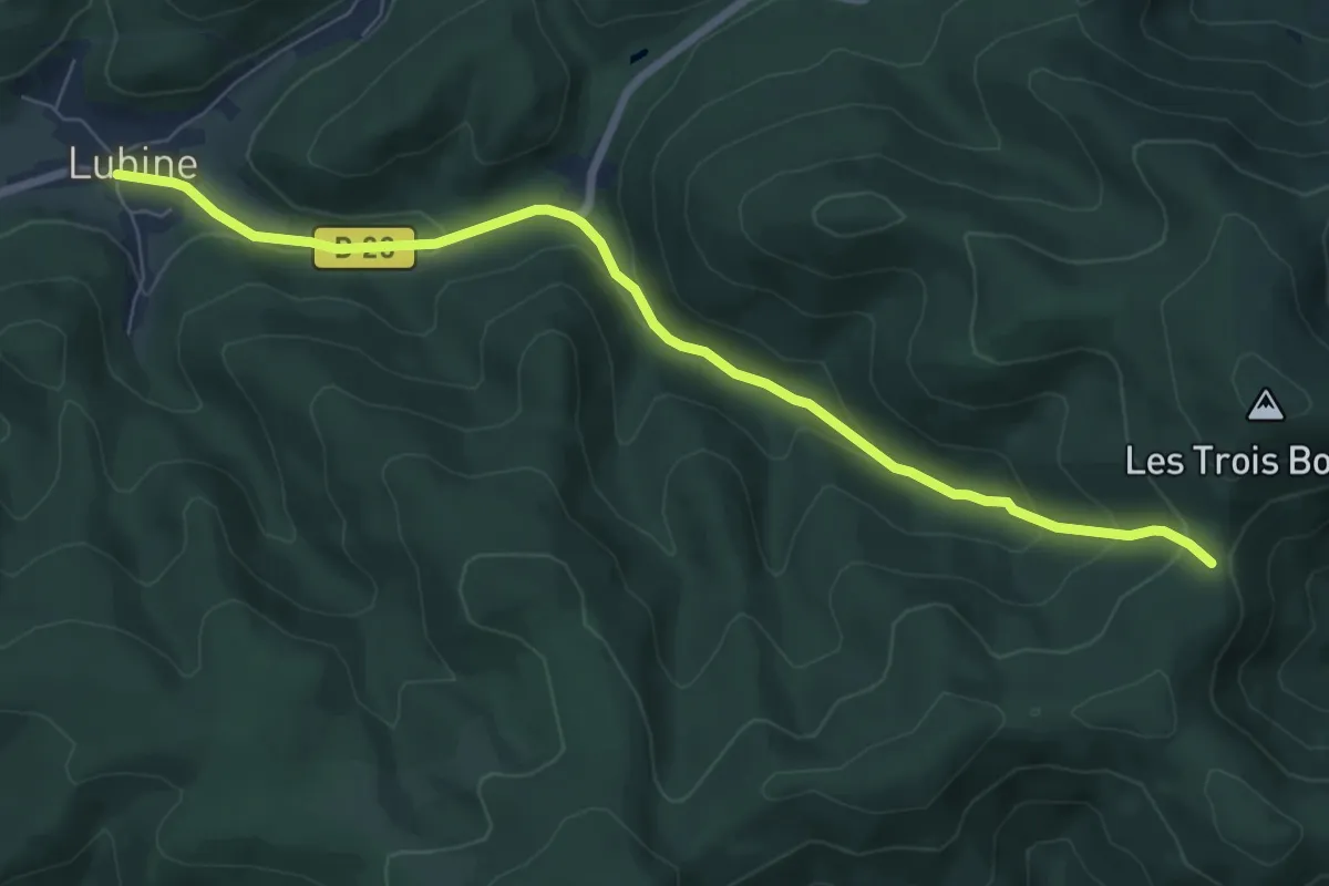
Easy · Trail
Lubine – Col de la Hingrie
7.3 km · ↑ 285 m · 2 h 21 min
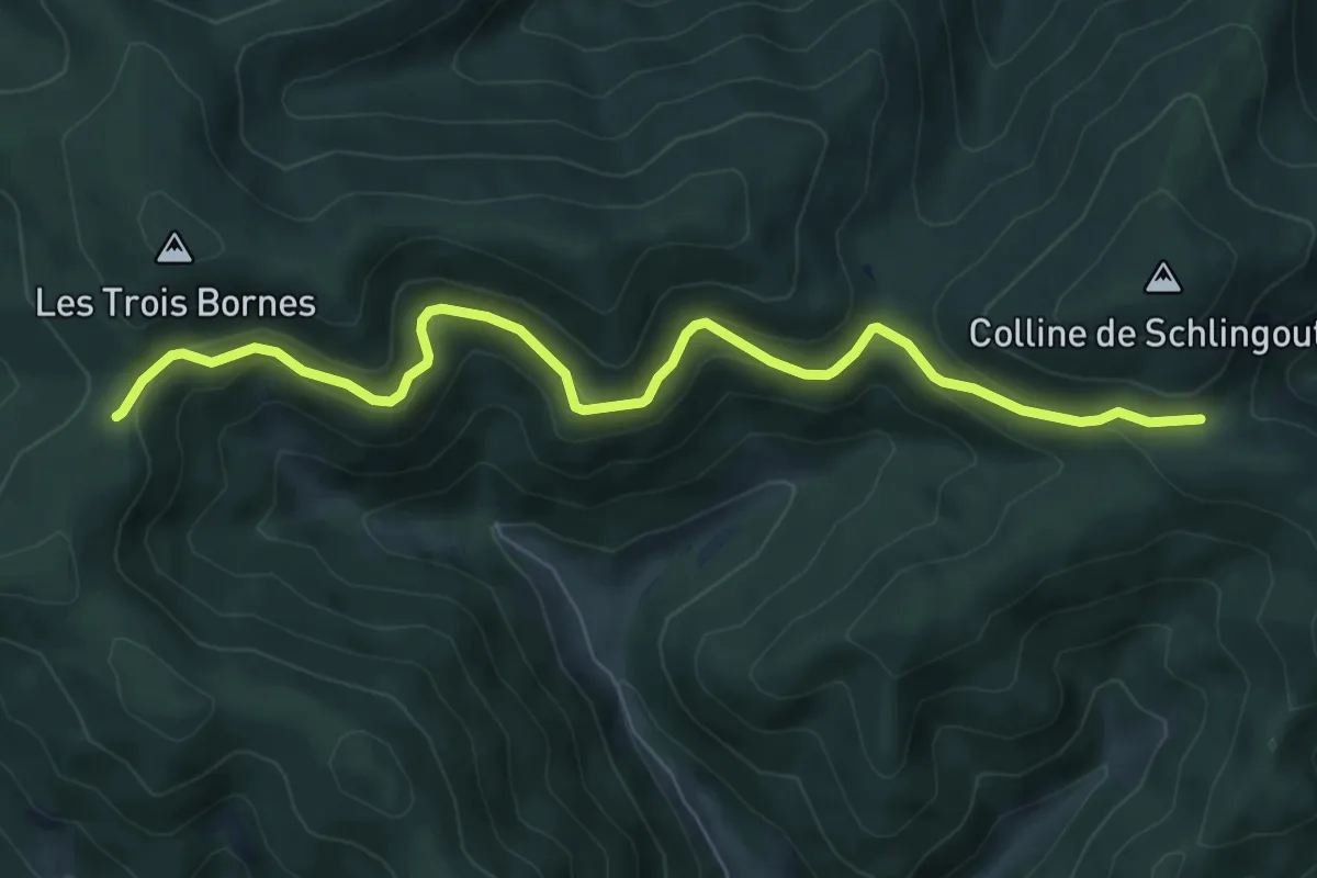
Medium · Trail
Col de Noirceux – Col de la Hingrie
7.5 km · ↑ 348 m · 2 h 31 min
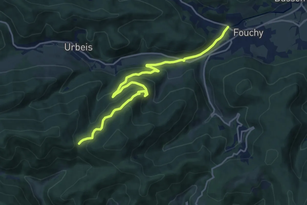
Medium · Trail
Lalaye – Col de Schlingoutte
12.5 km · ↑ 562 m · 4 h 10 min
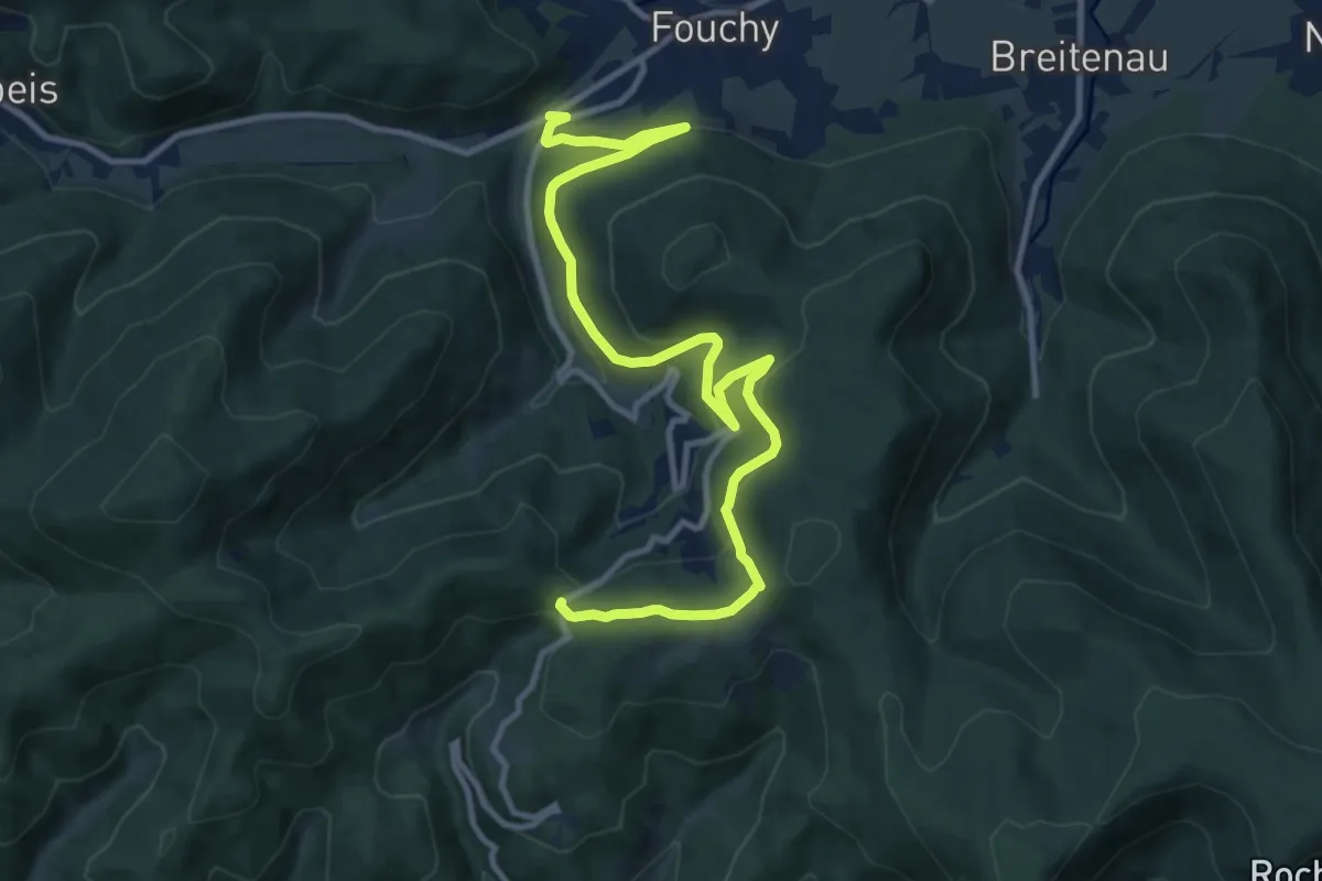
Medium · Trail
Lalaye – Col de Fouchy
12.5 km · ↑ 602 m · 4 h 15 min
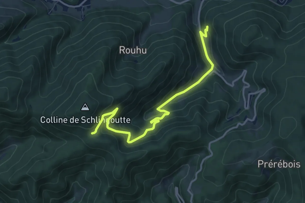
Medium · Trail
La Barrue – Col de Noirceux
8.9 km · ↑ 486 m · 3 h 10 min
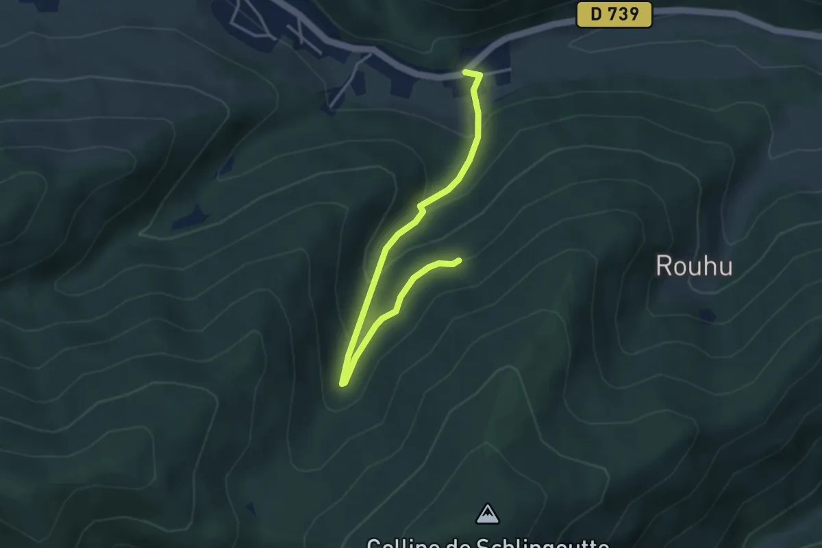
Easy · Trail
Urbeis – Col de Schlingoutte
3.8 km · ↑ 255 m · 1 h 27 min
Medium · Trail
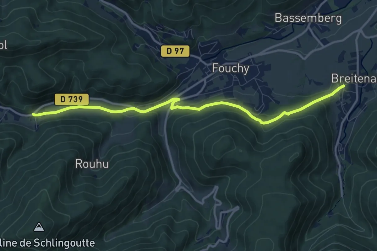
Breitenau – Urbeis
9.5 km · ↑ 249 m · 2 h 47 min
Medium · Summit
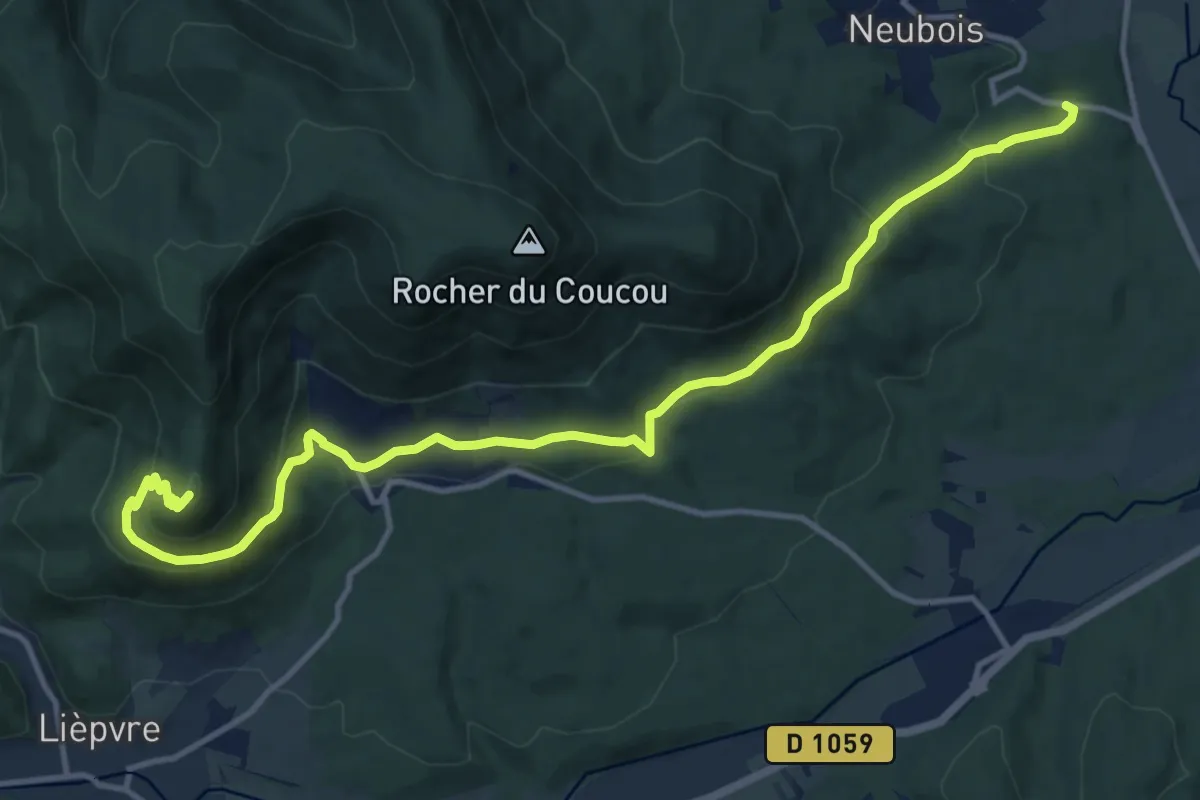
Neubois – Roche du Chalmont
14.4 km · ↑ 611 m · 4 h 44 min
Demanding · Summit
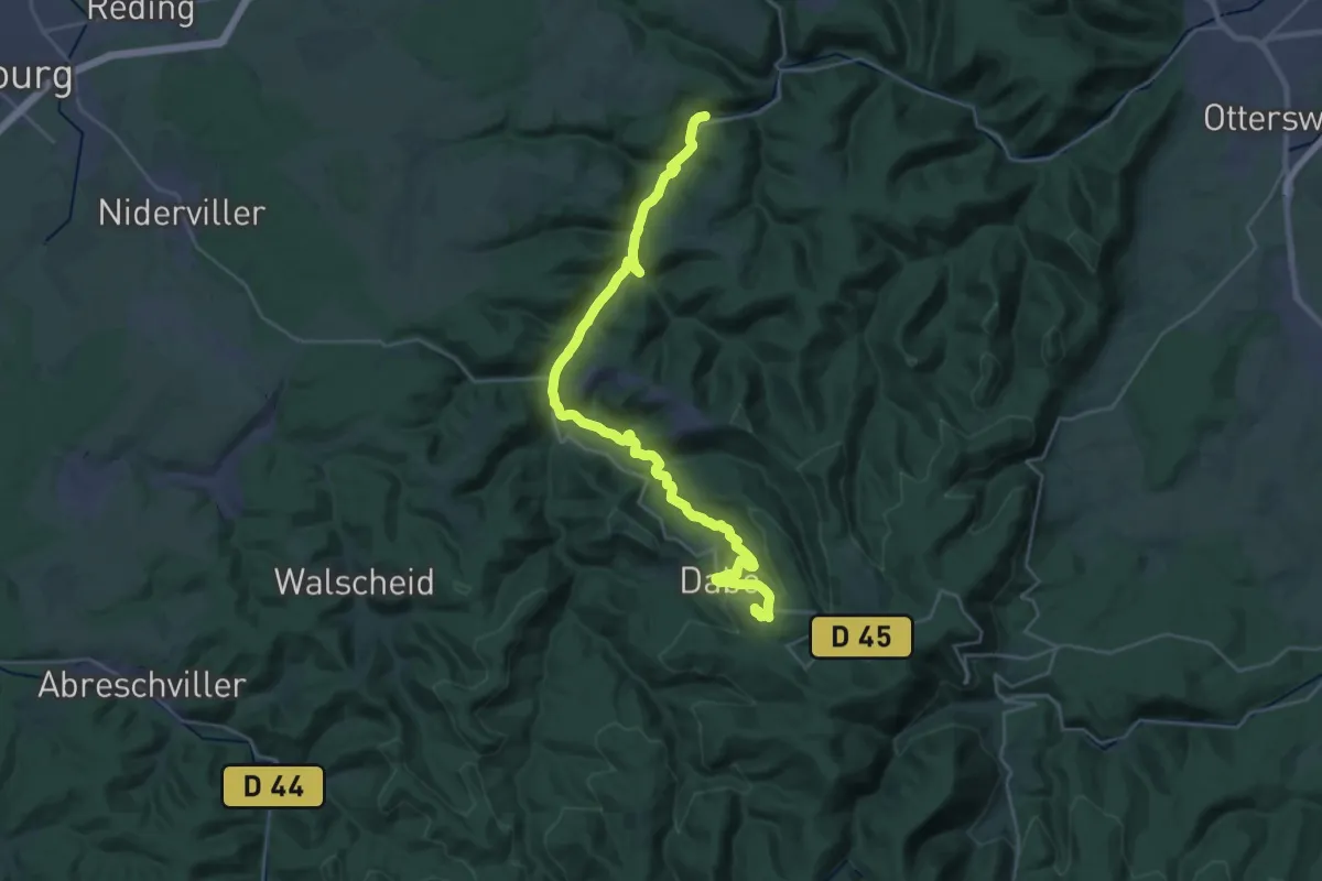
Sparsbrod – Kleinmuhl
30.2 km · ↑ 724 m · 8 h 42 min
Medium · Trail
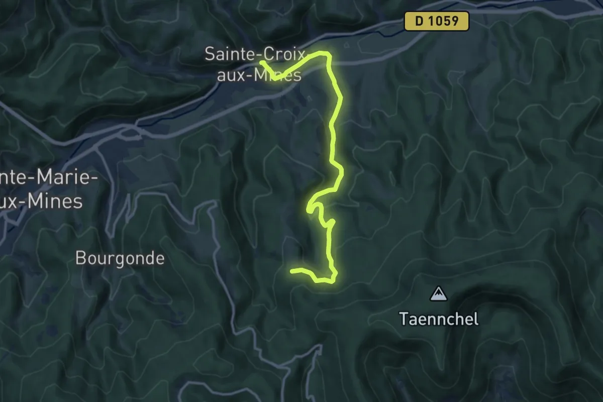
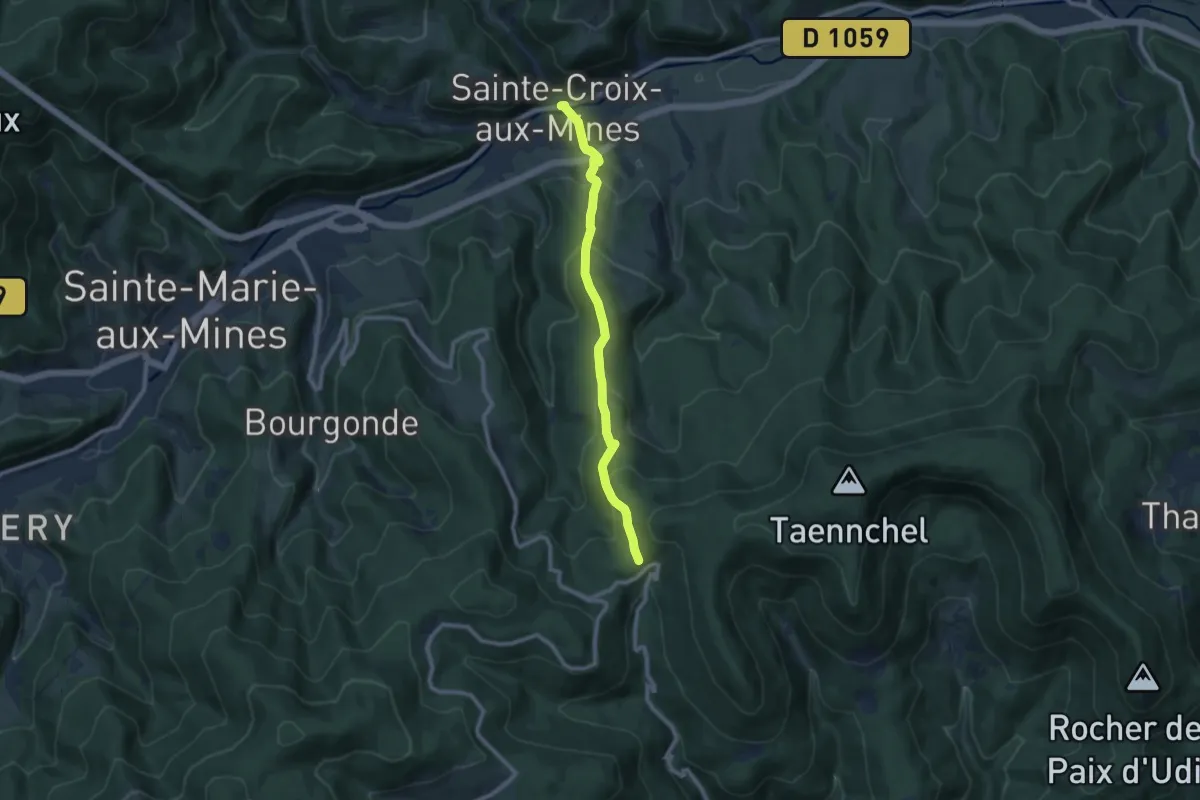
Sainte-Croix-aux-Mines – Le Hury
11.4 km · ↑ 385 m · 3 h 32 min
Medium · Trail
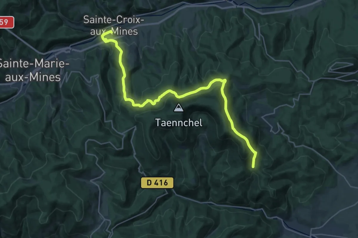
Sainte-Croix-aux-Mines – La Croix de Ribeauvillé
8.4 km · ↑ 441 m · 2 h 57 min
Demanding · Trail
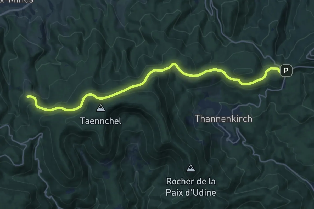
Sainte-Marie-aux-Mines – Carrefour du Cerisier Noir
23.4 km · ↑ 984 m · 7 h 40 min
Medium · Trail
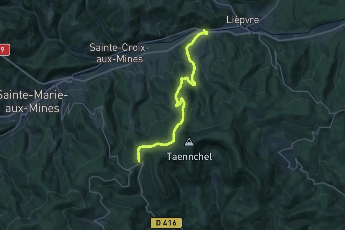
Le Hury – La Cave de Rodern
16.5 km · ↑ 594 m · 5 h 11 min
Medium · Trail
D 459 – La Croix de Ribeauvillé
15.7 km · ↑ 639 m · 5 h 5 min
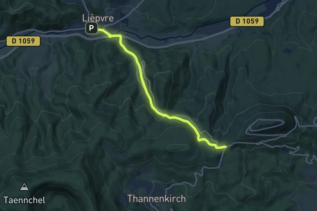
Medium · Trail
Lièpvre – GR5
10.7 km · ↑ 417 m · 3 h 26 min
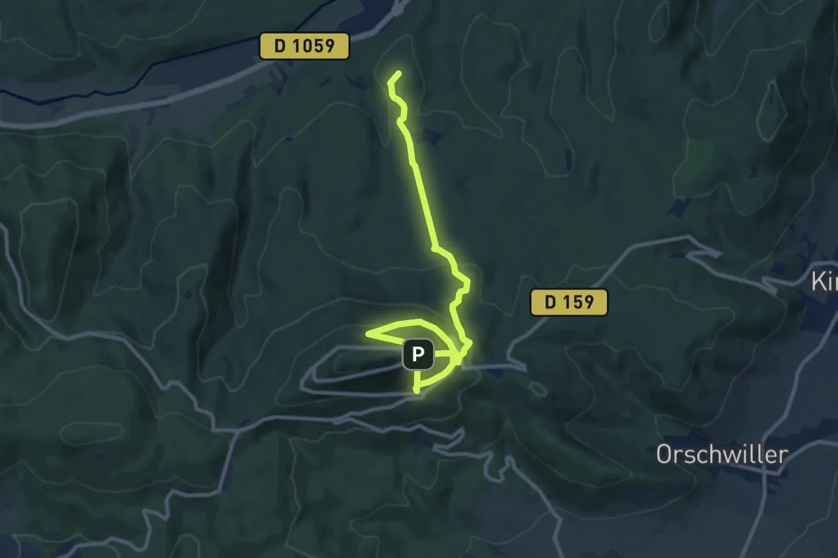
Medium · Summit
La Vancelle Gare – Château du Haut Koenigsbourg
10.7 km · ↑ 730 m · 4 h 6 min
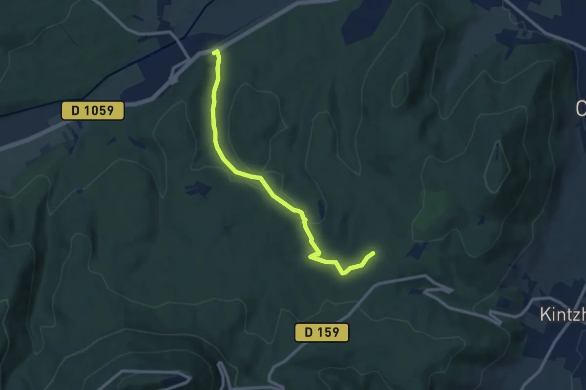
Easy · Trail
La Vancelle Gare – GR5
6.6 km · ↑ 157 m · 1 h 53 min
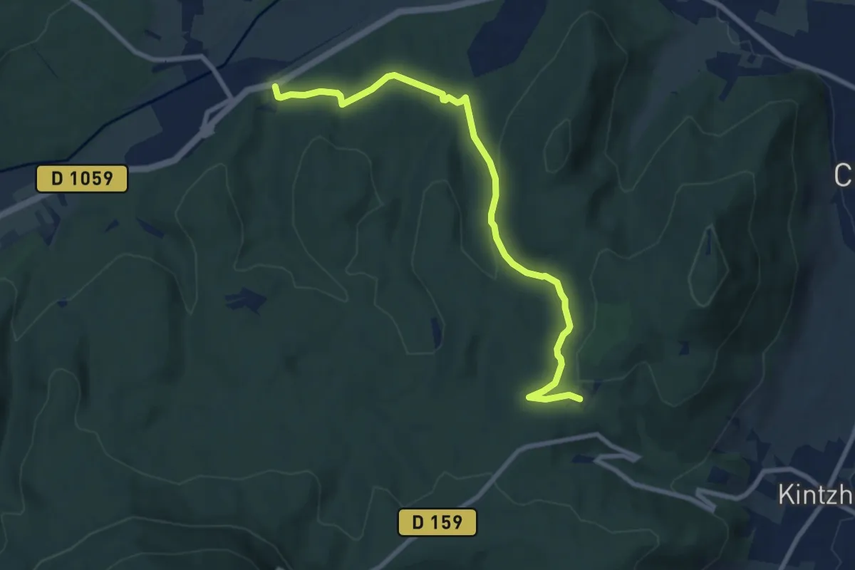
Easy · Trail
La Vancelle Gare – Wick
7.9 km · ↑ 213 m · 2 h 20 min
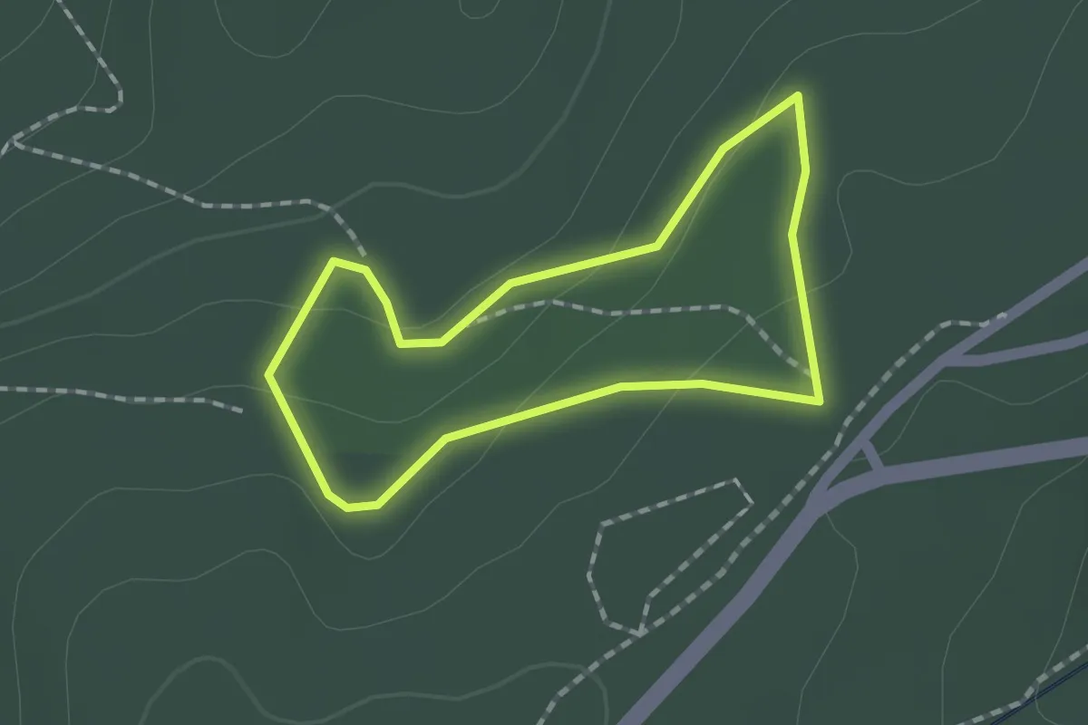
Easy · Trail
Wick – Wick
1.3 km · ↑ 34 m · 24 min
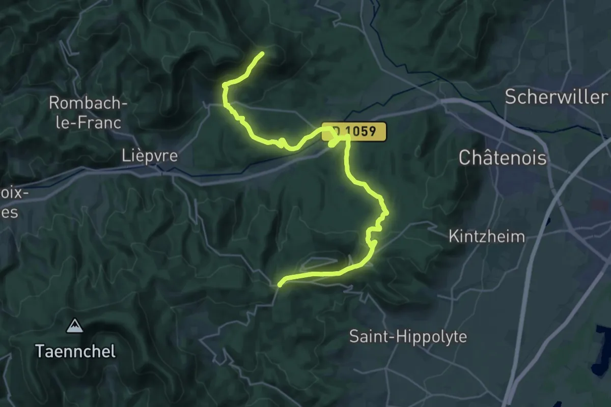
Medium · Trail
Schaentzel – Frankenbourg
13.2 km · ↑ 419 m · 4 h 14 min
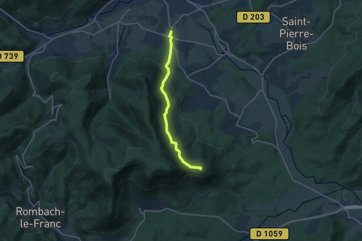
Medium · Summit
Hurst – Neuve-Église
9.6 km · ↑ 452 m · 3 h 14 min
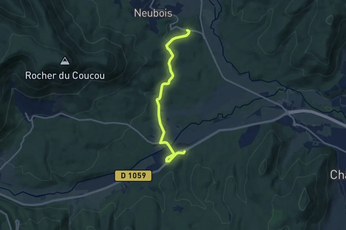
Medium · Trail
Hurst – Neubois
8.8 km · ↑ 194 m · 2 h 29 min
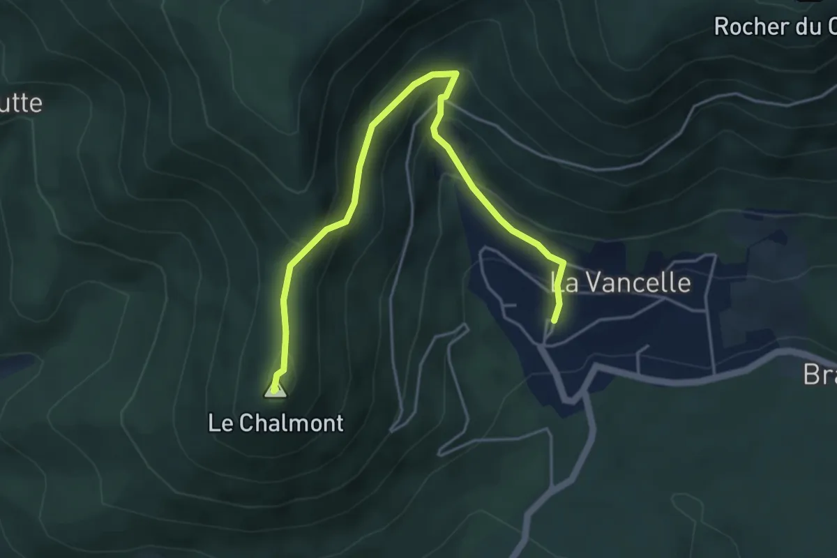
Easy · Summit
La Vancelle – Chalmont
4.7 km · ↑ 319 m · 1 h 48 min
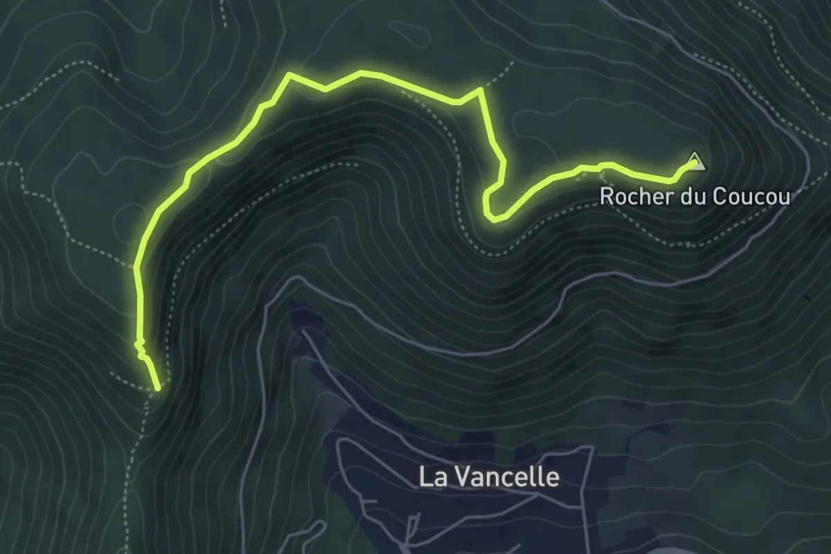
Easy · Summit
GR 532 – Rocher du Coucou
5.8 km · ↑ 207 m · 1 h 49 min
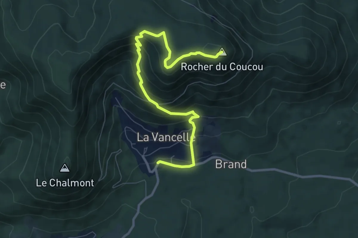
Medium · Summit
La Vancelle – Roche du Coucou
8.1 km · ↑ 515 m · 3 h 1 min
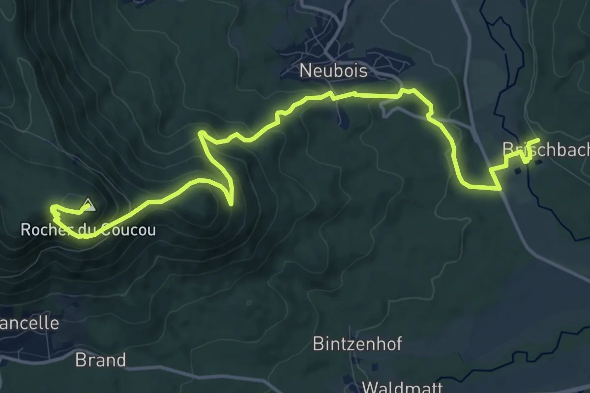
Medium · Summit
Brischbach – La Chapelle
14.0 km · ↑ 720 m · 4 h 53 min
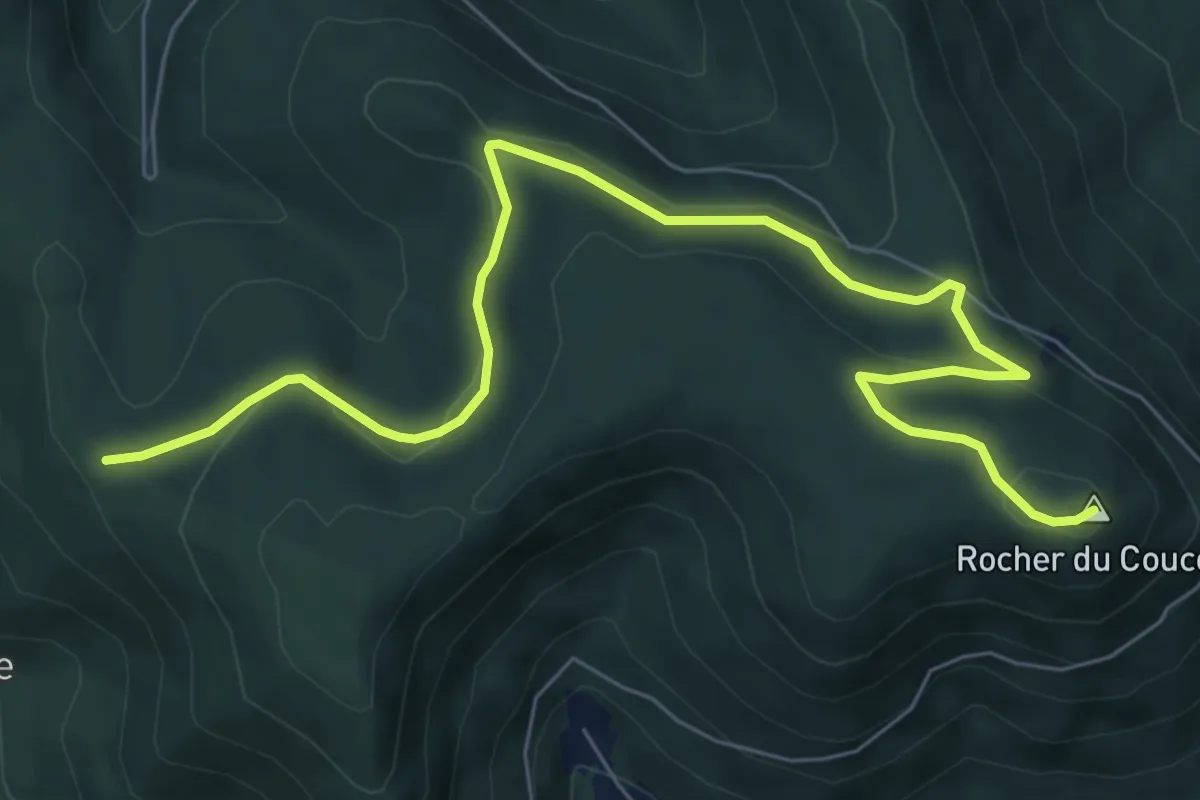
Medium · Summit
Col du Petit Haut – Roche du Coucou
8.3 km · ↑ 275 m · 2 h 33 min
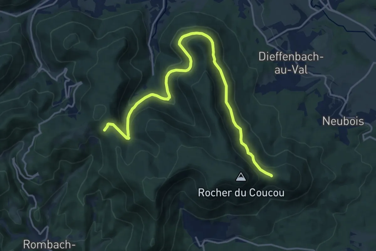
Medium · Trail
La Salière – Col du Frankenbourg
14.8 km · ↑ 582 m · 4 h 45 min
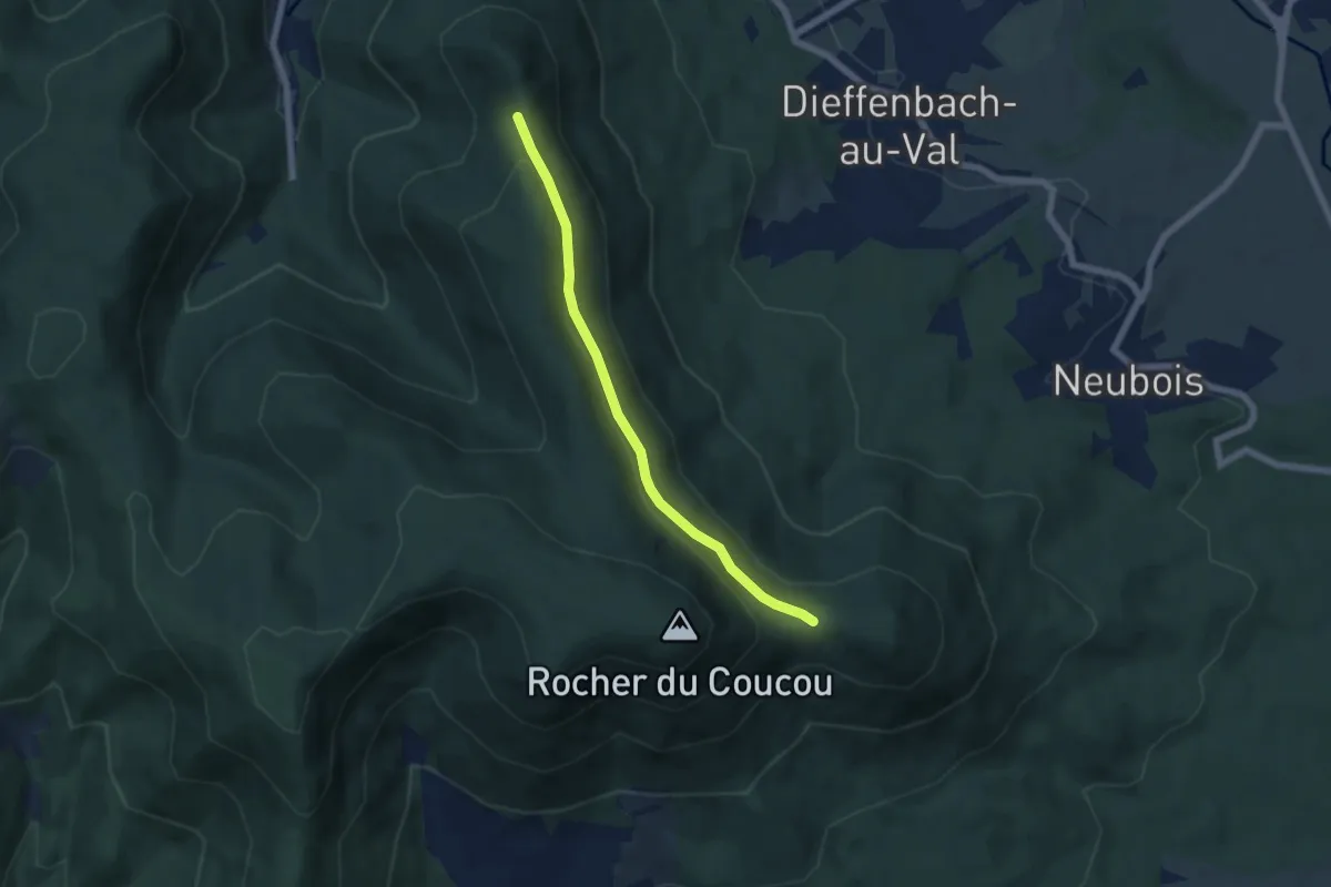
Easy · Trail
Col du Frankenbourg – Col de l’Altenberg
5.4 km · ↑ 118 m · 1 h 32 min
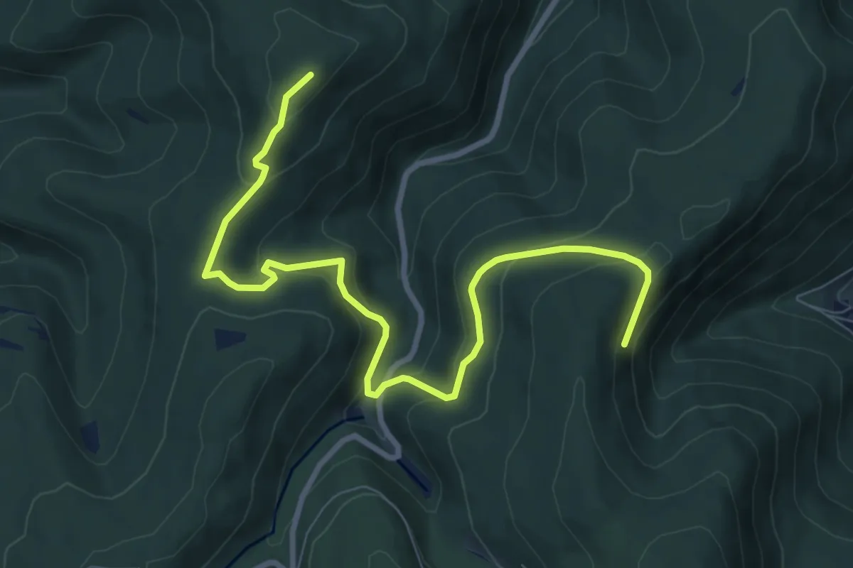
Medium · Summit
Wasselonne – Col de la Schleif
9.1 km · ↑ 443 m · 3 h 6 min
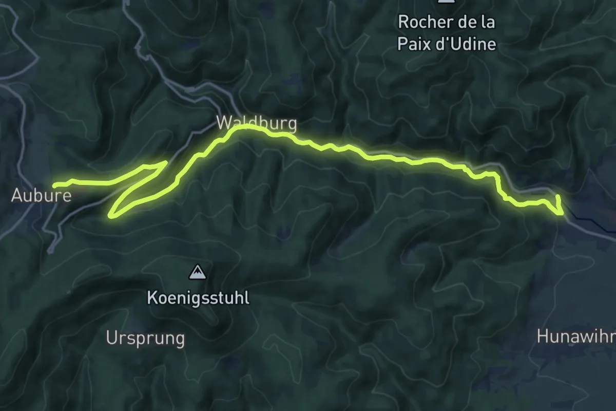
Demanding · Trail
Ribeauvillé – Aubure
19.0 km · ↑ 746 m · 6 h 6 min
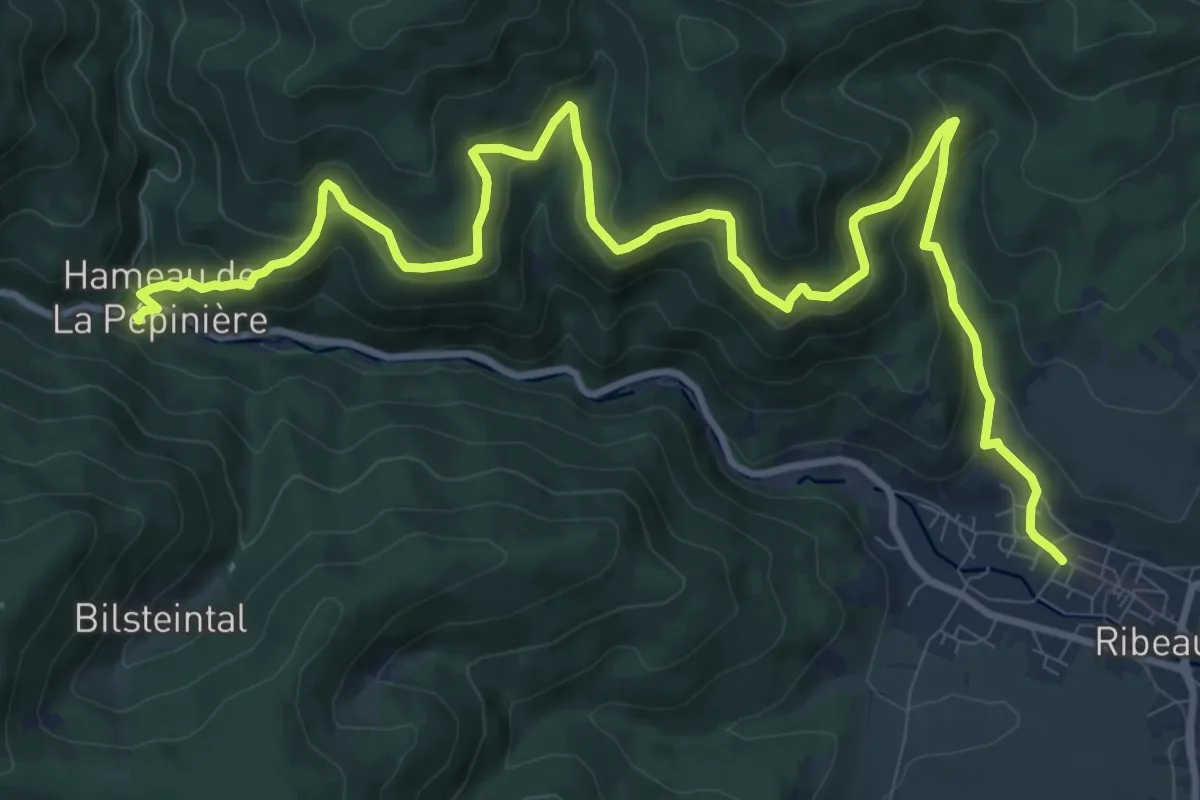
Demanding · Trail
Ribeauvillé – Maison forestière Schumberger
14.0 km · ↑ 804 m · 5 h 2 min
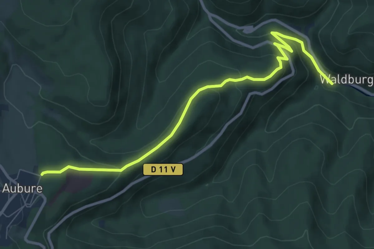
Medium · Trail
Walburg – Aubure
7.7 km · ↑ 375 m · 2 h 38 min
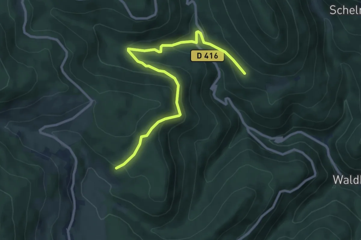
Medium · Trail
Kalbsplatz – Le Schlueck
7.0 km · ↑ 329 m · 2 h 22 min
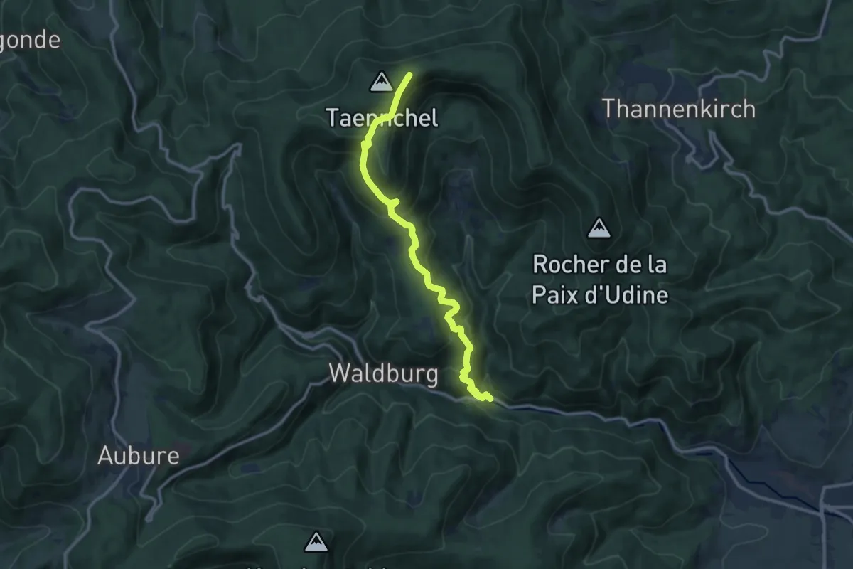
Medium · Trail
Maison forestière Schlumberger – Roche des Trois Tables
10.3 km · ↑ 720 m · 4 h
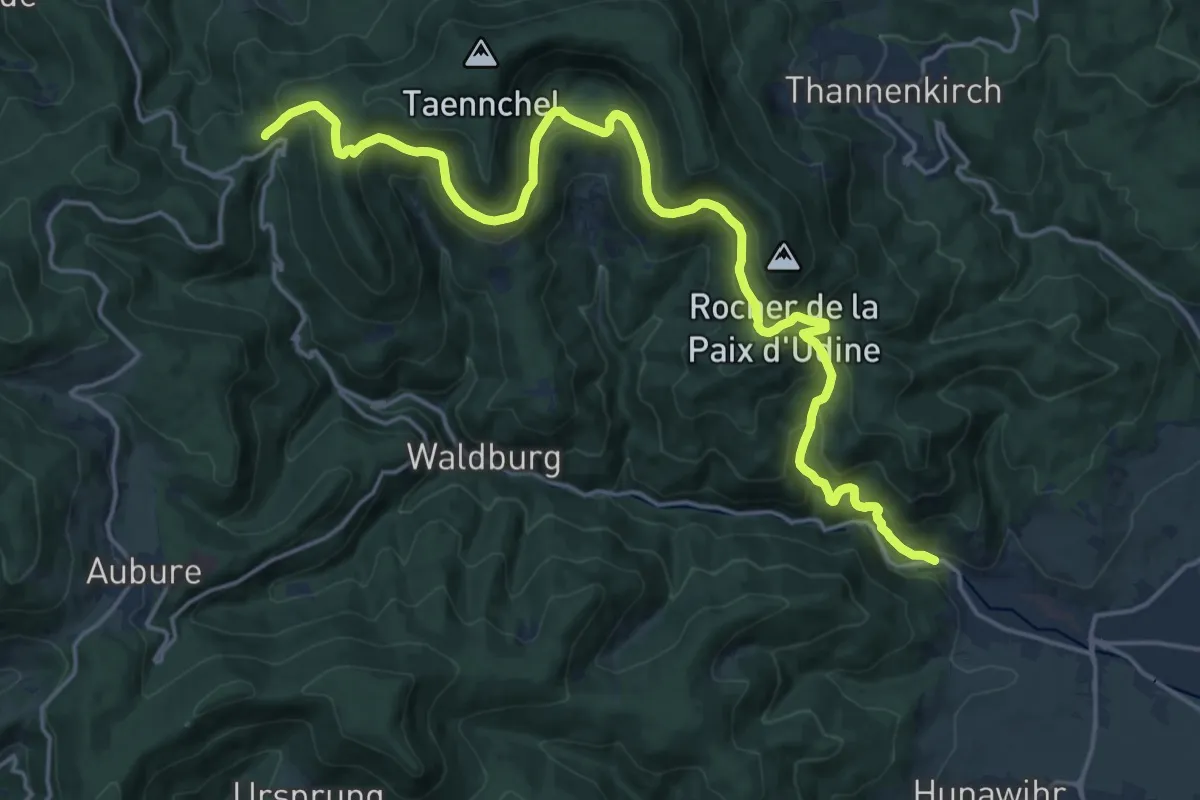
Demanding · Trail
Ribeauvillé – La Croix de Ribeauvillé
21.1 km · ↑ 941 m · 7 h 1 min
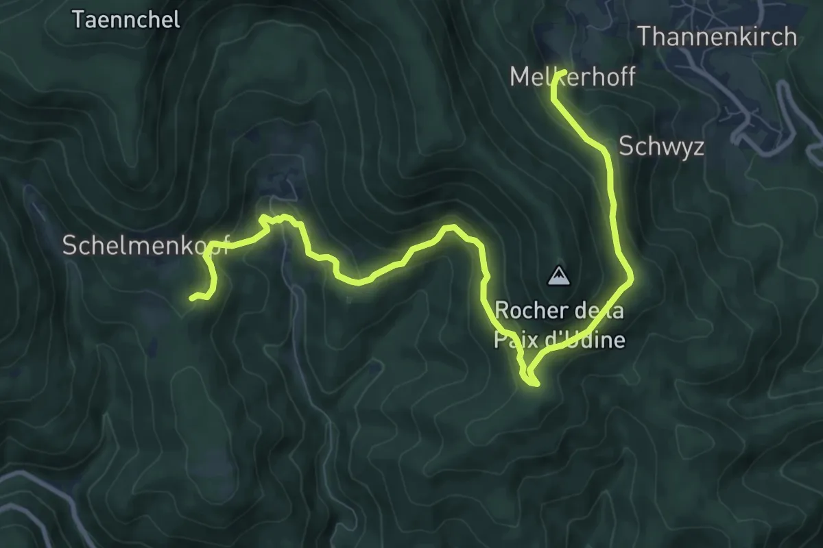
Medium · Trail
Melkerhoff – Saxermatt
11.2 km · ↑ 622 m · 4 h
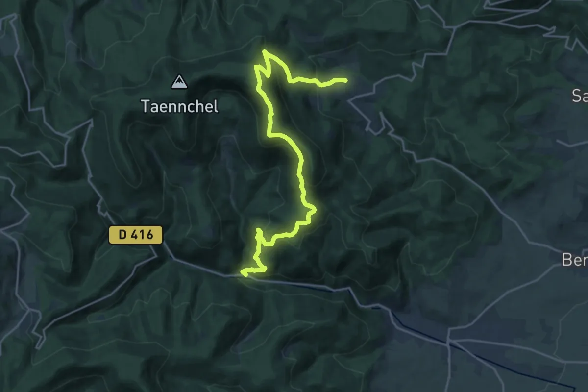
Demanding · Trail
Thannenkirch – Maison forestière Schumberger
17.7 km · ↑ 1101 m · 6 h 33 min
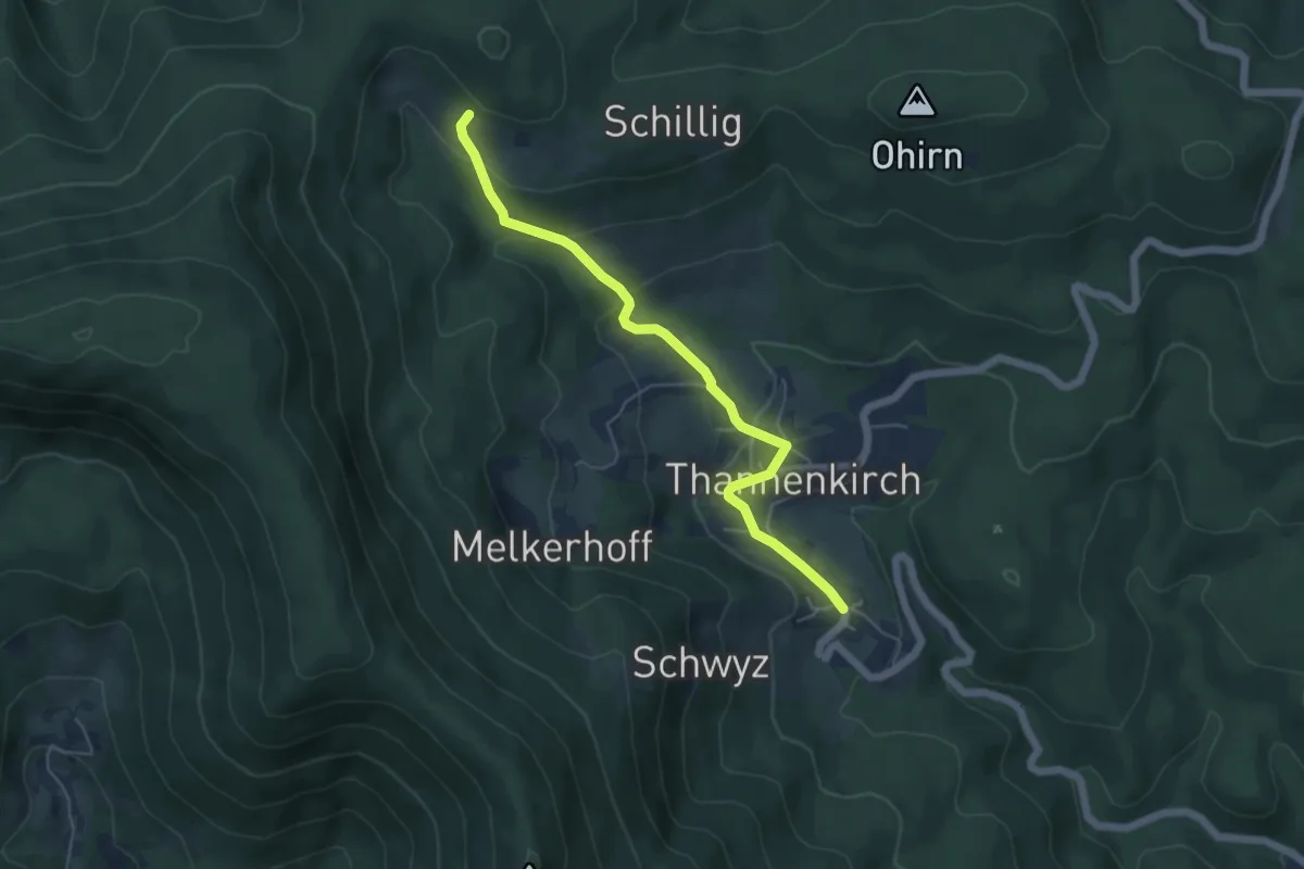
Easy · Trail
Thannenkirch – Rotzel
5.1 km · ↑ 209 m · 1 h 39 min
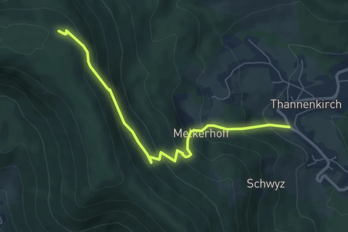
Medium · Trail
Thannenkirch – Rocher des Géants
5.7 km · ↑ 454 m · 2 h 20 min
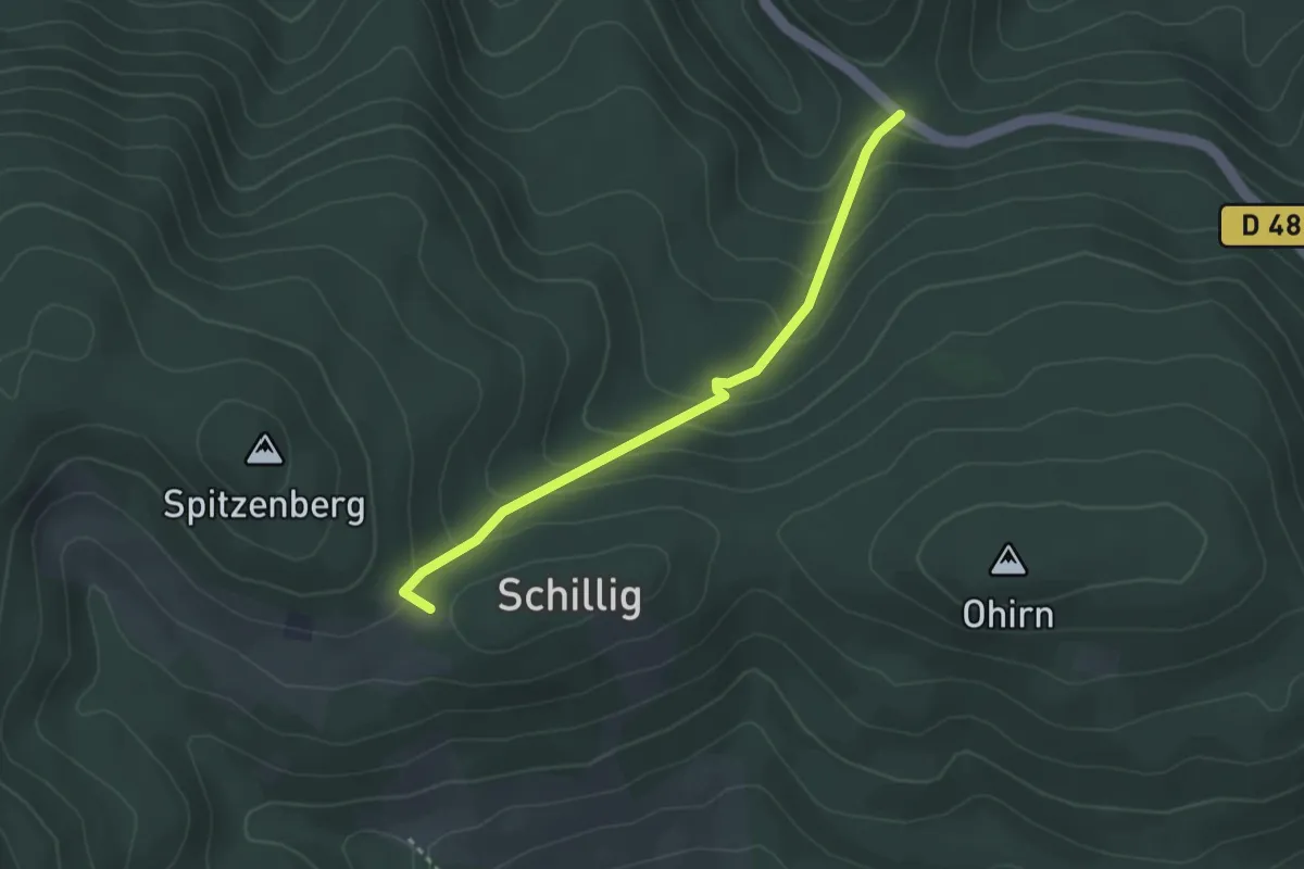
Easy · Cabin
Refuge du Spizenberg – Saint-Fulrad
2.9 km · ↑ 186 m · 1 h 5 min
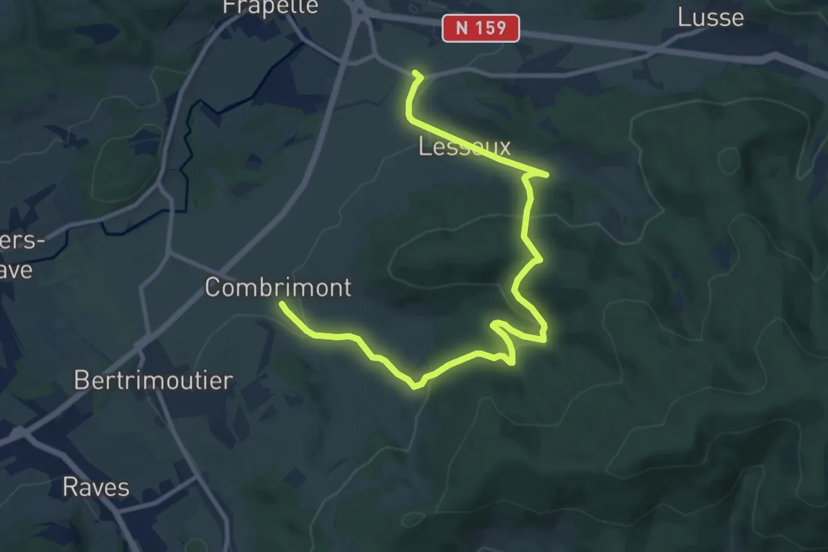
Medium · Trail
Combrimont – Lesseux
10.6 km · ↑ 448 m · 3 h 28 min
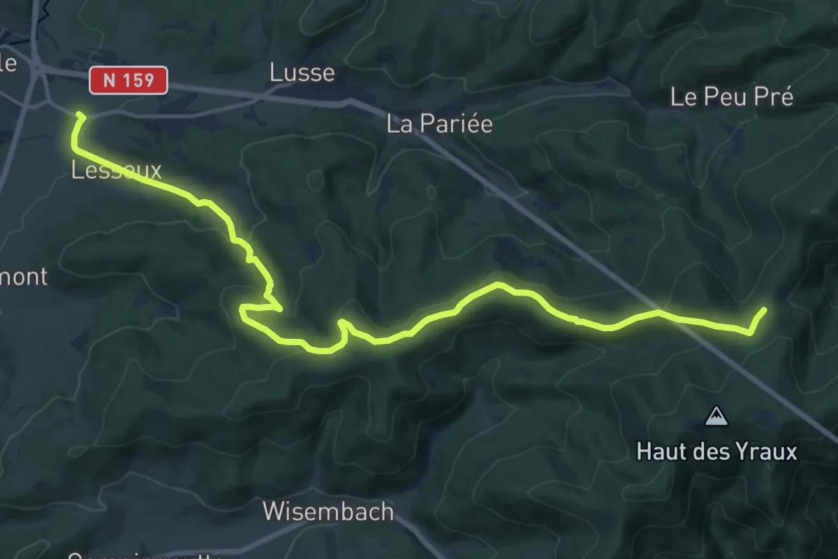
Medium · Trail
Lesseux – GR 531
17.5 km · ↑ 546 m · 5 h 18 min
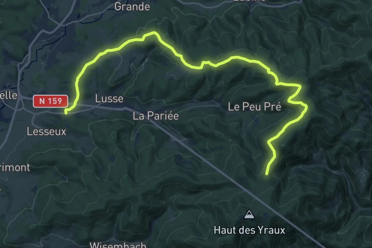
Demanding · Trail
Herbaupaire – GR 531
23.4 km · ↑ 531 m · 6 h 41 min
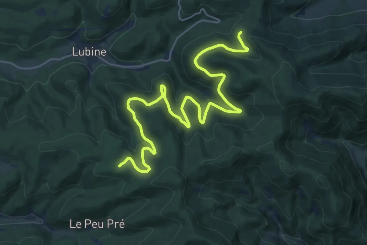
Medium · Trail
La Chèvre – GR 531
17.5 km · ↑ 477 m · 5 h 10 min
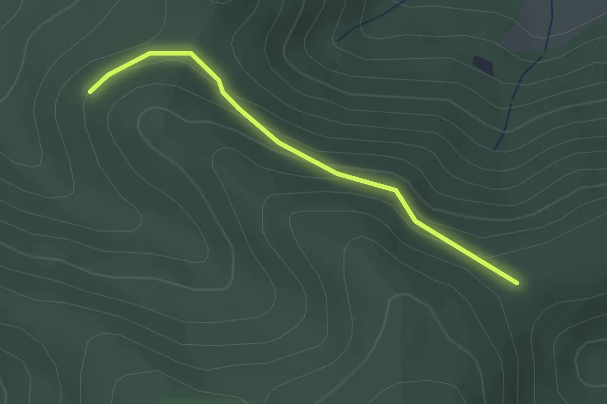
Easy · Trail
Urbeis – GR 531
2.4 km · ↑ 107 m · 48 min