Trails in France
15,926 hiking trails, each with its route, climb, walking time and grade.
All trails, page 322 of 332
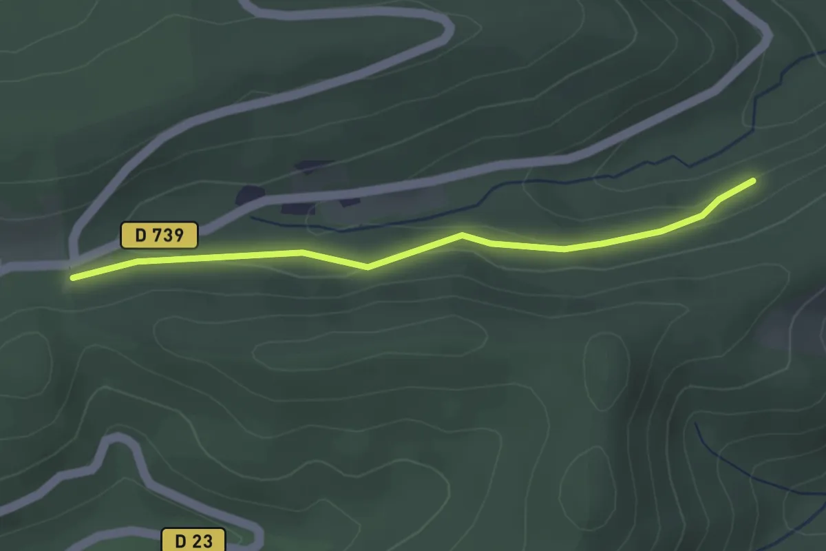
Easy · Trail
Urbeis – Col d’Urbeis
2.8 km · ↑ 66 m · 48 min
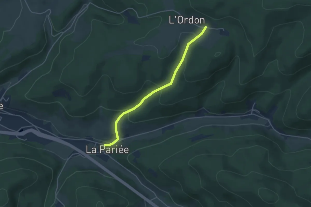
Easy · Trail
La Pariée – L’Ordon
3.5 km · ↑ 190 m · 1 h 14 min
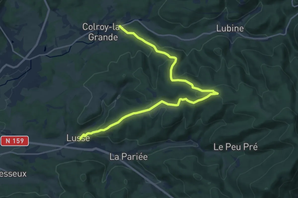
Medium · Trail
Colroy-la-Grande – Lusse
14.4 km · ↑ 554 m · 4 h 36 min
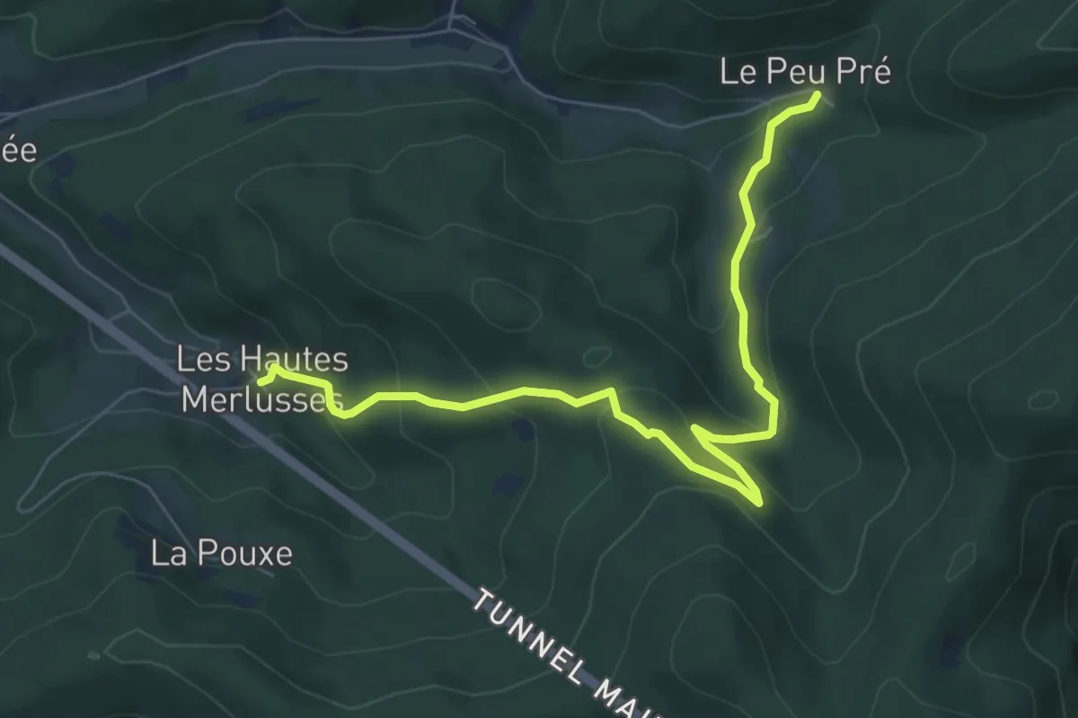
Medium · Trail
Haute Mer-Lusse – Le Peu Pré
7.2 km · ↑ 388 m · 2 h 32 min
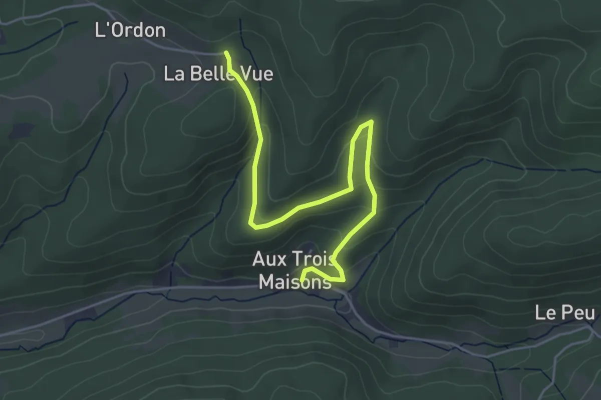
Easy · Trail
Aux Trois Maison – La Belle Vue
4.7 km · ↑ 207 m · 1 h 33 min
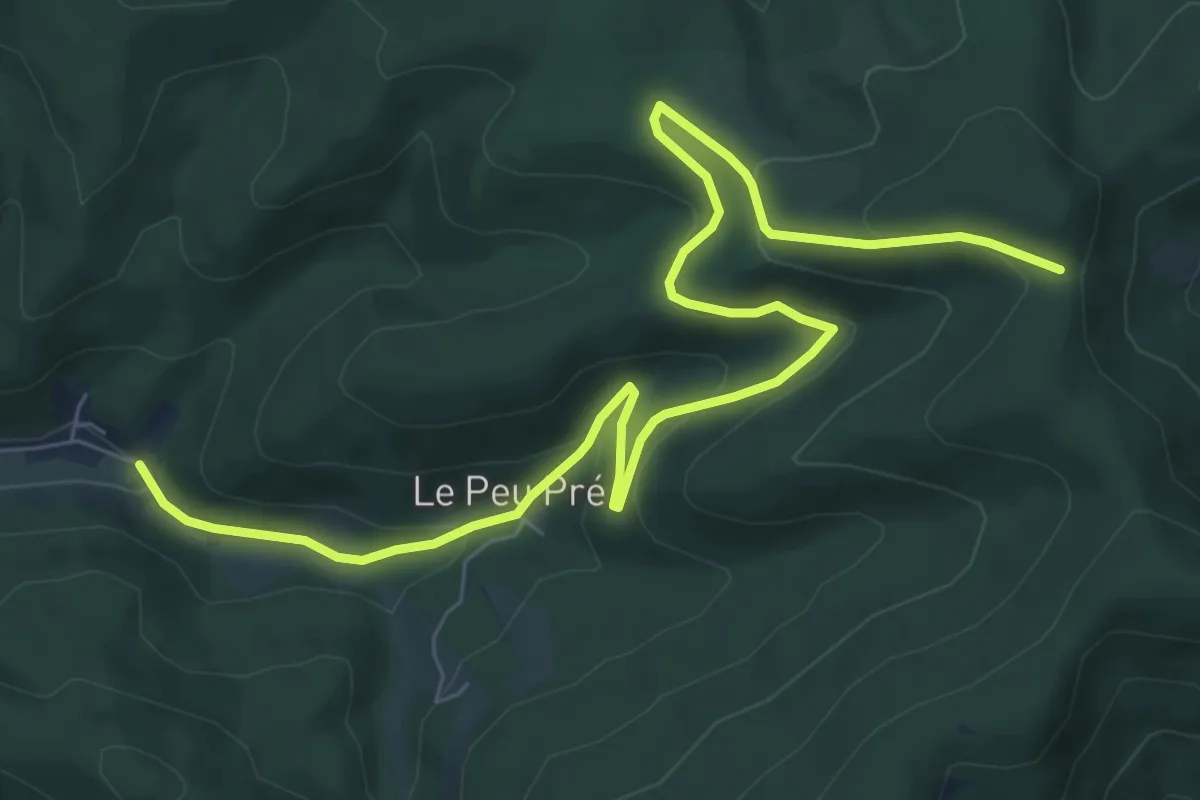
Medium · Trail
Sainte-Croix-aux-Mines – Col de Ralaine
9.5 km · ↑ 332 m · 2 h 57 min
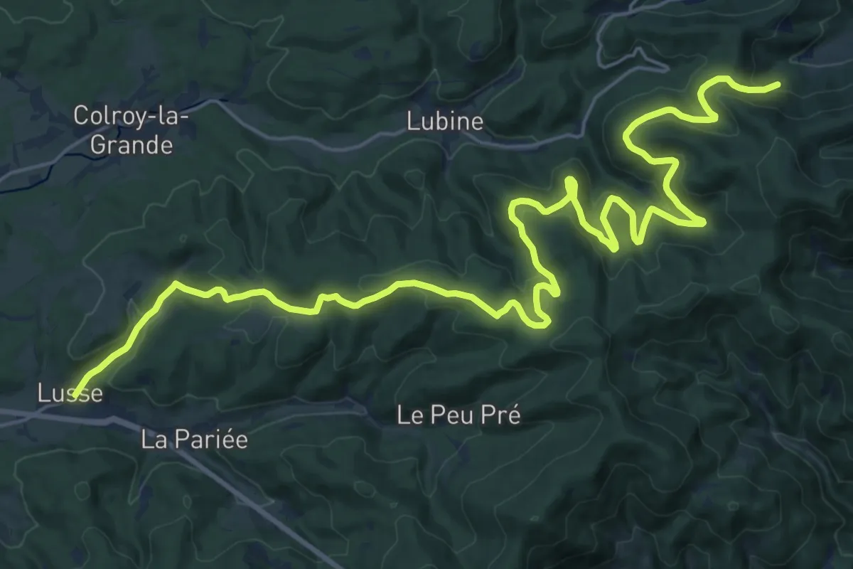
Medium · Trail
Lusse – Urbeis
14.6 km · ↑ 516 m · 4 h 42 min
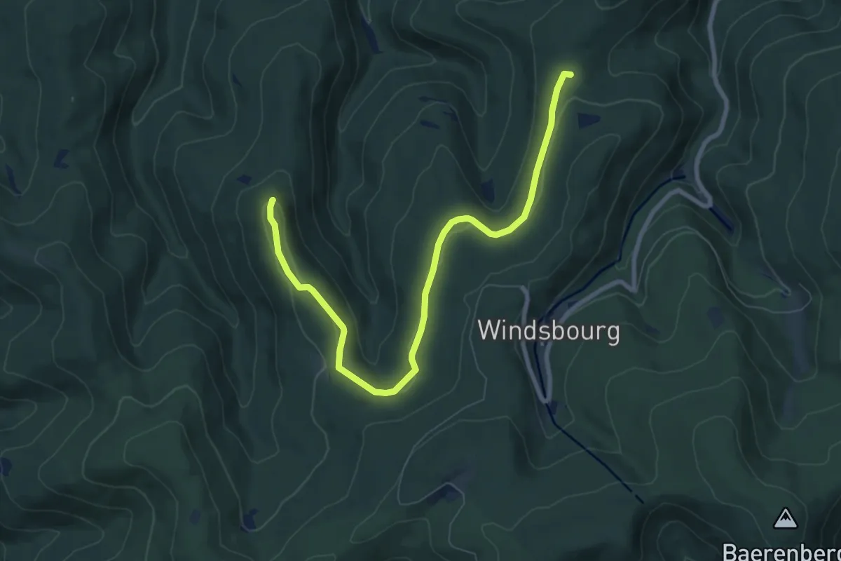
Medium · Summit
Col de la Wetzlach – Spitzberg
8.1 km · ↑ 155 m · 2 h 15 min
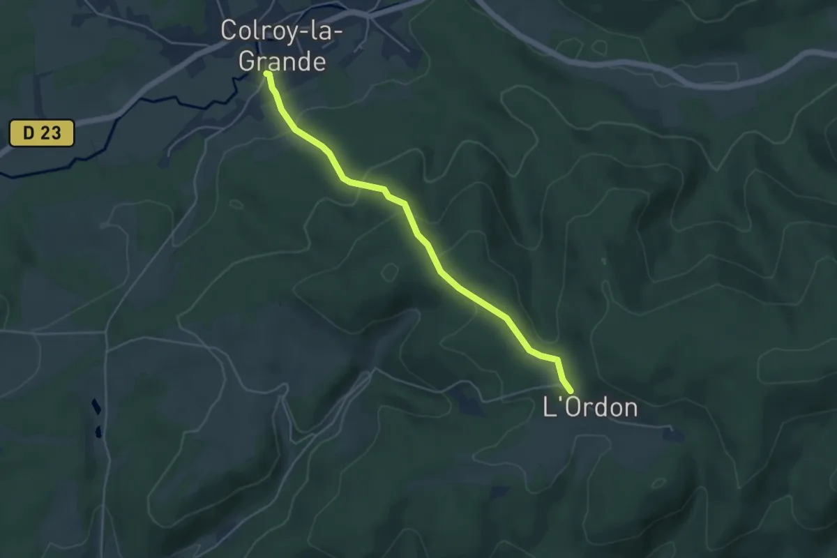
Easy · Trail
Colroy-la-Grande – L'Ordon
4.3 km · ↑ 193 m · 1 h 26 min
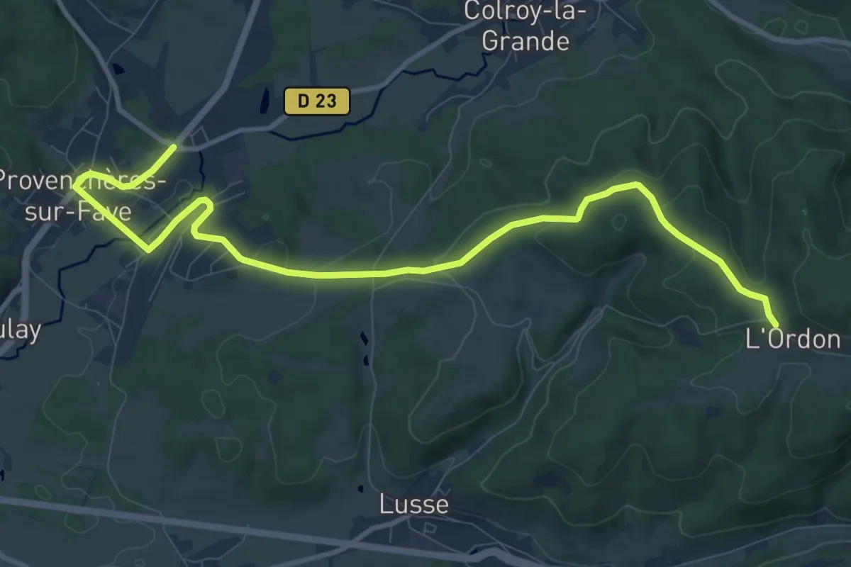
Medium · Trail
Provenchères-sur-Fave – L’Ordon
11.0 km · ↑ 245 m · 3 h 8 min
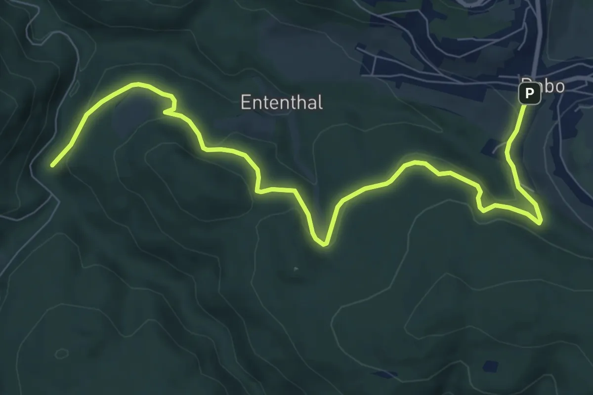
Medium · Trail
Dabo – Maison forestière du Jaegerhof
9.3 km · ↑ 326 m · 2 h 54 min
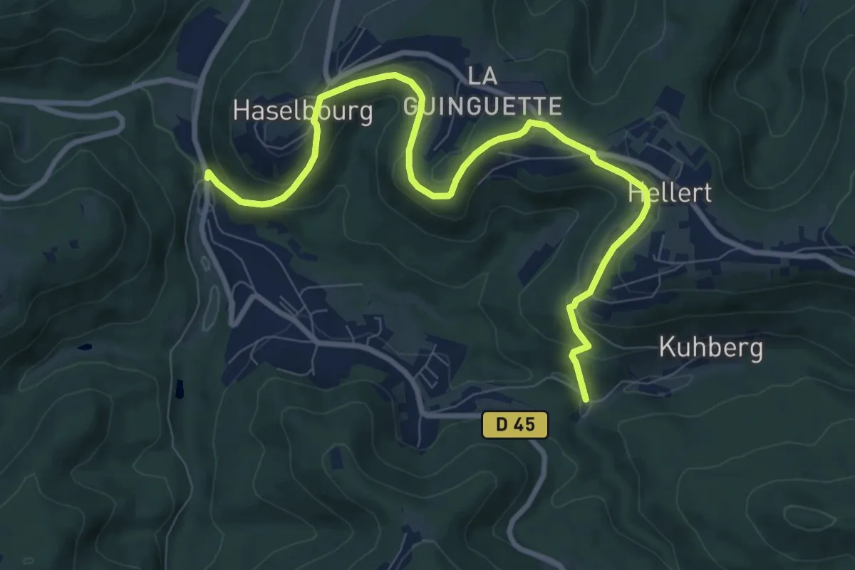
Medium · Trail
Neustadtmuhle – Lochmuehl
9.4 km · ↑ 381 m · 3 h 3 min
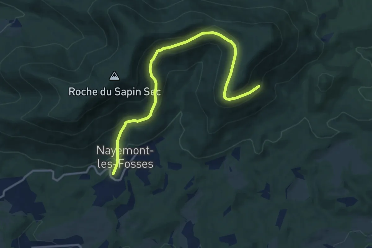
Medium · Trail
Nayemont-les-Fosses – Carrefour des Hautes Voies
9.3 km · ↑ 435 m · 3 h 9 min
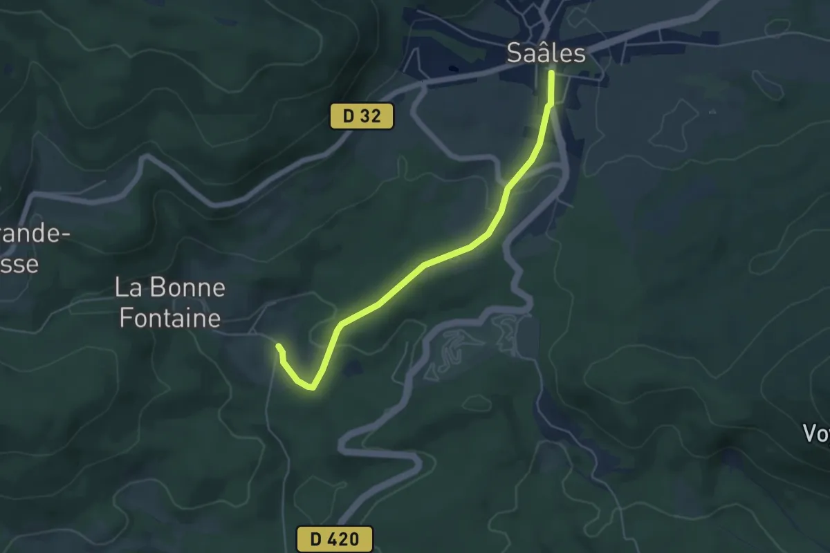
Easy · Trail
Saales – Flavépré
4.7 km · ↑ 81 m · 1 h 18 min
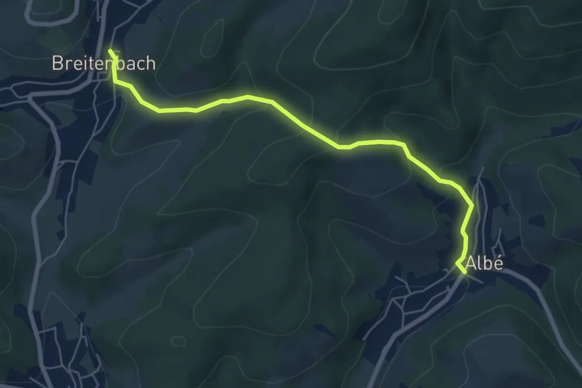
Easy · Trail
Breitenbach – Albé
5.3 km · ↑ 283 m · 1 h 52 min
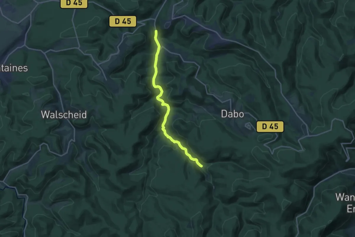
Medium · Trail
Koppenmuhl – Neustadtmuehl
13.3 km · ↑ 327 m · 3 h 51 min
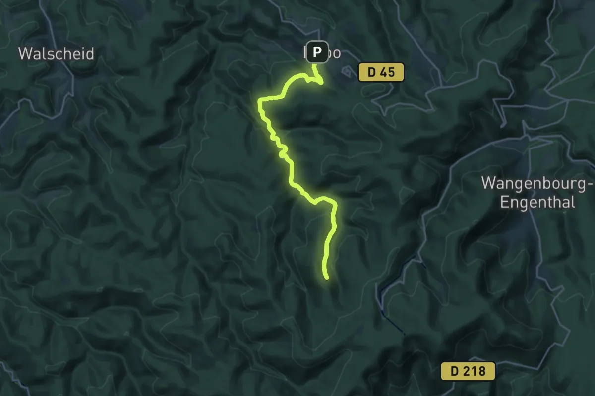
Medium · Trail
Dabo – Maison forestière du Spitzberg
17.0 km · ↑ 663 m · 5 h 27 min
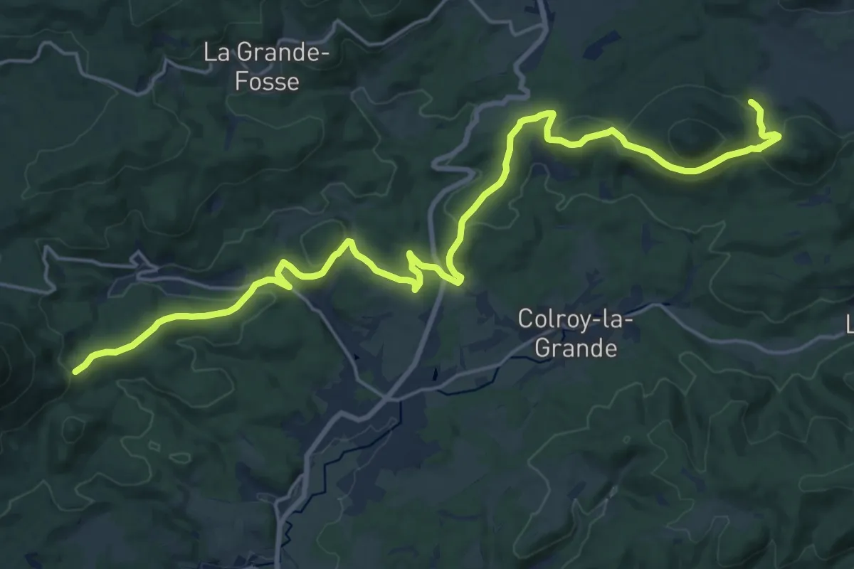
Demanding · Trail
Le Beulay – Bourg-Bruch
22.3 km · ↑ 574 m · 6 h 30 min
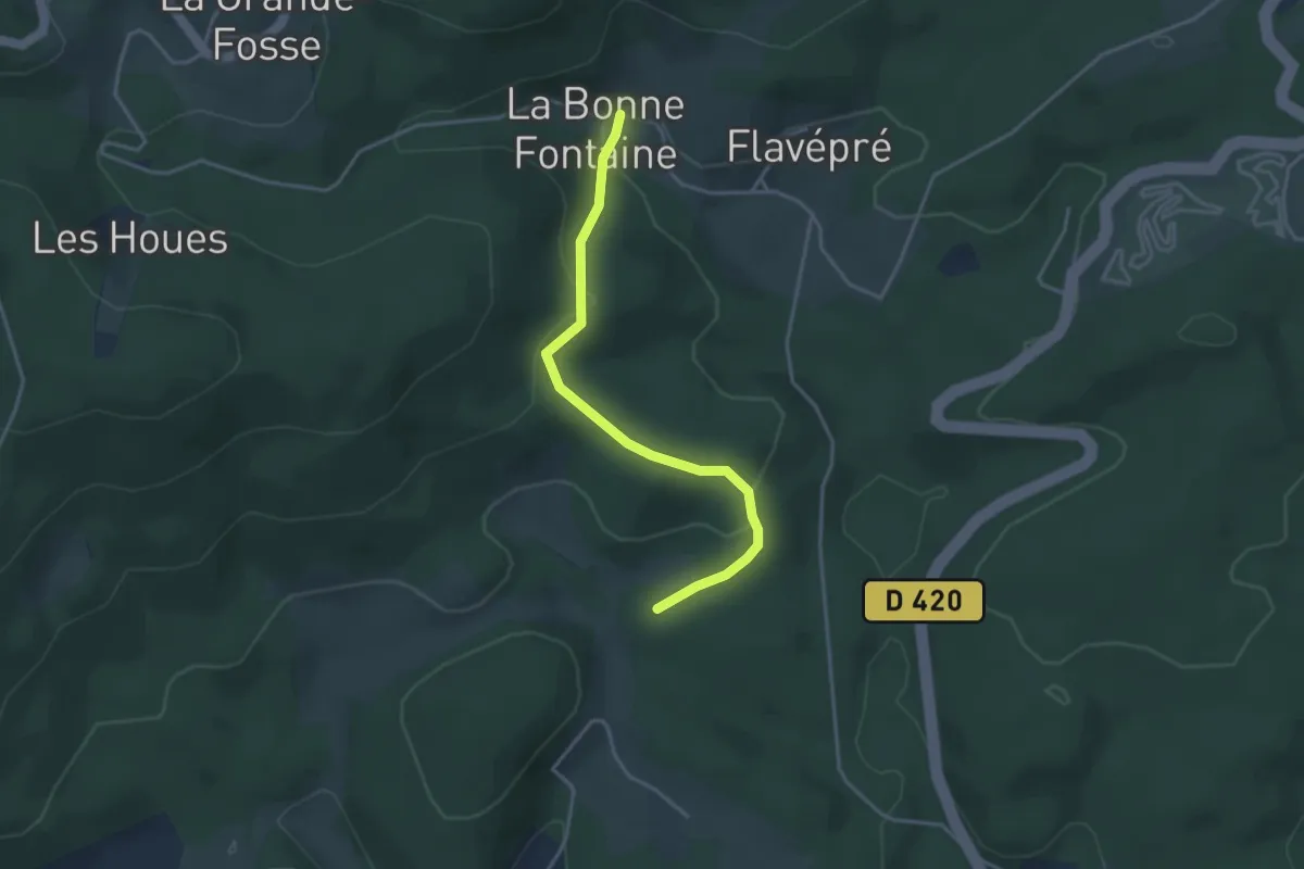
Easy · Trail
Brafosse – La Bonne Fontaine
3.5 km · ↑ 128 m · 1 h 6 min
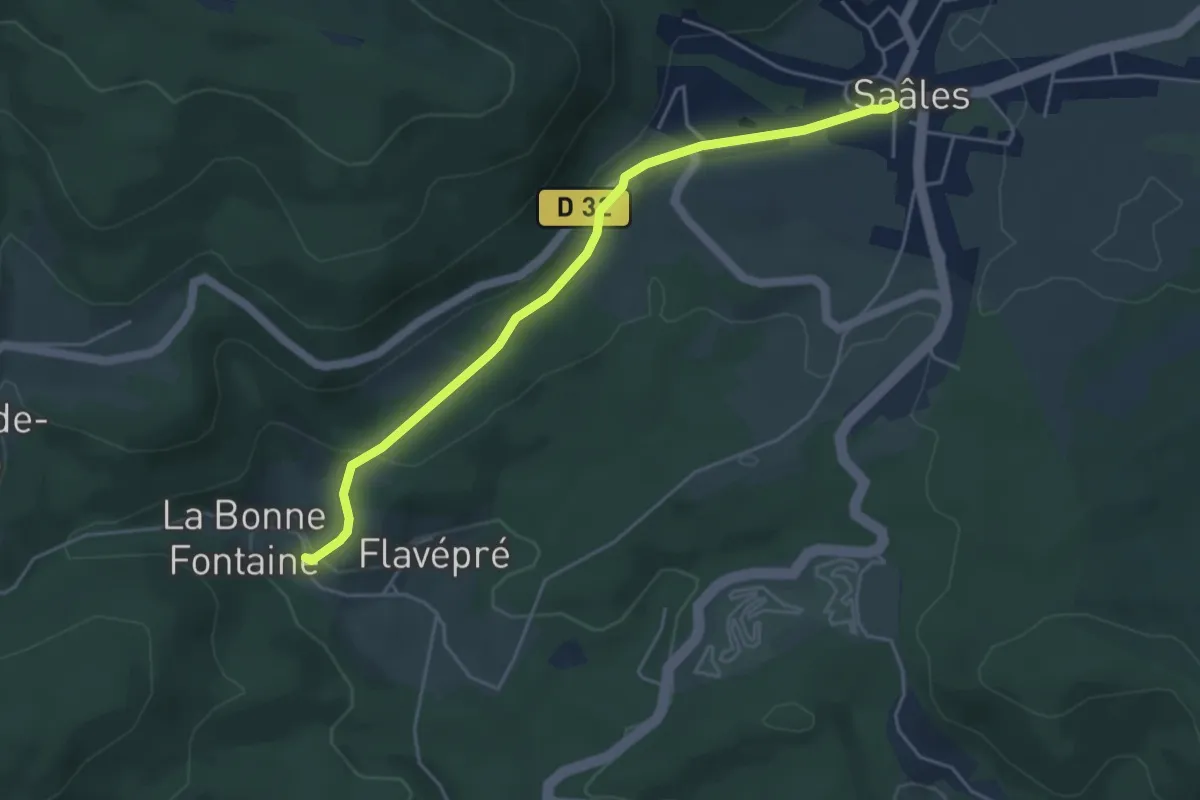
Easy · Trail
Saales – La Bonne Fontaine
4.5 km · ↑ 157 m · 1 h 24 min
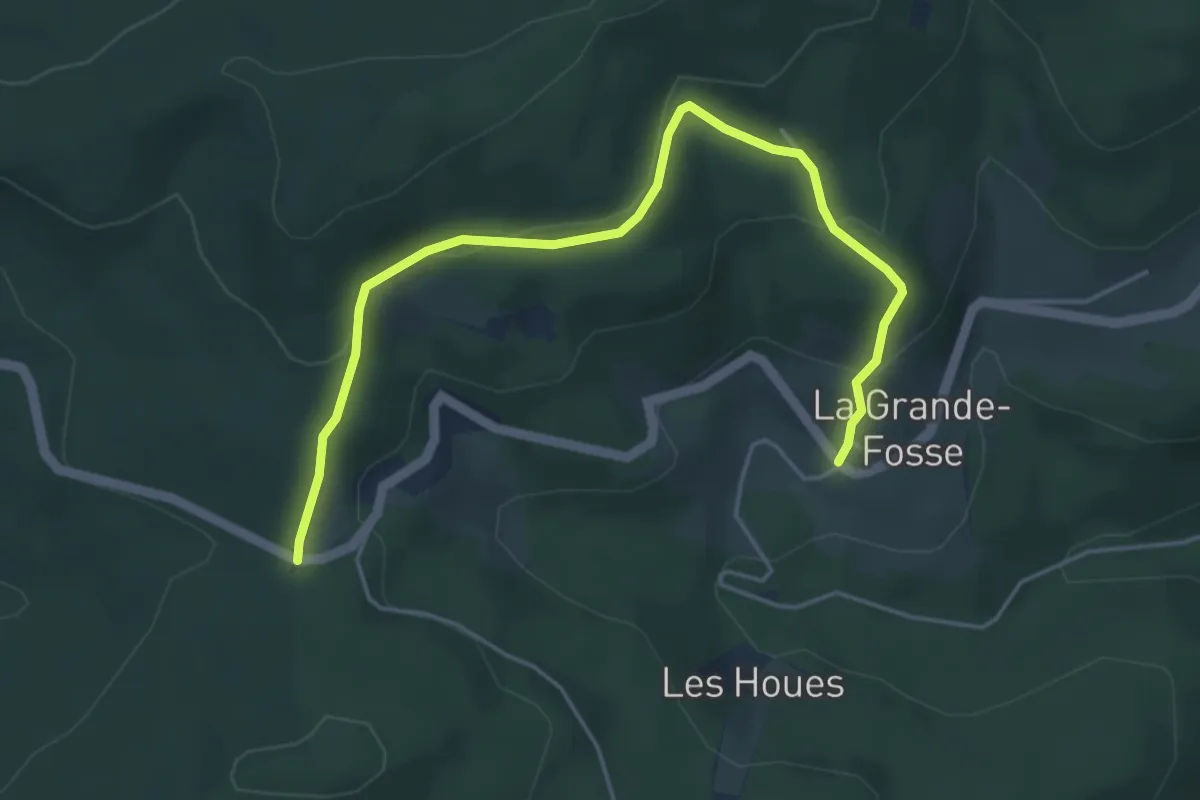
Easy · Trail
La Grande Fosse – Col du Las
5.1 km · ↑ 187 m · 1 h 36 min
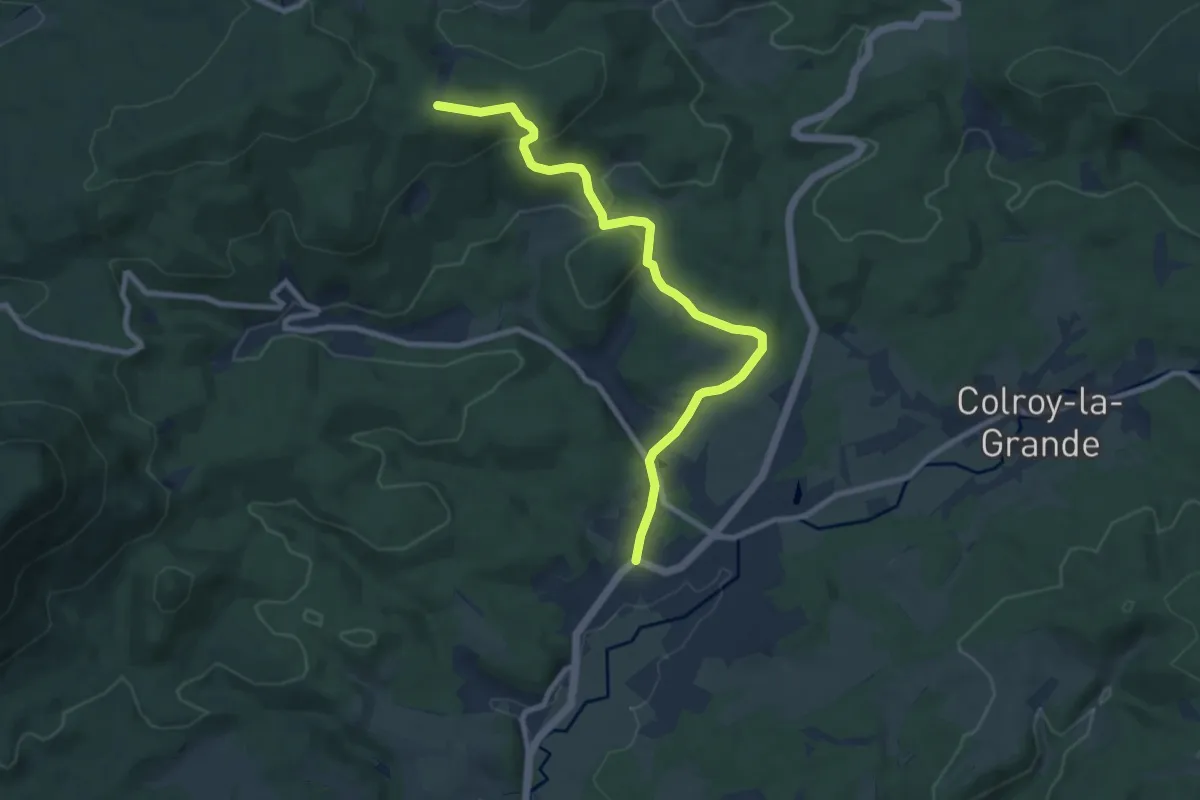
Medium · Trail
Provenchères-sur-Faves – Planat
8.9 km · ↑ 276 m · 2 h 42 min
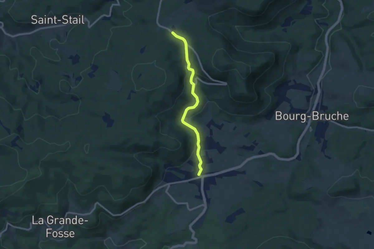
Easy · Trail
Saales – Le Palais
6.6 km · ↑ 216 m · 2 h 1 min
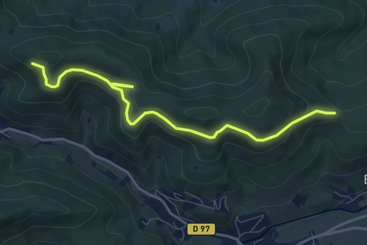
Medium · Trail
Champs des Haies – Col du banc du Forestier
7.8 km · ↑ 323 m · 2 h 33 min
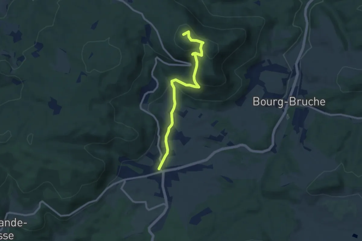
Easy · Summit
Saales – Le Palais
6.9 km · ↑ 296 m · 2 h 16 min
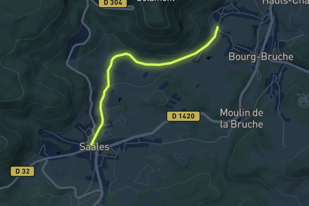
Easy · Trail
Saales – GR 532
5.5 km · ↑ 75 m · 1 h 28 min
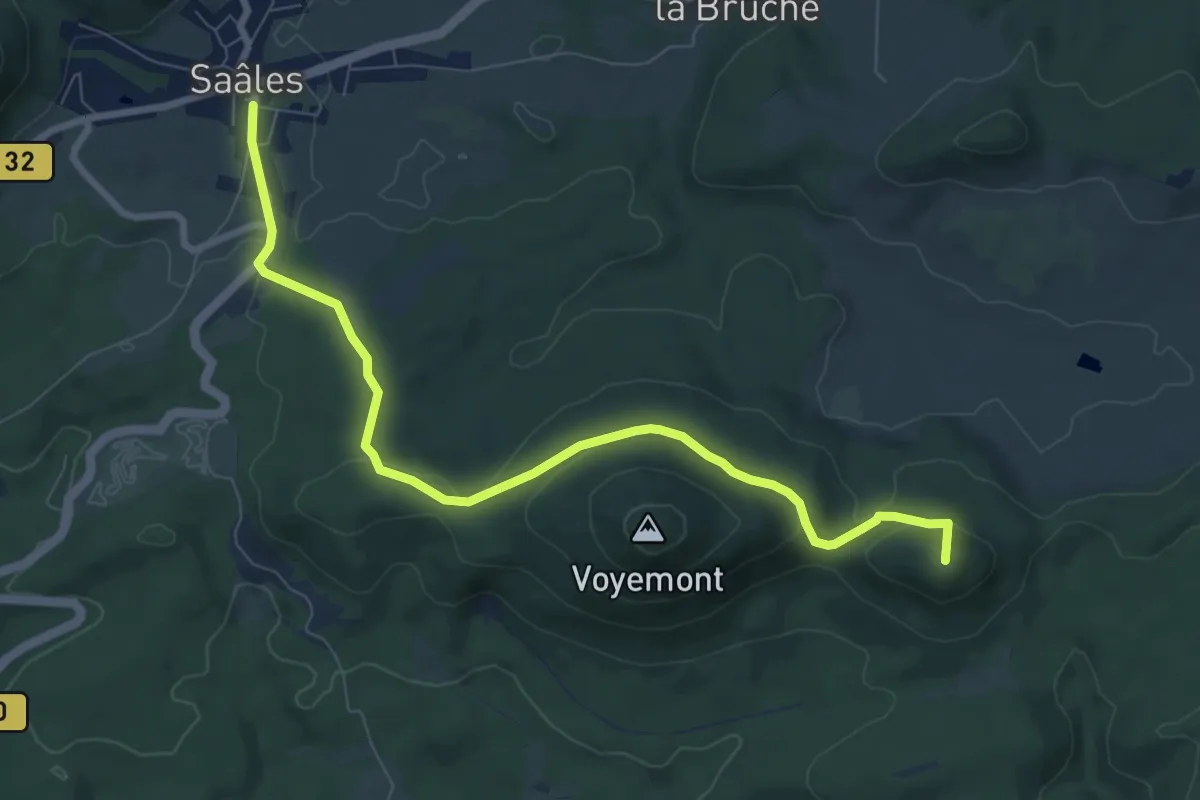
Medium · Summit
Saales – Le Climont
8.5 km · ↑ 200 m · 2 h 27 min
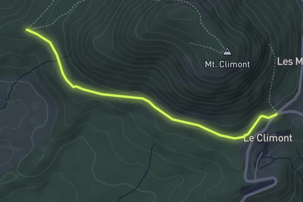
Easy · Trail
Saales – Le Climont
4.4 km · ↑ 127 m · 1 h 19 min
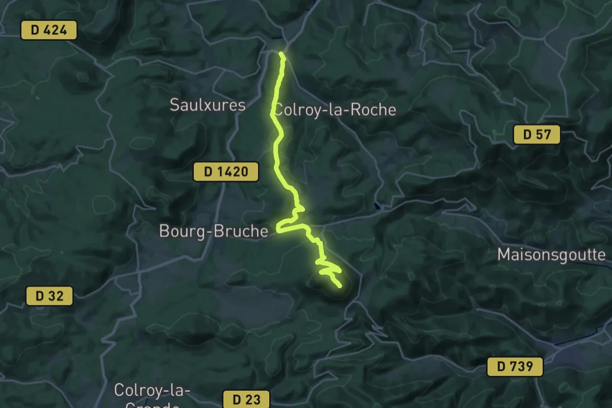
Demanding · Summit
Saint-Blaise-la-Roche – Haut de Steige
20.4 km · ↑ 880 m · 6 h 44 min
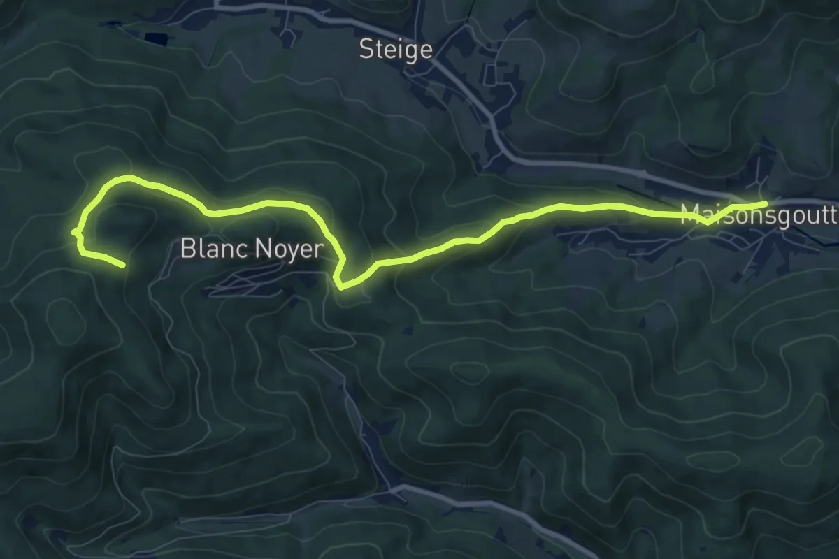
Medium · Trail
Maisonsgoutte – Vieux Pré
10.0 km · ↑ 423 m · 3 h 16 min
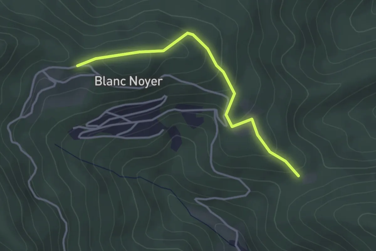
Easy · Trail
GR 532 – GR 532
3.2 km · ↑ 138 m · 1 h 3 min
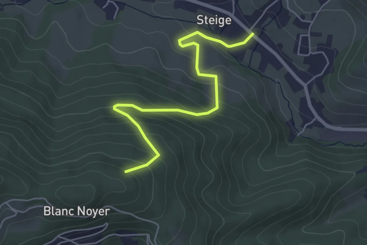
Easy · Trail
Steige – Chenot
4.7 km · ↑ 295 m · 1 h 44 min
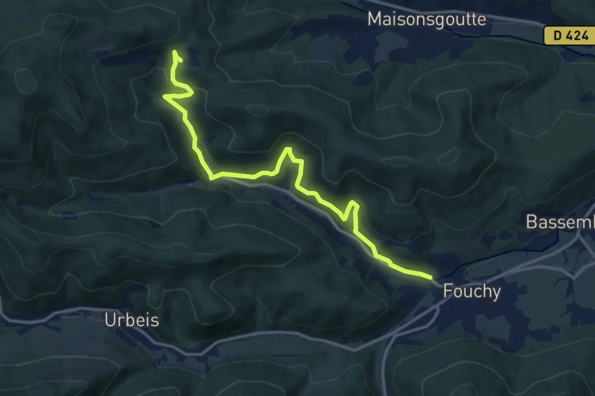
Medium · Trail
Col du Blanc Noyer – Lalaye
10.5 km · ↑ 530 m · 3 h 37 min
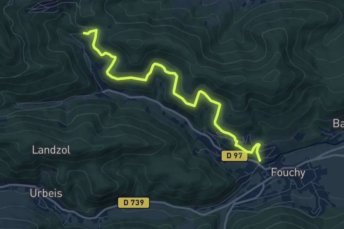
Medium · Trail
Lalaye – Haie de la Roche
9.5 km · ↑ 519 m · 3 h 22 min
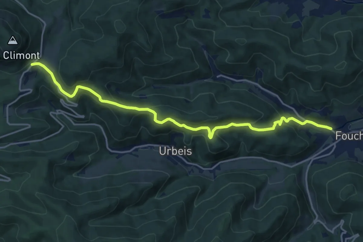
Medium · Trail
Lalaye – Le Climont
14.1 km · ↑ 489 m · 4 h 23 min
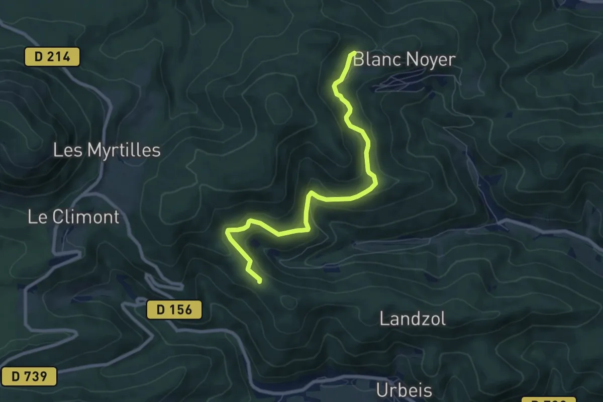
Medium · Trail
Pransureux – La Grande Basse
7.1 km · ↑ 330 m · 2 h 23 min
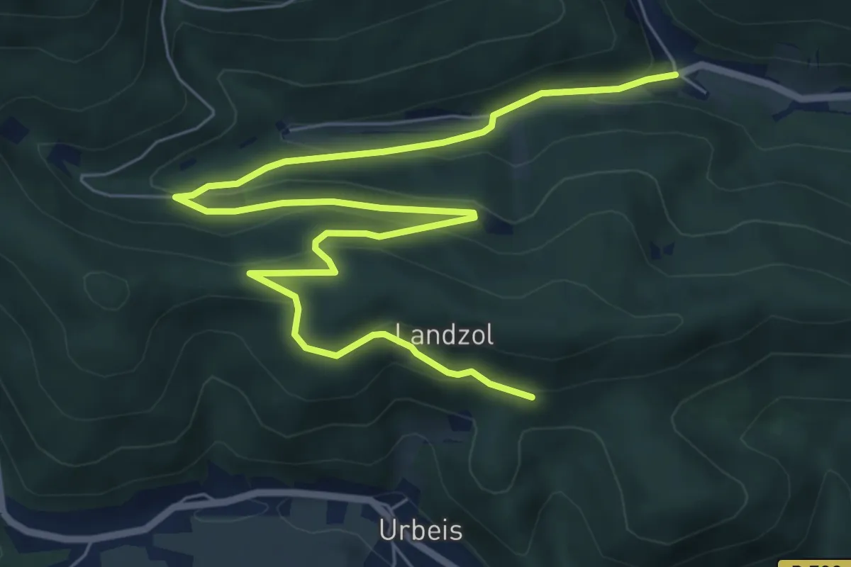
Medium · Trail
Charbes – Landzol
9.1 km · ↑ 413 m · 3 h 2 min
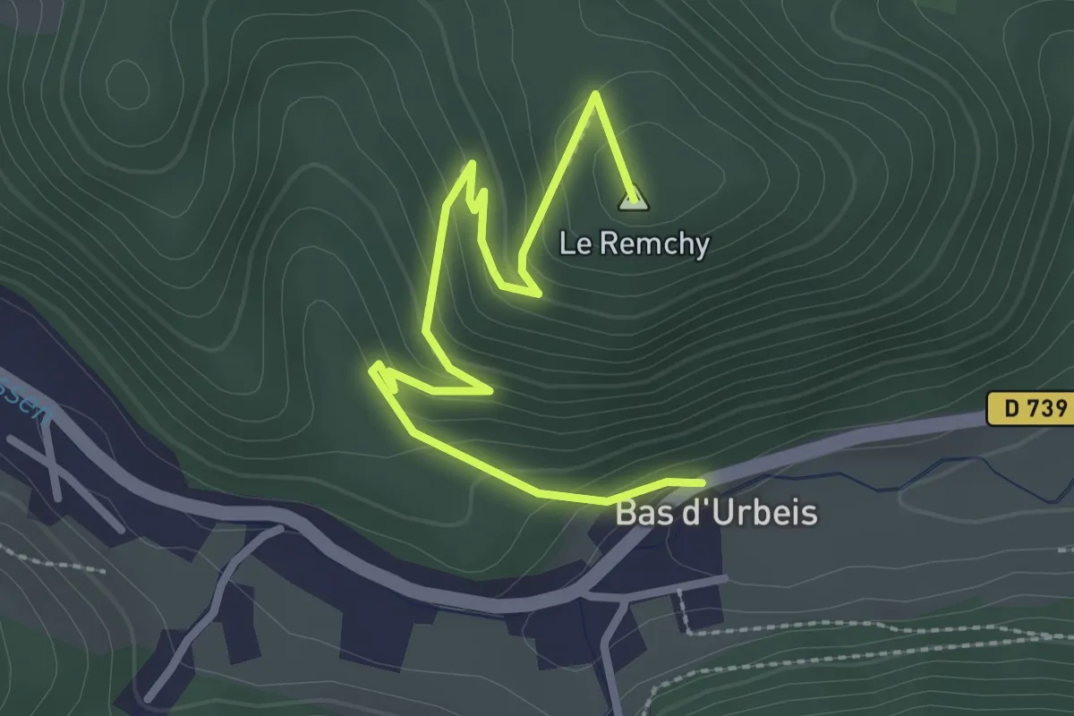
Easy · Summit
Bas d'Urbeis – Mine Théophile
2.9 km · ↑ 161 m · 1 h 2 min
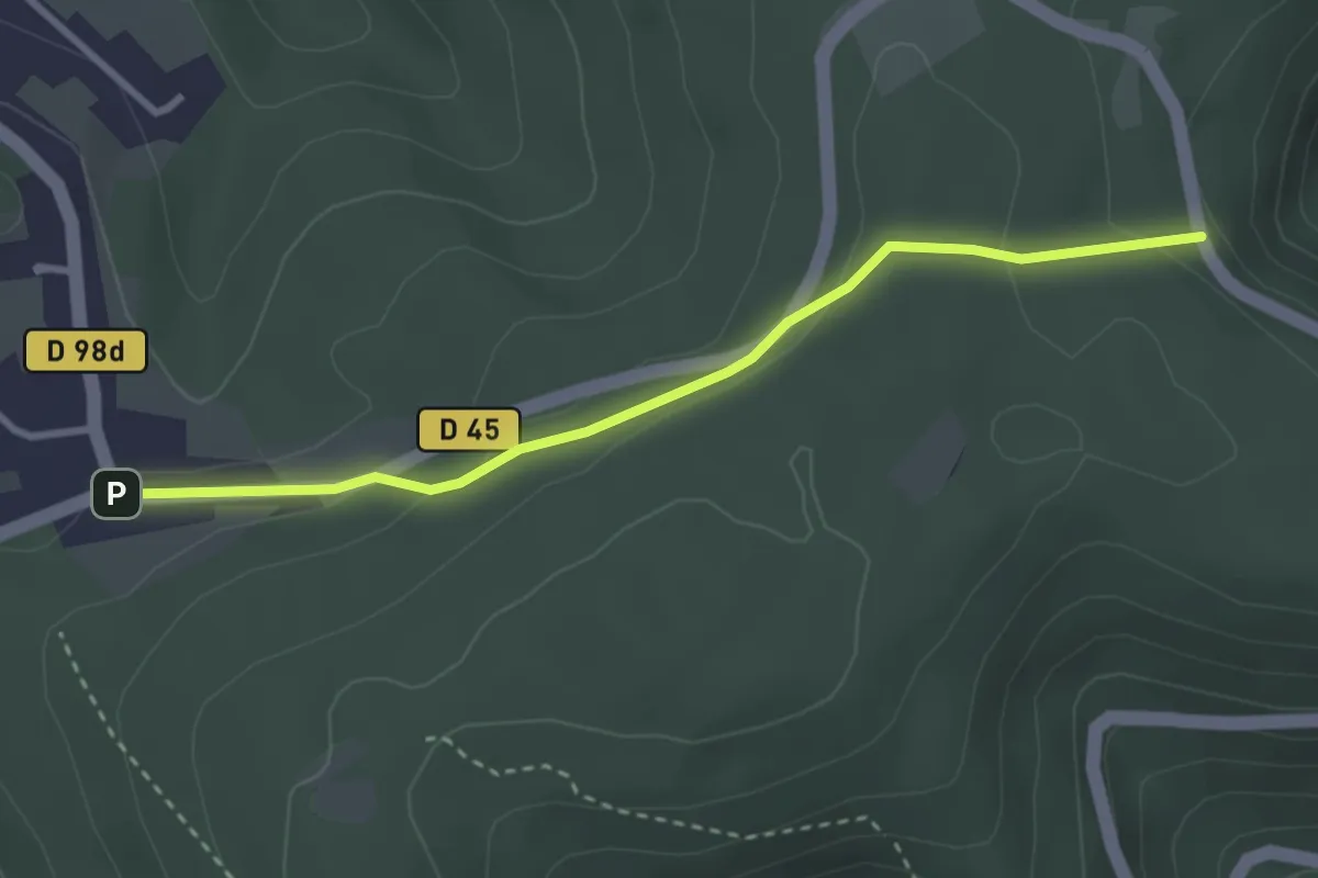
Easy · Trail
Zollstock – GR 531
3.0 km · ↑ 105 m · 56 min
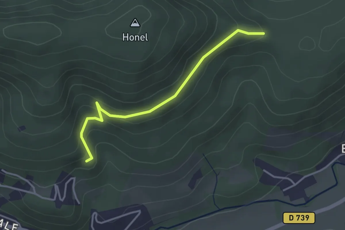
Easy · Trail
Lalaye – Col du ban du Forestier
3.0 km · ↑ 149 m · 1 h 2 min
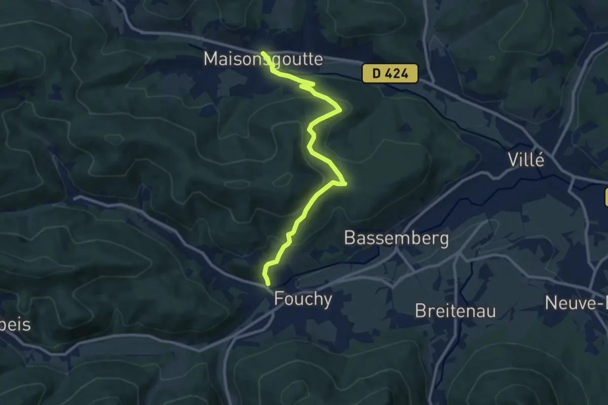
Medium · Trail
Lalaye – Maisongoutte
8.4 km · ↑ 444 m · 2 h 57 min
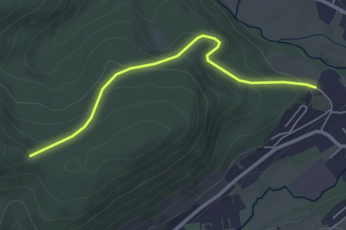
Easy · Trail
Villé – Col du Ban du Forestier
4.1 km · ↑ 202 m · 1 h 24 min
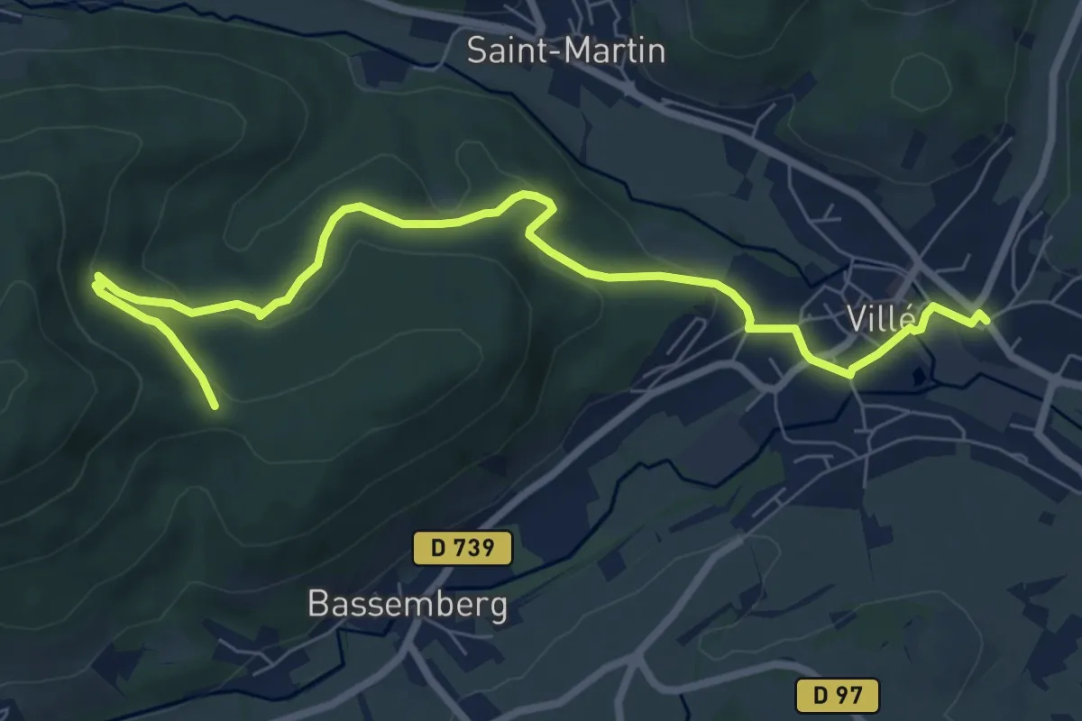
Medium · Trail
Villé – Col du Banc du Forestier
8.2 km · ↑ 302 m · 2 h 35 min
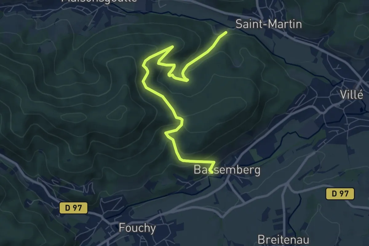
Medium · Trail
Bassenberg – Château de Honcourt
8.2 km · ↑ 422 m · 2 h 51 min
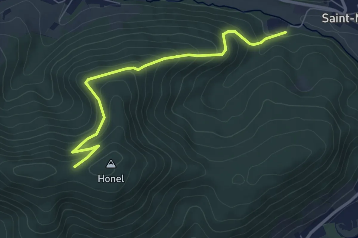
Easy · Trail
Château Honcourt – GR 532
5.4 km · ↑ 312 m · 1 h 57 min
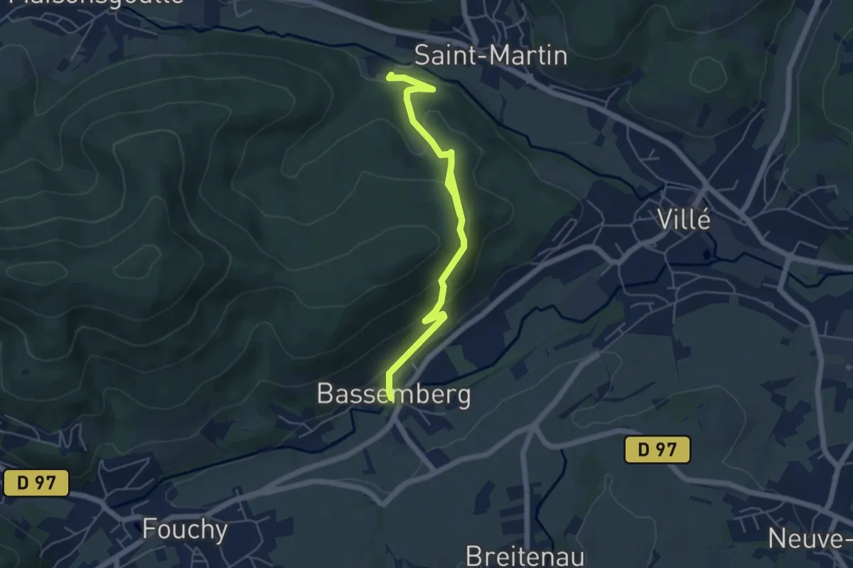
Easy · Trail
Château Honcourt – Bassemberg
5.7 km · ↑ 303 m · 2 h
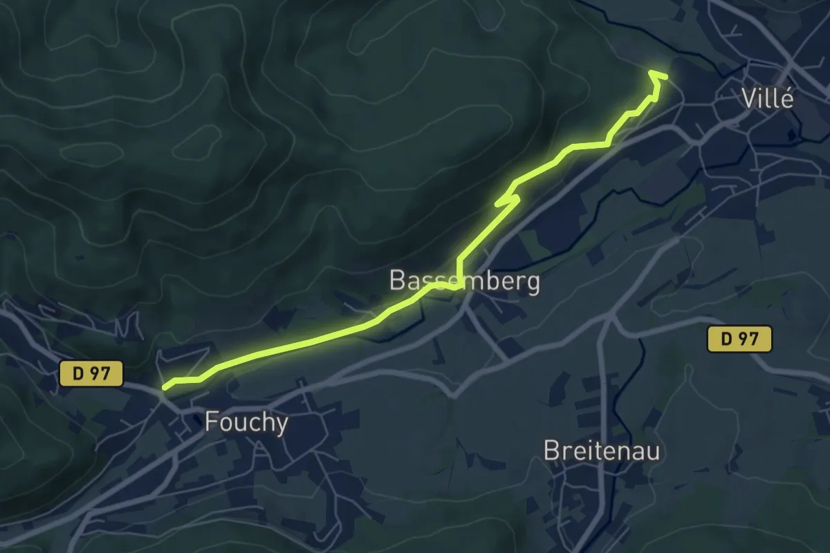
Easy · Trail
Lalaye – Villé
6.7 km · ↑ 207 m · 2 h 1 min
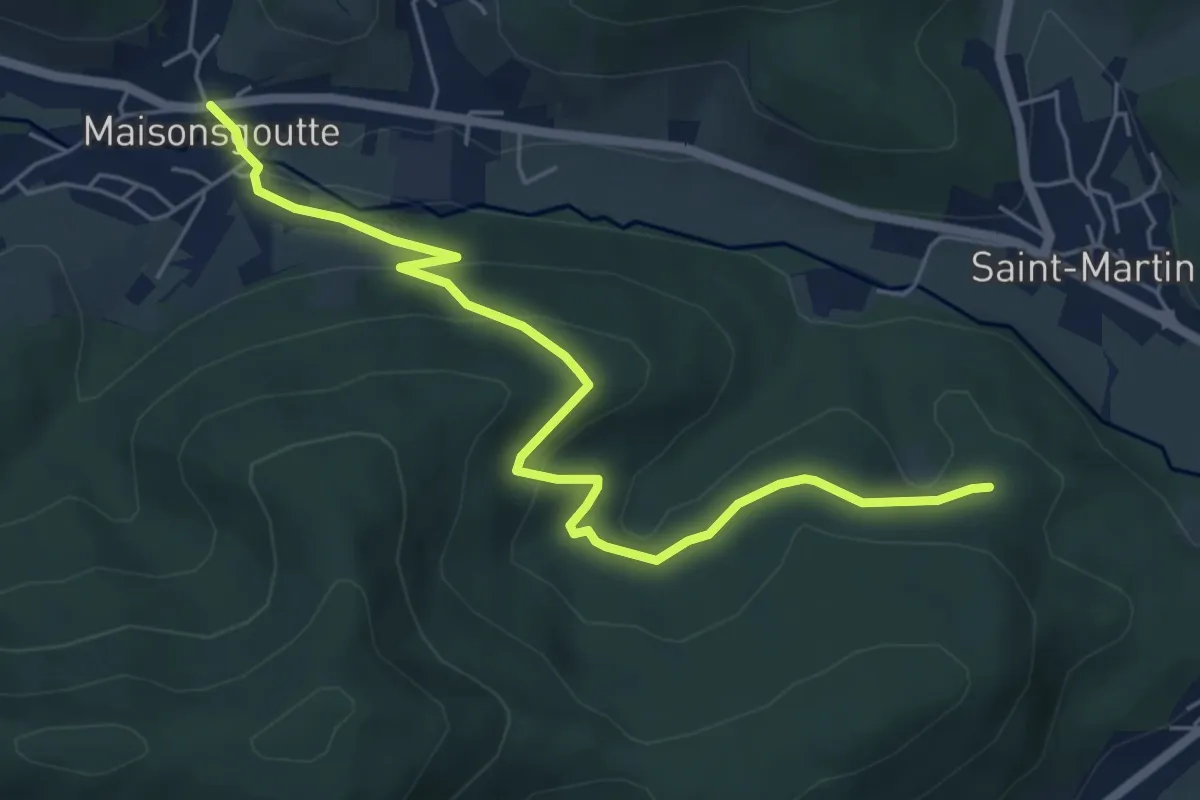
Easy · Trail
Maisongoute – Teufelsbrunnen
6.0 km · ↑ 274 m · 2 h