Trails in France
15,926 hiking trails, each with its route, climb, walking time and grade.
All trails, page 323 of 332
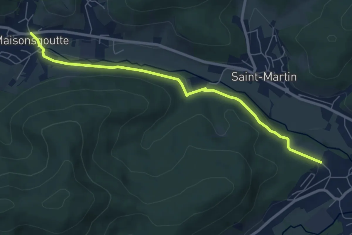
Easy · Trail
Villé – Maisongoutte
5.9 km · ↑ 98 m · 1 h 37 min
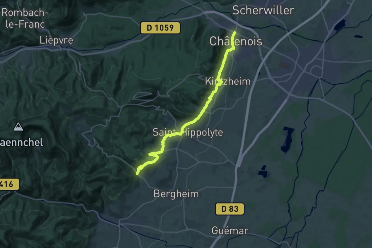
Demanding · Trail
Châtenois – Rochenberg
21.6 km · ↑ 607 m · 6 h 26 min
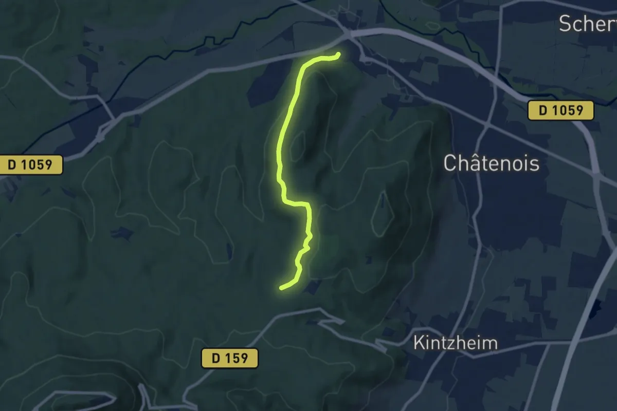
Easy · Trail
Val de Villé – GR5
6.6 km · ↑ 212 m · 2 h 1 min
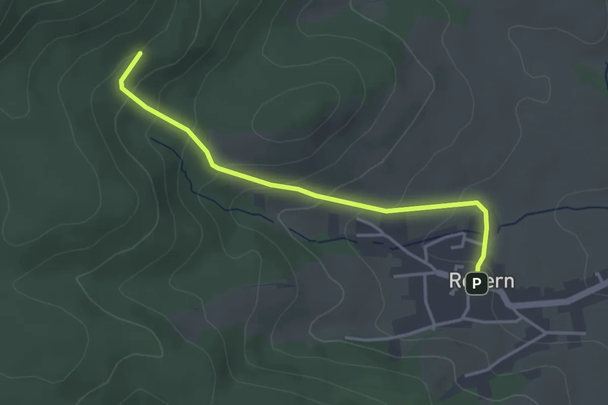
Easy · Trail
Rodern – Kohlenmingen
3.3 km · ↑ 188 m · 1 h 11 min
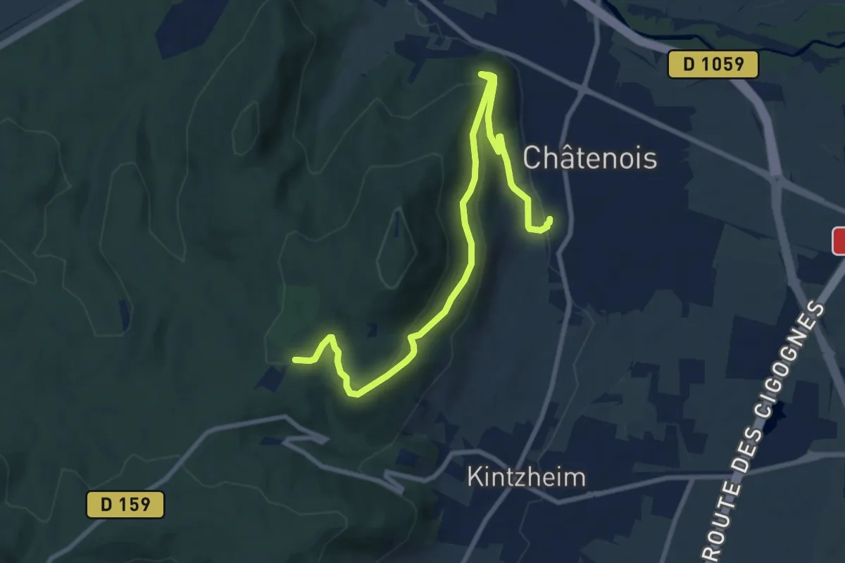
Medium · Trail
Châtenois – GR5
9.1 km · ↑ 397 m · 3 h
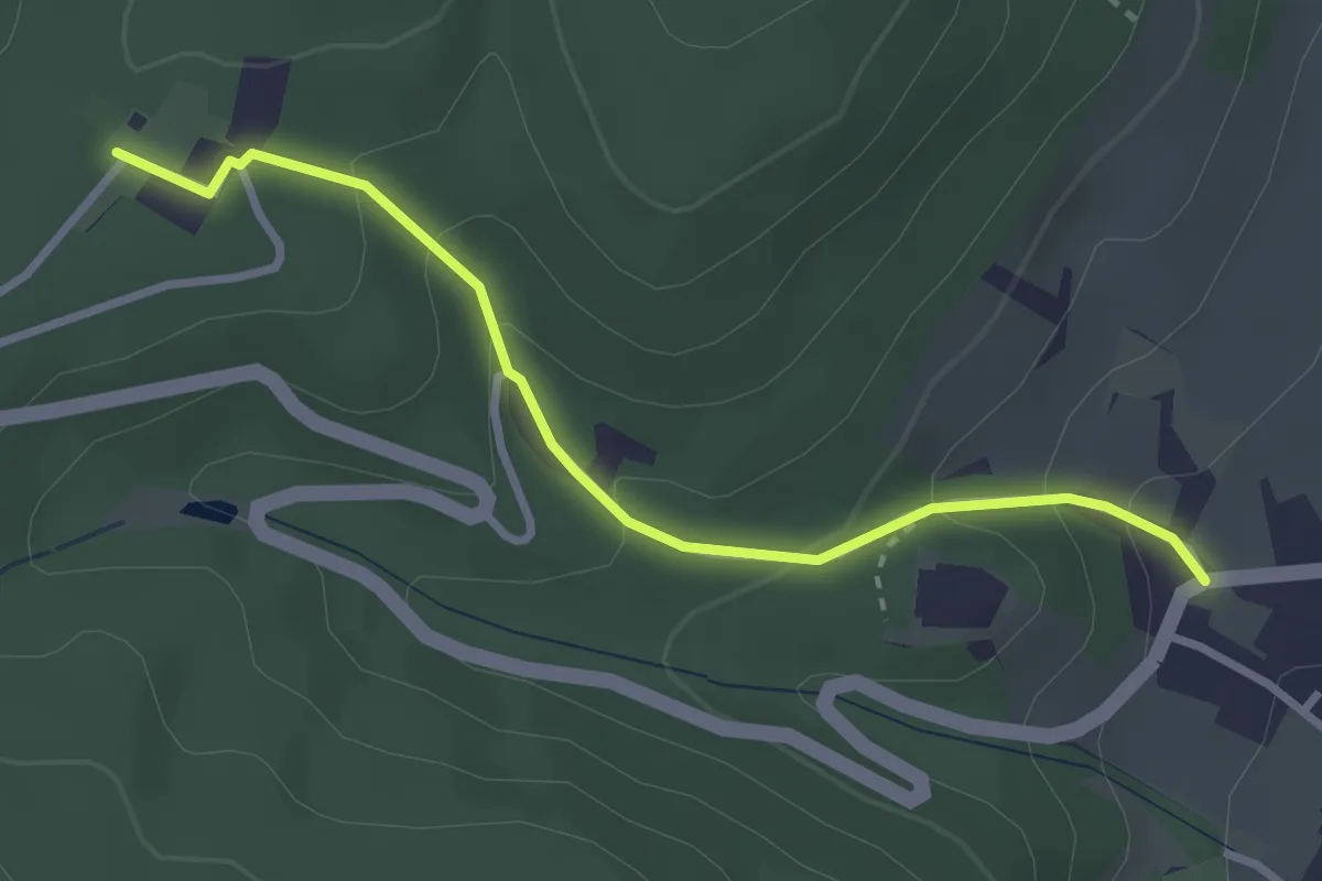
Easy · Trail
Kintzheim – GR5
2.9 km · ↑ 152 m · 1 h 1 min
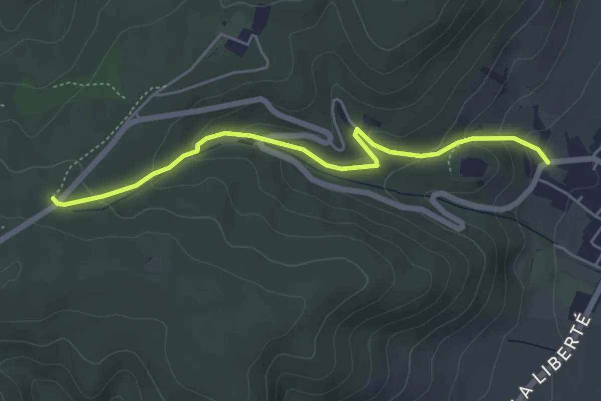
Easy · Trail
Kintzhiem – GR5
4.3 km · ↑ 197 m · 1 h 27 min
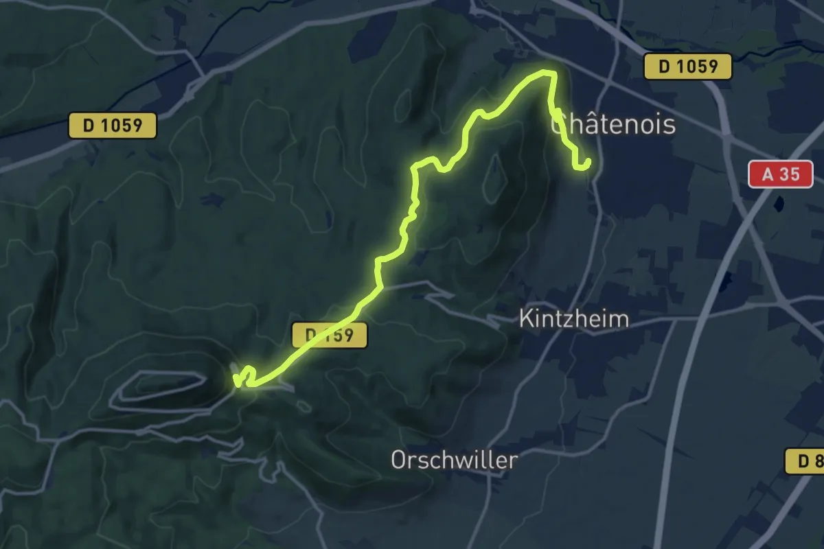
Medium · Trail
Châtenois – Château du Haut-Koenigsbourg
14.0 km · ↑ 526 m · 4 h 27 min
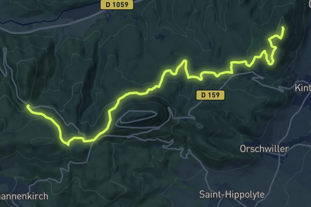
Demanding · Summit
Châtenois – Saint Fulrad
20.2 km · ↑ 818 m · 6 h 33 min
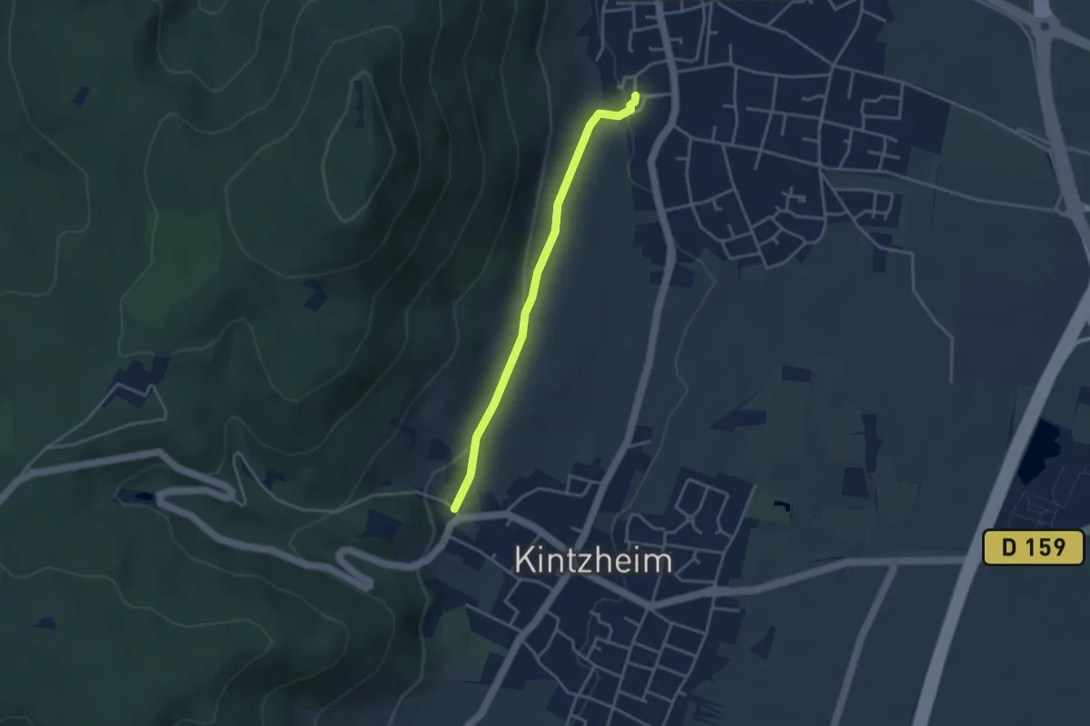
Easy · Trail
Châtenois – Kintzheim
3.2 km · ↑ 76 m · 55 min
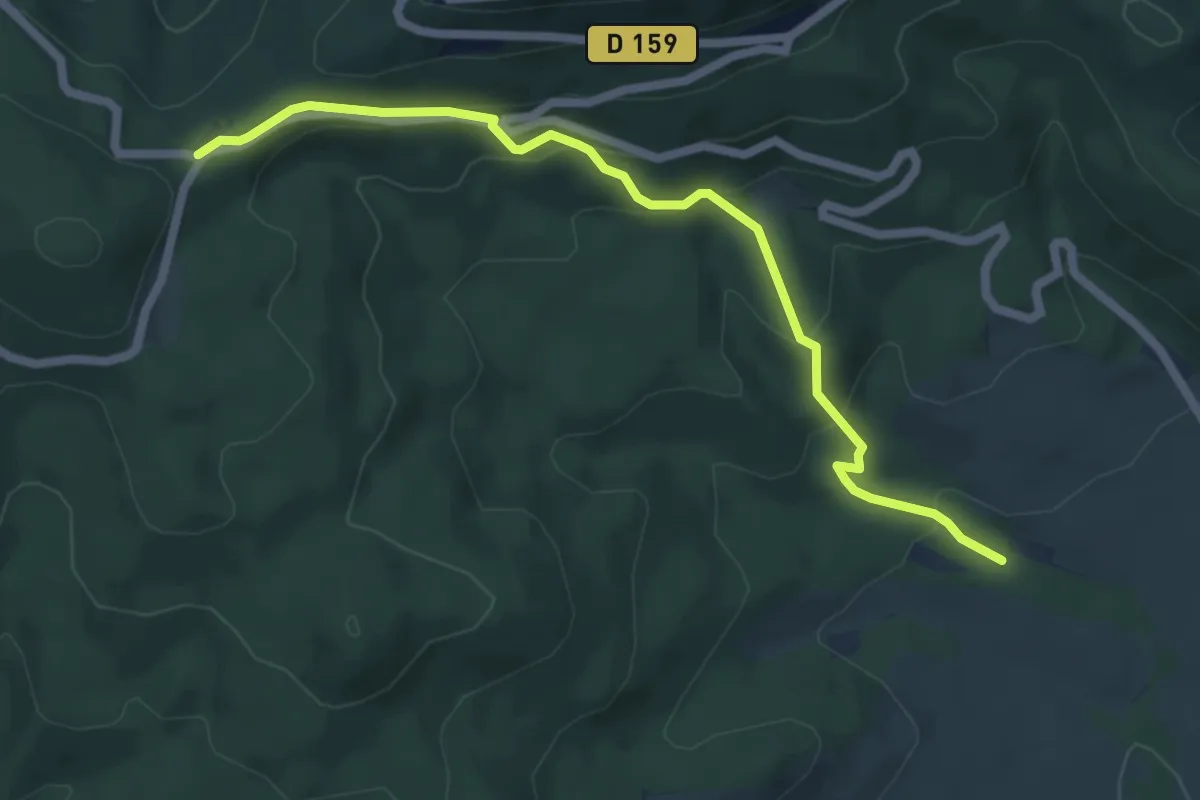
Easy · Trail
Saint-Hippolyte – Schaentzel
5.8 km · ↑ 317 m · 2 h 4 min
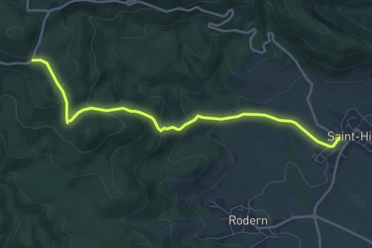
Medium · Trail
Saint-Hippolyte – La cave de Rodern
7.8 km · ↑ 333 m · 2 h 33 min
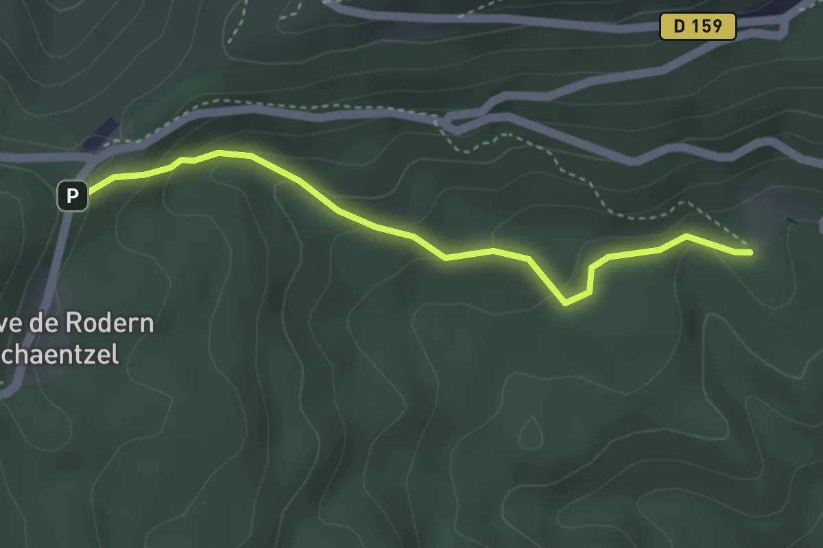
Easy · Trail
Schaentzel – Teufelsloch
3.4 km · ↑ 172 m · 1 h 10 min
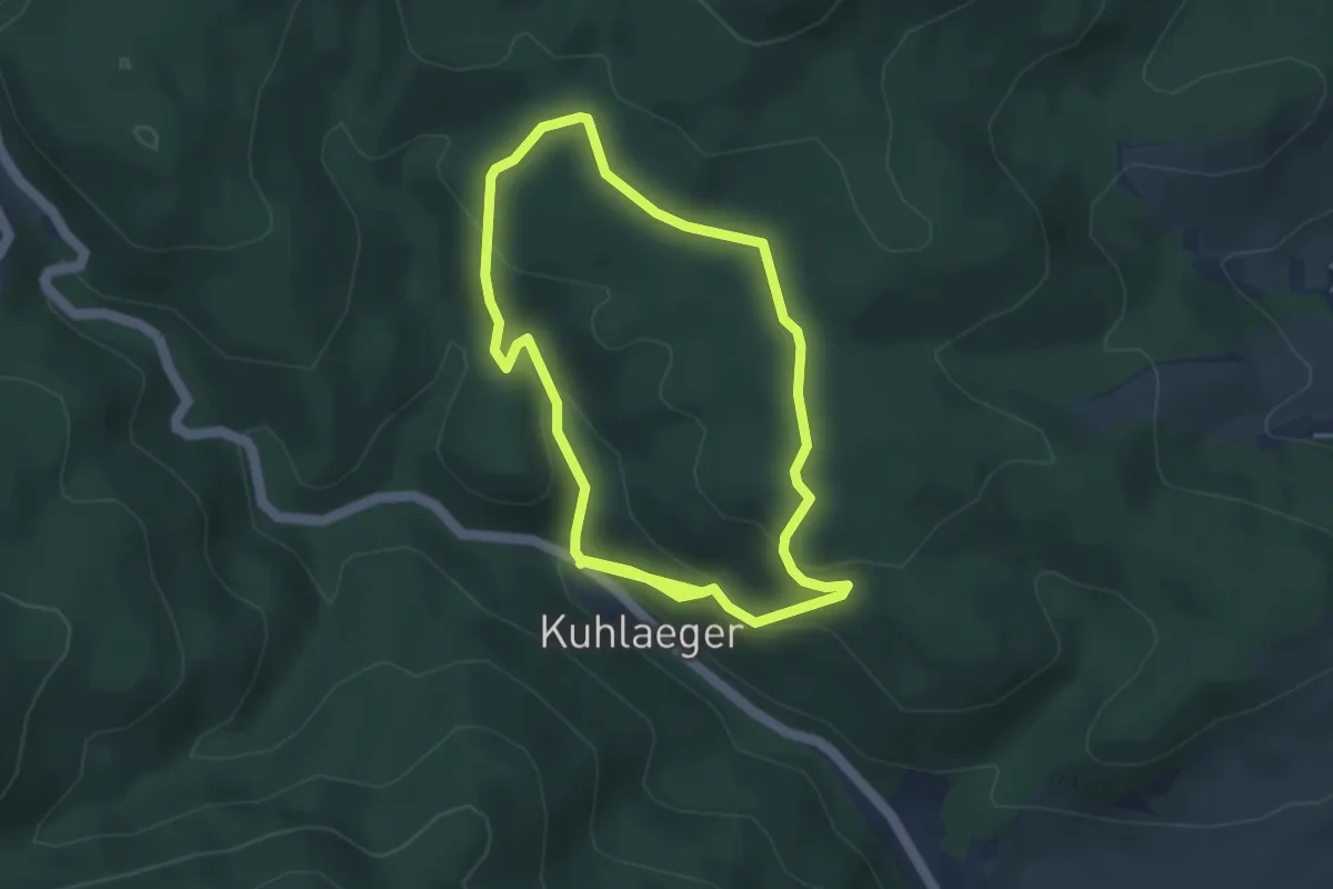
Easy · Trail
Carrefour de la Lach – Carrefour de la Lach
3.7 km · ↑ 132 m · 1 h 13 min
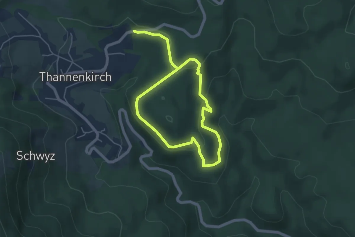
Easy · Trail
Thannenkirch – Thannenkirch
3.2 km · ↑ 128 m · 1 h 5 min
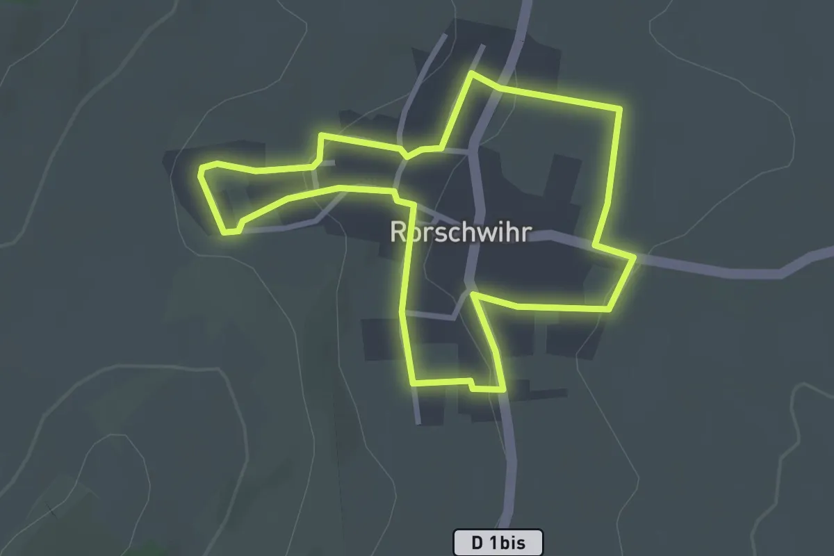
Easy · Trail
Rorschwihr – Rorschwihr
2.5 km · ↑ 58 m · 46 min
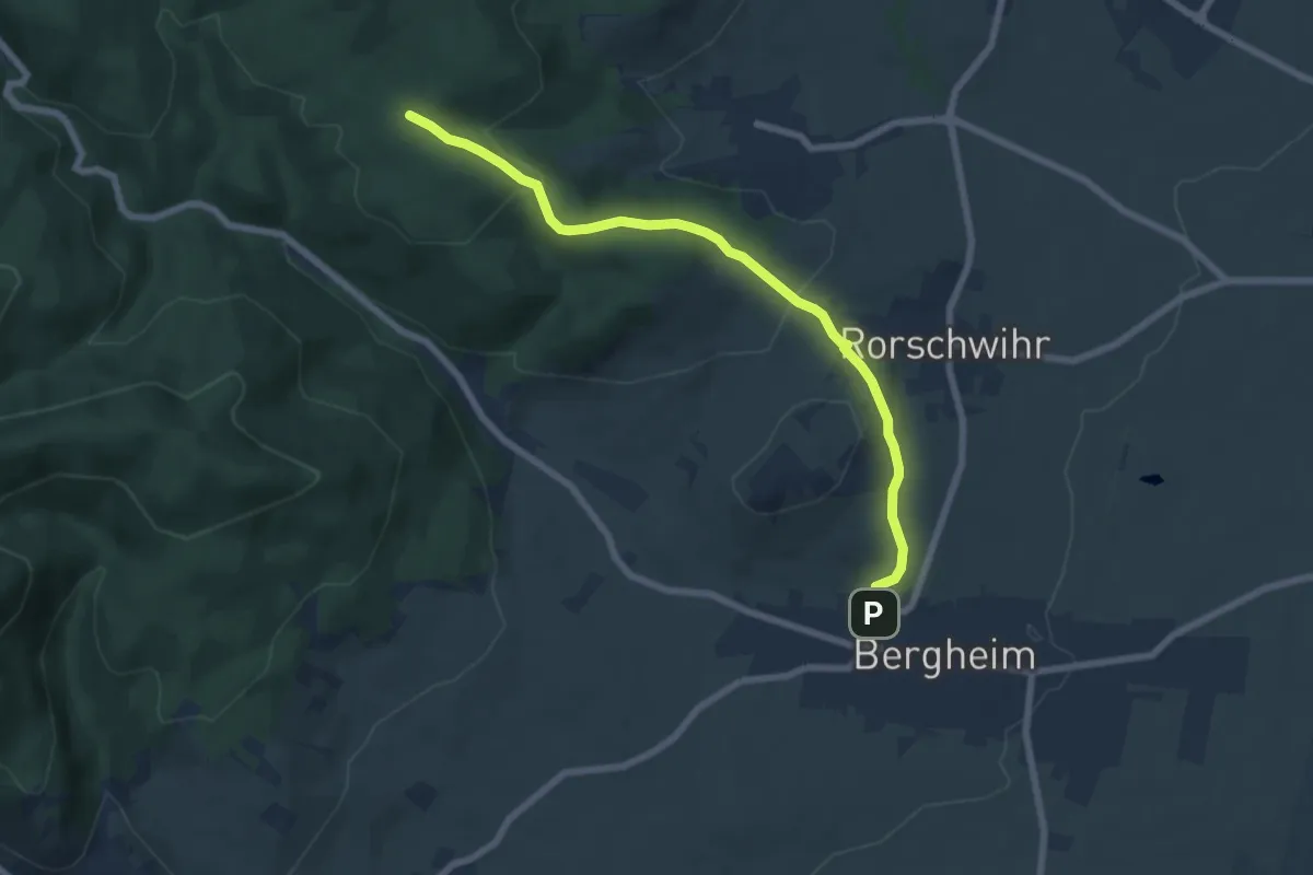
Easy · Trail
Bergheim – Carrefour de la Lach
6.8 km · ↑ 205 m · 2 h 4 min
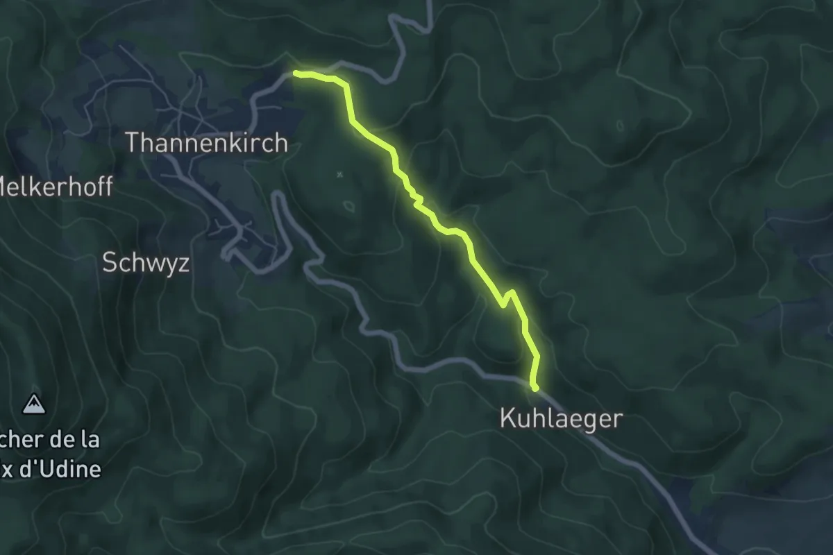
Easy · Trail
Kuhlaeger – Notre Dame des Bois
4.8 km · ↑ 208 m · 1 h 35 min
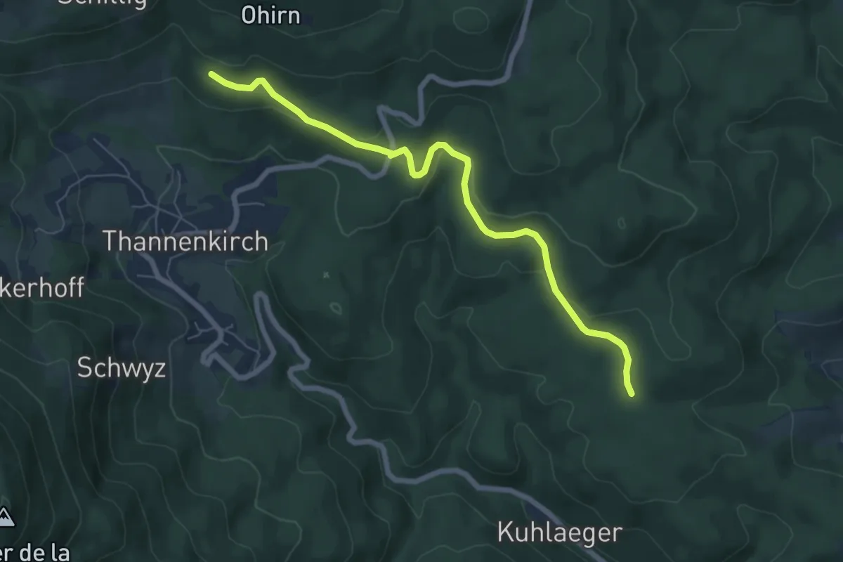
Easy · Trail
Carrefour de la Lach – Wurzel
6.4 km · ↑ 166 m · 1 h 53 min
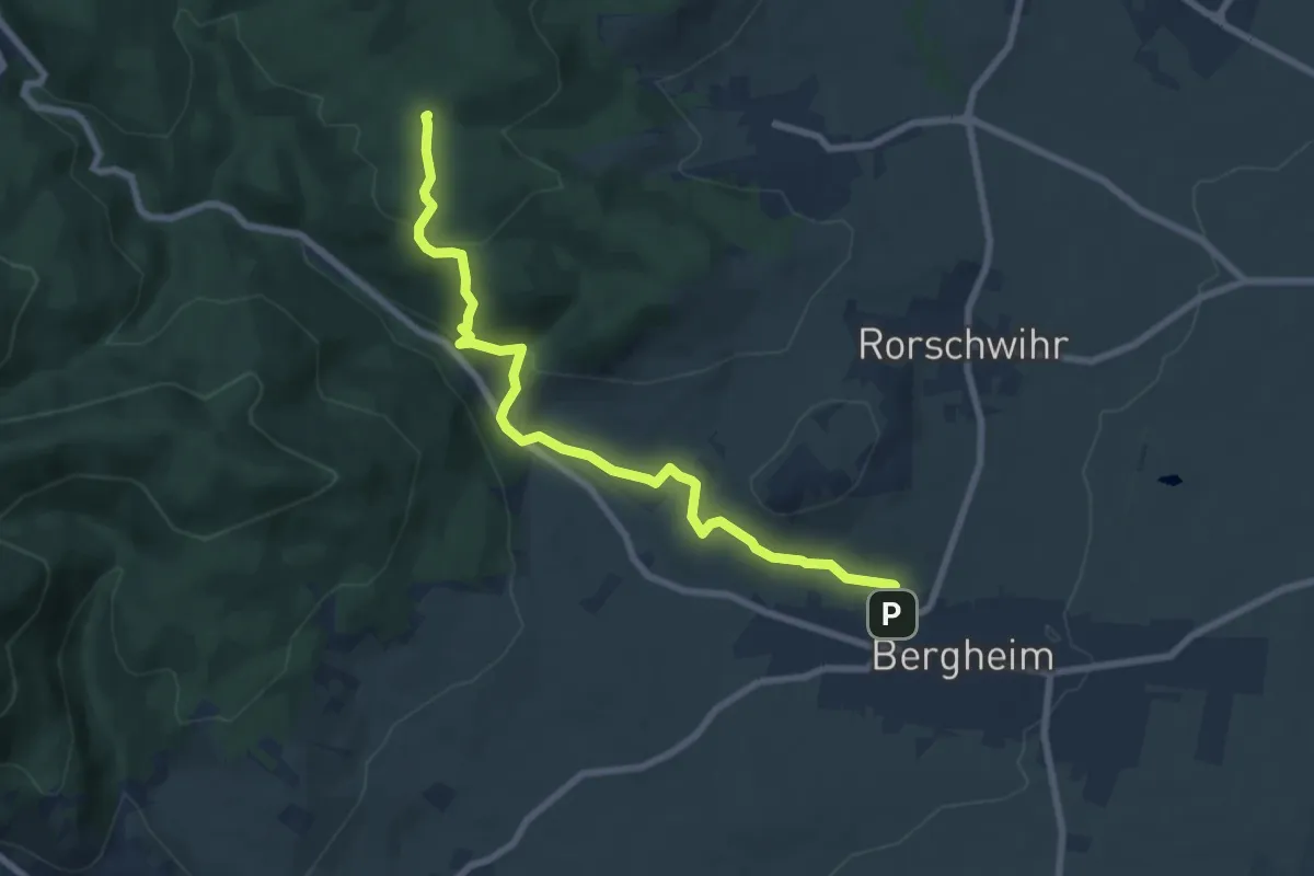
Easy · Trail
Bergheim – Carrefour de la Lach
7.8 km · ↑ 279 m · 2 h 27 min
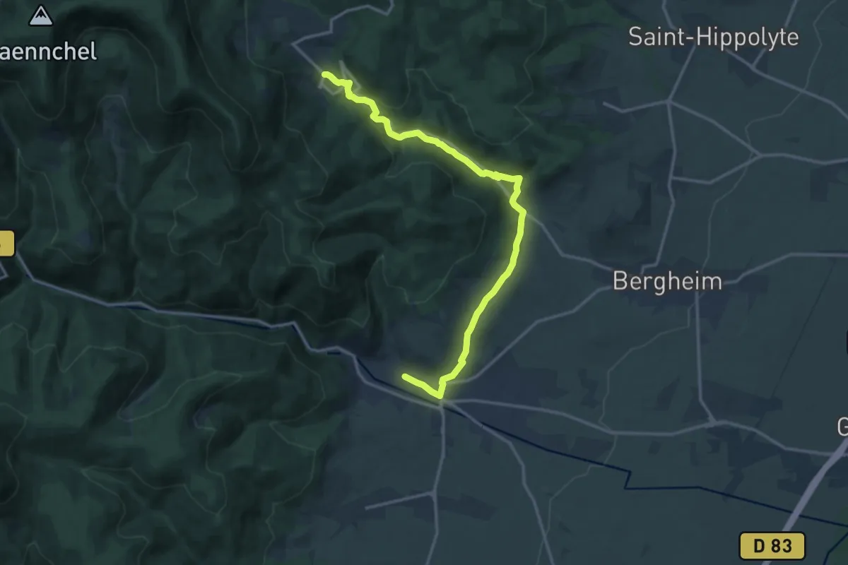
Medium · Trail
Ribeauvillé – GR5
13.7 km · ↑ 467 m · 4 h 14 min
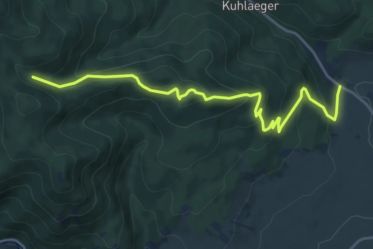
Medium · Trail
Château de Reichenberg – GR5
8.5 km · ↑ 445 m · 2 h 59 min
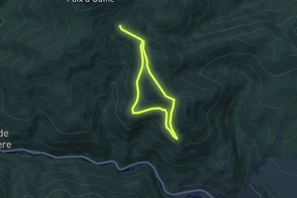
Easy · Trail
Château de Saint-Ulrich – Carrefour du Cerisier Noir
6.4 km · ↑ 294 m · 2 h 8 min
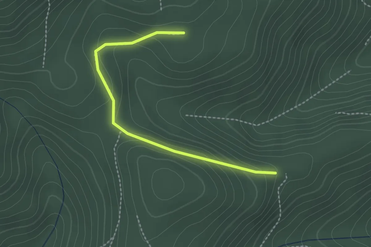
Easy · Trail
Anneau rouge – GR5
2.2 km · ↑ 64 m · 40 min
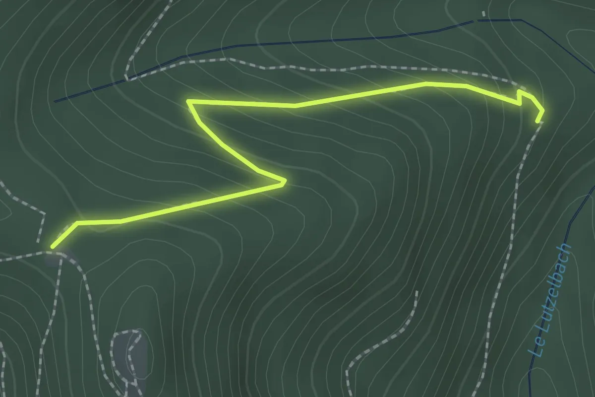
Easy · Trail
Croix jaune – GR5
2.2 km · ↑ 170 m · 54 min
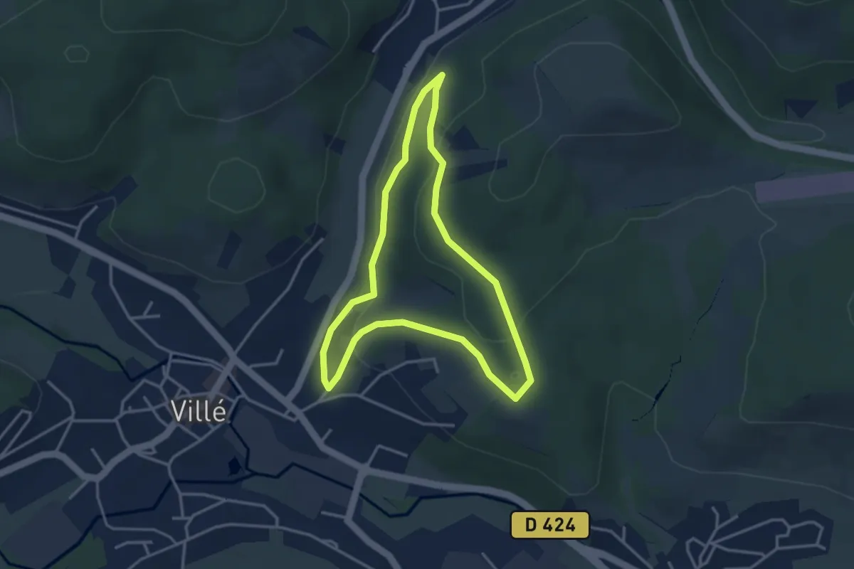
Easy · Trail
Villé – Villé
3.1 km · ↑ 98 m · 59 min
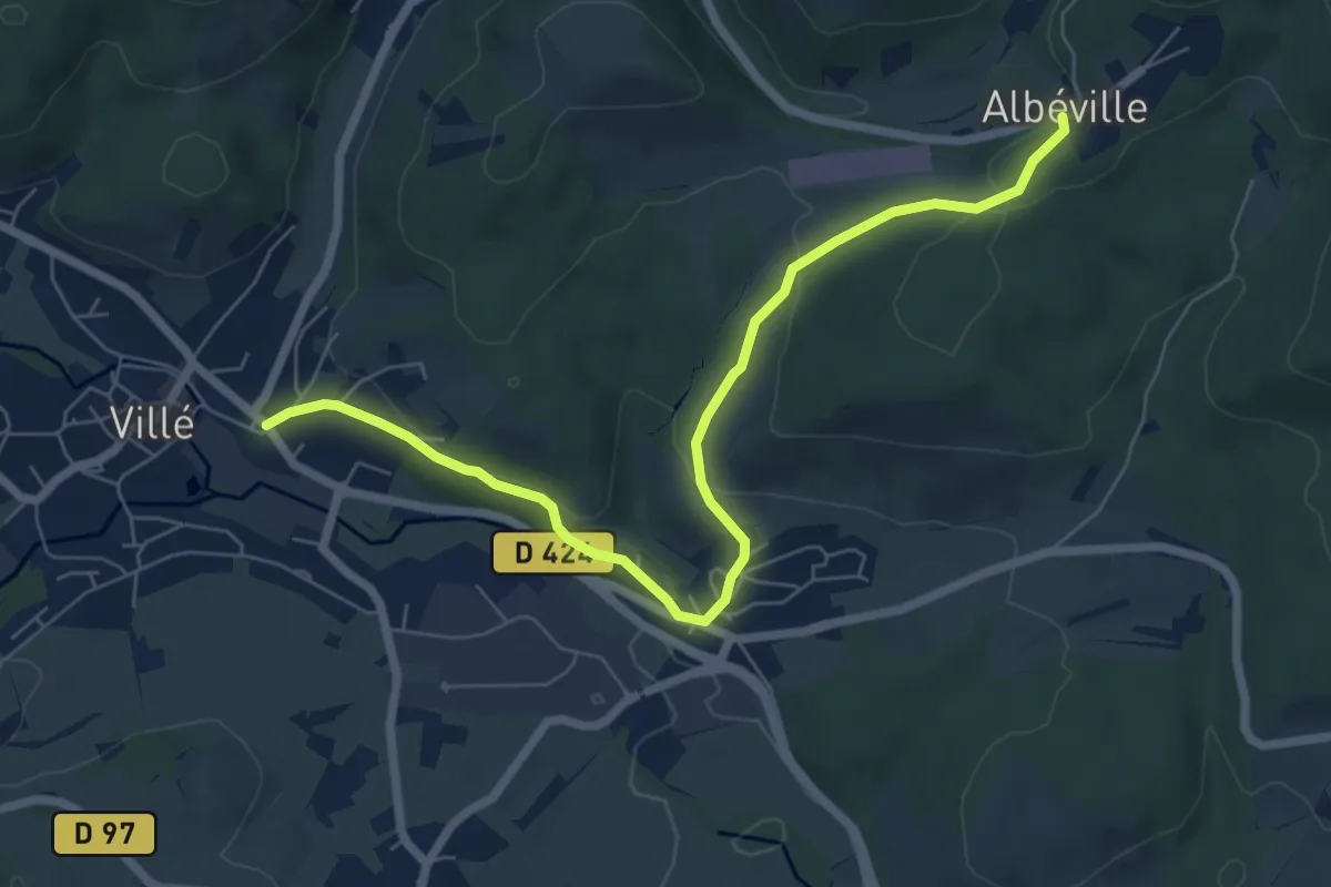
Easy · Trail
Villé – Albéville
7.1 km · ↑ 235 m · 2 h 11 min
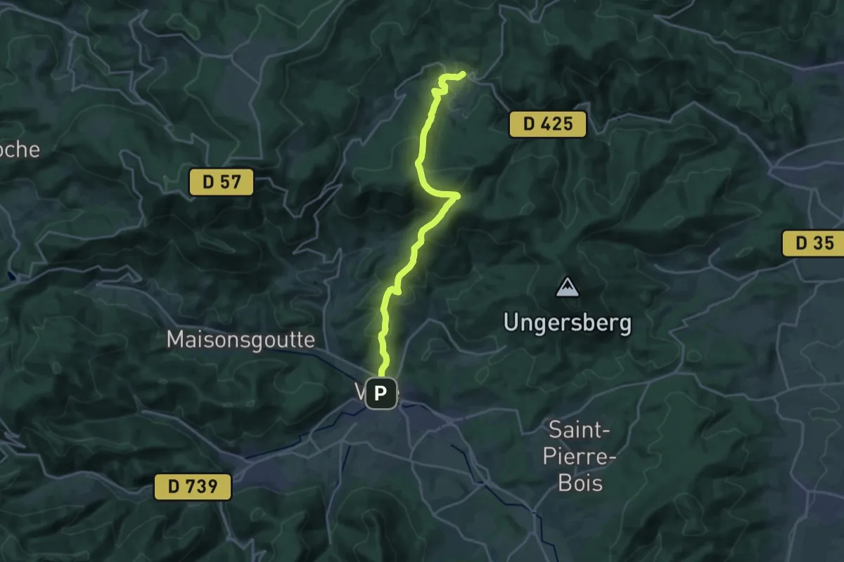
Demanding · Trail
Villé – GR5
18.4 km · ↑ 887 m · 6 h 16 min
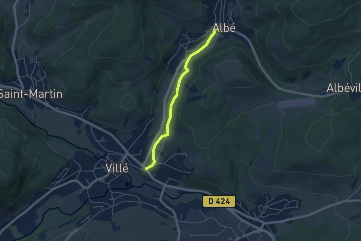
Easy · Trail
Villé – Albé
3.7 km · ↑ 72 m · 1 h 2 min
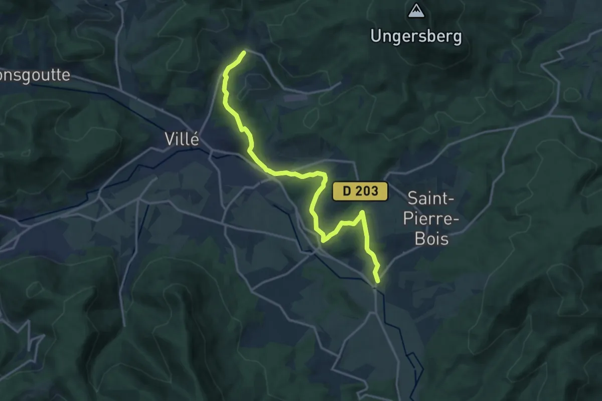
Medium · Trail
Thanvillé – Albé
14.2 km · ↑ 363 m · 4 h 9 min
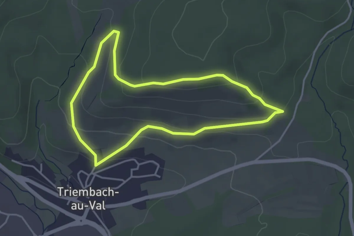
Easy · Trail
Triembach-au-Val – Triembach-au-Val
3.2 km · ↑ 108 m · 1 h 2 min
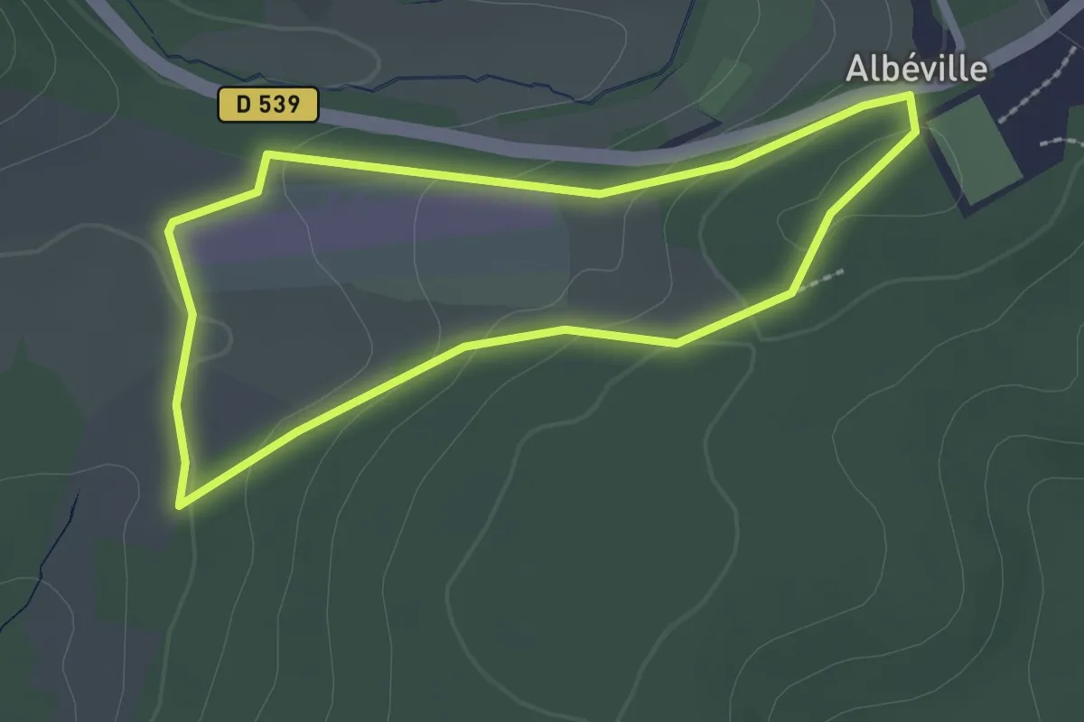
Easy · Trail
Albéville – Albéville
2.1 km · ↑ 63 m · 39 min
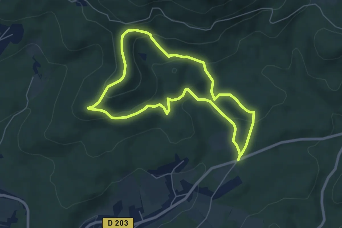
Easy · Trail
Baerenberg – Baerenberg
4.8 km · ↑ 186 m · 1 h 36 min
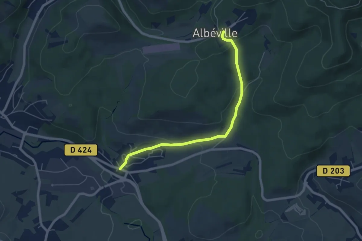
Easy · Trail
Triembach-au-Val – Albéville
5.0 km · ↑ 148 m · 1 h 30 min
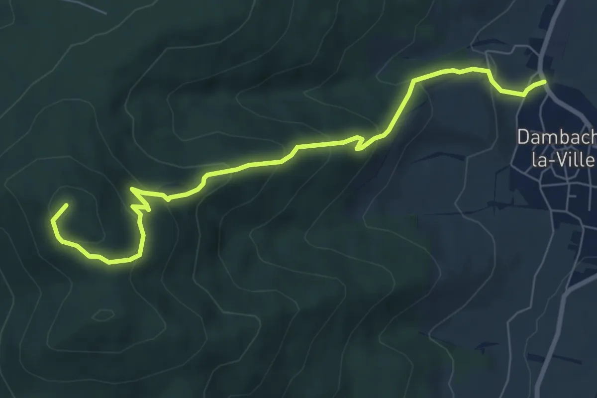
Medium · Summit
Dambach-la-Ville – Eglise Saint-Gilles
7.0 km · ↑ 451 m · 2 h 38 min
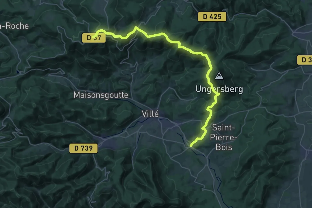
Demanding · Trail
Saint -Maurice – Col de la Charbonnière
15.3 km · ↑ 916 m · 5 h 28 min
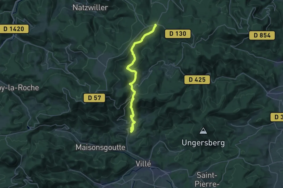
Demanding · Trail
Saint-Martin – Rothlach
20.8 km · ↑ 788 m · 6 h 37 min
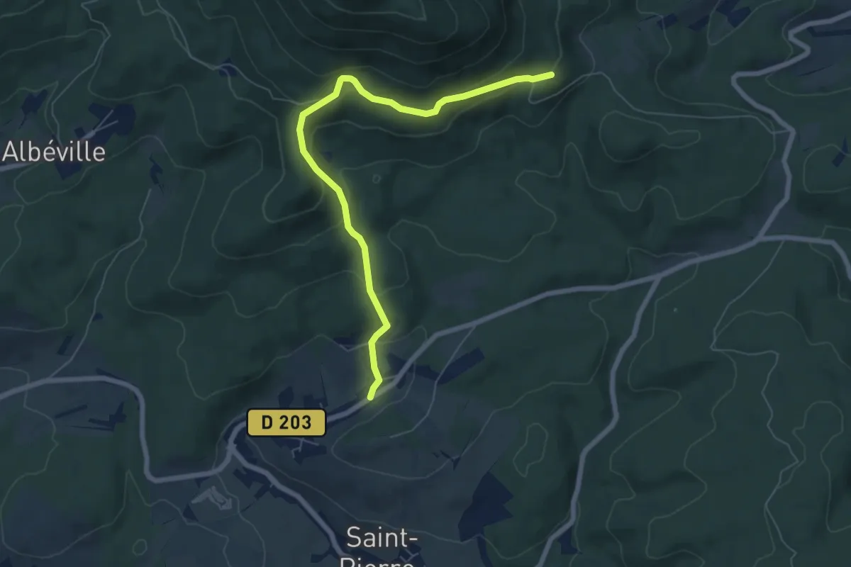
Medium · Trail
Hohwarth – GR5
6.6 km · ↑ 360 m · 2 h 20 min
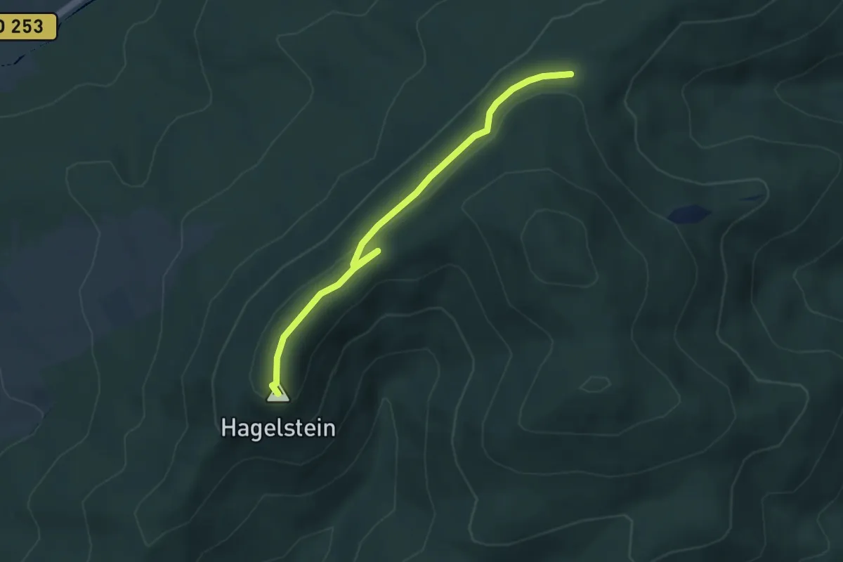
Easy · Summit
Kasmarkt – Falkenstein
3.7 km · ↑ 102 m · 1 h 6 min
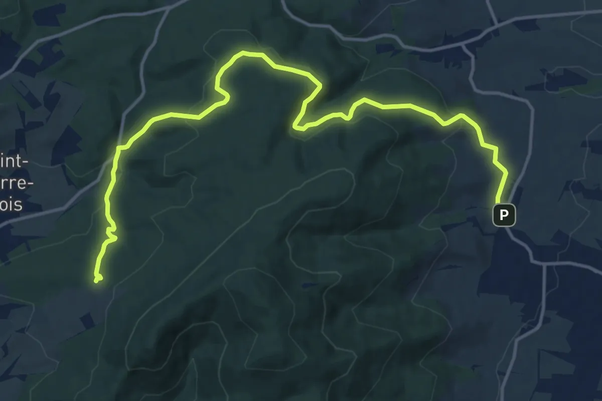
Medium · Trail
Dambach-la-Ville – Scheibenberg
14.6 km · ↑ 534 m · 4 h 36 min
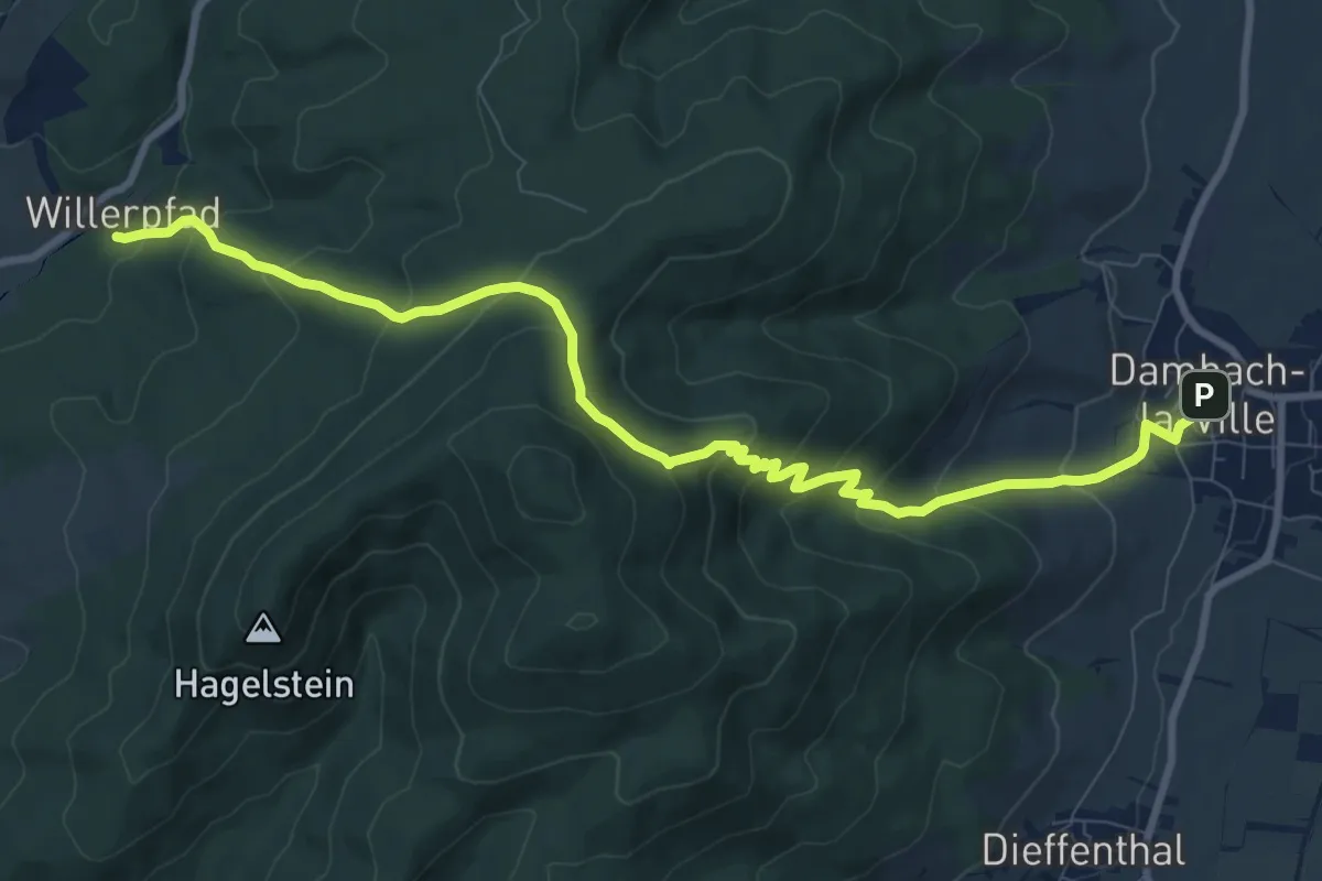
Medium · Trail
Dambach-La-Ville – Willerpfad
10.3 km · ↑ 628 m · 3 h 48 min
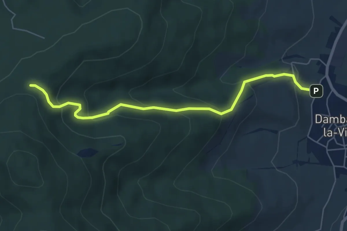
Medium · Trail
Dambach-la-Ville – Kasmarkt
5.1 km · ↑ 329 m · 1 h 55 min
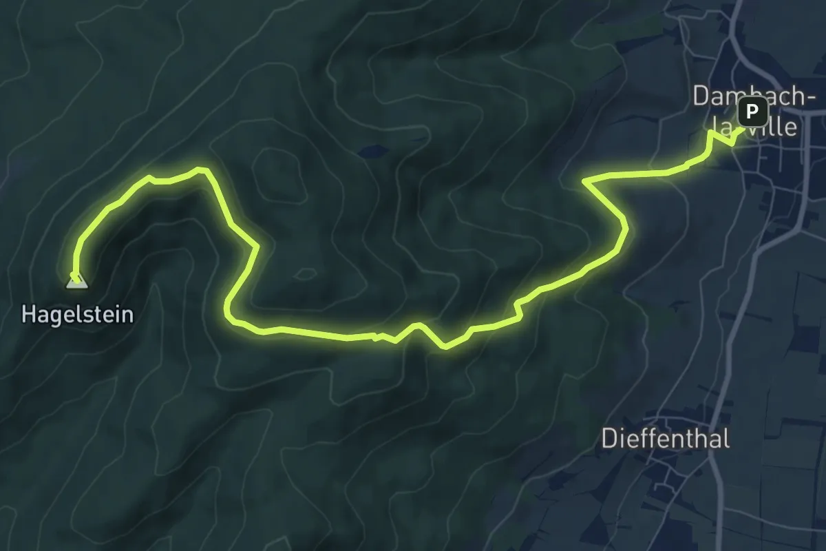
Medium · Summit
Dambach-la-Ville – Taennelkreuz
11.0 km · ↑ 519 m · 3 h 43 min
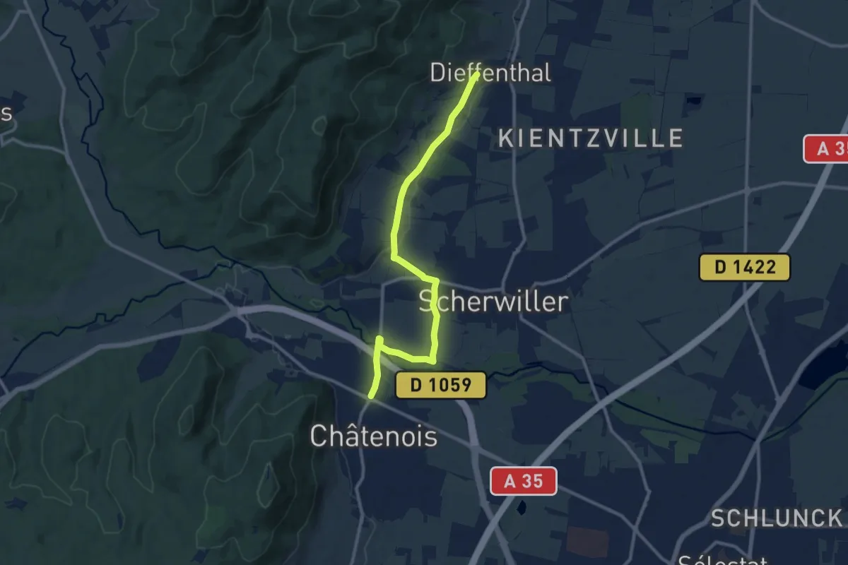
Medium · Trail
Châtenois – Dieffenthal
10.4 km · ↑ 53 m · 2 h 34 min
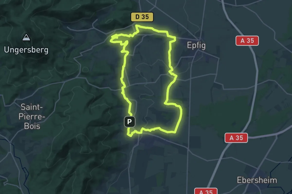
Demanding · Trail
Dambach-la-Ville – Dambach-la-Ville
18.6 km · ↑ 391 m · 5 h 30 min
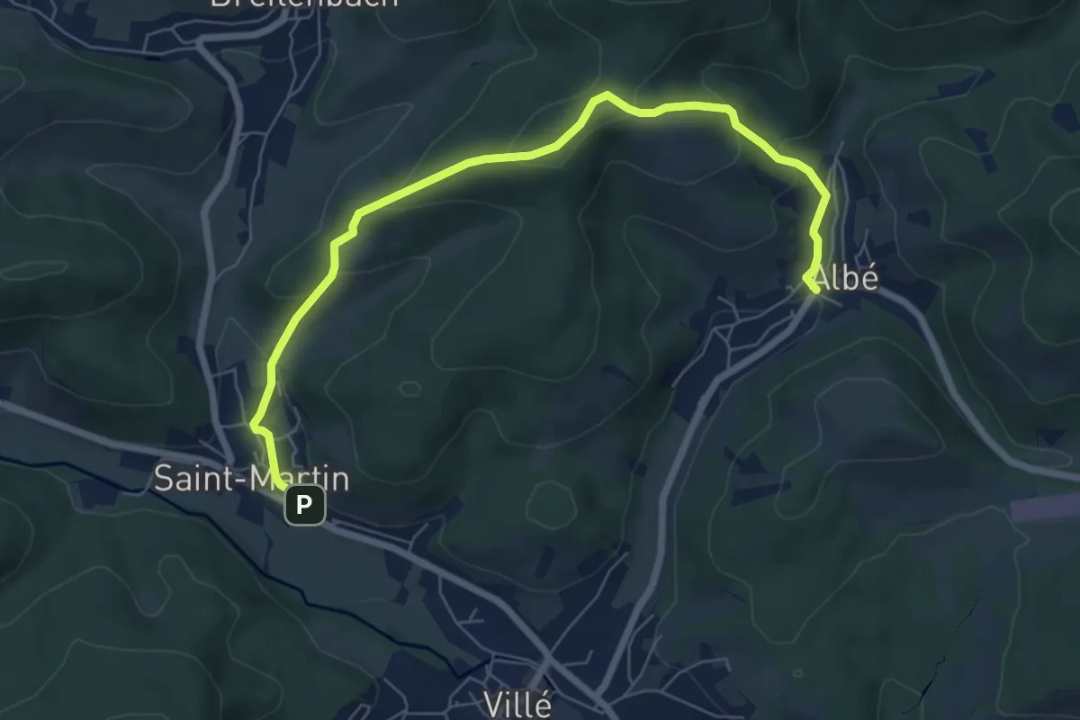
Medium · Trail
Saint-Martin – Albé
7.3 km · ↑ 338 m · 2 h 27 min
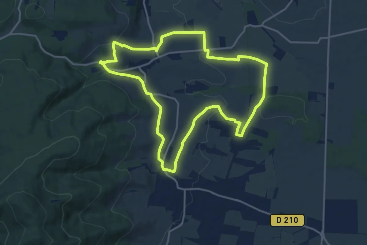
Medium · Trail
Dambach-la-Ville – Dambach-la-Ville
9.9 km · ↑ 164 m · 2 h 50 min
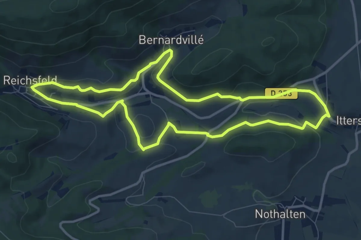
Medium · Trail
Bernardvillé – Bernardvillé
8.2 km · ↑ 181 m · 2 h 26 min