Trails in France
15,926 hiking trails, each with its route, climb, walking time and grade.
All trails, page 324 of 332
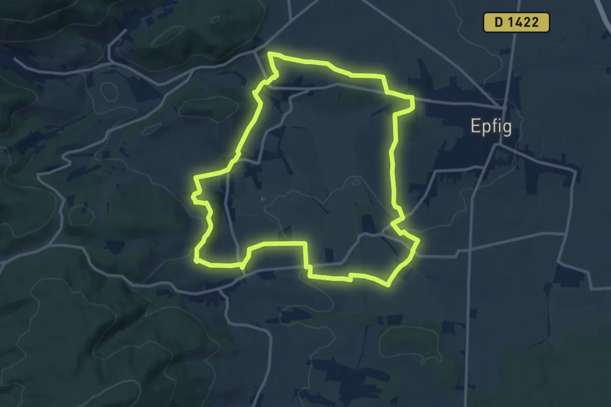
Medium · Trail
Itterswiller – Itterswiller
11.5 km · ↑ 233 m · 3 h 23 min
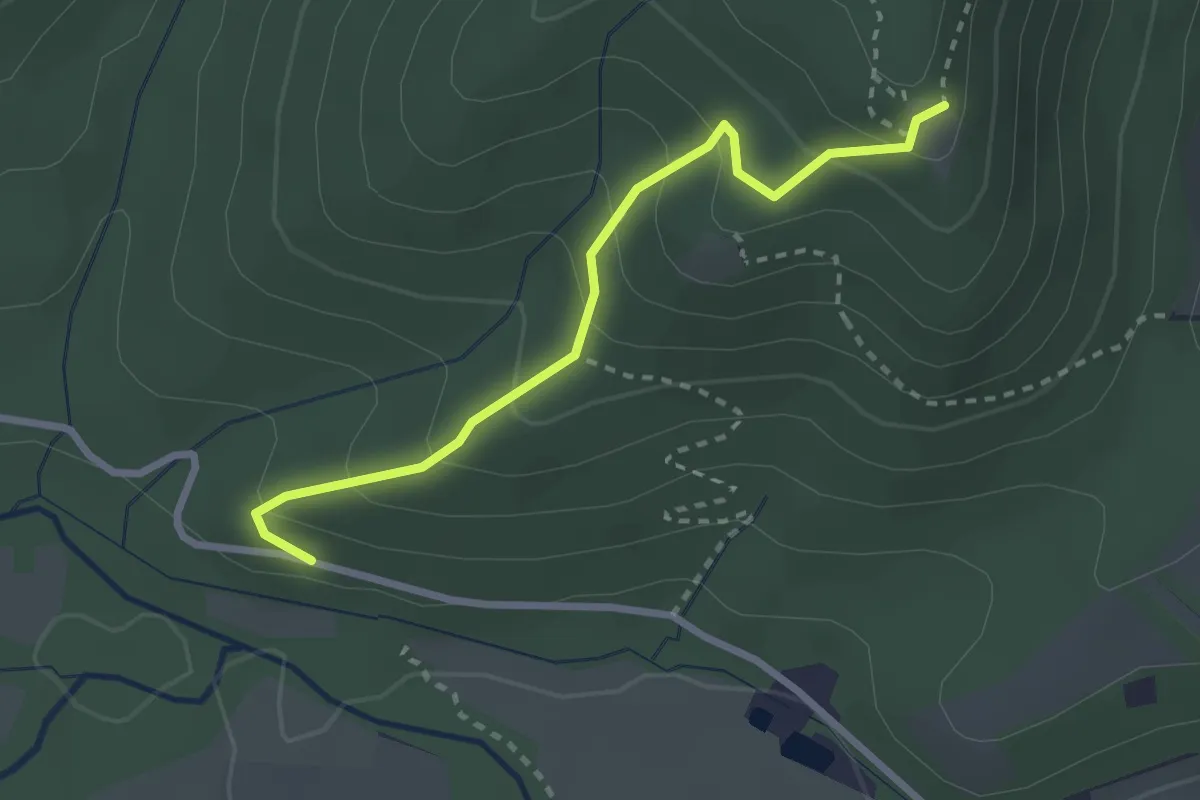
Easy · Trail
Vogelwasen – Château d'Ortenbourg
2.6 km · ↑ 193 m · 1 h 1 min
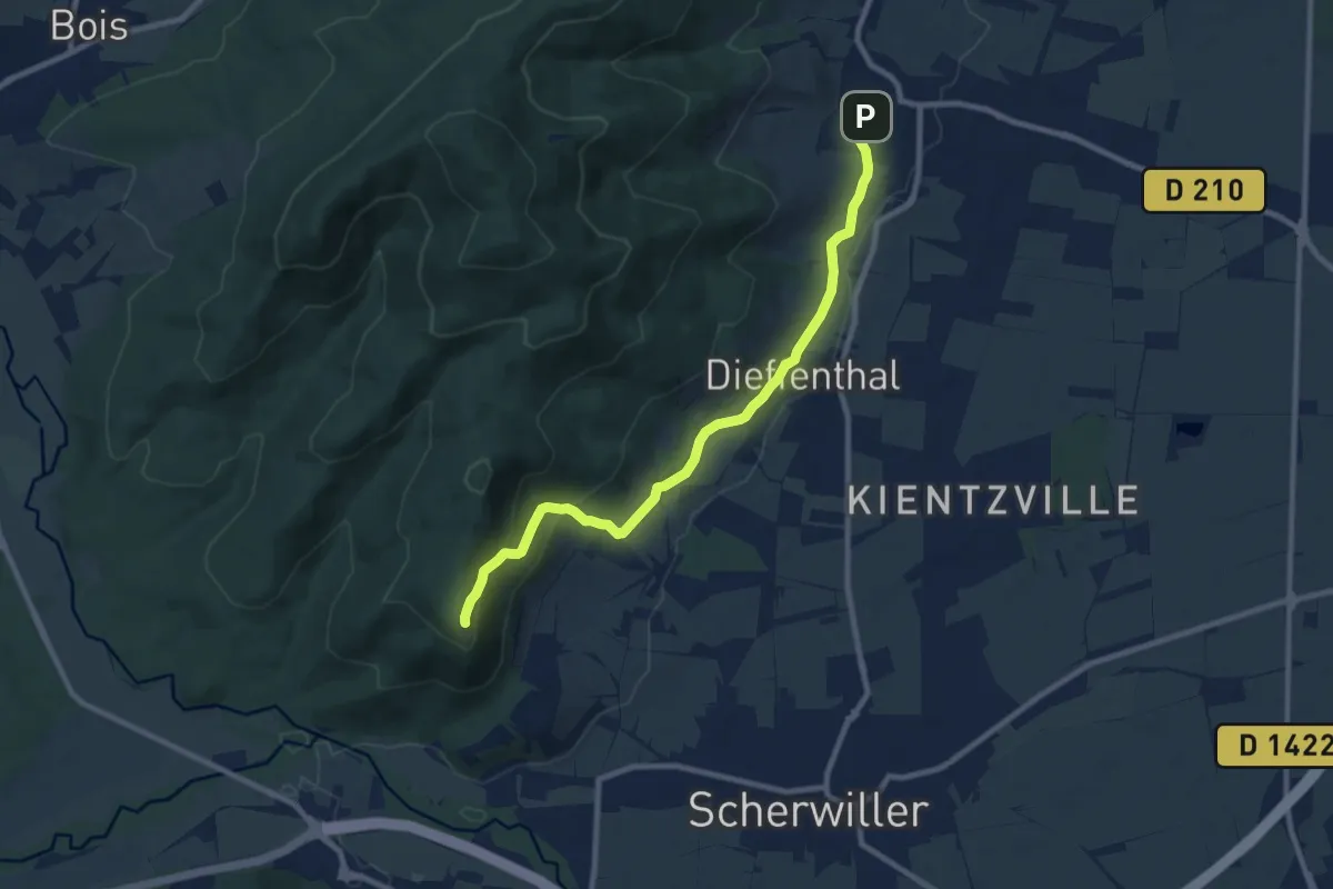
Medium · Trail
Dambach-la-Ville – Château d'Otenbourg
9.1 km · ↑ 270 m · 2 h 43 min
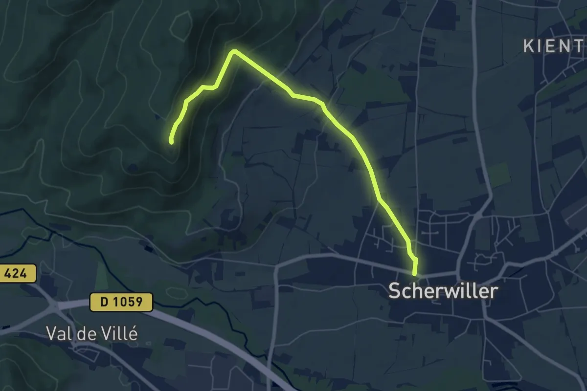
Medium · Trail
Scherwiller – Château d'Ortenbourg
6.3 km · ↑ 253 m · 2 h 2 min
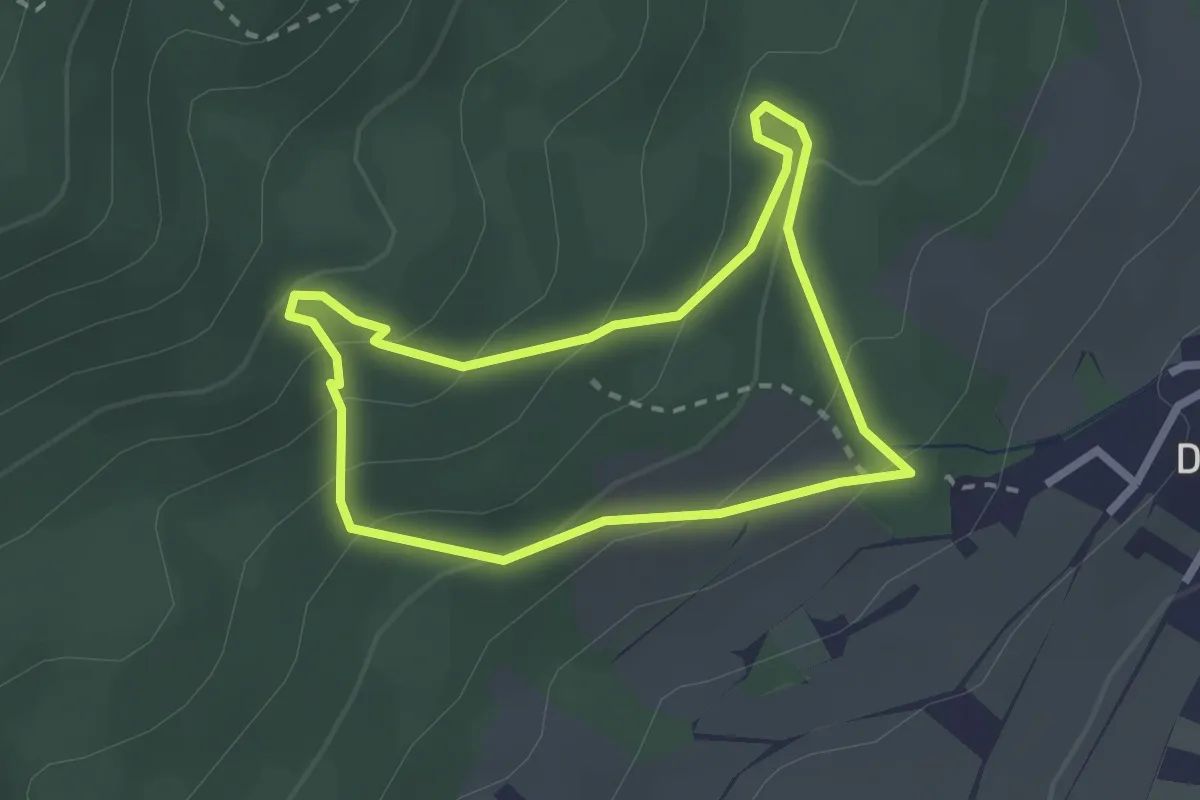
Easy · Trail
Dieffenbach – Dieffenbach
2.1 km · ↑ 159 m · 52 min
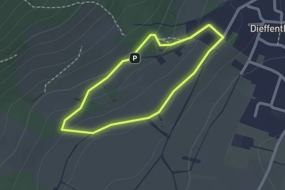
Easy · Trail
Dieffenbach – Dieffenbach
1.2 km · ↑ 28 m · 22 min
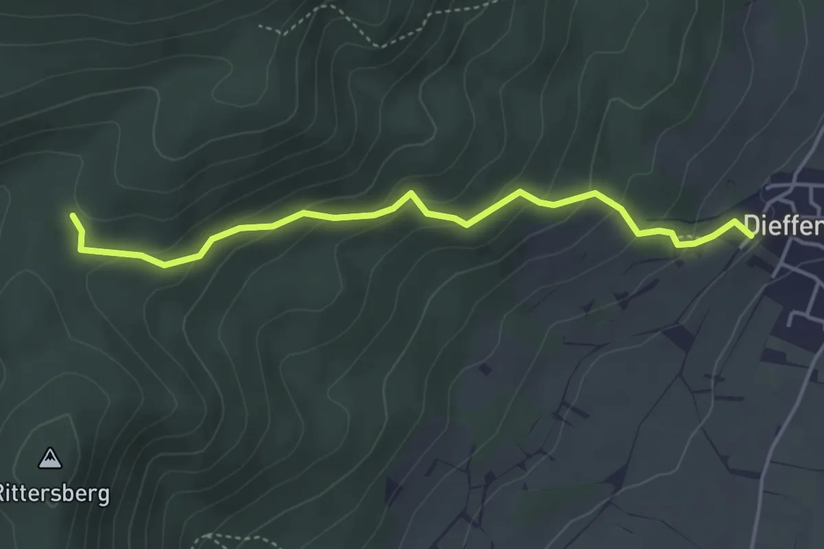
Easy · Trail
Dieffenbach – GR5
4.0 km · ↑ 235 m · 1 h 27 min
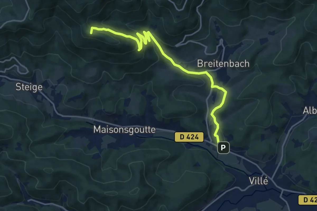
Medium · Summit
Saint-Martin – Col de la Charbonnière
13.3 km · ↑ 585 m · 4 h 24 min
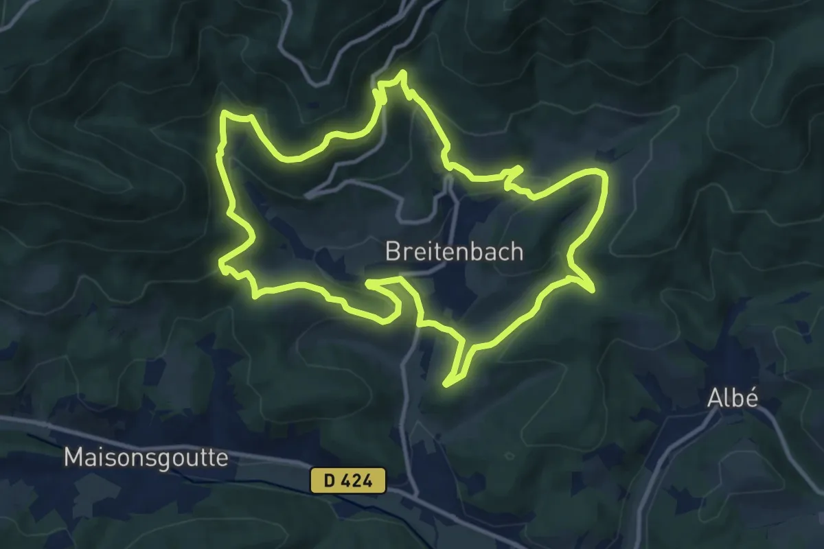
Medium · Trail
Breitenbach – Breitenbach
11.1 km · ↑ 483 m · 3 h 50 min
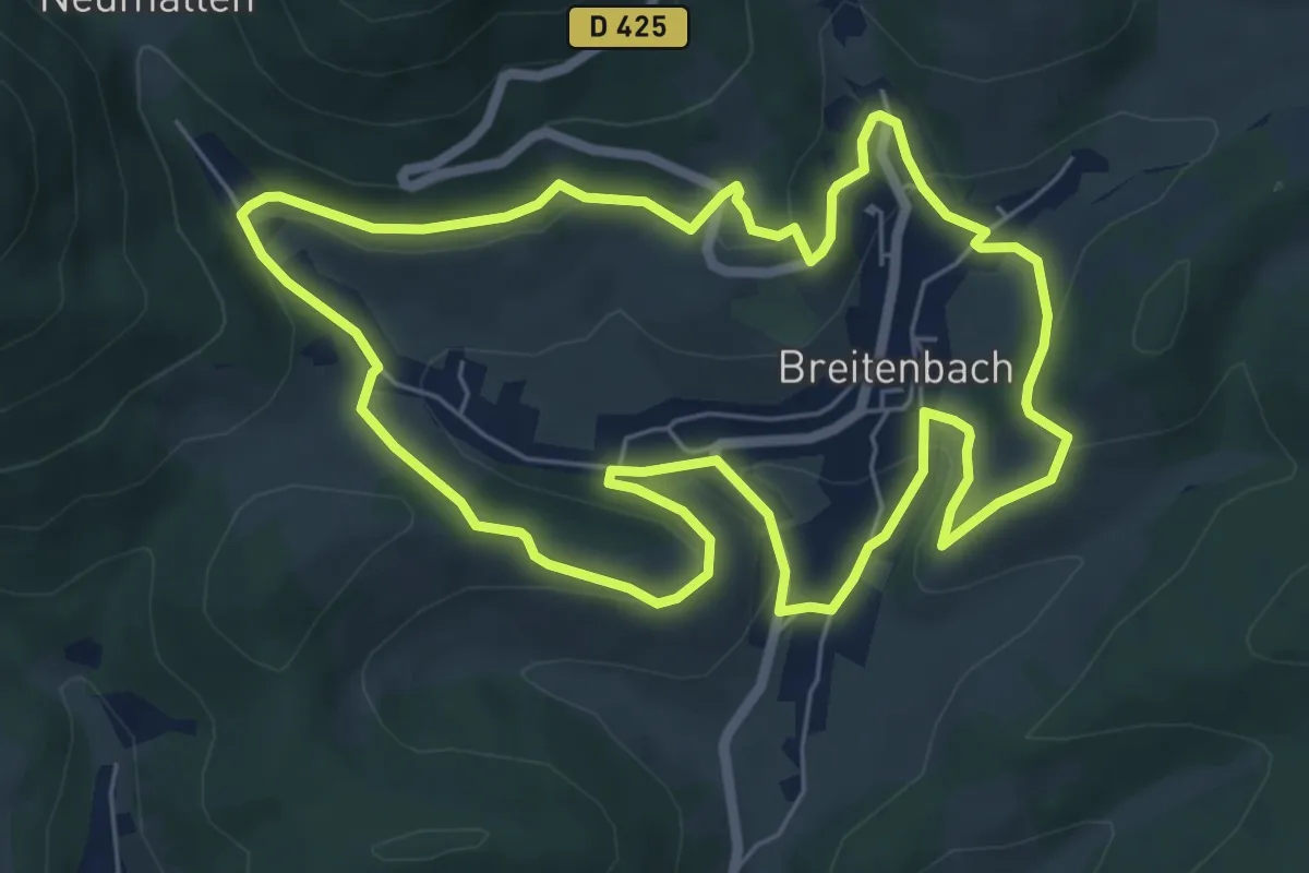
Easy · Trail
Breitenbach – Breitenbach
6.4 km · ↑ 223 m · 2 h 6 min
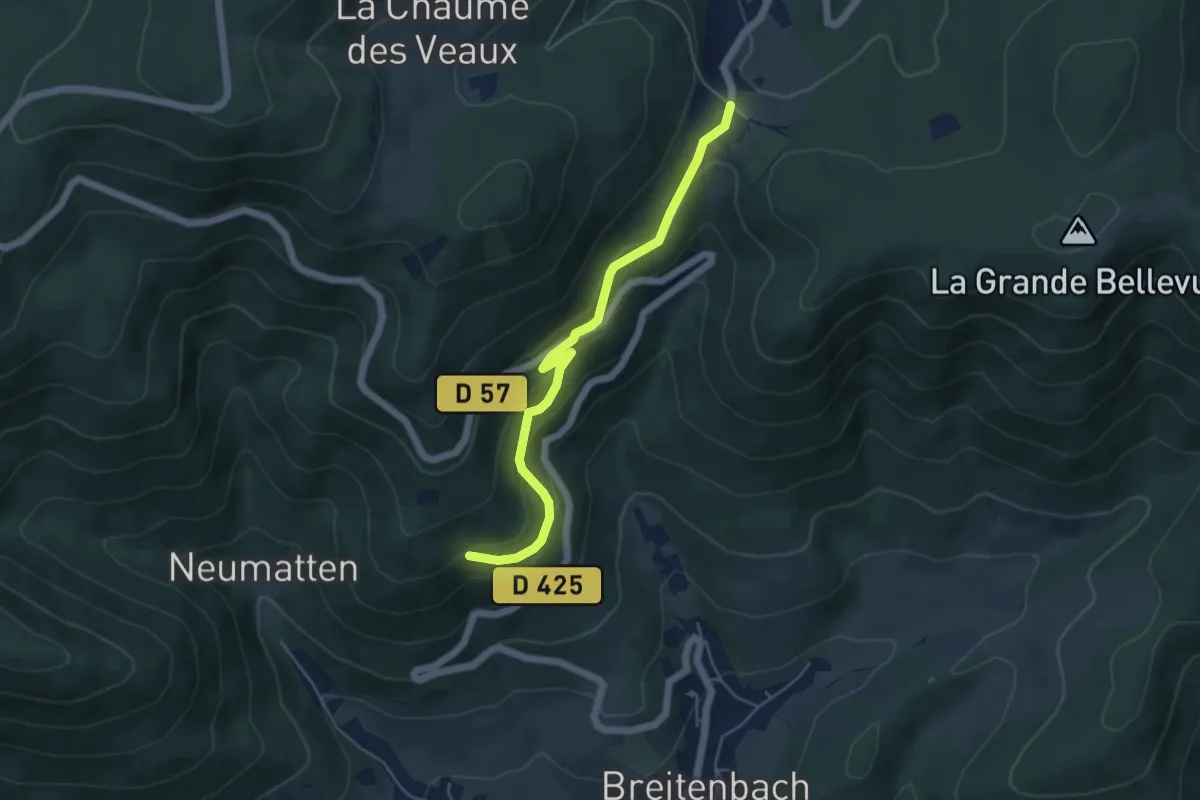
Easy · Trail
Col du Kreuzweg – Bolchberg
4.7 km · ↑ 236 m · 1 h 38 min
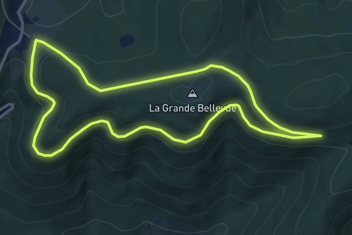
Easy · Trail
Col du Kreuzweg – Col du Kreuzweg
5.8 km · ↑ 152 m · 1 h 47 min
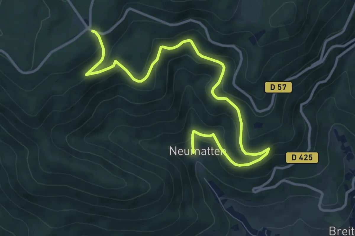
Medium · Trail
Neumatten – Col de la Charbonnière
9.5 km · ↑ 501 m · 3 h 20 min
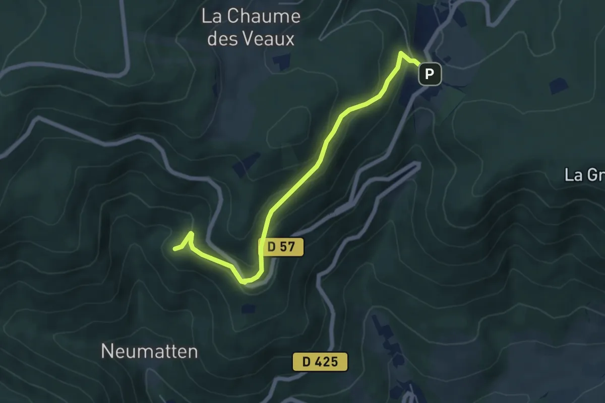
Medium · Trail
Col du Kreuzweg – Tannhütte
5.2 km · ↑ 338 m · 1 h 57 min
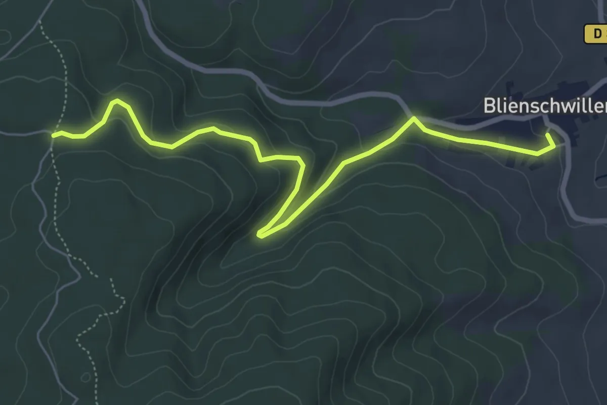
Easy · Trail
Blienschwiller – Abri Teufelsloch
6.2 km · ↑ 225 m · 1 h 57 min
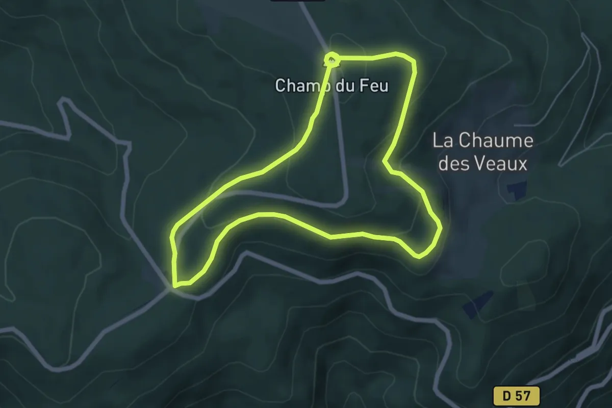
Medium · Summit
Col de la Charbonnière – Col de la Charbonnière
5.0 km · ↑ 172 m · 1 h 38 min
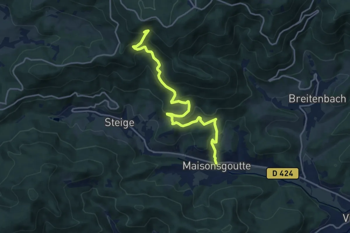
Medium · Trail
Maisonsgoutte – GR 531
12.2 km · ↑ 747 m · 4 h 30 min
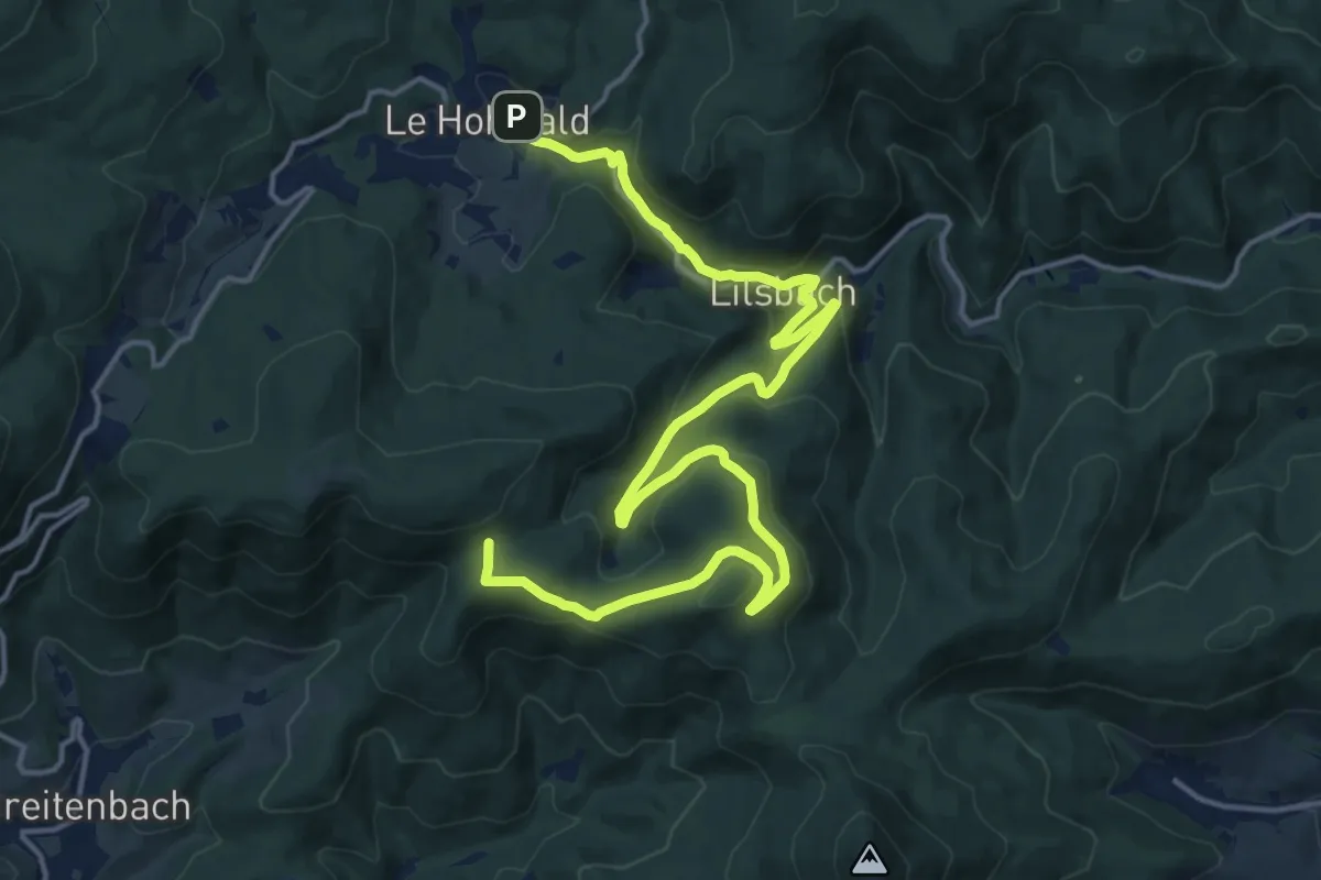
Demanding · Trail
Le Hohwald – Col de Bellevue
20.2 km · ↑ 765 m · 6 h 26 min
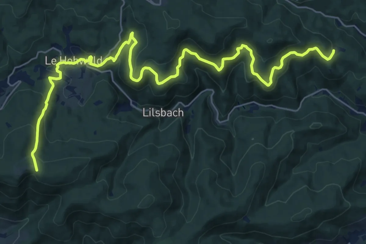
Demanding · Trail
Langfeld – Hungerplatz
25.1 km · ↑ 873 m · 7 h 49 min
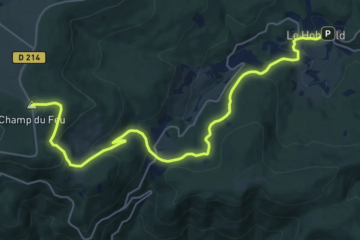
Medium · Summit
Le Hohwald – Le Champ du Feu
15.2 km · ↑ 571 m · 4 h 50 min
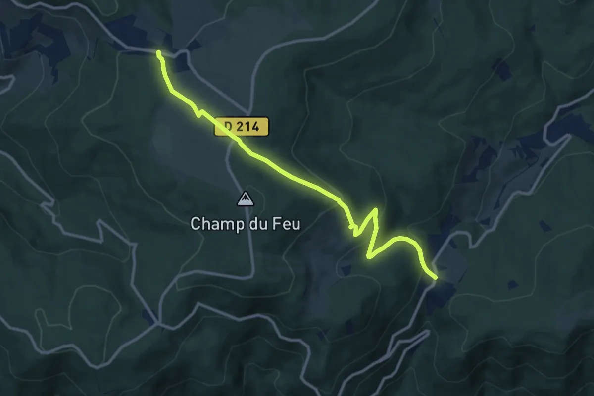
Medium · Trail
Le Champ du Feu – Col du Kreuzweg
9.2 km · ↑ 373 m · 2 h 59 min
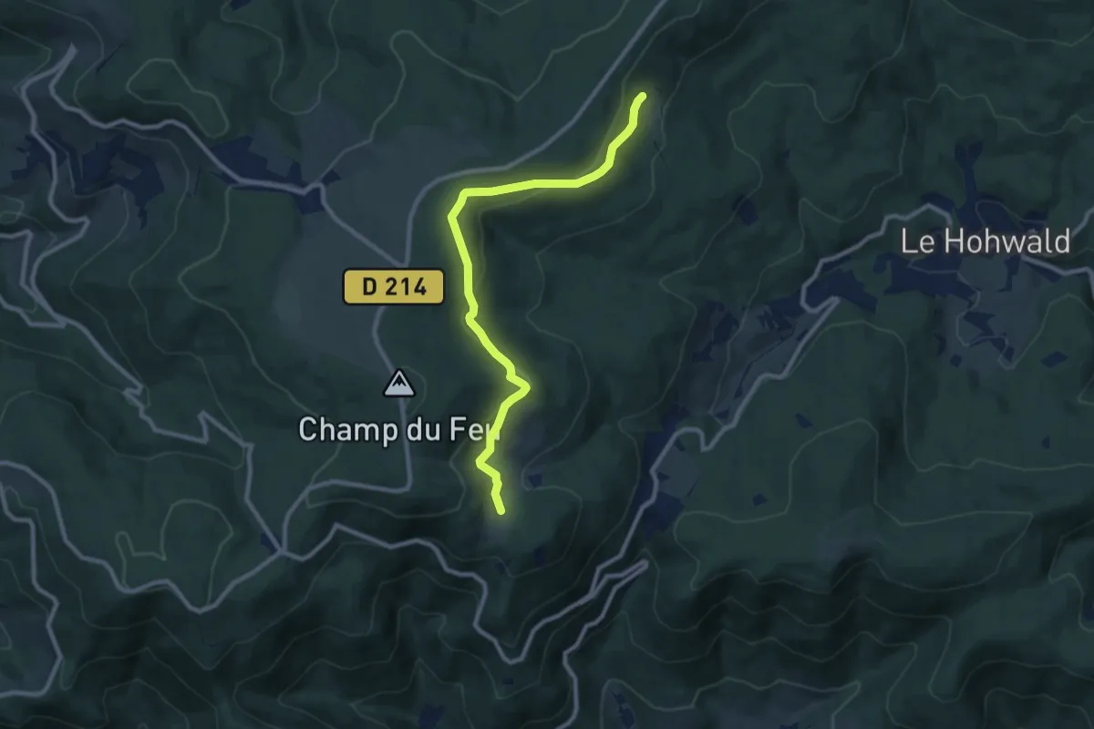
Medium · Trail
Kaelberhutte – La Vieille Métairie
8.9 km · ↑ 304 m · 2 h 45 min
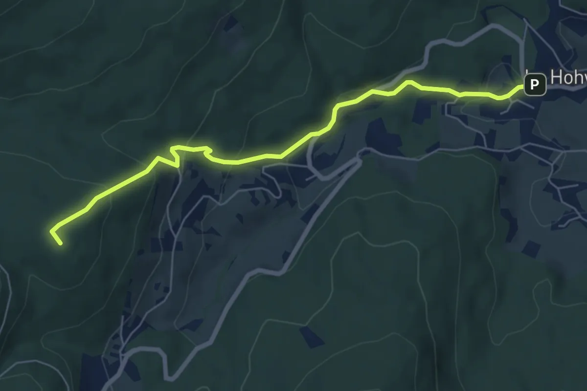
Medium · Summit
Le Hohwald – La Chaume des Veaux
6.0 km · ↑ 334 m · 2 h 9 min
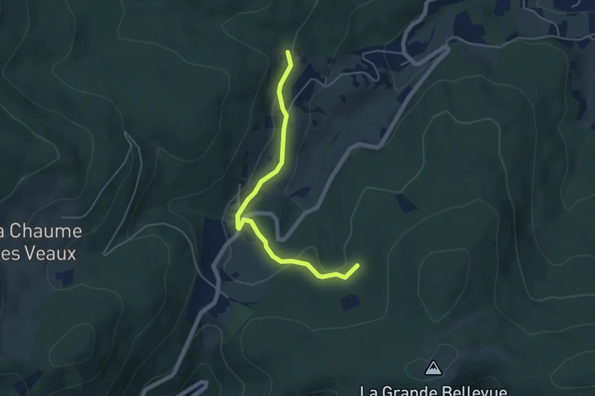
Easy · Trail
Buchbuckel – Cascade de l'Andlau
4.1 km · ↑ 98 m · 1 h 10 min
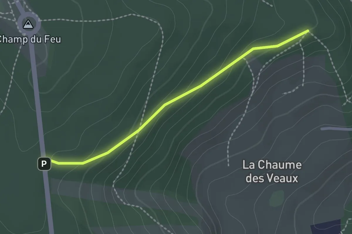
Easy · Trail
D 214 – Chaume des Veaux
2.0 km · ↑ 71 m · 38 min
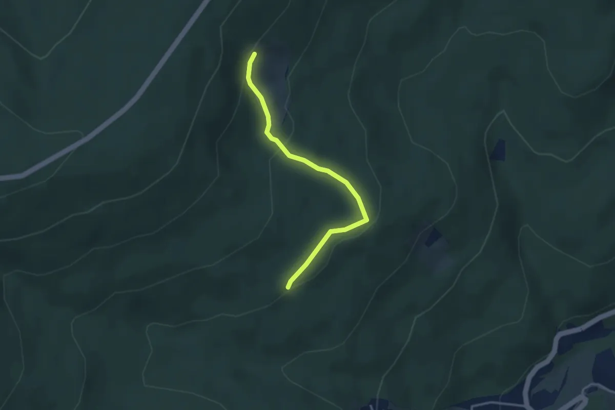
Easy · Trail
GR5 – GR5
2.8 km · ↑ 91 m · 52 min
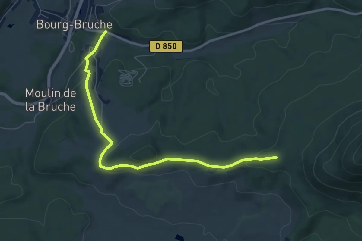
Easy · Trail
Bourg-Bruch – La Schlague
7.0 km · ↑ 186 m · 2 h 4 min
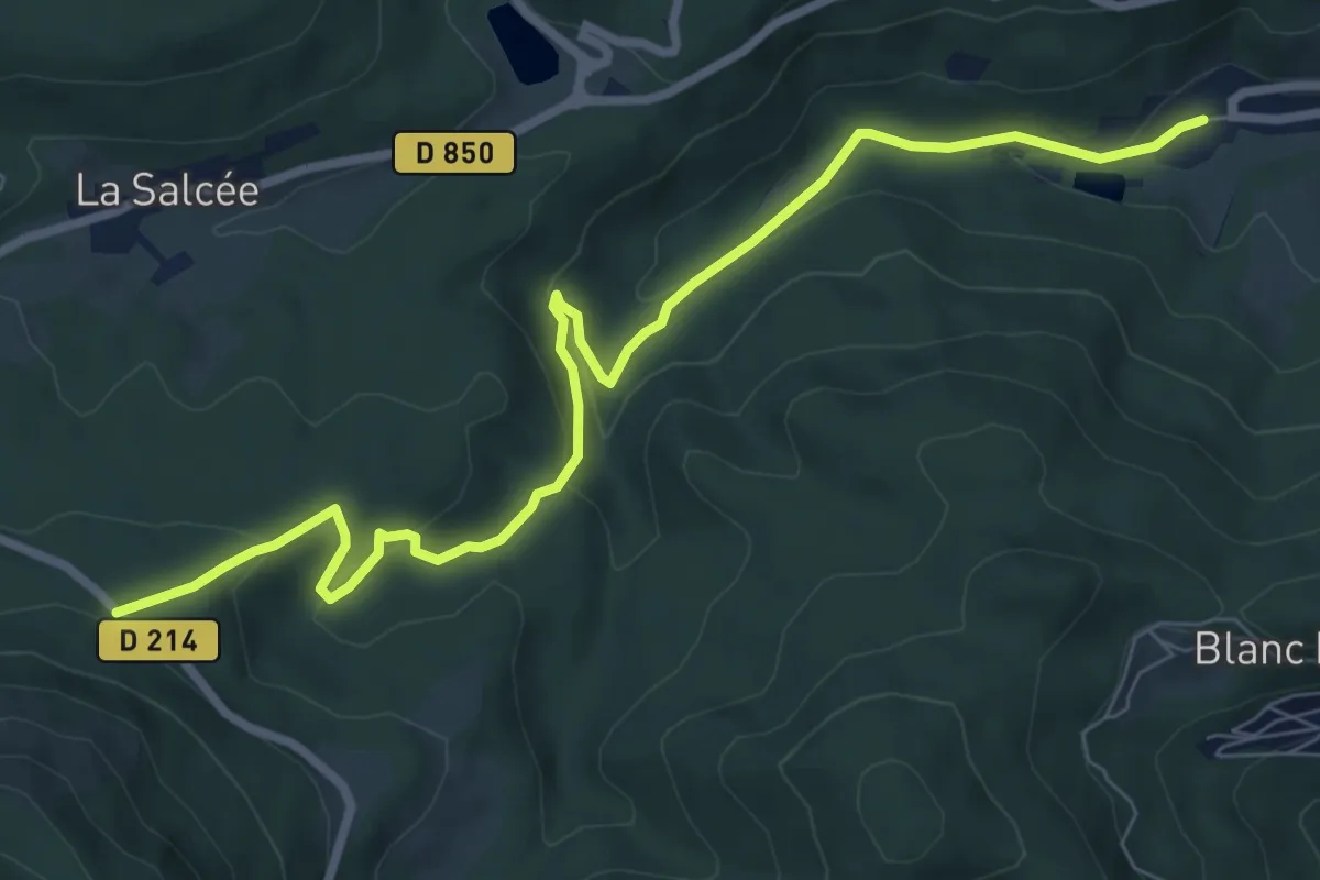
Medium · Trail
D 214 – Haut de Steige
8.6 km · ↑ 341 m · 2 h 47 min
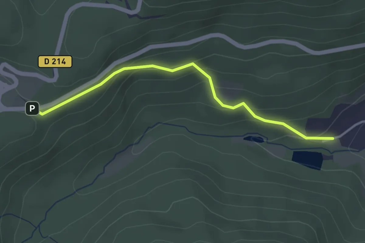
Easy · Trail
Haut de Steige – Col de Steige
3.0 km · ↑ 179 m · 1 h 6 min
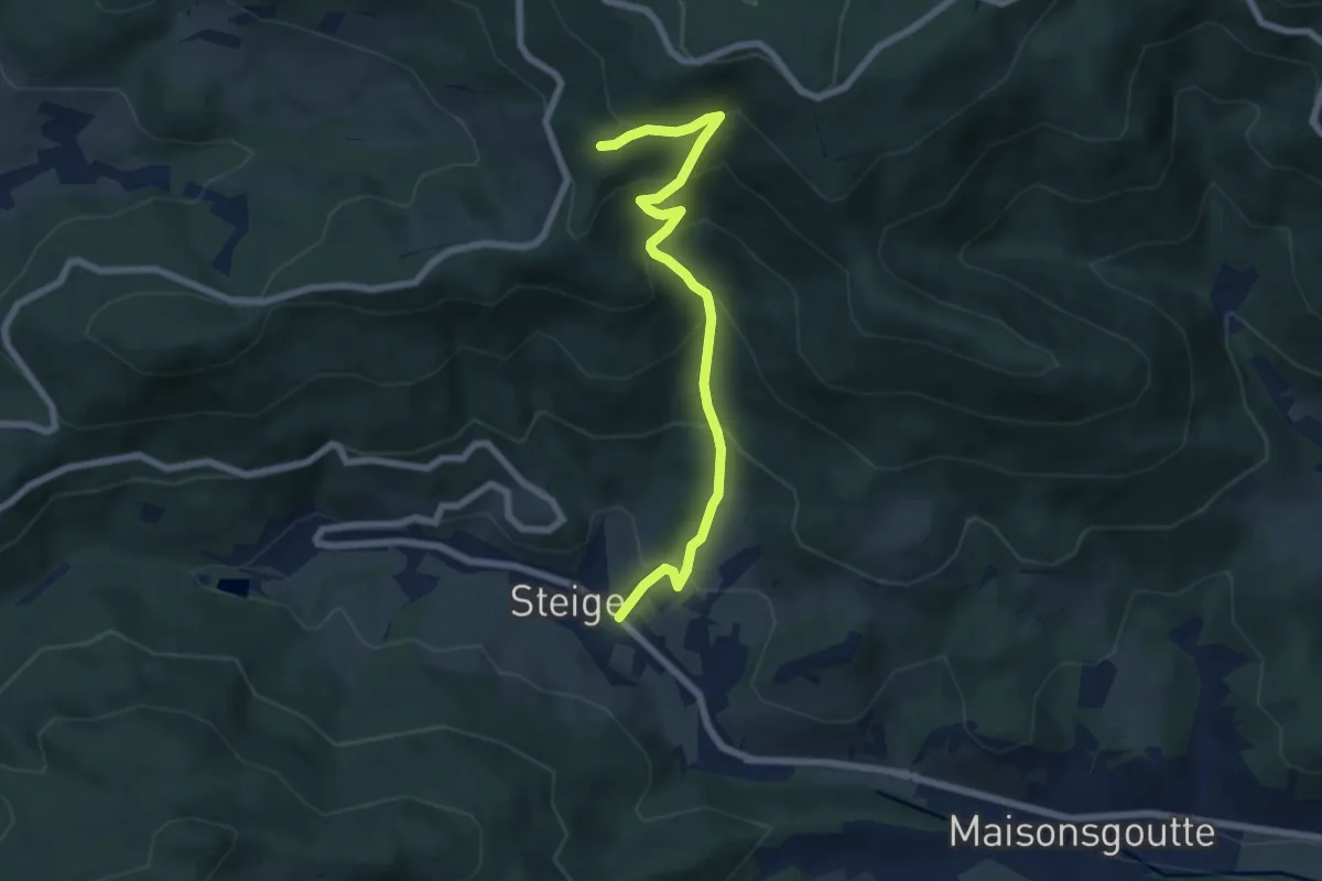
Medium · Trail
Steige – La Grande Goutte
6.6 km · ↑ 581 m · 2 h 49 min
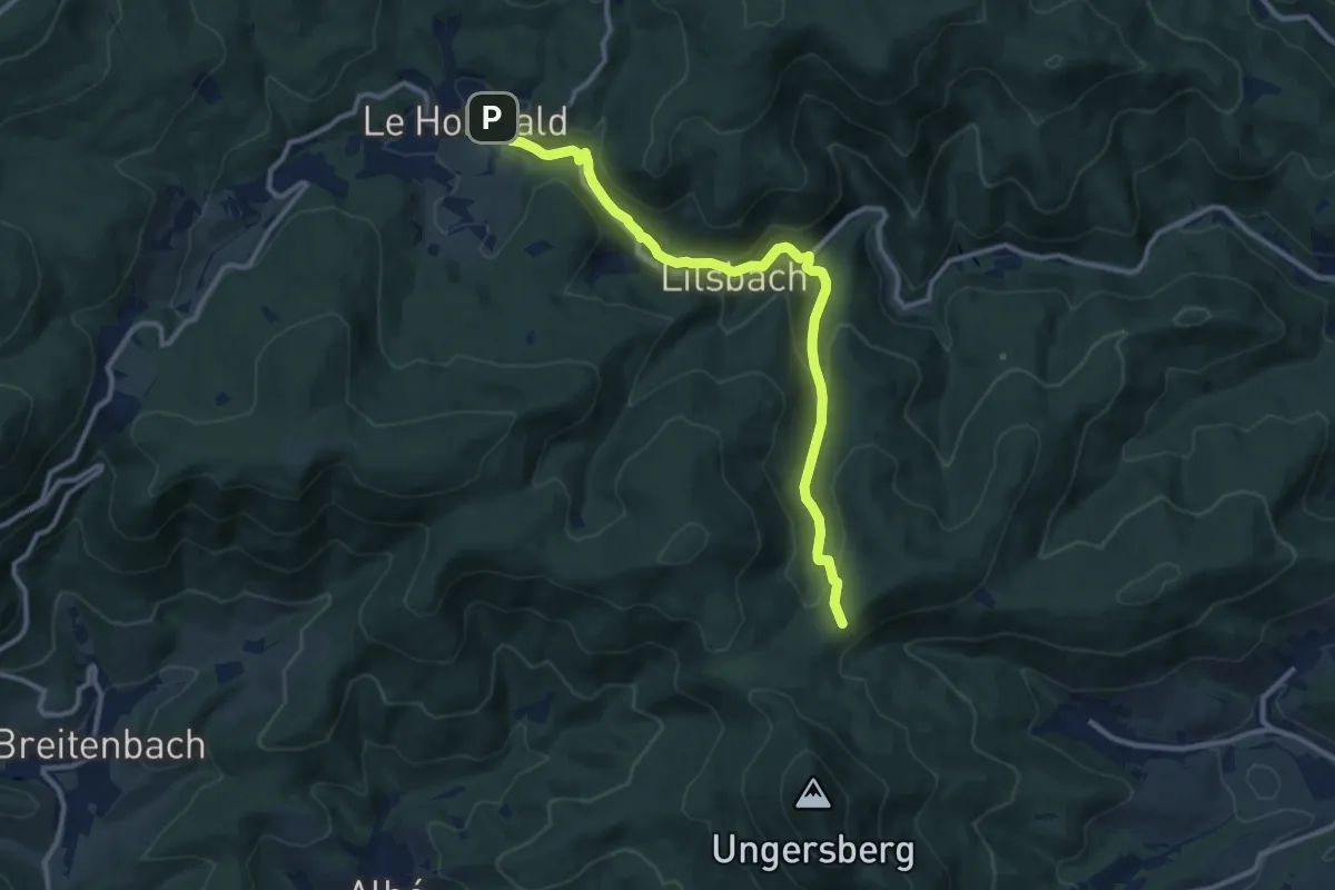
Medium · Trail
Le Hohwald – GR 5
11.2 km · ↑ 404 m · 3 h 31 min
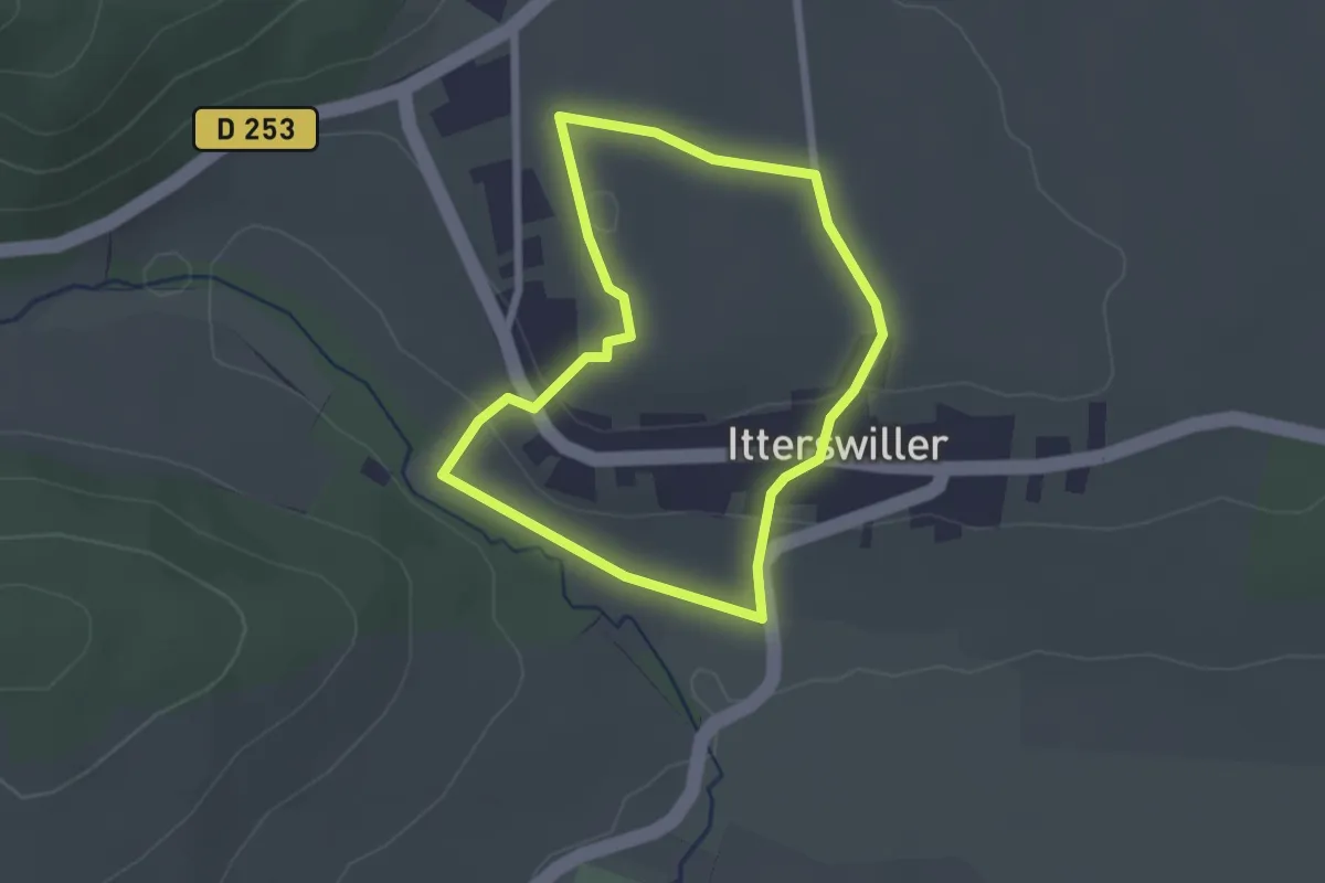
Easy · Trail
Itterswiller – Itterswiller
2.0 km · ↑ 46 m · 36 min
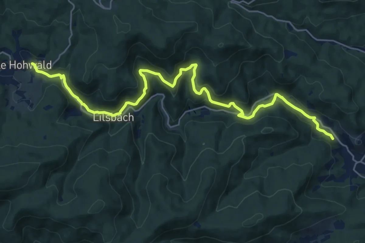
Demanding · Trail
Andlau – Le Hohwald
19.5 km · ↑ 749 m · 6 h 13 min
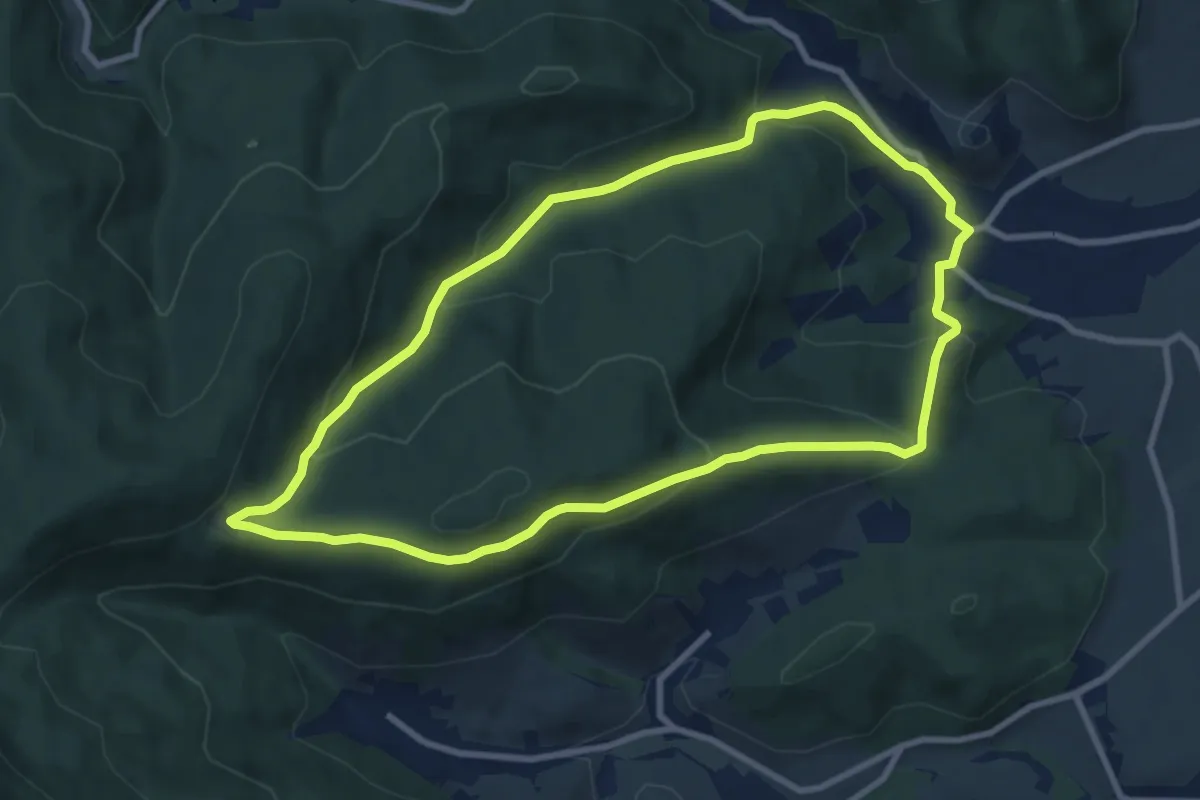
Medium · Trail
Andlau – Andlau
8.4 km · ↑ 364 m · 2 h 54 min
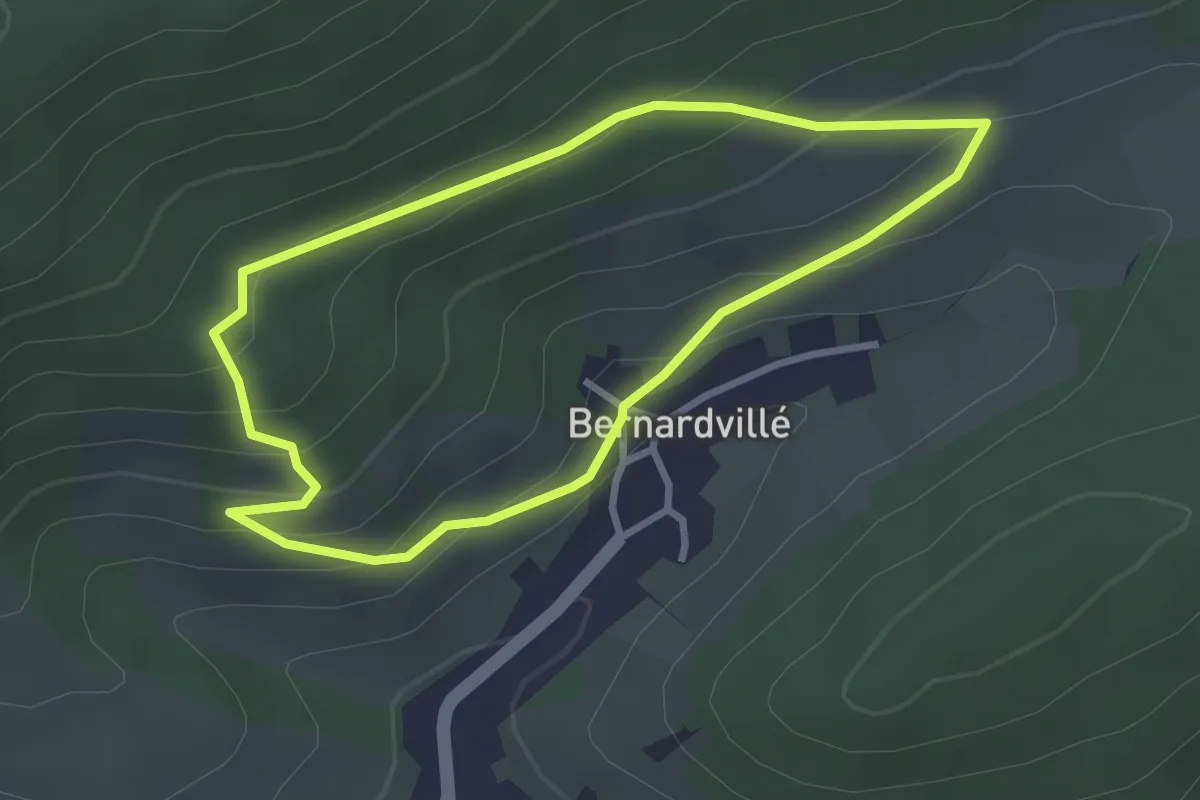
Easy · Trail
Bernardvillé – Bernardvillé
2.7 km · ↑ 140 m · 58 min
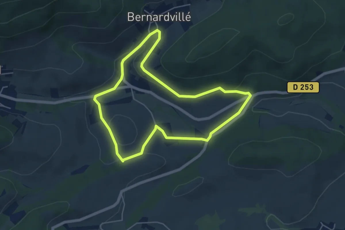
Easy · Trail
Bernardvillé – Bernardvillé
4.1 km · ↑ 89 m · 1 h 13 min
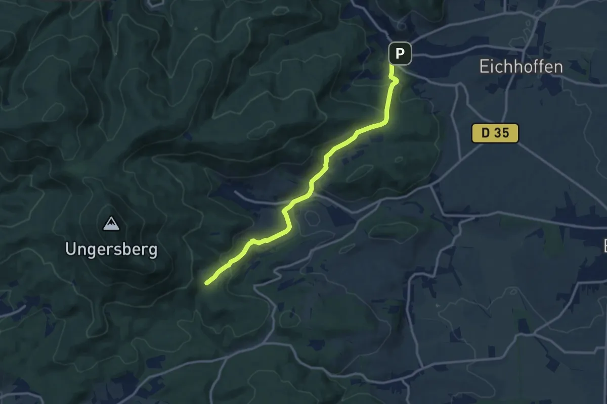
Medium · Trail
Andlau – GR 5
10.6 km · ↑ 442 m · 3 h 27 min
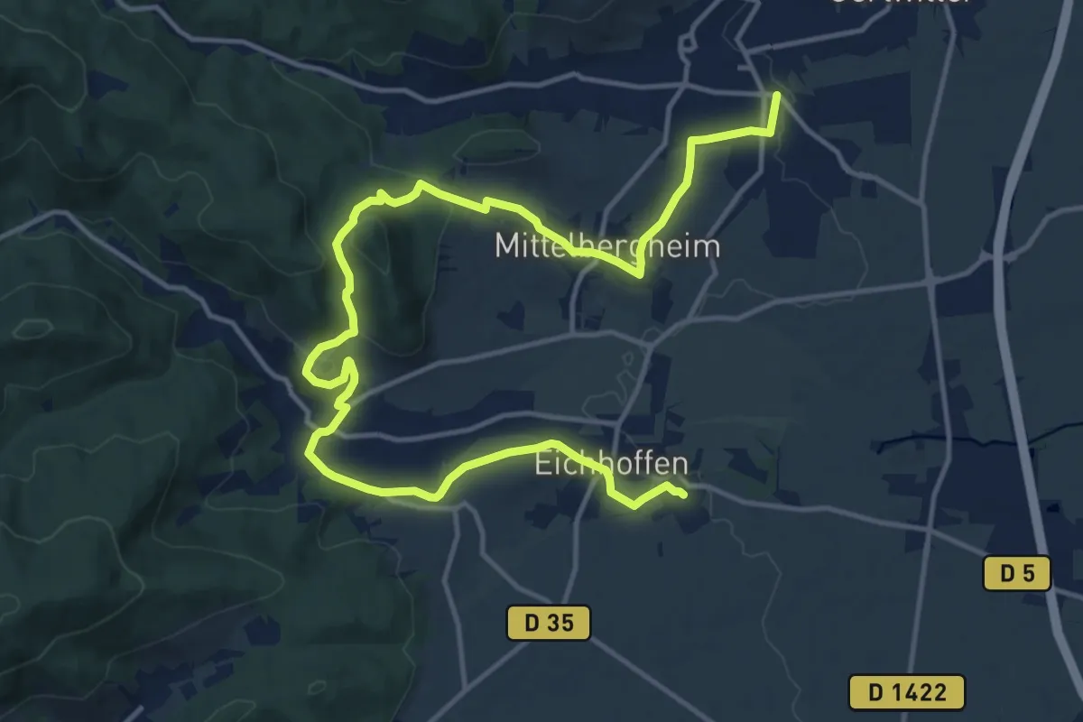
Demanding · Trail
Eichoffen – Barr
18.2 km · ↑ 441 m · 5 h 15 min
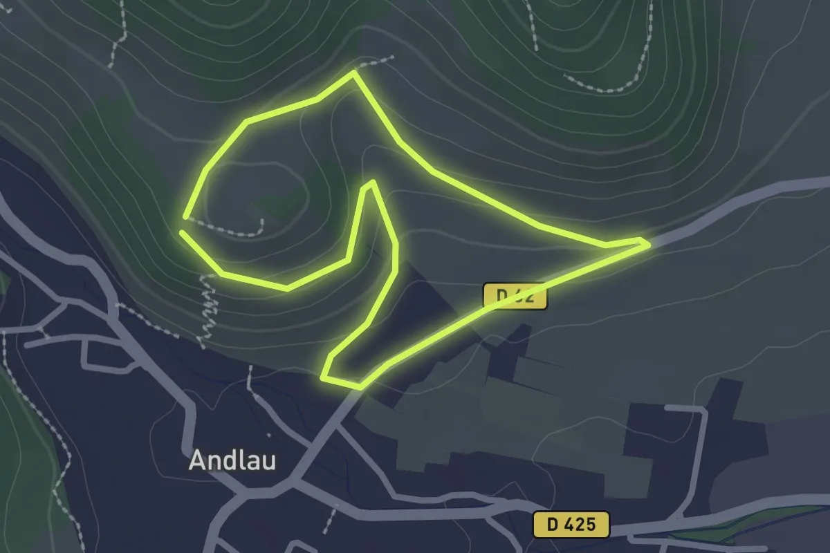
Easy · Trail
Andlau – Andlau
2.1 km · ↑ 62 m · 40 min
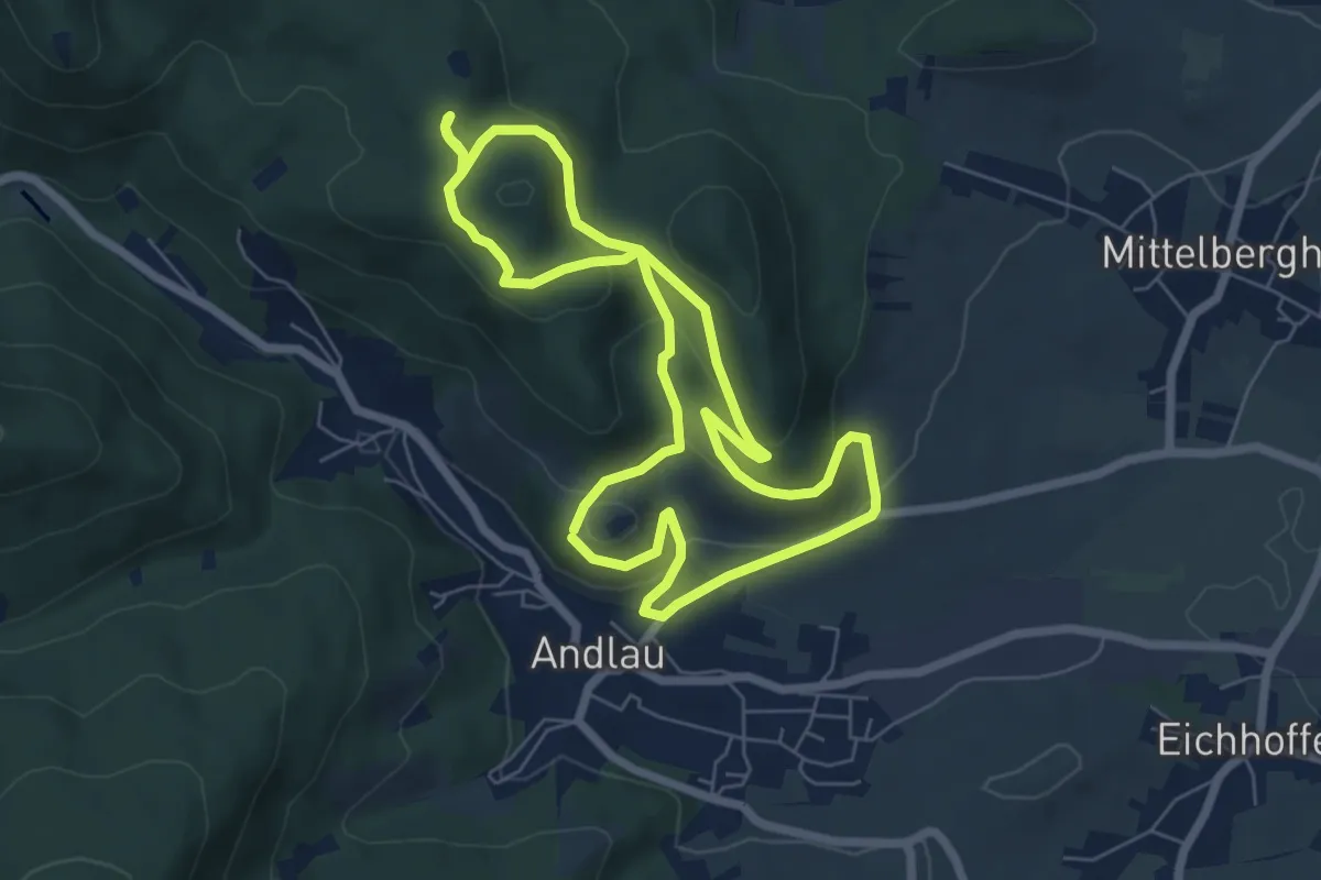
Easy · Summit
Andlau – Andlau
6.2 km · ↑ 234 m · 2 h 3 min
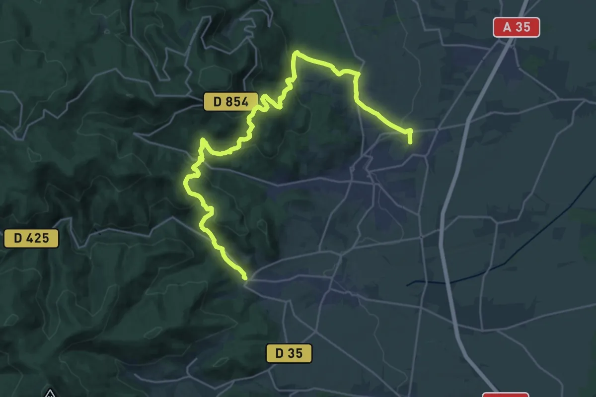
Medium · Trail
Gertwiller – Andlau
13.1 km · ↑ 580 m · 4 h 31 min
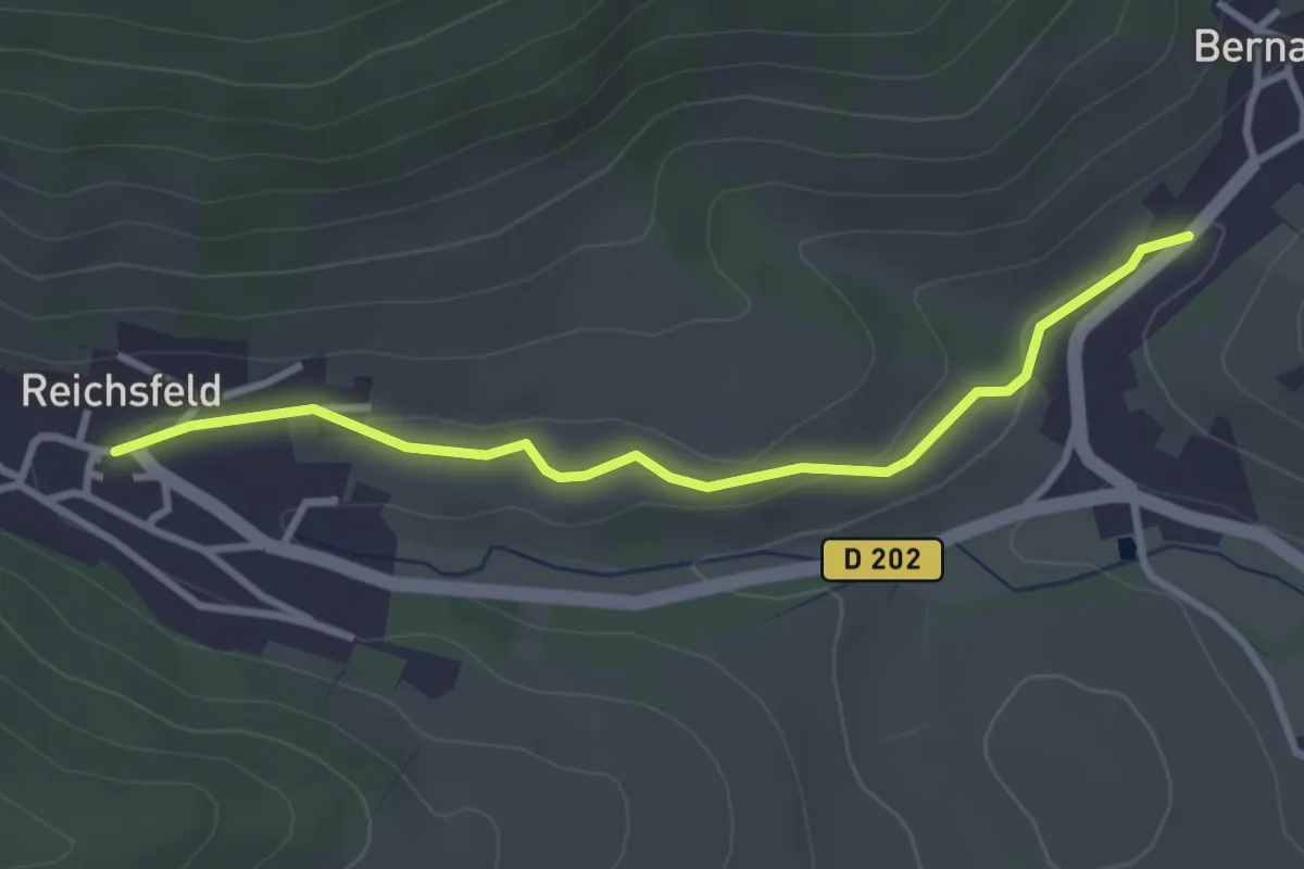
Easy · Trail
Bernardwillé – Reichsfeld
3.0 km · ↑ 52 m · 50 min
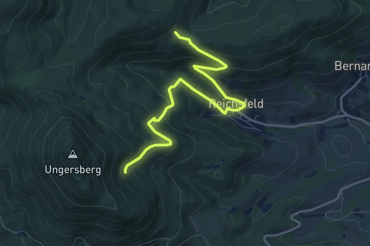
Medium · Cabin
Refuge Gruckert – GR 5
9.1 km · ↑ 526 m · 3 h 17 min
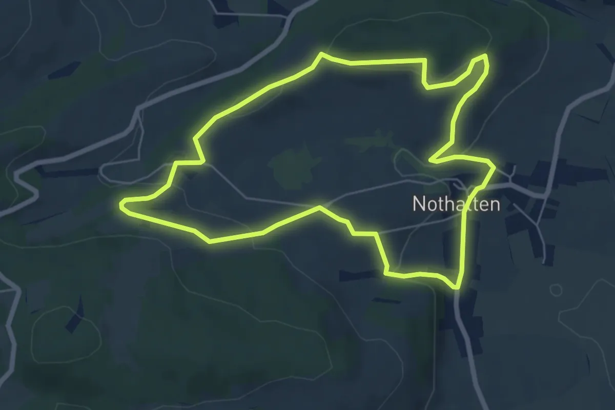
Easy · Trail
Nothalten – Nothalten
5.5 km · ↑ 162 m · 1 h 44 min
Easy · Trail
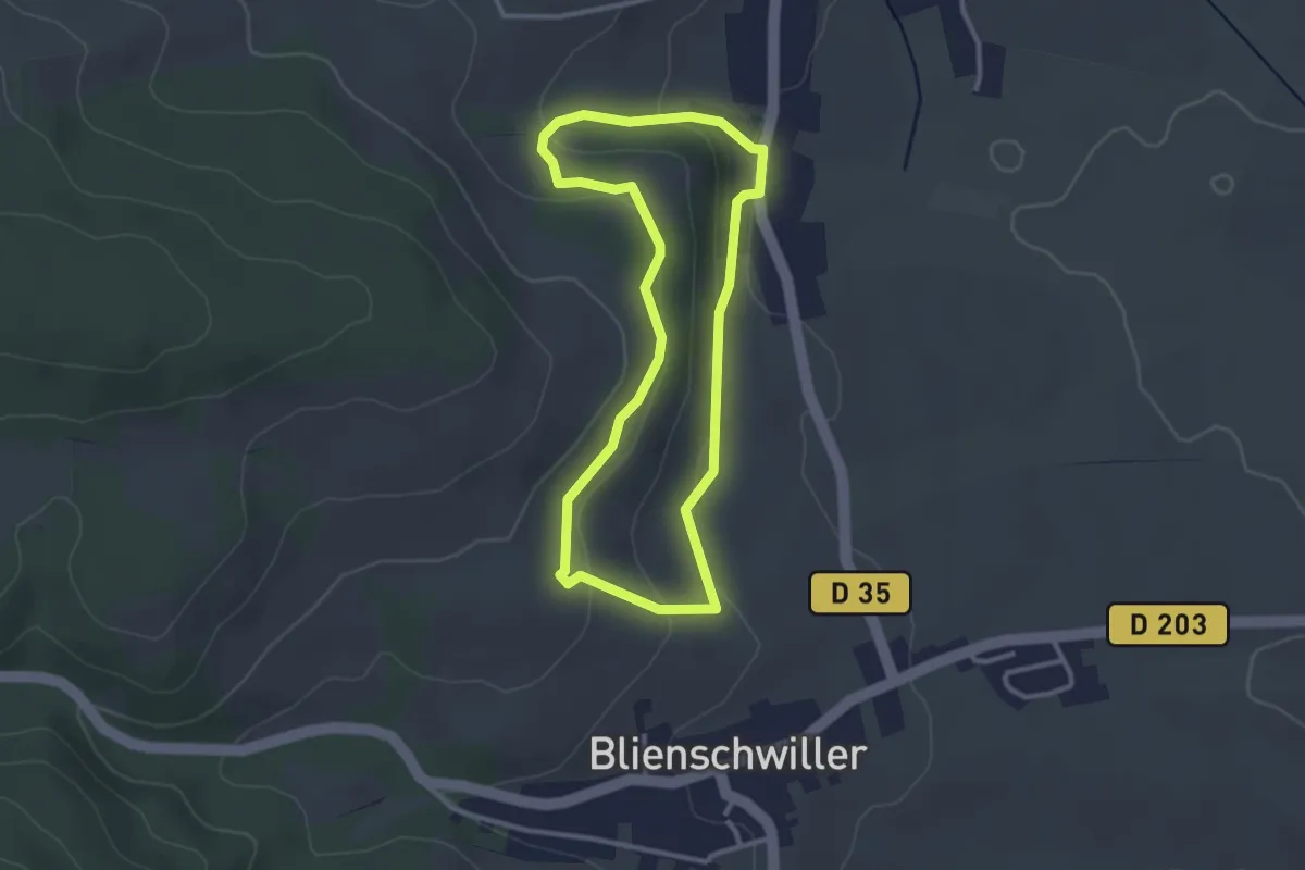
Nothalten – Nothalten
2.7 km · ↑ 86 m · 51 min
Easy · Trail
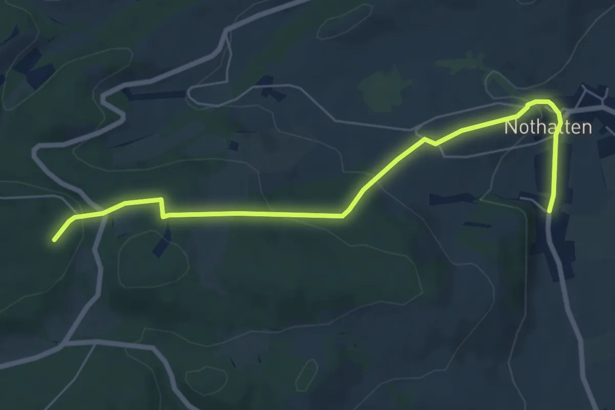
Nothalten – GR 5
6.1 km · ↑ 210 m · 1 h 54 min
Easy · Trail
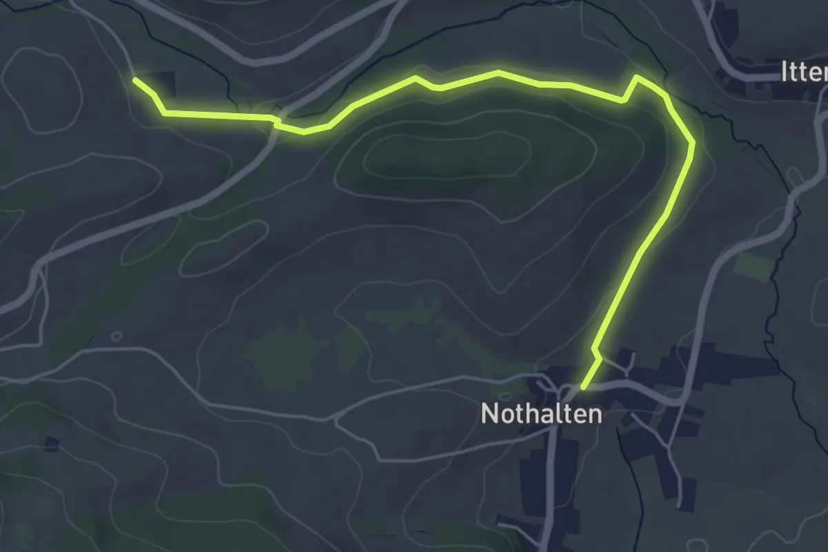
Zell – Ancienne abbaye de Baumgarten
5.3 km · ↑ 109 m · 1 h 30 min
Easy · Trail
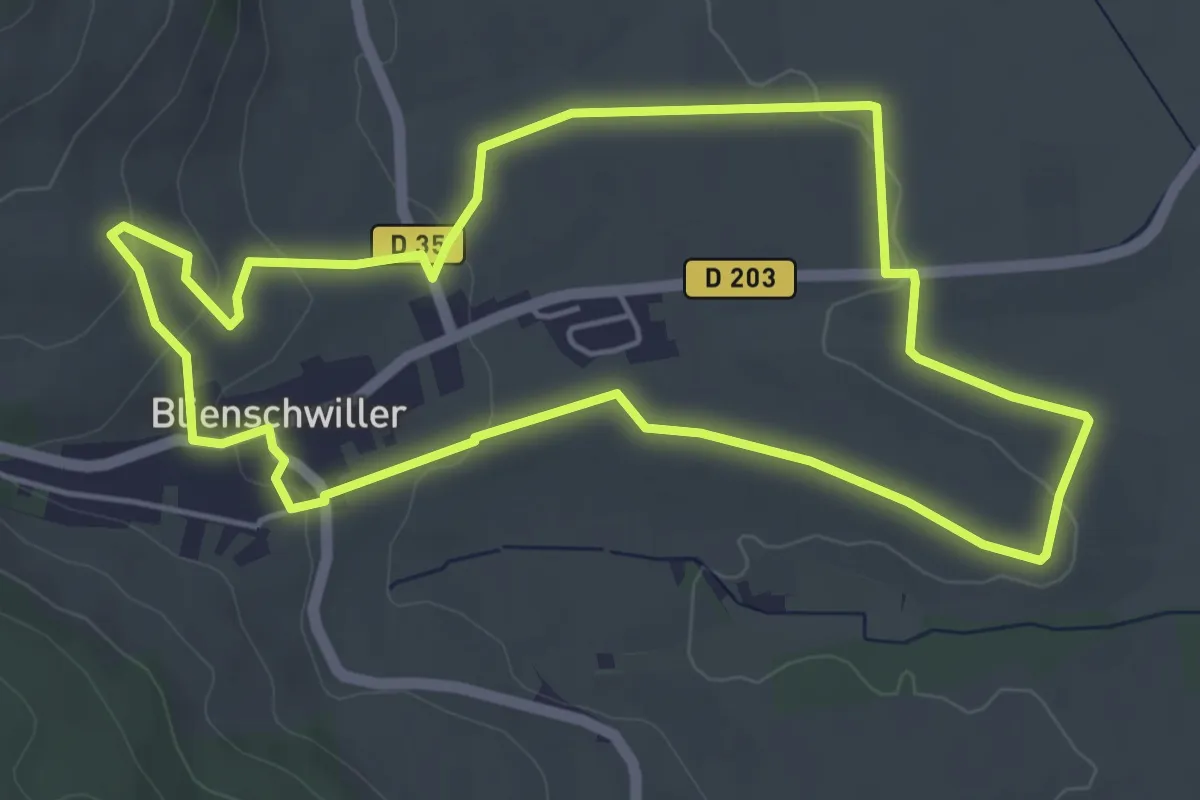
Blienschwiller – Blienschwiller
4.9 km · ↑ 110 m · 1 h 28 min