Trails in France
15,926 hiking trails, each with its route, climb, walking time and grade.
All trails, page 325 of 332
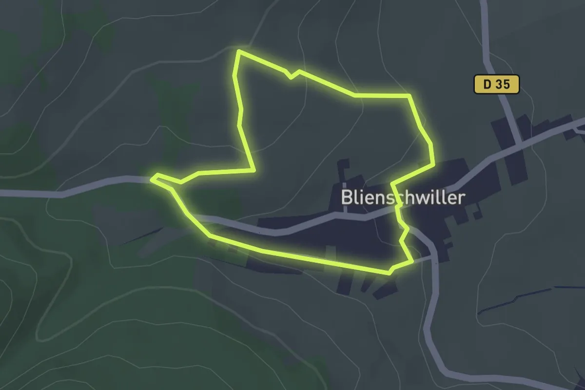
Easy · Trail
Blienschwiller – Blienschwiller
2.4 km · ↑ 68 m · 44 min
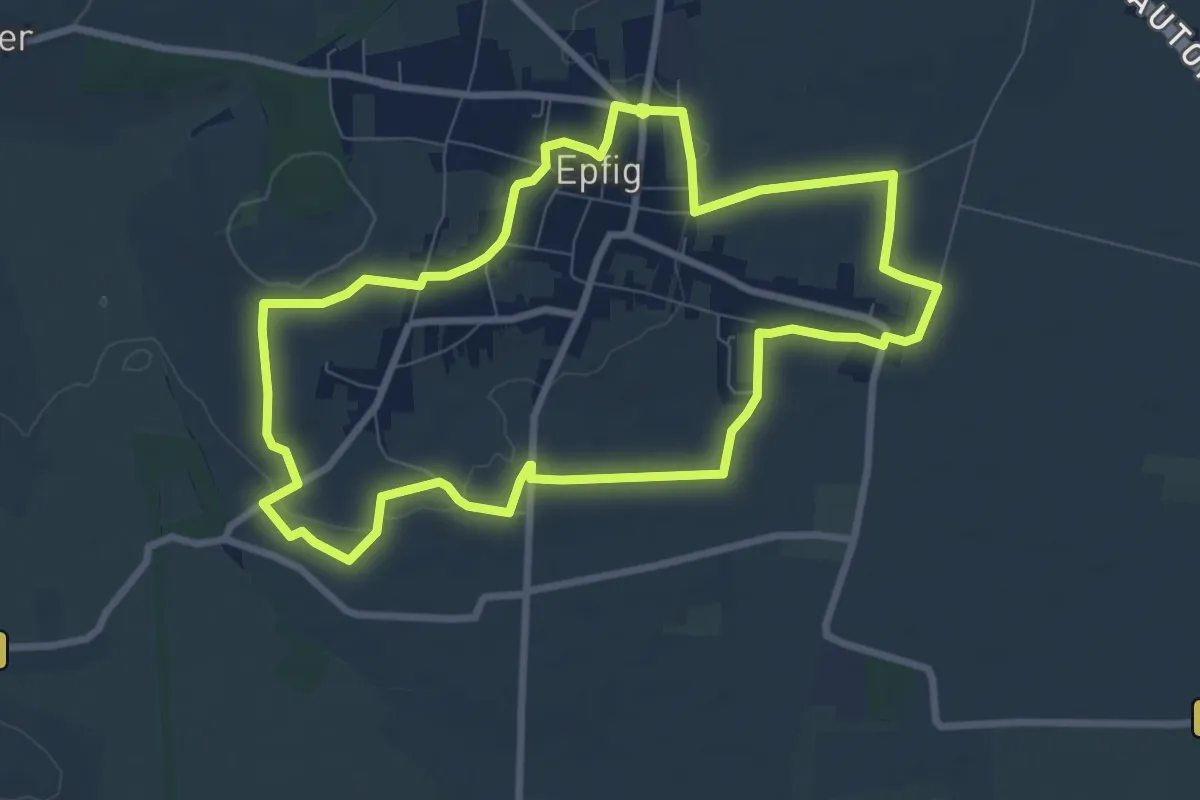
Medium · Trail
Epfig – Epfig
8.1 km · ↑ 97 m · 2 h 14 min
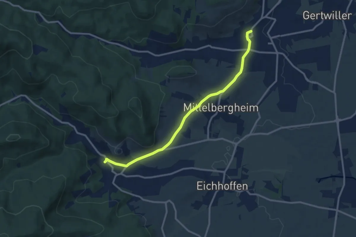
Easy · Trail
Barr – Andlau
7.8 km · ↑ 147 m · 2 h 10 min
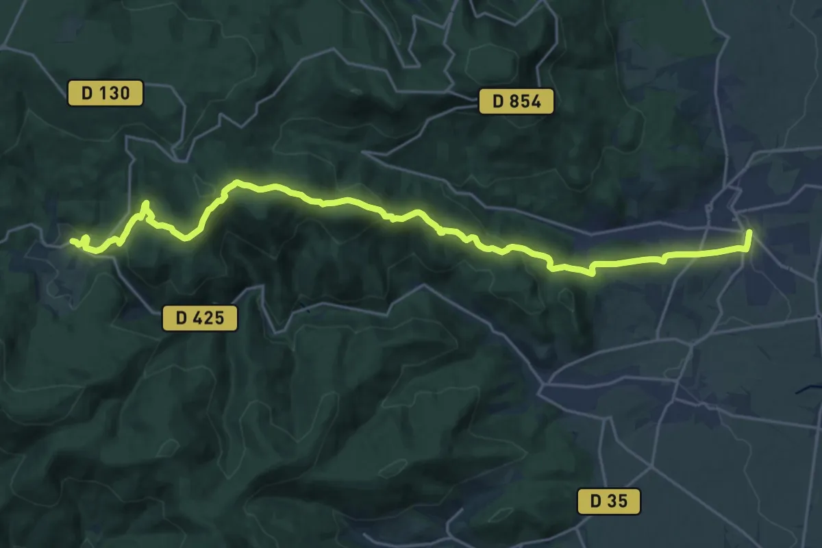
Demanding · Trail
Barr – Le Hohwald
24.0 km · ↑ 880 m · 7 h 34 min
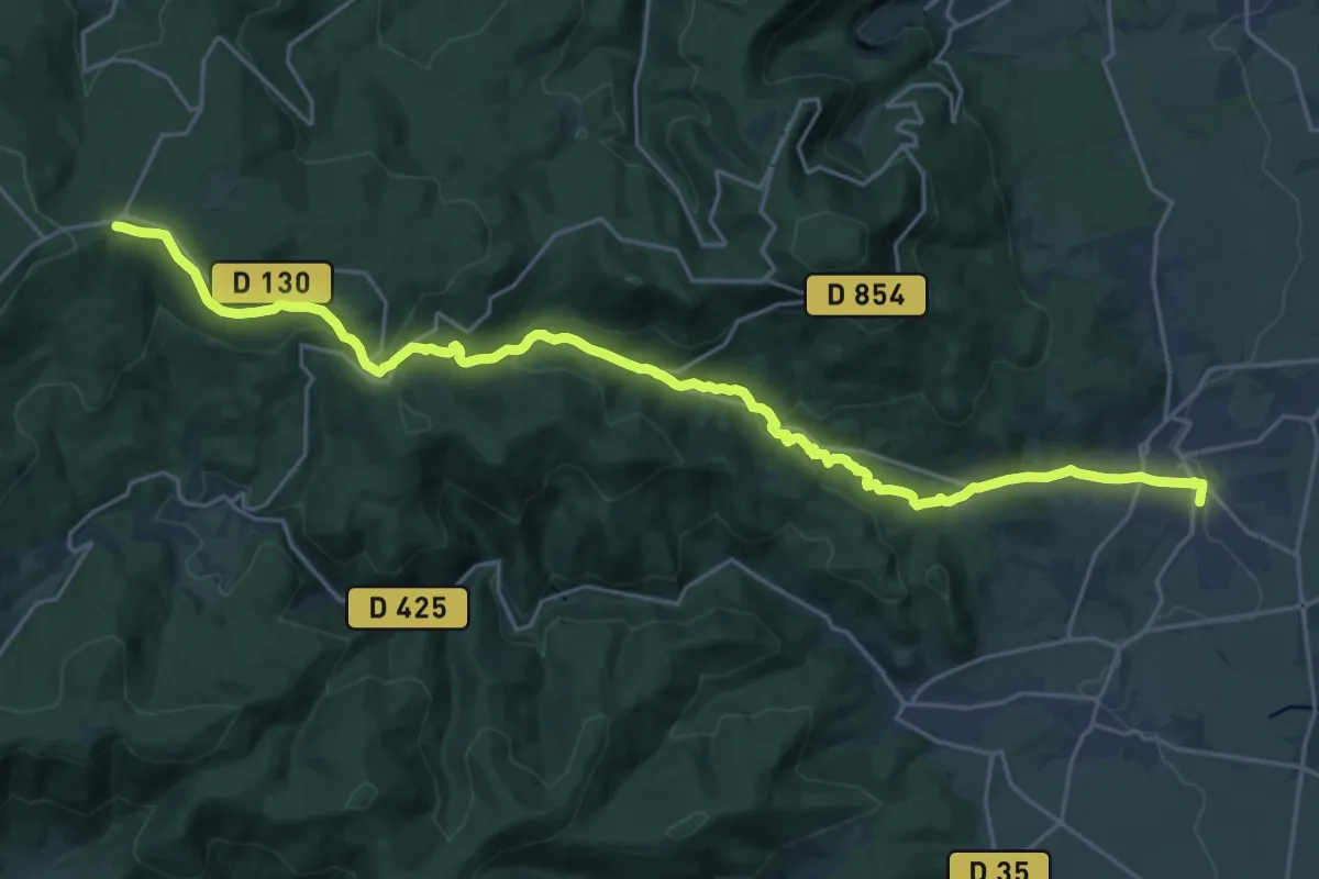
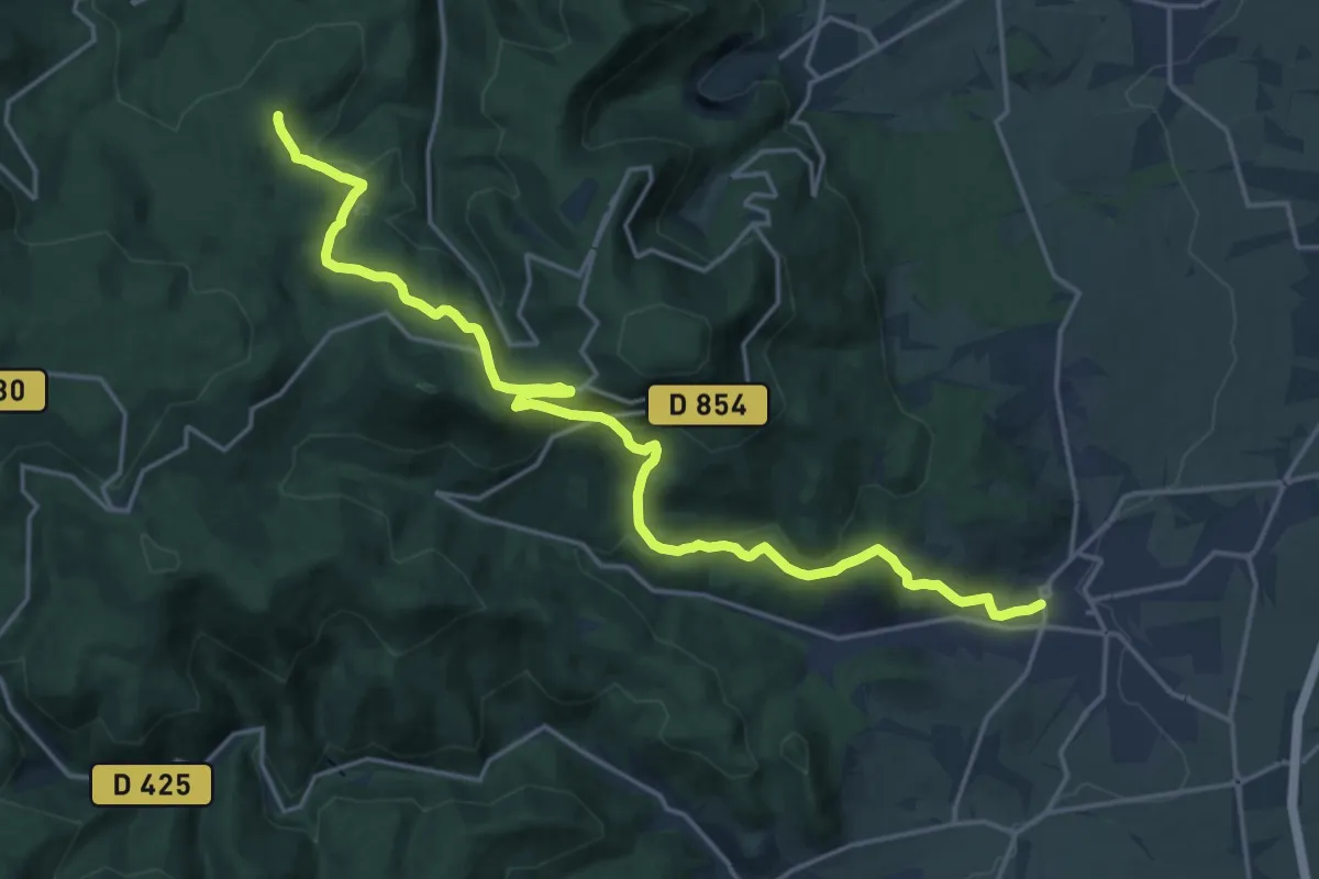
Demanding · Trail
Barr – Rothlach
25.9 km · ↑ 810 m · 7 h 52 min
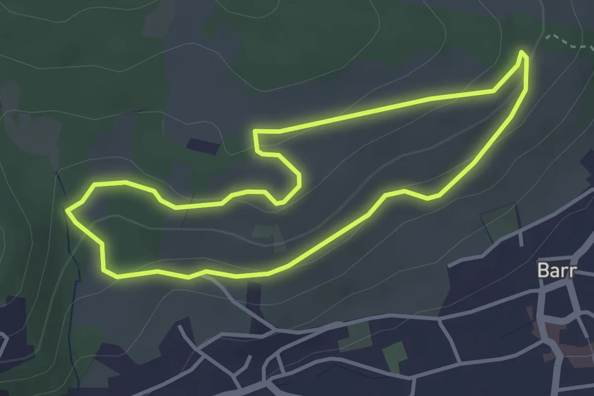
Demanding · Trail
Barr – Château de Kagenfels
20.8 km · ↑ 745 m · 6 h 31 min
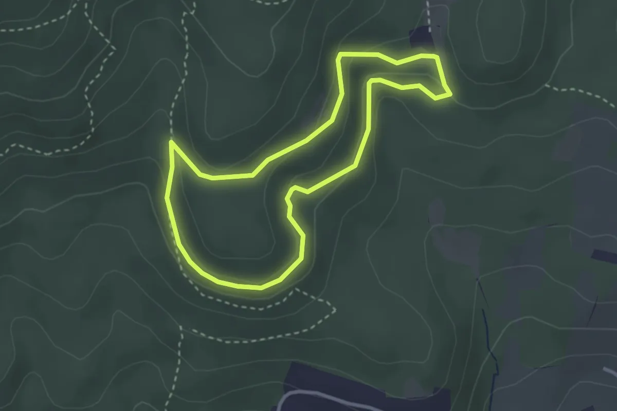
Easy · Trail
Barr – Barr
3.0 km · ↑ 101 m · 59 min
Easy · Trail
Auberge du Moenkalb – Auberge du Moenkalb
2.7 km · ↑ 115 m · 55 min
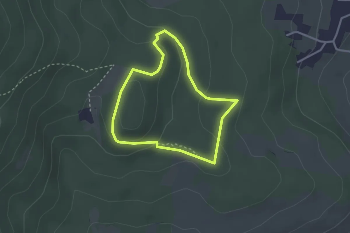
Easy · Trail
Kiosque Belle-Vue – Kiosque Belle-Vue
2.1 km · ↑ 70 m · 41 min
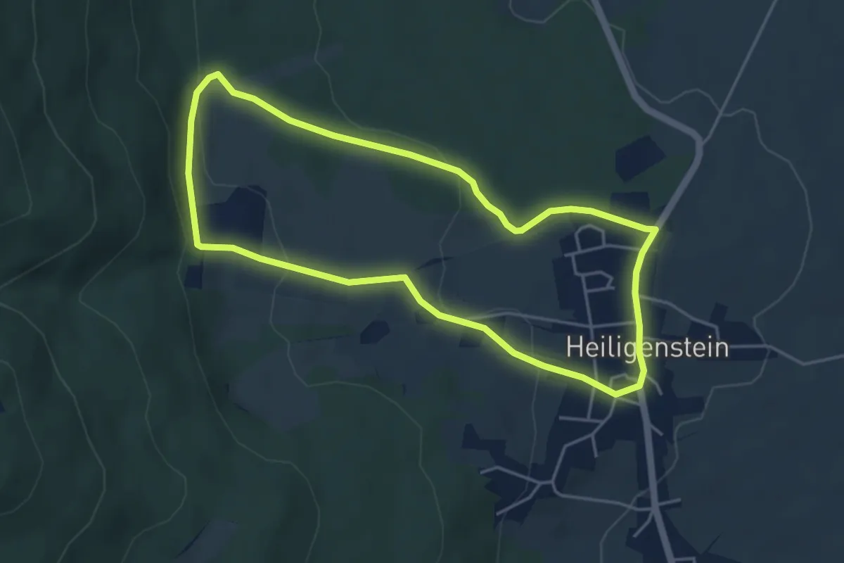
Easy · Trail
Heiligenstein – Heiligenstein
4.1 km · ↑ 121 m · 1 h 17 min
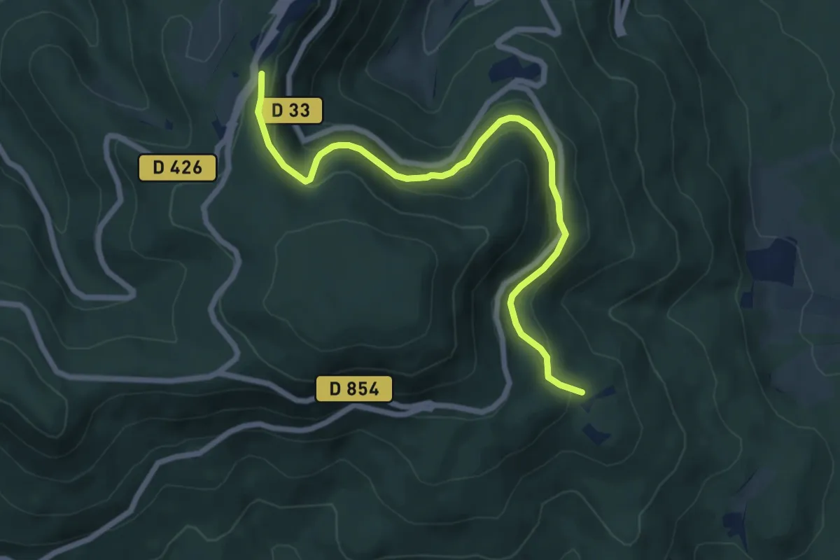
Easy · Trail
Le Landsberg – Mont Sainte-Odile
6.6 km · ↑ 243 m · 2 h 5 min
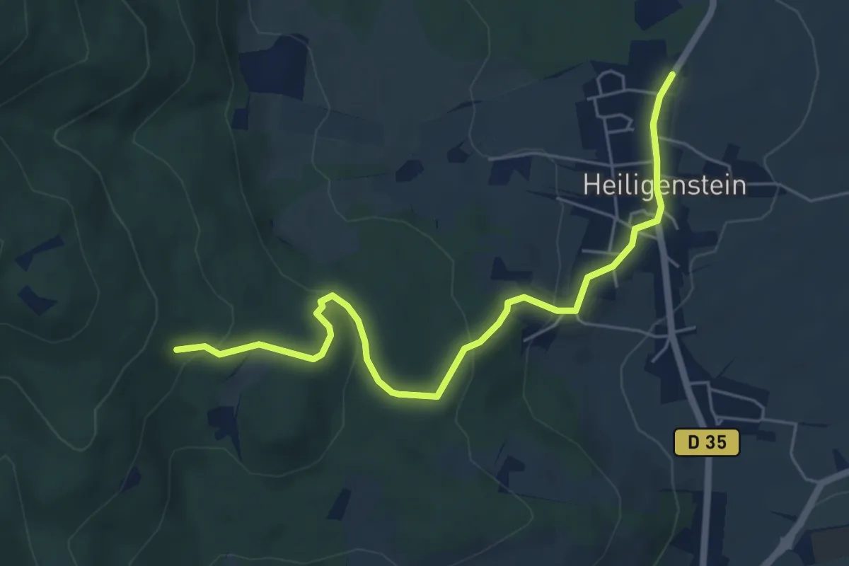
Easy · Trail
Heiligenstein – GR 5
5.7 km · ↑ 204 m · 1 h 48 min
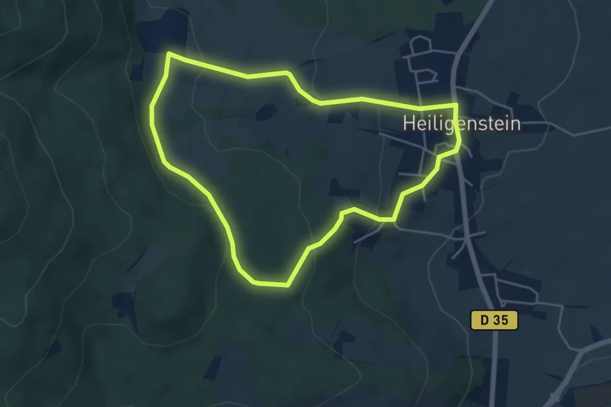
Easy · Trail
Heiligenstein – Heiligenstein
3.9 km · ↑ 137 m · 1 h 16 min
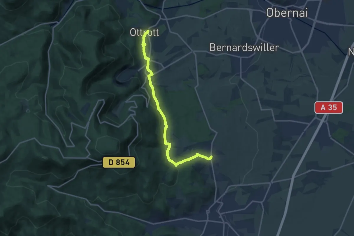
Medium · Trail
Heiligenstein – Ottrott
12.2 km · ↑ 360 m · 3 h 39 min
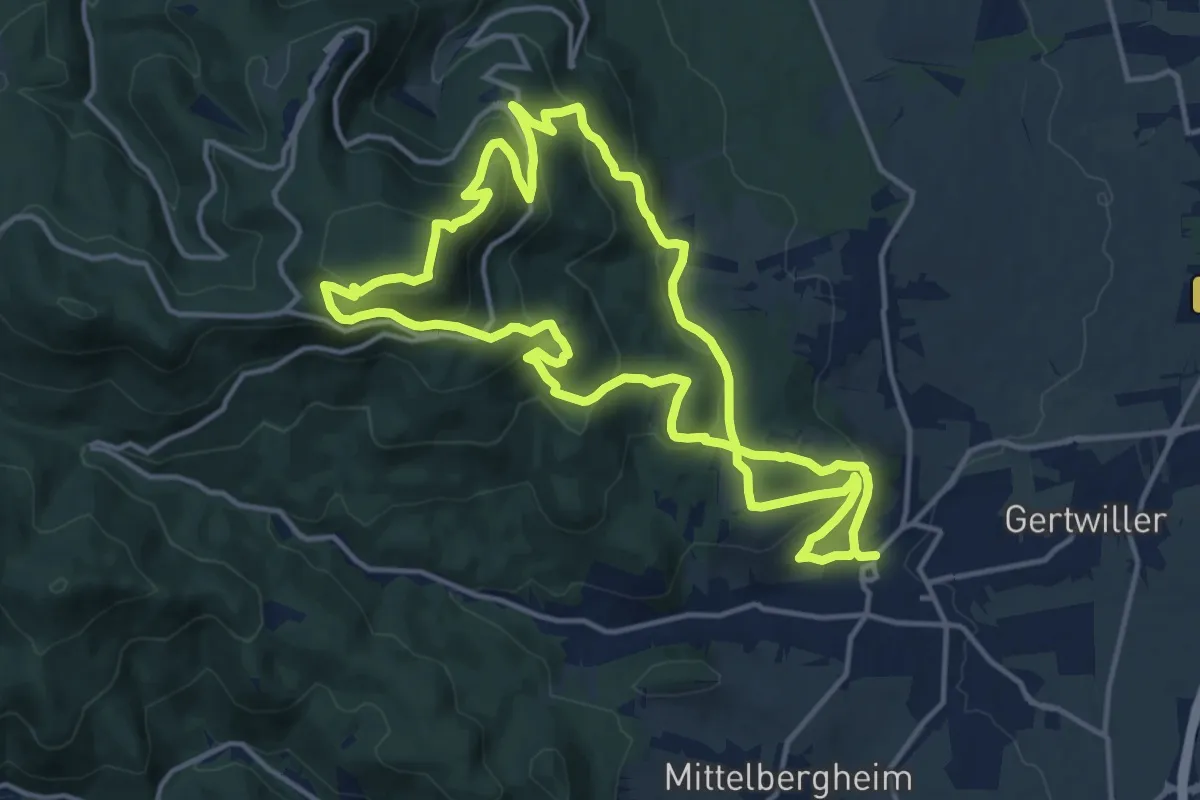
Medium · Trail
Barr – Barr
14.2 km · ↑ 676 m · 5 h
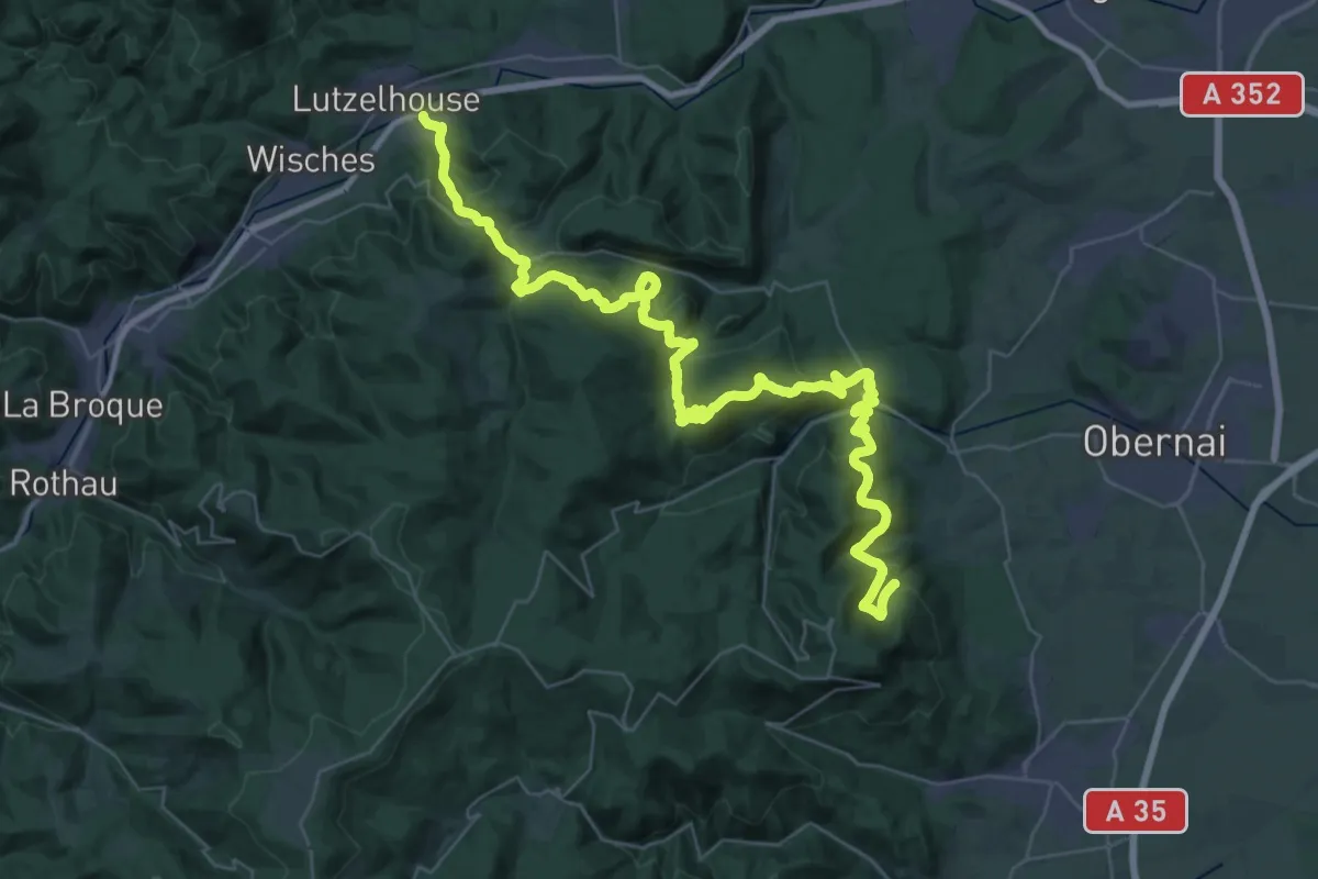
Demanding · Trail
Barr – Muhlbach-sur-Bruch
25.3 km · ↑ 1204 m · 8 h 49 min
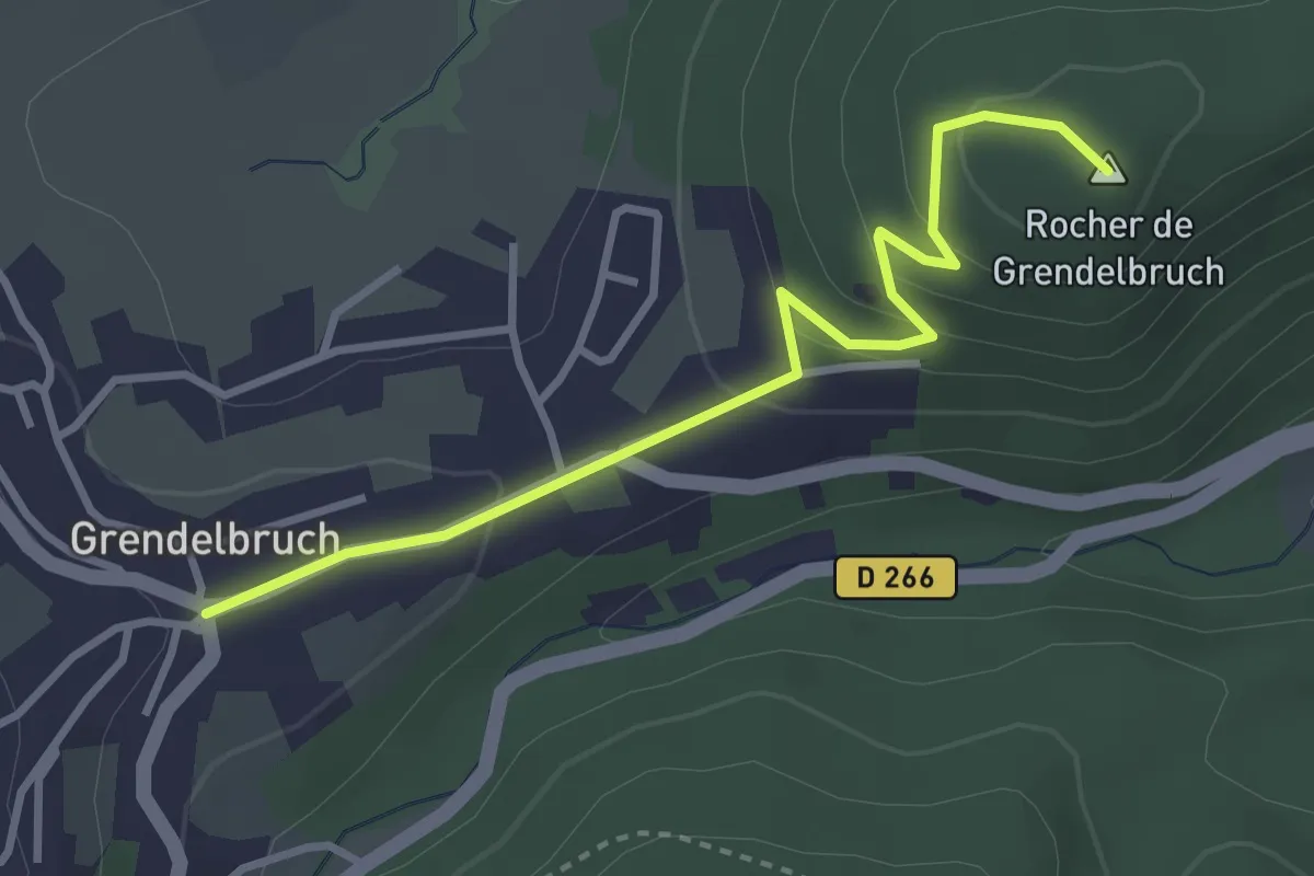
Easy · Summit
Grendelbruch – Roche de Grendelbruch
3.2 km · ↑ 142 m · 1 h 4 min
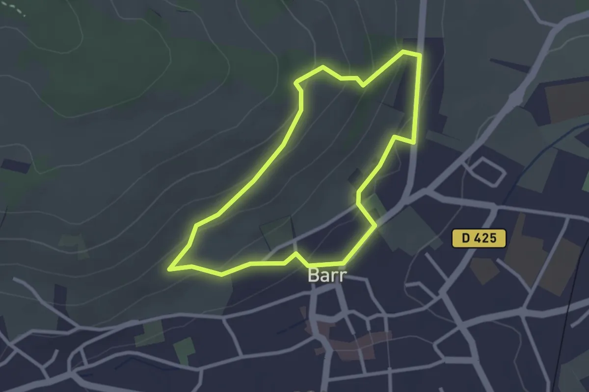
Easy · Trail
Barr – Barr
2.3 km · ↑ 105 m · 48 min
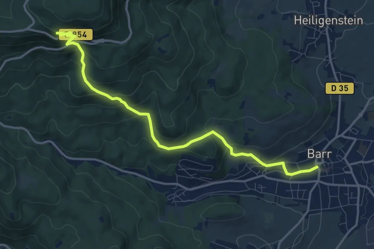
Medium · Trail
Barr – Kiosque Jadelot
9.7 km · ↑ 553 m · 3 h 29 min
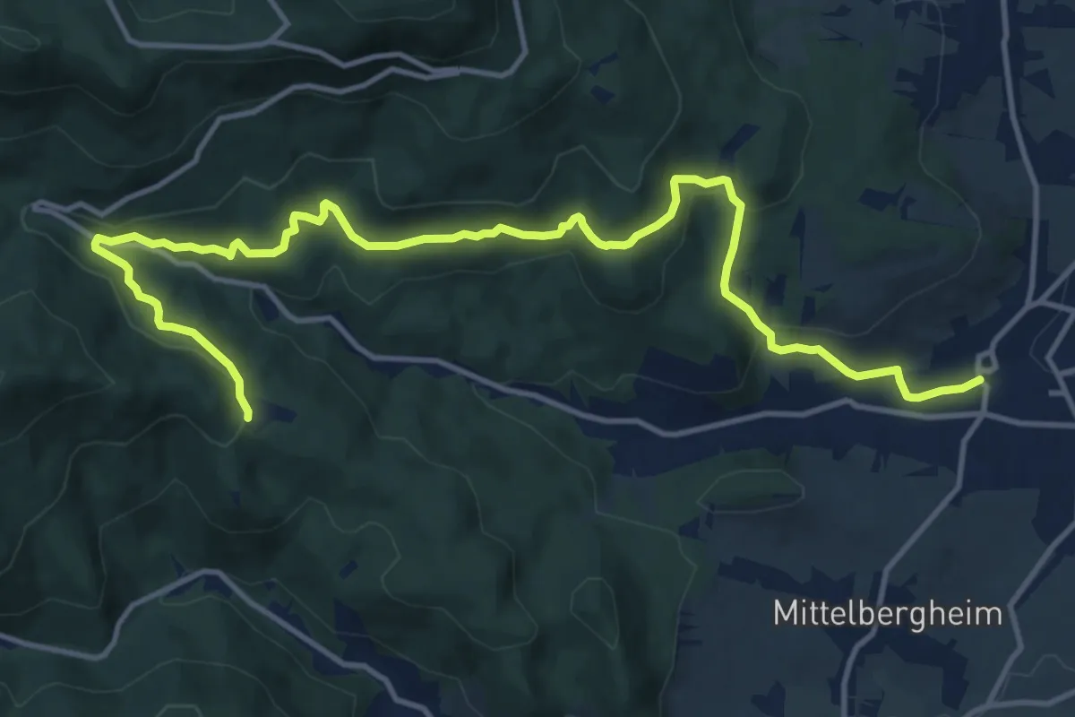
Medium · Trail
Barr – Hungerplatz
15.2 km · ↑ 504 m · 4 h 40 min
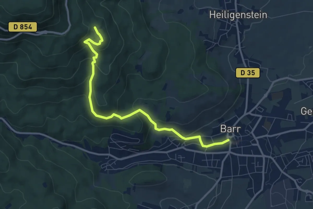
Medium · Trail
Barr – Château du Landsberg
8.2 km · ↑ 395 m · 2 h 48 min
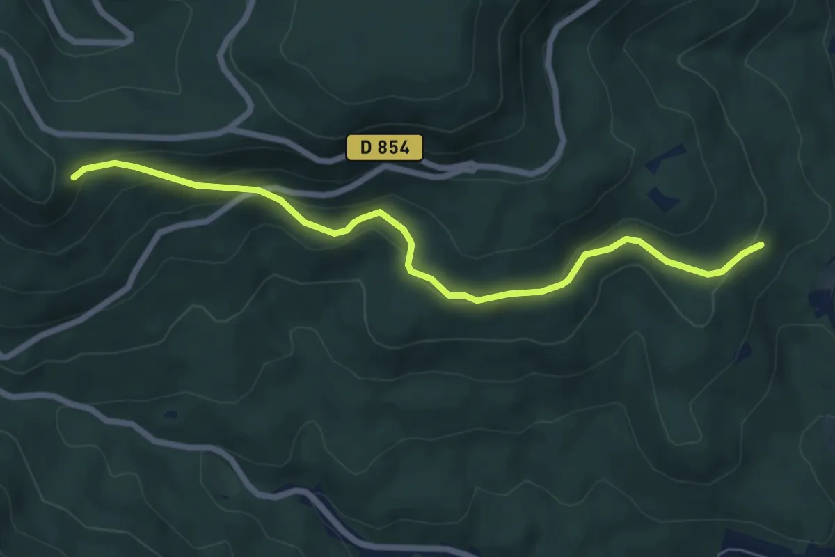
Easy · Trail
Le Petit Kiosque – GR 5
6.2 km · ↑ 301 m · 2 h 8 min
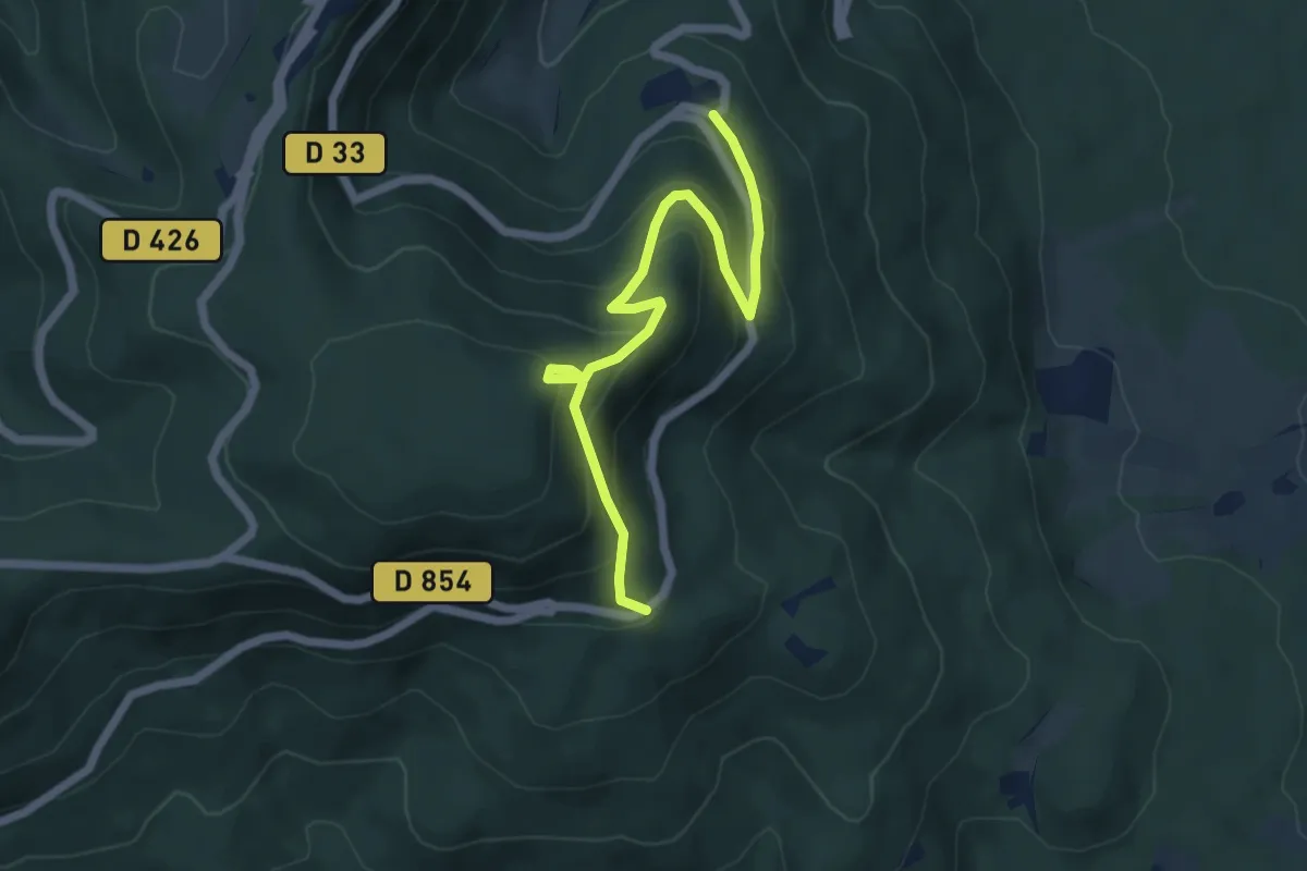
Medium · Trail
Domaine Saint-Jacques – La Handschab
5.8 km · ↑ 391 m · 2 h 13 min
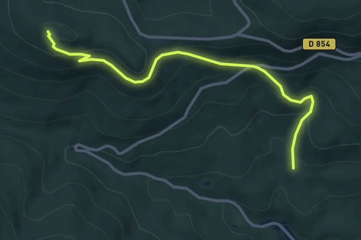
Medium · Summit
Col du Kienberg – Einung
6.2 km · ↑ 387 m · 2 h 18 min
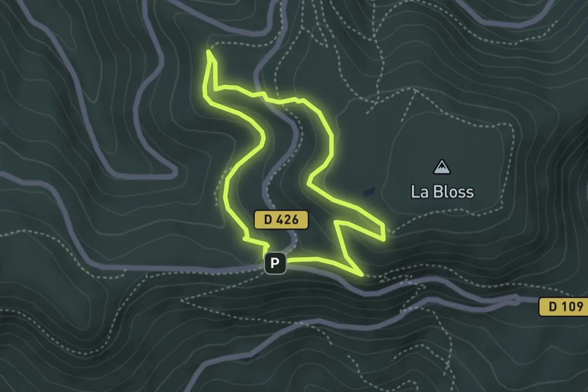
Medium · Trail
Carrefour de la Bloss – Carrefour de la Bloss
3.2 km · ↑ 115 m · 1 h 4 min
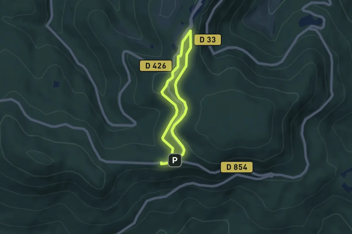
Easy · Trail
Carrefour de la Bloss – Carrefour de la Bloss
3.1 km · ↑ 70 m · 56 min
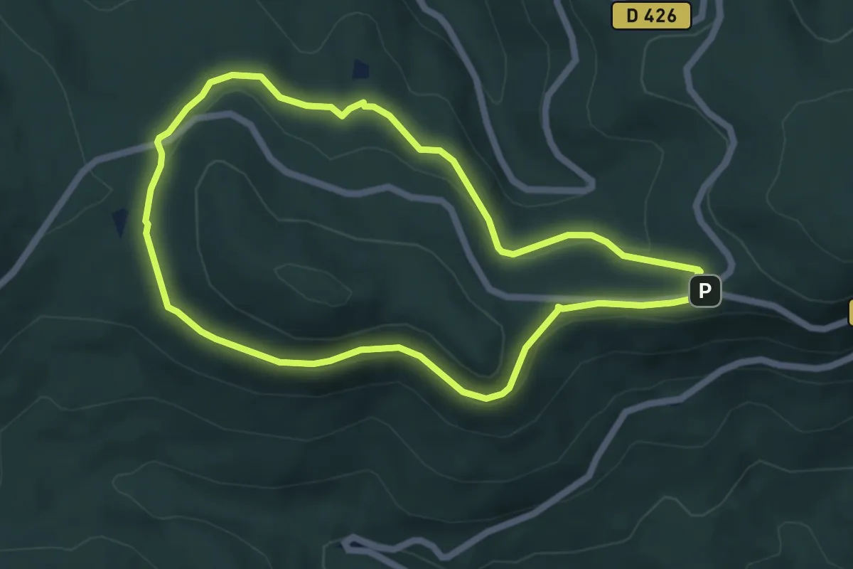
Easy · Trail
Carrefour de la Bloss – Carrefour de la Bloss
5.0 km · ↑ 84 m · 1 h 26 min
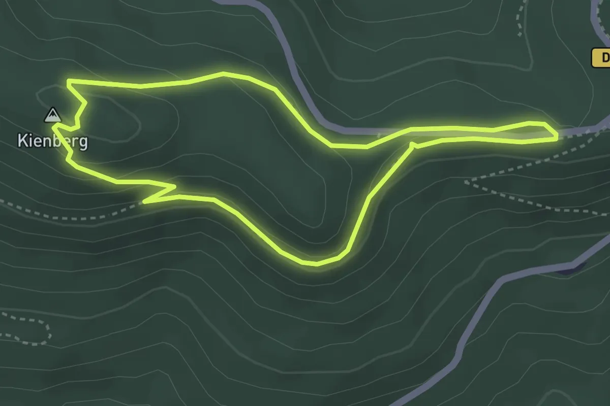
Easy · Summit
Carrefour de la Bloss – Carrefour de la Bloss
3.3 km · ↑ 92 m · 1 h 1 min
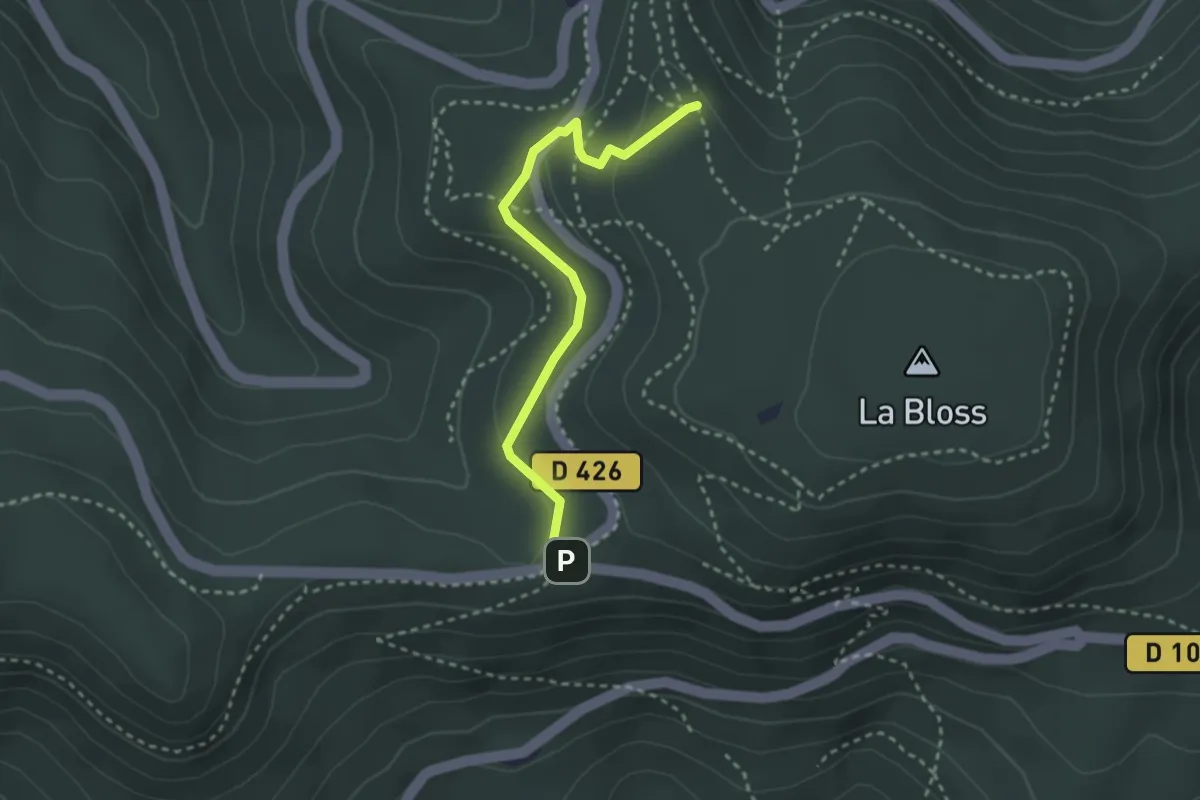
Easy · Trail
Carrefour de la Bloss – Rocher du Panorama
2.7 km · ↑ 71 m · 48 min
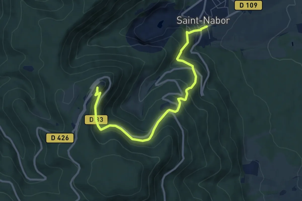
Medium · Summit
Saint-Nabort – Mont Sainte-Odile
7.8 km · ↑ 508 m · 2 h 56 min
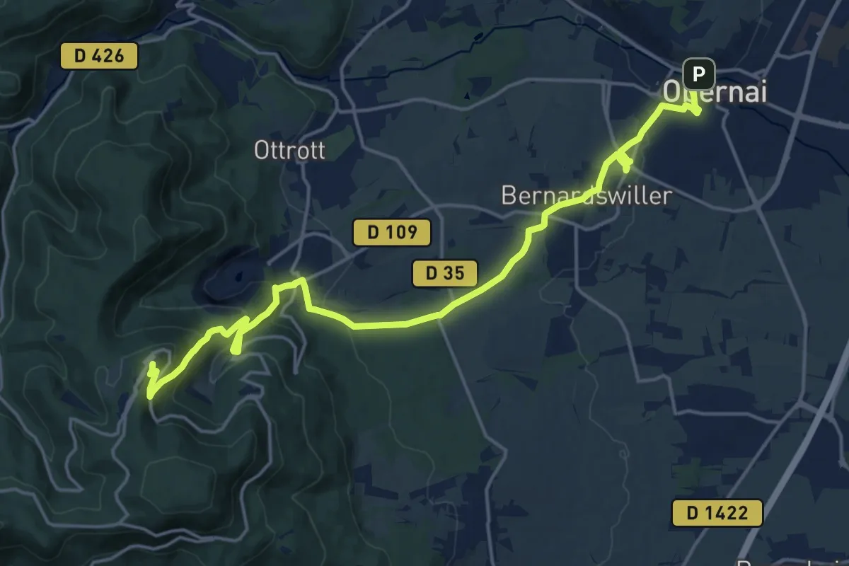
Demanding · Summit
Obernai – Mont Sainte-Odile
19.2 km · ↑ 635 m · 5 h 54 min
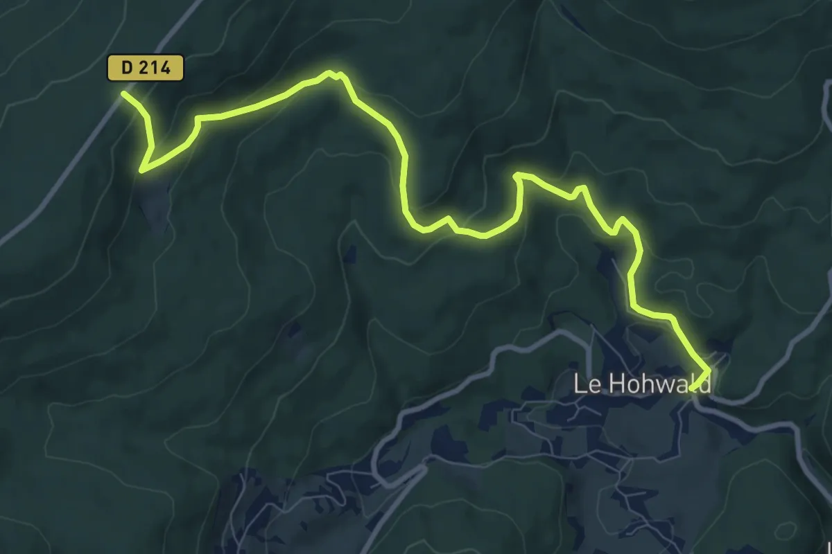
Medium · Cabin
Le Hohwald – D 214
10.4 km · ↑ 494 m · 3 h 31 min
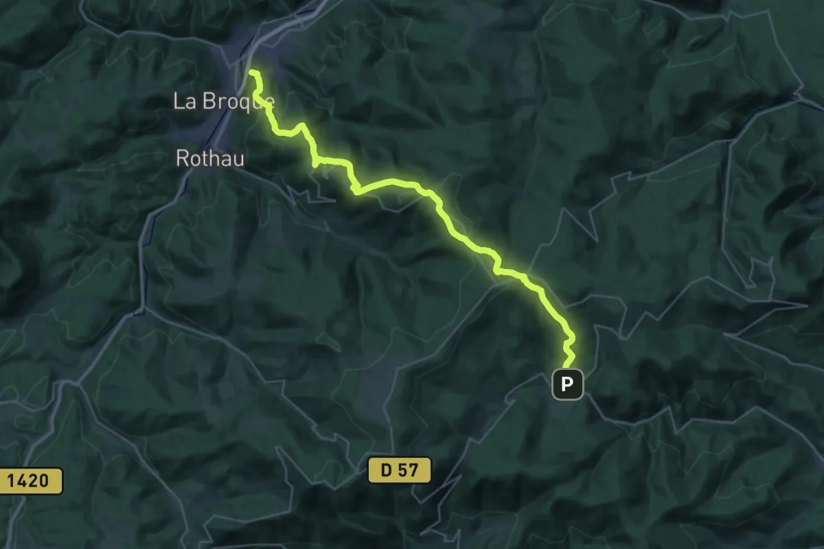
Demanding · Summit
Le Hohwald – Mémorial de l'Alsace-Moselle
29.7 km · ↑ 1145 m · 9 h 30 min
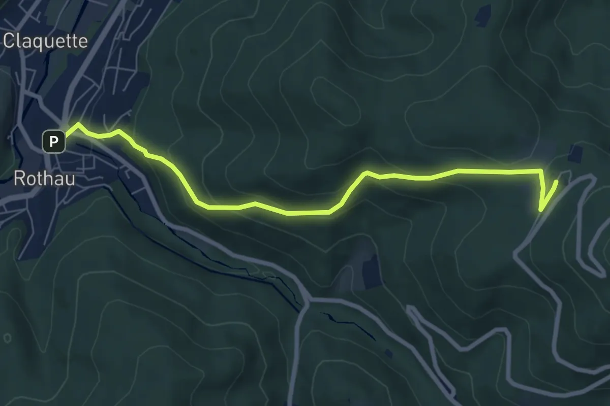
Medium · Trail
Rothau – Struthof
6.7 km · ↑ 364 m · 2 h 22 min
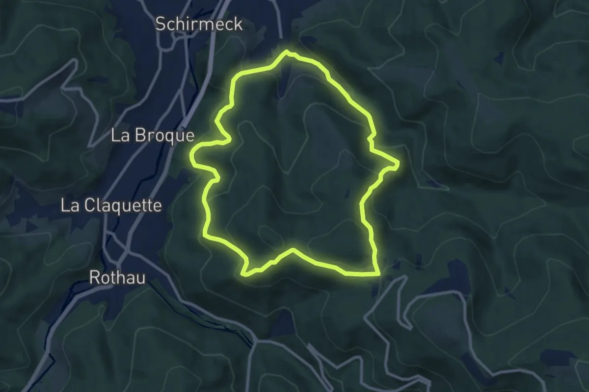
Medium · Trail
Schirmeck – Schirmeck
8.2 km · ↑ 434 m · 3 h
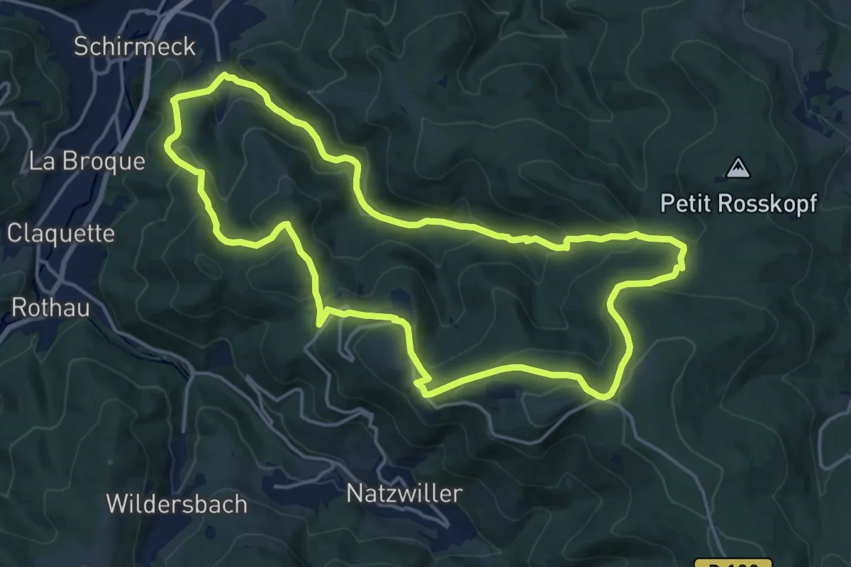
Medium · Trail
Schirmeck – Schirmeck
15.7 km · ↑ 651 m · 5 h 20 min
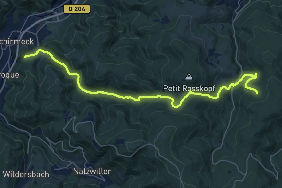
Demanding · Trail
Schirmeck – Col du Jaegertaennel
22.5 km · ↑ 943 m · 7 h 22 min
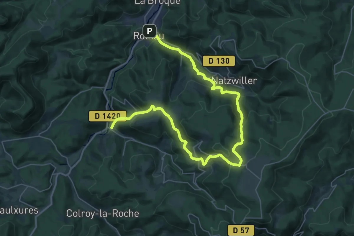
Medium · Trail
Rothau – Fouday
16.5 km · ↑ 786 m · 5 h 48 min
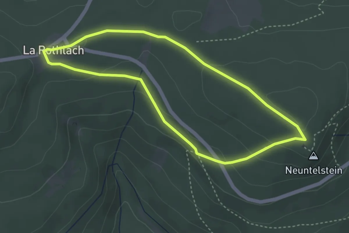
Easy · Summit
Rothlach – Rothlach
3.2 km · ↑ 74 m · 57 min
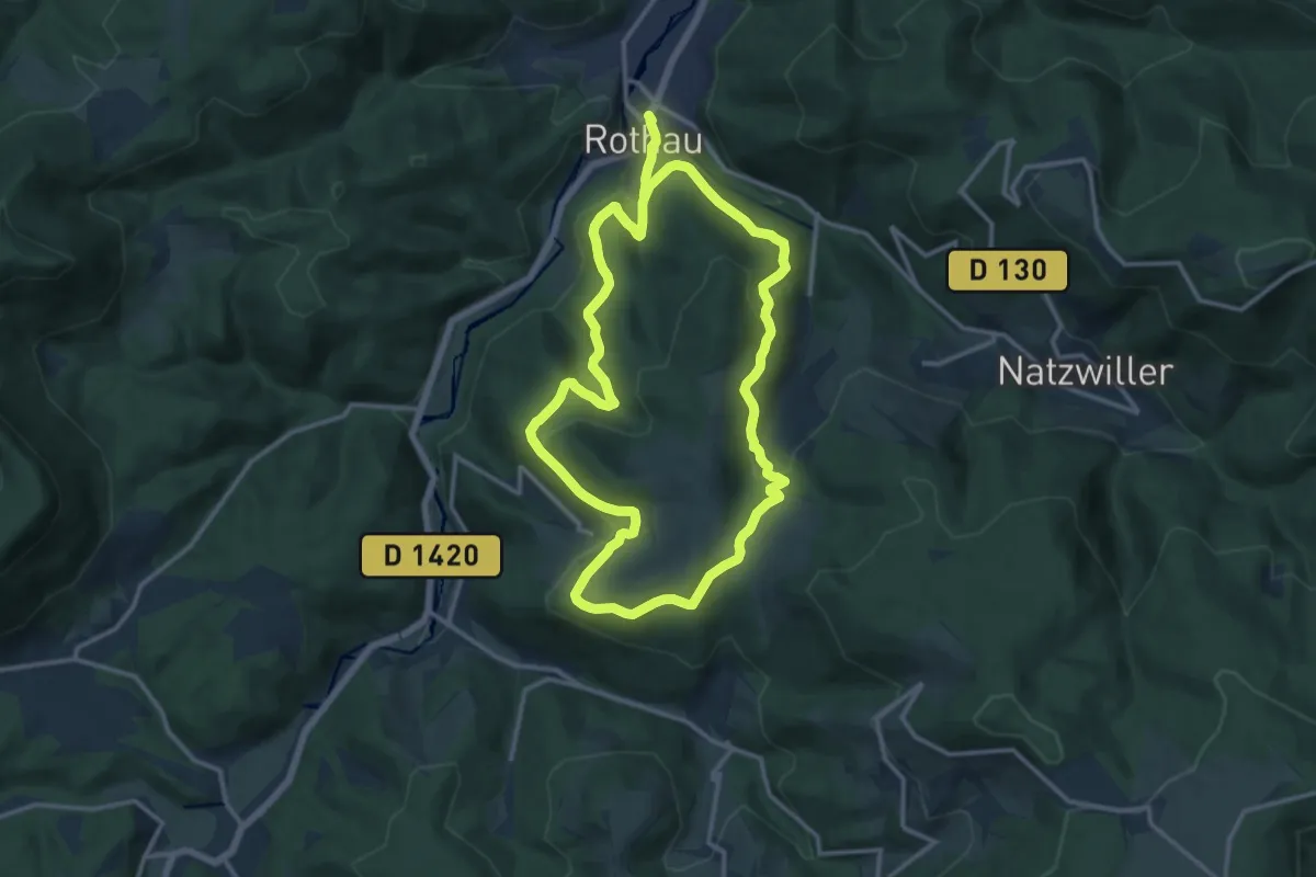
Medium · Trail
Rothau – Rothau
12.2 km · ↑ 425 m · 4 h 1 min
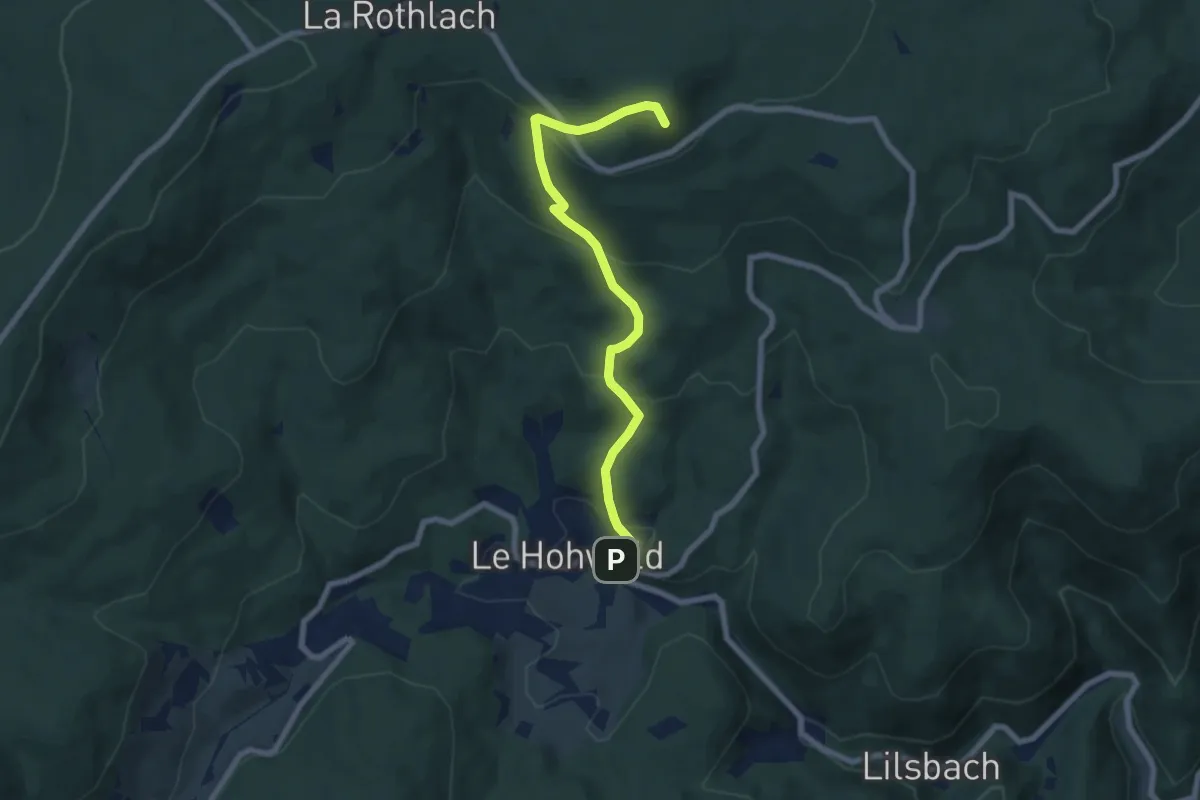
Medium · Summit
Le Hohwald – Rothbach
6.9 km · ↑ 412 m · 2 h 31 min
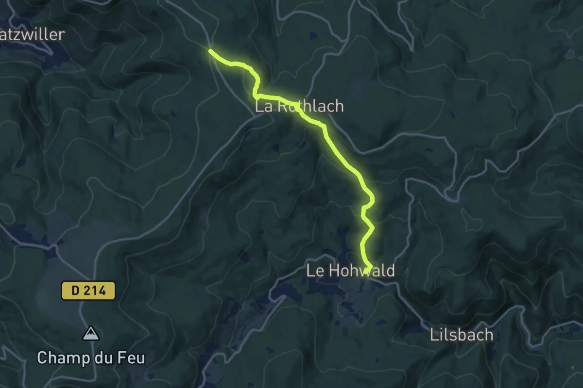
Medium · Cabin
Le Hohwald – GR5
11.1 km · ↑ 452 m · 3 h 36 min
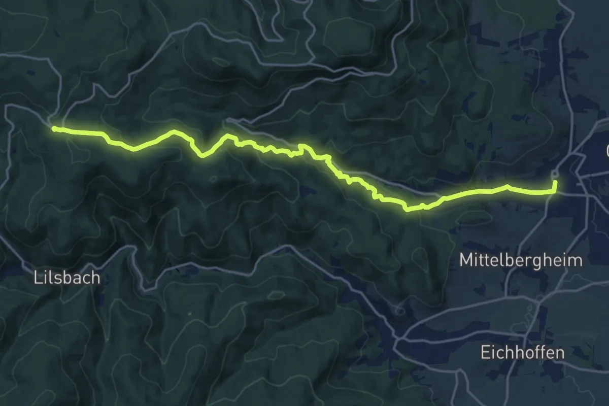
Demanding · Trail
Barr – GR5
18.4 km · ↑ 666 m · 5 h 47 min
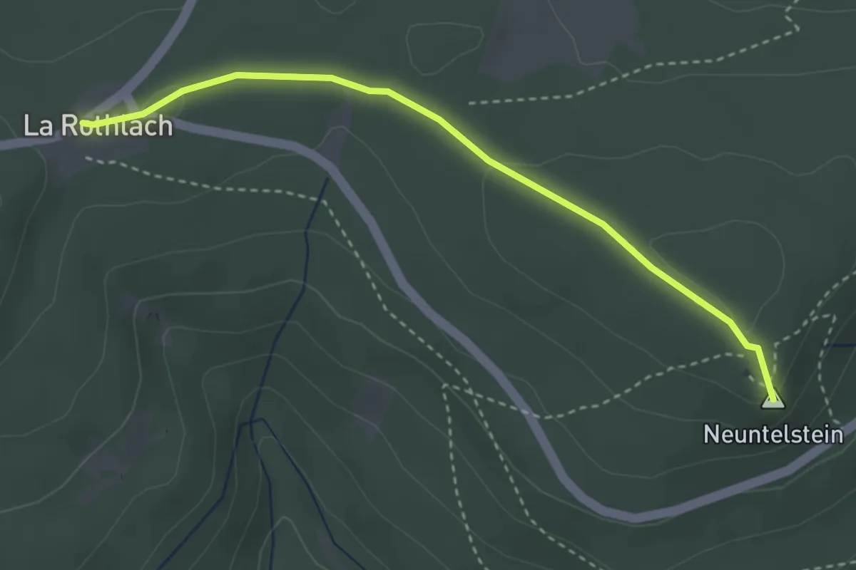
Easy · Summit
Rothlach – Welschbruch
3.3 km · ↑ 53 m · 53 min
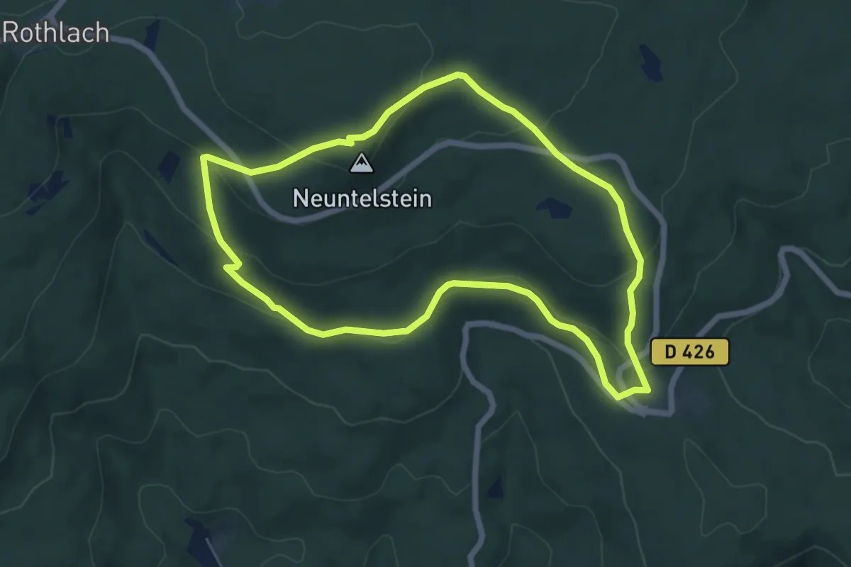
Easy · Summit
Welschbruch – Welschbruch
5.6 km · ↑ 193 m · 1 h 49 min
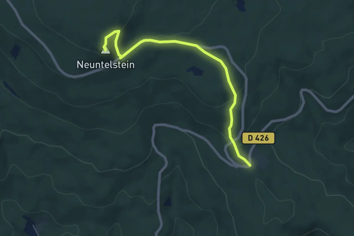
Easy · Summit
Welschbruch – Neuntelstein
5.0 km · ↑ 197 m · 1 h 37 min
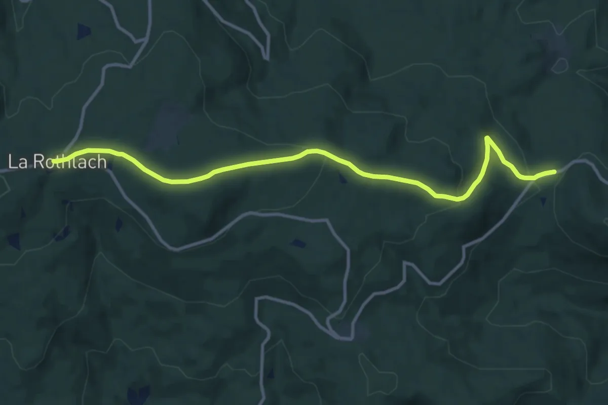
Medium · Trail
Rothlach – Carrefour de la Breitmatt
10.4 km · ↑ 302 m · 3 h 7 min
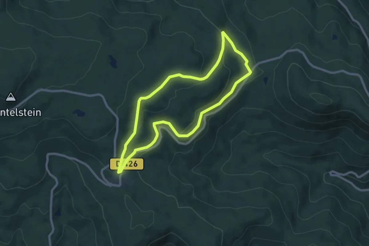
Easy · Trail
Welschbruch – Welschbruch
5.3 km · ↑ 132 m · 1 h 36 min