Trails in France
15,926 hiking trails, each with its route, climb, walking time and grade.
All trails, page 326 of 332
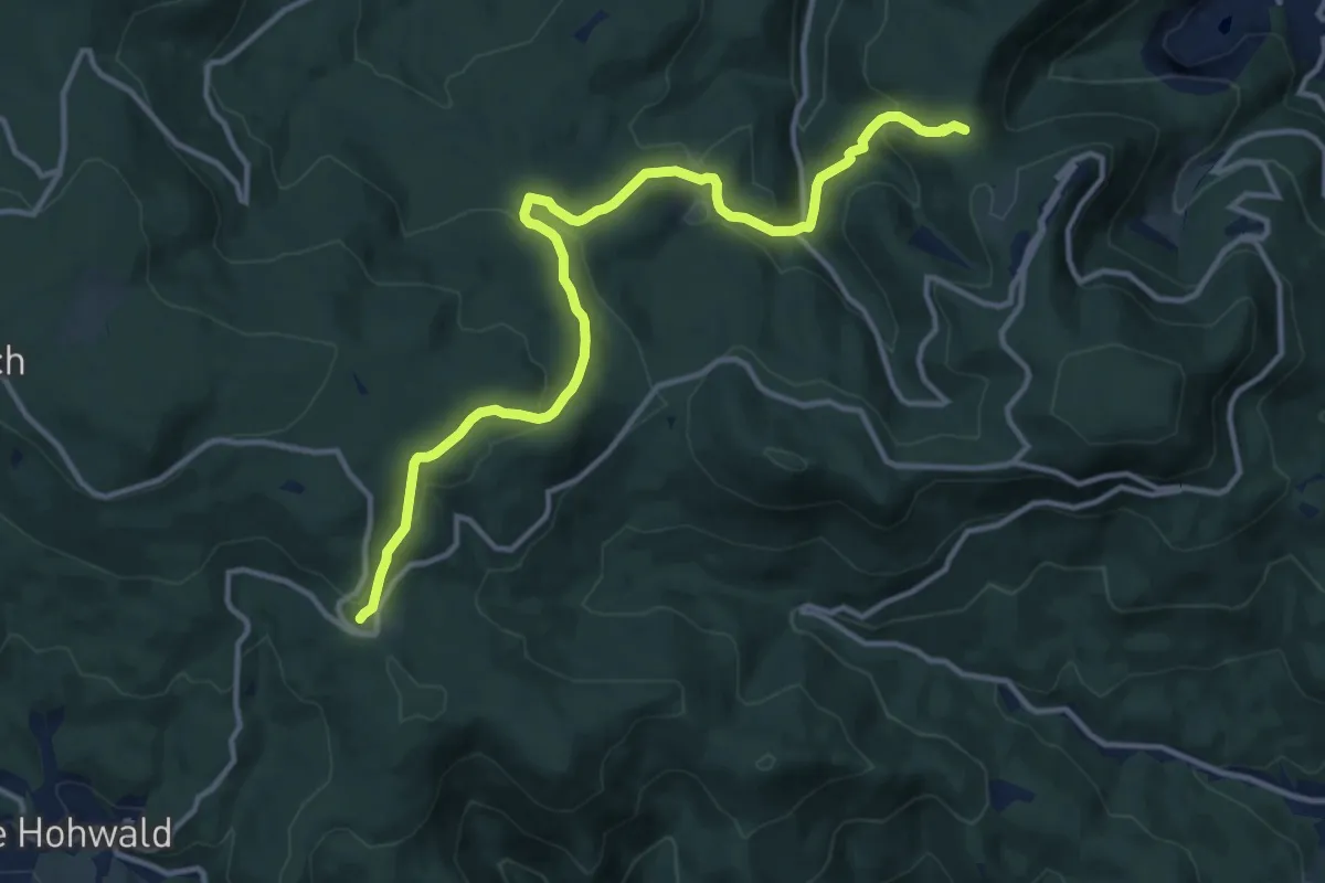
Medium · Trail
Welschbruch – Stollhafen
13.2 km · ↑ 501 m · 4 h 13 min
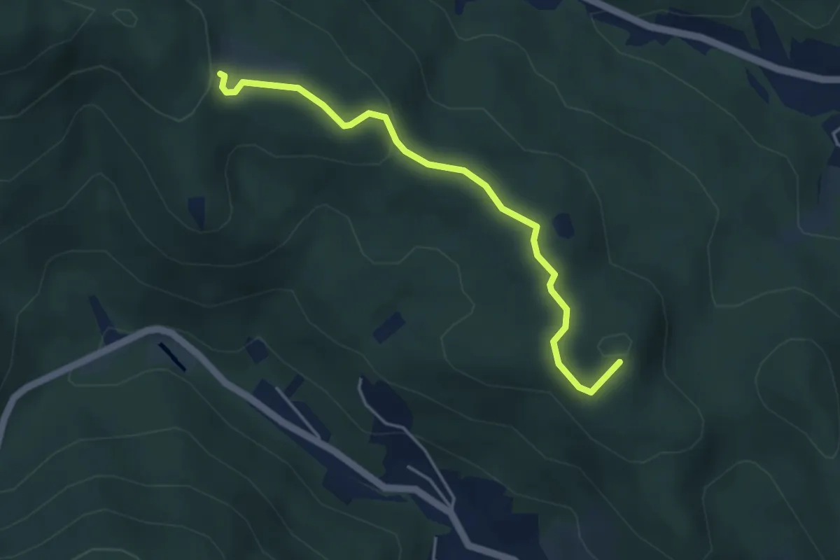
Easy · Summit
Barr – Hungerplatz
3.9 km · ↑ 98 m · 1 h 8 min
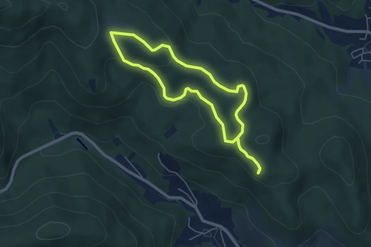
Easy · Summit
Hungerplatz – Hungerplatz
3.9 km · ↑ 95 m · 1 h 10 min
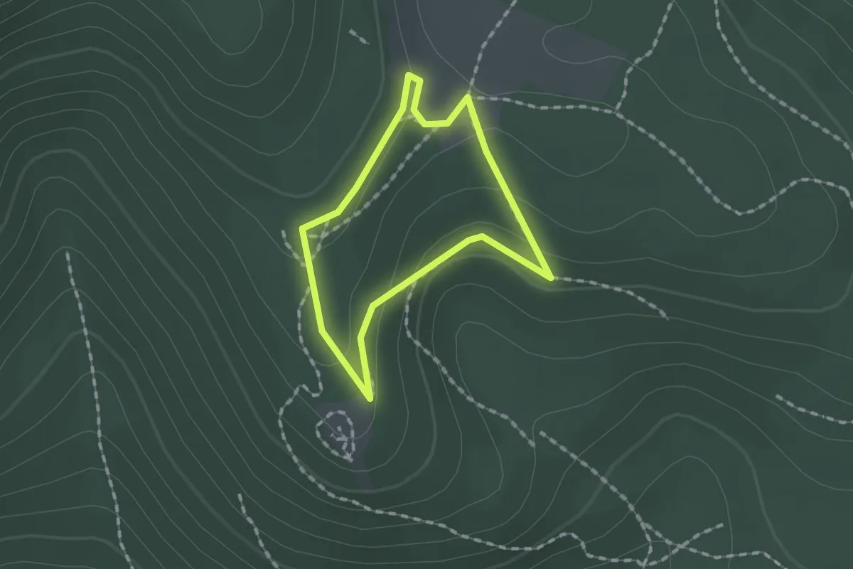
Easy · Trail
Hungerplatz – Hungerplatz
1.2 km · ↑ 37 m · 22 min
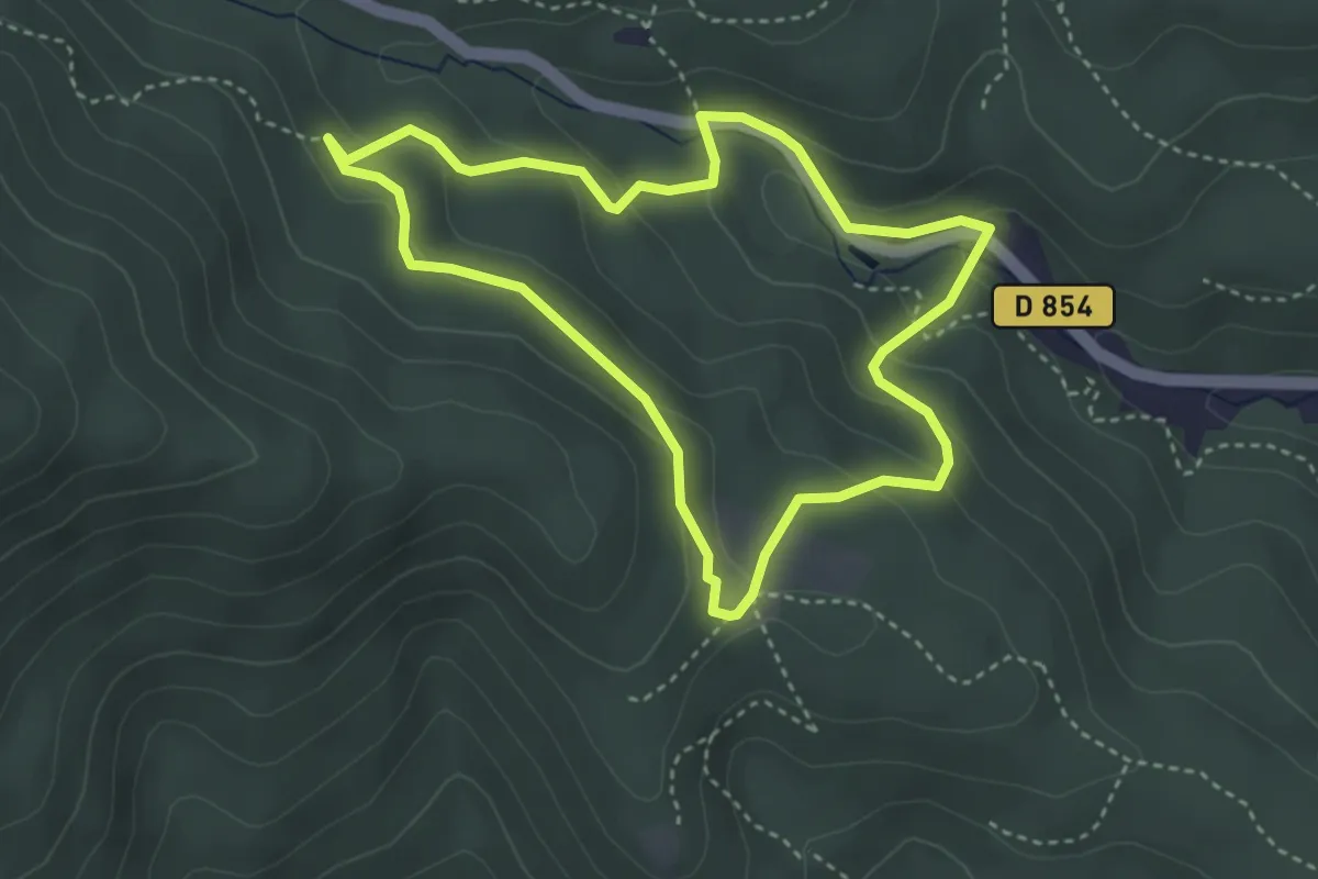
Easy · Trail
Hungerplatz – Hungerplatz
3.3 km · ↑ 141 m · 1 h 8 min
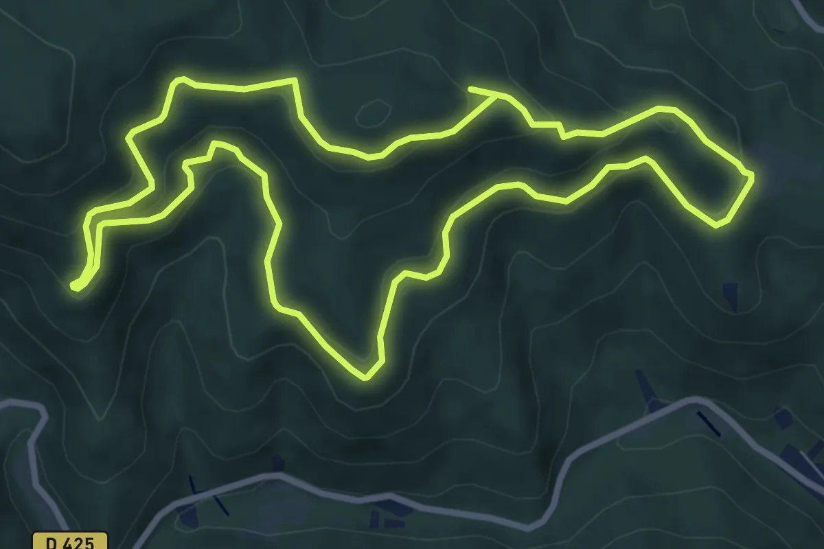
Easy · Trail
Hungersplatz – Hungerplatz
7.5 km · ↑ 317 m · 2 h 34 min
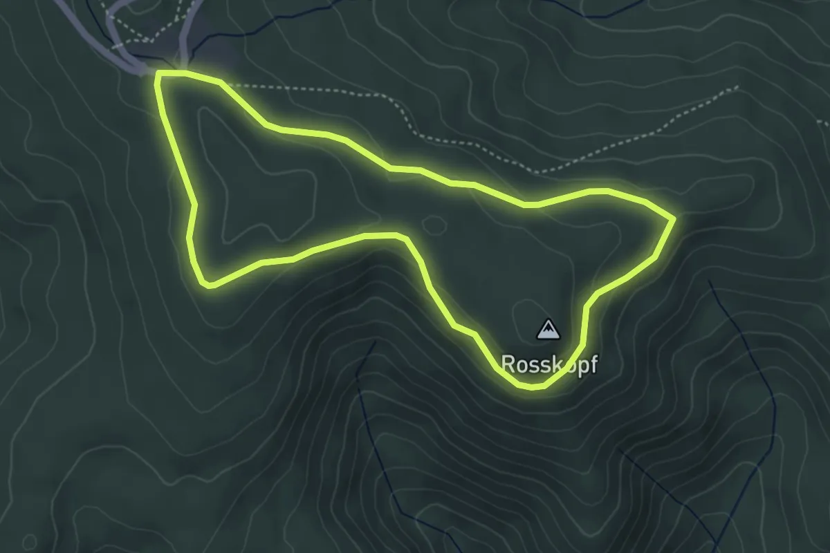
Easy · Summit
Welschbruch – Welschbruch
4.2 km · ↑ 95 m · 1 h 15 min
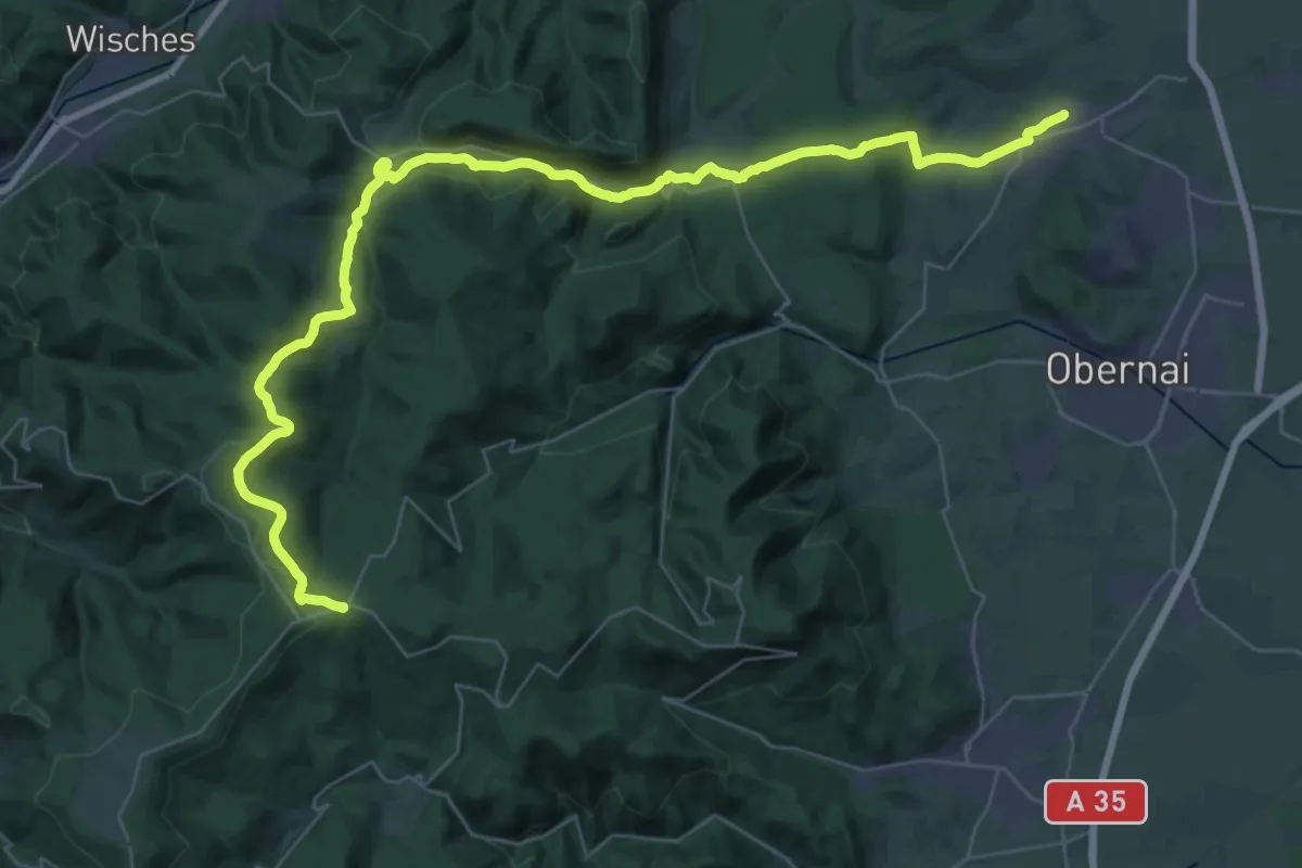
Demanding · Trail
Rosheim – Rothlach
22.7 km · ↑ 951 m · 7 h 22 min
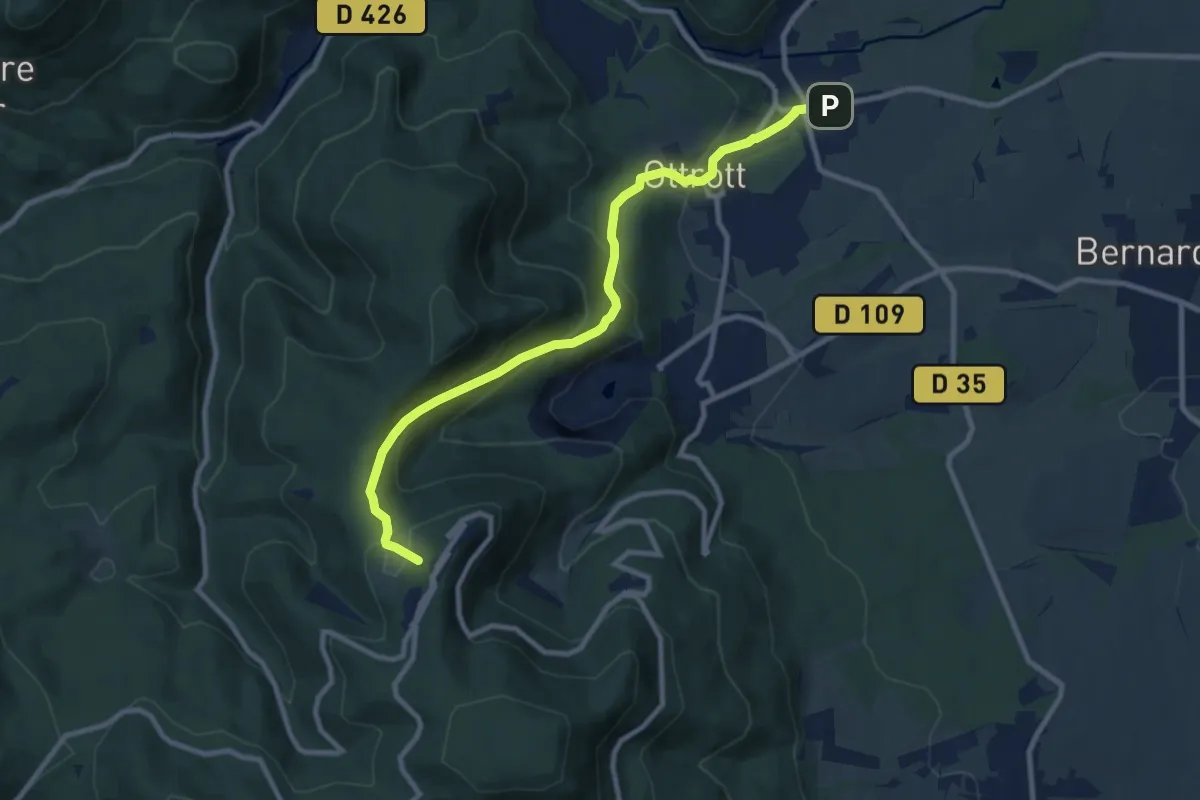
Medium · Trail
Ottrott Roedel – Mont Sainte Odile
9.5 km · ↑ 476 m · 3 h 16 min
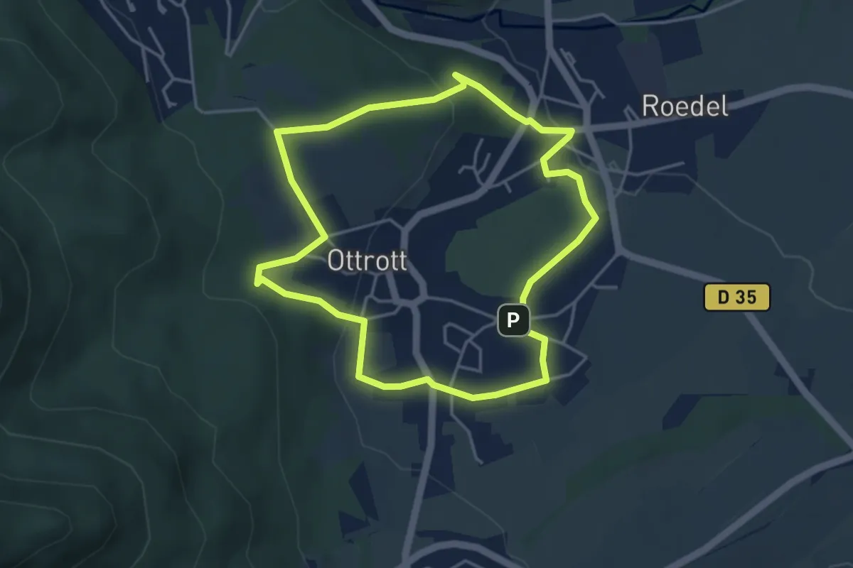
Easy · Trail
Ottrott – Ottrott
3.8 km · ↑ 100 m · 1 h 10 min
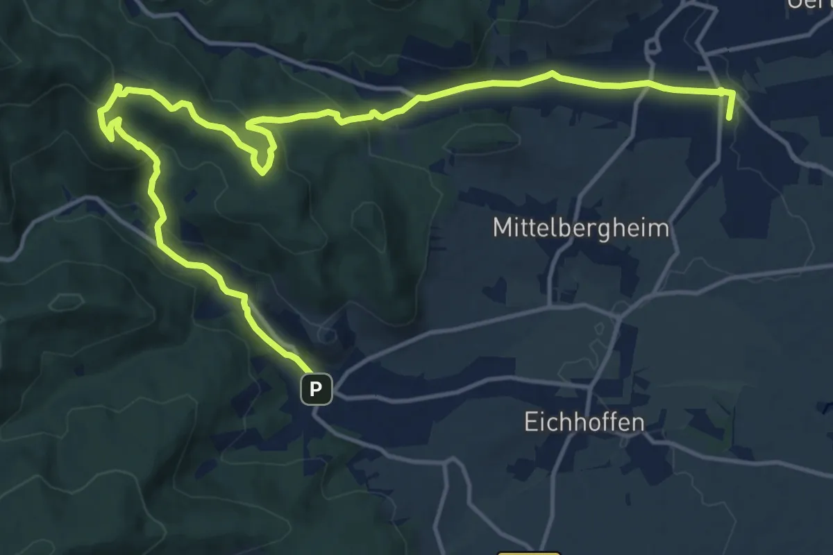
Demanding · Trail
Andlau – Barr
18.1 km · ↑ 581 m · 5 h 32 min
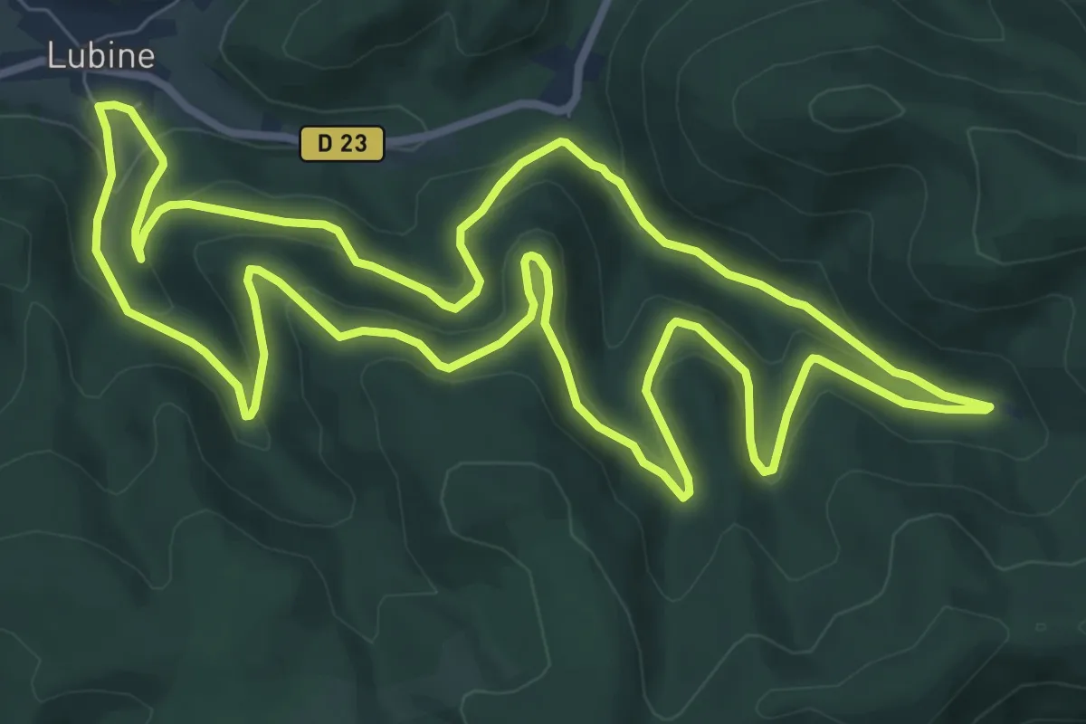
Medium · Trail
Lubine – Lubine
9.3 km · ↑ 384 m · 3 h 10 min
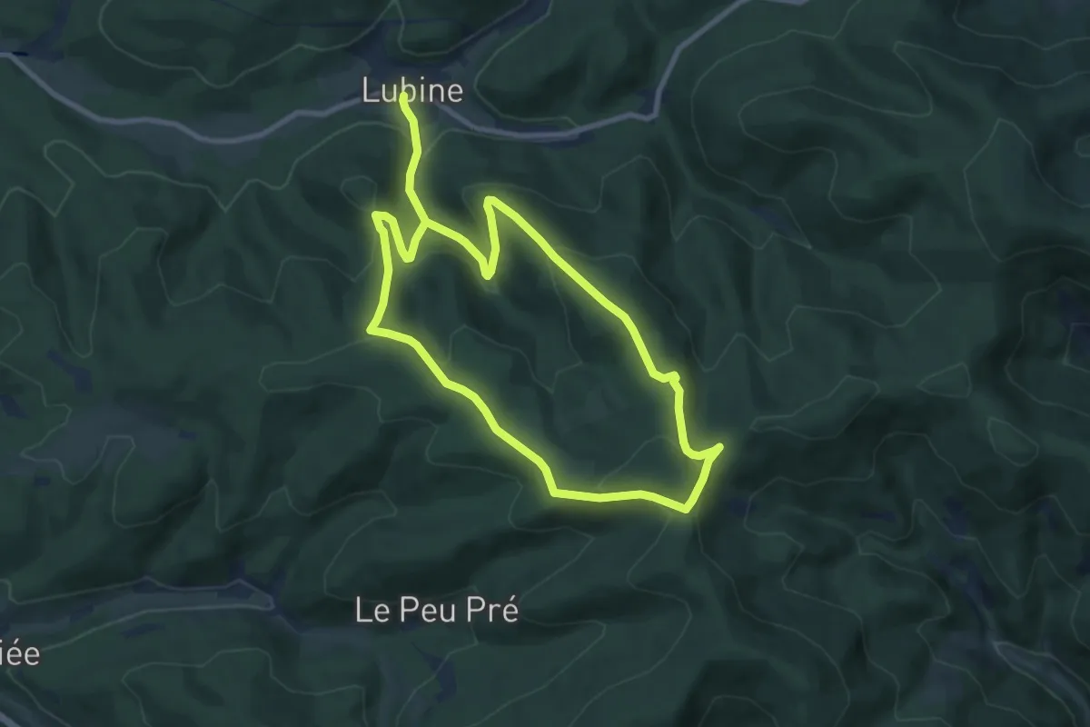
Easy · Trail
Lubine – Lubine
7.5 km · ↑ 308 m · 2 h 36 min
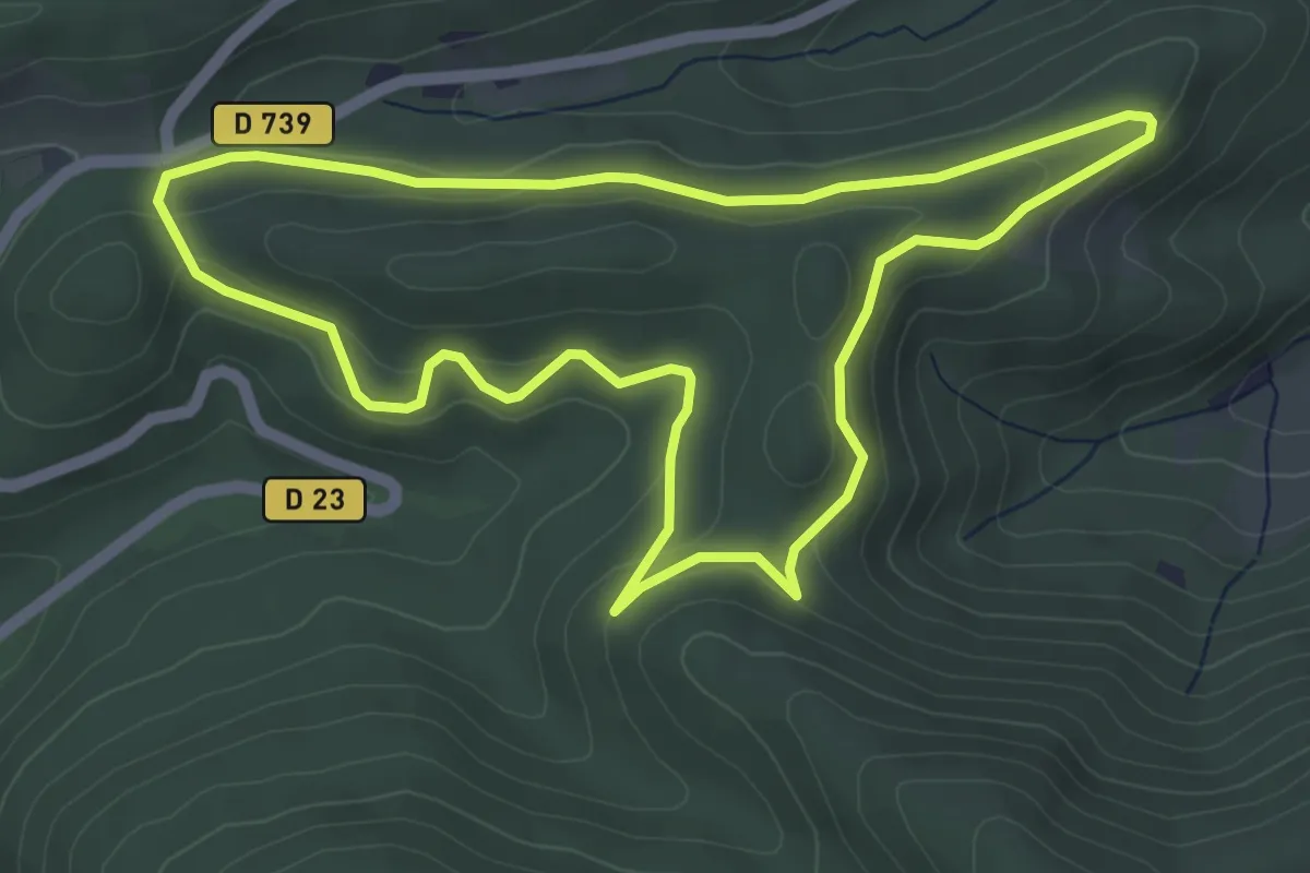
Easy · Trail
Col d'Urbei – Col d'Urbei
4.7 km · ↑ 129 m · 1 h 28 min
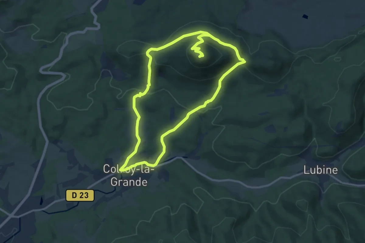
Medium · Summit
Colroy-la-Grande – Colroy-la-Grande
7.9 km · ↑ 363 m · 2 h 43 min
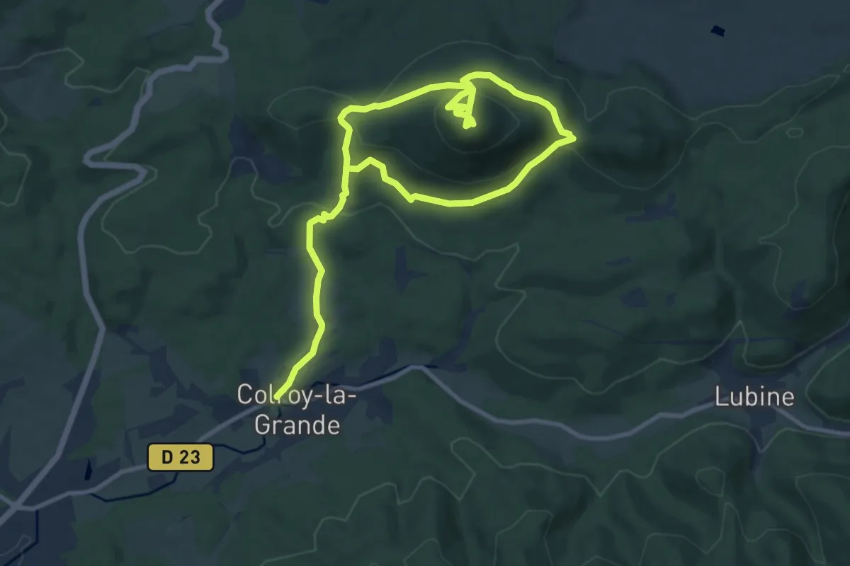
Medium · Summit
Colroy-la-Grande – Colroy-la-Grande
6.9 km · ↑ 377 m · 2 h 29 min
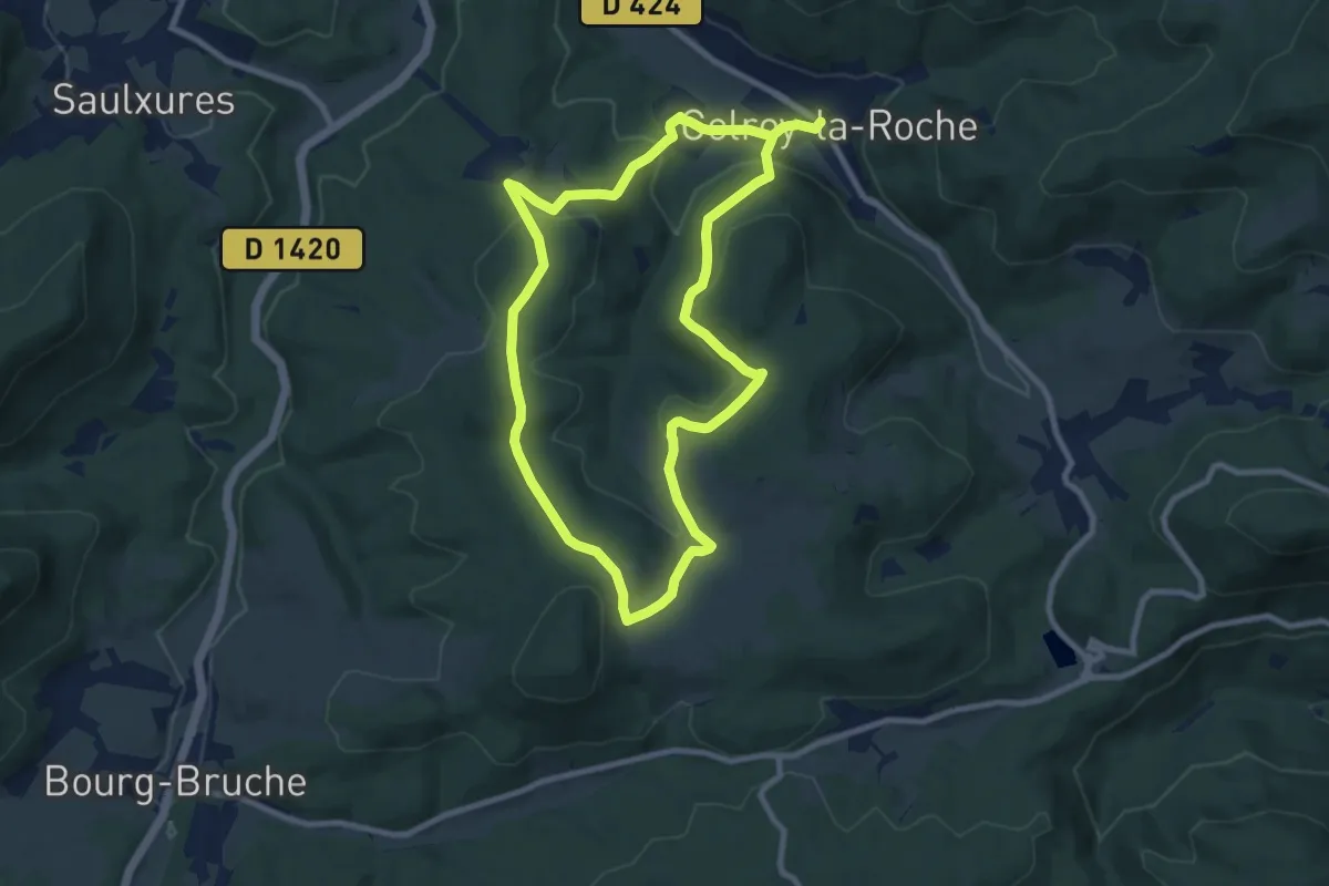
Medium · Trail
Colroy-la-Roche – Colroy-la-Roche
8.2 km · ↑ 279 m · 2 h 40 min
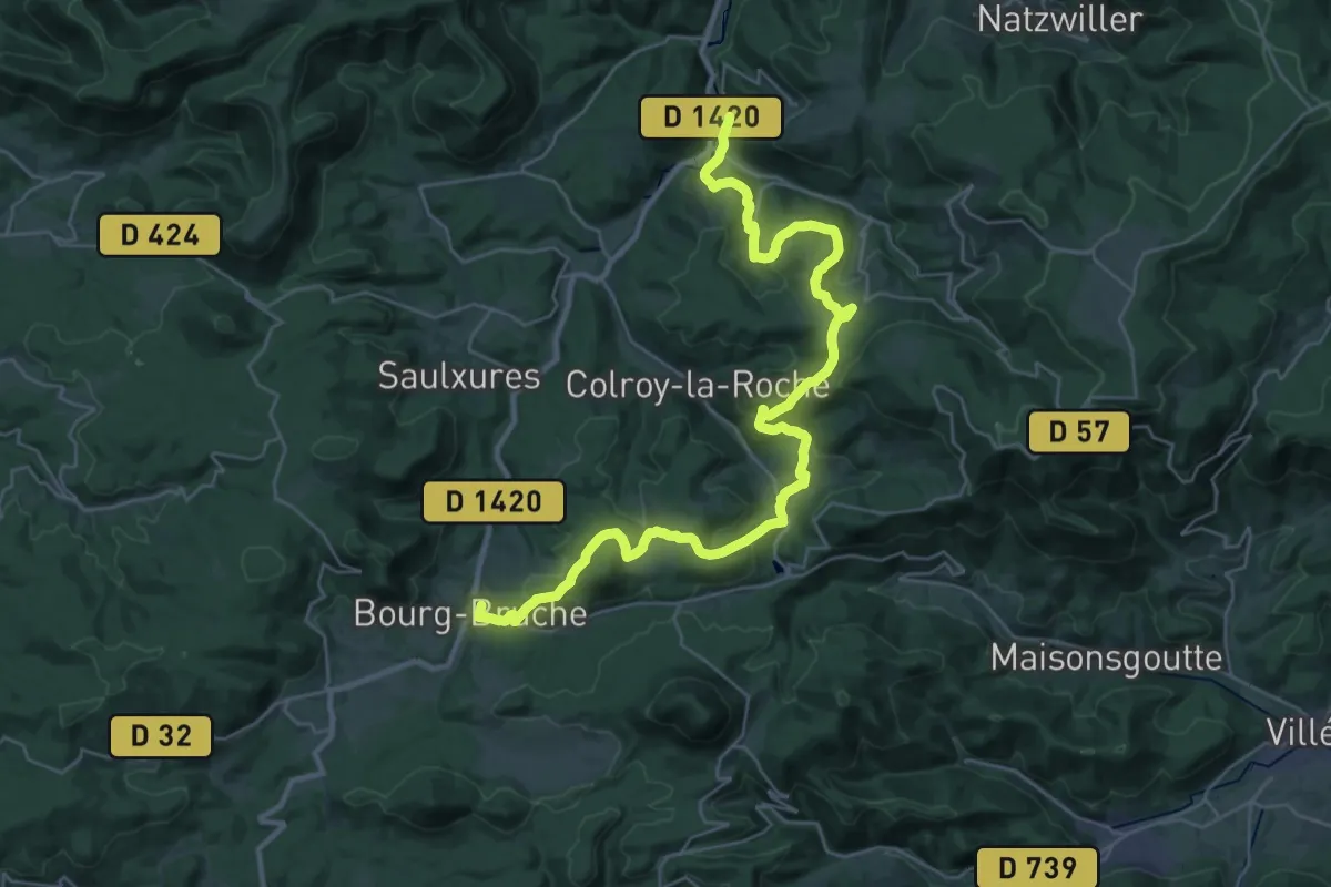
Medium · Trail
Bourg-Bruche – Fouday
17.4 km · ↑ 577 m · 5 h 39 min
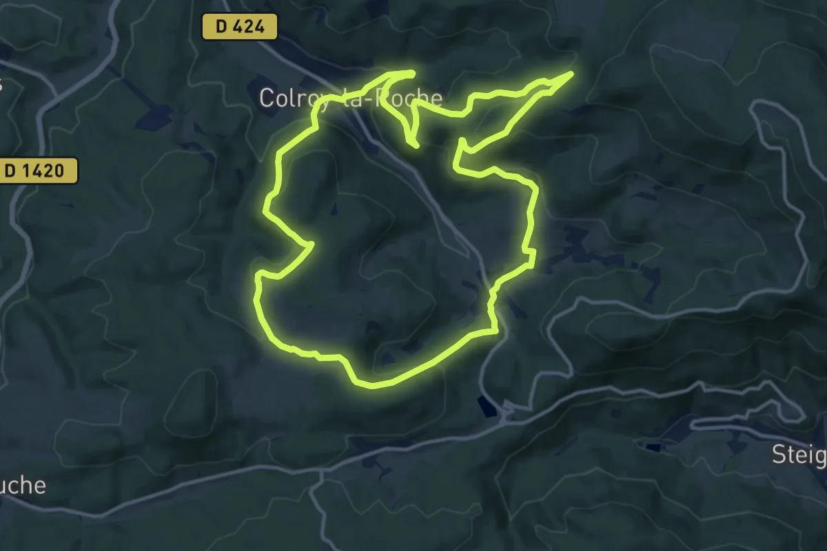
Medium · Trail
Colroy-la-Roche – Colroy-la-Roche
12.9 km · ↑ 471 m · 4 h 15 min
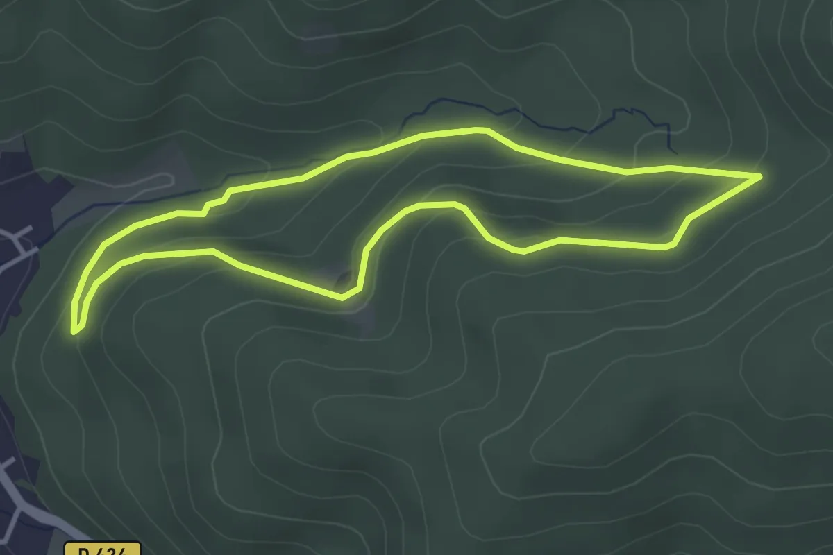
Easy · Trail
Colroy-la-Roche – Colroy-la-Roche
3.2 km · ↑ 145 m · 1 h 7 min
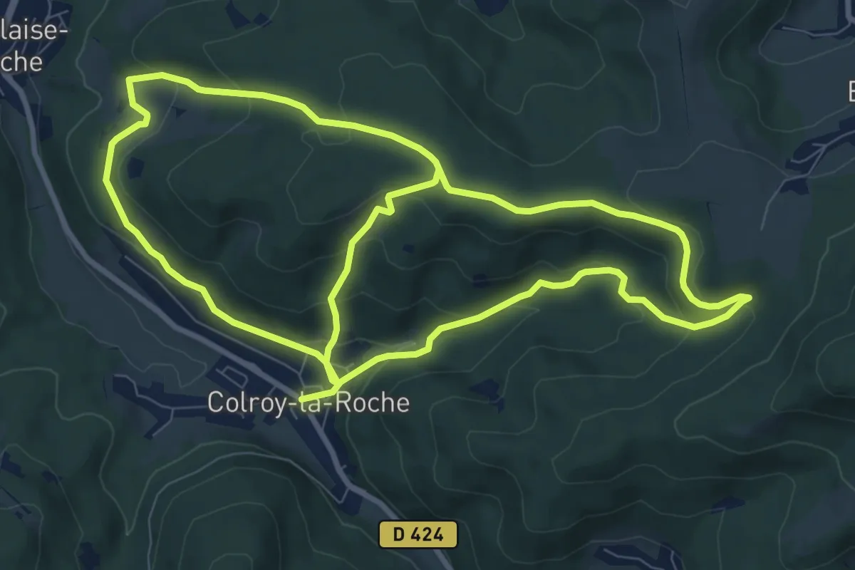
Medium · Trail
Colroy-la-Roche – Colroy-la-Roche
8.9 km · ↑ 275 m · 2 h 56 min
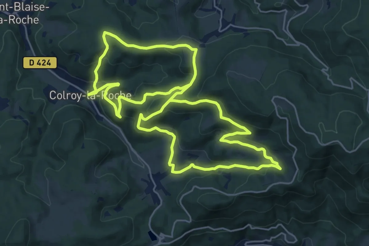
Medium · Trail
Colroy-la-Roche – Colroy-la-Roche
16.8 km · ↑ 625 m · 5 h 32 min
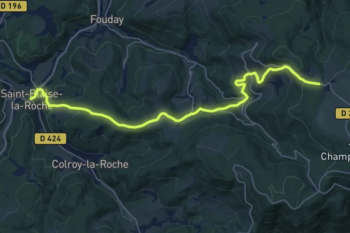
Demanding · Trail
Saint-Blaise-la-Roche – Le Champ du Feu
19.3 km · ↑ 747 m · 6 h 10 min
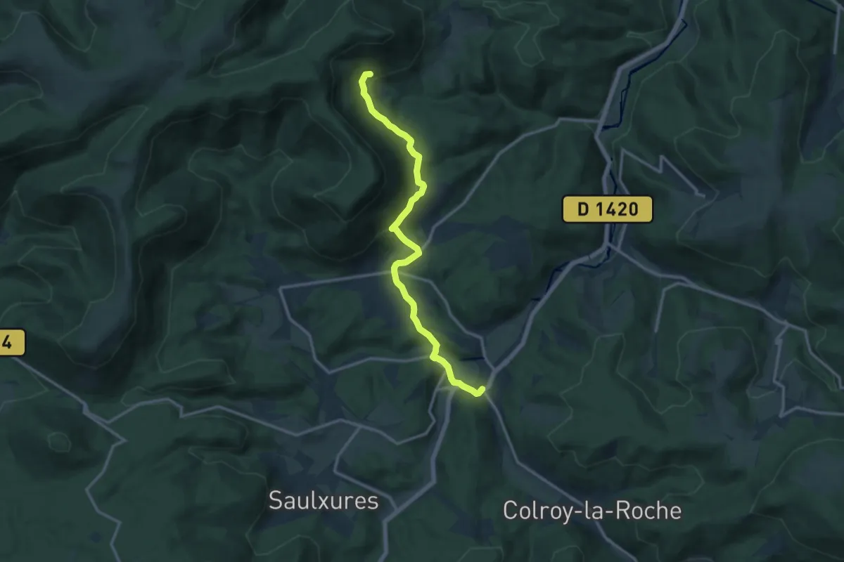
Medium · Trail
Saint-Blaise-la-Roche – Le Bambois
11.8 km · ↑ 361 m · 3 h 35 min
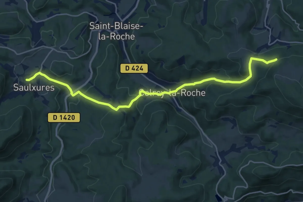
Medium · Trail
Saulxures – Château de la Roche
15.7 km · ↑ 627 m · 5 h 4 min
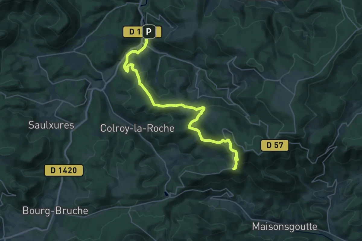
Demanding · Trail
Fouday – Le Haut Chênot
23.2 km · ↑ 872 m · 7 h 23 min
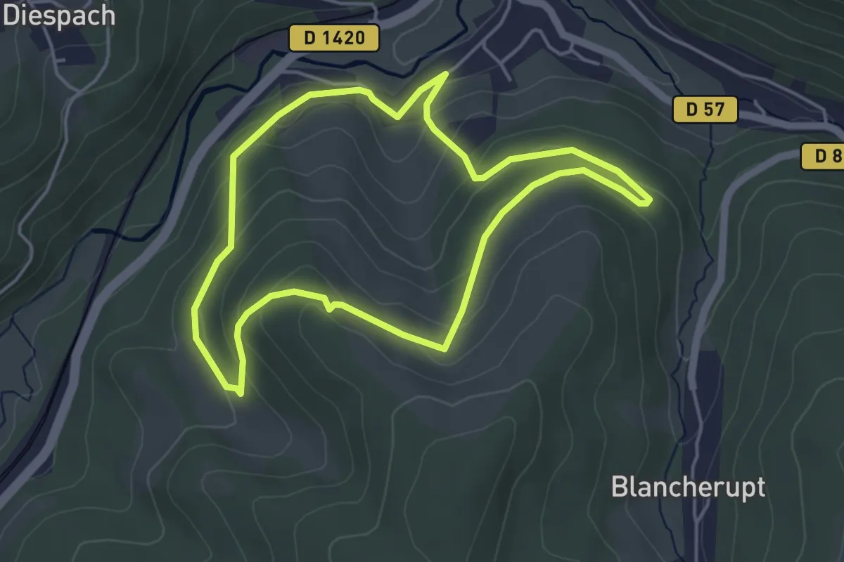
Easy · Trail
Fouday – Fouday
4.1 km · ↑ 166 m · 1 h 22 min
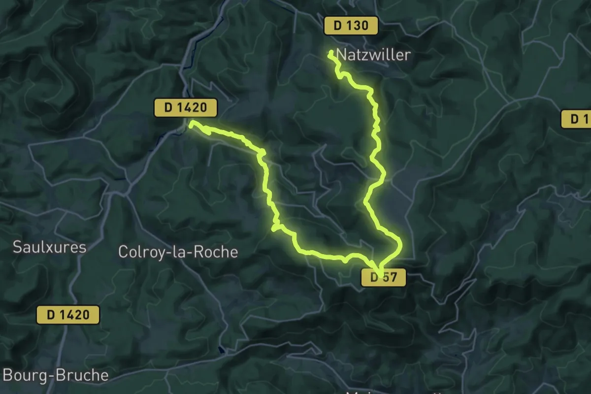
Demanding · Trail
Fouday – Neuviller-la-Roche
18.2 km · ↑ 834 m · 6 h 18 min
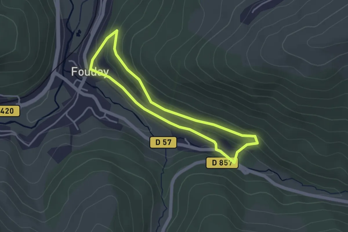
Easy · Trail
Fouday – Fouday
2.9 km · ↑ 105 m · 57 min
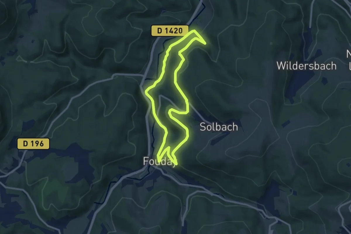
Easy · Trail
Fouday – Fouday
7.5 km · ↑ 201 m · 2 h 19 min
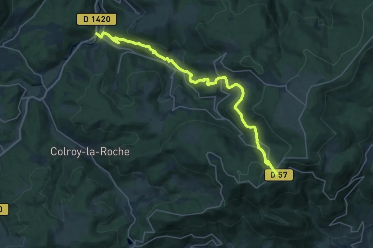
Demanding · Trail
Col de la Charbonnière – Fouday
19.8 km · ↑ 842 m · 6 h 30 min
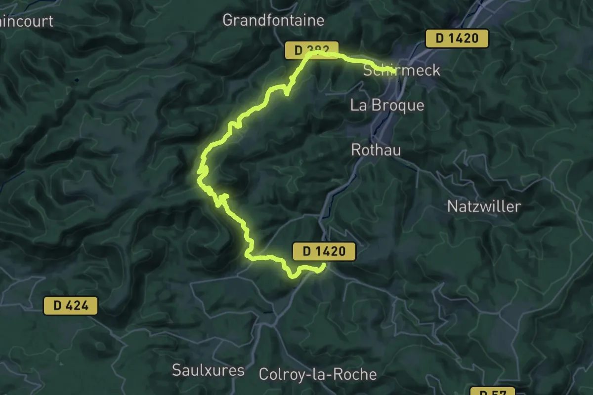
Demanding · Trail
Fouday – Schirmeck
18.6 km · ↑ 630 m · 6 h 3 min
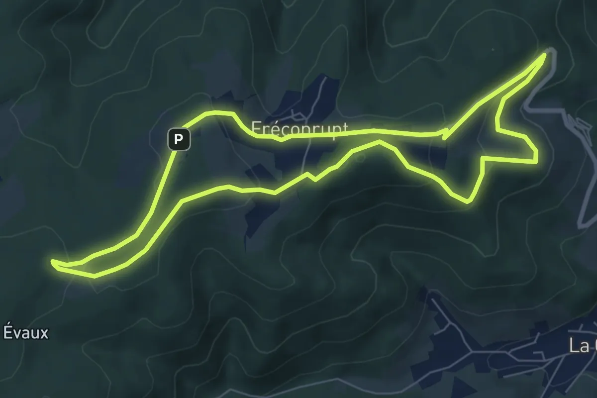
Easy · Trail
Fréconrupt – Fréconrupt
6.9 km · ↑ 187 m · 2 h 9 min
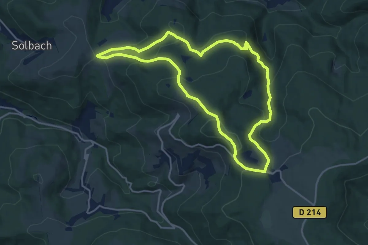
Medium · Trail
Le Champ du Feu – Le Champ du Feu
10.4 km · ↑ 477 m · 3 h 38 min
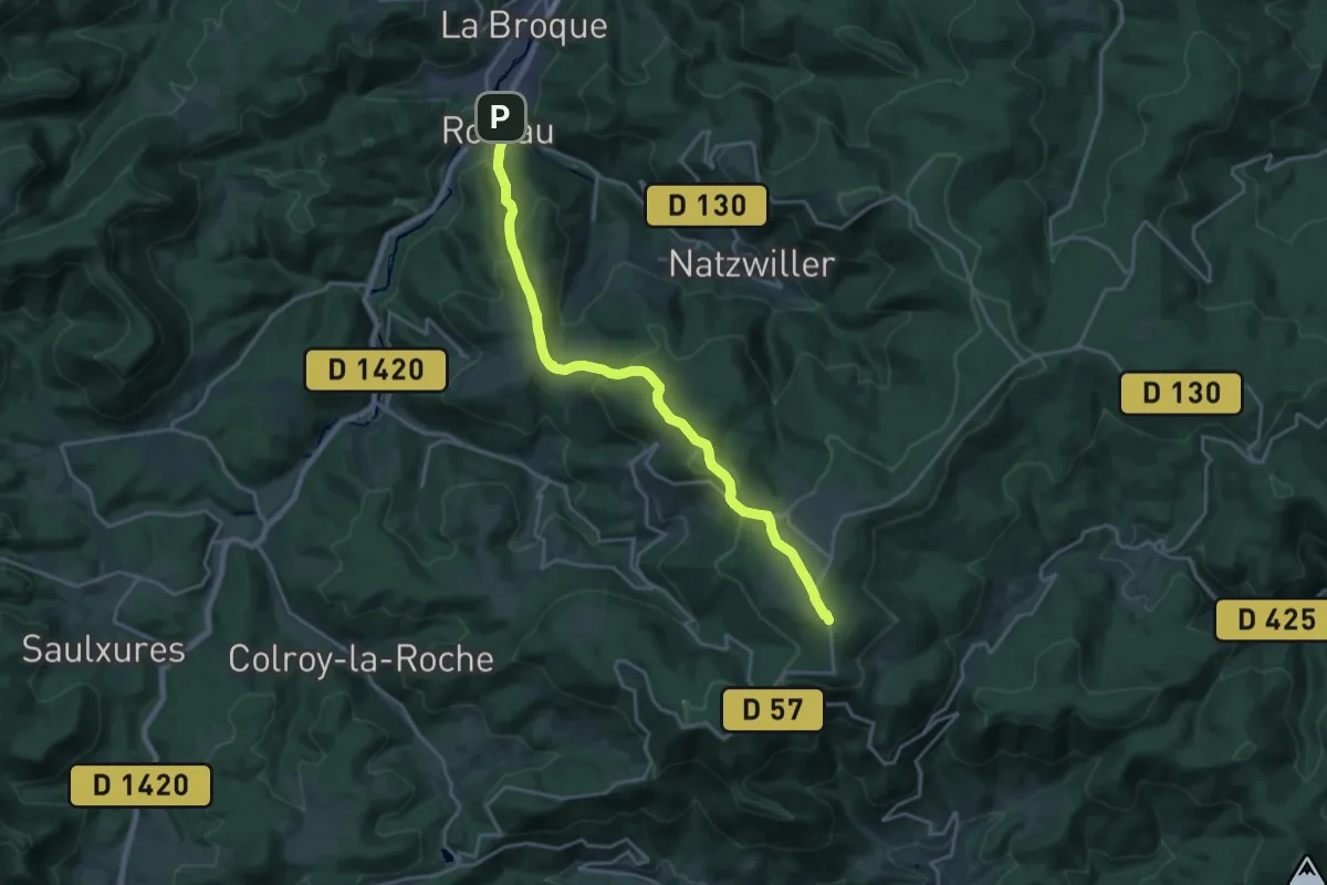
Demanding · Summit
Rothau – GR5
19.4 km · ↑ 824 m · 6 h 23 min
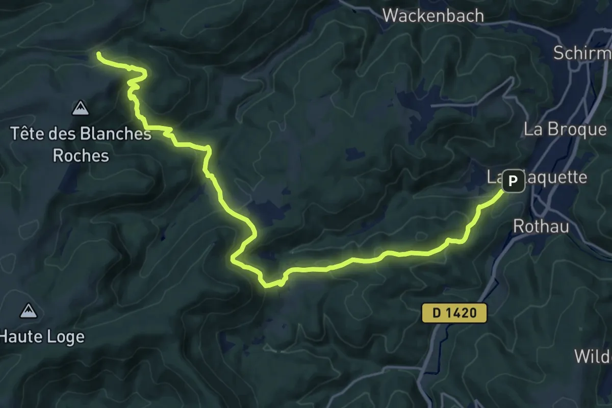
Demanding · Trail
La Claquette – Col de Prayé
21.6 km · ↑ 1003 m · 7 h 17 min
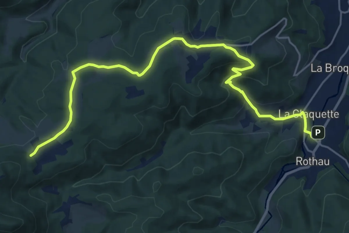
Medium · Trail
Rothau – Salm
15.8 km · ↑ 525 m · 4 h 52 min
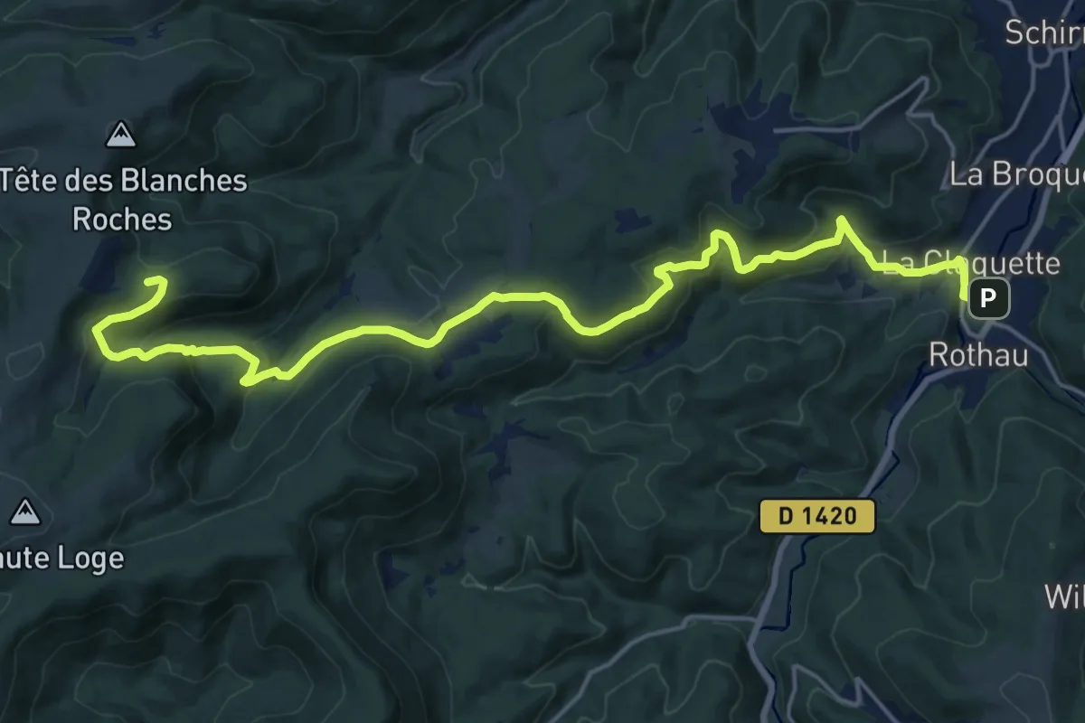
Demanding · Trail
Rothau – Le Rond Pertuis
21.3 km · ↑ 820 m · 6 h 48 min
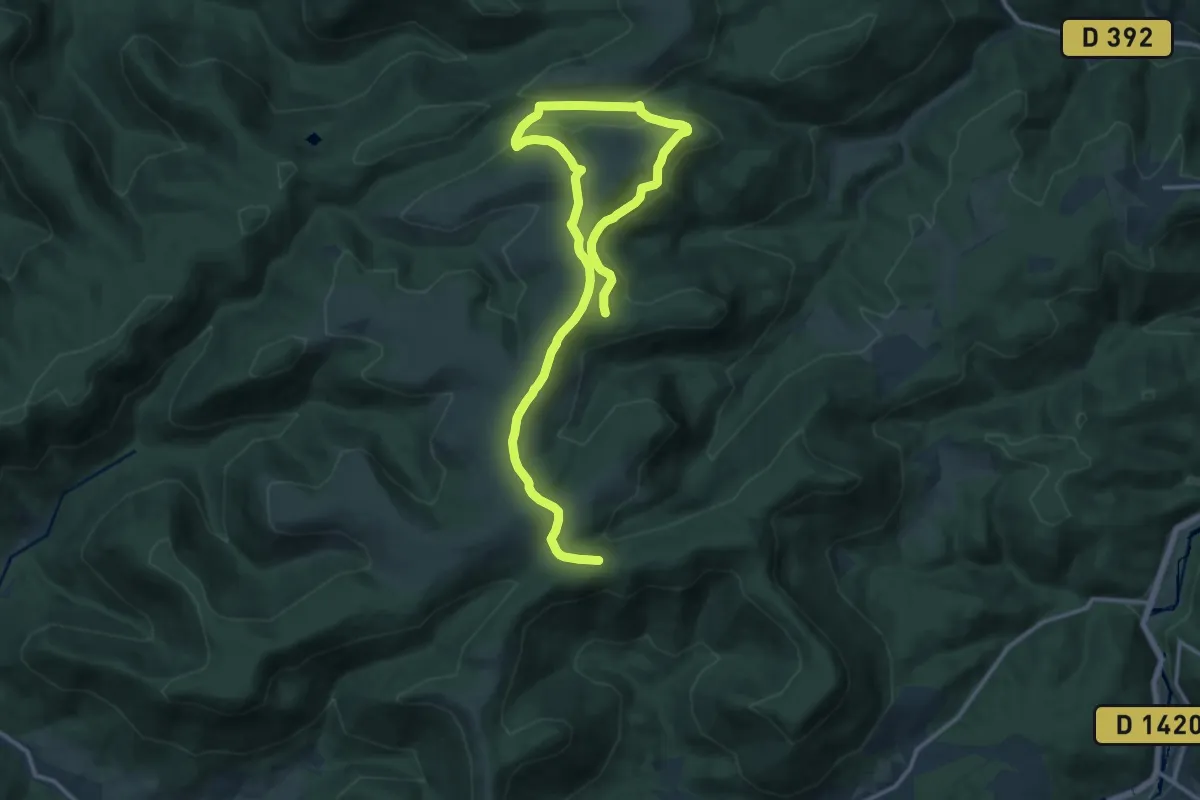
Medium · Summit
Salm – Salm
9.6 km · ↑ 225 m · 2 h 52 min
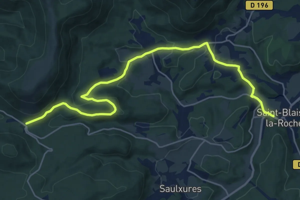
Medium · Trail
Saint-Blaise-la-Roche – Col du Hanz
16.4 km · ↑ 430 m · 4 h 49 min
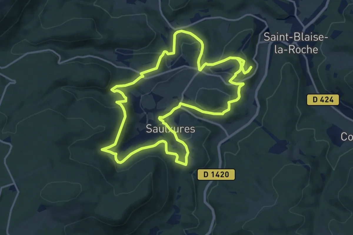
Medium · Trail
Saulxures – Saulxures
11.2 km · ↑ 352 m · 3 h 32 min
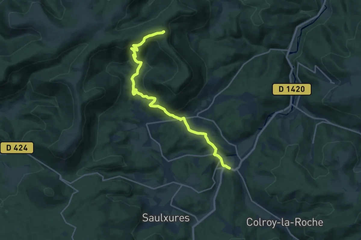
Medium · Summit
Saint-Blaise-la-Roche – La Chatte Pendue
15.7 km · ↑ 729 m · 5 h 17 min
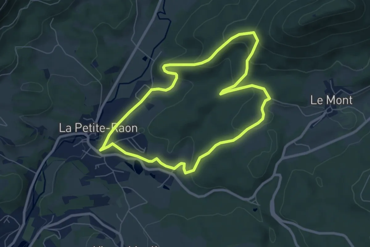
Easy · Trail
La Petite-Raon – La Petite-Raon
5.9 km · ↑ 221 m · 1 h 58 min
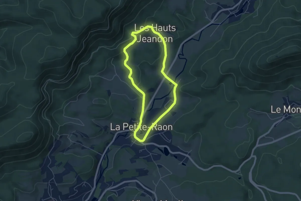
Easy · Trail
La Petite-Raon – La Petite-Raon
4.7 km · ↑ 117 m · 1 h 25 min
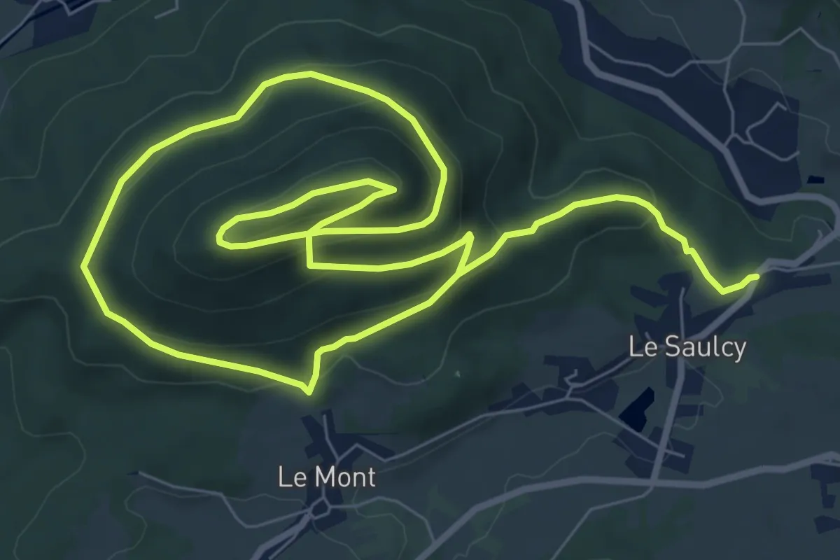
Easy · Trail
Le Saulcy – Le Saulcy
6.9 km · ↑ 229 m · 2 h 16 min
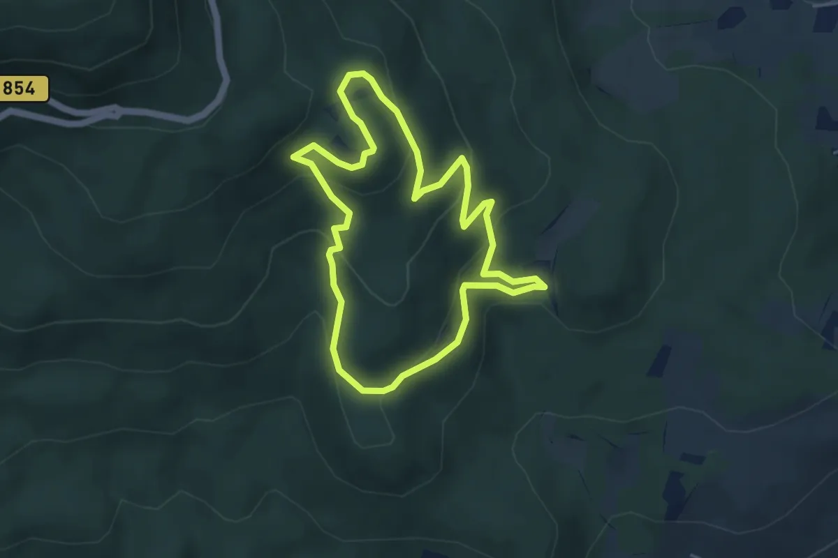
Easy · Trail
Moenkalb – Moenkalb
3.9 km · ↑ 185 m · 1 h 22 min
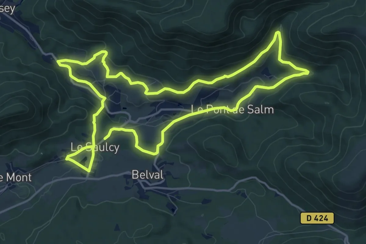
Medium · Trail
Le Saulcy – Le Saulcy
11.3 km · ↑ 306 m · 3 h 30 min
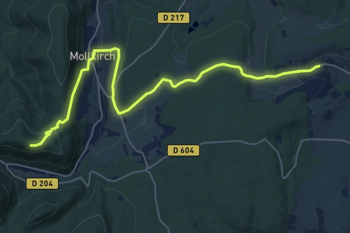
Medium · Trail
Rosenwiller – Château de Guirbaden
16.3 km · ↑ 497 m · 4 h 55 min