Trails in France
15,926 hiking trails, each with its route, climb, walking time and grade.
All trails, page 327 of 332
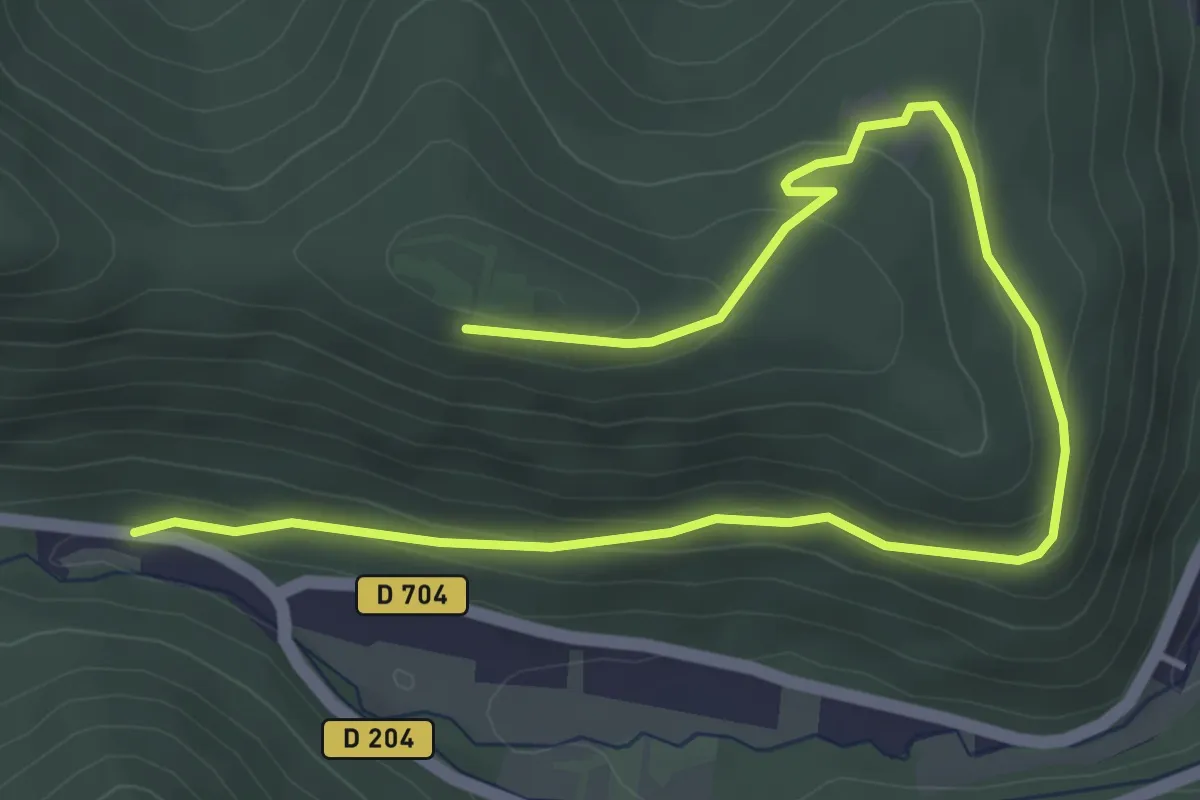
Easy · Trail
Firschhutte – Château de Guirbaden
5.6 km · ↑ 188 m · 1 h 44 min
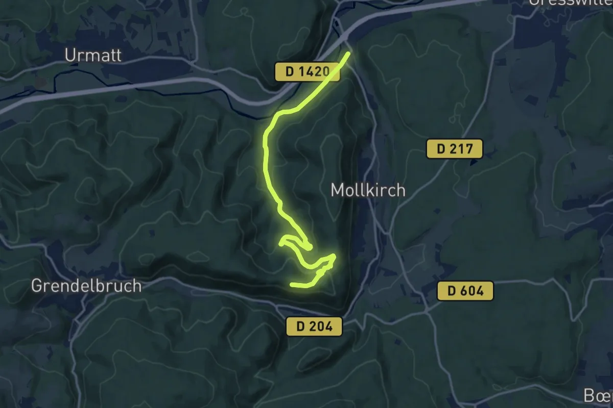
Medium · Trail
Gare de Heiligenberg – Château de Guirbaden
13.9 km · ↑ 361 m · 4 h 4 min
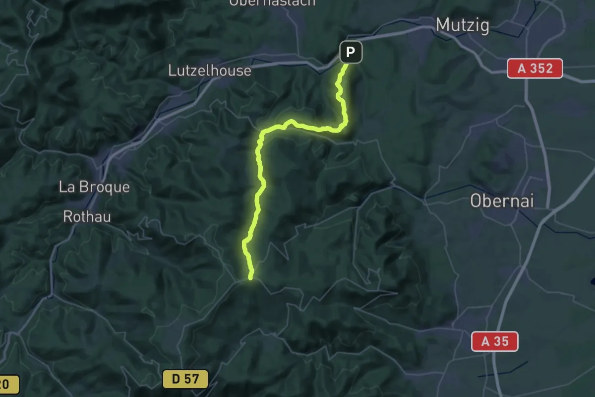
Demanding · Trail
Gare de Heiligenberg – Rothlach
16.6 km · ↑ 913 m · 5 h 45 min
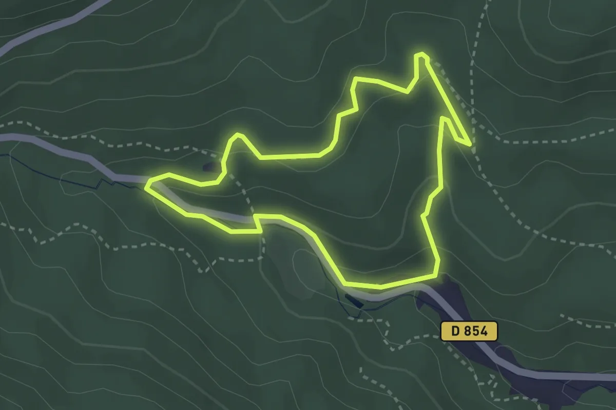
Easy · Trail
Holzplatz – Holzplatz
2.7 km · ↑ 111 m · 55 min
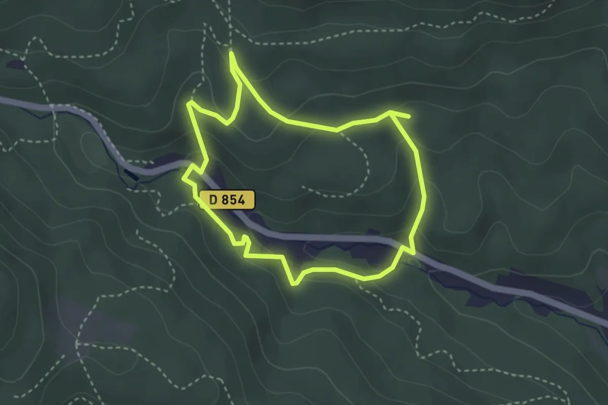
Easy · Trail
Holzplatz – Holzplatz
2.8 km · ↑ 143 m · 1 h
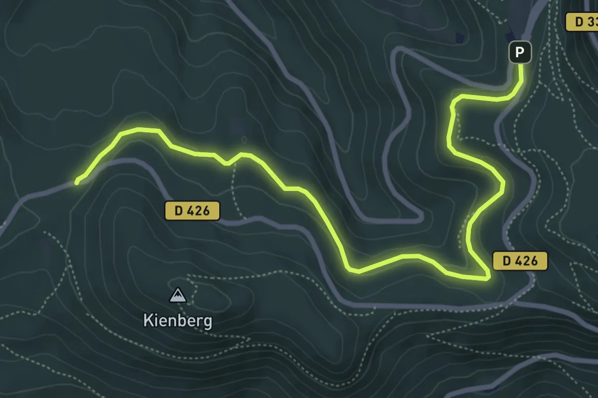
Easy · Trail
D 426 – Mont Sainte Odile
7.2 km · ↑ 165 m · 2 h 3 min
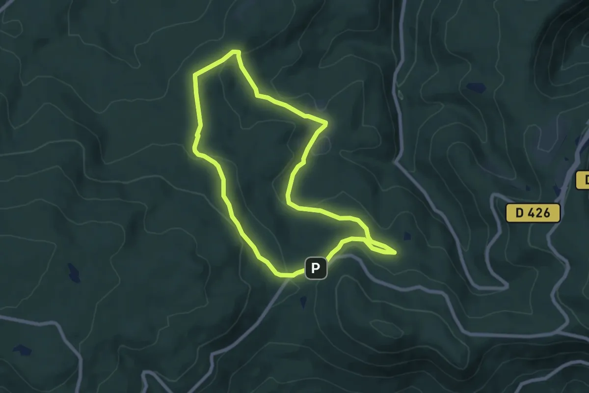
Easy · Trail
D426 – D426
5.8 km · ↑ 142 m · 1 h 45 min
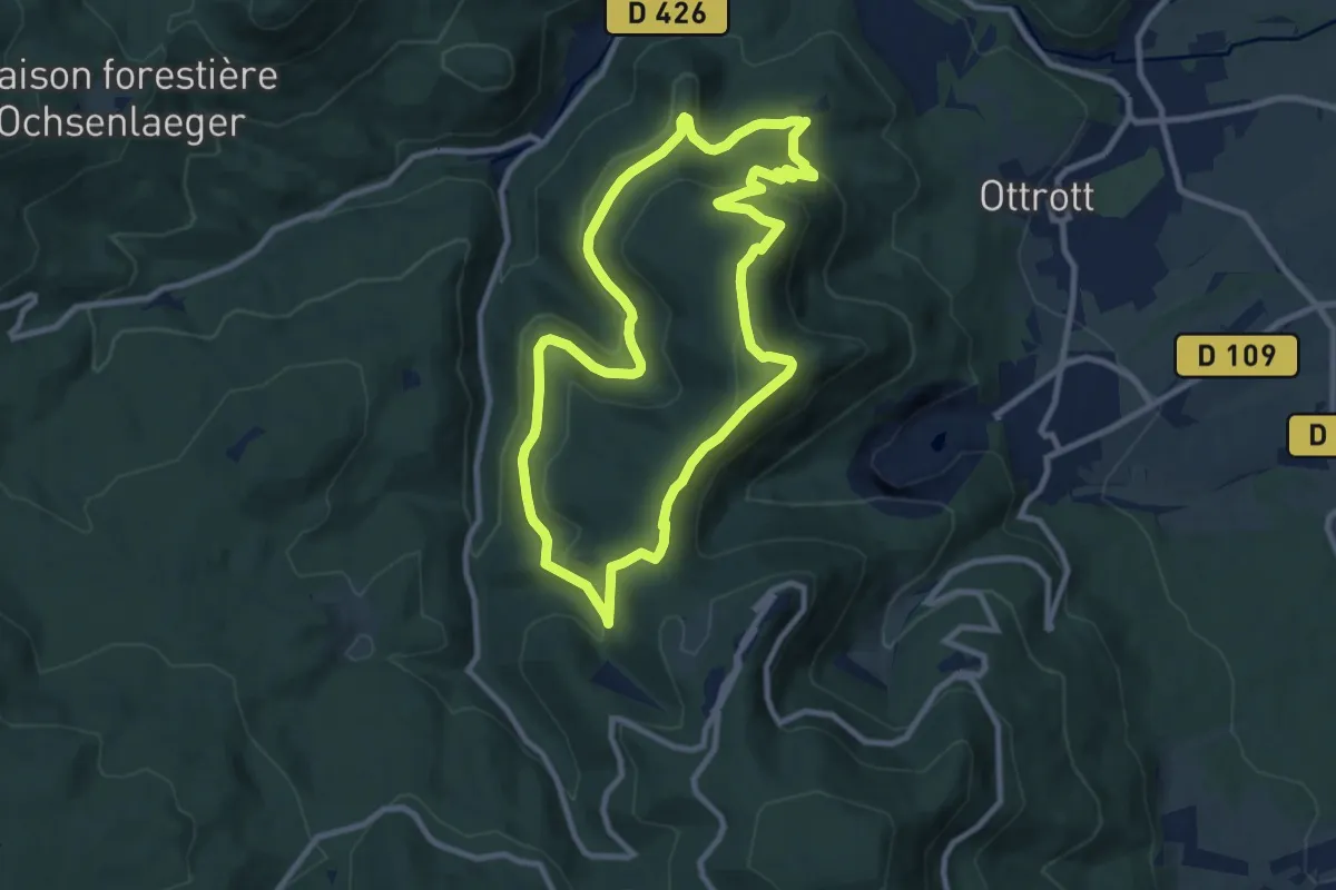
Medium · Trail
Châteaux d'Ottrott – Châteaux d'Ottrott
9.0 km · ↑ 299 m · 2 h 55 min
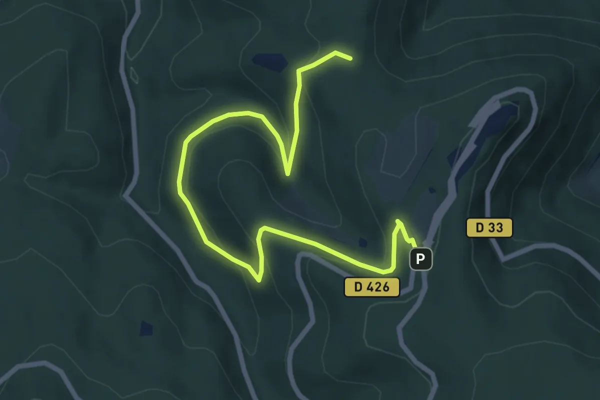
Easy · Trail
Parking Mont-Sainte-Odile – Stollhafen
6.6 km · ↑ 277 m · 2 h 10 min
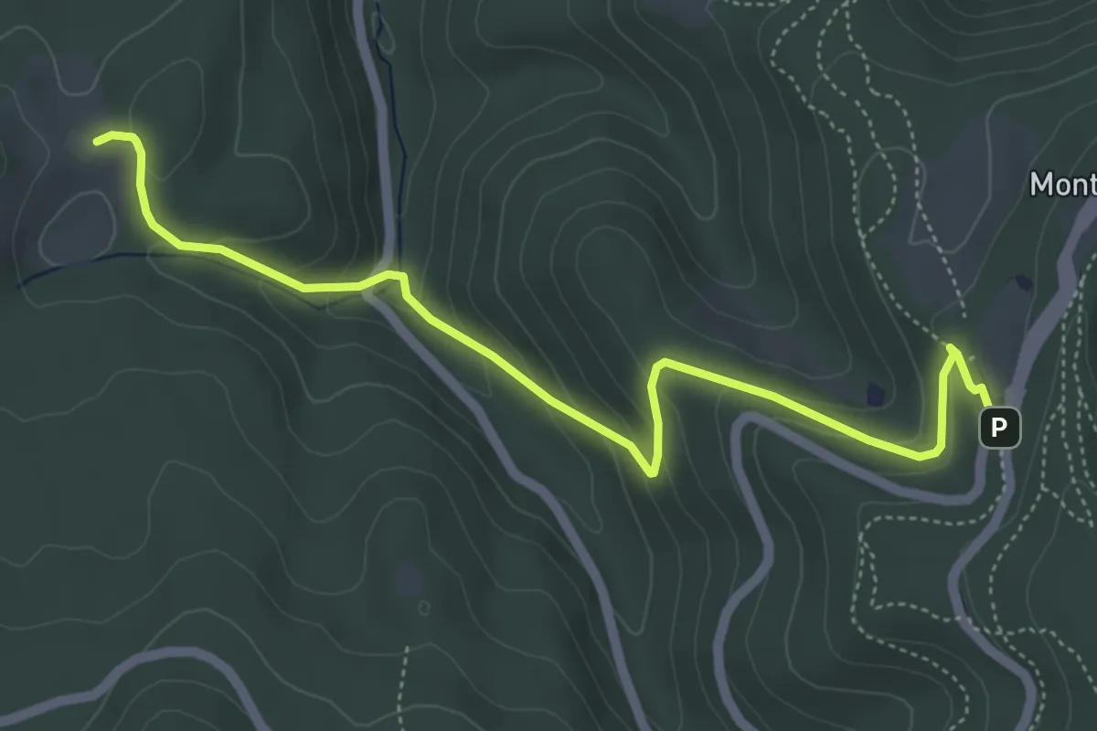
Easy · Trail
Maison Forestière Willerhof – Parking Mont-Saint-Odile
5.4 km · ↑ 297 m · 1 h 55 min
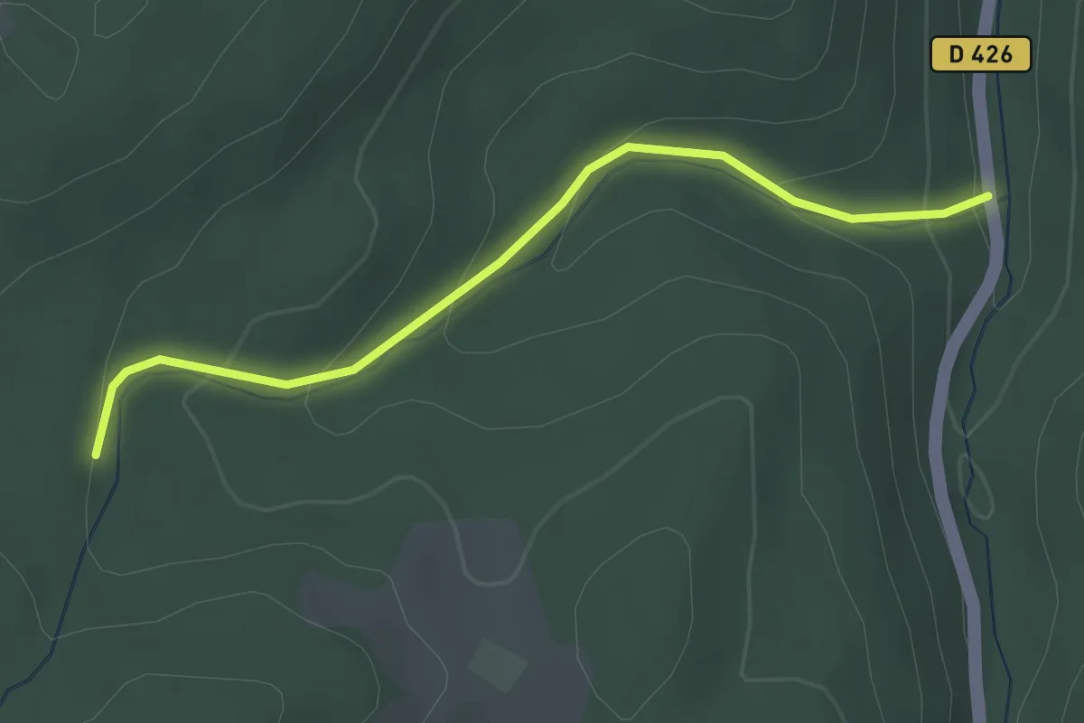
Easy · Trail
Willerwald – D 426
2.7 km · ↑ 139 m · 56 min
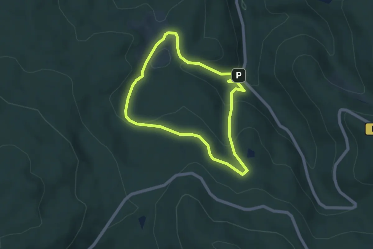
Easy · Trail
Maison Forestière Willerhof – Maison Forestière Willerhof
3.5 km · ↑ 140 m · 1 h 10 min
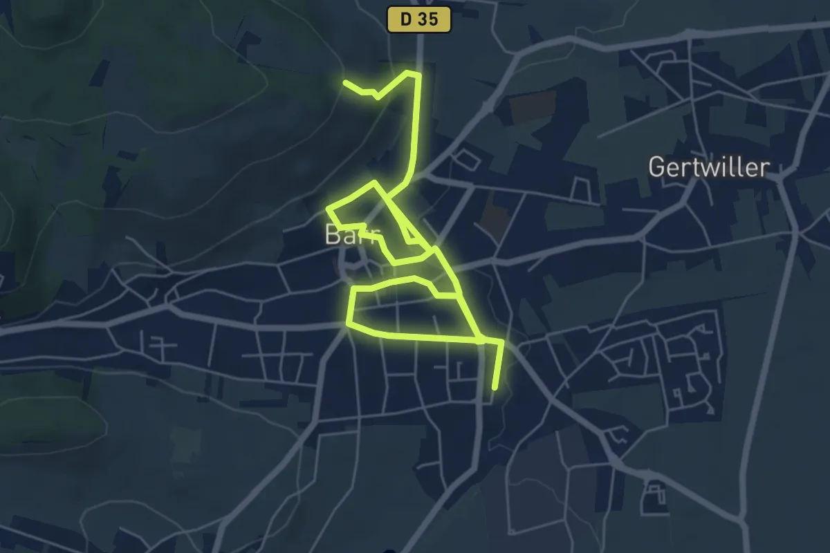
Medium · Trail
Gare Barr – GR5
8.4 km · ↑ 179 m · 2 h 22 min
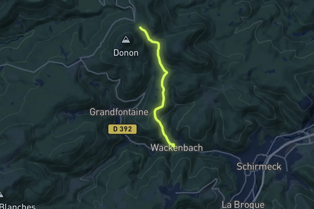
Medium · Trail
Wackenbach – Col entre les deux Donons
8.7 km · ↑ 466 m · 3 h 4 min
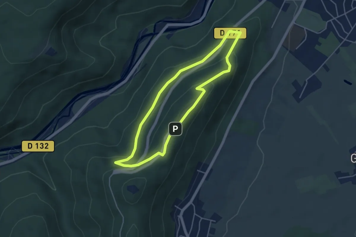
Easy · Trail
Saverne Bildstoeckel – Saverne Bildstoeckel
3.6 km · ↑ 134 m · 1 h 11 min
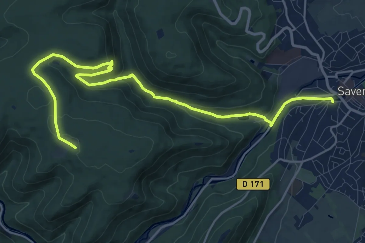
Medium · Trail
Saverne – Maison forestière du Schweizerhof
14.1 km · ↑ 328 m · 4 h 2 min
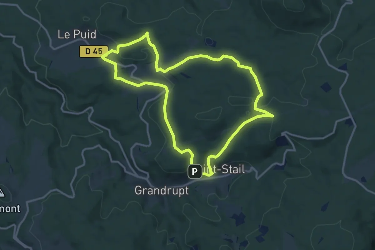
Medium · Trail
Saint-Stail – Saint-Stail
8.5 km · ↑ 272 m · 2 h 43 min
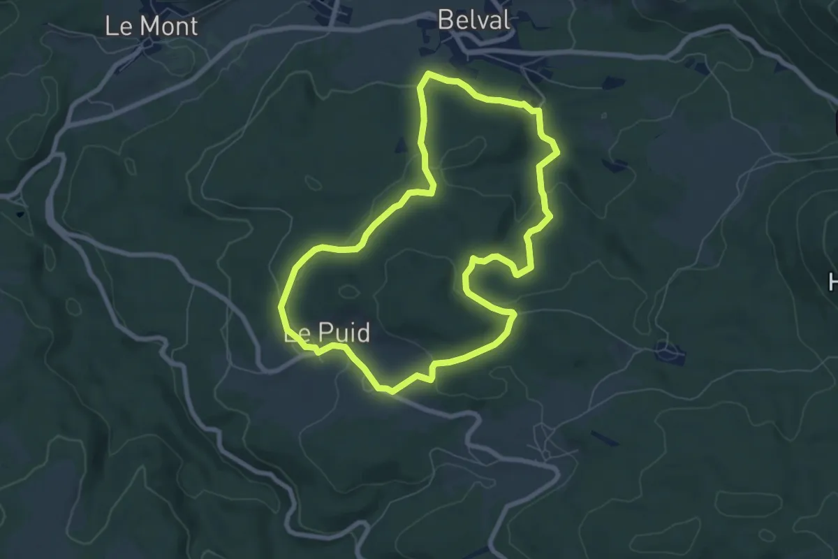
Easy · Trail
Belval – Belval
6.6 km · ↑ 170 m · 2 h 1 min
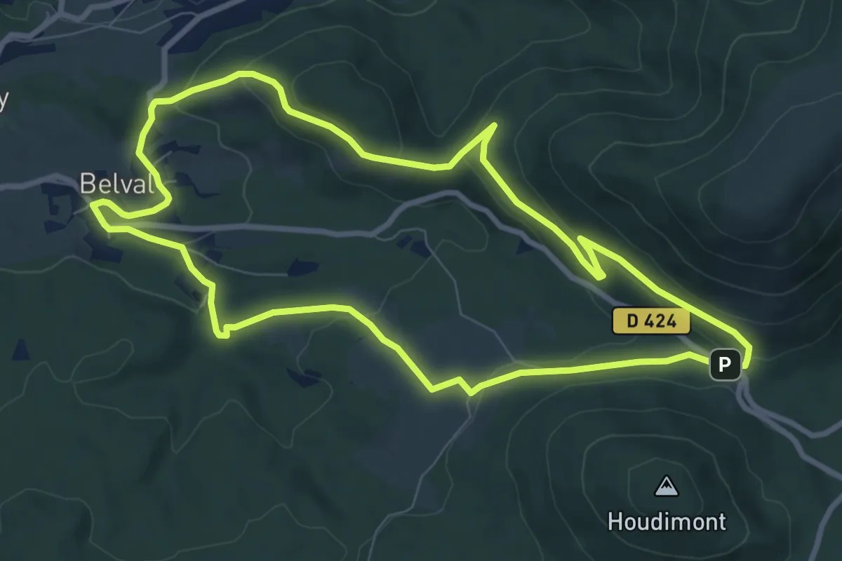
Medium · Trail
Belval – Belval
8.2 km · ↑ 239 m · 2 h 33 min
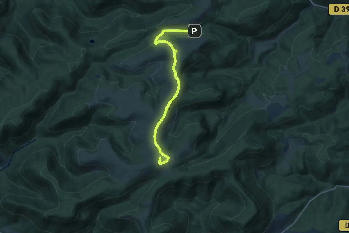
Medium · Summit
Moussey – Col de Prayé
12.8 km · ↑ 259 m · 3 h 34 min
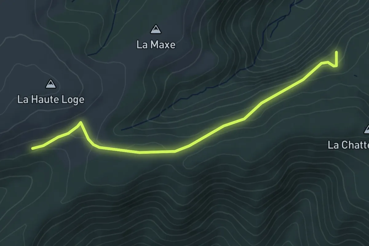
Easy · Trail
Moussey – Disque rouge
5.0 km · ↑ 130 m · 1 h 27 min
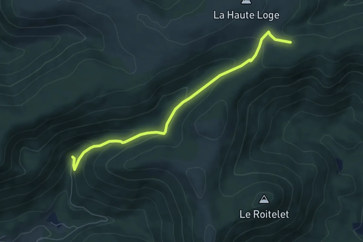
Easy · Trail
Le Haut Pré – Monument des Passeurs
6.4 km · ↑ 281 m · 2 h 7 min
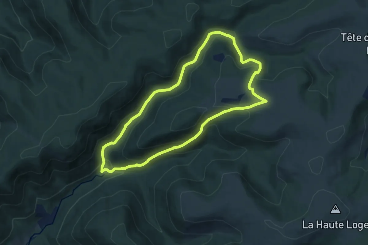
Medium · Trail
Les Chavons – Les Chavons
8.1 km · ↑ 375 m · 2 h 51 min
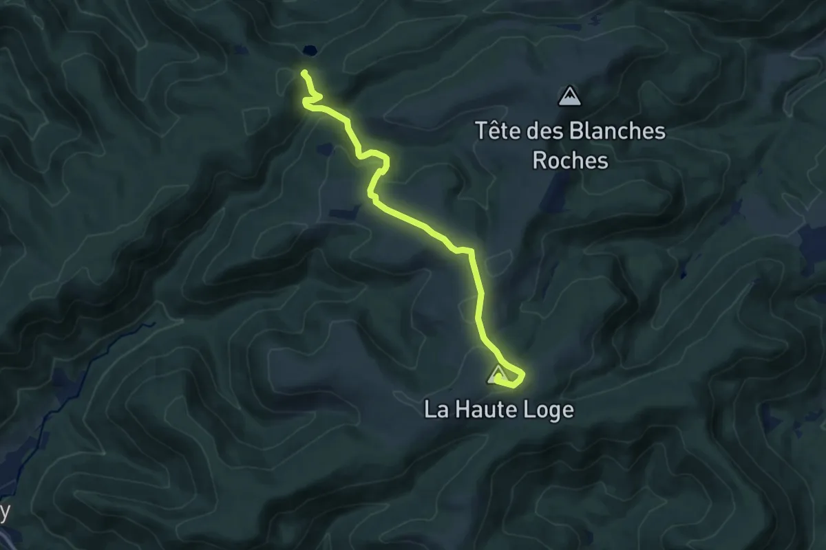
Medium · Summit
La Haute Loge – Haut du Bon Dieu
11.1 km · ↑ 375 m · 3 h 25 min
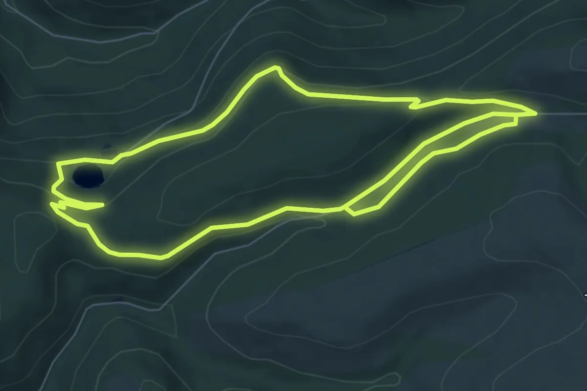
Easy · Trail
Haut du Bon Dieu – Haut du Bon Dieu
7.3 km · ↑ 162 m · 2 h 9 min
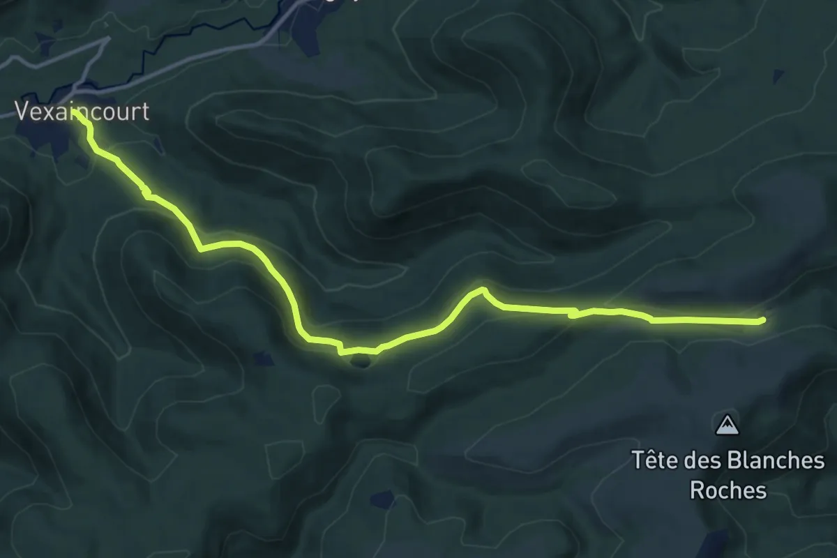
Medium · Trail
Vexaincourt – Col de Prayé
13.4 km · ↑ 511 m · 4 h 17 min
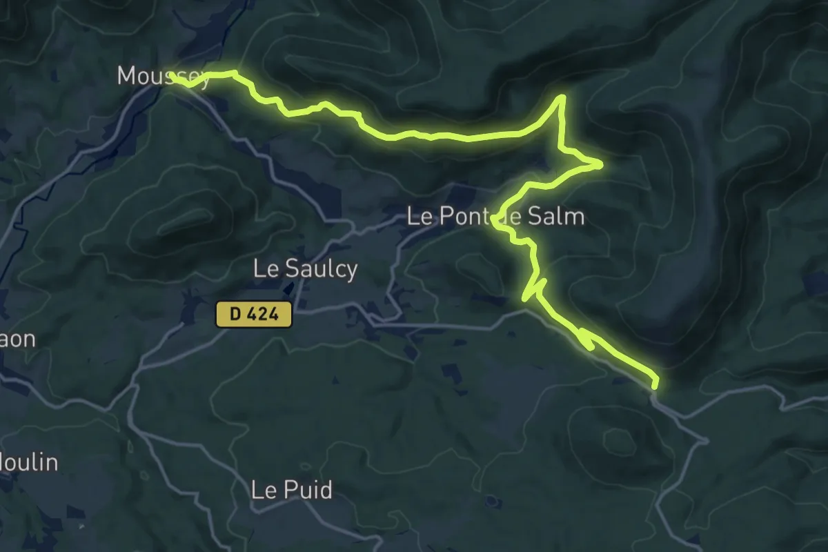
Demanding · Trail
Moussey – Col du Hantz
20.5 km · ↑ 927 m · 6 h 51 min
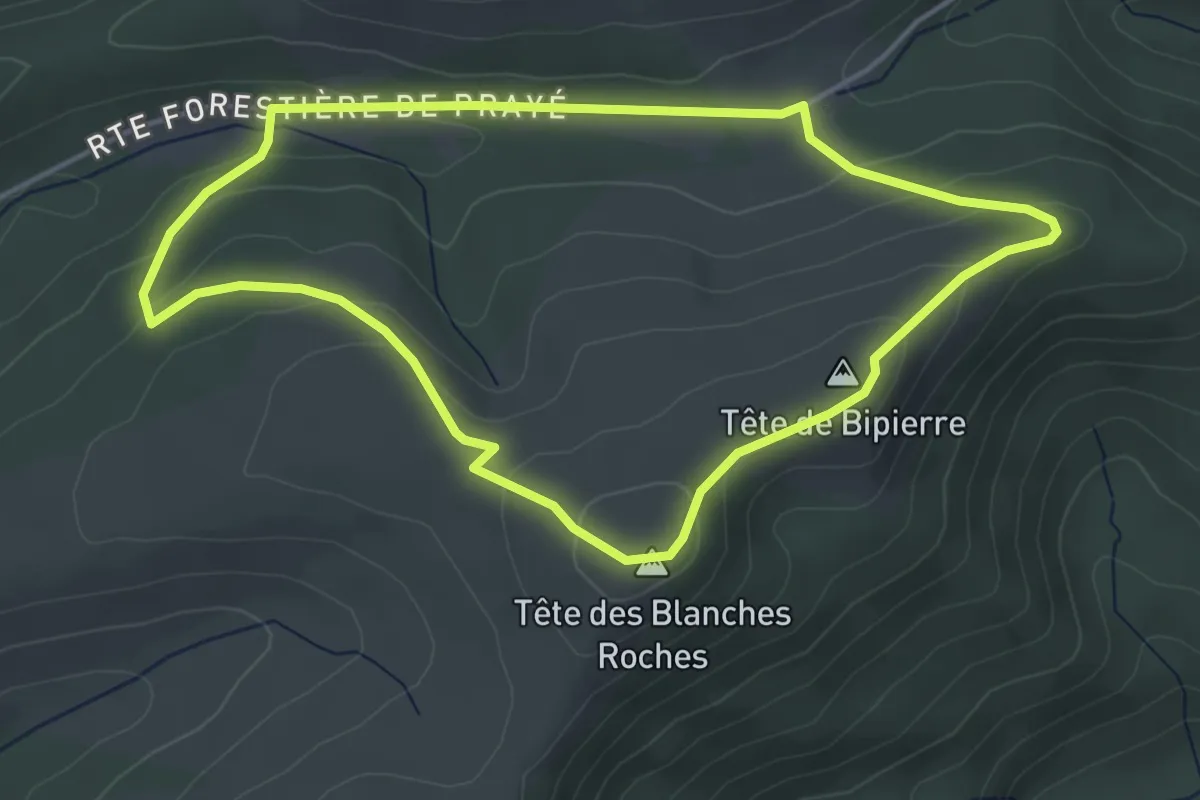
Easy · Summit
Col de Prayé – Col de Prayé
4.1 km · ↑ 131 m · 1 h 19 min
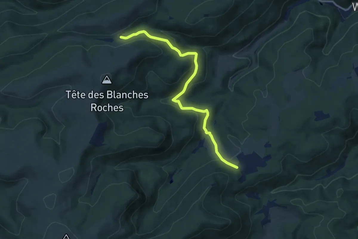
Medium · Trail
Salm – Col de Prayé
9.7 km · ↑ 429 m · 3 h 14 min
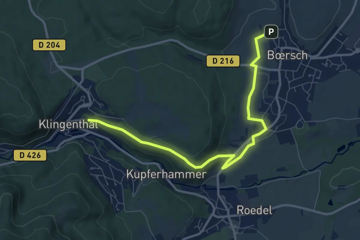
Medium · Trail
Bœrsch – Klingenthal
8.3 km · ↑ 166 m · 2 h 18 min
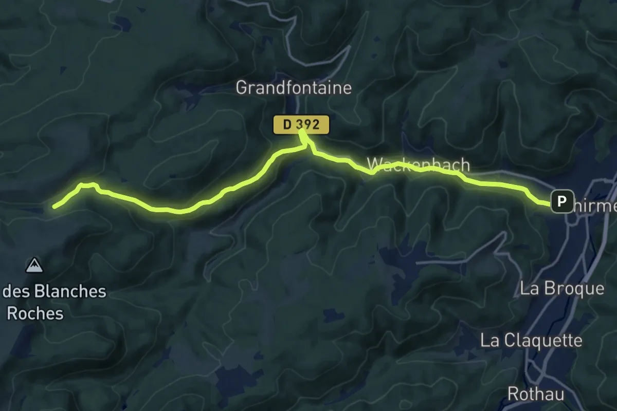
Medium · Trail
Schirmeck – Col de Prayé
16.5 km · ↑ 494 m · 4 h 57 min
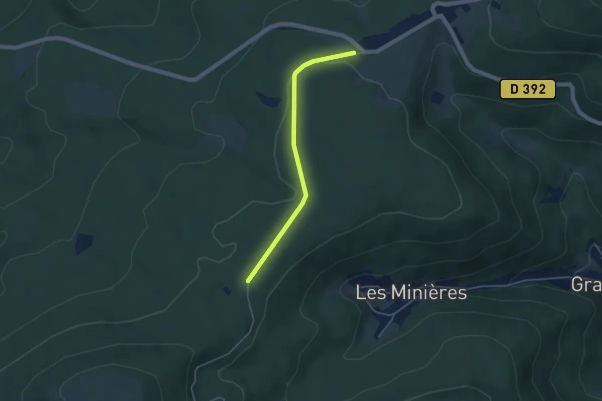
Easy · Trail
Col du Donon – Col de Prayé
3.4 km · ↑ 22 m · 50 min
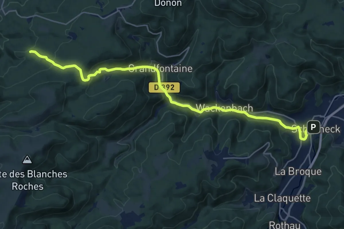
Demanding · Trail
Schirmeck – La Crache
19.3 km · ↑ 630 m · 5 h 56 min
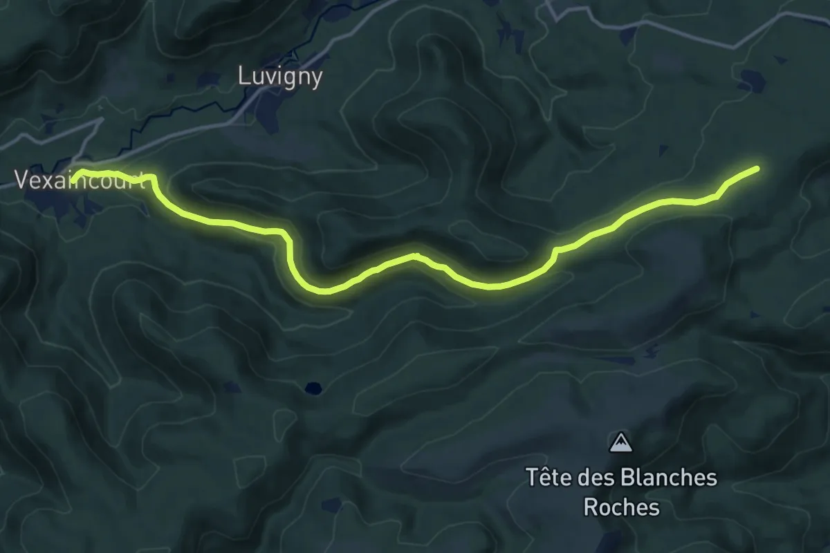
Medium · Trail
Vexaincourt – Etoile I
14.8 km · ↑ 396 m · 4 h 21 min
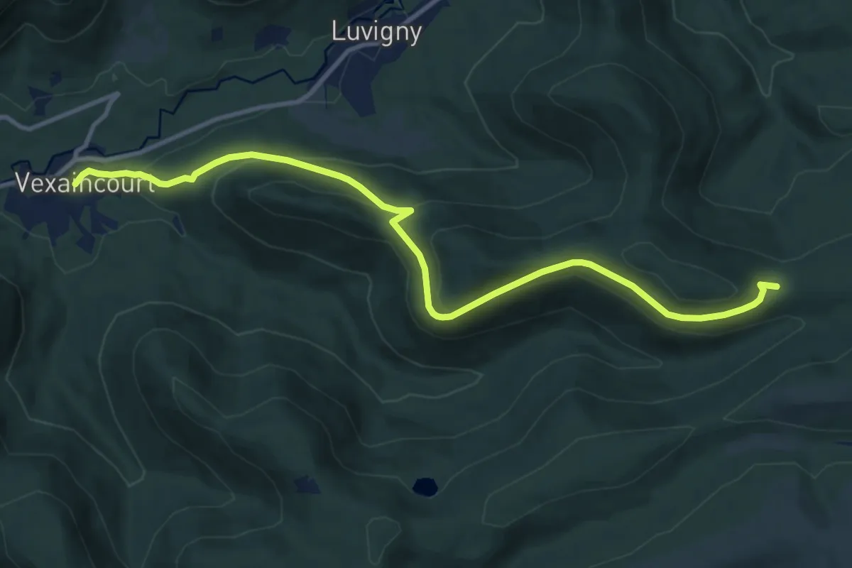
Medium · Trail
Vexaincourt – Croix Brignon
11.2 km · ↑ 438 m · 3 h 35 min
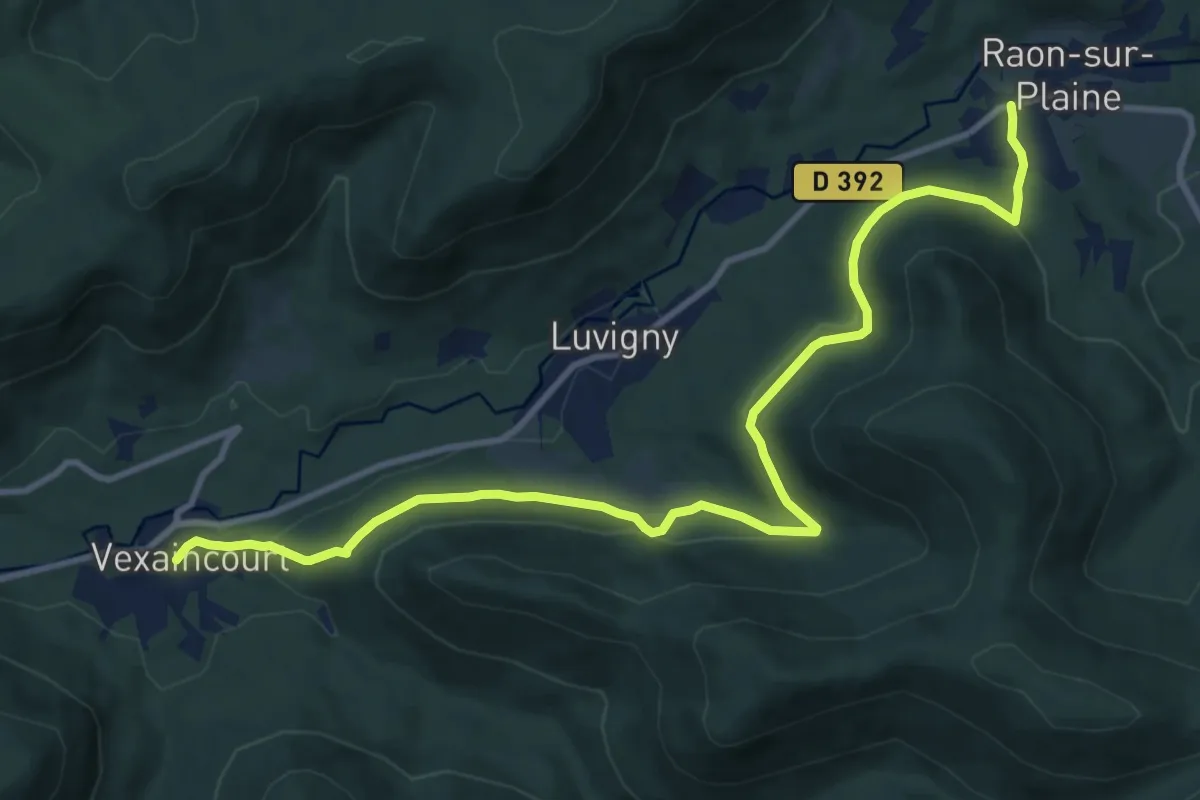
Medium · Trail
Vexaincourt – Raon-sur-Plaine
12.0 km · ↑ 315 m · 3 h 31 min
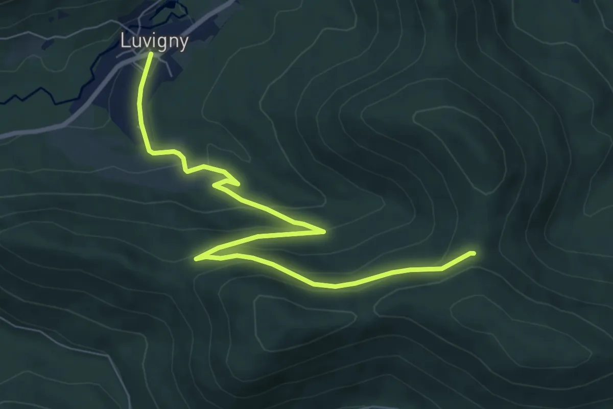
Medium · Trail
Luvigny – Col Pourrio
8.0 km · ↑ 335 m · 2 h 38 min
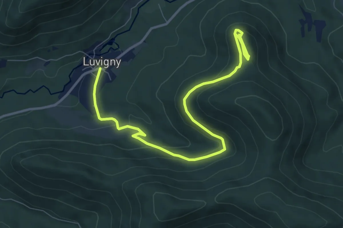
Medium · Trail
Luvigny – Dolmen de la Hazelle
9.4 km · ↑ 380 m · 3 h 2 min
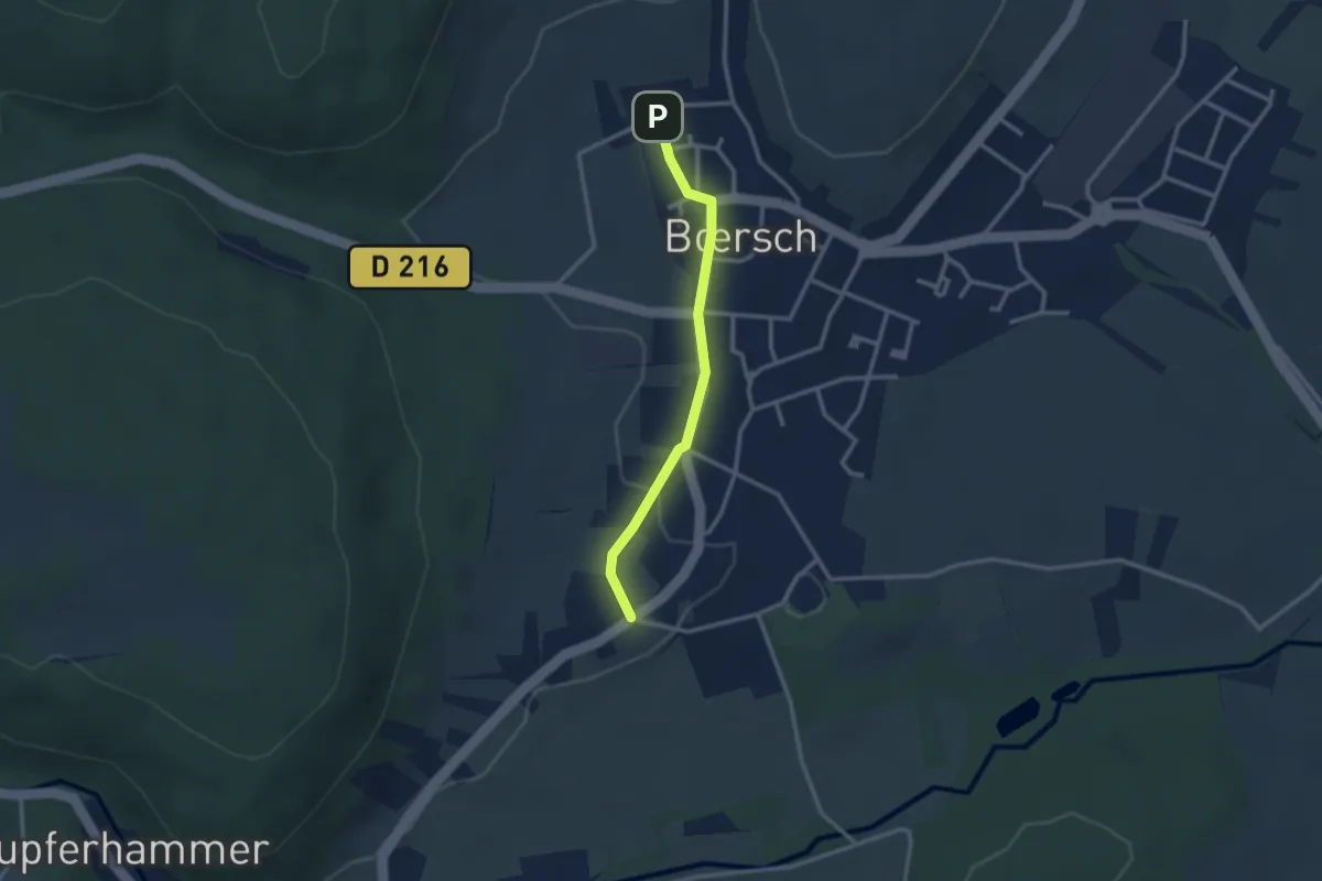
Easy · Trail
Bœrsch – Saint-Léonard
2.4 km · ↑ 23 m · 37 min
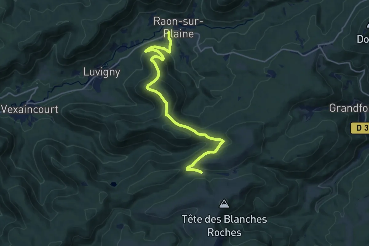
Medium · Trail
Raon-sur-Plaine – Refuge Roger Laederich
14.6 km · ↑ 509 m · 4 h 34 min
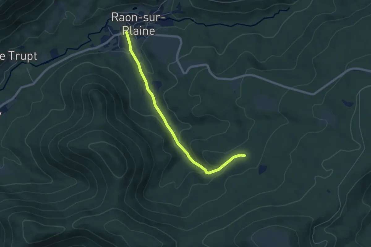
Easy · Trail
Raon-sur-Plaine – Étoile I
5.2 km · ↑ 185 m · 1 h 38 min
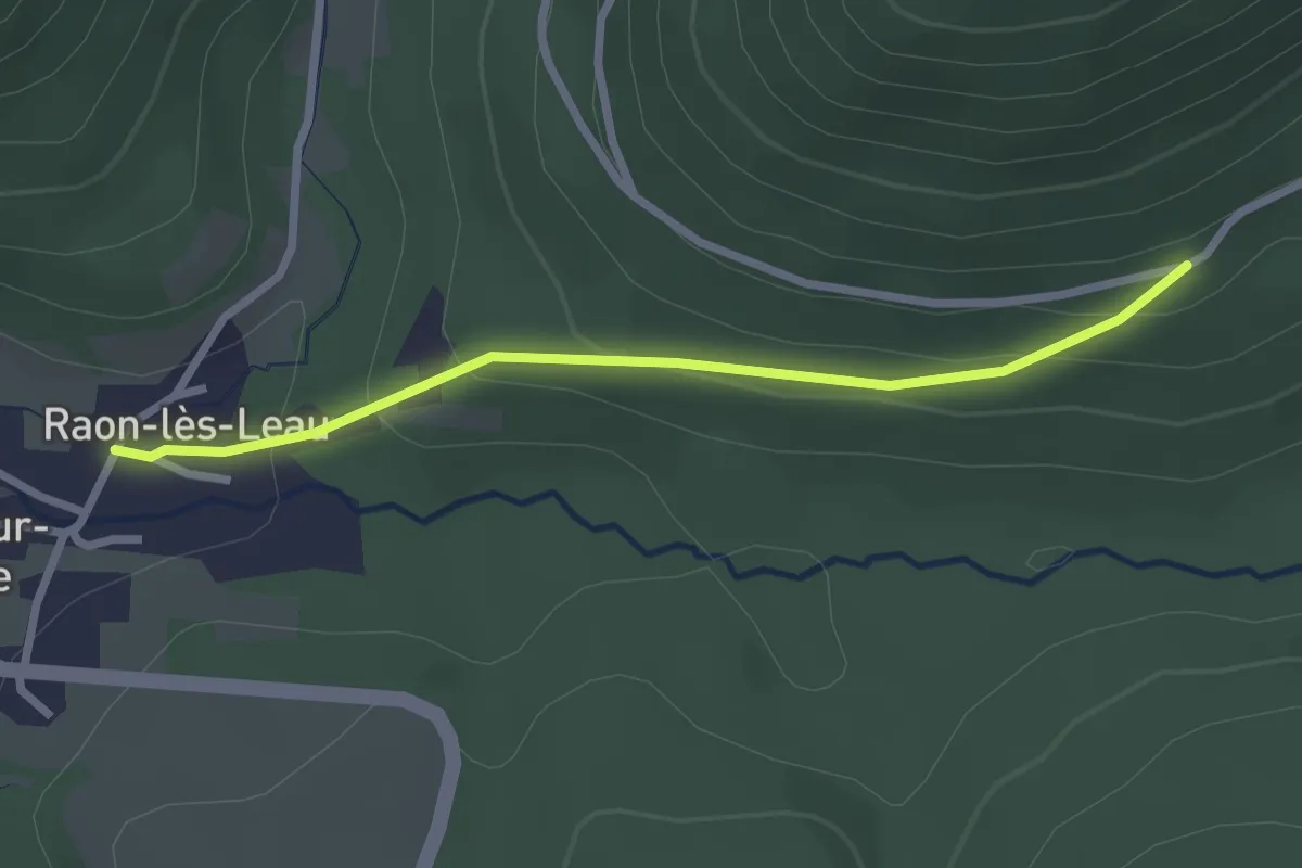
Easy · Trail
Raon-lès-Leau – Maison Forestière de Saint-Pierre
2.4 km · ↑ 127 m · 51 min
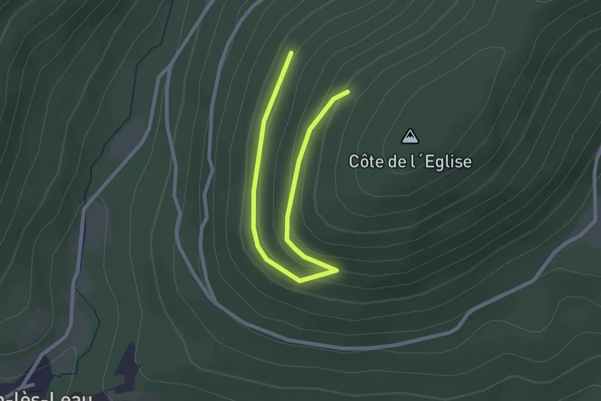
Easy · Trail
Maison Forestière du Vindeck – Maison Forestière du Vindeck
1.3 km · ↑ 10 m · 24 min
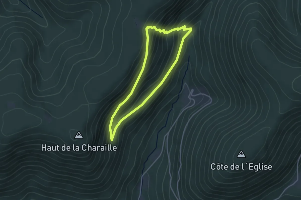
Easy · Trail
Roulé Bacon – Roulé Bacon
2.7 km · ↑ 173 m · 1 h 3 min
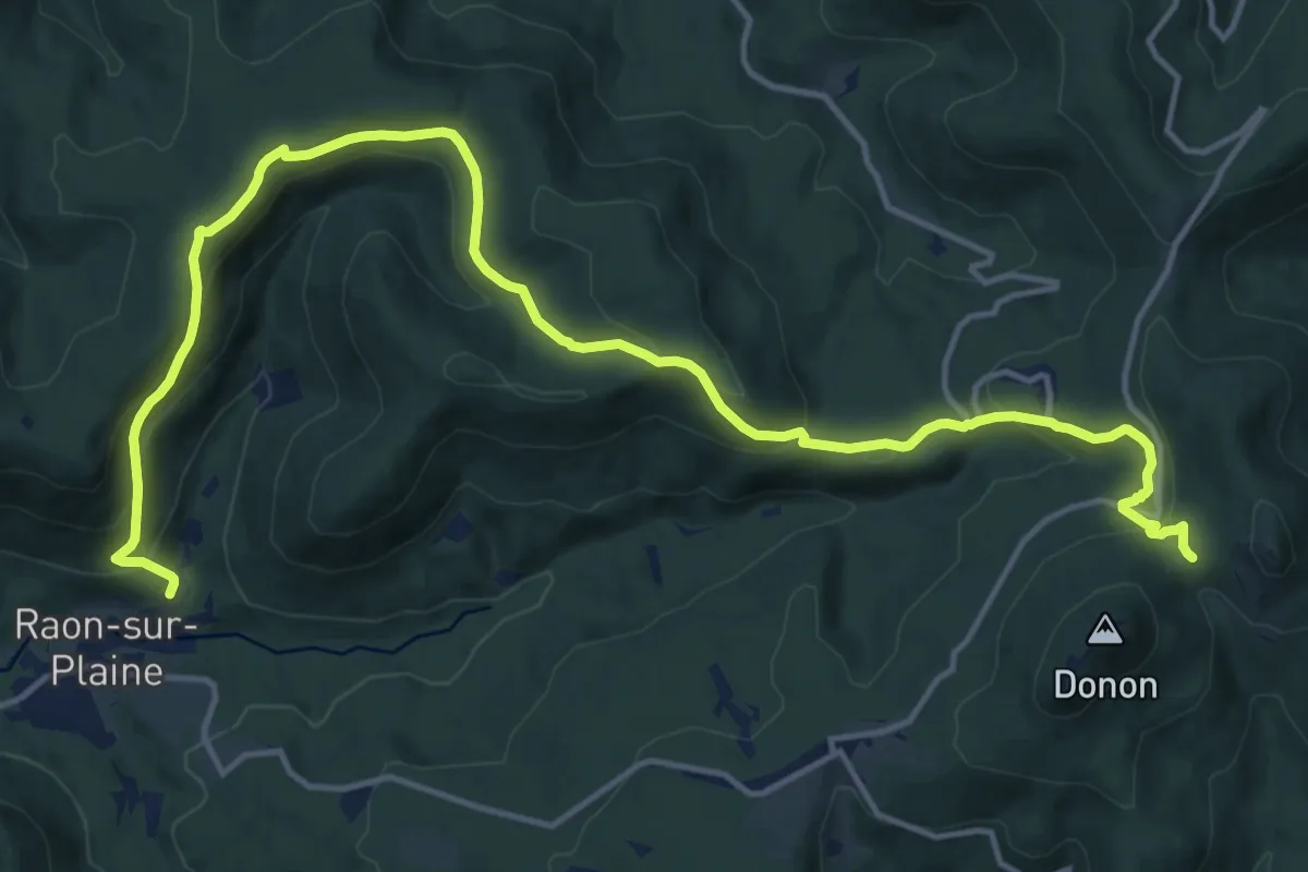
Demanding · Trail
Raon-lès-Leau – GR5
18.3 km · ↑ 808 m · 6 h 4 min
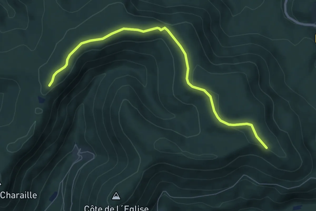
Easy · Trail
Roulé Bacon – Col entre les Deux Donons
7.2 km · ↑ 120 m · 1 h 58 min
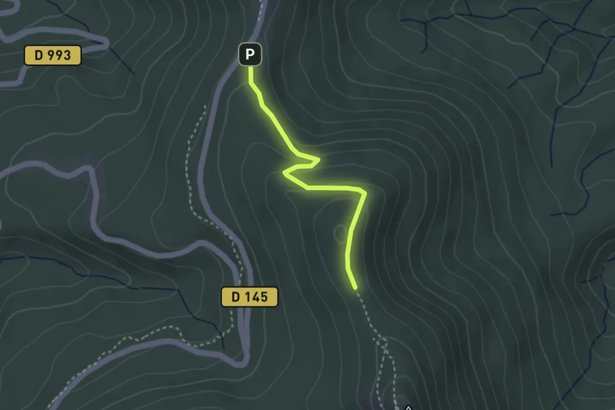
Easy · Trail
Col de la Côte de l'Engin – Le Petit Donon
2.5 km · ↑ 108 m · 50 min
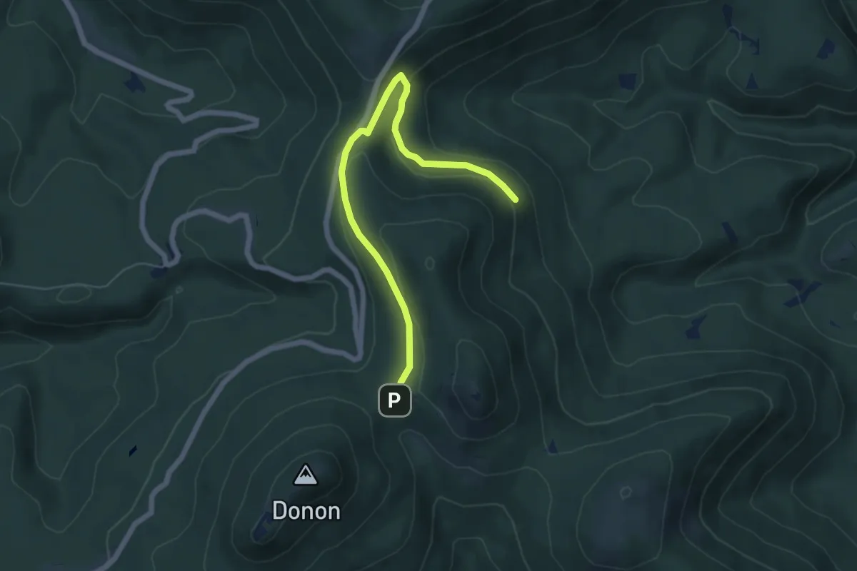
Easy · Trail
Col entre les Deux Donons – Col entre les Deux Donons
2.8 km · ↑ 54 m · 52 min