Trails in France
15,926 hiking trails, each with its route, climb, walking time and grade.
All trails, page 328 of 332
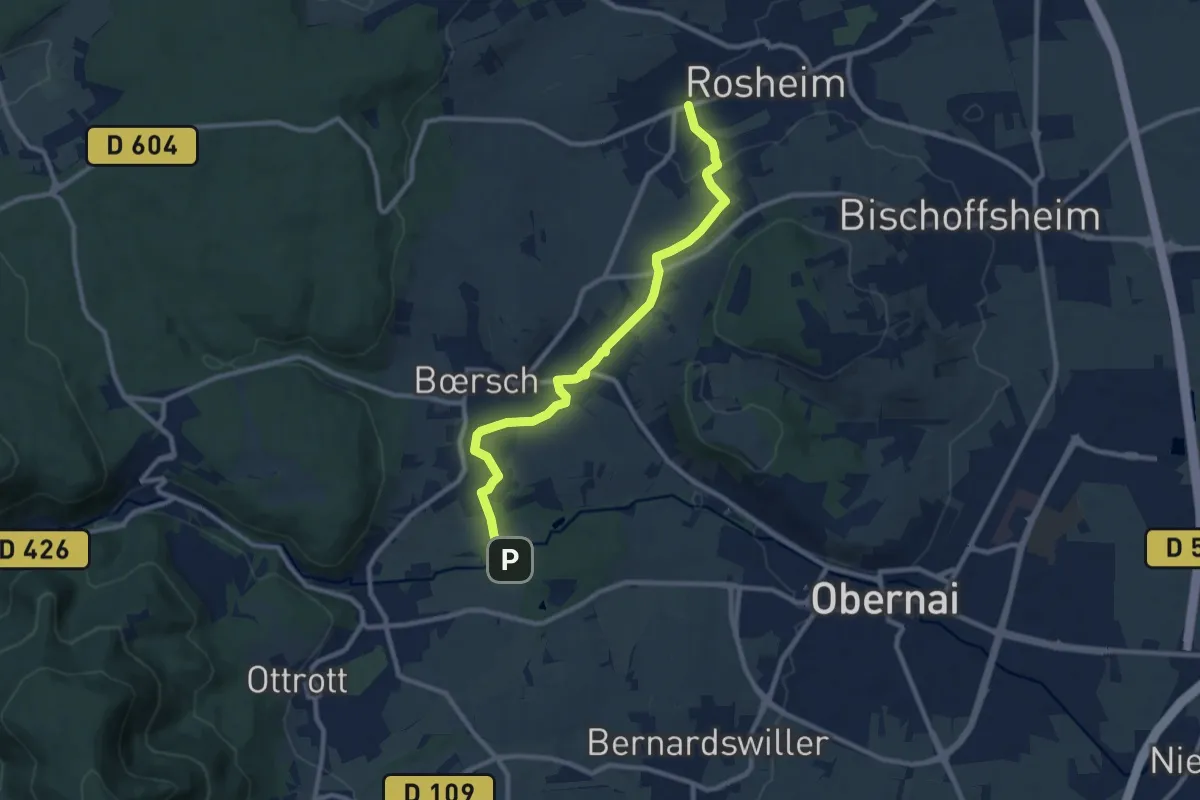
Medium · Trail
Neue Muehle – Rosheim
9.9 km · ↑ 117 m · 2 h 35 min
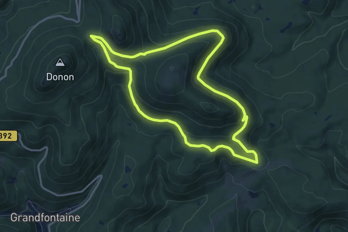
Medium · Trail
Col entre les deux Donons – Col entre les deux Donons
8.0 km · ↑ 293 m · 2 h 38 min
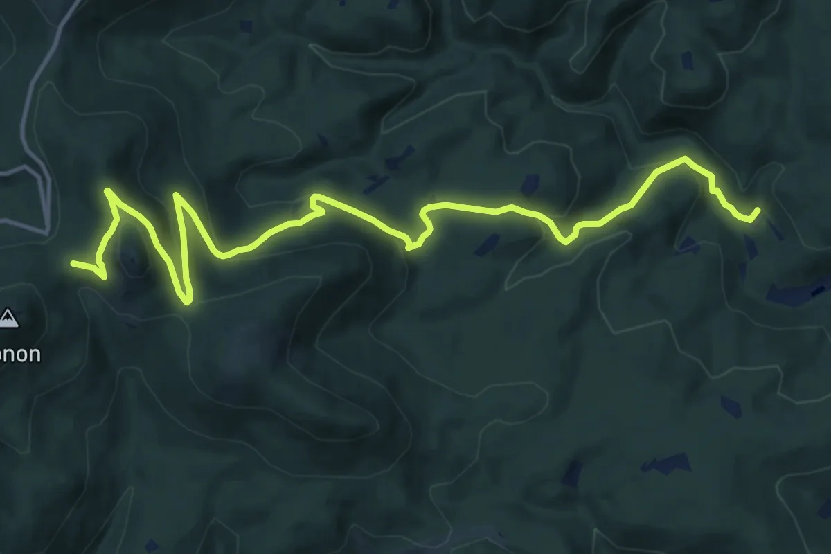
Medium · Trail
Col entre les deux Donons – Maison Forestière du Klein Wisches
15.3 km · ↑ 607 m · 4 h 56 min
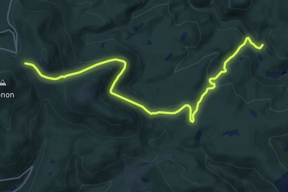
Medium · Trail
Col entre les deux Donons – Maison Forestière du Klein Wisches
14.5 km · ↑ 509 m · 4 h 32 min
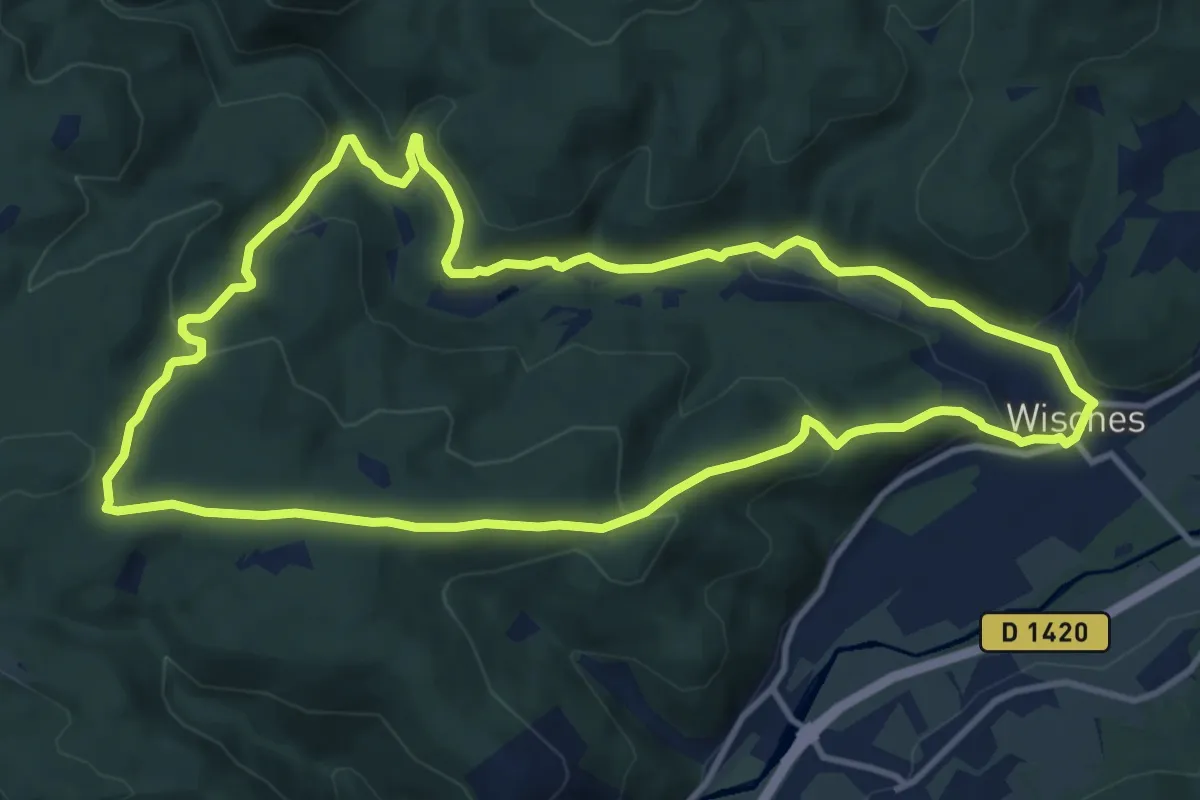
Medium · Trail
Wisches – Wisches
11.1 km · ↑ 371 m · 3 h 35 min
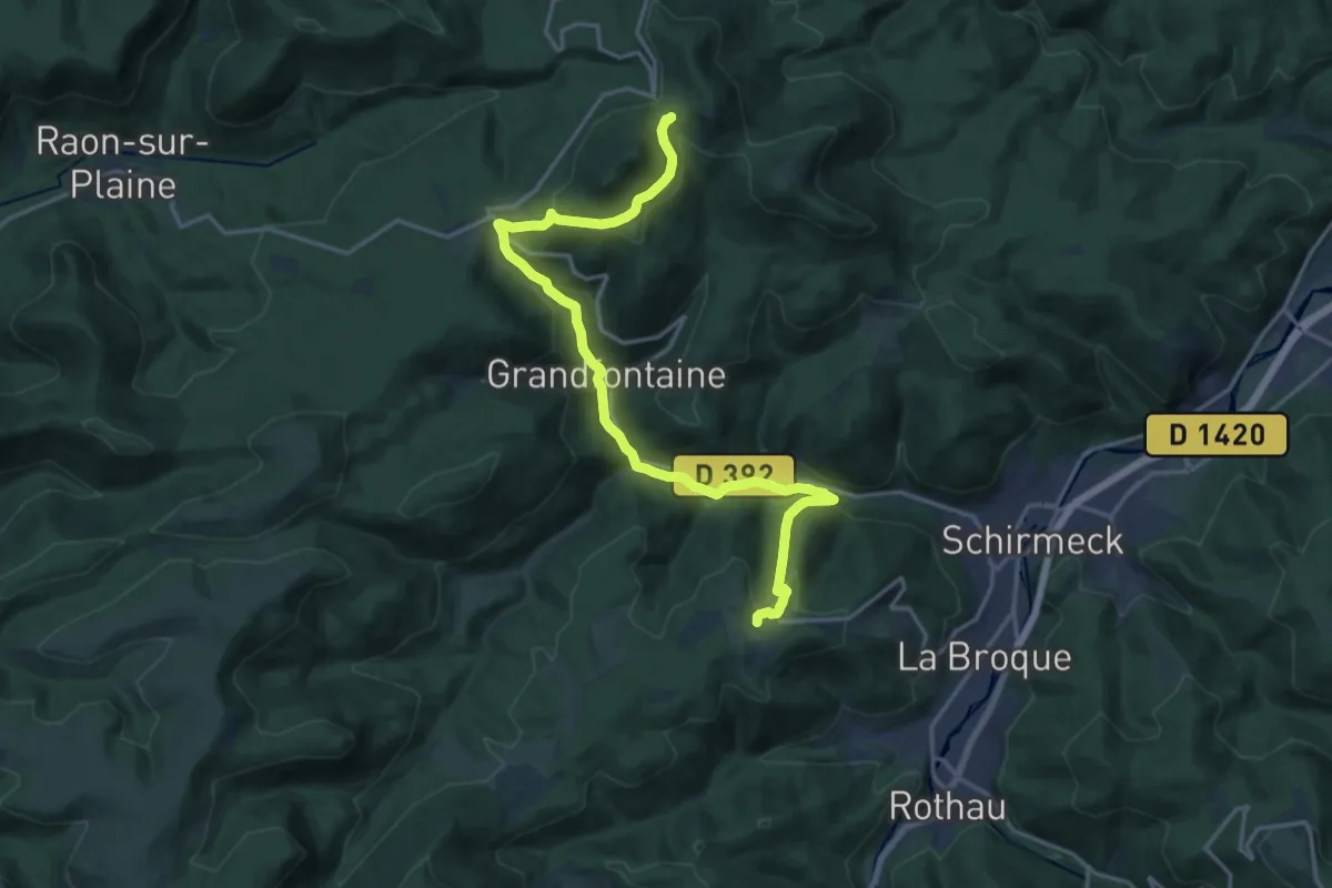
Demanding · Trail
Fréconrupt – Col entre les Deux Donons
18.9 km · ↑ 740 m · 6 h 4 min
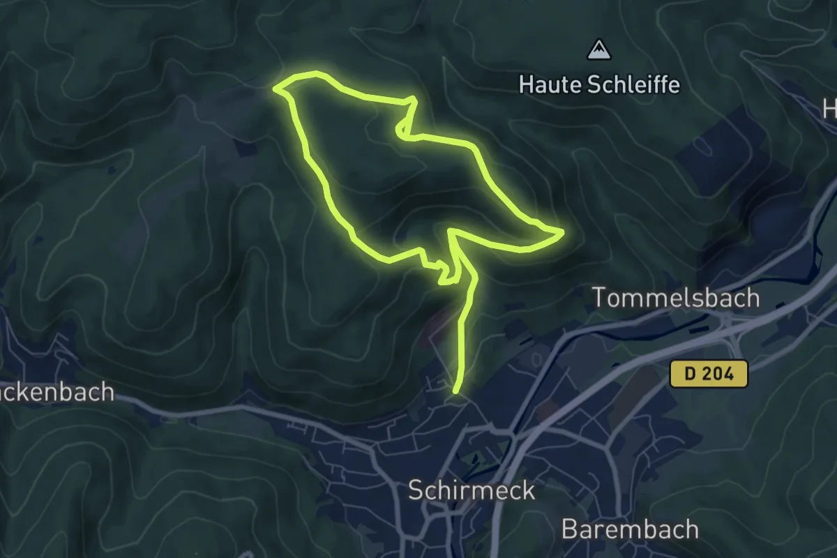
Medium · Trail
Schirmeck – Schirmeck
6.4 km · ↑ 187 m · 2 h 4 min
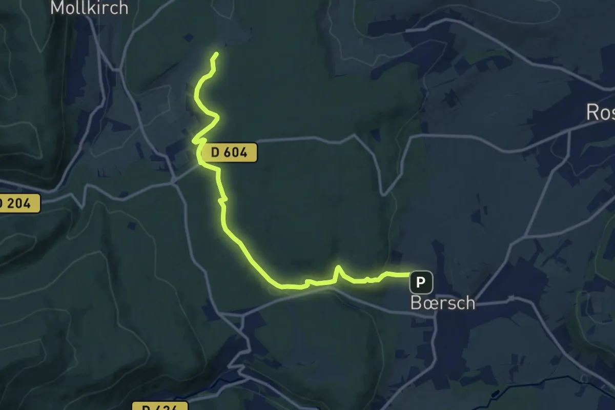
Medium · Trail
Bœrsch – Krittmatten
11.2 km · ↑ 263 m · 3 h 12 min
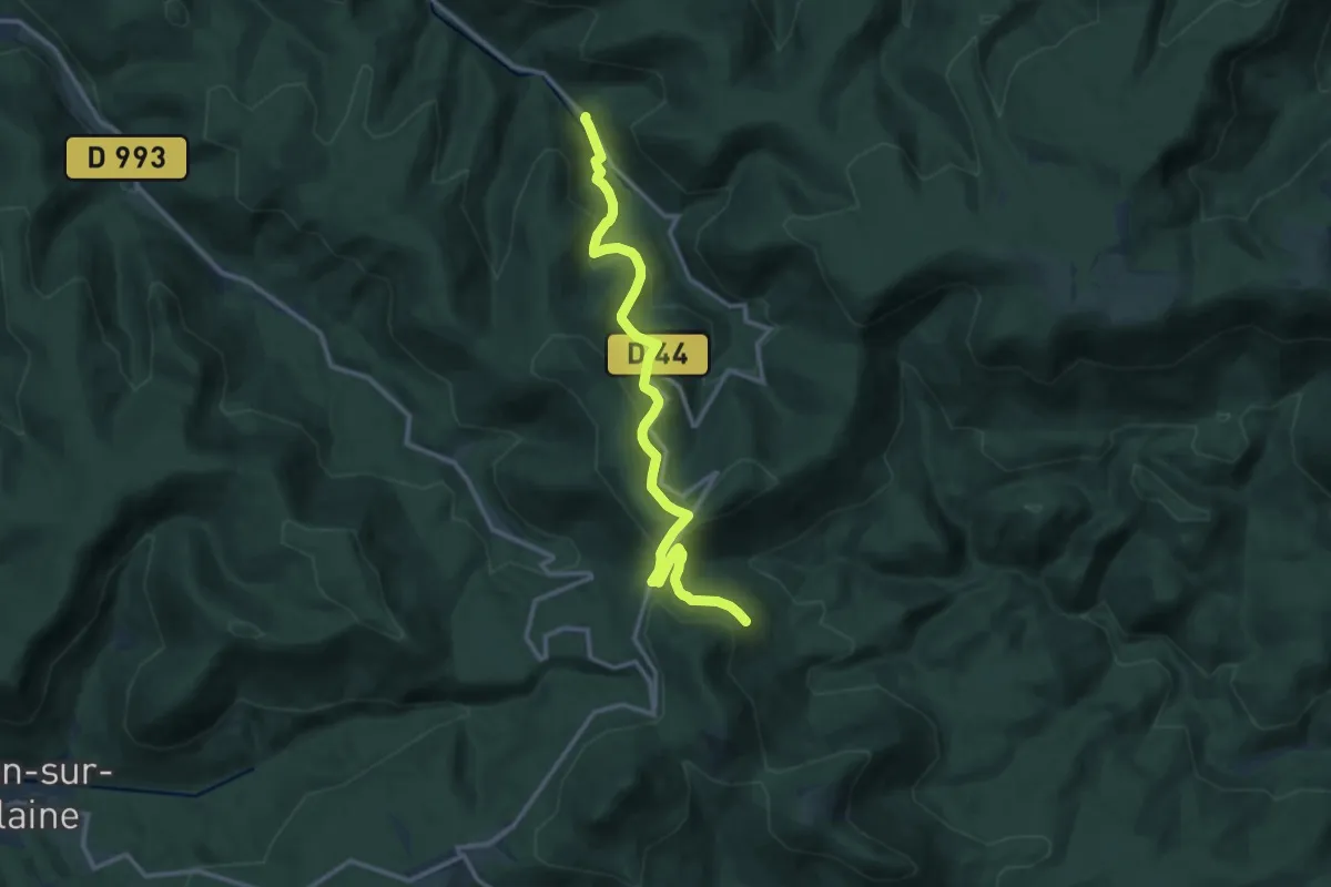
Medium · Trail
Schirmeck – La Marcairie
12.7 km · ↑ 577 m · 4 h 15 min
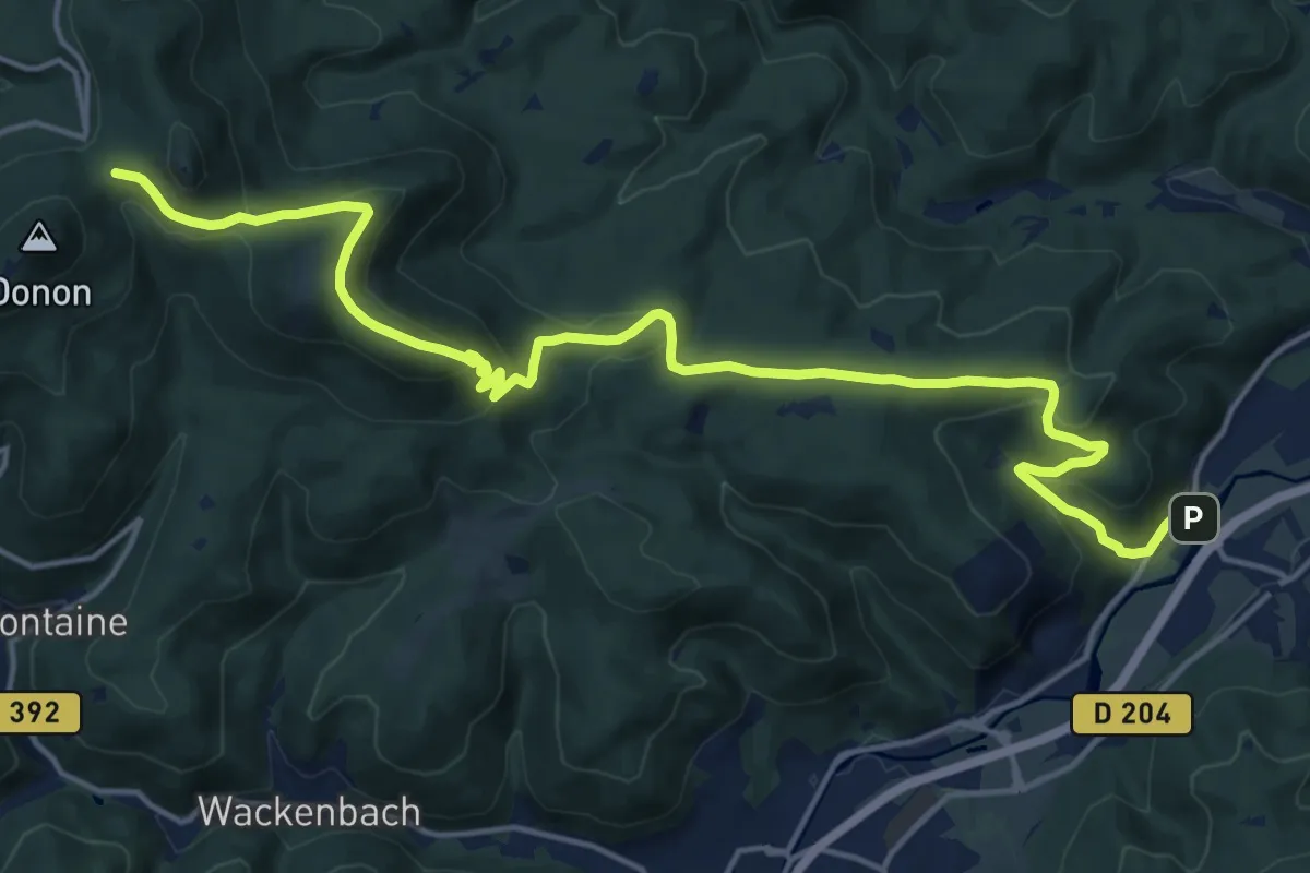
Demanding · Trail
Hersbach – Col entre les Deux Donons
19.4 km · ↑ 736 m · 6 h 11 min
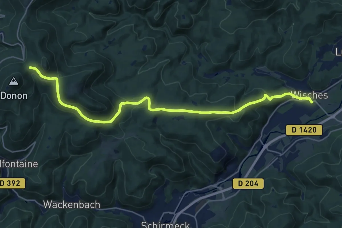
Demanding · Trail
Wisches – Col entre les Deux Donons
18.2 km · ↑ 597 m · 5 h 36 min
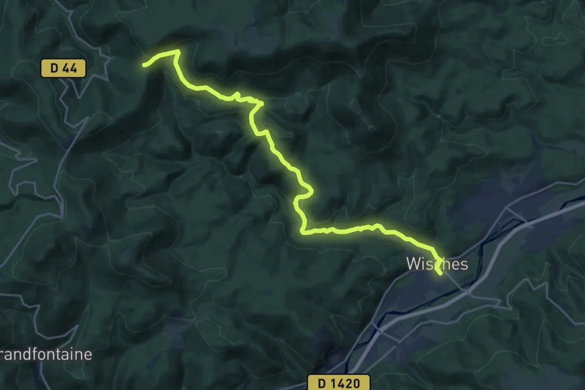
Demanding · Trail
Wisches – GR 53
20.6 km · ↑ 681 m · 6 h 21 min
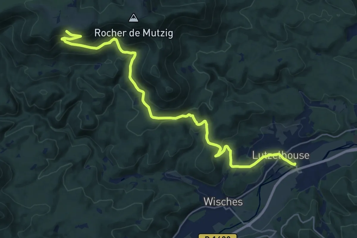
Demanding · Trail
Lutzelhouse – GR53
19.9 km · ↑ 758 m · 6 h 20 min
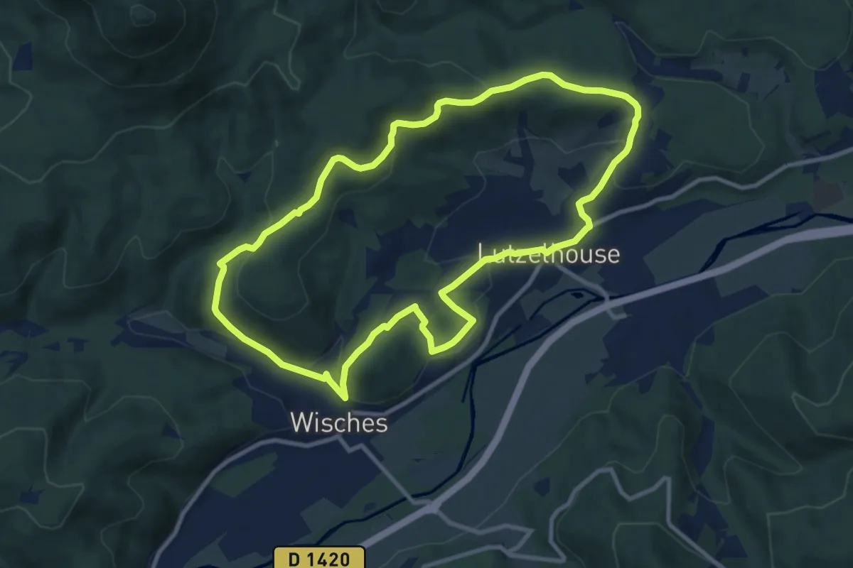
Medium · Trail
Wisches – Wisches
8.9 km · ↑ 317 m · 2 h 54 min
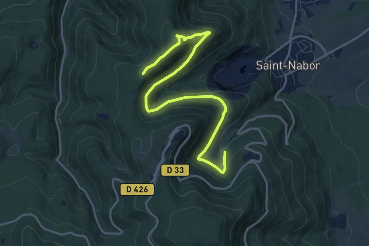
Medium · Trail
Abbaye de Niedermunster – Porte Nord
10.4 km · ↑ 552 m · 3 h 39 min
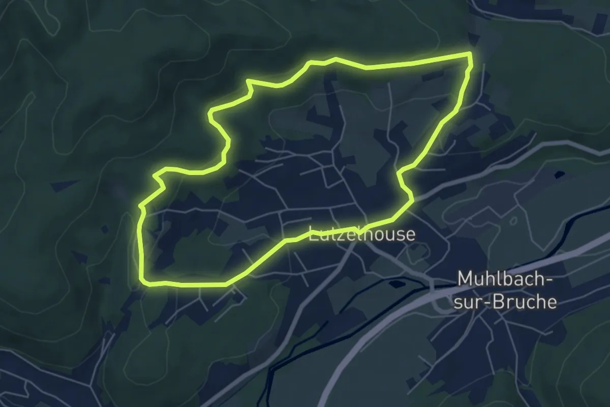
Easy · Trail
Lutzelhouse – Lutzelhouse
5.6 km · ↑ 153 m · 1 h 44 min
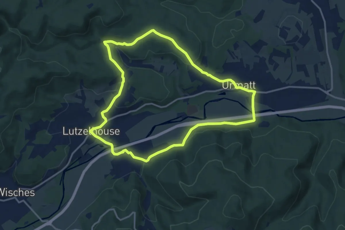
Medium · Trail
Lutzelhouse – Lutzelhouse
9.6 km · ↑ 218 m · 2 h 52 min
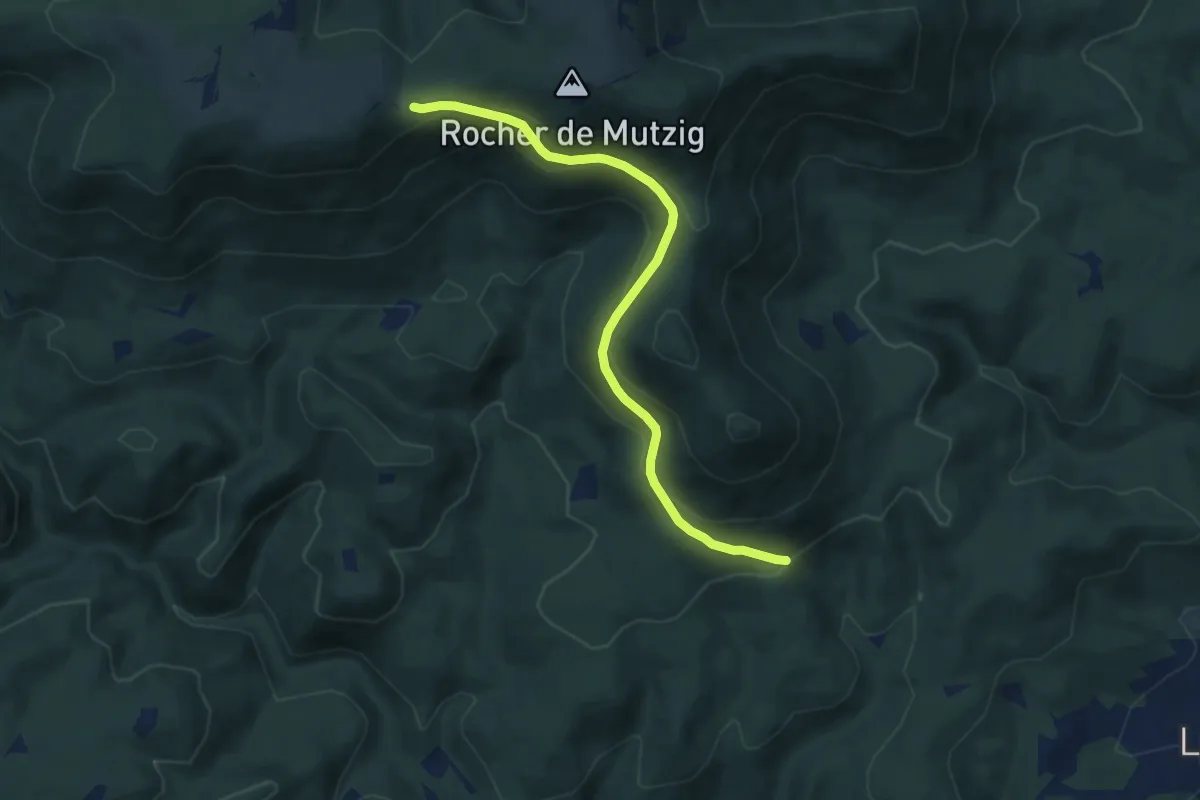
Medium · Trail
Carrefour du Sentier Blanc – GR 53
7.8 km · ↑ 428 m · 2 h 46 min
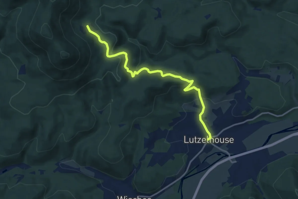
Medium · Trail
Lurzelhouse – GR 53
9.0 km · ↑ 371 m · 2 h 56 min
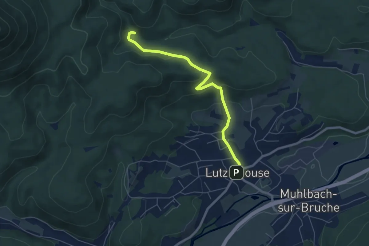
Easy · Trail
Lutzelhouse – GR 53
5.4 km · ↑ 189 m · 1 h 41 min
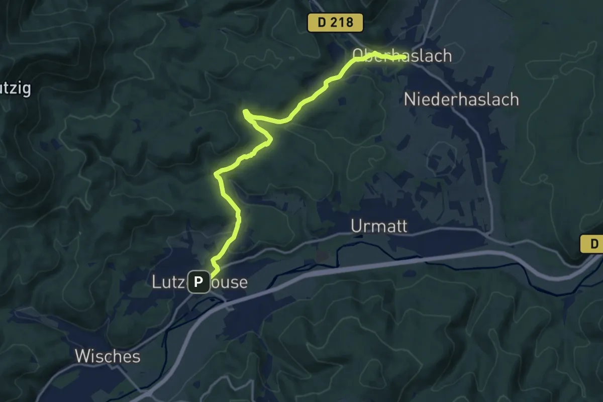
Medium · Trail
Lutzelhouse – Oberhaslach
13.4 km · ↑ 313 m · 3 h 50 min
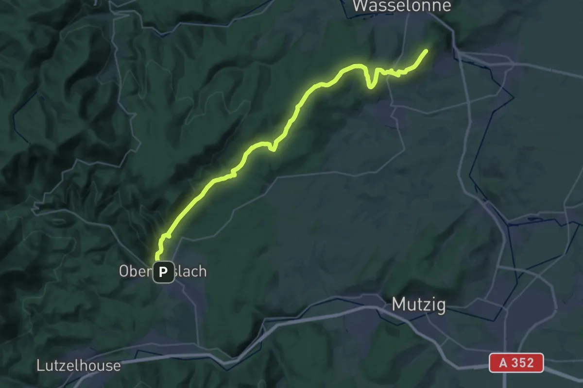
Demanding · Summit
Oberhaslach – Wangen
32.7 km · ↑ 897 m · 9 h 39 min
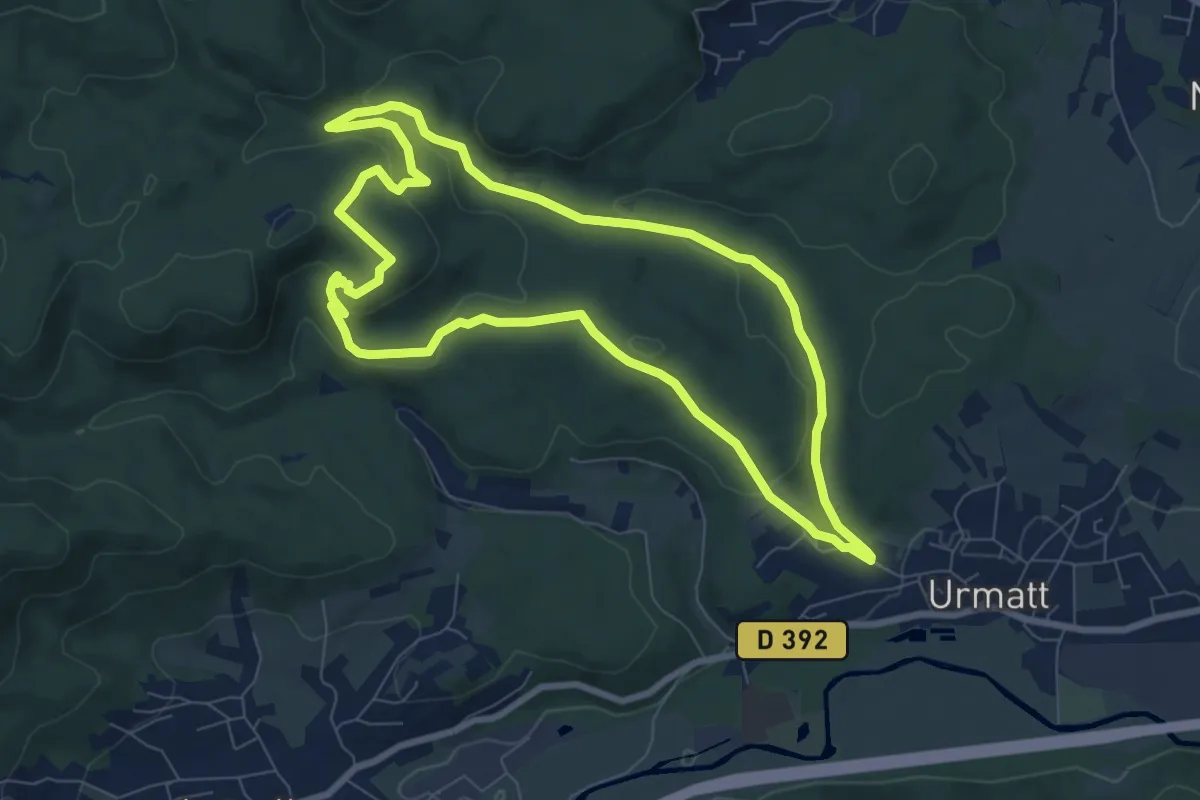
Easy · Trail
Urmatt – Urmatt
7.6 km · ↑ 219 m · 2 h 23 min
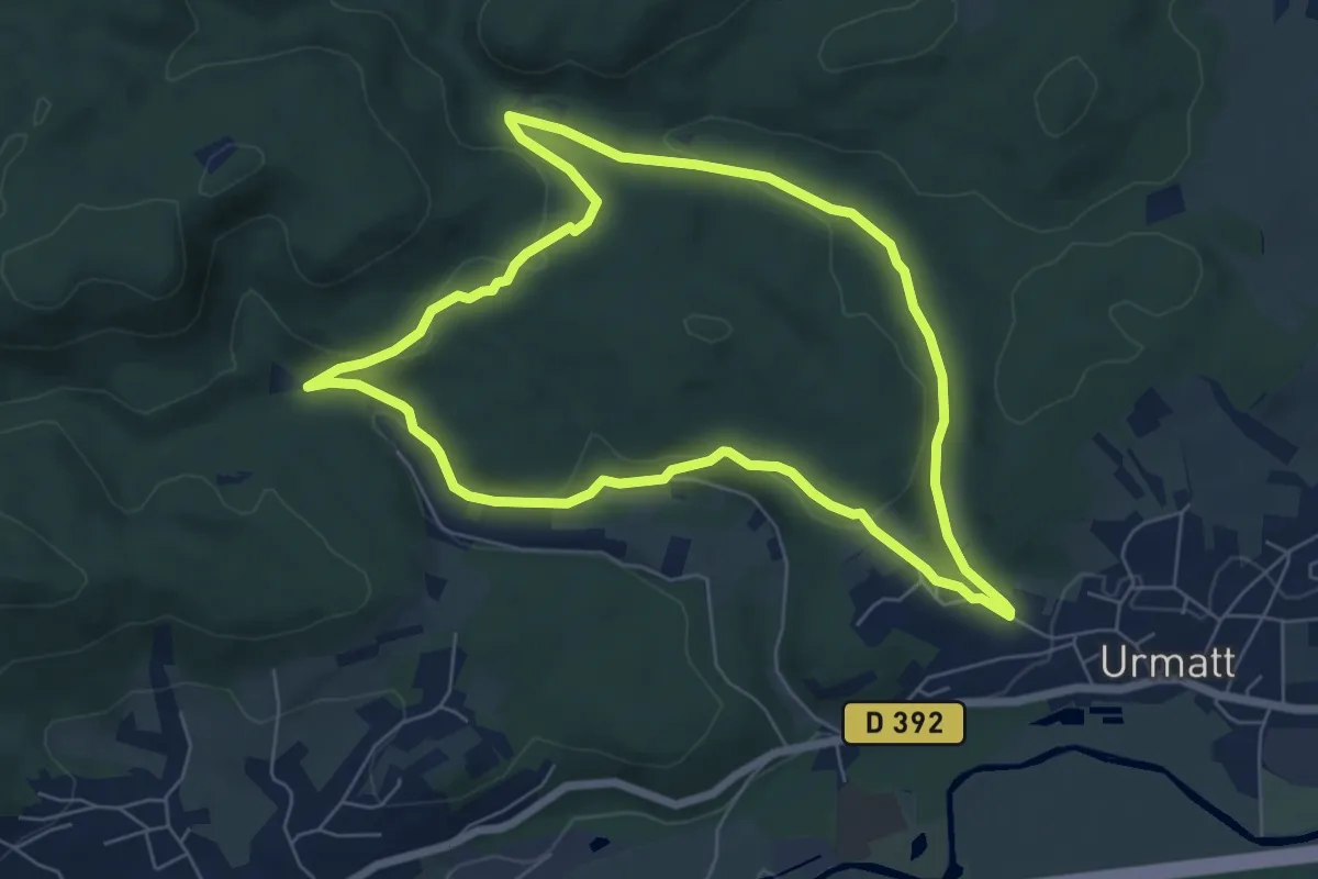
Easy · Trail
Urmatt – Urmatt
6.1 km · ↑ 148 m · 1 h 51 min
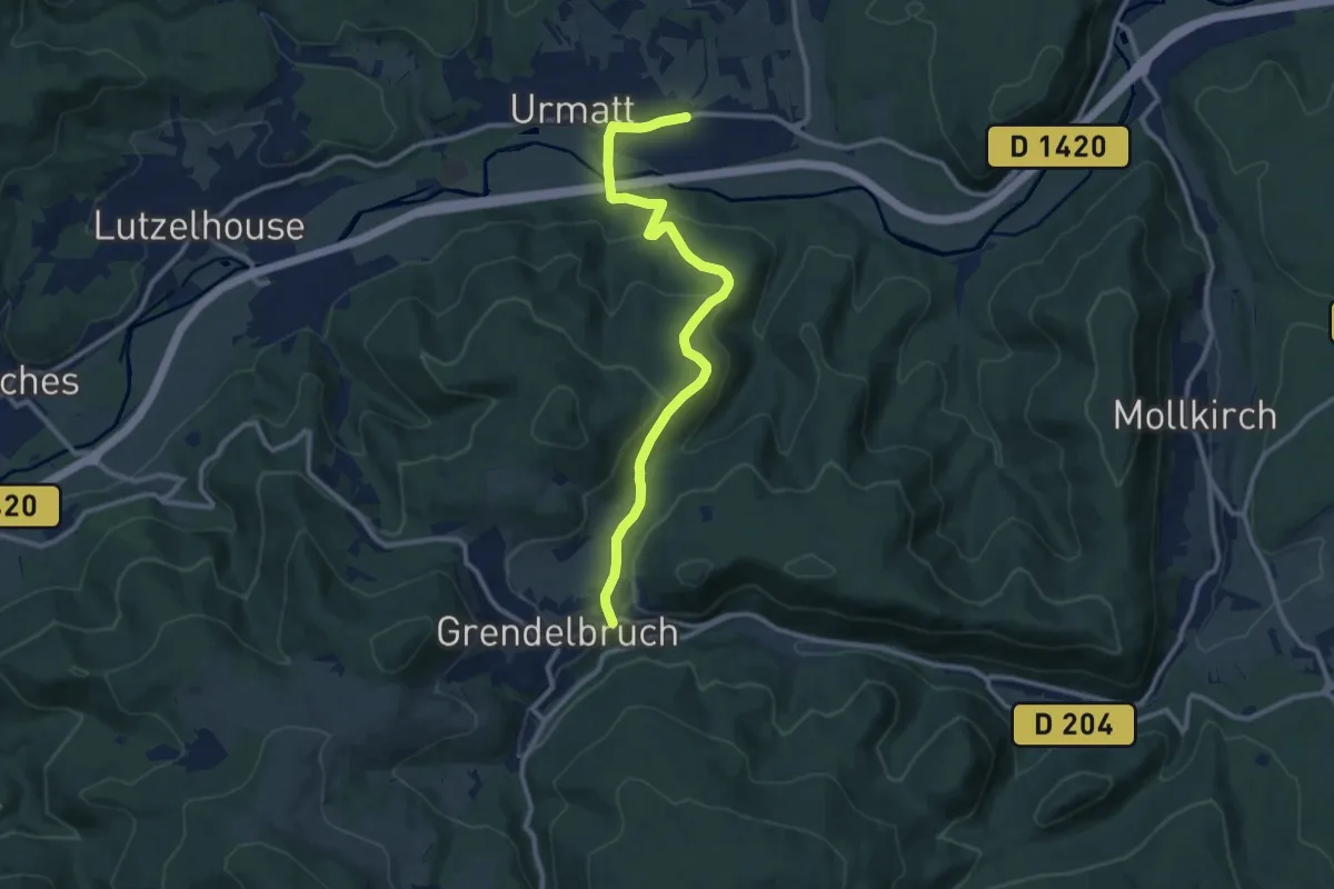
Medium · Trail
Urmatt – Grendelbruch
10.8 km · ↑ 369 m · 3 h 21 min
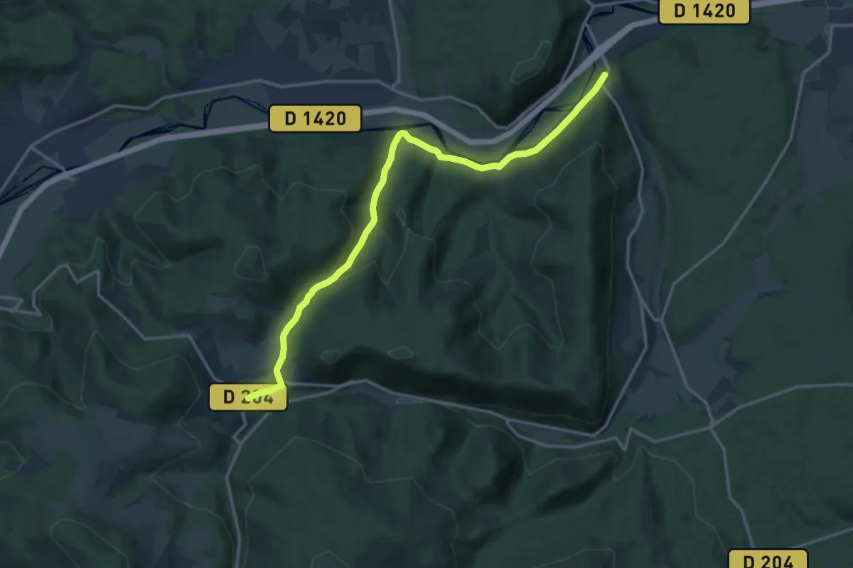
Medium · Trail
Grendelbruch – Gare de Heiligenberg
14.1 km · ↑ 338 m · 4 h 4 min
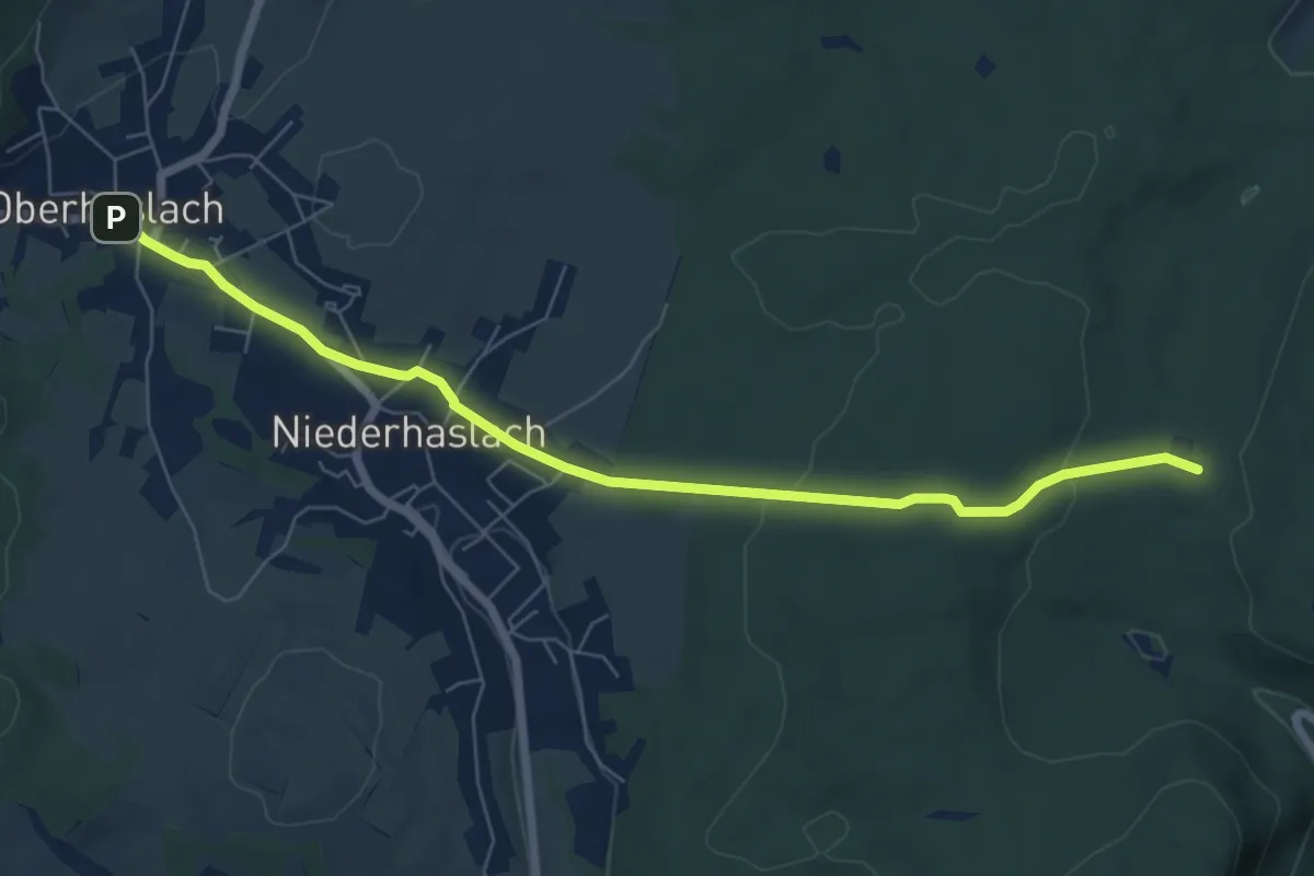
Easy · Trail
Oberhaslach – Hoelzel
7.0 km · ↑ 128 m · 1 h 56 min
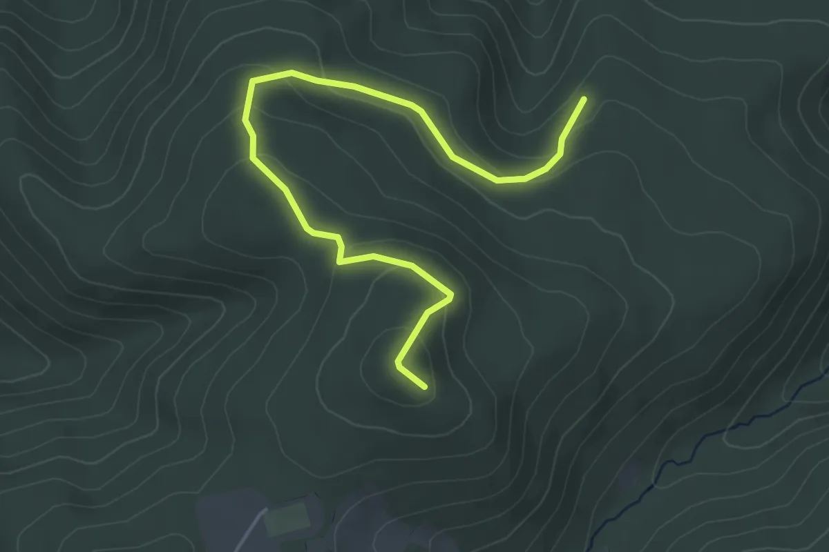
Easy · Trail
GR532 – GR532
4.8 km · ↑ 198 m · 1 h 33 min
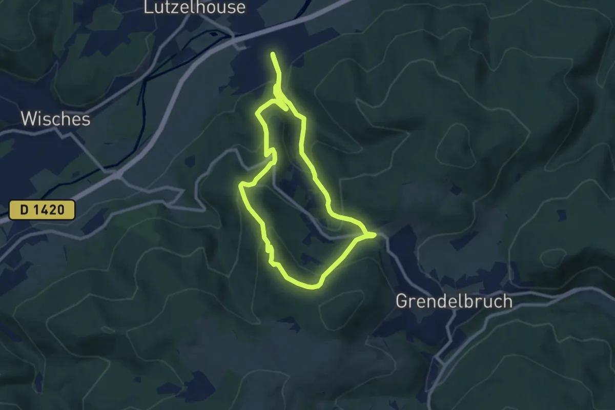
Medium · Trail
Mulhbach-sur-Bruch – Mulhbach-sur-Bruch
6.7 km · ↑ 403 m · 2 h 33 min
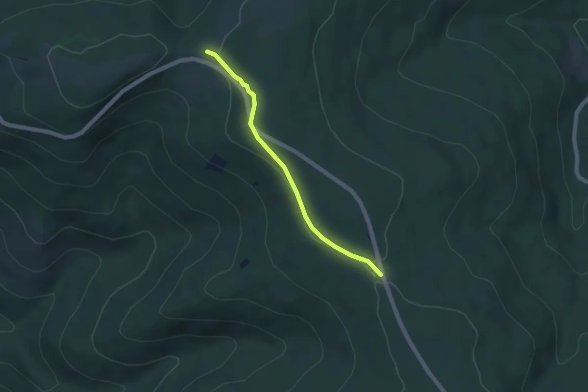
Easy · Trail
Anneau jaune – Croix bleu
3.4 km · ↑ 56 m · 55 min
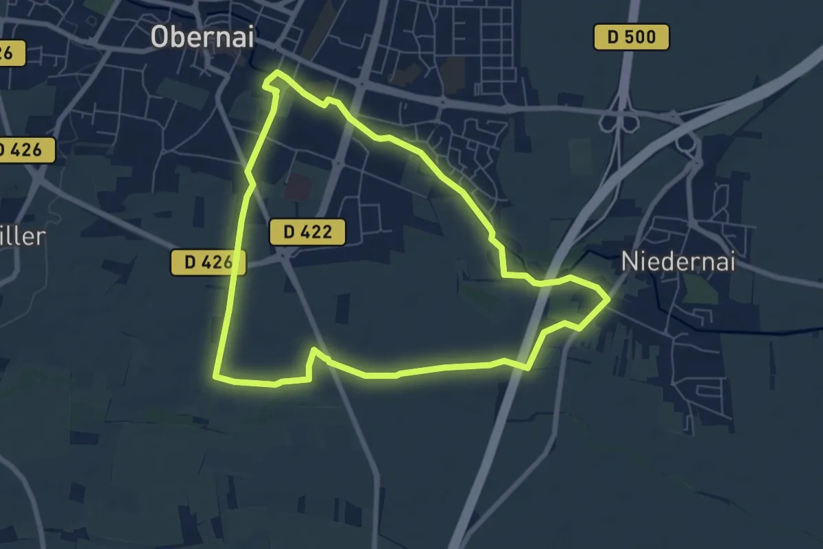
Easy · Trail
Obernai – Obernai
6.6 km · ↑ 21 m · 1 h 41 min
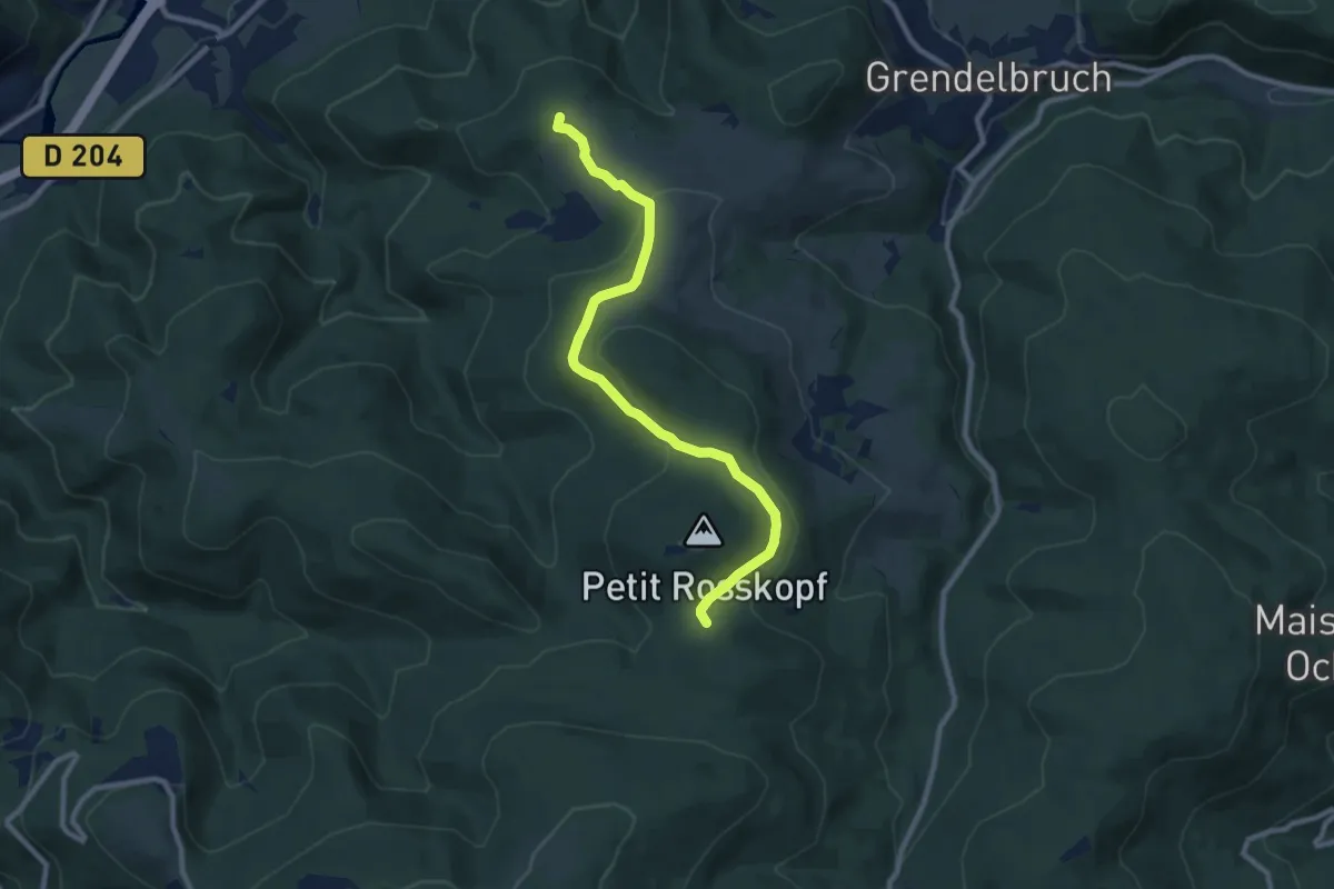
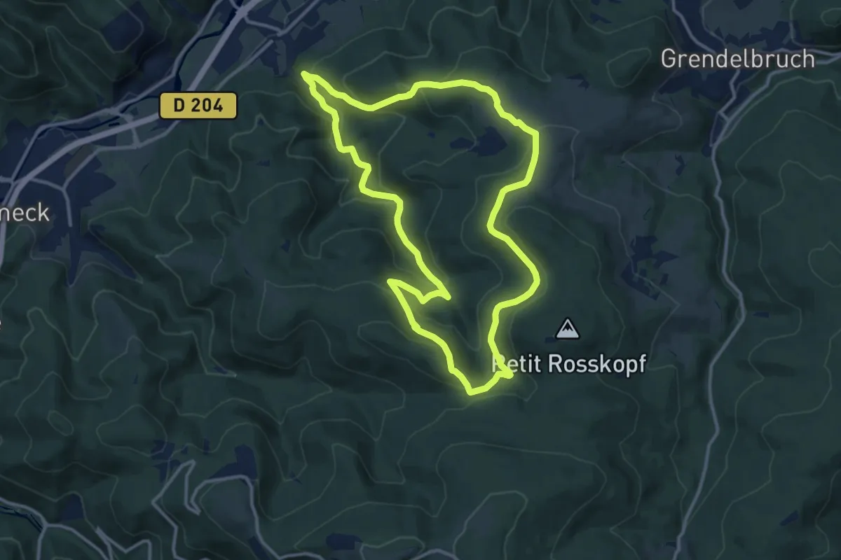
Demanding · Summit
Russ – Col de Franzluhr
9.1 km · ↑ 260 m · 2 h 43 min
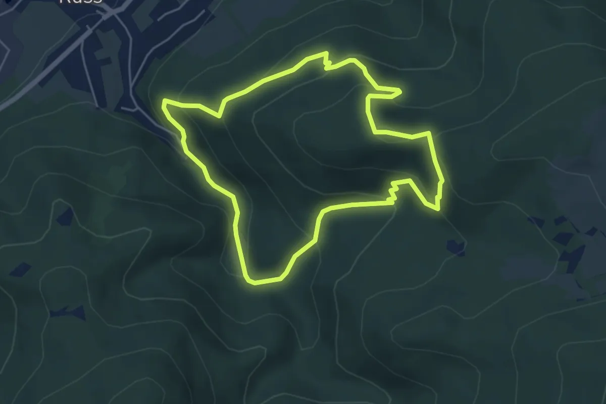
Demanding · Summit
Russ – Russ
12.0 km · ↑ 579 m · 4 h 15 min
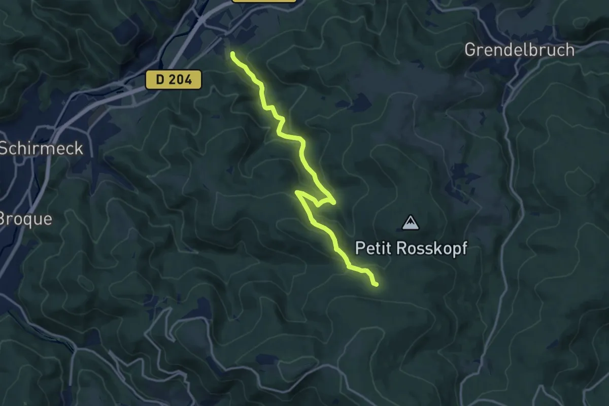
Demanding · Trail
Russ le Heyde – Russ le Heyde
4.5 km · ↑ 260 m · 1 h 41 min
Medium · Trail
Russ – Kohlplatz
12.4 km · ↑ 588 m · 4 h 12 min
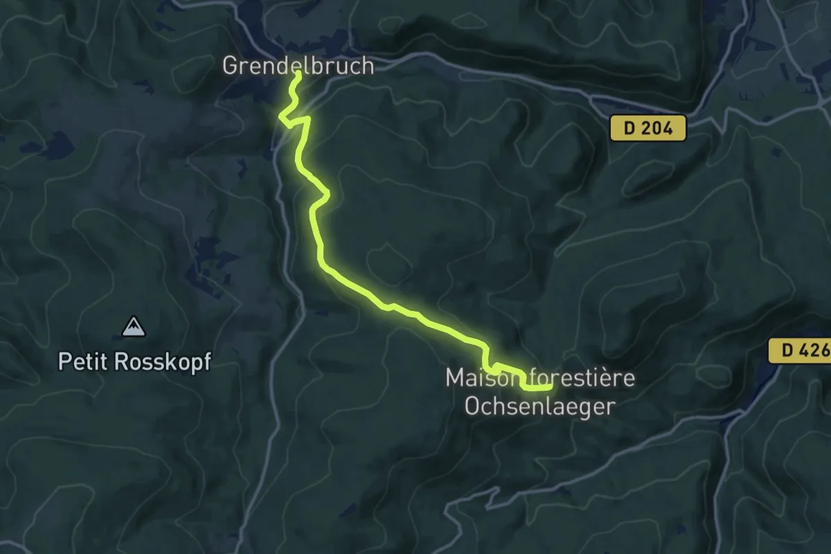
Medium · Trail
Grendelbruch – Maison forestière Ochsenlager
11.8 km · ↑ 492 m · 3 h 51 min
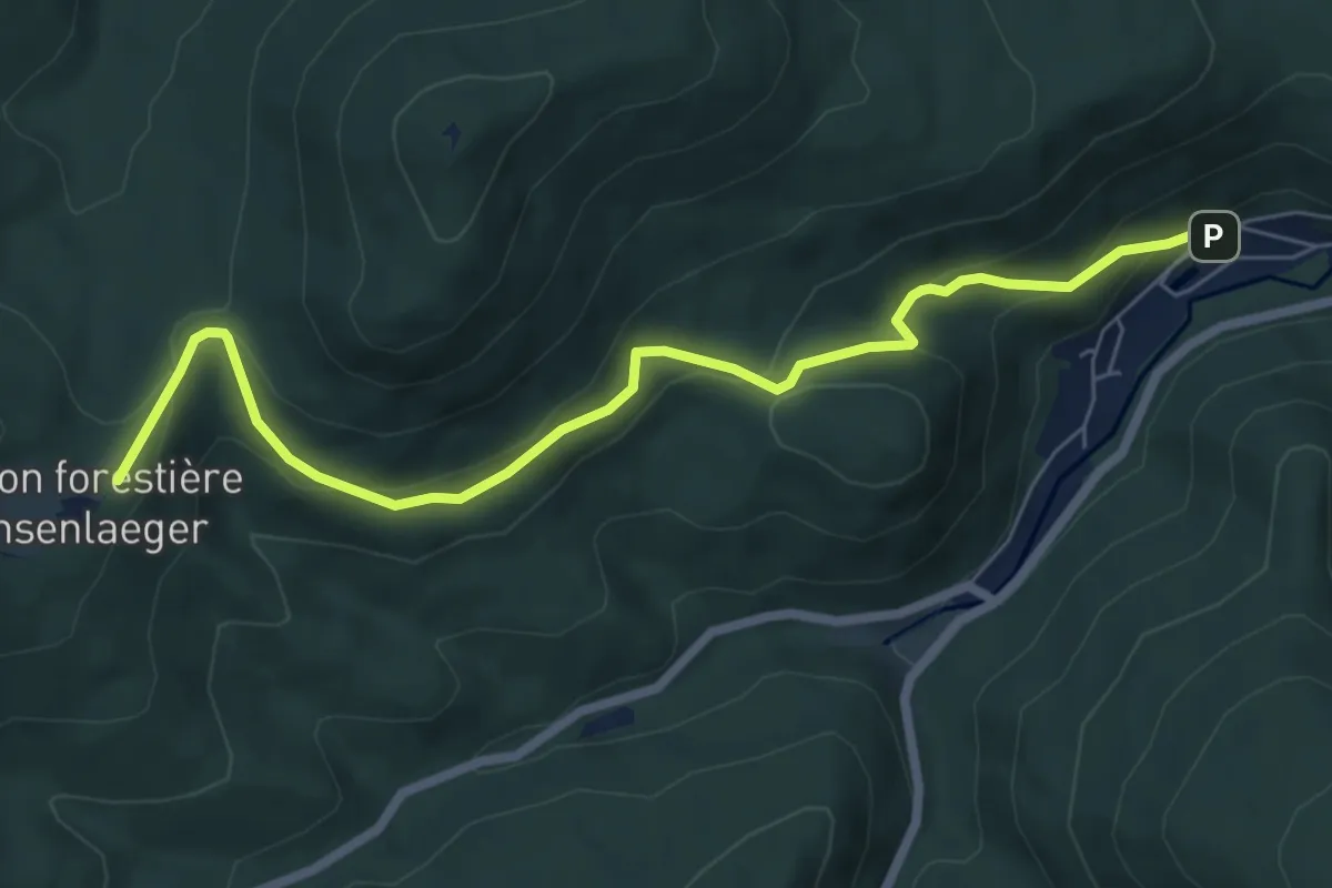
Easy · Trail
Klingenthal – Maison Forestière de Ochsenlager
6.9 km · ↑ 308 m · 2 h 18 min
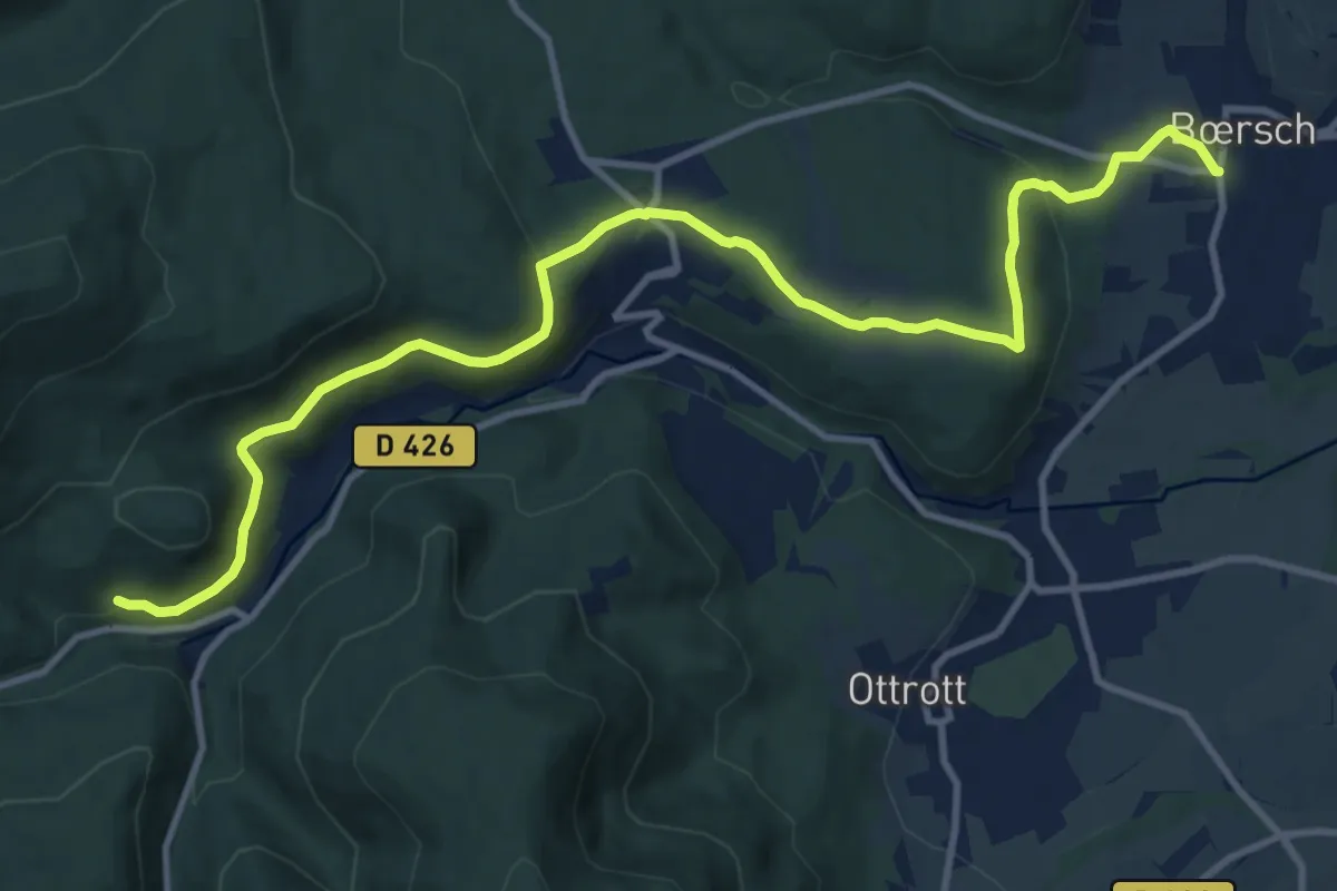
Medium · Trail
Bœrsch – Vorbruck
12.9 km · ↑ 348 m · 3 h 47 min
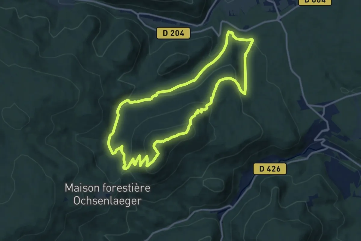
Medium · Summit
Parking de l'Eichwald – Parking de l'Eichwald
9.7 km · ↑ 382 m · 3 h 15 min
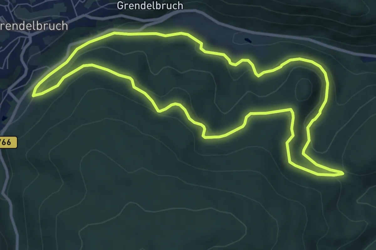
Easy · Trail
Grendelbruch – Grendelbruch
7.7 km · ↑ 223 m · 2 h 25 min
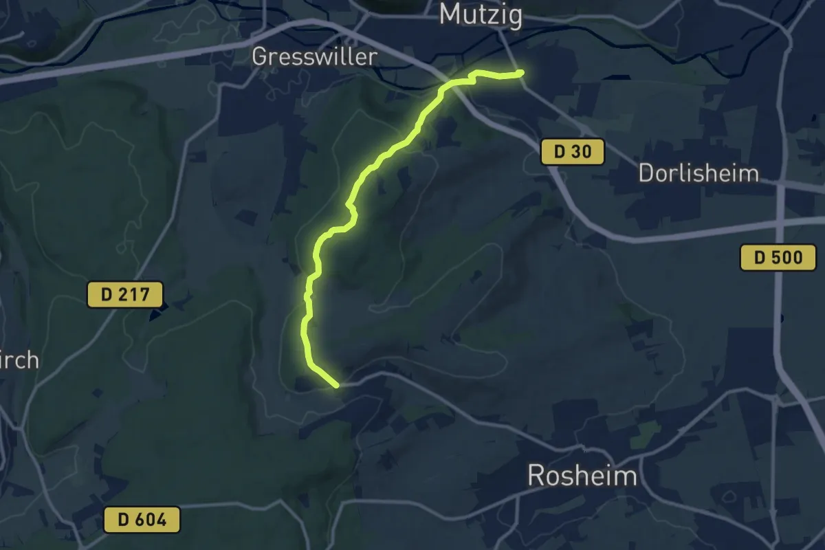
Medium · Trail
Rosenwiller – Mutzig
9.9 km · ↑ 300 m · 2 h 59 min
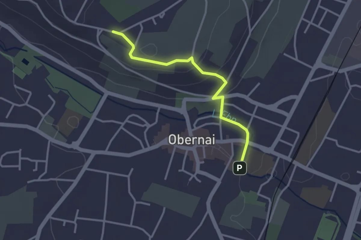
Easy · Trail
Obernai – Mémorial des évadés et incorporés de force ADEIF
2.6 km · ↑ 74 m · 47 min
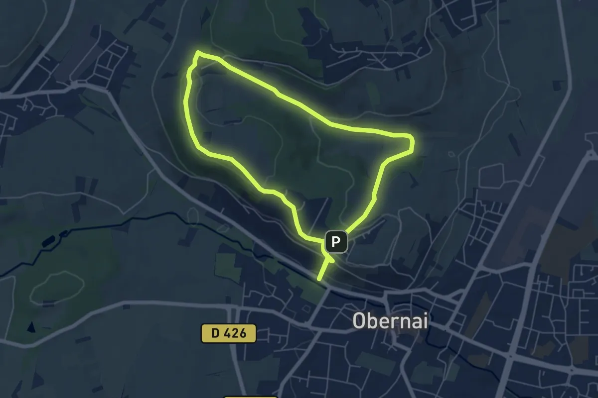
Easy · Trail
Obernai – Obernai
5.5 km · ↑ 166 m · 1 h 44 min
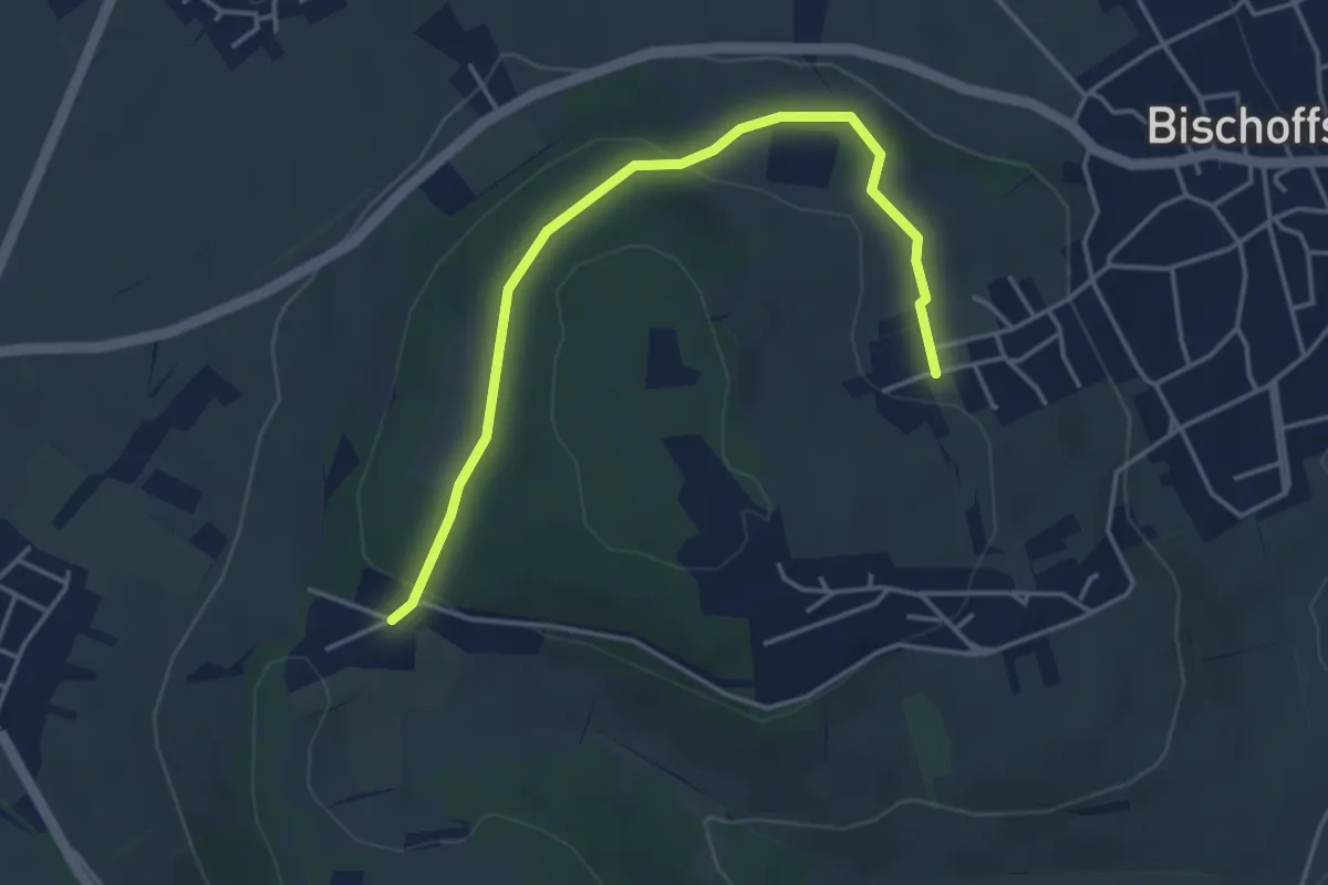
Easy · Trail
Le Kilbs – Couvent du Bischenberg
4.2 km · ↑ 137 m · 1 h 18 min
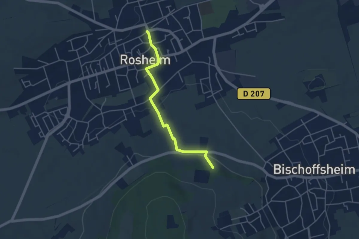
Easy · Trail
Berg – Rosheim
3.5 km · ↑ 90 m · 1 h 1 min
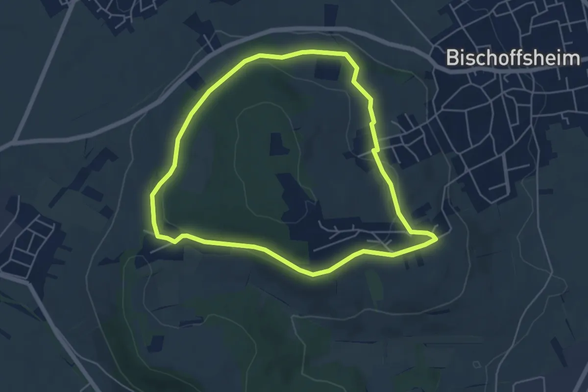
Easy · Trail
Couvent du Bischenberg – Couvent du Bischenberg
4.5 km · ↑ 91 m · 1 h 20 min
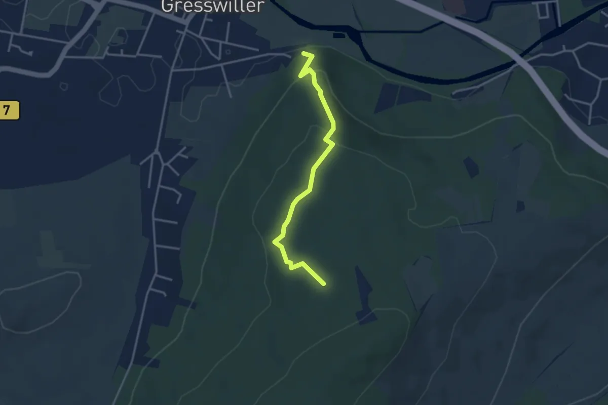
Easy · Trail
Gresswiller – Birkenfeld
2.9 km · ↑ 139 m · 1 h
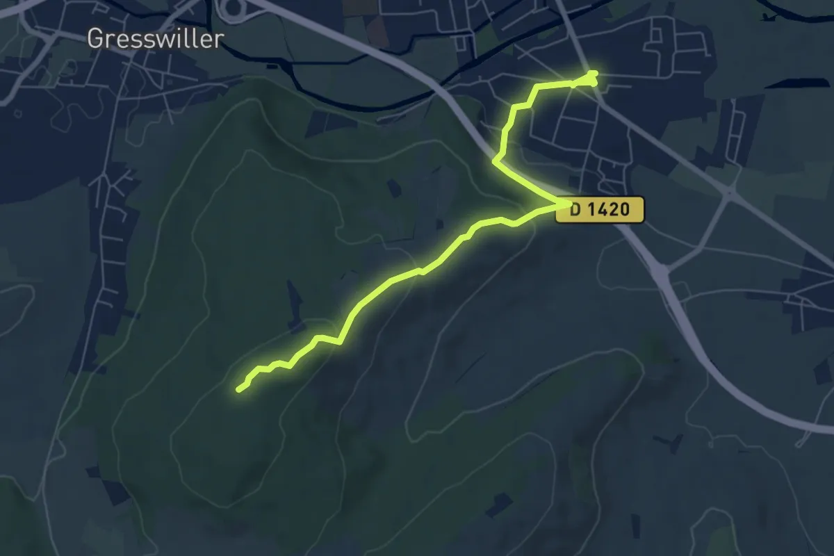
Easy · Trail
Hermolsheim – Drei Spitze
6.8 km · ↑ 183 m · 2 h