Trails in France
15,926 hiking trails, each with its route, climb, walking time and grade.
All trails, page 329 of 332
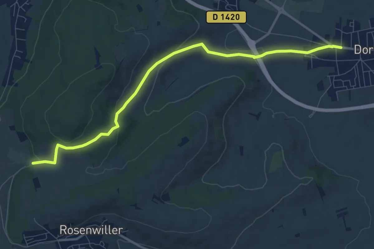
Medium · Trail
Dorlisheim – Sand
8.8 km · ↑ 193 m · 2 h 30 min
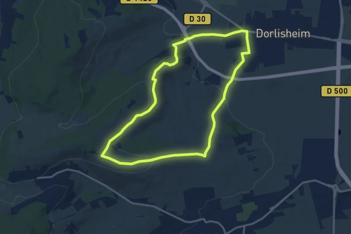
Easy · Trail
Dorlisheim – Dorlisheim
7.4 km · ↑ 156 m · 2 h 11 min
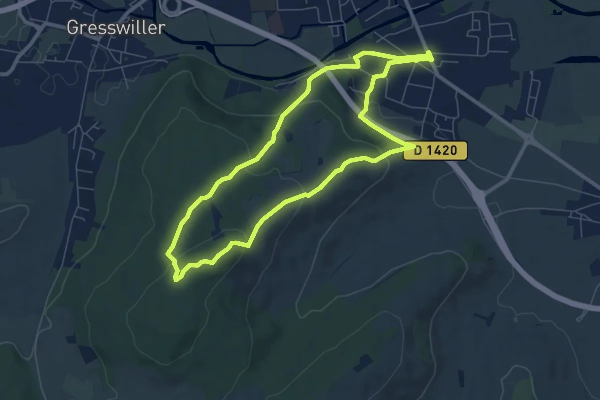
Easy · Trail
Mutzig Hermolsheim – Mutzig Hermolsheim
6.0 km · ↑ 176 m · 1 h 53 min
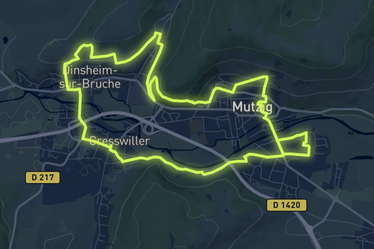
Medium · Trail
Mutzig Hermolsheim – Mutzig Hermolsheim
11.6 km · ↑ 270 m · 3 h 29 min
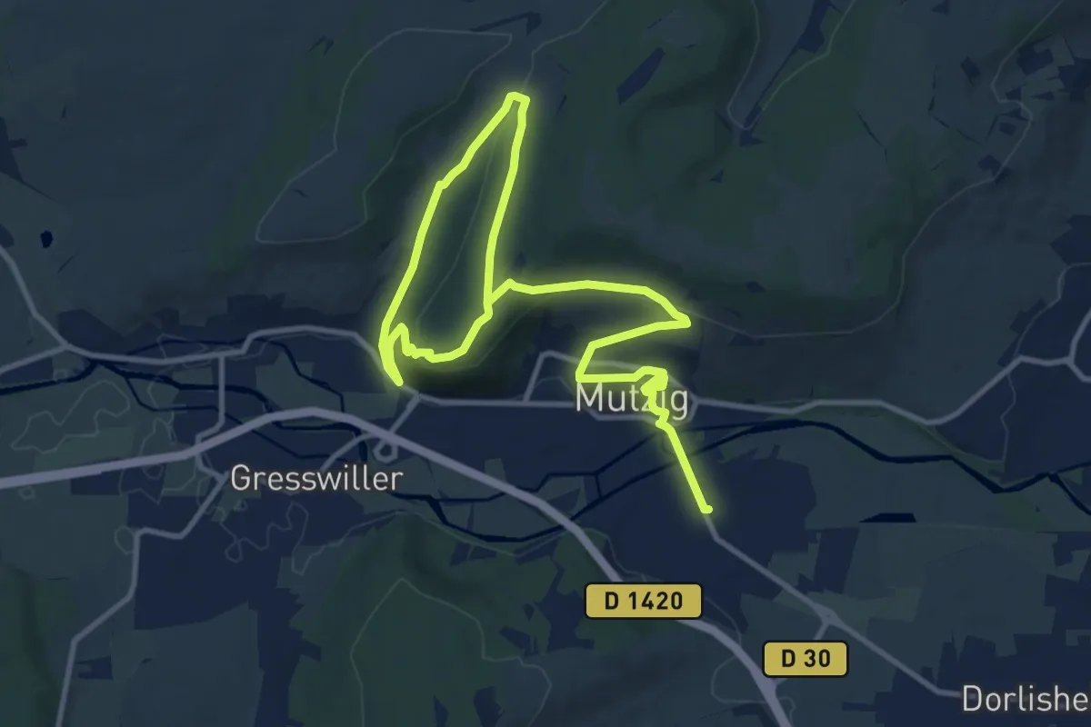
Easy · Trail
Mutzig Hermolsheim – Mutzig Hermolsheim
7.9 km · ↑ 143 m · 2 h 21 min
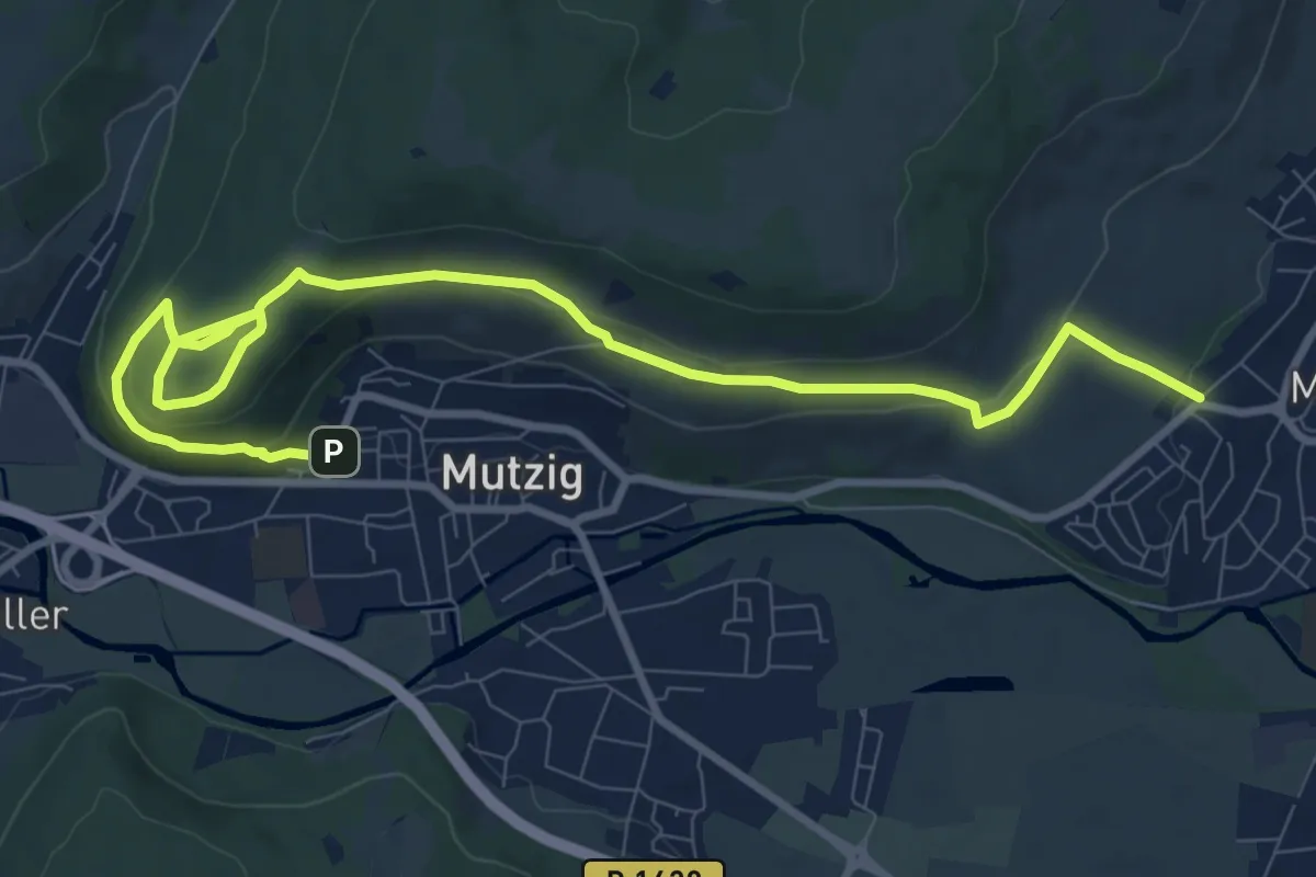
Medium · Trail
Mutzig – Molsheim
11.7 km · ↑ 344 m · 3 h 30 min
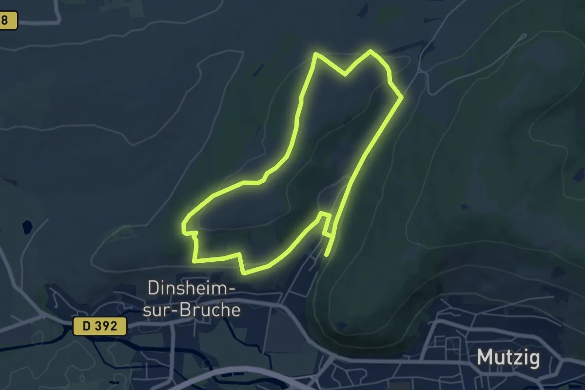
Easy · Trail
Dinsheim-sur-Bruch – Dinsheim-sur-Bruch
5.4 km · ↑ 110 m · 1 h 35 min
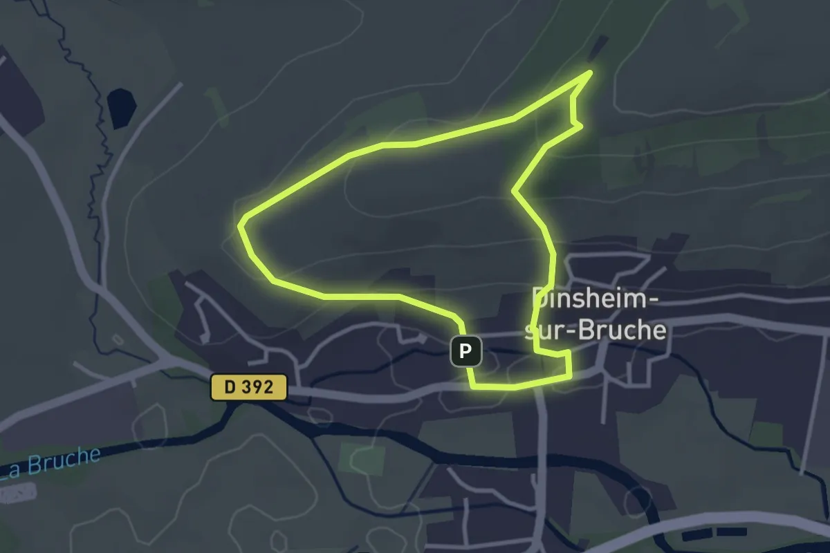
Easy · Trail
Dinsheim-sur-Bruch – Dinsheim-sur-Bruch
2.8 km · ↑ 87 m · 53 min
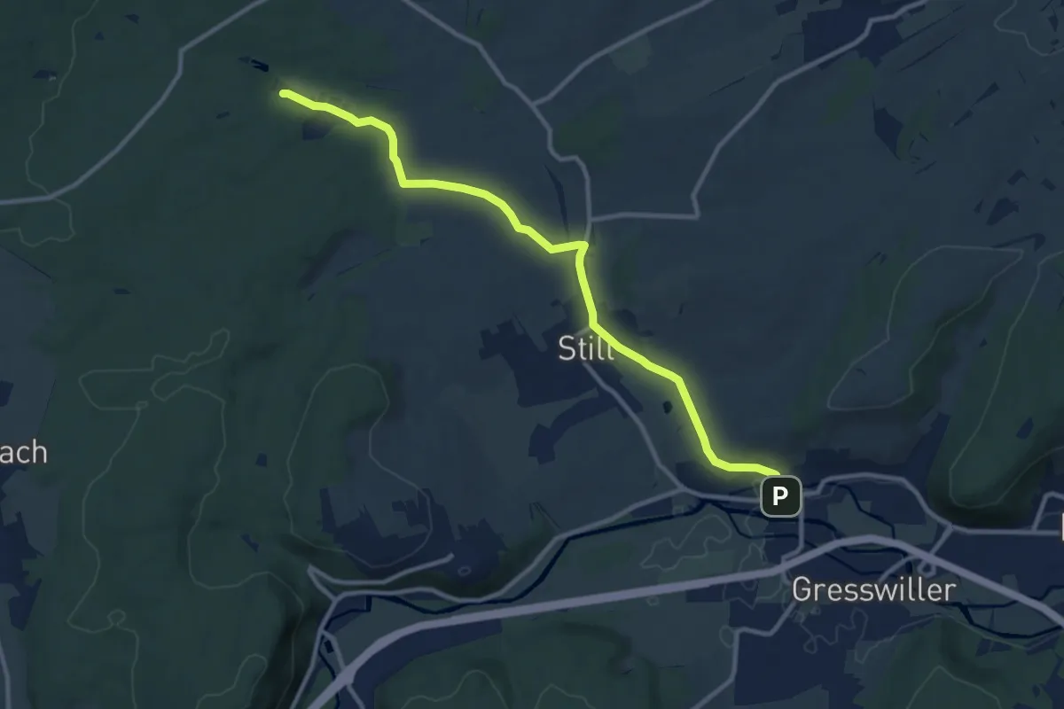
Medium · Trail
Dinsheim-sur-Bruch – Muenchhof
10.6 km · ↑ 137 m · 2 h 48 min
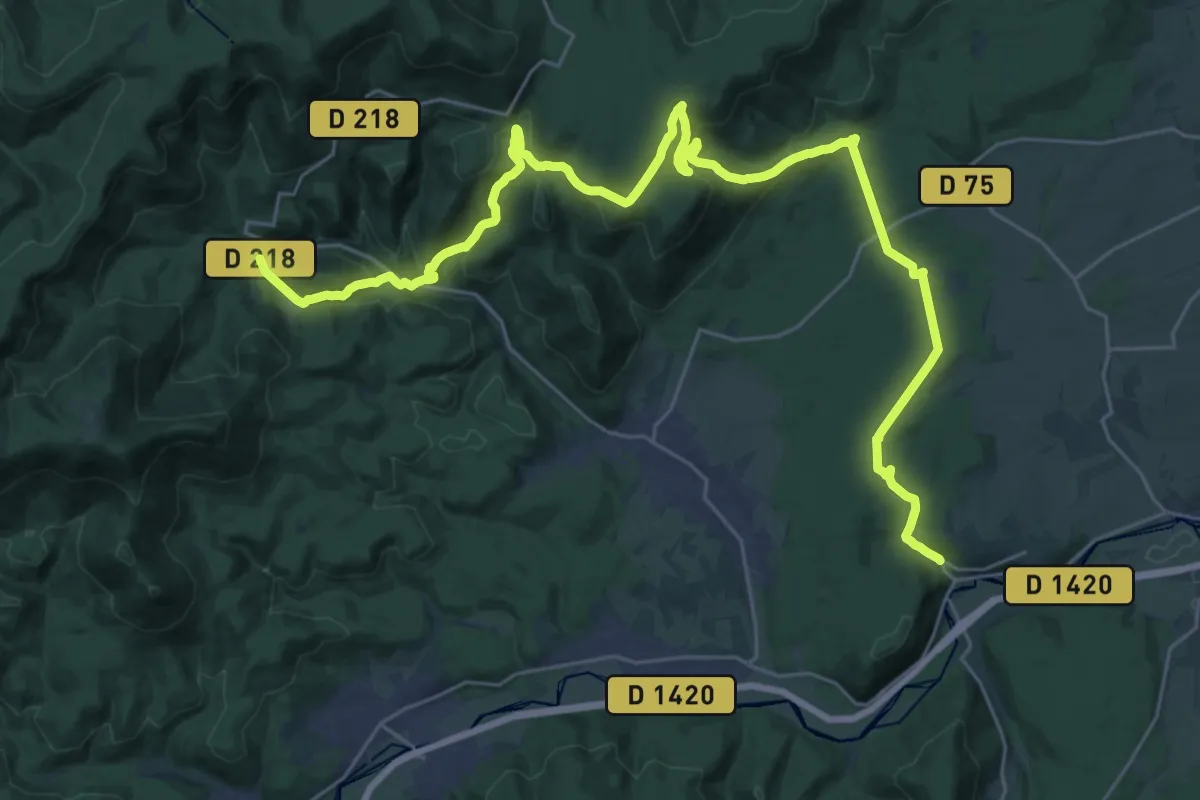
Medium · Trail
Heiligenberg – Gensbourg
17.9 km · ↑ 716 m · 5 h 57 min
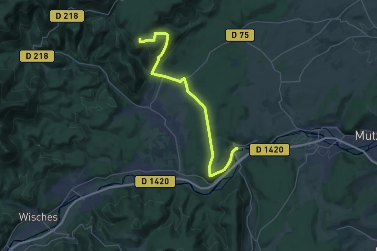
Demanding · Trail
Heiligenberg – Carrefour du Brigadier Jérôme
21.6 km · ↑ 790 m · 6 h 49 min
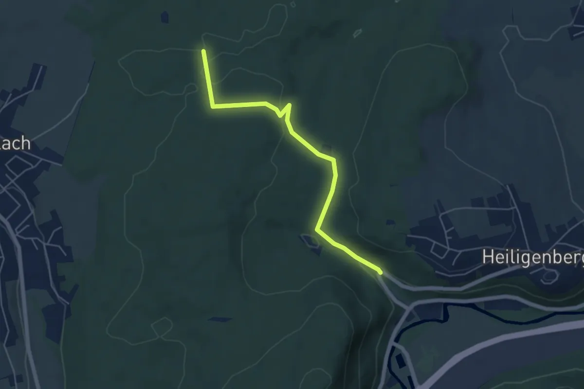
Easy · Trail
Heiligenberg – Carrefour des Charbonniers
4.7 km · ↑ 84 m · 1 h 18 min
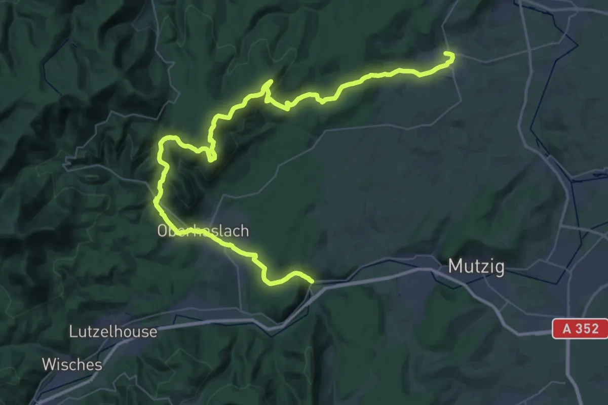
Demanding · Trail
Heiligenberg – Westhoffen
25.0 km · ↑ 748 m · 7 h 53 min
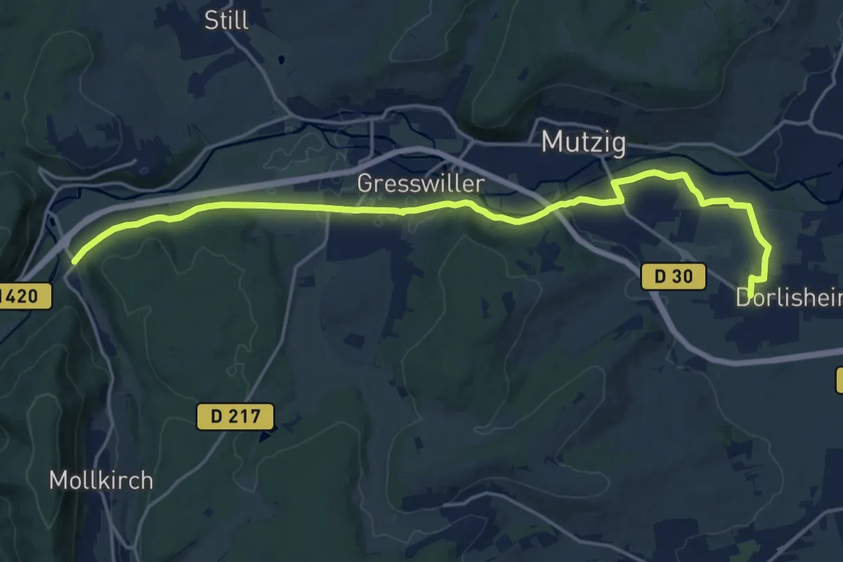
Demanding · Trail
Dorlisheim – Gare de Heiligenberg
18.3 km · ↑ 109 m · 4 h 33 min
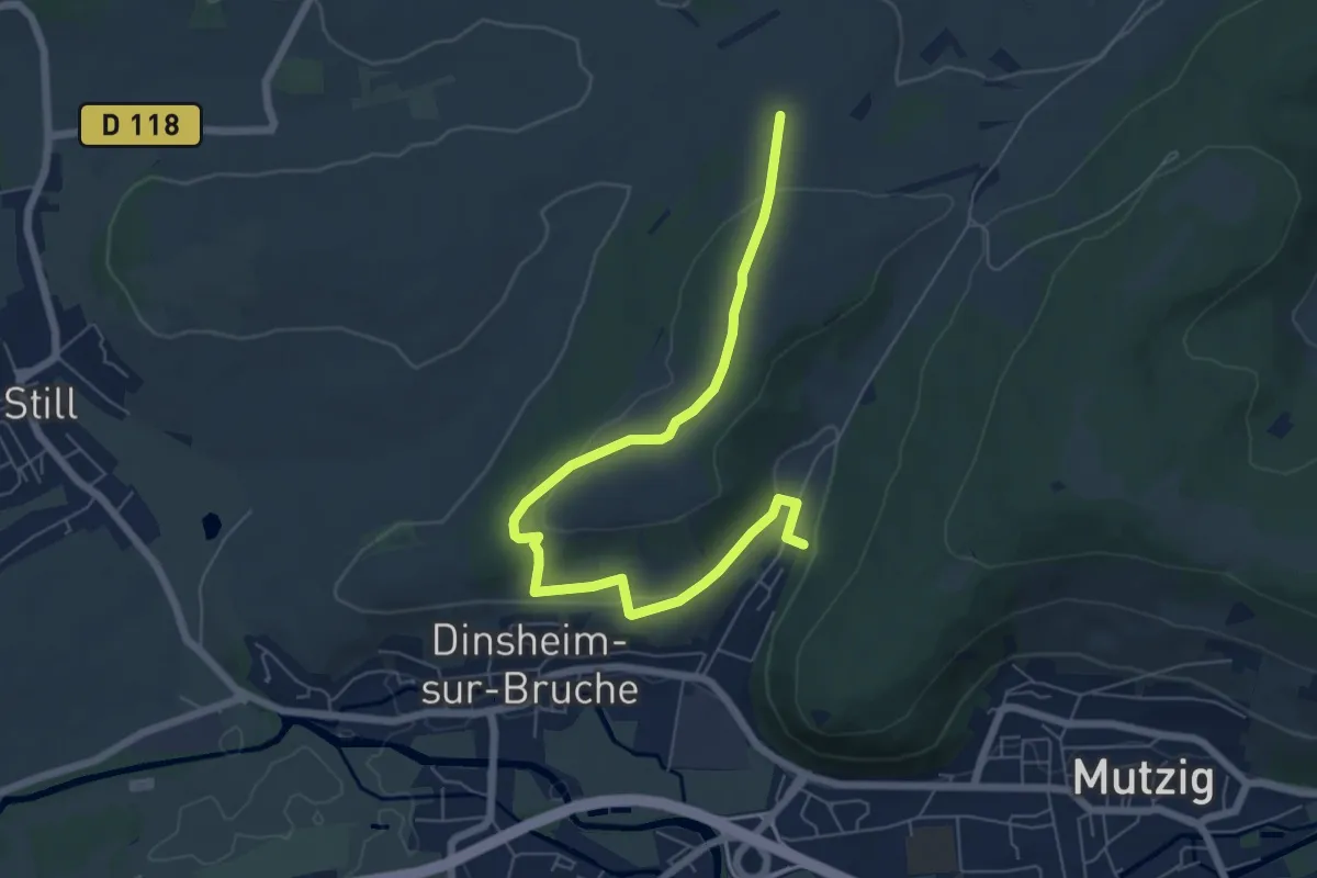
Easy · Trail
Disheim-sur-Bruch – In den Birken
7.0 km · ↑ 140 m · 1 h 58 min
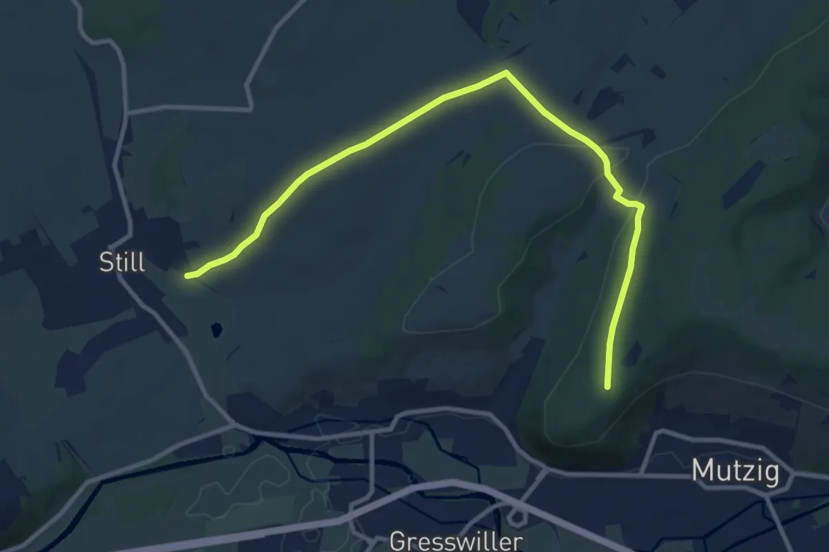
Medium · Trail
Mutzig – Still
9.6 km · ↑ 190 m · 2 h 40 min
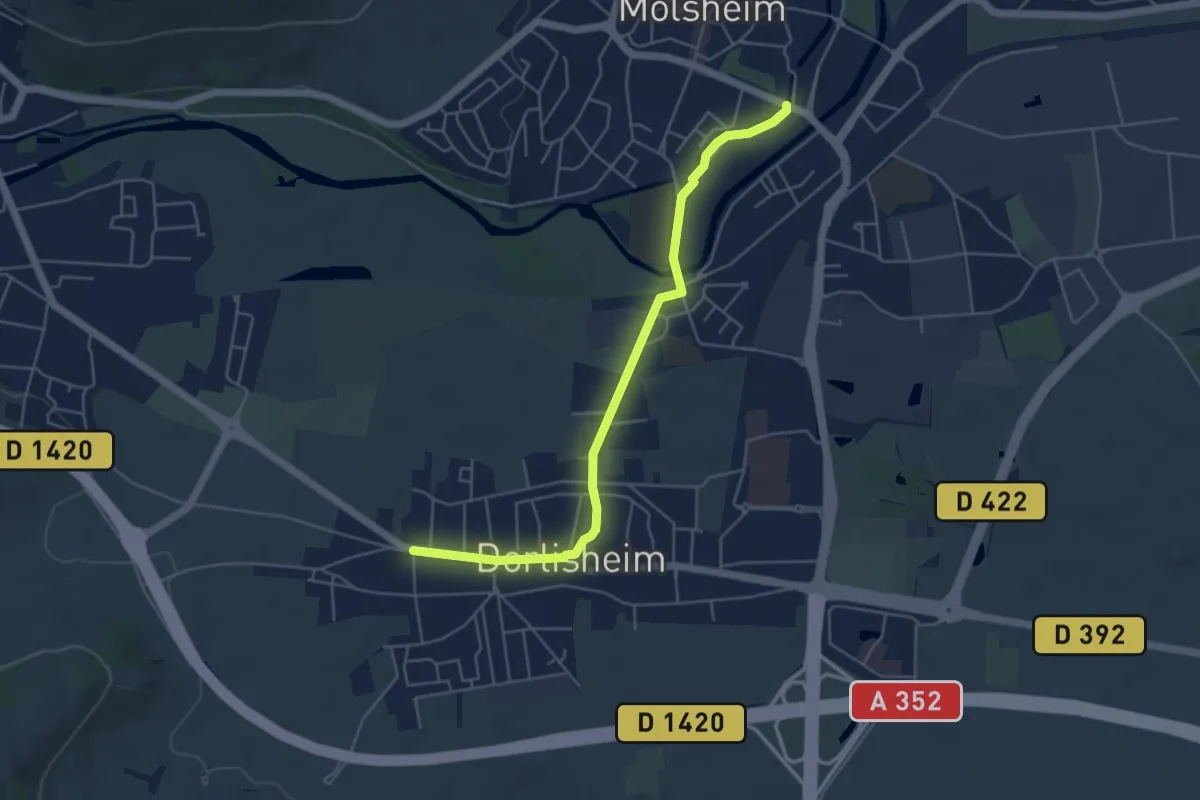
Easy · Trail
Molsheim – Dorlisheim
5.0 km · ↑ 9 m · 1 h 12 min
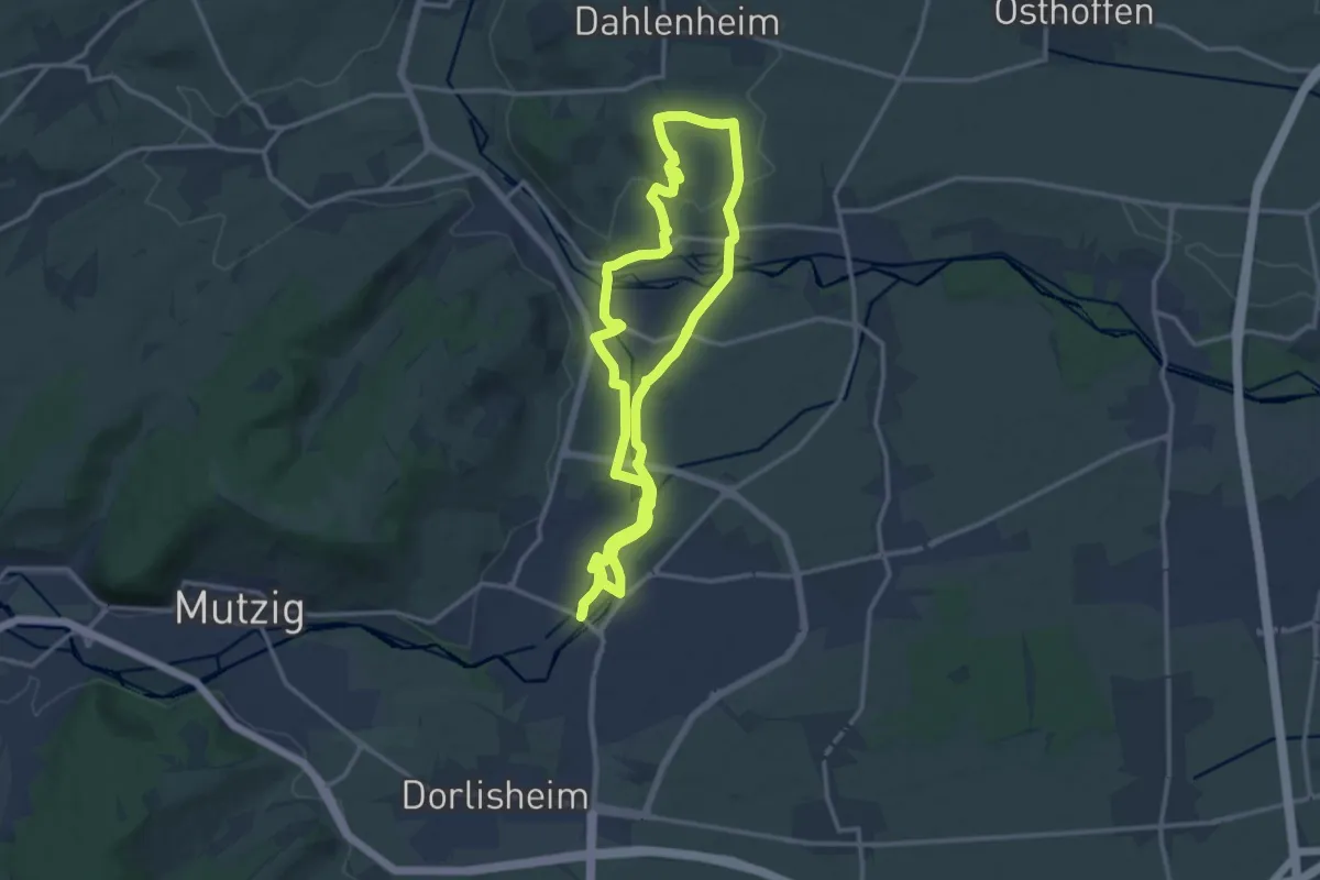
Medium · Summit
Molsheim – Molsheim
12.8 km · ↑ 110 m · 3 h 27 min
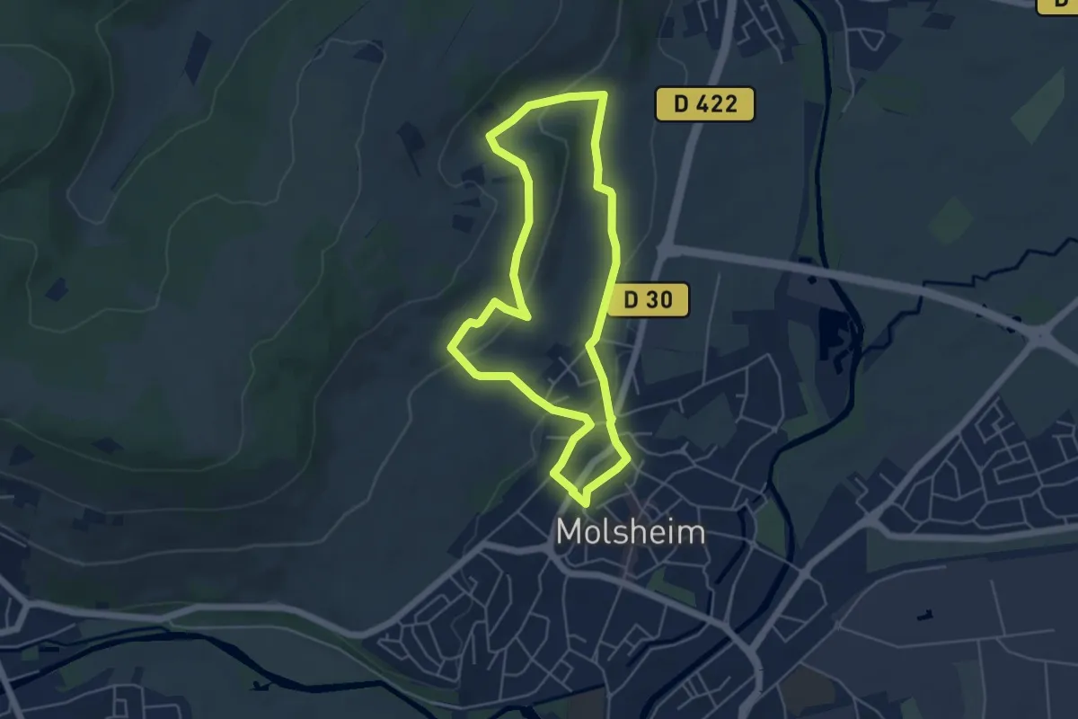
Easy · Trail
Molsheim – Molsheim
4.5 km · ↑ 130 m · 1 h 25 min
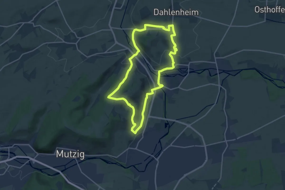
Medium · Summit
Molsheim – Molsheim
12.6 km · ↑ 308 m · 3 h 49 min
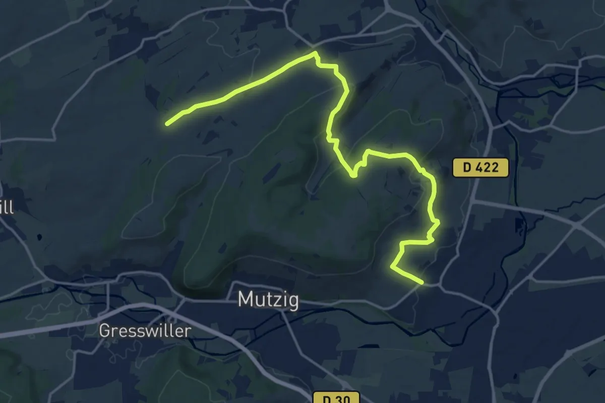
Medium · Trail
Molsheim – Auf dem Stahlberg
16.8 km · ↑ 598 m · 5 h 16 min
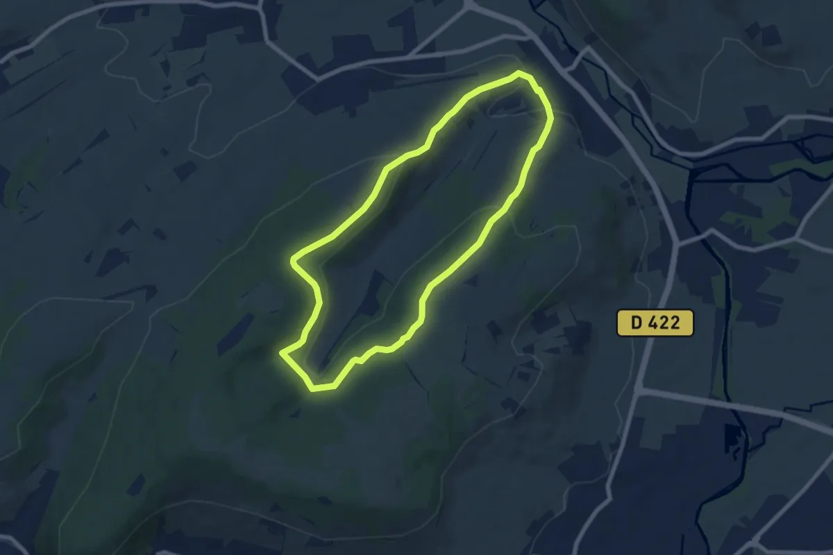
Easy · Trail
Soultz-les-Bains – Soultz-les-Bains
6.4 km · ↑ 207 m · 2 h 3 min
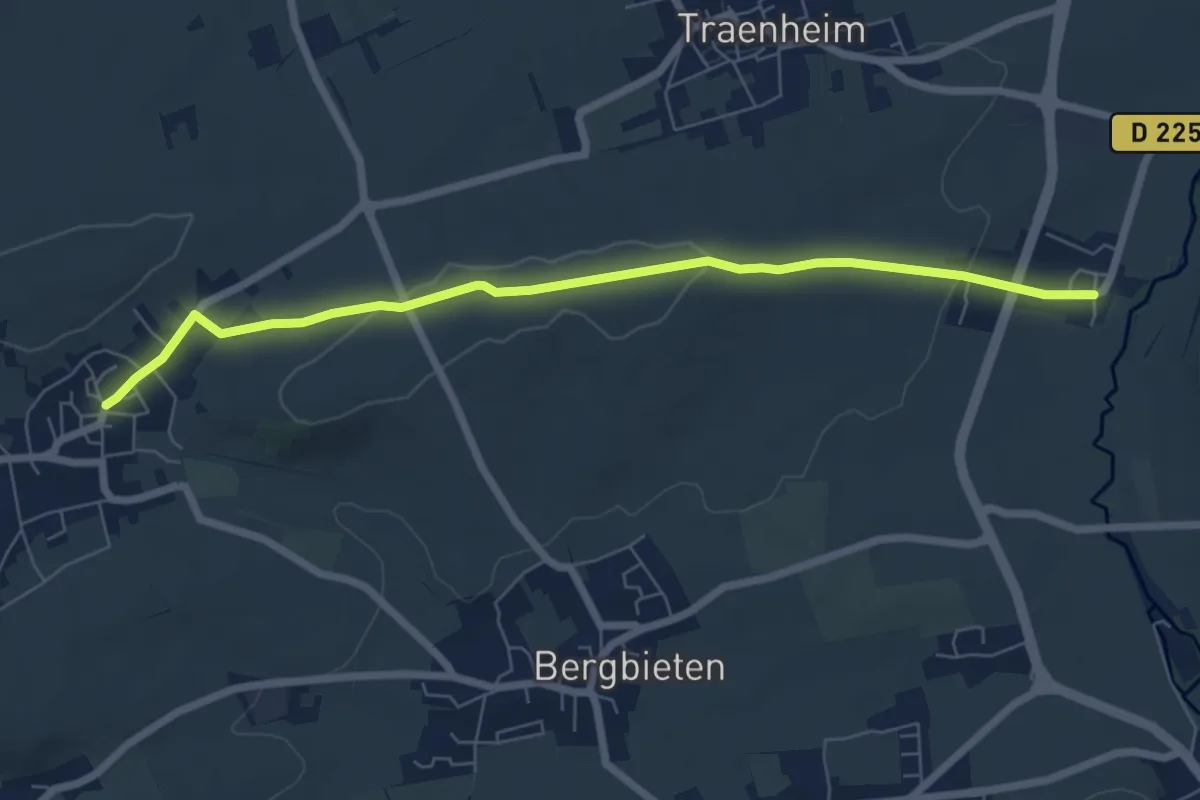
Easy · Trail
Balbronn – Irmstett
6.8 km · ↑ 103 m · 1 h 49 min
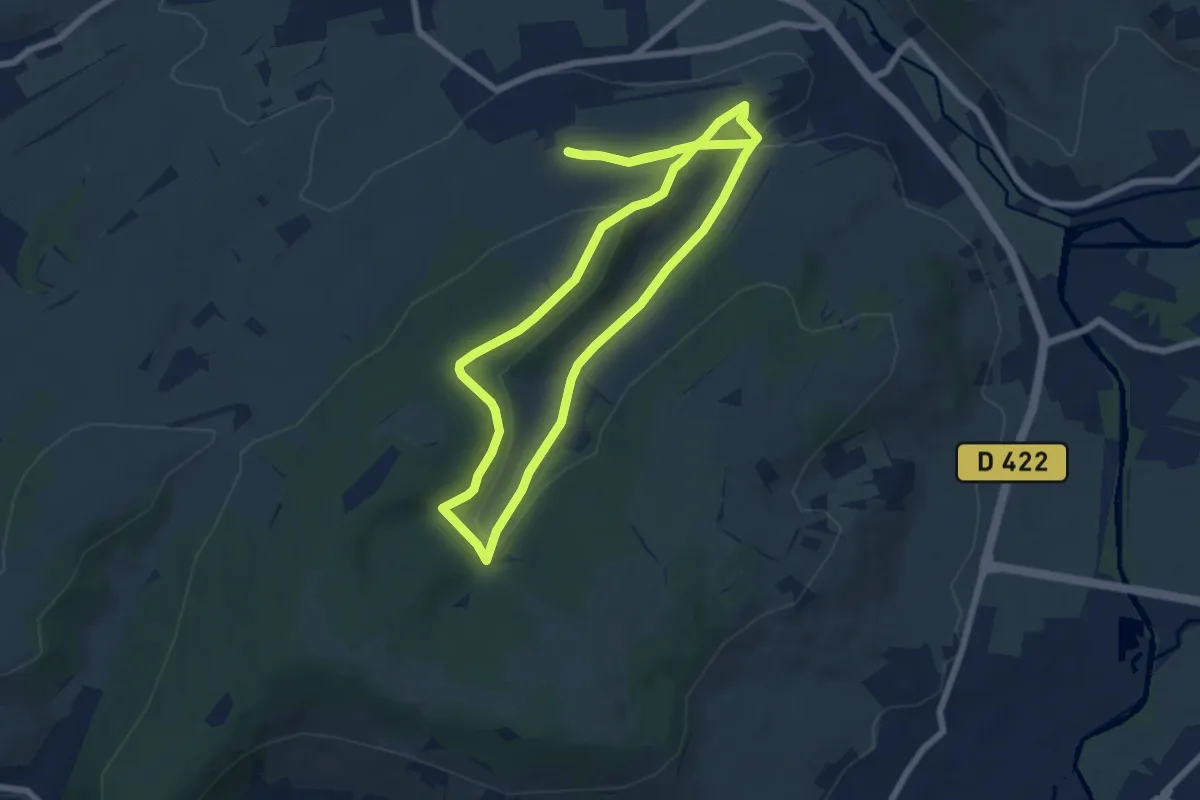
Easy · Trail
Dangolsheim – Dangolsheim
6.9 km · ↑ 206 m · 2 h 12 min
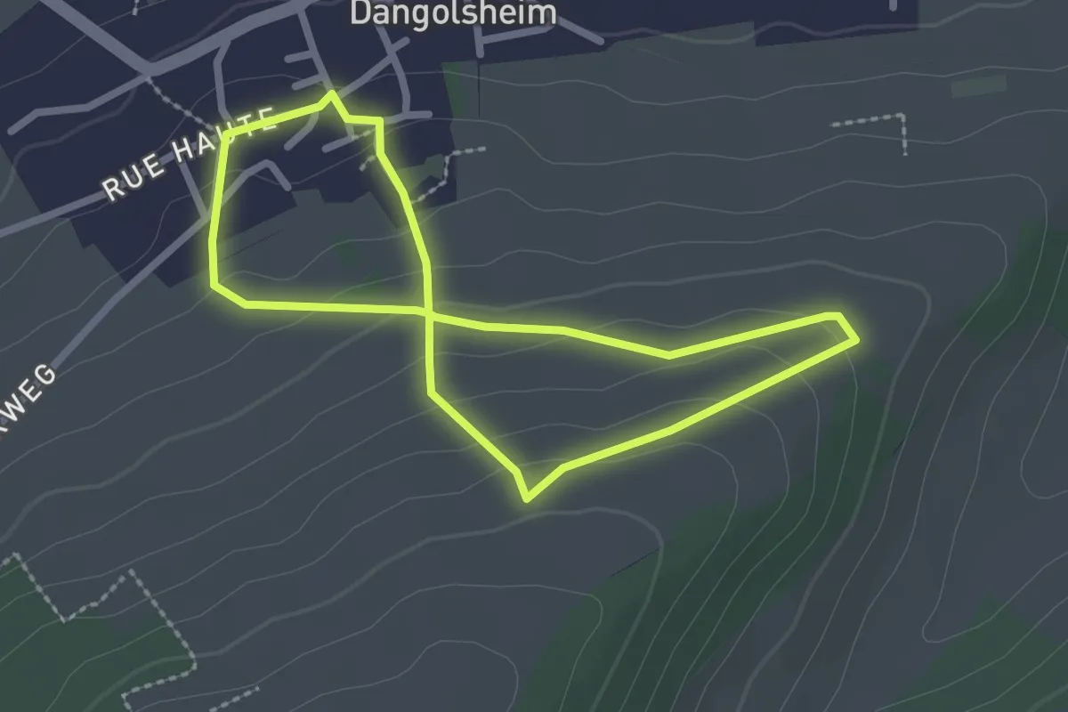
Easy · Trail
Dangolsheim – Dangolsheim
2.1 km · ↑ 113 m · 46 min
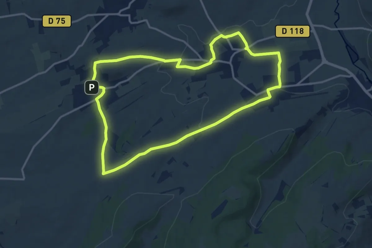
Medium · Trail
Dangolsheim – Dangolsheim
9.4 km · ↑ 142 m · 2 h 40 min
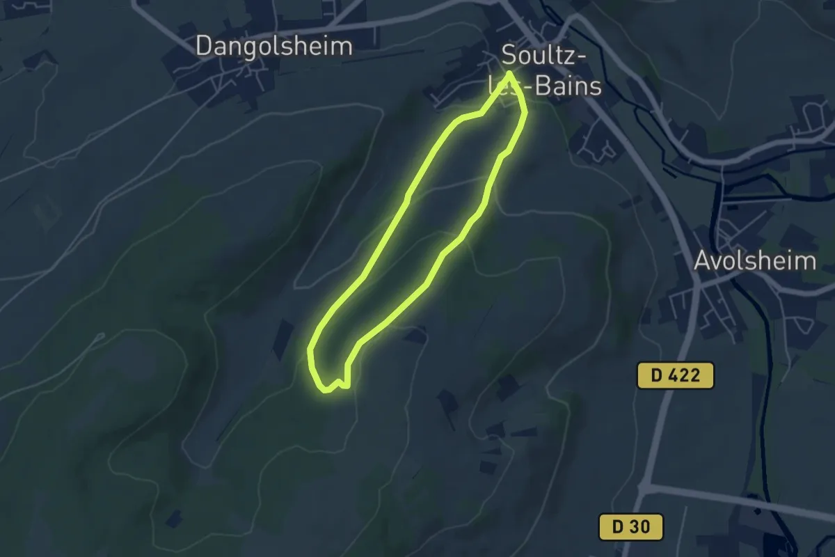
Easy · Trail
Soultz-les-Bains – Soultz-les-Bains
4.0 km · ↑ 156 m · 1 h 21 min
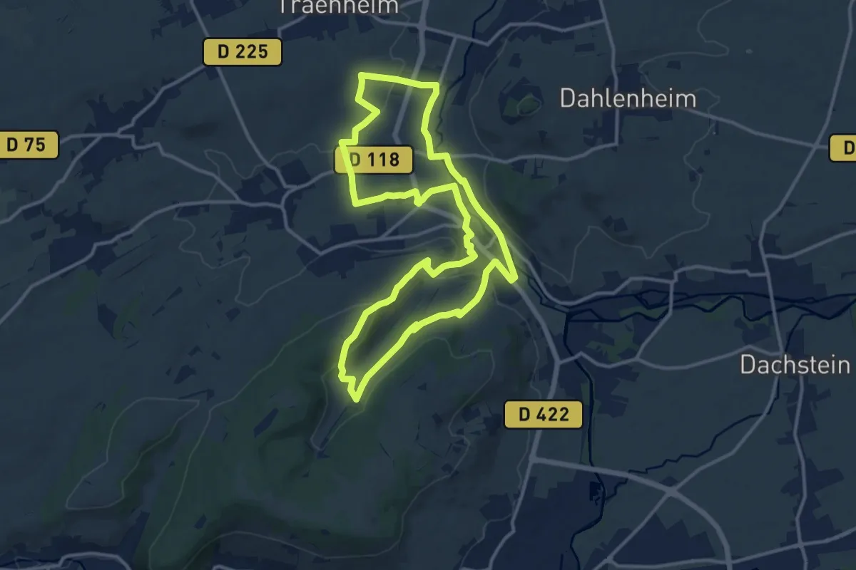
Medium · Trail
Soultz-les-Bains – Soultz-les-Bains
12.4 km · ↑ 248 m · 3 h 39 min
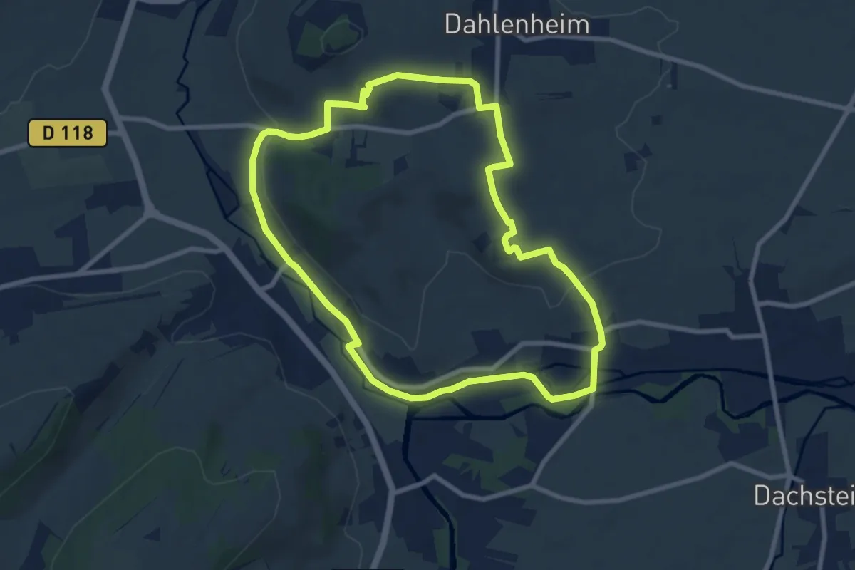
Easy · Summit
Wolxheim – Wolxheim
7.4 km · ↑ 127 m · 2 h 8 min
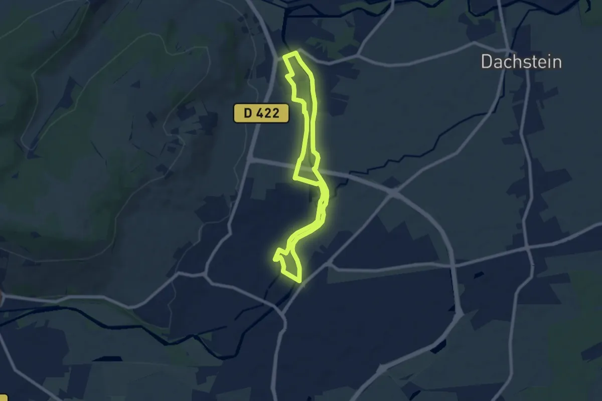
Easy · Trail
Mosheim – Molsheim
5.9 km · ↑ 9 m · 1 h 30 min
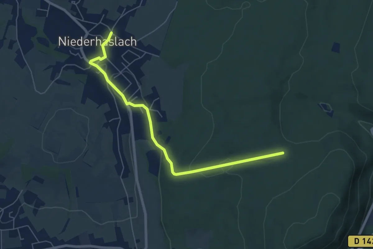
Easy · Trail
Niederhaslach – Carrefour de l'Etoile
5.9 km · ↑ 87 m · 1 h 35 min
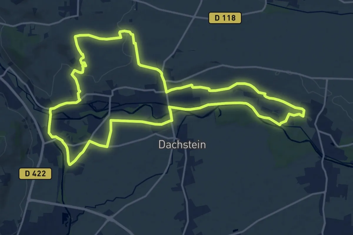
Medium · Summit
Avolsheim – Avolsheim
14.4 km · ↑ 118 m · 3 h 51 min
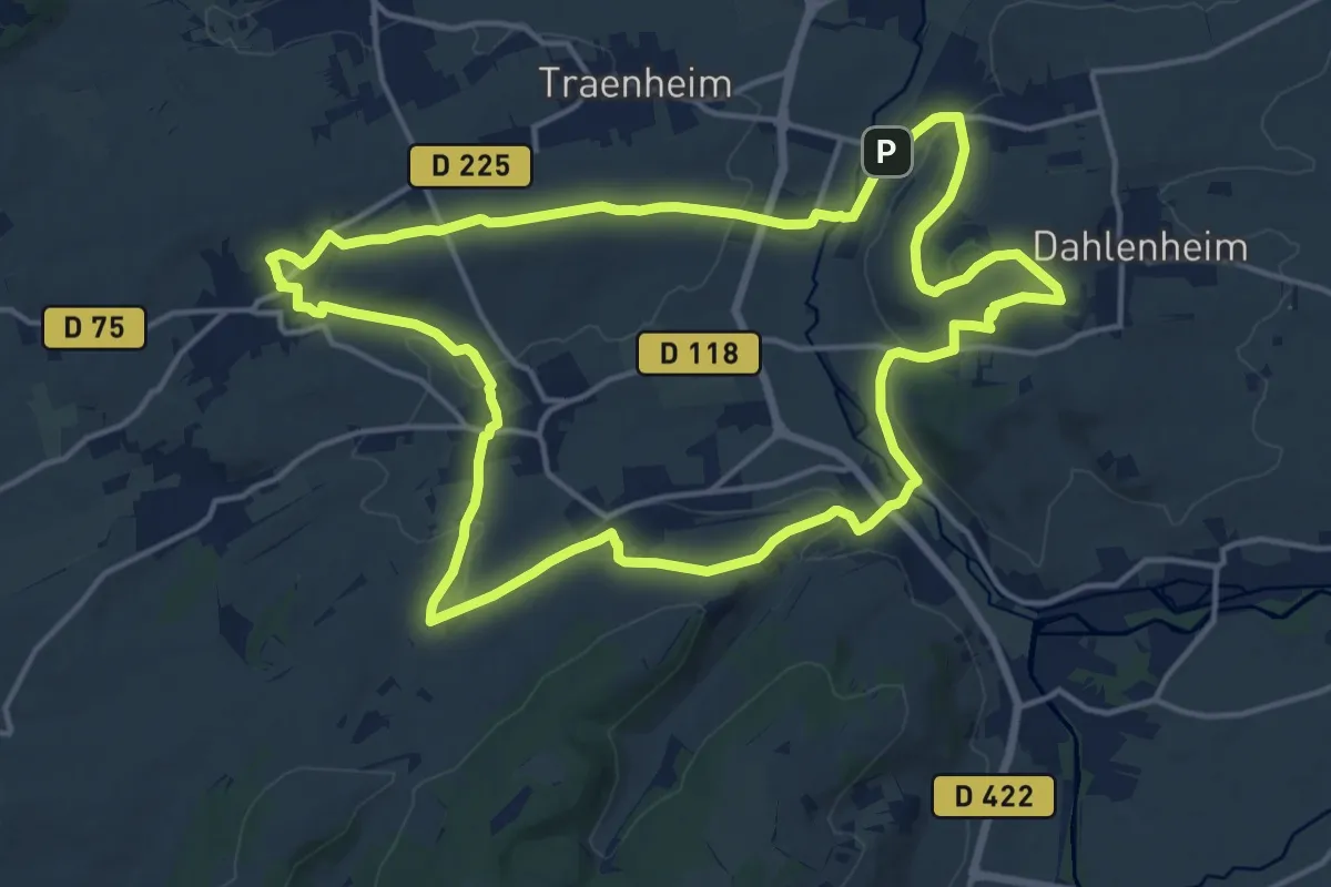
Medium · Summit
Balbronn – Balbronn
16.0 km · ↑ 328 m · 4 h 43 min
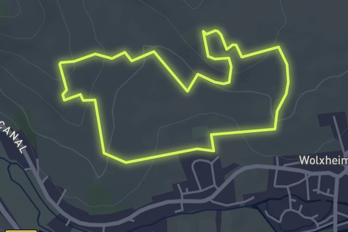
Easy · Summit
Wolxheim – Wolxheim
3.6 km · ↑ 118 m · 1 h 10 min
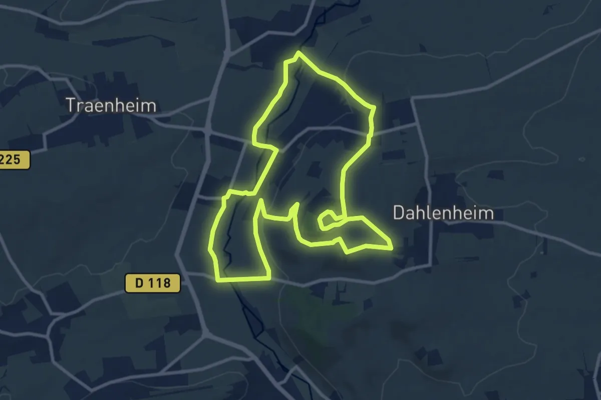
Medium · Summit
Odratzheim – Odratzheim
8.9 km · ↑ 167 m · 2 h 36 min
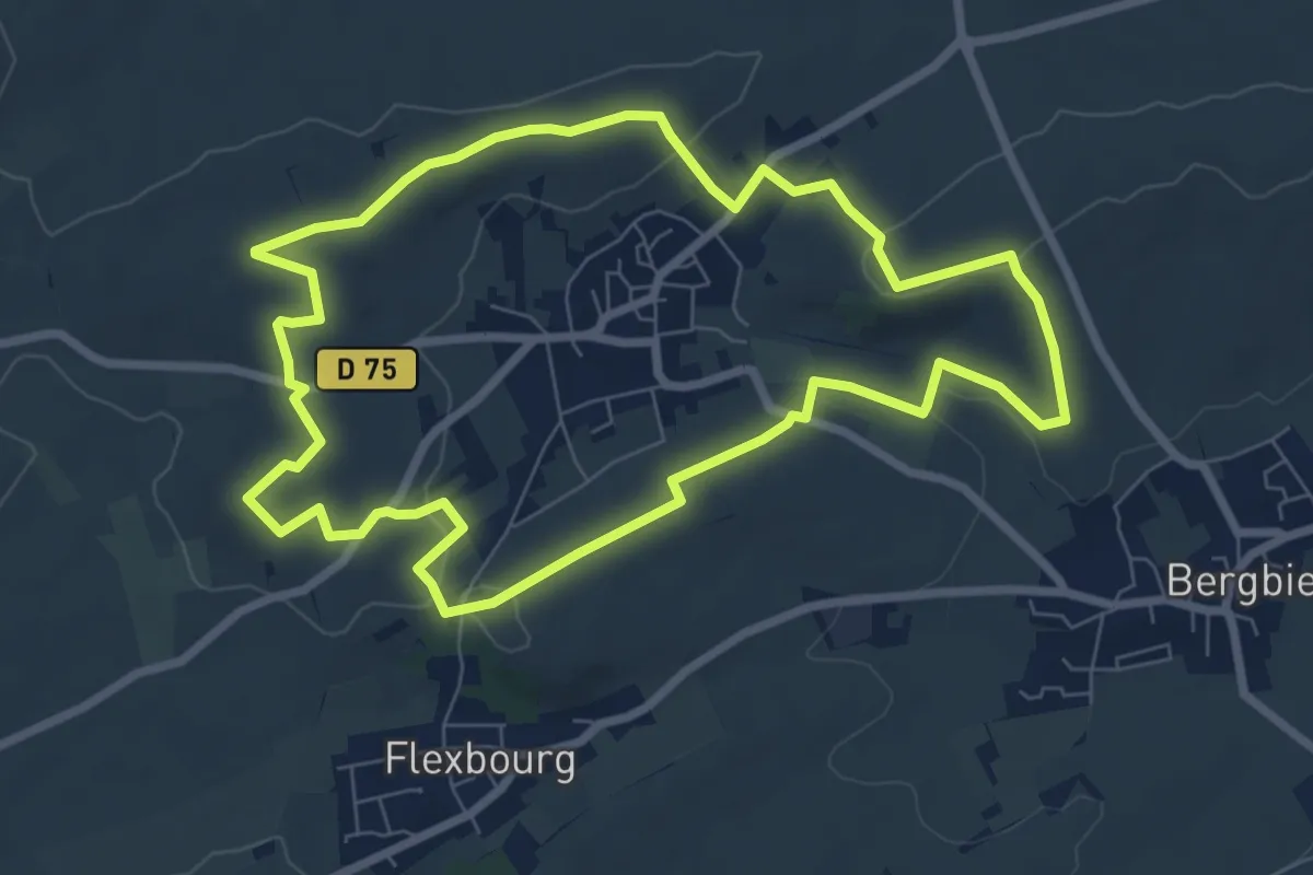
Easy · Trail
Balbronn – Balbronn
7.4 km · ↑ 117 m · 2 h 6 min
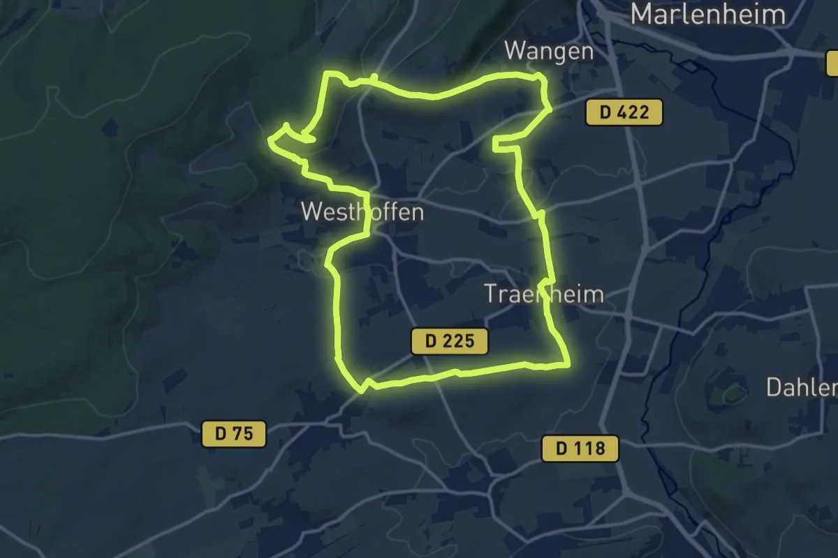
Medium · Summit
Balbronn – Balbronn
14.1 km · ↑ 349 m · 4 h 16 min
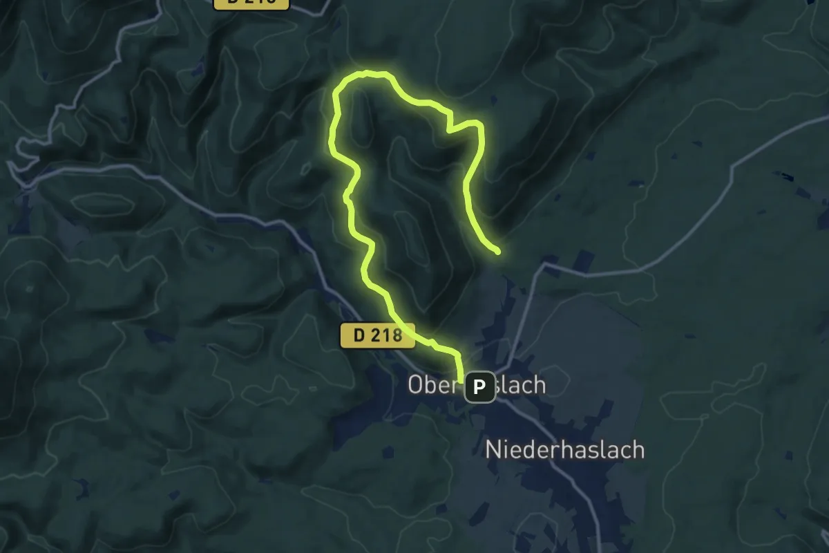
Medium · Trail
Oberhaslach – Ringelstal
14.8 km · ↑ 762 m · 5 h 8 min
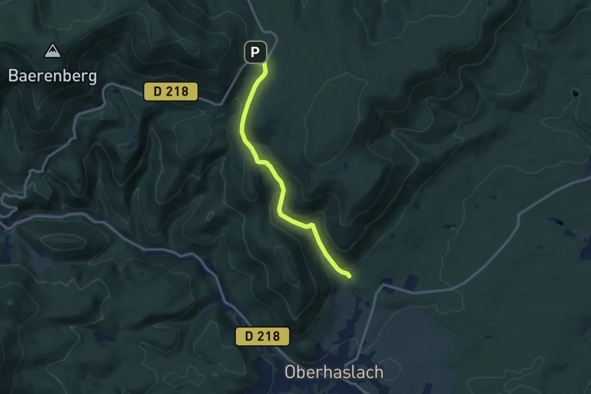
Medium · Trail
Ringelstal – GR 532
8.1 km · ↑ 334 m · 2 h 39 min
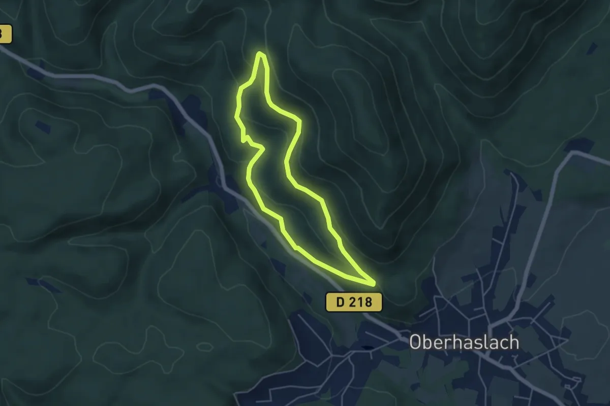
Easy · Trail
Maison forestière Hohensteinwald – Maison forestière Hohensteinwald
4.0 km · ↑ 204 m · 1 h 27 min
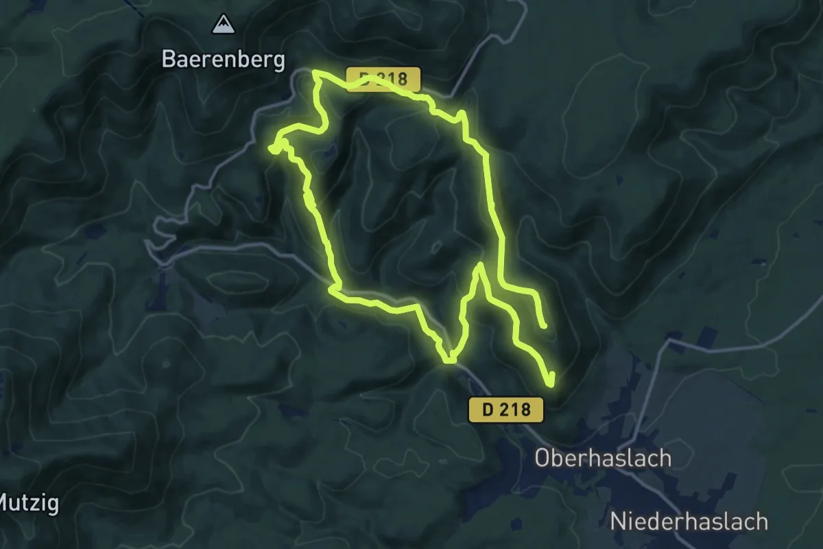
Medium · Summit
Maison forestière Hohensteinwald – Maison forestière Hohensteinwald
12.7 km · ↑ 609 m · 4 h 26 min
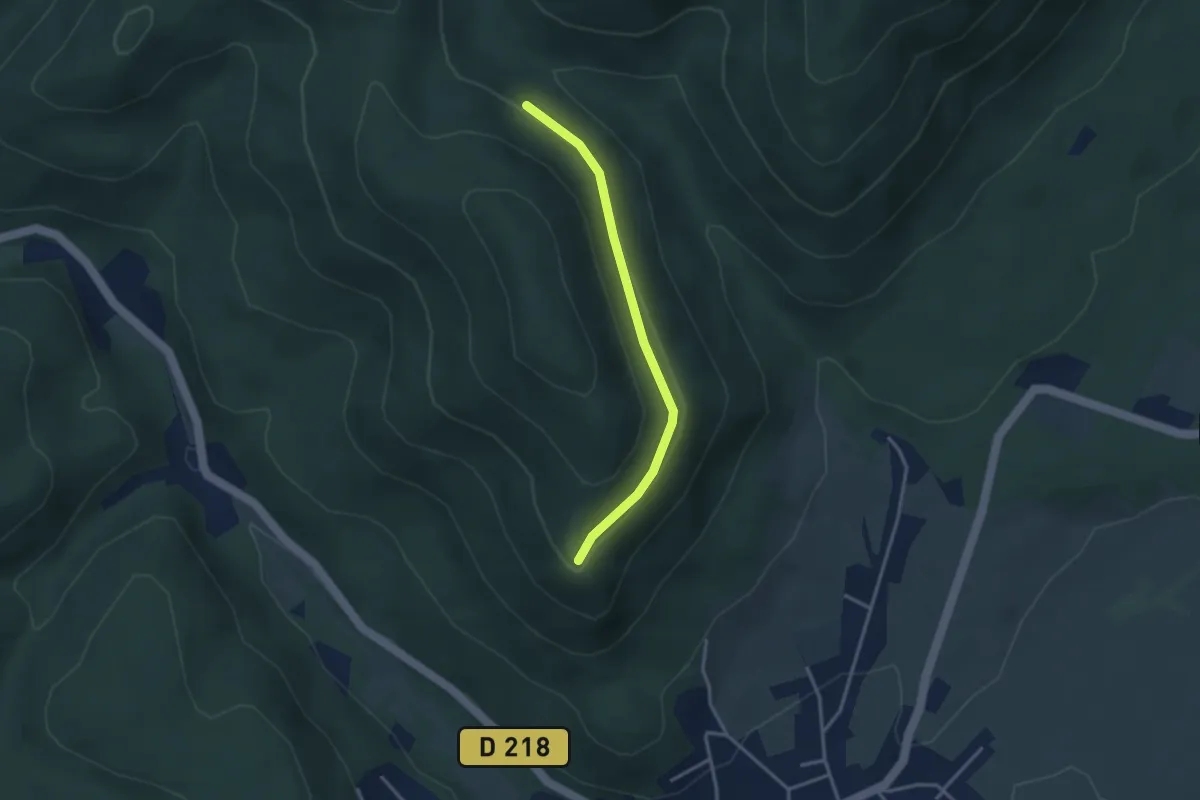
Easy · Trail
Anneau bleu – GR 531
2.9 km · ↑ 80 m · 51 min
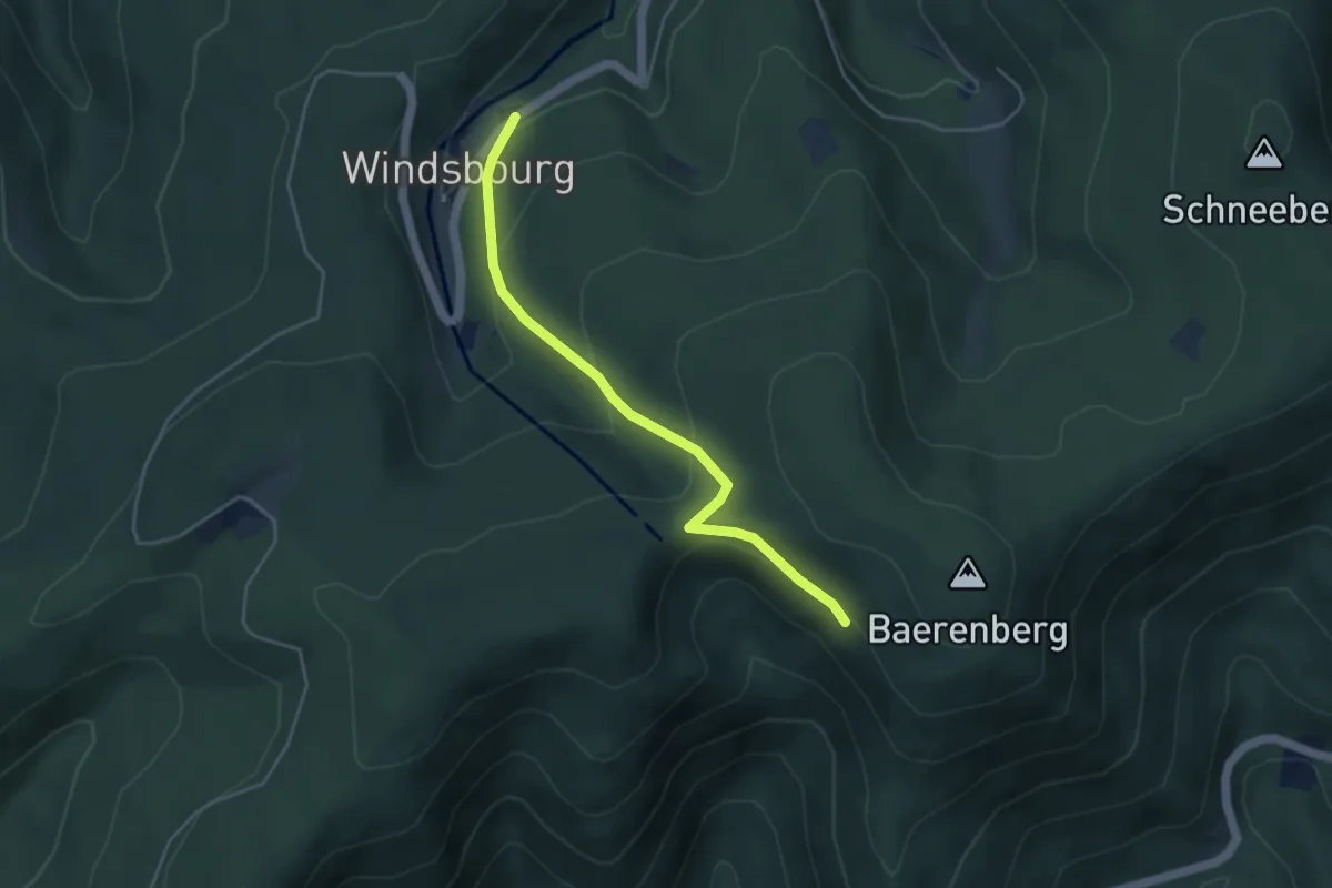
Easy · Trail
Oberhaslach – Windsbourg
4.0 km · ↑ 203 m · 1 h 23 min
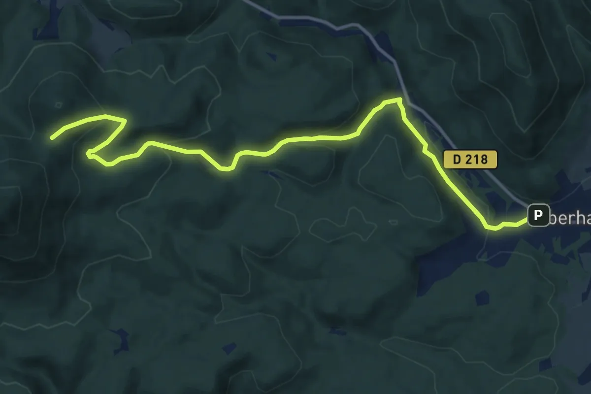
Medium · Trail
Oberhaslach – Col du Wildberg
12.1 km · ↑ 490 m · 3 h 55 min
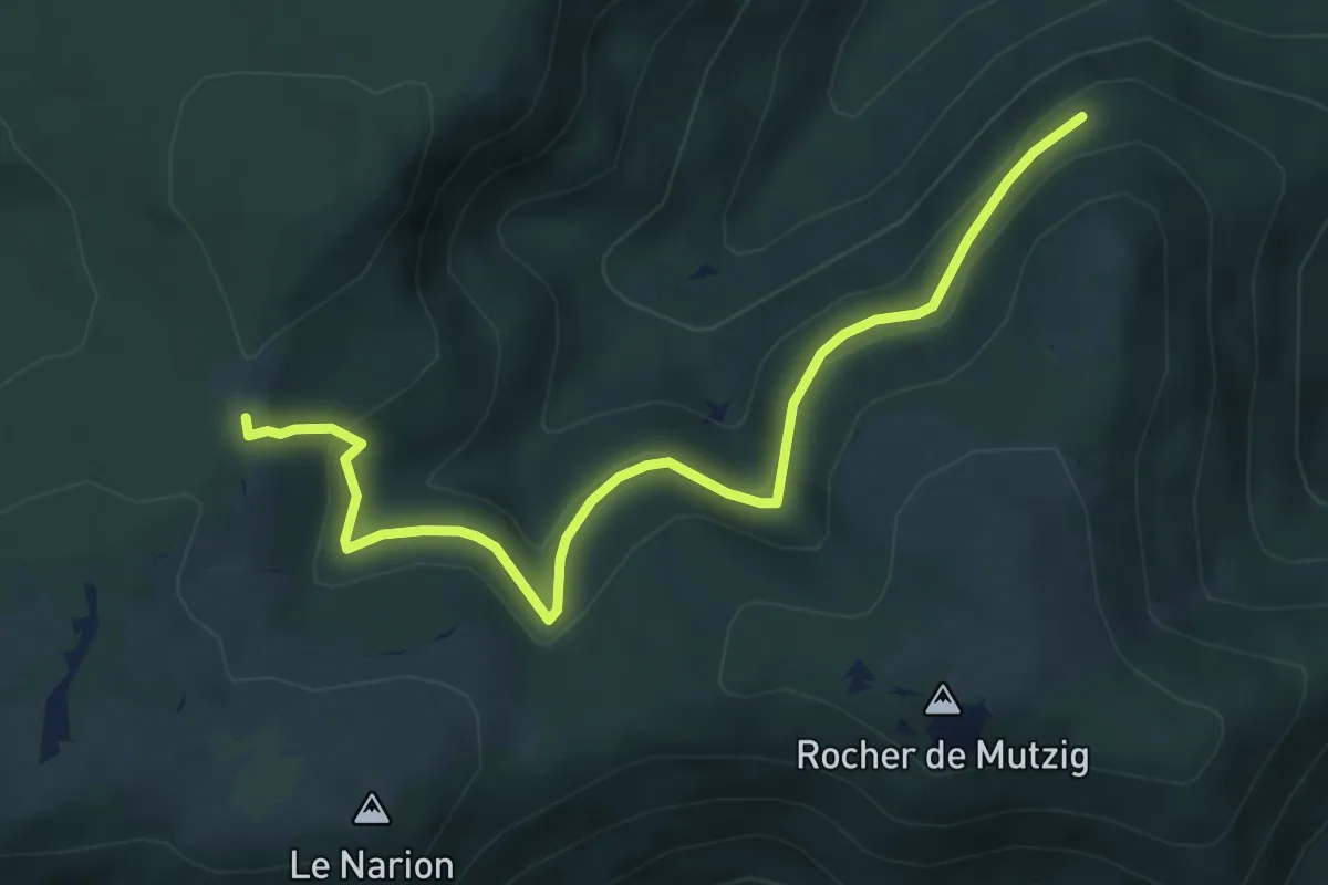
Easy · Trail
Col du Widberg – Altmatt
5.6 km · ↑ 286 m · 1 h 57 min
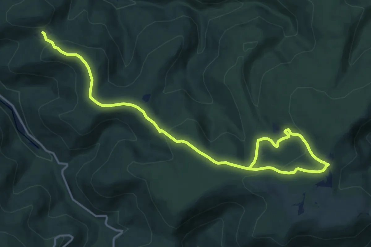
Medium · Trail
Altmatt – Col du Rognol
14.0 km · ↑ 393 m · 4 h 10 min
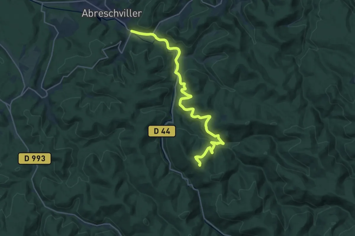
Demanding · Summit
Col du Rognol – Abreschviller
19.9 km · ↑ 673 m · 6 h 10 min
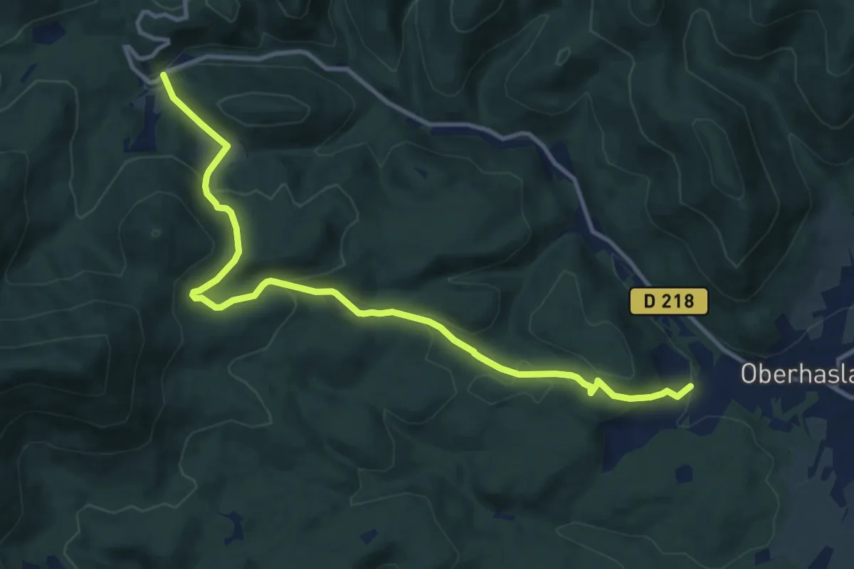
Medium · Trail
Oberhaslach – Gensbourg
11.8 km · ↑ 522 m · 3 h 56 min