Trails in France
15,926 hiking trails, each with its route, climb, walking time and grade.
All trails, page 330 of 332
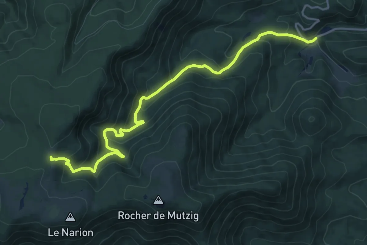
Medium · Trail
Gensbourg – Altmatt
11.6 km · ↑ 580 m · 3 h 59 min
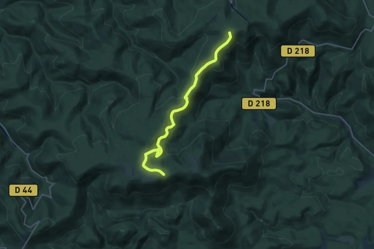
Demanding · Summit
Col du Hoellenwasen – GR 53
14.0 km · ↑ 532 m · 4 h 28 min
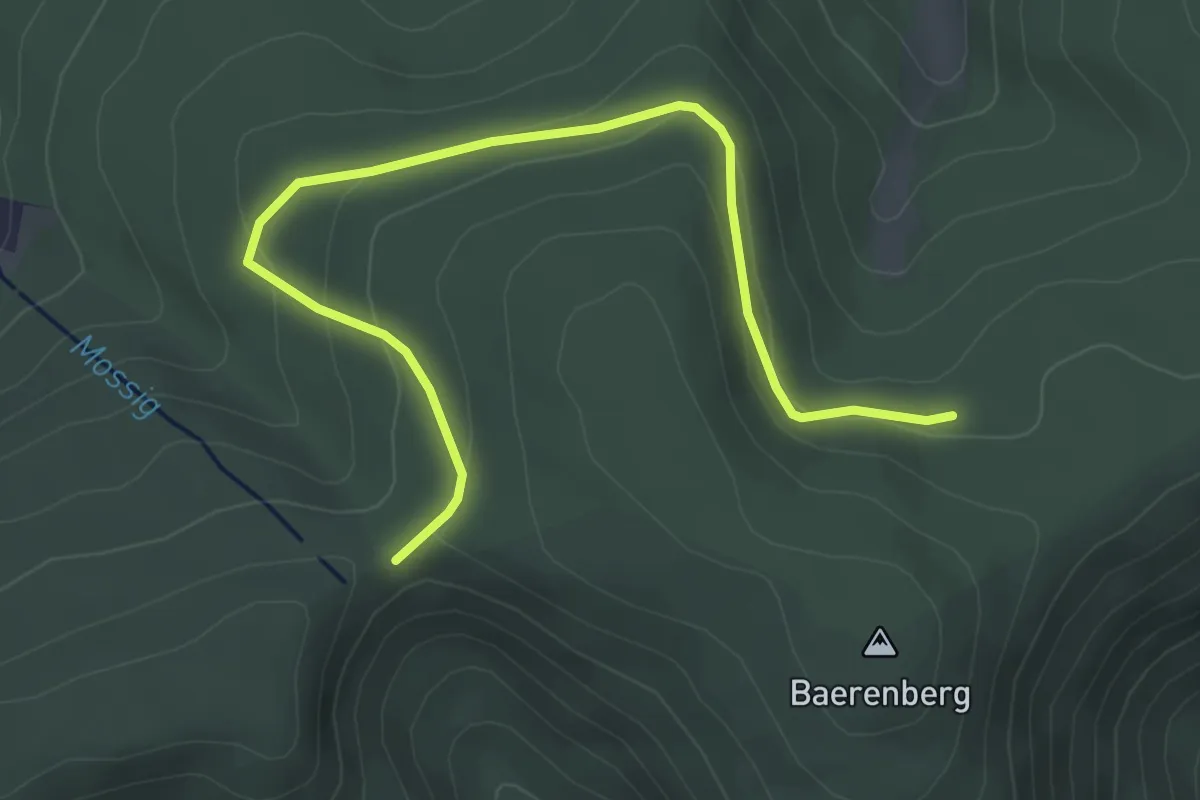
Easy · Trail
Col du Hoellenwasen – GR 53
4.5 km · ↑ 156 m · 1 h 24 min
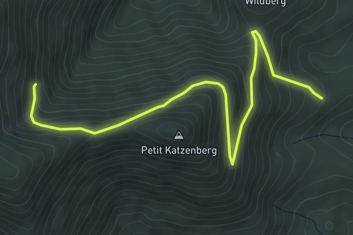
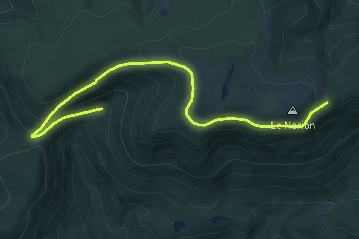
Medium · Trail
La porte de Pierre – GR 532
7.1 km · ↑ 359 m · 2 h 28 min
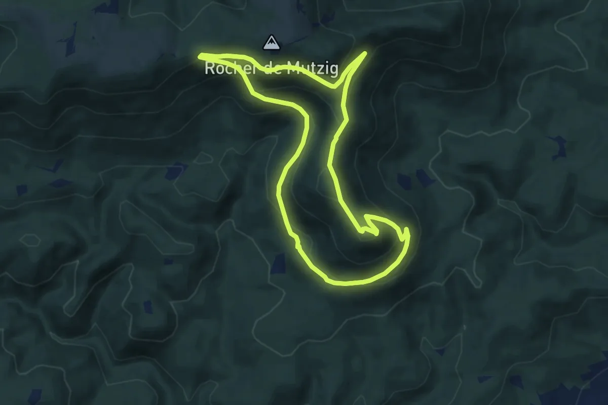
Easy · Trail
Baraque aux Juifs – Baraque aux Juifs
4.5 km · ↑ 43 m · 1 h 20 min
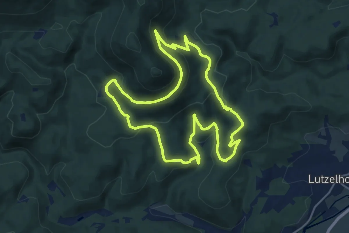
Medium · Summit
Baraque aux Juifs – Baraque aux Juifs
8.3 km · ↑ 425 m · 2 h 59 min
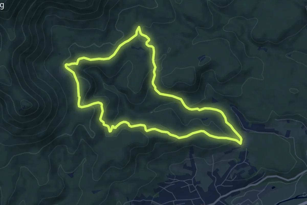
Medium · Trail
Abri de la Place des Musiciens – Abri de la Place des Musiciens
10.1 km · ↑ 374 m · 3 h 20 min
Medium · Trail
Ancienne Maison Forestière de Sperl – Ancienne Maison Forestière de Sperl
8.1 km · ↑ 309 m · 2 h 42 min
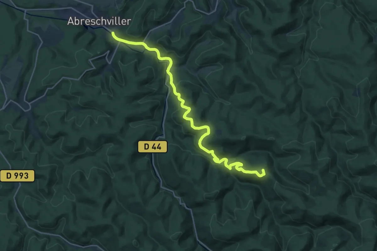
Demanding · Summit
Abreschviller – Maison forestière Grossmann
20.7 km · ↑ 688 m · 6 h 22 min
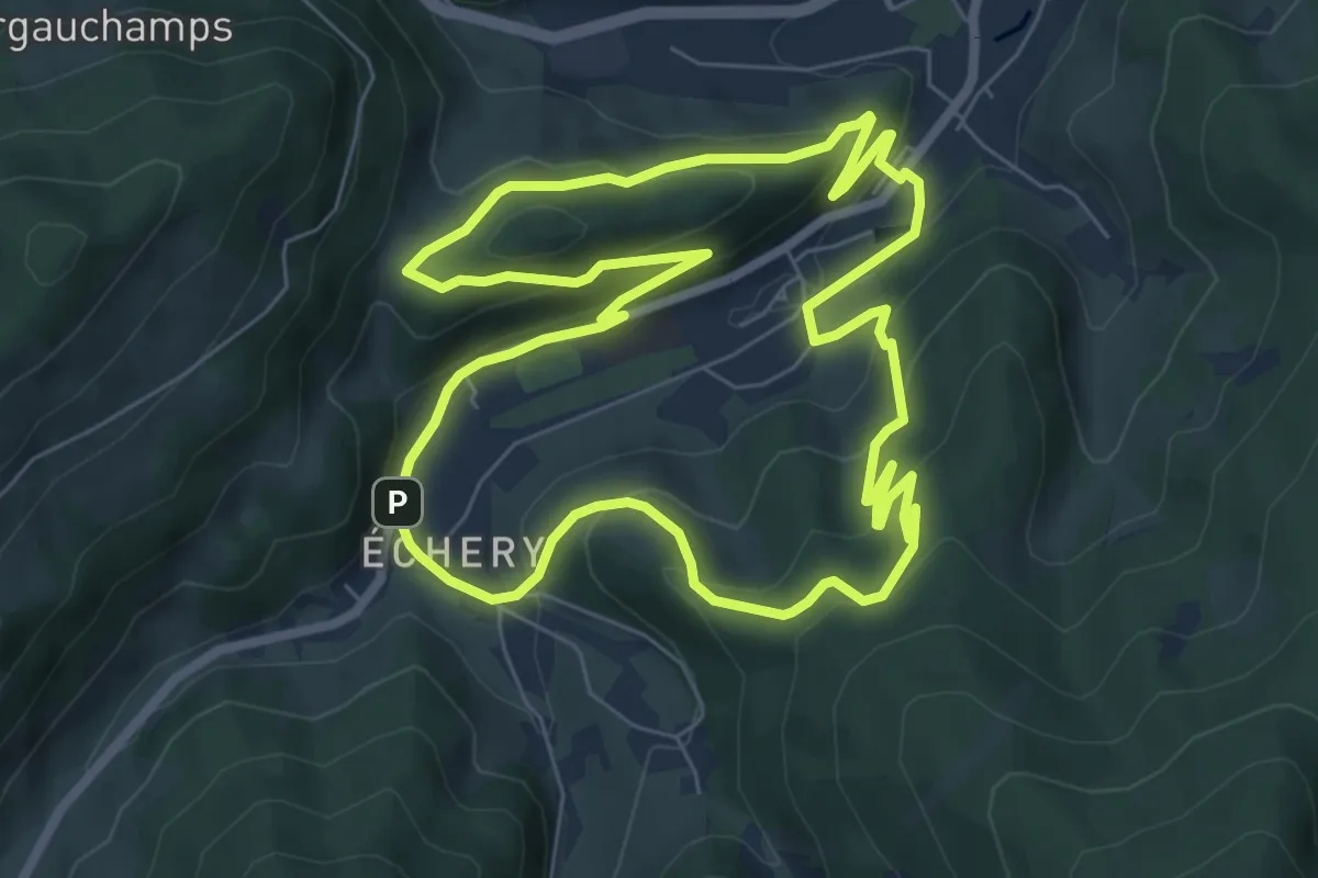
Medium · Trail
Sainte-Marie-aux-Mines – Sainte-Marie-aux-Mines
7.3 km · ↑ 385 m · 2 h 40 min
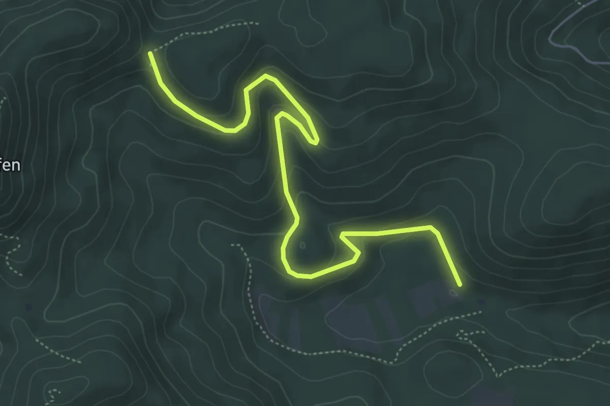
Easy · Cabin
Refuge du Stauffen – Bumatt
6.1 km · ↑ 259 m · 2 h
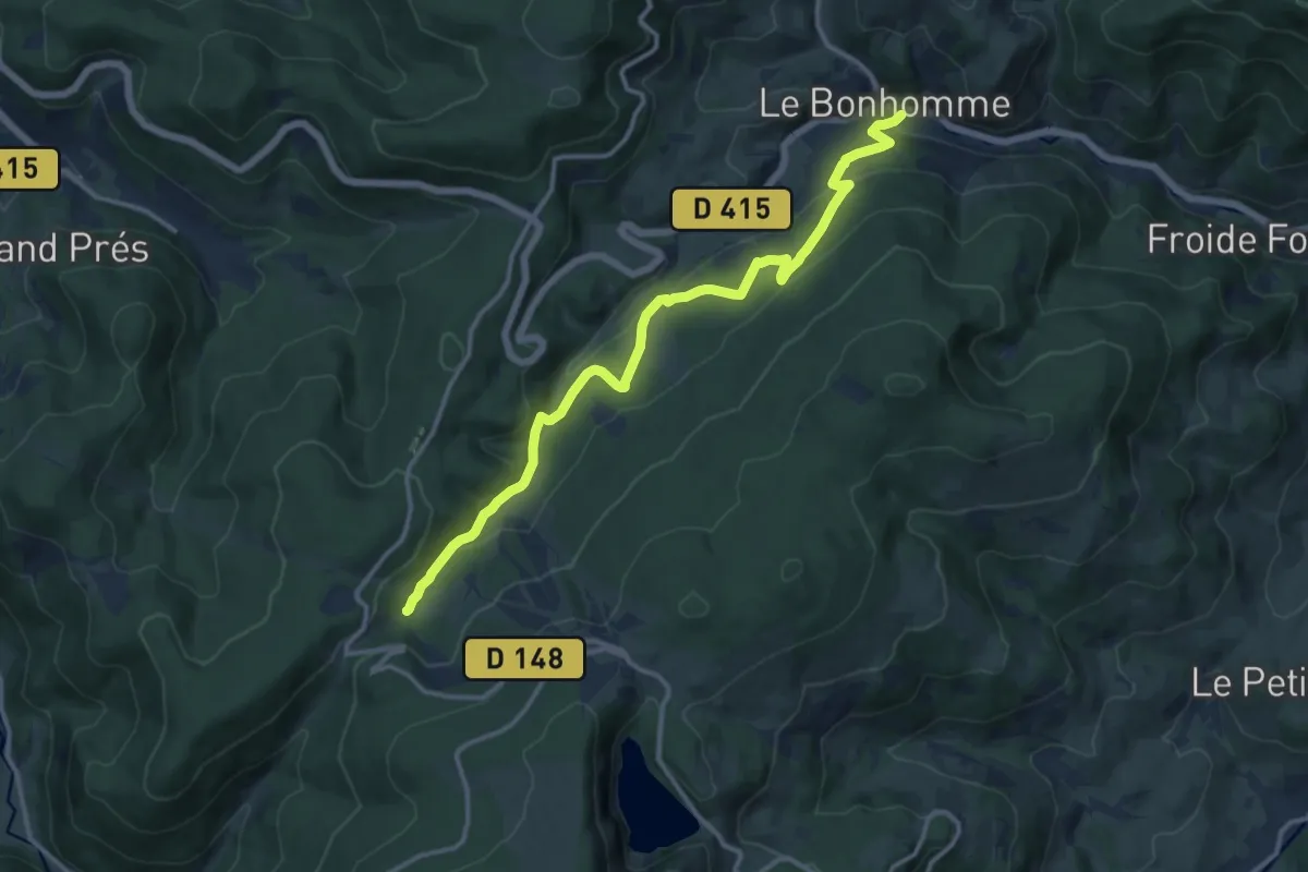
Medium · Trail
Le Bonhomme – Pont de Monjoie
13.1 km · ↑ 589 m · 4 h 23 min
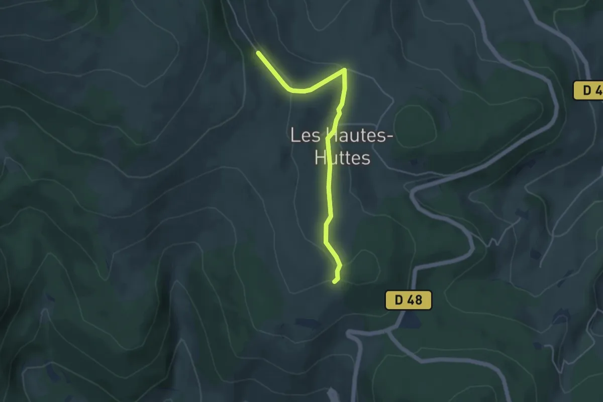
Easy · Trail
GR 532 – GR 532
4.0 km · ↑ 127 m · 1 h 13 min
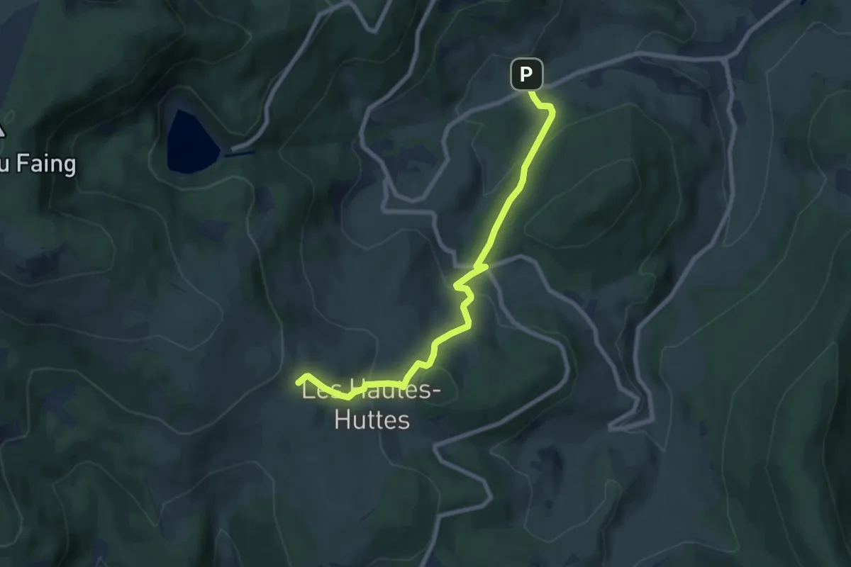
Medium · Trail
Pairis – GR 532
7.0 km · ↑ 339 m · 2 h 24 min
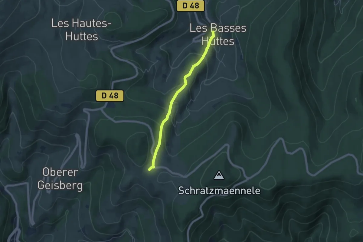
Easy · Trail
Les Basses Huttes – GR 532
4.5 km · ↑ 256 m · 1 h 37 min
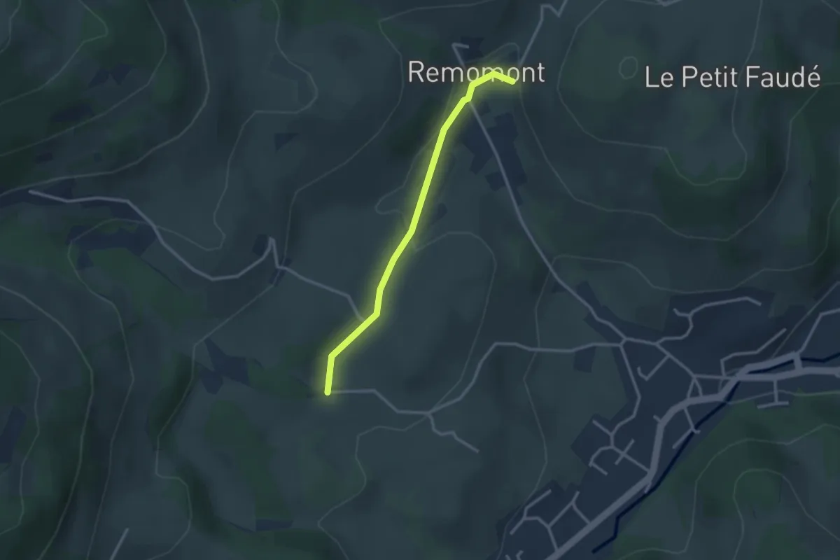
Easy · Trail
Saint-Genest – Remomont
2.5 km · ↑ 59 m · 42 min
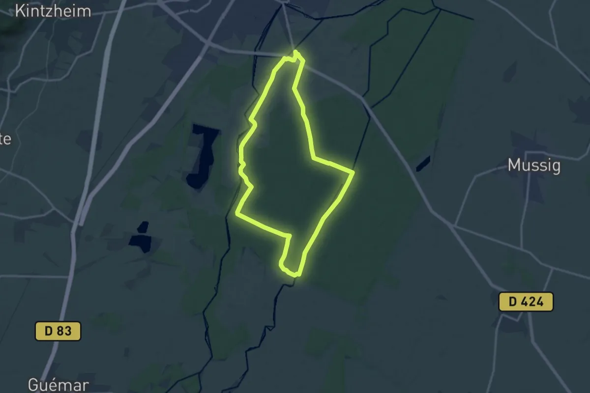
Medium · Trail
Maison Forestière de la Redoute – Maison Forestière de la Redoute
11.3 km · ↑ 35 m · 2 h 54 min
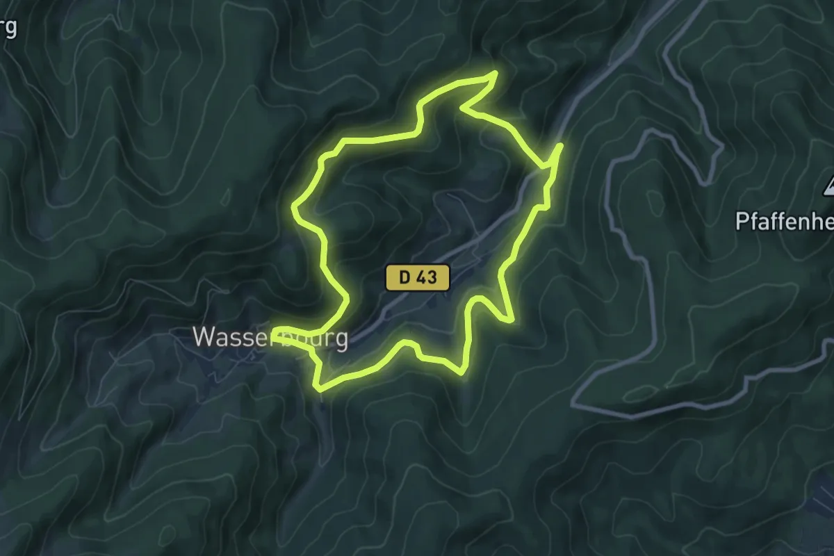
Medium · Trail
Wasserbourg – Wasserbourg
7.6 km · ↑ 362 m · 2 h 41 min
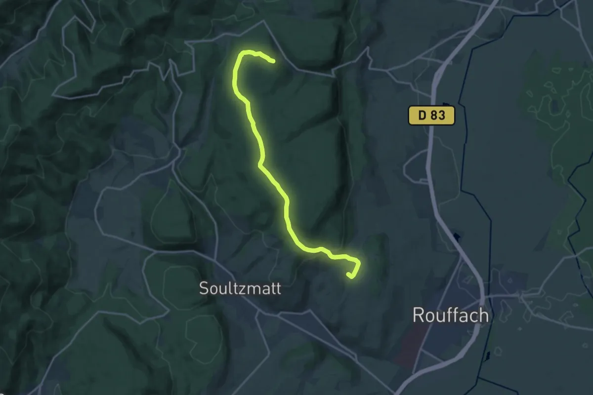
Medium · Summit
Soultzmatt – Couvent Saint-Marc
14.3 km · ↑ 371 m · 4 h 11 min
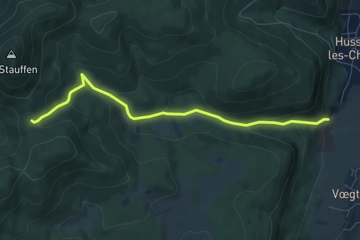
Medium · Trail
Col de Marbach – Marbach
7.1 km · ↑ 321 m · 2 h 22 min
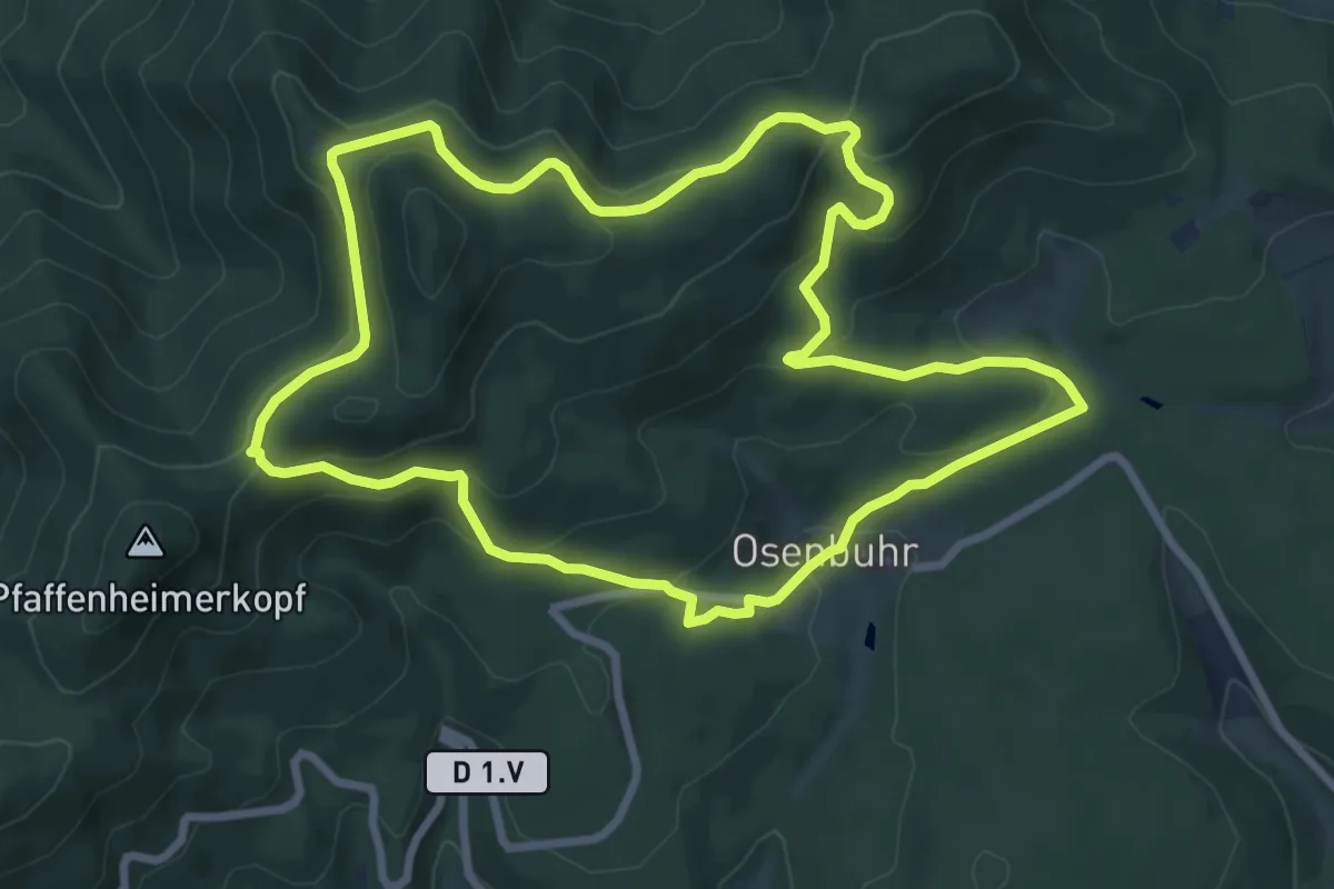
Medium · Trail
Osenbuhr – Osenbuhr
8.0 km · ↑ 330 m · 2 h 43 min
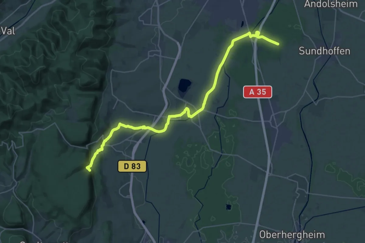
Demanding · Trail
Notre-Dame du Schauenberg – Lindenhurst
28.8 km · ↑ 364 m · 7 h 35 min
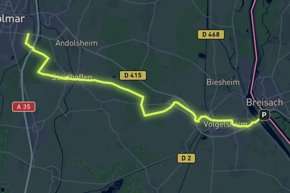
Demanding · Trail
Breisach am Rhein – Colmar
21.5 km · ↑ 44 m · 5 h 28 min
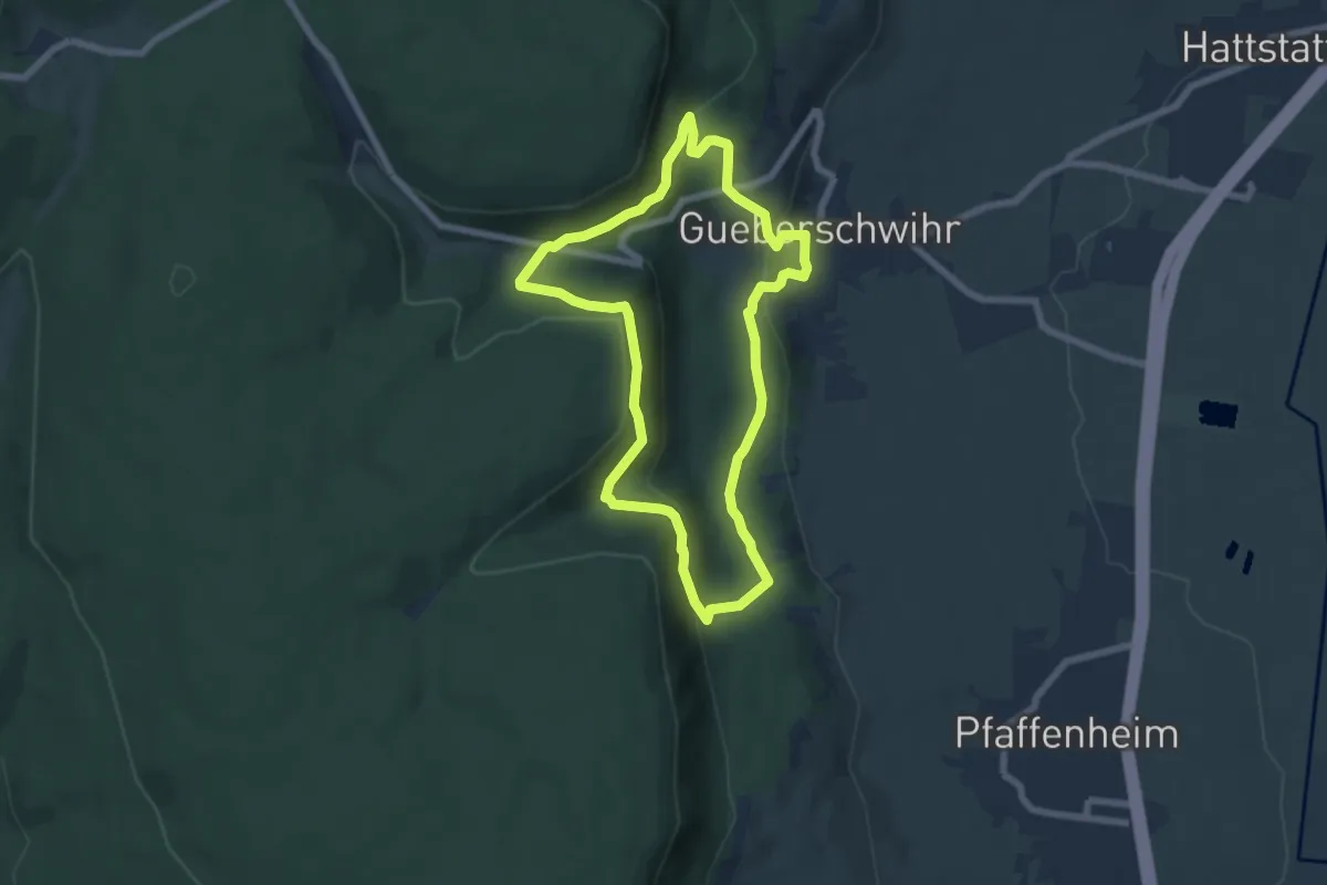
Easy · Trail
Gueberschwihr – Gueberschwihr
6.1 km · ↑ 245 m · 2 h 4 min
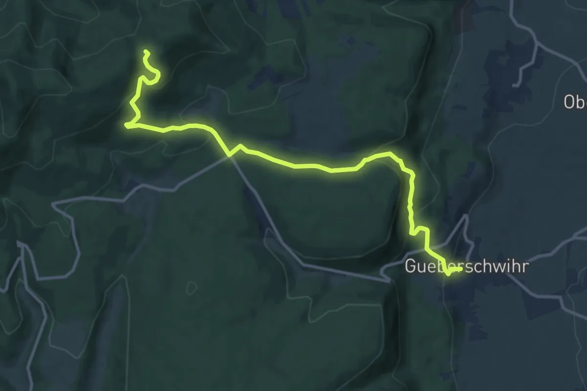
Medium · Trail
Gueberschwihr – GR 532
11.2 km · ↑ 514 m · 3 h 45 min
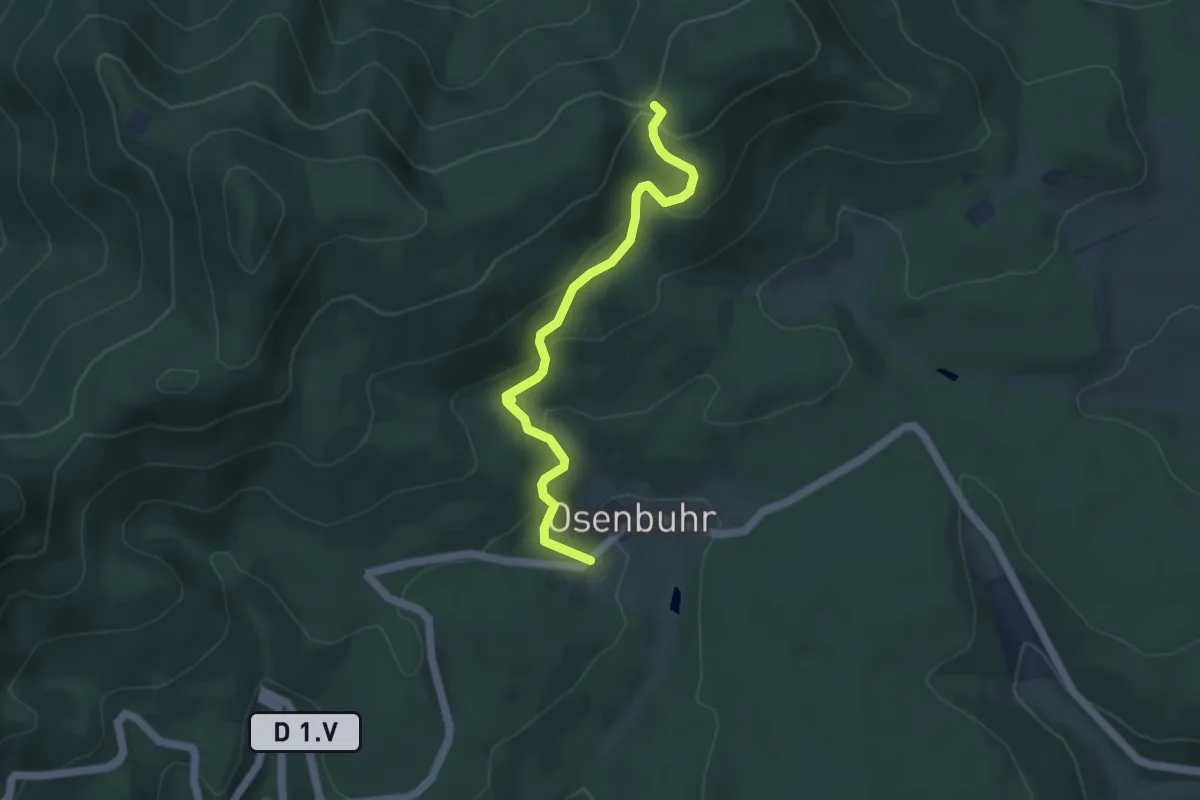
Easy · Trail
Osenbuhr – GR 532
4.3 km · ↑ 252 m · 1 h 33 min
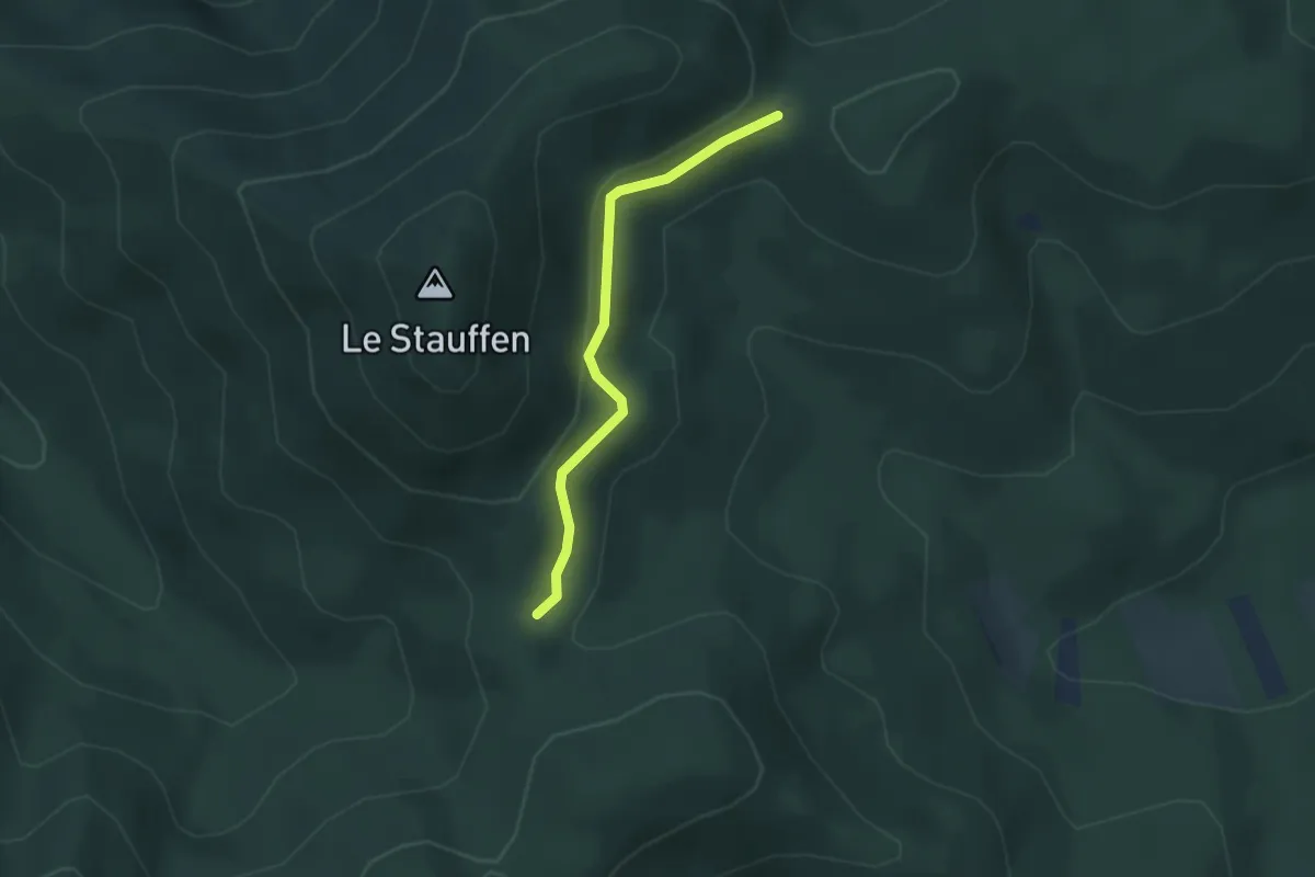
Easy · Cabin
Col de Marbach – Refuge du Stauffen
2.7 km · ↑ 77 m · 48 min
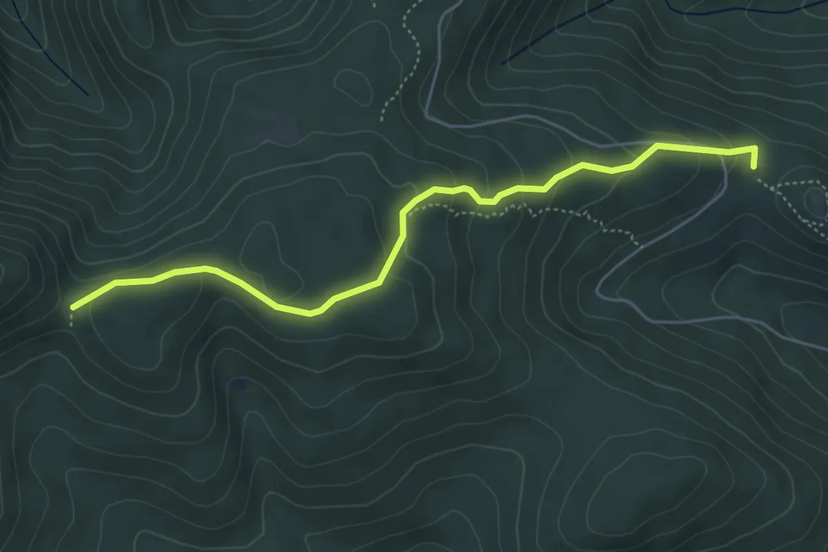
Easy · Cabin
Paking des trois châteaux – Refuge Stauffen
5.0 km · ↑ 218 m · 1 h 39 min
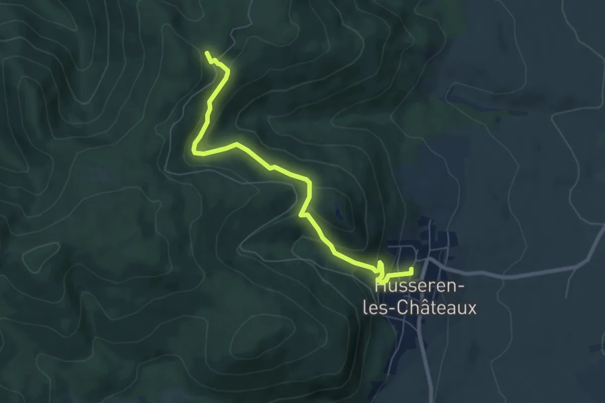
Easy · Trail
Husseren-les-Châteaux – GR 532
6.4 km · ↑ 315 m · 2 h 11 min
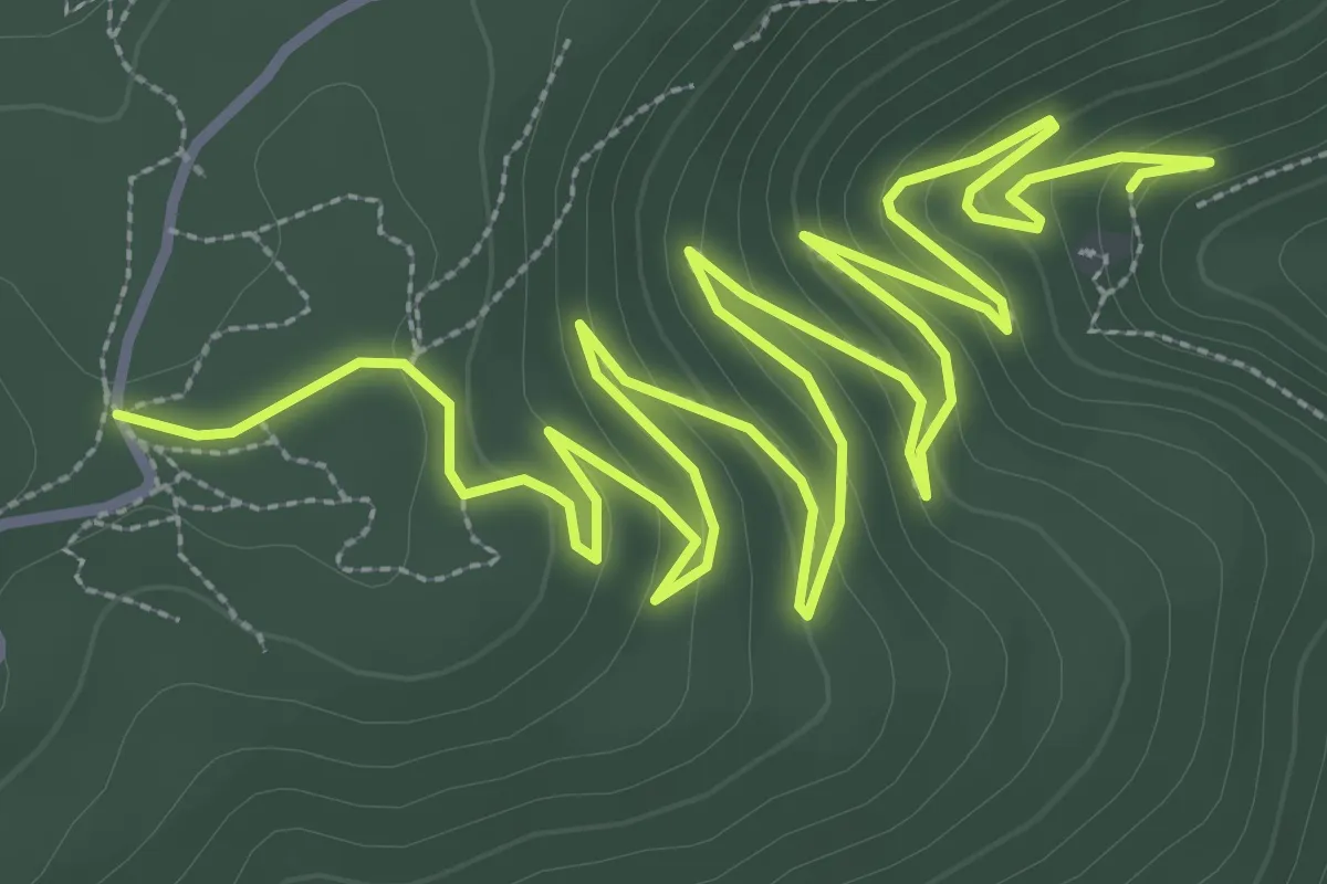
Medium · Trail
Château de Hagueneck – Repos des Chasseurs
6.5 km · ↑ 320 m · 2 h 13 min
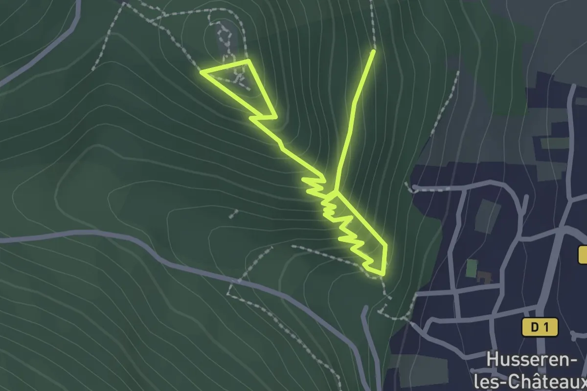
Easy · Trail
Hôtel Husseren Collections – Les trois Châteaux
3.2 km · ↑ 262 m · 1 h 19 min
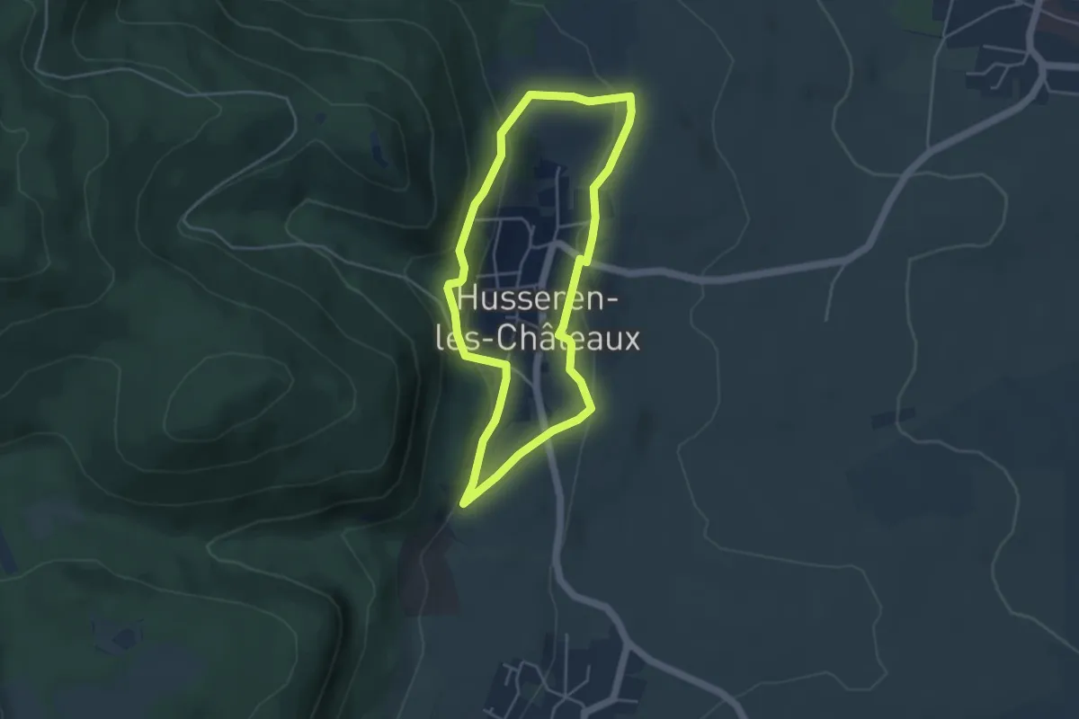
Easy · Trail
Hôtel Husseren Collections – Hôtel Husseren Collections
3.9 km · ↑ 130 m · 1 h 15 min
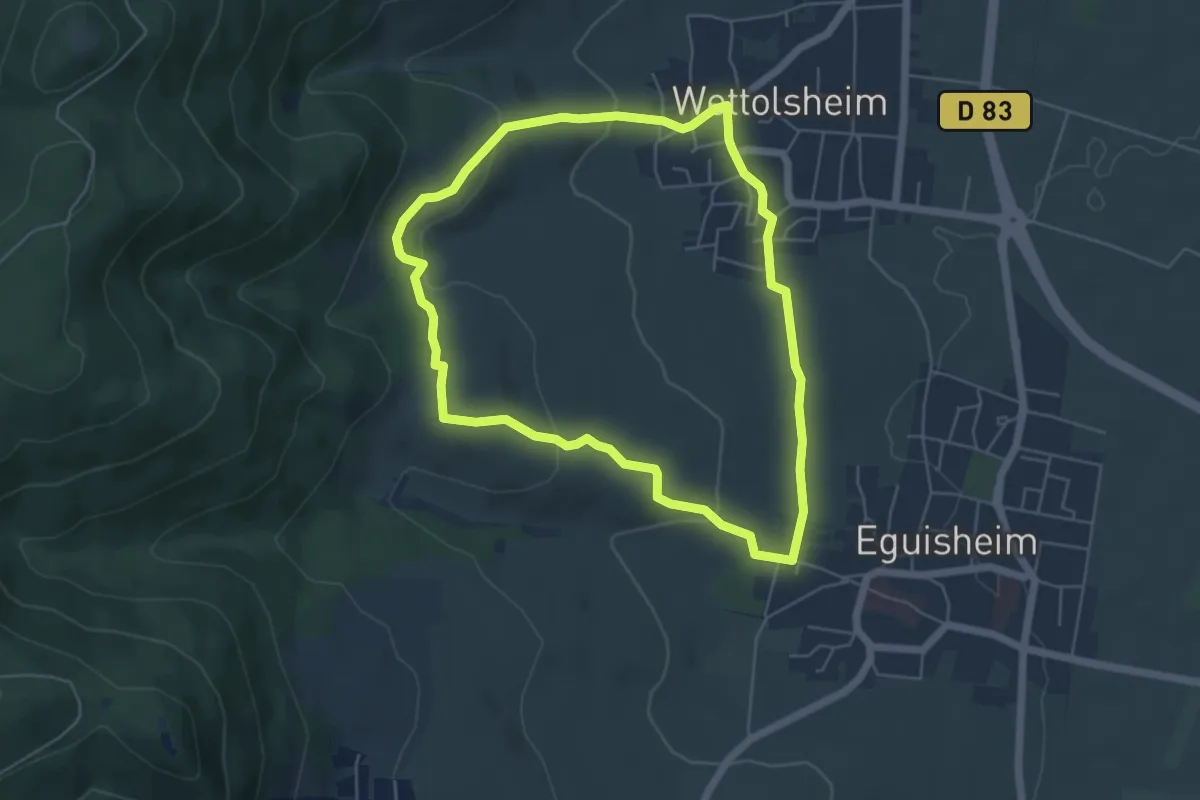
Easy · Trail
Wettolsheim – Wettolsheim
5.0 km · ↑ 138 m · 1 h 33 min
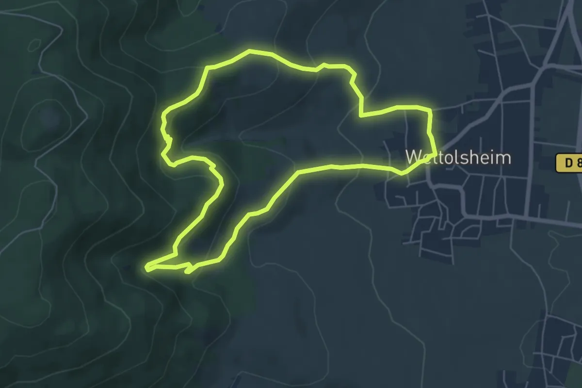
Easy · Trail
Wettolsheim – Wettolsheim
5.7 km · ↑ 269 m · 2 h
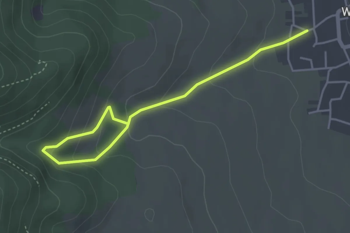
Easy · Trail
Wettolsheim – Monument Paul Haeffelin
4.1 km · ↑ 216 m · 1 h 26 min
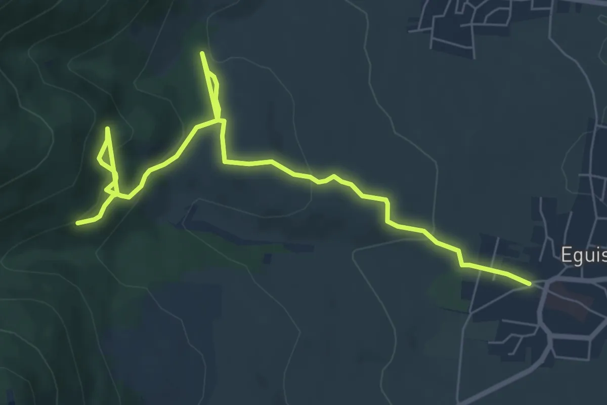
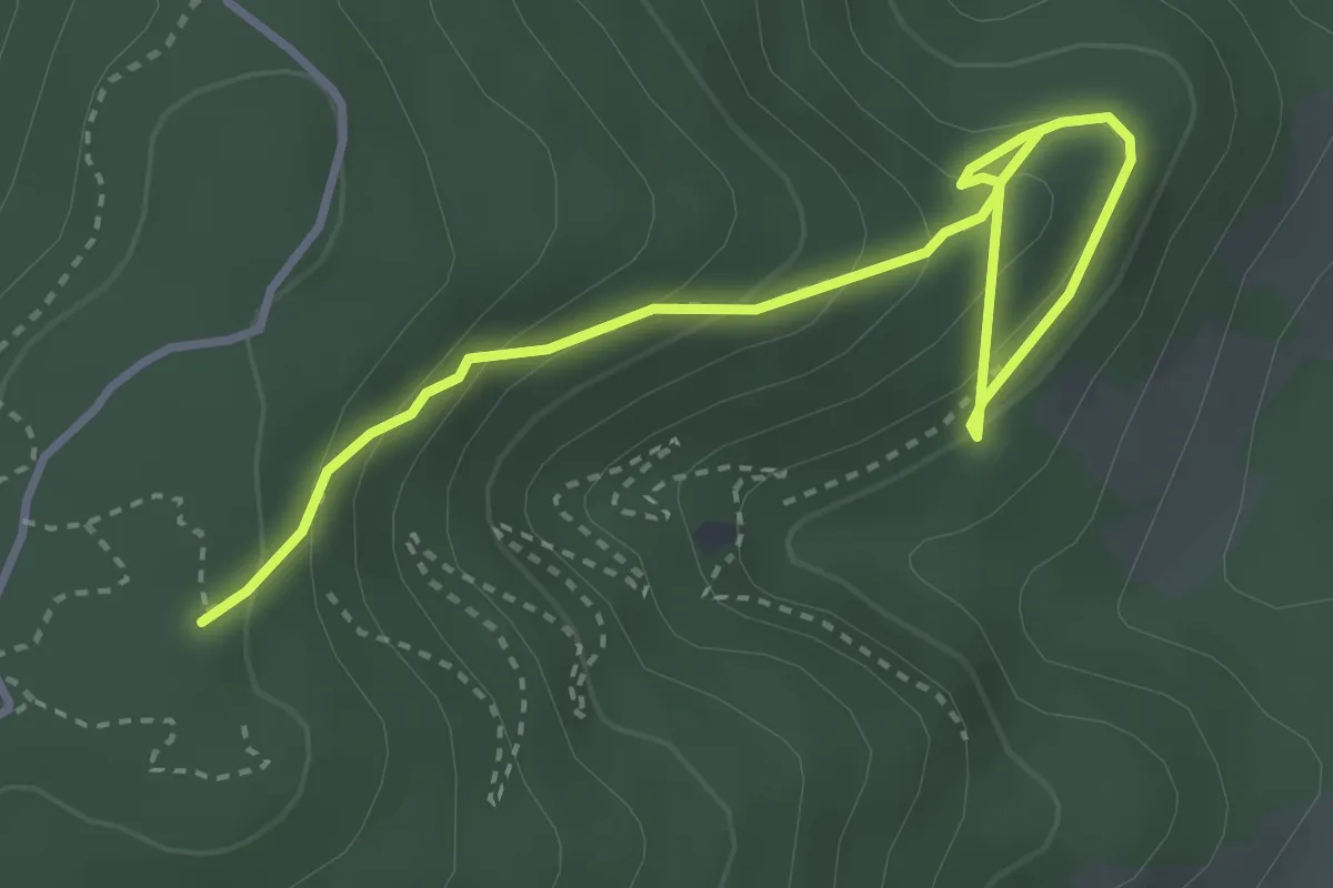
Medium · Trail
Eguisheim – Chemin de Compostelle
7.7 km · ↑ 332 m · 2 h 33 min
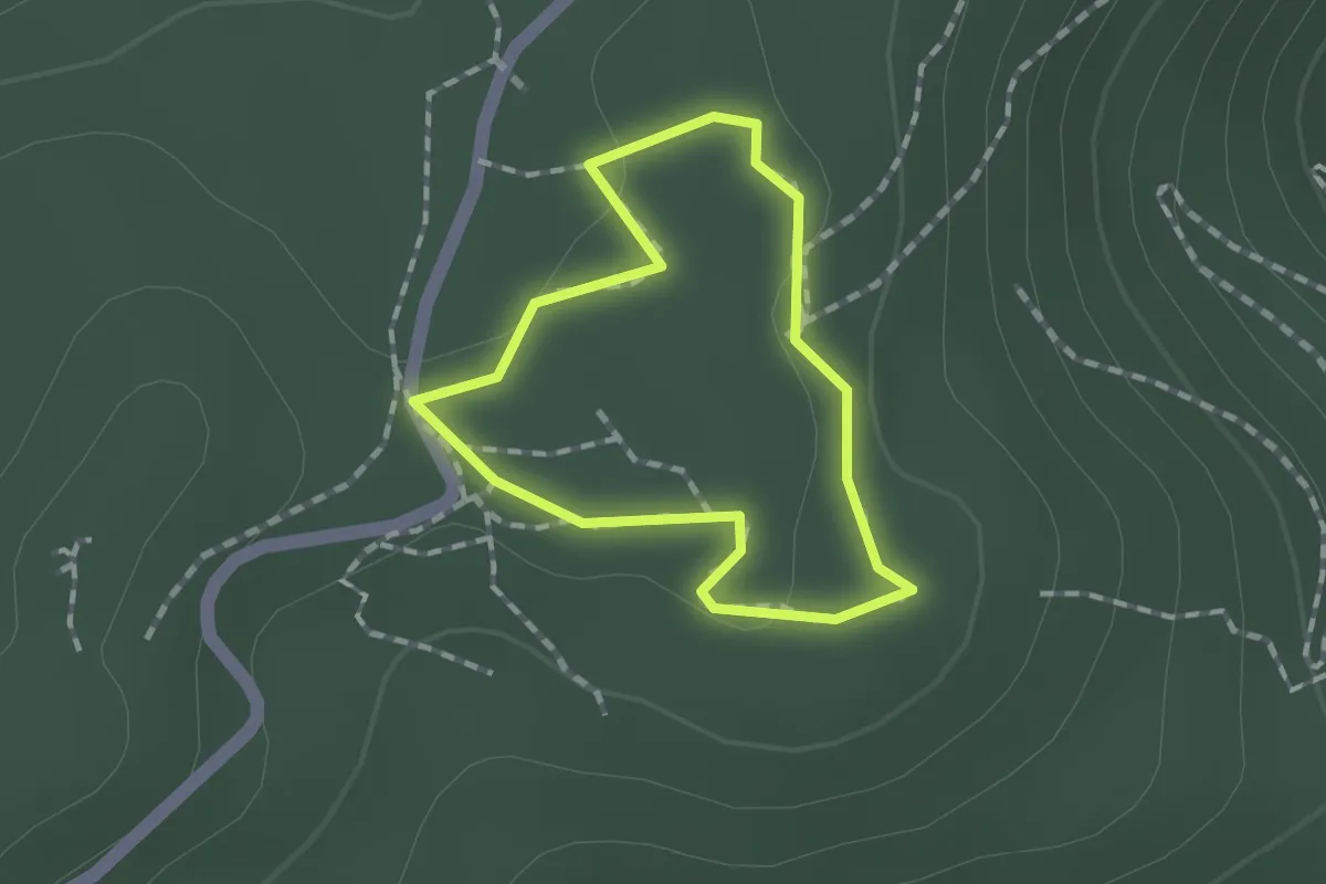
Easy · Trail
Monument Paul Haeffelin – Sentier Hertzog
4.0 km · ↑ 270 m · 1 h 32 min
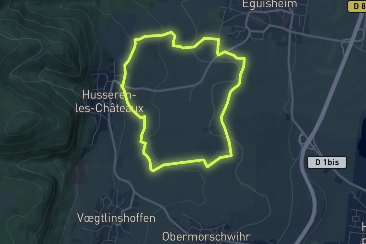
Easy · Trail
Repos des Chasseurs – Repos des Chasseurs
1.1 km · ↑ 4 m · 17 min
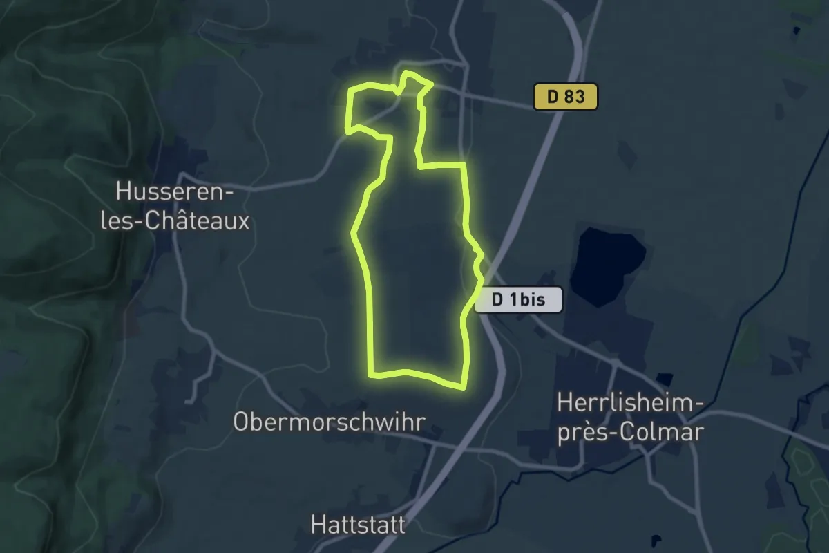
Easy · Trail
Eguisheim – Eguisheim
6.2 km · ↑ 133 m · 1 h 51 min
Easy · Trail
Eguisheim – Eguisheim
7.2 km · ↑ 104 m · 2 h 1 min
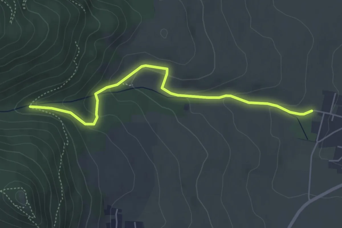
Easy · Trail
Eguisheim – Chemin de Compostelle
4.8 km · ↑ 157 m · 1 h 28 min
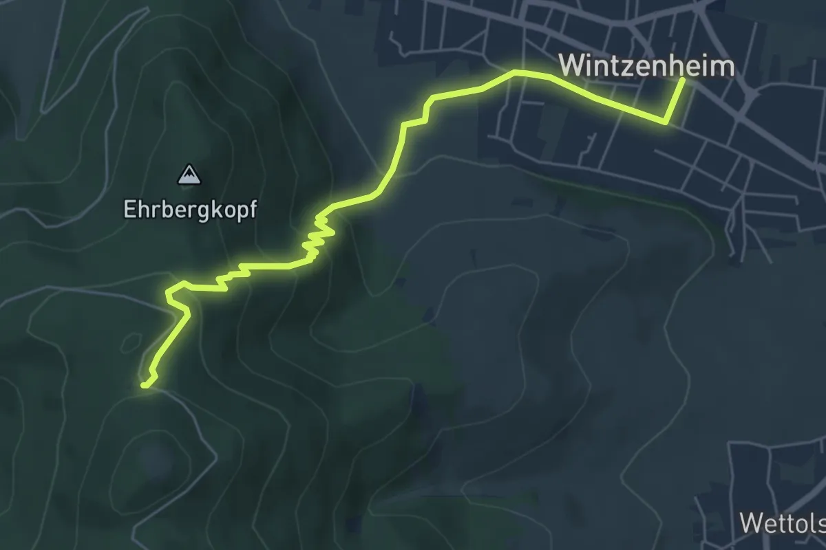
Medium · Trail
Wintzenheim – Château du Hohlandsbourg
6.3 km · ↑ 335 m · 2 h 13 min
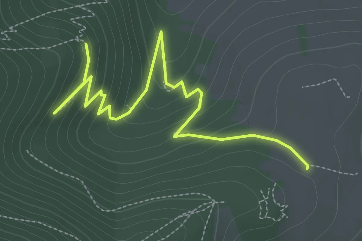
Easy · Trail
Chalet AEDIF – Chemin de Compostelle
3.4 km · ↑ 190 m · 1 h 13 min
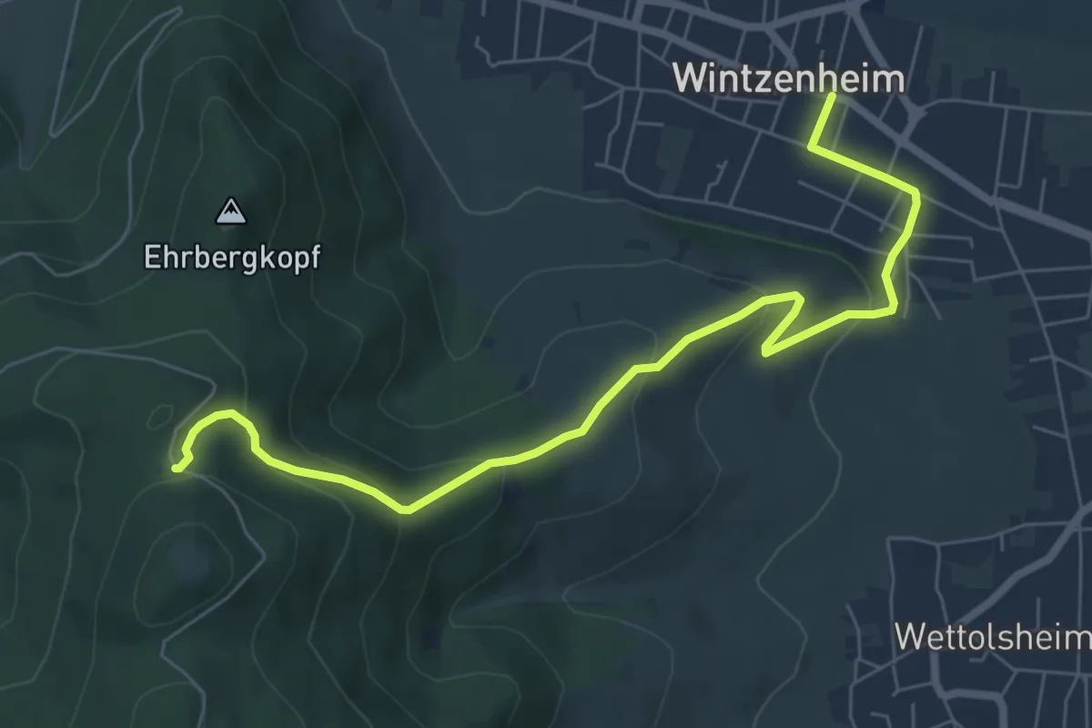
Medium · Trail
Wintzenheim – Château du Hohlandsbourg
7.3 km · ↑ 331 m · 2 h 26 min
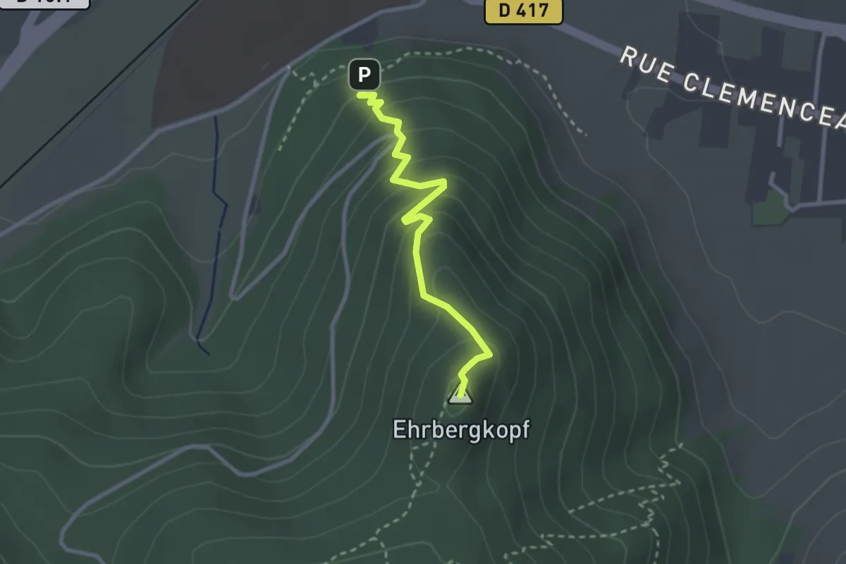
Medium · Summit
Saint Gilles – Château du Hohlandsbourg
2.5 km · ↑ 231 m · 1 h 6 min
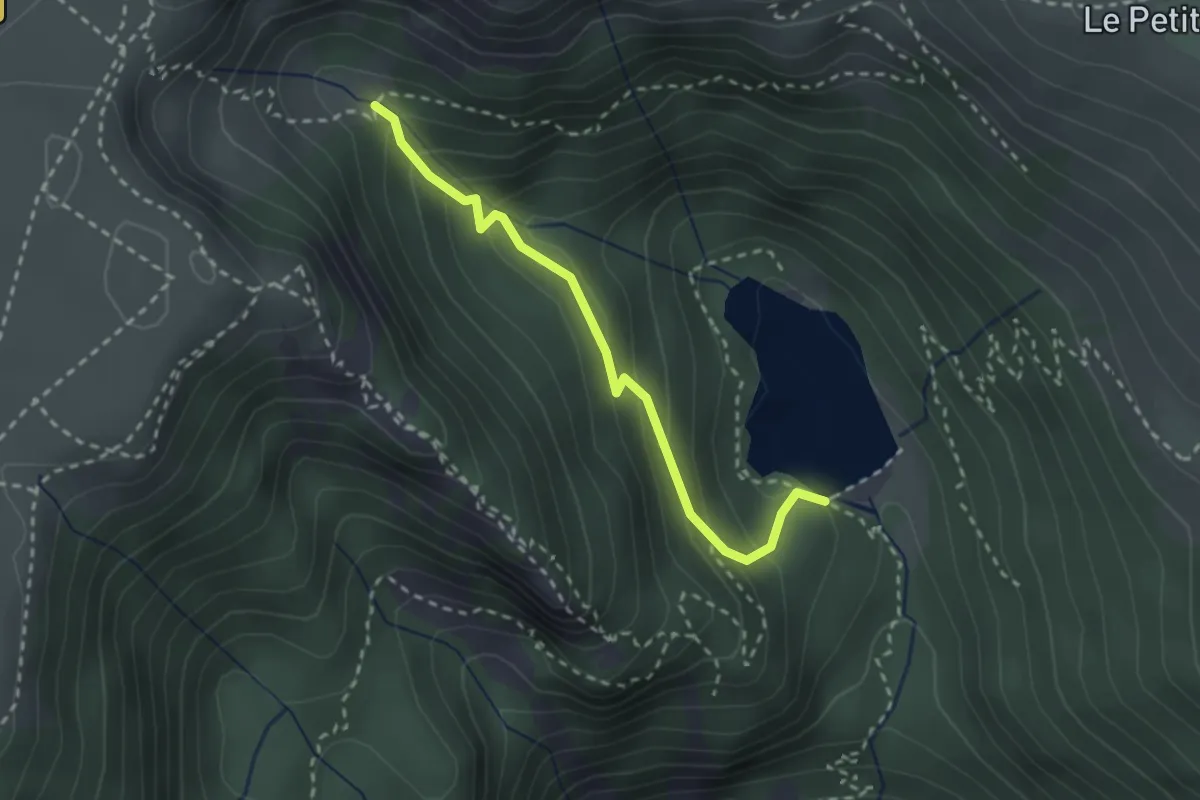
Medium · Trail
GR 531 – GR 5 Variante
2.4 km · ↑ 203 m · 1 h 1 min
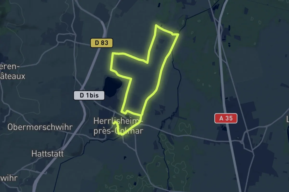
Medium · Trail
Herrlisheim-près-Colmar – Herrlisheim-près-Colmar
10.2 km · ↑ 5 m · 2 h 34 min
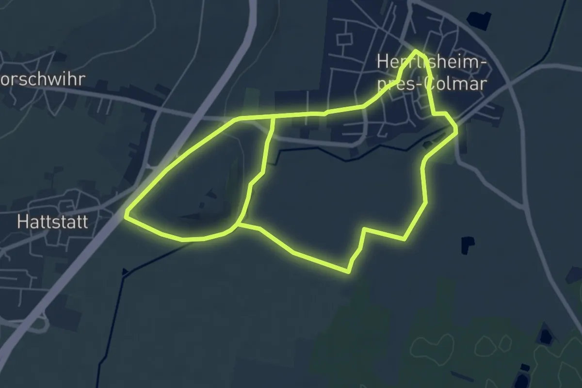
Easy · Trail
Herrlisheim-près-Colmar – Herrlisheim-près-Colmar
5.9 km · ↑ 14 m · 1 h 31 min