Trails in France
15,926 hiking trails, each with its route, climb, walking time and grade.
All trails, page 331 of 332
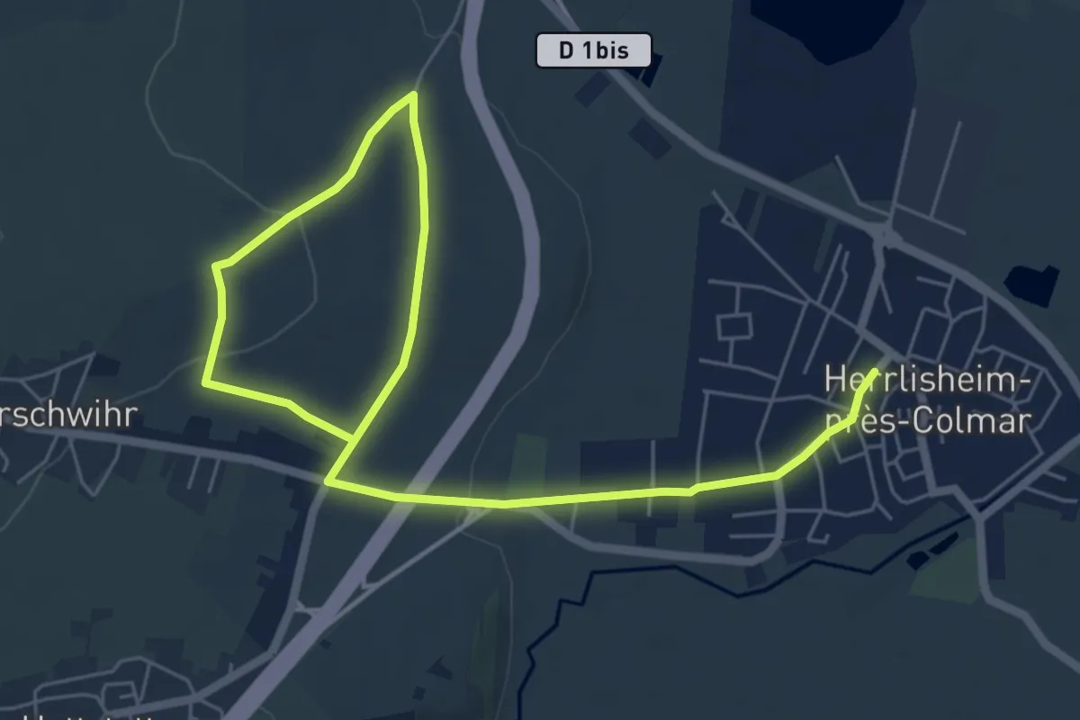
Easy · Trail
Herrlisheim-près-Colmar – Herrlisheim-près-Colmar
4.0 km · ↑ 76 m · 1 h 11 min
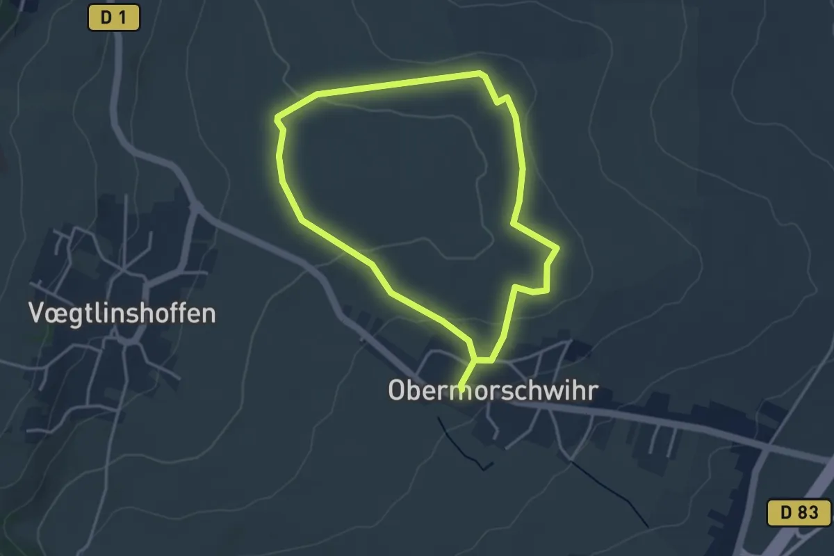
Easy · Trail
Obermorschwihr – Obermorschwihr
3.0 km · ↑ 55 m · 52 min
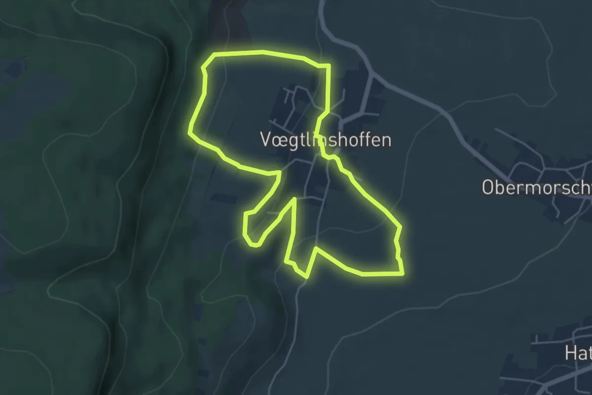
Easy · Trail
Voegtlingshoffen – Voegtlingshoffen
4.6 km · ↑ 166 m · 1 h 30 min
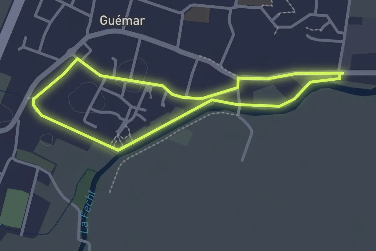
Easy · Trail
Guémar – Guémar
2.2 km · ↑ 0 m · 32 min
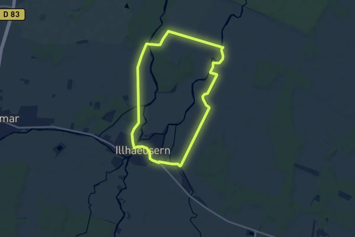
Easy · Trail
Illhaeusern – Illhaeusern
7.5 km · ↑ 13 m · 1 h 55 min
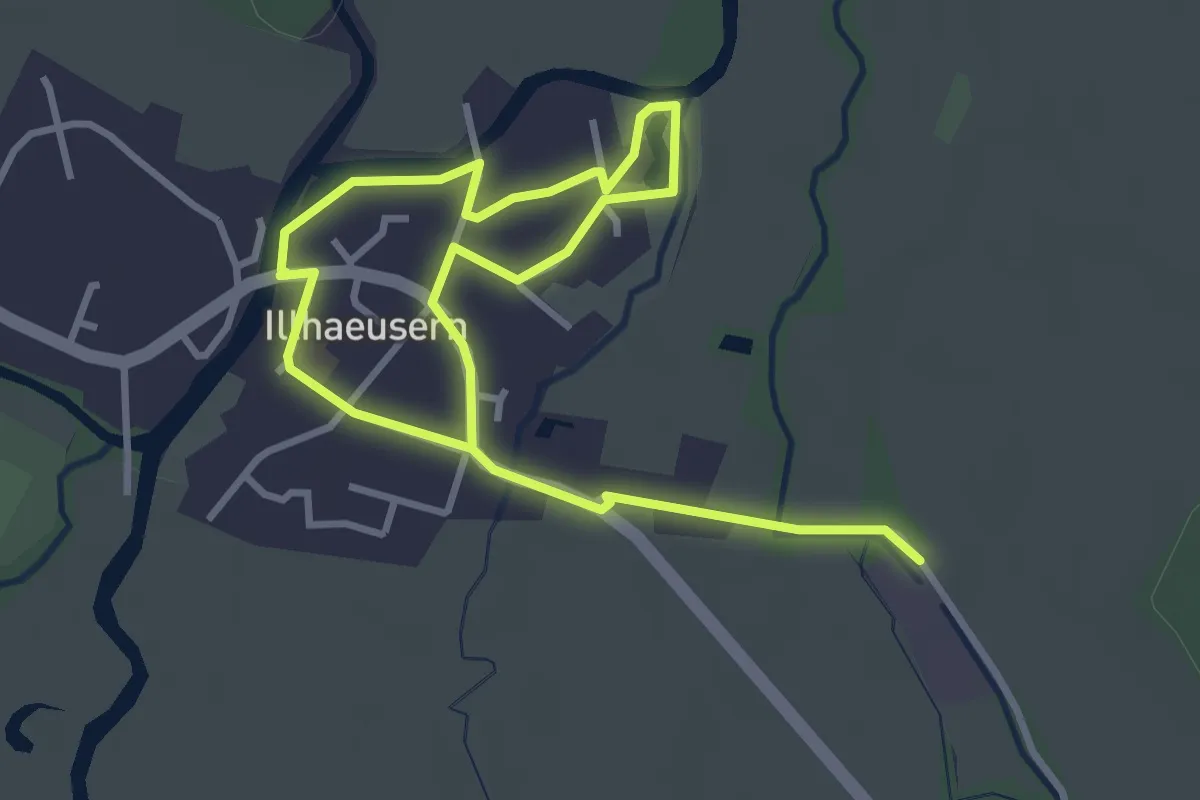
Easy · Trail
Illhaeusern – Illhaeusern
2.6 km · ↑ 0 m · 38 min
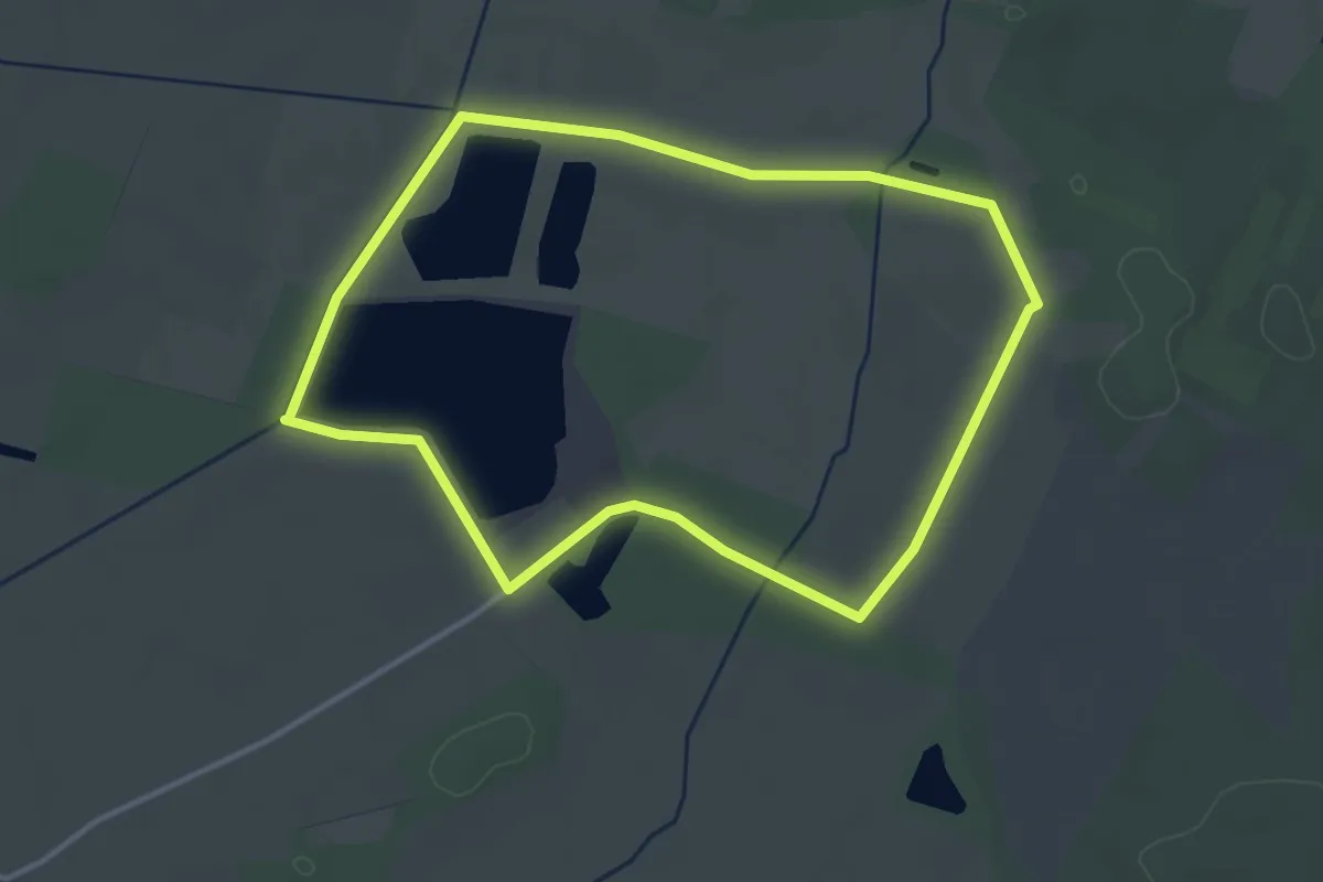
Easy · Trail
Gravière de Bergheim – Gravière de Bergheim
3.4 km · ↑ 0 m · 51 min
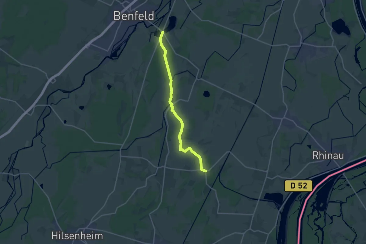
Medium · Trail
Neunkirch – Benfeld
14.2 km · ↑ 13 m · 3 h 22 min
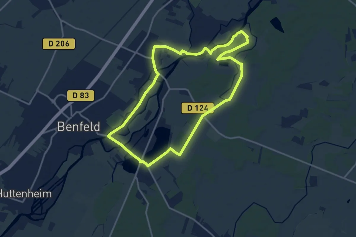
Medium · Trail
Benfeld – Benfeld
9.7 km · ↑ 22 m · 2 h 29 min
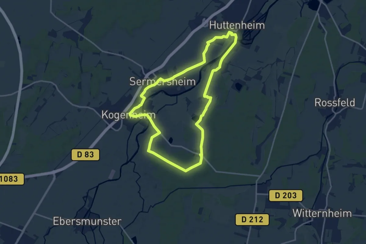
Medium · Trail
Huttenheim – Huttenheim
11.8 km · ↑ 14 m · 2 h 59 min
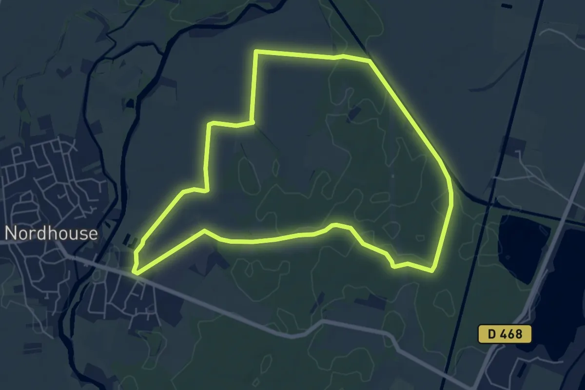
Easy · Trail
Nordhouse – Nordhouse
5.9 km · ↑ 13 m · 1 h 30 min
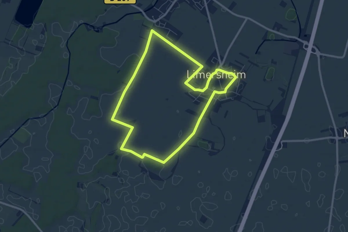
Easy · Trail
Limersheim – Limersheim
6.7 km · ↑ 0 m · 1 h 41 min
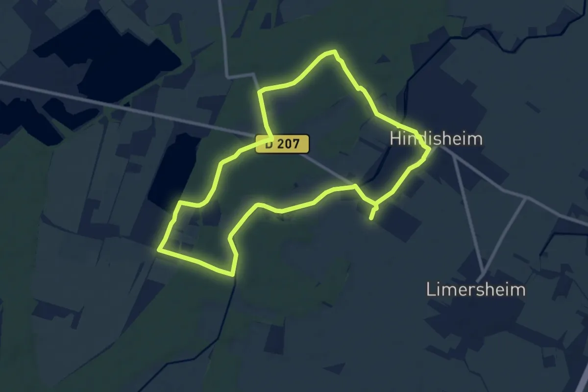
Easy · Trail
Hindisheim – Hindisheim
7.6 km · ↑ 27 m · 1 h 57 min
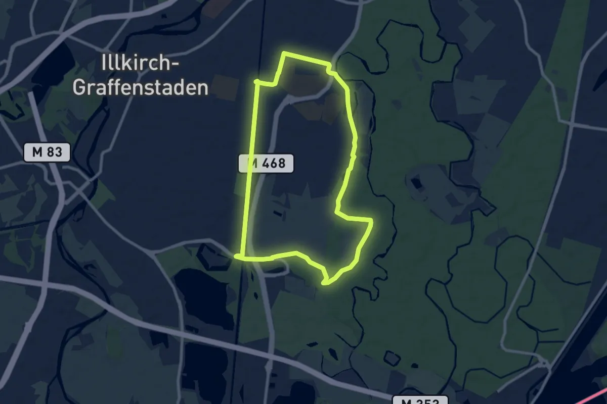
Easy · Trail
Chalet AAPPMA – Chalet AAPPMA
7.7 km · ↑ 18 m · 1 h 58 min
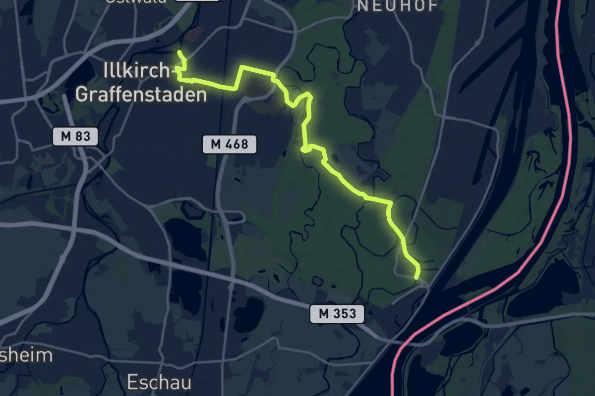
Medium · Trail
Route de la Schafhardt – Île de la Niederbourg
15.7 km · ↑ 26 m · 3 h 46 min
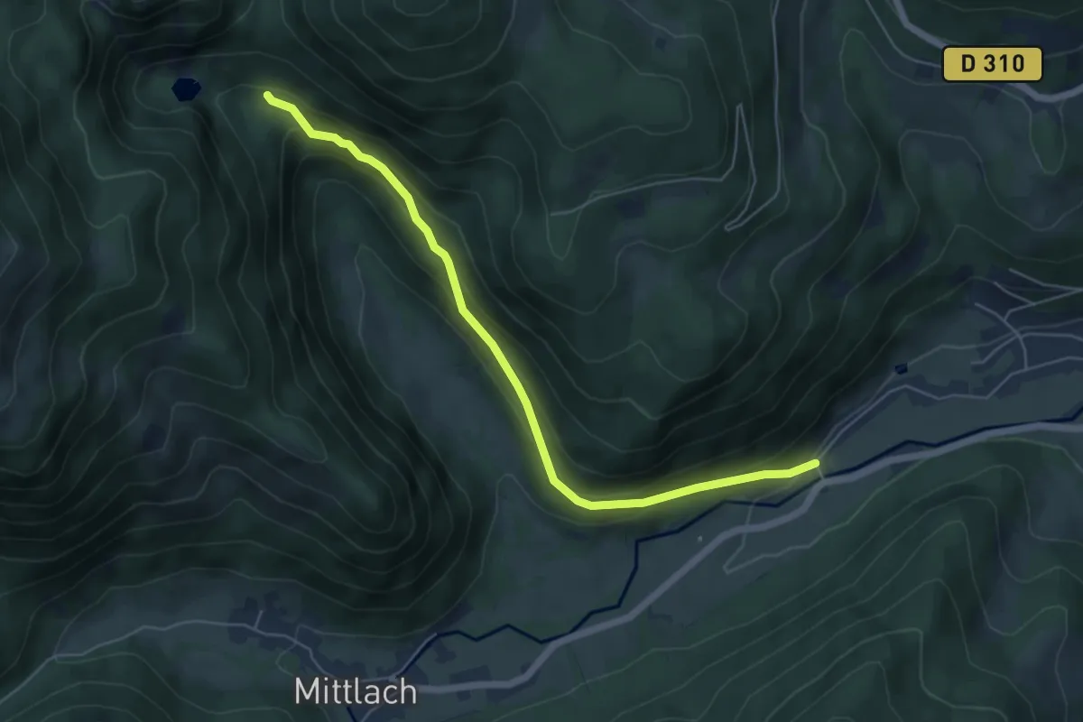
Easy · Trail
Metzeral – GR5
5.7 km · ↑ 310 m · 2 h
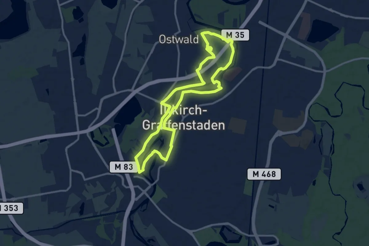
Medium · Trail
Cimetière de la Nachtweid – Cimetière de la Nachtweid
8.6 km · ↑ 26 m · 2 h 13 min
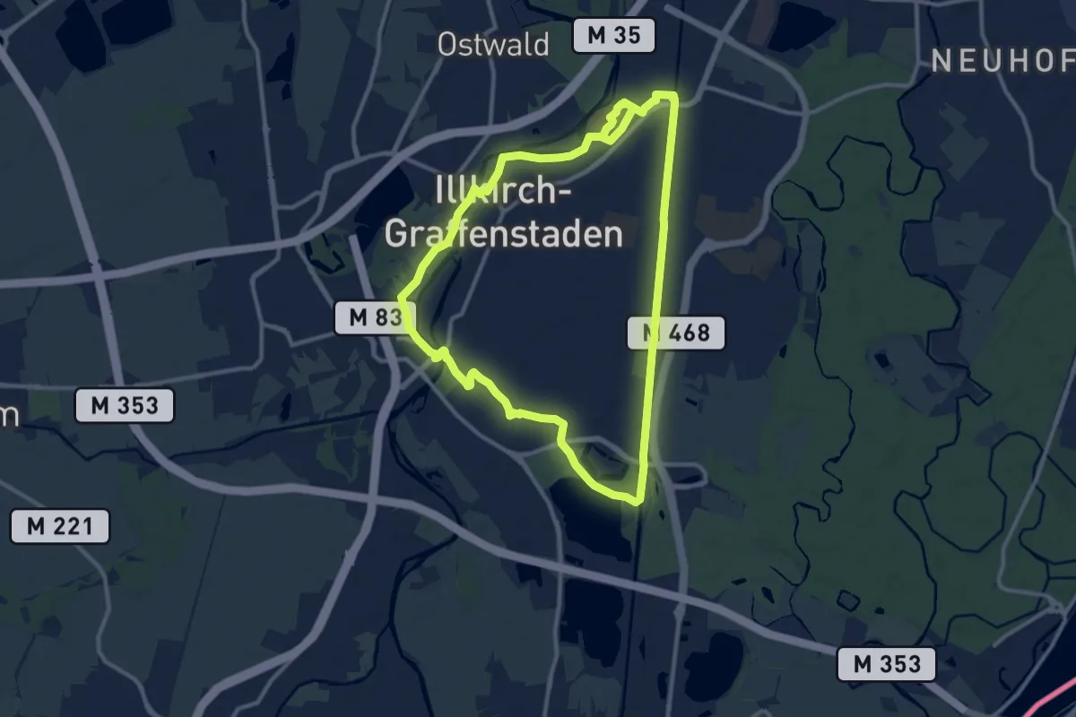
Medium · Trail
Avenue Achille Baumann – Avenue Achille Baumann
10.6 km · ↑ 30 m · 2 h 43 min
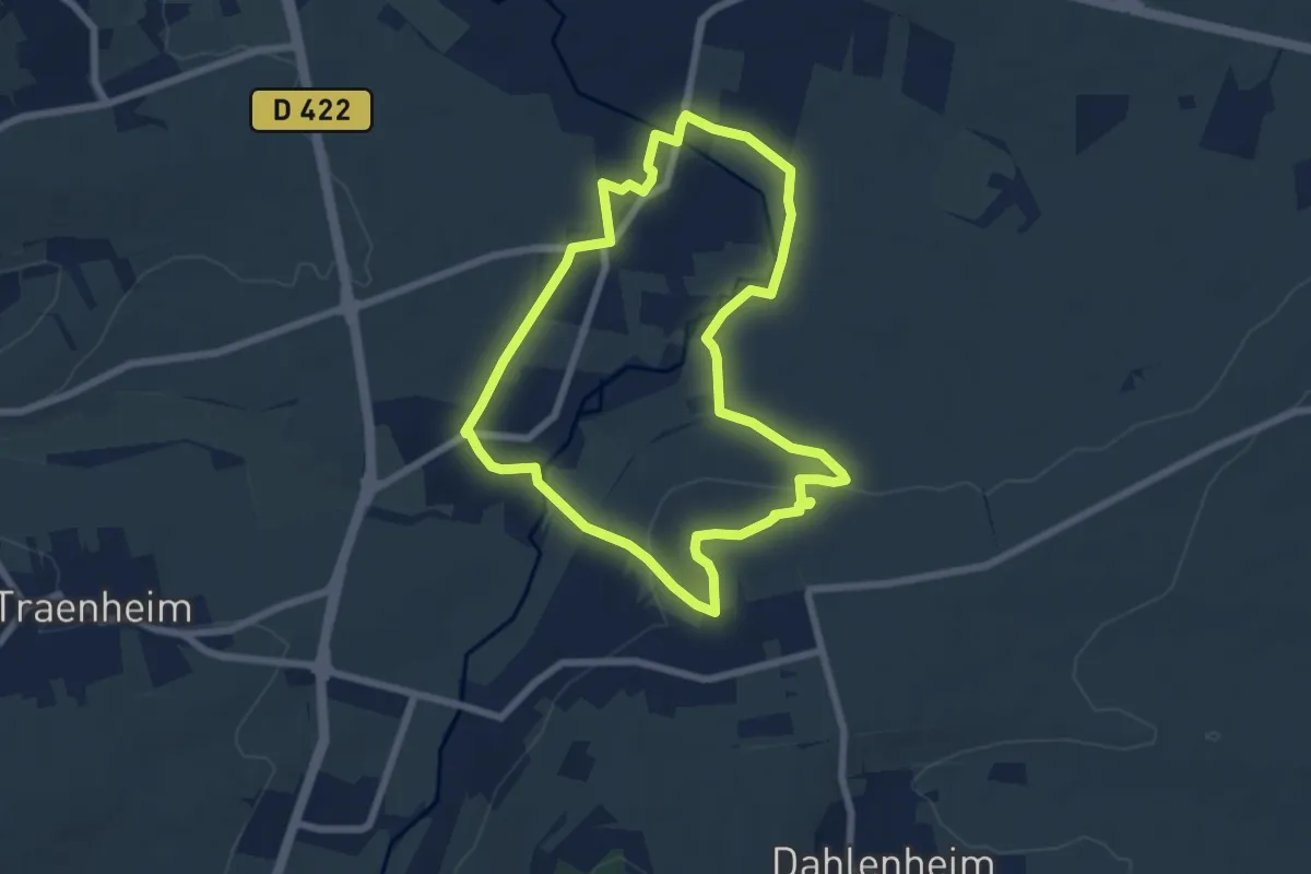
Easy · Trail
Odratzheim – Odratzheim
6.4 km · ↑ 85 m · 1 h 47 min
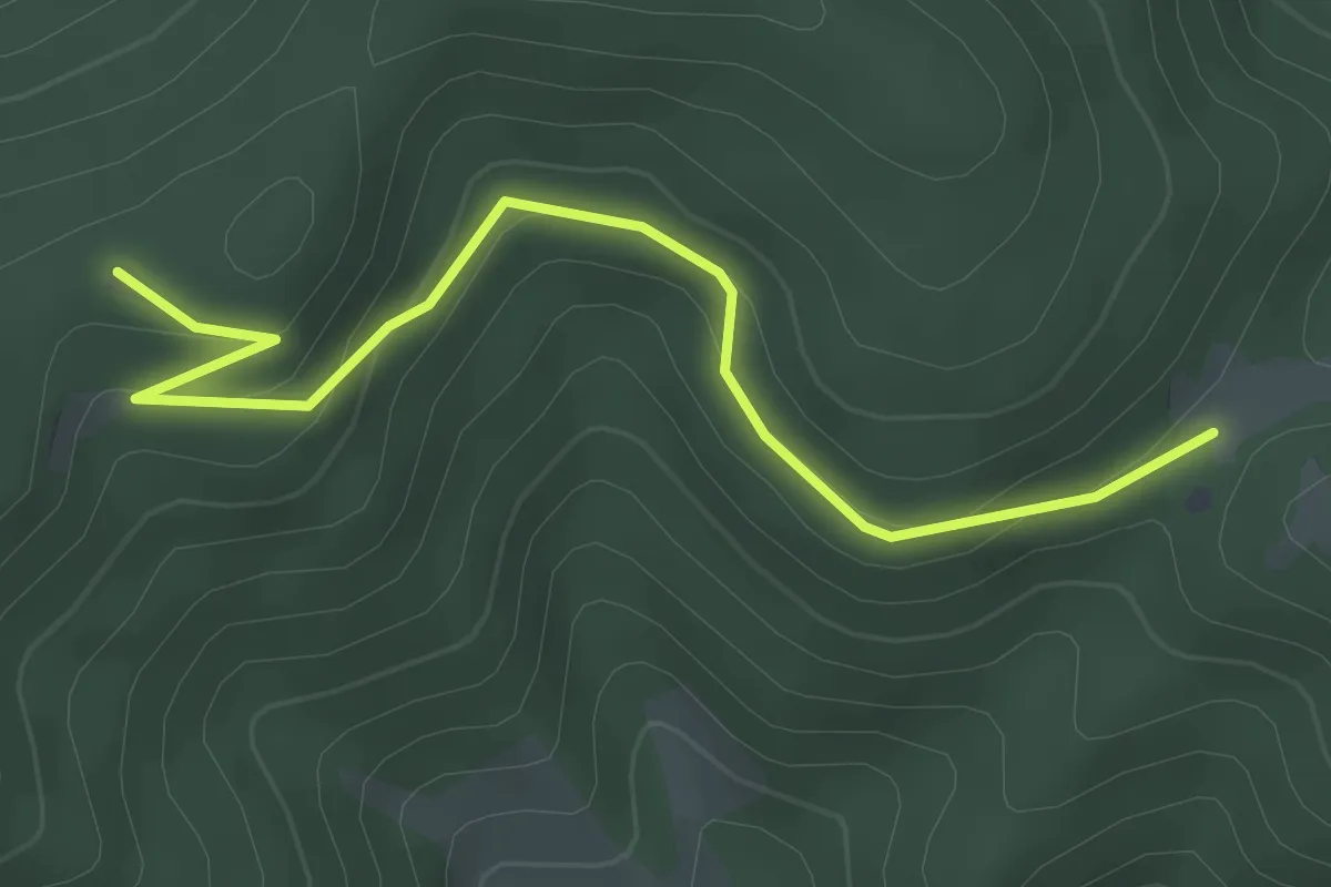
Easy · Trail
Ralaine – GR 531
3.7 km · ↑ 178 m · 1 h 16 min
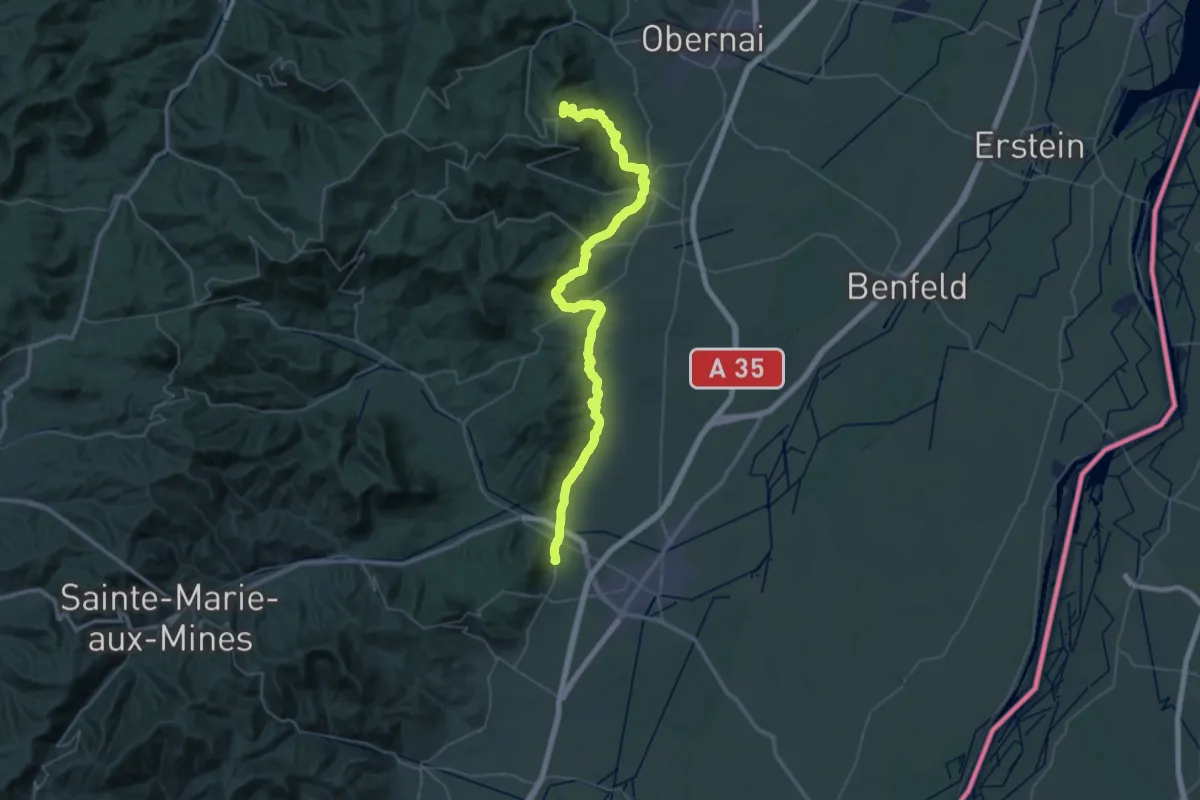
Demanding · Summit
Rosheim – Châtenois
55.6 km · ↑ 1599 m · 16 h 36 min
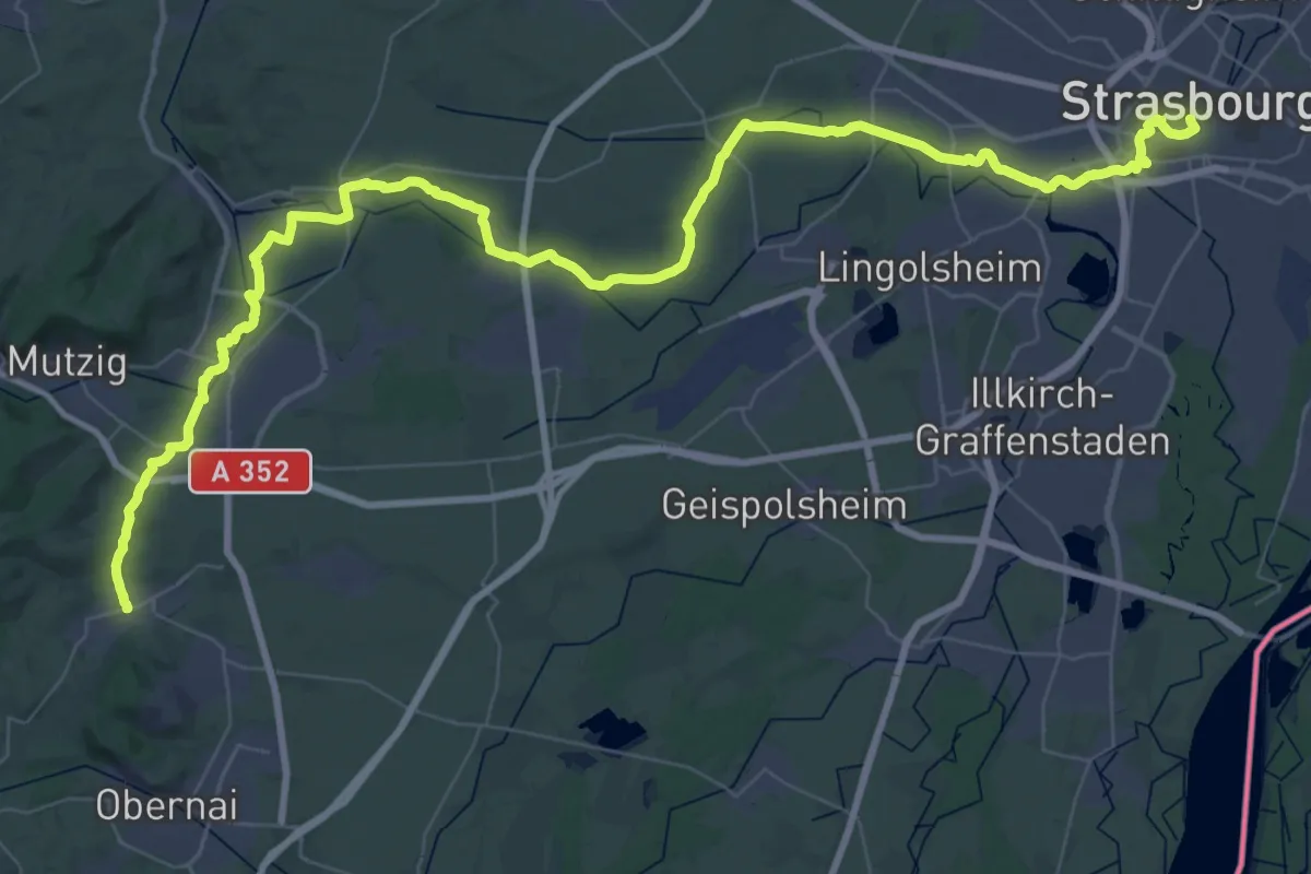
Demanding · Trail
Strasbourg – Rosheim
34.0 km · ↑ 168 m · 8 h 50 min
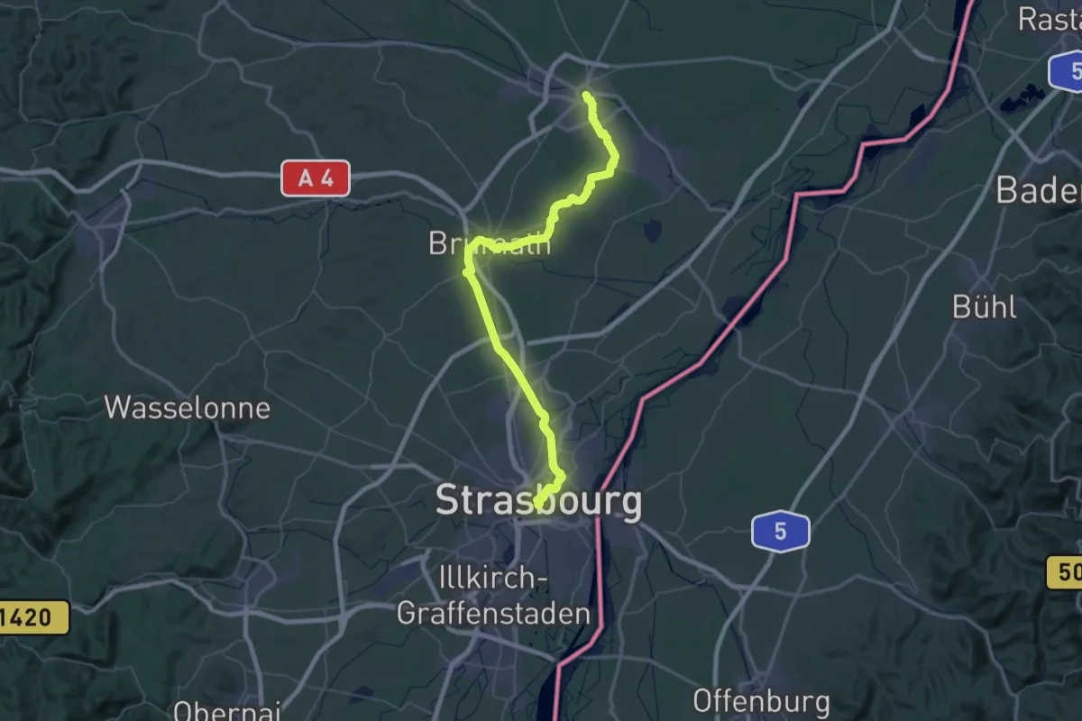
Demanding · Trail
Haguenau – Strasbourg
38.9 km · ↑ 129 m · 10 h
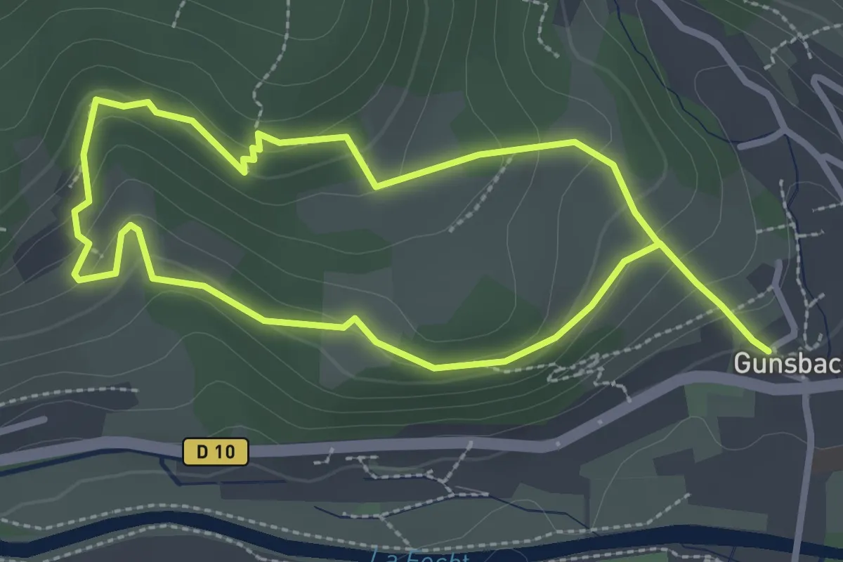
Medium · Trail
Gunsbach – Gunsbach
2.4 km · ↑ 103 m · 50 min
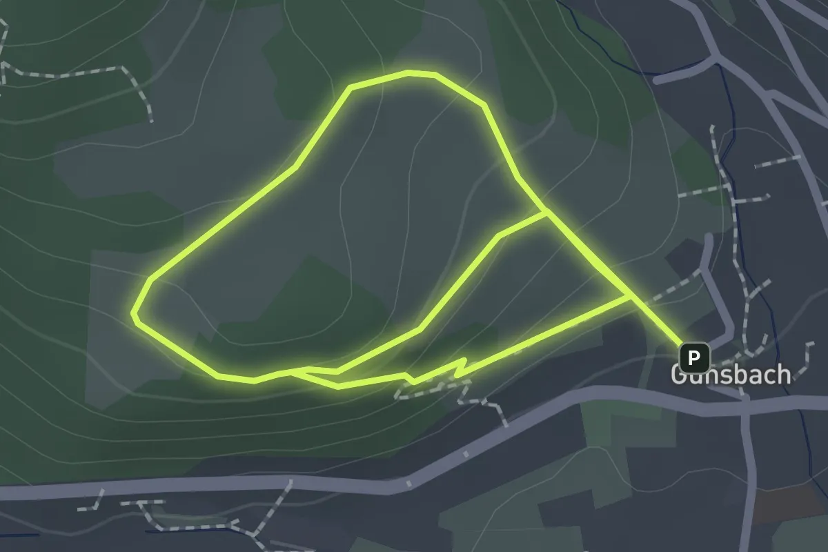
Easy · Trail
Gunsbach – Gunsbach
1.7 km · ↑ 120 m · 40 min
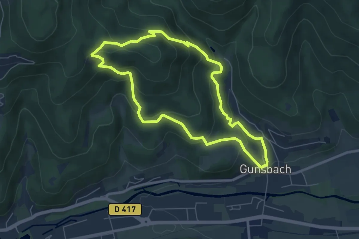
Medium · Summit
Gunsbach – Gunsbach
5.4 km · ↑ 325 m · 2 h 3 min
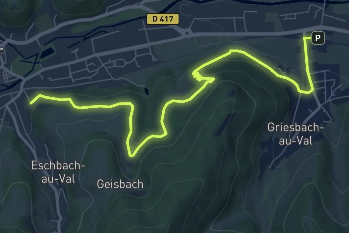
Medium · Trail
Muhlele – Eschbach-au-Val
8.9 km · ↑ 329 m · 2 h 49 min
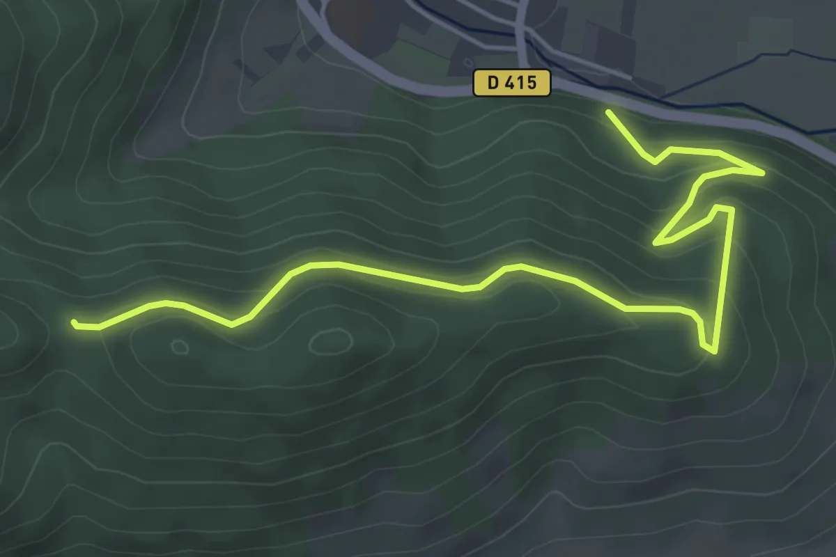
Easy · Trail
Kaysersberg – Chapelle Flieger
5.6 km · ↑ 288 m · 1 h 57 min
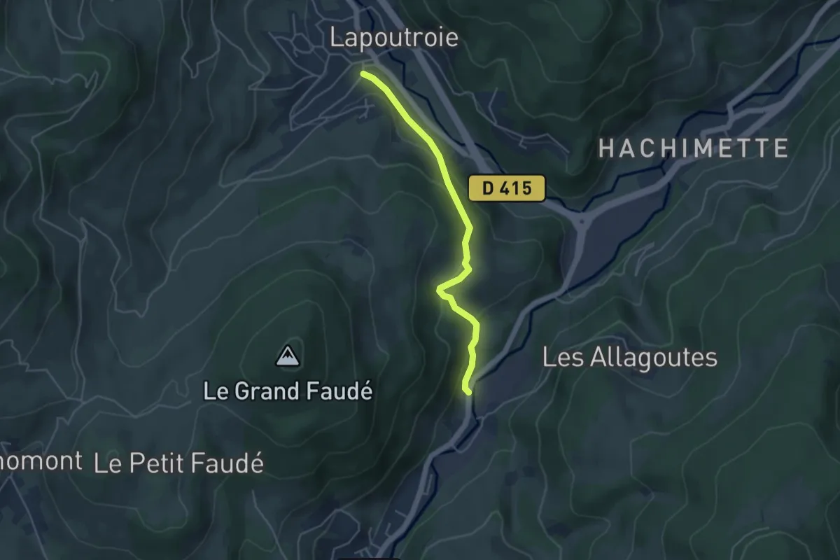
Easy · Trail
Lapoutroie – D 48
3.9 km · ↑ 213 m · 1 h 23 min
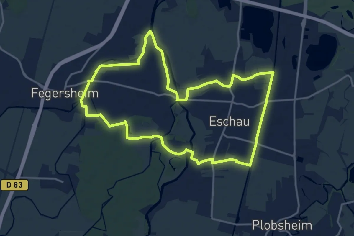
Medium · Trail
Fegersheim – Fegersheim
10.3 km · ↑ 8 m · 2 h 35 min
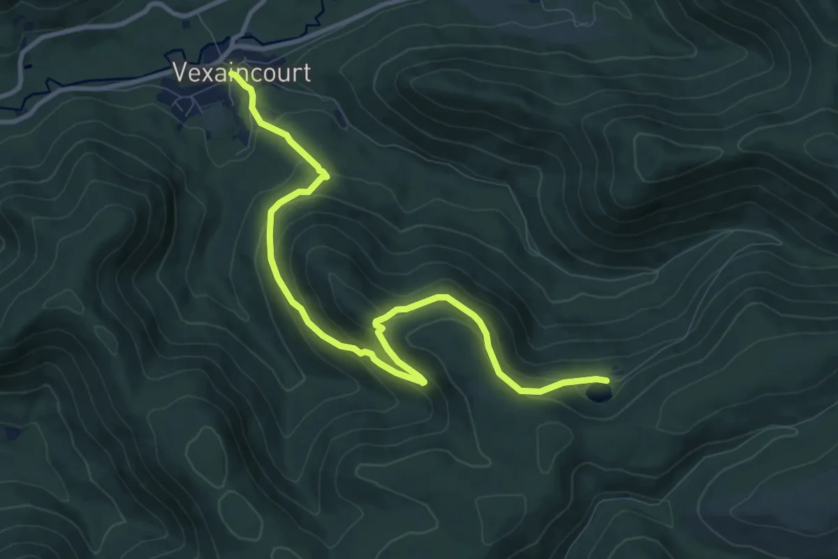
Medium · Trail
Vexaincourt – Lac de la Maix
10.2 km · ↑ 499 m · 3 h 30 min
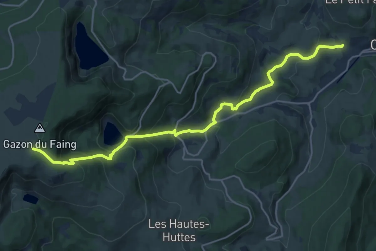
Medium · Trail
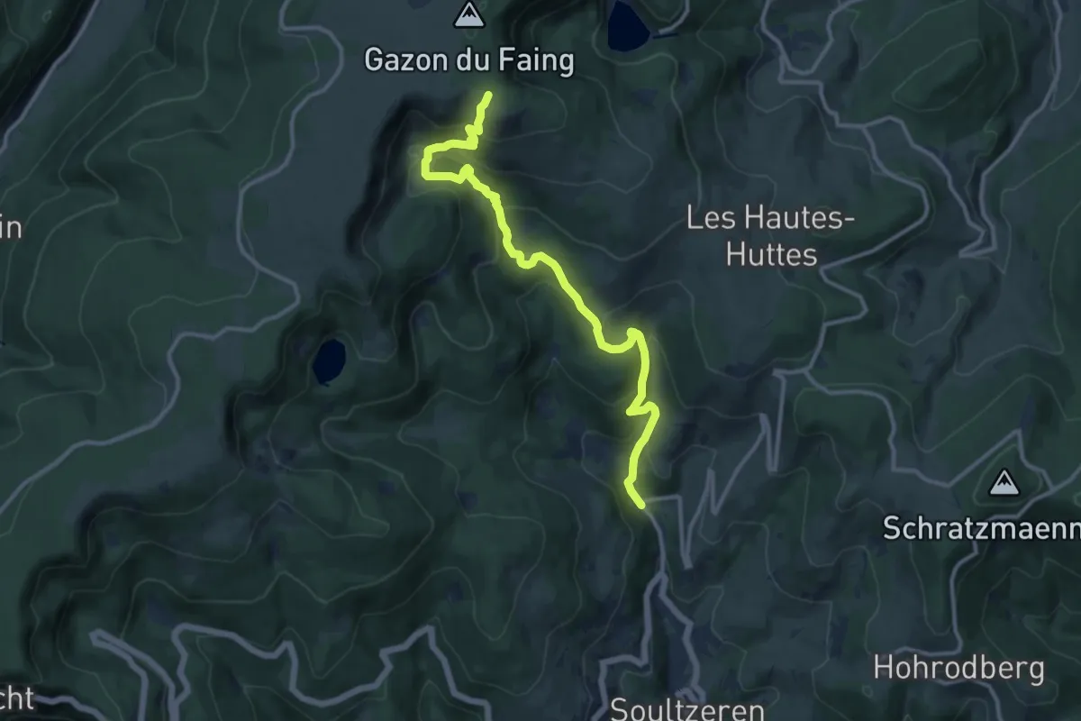
Orbey – Gazon du Faing
14.6 km · ↑ 789 m · 5 h 9 min
Medium · Trail
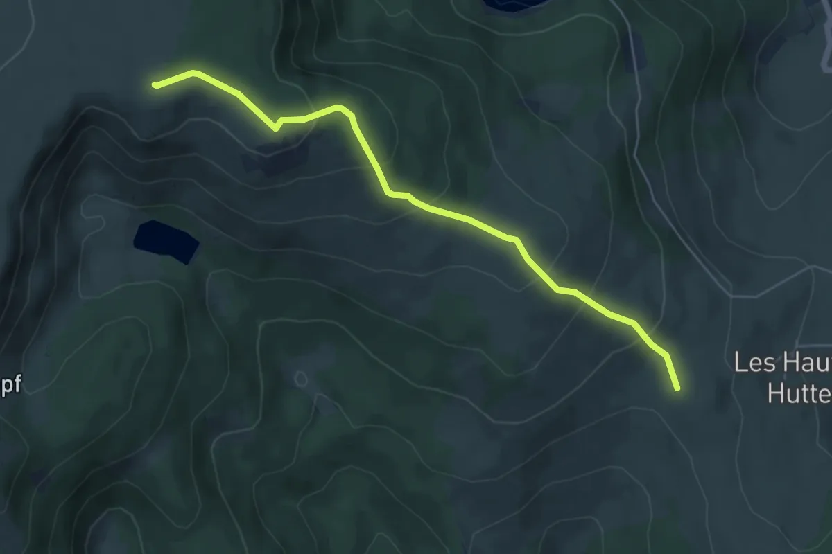
Kaltenborn – Gazon du Faing
11.9 km · ↑ 668 m · 4 h 16 min
Medium · Summit
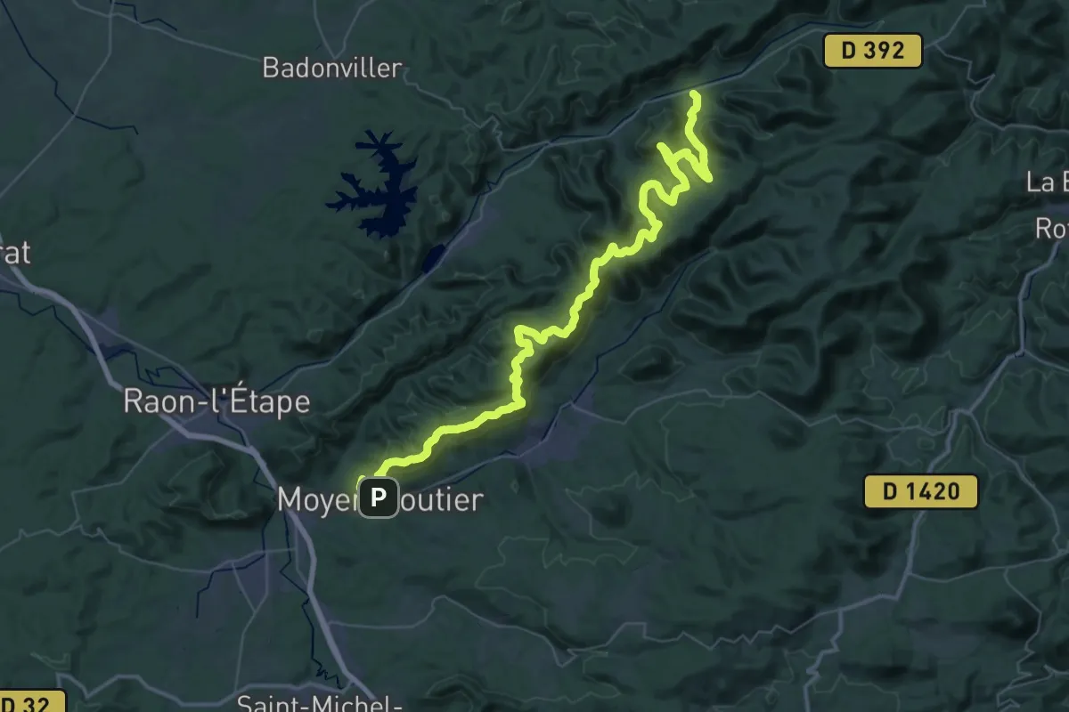
GR 532 – Gazon du Faing
5.6 km · ↑ 333 m · 2 h 2 min
Demanding · Trail
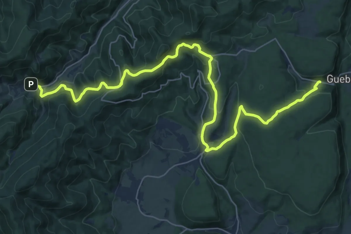
Moyenmoutier – Vexaincourt
28.7 km · ↑ 1158 m · 9 h 40 min
Expert · Trail
Wasserbourg – Marbach
13.8 km · ↑ 463 m · 4 h 29 min
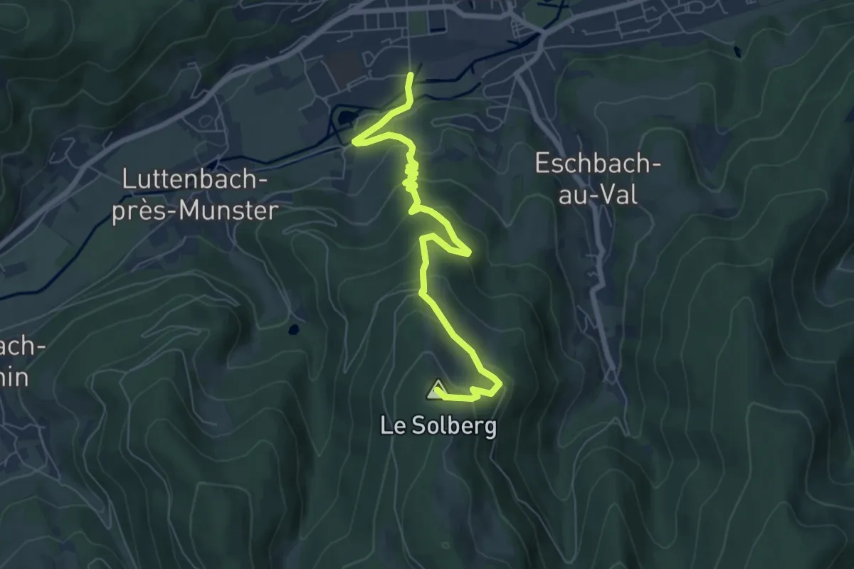
Medium · Summit
Munster – Col du Boenlesgrab
6.9 km · ↑ 406 m · 2 h 31 min
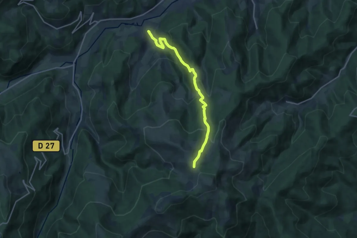
Medium · Trail
Breitenbach Haut Rhin – Col du Petit Ballon
12.2 km · ↑ 742 m · 4 h 29 min
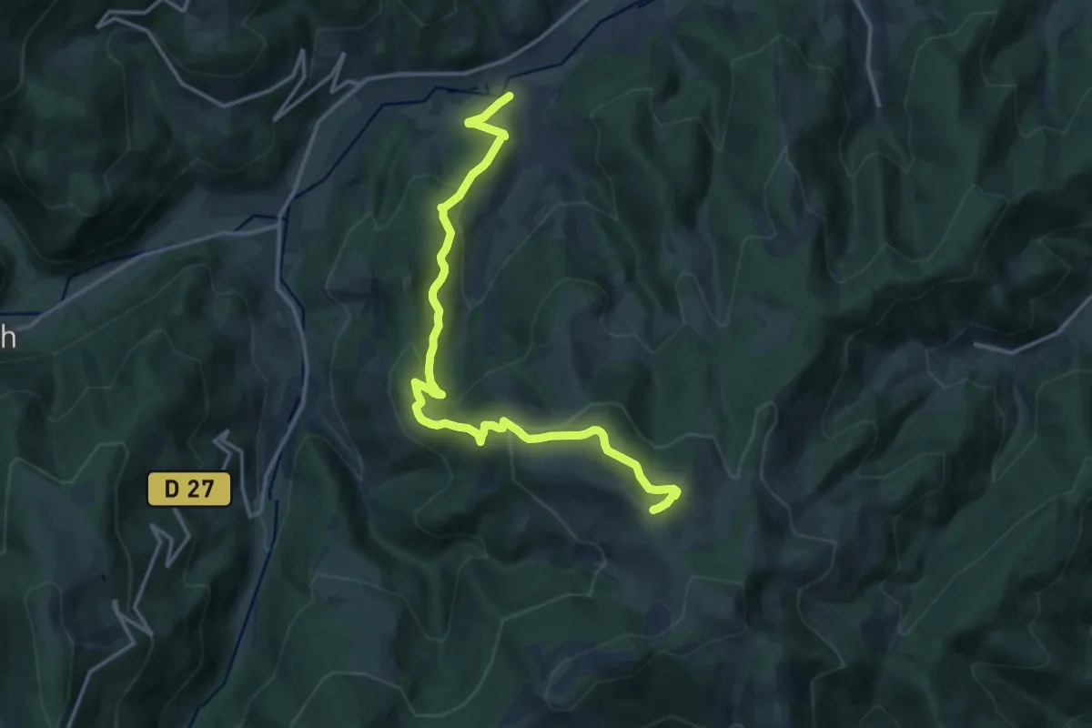
Medium · Summit
Breitenbach Haut Rhin – Petit Ballon
15.4 km · ↑ 766 m · 5 h 18 min
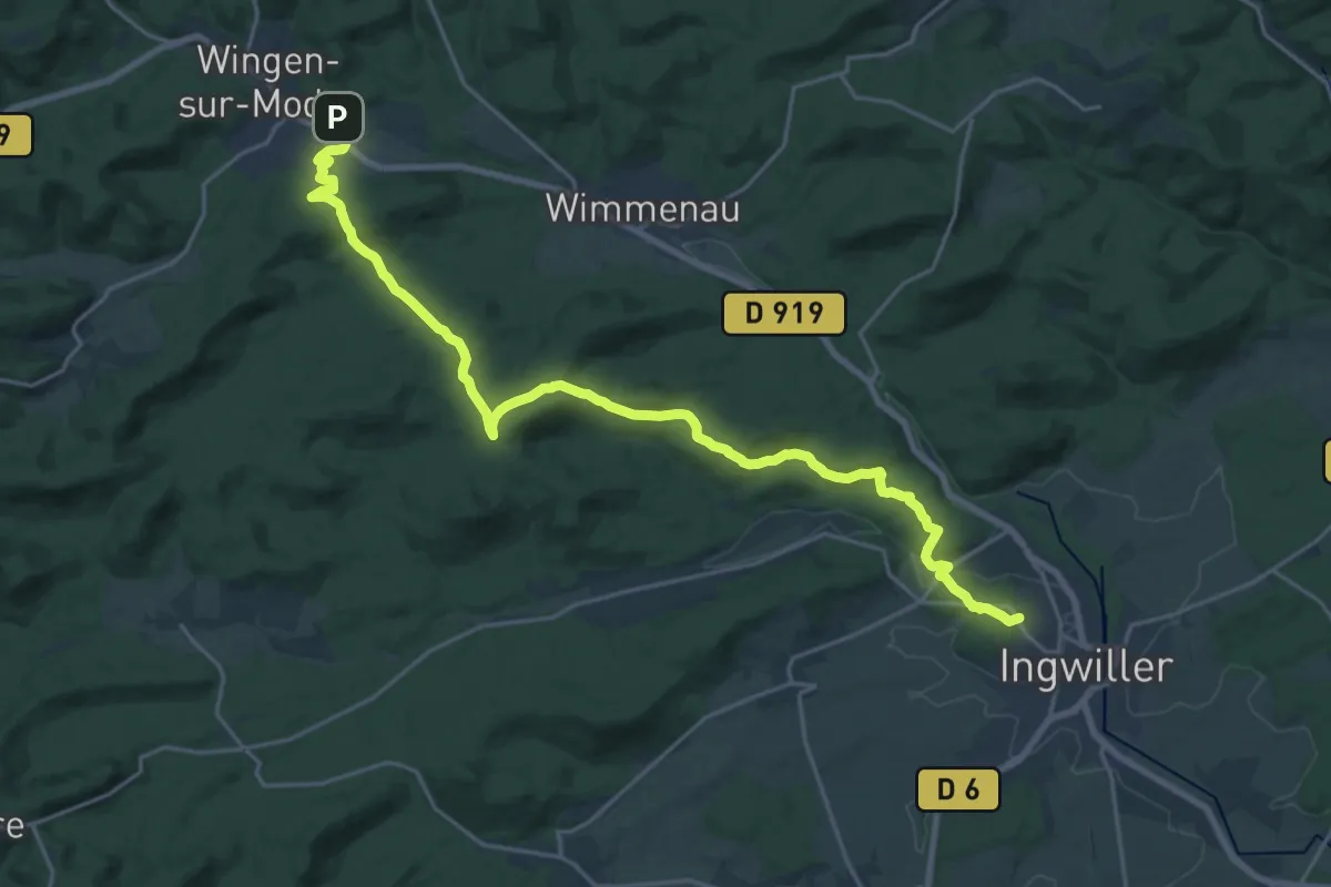
Demanding · Trail
Wingen-sur-Moder – Ingwiller
23.3 km · ↑ 535 m · 6 h 39 min
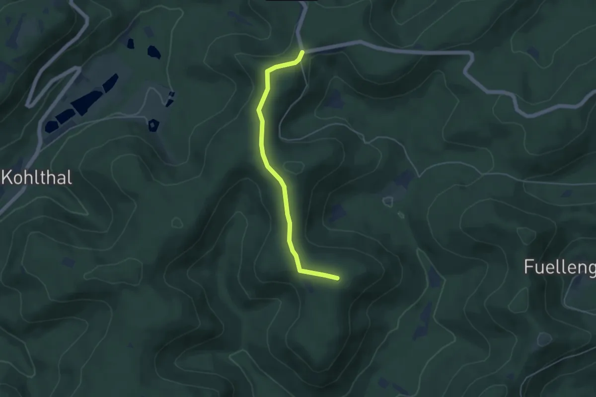
Easy · Summit
Loosthal – Rocher du Johannisthal
4.0 km · ↑ 70 m · 1 h 5 min
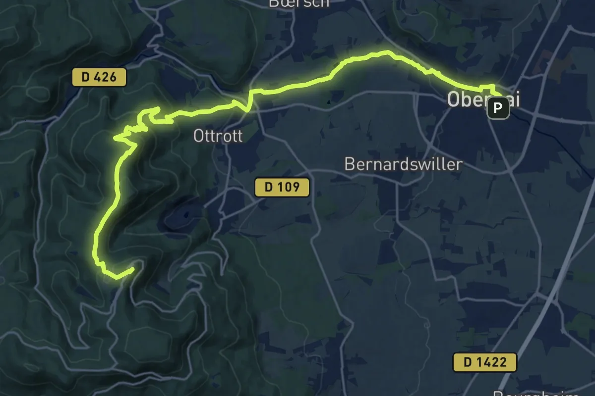
Demanding · Summit
Obernai – GR 5
24.2 km · ↑ 654 m · 7 h 7 min
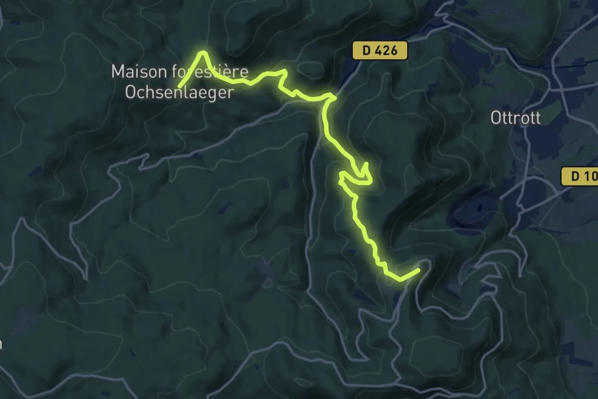
Demanding · Summit
Maison forestière Ochsenlager – Mont Saint-Odile
15.4 km · ↑ 699 m · 5 h 10 min
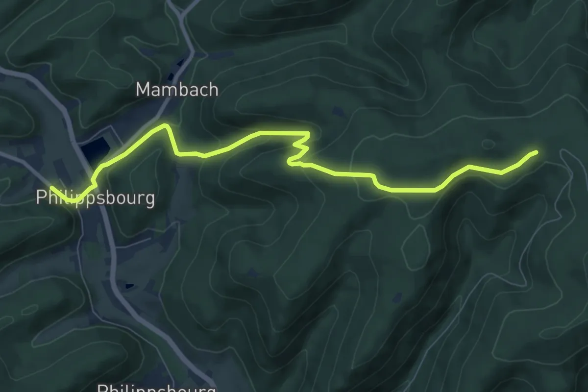
Medium · Trail
Col de la Liese – Philippsbourg
8.3 km · ↑ 396 m · 2 h 50 min
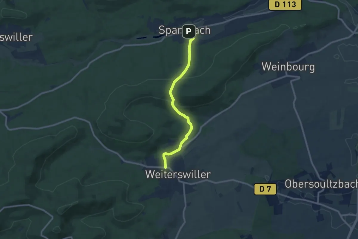
Easy · Trail
Sparsbach – Weiterswiller
6.4 km · ↑ 249 m · 2 h 3 min
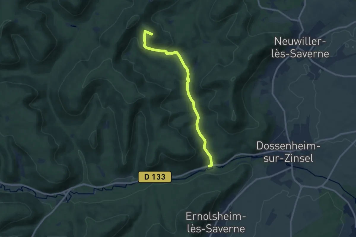
Easy · Summit
Hunebourg – Laibrueck
7.4 km · ↑ 233 m · 2 h 15 min
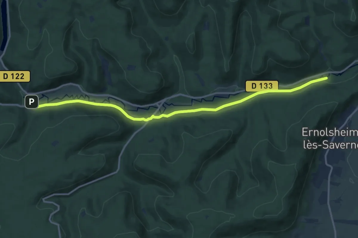
Medium · Trail
Oberhof – Laibrueck
10.8 km · ↑ 86 m · 2 h 44 min
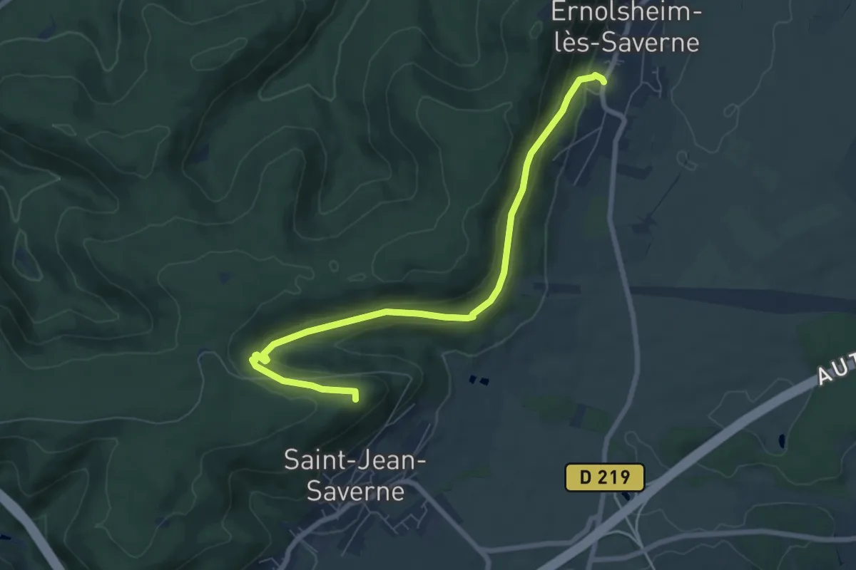
Easy · Trail
Mont Saint-Michel – Ernolsheim-lès-Saverne
7.2 km · ↑ 259 m · 2 h 15 min