Trails in France
15,906 hiking trails, each with its route, climb, walking time and grade.
All trails, page 31 of 332
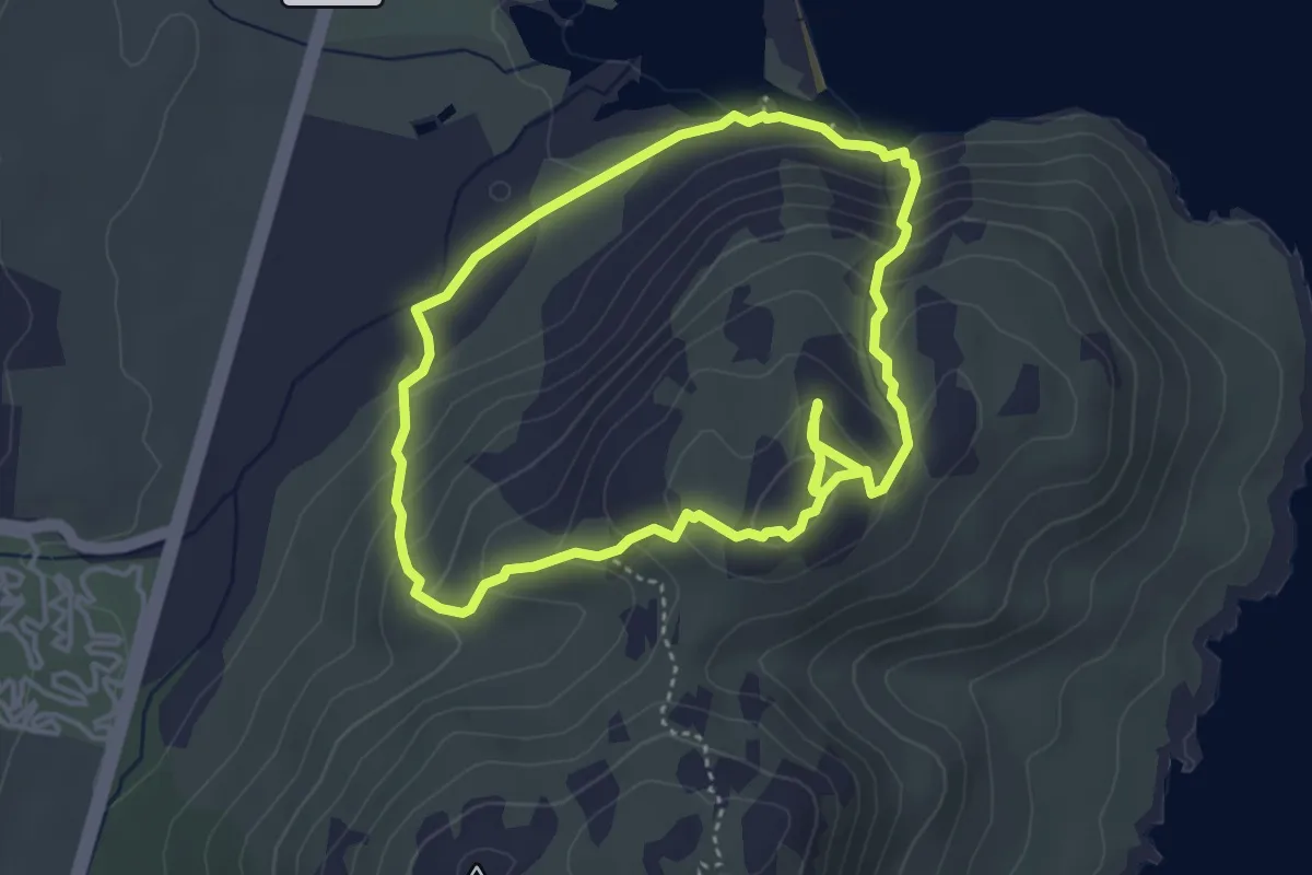
Expert · Trail
Boucle Littorale de Santa Giulia
4.2 km · ↑ 230 m · 1 h 32 min
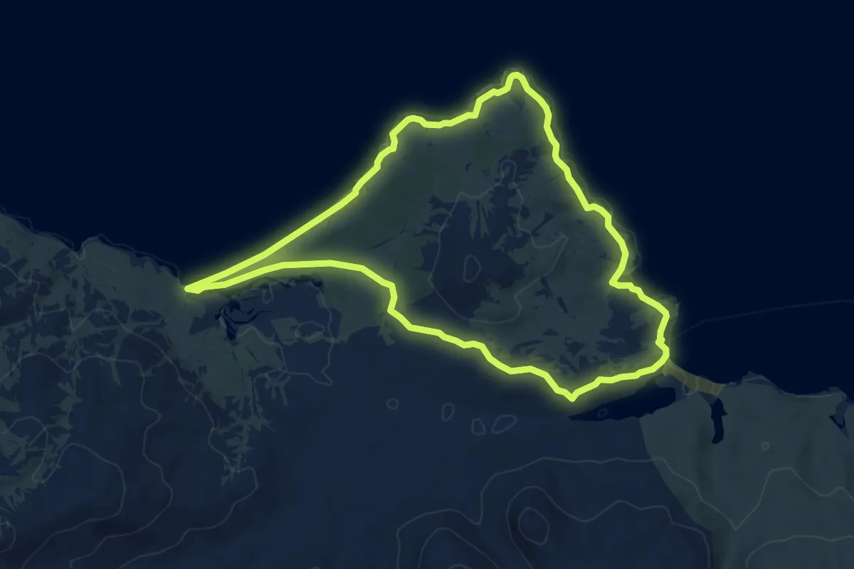
Easy · Trail
Boucle littorale du Lotu à Saleccia
7.7 km · ↑ 71 m · 2 h 5 min
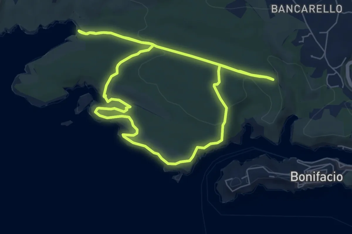
Medium · Trail
Boucle Littorale Strada Vecia Madonetta
6.7 km · ↑ 142 m · 2 h
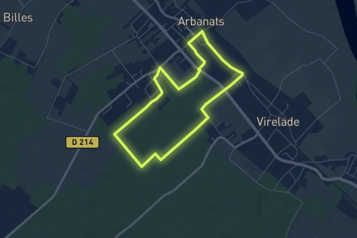
Easy · Trail
Boucle locale d'Arbanats
5.9 km · ↑ 27 m · 1 h 31 min
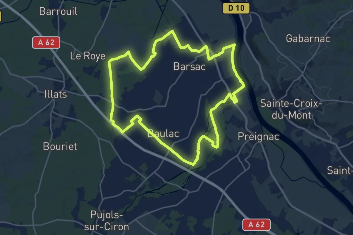
Medium · Trail
Boucle locale de Barsac
17.5 km · ↑ 18 m · 4 h 24 min
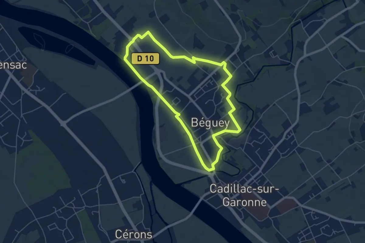
Easy · Trail
Boucle locale de Béguey
5.5 km · ↑ 31 m · 1 h 27 min
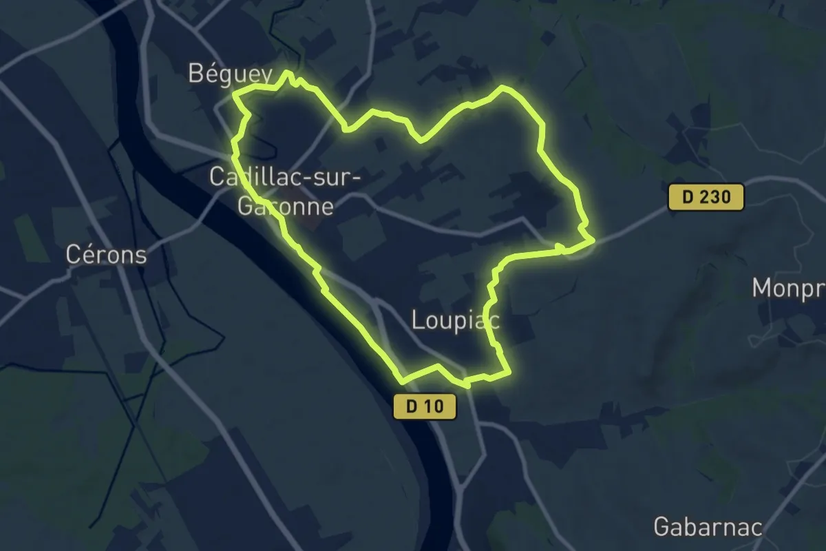
Medium · Trail
Boucle locale de Cadillac
9.8 km · ↑ 84 m · 2 h 38 min
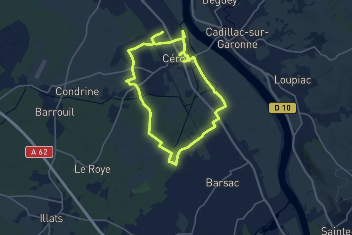
Demanding · Trail
Boucle locale de Cérons
21.3 km · ↑ 43 m · 5 h 8 min
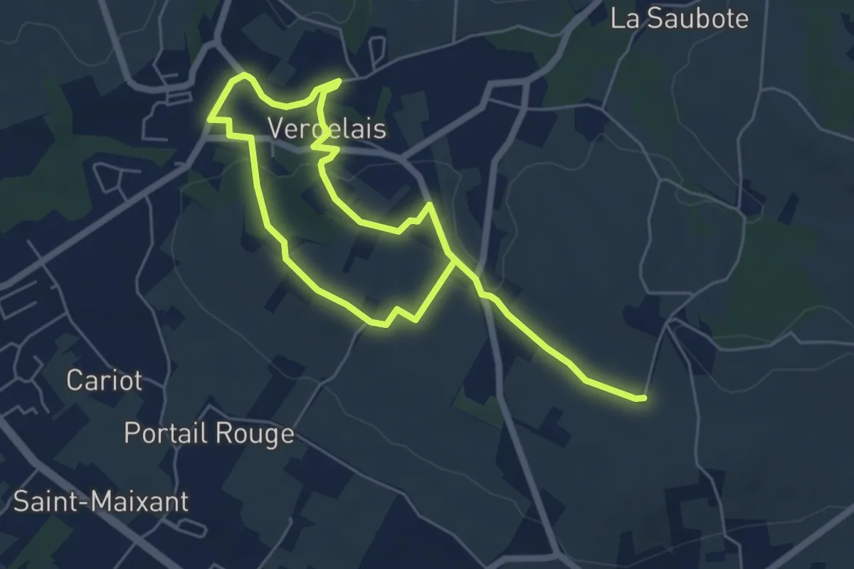
Medium · Trail
Boucle locale de Verdelais
8.6 km · ↑ 170 m · 2 h 24 min
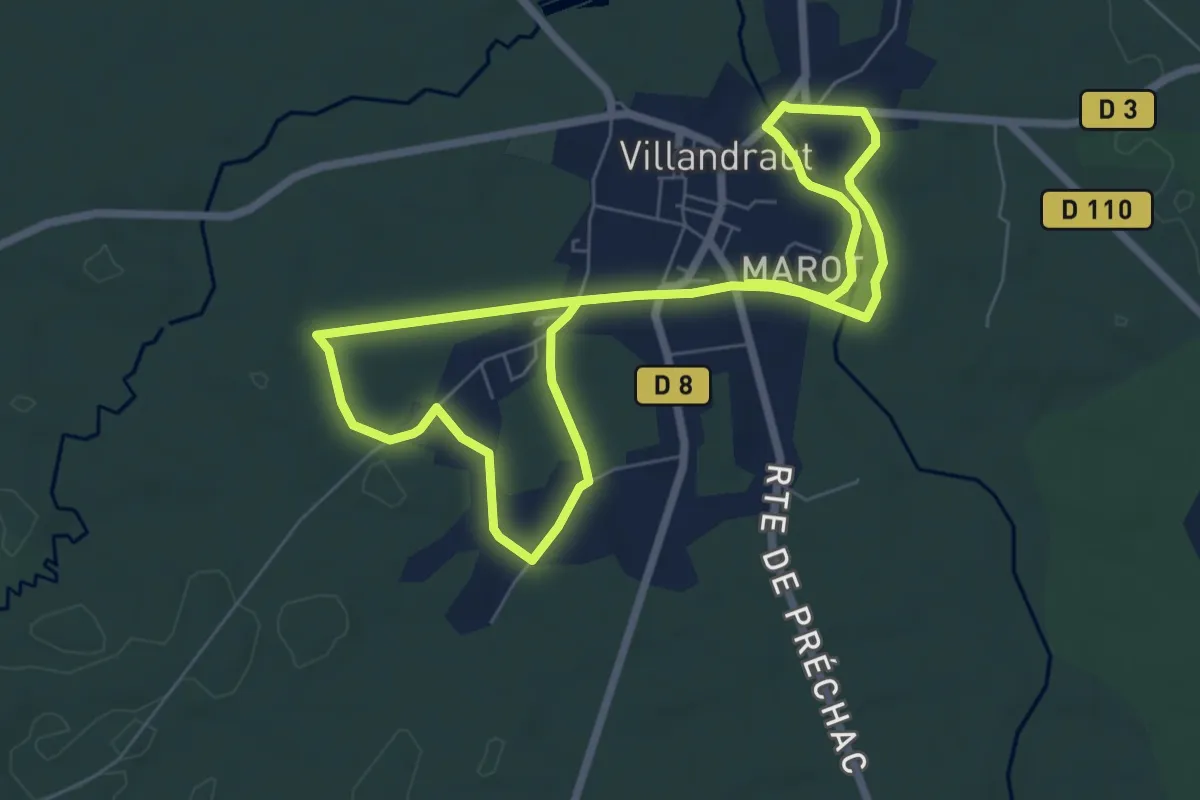
Medium · Trail
Boucle locale de Villandraut
12.4 km · ↑ 45 m · 3 h 1 min
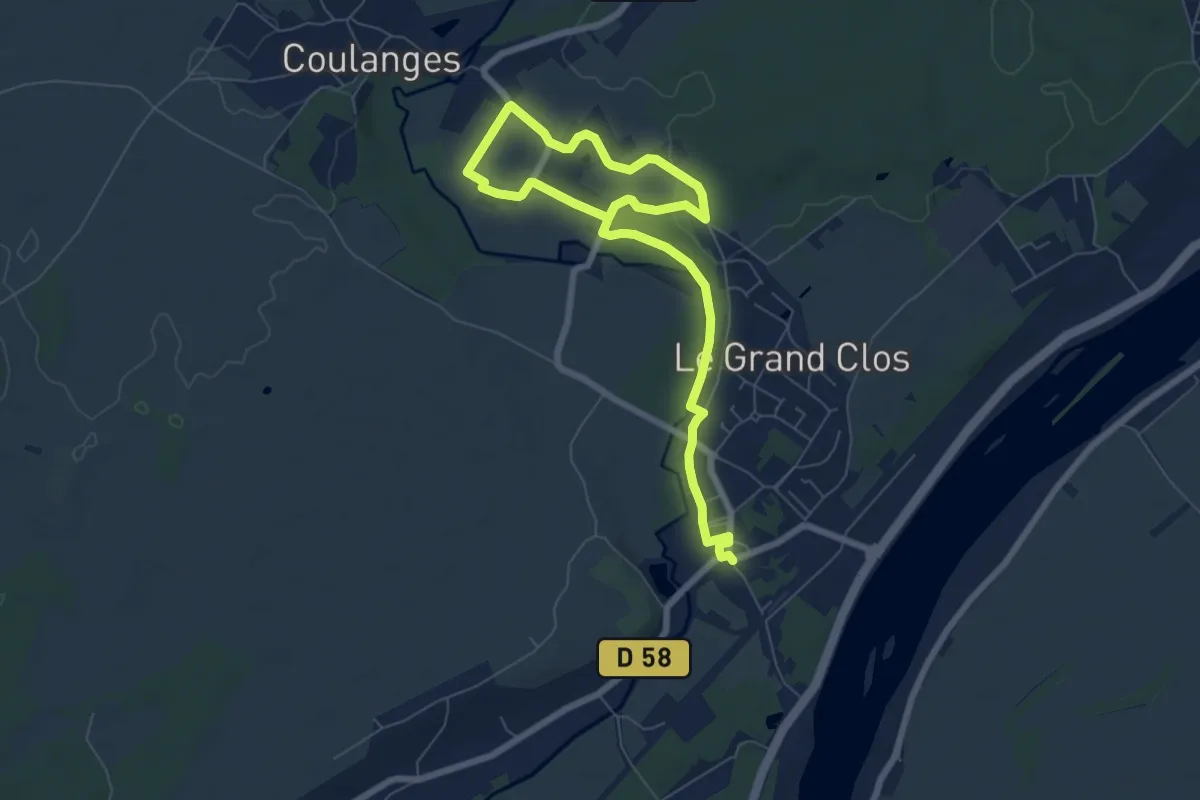
Medium · Trail
Boucle longue
9.5 km · ↑ 112 m · 2 h 30 min
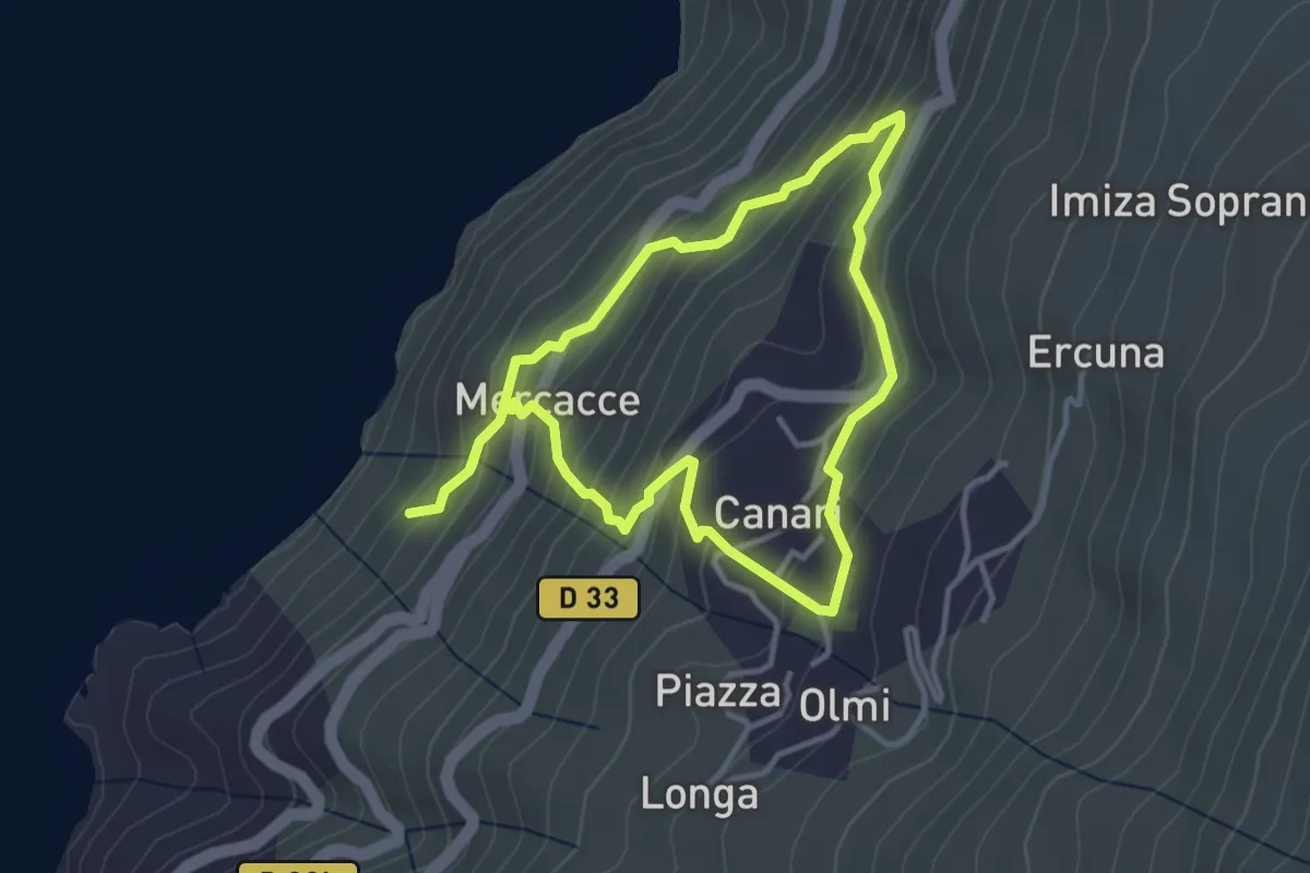
Easy · Trail
Boucle Marinca-Scala
3.5 km · ↑ 298 m · 1 h 32 min
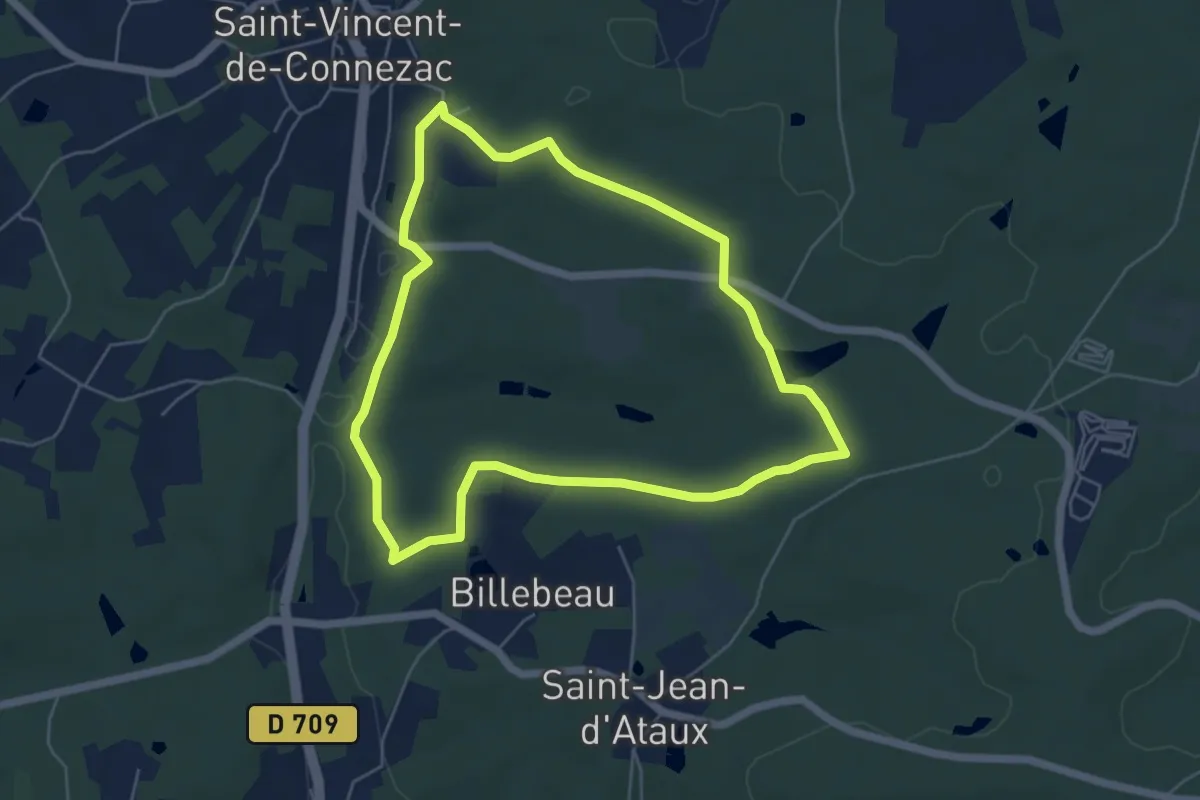
Easy · Trail
Boucle Moulin de la Grave
5.4 km · ↑ 80 m · 1 h 32 min
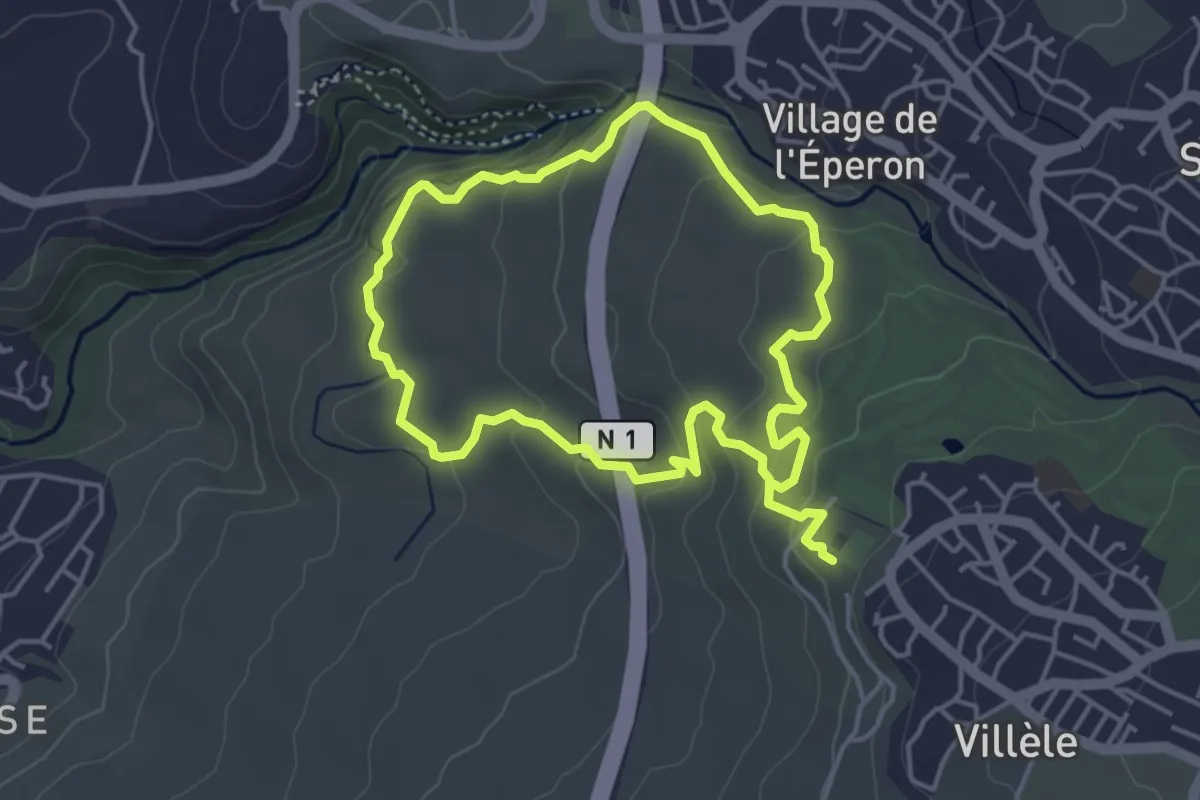
Medium · Trail
Boucle Moulin Kader
10.4 km · ↑ 342 m · 3 h 12 min
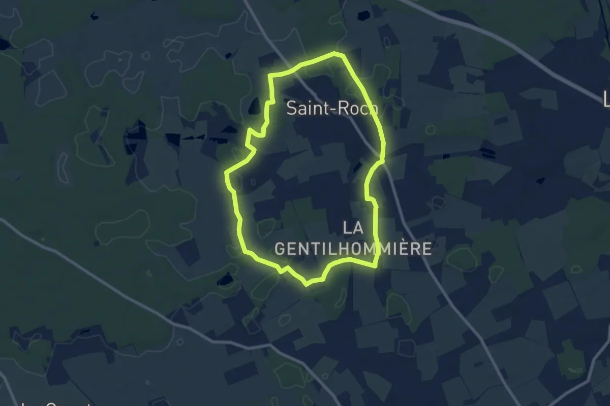
Easy · Trail
Boucle n°1 - Saint-Roch
7.3 km · ↑ 40 m · 1 h 55 min
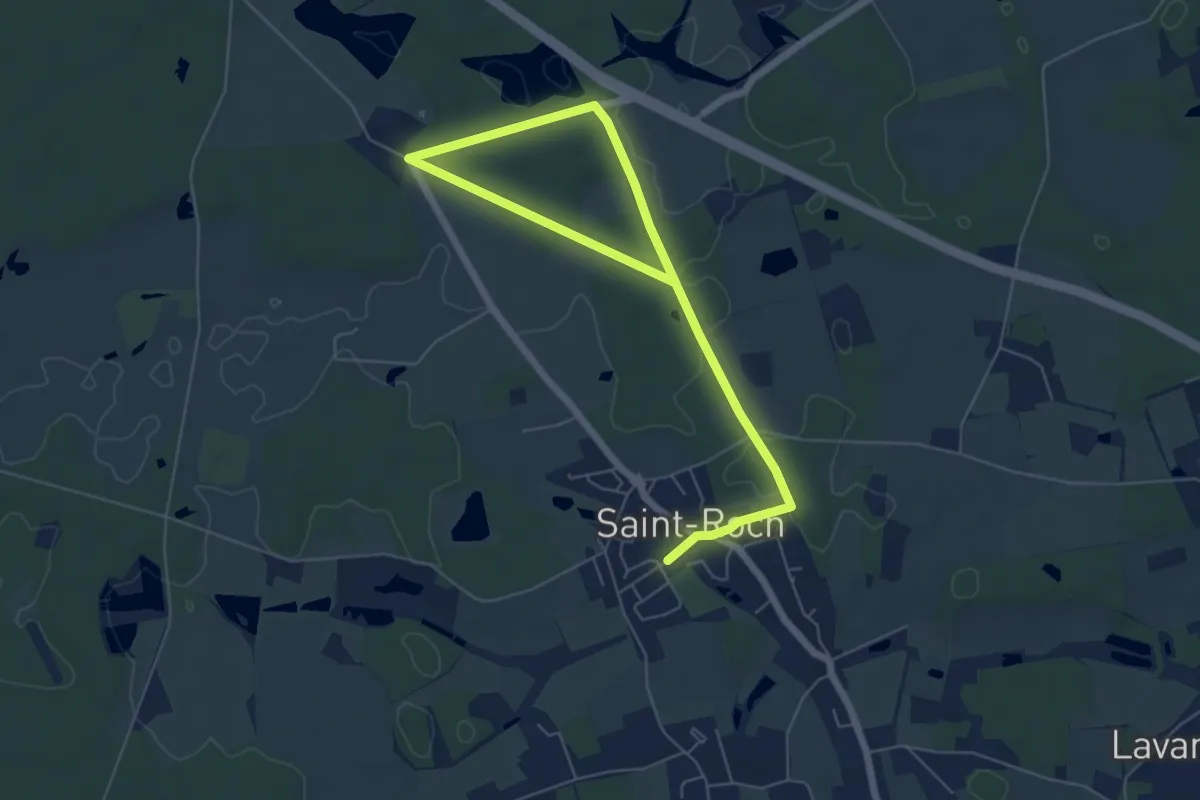
Easy · Trail
Boucle n°2
8.0 km · ↑ 45 m · 1 h 59 min
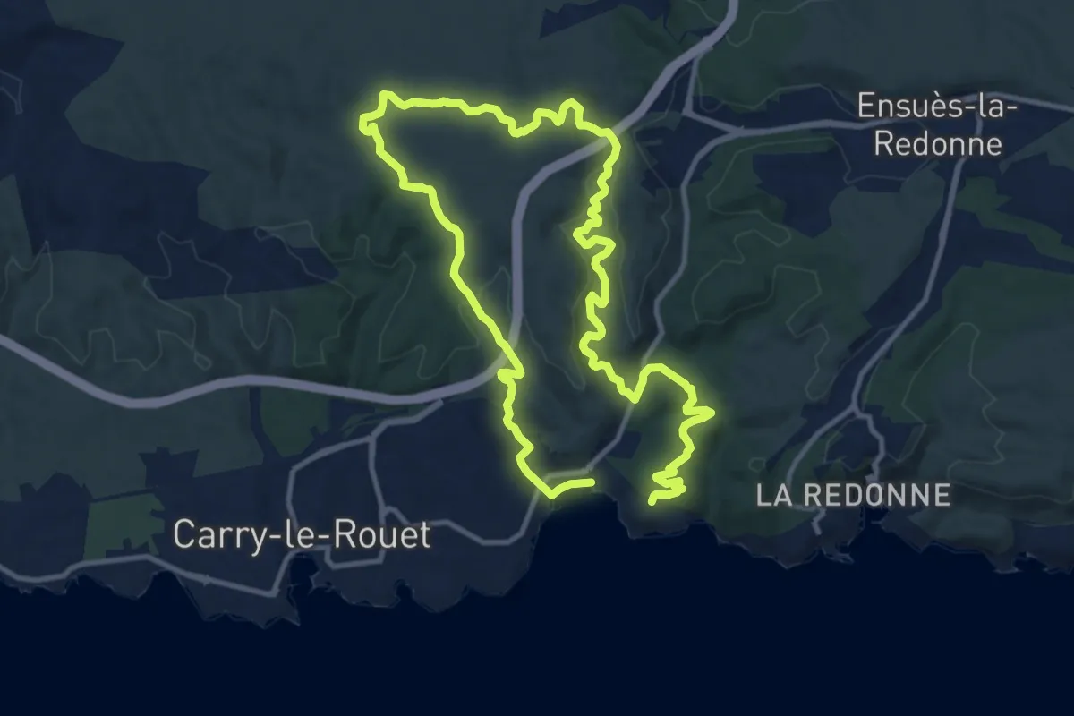
Medium · Trail
Boucle "Notre-Dame-du-Rouet et la plaine du Bon Jean"
10.7 km · ↑ 273 m · 3 h 15 min
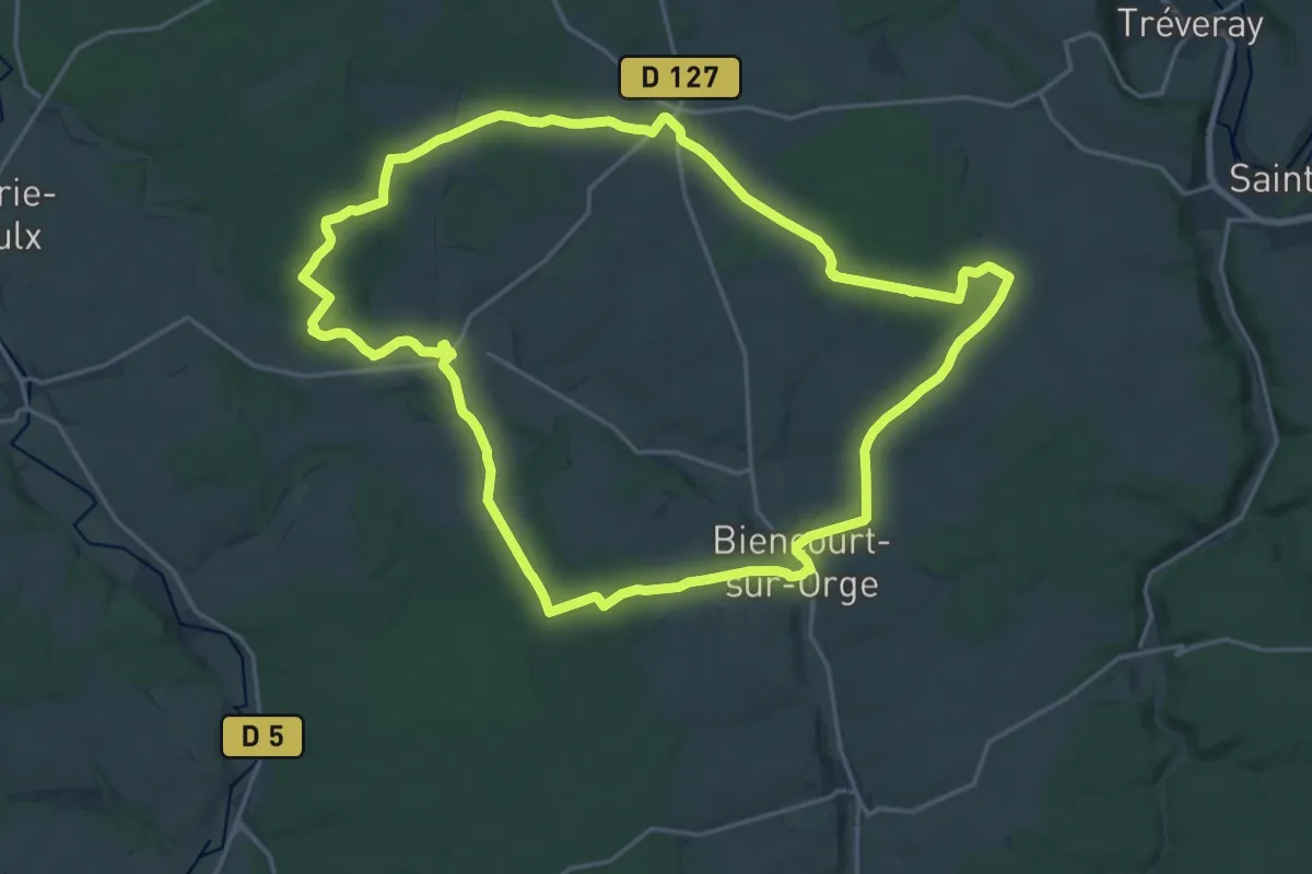
Demanding · Trail
Boucle Œils-de-Bœuf
20.4 km · ↑ 243 m · 5 h 37 min
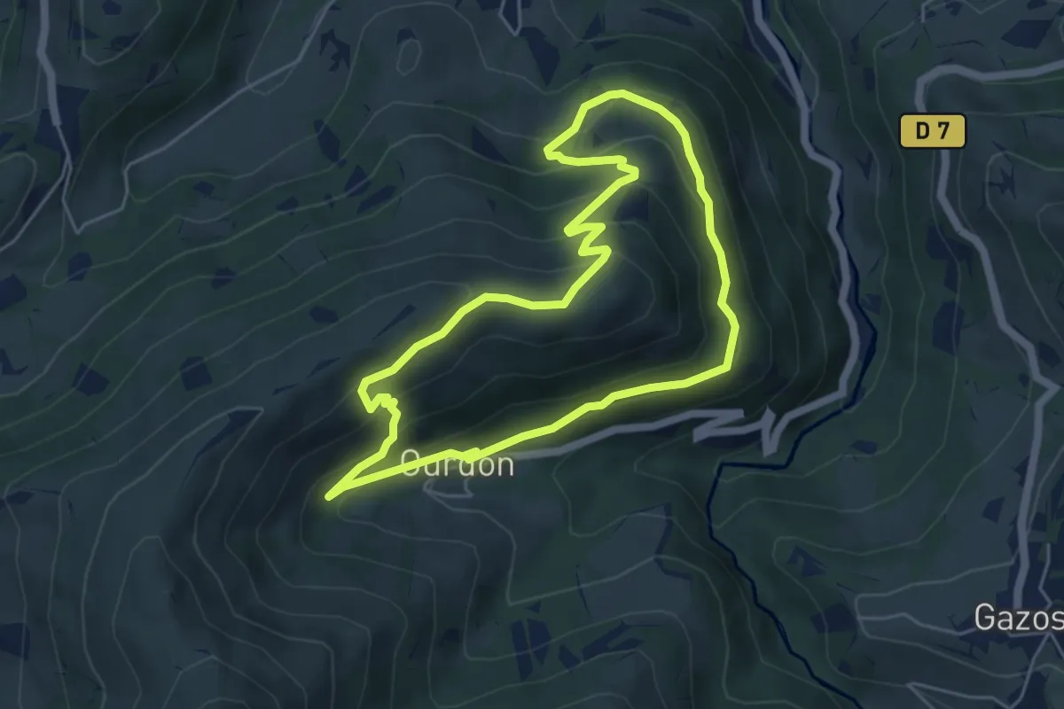
Medium · Summit
Boucle Ousté-Ourdon
5.2 km · ↑ 340 m · 2 h 2 min
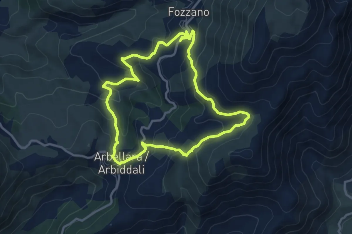
Medium · Trail
Boucle par Arbiddali et Fuzzanu
7.4 km · ↑ 348 m · 2 h 36 min
Easy · Trail
Boucle par Beaupuy
5.9 km · ↑ 76 m · 1 h 38 min
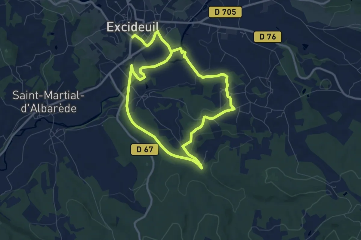
Easy · Trail
Boucle Pas de ma Mignone
7.2 km · ↑ 91 m · 1 h 59 min
Easy · Trail
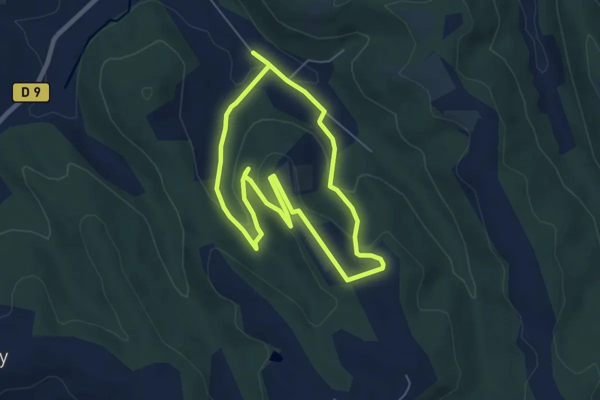
Boucle Paypayo
2.3 km · ↑ 143 m · 52 min
Easy · Trail
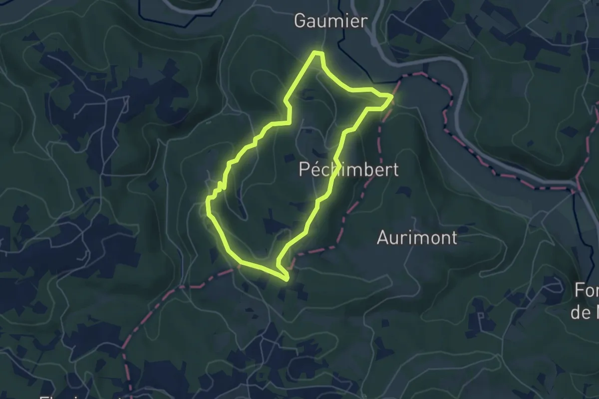
Boucle Péchimbert
5.2 km · ↑ 198 m · 1 h 44 min
Medium · Trail
Boucle pédestre de la vallée de l'Elle
10.7 km · ↑ 98 m · 2 h 53 min
Easy · Trail
Boucle "Porte du Piémont"
4.8 km · ↑ 150 m · 1 h 32 min
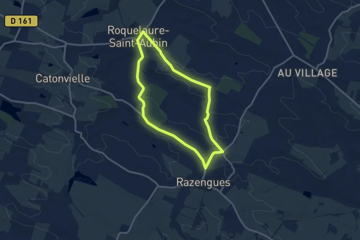
Easy · Trail
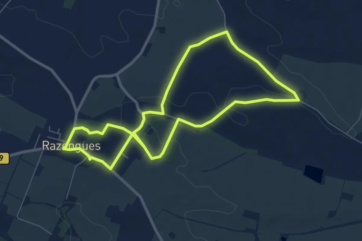
Boucle Razengues Roquelaure
7.2 km · ↑ 62 m · 1 h 57 min
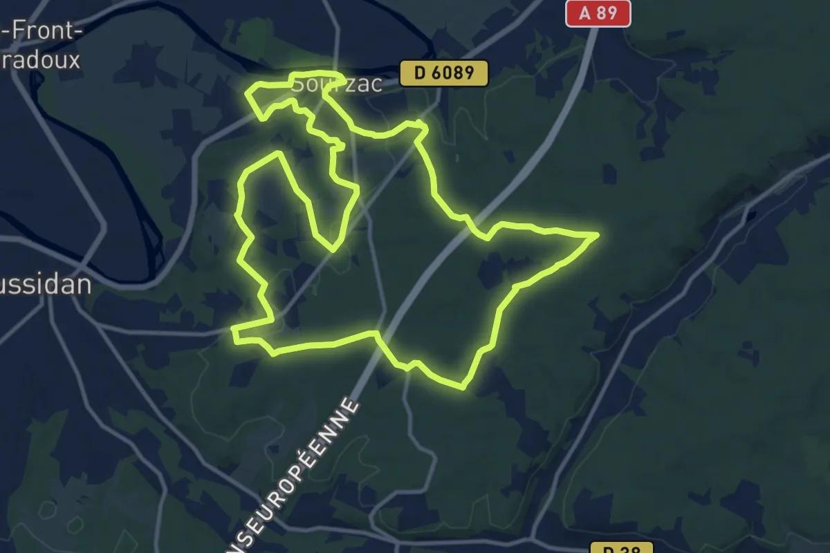
Medium · Trail
Boucle royale
13.4 km · ↑ 145 m · 3 h 40 min
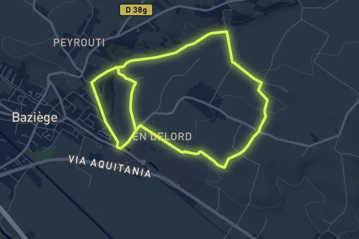
Medium · Trail
Boucle Sainte-Colombe
14.9 km · ↑ 212 m · 3 h 59 min
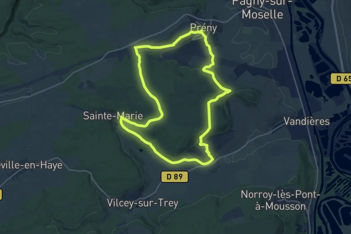
Medium · Trail
Boucle Sainte Marie
14.0 km · ↑ 364 m · 4 h 18 min
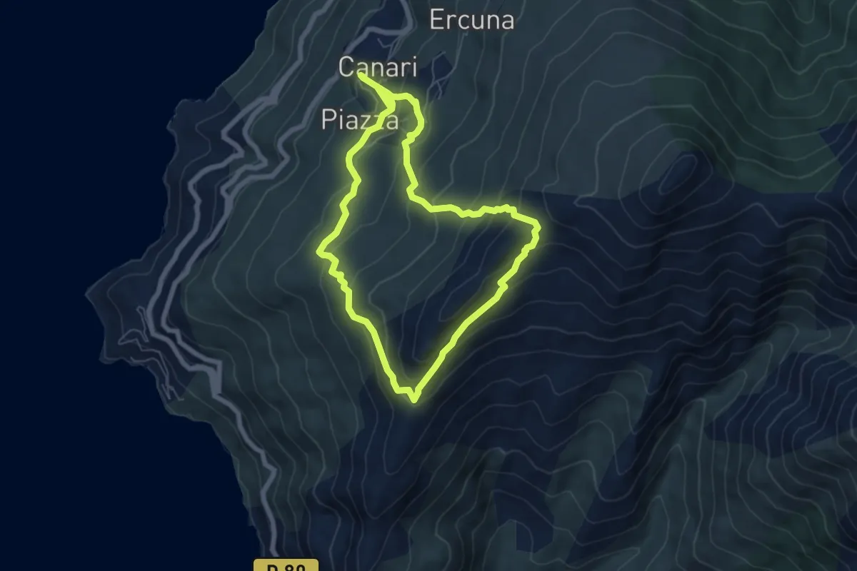
Medium · Trail
Boucle Scala Brocciu
6.0 km · ↑ 388 m · 2 h 22 min
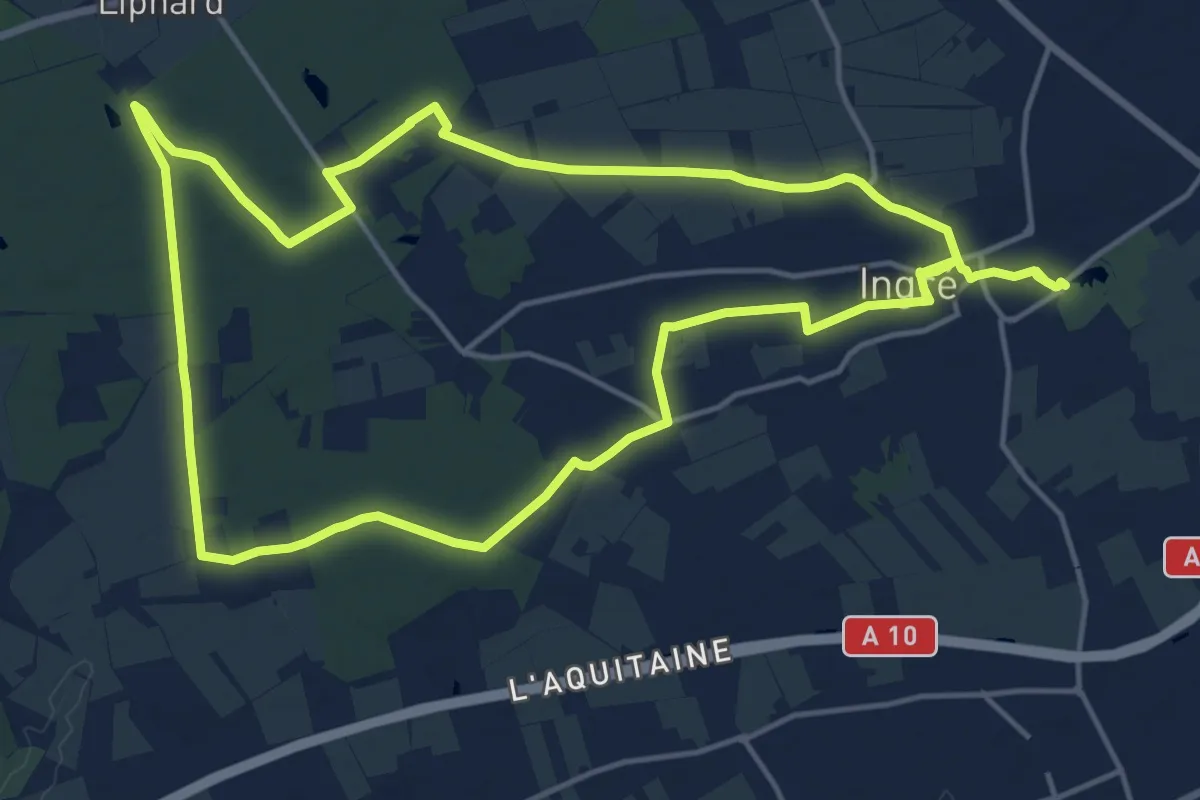
Medium · Trail
Boucles des Queues de Forêt
15.9 km · ↑ 49 m · 4 h 5 min
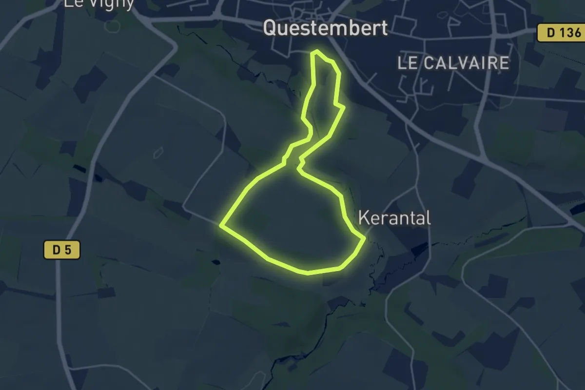
Easy · Trail
Boucles du Bois de St Martin
3.5 km · ↑ 56 m · 1 h
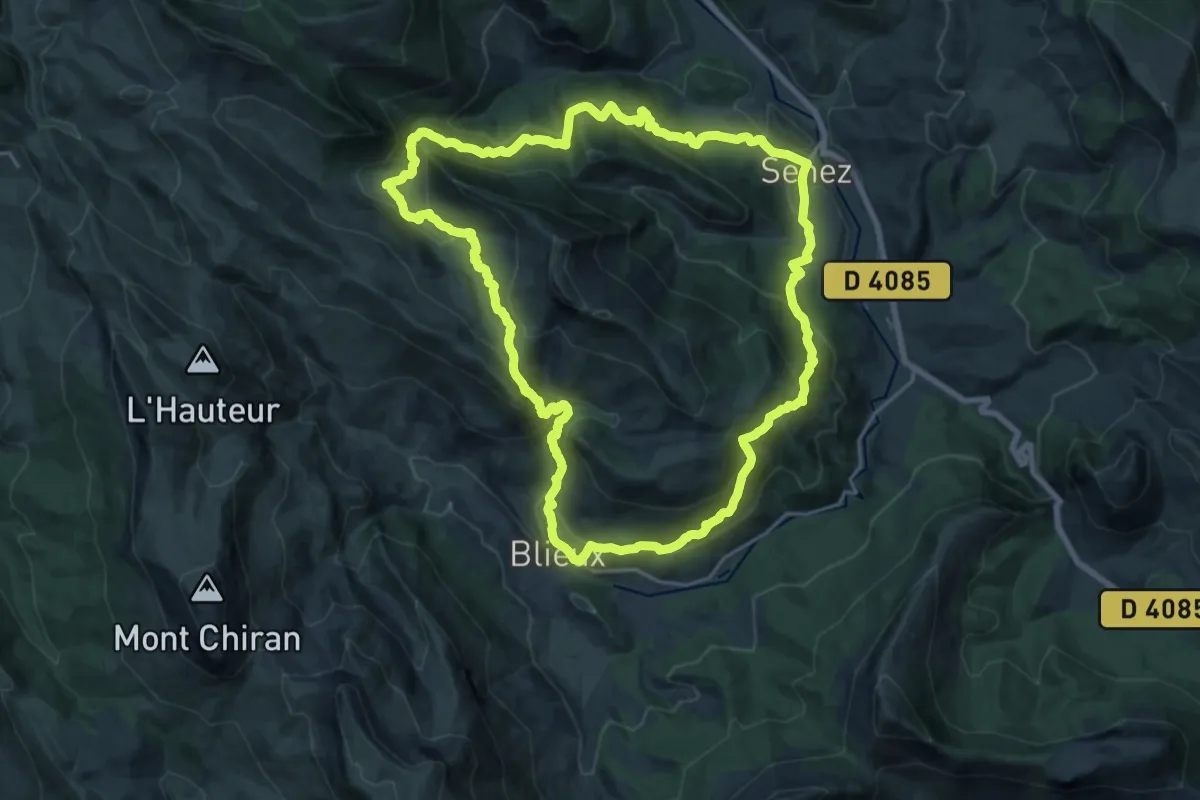
Demanding · Trail
Boucle Senez-Blieux
21.0 km · ↑ 1083 m · 7 h 37 min
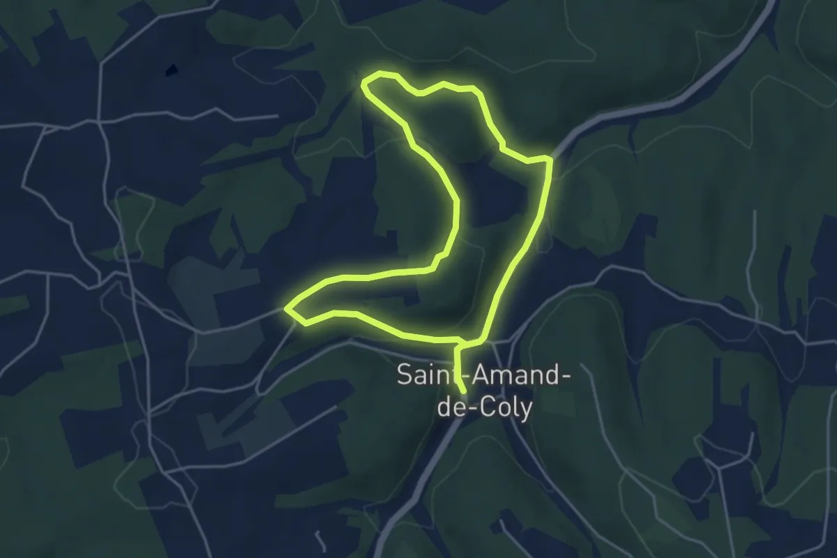
Easy · Trail
Boucle Soleil et Ombrage
3.8 km · ↑ 99 m · 1 h 10 min
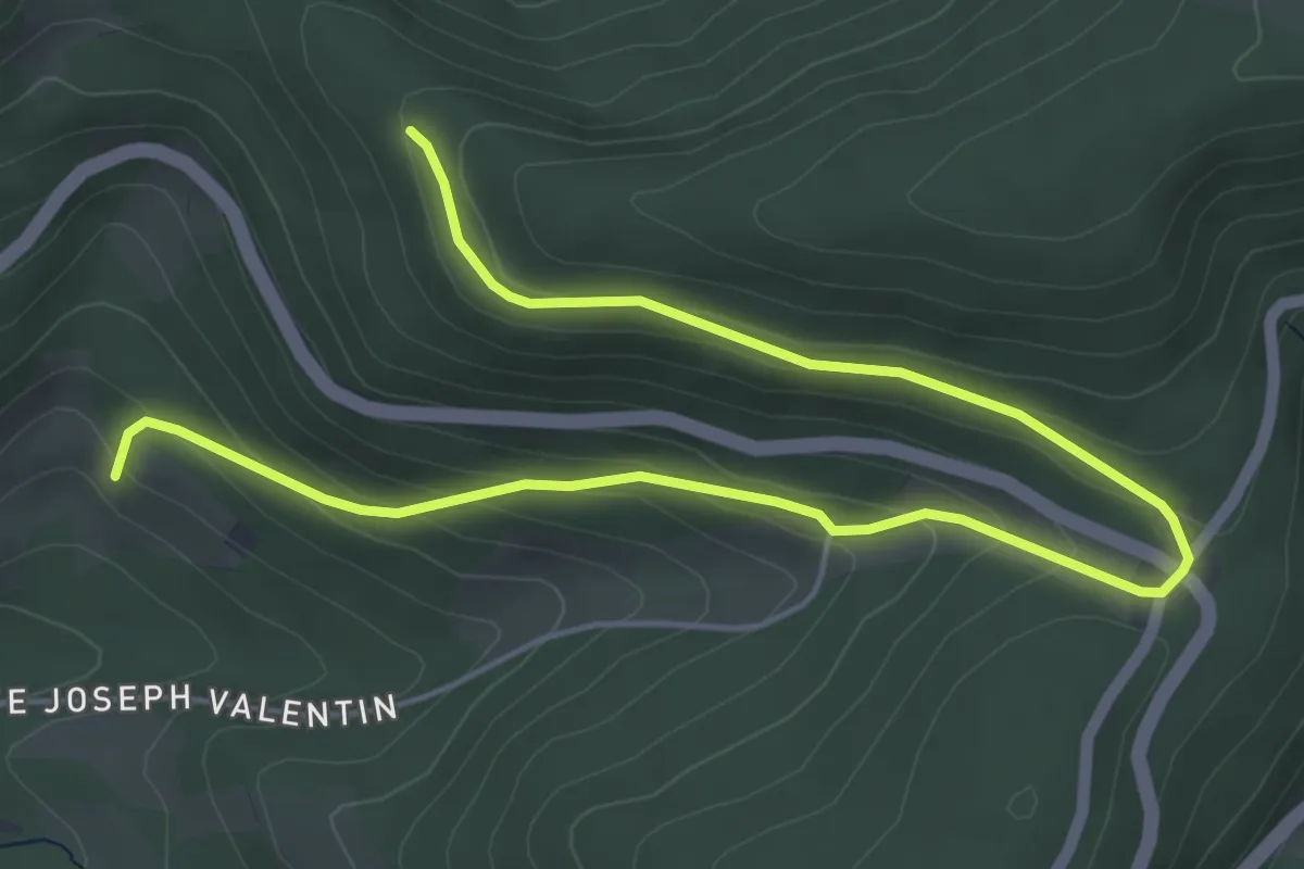
Easy · Trail
Boucle Sud
3.5 km · ↑ 275 m · 1 h 21 min
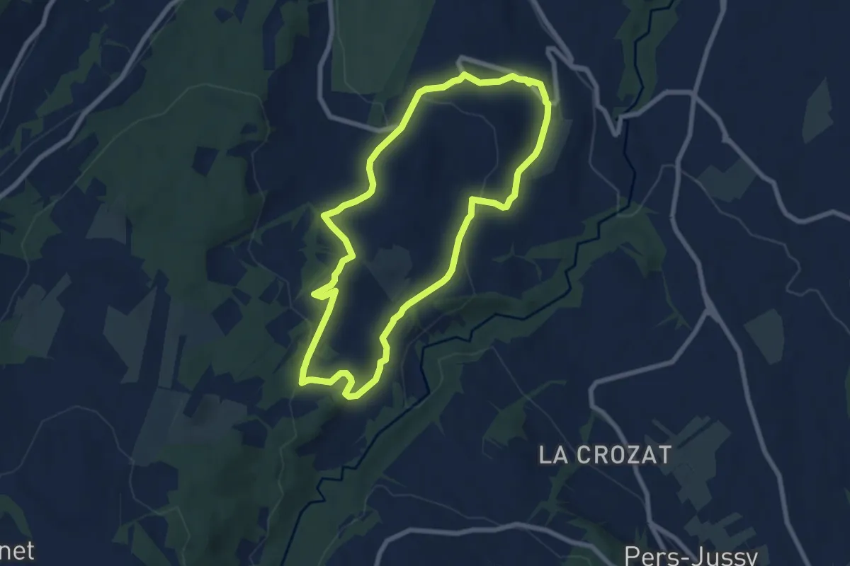
Easy · Trail
Boucle sur la colline
6.6 km · ↑ 175 m · 2 h 2 min
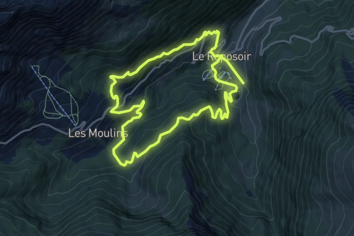
Demanding · Trail
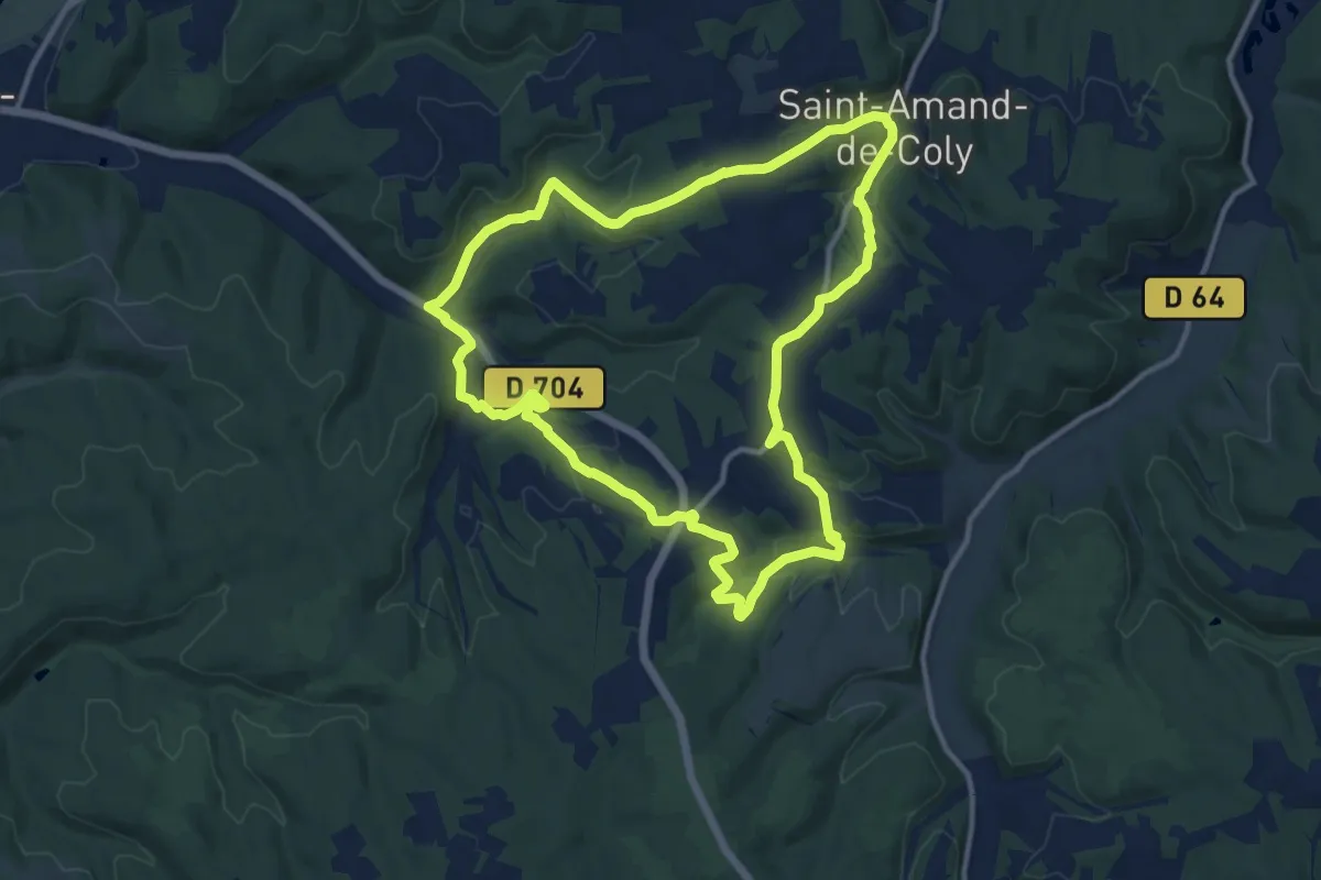
Boucle Touvière-Caronière
18.4 km · ↑ 1062 m · 6 h 39 min
Medium · Trail
Boucle Tunnel, bois et eaux
12.1 km · ↑ 287 m · 3 h 39 min
Medium · Trail
Boucle Val et Plateau
16.7 km · ↑ 308 m · 4 h 50 min
Demanding · Trail
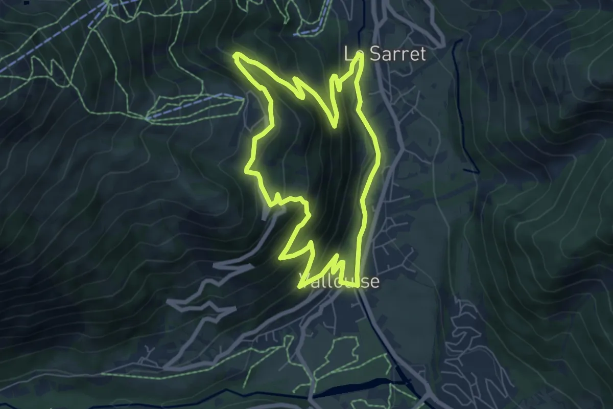
Boucle vers Puy Aillaud
6.5 km · ↑ 435 m · 2 h 35 min
Easy · Trail
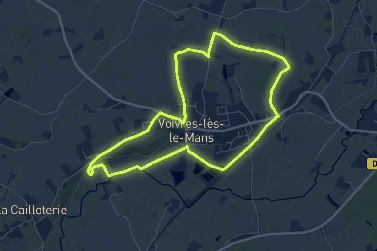
Boucle villageoise des vallées
6.6 km · ↑ 55 m · 1 h 46 min
Easy · Trail
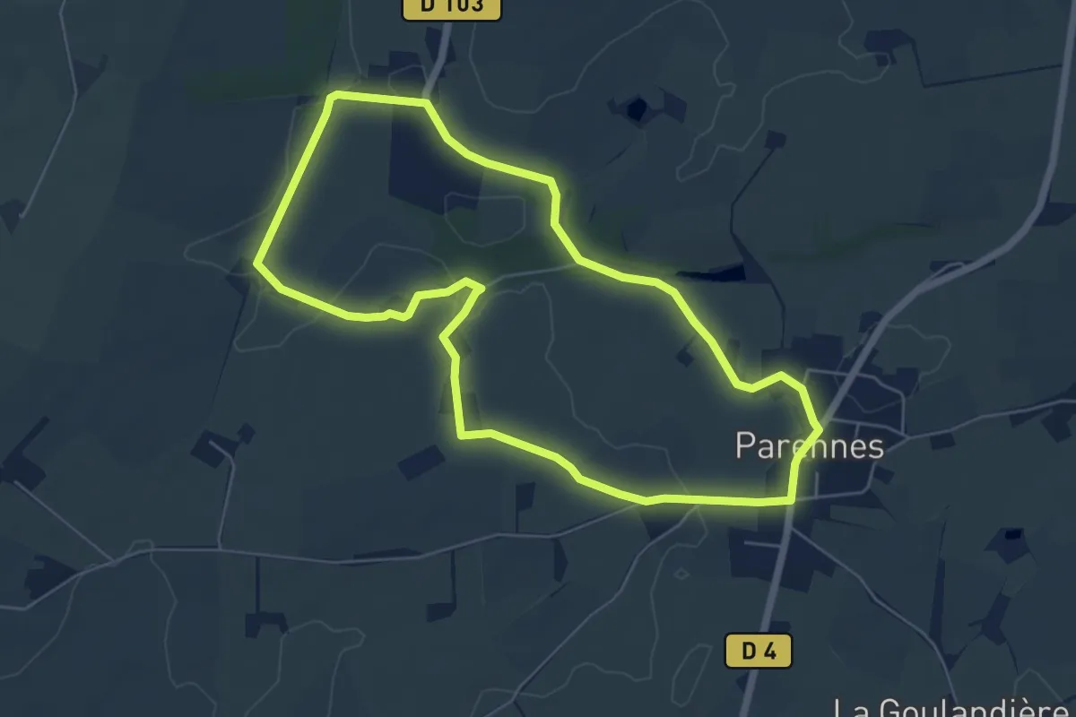
Boucle village sur les pas des ardoisiers et des mineurs
5.7 km · ↑ 32 m · 1 h 29 min
Easy · Trail
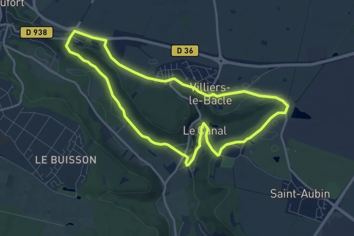
Boucle Villier, les Rigoles, Tête Ronde
7.5 km · ↑ 114 m · 2 h 7 min
Easy · Trail
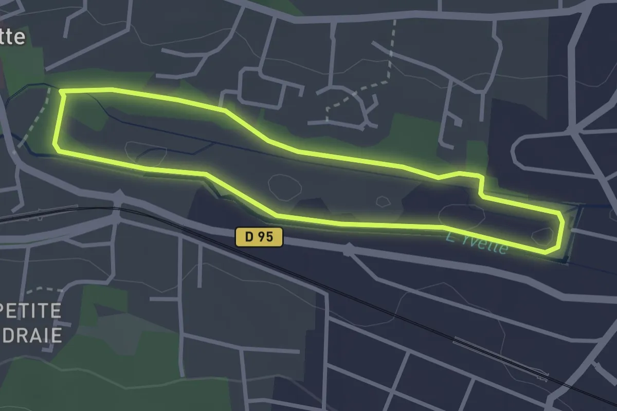
Boucle VMA Bures sur Yvette
2.6 km · ↑ 4 m · 40 min
Easy · Trail
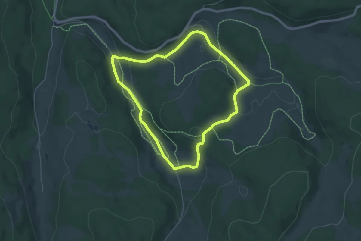
Bougaud
4.7 km · ↑ 71 m · 1 h 19 min
Easy · Trail
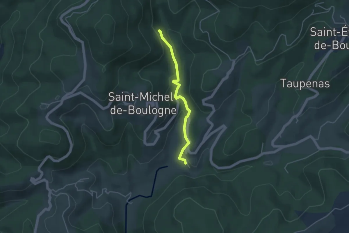
Boulogne - Combemale
3.3 km · ↑ 113 m · 1 h 1 min
Easy · Trail
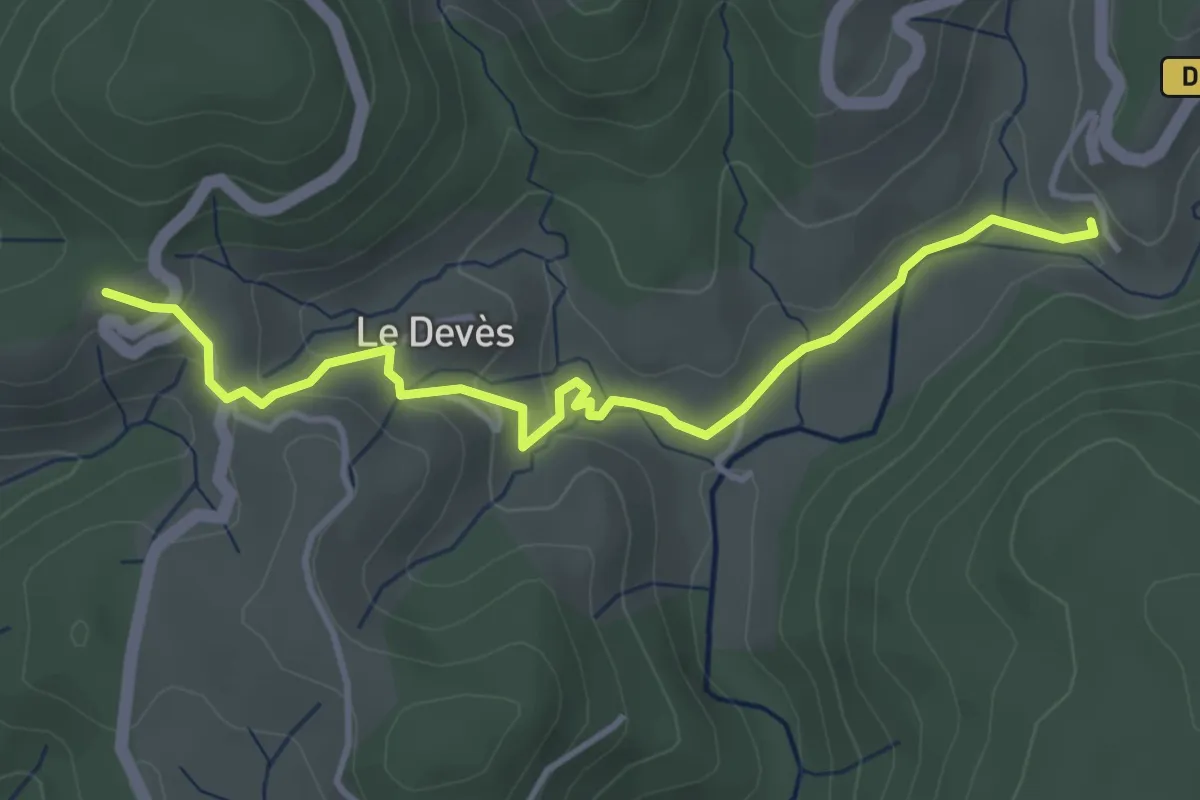
Boulogne - Pourchary
4.2 km · ↑ 122 m · 1 h 15 min