Trails in France
15,906 hiking trails, each with its route, climb, walking time and grade.
All trails, page 32 of 332
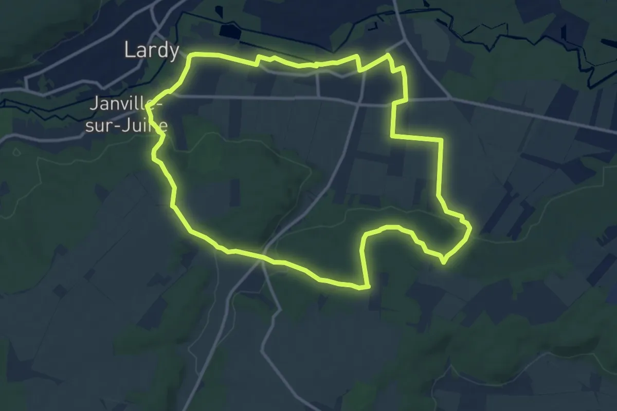
Medium · Trail
Bouray
11.0 km · ↑ 135 m · 3 h 2 min
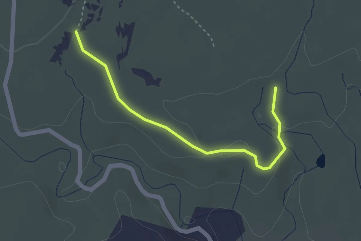
Easy · Trail
Bourbouillet - Flandrin
3.1 km · ↑ 54 m · 50 min
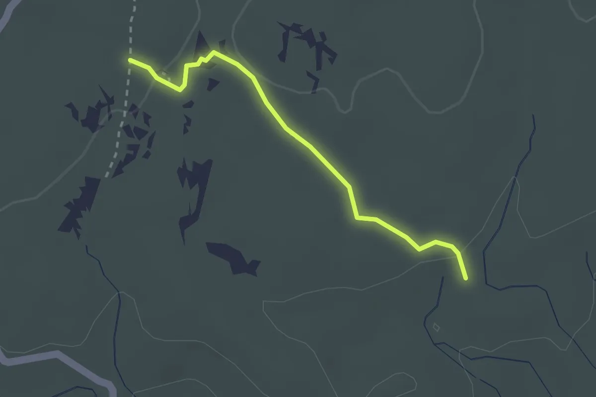
Medium · Trail
Bourbouillet - Le Réméjadou
2.4 km · ↑ 24 m · 37 min
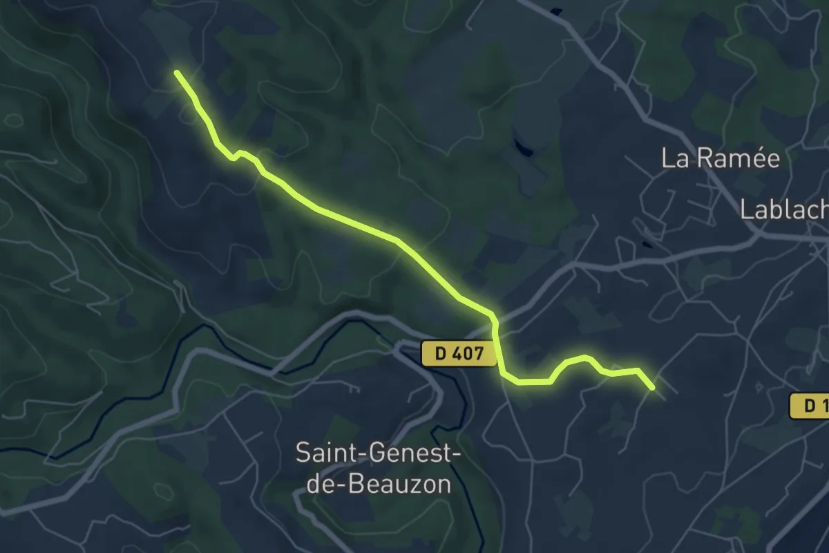
Easy · Trail
Bourdezac - Le Grand Bois
6.2 km · ↑ 143 m · 1 h 47 min
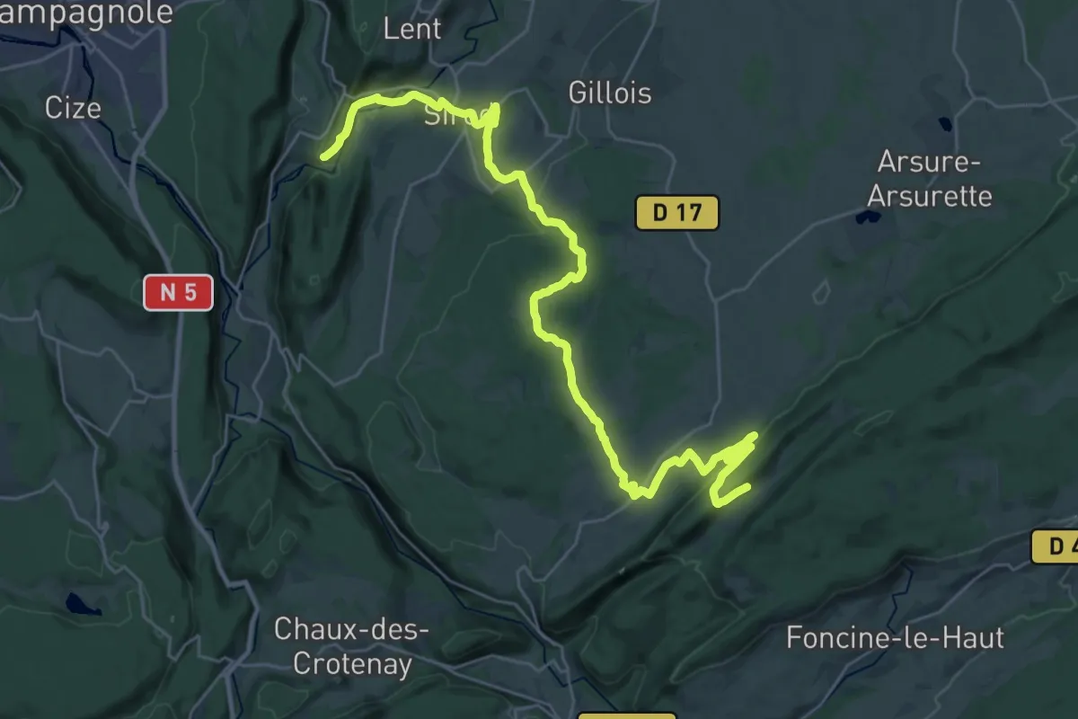
Medium · Trail
Bourg-de-Sirod - Entre Côtes du Milieu
17.2 km · ↑ 621 m · 5 h 25 min
Medium · Trail
Bous Club Vosgien
9.1 km · ↑ 138 m · 2 h 34 min
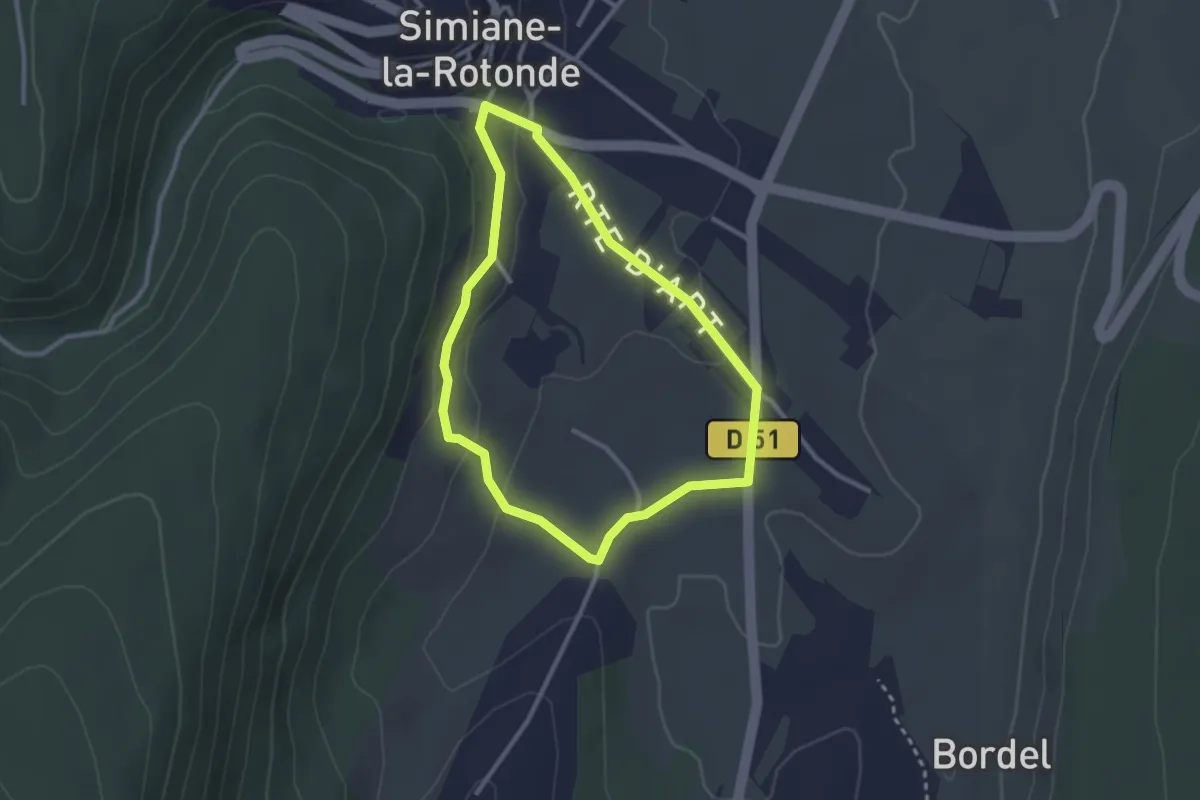
Easy · Trail
Bout des Vignes
2.6 km · ↑ 72 m · 49 min
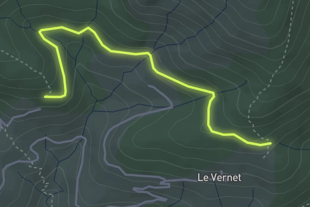
Easy · Trail
Bouteillac - La Draille du Vernet
3.7 km · ↑ 166 m · 1 h 14 min
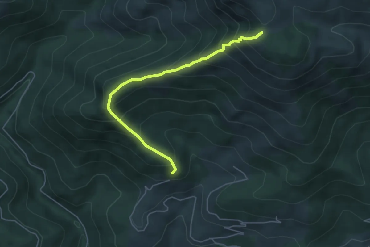
Demanding · Trail
Bouteillac - Le Pissas
4.5 km · ↑ 470 m · 2 h 5 min
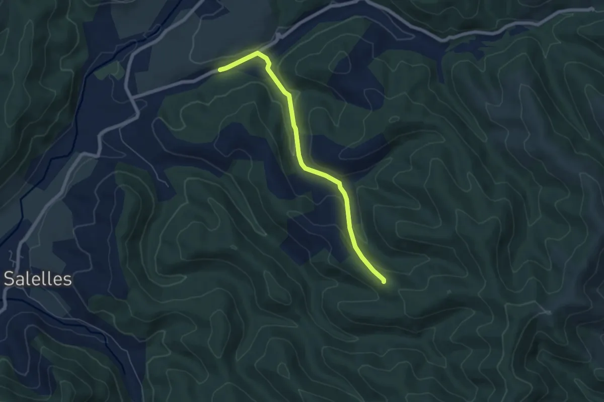
Easy · Trail
Boutène - L'Abri des Dames
5.8 km · ↑ 212 m · 1 h 49 min
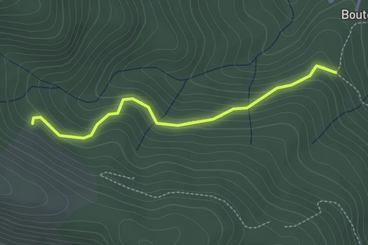
Easy · Trail
Bouteyre - Rabié
2.4 km · ↑ 152 m · 54 min
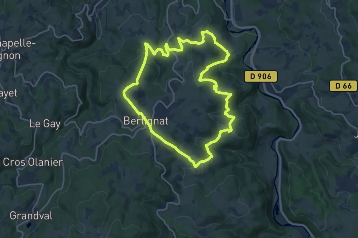
Medium · Trail
Boutonnargues
12.1 km · ↑ 386 m · 3 h 52 min
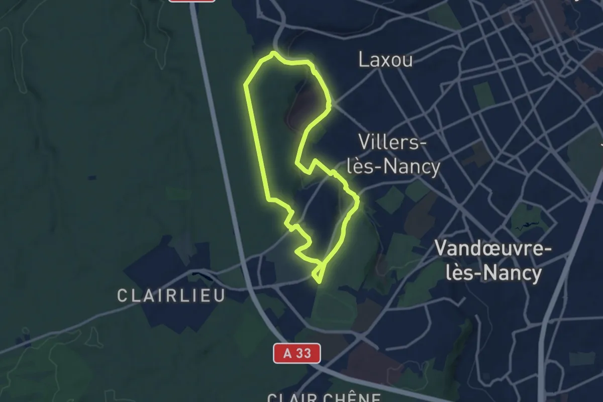
Medium · Trail
Brabois par les coteaux
9.0 km · ↑ 219 m · 2 h 44 min
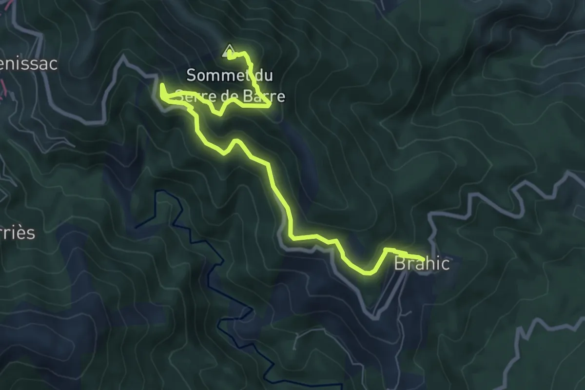
Expert · Summit
Brahic - Villefort
8.7 km · ↑ 652 m · 3 h 27 min
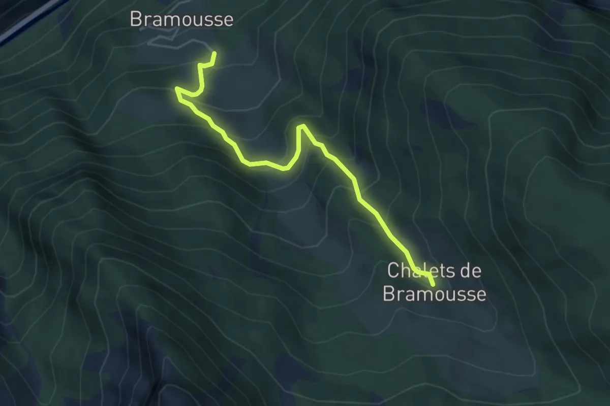
Medium · Cabin
Bramousse - Chalets de Bramousse
4.5 km · ↑ 470 m · 2 h 5 min
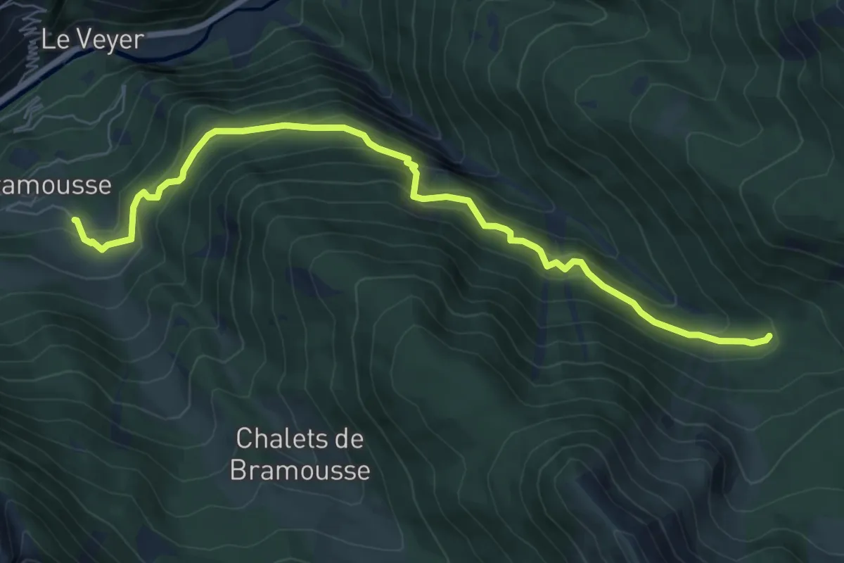
Medium · Cabin
Bramousse - Passerelle sur Riou Vert
8.2 km · ↑ 683 m · 3 h 26 min
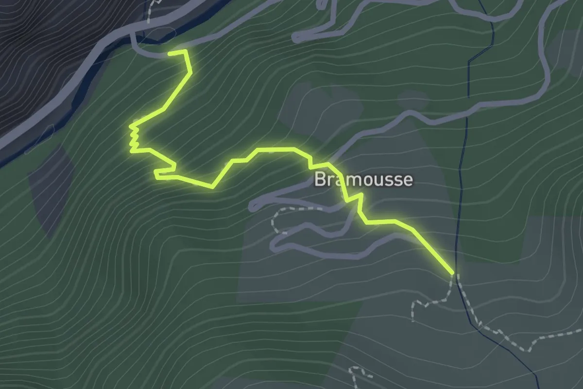
Medium · Cabin
Bramousse - Pont de Bramousse
2.2 km · ↑ 220 m · 59 min
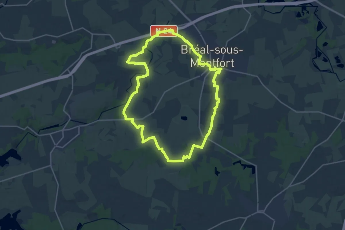
Medium · Trail
Bréal-sous-Montfort, la Chèze
14.7 km · ↑ 101 m · 3 h 53 min
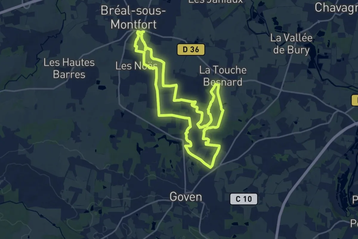
Medium · Trail
Bréal-sous-Montfort, la Hautière
15.7 km · ↑ 118 m · 4 h 11 min
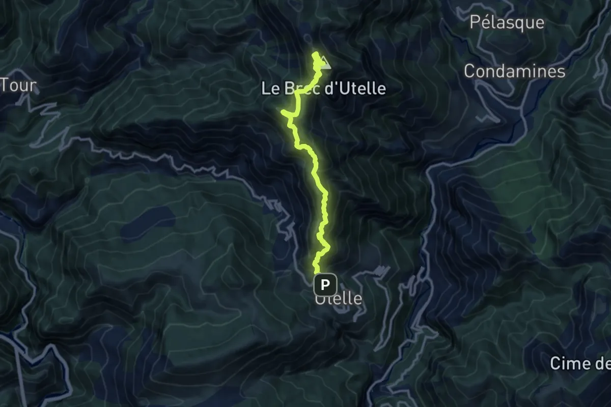
Demanding · Summit
Brec d'Utelle
5.4 km · ↑ 905 m · 2 h 58 min
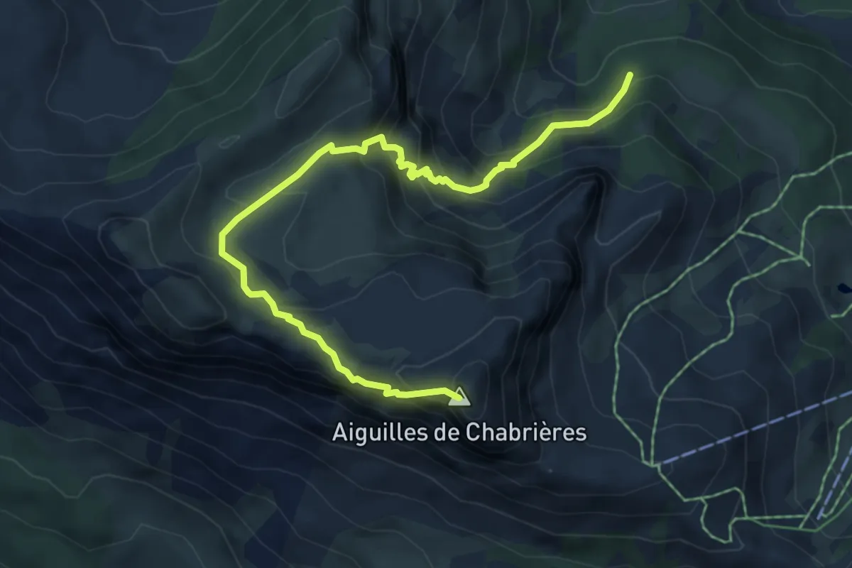
Demanding · Summit
Brèche de Chabrières - Pierre Rouge
6.6 km · ↑ 542 m · 2 h 44 min
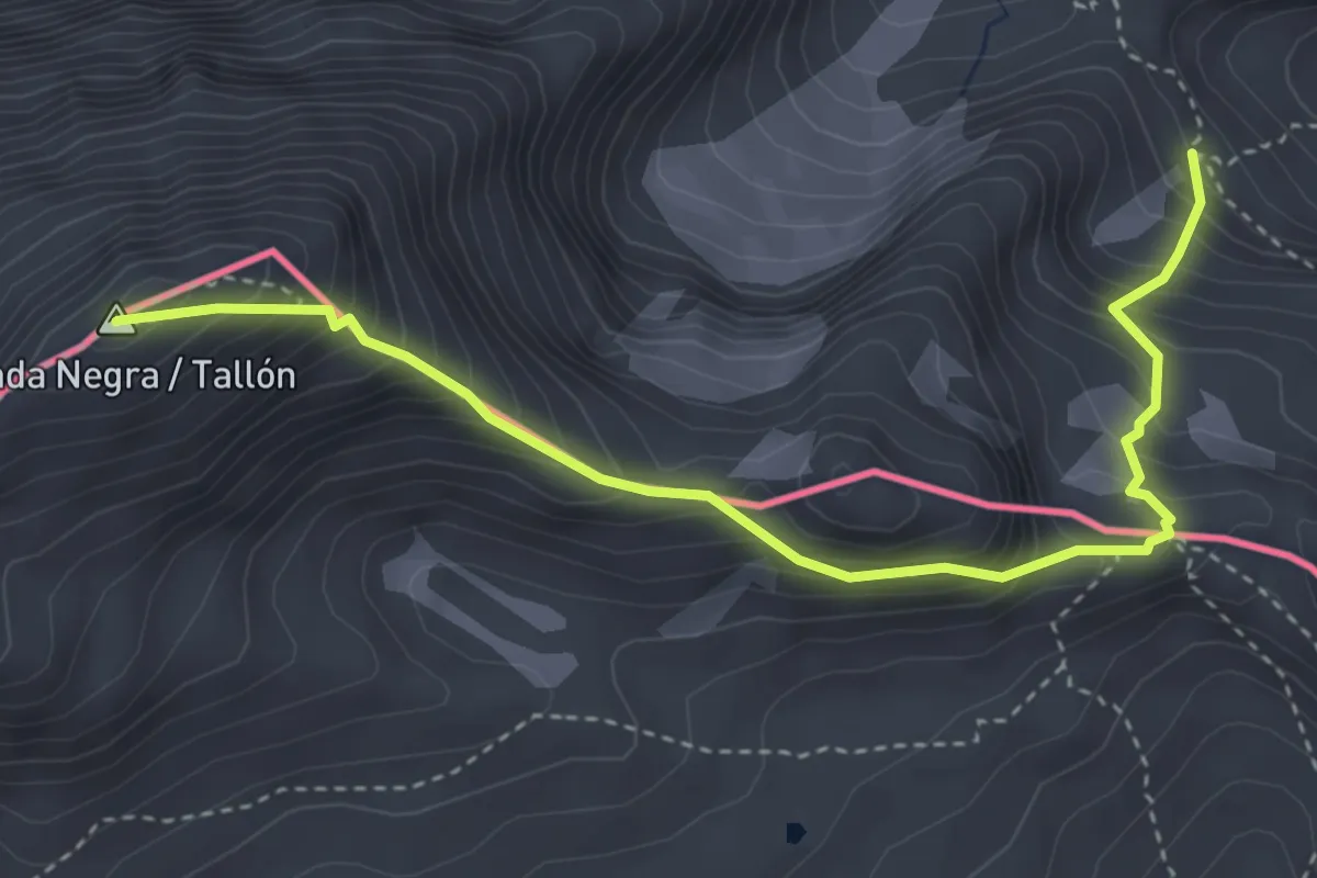
Expert · Summit
Brèche de Roland et Taillon
4.4 km · ↑ 588 m · 2 h 19 min
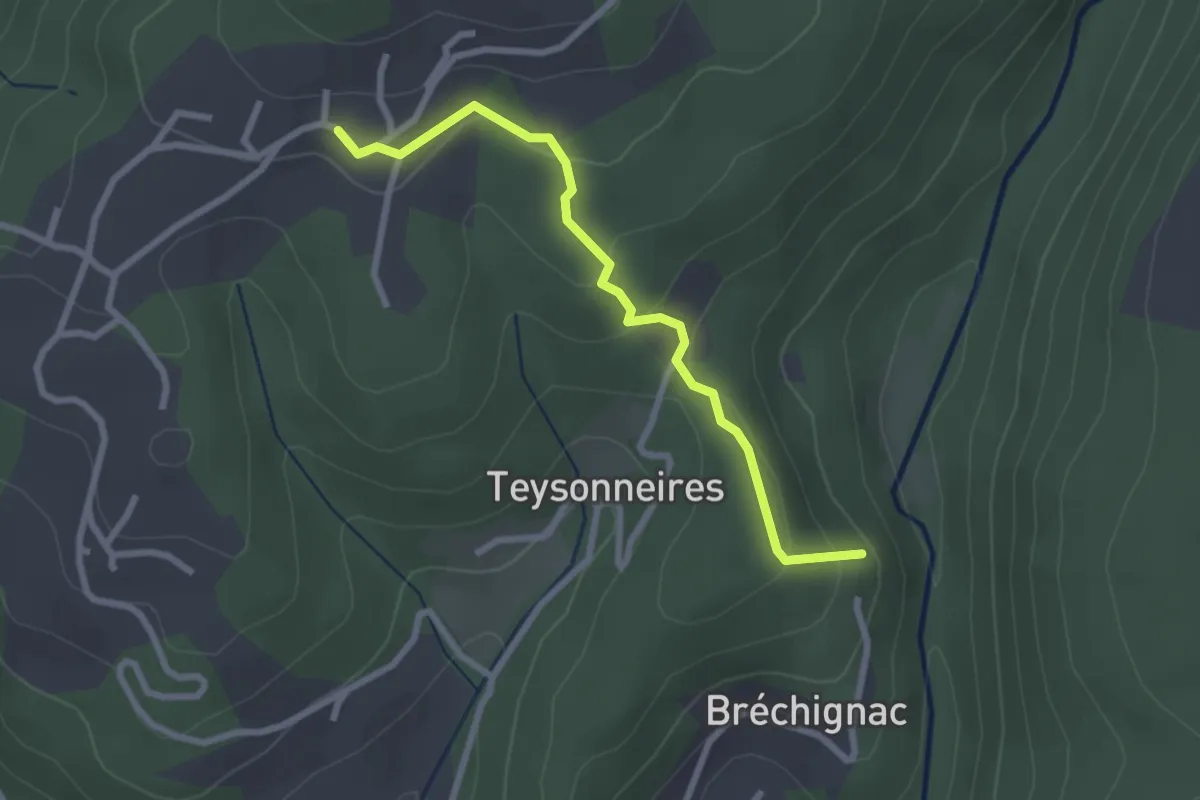
Easy · Trail
Bréchignac - Les Combes
2.7 km · ↑ 124 m · 54 min
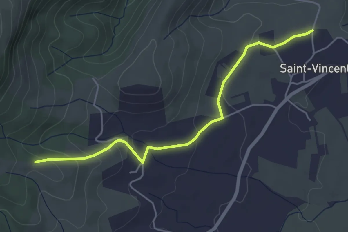
Easy · Trail
Bréchon - Gerles
4.7 km · ↑ 130 m · 1 h 23 min
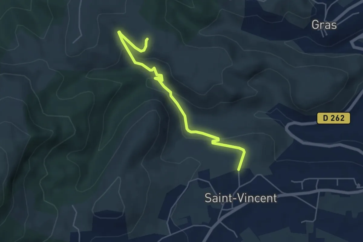
Easy · Trail
Bréchon - Serrelia
4.7 km · ↑ 195 m · 1 h 32 min
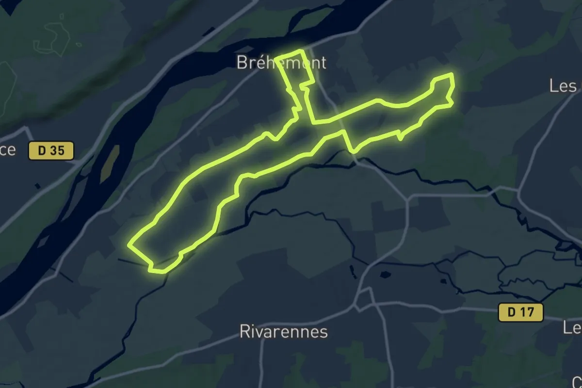
Medium · Trail
Bréhémont - Entre Indre et Loire
12.2 km · ↑ 0 m · 3 h 3 min
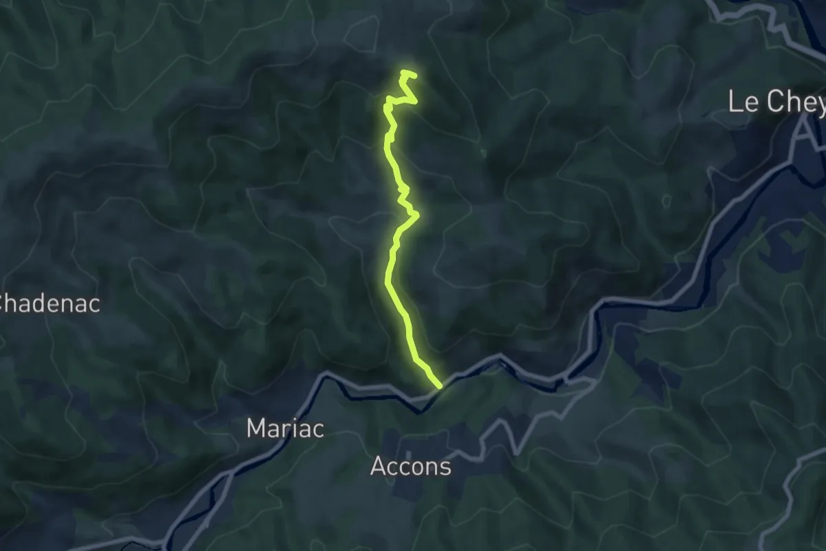
Medium · Summit
Brion - Mandé
6.1 km · ↑ 349 m · 2 h 12 min
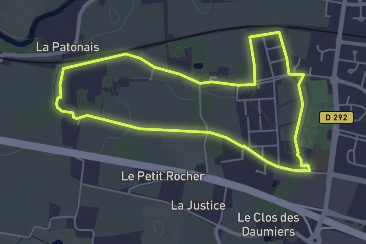
Easy · Trail
Brocéliande
4.0 km · ↑ 35 m · 1 h 5 min
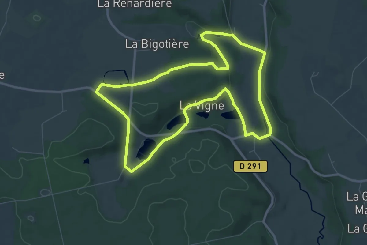
Easy · Trail
Brochard - Le Val Dieu
7.2 km · ↑ 157 m · 2 h 9 min
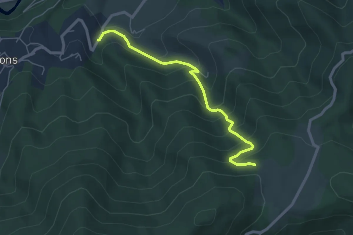
Medium · Trail
Brolles - Chapon
4.7 km · ↑ 437 m · 2 h 3 min
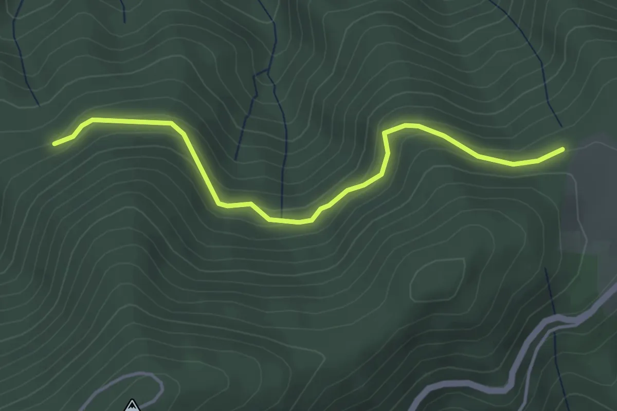
Easy · Trail
Brolles - Ranc Bardon
4.1 km · ↑ 201 m · 1 h 24 min
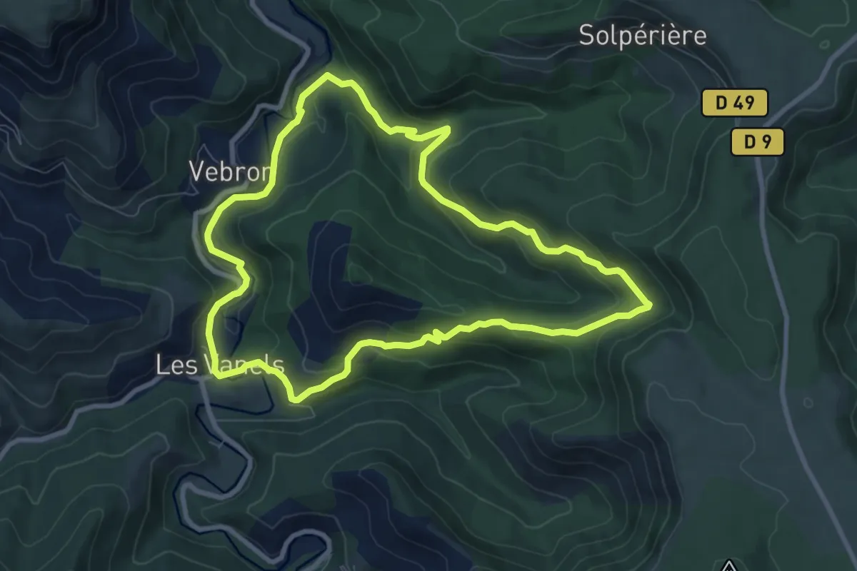
Medium · Trail
Broussous
8.3 km · ↑ 306 m · 2 h 44 min
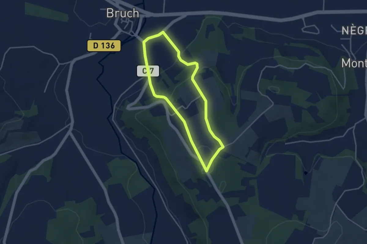
Easy · Trail
Bruch, points de vue sur la vallée de la Garonne - 4.1 km
3.0 km · ↑ 107 m · 59 min
Easy · Trail
Bruyères
4.6 km · ↑ 161 m · 1 h 26 min
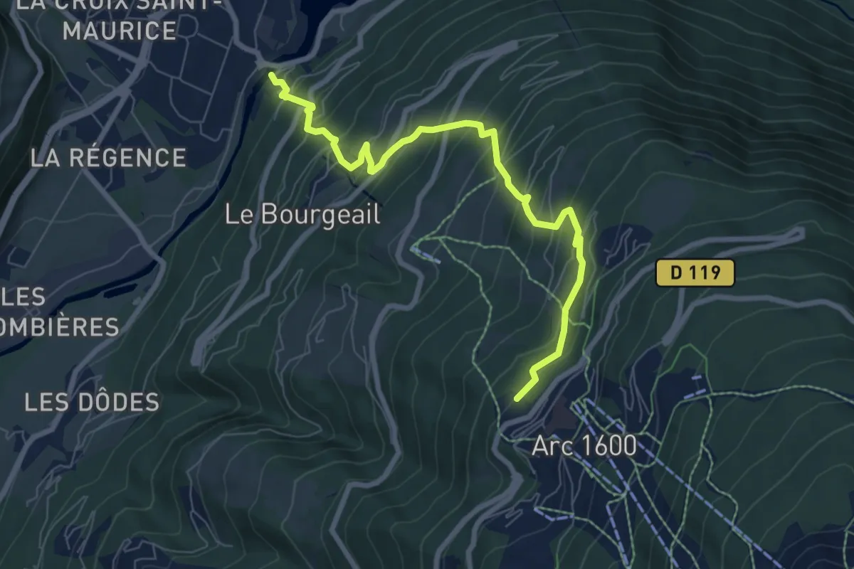
Medium · Trail
BSM <> Arc 1600 par Courbaton
7.8 km · ↑ 748 m · 3 h 27 min
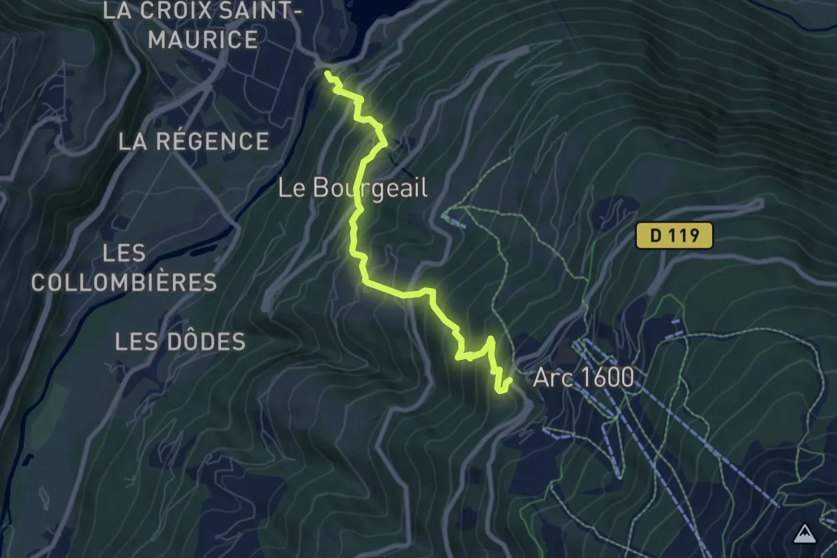
Medium · Trail
BSM <> Arc 1600 par Plan Devin
7.1 km · ↑ 756 m · 3 h 18 min
Easy · Trail
Buchholz
4.2 km · ↑ 83 m · 1 h 10 min
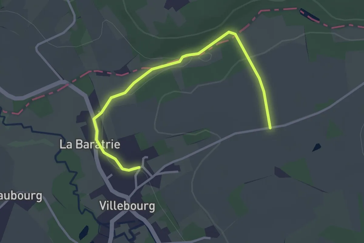
Easy · Trail
Bueil-en-Touraine - Autour de la Vallée du Long - Circuit 3
1.5 km · ↑ 39 m · 27 min
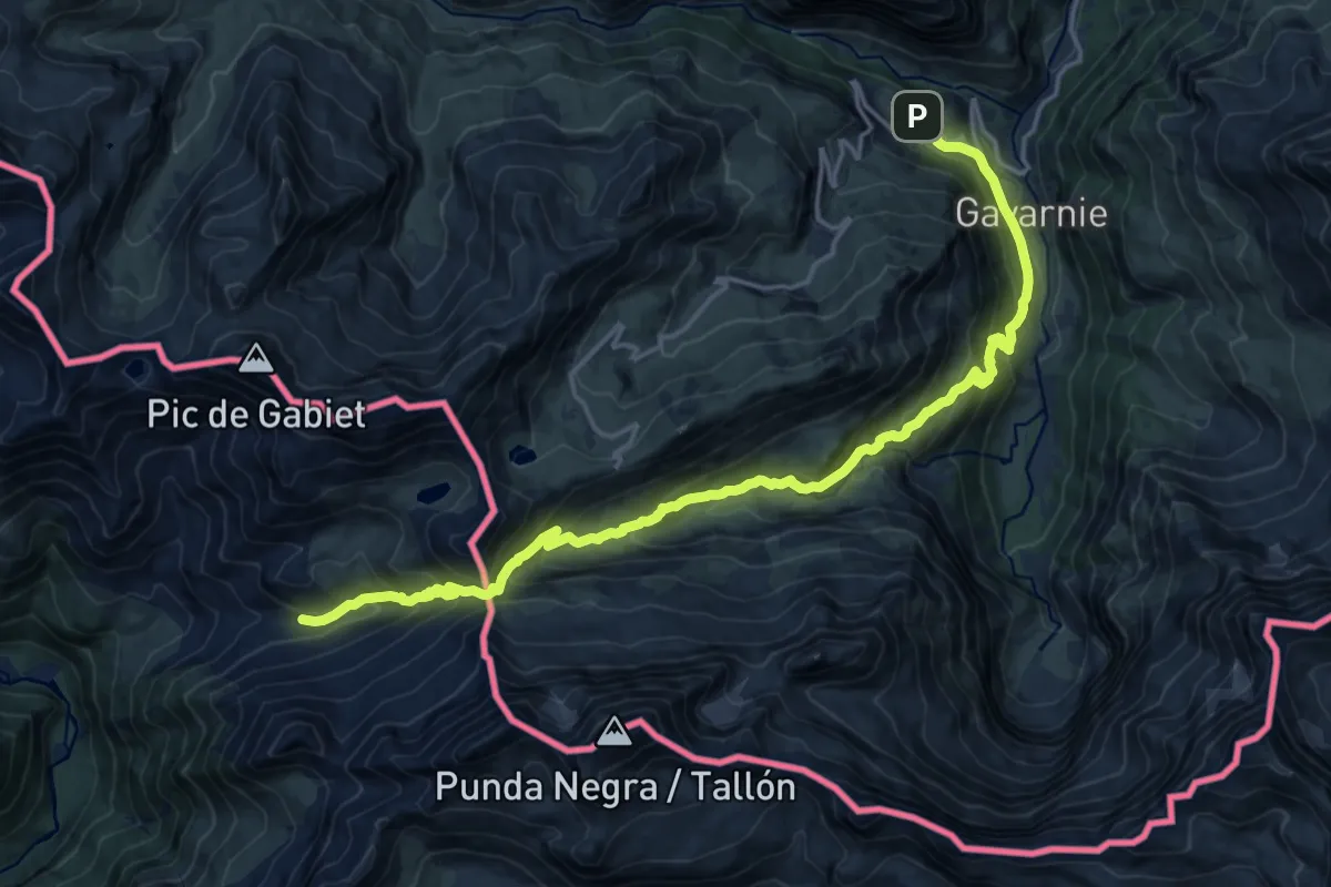
Demanding · Trail
Bujaruelo - Gavarnie
10.6 km · ↑ 949 m · 4 h 27 min
Demanding · Trail
Bully-Les-Mines - Terril 81A
29.8 km · ↑ 100 m · 7 h 40 min
Easy · Trail
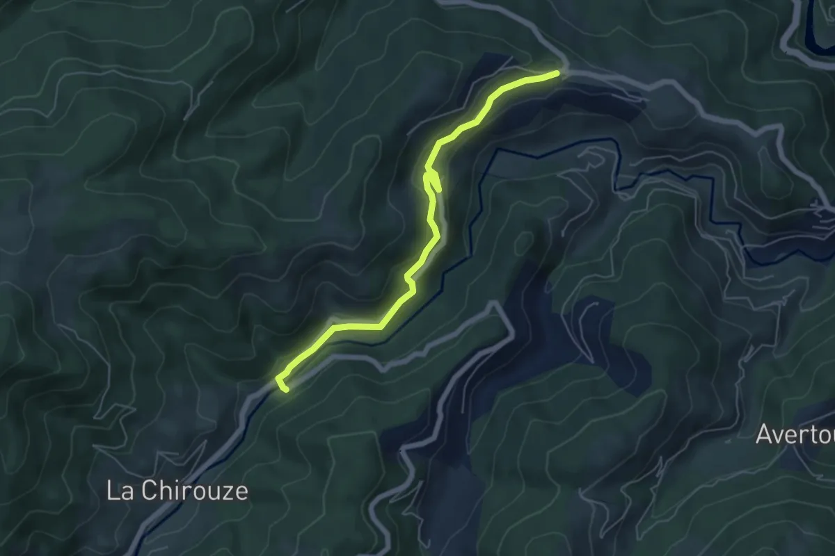
Burianne - La Fauritte
5.6 km · ↑ 181 m · 1 h 43 min
Medium · Trail
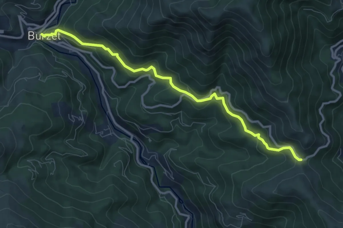
Burzet - Col de Moucheyres
8.9 km · ↑ 483 m · 3 h 9 min
Easy · Trail
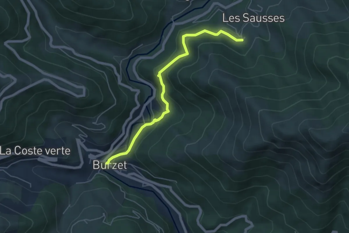
Burzet - Les Sausses
5.0 km · ↑ 282 m · 1 h 47 min
Medium · Trail
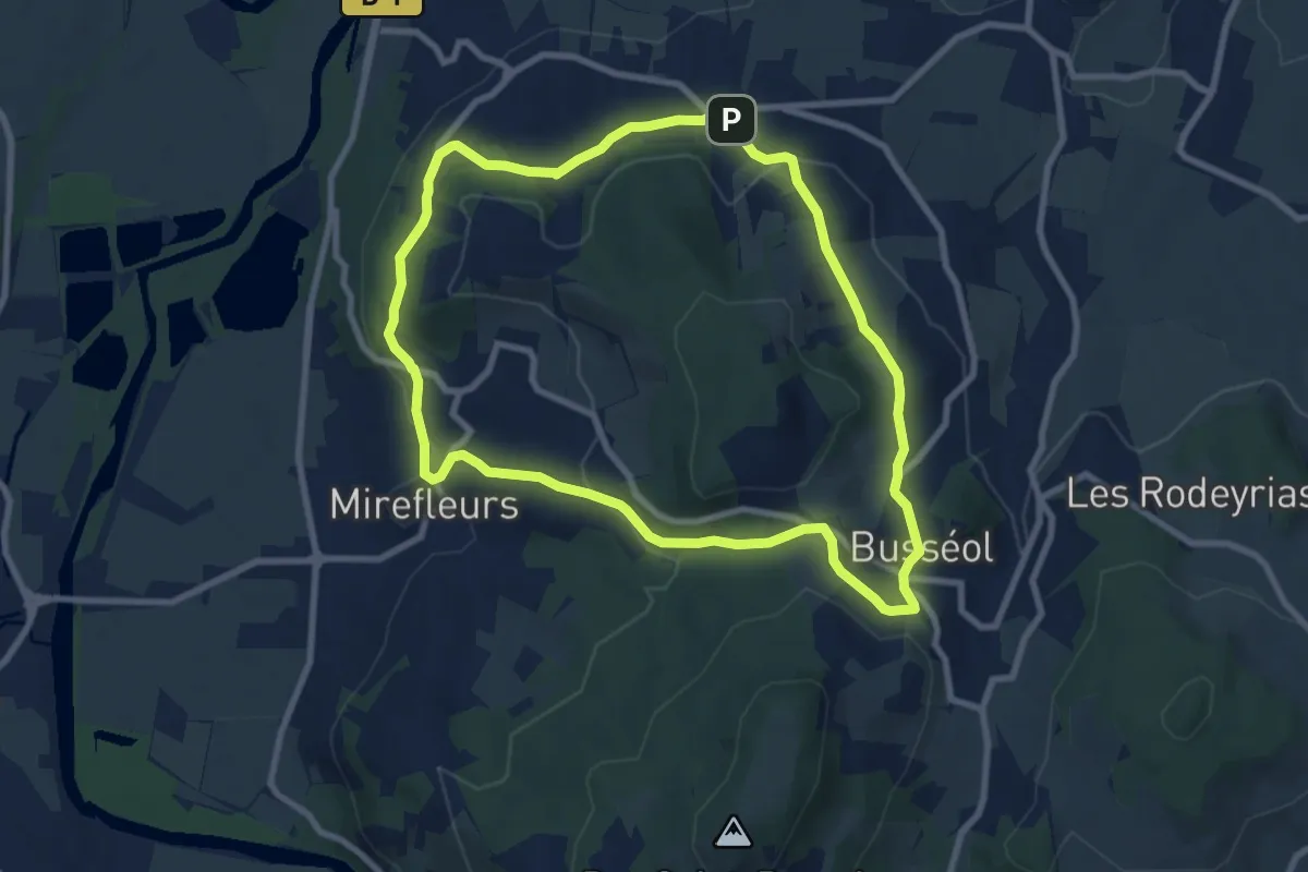
Busseol
8.7 km · ↑ 280 m · 2 h 47 min
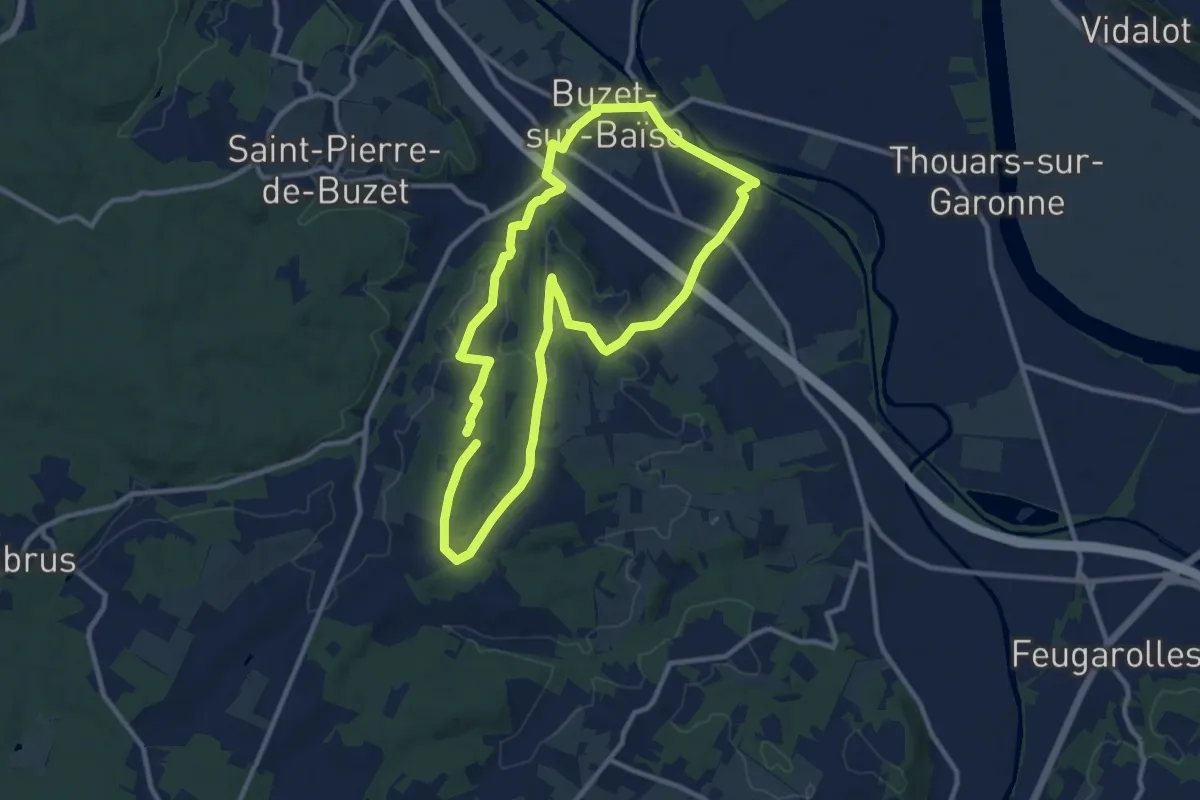
Medium · Trail
Buzet-sur-Baïse, randonnée autour du Château - 11.1 km
11.1 km · ↑ 139 m · 3 h 5 min
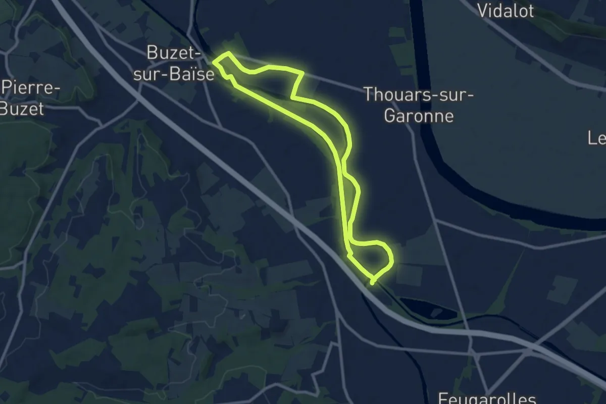
Medium · Trail
Buzet, un pont-canal sur la Baïse - 8.5 km
8.3 km · ↑ 8 m · 2 h 6 min
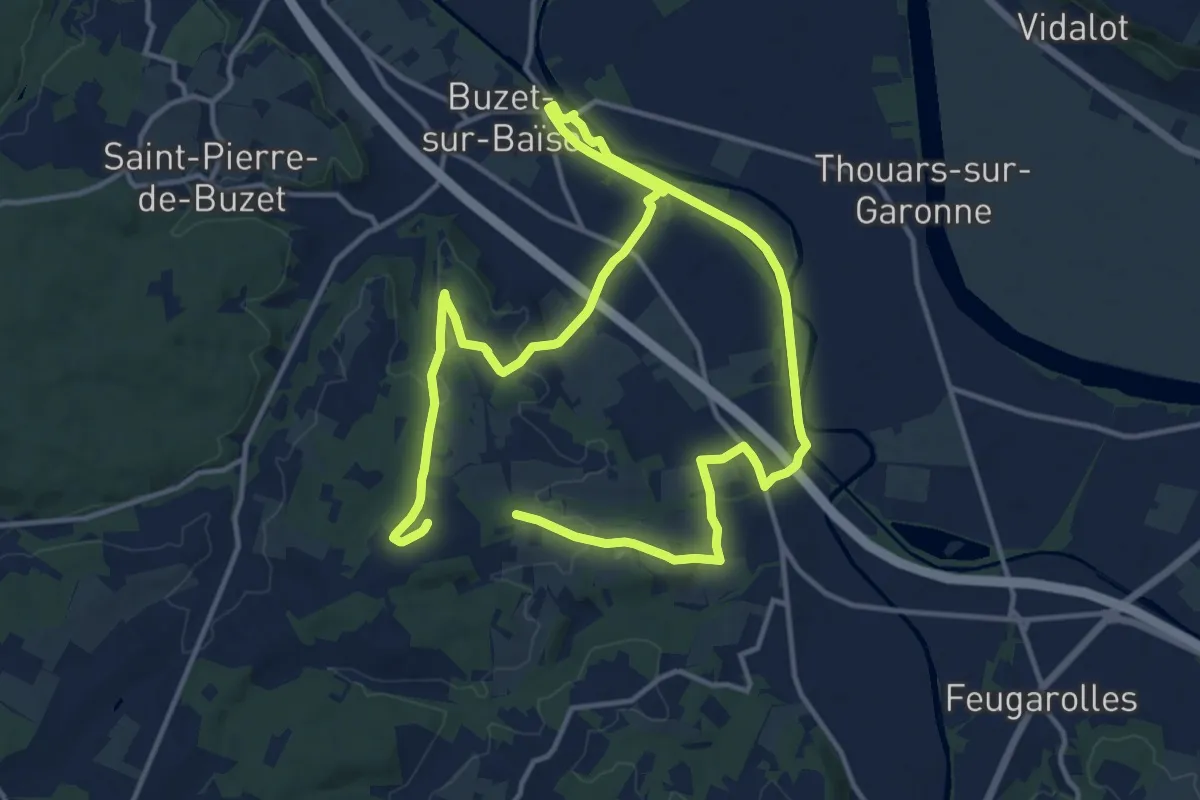
Medium · Trail
Buzet, un port entre Canal et Baïse - 13.1 km
12.4 km · ↑ 109 m · 3 h 20 min
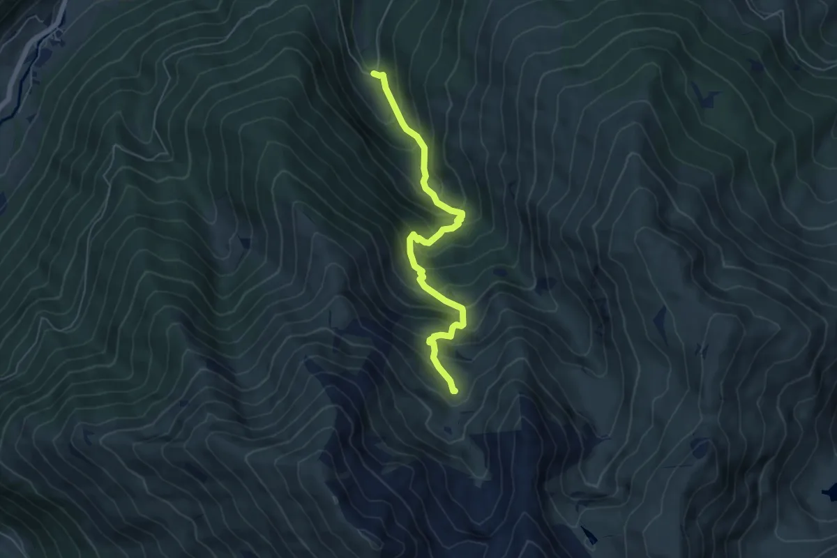
Medium · Trail
Cabane de Conques
5.9 km · ↑ 624 m · 2 h 44 min