Trails in France
15,906 hiking trails, each with its route, climb, walking time and grade.
All trails, page 33 of 332
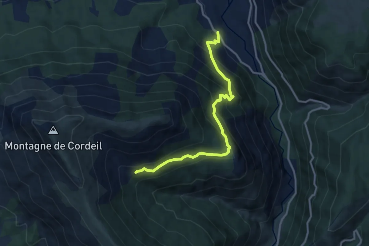
Medium · Trail
Cabane de Cordoeil
4.2 km · ↑ 620 m · 2 h 6 min
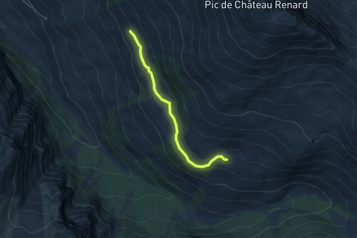
Easy · Trail
Cabane de Fontaine du Renard - Cabane de Labounnais
4.6 km · ↑ 133 m · 1 h 23 min
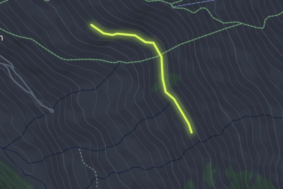
Easy · Trail
Cabane de Fontaine du Renard - Grand Canal
2.4 km · ↑ 64 m · 42 min
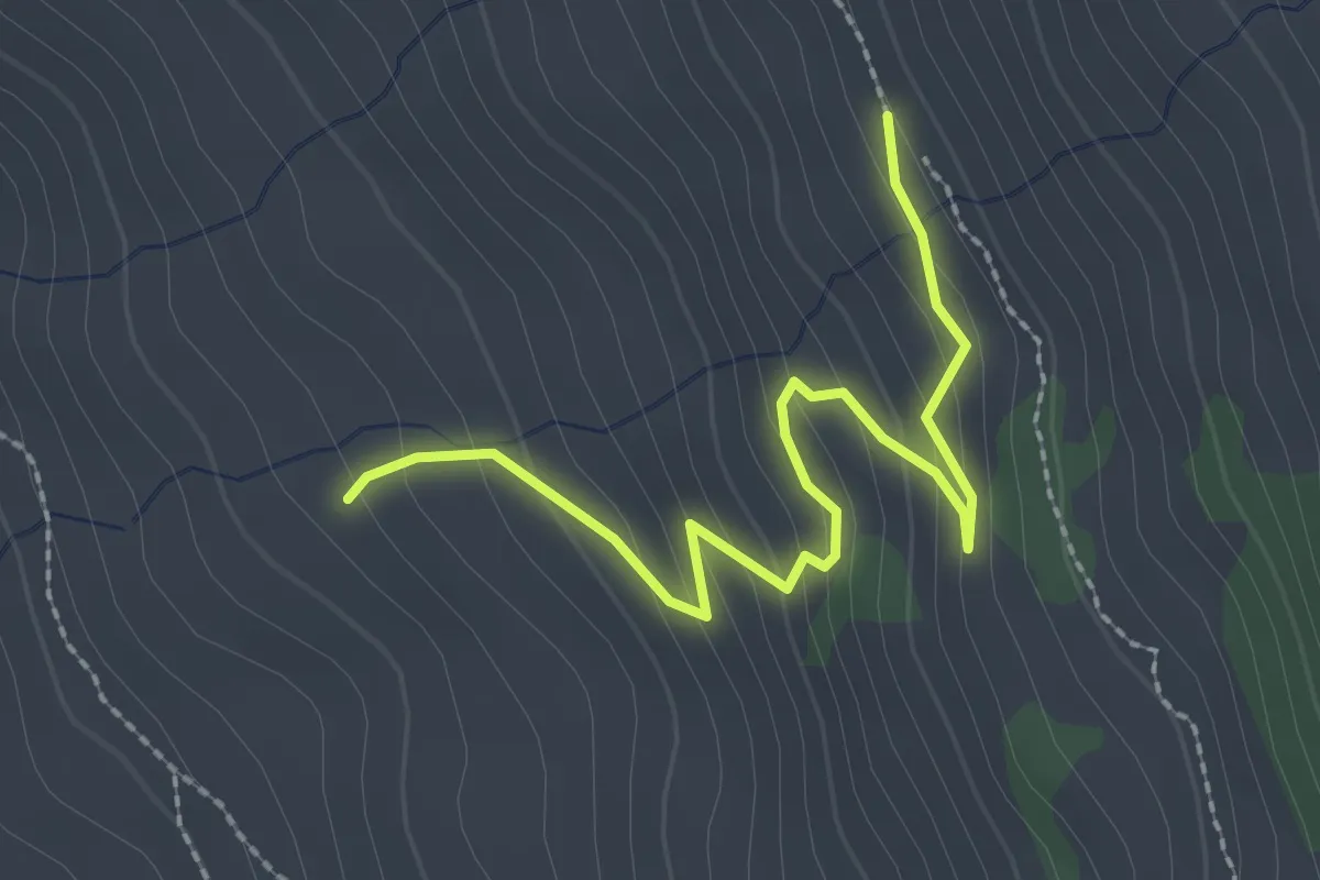
Easy · Trail
Cabane de Fontaine du Renard - Sagnières
2.7 km · ↑ 189 m · 1 h 2 min
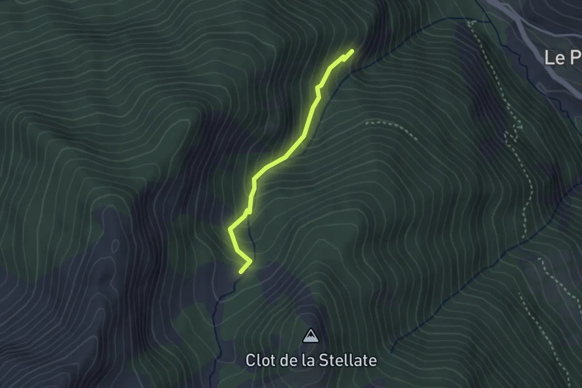
Easy · Trail
Cabane de Fontouse - Route du Devez L'Adroit
2.5 km · ↑ 273 m · 1 h 11 min
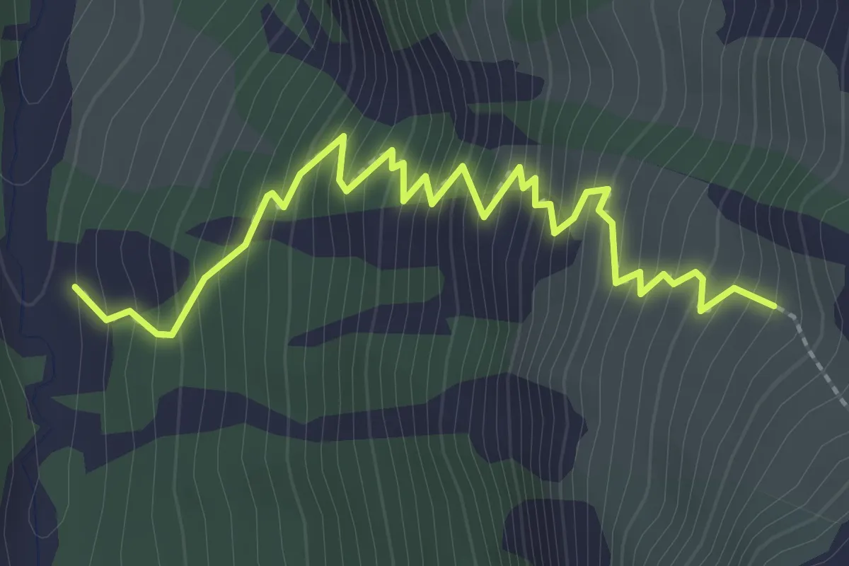
Medium · Trail
Cabane de Girabeau - ?
3.0 km · ↑ 364 m · 1 h 30 min
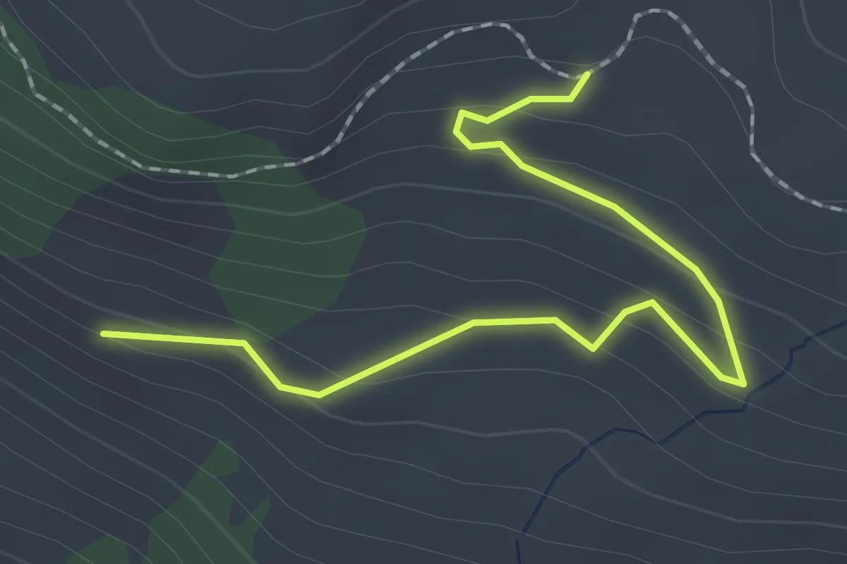
Easy · Trail
Cabane de Labounnais - Départ Piste Observatoire
2.1 km · ↑ 92 m · 42 min
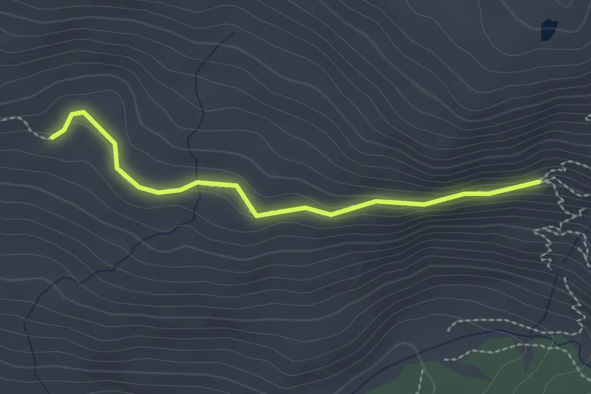
Medium · Trail
Cabane de Labounnais - Grand Canal Mine de Cuivre
2.3 km · ↑ 83 m · 44 min
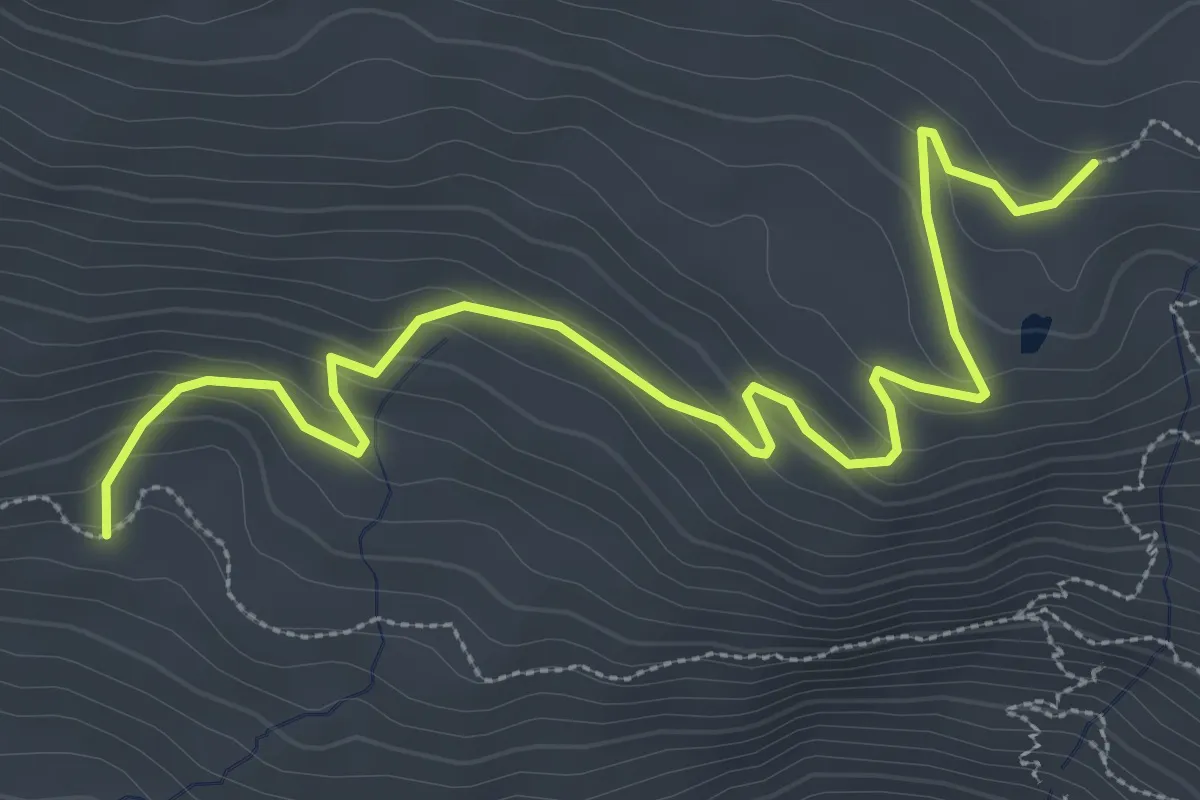
Easy · Trail
Cabane de Labounnais - Pinilière
4.3 km · ↑ 221 m · 1 h 30 min
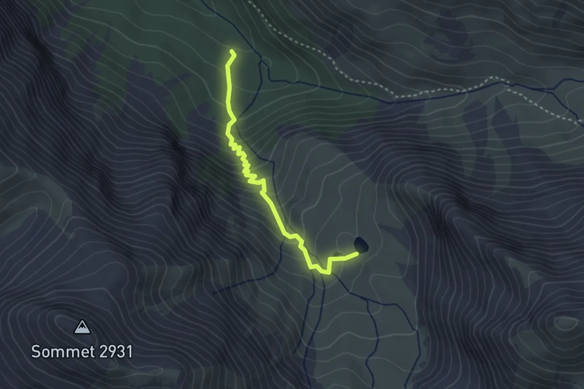
Easy · Trail
Cabane de la Lavine - Lac de Clausis
3.0 km · ↑ 286 m · 1 h 20 min
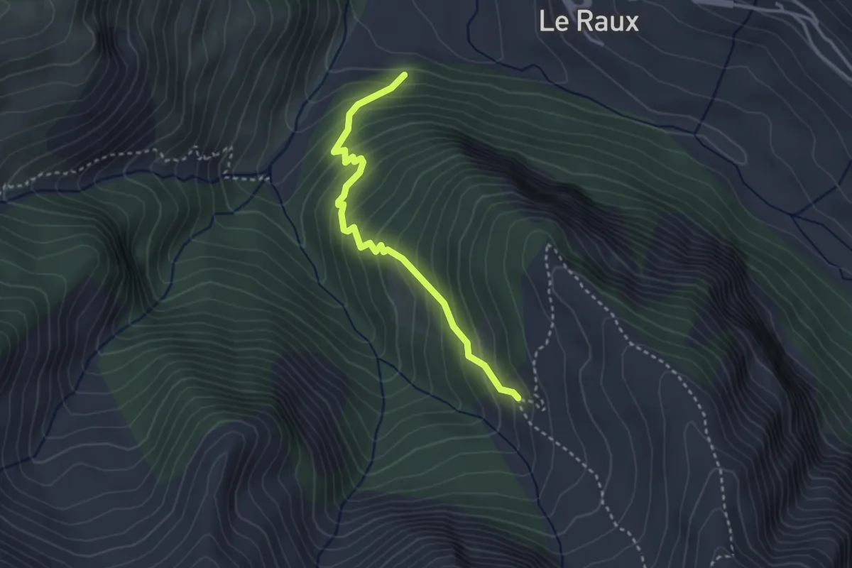
Medium · Trail
Cabane de Lamaron - Le Bosquet
3.1 km · ↑ 323 m · 1 h 26 min
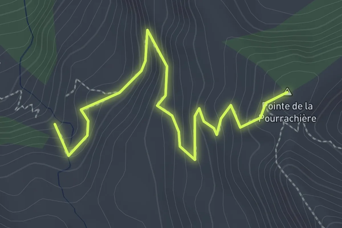
Easy · Summit
Cabane de la Selle - Col de la Pourrachière
3.1 km · ↑ 236 m · 1 h 15 min
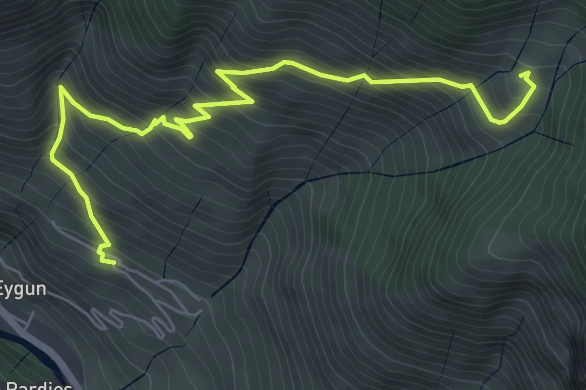
Medium · Trail
Cabane de Lhèze
7.1 km · ↑ 674 m · 3 h 8 min
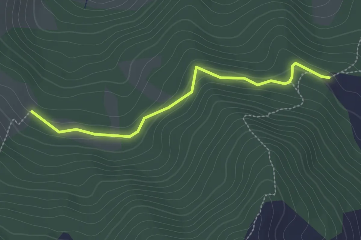
Easy · Trail
Cabane de Razis - Combe Chauvet
2.7 km · ↑ 87 m · 49 min
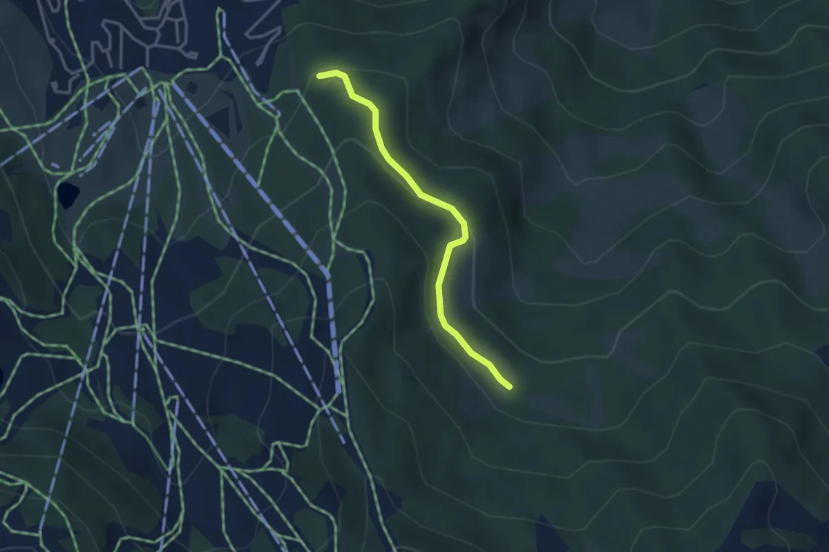
Easy · Trail
Cabane de Razis - Le Mélezet
3.0 km · ↑ 101 m · 56 min
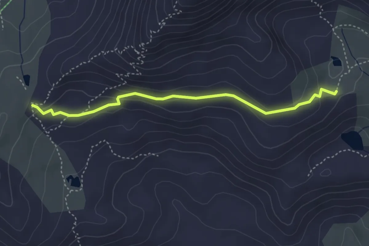
Easy · Trail
Cabane des Douaniers - ?
3.8 km · ↑ 120 m · 1 h 10 min
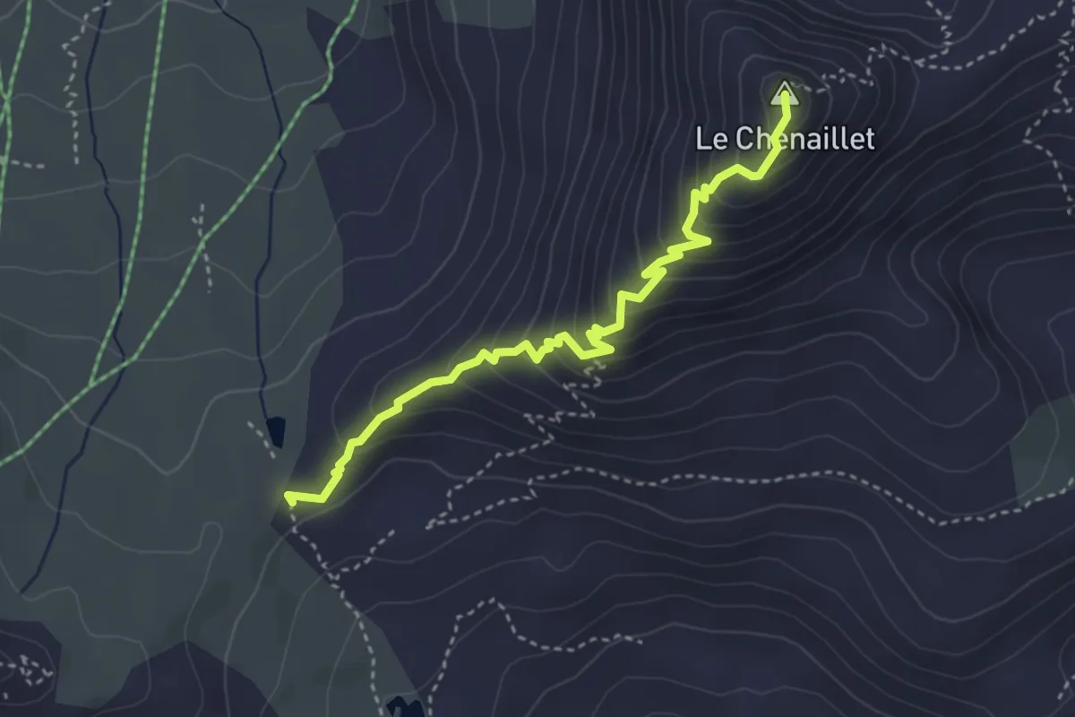
Medium · Summit
Cabane des Douaniers - Le Chenaillet
3.9 km · ↑ 313 m · 1 h 35 min
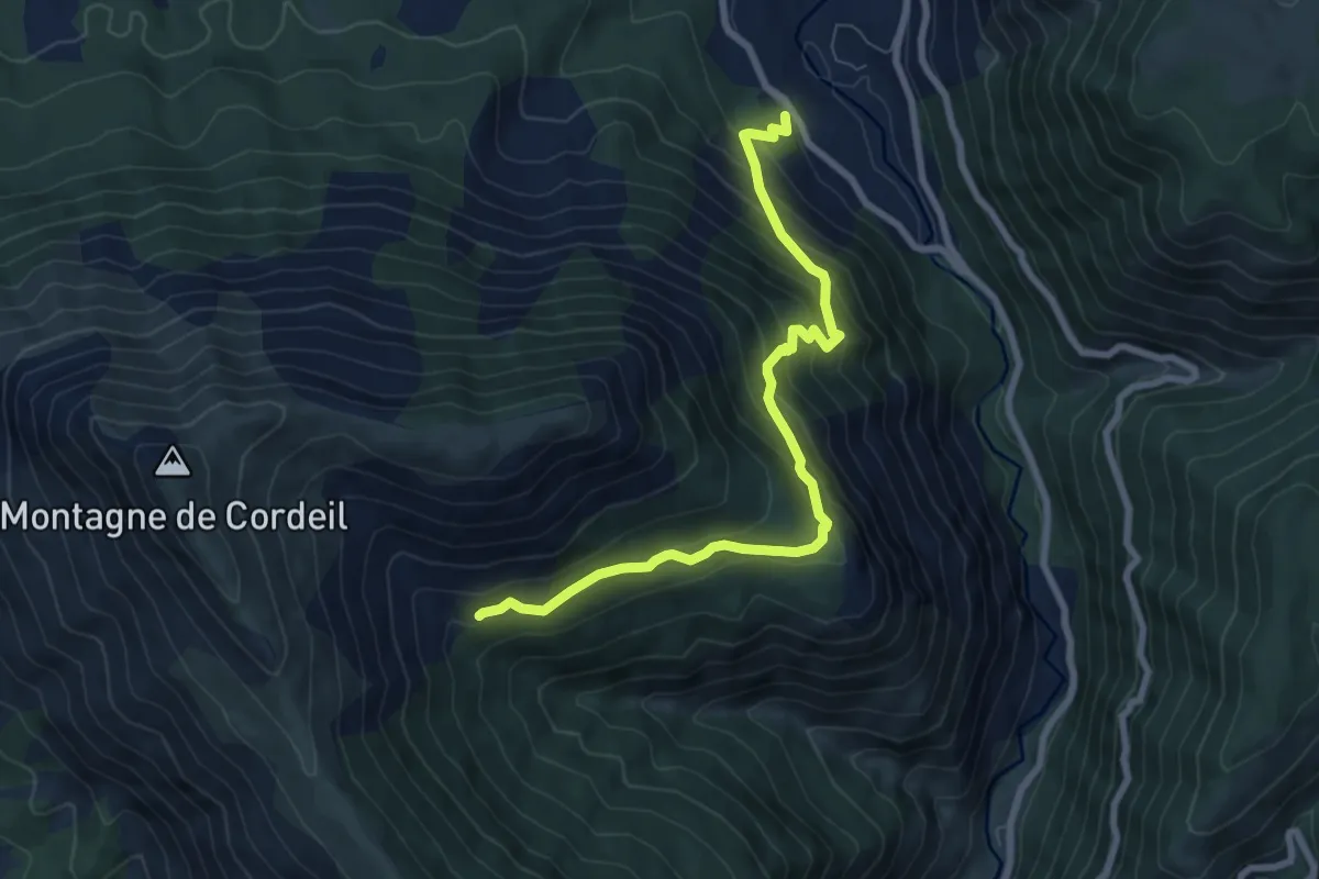
Medium · Trail
Cabane des Mulets - Tour de Tourtourel
4.1 km · ↑ 616 m · 2 h 4 min
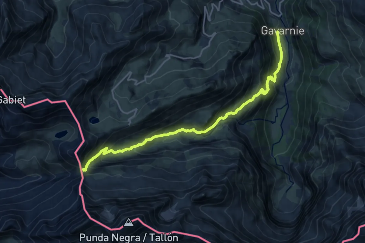
Demanding · Trail
Cabane des Soldats
14.6 km · ↑ 1012 m · 5 h 38 min
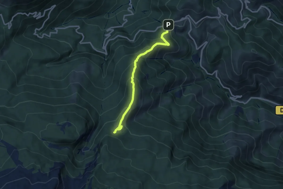
Medium · Cabin
Cabane d'Ichéus asp43
8.2 km · ↑ 567 m · 3 h 10 min
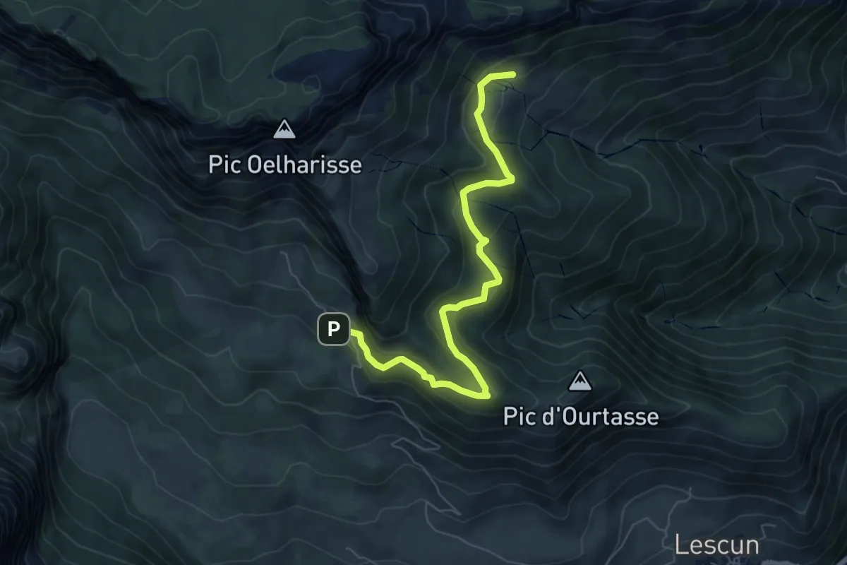
Medium · Trail
Cabane du Boué asp48
7.4 km · ↑ 414 m · 2 h 39 min
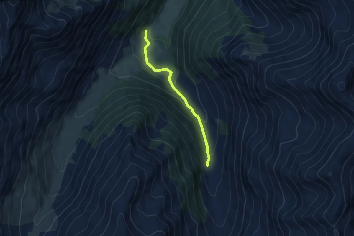
Easy · Trail
Cabane du Grand Vallon - ?
3.9 km · ↑ 171 m · 1 h 18 min
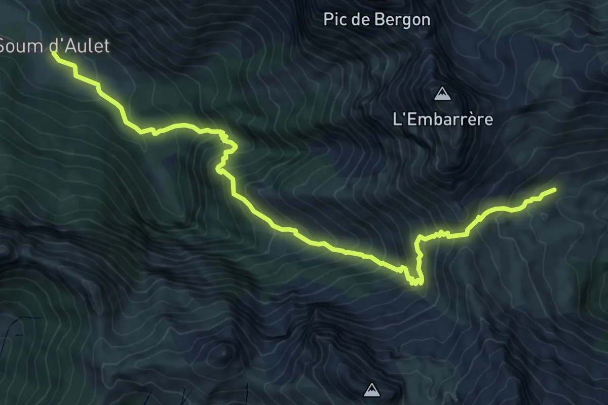
Demanding · Trail
Cabane Laiterine par le Col d'Iseye asp32
12.2 km · ↑ 1273 m · 5 h 39 min
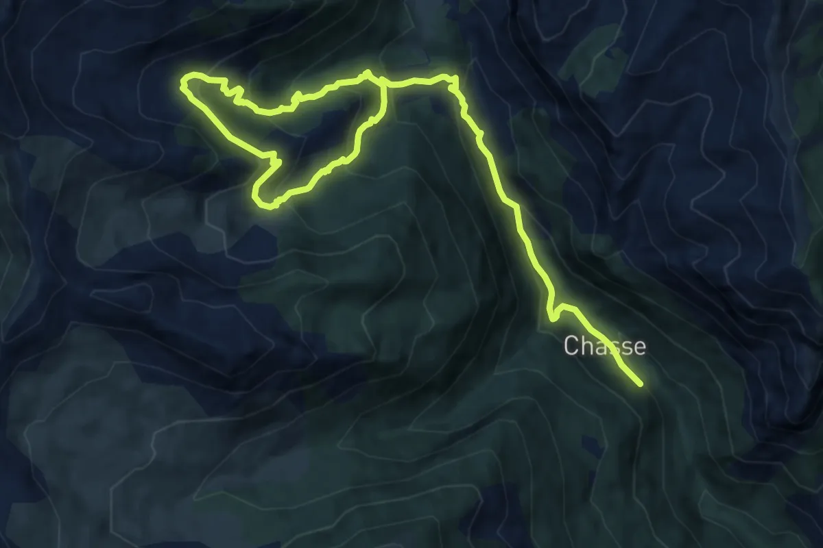
Medium · Trail
Cabanes de Chabaud-Joyeux
8.1 km · ↑ 686 m · 3 h 22 min
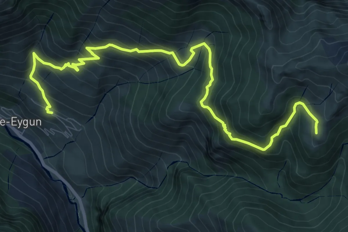
Demanding · Trail
Cabanes de Narbèze
12.9 km · ↑ 1089 m · 5 h 24 min
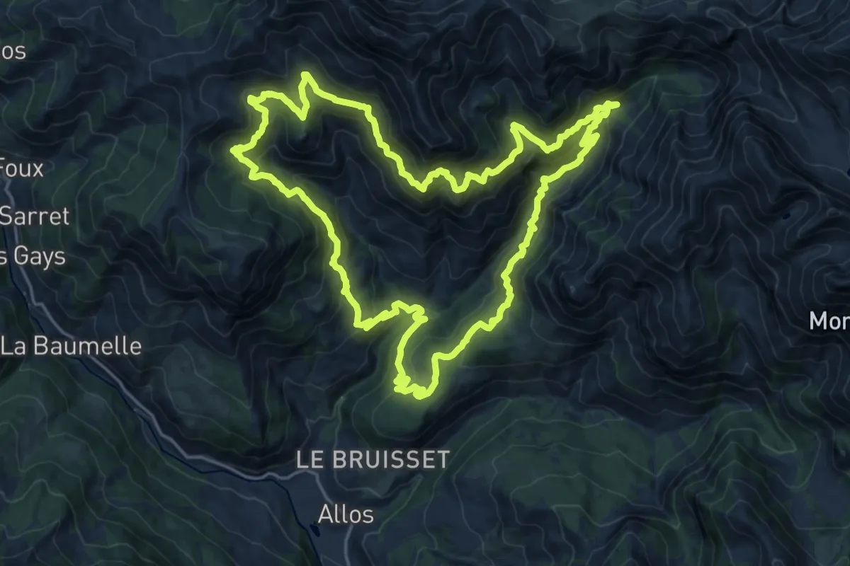
Demanding · Trail
Cabanes de Talon - Preinier
19.9 km · ↑ 1393 m · 7 h 59 min
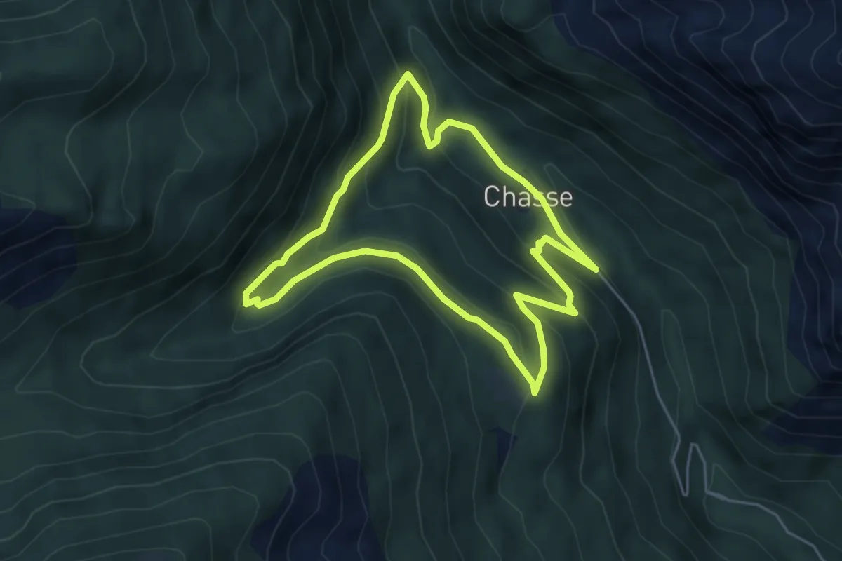
Easy · Trail
Cabanes du Puy
4.8 km · ↑ 288 m · 1 h 50 min
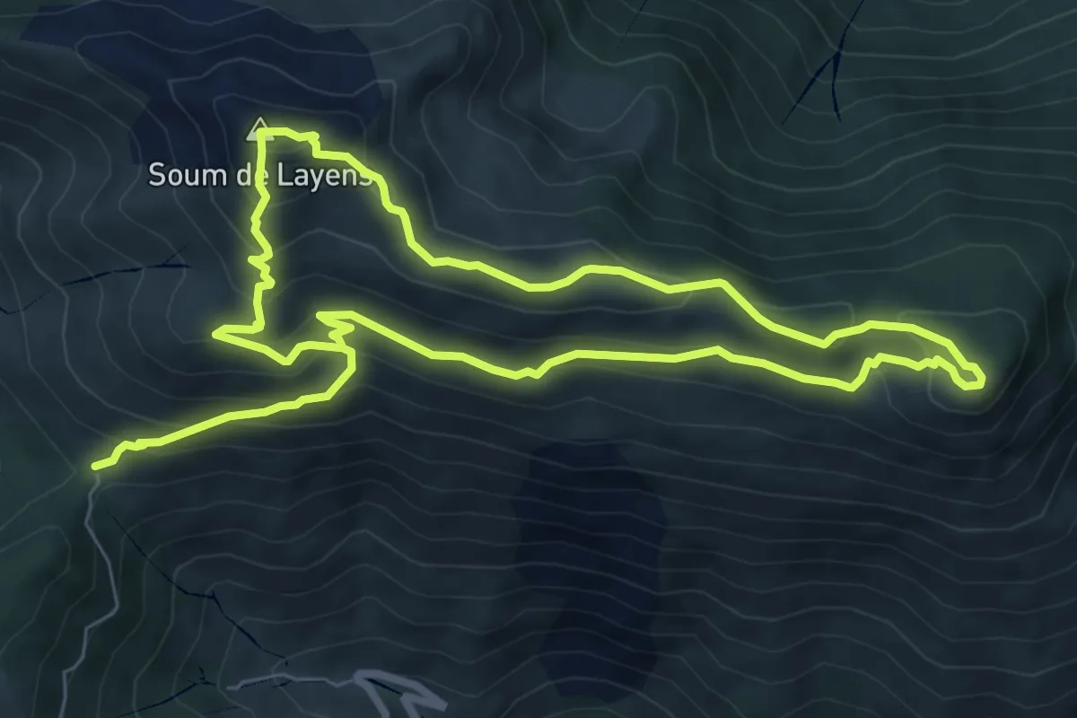
Medium · Summit
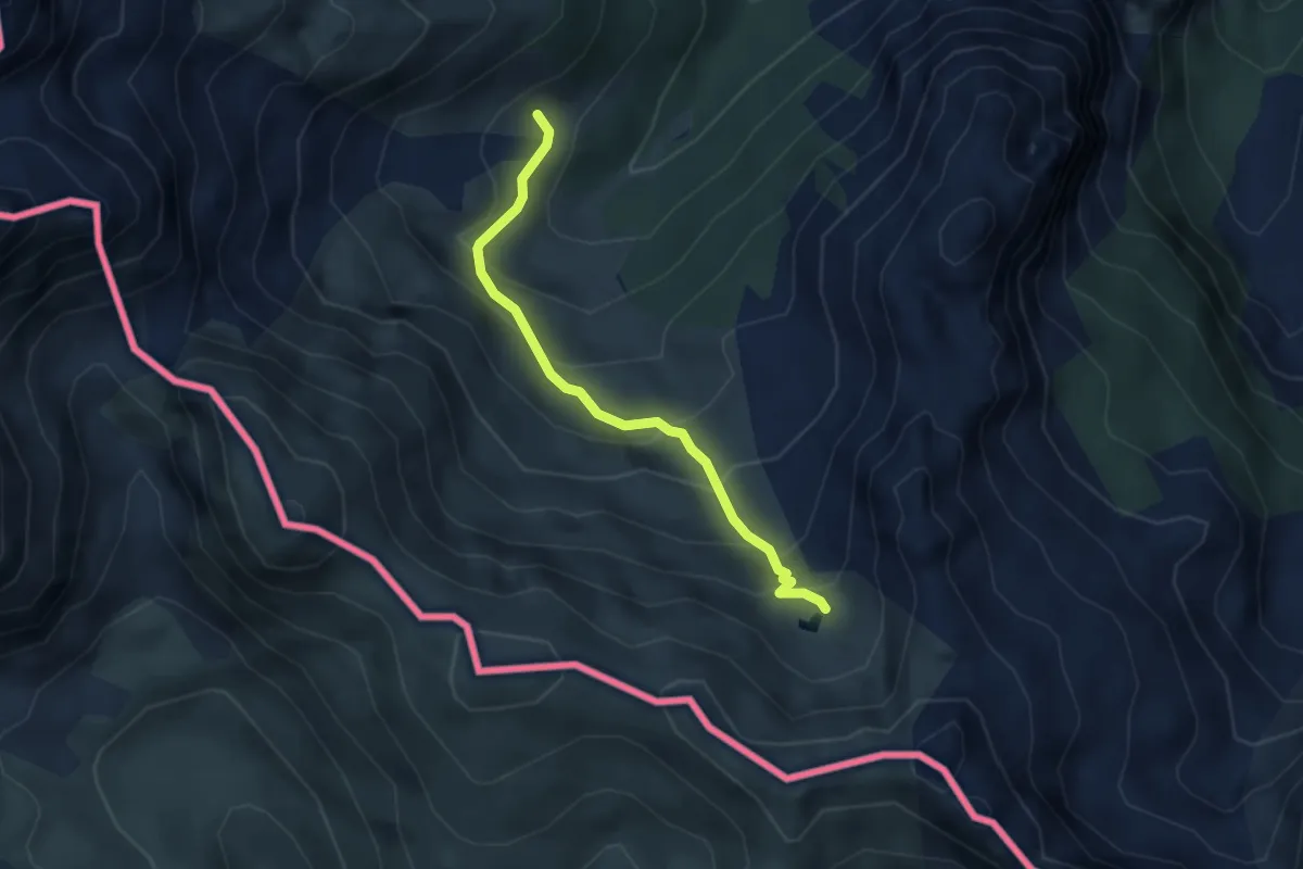
Cabanes et Crêtes du Layens asp38
7.6 km · ↑ 584 m · 3 h 4 min
Medium · Trail
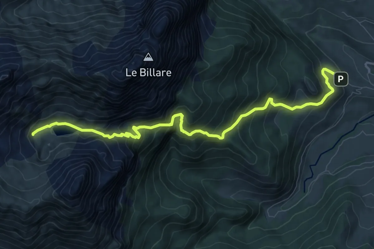
Cabanes et Lac d'Ansabe asp52
3.4 km · ↑ 303 m · 1 h 28 min
Demanding · Trail
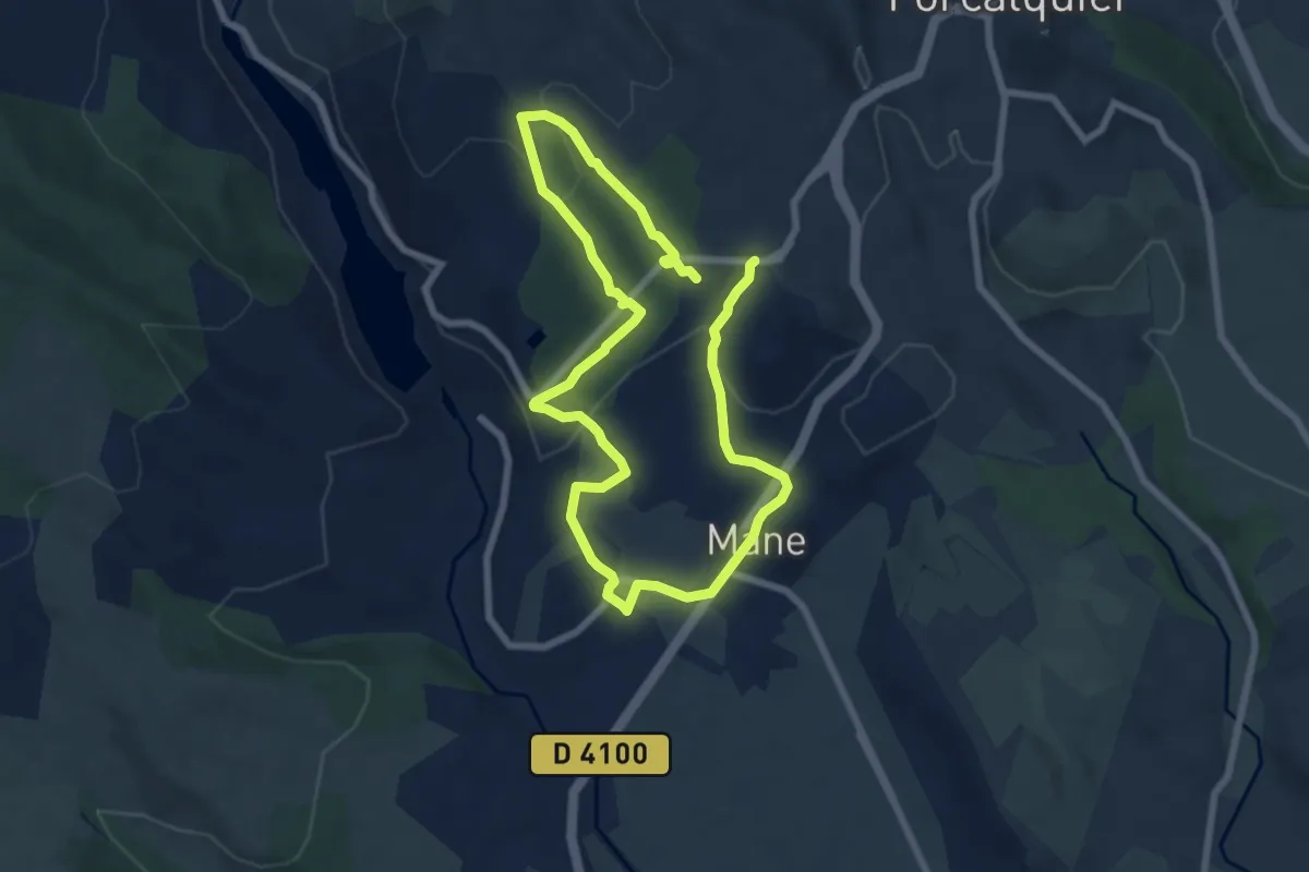
Cabanes et Lac de Lhurs asp51
11.3 km · ↑ 861 m · 4 h 32 min
Easy · Trail
Cabanons pointus
6.4 km · ↑ 188 m · 2 h
Medium · Summit
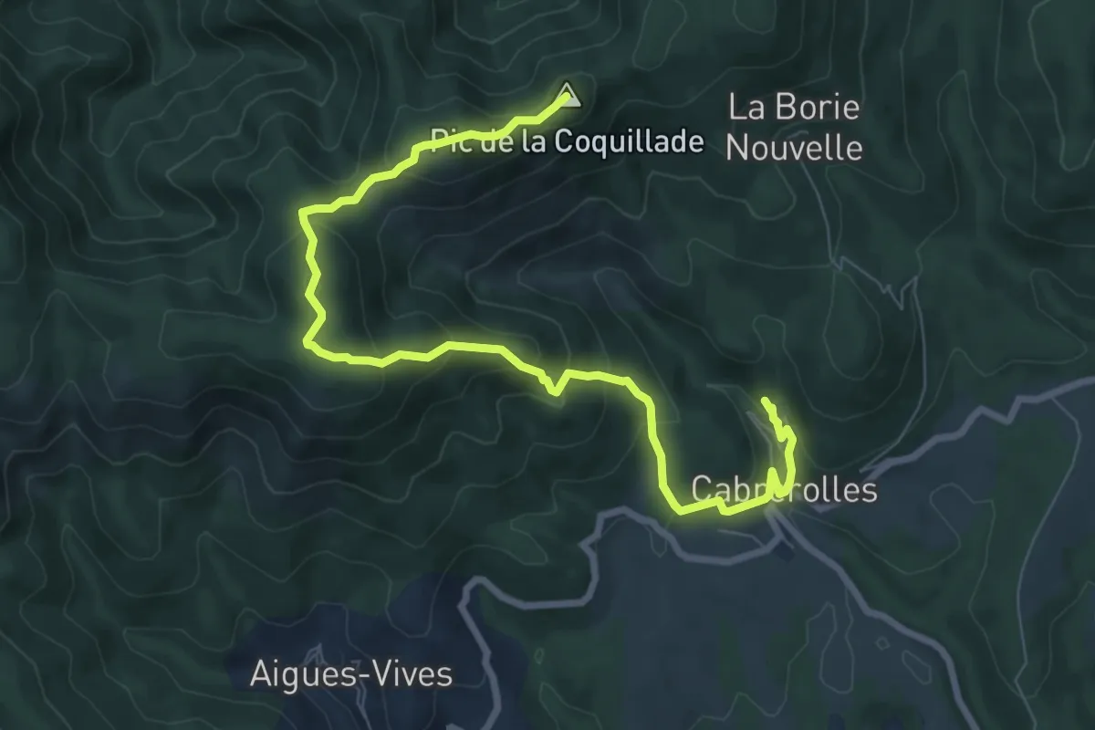
Cabrerolles La Coquillade
9.6 km · ↑ 617 m · 3 h 37 min
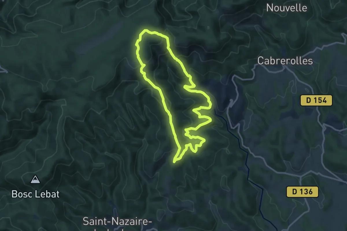
Medium · Trail
Cabrerolles Voie Romaine
10.4 km · ↑ 397 m · 3 h 28 min
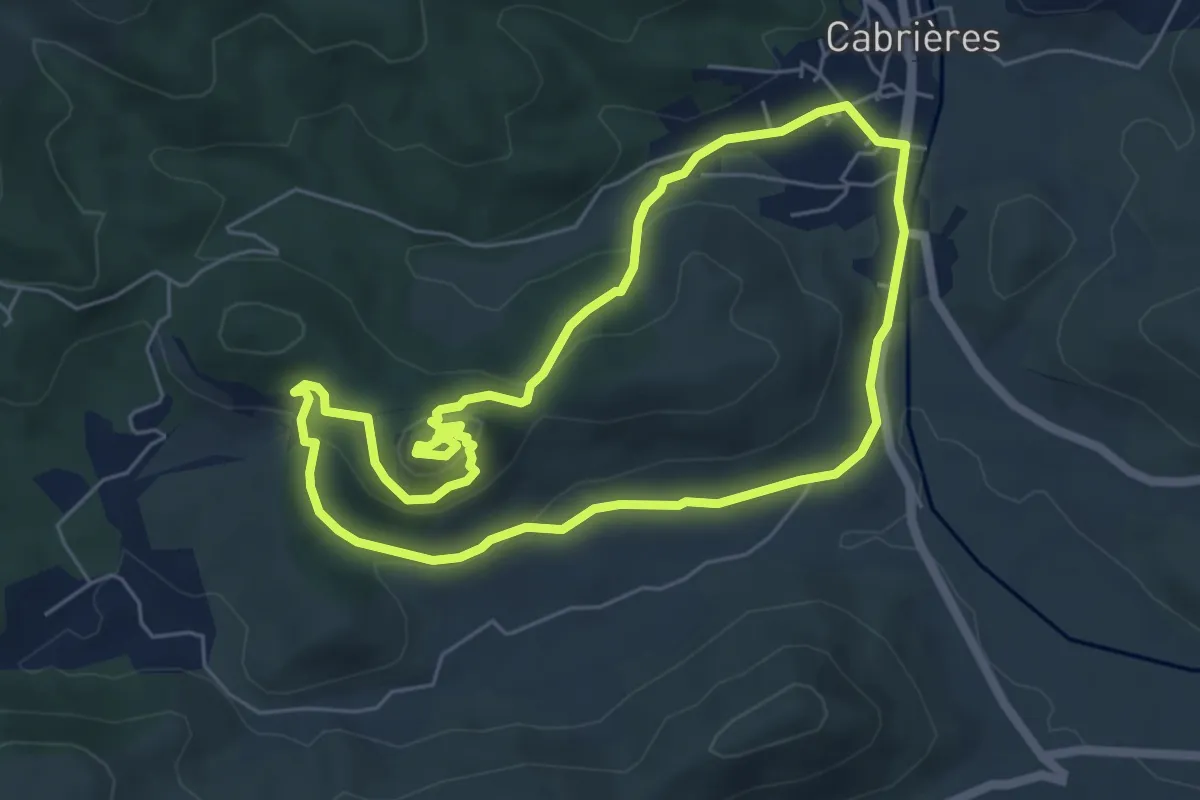
Medium · Trail
Cabrières Balade Médiévale
5.9 km · ↑ 158 m · 1 h 50 min
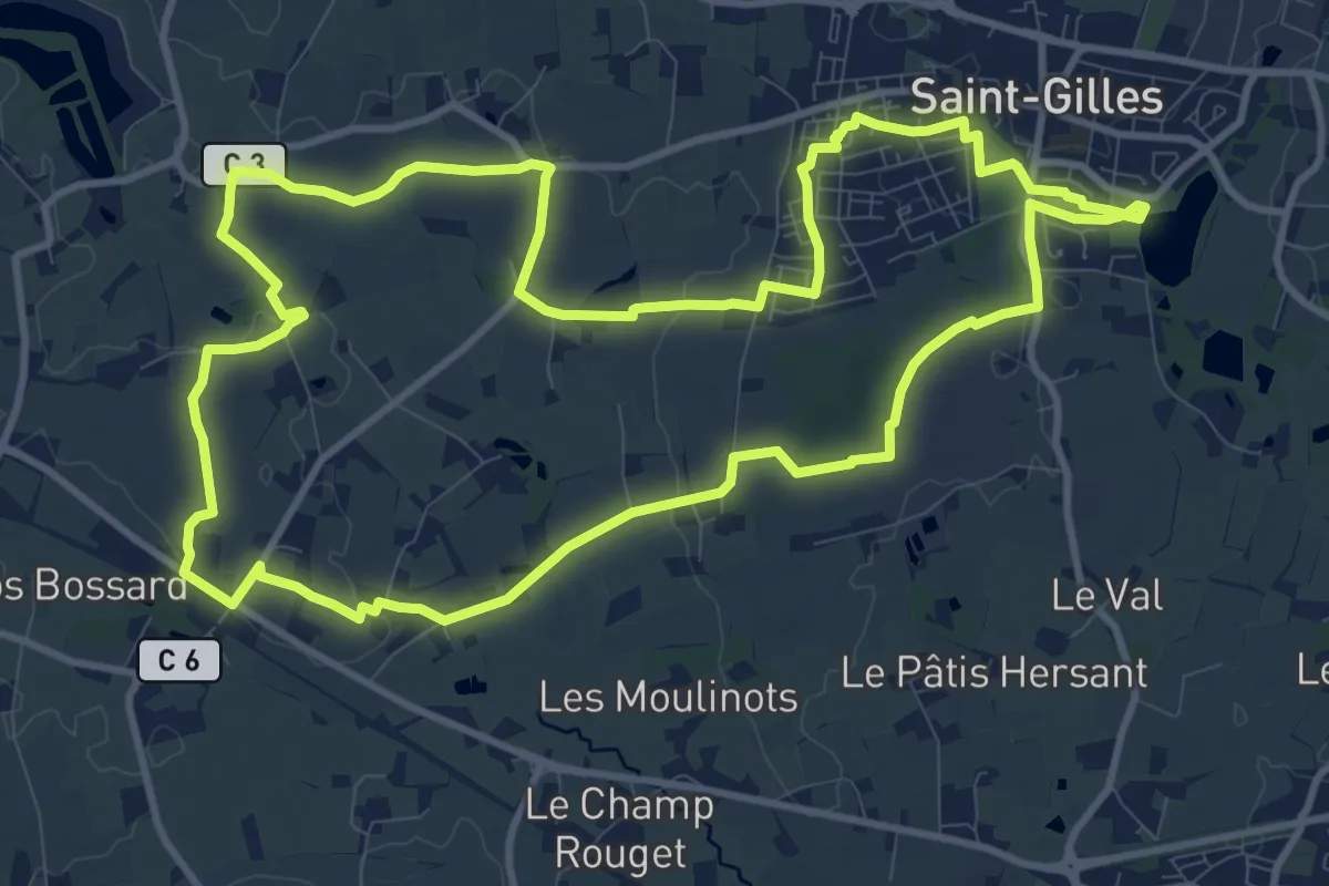
Medium · Trail
Cacé et Vaurouil
11.9 km · ↑ 61 m · 3 h 6 min
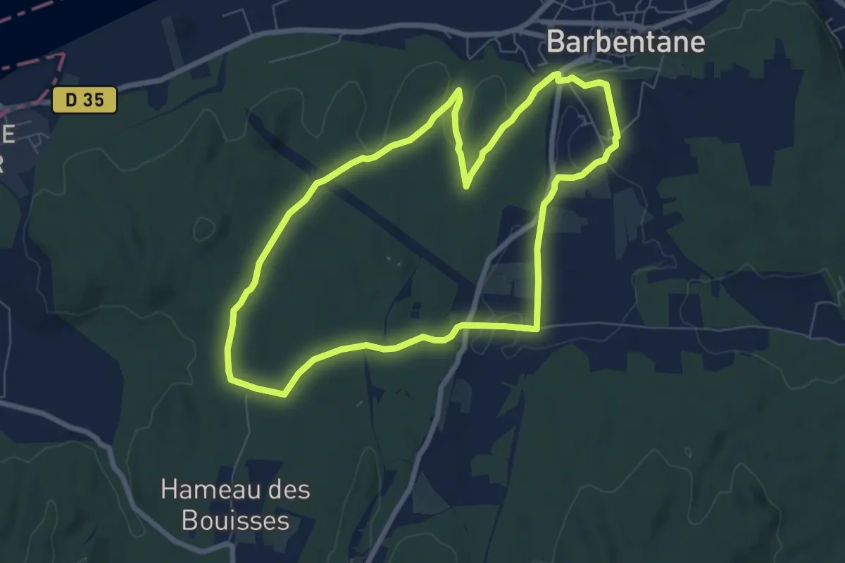
Easy · Trail
Cadenau
7.3 km · ↑ 79 m · 2 h
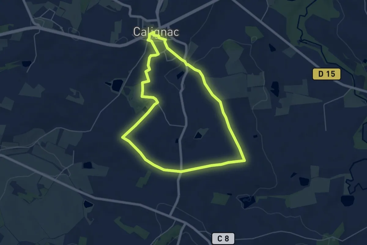
Easy · Trail
Calignac, un village gascon - 5.8 km
5.6 km · ↑ 75 m · 1 h 34 min
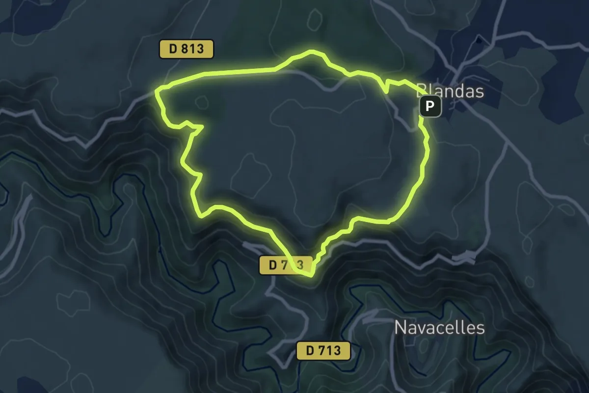
Easy · Trail
Calo Rouge
7.4 km · ↑ 306 m · 2 h 30 min
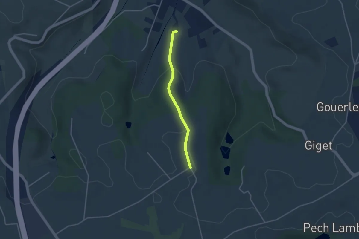
Easy · Trail
Cambes, un circuit autour d'une combe boisée - 4,5km
1.3 km · ↑ 86 m · 28 min
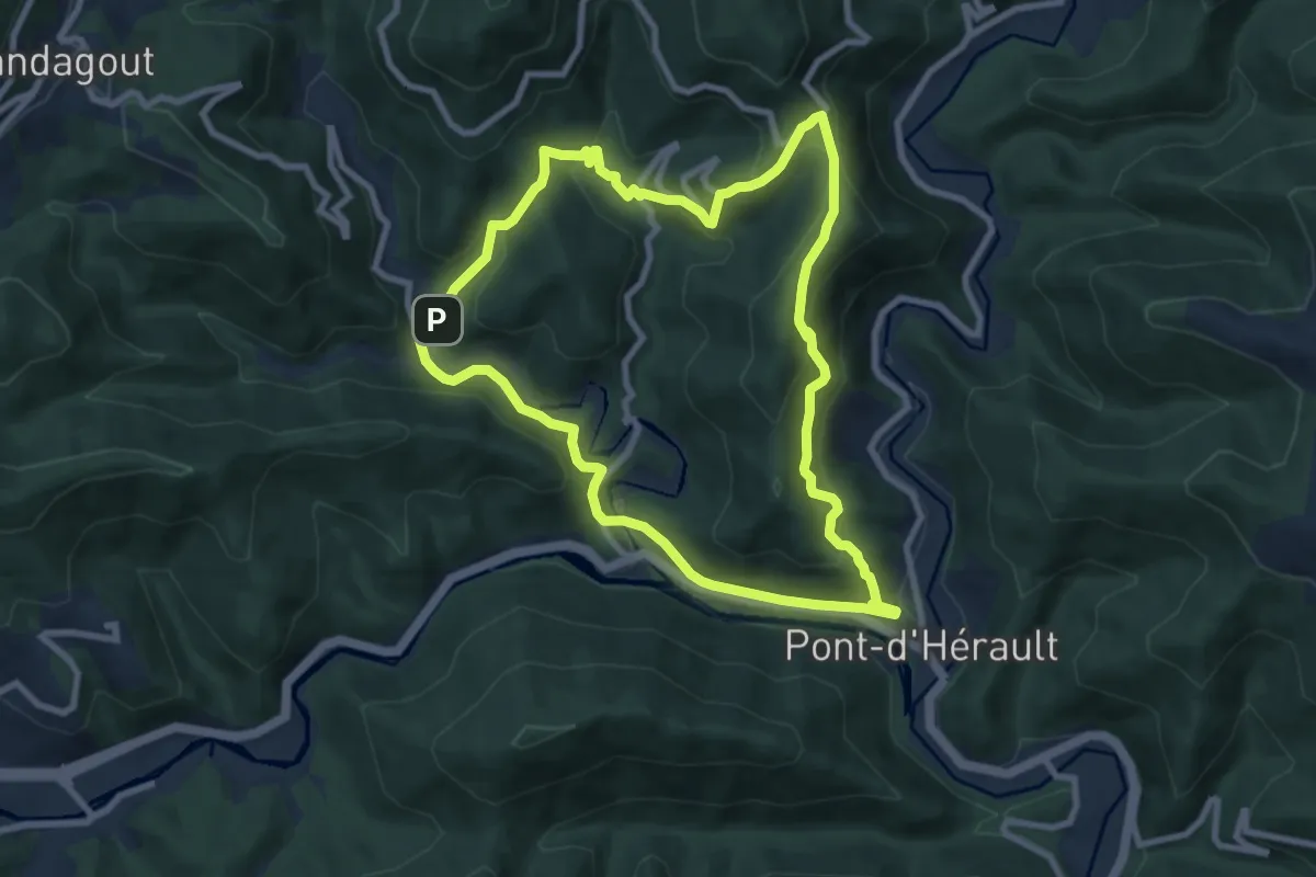
Medium · Trail
Camias
8.7 km · ↑ 459 m · 3 h 10 min
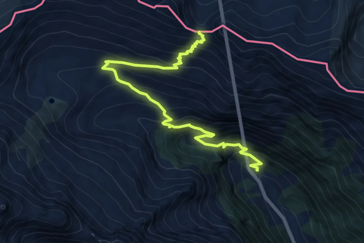
Medium · Trail
Camino al Puerto Viejo de Bielsa
8.3 km · ↑ 767 m · 3 h 37 min
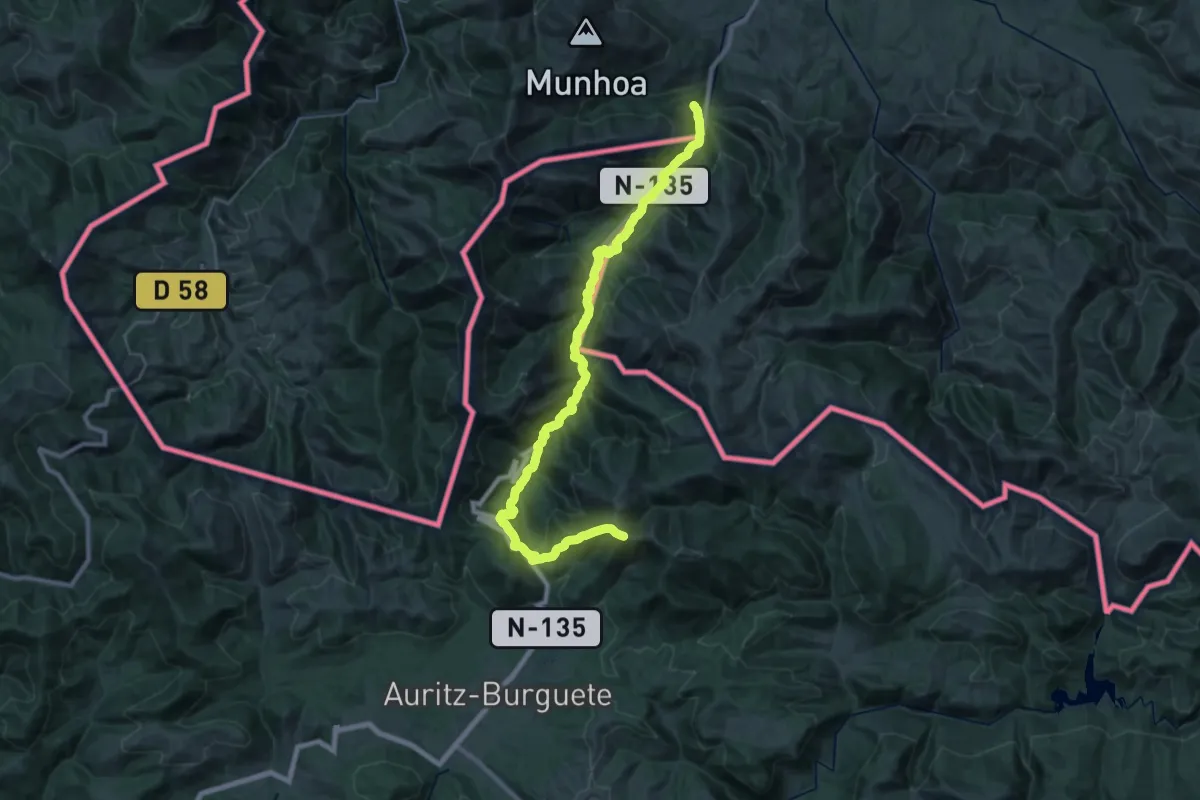
Demanding · Summit
Camino Francés (Alternative)
37.3 km · ↑ 1978 m · 13 h 5 min
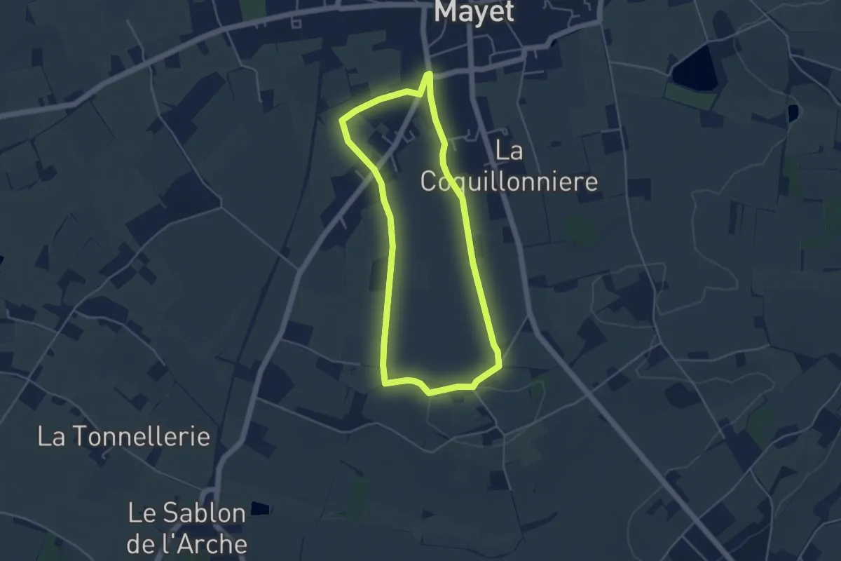
Easy · Trail
Campagne de Mayet
4.0 km · ↑ 27 m · 1 h 4 min
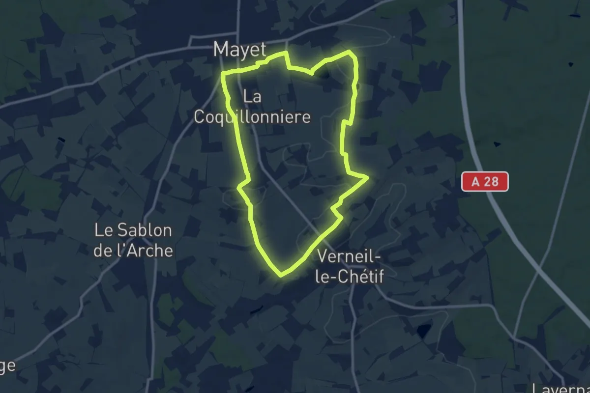
Medium · Trail
Campagne de Mayet
9.0 km · ↑ 87 m · 2 h 26 min
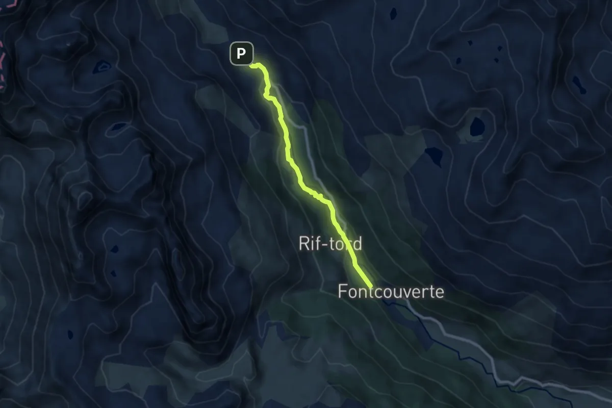
Easy · Trail
Camping de Foncouverte - Laval
7.4 km · ↑ 157 m · 2 h 5 min
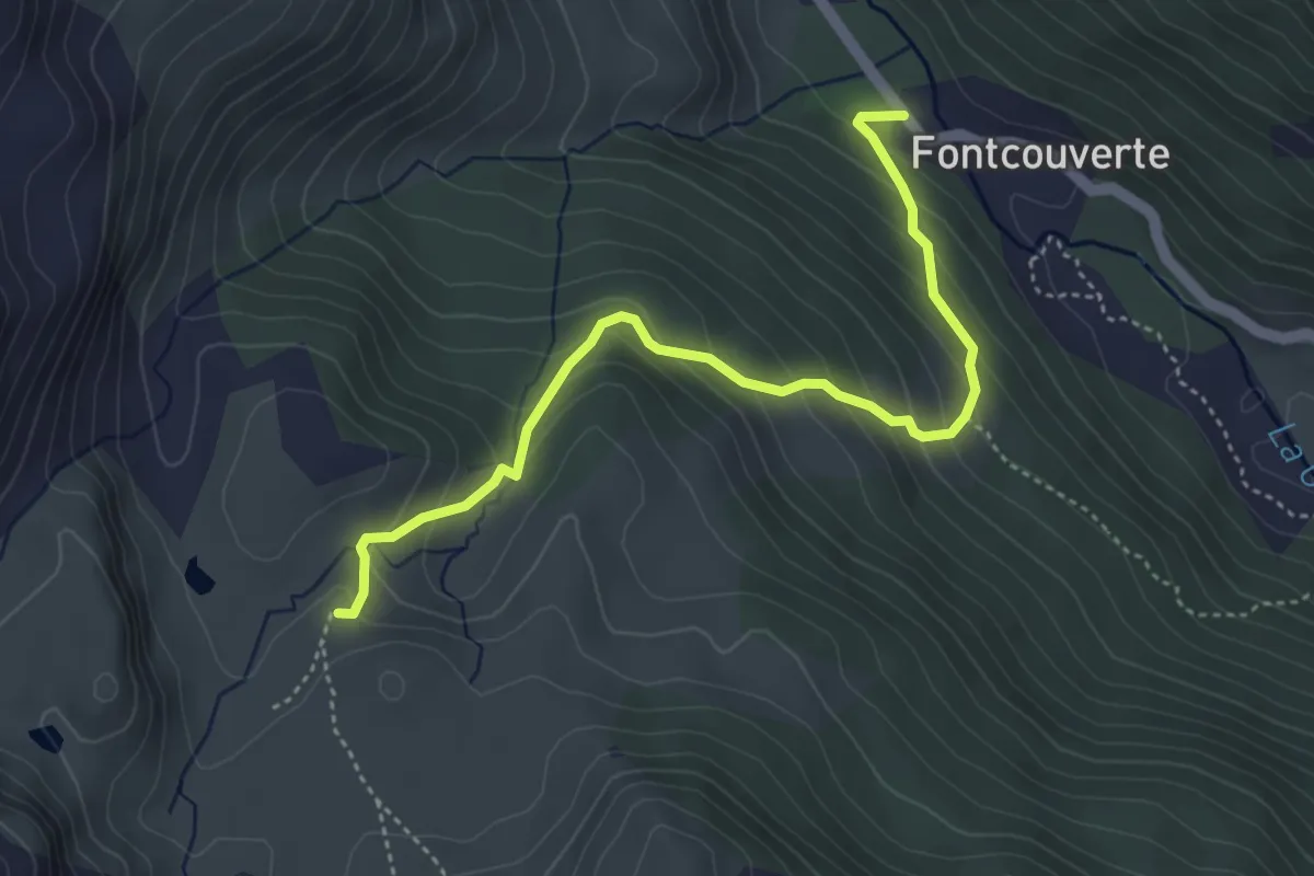
Medium · Cabin
Camping de Foncouverte - Refuge du Chardonnet
4.7 km · ↑ 366 m · 1 h 54 min
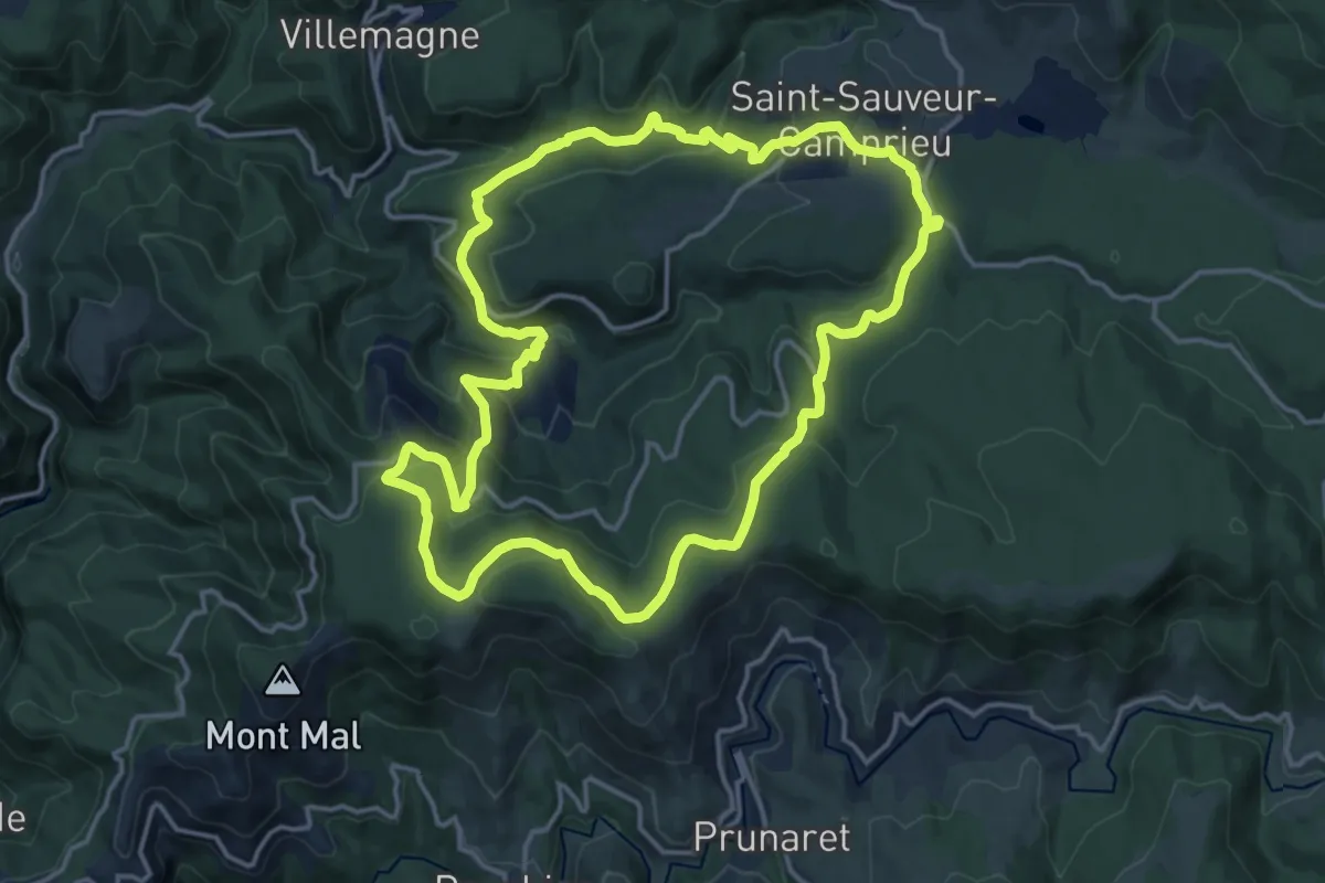
Medium · Trail
Camprieu
16.3 km · ↑ 517 m · 5 h 12 min
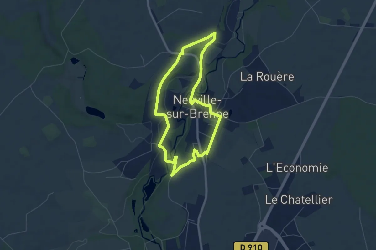
Easy · Trail
[CAN1] Randonnée du Père Colateur - Parcours court
5.5 km · ↑ 62 m · 1 h 30 min