Trails in France
15,906 hiking trails, each with its route, climb, walking time and grade.
All trails, page 34 of 332
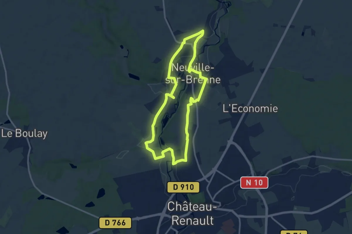
Demanding · Trail
[CAN2] Randonnée du Père Colateur - Parcours moyen
18.2 km · ↑ 201 m · 4 h 44 min
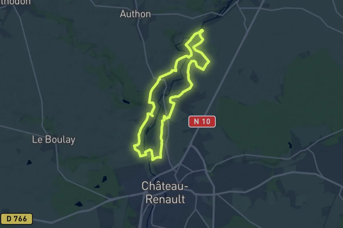
Demanding · Trail
[CAN3] Randonnée du Père Colateur - Parcours long
28.7 km · ↑ 302 m · 7 h 26 min
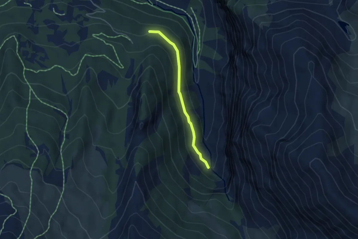
Easy · Cabin
Canal Chenevrier - Canal Chenevrier
3.3 km · ↑ 160 m · 1 h 7 min
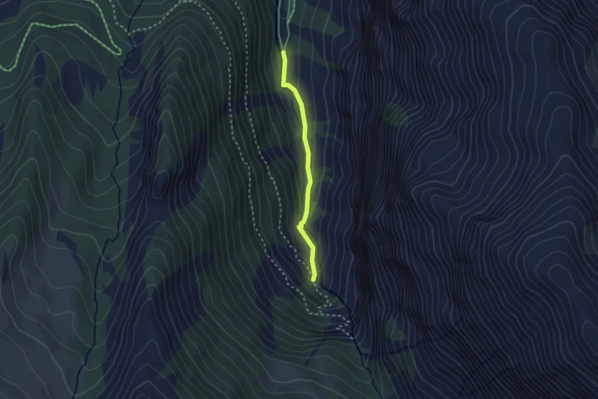
Easy · Cabin
Canal Chenevrier - Les Enfers
2.2 km · ↑ 94 m · 44 min
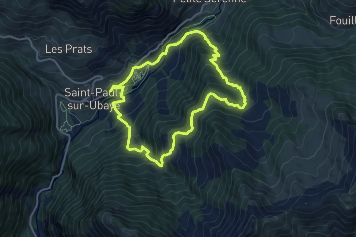
Medium · Trail
Canal de Débalens
7.9 km · ↑ 598 m · 3 h 16 min
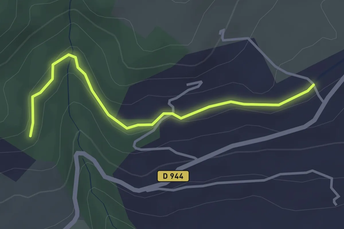
Easy · Trail
Canal de Gap - ?
3.2 km · ↑ 56 m · 53 min
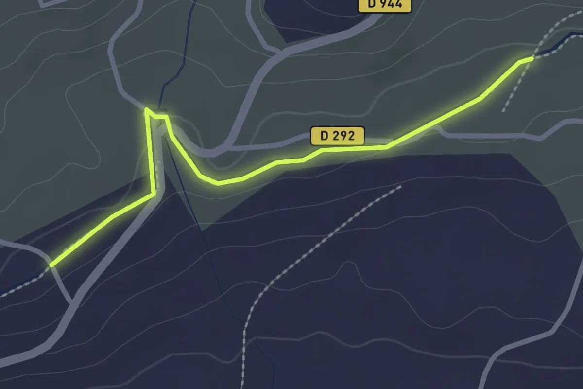
Easy · Trail
Canal de Gap - ?
2.5 km · ↑ 18 m · 38 min
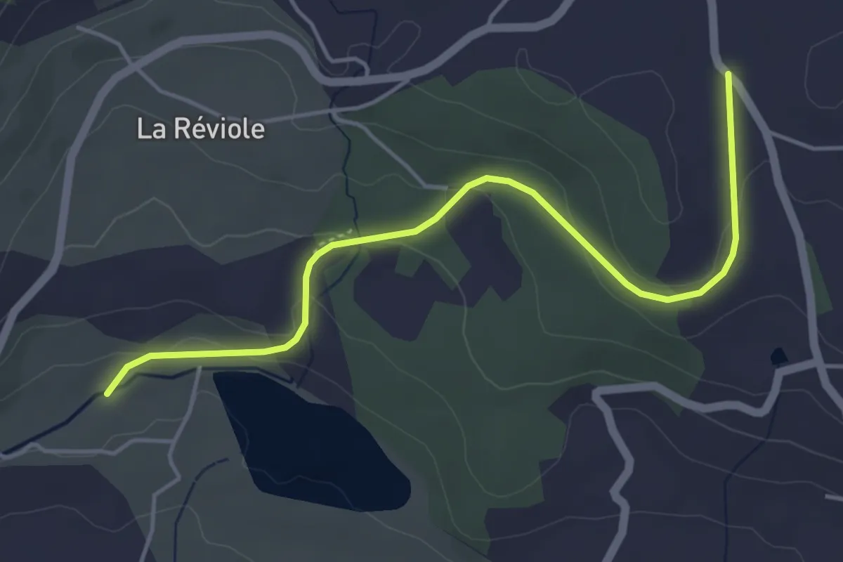
Easy · Trail
Canal de Gap - Col de Manse
4.9 km · ↑ 116 m · 1 h 25 min
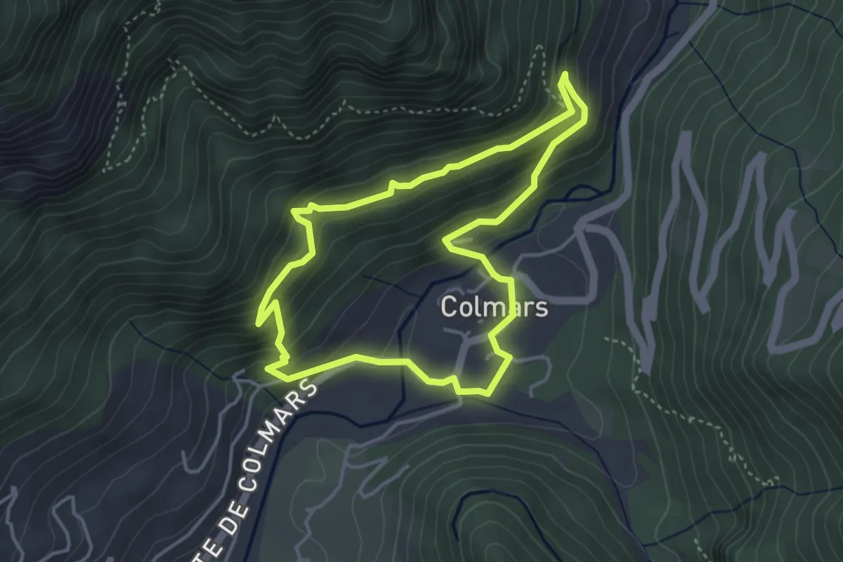
Easy · Trail
Canal de l'Adroit
3.8 km · ↑ 228 m · 1 h 26 min
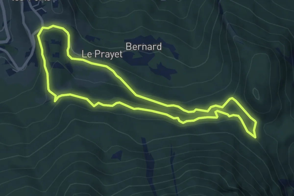
Easy · Trail
Canal de la Pisse
6.1 km · ↑ 284 m · 2 h 8 min
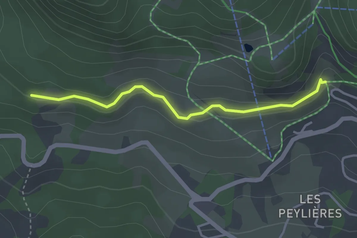
Easy · Trail
Canal de Malcros - Ravin du Clos
2.9 km · ↑ 104 m · 55 min
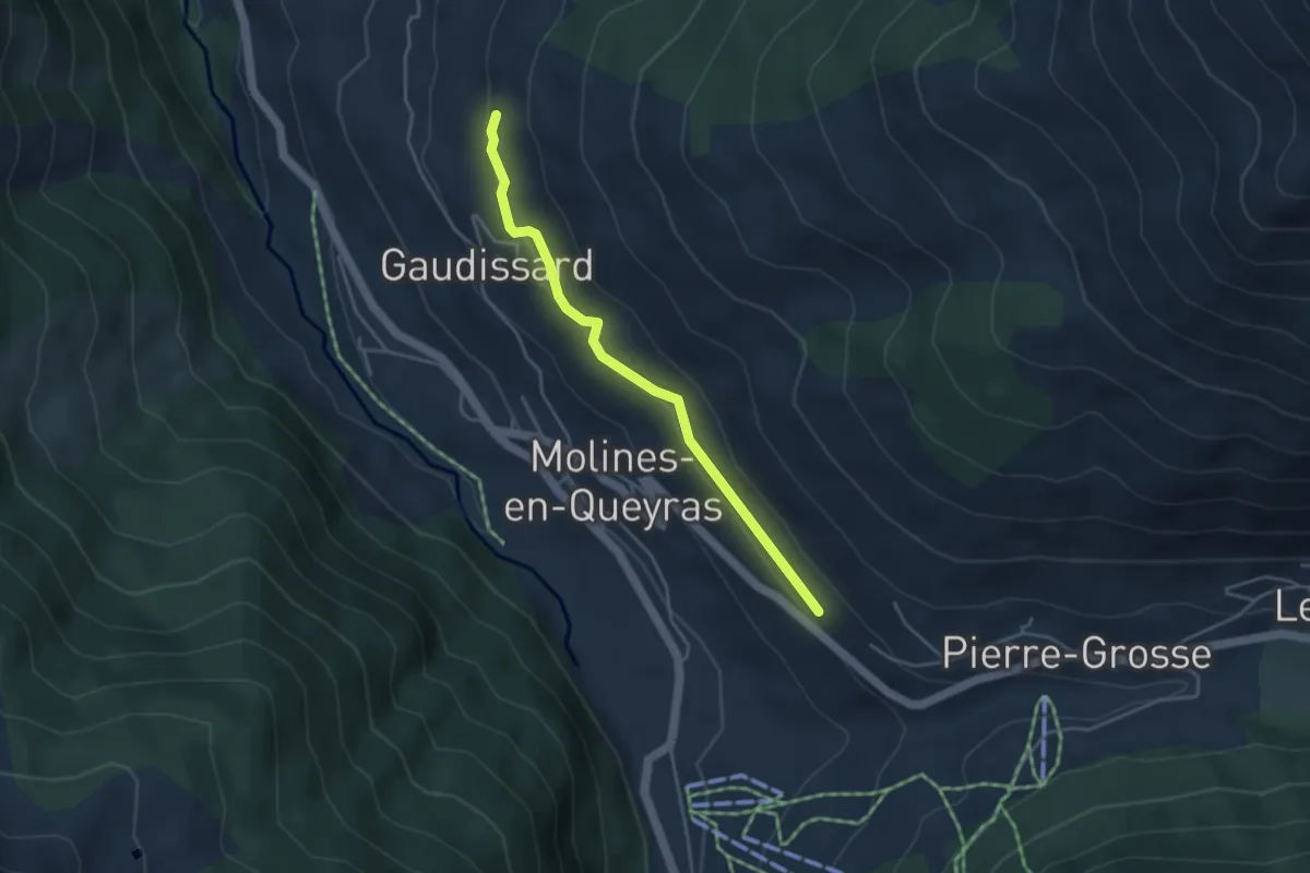
Easy · Trail
Canal de Pierre Dimanche - Gaudissard La Route
3.9 km · ↑ 121 m · 1 h 11 min
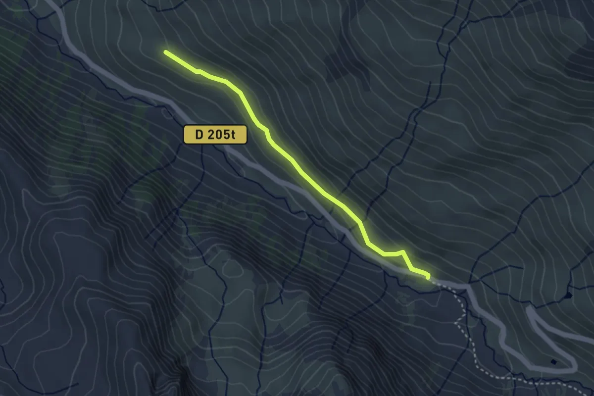
Easy · Trail
Canal de Rouchas Frach - Notre Dame du Berceau
3.3 km · ↑ 63 m · 55 min
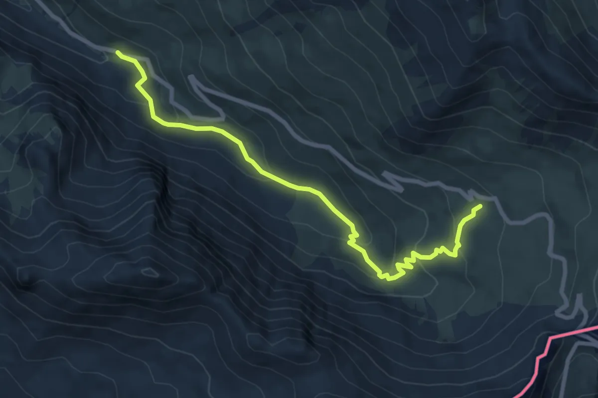
Easy · Cabin
Canal de Rouchas Frach - Refuge Agnel
7.4 km · ↑ 309 m · 2 h 25 min
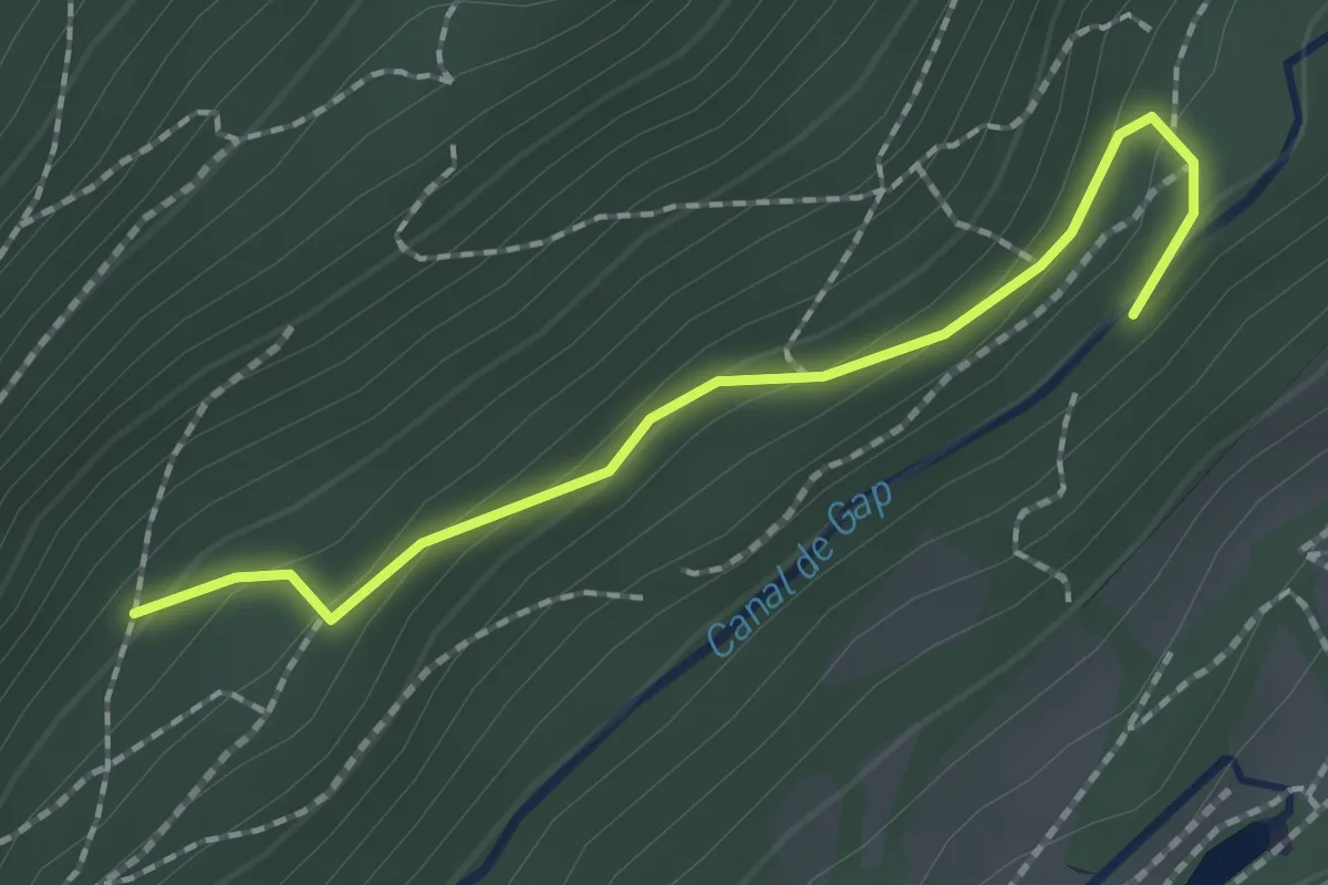
Easy · Trail
Canal du Drac - ?
2.0 km · ↑ 114 m · 43 min
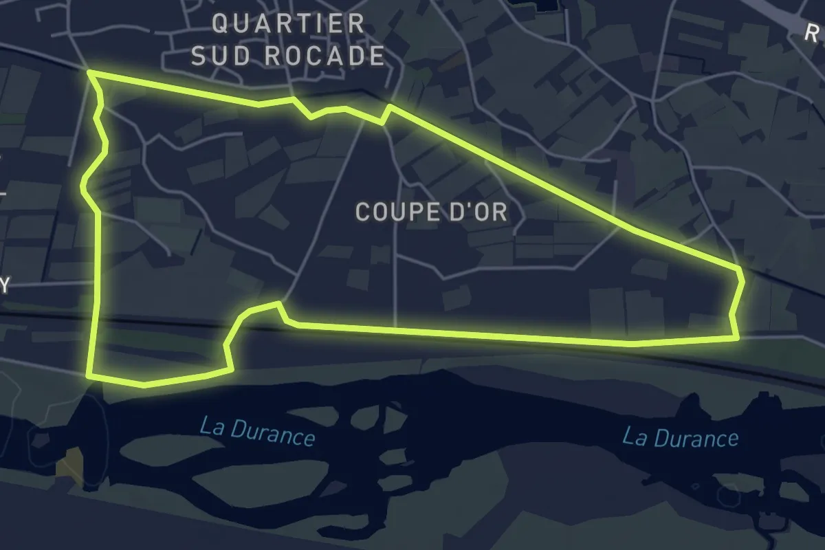
Easy · Trail
Canal du Puy - 1
5.8 km · ↑ 0 m · 1 h 28 min
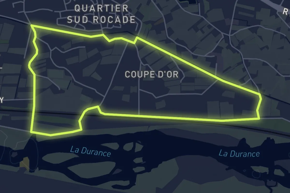
Easy · Trail
Canal du Puy - 1
5.8 km · ↑ 0 m · 1 h 28 min
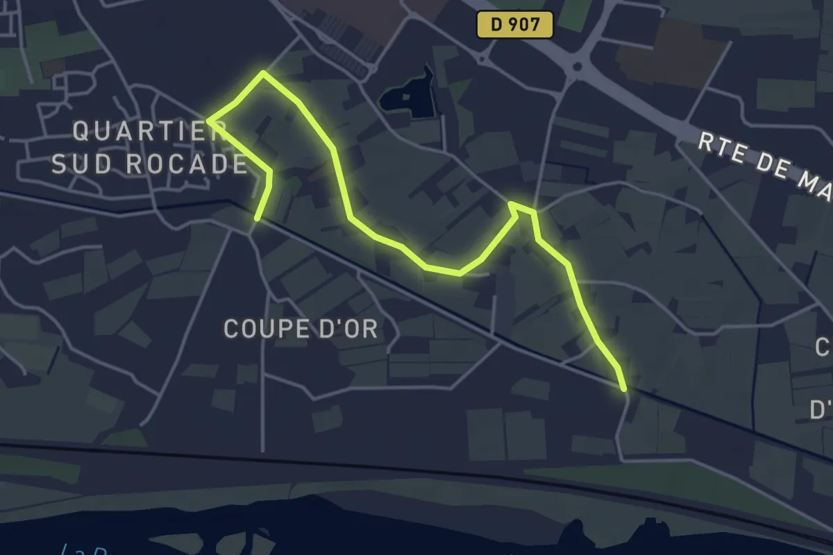
Easy · Trail
Canal du Puy - 2
5.0 km · ↑ 4 m · 1 h 12 min
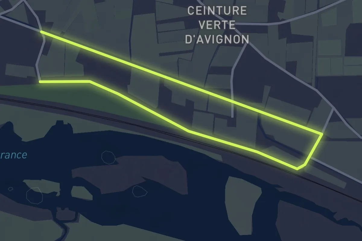
Easy · Trail
Canal du Puy - 3
5.5 km · ↑ 5 m · 1 h 18 min
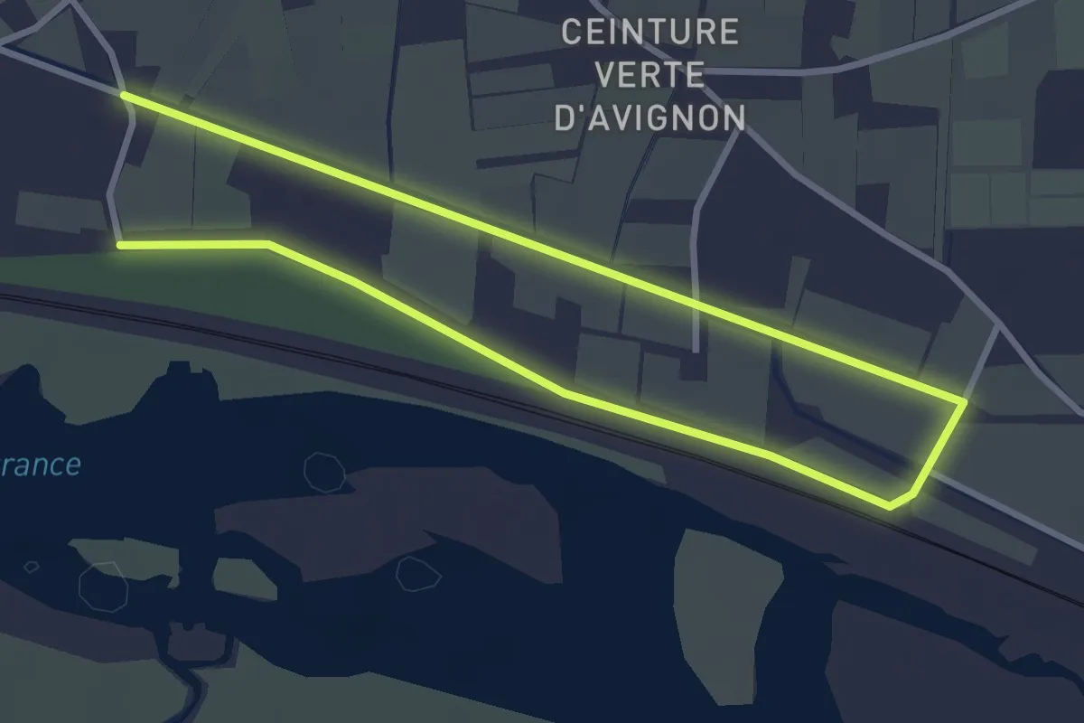
Easy · Trail
Canal du Puy - 3
5.5 km · ↑ 5 m · 1 h 18 min
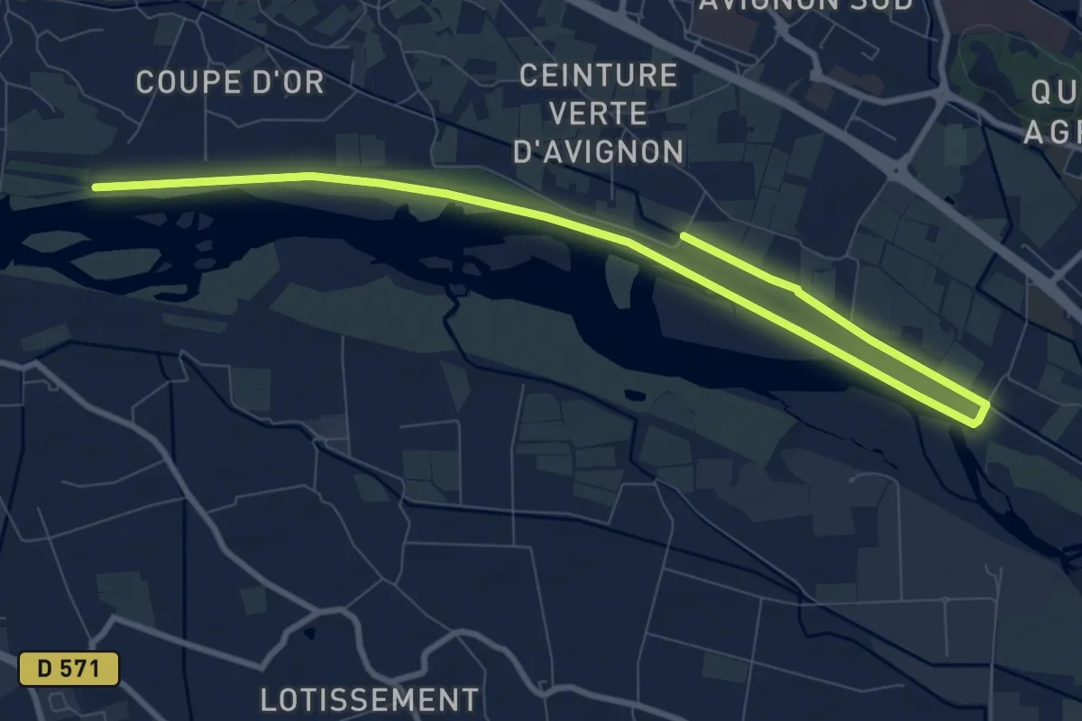
Medium · Trail
Canal du Puy - 4
12.5 km · ↑ 17 m · 3 h
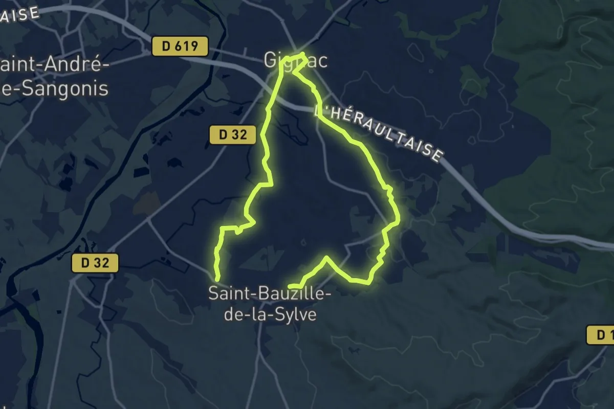
Demanding · Trail
Canal et rieux
22.7 km · ↑ 210 m · 5 h 48 min
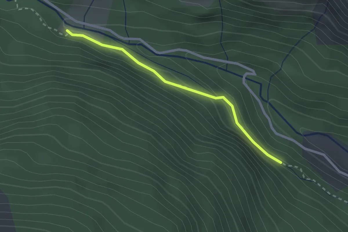
Easy · Trail
Canal Gramorel - Torrent du Rabioux
2.1 km · ↑ 117 m · 45 min
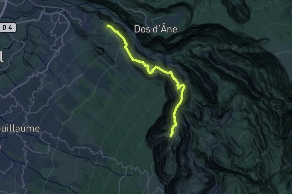
Demanding · Trail
Canalisation des Orangers
11.4 km · ↑ 2034 m · 7 h 22 min
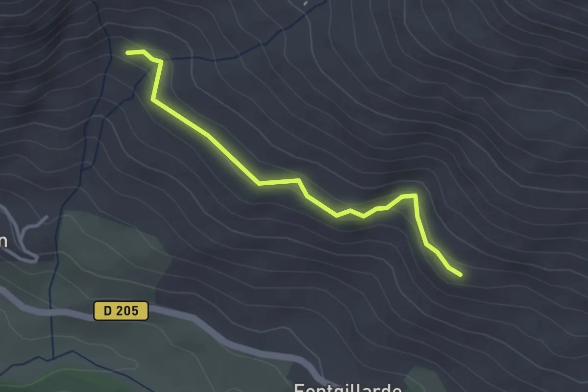
Easy · Trail
Canal Rouchas Frach - ?
2.9 km · ↑ 118 m · 56 min
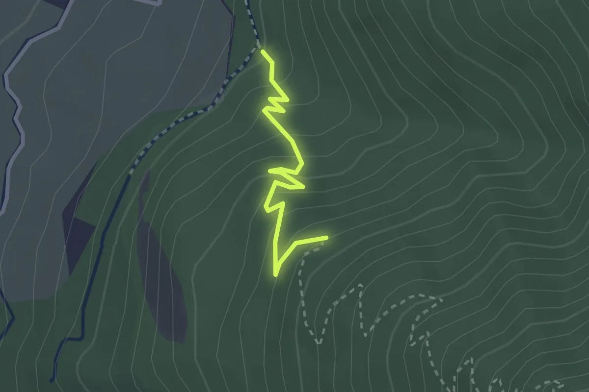
Demanding · Trail
Canal Salva - Sur la Marbrière
2.3 km · ↑ 208 m · 1 h
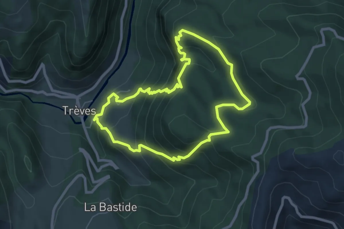
Medium · Trail
Canayère
5.4 km · ↑ 446 m · 2 h 19 min
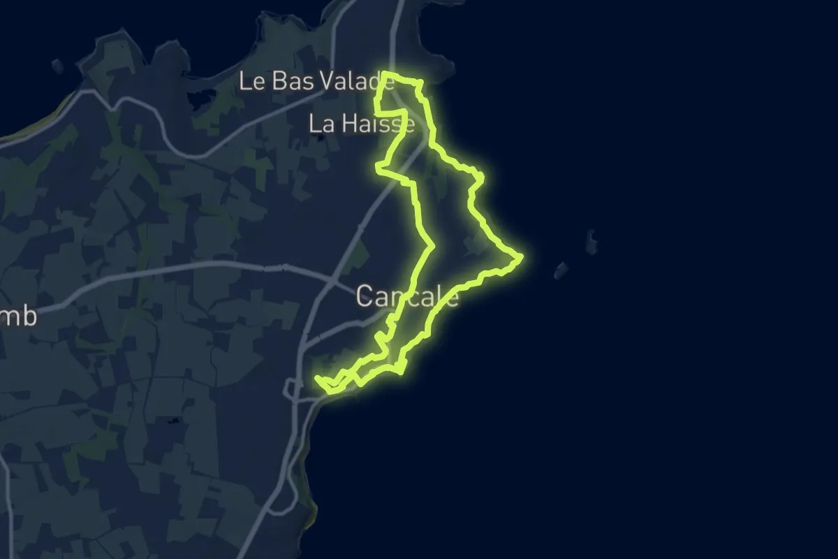
Medium · Trail
Cancale - circuit de Port-Briac
10.5 km · ↑ 209 m · 3 h 4 min
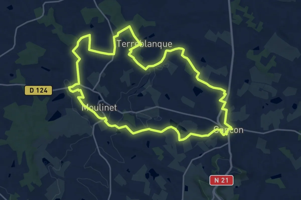
Medium · Trail
Cancon, vers Moulinet, à la découverte du terroir
15.9 km · ↑ 255 m · 4 h 32 min
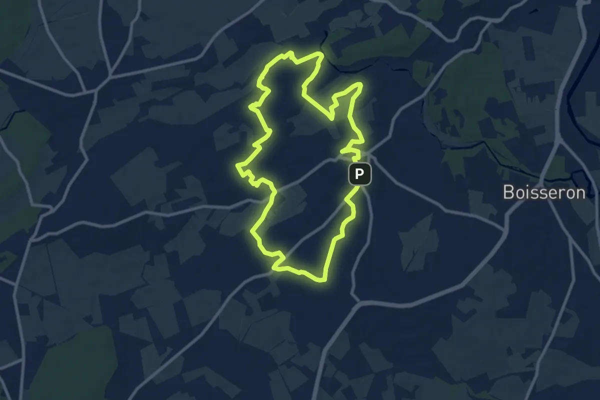
Medium · Trail
Capitelles de la Bénovie
9.2 km · ↑ 52 m · 2 h 24 min
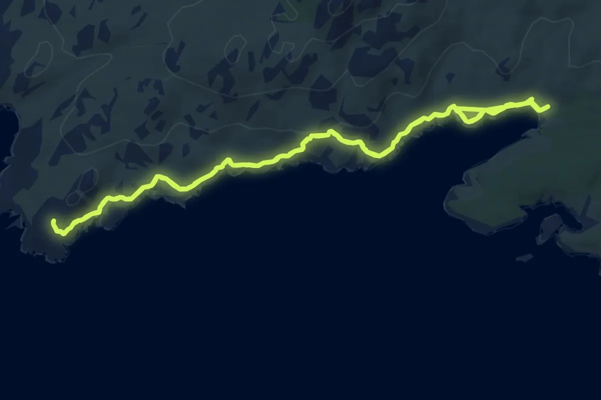
Medium · Trail
Capo di Feno par Bonifacio
8.2 km · ↑ 158 m · 2 h 23 min
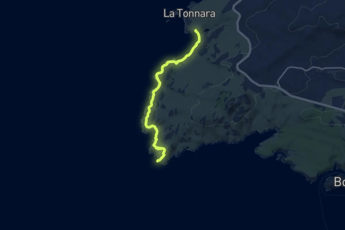
Medium · Trail
Capo di Feno par La Tonnara
10.2 km · ↑ 131 m · 2 h 50 min
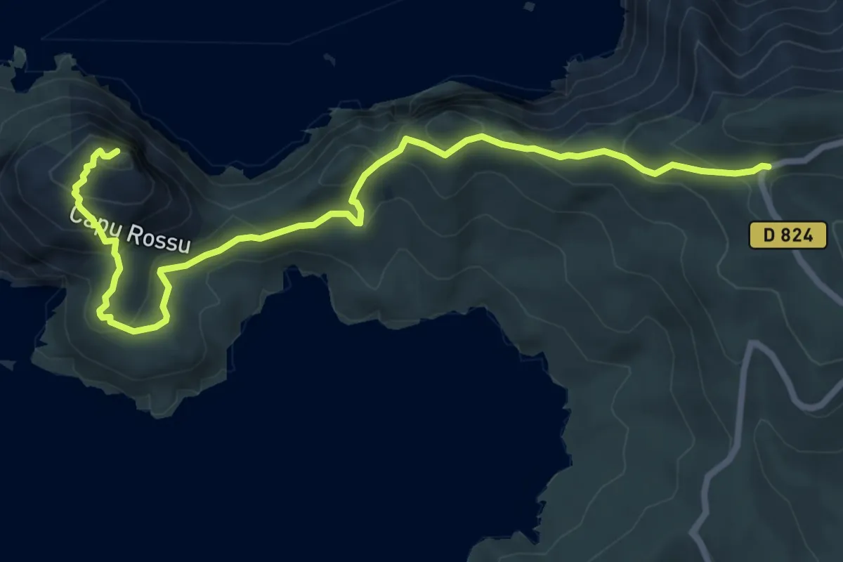
Demanding · Trail
Capu Rossu Principal
8.8 km · ↑ 552 m · 3 h 16 min
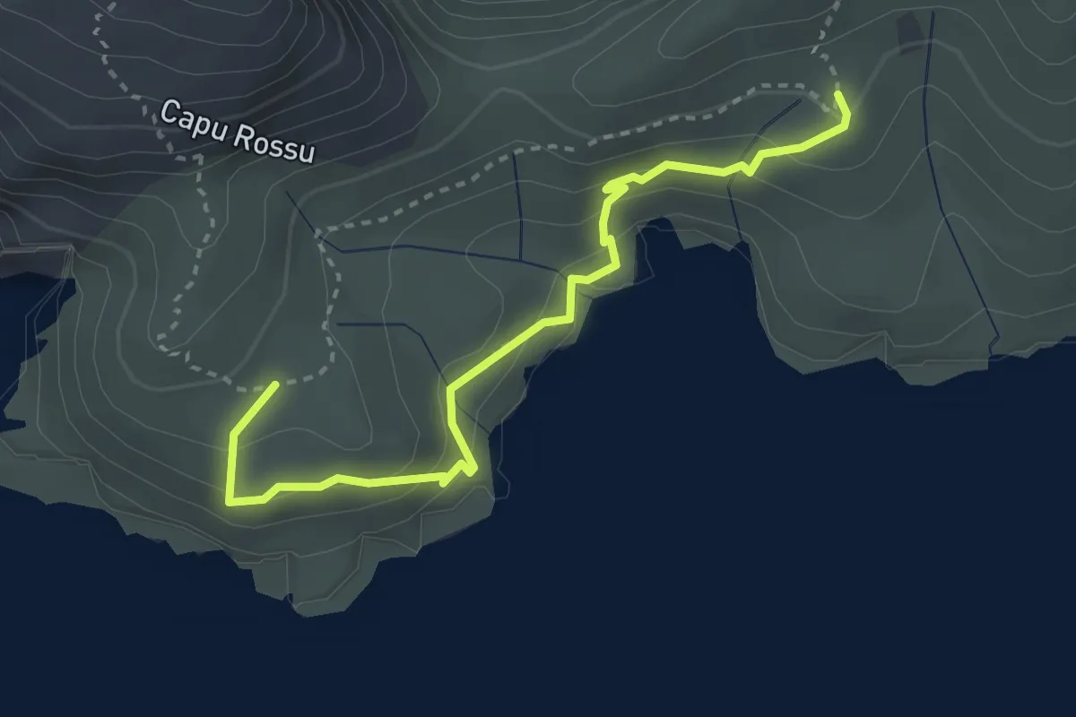
Medium · Trail
Capu Rossu Variante
3.6 km · ↑ 303 m · 1 h 30 min
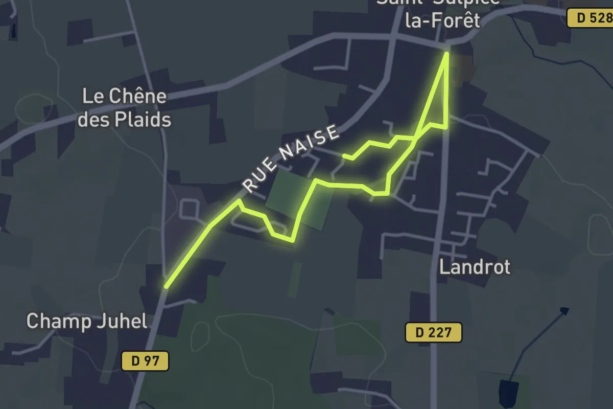
Easy · Trail
Carapatte de Saint-Sulpice
4.2 km · ↑ 22 m · 1 h 3 min
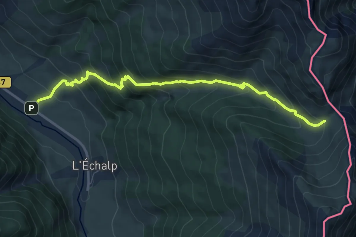
Medium · Trail
Carrefour sous le col - La Monta
7.3 km · ↑ 638 m · 3 h 7 min
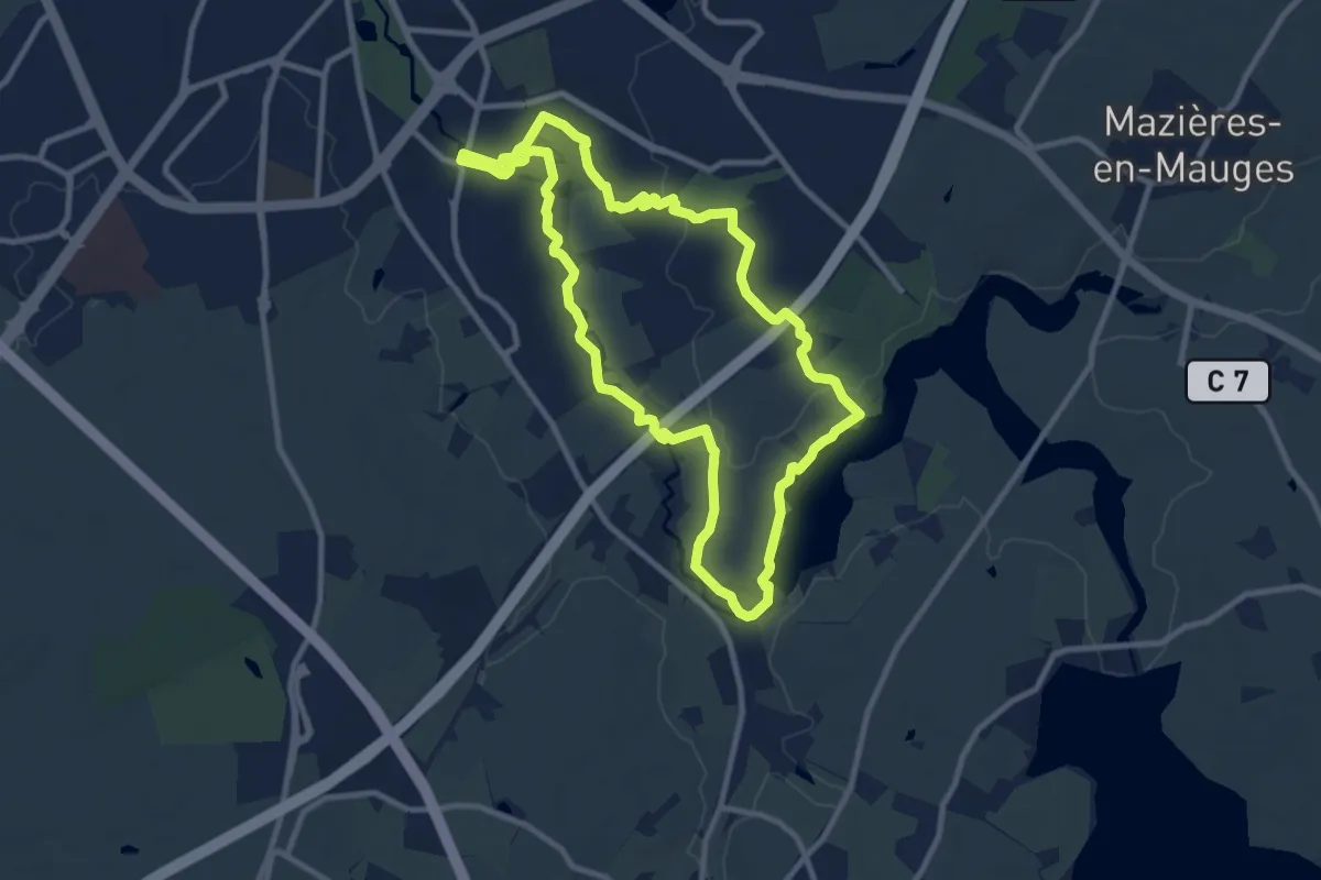
Medium · Trail
Carteron Ribou
9.6 km · ↑ 59 m · 2 h 31 min
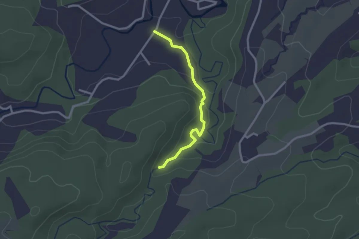
Easy · Trail
Cascade Bras de Fort
2.8 km · ↑ 95 m · 51 min
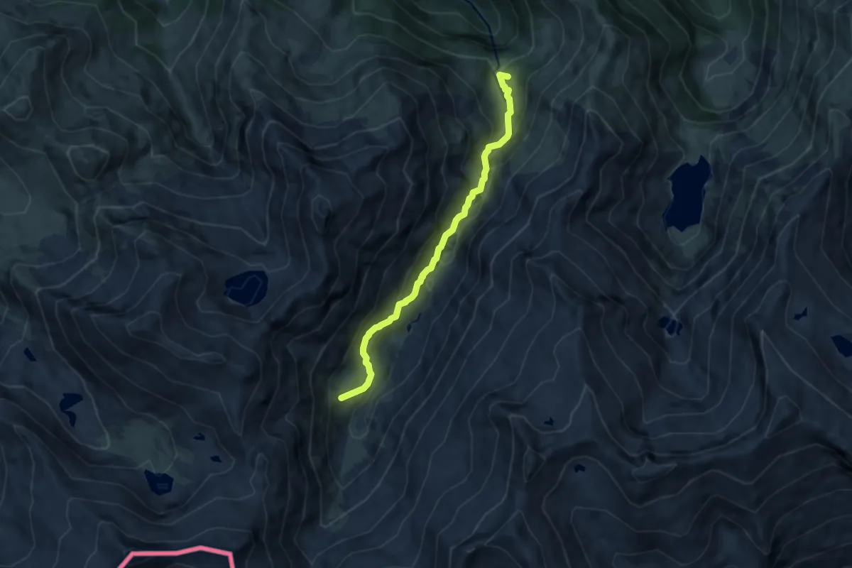
Medium · Summit
Cascade d'Ars
7.1 km · ↑ 393 m · 2 h 31 min
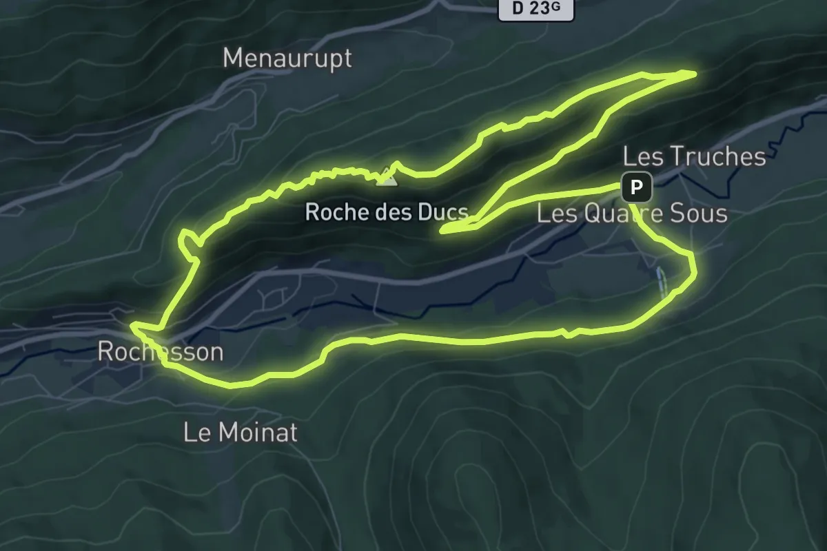
Demanding · Summit
Cascade de Battion et Roche des Ducs
10.2 km · ↑ 417 m · 3 h 26 min
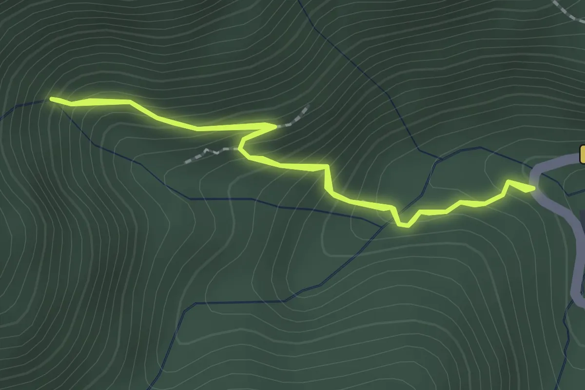
Medium · Trail
Cascade de Bughja
1.9 km · ↑ 220 m · 57 min
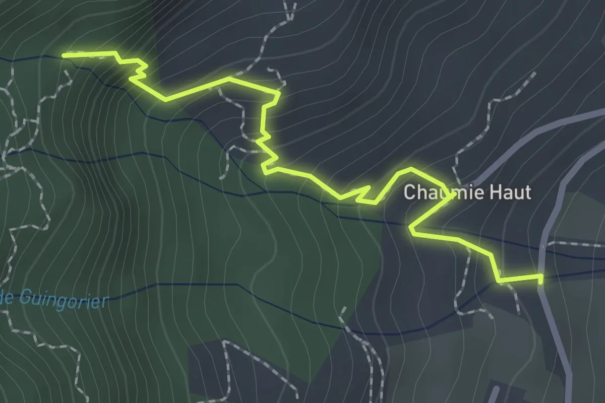
Easy · Trail
Cascade de Chaumie
1.2 km · ↑ 258 m · 44 min
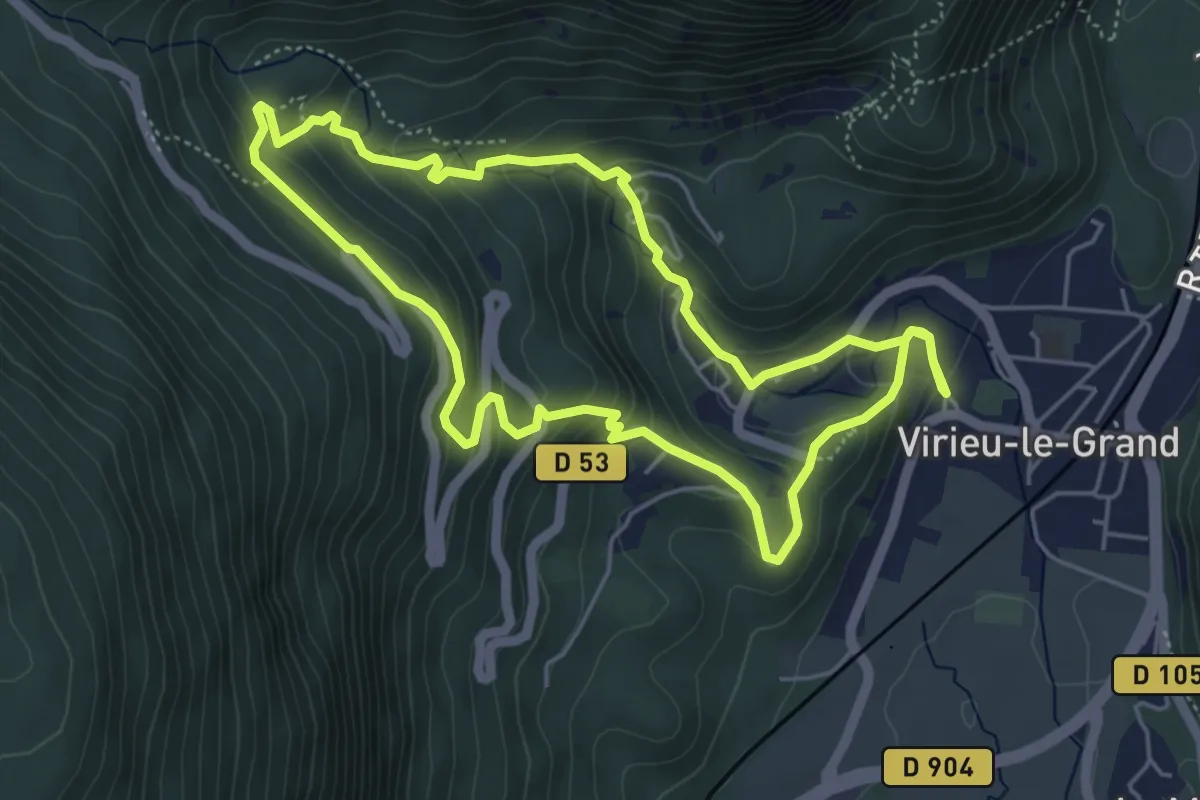
Easy · Trail
Cascade de Clairefontaine
5.1 km · ↑ 289 m · 1 h 54 min
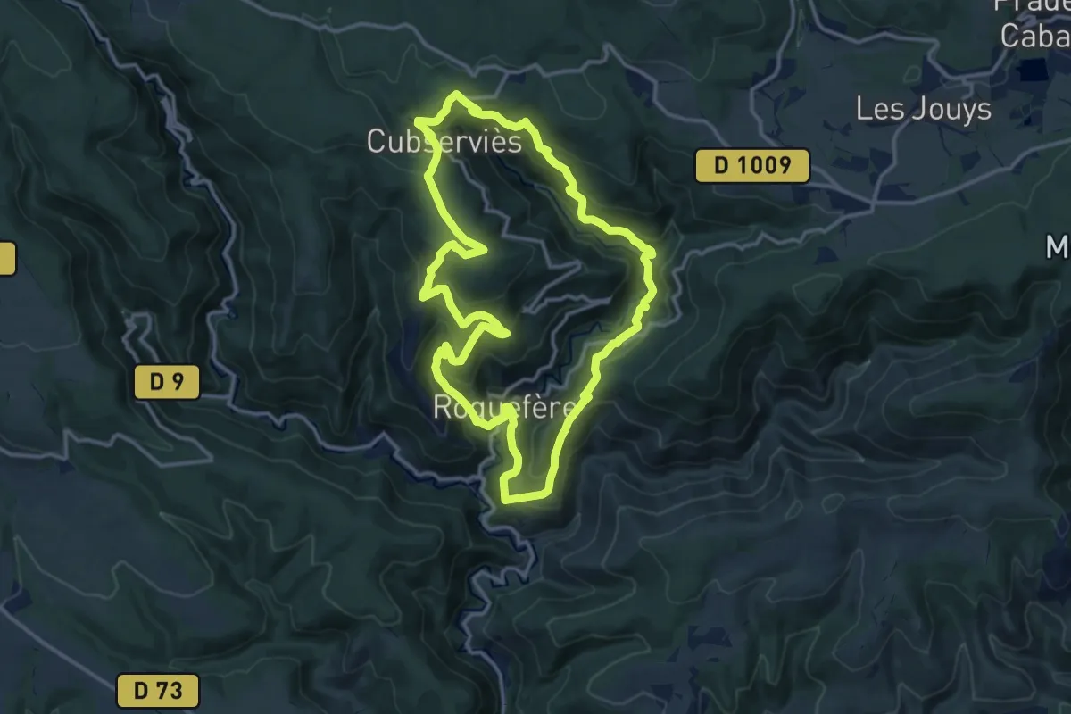
Medium · Trail
Cascade de Cubserviès
14.0 km · ↑ 729 m · 5 h 4 min
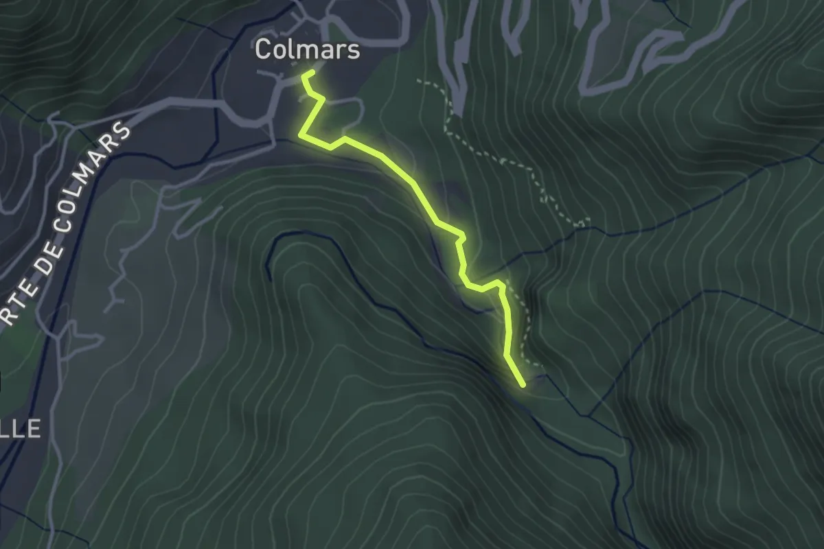
Easy · Trail
Cascade de la Lance
1.4 km · ↑ 124 m · 33 min
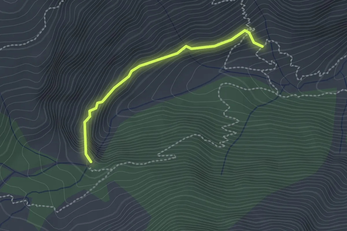
Expert · Cabin
Cascade de la Pisse - ?
2.1 km · ↑ 170 m · 51 min
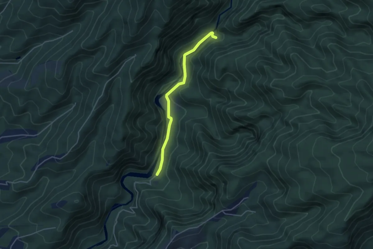
Easy · Trail
Cascade de la Ravine Paradis
4.7 km · ↑ 200 m · 1 h 33 min
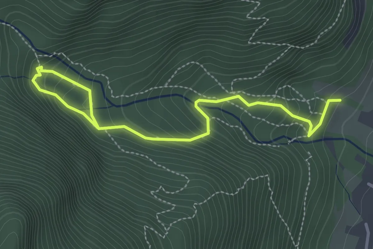
Medium · Trail
Cascade de l'Enversin
3.4 km · ↑ 282 m · 1 h 24 min