Trails in France
15,906 hiking trails, each with its route, climb, walking time and grade.
All trails, page 35 of 332
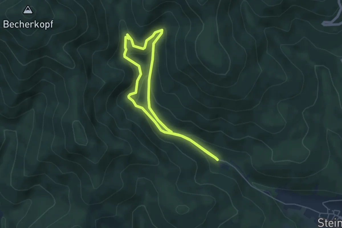
Easy · Trail
Cascade de l’Erzenbach
3.9 km · ↑ 197 m · 1 h 24 min
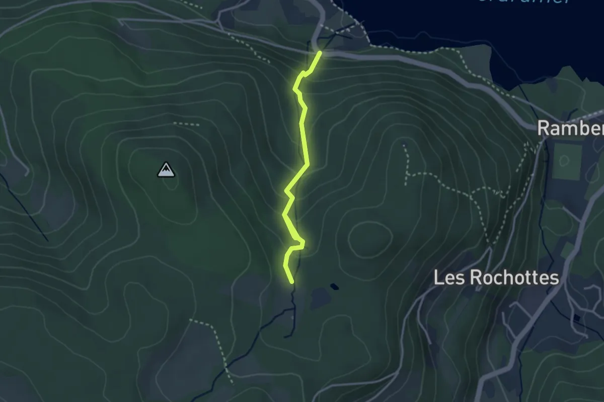
Medium · Trail
Cascade de Mérelle
2.8 km · ↑ 227 m · 1 h 9 min
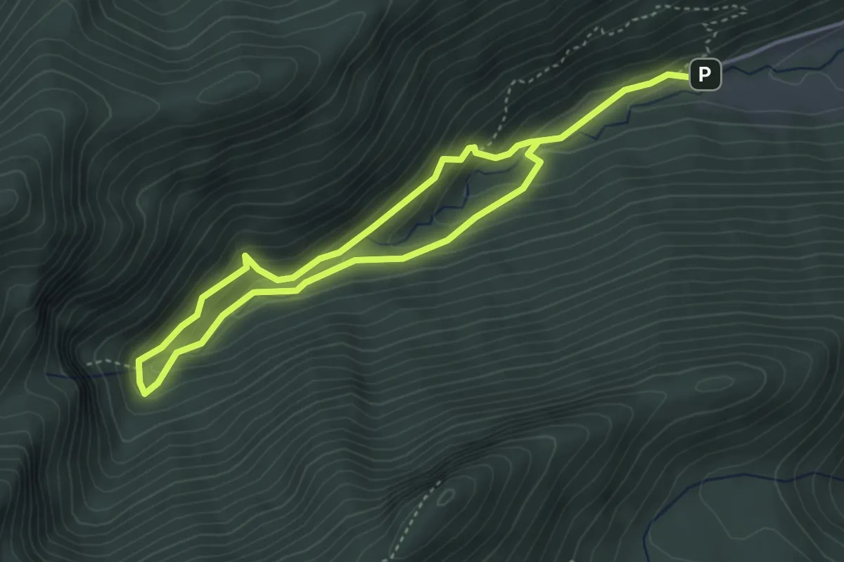
Medium · Trail
Cascade de Planque
6.9 km · ↑ 425 m · 2 h 32 min
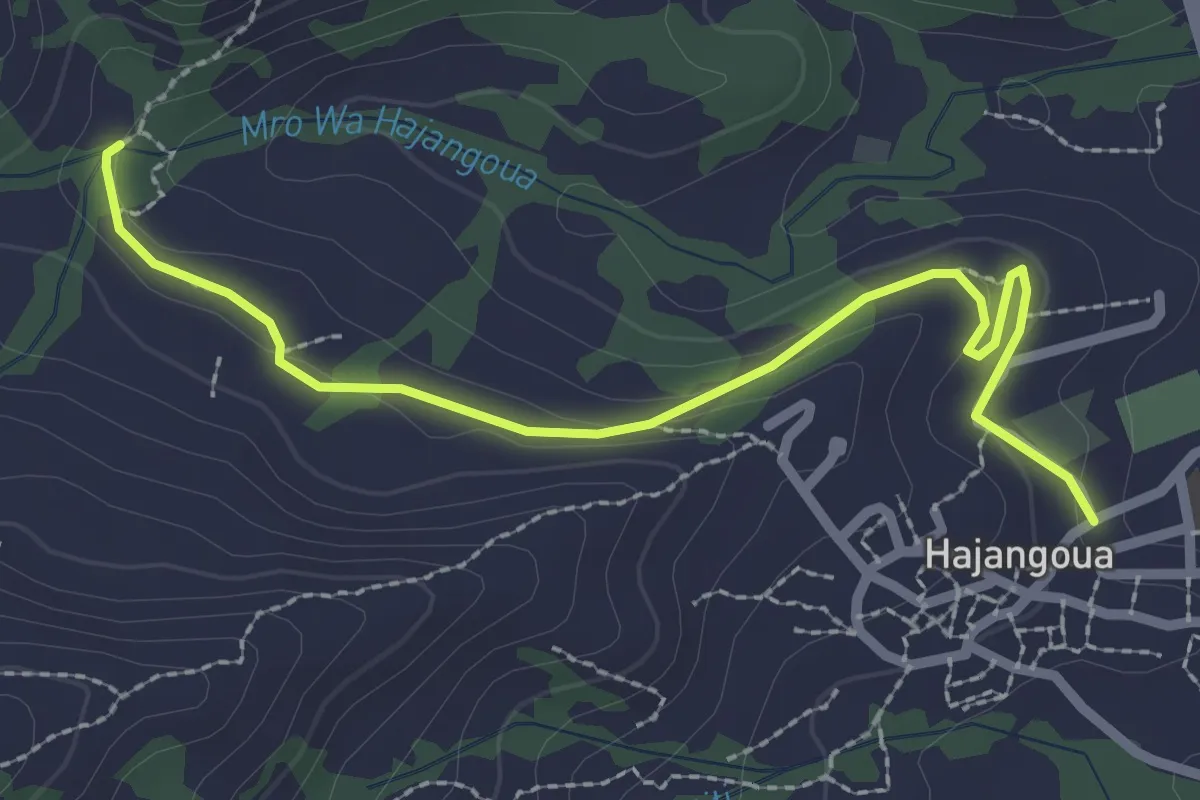
Easy · Trail
Cascade d'Hajangoua
3.9 km · ↑ 64 m · 1 h 3 min
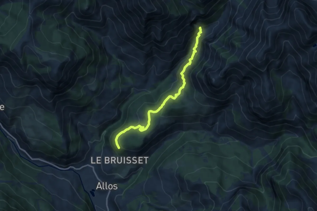
Easy · Trail
Cascade du Pich
4.9 km · ↑ 251 m · 1 h 42 min
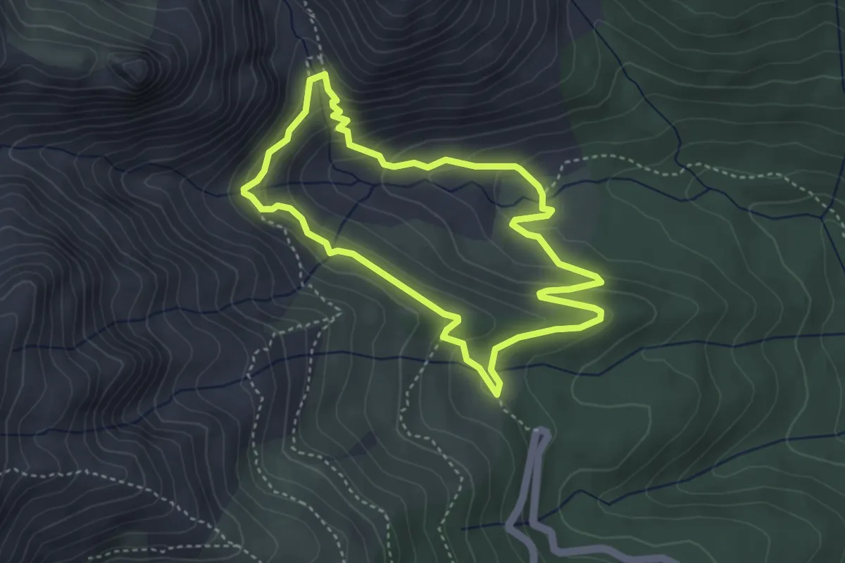
Demanding · Trail
Cascade et Bergerie de Radule
3.8 km · ↑ 222 m · 1 h 26 min
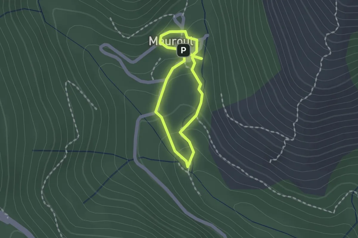
Easy · Trail
Cascades de Mauroul
1.1 km · ↑ 50 m · 23 min
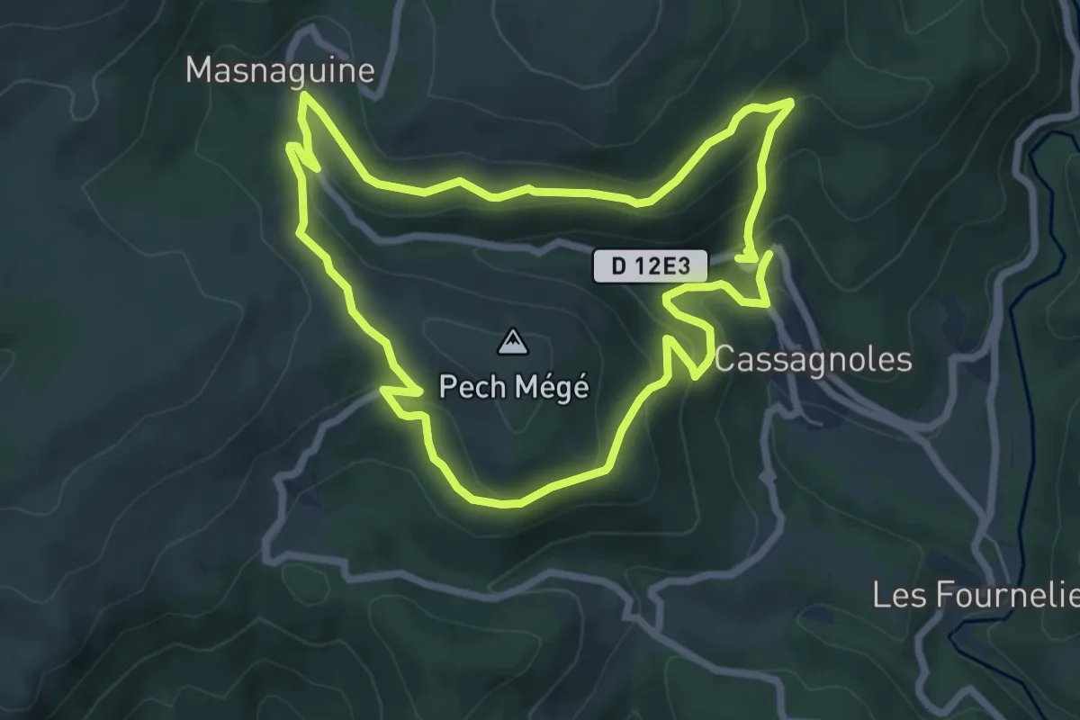
Easy · Trail
Cassagnoles Les Sagnes
6.9 km · ↑ 289 m · 2 h 21 min
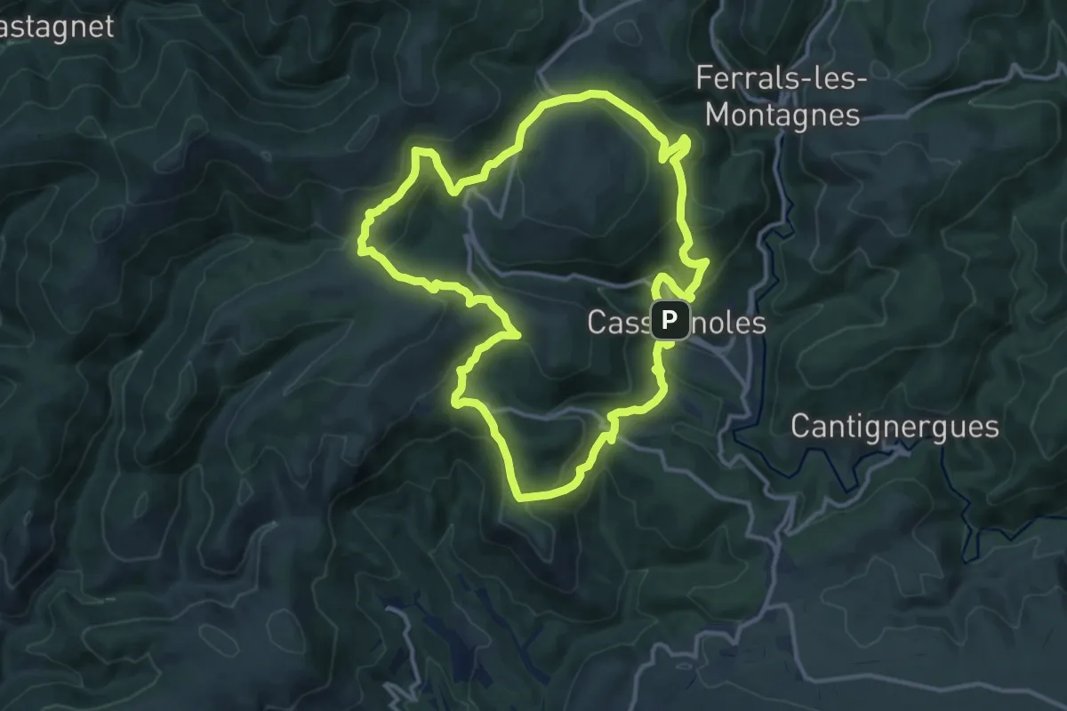
Medium · Trail
Cassagnoles Roquedault
13.4 km · ↑ 478 m · 4 h 24 min
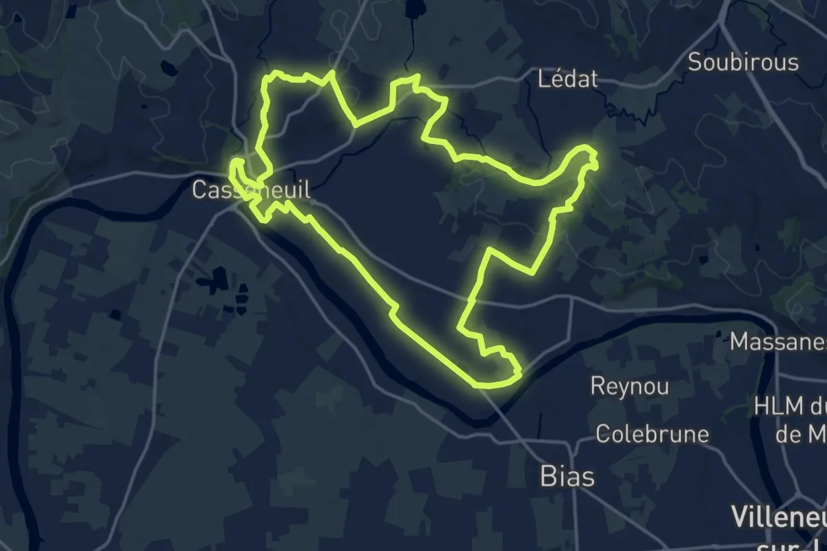
Demanding · Trail
Casseneuil, le Circuit des Trois Rivières
18.5 km · ↑ 178 m · 5 h
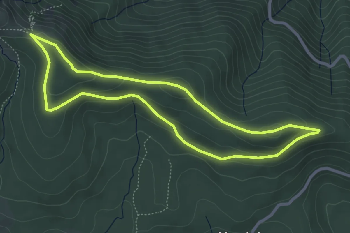
Medium · Trail
Cassini
5.2 km · ↑ 112 m · 1 h 32 min
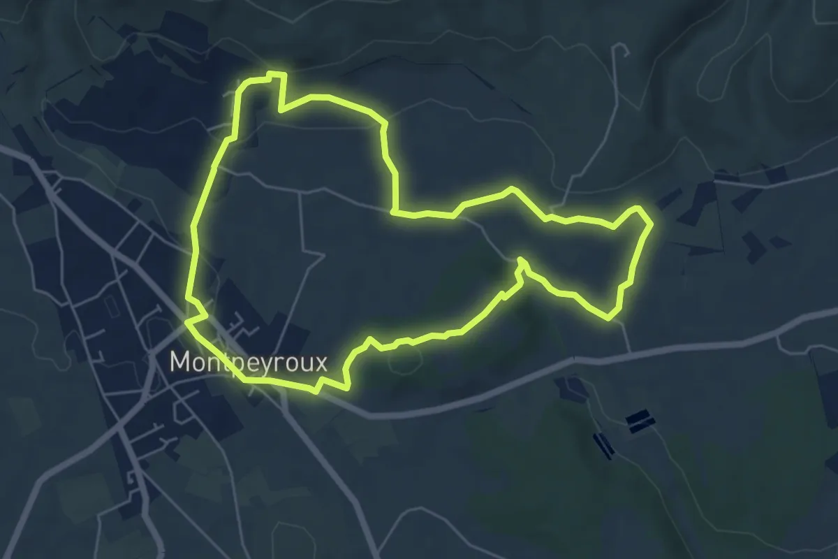
Easy · Trail
Castelbarry
6.0 km · ↑ 111 m · 1 h 44 min
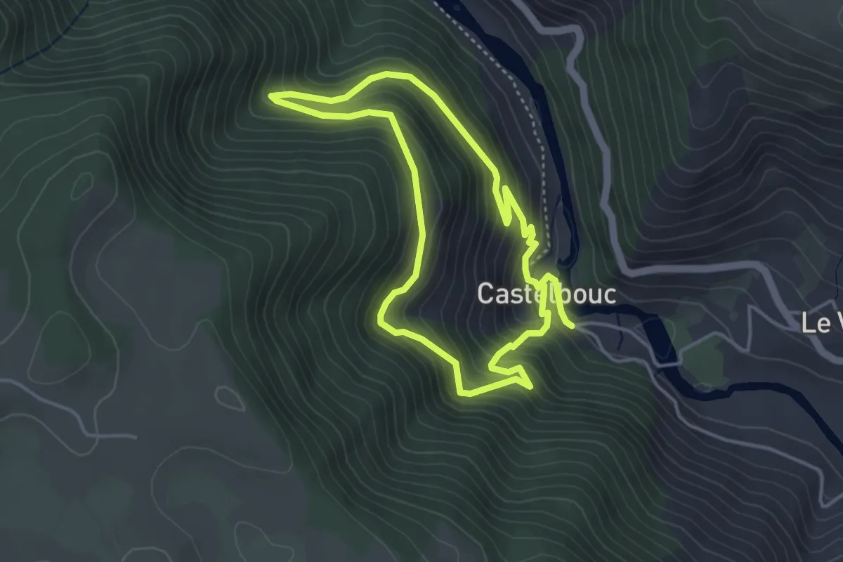
Easy · Trail
Castelbouc
3.8 km · ↑ 297 m · 1 h 36 min
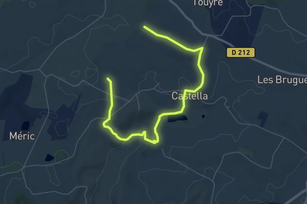
Easy · Trail
Castella, la promenade de Mondou - 4,9km
3.8 km · ↑ 85 m · 1 h 8 min
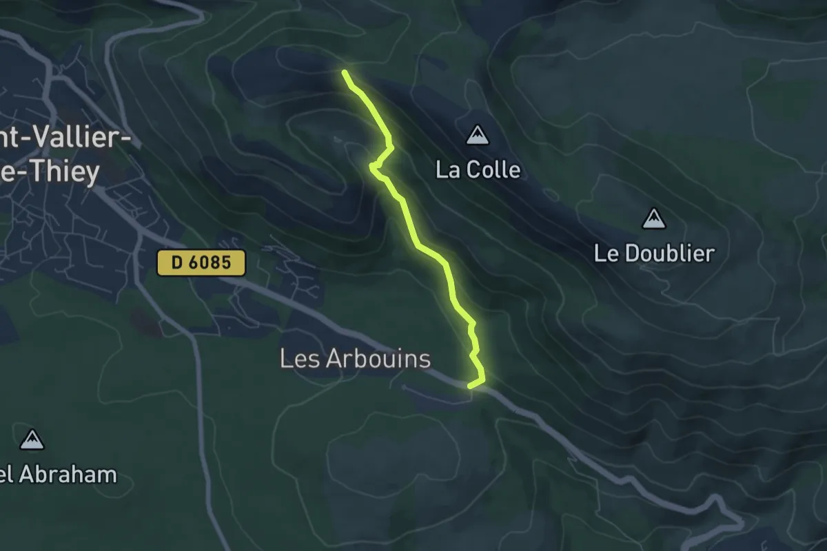
Medium · Trail
Castellaras de la Malle
5.1 km · ↑ 322 m · 1 h 54 min
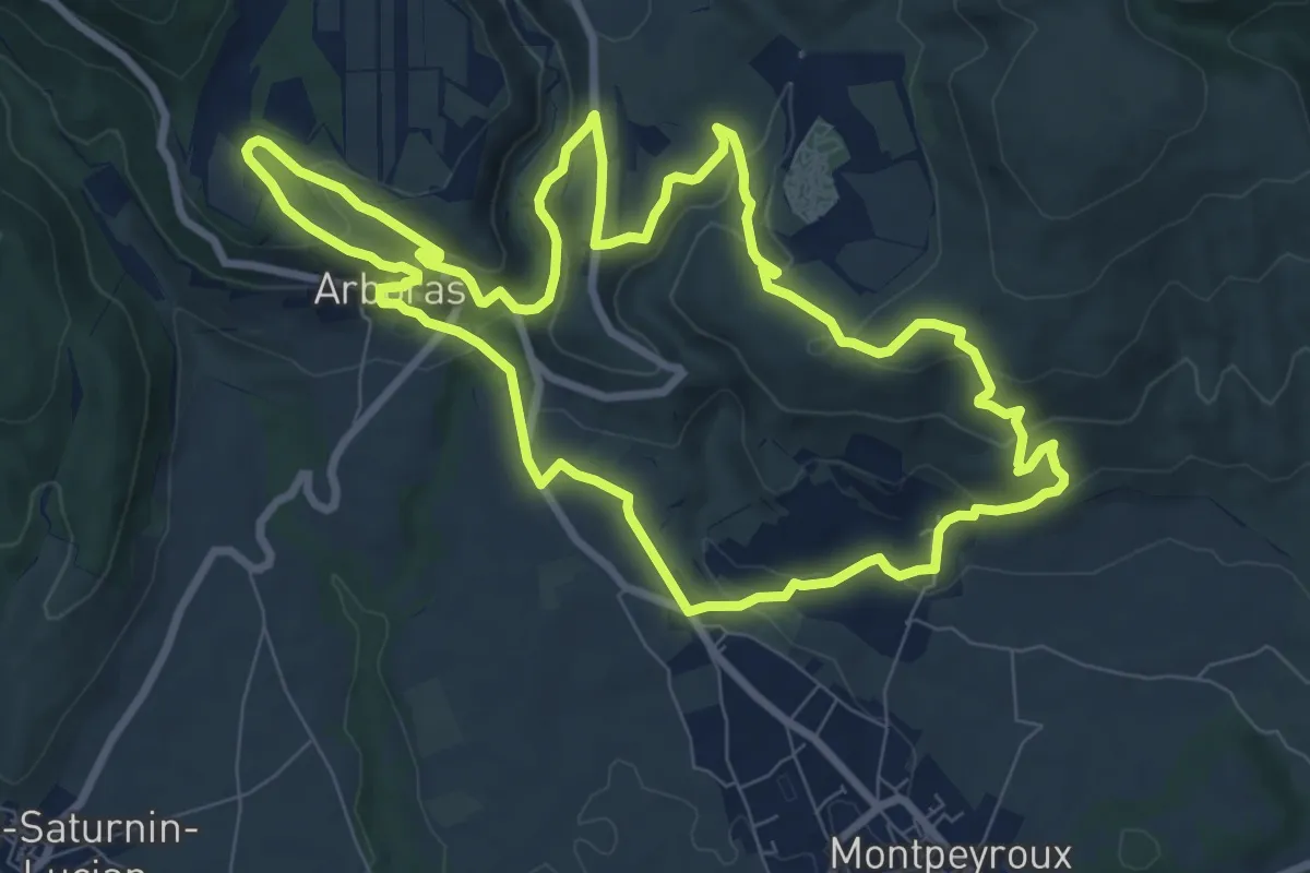
Medium · Trail
Castellas de Montpeyroux
9.6 km · ↑ 352 m · 3 h 9 min
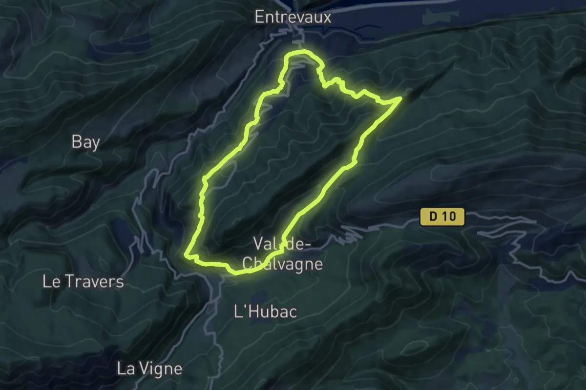
Medium · Trail
Castellet Saint-Cassien
12.3 km · ↑ 680 m · 4 h 34 min
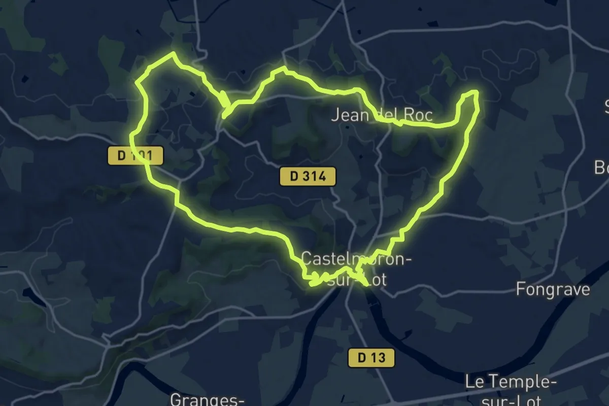
Demanding · Trail
Castelmoron-sur-Lot, un port fluvial sur le Lot
19.0 km · ↑ 374 m · 5 h 34 min
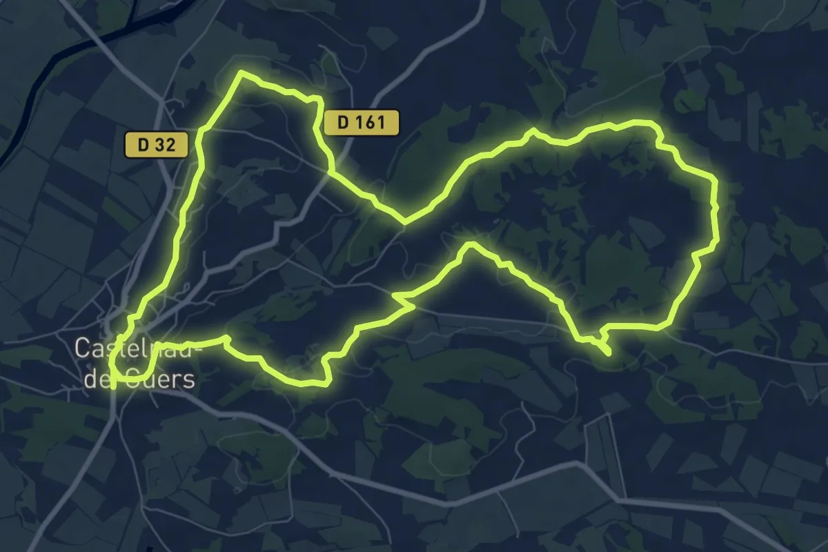
Medium · Trail
Castelnau-de-Guers - Chapelle Saint-Nicolas
10.8 km · ↑ 127 m · 2 h 58 min
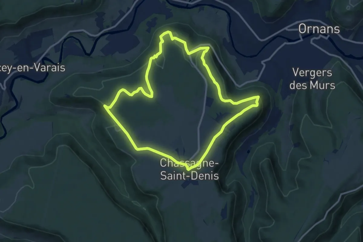
Medium · Trail
Castel Saint-Denis
9.5 km · ↑ 161 m · 2 h 44 min
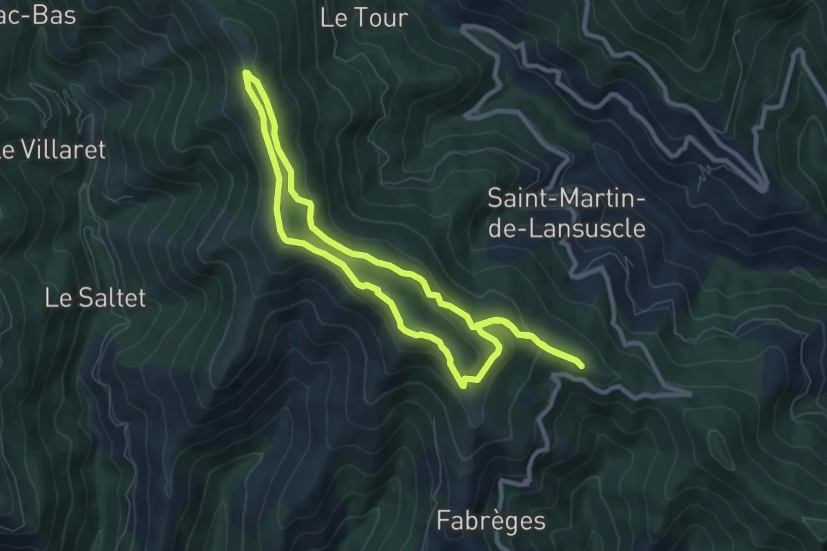
Medium · Trail
Castelviel
7.1 km · ↑ 283 m · 2 h 23 min
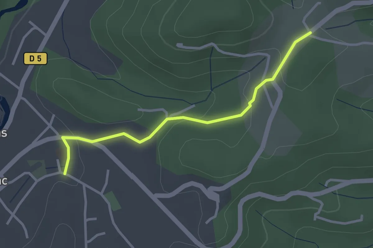
Easy · Trail
Castrevielle -Larmande
2.7 km · ↑ 69 m · 48 min
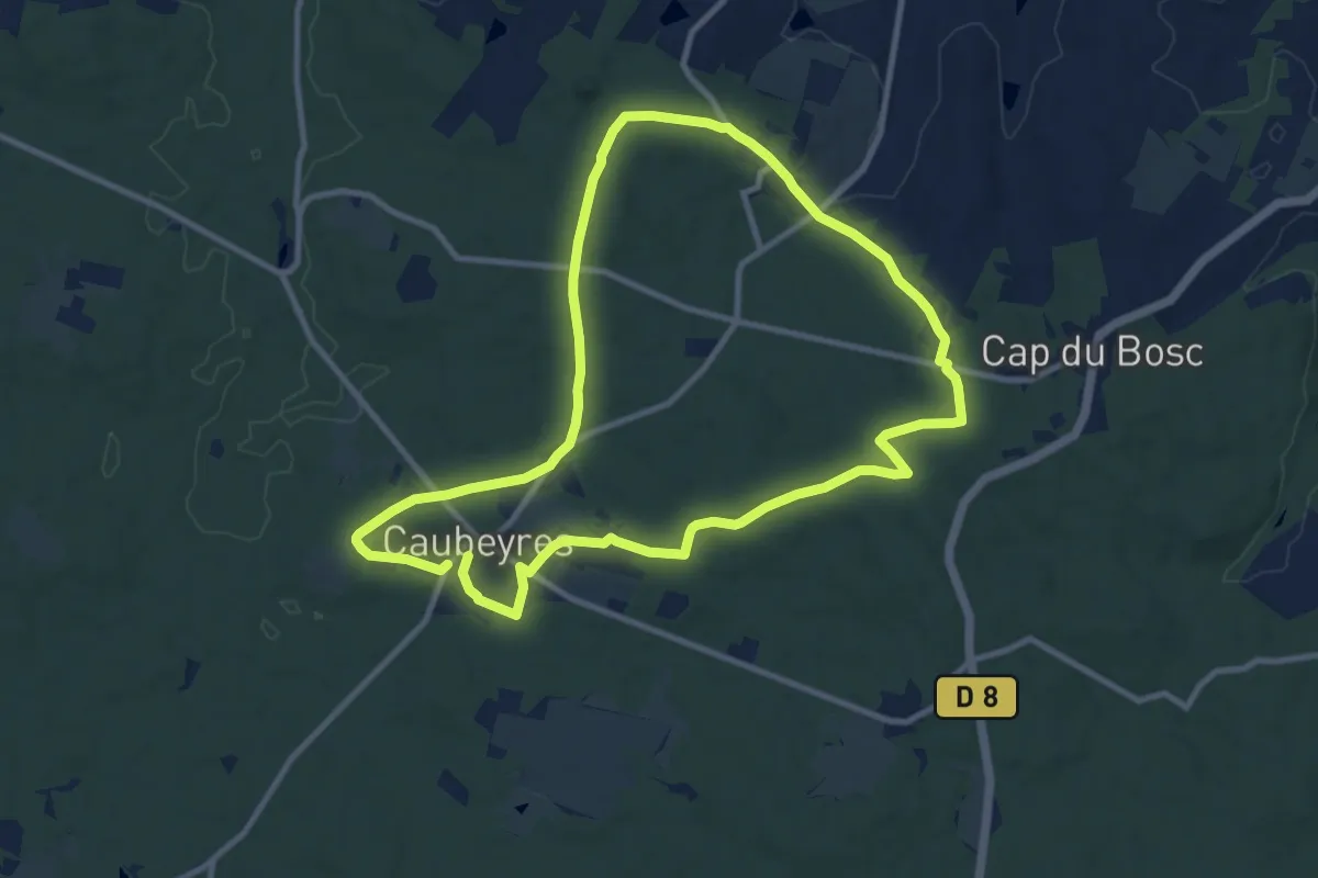
Medium · Trail
Caubeyres, la fontaine bouillonnante - 10.7 km
10.2 km · ↑ 158 m · 2 h 53 min
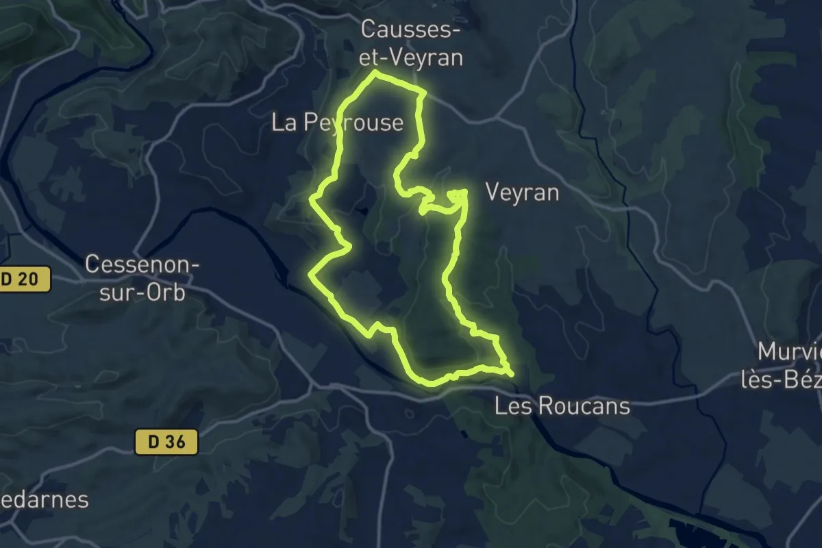
Medium · Summit
Causses et Veyran Gourniès
13.0 km · ↑ 208 m · 3 h 42 min
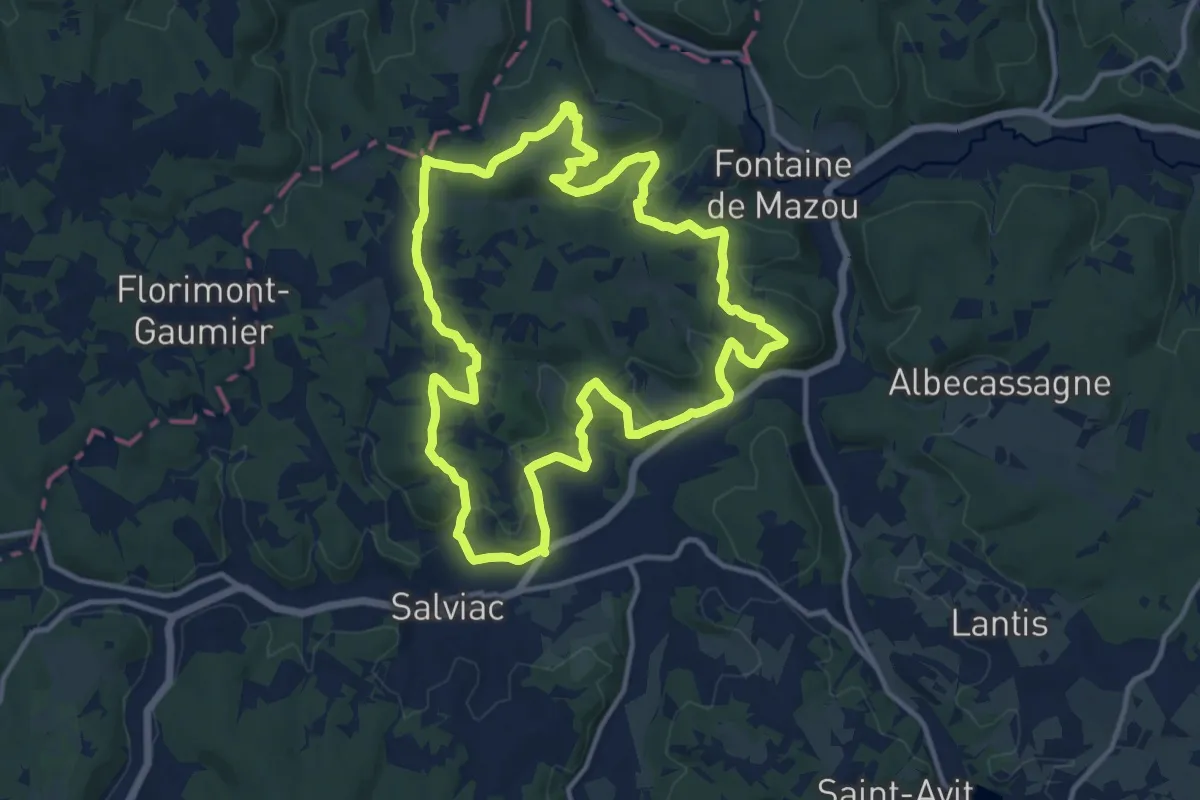
Medium · Trail
Causse toujours
13.3 km · ↑ 378 m · 4 h 9 min
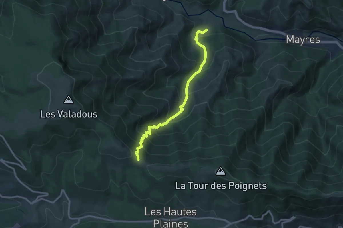
Medium · Trail
Cautet - Mas des Pergeyres
7.3 km · ↑ 709 m · 3 h 16 min
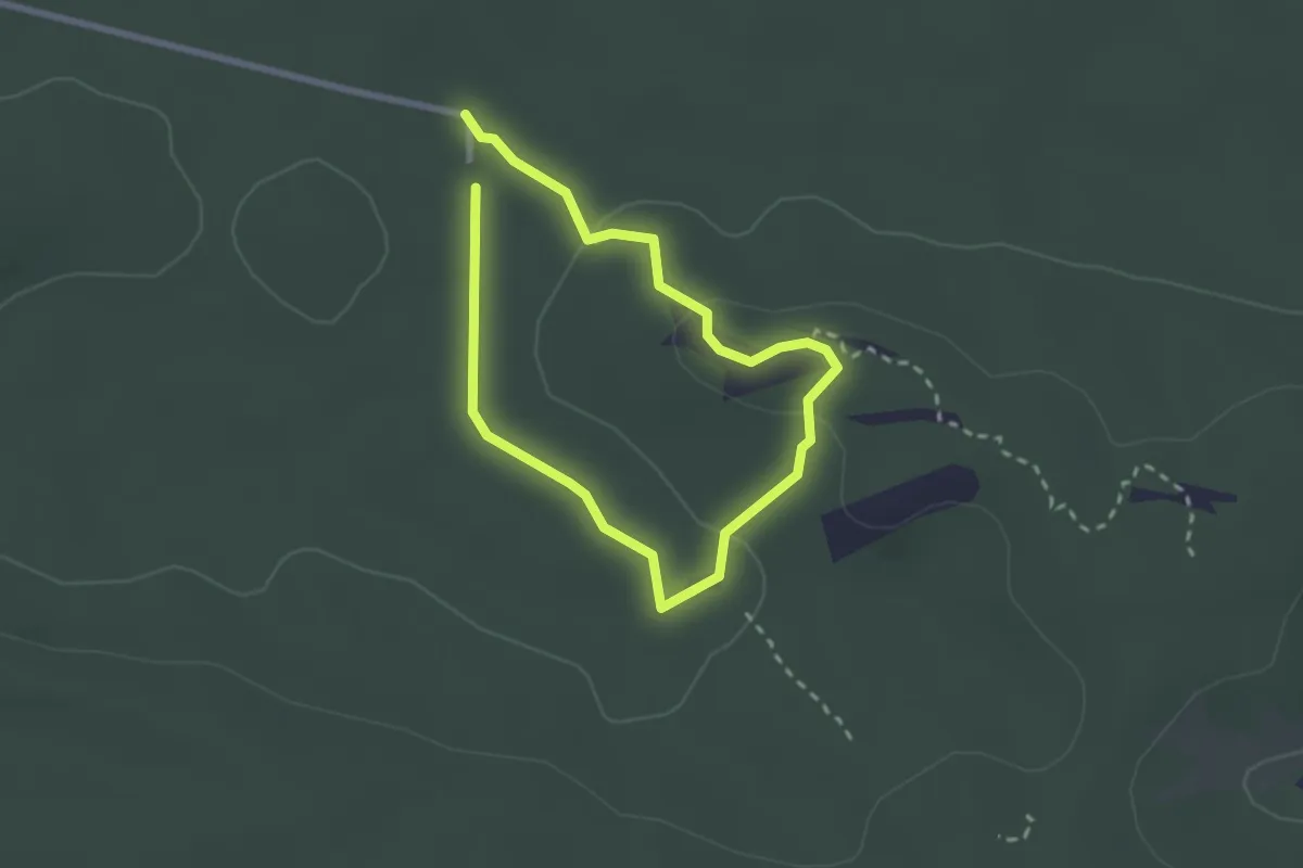
Medium · Trail
Cavalière des Brigands
1.9 km · ↑ 25 m · 31 min
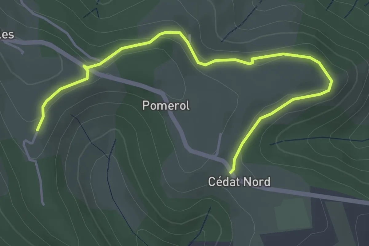
Easy · Trail
Cédat - Gibon
4.5 km · ↑ 116 m · 1 h 19 min
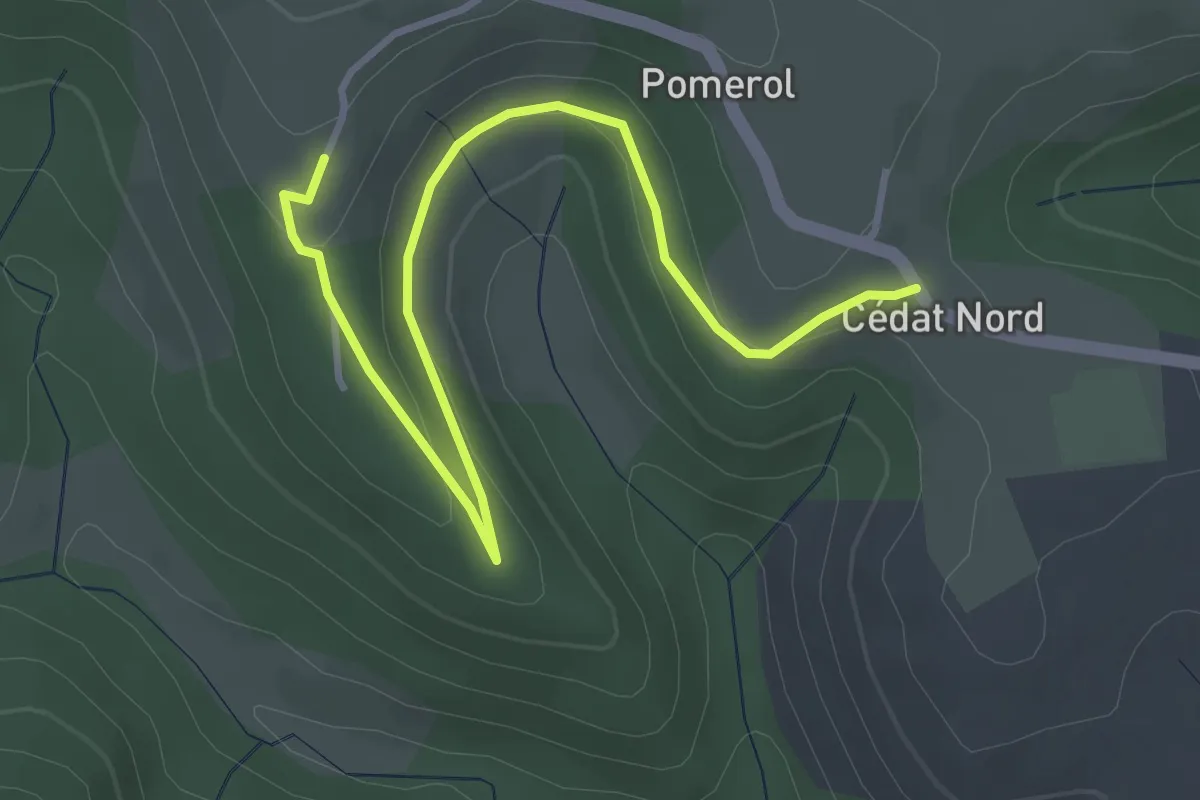
Easy · Trail
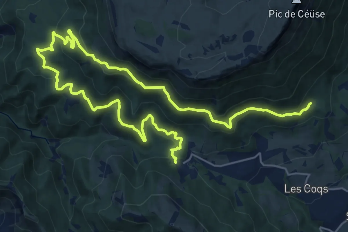
Cédat - Gibon
4.4 km · ↑ 109 m · 1 h 16 min
Demanding · Trail
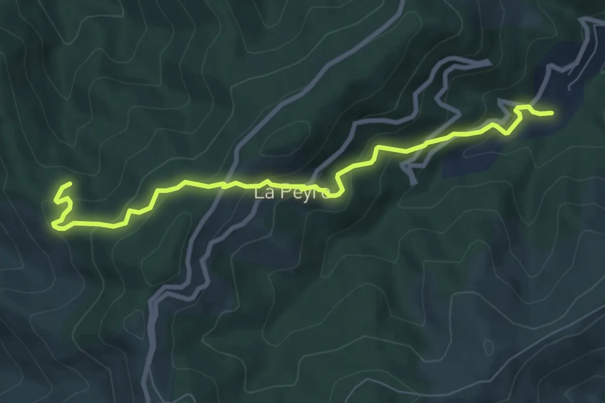
Ceüse Circuit 3
22.7 km · ↑ 850 m · 7 h 13 min
Medium · Trail
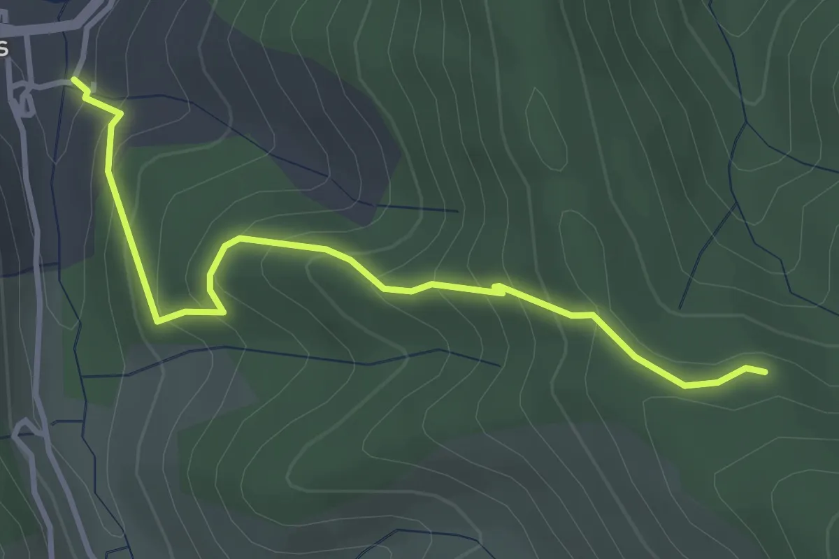
Chabane - Jouanvins
7.4 km · ↑ 503 m · 2 h 50 min
Easy · Trail
Chabane - Le Pont Vieux
3.5 km · ↑ 320 m · 1 h 31 min
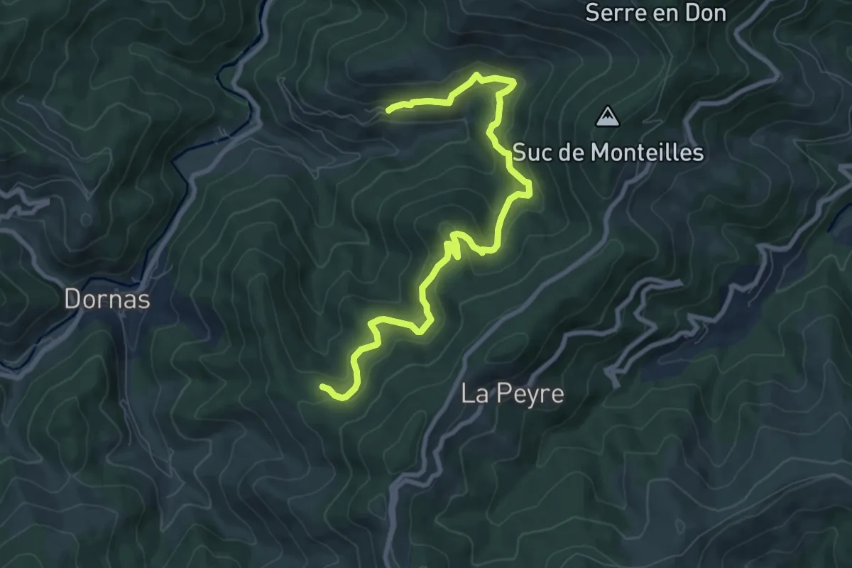
Medium · Trail
Chabane - Molines
9.2 km · ↑ 502 m · 3 h 16 min
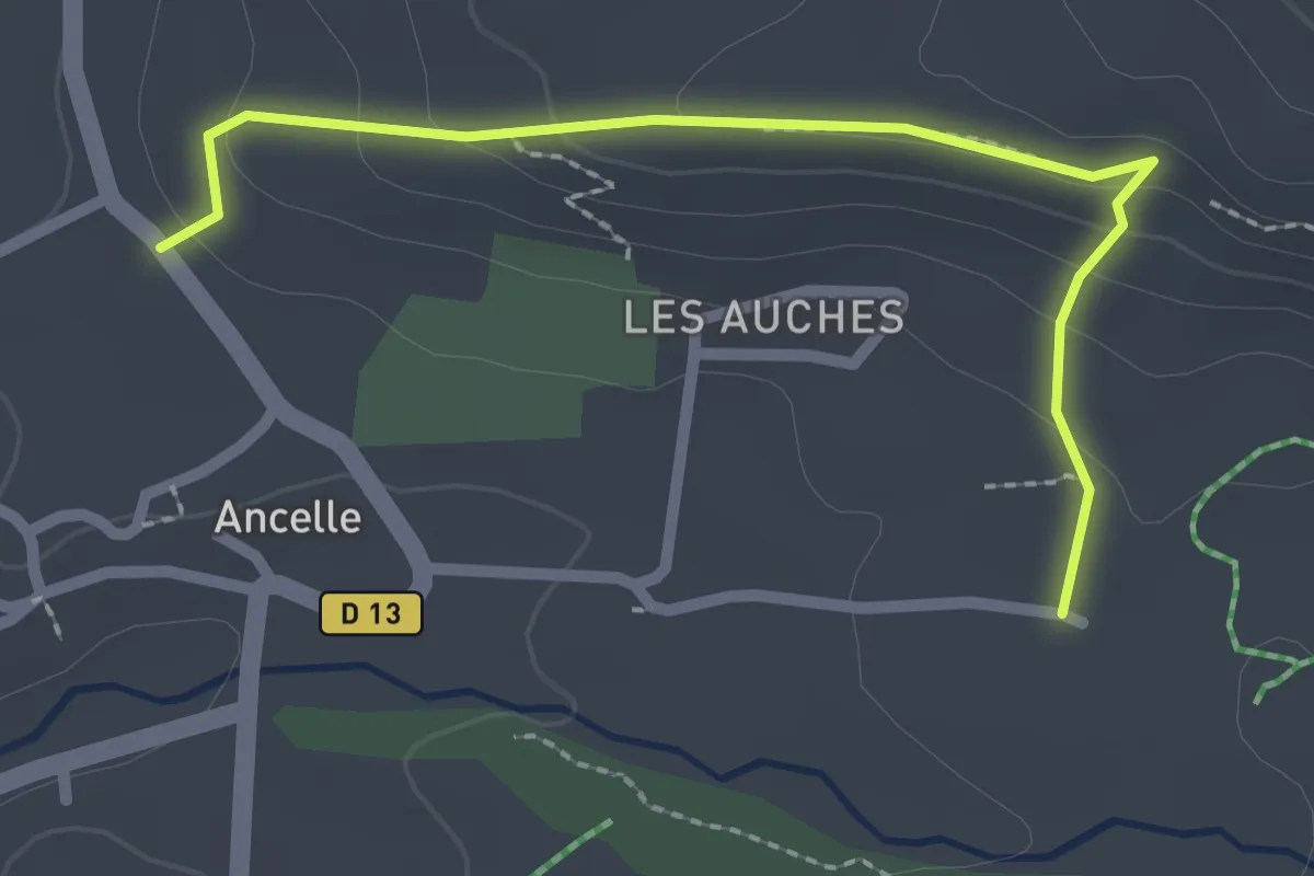
Easy · Trail
Chabottes - La Rase
2.5 km · ↑ 113 m · 50 min
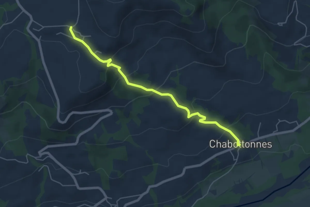
Easy · Trail
Chabottonnes - St Michel
5.0 km · ↑ 252 m · 1 h 43 min
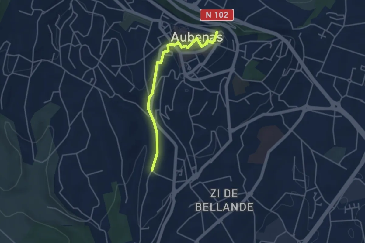
Easy · Trail
Chadarent - L'Airette
3.3 km · ↑ 76 m · 57 min
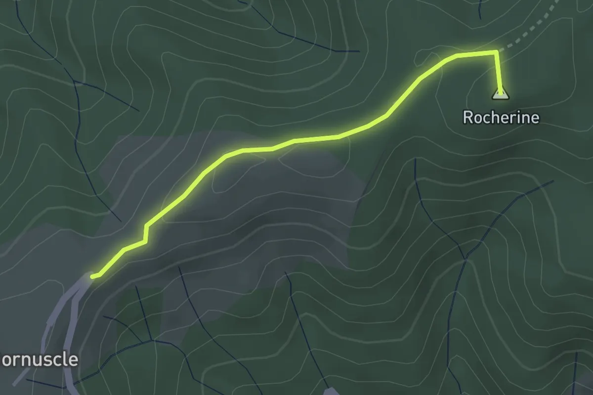
Easy · Summit
Chadenac - Cornuscle
2.9 km · ↑ 68 m · 49 min
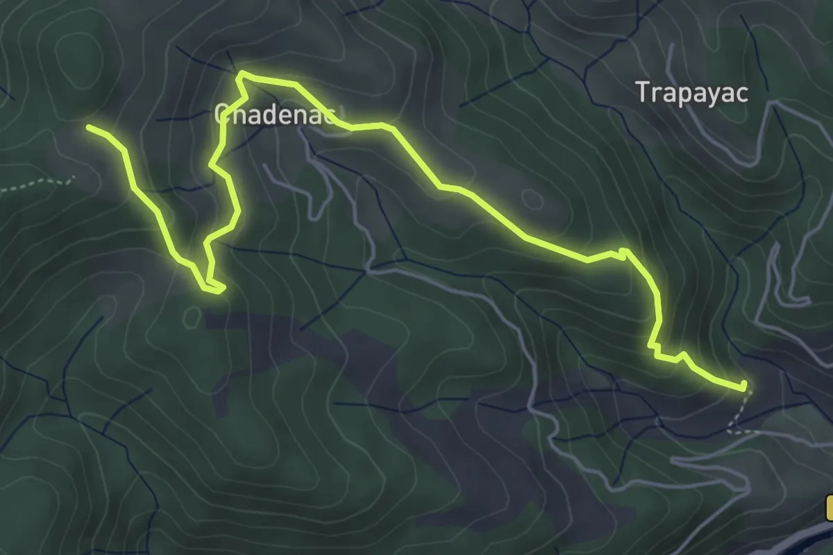
Medium · Trail
Chadenac - La Grange
6.4 km · ↑ 363 m · 2 h 18 min
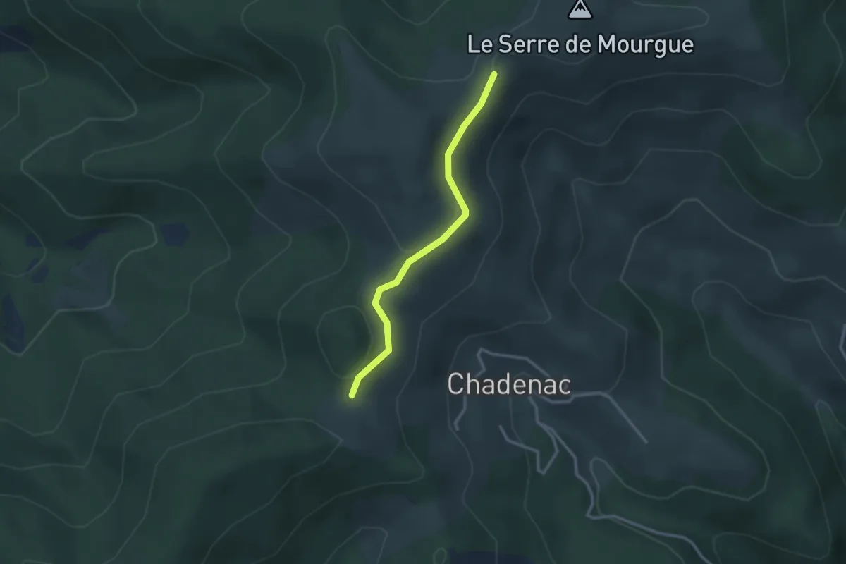
Easy · Trail
Chadenac - La Mourgue
2.5 km · ↑ 70 m · 45 min
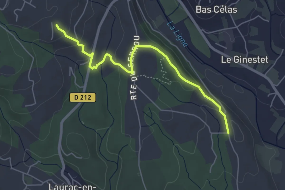
Easy · Trail
Chadeyron - Mas Gauthier
4.9 km · ↑ 152 m · 1 h 29 min
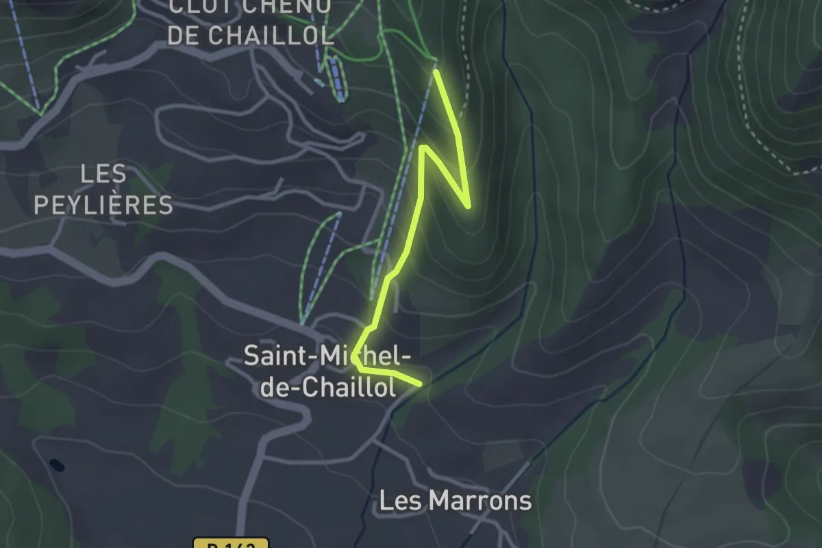
Easy · Trail
Chaillol Village - Coustaille
2.7 km · ↑ 188 m · 1 h 2 min
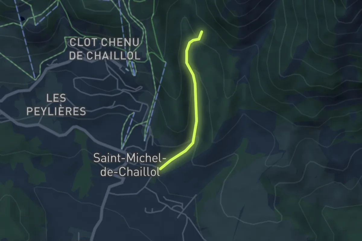
Easy · Trail
Chaillol Village - Forest de Constant
2.6 km · ↑ 159 m · 57 min
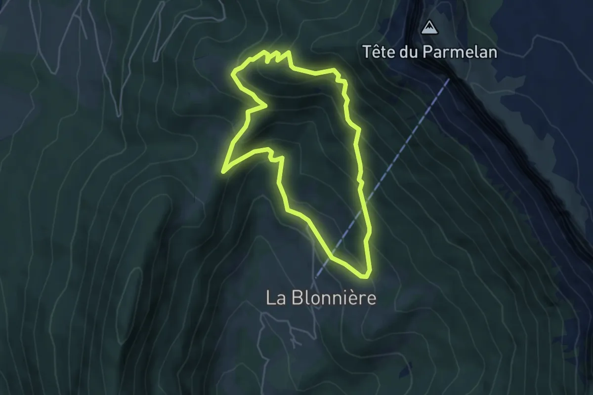
Medium · Trail
Chalet Chappuis
4.3 km · ↑ 385 m · 1 h 55 min
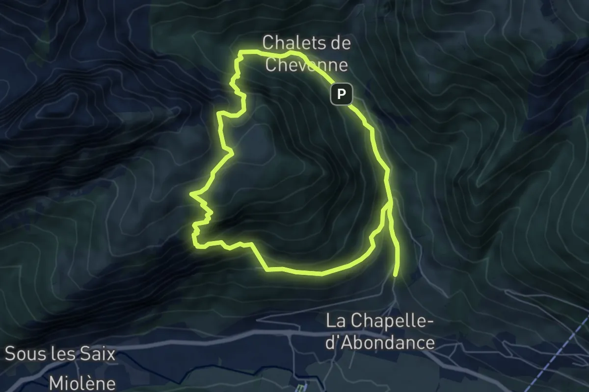
Medium · Trail
Chalet de la Raille par la Plagne
6.4 km · ↑ 535 m · 2 h 45 min
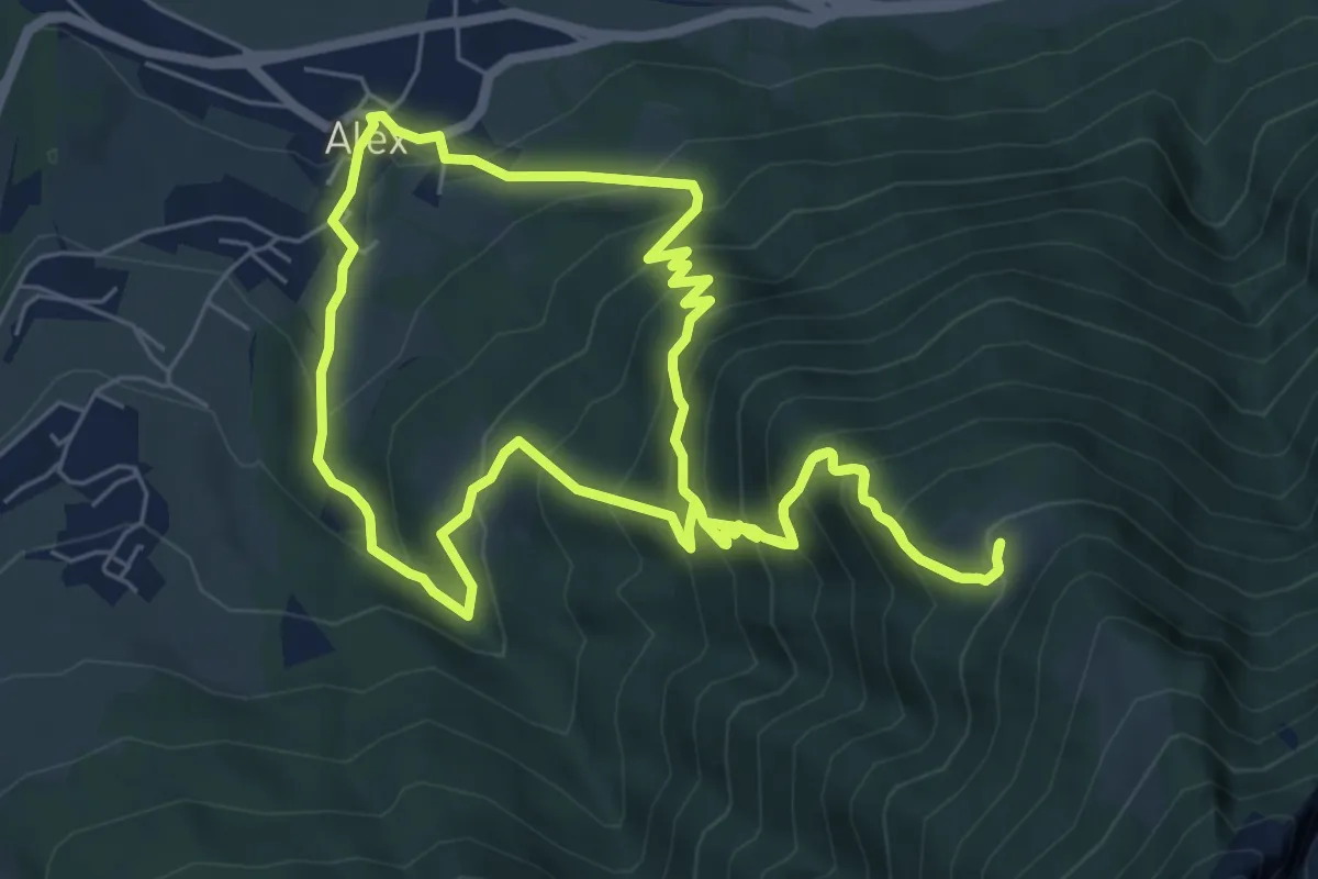
Demanding · Trail
Chalet Rochette
7.1 km · ↑ 658 m · 3 h 15 min
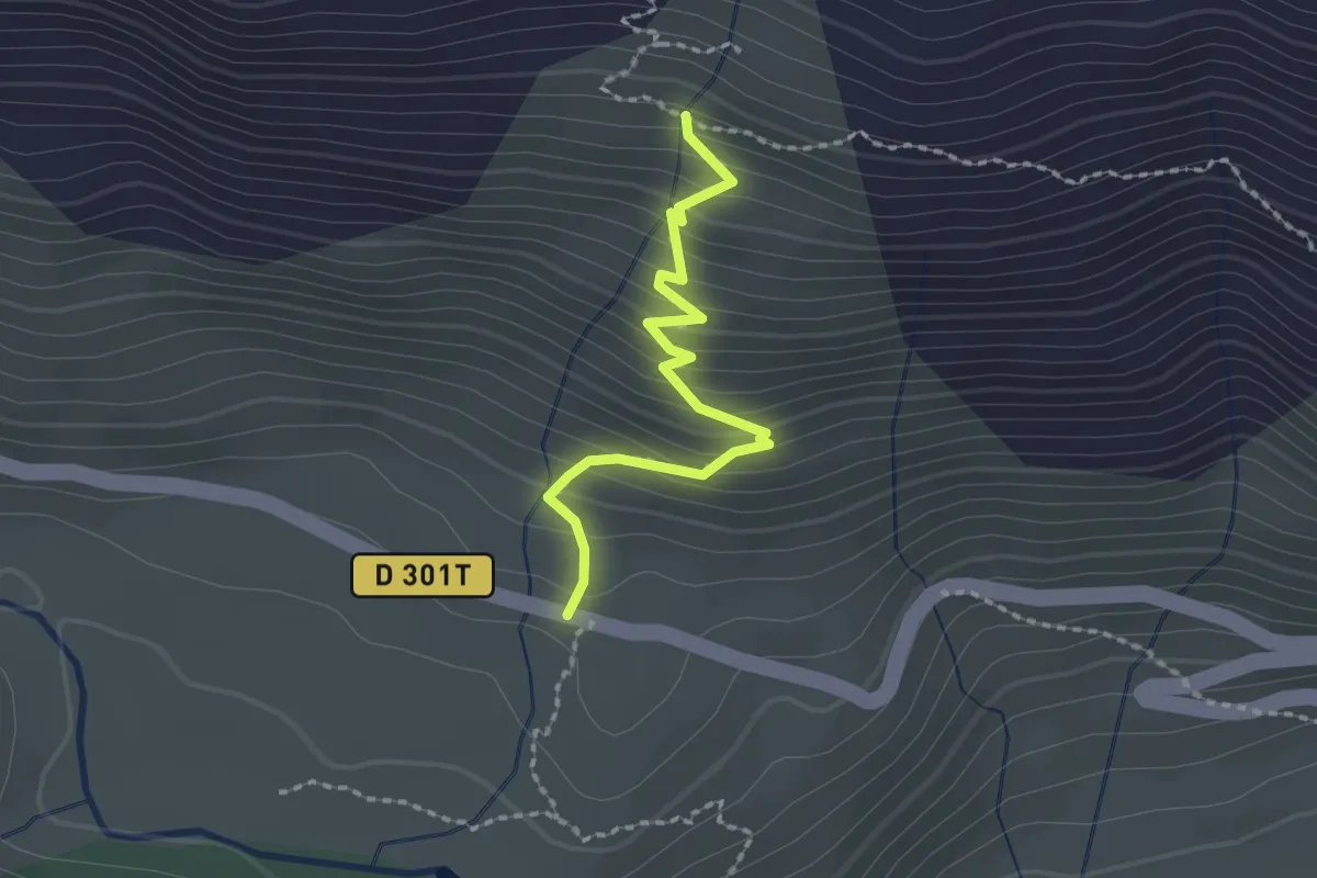
Easy · Trail
Chalets de Biaune - Chapelle Ste Barbe
2.0 km · ↑ 220 m · 57 min
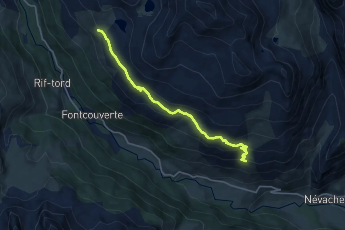
Medium · Trail
Chalets de Biaune - La Replate
9.5 km · ↑ 482 m · 3 h 18 min
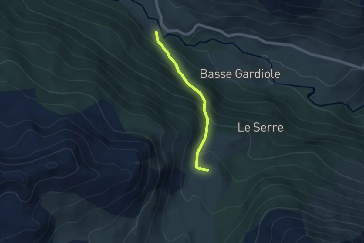
Easy · Cabin
Chalets de Buffère - ?
2.9 km · ↑ 256 m · 1 h 15 min