Trails in France
15,906 hiking trails, each with its route, climb, walking time and grade.
All trails, page 36 of 332
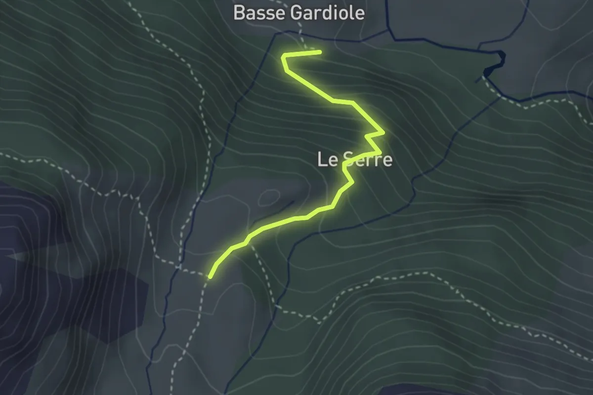
Easy · Cabin
Chalets de Buffère - La Gardiole
2.9 km · ↑ 270 m · 1 h 16 min
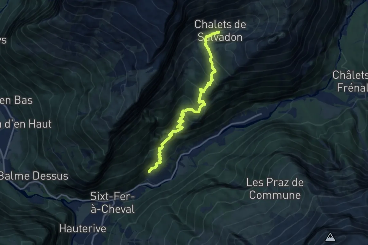
Medium · Trail
Chalets de Salvadon
5.4 km · ↑ 735 m · 2 h 36 min
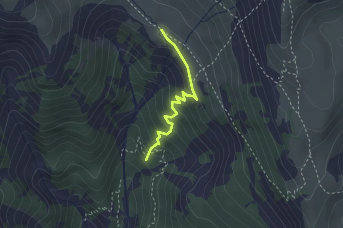
Medium · Summit
Chalets des Thures - Cheminée de Fée
2.2 km · ↑ 201 m · 57 min
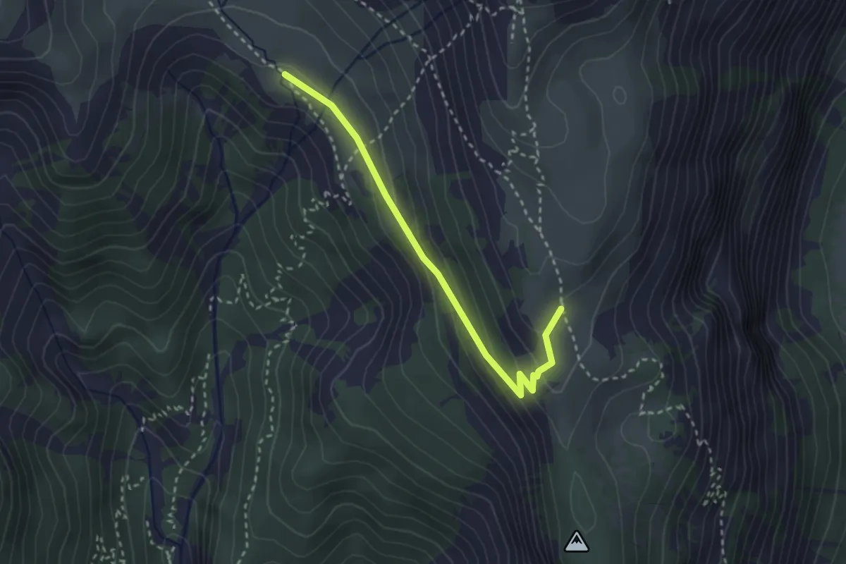
Medium · Trail
Chalets des Thures - Ruines Tête Noire
2.9 km · ↑ 148 m · 1 h
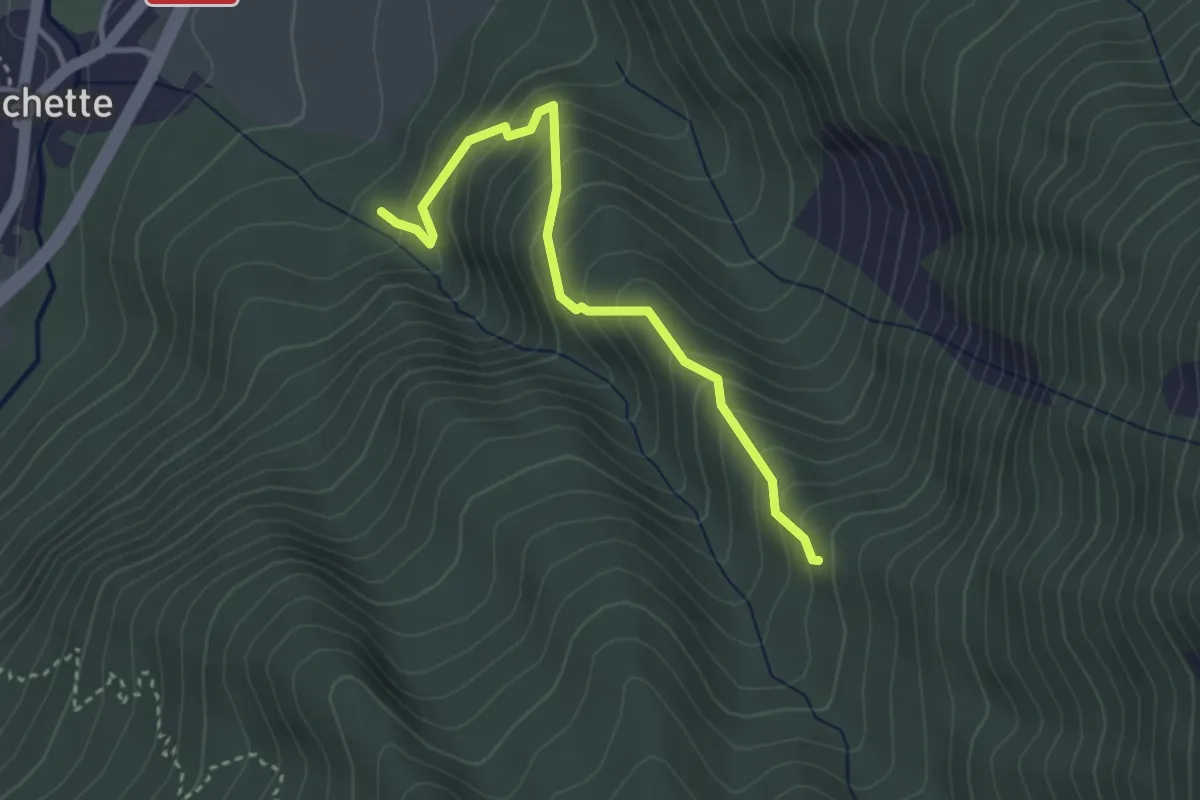
Medium · Trail
Chalets du Vallon - ?
3.3 km · ↑ 337 m · 1 h 31 min
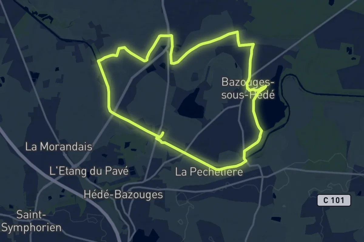
Medium · Trail
Chalets et étang
11.3 km · ↑ 57 m · 2 h 56 min
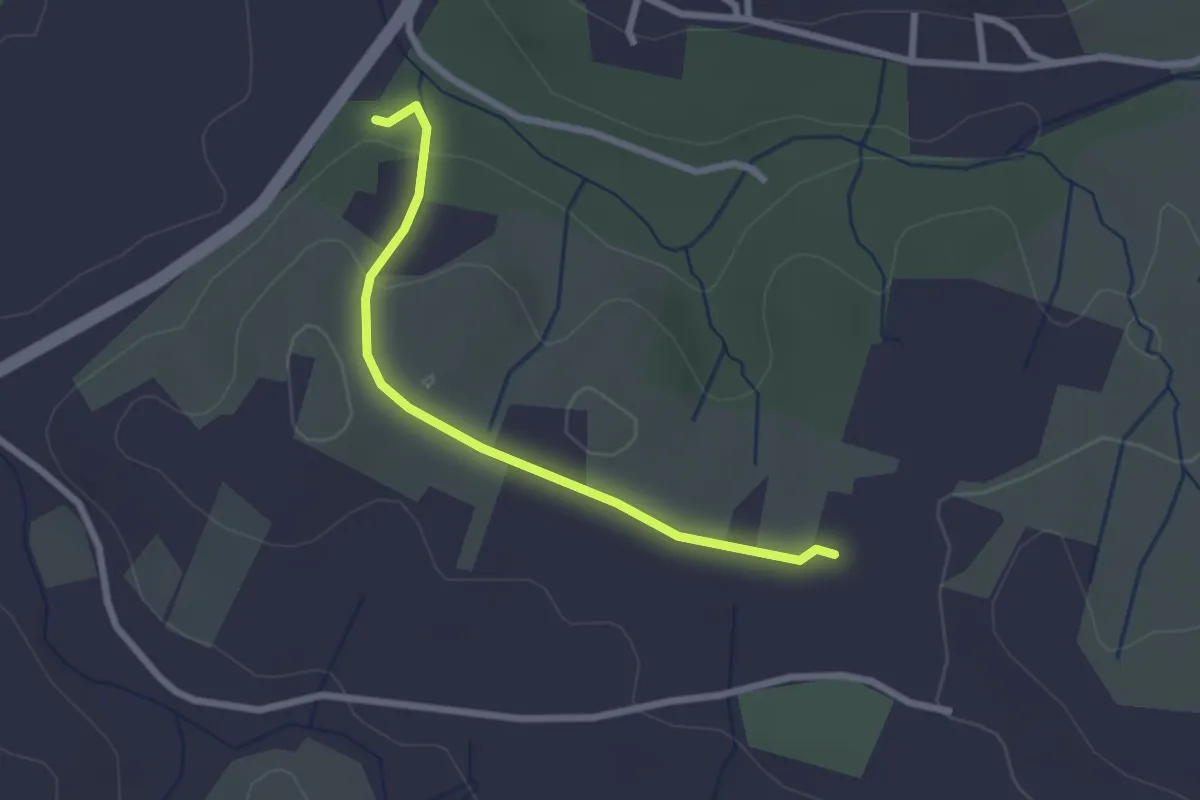
Easy · Trail
Chalouzet - Chaussy
2.5 km · ↑ 55 m · 42 min
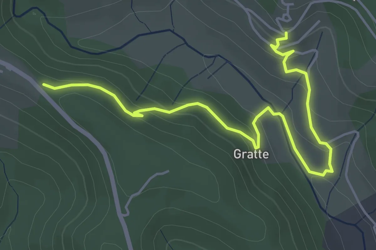
Easy · Trail
Chalvêche - Brès
5.3 km · ↑ 217 m · 1 h 43 min
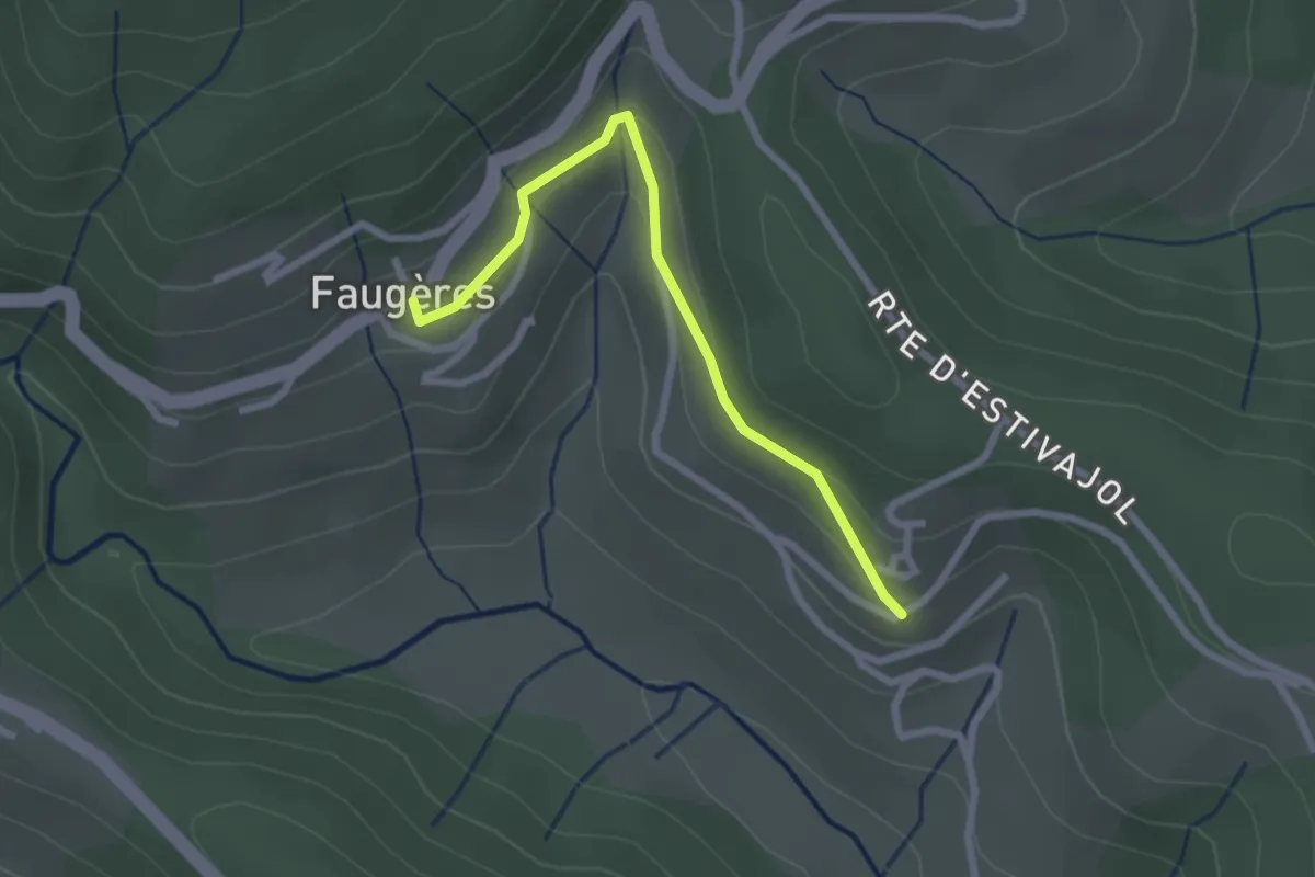
Easy · Trail
Chalvêche - Le Clos
2.5 km · ↑ 107 m · 49 min
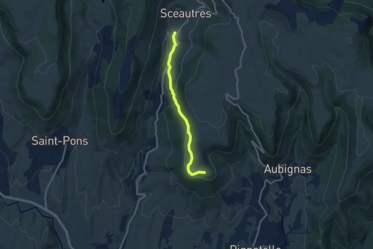
Easy · Trail
Chambon - La Carrière
6.6 km · ↑ 187 m · 1 h 58 min
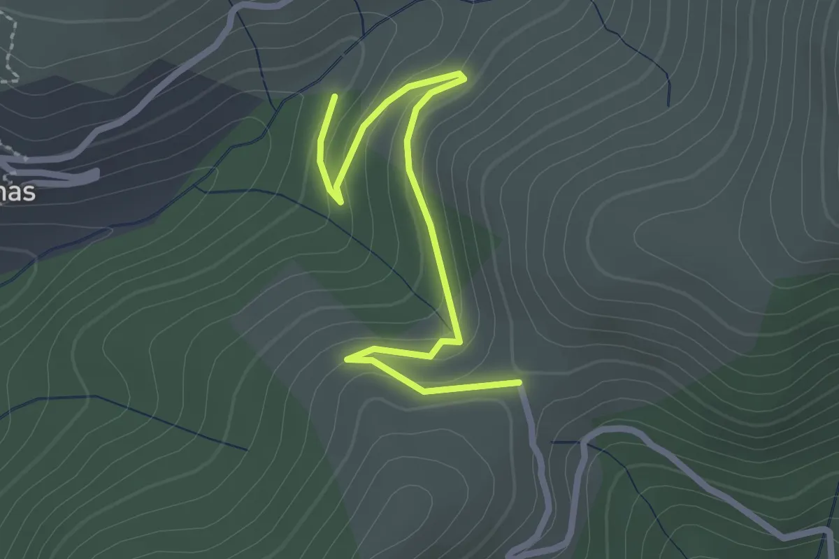
Easy · Trail
Chambonnet - Le Col d'Auzon
2.7 km · ↑ 119 m · 53 min
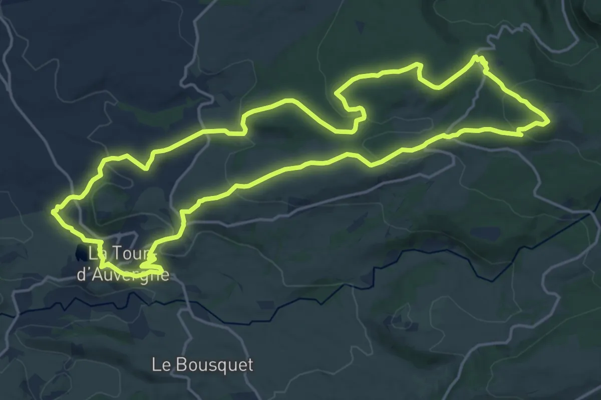
Medium · Trail
Chambourguet
16.7 km · ↑ 469 m · 5 h 12 min
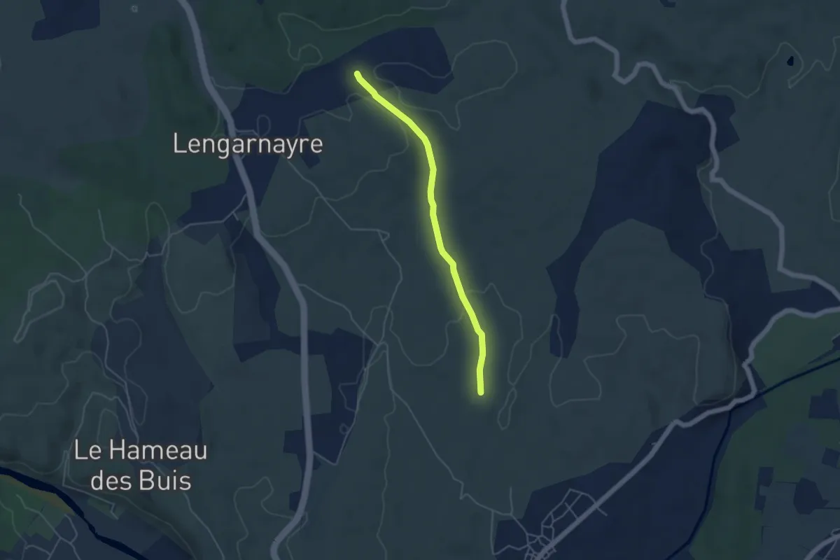
Easy · Trail
Cham de Rode - La Croix de Raoux
4.4 km · ↑ 63 m · 1 h 10 min
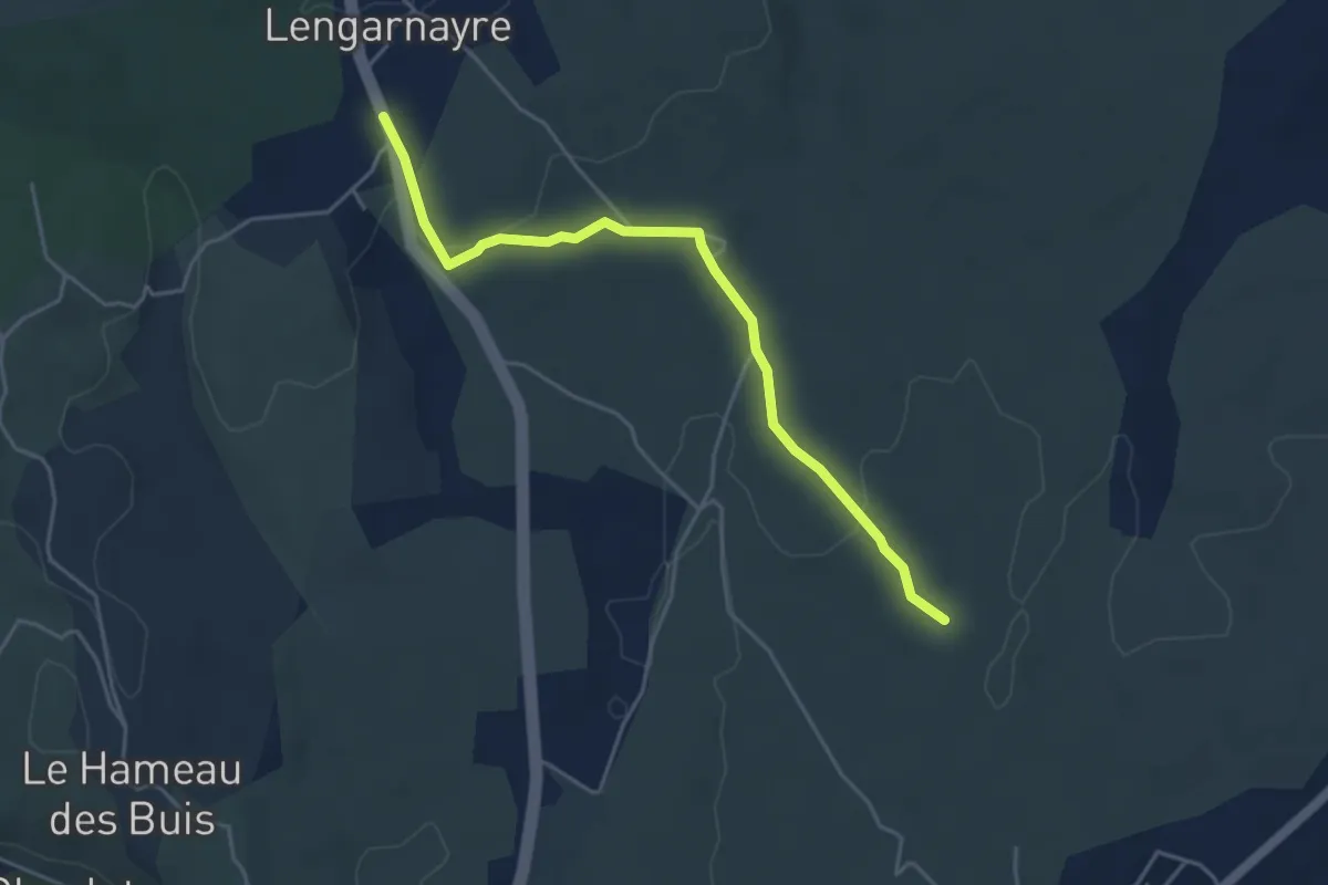
Easy · Trail
Cham de Rode - Lengarnayre
4.6 km · ↑ 88 m · 1 h 17 min
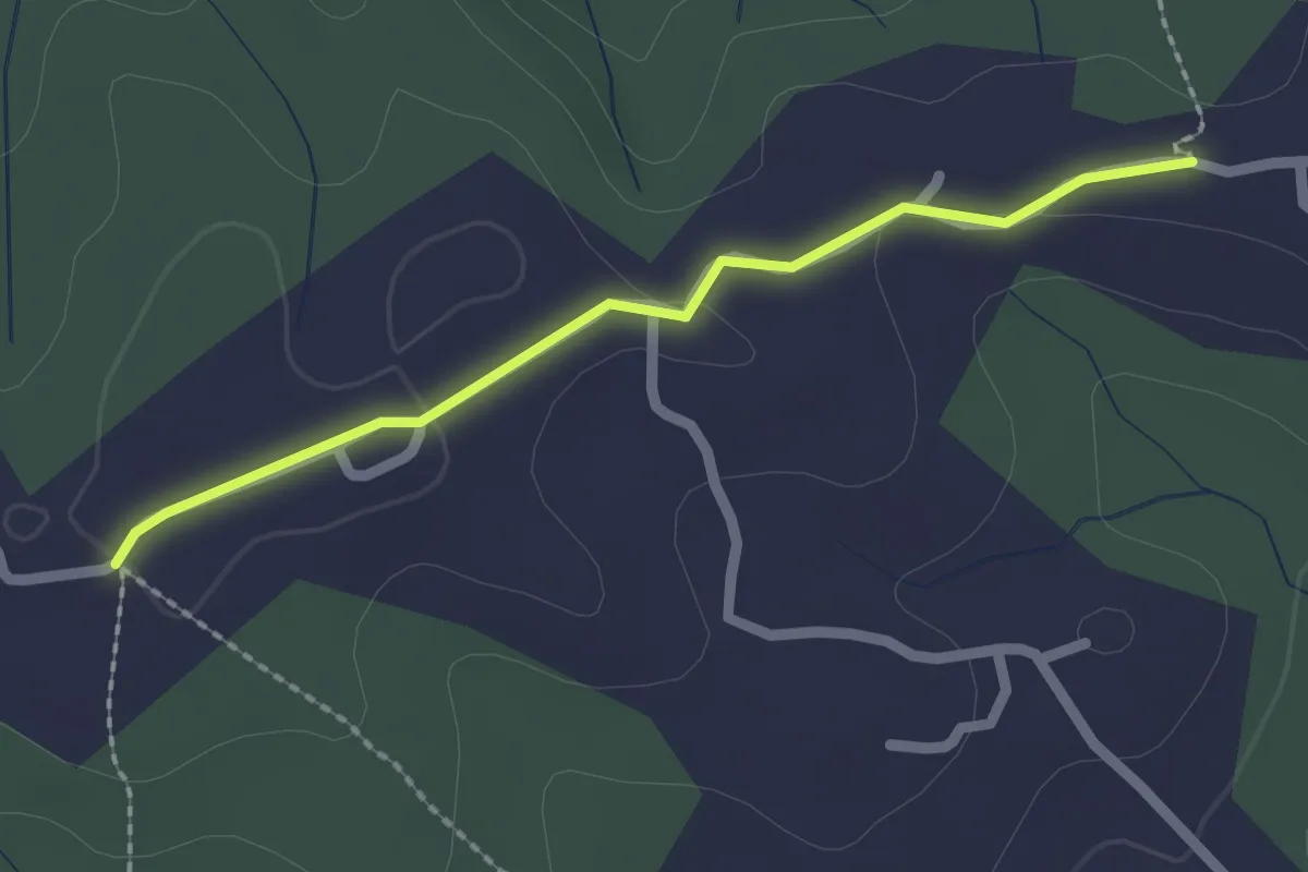
Easy · Trail
Champagnac - Robert
2.1 km · ↑ 28 m · 33 min
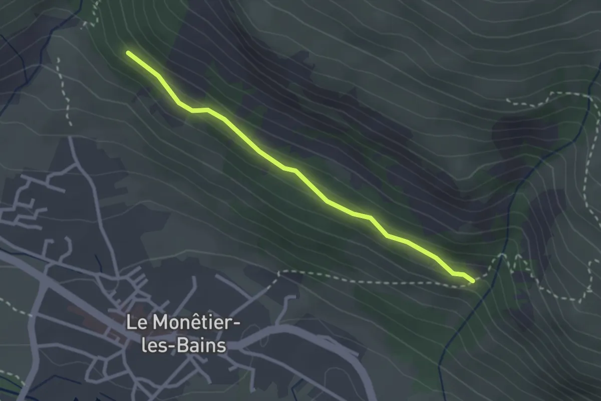
Easy · Trail
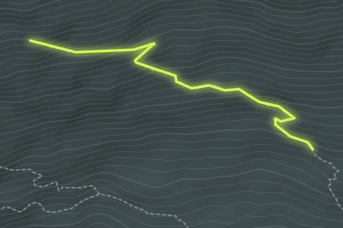
Champ Bacoup - Côte Cibert
2.5 km · ↑ 101 m · 49 min
Medium · Trail
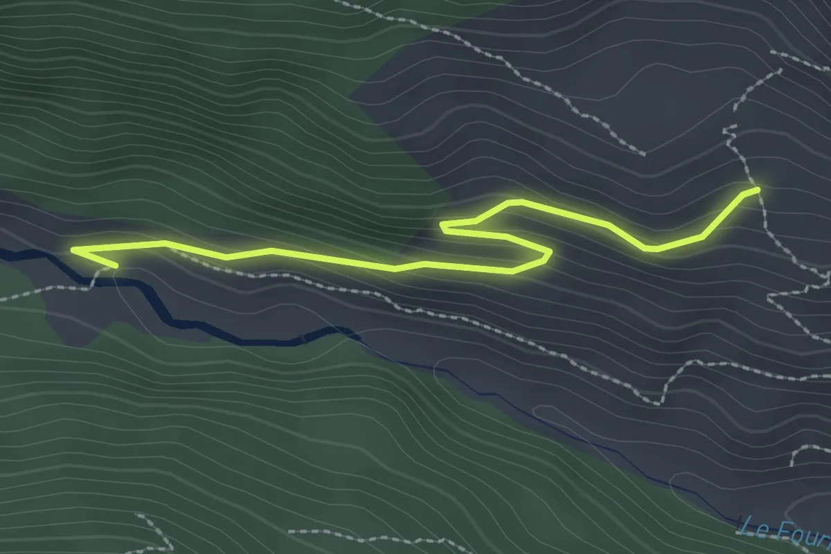
Champ des Chèvres - Le Villard
2.2 km · ↑ 208 m · 58 min
Easy · Trail
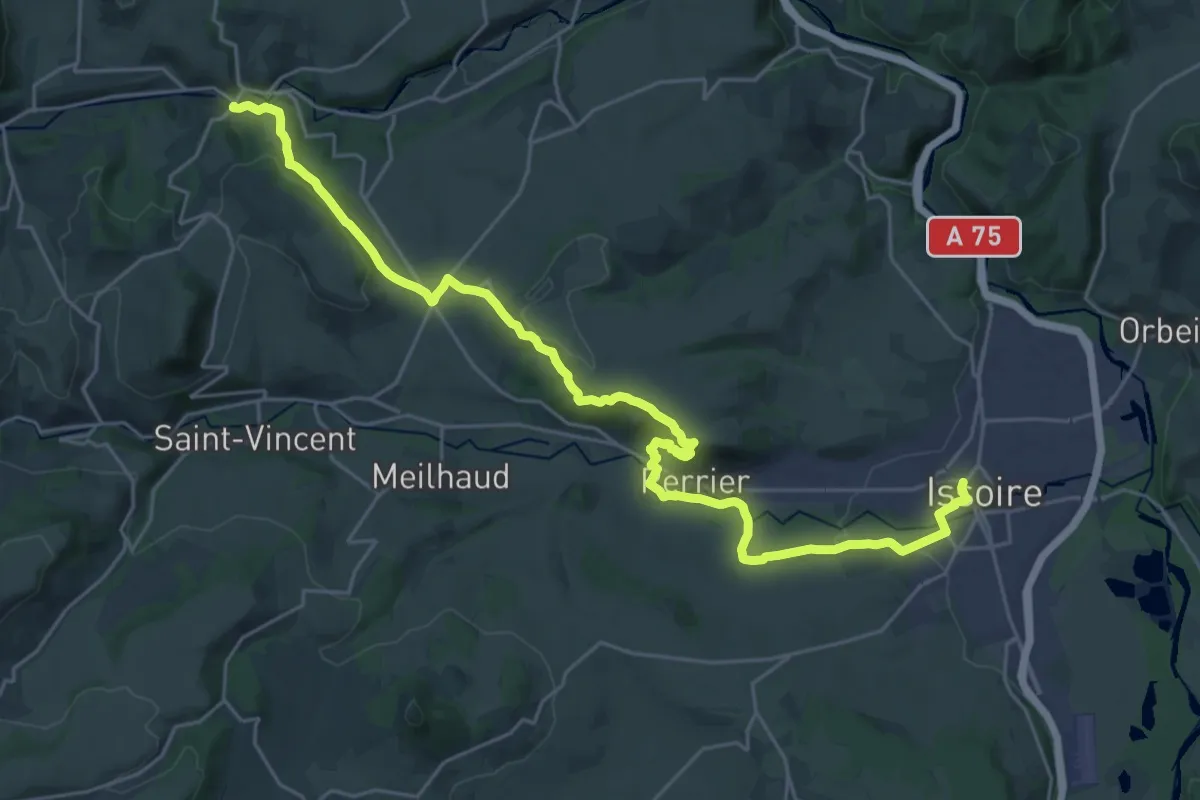
Champ Didier - Les Albrands
2.7 km · ↑ 128 m · 55 min
Medium · Trail
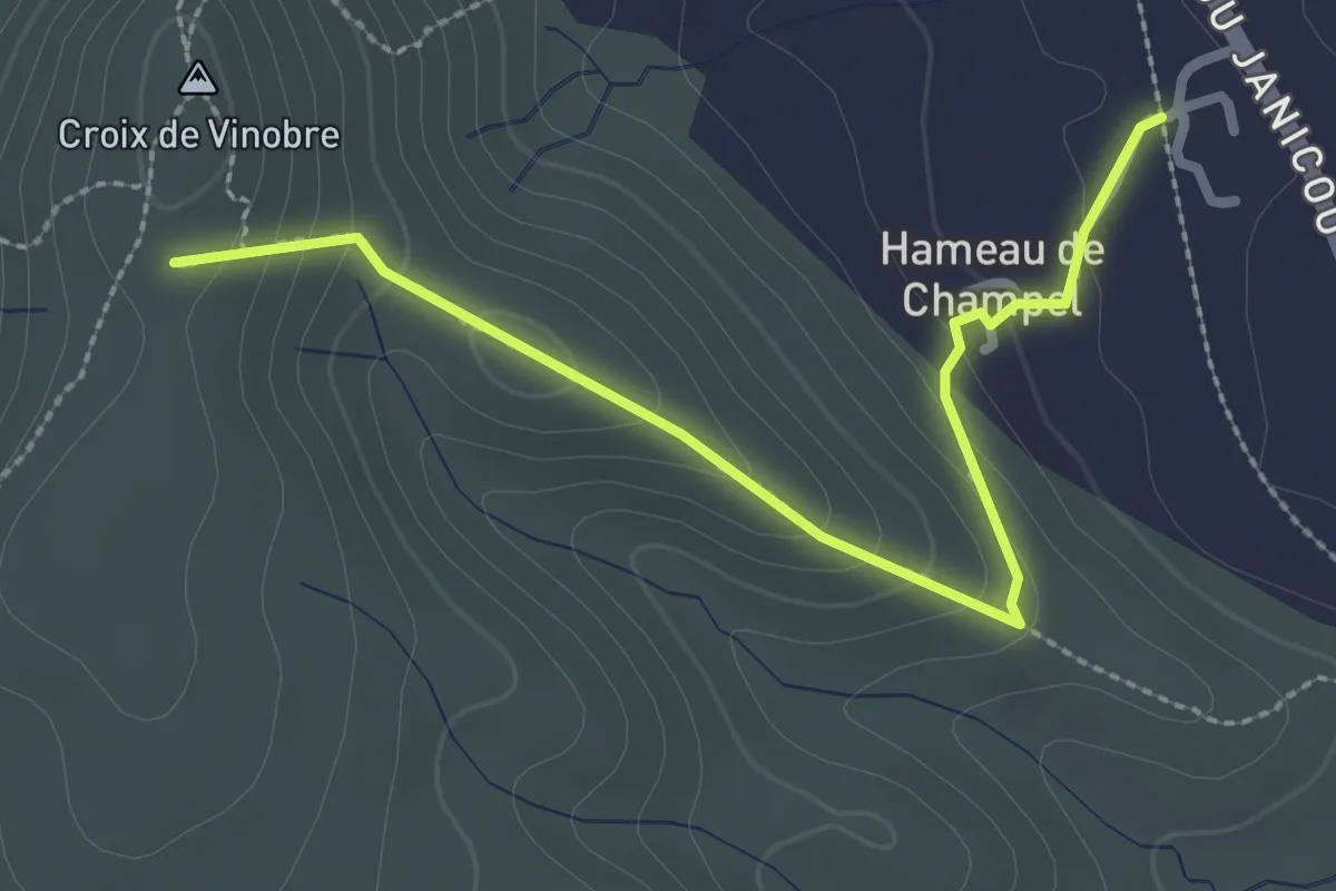
Champeix - Issoire
15.6 km · ↑ 391 m · 4 h 43 min
Easy · Trail
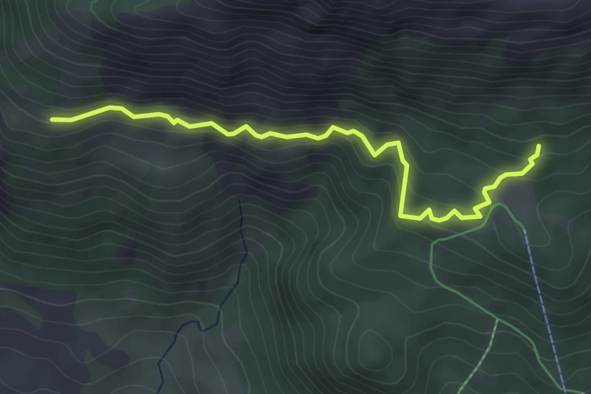
Champel - Vinobre
2.9 km · ↑ 191 m · 1 h 6 min
Medium · Trail
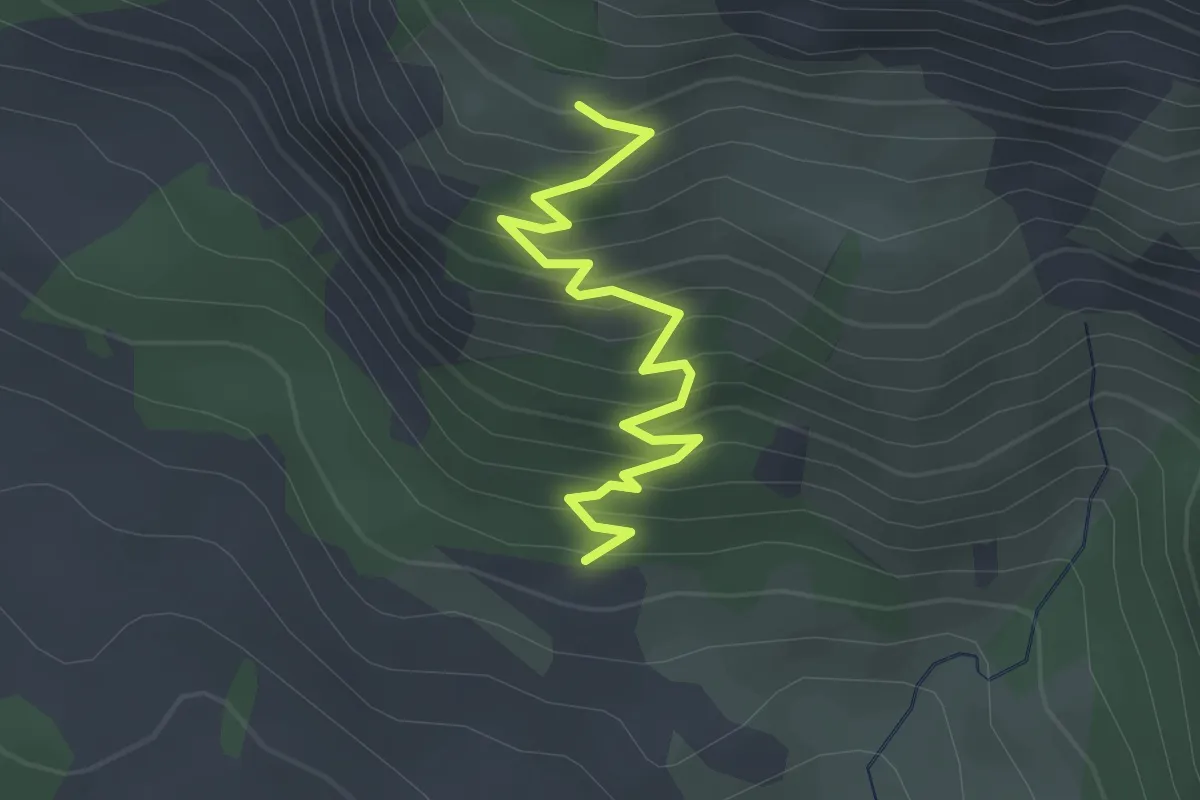
Champ Fourier - La Lozière
4.5 km · ↑ 333 m · 1 h 47 min
Easy · Trail
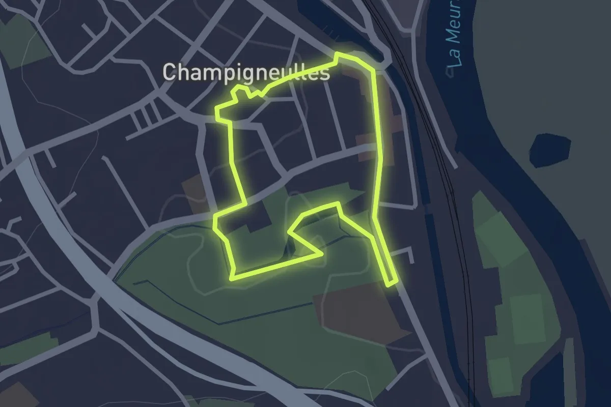
Champ Fourier - Les Coucoulières
2.9 km · ↑ 285 m · 1 h 18 min
Easy · Trail
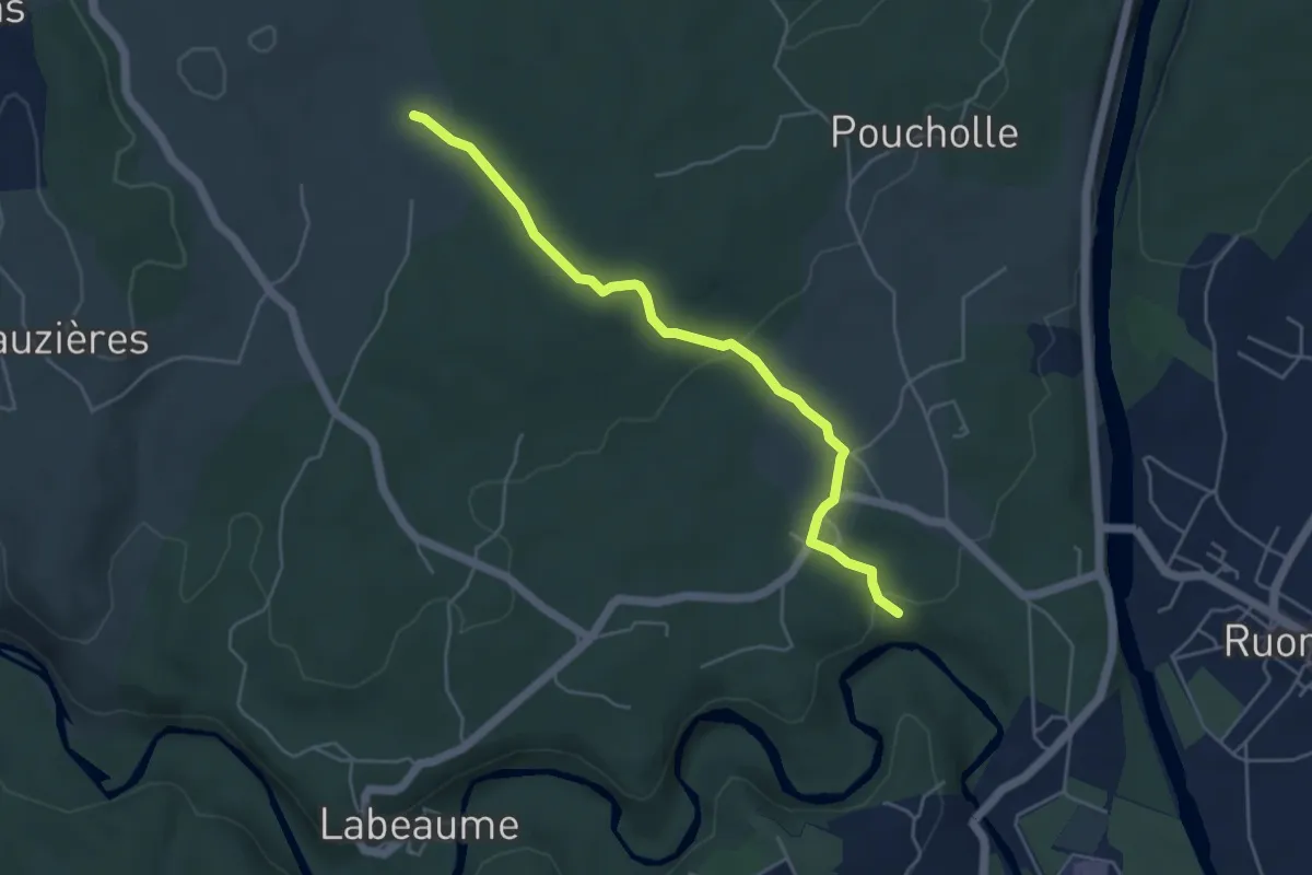
Champigneulles entre Histoire et Nature
2.0 km · ↑ 11 m · 32 min
Medium · Trail
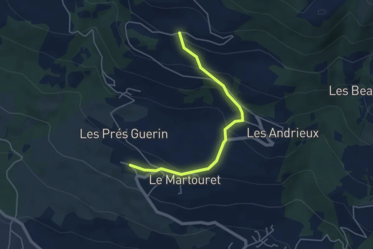
Champlautier - La Plaine
5.0 km · ↑ 100 m · 1 h 23 min
Easy · Trail
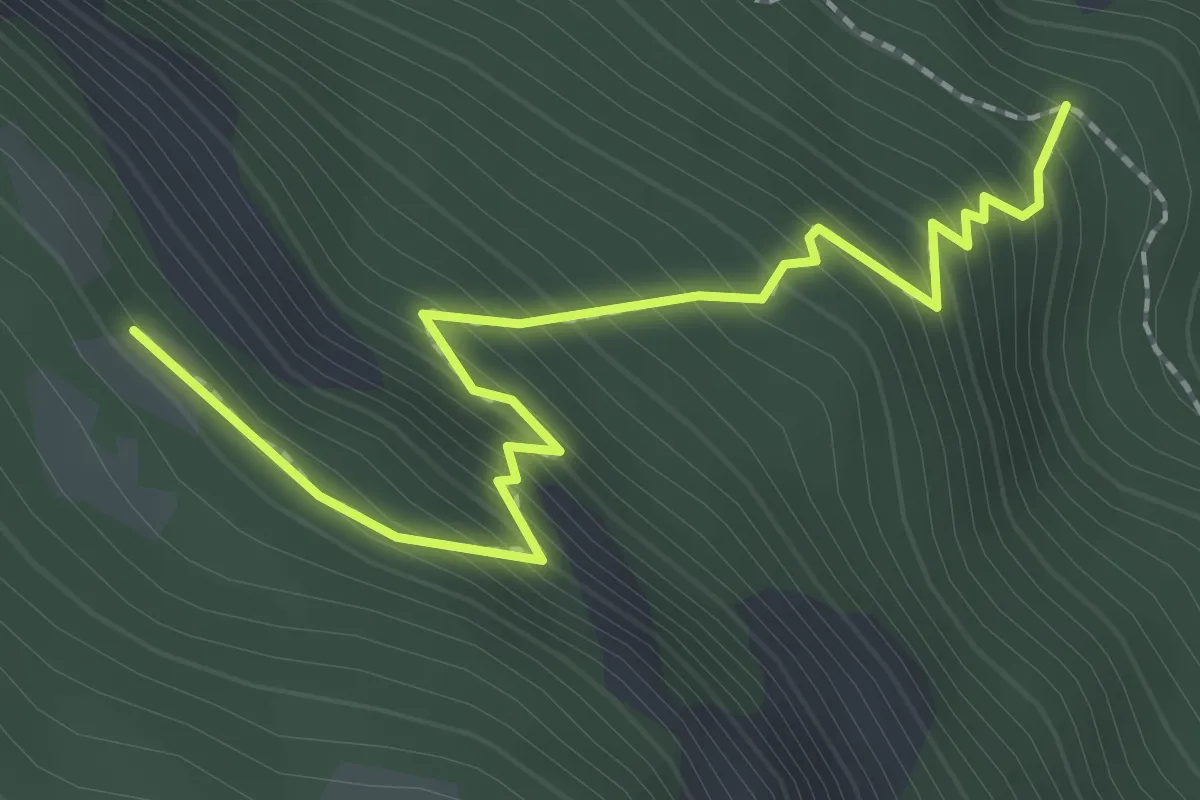
Champ Lériou - Palier
3.8 km · ↑ 228 m · 1 h 24 min
Easy · Trail
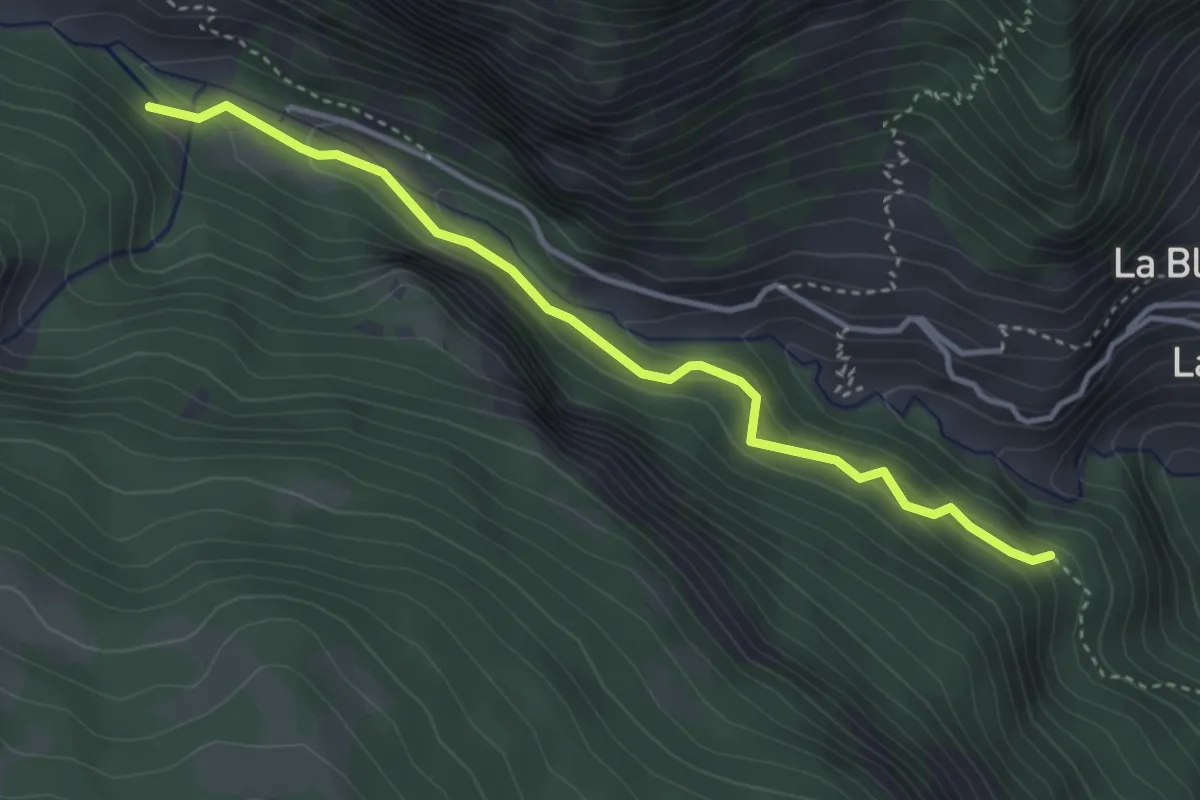
Champ Pelbaud - ?
2.5 km · ↑ 313 m · 1 h 16 min
Easy · Trail
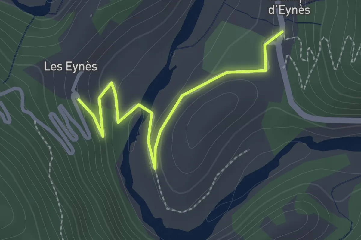
Champ Pelbaud - Pont du Sapey
3.8 km · ↑ 302 m · 1 h 33 min
Easy · Trail
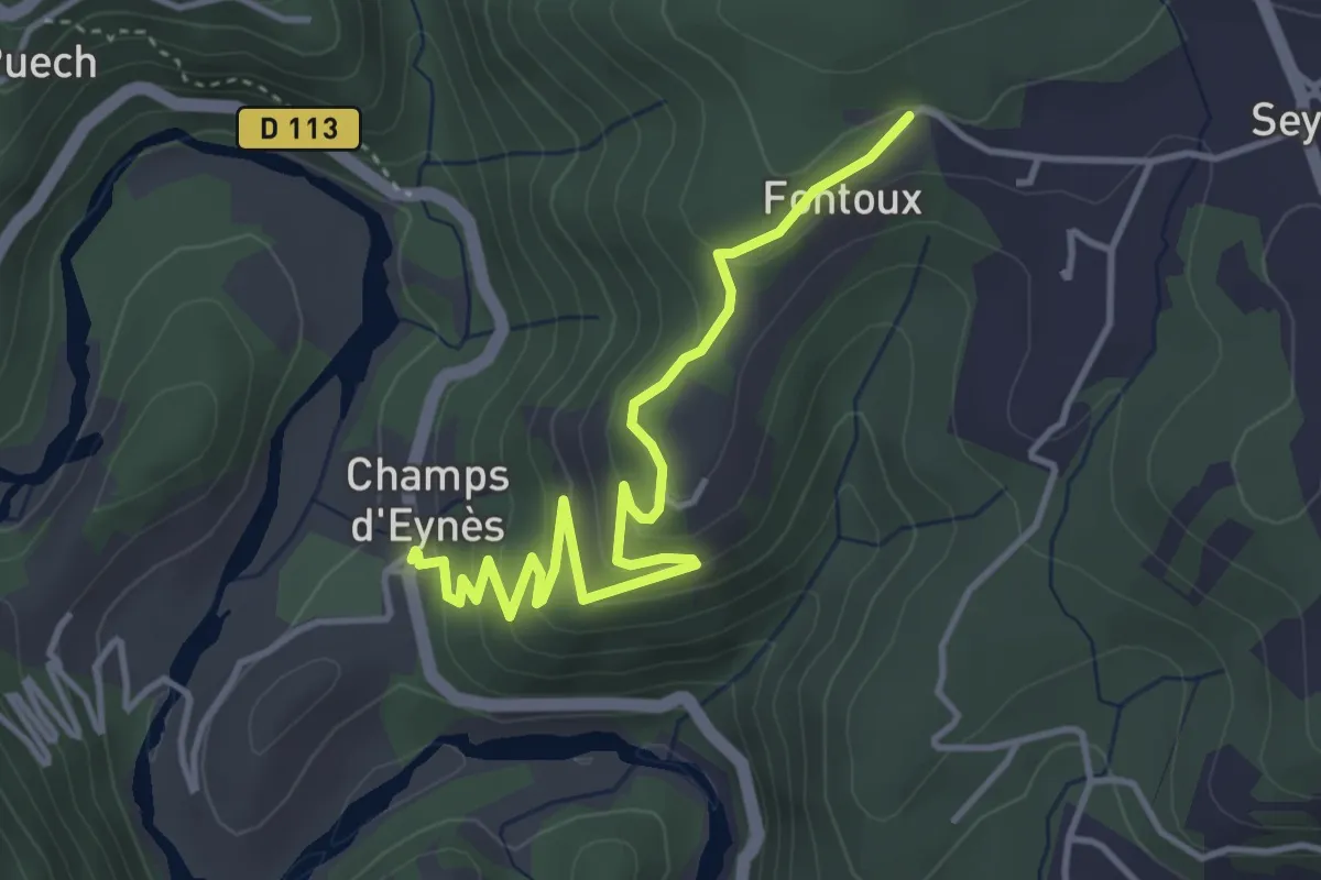
Champs d'Eynès - Les Eynès
2.5 km · ↑ 96 m · 47 min
Easy · Trail
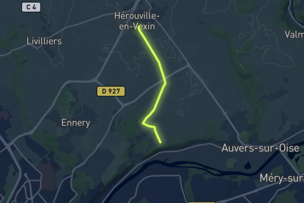
Champs d'Eynès - Luminières
4.5 km · ↑ 251 m · 1 h 37 min
Easy · Trail
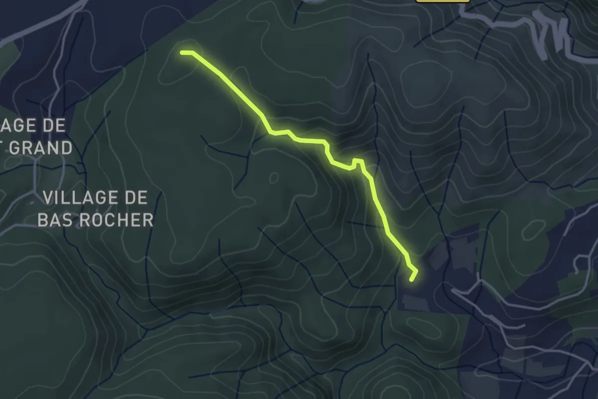
Champs palous
7.1 km · ↑ 49 m · 1 h 47 min
Easy · Trail
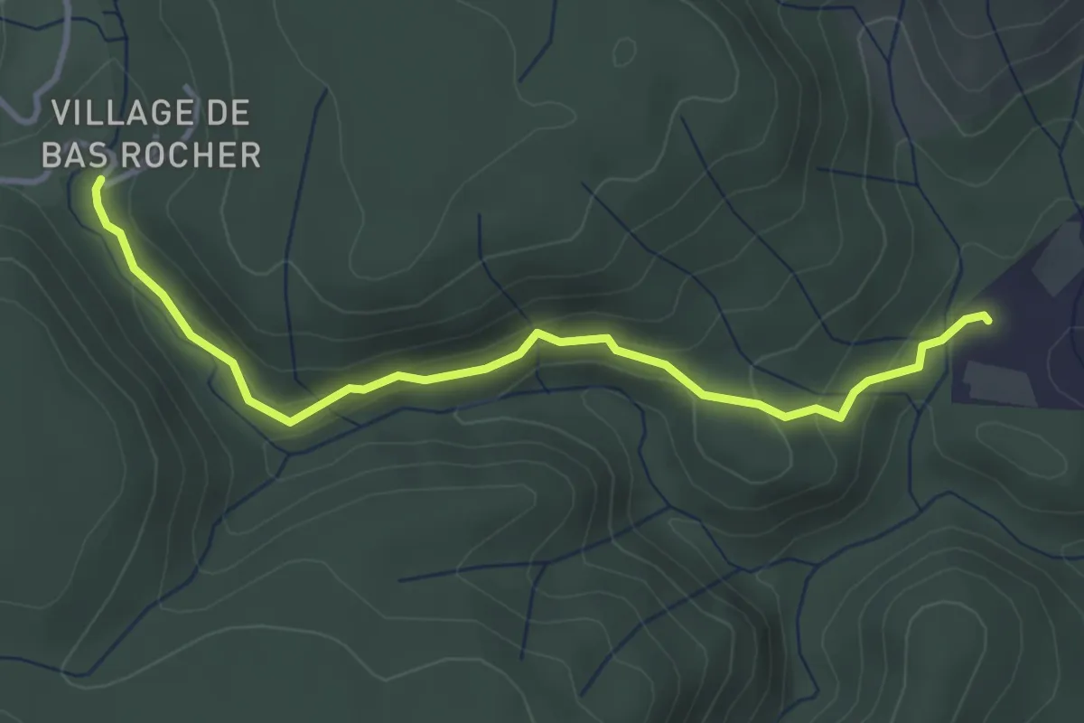
Champs Pique - Bas Rocher
3.3 km · ↑ 188 m · 1 h 11 min
Easy · Trail
Champs Pique - Imbours Bas
3.8 km · ↑ 156 m · 1 h 14 min
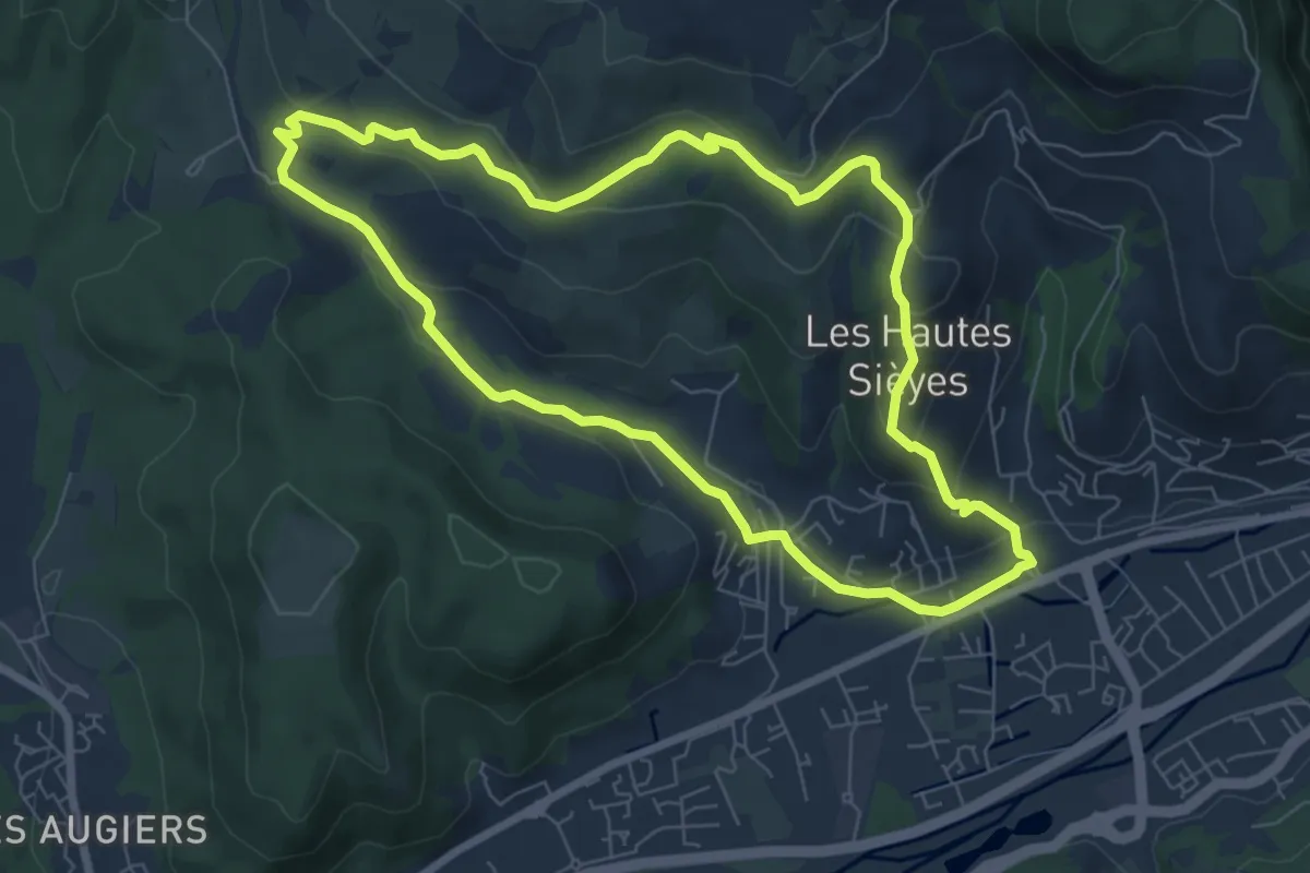
Easy · Trail
Champtercier et la balade du Rouveiret
7.3 km · ↑ 212 m · 2 h 17 min
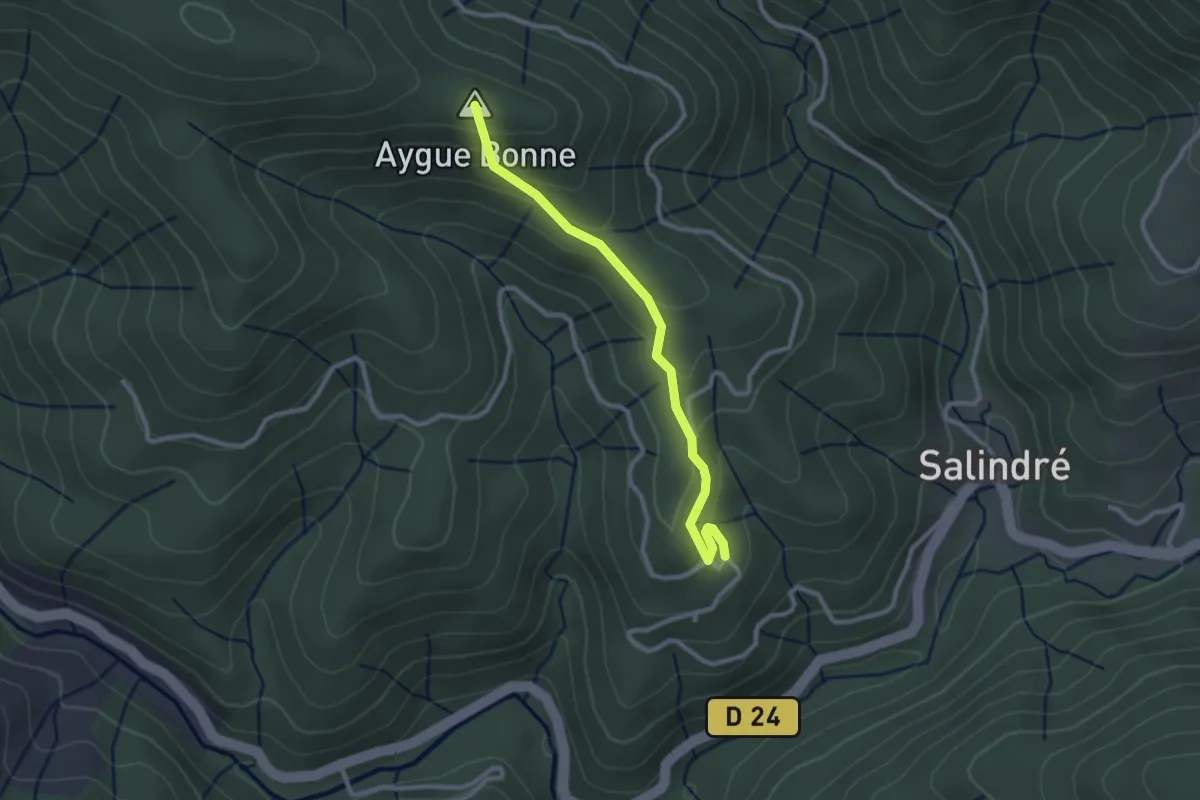
Easy · Summit
Champussac - Laboule
2.6 km · ↑ 166 m · 59 min
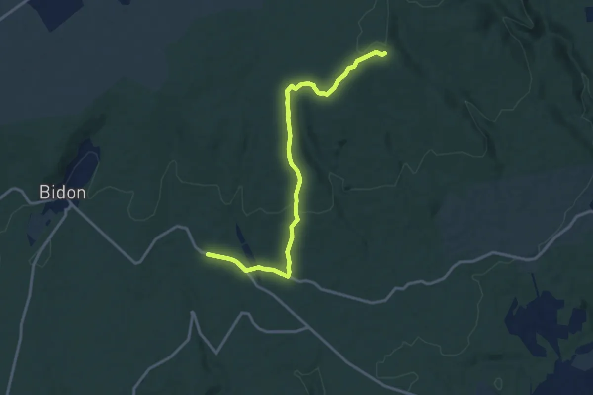
Medium · Trail
Champ Vermeil - Chêne Rond
9.6 km · ↑ 169 m · 2 h 38 min
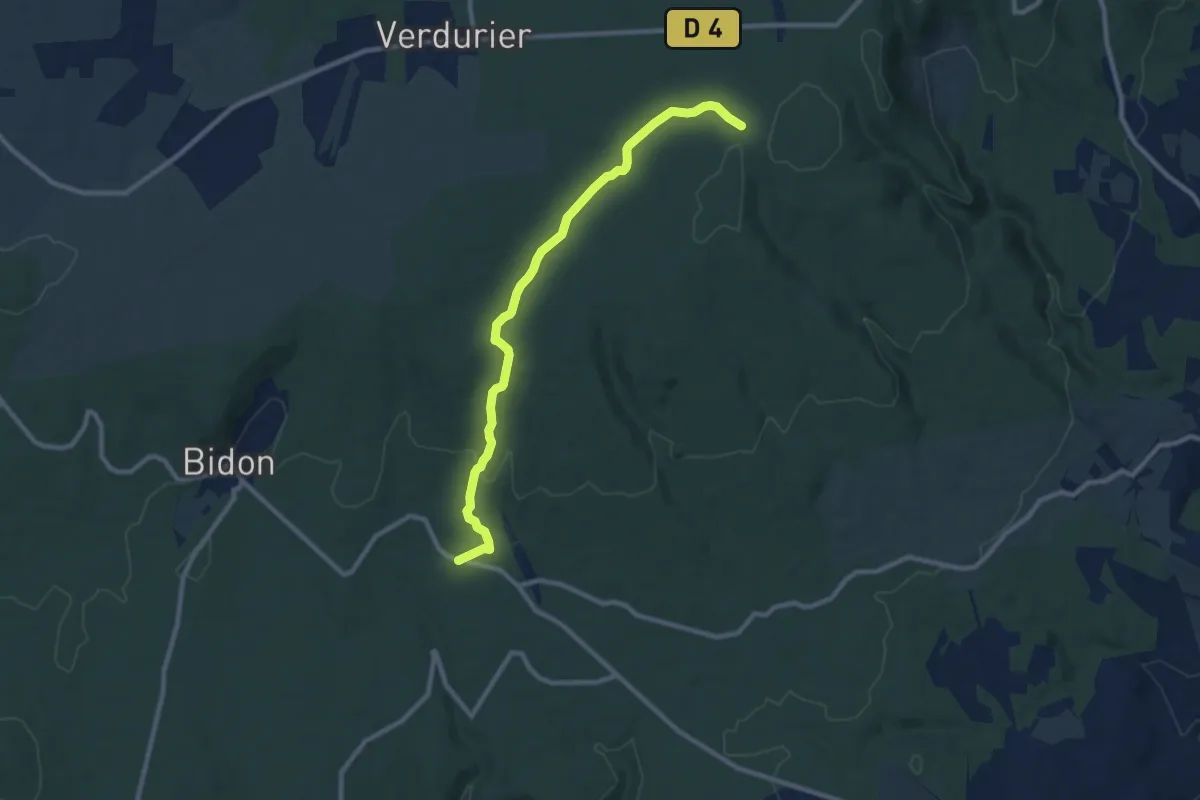
Medium · Trail
Champ Vermeil - Terre Longue
9.8 km · ↑ 143 m · 2 h 38 min
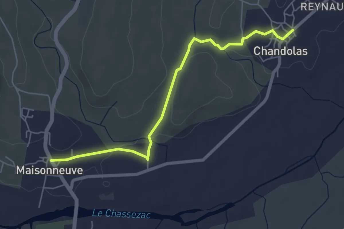
Easy · Trail
Chandolas - Les Escourtouzes
5.1 km · ↑ 55 m · 1 h 19 min
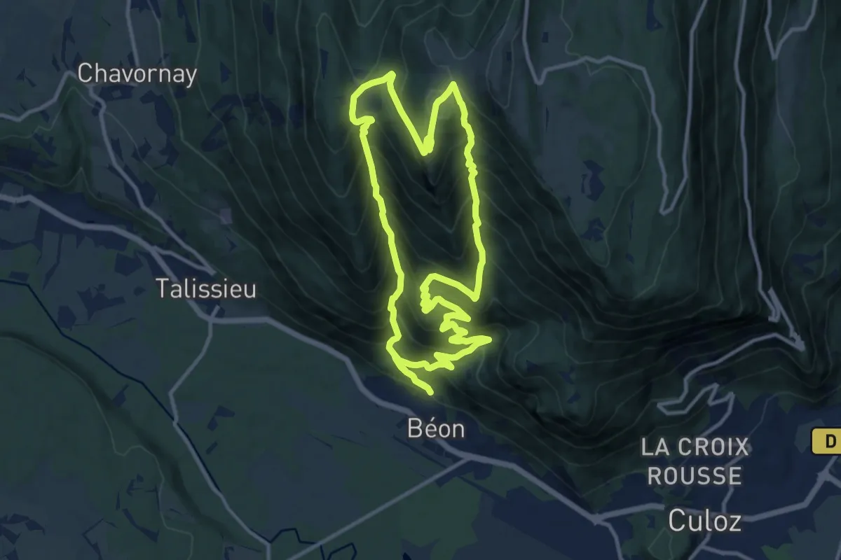
Expert · Trail
Chanduraz depuis Béon
11.4 km · ↑ 1080 m · 5 h 11 min
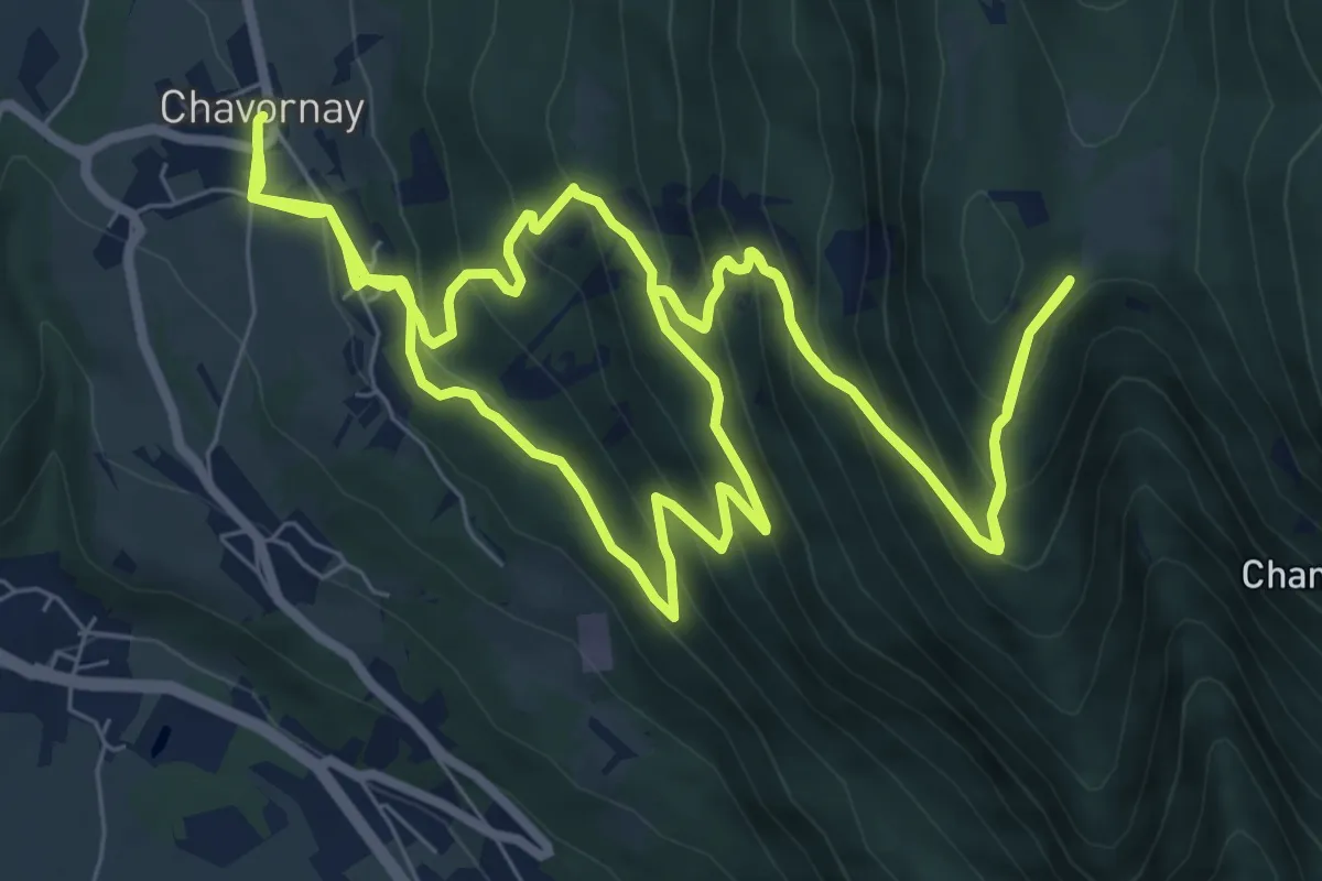
Demanding · Trail
Chanduraz depuis Chavornay
9.9 km · ↑ 801 m · 4 h 11 min
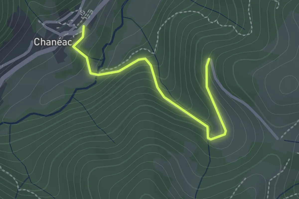
Easy · Trail
Chanéac - La Grange de Lobre Nord
2.2 km · ↑ 113 m · 46 min
Easy · Trail
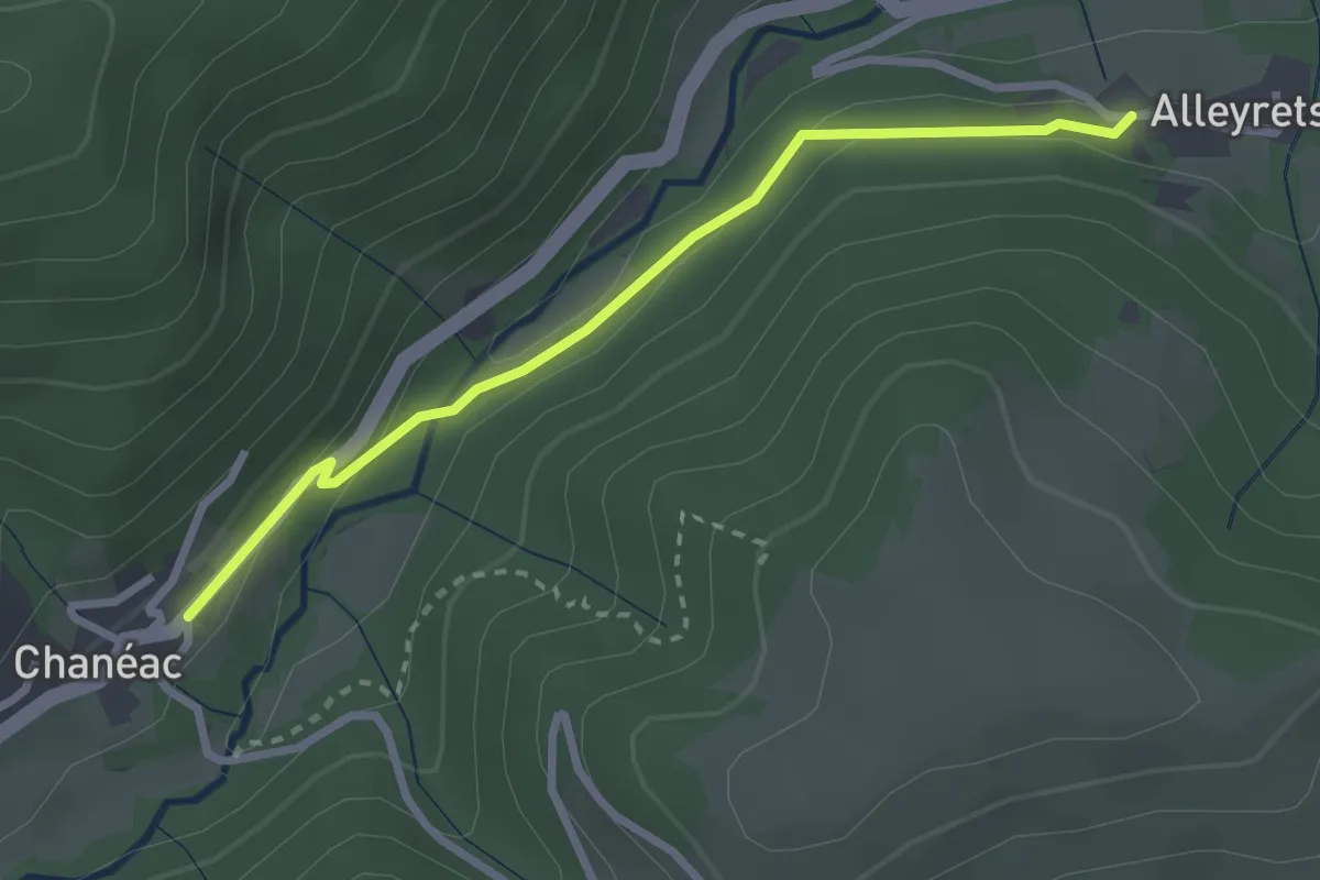
Chanéac - Les Alleyrets
2.8 km · ↑ 98 m · 52 min
Easy · Trail
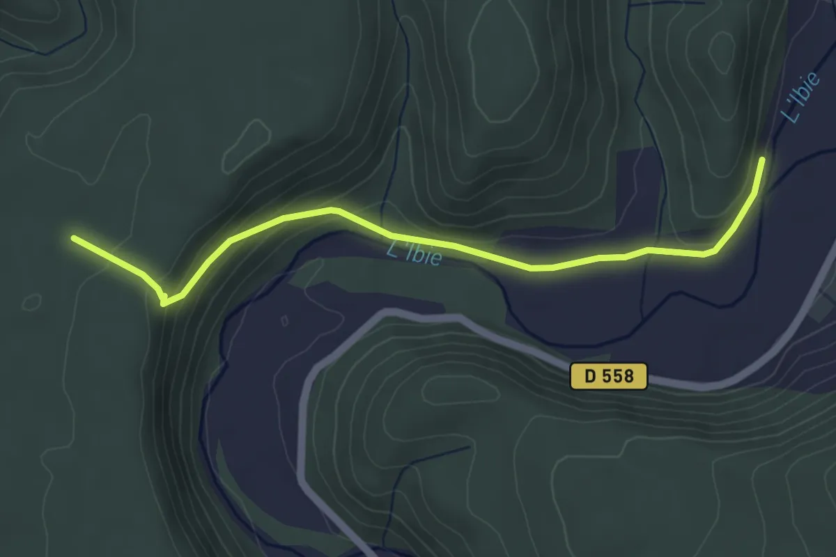
Chanebière - Pertus de Fabria
4.6 km · ↑ 145 m · 1 h 24 min
Easy · Trail
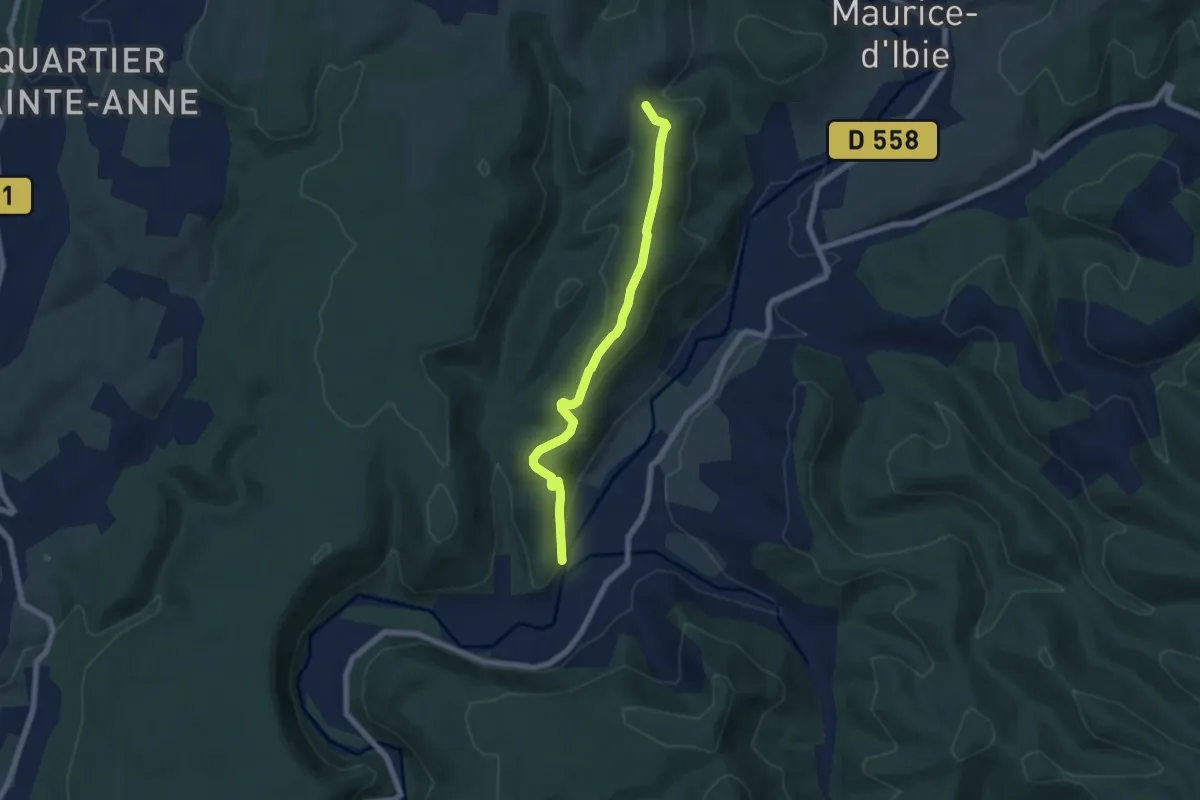
Chanebière - Valos
6.6 km · ↑ 187 m · 1 h 57 min
Easy · Trail
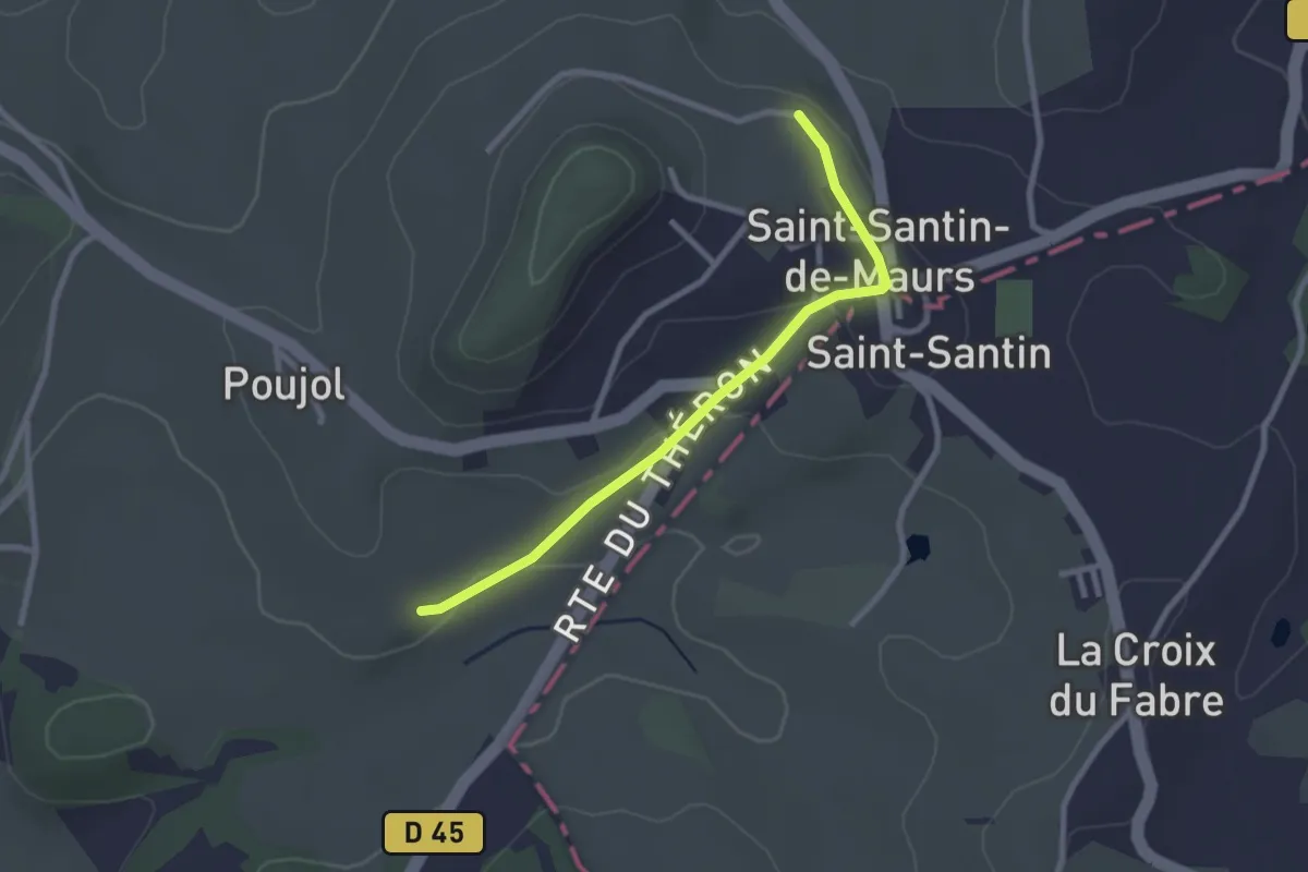
Chante-Cigale
2.6 km · ↑ 45 m · 43 min
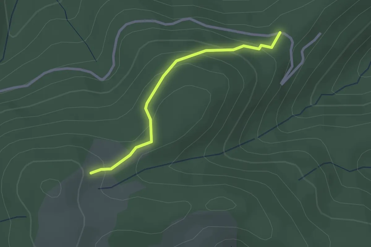
Easy · Trail
Chantelauve Nord - Les Liotards
2.2 km · ↑ 119 m · 47 min
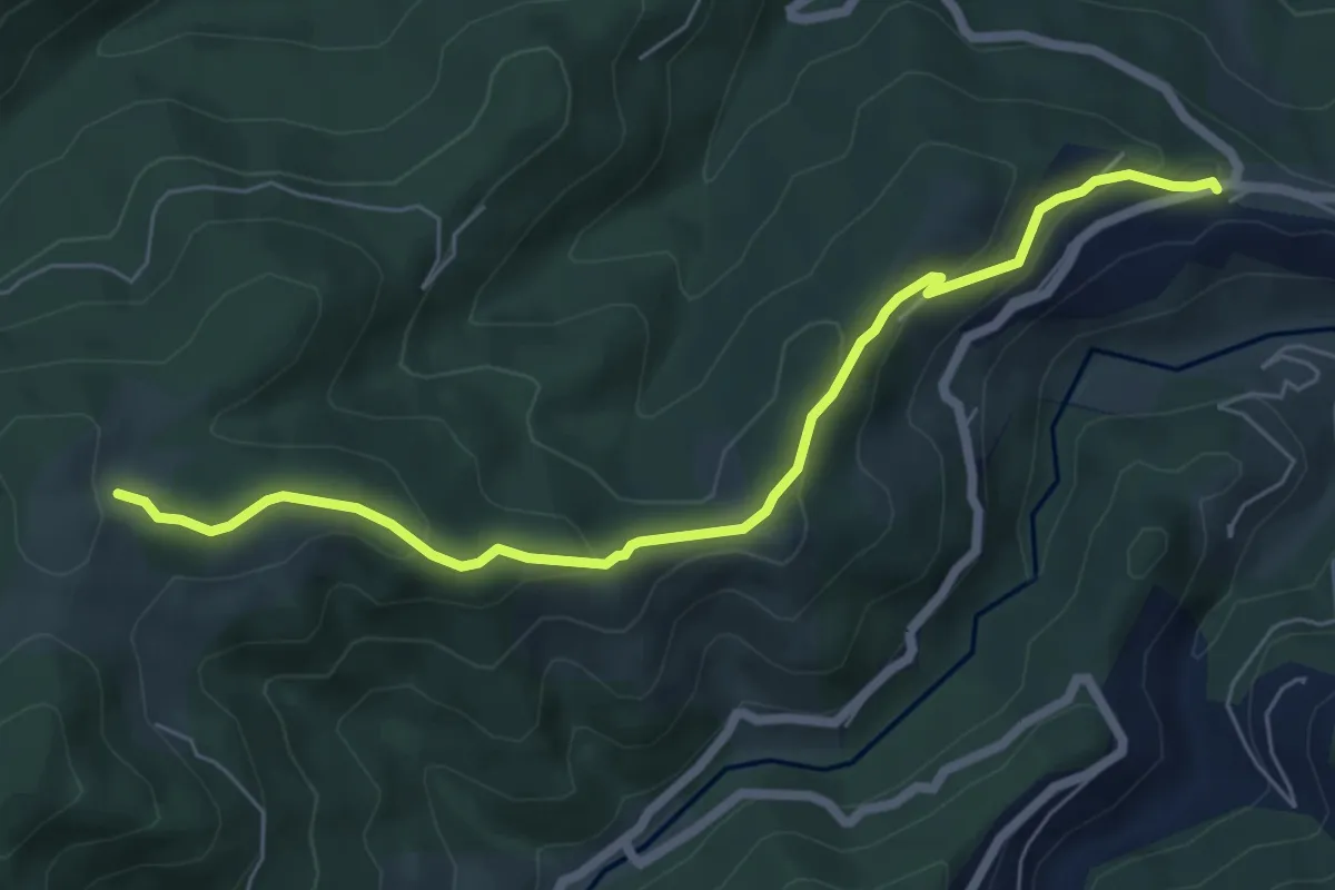
Easy · Trail
Chantelauve Sud - Burianne
6.8 km · ↑ 303 m · 2 h 16 min
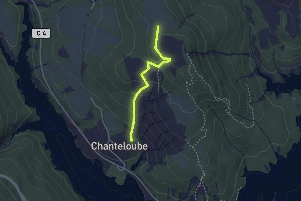
Easy · Trail
Chanteloube - Devandines
2.5 km · ↑ 124 m · 51 min
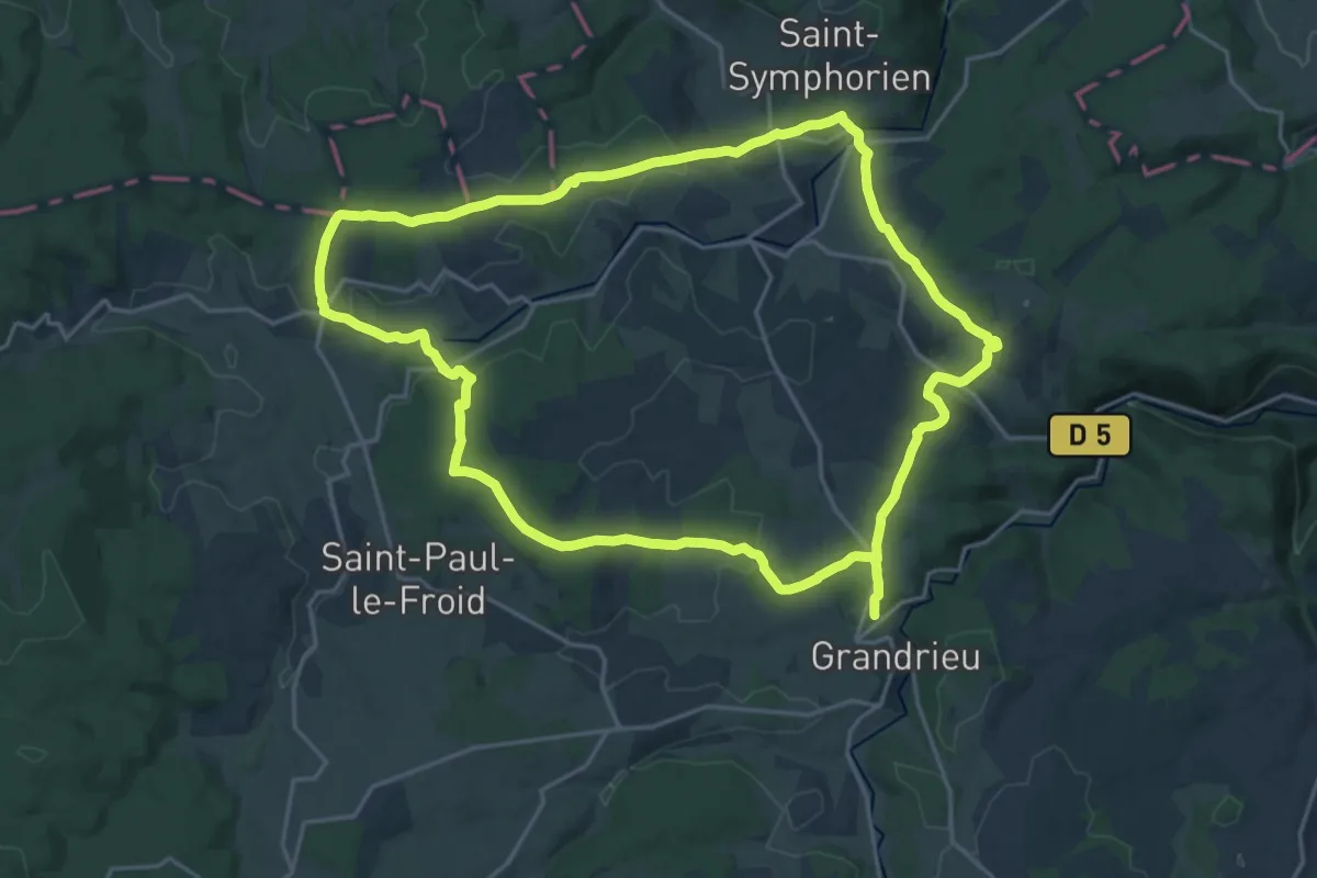
Demanding · Trail
Chante-Perdrix
21.8 km · ↑ 417 m · 6 h 21 min