Trails in France
15,906 hiking trails, each with its route, climb, walking time and grade.
All trails, page 37 of 332
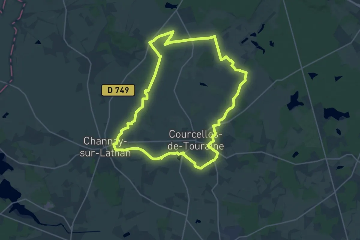
Demanding · Trail
Chantilly - Courcelles-de-Touraine
18.6 km · ↑ 56 m · 4 h 47 min
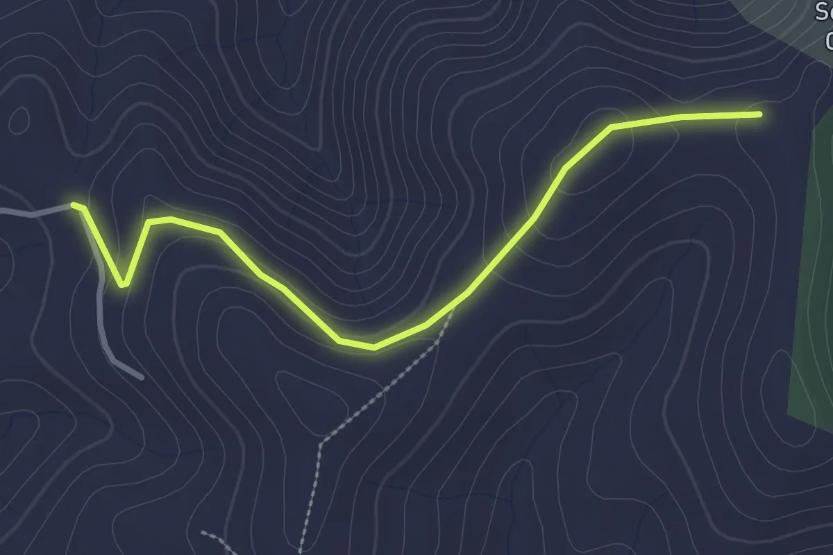
Easy · Trail
Chantuzas - Juliau
3.0 km · ↑ 91 m · 54 min
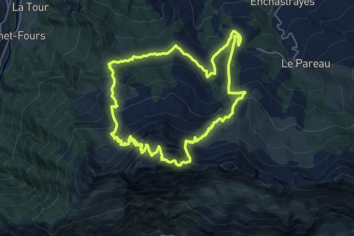
Demanding · Summit
Chapeau de Gendarme (2 683 m)
14.0 km · ↑ 1171 m · 6 h 1 min
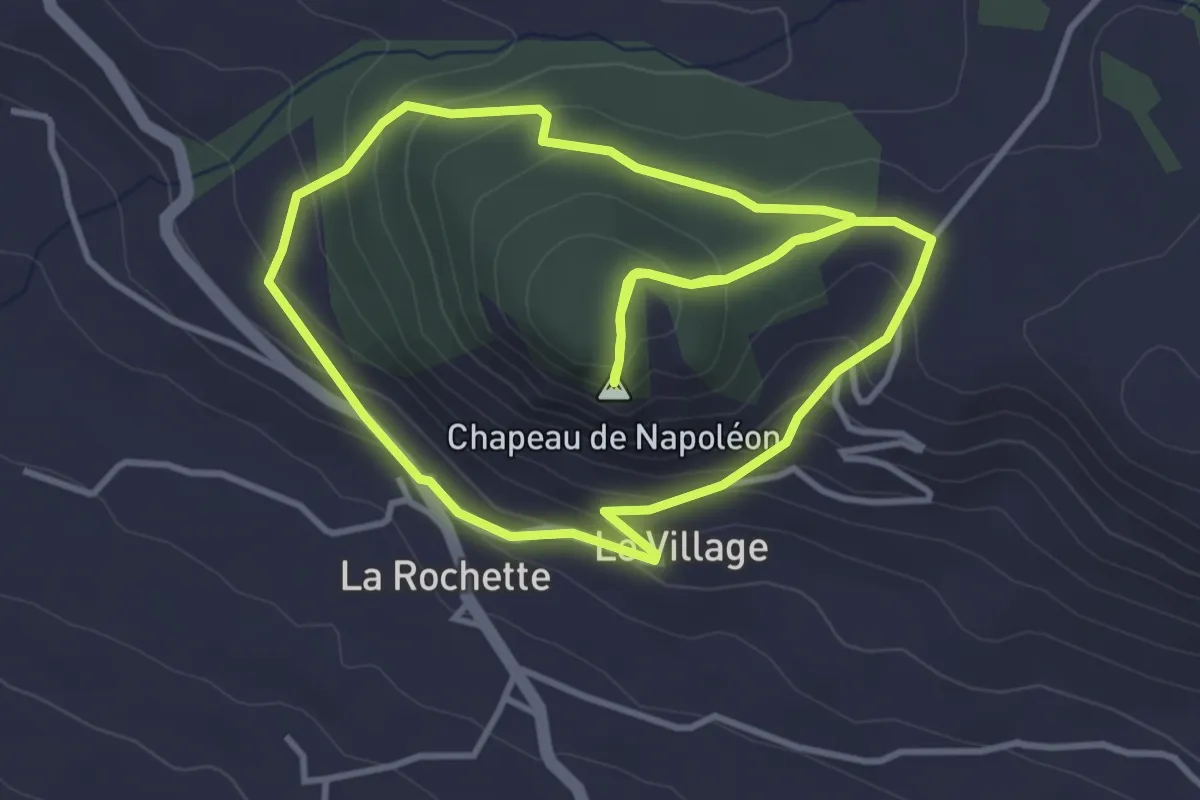
Easy · Summit
Chapeau de Napoléon
4.0 km · ↑ 216 m · 1 h 29 min
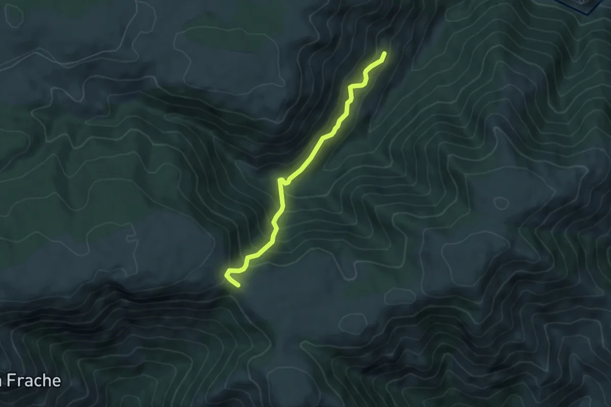
Medium · Trail
Chapelet - Croix de Chaumiène
5.5 km · ↑ 506 m · 2 h 23 min
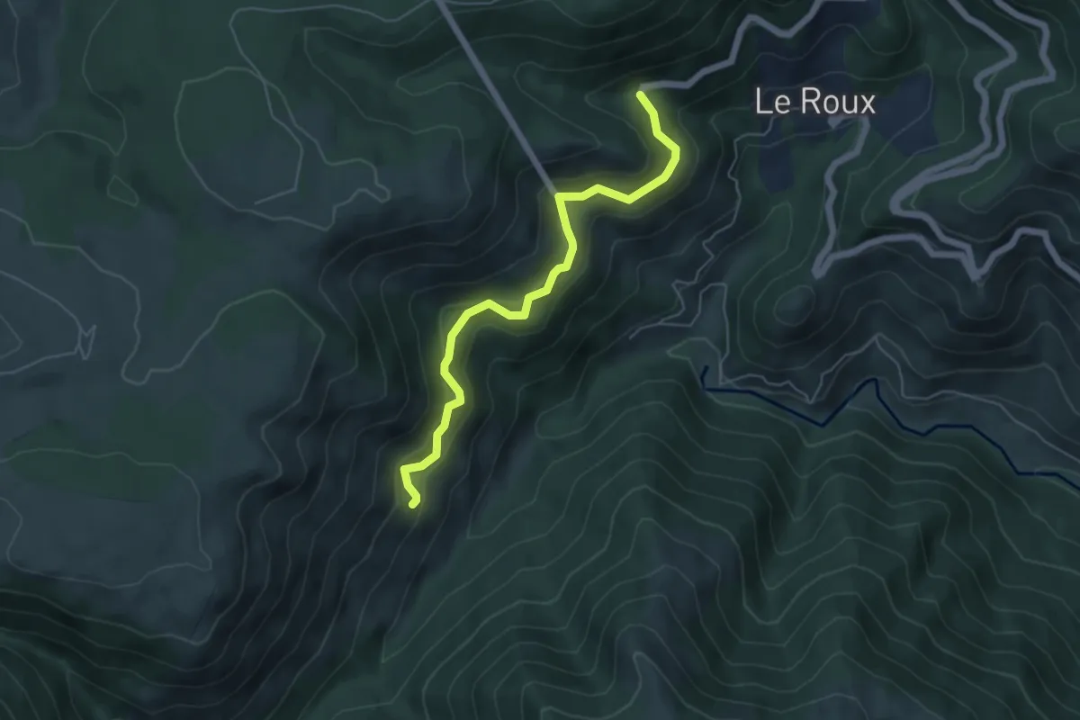
Medium · Trail
Chapelet - Rieugrand
5.4 km · ↑ 359 m · 2 h 4 min
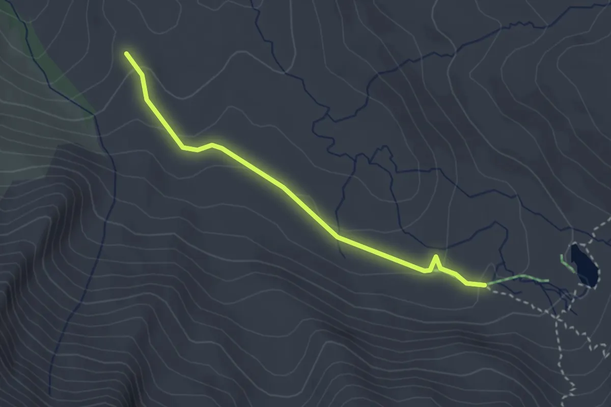
Easy · Trail
Chapelle de Clausis - La Moutière
3.0 km · ↑ 91 m · 54 min
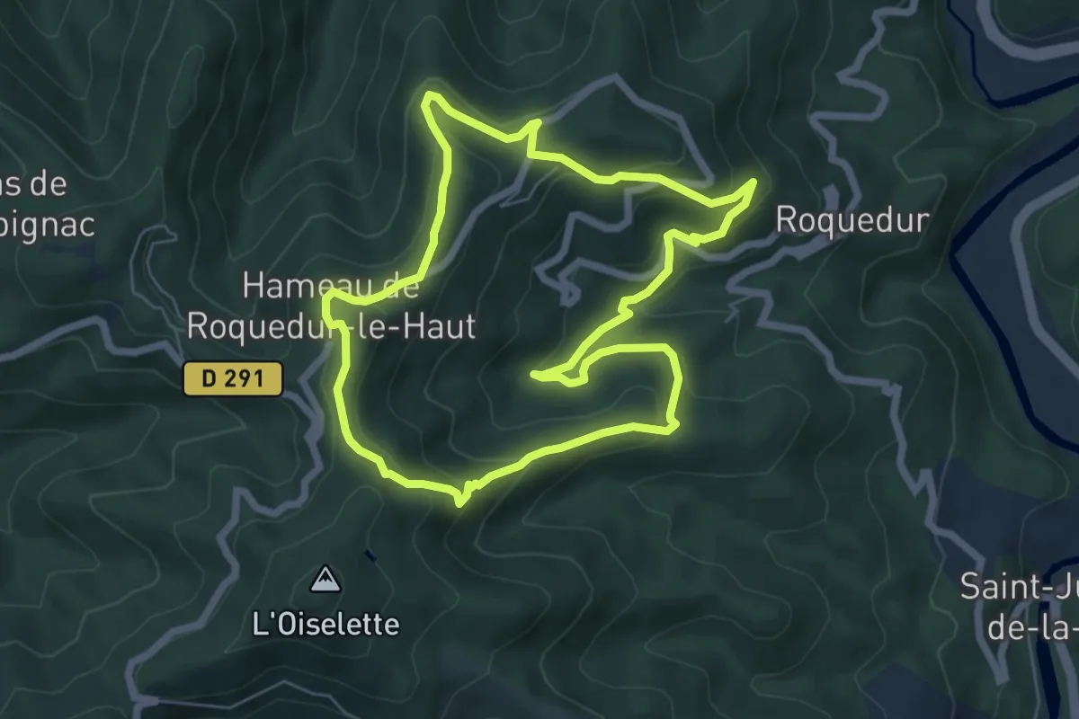
Medium · Trail
Chapelle de la Clastre
6.3 km · ↑ 330 m · 2 h 17 min
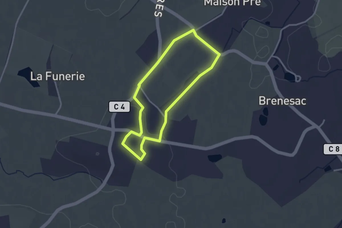
Easy · Trail
Chapelle de Maison Pré
2.4 km · ↑ 26 m · 39 min
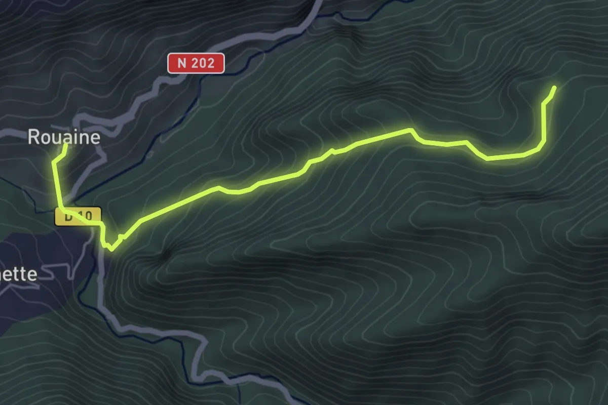
Easy · Trail
Chapelle de Notre-Dame des Neiges
2.8 km · ↑ 288 m · 1 h 13 min
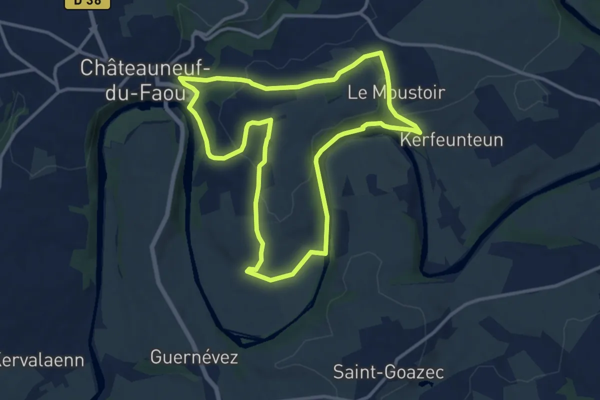
Medium · Trail
Chapelle du Moustoir
8.6 km · ↑ 177 m · 2 h 32 min
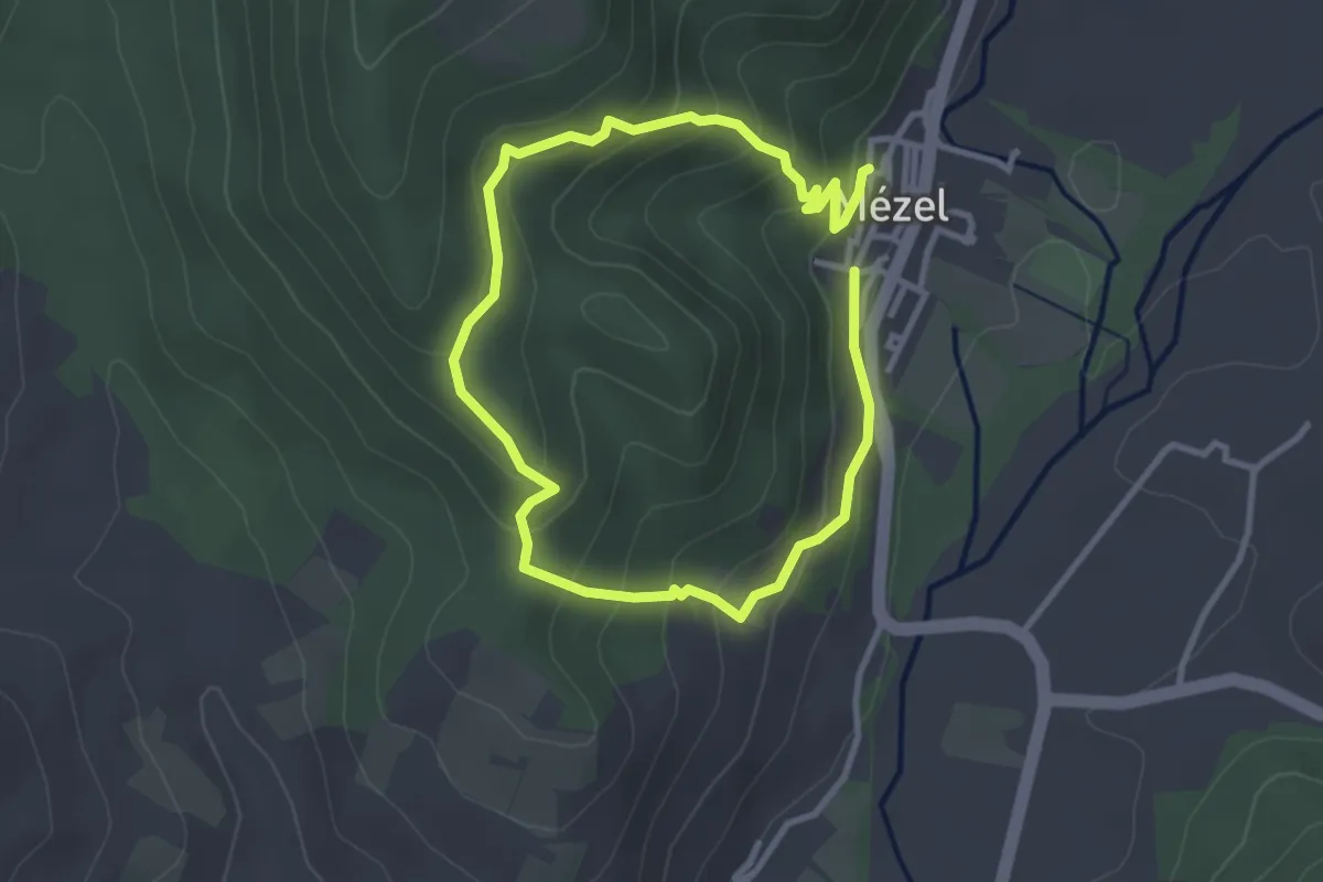
Easy · Trail
Chapelle Notre-Dame
2.7 km · ↑ 166 m · 1 h 3 min
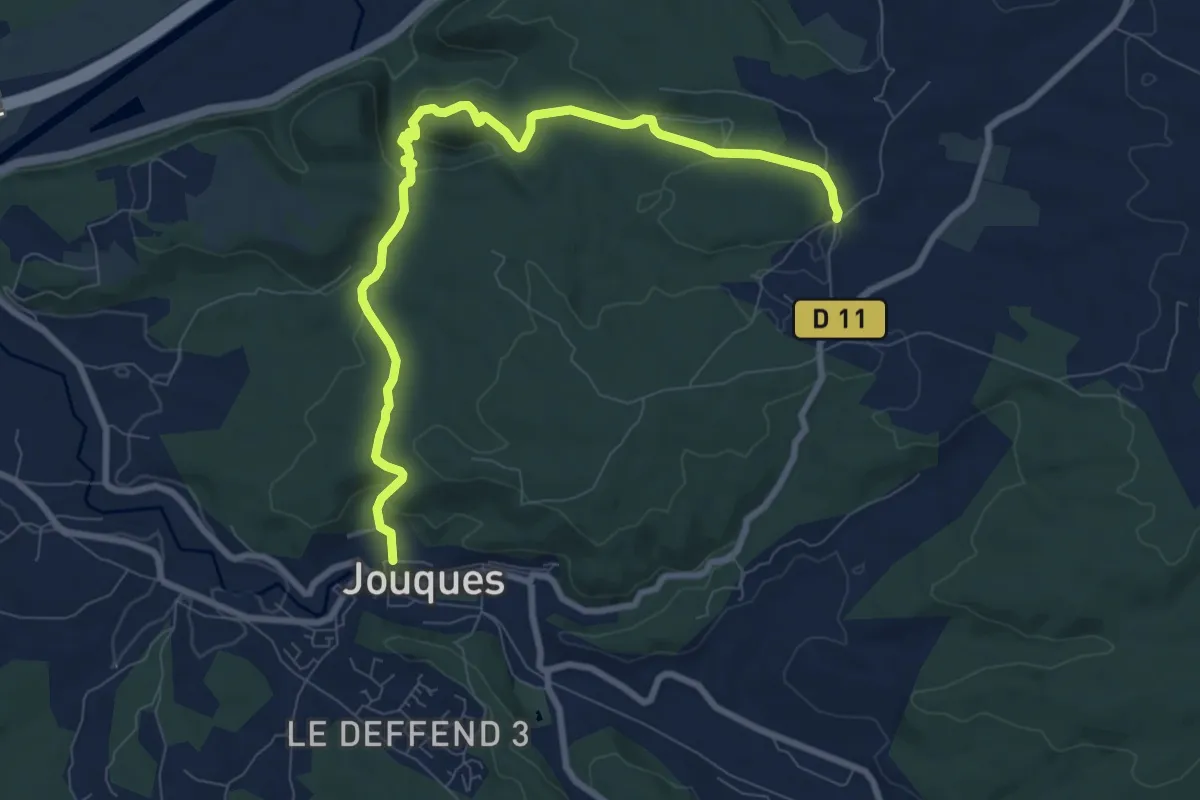
Medium · Trail
Chapelle Notre-Dame-de-Consolation
9.9 km · ↑ 281 m · 2 h 56 min
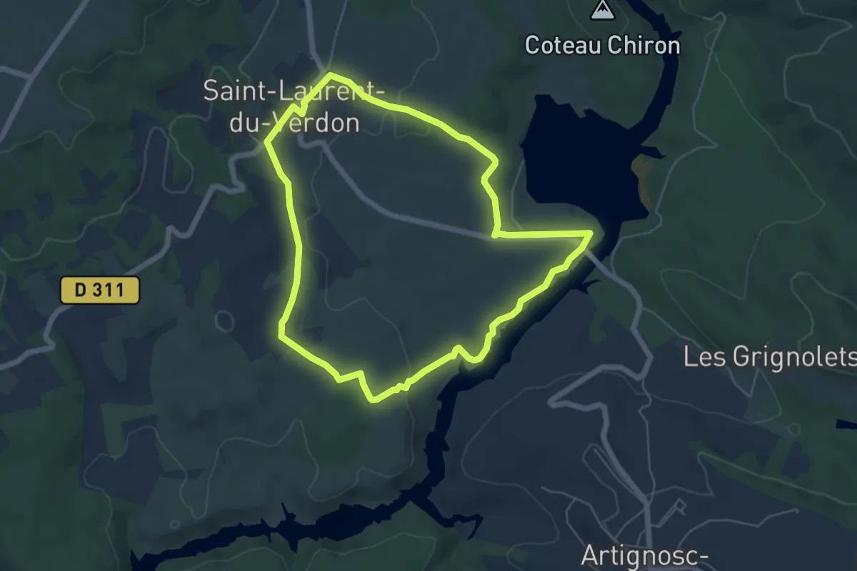
Easy · Trail
Chapelle Notre-Dame-du-Verdon
5.7 km · ↑ 91 m · 1 h 37 min
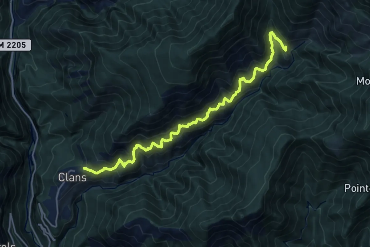
Demanding · Trail
Chapelle Sainte-Anne
7.6 km · ↑ 929 m · 3 h 38 min
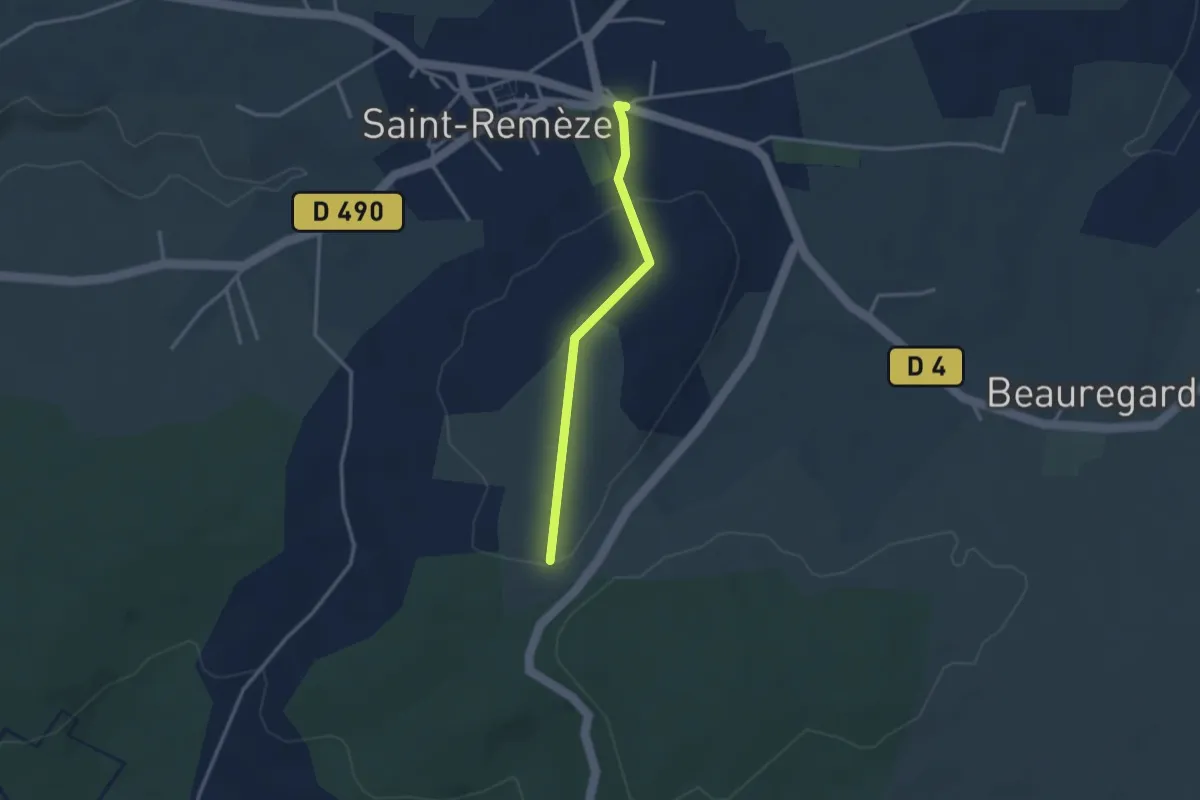
Easy · Trail
Chapelle Sainte-Anne - Le Deves
2.8 km · ↑ 50 m · 46 min
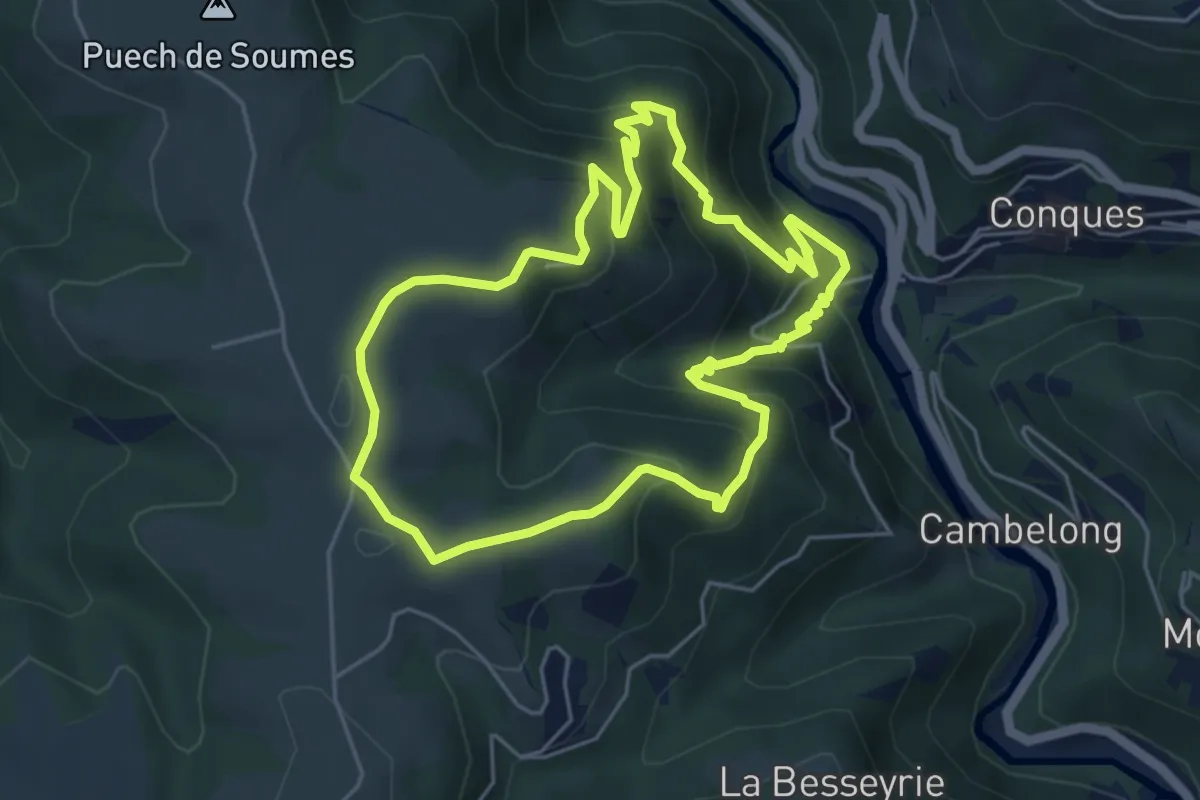
Medium · Summit
Chapelle Sainte-Foy
5.2 km · ↑ 342 m · 2 h 2 min
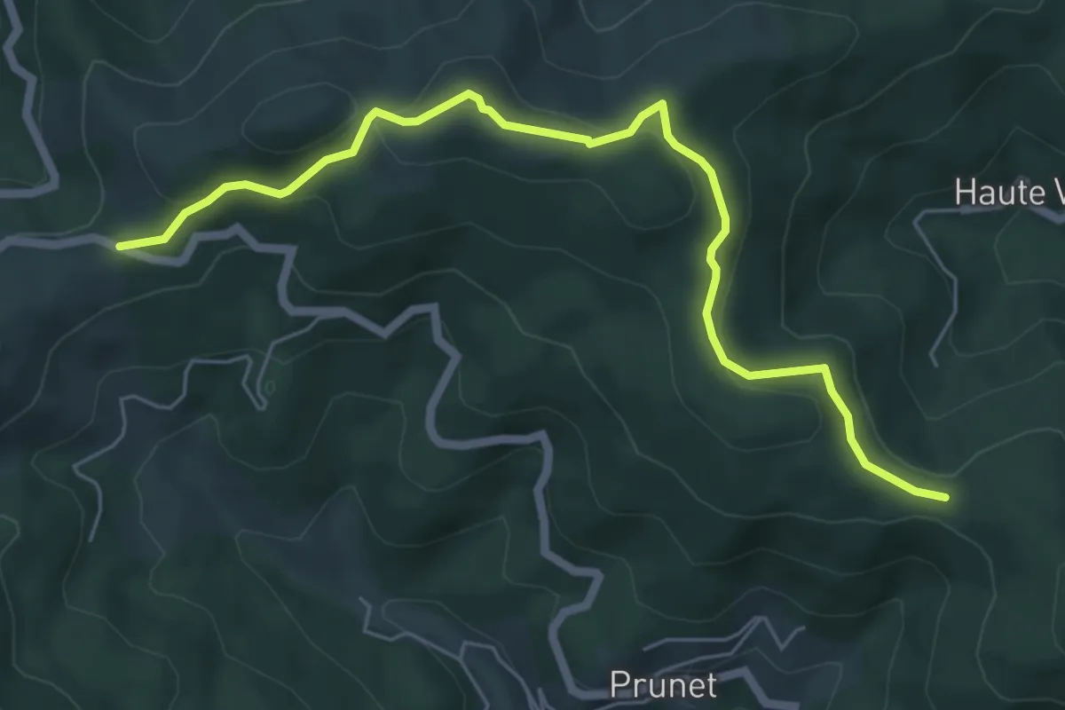
Easy · Trail
Chapelle Sainte-Philomène - Col de la Croix de Millet
6.3 km · ↑ 263 m · 2 h 4 min
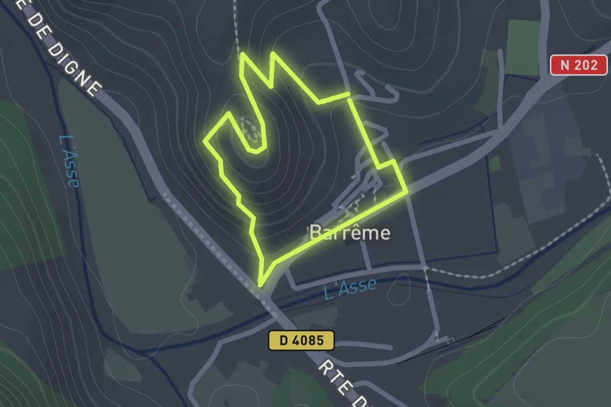
Easy · Trail
Chapelle Saint-Jean
1.6 km · ↑ 61 m · 32 min
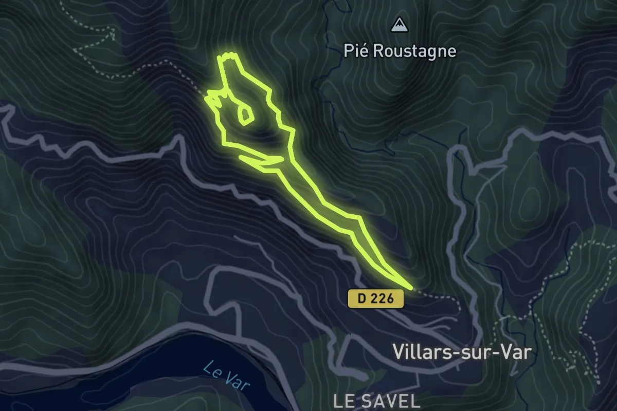
Medium · Trail
Chapelle Saint-Jean
4.0 km · ↑ 366 m · 1 h 46 min
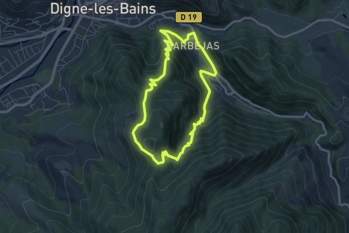
Medium · Trail
Chapelle Saint-Jean
6.0 km · ↑ 411 m · 2 h 24 min
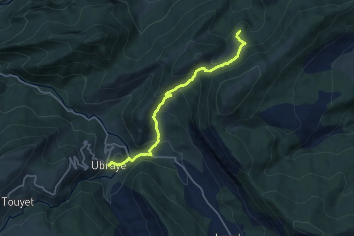
Medium · Cabin
Chapelle Saint-Jean du Désert depuis Ubraye
4.4 km · ↑ 420 m · 1 h 54 min
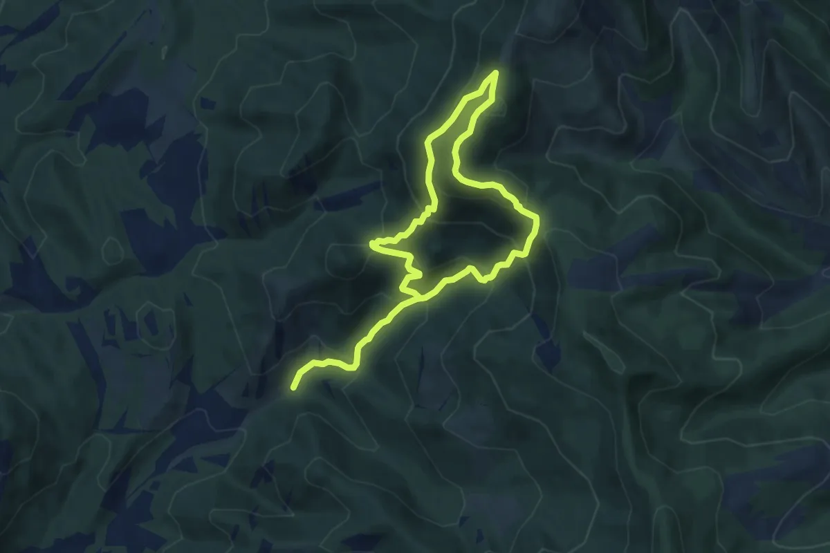
Medium · Trail
Chapelle Saint-Joseph
6.7 km · ↑ 582 m · 2 h 51 min
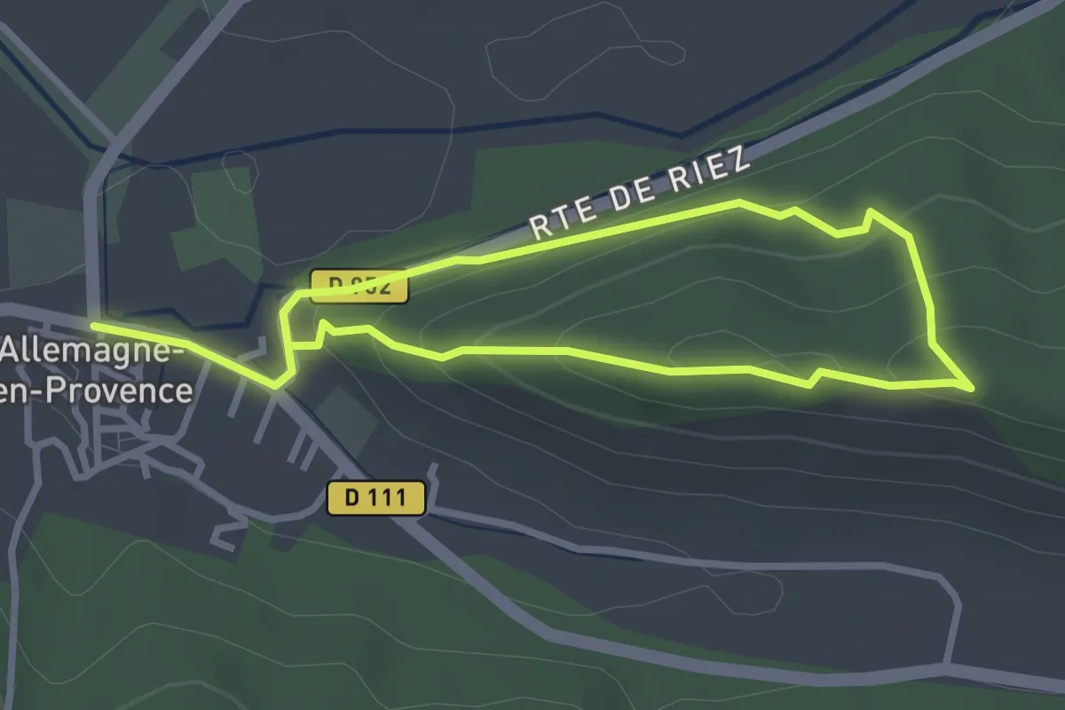
Easy · Trail
Chapelle Saint-Marc
2.5 km · ↑ 121 m · 53 min
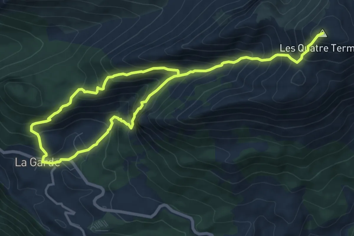
Demanding · Summit
Chapelle Saint-Martin
7.5 km · ↑ 986 m · 3 h 44 min
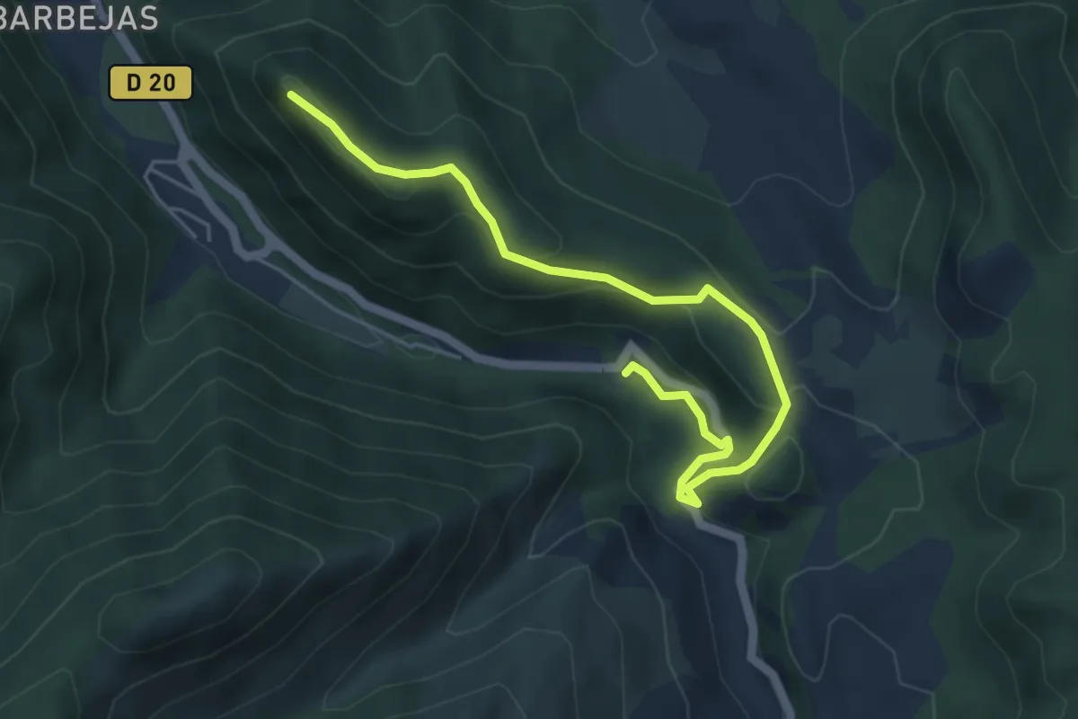
Easy · Trail
Chapelle Saint-Pancrace
2.8 km · ↑ 35 m · 51 min
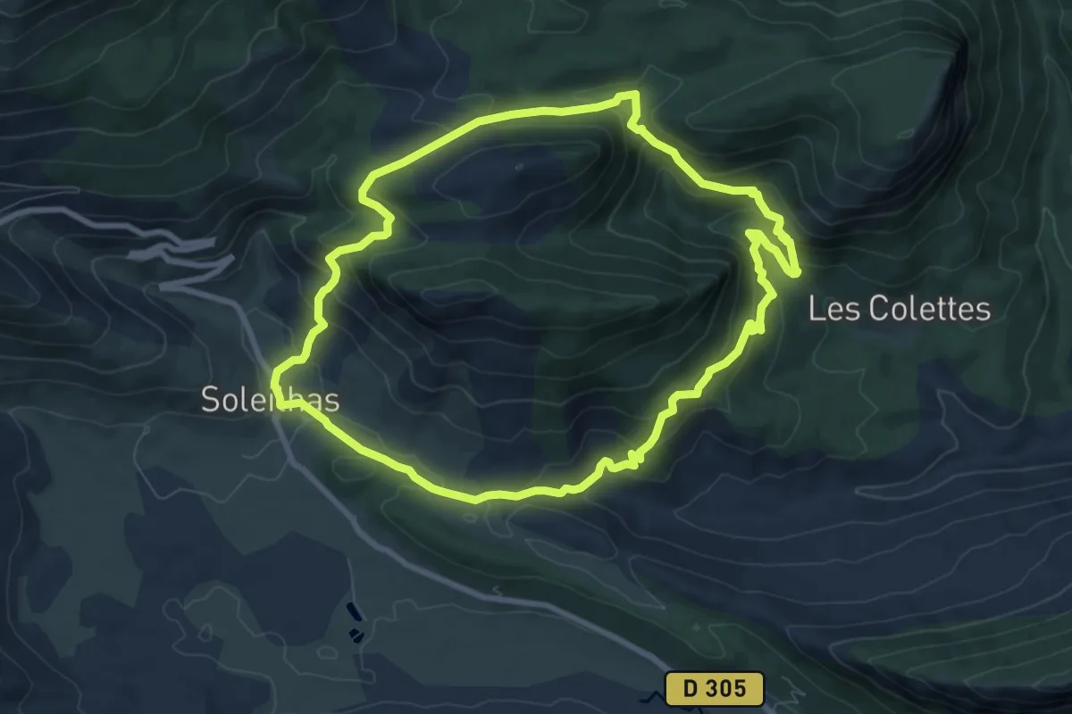
Medium · Trail
Chapelle Saint Pierre, les Colettes
8.6 km · ↑ 495 m · 3 h 13 min
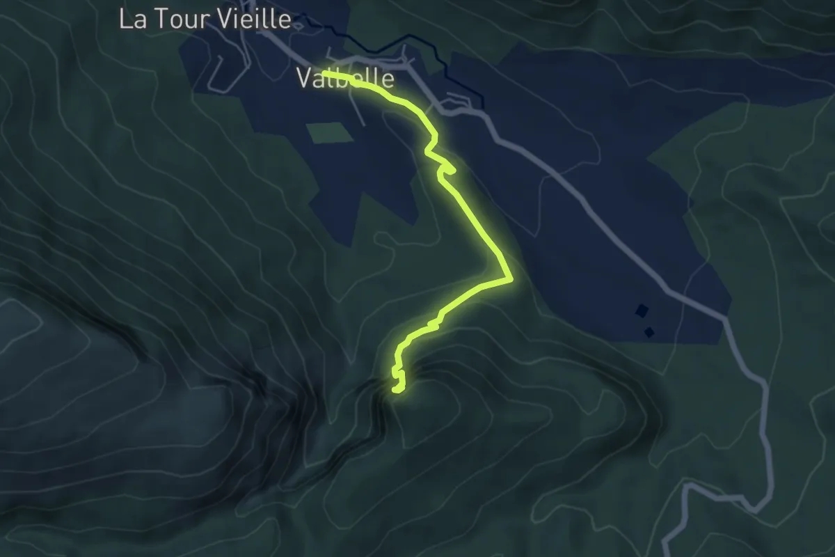
Easy · Trail
Chapelle Saint-Pons
2.5 km · ↑ 21 m · 50 min
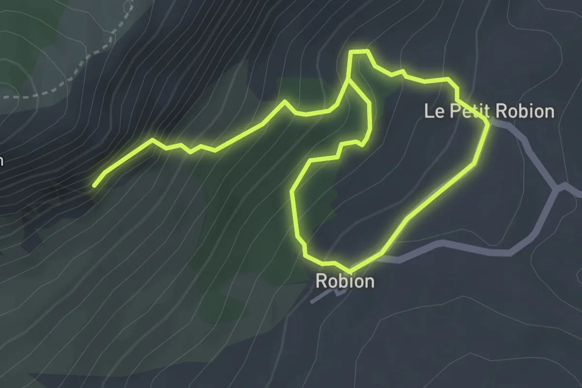
Medium · Trail
Chapelle Saint-Trophime, chemin des toponymes
2.7 km · ↑ 350 m · 1 h 20 min
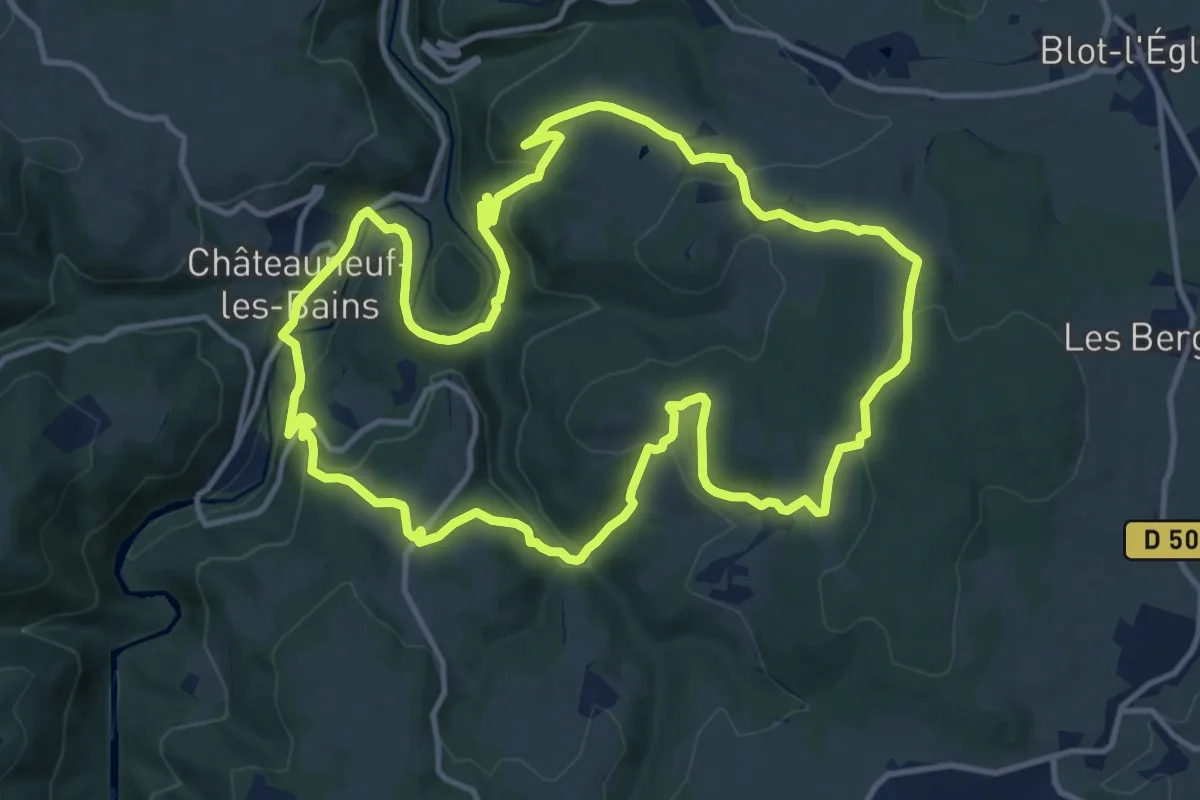
Medium · Trail
Chapelle Saint-Valentin
13.4 km · ↑ 425 m · 4 h 17 min
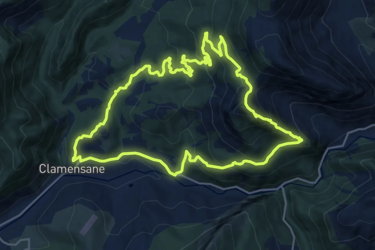
Medium · Trail
Chapelle St-Amand
12.5 km · ↑ 722 m · 4 h 42 min
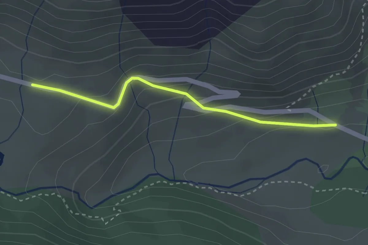
Easy · Trail
Chapelle Ste Barbe - ?
2.5 km · ↑ 144 m · 55 min
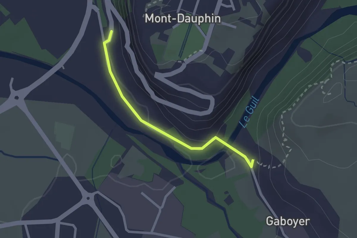
Easy · Trail
Chapelle St Guillaume - Gaboyer
2.0 km · ↑ 46 m · 34 min
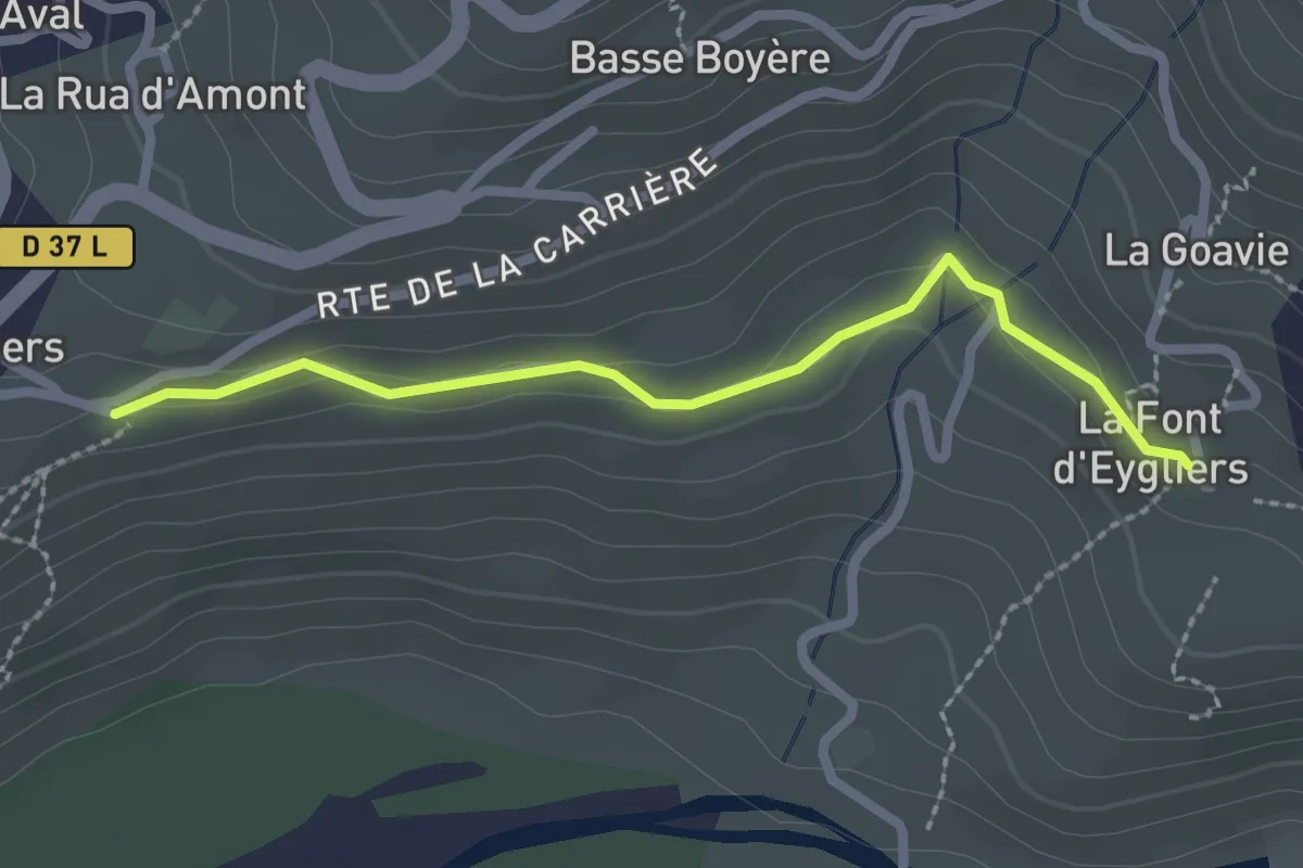
Easy · Trail
Chapelle St Jean-Baptiste - Le Four
2.4 km · ↑ 42 m · 39 min
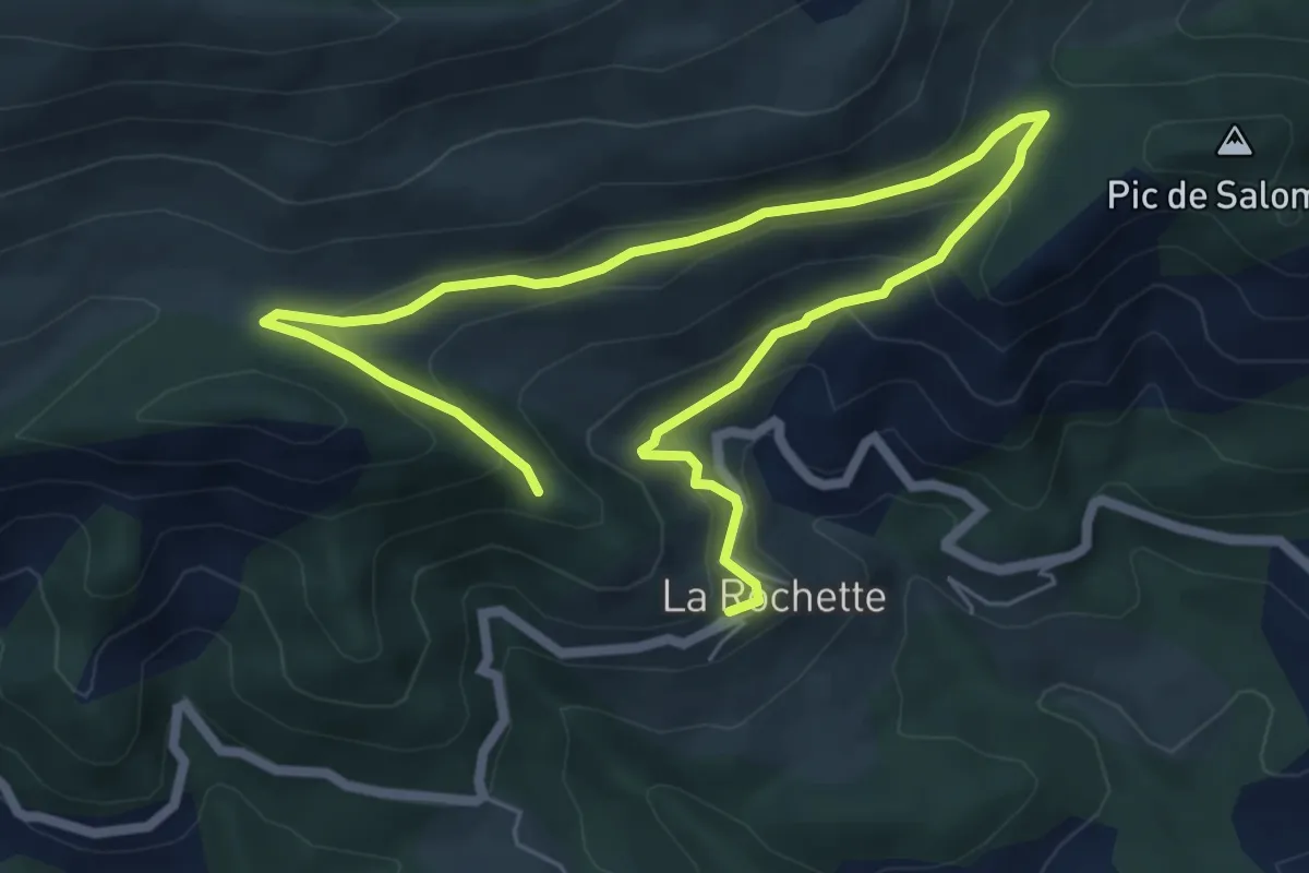
Easy · Trail
Chapelle St-Saturnin, les balcons de La Rochette
4.7 km · ↑ 290 m · 1 h 44 min
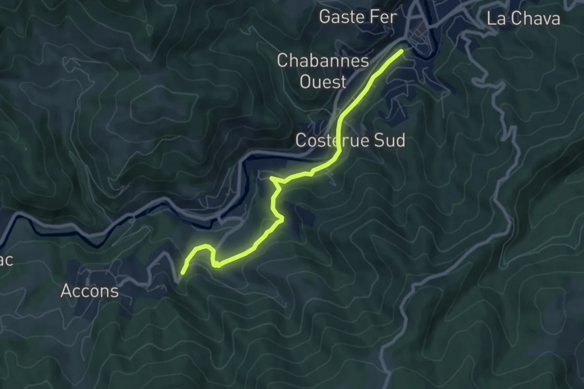
Easy · Trail
Chapon - Vieille Ville
6.9 km · ↑ 224 m · 2 h 6 min
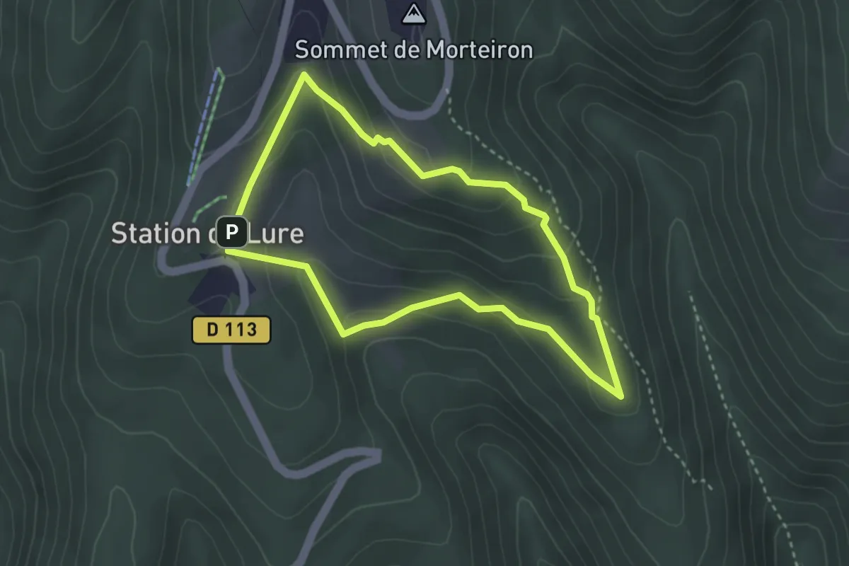
Easy · Trail
Charbonnières de Lure
3.0 km · ↑ 142 m · 1 h 3 min
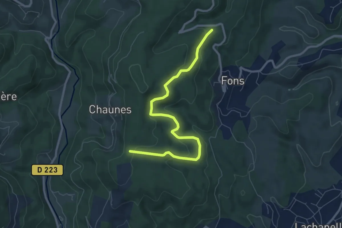
Easy · Trail
Chardes - Bois de Vogüé
7.6 km · ↑ 300 m · 2 h 26 min
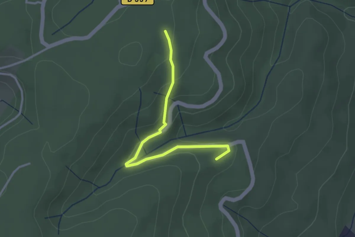
Easy · Trail
Chardes - Bonnes Eglises
2.8 km · ↑ 119 m · 55 min
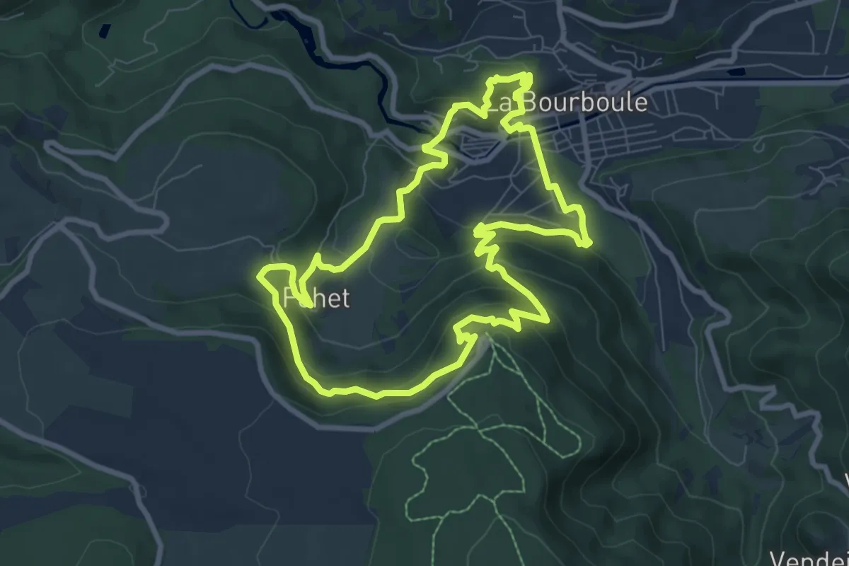
Medium · Trail
Charlannes et la roche des fées
7.9 km · ↑ 398 m · 2 h 50 min
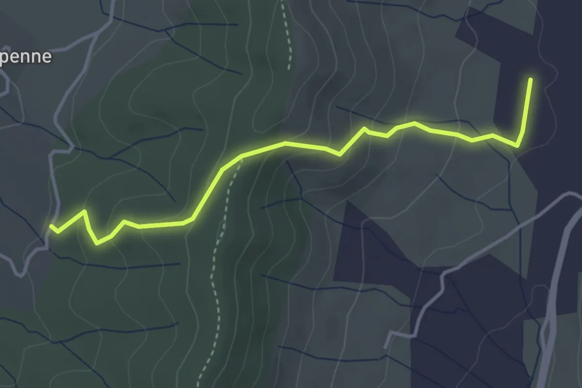
Easy · Trail
Charoussas - Pecoulas
3.7 km · ↑ 210 m · 1 h 20 min
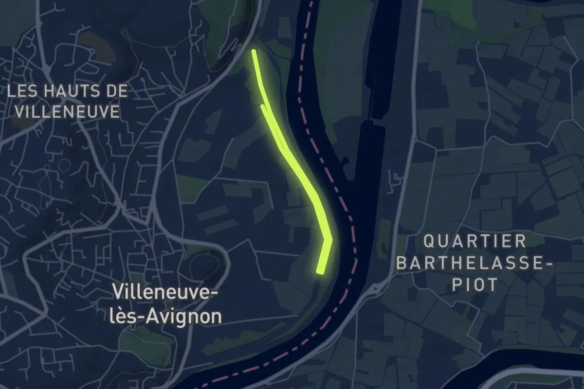
Easy · Trail
Chartreuse boucle 1
6.5 km · ↑ 5 m · 1 h 32 min
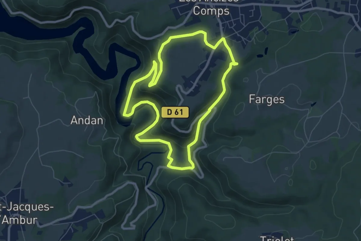
Easy · Trail
Chartreuse de Port-Sainte-Marie
6.7 km · ↑ 205 m · 2 h 7 min
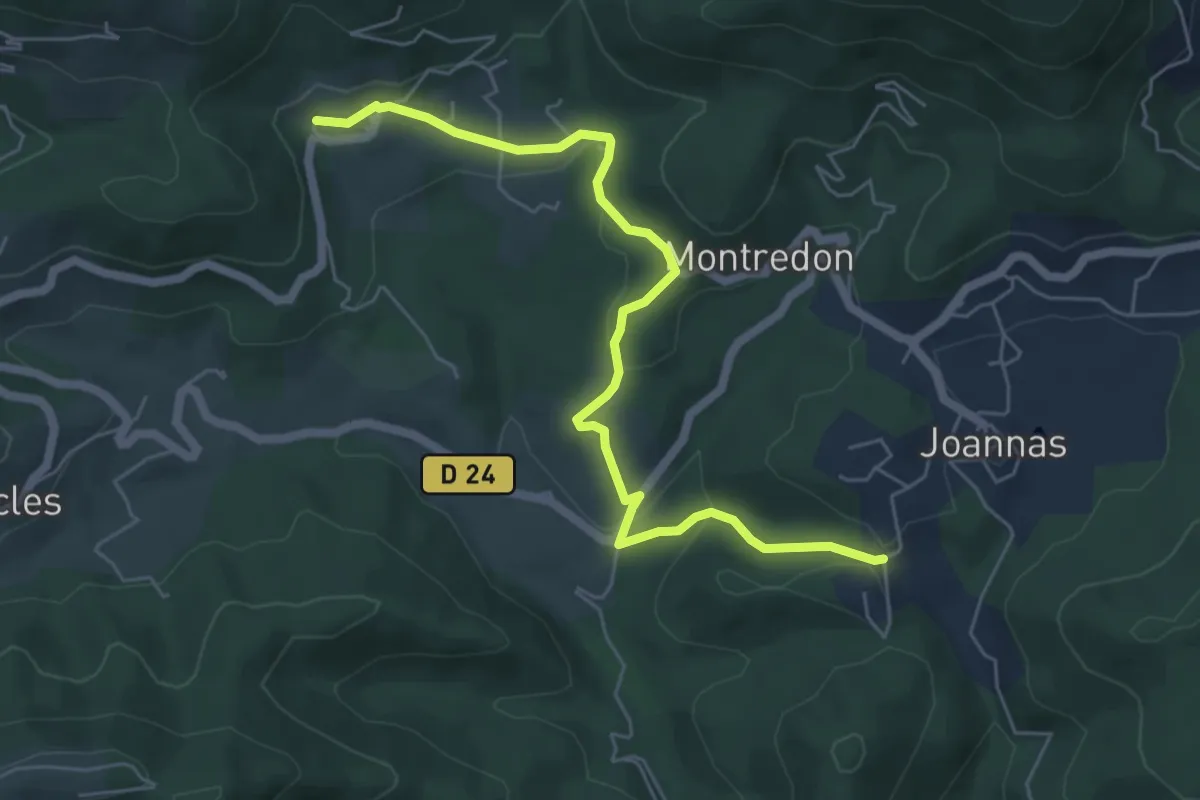
Easy · Trail
Chassagnoles - Blaunac
6.4 km · ↑ 177 m · 1 h 54 min
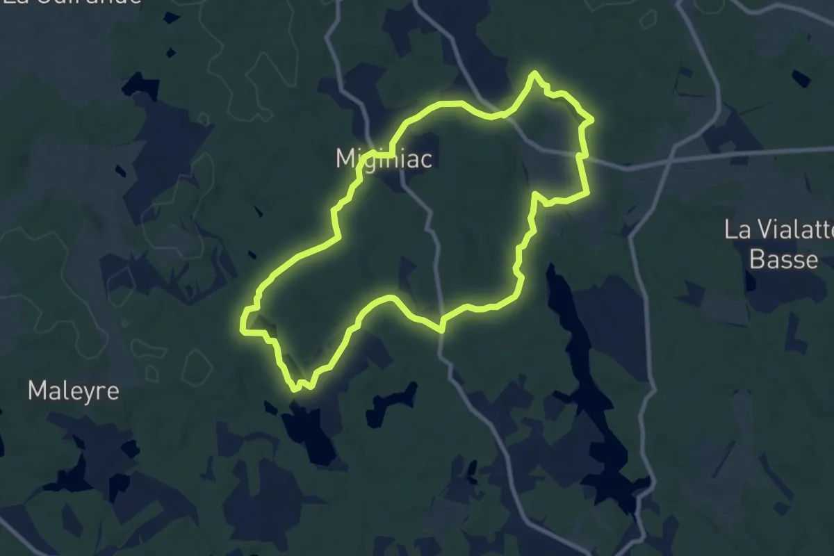
Medium · Trail
Chasseurs de Sensations Nature
8.7 km · ↑ 124 m · 2 h 26 min
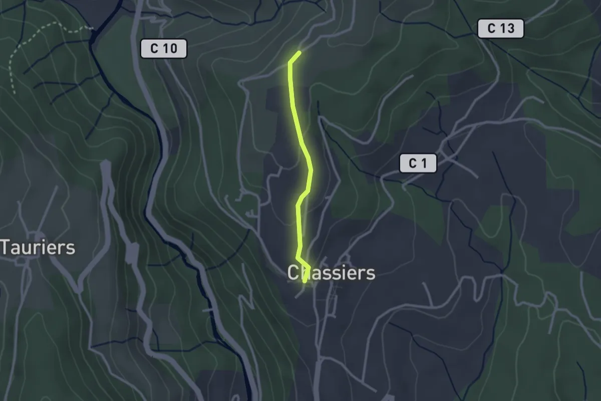
Easy · Trail
Chassiers - Chapelle Saint-Joseph
2.0 km · ↑ 52 m · 35 min
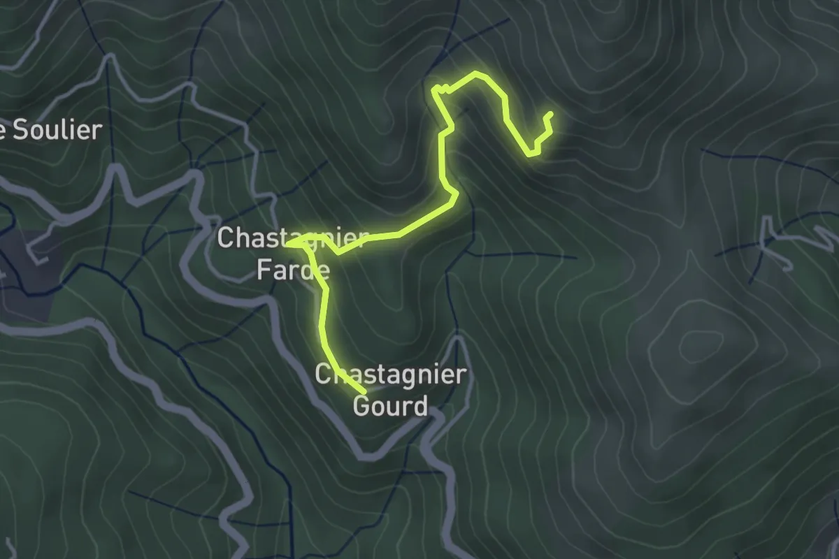
Easy · Trail
Chastagnier Gourd - Les Pargeades
3.6 km · ↑ 299 m · 1 h 29 min
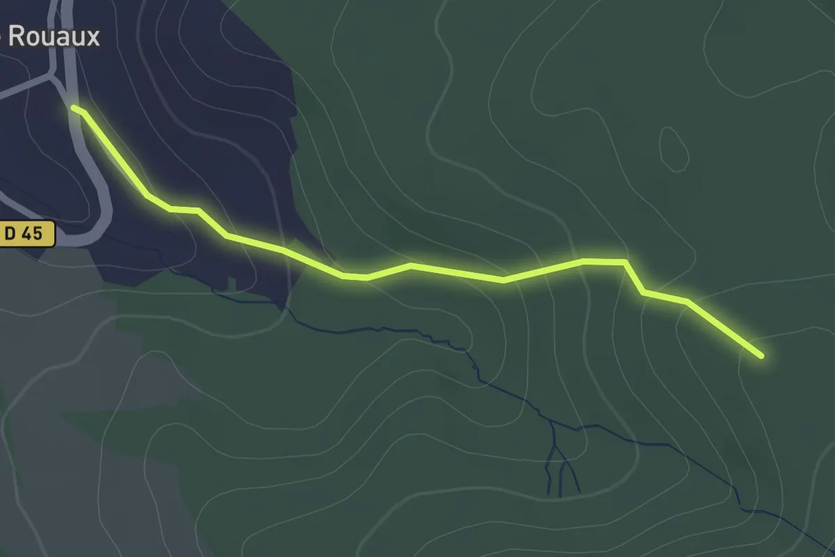
Easy · Trail
Châtas - Le Rouaux
2.0 km · ↑ 111 m · 43 min