Trails in France
15,906 hiking trails, each with its route, climb, walking time and grade.
All trails, page 38 of 332
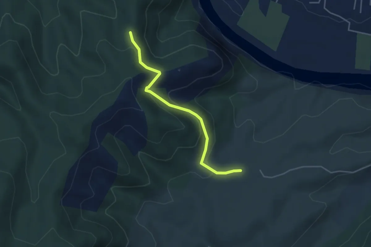
Easy · Trail
Chat du Devès - Le Pérérol
3.5 km · ↑ 183 m · 1 h 14 min
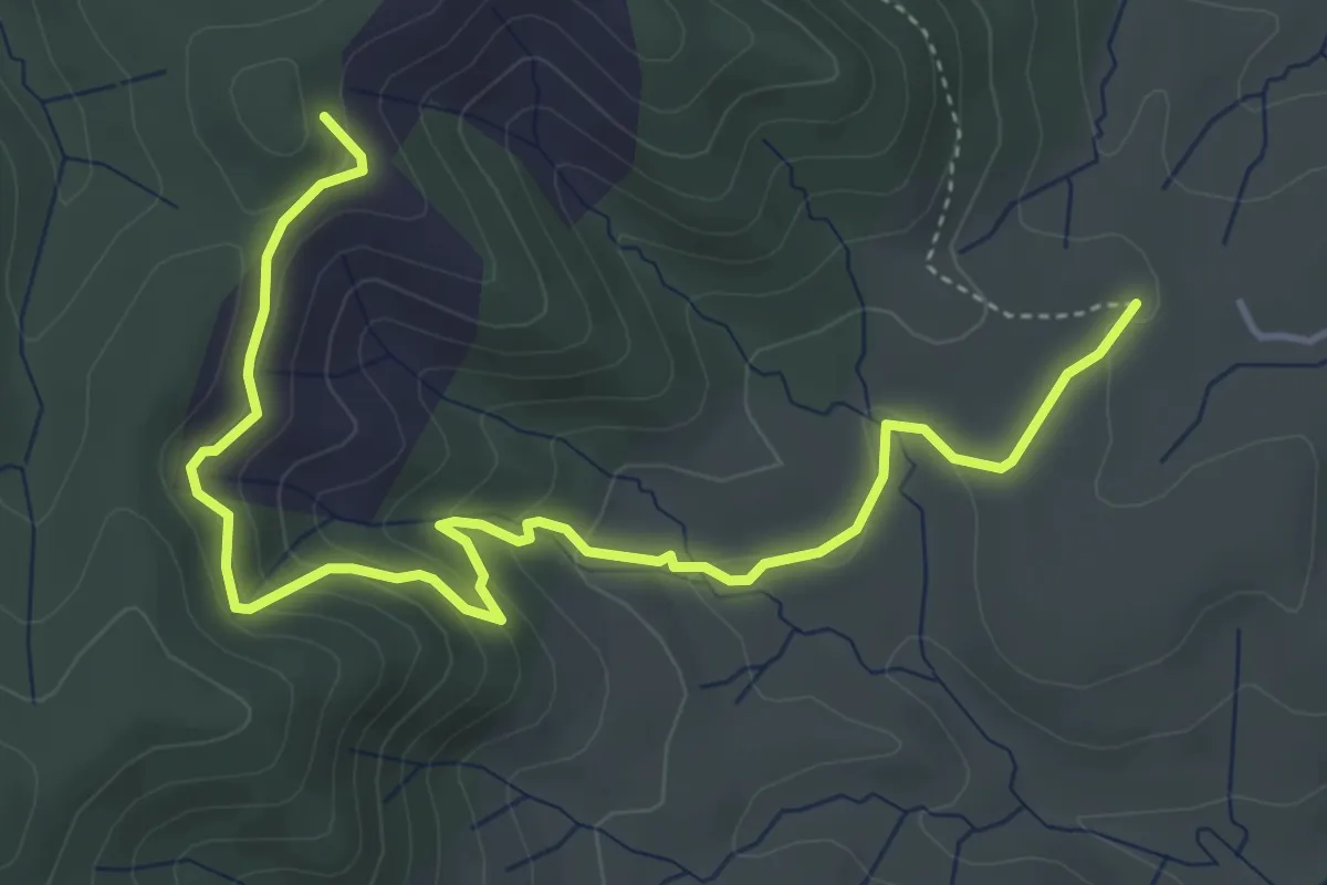
Easy · Trail
Chat du Devès - Les Costes
5.7 km · ↑ 317 m · 2 h 1 min
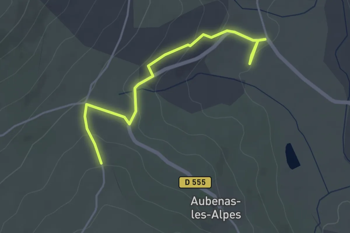
Easy · Trail
Château d'Aubenas
2.0 km · ↑ 41 m · 37 min
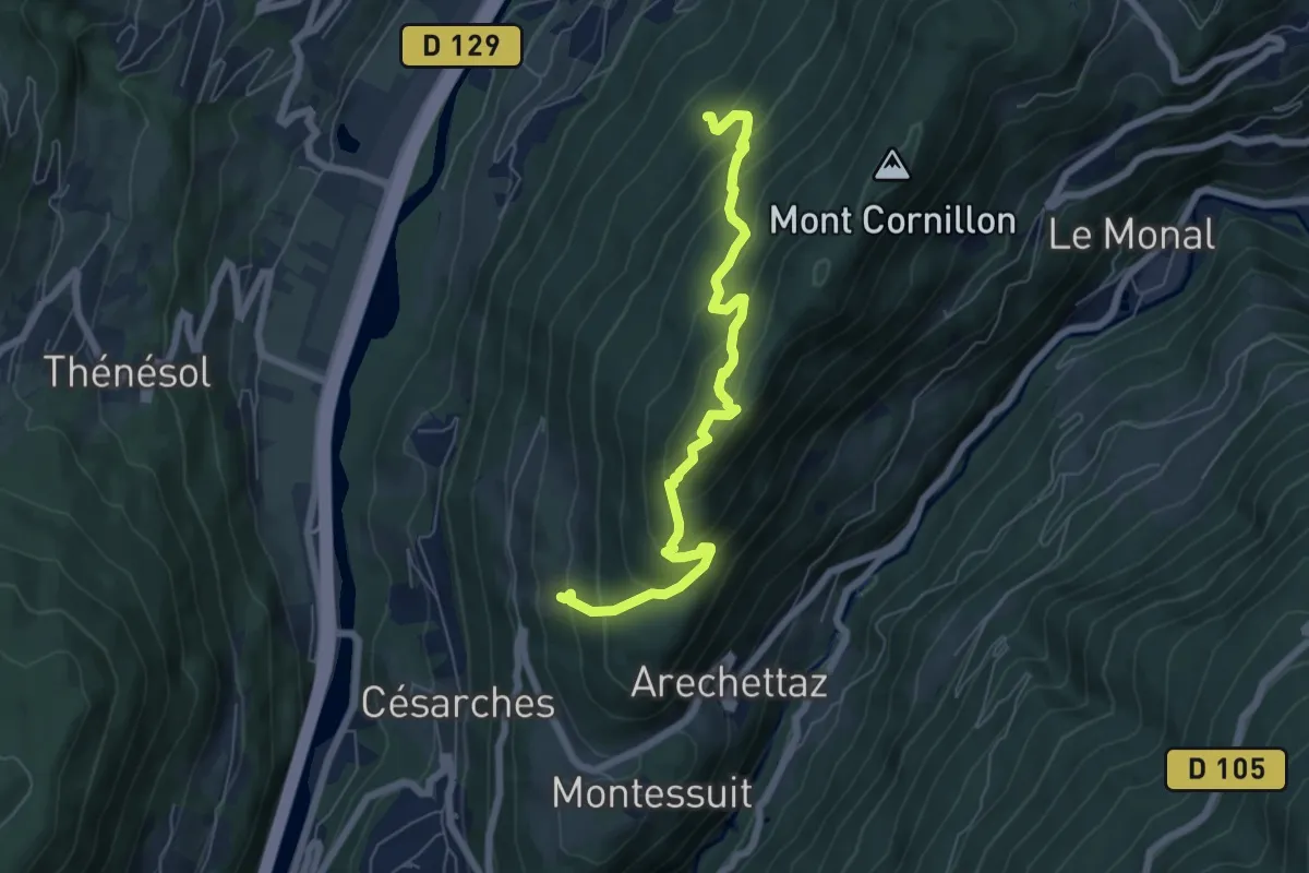
Medium · Trail
Château de Cornillon
6.6 km · ↑ 576 m · 2 h 48 min
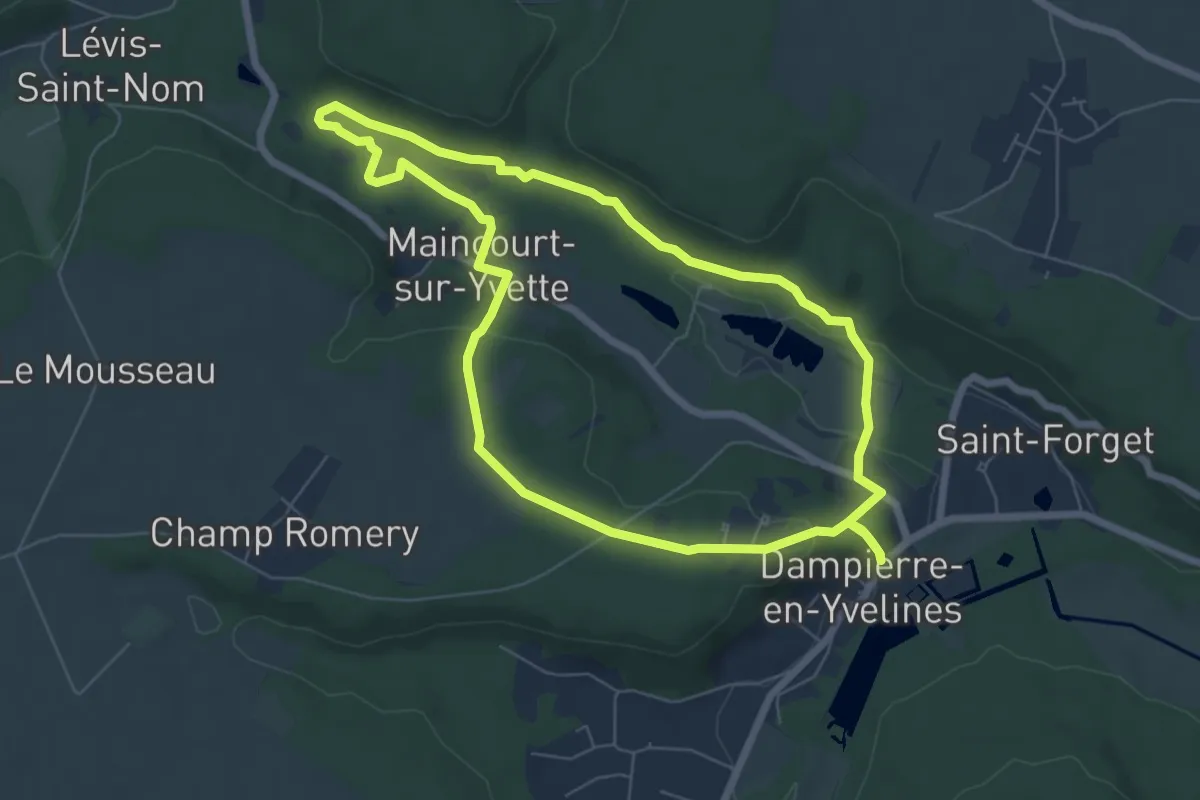
Easy · Trail
Château de Dampierre et marais de Maincourt
6.3 km · ↑ 124 m · 1 h 50 min
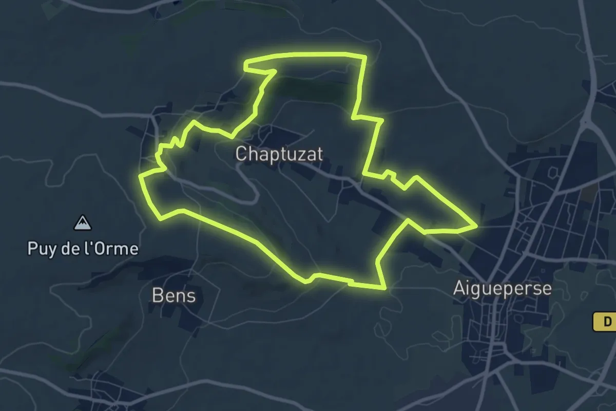
Medium · Trail
Château de la Roche
9.2 km · ↑ 207 m · 2 h 46 min
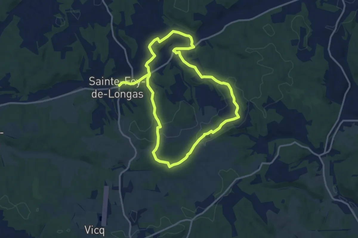
Demanding · Trail
Château de Longas
19.1 km · ↑ 361 m · 5 h 18 min
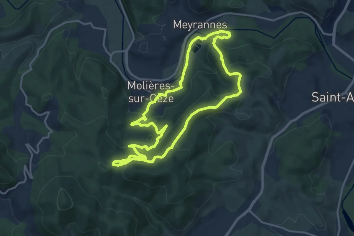
Medium · Trail
Château de Montalet
9.4 km · ↑ 381 m · 3 h 11 min
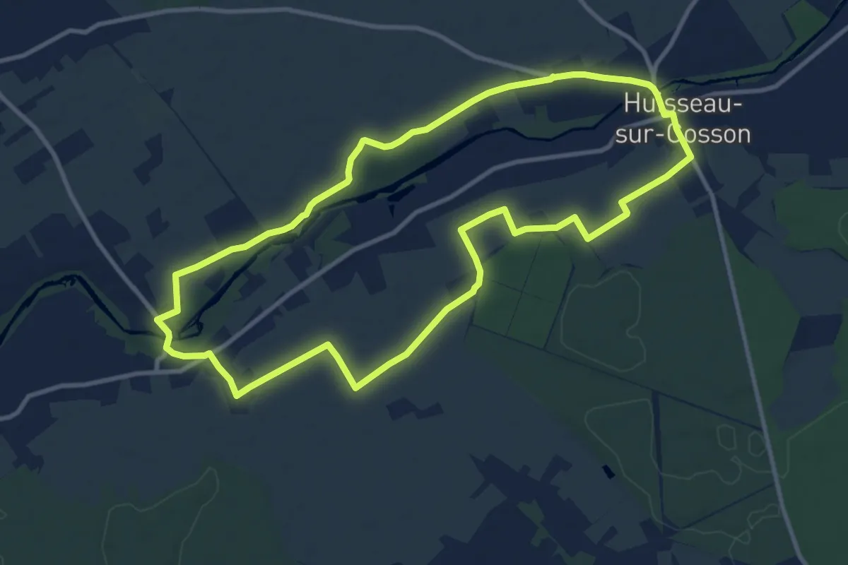
Medium · Trail
Château de Nanteuil
9.9 km · ↑ 43 m · 2 h 34 min
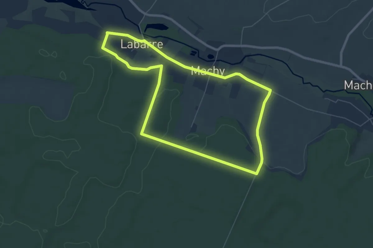
Easy · Trail
Château de Régnière-Ecluse
5.7 km · ↑ 61 m · 1 h 33 min
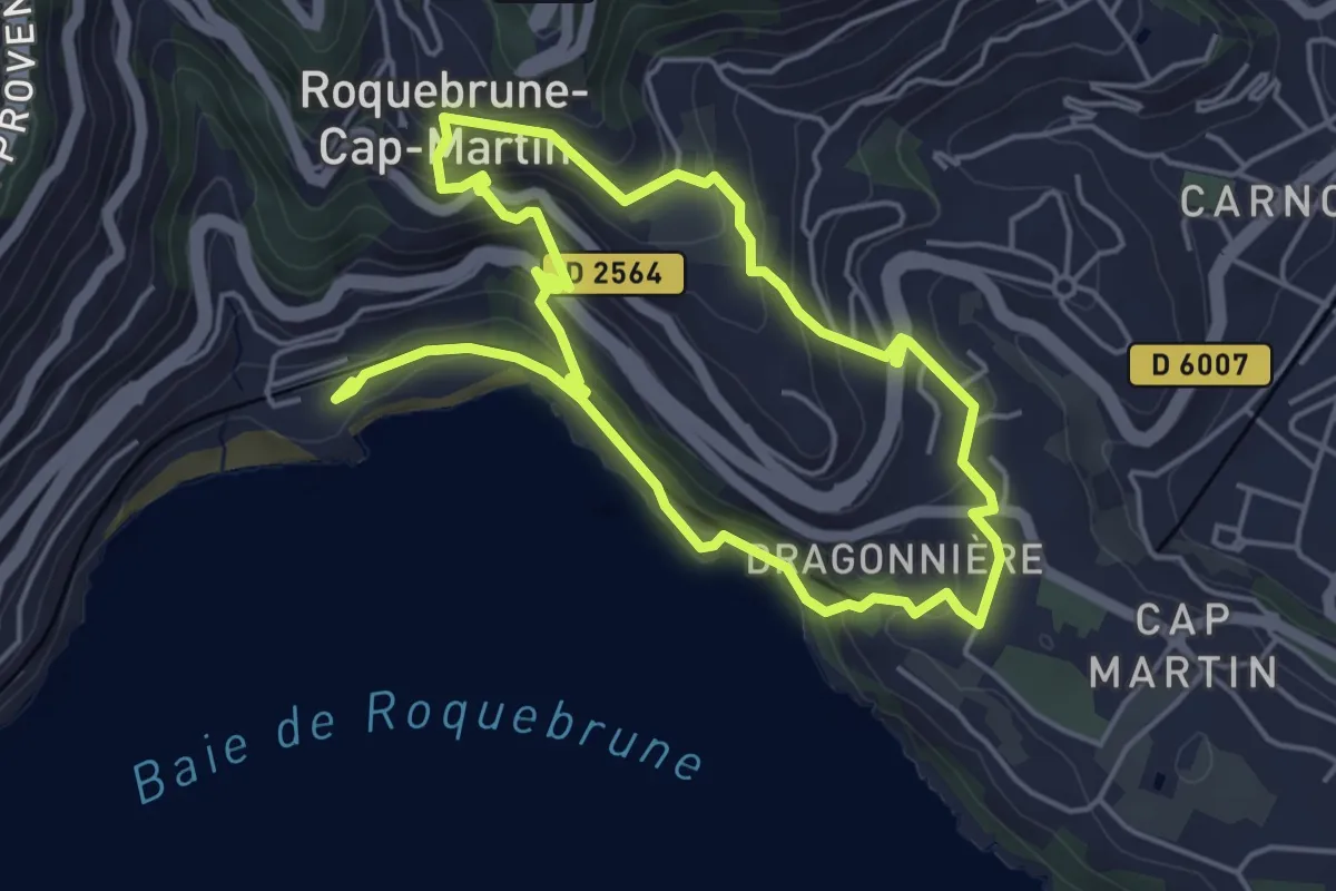
Easy · Trail
Château de Roquebrune
4.6 km · ↑ 258 m · 1 h 42 min
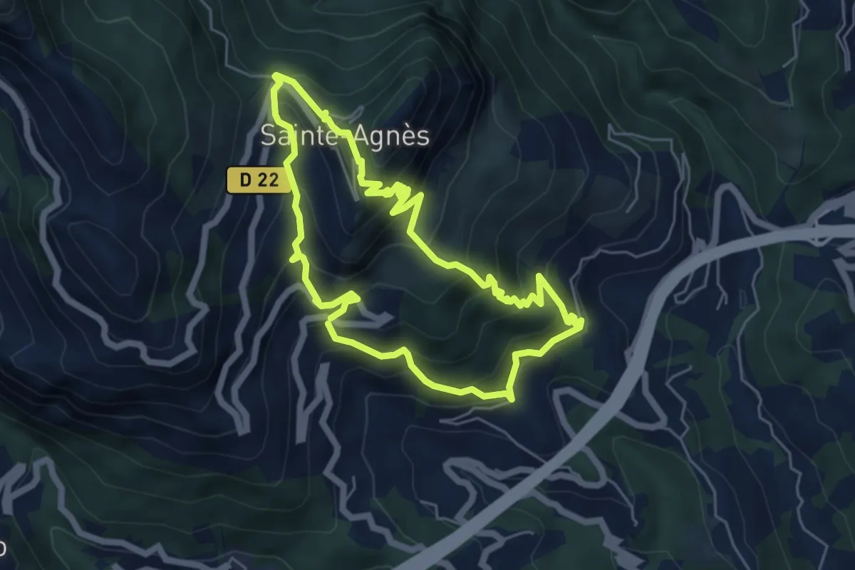
Medium · Trail
Château de Sainte-Agnès
5.2 km · ↑ 482 m · 2 h 21 min
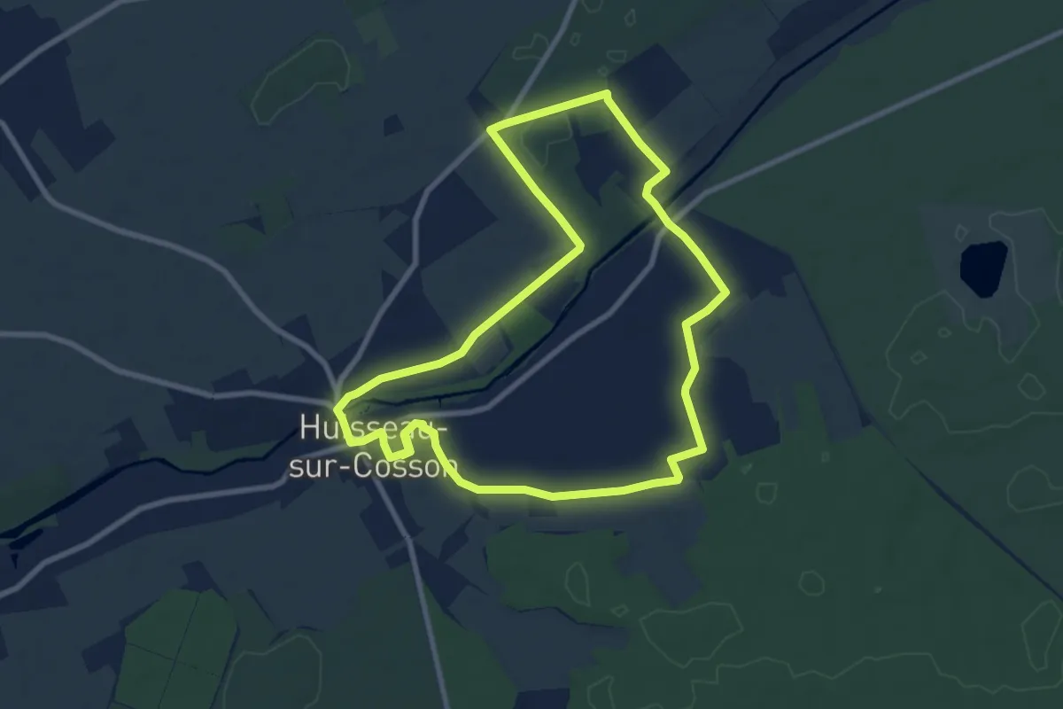
Medium · Trail
Château de Saumery
8.2 km · ↑ 30 m · 2 h 7 min
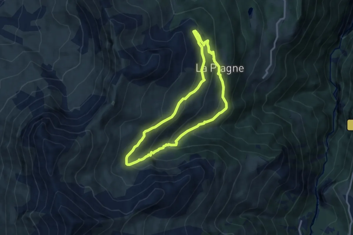
Medium · Trail
Château des Bergers
7.5 km · ↑ 463 m · 2 h 52 min
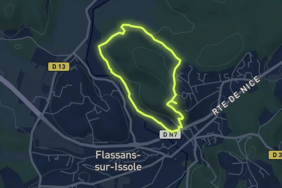
Easy · Trail
Château des Pontevès
3.7 km · ↑ 96 m · 1 h 8 min
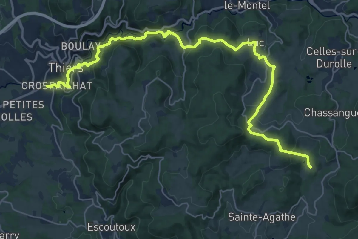
Medium · Trail
Château de Vaulx - Thiers
12.4 km · ↑ 359 m · 4 h 3 min
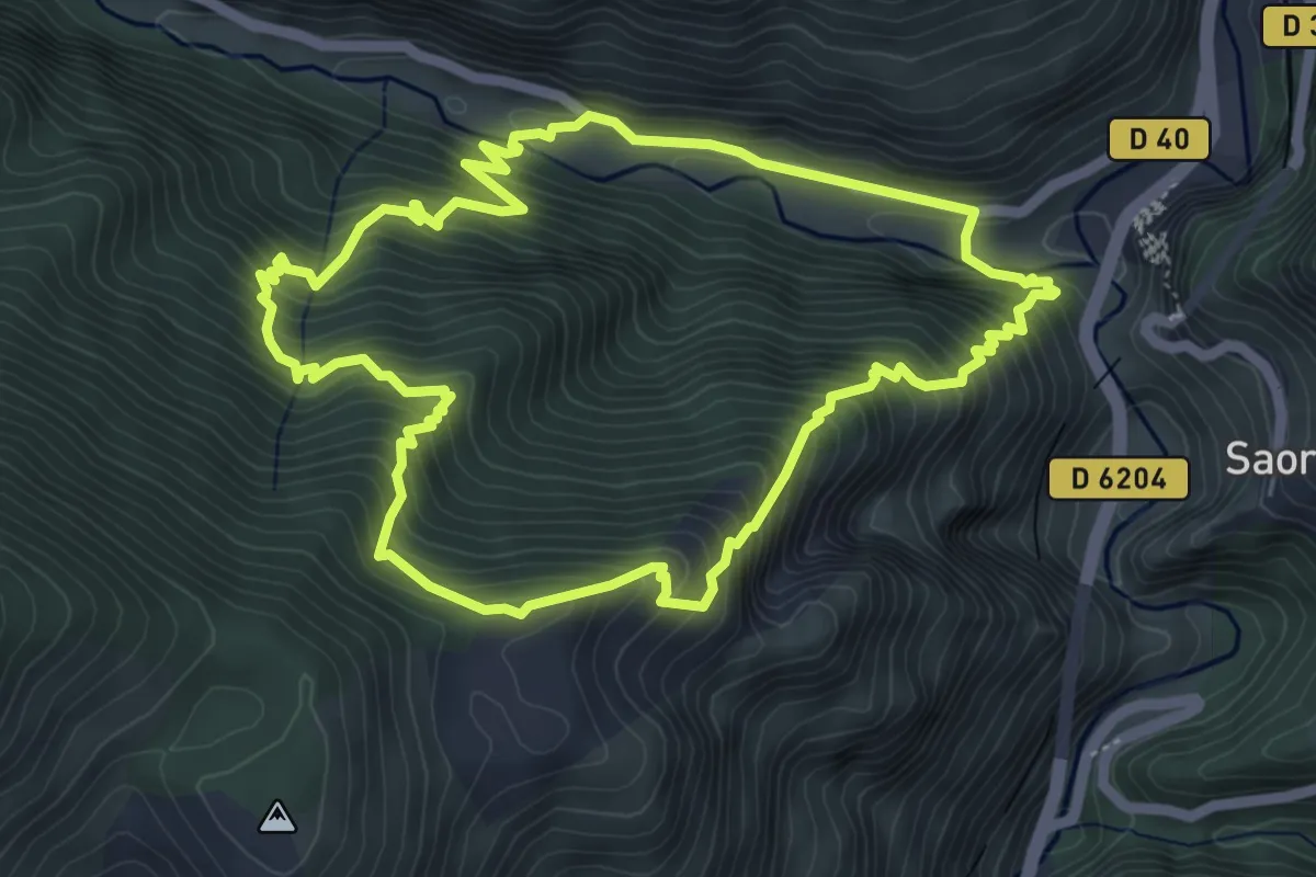
Medium · Trail
Château fort de Malmort
5.7 km · ↑ 607 m · 2 h 44 min
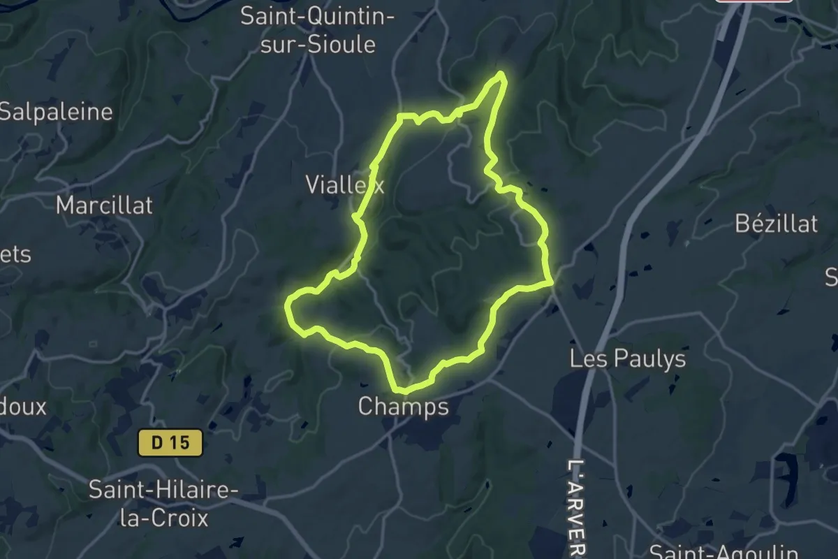
Medium · Trail
Chateau-Jaloux
12.9 km · ↑ 291 m · 3 h 51 min
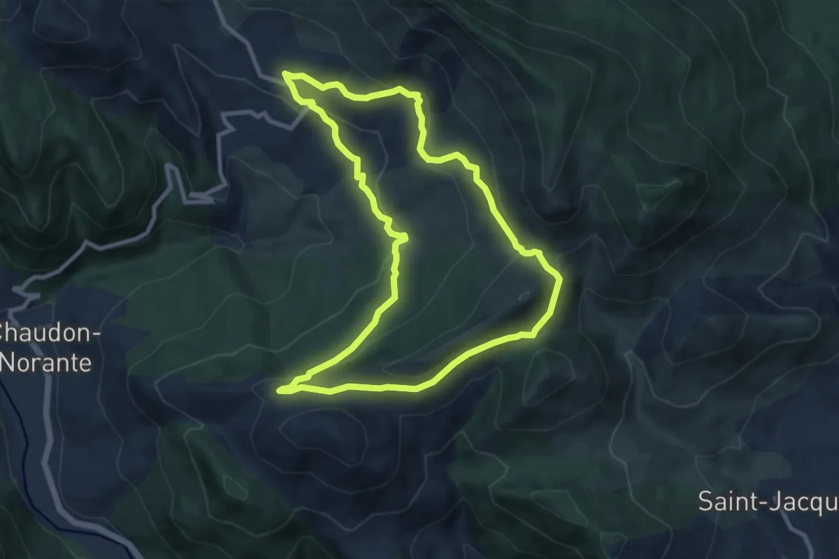
Medium · Trail
Château plus Haut
8.5 km · ↑ 332 m · 2 h 51 min
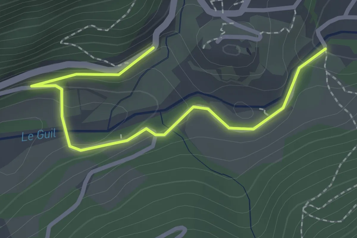
Easy · Trail
Château-Queyras - Château-Queyras
2.3 km · ↑ 105 m · 47 min
Easy · Trail
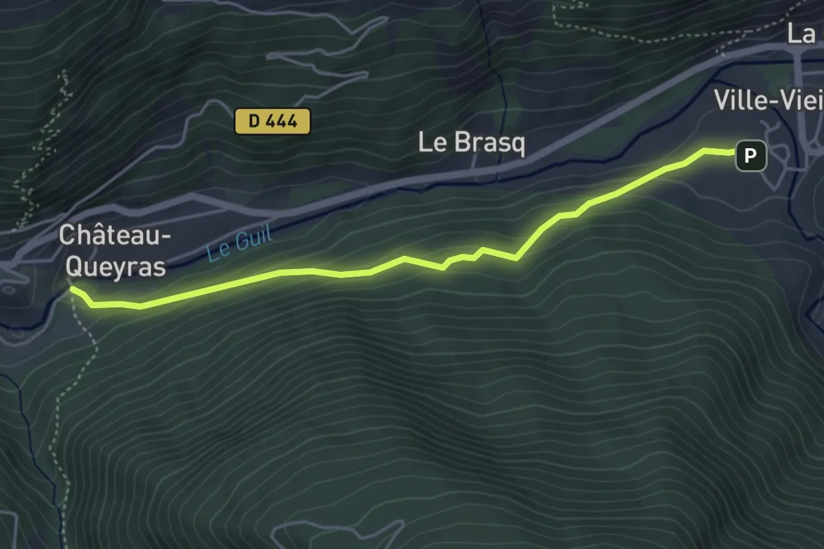
Château-Queyras - La Rua
4.6 km · ↑ 213 m · 1 h 33 min
Medium · Trail
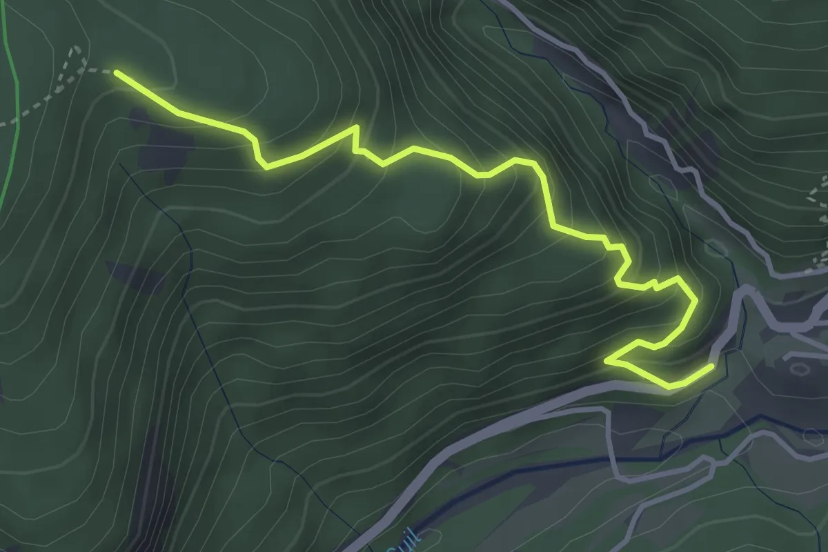
Château-Queyras - Les Arbourets
3.9 km · ↑ 465 m · 1 h 56 min
Expert · Trail
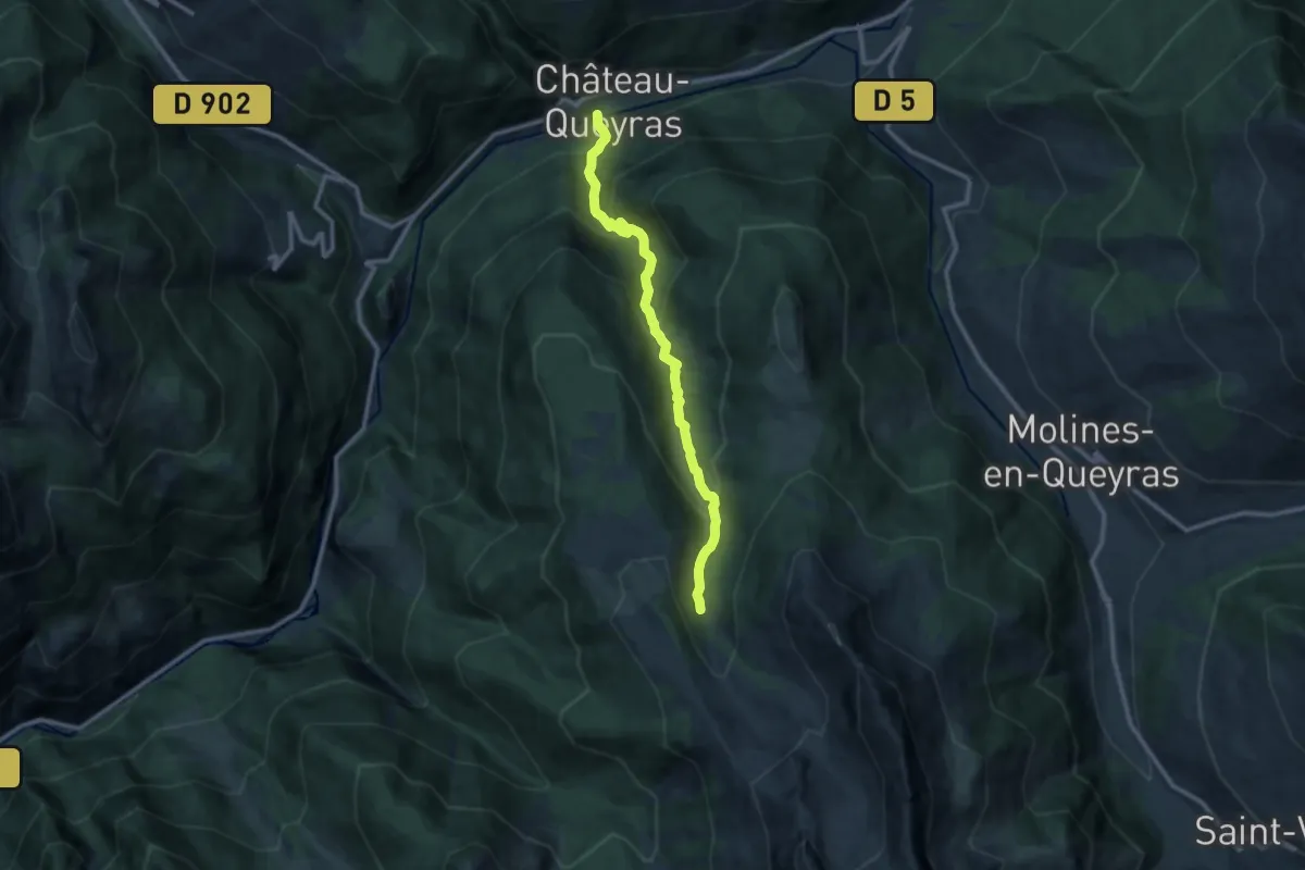
Château-Queyras - Lousselar
10.5 km · ↑ 761 m · 4 h 8 min
Medium · Trail
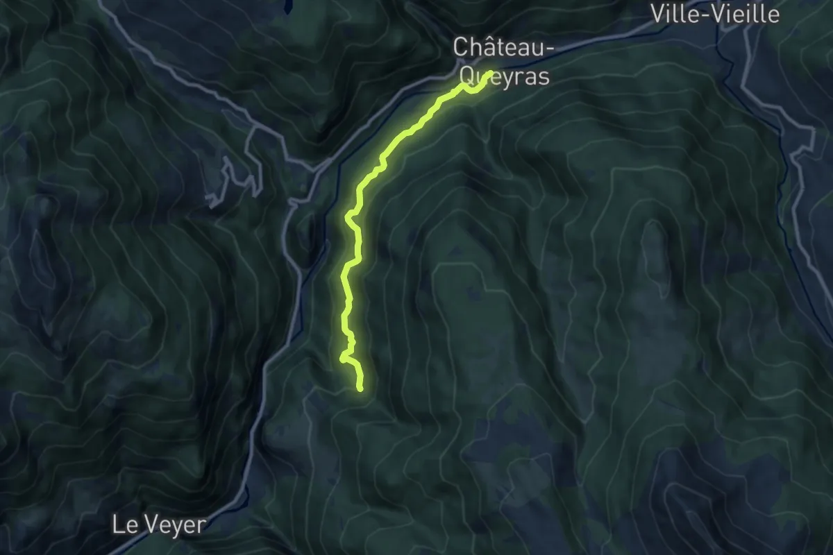
Château-Queyras - Ravin de la Grande Combe
8.6 km · ↑ 474 m · 3 h 4 min
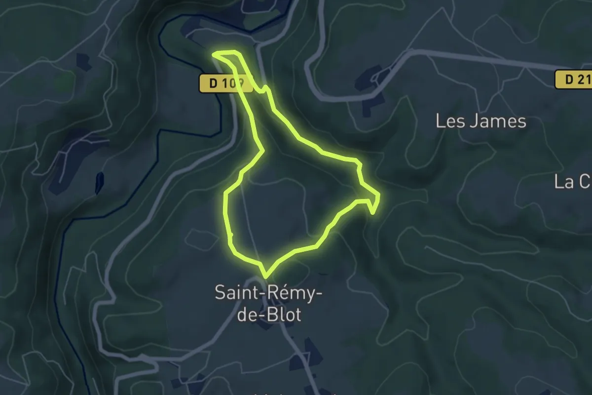
Easy · Trail
Chateau-Rocher
4.7 km · ↑ 169 m · 1 h 32 min
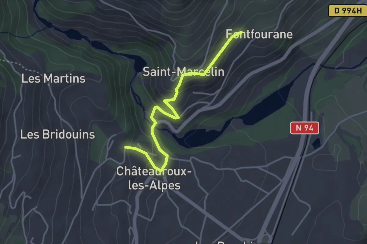
Easy · Trail
Châteauroux-les-Alpes - Font Fourane
3.5 km · ↑ 161 m · 1 h 11 min
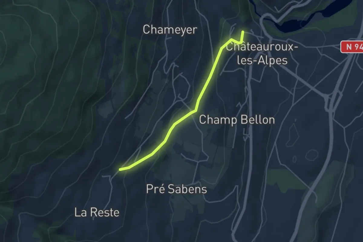
Easy · Trail
Châteauroux-les-Alpes - Les Gérards
3.7 km · ↑ 151 m · 1 h 12 min
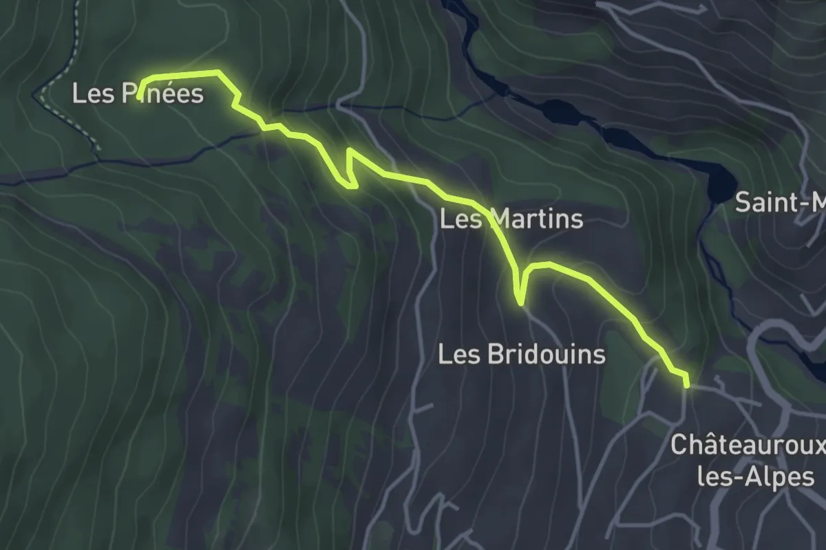
Easy · Trail
Châteauroux-les-Alpes - Les Pinées
4.3 km · ↑ 292 m · 1 h 39 min
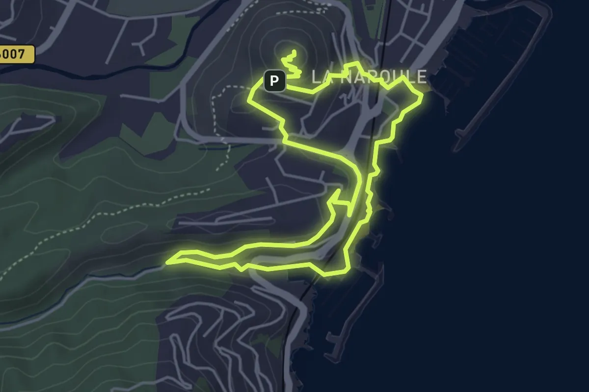
Easy · Summit
Châteaux de La Napoule
4.6 km · ↑ 156 m · 1 h 28 min
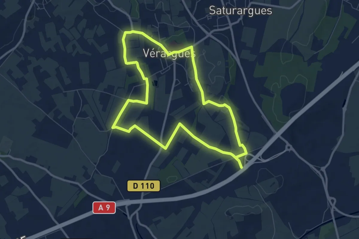
Medium · Trail
Chateaux du Muscat de Lunel
15.9 km · ↑ 94 m · 3 h 58 min
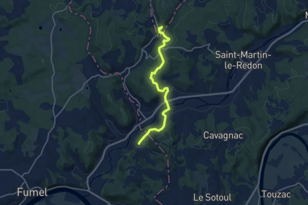
Medium · Trail
Châteaux et Bastides en Haut-Agenais Périgord
10.1 km · ↑ 212 m · 2 h 51 min
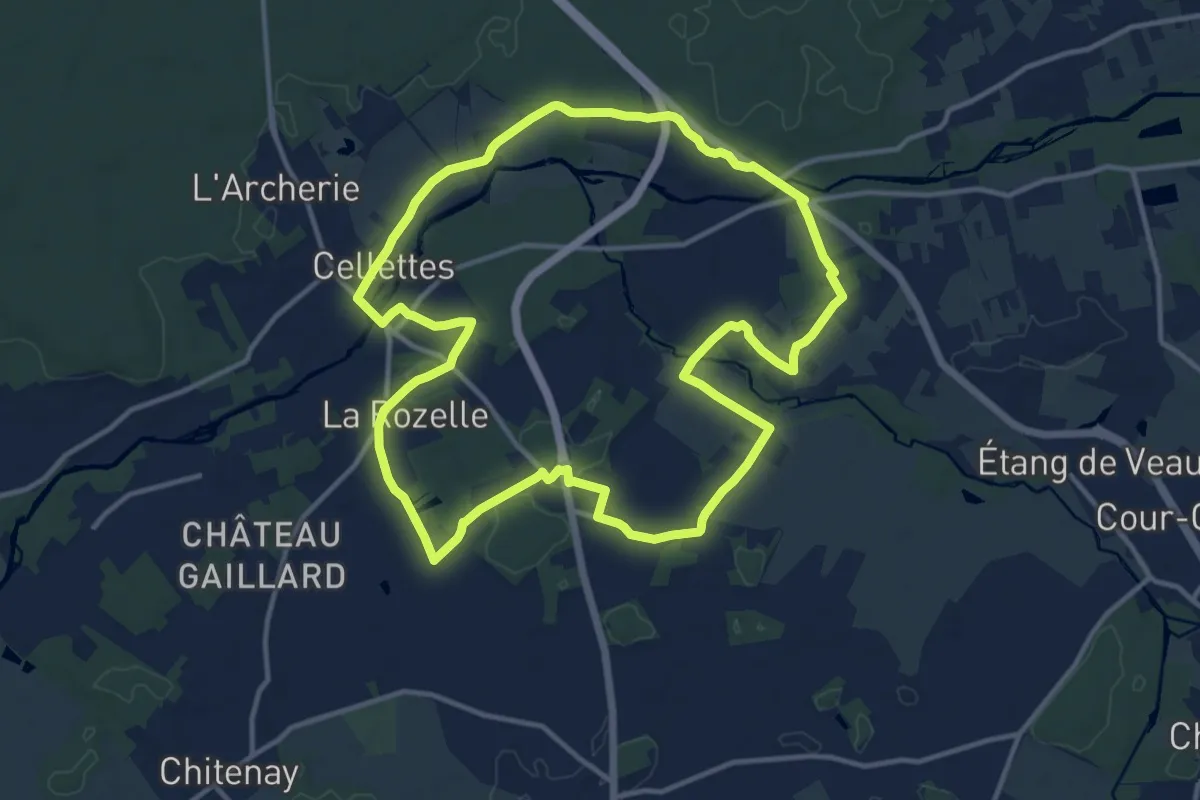
Medium · Trail
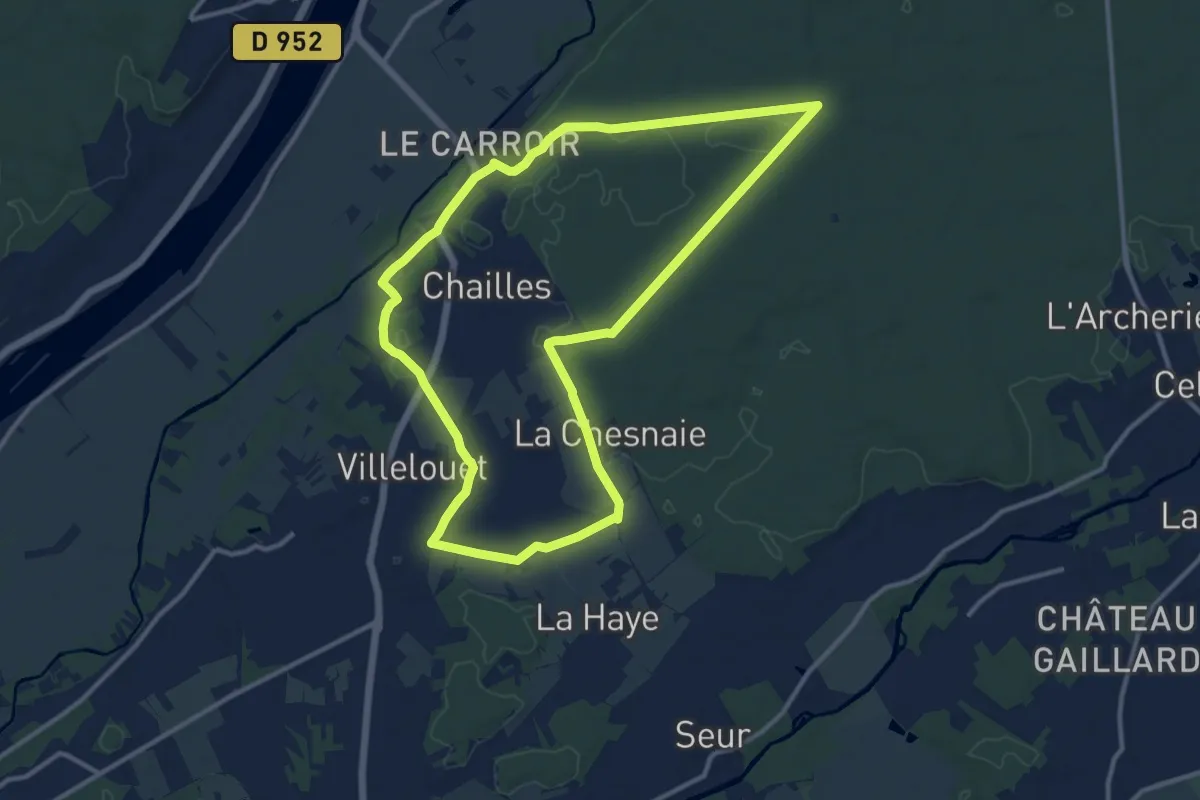
Châteaux et demeures
13.0 km · ↑ 70 m · 3 h 24 min
Medium · Trail
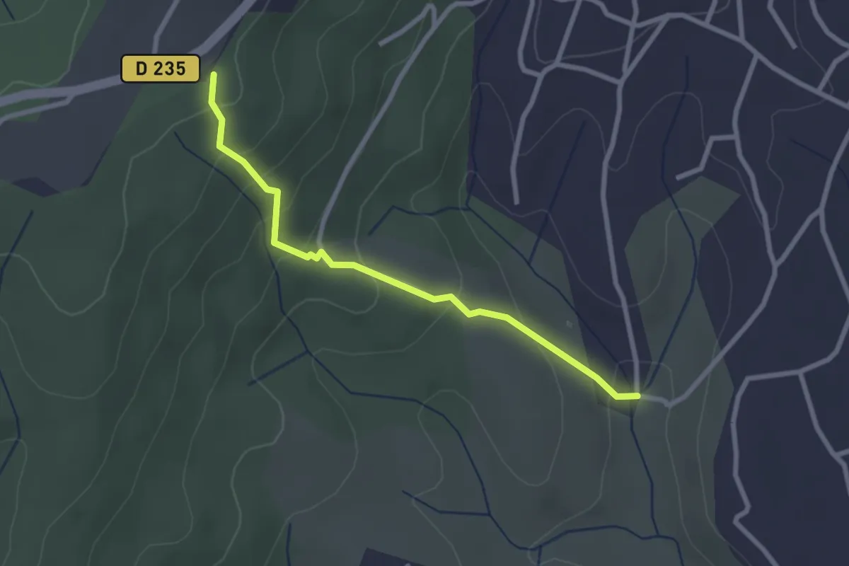
Châteaux et forêt
12.0 km · ↑ 88 m · 3 h 11 min
Easy · Trail
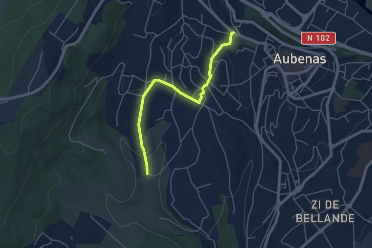
Chaudabri - Bois du Glaizal
2.6 km · ↑ 166 m · 58 min
Easy · Trail
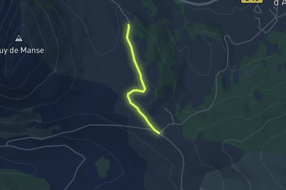
Chaudabri - Saint-Antoine
4.0 km · ↑ 139 m · 1 h 15 min
Easy · Trail
Chaume Froide - Le Collet d'Ancelle
2.9 km · ↑ 67 m · 50 min
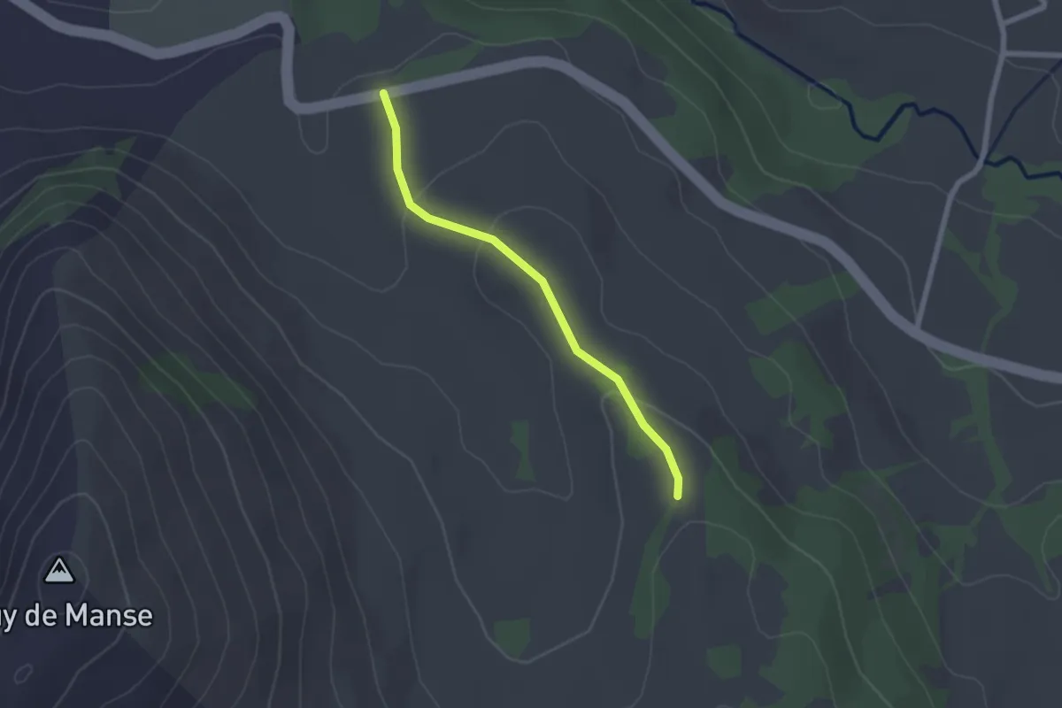
Easy · Trail
Chaume Froide - Les Forests
2.0 km · ↑ 66 m · 37 min
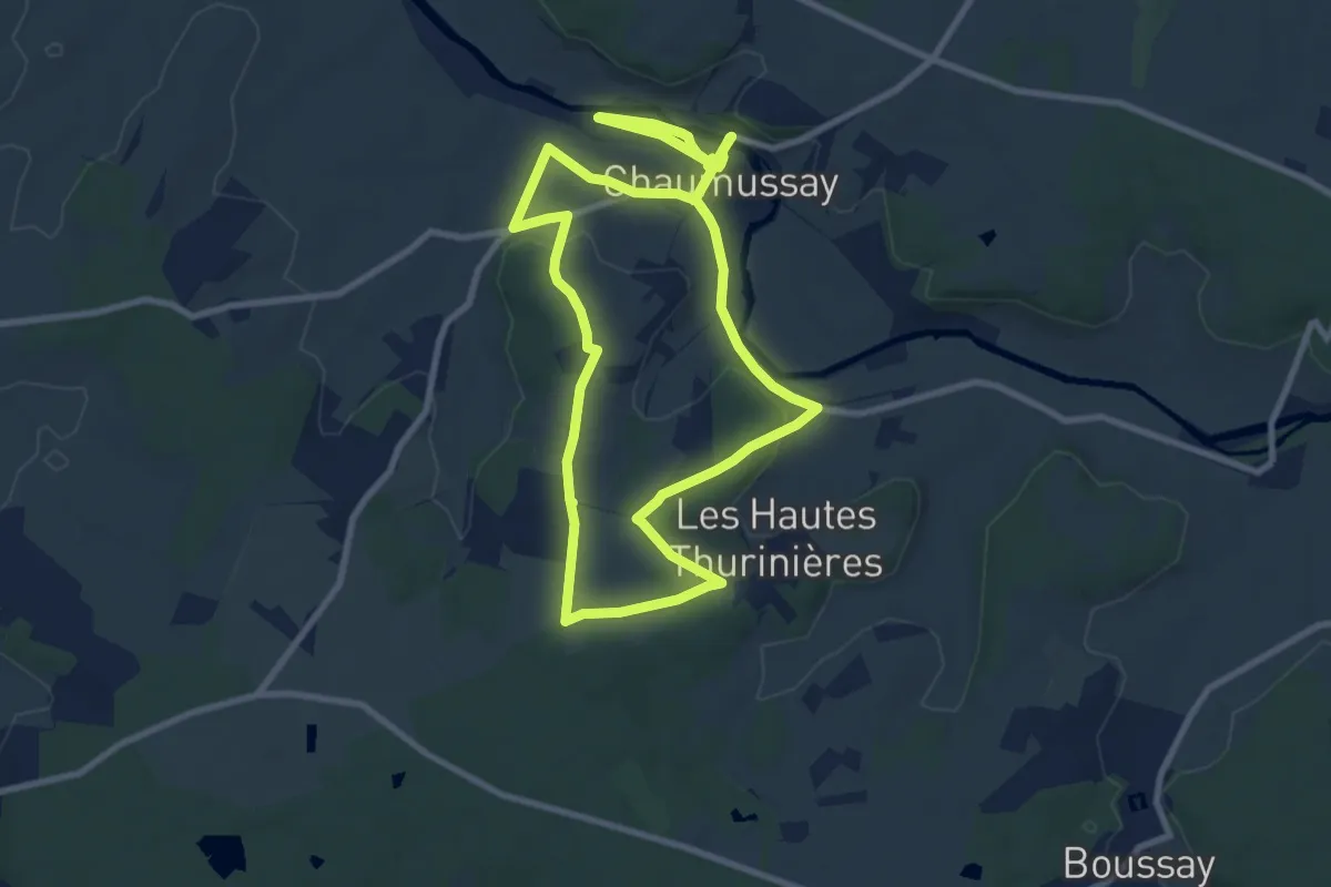
Medium · Trail
Chaumussay - Entre Claise et coteaux
8.8 km · ↑ 74 m · 2 h 21 min
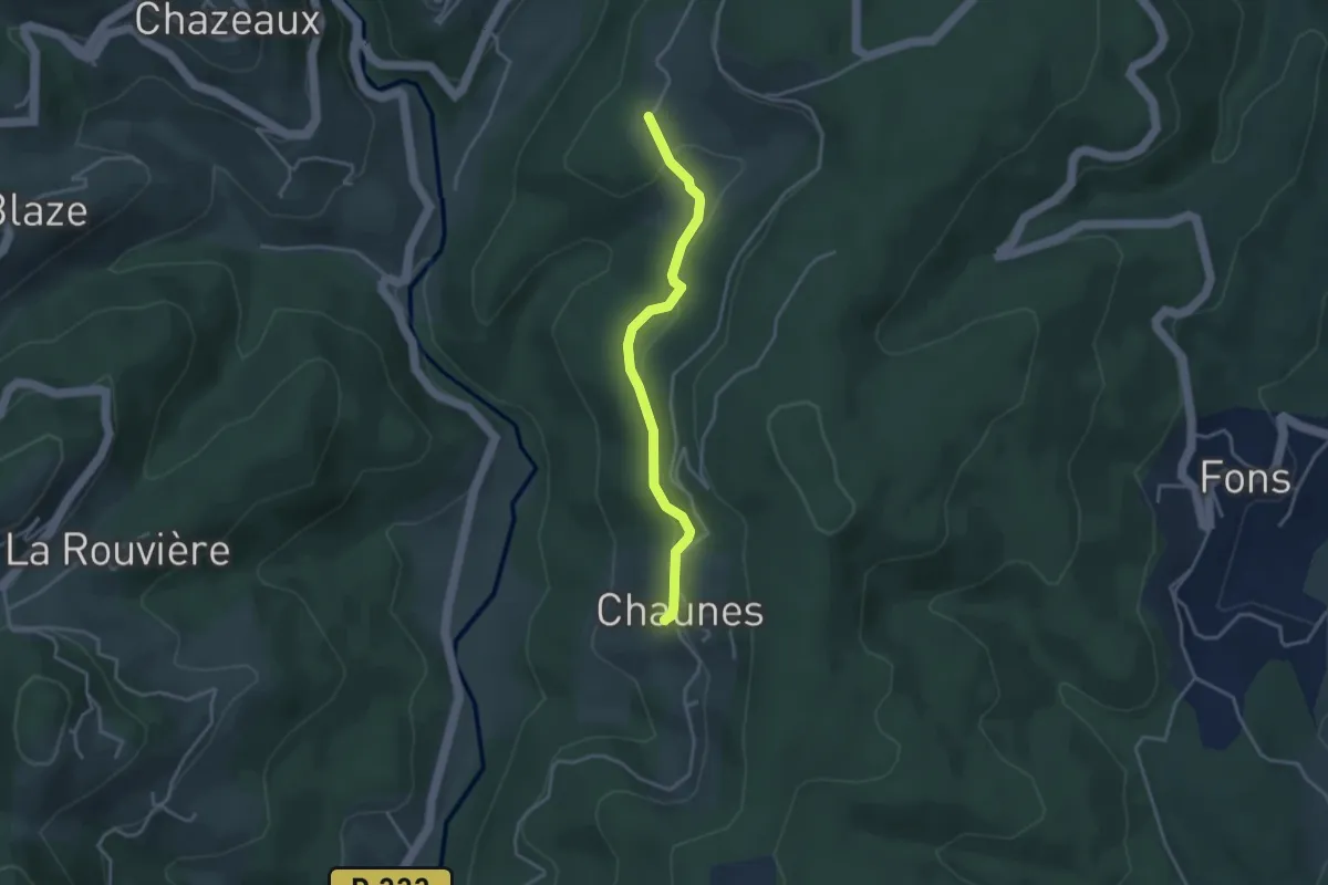
Easy · Trail
Chaunes - Les Granges de Védignac
3.4 km · ↑ 86 m · 1 h
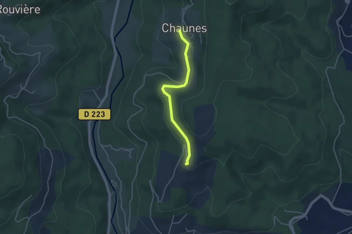
Easy · Trail
Chaunes - Merzelet Ouest
3.2 km · ↑ 67 m · 54 min
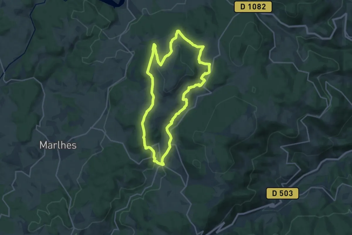
Medium · Trail
Chaussitre
14.1 km · ↑ 398 m · 4 h 23 min
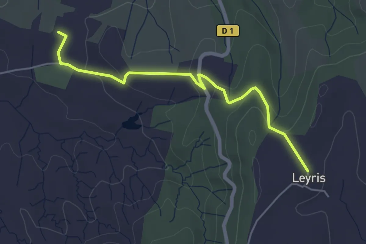
Easy · Trail
Chaussy - Hameau de Leyris
4.5 km · ↑ 121 m · 1 h 20 min
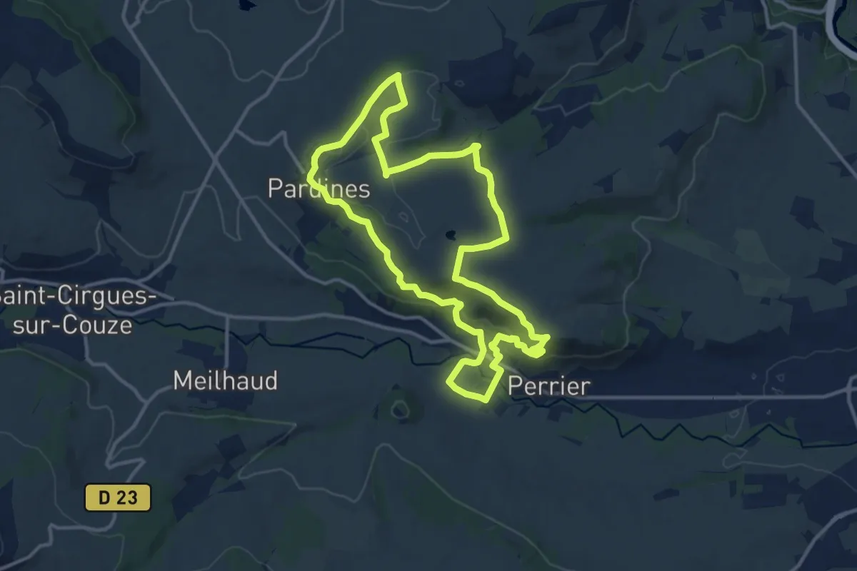
Medium · Trail
Chaux de Pardines et Grottes de Perrier
12.1 km · ↑ 290 m · 3 h 39 min
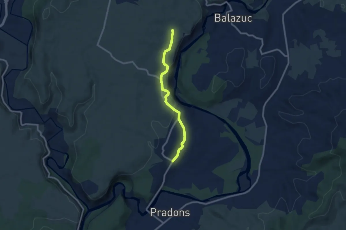
Easy · Trail
Chauzon - Audon
6.2 km · ↑ 136 m · 1 h 46 min
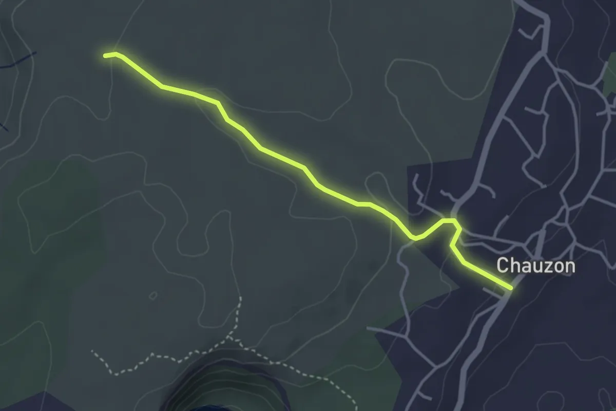
Easy · Trail
Chauzon - La Hâle
3.7 km · ↑ 82 m · 1 h 3 min
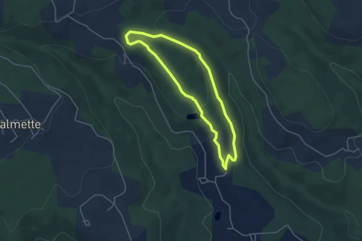
Easy · Trail
Chazalet - Chazalet
3.1 km · ↑ 61 m · 55 min
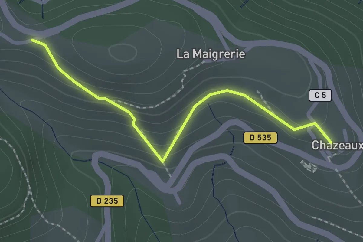
Easy · Trail
Chazeaux - La Combe
2.0 km · ↑ 111 m · 43 min
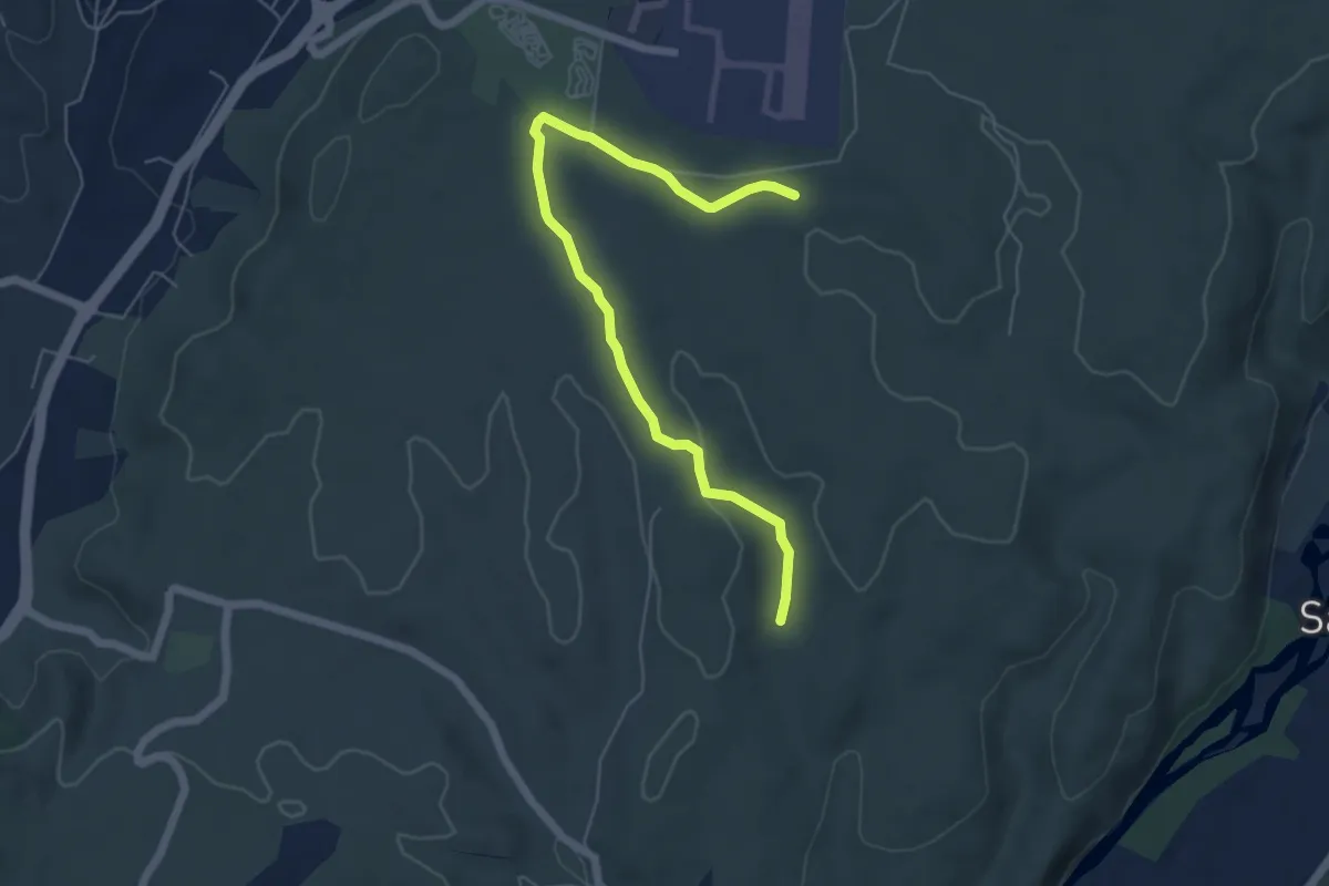
Easy · Trail
Chazette - La Mare
6.2 km · ↑ 71 m · 1 h 37 min